Thames Path & Jubilee River Walk - Maidenhead & Bray

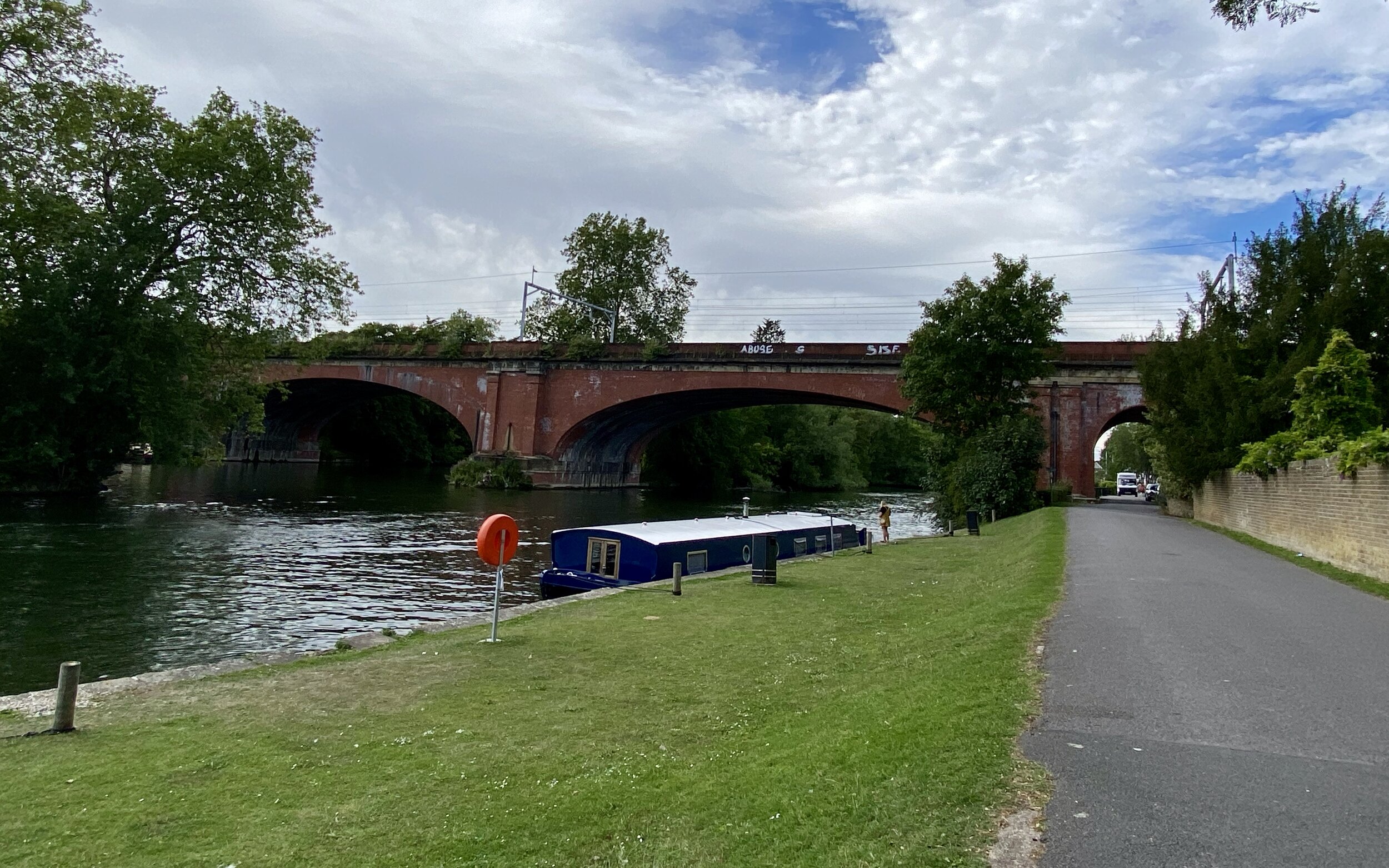
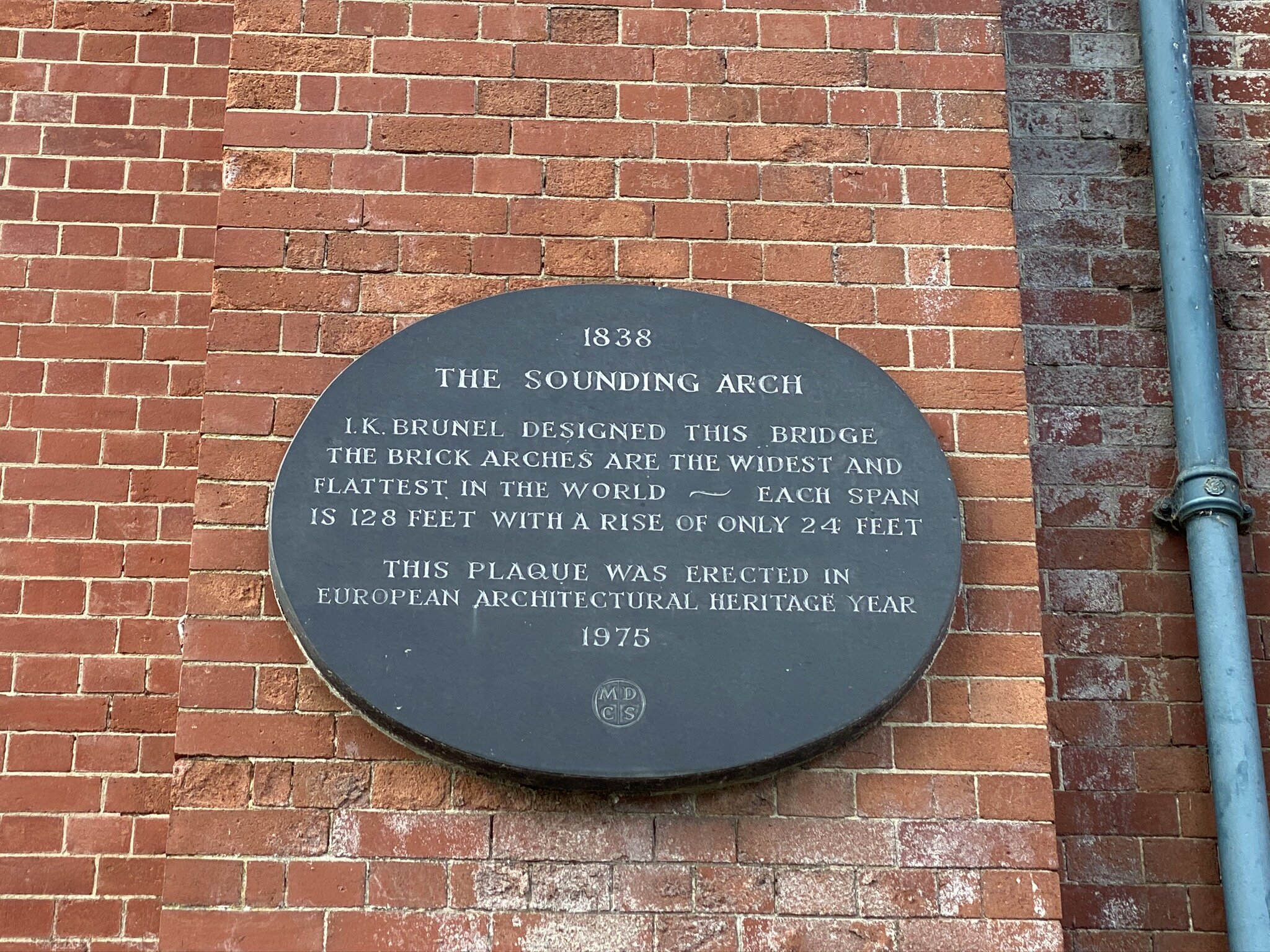
Maidenhead Bridge
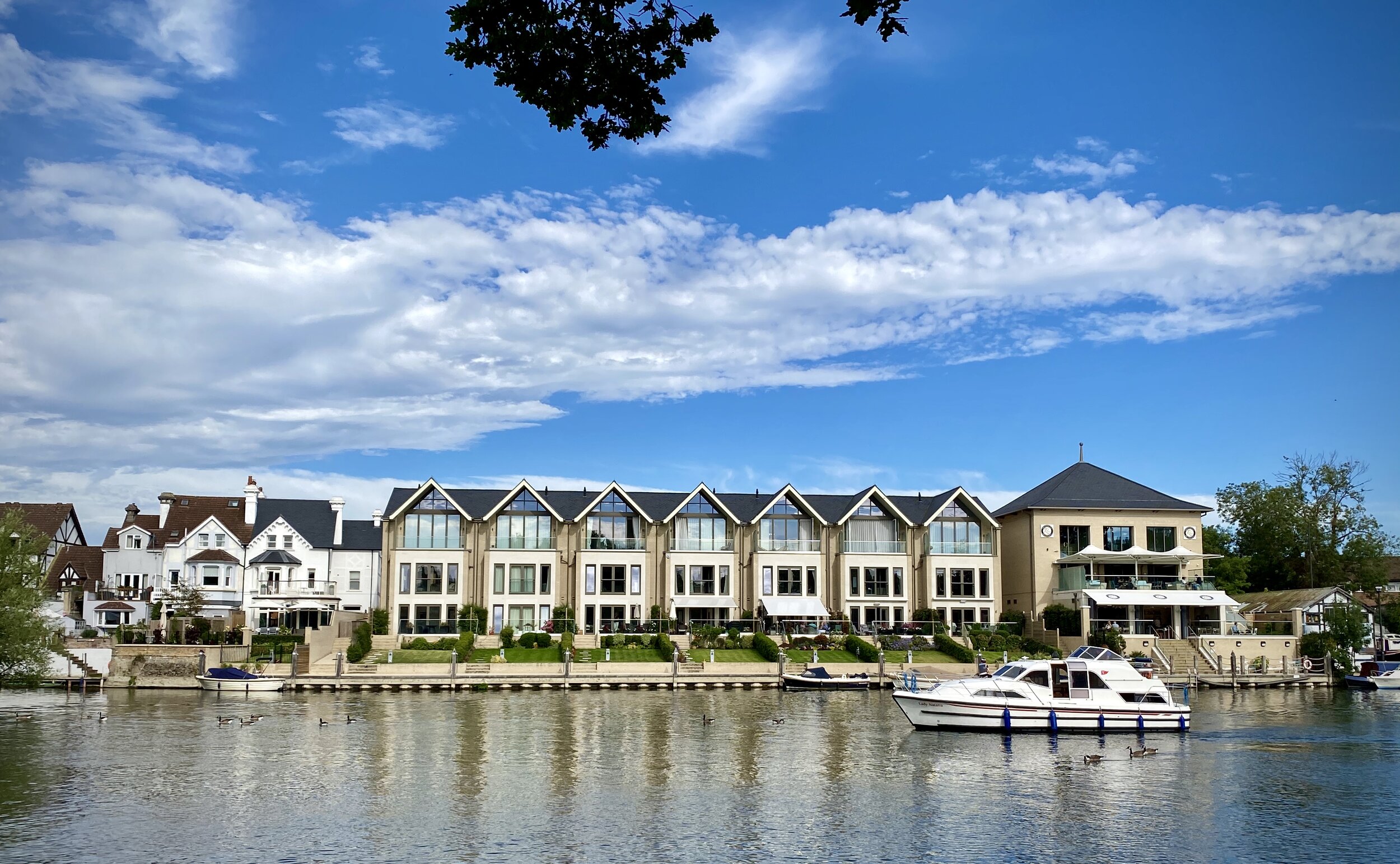
Start & Finish: Riverside Gardens, Maidenhead, SL6 8NS
Distance: 10.7 km (6.6 miles)
Elevation change: + / - 35 m
GPX File: get via Buy Me a Coffee
Other routes touched (walk): Thames Path, Maidenhead Boundary Walk, Jubilee River Path
Other routes touched (cycle): NCN 52, 61, Beeches Cycleway
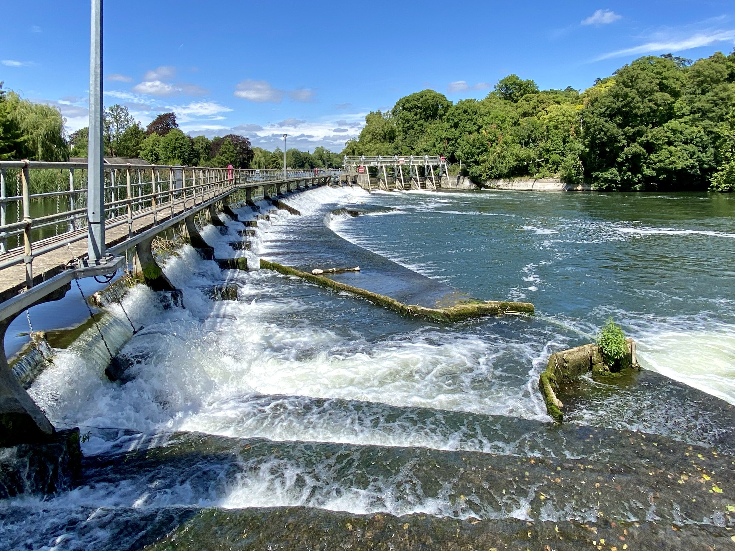
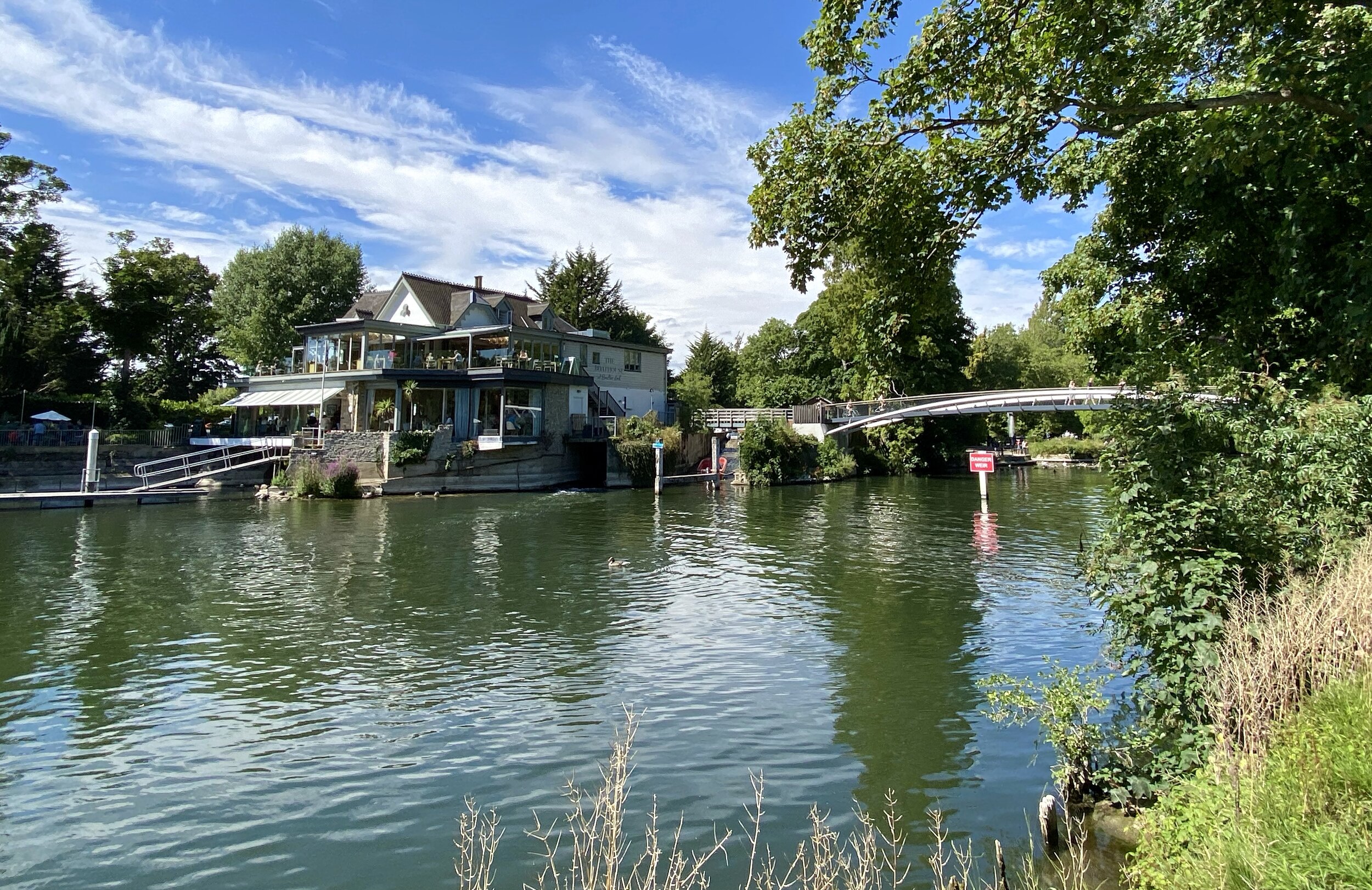
Pubs / Cafes on route: Jenners Riverside Cafe (SL6 8NP), The Boathouse at Boulters Lock (SL6 8PE)
Map: OS Explorer Map (172) Chiltern Hills East and OS Explorer Map (160) Windsor, Weybridge & Bracknell
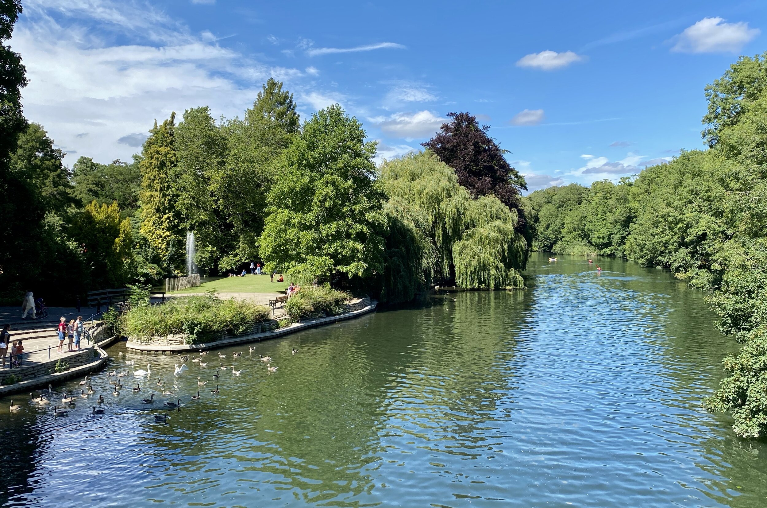
Links: Jubilee River, Maidenhead, Ray Mill Island, Bray, Dorney Reach, Bray Lock
The Jubilee River is a man-made channel built in the late 1990s and early 2000s to take overflow from the River Thames to prevent flooding around Maidenhead, Windsor, and Eton. The path along side it passes through wildlife and woodland making a easy, pleasant walk or cycle. It also runs parallel and close to the Thames, allowing for several combinations of short trips that take in both.
This is the first of a series of 4 circular walks of roughly 10 km that take in sections of both the Jubilee River and Thames Path. This one starts at the Car Park at Riverside Gardens in Maidenhead taking a clockwise direction to Dorney Reach at the walk’s southern edge.
The Complete Route: Thames Path & Jubilee River Walks

Yellow = Maidenhead & Bray, Red = Dorney & Eton Wick, Blue = Eton Wick and Eton, Greet = Eton and Datchet
Previous Thames Path Section (west): Maidenhead & Cookham
Next Thames Path Section (east): Dorney & Eton Wick