Maidenhead and Cookham Circular Walk via the Thames Path and Greenway

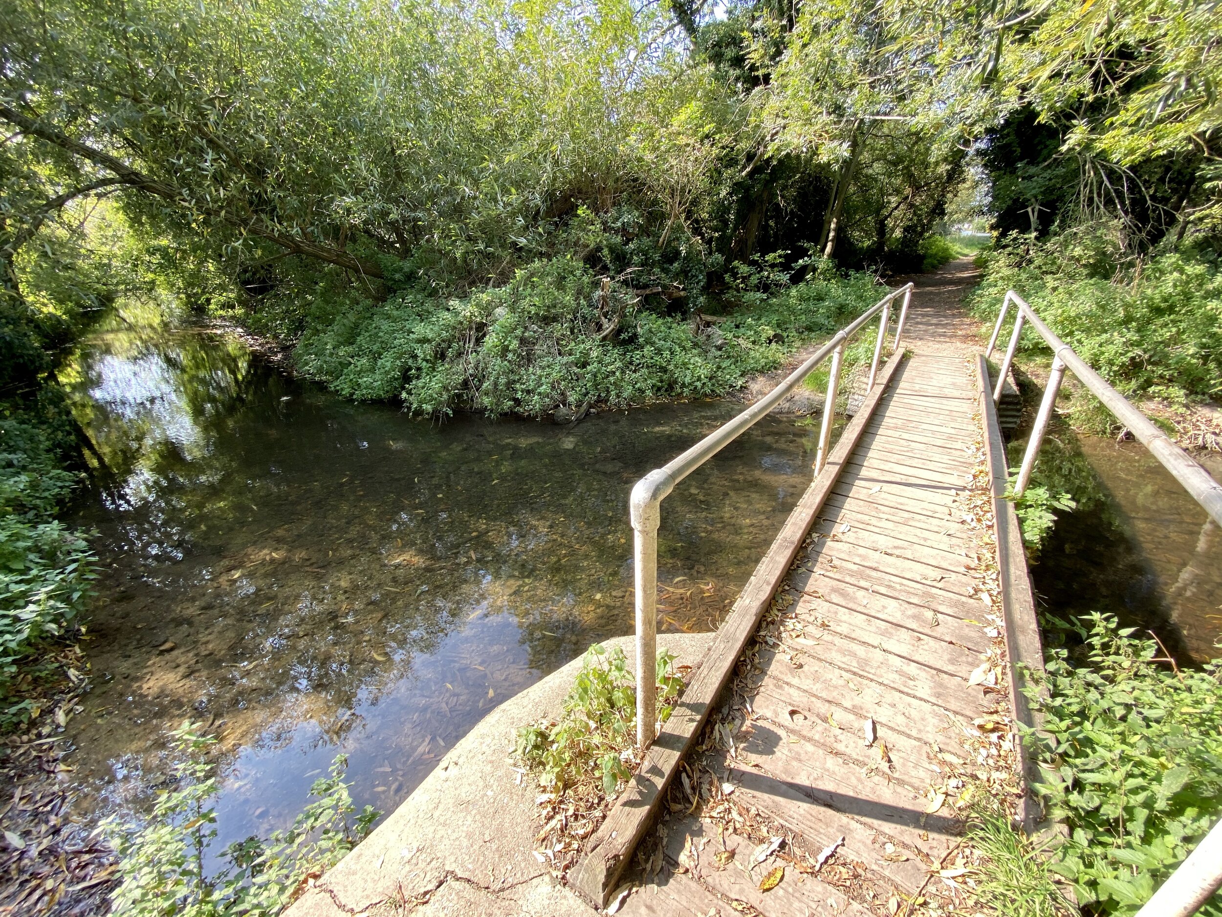
Bridge over Maidenhead Ditch on the Green Way West
Start & Finish: Boulters Car Park, 7-15 Lower Cookham Rd, Maidenhead, SL6 8JN
Distance: 10 km (6.2 miles)
Elevation change: +/- 28 m
GPX File: get via Buy Me a Coffee
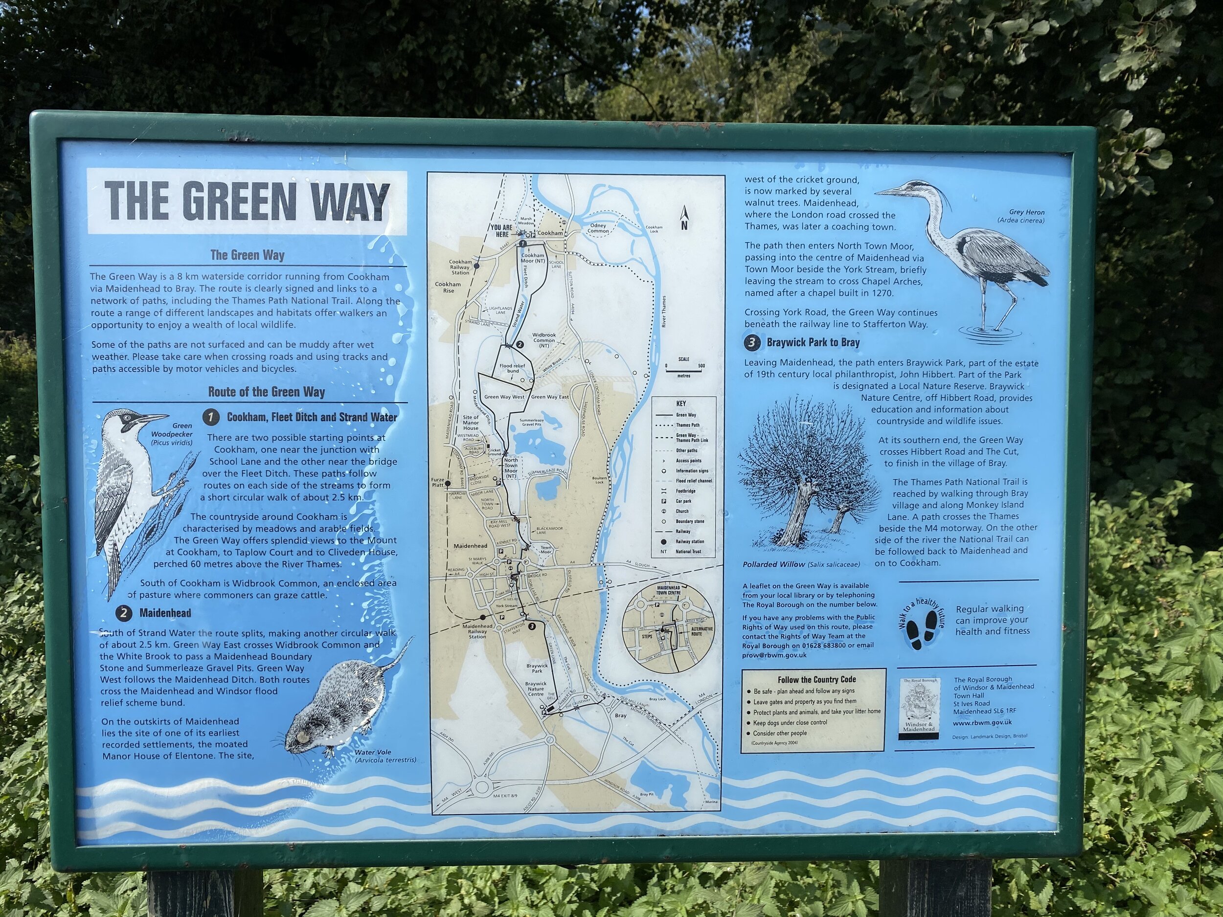
Other routes touched (walk): Green Way, Thames Path, Maidenhead Boundary Walk, Shakespeare’s Way
Other routes touched (cycle): NCN 50, Round Berkshire Cycle Route 52
Pubs / Cafes on route: The Ferry (SL6 9SN), and several others on Cookham High Street
Map: OS Explorer Map (172) Chiltern Hills East
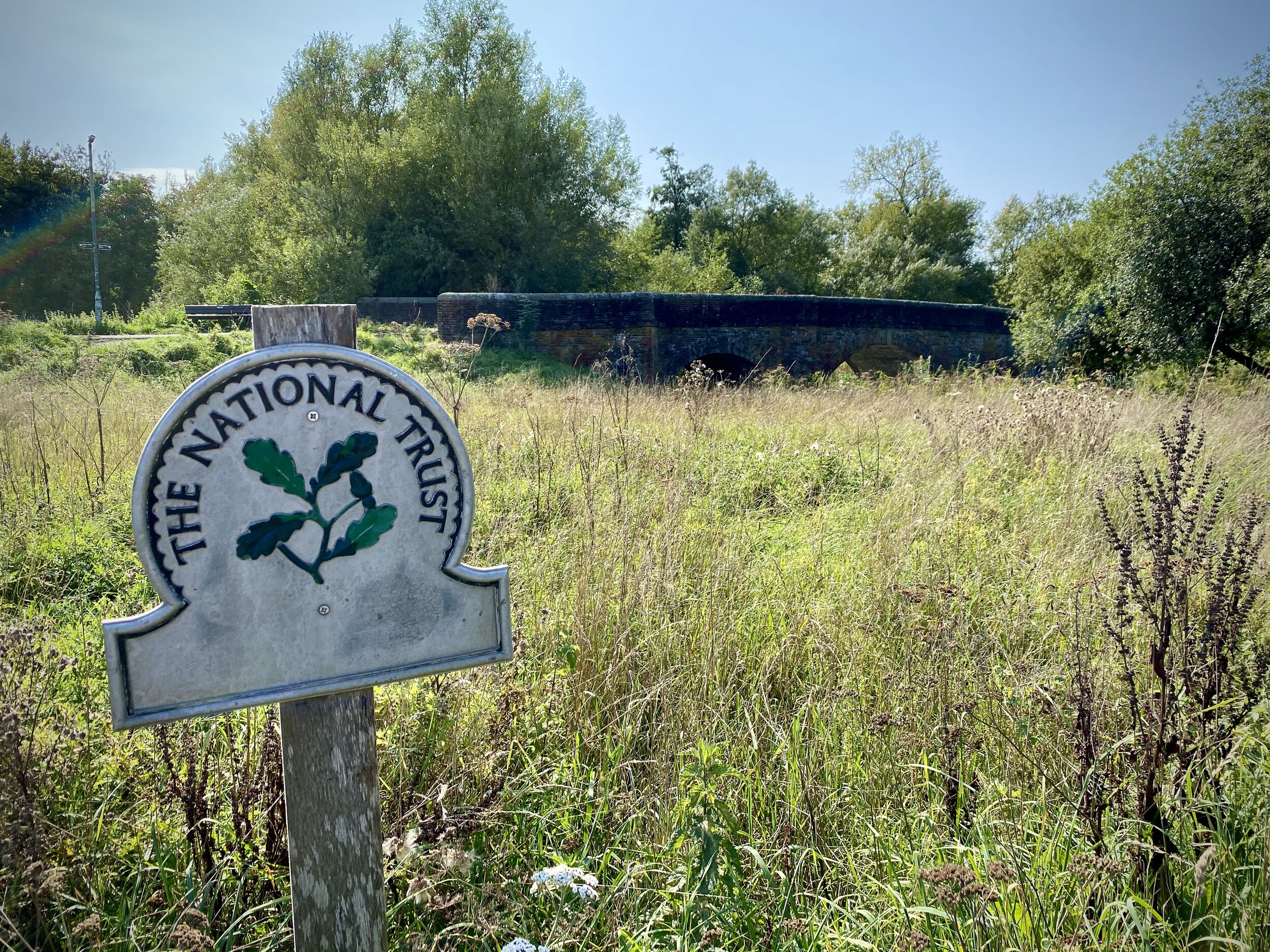
Links: Boulters Lock, Cookham, National Trust Maidenhead and Cookham Commons
This is part of a series of ~10k circular walks that include the Thames Path National Trail at the edge of the Chilterns. This one fits between our recent Marlow Donkey walk and part 1 of the Thames Path and Jubilee River loops.
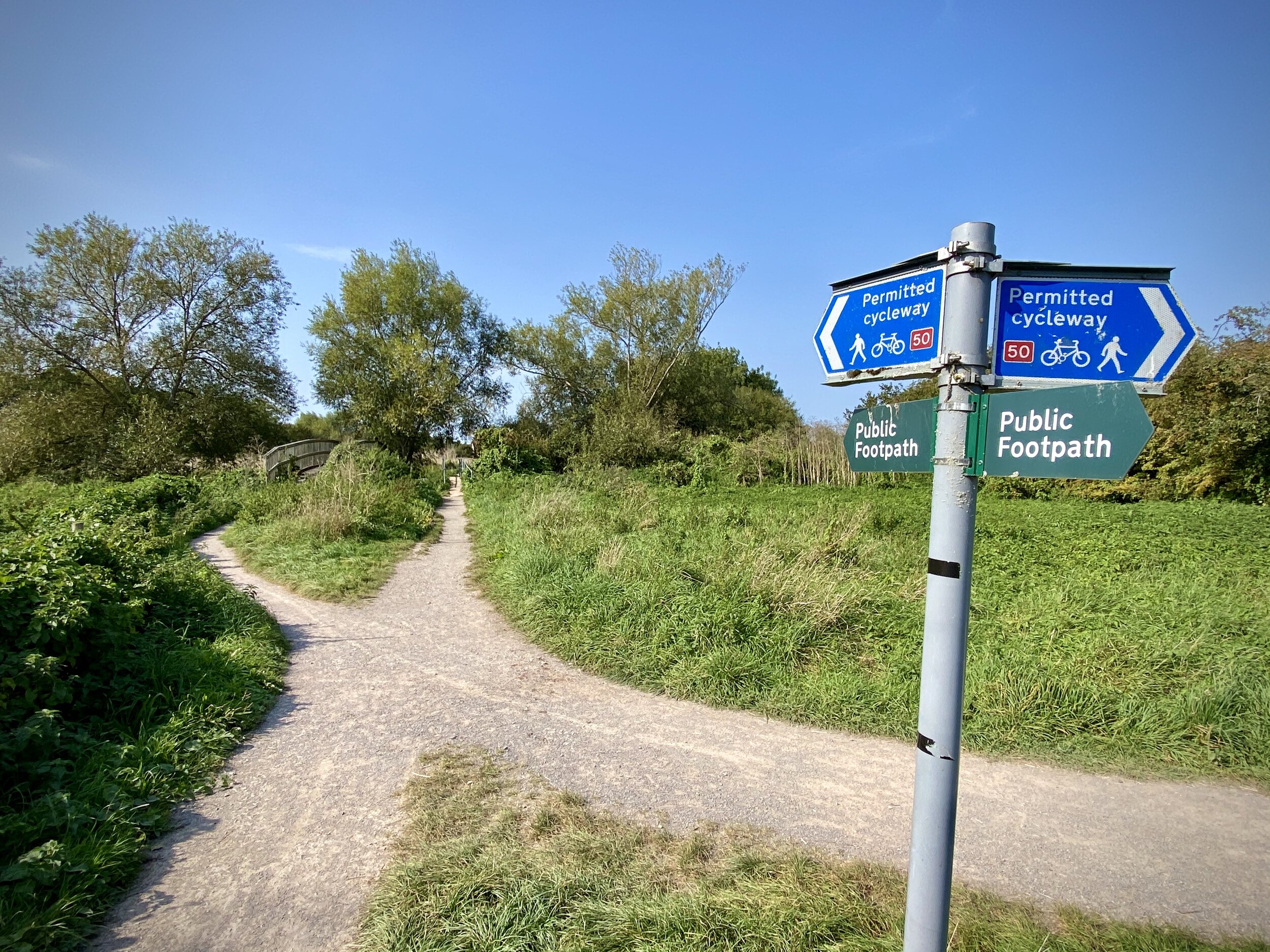
We started this trip at the Boulter’s Lock car park and headed west through the riverside houses to North Town. Here you can pick up the Green Way West, a north/south path connecting Maidenhead and Cookham. Follow the path for ~3.5km until you meet the Thames Path at Cookham Moor. Take a right here and you can follow the Thames Path all the way back to the start at Boulter’s Lock.
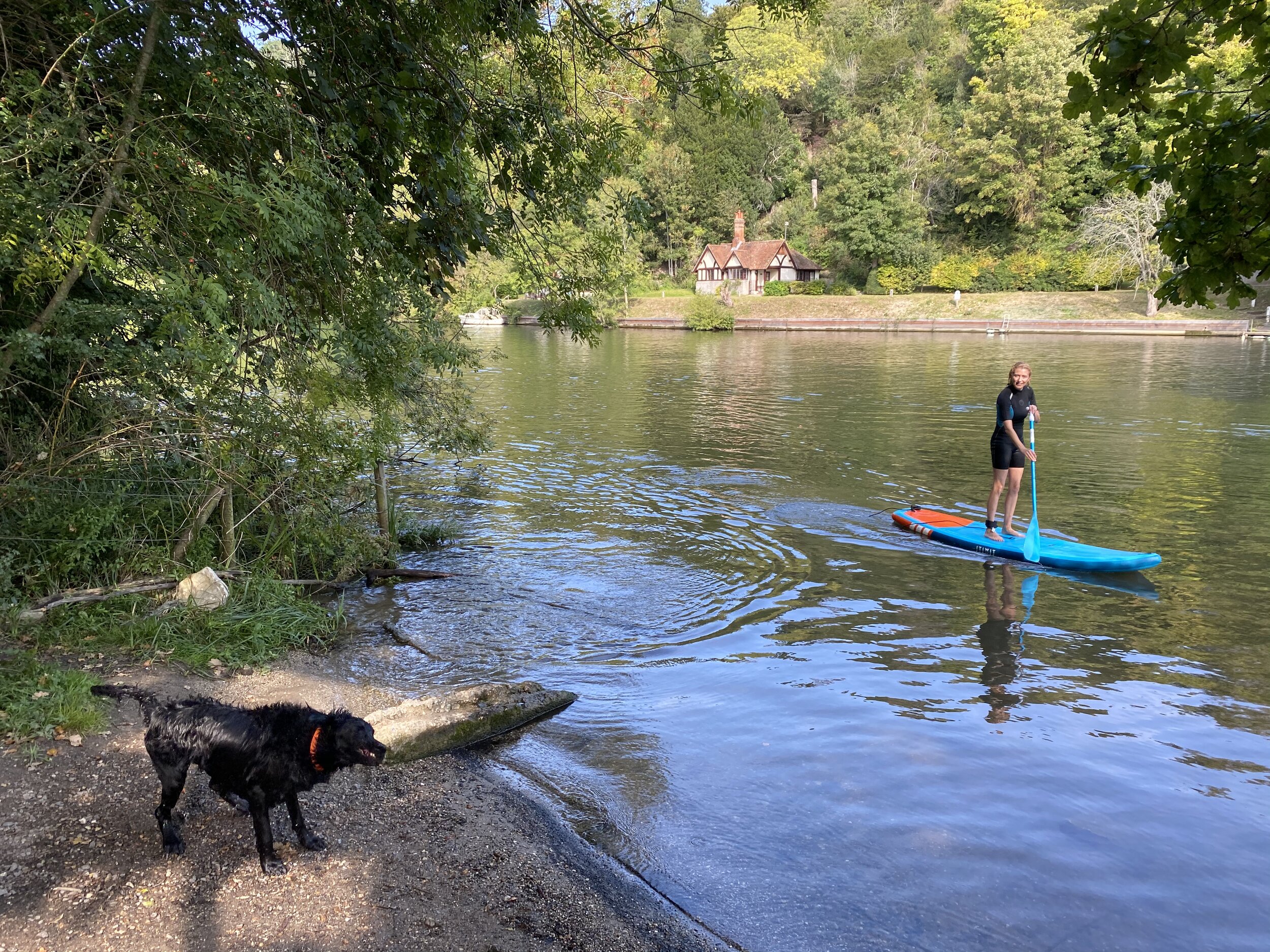
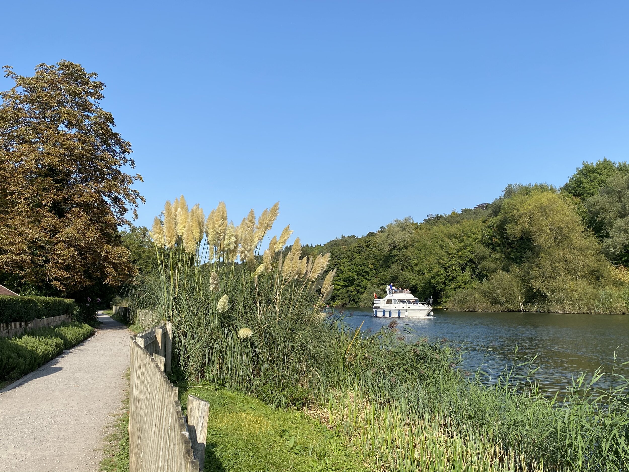
When you get to the Ferry pub the Thames path diverts from the river as the river flows through private land. It’s well sign-posted and you’ll follow Ferry Lane / Sutton Road south for ~300m before taking a left onto Mill Lane which takes you back to the river. This is a lovely, quiet stretch of the Thames Path that gives you views over to the Cliveden estate on the opposite bank.
Previous Thames Path Section (west): Cookham Dean and Winter Hill
Next Thames Path Section (east): Maidenhead & Bray