Cycling The River Ash and Thames Path Circular

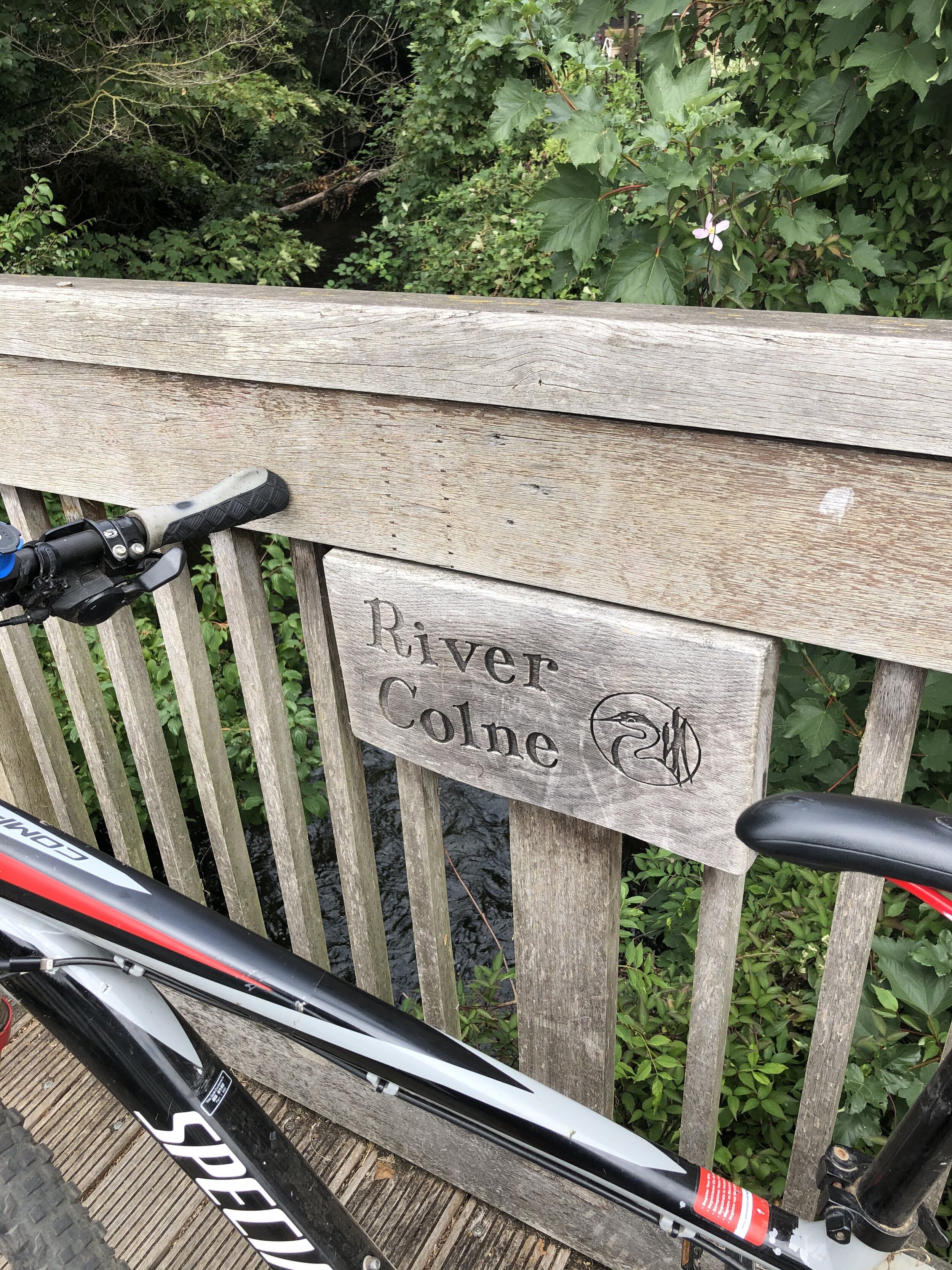
The underwhelming source of the River Ash as it splits from the Colne on Staines Moor
Part of the Chiltern Rivers Series
River start: Splits from the Colne on Staines Moor
River end: Confluence with the Thames at Walton-on-Thames, Surrey
River length: 10 km (6.2 miles)
Cycle Route Start & Finish: Parking places at intersection of Moor Lane and Colne Valley Trail, Staines, TW18 4YY
Cycle Route Distance: 32.8 km (20.3 miles)
Cycle Route Elevation change: + / - 87 m
GPX File: get via Buy Me a Coffee
Other routes touched (walk): Thames Path, Colne Valley Trail
Other routes touched (cycle): NCN 4
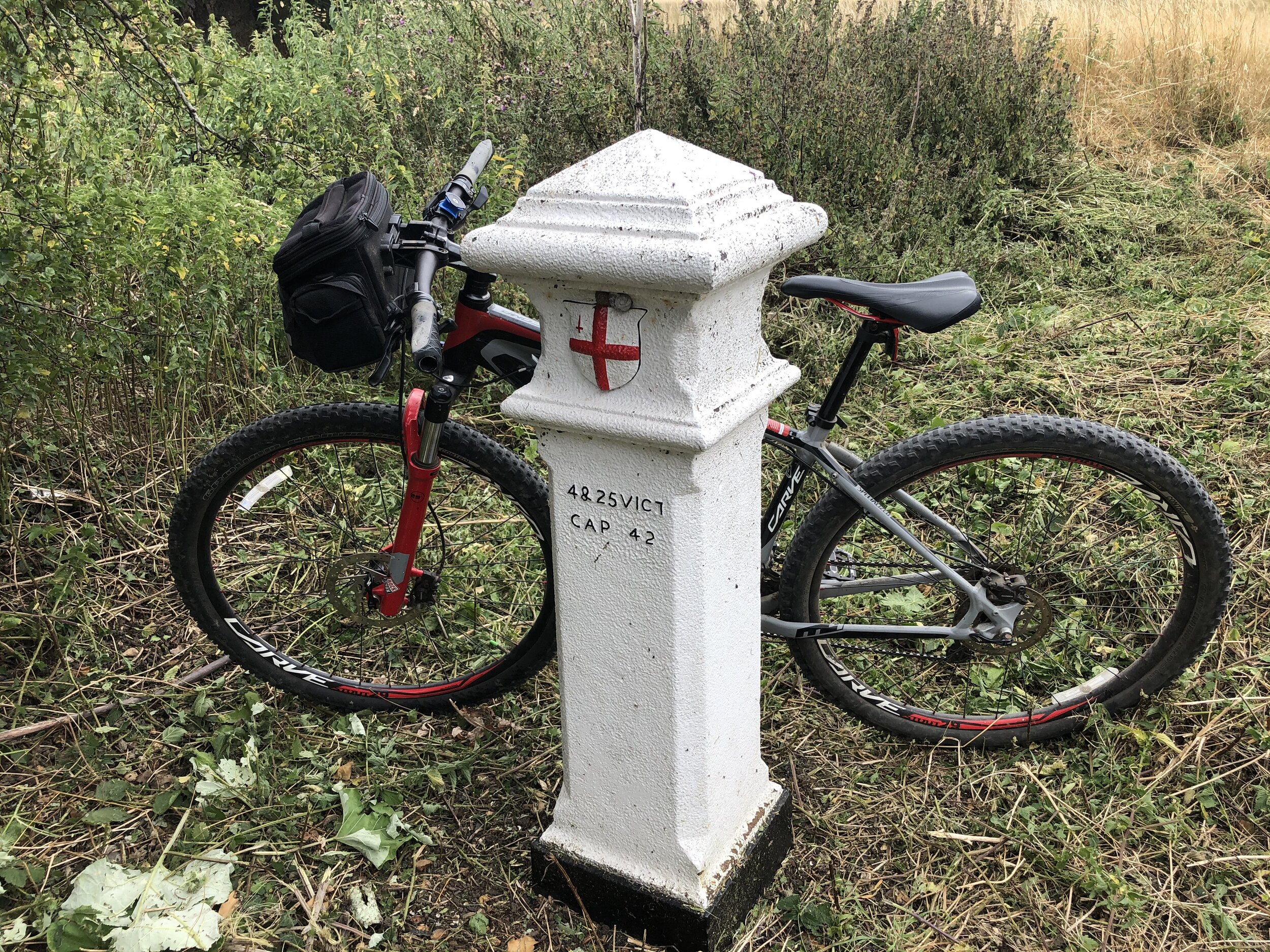
London Coal Duty Posts: 84, 85, 86, 87, 88, 89, 90, 91, 92, 93
Pubs / Cafes on route: Several including The Ferry Coffee Shop, Shepperton TW17 9LQ
Map: OS Explorer Map (160) Windsor, Weybridge & Bracknell
Links: River Ash, Staines, Staines Moor, Shepperton, Walton-on-Thames, Desborough Island, Hammertons Ferry
In the latest of my Chiltern Rivers cycle rides, I explored the River Ash at the southern end of the Colne Valley Regional Park. The Ash is quite geologically unusual because it is a distributary—meaning it actually splits away from the River Colne, rather than flowing into it. It branches off next to the A30 Staines bypass, north of the town, and follows a south-easterly direction to meet the Thames at Walton-on-Thames.
Much of its route is hidden away from public access, so a cycling or walking trip along the Ash is really one for the completists. That definitely describes me, so I had to do it! The ultimate reward for tackling it is the beautiful return route to Staines via the Thames Path.
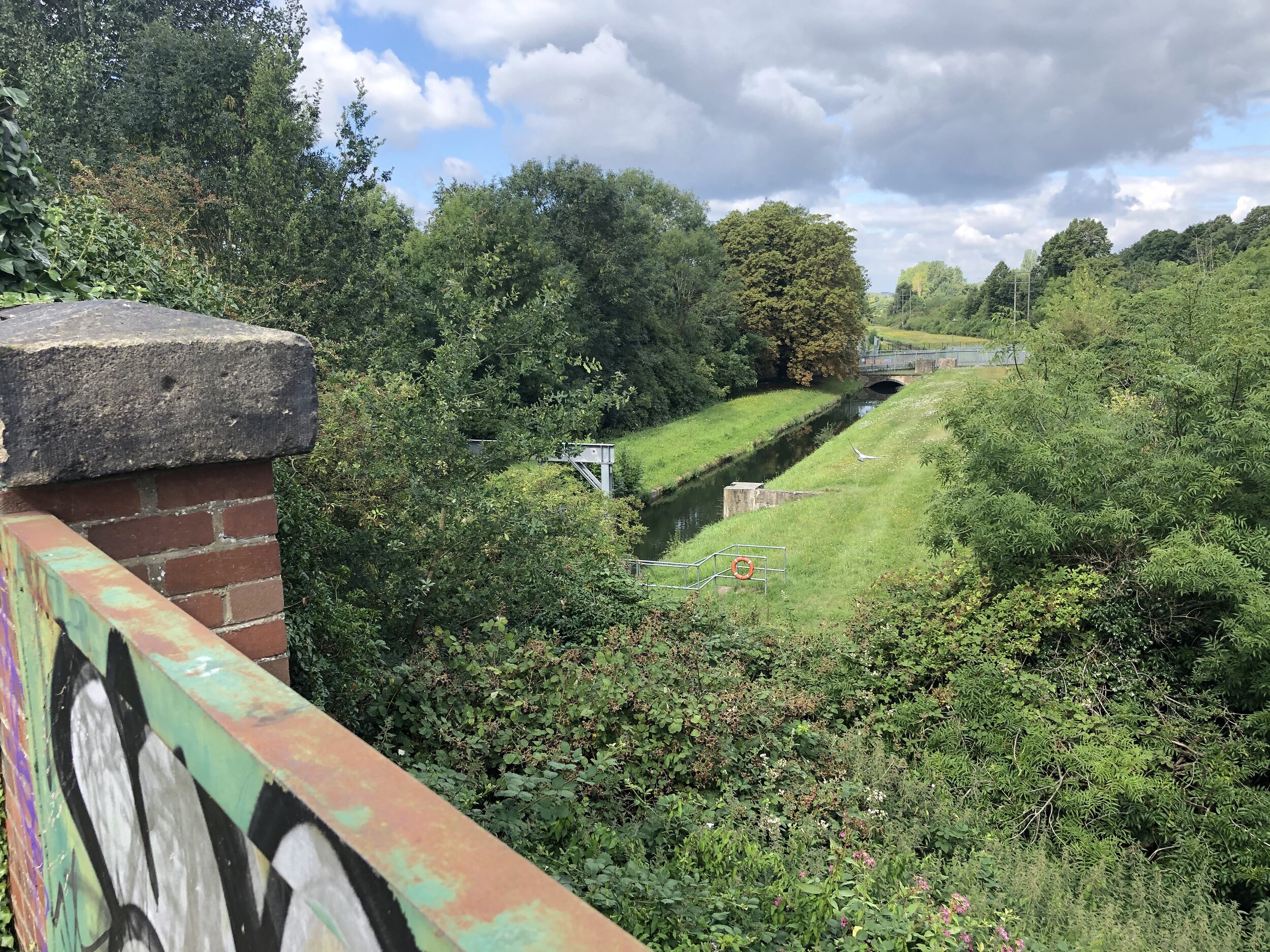
If you are driving, the best place to start is the free parking space on Moor Lane, right opposite the path to Staines Moor. Following this path, you will pass over the Wraysbury River, the Staines Rivers Aqueduct, and the rail line. You will need to use the A30 bridge to cross over the River Colne, where you will find the exact point where the Ash splits away on the eastern bank. From here, you can follow the Ash on a footpath for roughly 300m into a housing estate. For the next 4km, you actually won't see the river at all as it keeps close to the A308, while the cycling options zig-zag through the residential areas of north Staines. You could cycle directly on the A308 to stay closer to the river and shave off some distance, but it is a very busy road and you won't see the water from there anyway.
The Ash, the A308, and the cycle route all finally converge at the Fordbridge Roundabout. Here, the Ash takes a sharp right turn to the south and curves around the massive Queen Mary Reservoir (one of the largest in London) through Laleham. The best cycling option here is to follow the B377 Ashford Road, then the B376 Shepperton Road. At Shepperton, you have the choice of continuing along the B376 or taking a meandering route through Littleton, Shepperton, and Upper Halliford to stay closer to the river.
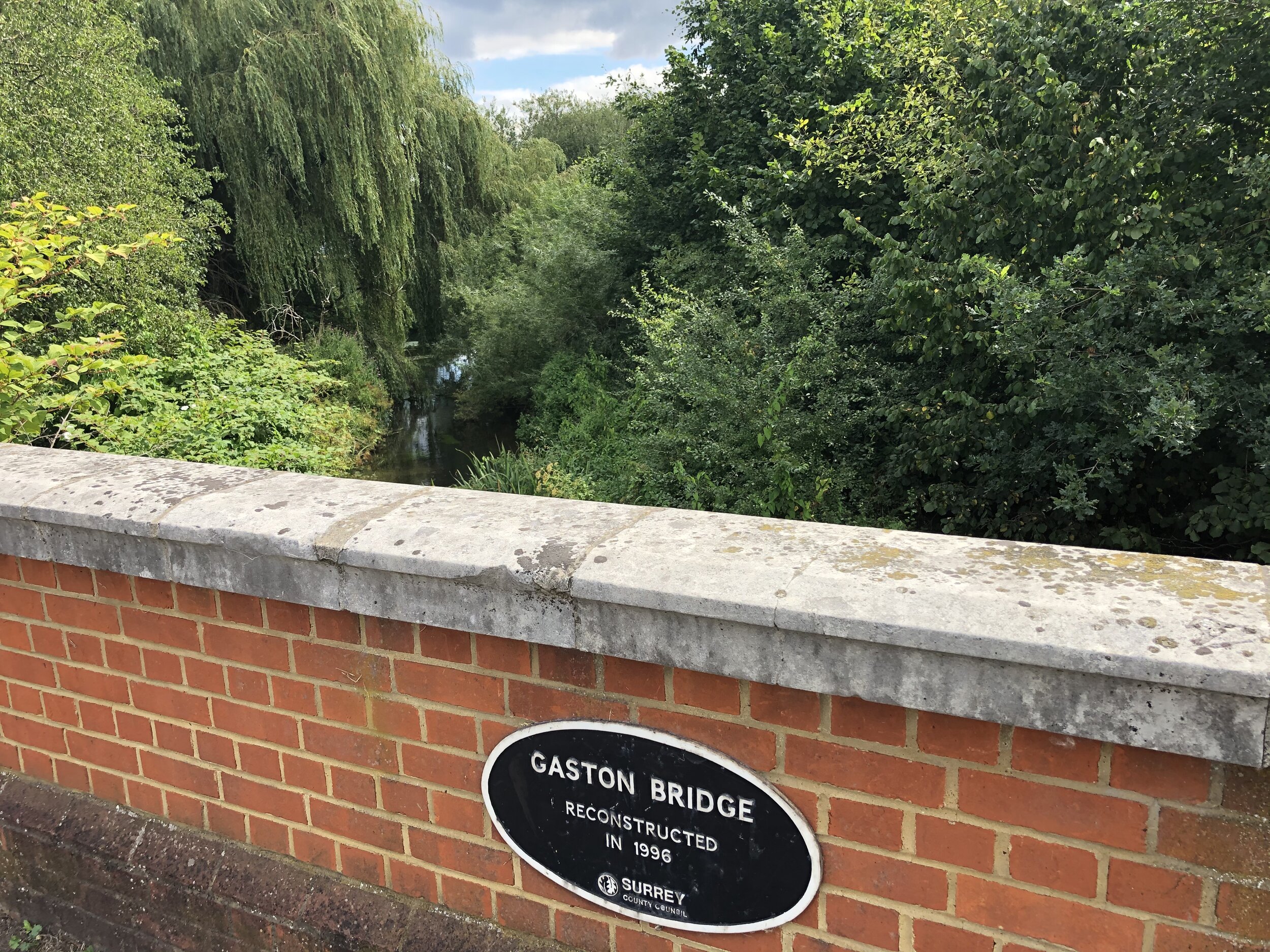
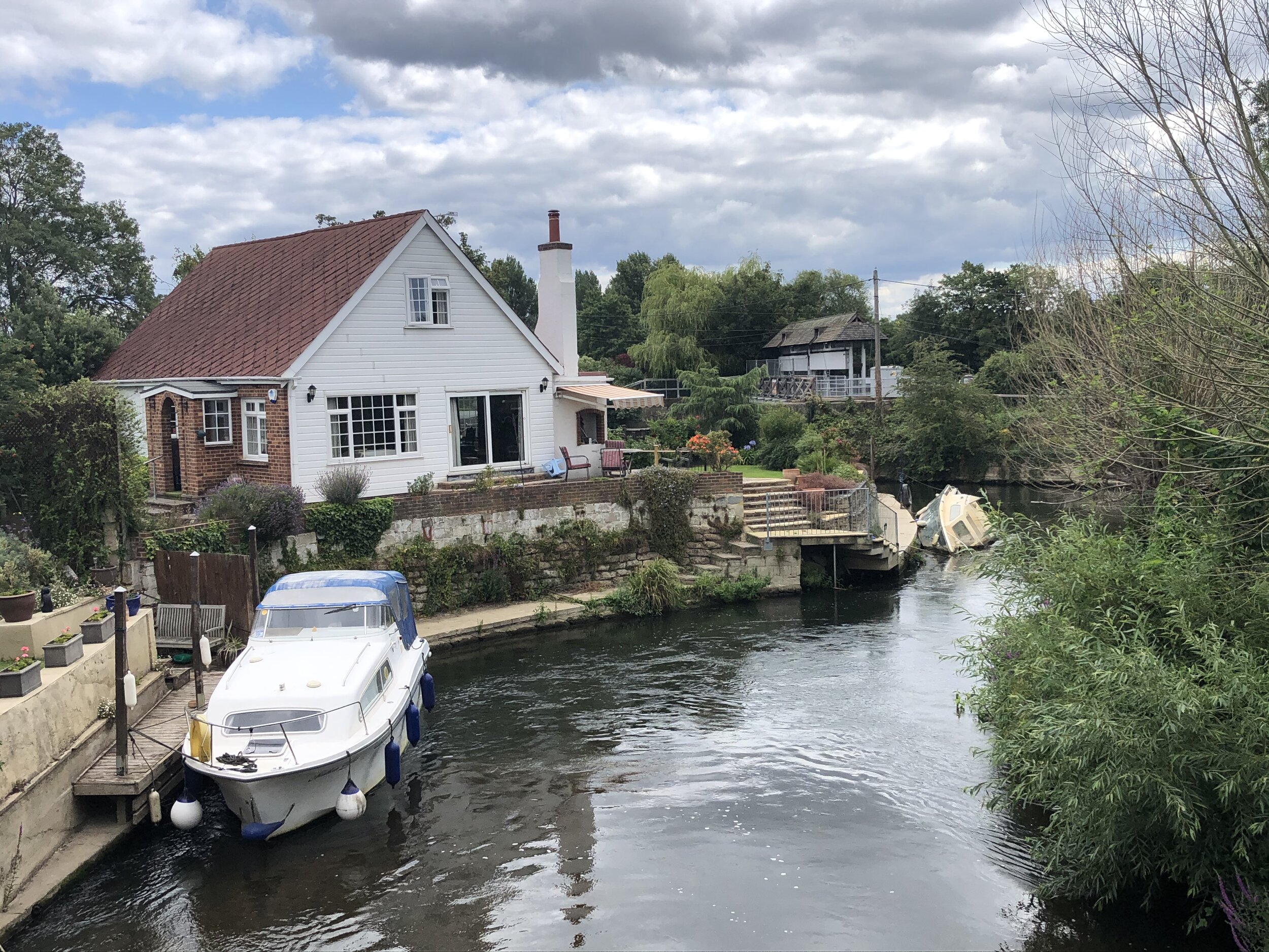
The confluence with the Thames is tucked away quietly behind a small island. You can reach it by taking a private residential road called The Creek, just off Fordbridge Road. A rickety wooden footbridge stands over the confluence, officially marking the end of the River Ash part of the trip.
To return to Staines, head back to Fordbridge Road and follow it west to the A244, then ride that straight onto Walton Bridge. Cross over the bridge and pick up the Thames Path back towards Staines. I added an extra 1km to the trip by taking a brilliant diversion along the perimeter paths of Desborough Island. This isn't a natural landmass; it is actually a completely man-made island, dug out by hand in the 1930s to create a straight channel that bypasses the river's meandering loop and reduces flooding.
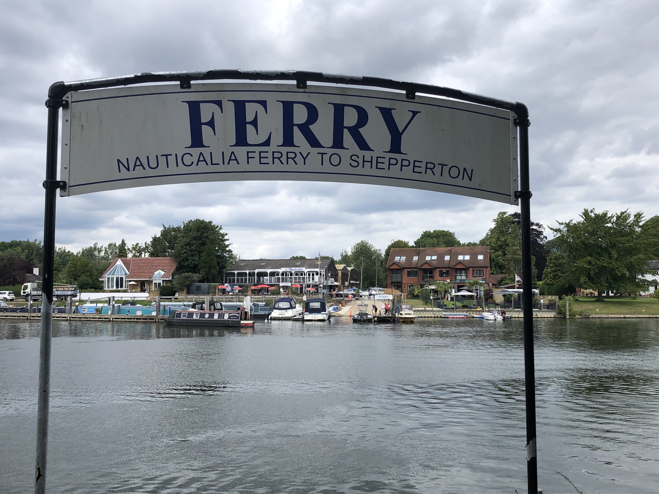
One of the absolute highlights of the return trip is taking the small Shepperton to Weybridge Ferry across to the north side of the Thames to stay on the towpath. It has been operating there for centuries! Do check that it is running before you go, though, as you will have to add a few extra miles to your trip to find the nearest alternative crossing by bridge if it happens to be closed.
When you arrive back at Staines, take the B376 heading north away from Staines Bridge. Take a right onto Moor Lane and continue for around 500m back to the parking spot.
Blue = course of the River Ash, Red = circular cycle route


More London Posts
If you enjoyed reading this post, there is plenty more to explore across the capital. I have put together a dedicated London Outdoors page where I keep track of all my other adventures around the city. It is a handy index where I group my posts by the different types of places I have visited: including historic boundary lines, canal towpaths, and some surprising urban high points.
The collection covers a bit of everything: from long-distance cycling routes to tracing the underground network on foot, and ticking off another Saturday morning parkrun. If you are looking for some inspiration for your own weekend outings, head back over to the London Outdoors page to see what else I have been up to.