Chiltern Walks: Beaconsfield, Knotty Green and Seer Green
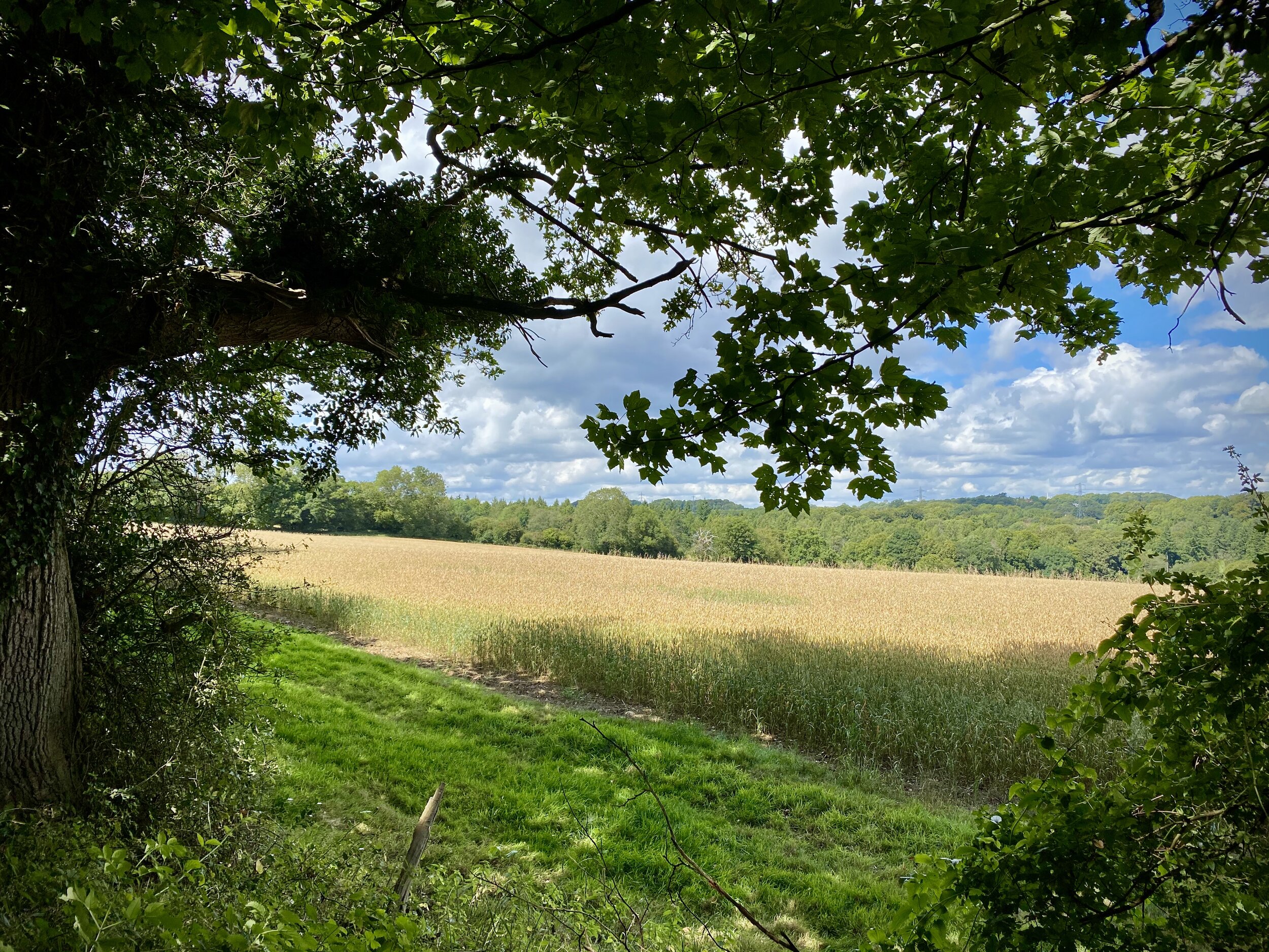
Fields near Seer Green
Start & Finish: Beaconsfield Railway Station, HP9 2PJ
Distance: 10.6 km (6.6 miles)
Elevation change: + / - 84 m
GPX File: get via Buy Me a Coffee
Other routes touched (walk): N/A
Other routes touched (cycle): Chilterns Heritage Trail: Milton Route
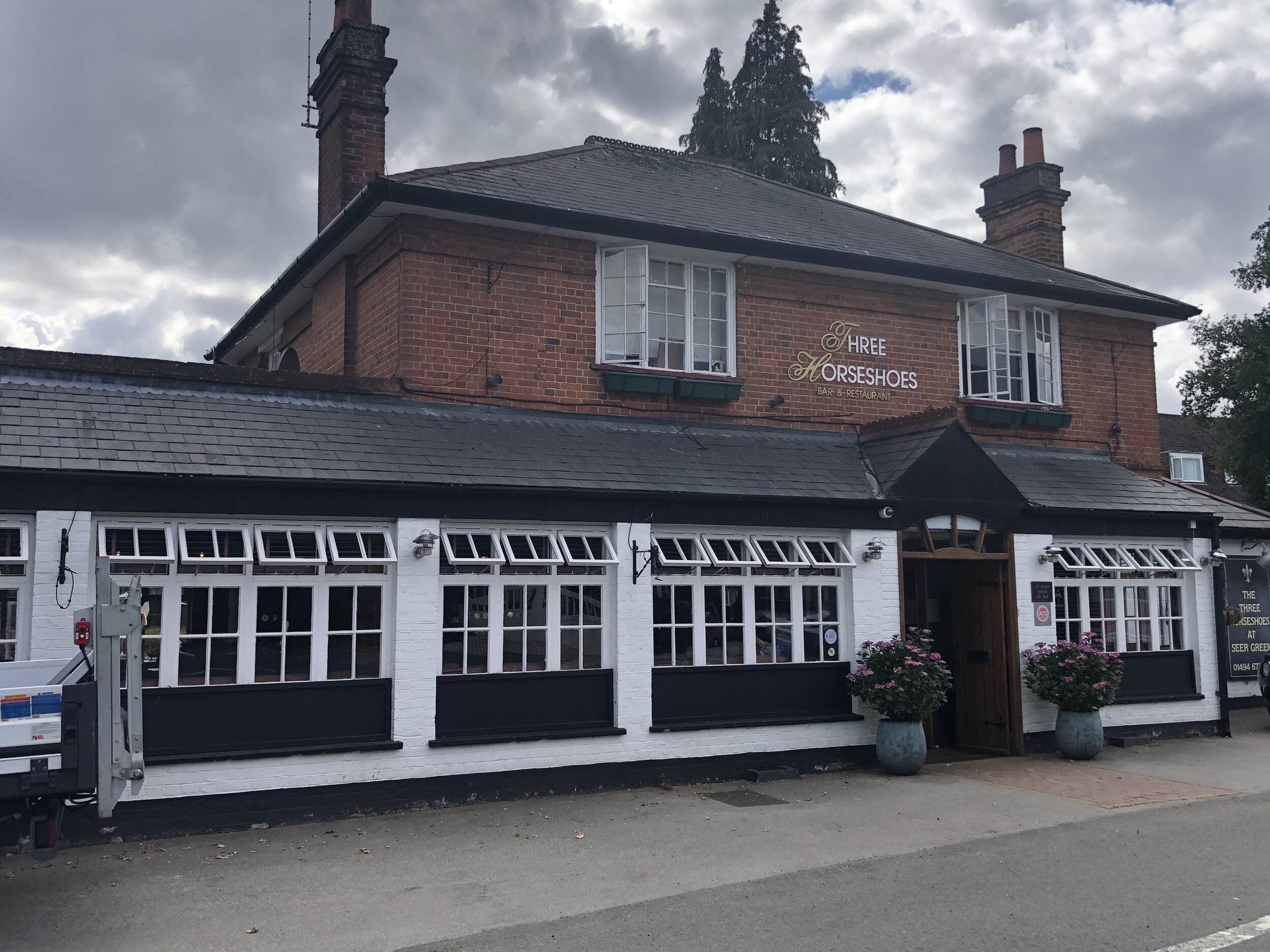
Pubs / Cafes on route: Several in Beaconsfield, The Lion of Beaconsfield (2.3km in), The Jolly Cricketers (6.8km in), The Three Horseshoes (6.8km in)
Map: OS Explorer Map (172) Chiltern Hills East
Links: Beaconsfield, Beaconsfield Station, Forty Green, Knotty Green, Seer Green
The Chiltern Hills National Landscape (formerly AONB) is a picturesque landscape located in the southeast of England. It covers an area of approximately 324 square miles and spans across four counties: Oxfordshire, Buckinghamshire, Bedfordshire, and Hertfordshire. The hills are characterized by rolling chalk hills, ancient woodlands, and charming villages with thatched roofs. It is a popular destination for hikers, cyclists, and nature lovers who come to enjoy the stunning vistas and the rich biodiversity of the area. The area is also rich in history and has many sites of archaeological and historical interest, such as Iron Age forts and medieval churches.
Walking Directions
The guidance below will help you navigate but don’t use it as a fully accurate turn-by-turn guide. Always take a map and/or a GPX route and prepare well for the weather and terrain.
From a start point at Beaconsfield Railway station, this route soon gets you into the quiet paths and country lanes of the Chilterns. It won’t take you long into the walk to realise that you’re in a very rich part of the country. We’re actually in Beaconsfield New Town, a mile north of the market town that dates back to 1185. The New Town came with the railways and, with fast regular trains to London, it’s still an attractive place to live in the countryside while working in London.
Heading west from the station, you’ll cross Penn Road and take a north-westerly direction along Reynolds Road. Follow onto a series of footpaths crossing quiet residential streets with some very large houses.
After crossing Hogback Wood Road you’ll enter Hogback Wood and take a sharp right on a path through Knotty Green. Cross Penn Road again by the Lion of Beaconsfiel Pub and onto a tight footpath to the right of a care home.
After ~500m you’ll leave the residential area and follow the footpaths through woodland to the A355 Amersham Road.
Take care when crossing the A355 as it’s very busy with a tight corner for cars coming up the hill from Amersham. After crossing the road you’ll be into woodland again, taking a right after ~400m and a left after another ~700m up a steep, short hill.
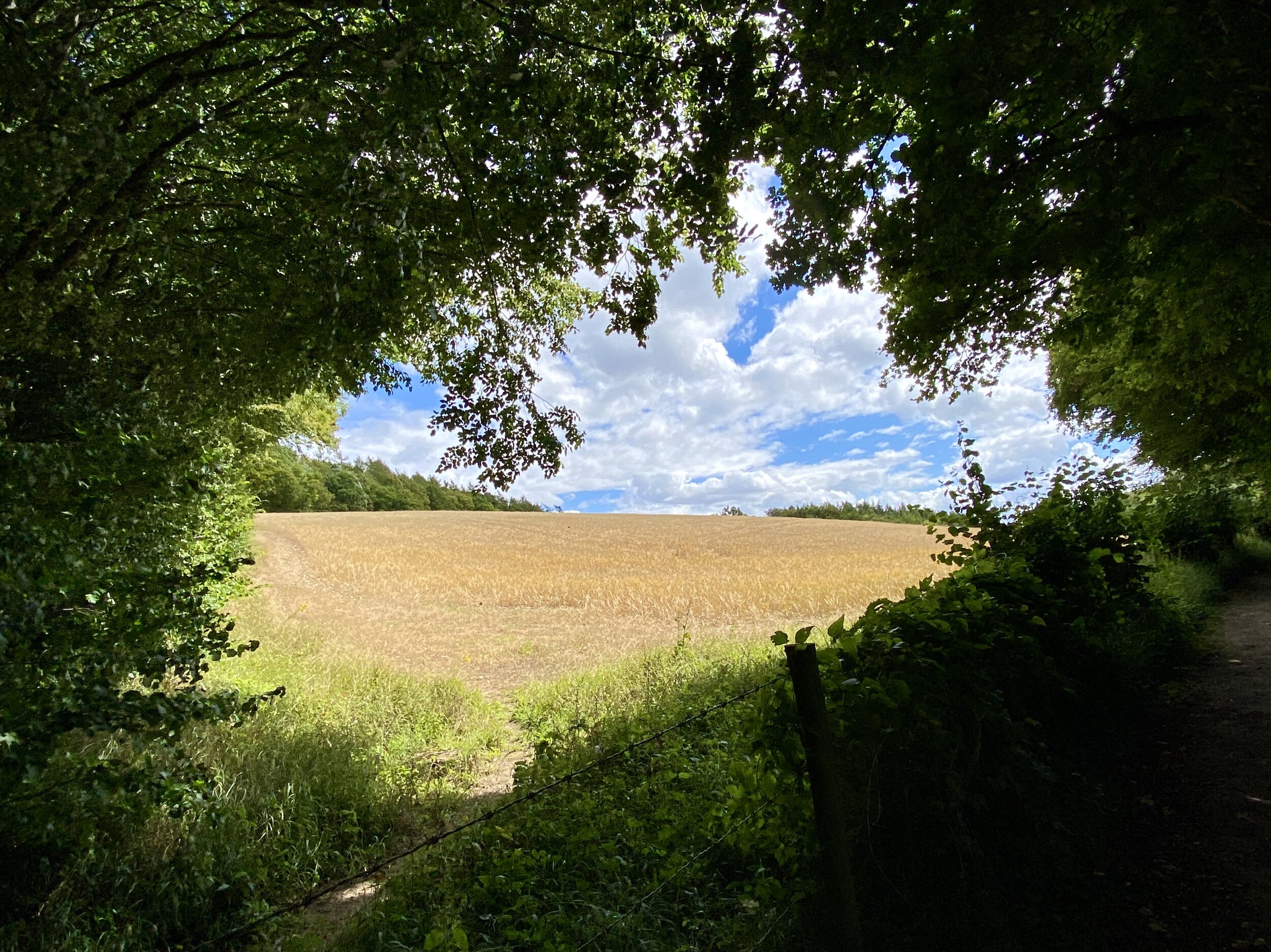
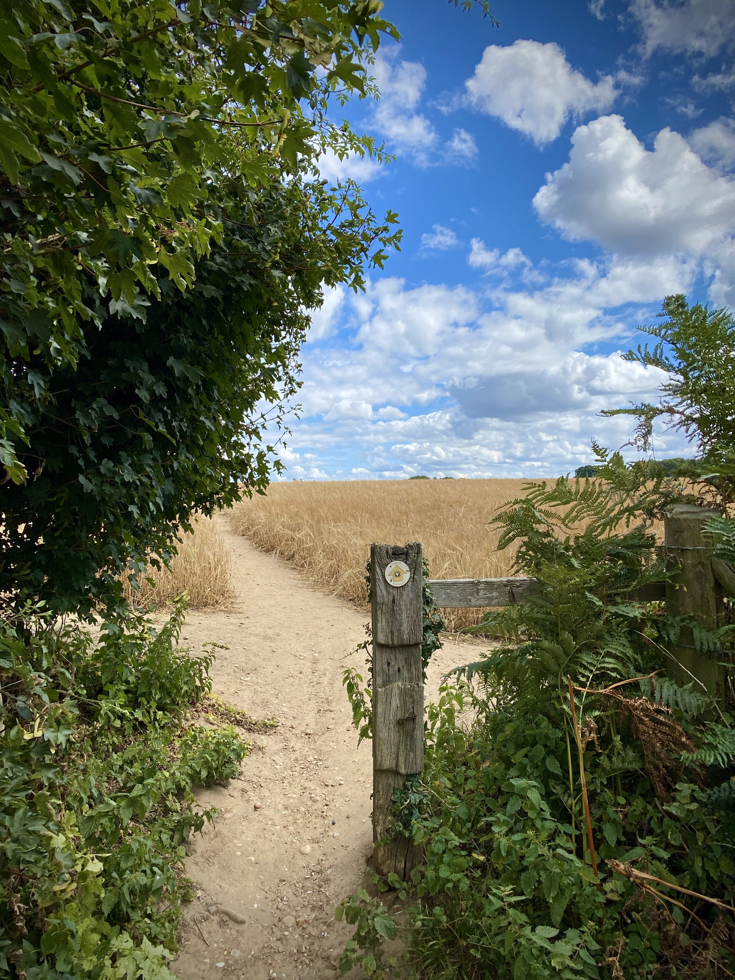
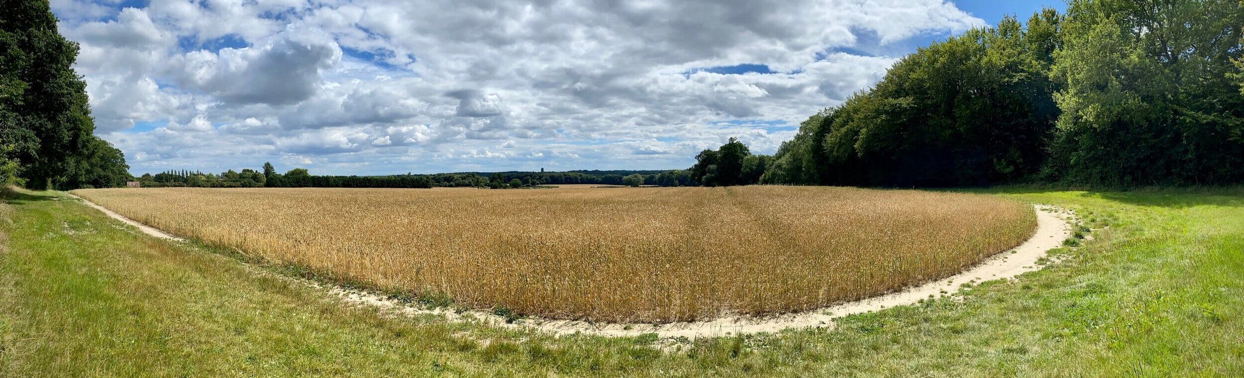
At the top you’ll descend again crossing in a field into Seer Green. Here you’ll meet the Milton Route of the Chiltern Heritage Trails and a chance for a rest at either the Three Horseshoes pub or the Jolly Cricketers.
After the pubs, take a right at the end of Orchard Road onto School Lane. Follow this south until you can take a right onto a footpath just past Vicarage Close.
Continue south-west along the path, crossing Long Grove and Longbottom Lane onto Beaconsfield Golf Course. Be careful here as the footpath crosses the course so you’ll need to wait for golfers to play through.
Continue south-west for ~1.5km, crossing the rail-line and eventually meeting the A355 on the eastern edge of Beaconsfield.
To complete the journey, take a zig-zagging route through Beaconsfield following Waller Road, Hyde Green and Maxwell Road, a path over the railway line and finally Caledon Road back to the station.
Points of Interest along or near to the Route
Beaconsfield New Town and the Railway The walk begins in Beaconsfield New Town, an area shaped entirely by the arrival of the Great Western and Great Central Joint Railway in 1906. This development sprang up a mile north of the original Old Town, which dates back to 1185. The quick transport links to London instantly transformed the area into a highly desirable countryside retreat for city workers—a reputation it proudly holds today.
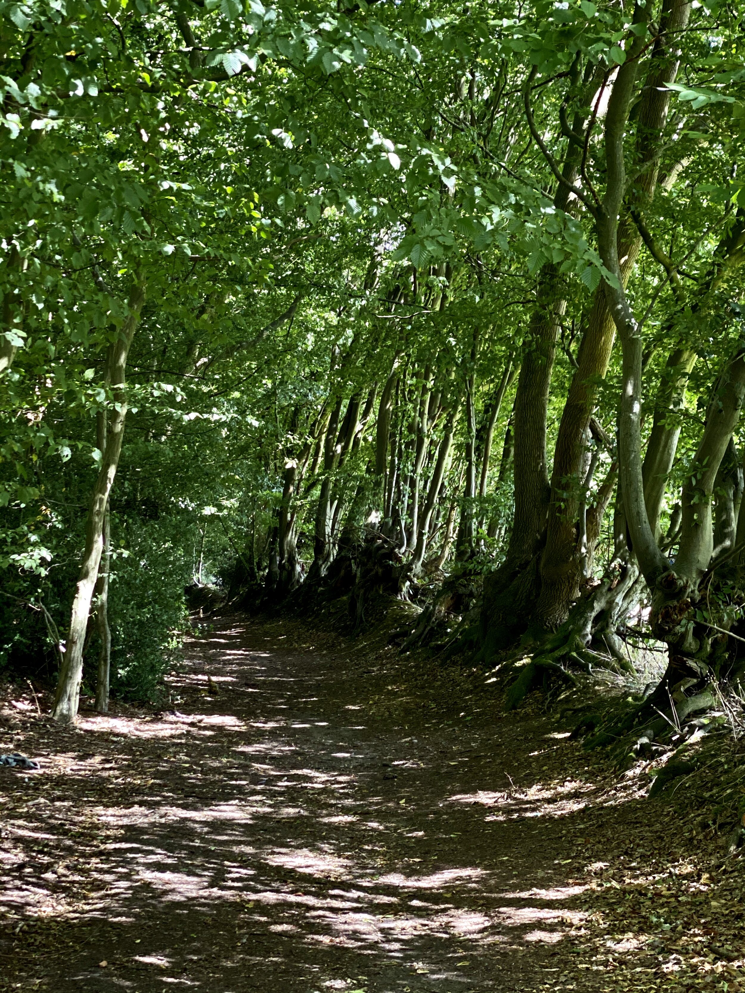
Hogback Wood and Knotty Green As you leave the residential streets, the route ducks into Hogback Wood on the way to Knotty Green. This ancient woodland is a classic example of the Chiltern Hills' landscape and is highly prized by locals. If you are walking the route in the spring, the dense tree canopy gives way to spectacular carpets of bluebells. Knotty Green itself is a historic Buckinghamshire hamlet; its name can be traced back to the 13th century, deriving from the Old English term for the rough, tussocky grass that once grew on the village green.
Seer Green Village Seer Green gets its name from the Old English sere (meaning dry) and grene (meaning a grassy spot). It was referred to as La Sere or La Cere in its earliest recorded mention in a legal writ from 1232, and historically sometimes spelt Sear Green or Shere Grene. The name Seer Green first appears in a 1407 document: an Inquisition Post Mortem recording the heir to the Lord of the manor of Farnham Royal. For much of its history, Seer Green was a detached part of Farnham Royal. Farnham (from farn meaning ferns and ham meaning village) held the 'Royal' designation because the Lord of the manor and Tenant-in-Chief provided a special service to the monarch: a privilege likely granted by Henry II after 1174 and later removed by Henry VIII in 1541. Renowned for cherry-growing, the village was once a key provider of the fruit to London markets throughout the 19th and early 20th centuries.
The Jolly Cricketers, Seer Green. The pub’s wisteria is well over 100 years old. The landlord serves Cask Marque accredited local real ales. The kitchen has an AA Rosette offering modern British food specialising in Cornish seafood. The owners have had the pub since 2008.
Beaconsfield Golf Course. Designed by the renowned golf course architect Harry Colt in 1914, it remains one of the most prestigious courses in Buckinghamshire.