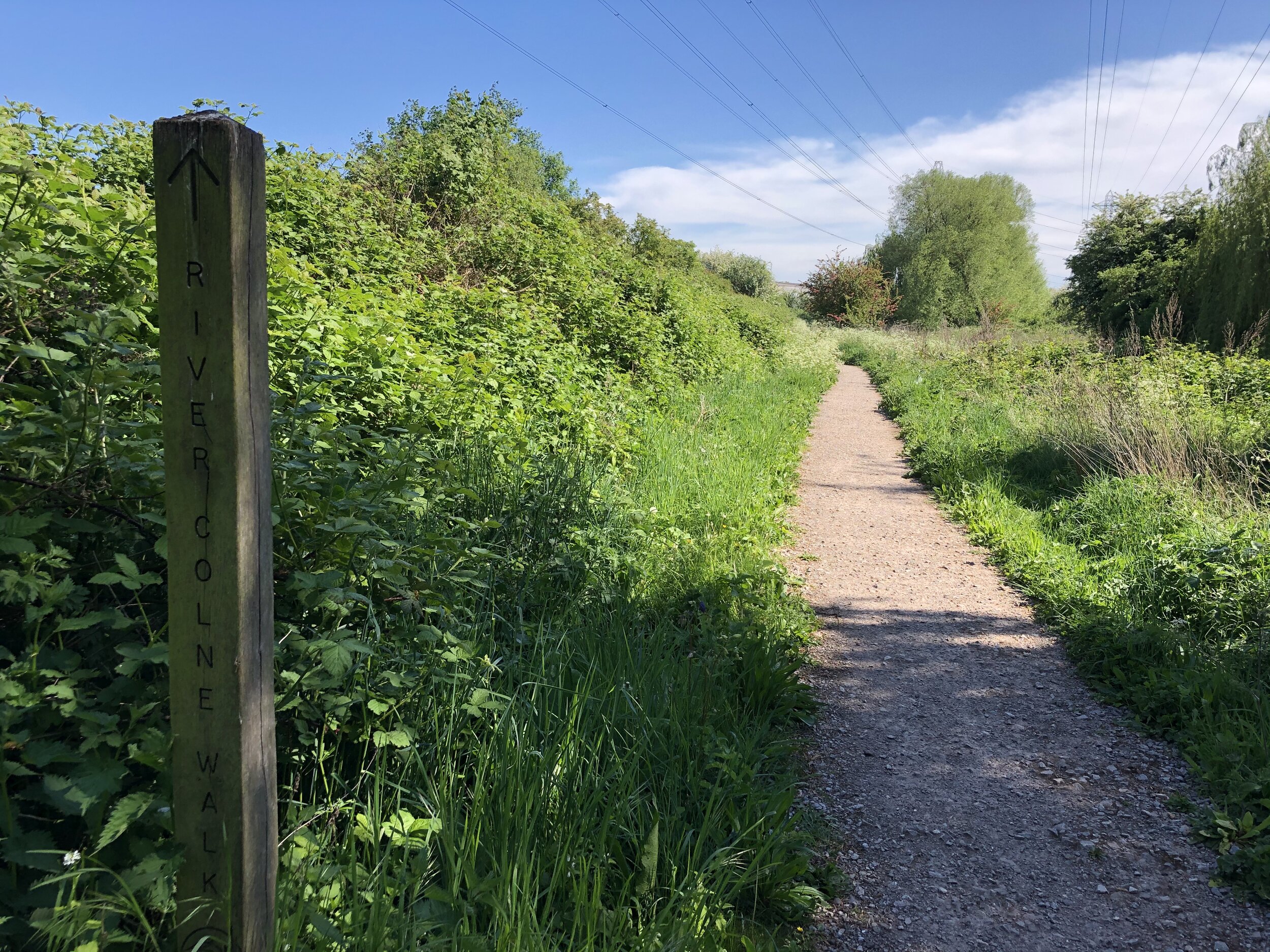
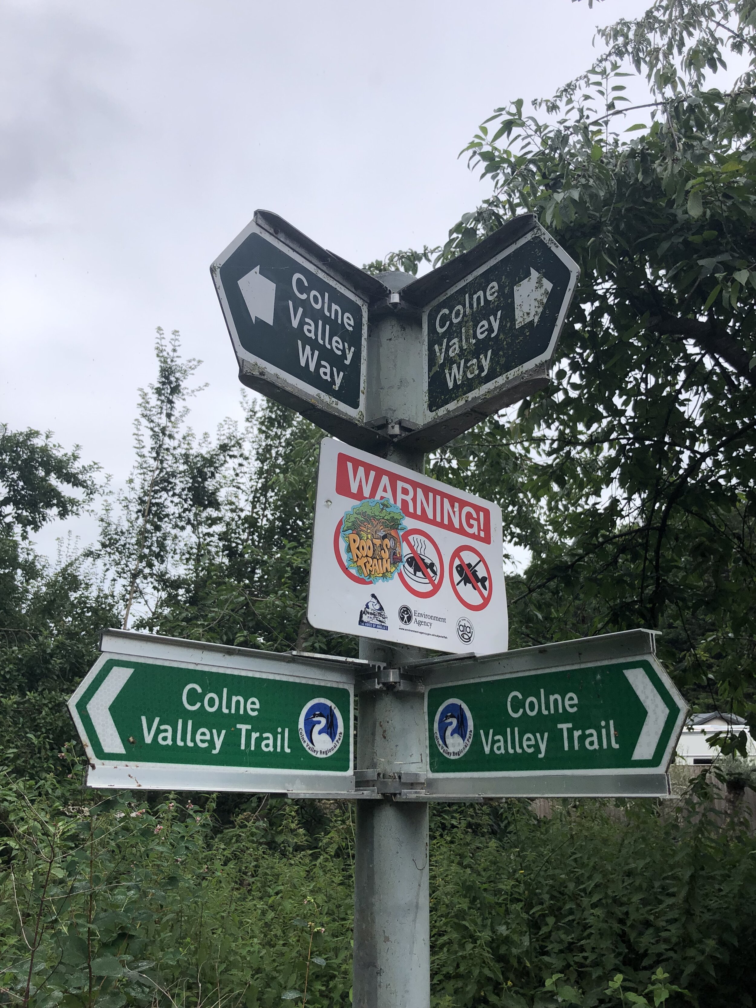
Walking The Colne Valley Trail and the Colne Valley Way

The Colne Valley Trail runs the length of the Colne Valley Regional Park from Rickmansworth in the North to the River Thames at Staines at the Southern End. The Southern Sections are sign-posted the Colne Valley Way although it’s effectively one continuous trail. There’s also a spur connecting Langley Park to The Grand Union Canal at Cowley Lock.
We completed the first 2 sections from Rickmansworth to Yiewsley in Spring 2020. The bridge over the M4 was currently closed at the time due to roadworks and we completed the 3rd section in July 2021 when the bridge re-opened.
The guidance below will help you navigate but don’t use it as a fully accurate turn-by-turn guide. Always take a map and/or a GPX route and prepare well for the weather and terrain.
SECTION 1 - RICKMANSWORTH TO UXBRIDGE
Start: Rickmansworth Aquadrome, Frogmoor Lane, Rickmansworth WD3 1NB
Finish: The Swan and Bottle, Oxford Rd, Uxbridge UB8 1LZ
Distance: 11.5 km (7.1 miles)
Elevation change: +38m / -50m. Net -12m
GPX File: get via Buy Me a Coffee
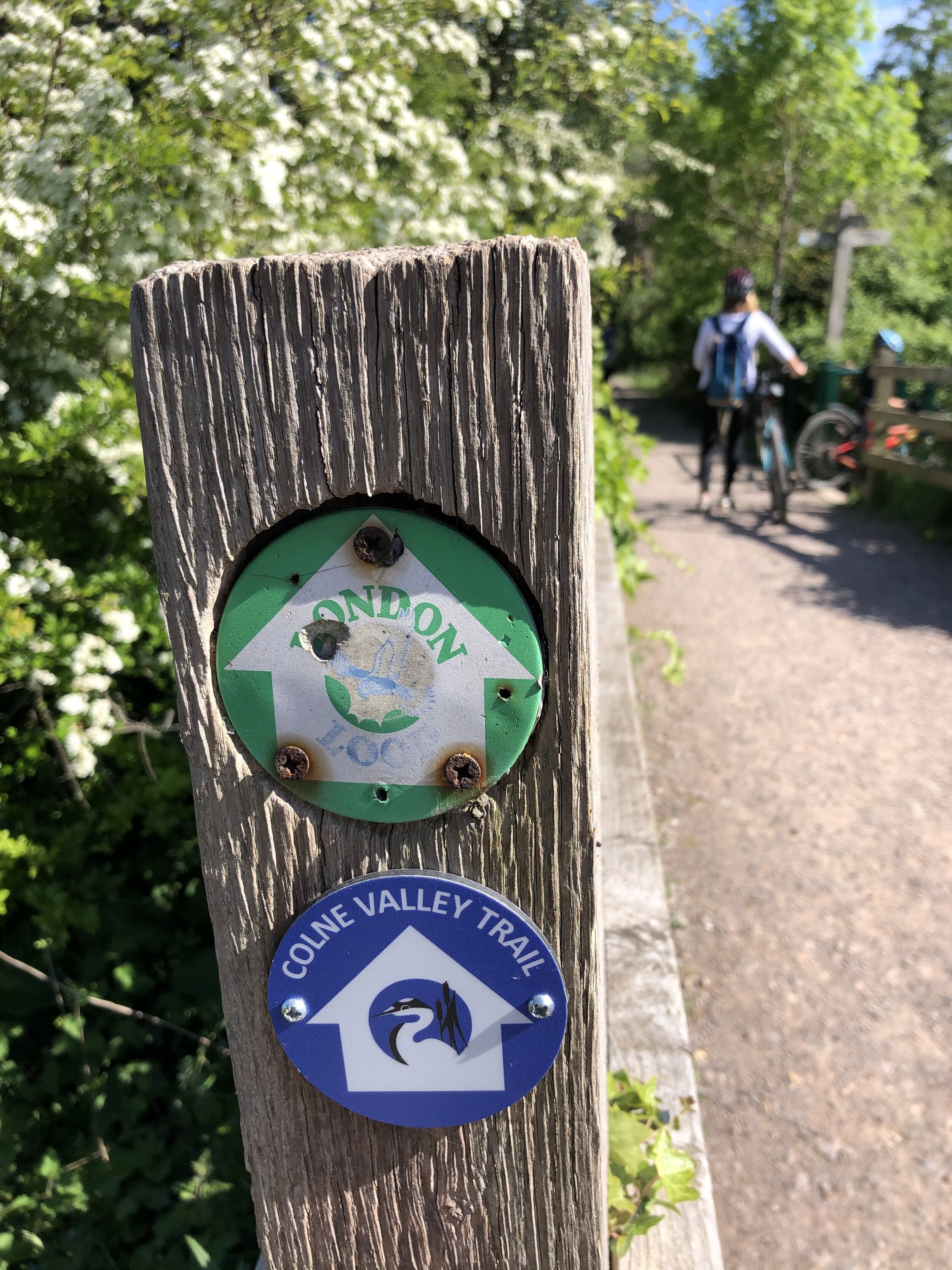
Other routes touched (walk): Grand Union Canal Towpath, Hillingdon Trail, London Loop
Other routes touched (cycle): NCN 6, 61
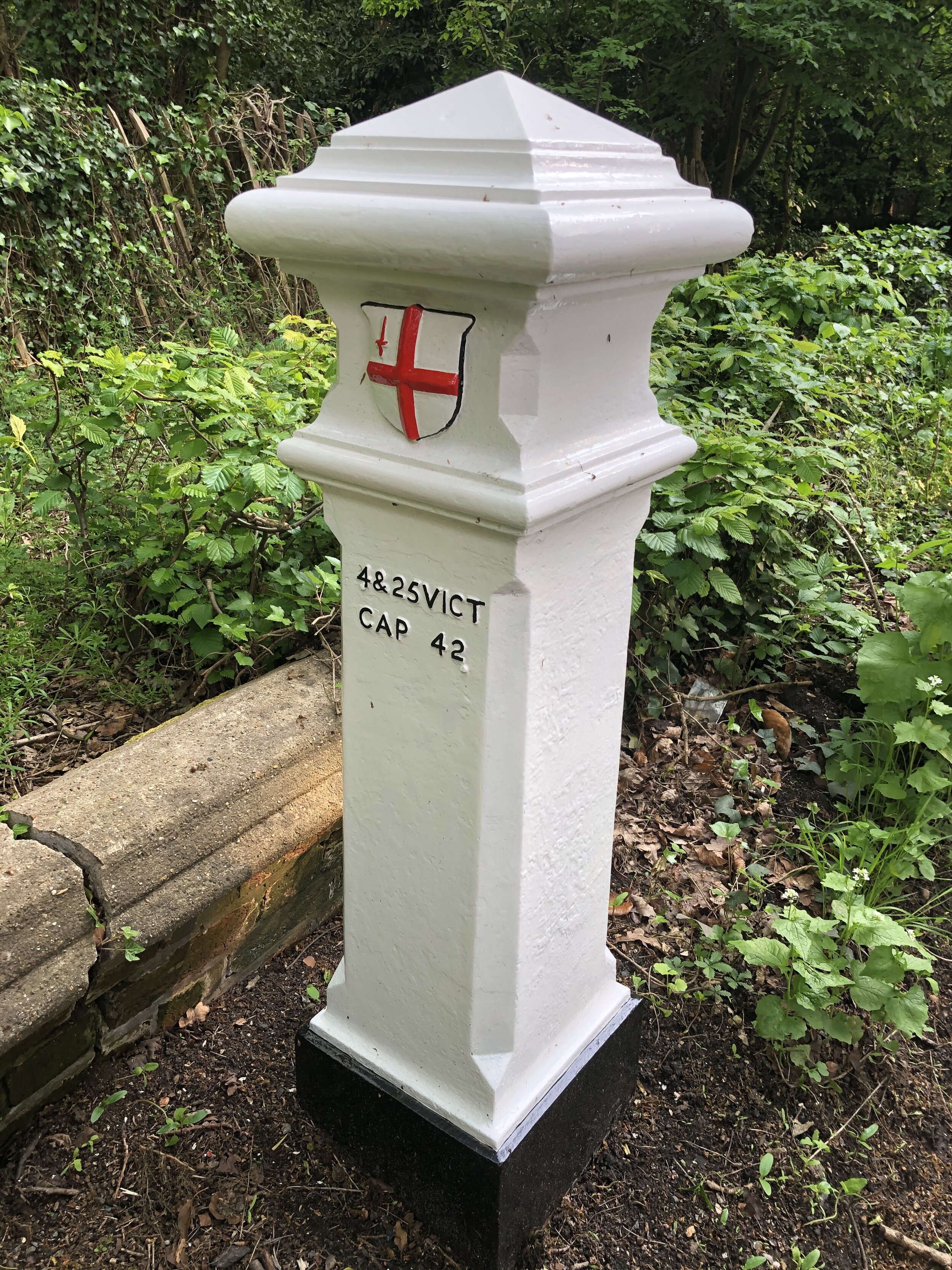
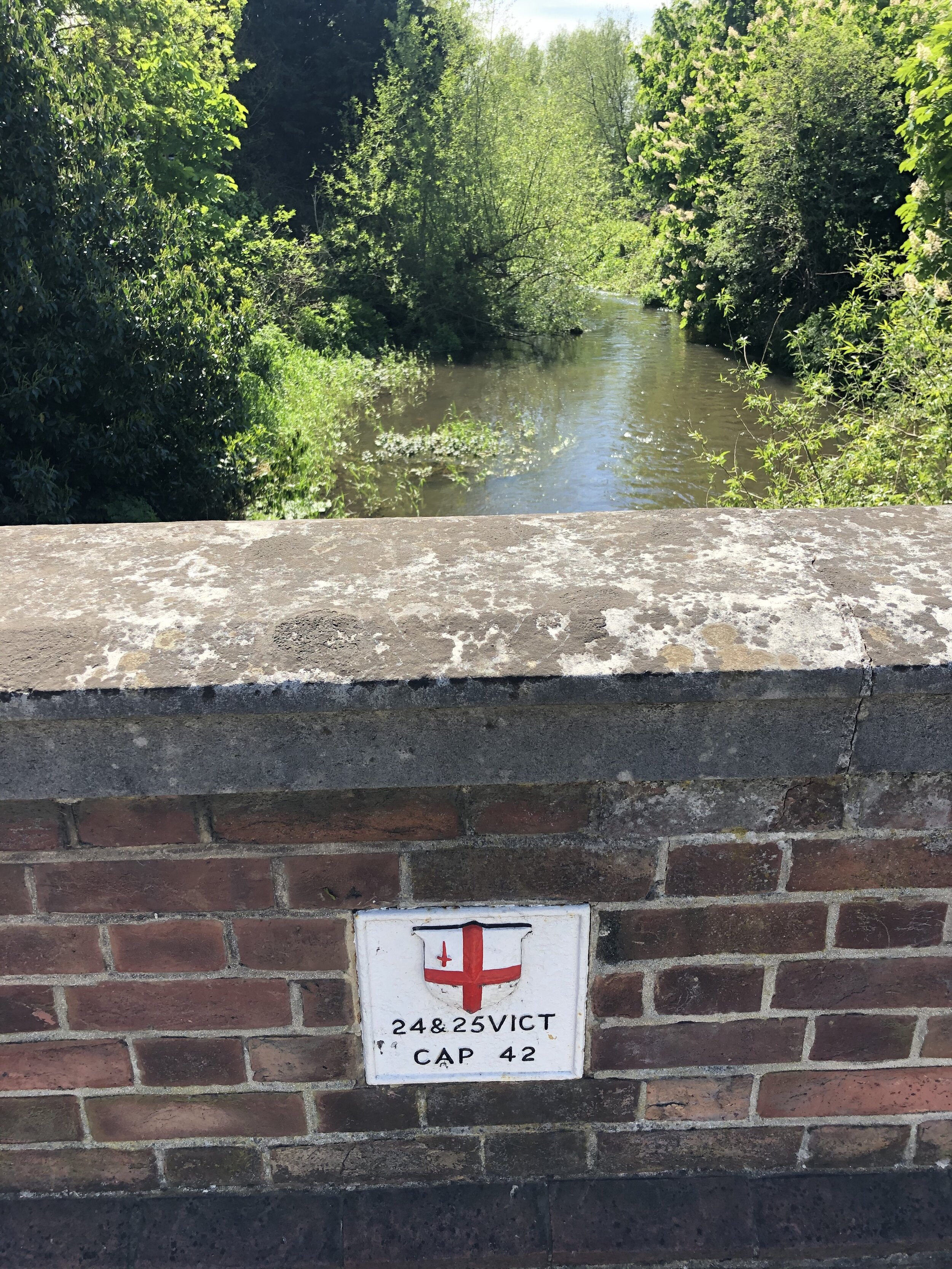
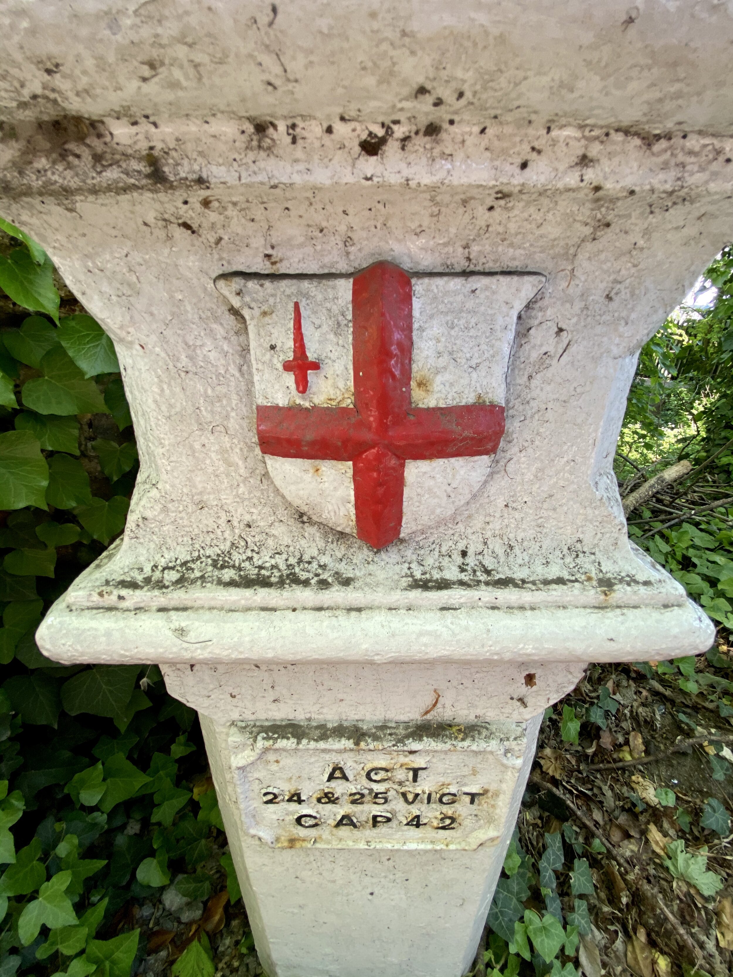
London Coal Duty Posts: 60
Other Pubs / Cafes on route: The Cafe in the Park at Rickmansworth Aquadrome, The Coy Carp at Harefield Lock
Map: OS Explorer Map (172) Chiltern Hills East
Links: Colne Valley Regional Park, Rickmansworth, Uxbridge
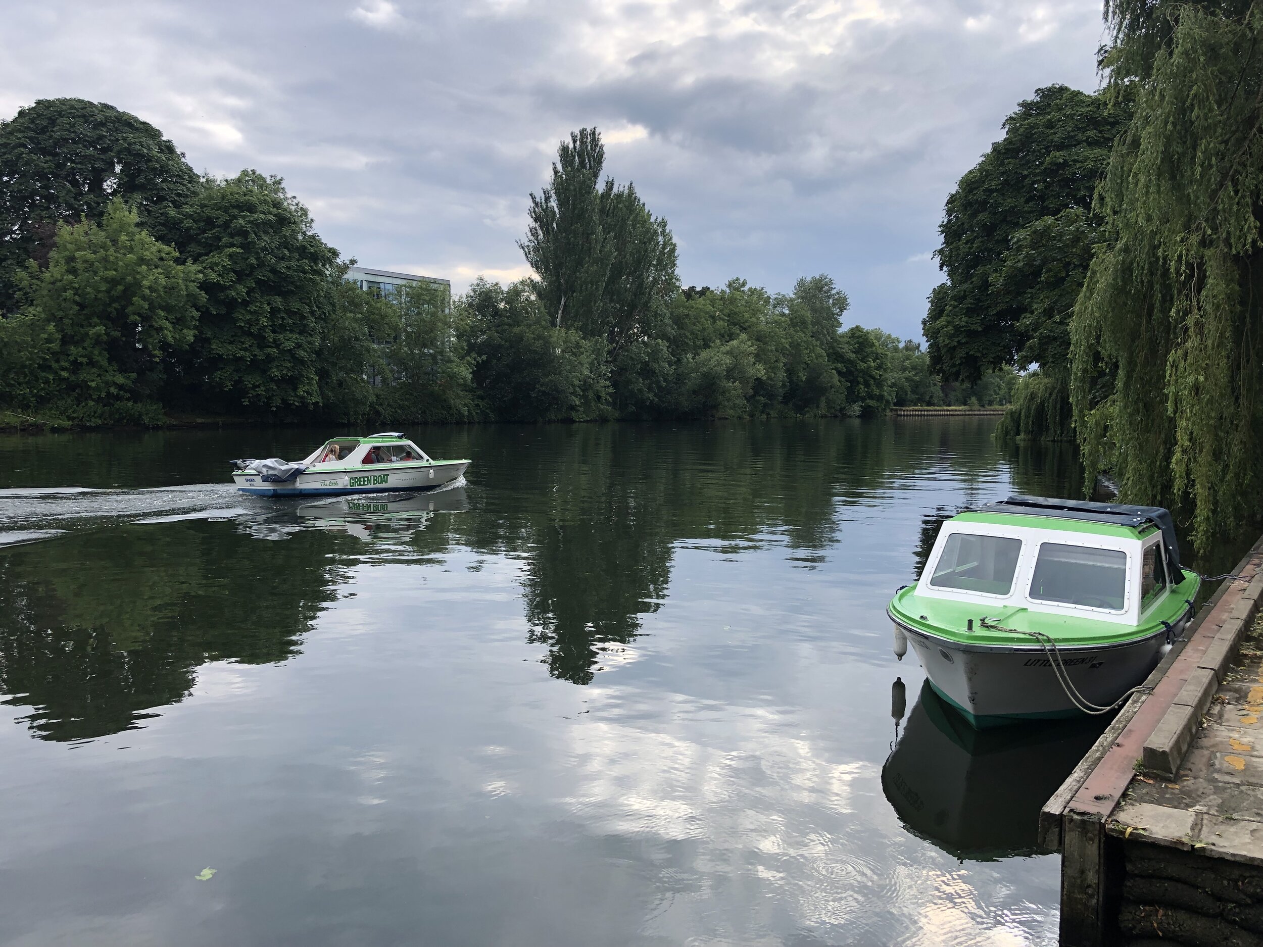
If you’re arriving by public transport, Ricksmansworth Station is a short walk to the start of the trail. If you’re driving the Car Park at Rickmansworth Aquadrome is best. For either start option I recommend the Cafe in The Park at the Aquadrome for an amazing coffee and cake combo to get you going.
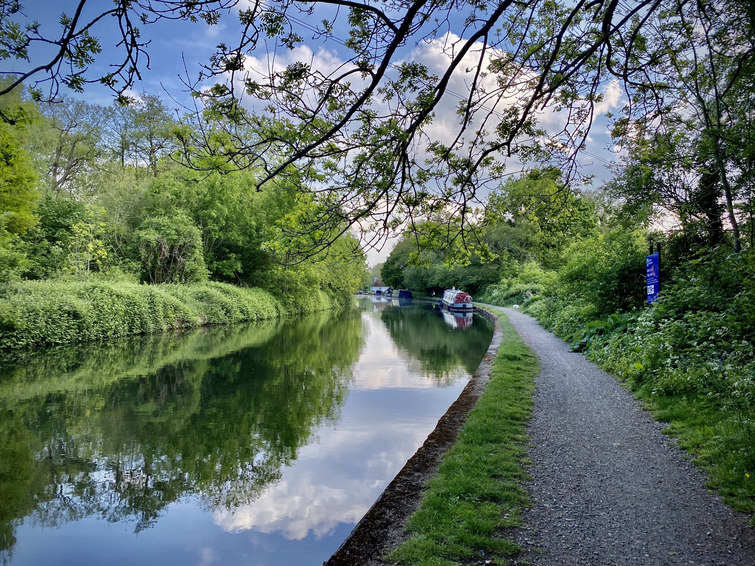
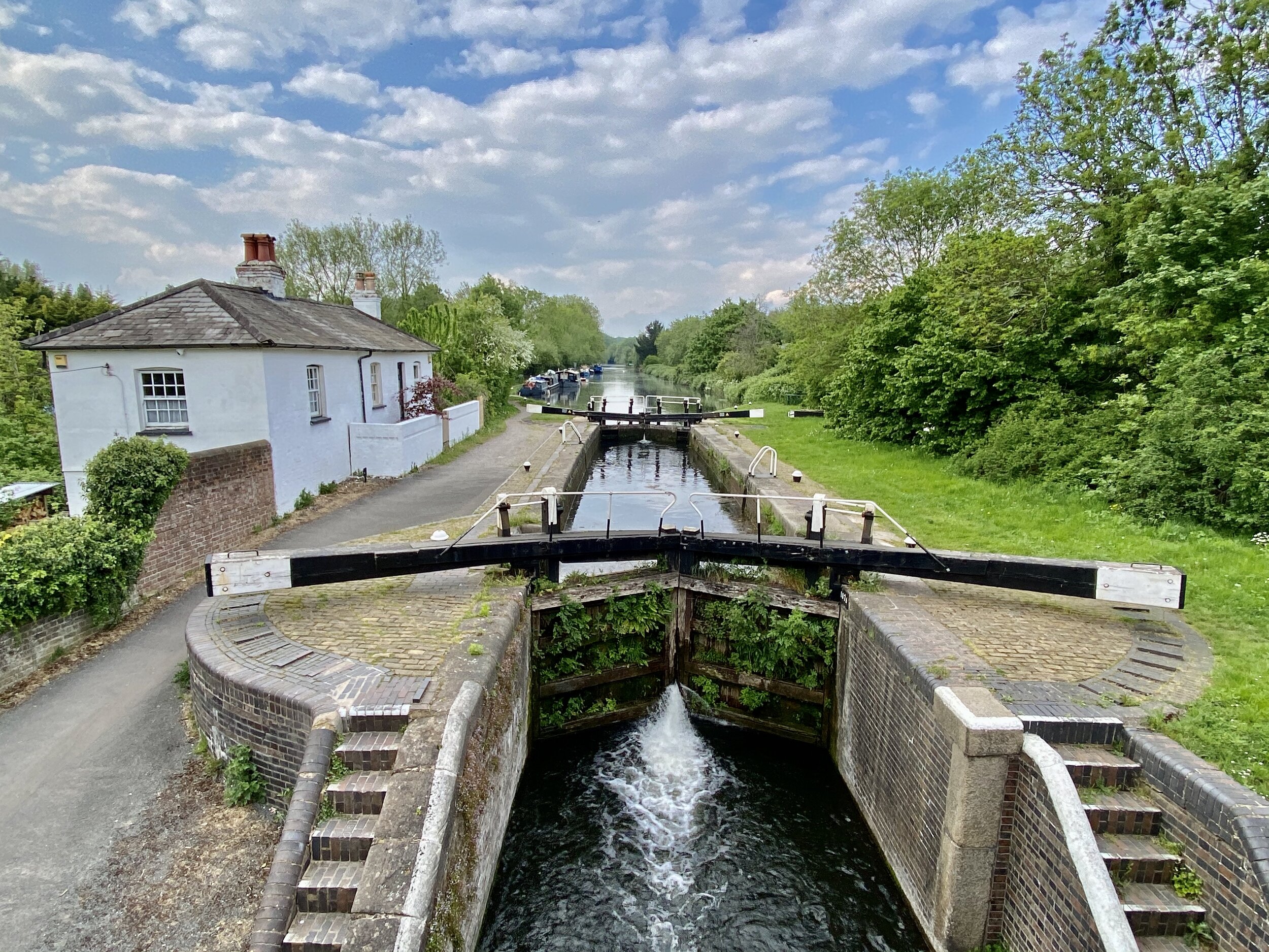
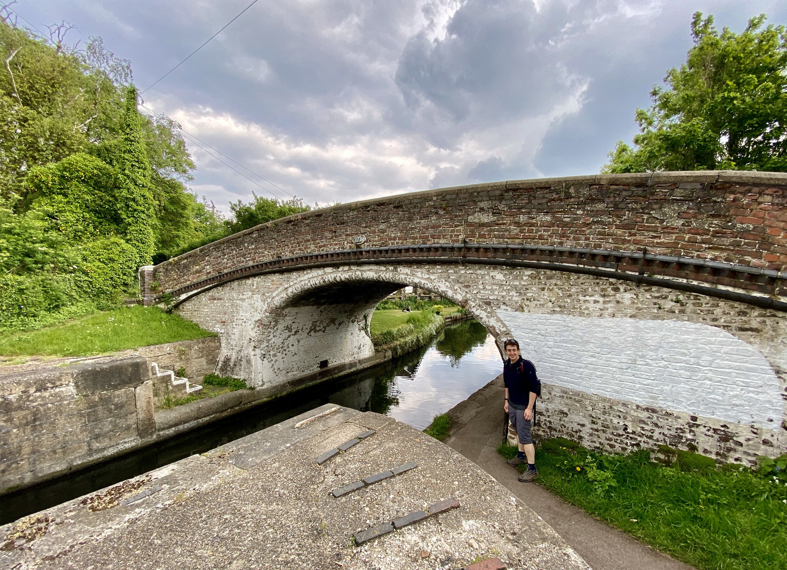
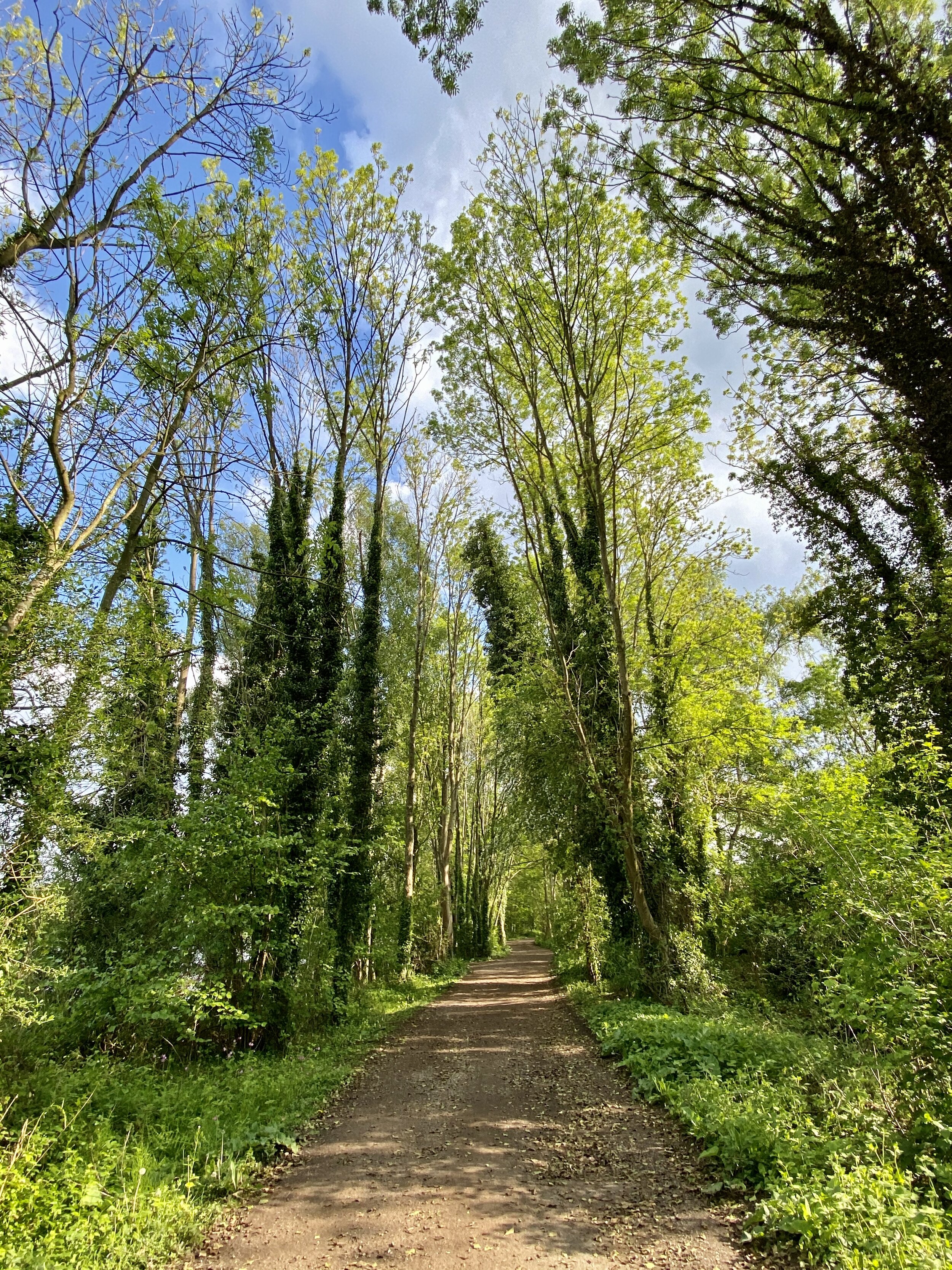
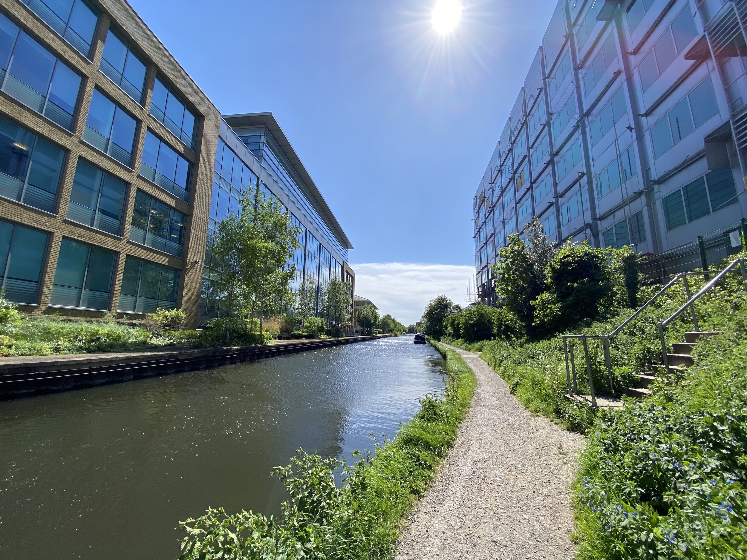
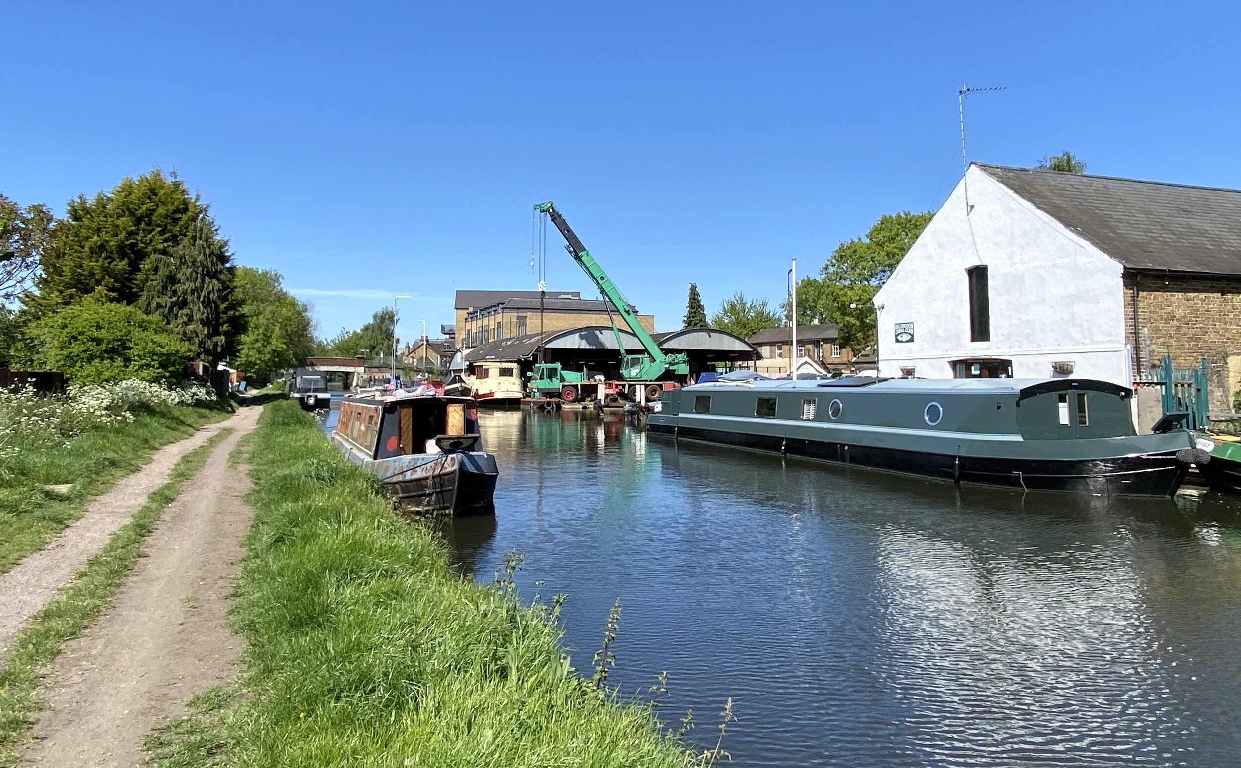
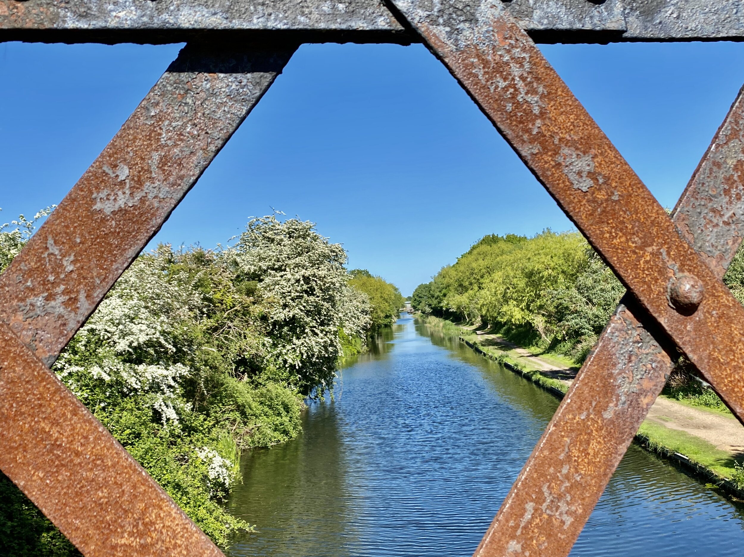
This first section of the walk is very easy to navigate as it pretty much sticks to the towpath of the Grand Union Canal. It’s also very well signposted so the minor diversions off the towpath are unlikely to get you lost.
The end of this section at Uxbridge also offers many parking options and the canal is a short walk from Uxbridge Station. Here you can connect back to Rickmansworth on the Metropolitan Line, changing at Harrow-on-the Hill.
SECTION 2 - UXBRIDGE TO Yiewsley
Start: The Swan and Bottle, Oxford Road, Uxbridge, UB8 1LZ
Finish: Trout Lane, Yiewsley, UB7 7FD
Distance: 6.1 km (3.8 miles)
Elevation change: +17m / -23m. Net -6m
GPX File: get via Buy Me a Coffee
Other routes touched (walk): Grand Union Canal Towpath, Hillingdon Trail, London Loop, Beeches Way, Shakespeare’s Way
Other routes touched (cycle): NCN 6, 61
London Coal Duty Posts: 65, 66
Other Pubs / Cafes on route: The General Eliott, 1 St John's Road, Uxbridge, UB8 2UR
Map: OS Explorer Map (172) Chiltern Hills East
Links: Colne Valley Regional Park, Uxbridge, Yiewsley
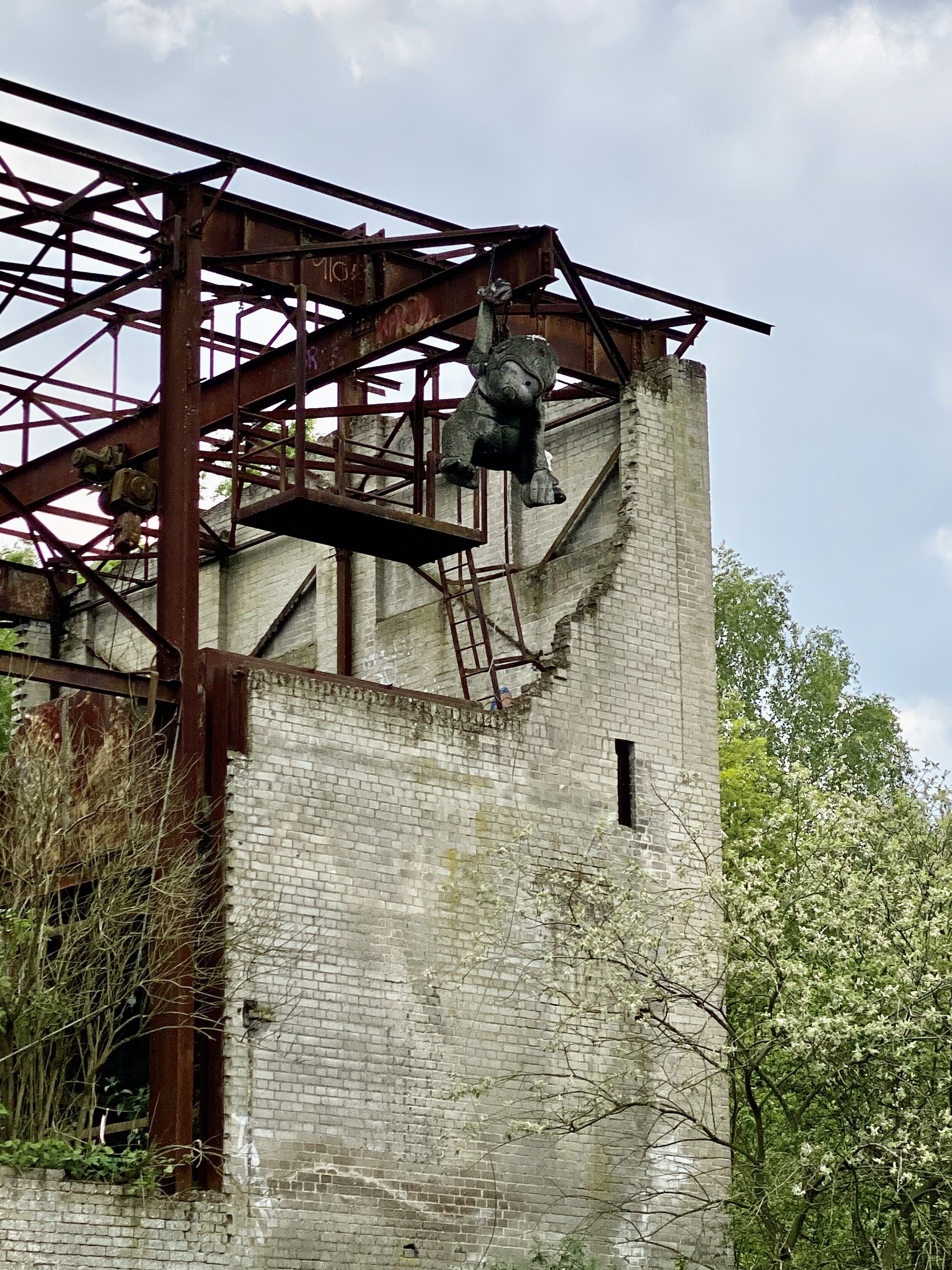
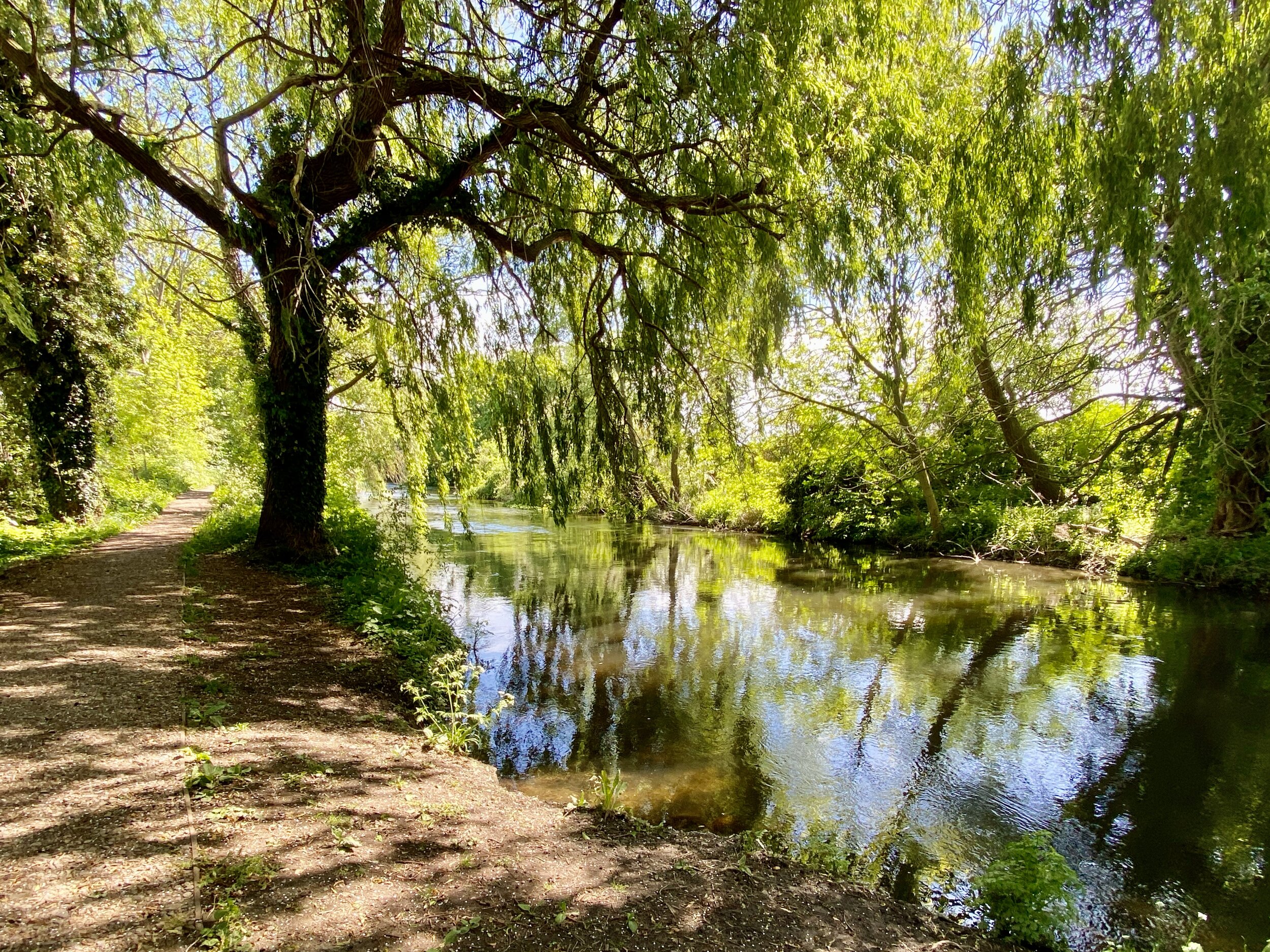
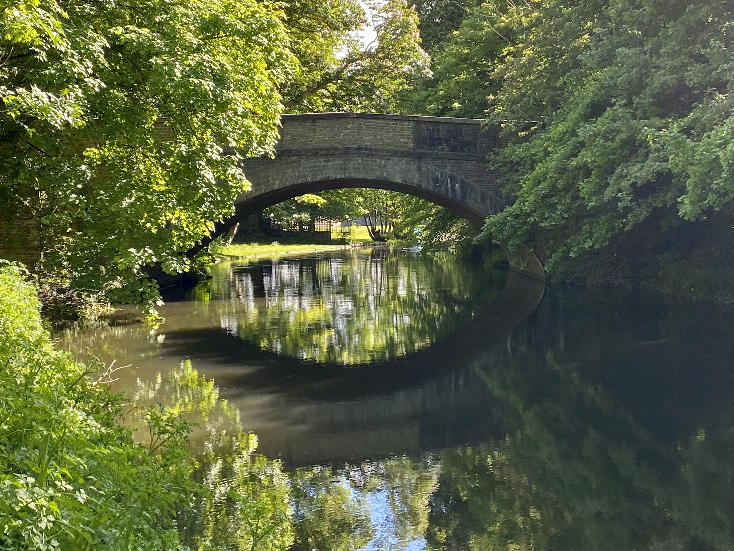
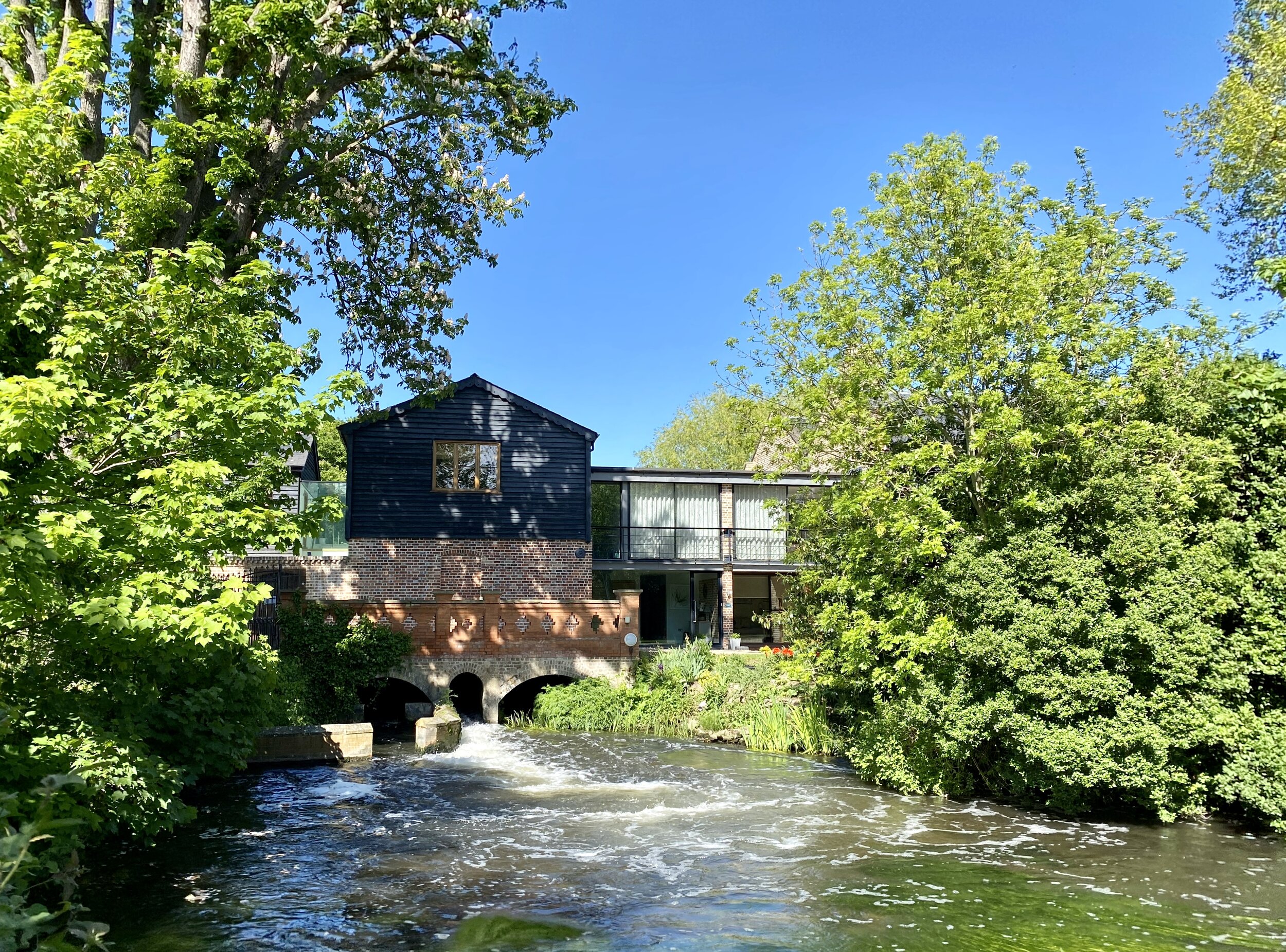
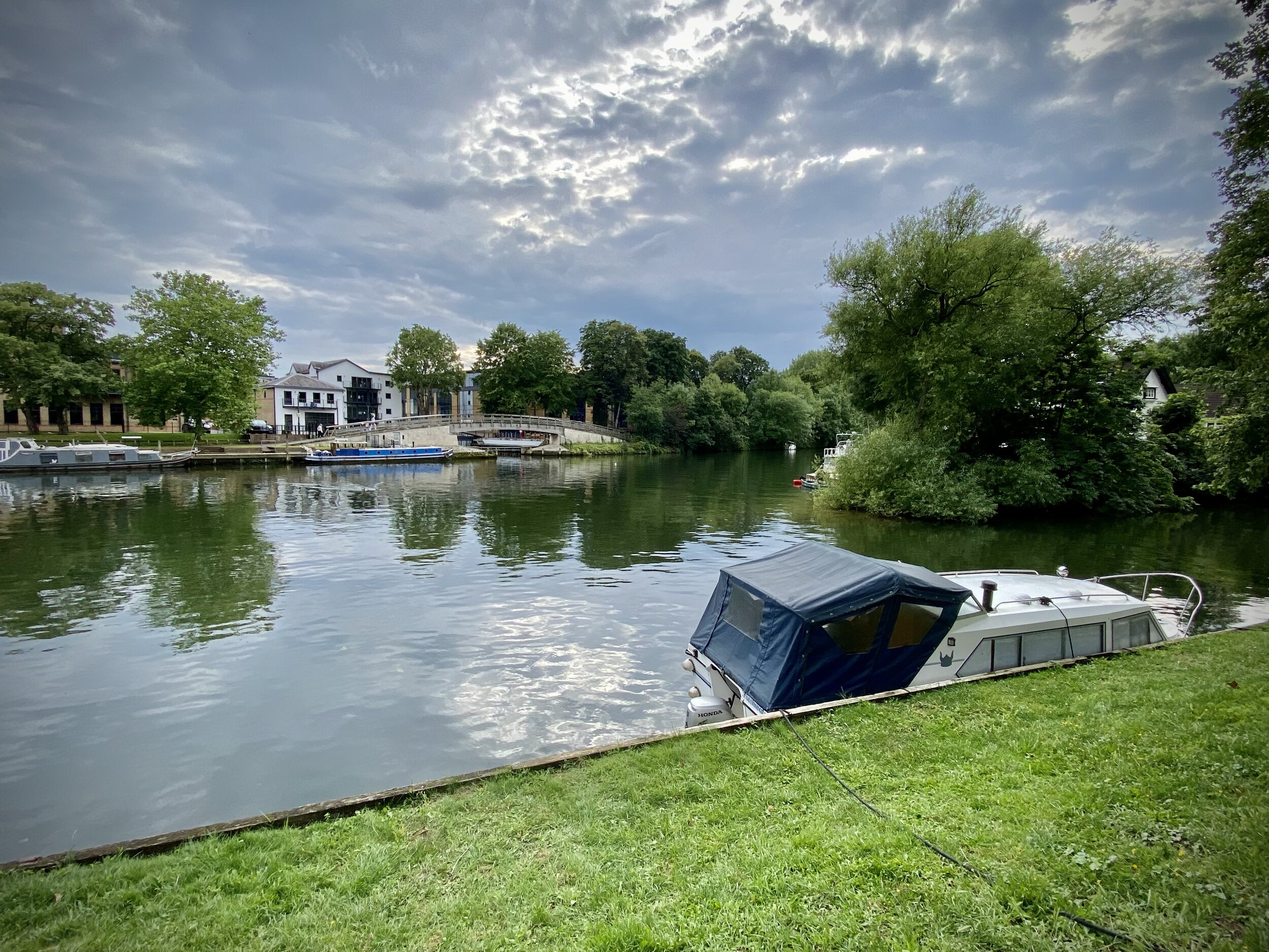
From the Swan and Bottle continue South along the canal towpath for ~1.25 km, looking out for signs diverting off the the right (East). The path will take you through a residential area and an unattractive industrial estate for ~500m. This is a minor inconvenience to get you to a much more pleasant narrow stretch of park running South next to the River Colne. After ~1 km you’ll reach the B470 Iver Lane Take a left onto the road then a right onto Old Mill Lane. Follow this for ~1 km to Little Britain Lake. Old Mill Lane runs parallel to the River Frays with a highlight being the Old Mill building which was once abandoned and is now apartments.
At the end of Old Mill Lane turn right, following Packet Boat Lane to the footpath that follows the River Colne. Take a left at the path junction and follow the River Colne South. After ~500m you’ll cross the Slough Arm of the Grand Union Canal and will join the Beeches Way. Continue for another ~500m watching out for the footpath junction. The Beeches Way continues onwards to Yiewsley but the Colne Valley Trail splits off the the right (South). Given the M4 Old Slade Lane bridge closure further South, this was the end of the trail for us for now. We’ll be back later to continue on to Staines.
SECTION 3 - YIEWSLEY TO STAINES
Start: Trout Lane, Yiewsley, UB7 7FD
Finish: Lammas Recreation Ground, 115 Wraysbury Road, Staines, TW18 4UA
Distance: 15.3 km (9.5 miles)
Elevation change: +44m / -55m. Net -11m
GPX File: get via Buy Me a Coffee
Other routes touched (walk): None
Other routes touched (cycle): None
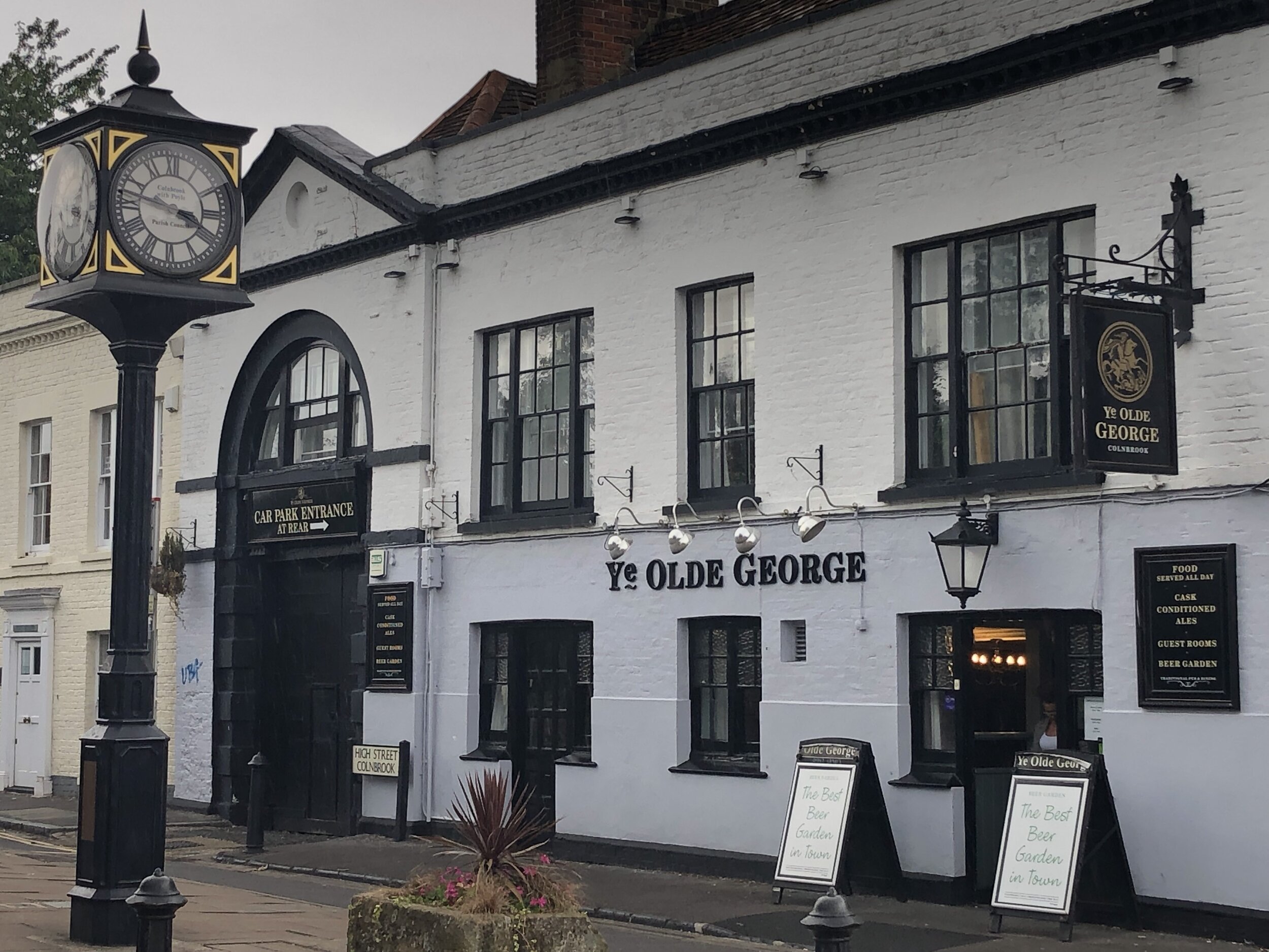
Pubs / Cafes on route: Ye Olde George or The Ostrich in Colnbrook High Street
Map: OS Explorer Map (172) Chiltern Hills East and OS Explorer Map (160) Windsor, Weybridge & Bracknell
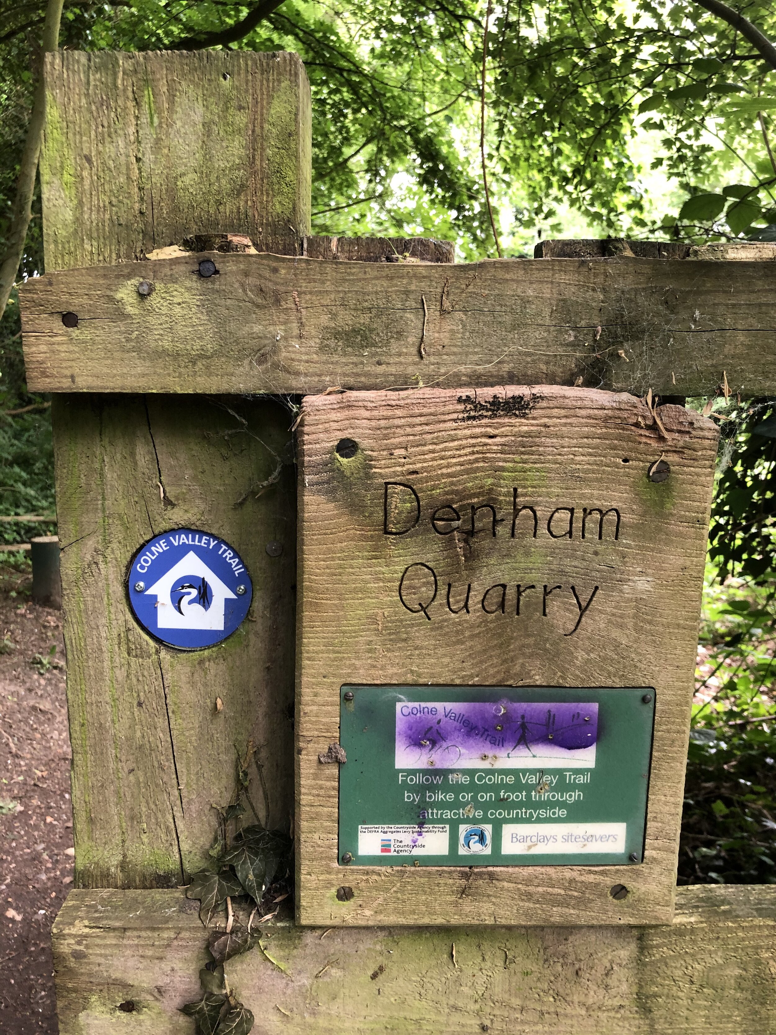
Links: Colne Valley Regional Park, Yiewsley, Colnbrook, Stanwell Moor, Staines Moor, Staines-upon-Thames
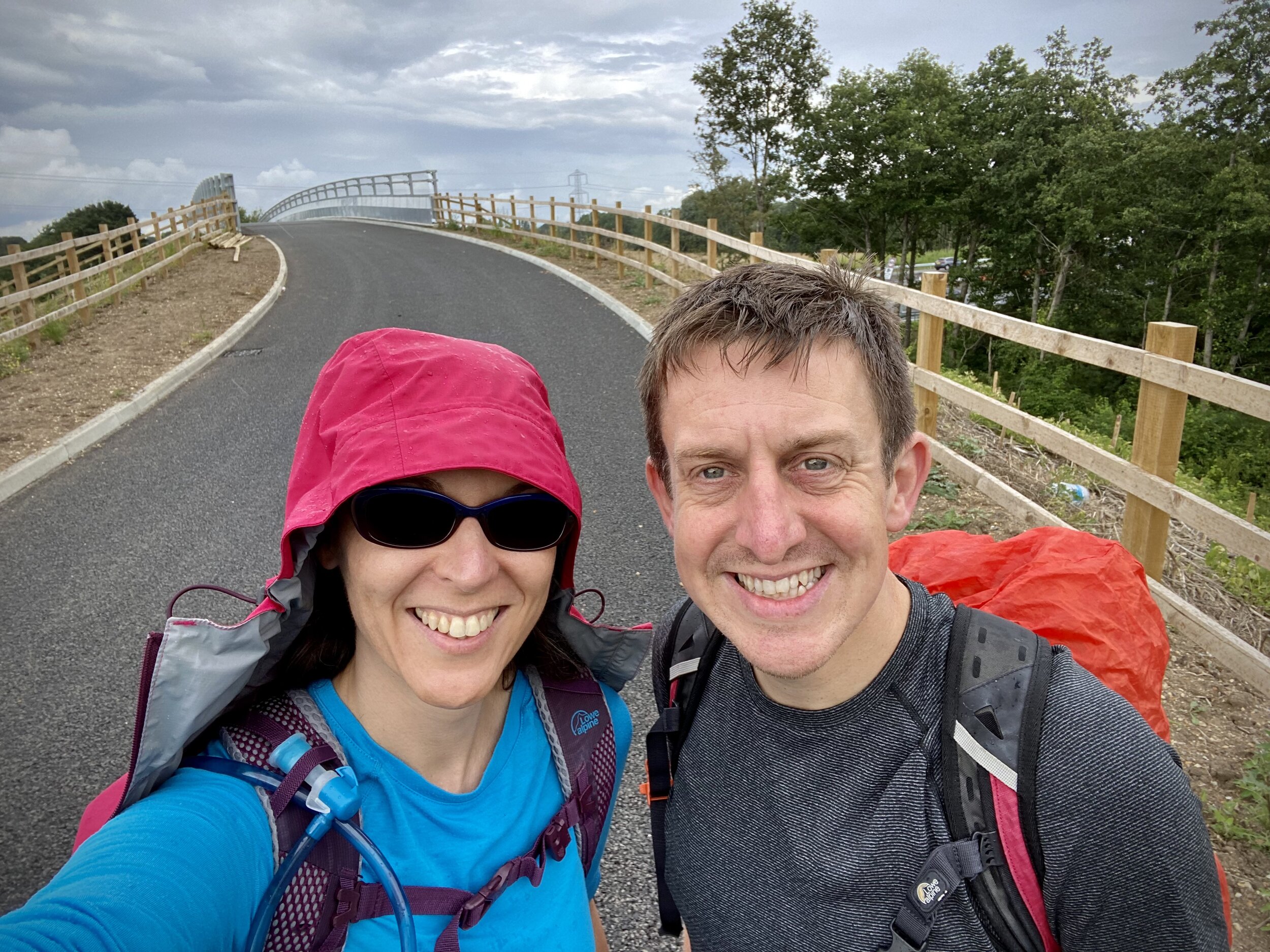
We were hoping to return to the Trail later in 2020, but the M4 Old Slade Lane bridge didn’t re-open until July 2021. As soon as we got confirmation that there was pedestrian access across it we headed back to Yiewsley. There’s good parking and public transport options in Yiewsley, all about 1 km from re-joining the Trail at Trout Lane.
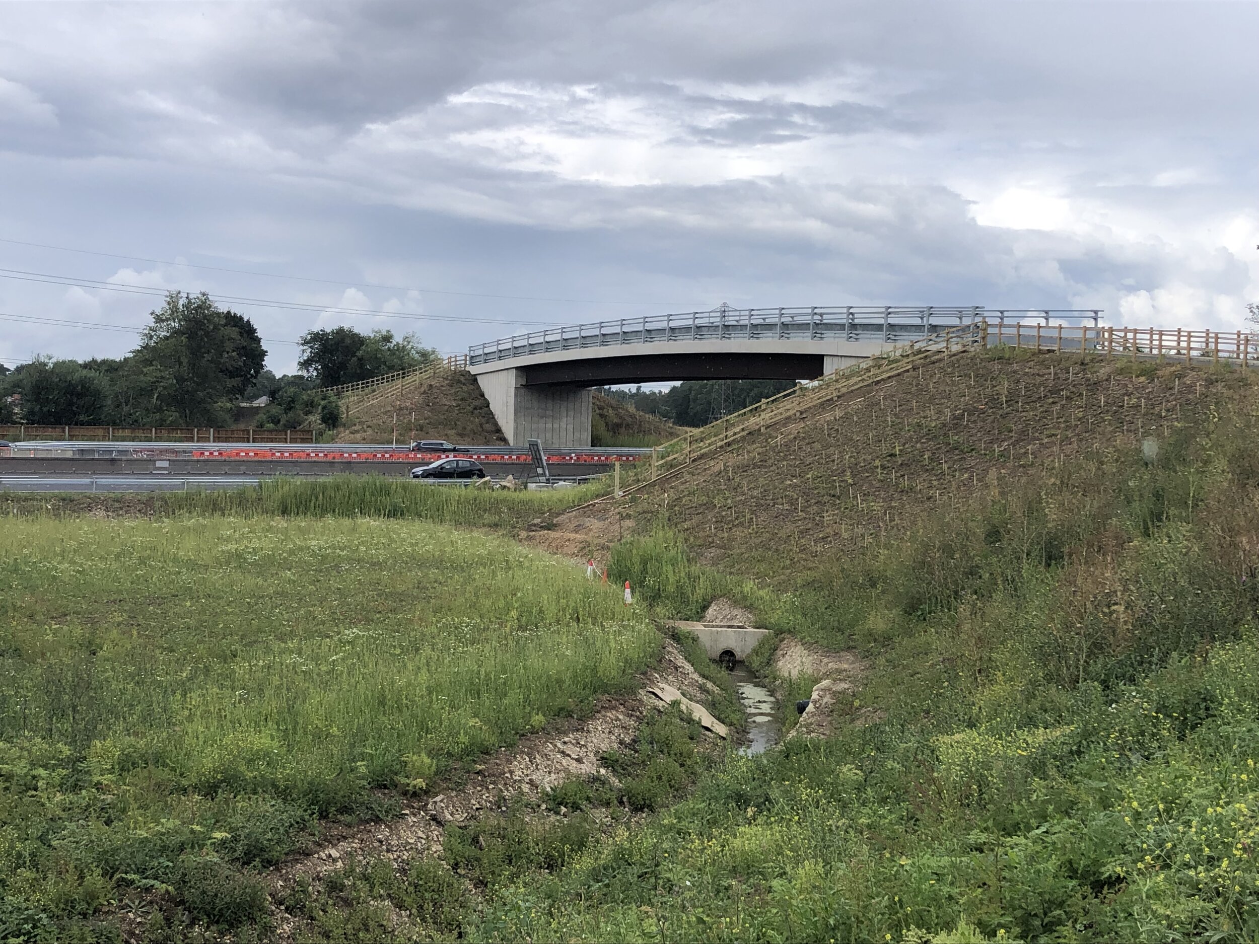
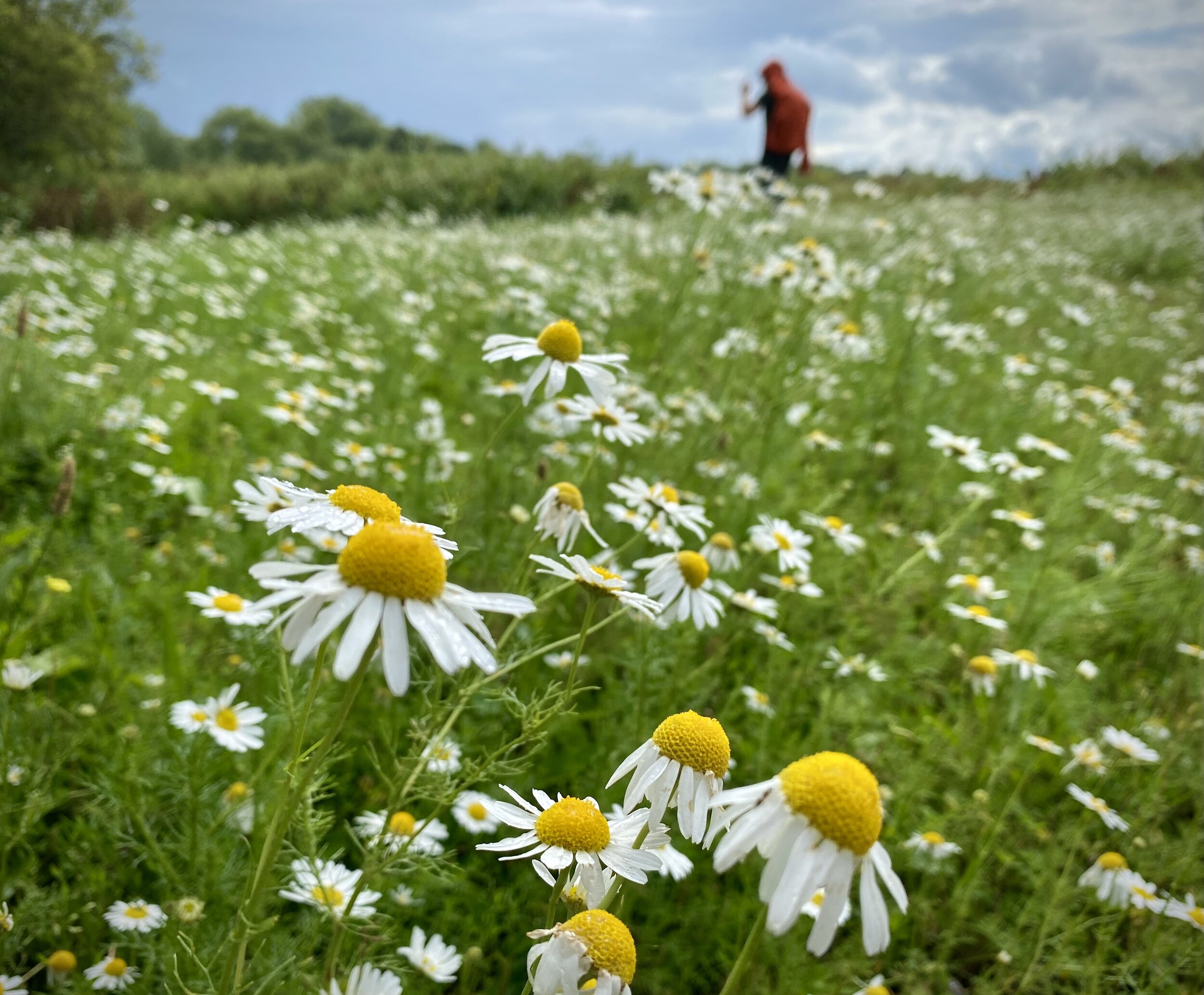
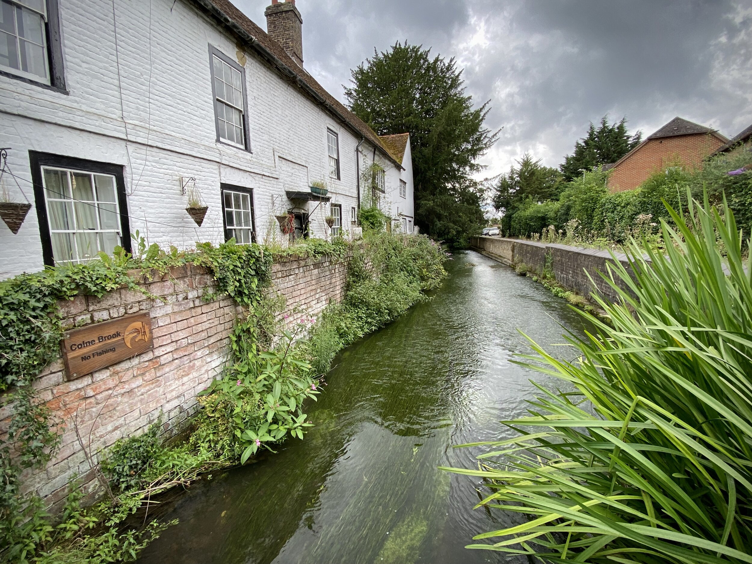
This section has quite a different feel from the Grand-Union based sections 1 and 2. From Trout Lane you soon cross under the GWR mainline and into Thorney Park. Here you’ll find one of 3 motorway crossings as the Trail navigates around the unloved western end of Heathrow airport. After crossing the A4 you’ll reach Colnbrook, an old village that’s still pleasant in parts but stranded in an island surrounded by the motorways and airport. This is a good place for a drink and a rest or as an end point if you want to split this longer section in 2.
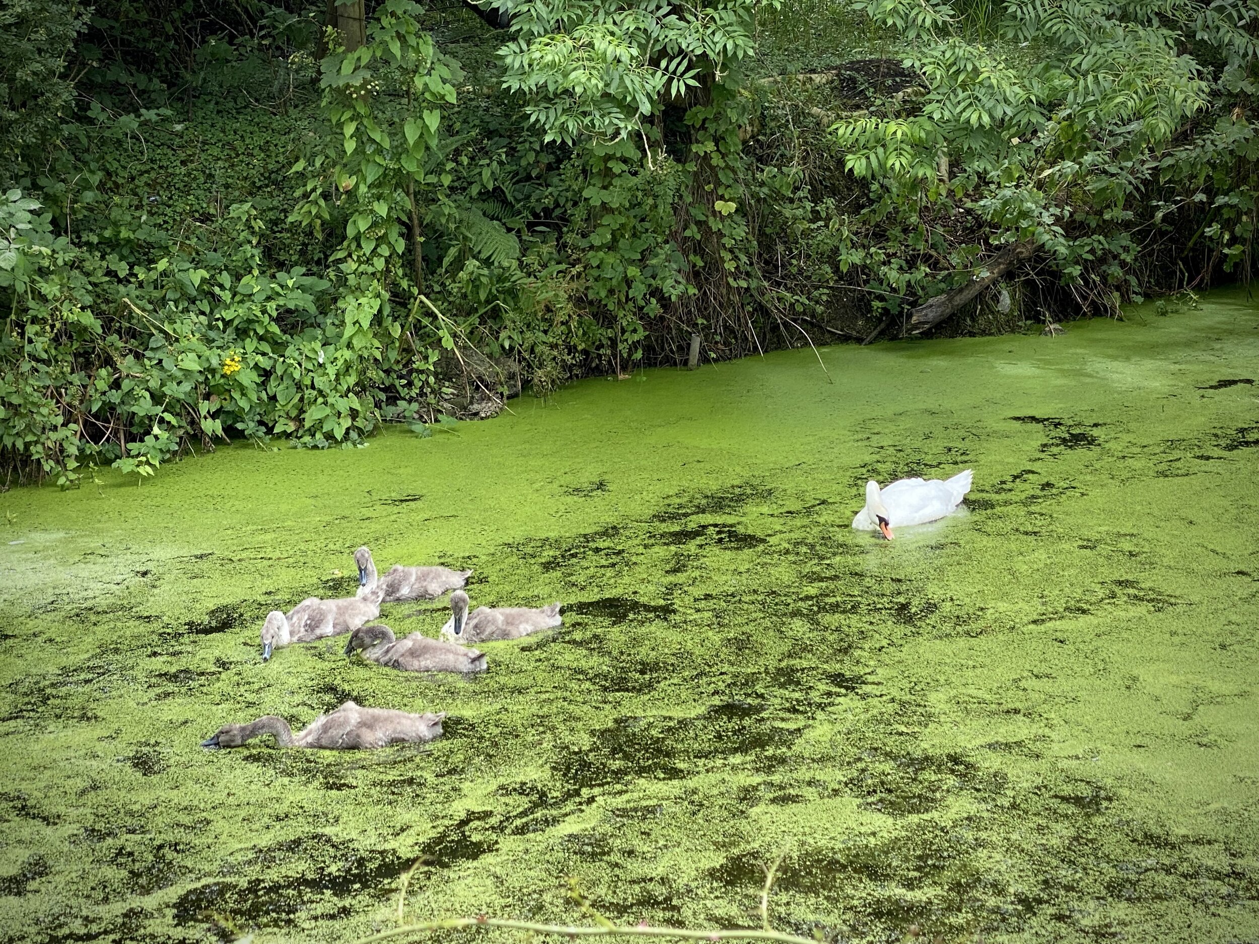
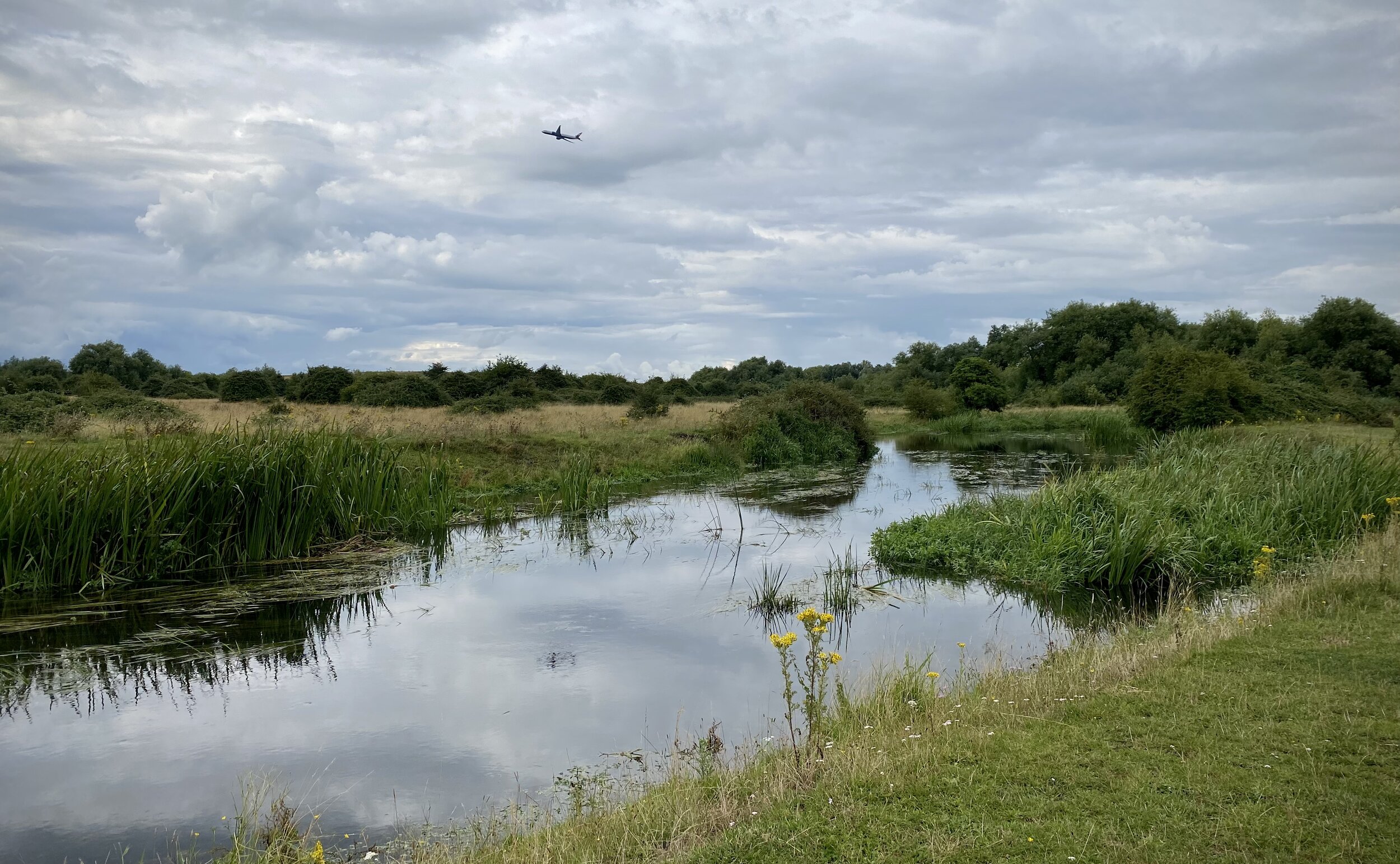
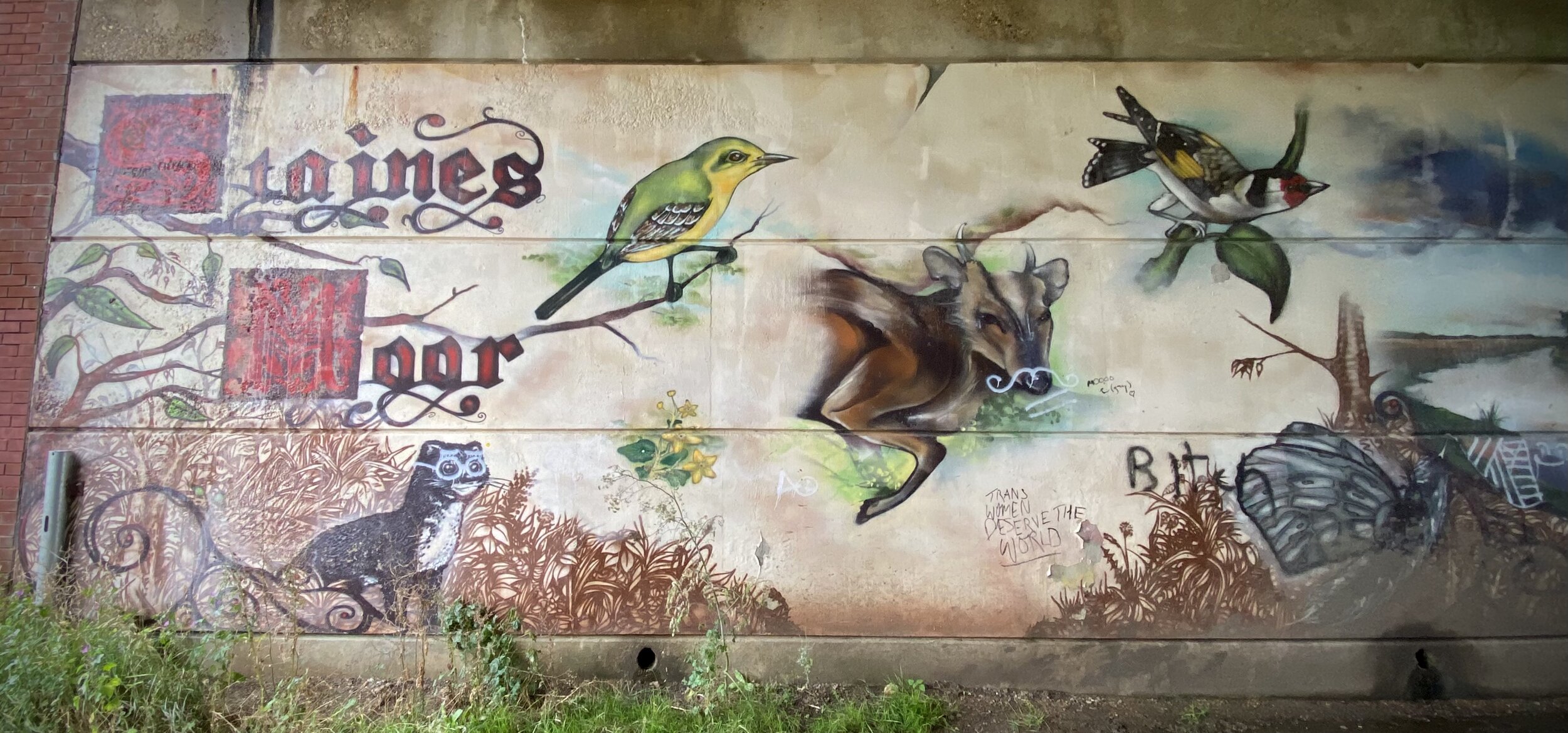
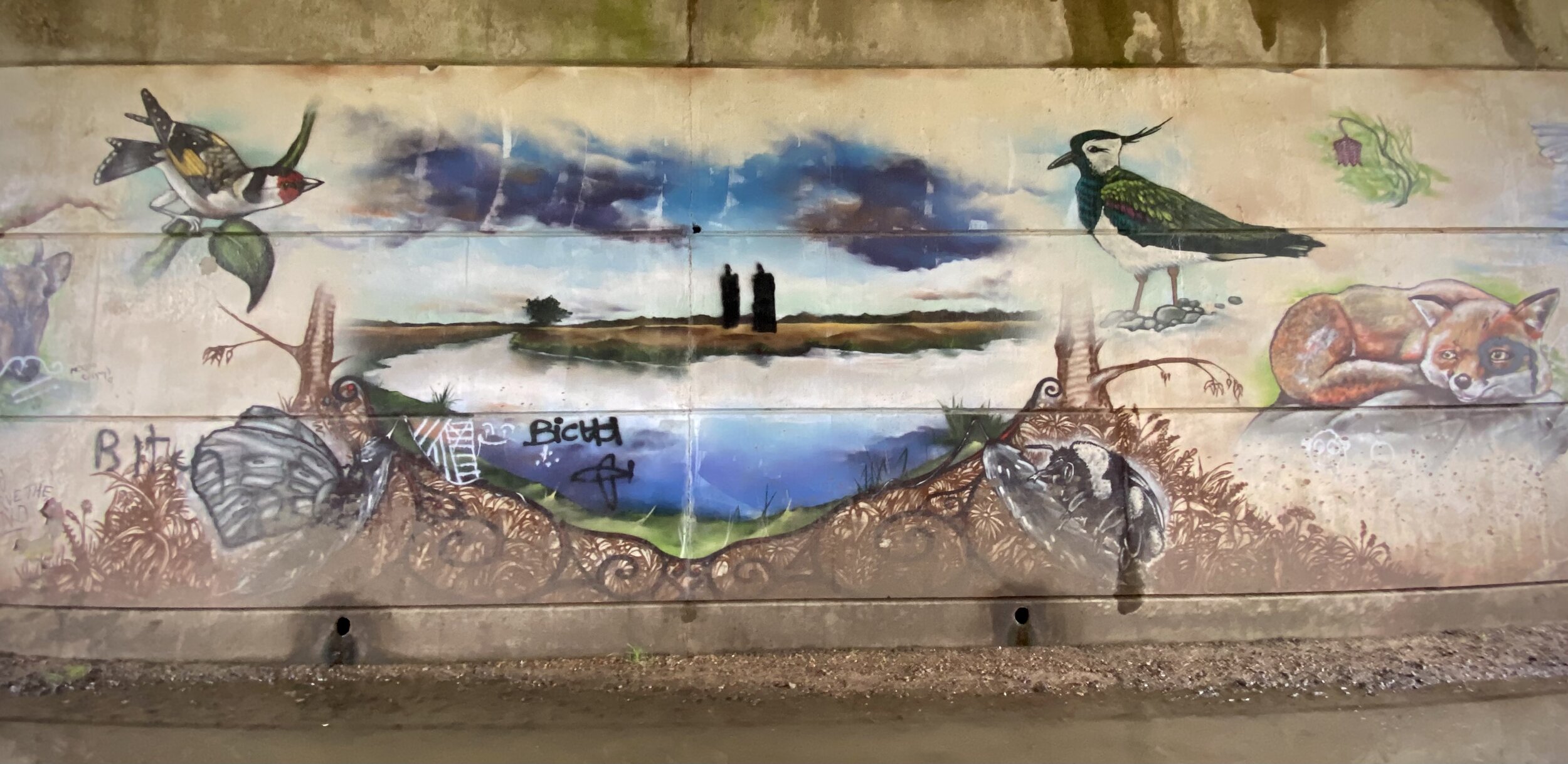
Leaving Colnbrook, you’re now following Colne Valley Way sign rather than the Colne Valley Trail. From Horton the route leaves the Colne Brook stream, heading east past the top end of the Wraysbury Reservoir and over the M25. Here you’ll join the River Colne, following its route through Stanwell Moor, Staines Moor and the western edge of Staines. Be careful after the M25 crossing as the Colne Valley Way signs disappear and you’ll need to rely on a map or GPX route.
The route ends at the Thames near the café at the Llamas recreation ground. From here it’s a 0.5 km walk along the river to Staines Town Centre.


Next sections of the London Loop:
Clockwise: Hill End to the Grand Union via the Hillingdon Trail then South Oxhey to Hill End
Anti-clockwise: Grand Union Canal from Yiewsley to The Hillingdon Trail at Parkway