Welcome to London Outdoors. London might be a busy city, but it is also packed with incredible green spaces and trails. This page is a collection of my outdoor adventures across the capital: whether I am heading out for a long walk, exploring new cycling routes, or lacing up my trainers for a local parkrun. Have a look through the index below to find all my posts about getting outside in the city.
Comment below or contact me if you have any questions, suggestions for improvement or if you spot any errors in any of the posts. I’ll donate £ to one of the outdoor causes that i support for any correction made.
Featured and Popular Posts
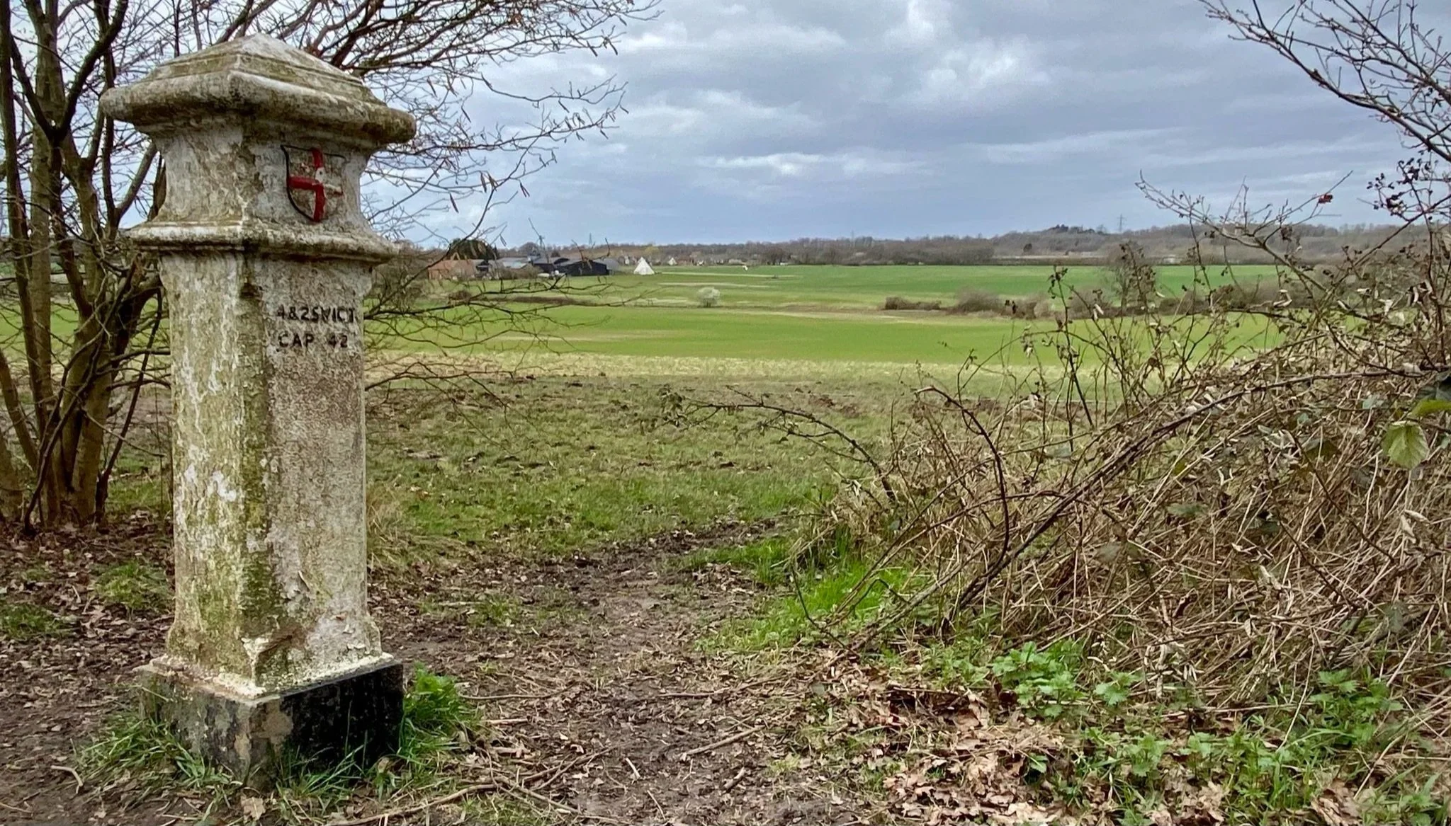
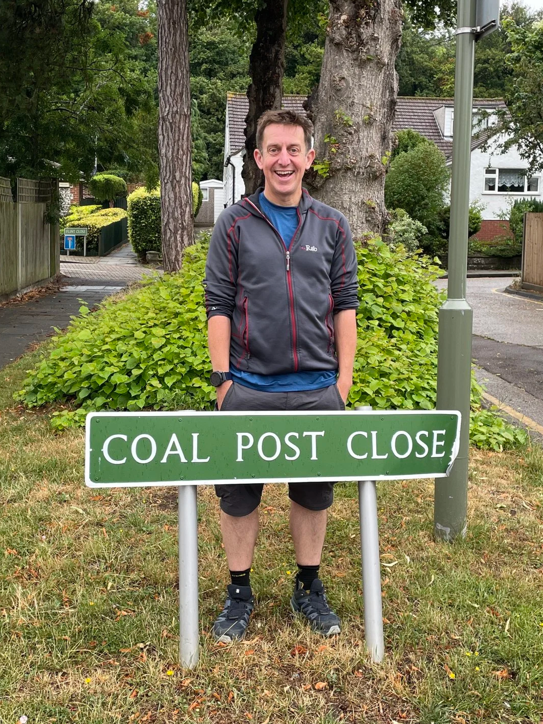
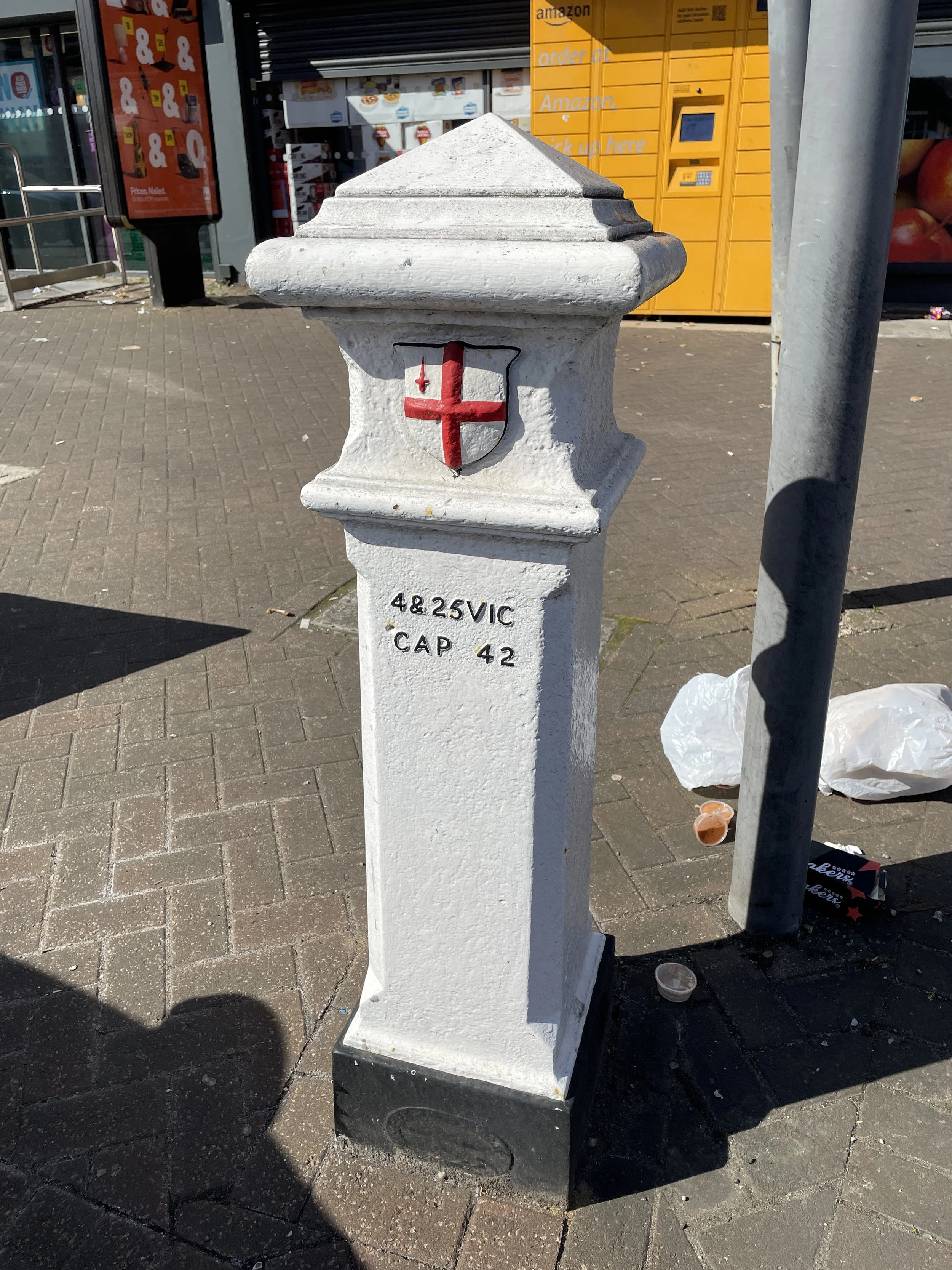
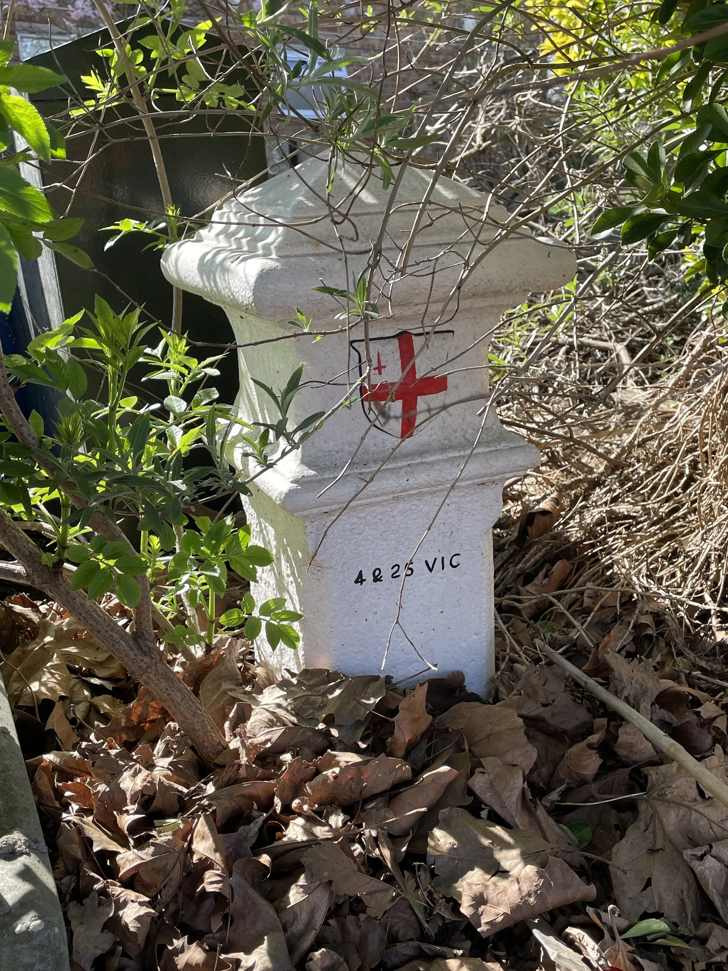
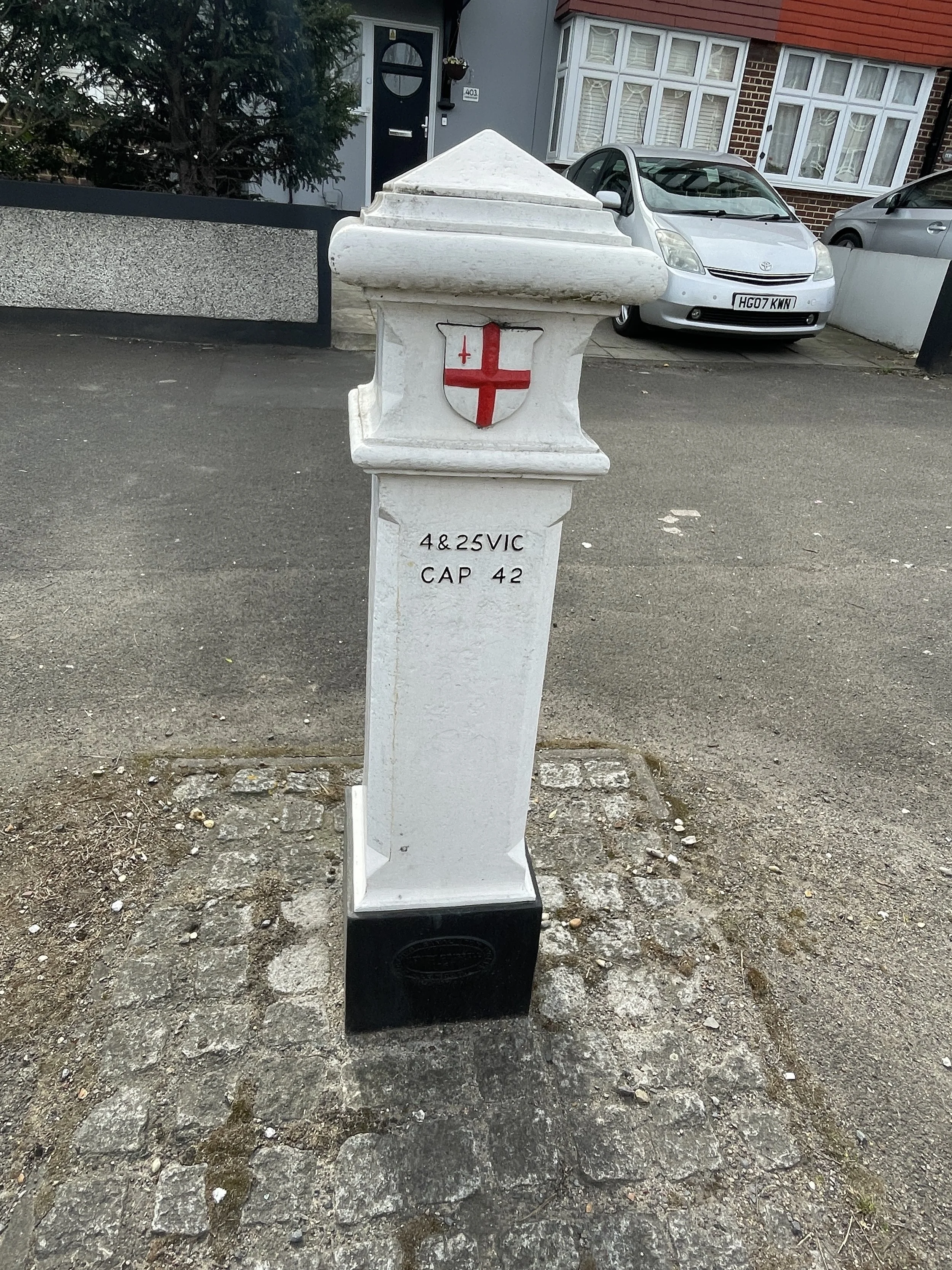
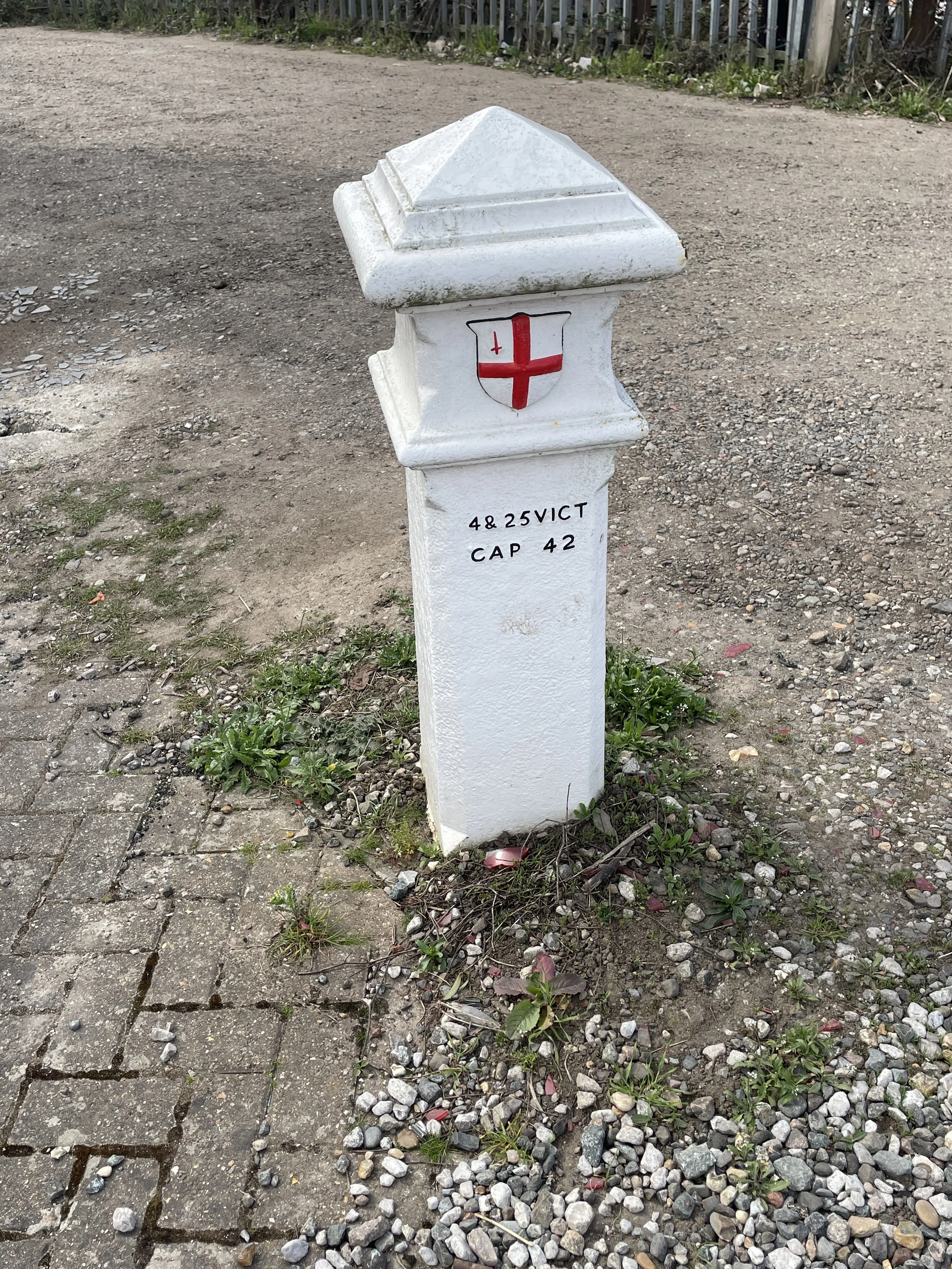
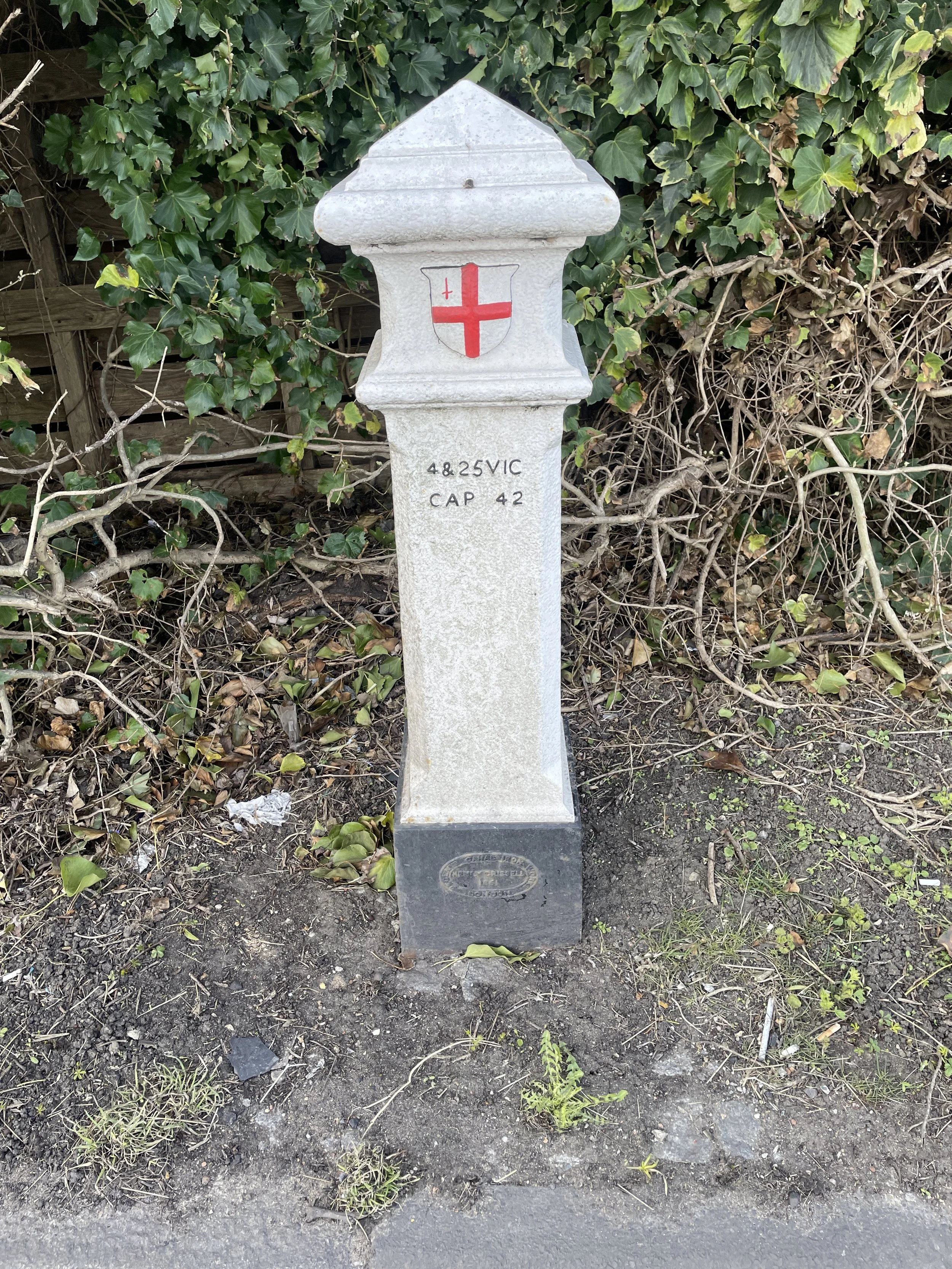
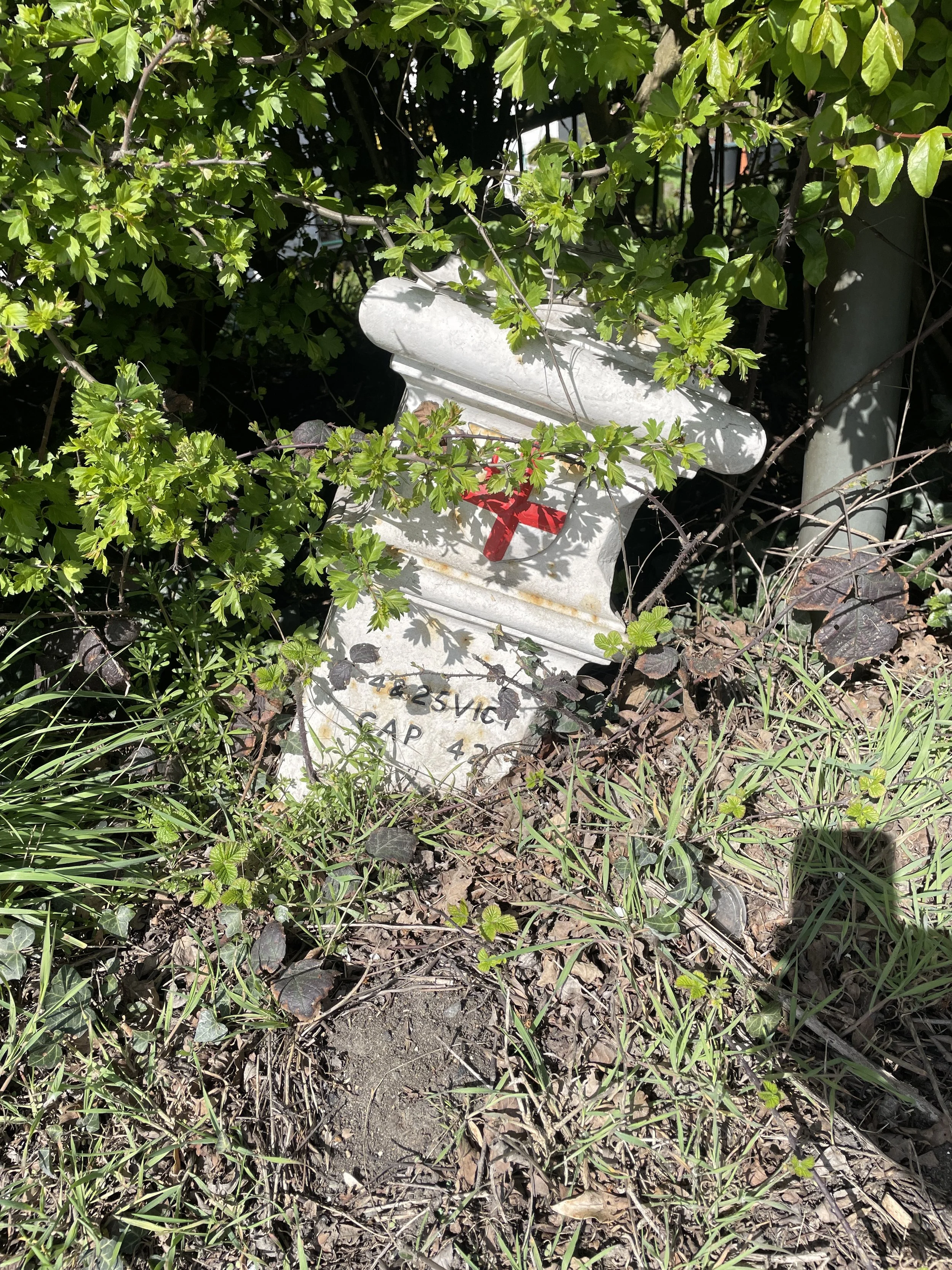
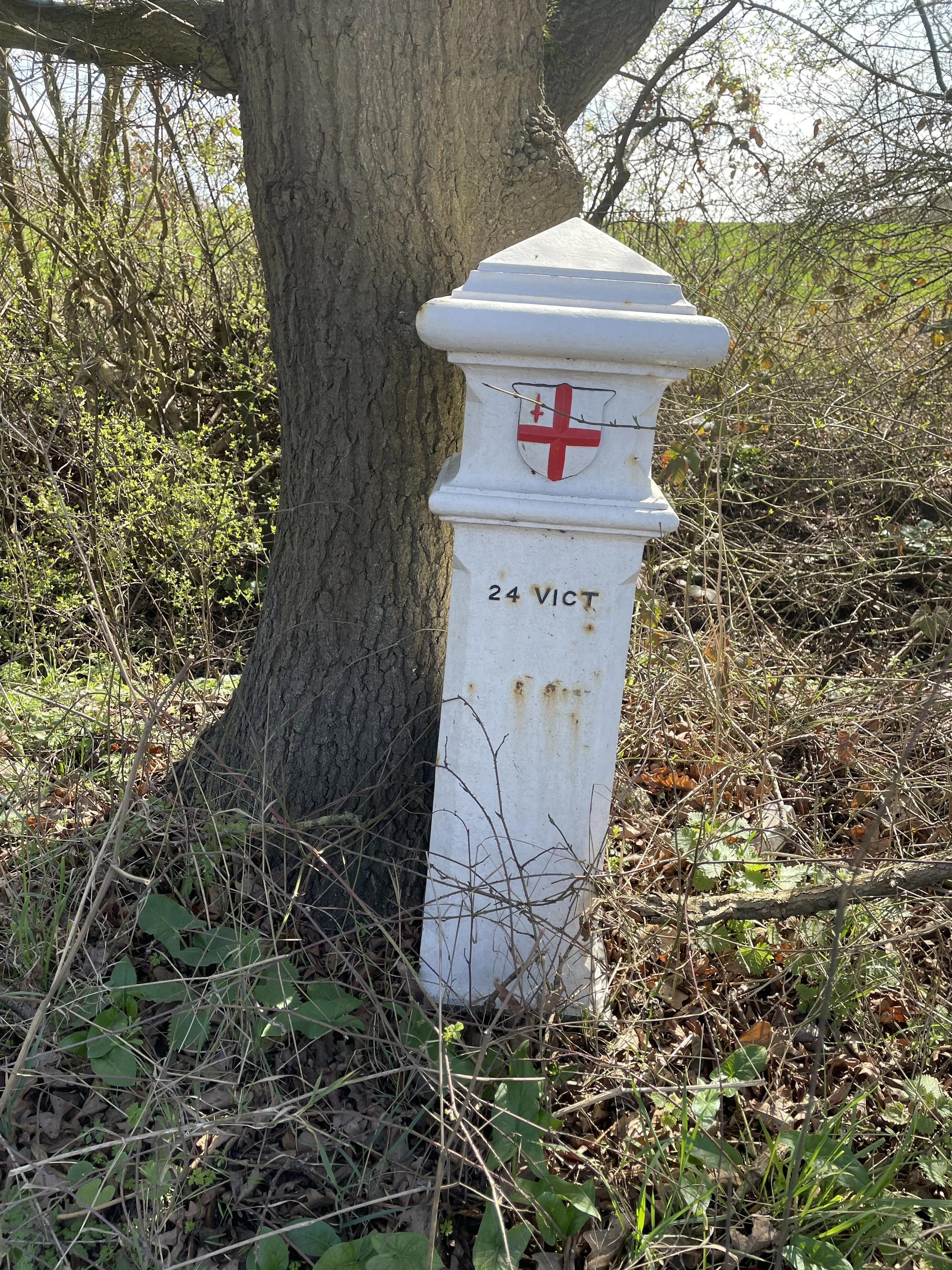
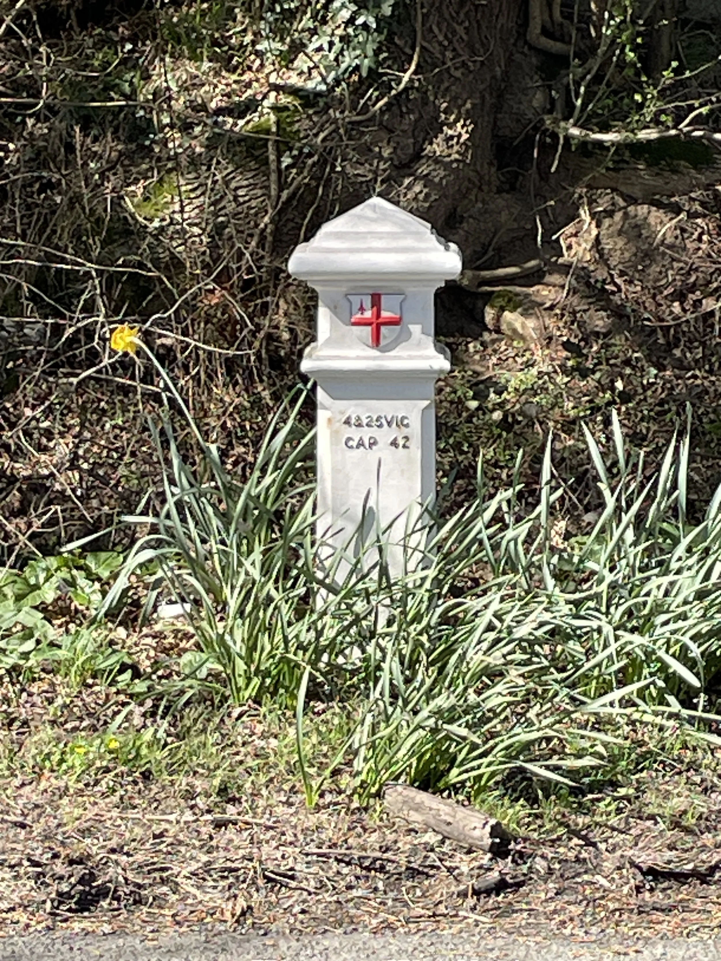
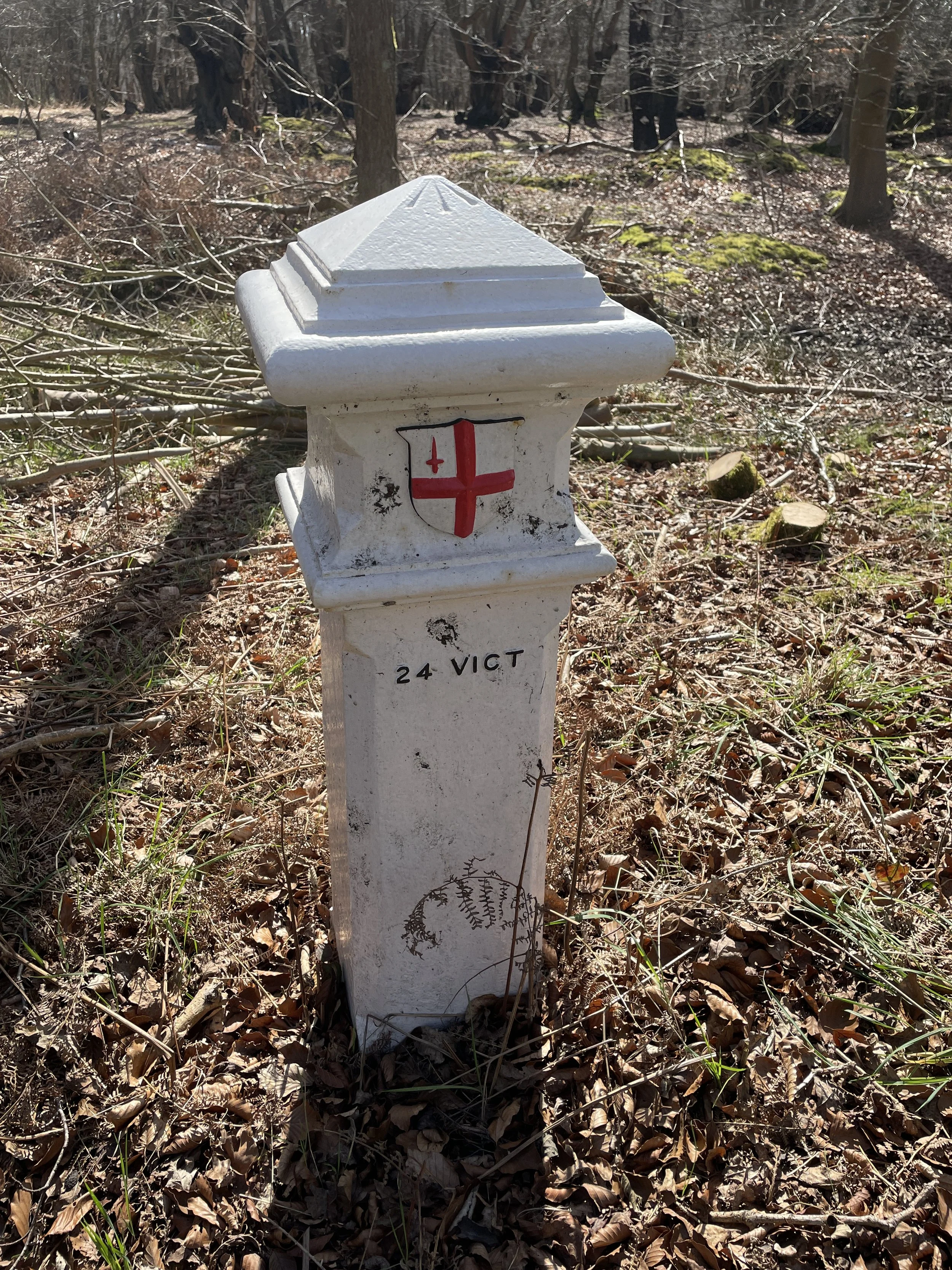
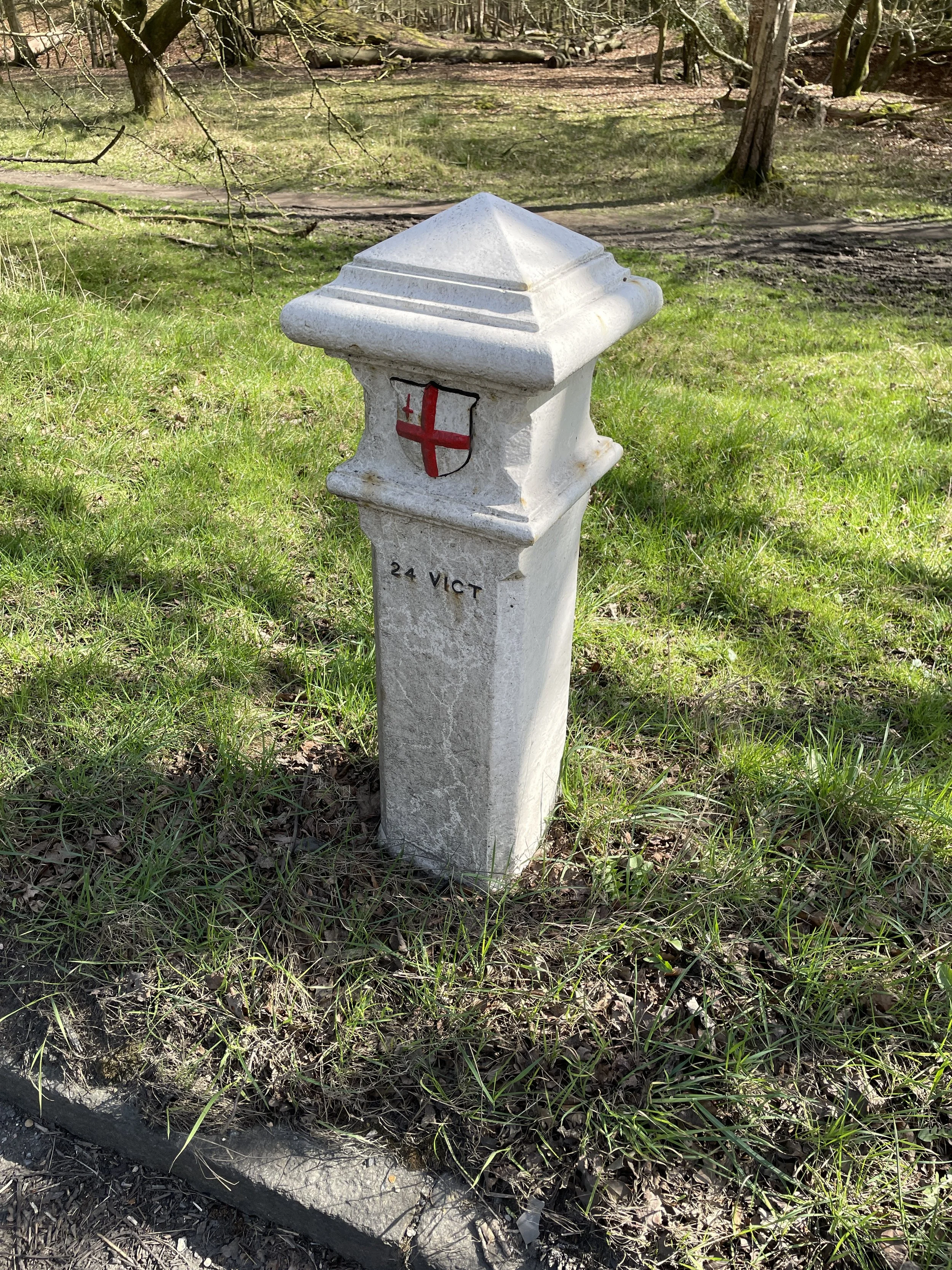
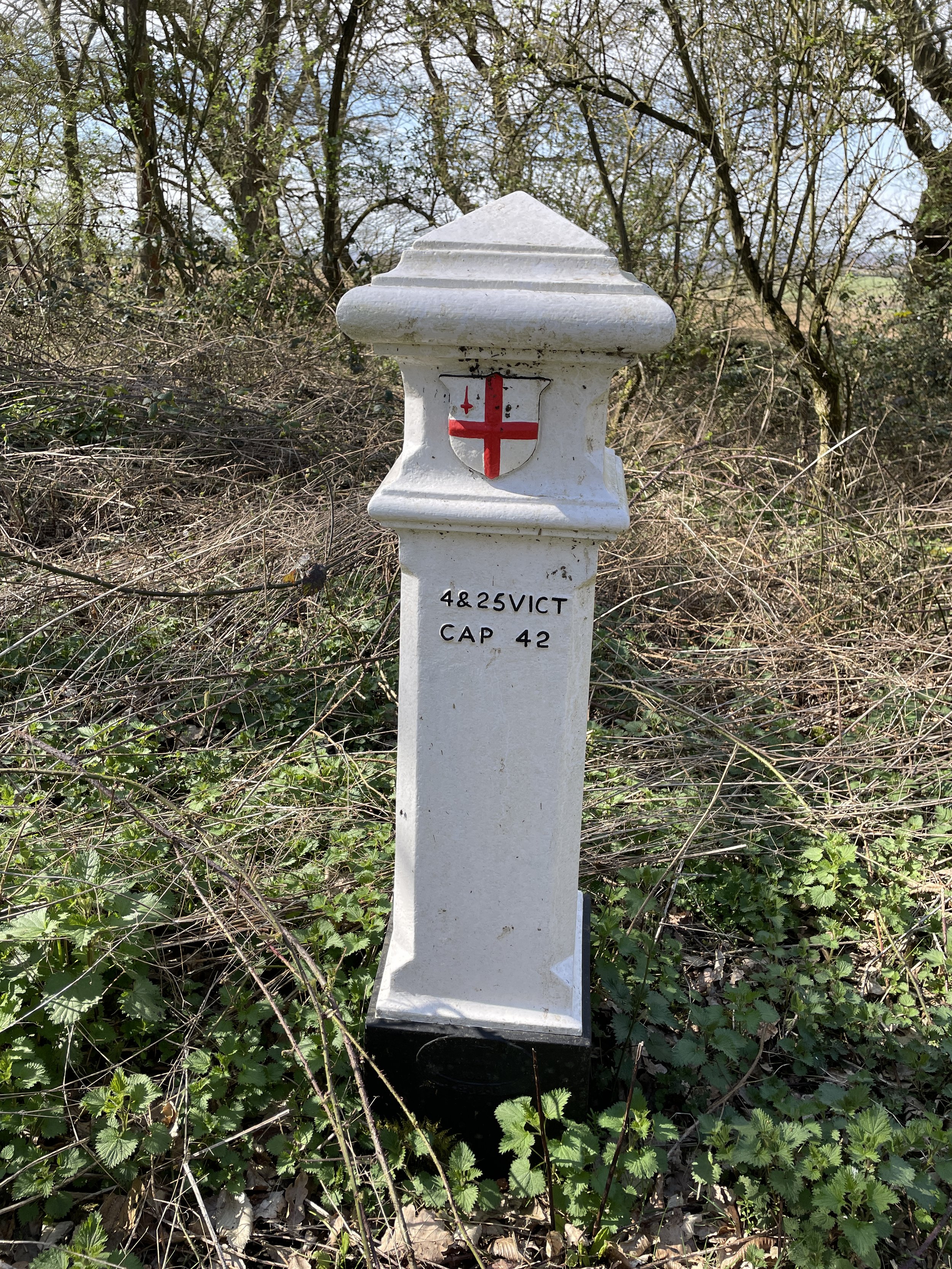
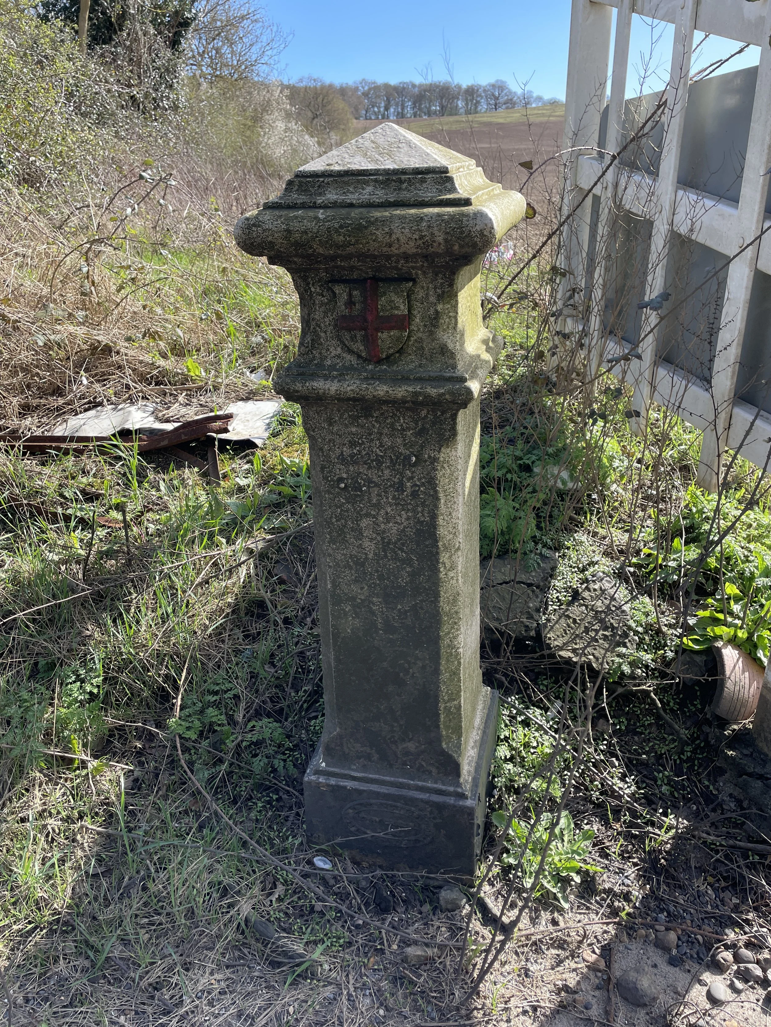
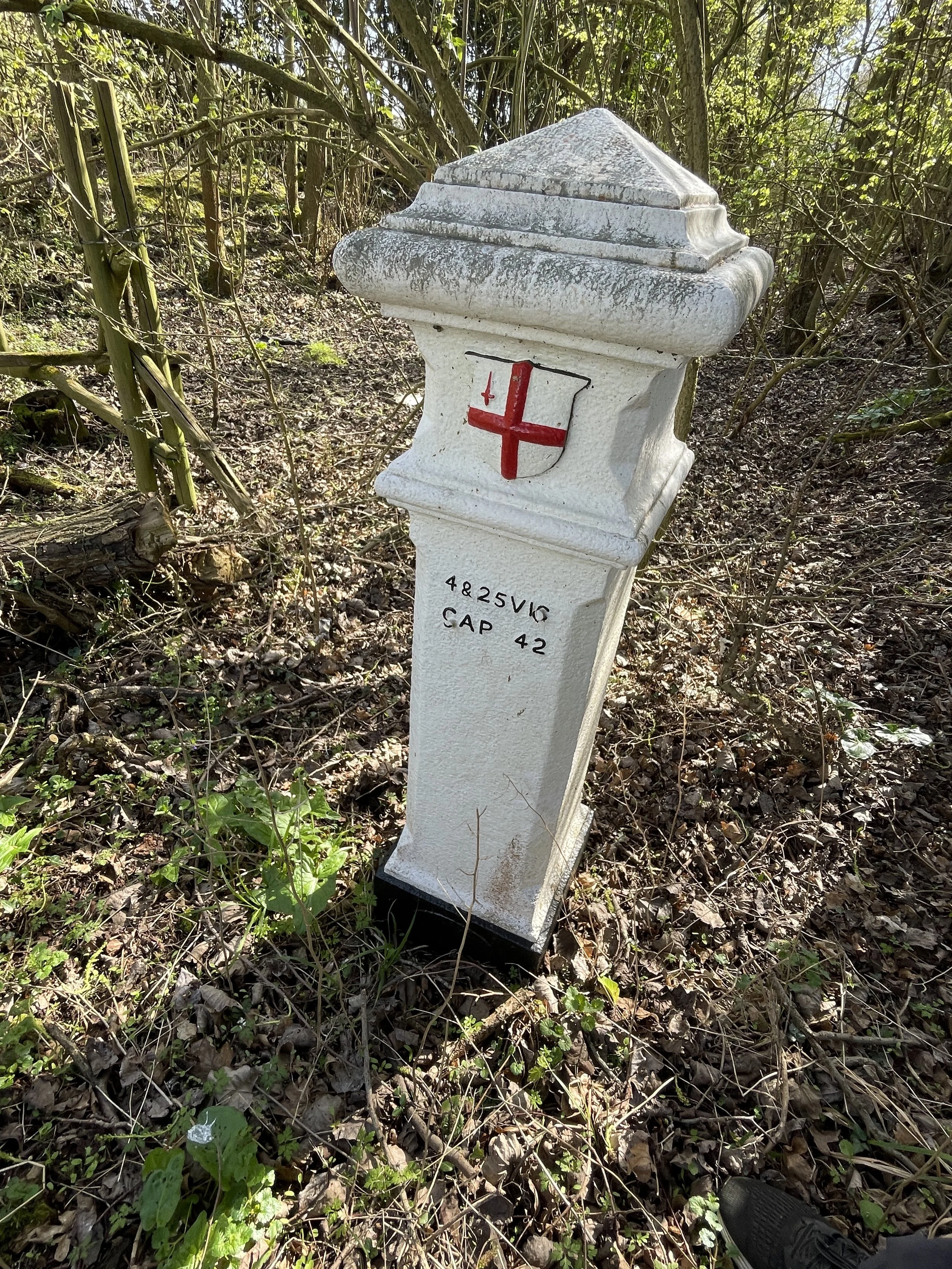
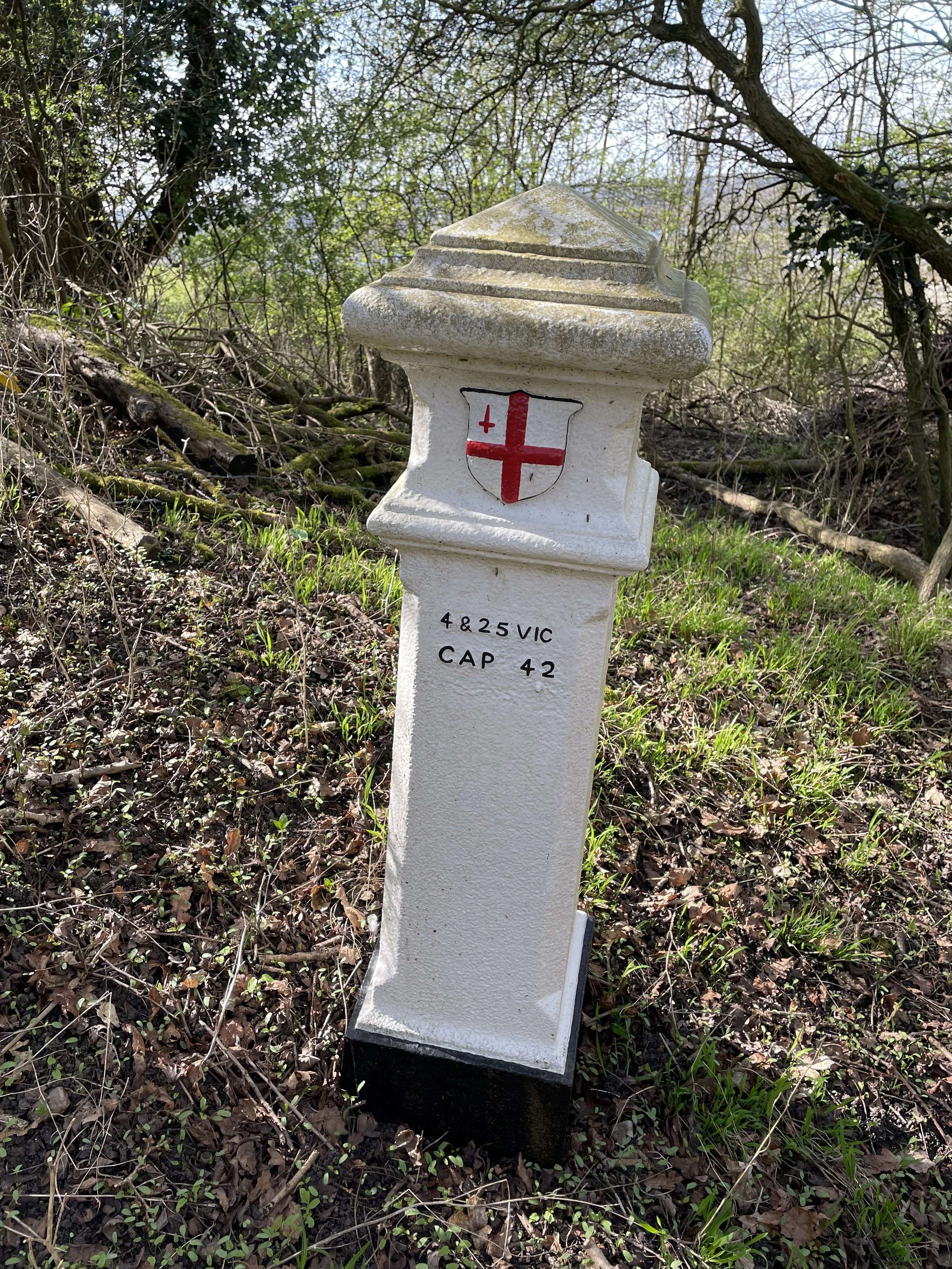
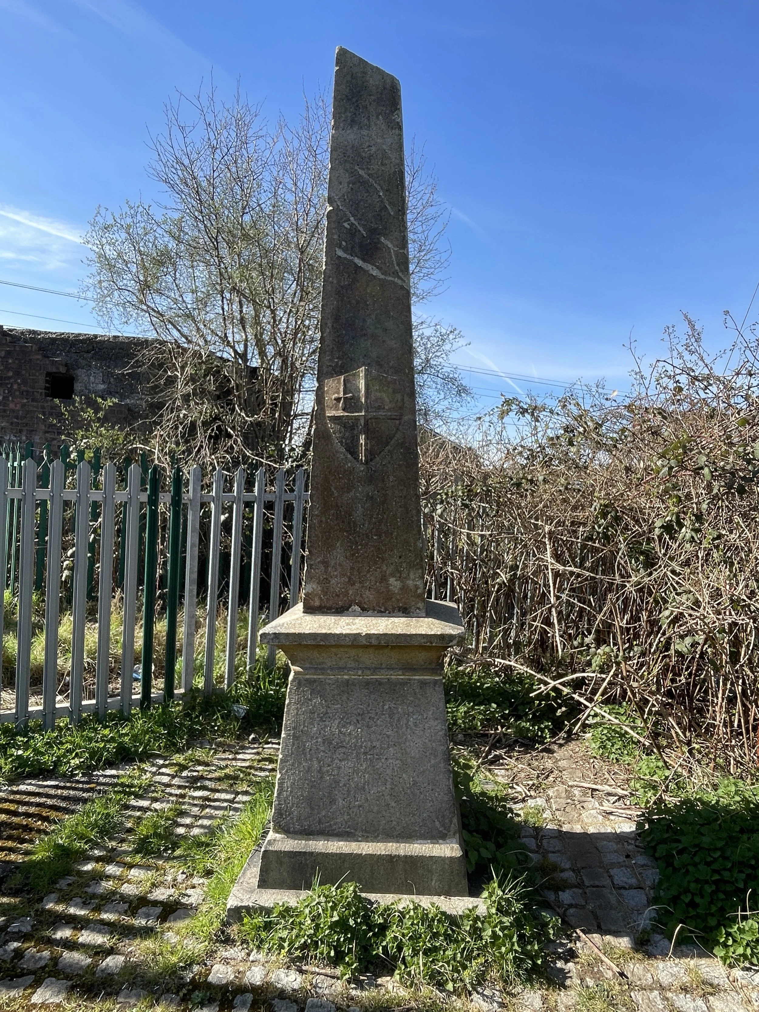
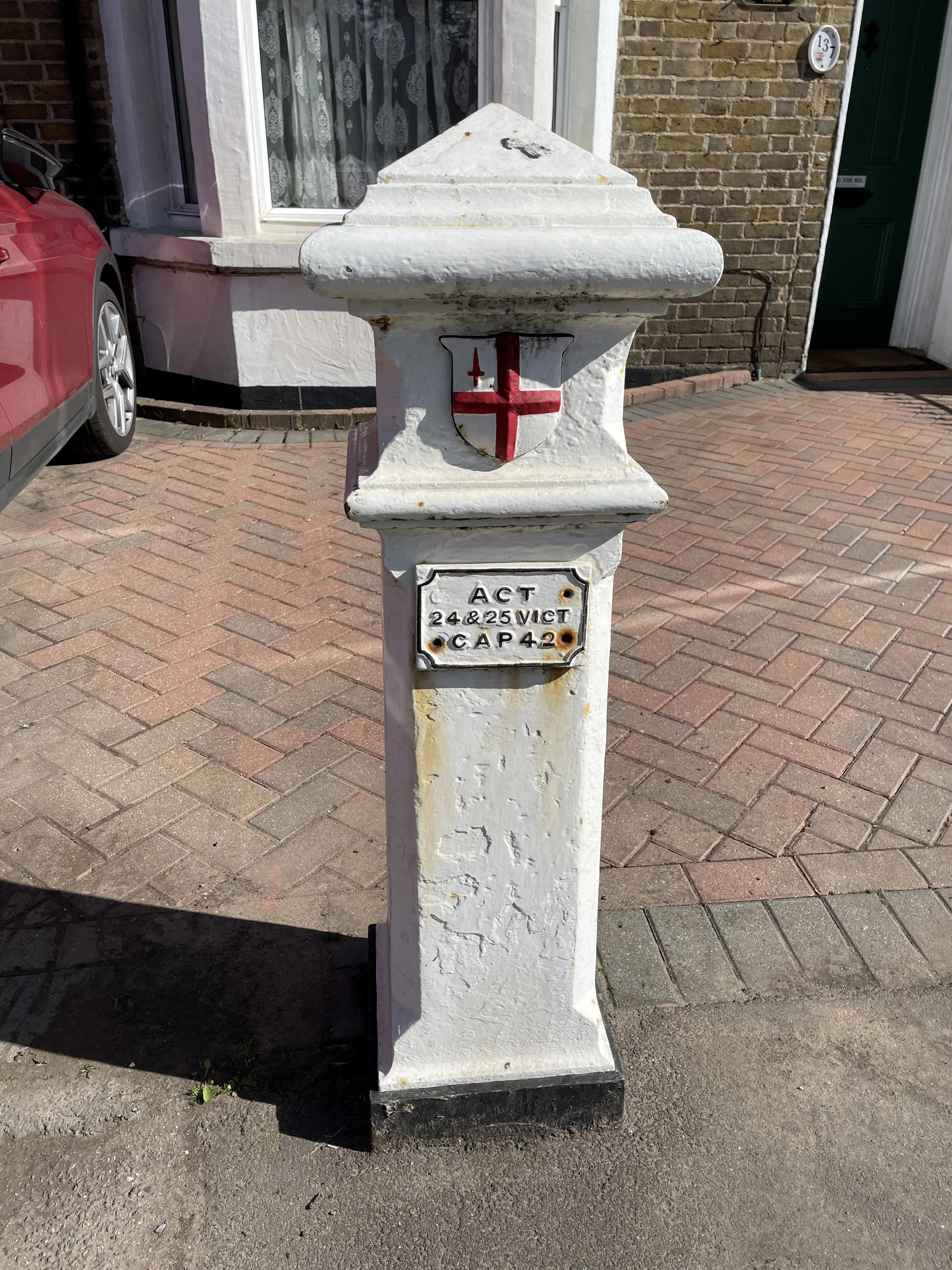
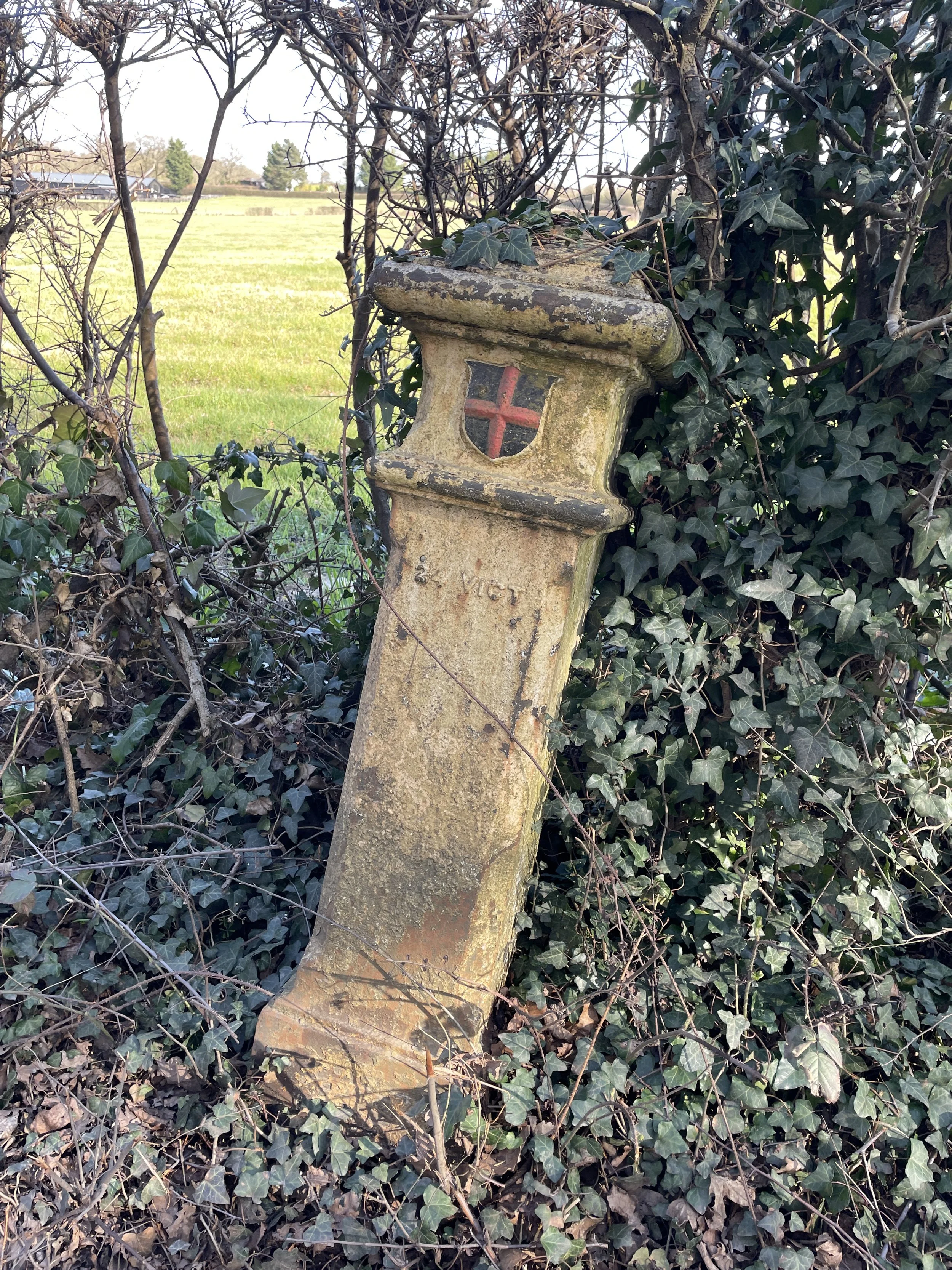
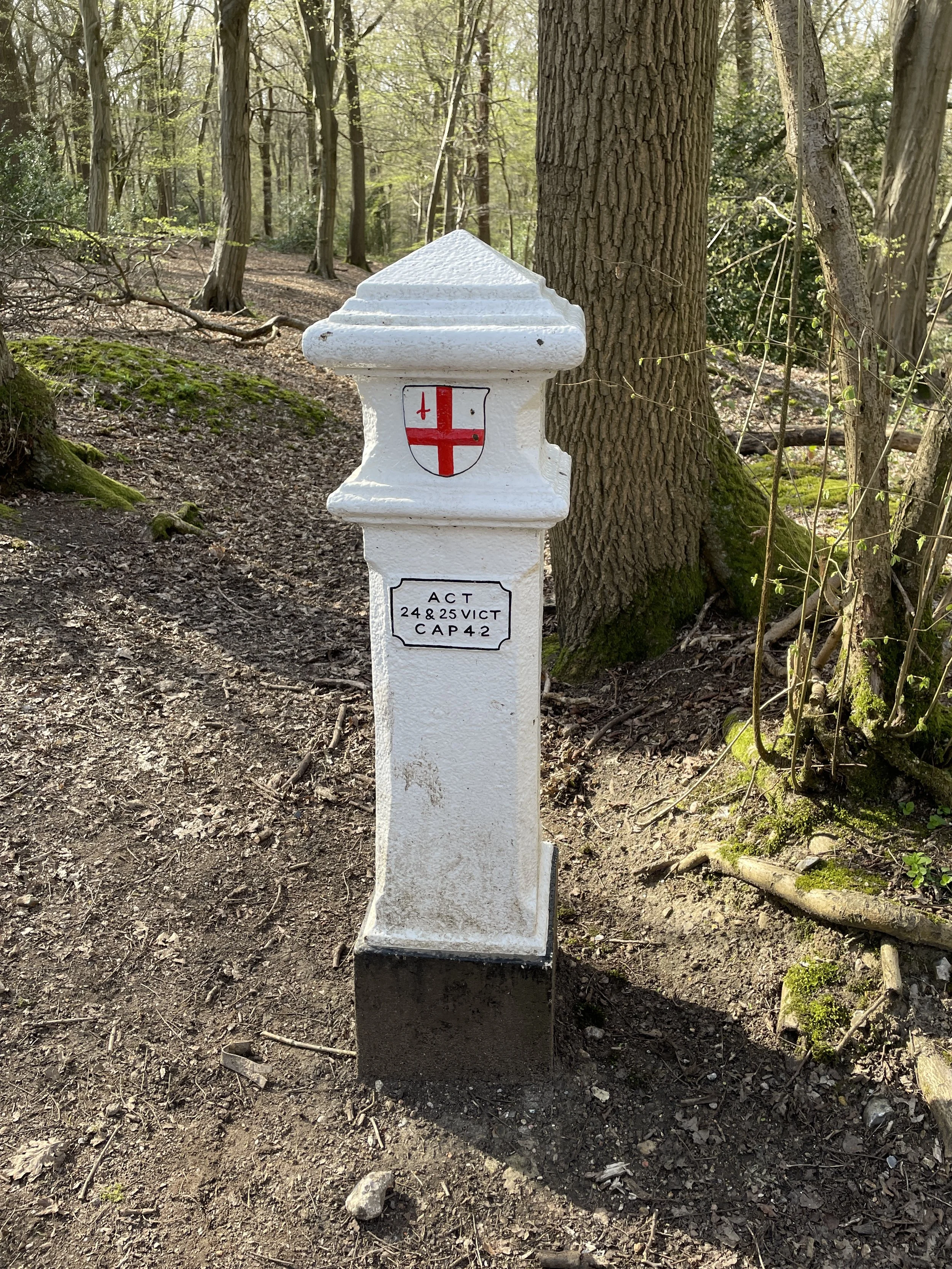
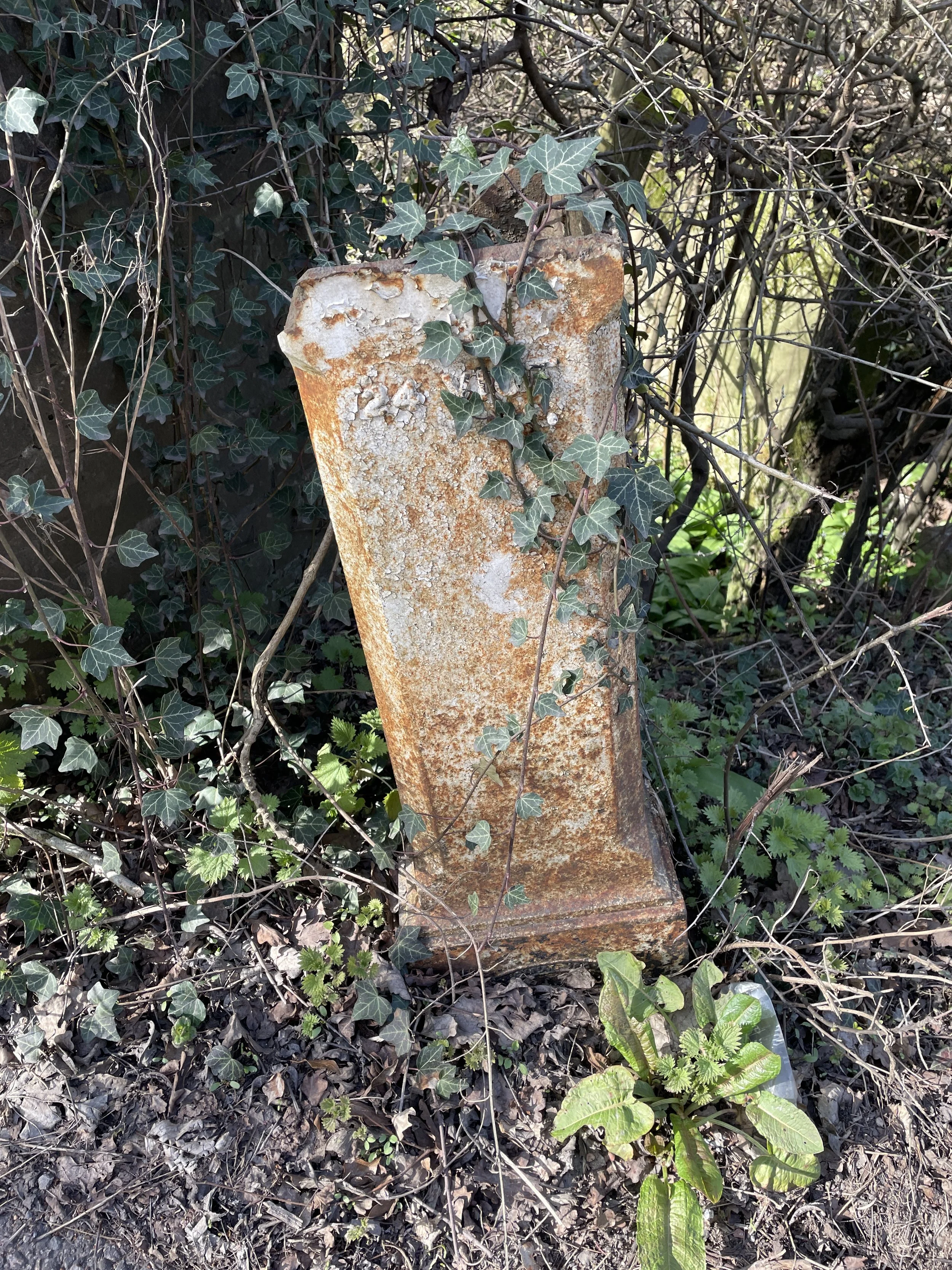
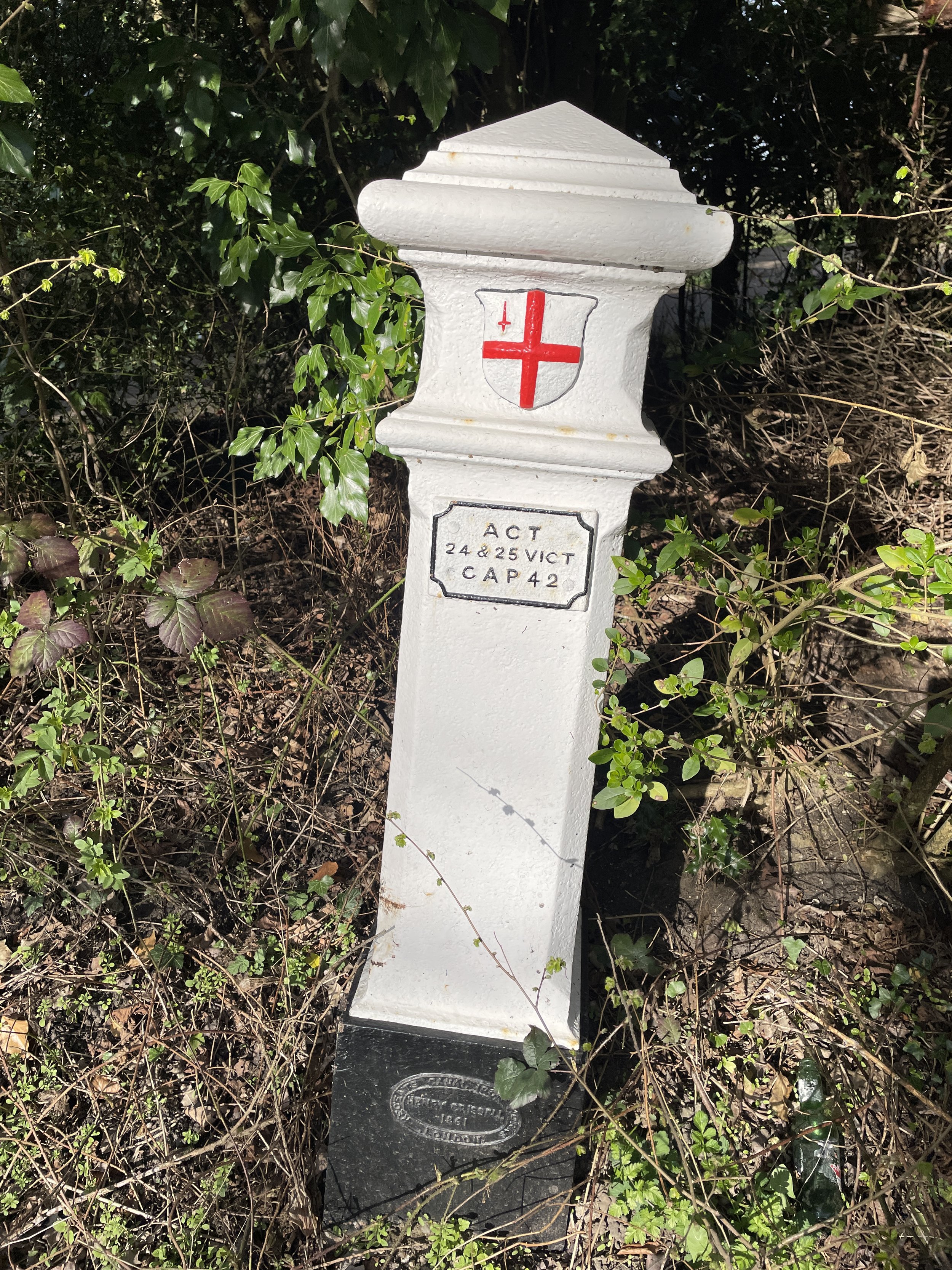
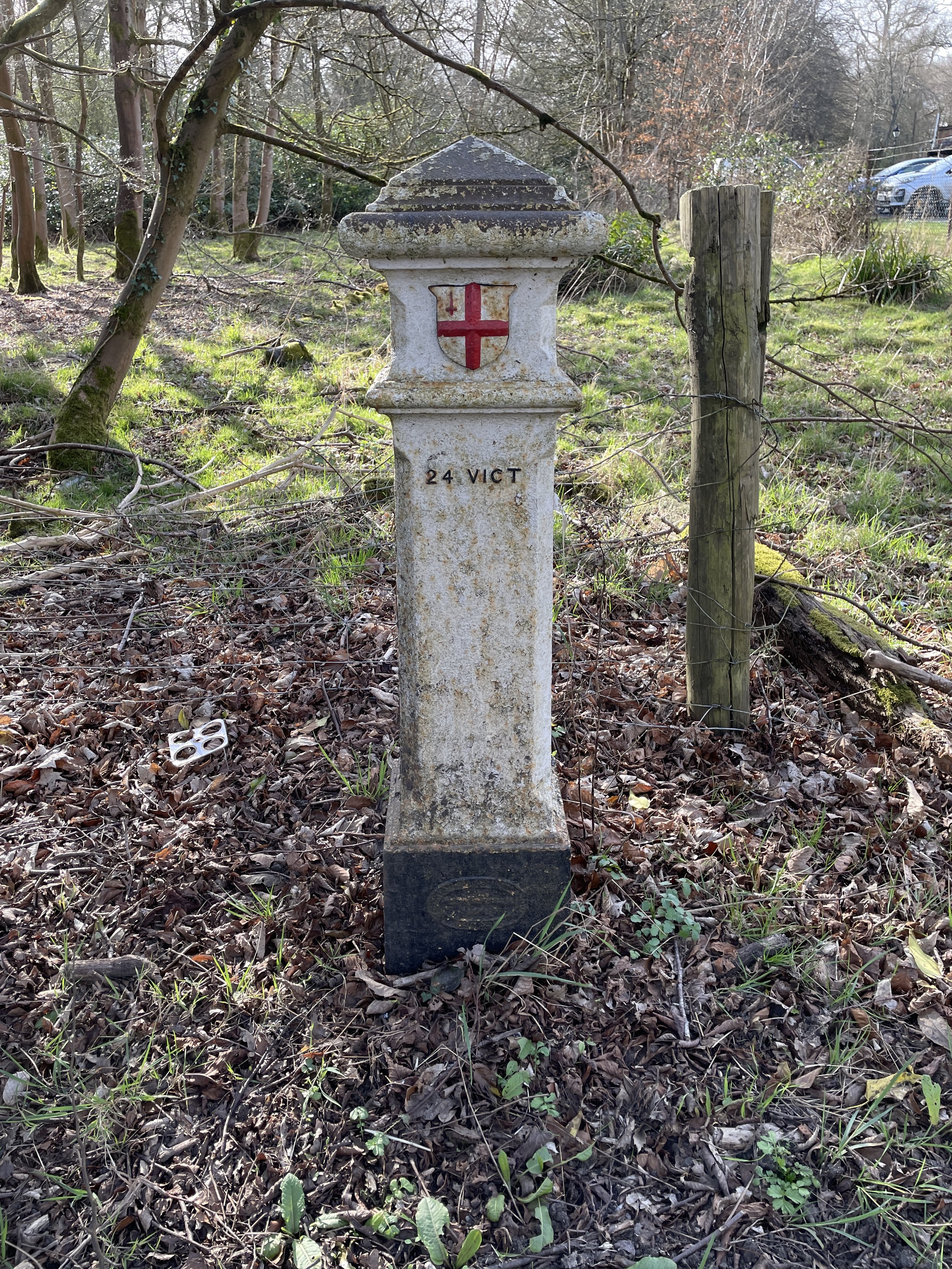
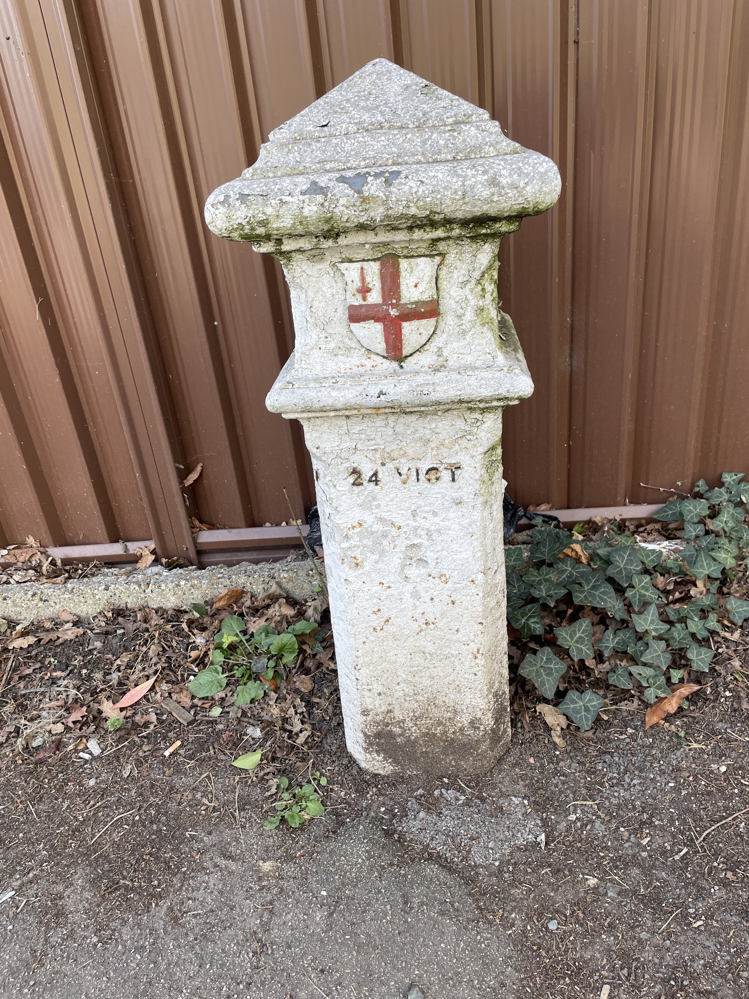
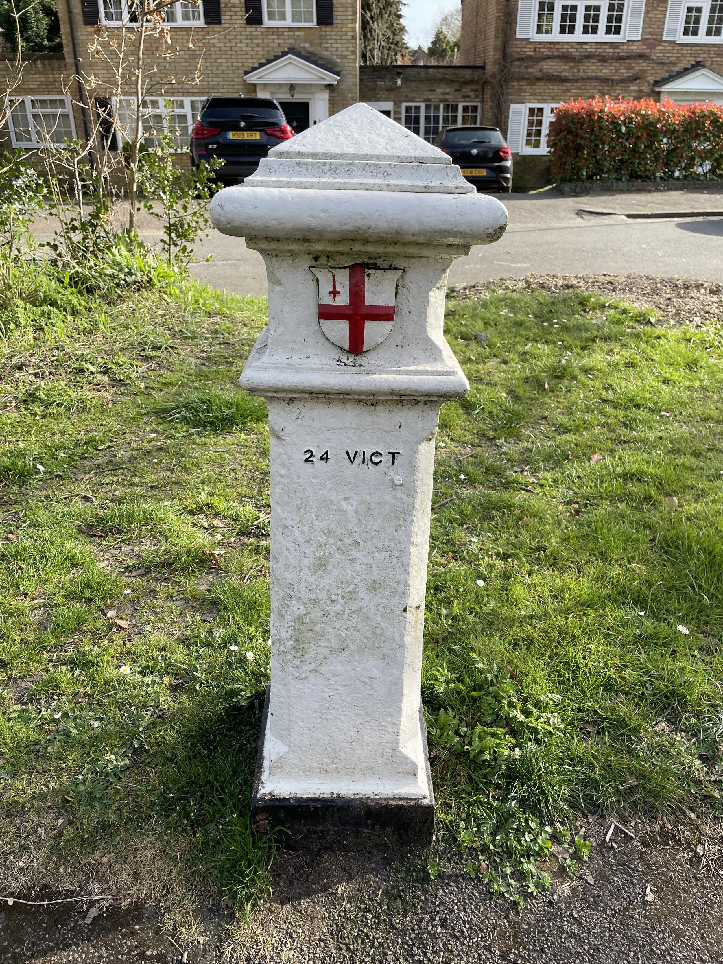
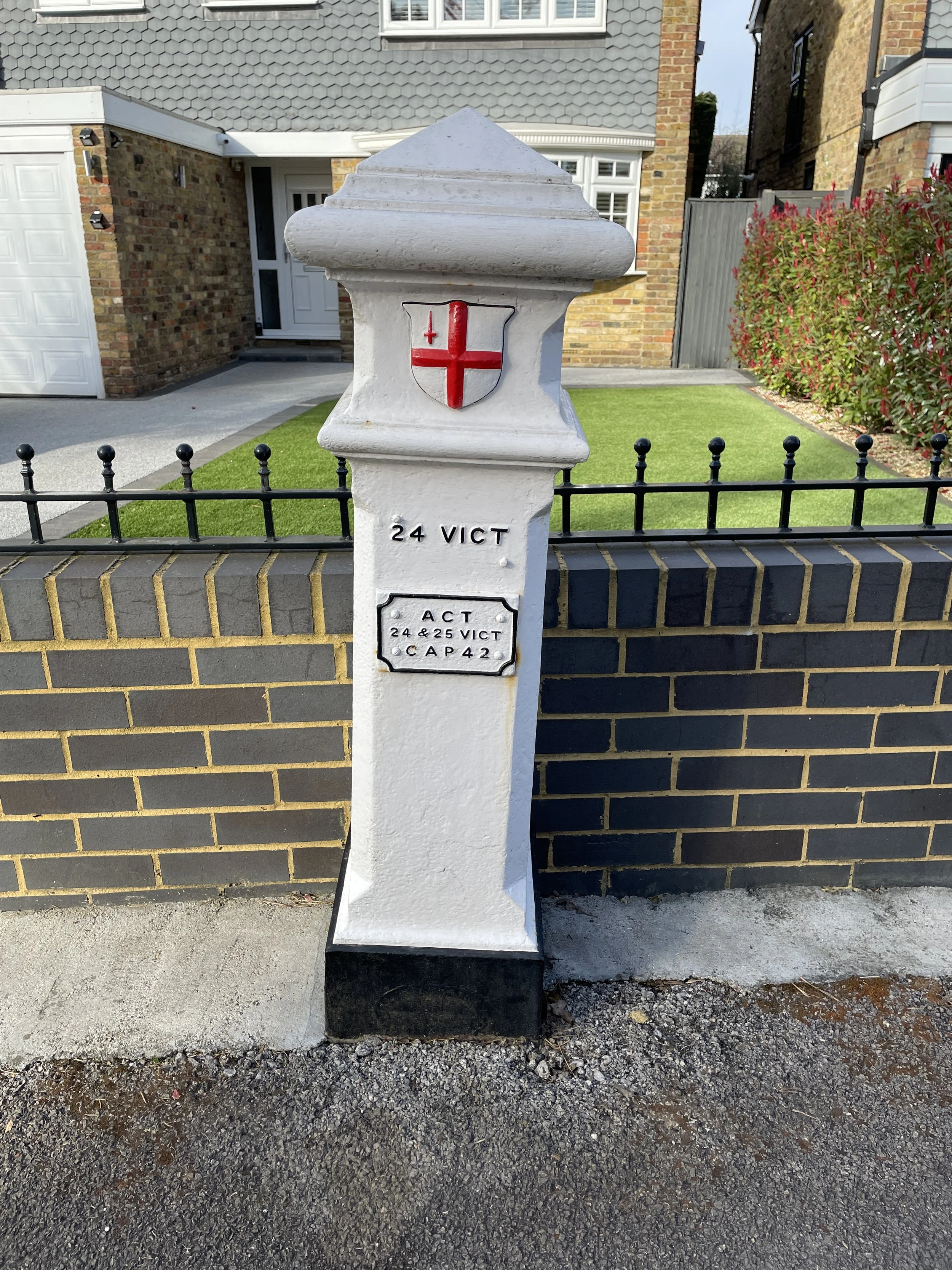
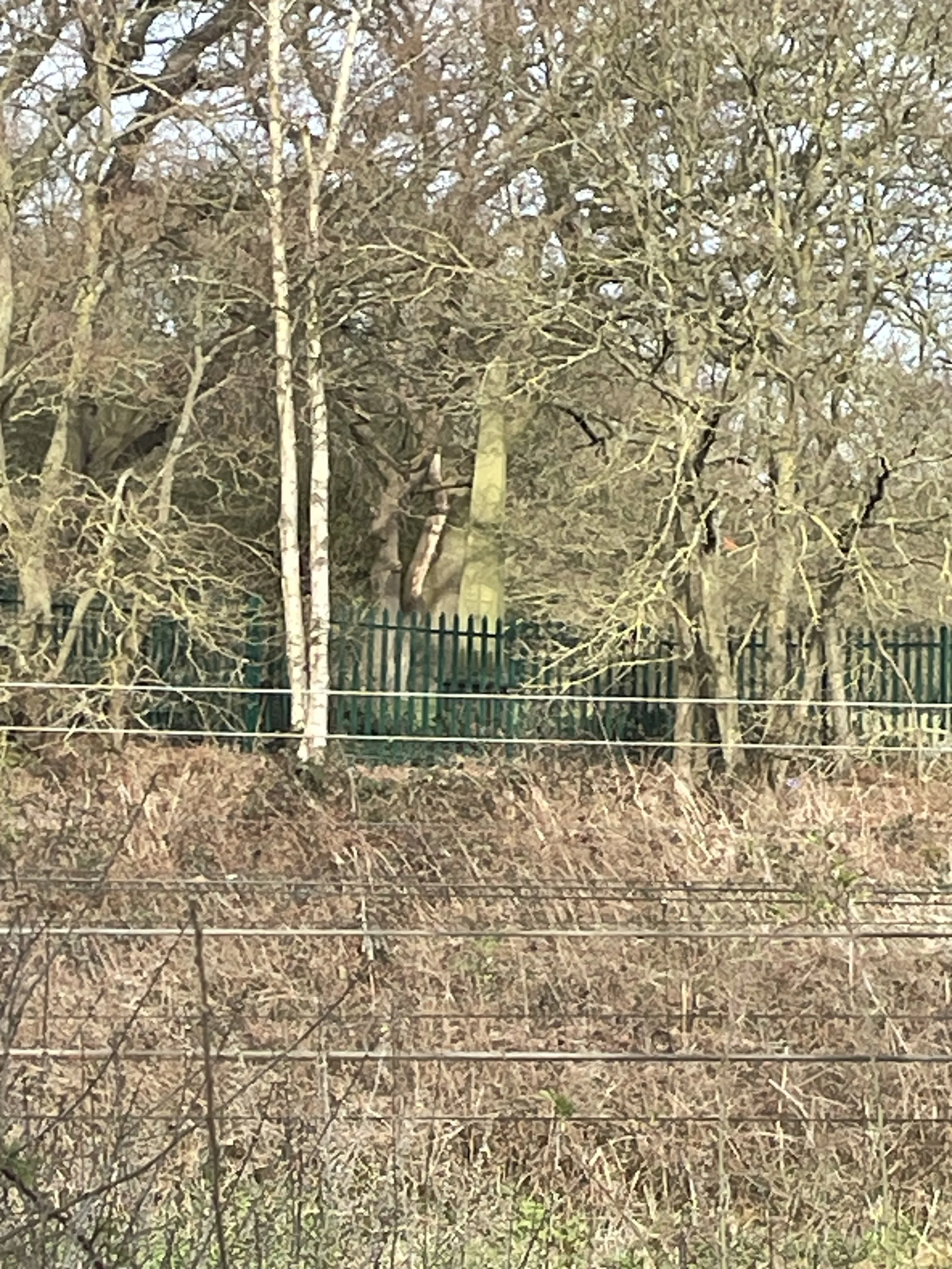
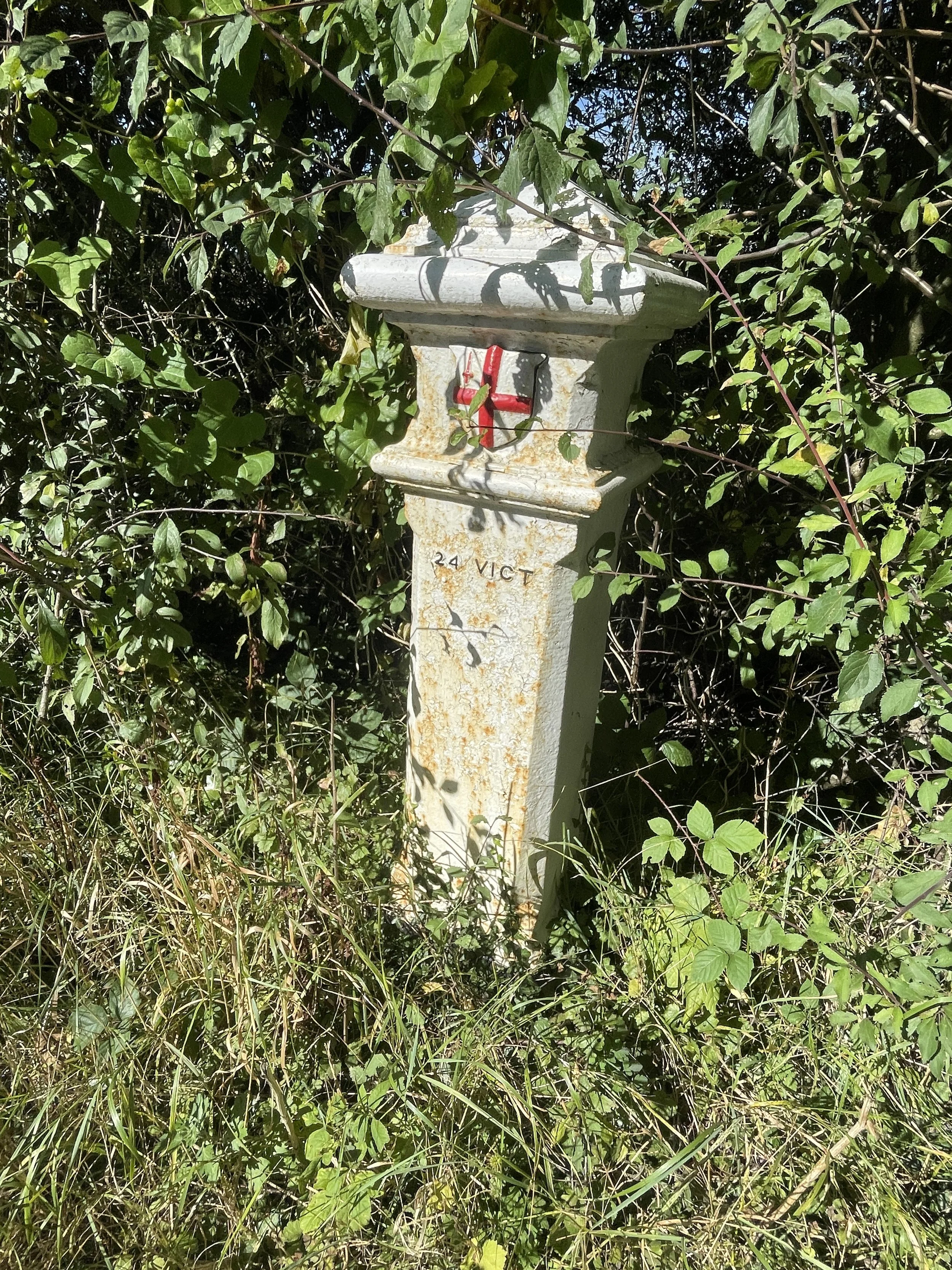
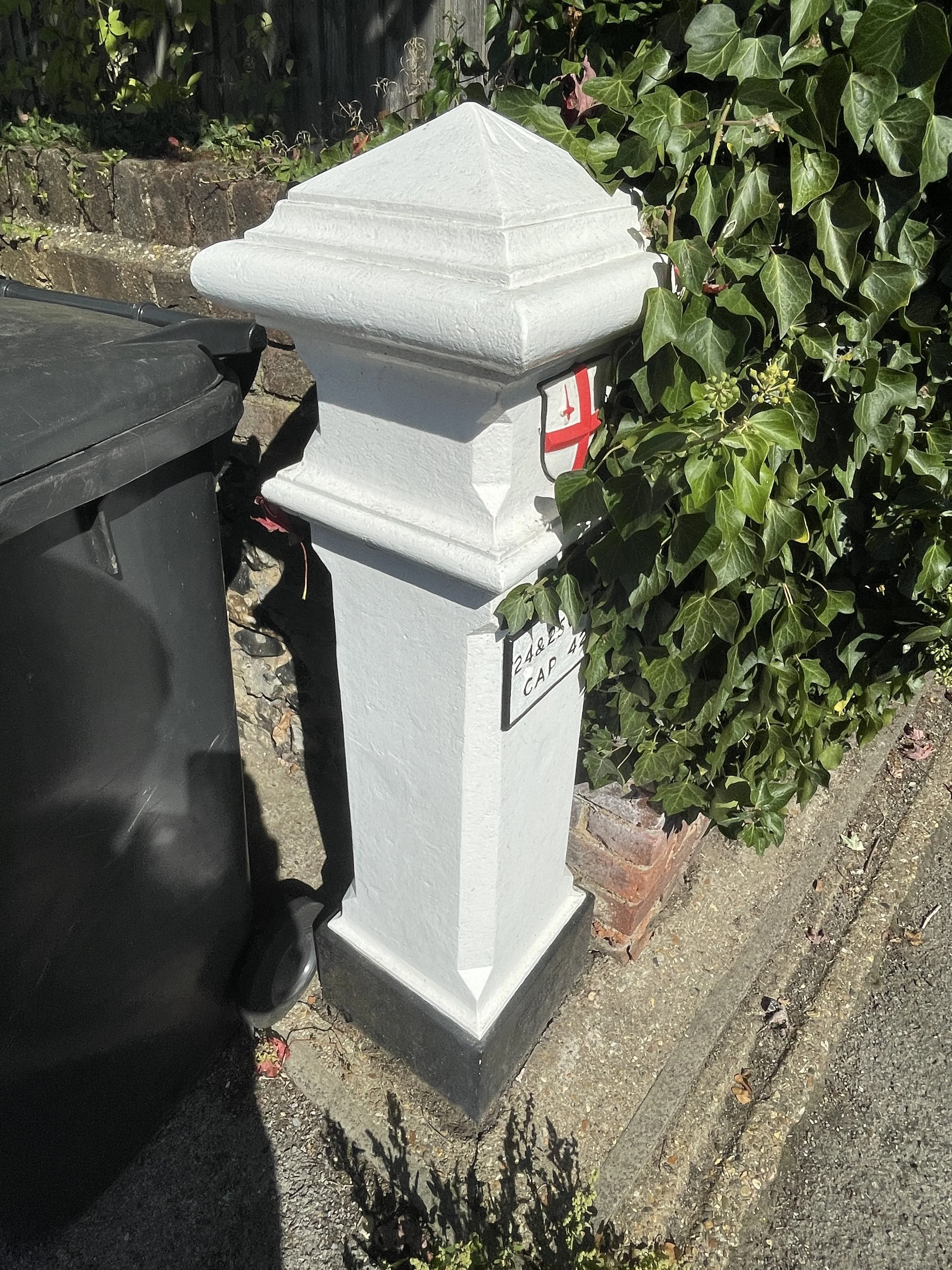
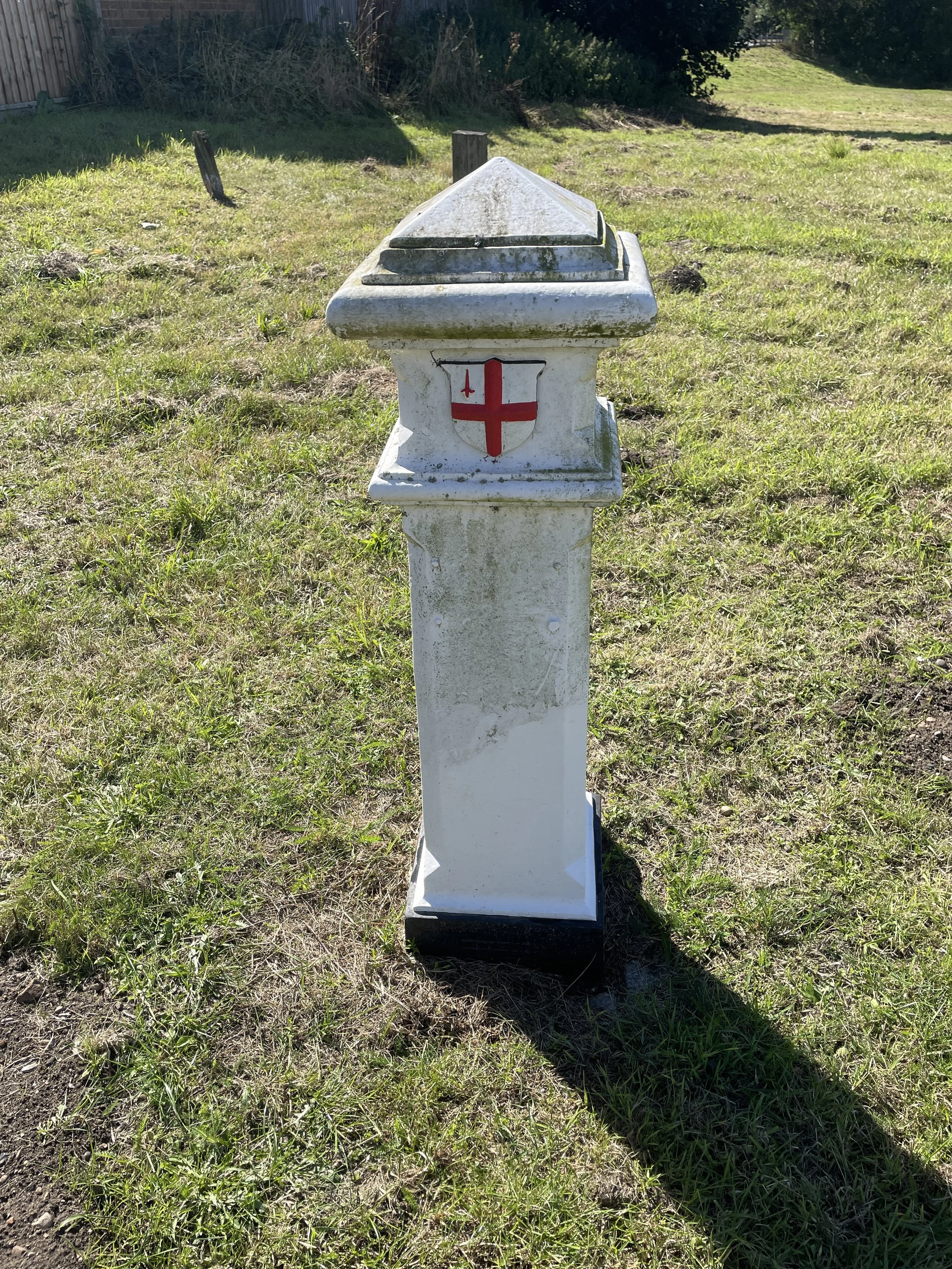
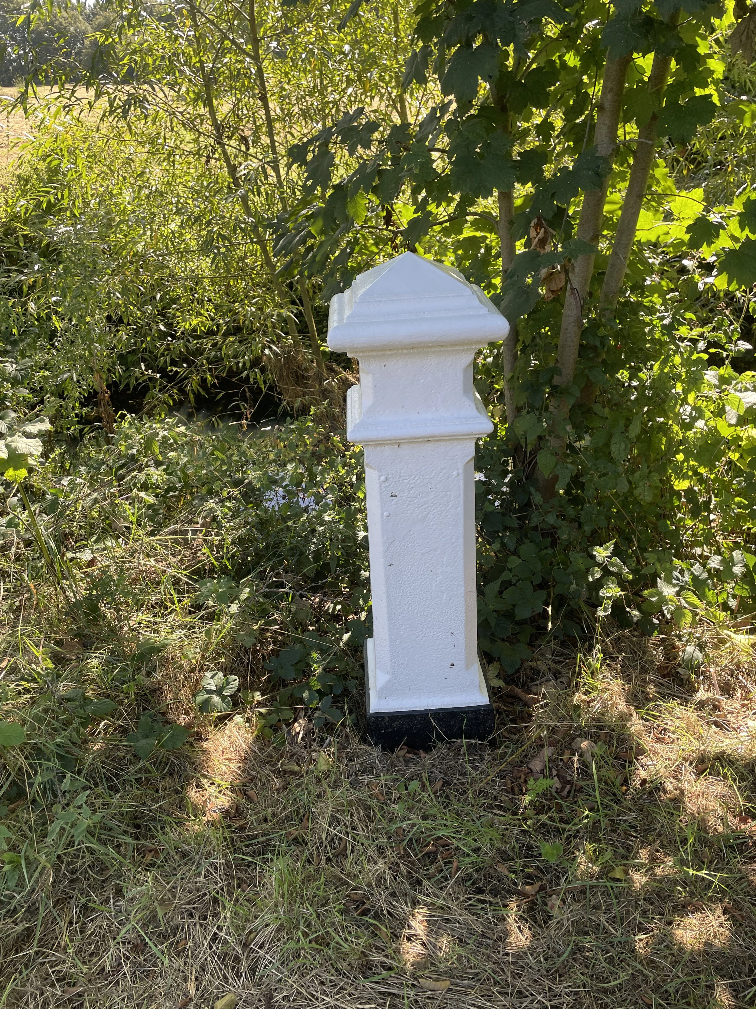
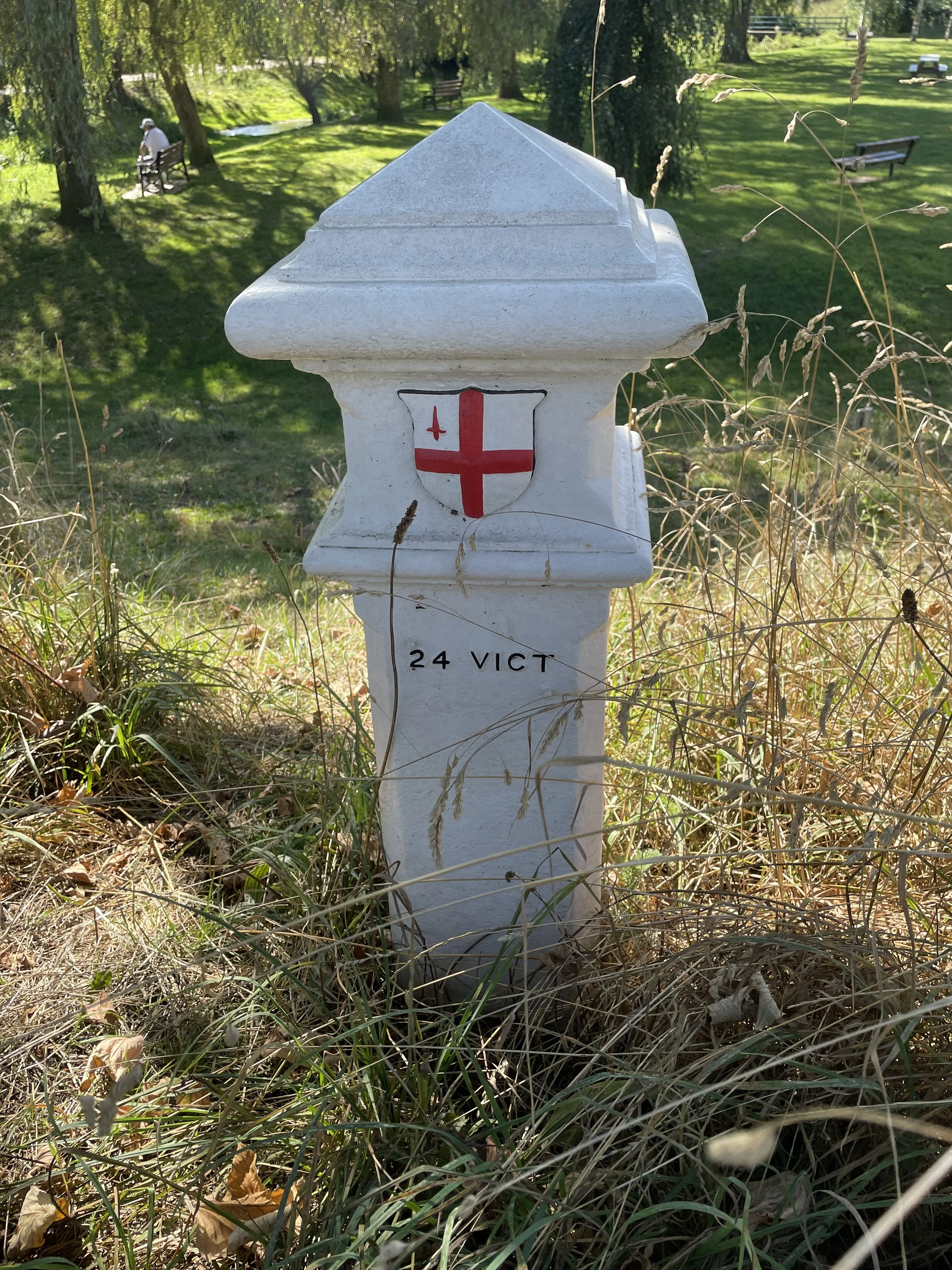
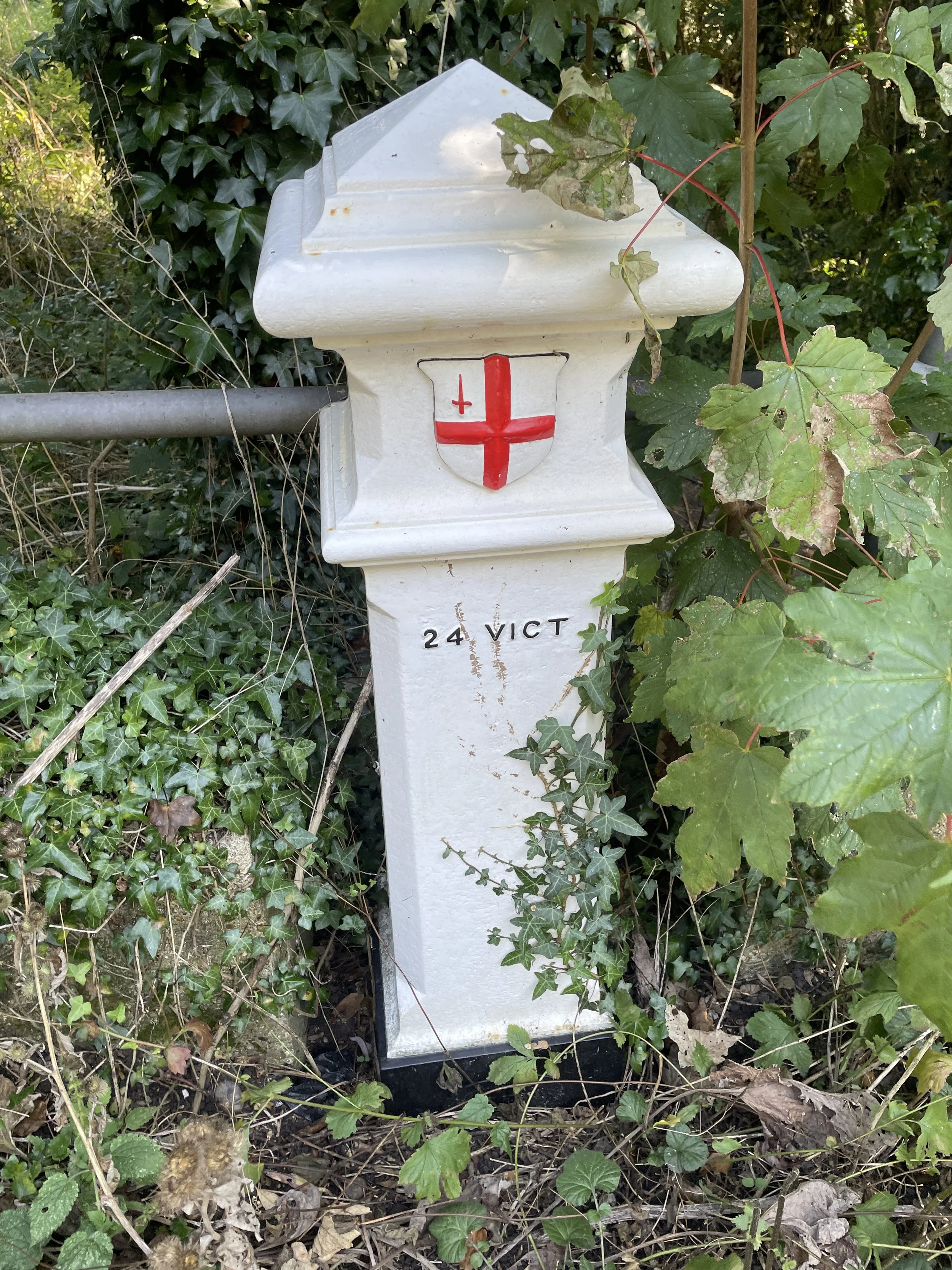
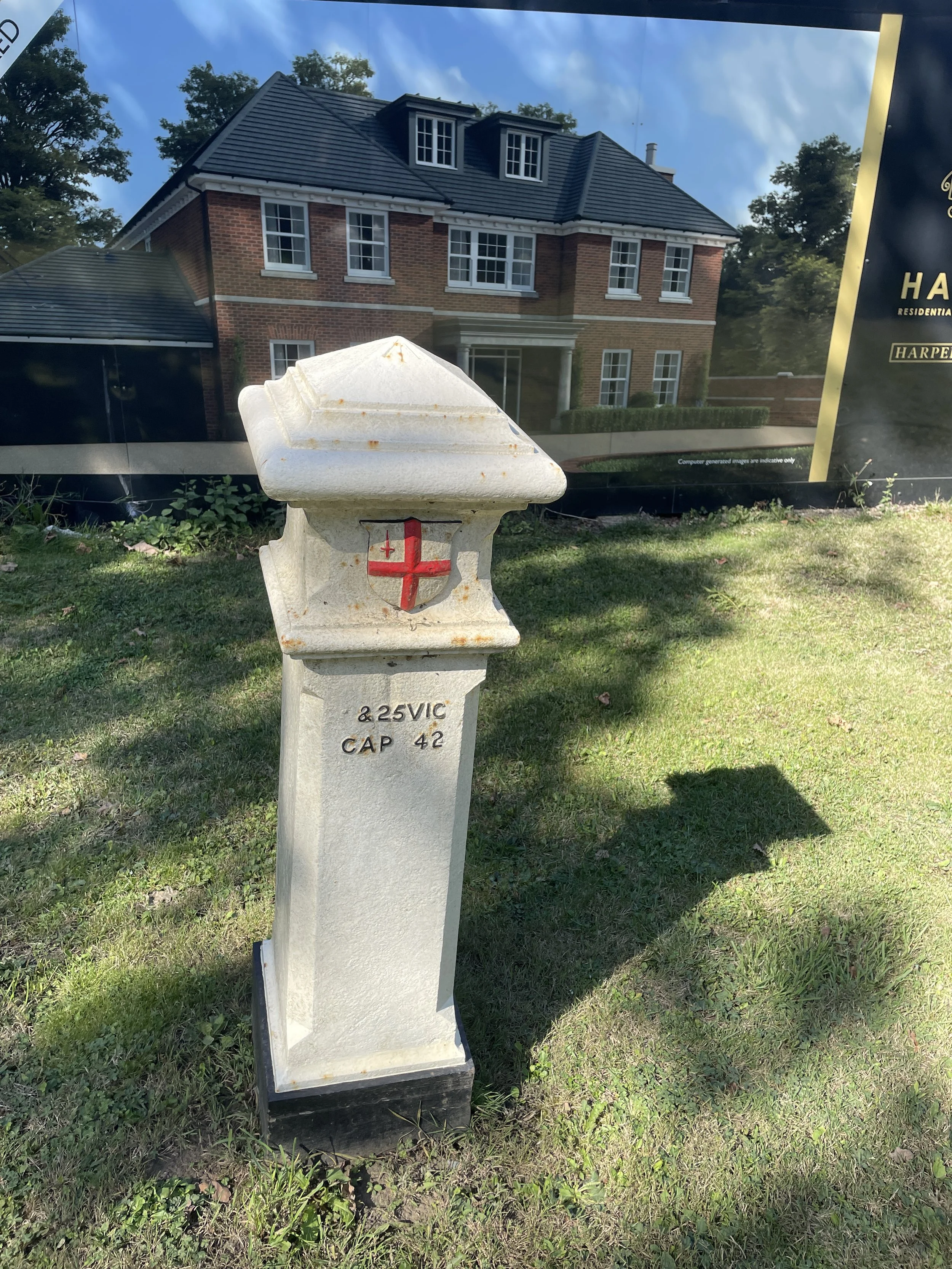
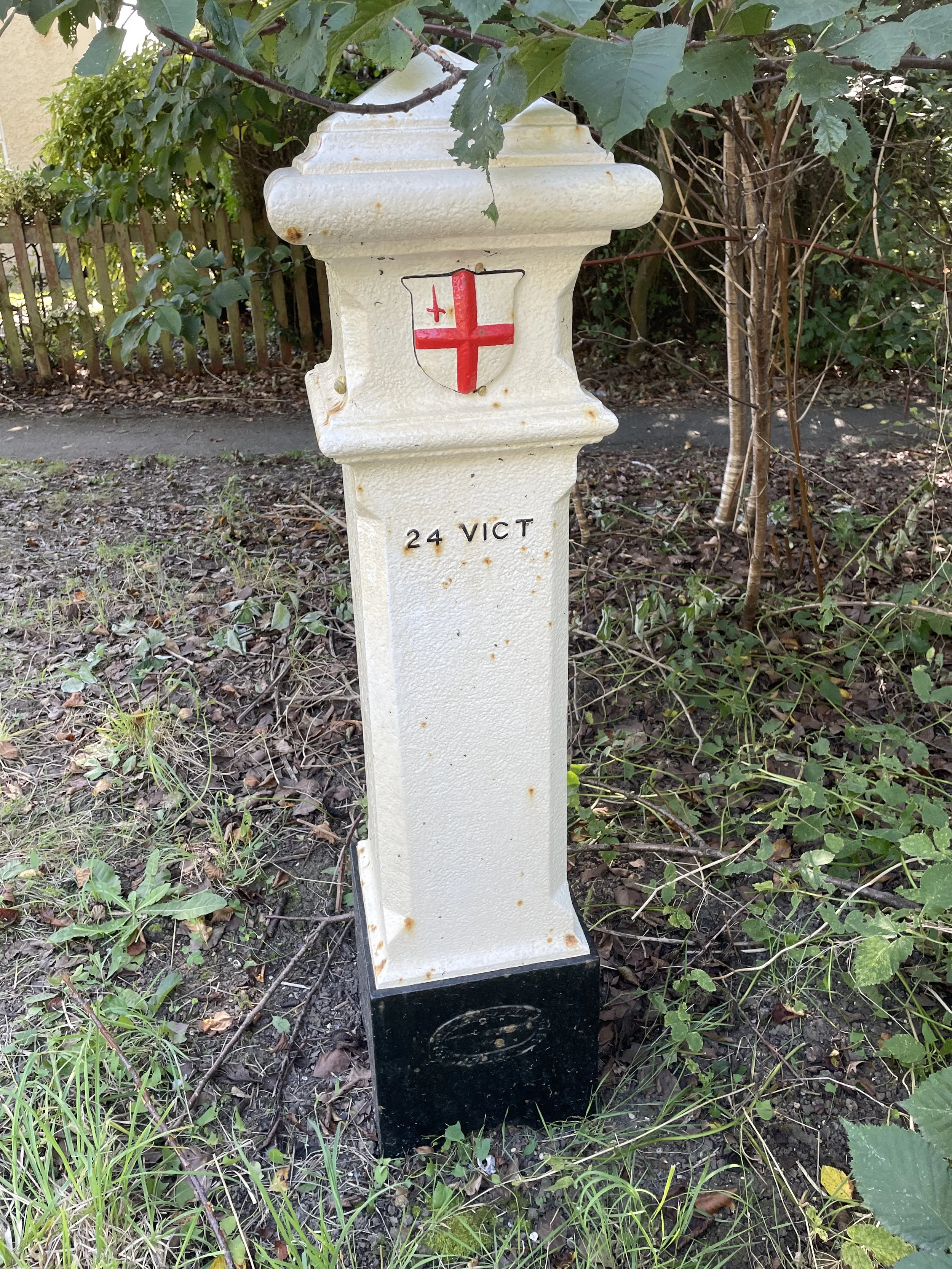
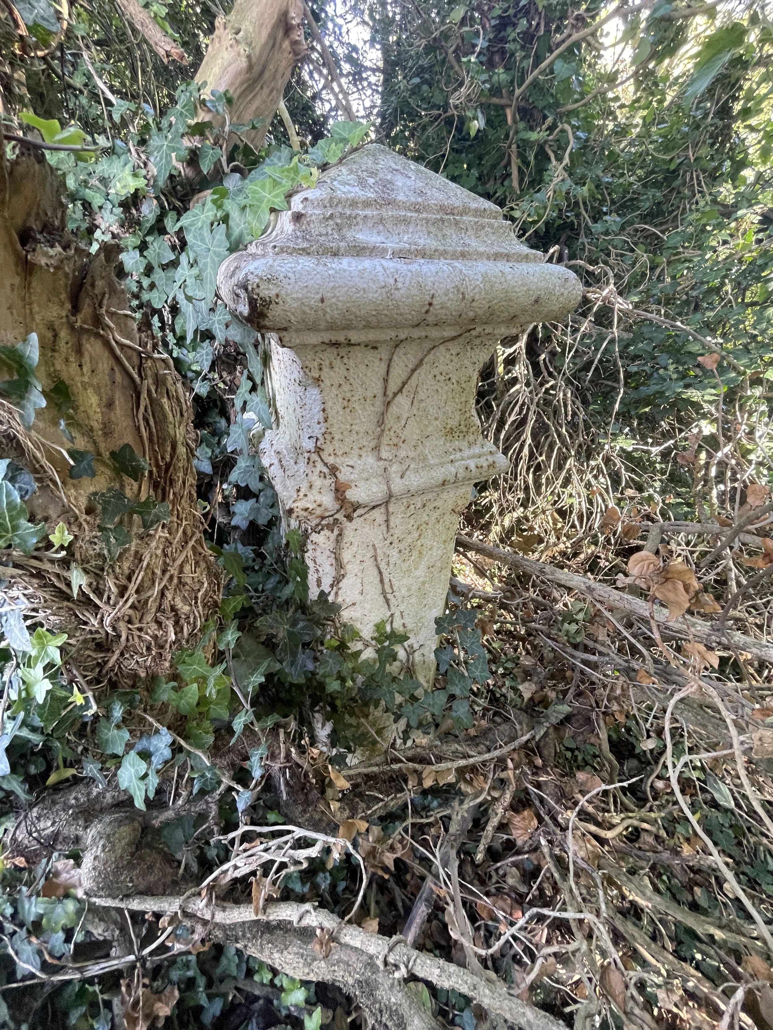
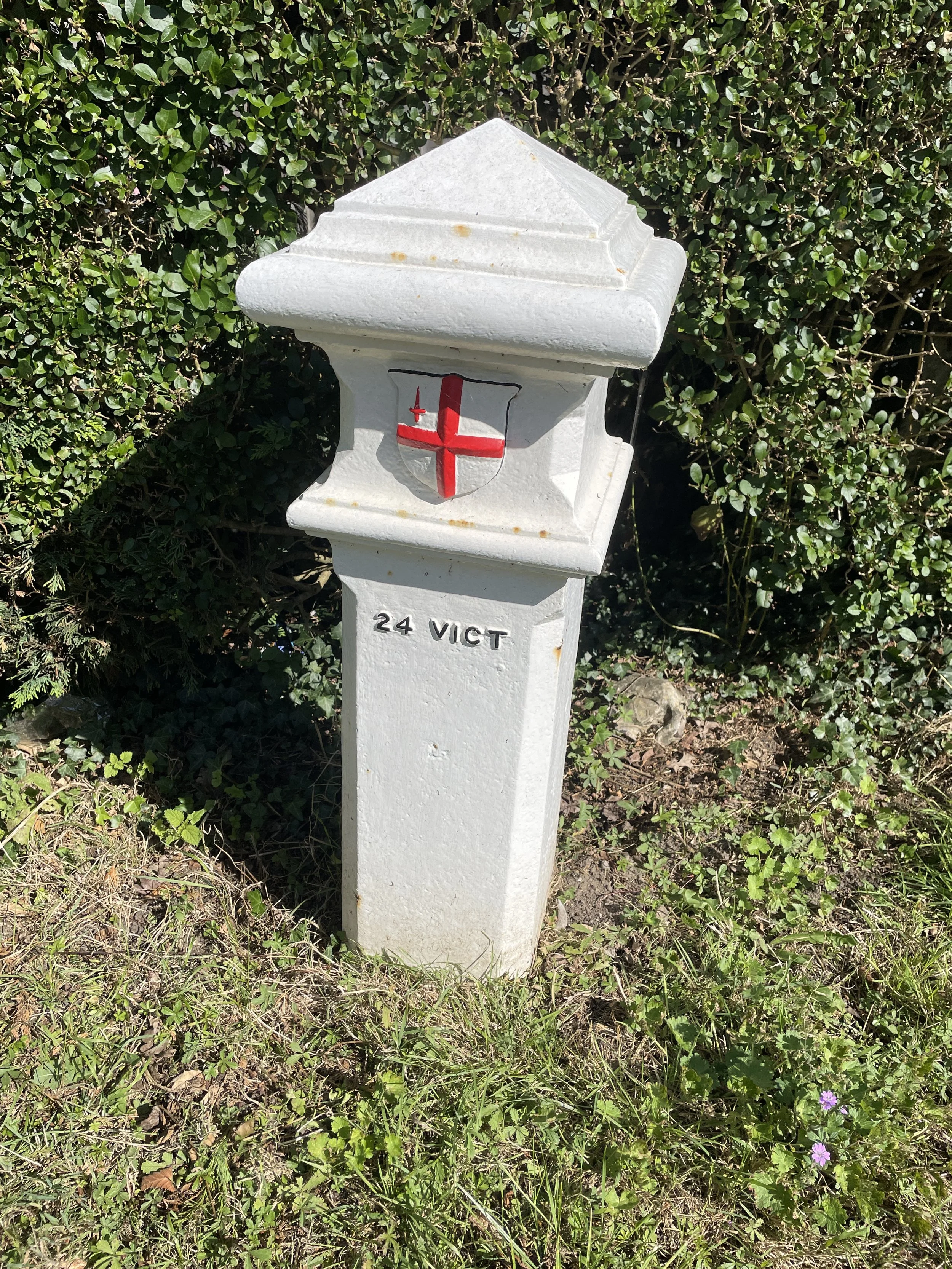
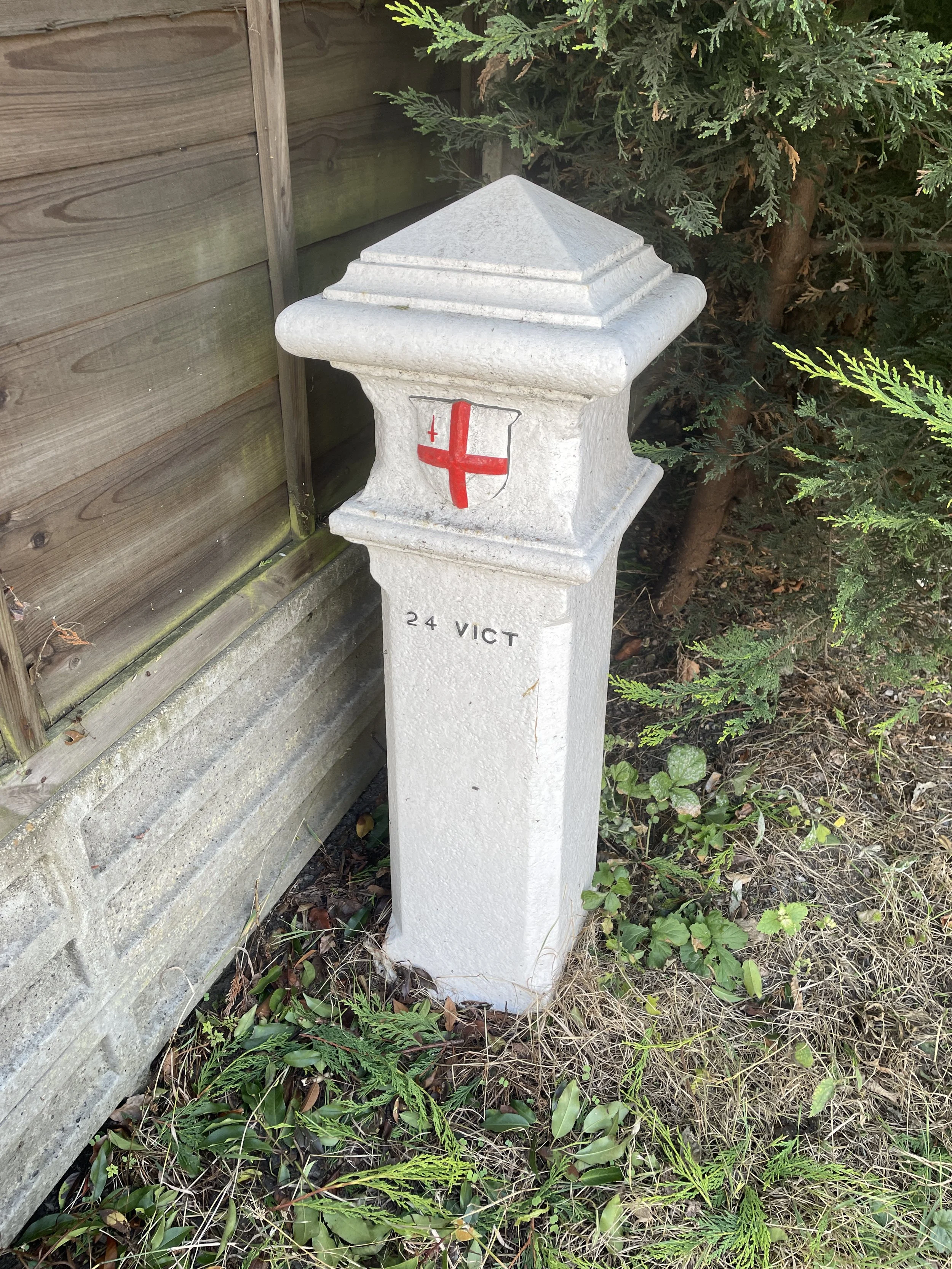
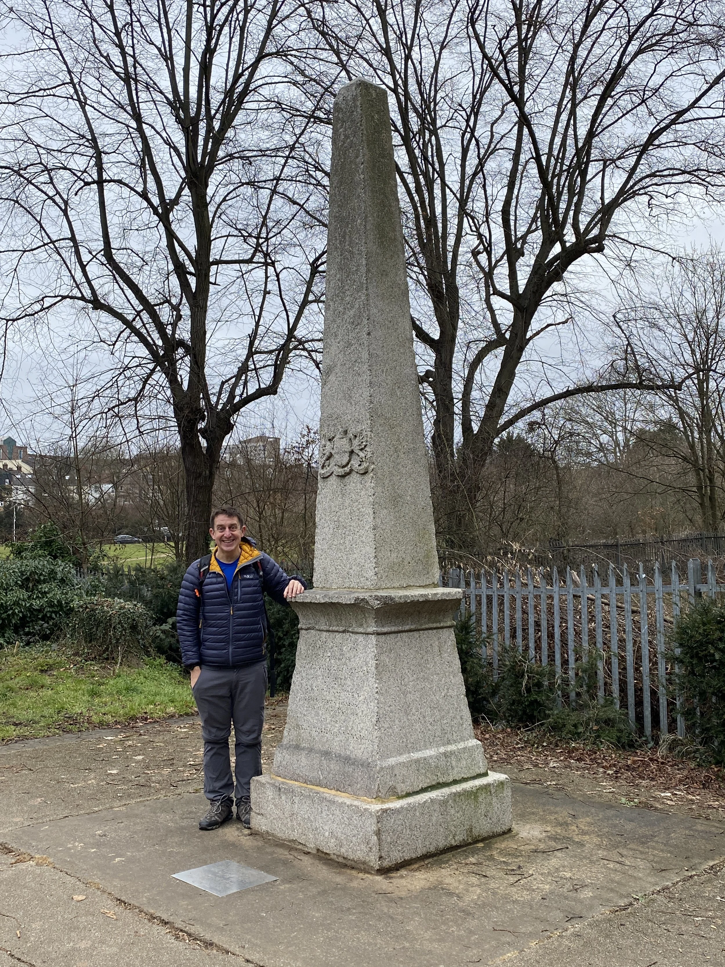
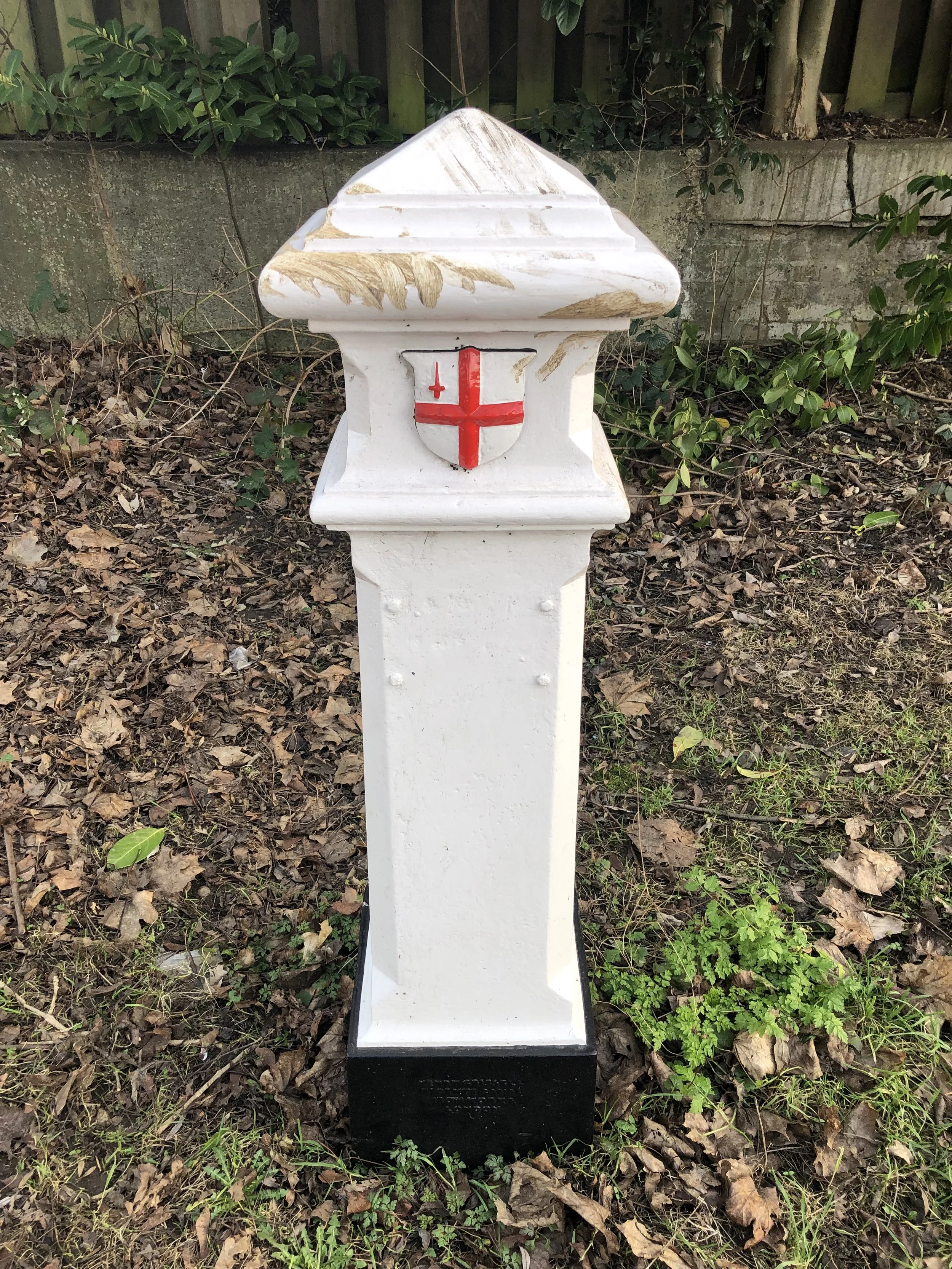
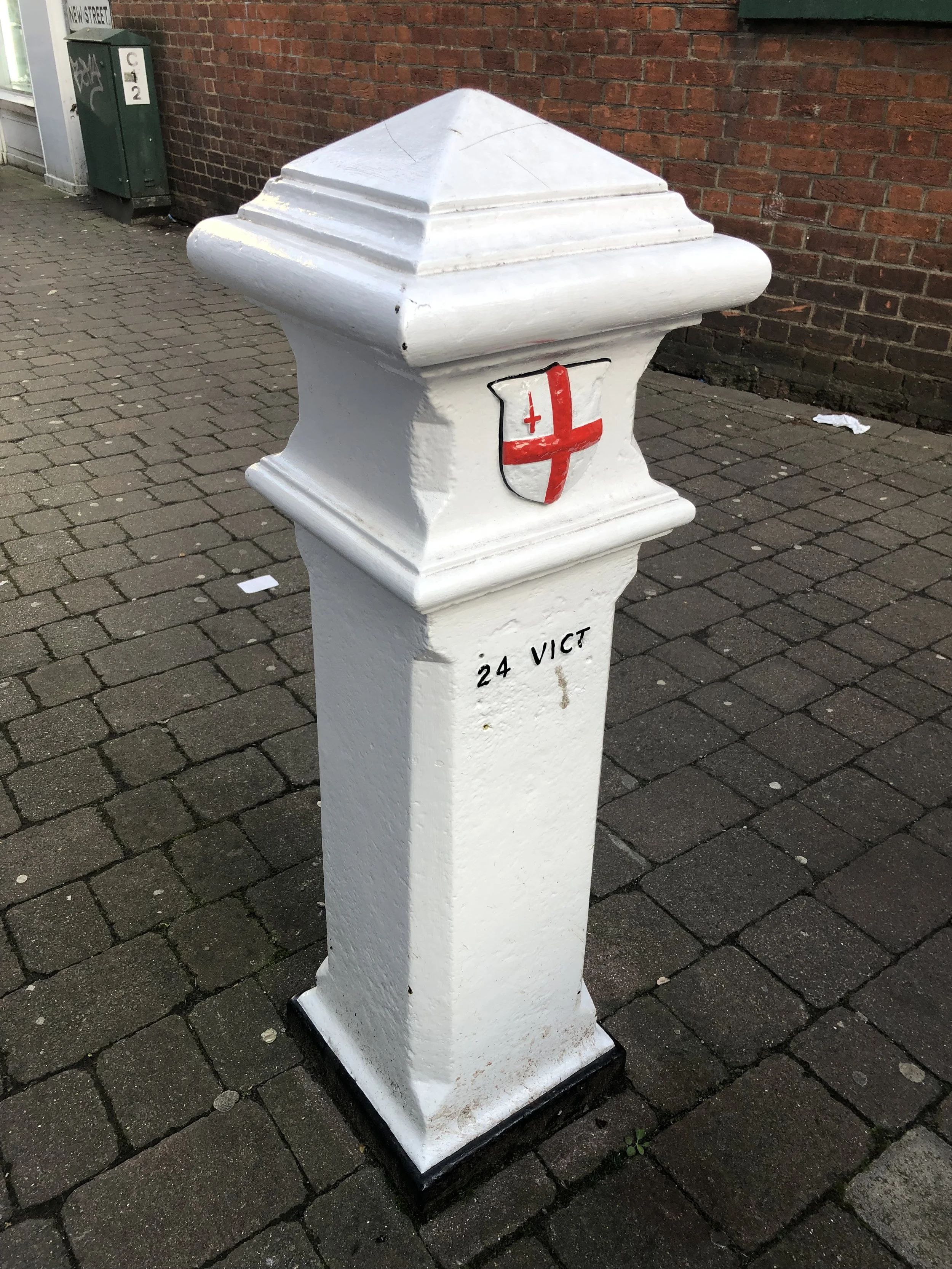
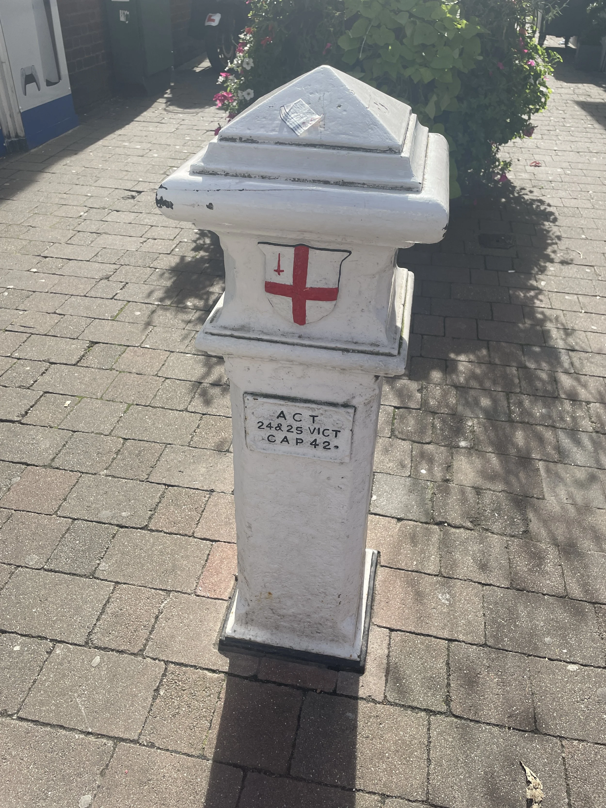
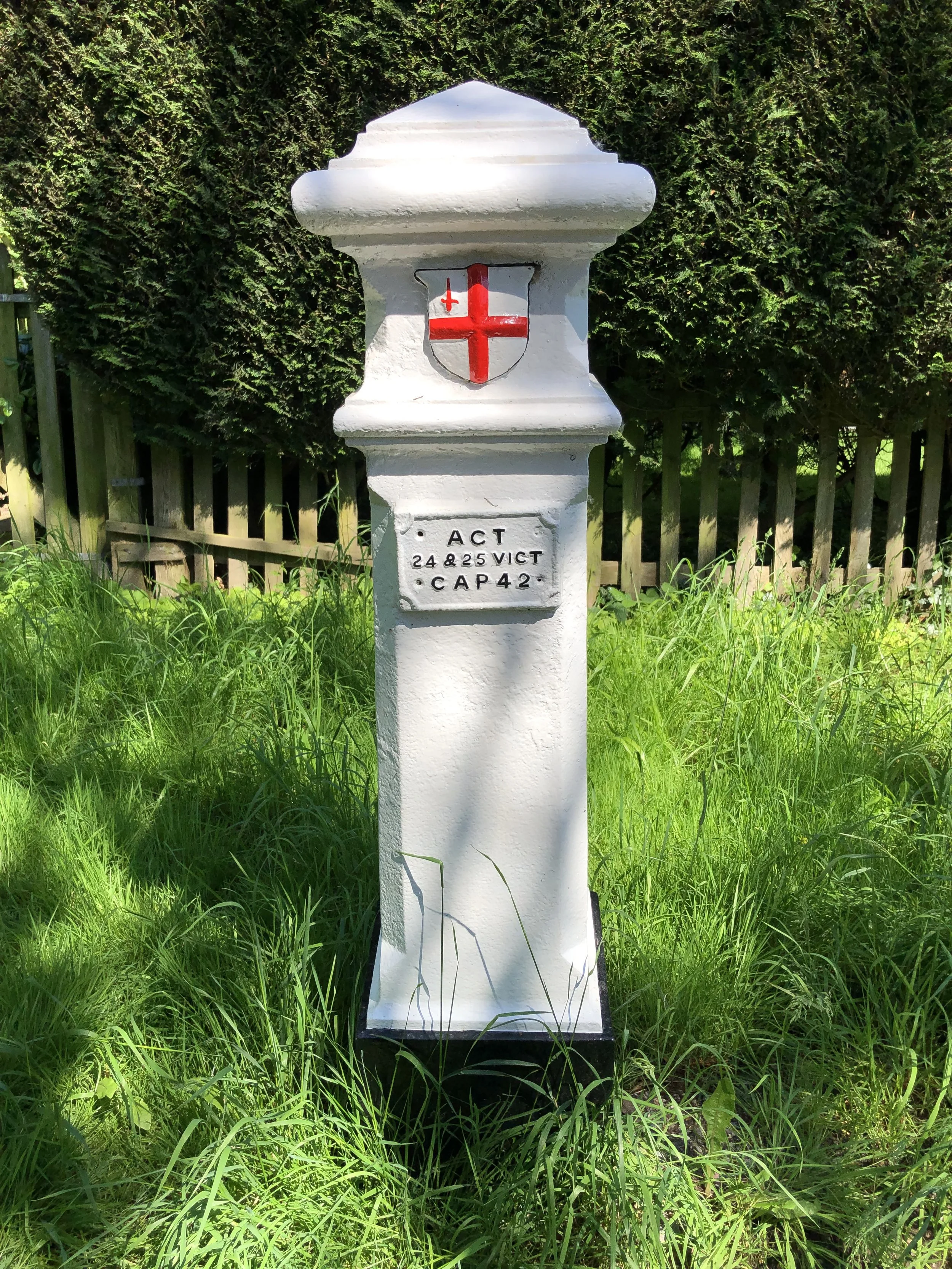
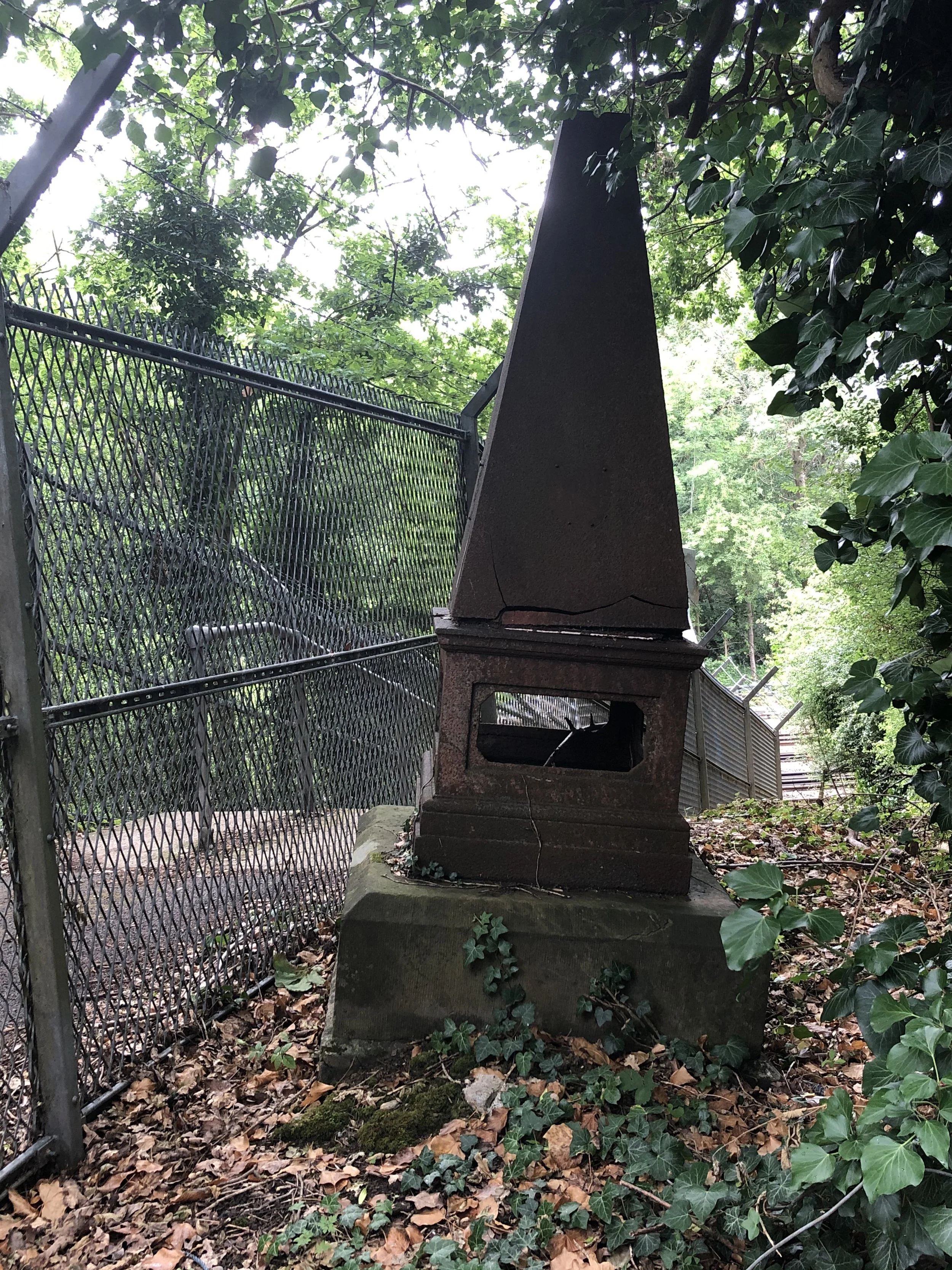
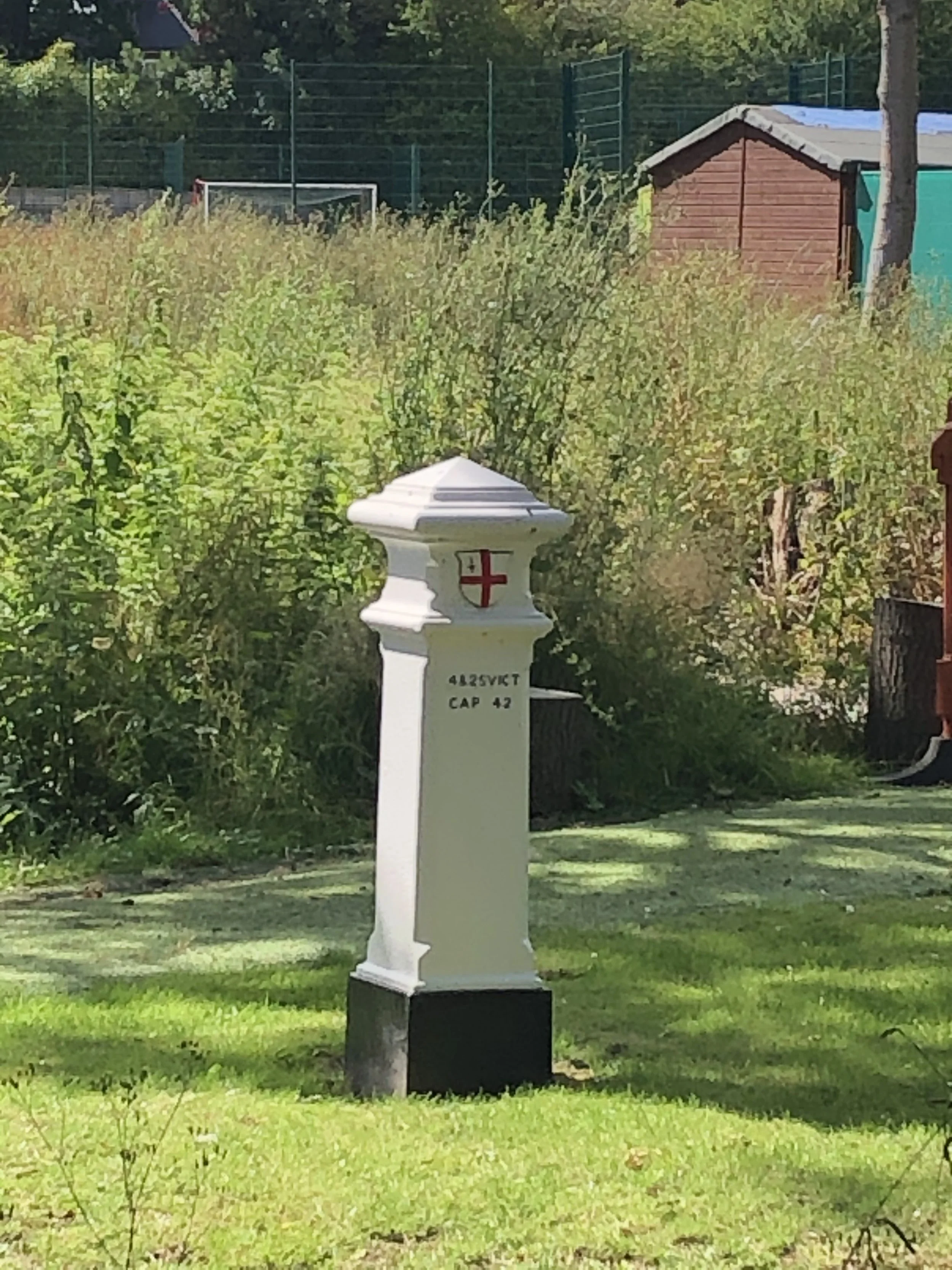
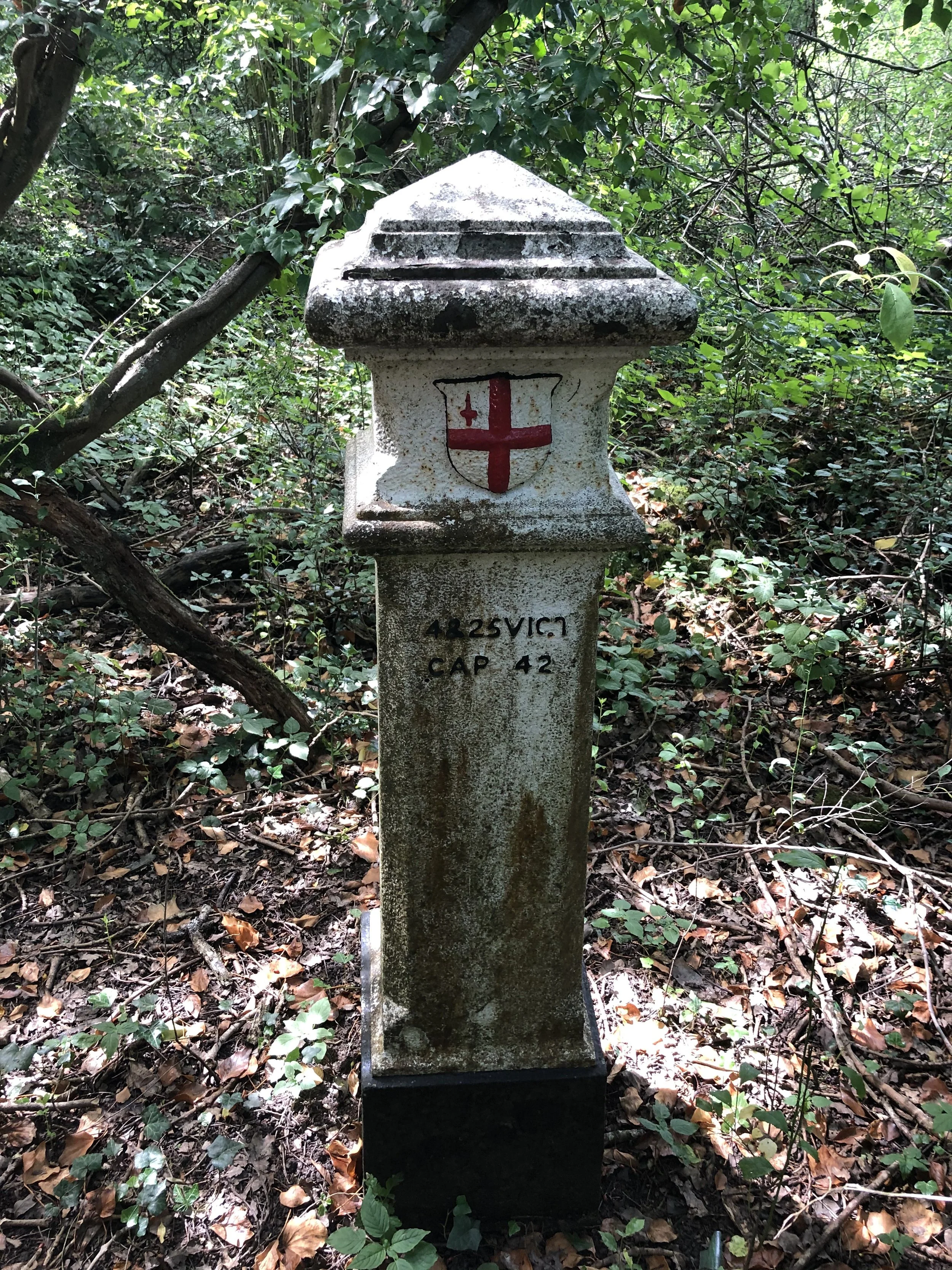
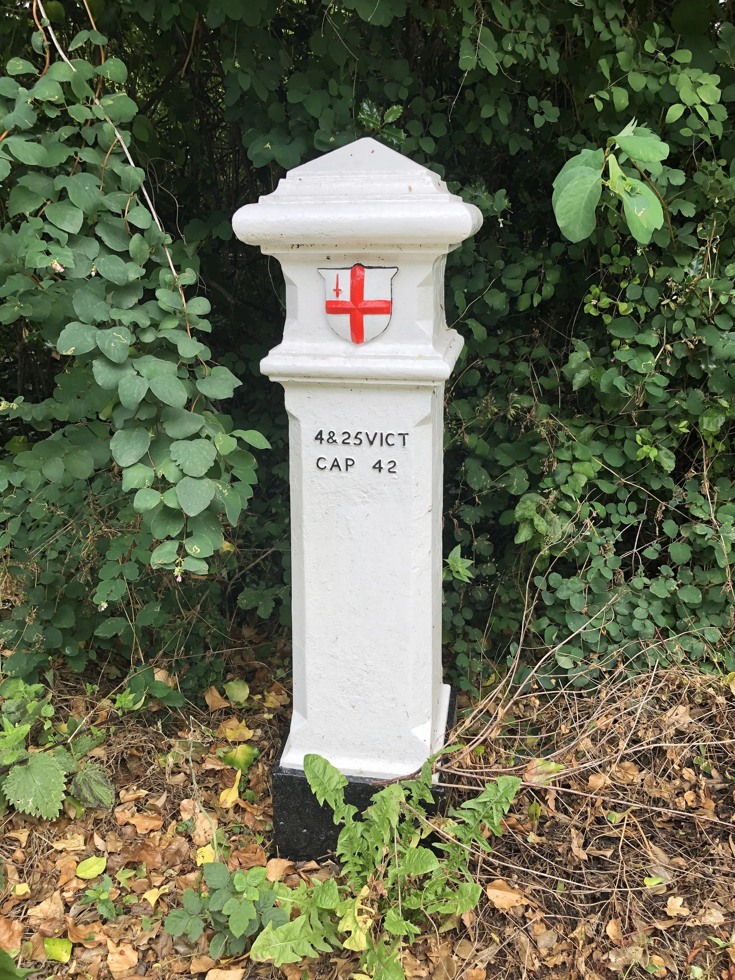
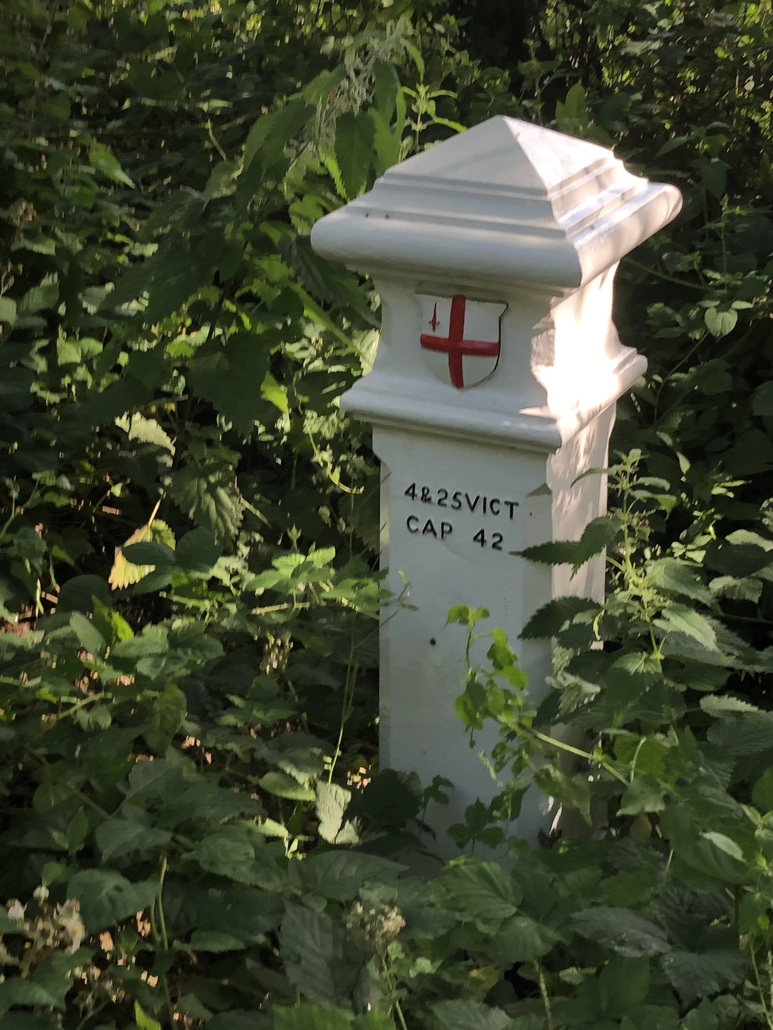
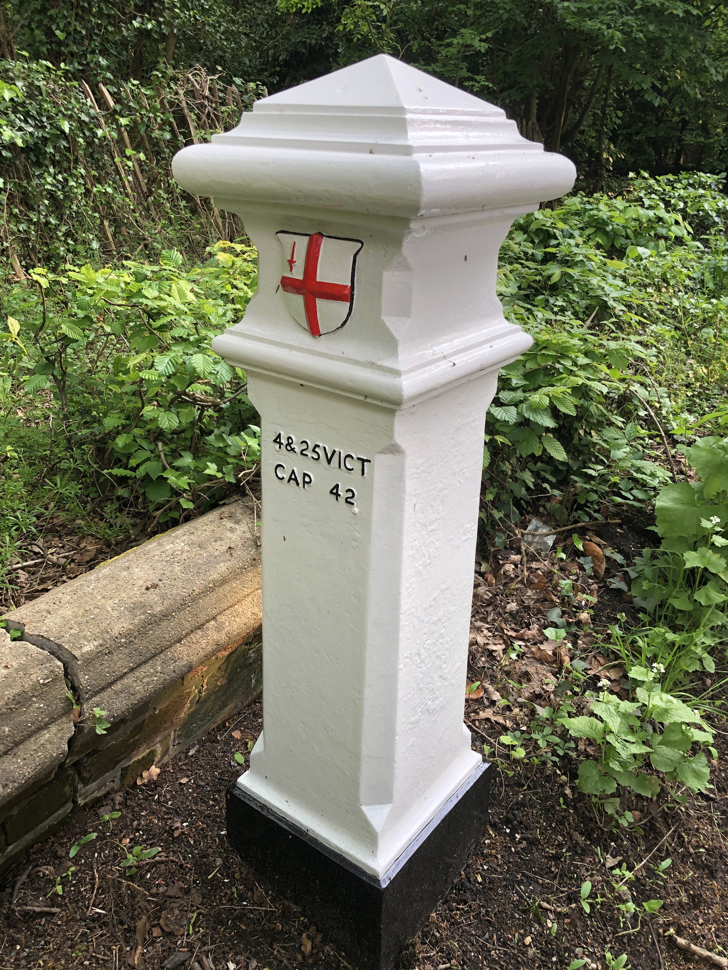
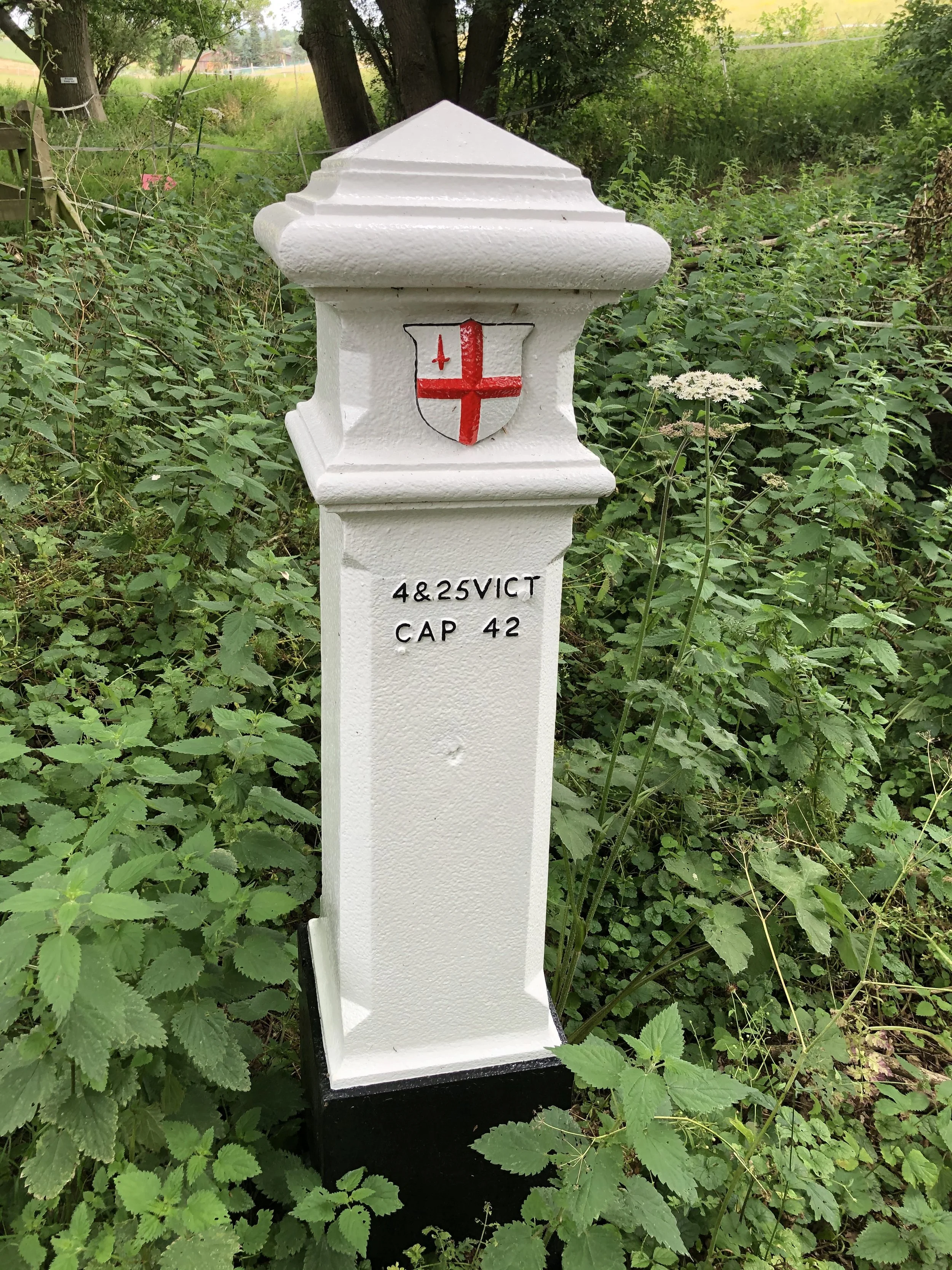
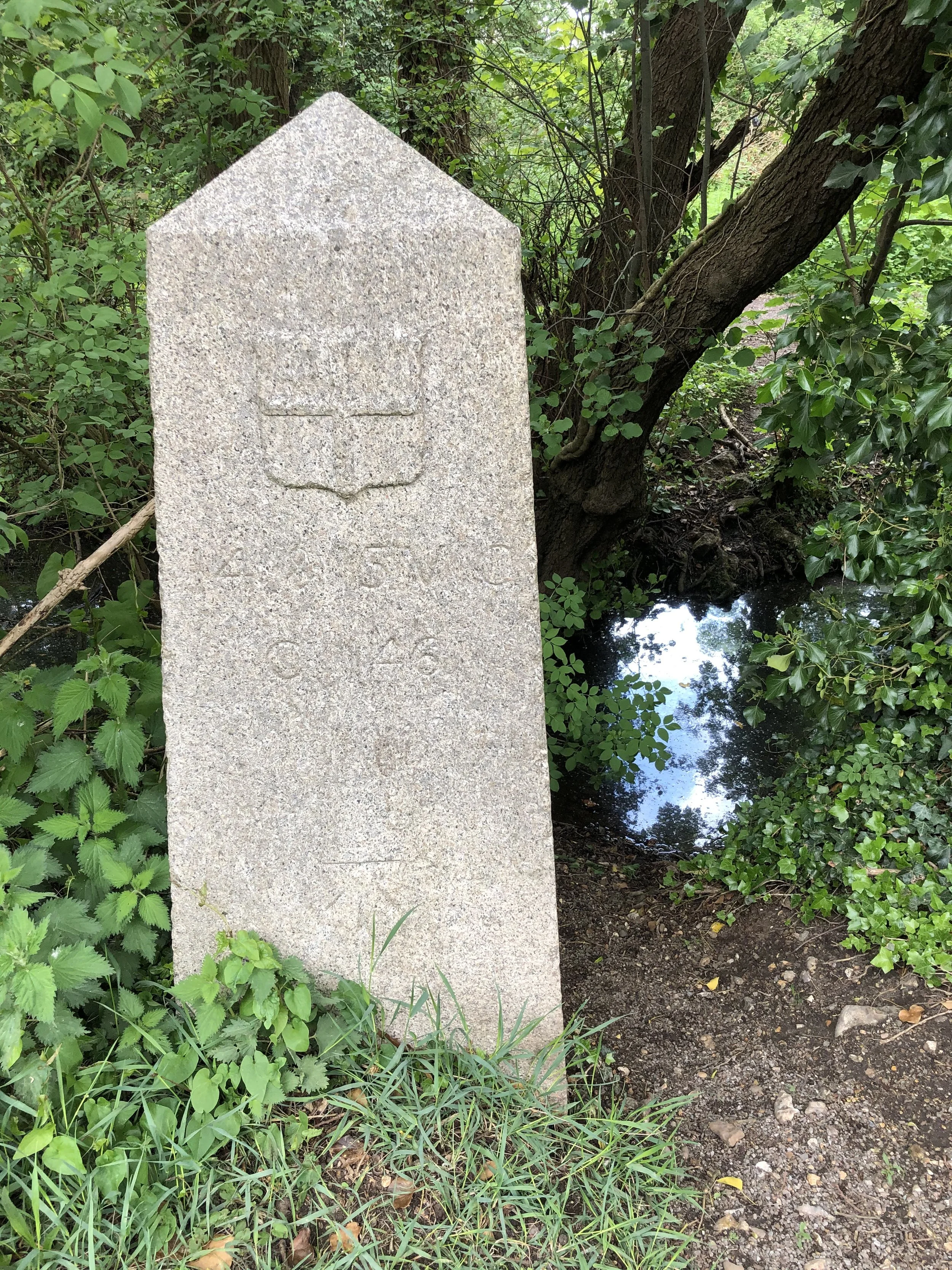
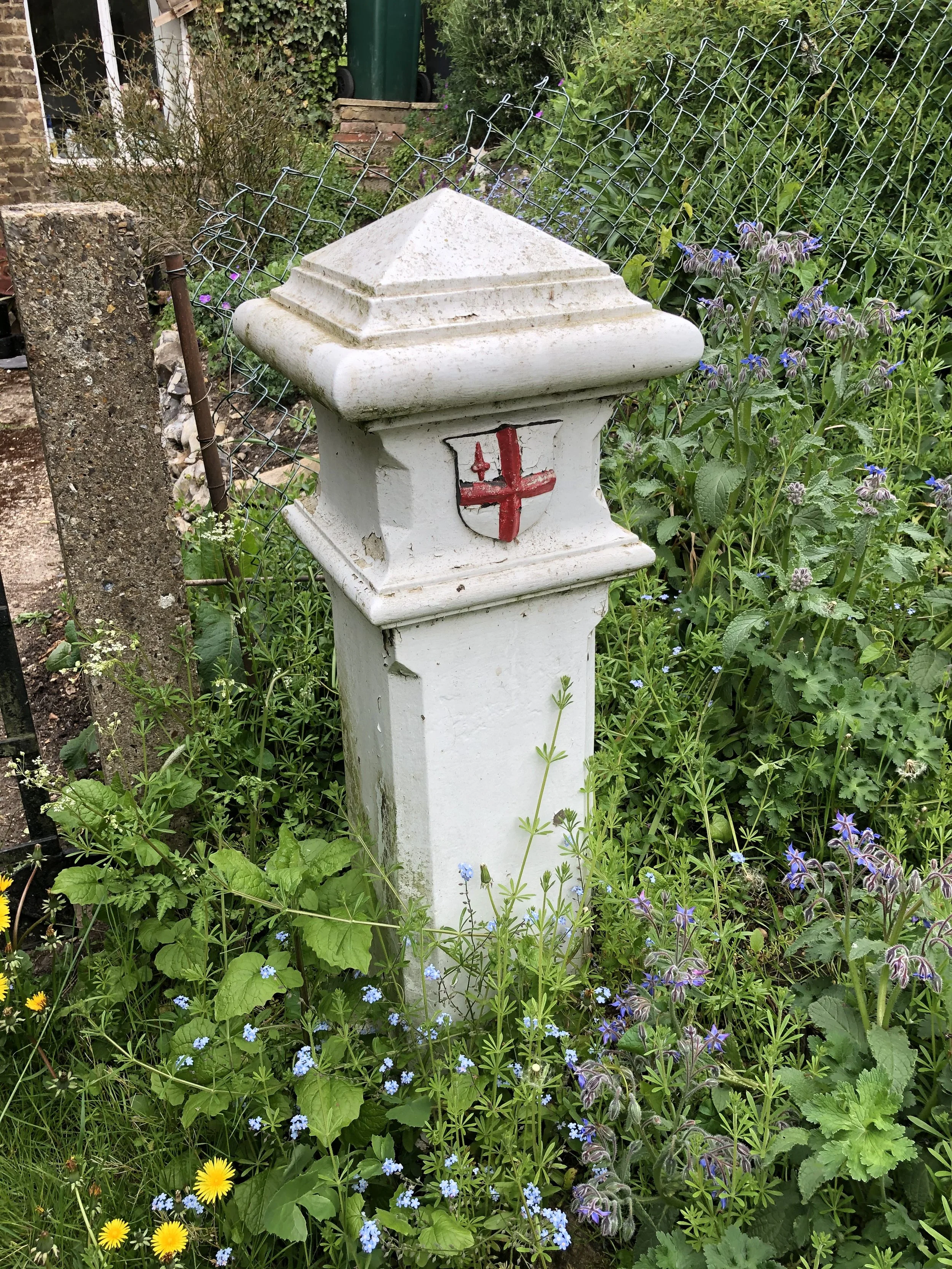
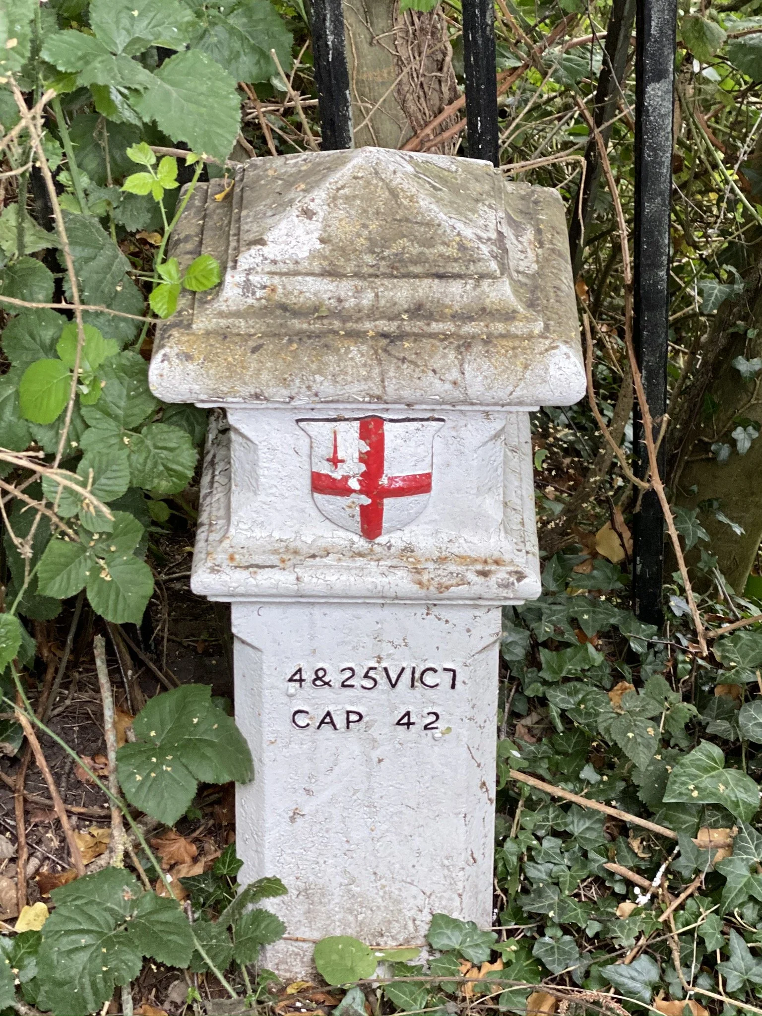
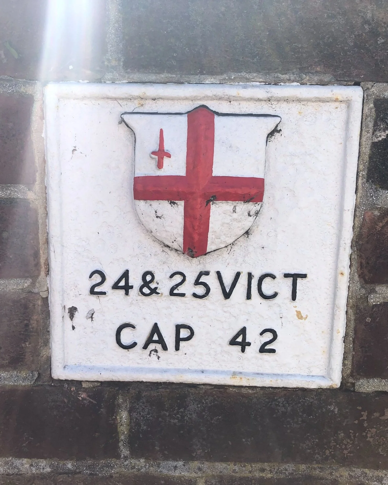
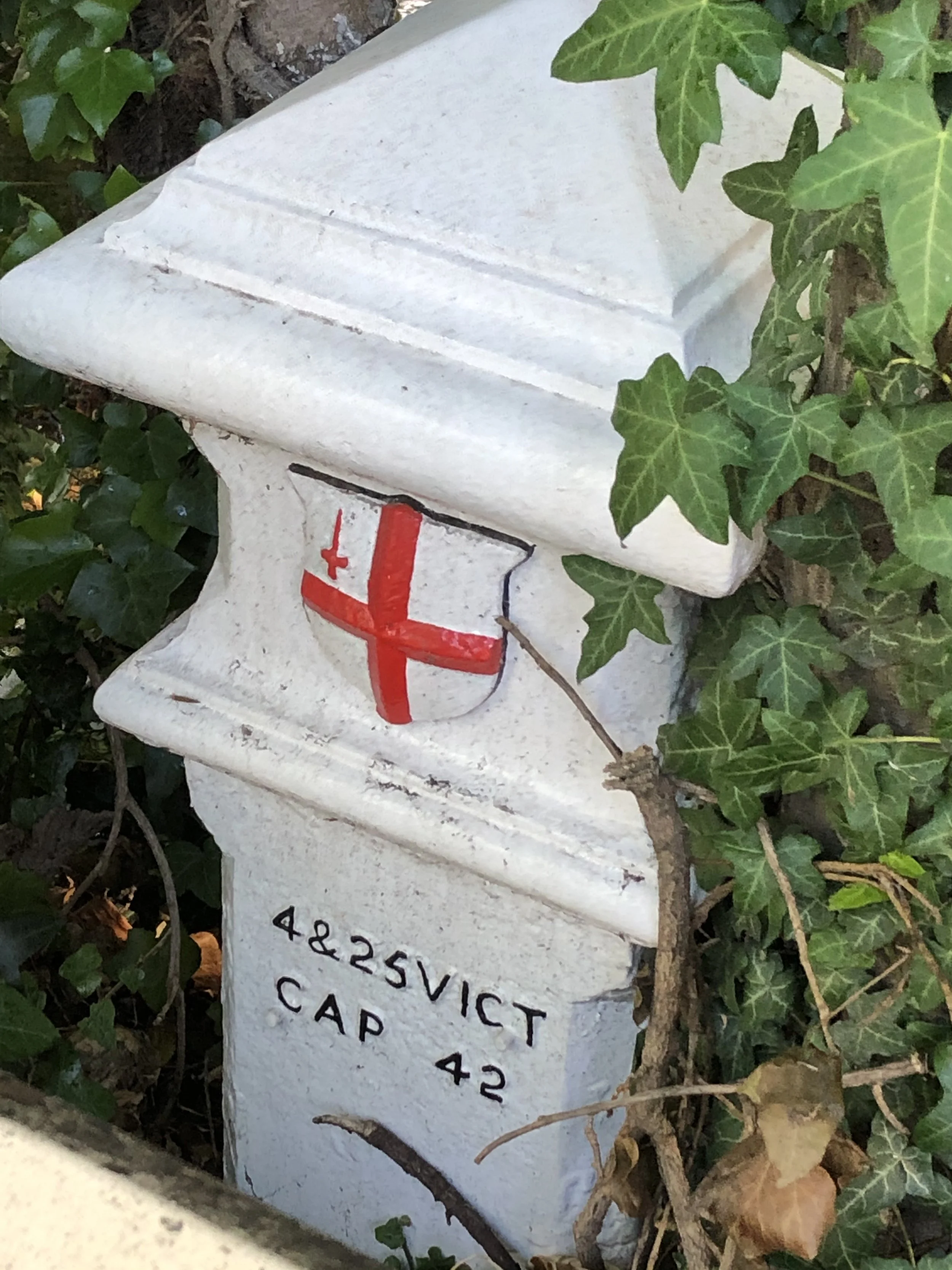
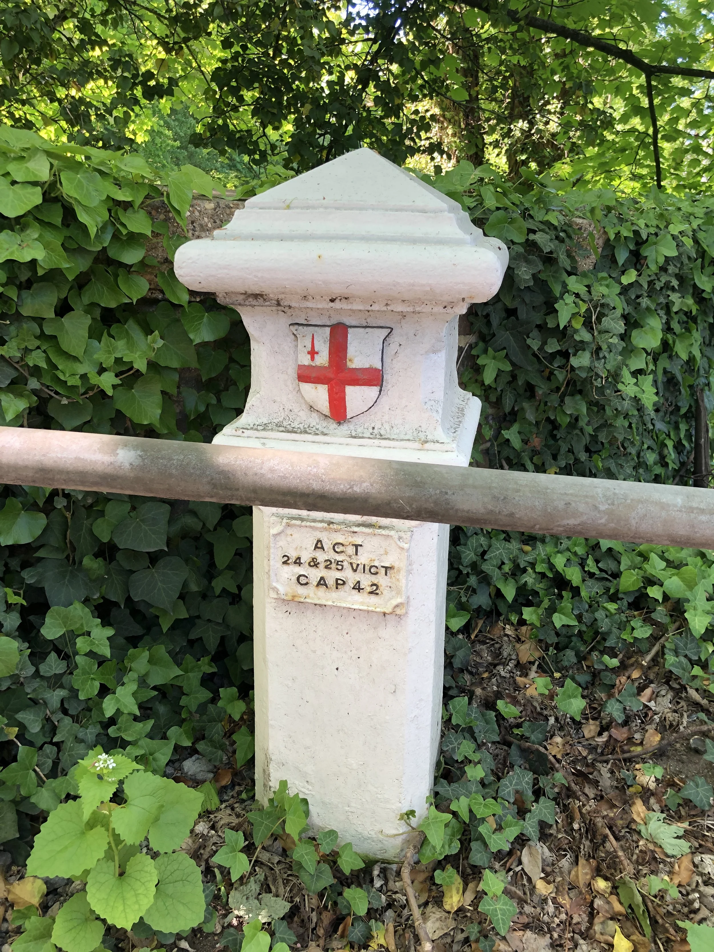
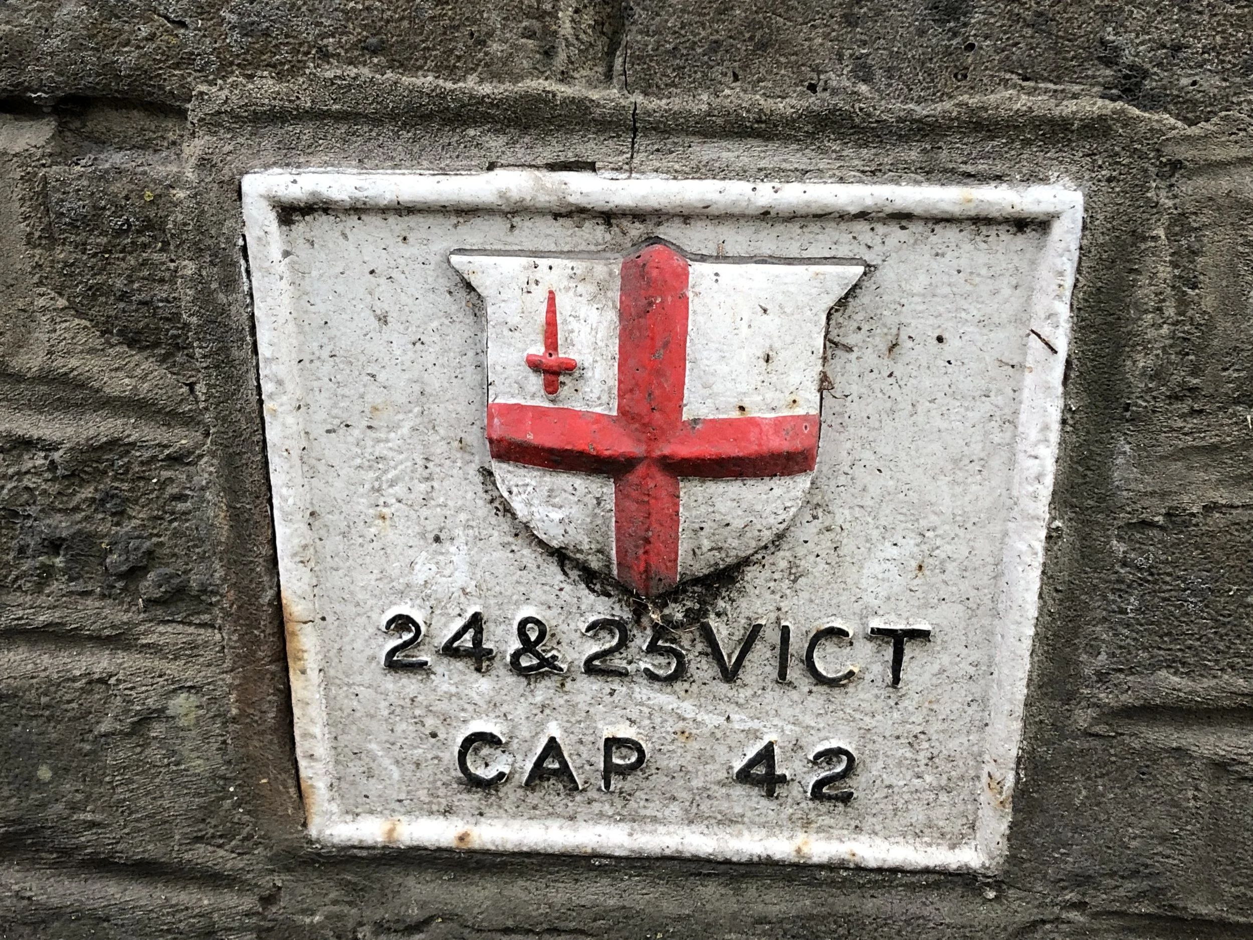
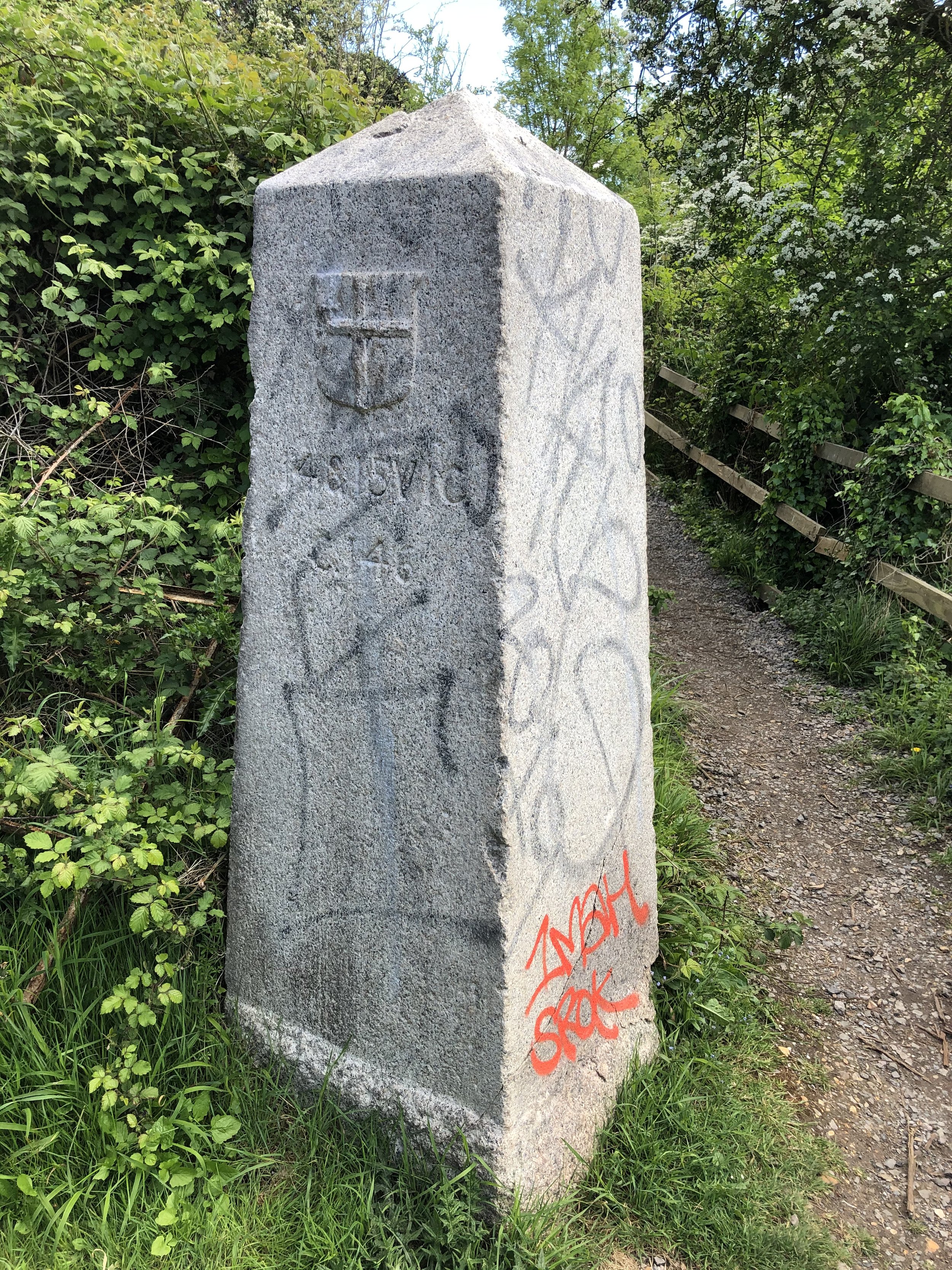
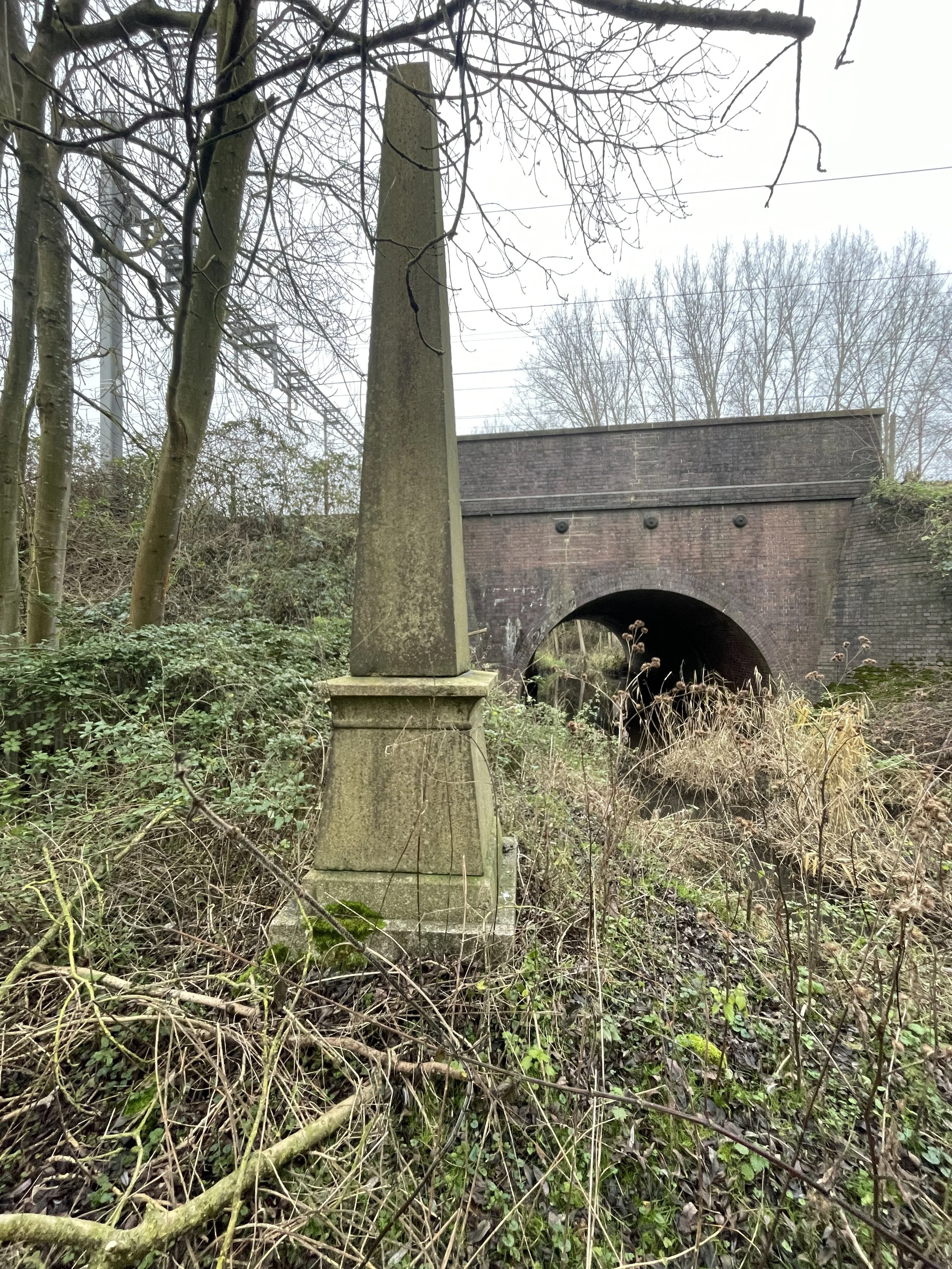
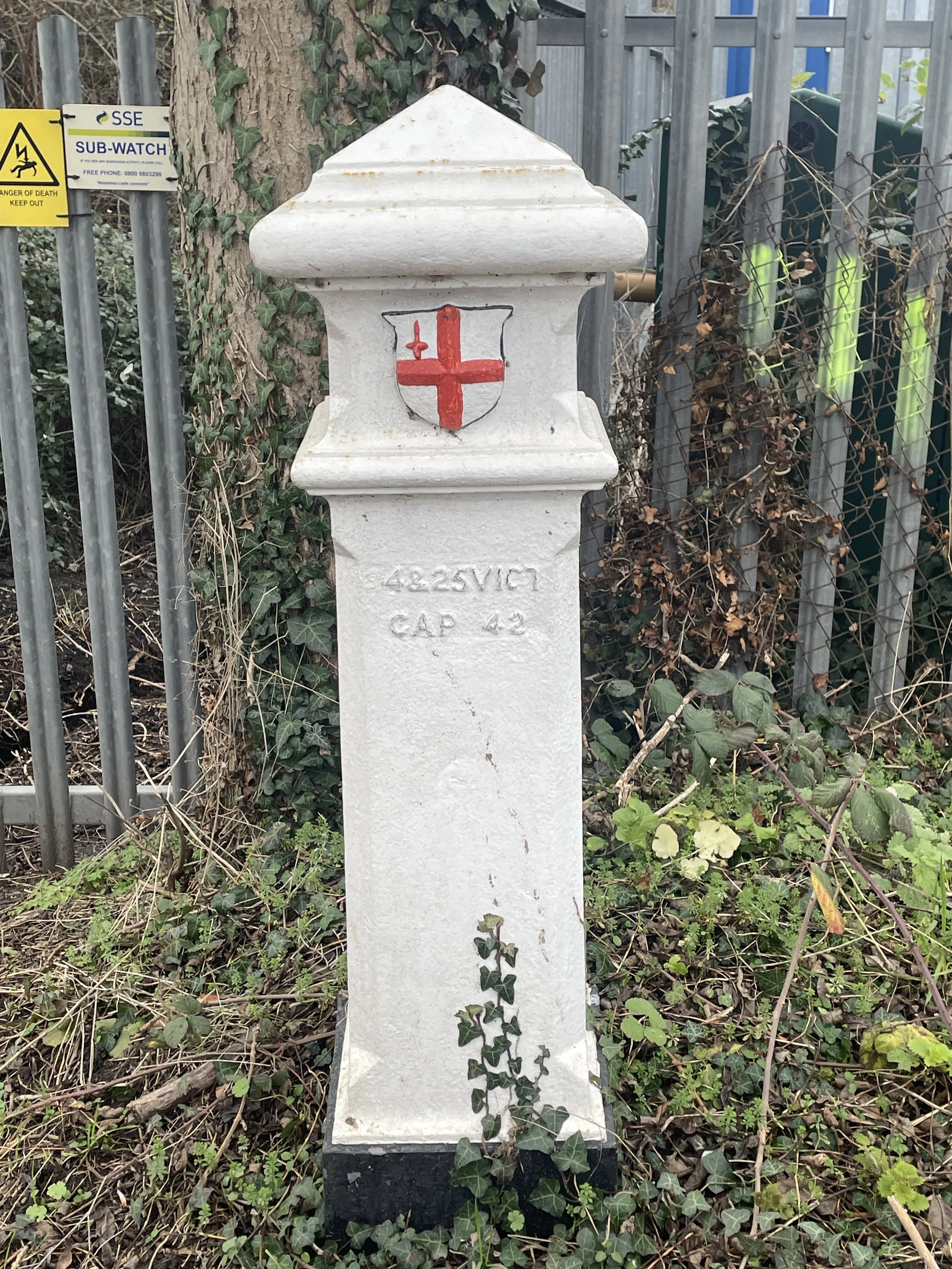
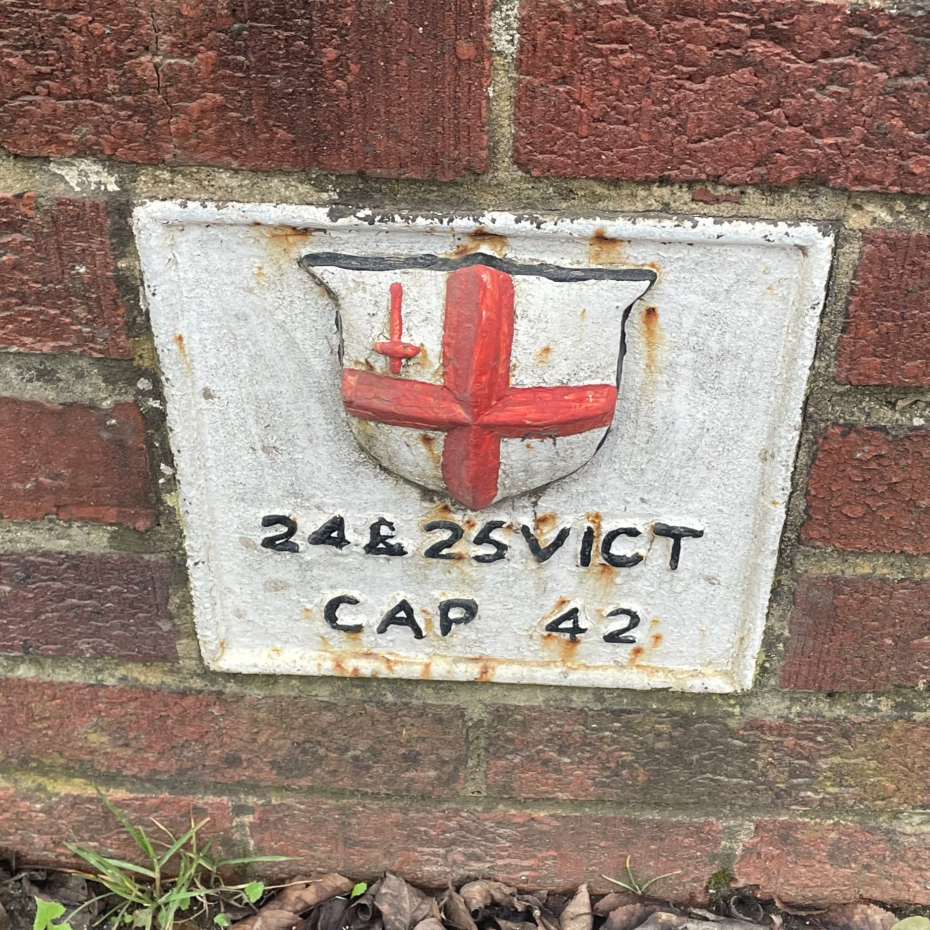
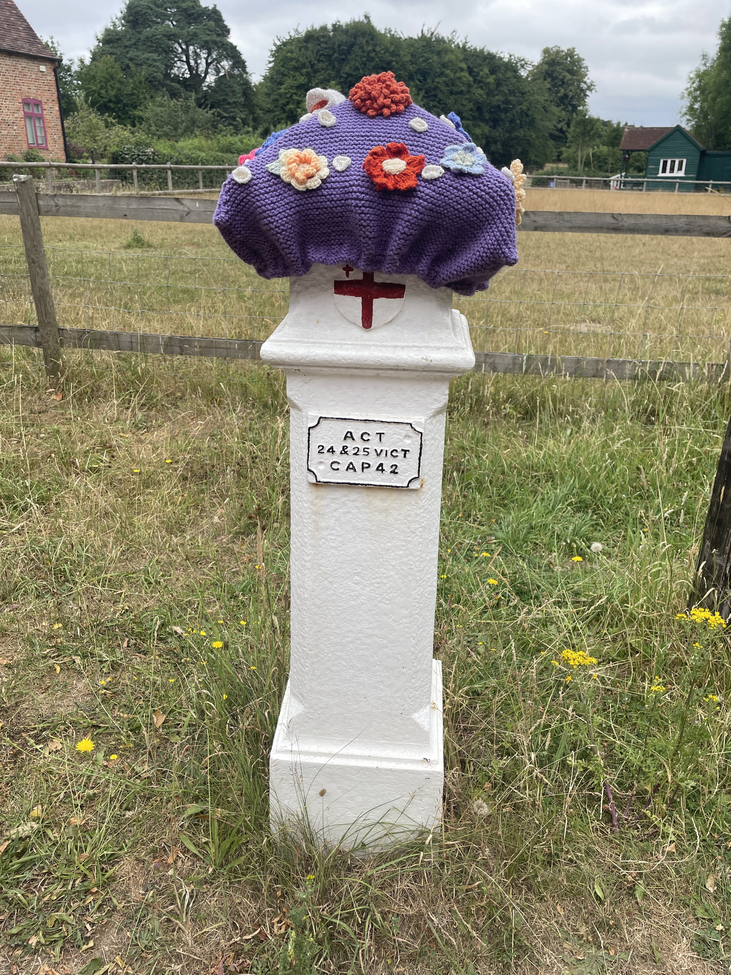
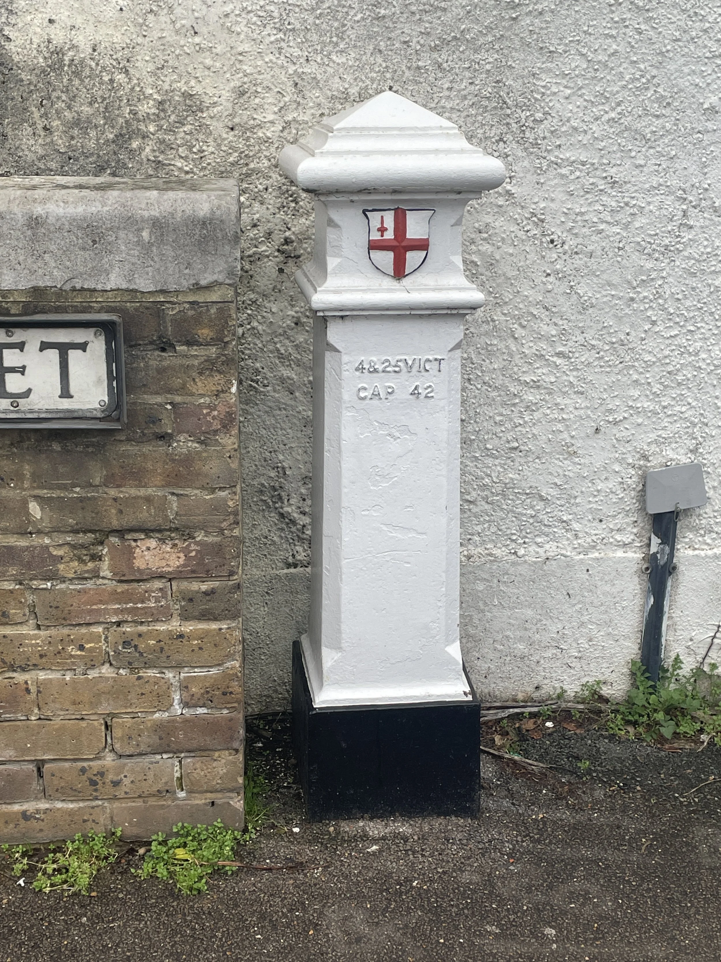
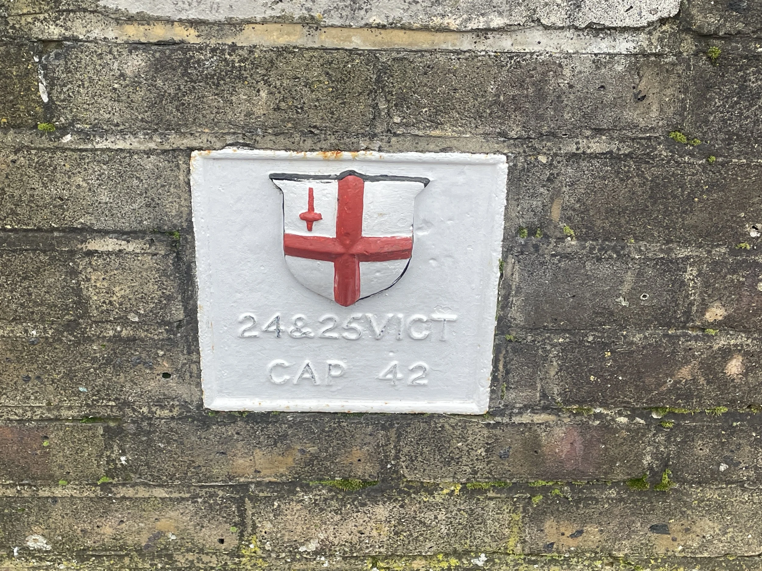
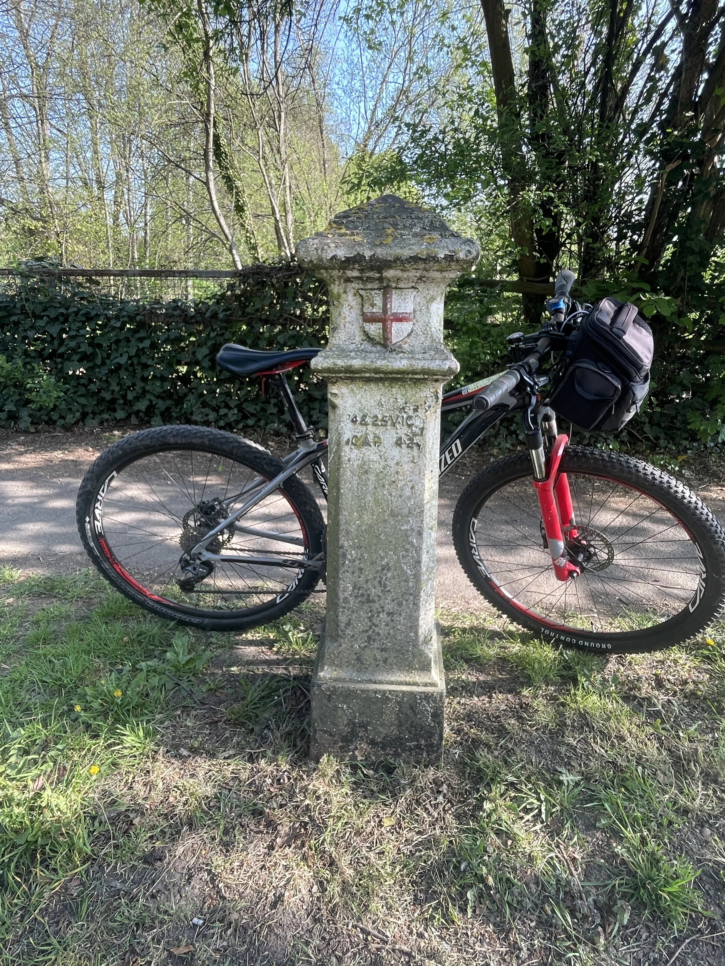
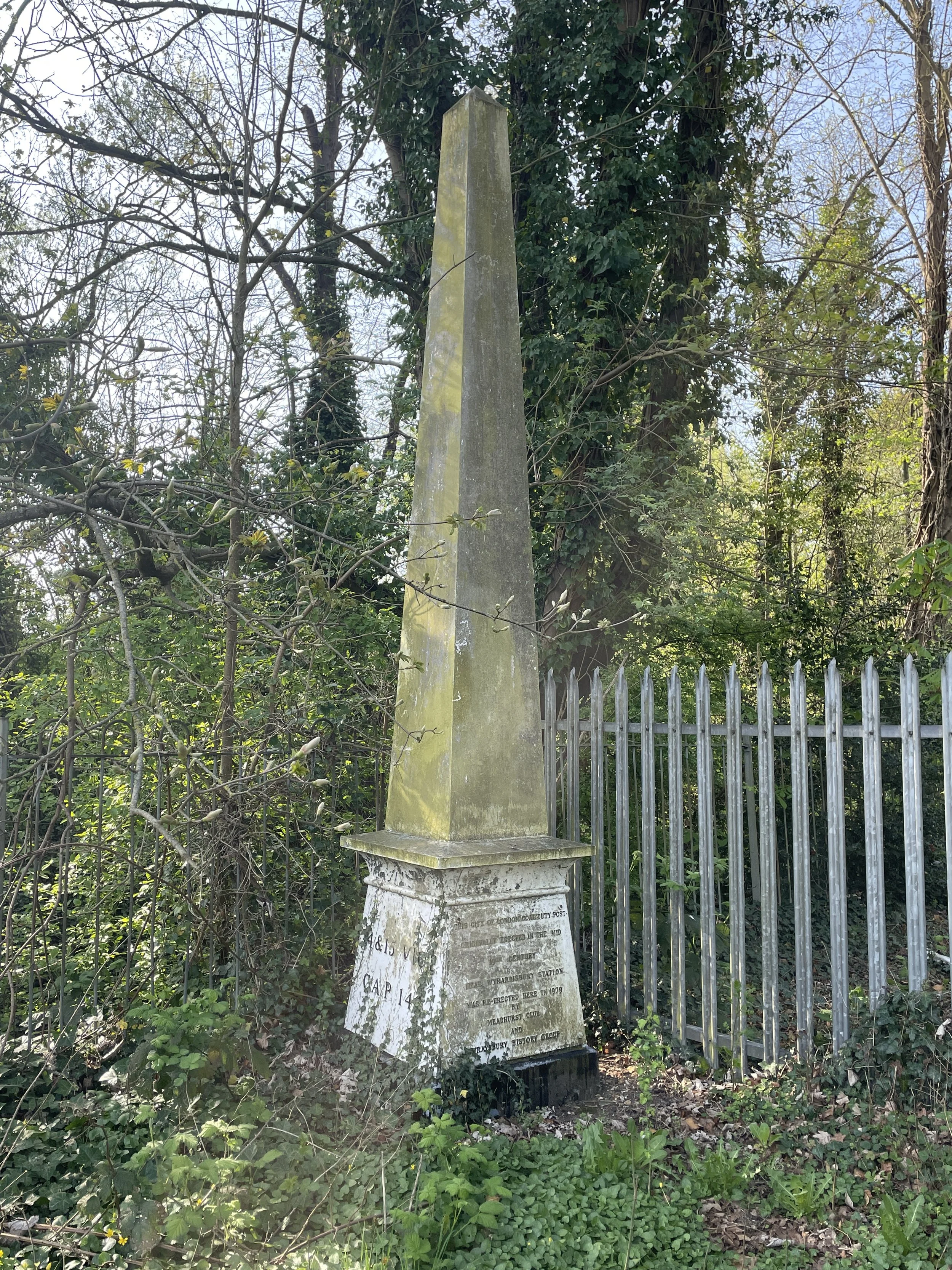
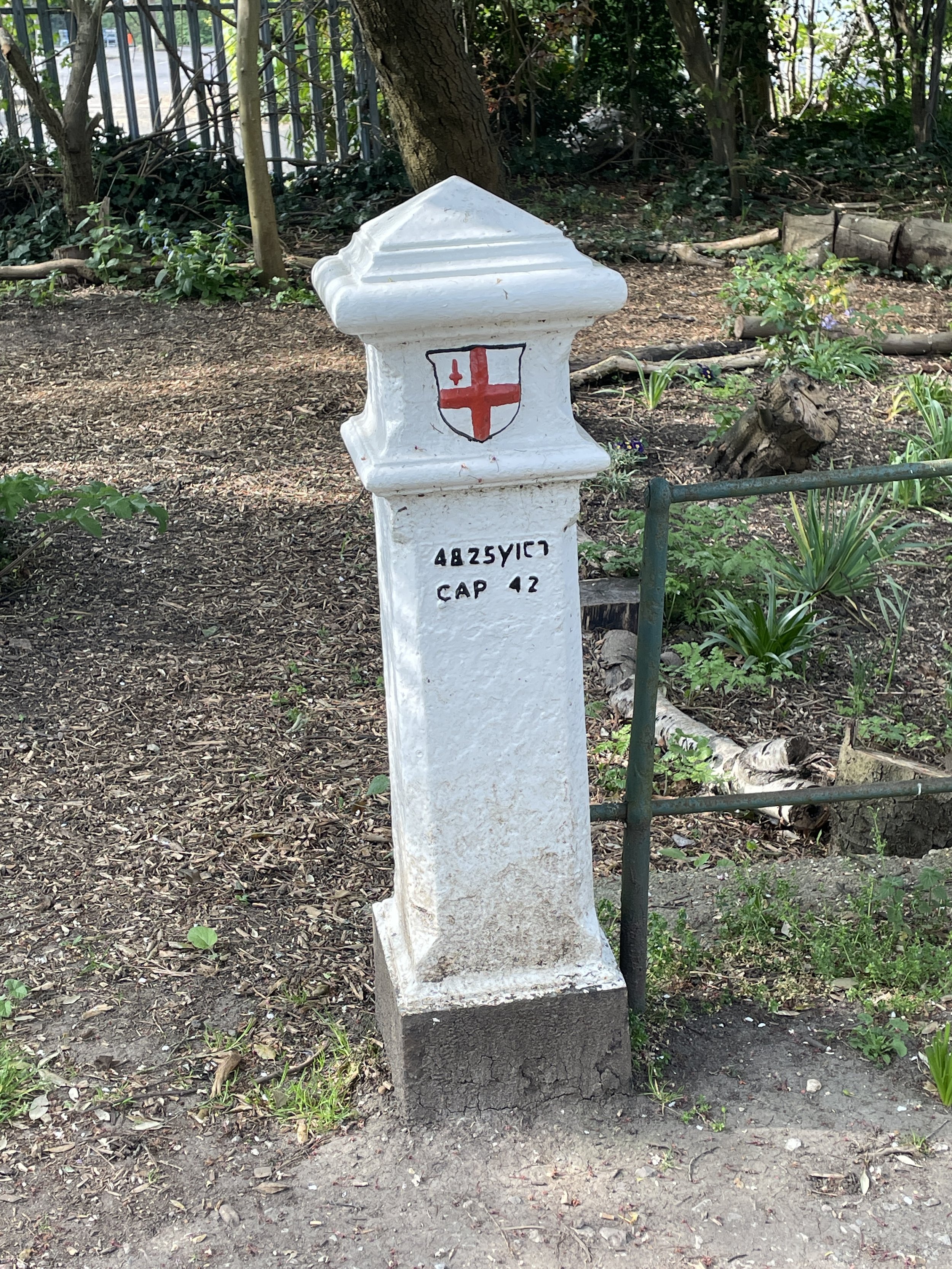
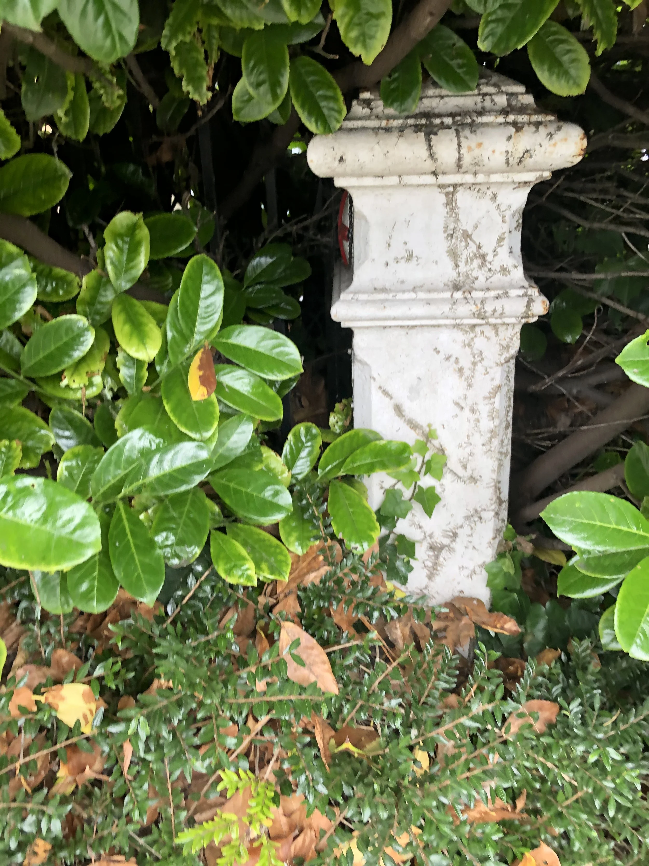
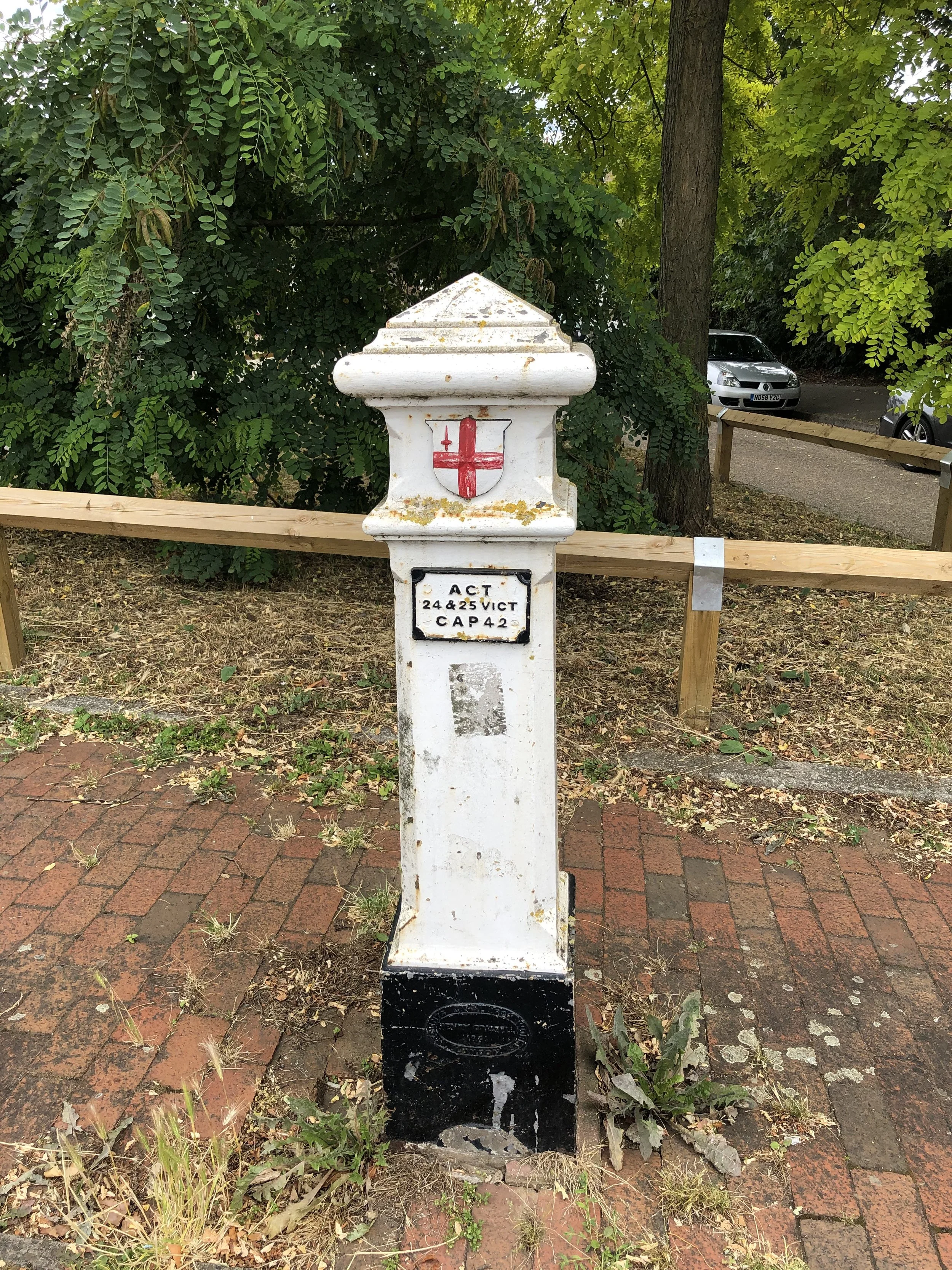
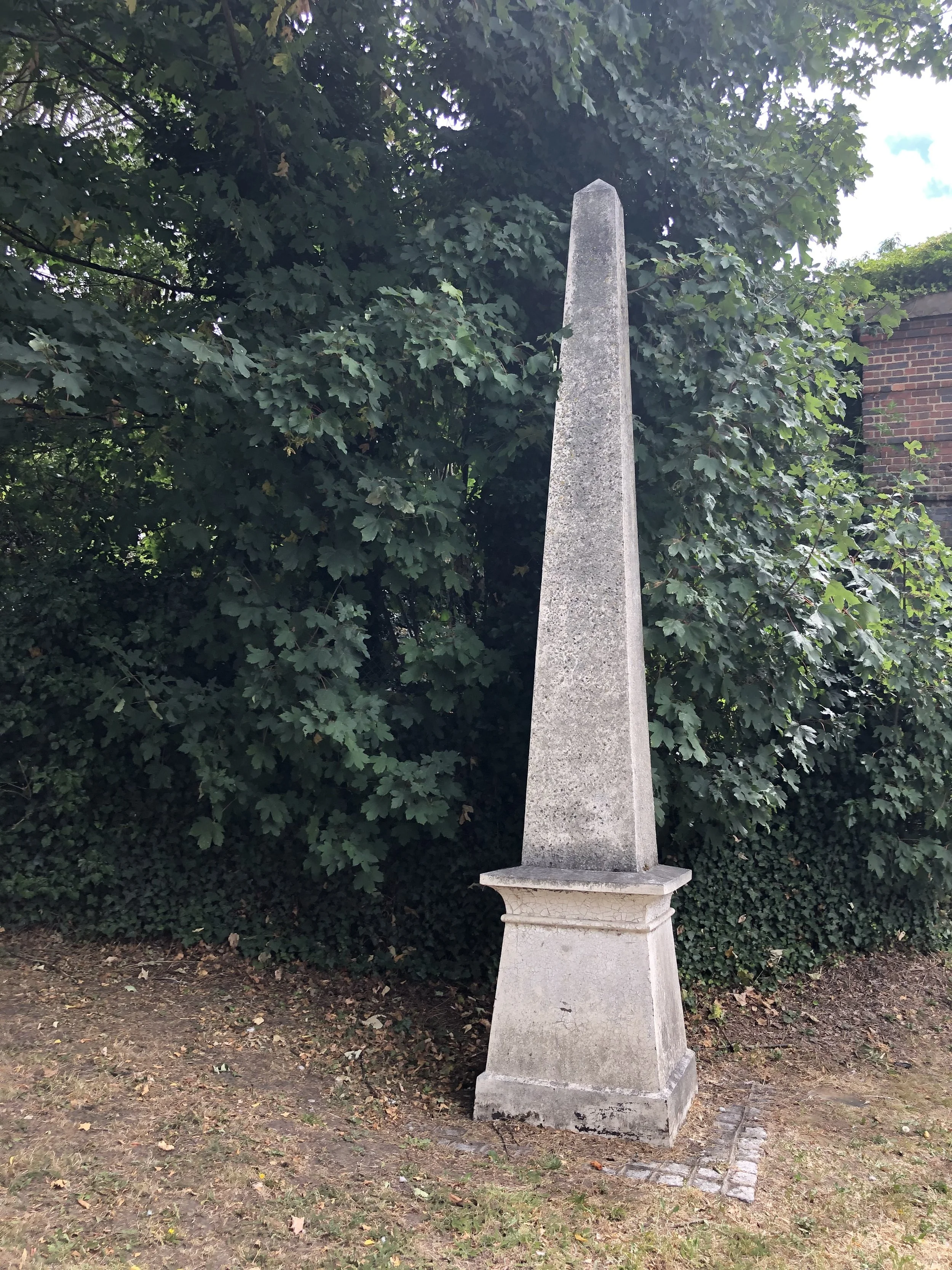
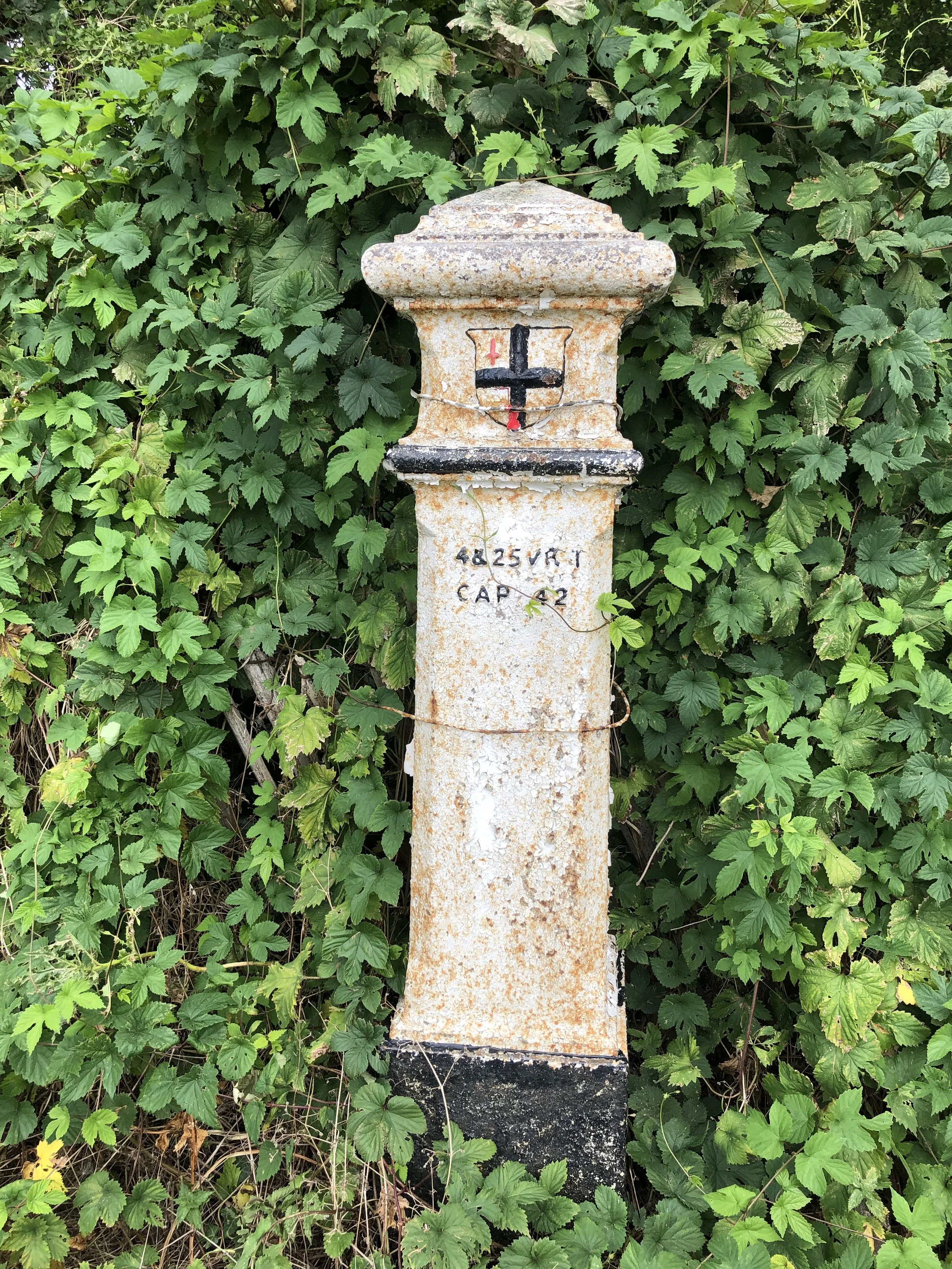
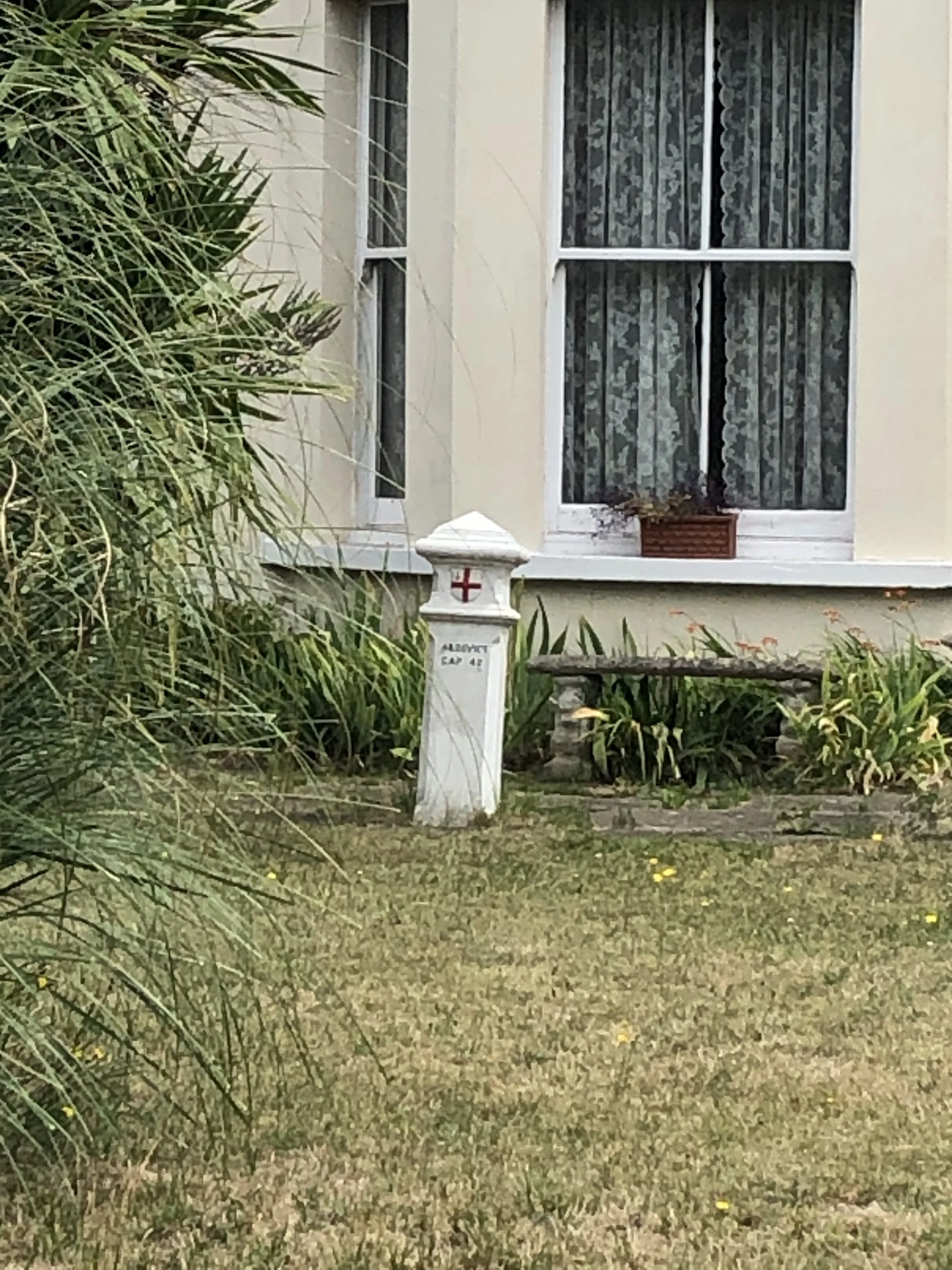
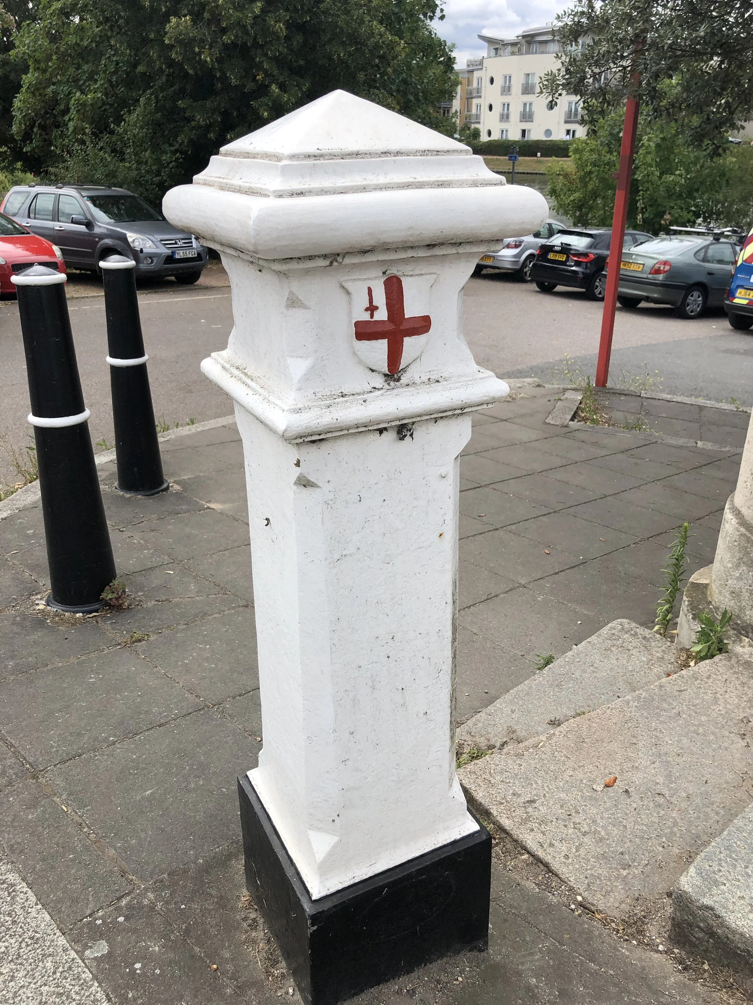
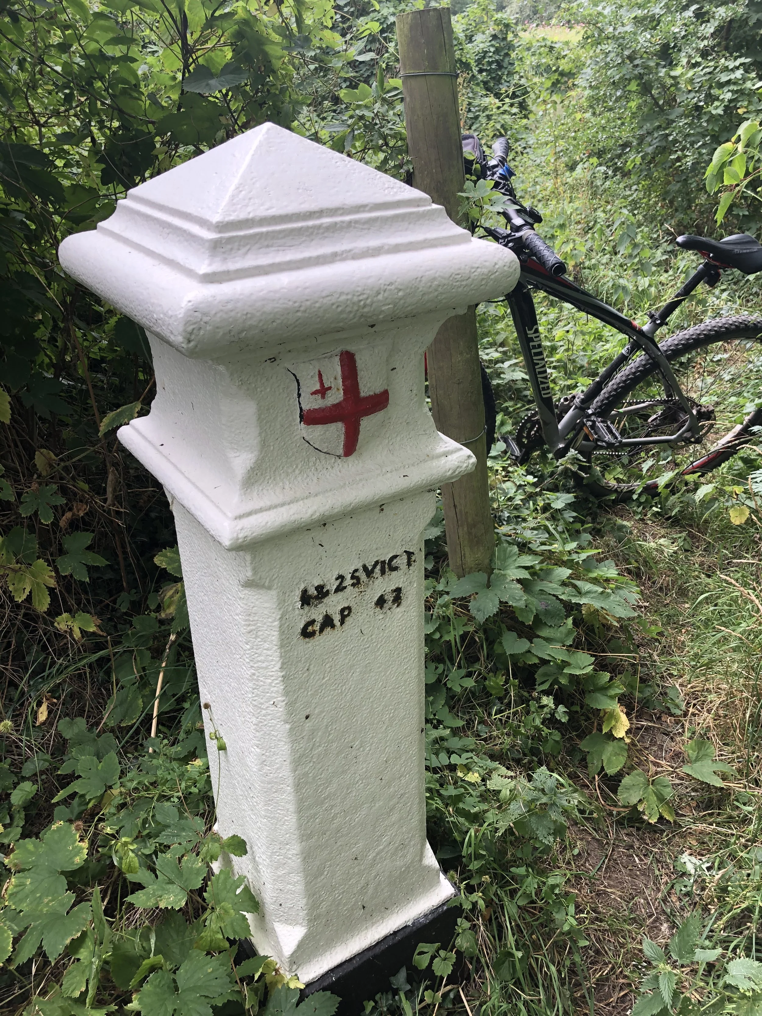
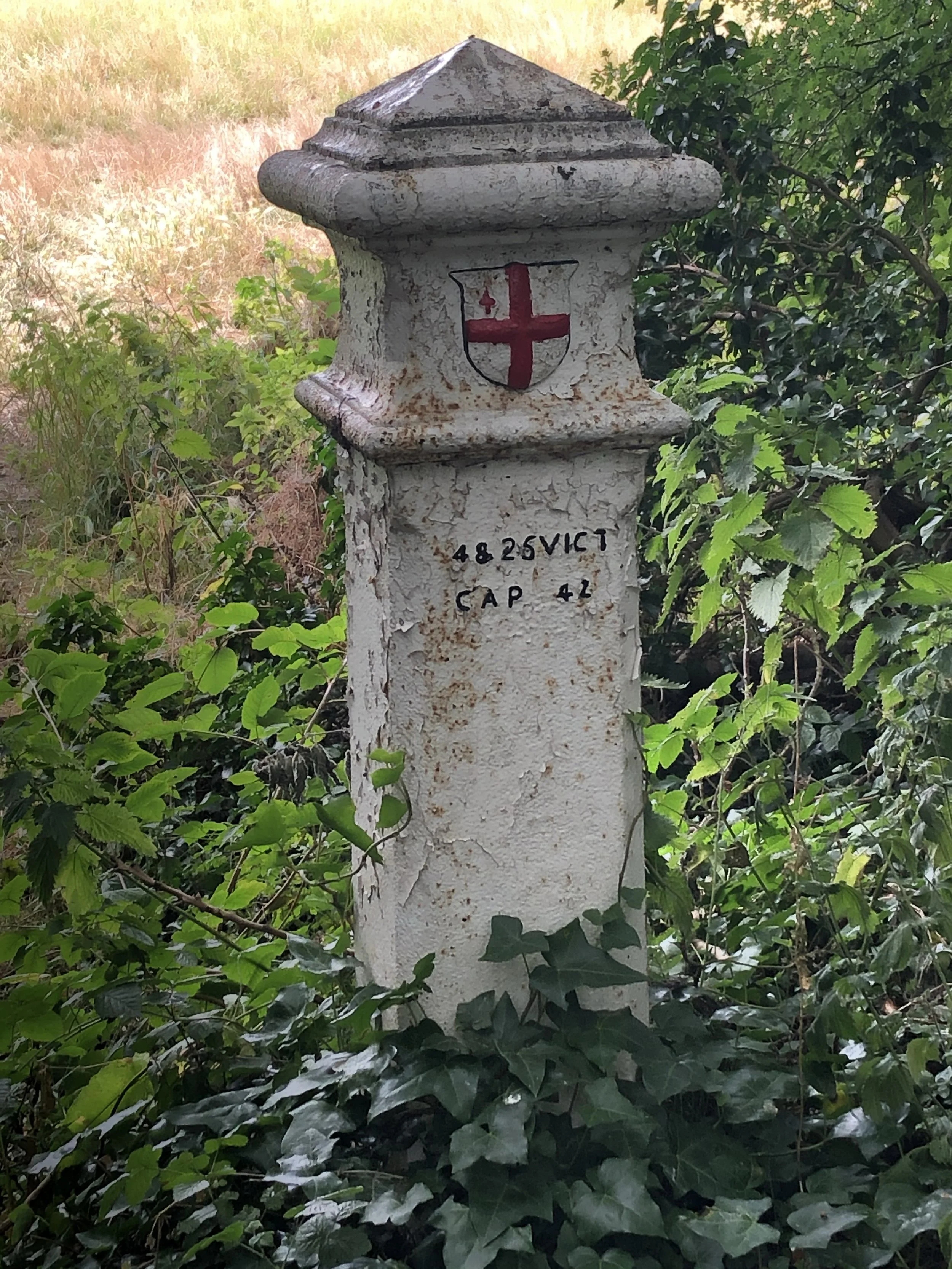
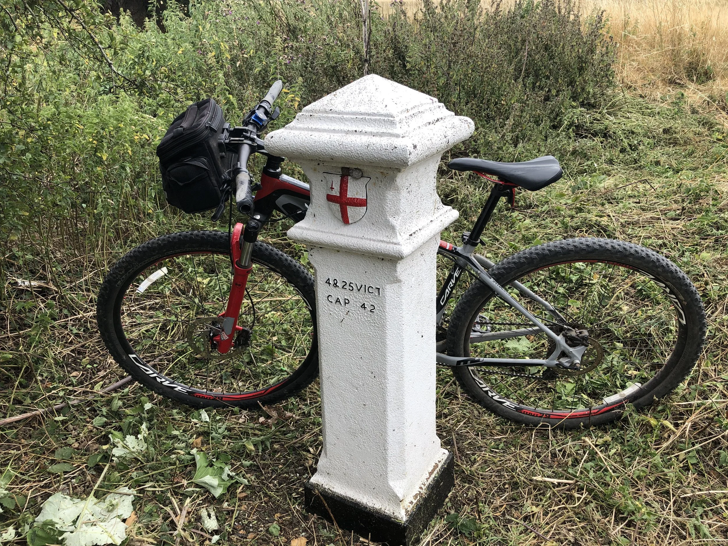
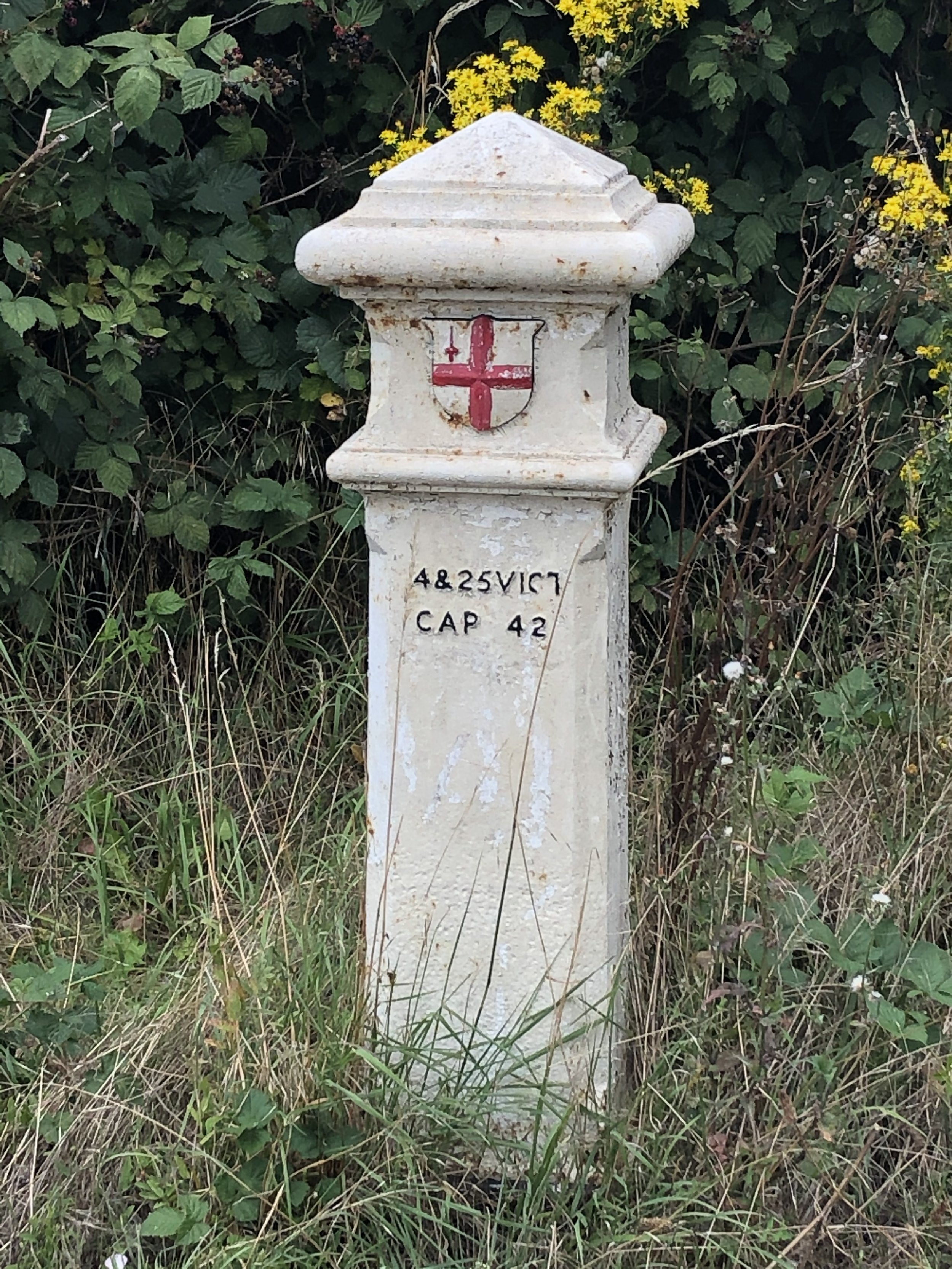
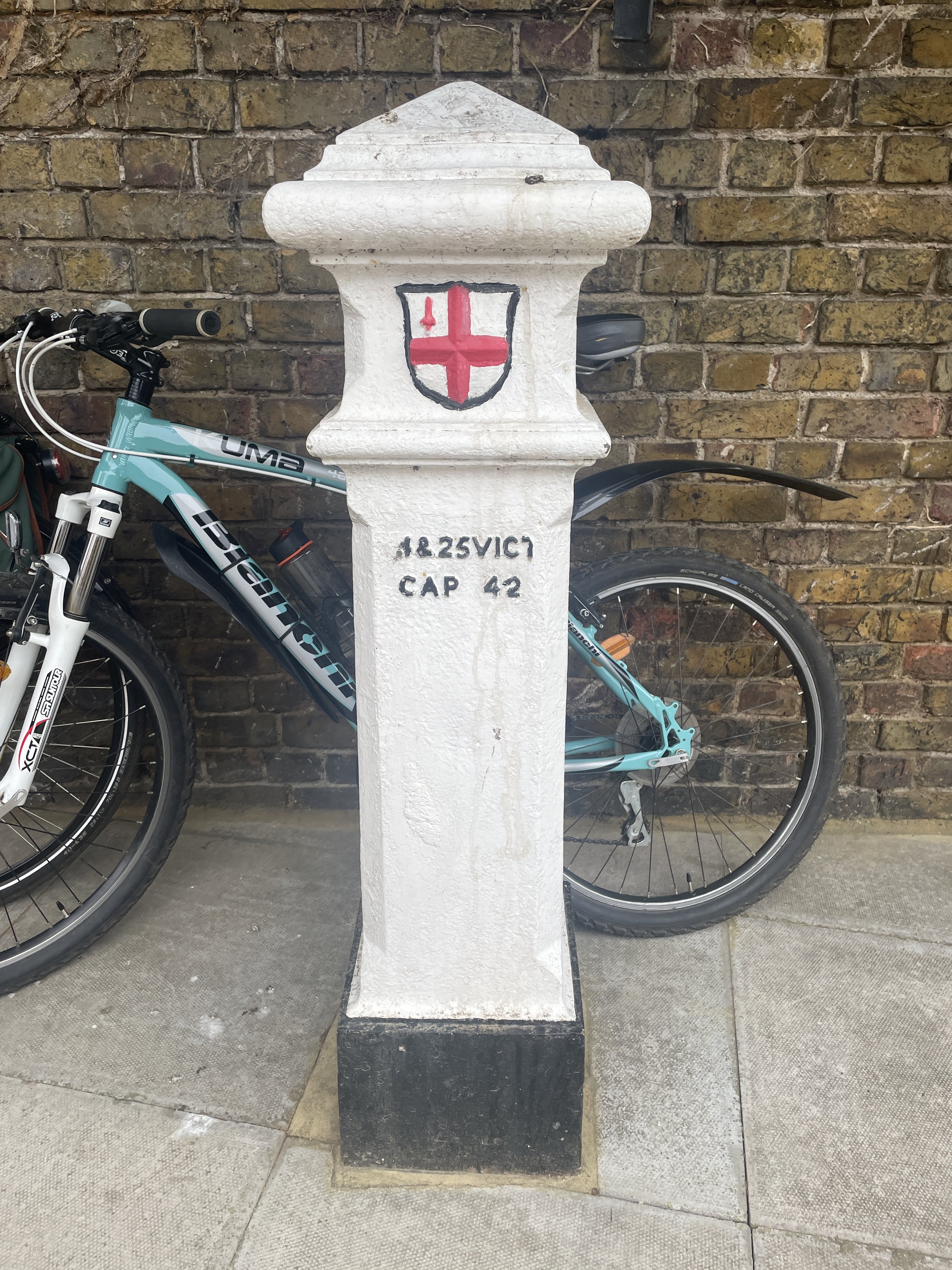
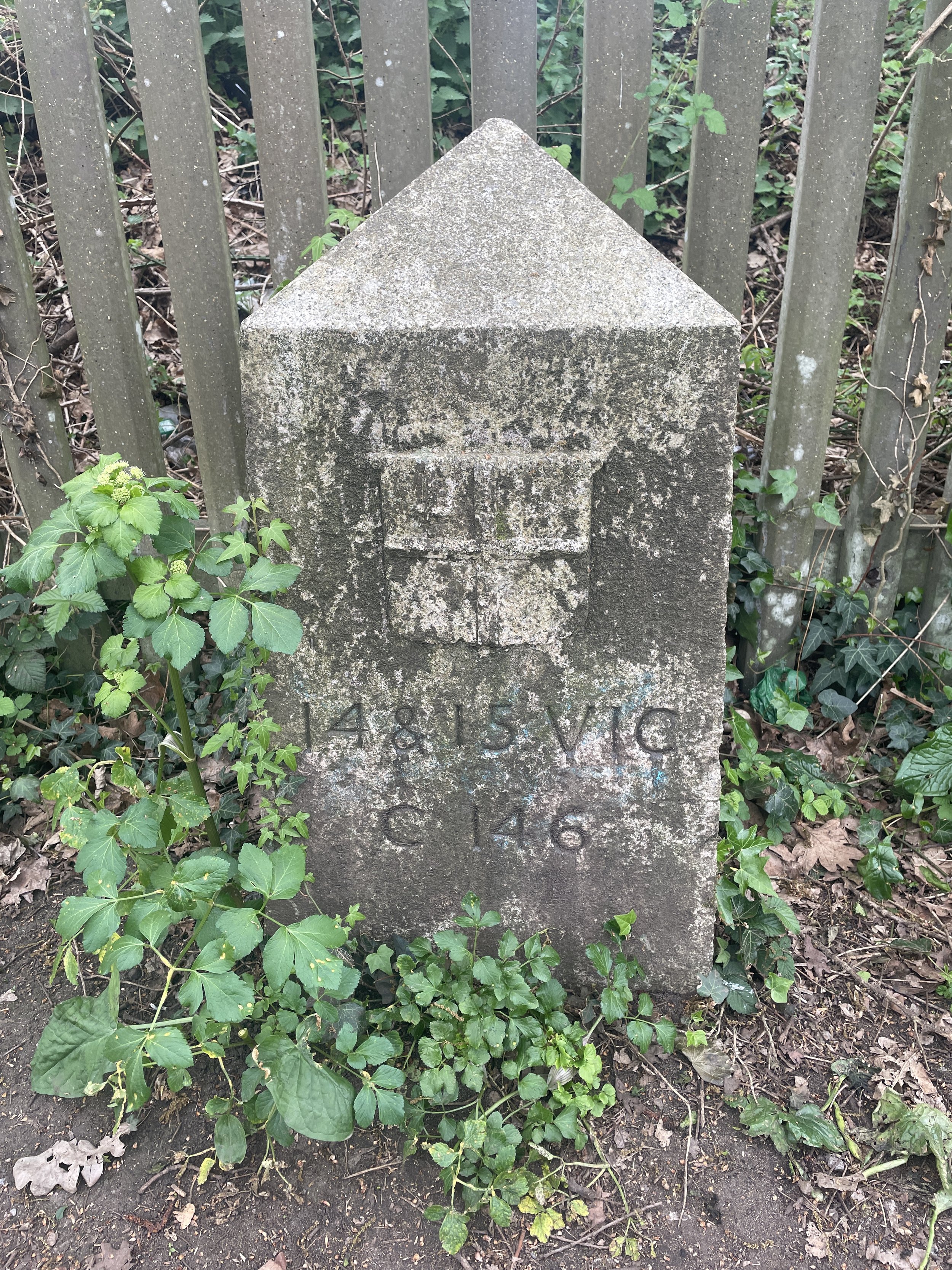
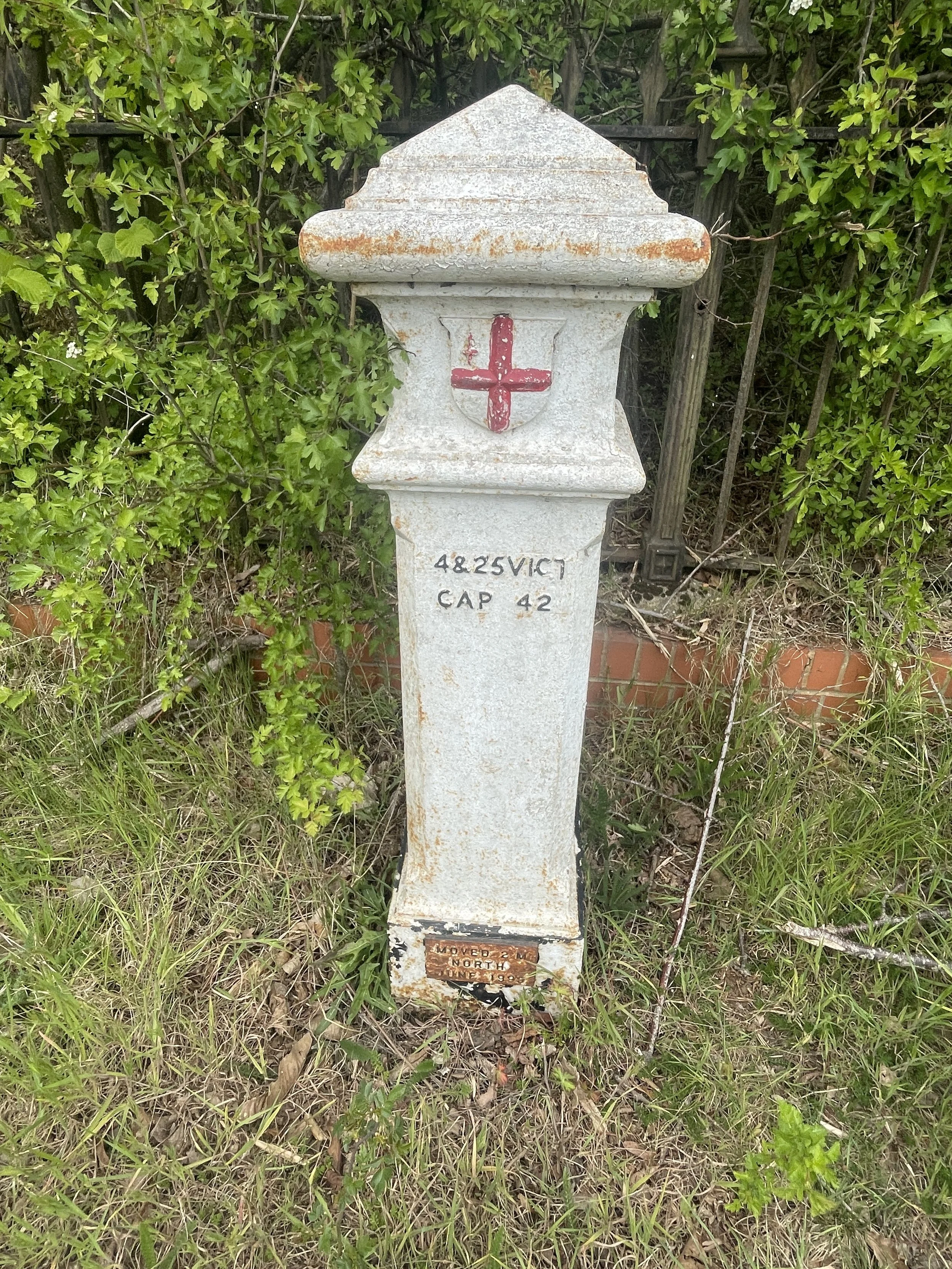
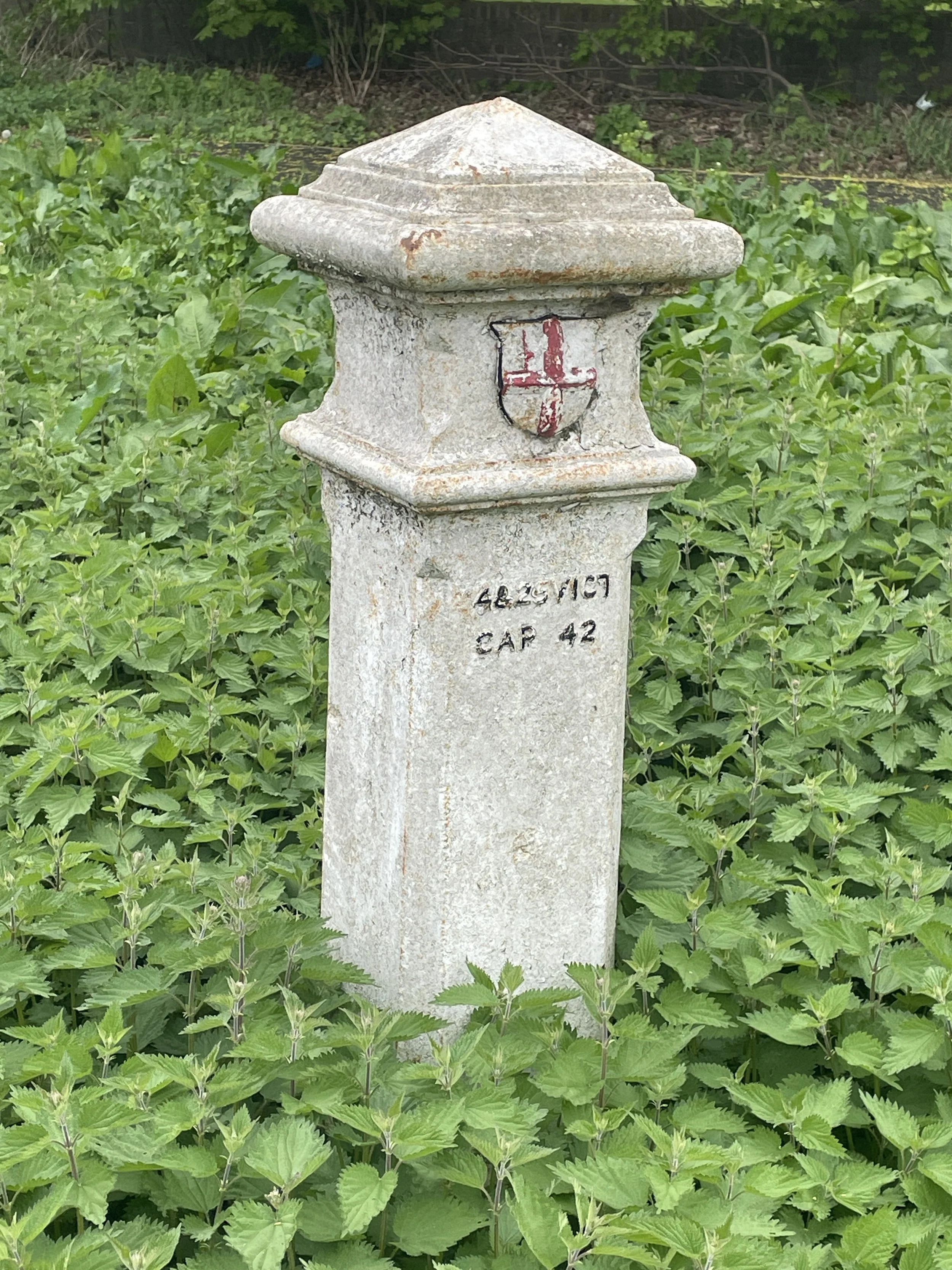
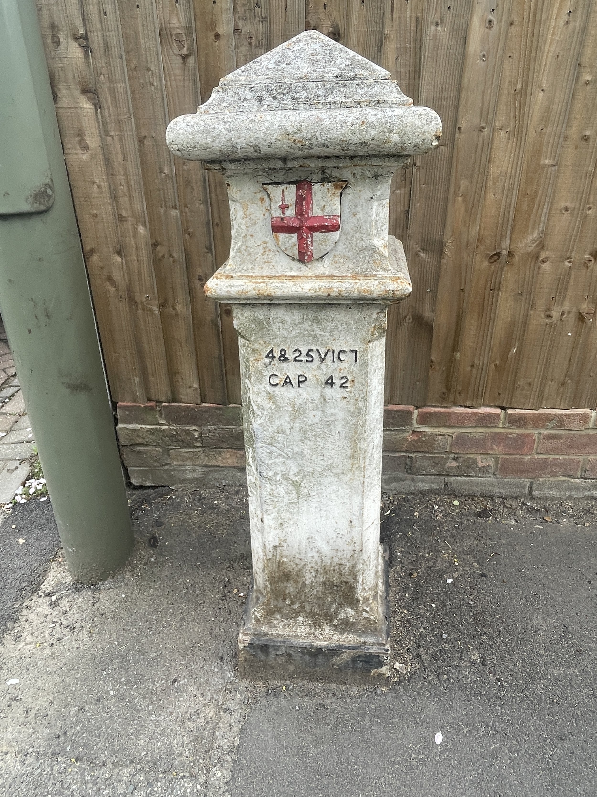
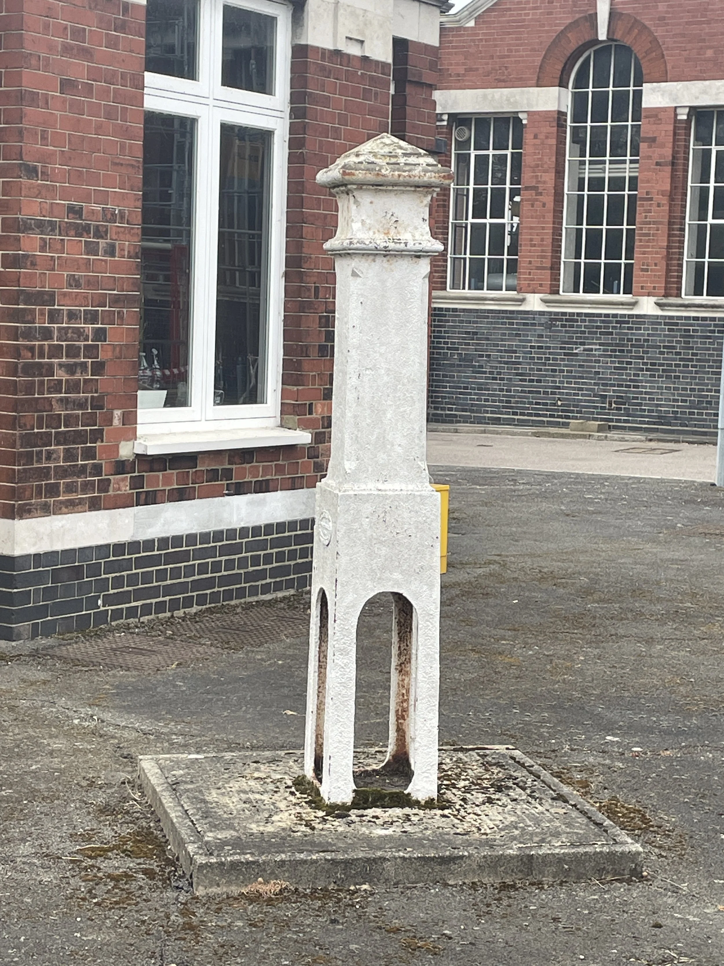
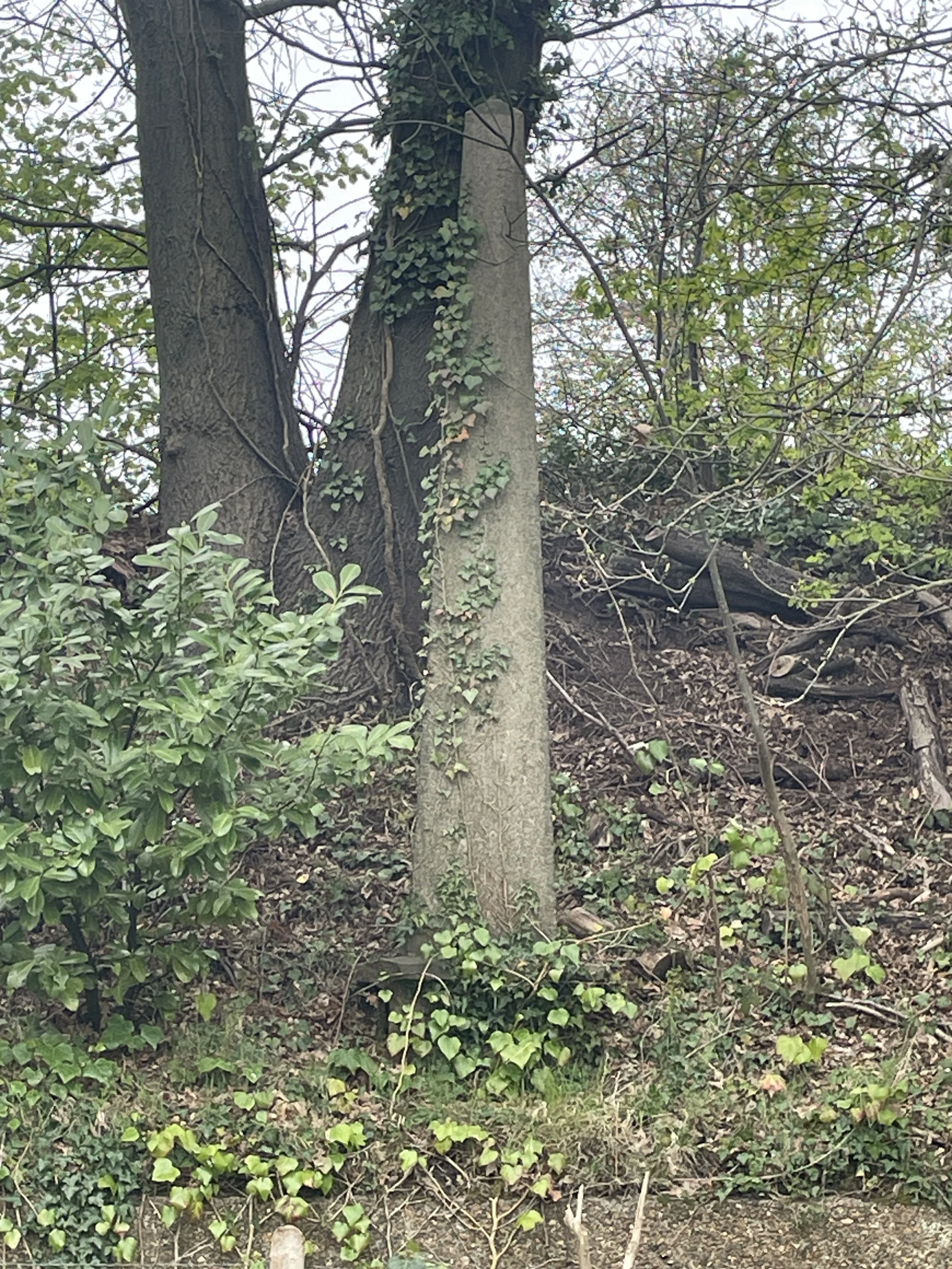
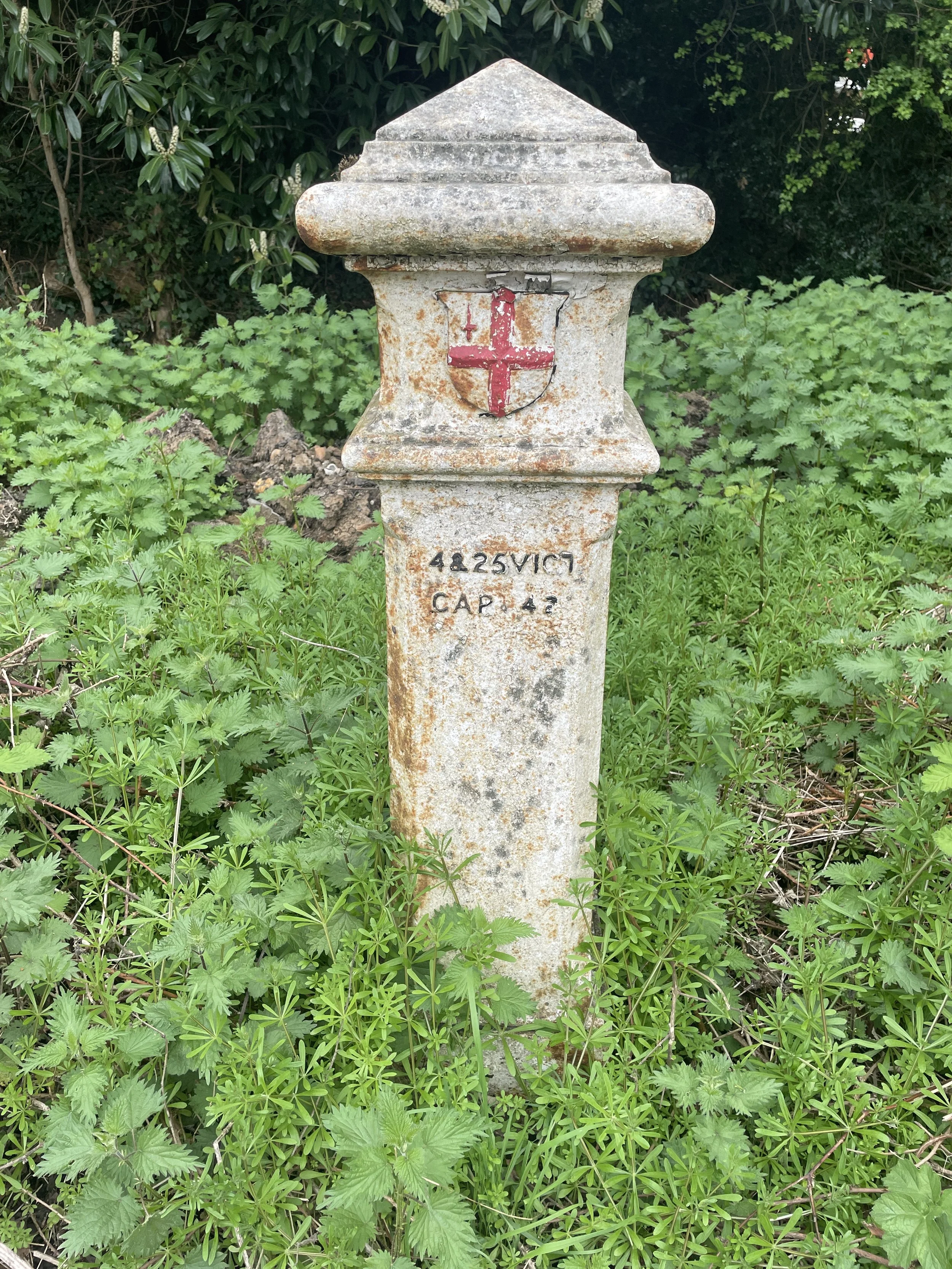
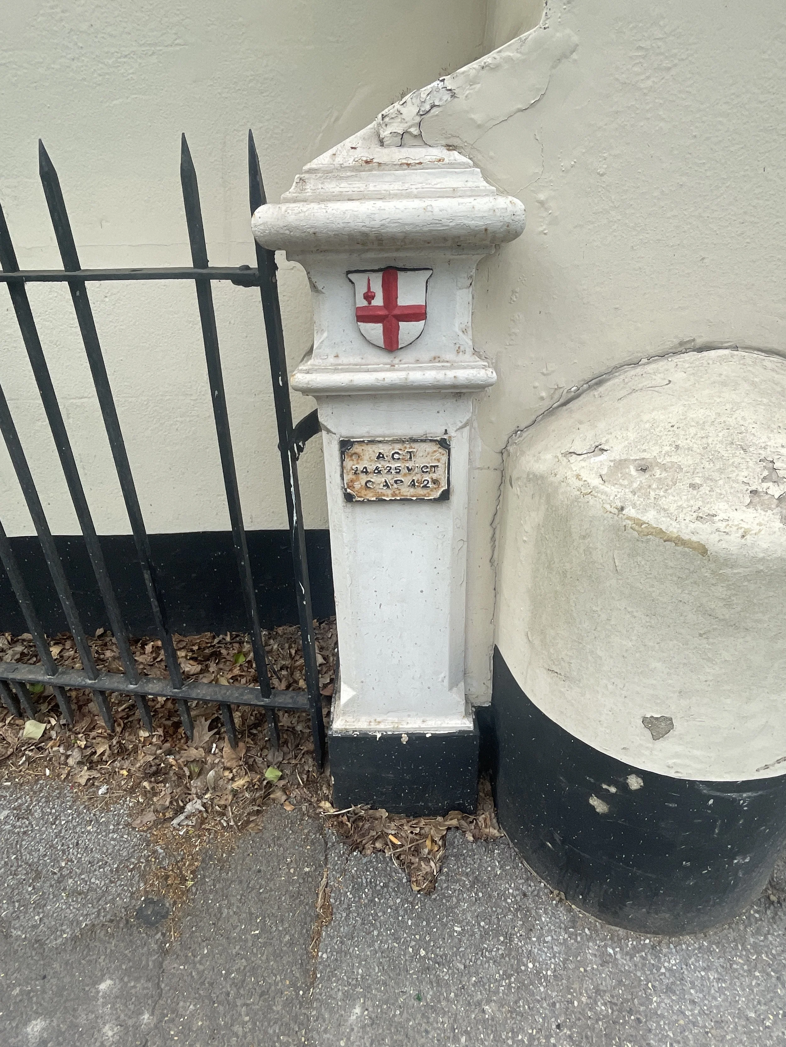
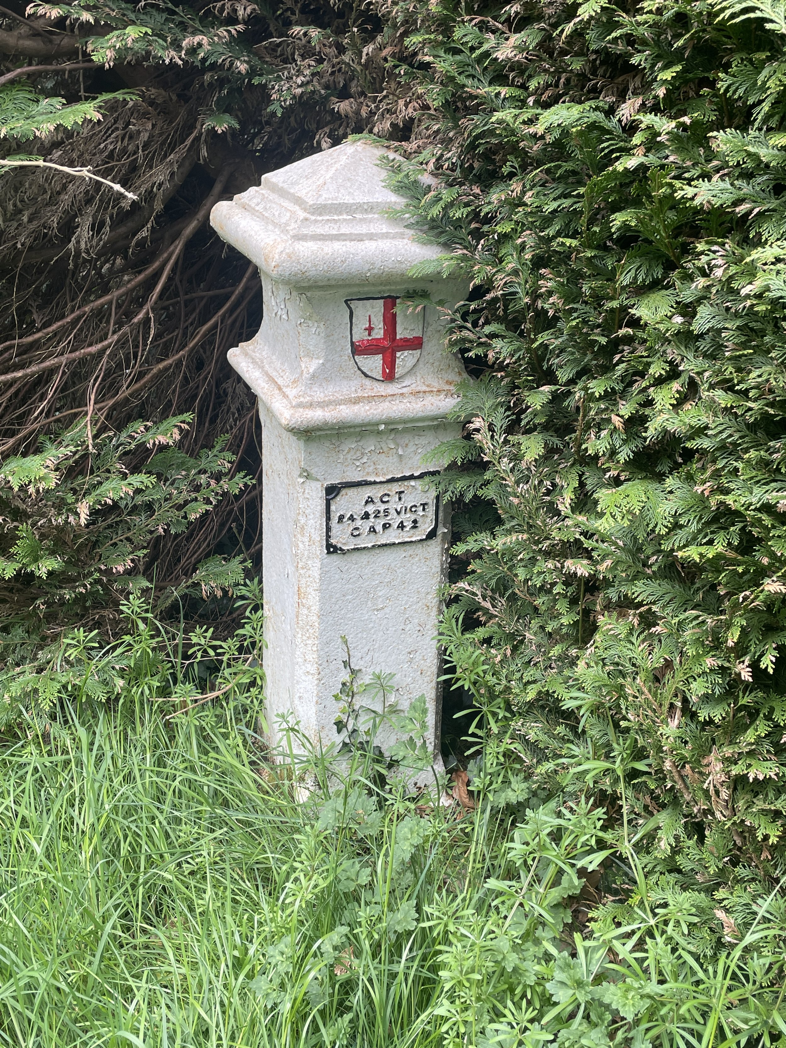
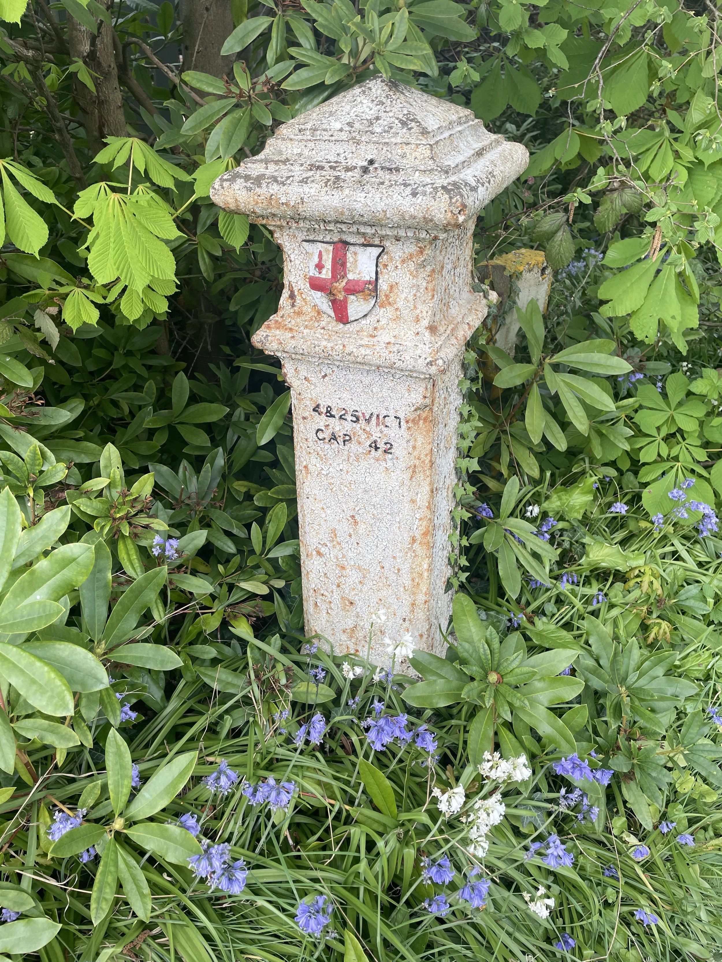
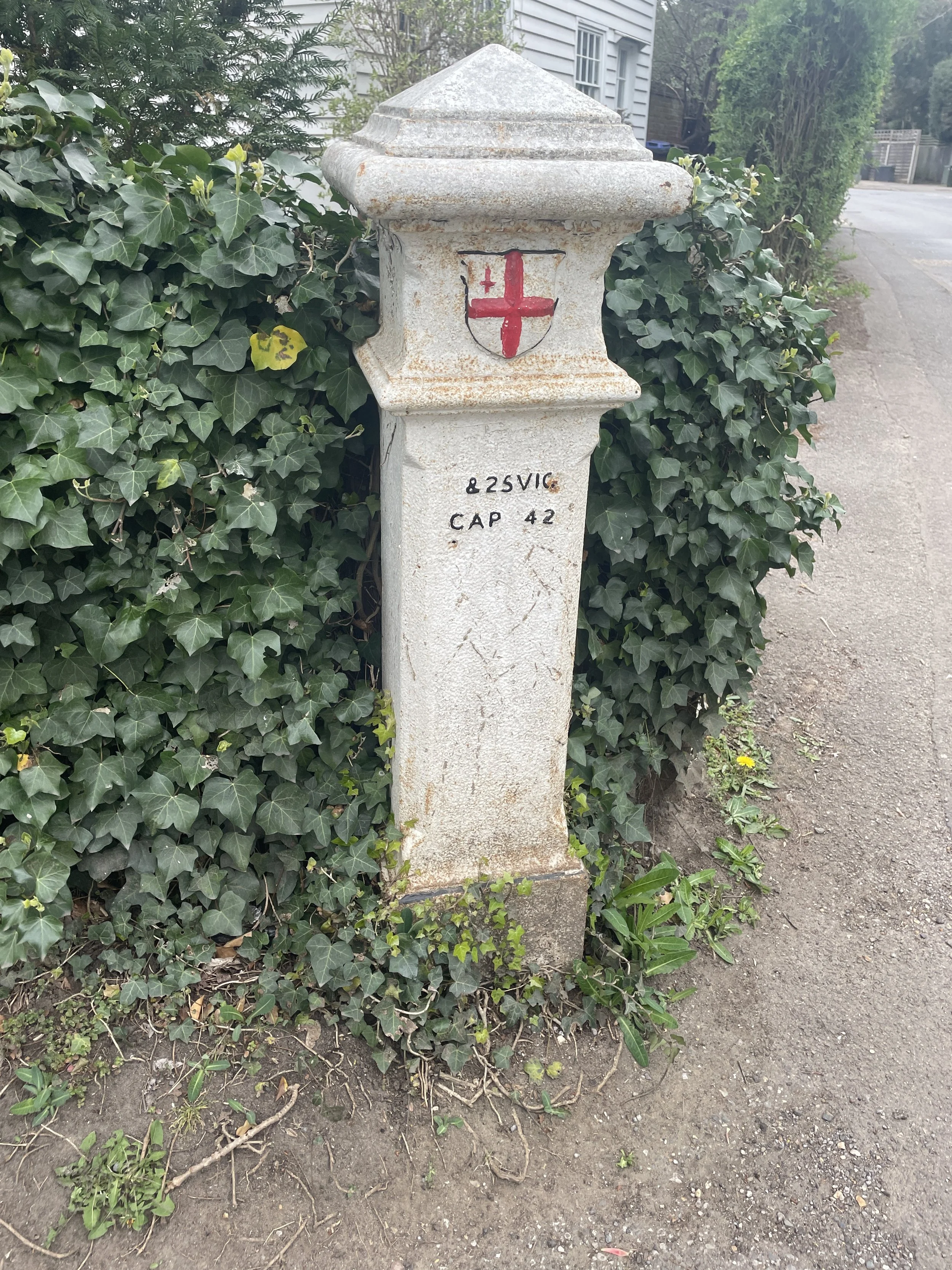
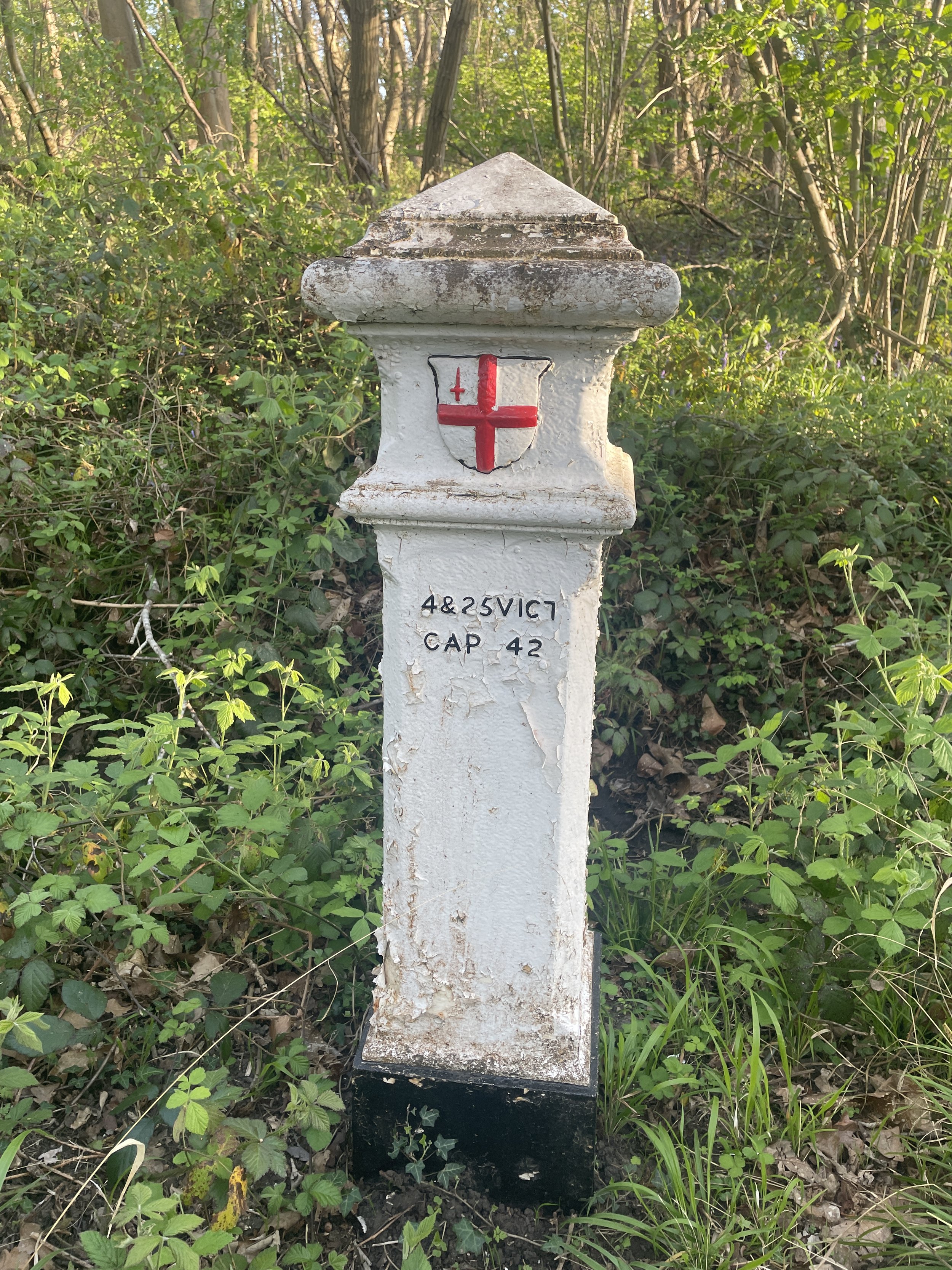
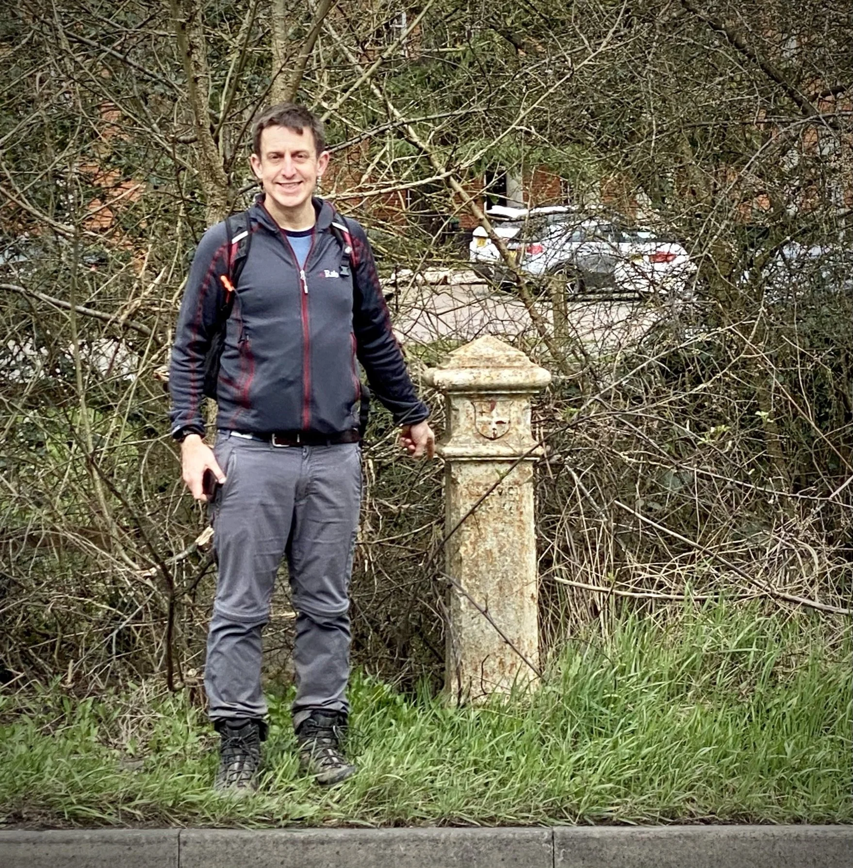
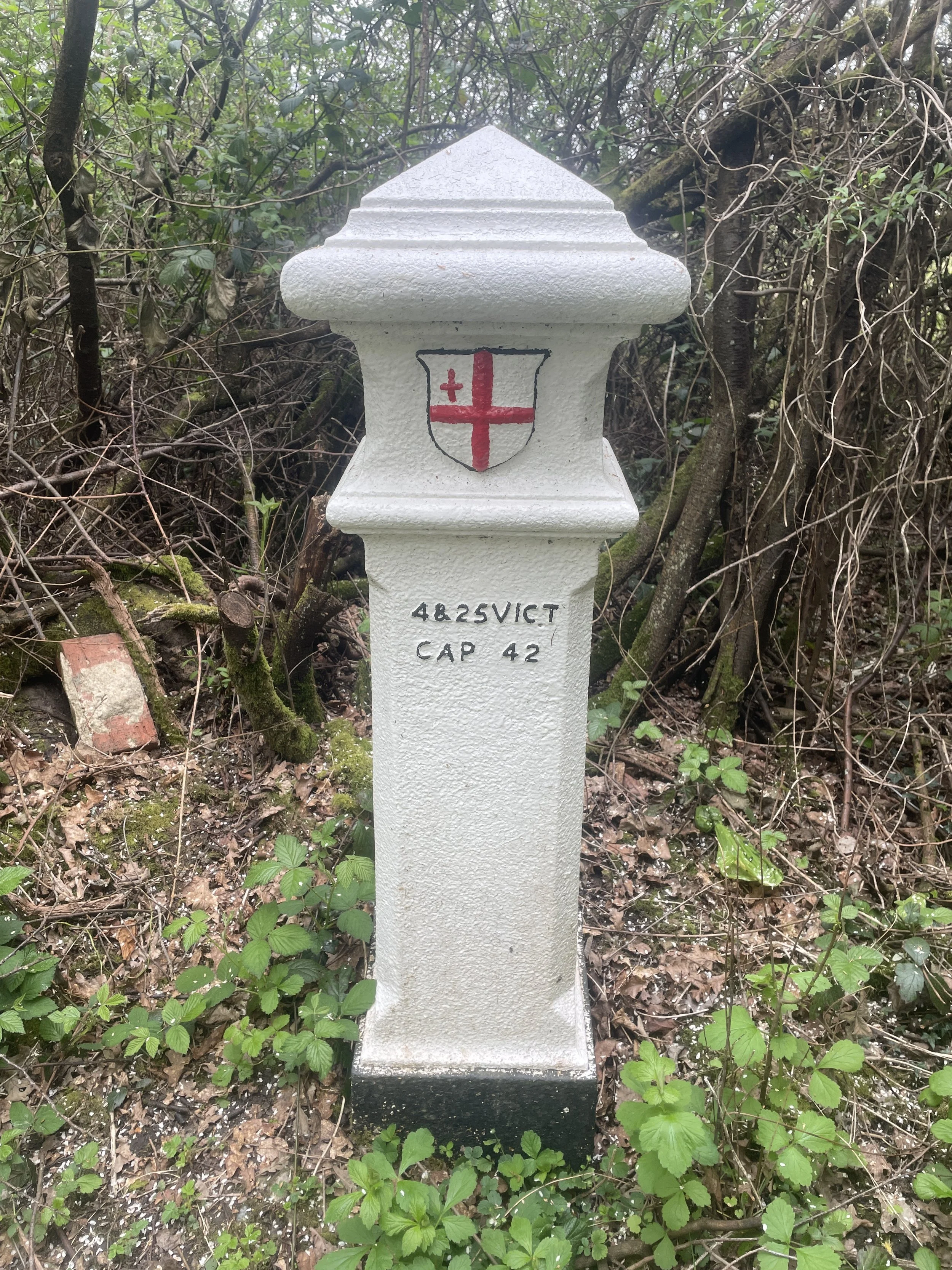
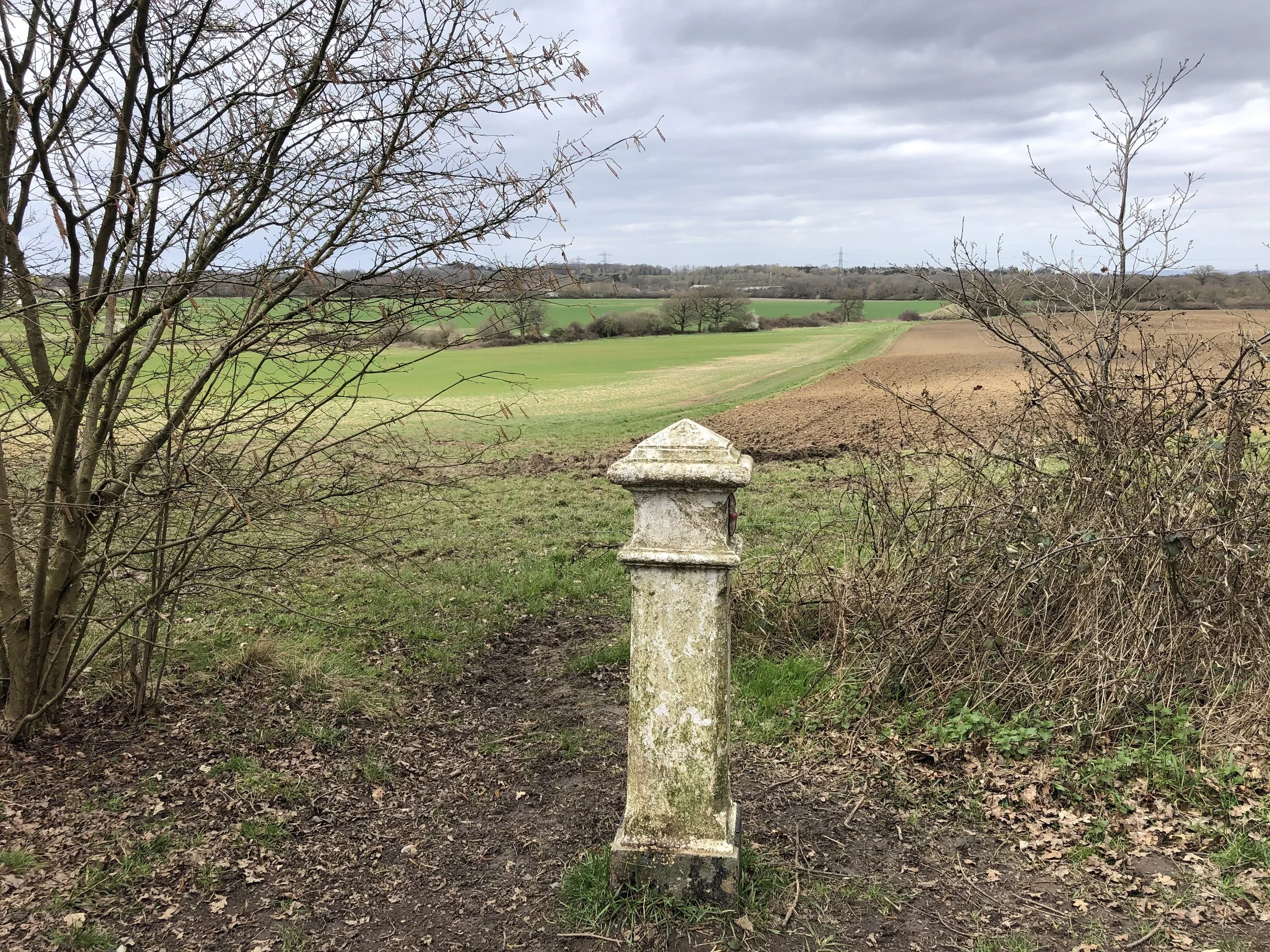
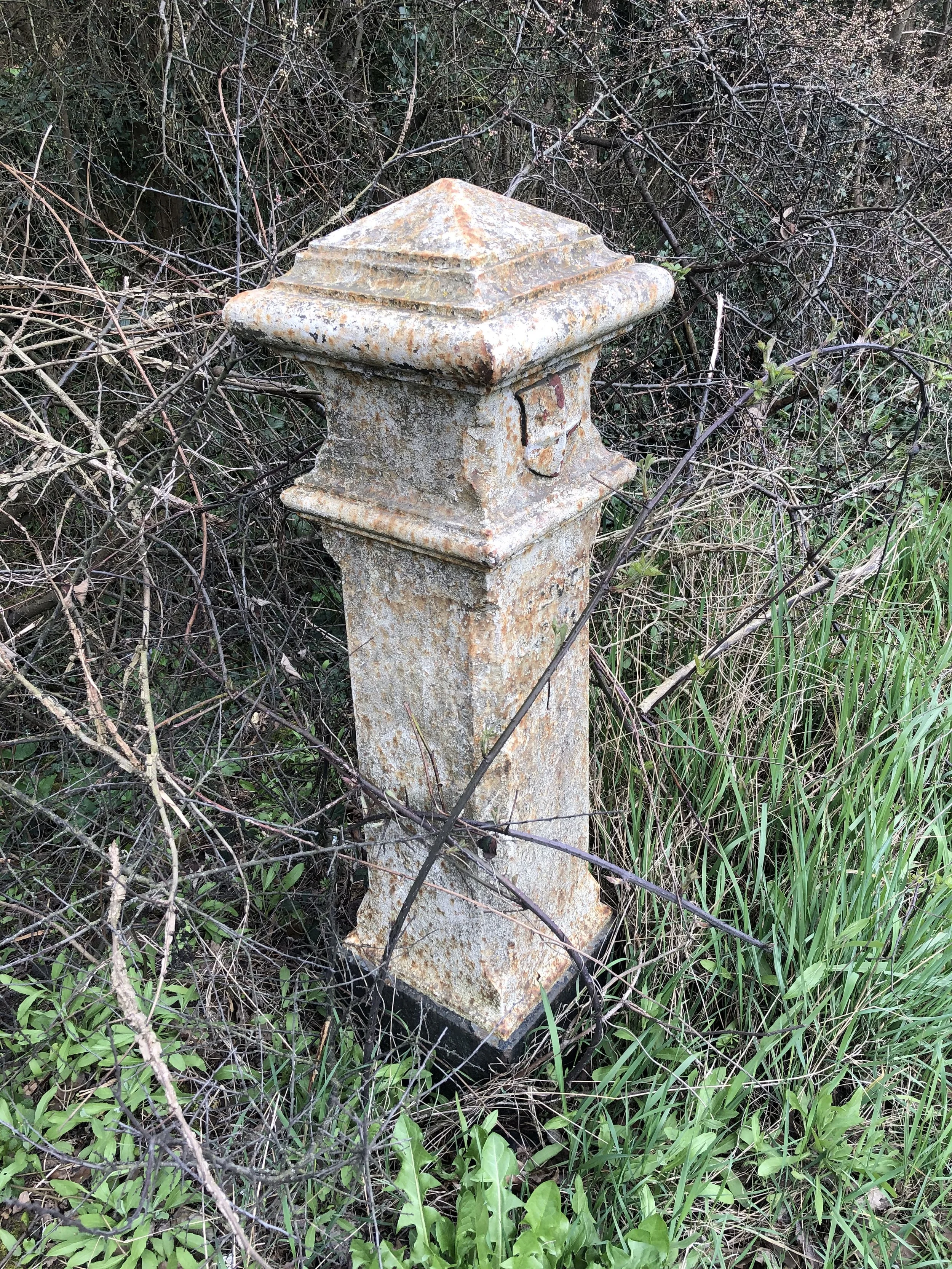
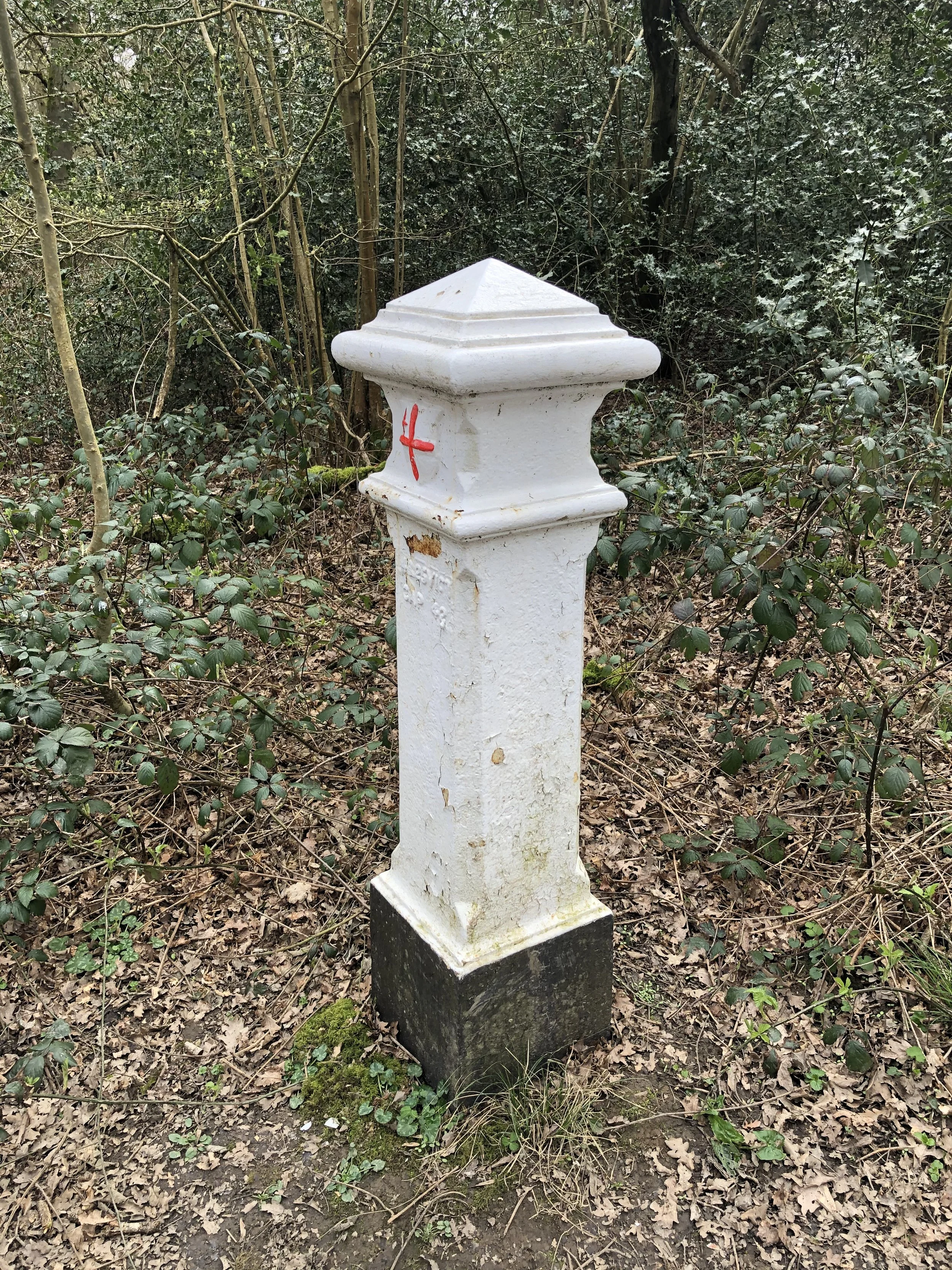
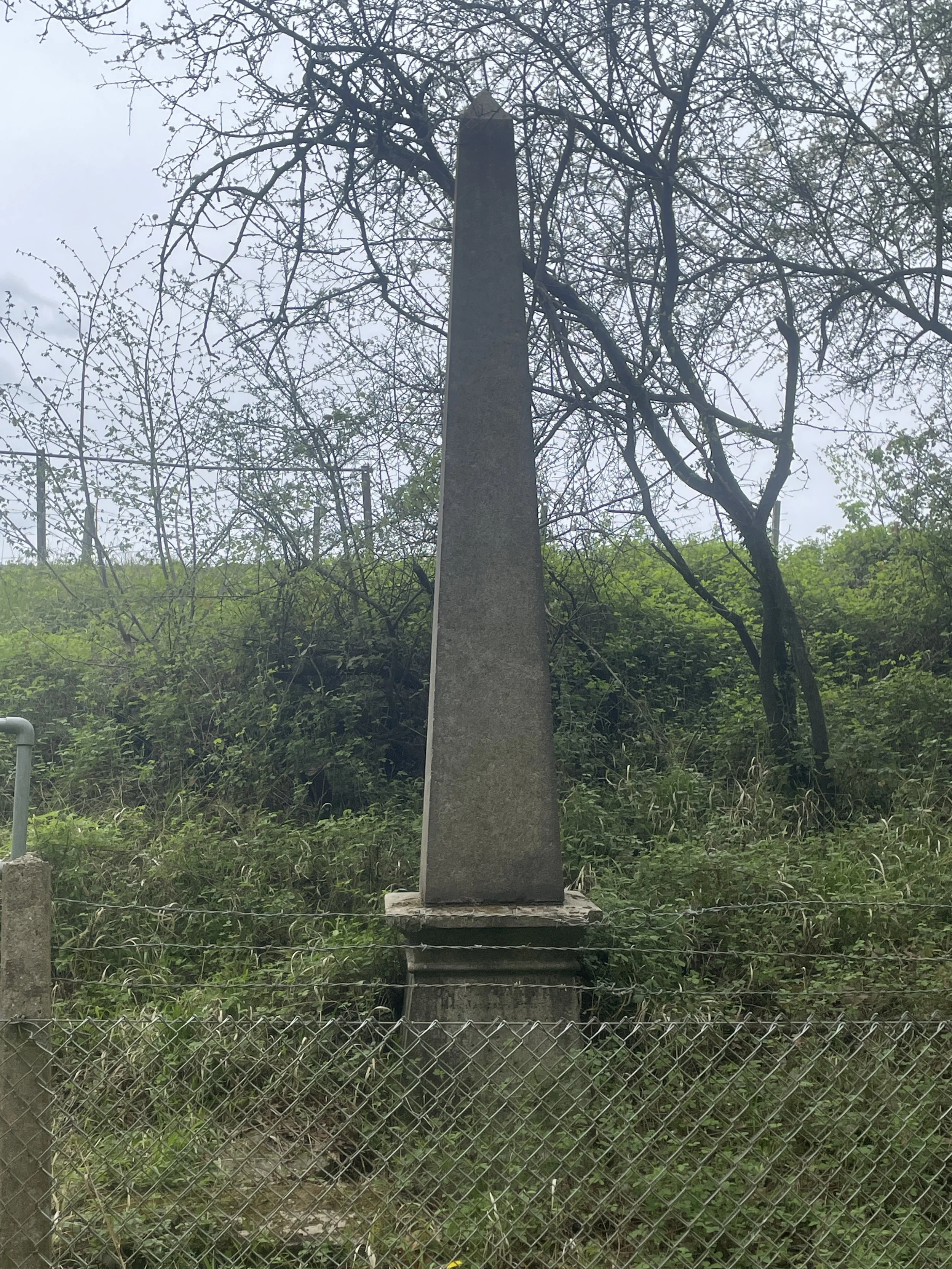
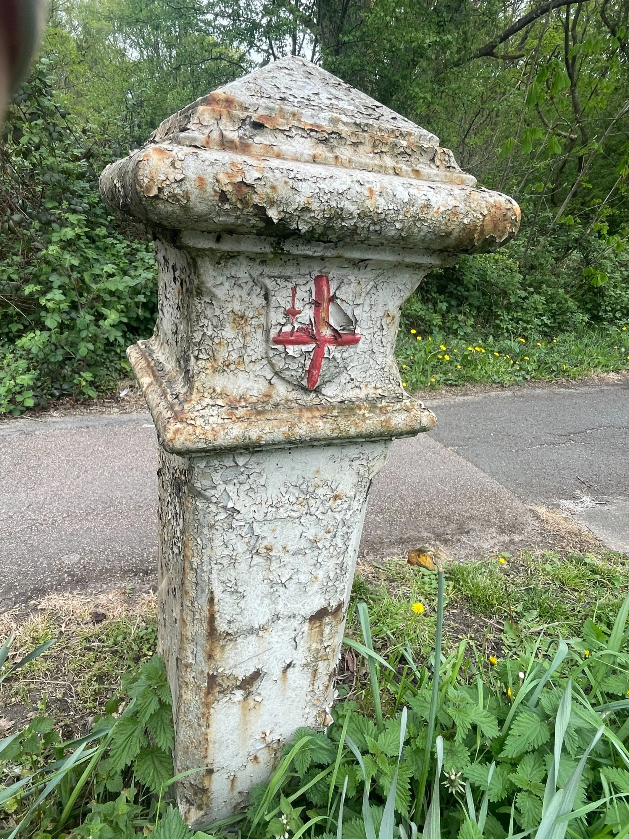
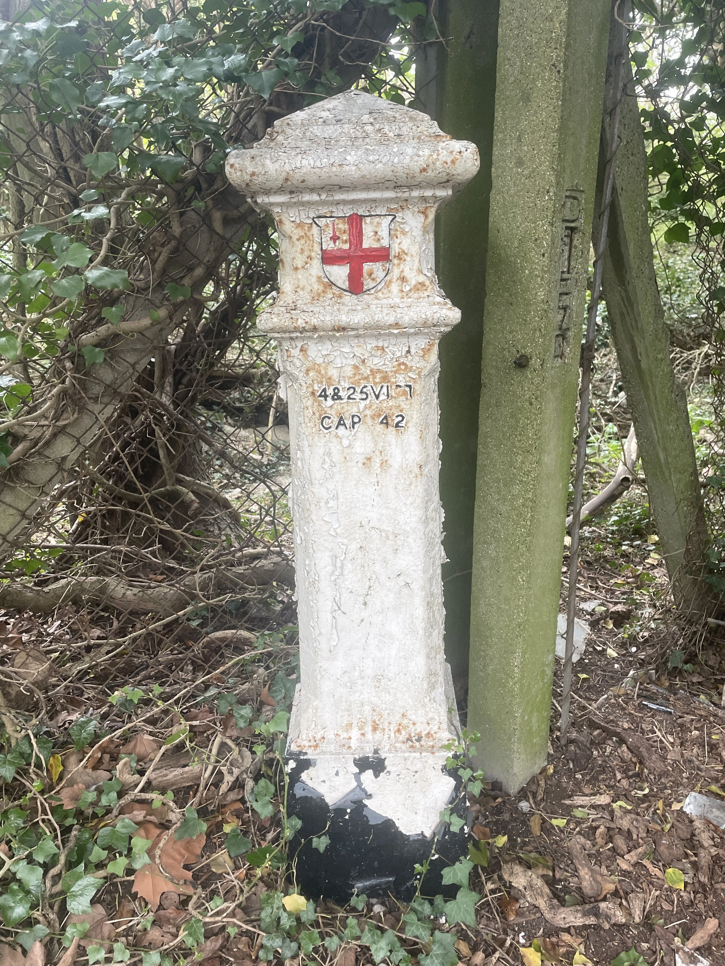
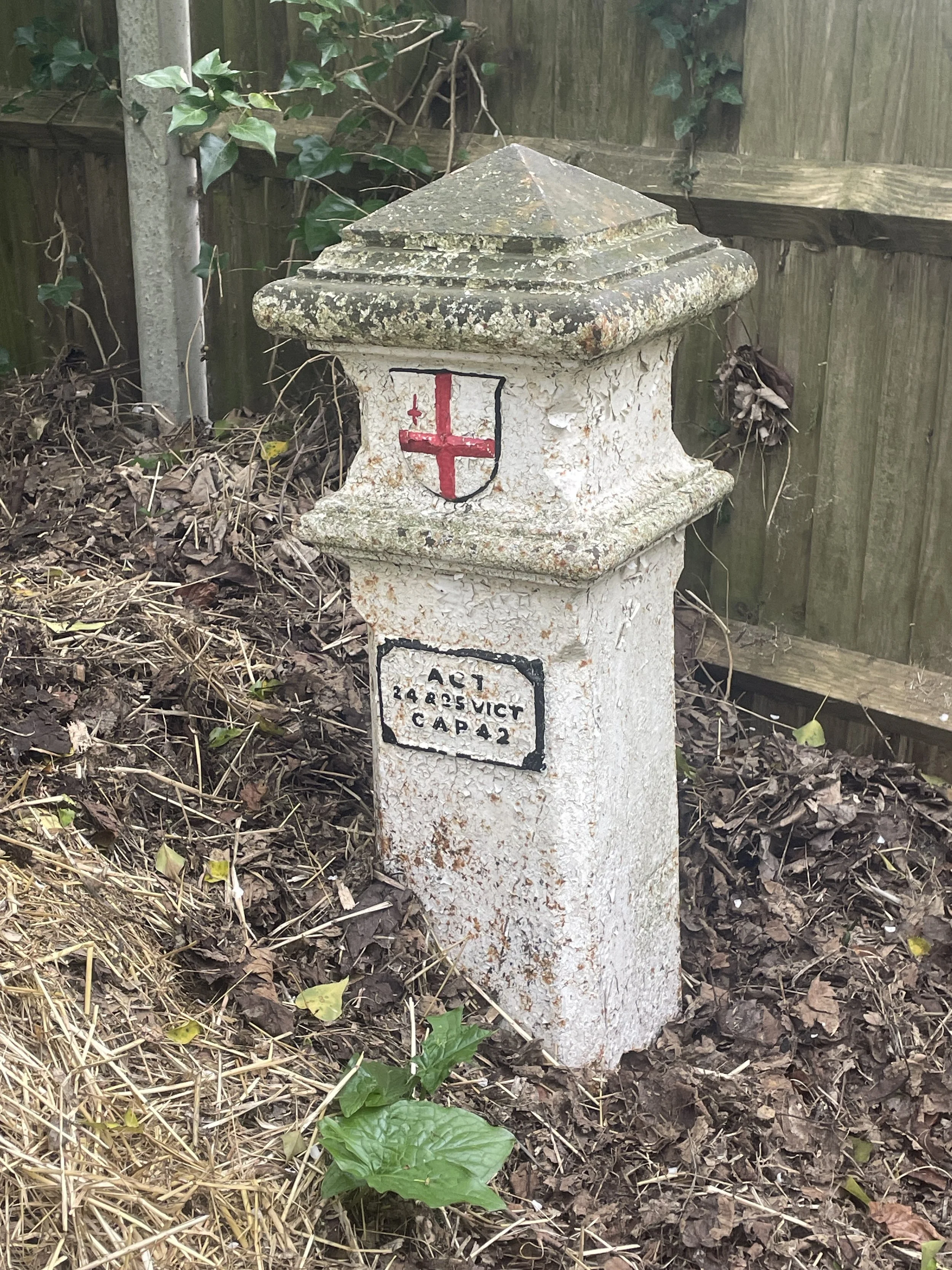
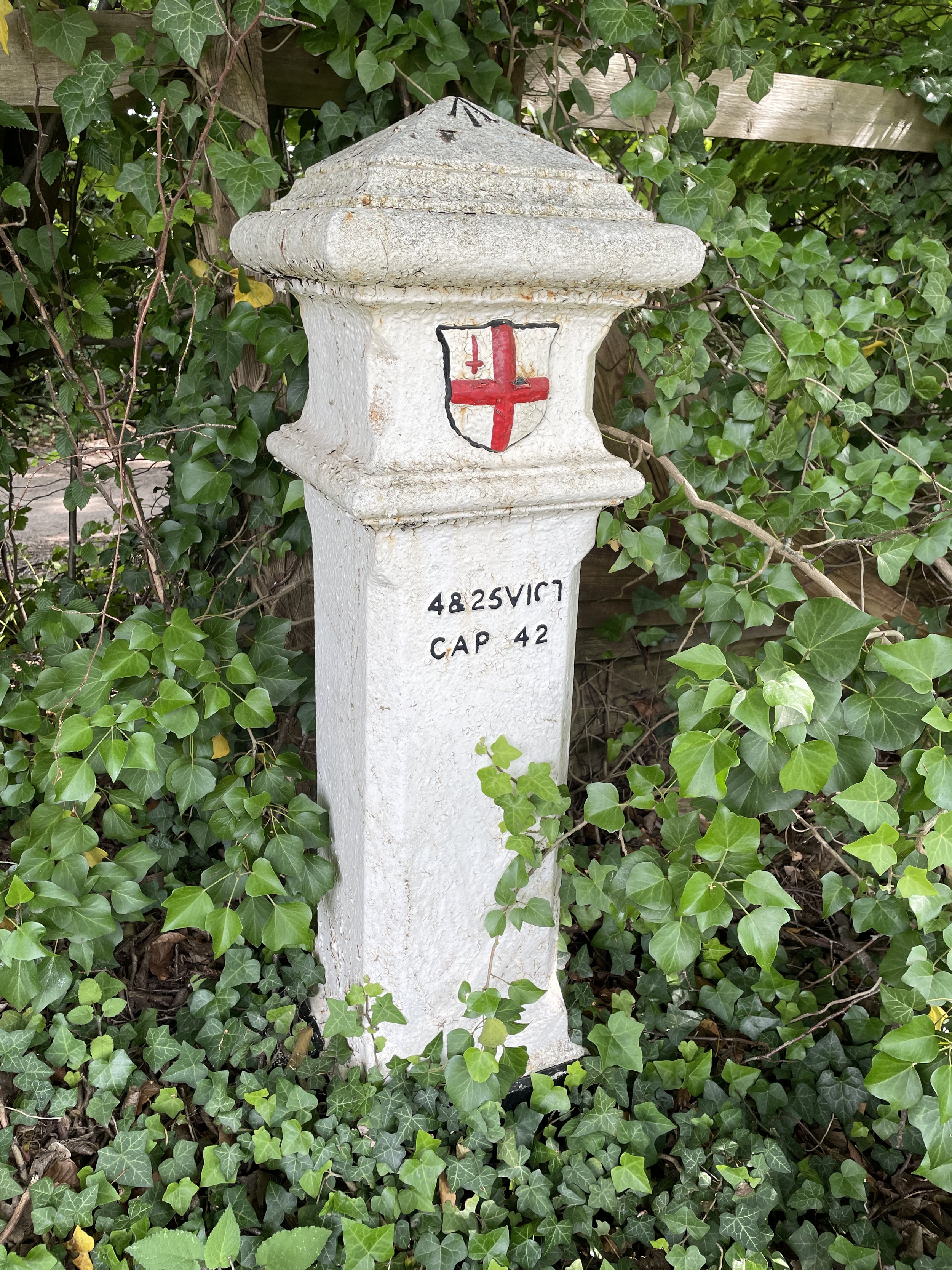
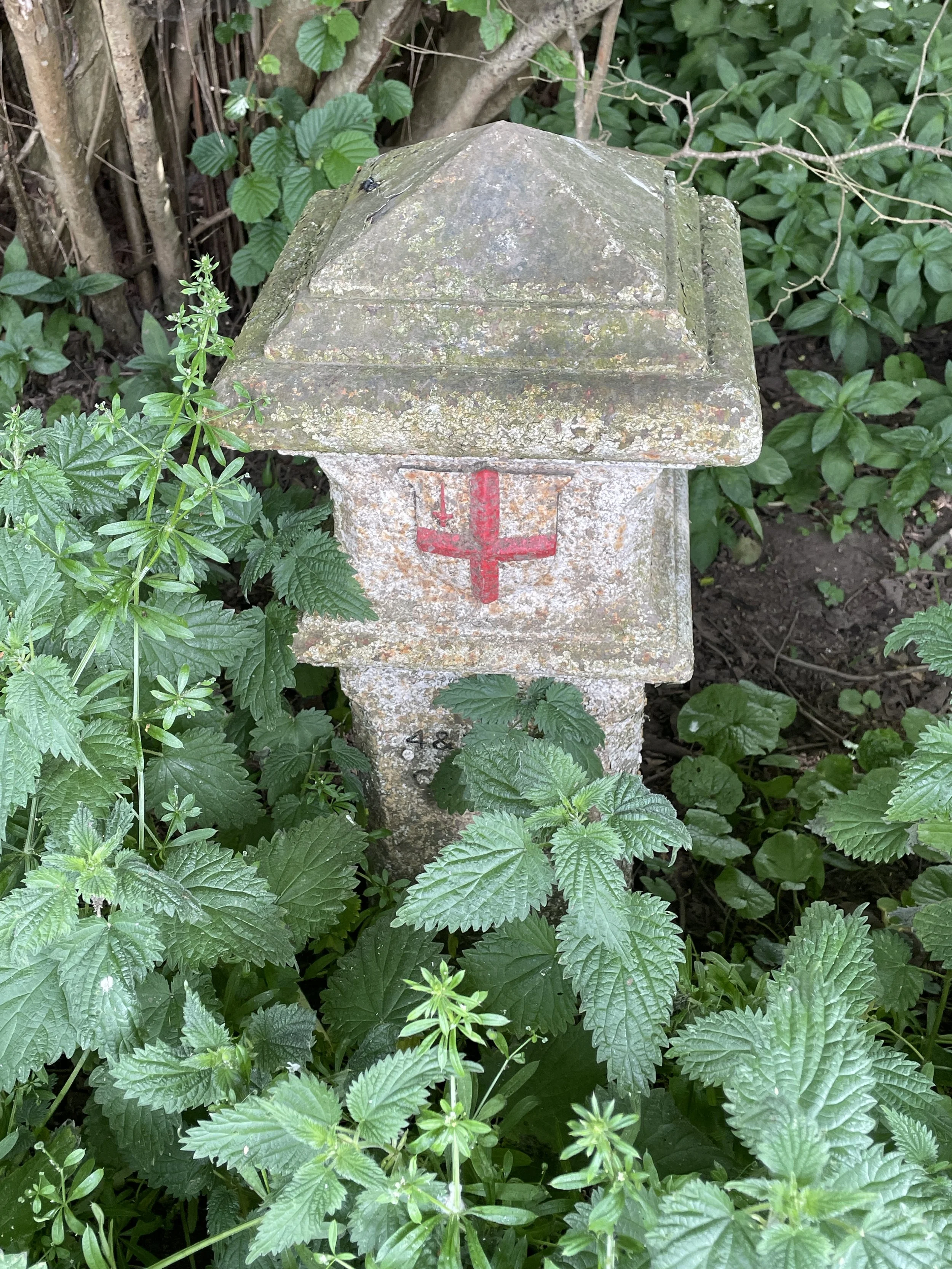
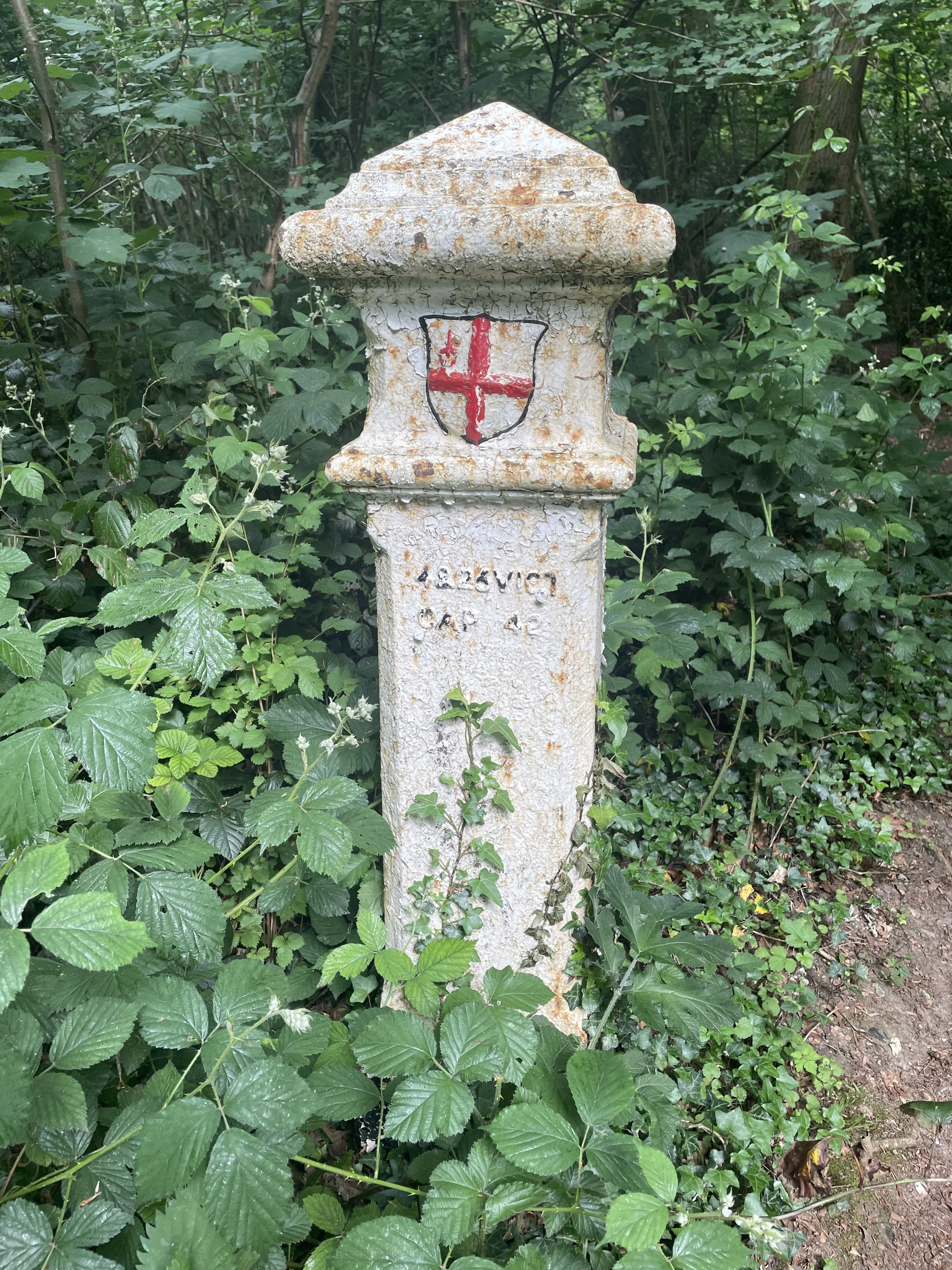
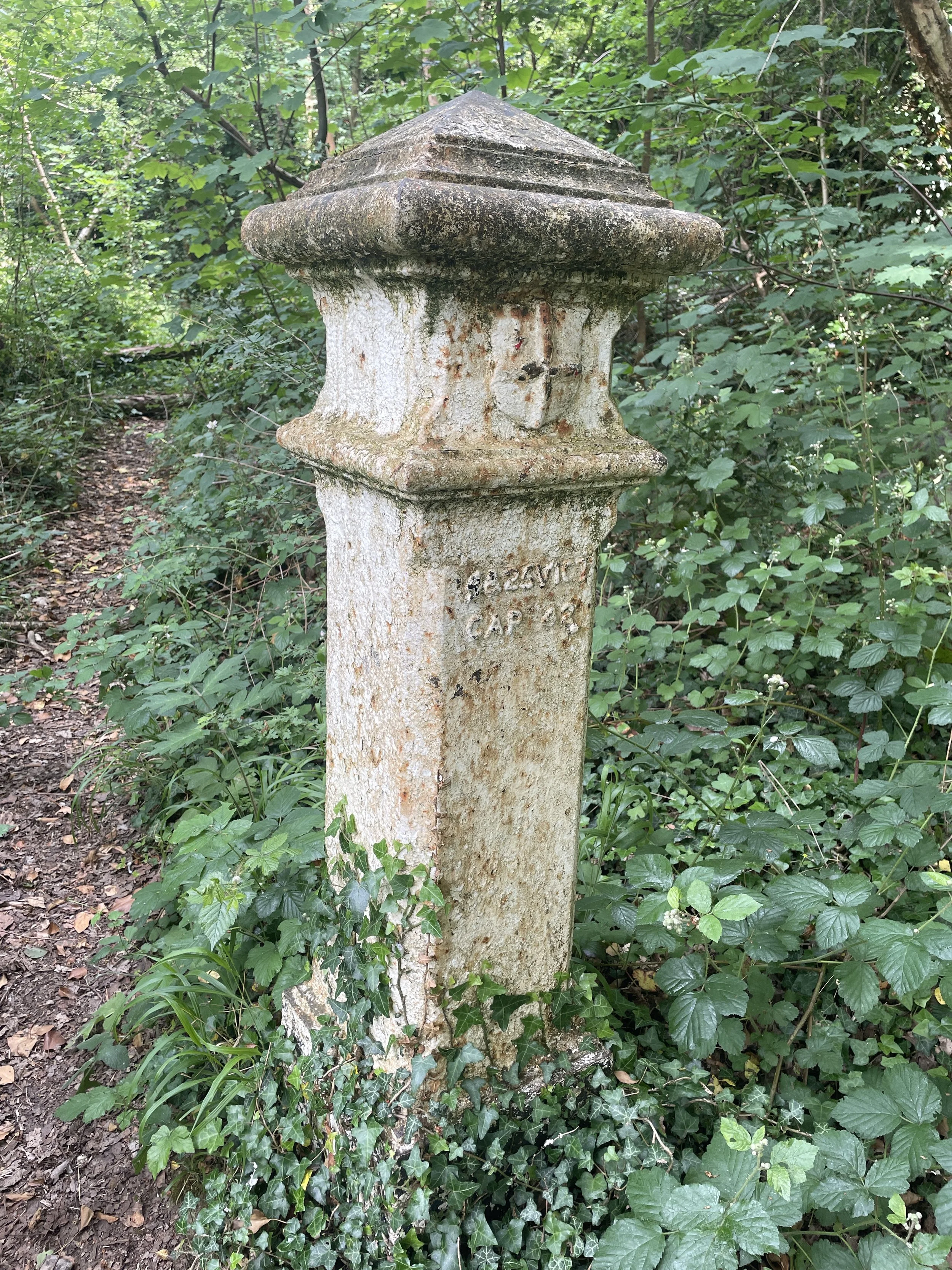
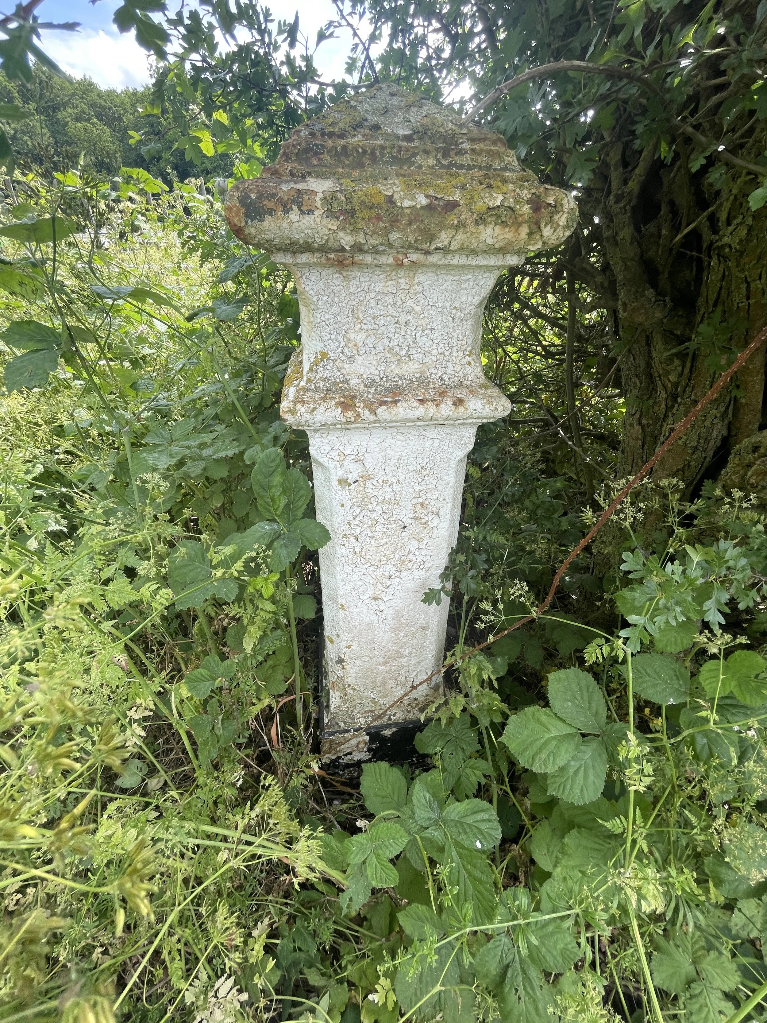
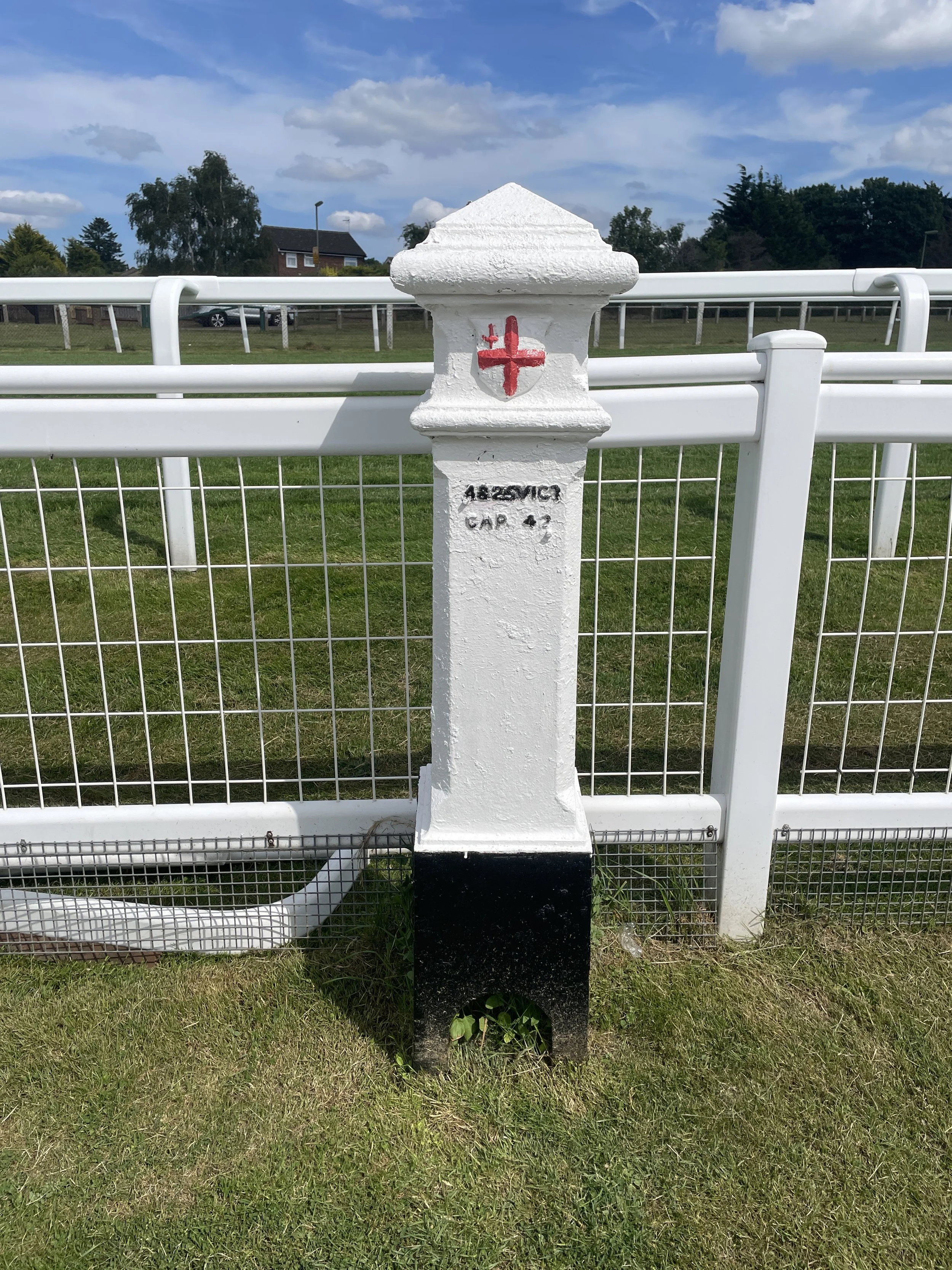
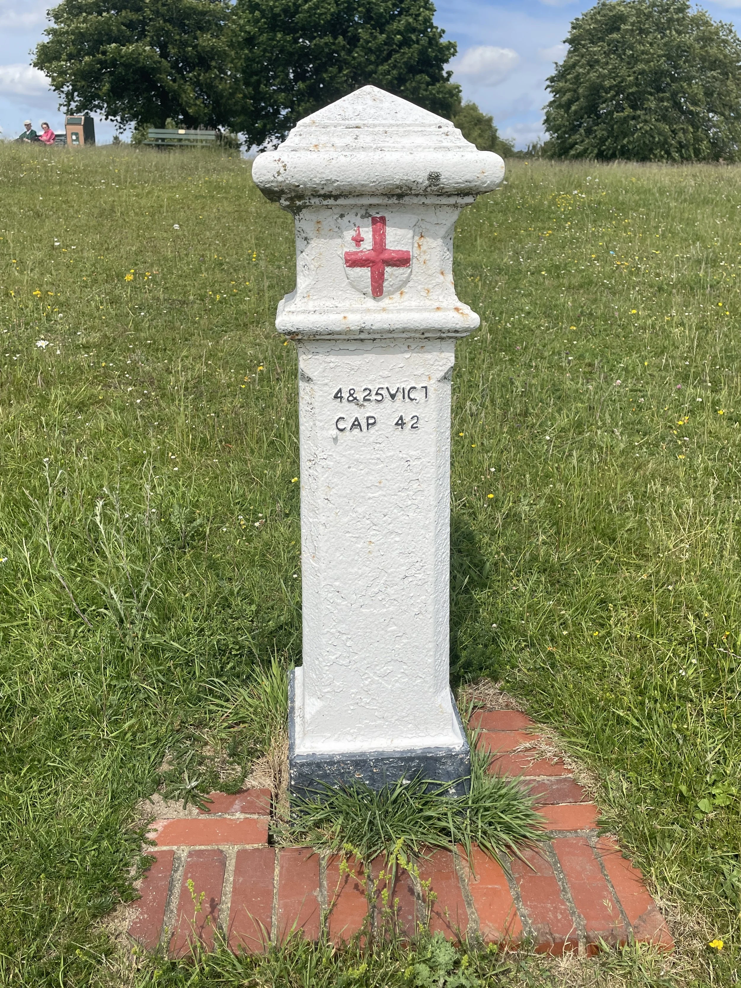
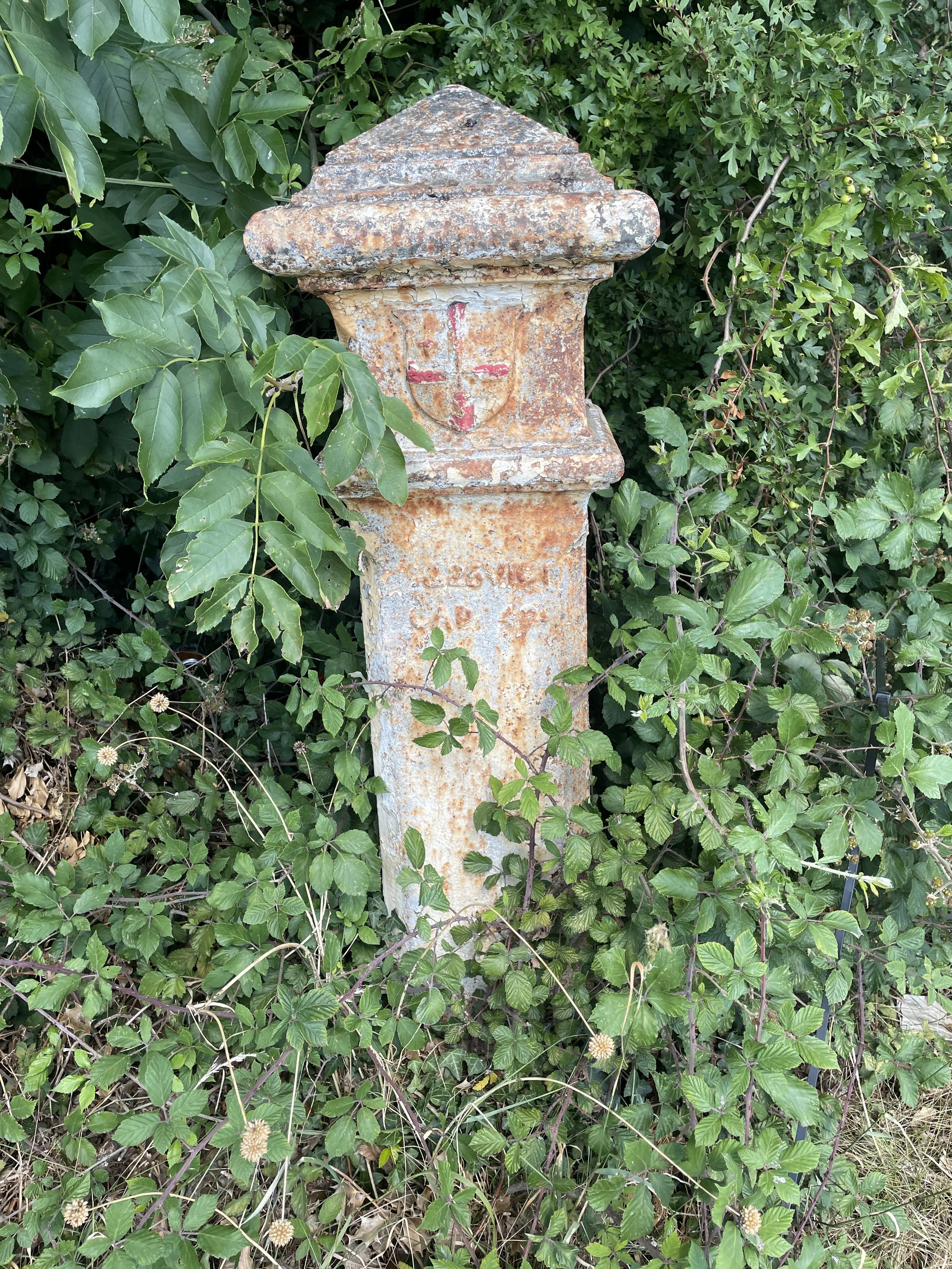
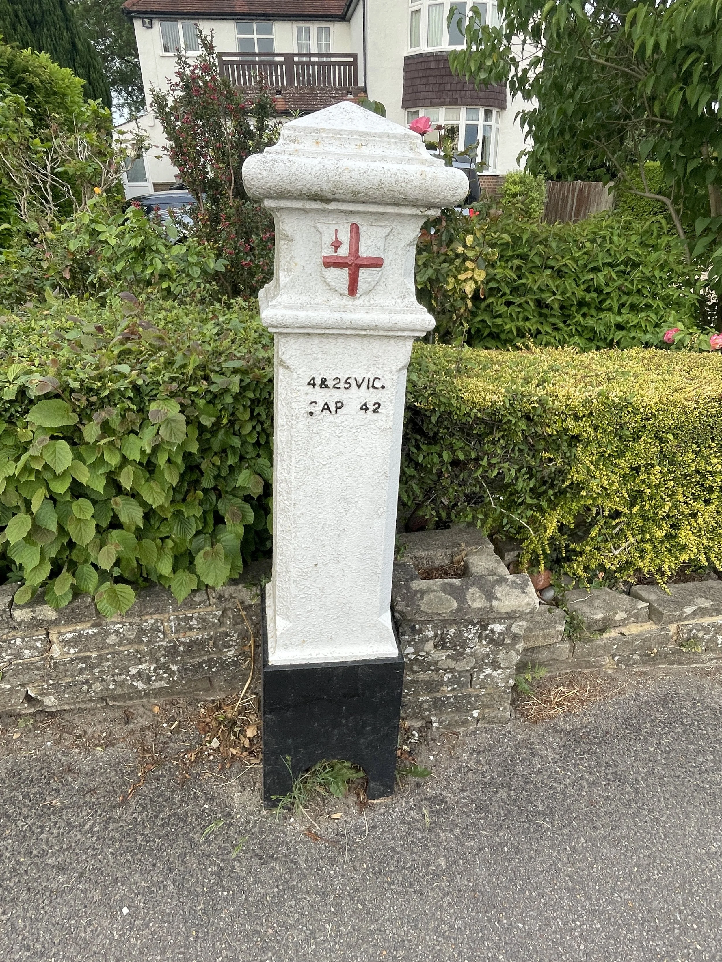
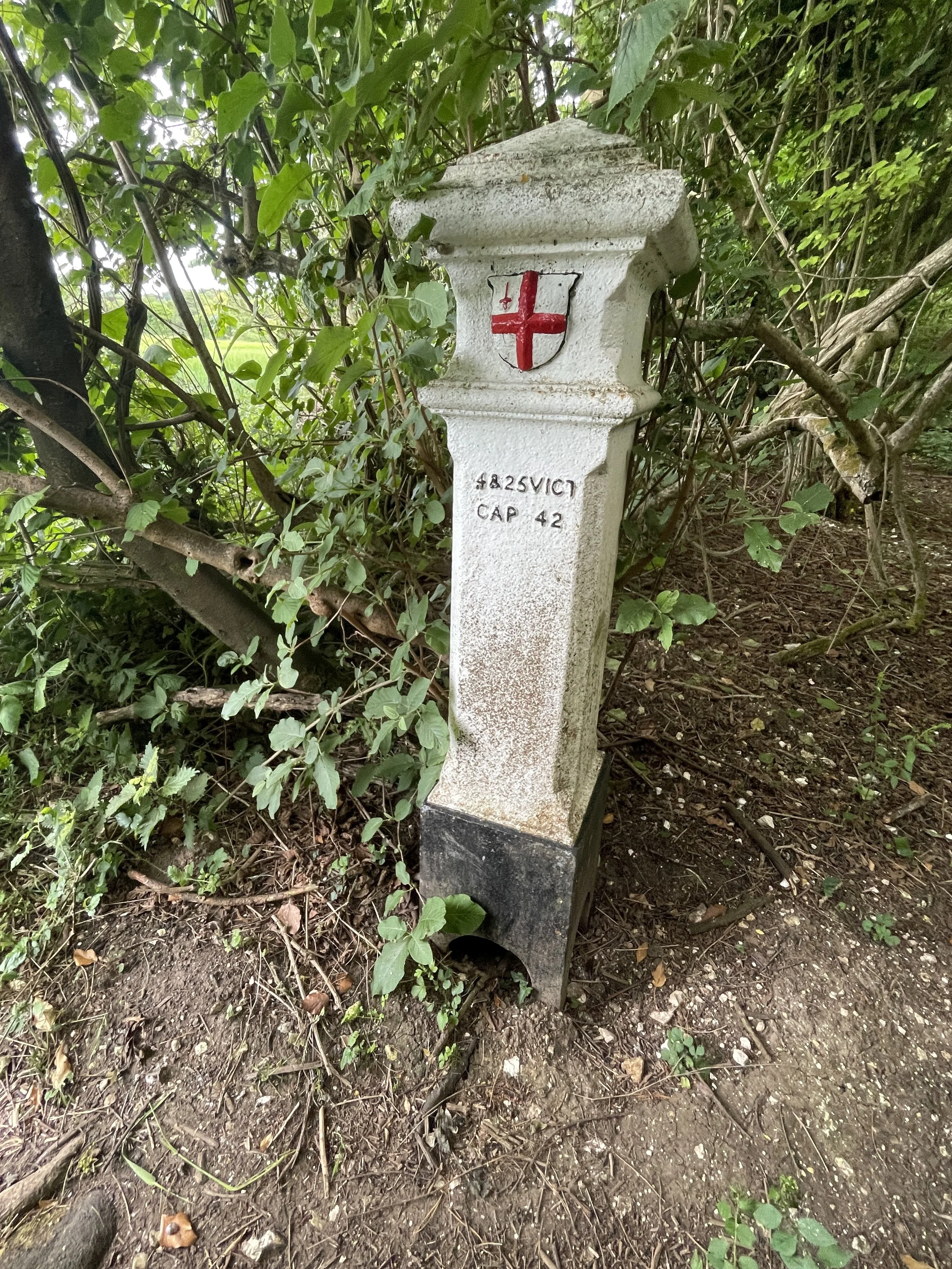
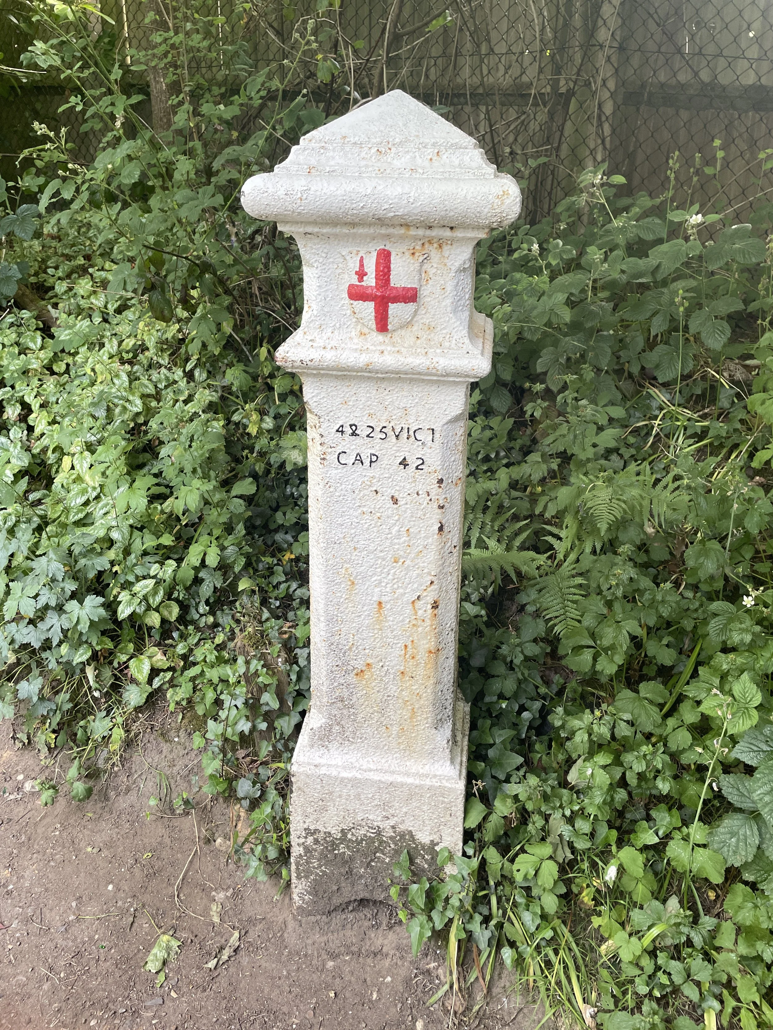
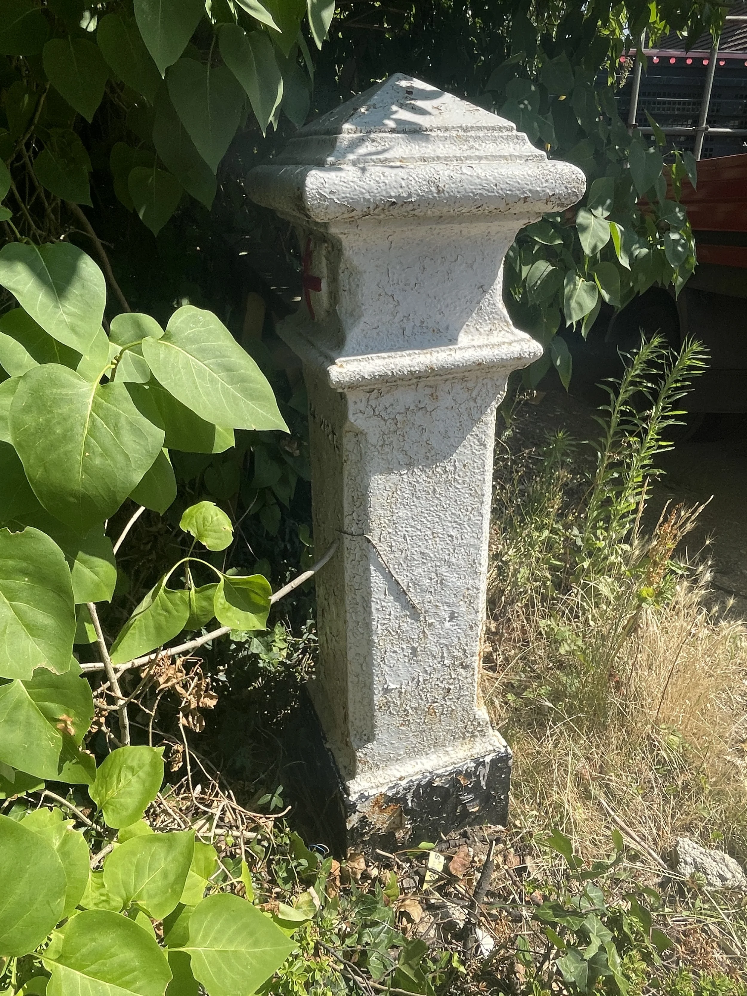
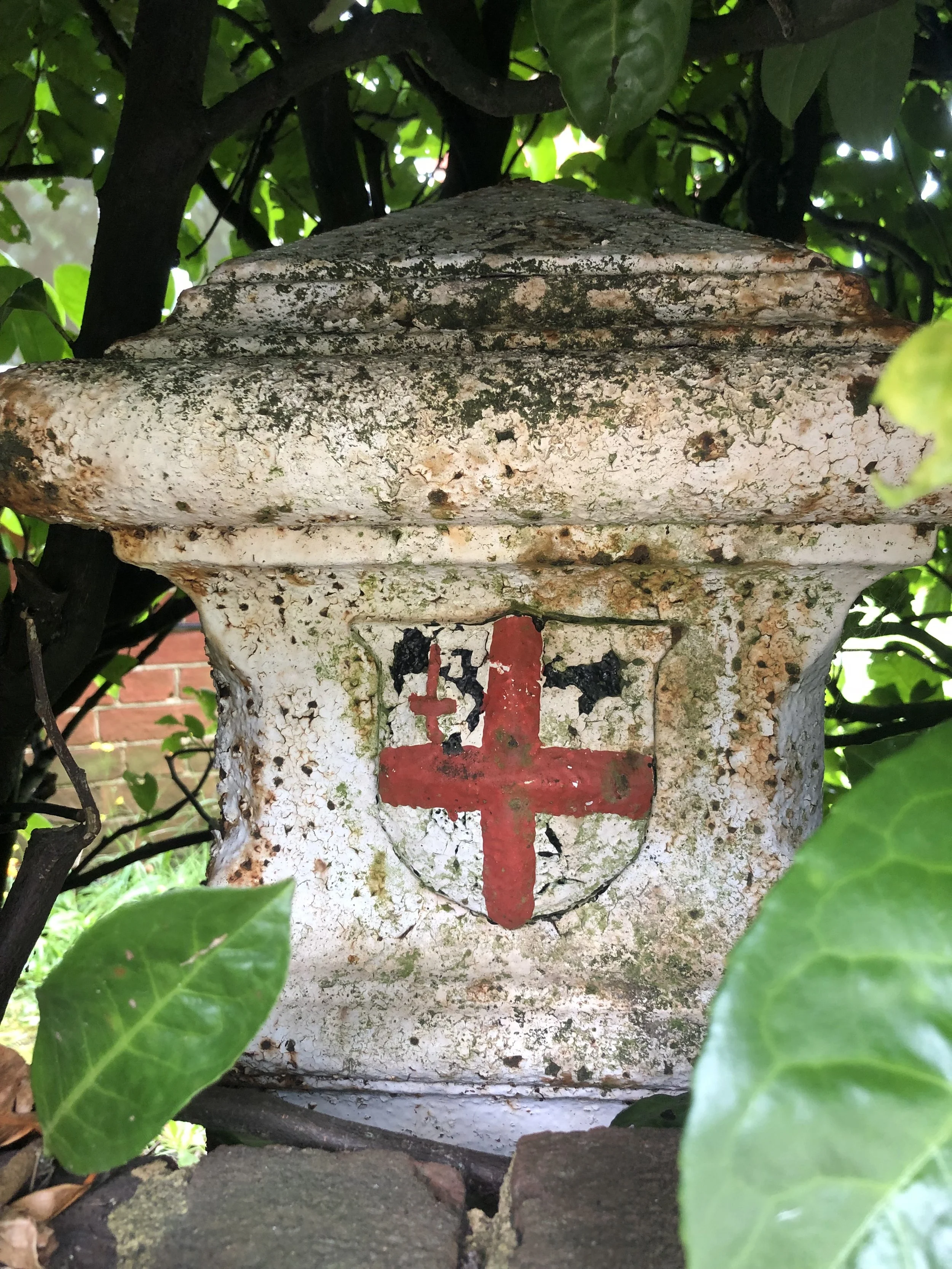
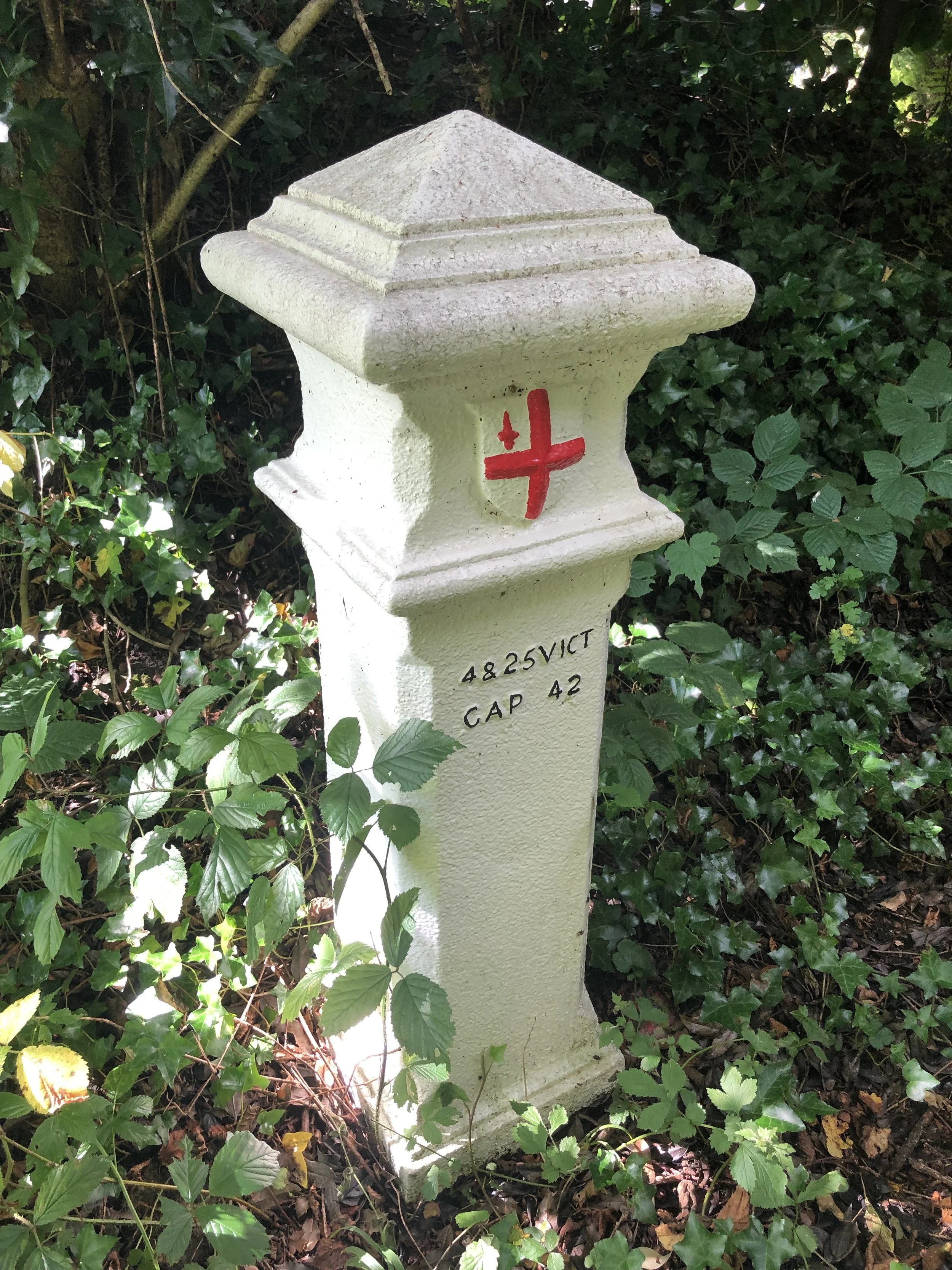
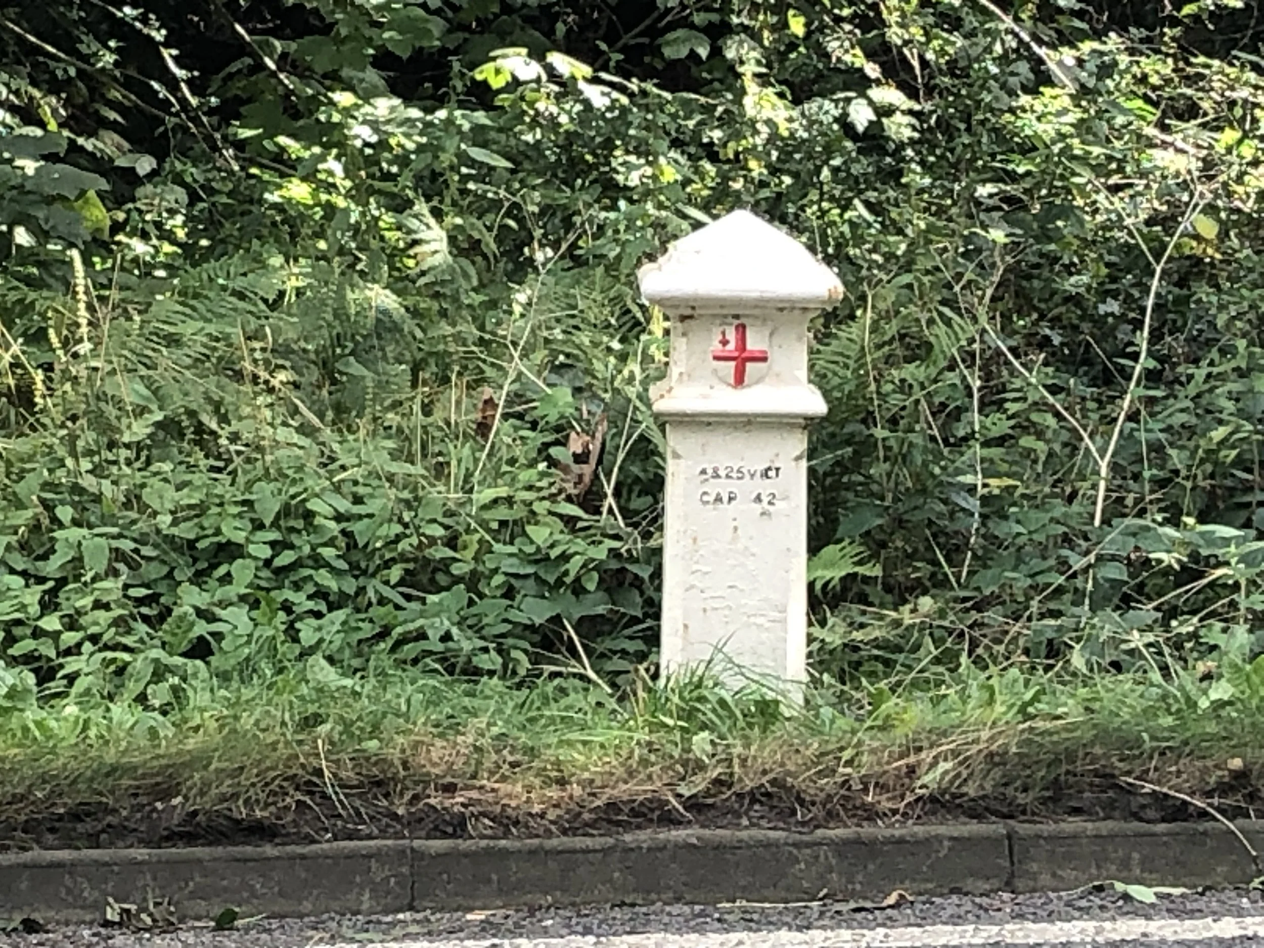
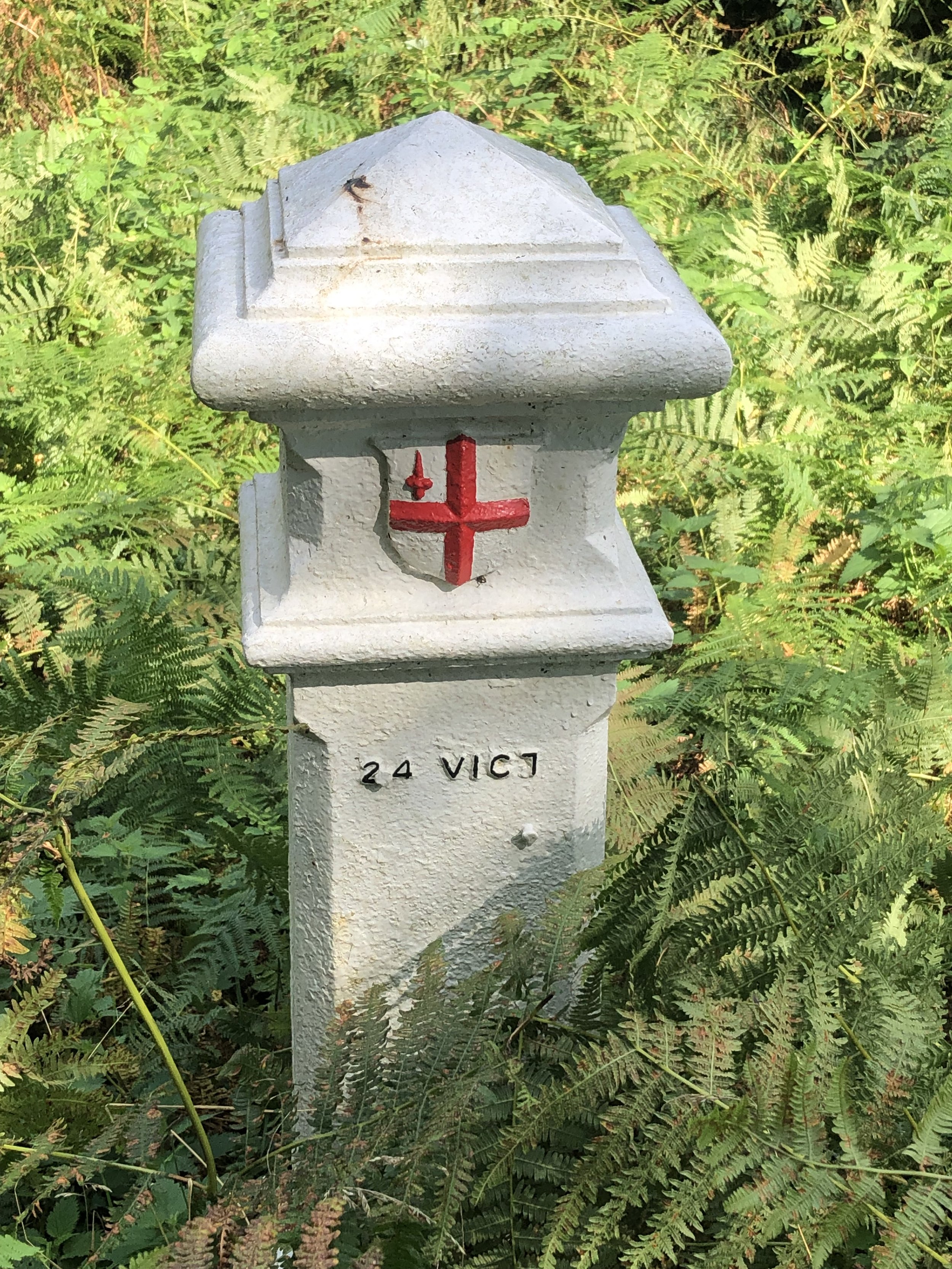
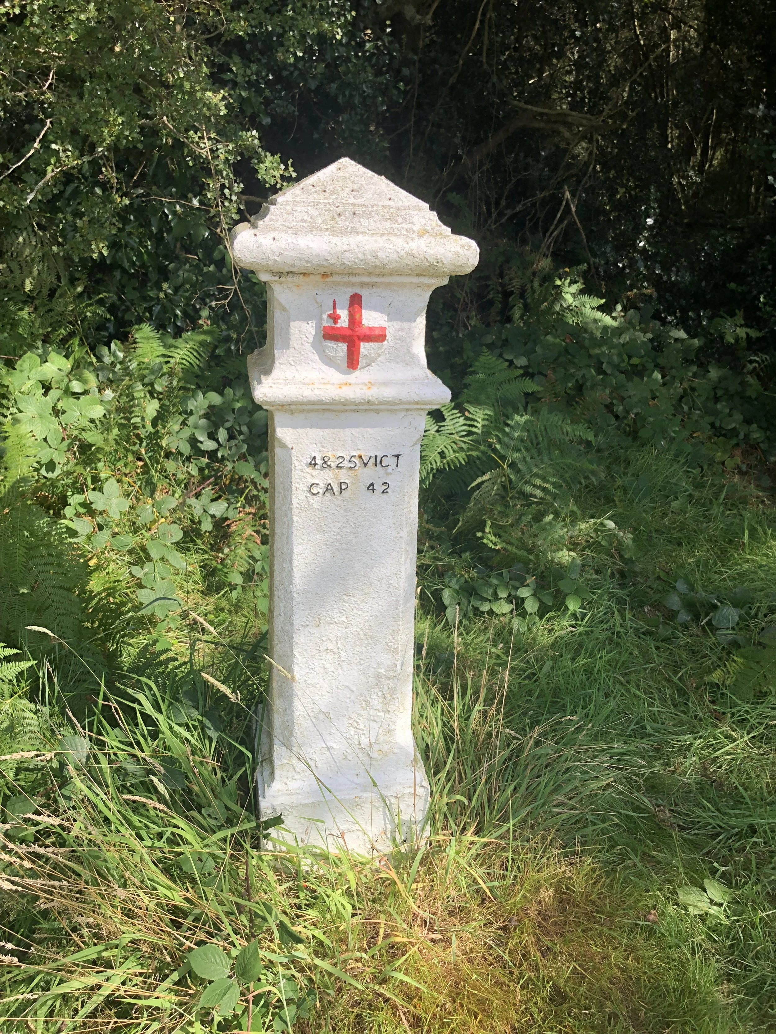
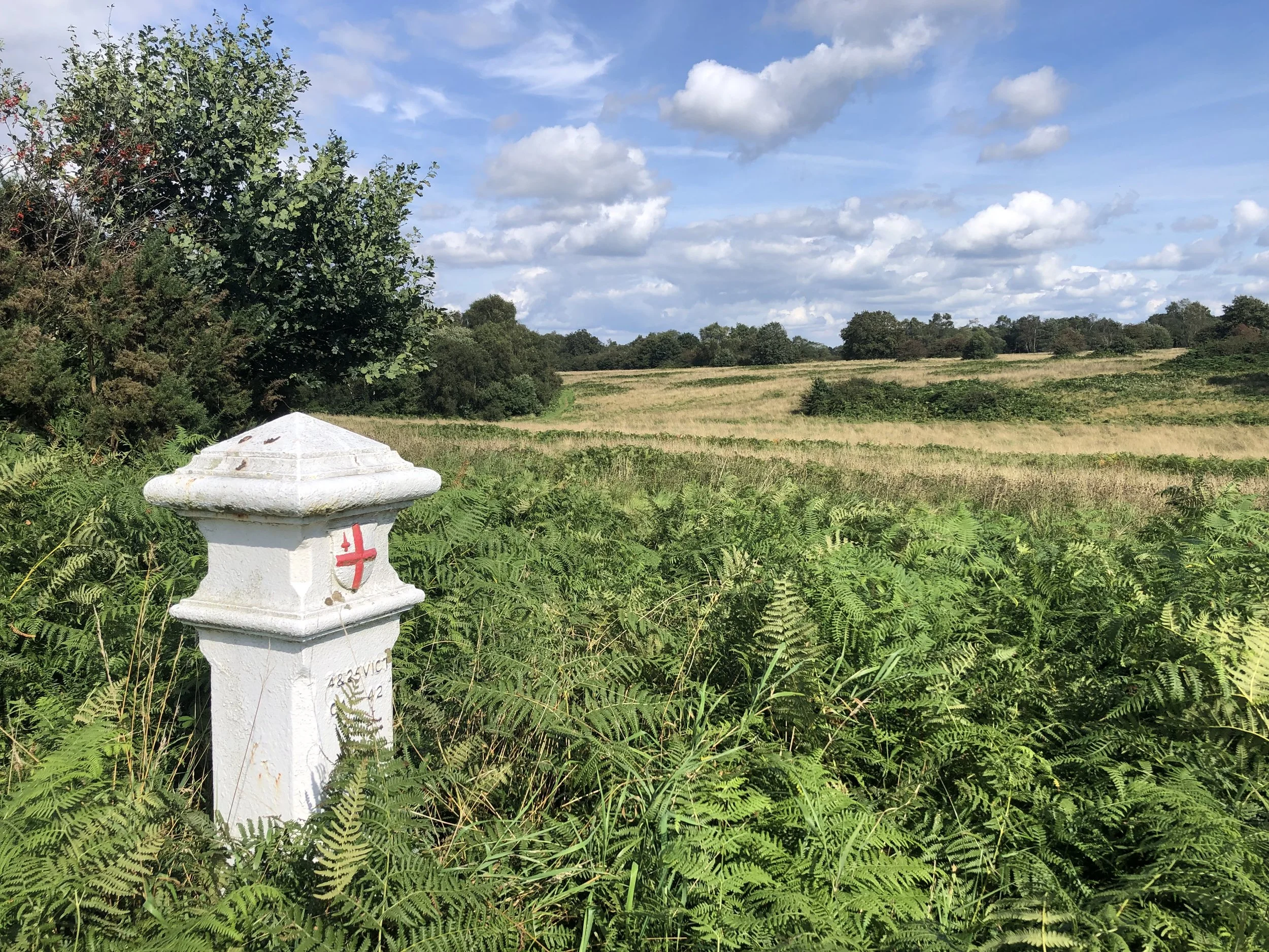
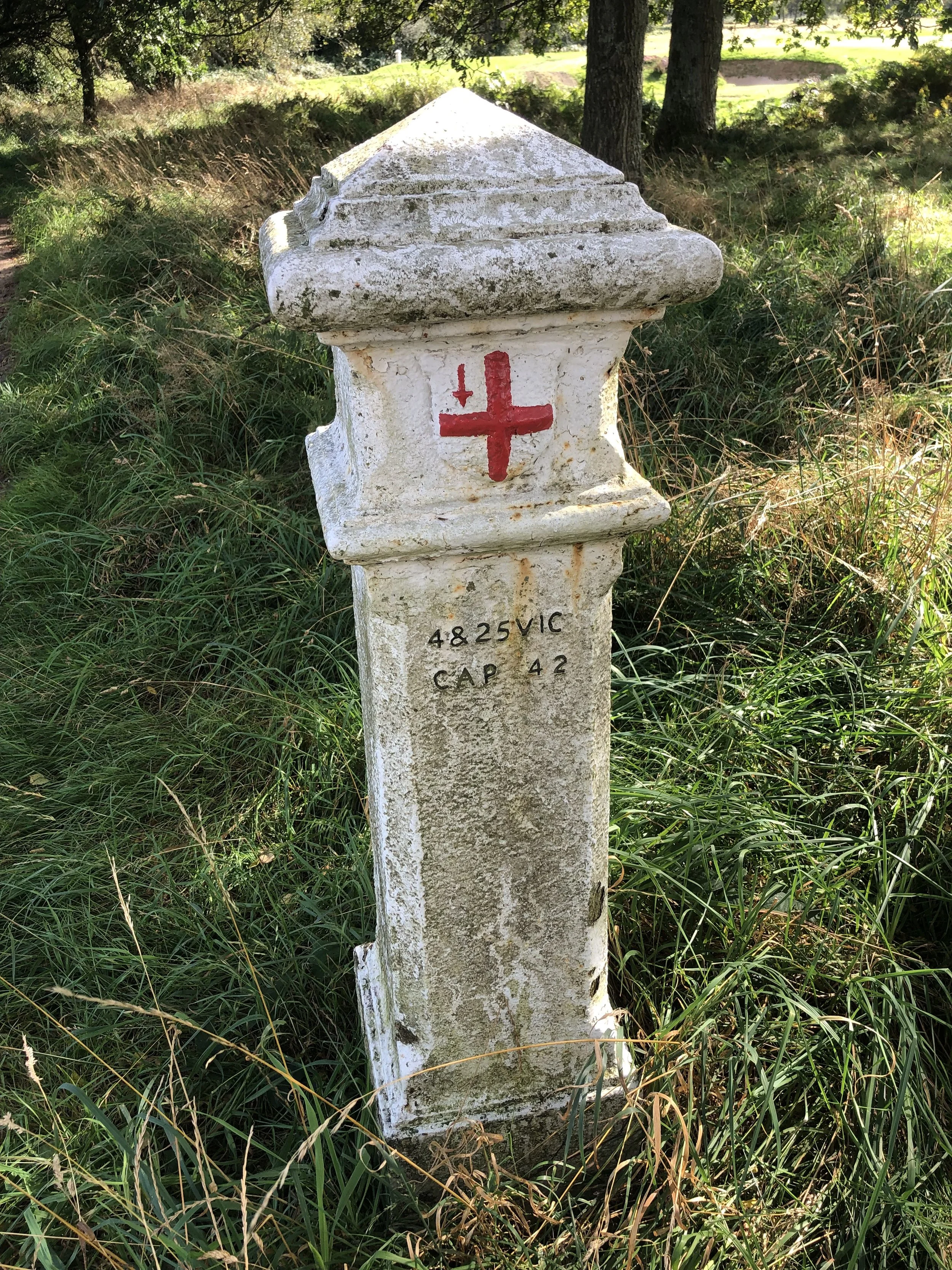
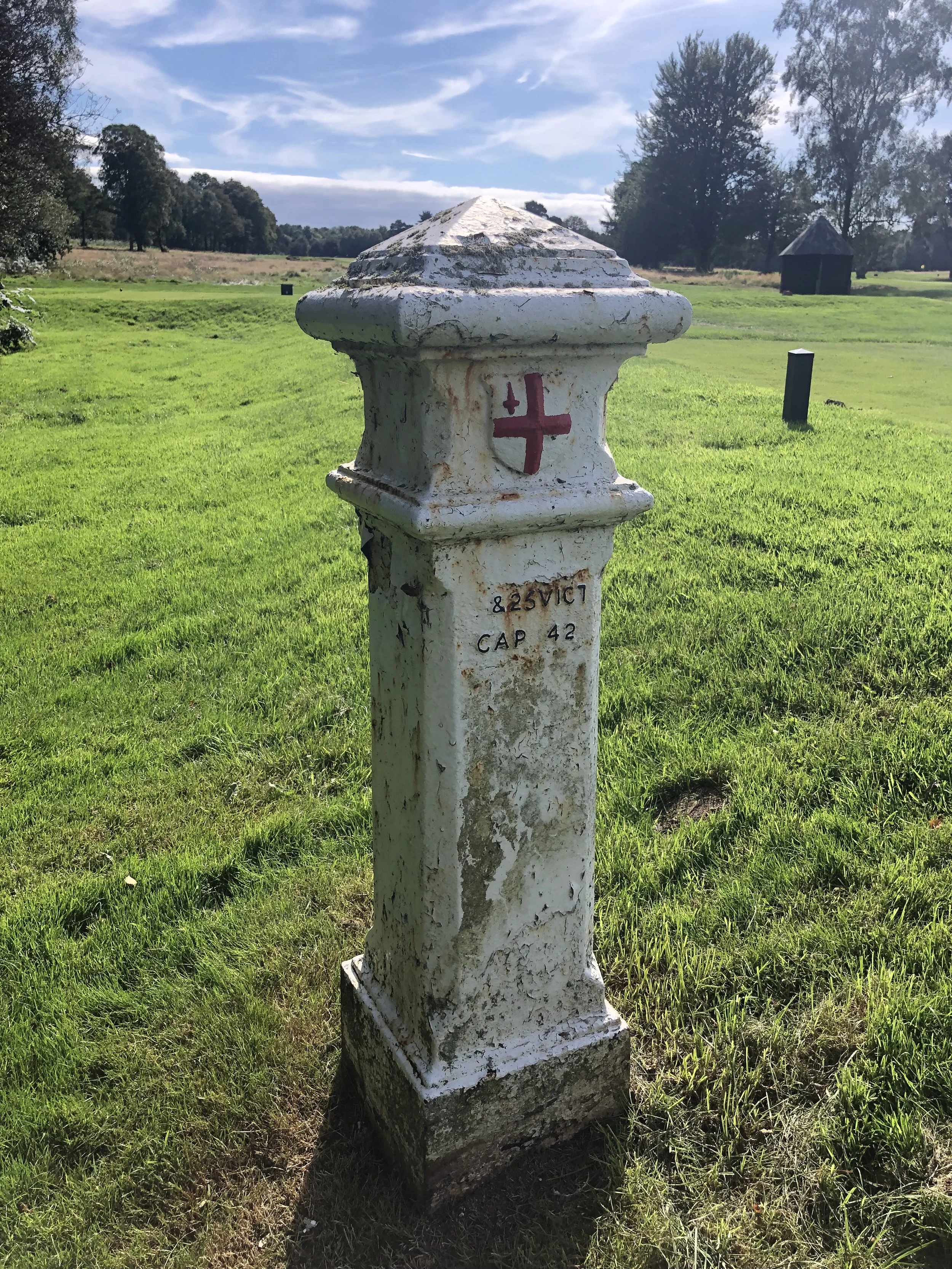
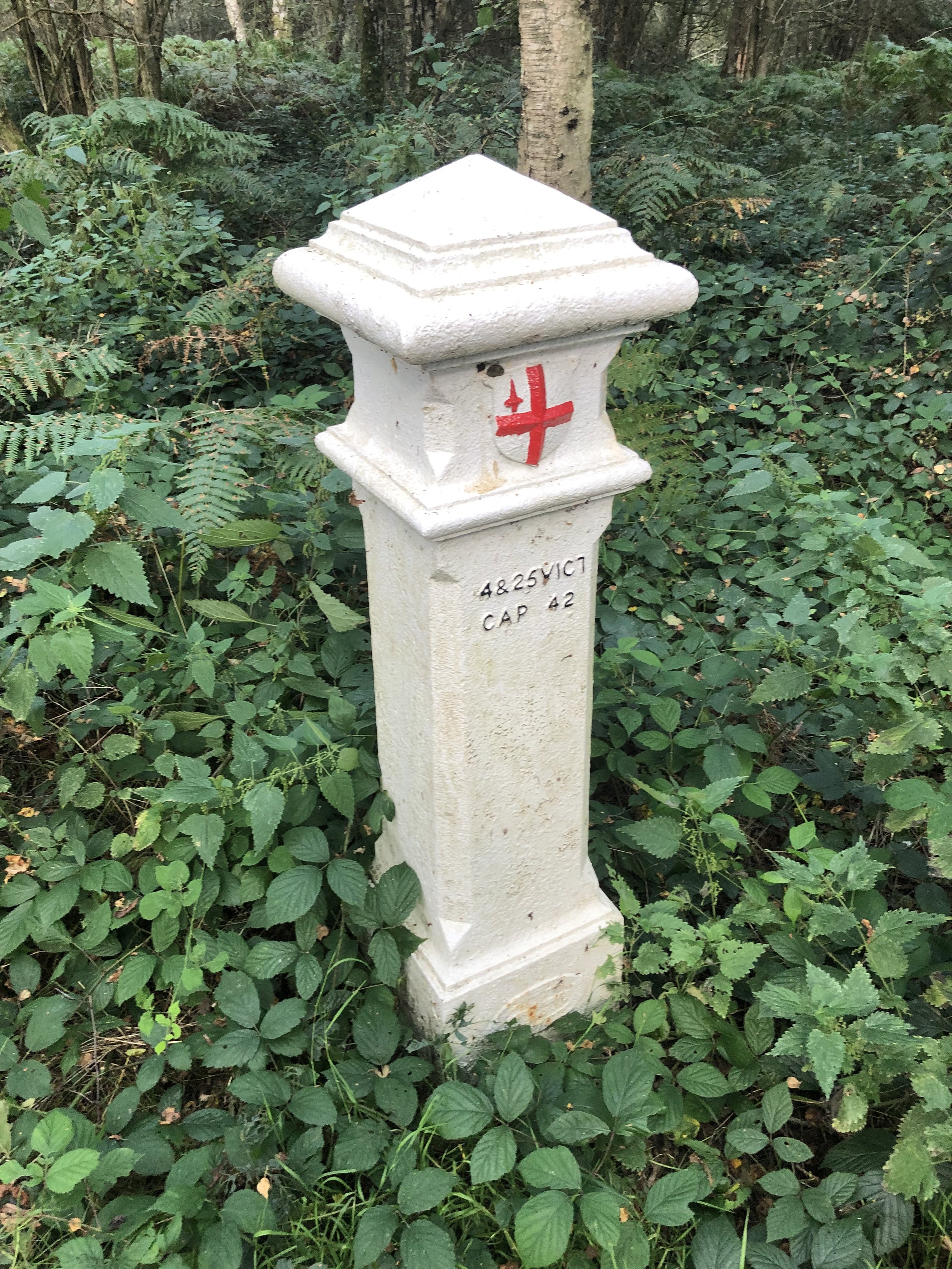
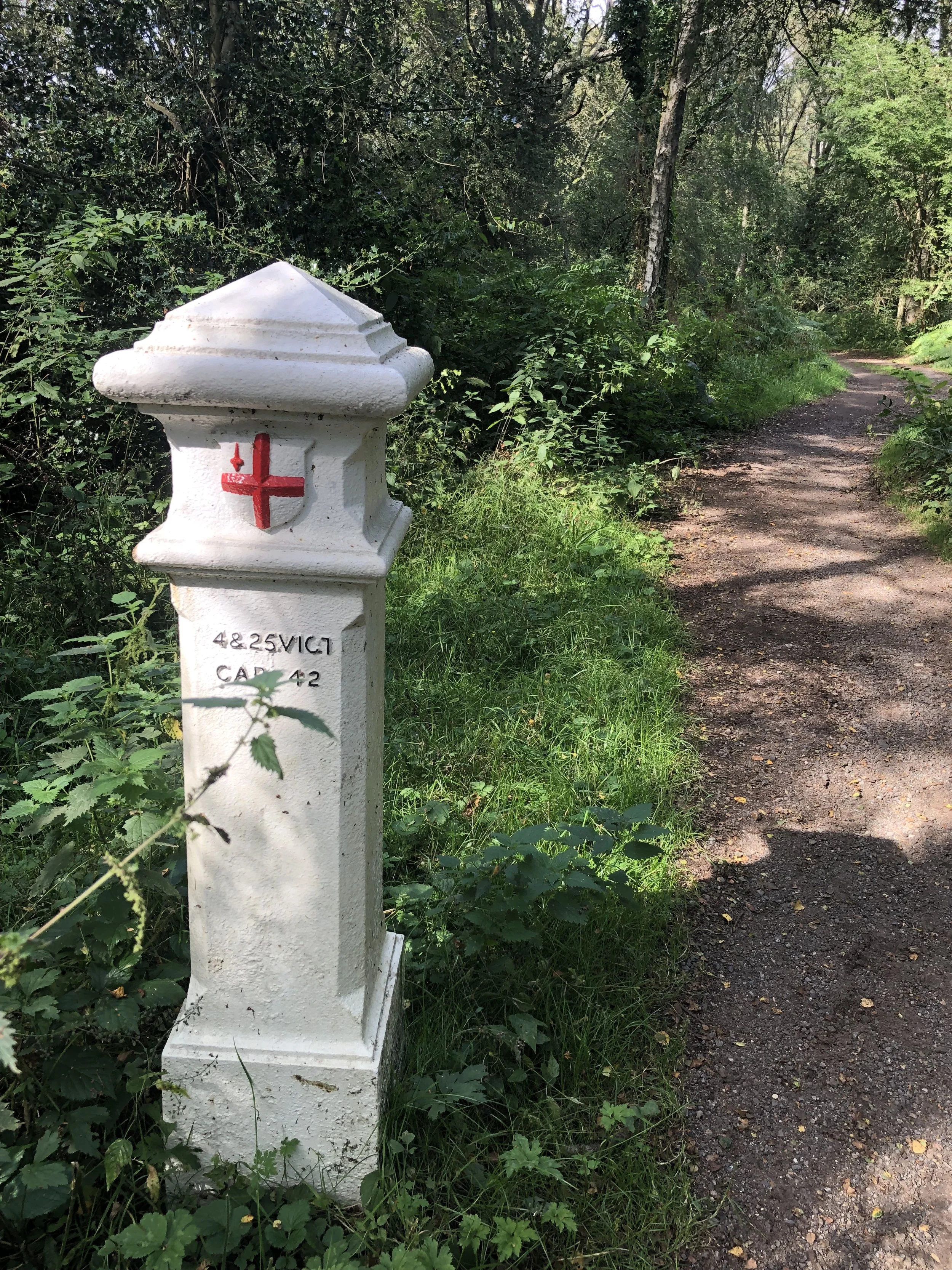
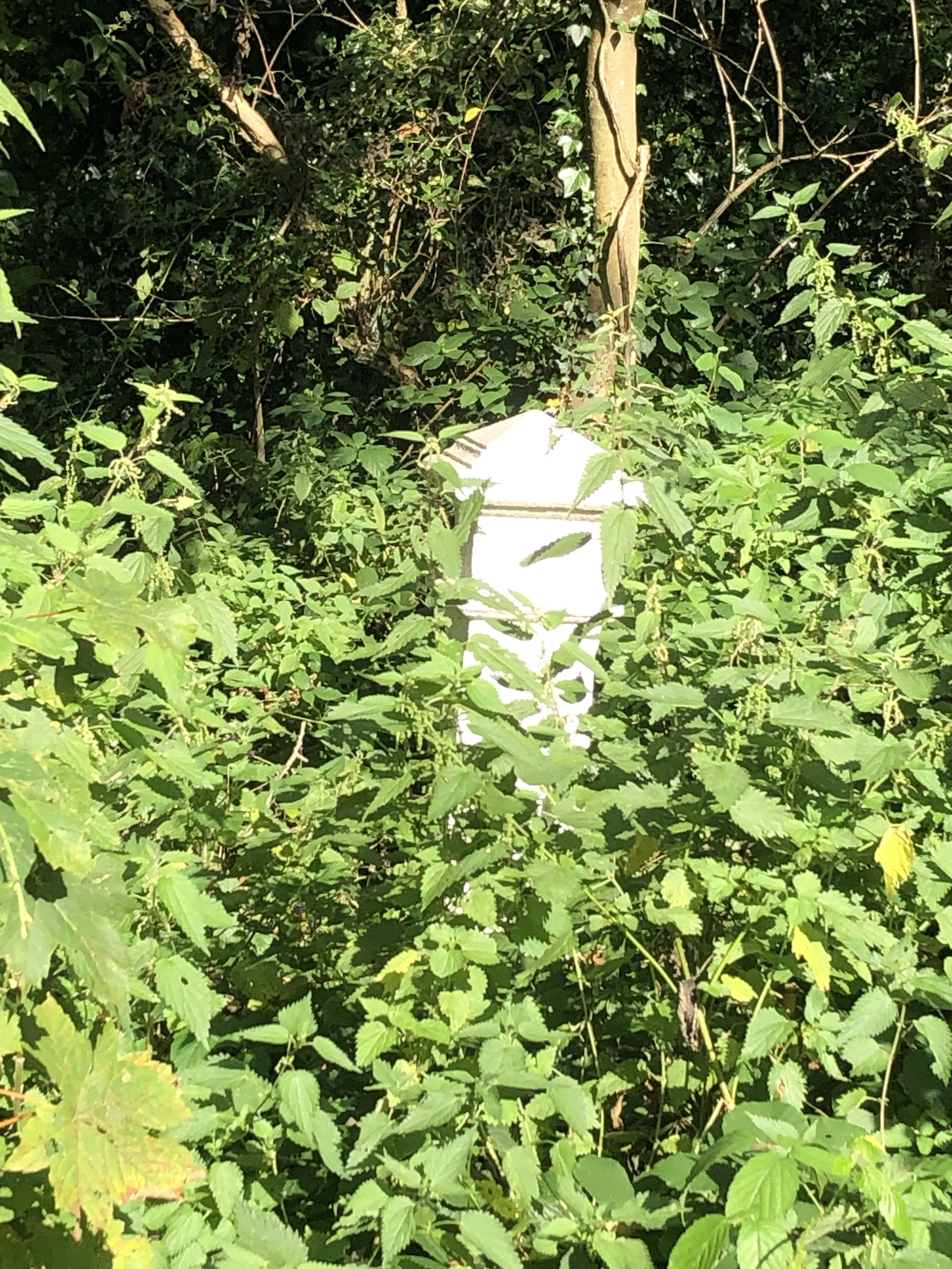
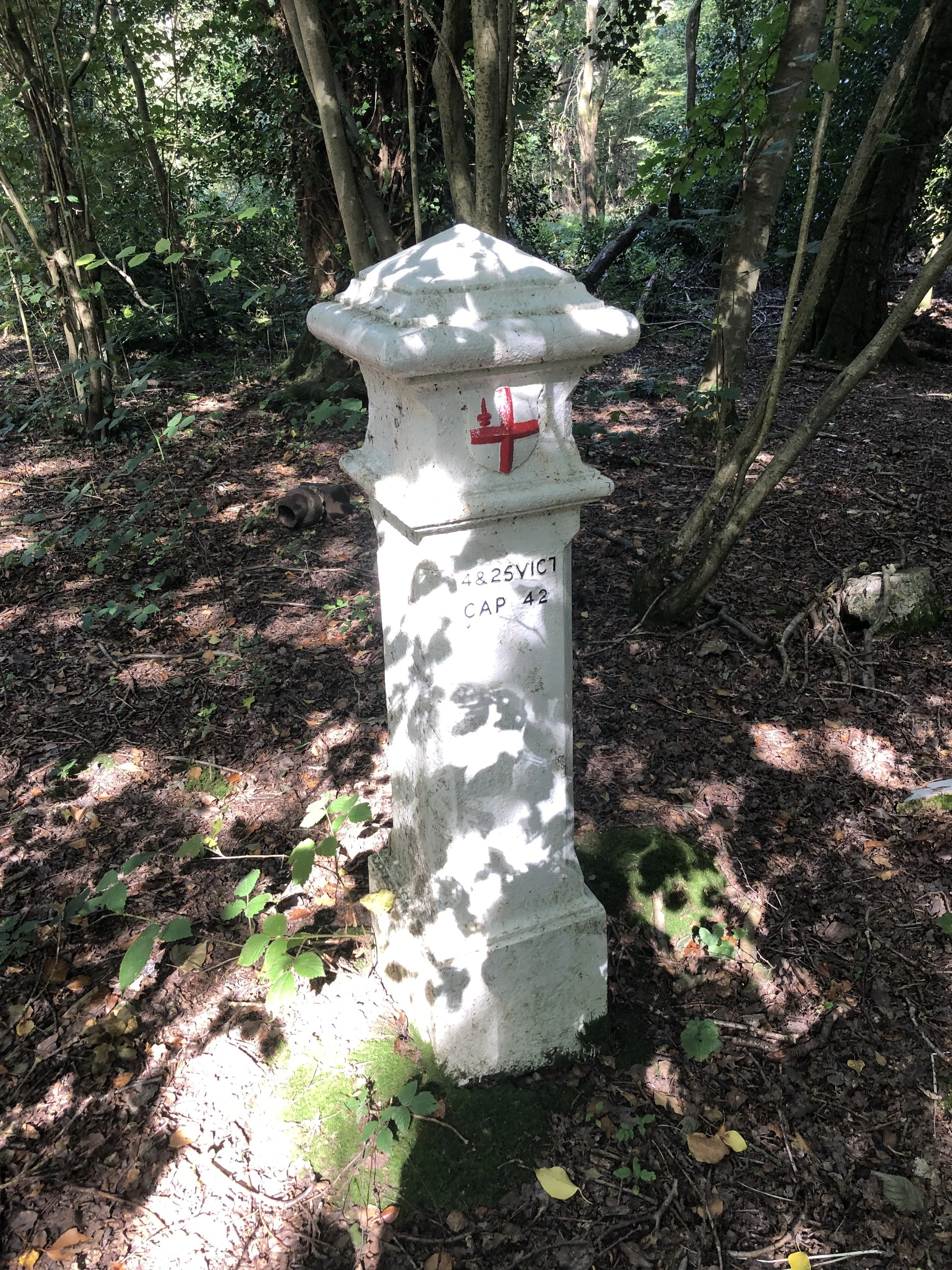
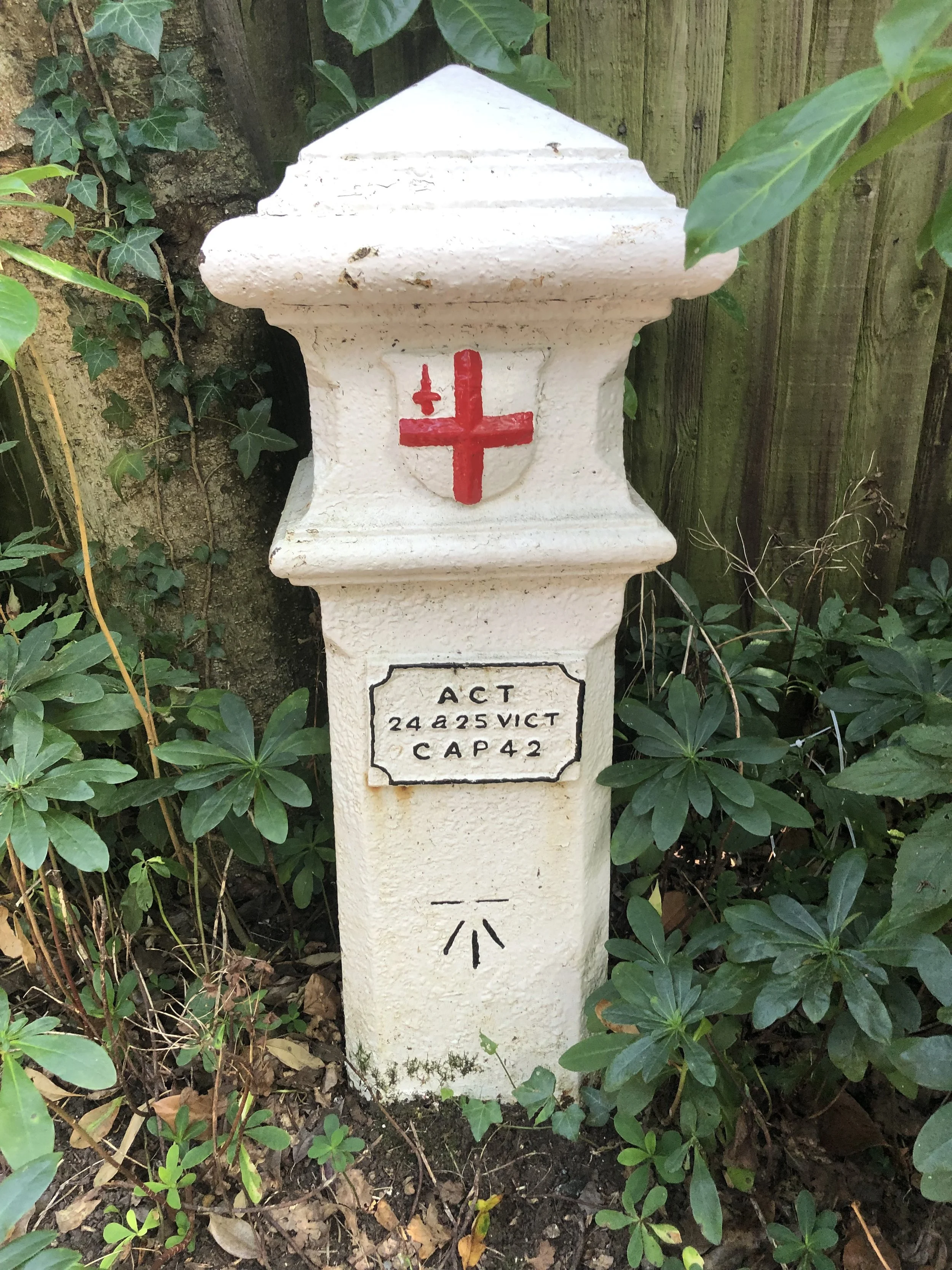
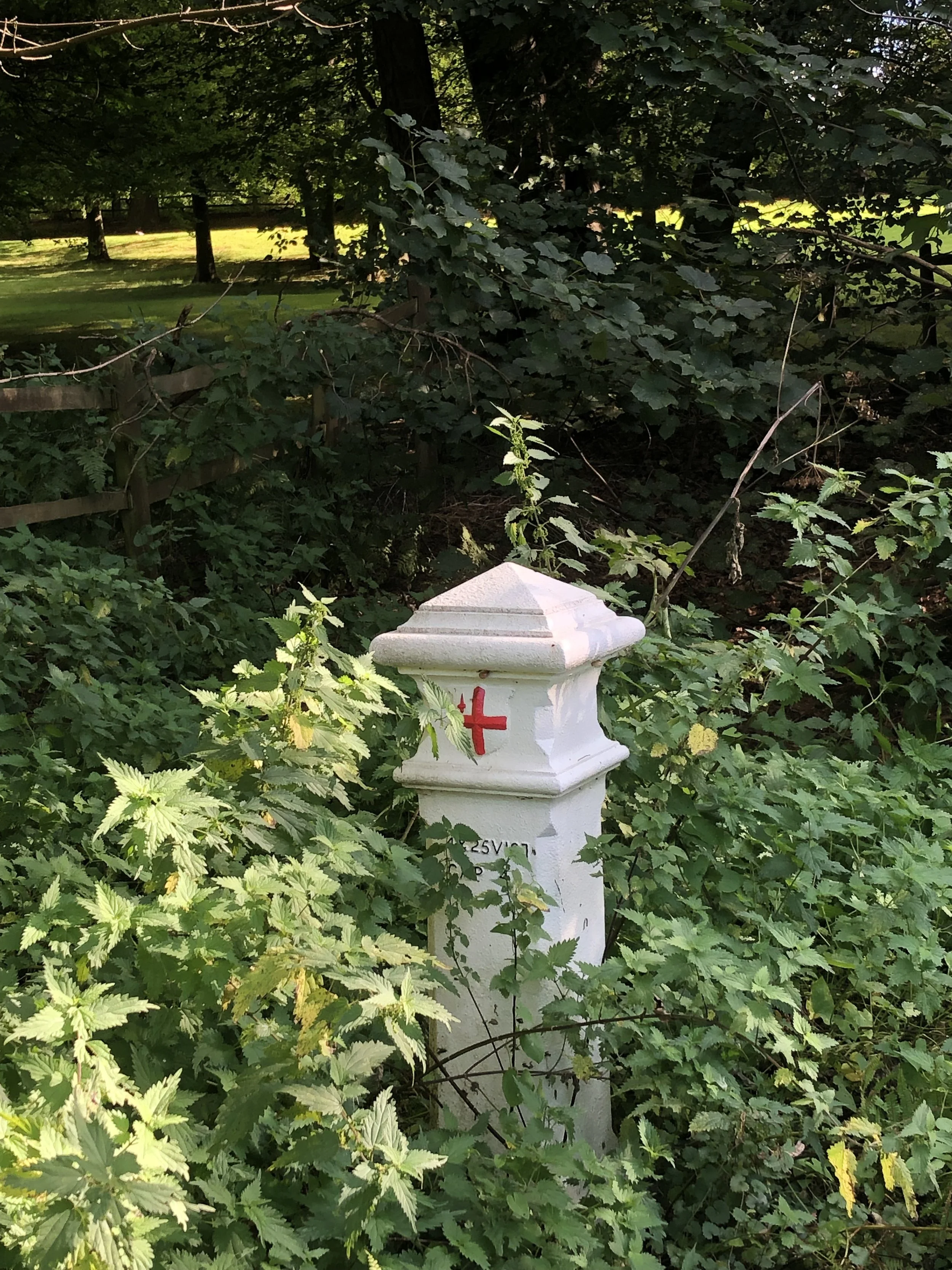
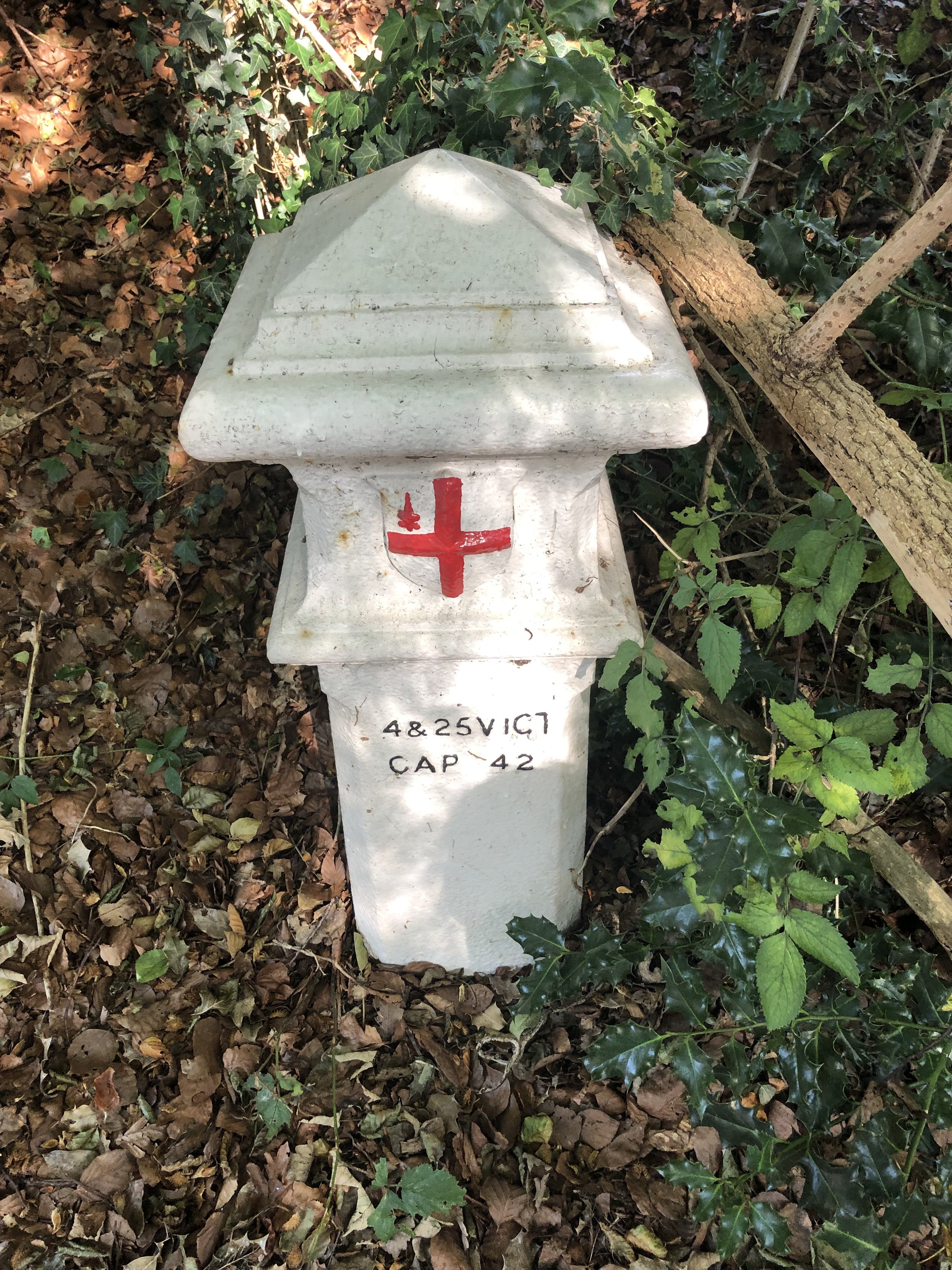
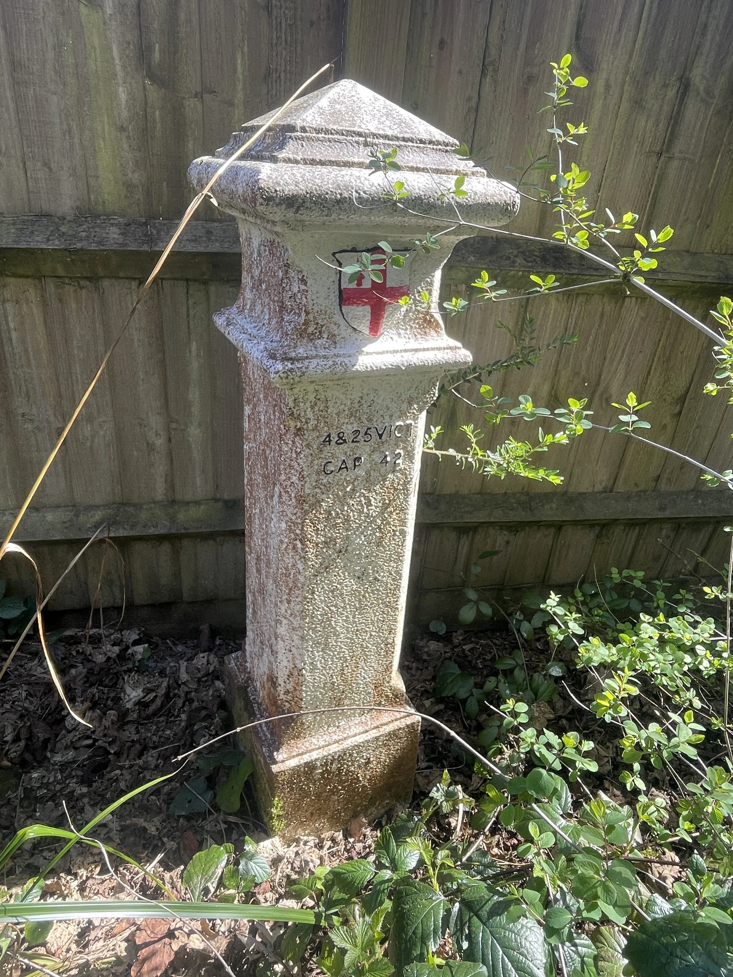
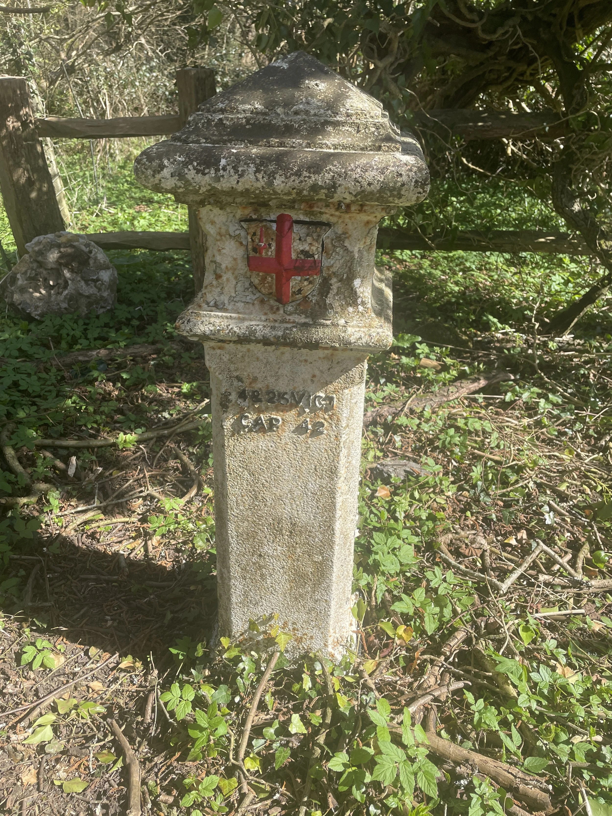
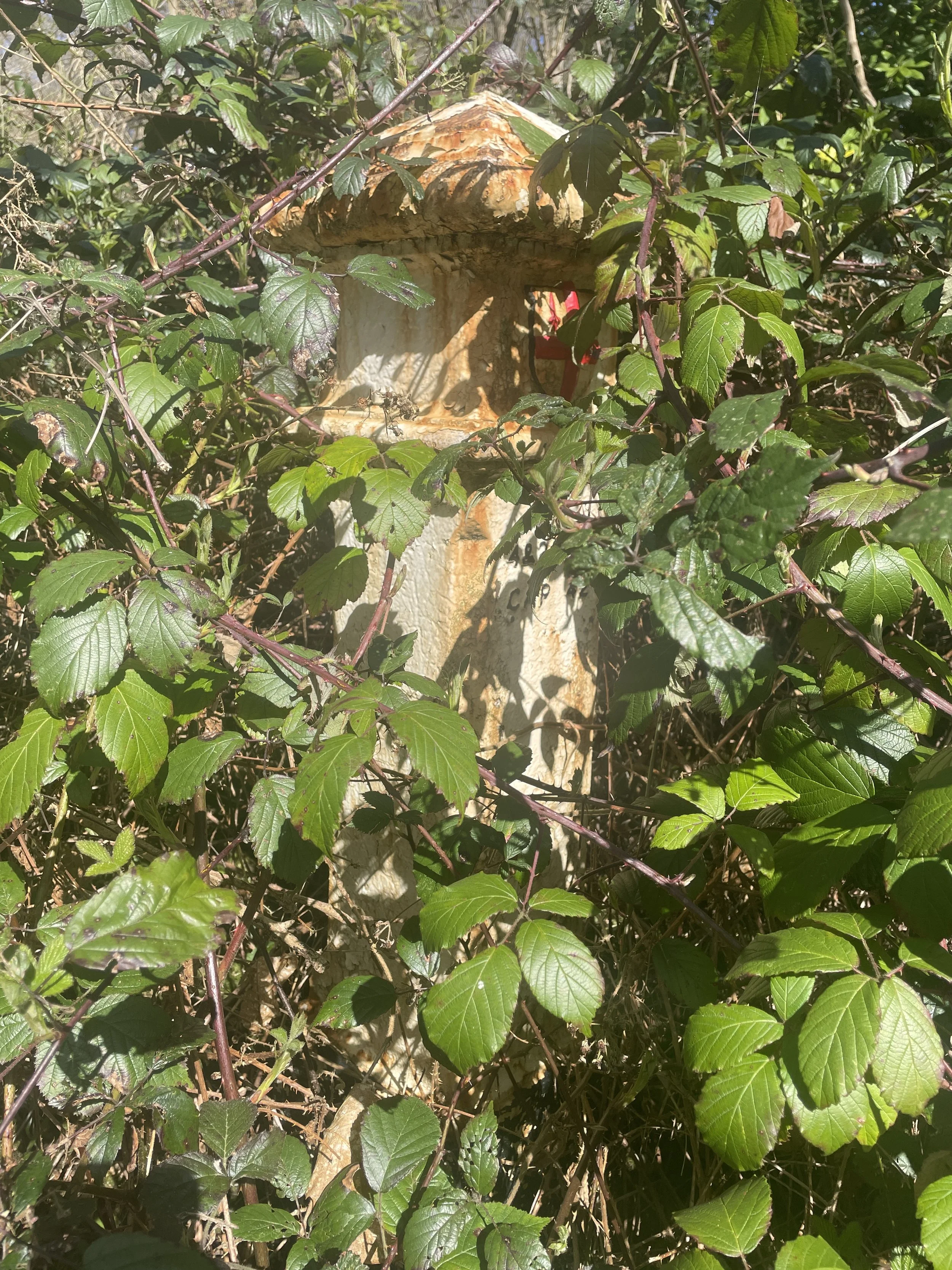
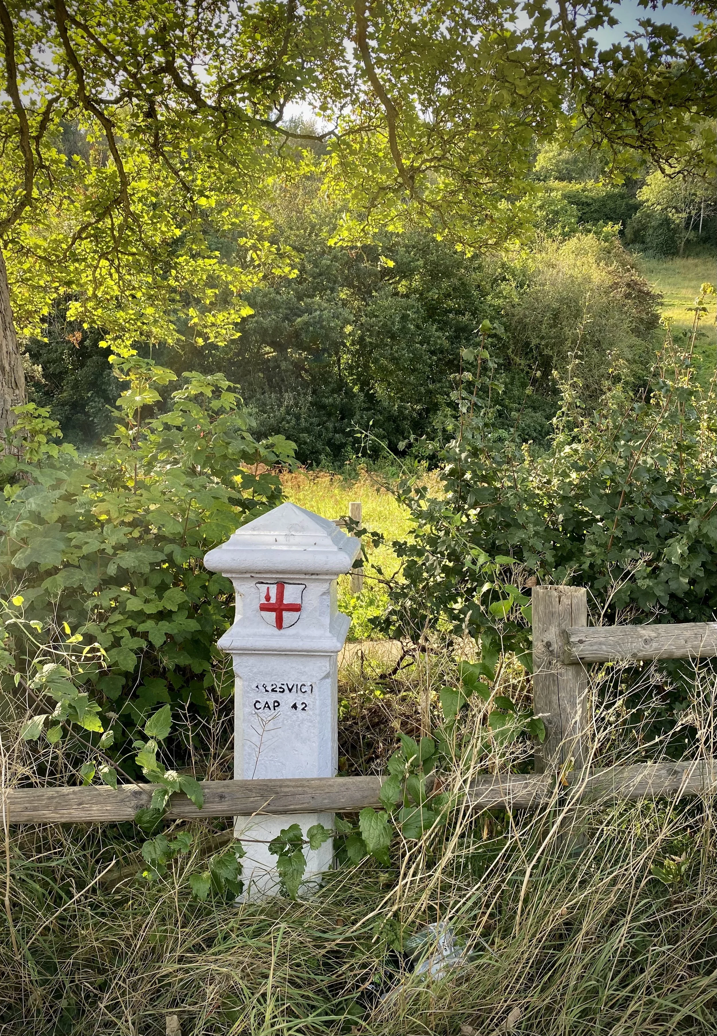
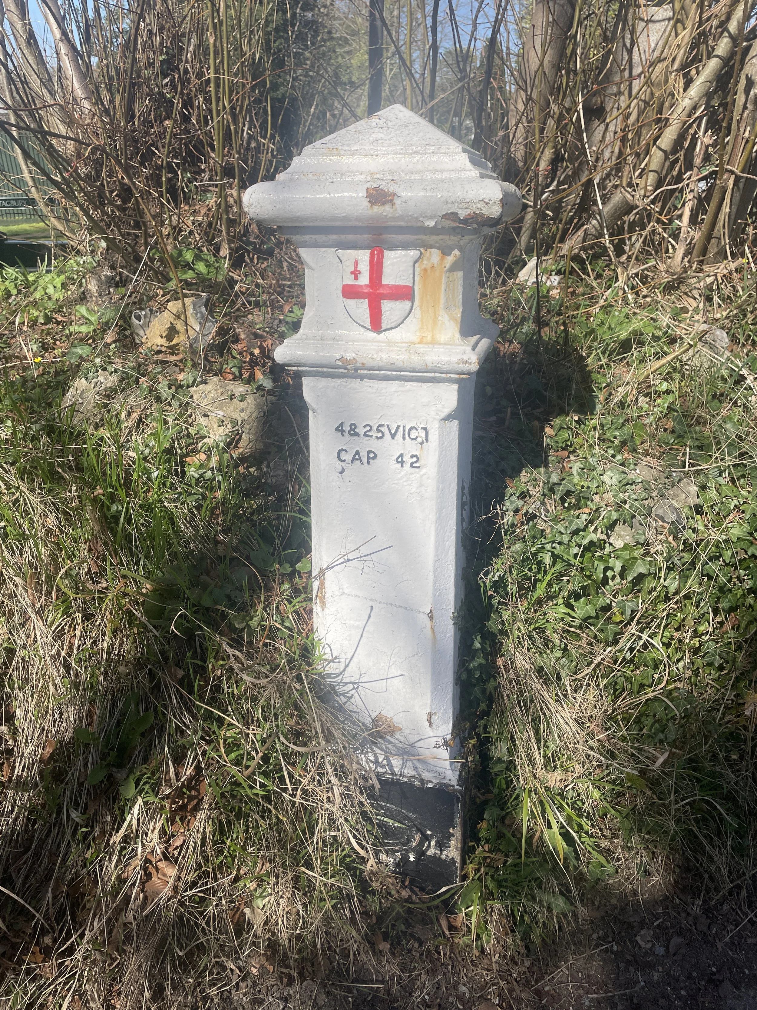
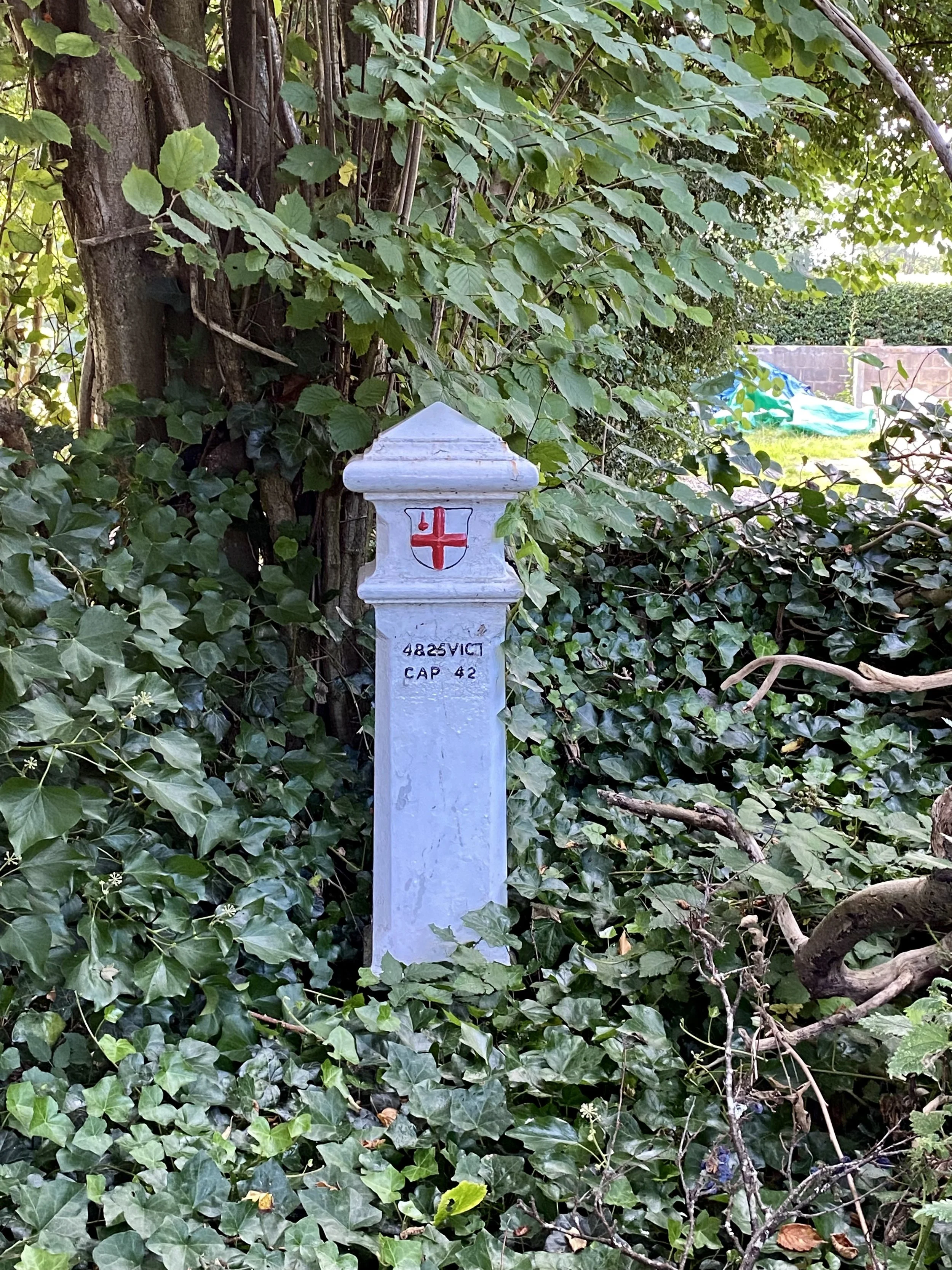
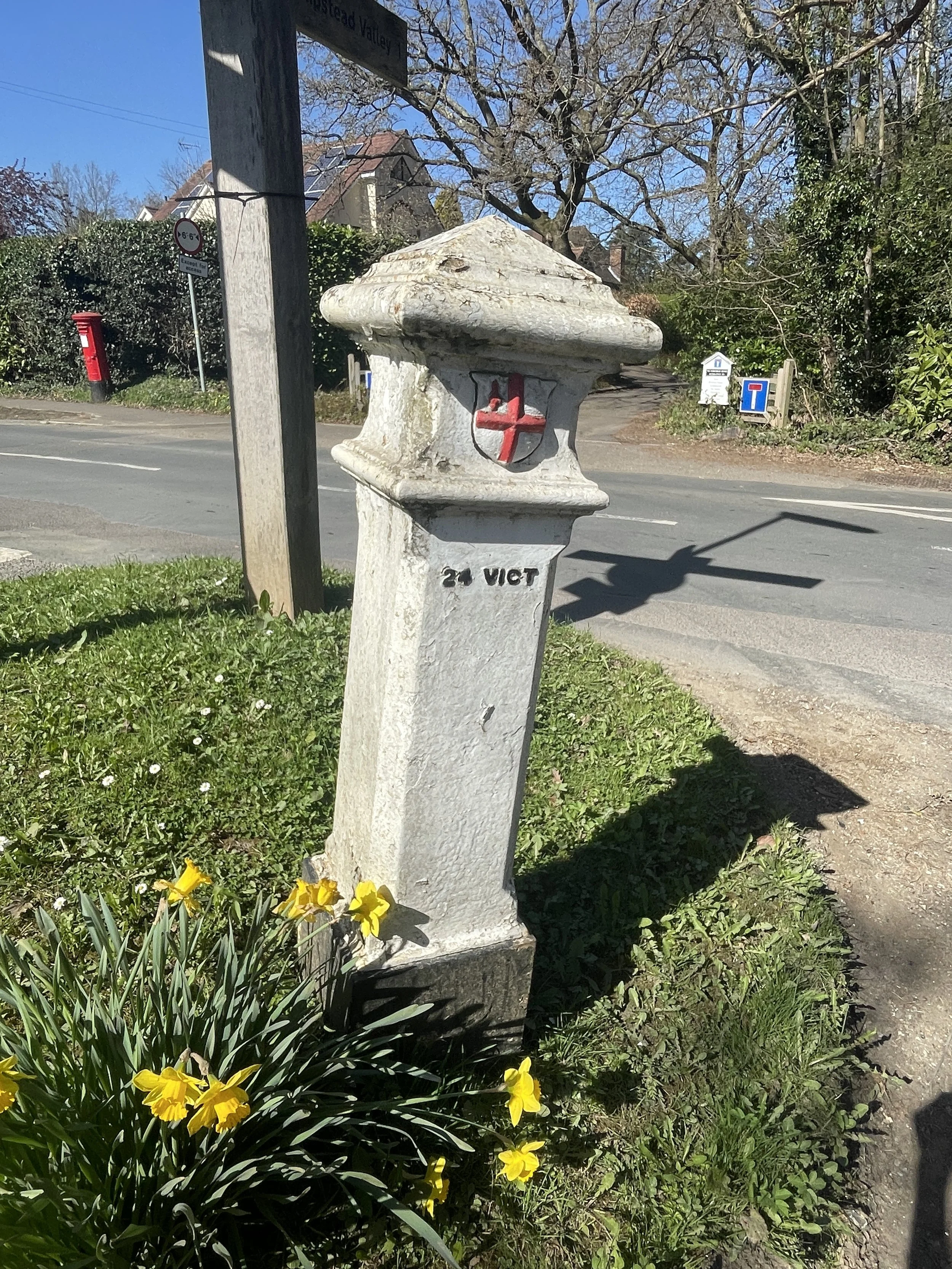
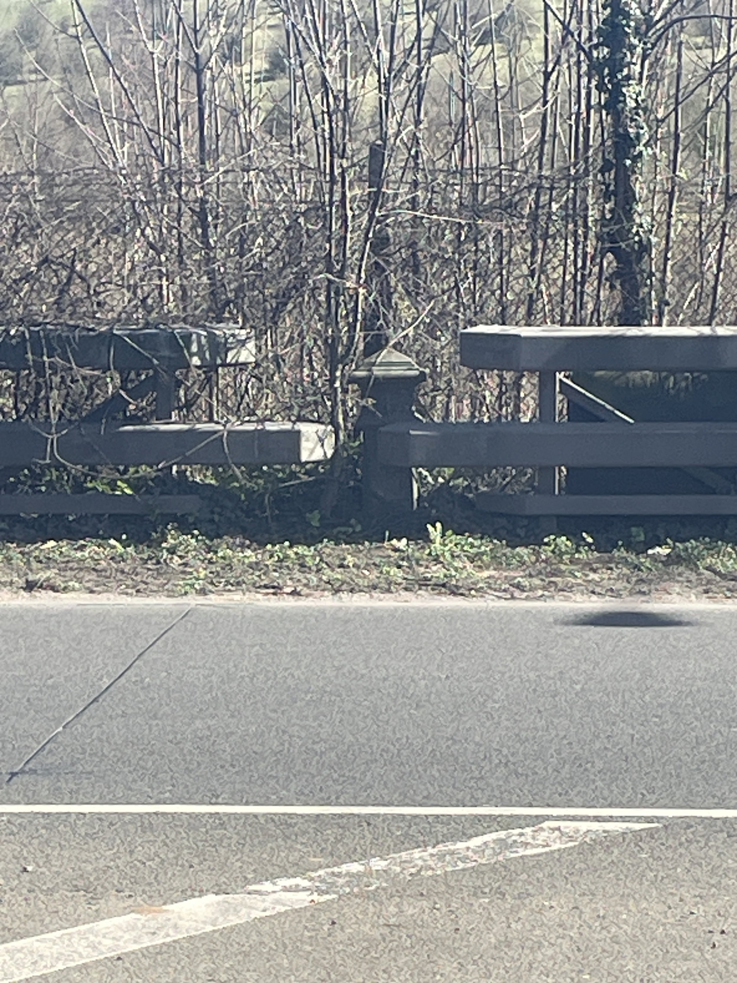
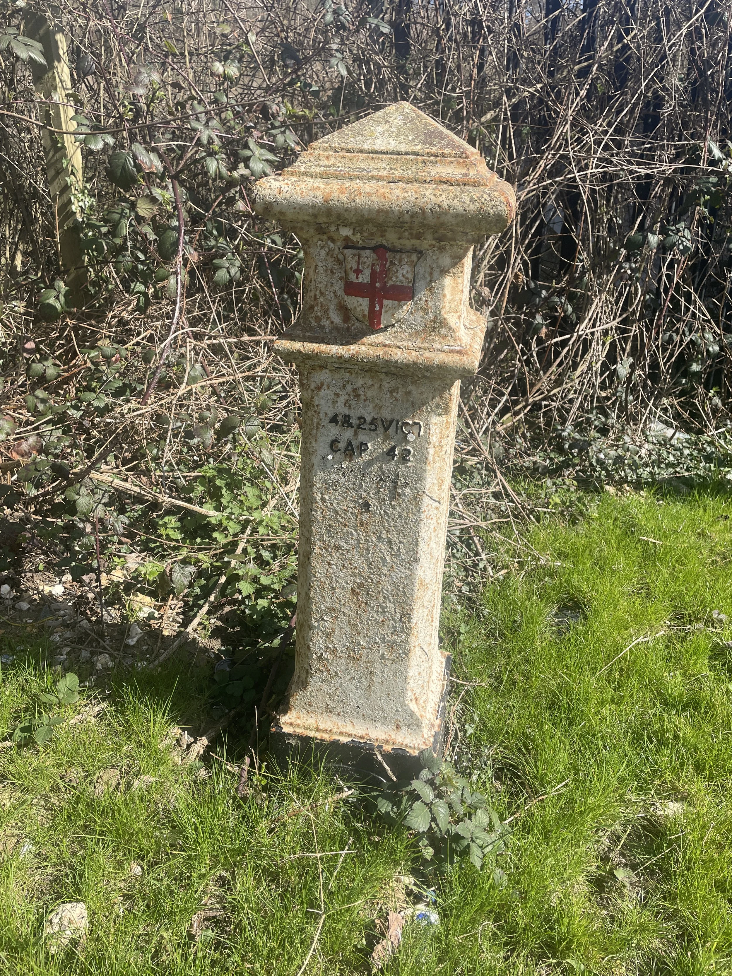
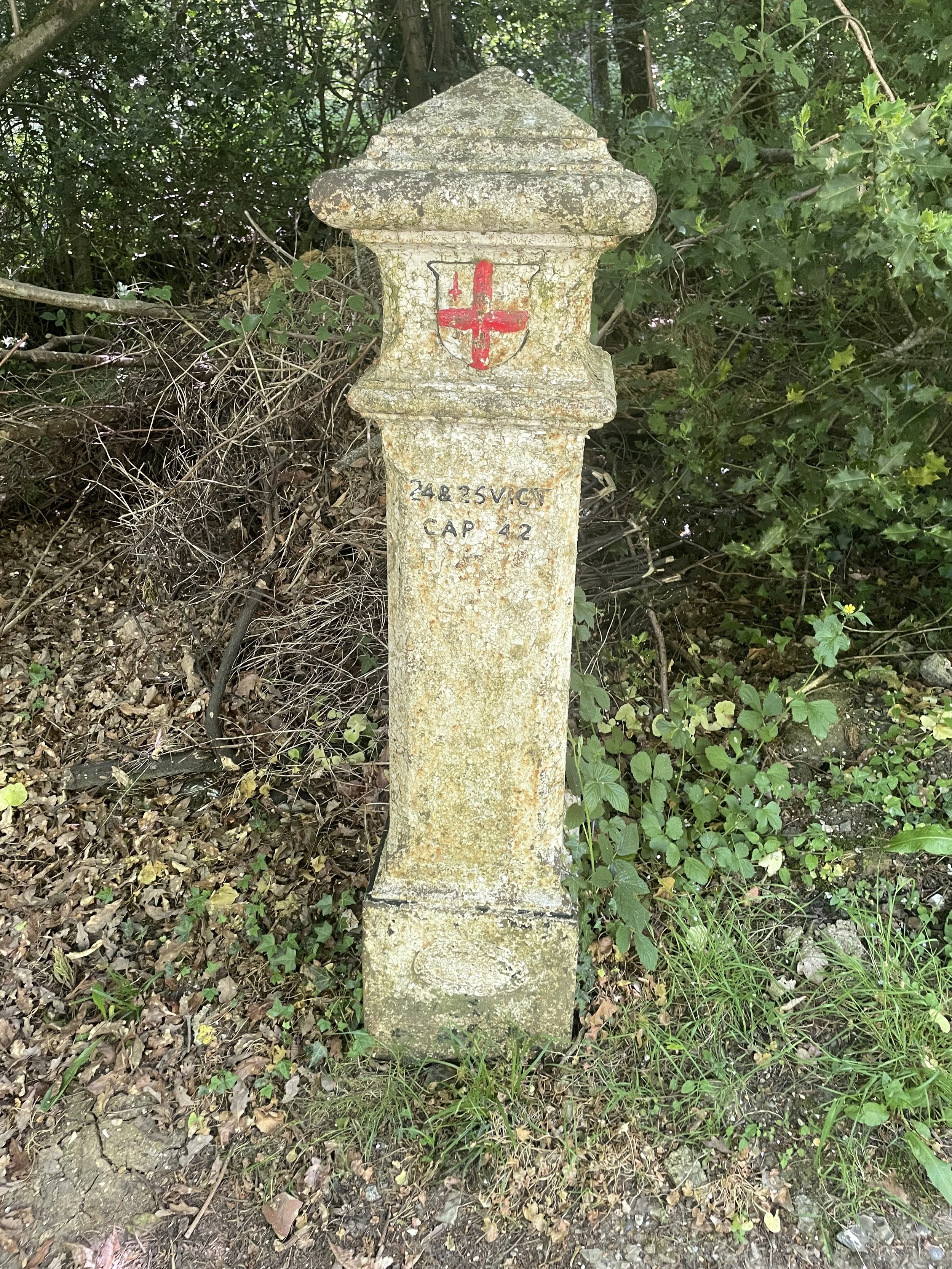
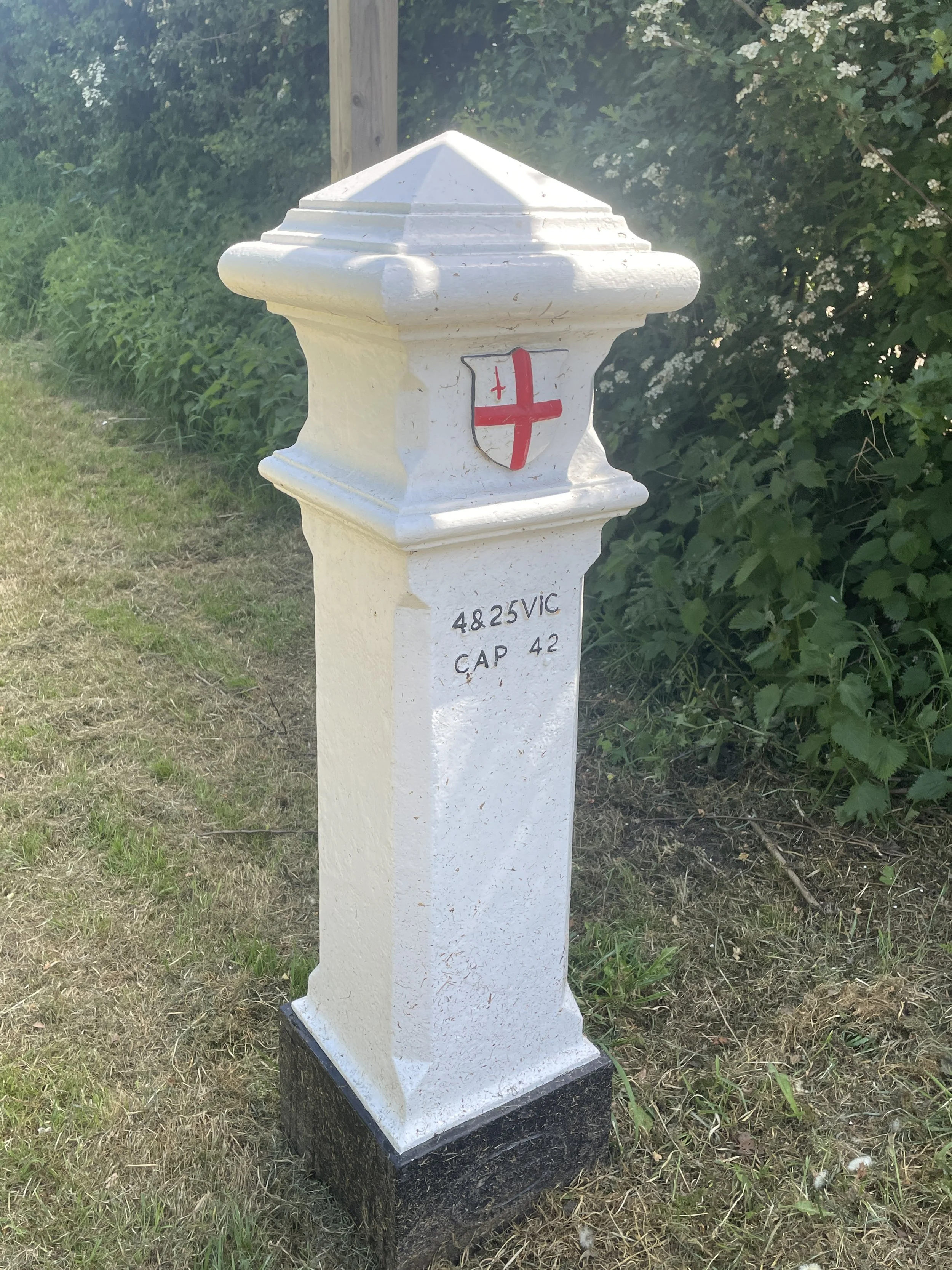
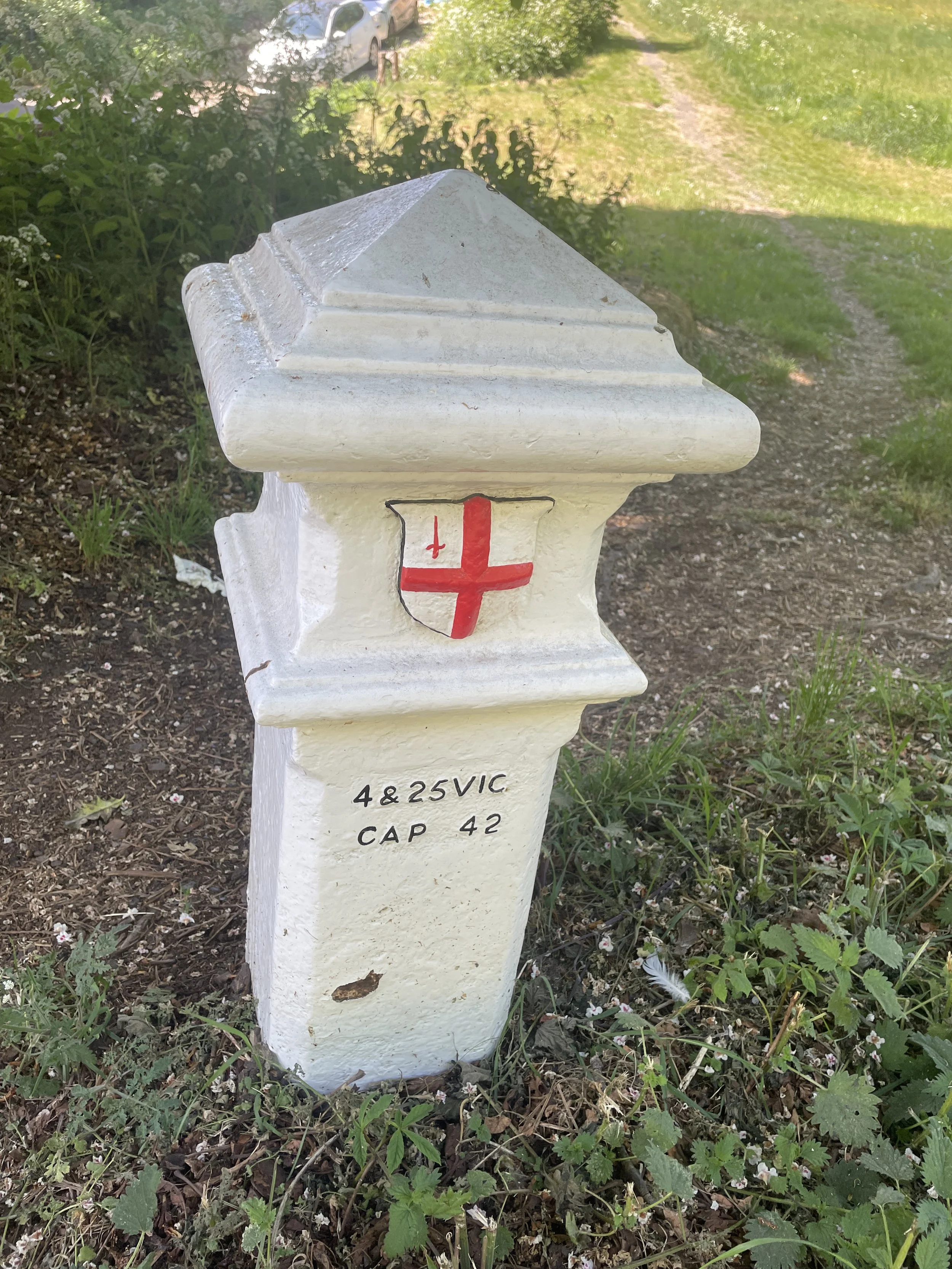
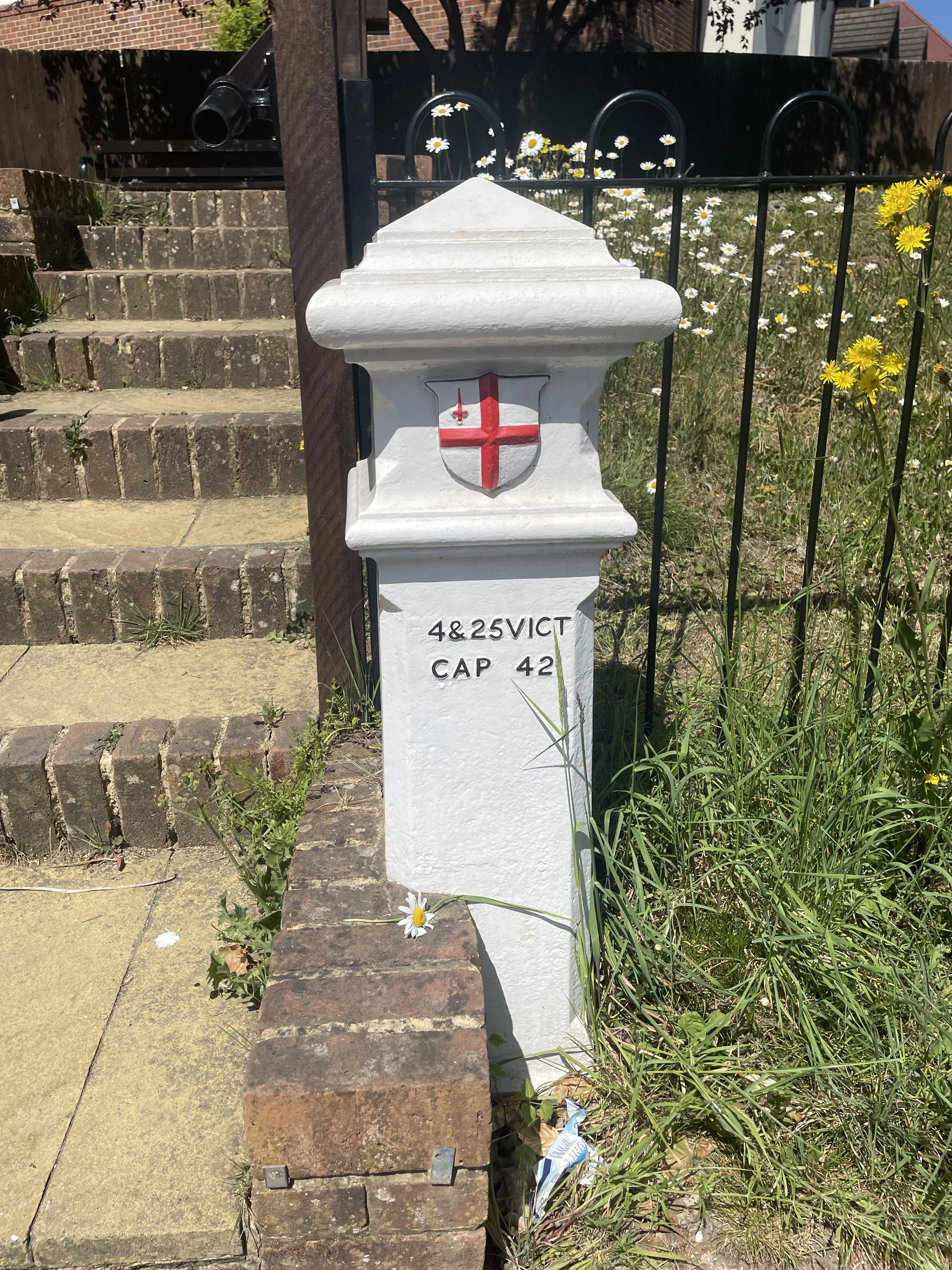
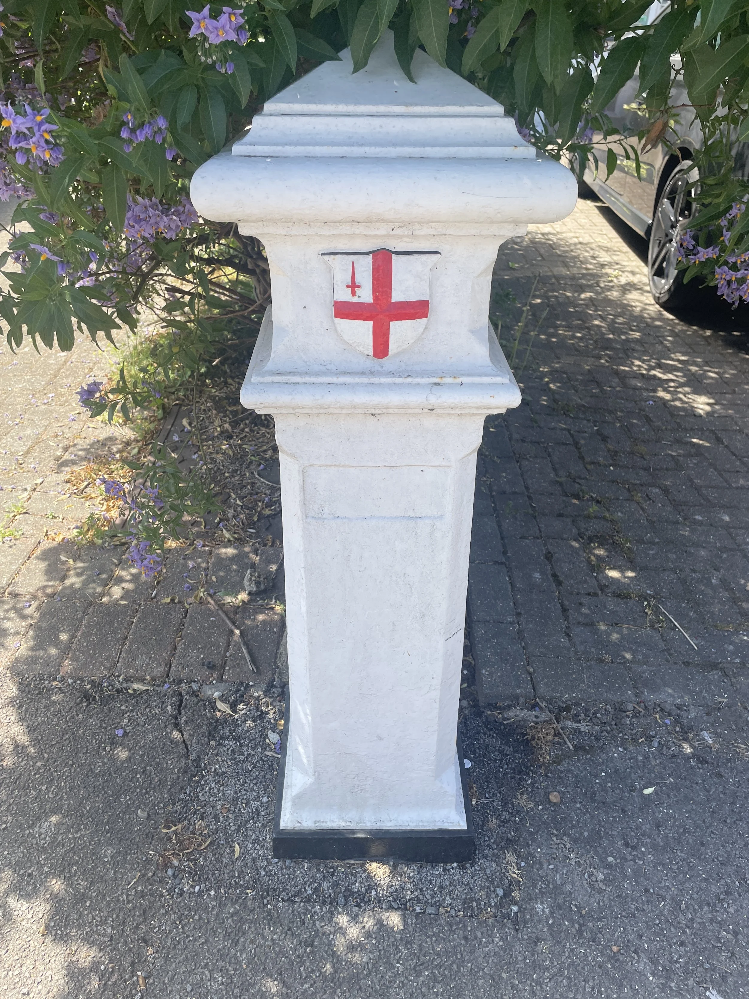
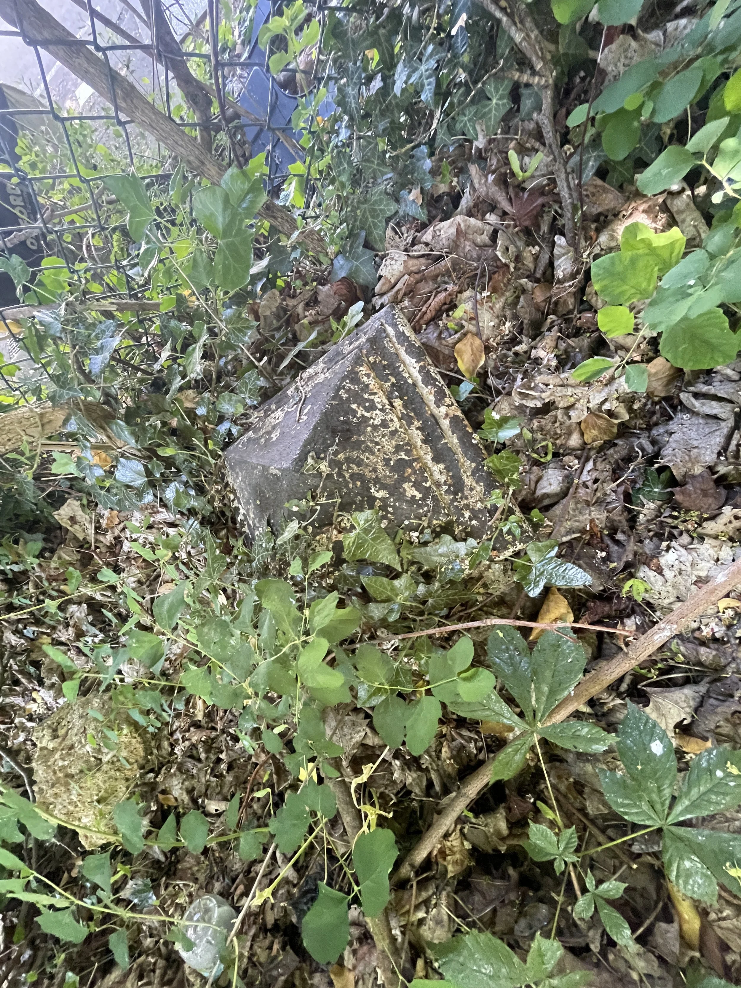
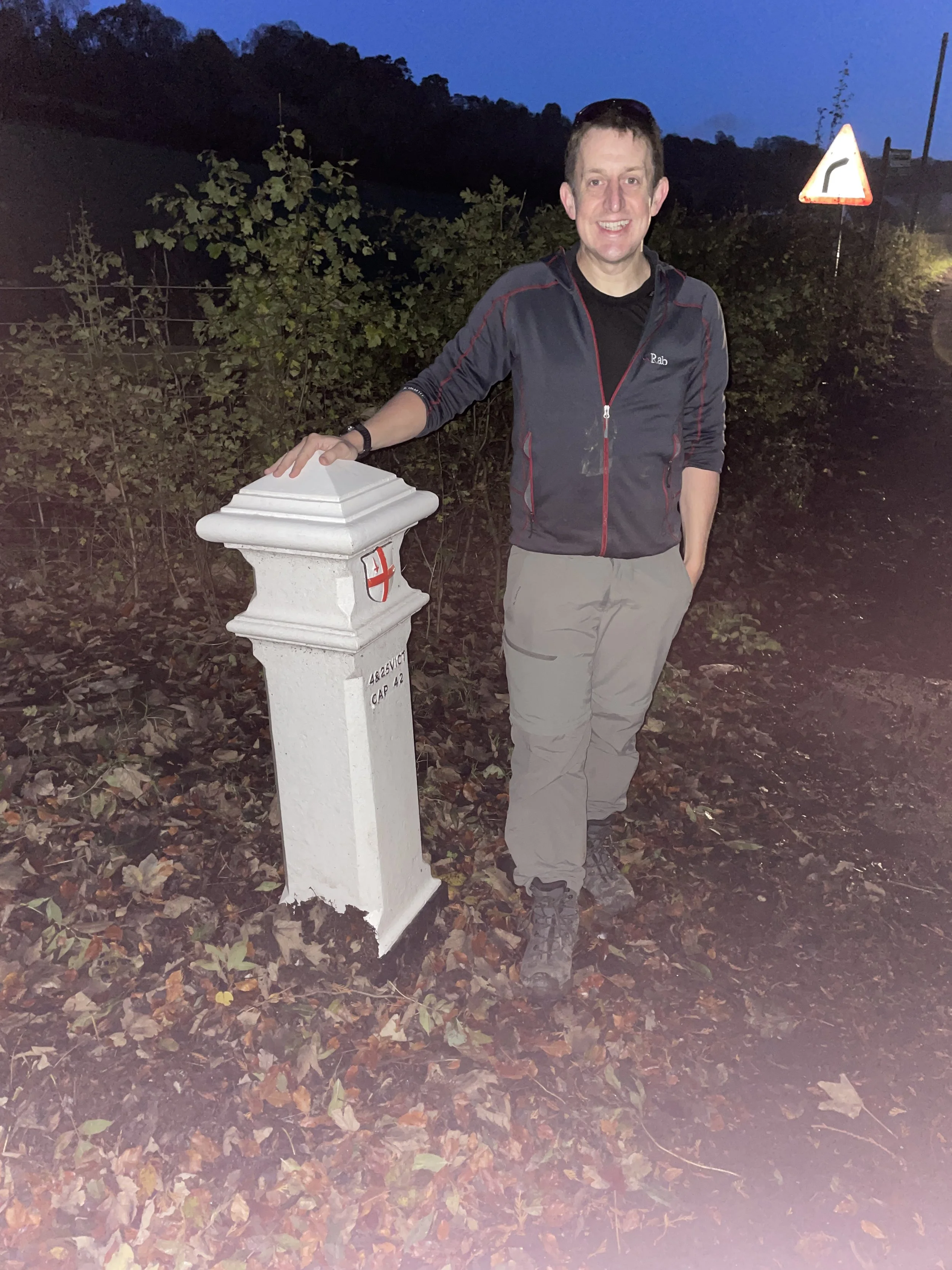
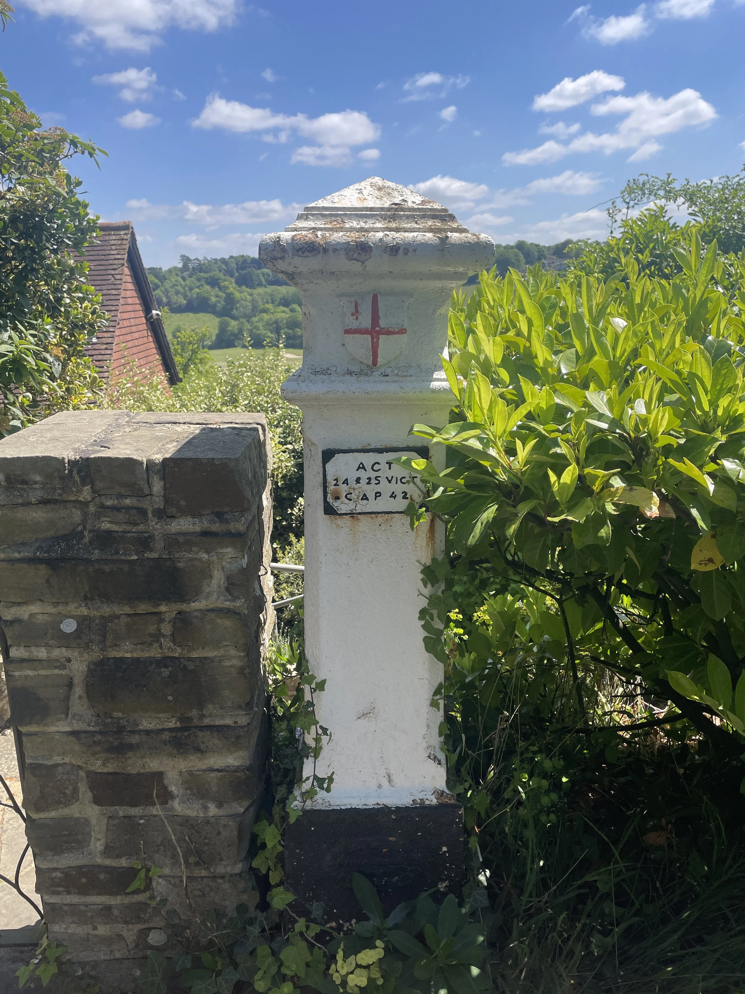
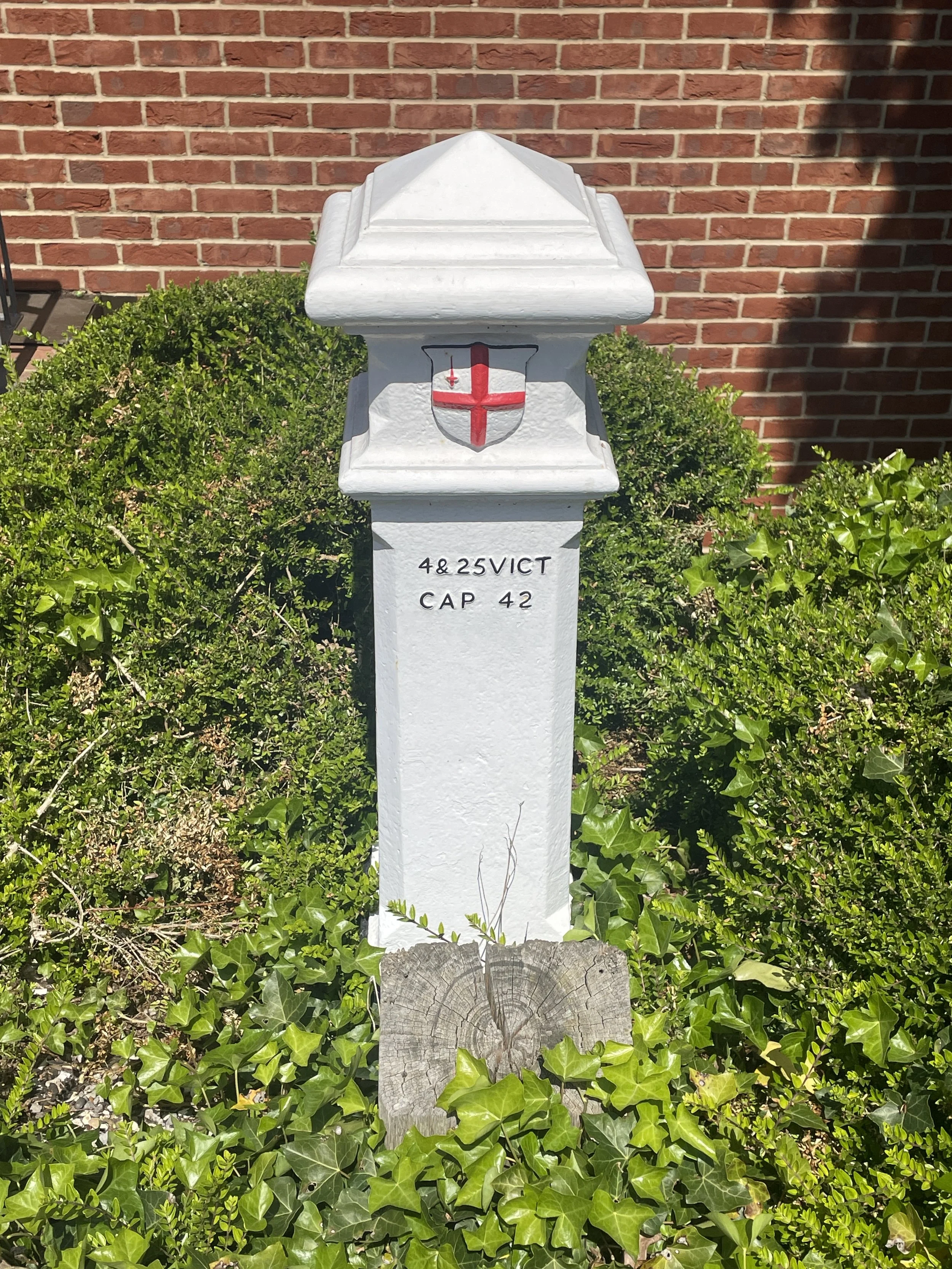
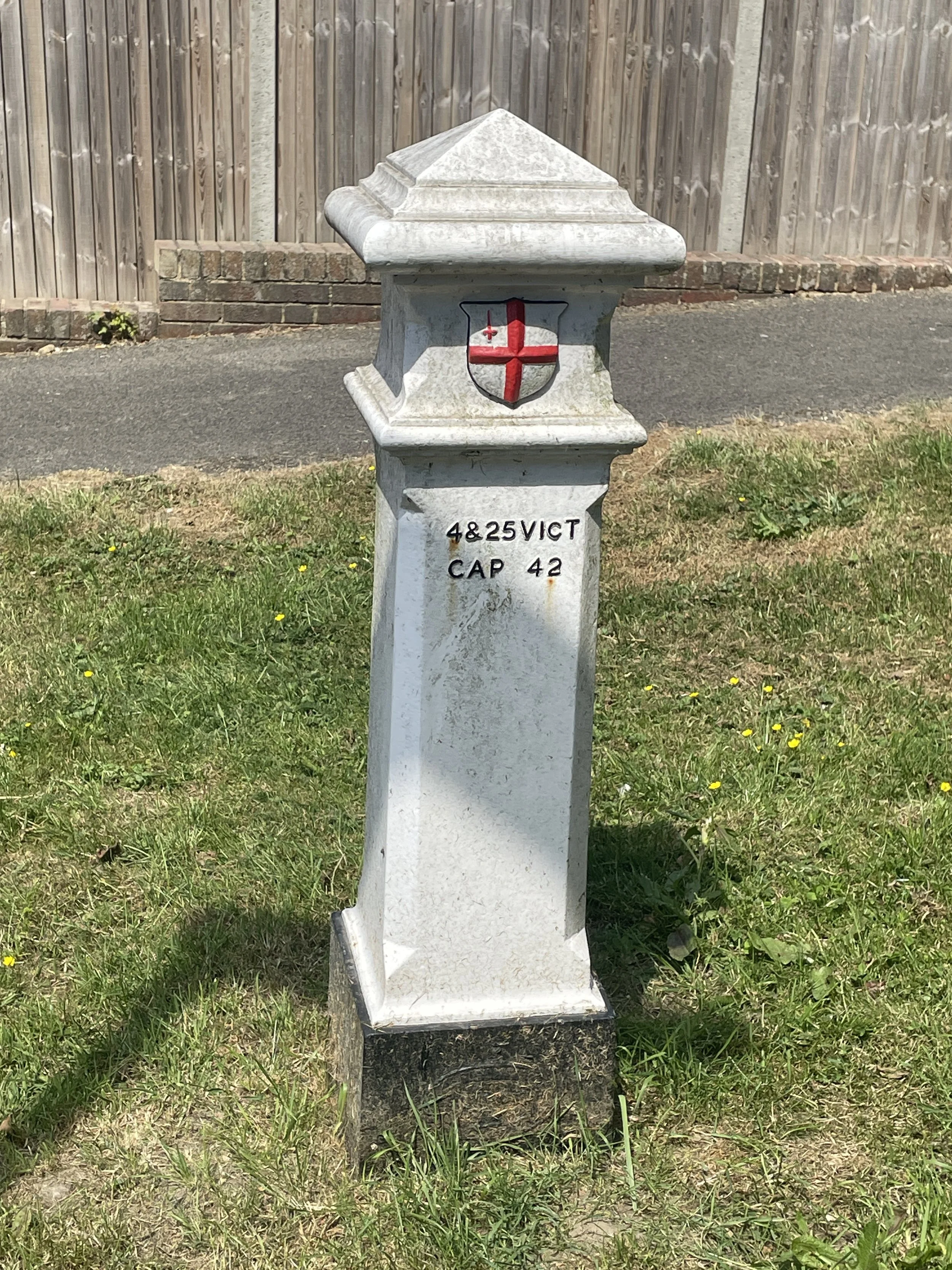
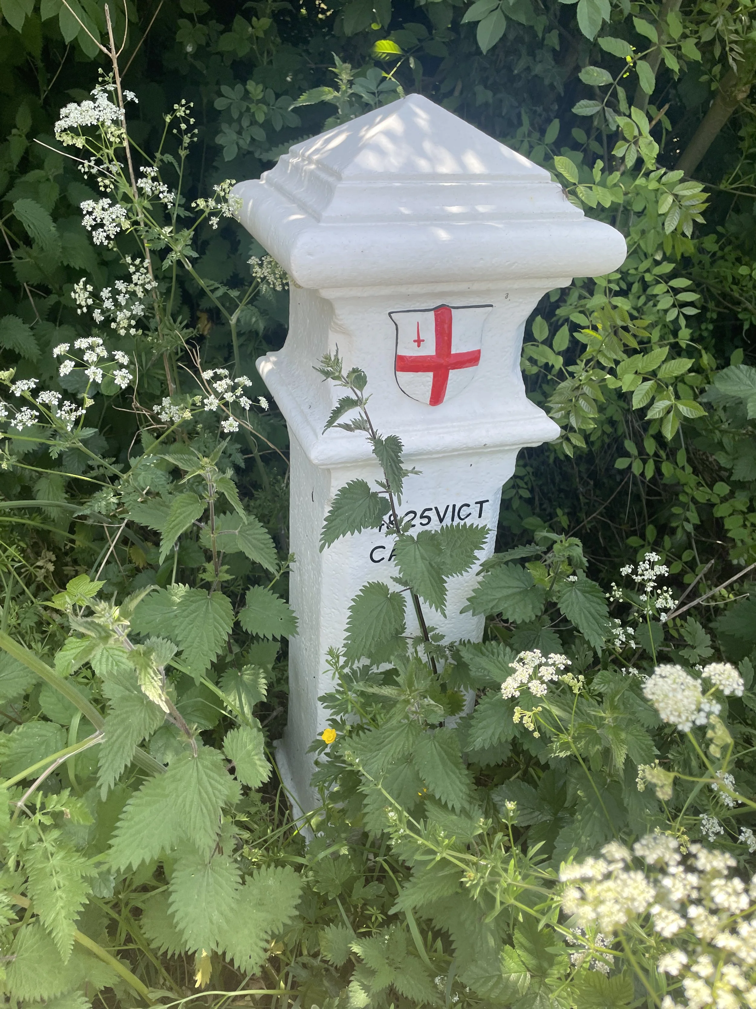
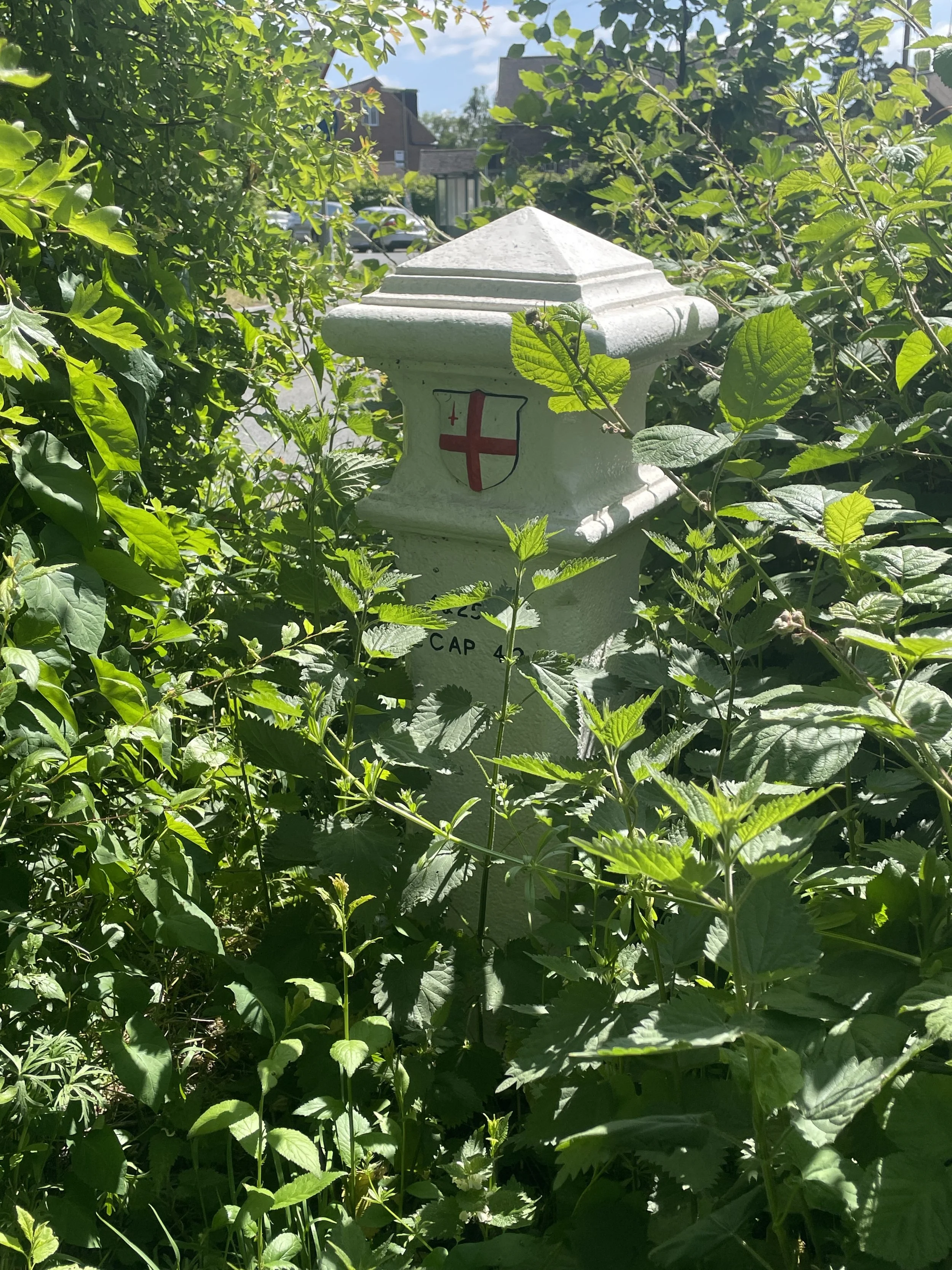
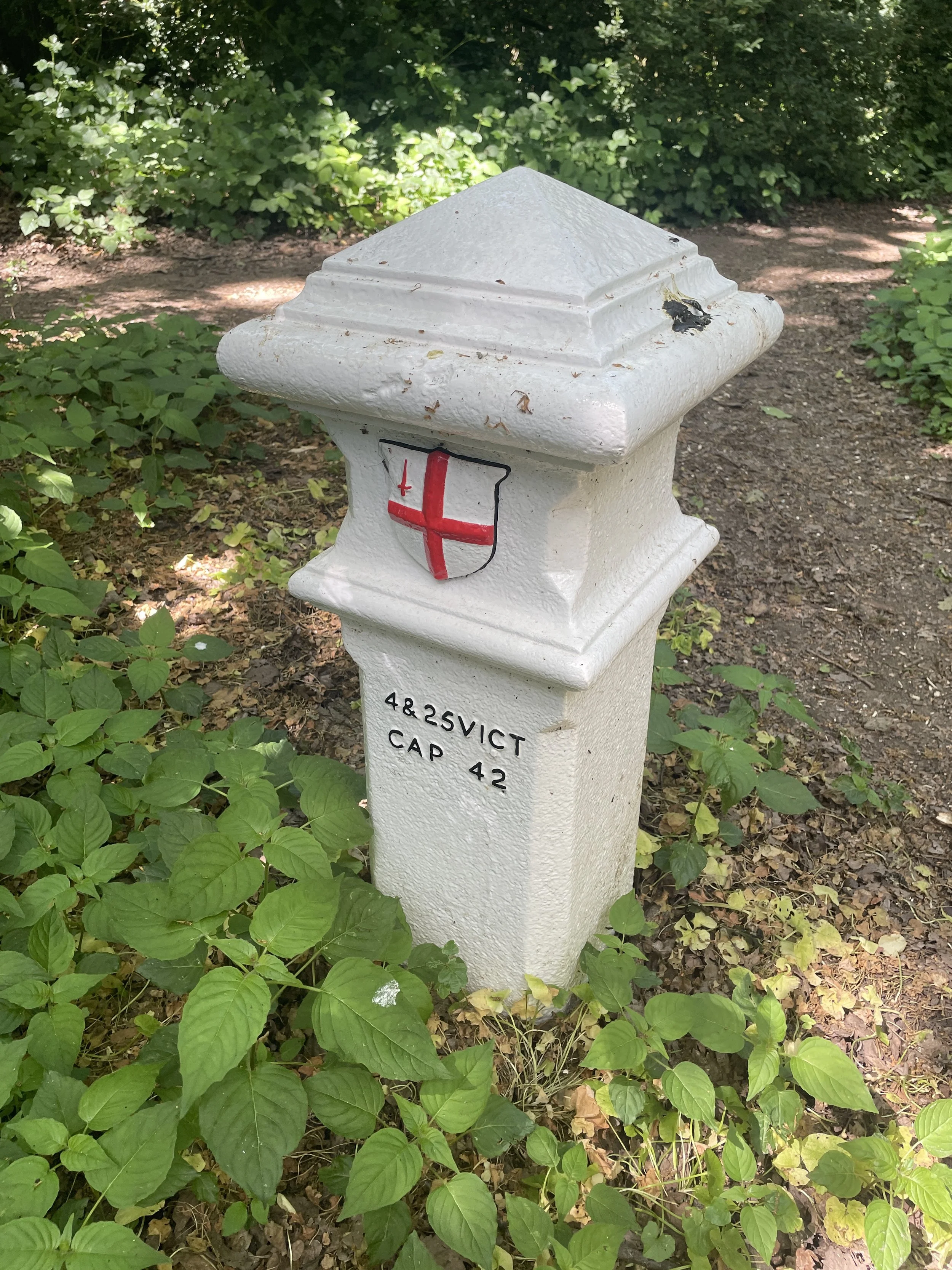
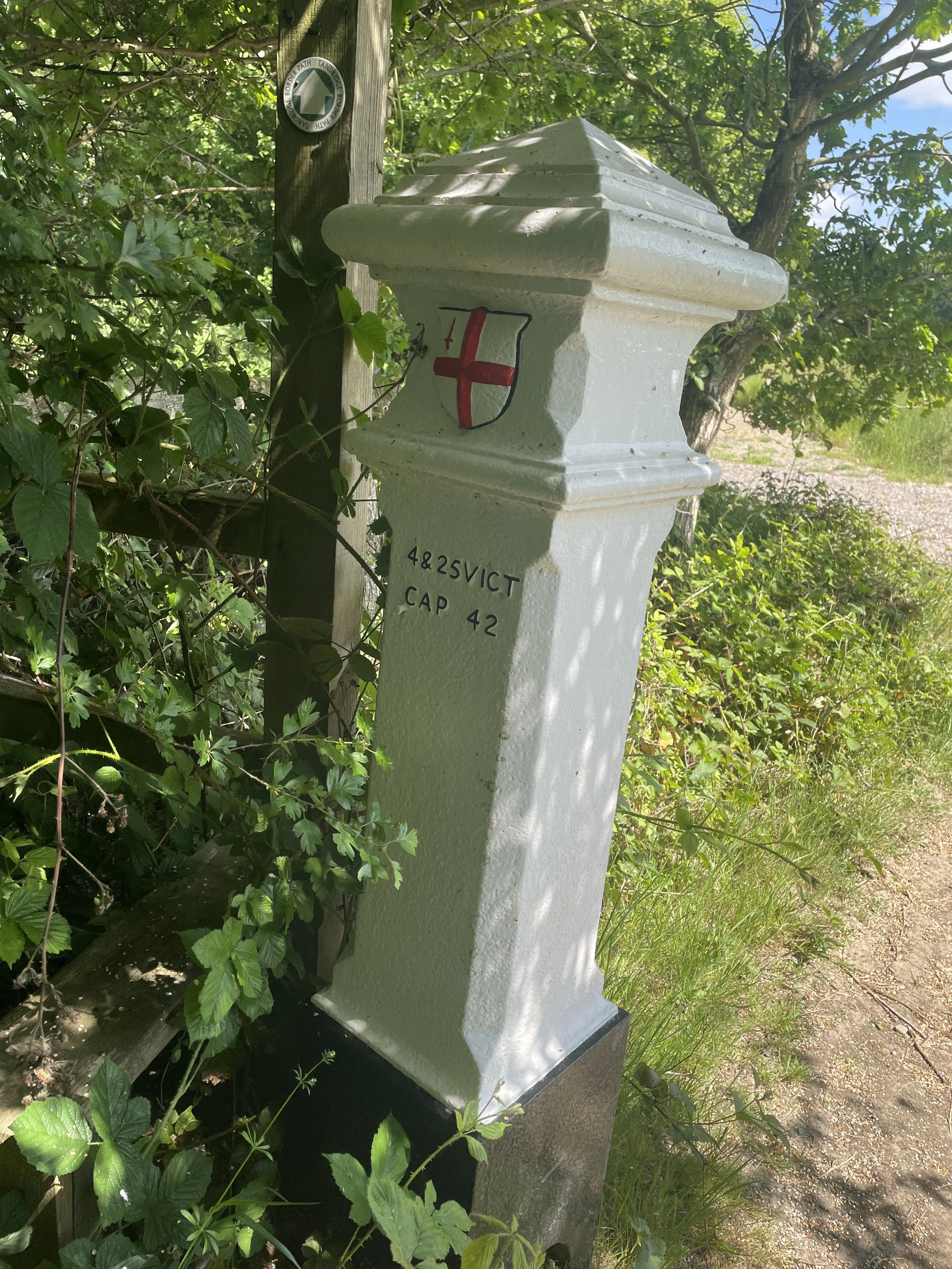
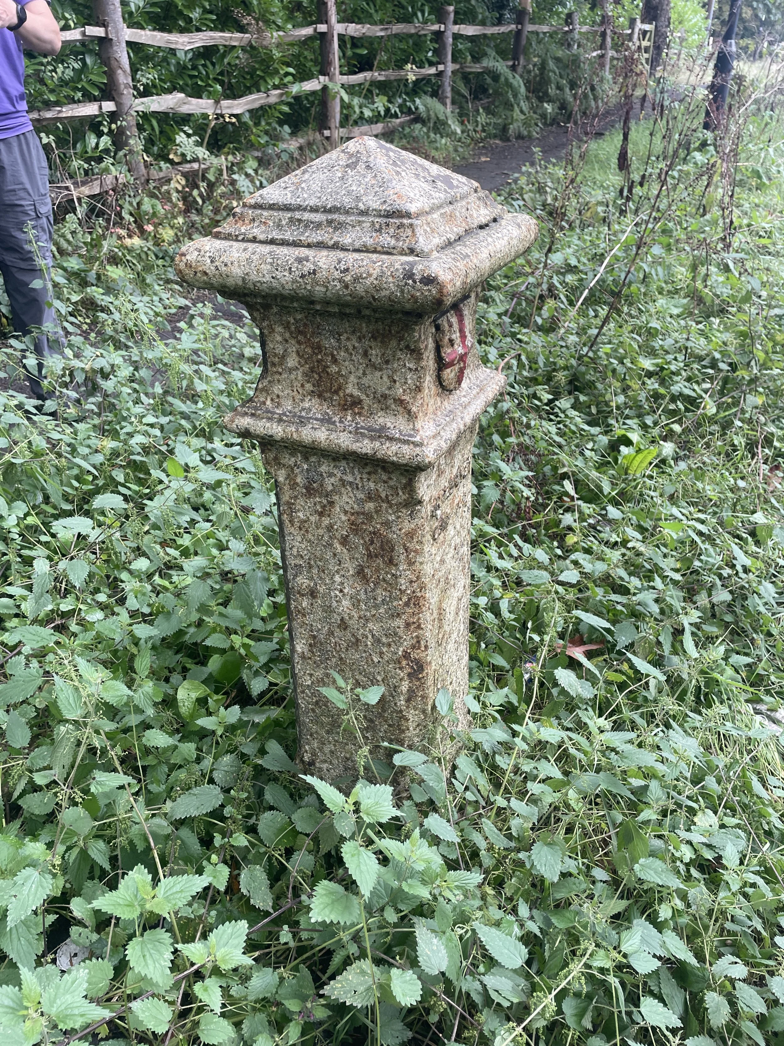
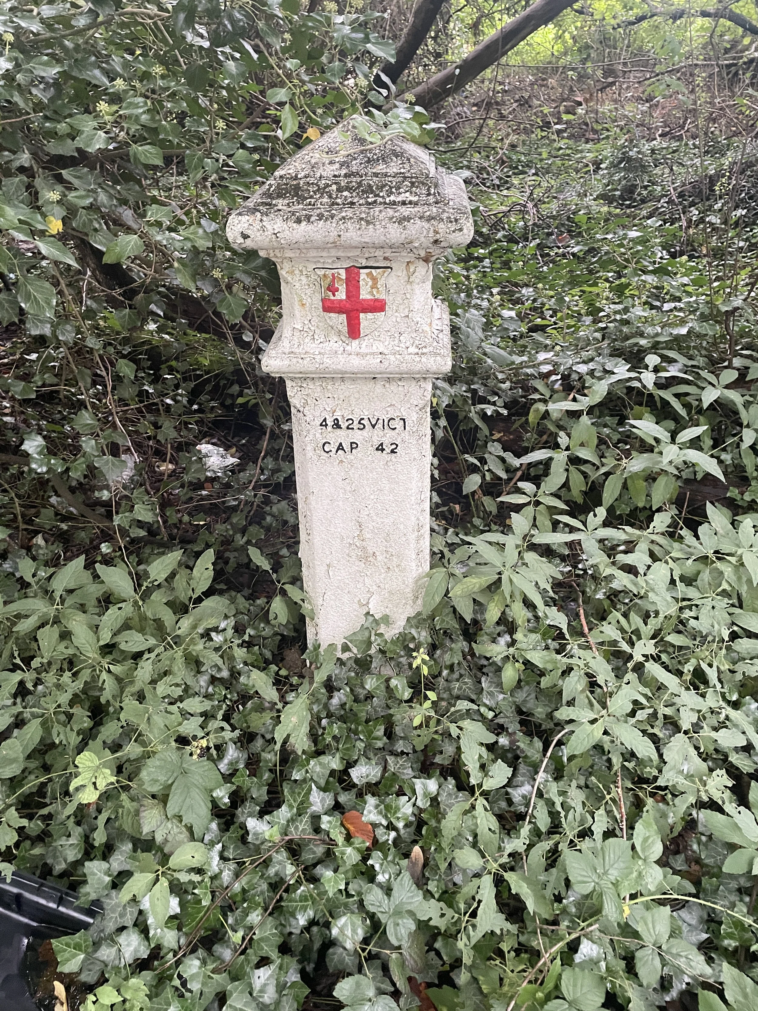
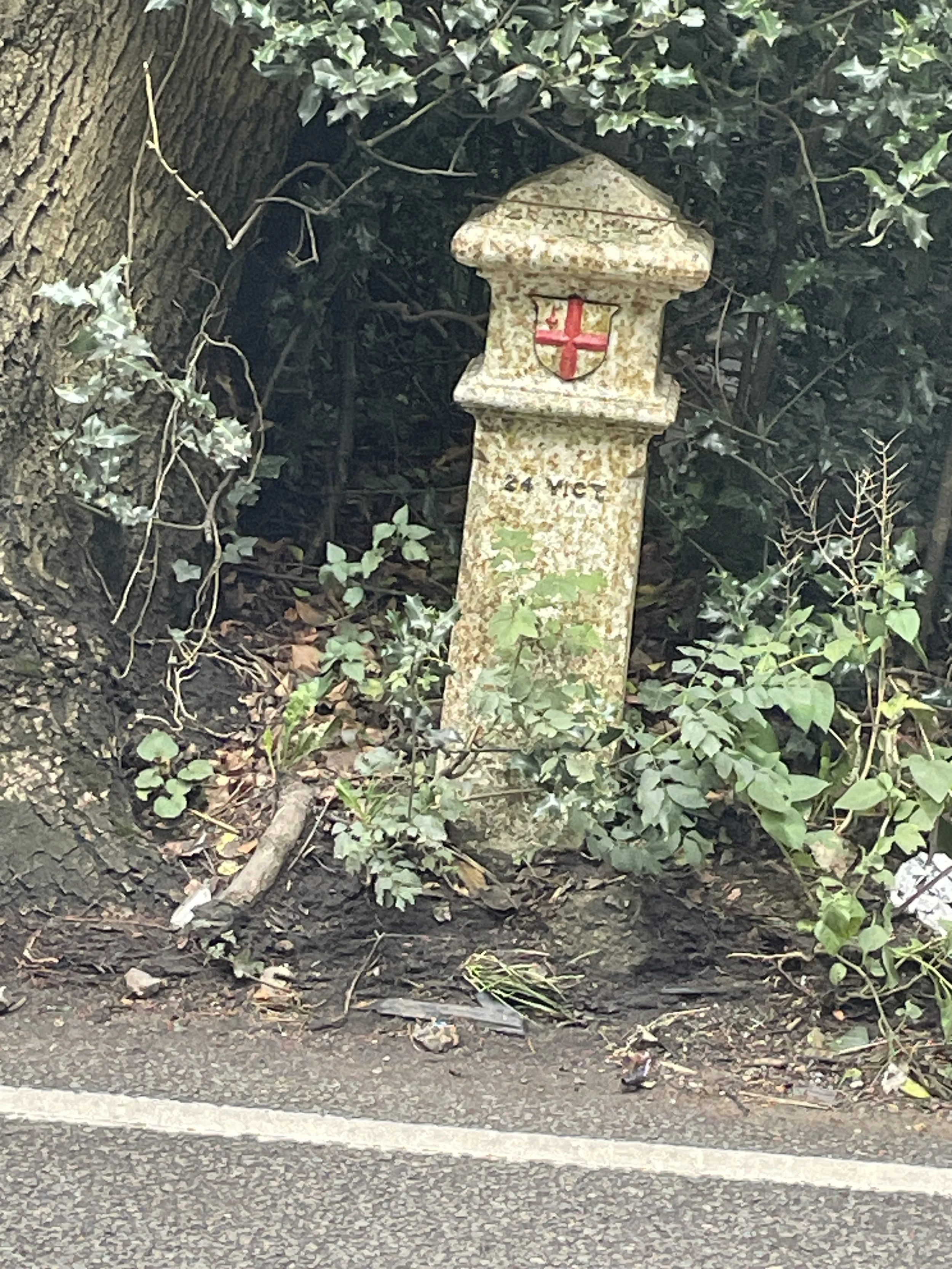
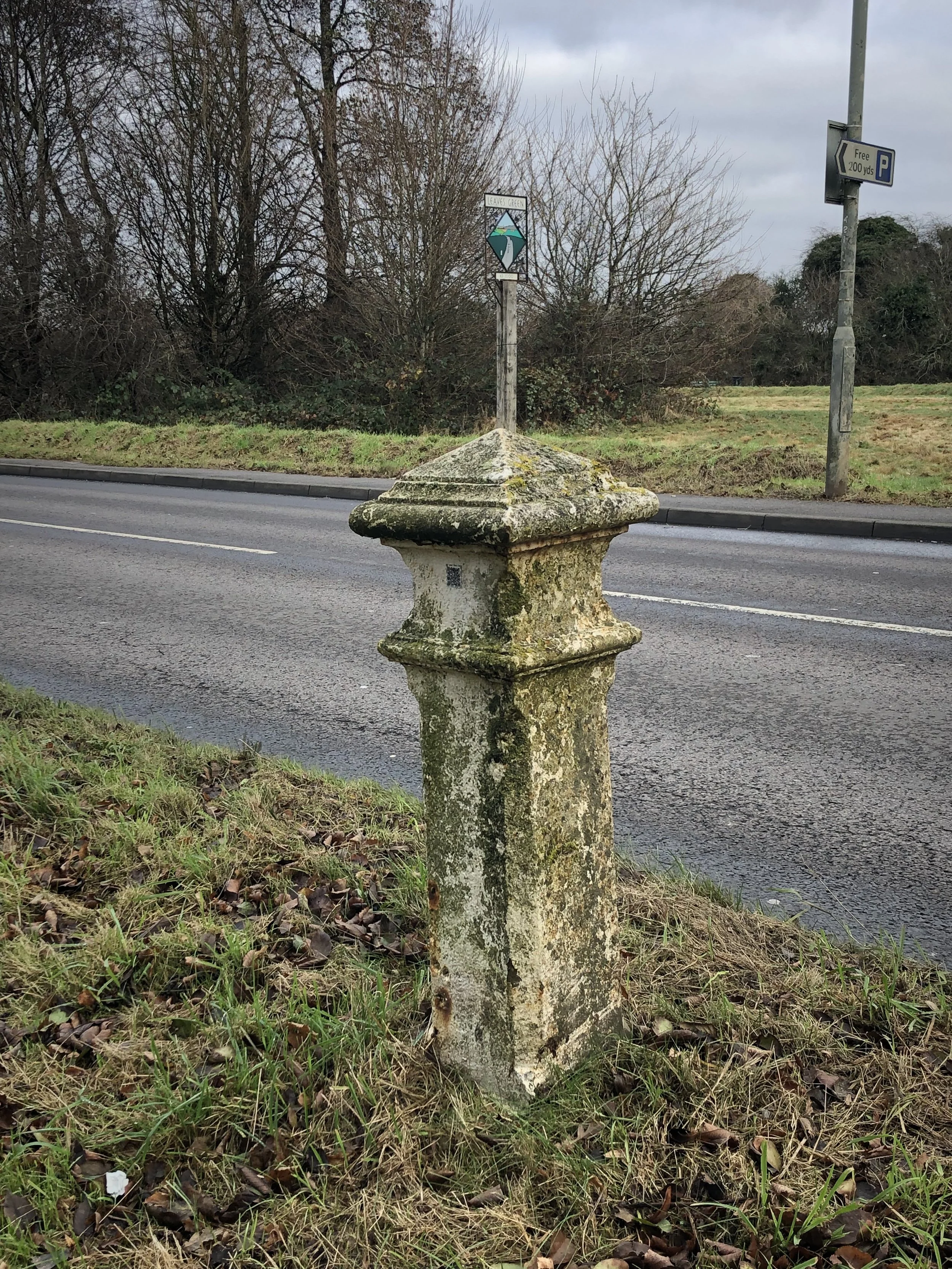
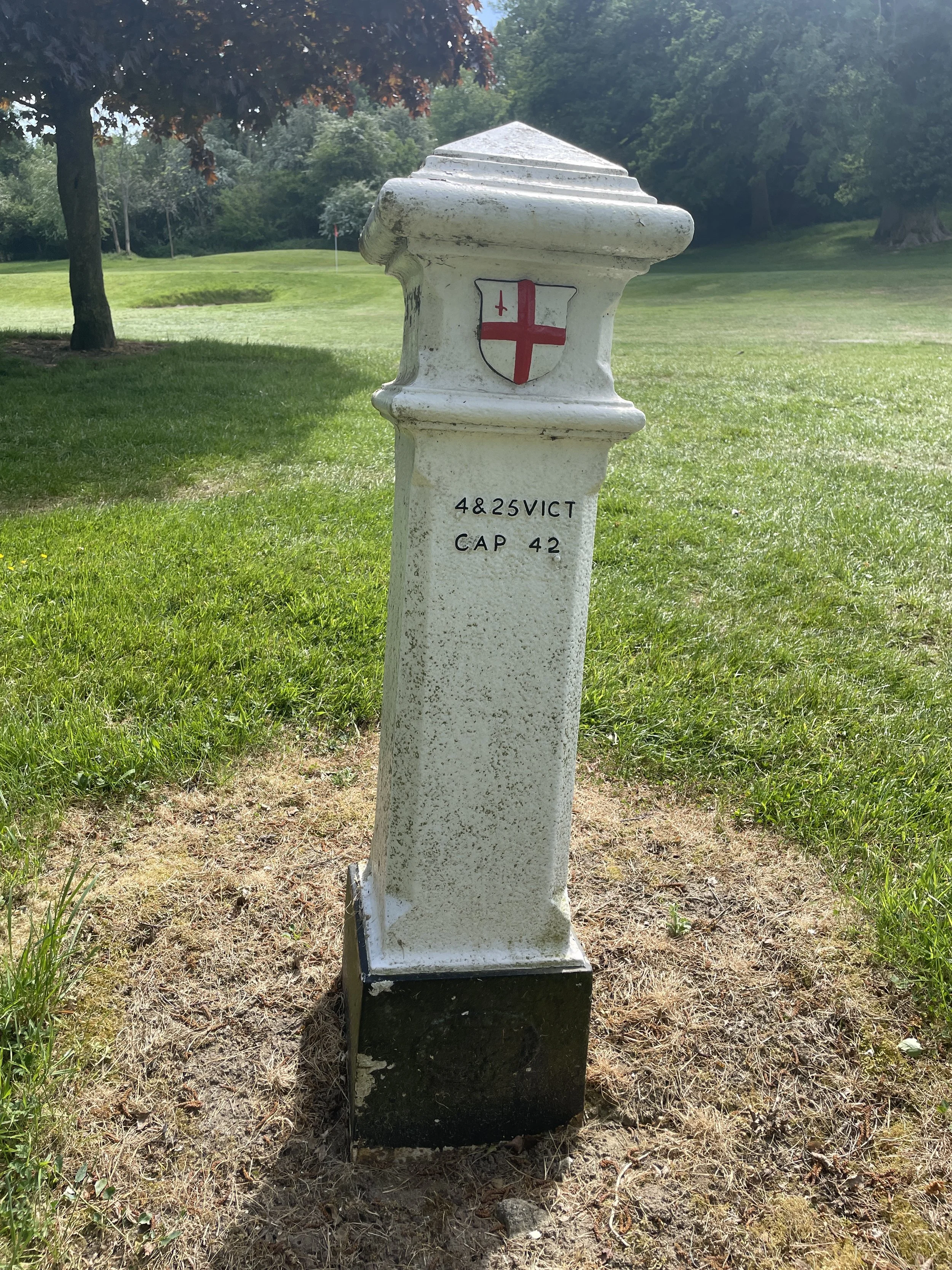
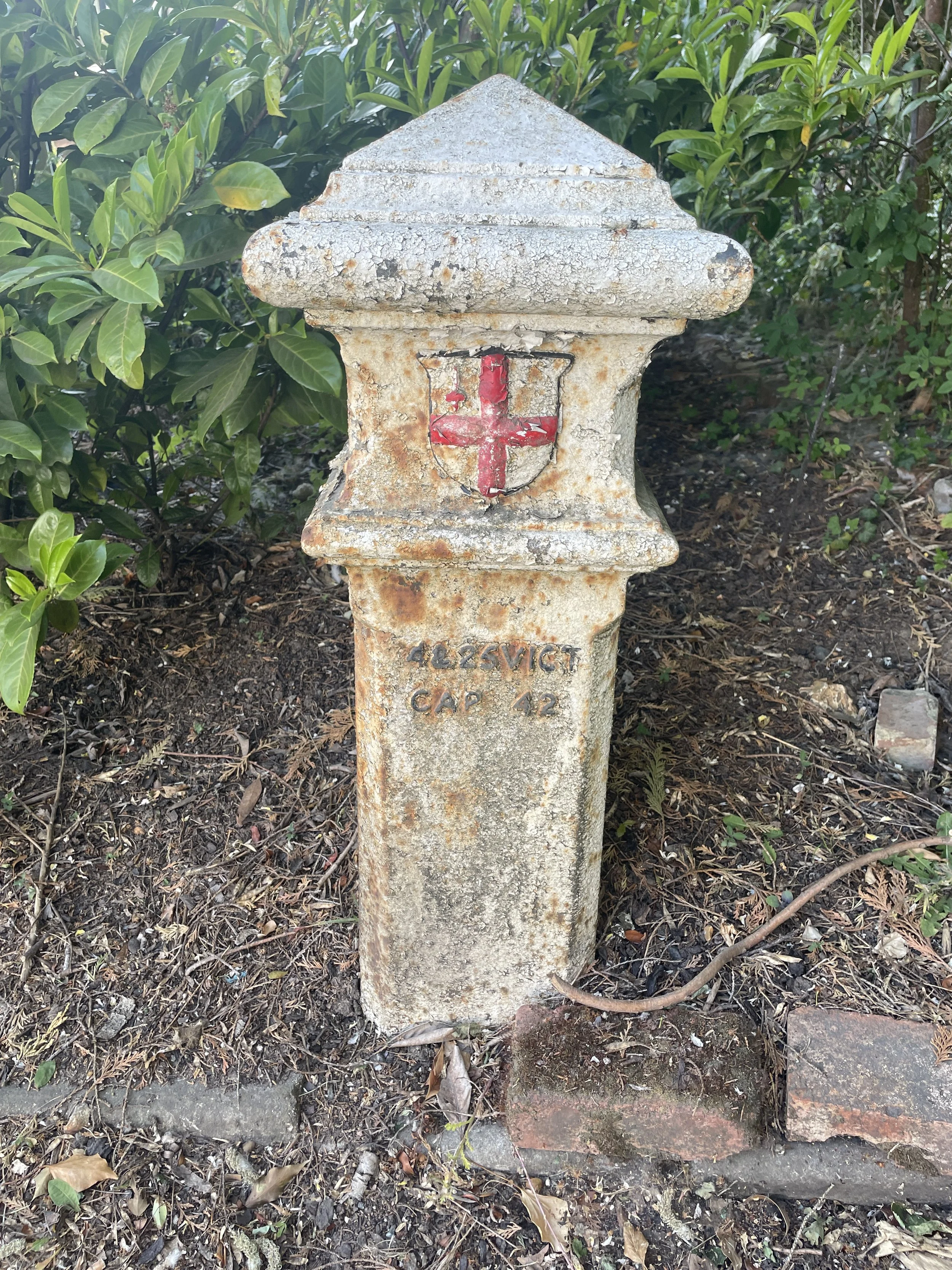
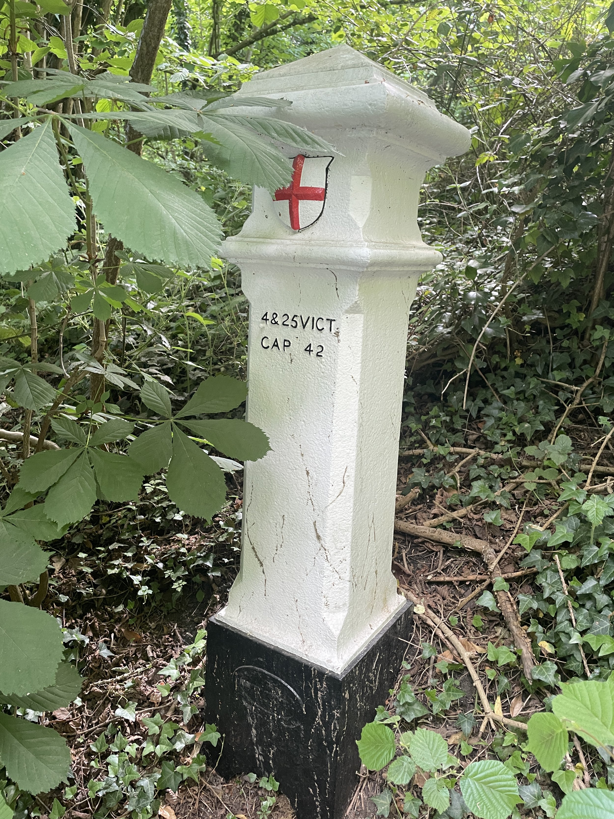
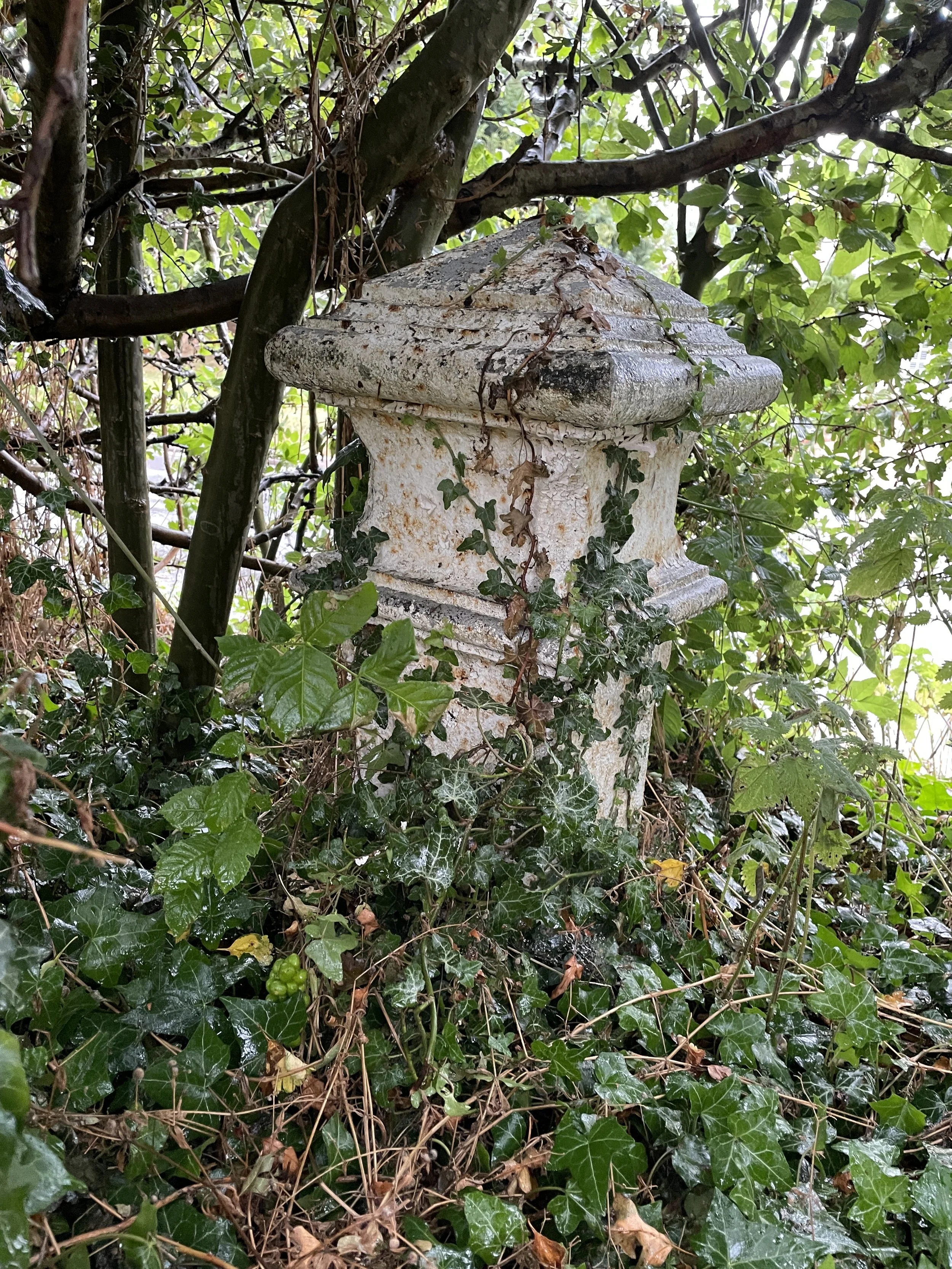
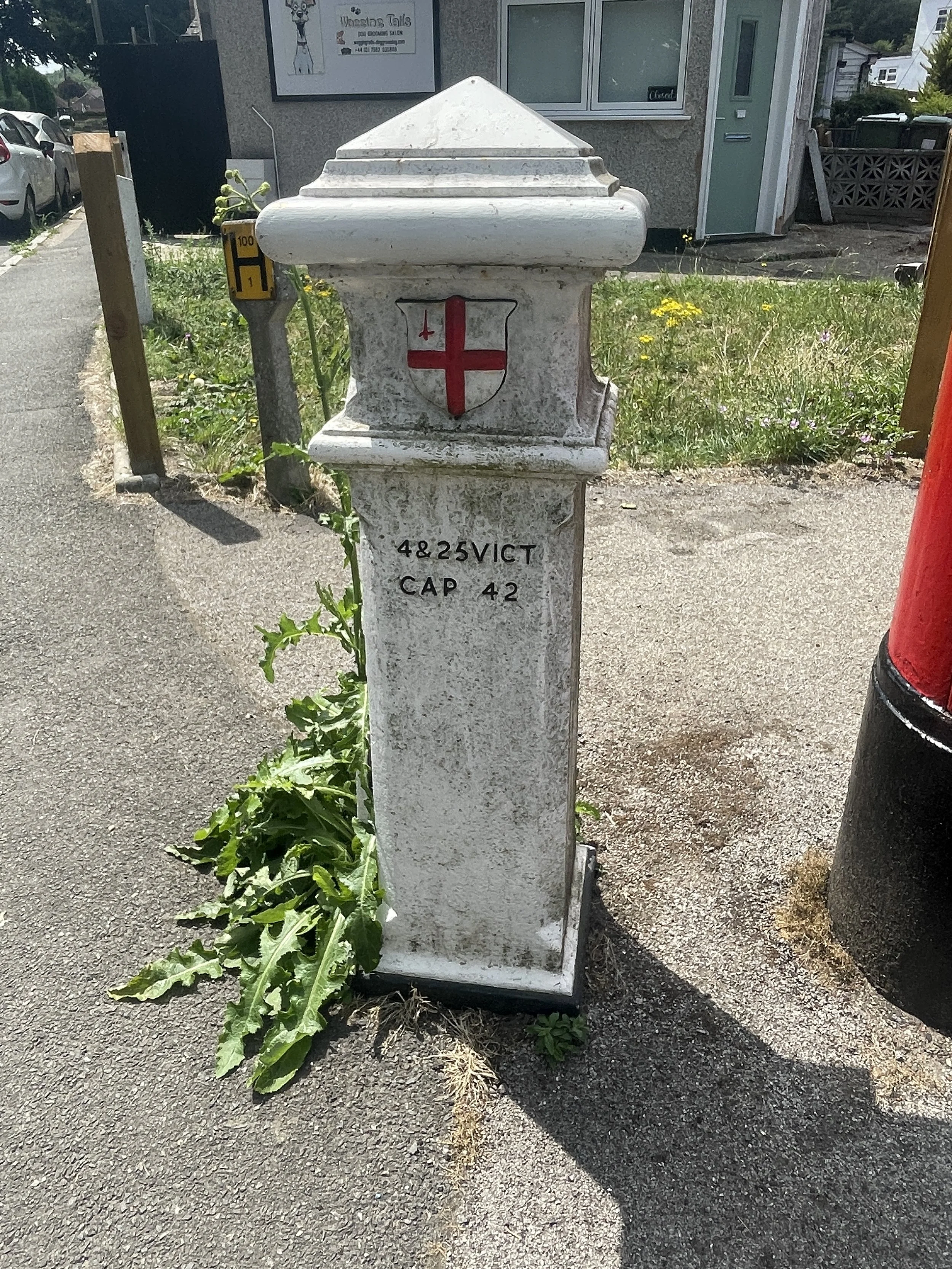
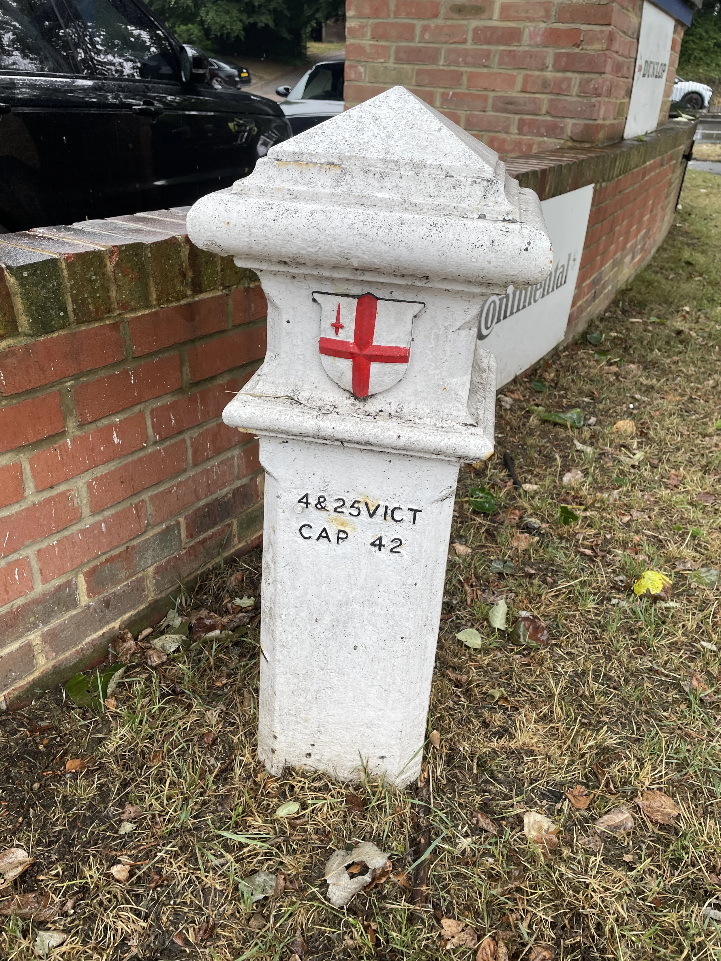
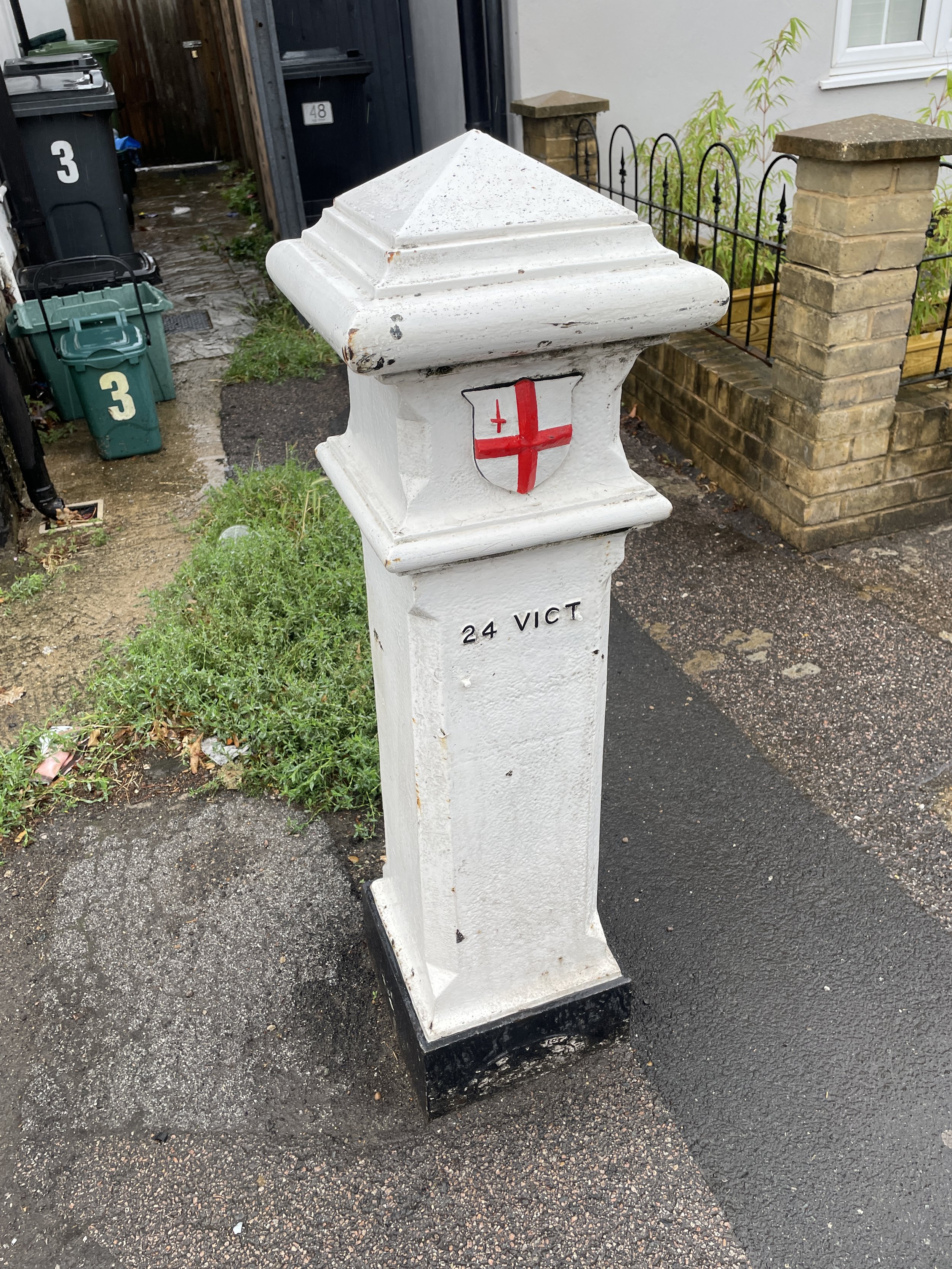
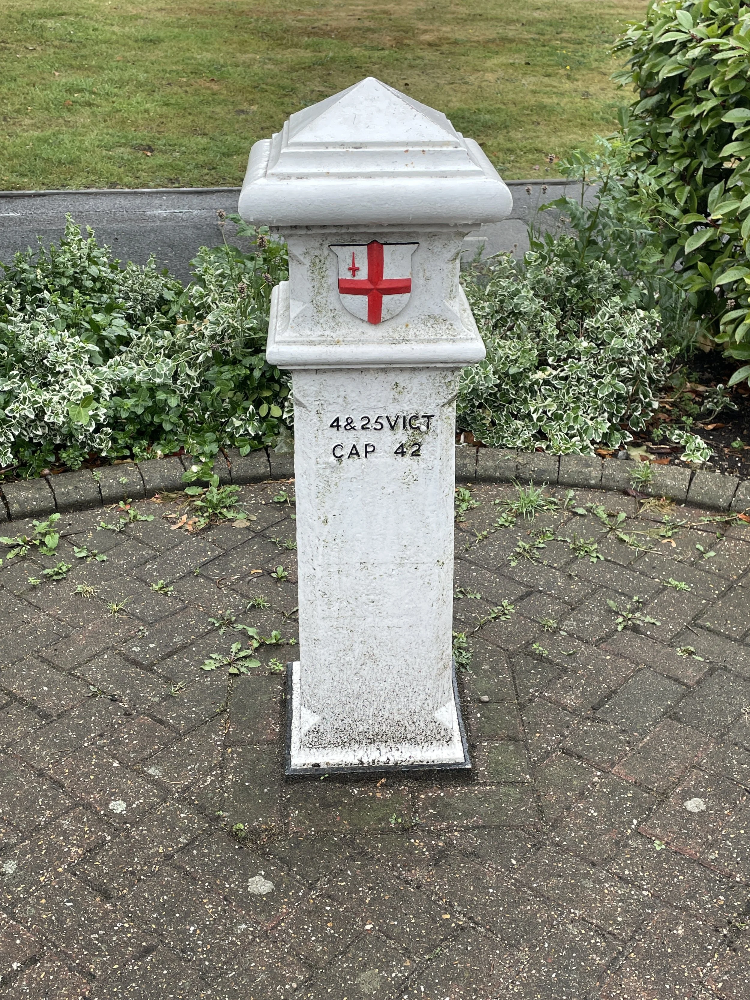
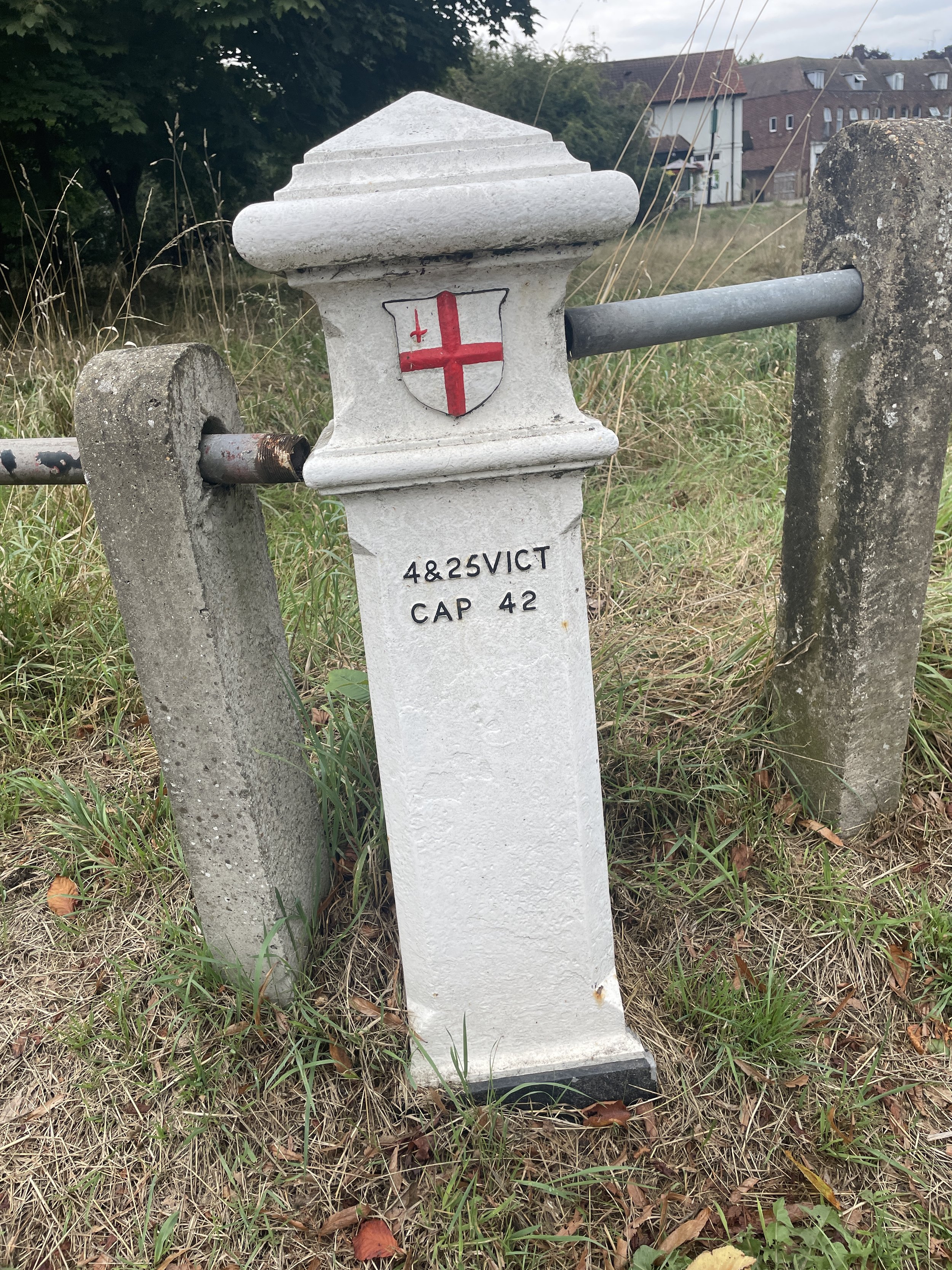
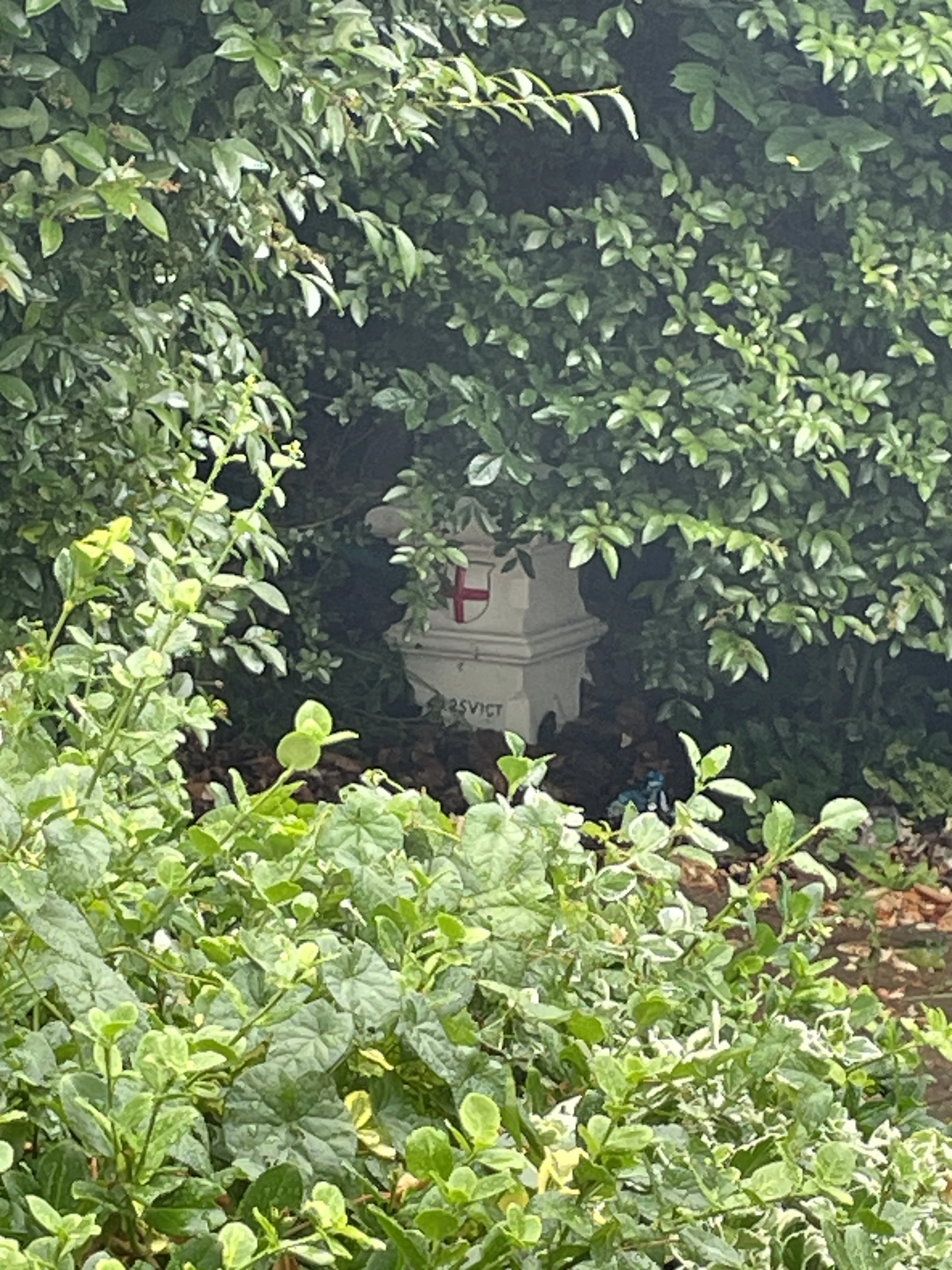
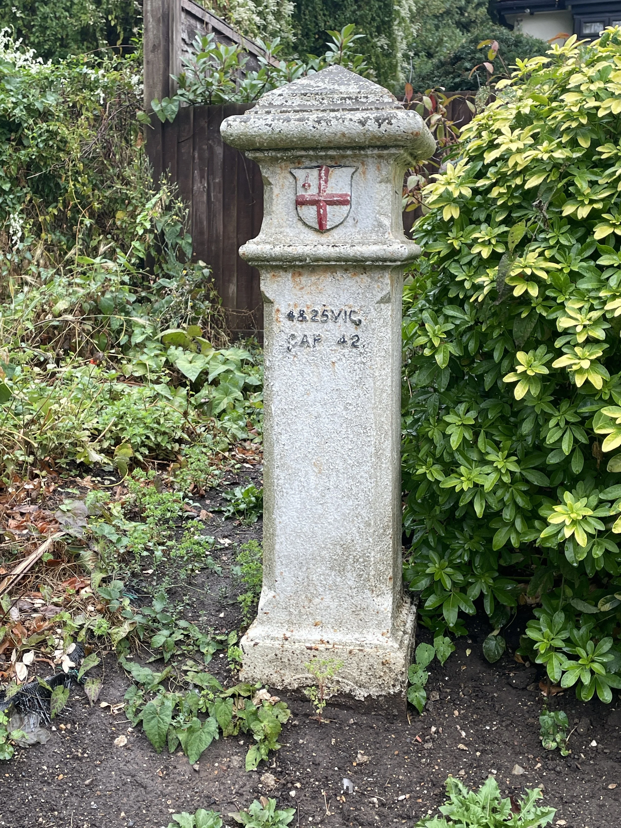
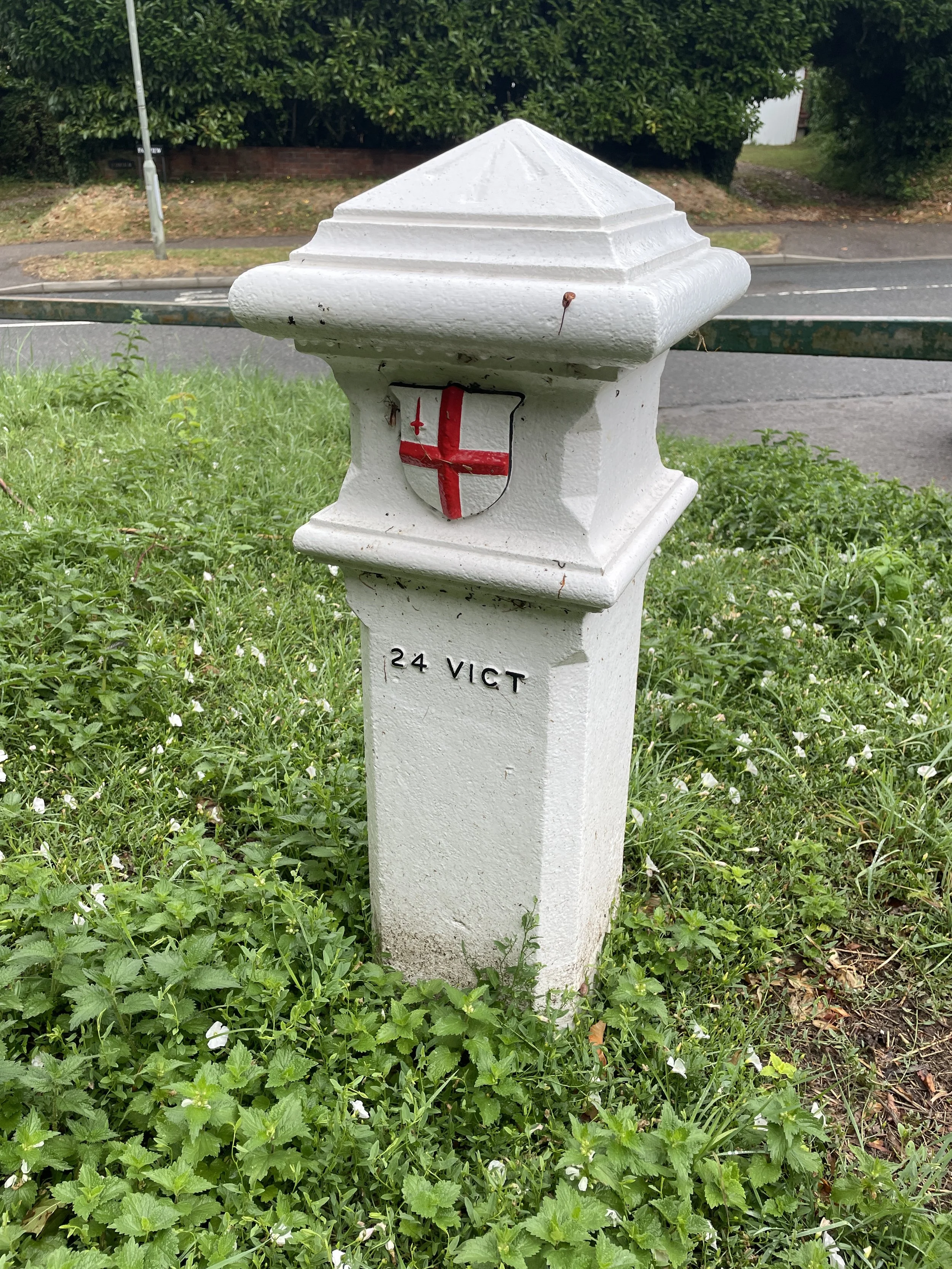
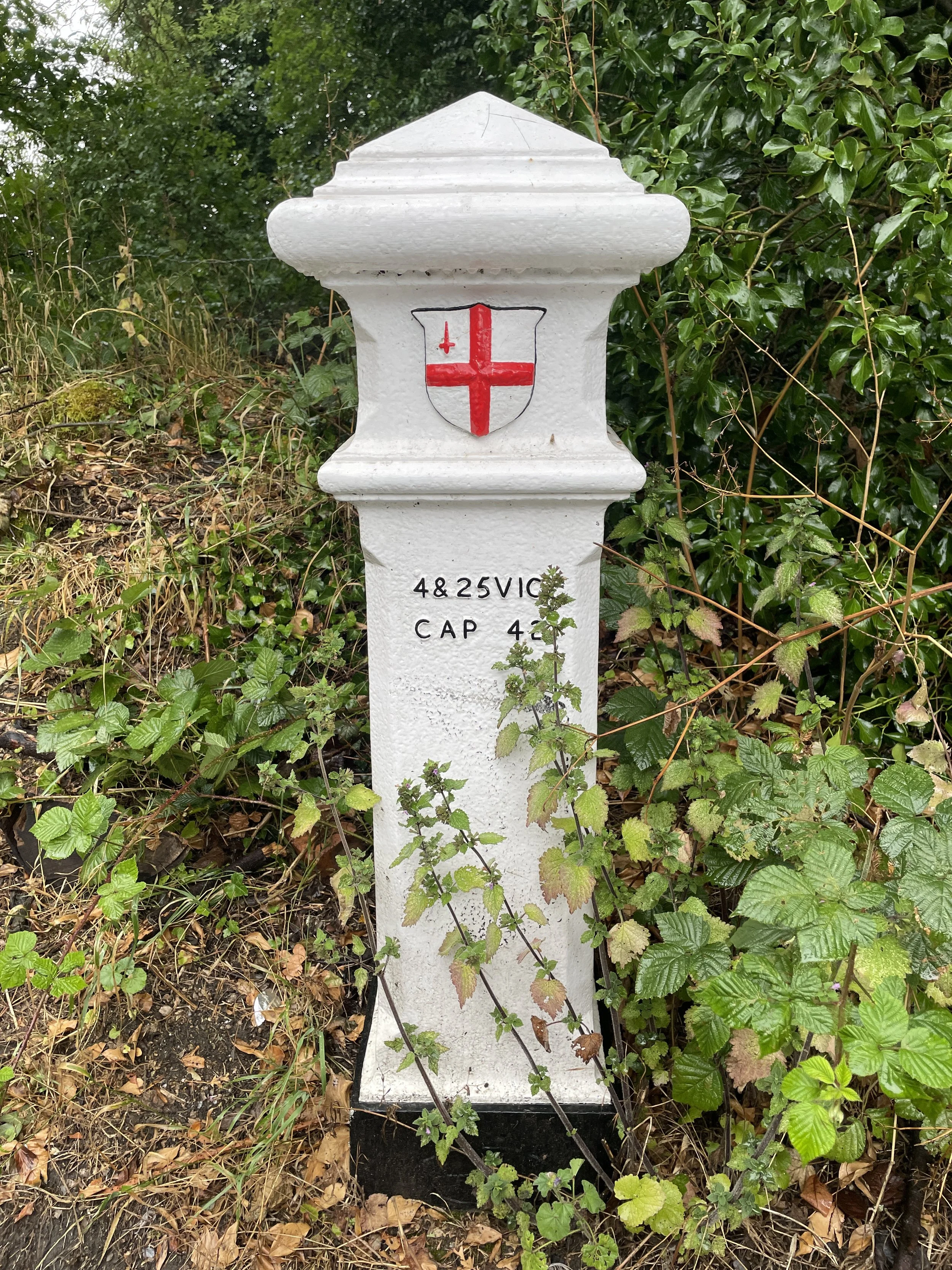
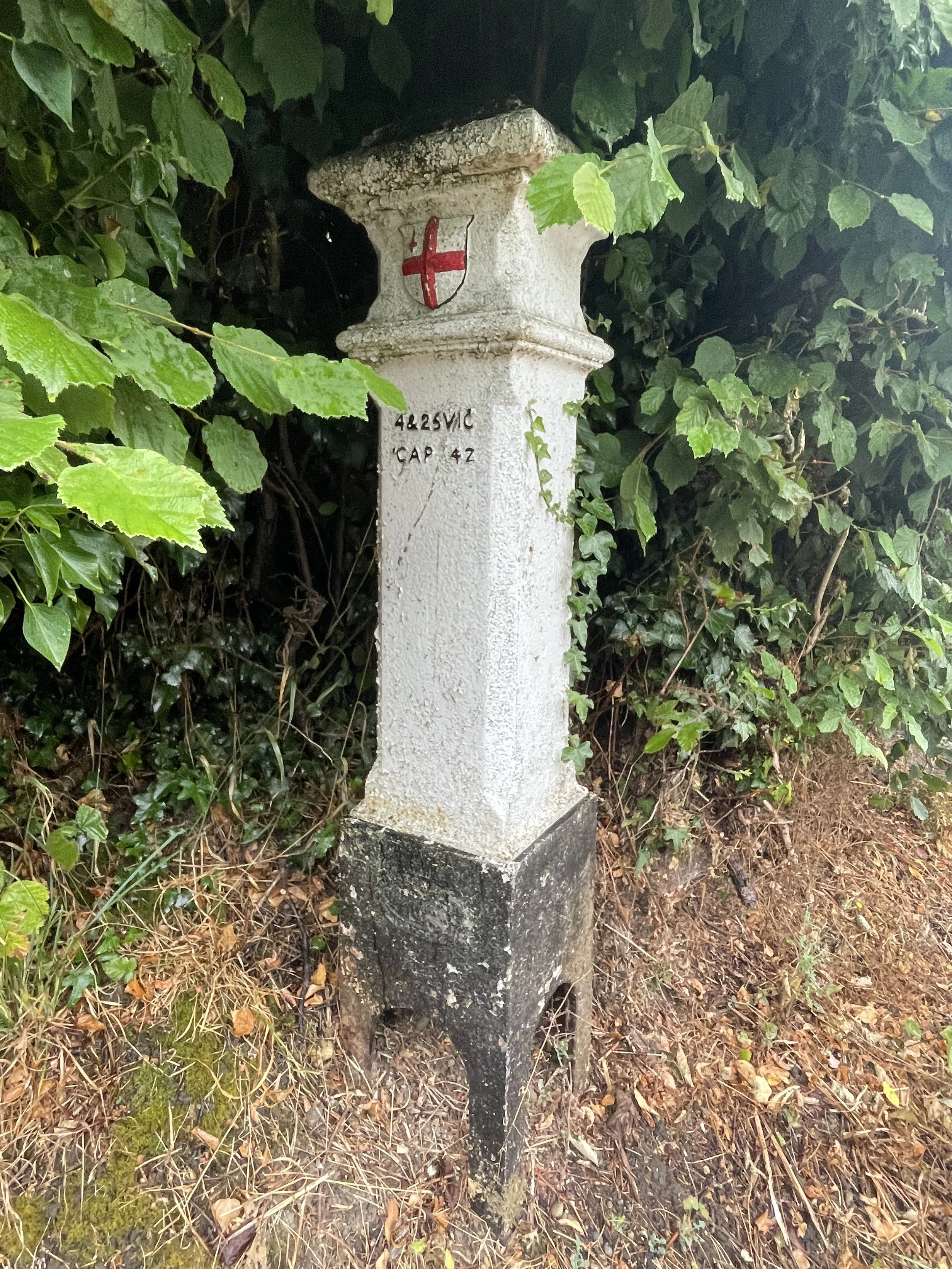
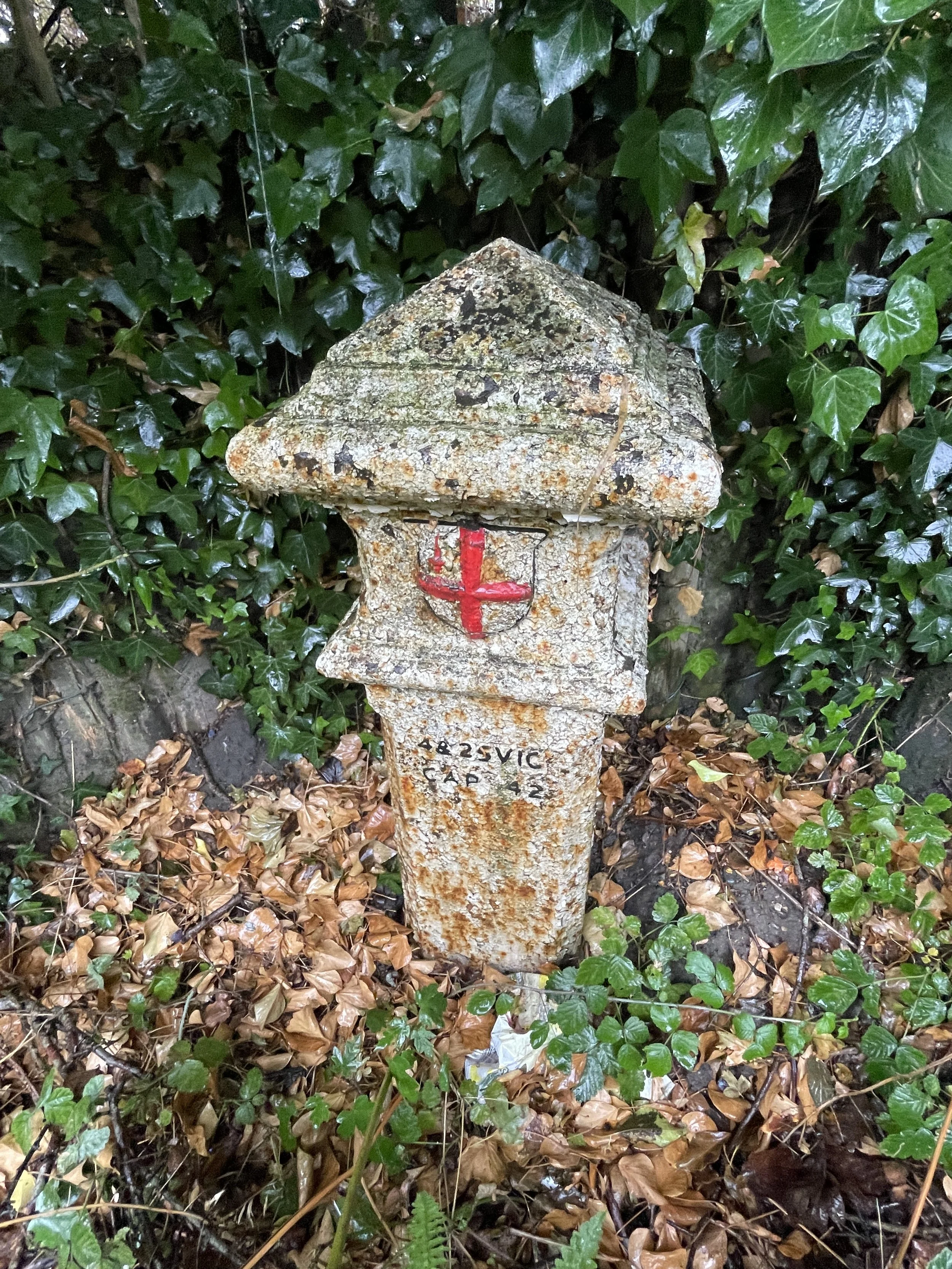
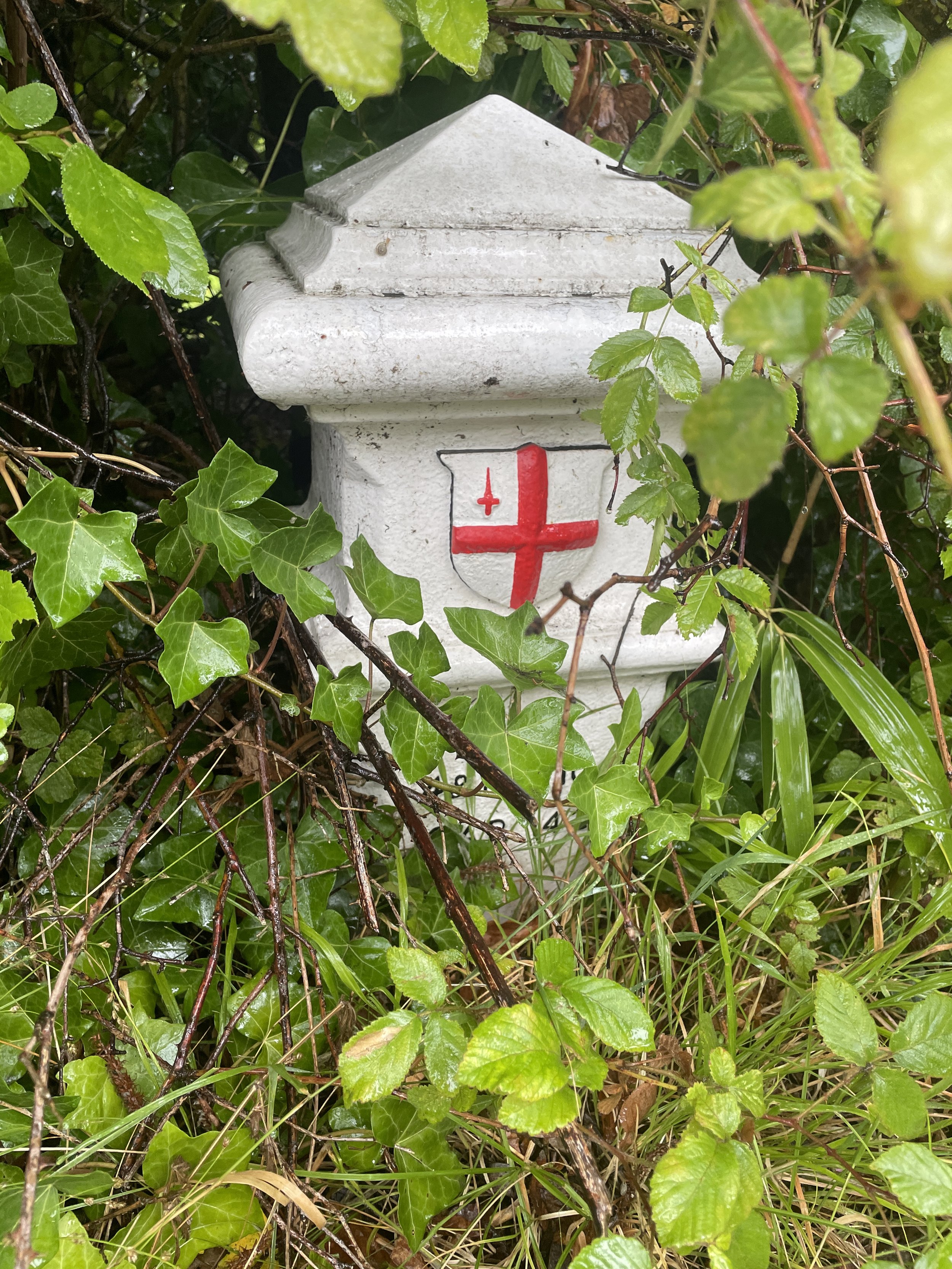
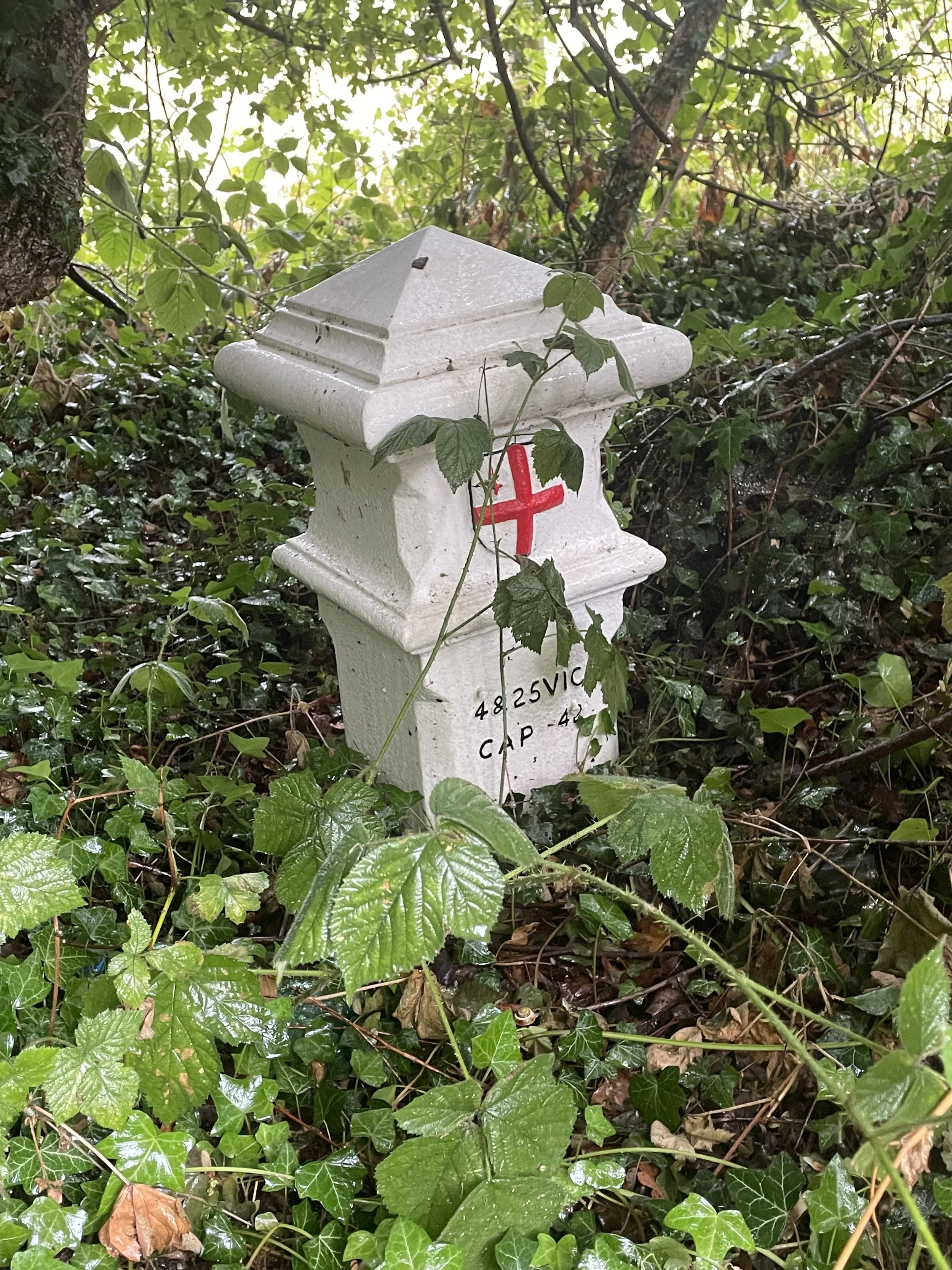
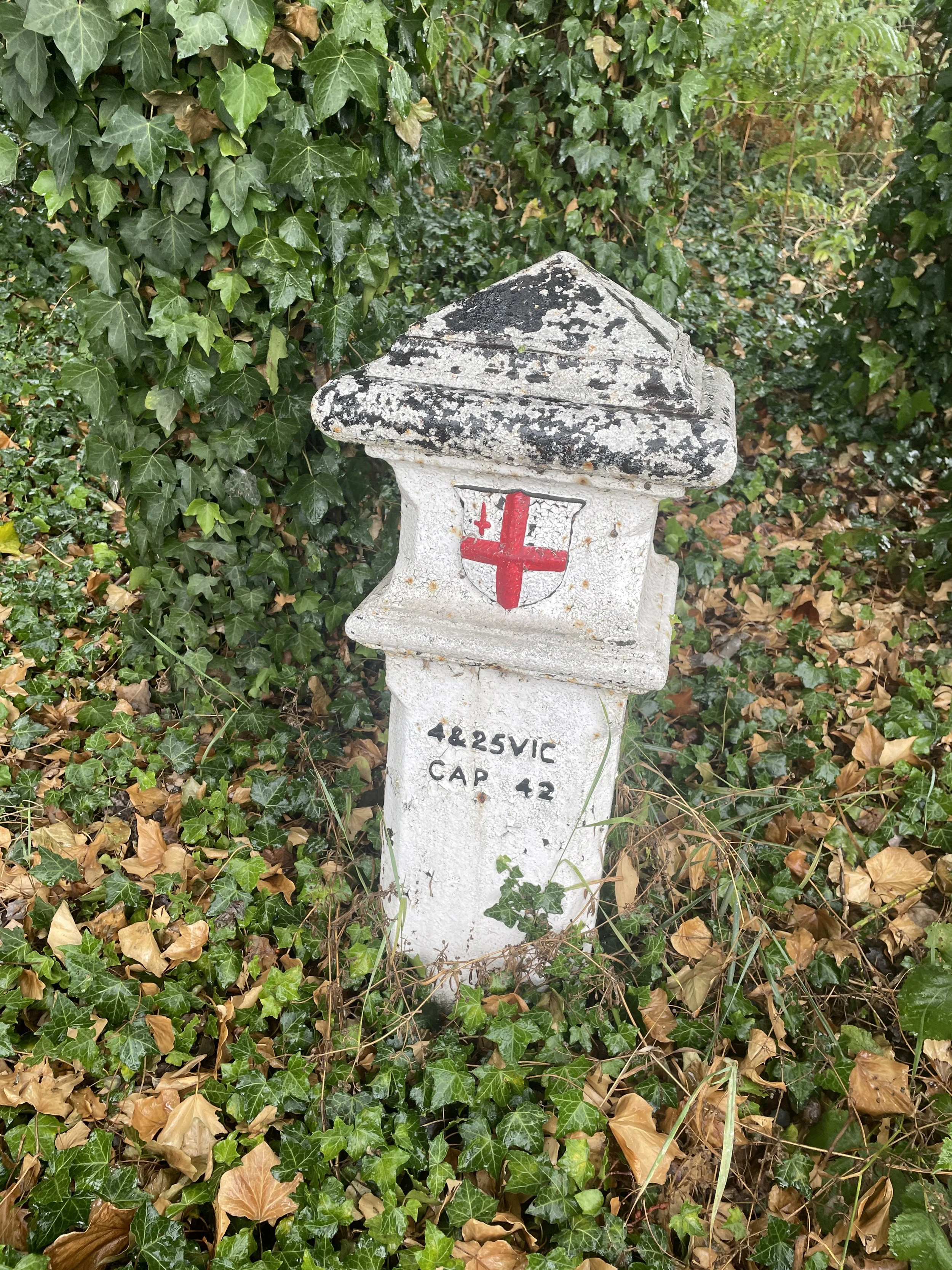
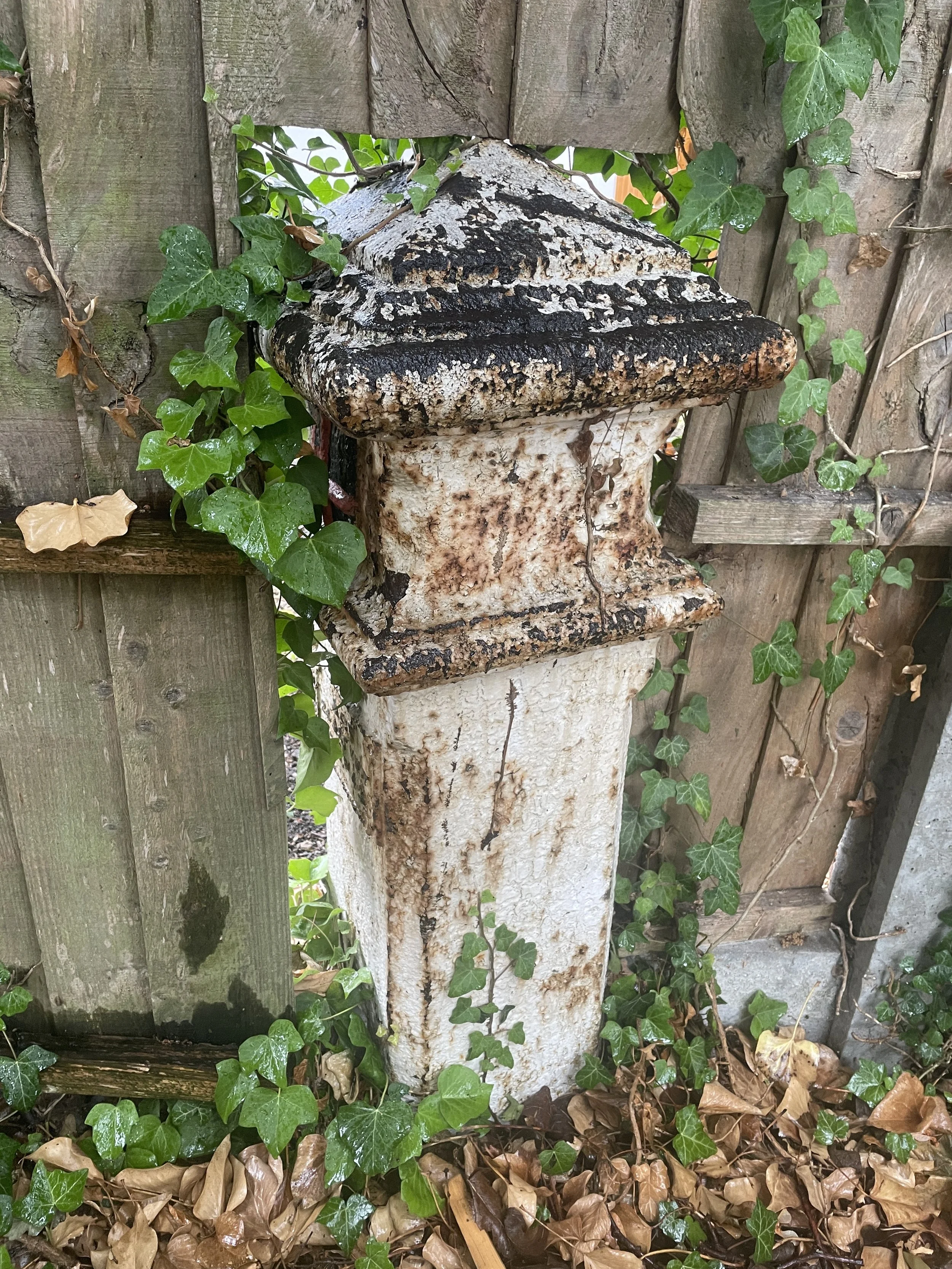
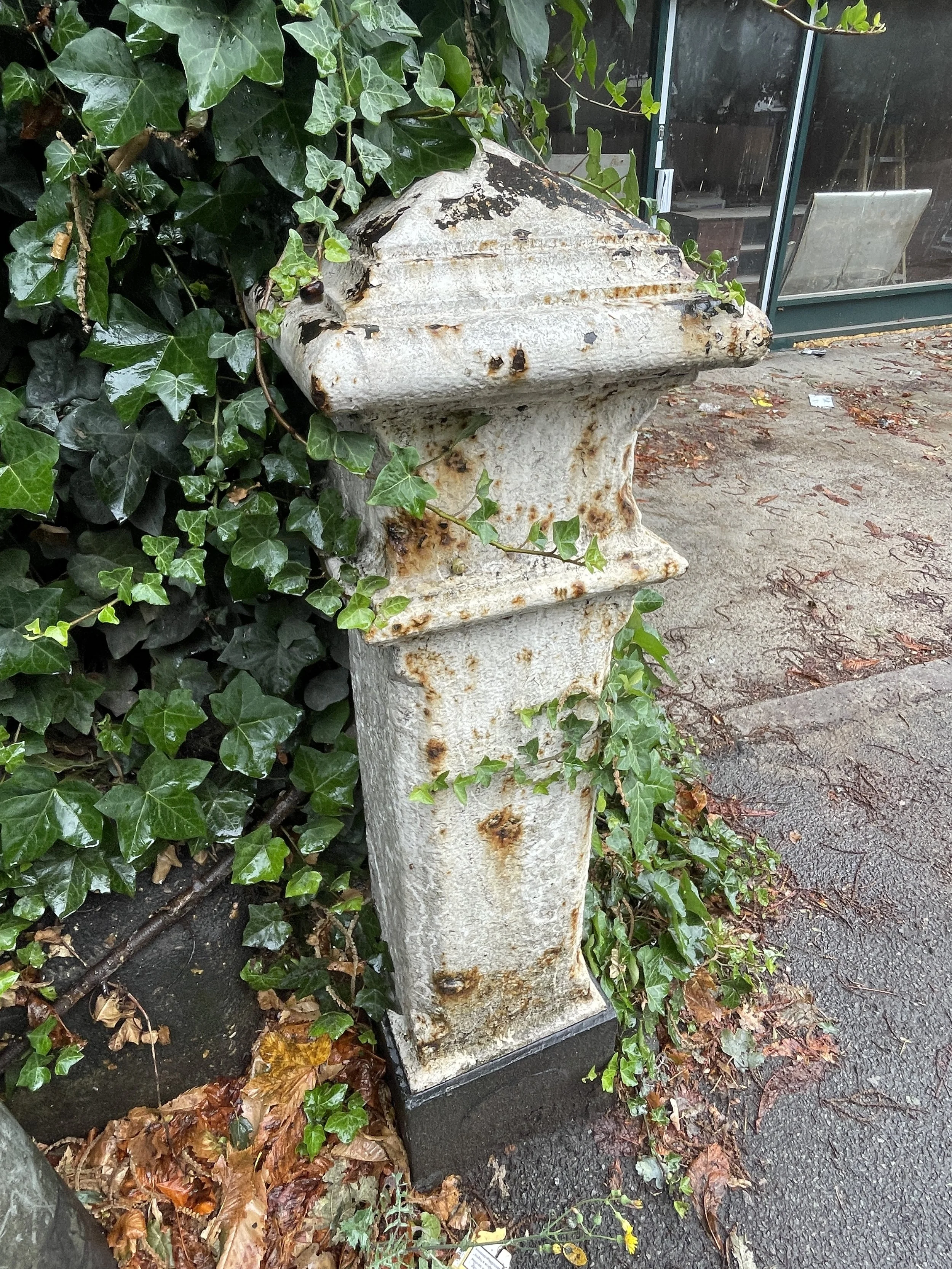
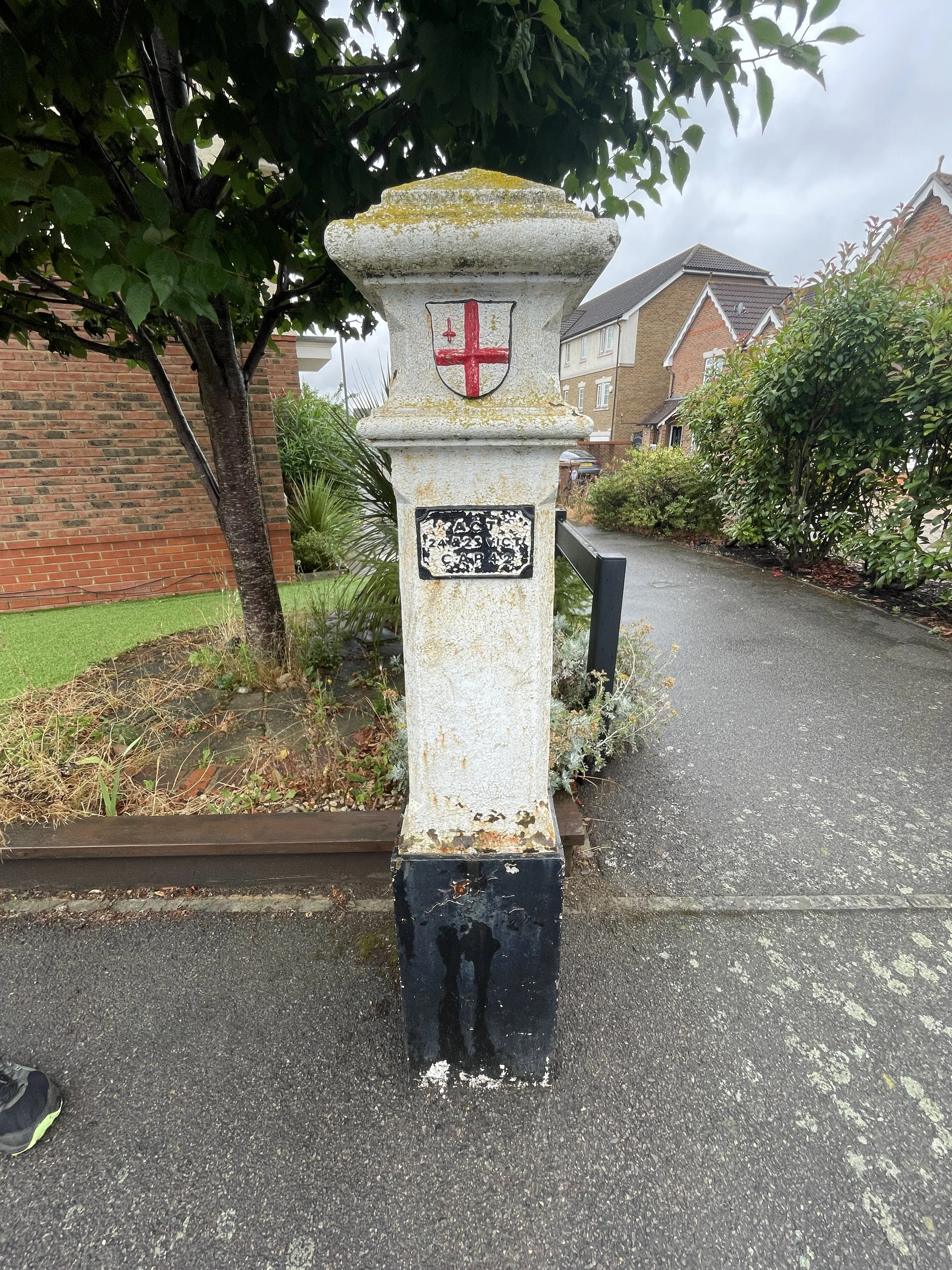
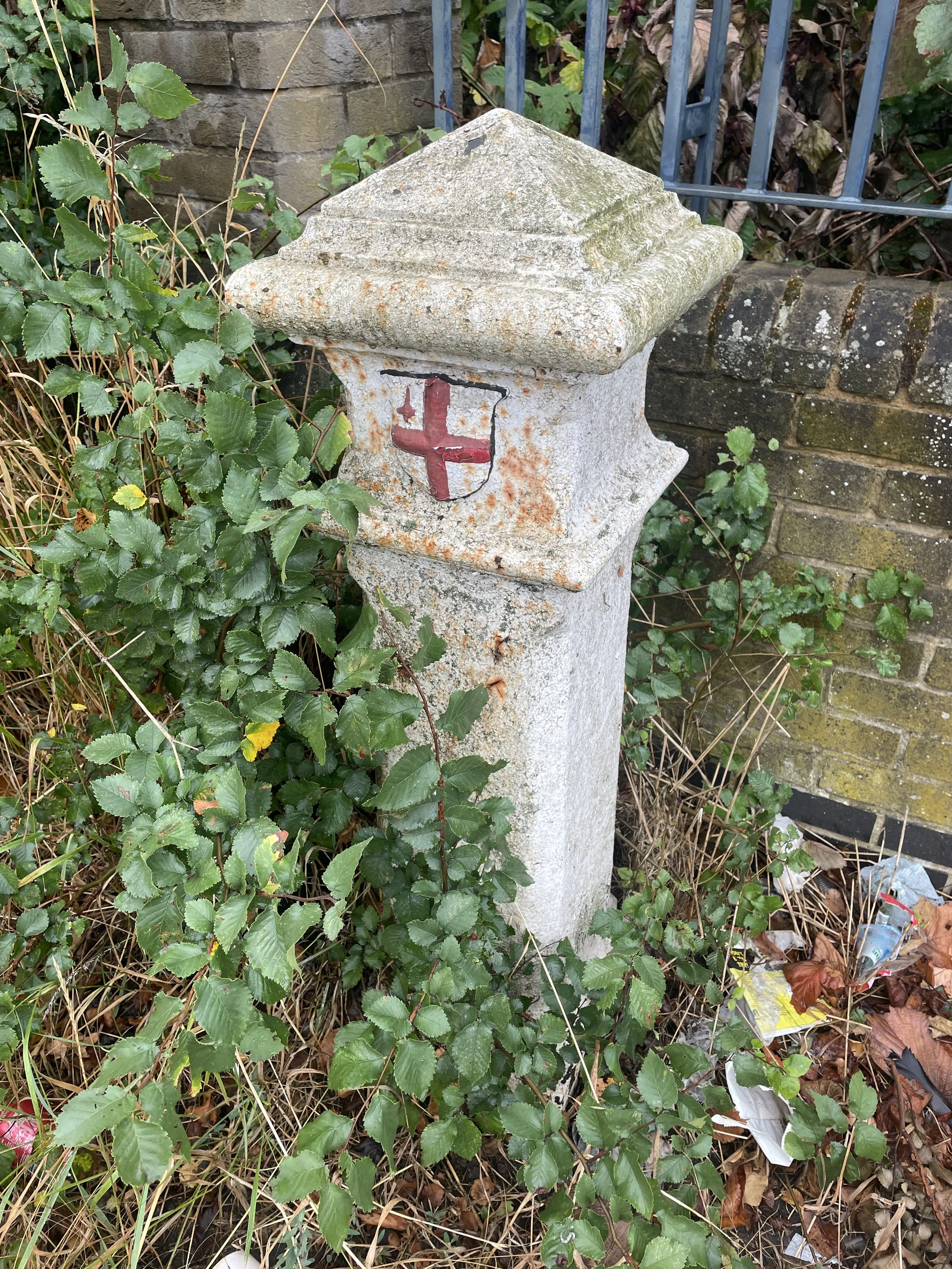
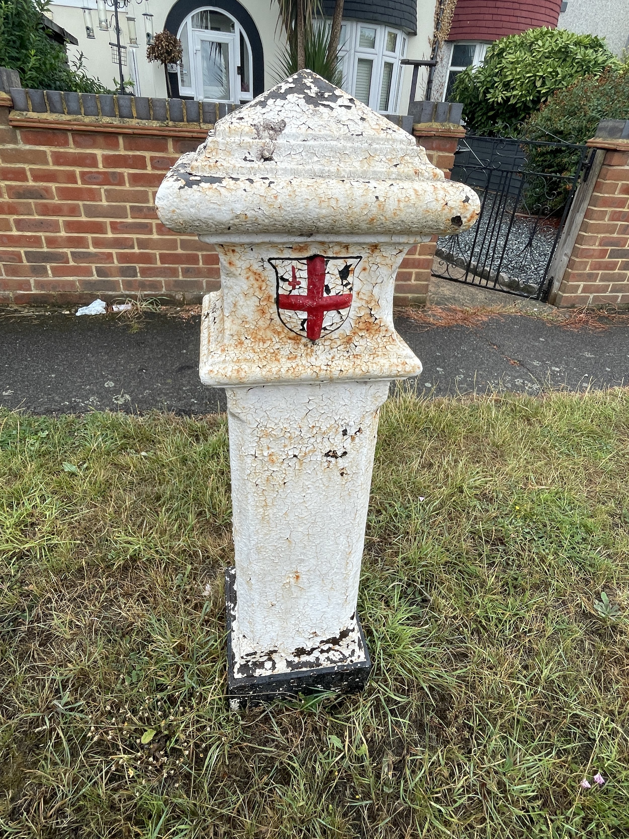
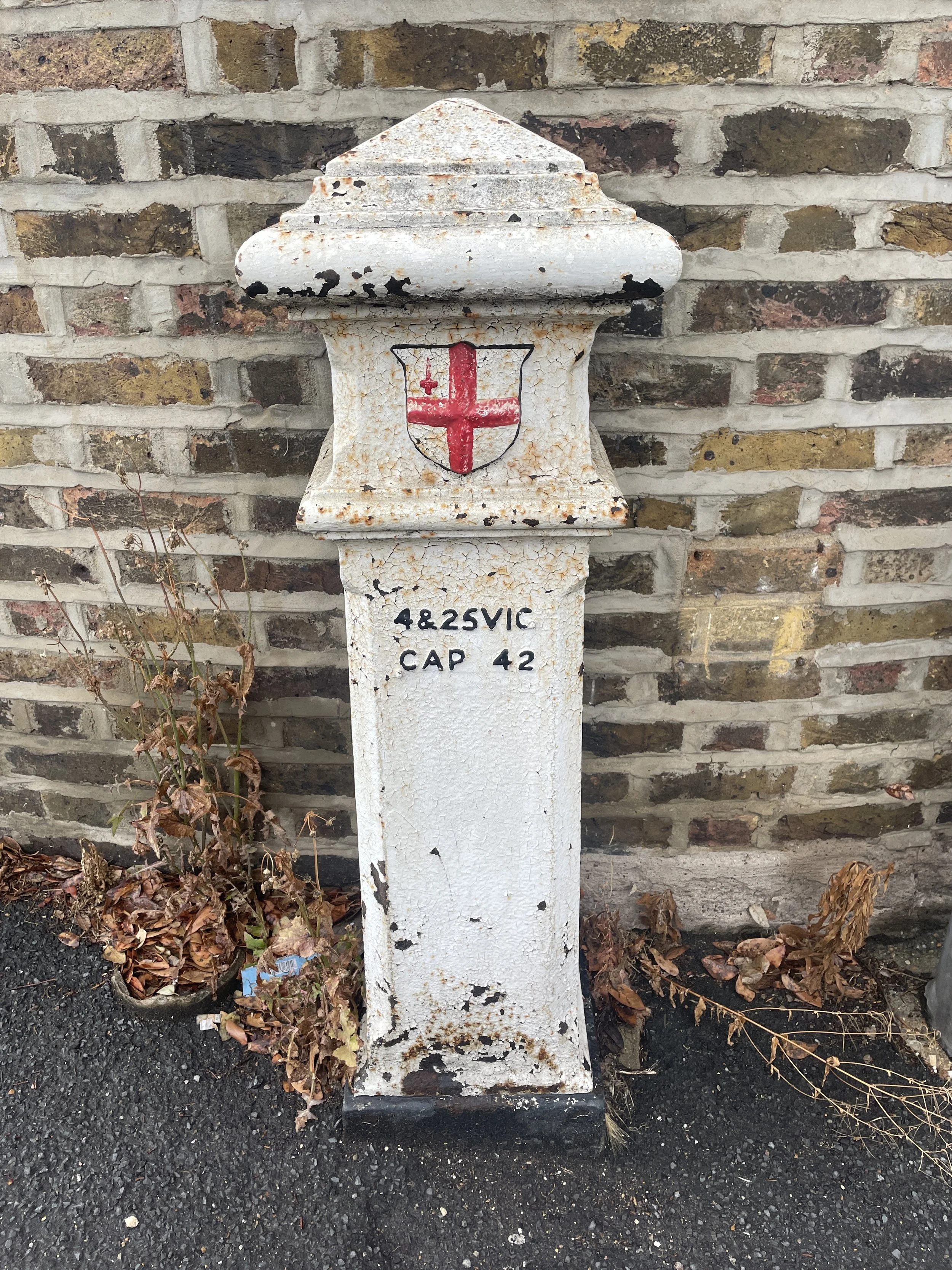
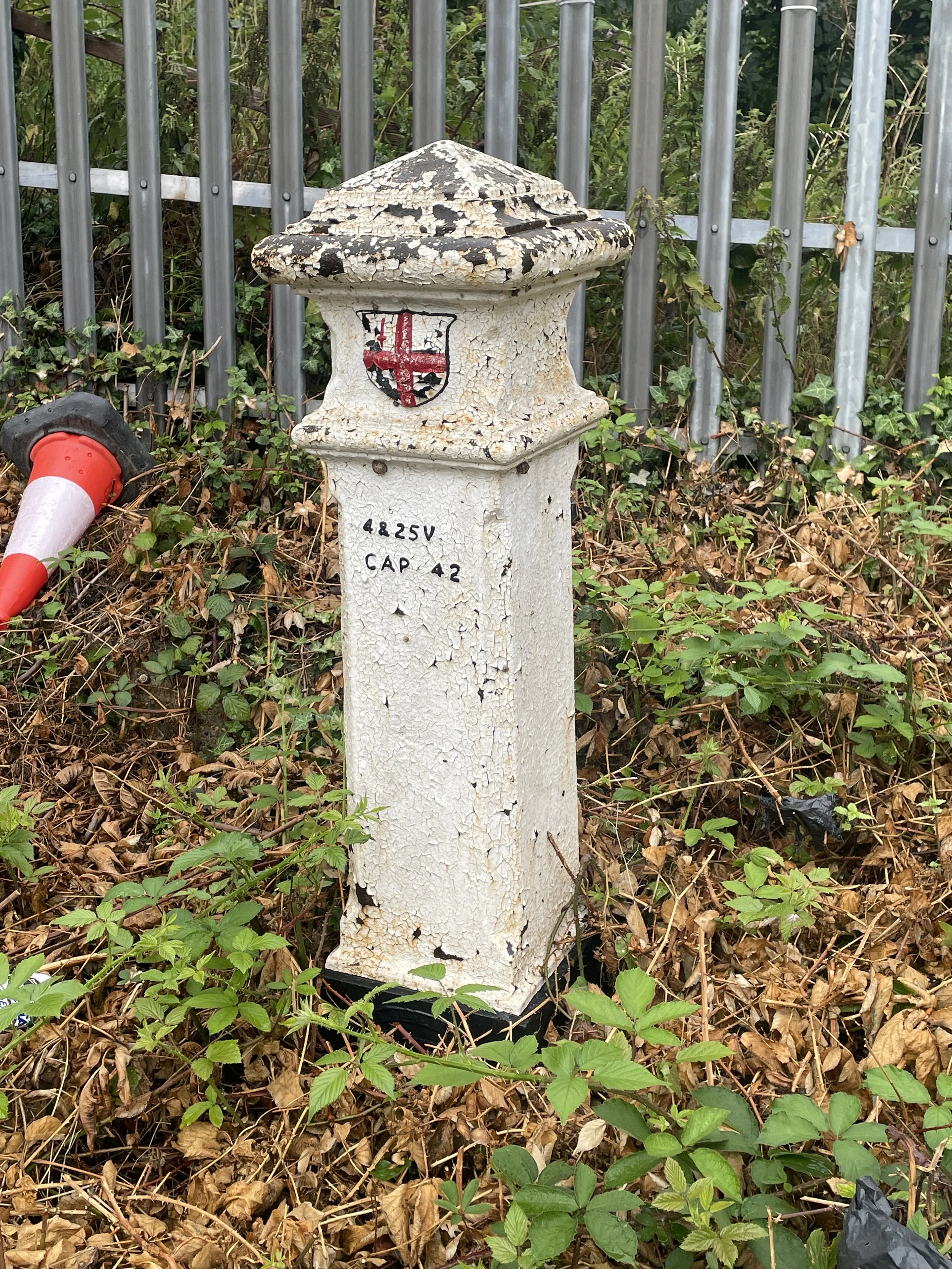
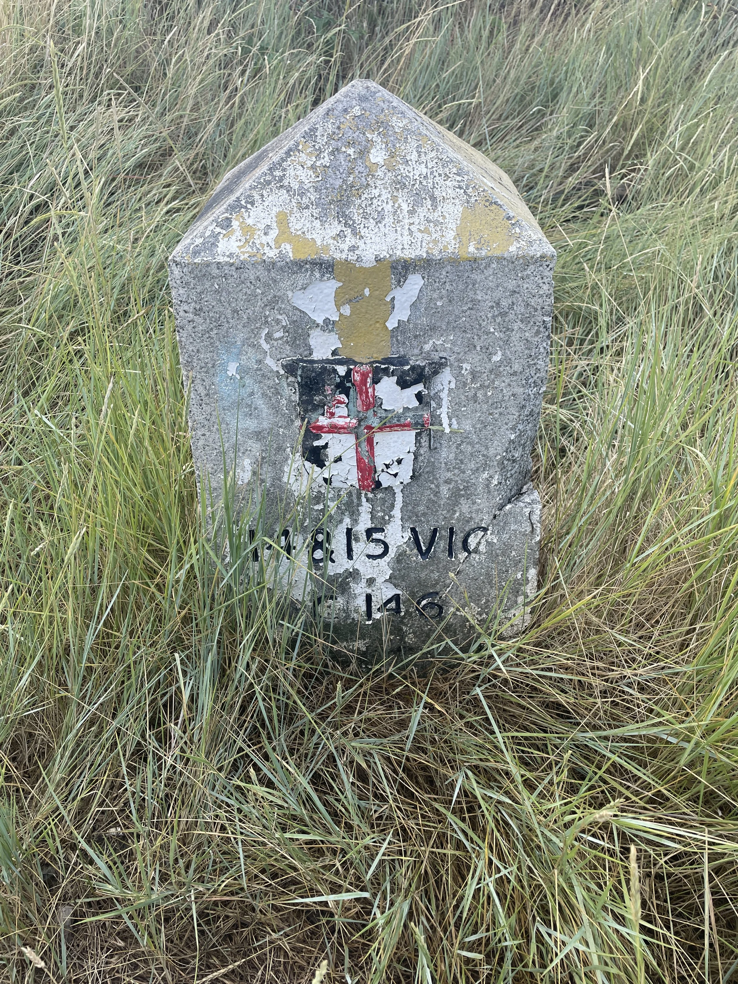
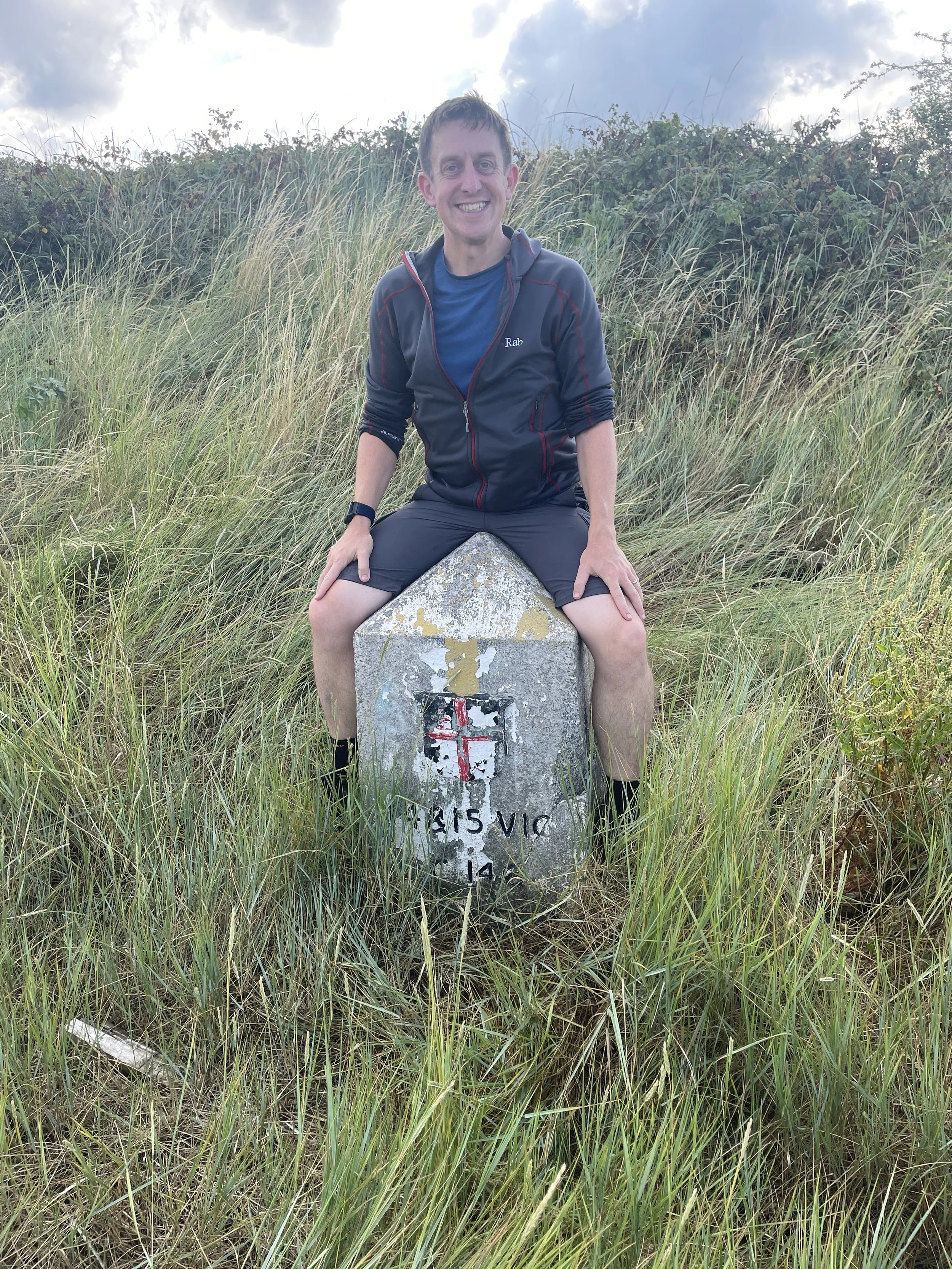
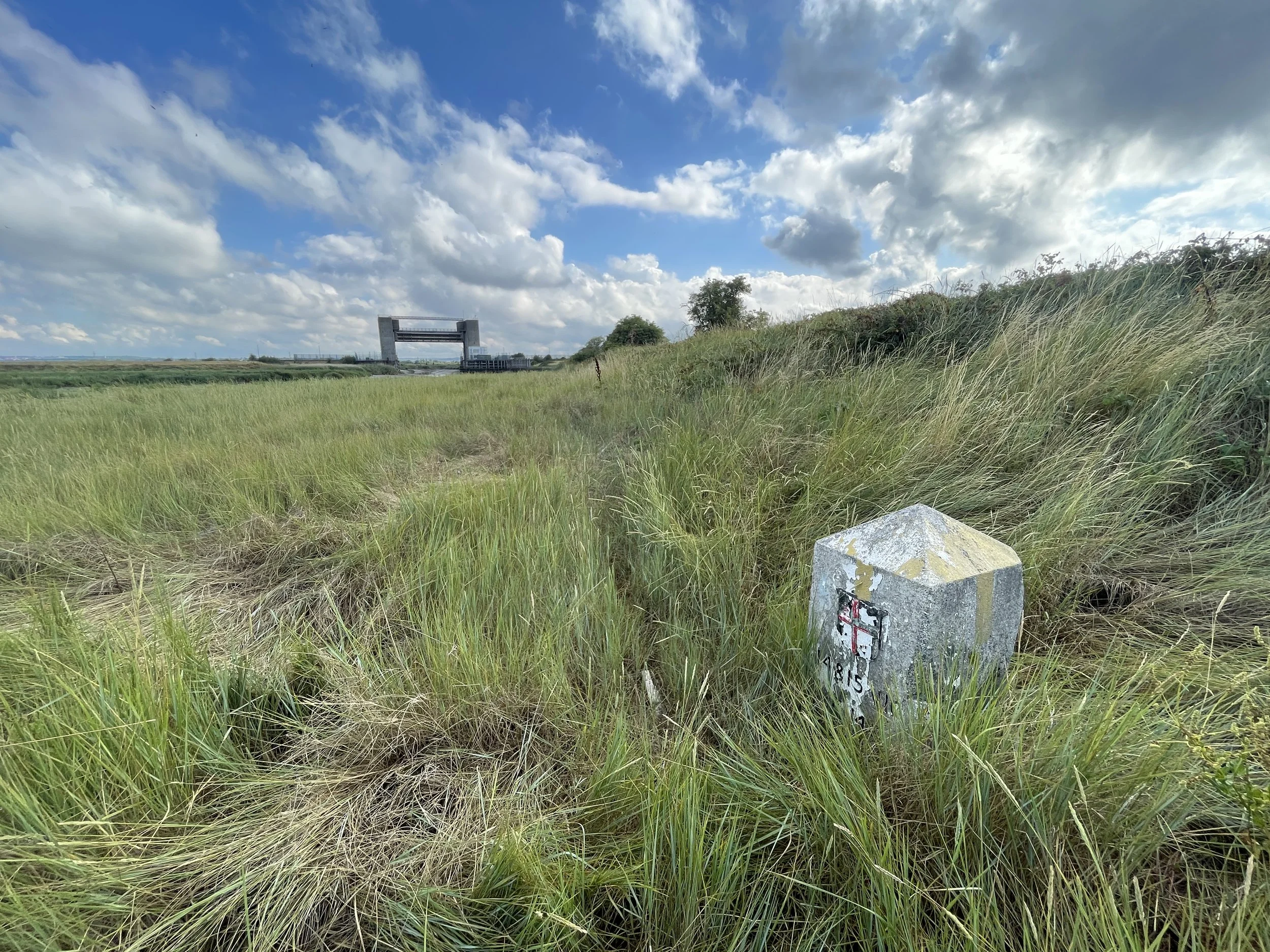
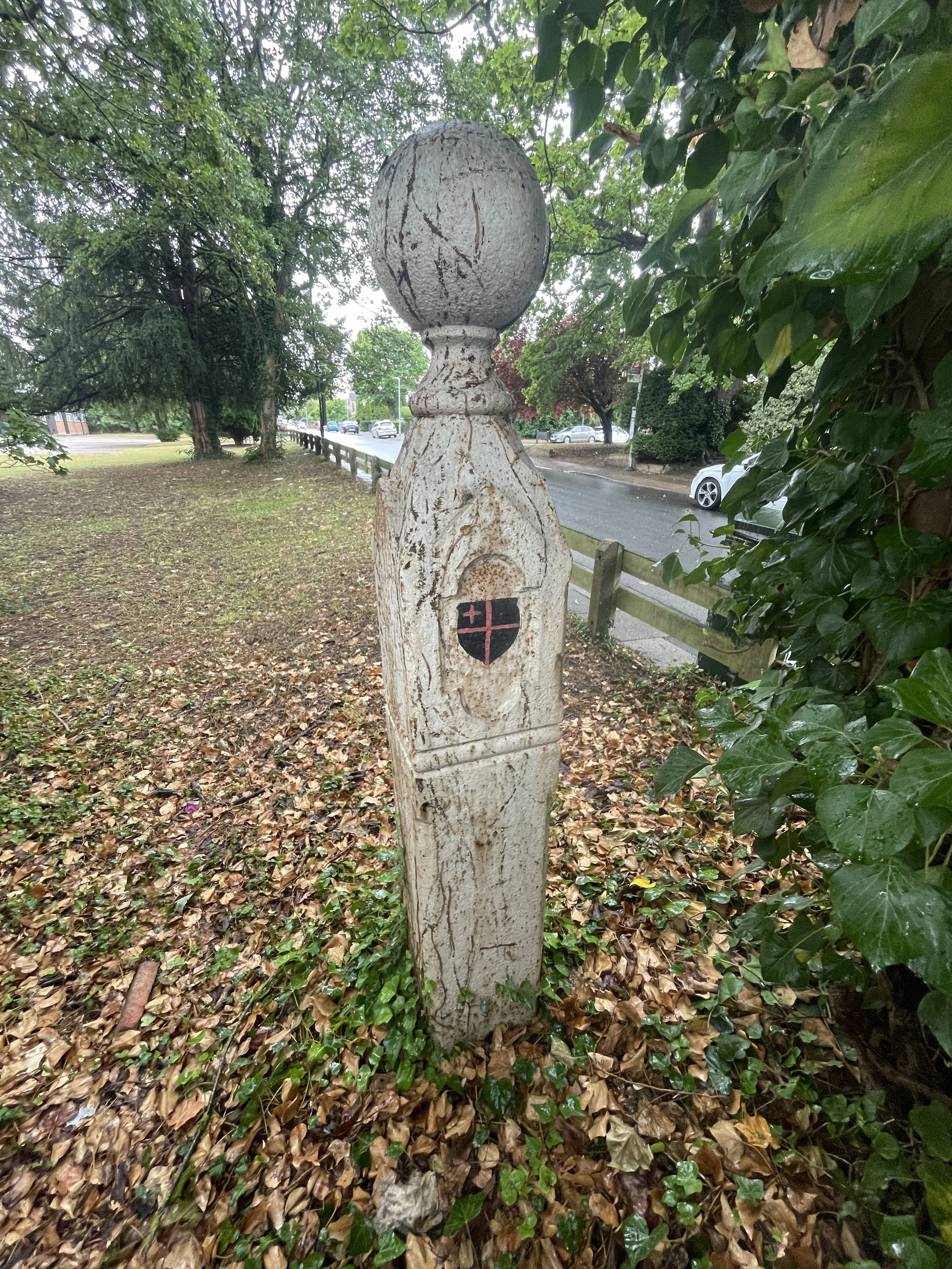
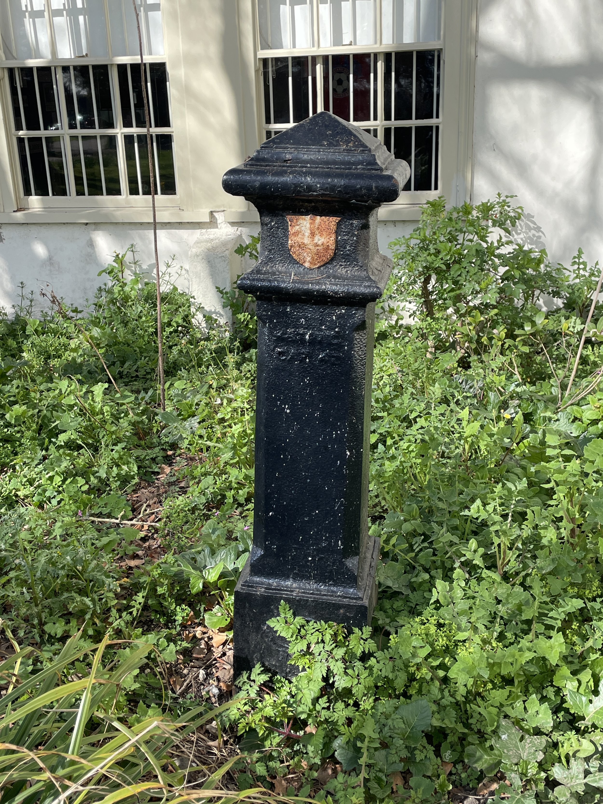
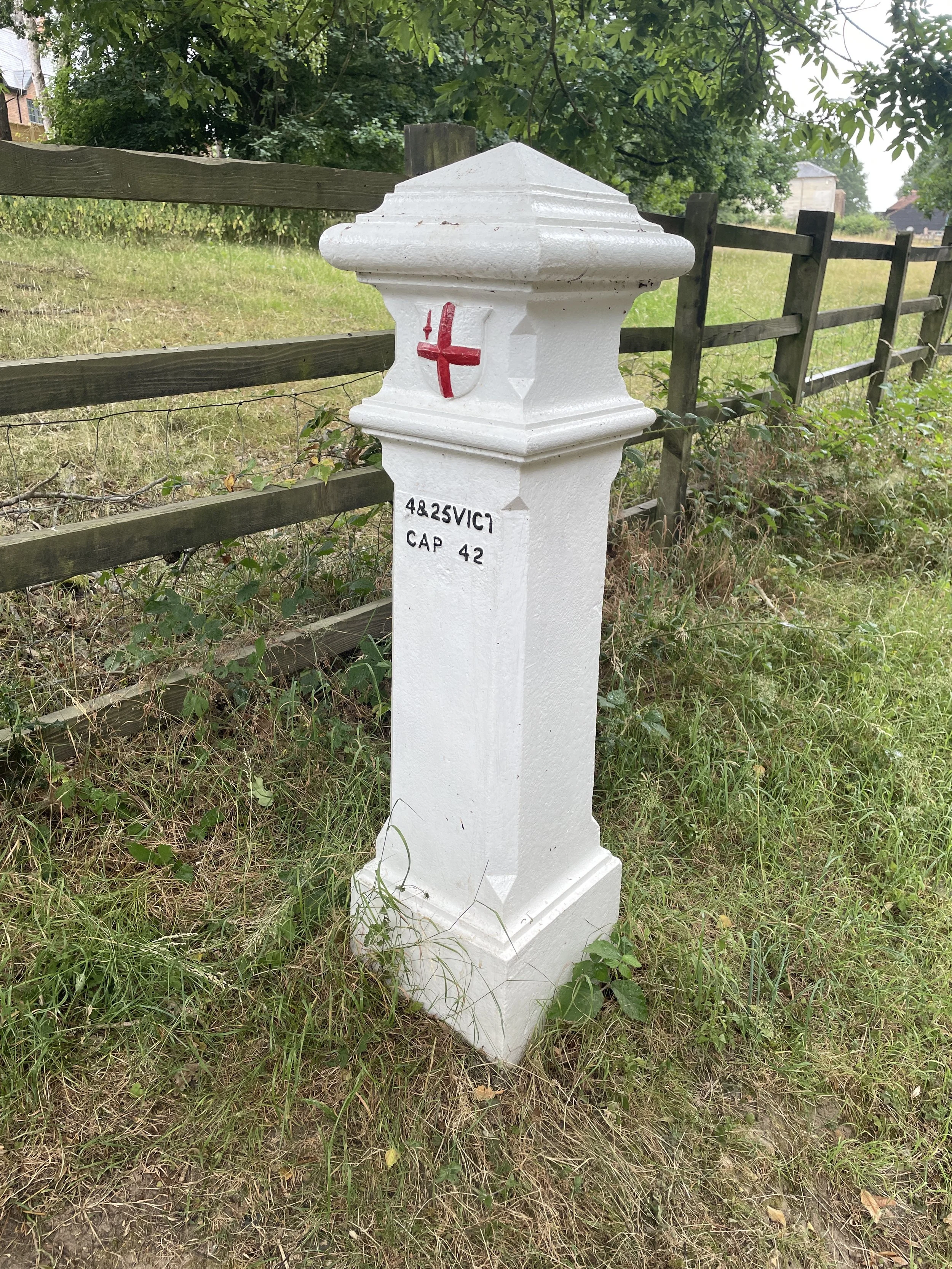
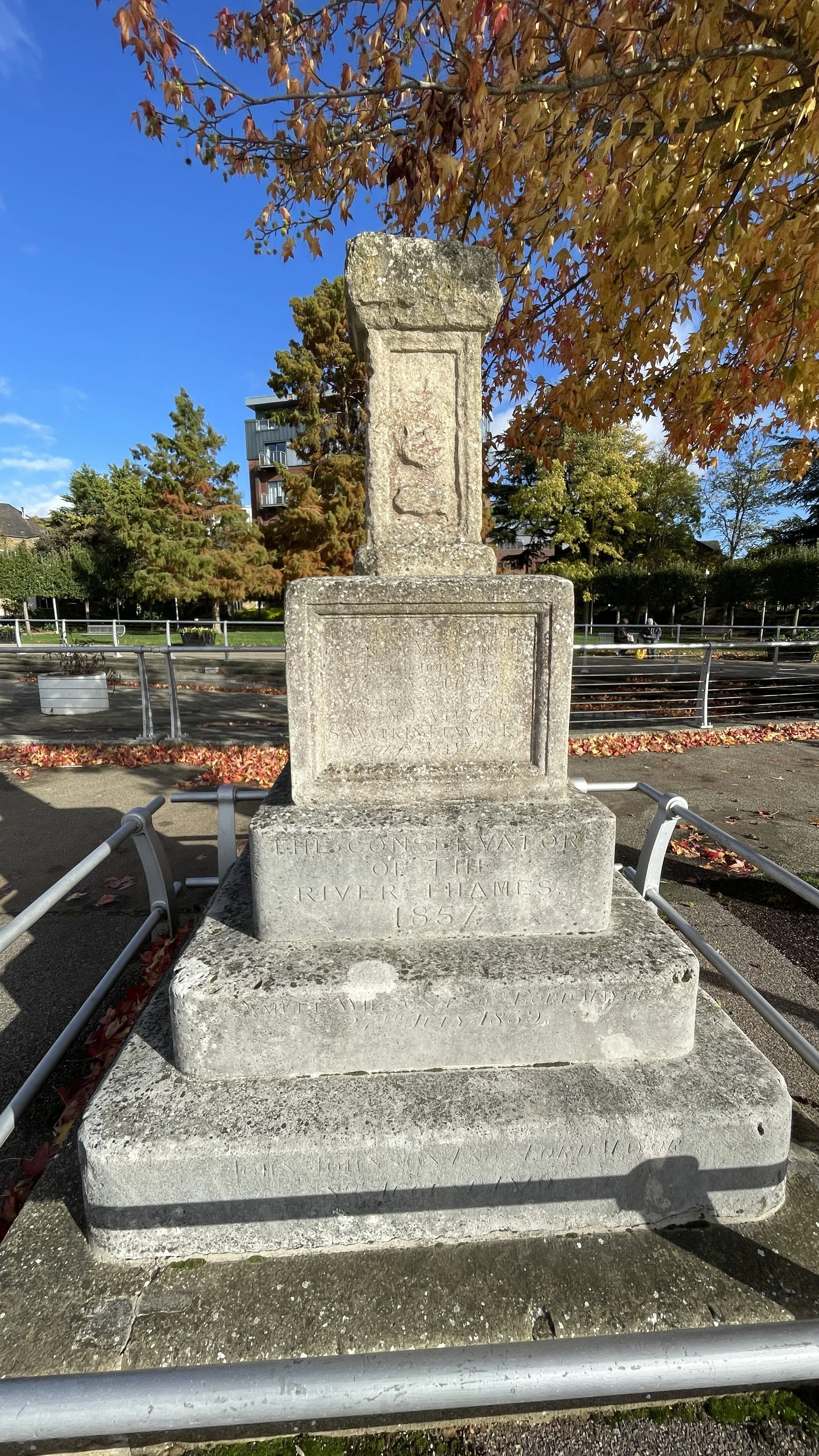
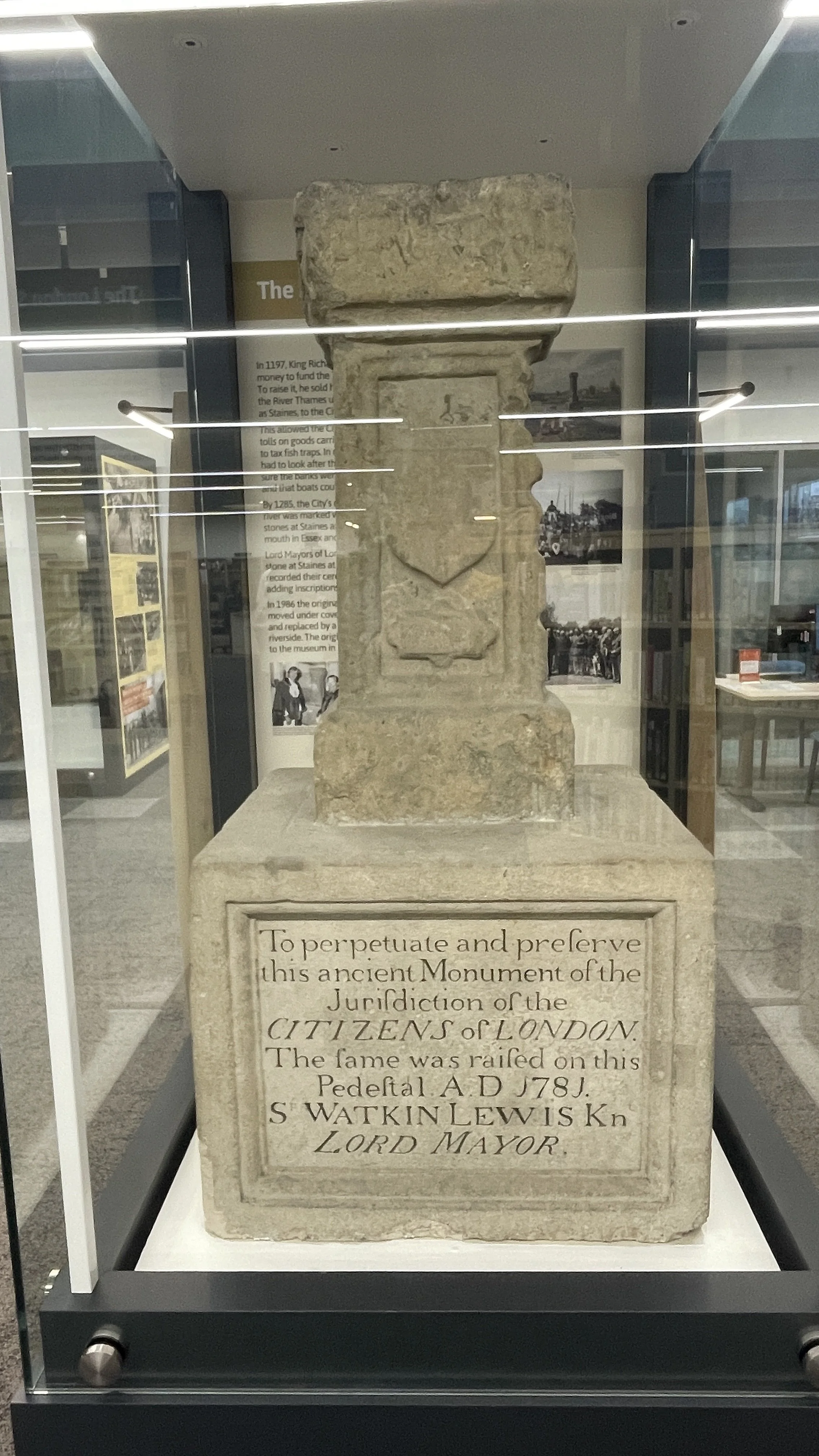
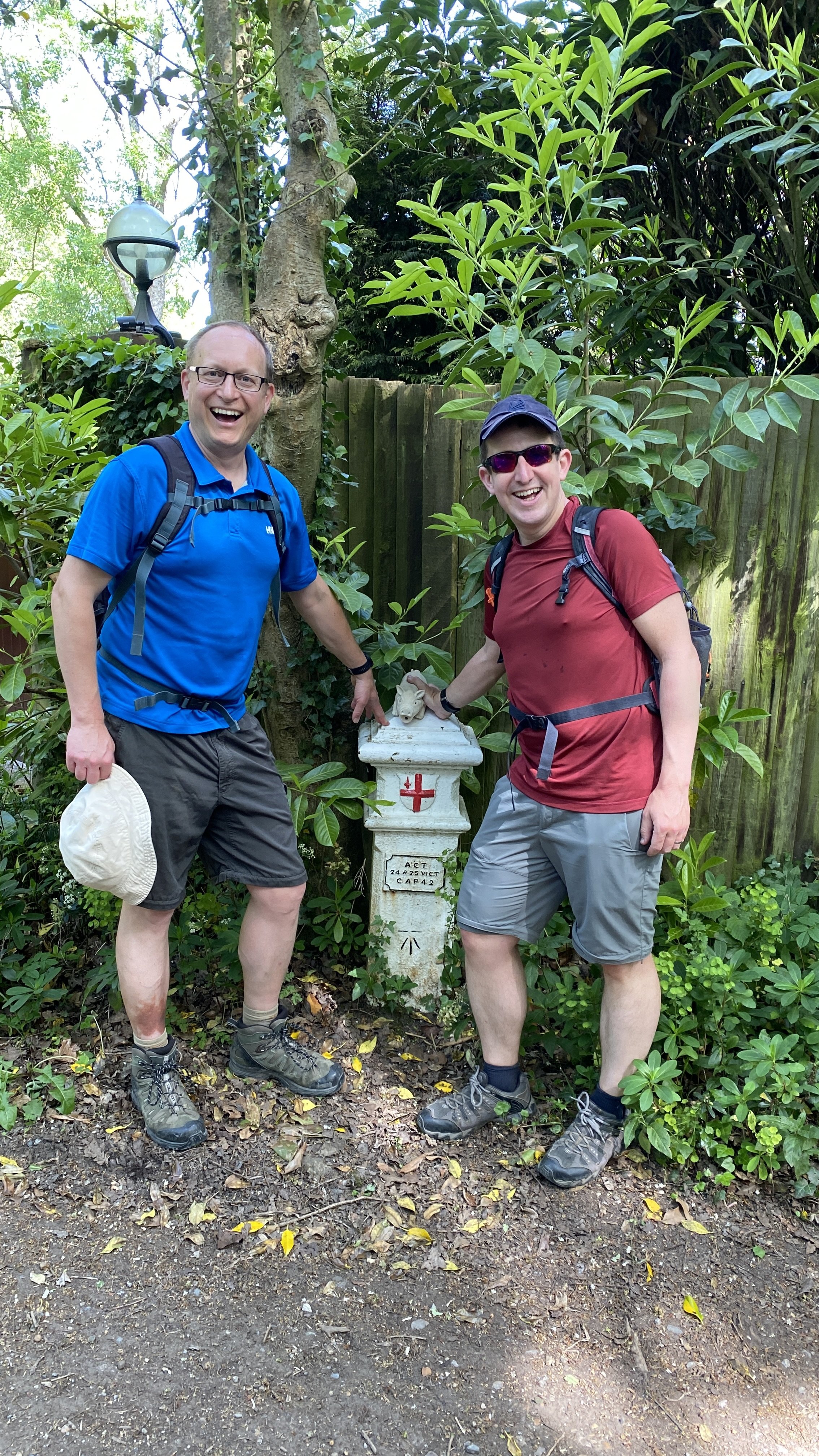
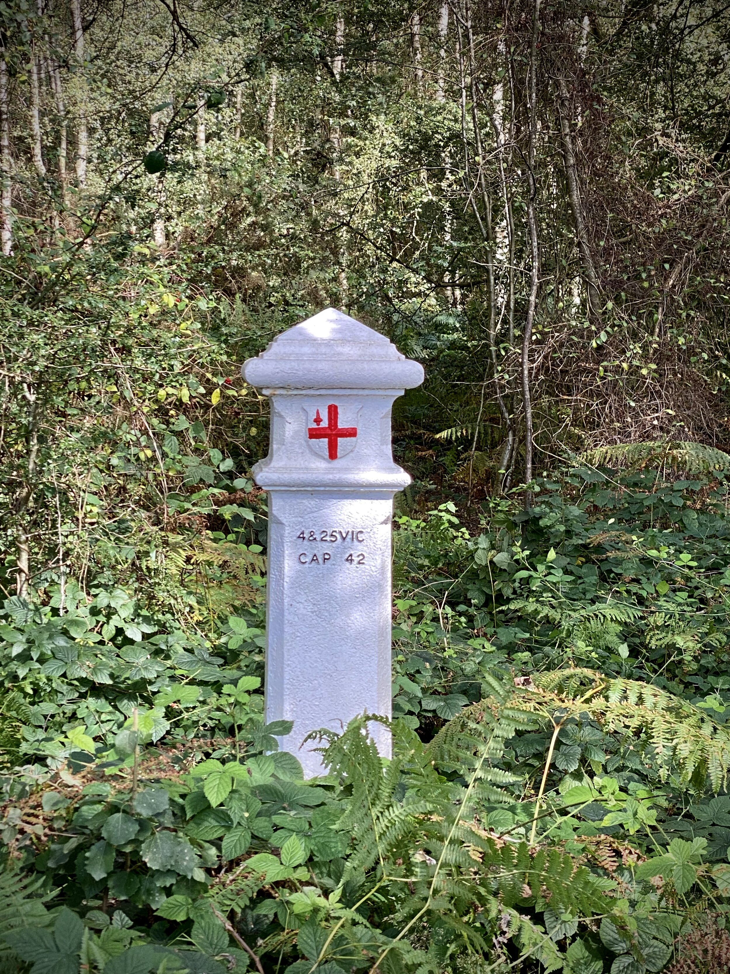
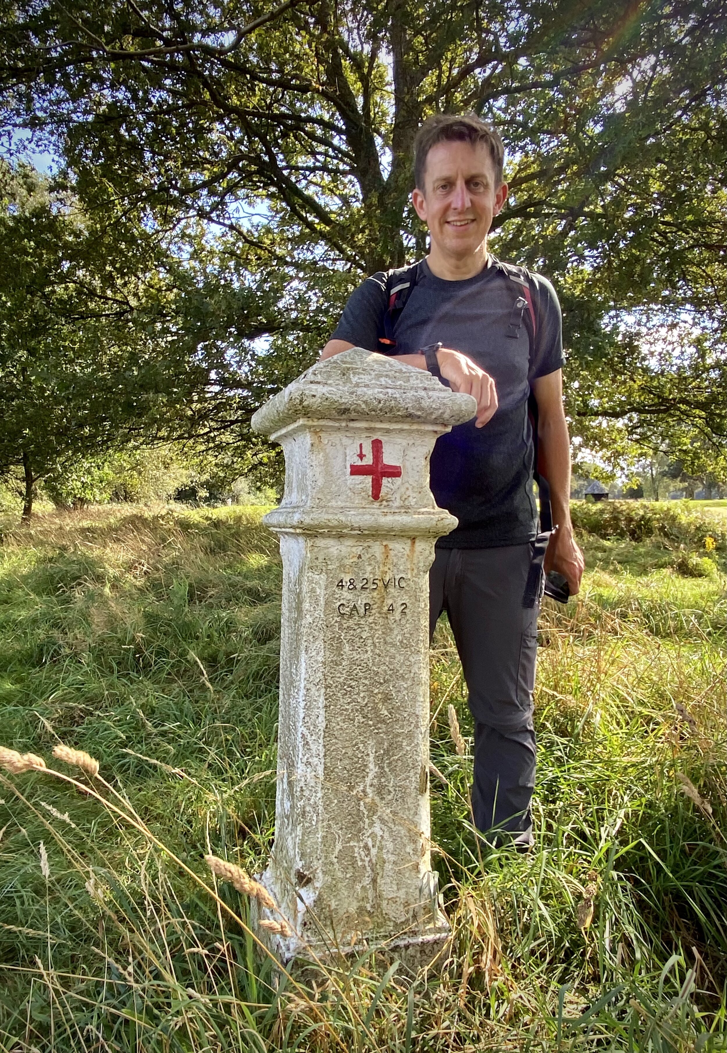
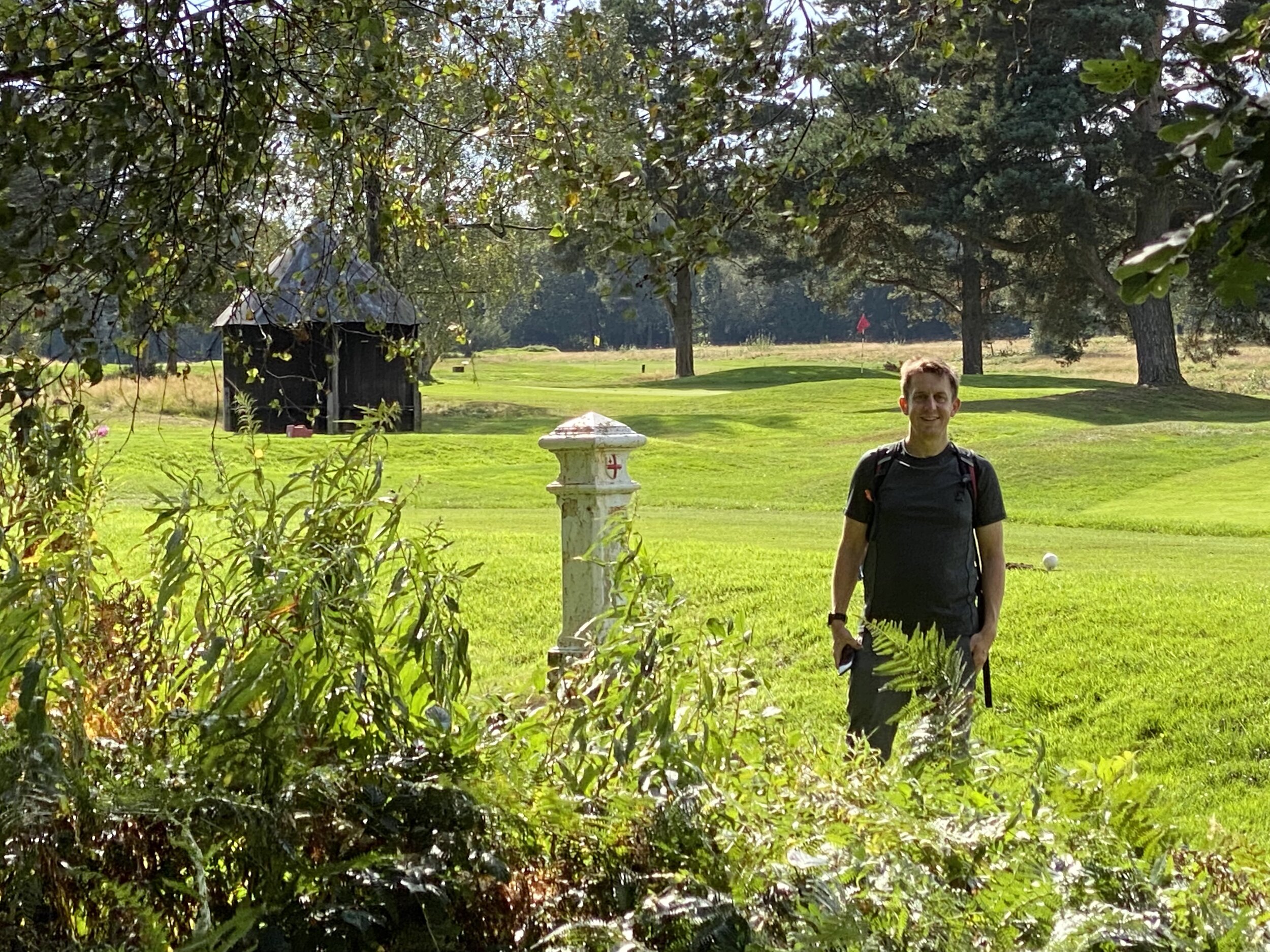
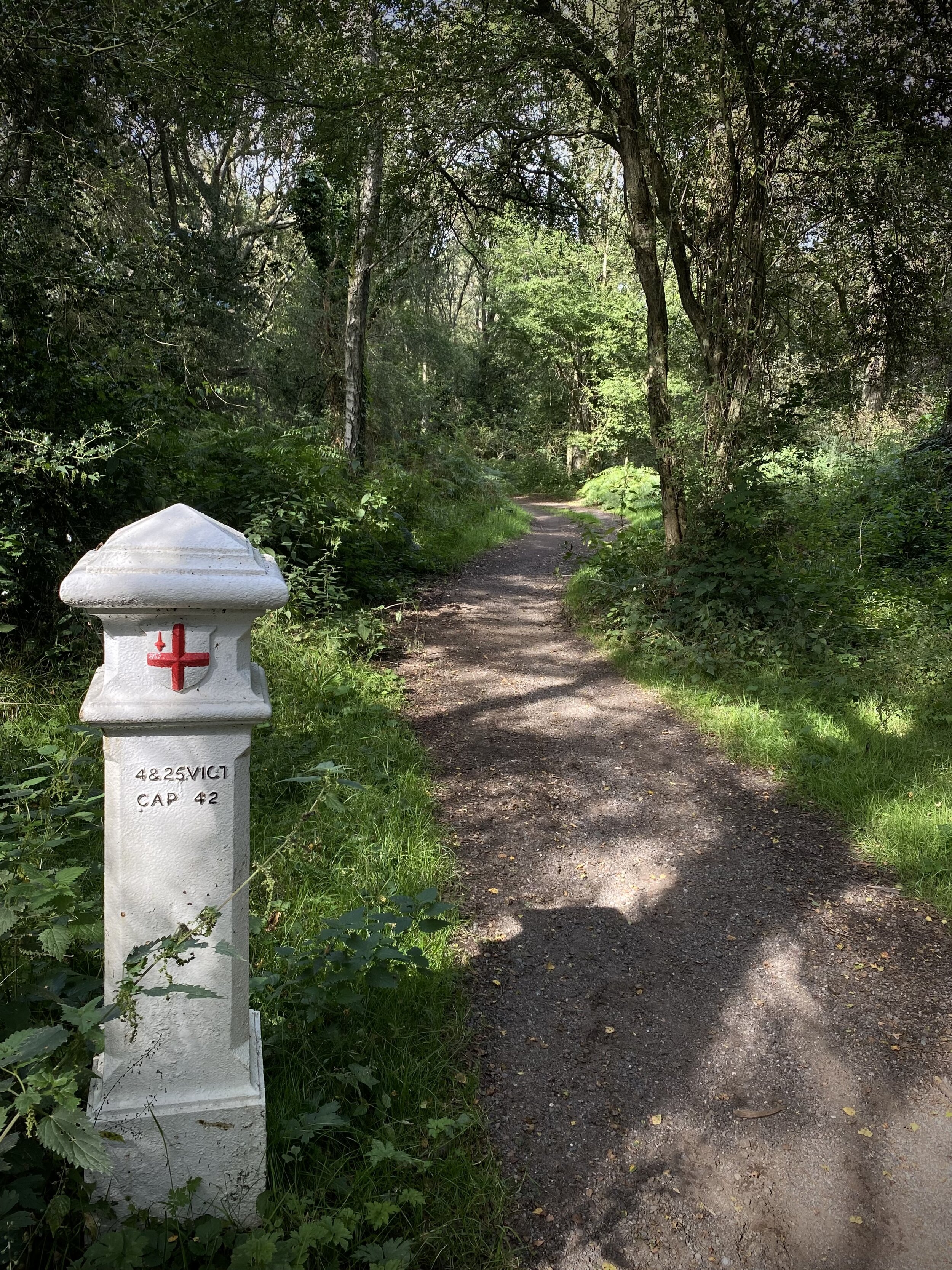
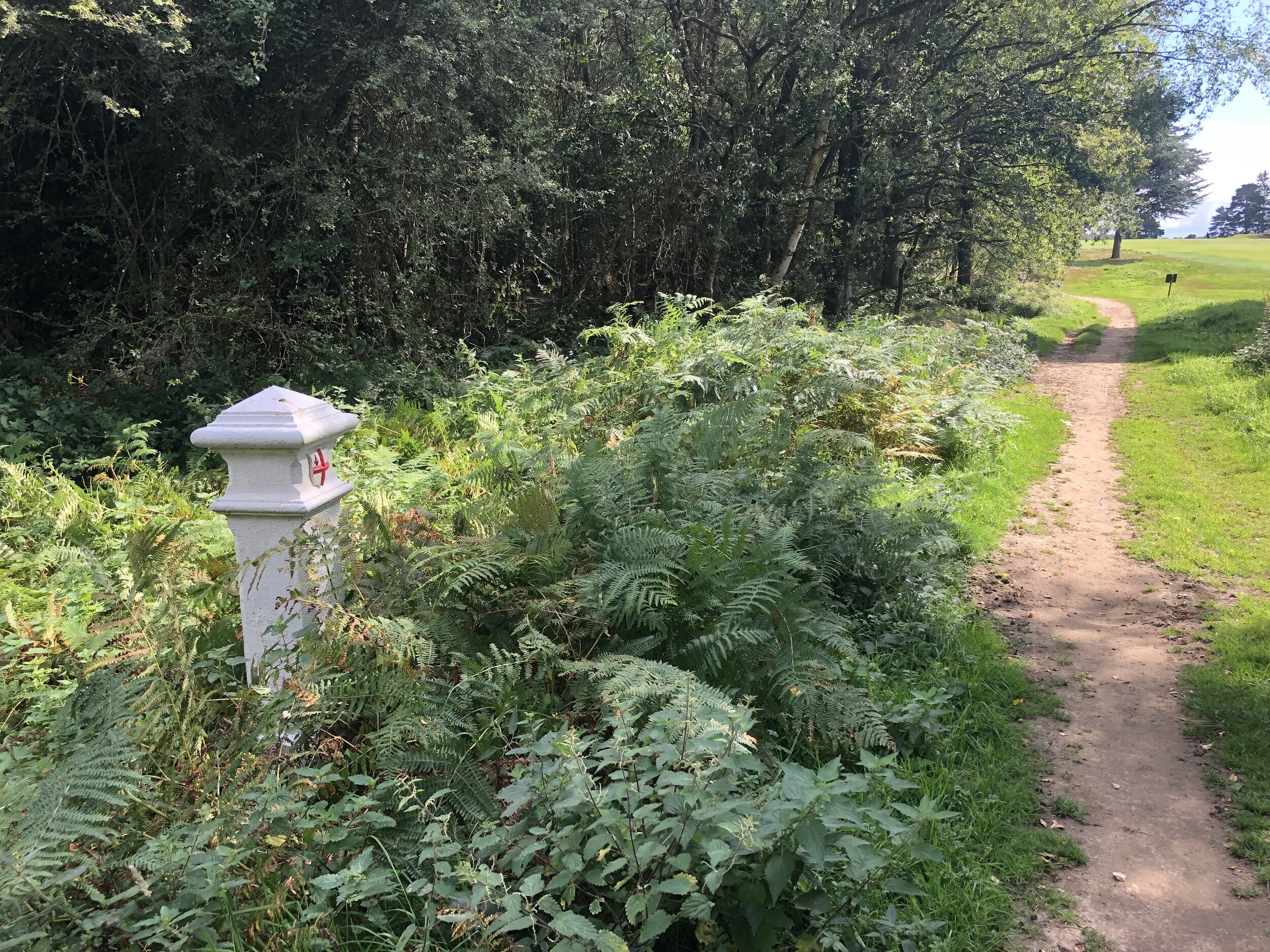
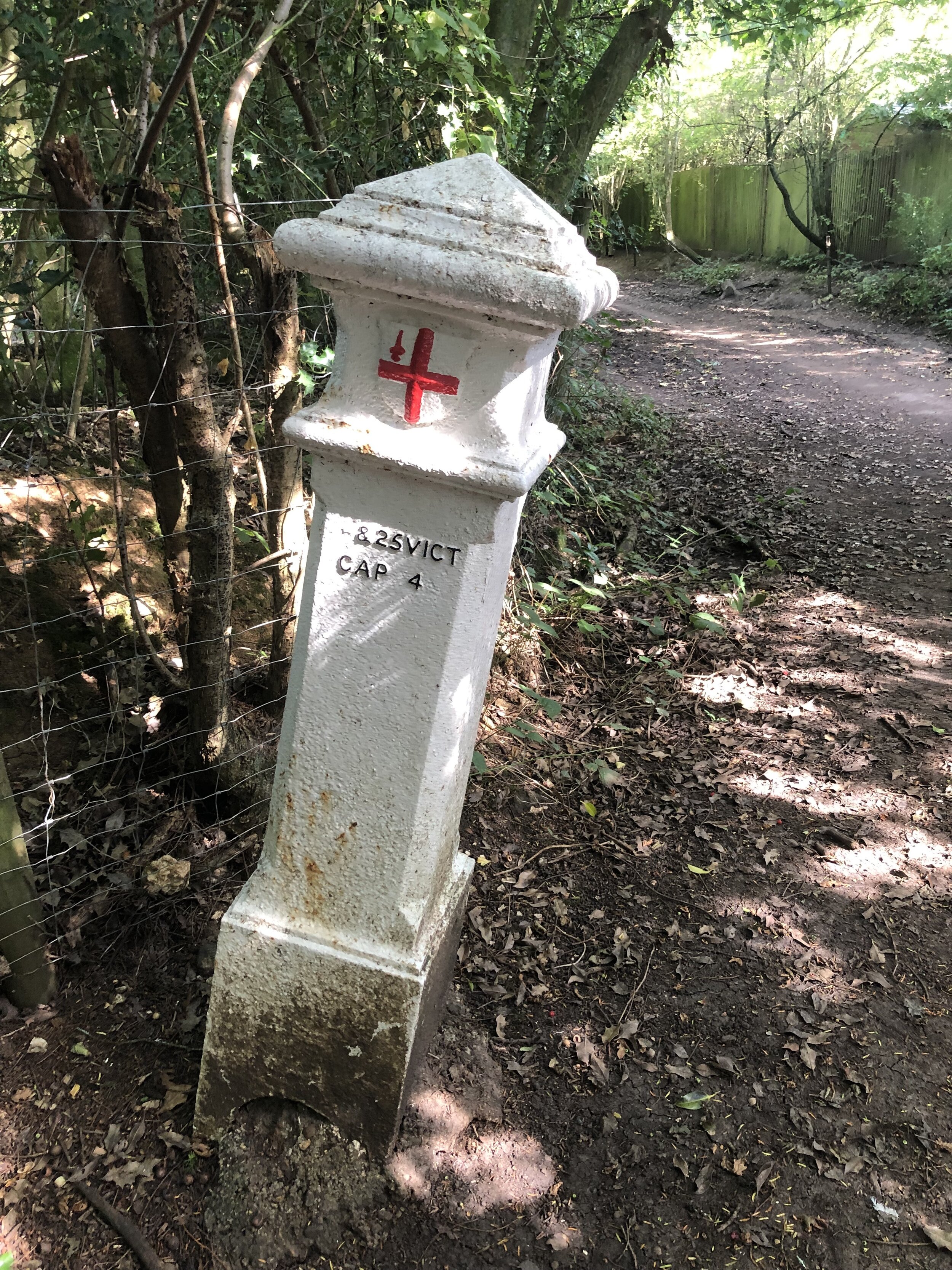
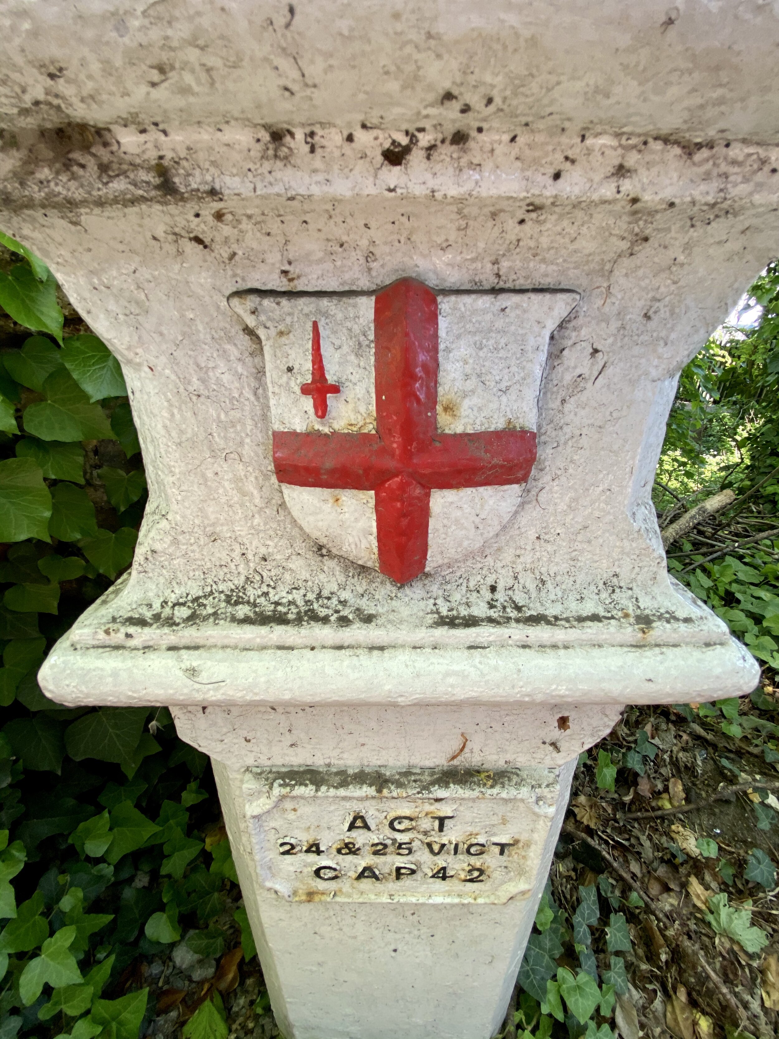
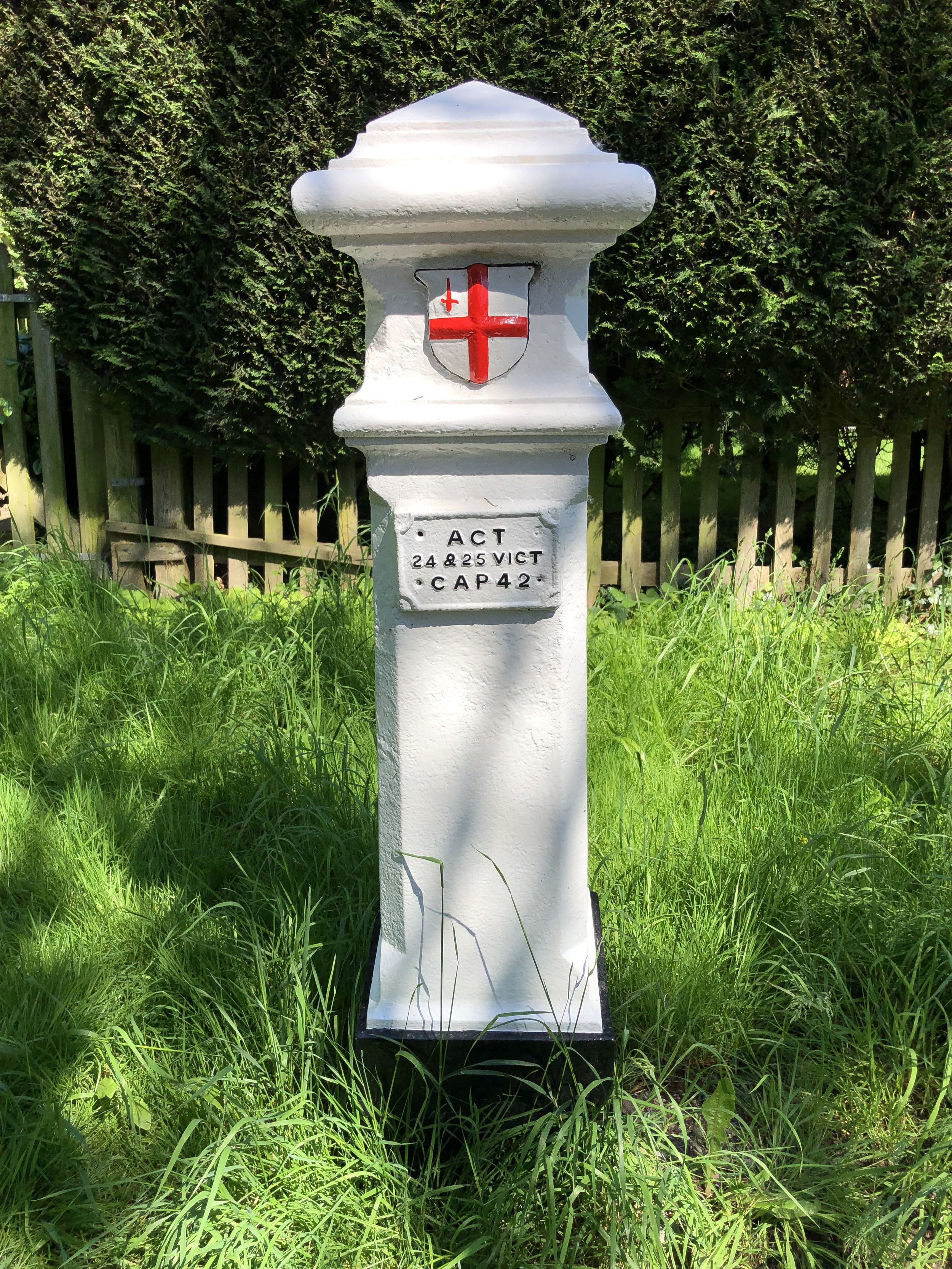
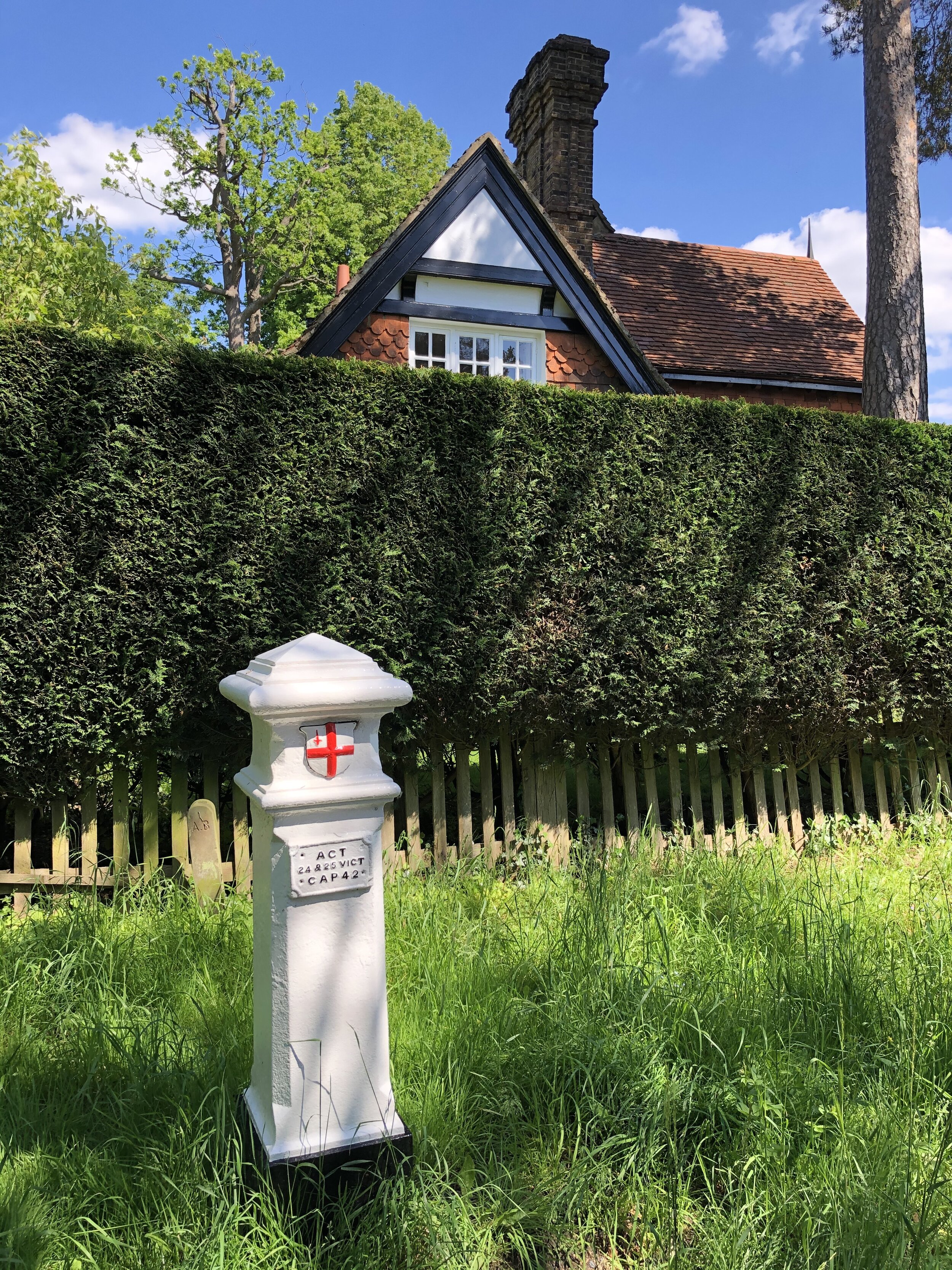
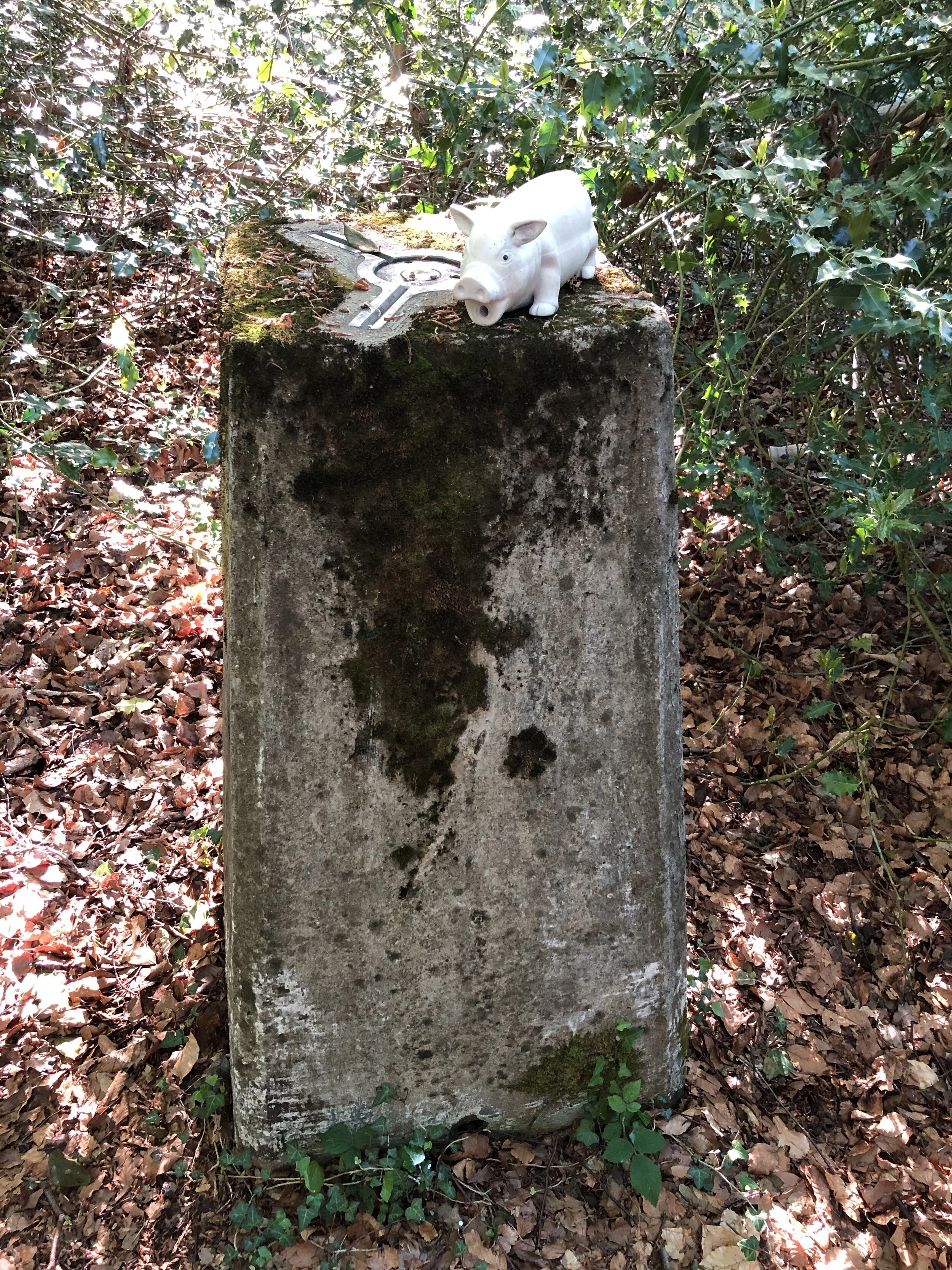
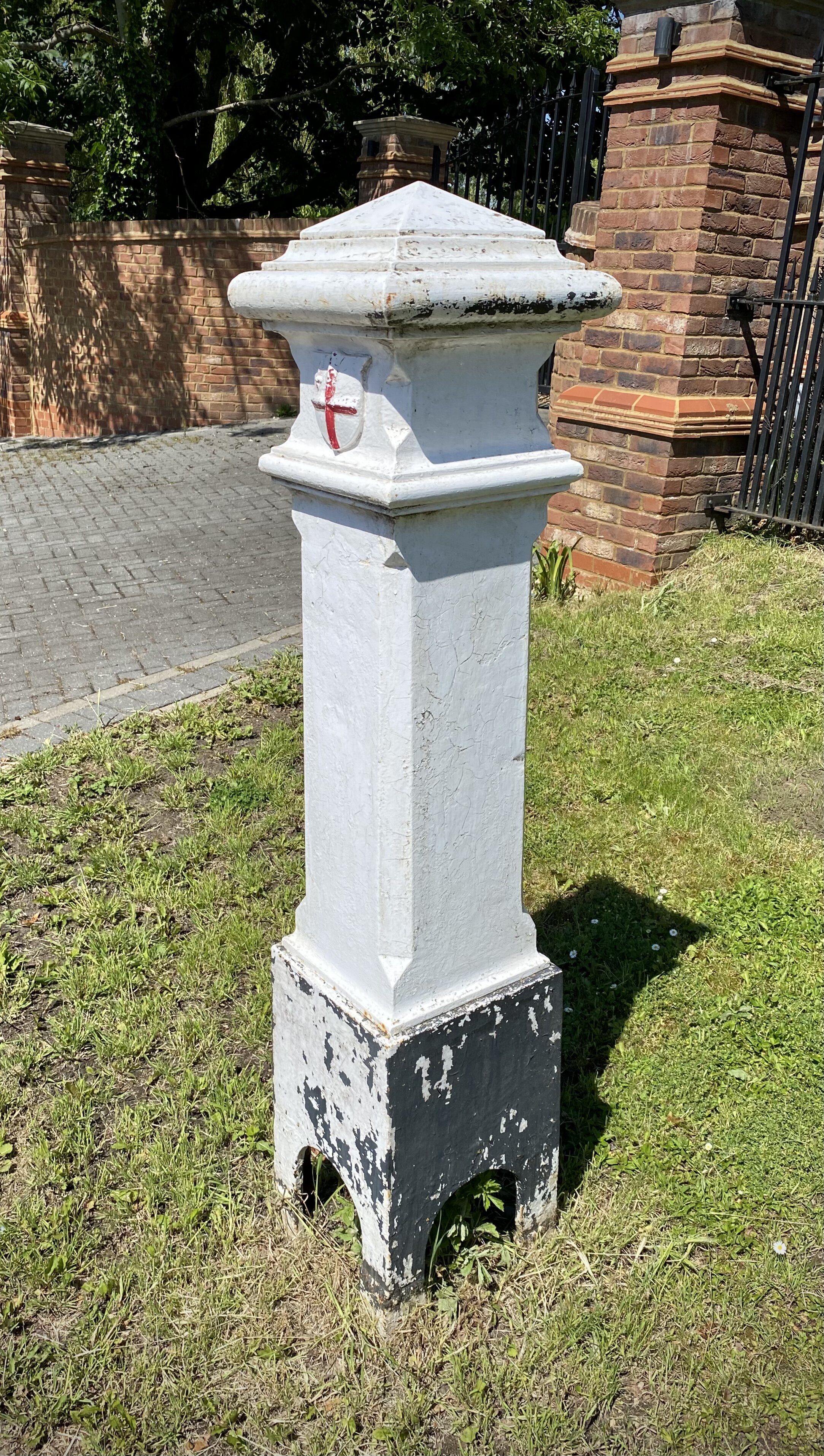
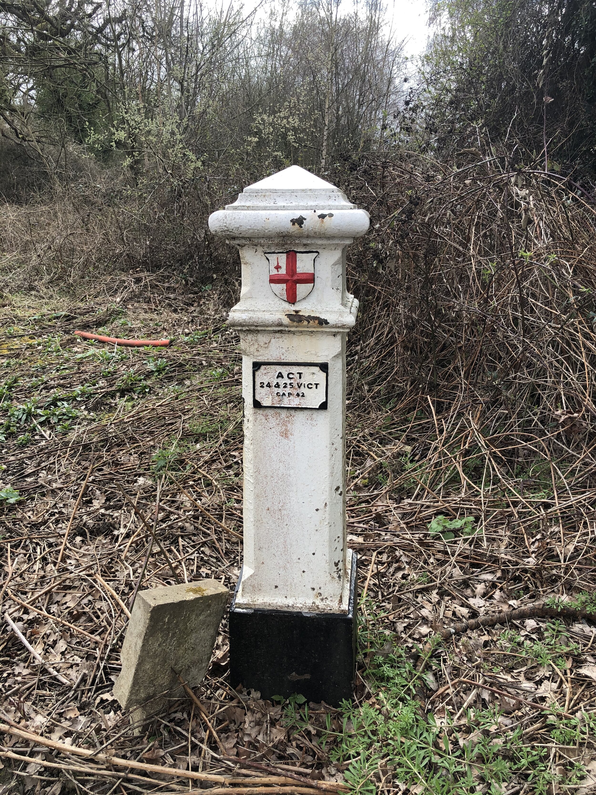
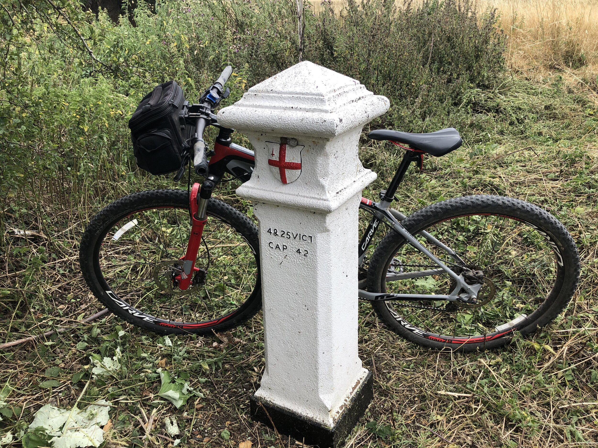
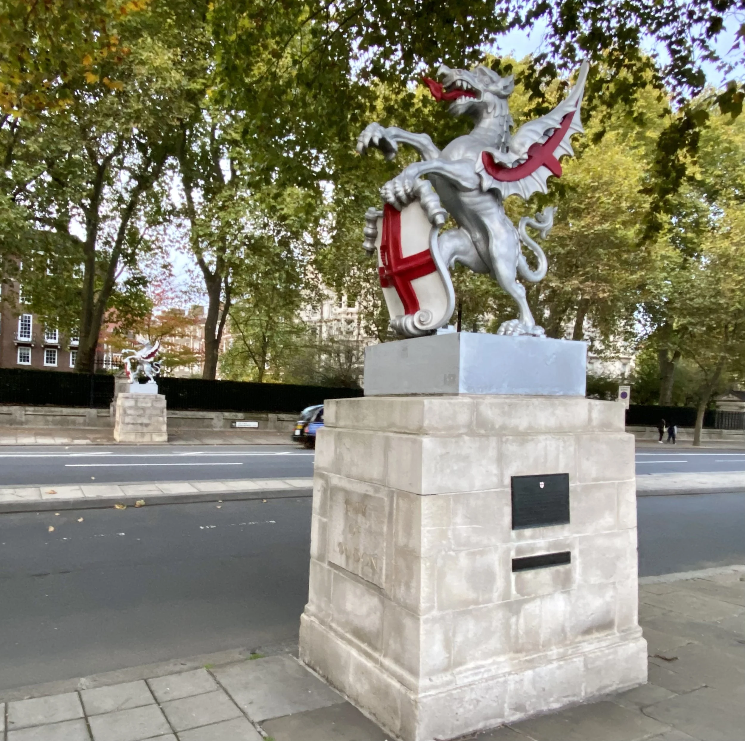
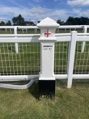
This section brings together some of my most memorable urban explorations. It includes the fascinating history behind London's Coal Duty Posts and the challenge of navigating the historic City of London boundary.
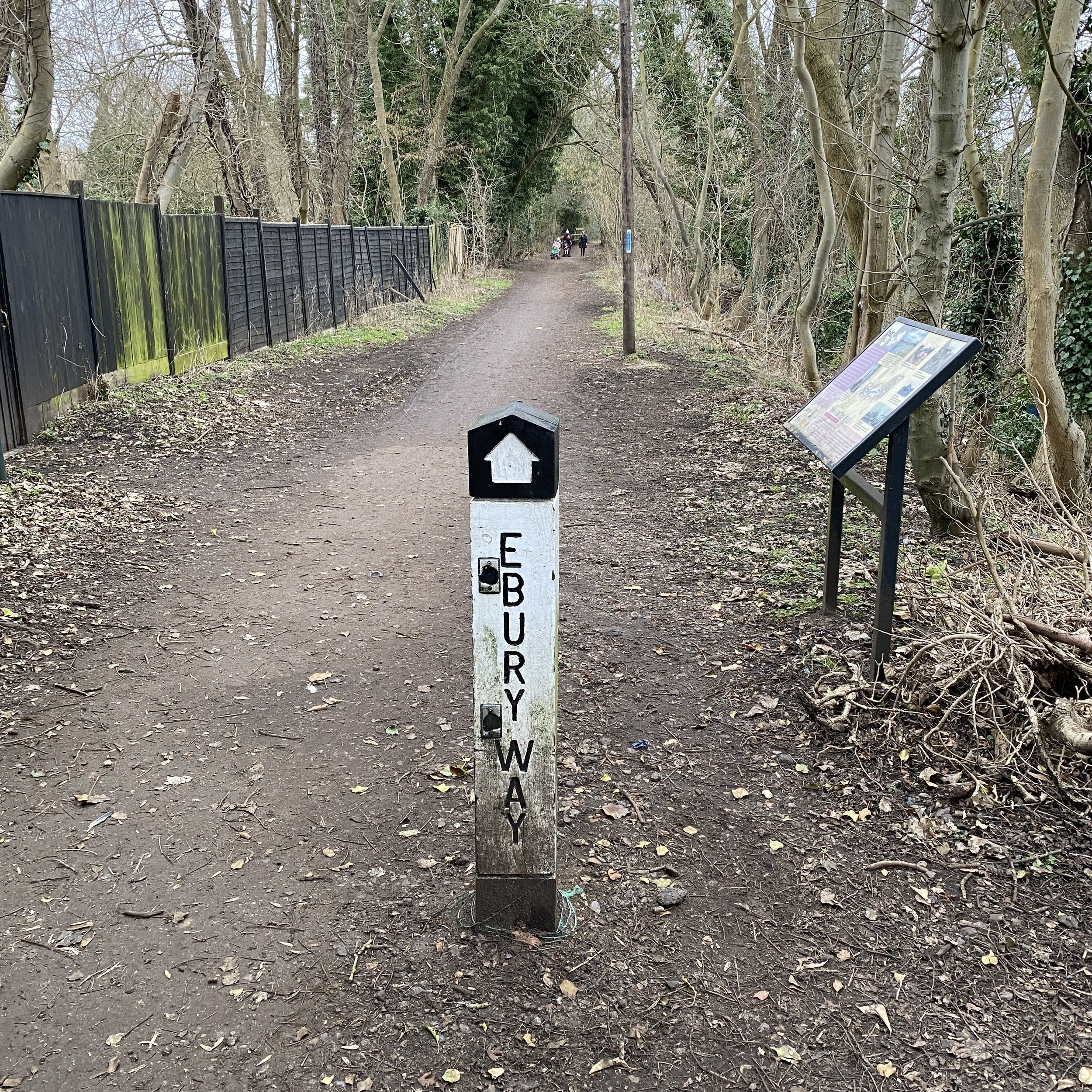
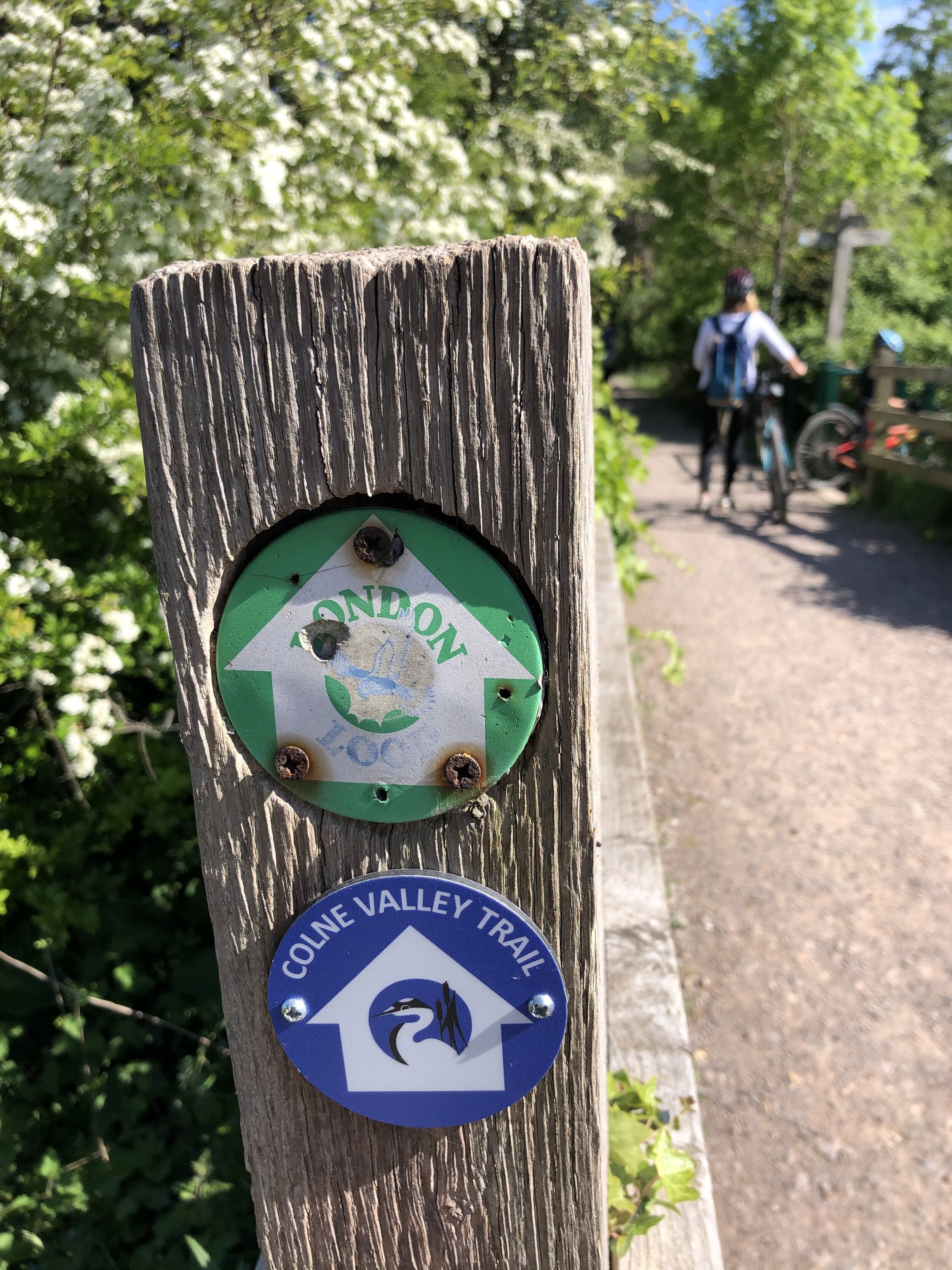
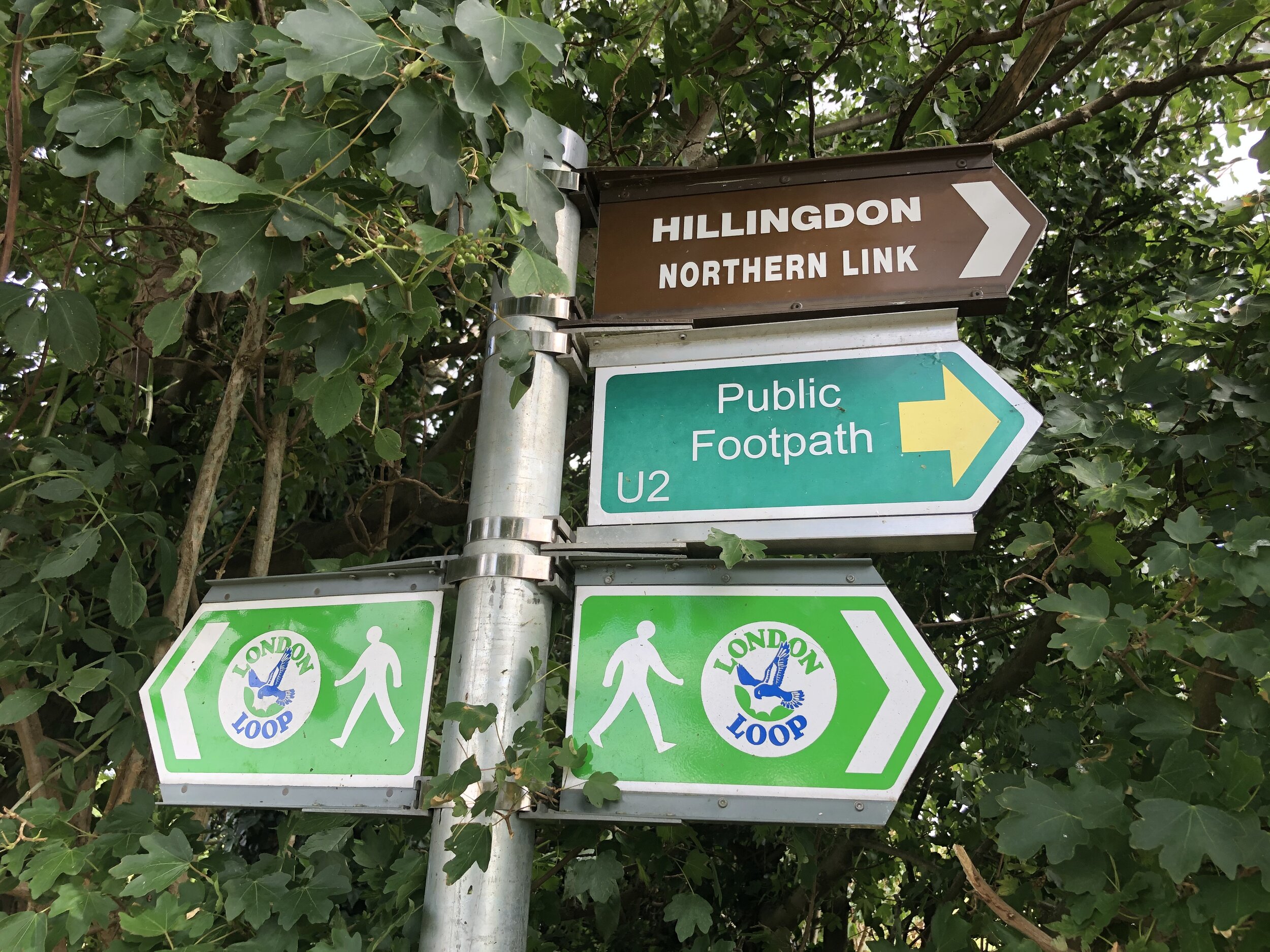
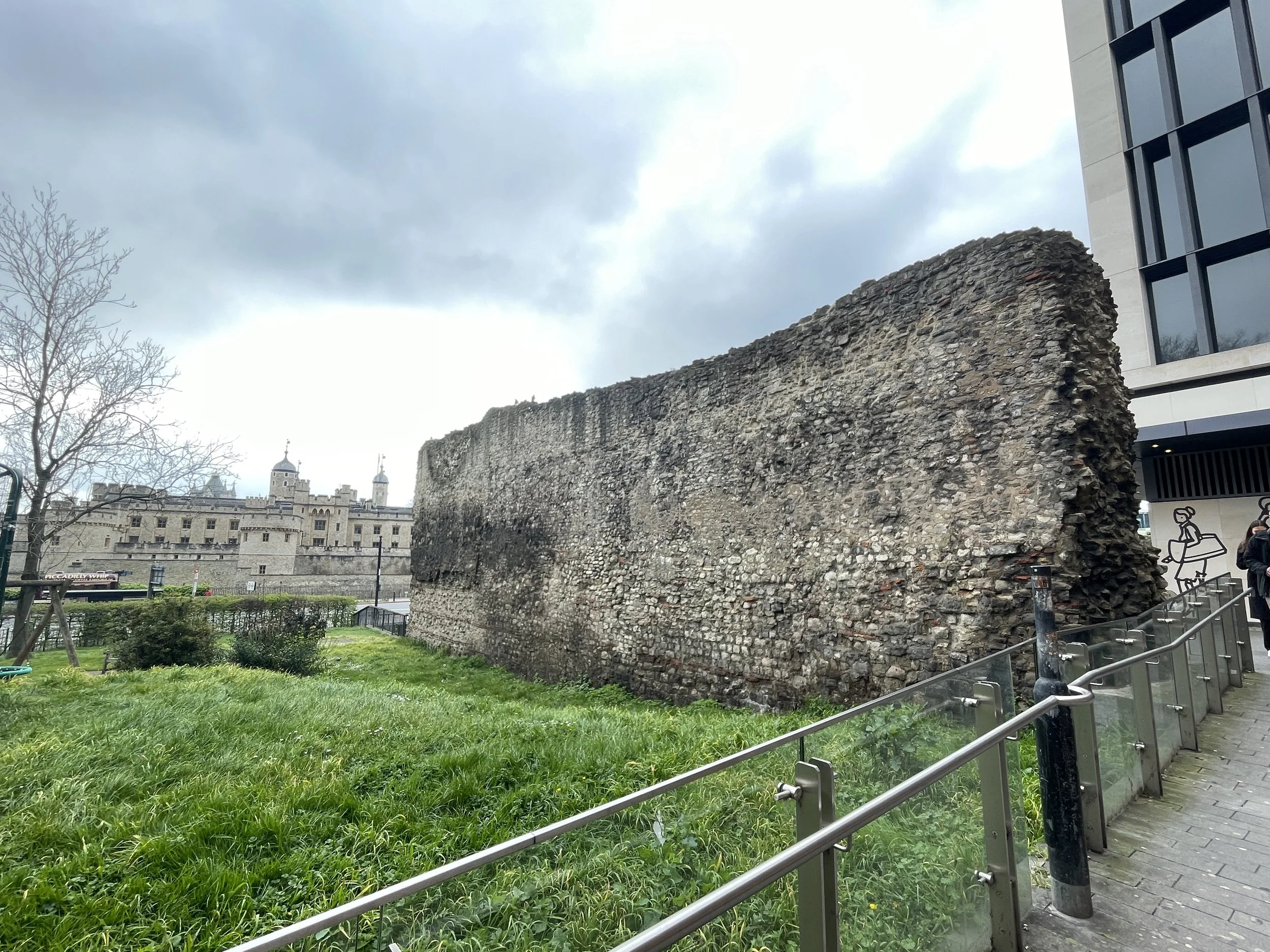
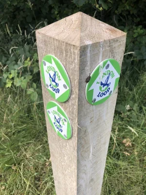
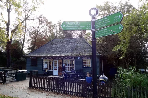
You can also find my journeys tracing the Roman London Wall and my comprehensive treks around the London Loop and Capital Ring. These routes offer a fantastic mix of history and scenery: showcasing the diverse places that make the capital so unique.
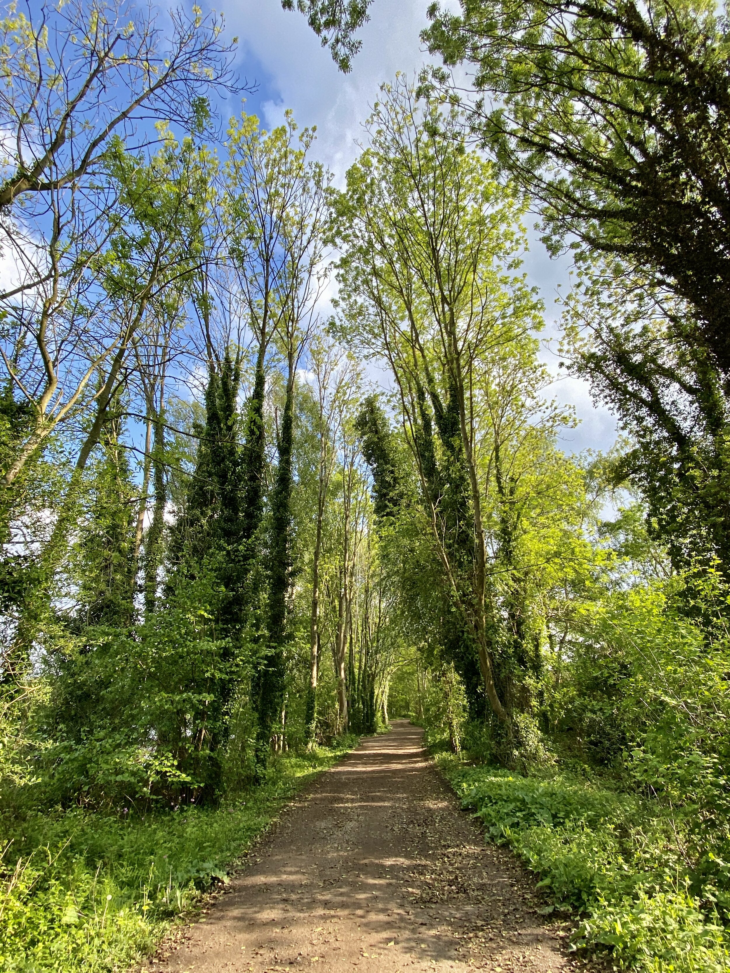
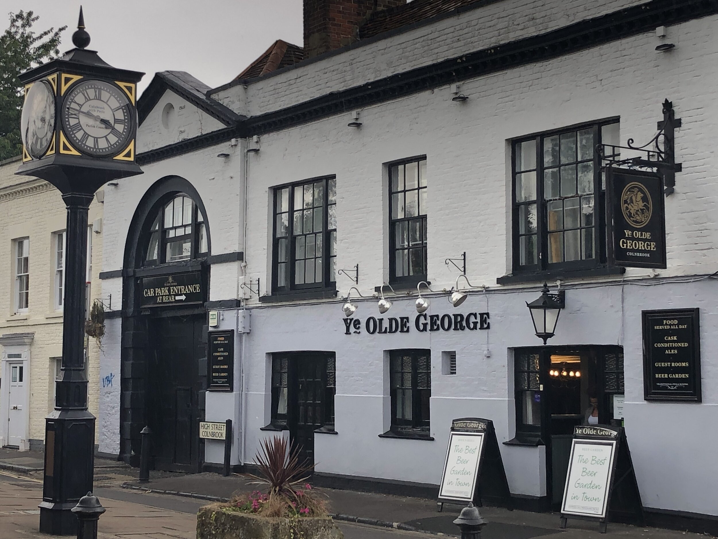
Walking in London
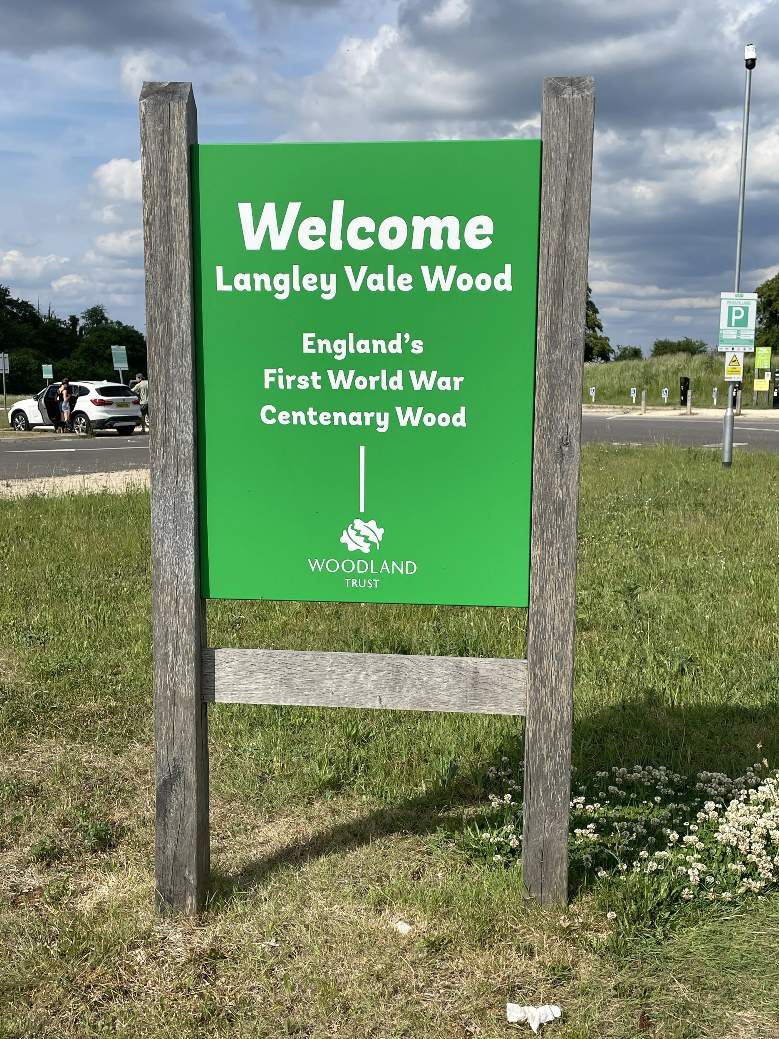
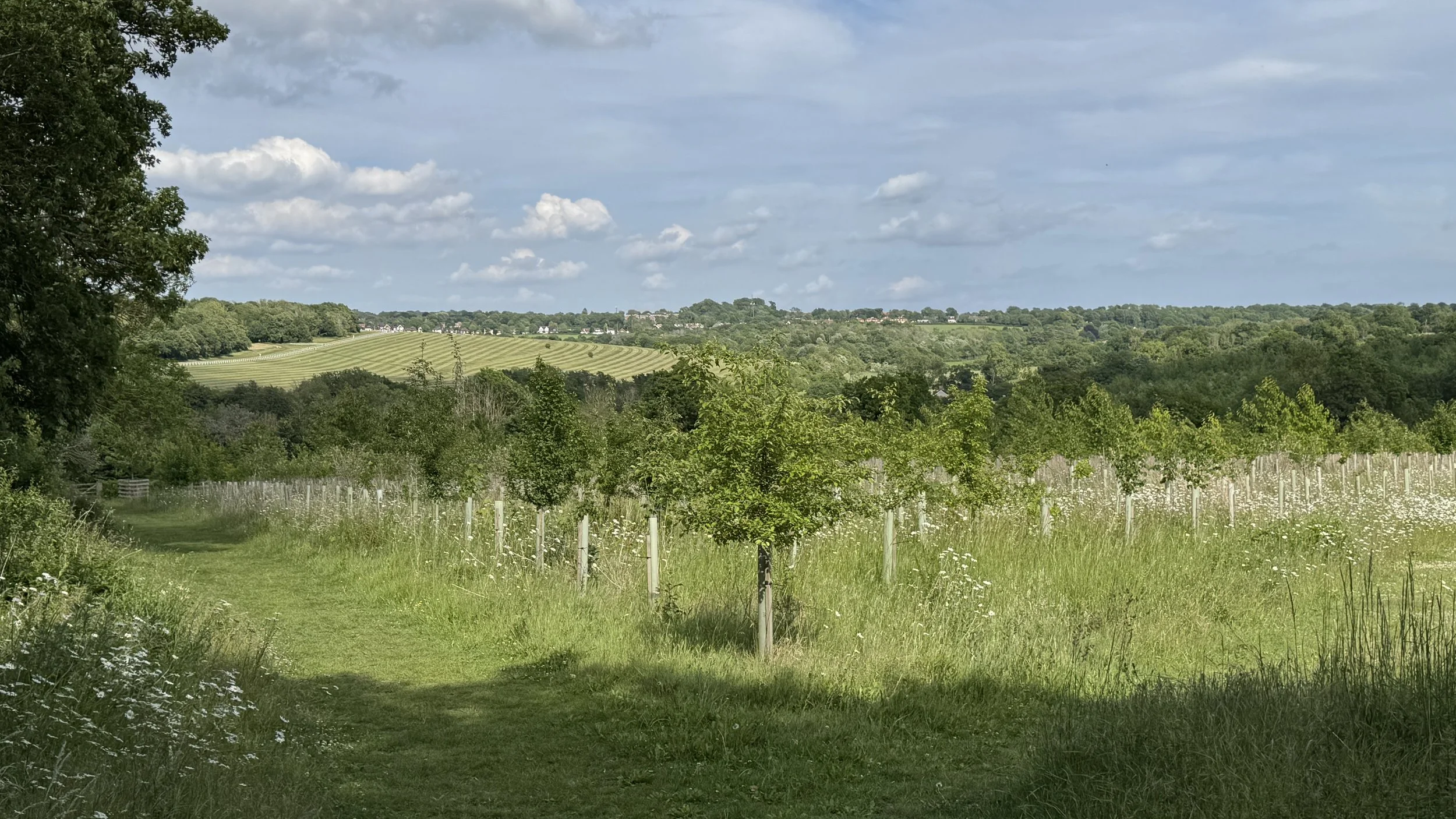
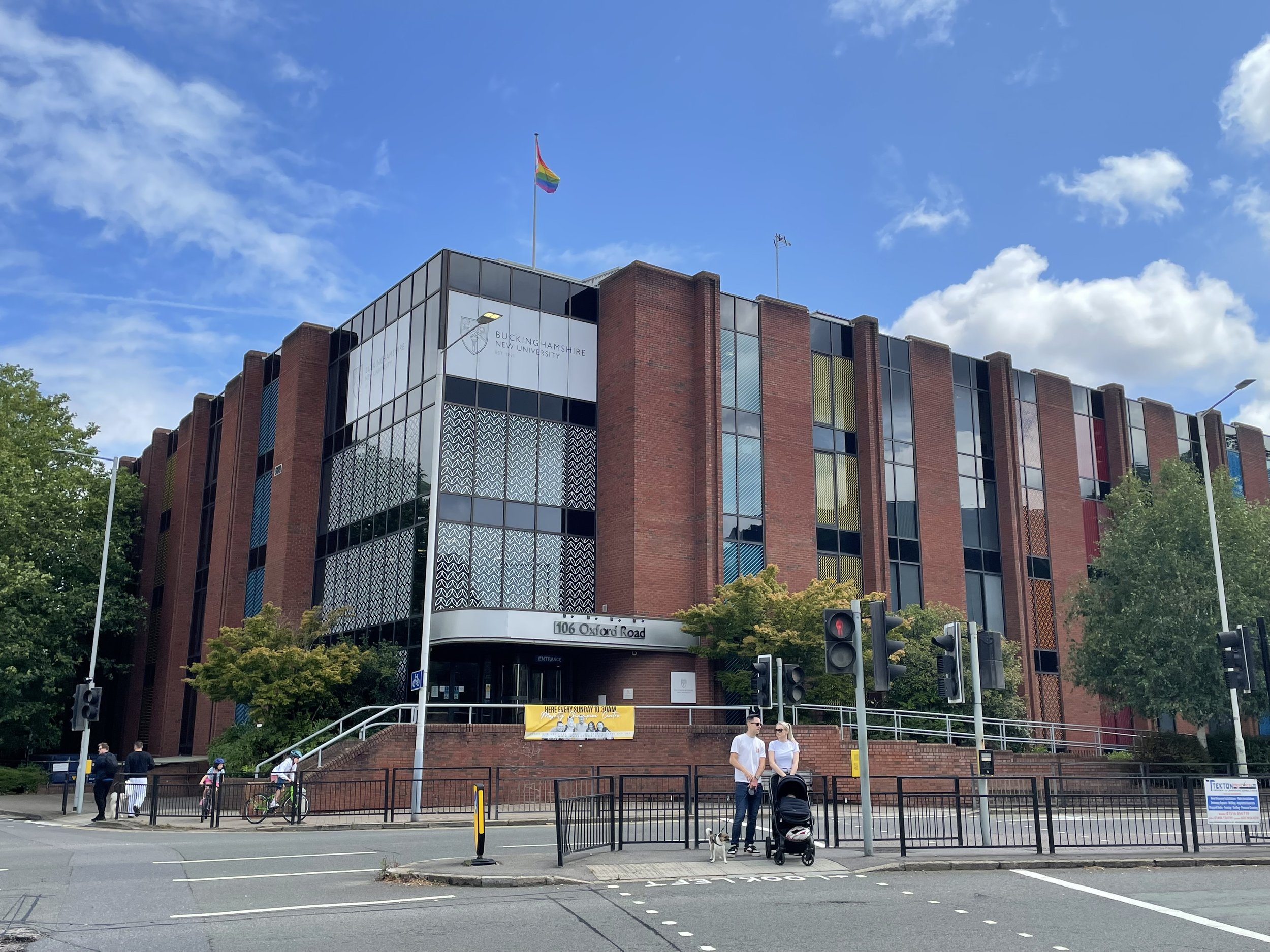
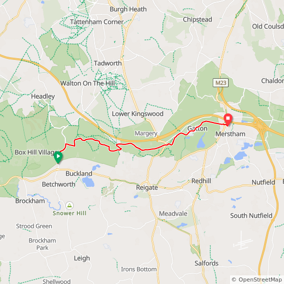
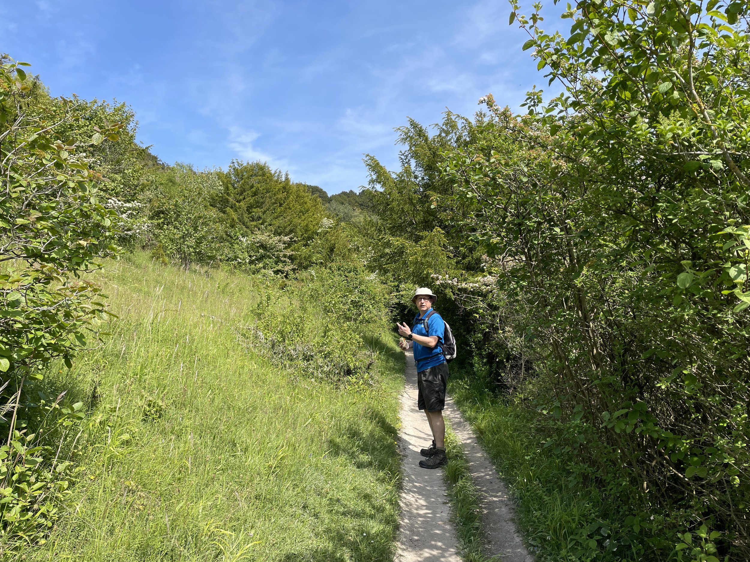
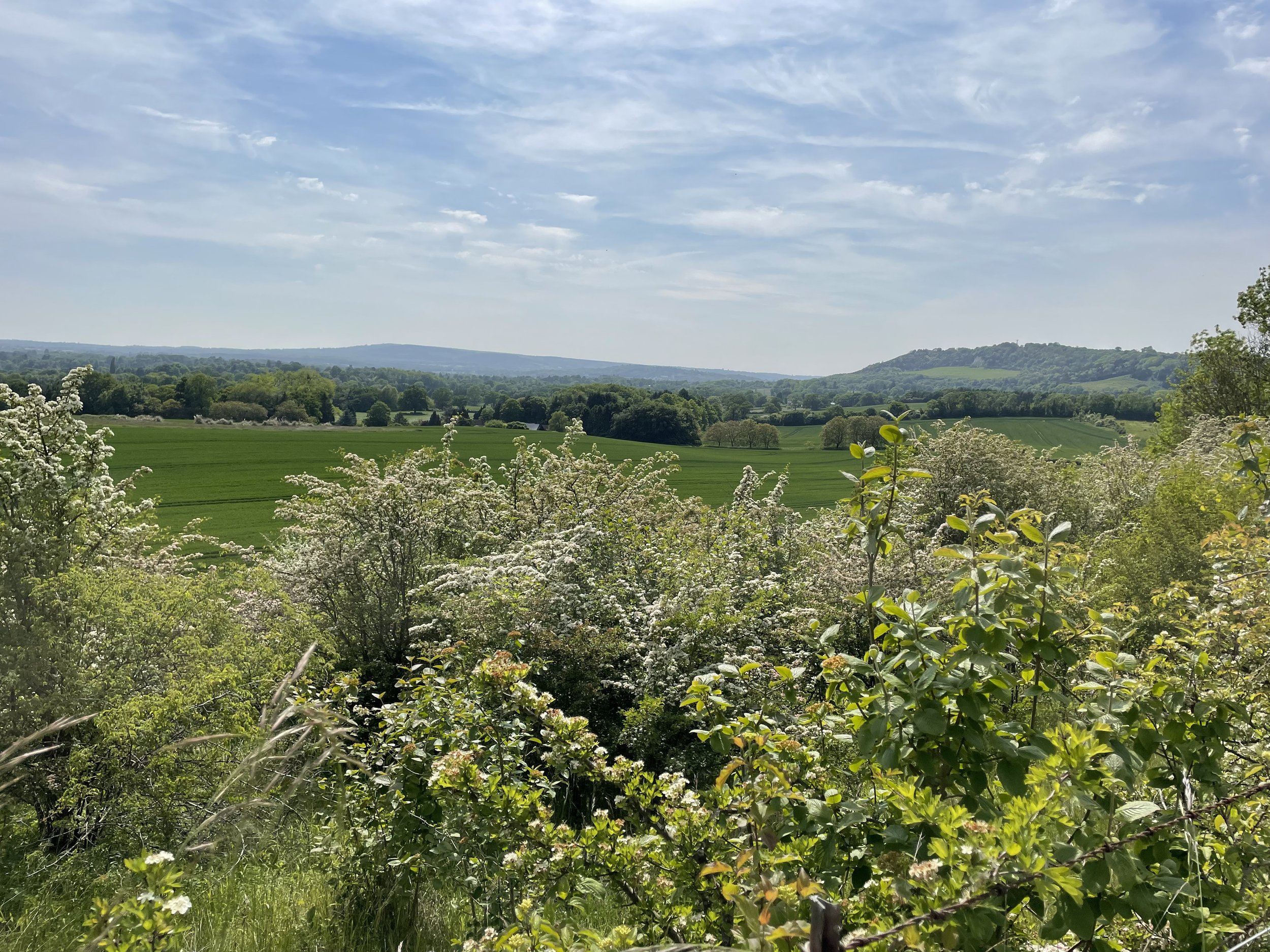
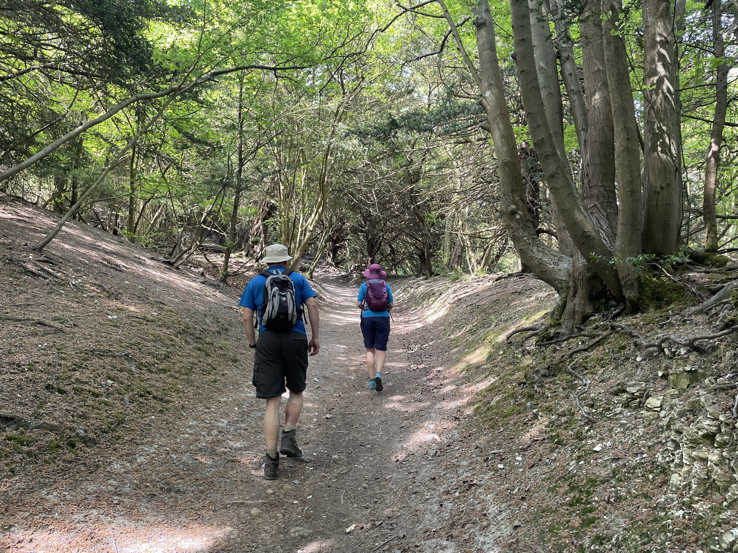
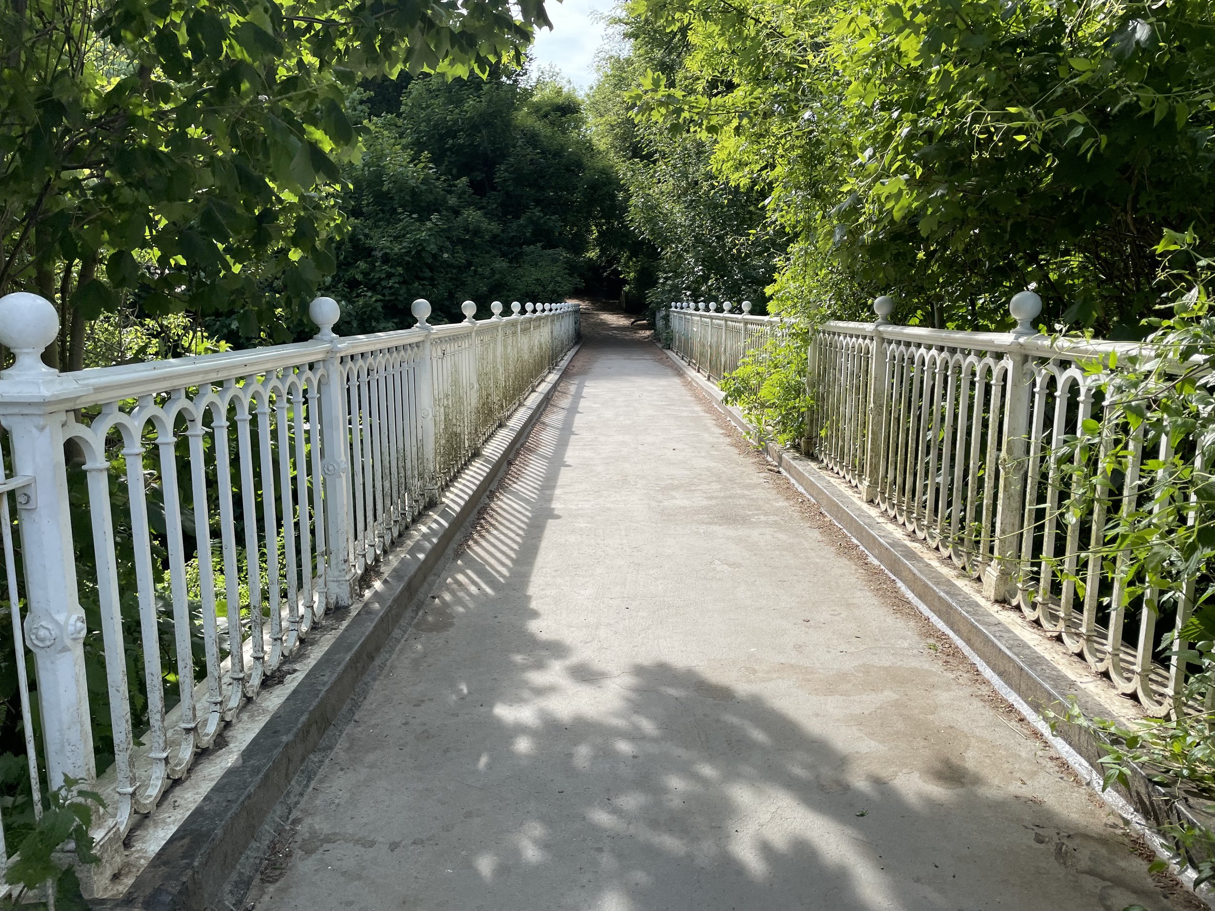
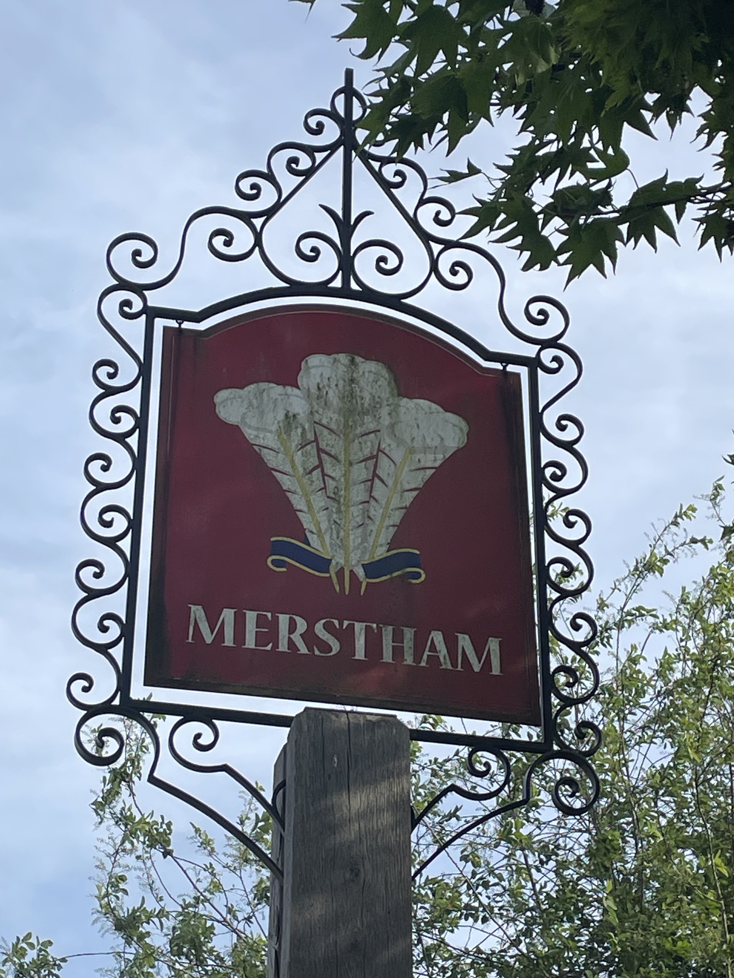
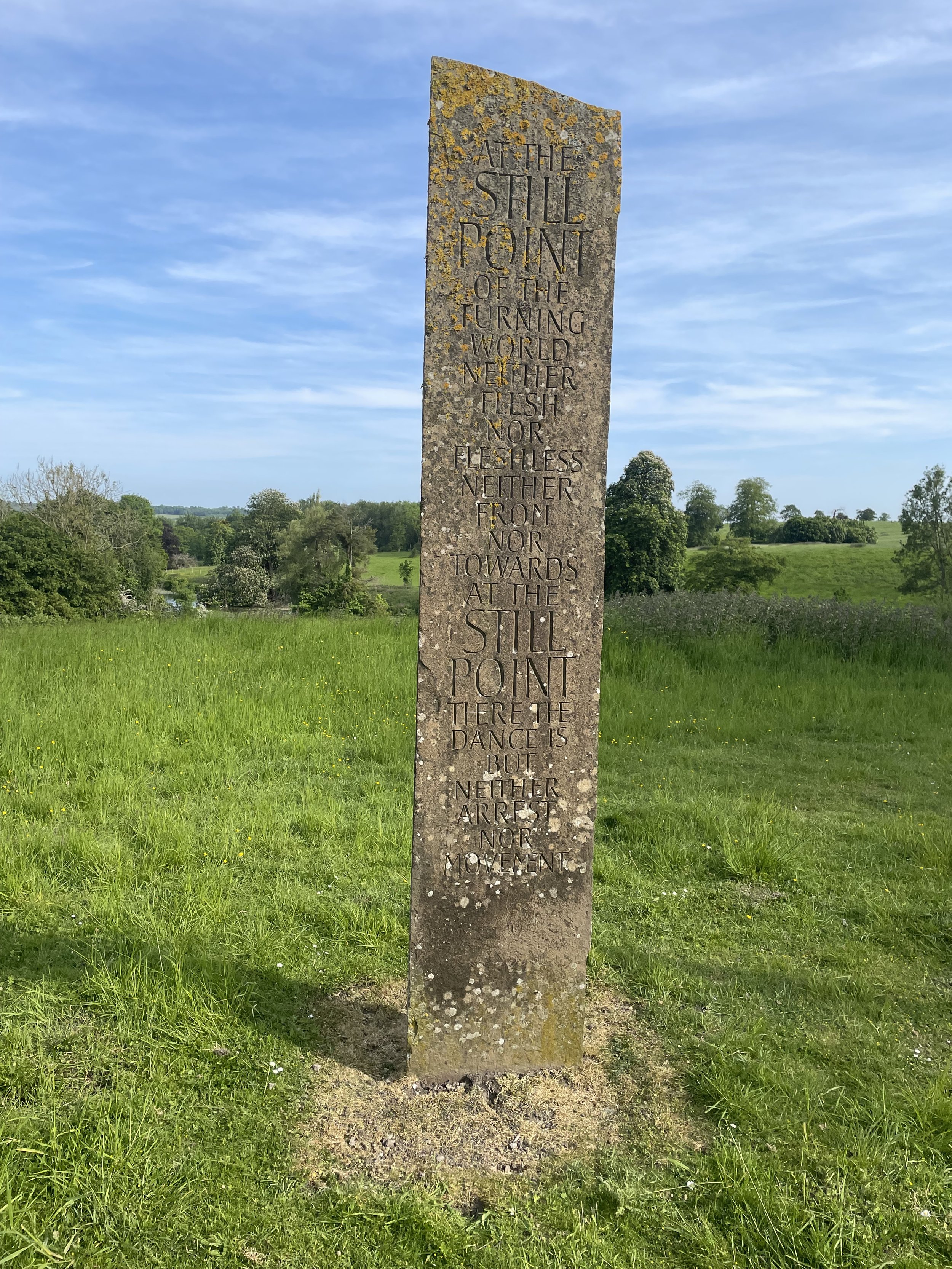
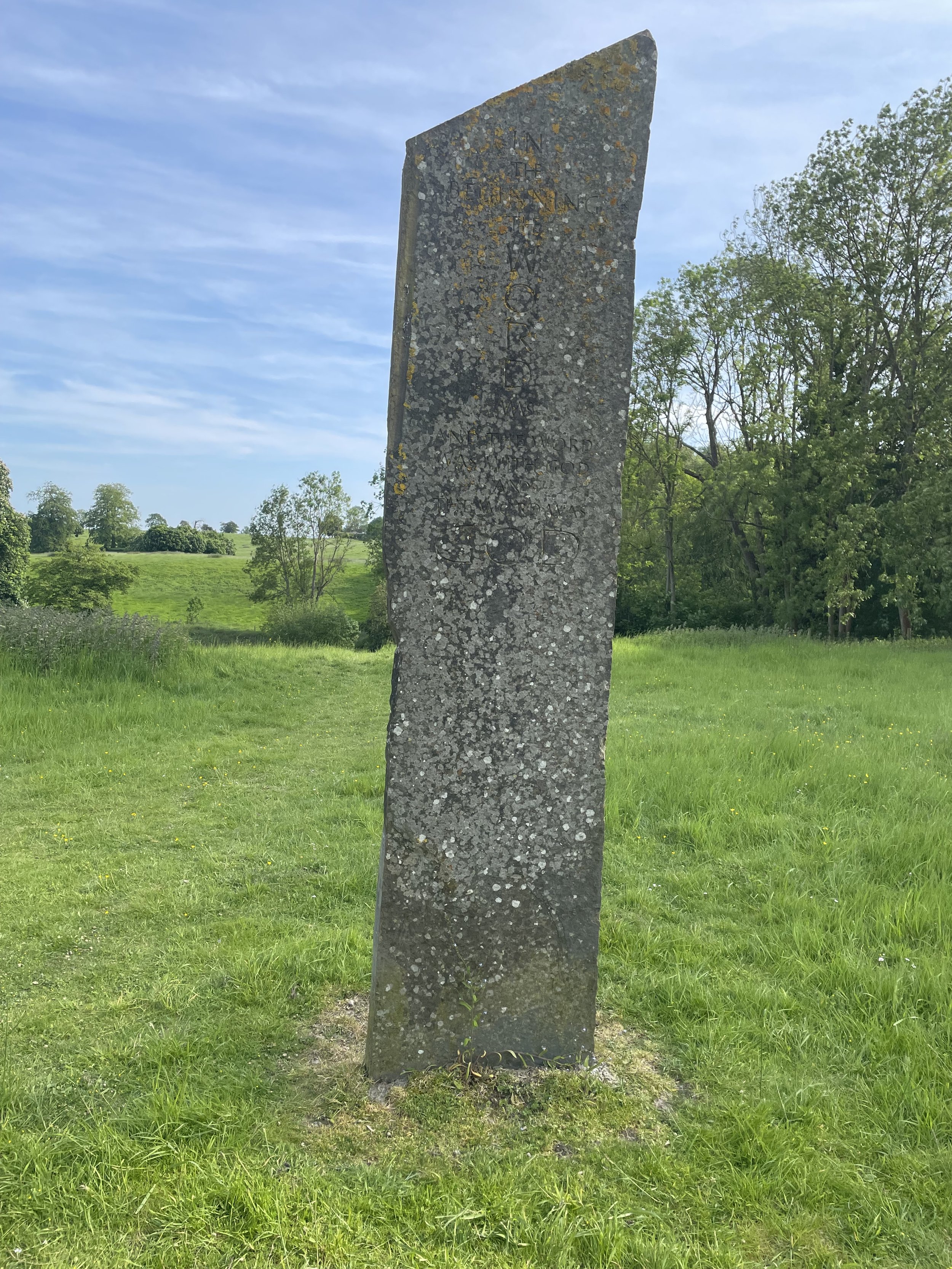
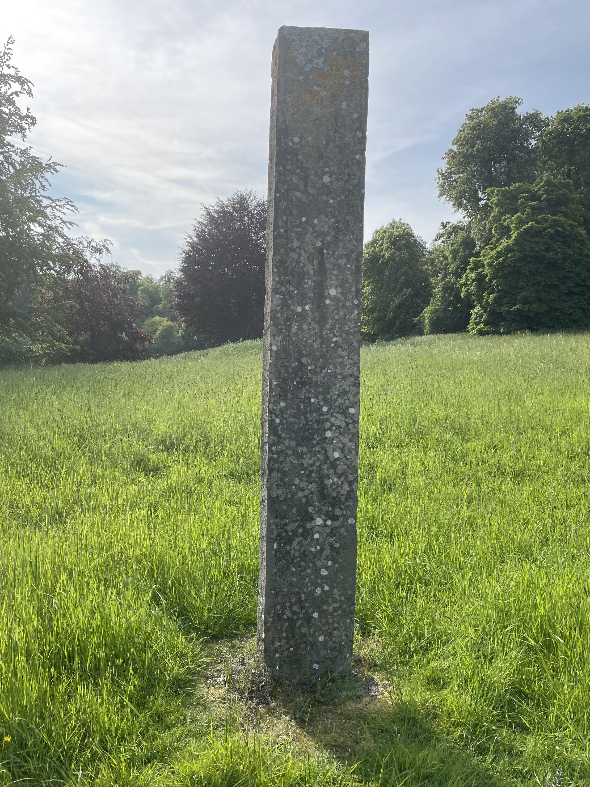
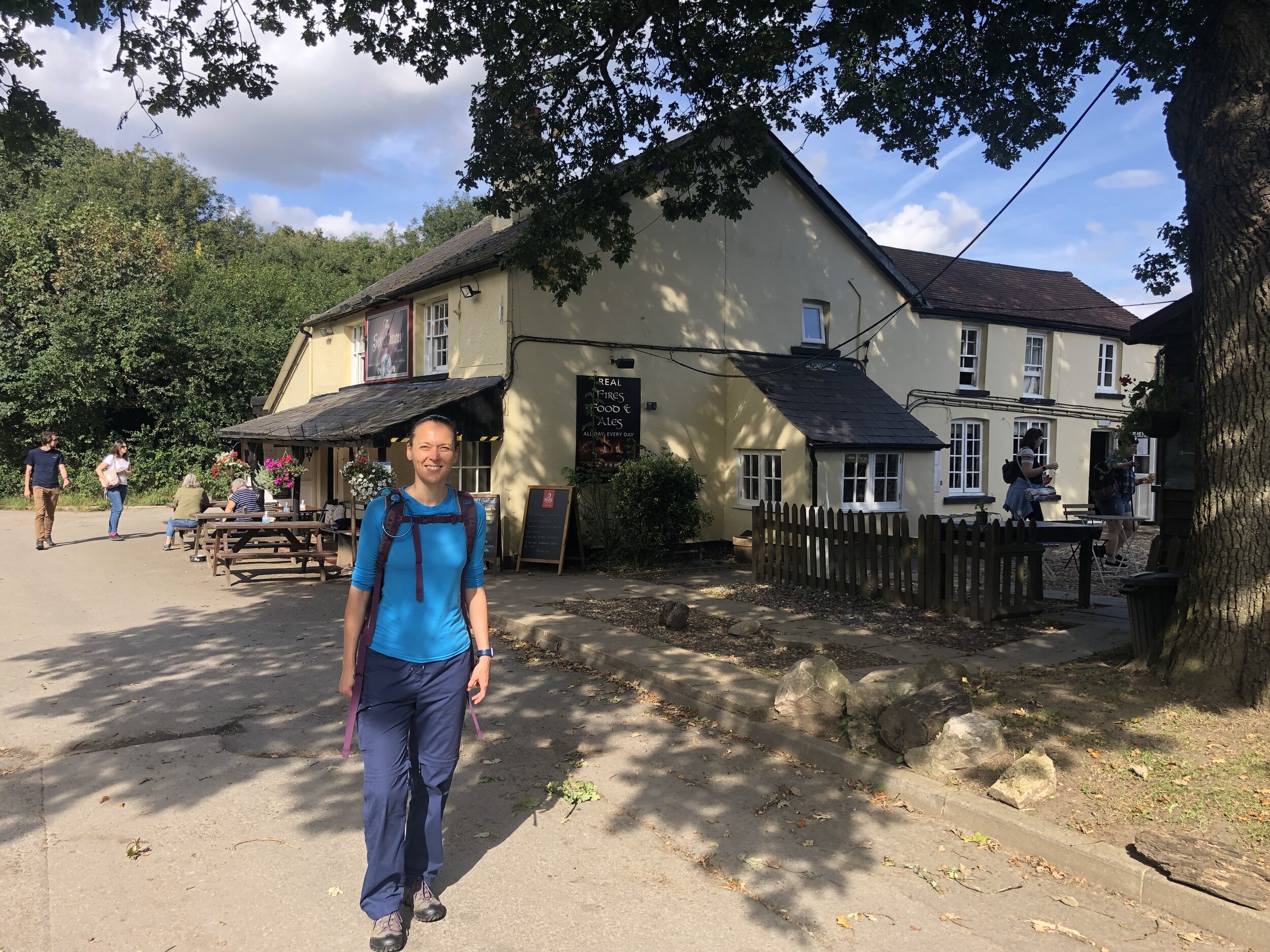
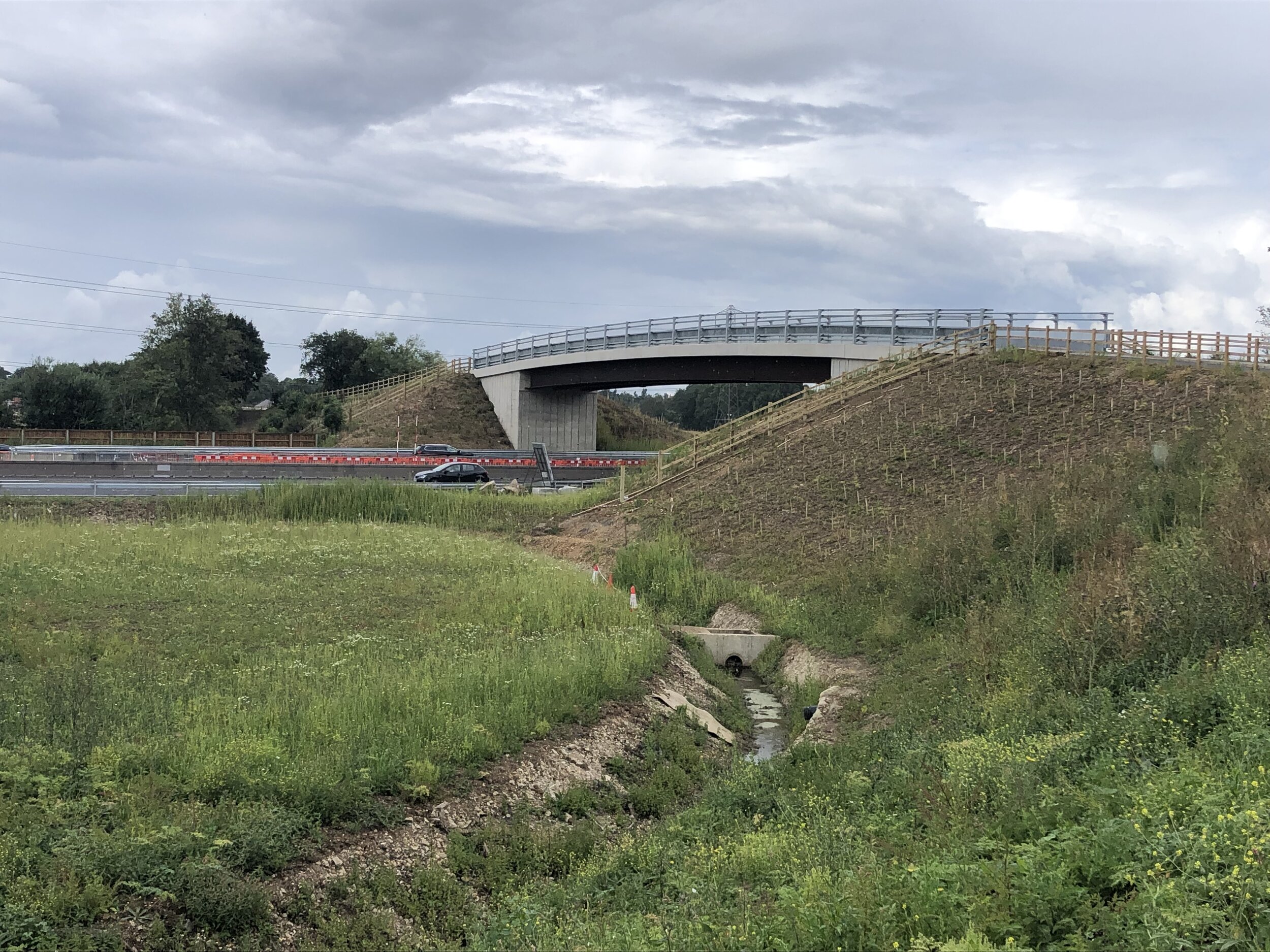
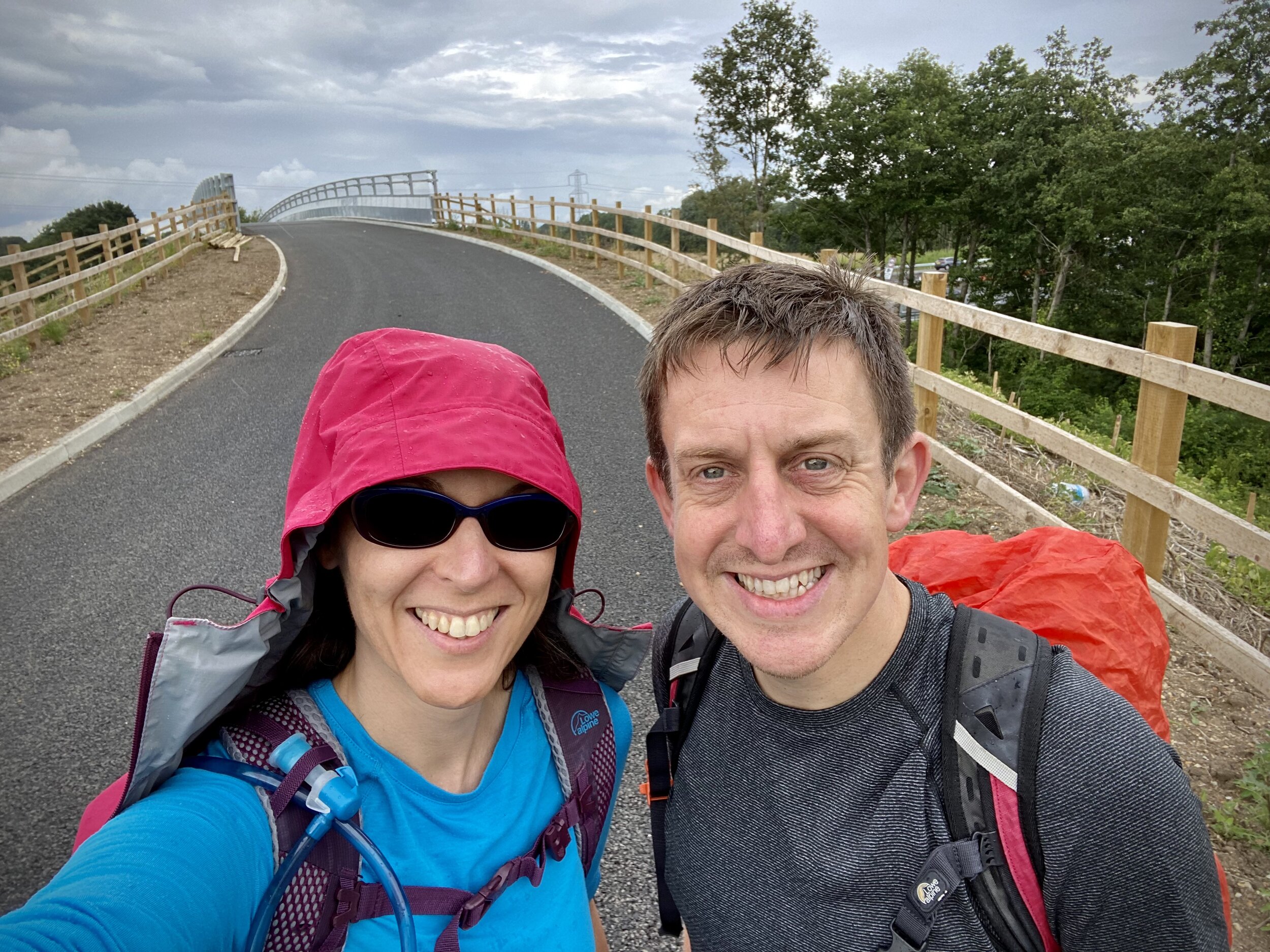
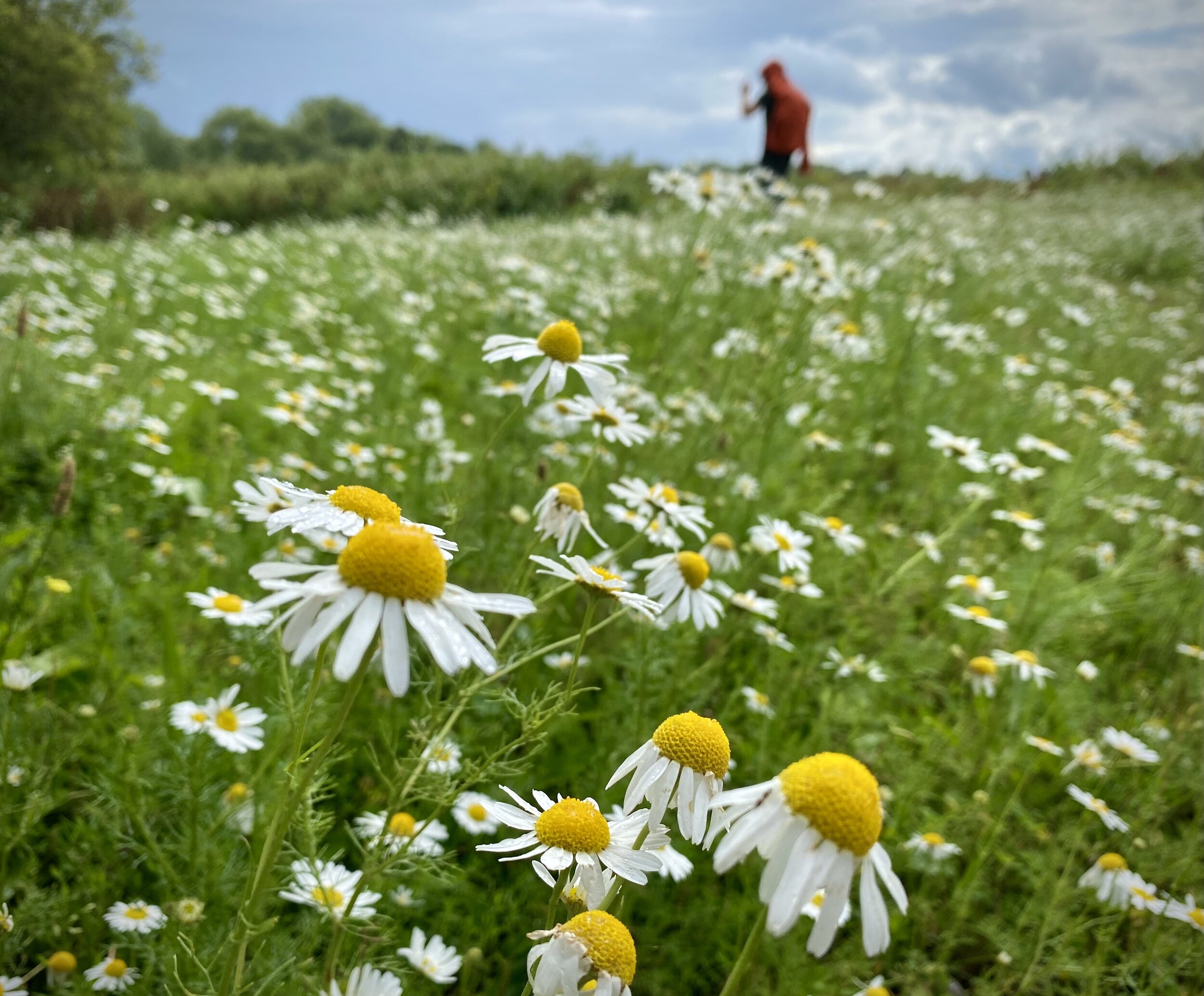
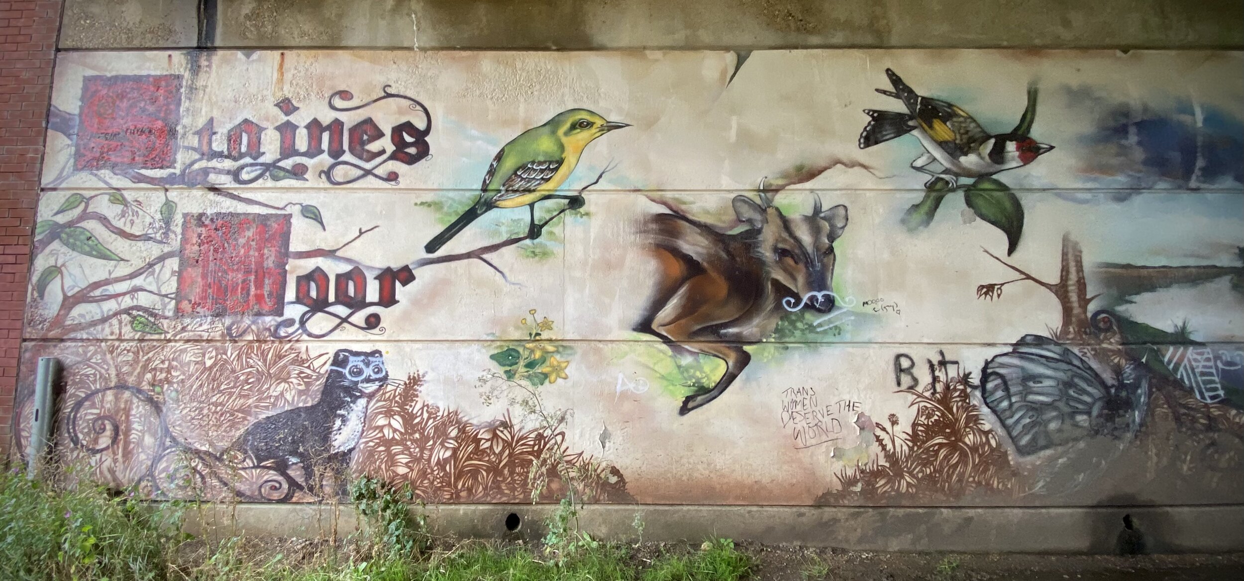
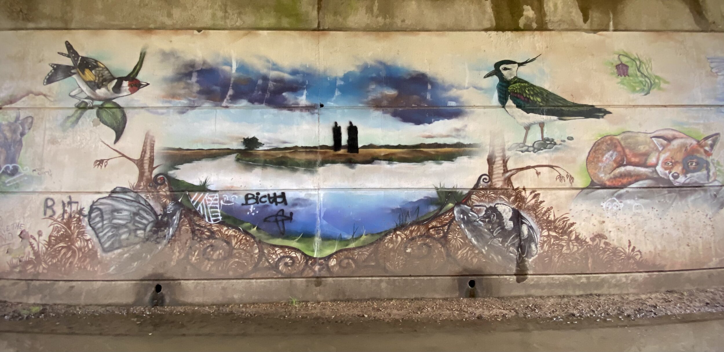
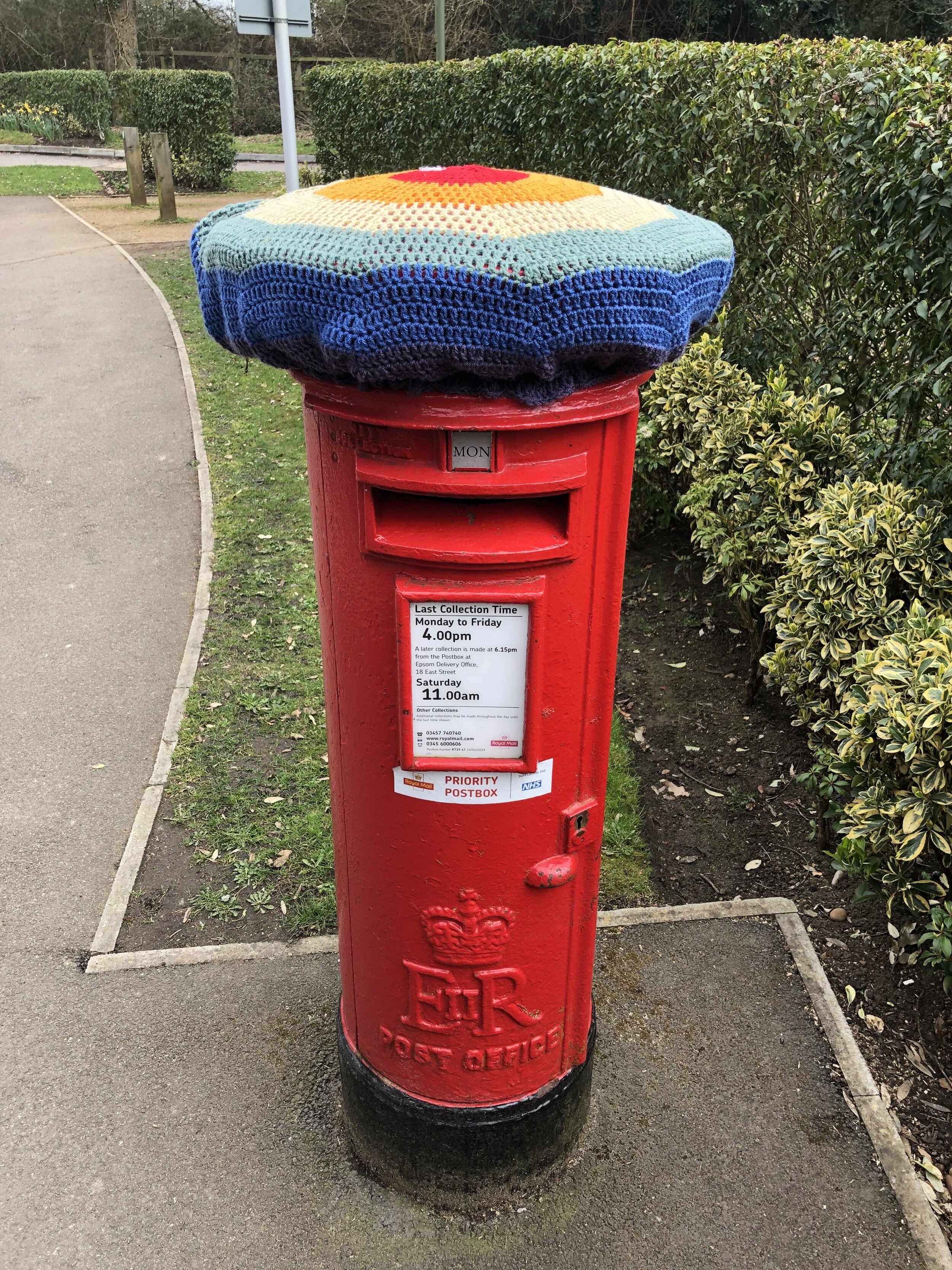
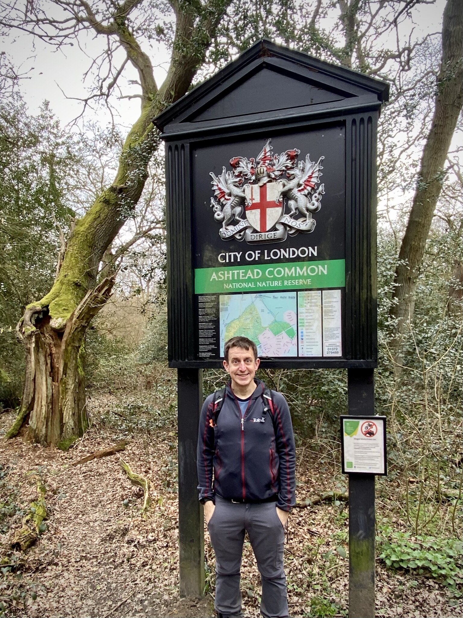
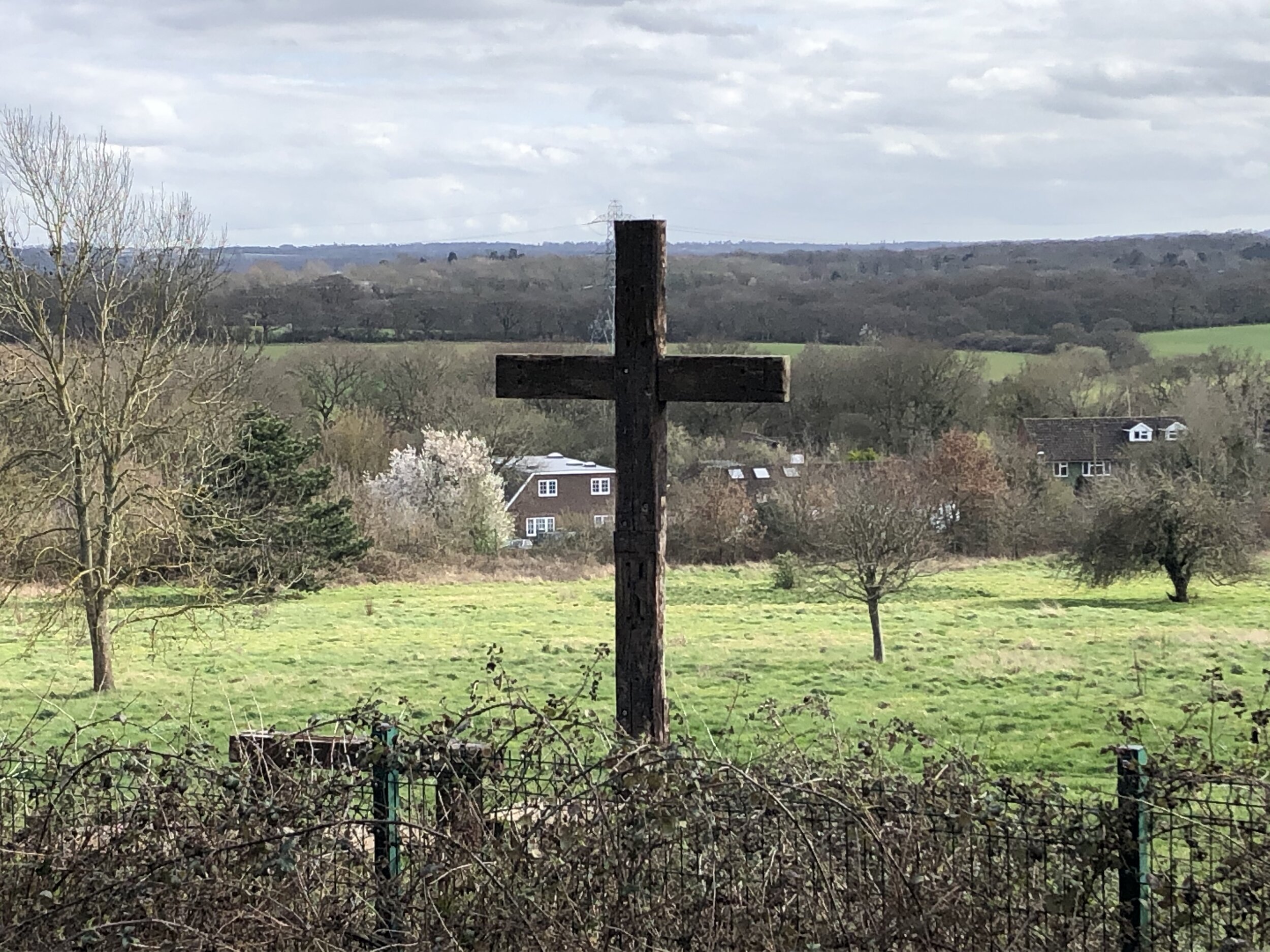
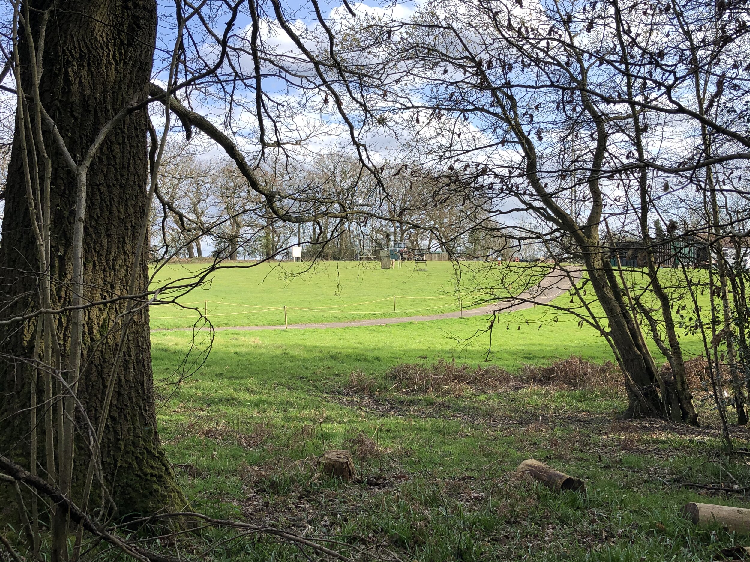
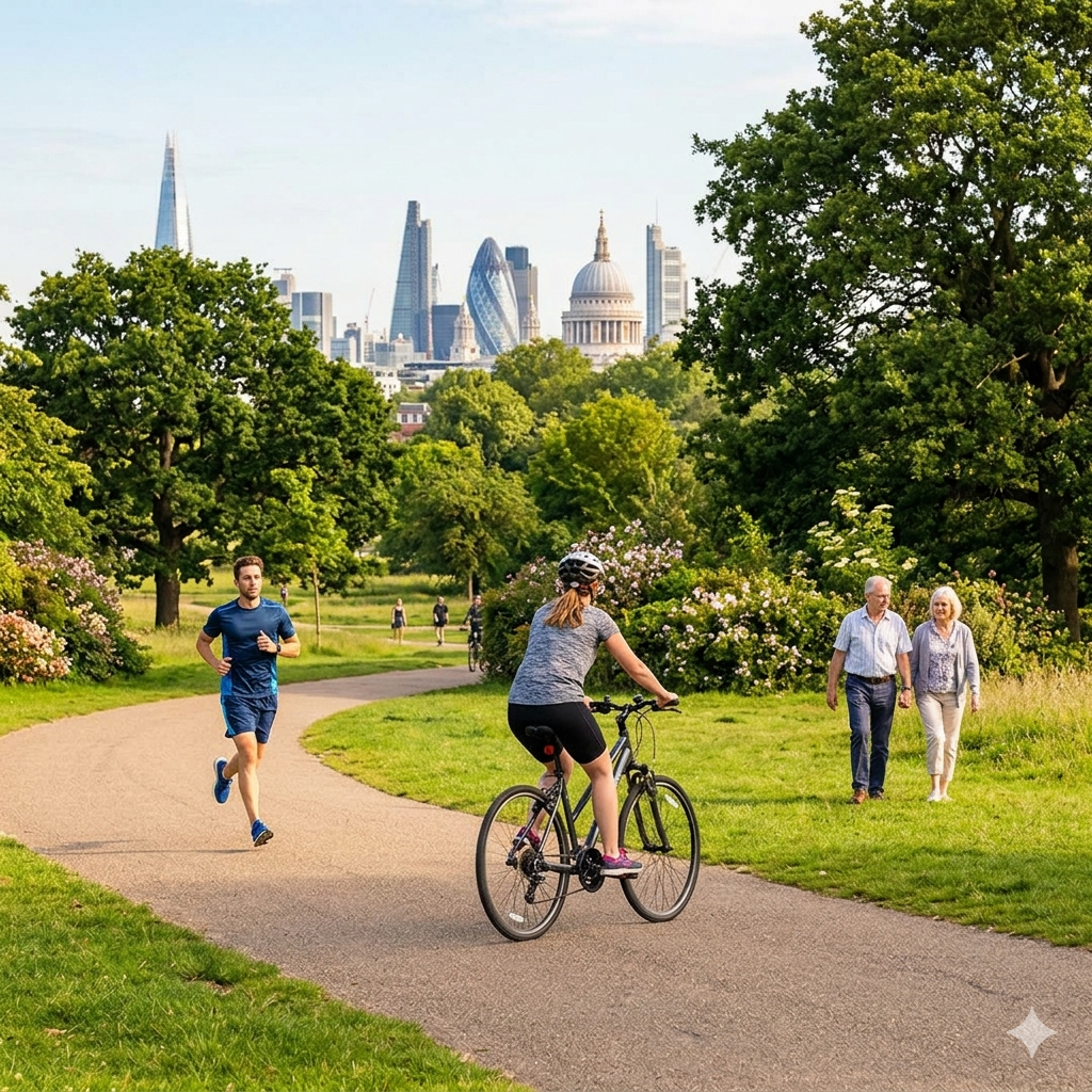
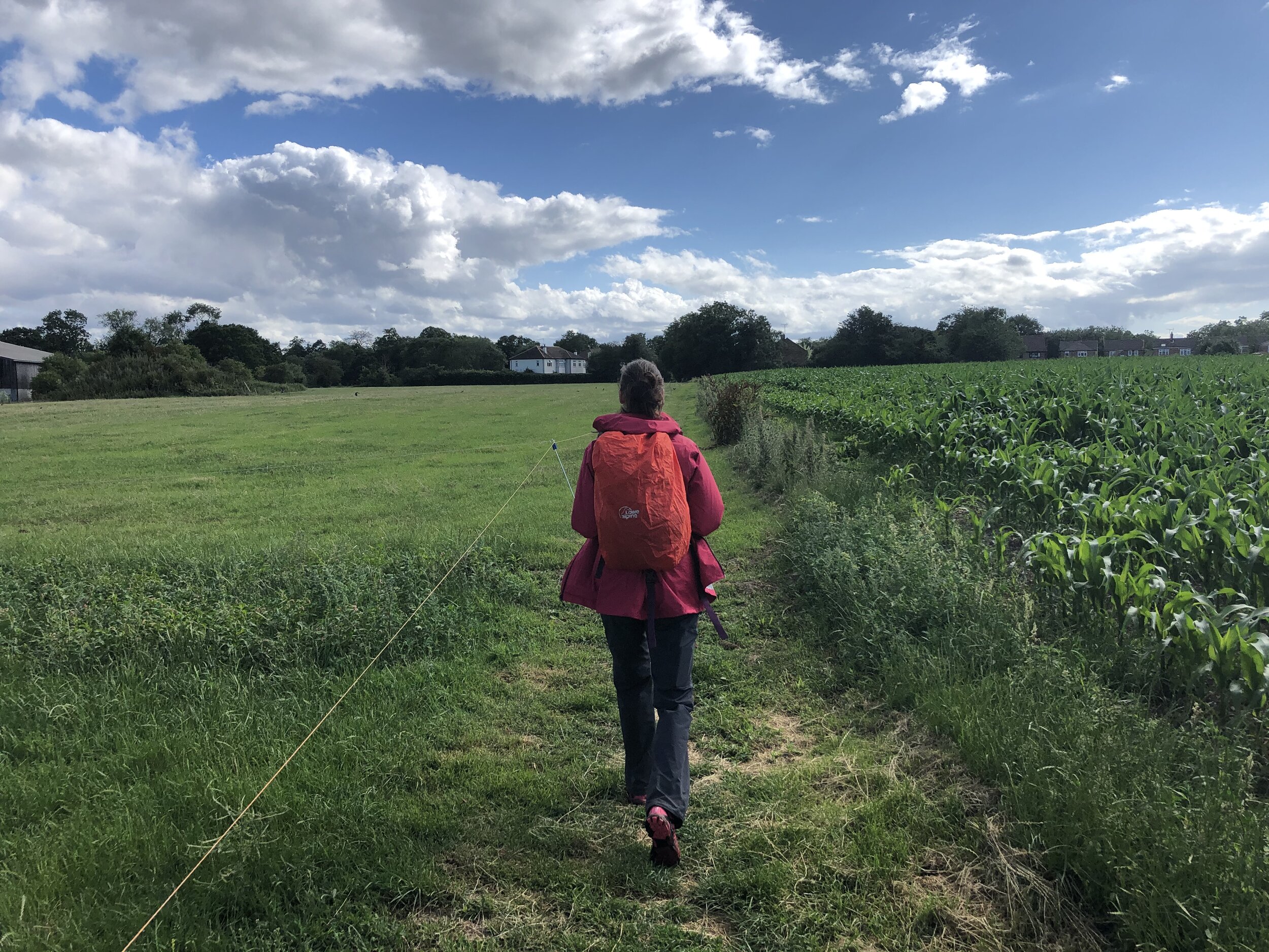
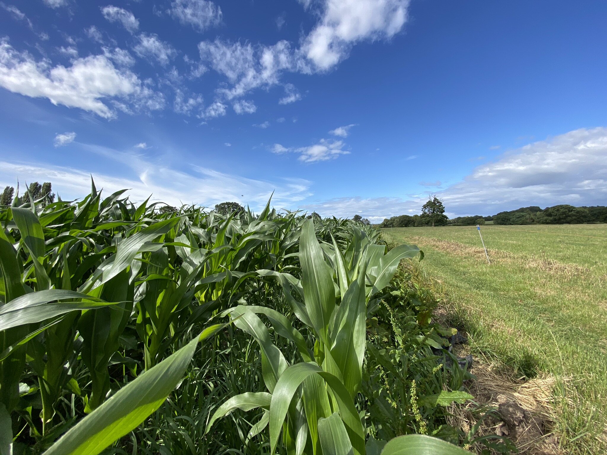
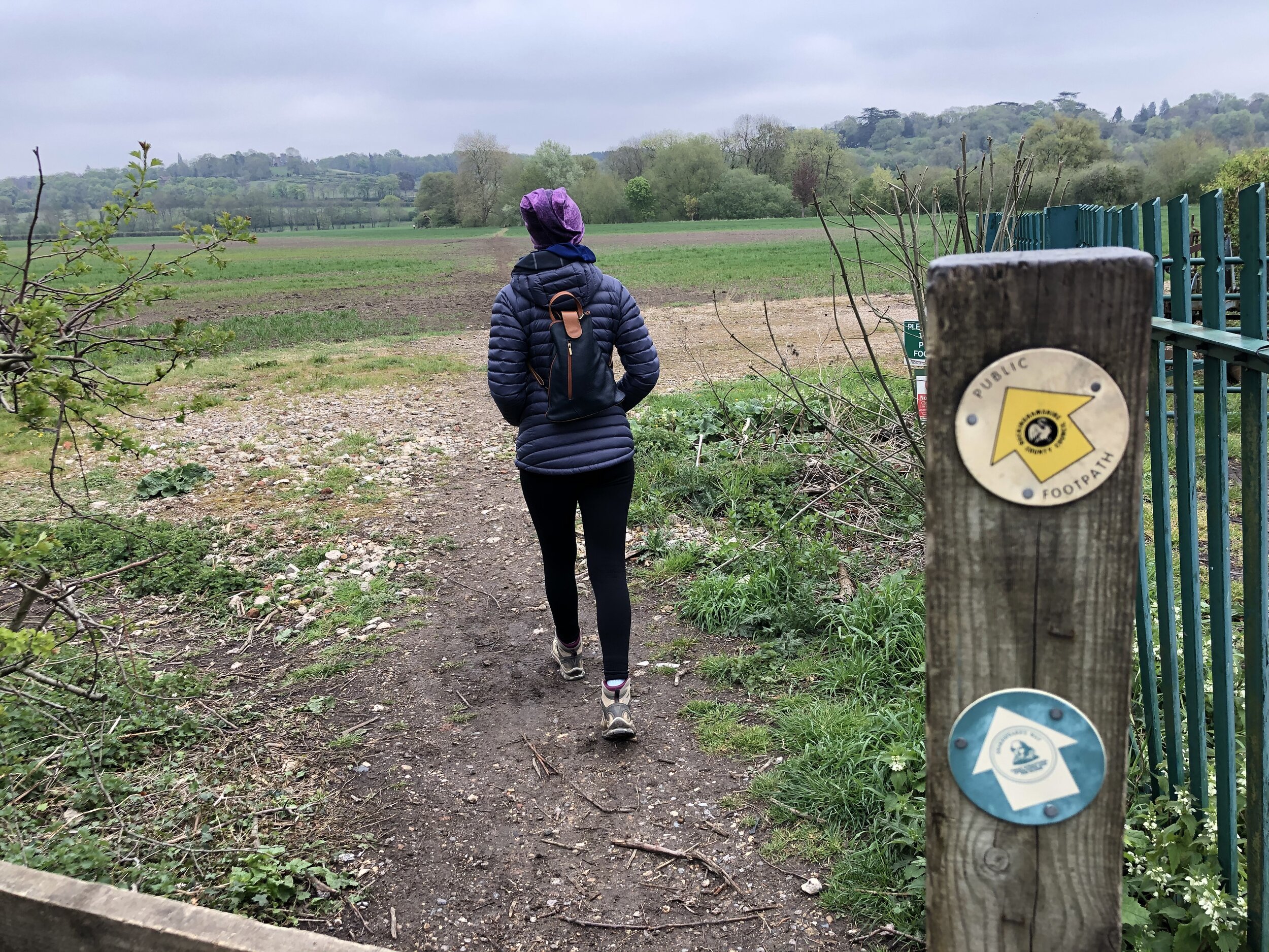
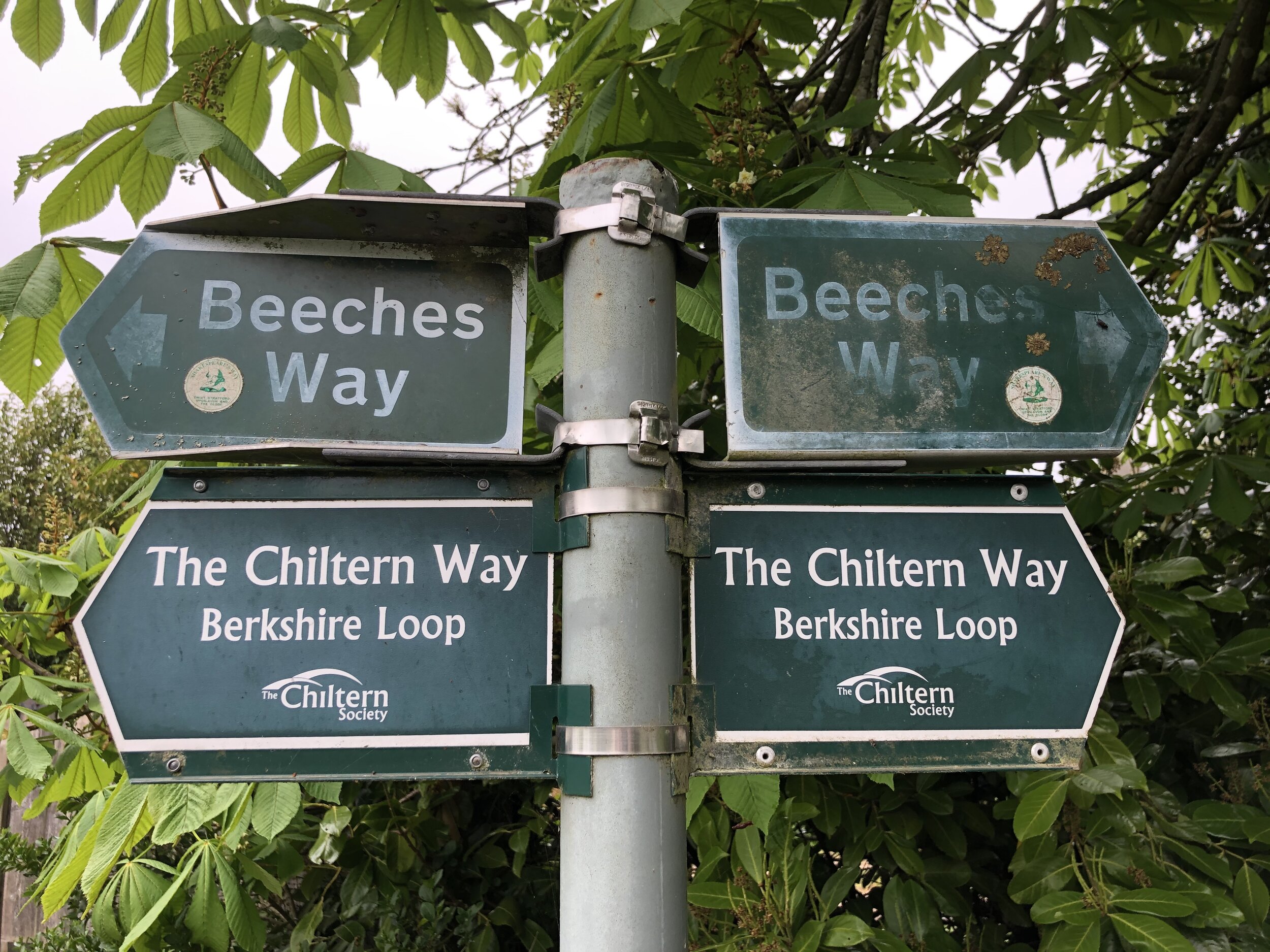
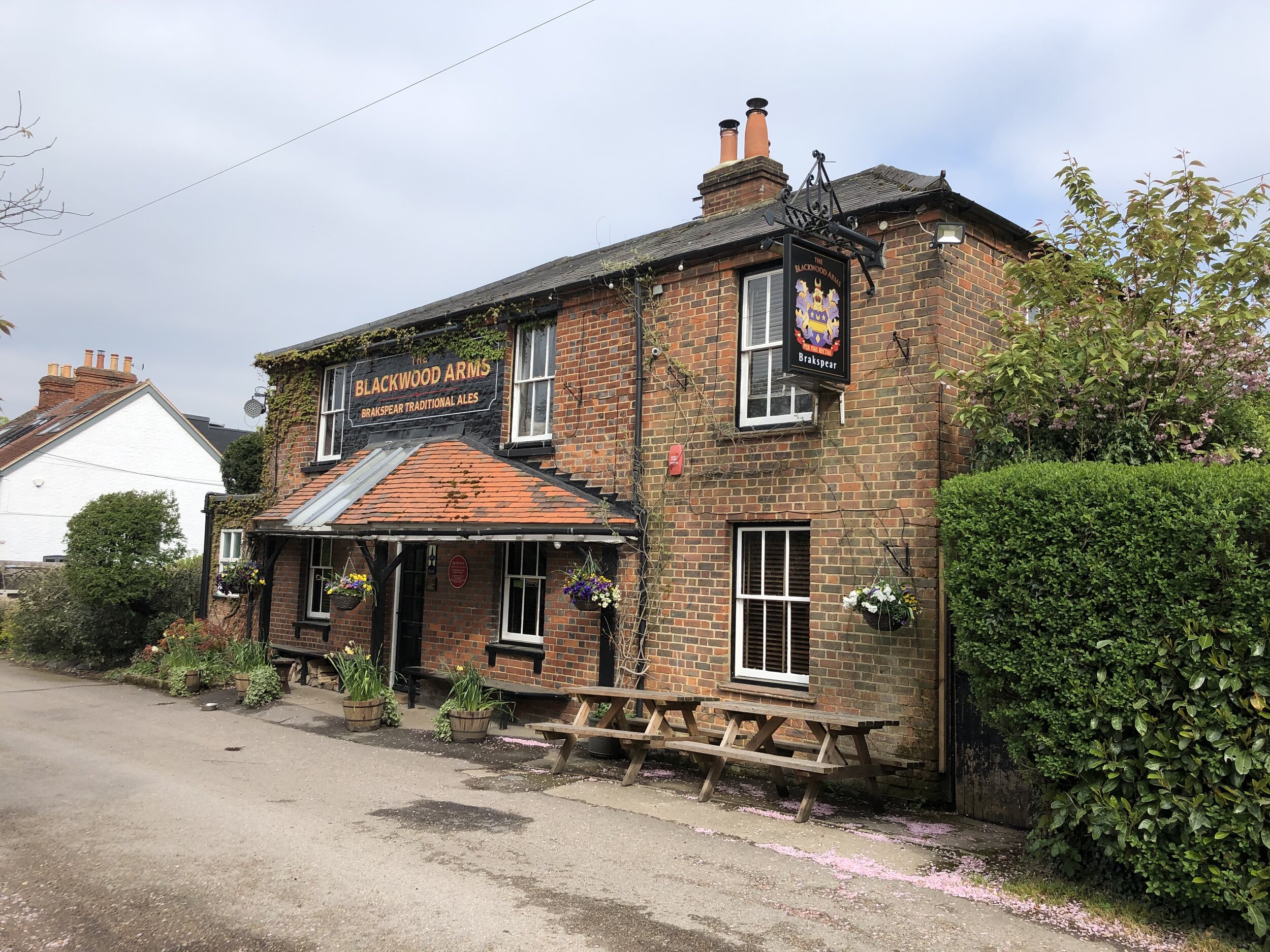
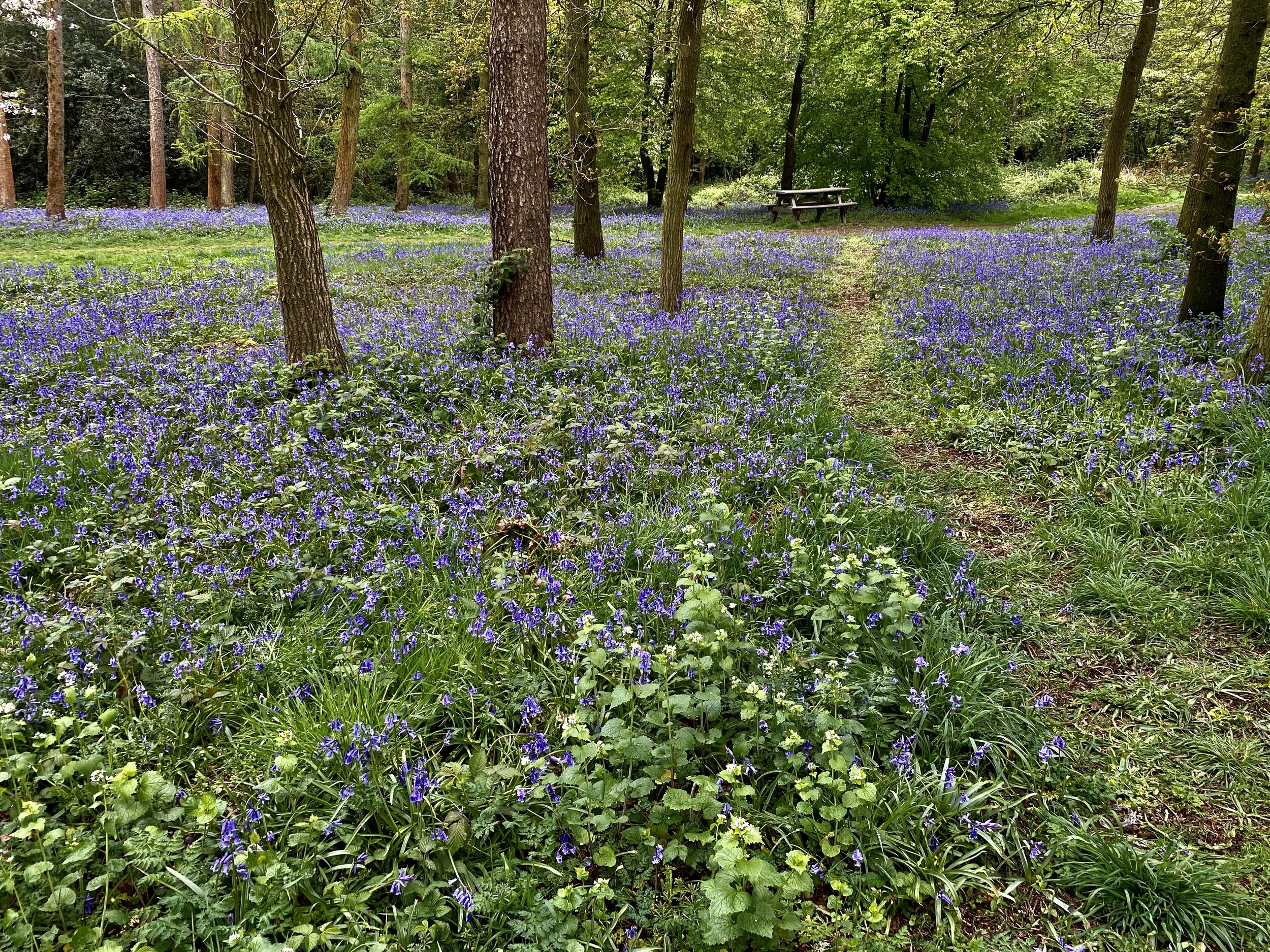
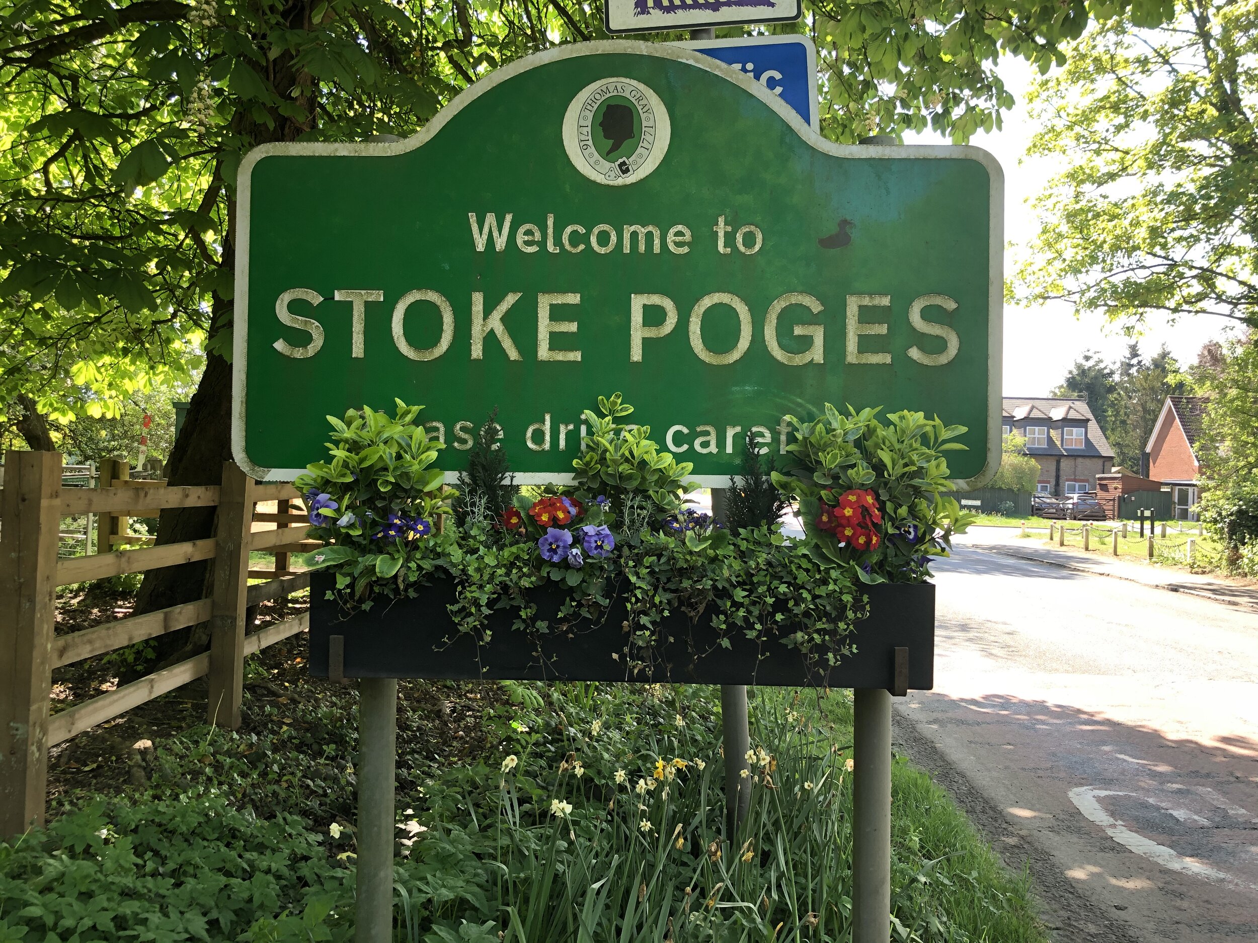
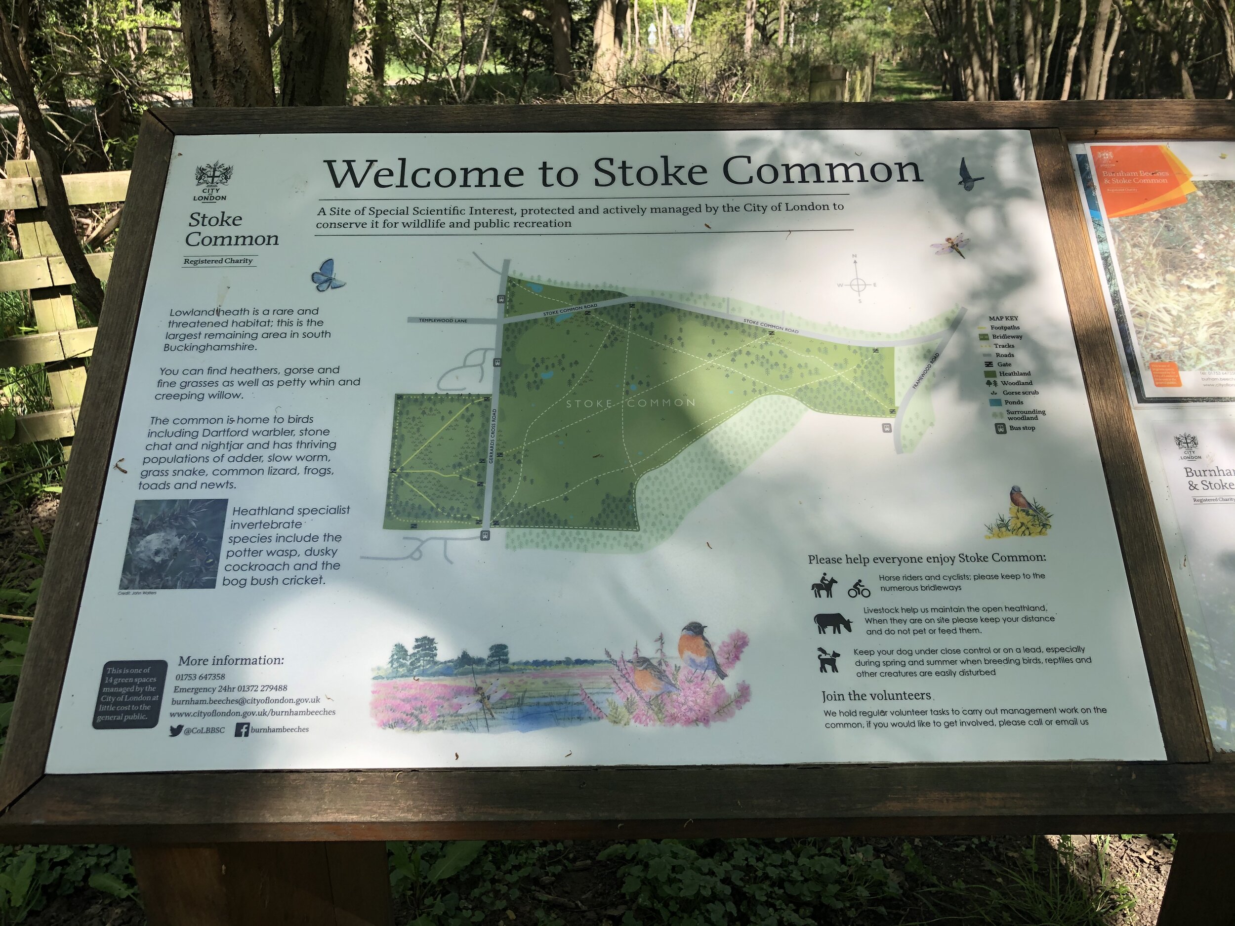
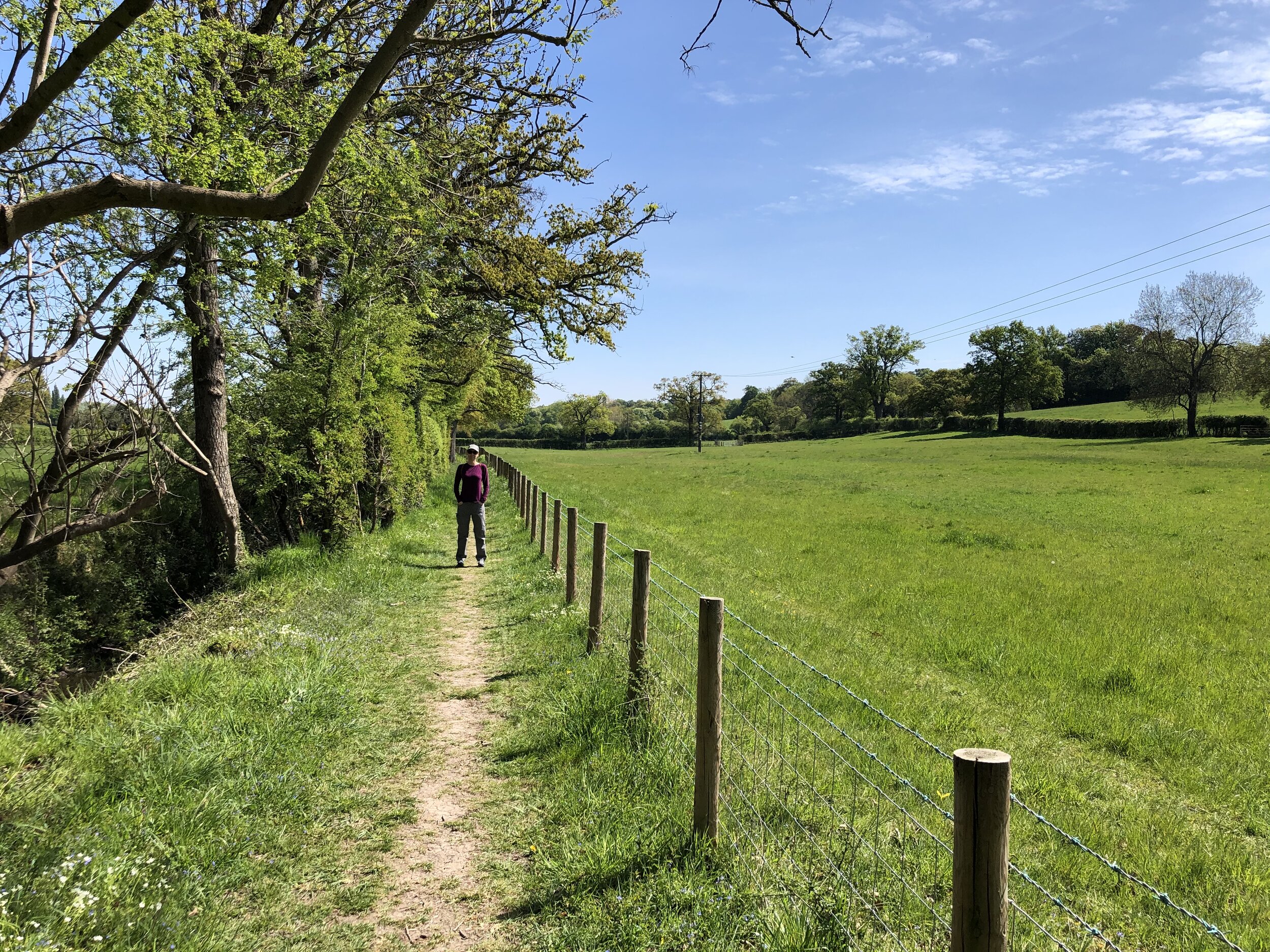
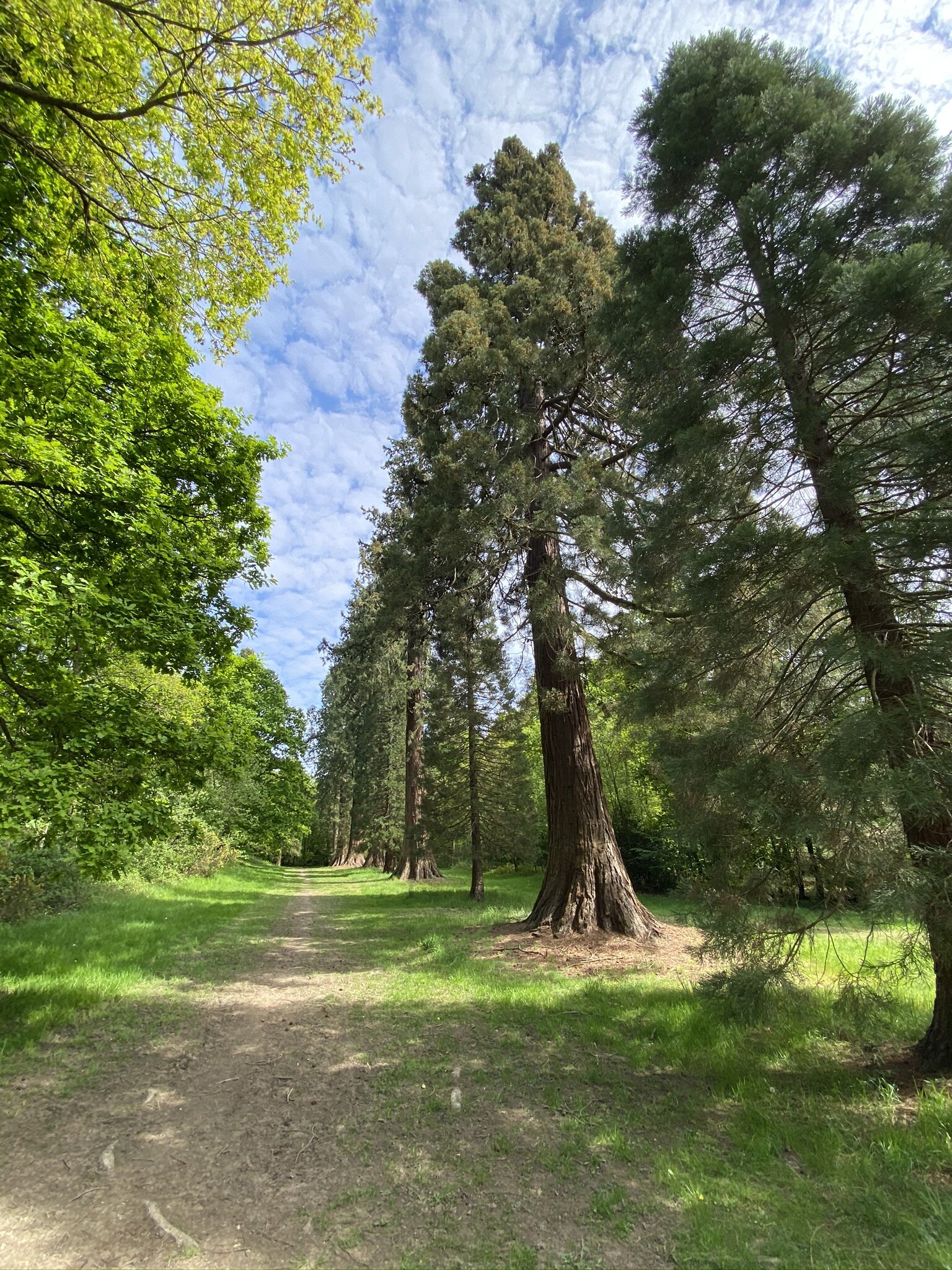
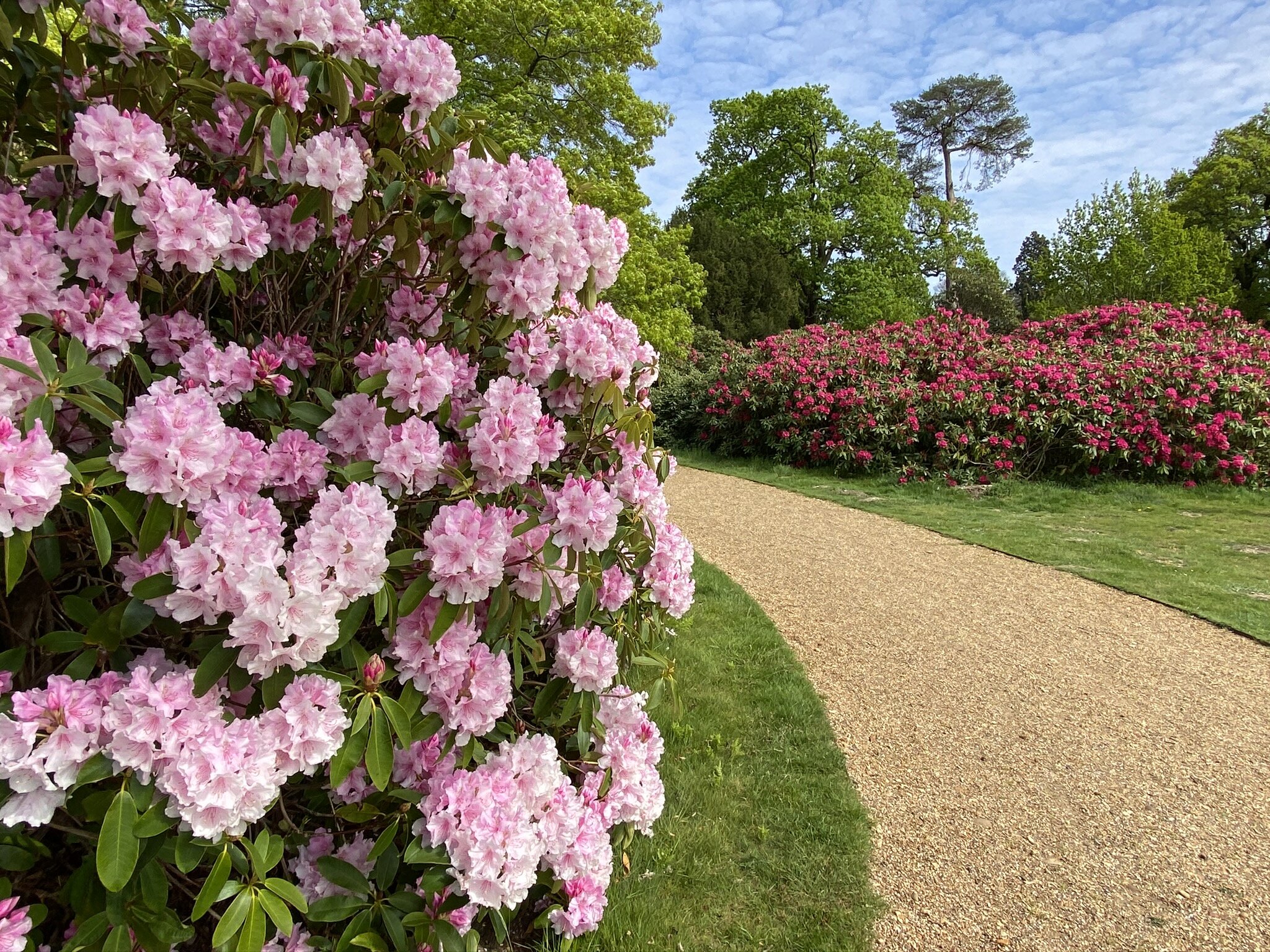
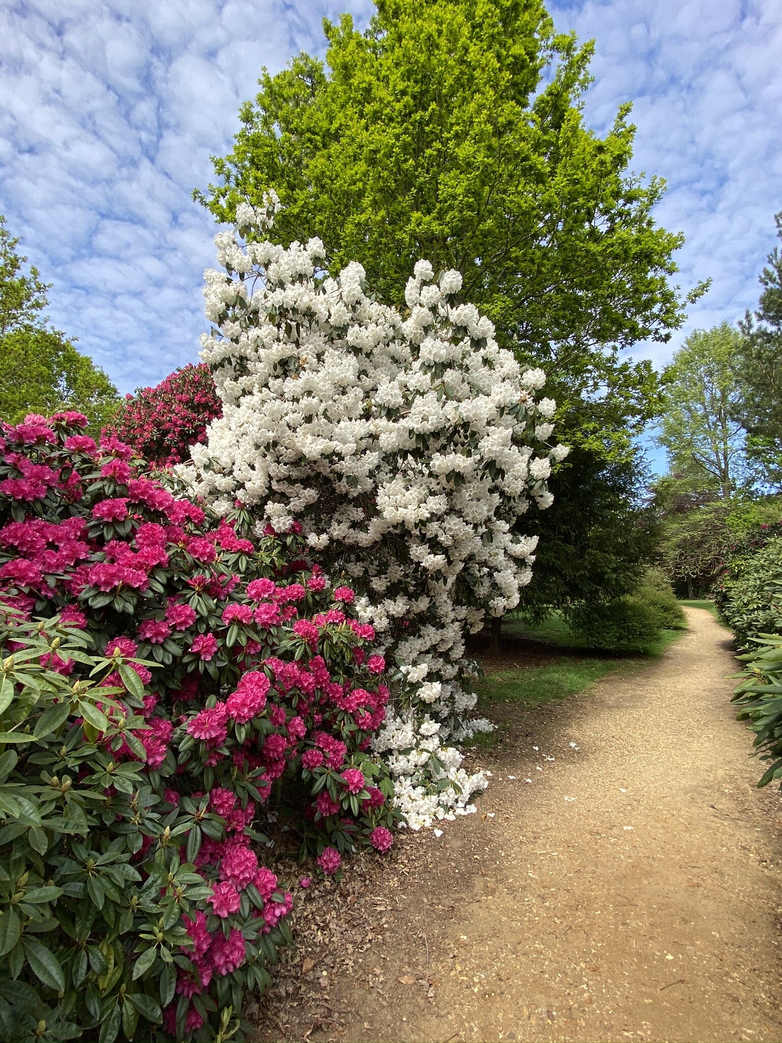
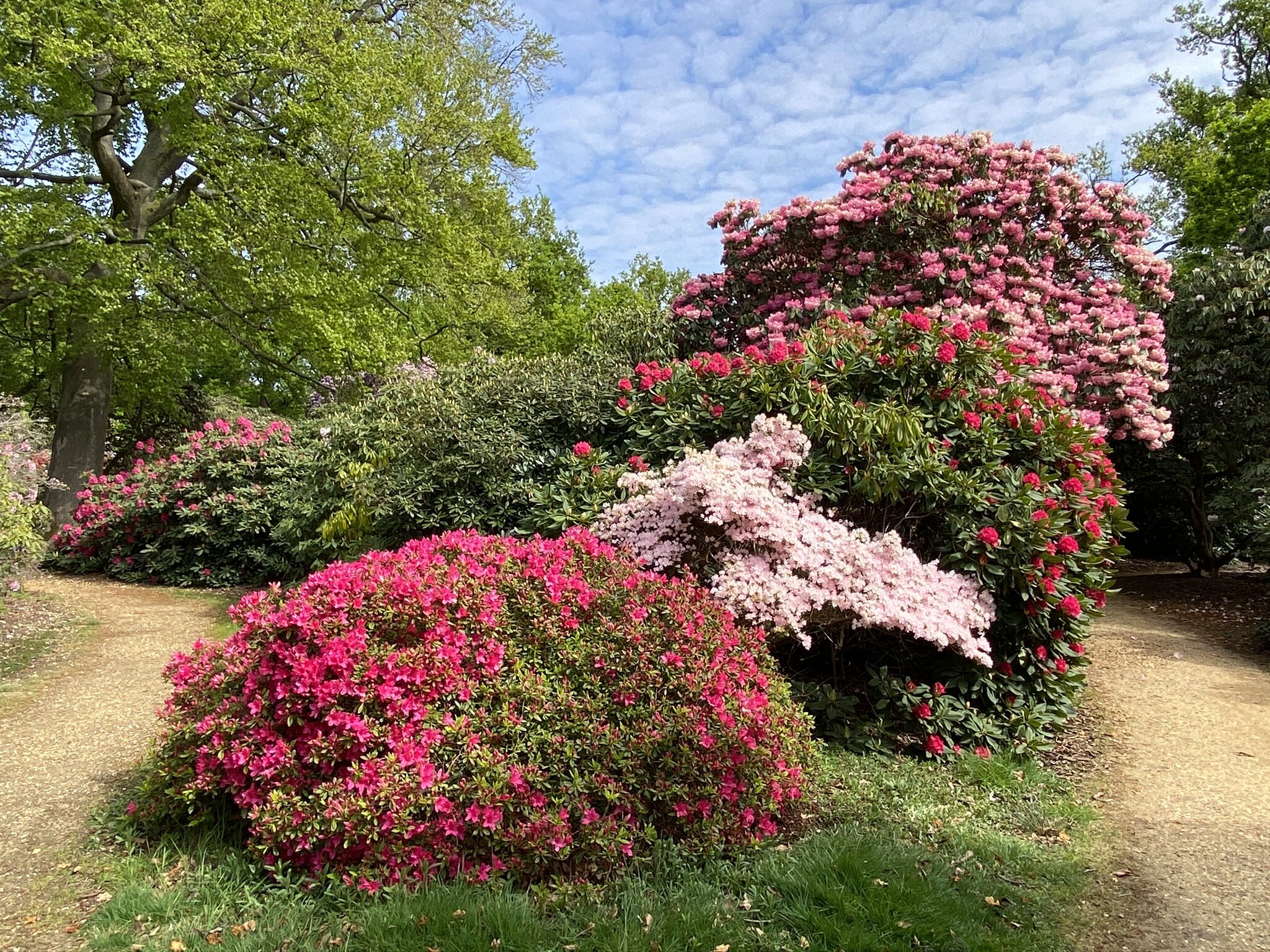
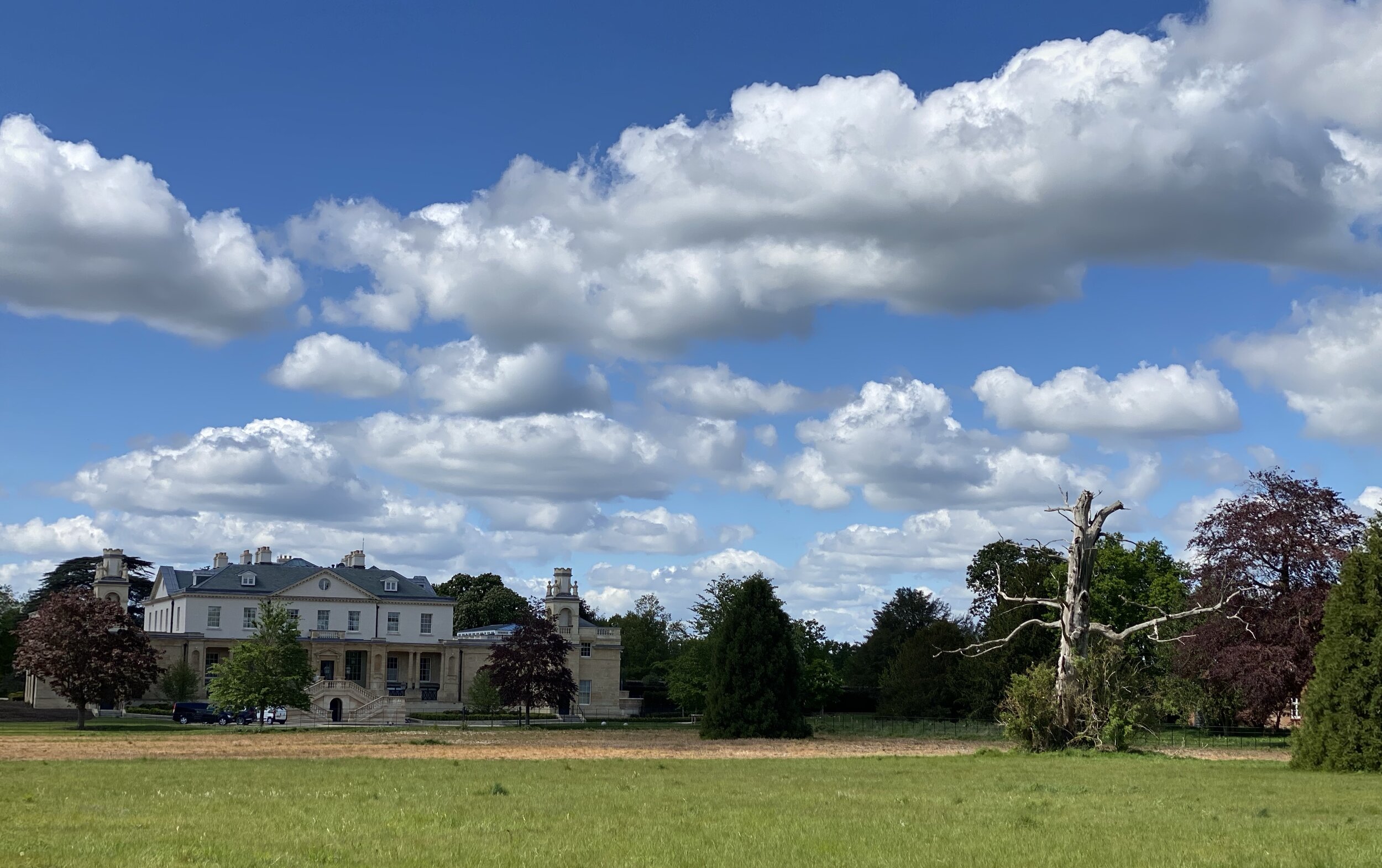
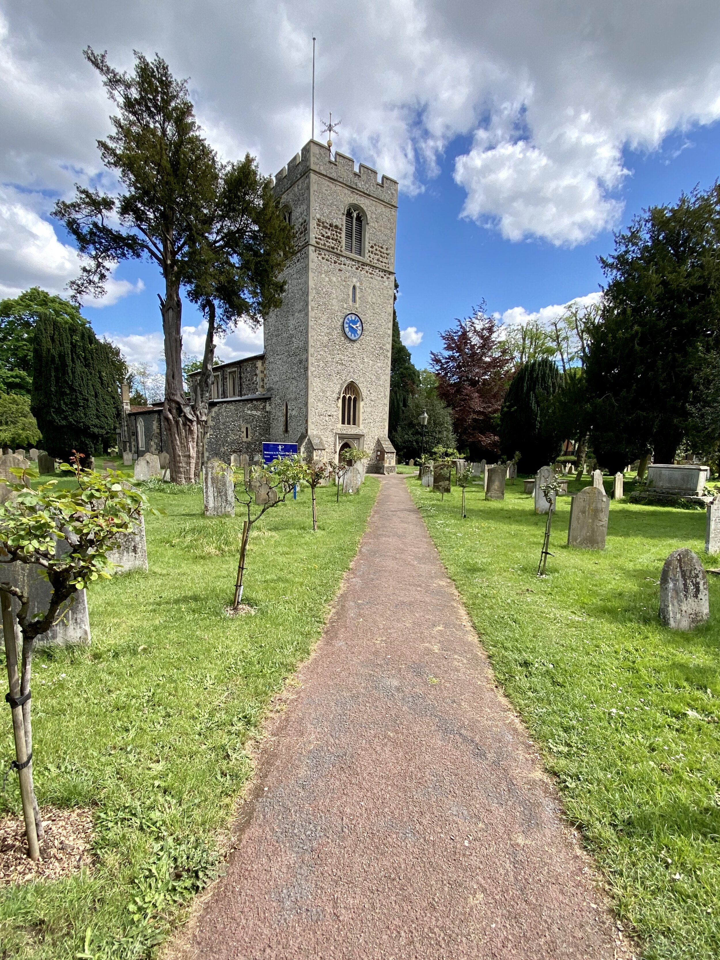
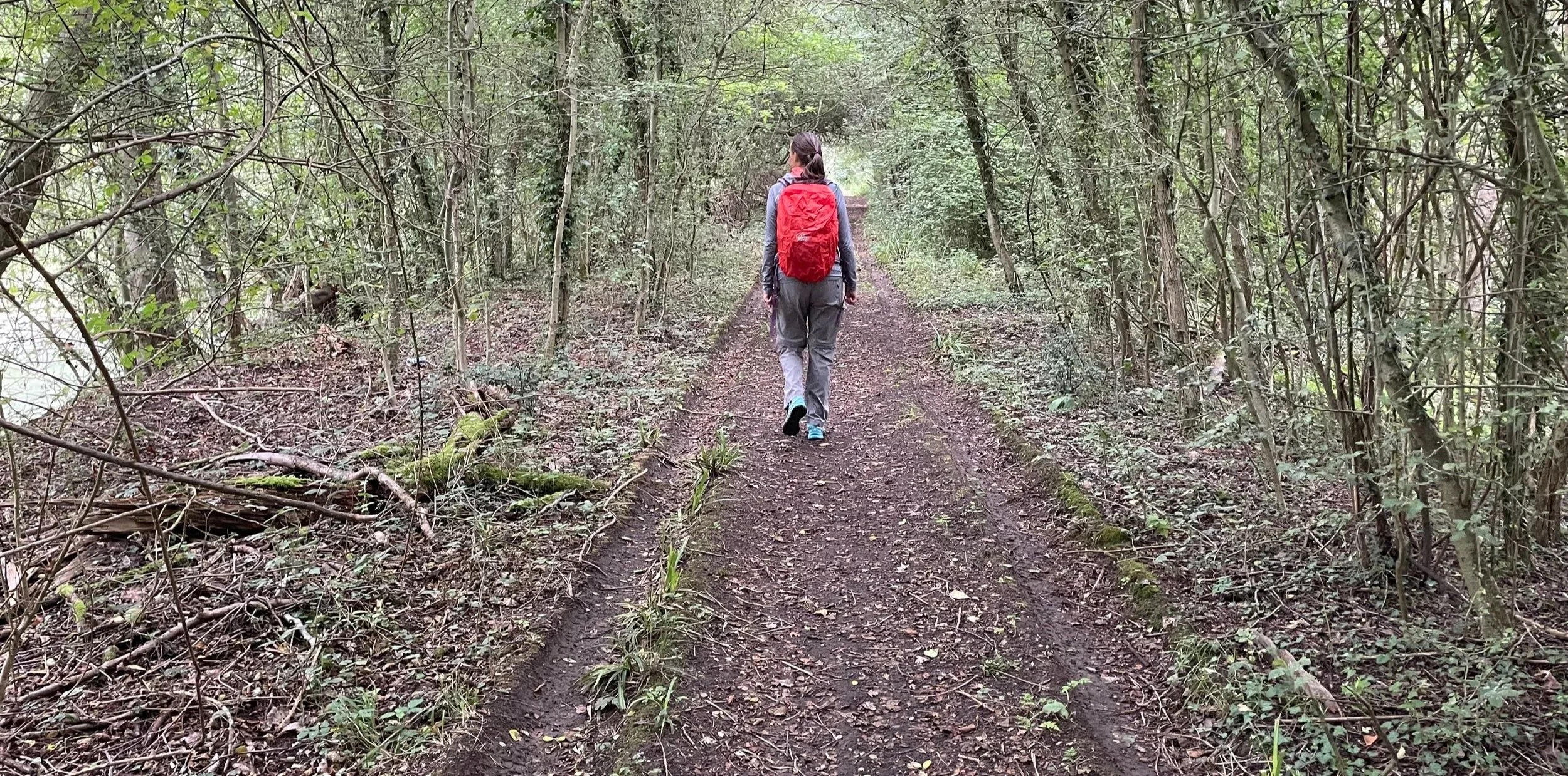
Exploring on foot is one of the best ways to uncover the hidden details of the capital. This section brings together a variety of walking routes across the city, from short urban strolls through central neighbourhoods to much longer trails connecting the outer boroughs.
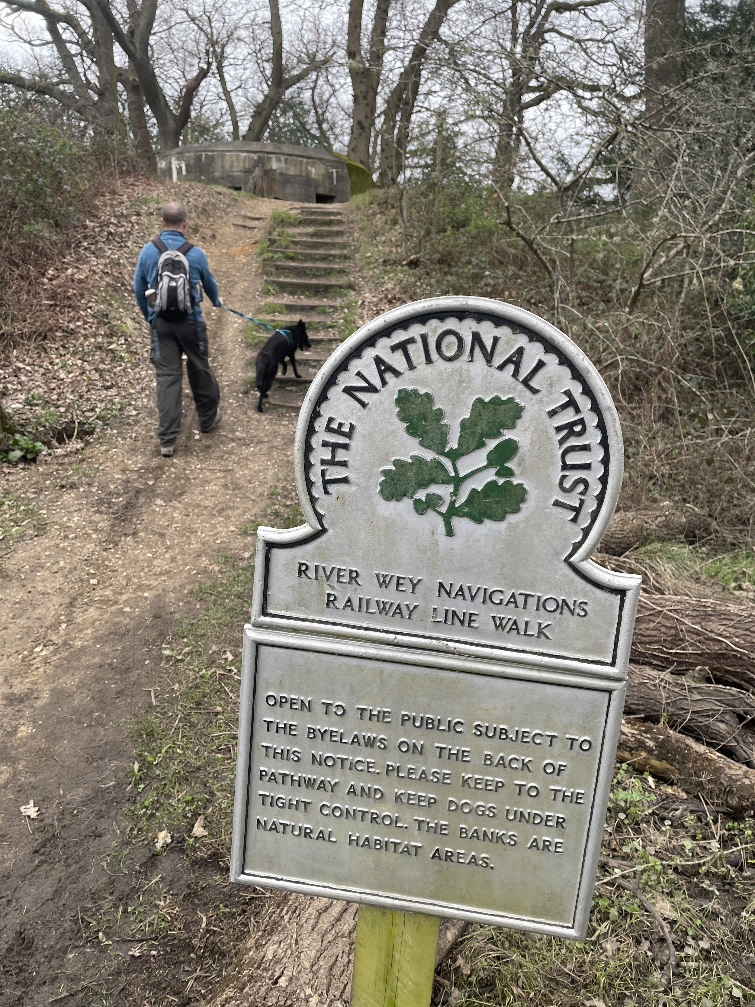
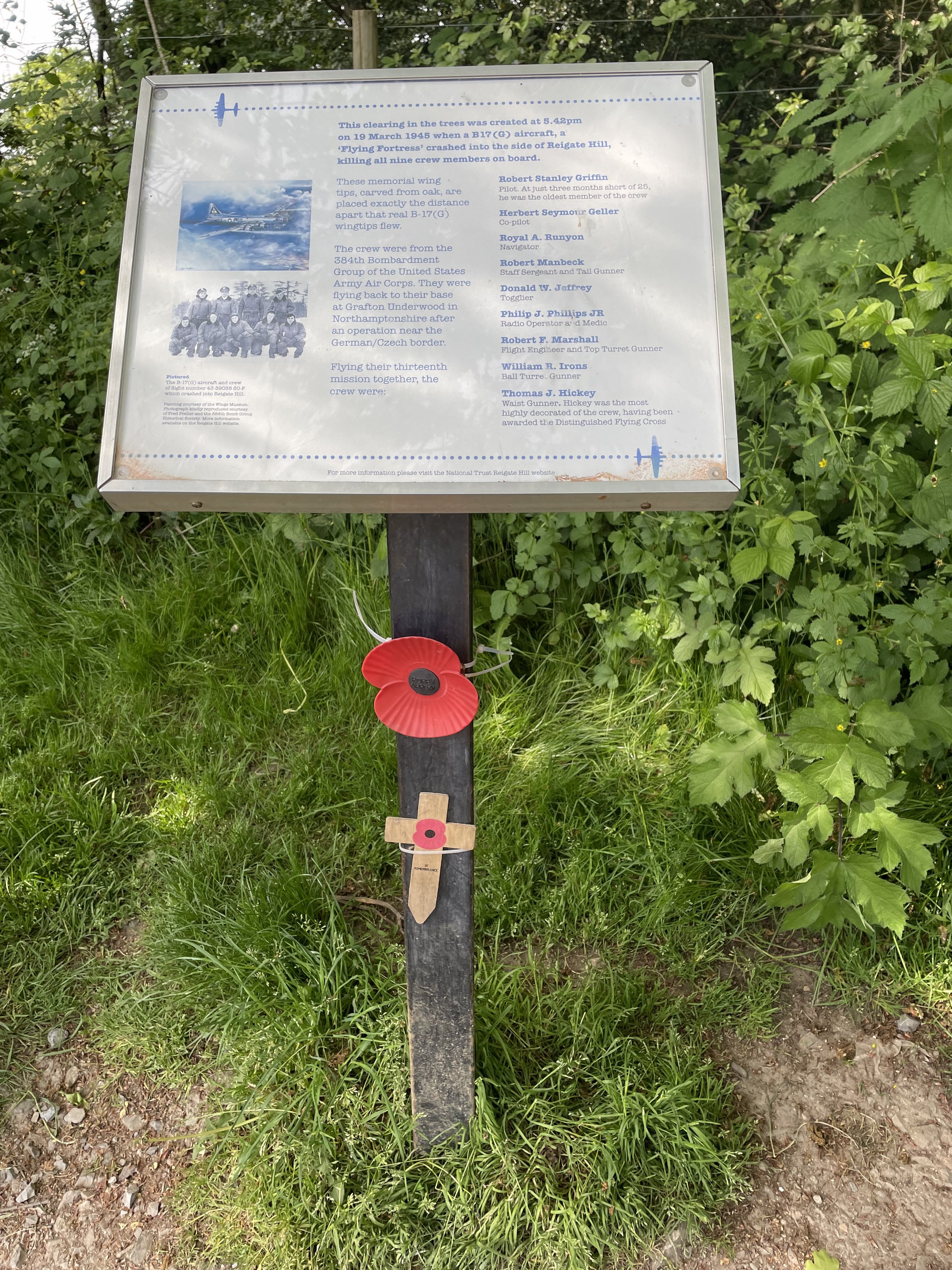
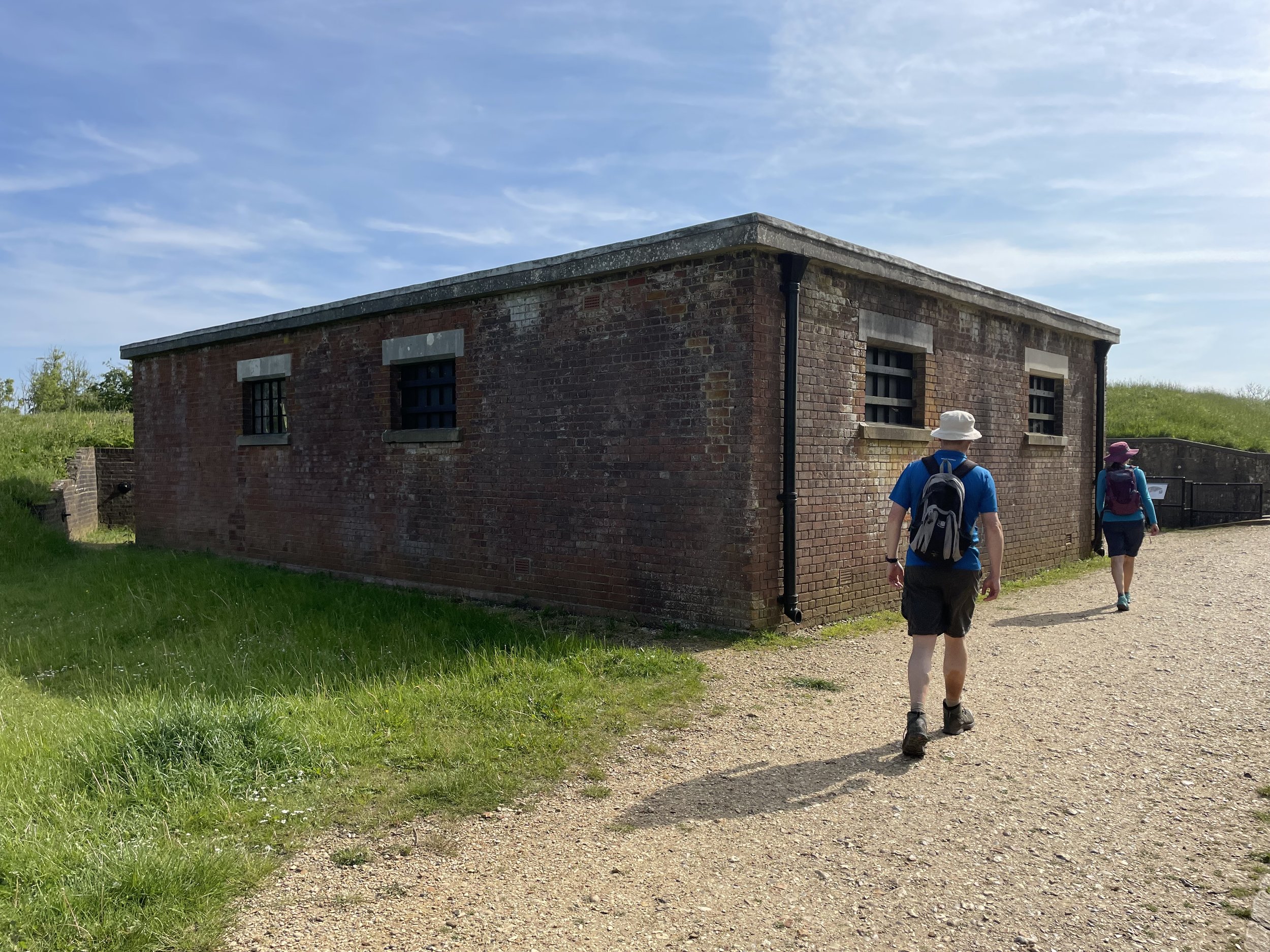
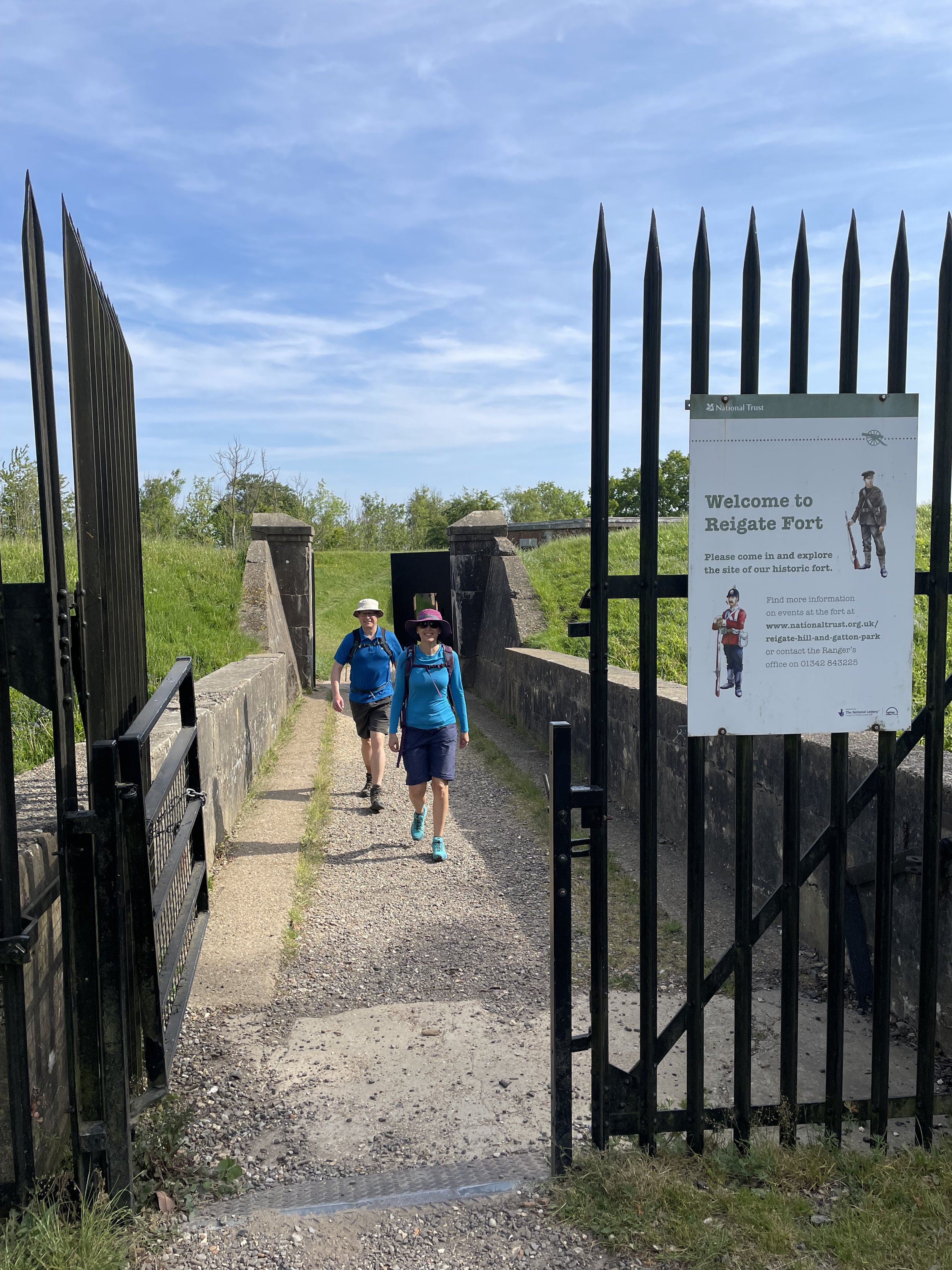
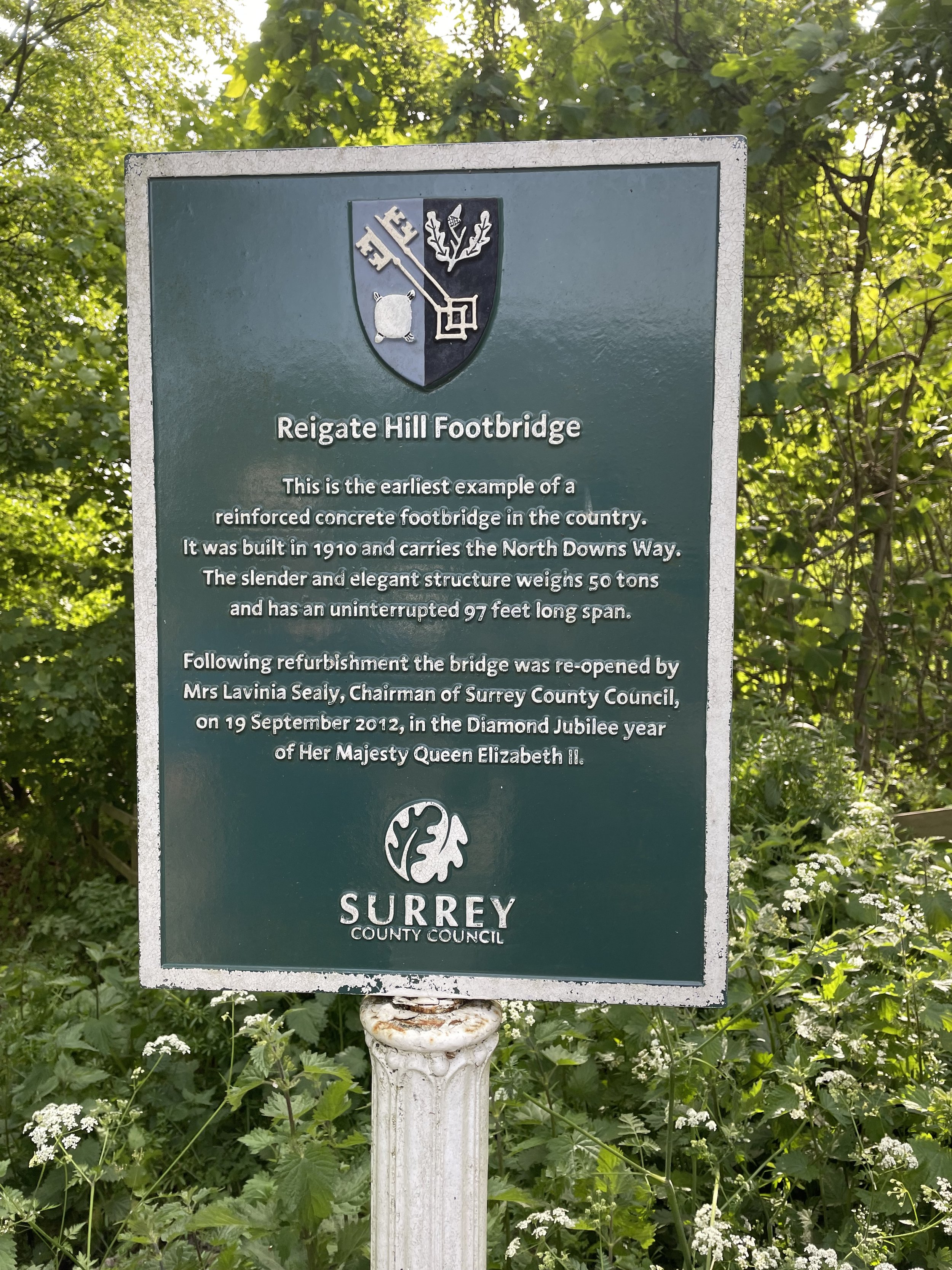
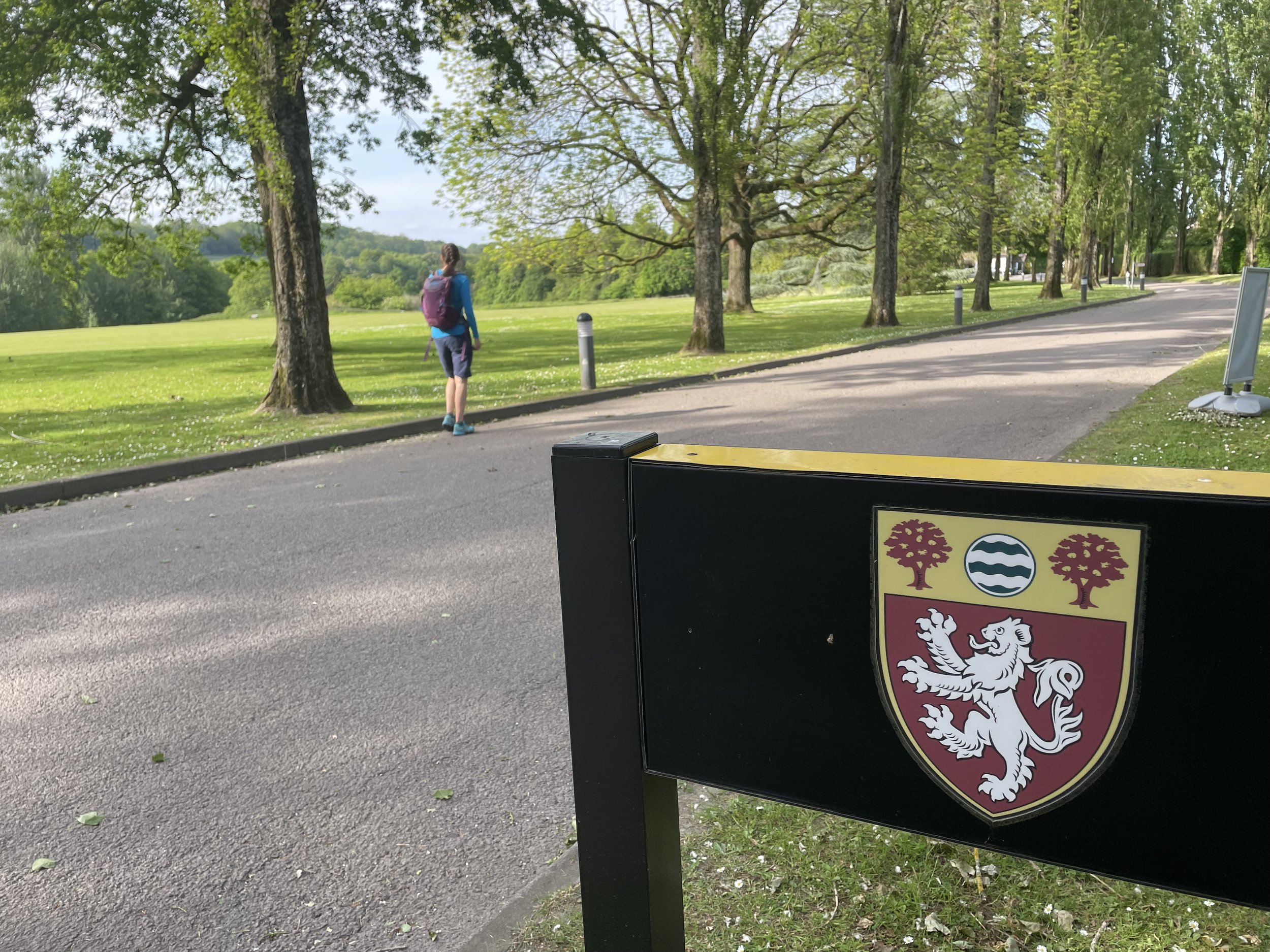
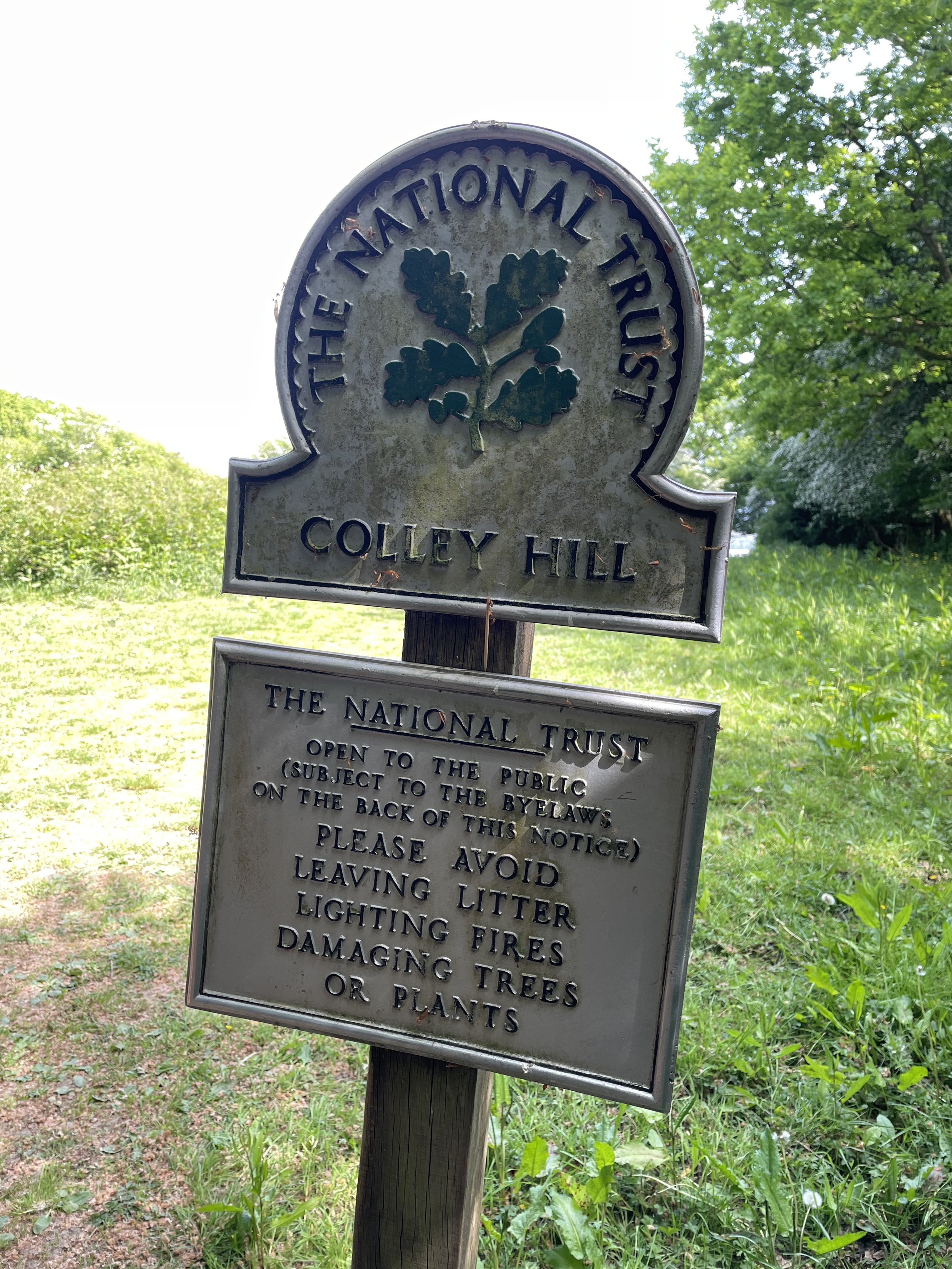
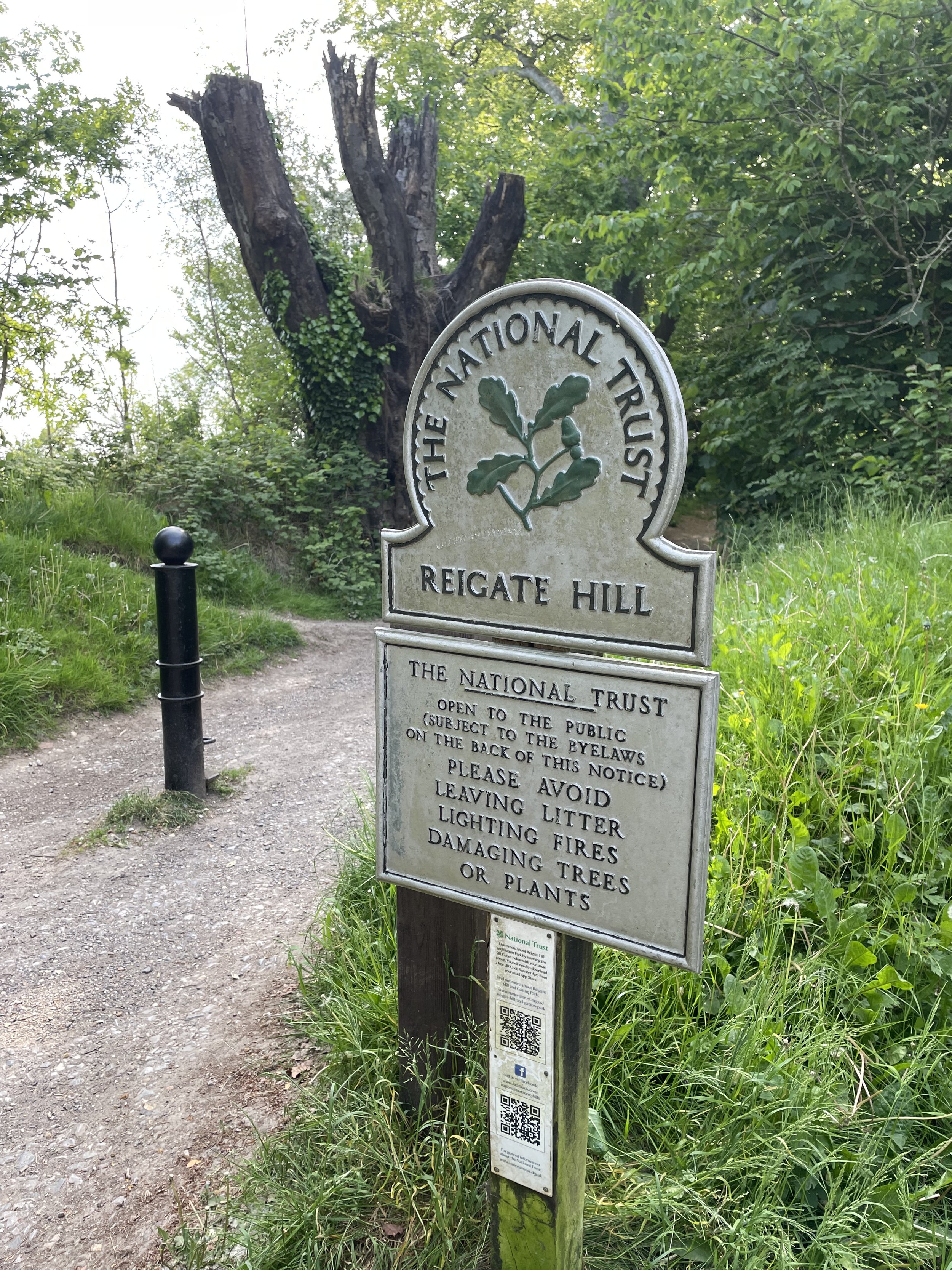
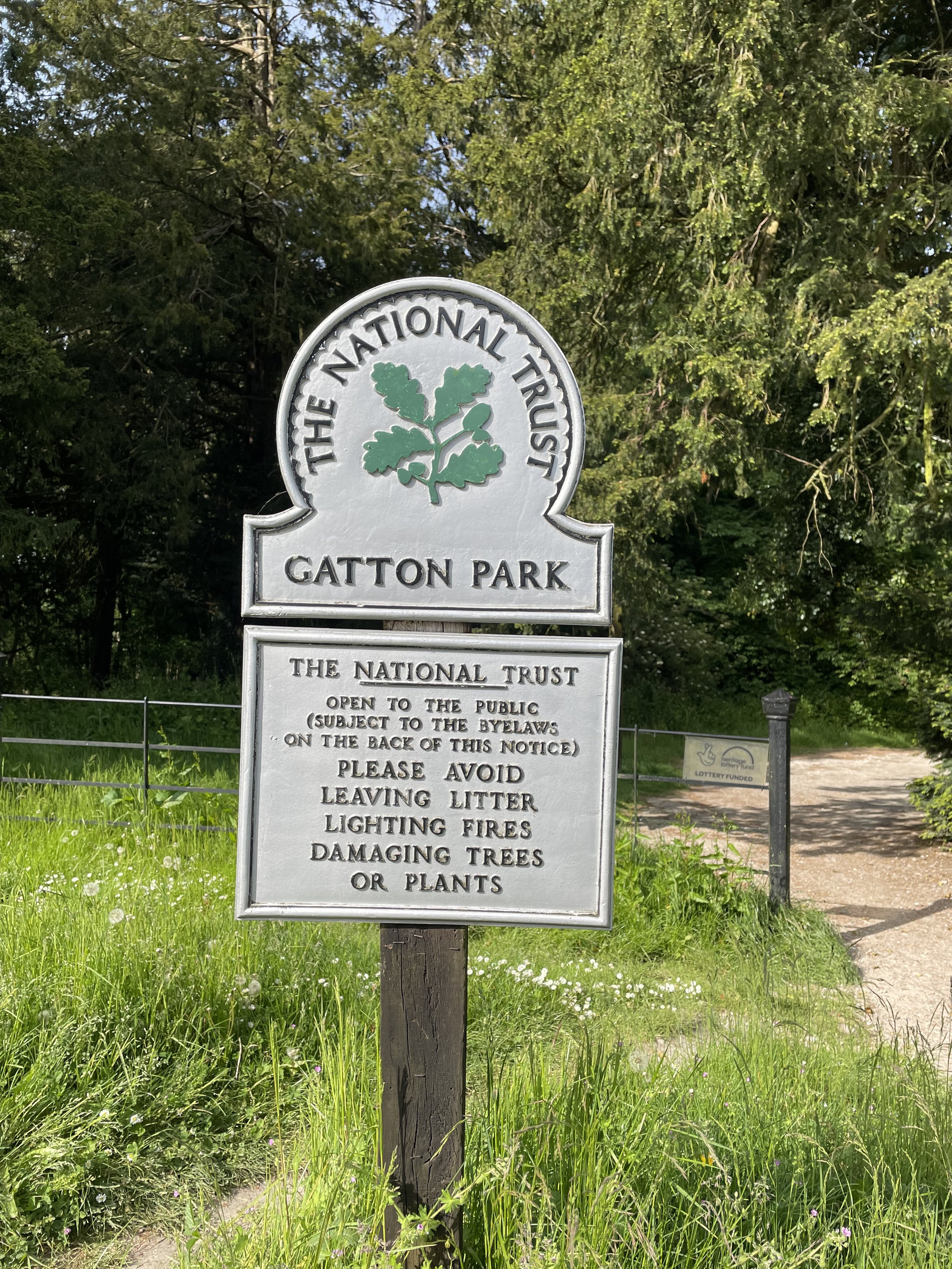
It is not just about the distance covered, either: these walks also take in a wide variety of fascinating places. Whether your route passes by historic National Trust properties, takes in the Royal Parks or other green spaces, these posts will guide you through the diverse landmarks that make navigating the city so rewarding.
Scroll down for a separate section on walks along London’s Waterways.
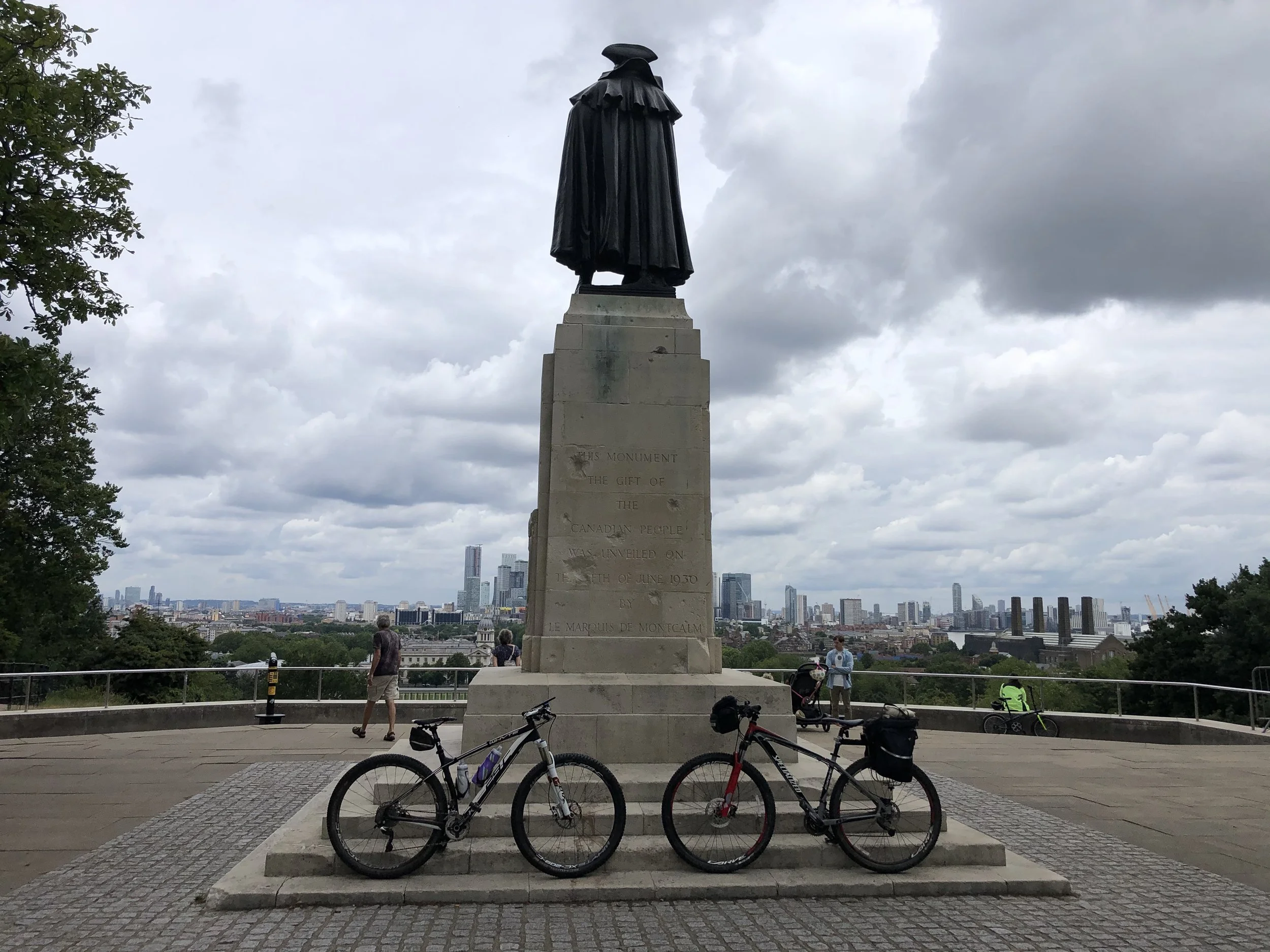
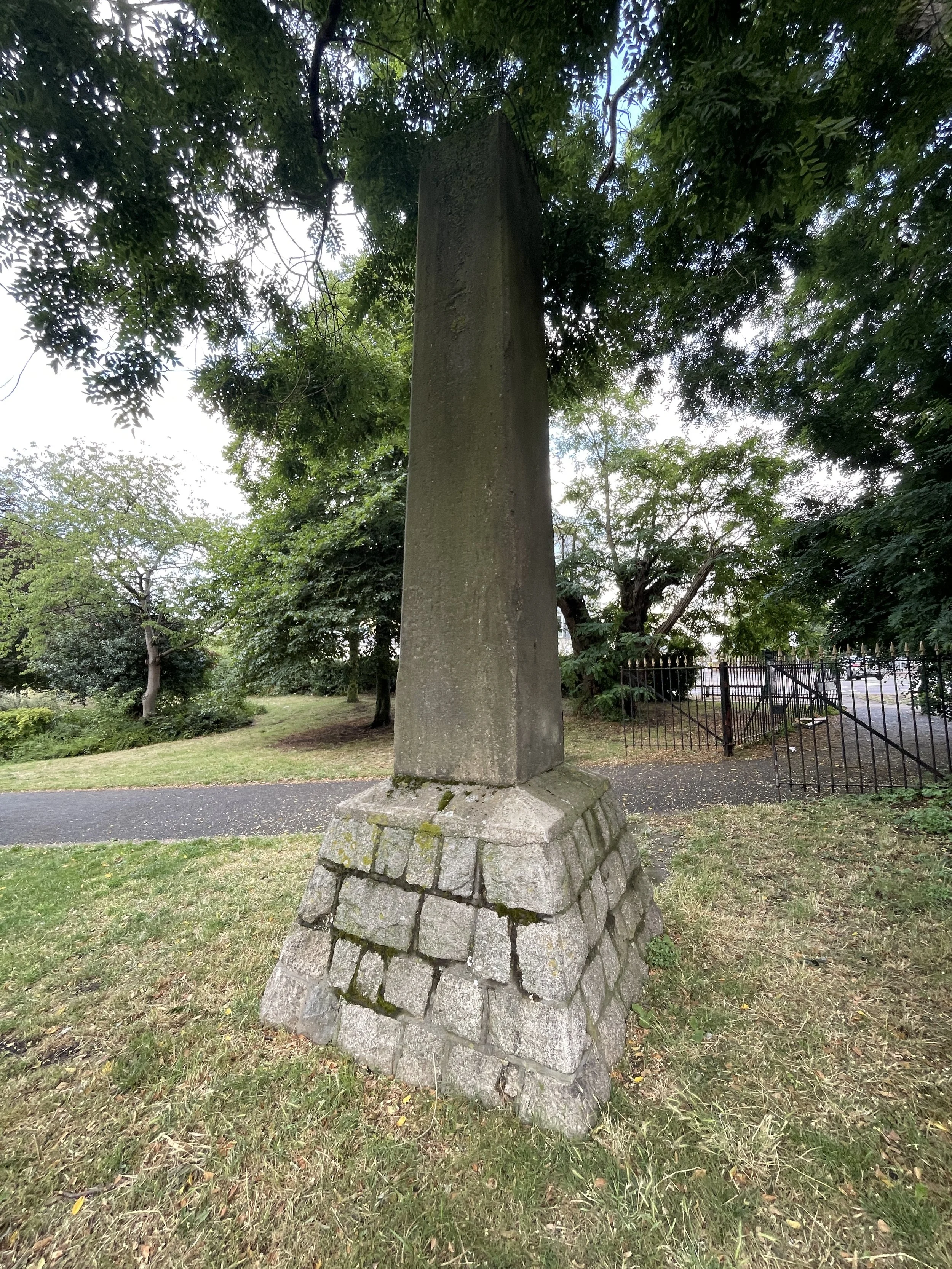
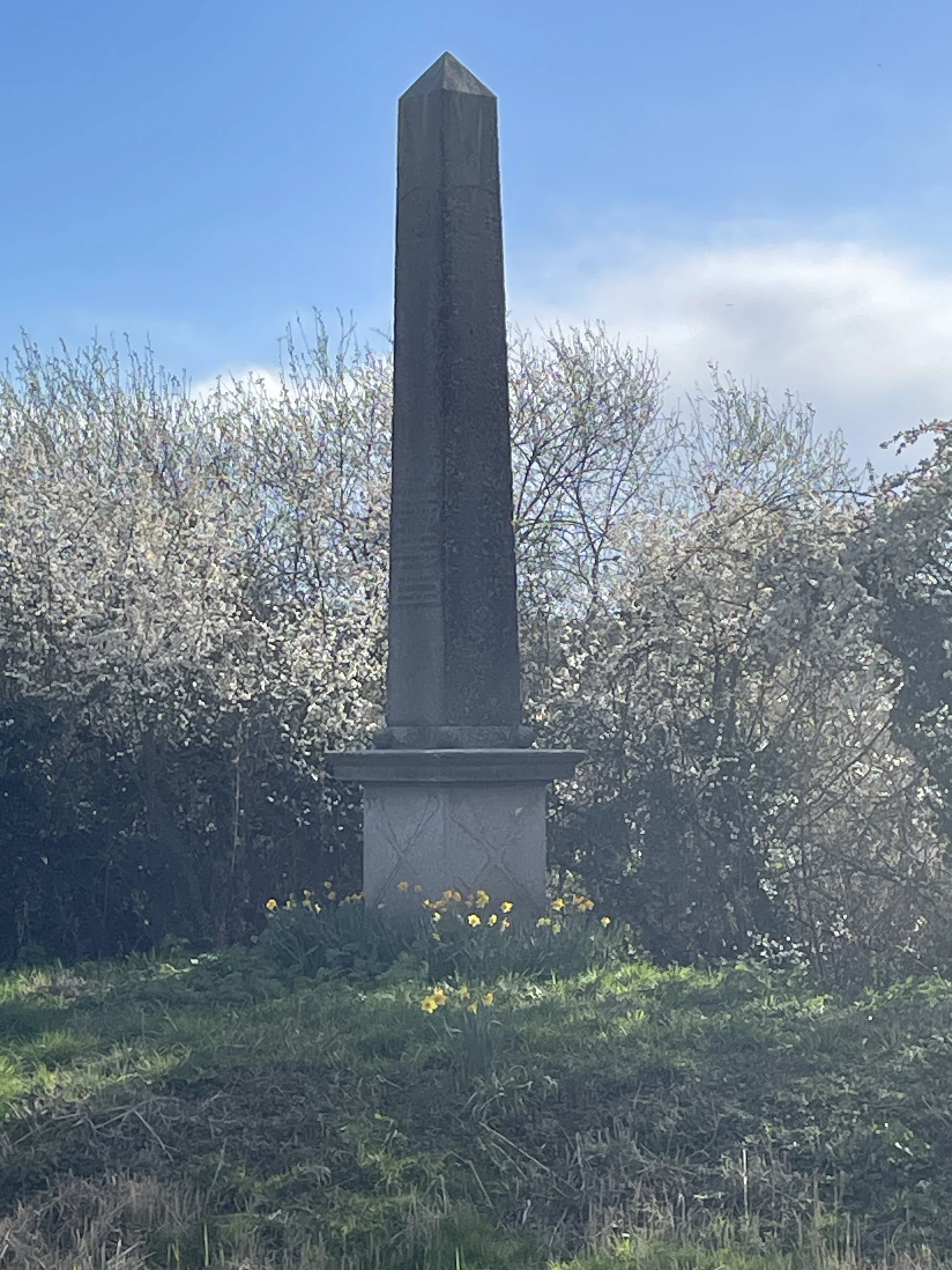
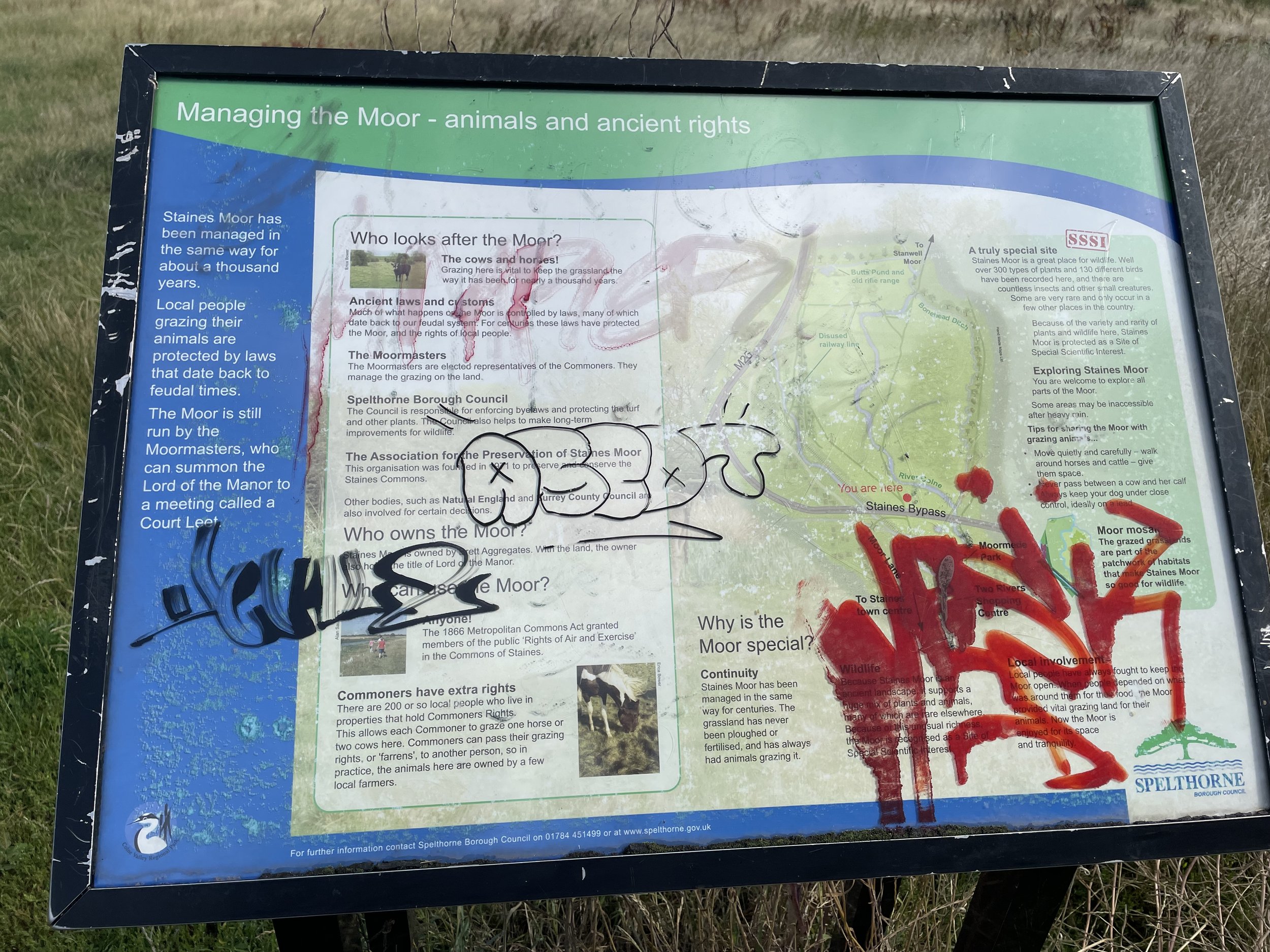
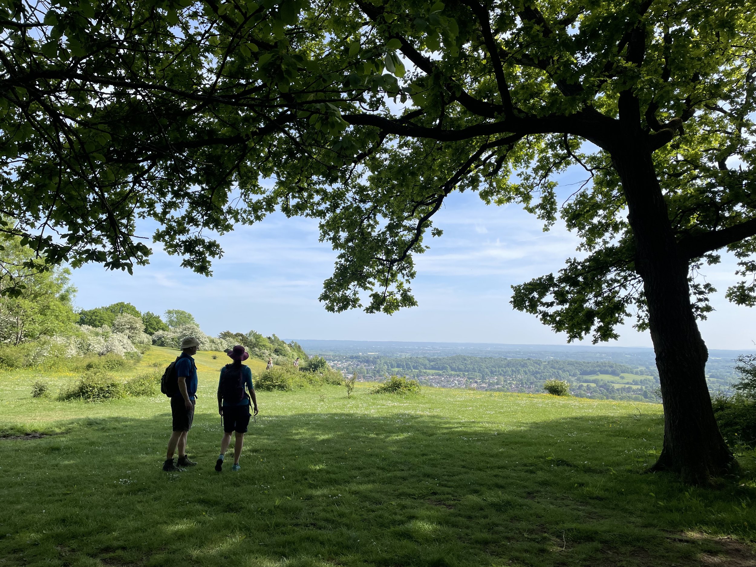
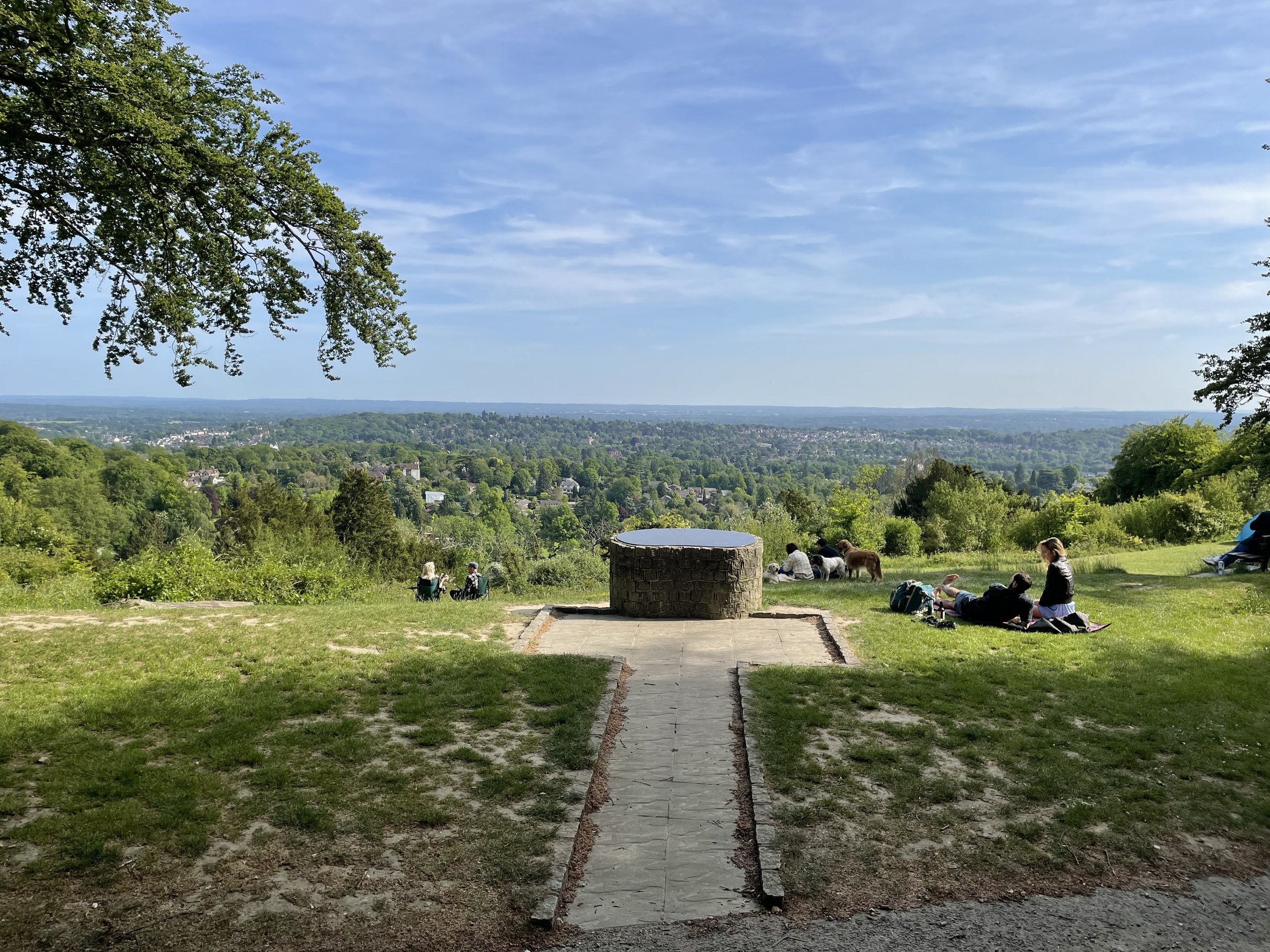
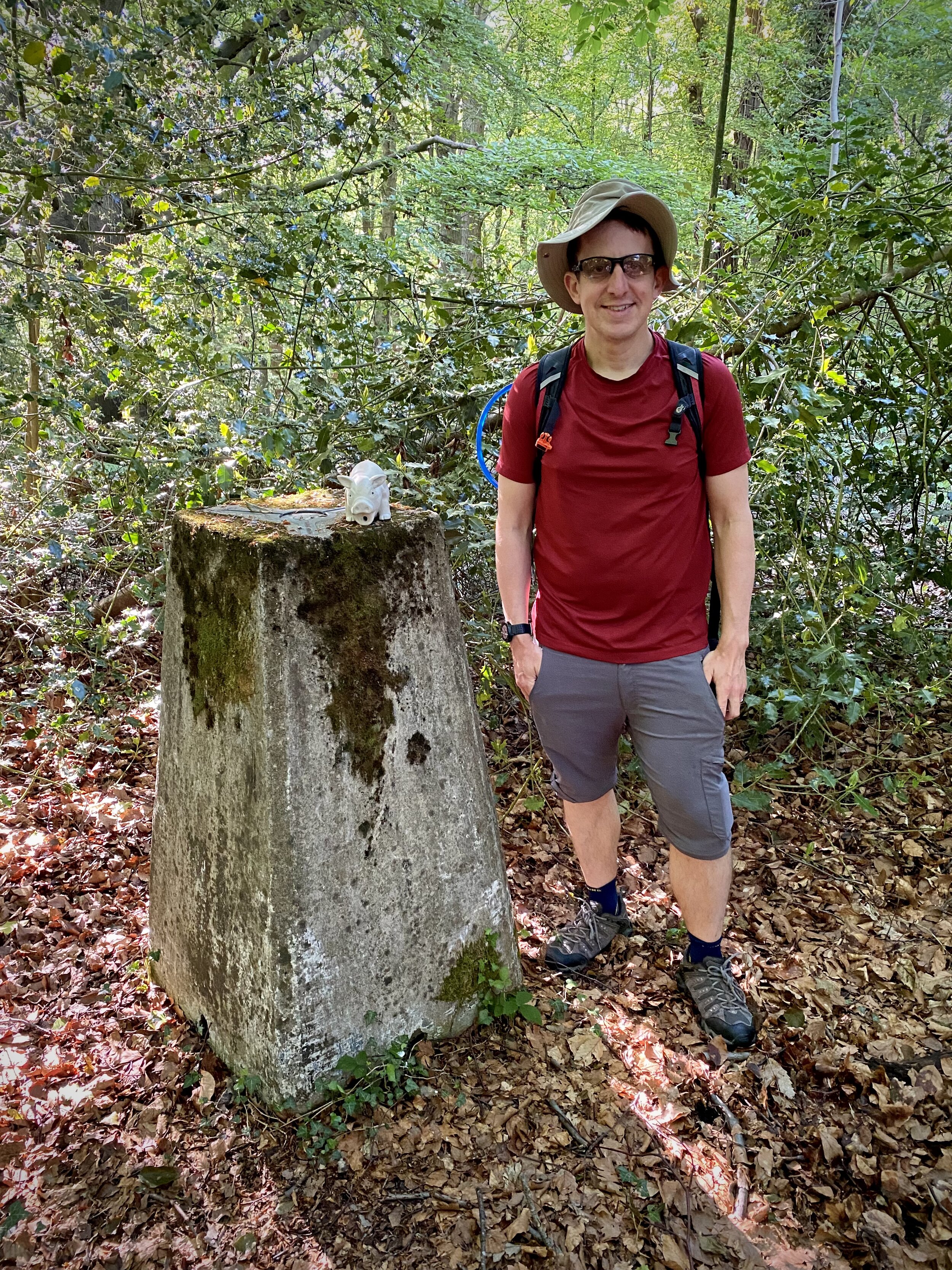
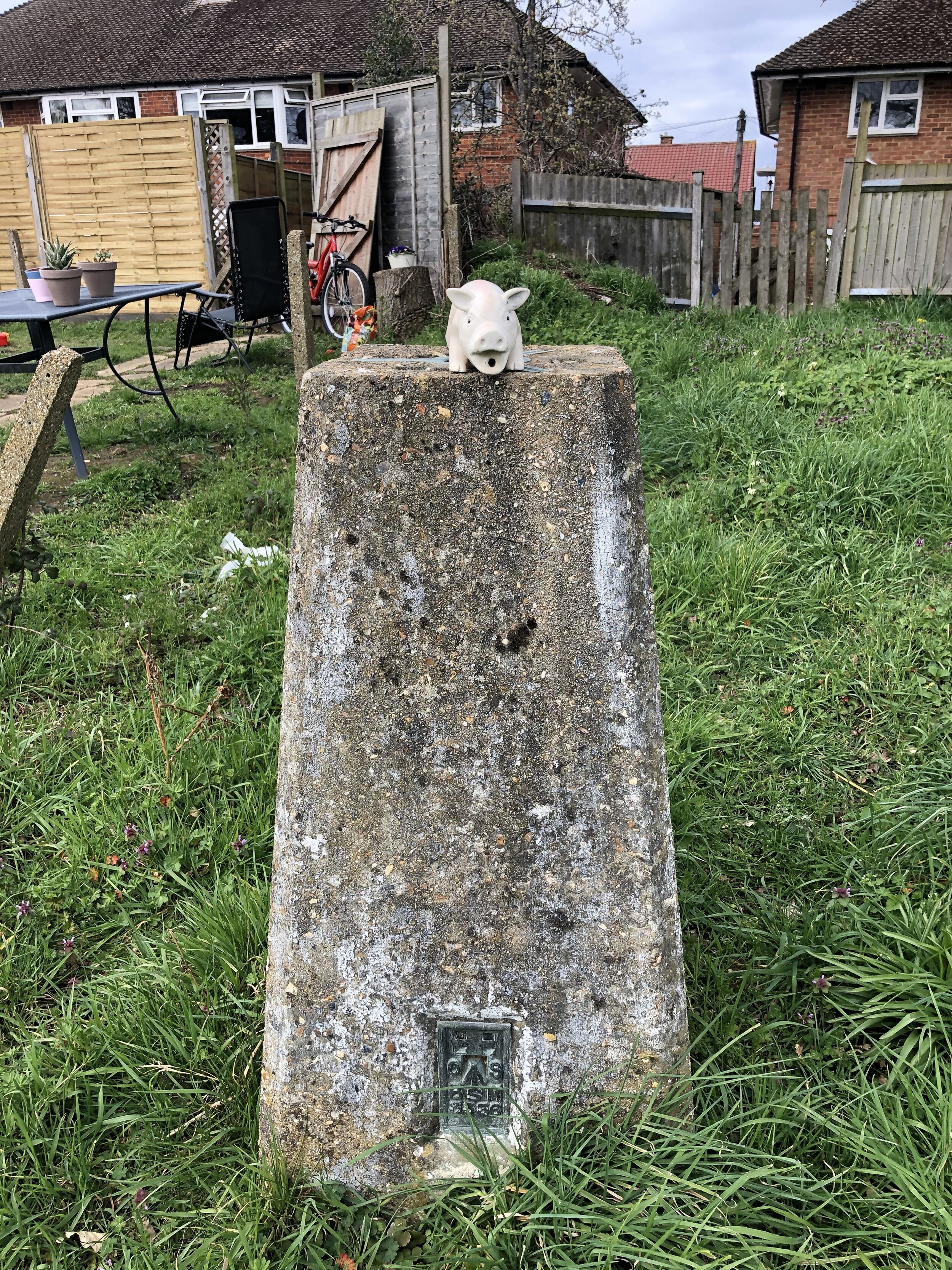
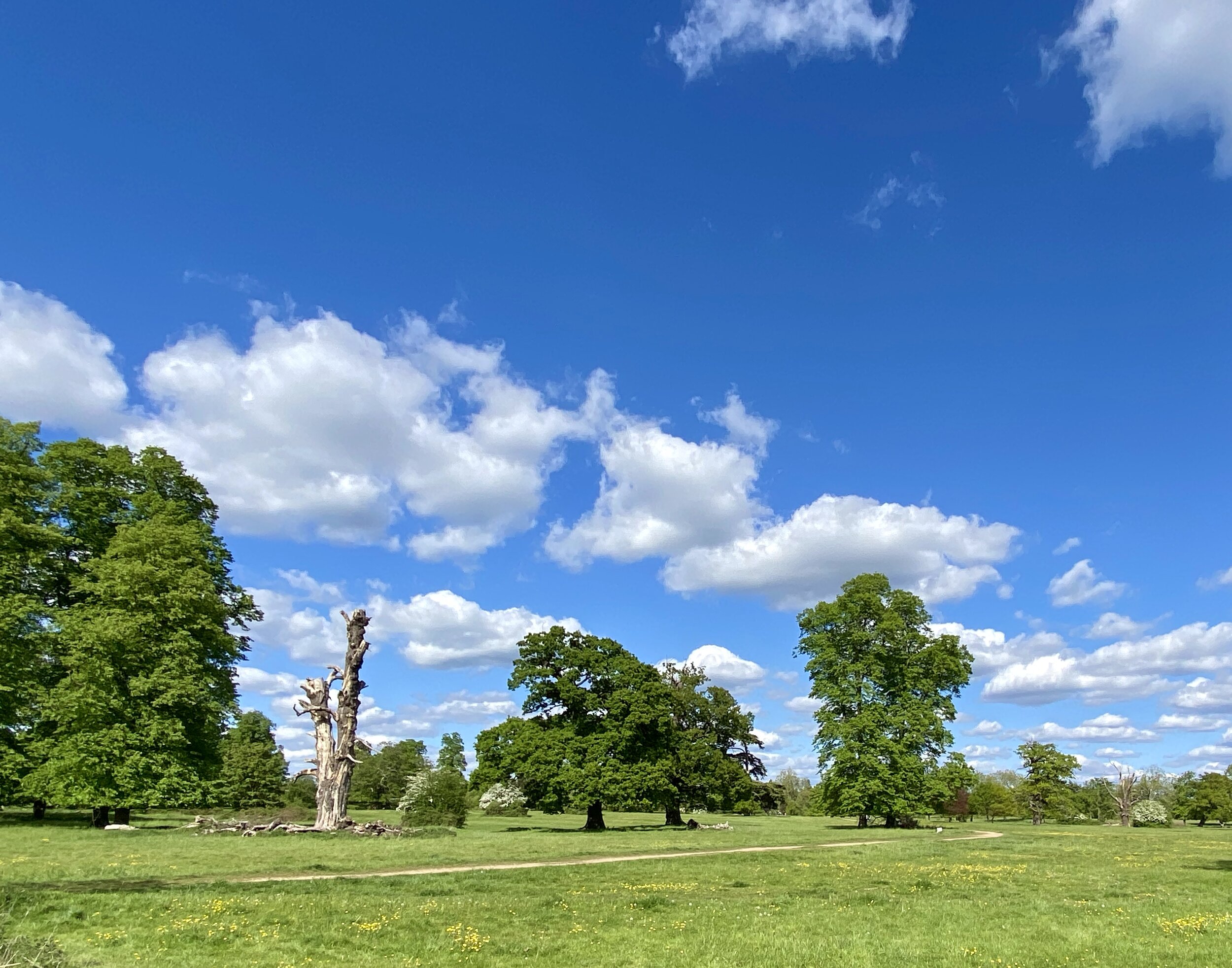
London High Points
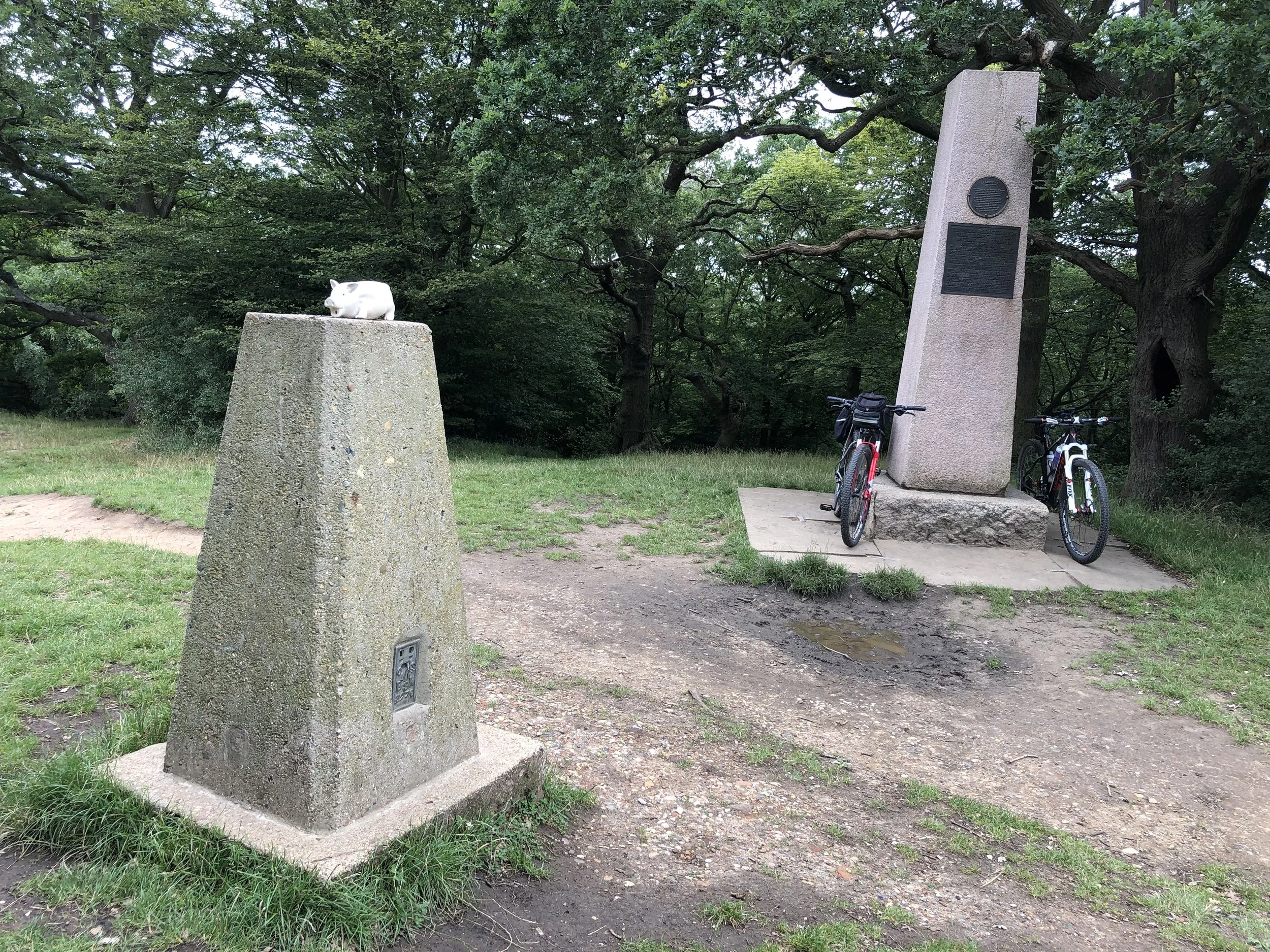
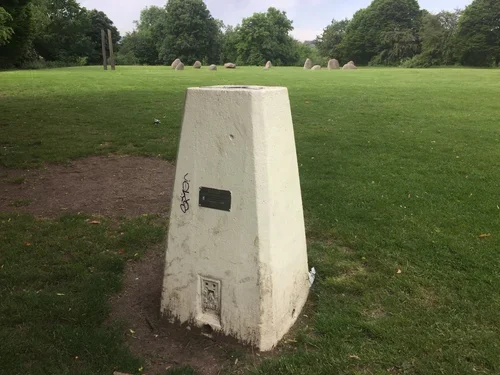
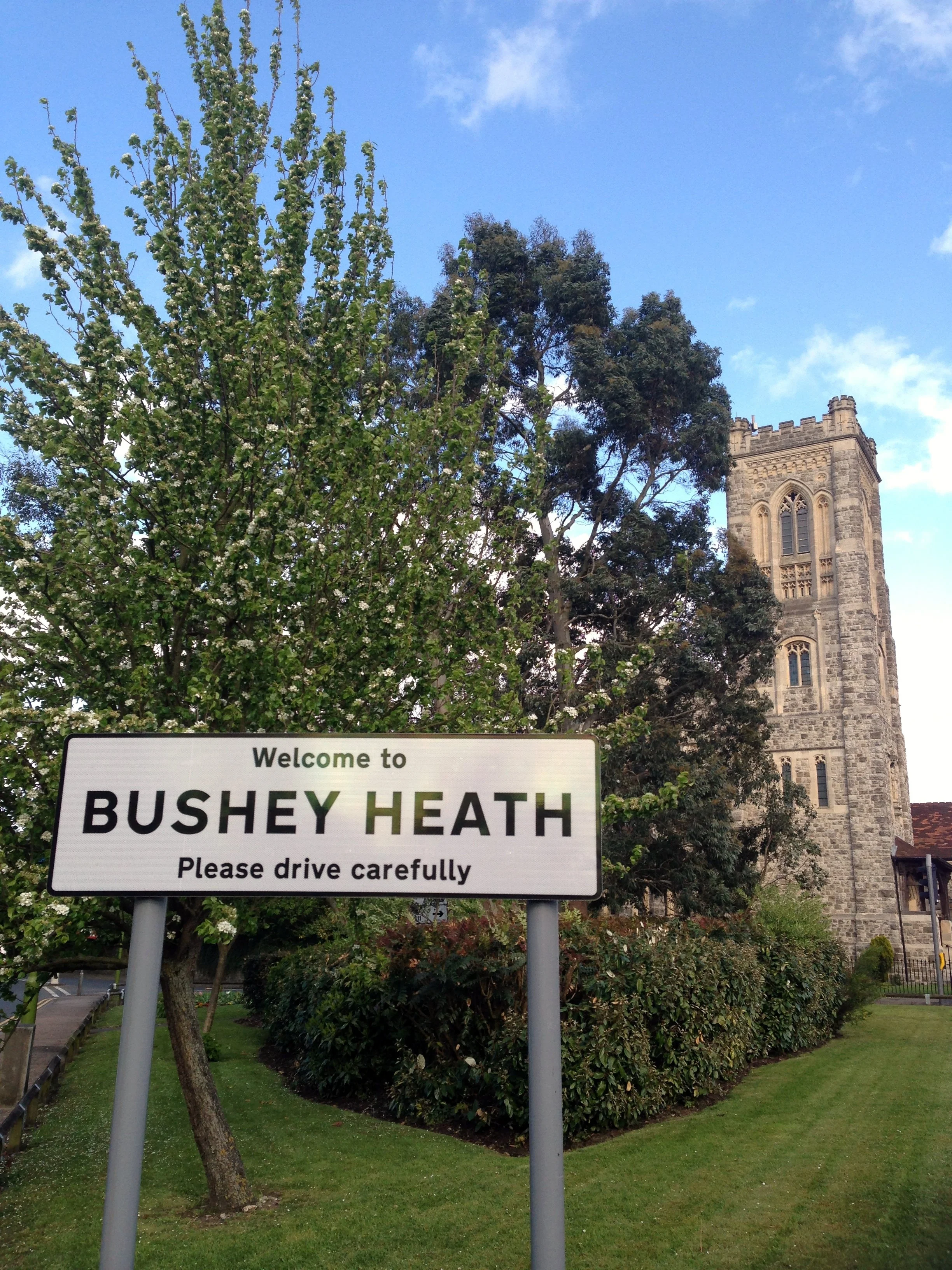
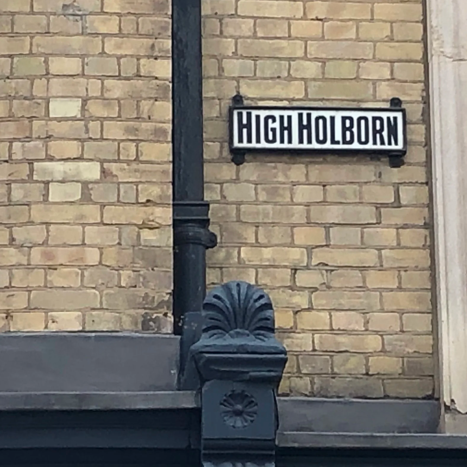
For those who like a good view or a geographical challenge, this collection focuses on the highest spots across the city. From standing at the specific peaks of every London Borough to tracking down Greater London OS Trig Pillars, there is plenty of elevation to seek out.
Whether you are aiming for the Middlesex County Top at Bushey Heath or uncovering the City of London High Point at High Holborn, these posts will guide you to the summits hidden within the urban landscape.
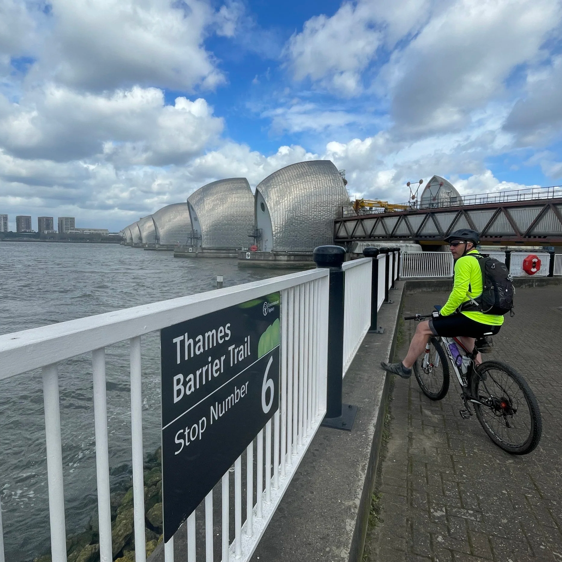
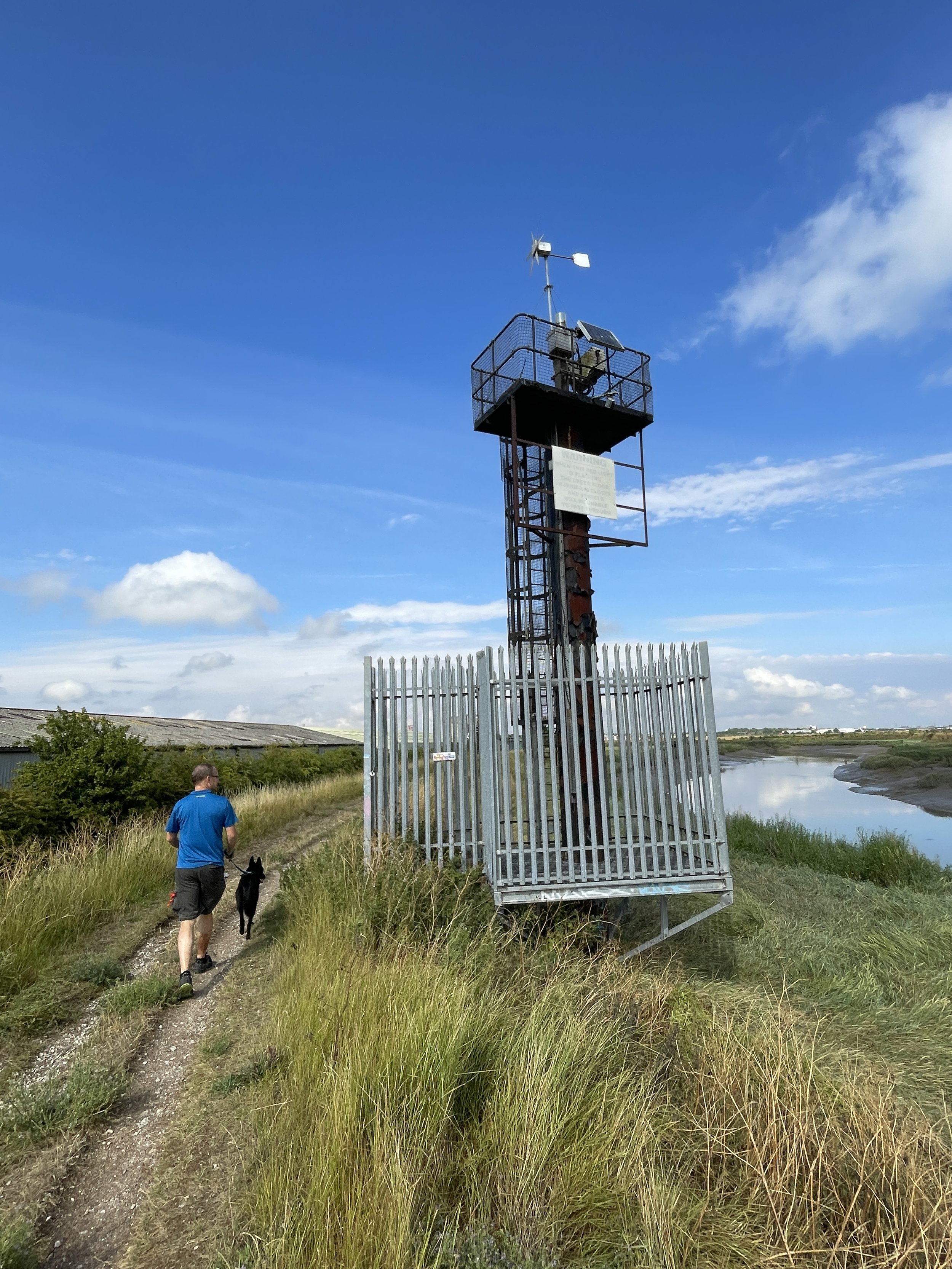
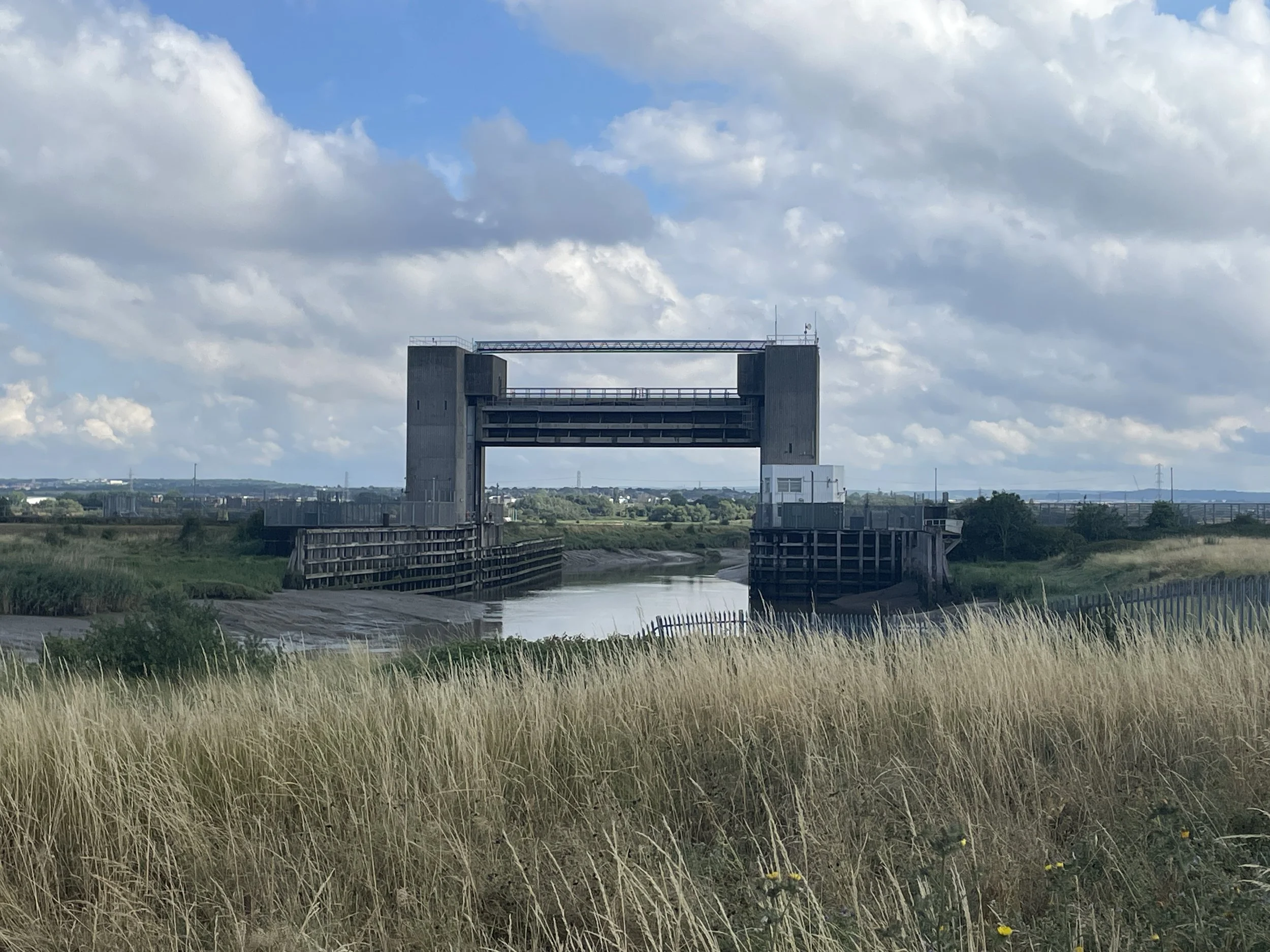
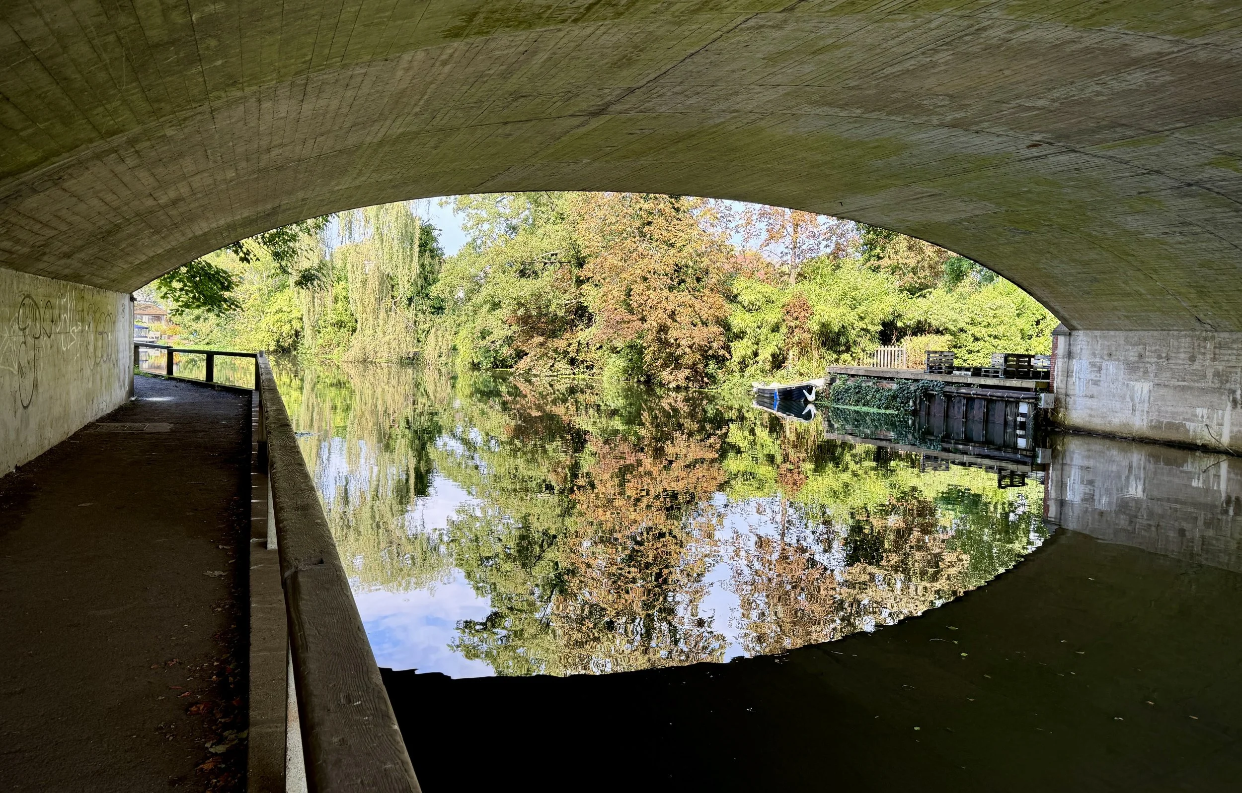
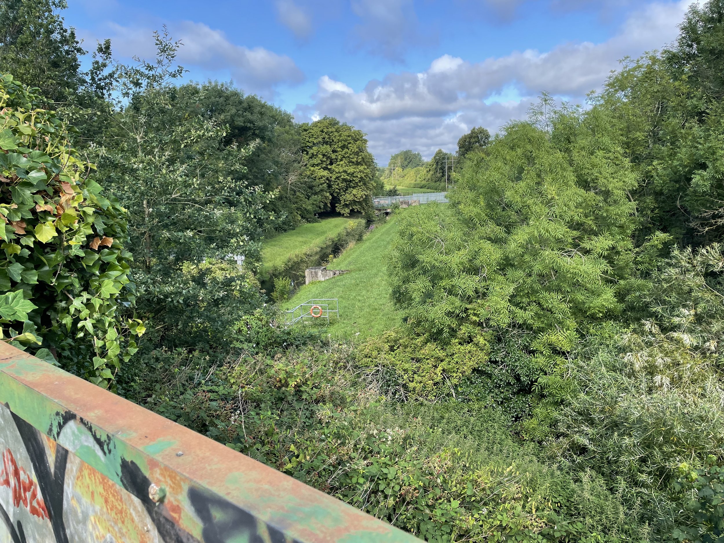
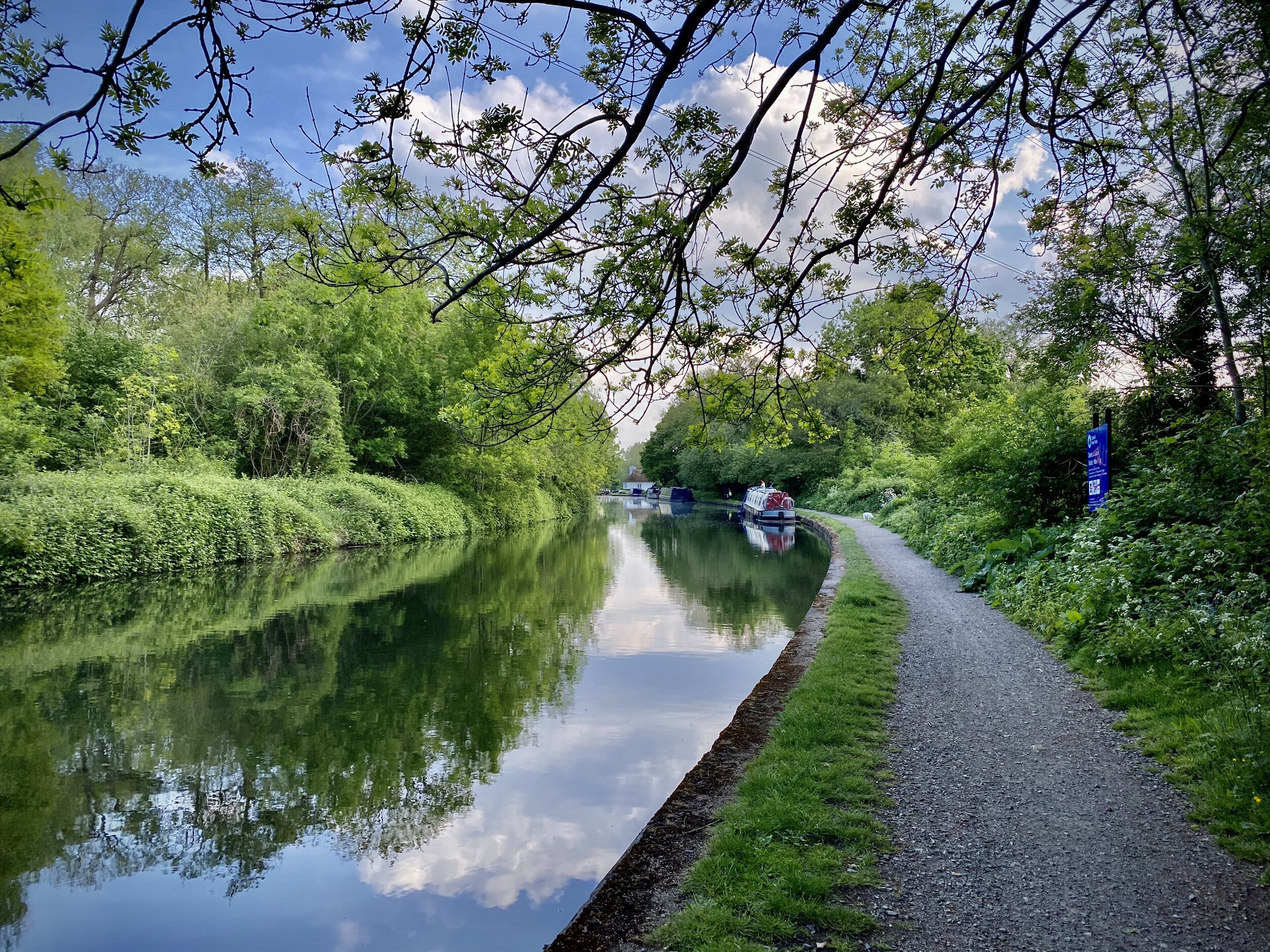
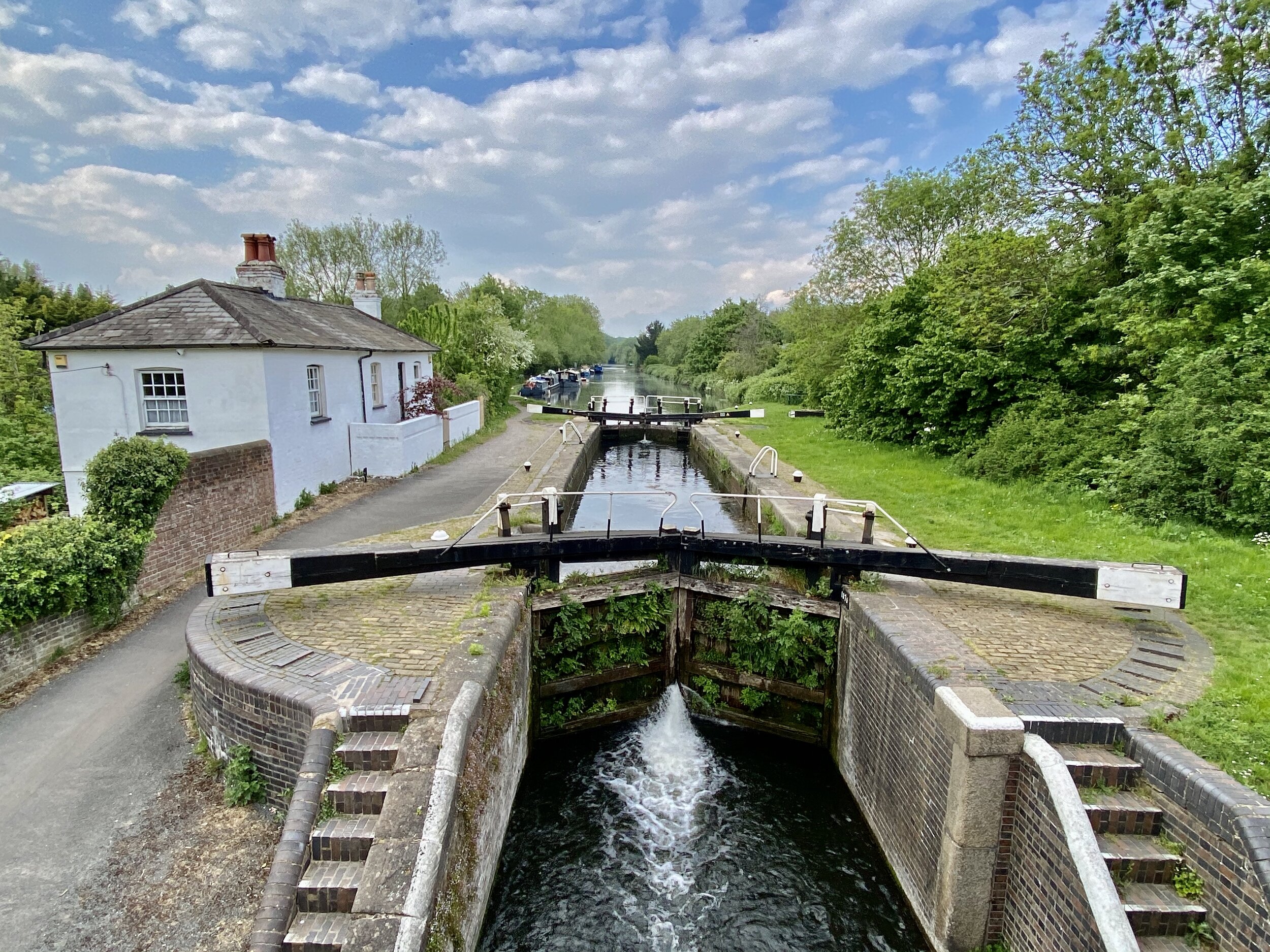
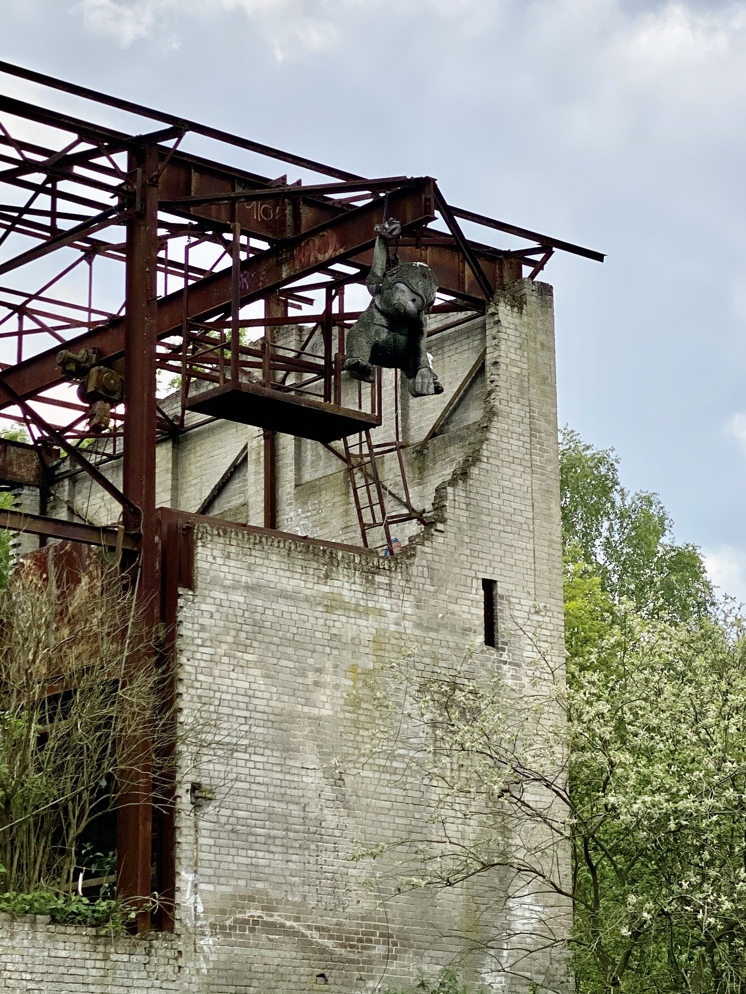
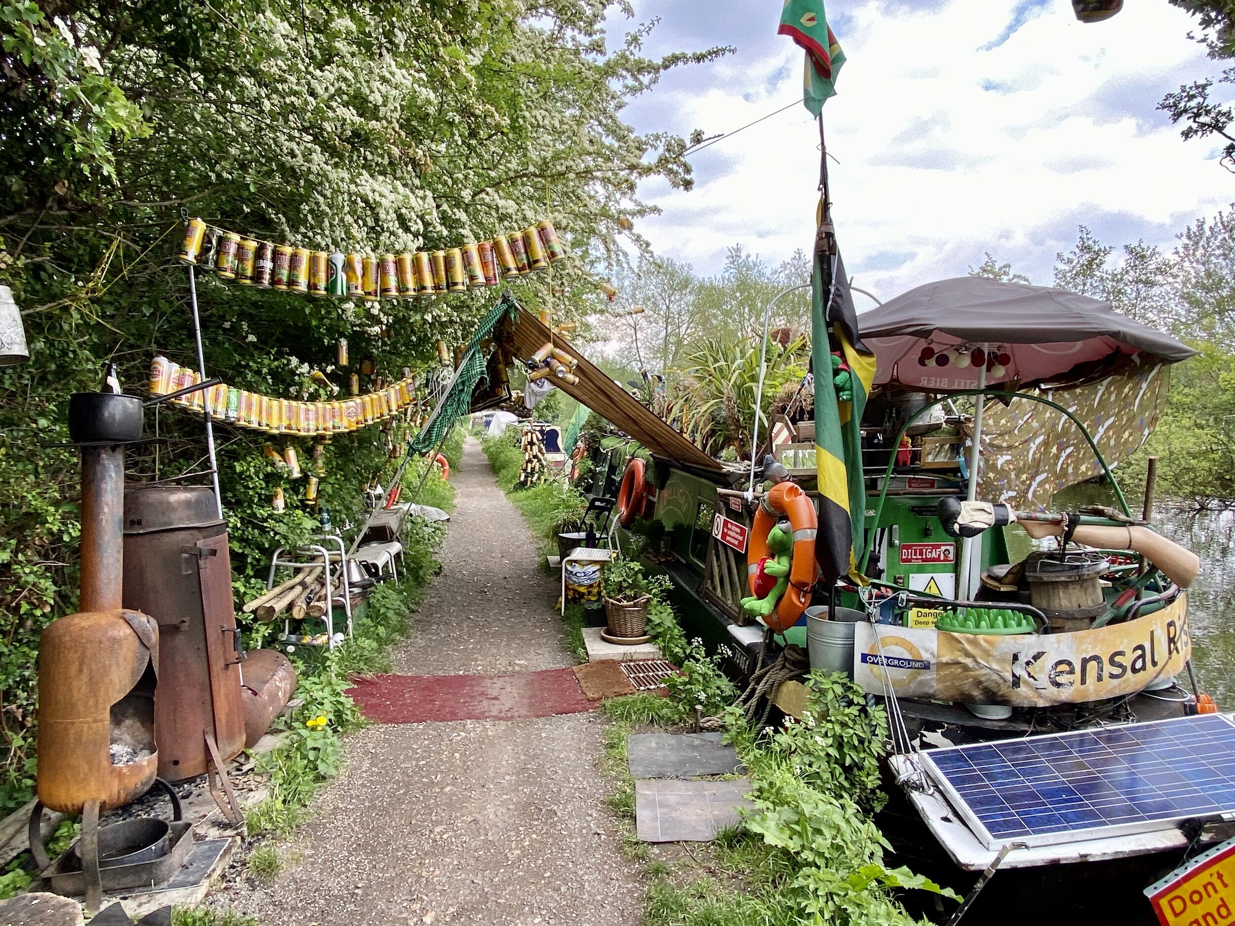
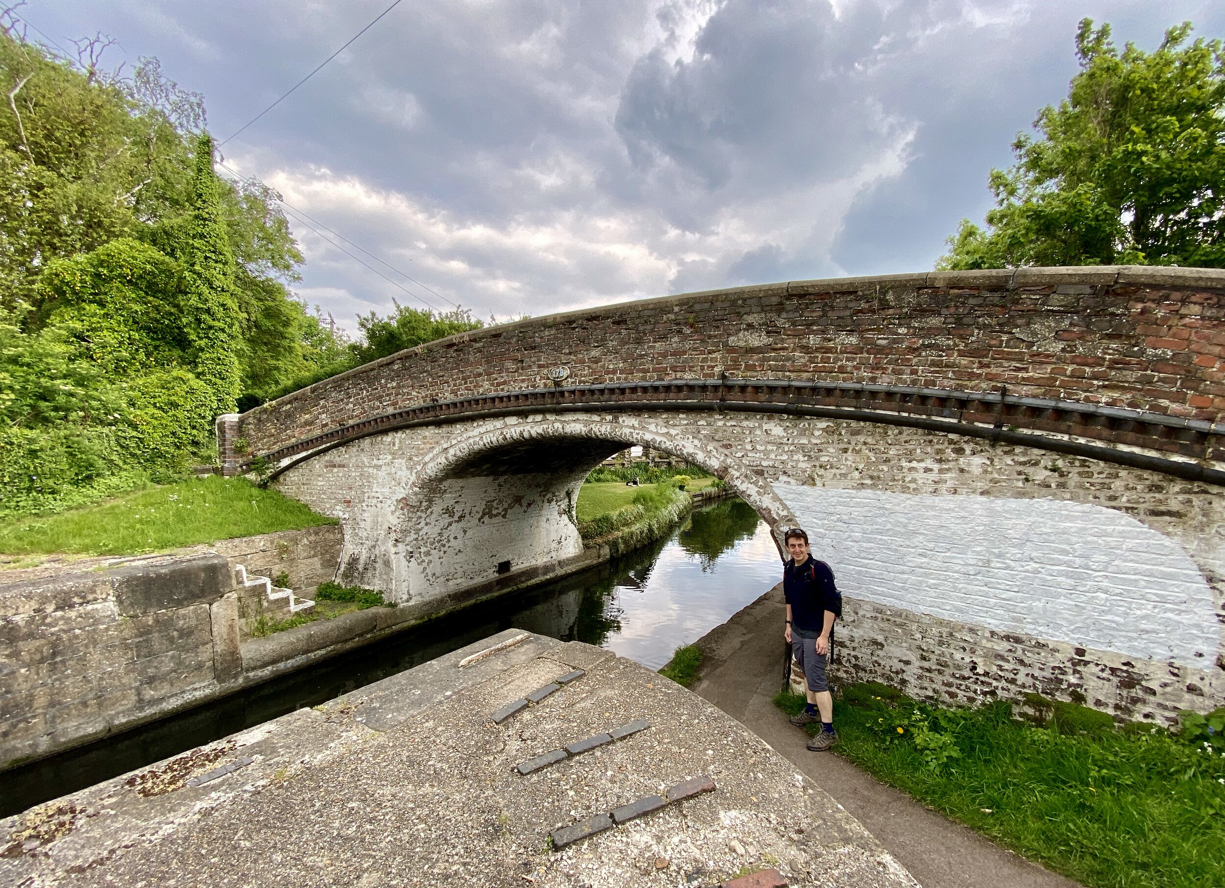
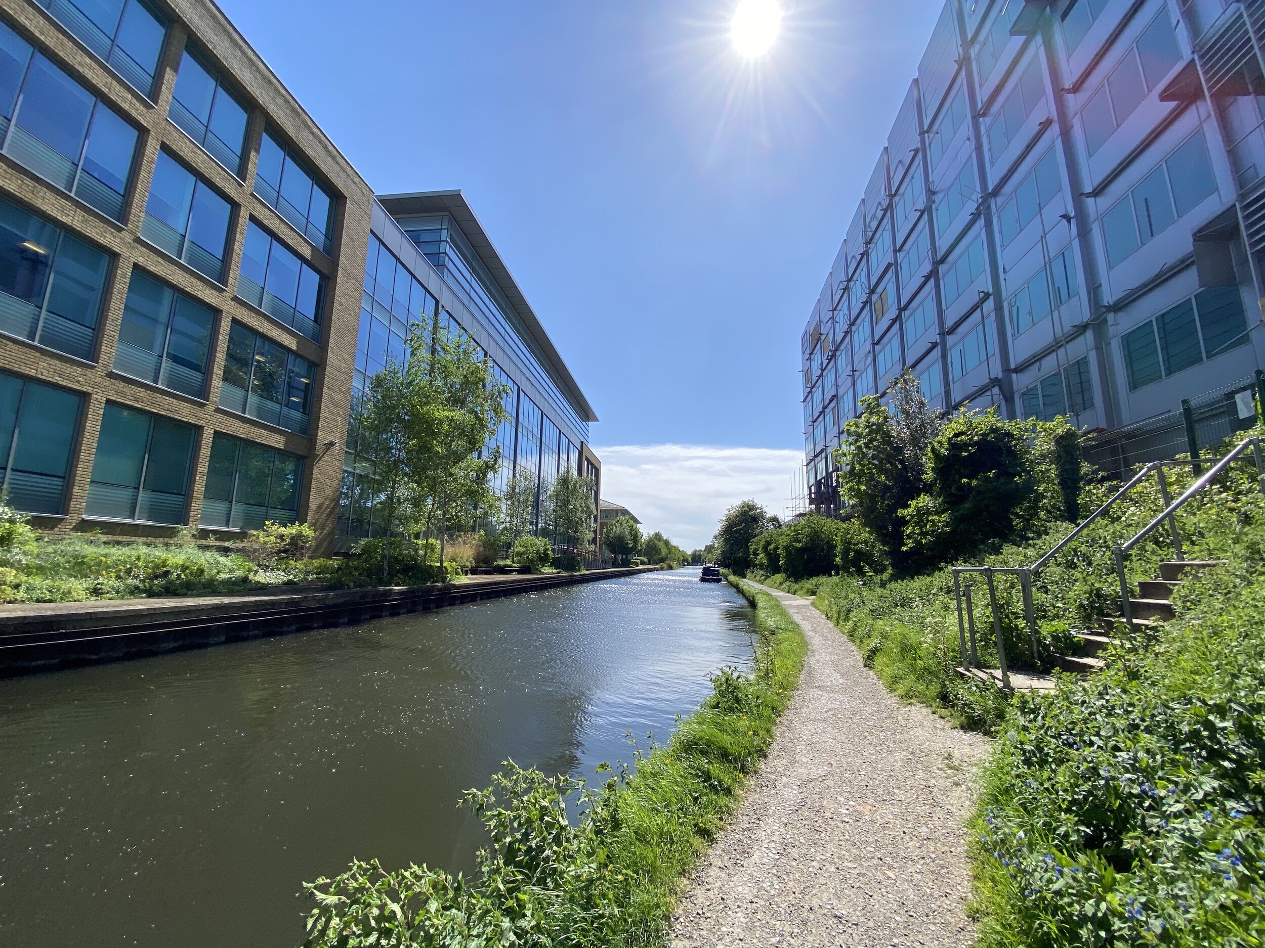
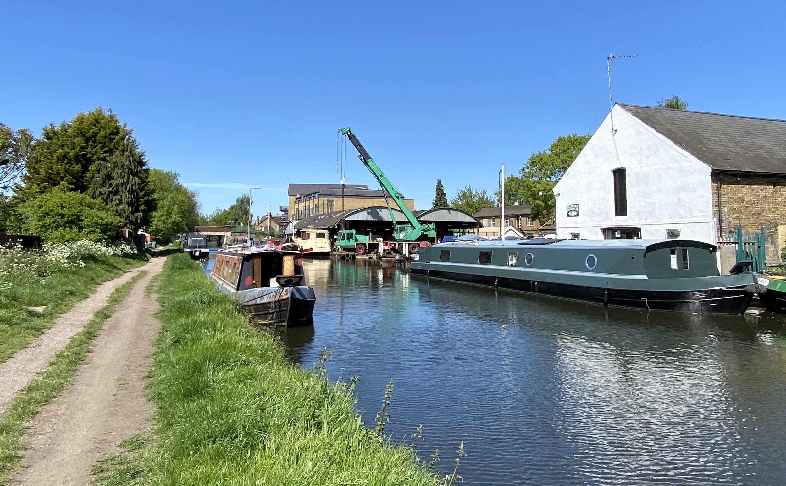
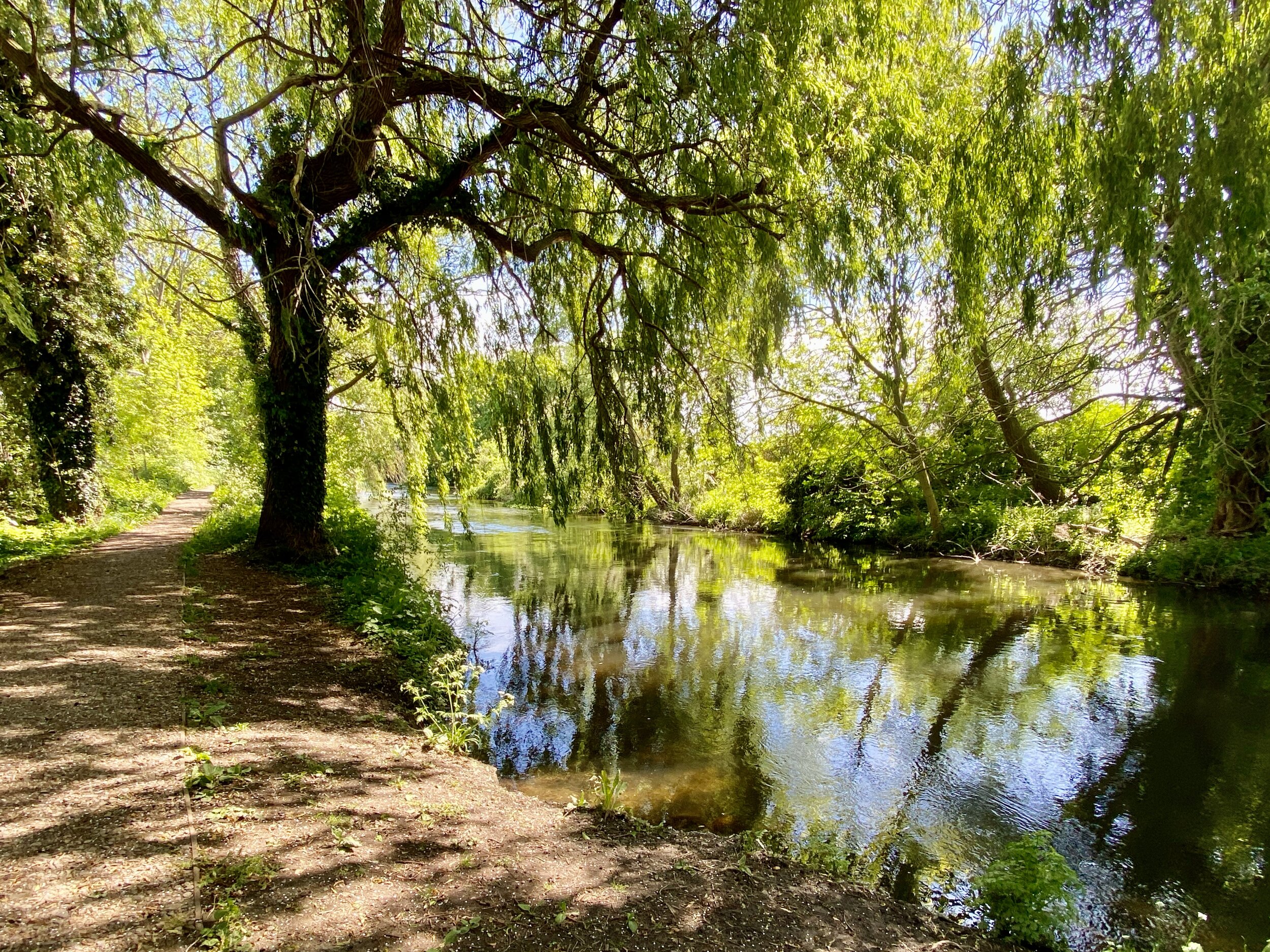
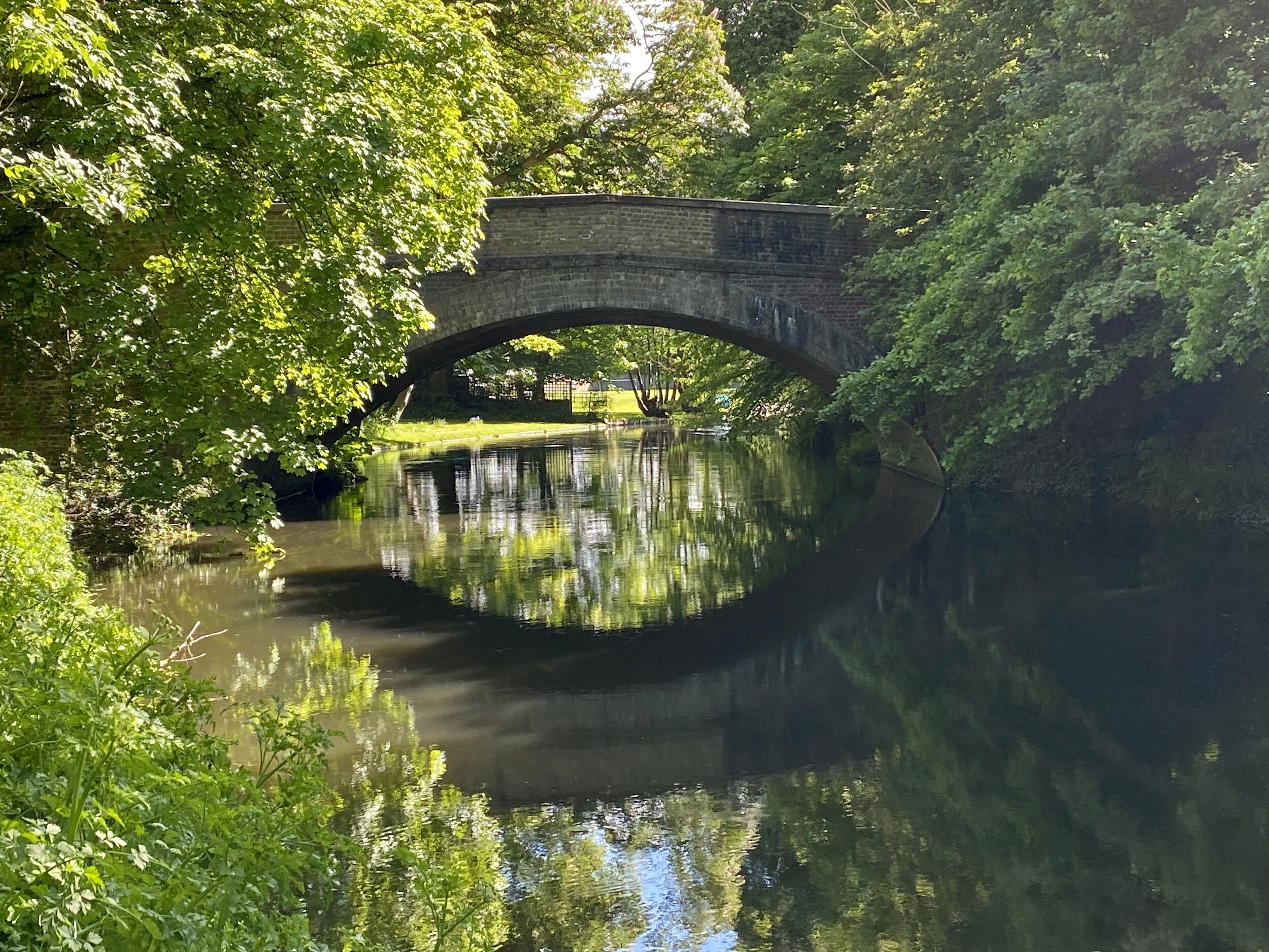
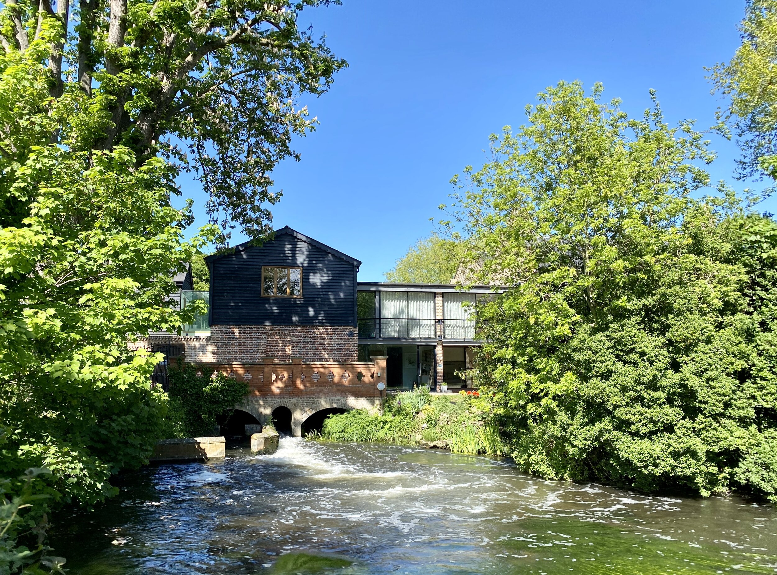
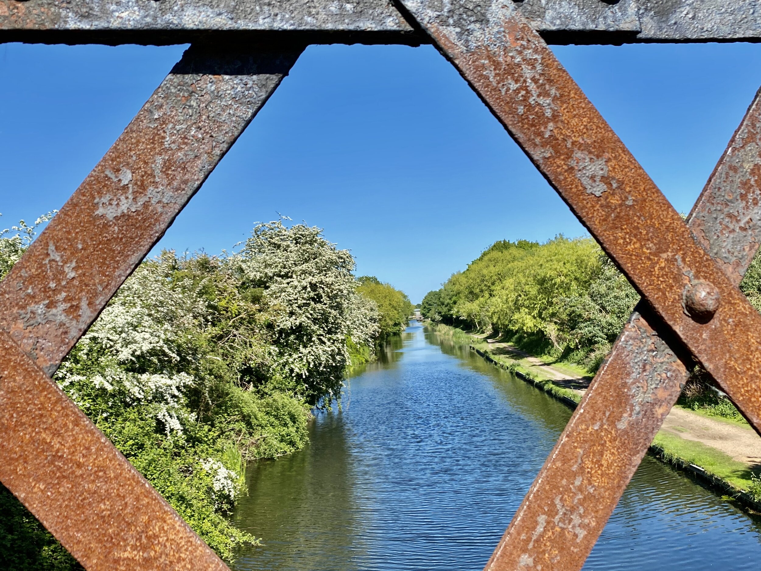
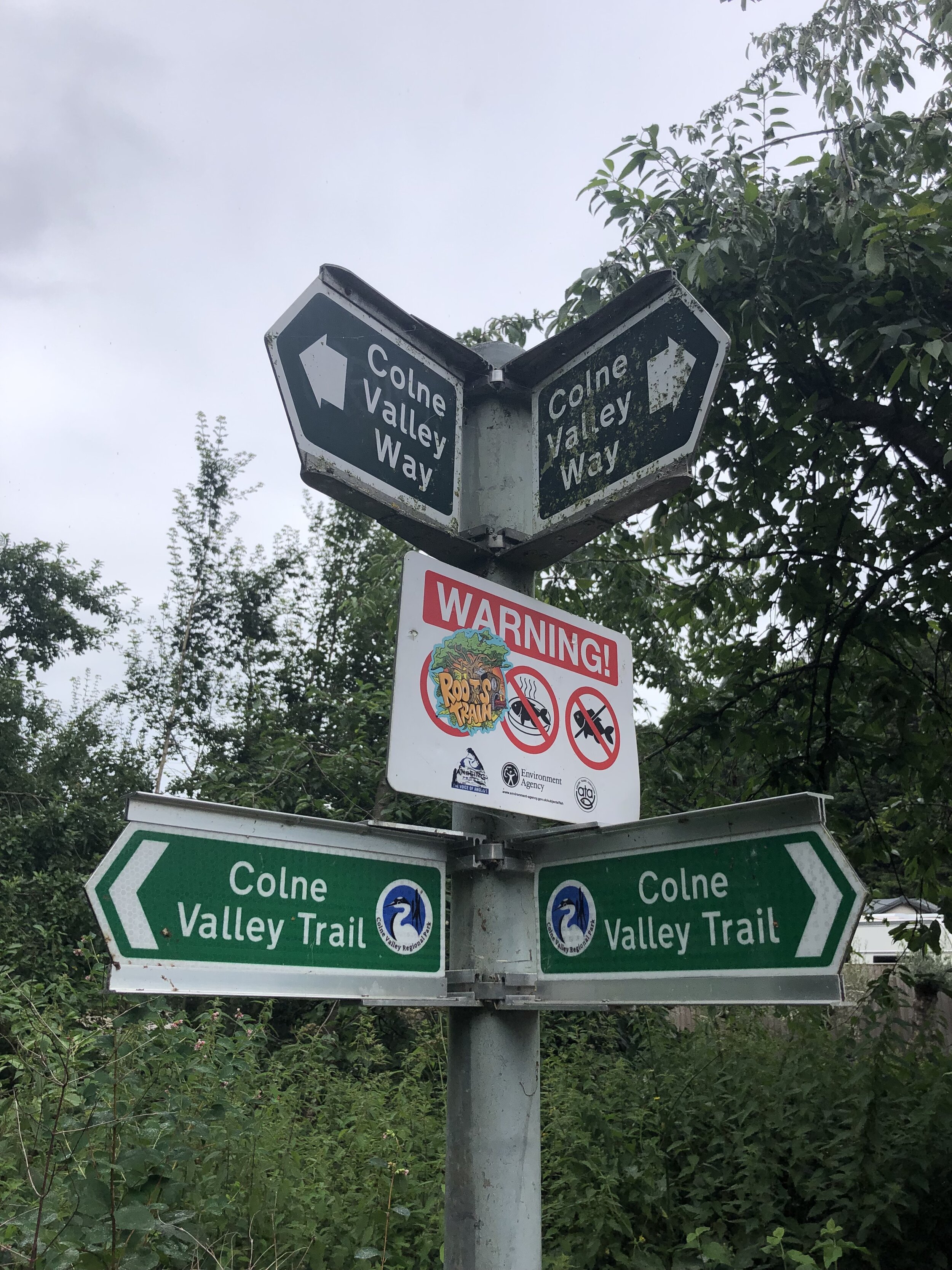
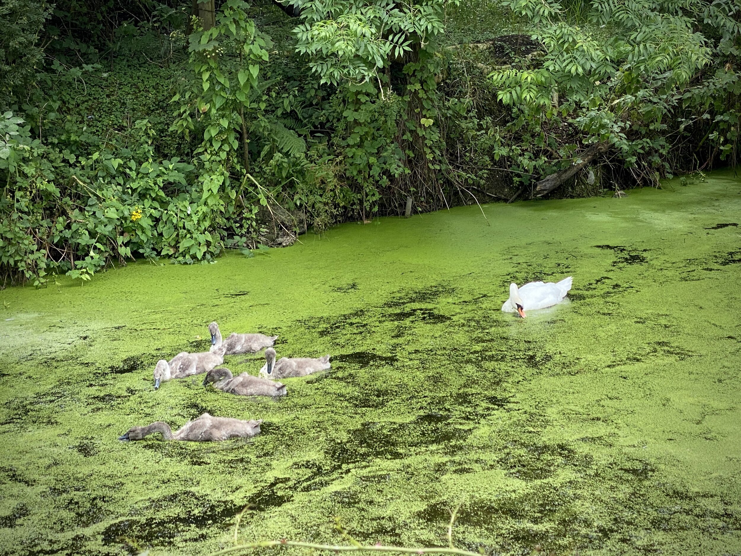
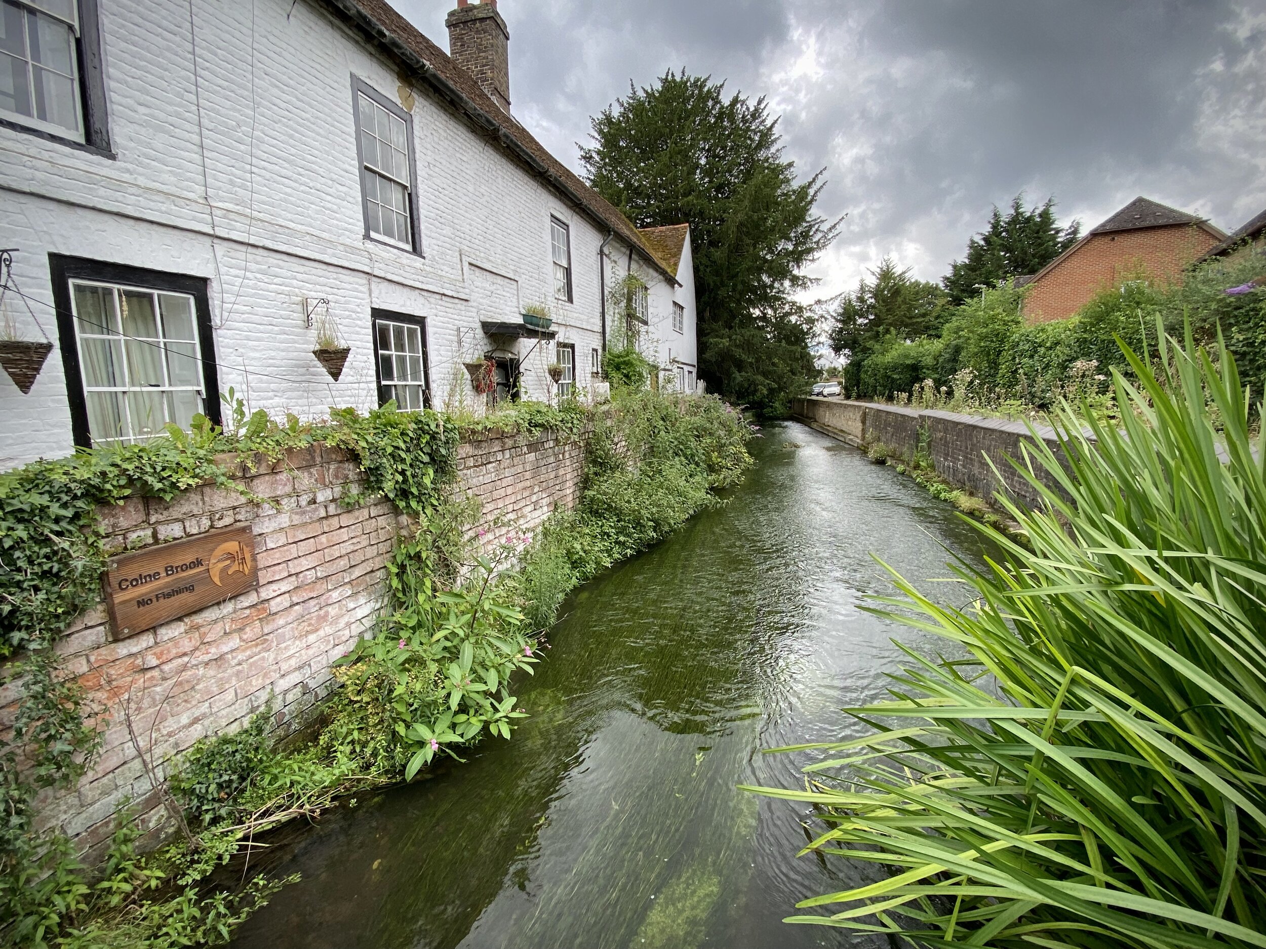
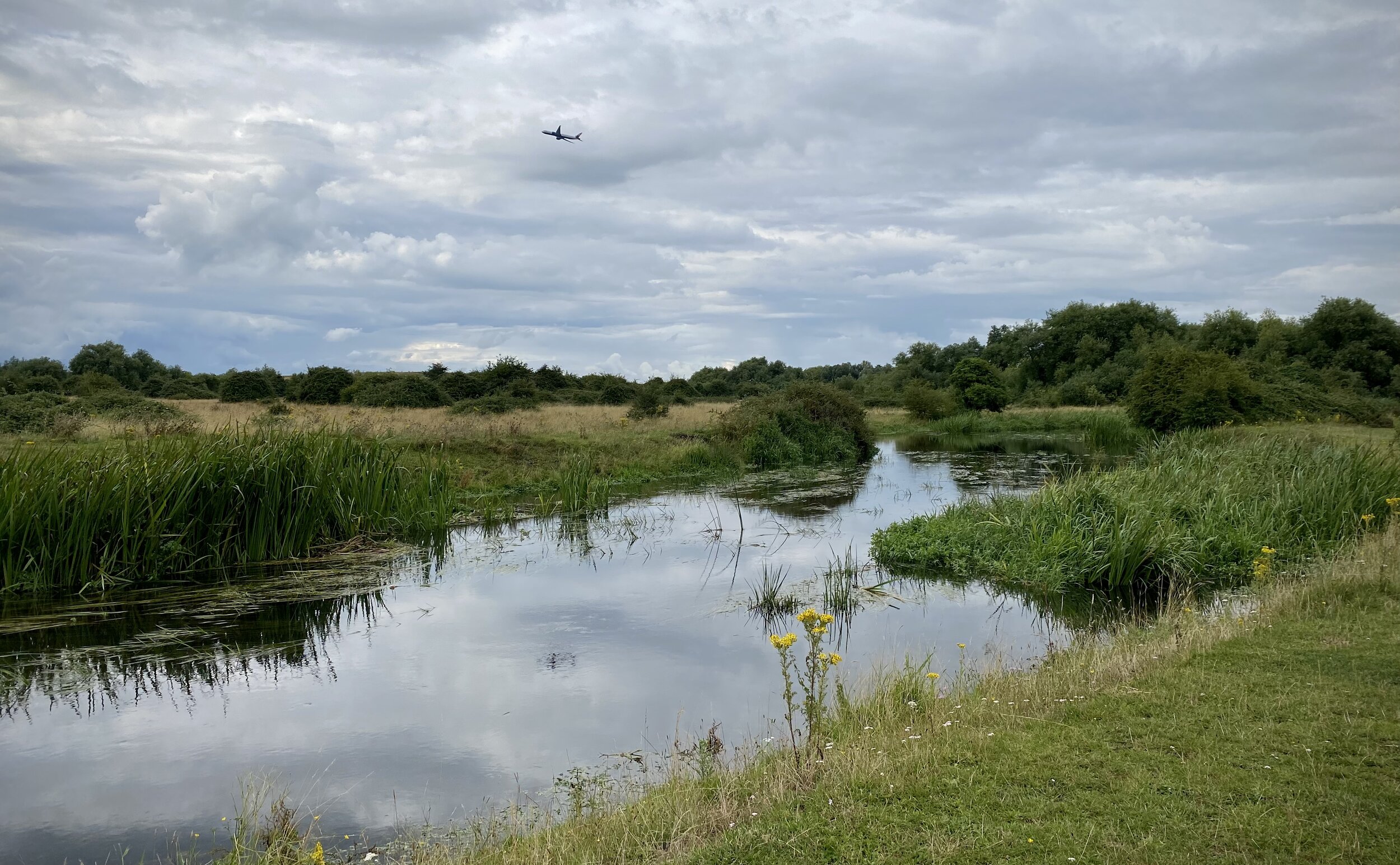
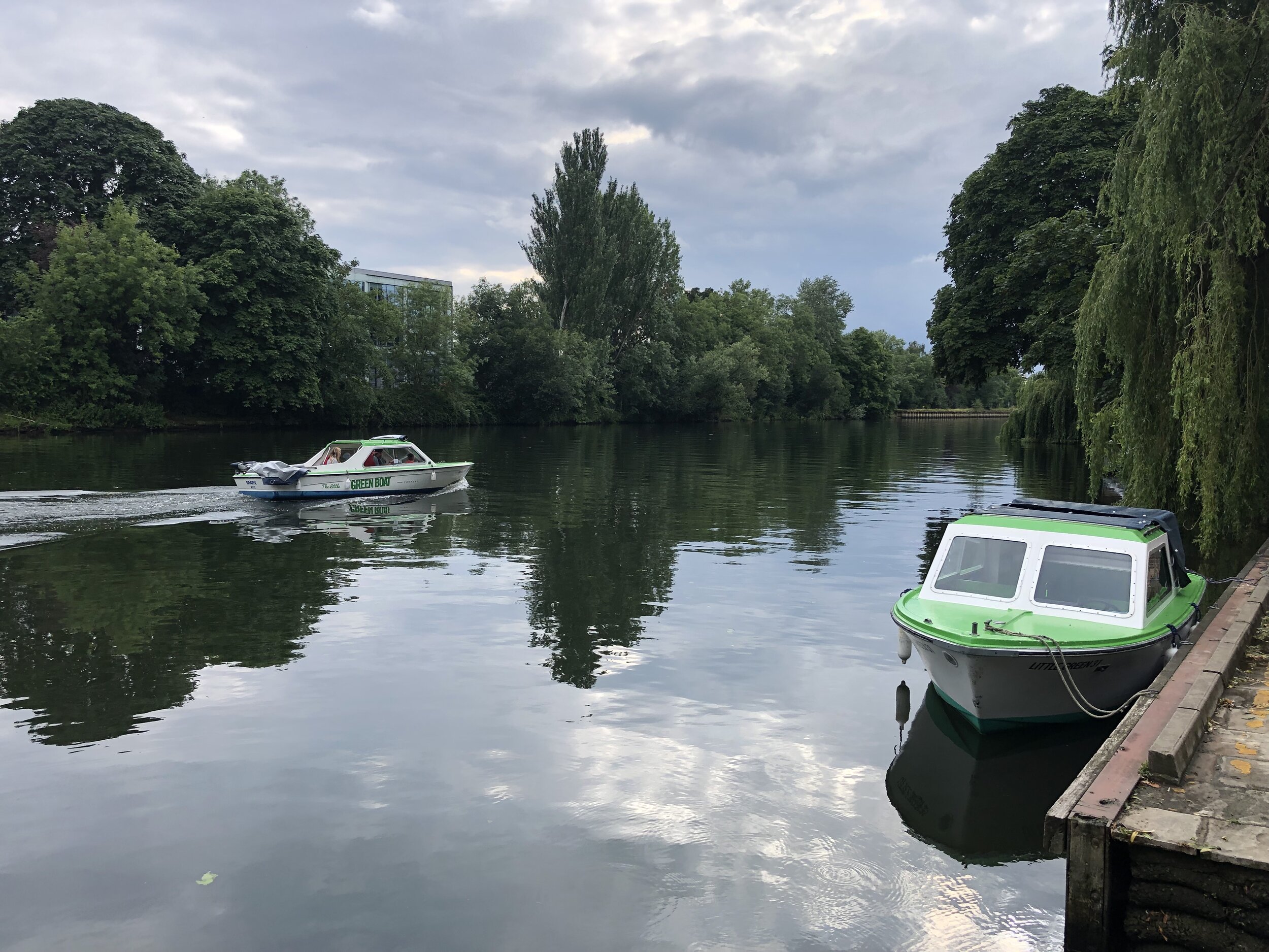
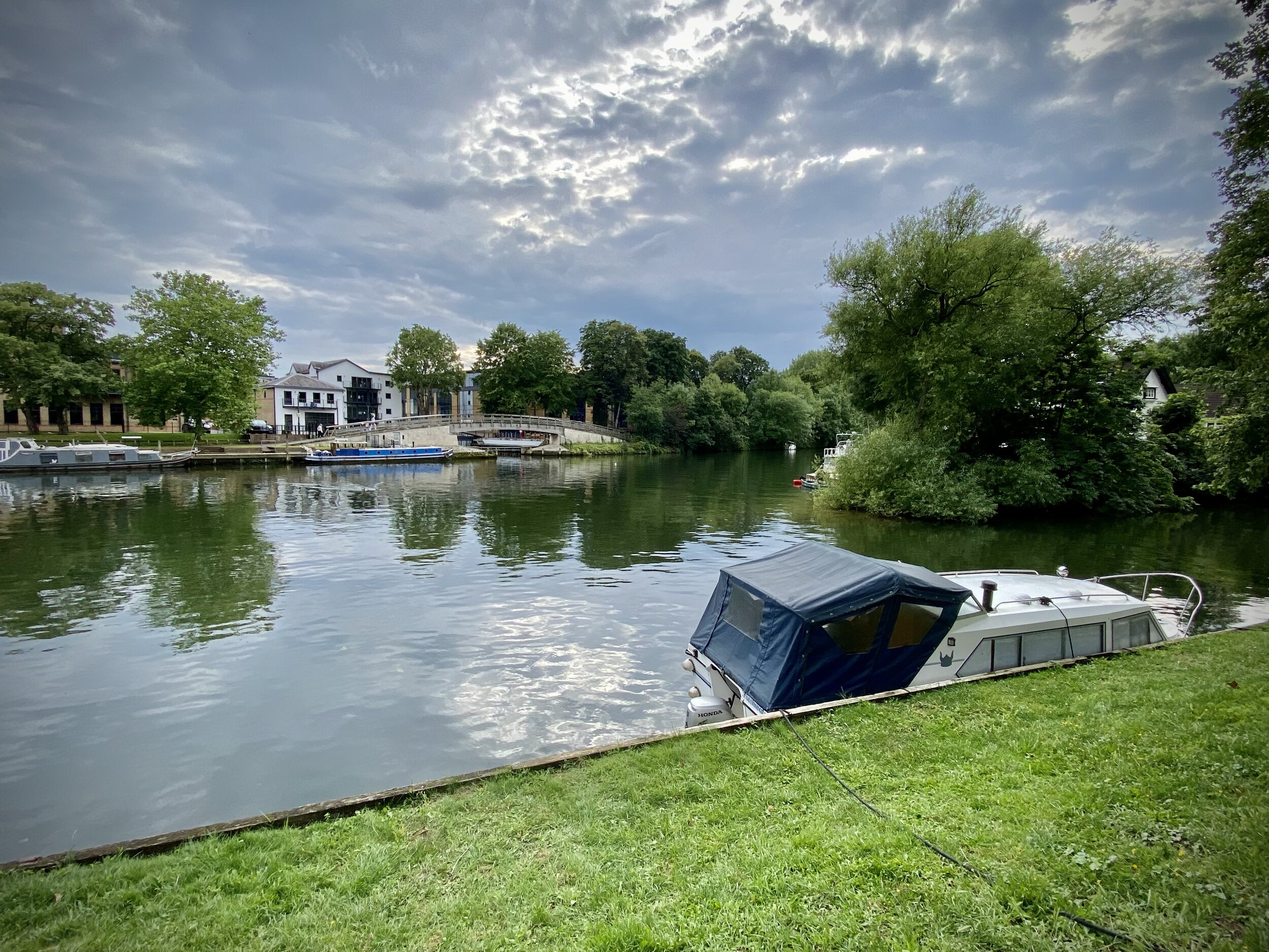
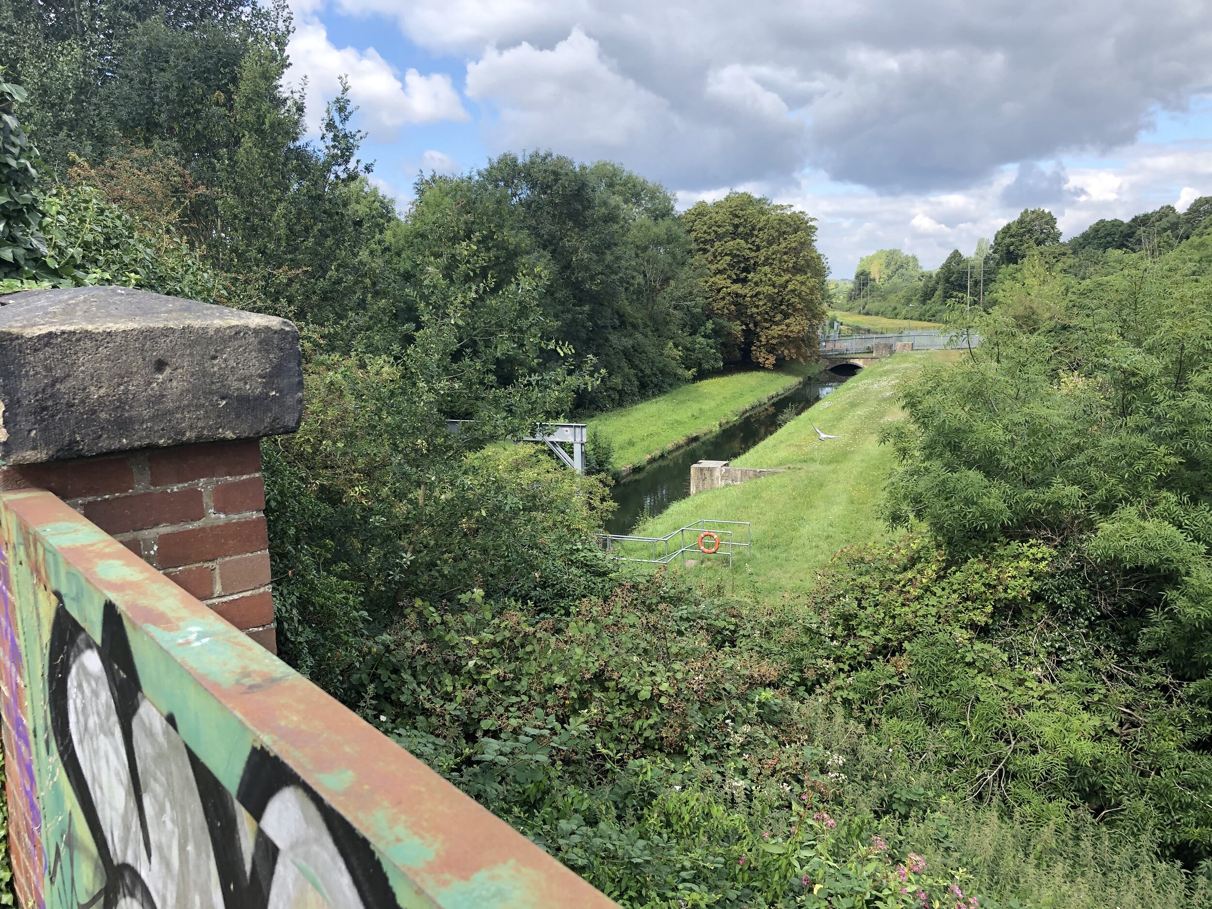
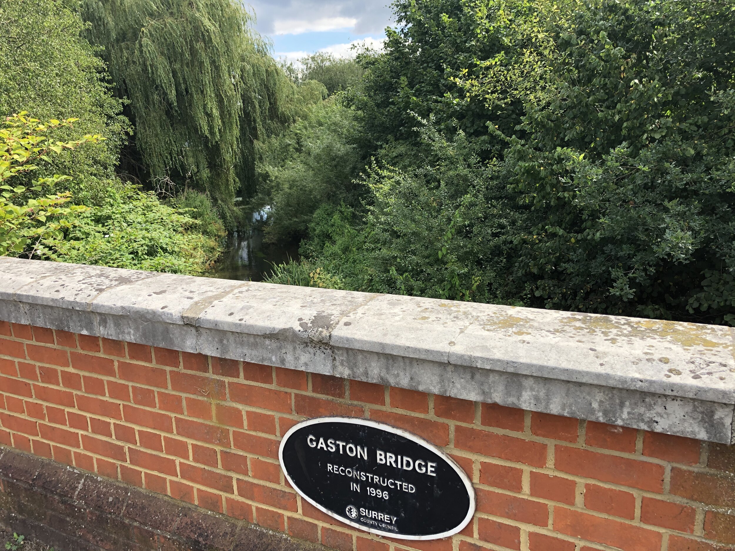
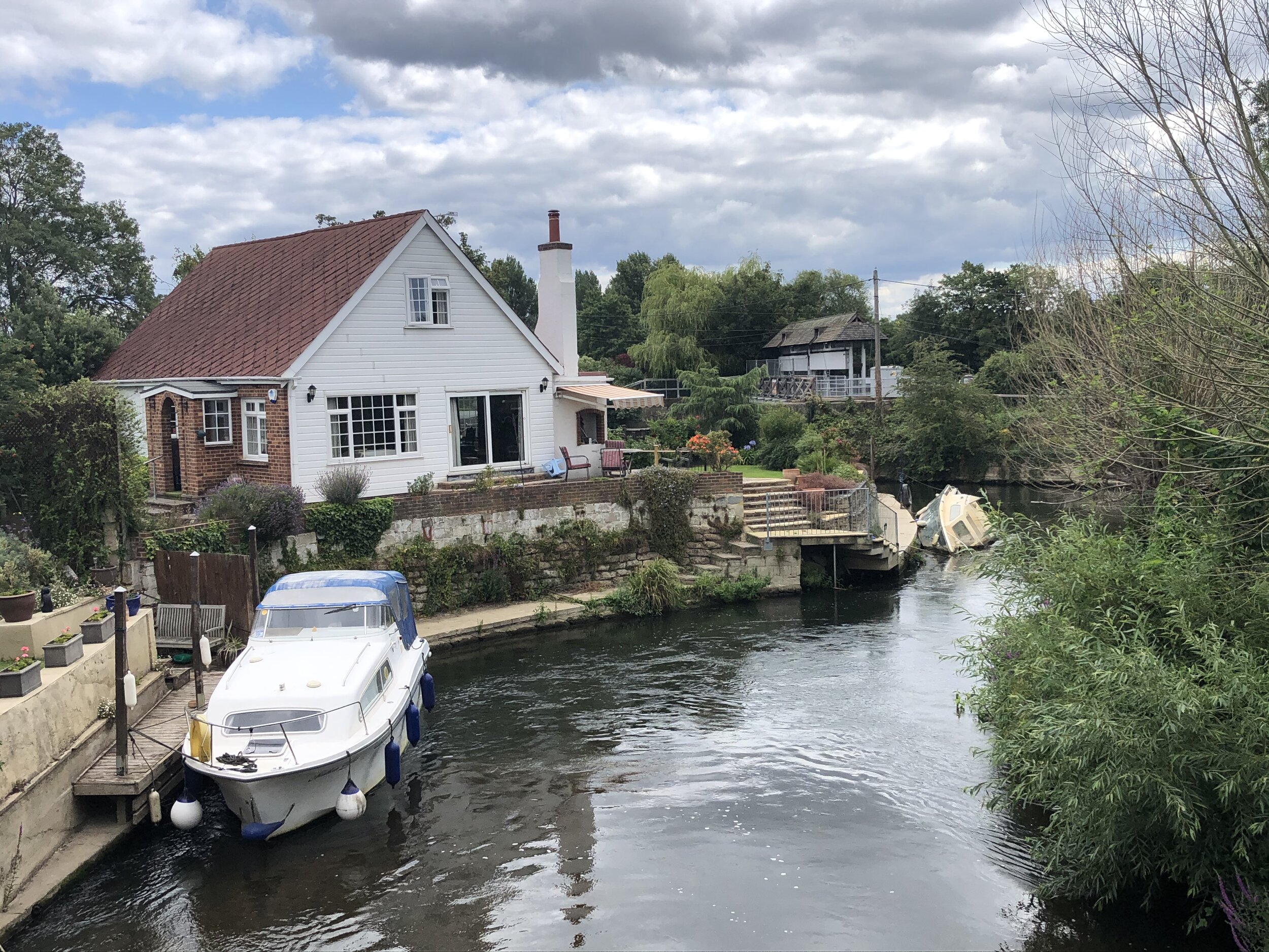
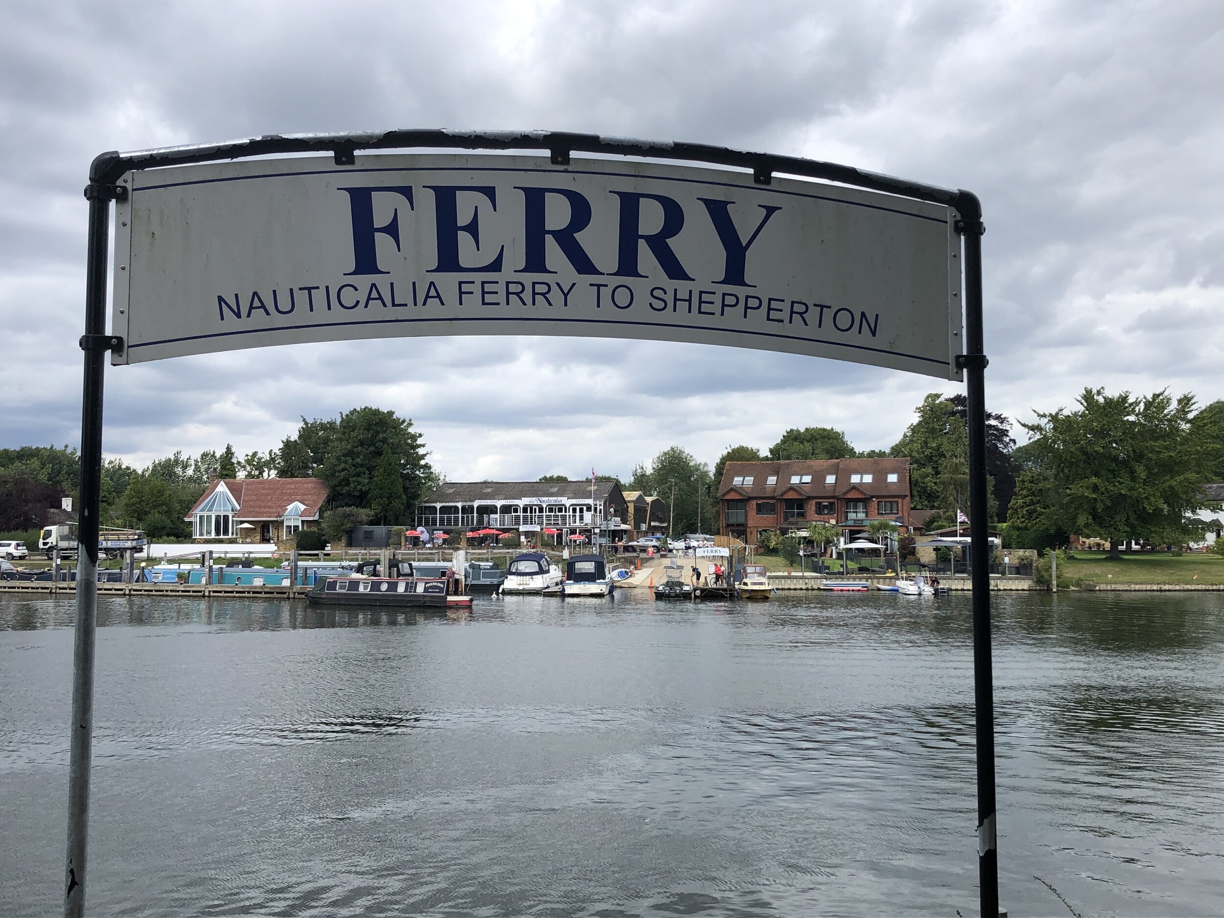
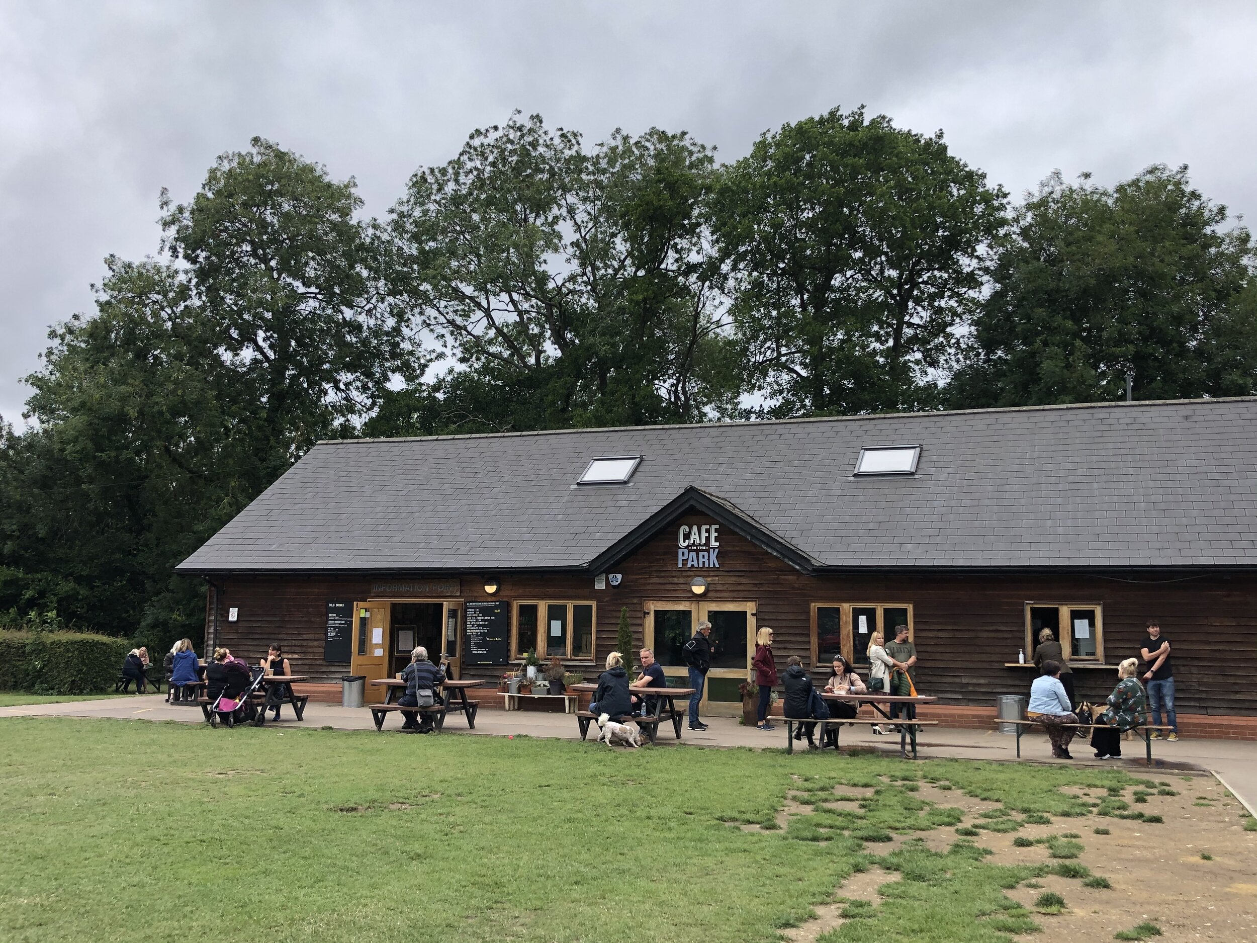
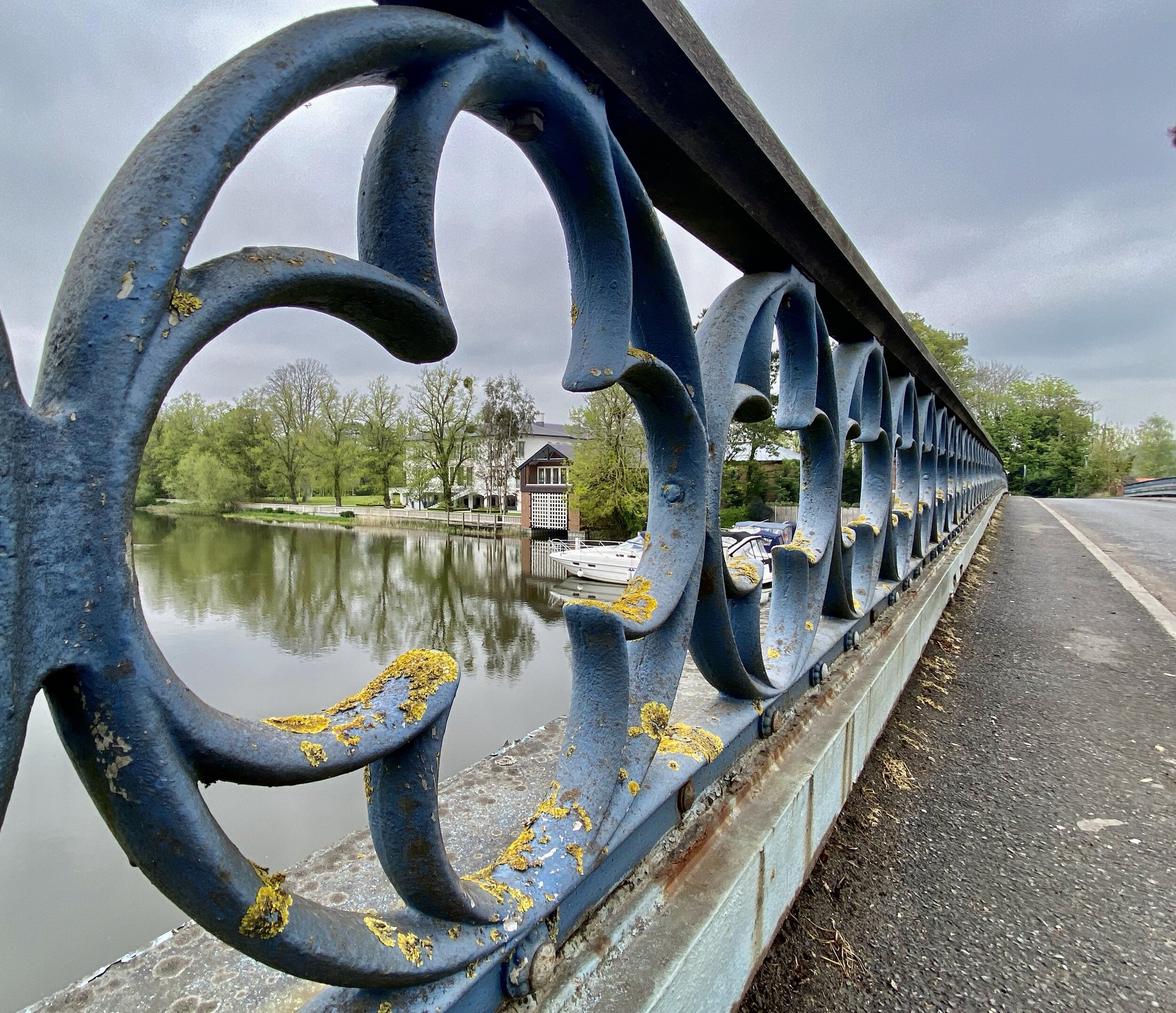
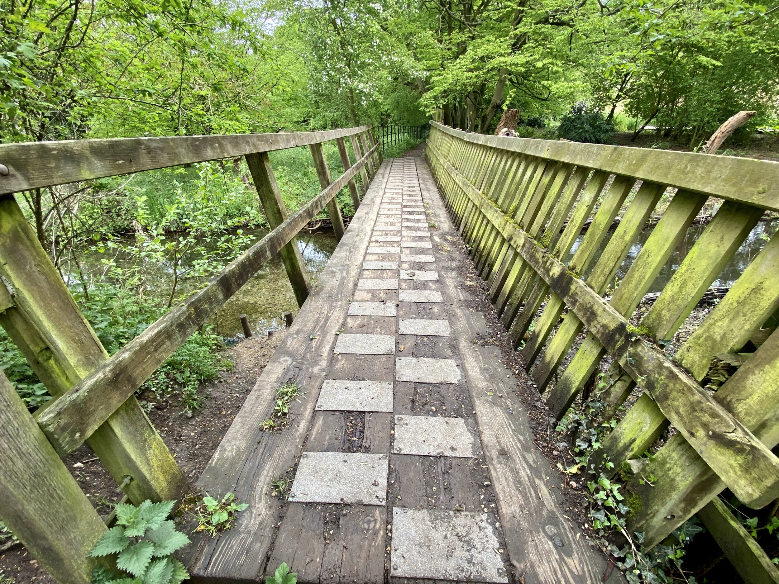
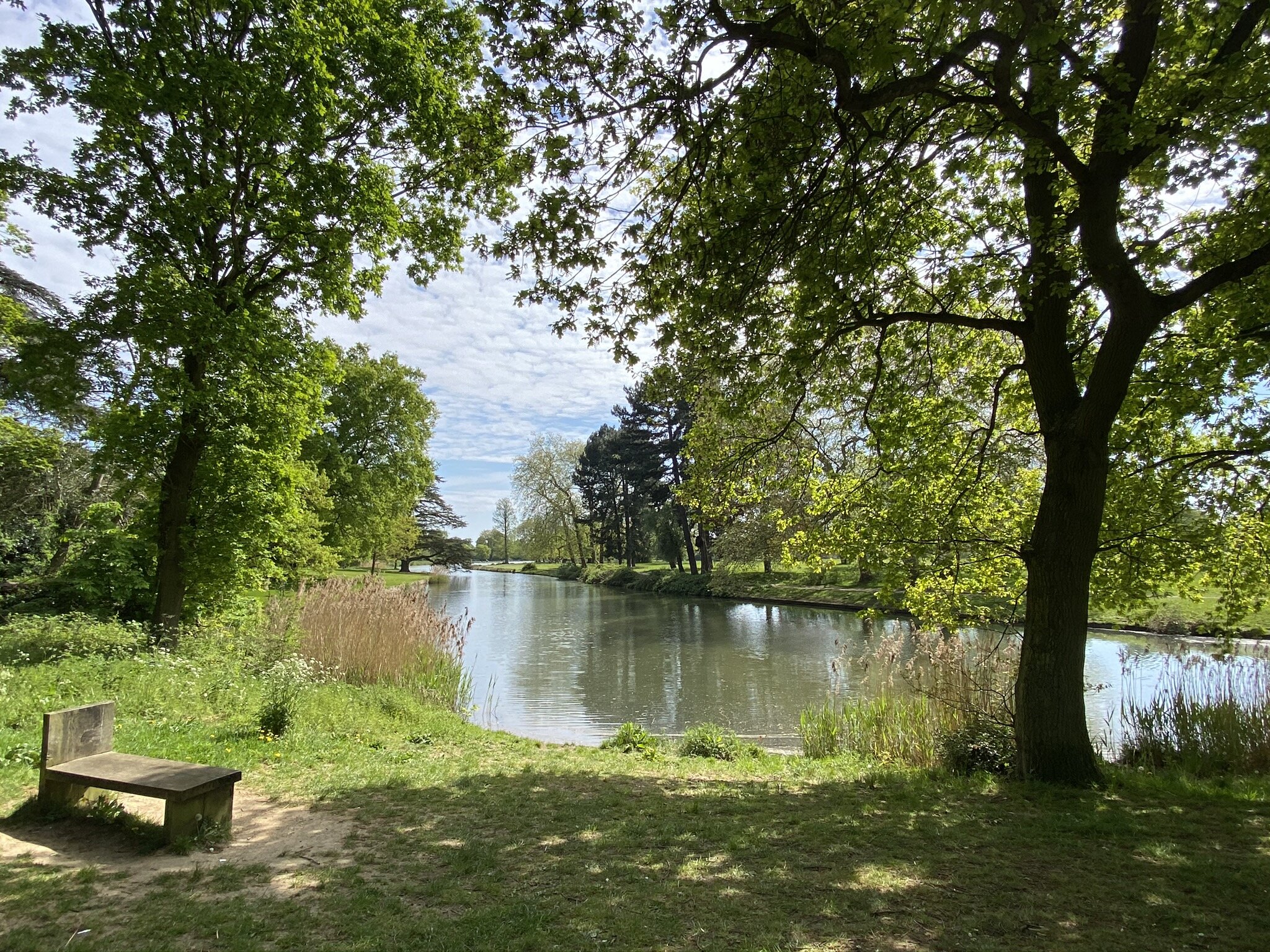
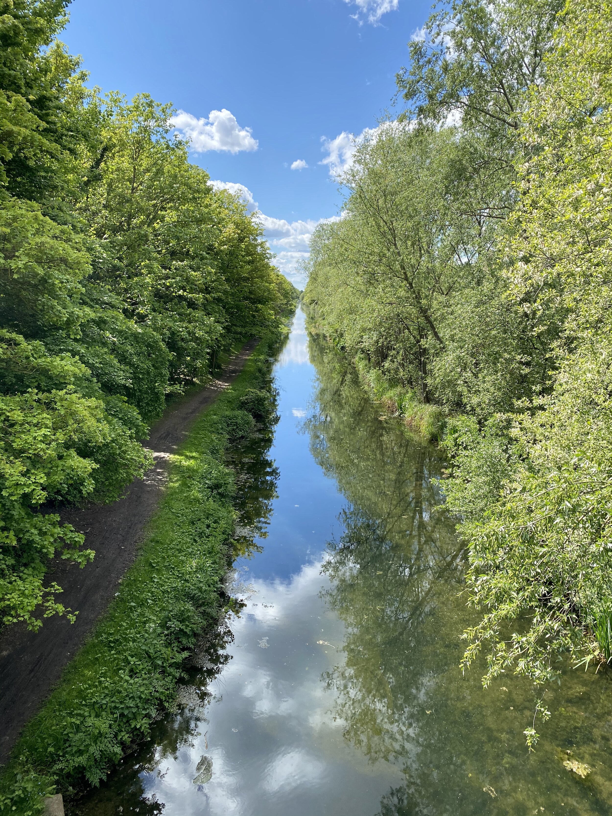
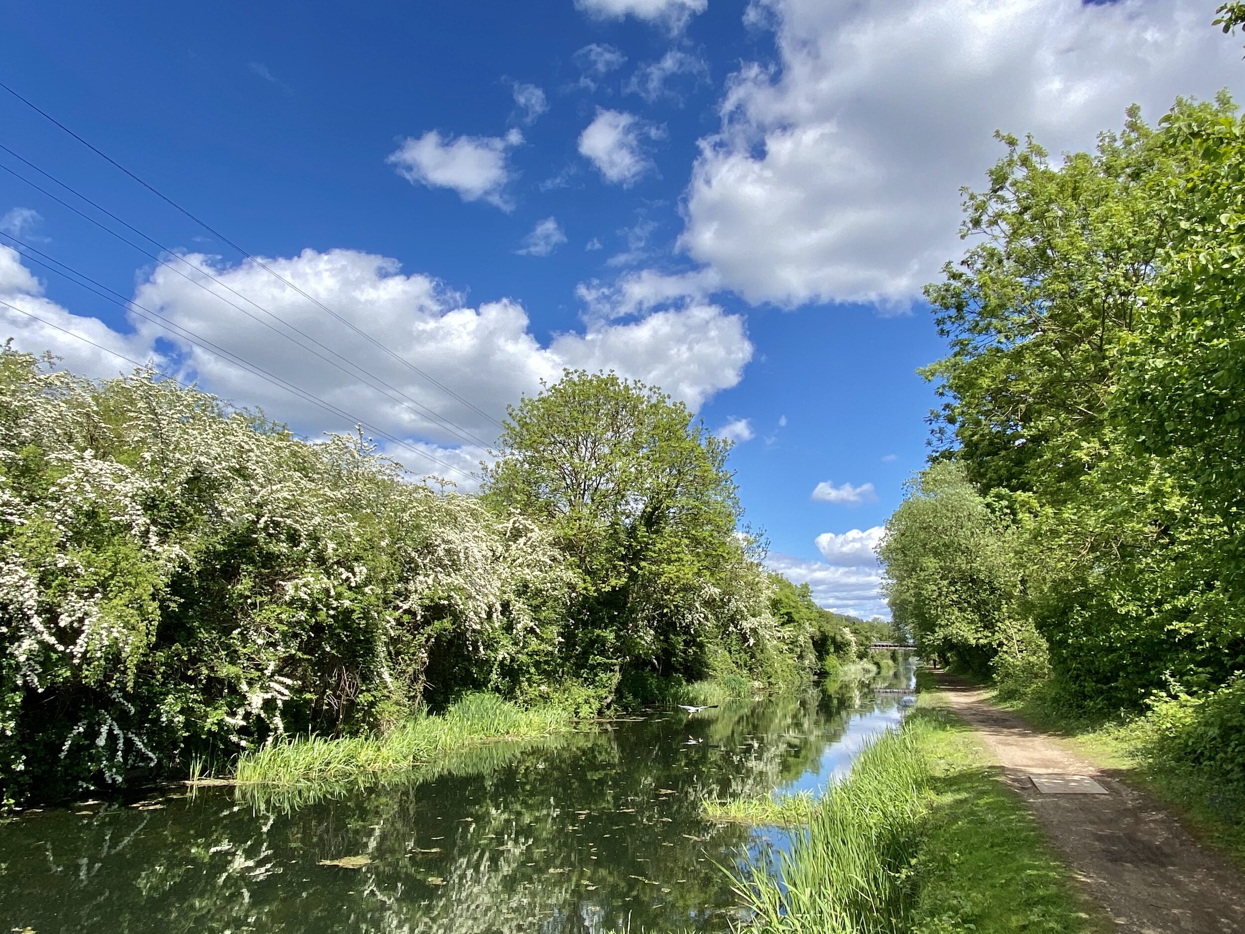
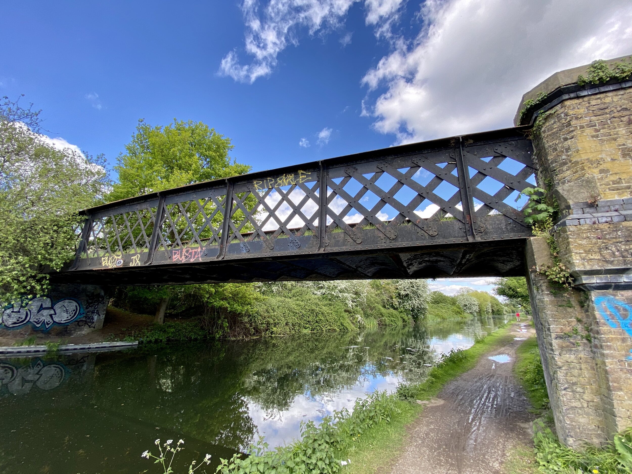
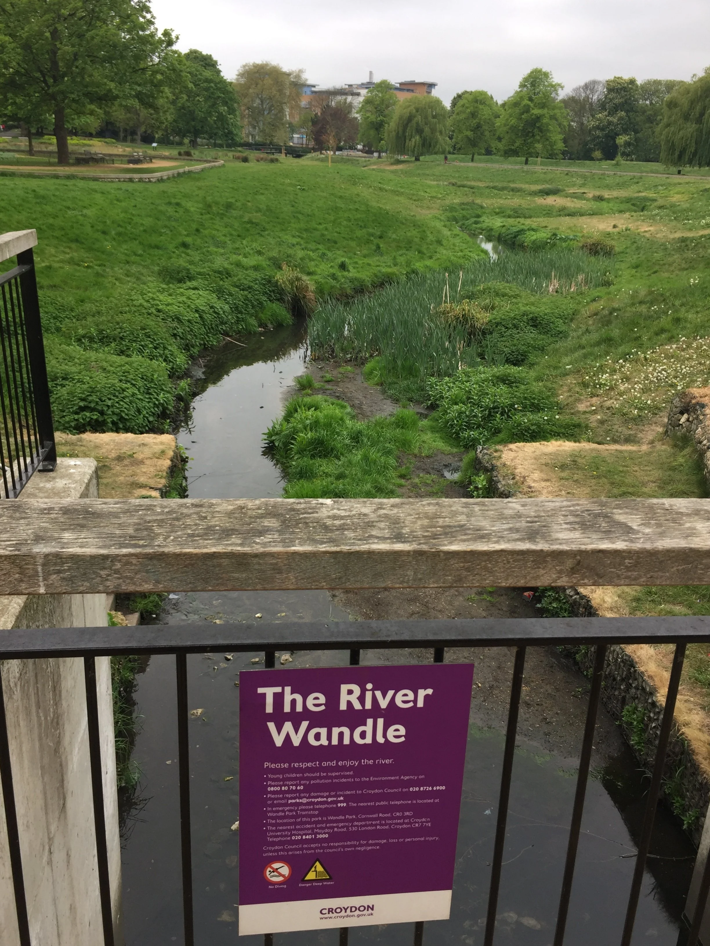
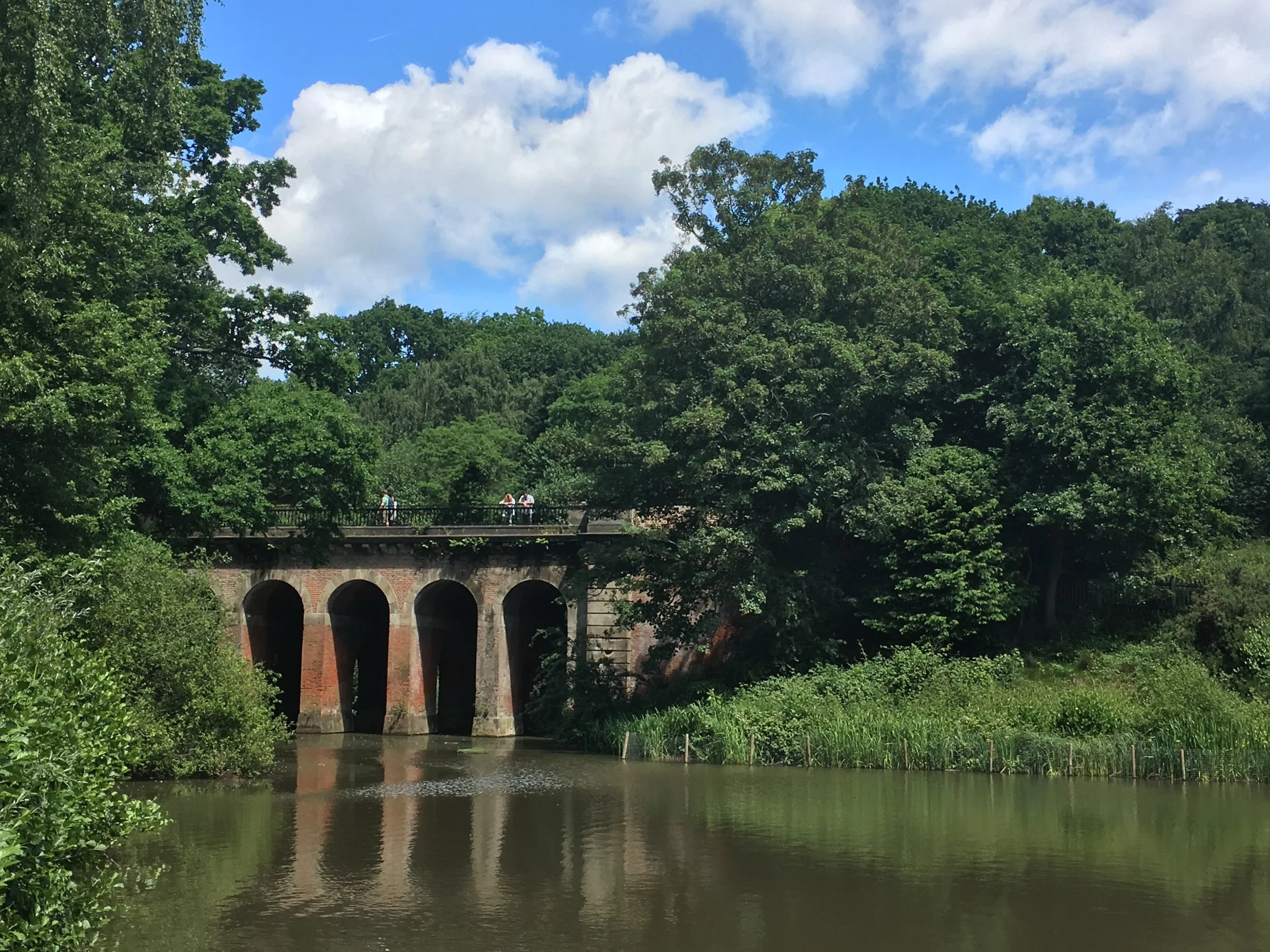
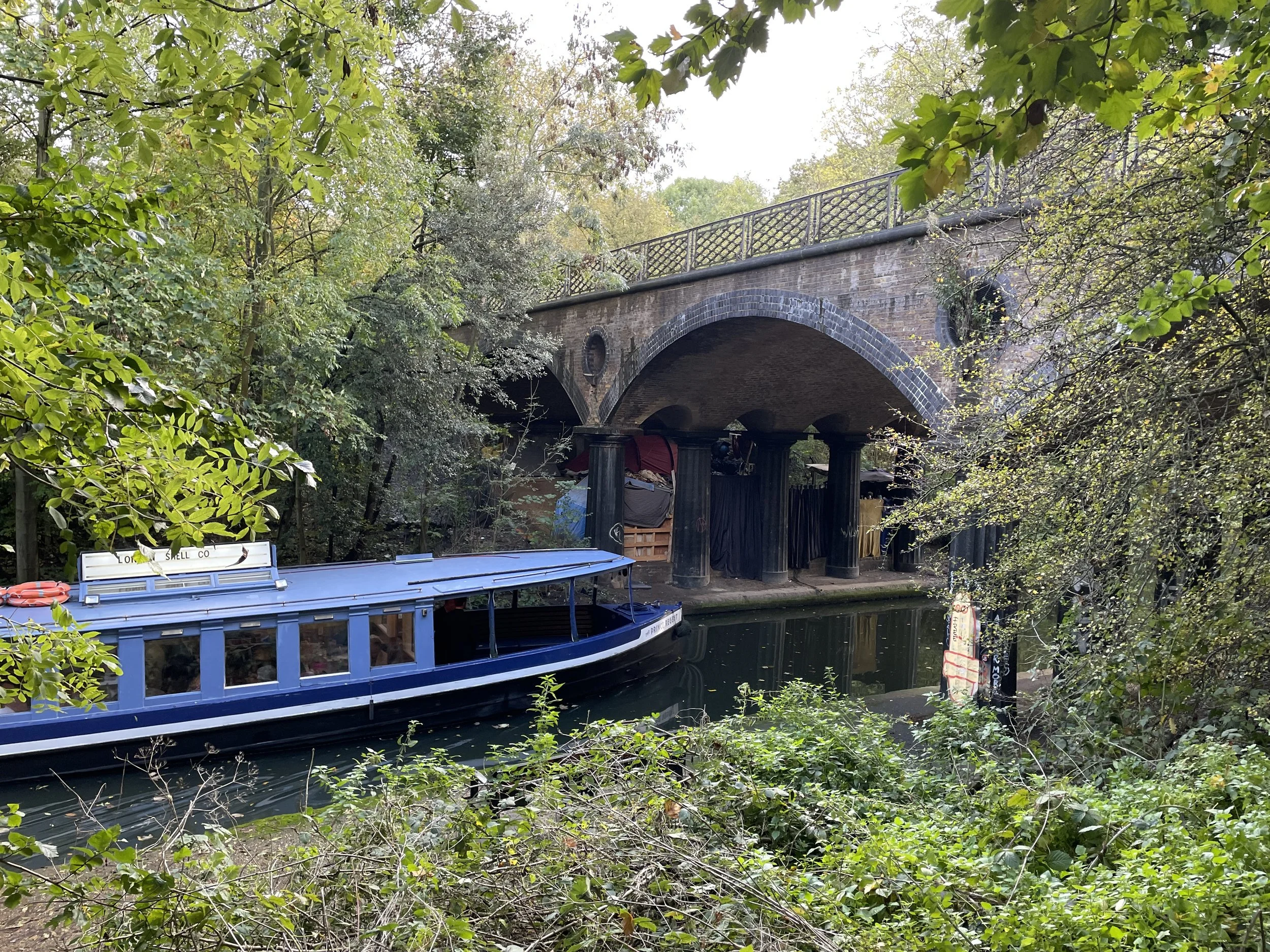
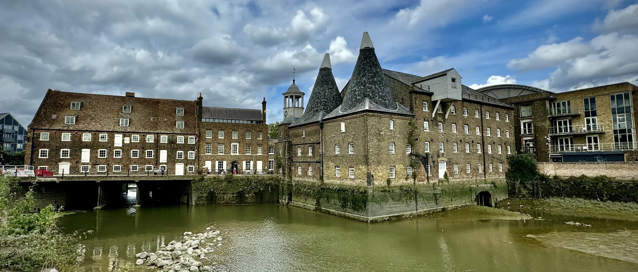
London’s Rivers and Waterways
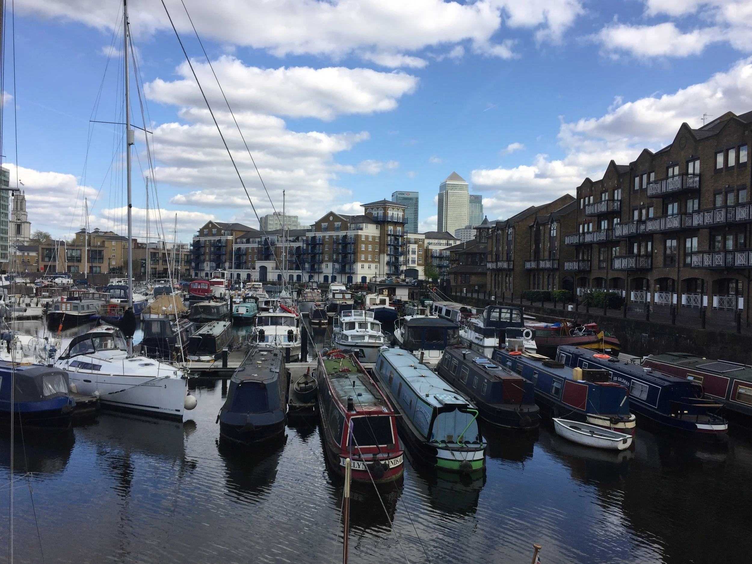
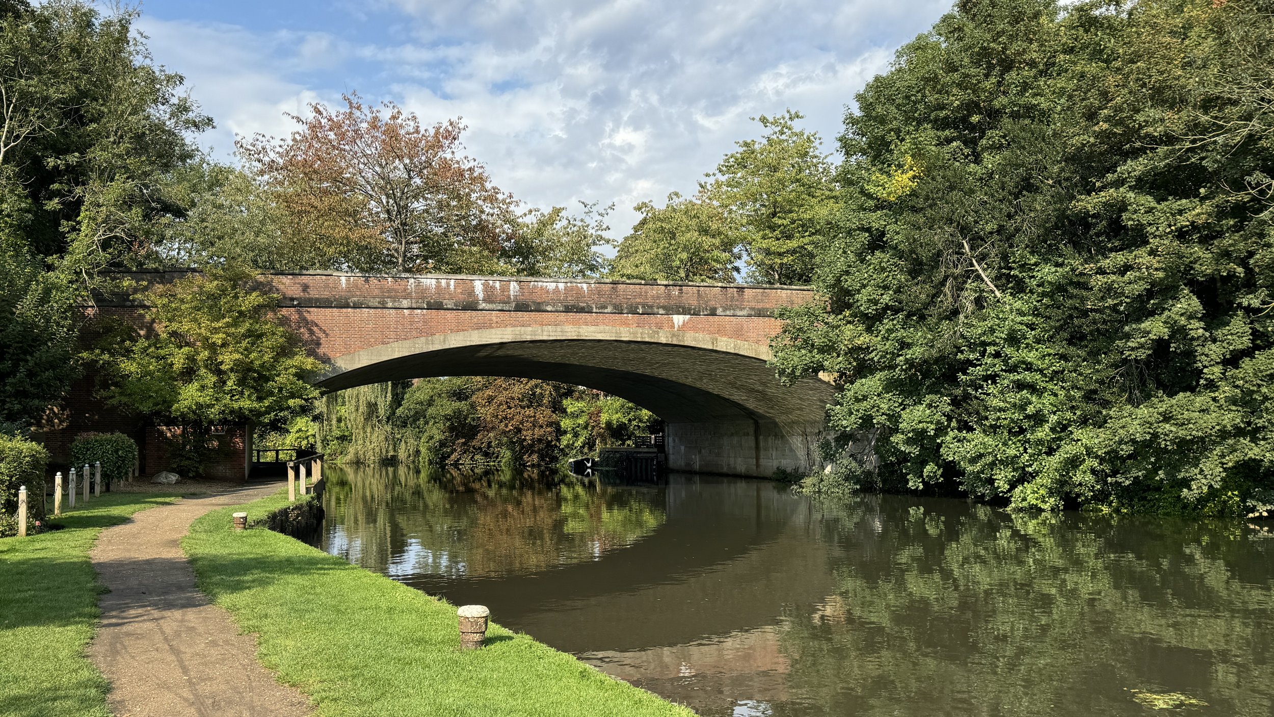
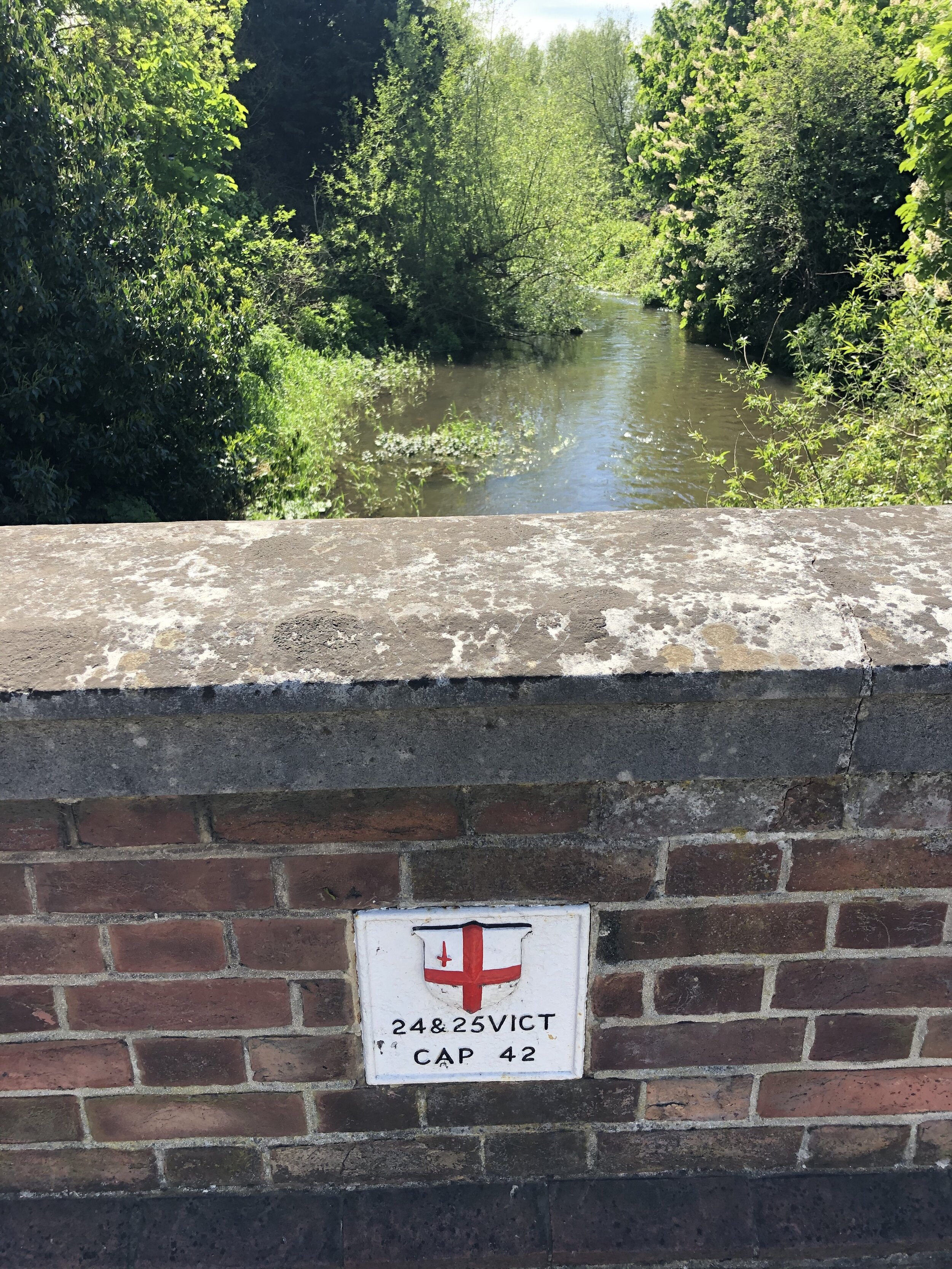
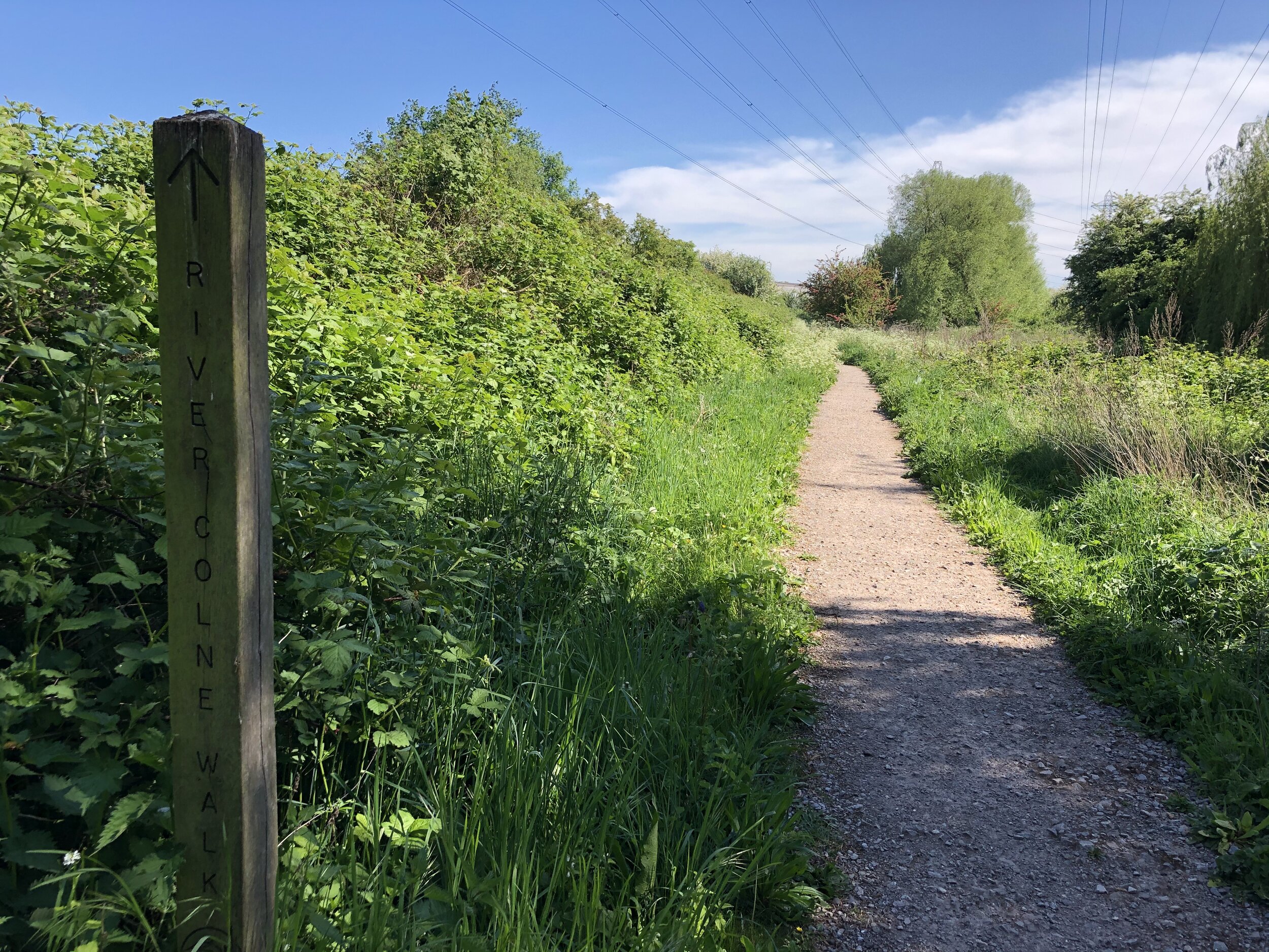
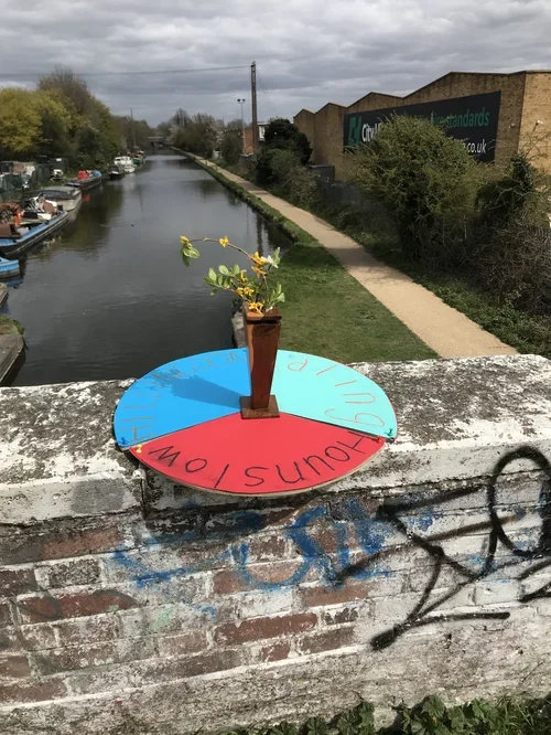
London is defined by its waterways, and walking their paths reveals a calmer side to the busy city. This section covers relaxing strolls along the River Wandle Trail and the River Brent Path, as well as tracing the fascinating historic route of the River Fleet.
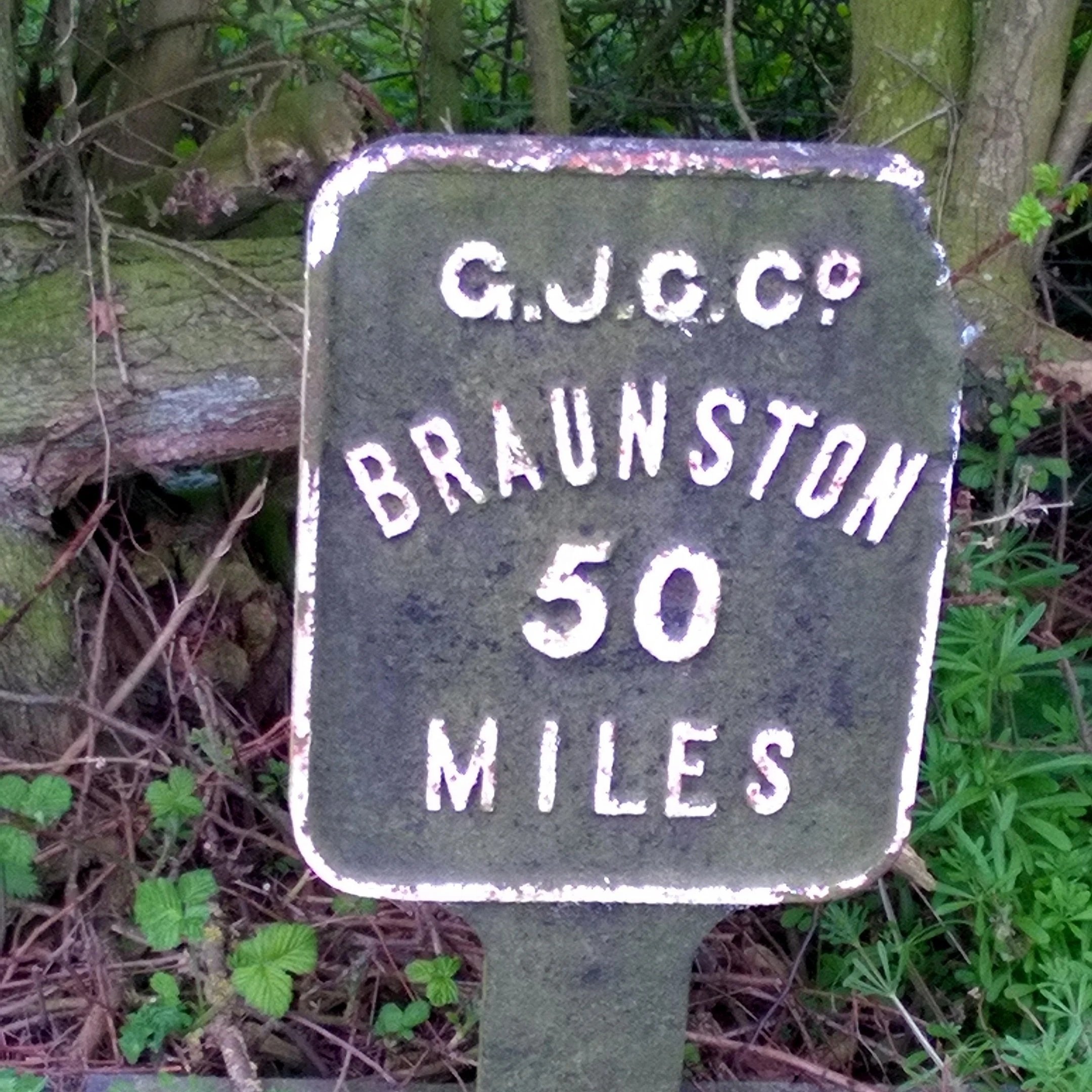
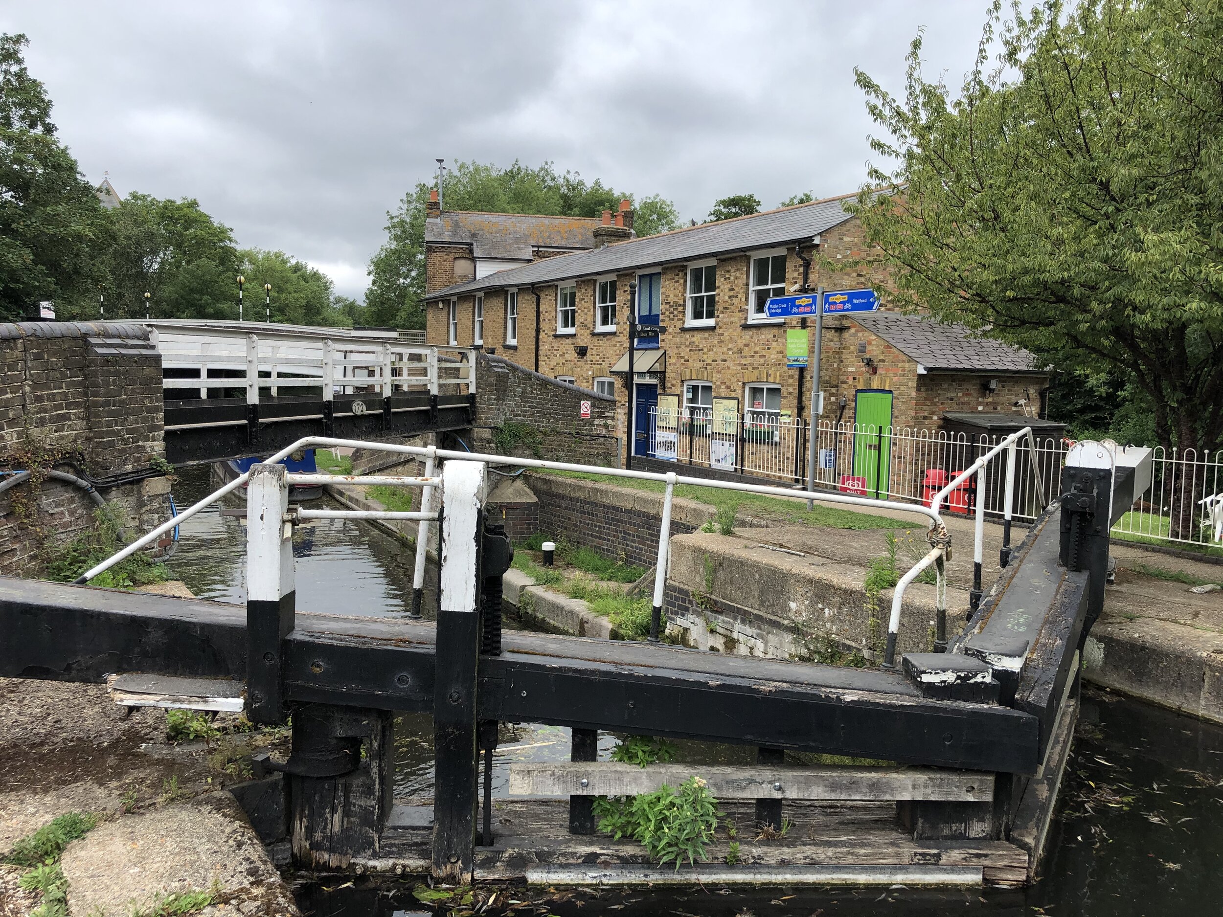
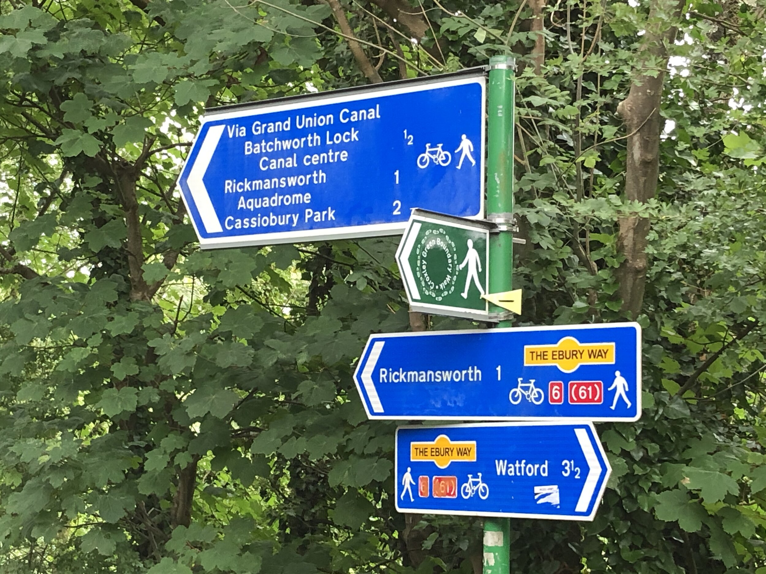
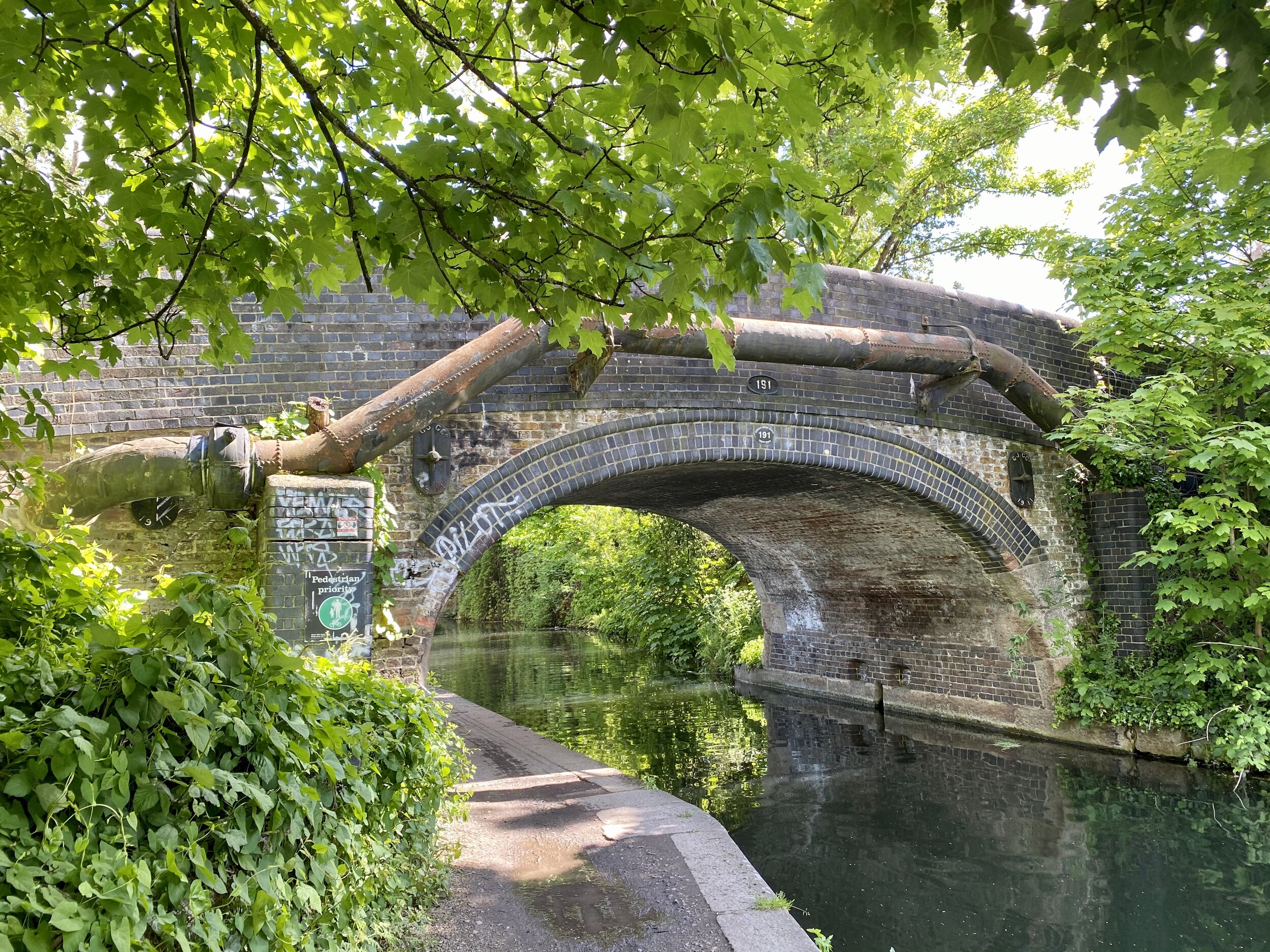
If you prefer towpaths, you will also find my guides to navigating the Regent's Canal, the Limehouse Cut, and the Hertford Union Canal. These waterside routes are brilliant environments to explore at your own pace.
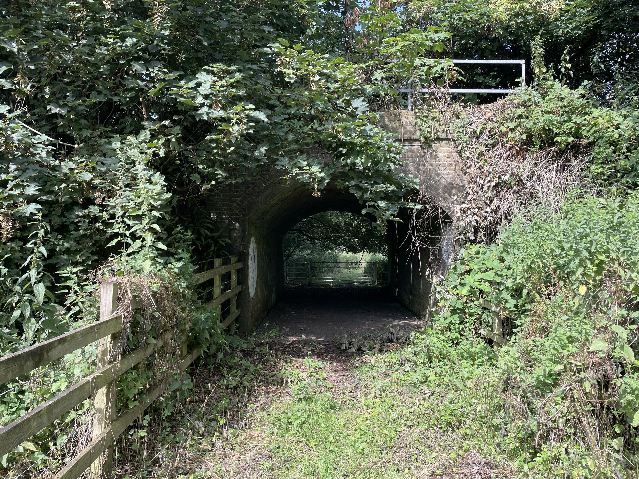
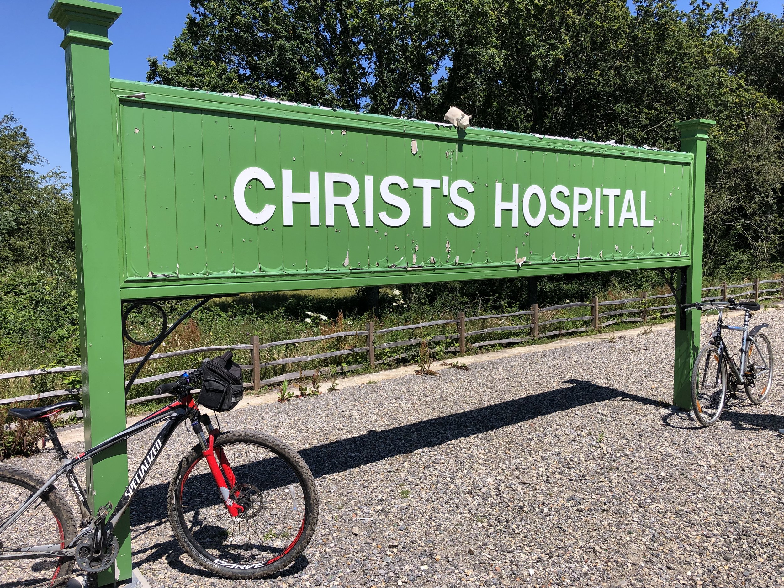
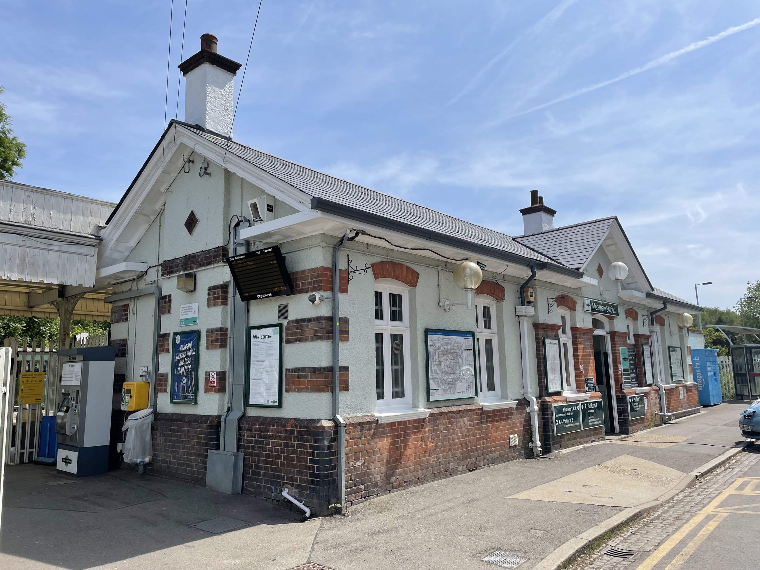
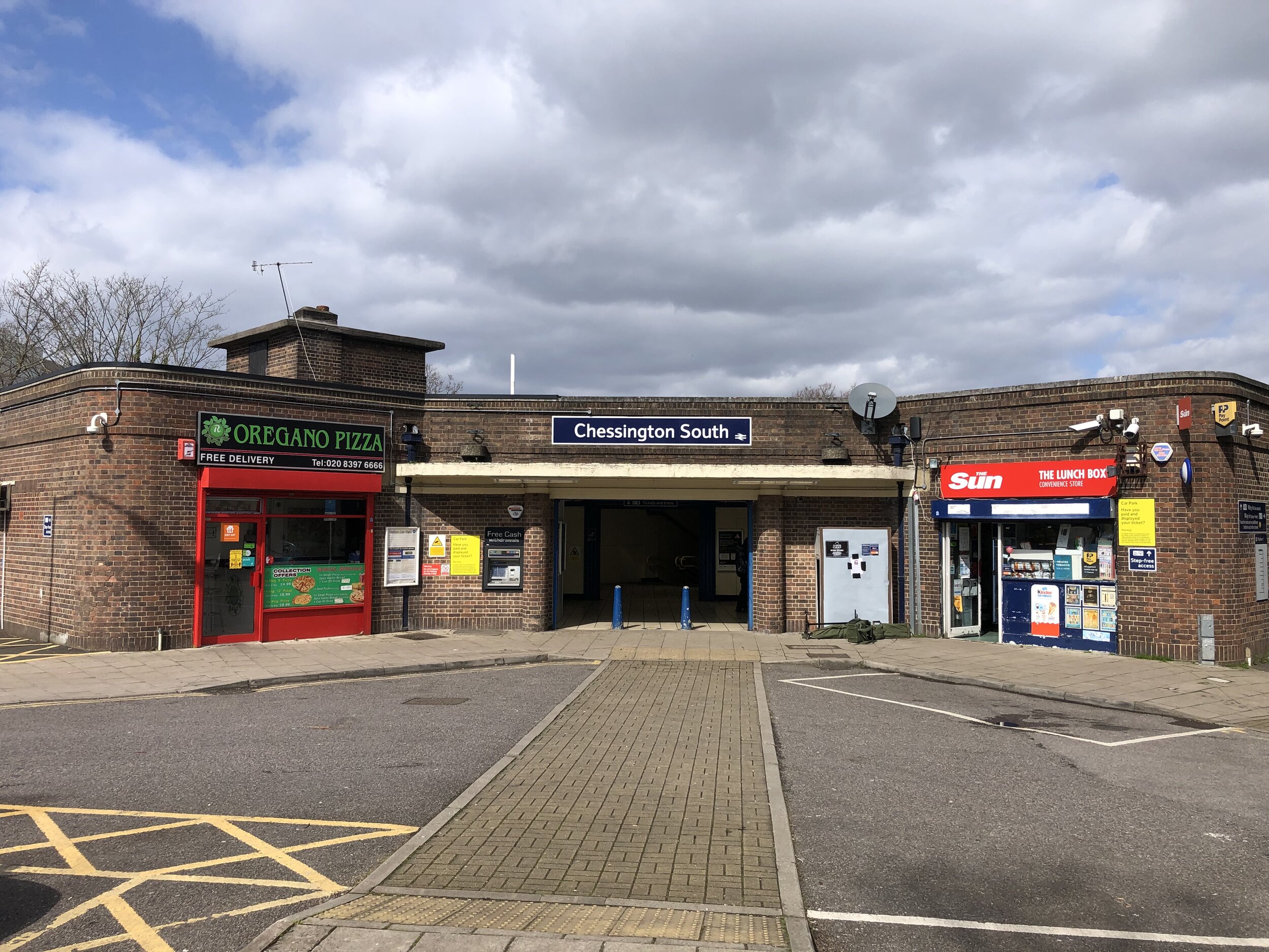
Train and Tube
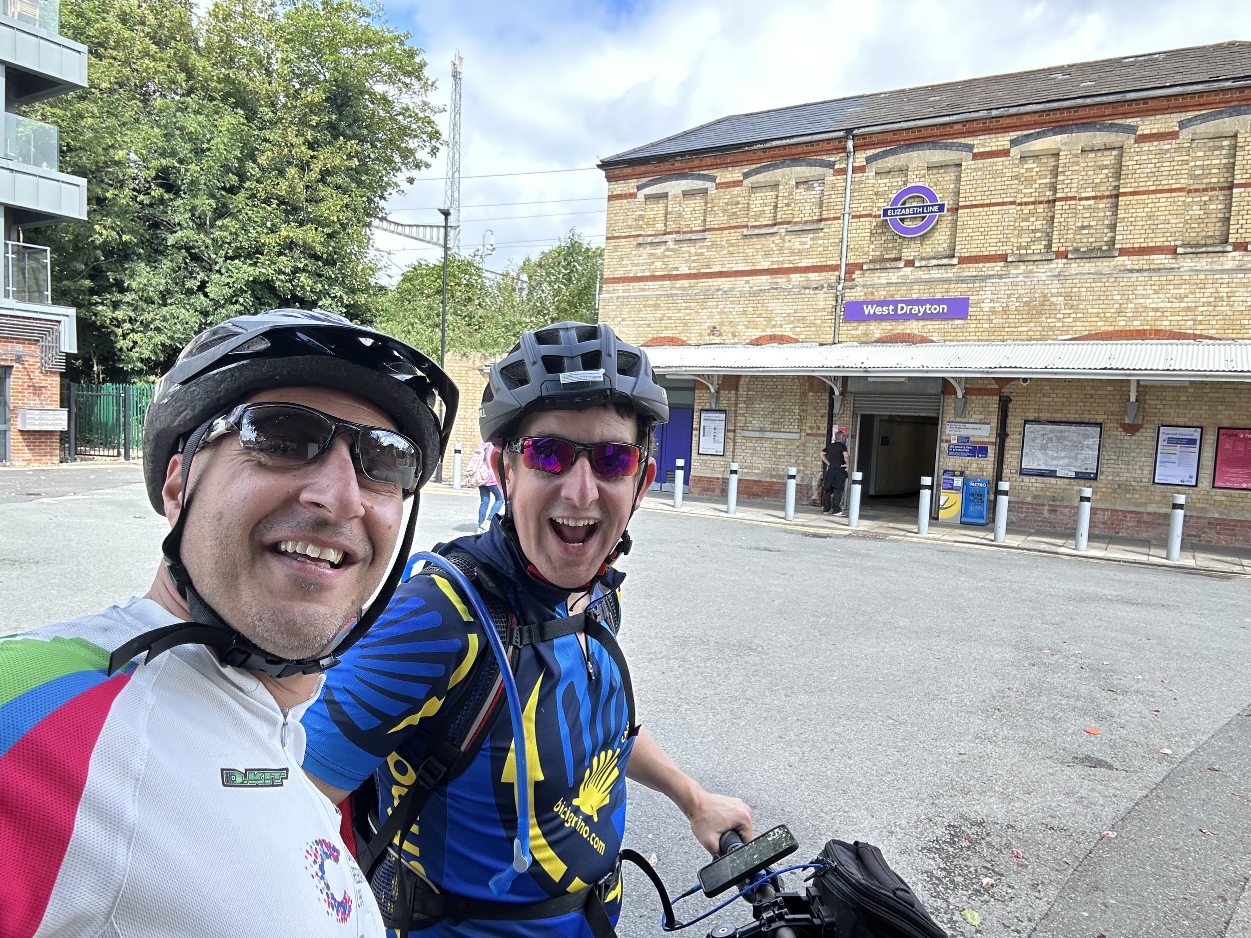
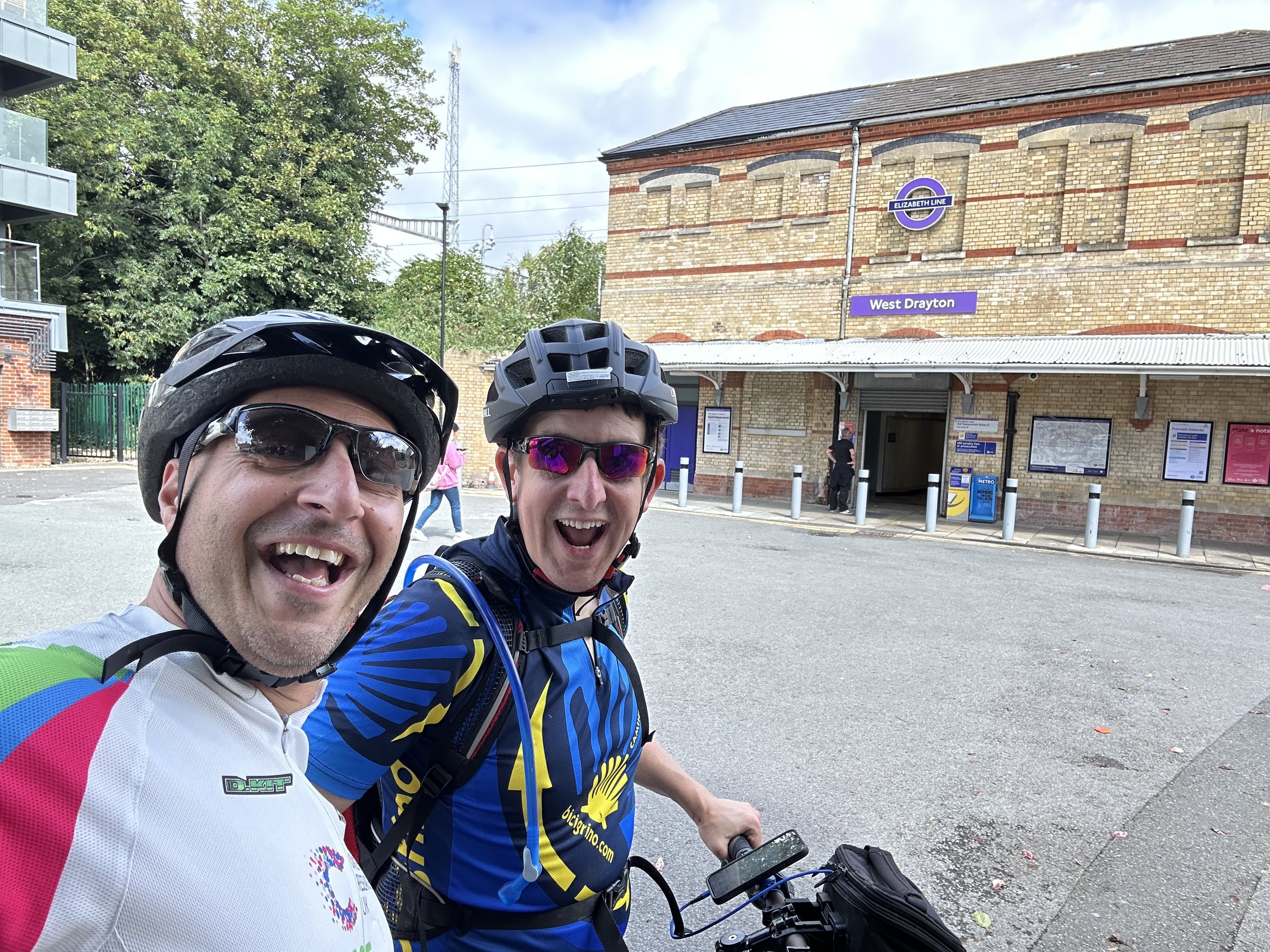
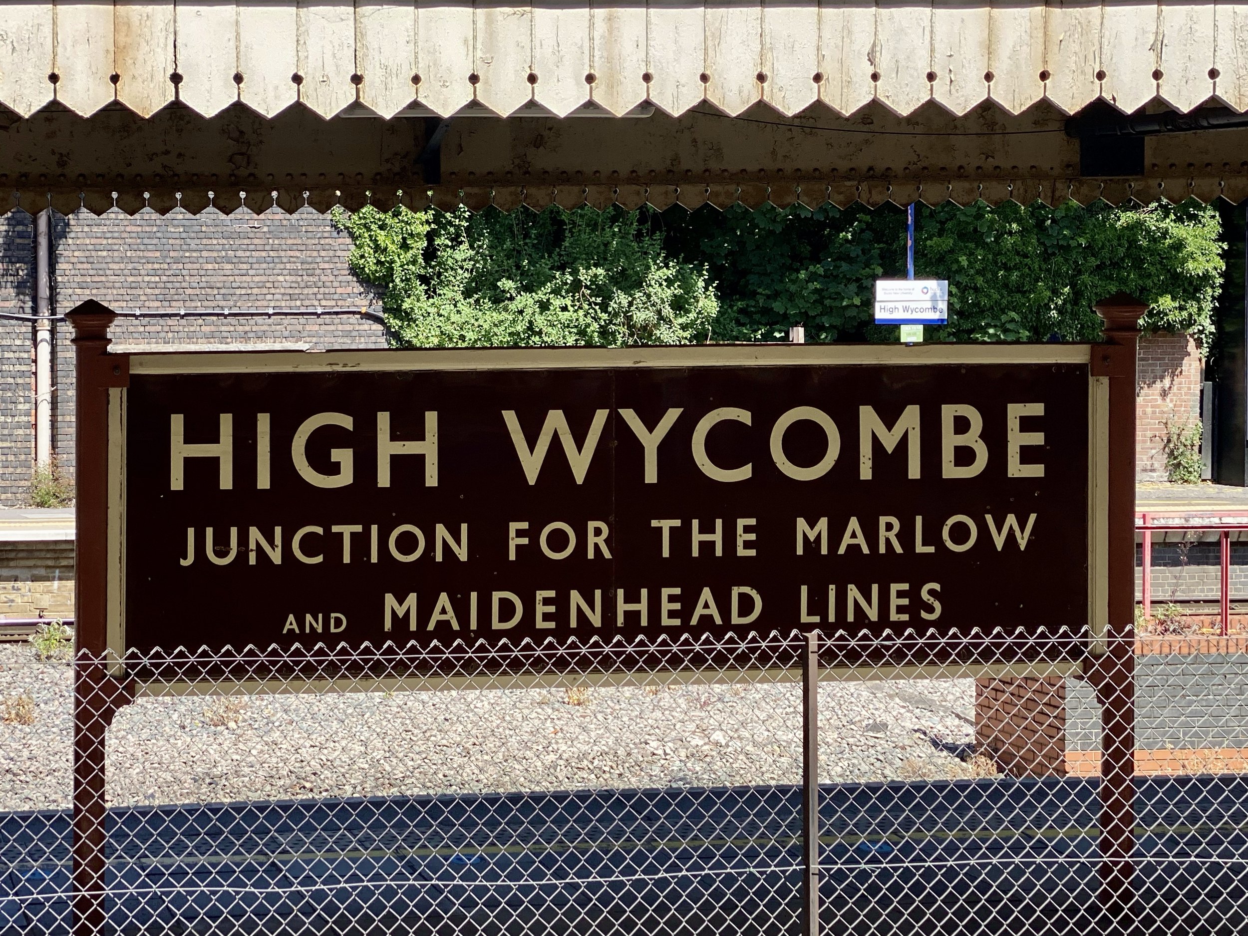
Public transport networks offer some surprising opportunities for outdoor adventures. Here you can read about tracking the Elizabeth Line stations above ground and the physical challenge of running the entire Circle Line.
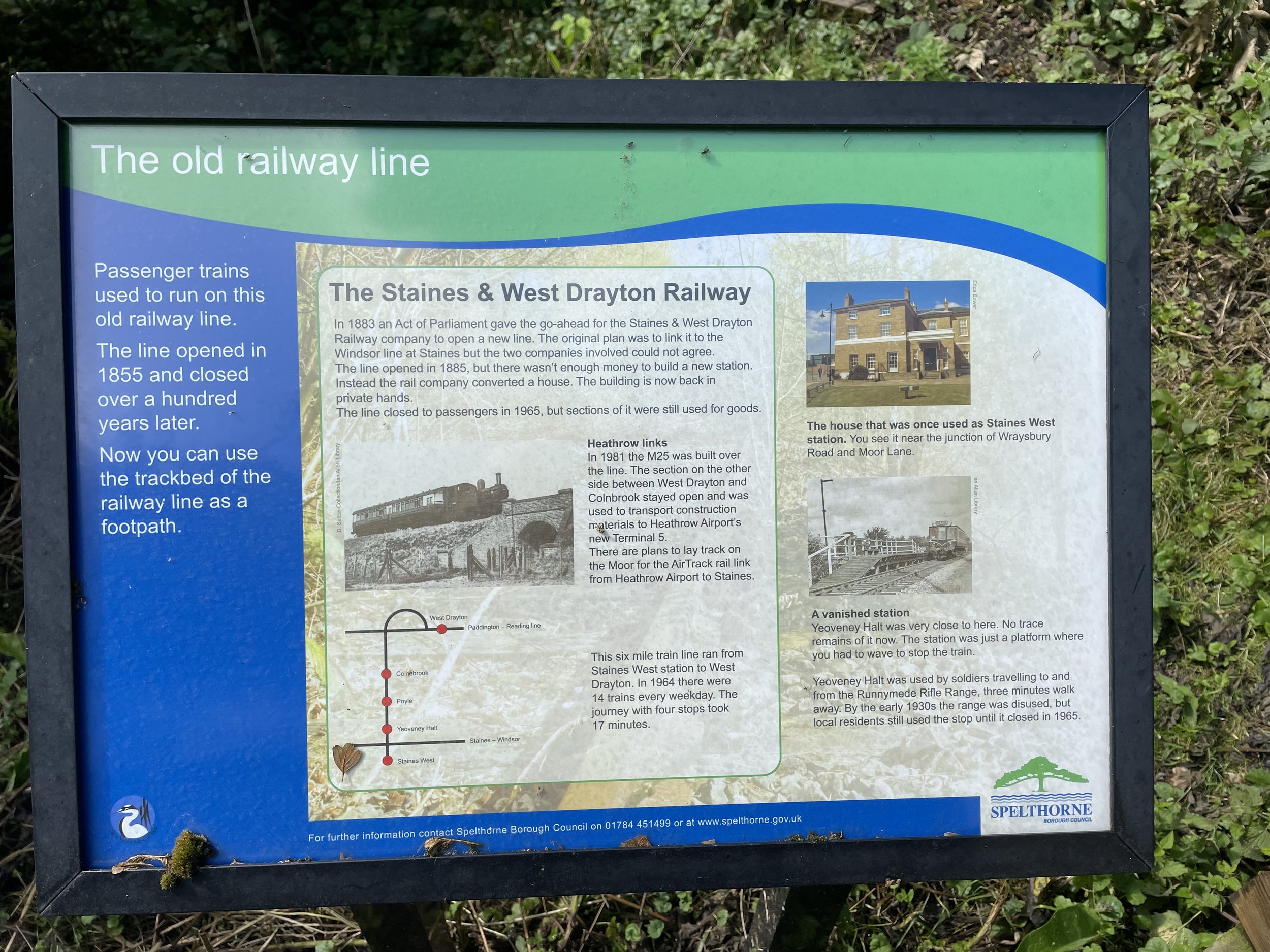
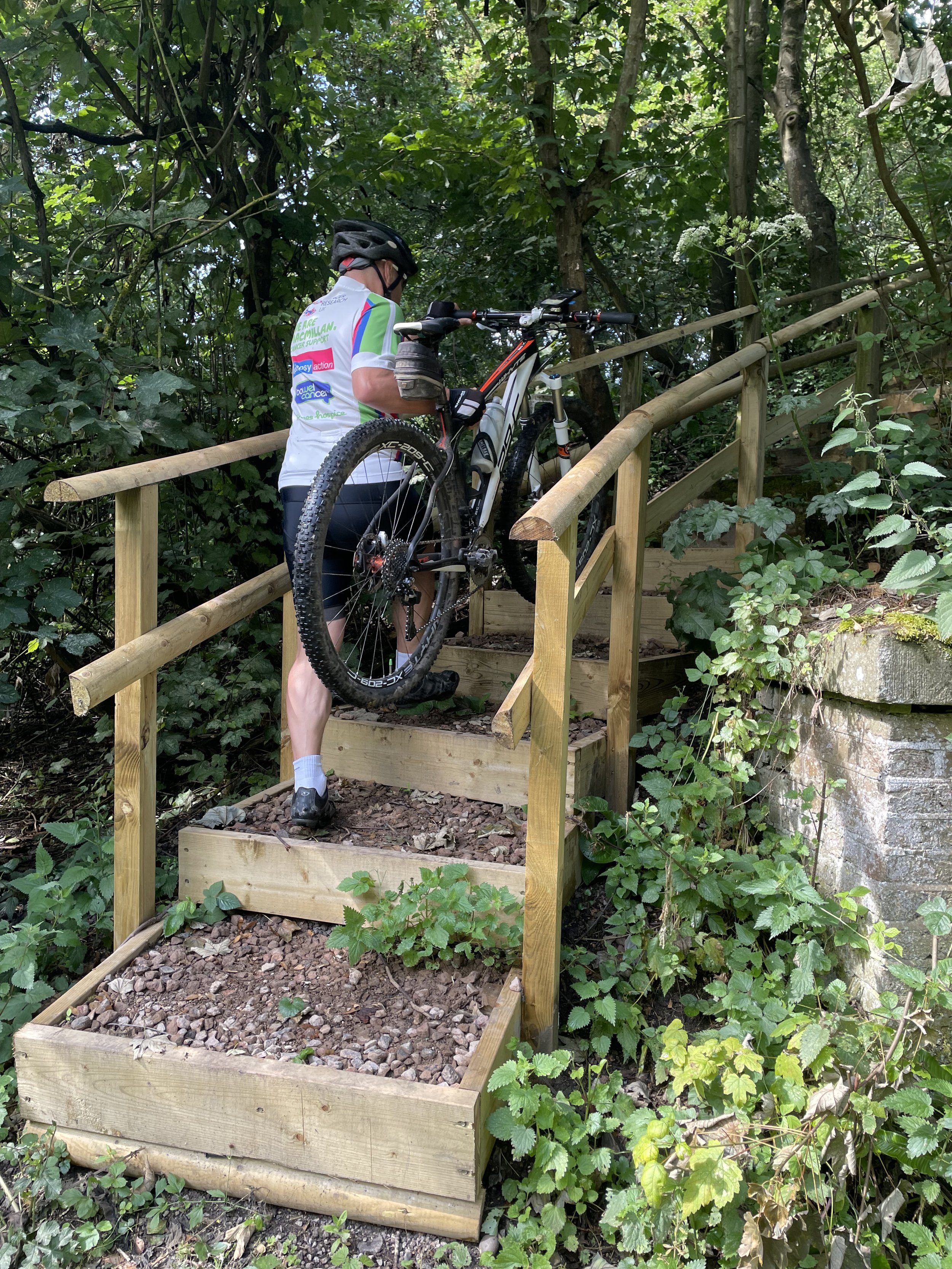
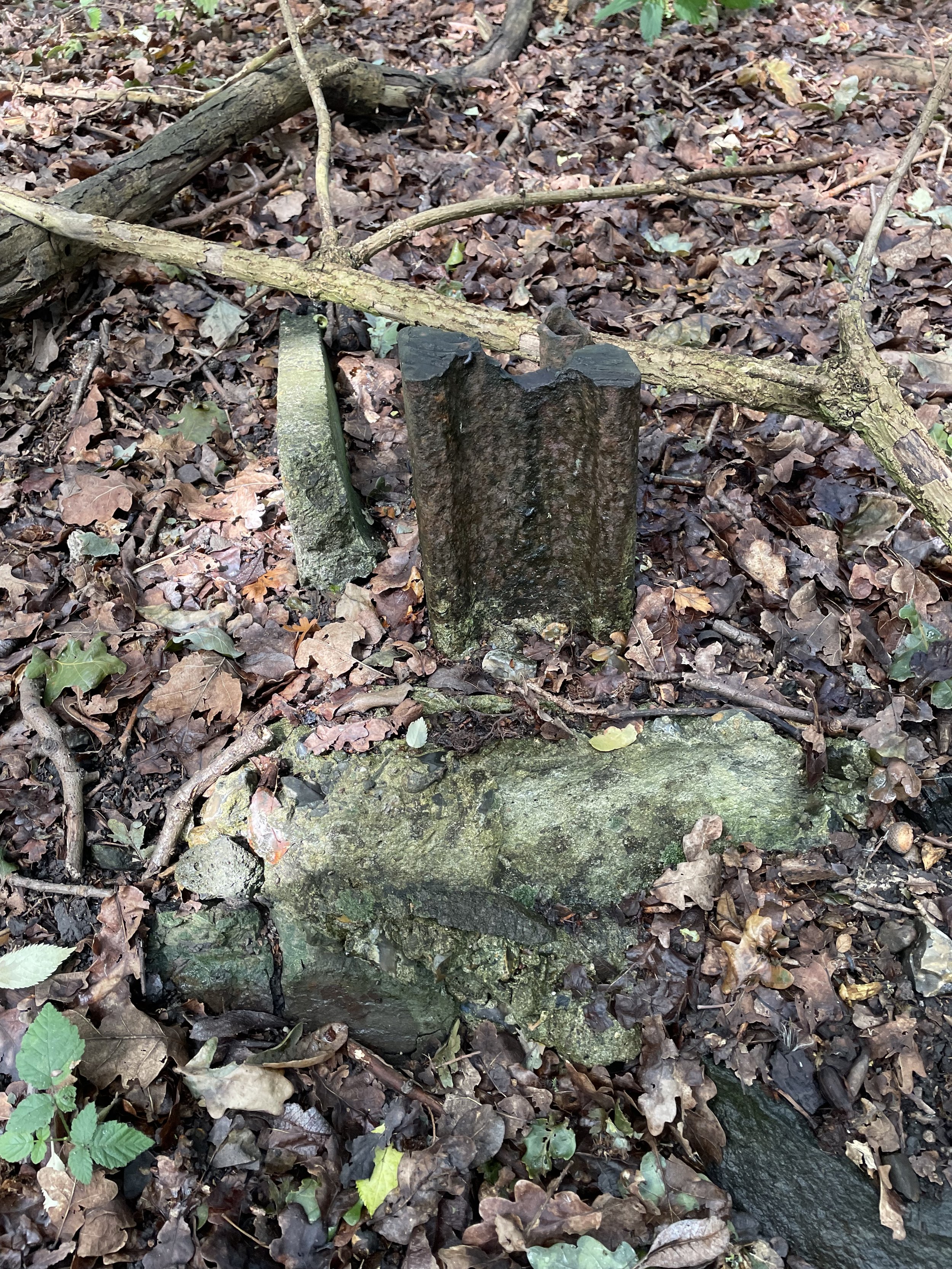
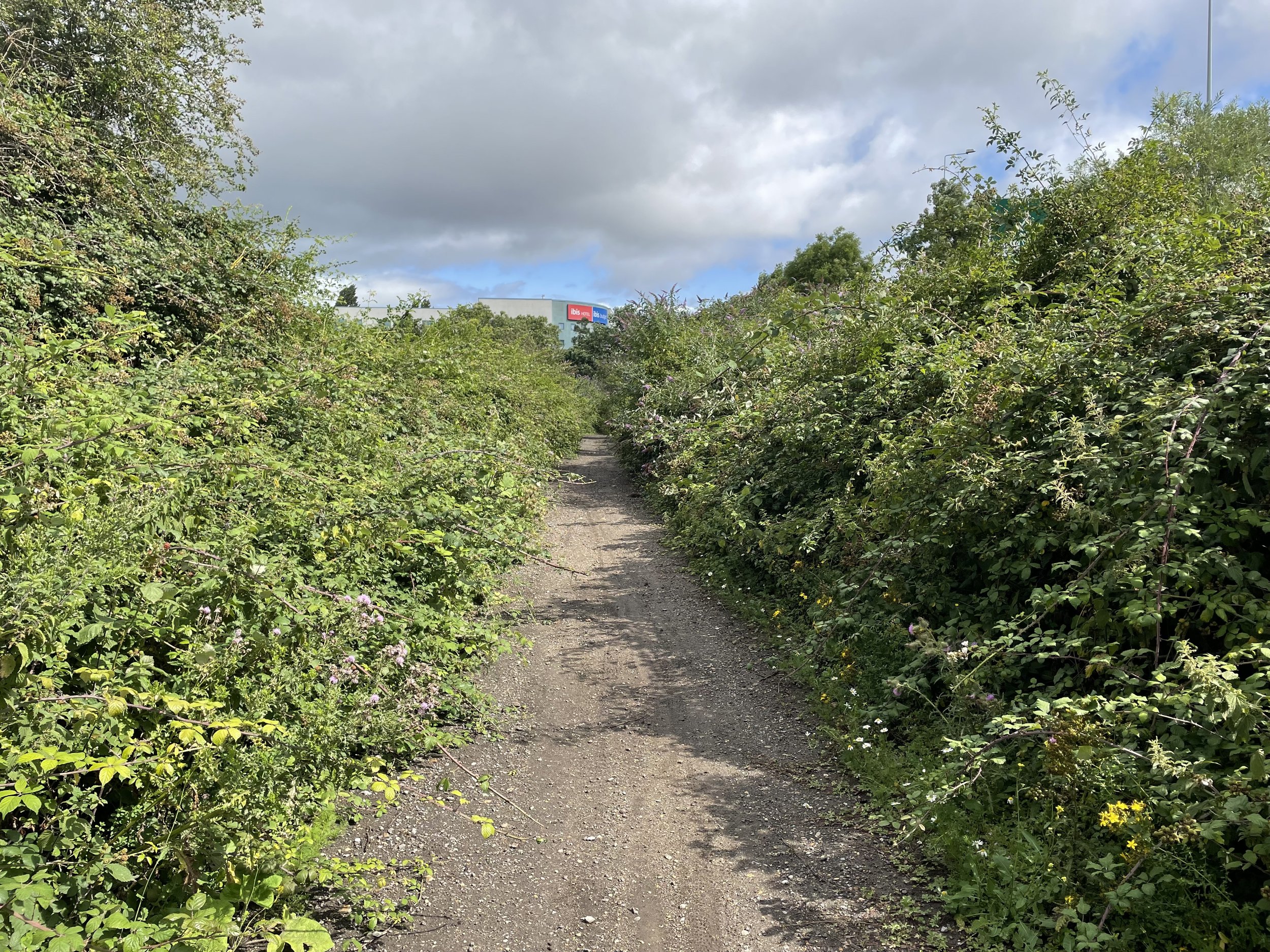
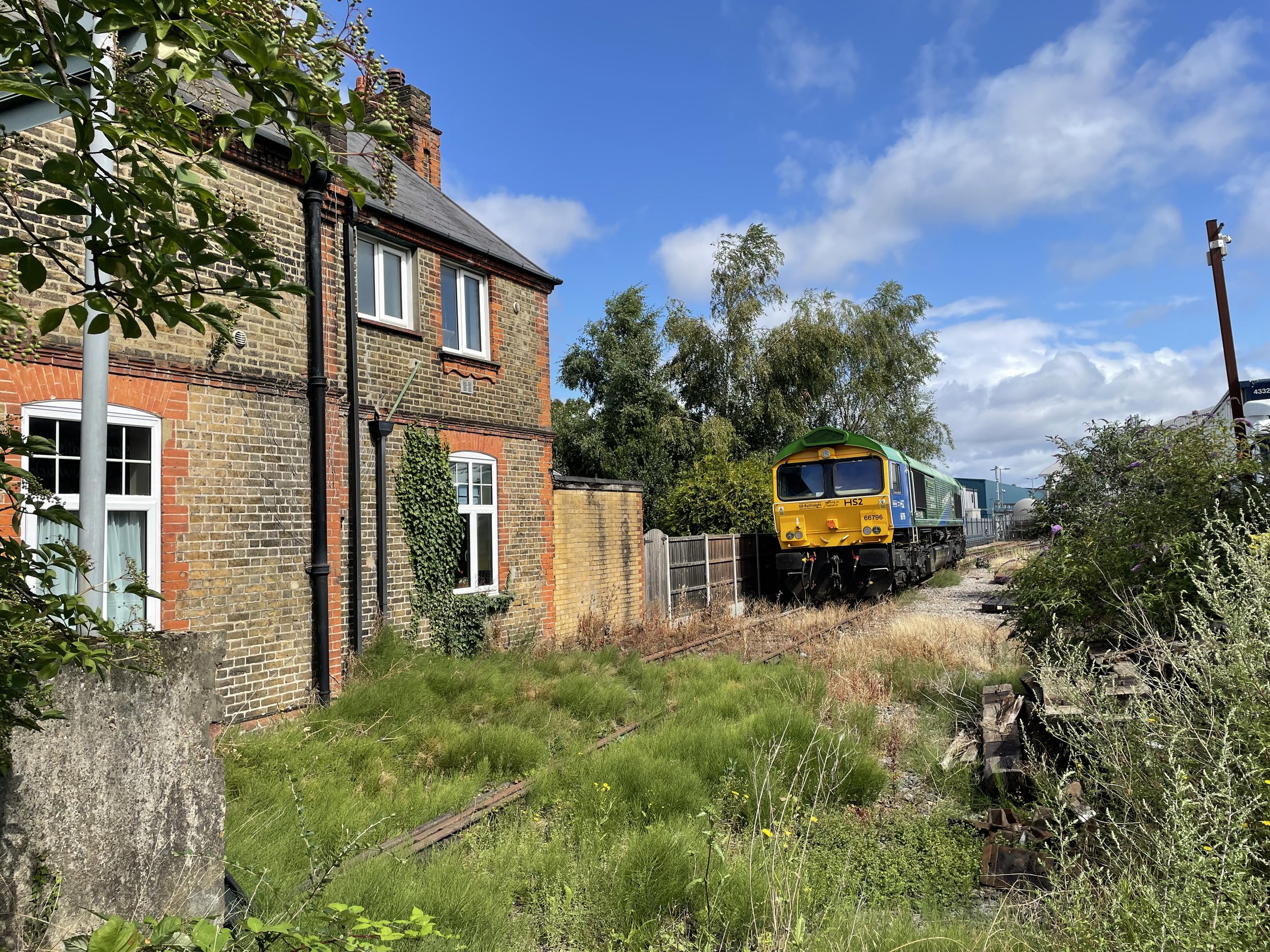
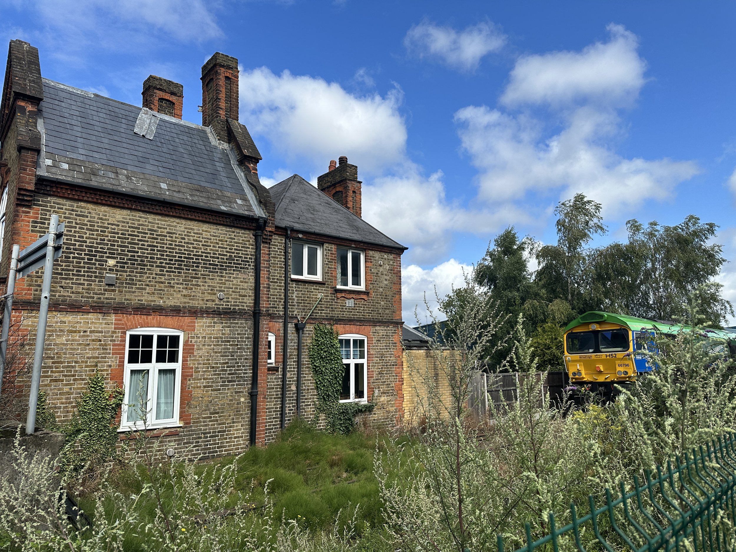
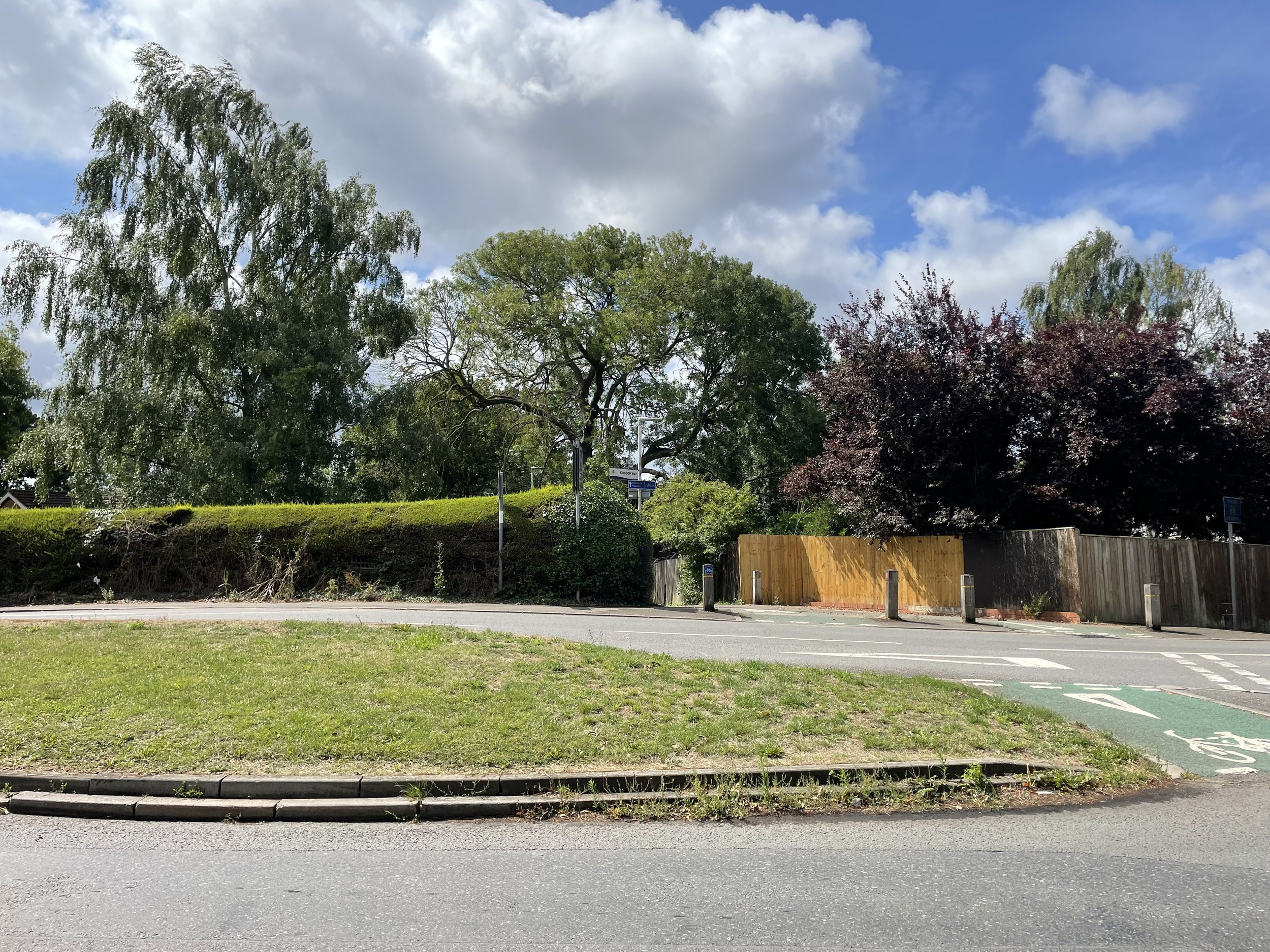
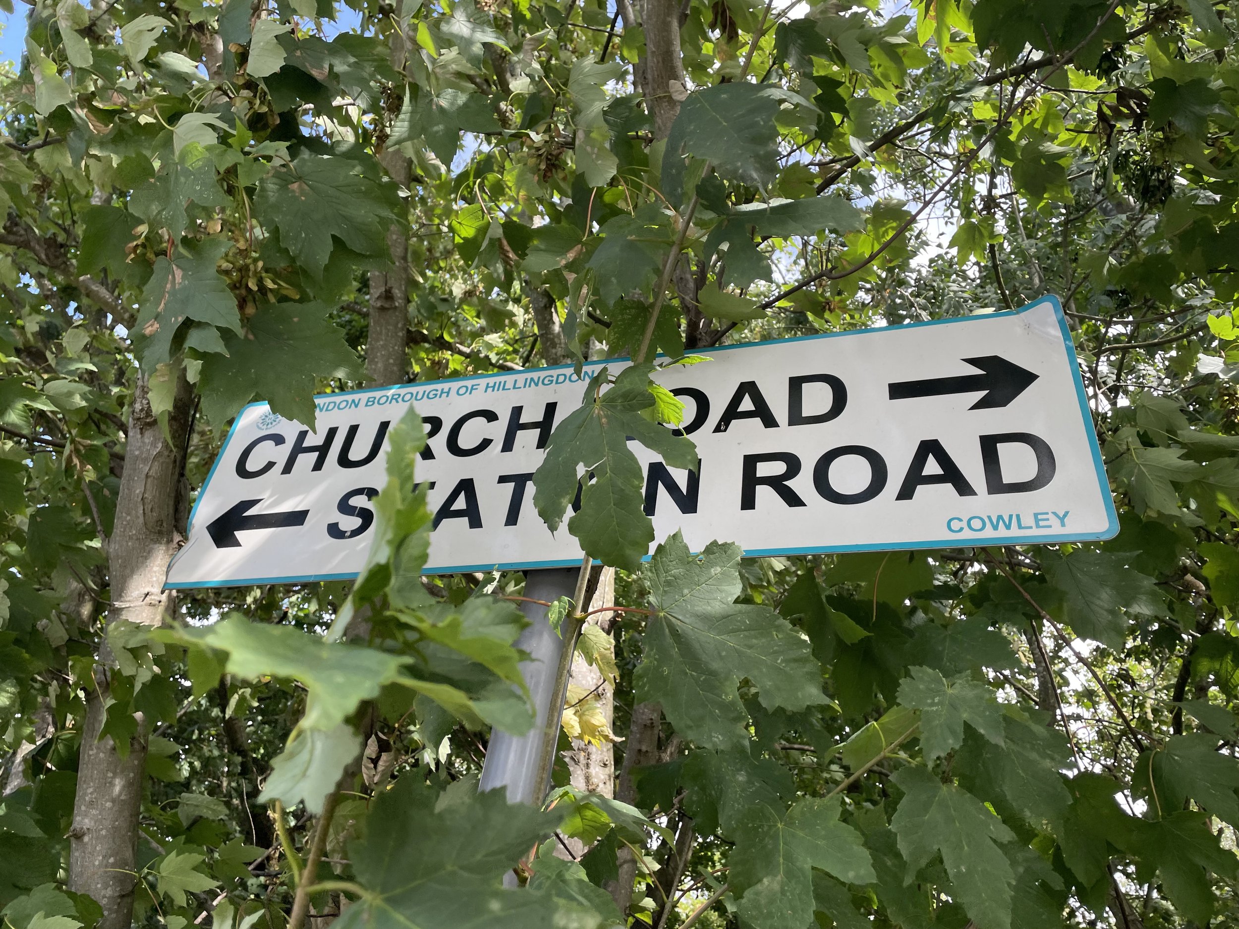
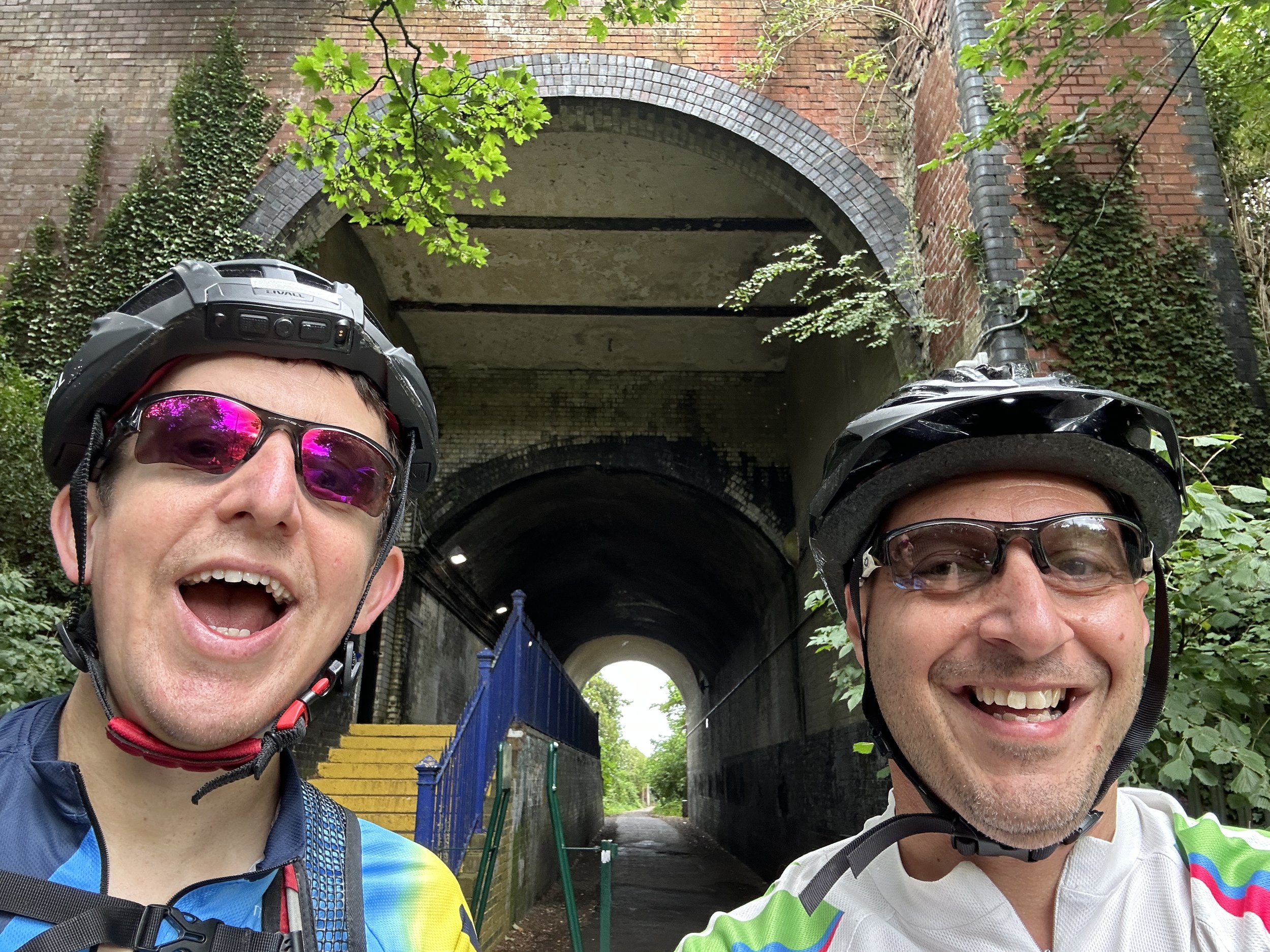
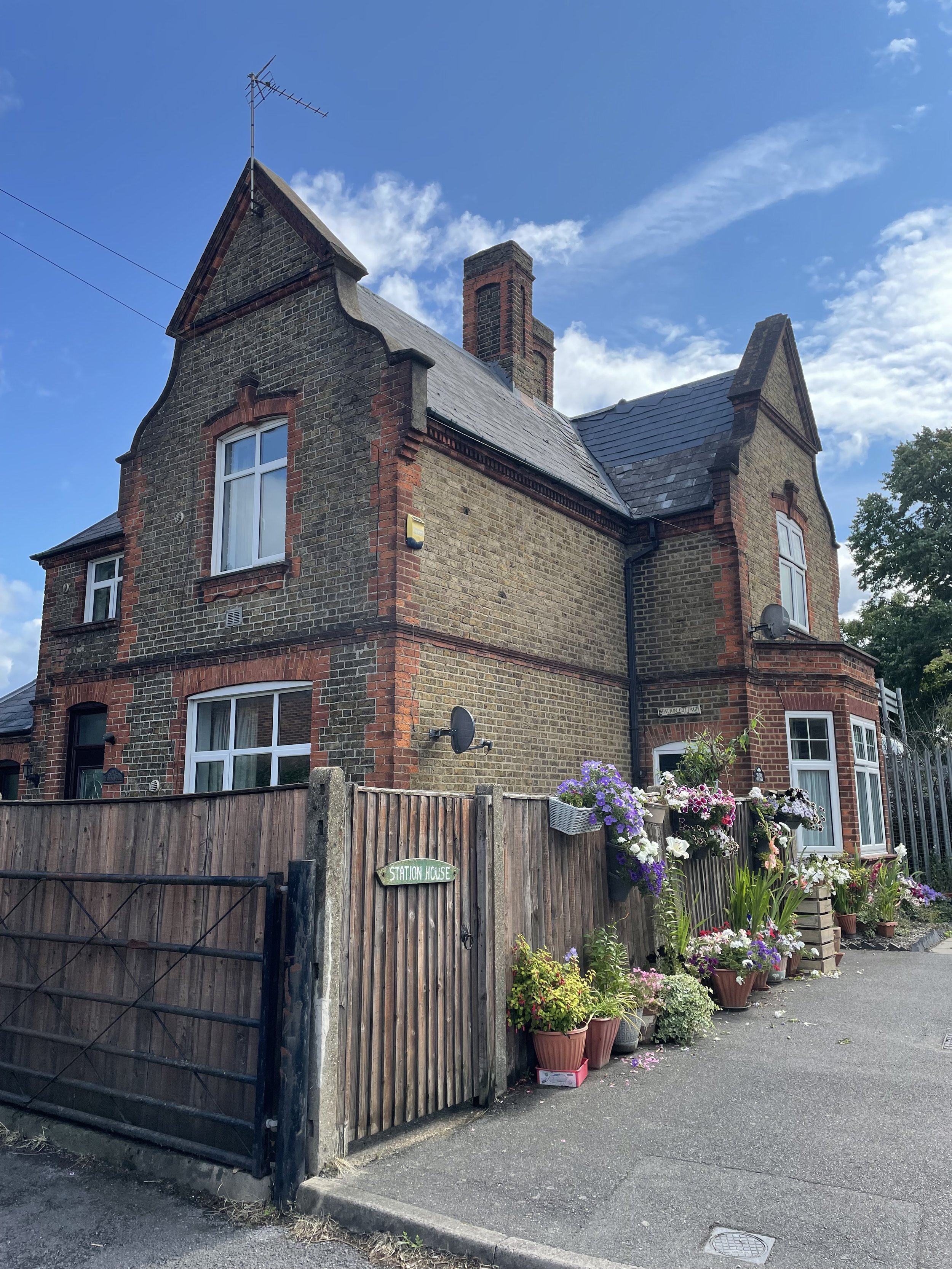
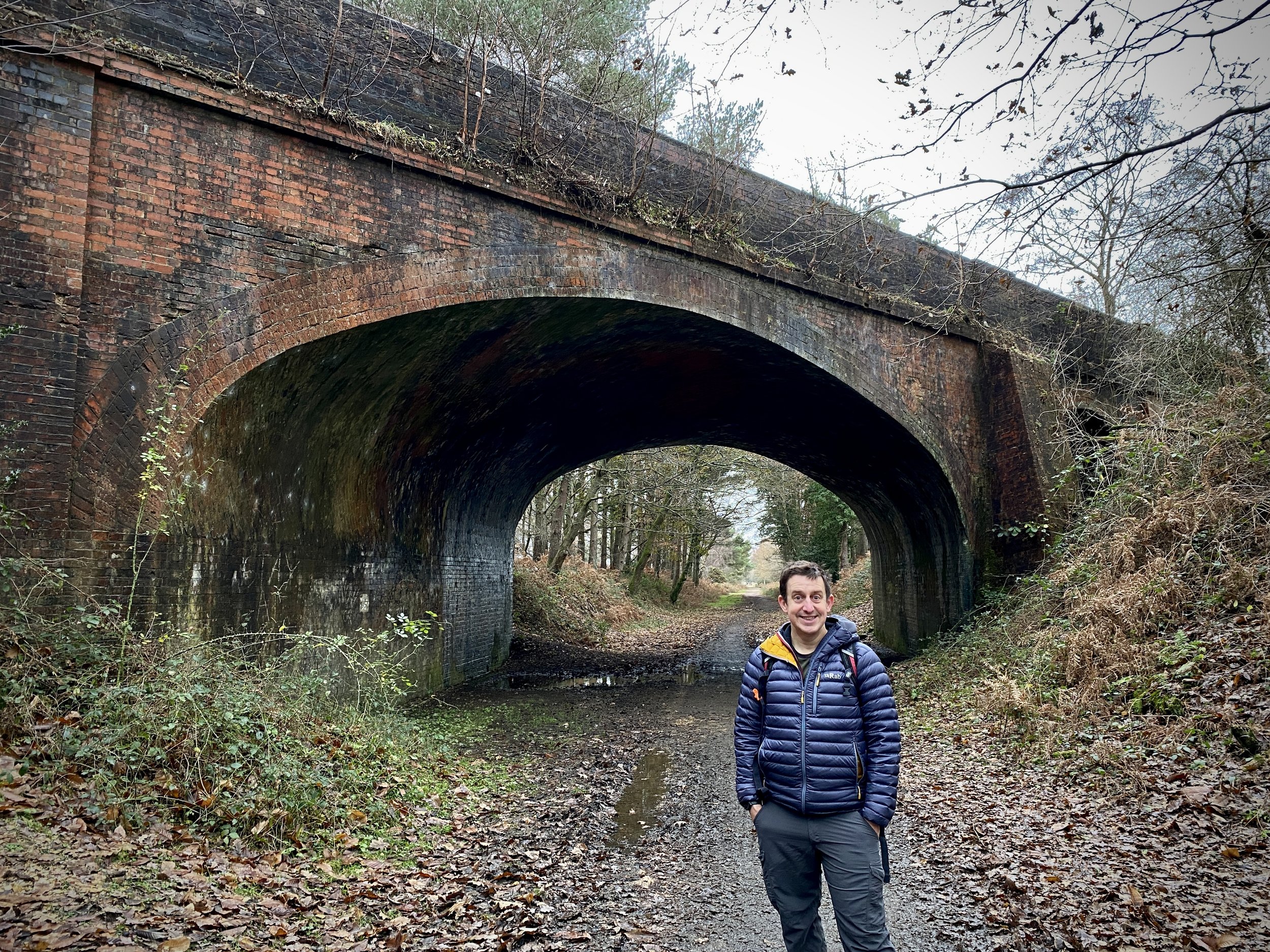
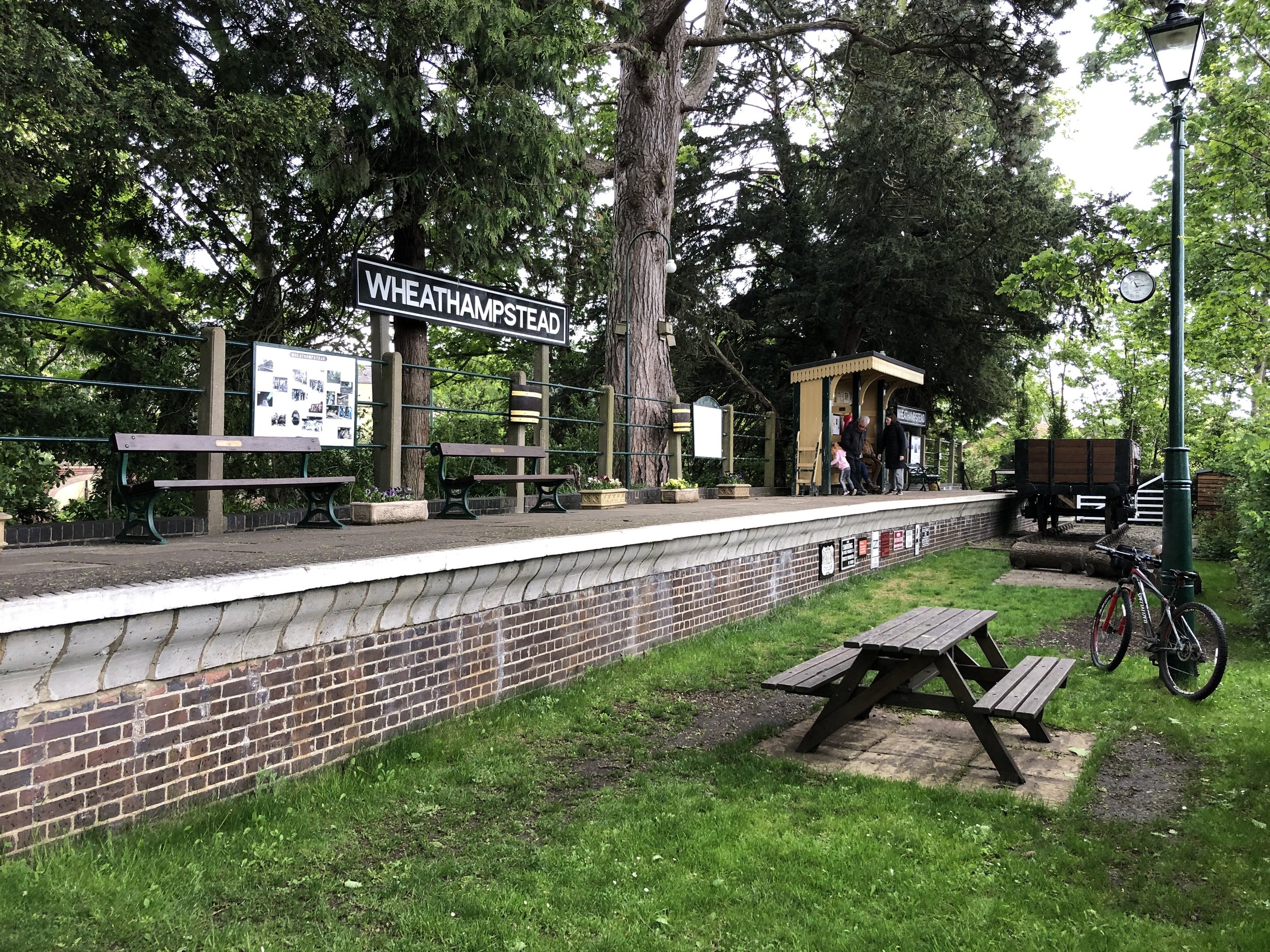
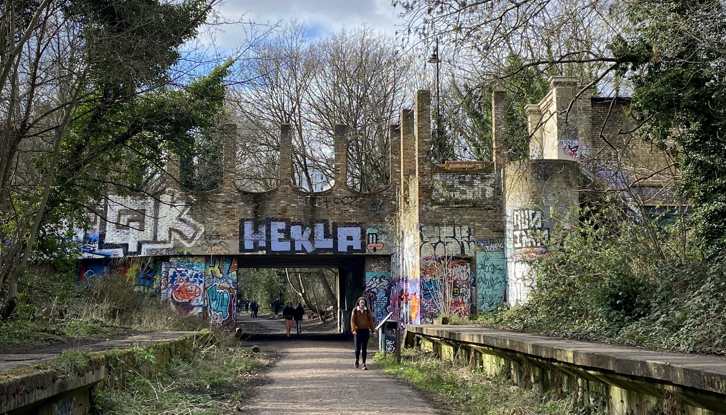
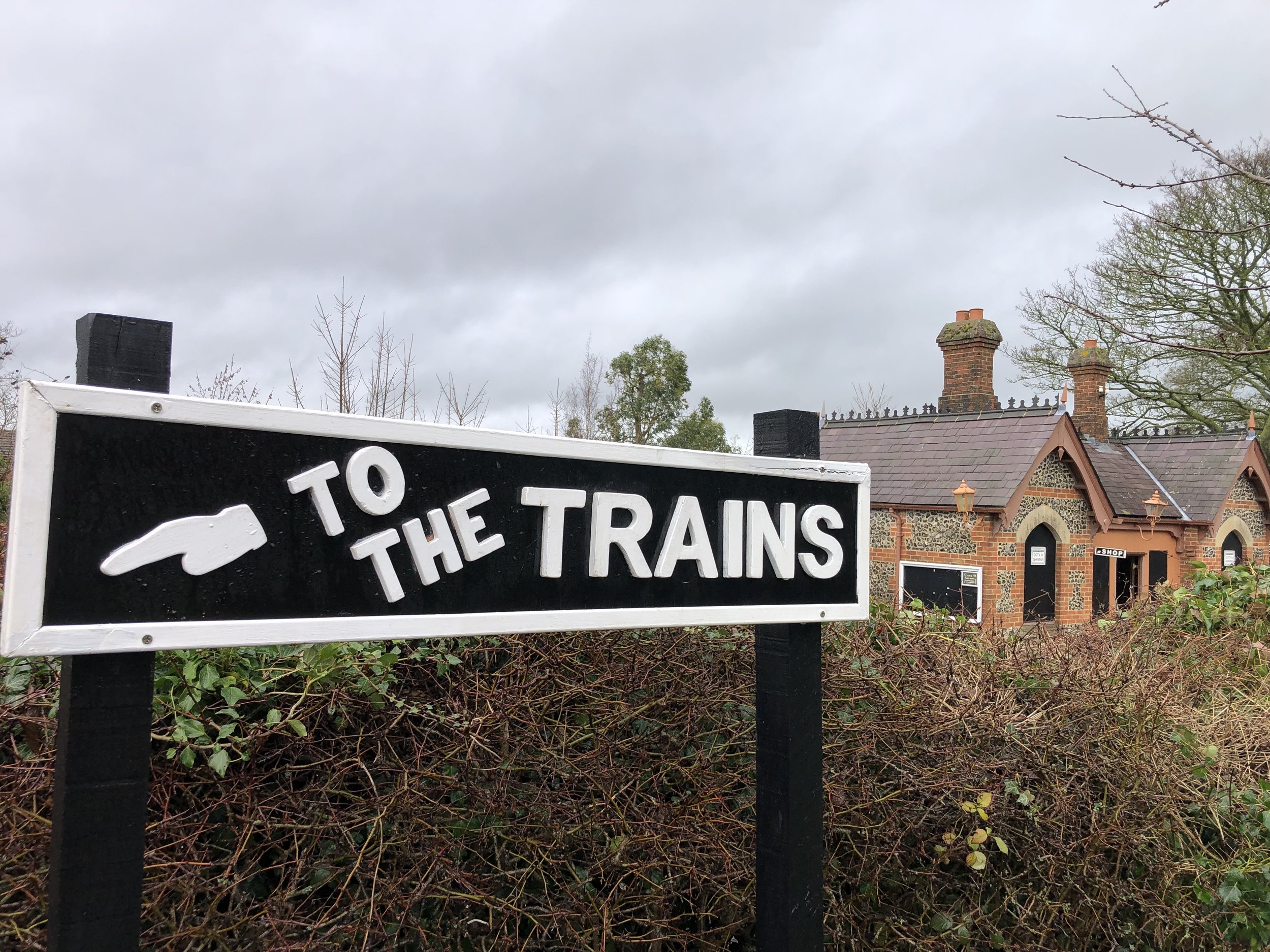
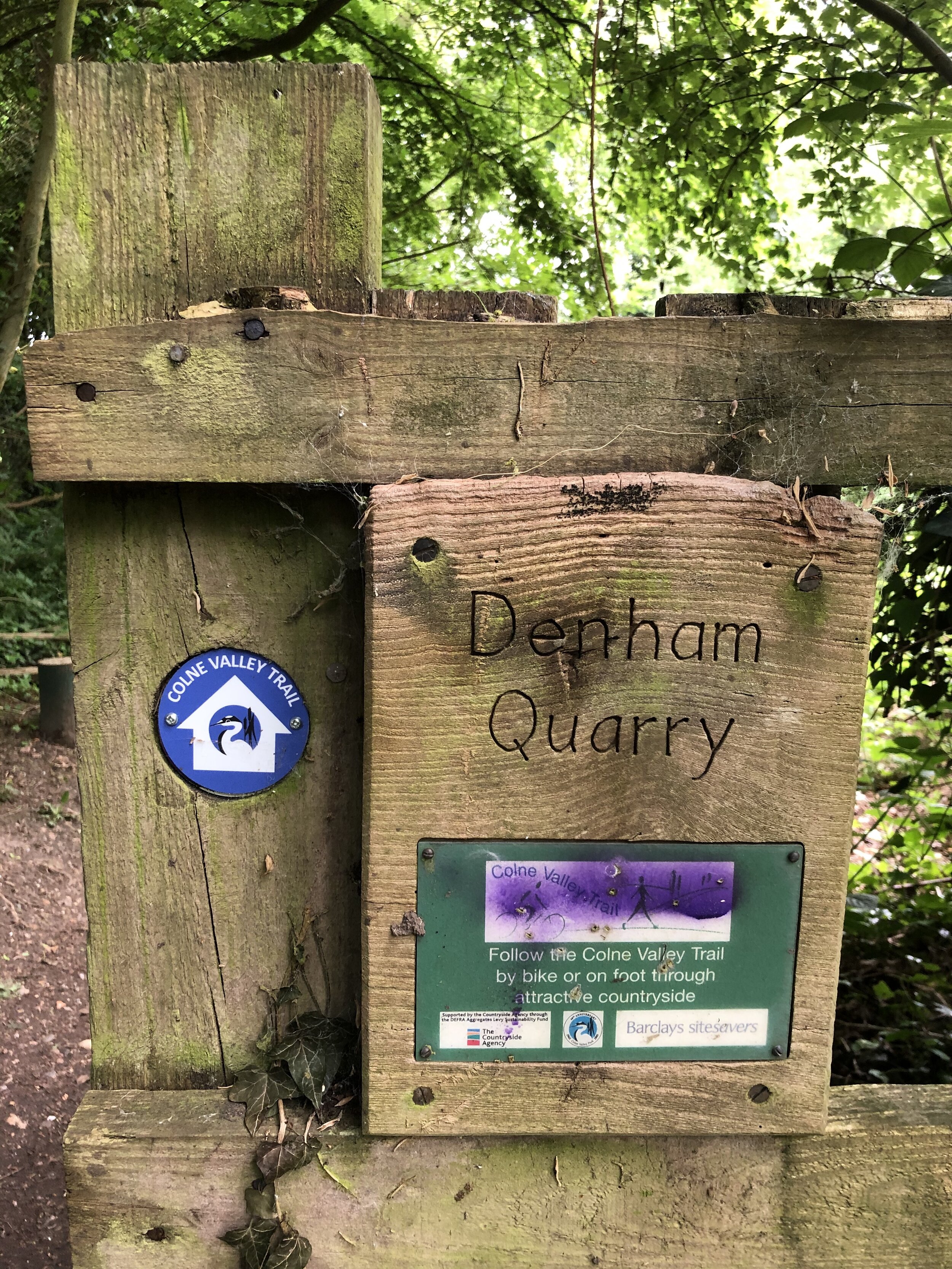
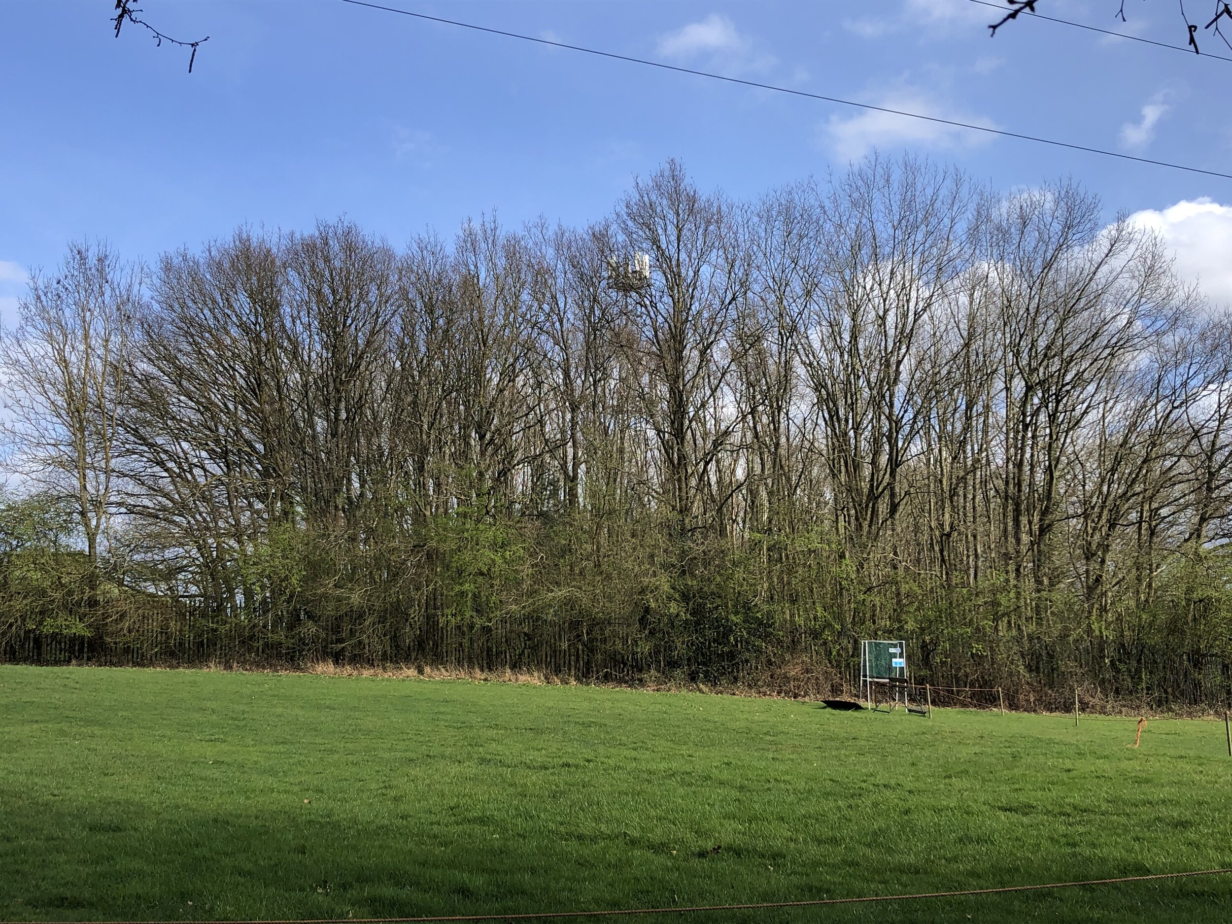
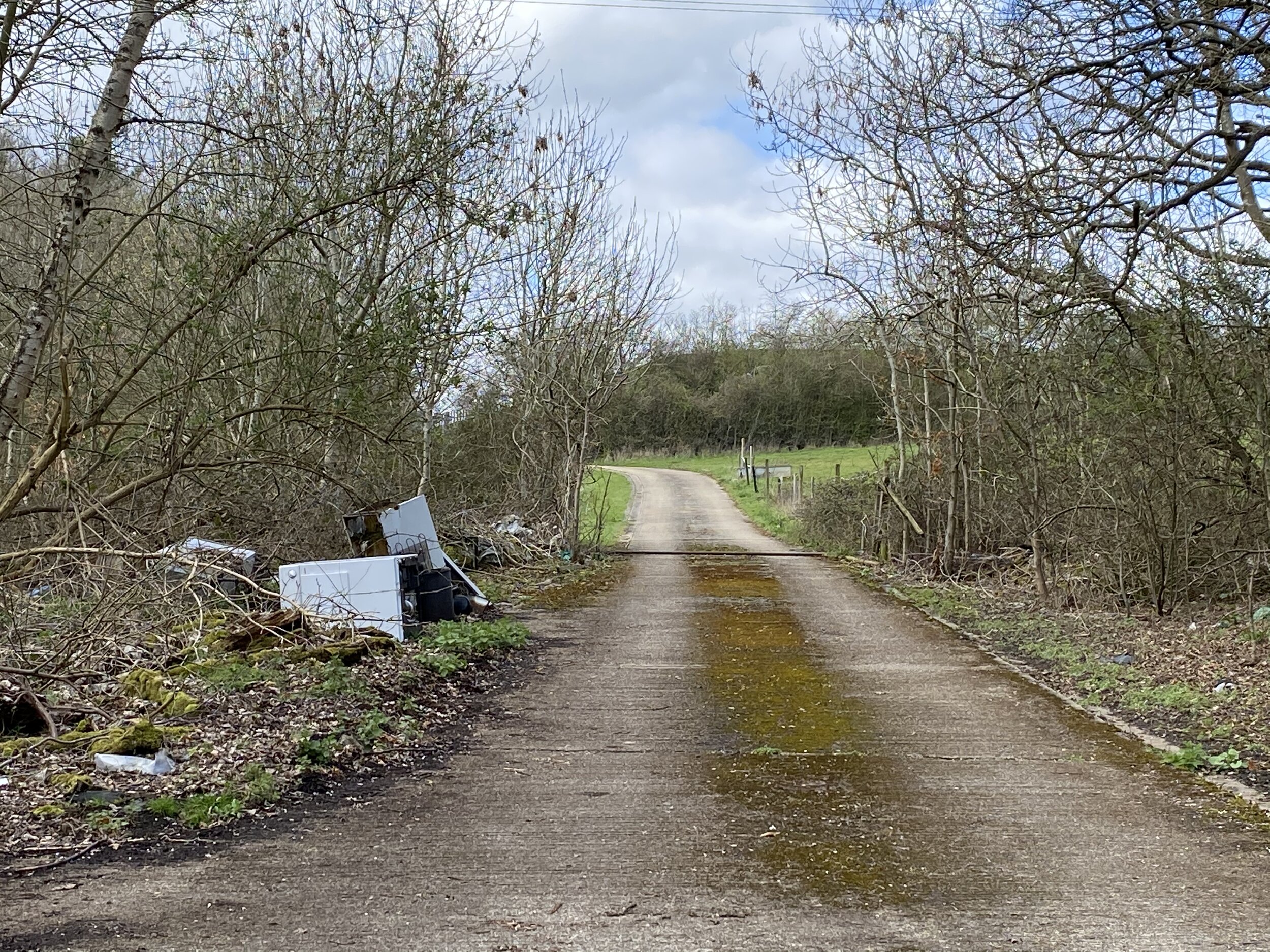
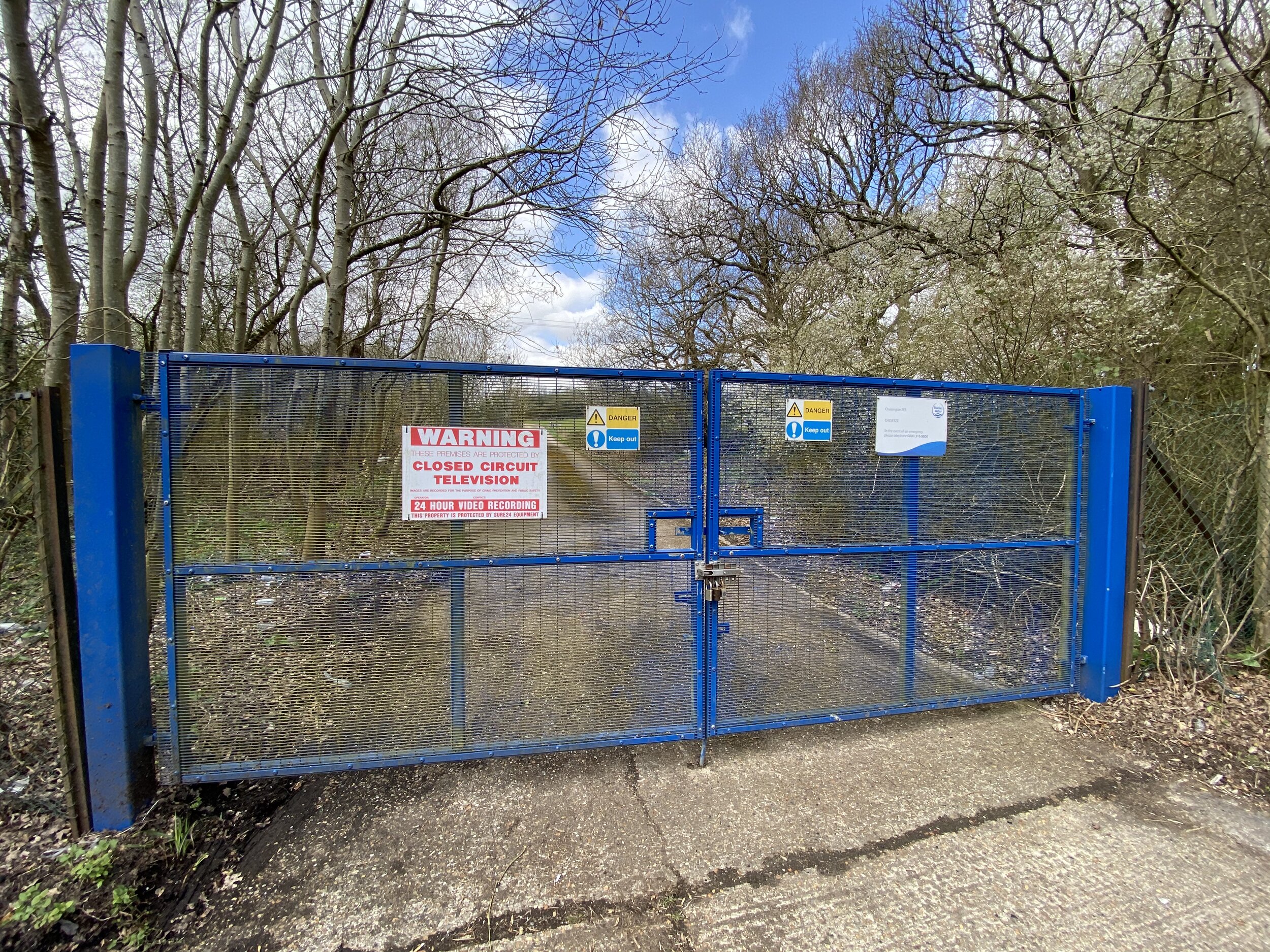
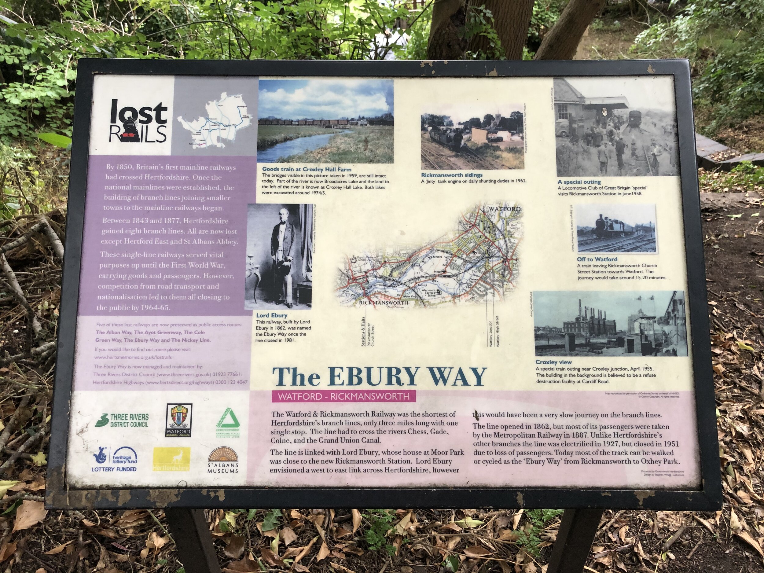
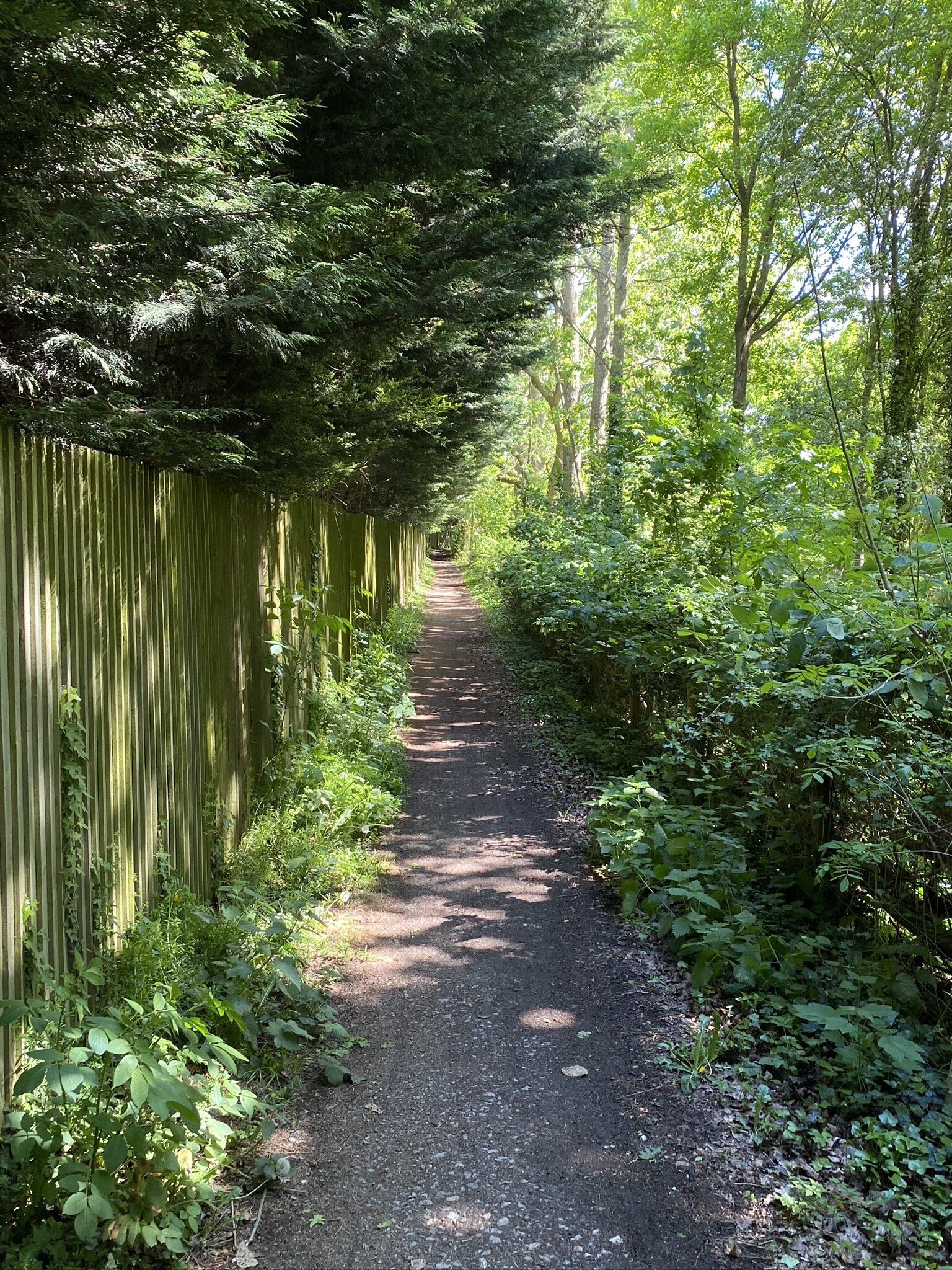
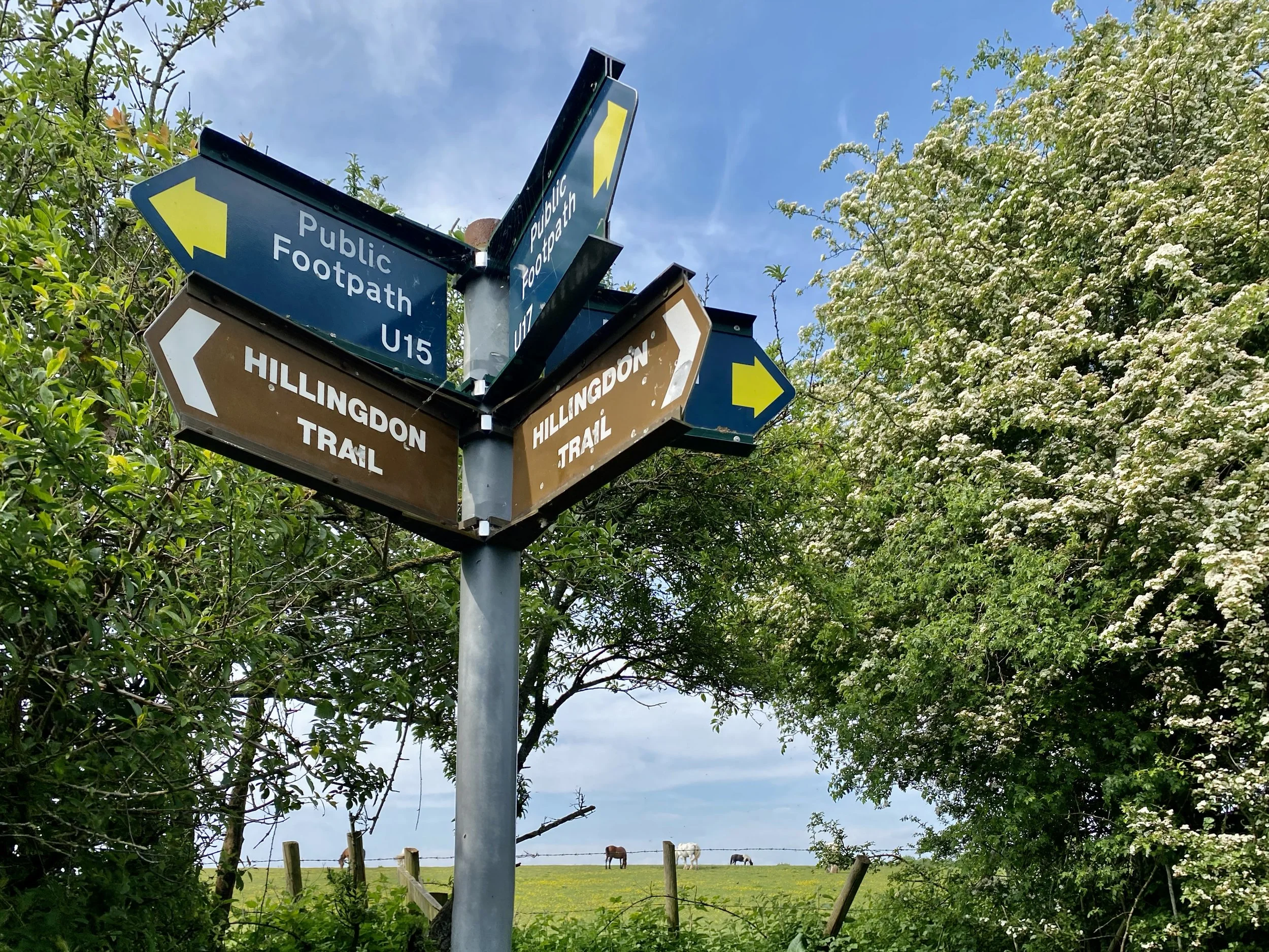
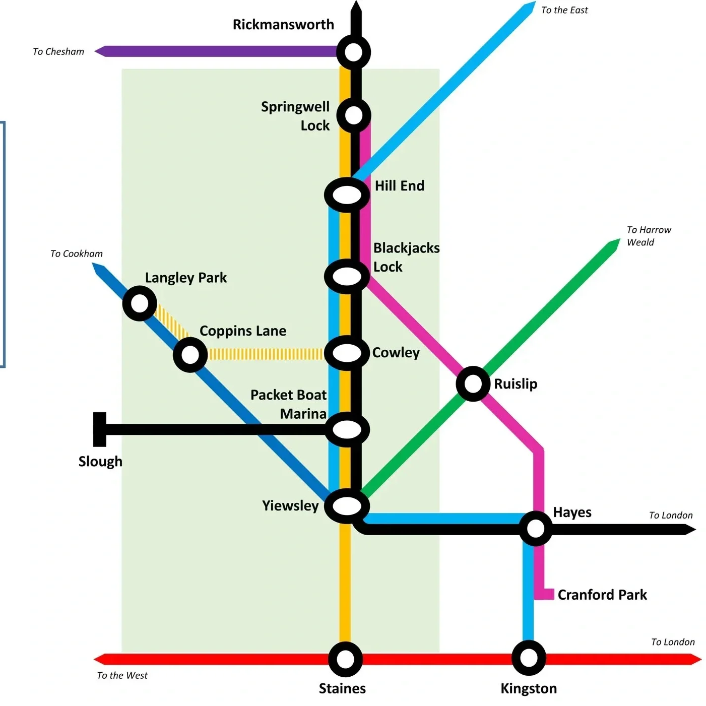
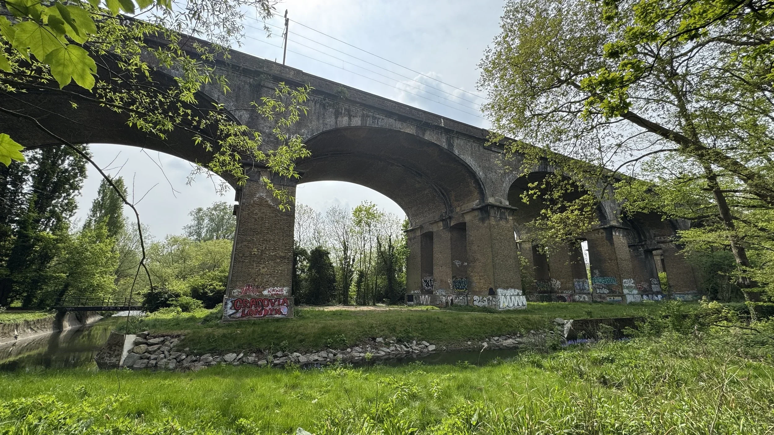
It is not just about active lines, either: this section also explores historic transport routes transformed into nature trails, including the Parkland Walk near Alexandra Palace and the disused railway from Uxbridge to Denham.

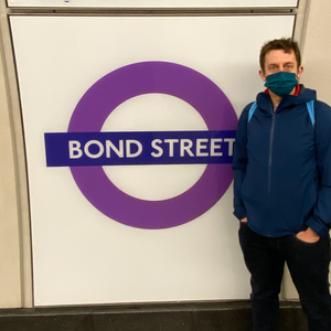
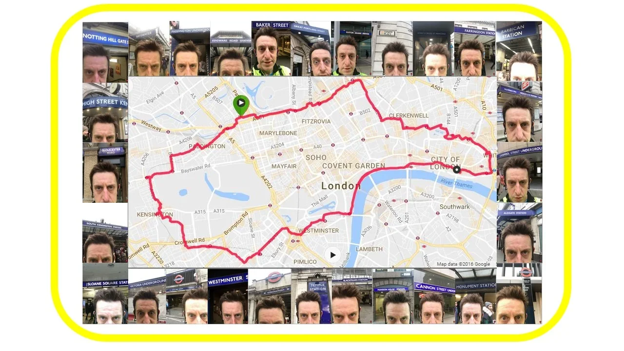
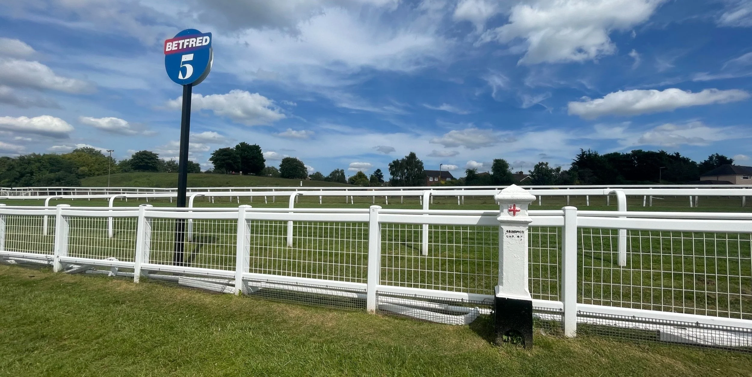
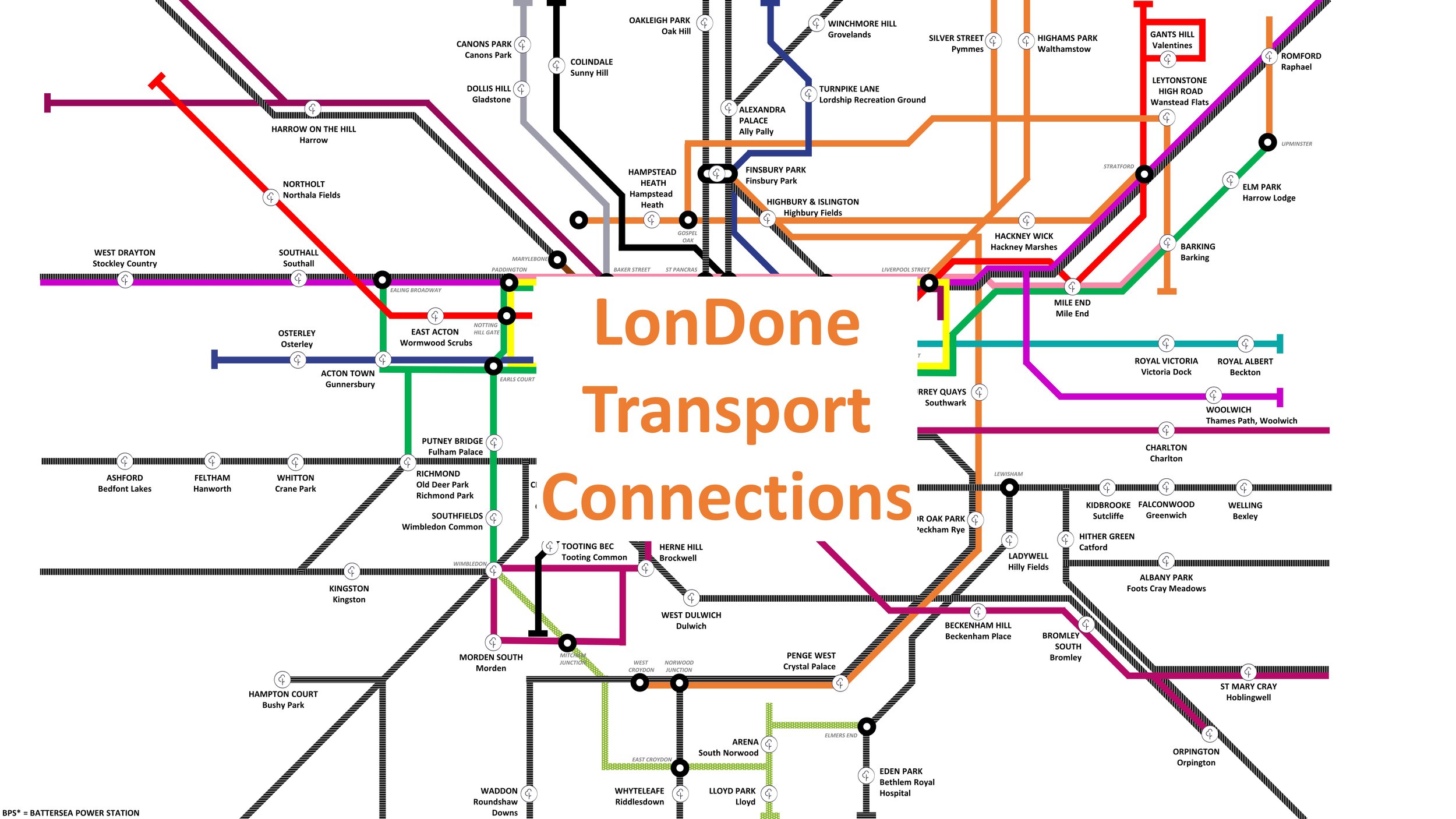
London parkruns
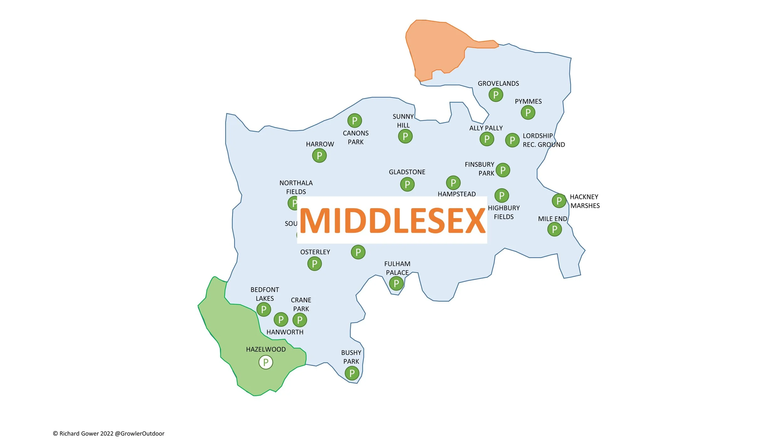
Saturday mornings are often dedicated to parkrun, and this category is a dedicated hub for achieving the coveted 'LonDone' status. It details my experiences visiting events across Greater London and completing all the Middlesex courses.
For anyone else chasing the ultimate tourism goals, I have also included guides on transport connections and venturing into the extended challenges of LonDone + and LonDone ++.


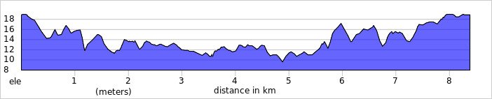
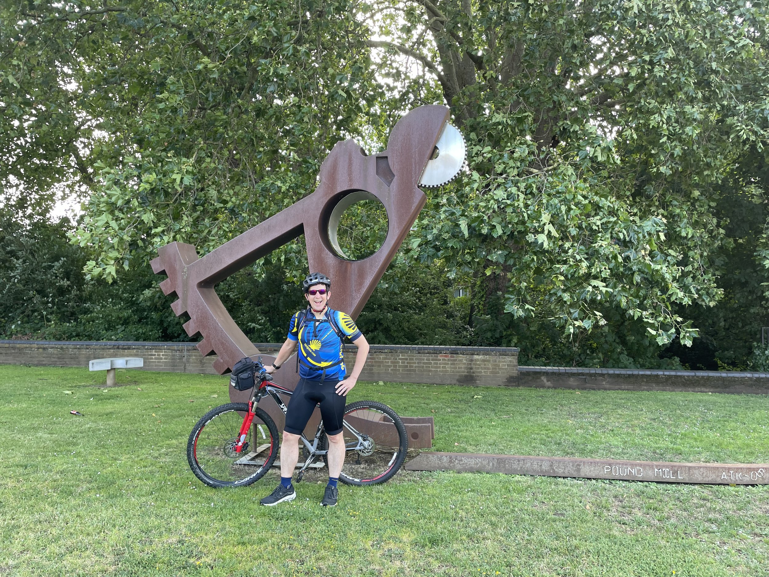
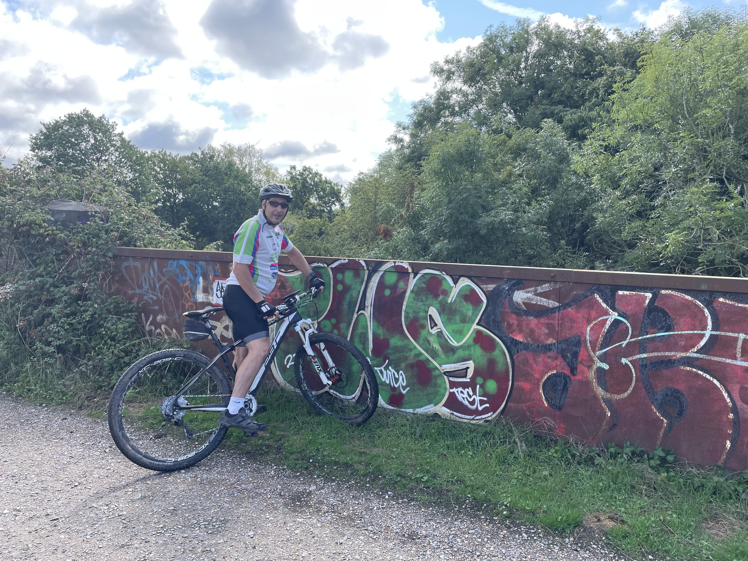
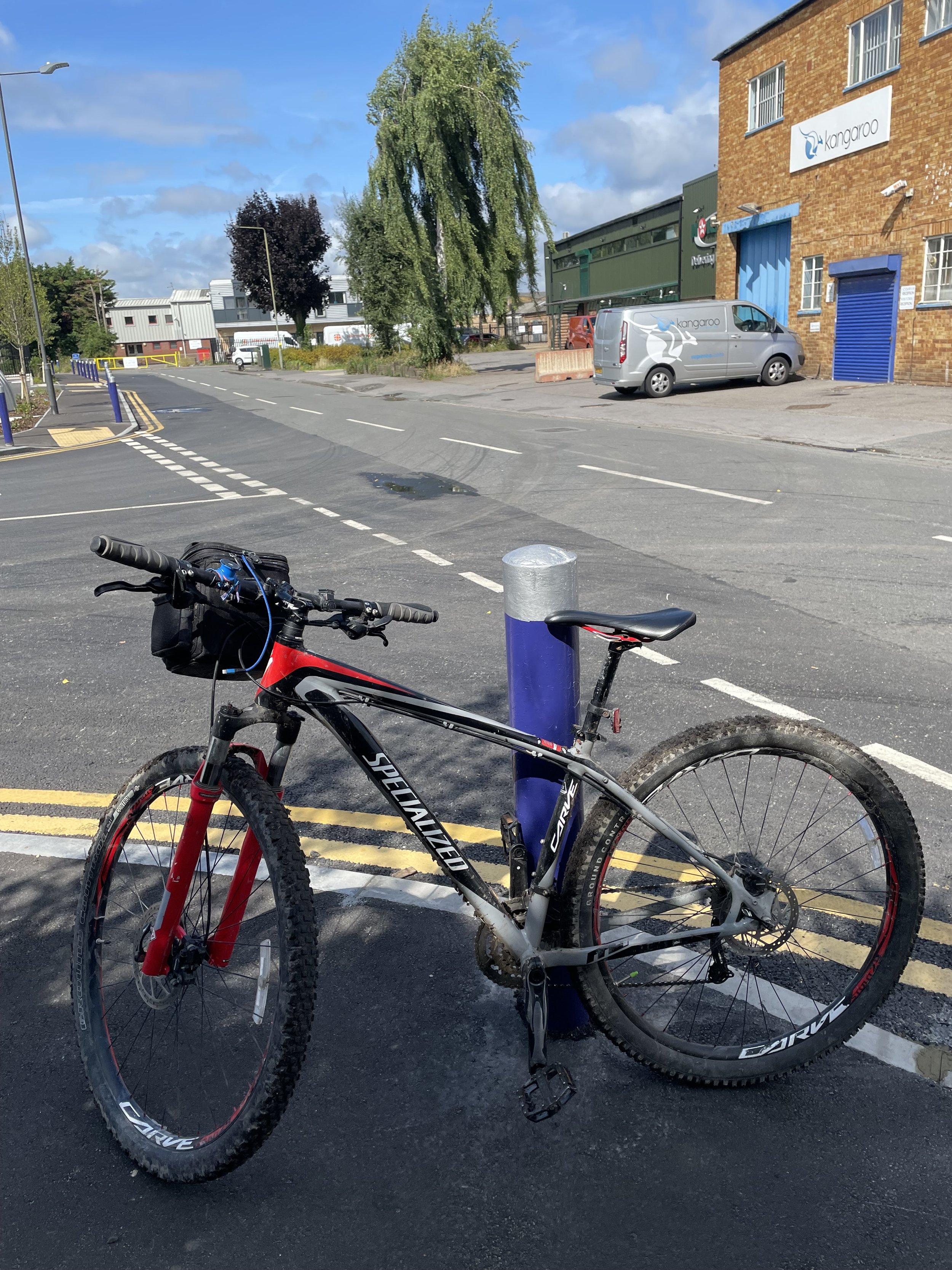
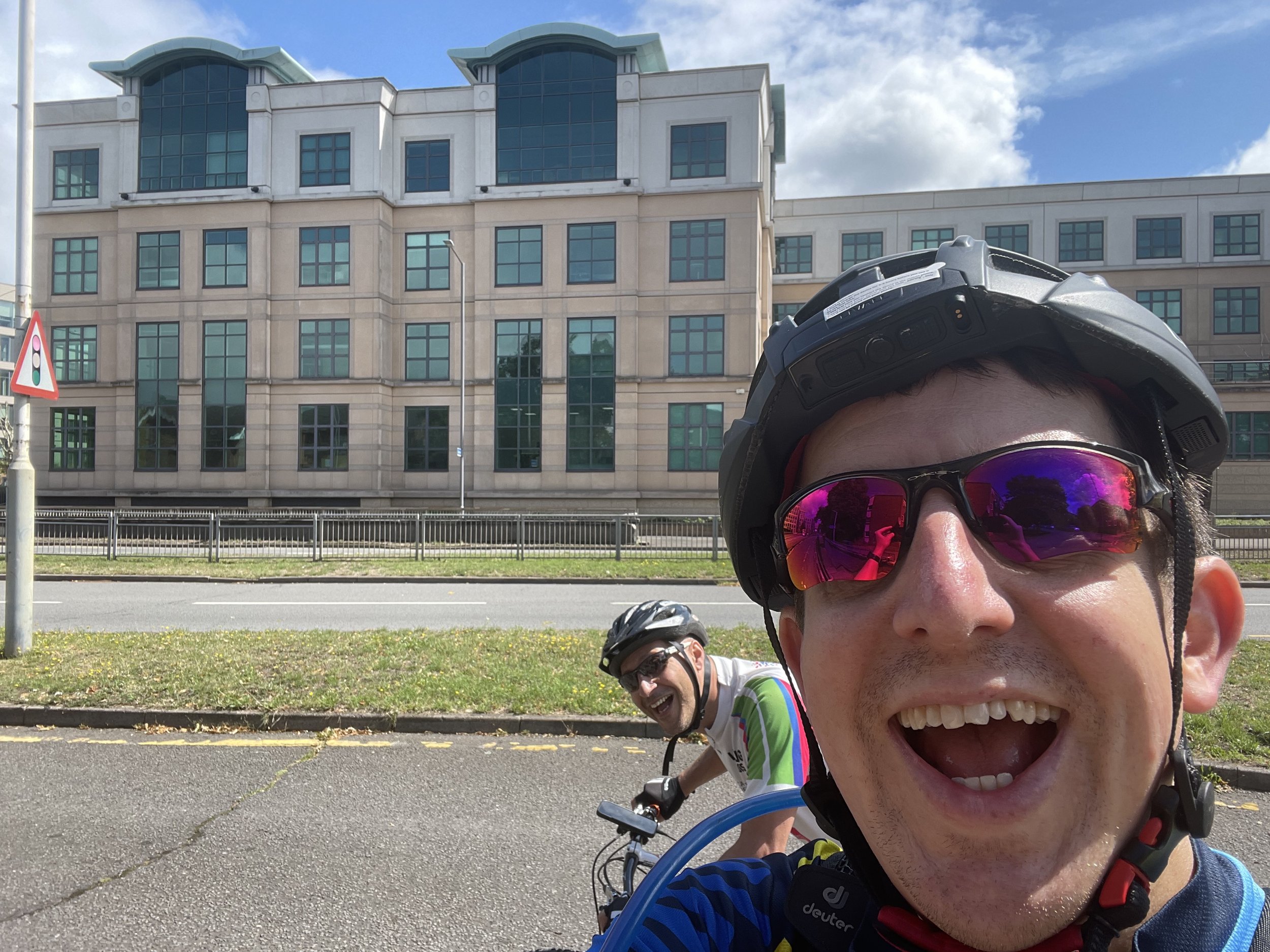
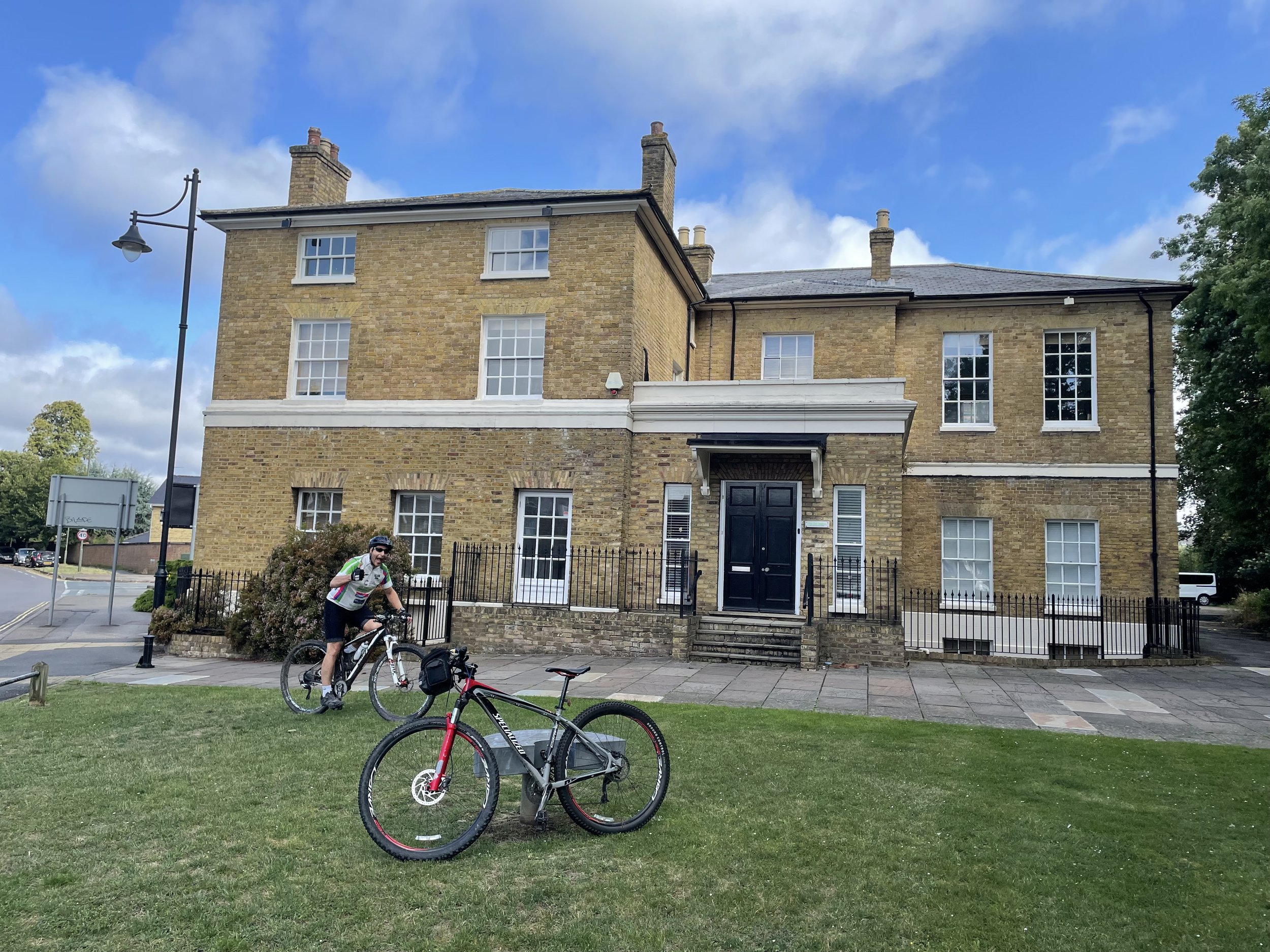
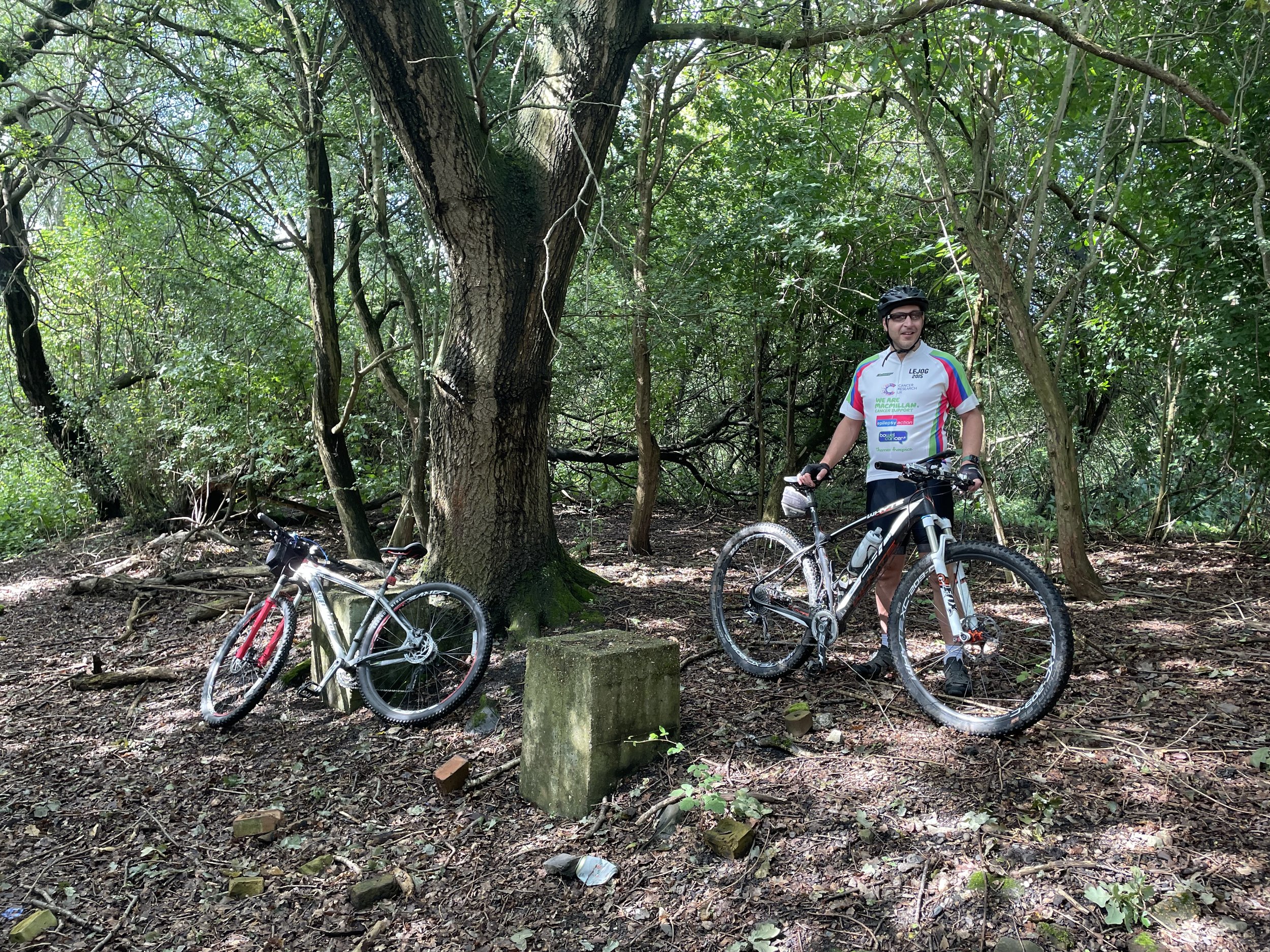
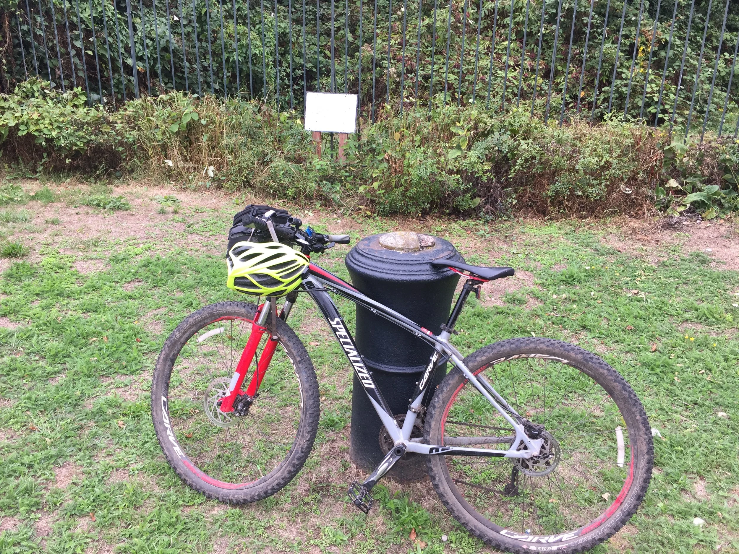
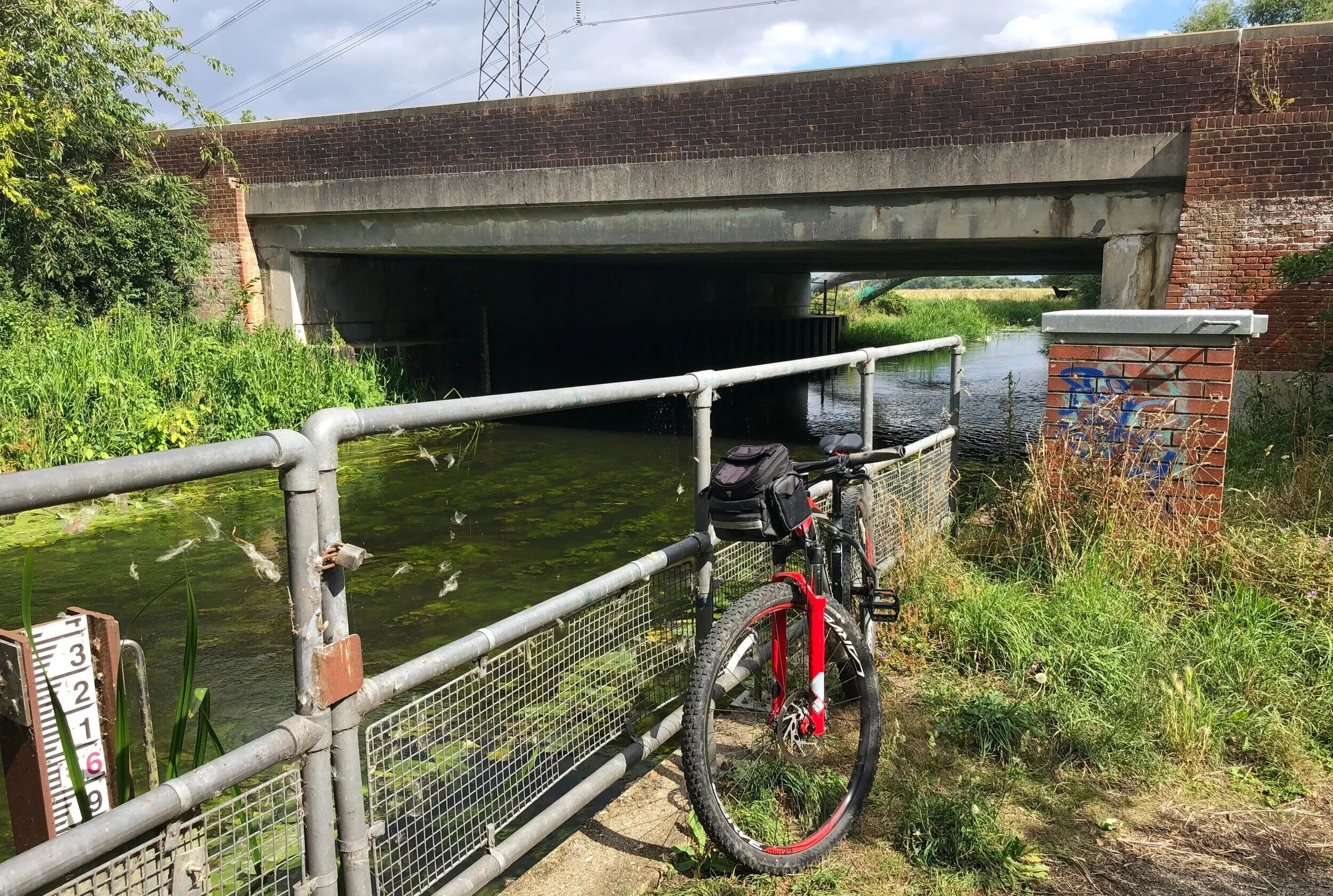
Cycling In London
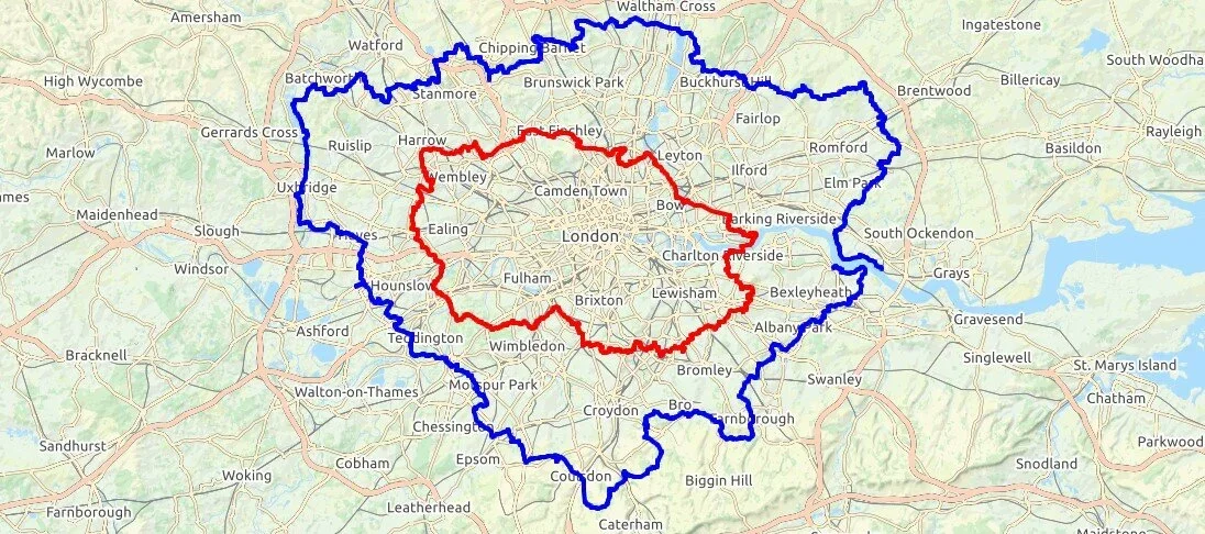
Getting on the bike is one of the best ways to cover longer distances across the city's green spaces. These posts highlight dedicated cycling routes, including the vast orbital circuits of the London Loop and Capital Ring.
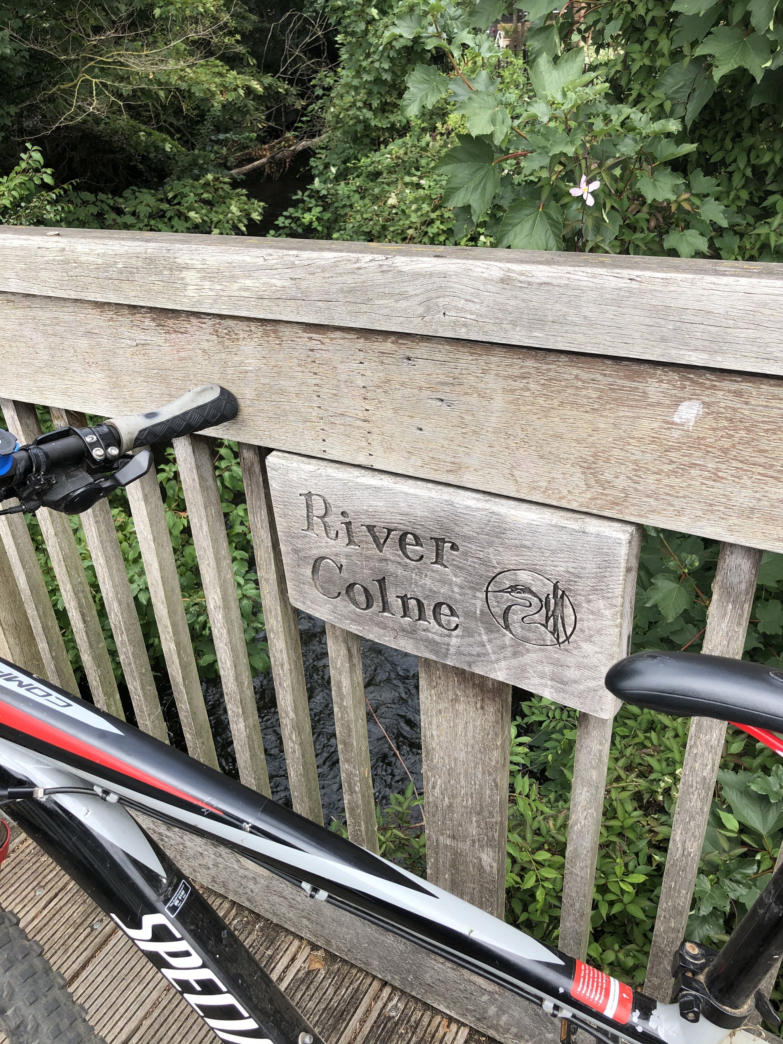
You can also follow my two-wheeled adventures along the River Crane and the River Ash: offering peaceful cycling alternatives away from the busy main roads.
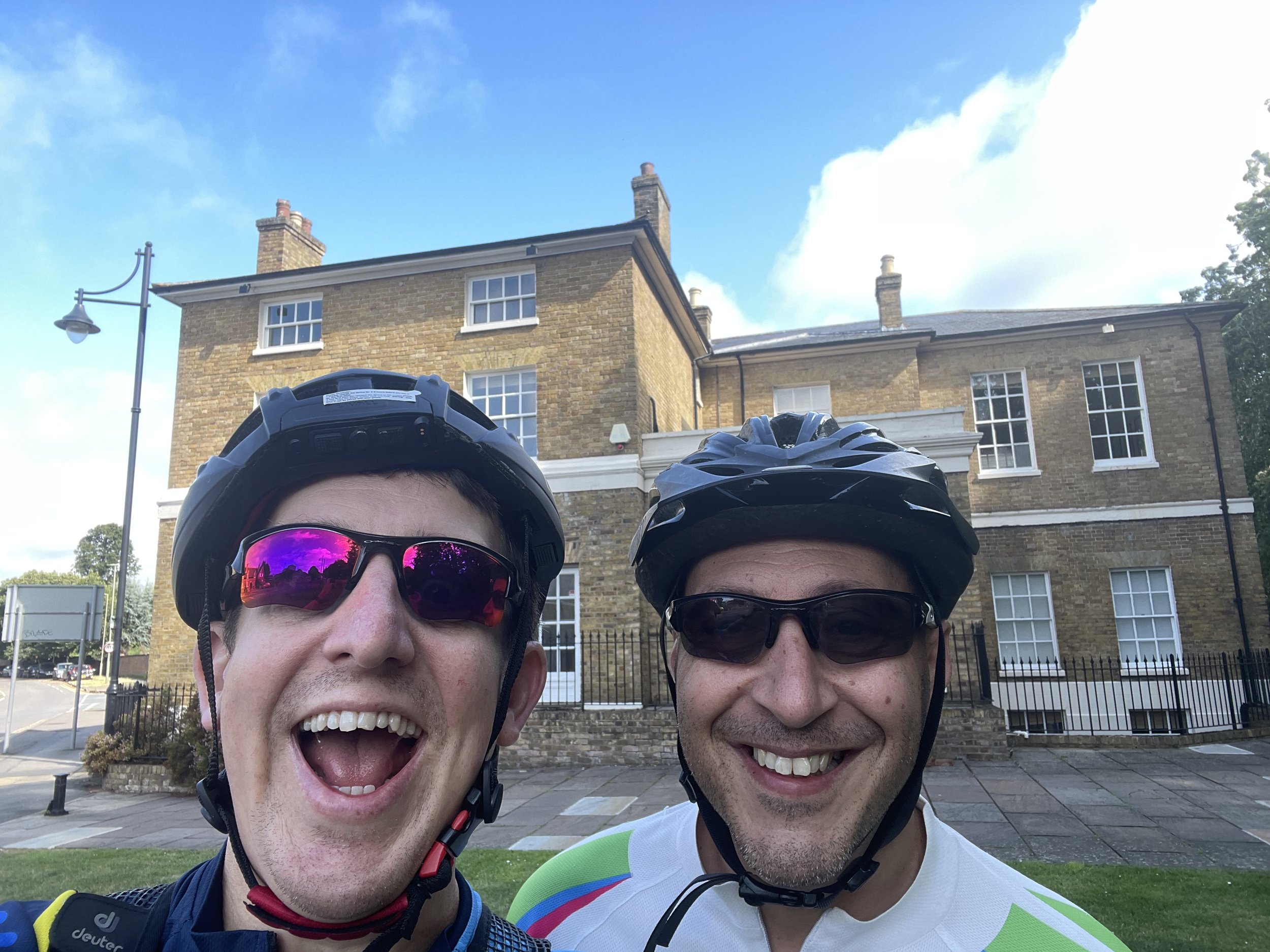
Cycling to and through London
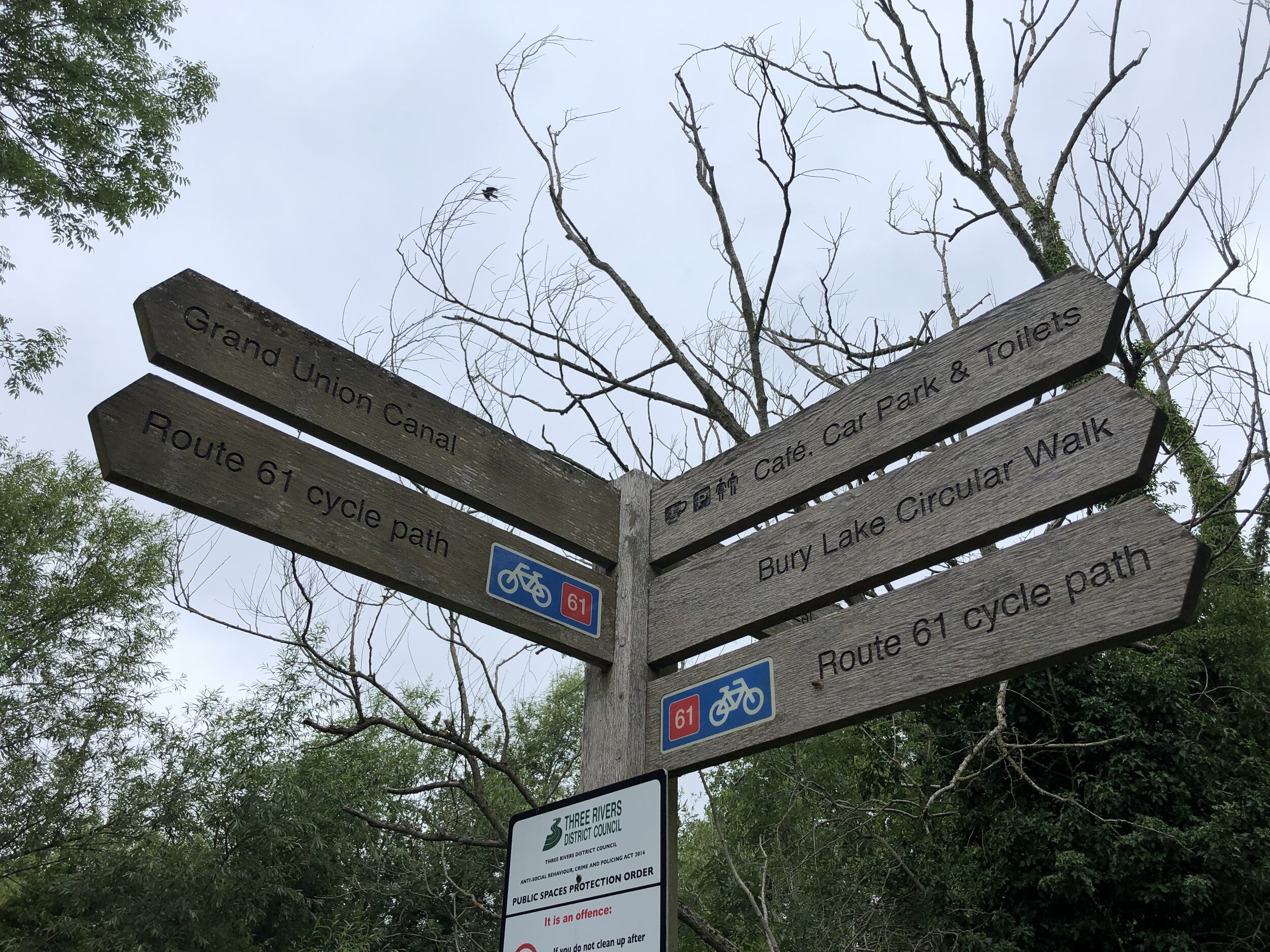
For those looking to stretch their legs on longer rides, these routes connect the capital to the wider landscape. You will find journeys along the Grand Union Canal and the River Lea, offering straightforward navigation right into the heart of the city.
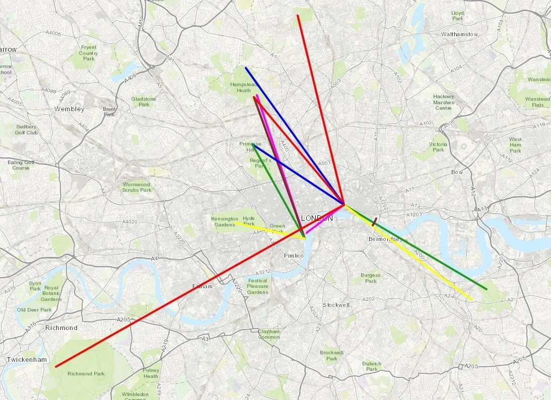
The collection also features epic rides tracking the Prime Meridian, following the historic Semaphore Line from Portsmouth, and riding out to the coast along the Thames Estuary to Margate.