Walking The Uxbridge To Denham Disused Railway

Walking the line north of Fray’s River
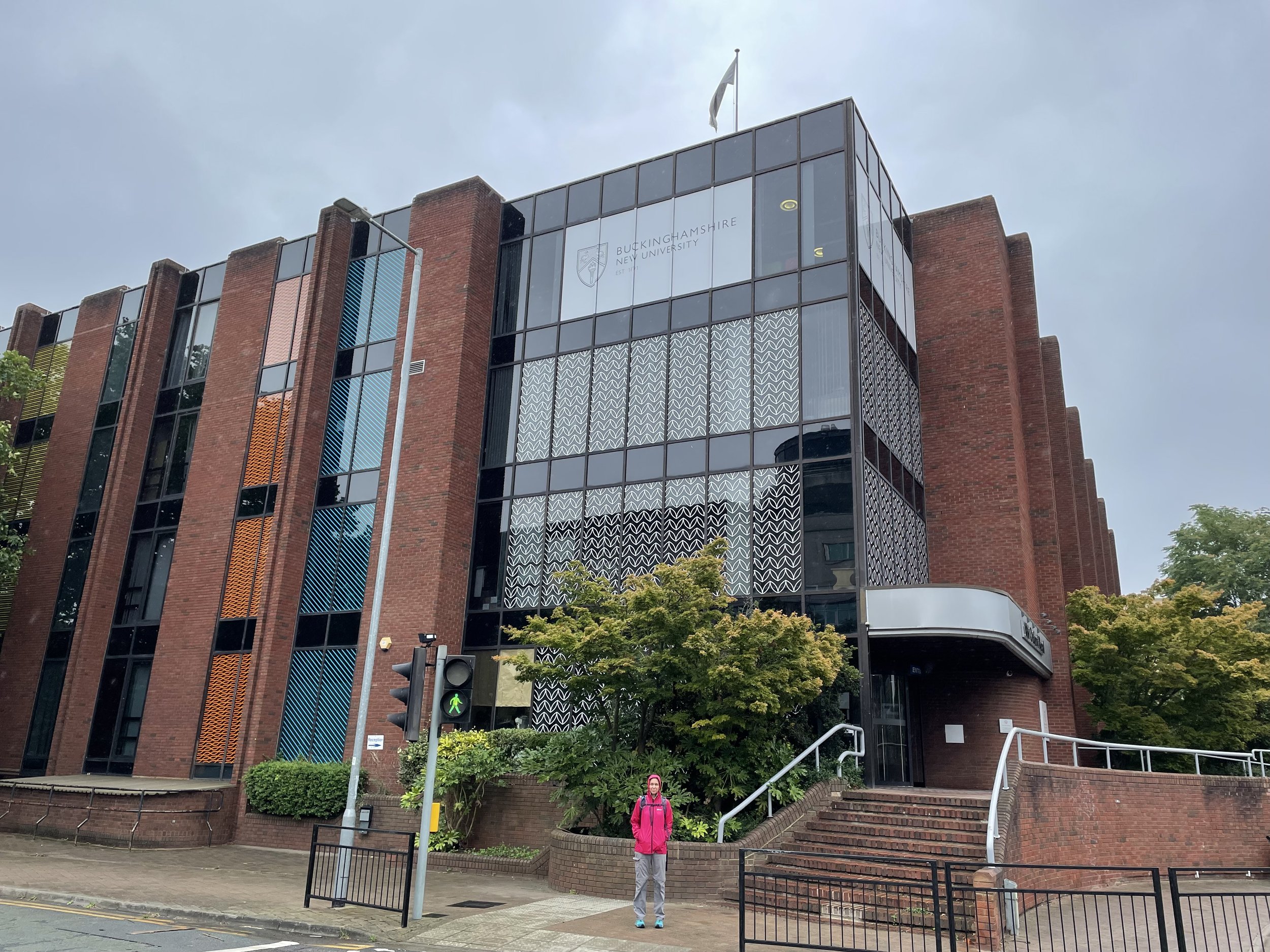
Start & Finish: Buckinghamshire New University, Uxbridge Campus, 106 Oxford Road, Uxbridge, UB8 1NA
Distance: 6.3 km (3.9 miles)
Elevation change: +/- 27m
GPX File: get via Buy Me a Coffee
Other routes touched (walk): London Loop, Colne Valley Trail, South Bucks Way
Other routes touched (cycle): Grand Union Canal Towpath
Pubs / Cafes on route: Swan & Bottle pub (near start and end)
Map: Chiltern Hills East Map | High Wycombe, Maidenshead & Rickmansworth | Ordnance Survey | OS Explorer Map 172
Links: Uxbridge, Fray’s River, Alderglade Nature Reserve, Colne Valley Regional Park, Grand Union Canal
This trip was a return visit to Uxbridge following my previous week's cycling adventure along the Staines West to Denham lines. Although we cycled between the old Uxbridge High Street Station and Denham on that trip, we followed a much more cycle-friendly route rather than sticking strictly to the course of the old rail line. This week, Timea and I returned to walk the true, overgrown route of the lost railway. As with last week's longer route, this trip was inspired by Geoff Marshall's brilliant London's Lost Railways videos, which are well worth checking out for a deep dive into the history of these stations.
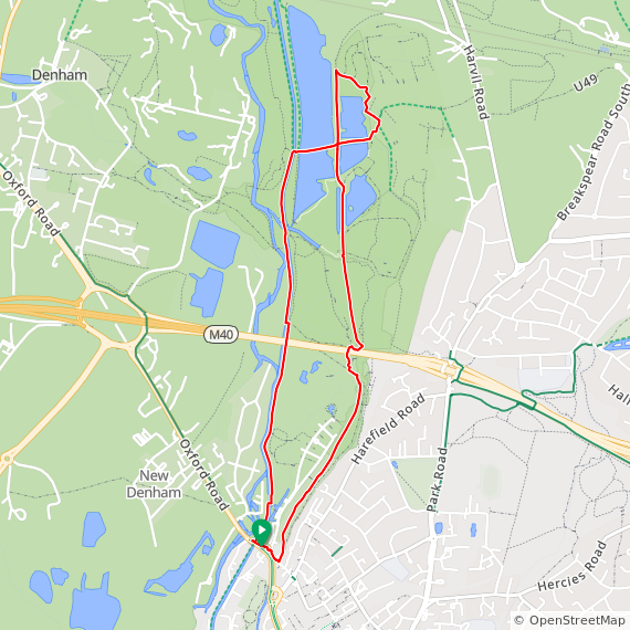
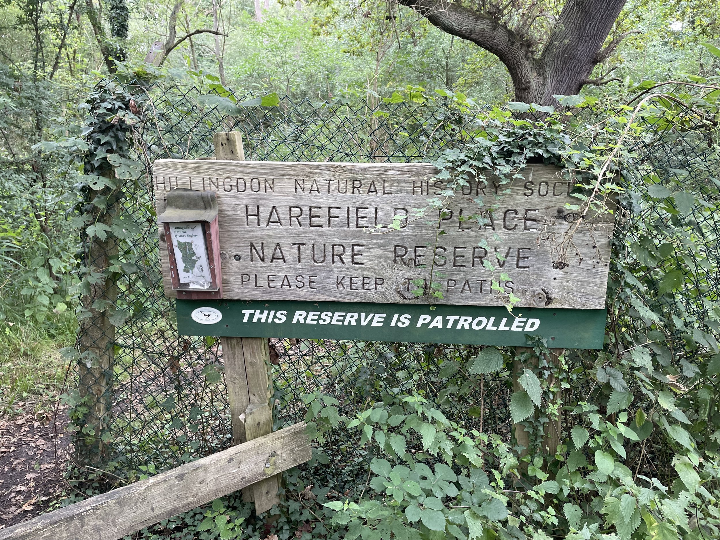
The route starts at 106 Oxford Road, the site of the former Uxbridge High Street Station. The station famously had a very short passenger life—opening in 1907 and closing to passengers just 32 years later in 1939—and the site is now a campus for Buckinghamshire New University. Despite the university's name, the site is actually located in Hillingdon, Greater London, rather than Buckinghamshire, which sits just across the River Colne to the west. The old rail line closely follows this border, staying in Hillingdon for almost its entire length, apart from one very short section at the start of the Alderglade Nature Reserve.
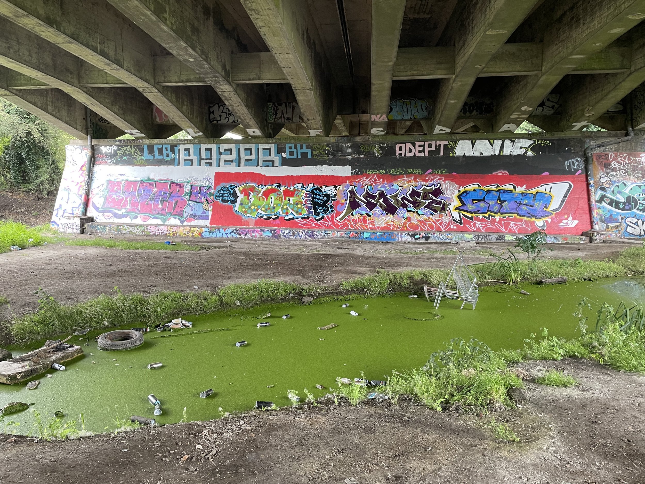
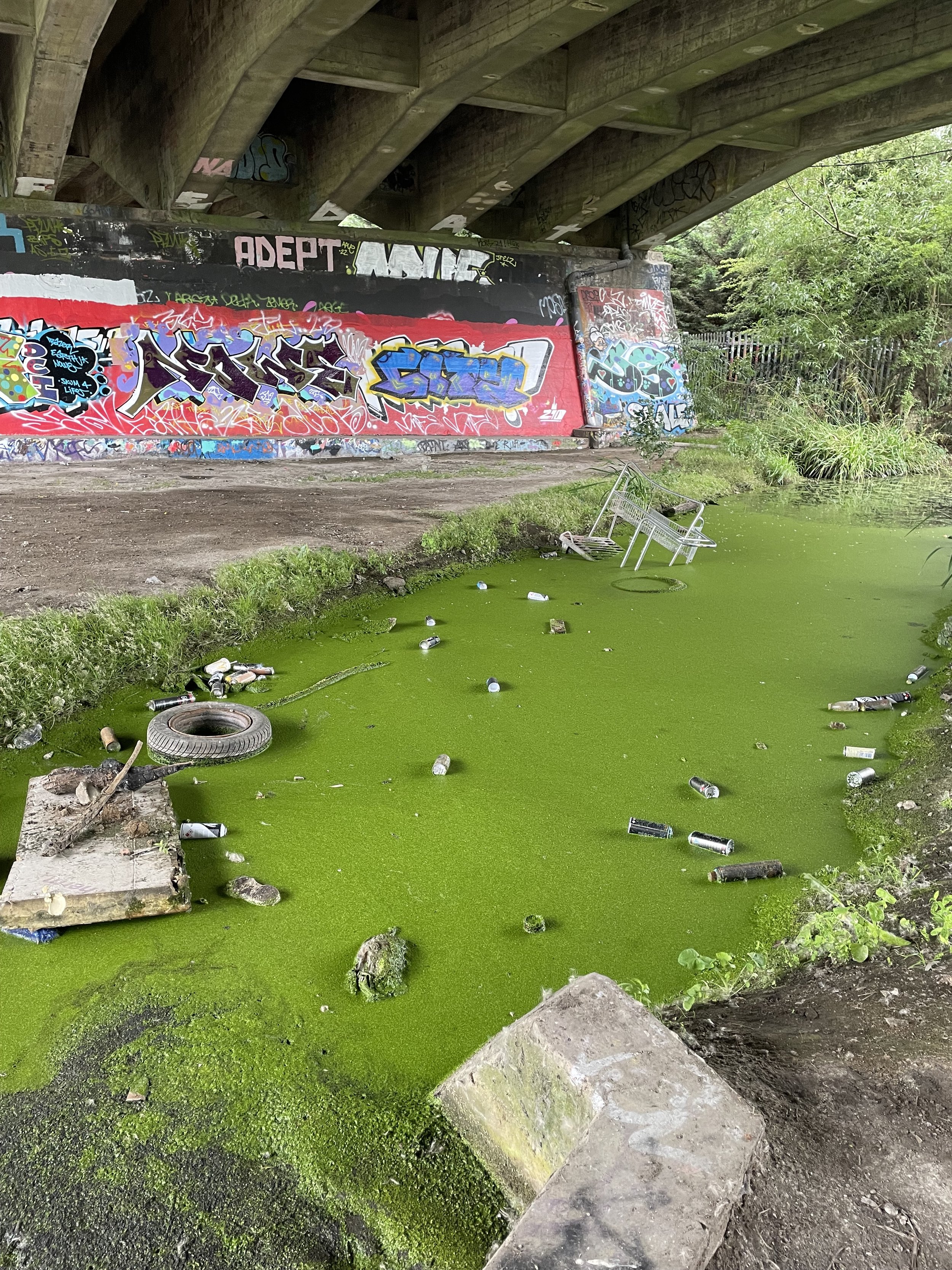
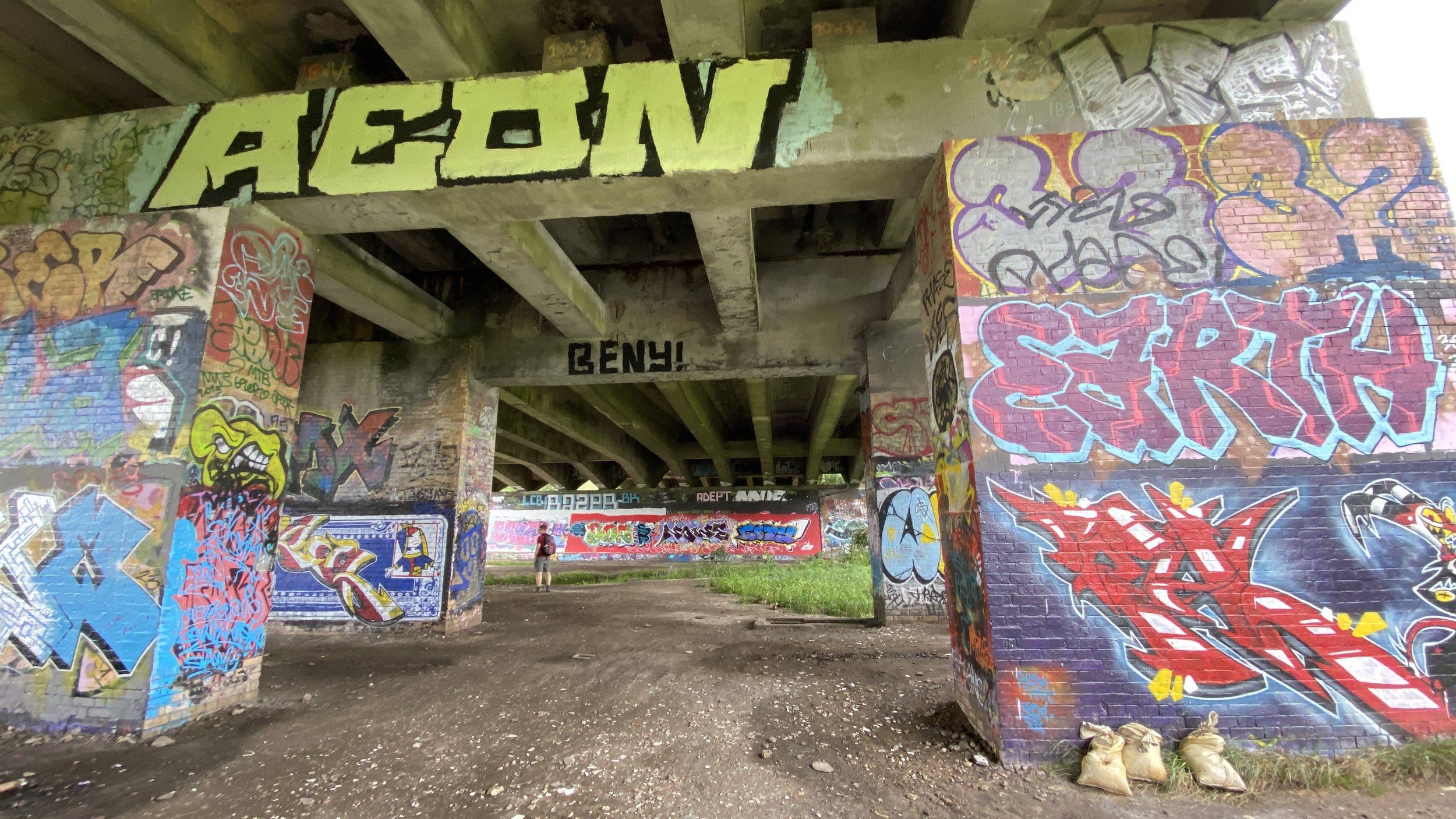
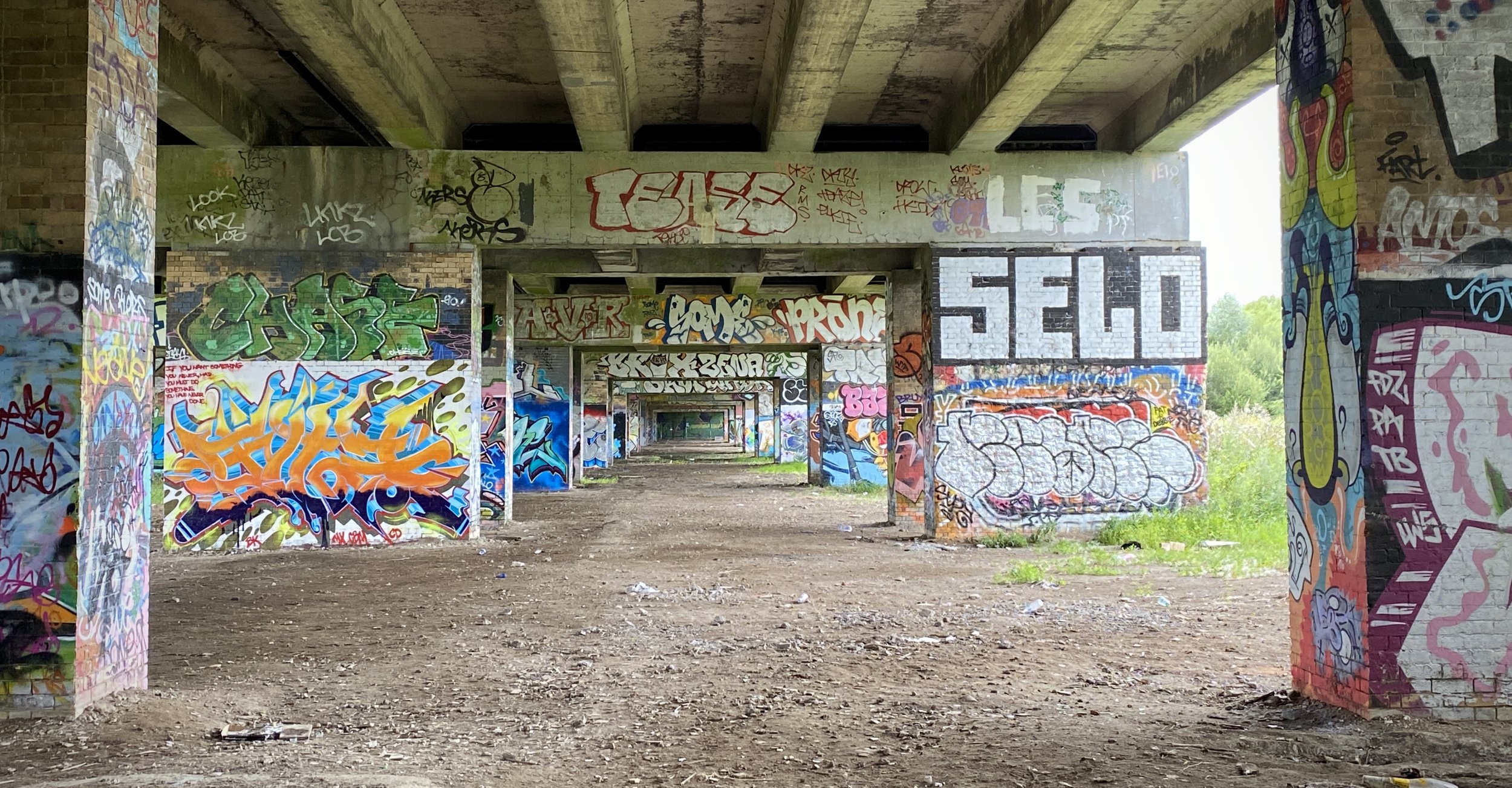
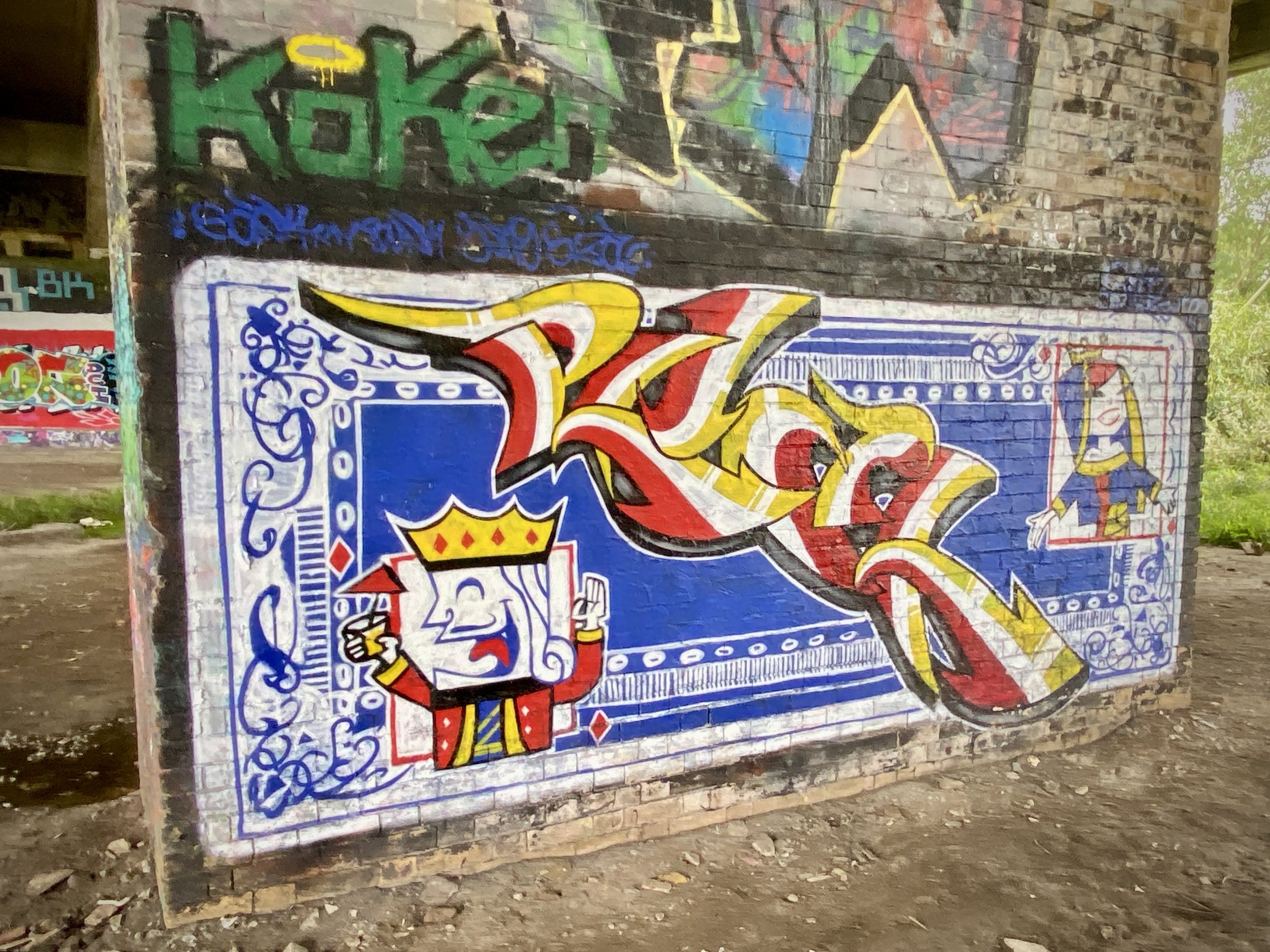
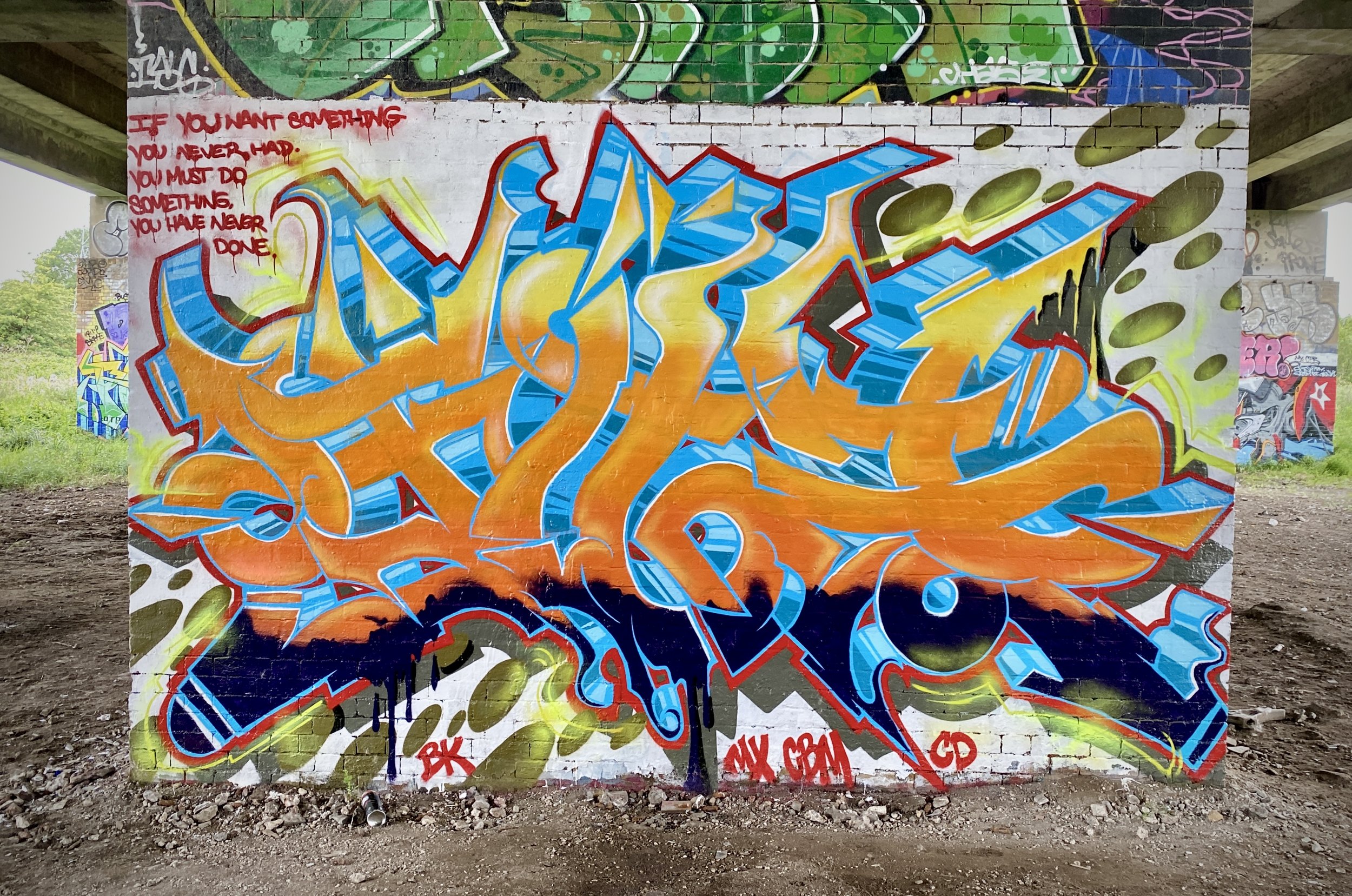
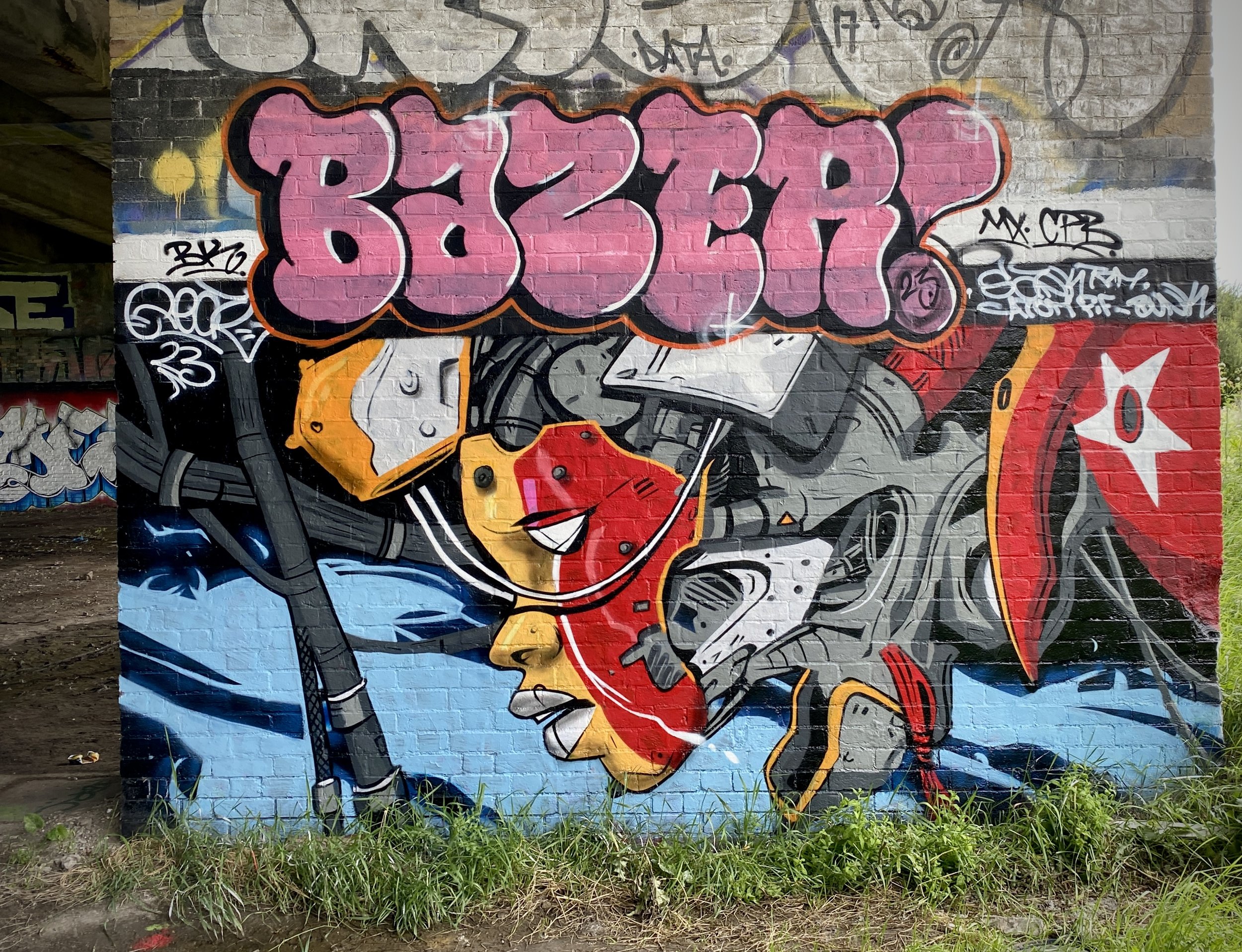
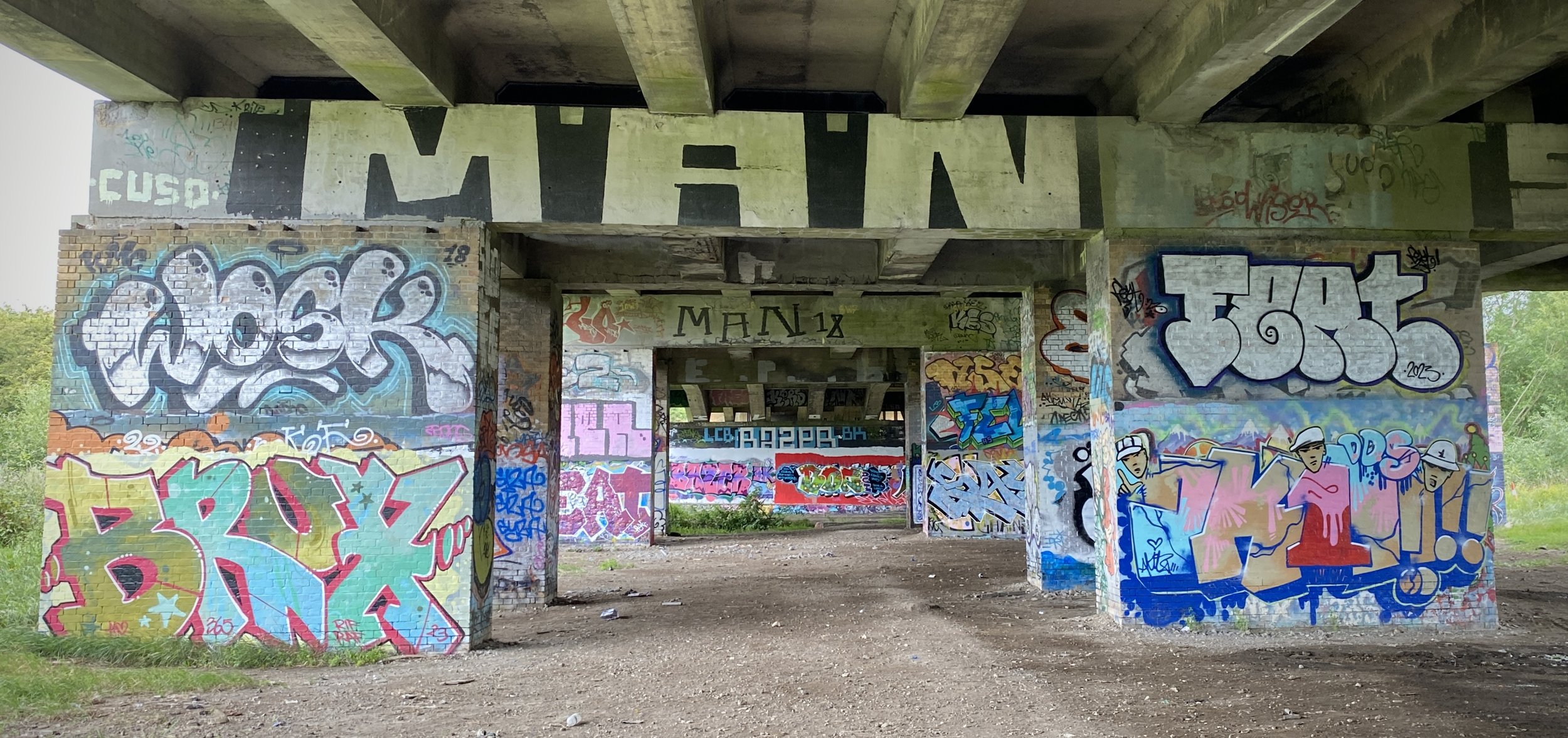
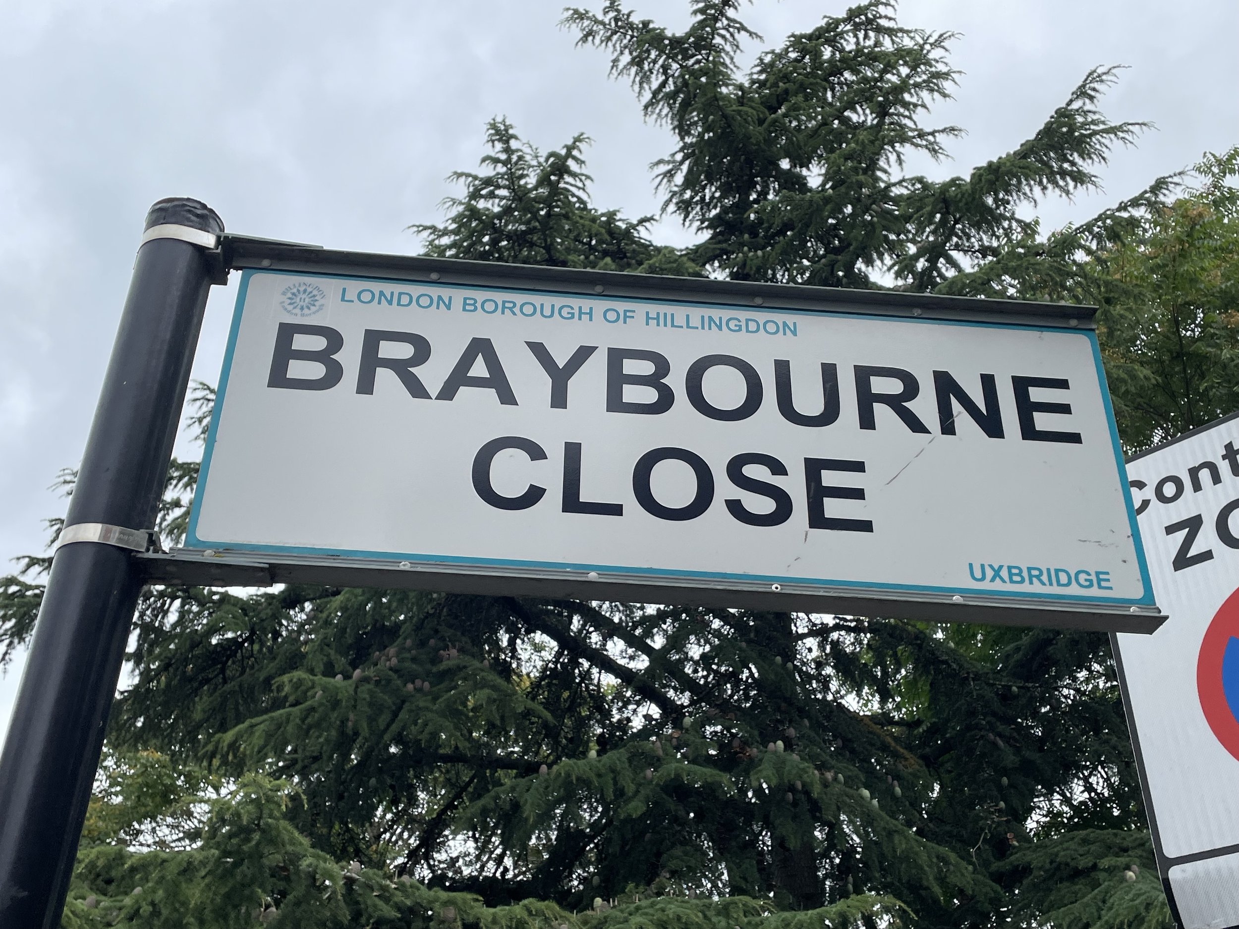
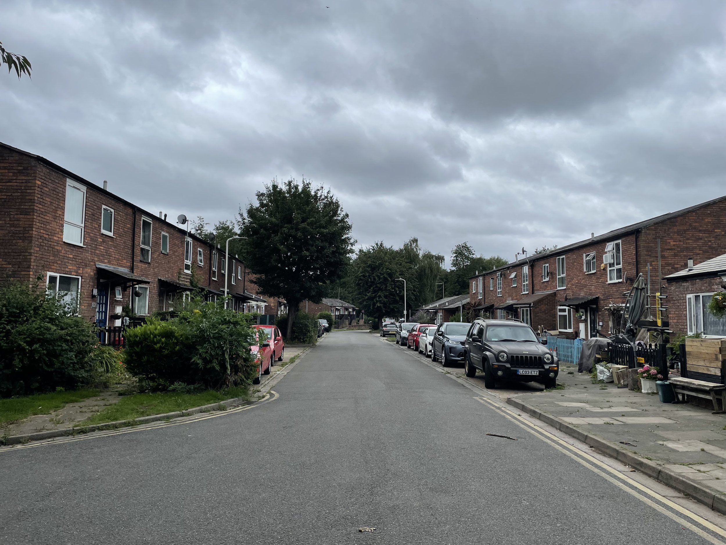
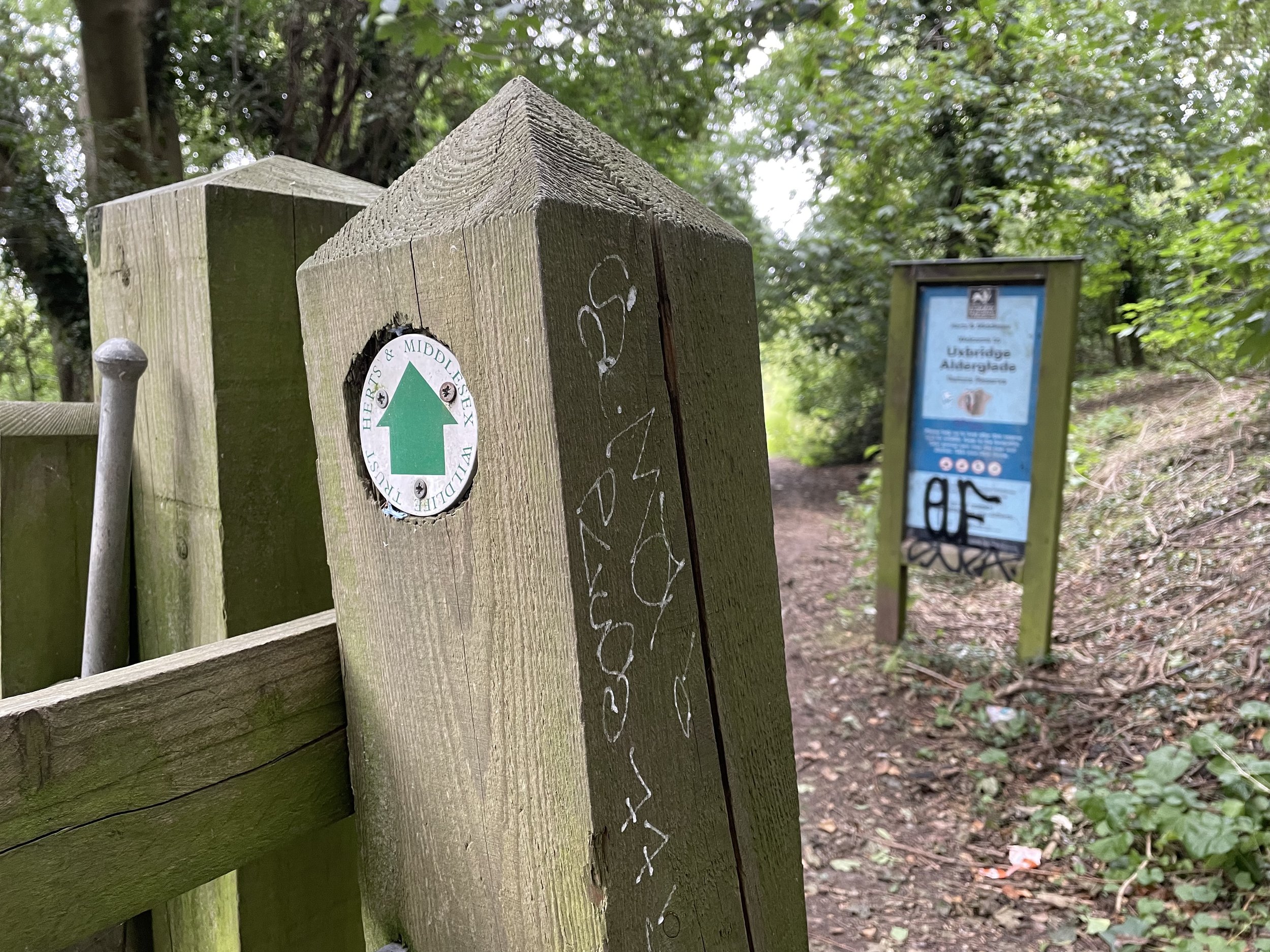
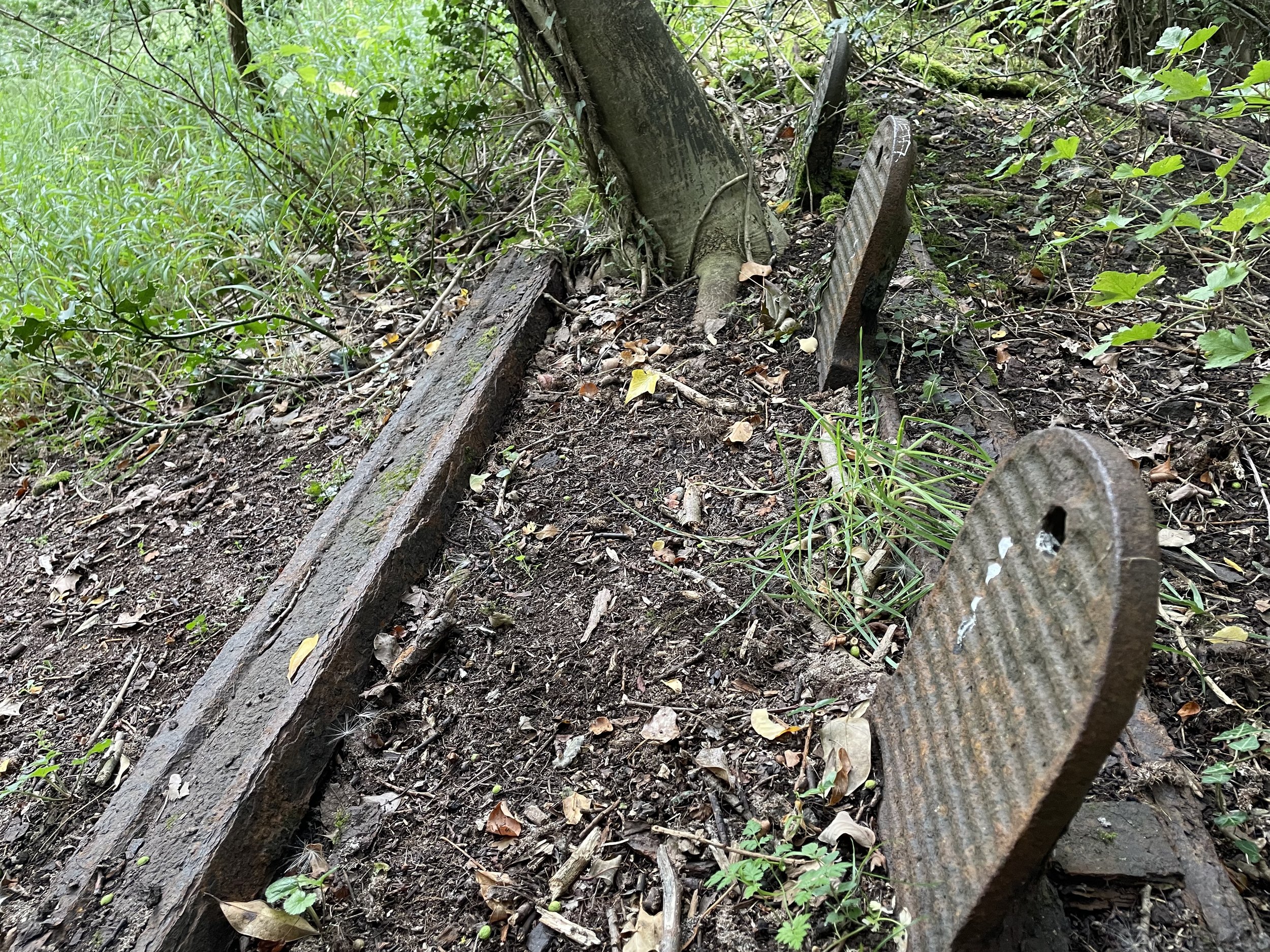
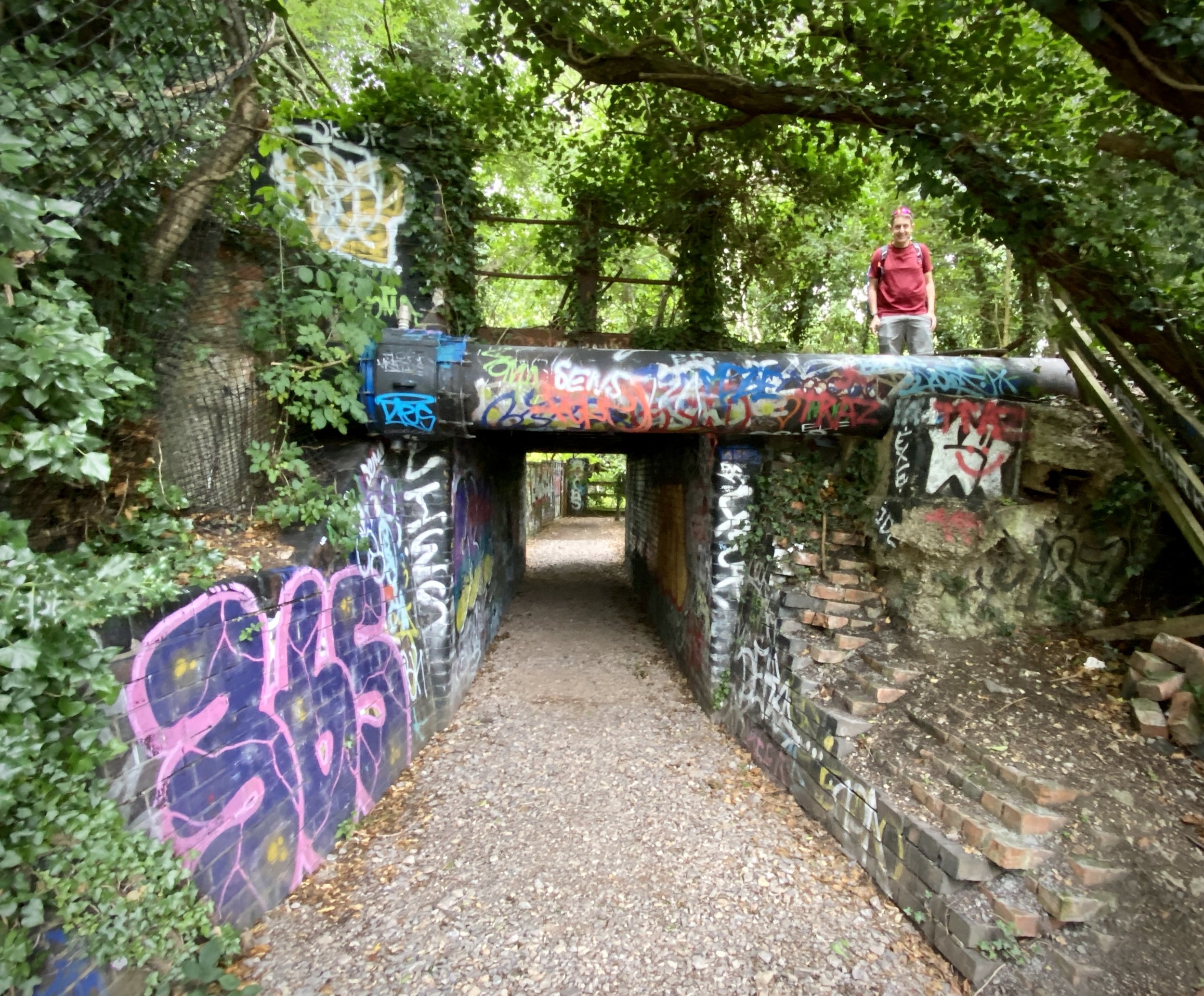
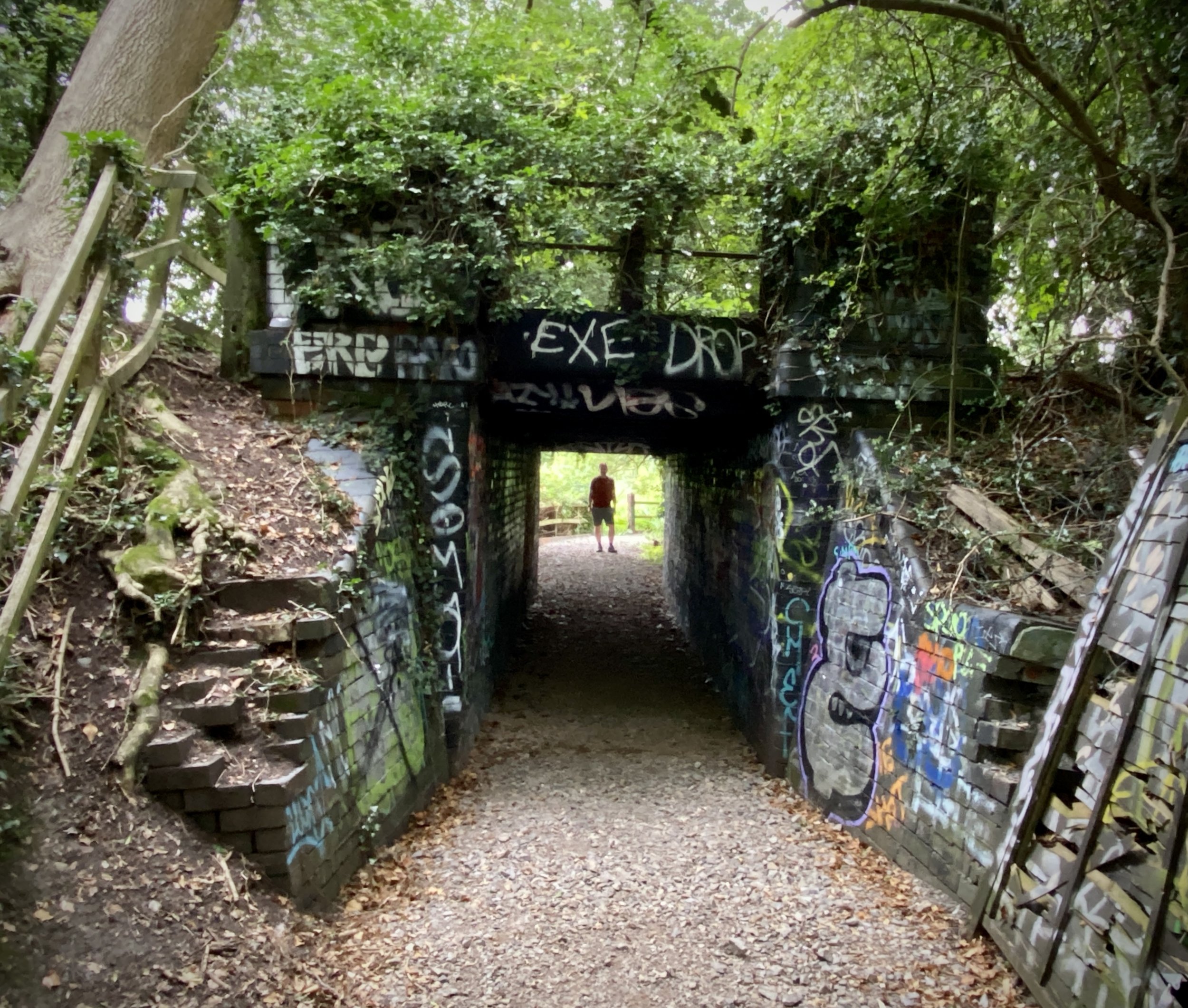
From 106 Oxford Road, follow Braybourne Close in a northerly direction to the end, then step into the Alderglade Nature Reserve. The path traces the left-hand side of the old railway embankment before climbing up to follow the top of it. If it is not too overgrown, you can still spot a few remaining bits of twisted metal from the original railway. At the 1.3 km mark, you will reach an old, heavily graffitied bridge that passes under the railway. Here, you will need to cross over the Shire Ditch stream and briefly divert away from the rail route, as it passes through private property.
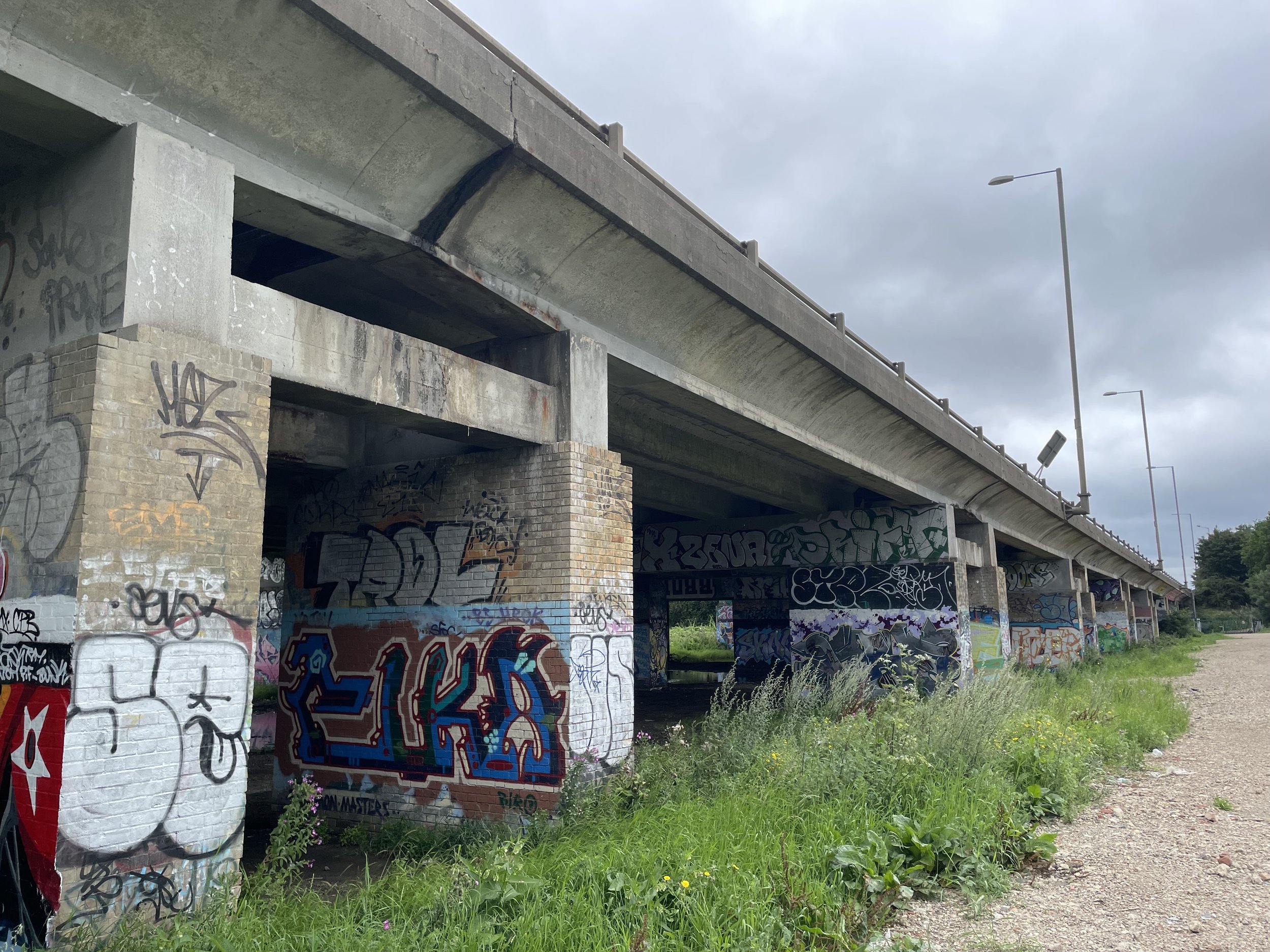
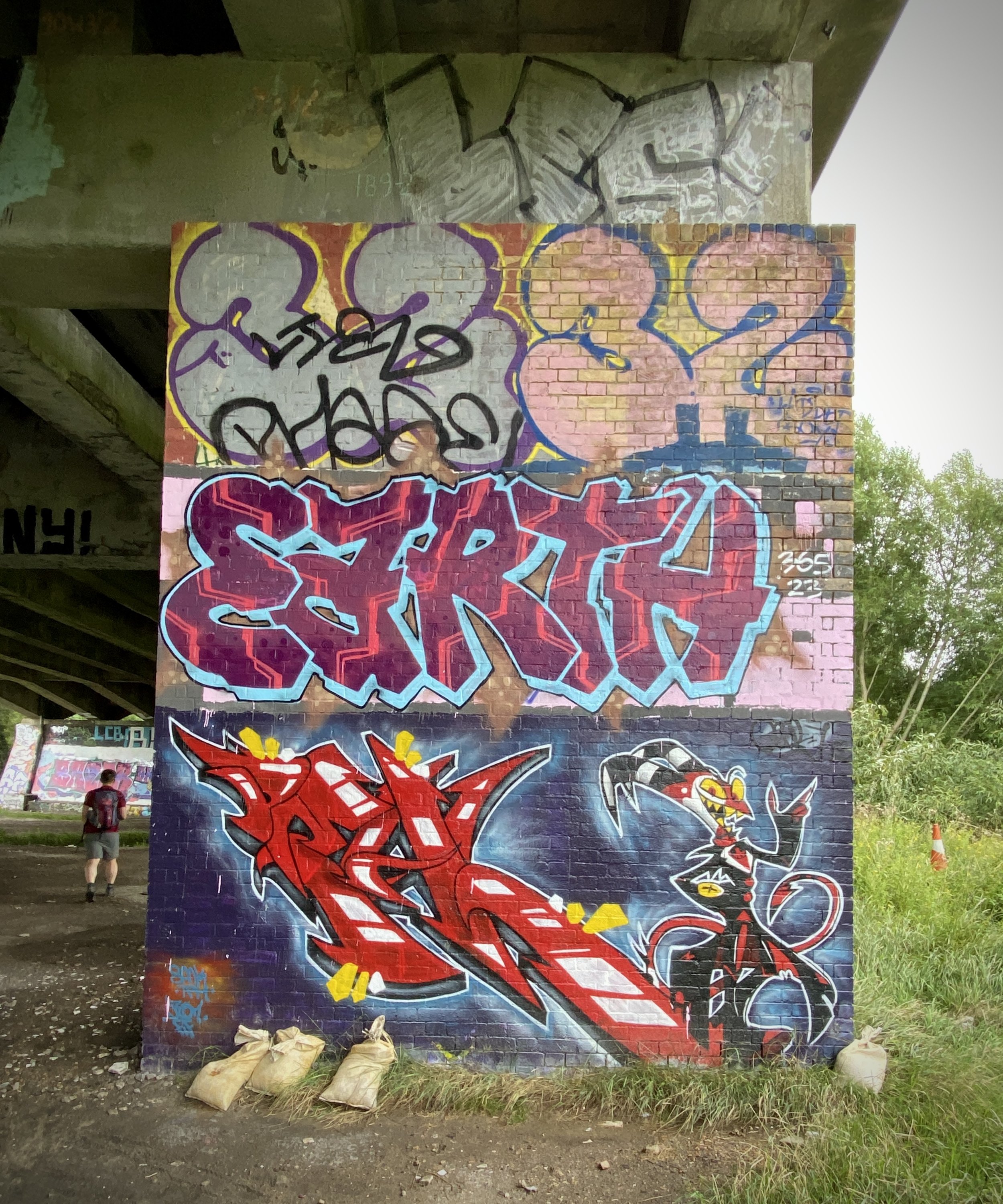
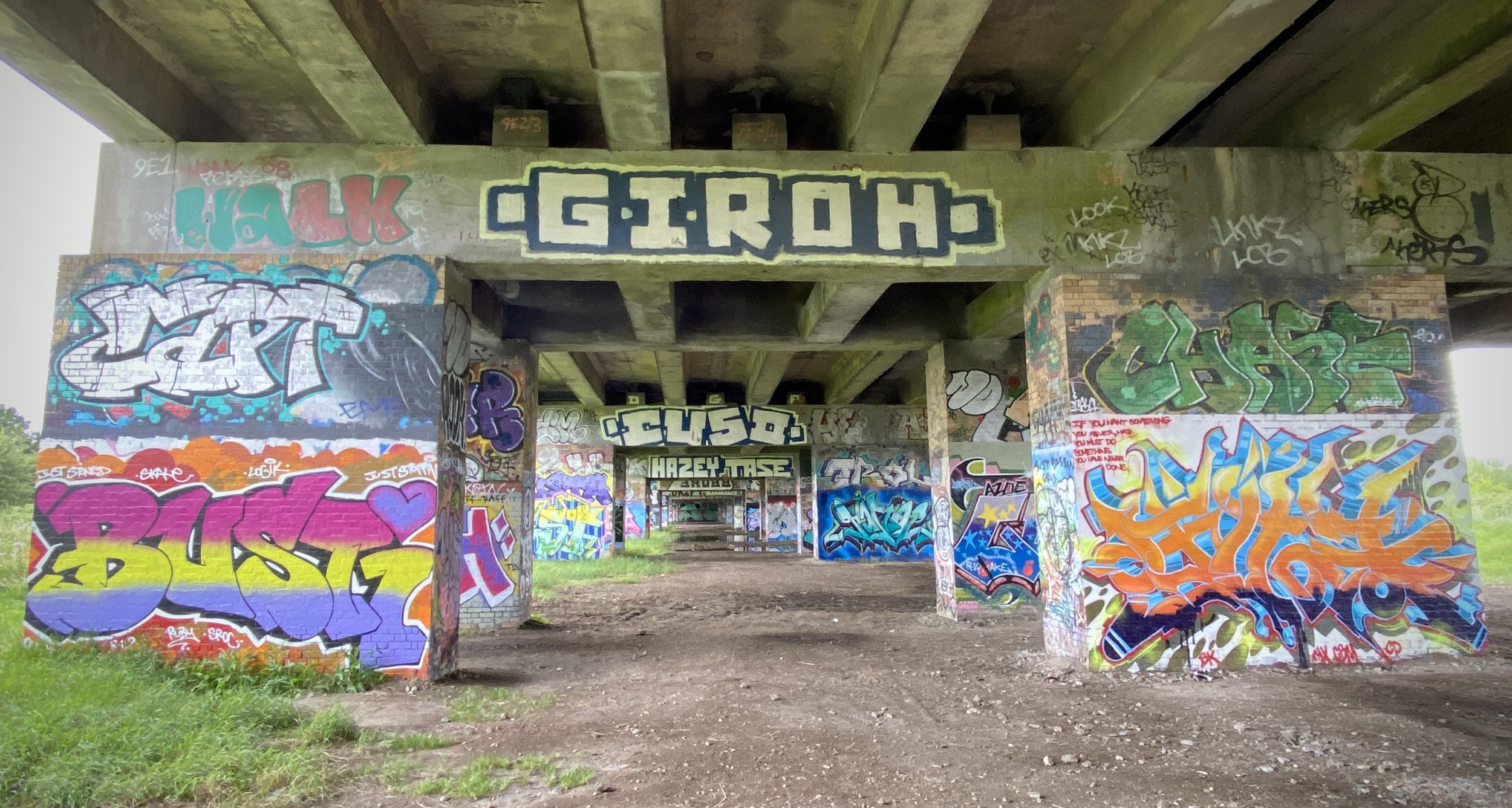
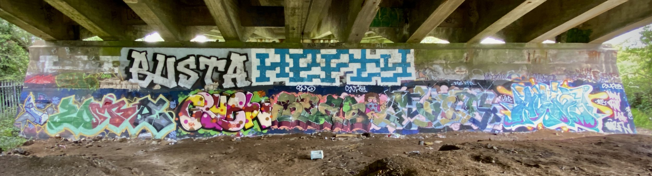
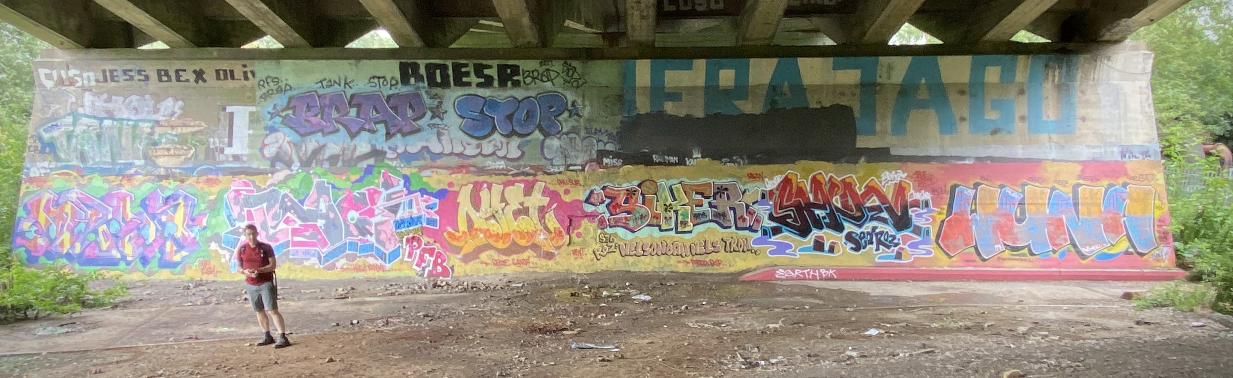
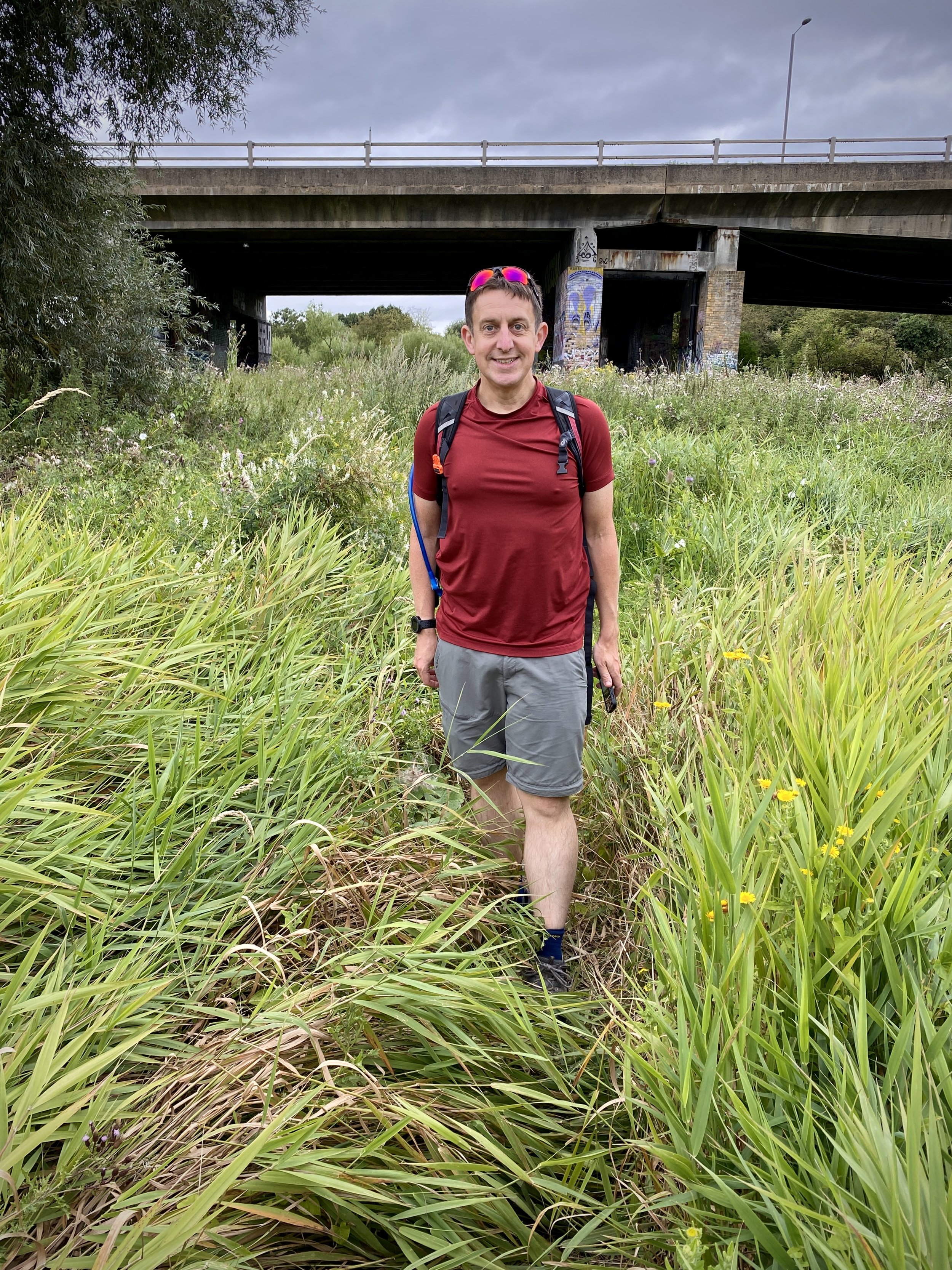
Keep heading north on the footpath closest to the rail line. You will pass under a raised section of the A40 and through the colourful A40 graffiti gallery. On the north side of the A40, follow a path taking you east to reconnect with the course of the old rail line. There were a lot of nettles when we visited in July, which made it quite difficult to spot the path! However, once you are on it, you can follow the route of the old tracks through the woods almost all the way to the old mainline junction.
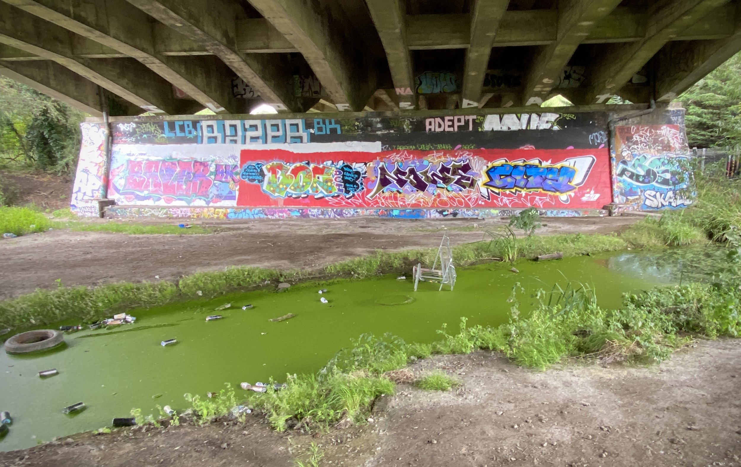
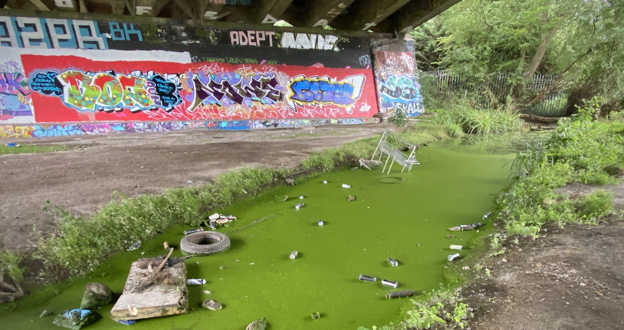
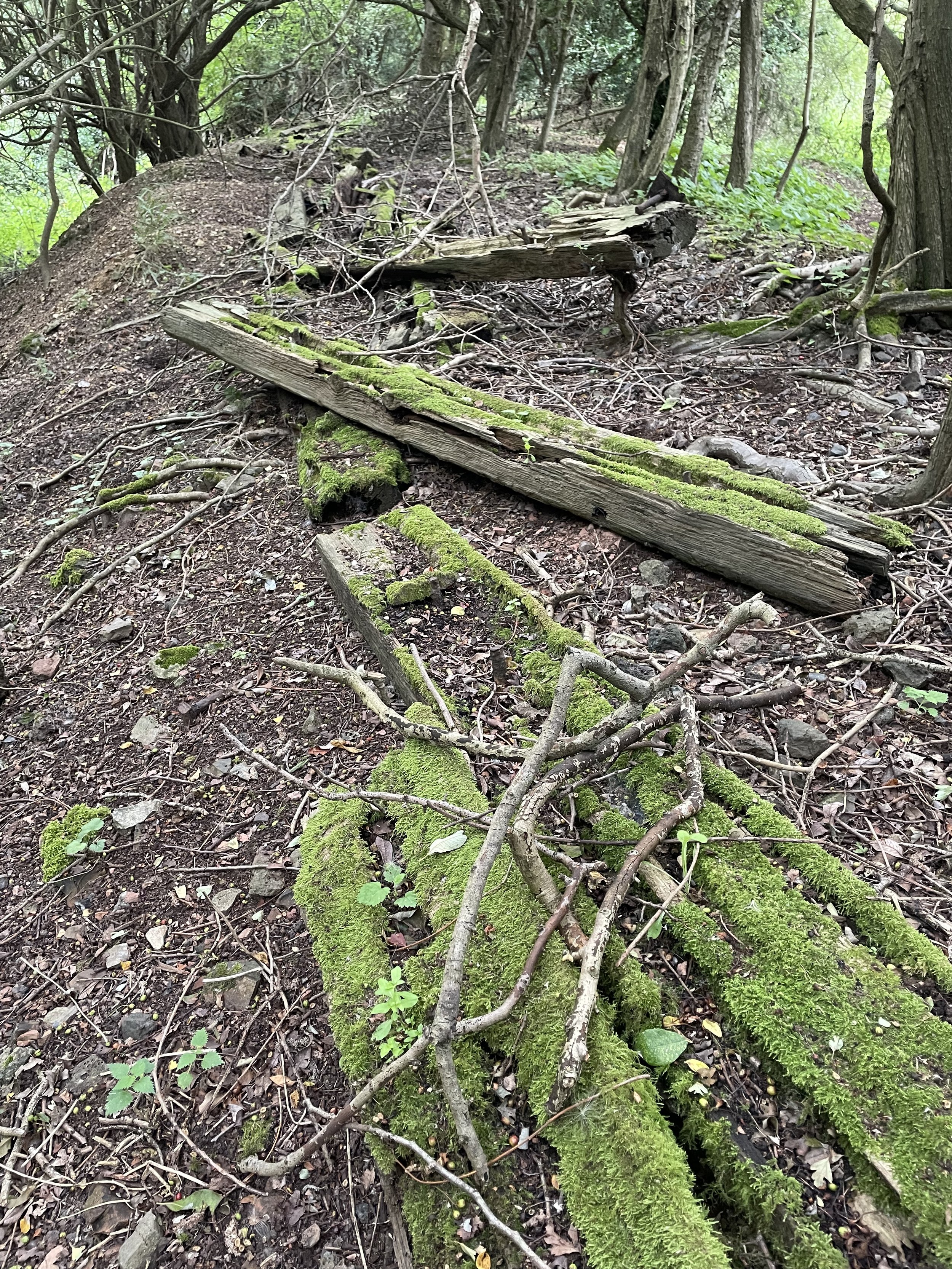
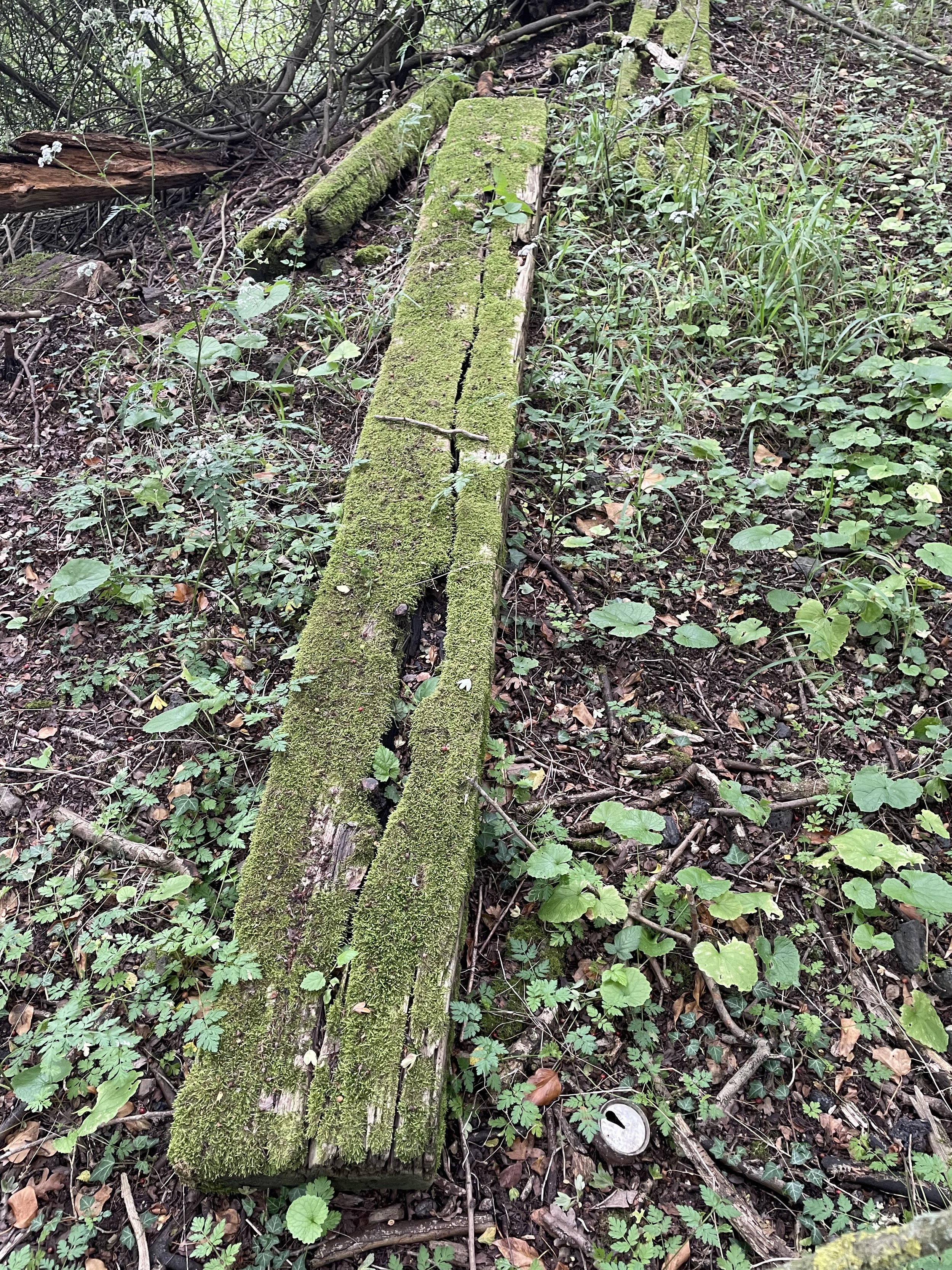
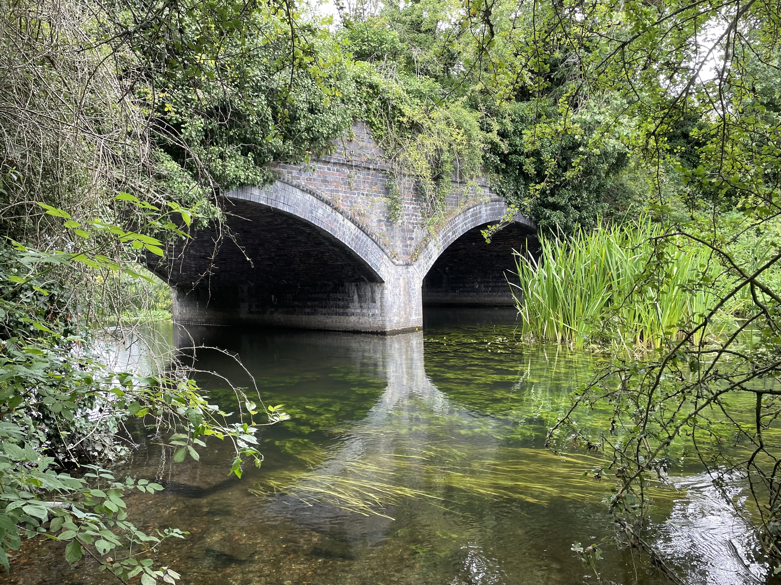
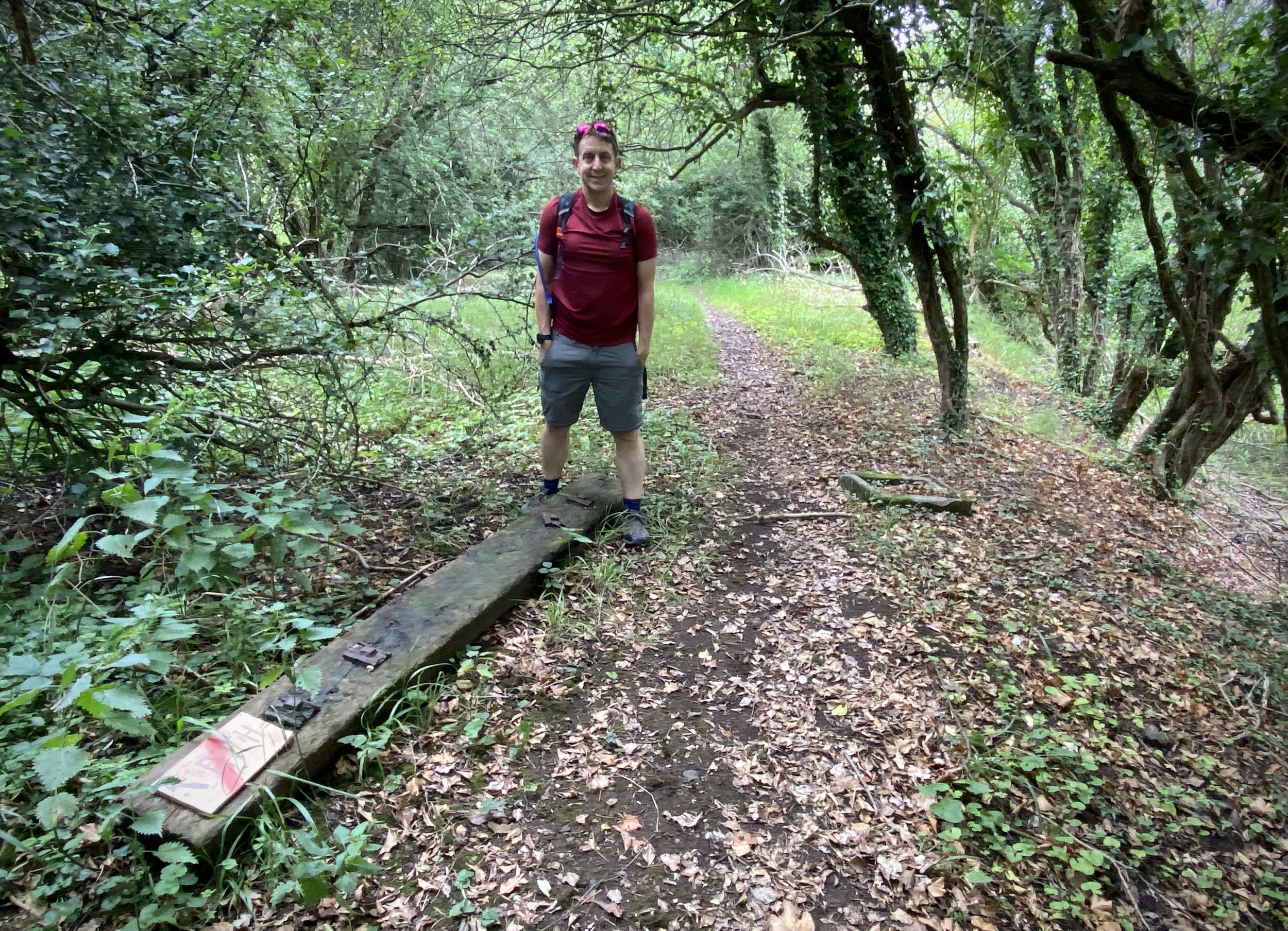
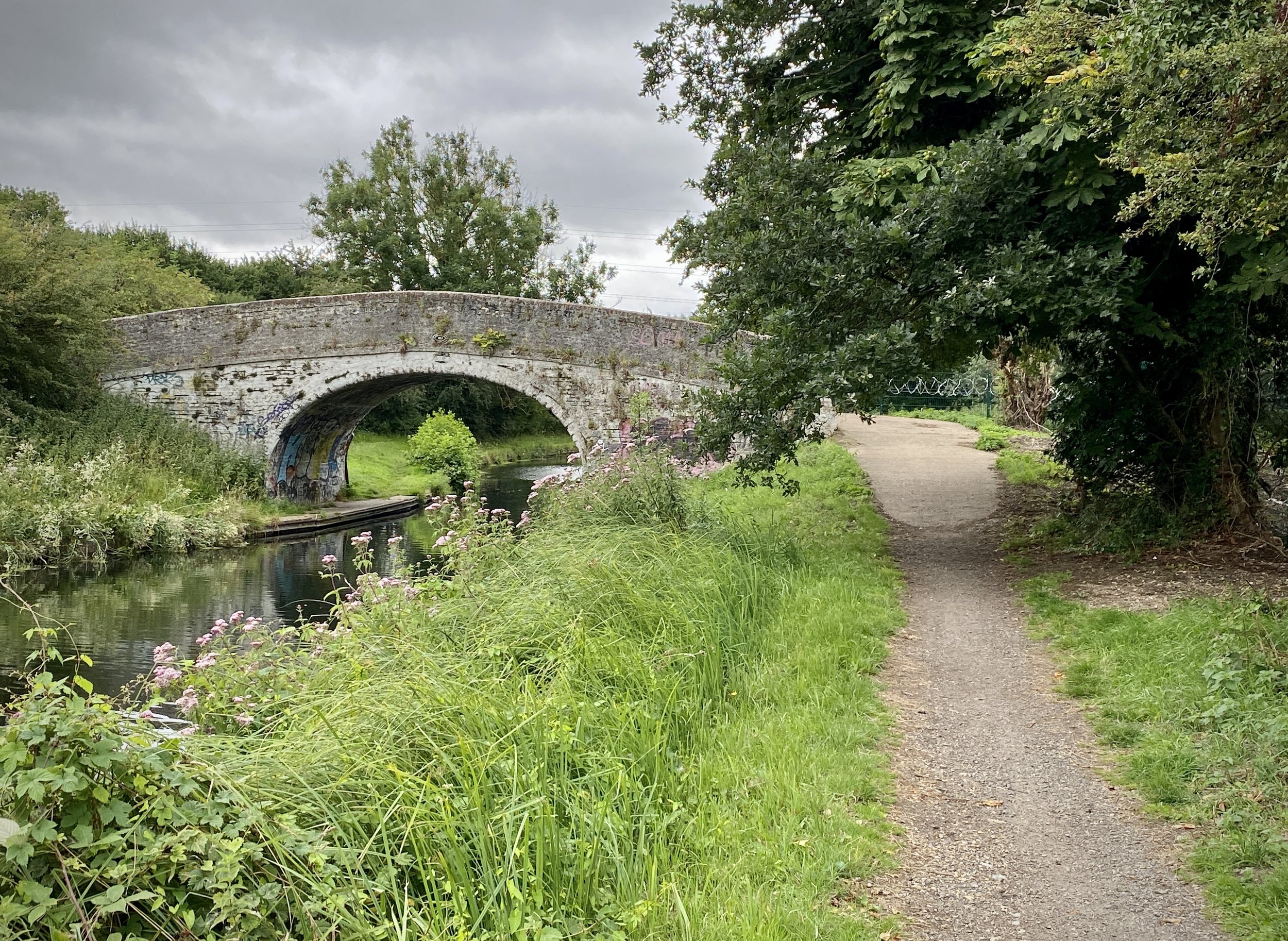
This section after the A40 is littered with rotting wooden railway sleepers and scattered bits of rusted track metal. It is a fantastic place to explore in an area that attracts relatively few people. Around 500m from the A40, you will cross an old bridge over Fray's River. It is well worth climbing down the embankment just to the south of the river to get a good view of the brickwork. After the bridge, continue along the route to the site of the old triangle junction that once took trains onto the Great Western & Great Central Joint Railway (now the Chiltern Main Line). The walkable route ends here, as the triangle itself is now occupied by a concrete company. At this point, you have the choice of retracing your steps for 200m to the footpath junction or, as we did, taking a scenic circuit of the small fishing lake in the woods to the east.
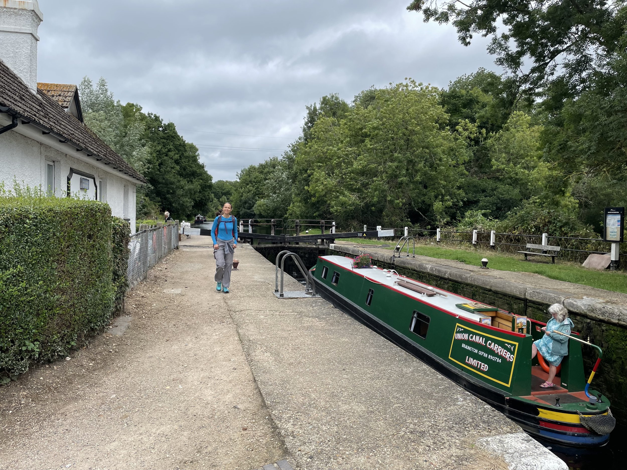
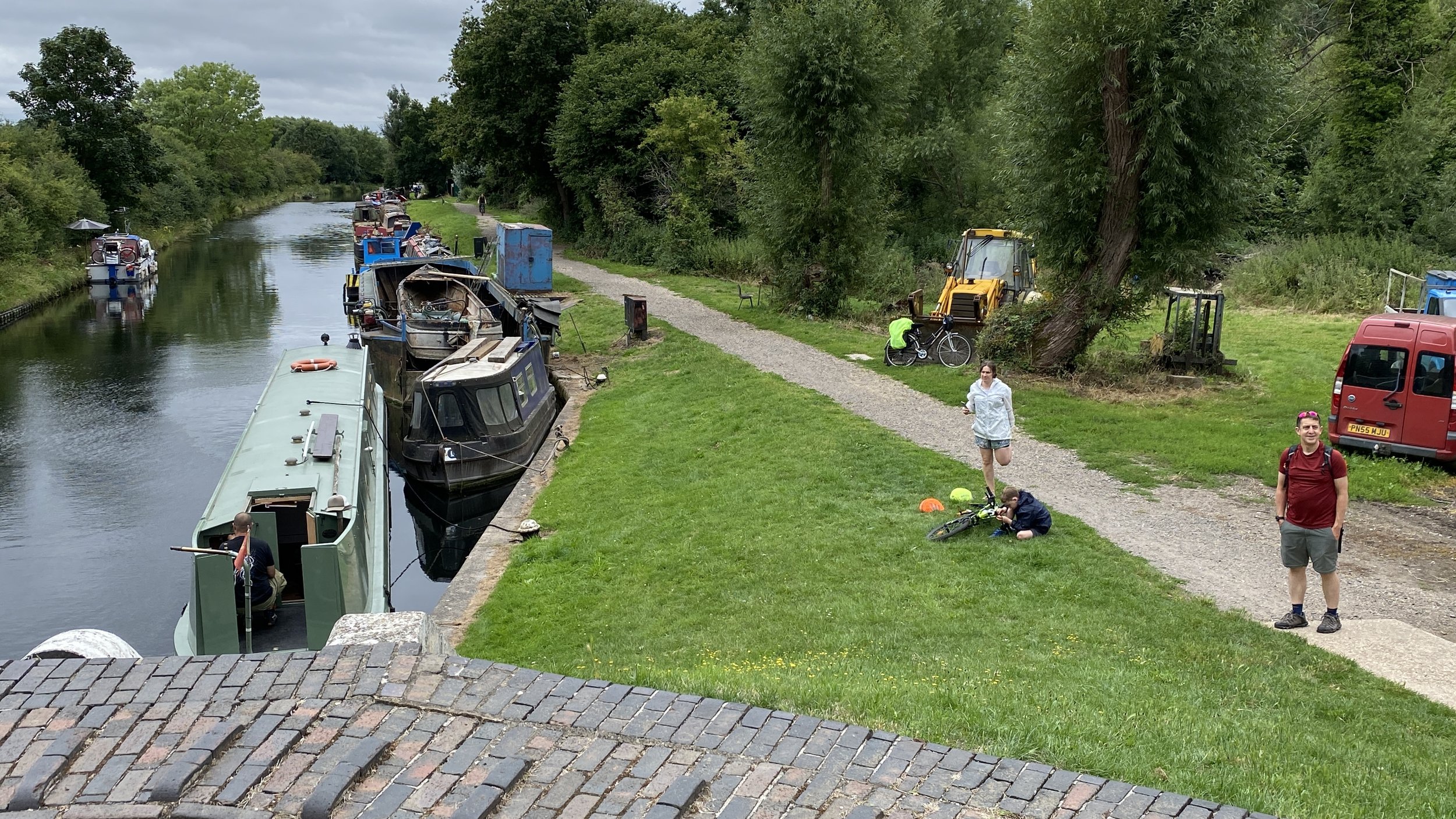
Whichever route you take to return from the end of the line, take the footpath that crosses between the two lakes on the eastern side of the old railway. Cross over the Grand Union Canal and take a left to head south back towards Uxbridge. When you pass Denham Deep Lock, which is the deepest lock on the Grand Union Canal at a massive 11ft 1in drop!. You could take a right into Denham Country Park to follow the South Bucks Way to Denham Station. Since I had already followed that route on the bike the previous week, we chose to continue south along the canal.
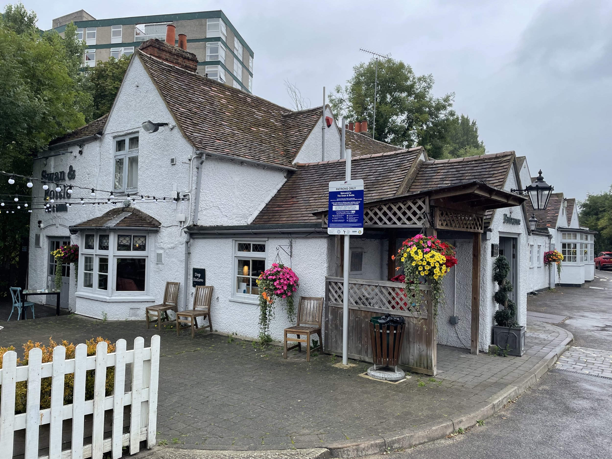
When you return to Uxbridge, the Swan and Bottle pub (right next to the canal bridge) is a brilliant place to stop for a well-earned rest. Look out for the fascinating old photos of Uxbridge on the wall and a great historic map of the local waterways. From the Swan and Bottle, cross the bridge to the eastern side of the canal and you are right back at the start at 106 Oxford Road.

More London Posts
If you enjoyed reading this post, there is plenty more to explore across the capital. I have put together a dedicated London Outdoors page where I keep track of all my other adventures around the city. It is a handy index where I group my posts by the different types of places I have visited: including historic boundary lines, canal towpaths, and some surprising urban high points.
The collection covers a bit of everything: from long-distance cycling routes to tracing the underground network on foot, and ticking off another Saturday morning parkrun. If you are looking for some inspiration for your own weekend outings, head back over to the London Outdoors page to see what else I have been up to.