Cycling the Staines to Denham Disused Railways
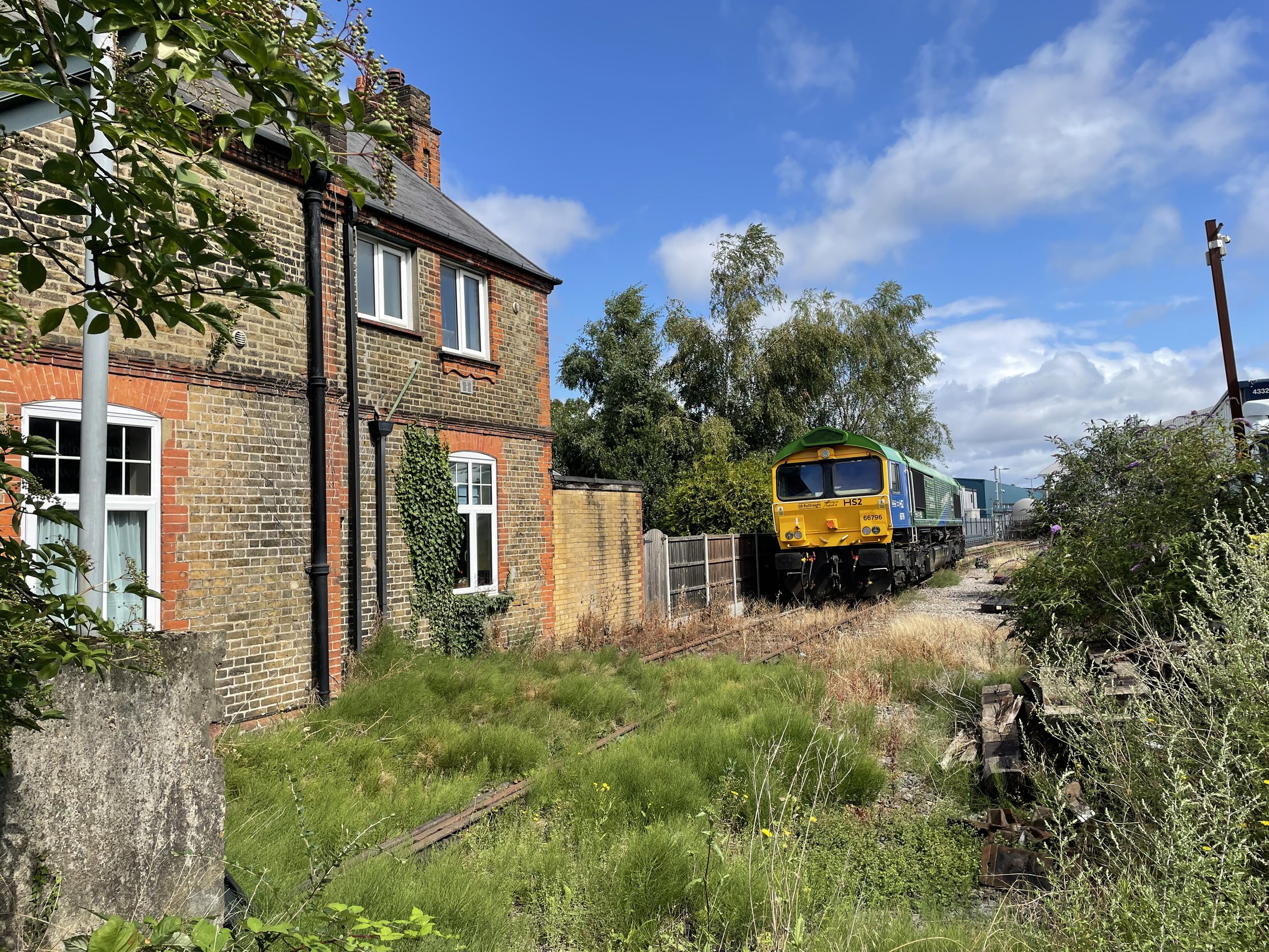
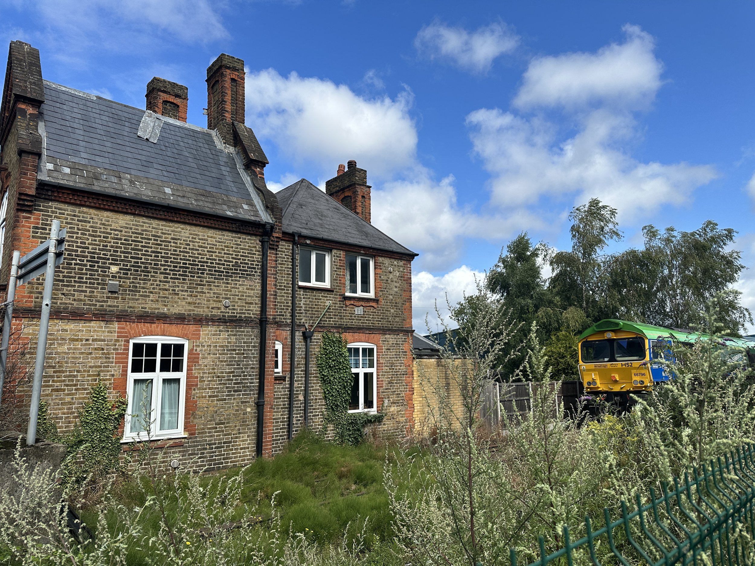
HS2 train parked up at Colnbrook Station
Start / Finish: Site of Staines West Station: The Old Station, Moor Lane, Staines, TW18 4BB
Distance: 22.9 km (14.2 miles)
Elevation: + 99m / -67m. Net +22m
GPX File: get via Buy Me a Coffee
Other Routes Touched (walk): Colne Valley Way, London Loop, Shakespeare’s Way, Celandine Route, South Bucks Way
Other Routes Touched (cycle): Grand Union Canal Towpath, NCN 6, 61
Pubs / Cafes on route: Fat Boys Cafe, Colnbrook (7.8k in), Several as you pass through West Drayton and Yiewsley (~14 km in), Swan and Bottle pub, Uxbridge (18.8k in), Colne Valley Cafe (21 km in)
Maps:
- Windsor, Weybridge & Bracknell Map | Thames Path | Ordnance Survey | OS Explorer Map 160
- Chiltern Hills East Map | High Wycombe, Maidenshead & Rickmansworth | Ordnance Survey | OS Explorer Map 172
Links: Staines-upon-Thames, Staines Moor, Stanwell Moor, Poyle, Colnbrook, Harmondsworth Moor, West Drayton, Yiewsley, Cowley, Uxbridge, Denham, Colne Valley Regional Park
This is a short cycle adventure inspired by 3 of Geoff Marshall’s London’s Lost Railways videos. It traces 3 separate disused railways that ran from Staines in Surrey to Denham in Buckinghamshire. Much of the route travels through the Colne Valley Regional Park, an interesting mix of countryside, industry and transport links on the western edge of Greater London. I cycled this route as a part of a 100 km circular tour of the Colne Valley, Chiltern Hills, South Bucks and Windsor. There’s a mix of road and off-road sections so it’s best to take a mountain bike or similar.
Check out Geoff’s videos for each section of the route for more detail on each of the lines and stations.
Line 1: Staines West to West Drayton
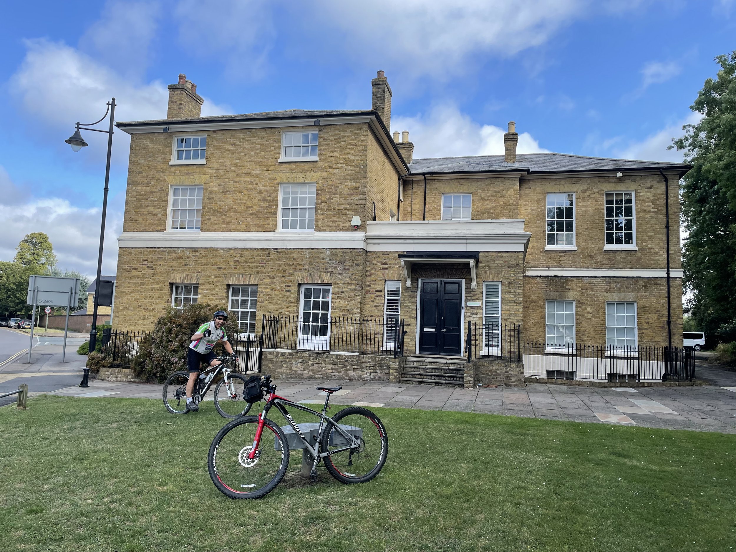
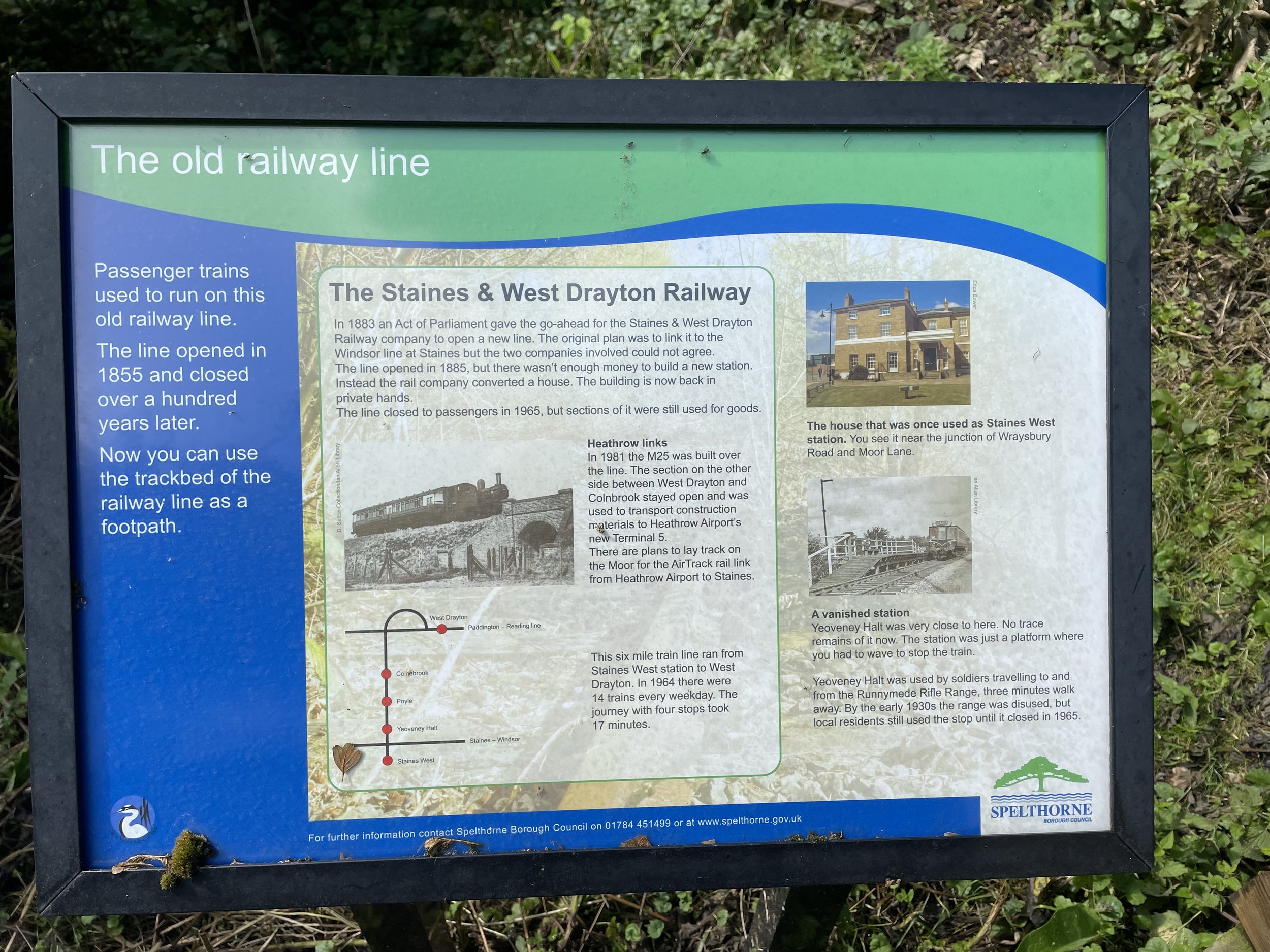
The Staines to West Drayton Railway was in existence from 1884 to 1965 and once also connected to the Reading to Waterloo Line at Staines. The Staines West Station building is still intact and now used as offices.
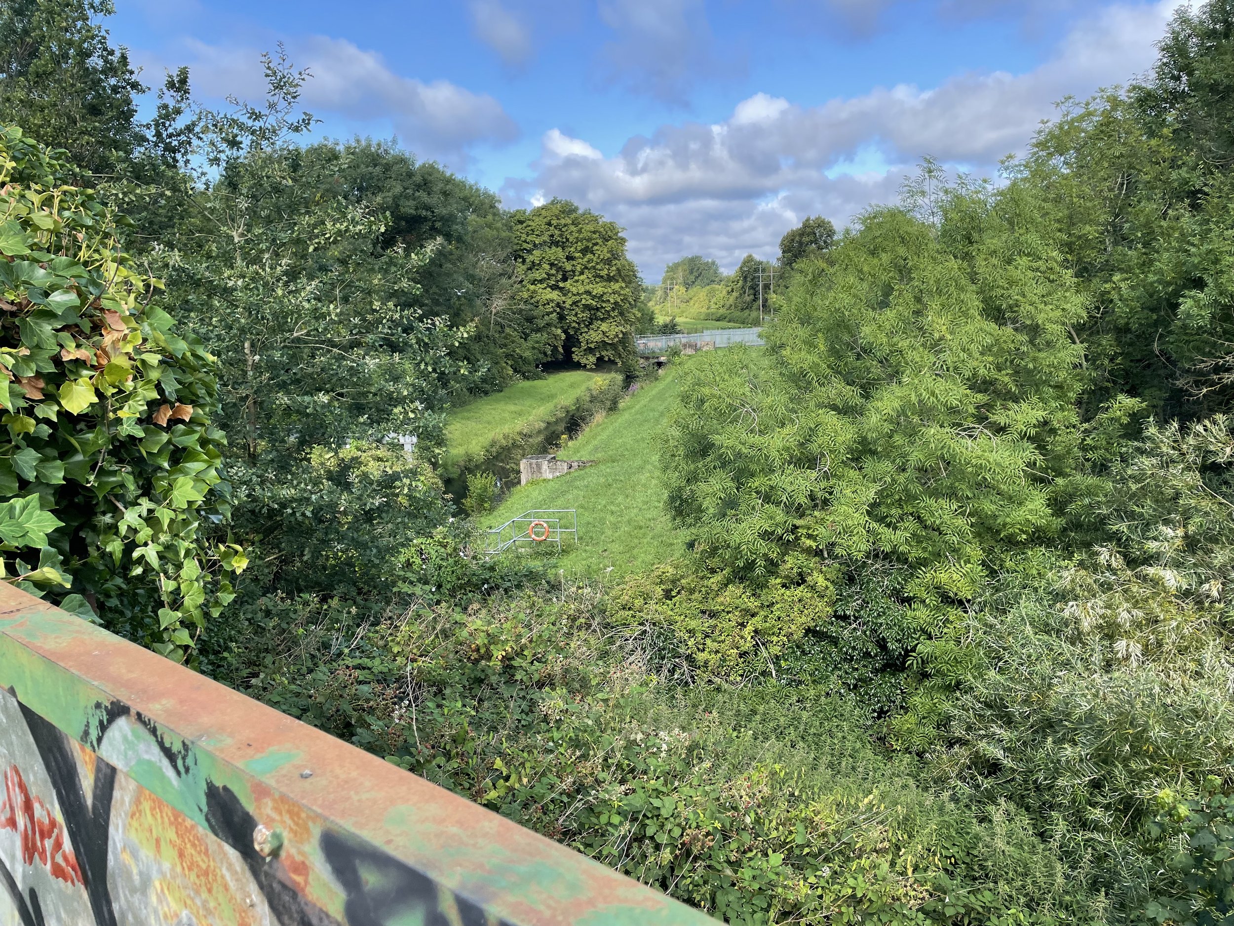
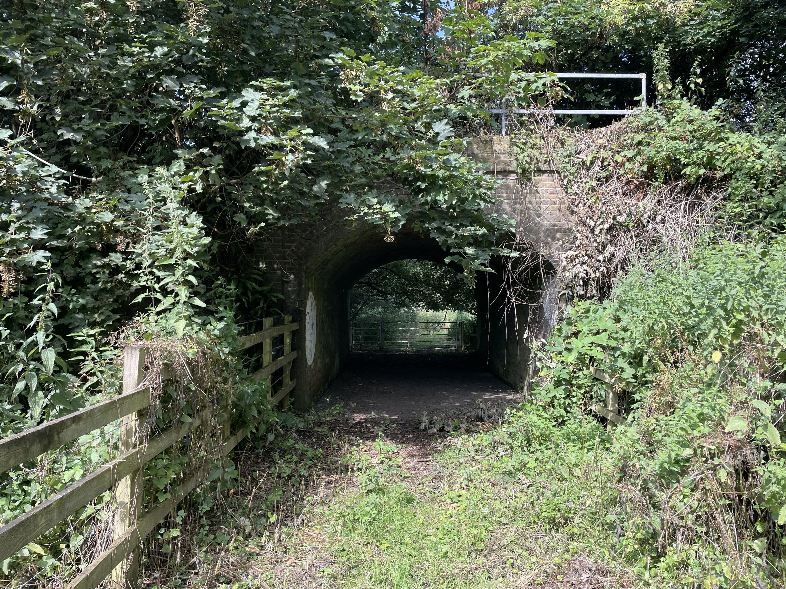
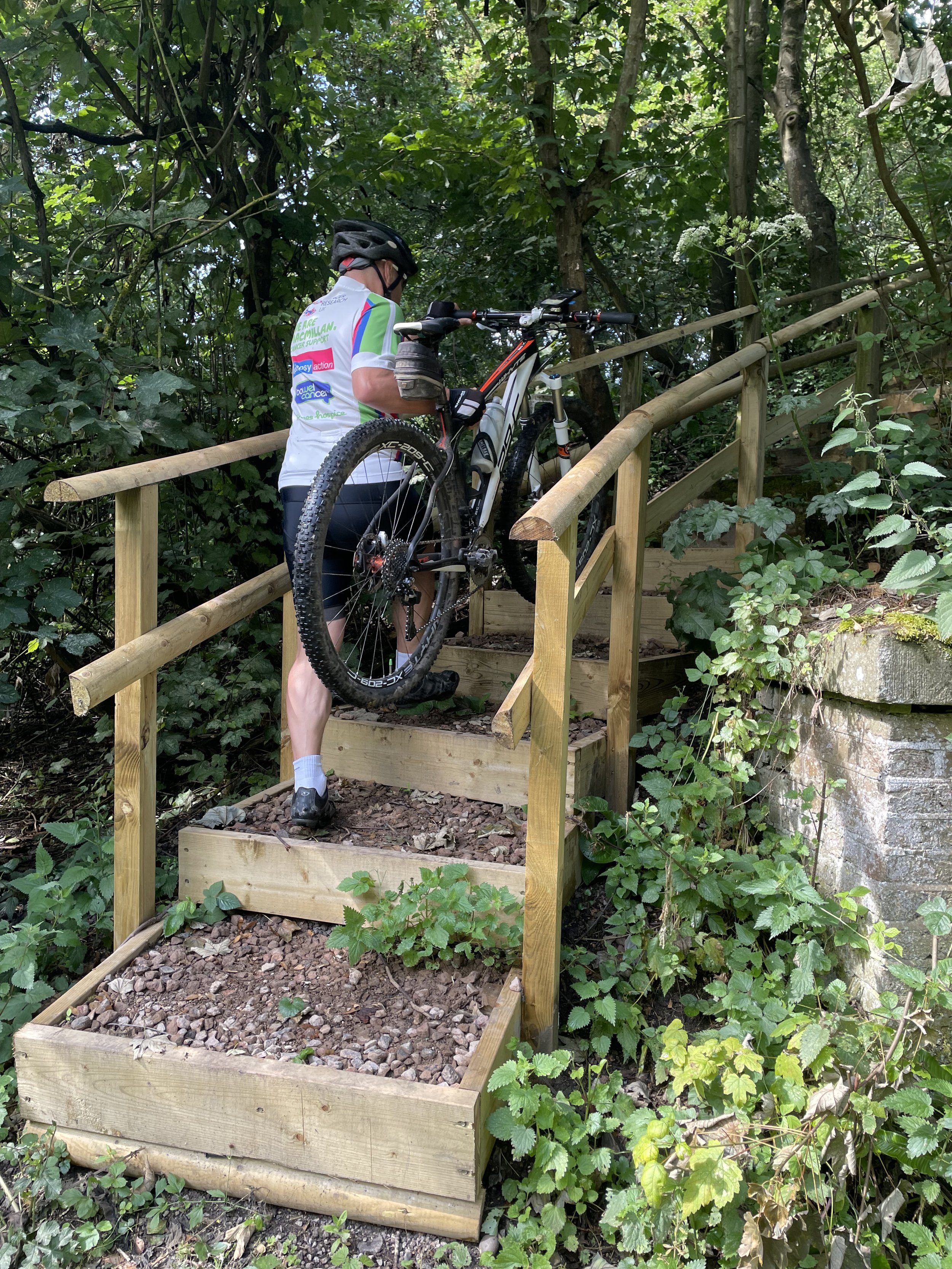
From Staines West Station follow Moor Lane until you reach a footpath on the right hand side just ahead of the A30 Staines Bypass. Follow this path to cross over the old bridge that crosses the River Wraysbury and the route of the old railway. Take a left after the bridge to pass under the A30 and onto Staines Moor. Keep to the south-western edge of the moor and find a gate leading to a bridge in the woods and the route of the old railway. Here you’ll find an information board about the railway and steps up to join the old rail line.
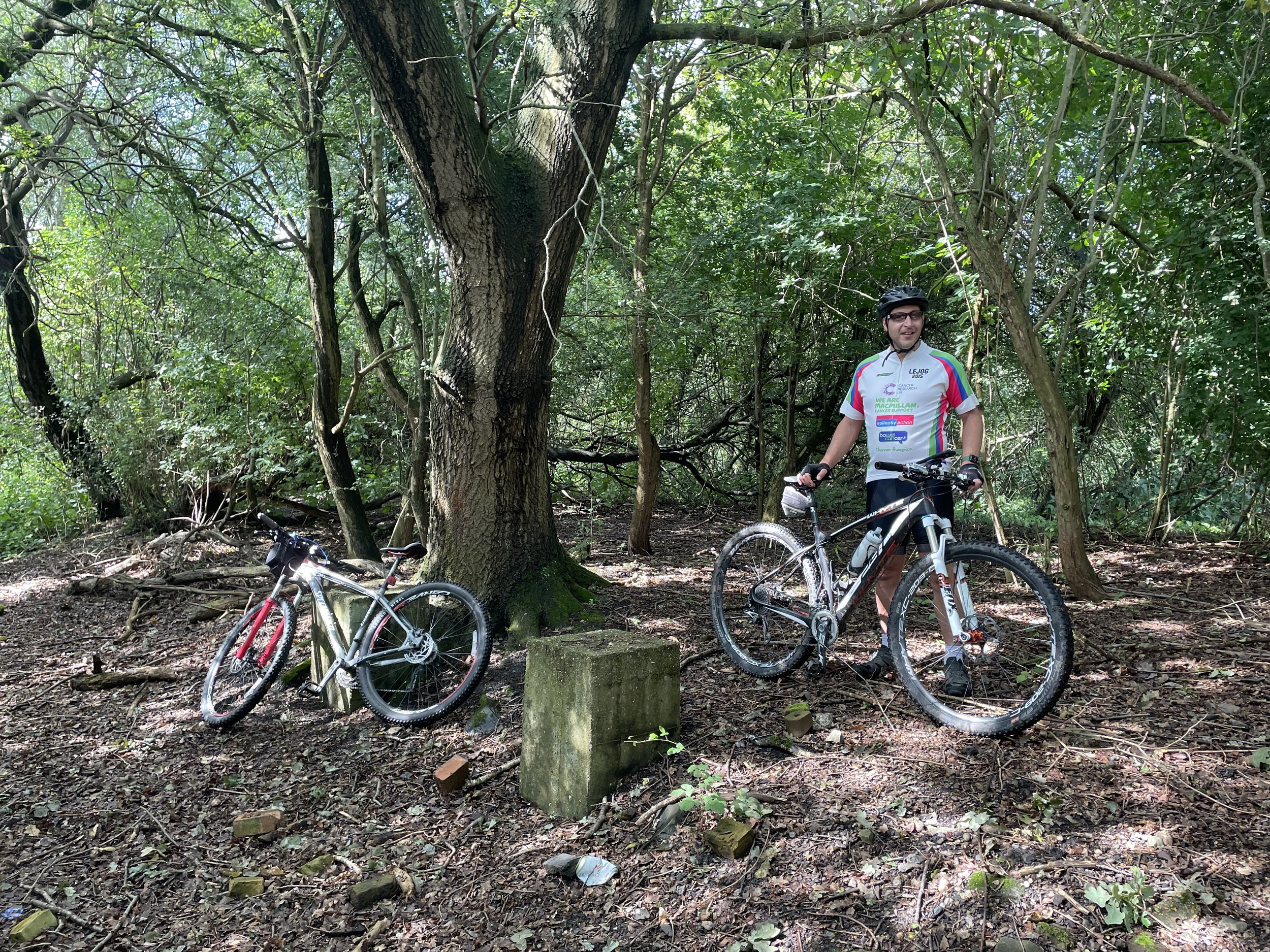
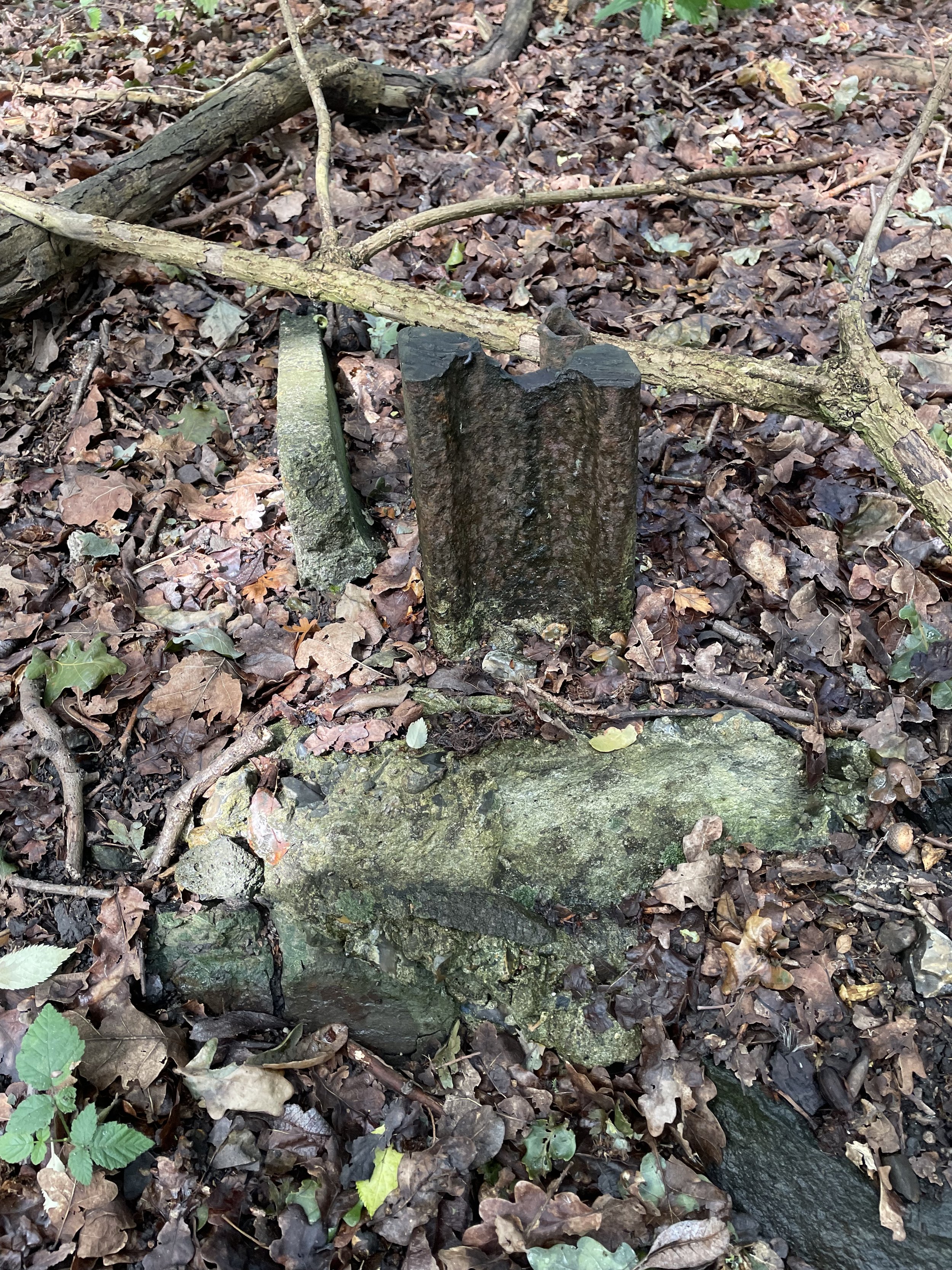
Follow the route of the old railway in a northerly direction to meet the site of the old Yeoveney Halt Station. There’s not much left but you can find some concrete remains in a clearing to the right hand side of the track.
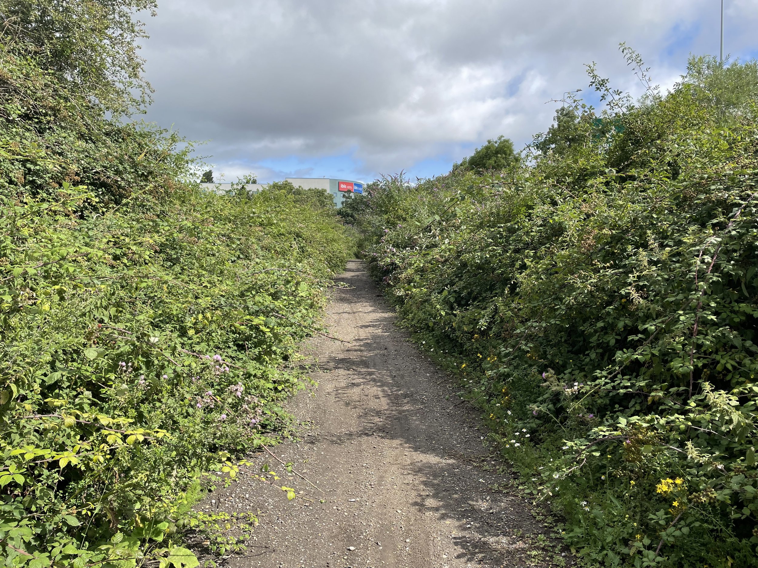
Continue north following the edge of the M25 and River Wraysbury and take a path that passes through Junction 14 of the M25 to reach the western edge of the motorway. Just before you join Horton Road take a track heading south for about 100m to the approximate site of the old Poyle Halt Station. Nothing remains. You’re now also at the most westerly point of Greater London.
Retrace your route back from Poyle Halt to meet Horton Road following it west and then join Poyle Road at the roundabout. Take a right on the next roundabout onto Blackthorne road, following it east to the junction of Blackthorne Crescent where you’ll be at the approximate site of Poyle Estate Halt. As with the previous station, nothing remains.
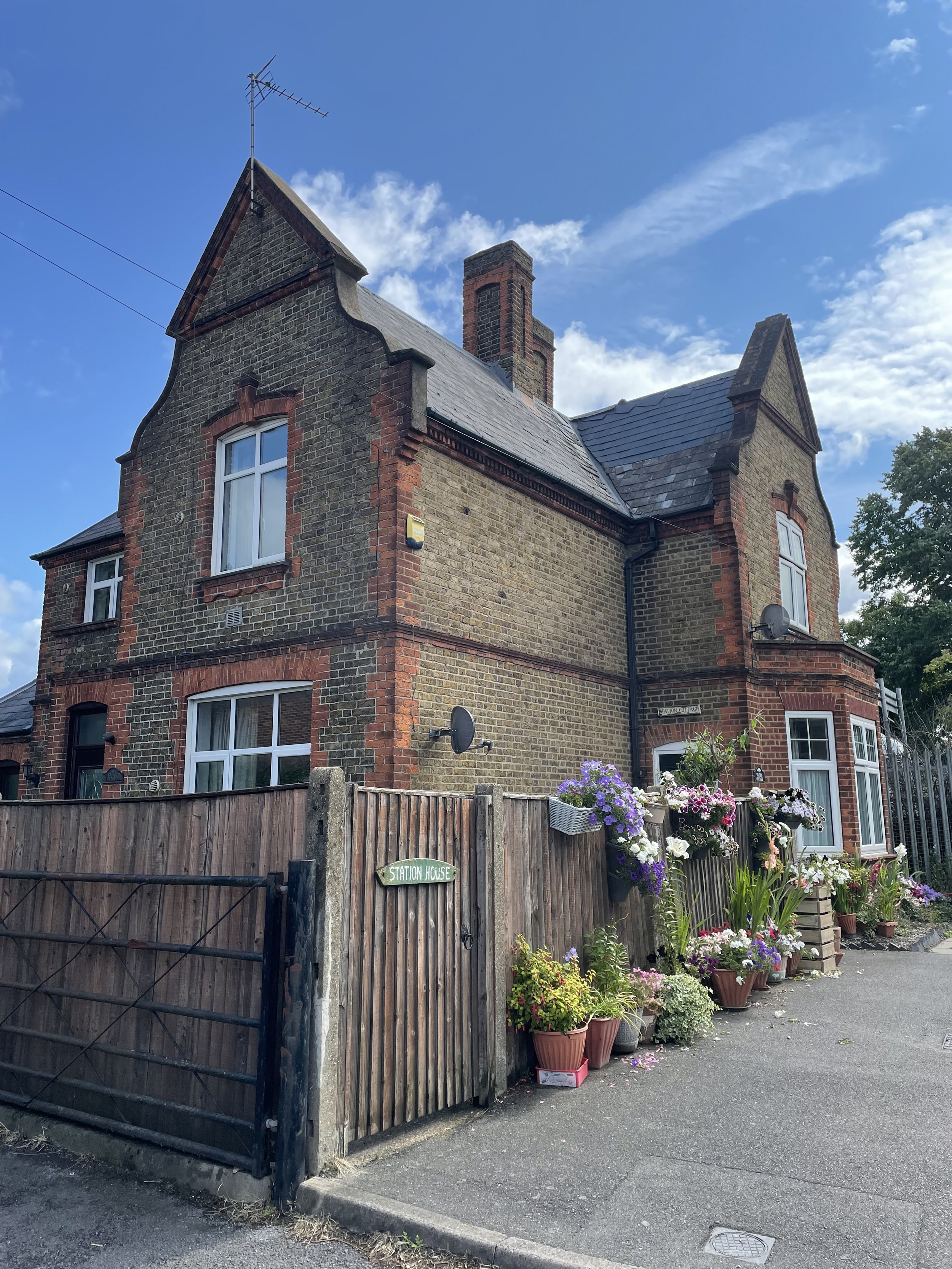
Retrace your route back down Blackthorne Road and take a right back onto Poyle Road heading north, then a right onto Bath Road. Colnbrook Station can be found on the left hand side of Bath Road just after the junction with Meadowbrook Close. The old building still remains and is now a private house called Station Cottage. After Colnbrook Station the rail line is still in use but now only for cargo and not for passengers.
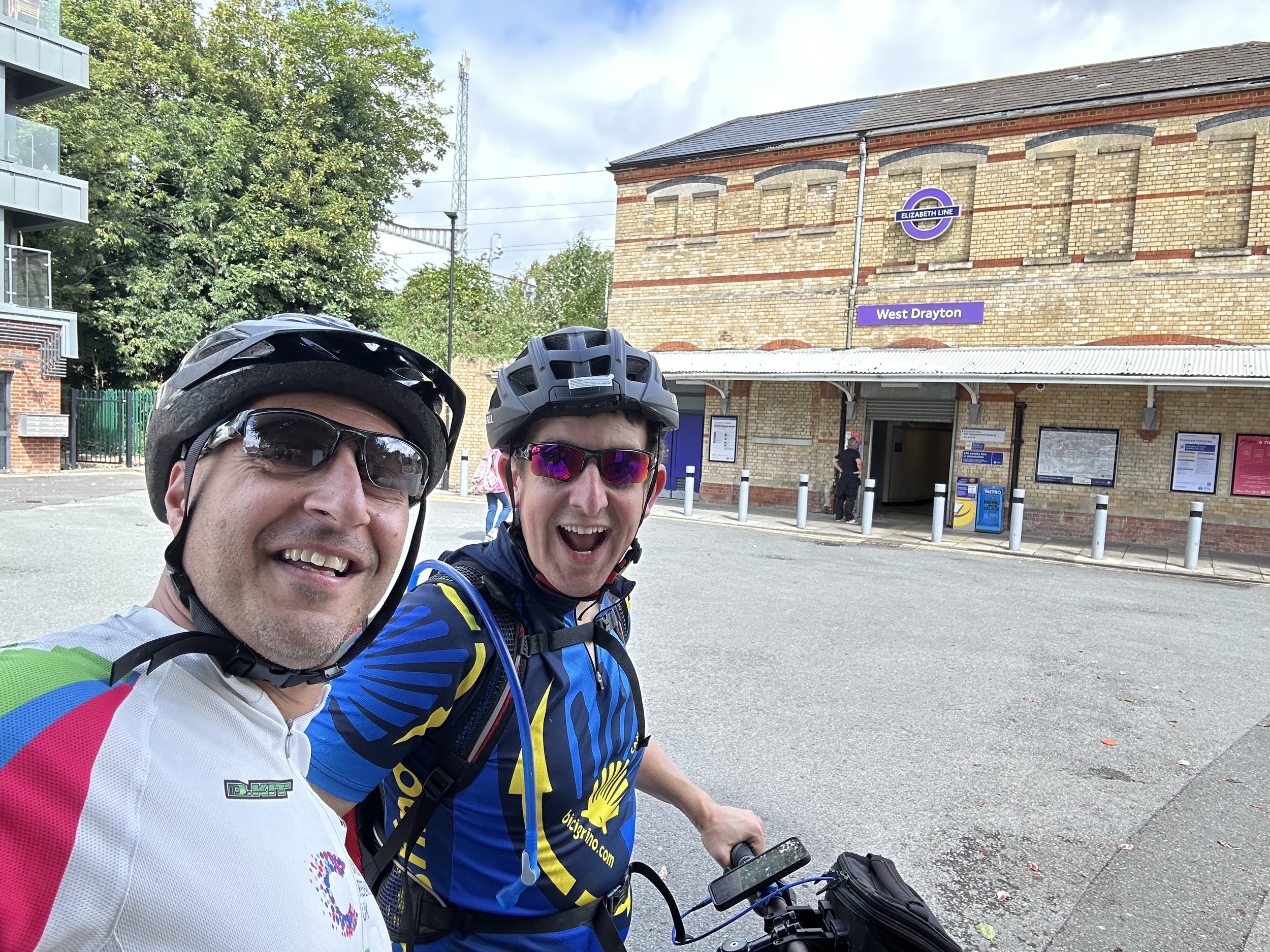
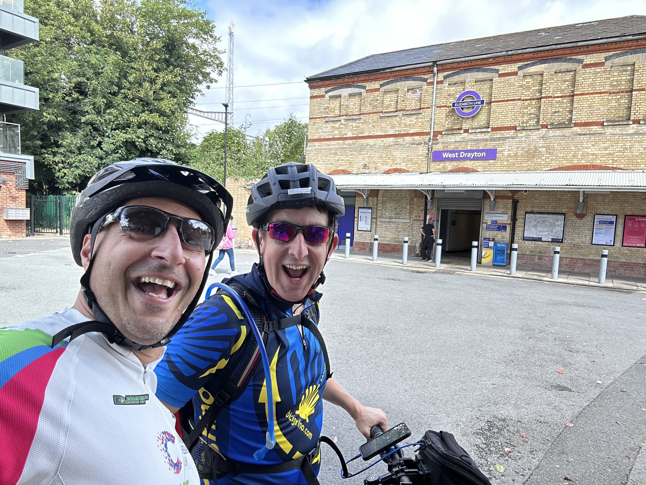
There was one extra station north of Colnbrook station called Colnbrook Estate Halt. There’s nothing left of it and I couldn’t find a way to get close to the location so we cycled on to West Drayton. To do this continue east along Bath Road over the M25 then take the first track on the left which takes you north to Harmondsworth Moor. Pass under the M4 near the M4/M25 junction and onto a road called The Common. Continue north, then right onto Cricketfield Road, right onto Mill Road, left onto Station Road, right onto Warwick Road where you’ll find West Drayton Station and the end of this section.
Line 2: West Drayton to Uxbridge Vine Street
This section follows the Uxbridge (Vine Street) branch line from West Drayton station. The line ran passenger services from 1884 to 1962 and completely closed in 1979. Today nothing remains of Uxbridge Vine Street Station or Cowley Station, the only other station on the route. You can still find evidence of the line in the shape of streets and some road names.
From West Drayton Station cross over High Street and follow Tavistock Road, following the curve of the old railway. Take a right onto Trout Road over the Grand Union Canal, a left through a path onto Chantry Close then a left onto the A408. Taking a right onto Moorfield Road then take a left onto St Martin Close, a right onto New Peachy Lane and a left onto Peachy Lane. Note that in Geoff’s video he found some alleyways between the houses that traced a closer route to the old line.
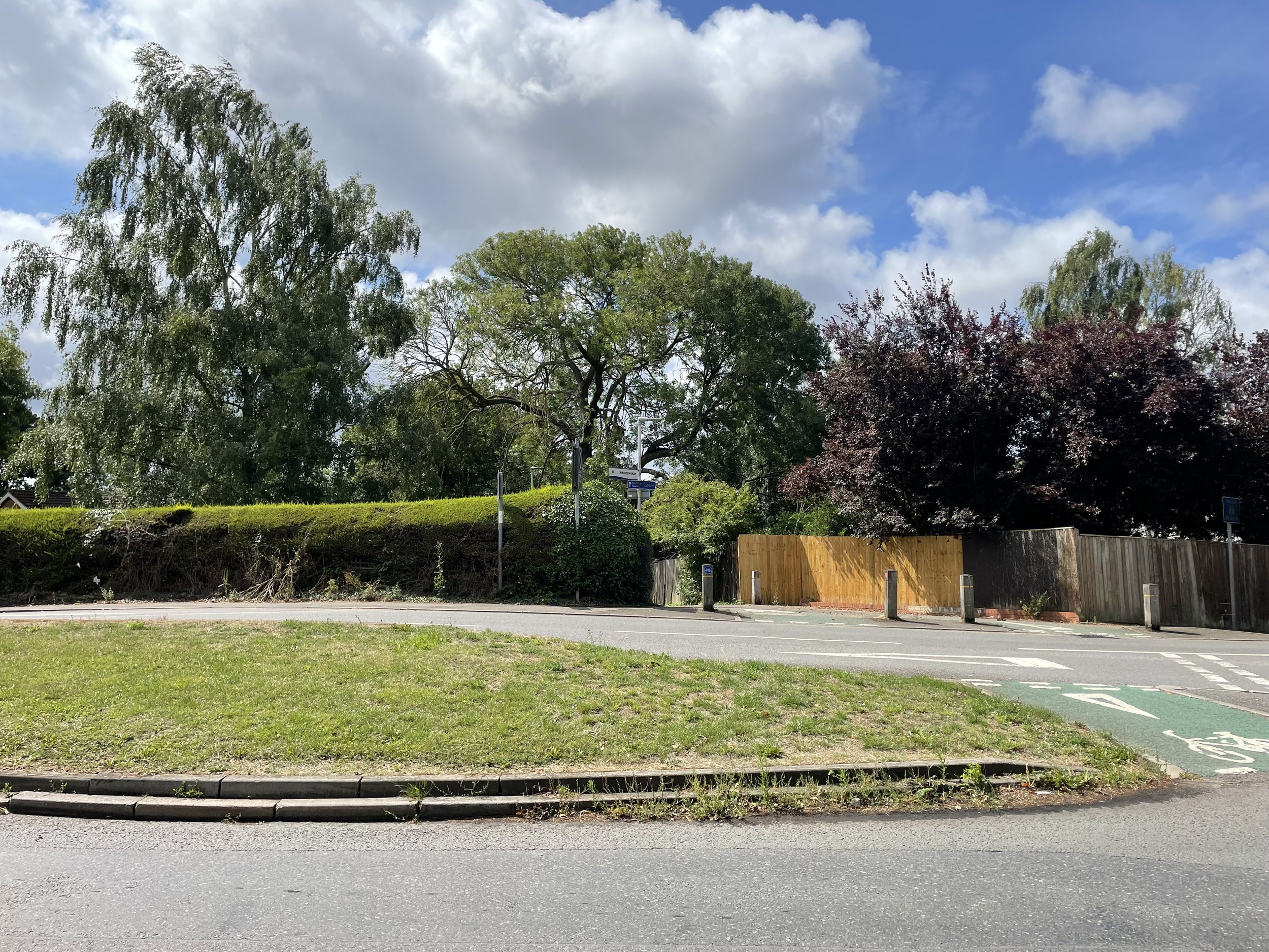
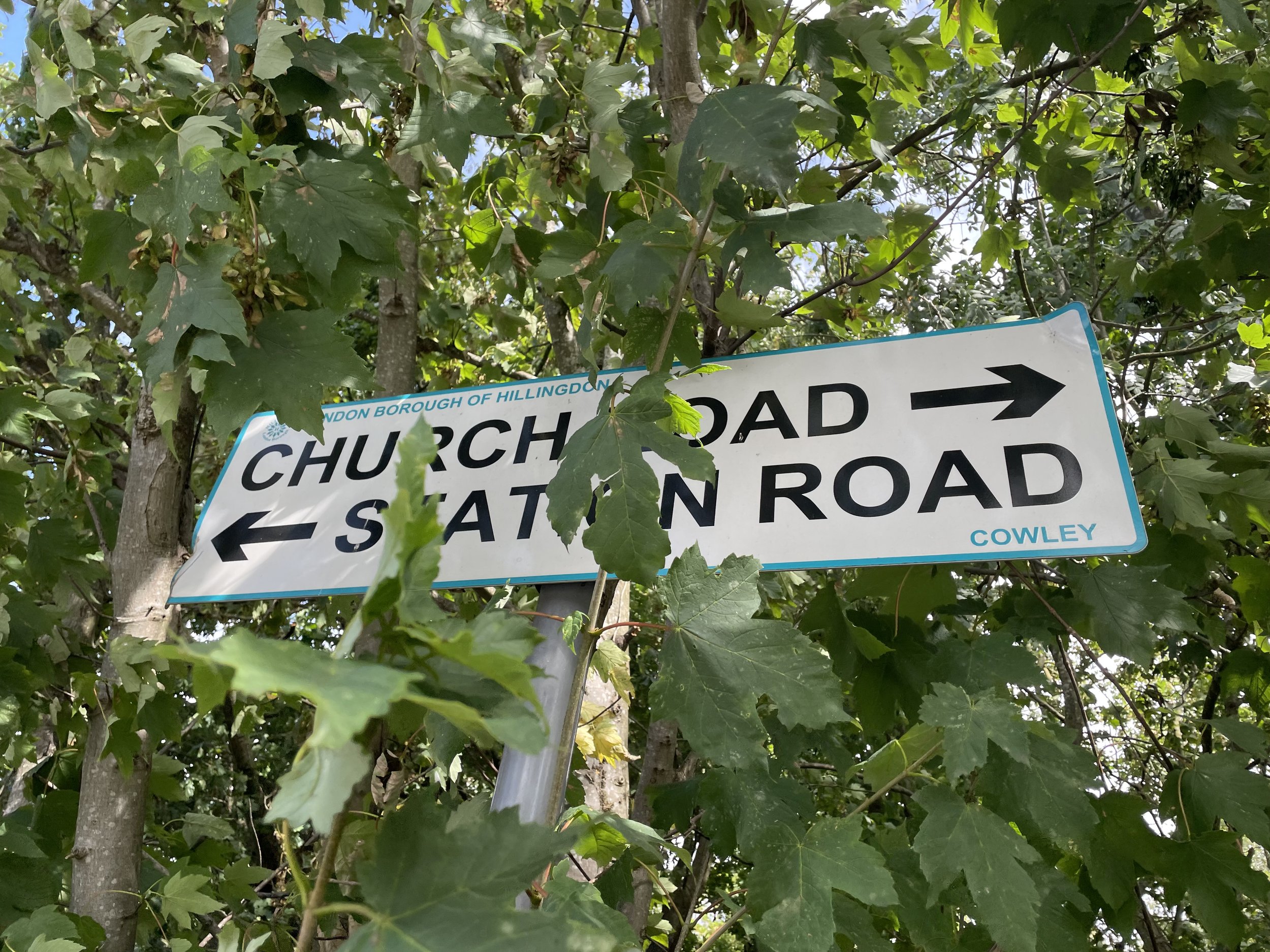
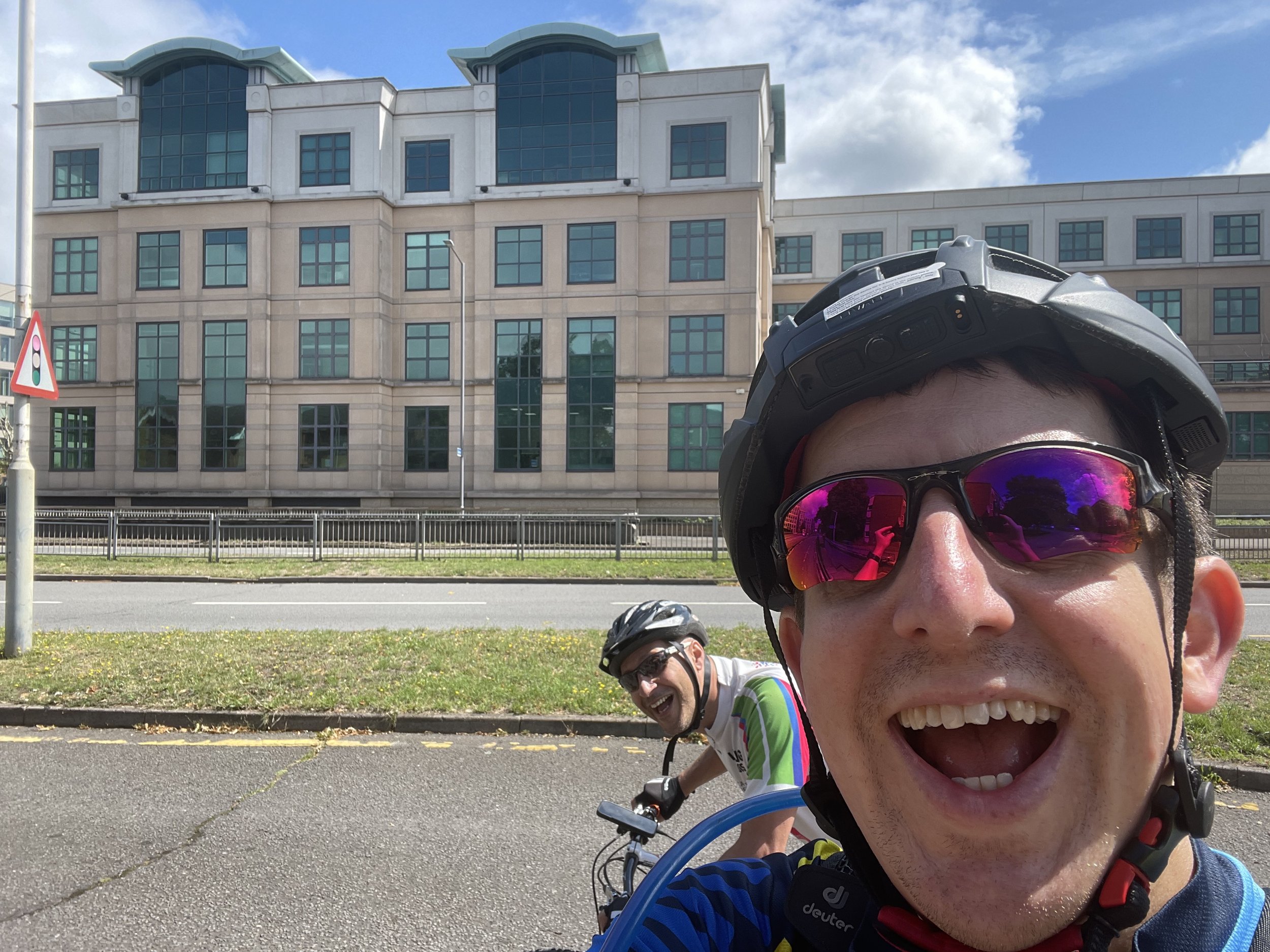
Take a left off Peachy Lane onto Kingdom Lane, a cycle path that directly follows the route of the old railway. Follow this for 0.5km to Station Road, near the site of the old Cowley Station. Cross Station Road and continue to follow the old rail route up Cleveland Road, Whitehall Road and Kendal Mews. You’ve now arrived at the busy A4020 (Hillingdon Road) dual carriageway that runs through Uxbridge. The Hertz building on the north side of the A4020 is on the site of the old Vine Street Station.
Line 3: Uxbridge High Street to Denham
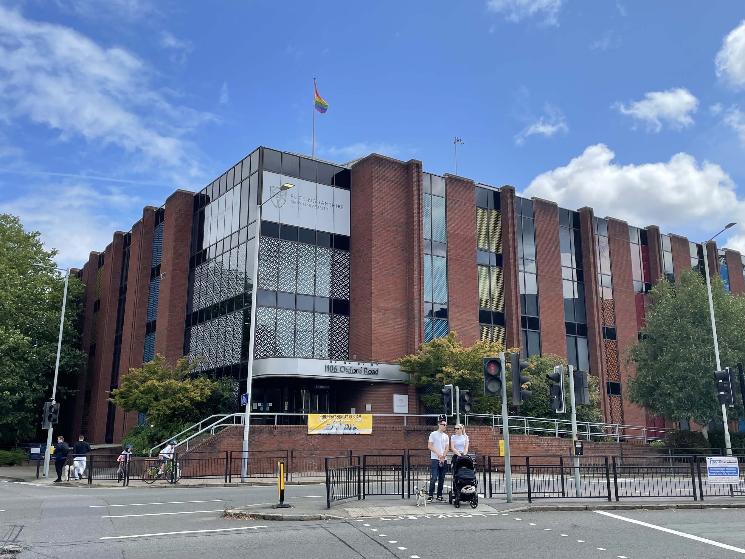
From the site of Uxbridge Vine Street Station navigate round the roundabout to pick up Oxford Road to the site of the old Uxbridge High Street Station at 106 Oxford Road. There’s no remains of the old station and the site is now a building for the Buckinghamshire New University.
Geoff’s video on this section describes a walk along the route of the old line that connected Uxbridge to the Chiltern main line (formerly GWR) from 1907 to 1964. Having cycled through Alderglade Nature Reserve and Frays Farm Meadows before I remember it being a tricky ride and best tackled on foot. This time we opted for a more cycle-friendly route to the west of the old line. Timea (wife) and I went back to Uxbridge a week later to walk the true route of the old railway and you read about that in my next post.
From 106 Oxford Road we followed the Grand Union Canal Towpath from the Swan and Bottle pub to the southern entrance of Denham Country Park south of Denham Deep Lock. From here follow the South Bucks Way through the Country Park, Buckinghamshire Golf Course, Denham Village and along The Pyghtle to Denham Station. This is the end point of the route along the 3 disused rail lines.
The full cycle route from Staines West to Denham
The full cycle route: all 3 lines from Staines (south) to Denham (north)
Elevation plan for the full cycle route between Staines West and Denham
Stations on the Staines West to Denham Lines
Displayed in order of the cycle route from Staines West to Denham. Click on each photo to connect to the Wikipedia article for the station. Includes West Drayton and Denham which are still operating stations.

