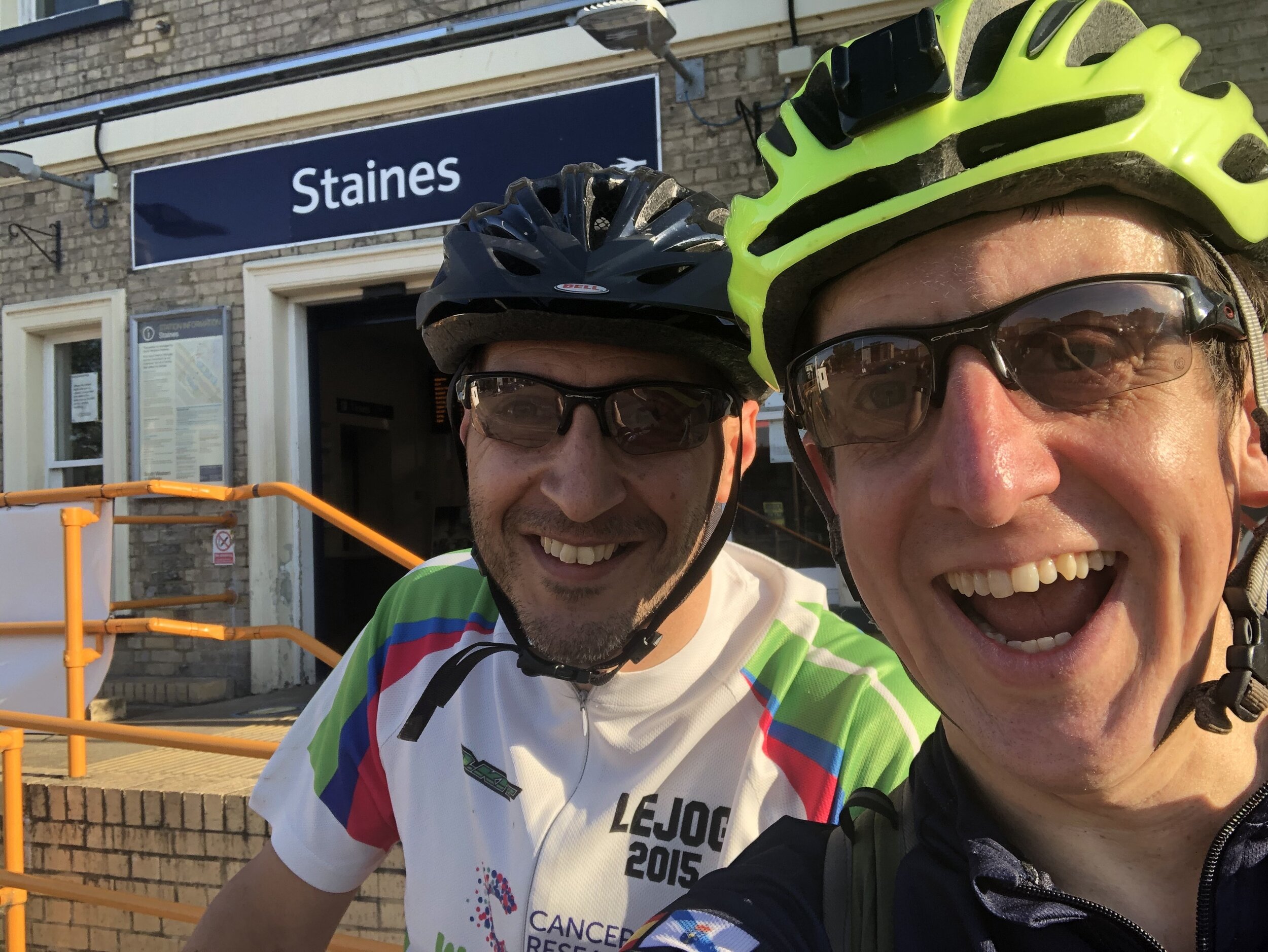
Cycling The Windsor to Staines Railway

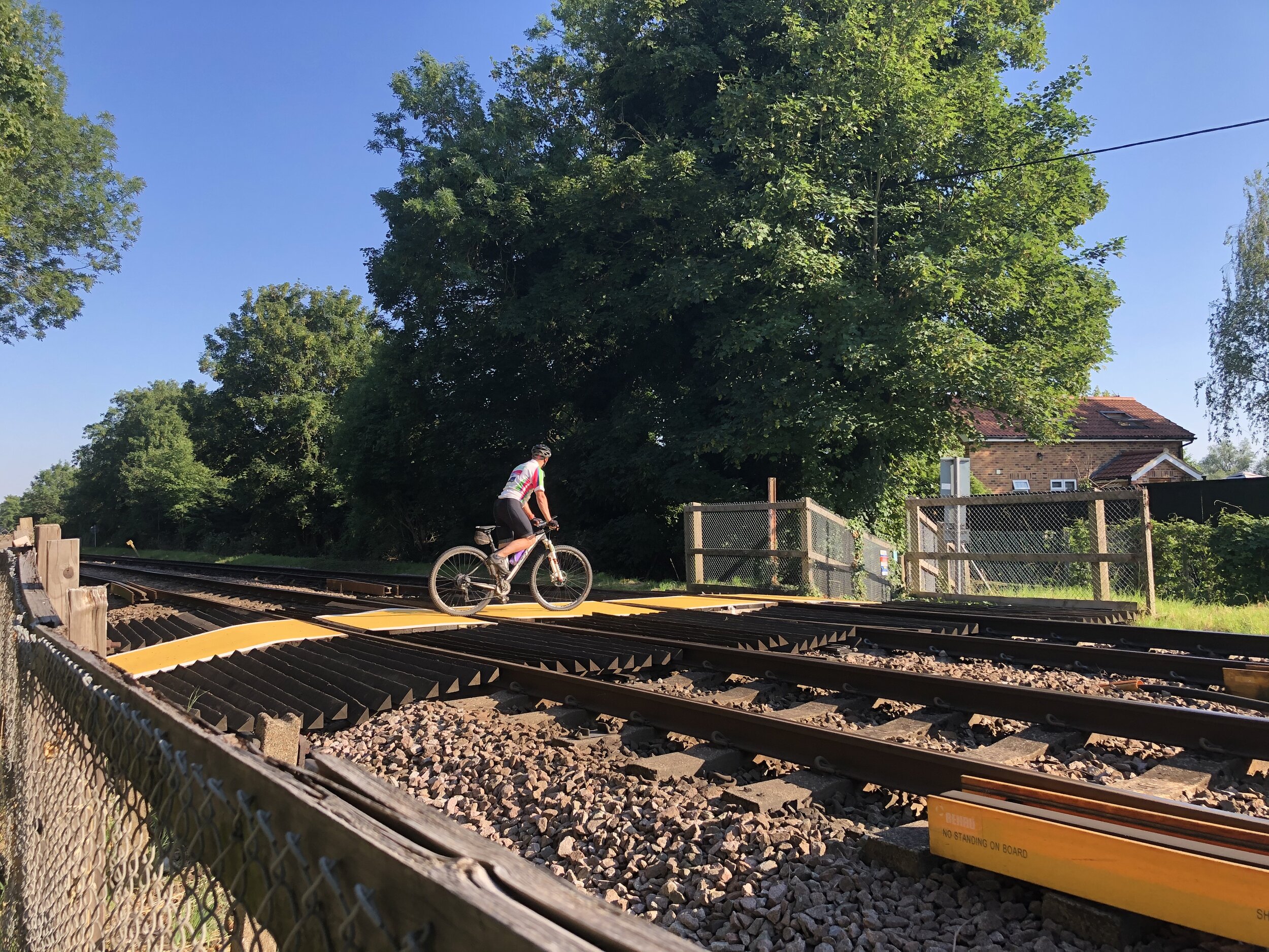
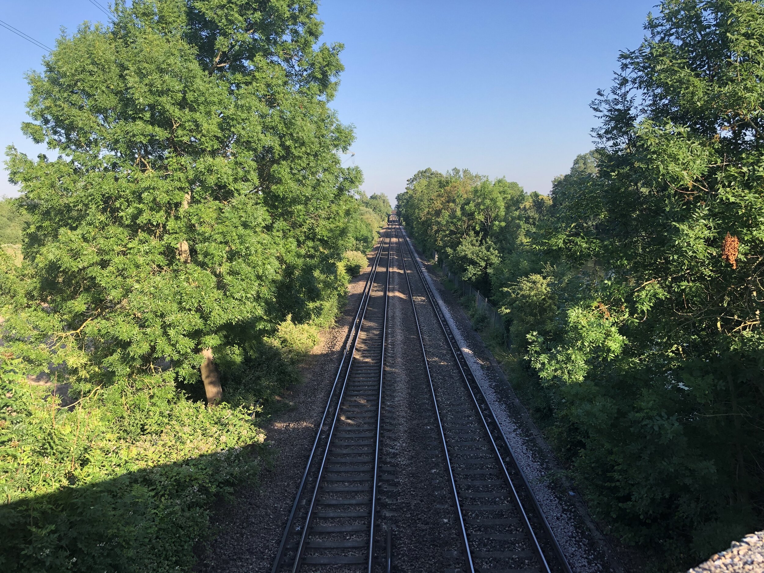
Level Crossing near Horton
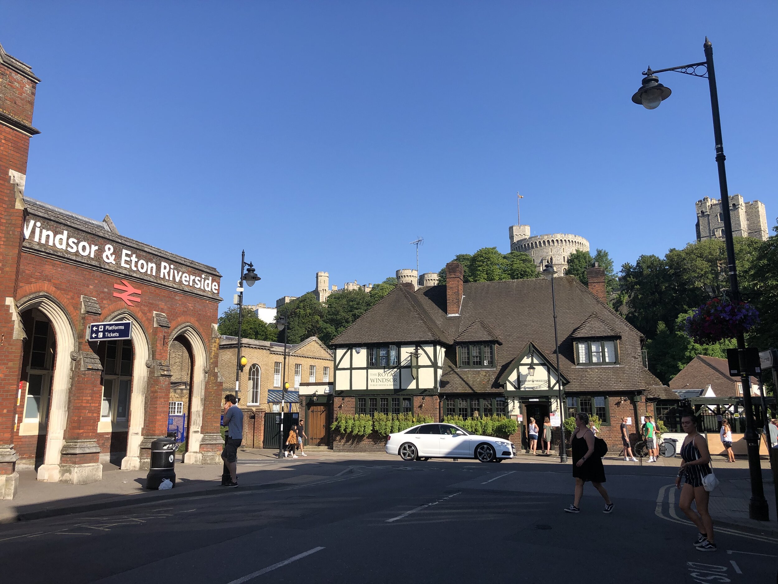
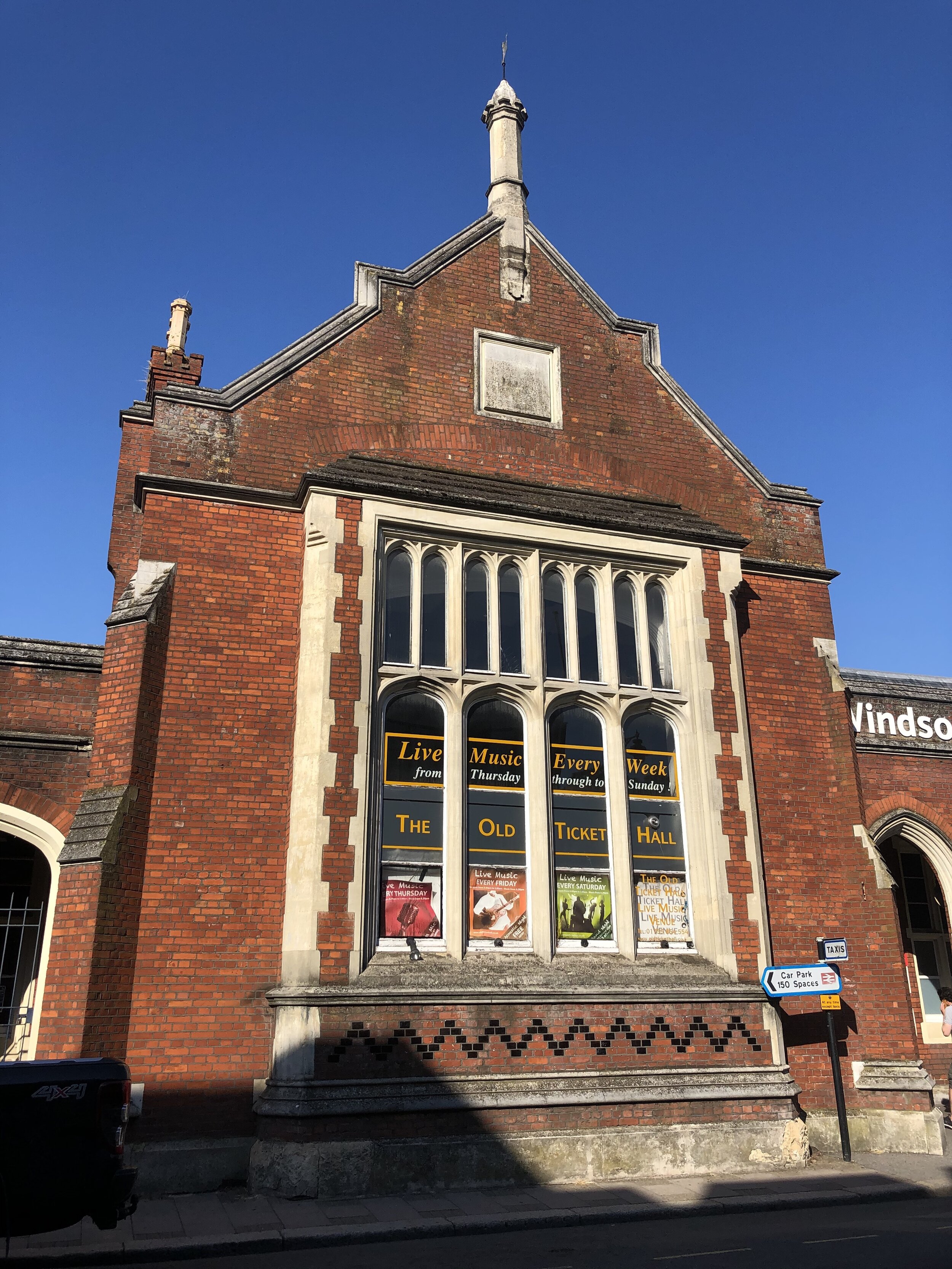
Start & Finish: Windsor & Eton Riverside Railway Station, Windsor SL4 1NA, United Kingdom
Distance: 26.3 km (16.3 miles)
Elevation change: + / - 78 m
GPX File: get via Buy Me a Coffee
Other routes touched (walk): Thames Path, Colne Valley Trail
Other routes touched (cycle): NCN 4
Pubs / Cafes on route: Many in both Windsor and Staines Town Centres. A good half-way stop is The Swan Hotel, Staines
Map: OS Explorer Map (160) Windsor, Weybridge & Bracknell
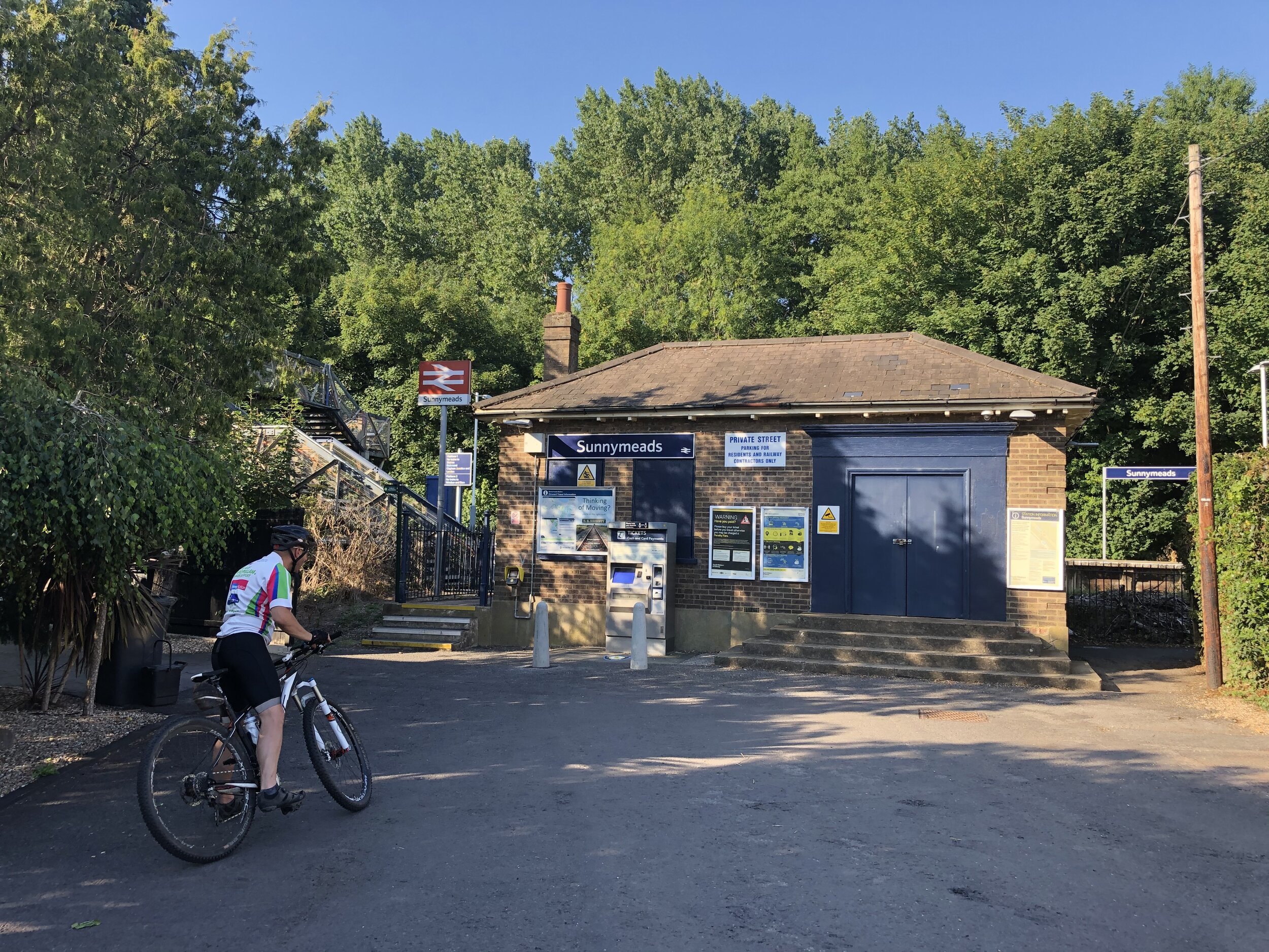
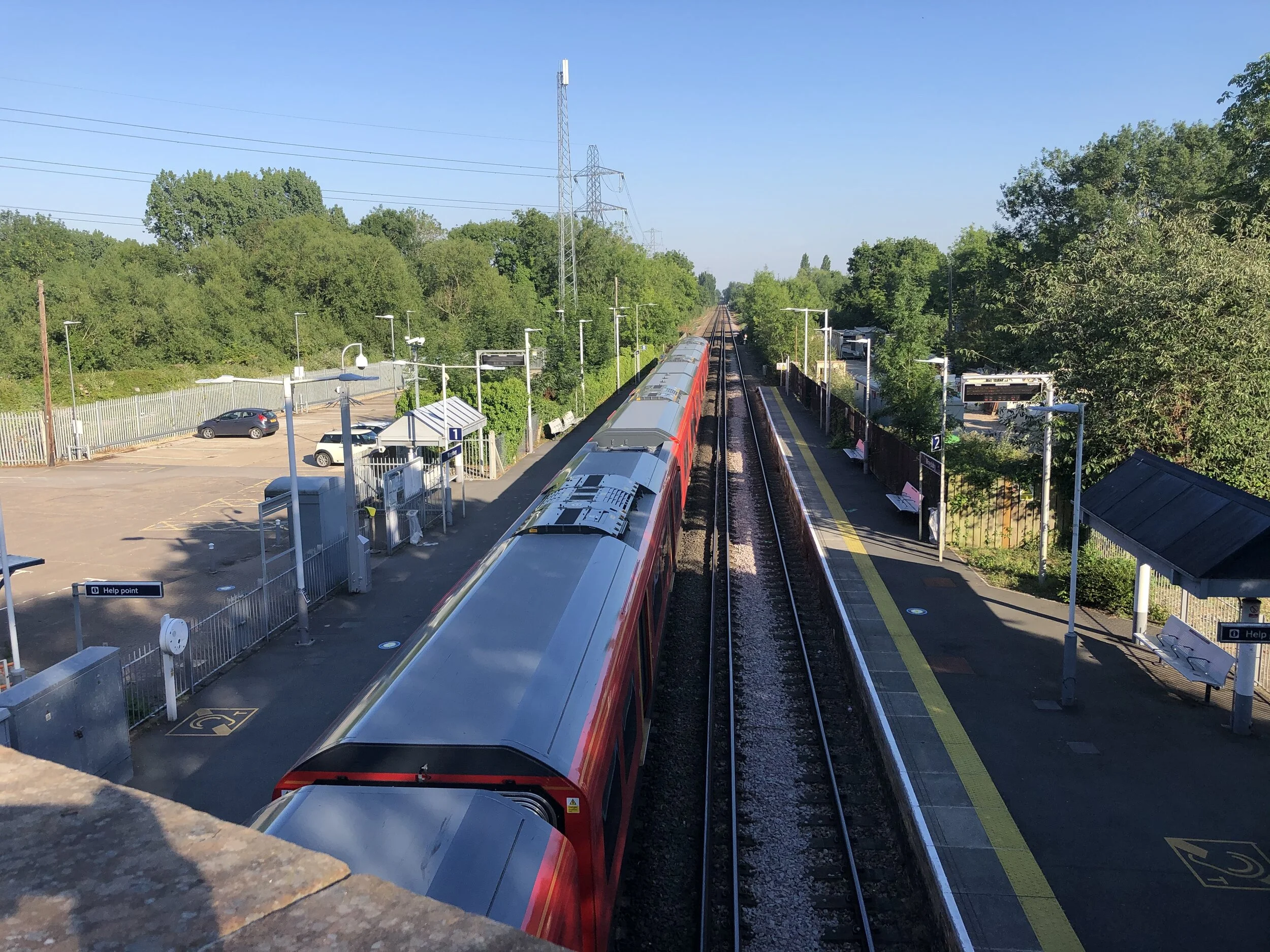
Links: Staines-Windsor Line, Windsor & Eton Riverside Station, Datchet Station, Sunnymeads Station, Wraysbury Station, Staines West Station (closed), Staines Station
Hot on the heels of the Slough to Windsor Railway cycle ride, next up was Windsor to Staines. This one started at Windsor & Eton Riverside station which is a short walk from Windsor & Eton Central but on a completely different line. The Riverside Station is the terminus for a branch line that connects to the Waterloo to Reading line at Staines. To make this a circular route we took the Thames Path back to Windsor from Staines. An obvious alternative would be to make it a point-to-point trip, returning via train to Windsor. Although the route is enjoyable either as a cycle or a walk there’s a few points to note on either option.
Starting from Windsor & Eton Riverside Station, take Farm Yard North to the Thames Path and take a right. Follow the Thames Path on a North-Easterly direction past Romney Lock and through Home park until you reach the bridge that takes the B470 King Edward Avenue over the Thames. Cross the Thames and follow the B470 to Datchet, taking a left onto the B470 Datchet High Street. At the mini roundabout take a right and follow the B376 Horton Road towards the East.
If you’re walking you can take a footpath on the right about 1.5 km along the B376. This will take you alongside the railway line, over a level crossing and eventually to Sunnymeads Station. Continue through Sunnymeads until you reach the B376 again, now called Welley Road. If you’re cycling, you’ll find the footpath a bit tight so it’s best avoided. As a quick diversion continue to the mini-roundabout, taking the second exit onto Welley Road and join up with where the footpath comes out of Sunnymeads.
Continue on the B376 to Wraysbury High Street and take a left onto Station Road. Continue on Station Road until you get to Wraysbury Station. Take a right onto the footpath to the East side of the Colne Brook. The footpath runs parallel to the rail line for ~1.5 km until it connects to Moor Lane just before the M25 overpass. This is best taken on foot but if you’re attempting it by bike make sure you’re on a mountain bike as it’s quite uneven and rooty. If you’re cycling and want to avoid this section, its best to take the right turn onto the B376 Staines Road at Wraysbury rather than left to Wraysbury Station. This will take you through Hythe End directly into Staines Town Centre.
Whichever option you have just taken, you’ll end up at the Two Rivers Shopping Centre. Here' you’ll cross both the River Colne and River Wraysbury (stars of previous cycle trips). Follow clear signage through the town to Staines Railway Station. From the station you’re ~ 500m from the Thames Path which gives you a very easily navigable return route to Windsor.