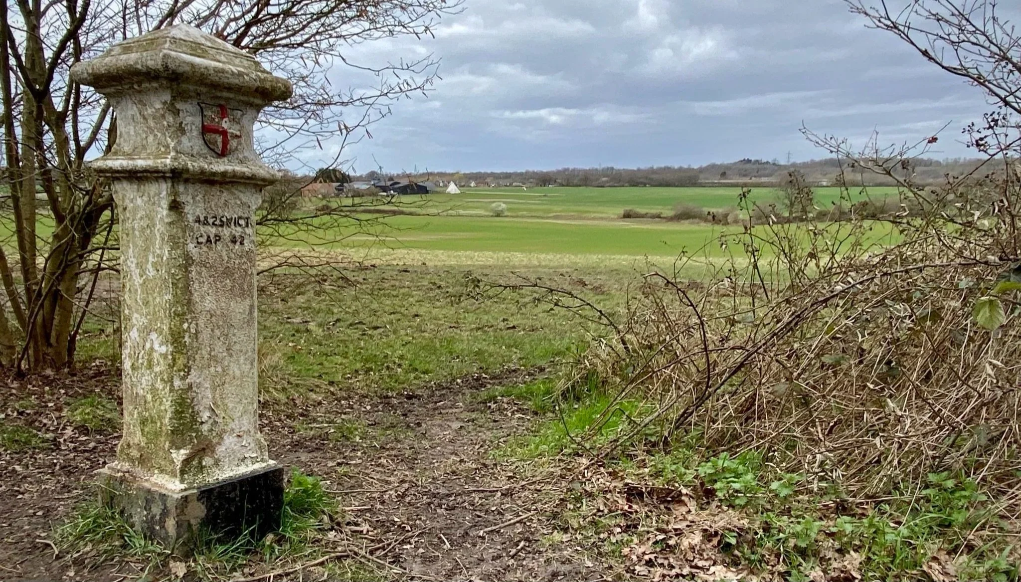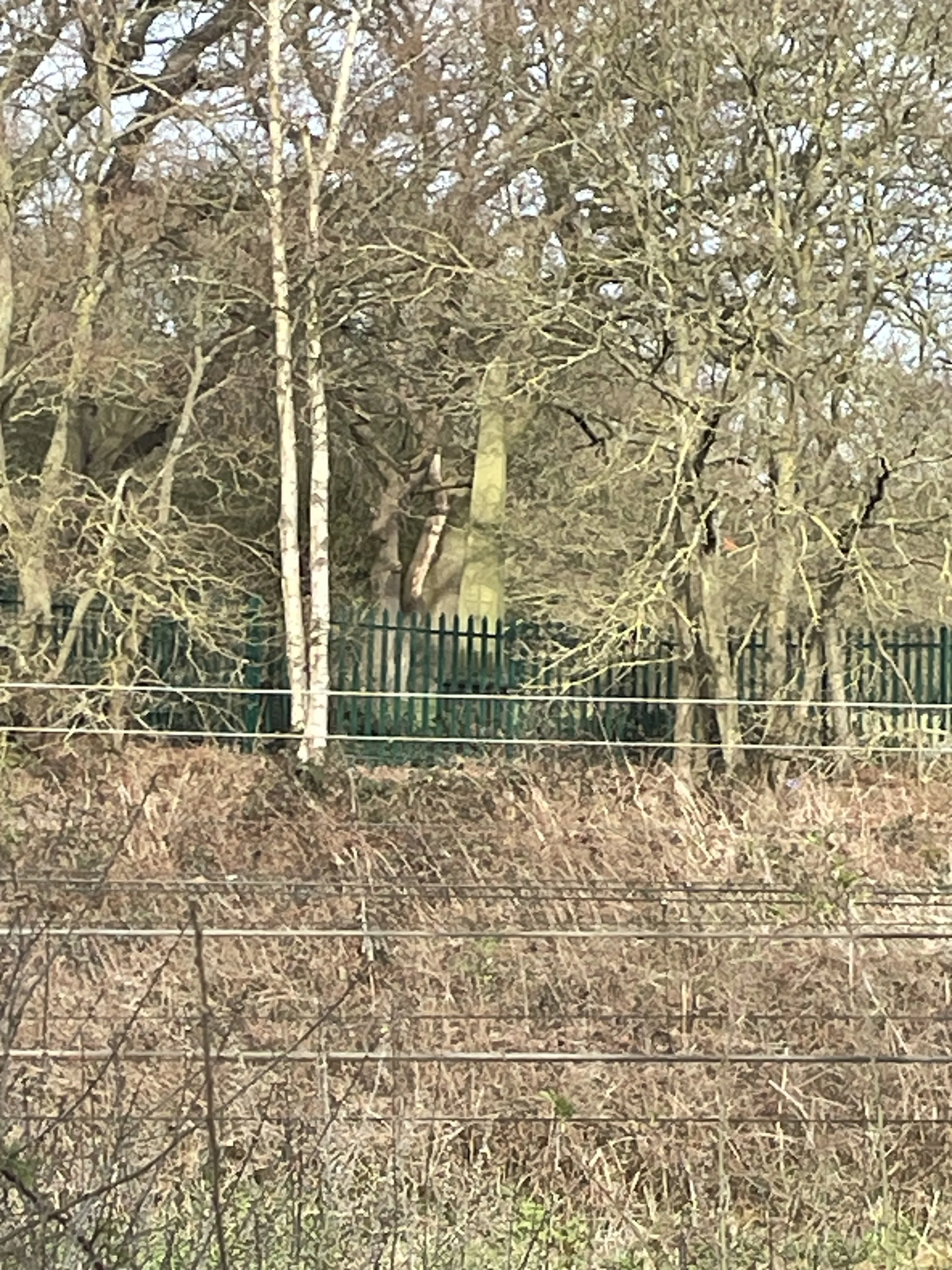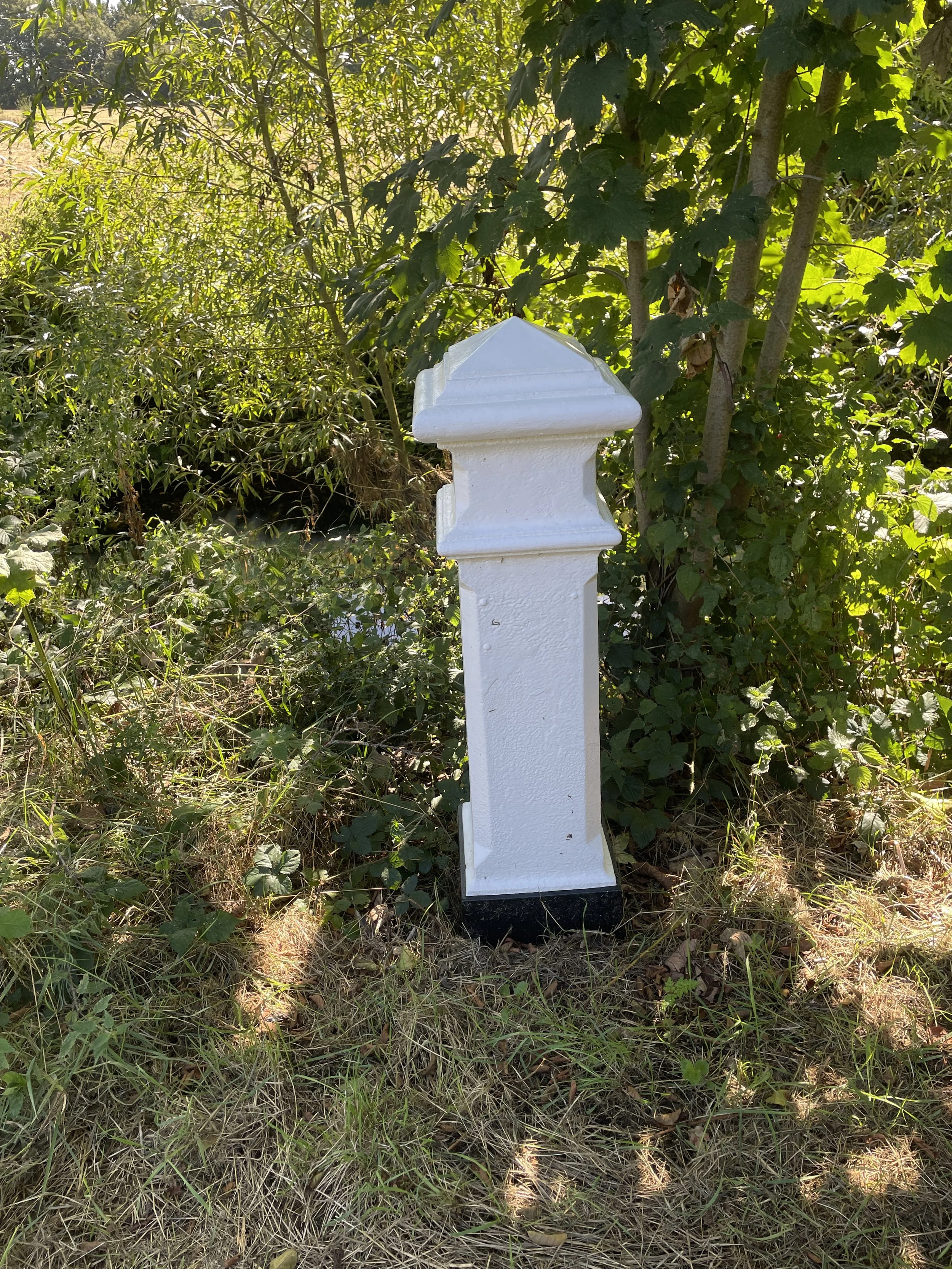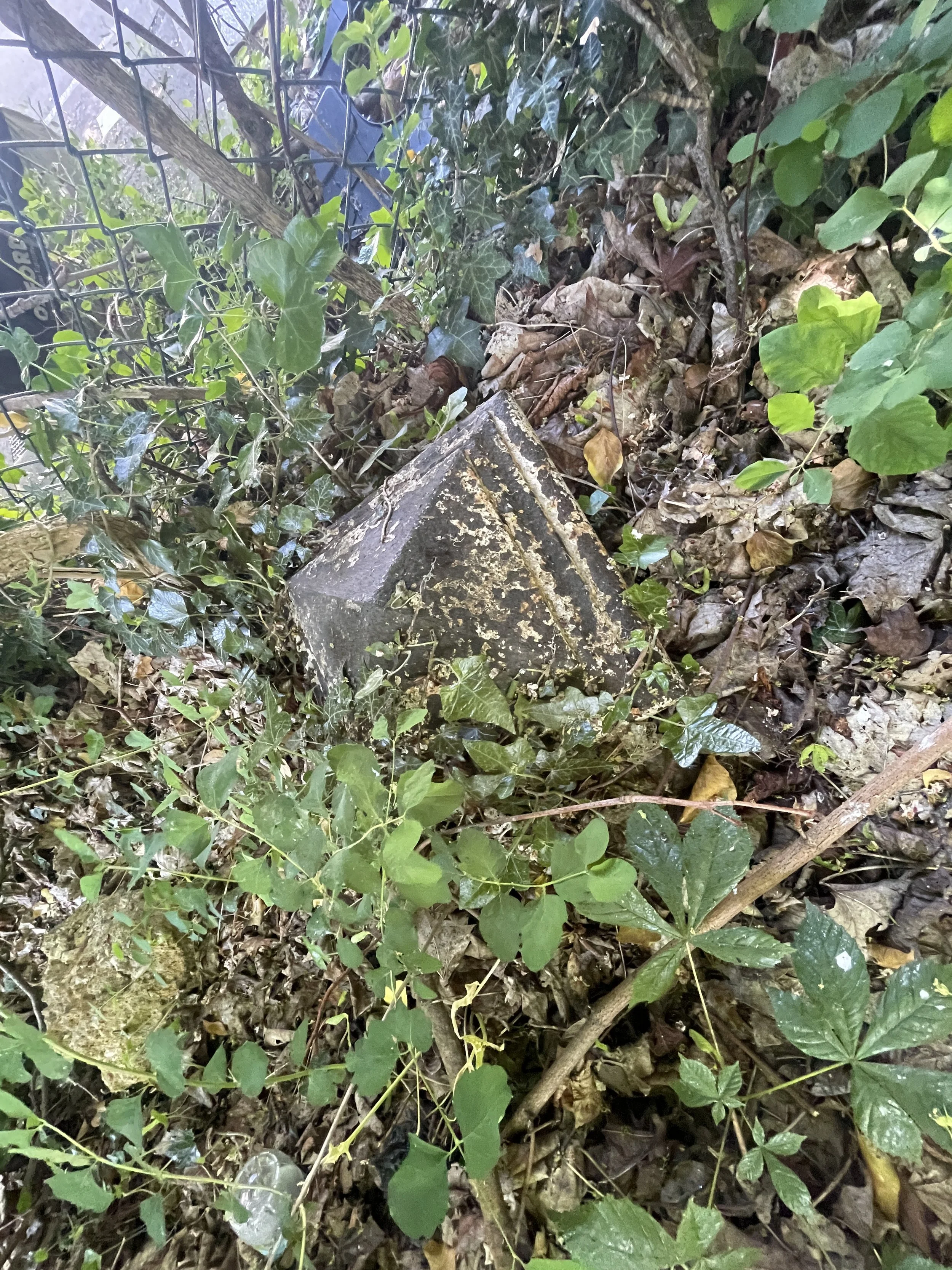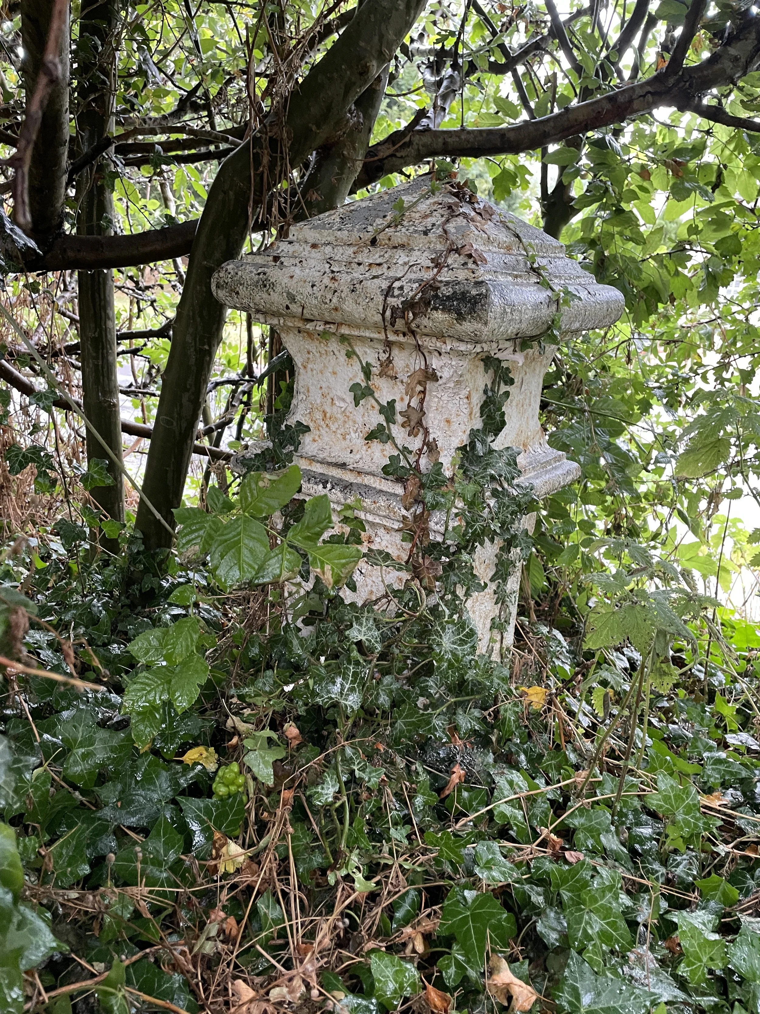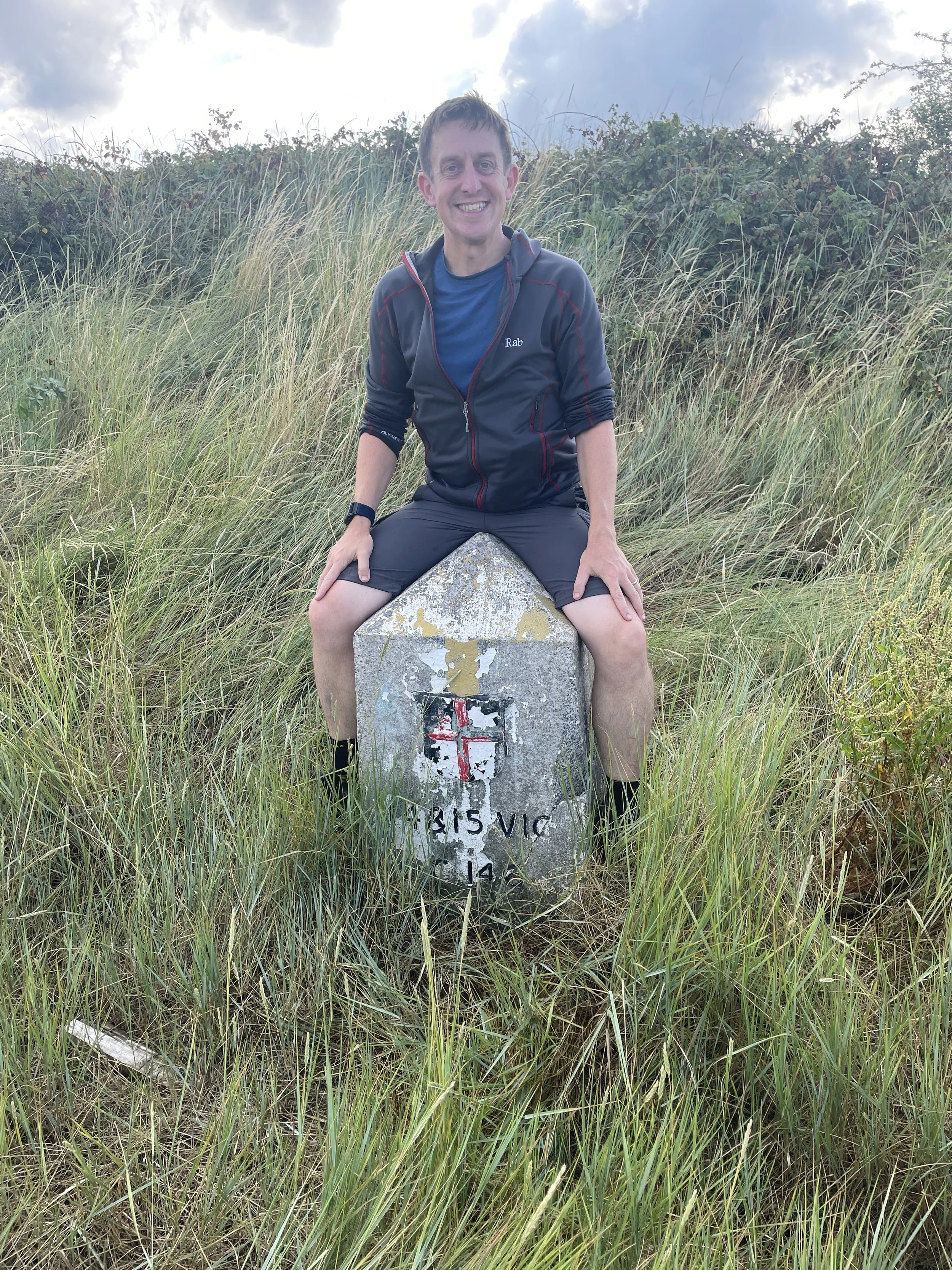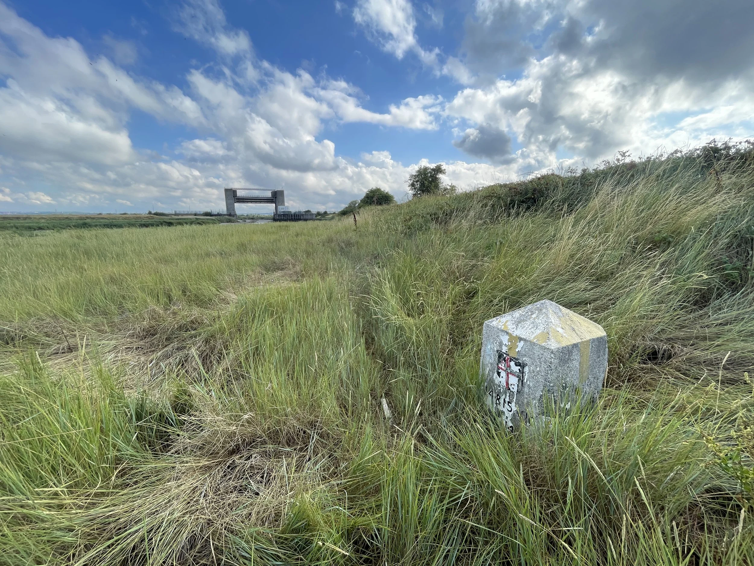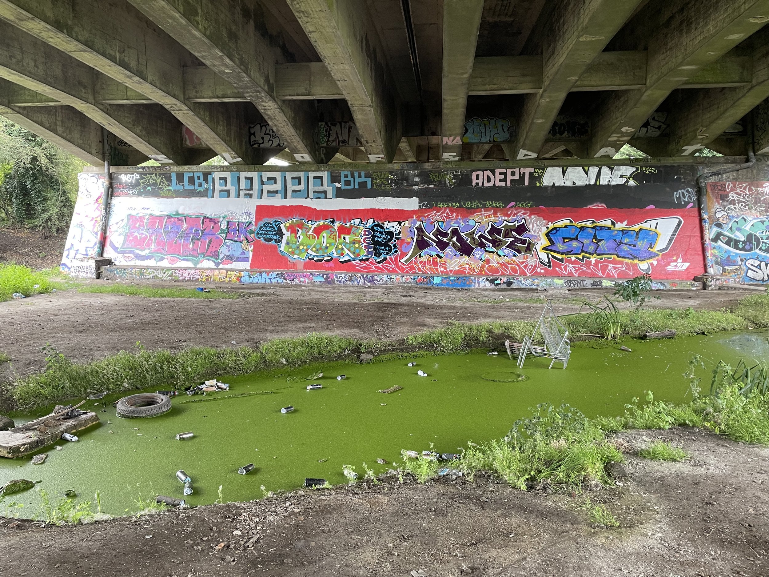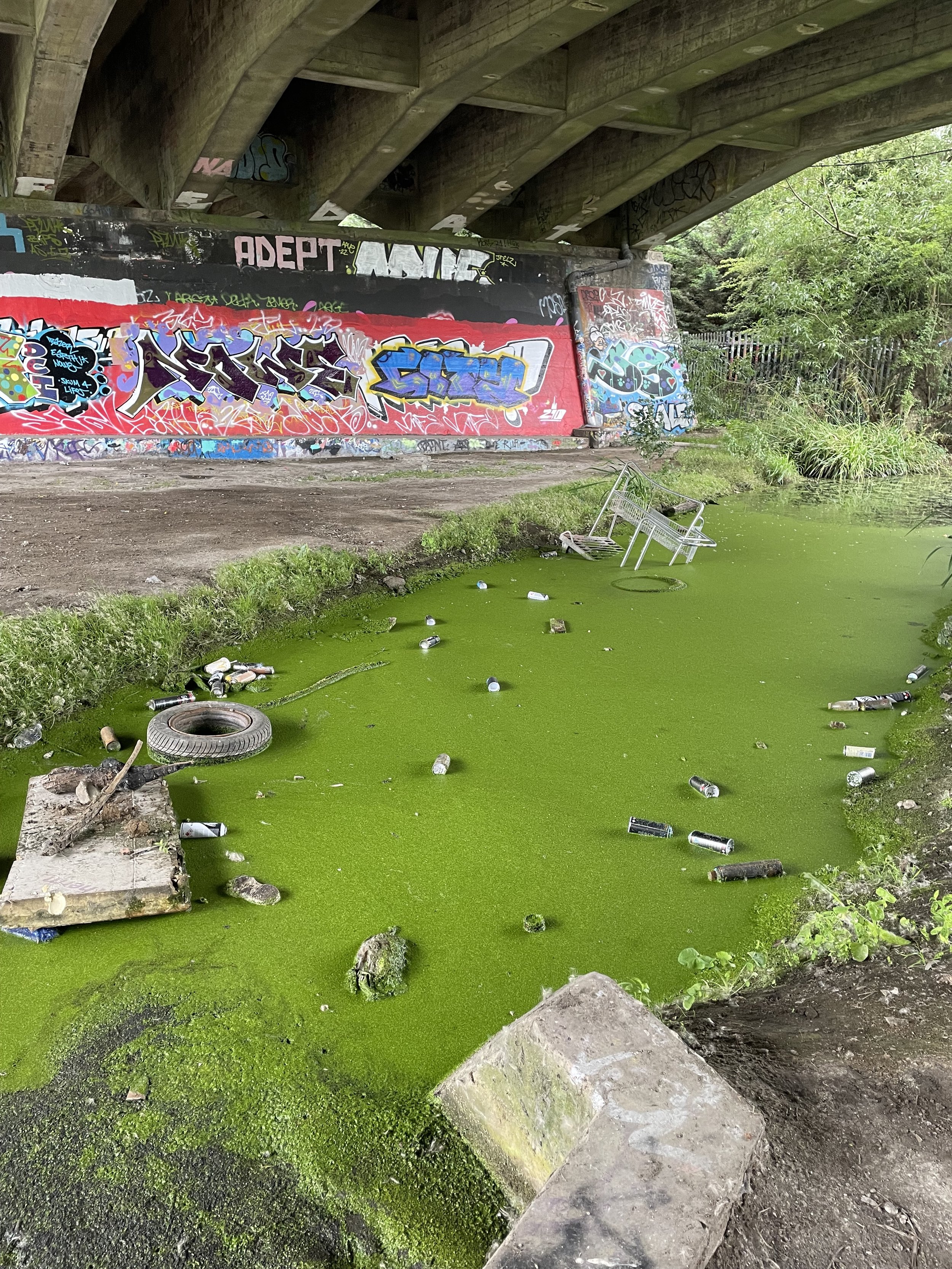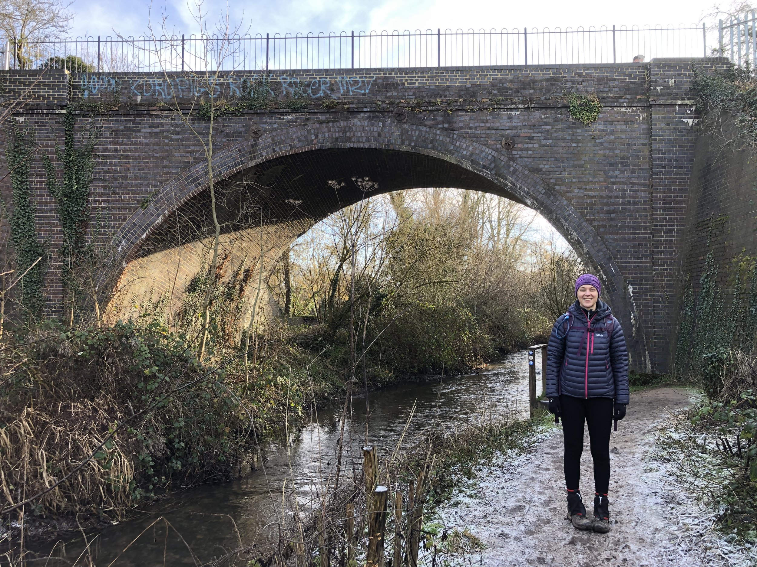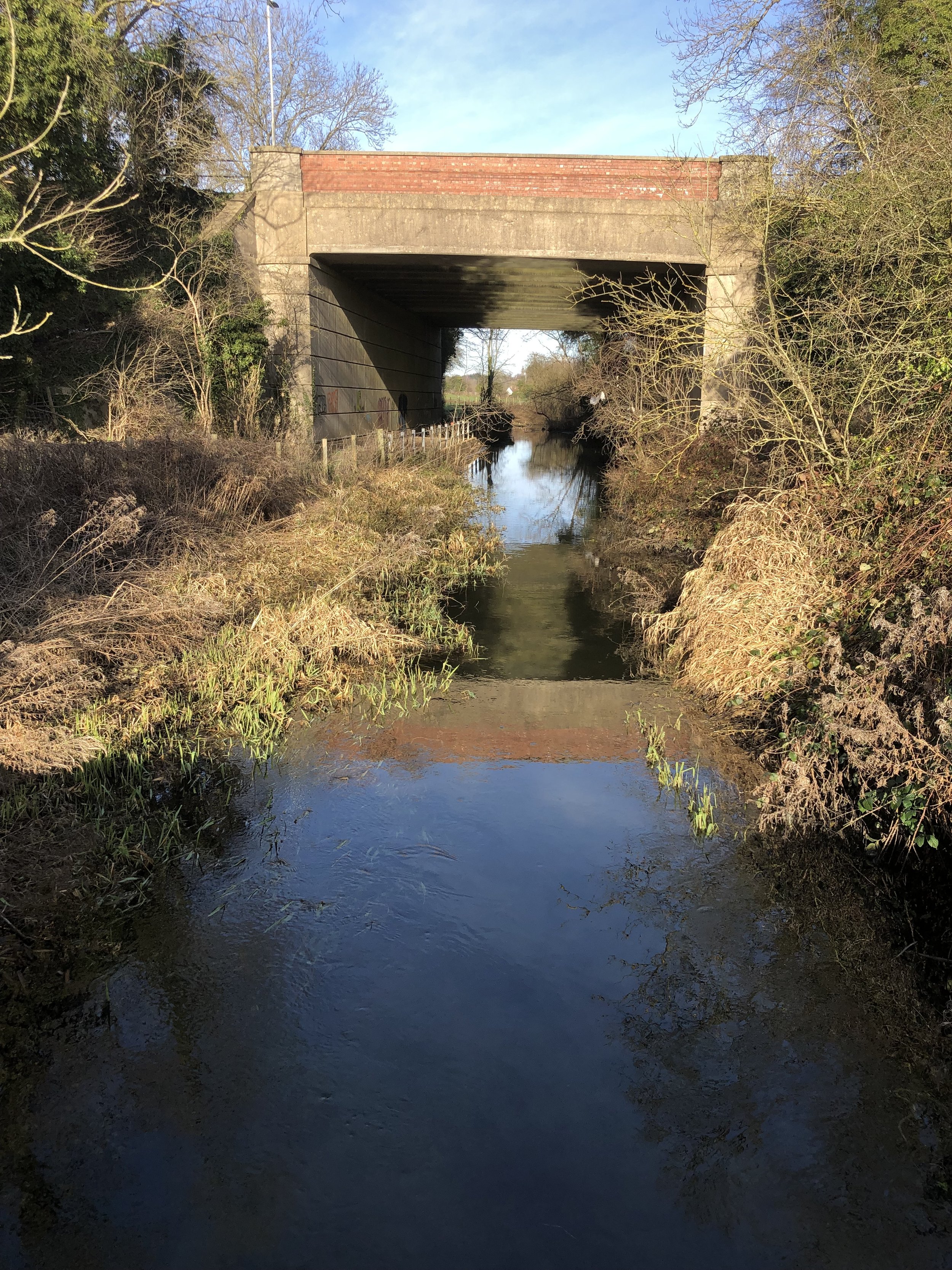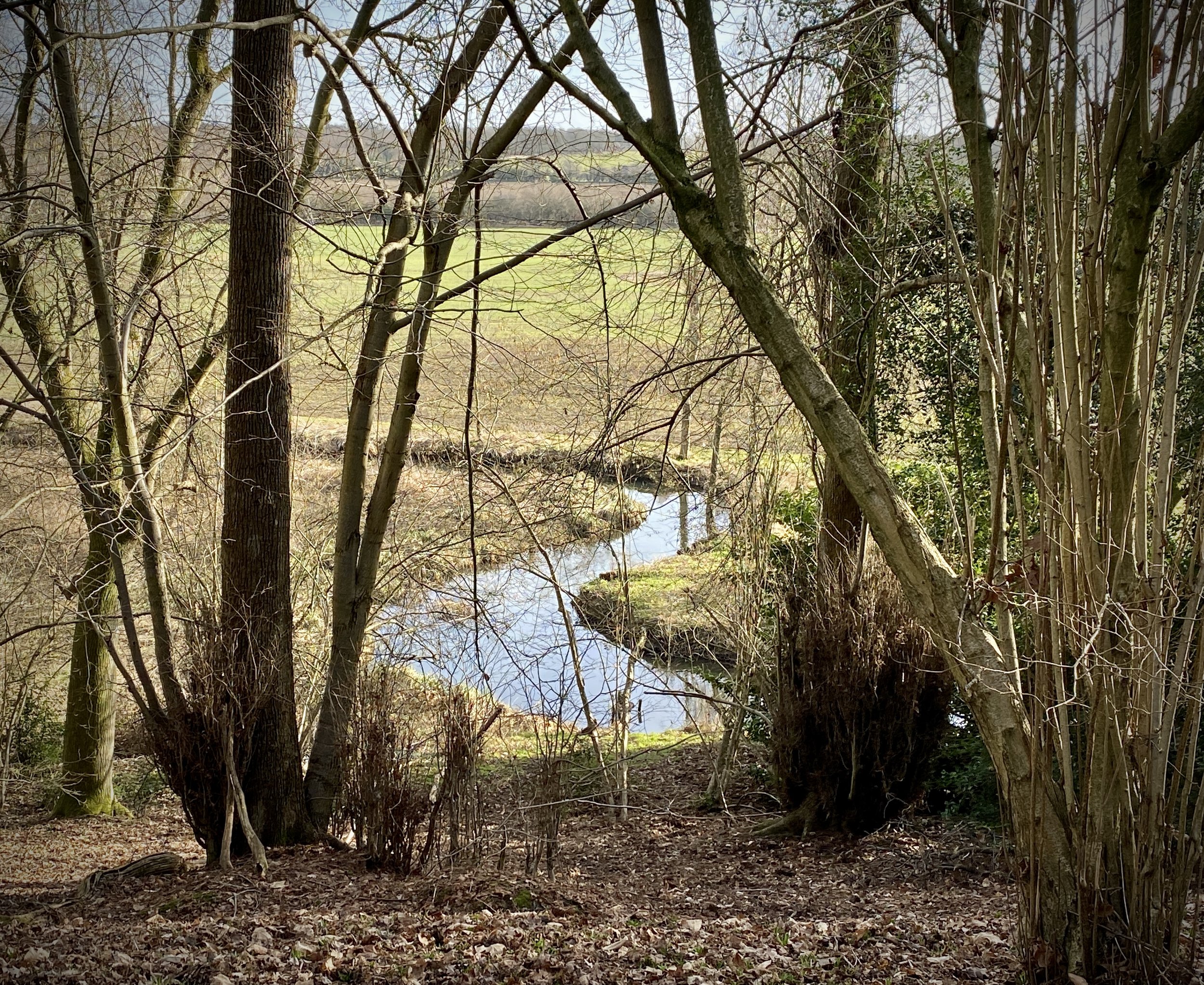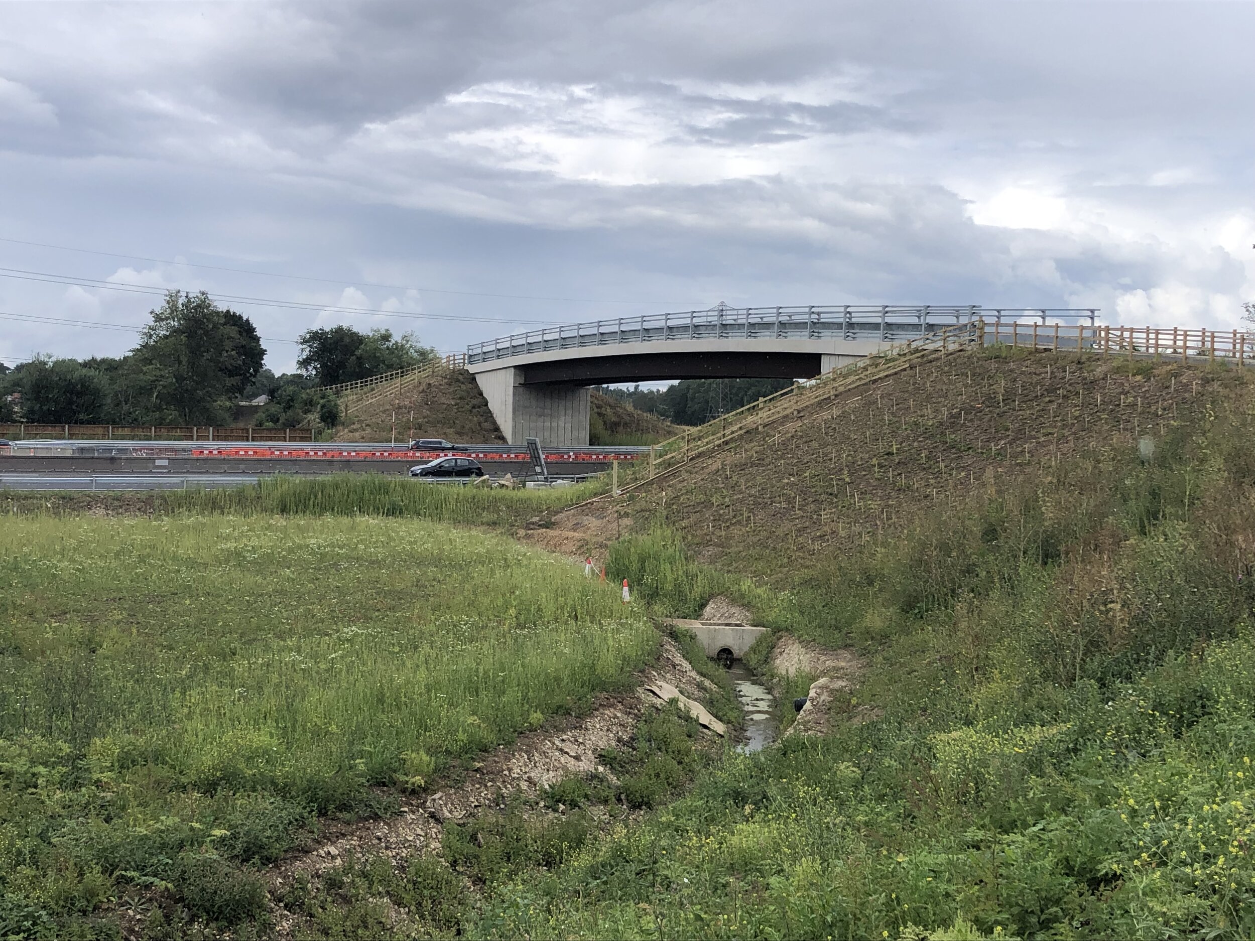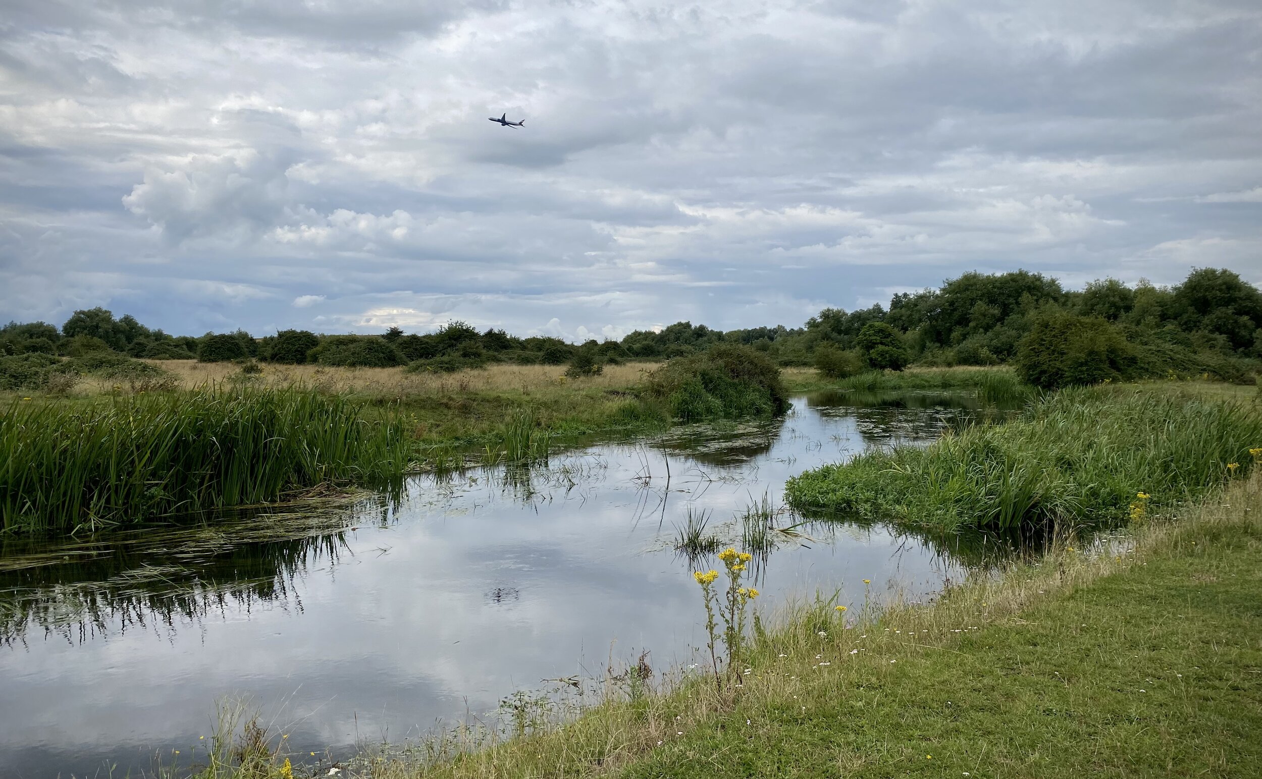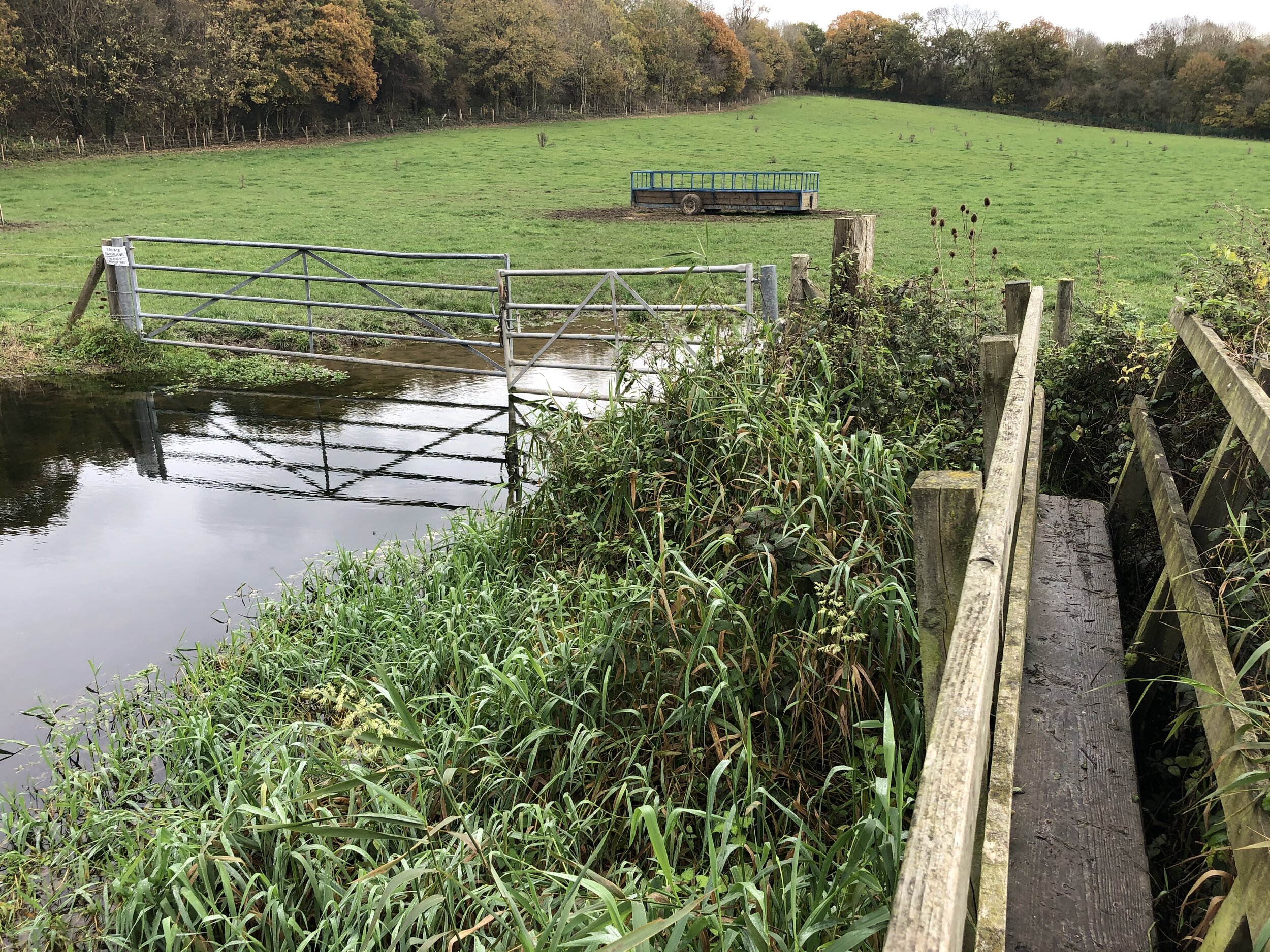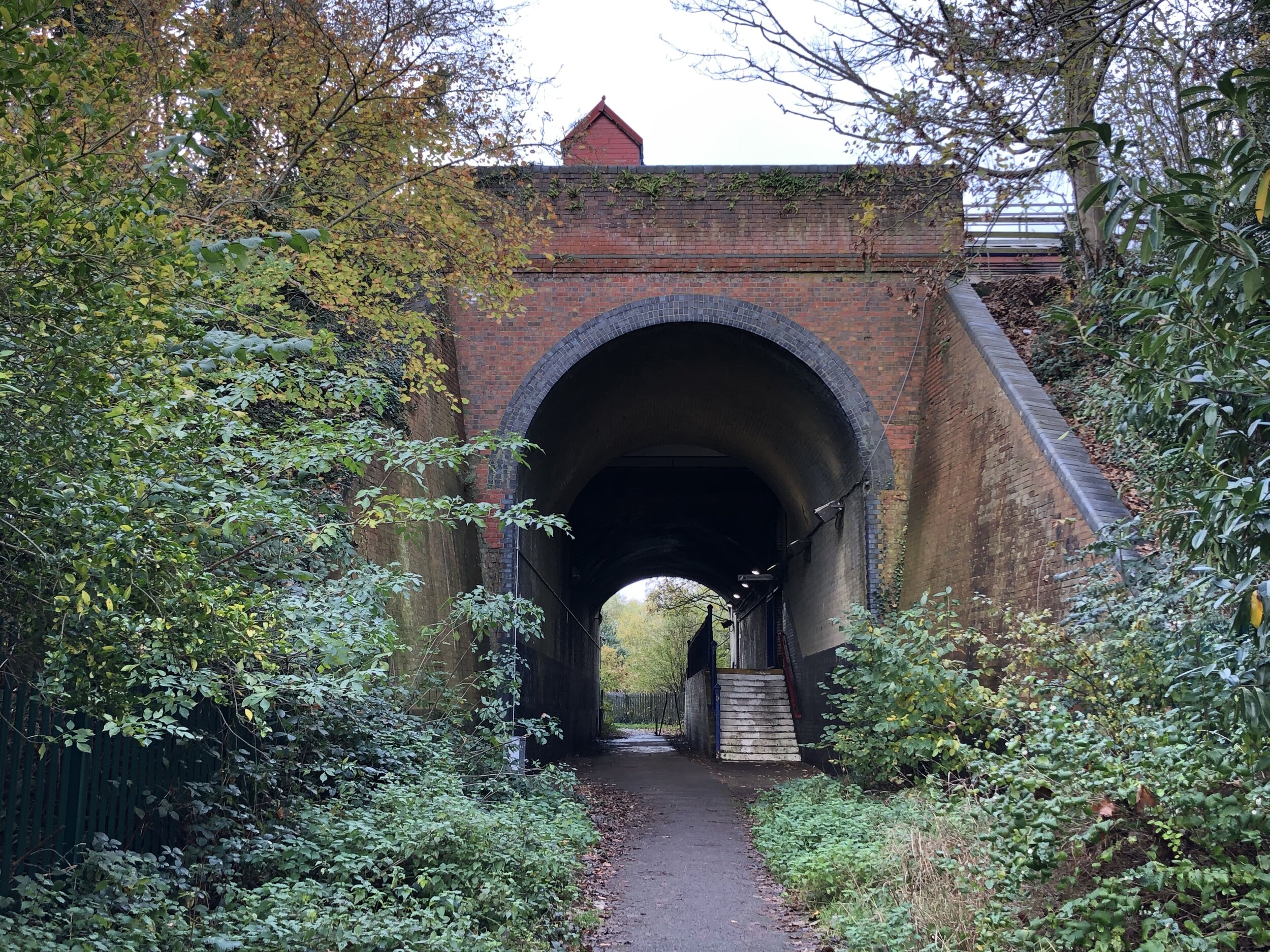
The Chalvey Ditch before it passes under the M4 at Cippenham
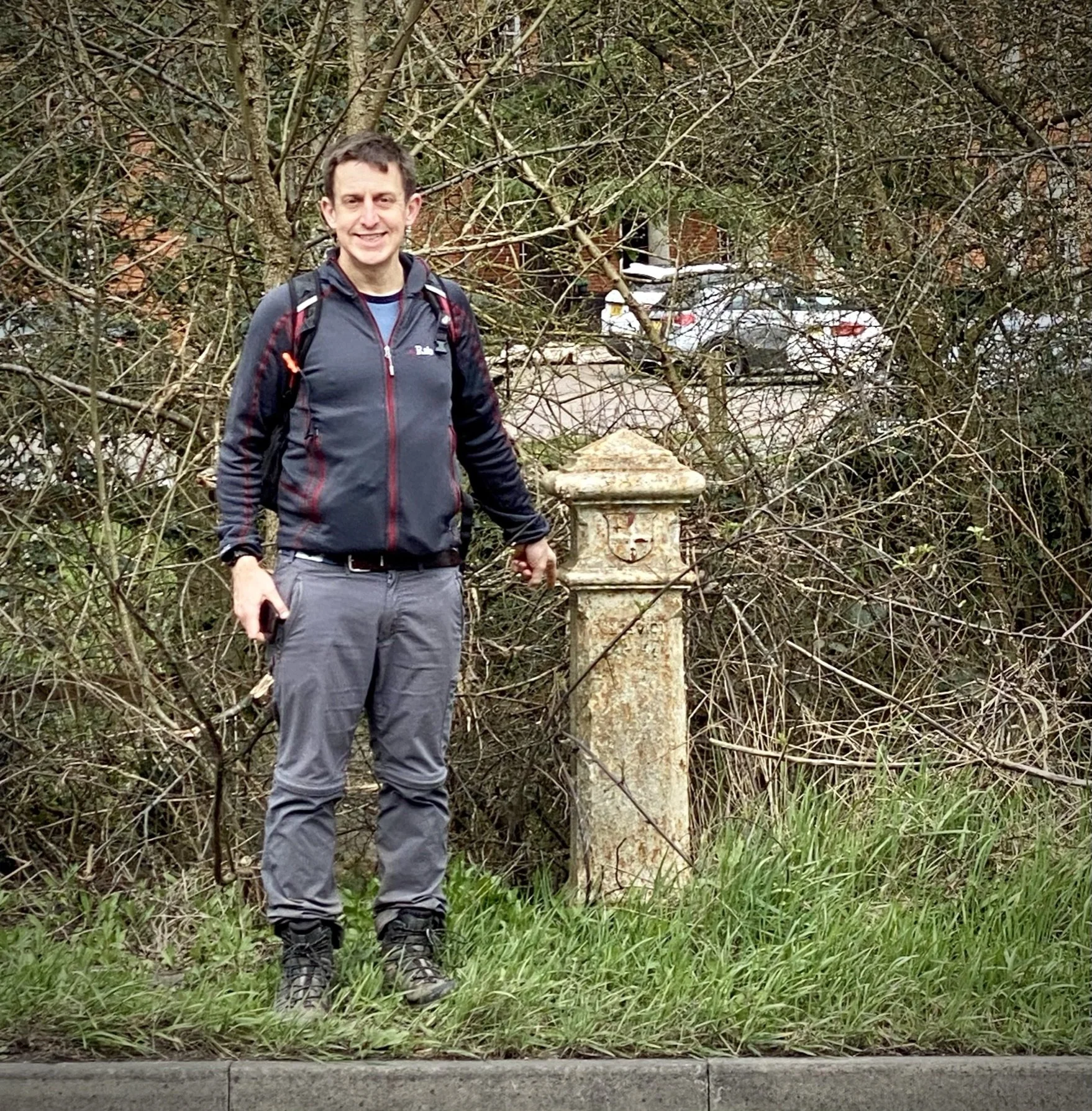
I was inspired to cycle the Salt Hill Stream and Hay Mill Stream / Chalvey Ditch after joining an event called Slough’s Lost Rivers. This event was hosted by Project Sponge in 2025 that helped us learn more about these lesser known streams. I had a particular interest in finding out more about the Chalvey Ditch as it runs through Cippenham where my parents grew up. I remember my Dad telling me stories of how he used to play in the open fields around the village green. The fields are now long gone, having been replaced by housing, but the stream that he would have played near is still there if you know where to look.
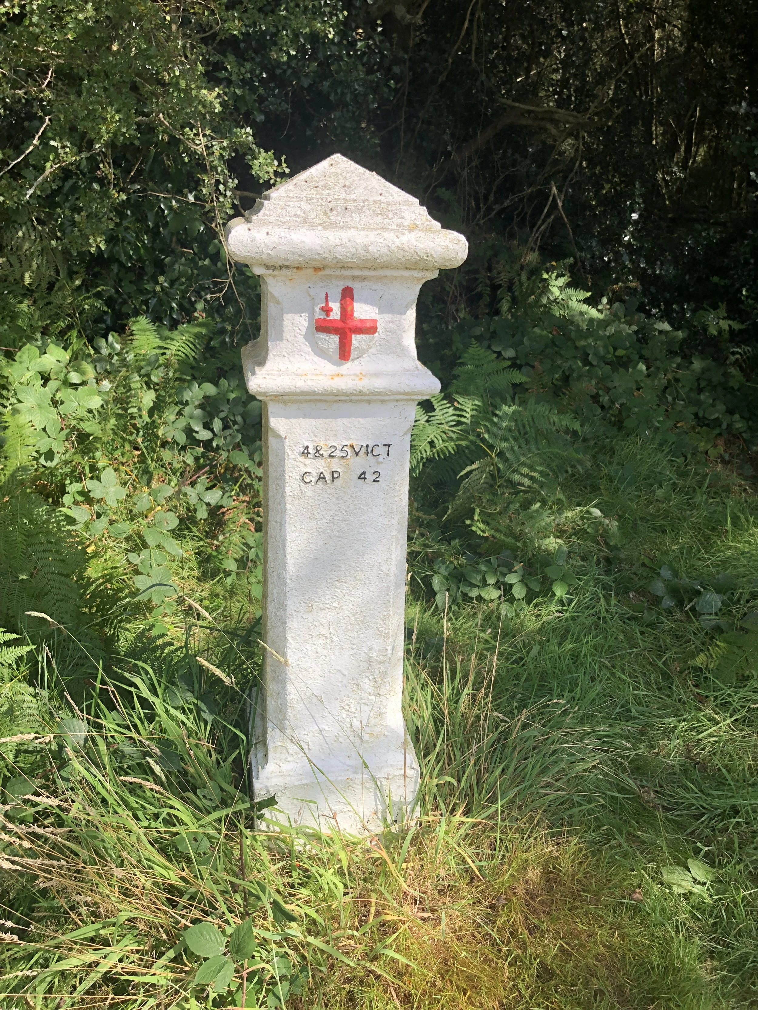
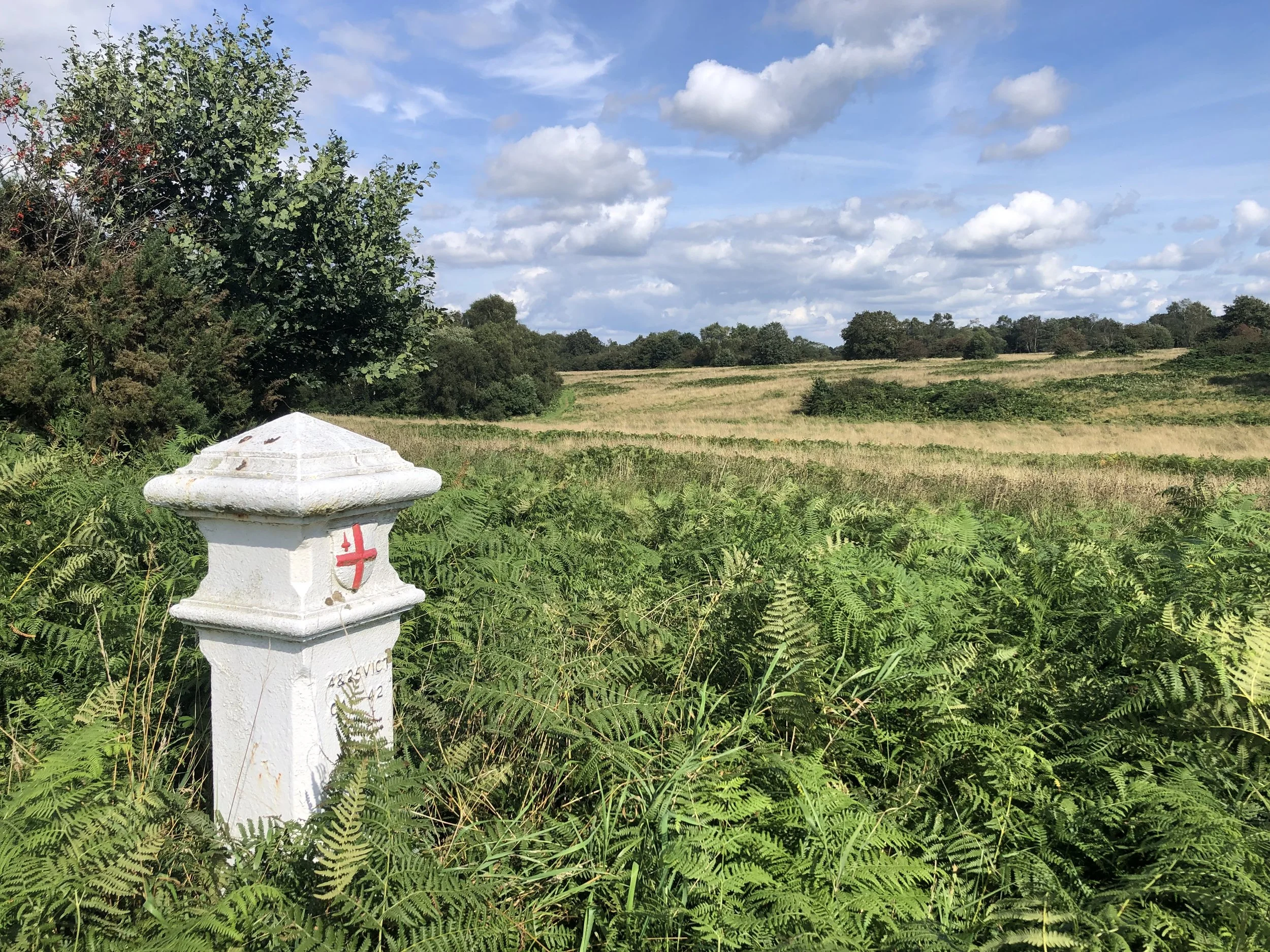
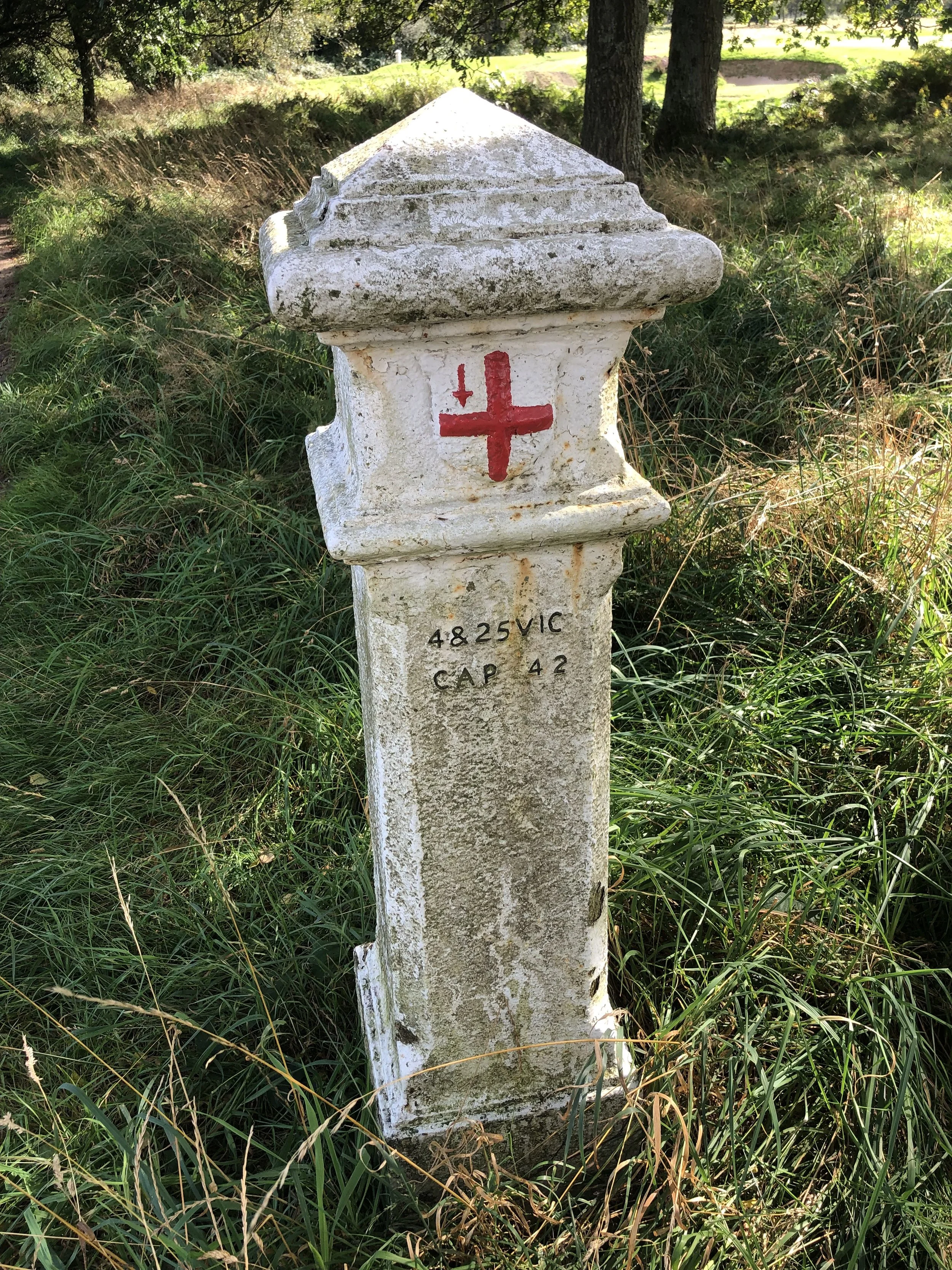
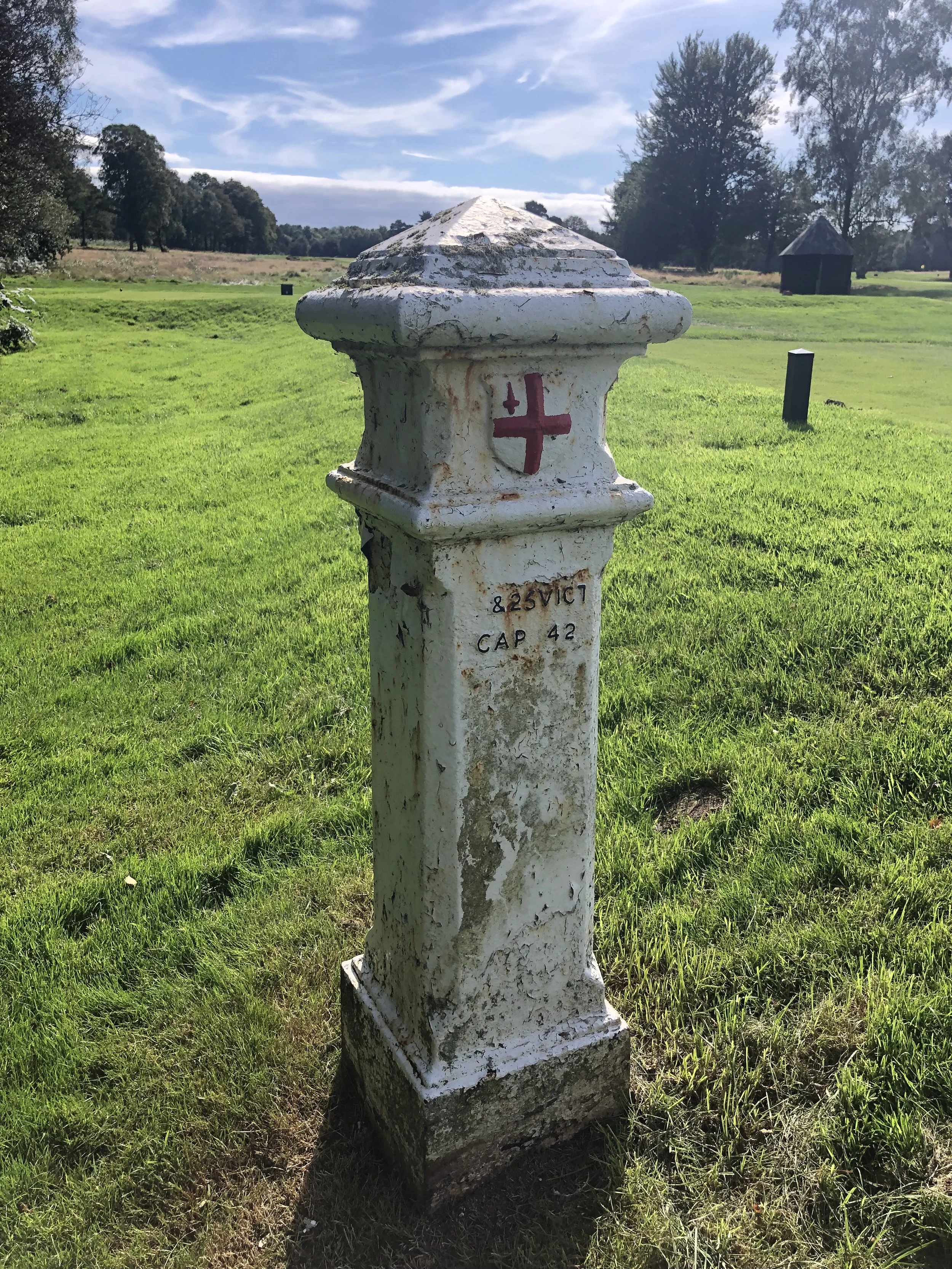
A big thanks to Gerald Higgins whose research into these streams has been a great contributor to the content of this post.
The Salt Hill Stream
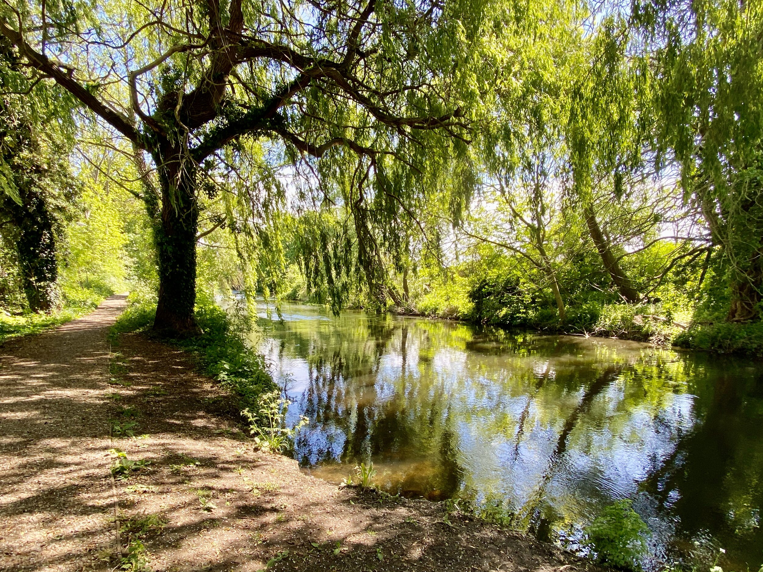
The stream used to feed the mill which was in Salt Hill Park just north of the A4 Bath Road. The stream which flows through Salt Hill Park has two main feeder streams. The longest one starts near Fulmer on the edge of Frame Wood just south of Stoke Common and flows in a south-westerly direction through Stoke Park.
The easterly feeder starts in Stoke Wood, just to the east of Farnham Common and flows south into Brockhurst Wood, through South Buckinghamshire Golf Course and into Stoke Park. The two feeder streams converge near Northern Road, south of Stoke Park and at the northern end of the Manor Park estate. From there the stream flows south to Salt Hill Park, under the M4 and the Jubilee River towards the Thames. It goes across Eton College land and goes under Beggars Bridge on the Slough Road and flows along the side of Pococks Lane to join the River Thames.
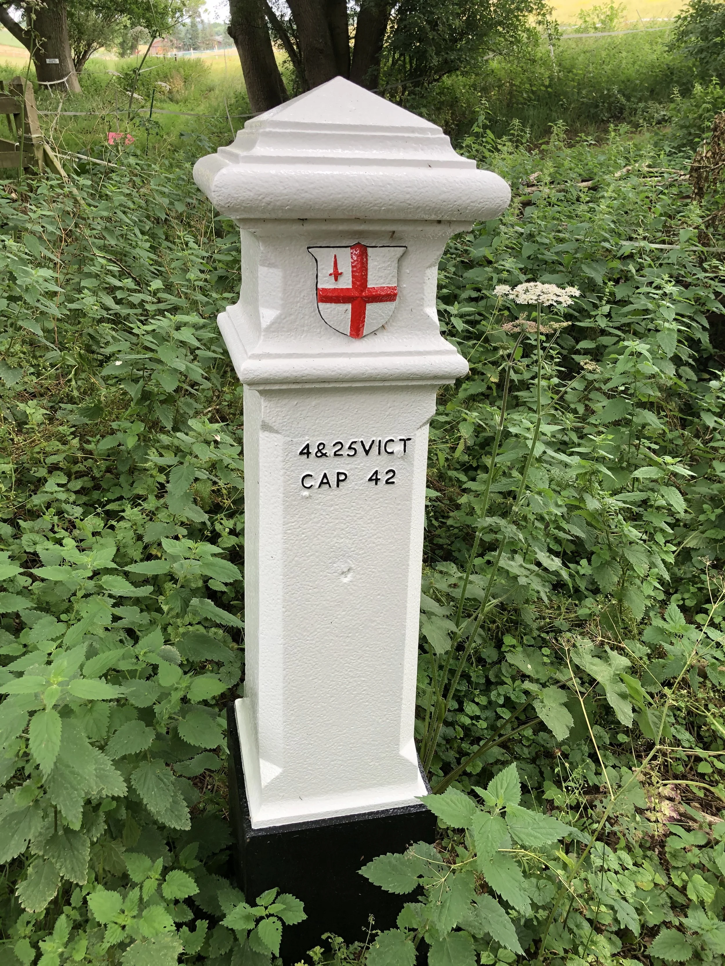
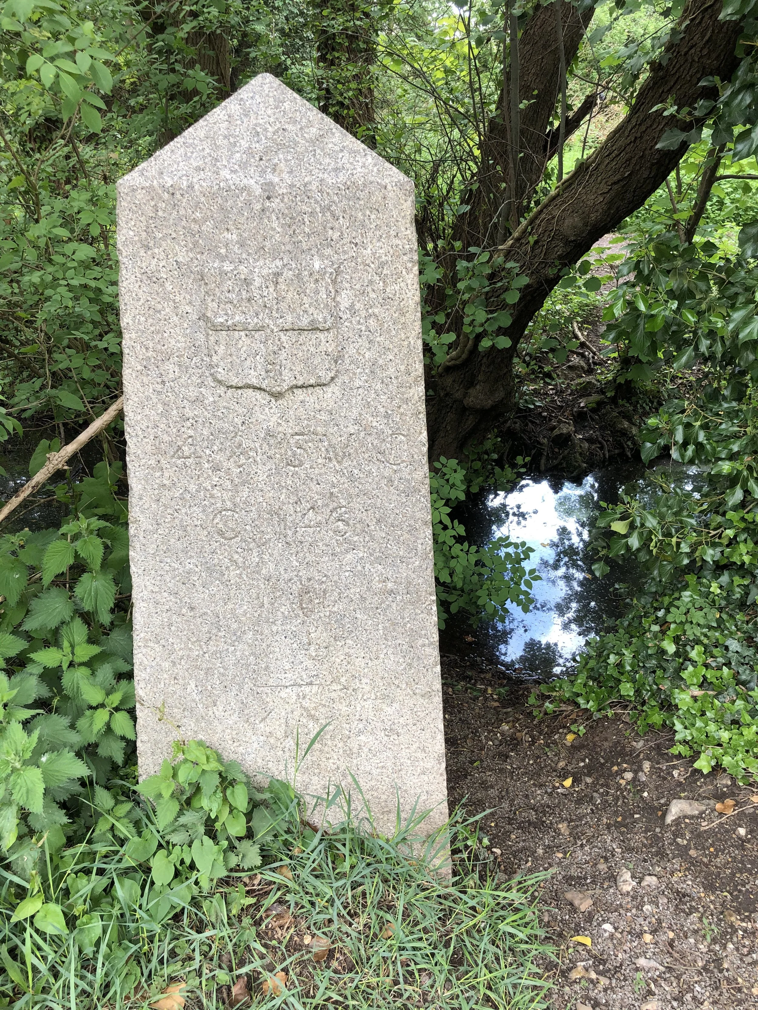
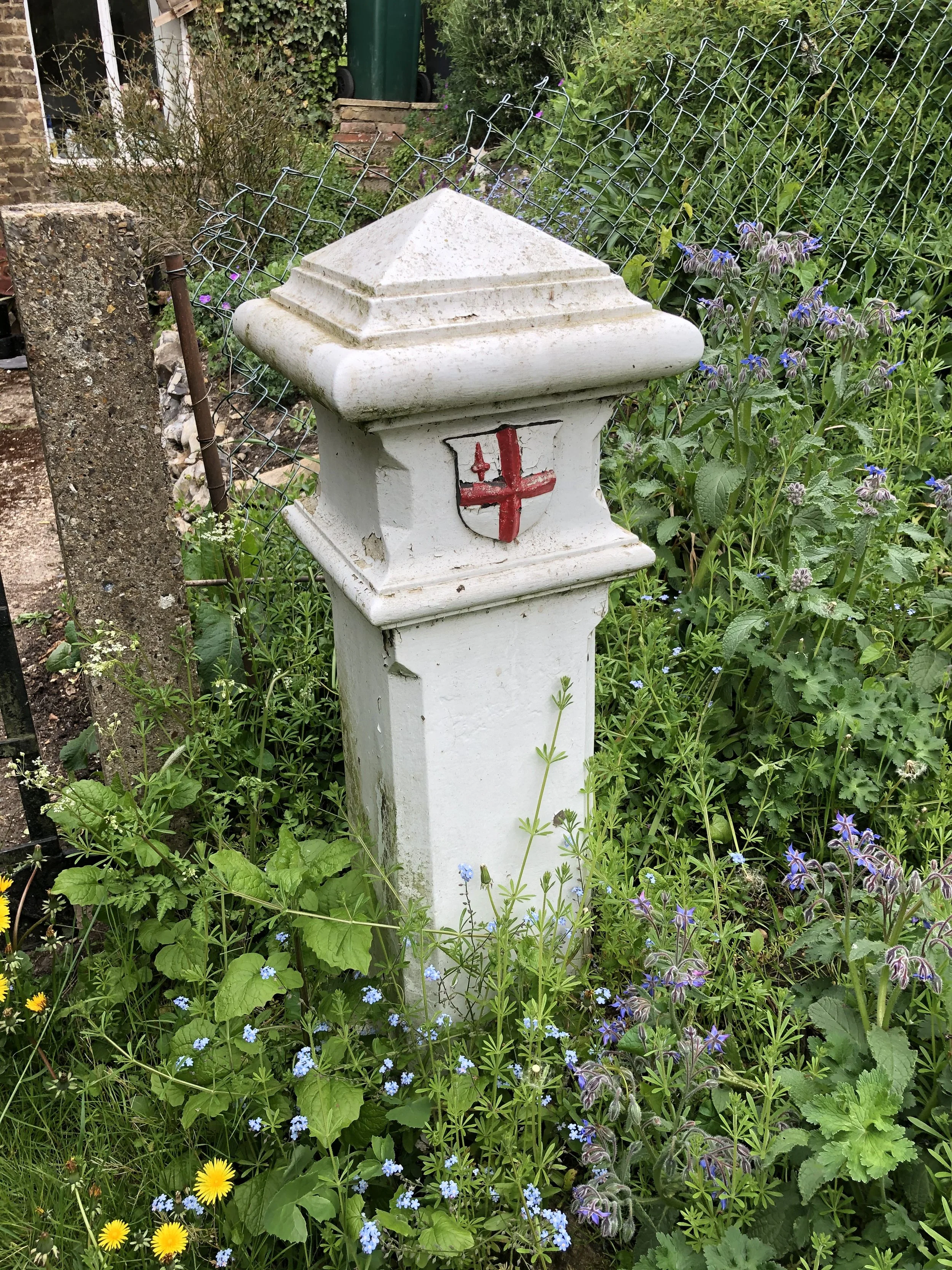
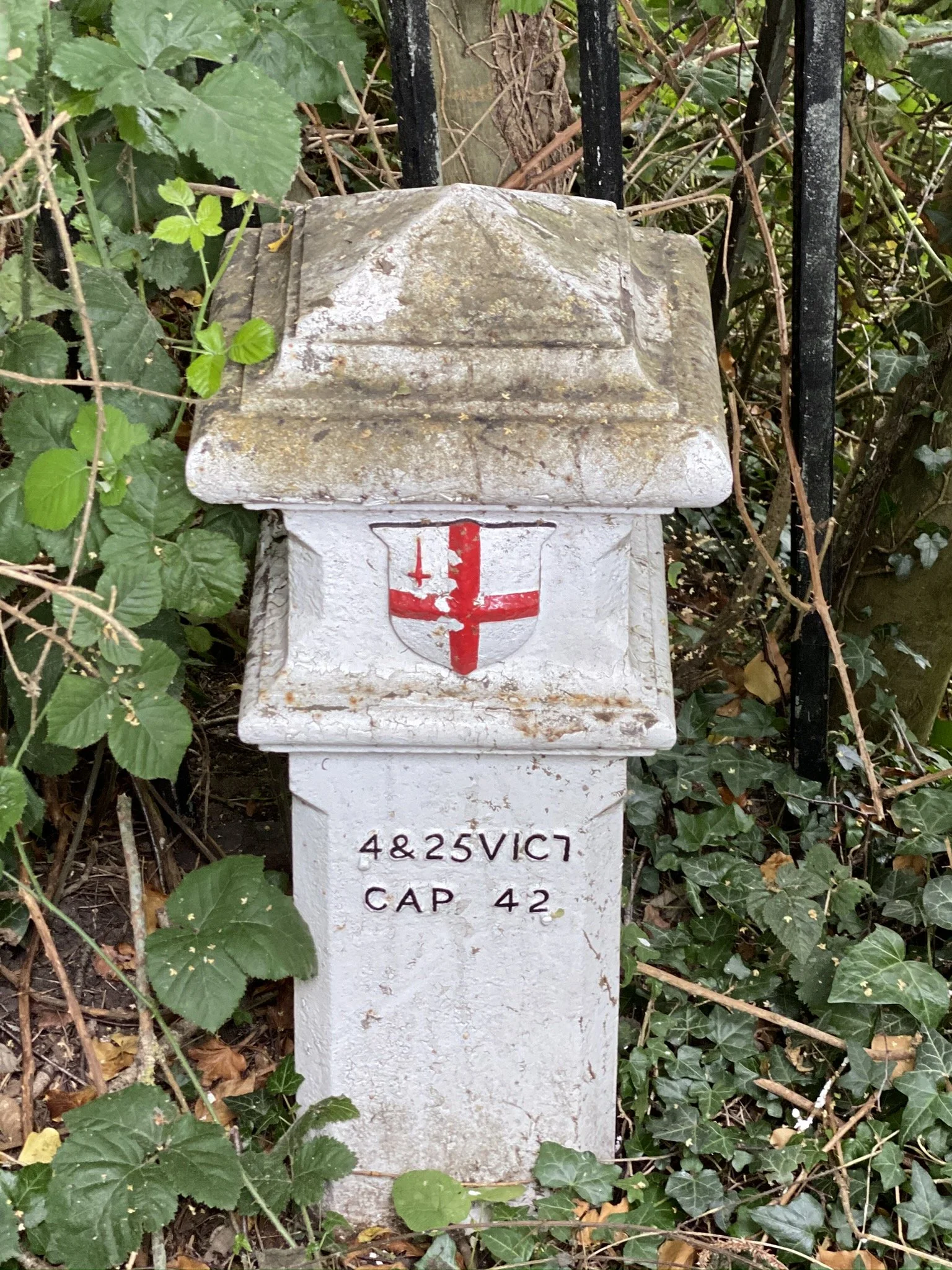
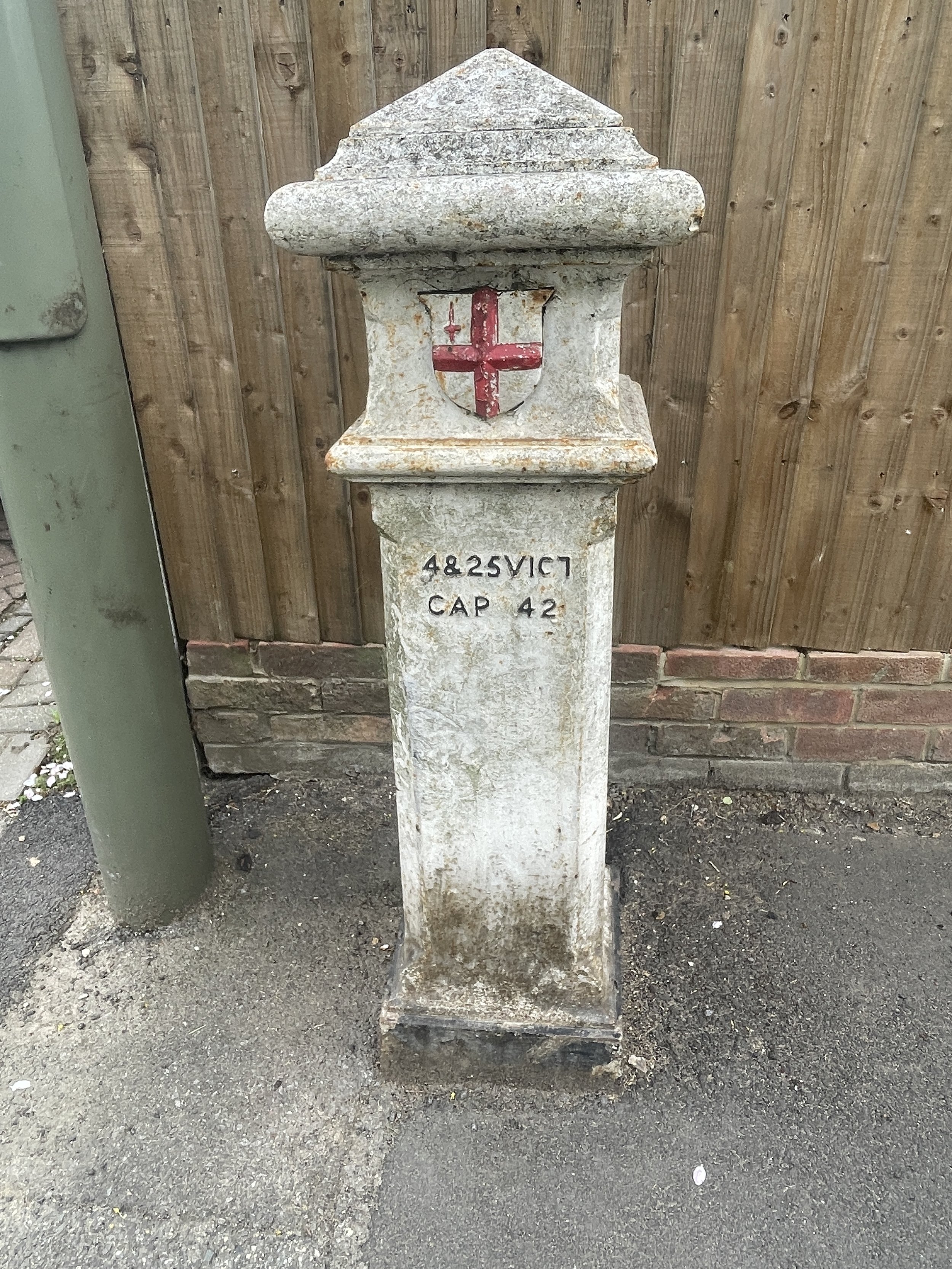
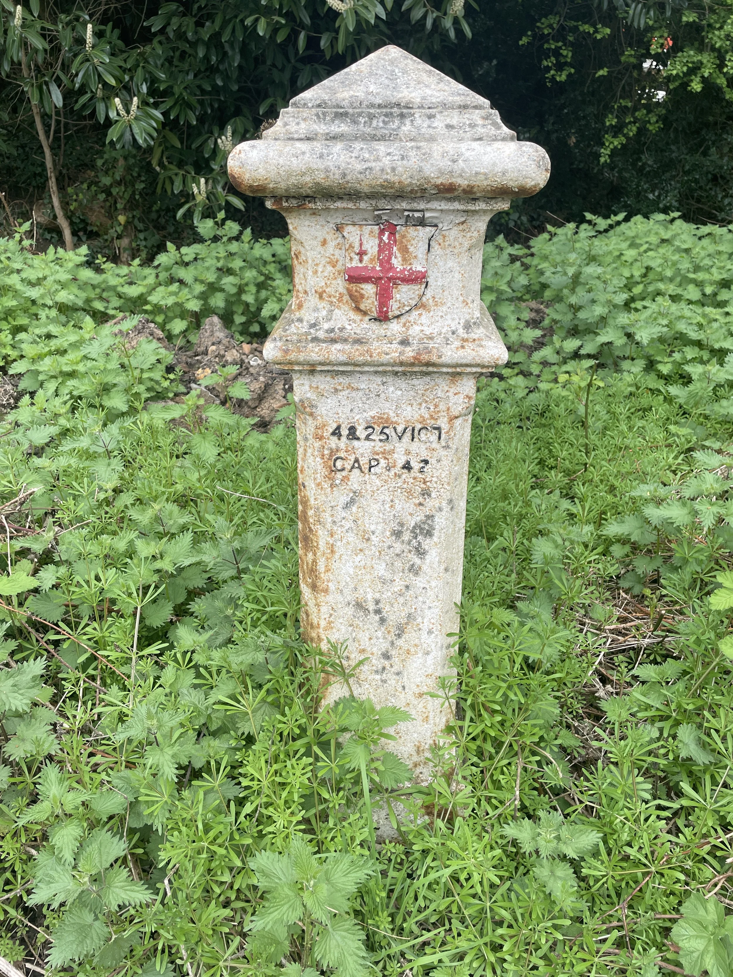
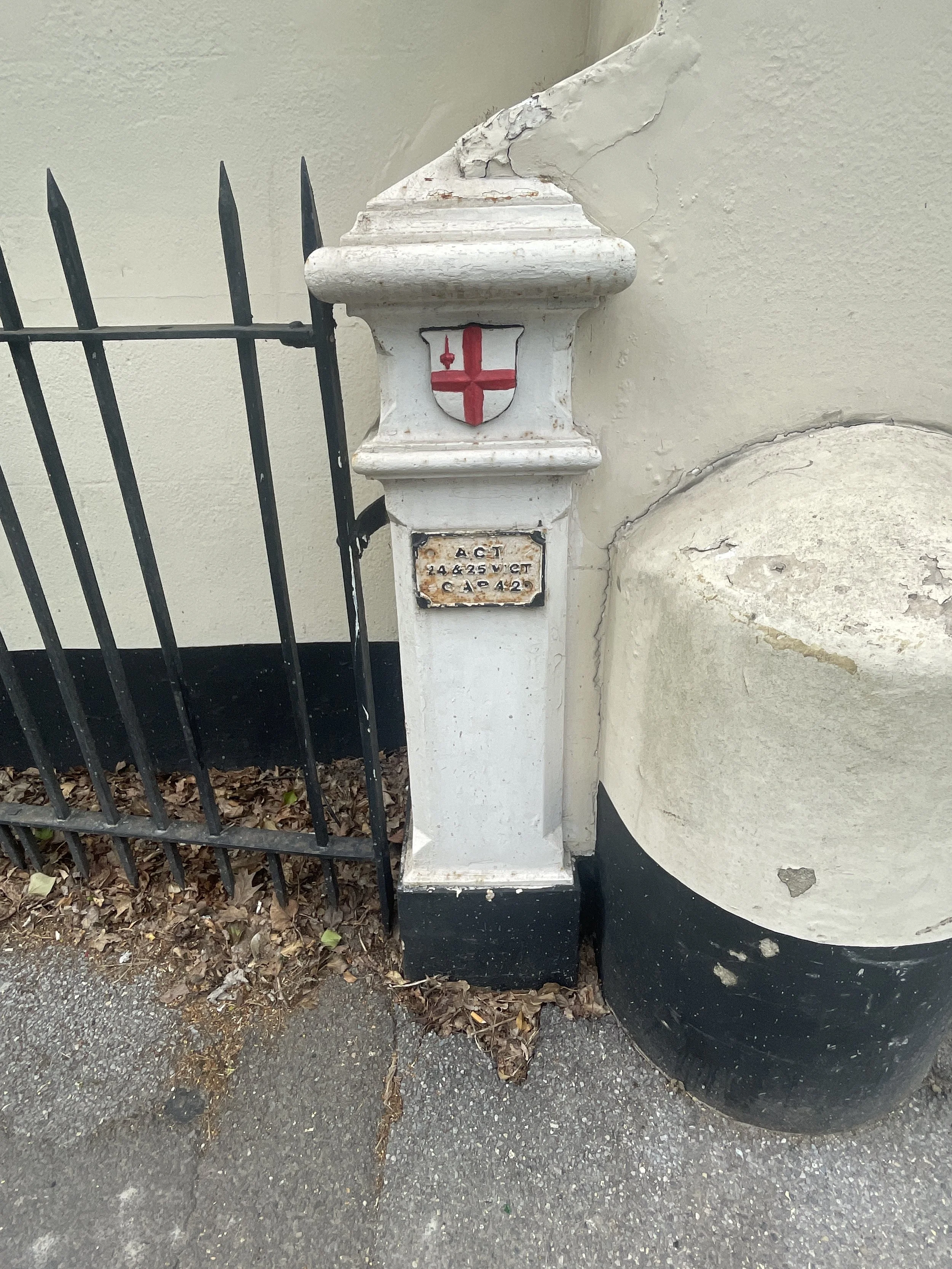
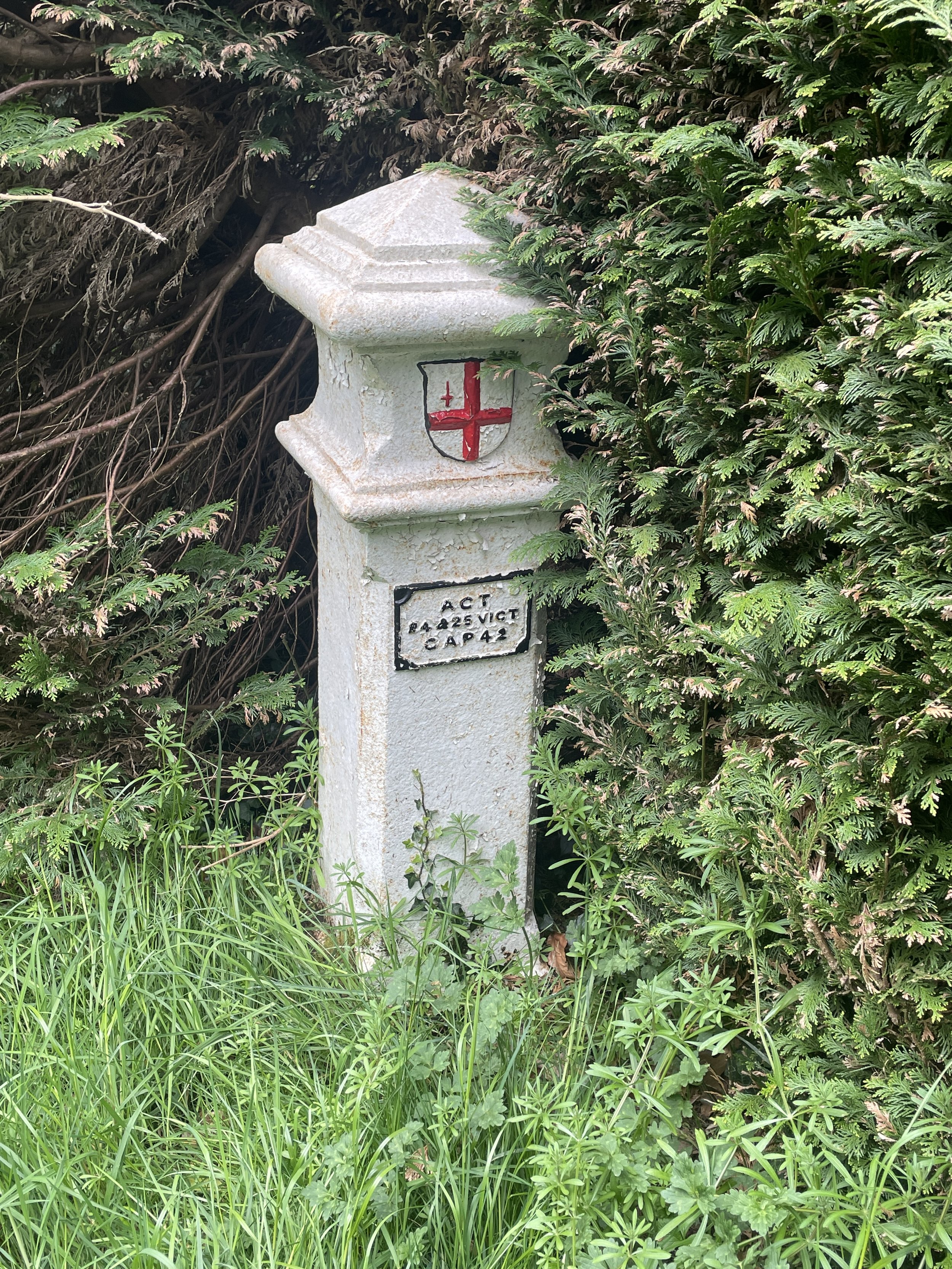
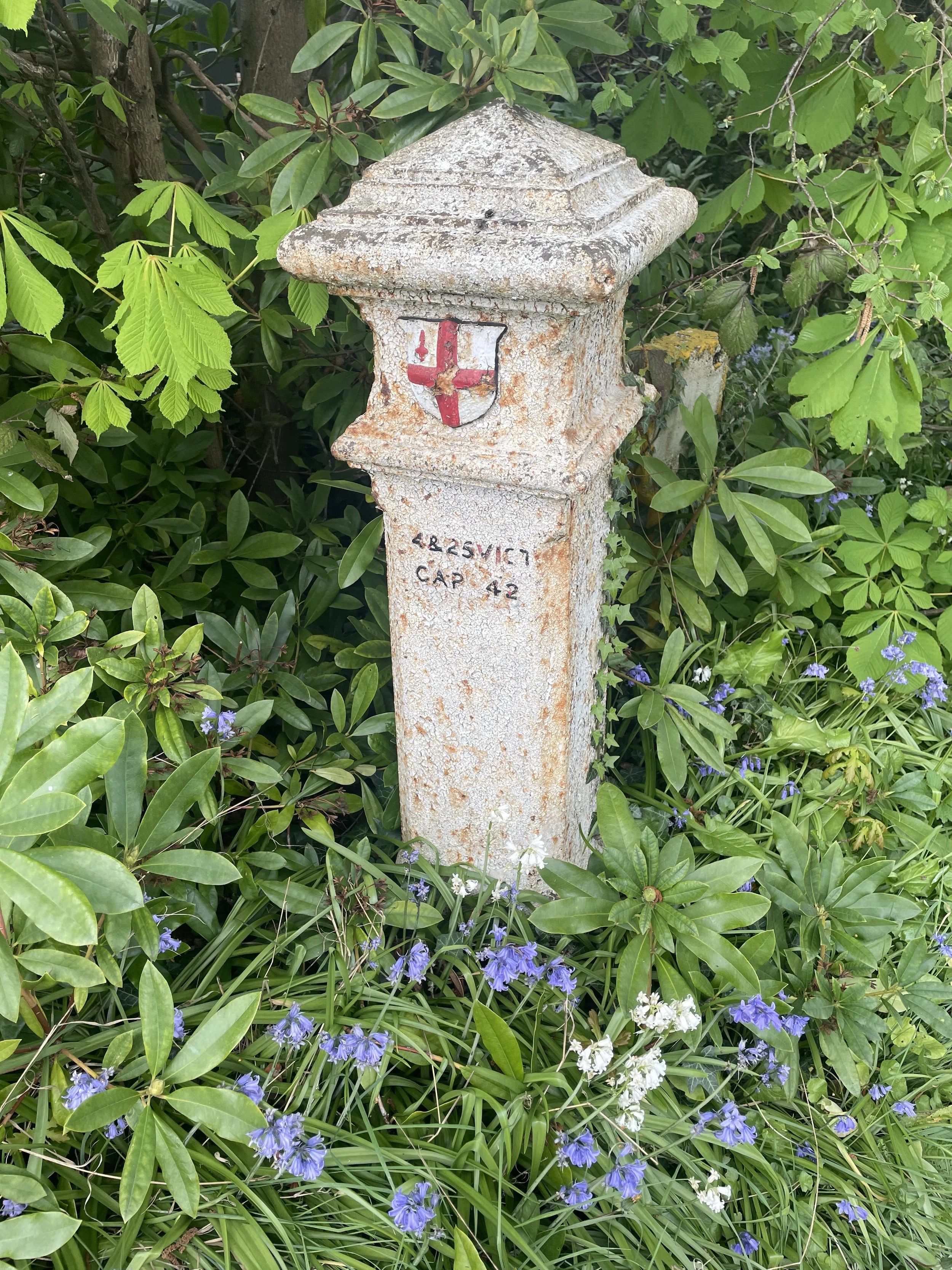
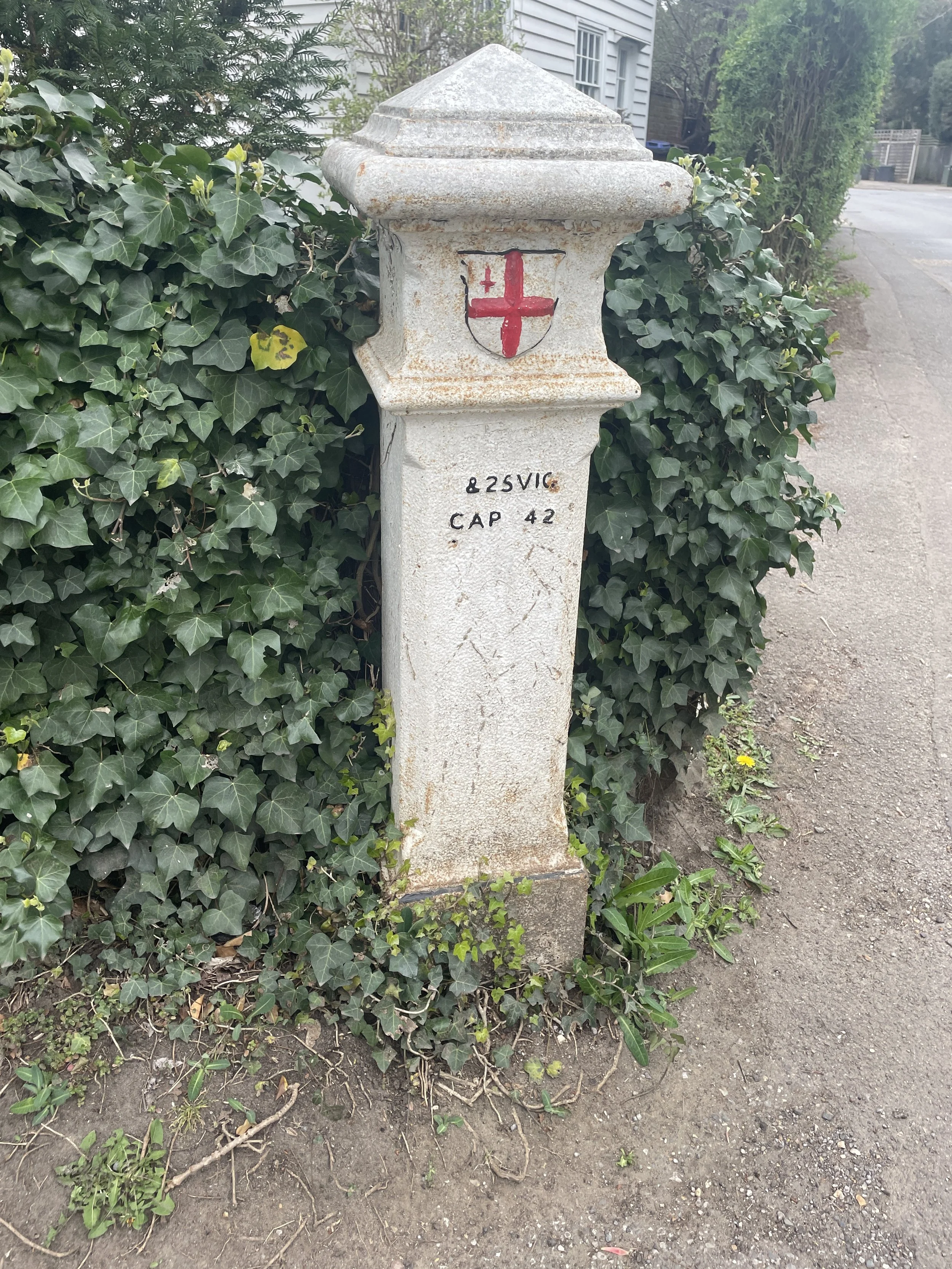
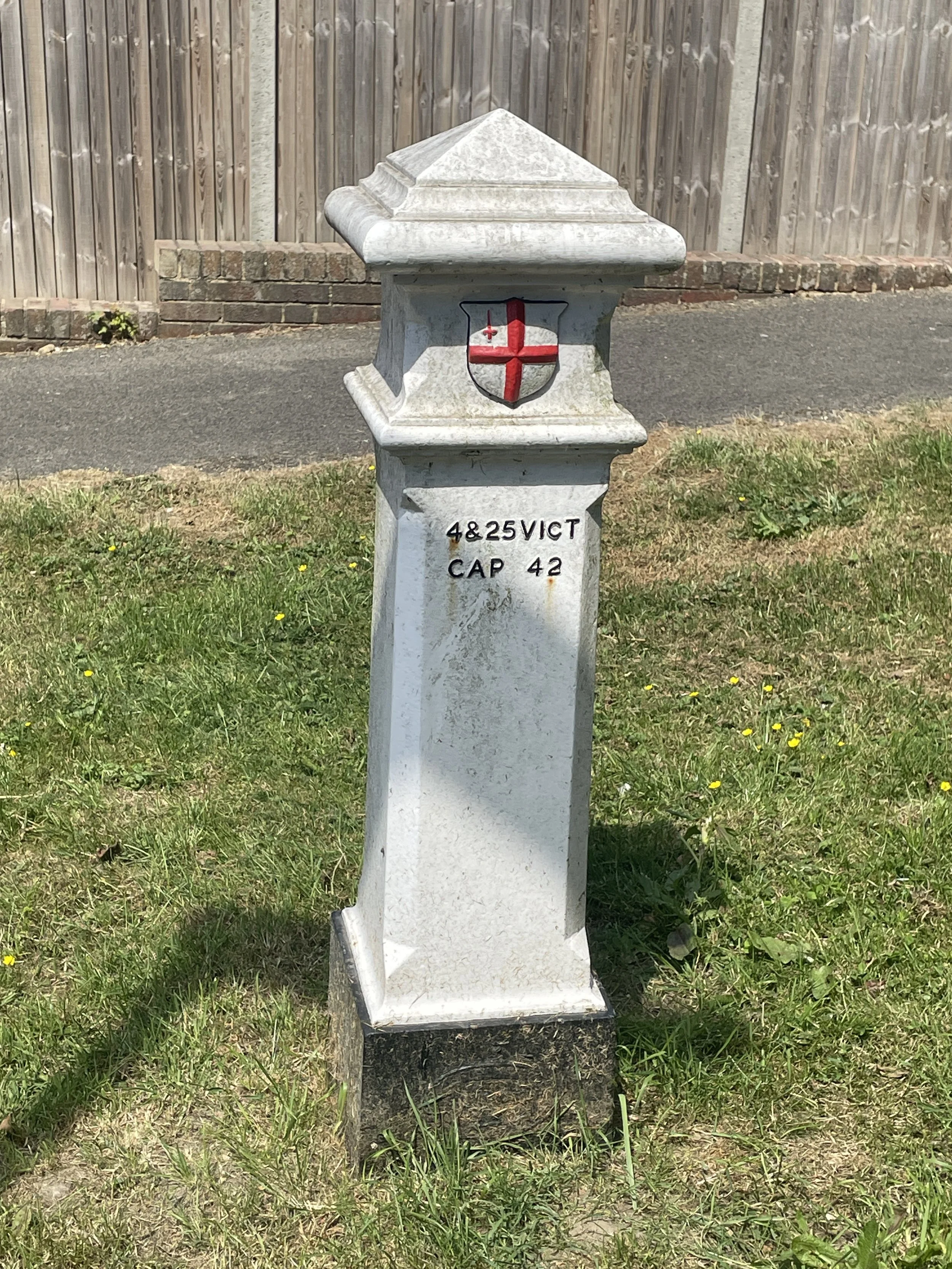
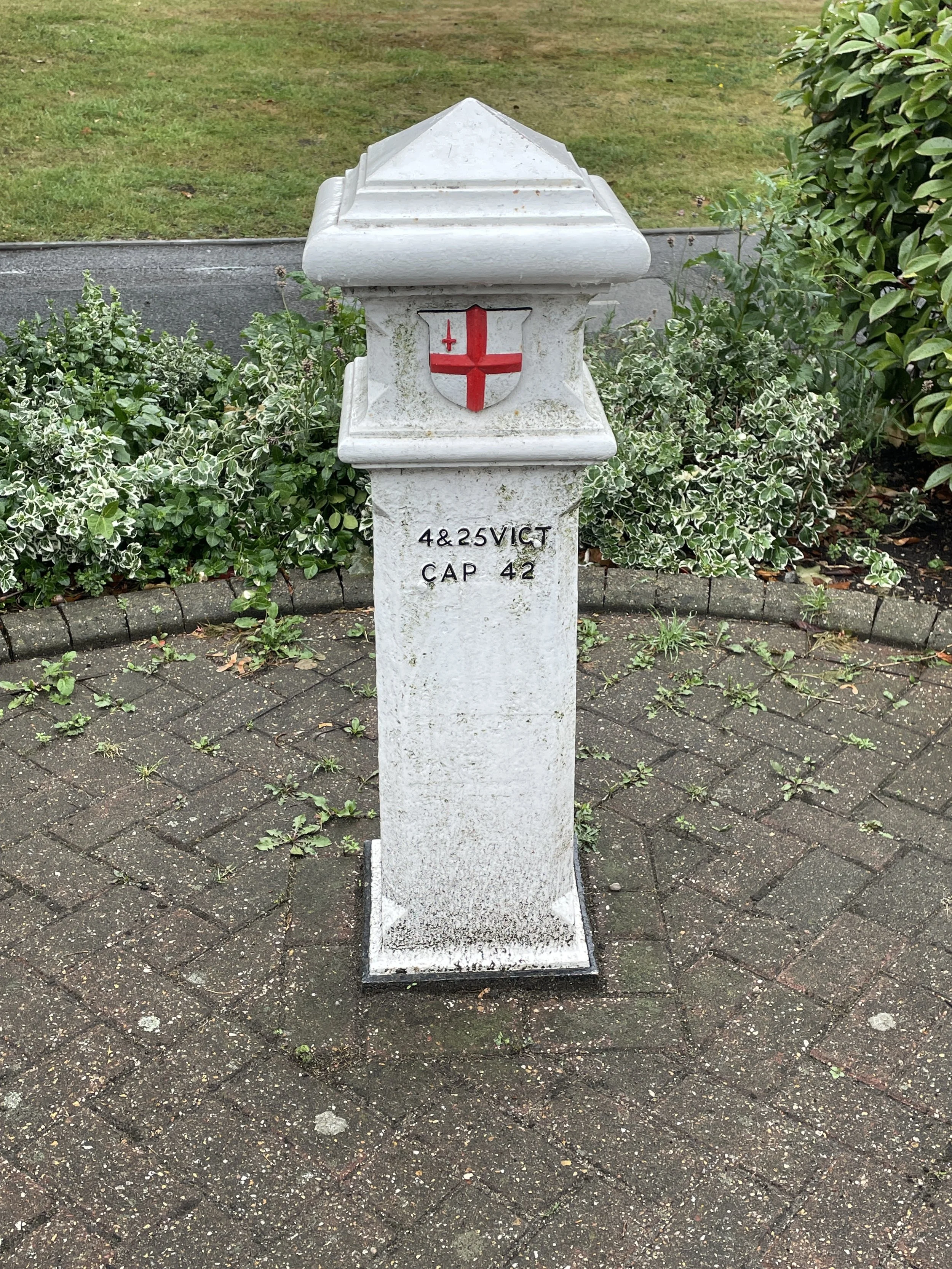
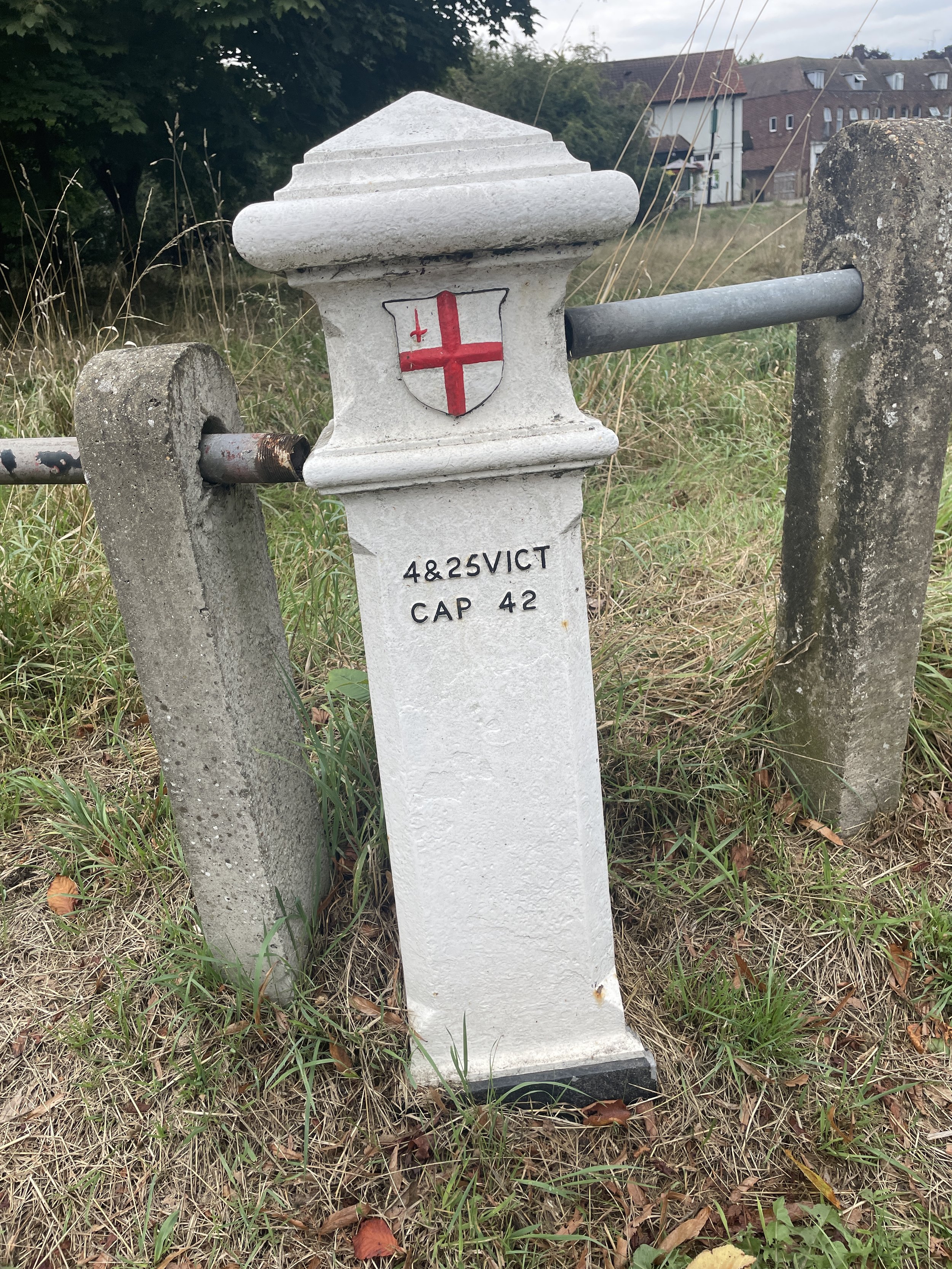
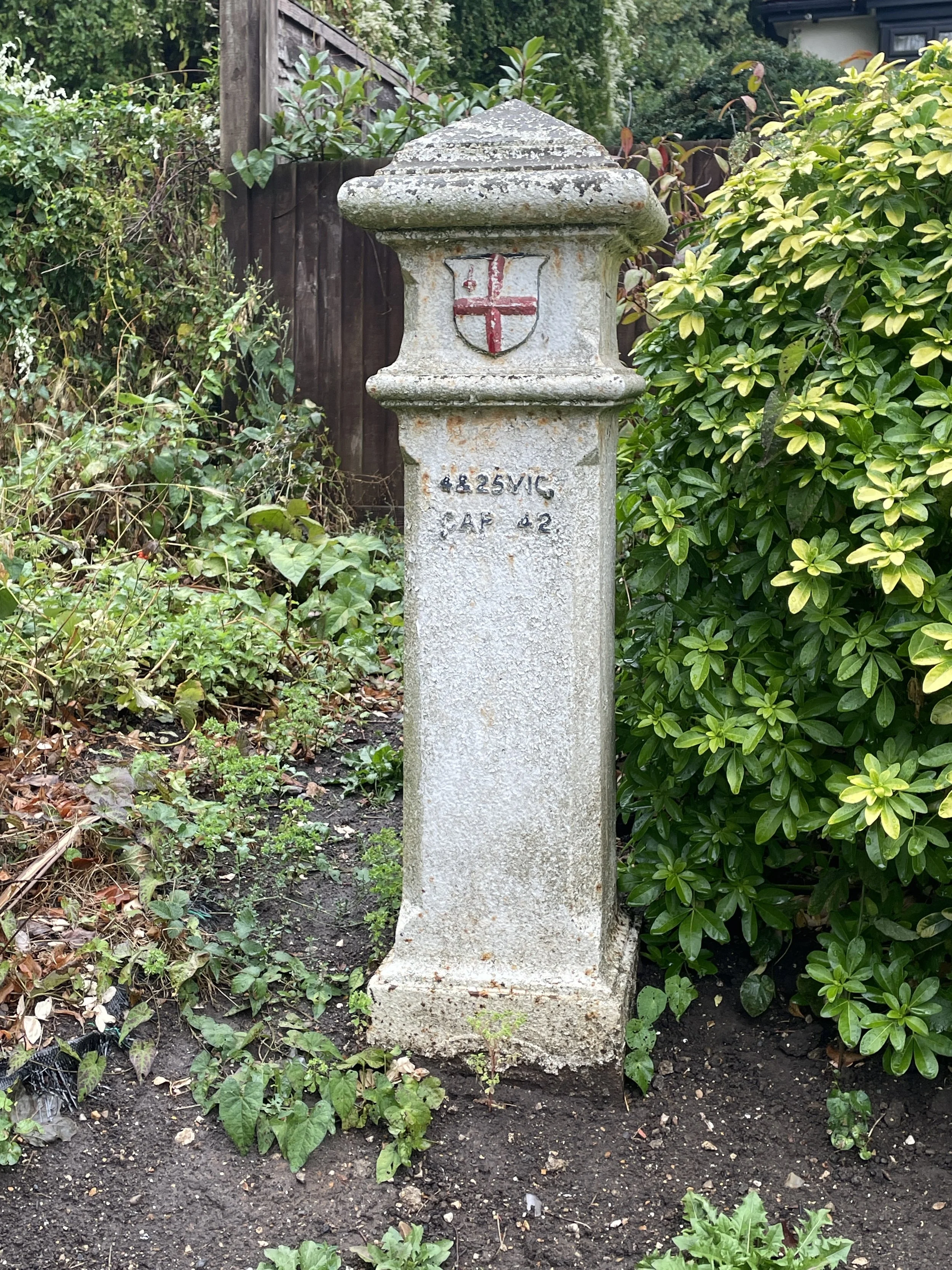
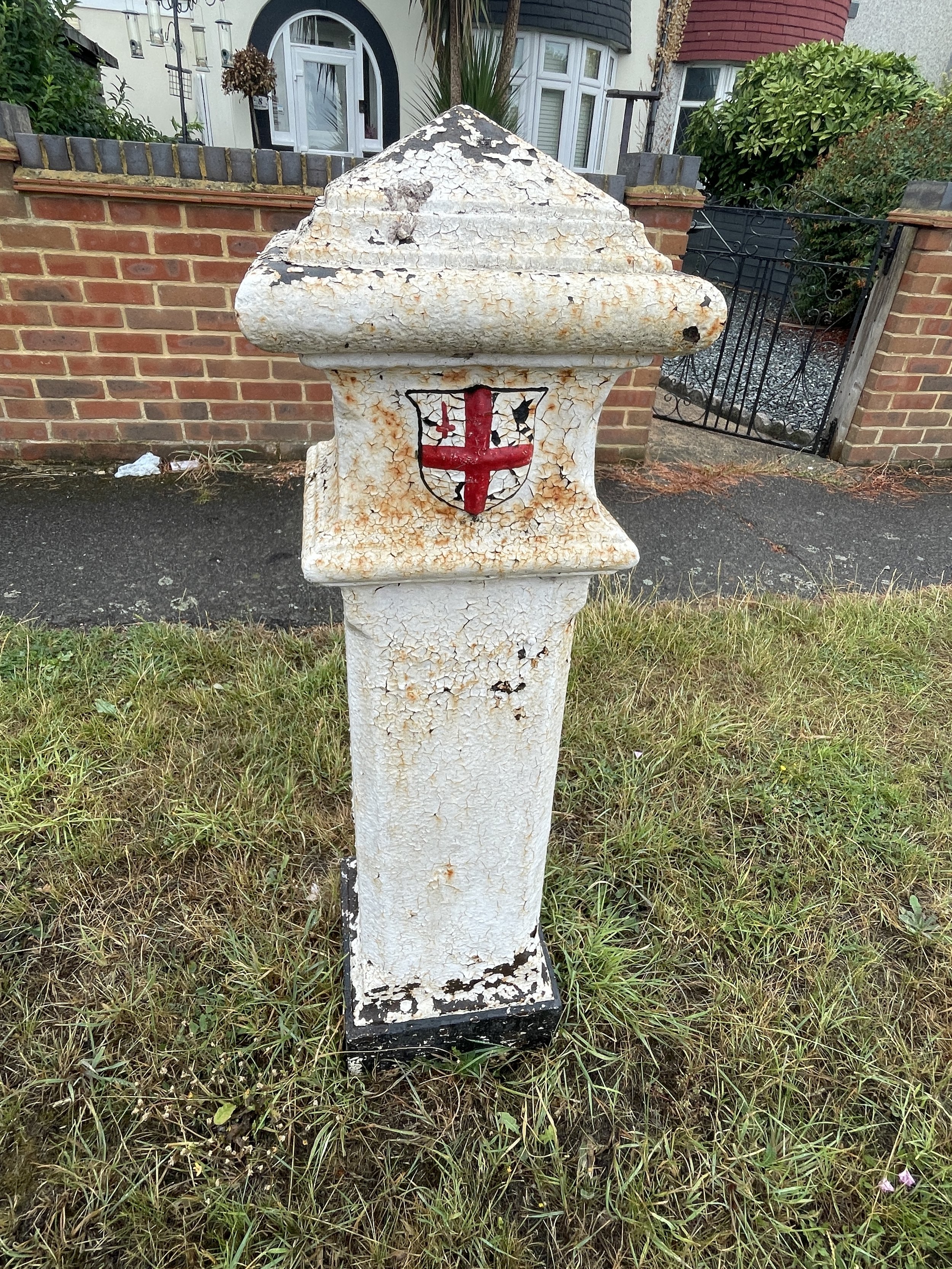
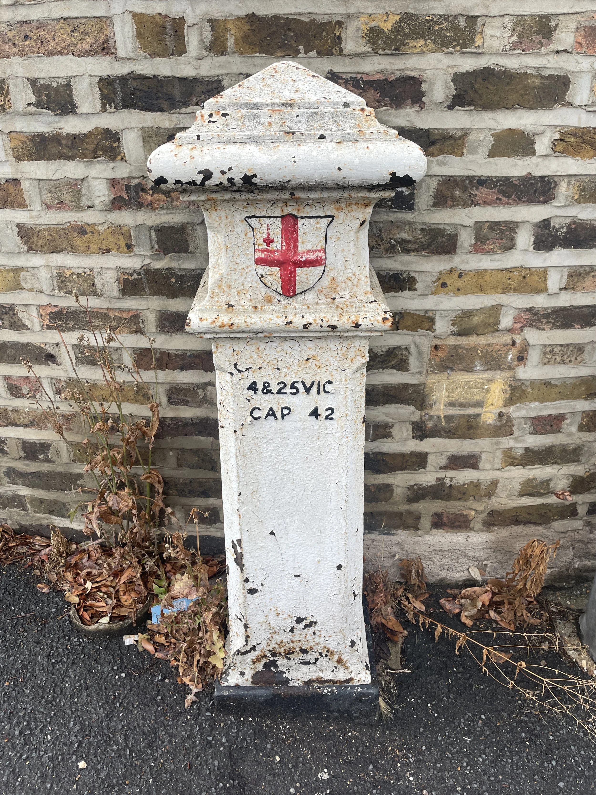
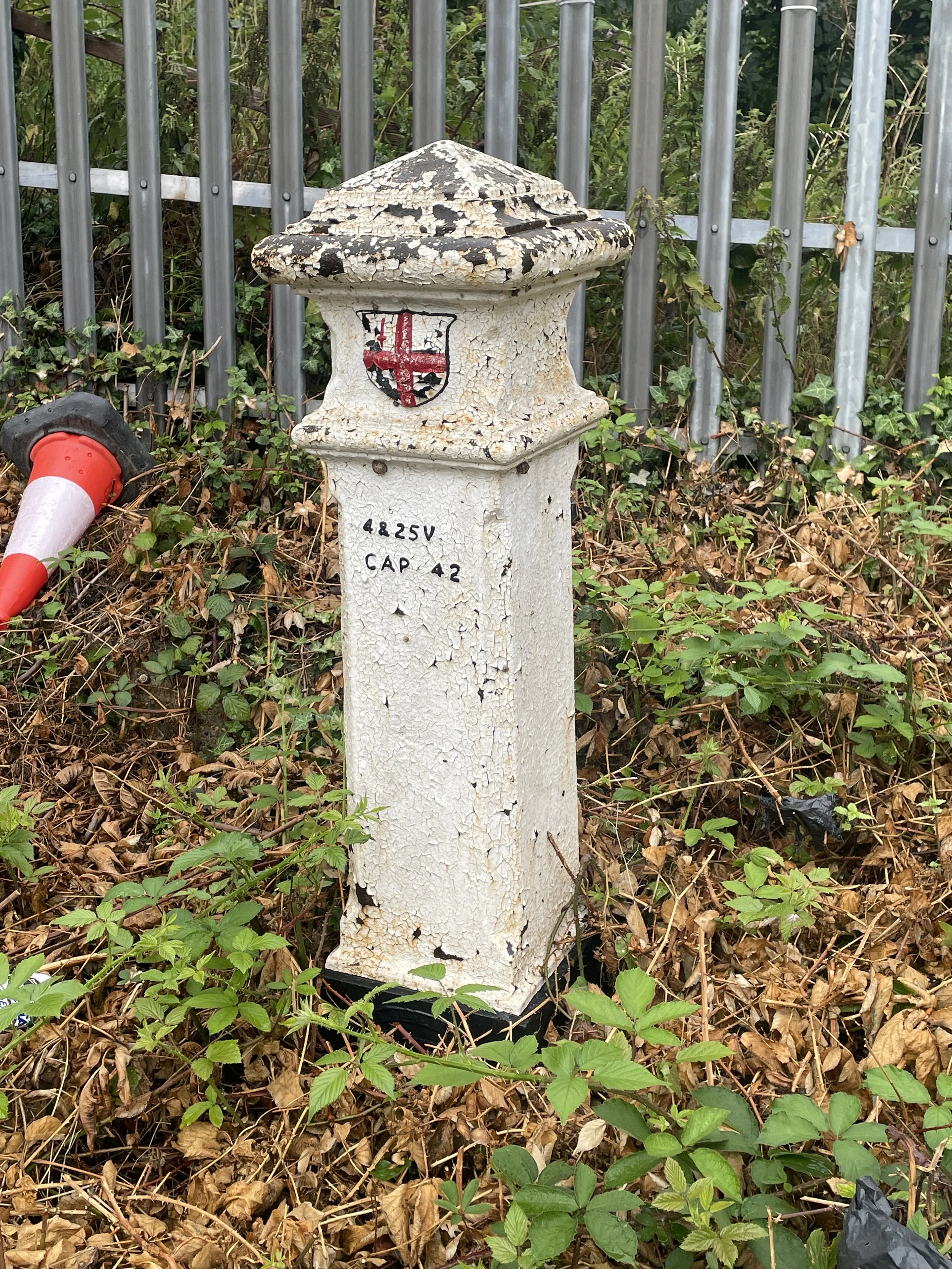
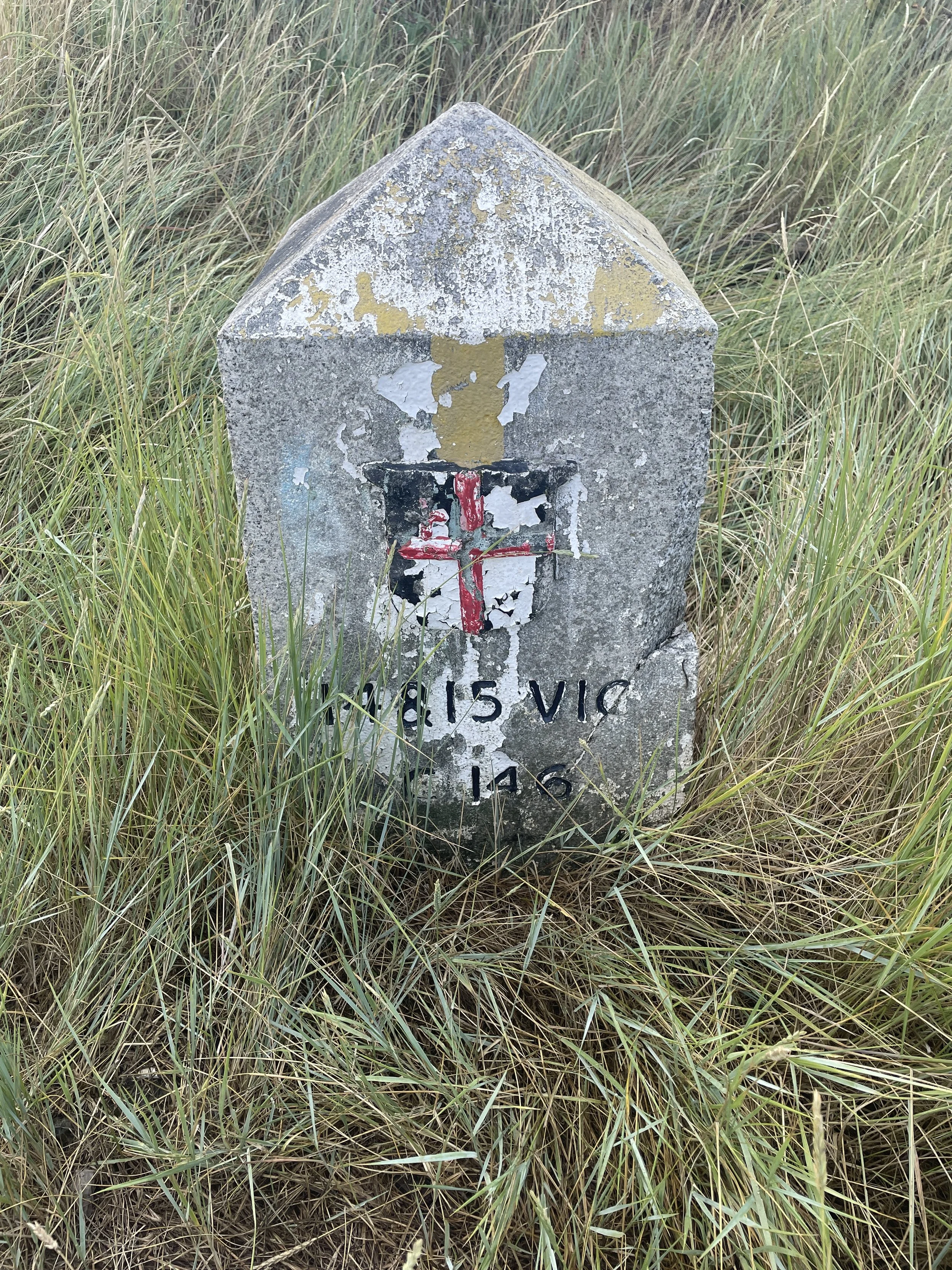
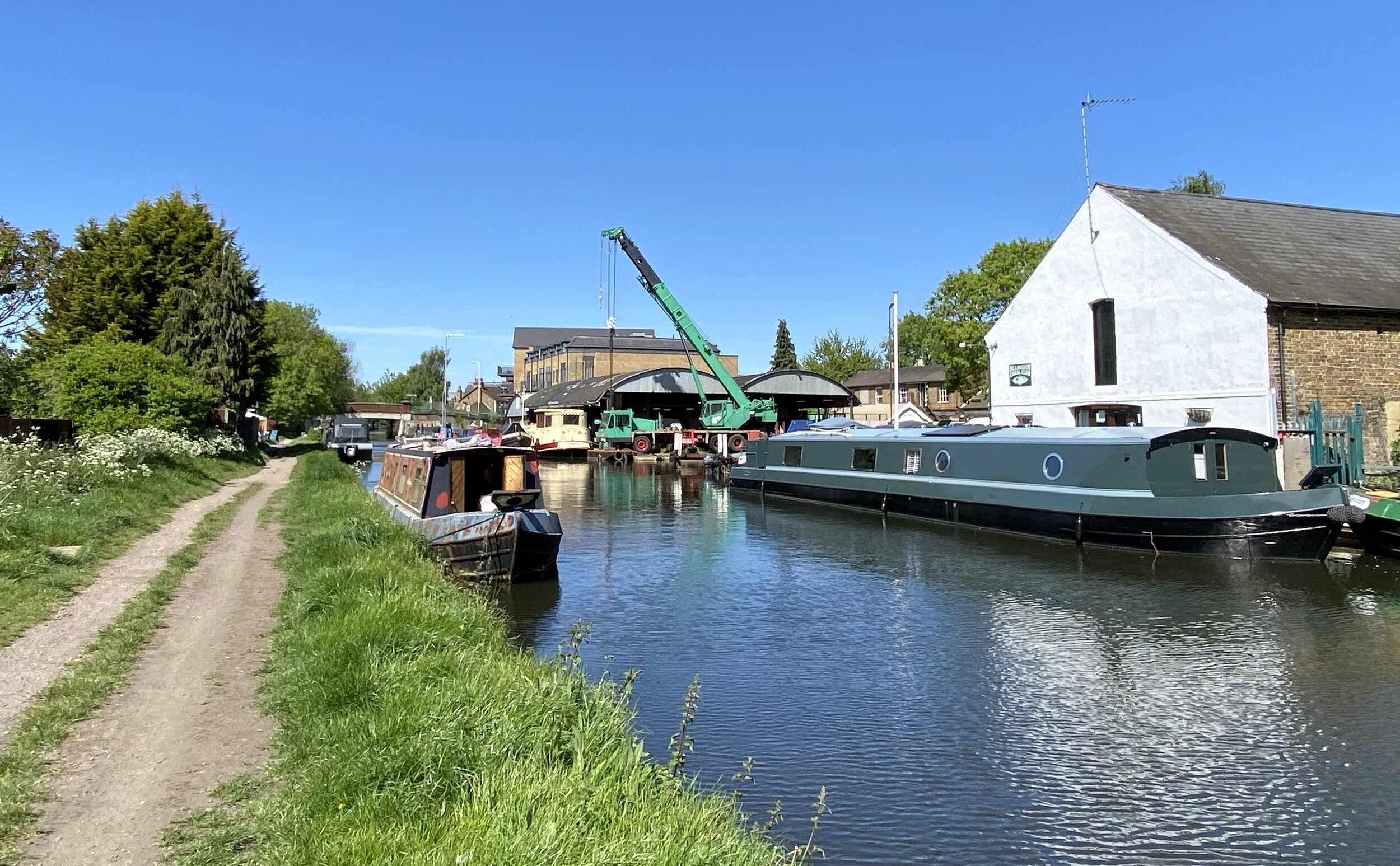
The Hay Mill Stream and Chalvey Ditch
The stream used to start on the east side of Bedford Drive then went across into what is now Burnham Beeches. It flows into Upper Pond and on into Middle Pond. From here it flows to Swilley Pond and goes under Hawthorn Lane. From Swilley Pond the old course was across Crow Piece Lane and down the valley behind Burnham Civic Amenity Site. The course went across Farnham Lane near the junction with Walton Lane through Cocksherd Wood and continued down the valley to flow into the mill pond.
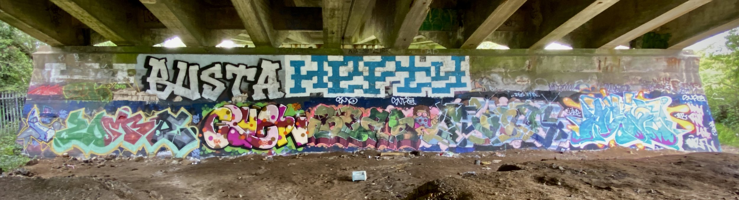
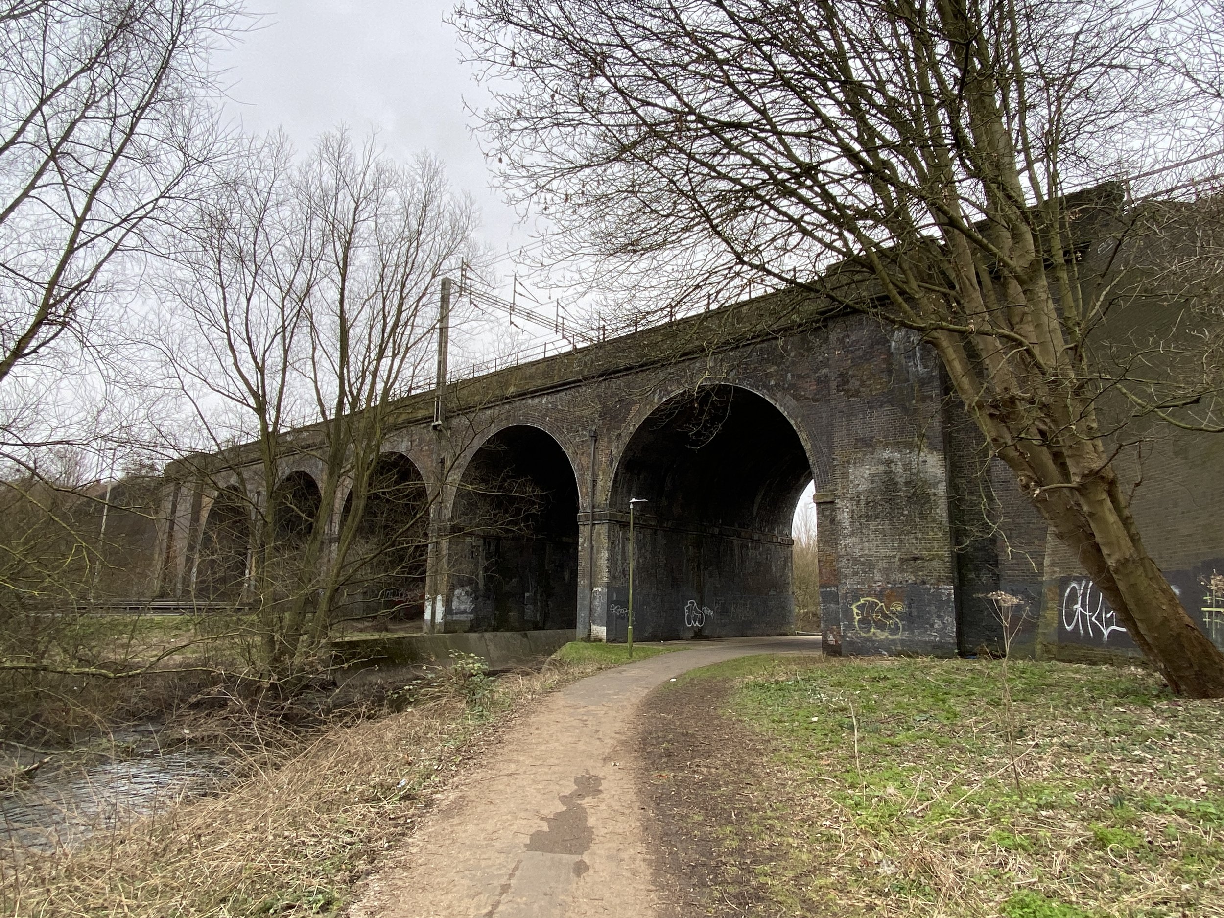
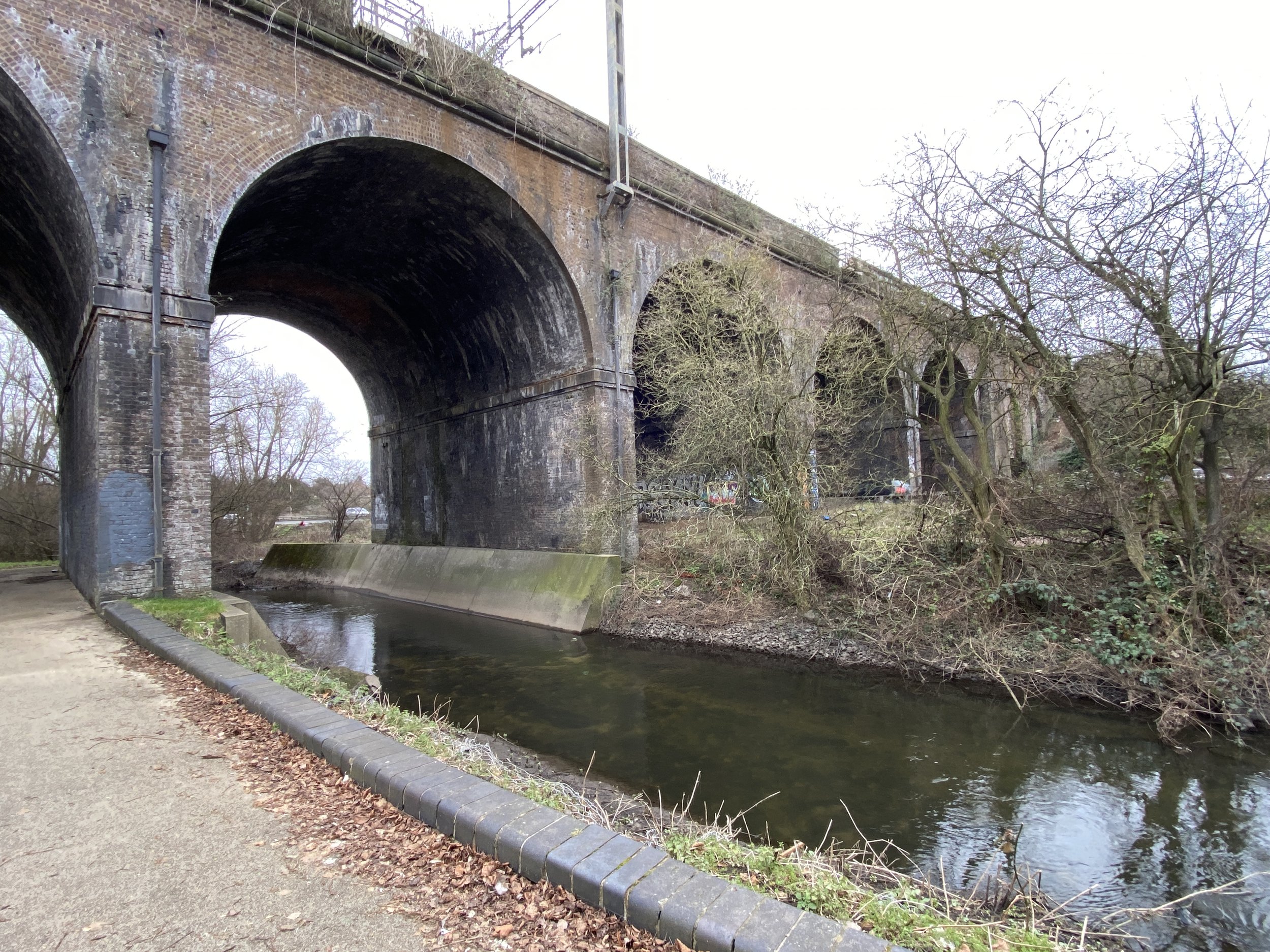
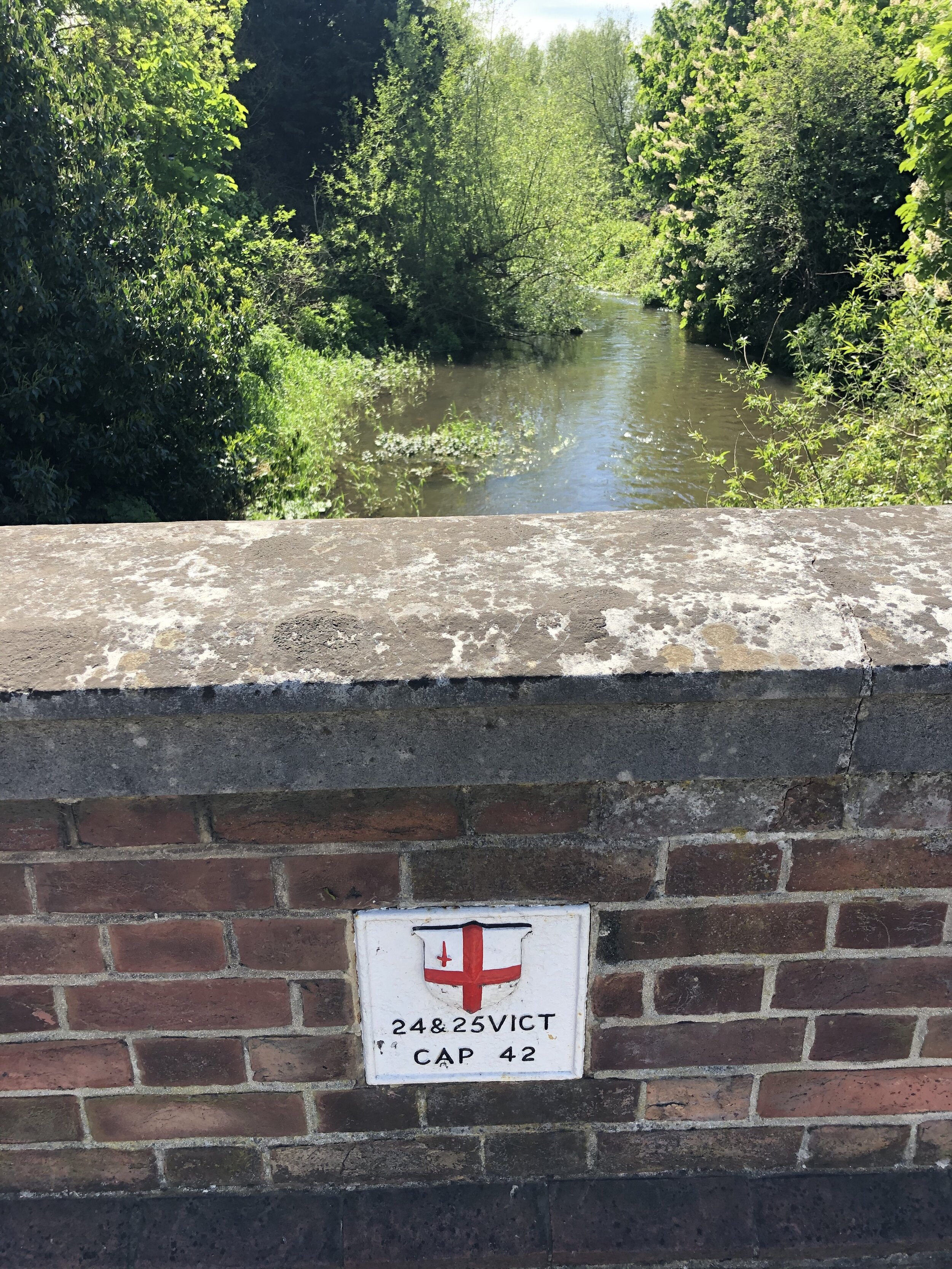
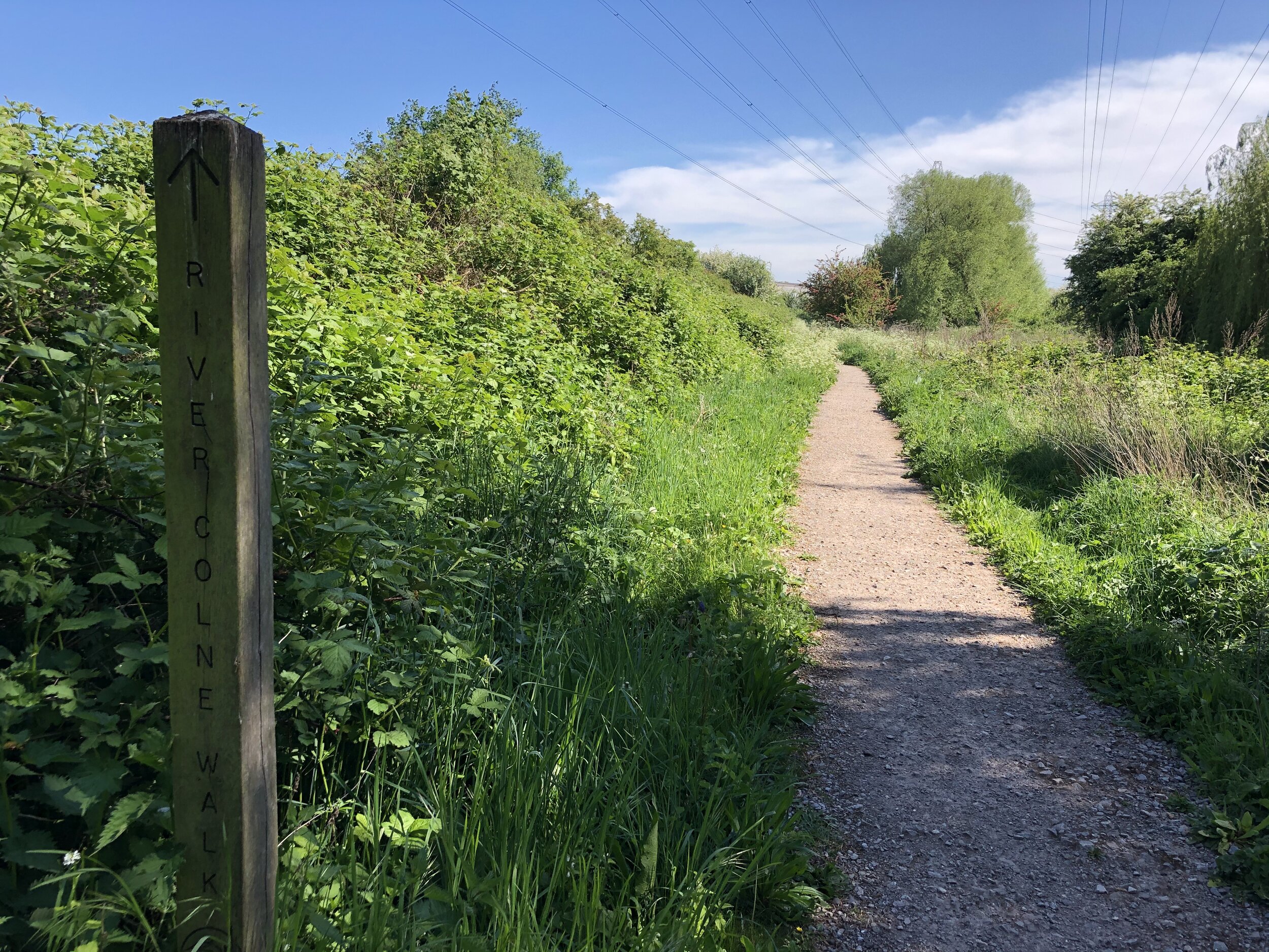
The whole area of the mill pond is now Haymill Valley Community Nature Reserve (The Millie), and the underground reservoir by Burnham Lane. The stream flows through the Millie although a lot of it is through reed beds. It enters a culvert before going underground again. Streamside Walk follows the course until it reappears out of the culvert passing through housing to cross under the M4 near Asda. When it emerges on the other side it has been diverted from its original course to run on the north side of the Jubilee River. It goes under the A355 and meets up with the stream from Salt Hill. From this point the stream flows west and joins its original course. It flows across Eton College land and goes under 14 Arch Bridge. It continues across Eton College land to join the River Thames.
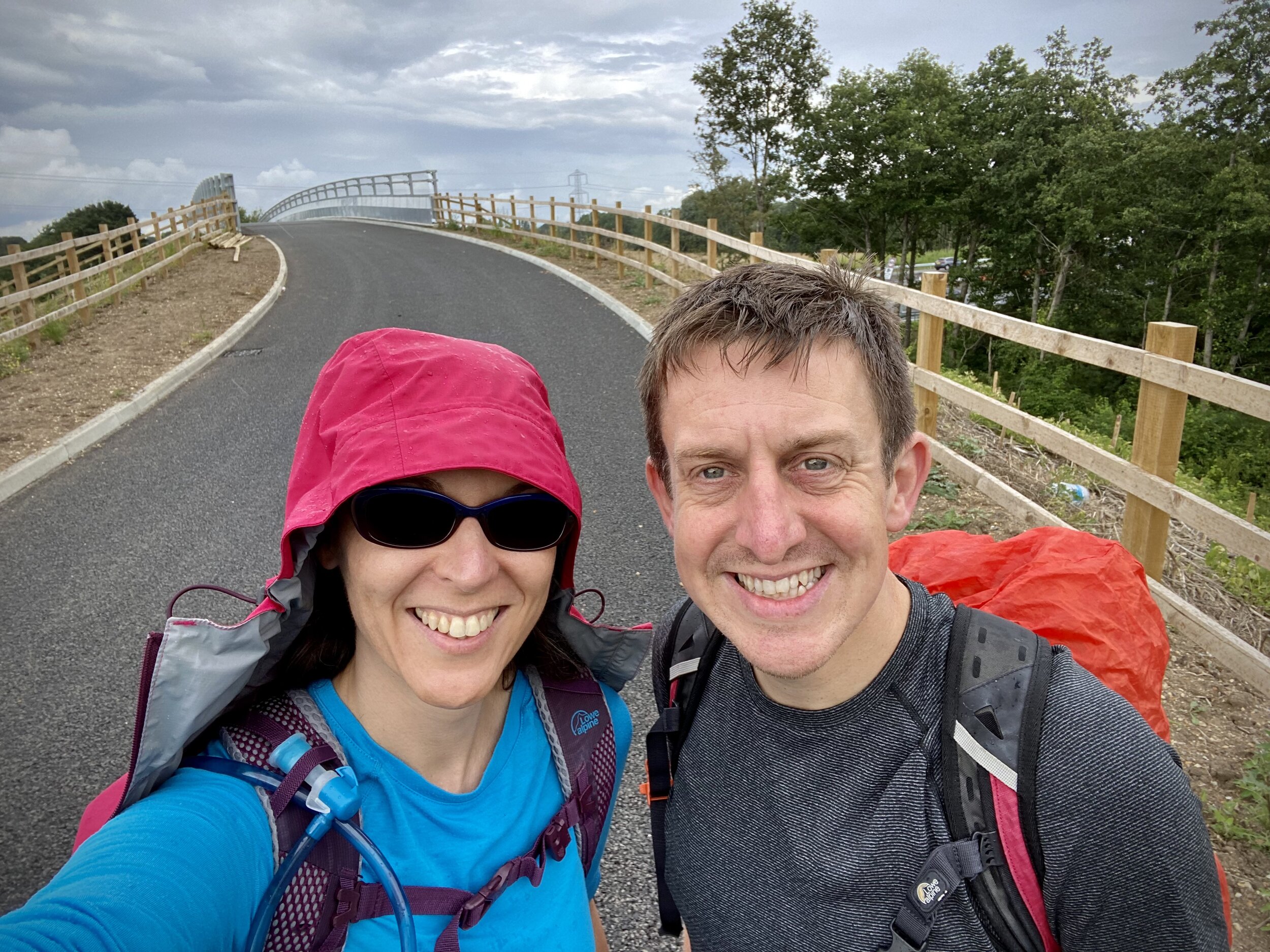
The Cycle Route
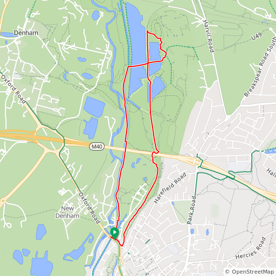
For the cycle route I started with the Salt Hill Stream on the easterly feeder, following its course as closely as possible to the Thames. Then I followed the Thames to find the confluence with the Chalvey Ditch to follow it up to its source.
Cycle route start and end: The Broadway, Farnham Common, Slough SL2 3NE
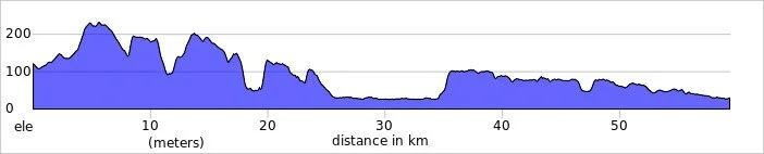
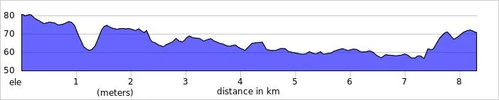
Cycle route length: 28.7 km (17.8 miles)
Cycle route elevation change: +/- 126m
GPX File: get via Buy Me a Coffee
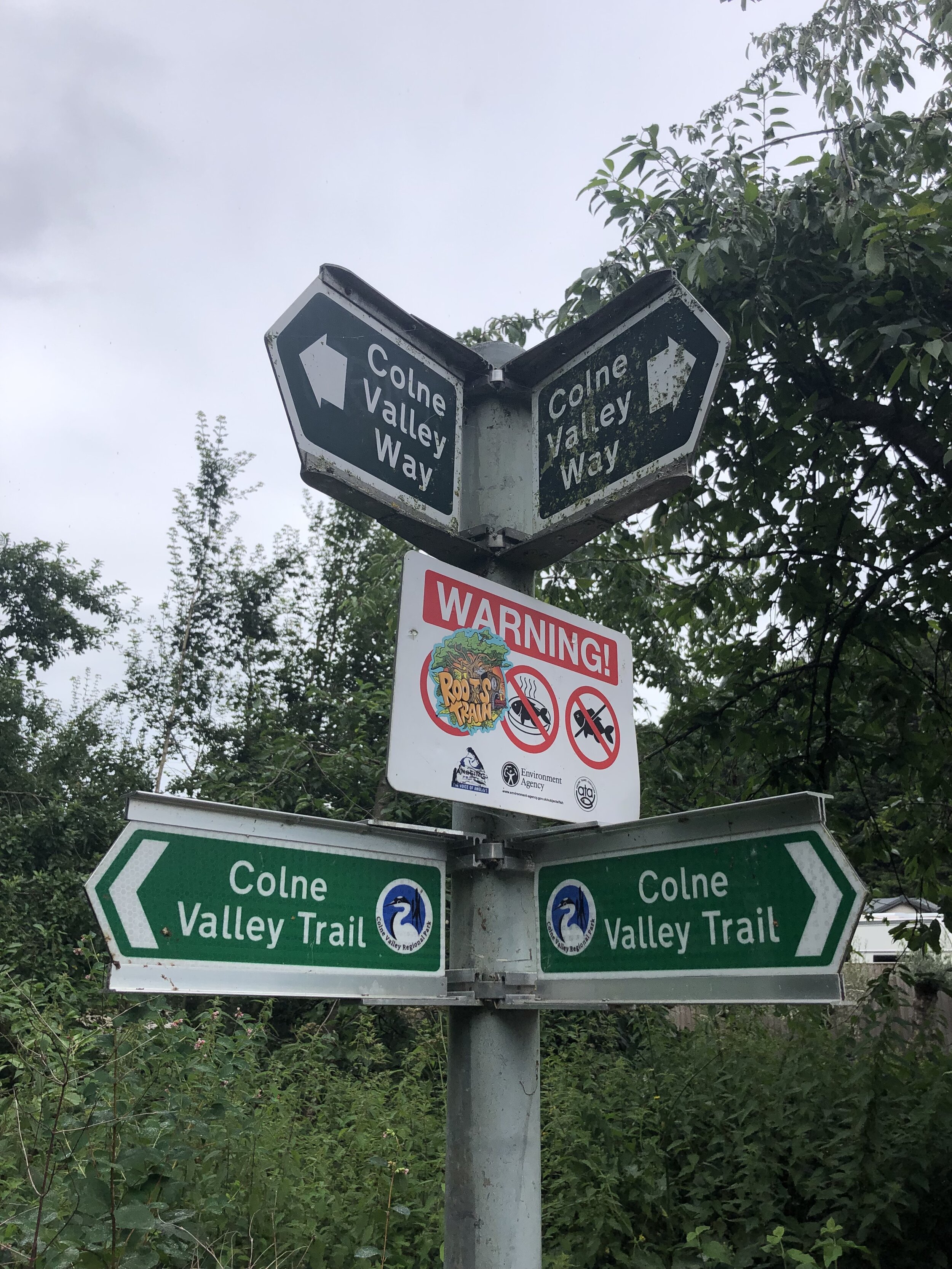
Other routes touched (walk): Beeches Way, Shakespeare’s Way, Jubilee River Path, Thames Path
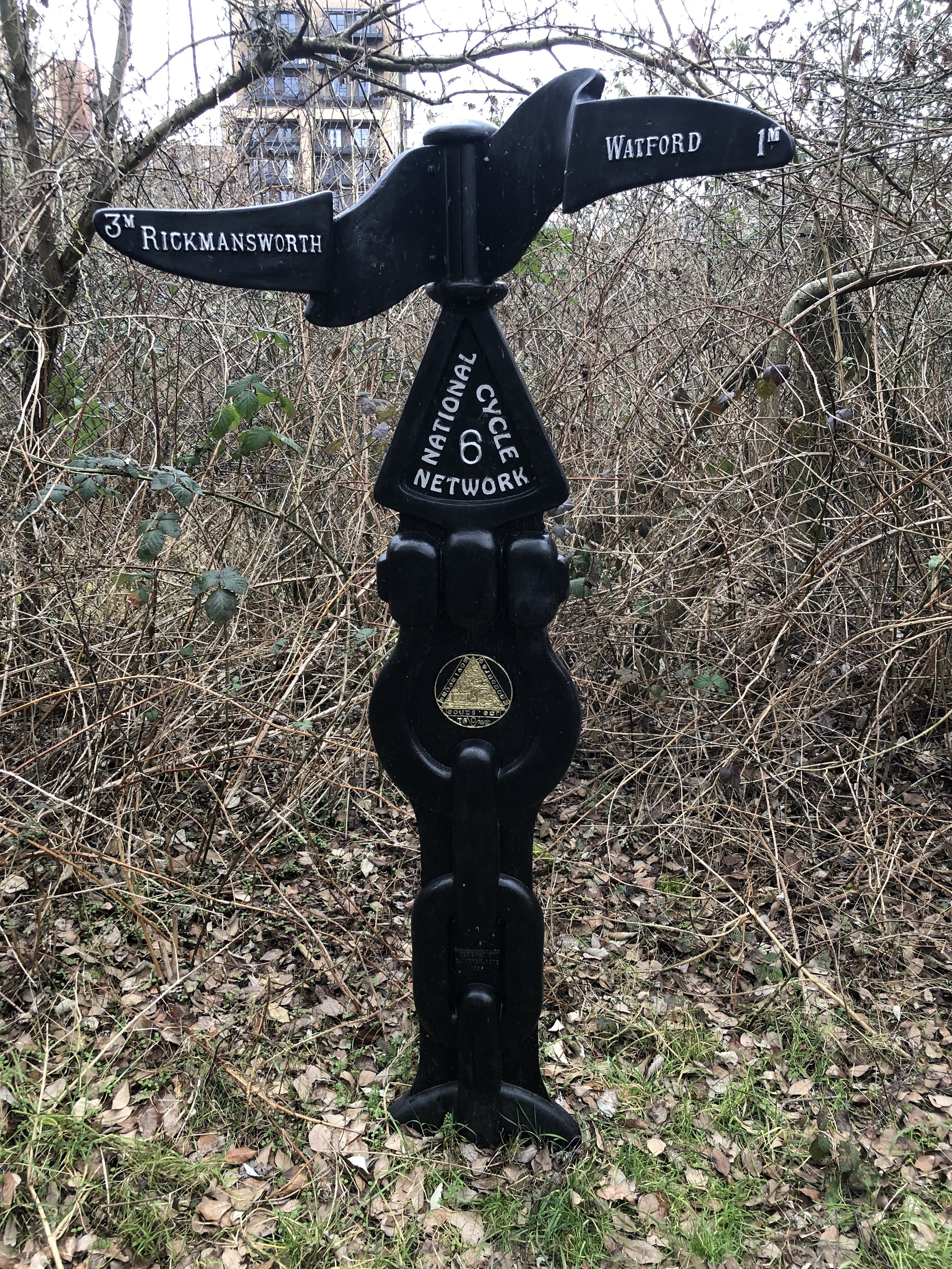
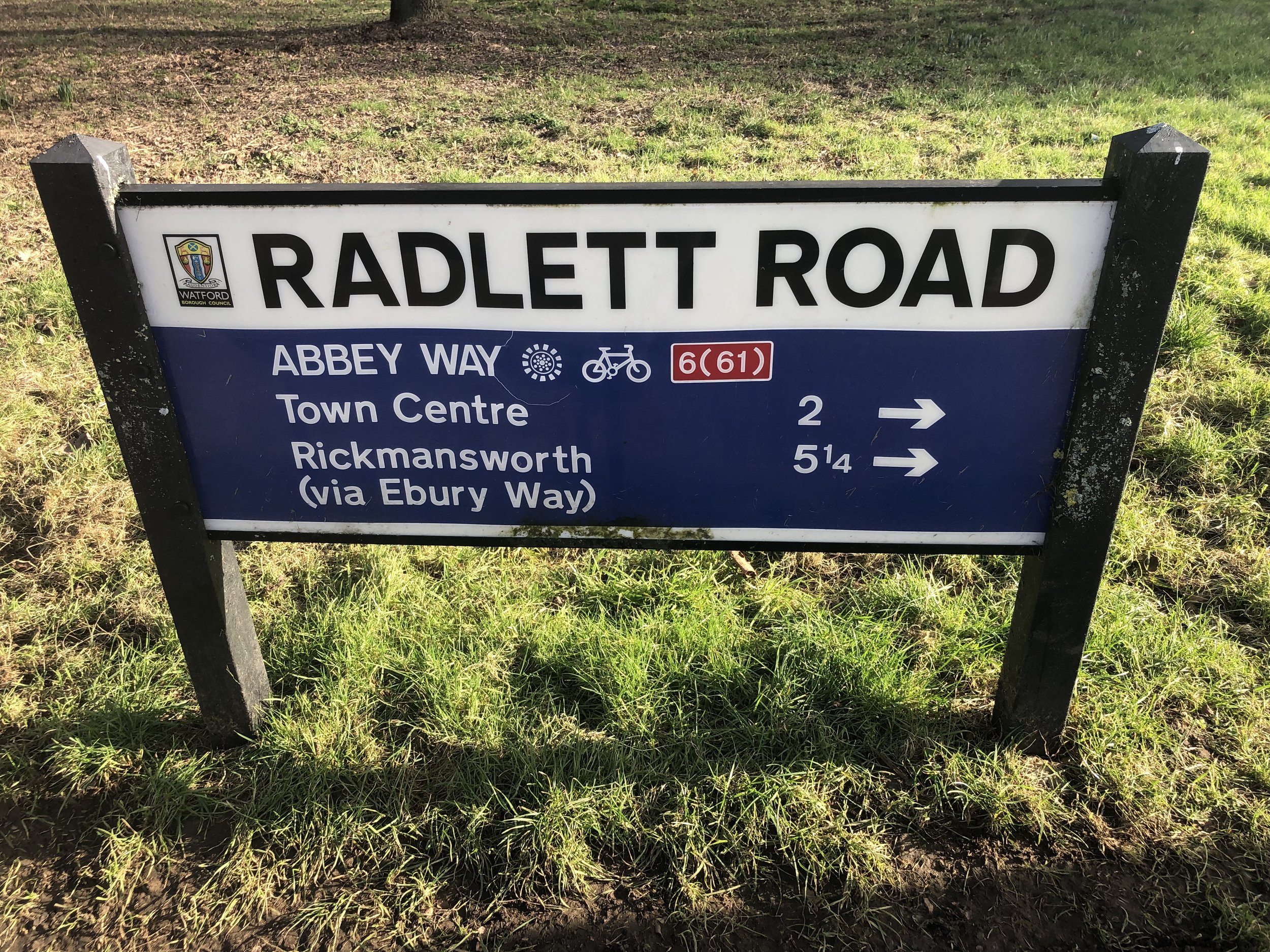
Other routes touched (cycle): Beeches Cycleway, NCN 4, 461
Maps:
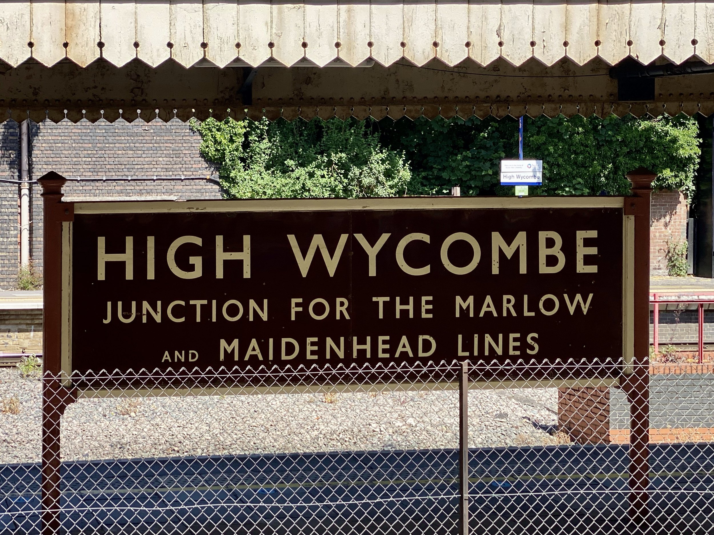
- Chiltern Hills East Map | High Wycombe, Maidenhead & Rickmansworth | Ordnance Survey | OS Explorer Map 172
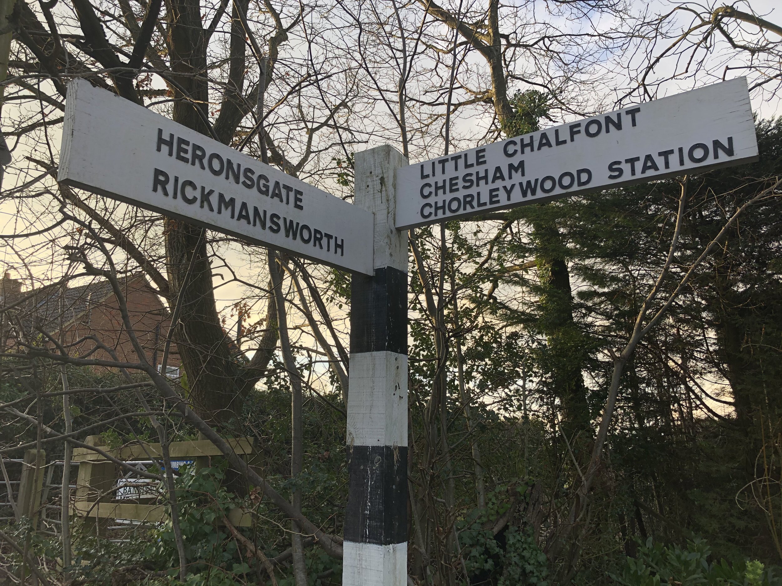
Links: Farnham Common, Slough, Chalvey, Jubilee River, Eton, Eton Wick, Cippenham, Burnham
Part 1: Cycling the Salt Hill Stream from the source to the confluence with the Thames
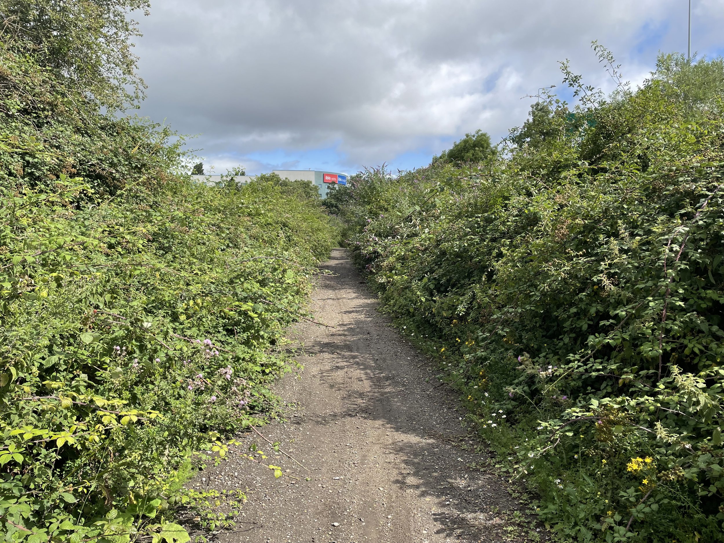
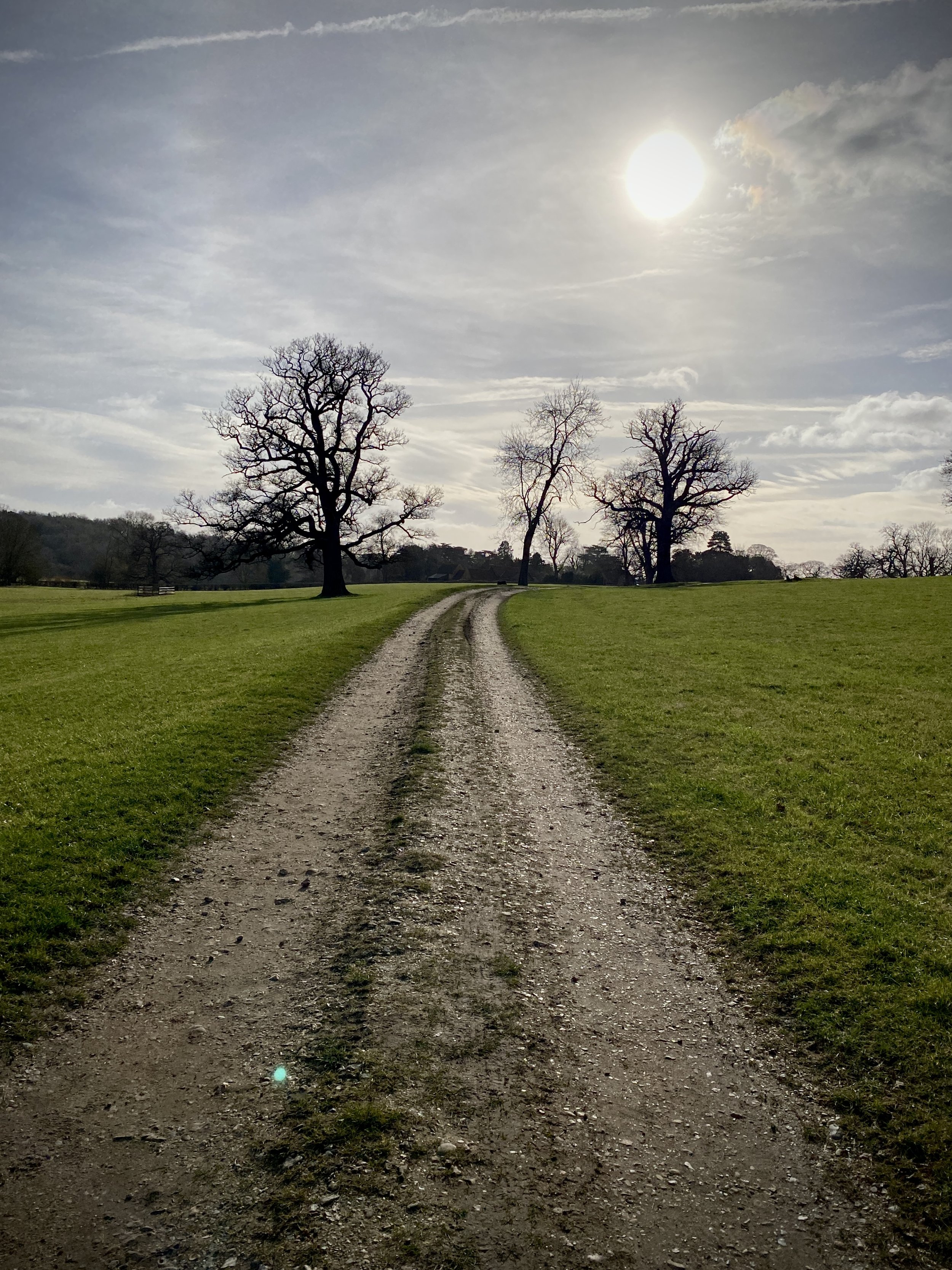
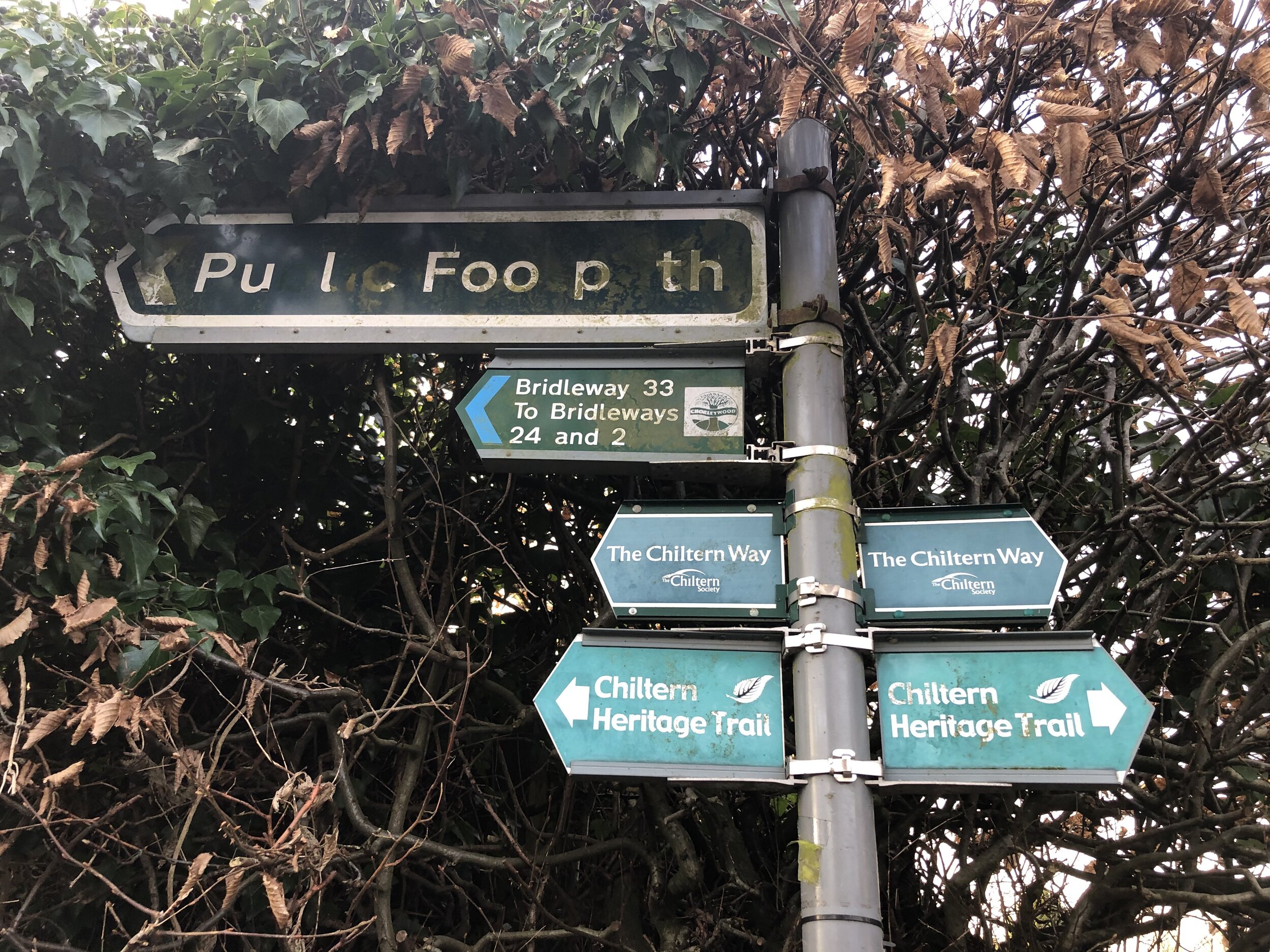
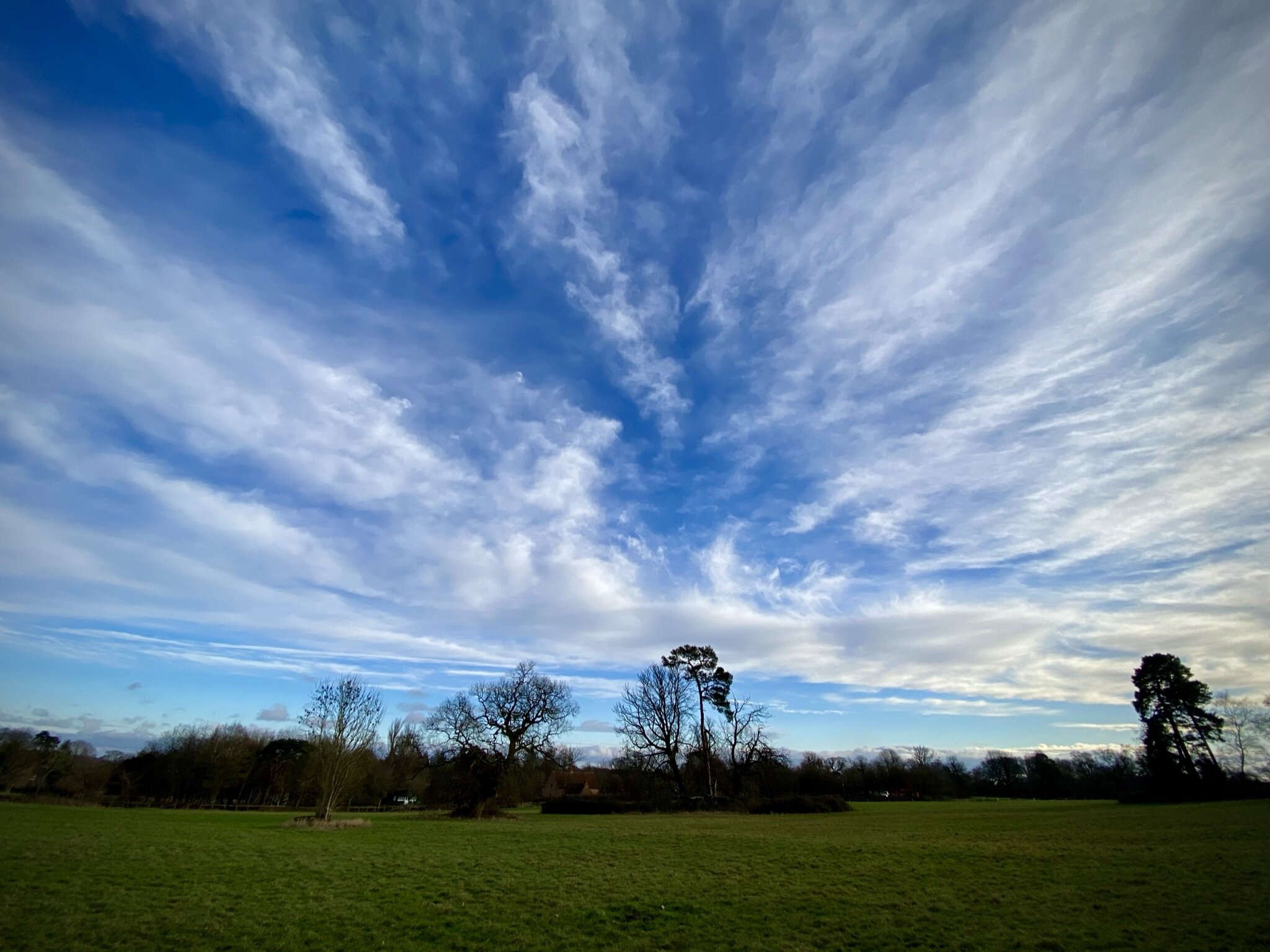
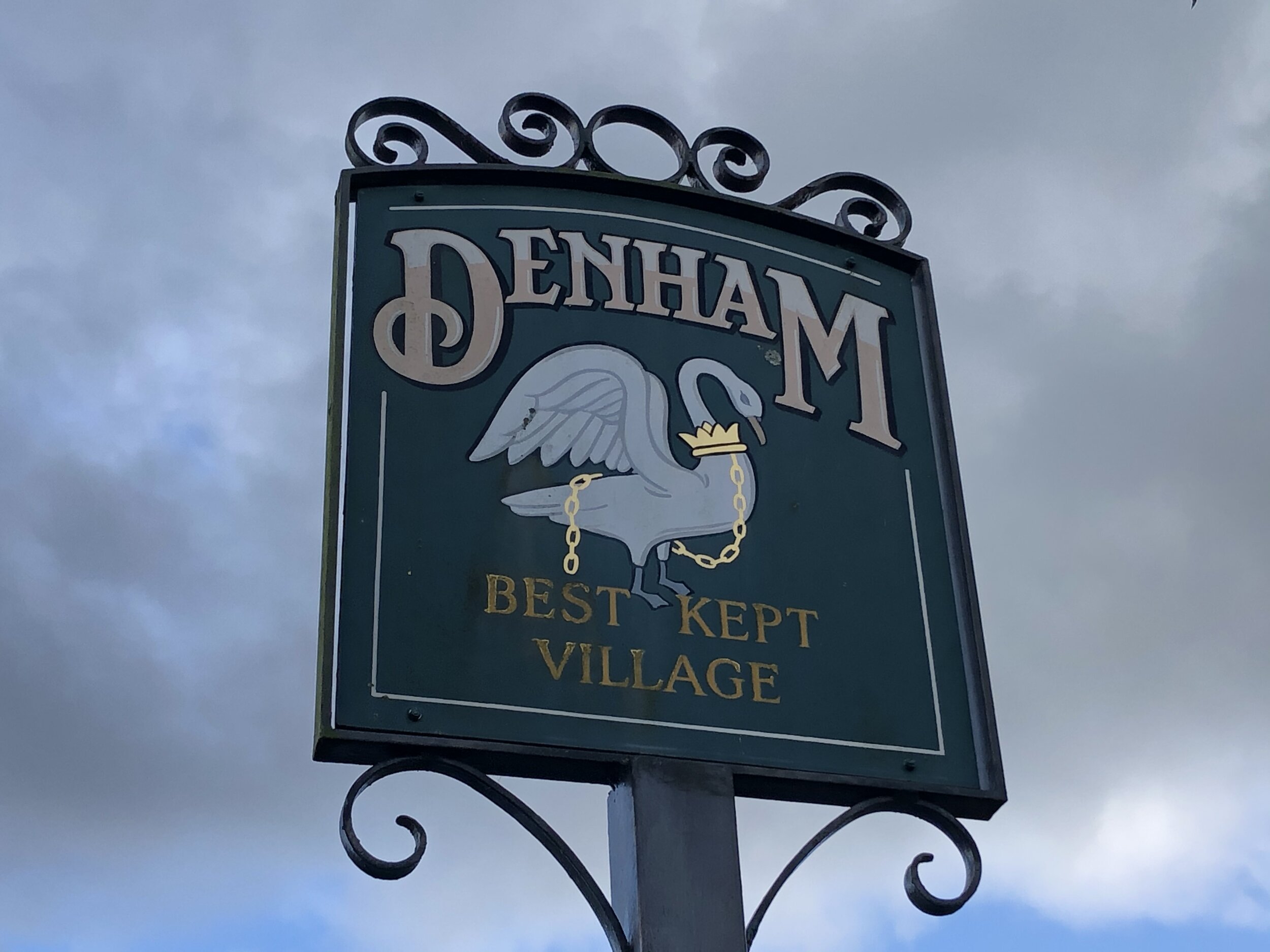
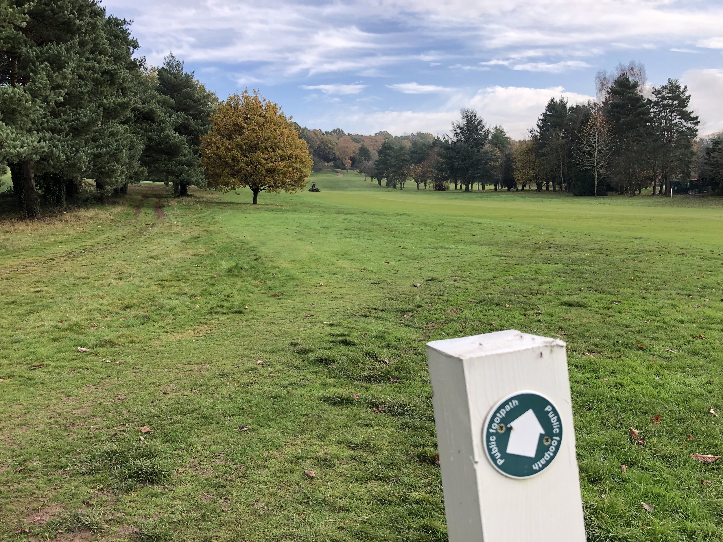
This section starts at Farnham Common where there’s a parade of shops, a Costa Coffee and several pubs and restaurants. The village, on the edge of Burnham Beeches, was historically a stomping ground for highwaymen and is now a peaceful gateway to the Beeches. It’s a good meeting place for several cycle routes in the area. From the shops cycle north along the A355 Beaconsfield Road and then take a right onto Templewood Lane. At approximately 1.5 km into the route you’ll pass over the Salt Hill Stream. This is the closest you’ll get to the start of the stream as the source is inside the private woodland to the north of the lane.
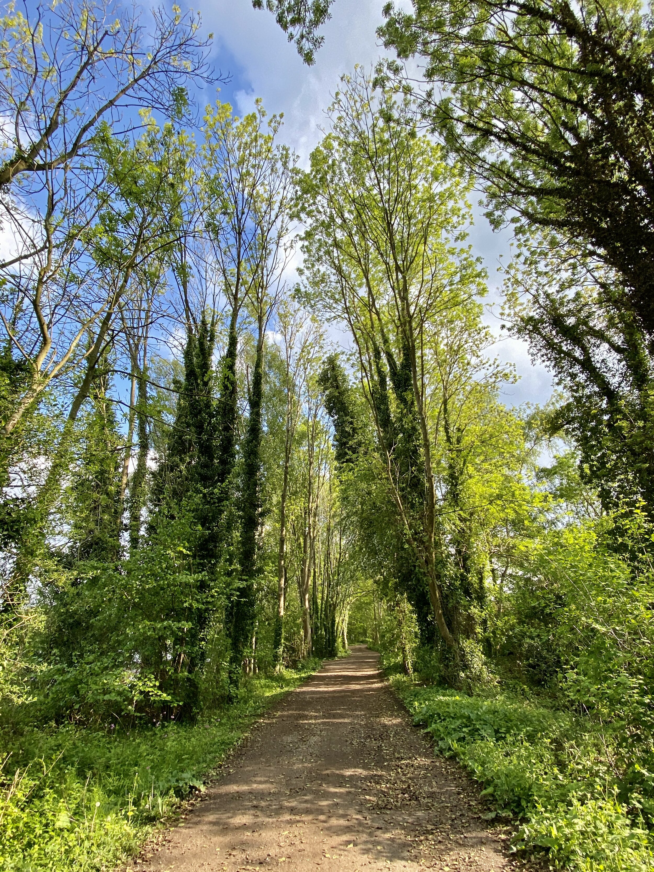
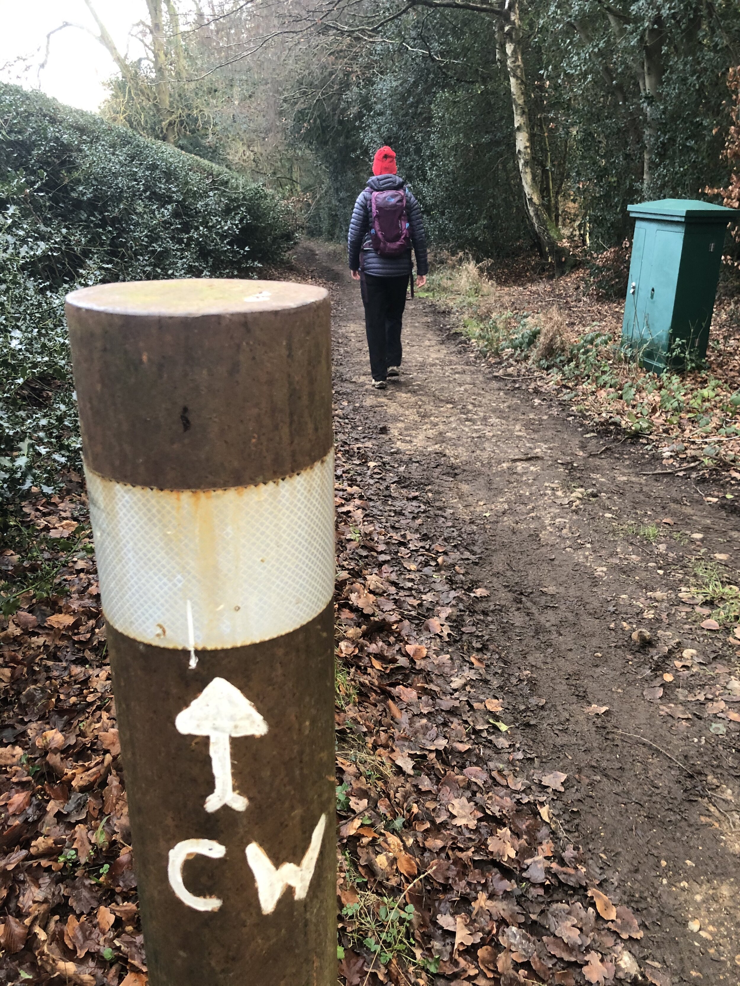
Continue along Templewood Lane then take a right on the bridleway when the land curves to the left. Follow this bridleway in a southerly direction, connecting to the Beeches Way and Shakespeare’s Way. When you reach the first house on the right take a right to follow a small lane which leads to a footpath heading west through woodland back towards Farnham Common.
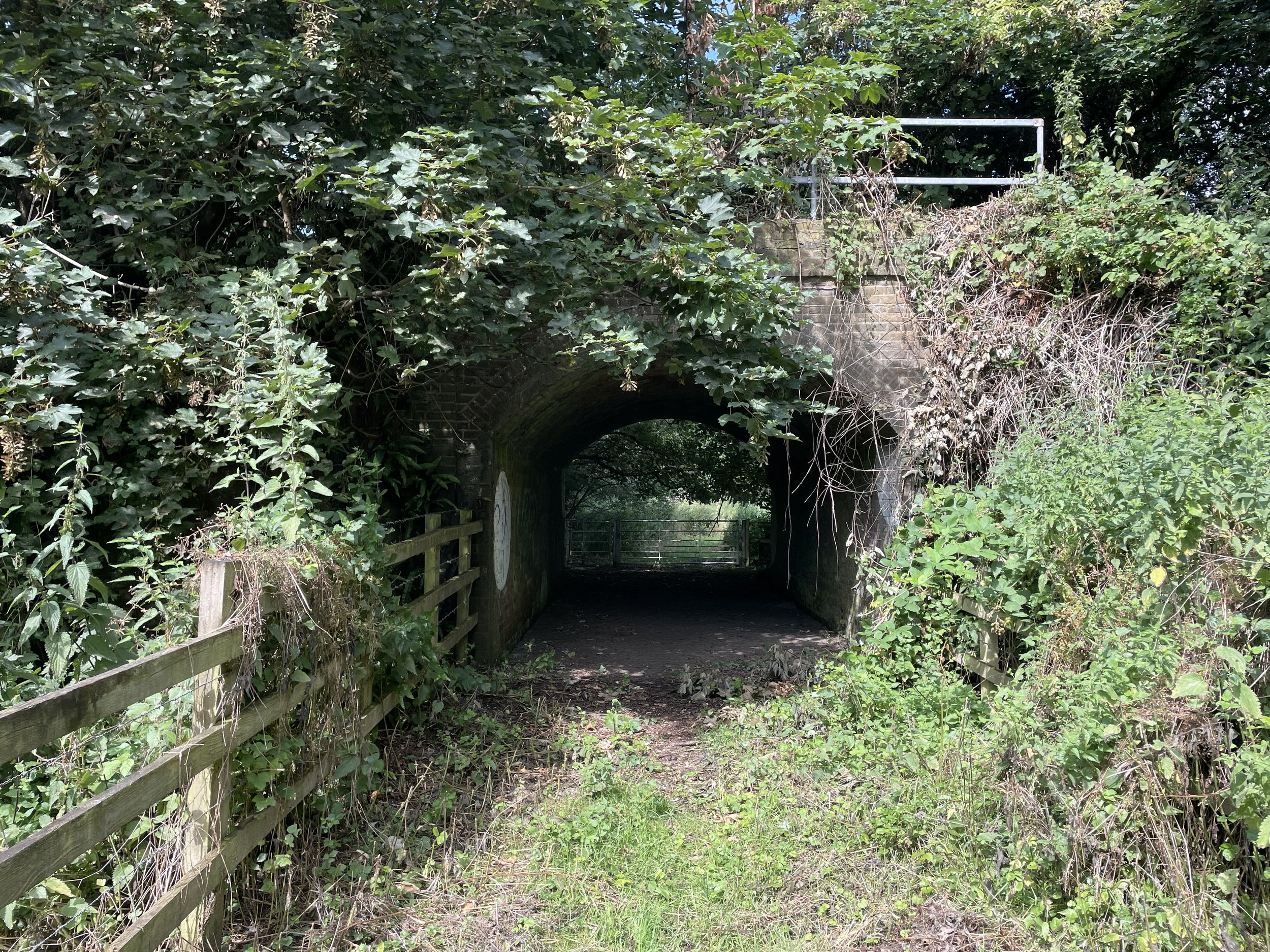
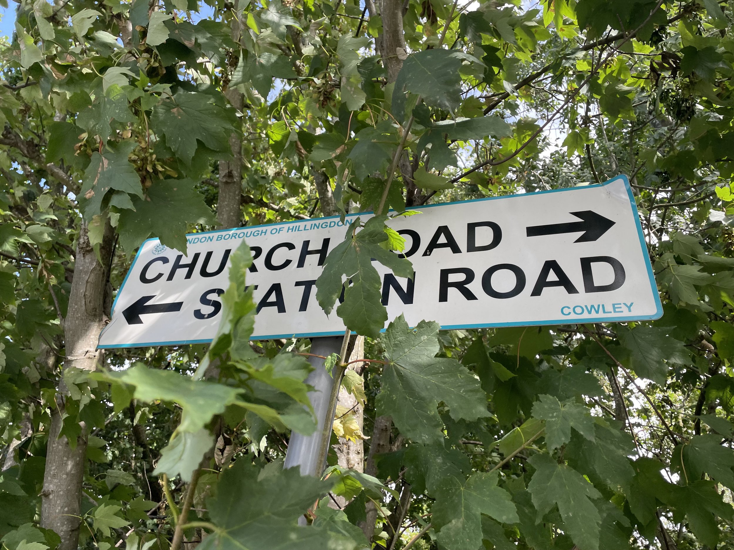
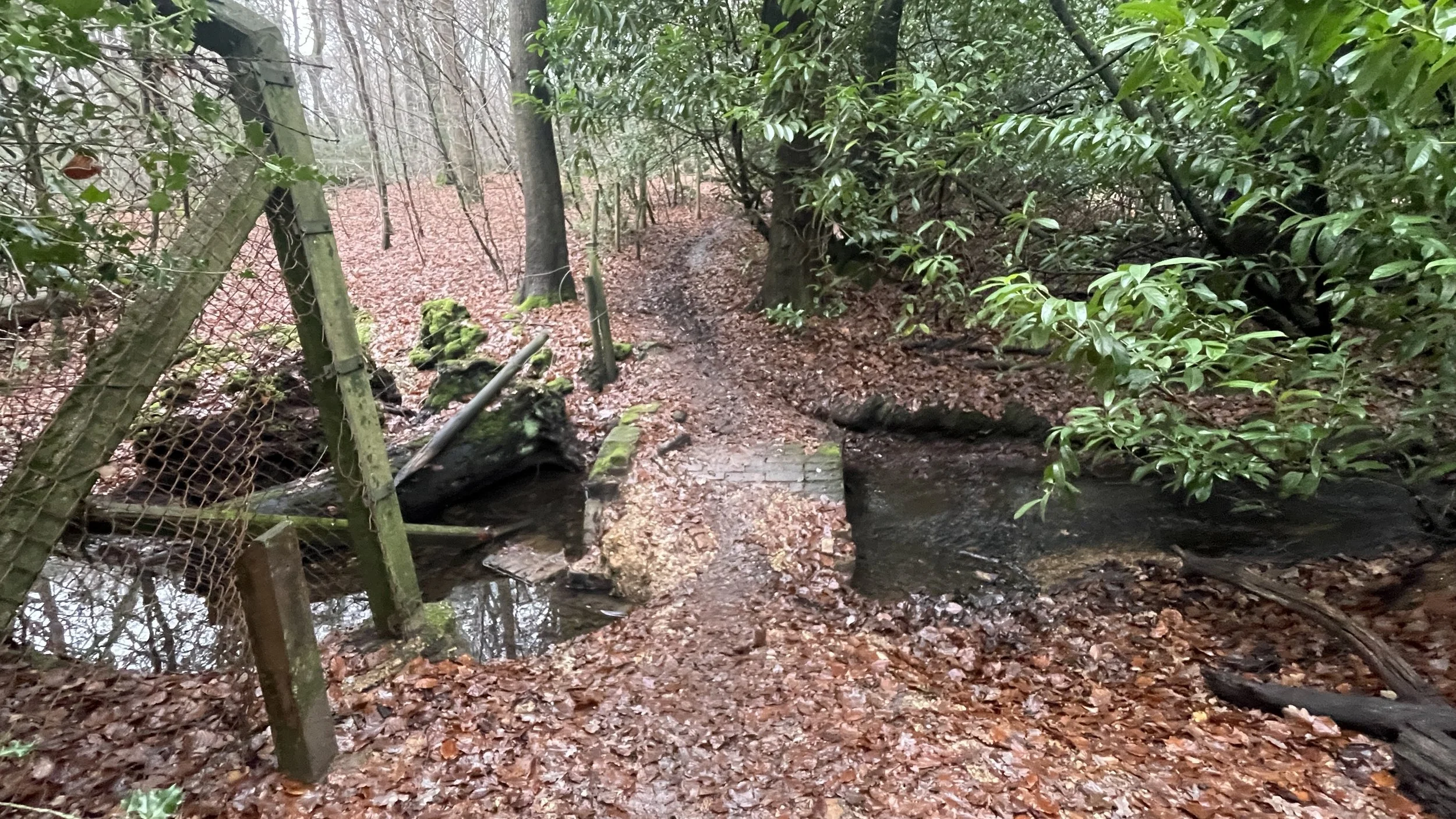
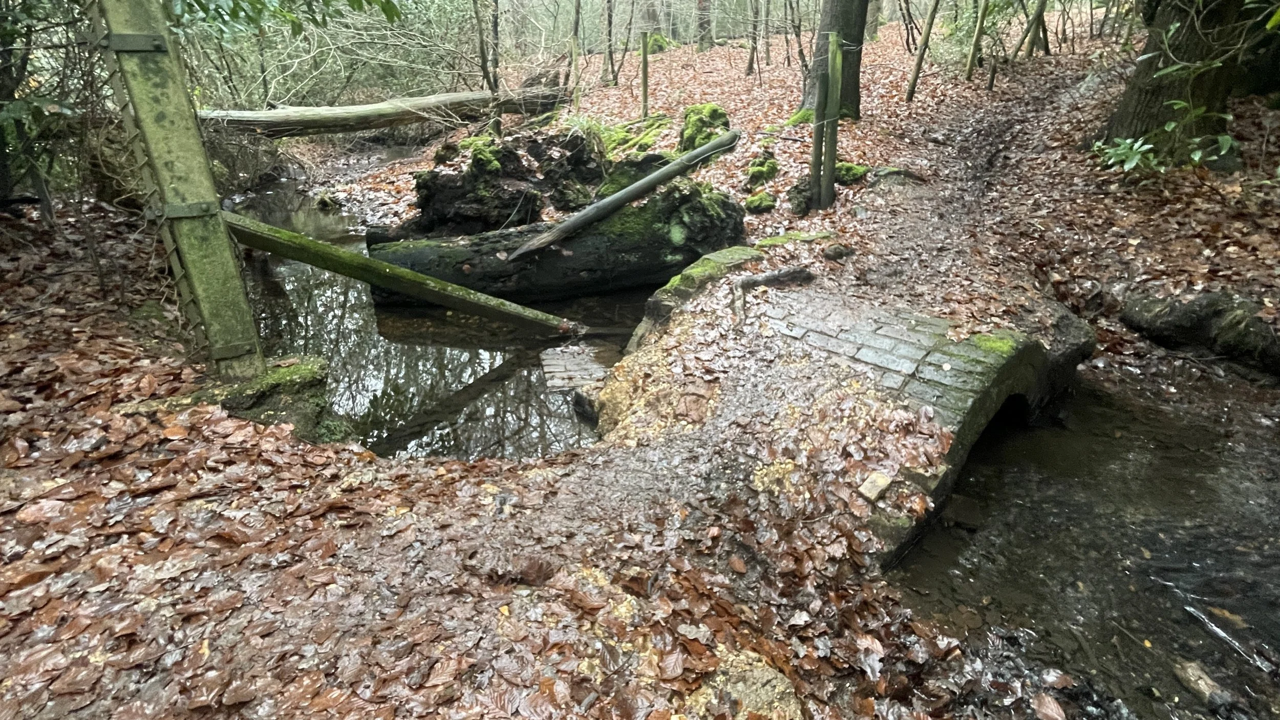
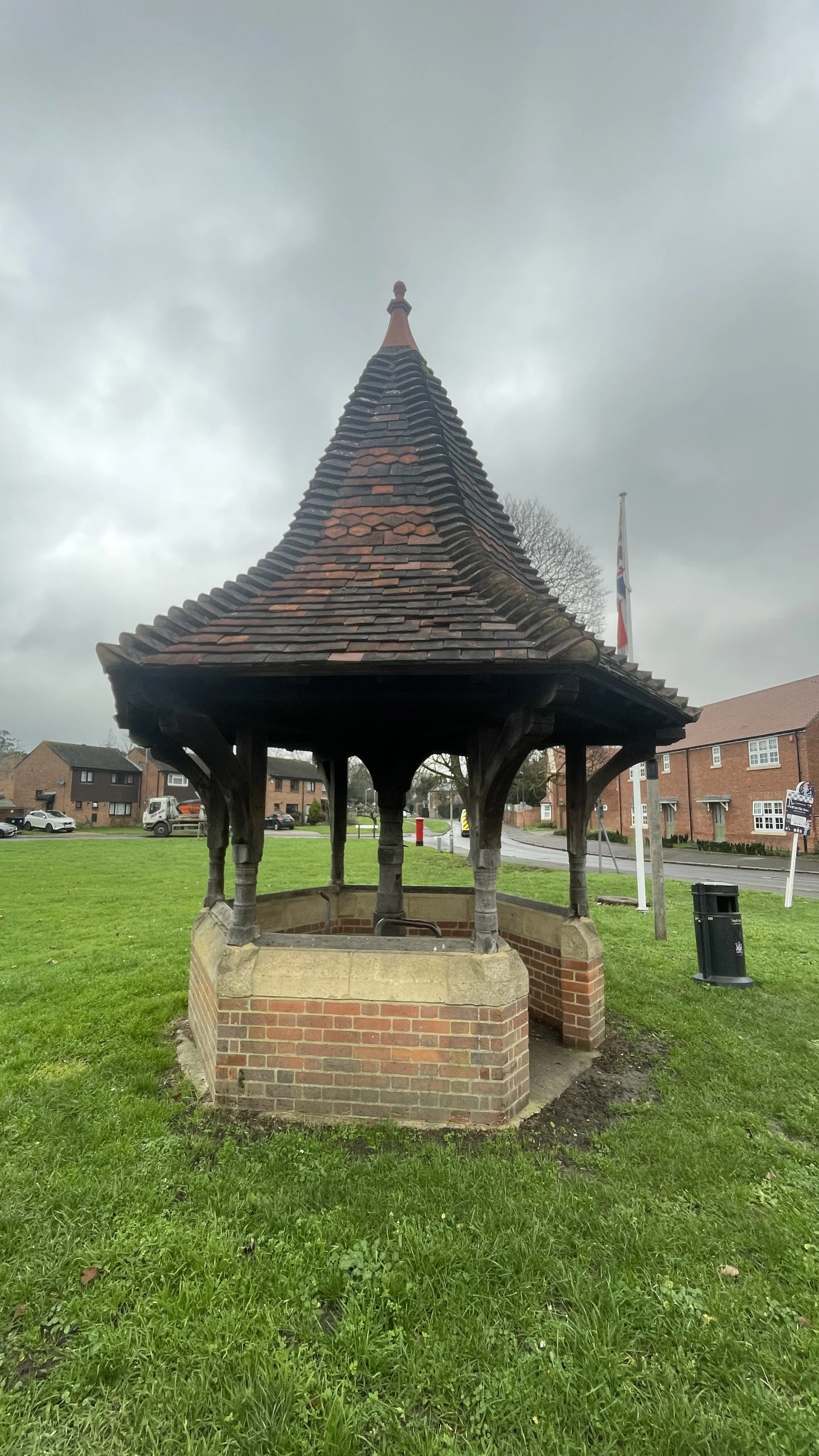
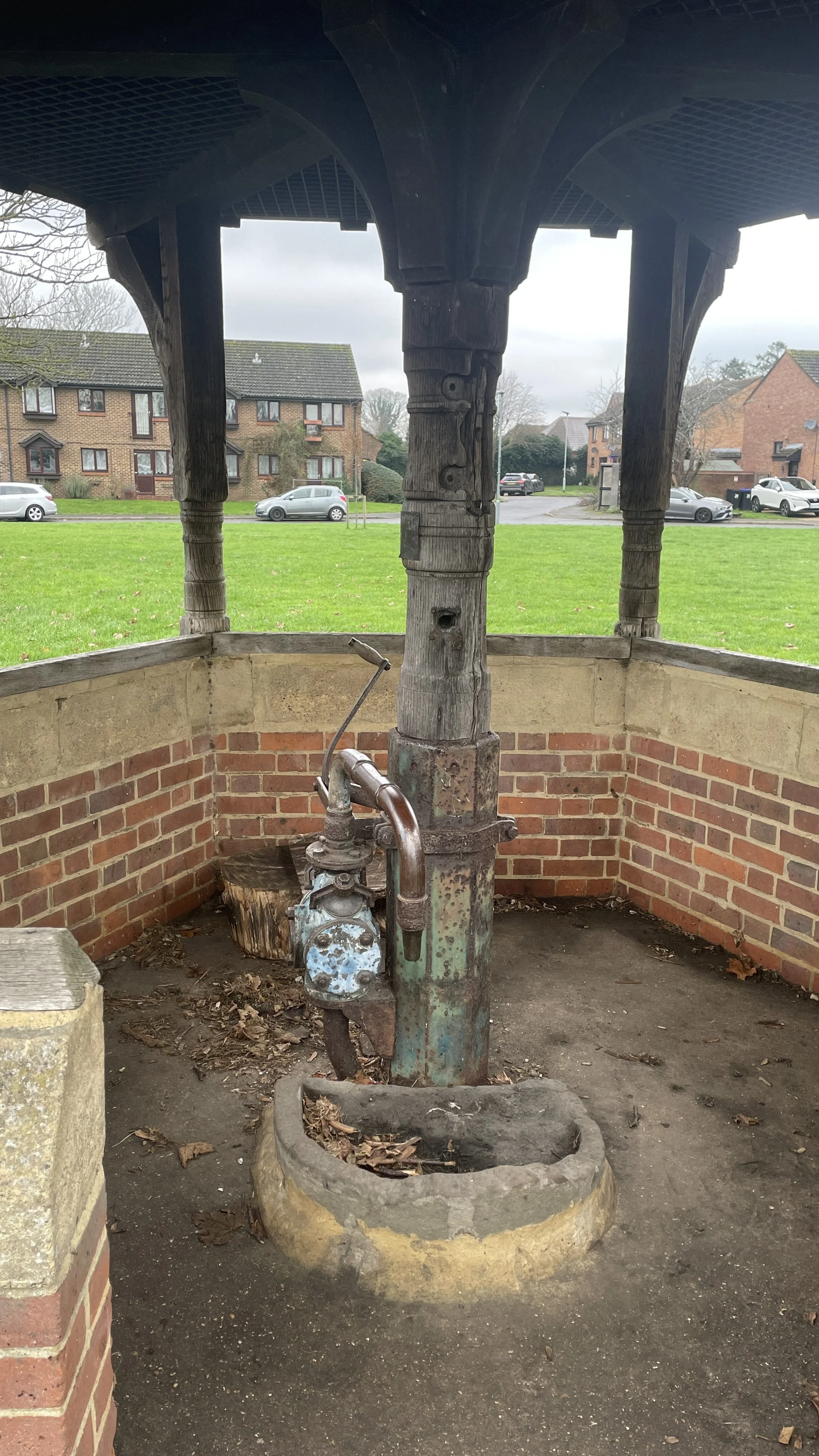
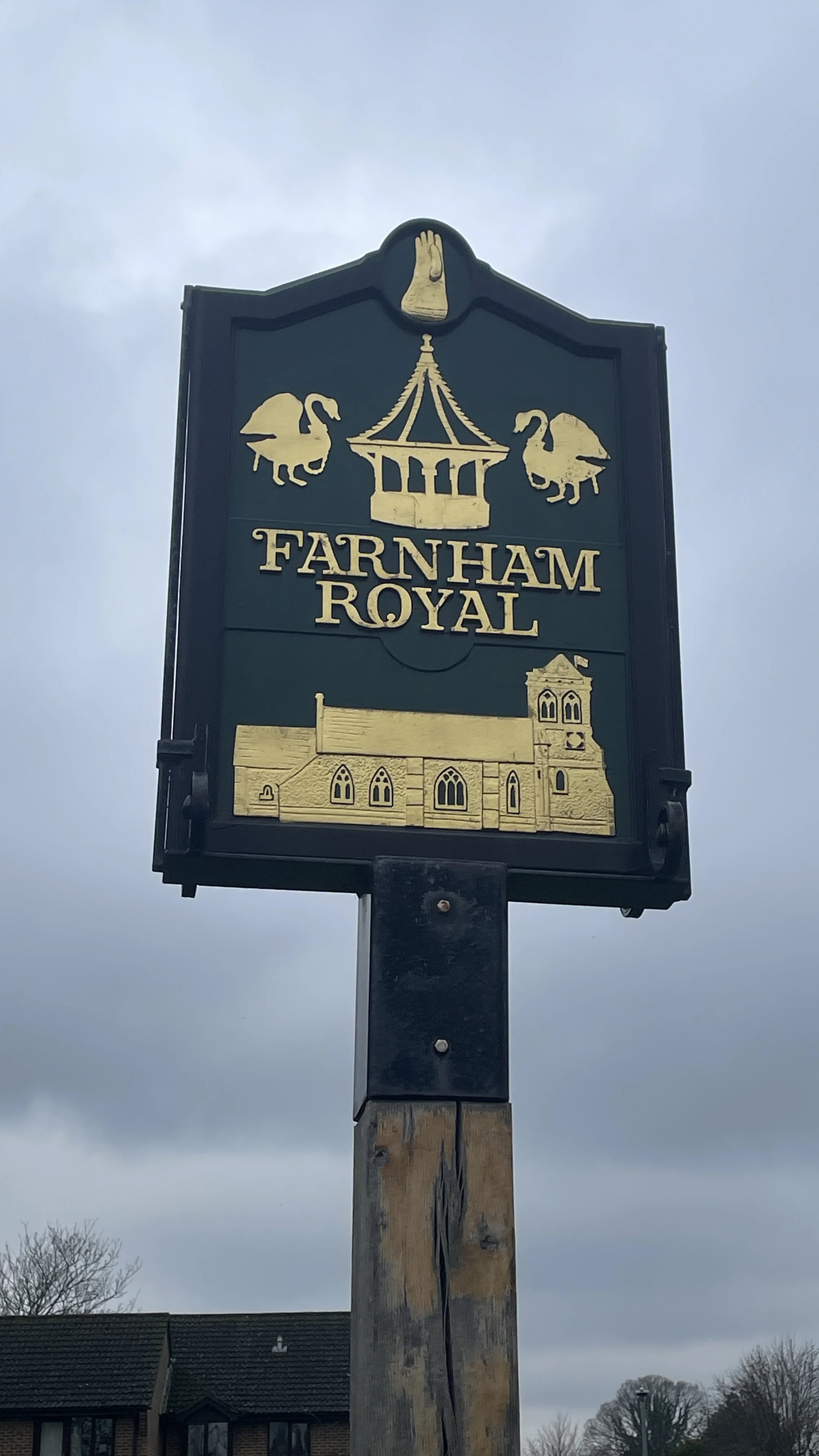
Shortly after the 3km point of the trip you’ll descend down to the Salt Hill Stream crossing over a small arched brick bridge. Continue along the path between Ingram’s Copse and Parson’s Wood to Parsonage Lane. Take a left onto Parsonage Lane and follow it in a southerly direction to the junction with Park Road. Take a right onto Park Road to the double roundabout at Farnham Royal. Take a left to follow Farnham Road in a southerly direction then a left onto Church Road. Follow Church Road as it becomes a bridleway then take a left onto Northern Road. You’re now in the Manor Park Estate.
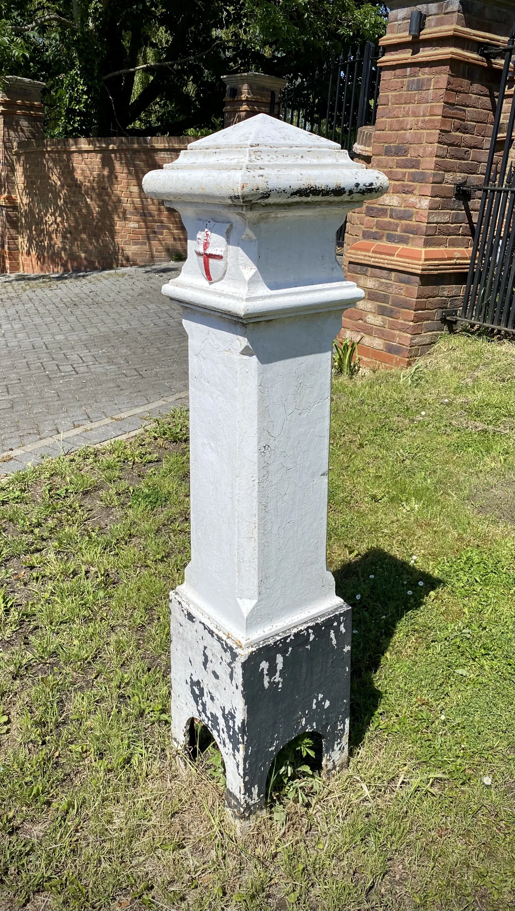
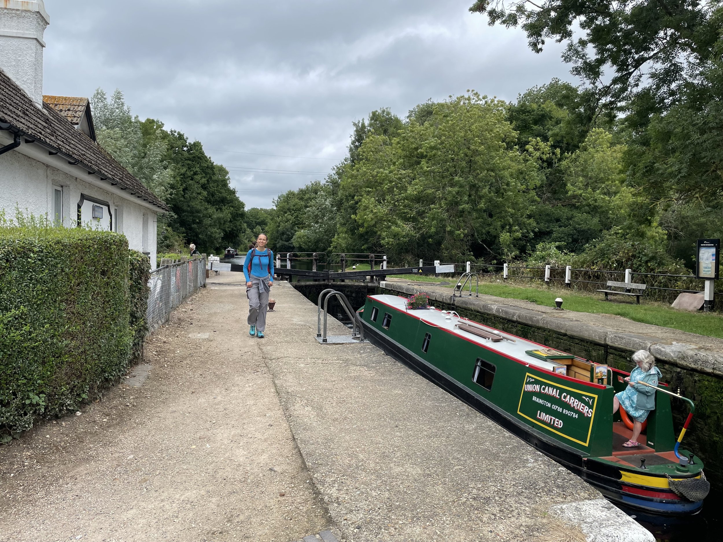
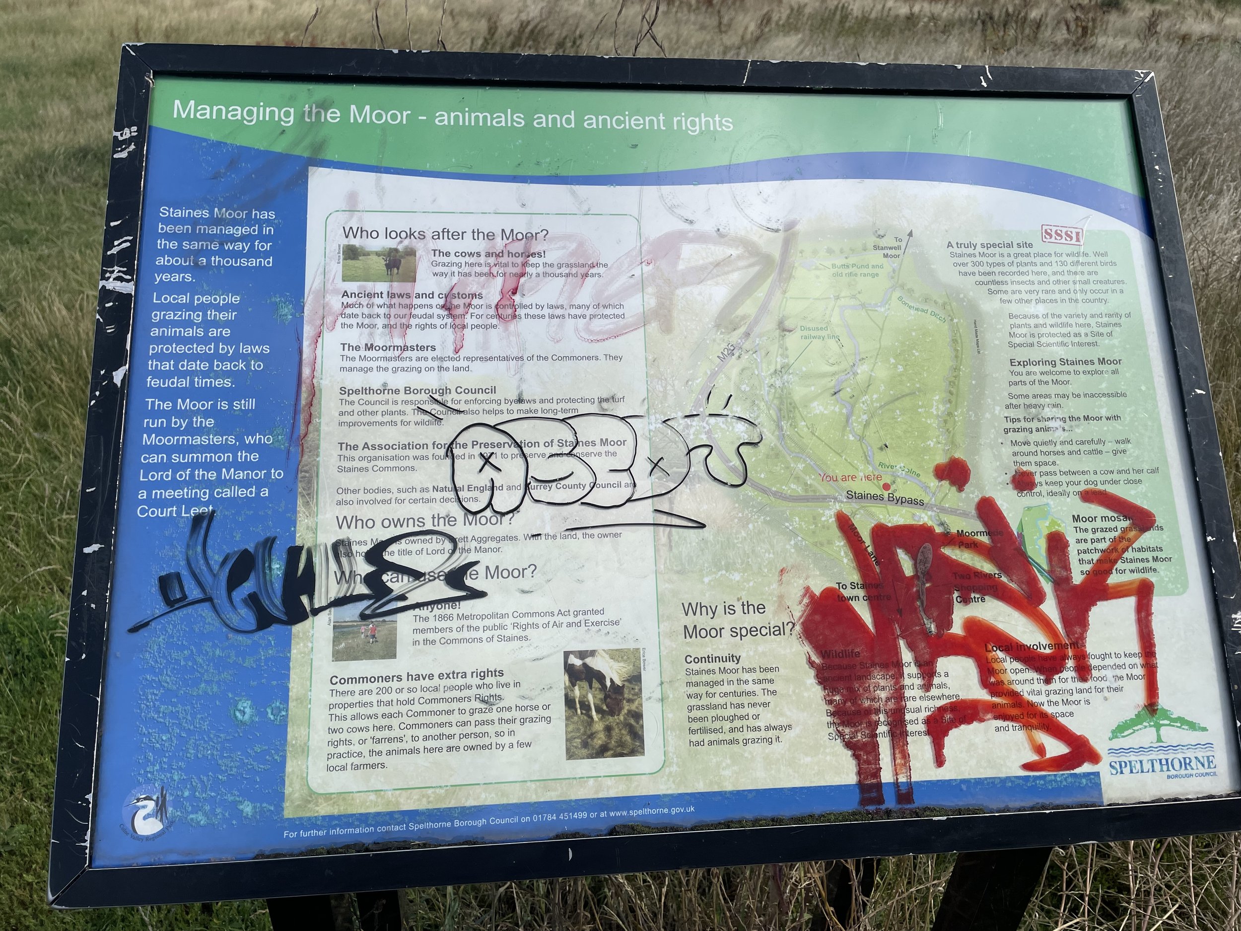
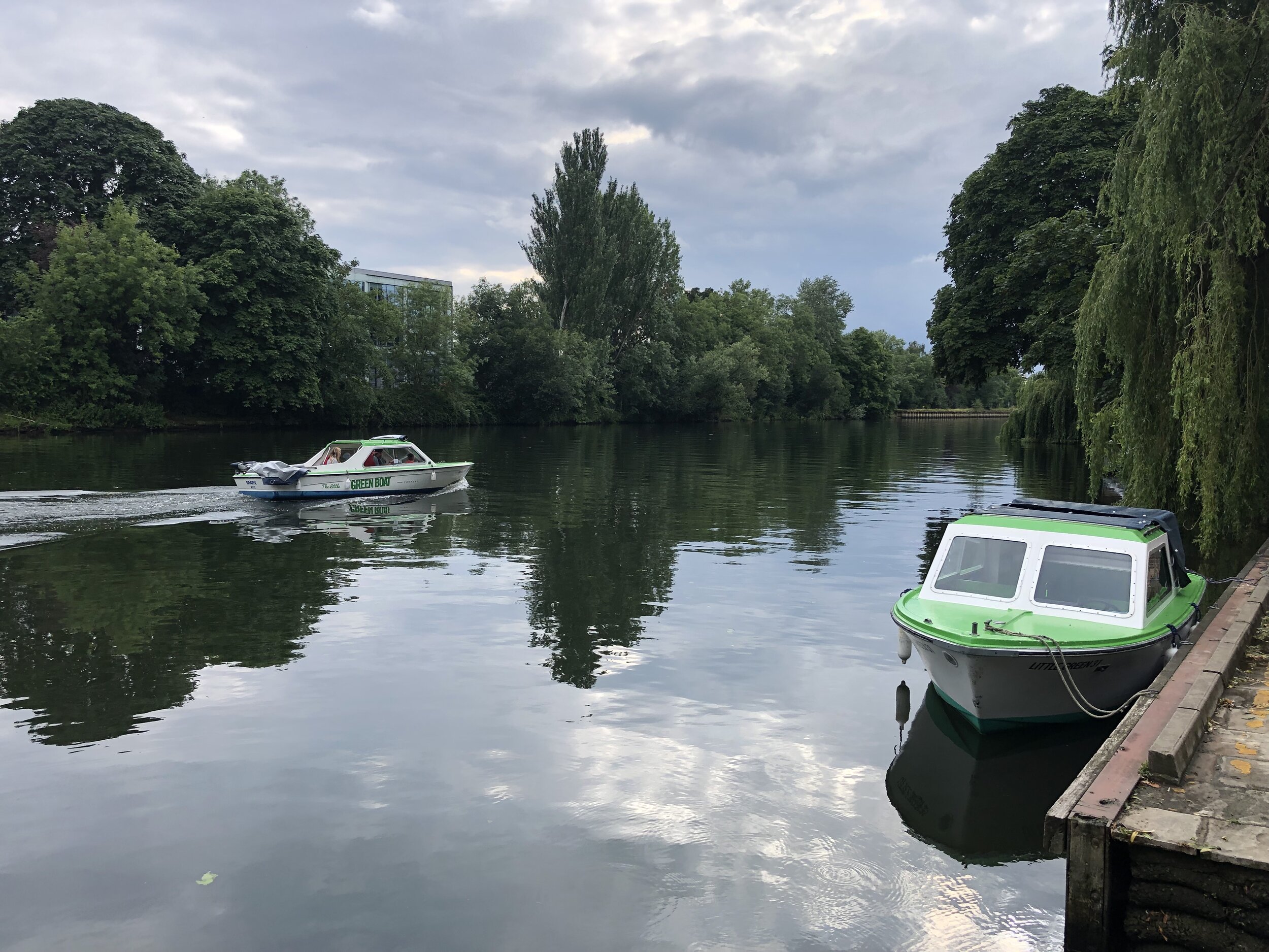
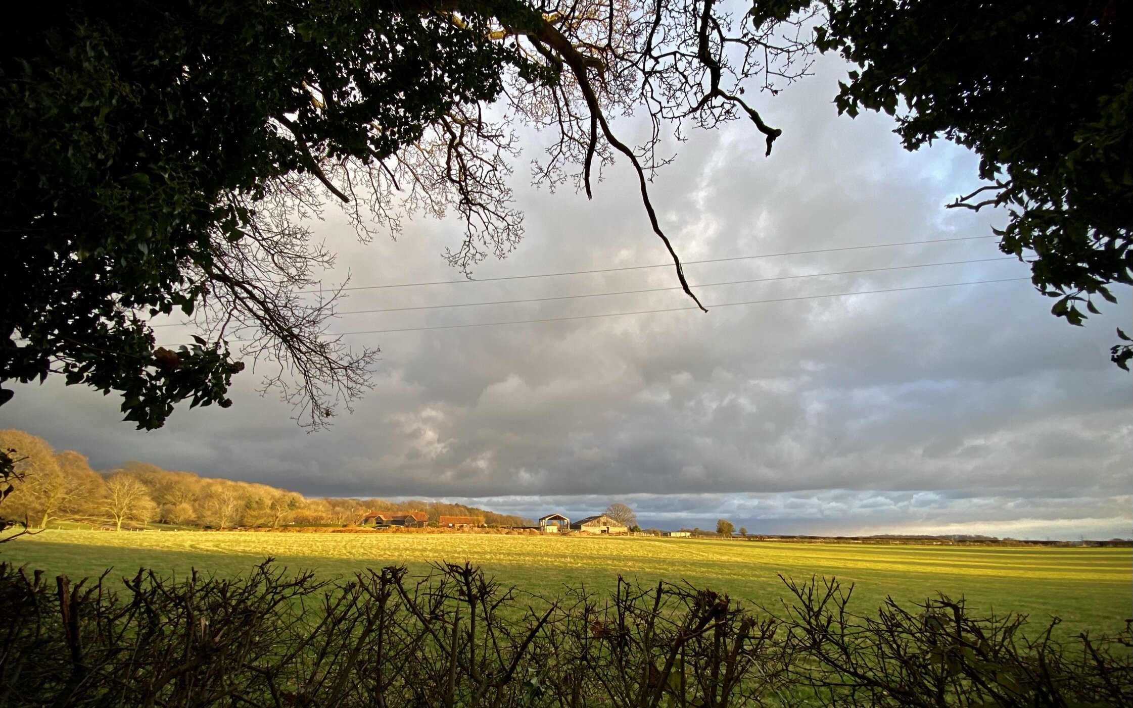
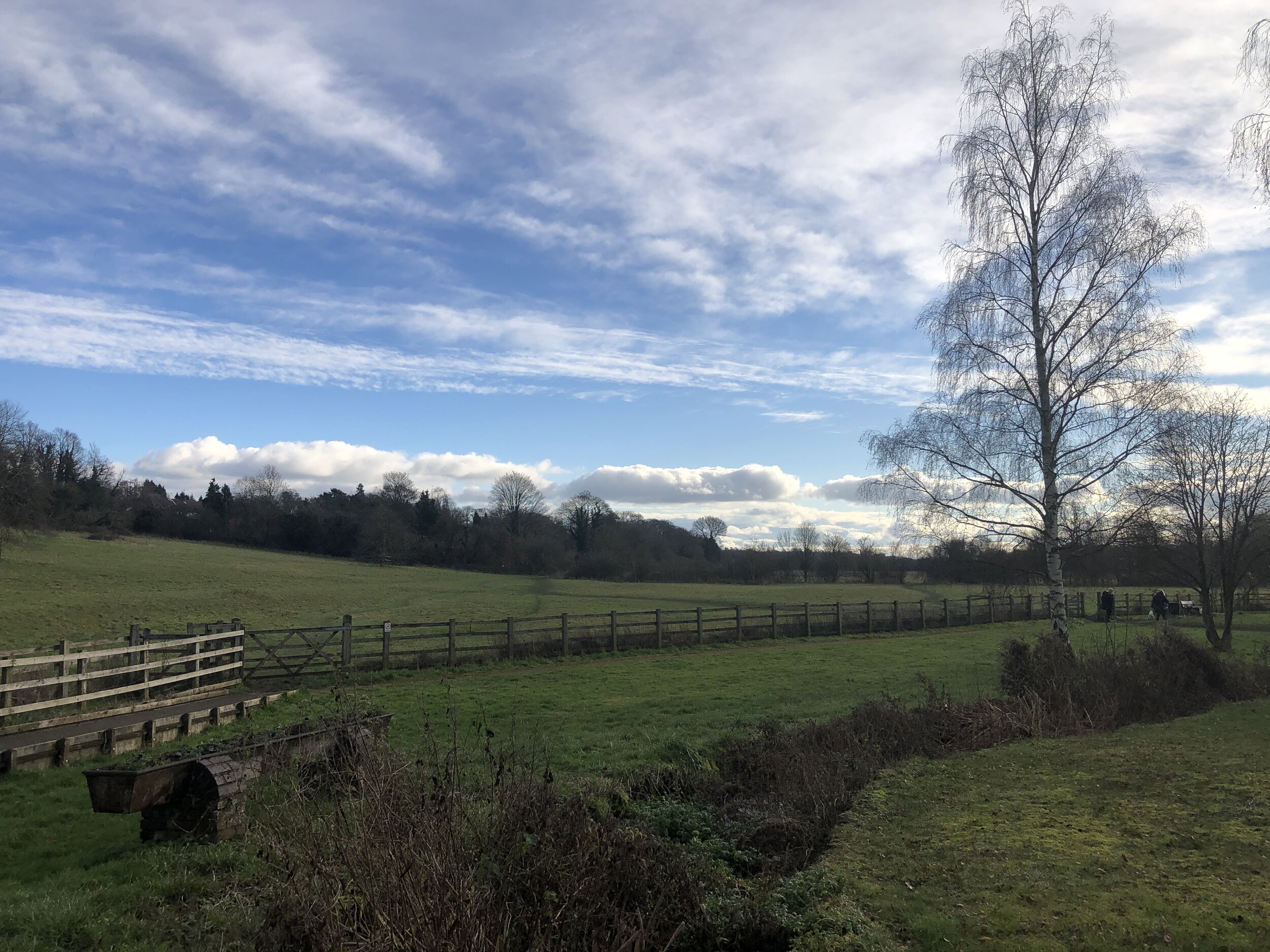
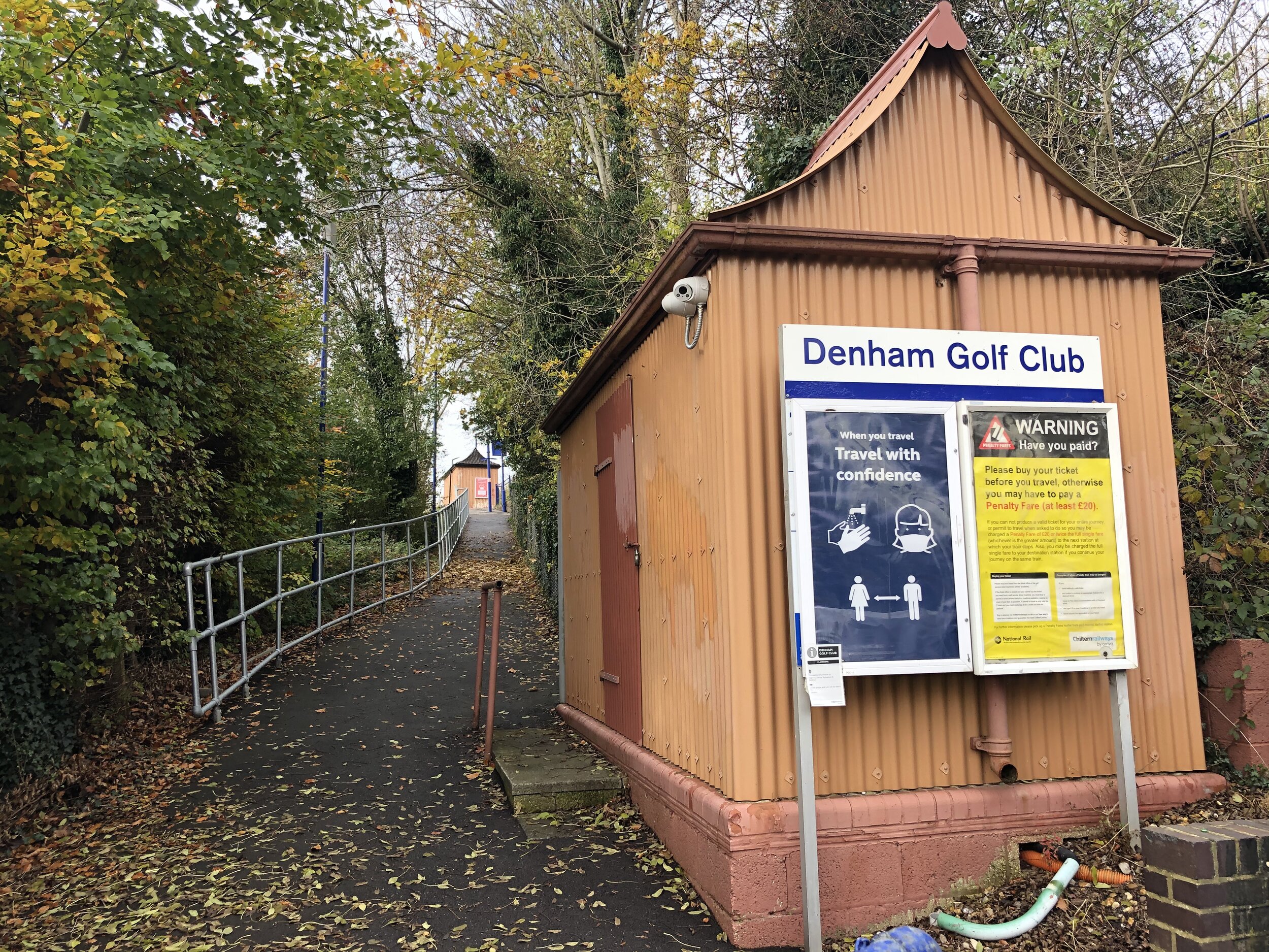
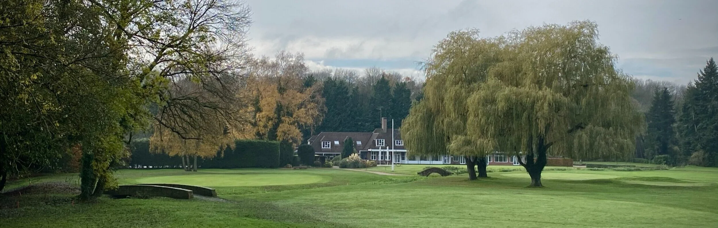
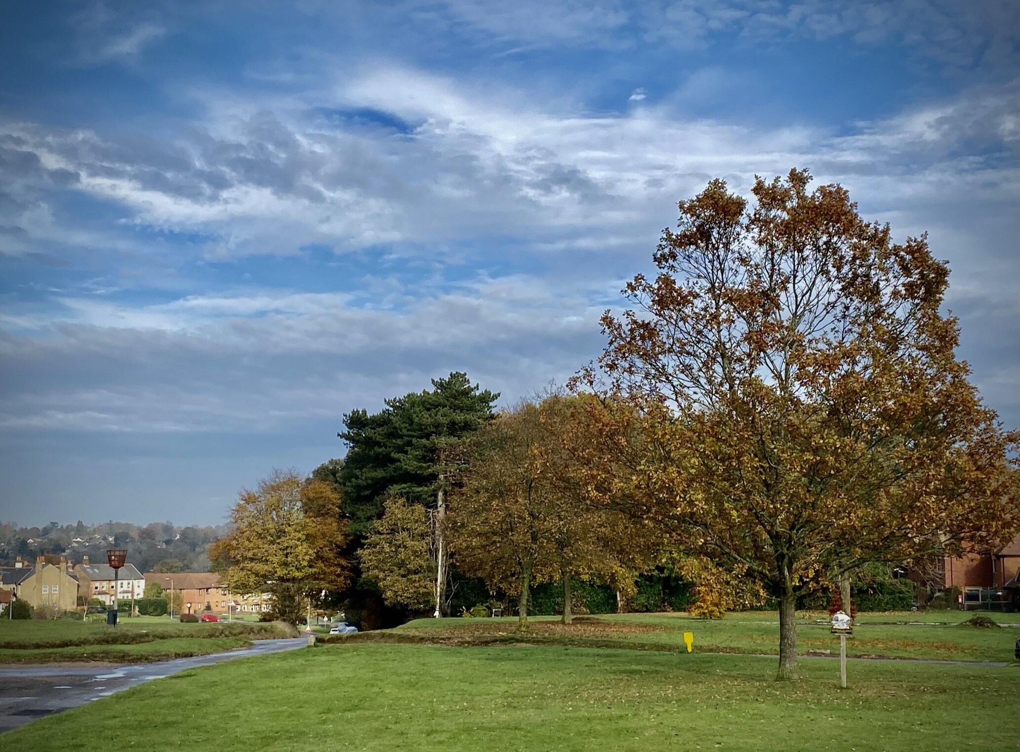
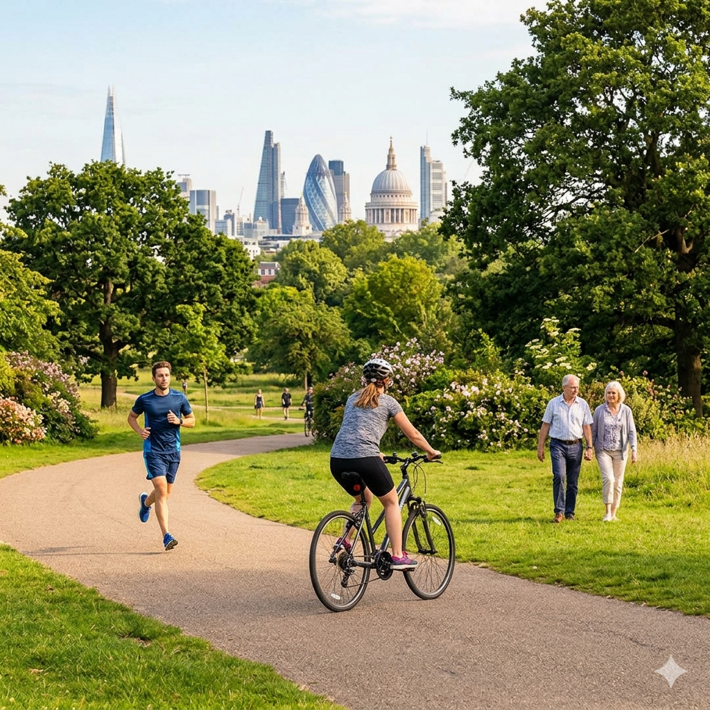
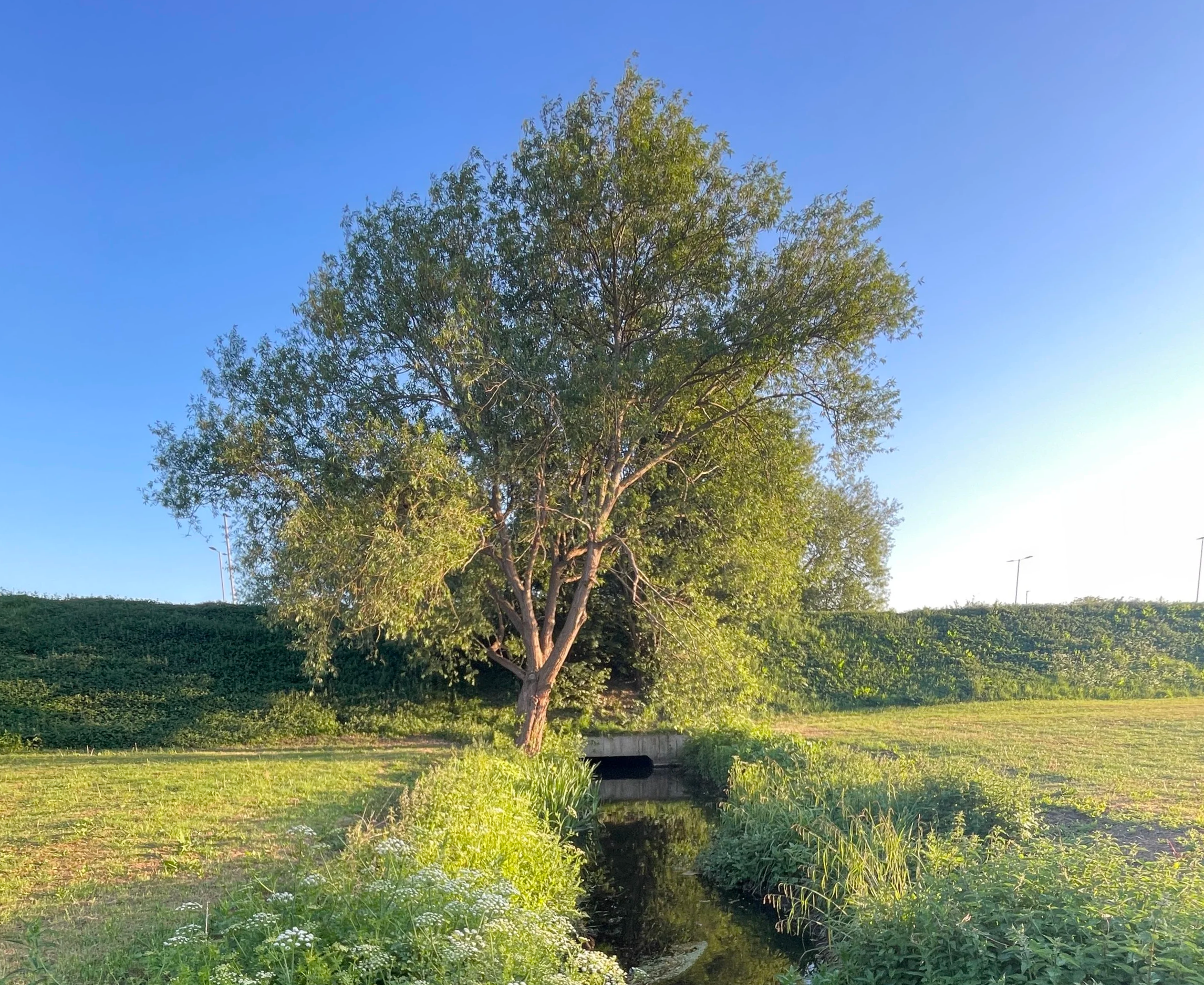
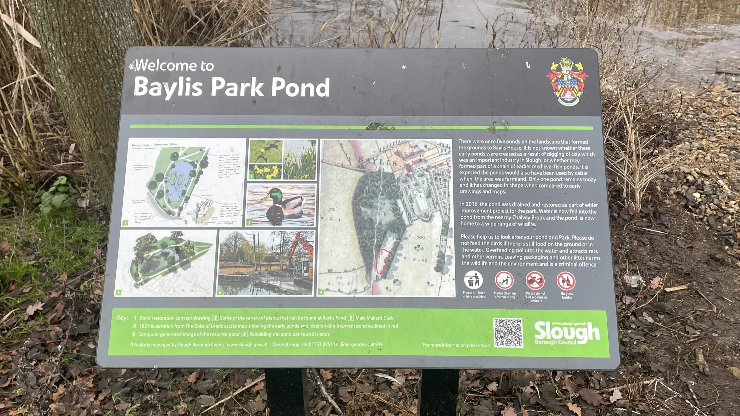
Navigate Villiers Road, Douglas Road, Stanton Road, Granville Avenue and Pippin Close to travel south into the north-western corner of Granville Recreation Ground. Here you’ll see the Salt Hill Stream on the western edge of the park. Continue south through the park then exit onto Waterbeach Road where you’ll take a left. Cross over Oatlands Drive onto Hughenden Road, following it east into Godolphin Recreation Ground. Follow the eastern edge of the Recreation Ground, under the railway bridge and into Salt Hill Park. Here you’ll get some good views of the Salt Hill Stream with several information boards describing it.
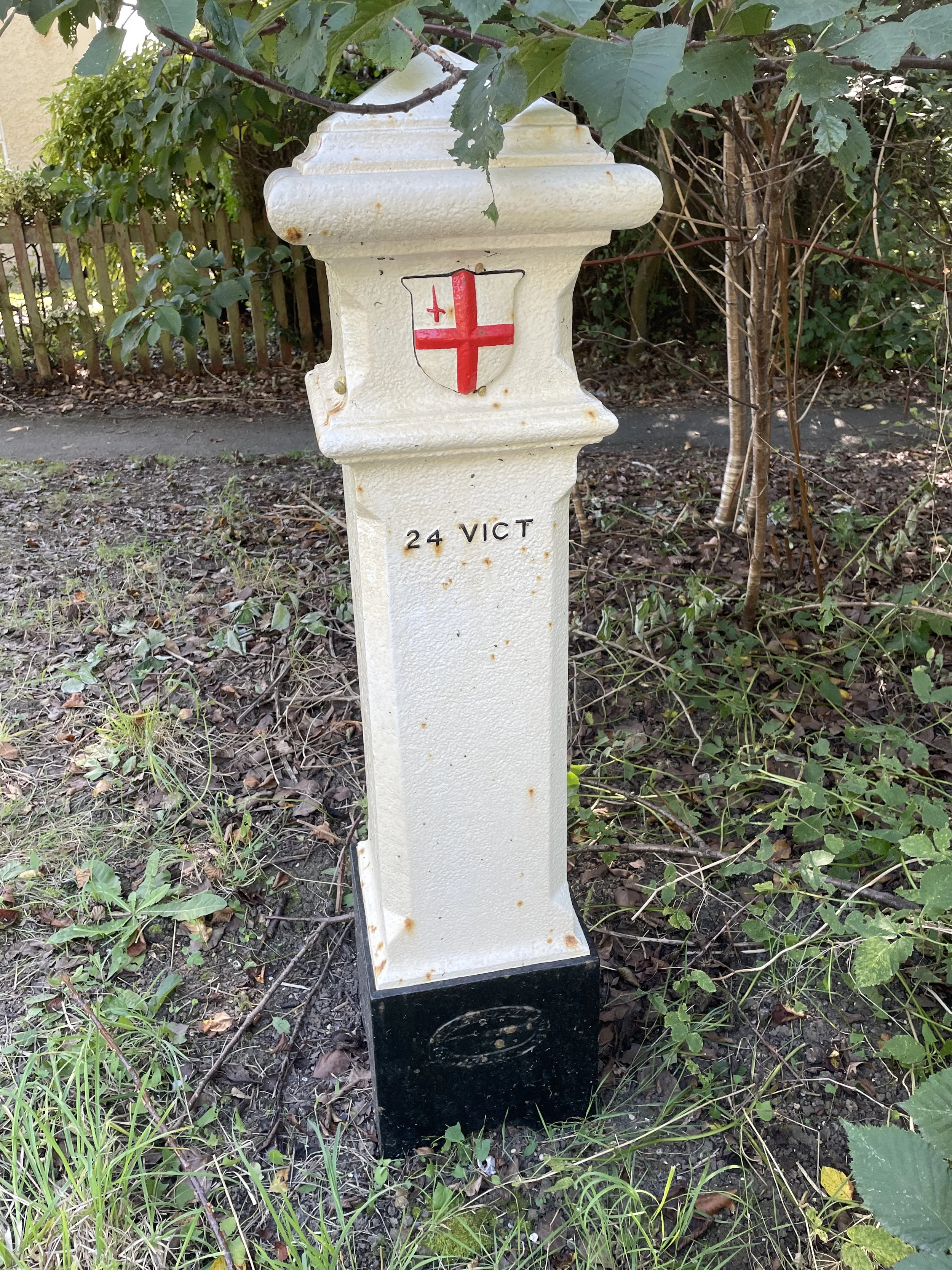
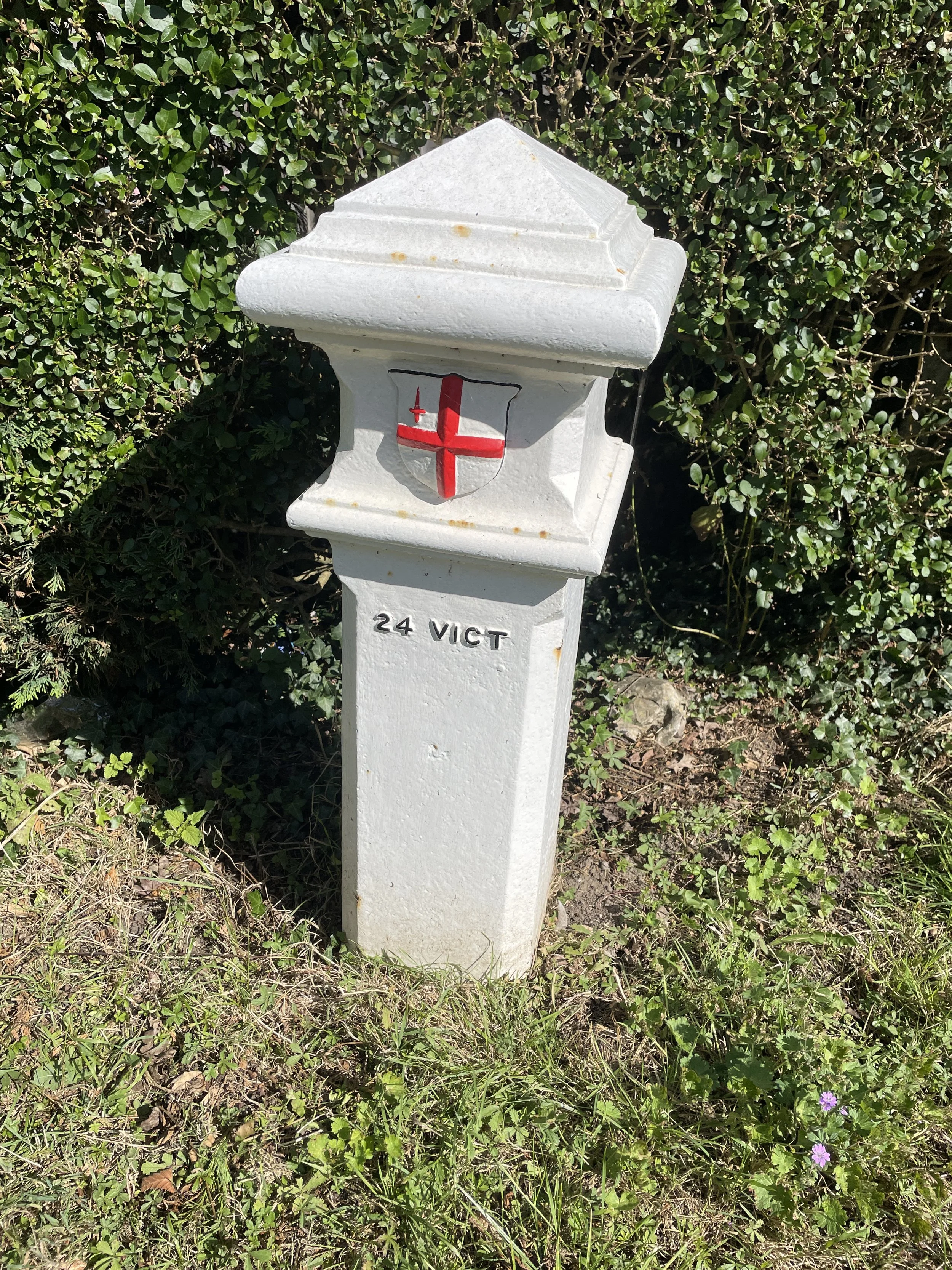
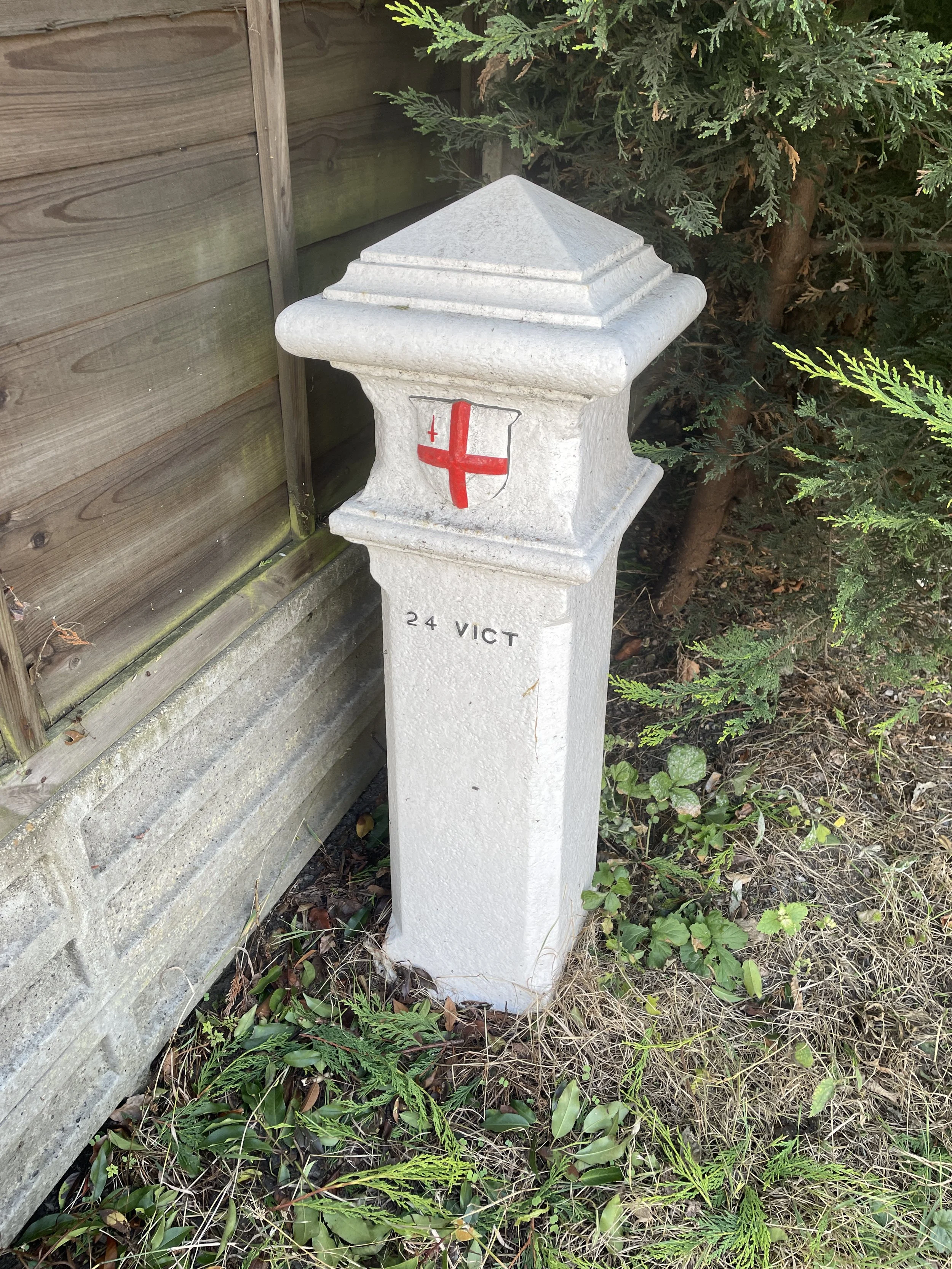
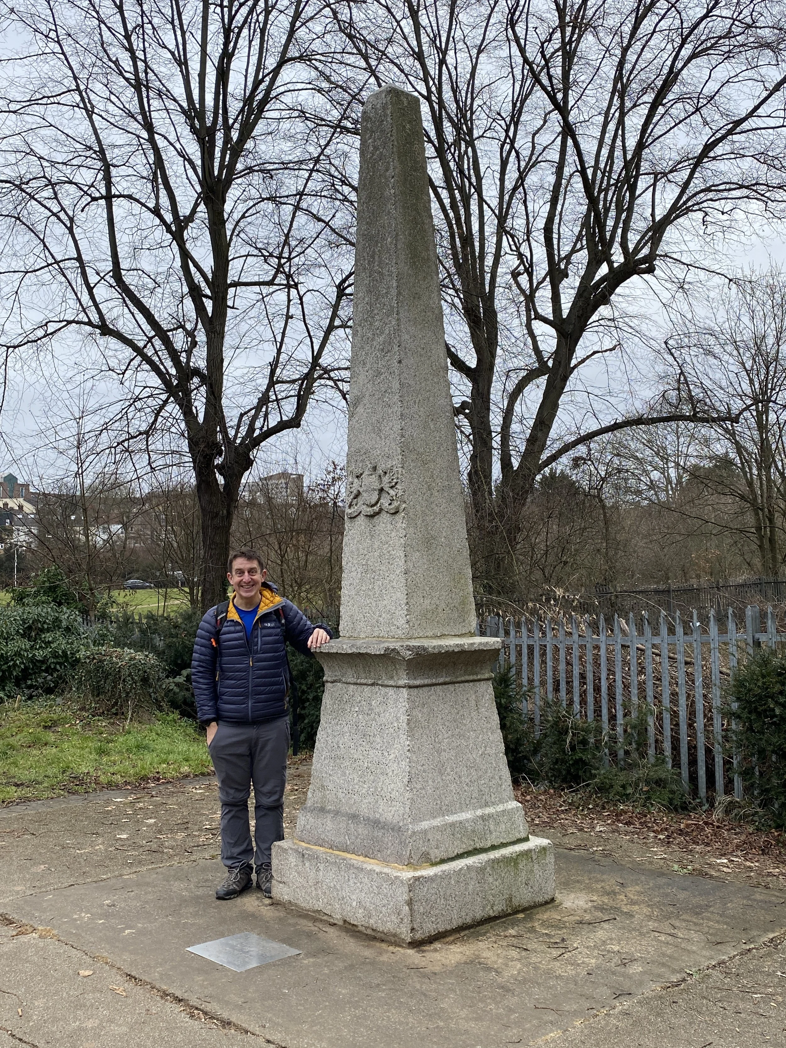
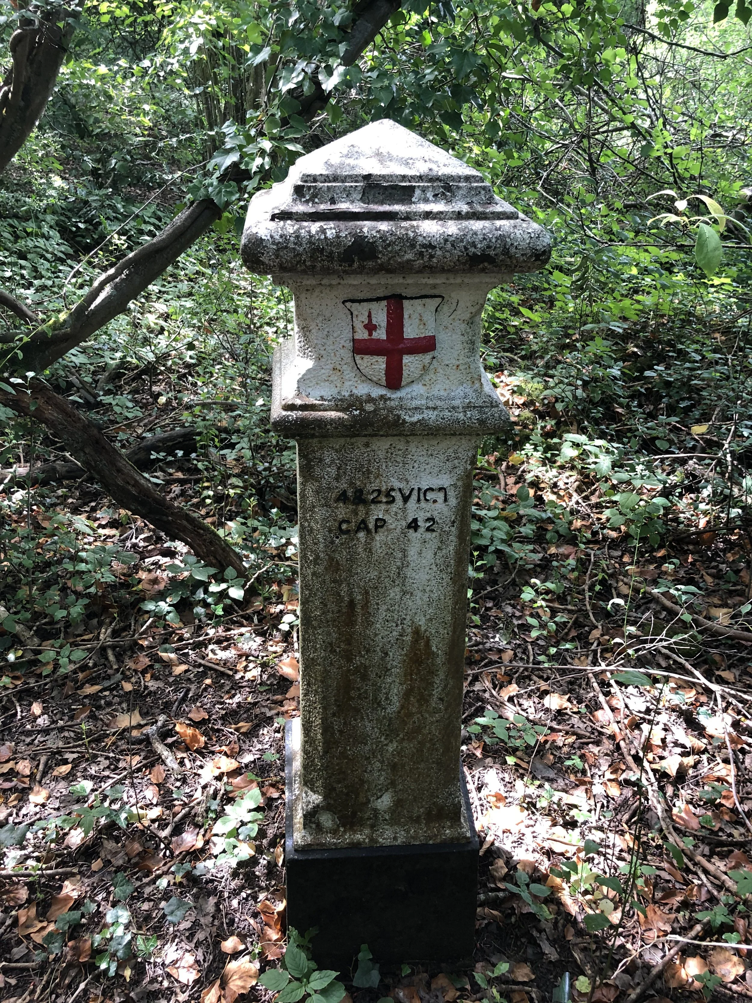
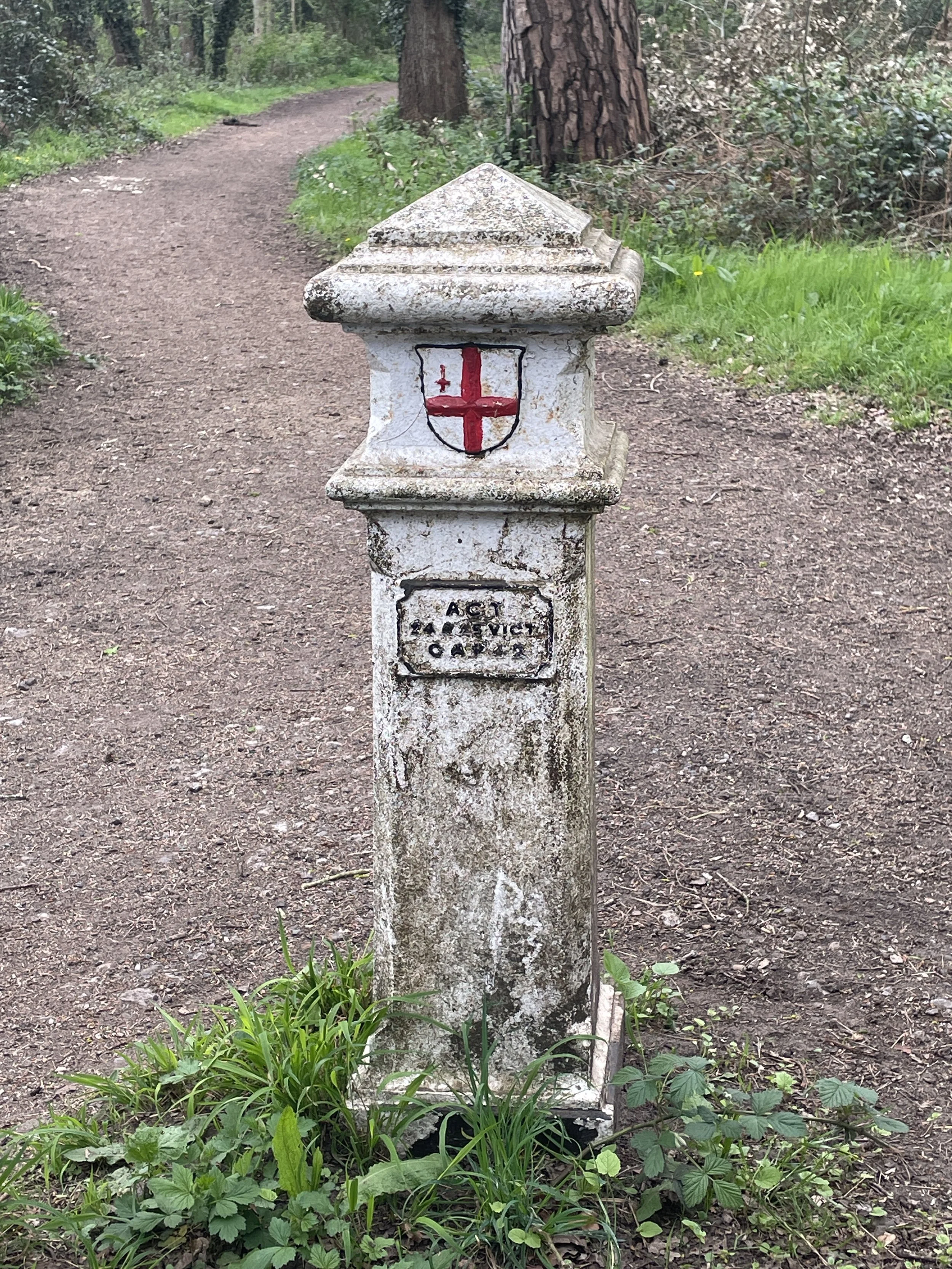
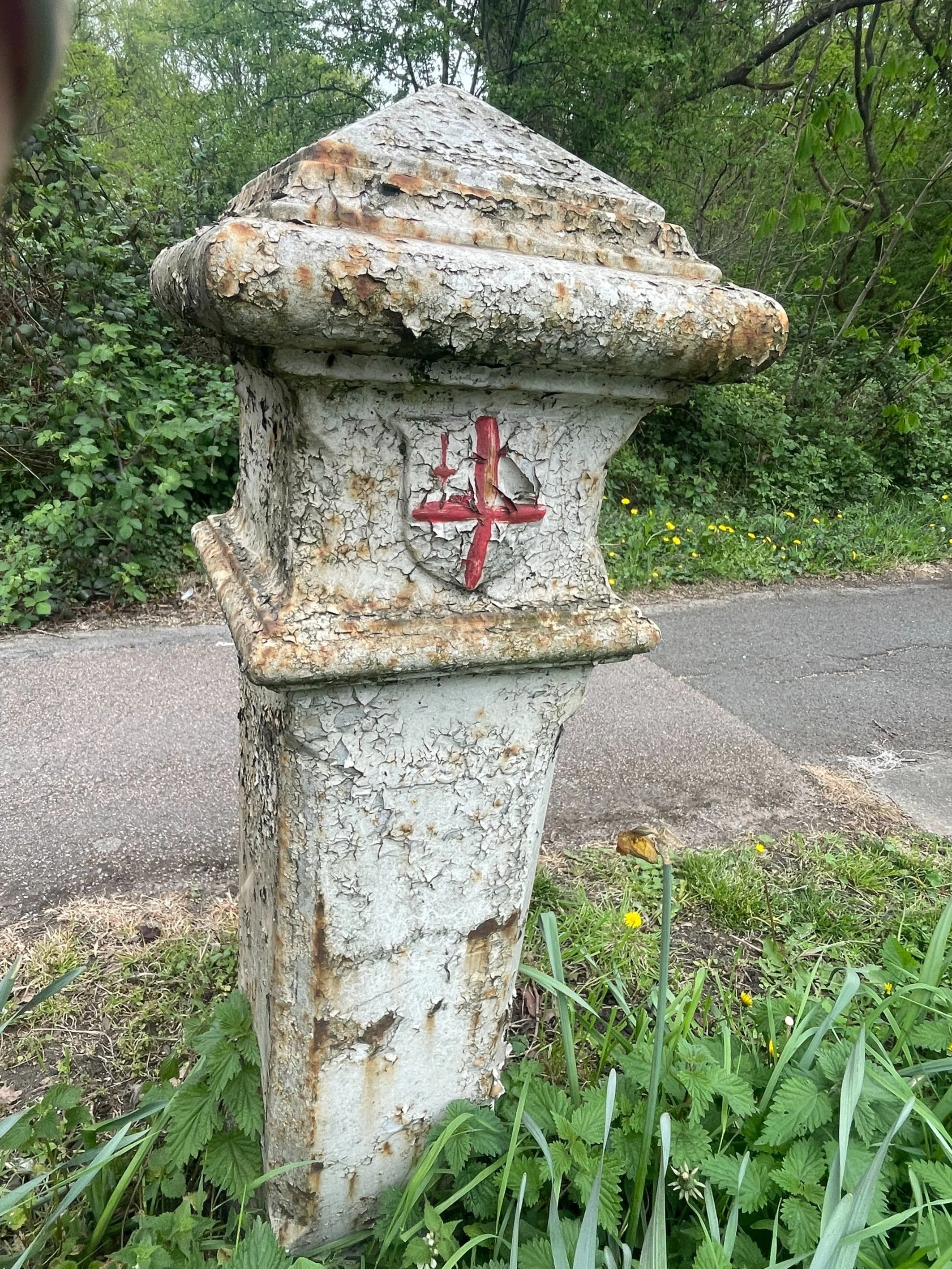
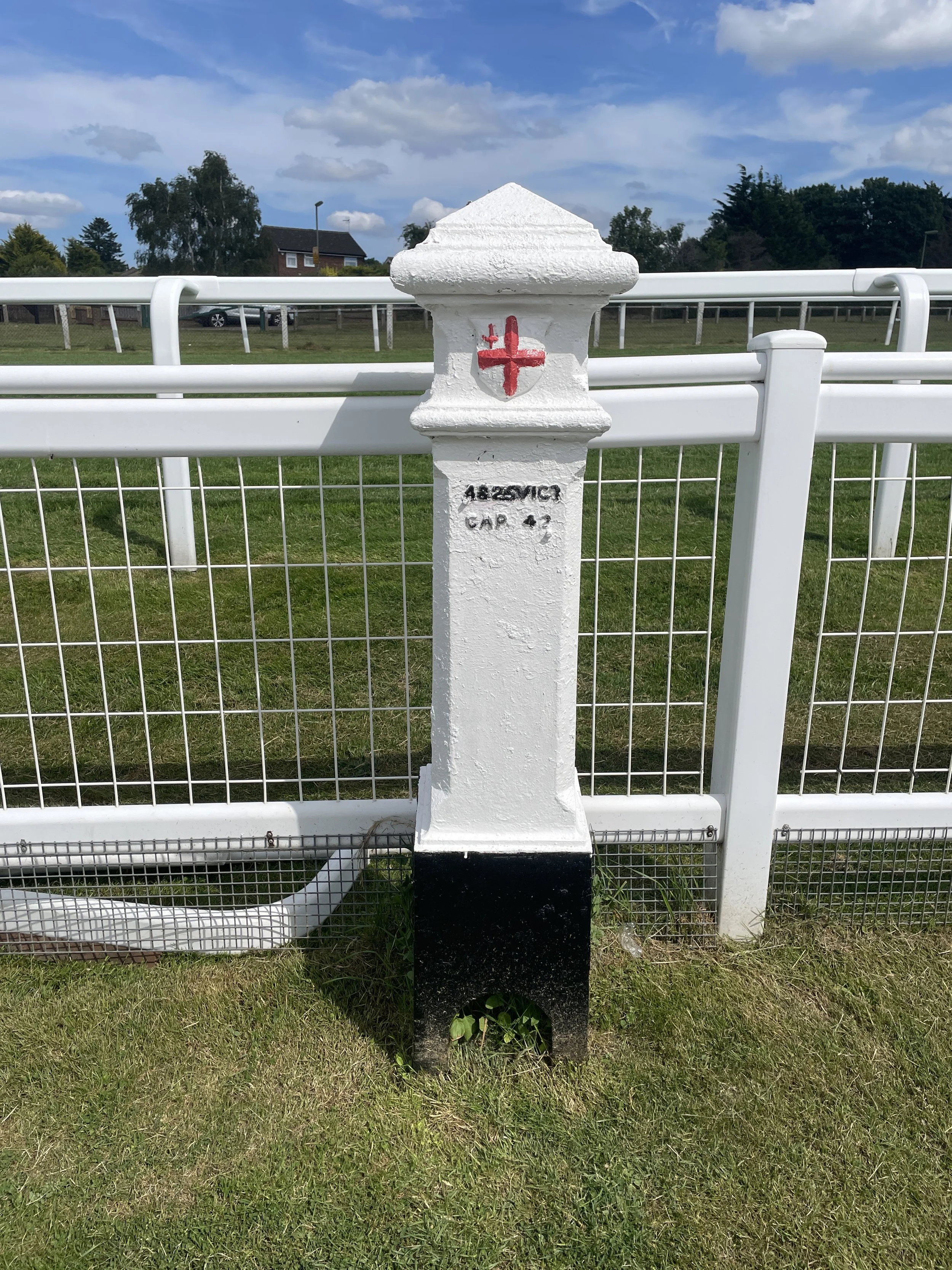
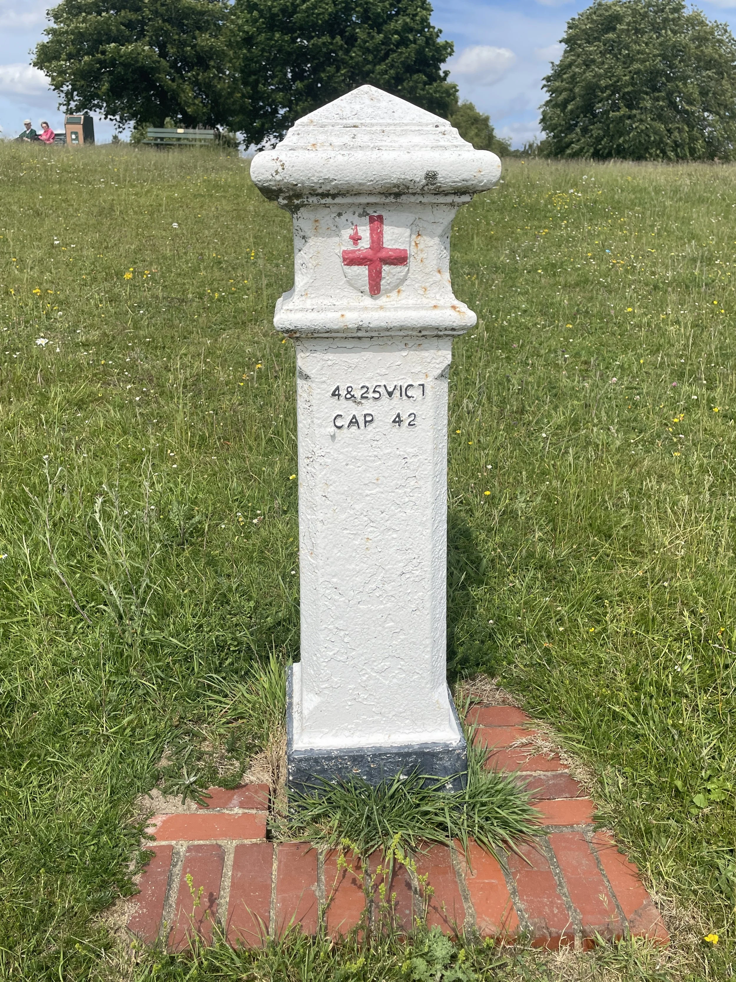
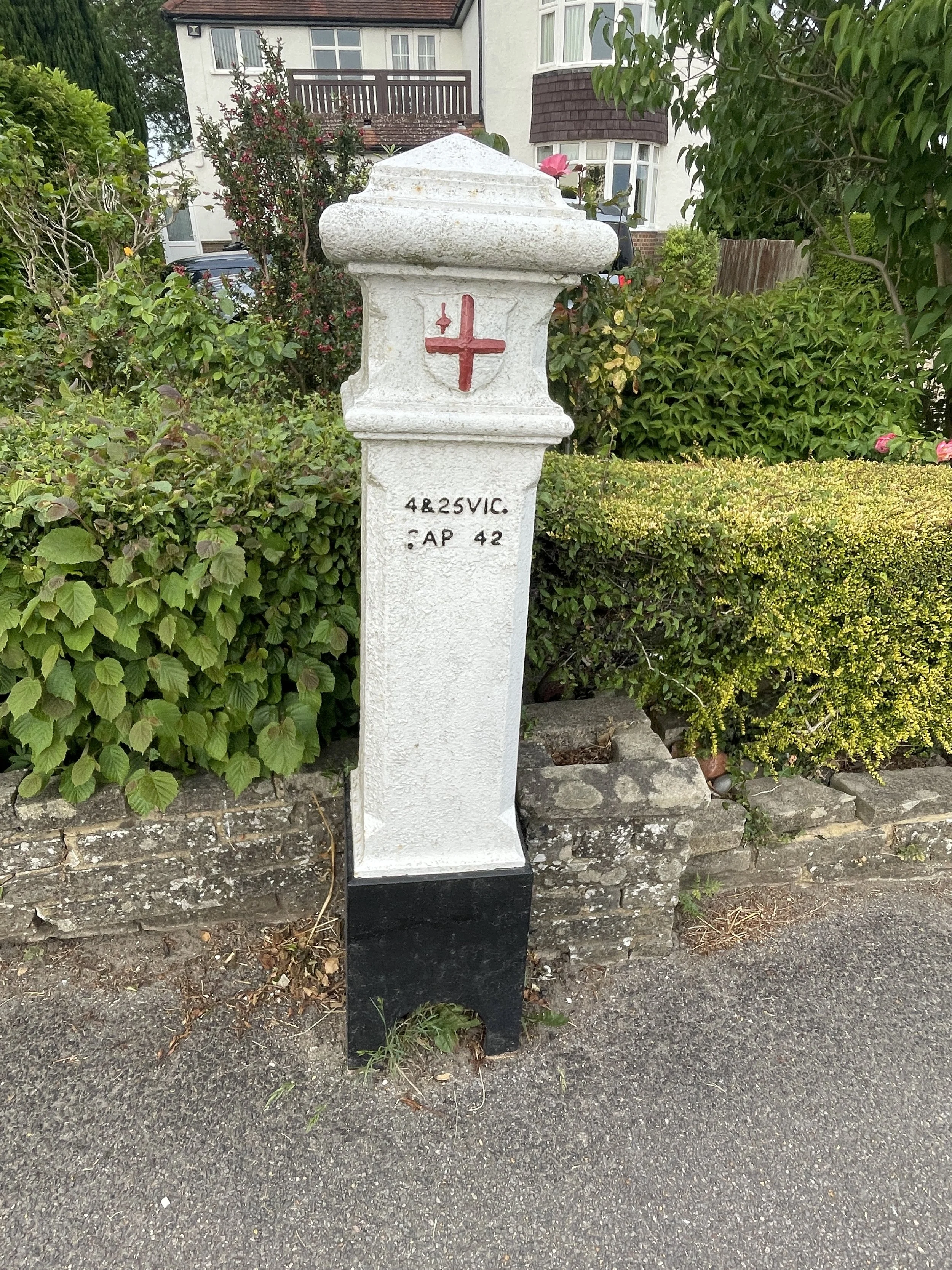
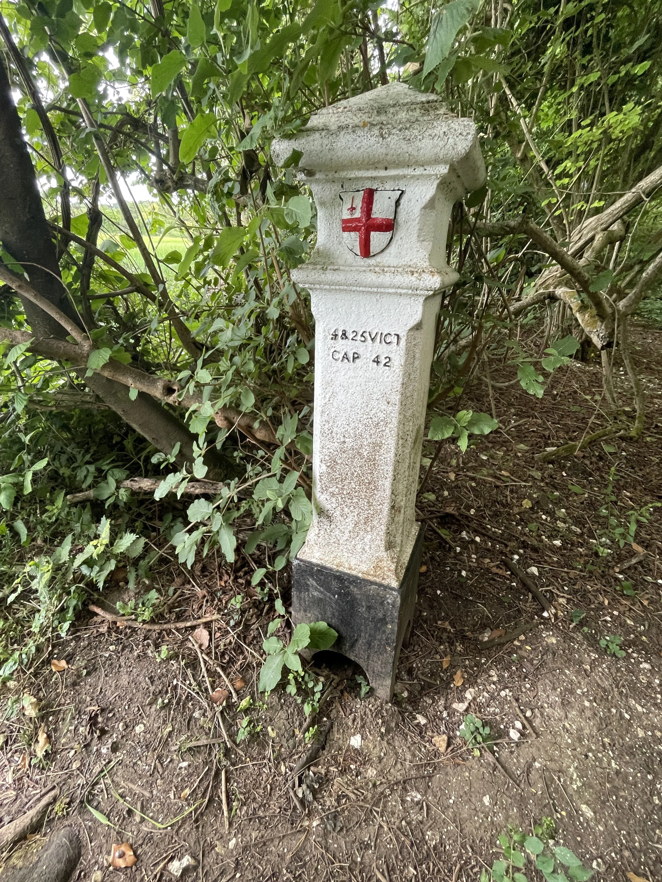
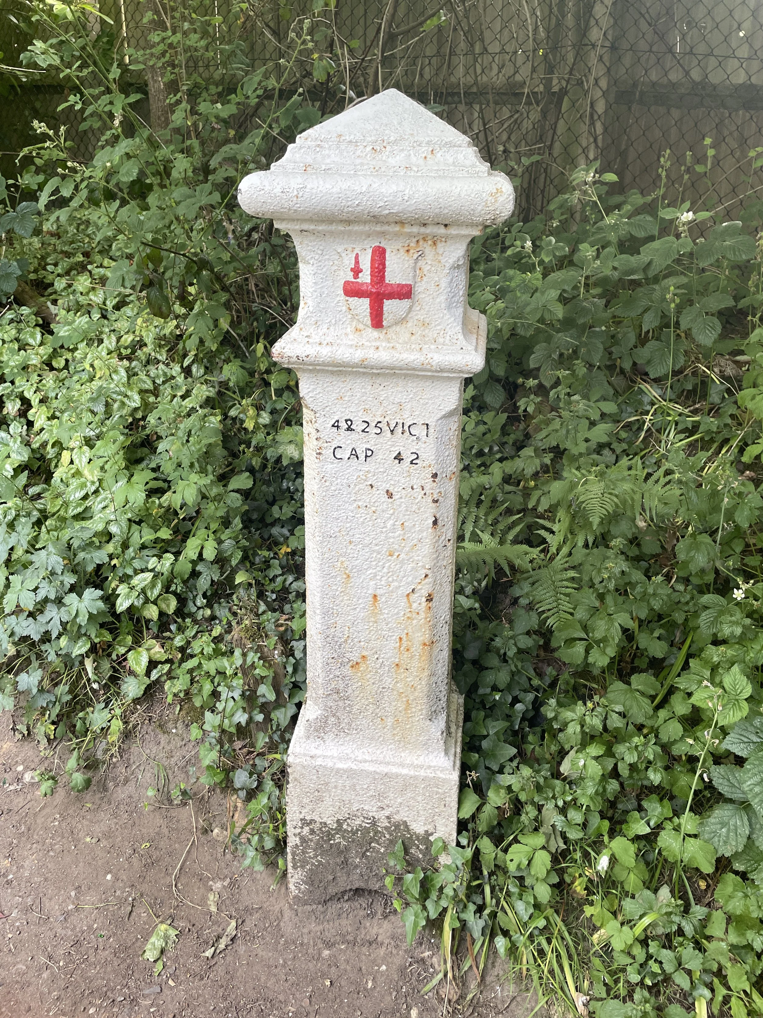
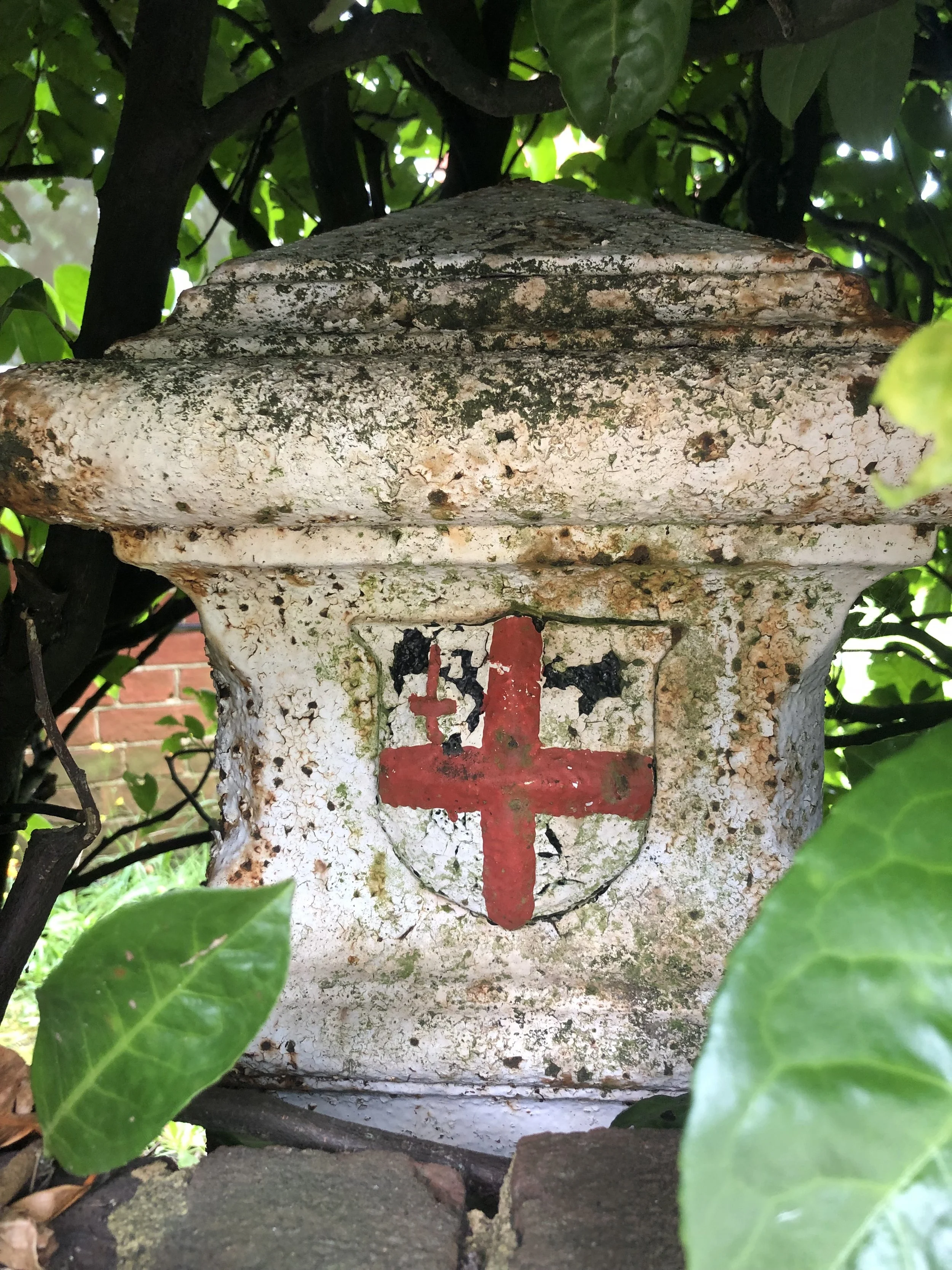
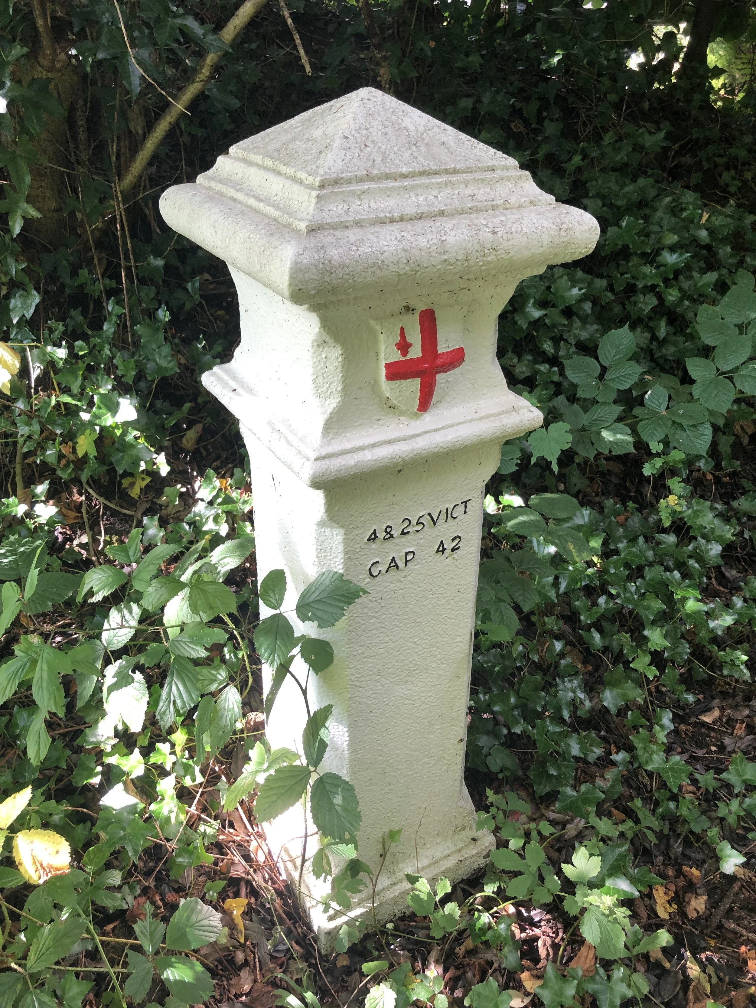
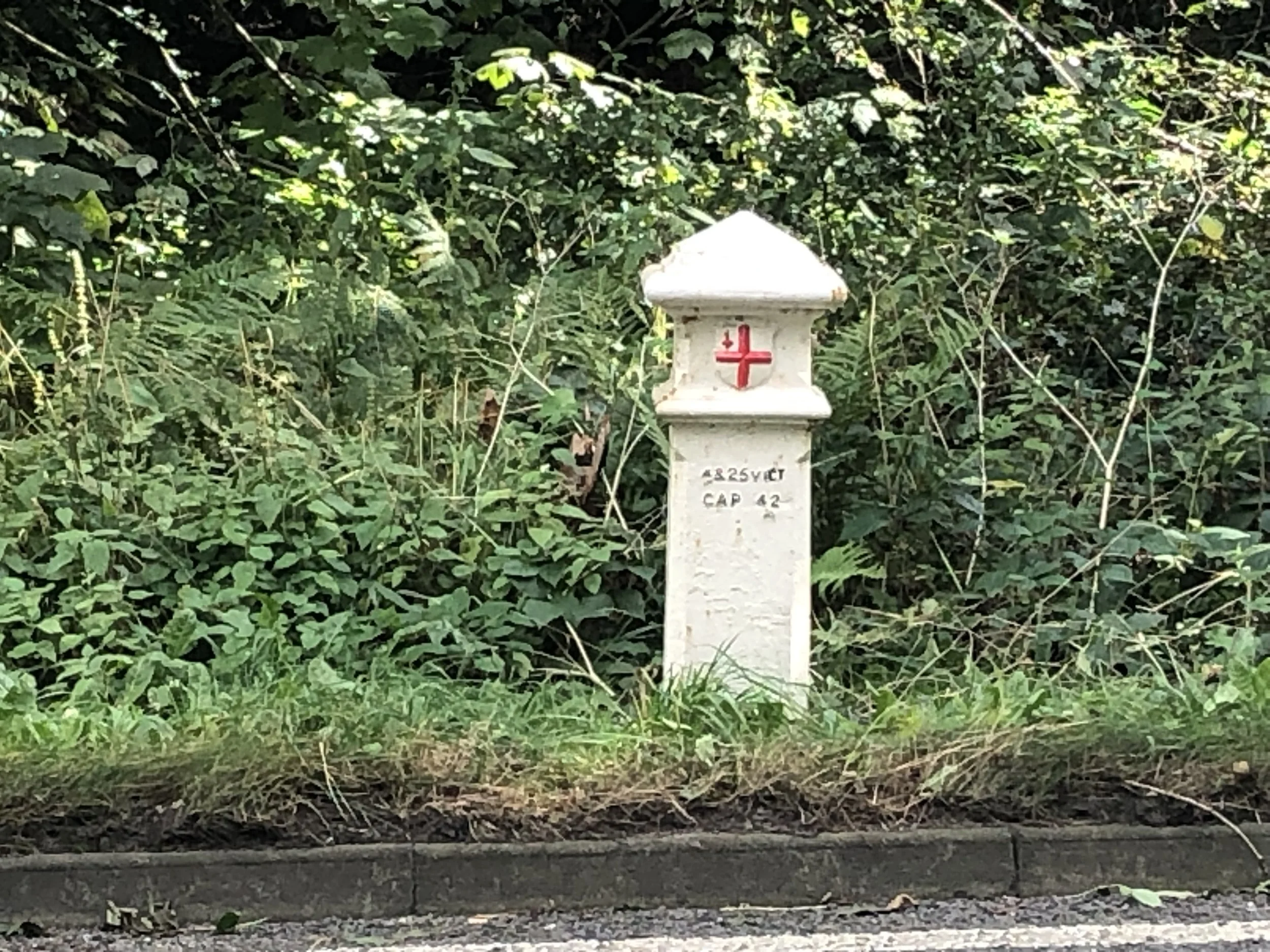
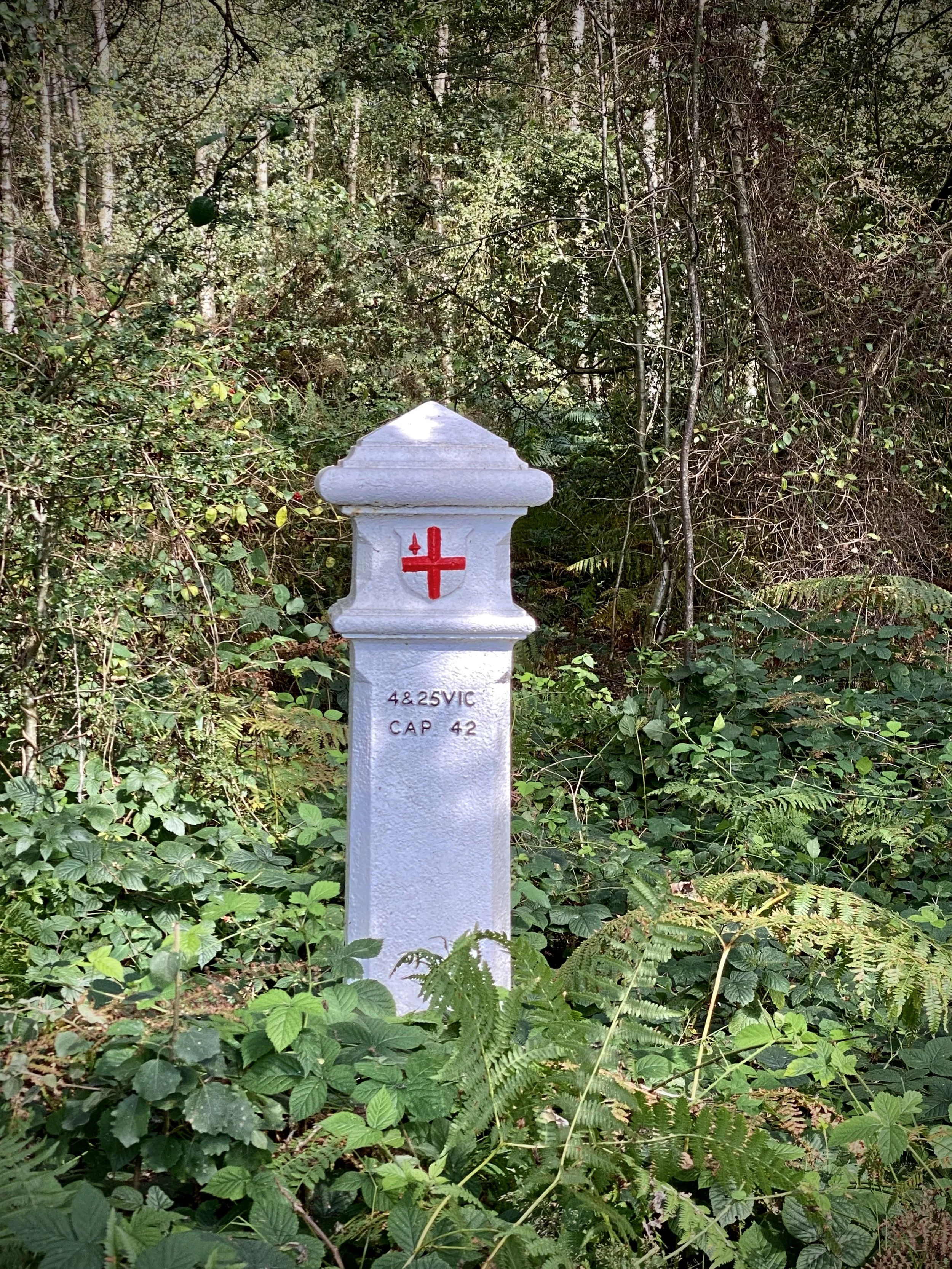
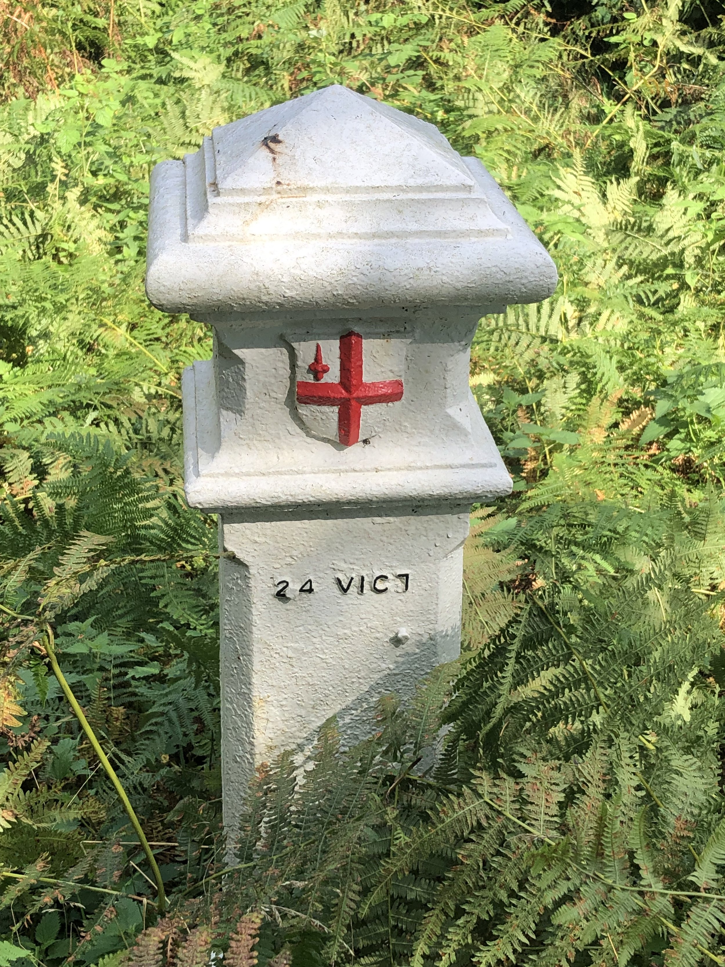
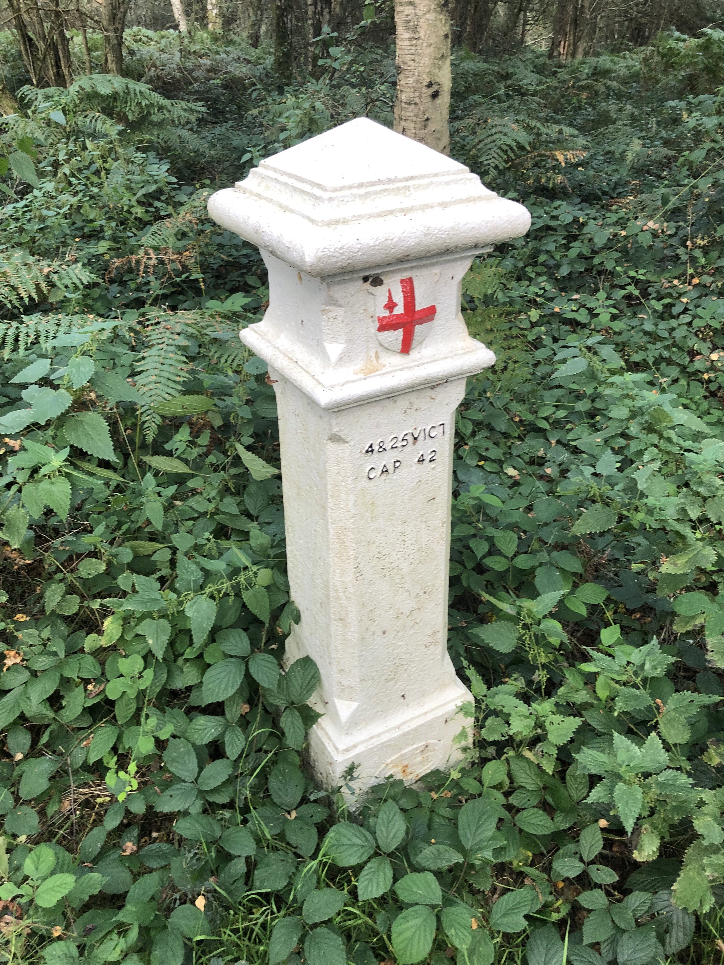
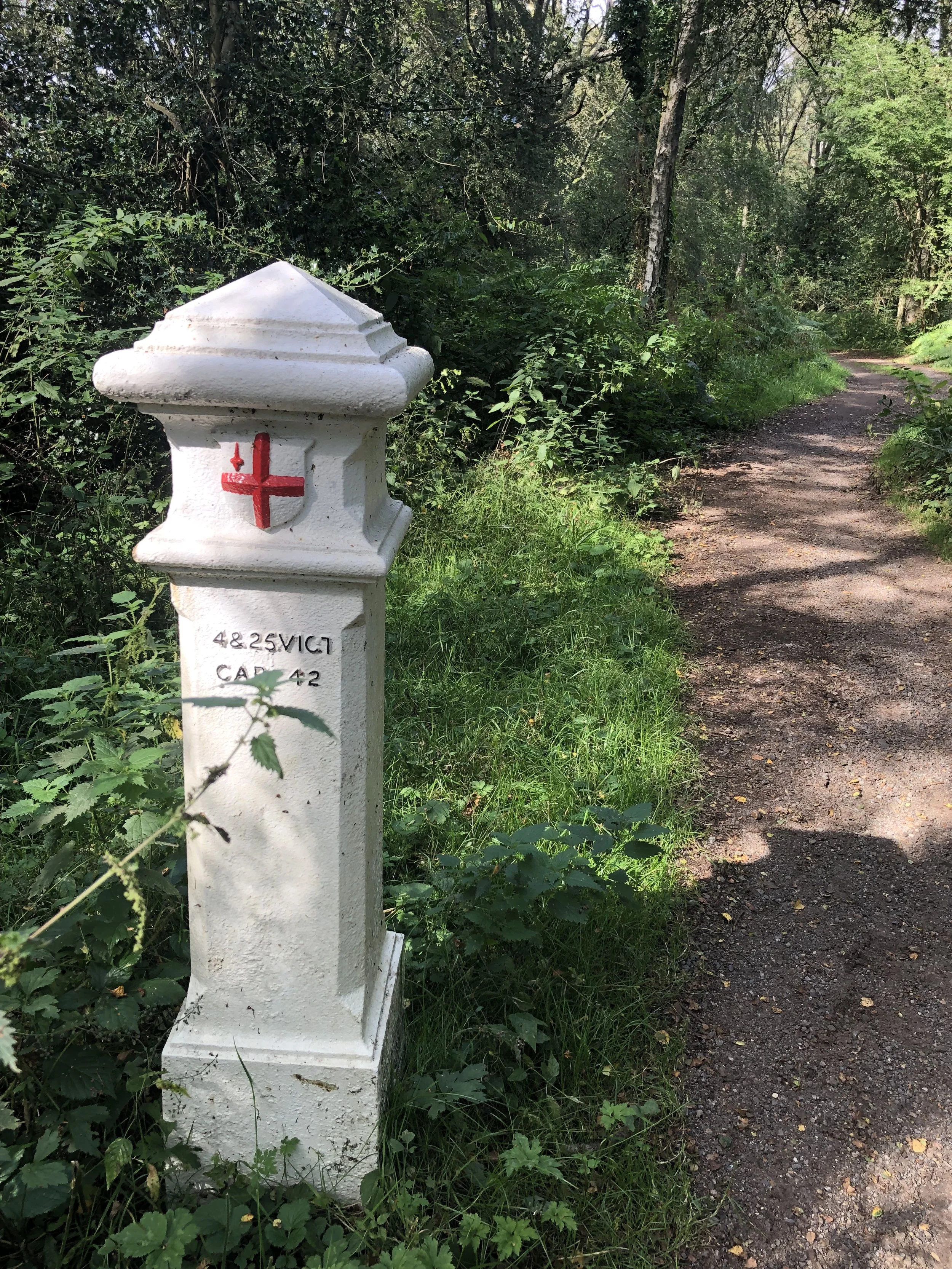
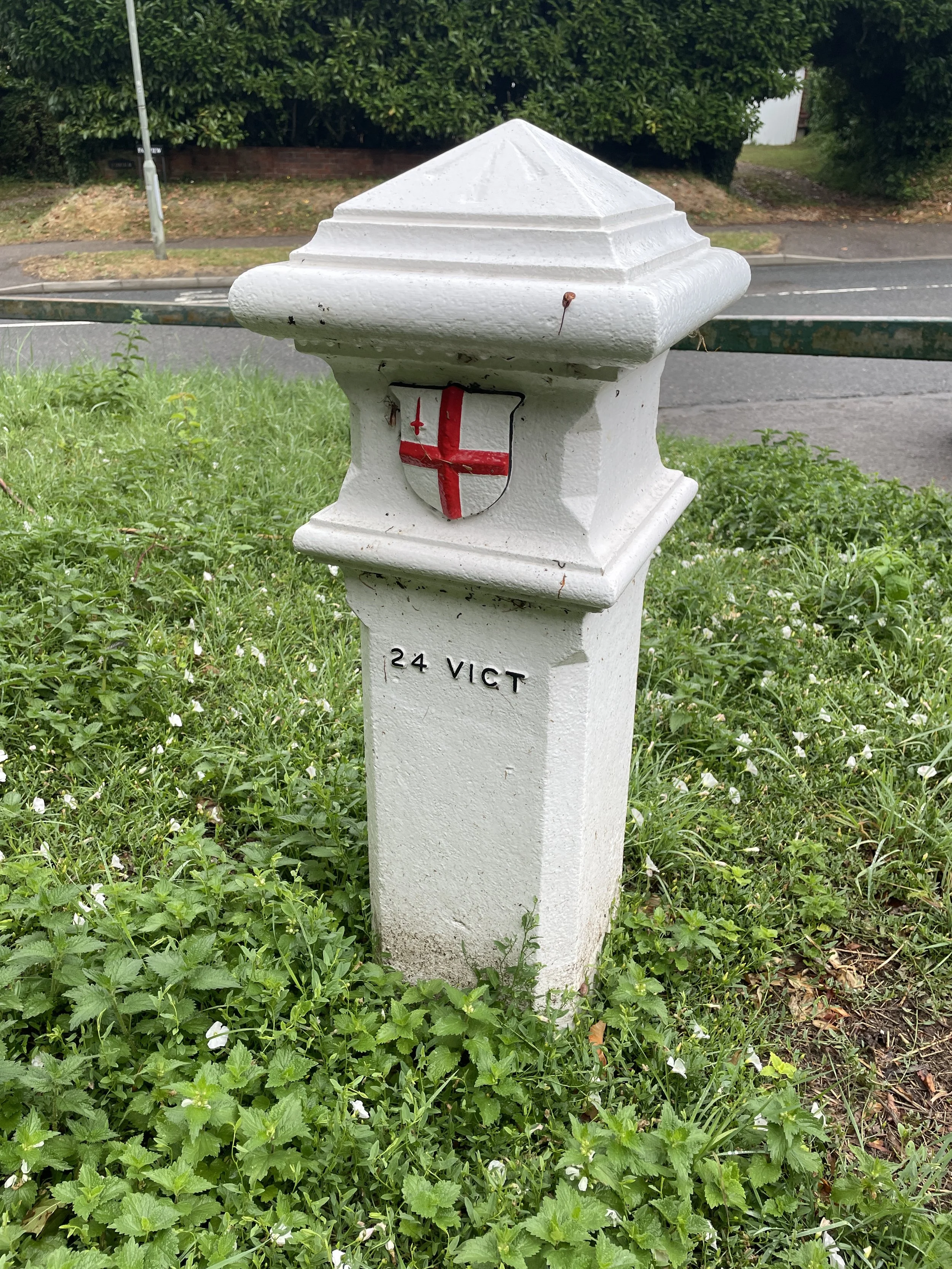
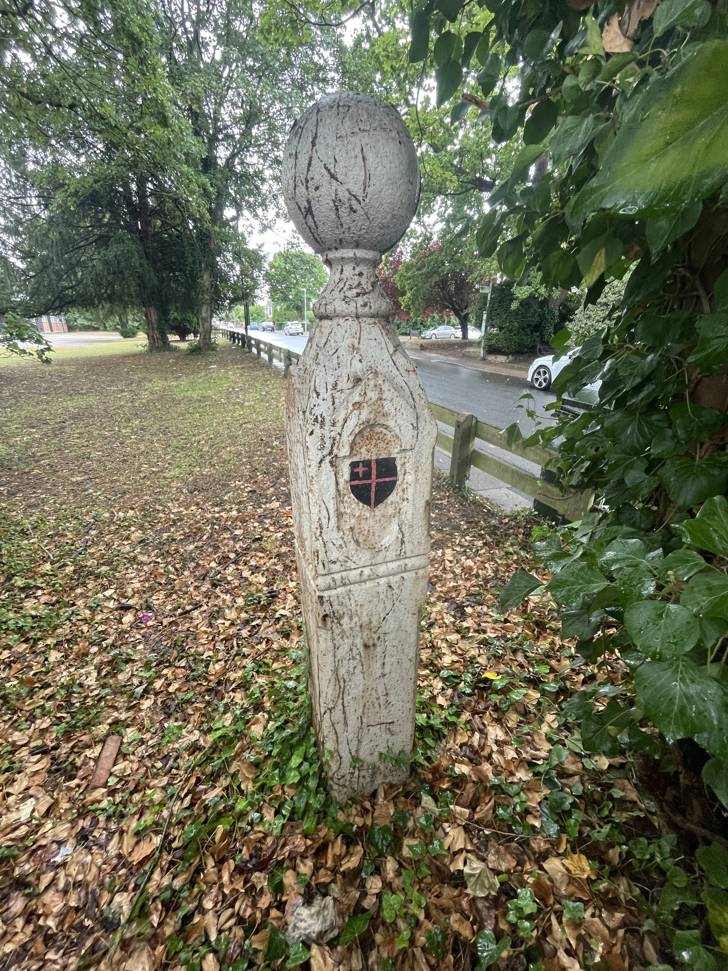
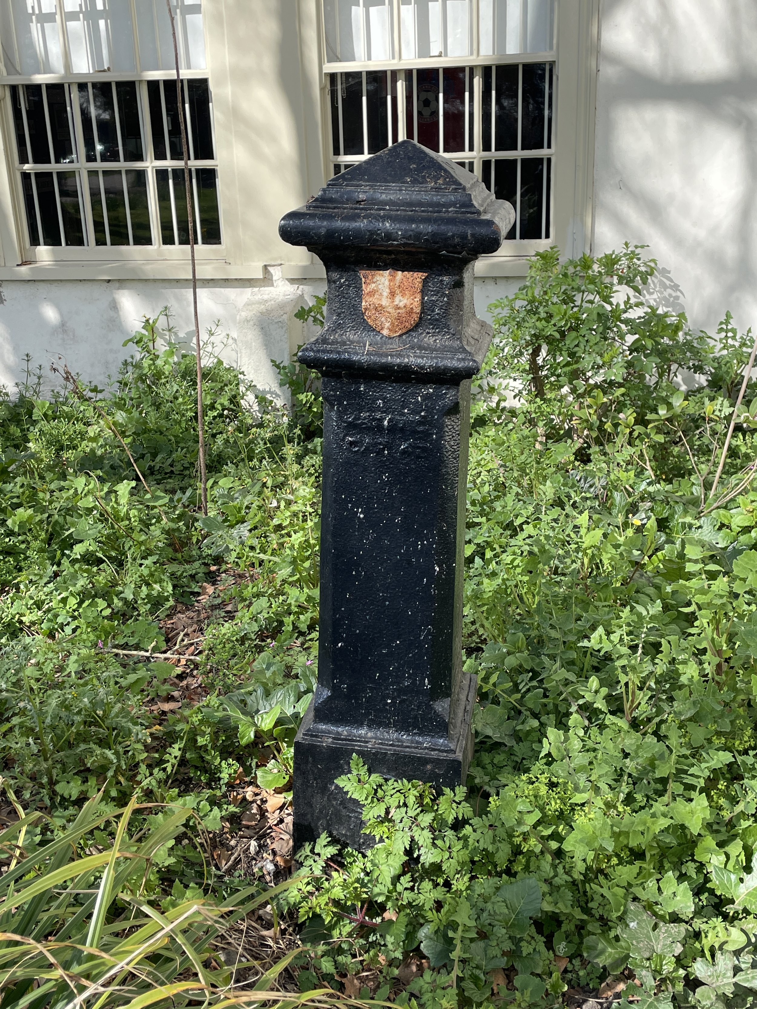
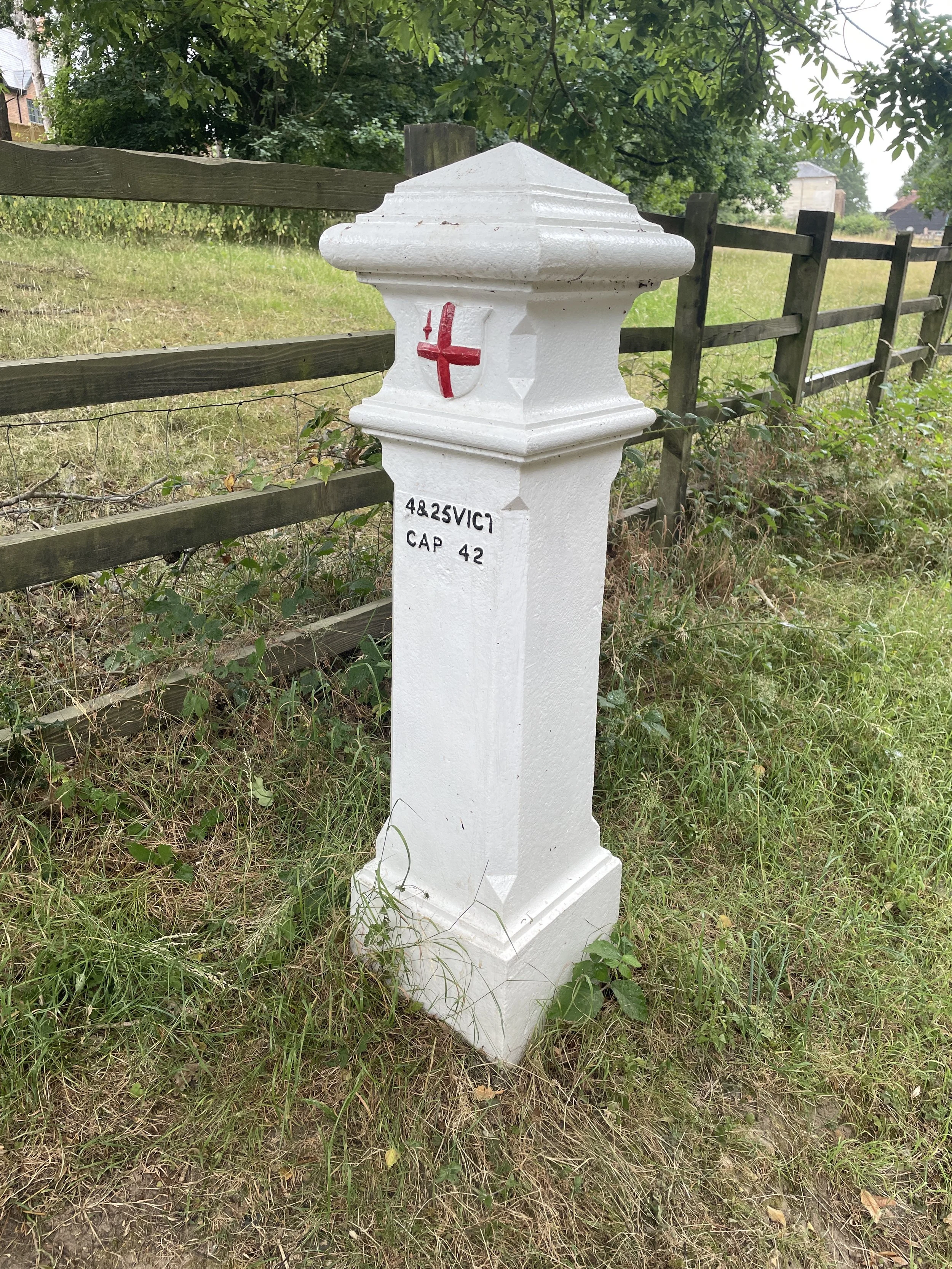
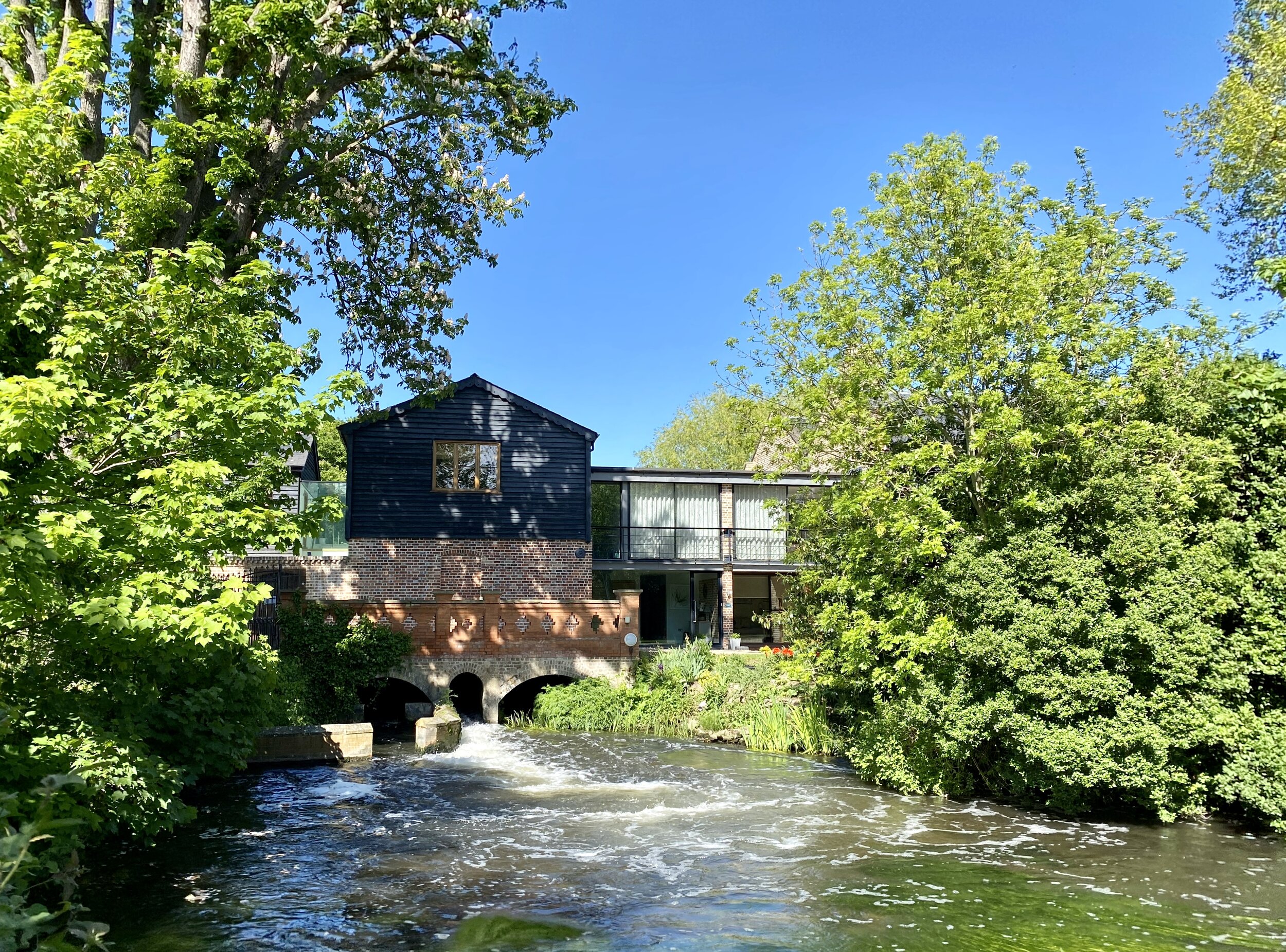
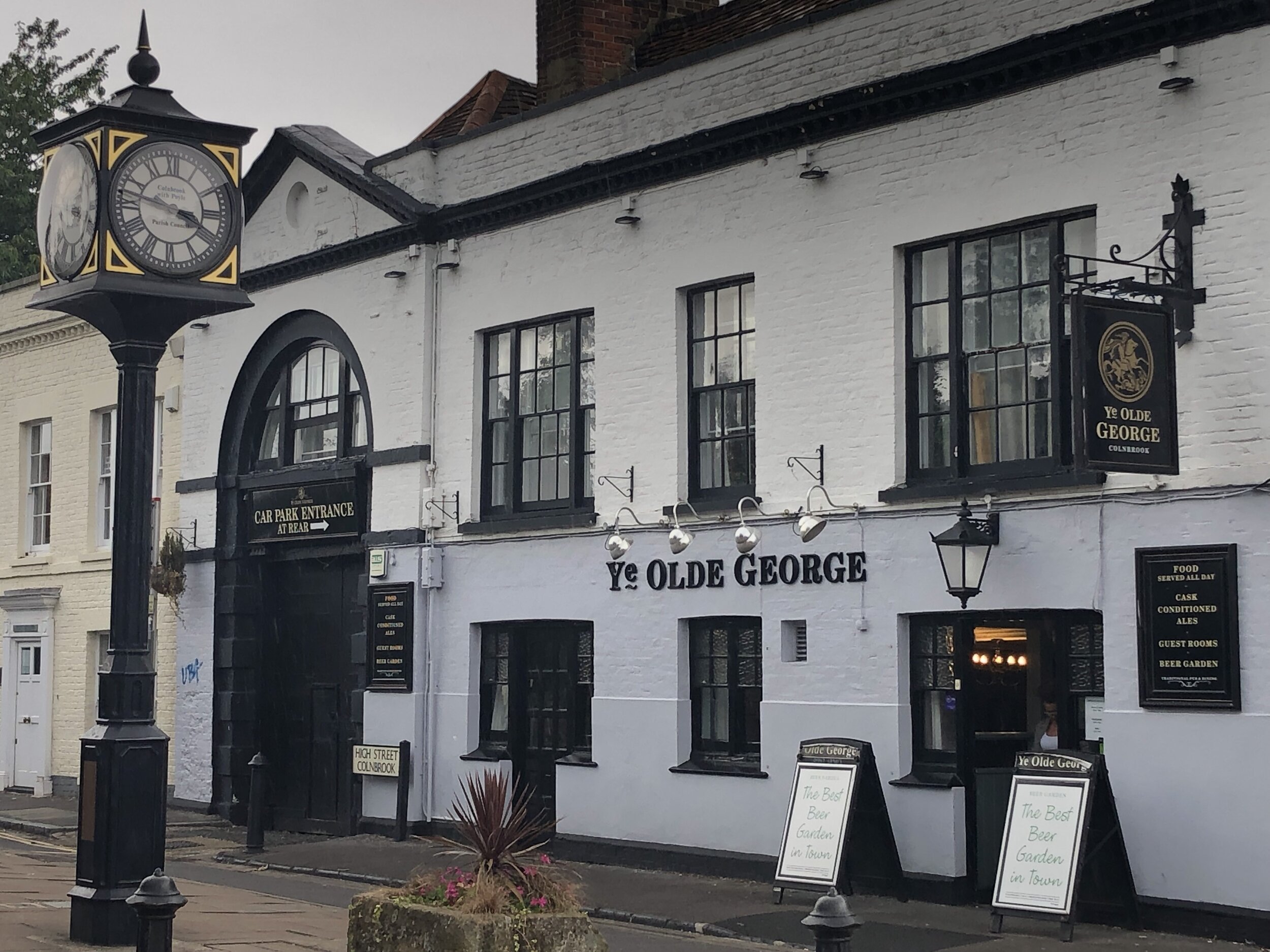
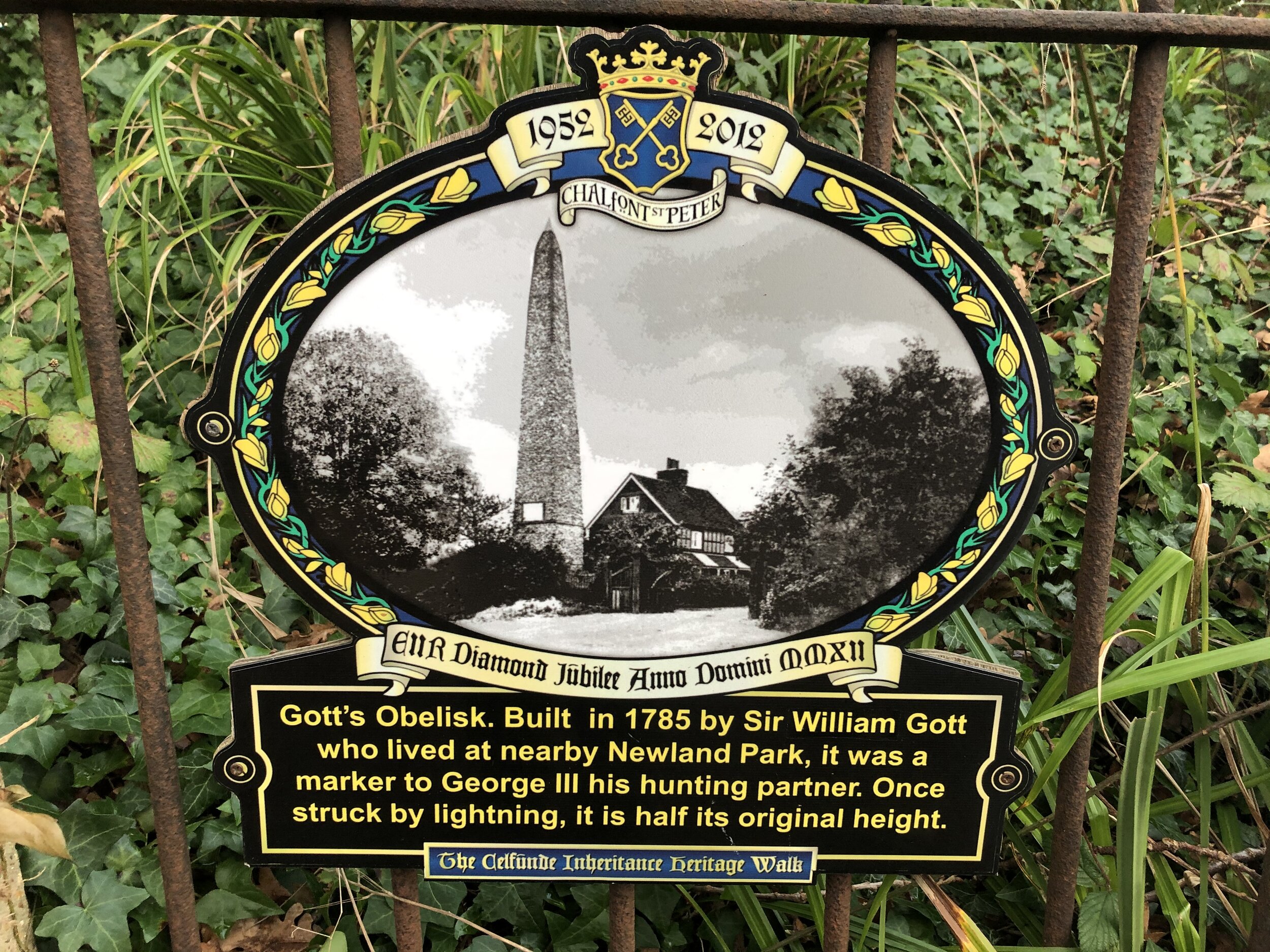
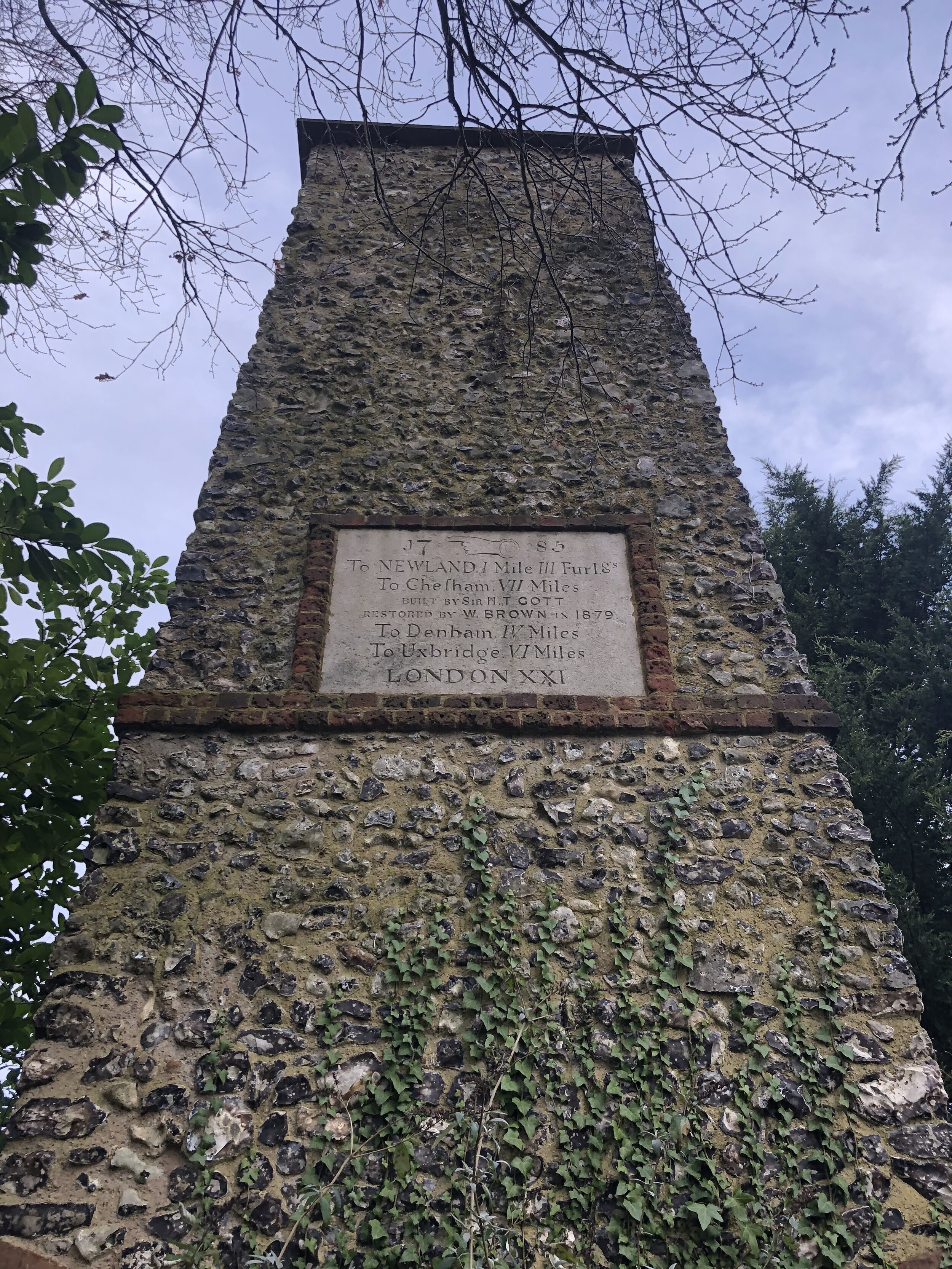
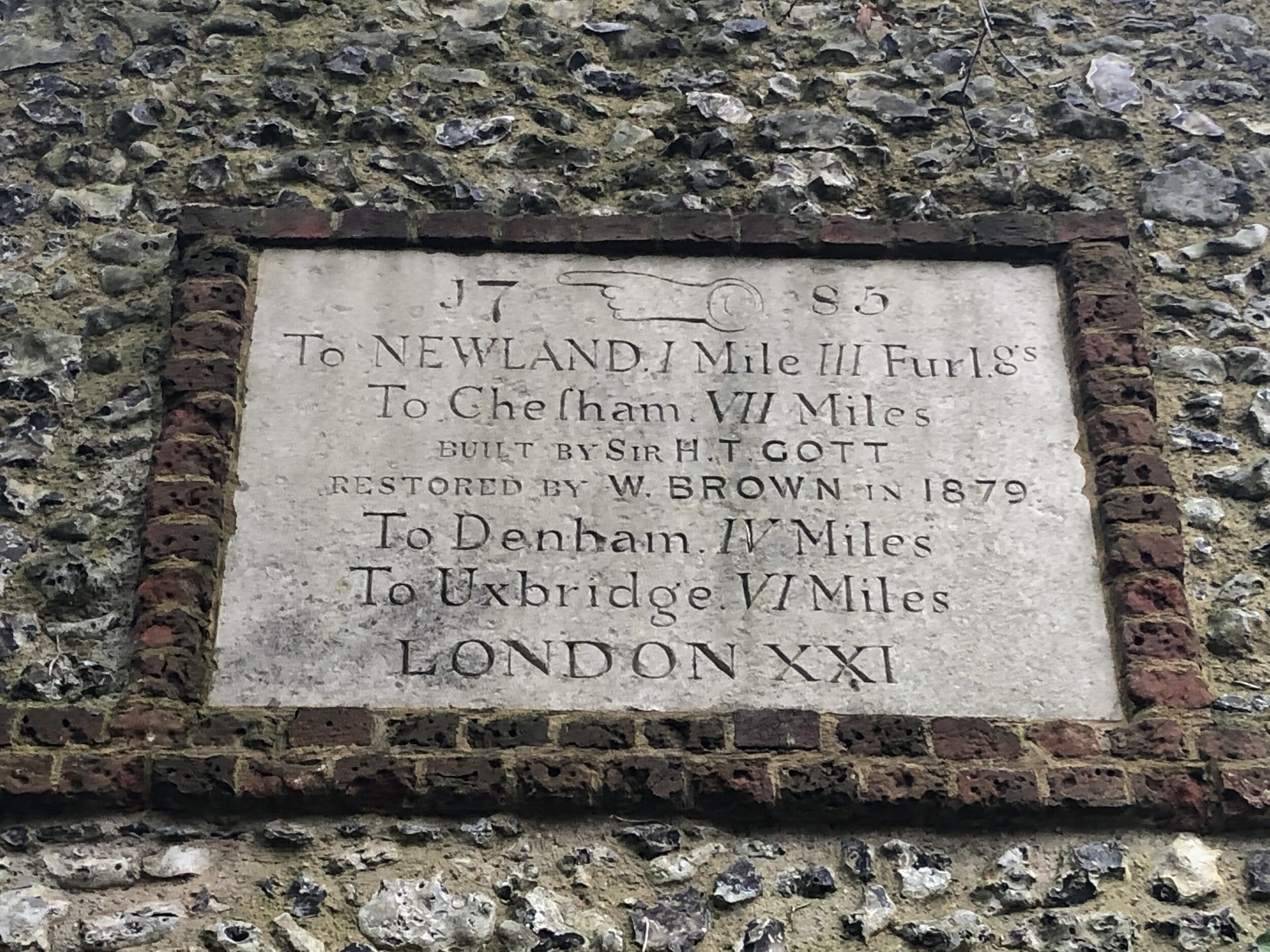
At the southern exit of Salt Hill Park carefully cross over the busy A4 Bath Road and pick up the path that runs alongside the stream on the western side of the Montem Ice Rink. Look out for the Montem Mound. This Scheduled Ancient Monument is an Anglo-Saxon burial mound (tumulus) dating back to the 7th century, originally thought to be the burial site of a high-status individual. It was also the site of the bizarre 'Eton Montem' ceremony held by Eton College students until 1847.
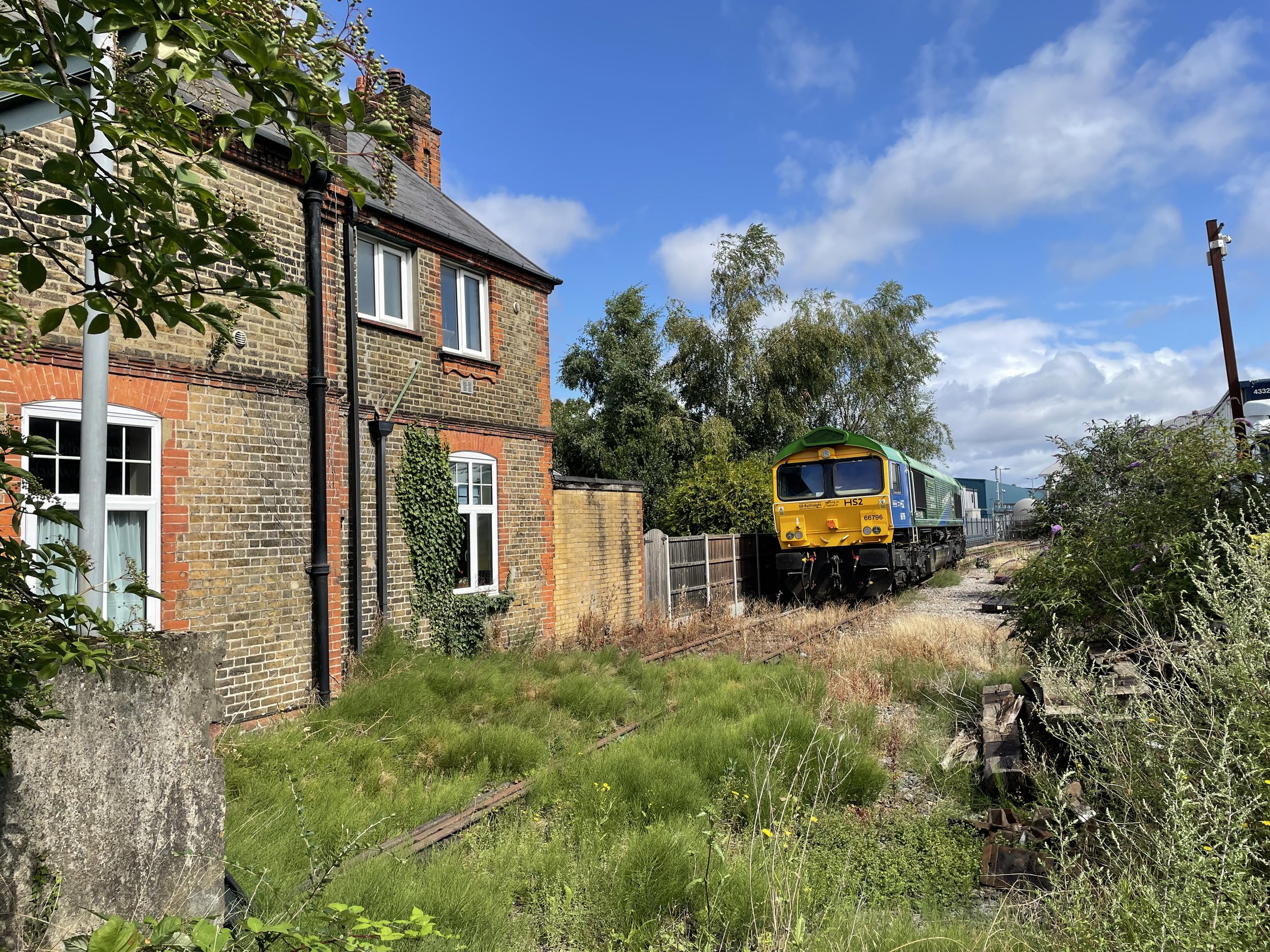
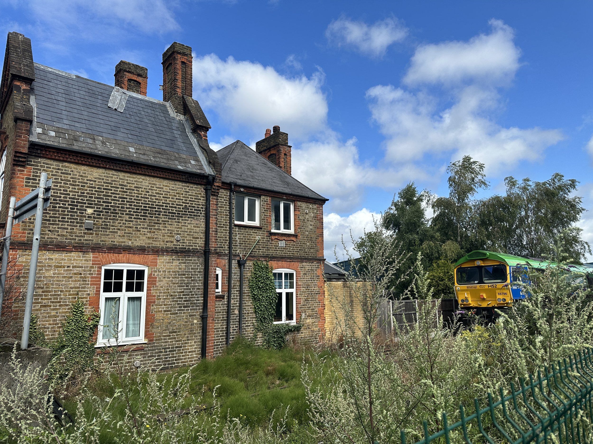
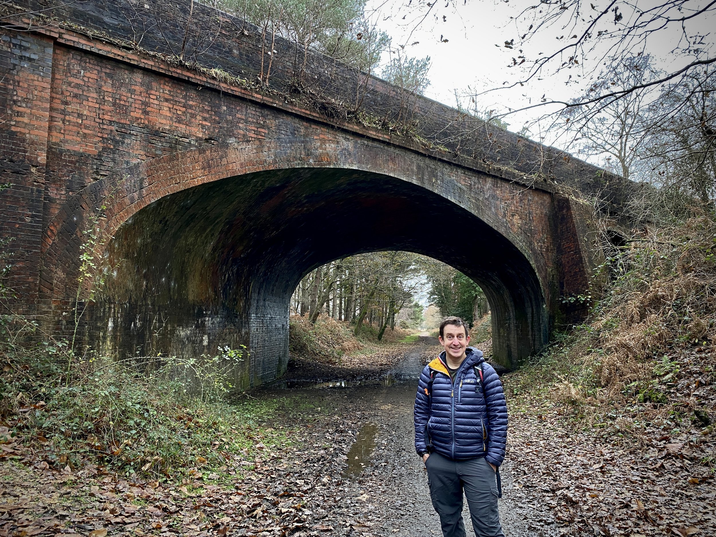
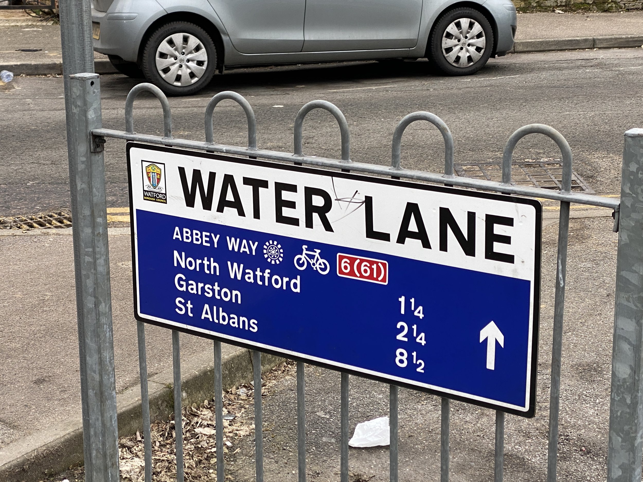
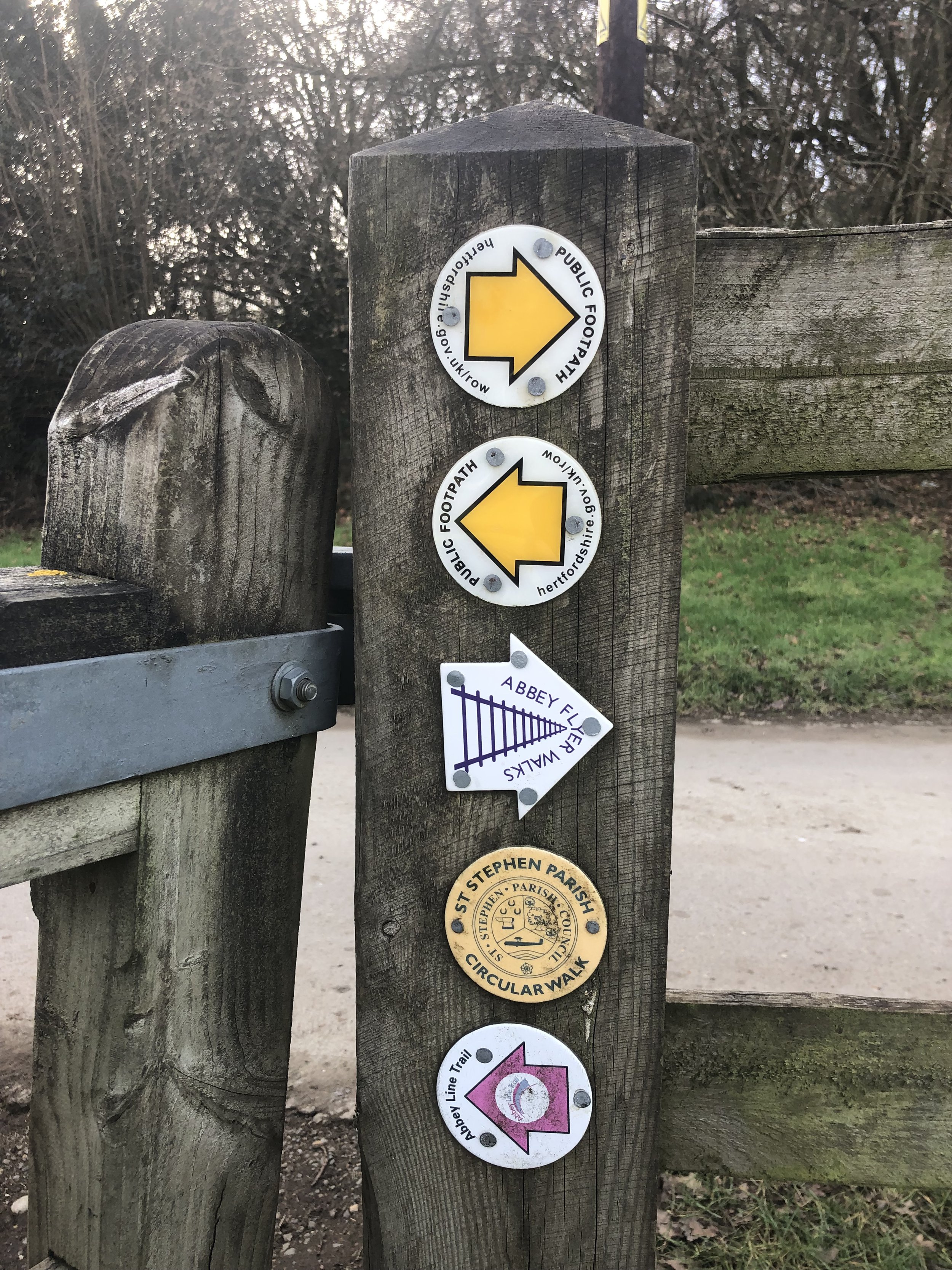
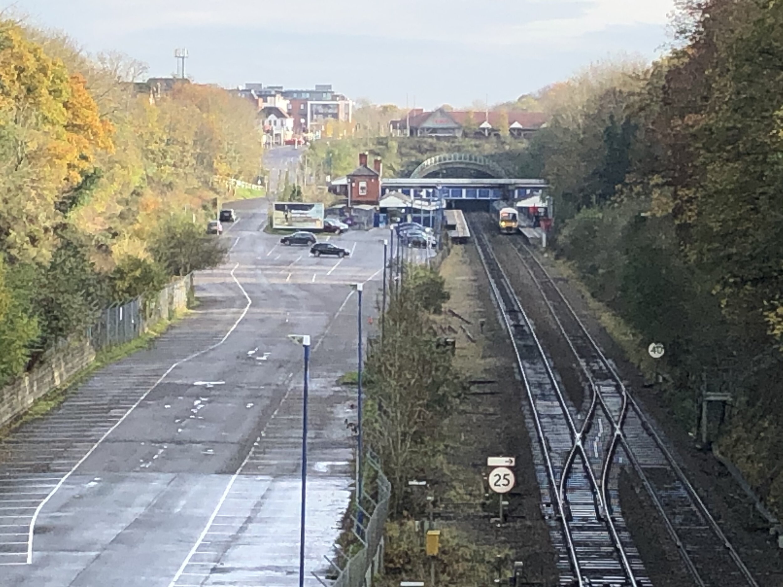
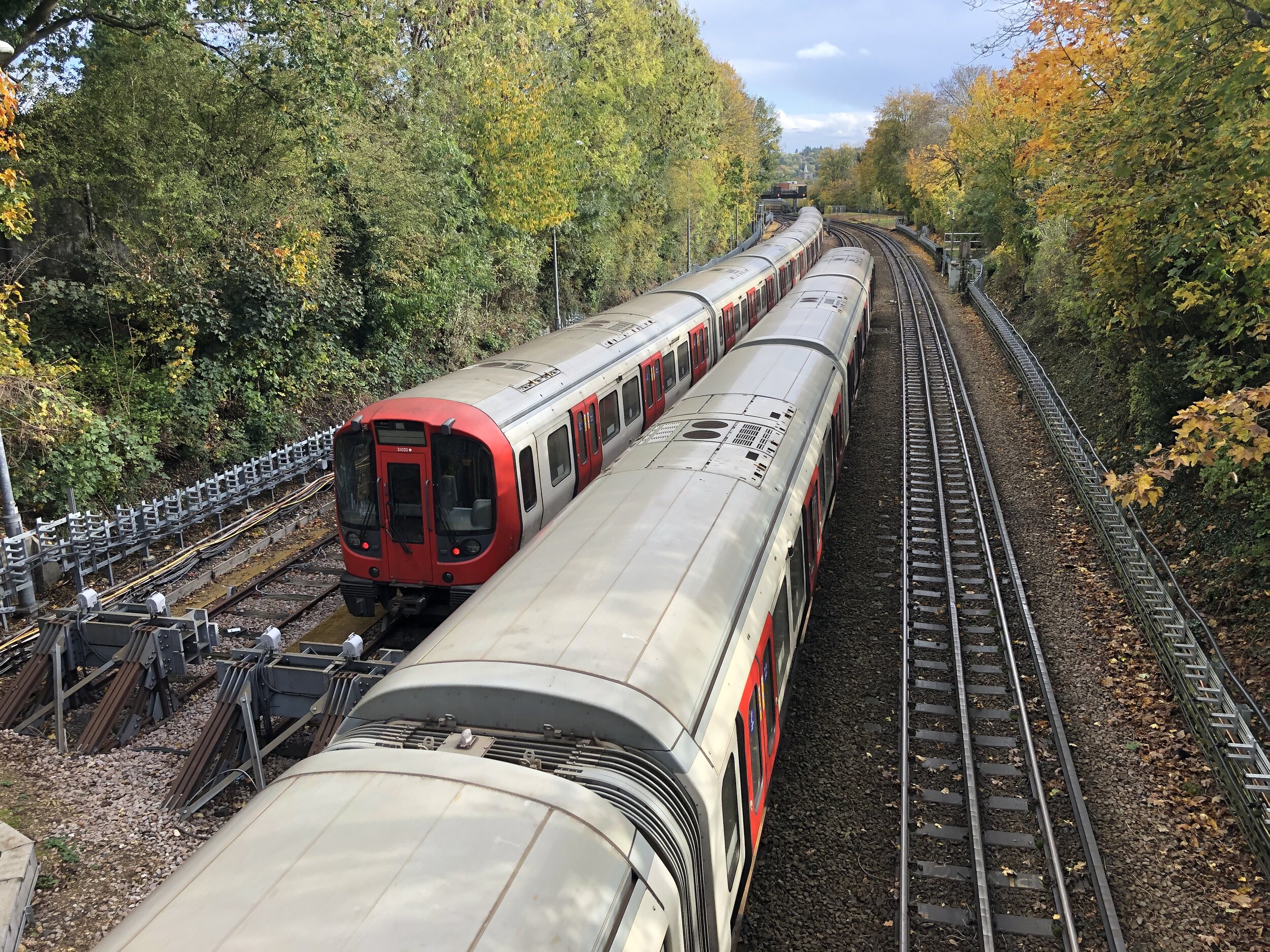
Take a left when you get to Church Street then a right onto Chalvey High Street, a left onto Spackmans Way then a left onto the cycle path at the junction of Spackmans Way and Primary Road. Continue along the path then curve to the right when it reaches the railway line.
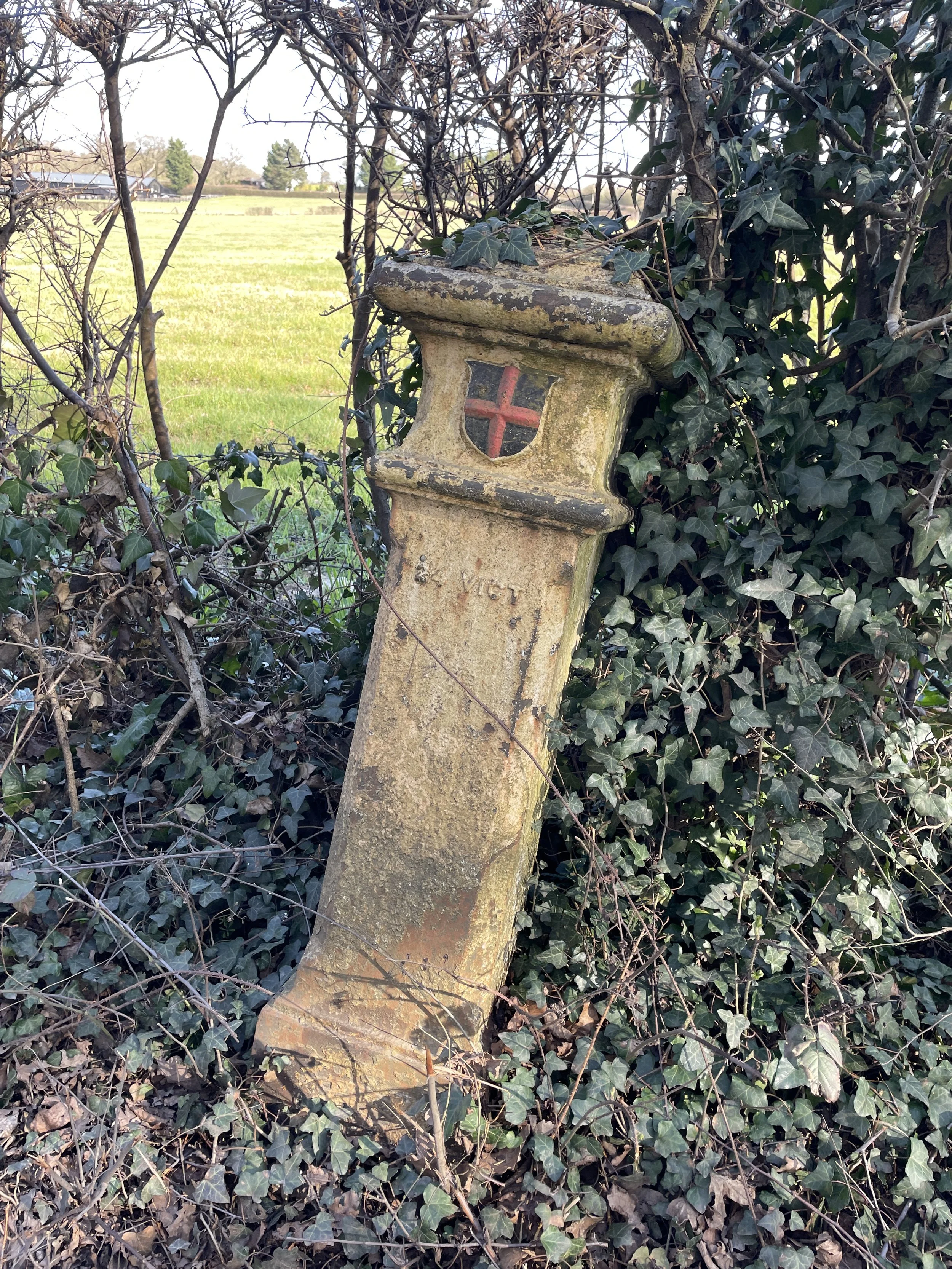
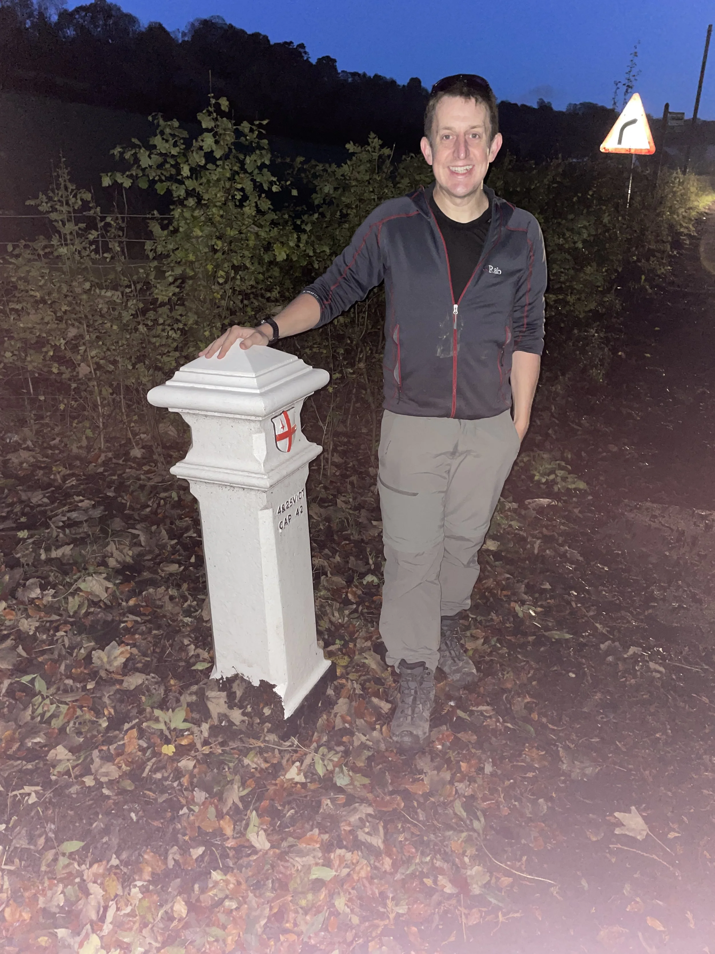
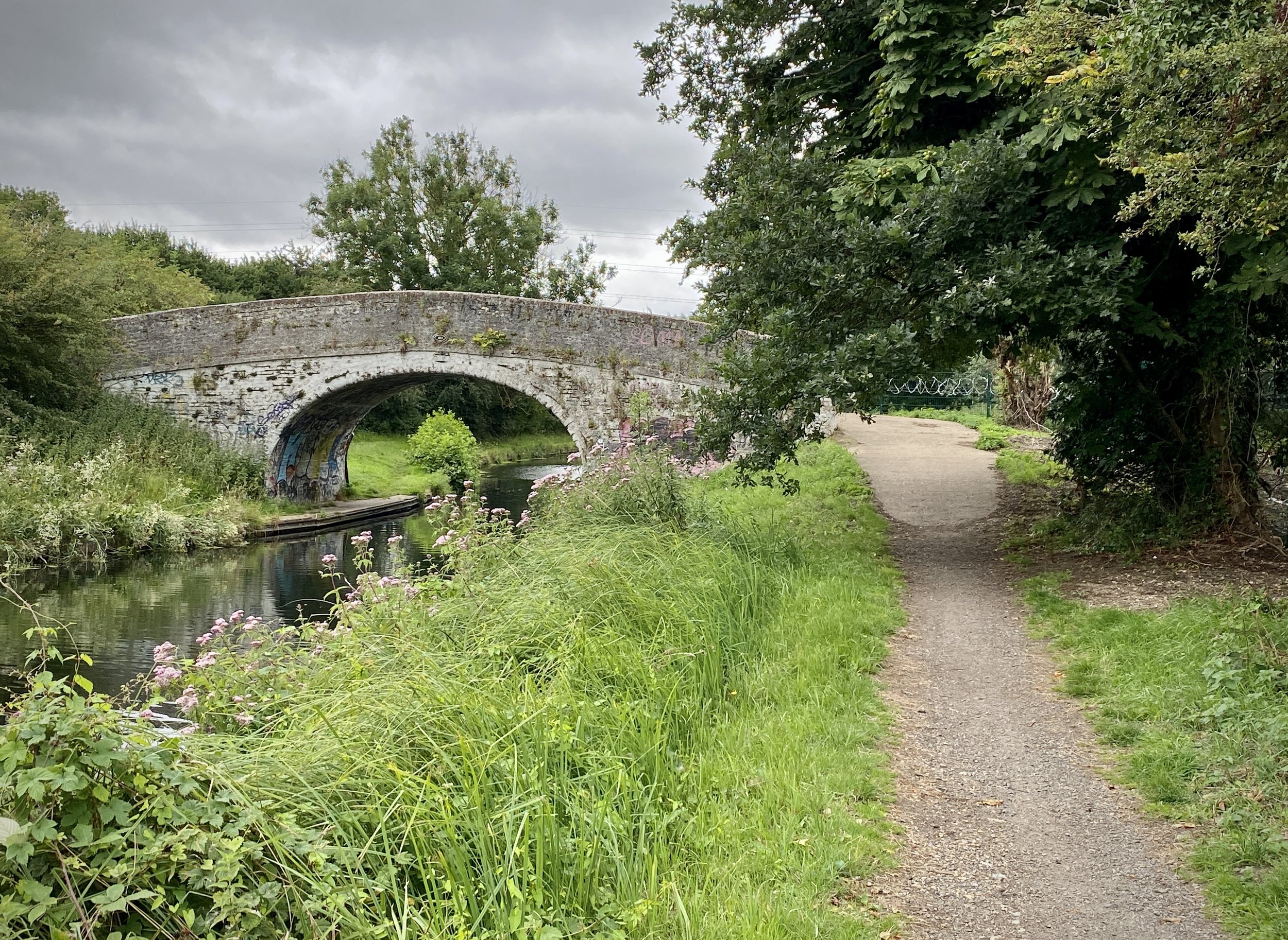
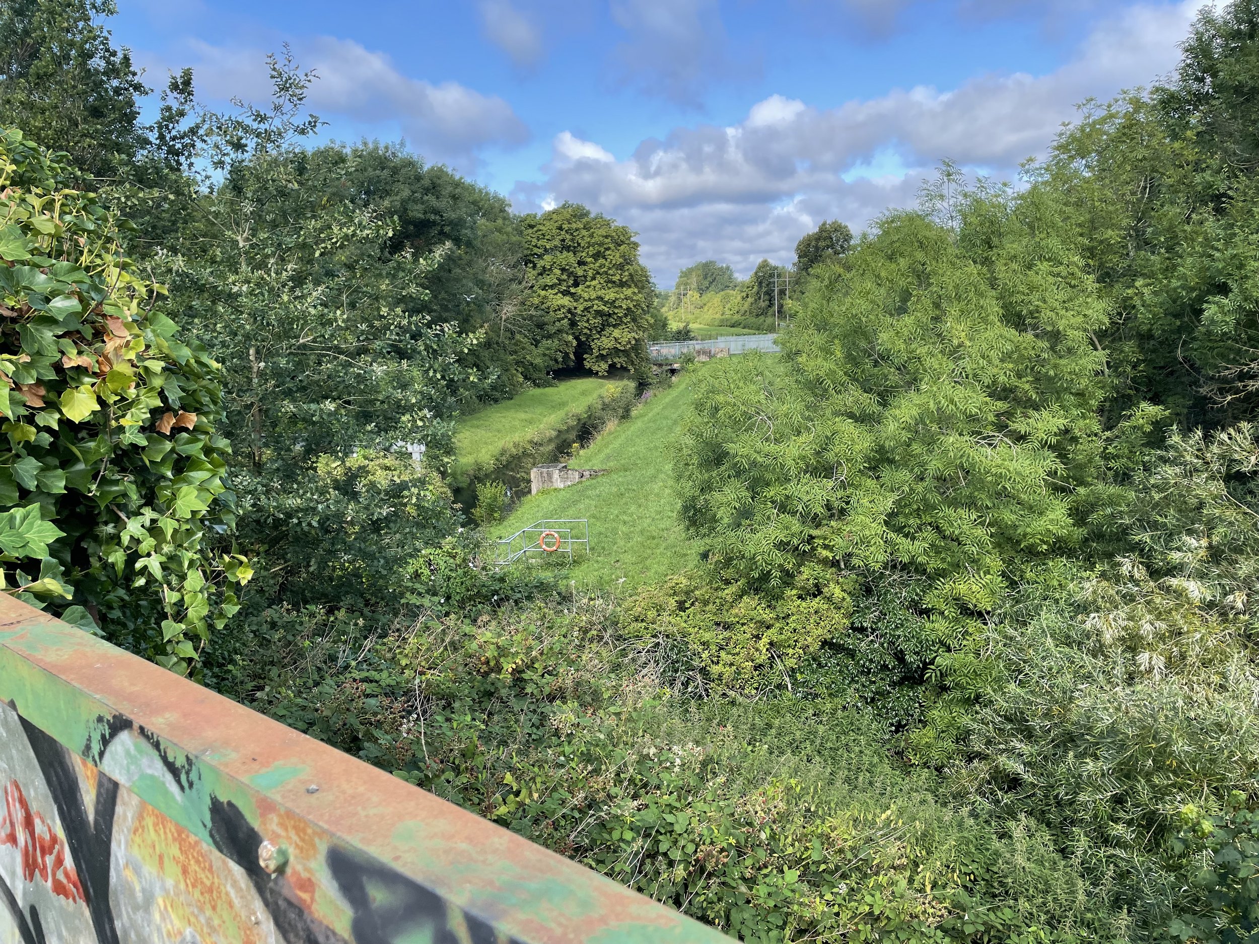
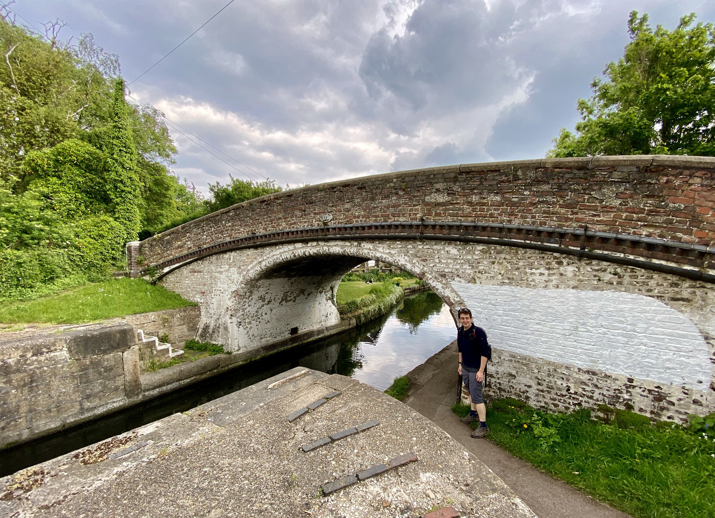
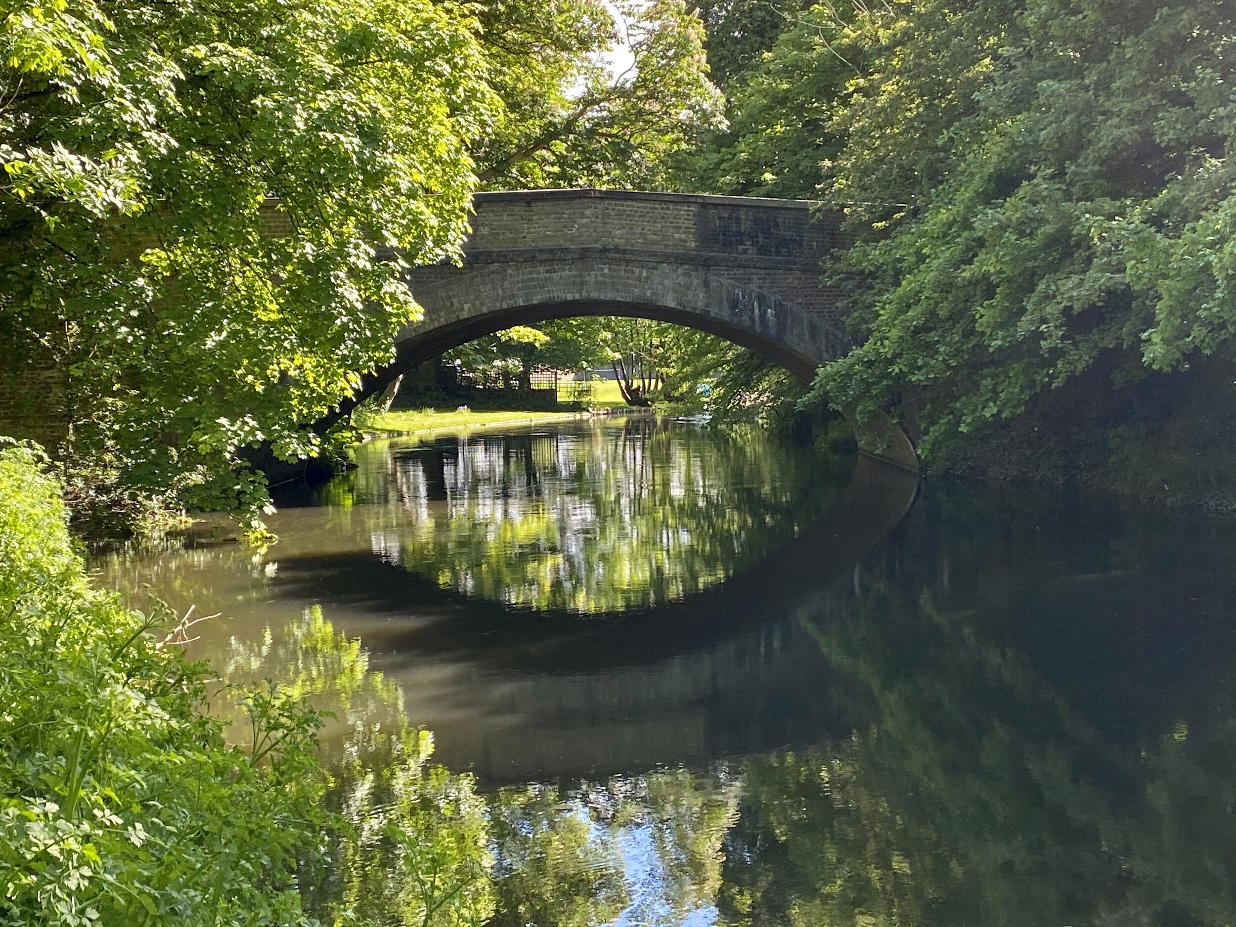
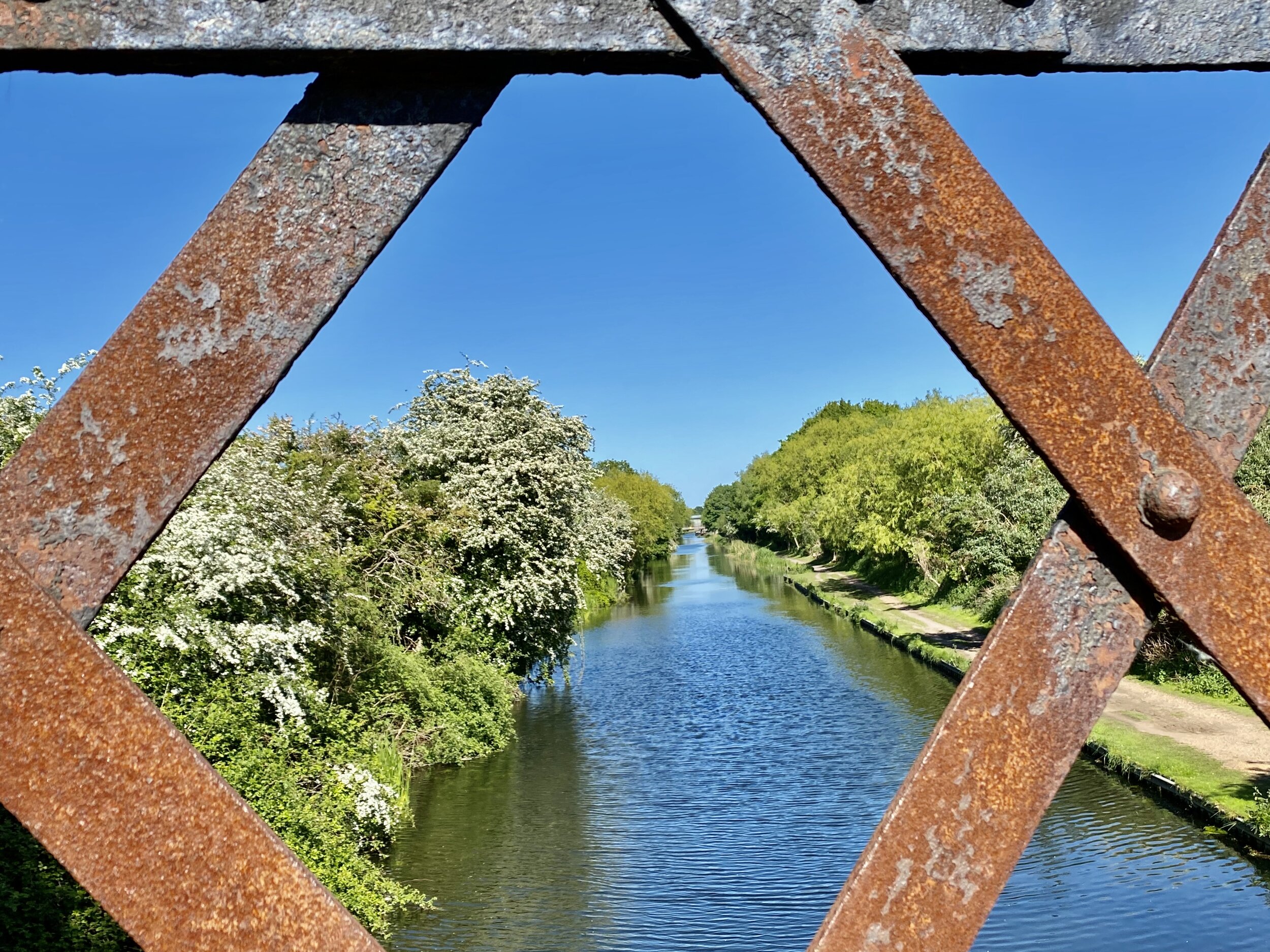
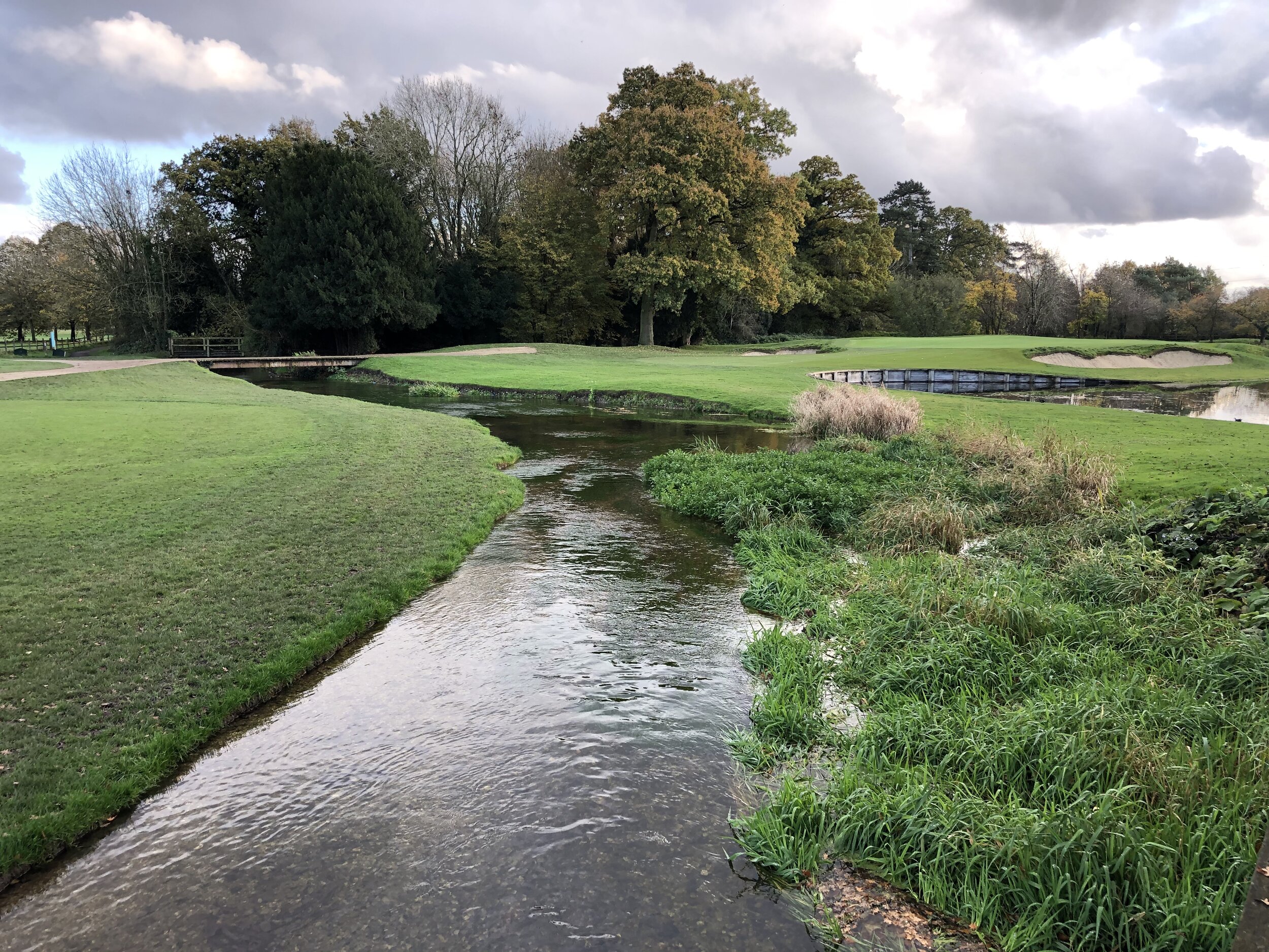
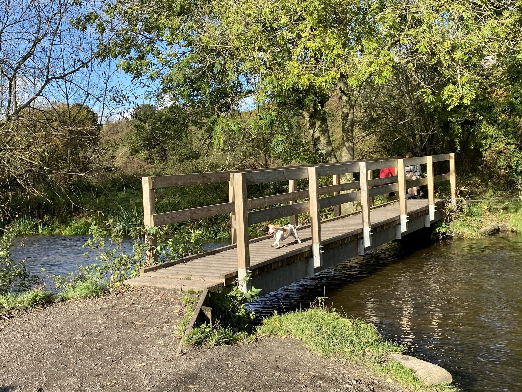
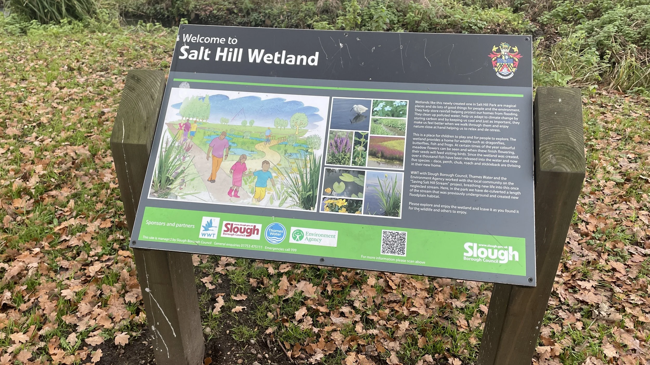
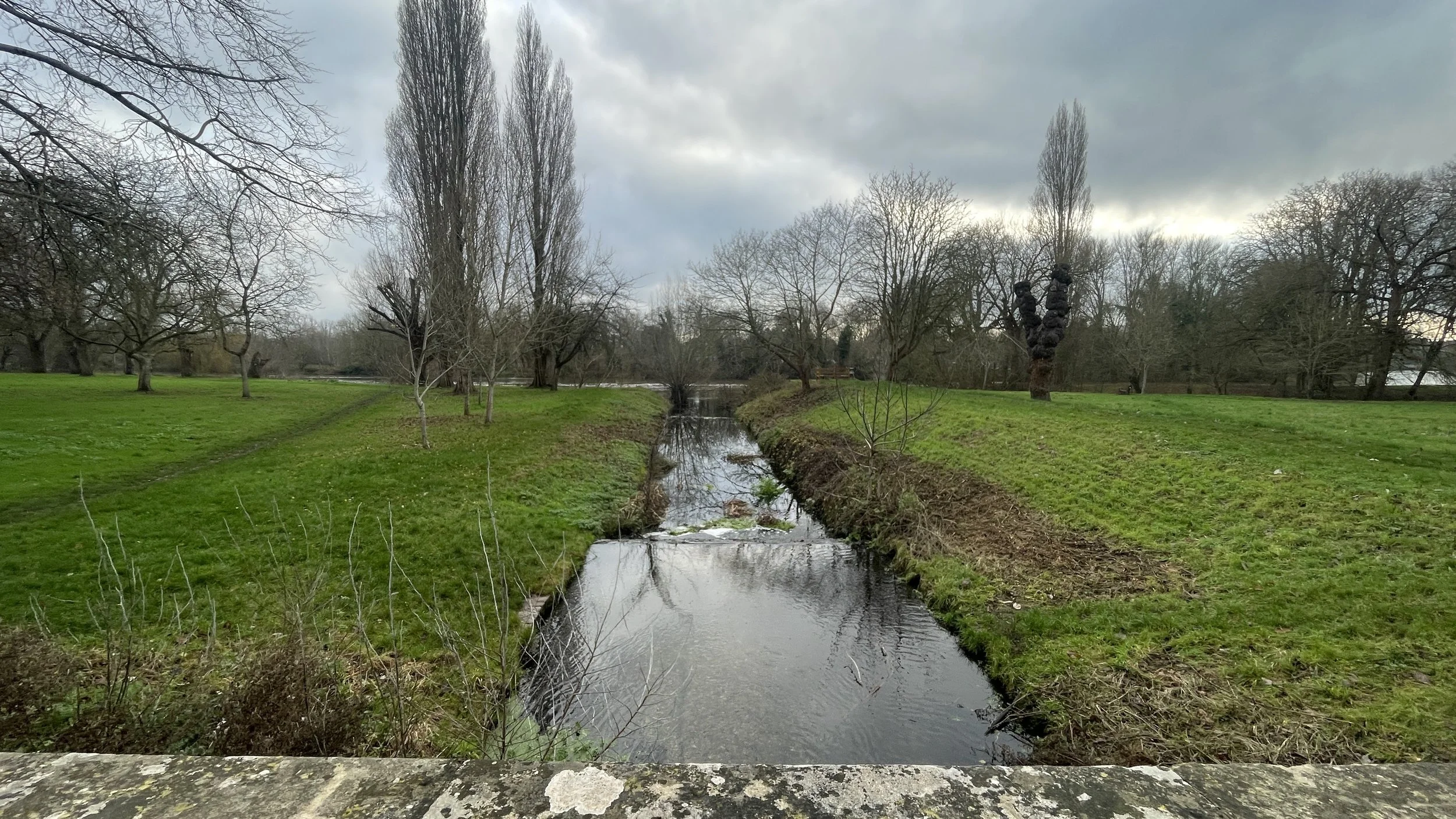
When you reach the Jubilee River follow the path on the northern side where you’ll cross over the Salt Hill Stream before you cross this man-made flood relief channel. Completed in 2002, it diverts water from the River Thames to reduce flood risk in Maidenhead, Windsor, and Eton. It has since become a thriving wildlife corridor for birds and fish.
Once on the southern side of the Jubilee River take a left to follow the Jubilee River footpath back in an easterly direction, shortly crossing over the Salt Hill Stream as it emerges from the river. Continue east under the railway then take a right onto a path that crosses over Woodham Road and into the grounds of an Eton College Sports Field.
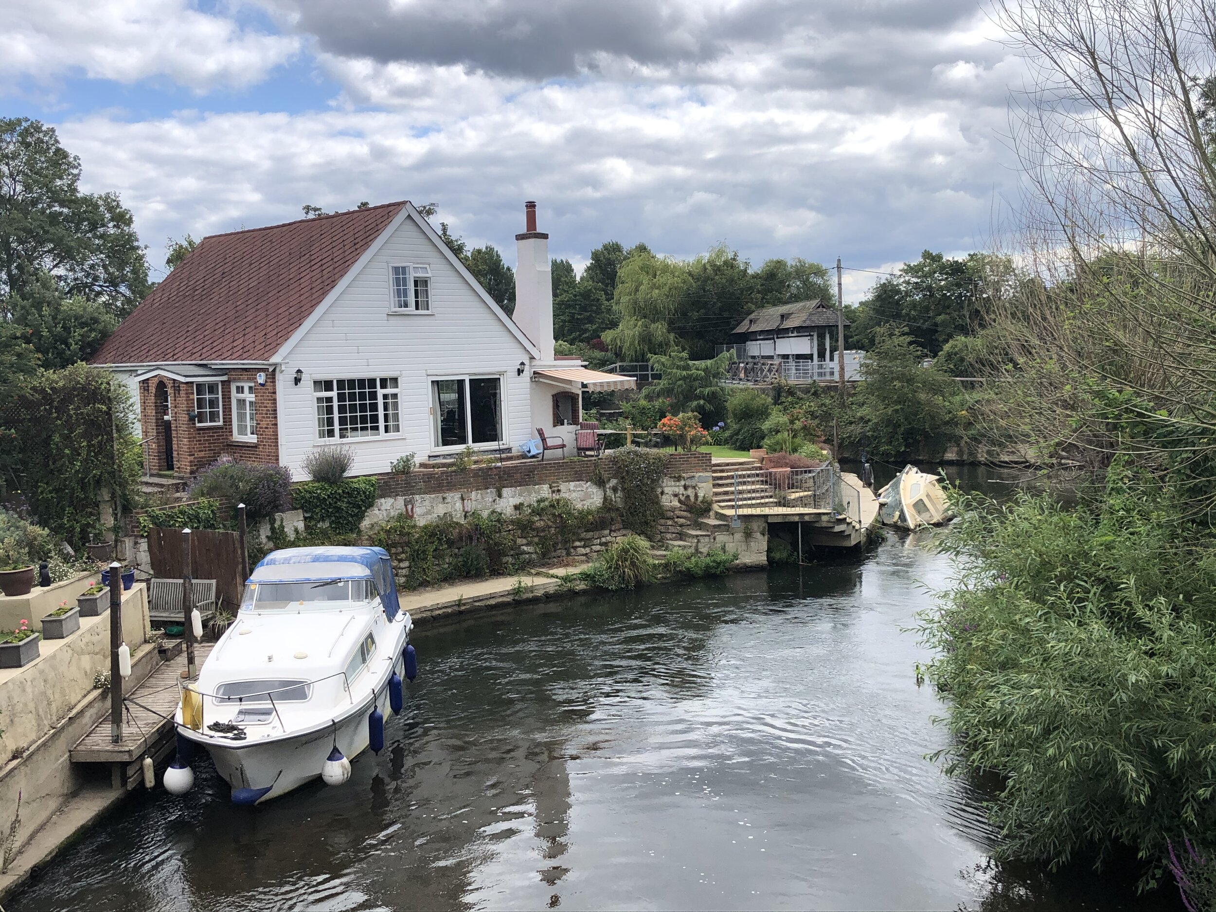
Continue through the grounds of the sports field then take a right onto the B3022 Slough Road. After the mini roundabout take a left to follow the path past the Upper Club gatehouse then curve round to the right to follow a path that runs parallel to the Thames. Right after the curve you’ll reach a small bridge over the Salt Hill Stream. Here you can see the confluence of the Colenorton Brook with the River Thames.
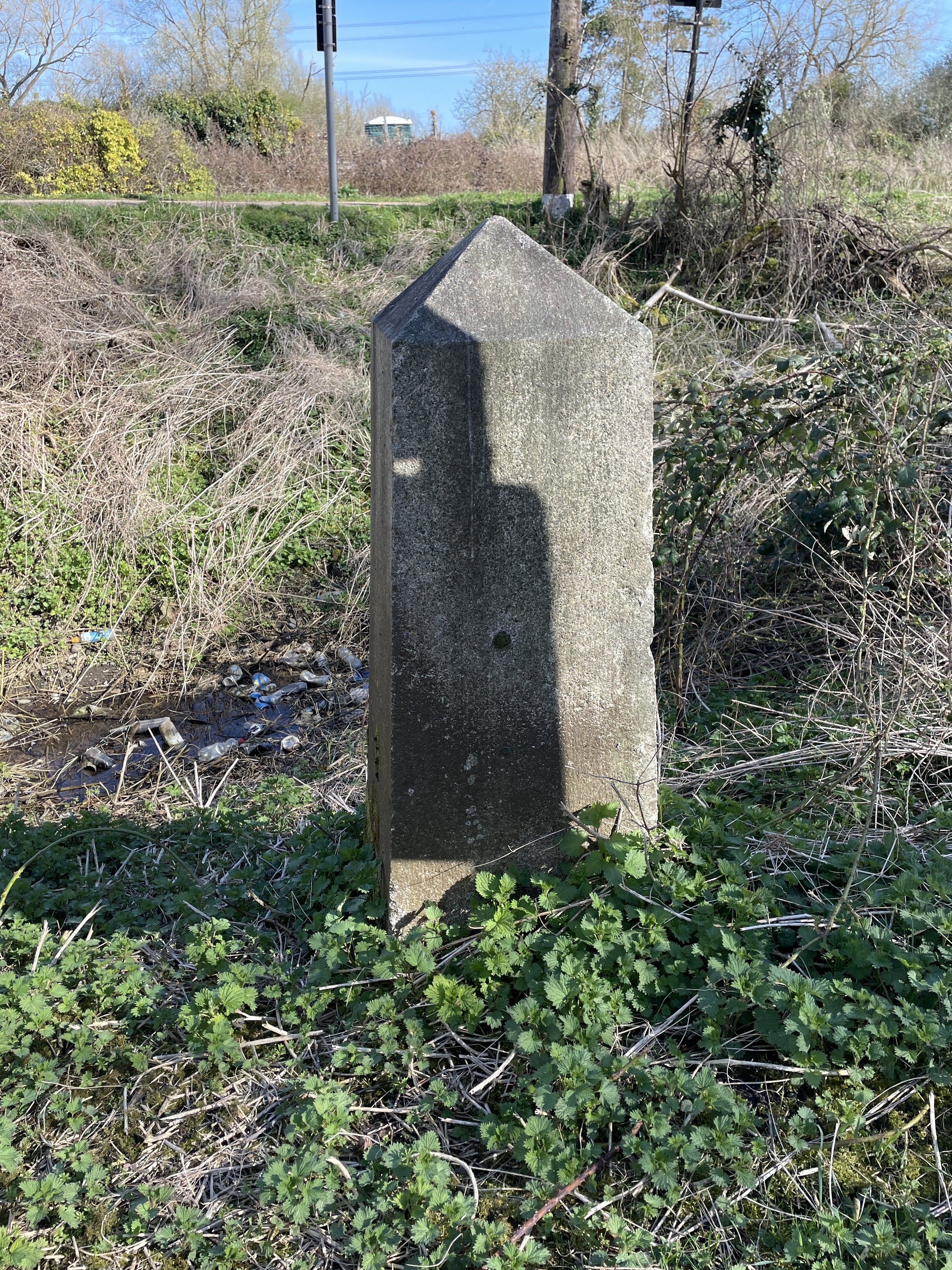
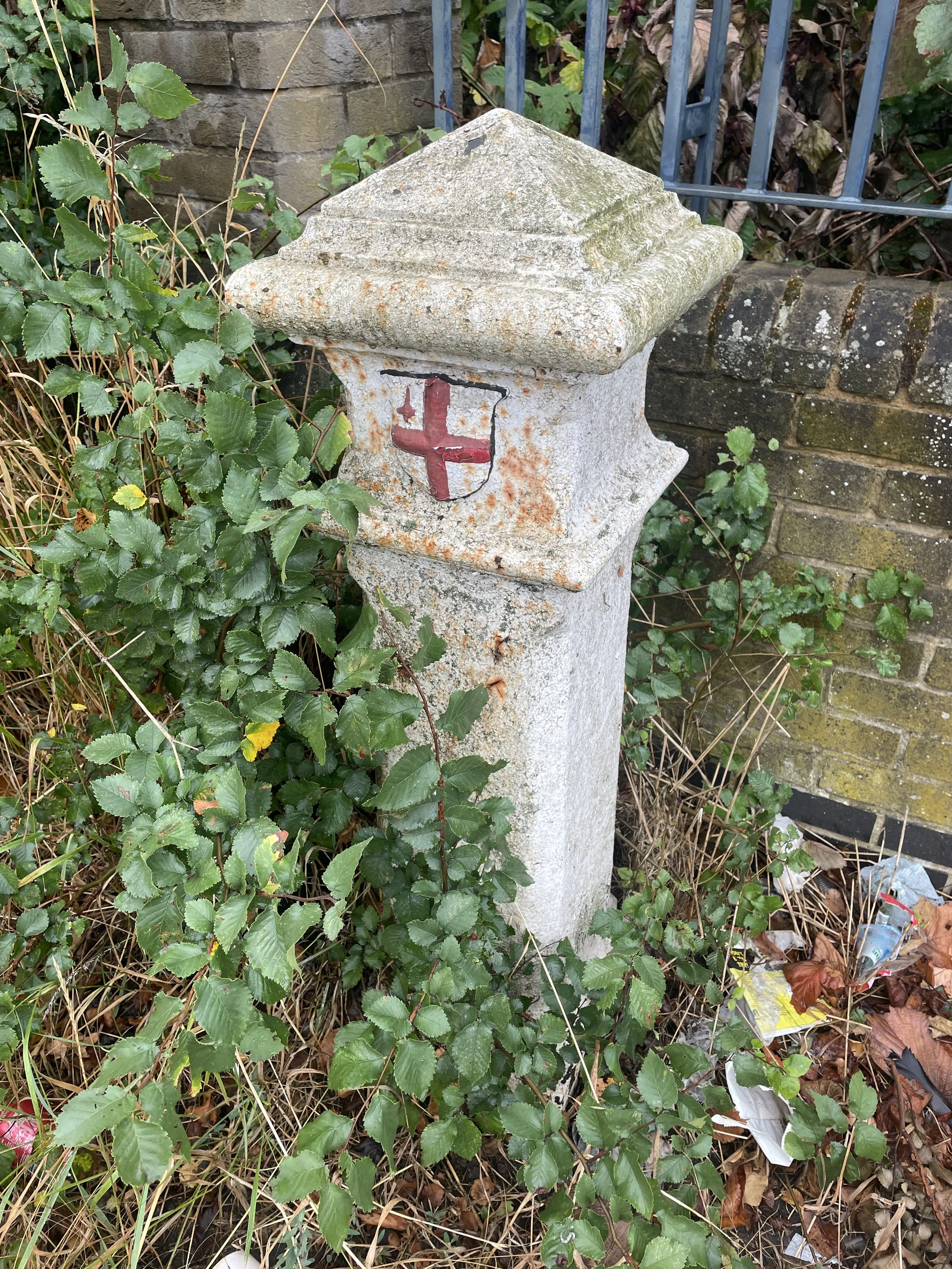
Part 2: Between the Colenorton Brook and Boveney Ditch
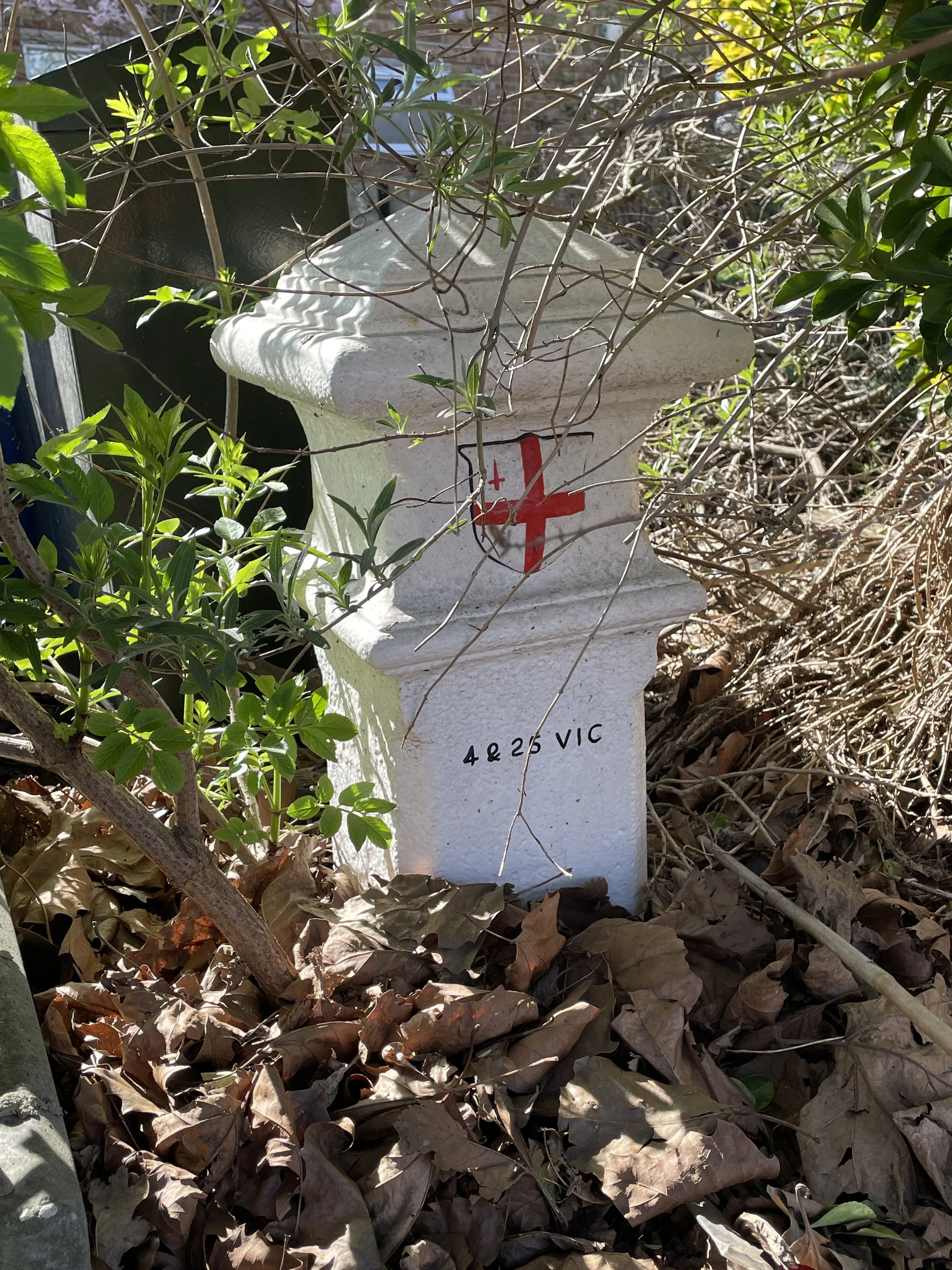
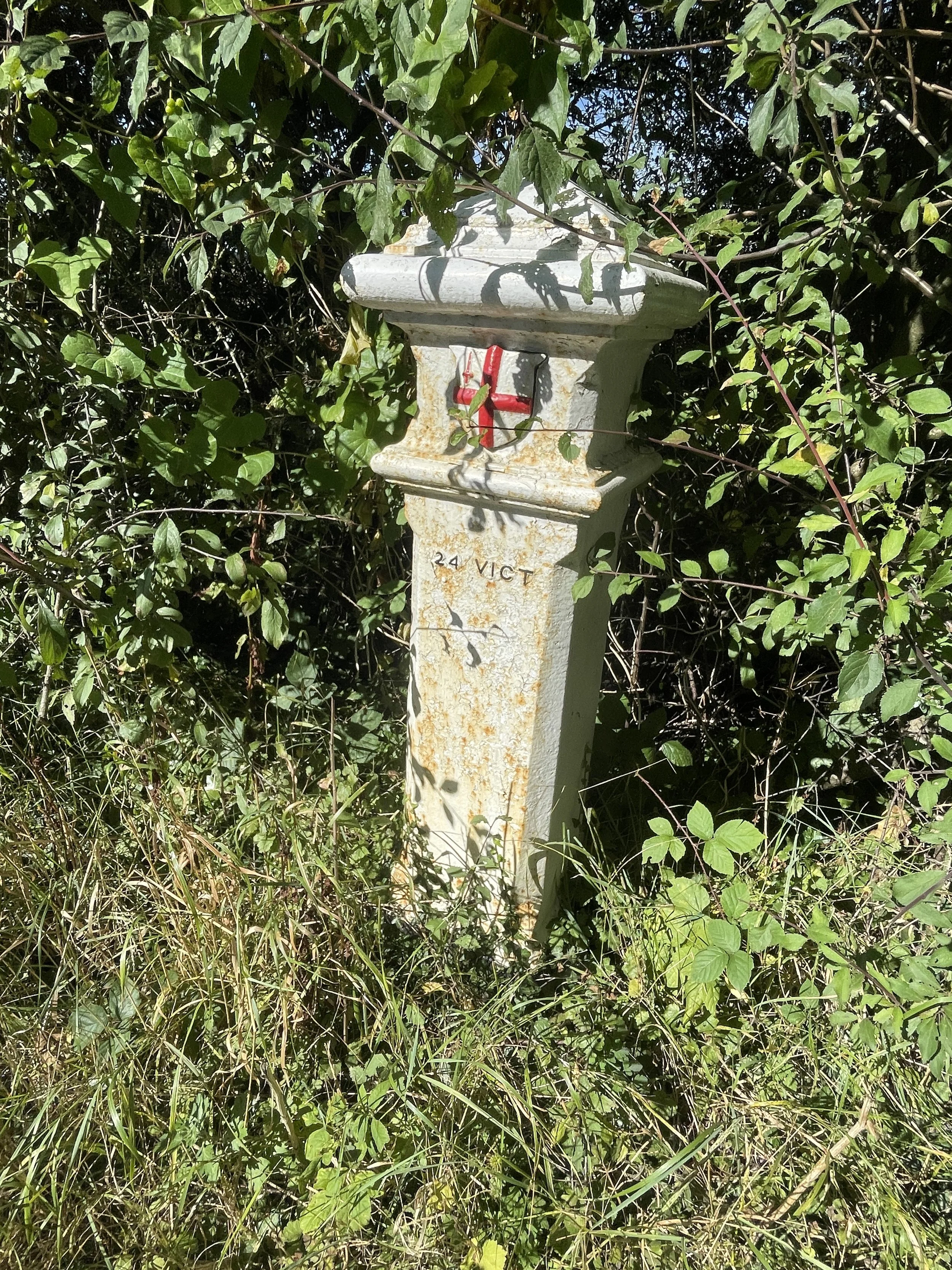
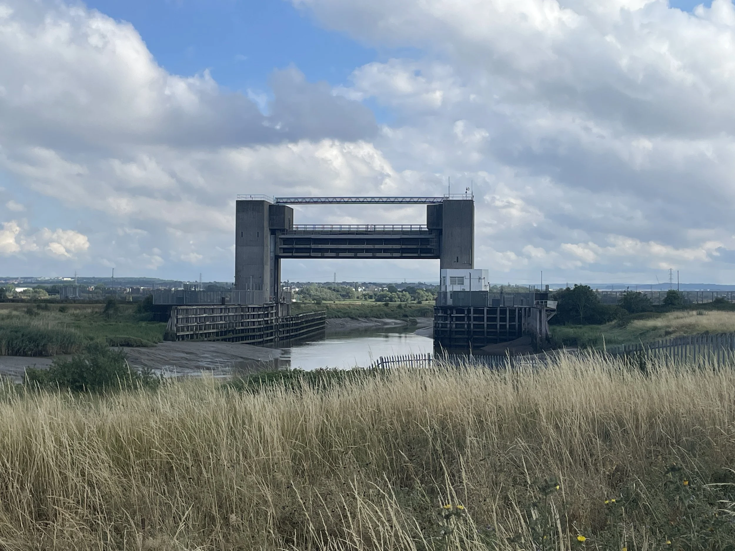
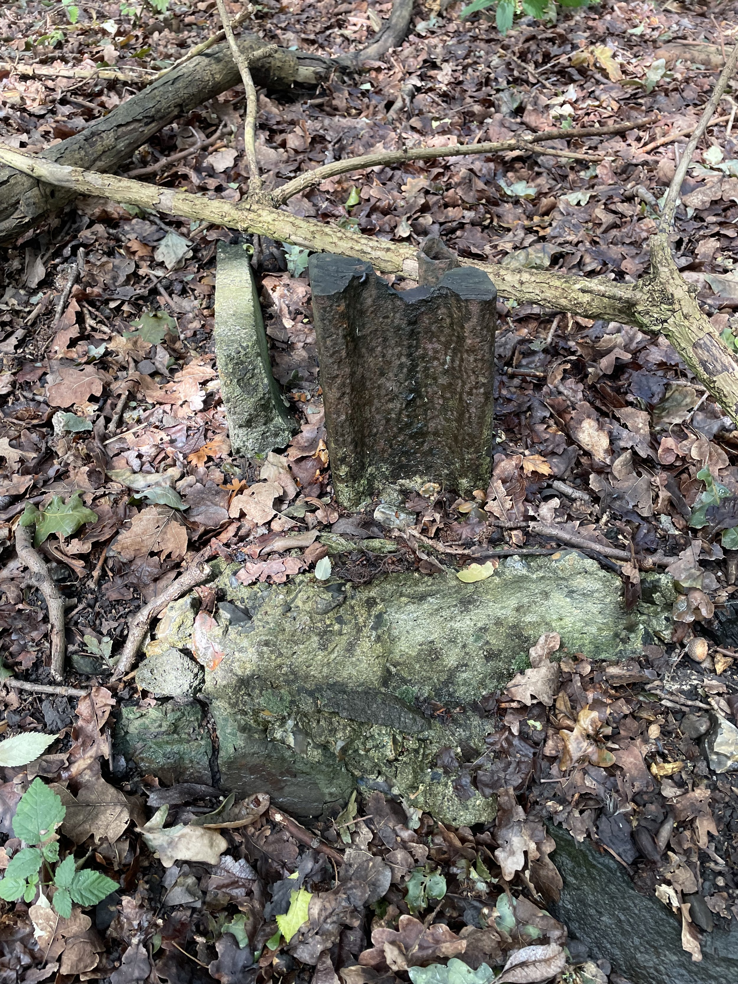
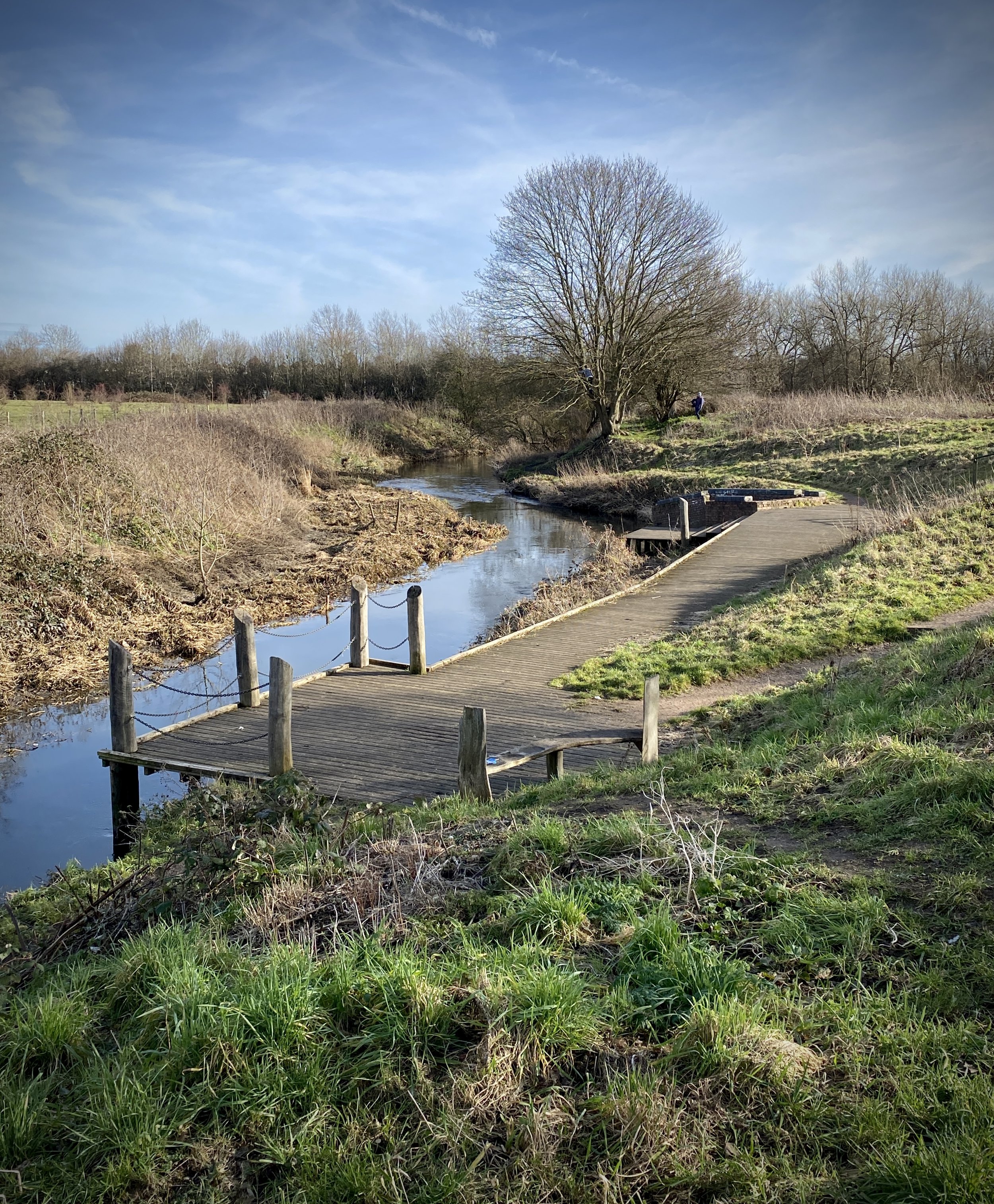
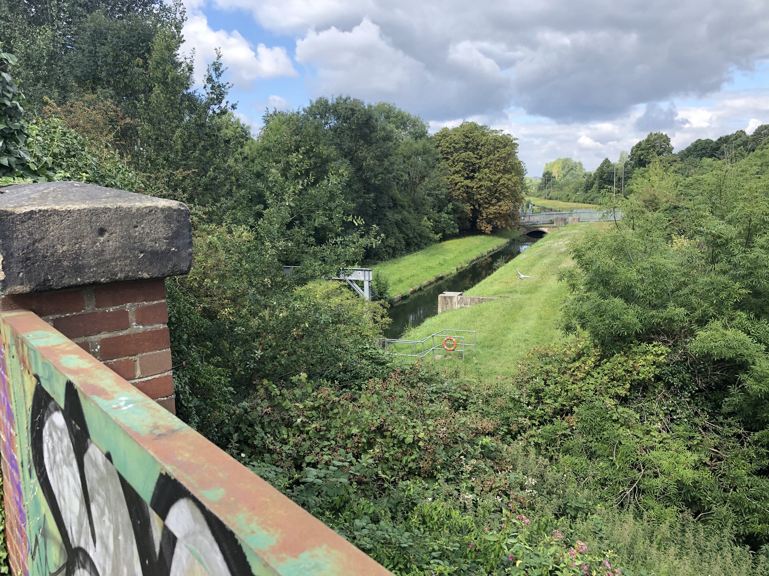
Boveney Ditch before it meets the Thames
From the Colenorton Bridge in Upper Club, continue cycling in a south-westerly direction back to the B3022 Slough Road. Cross over the B3022 and follow Common Lane in a north-westerly direction through the heart of Eton College. This world-famous public school, founded in 1440 by King Henry VI. The college has educated 20 British Prime Ministers and features historic architecture dating back to the 15th century.
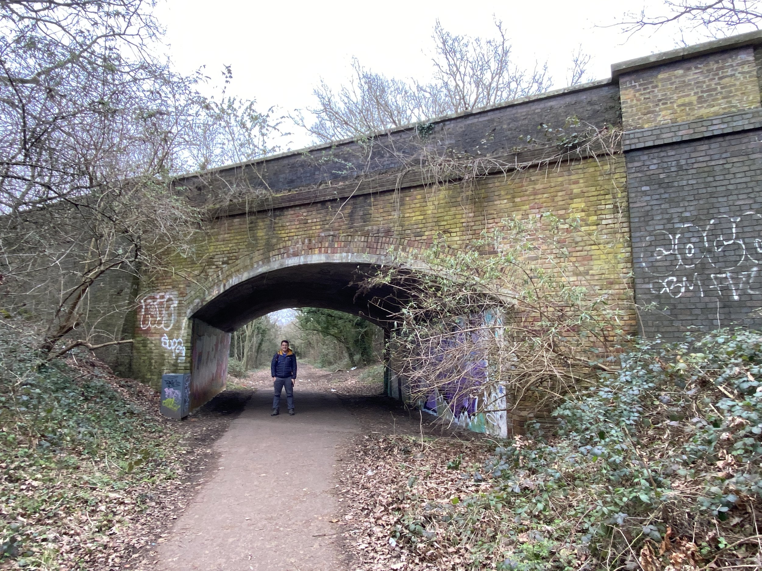
Follow the path on the eastern side of the Eton Great Common to Eton Wick Road. Cross over Eton Wick Road and follow the path diagonally across the field to cross under the railway bridge. Continue in a south-westerly direction to reach Meadow Lane next to the Thames. Take a right onto Meadow Lane, following it under the A332 to join up with the Thames Path.
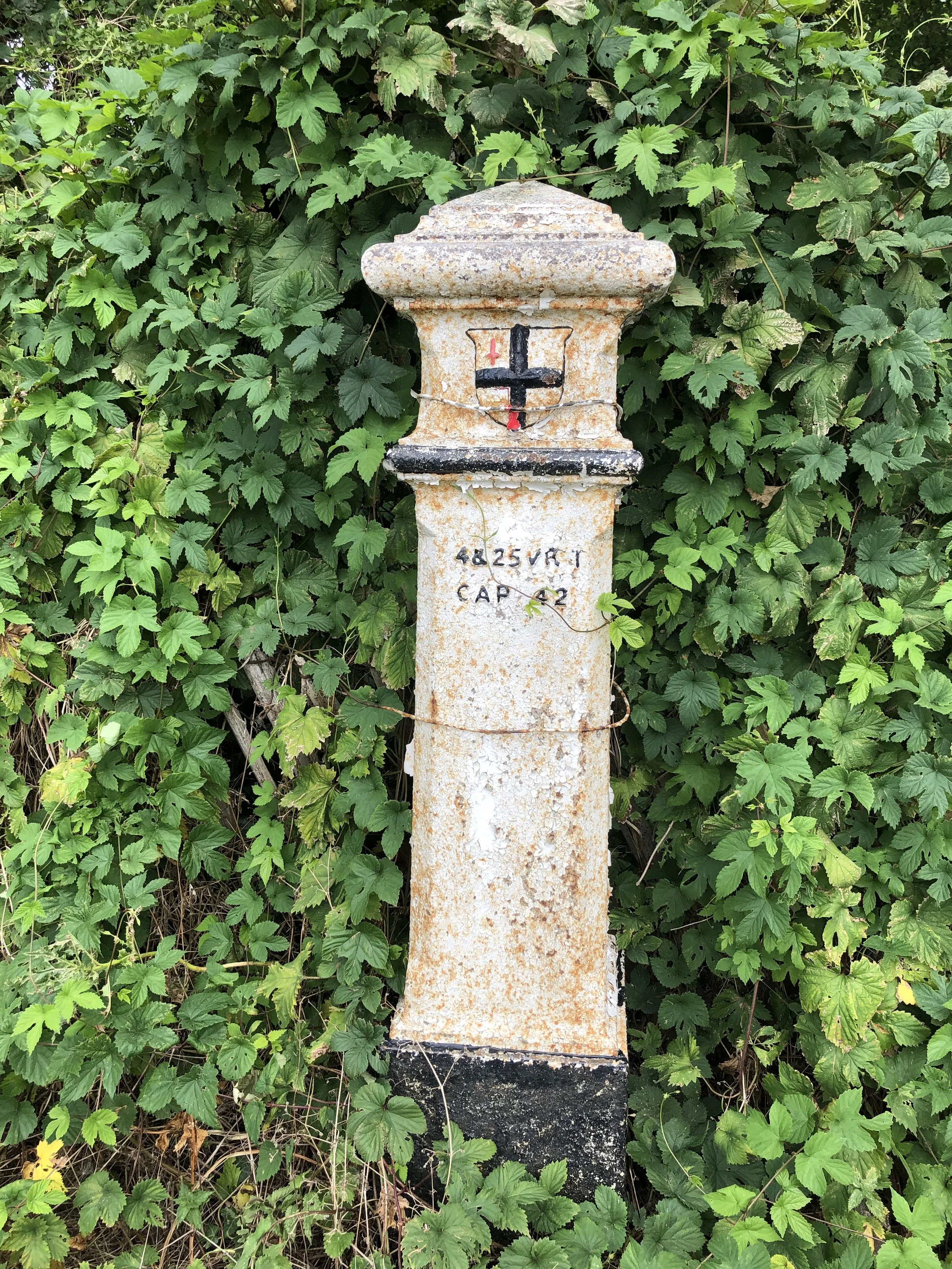
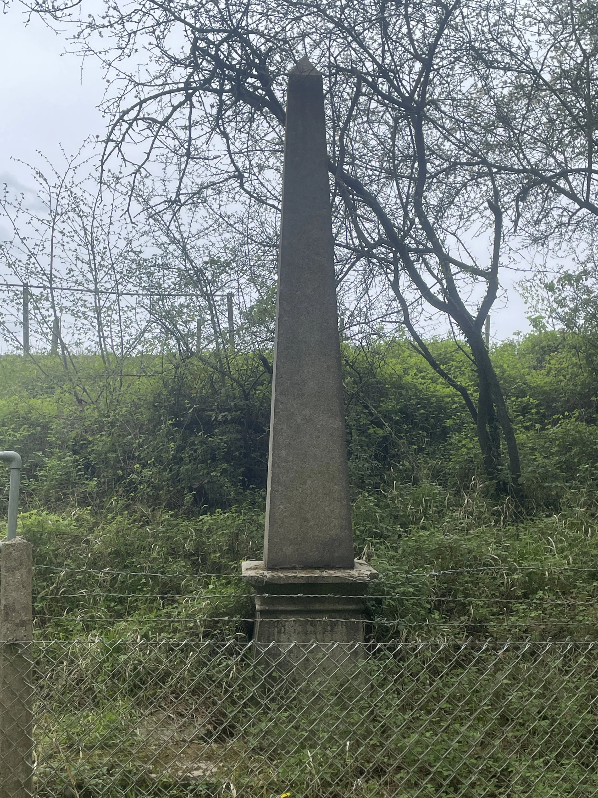
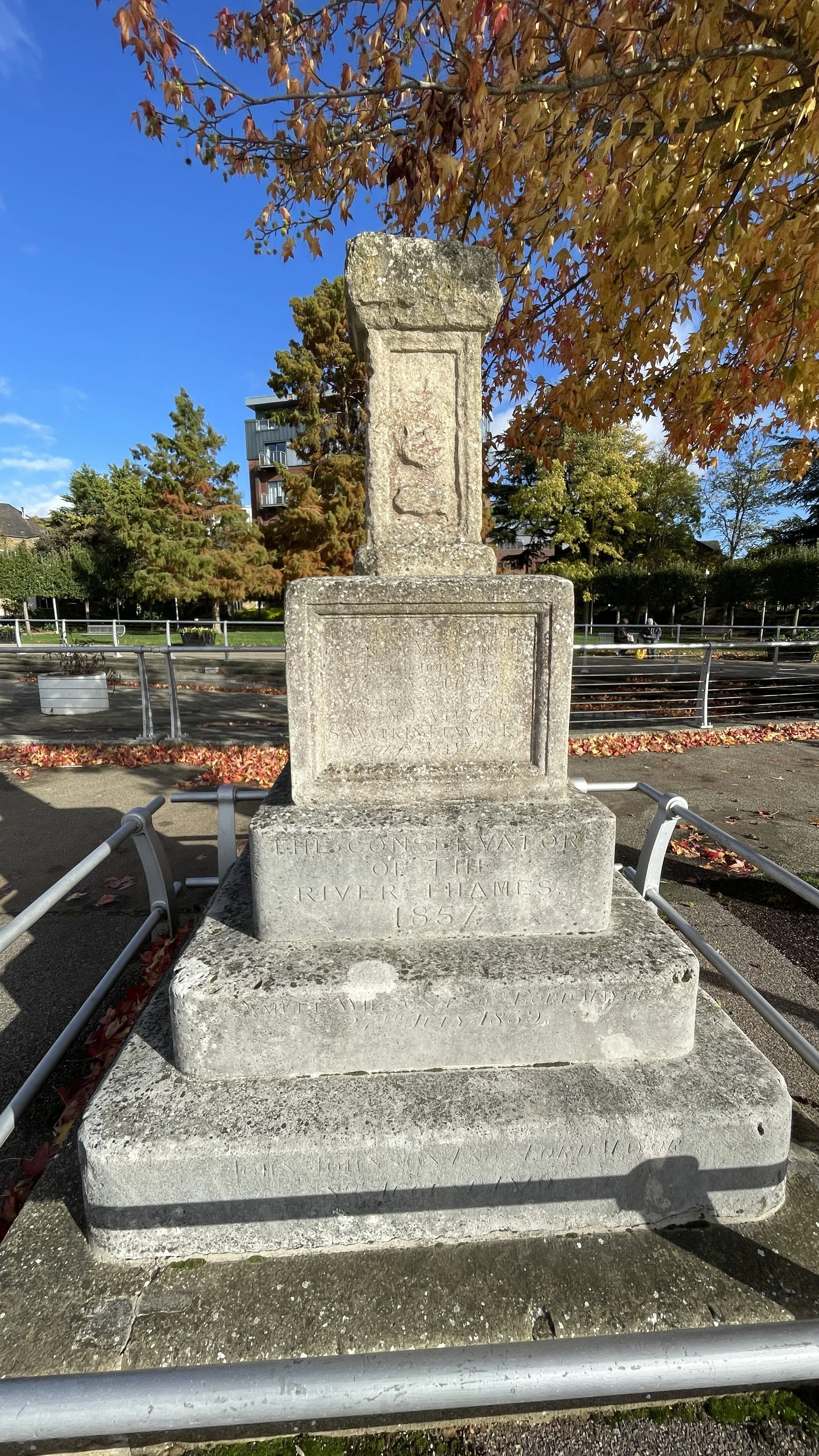
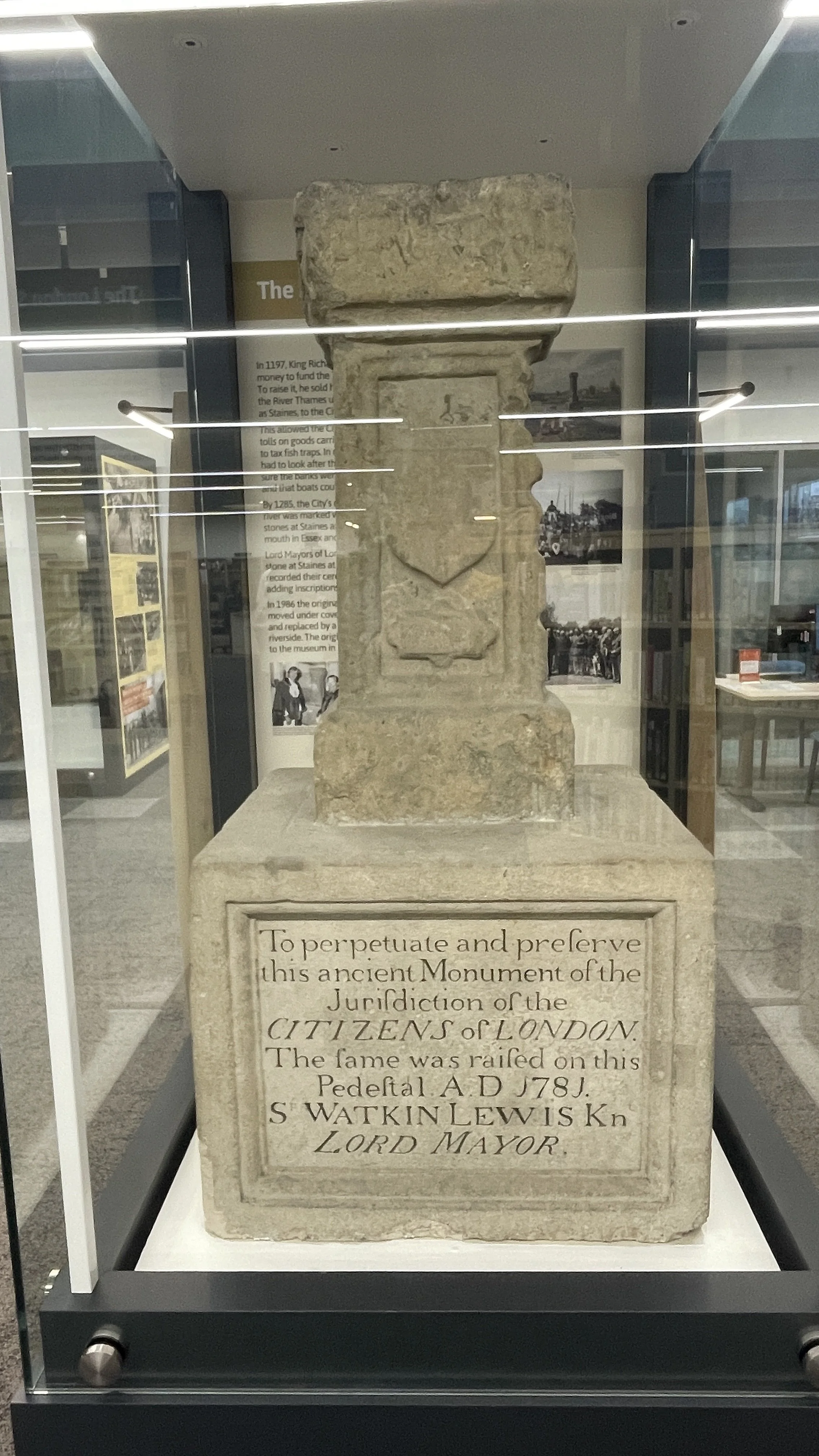
Follow the Thames Path to Boveney Bridge where you’ll see the confluence of the Boveney Ditch and the River Thames. This small watercourse joins the Thames near Boveney. Nearby is St Mary Magdalene Church, a 12th-century church that served the bargees (barge workers) on the Thames. It is now cared for by the Friends of Friendless Churches.
Take a right onto the path on the eastern side of Boveney Bridge to follow it north along the eastern side of Eton Wick Recreation Ground to Eton Wick Road. Eton Wick is a village that grew to support the college and the castle. The recreation ground here offers open views of Windsor Castle in the distance. Take a left onto Eton Wick Road then first right on to Bell Lane. Take a left onto Alma Road, a right onto Inkerman Road and another right onto Moores Lane.
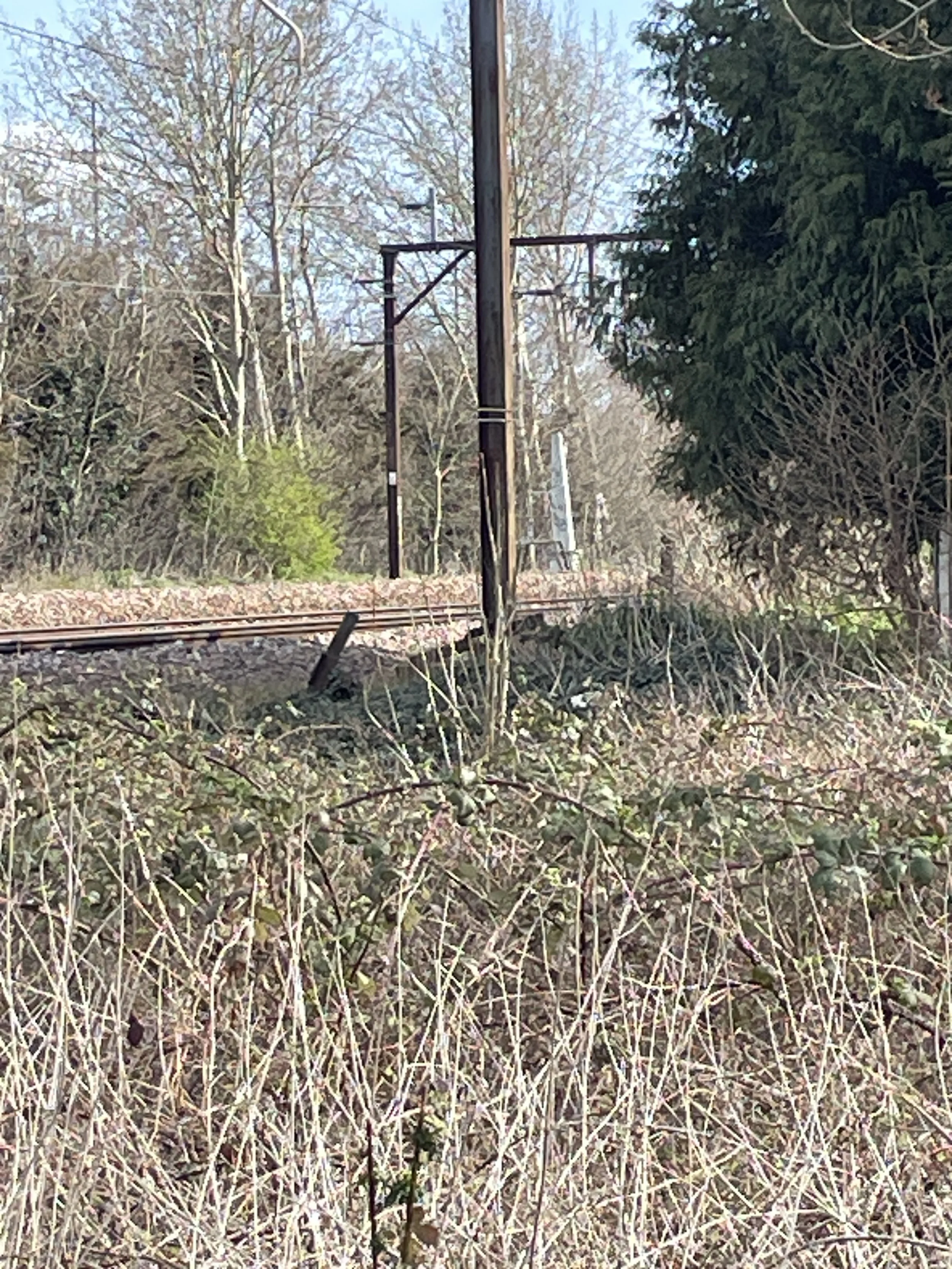
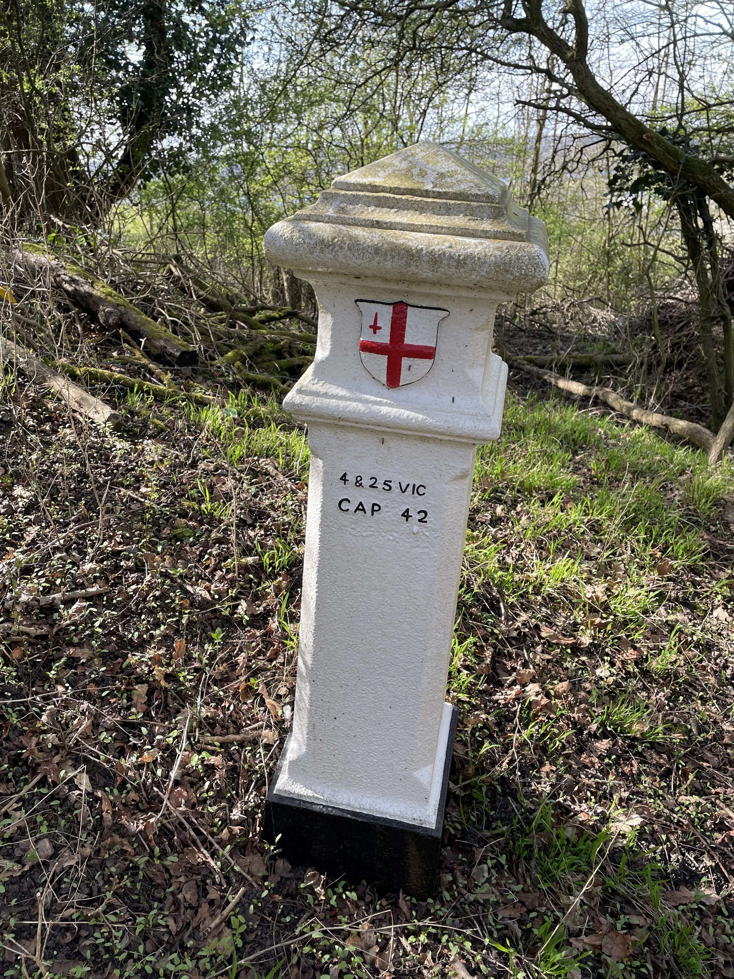
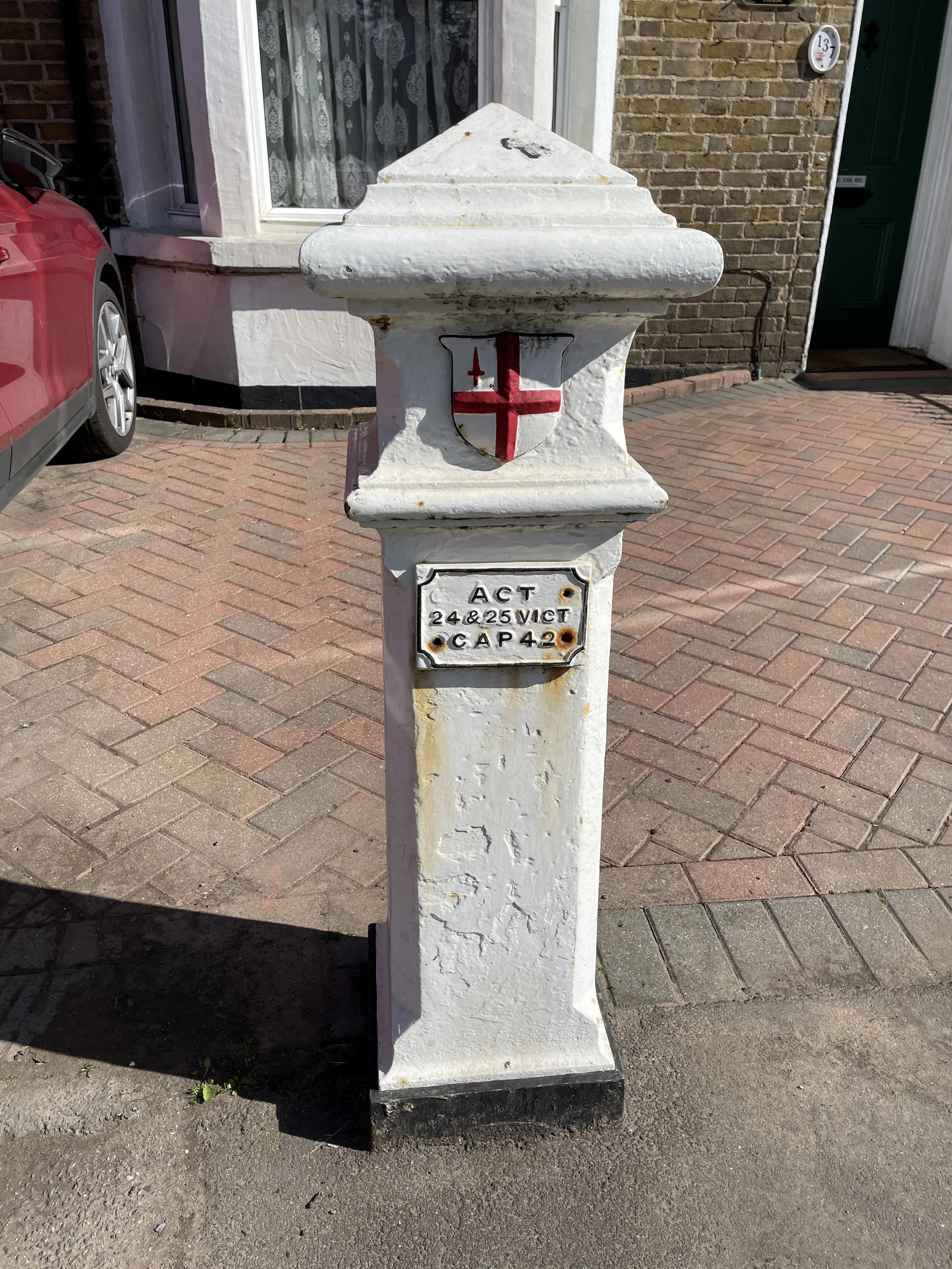
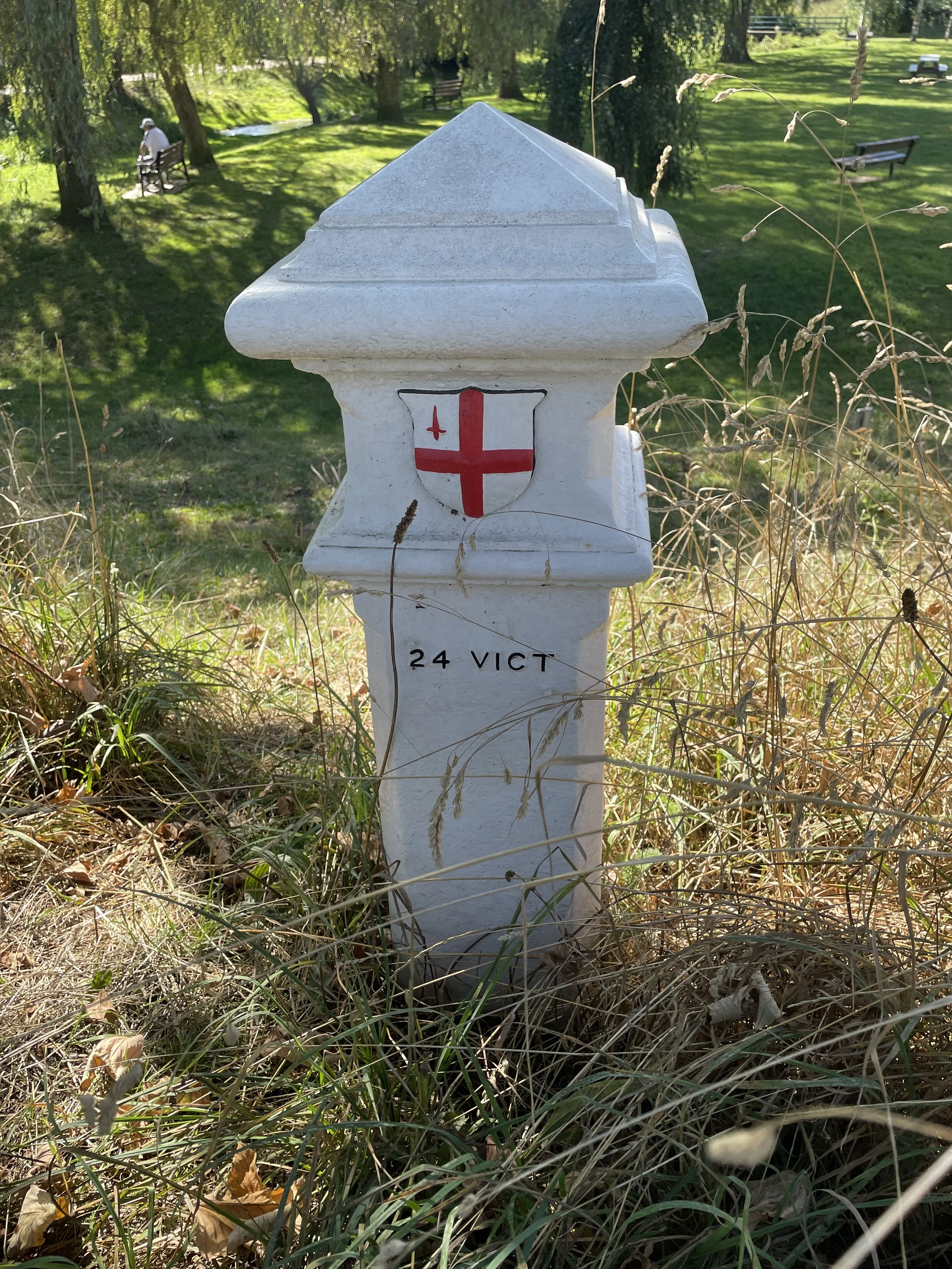
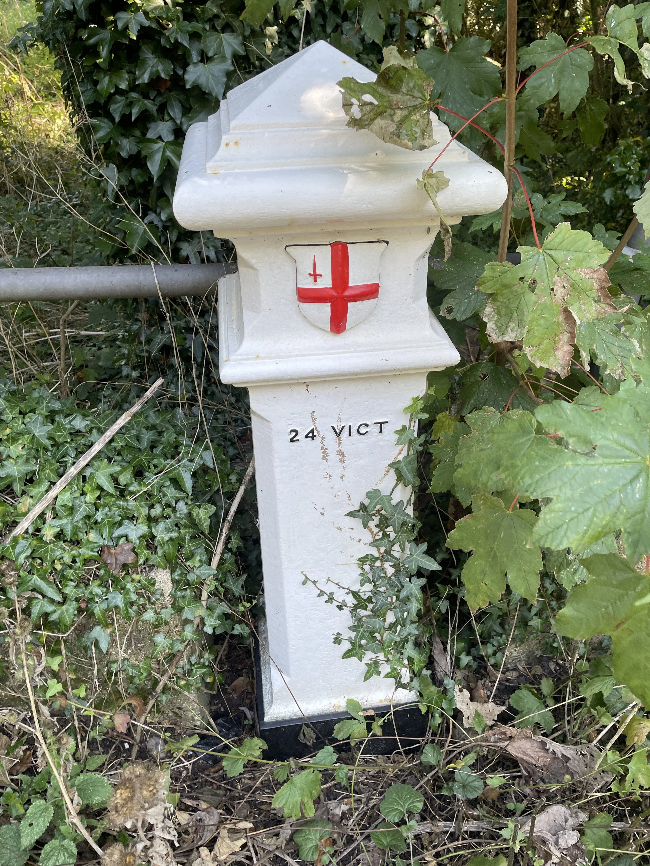
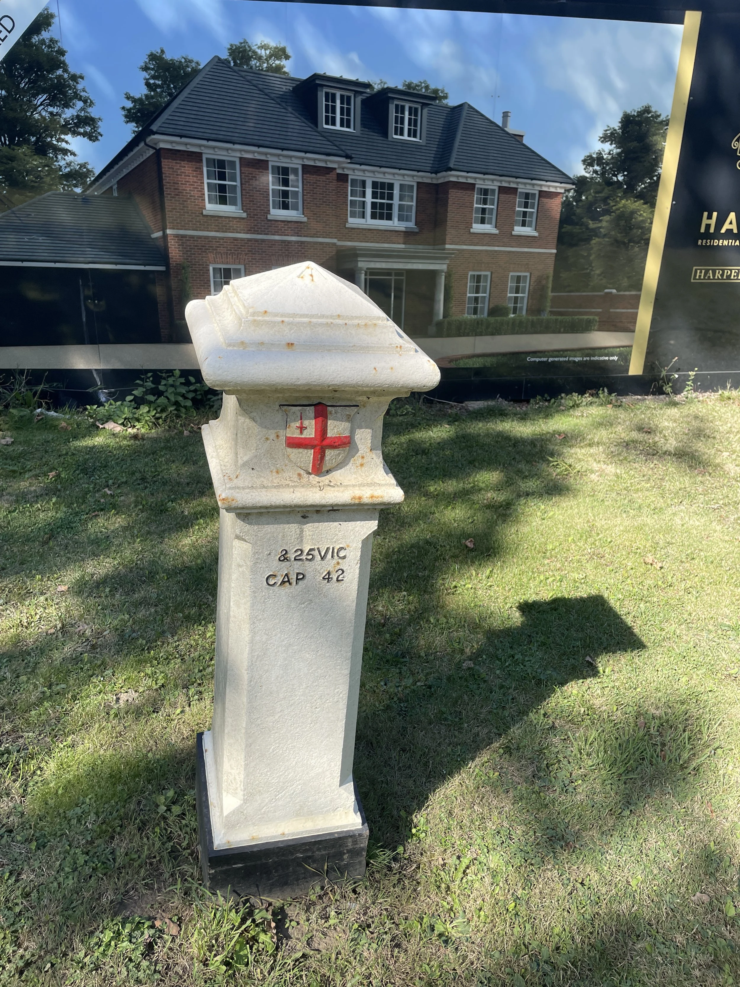
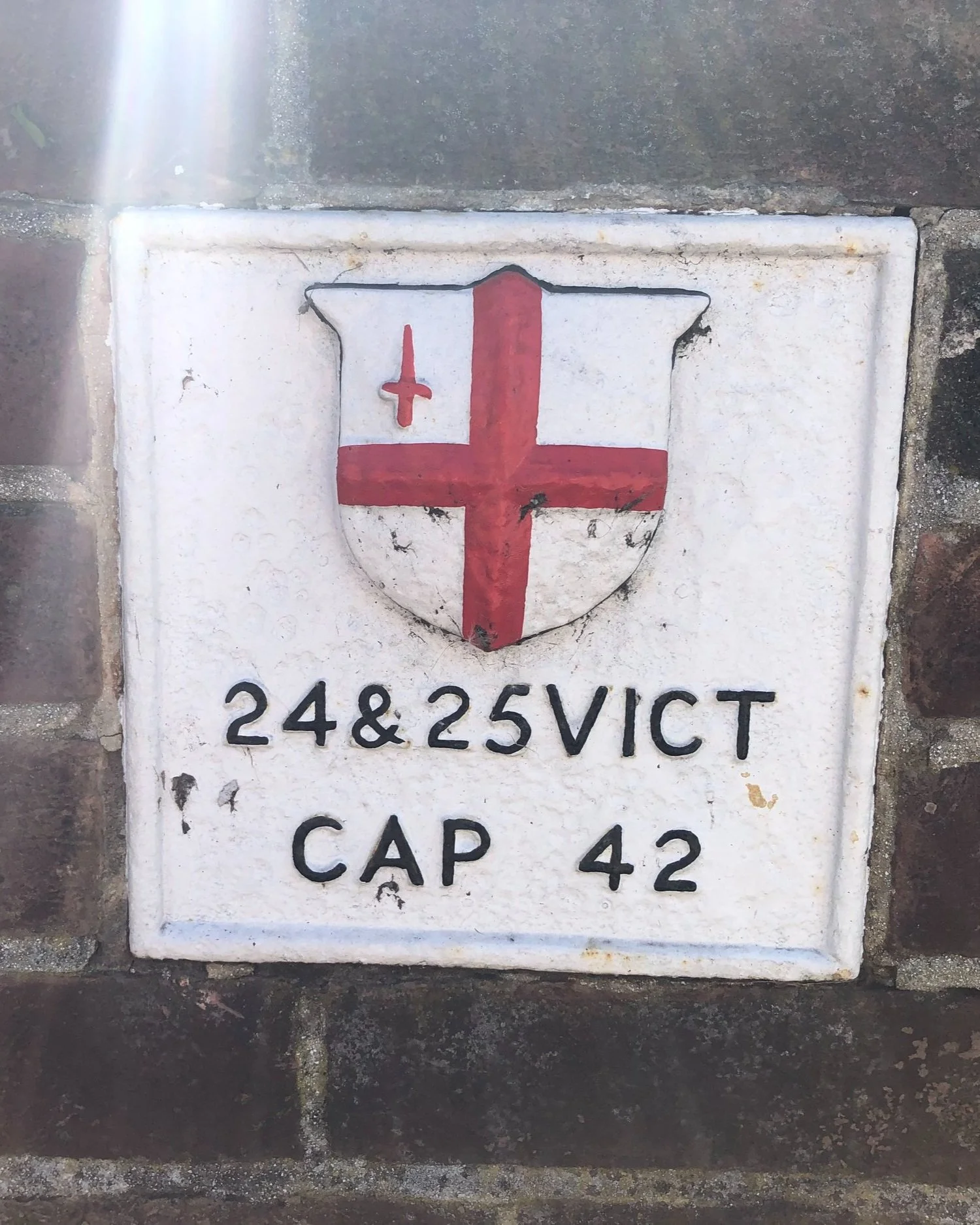
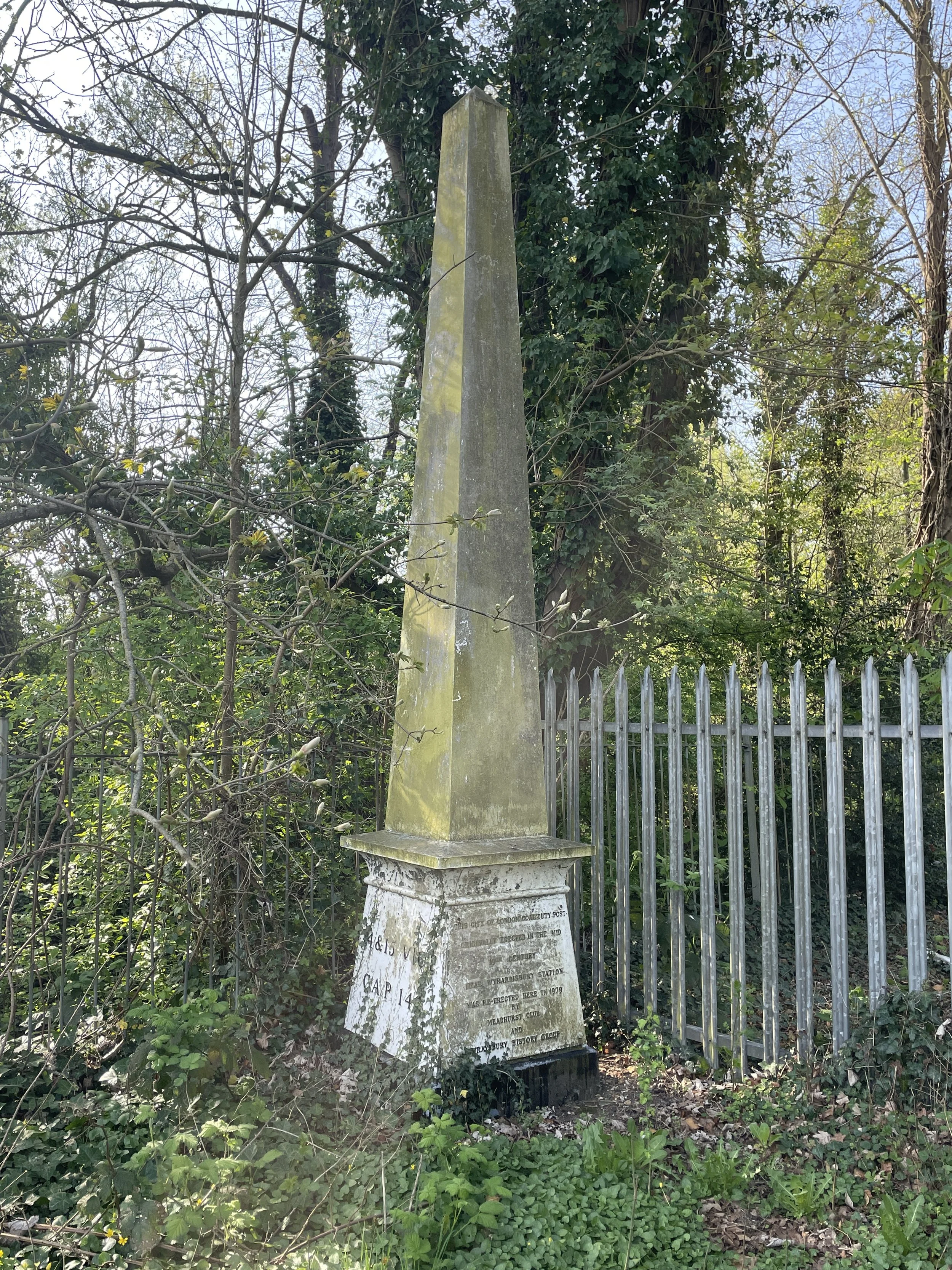
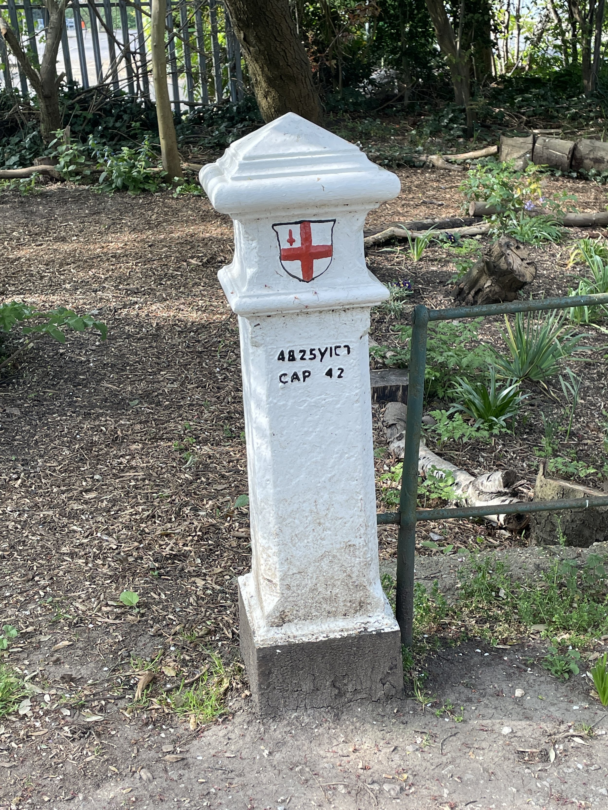
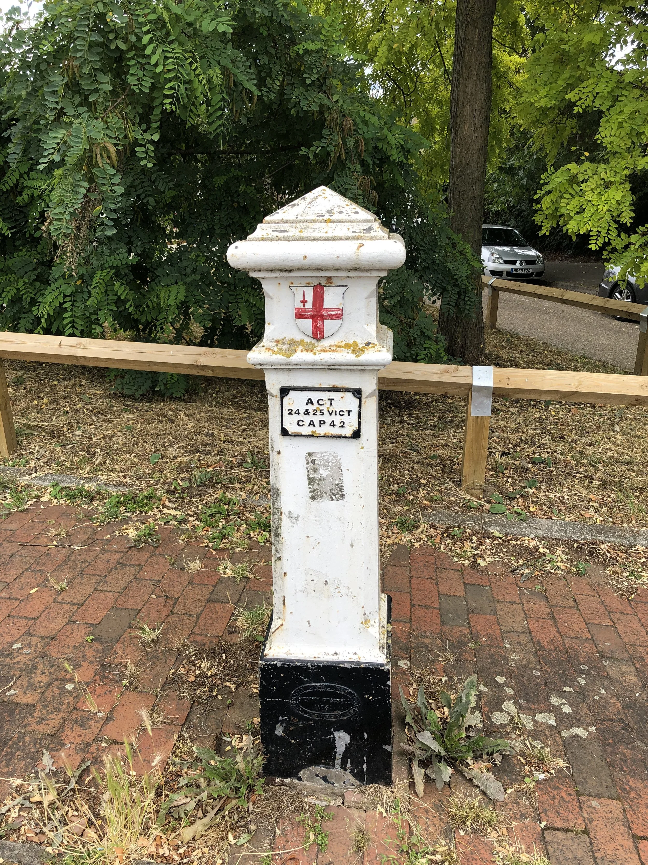
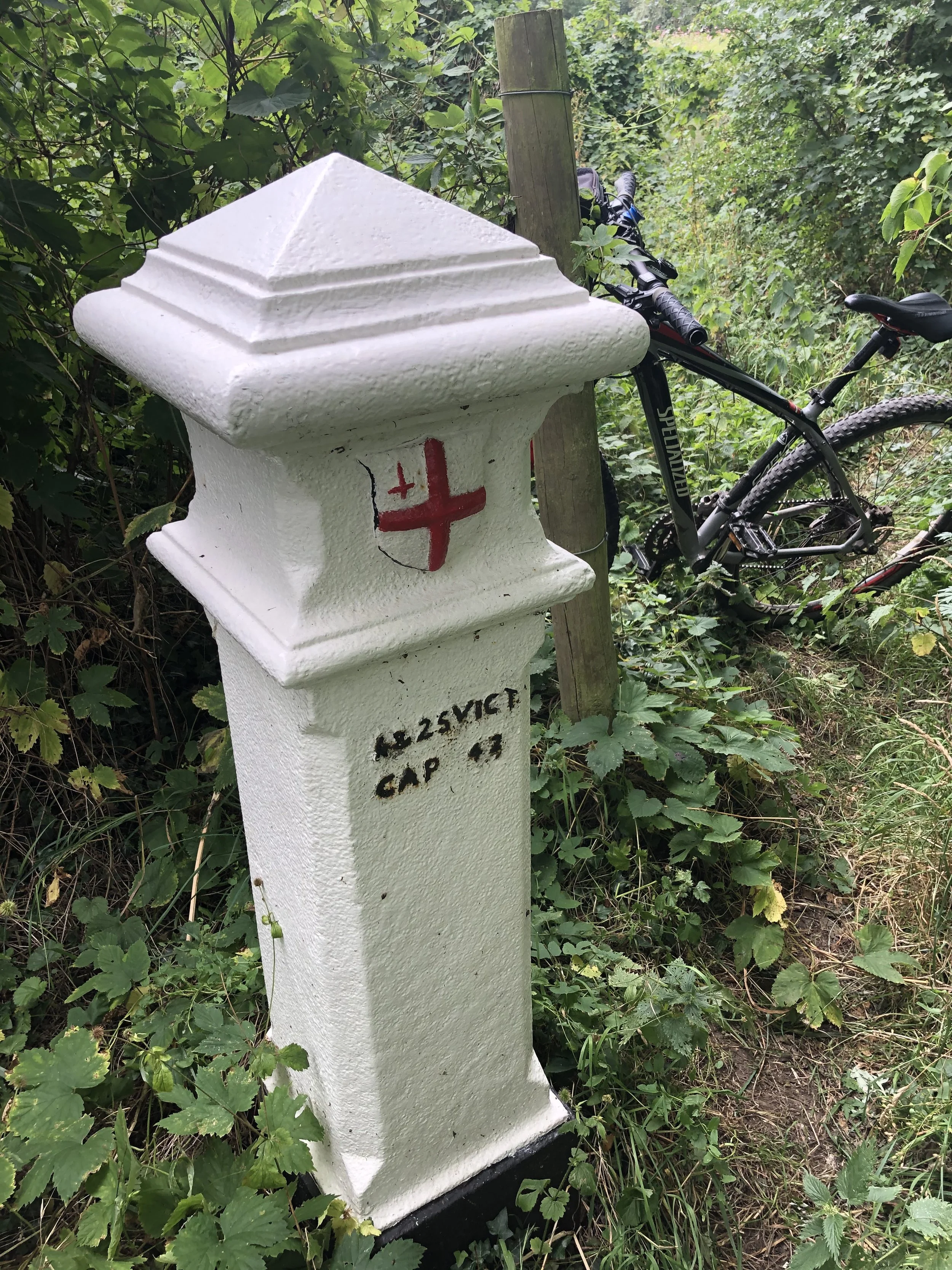
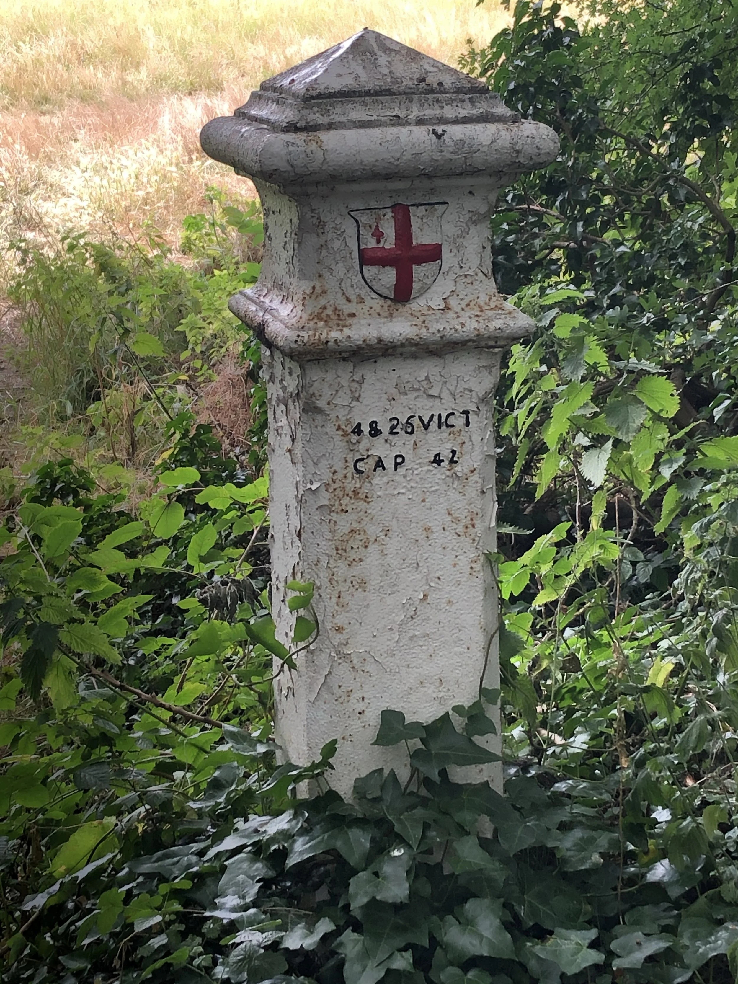
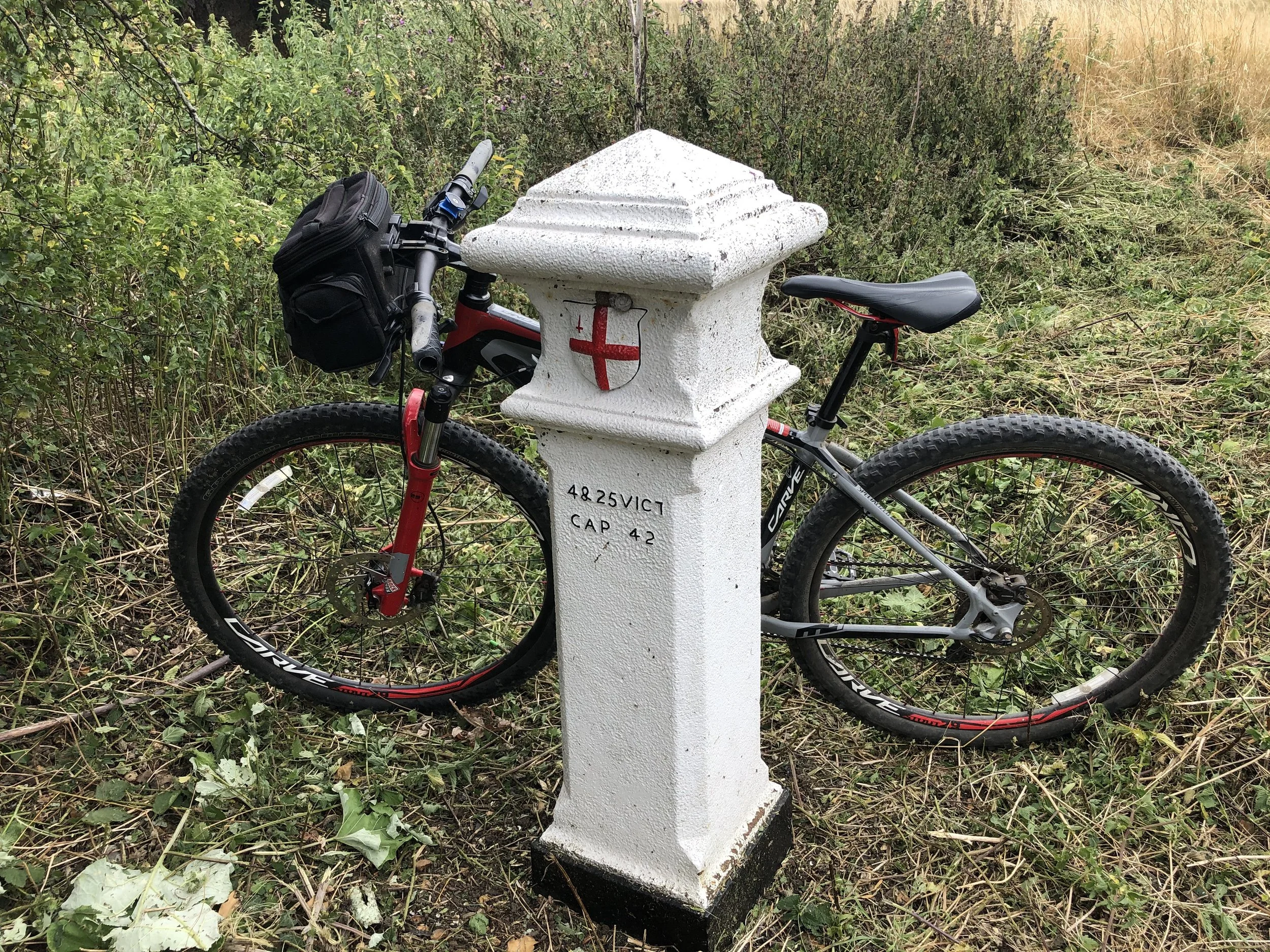
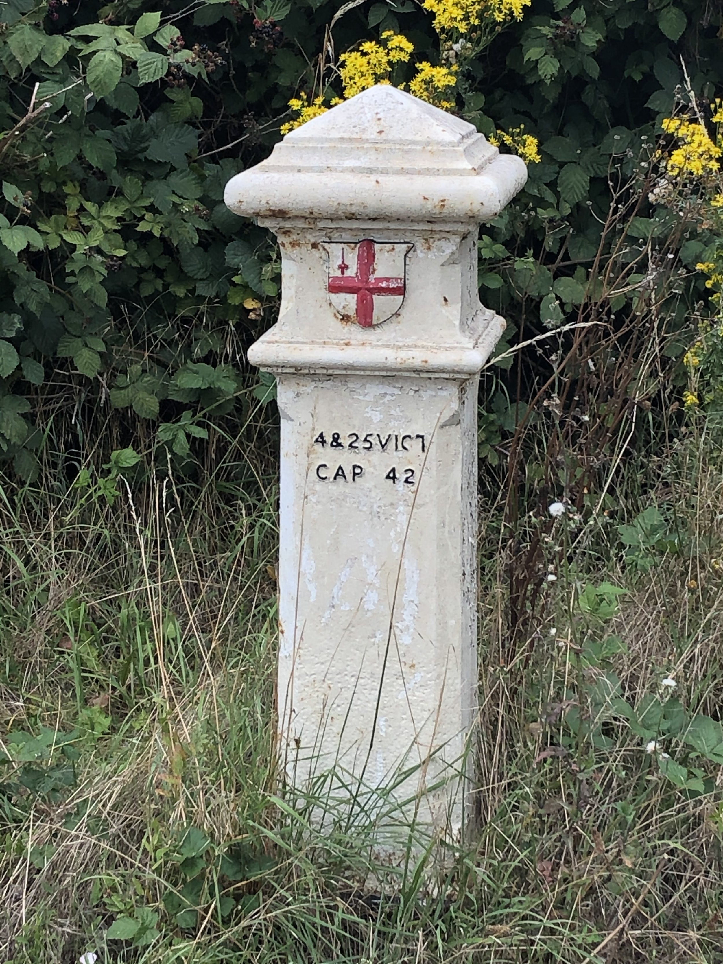
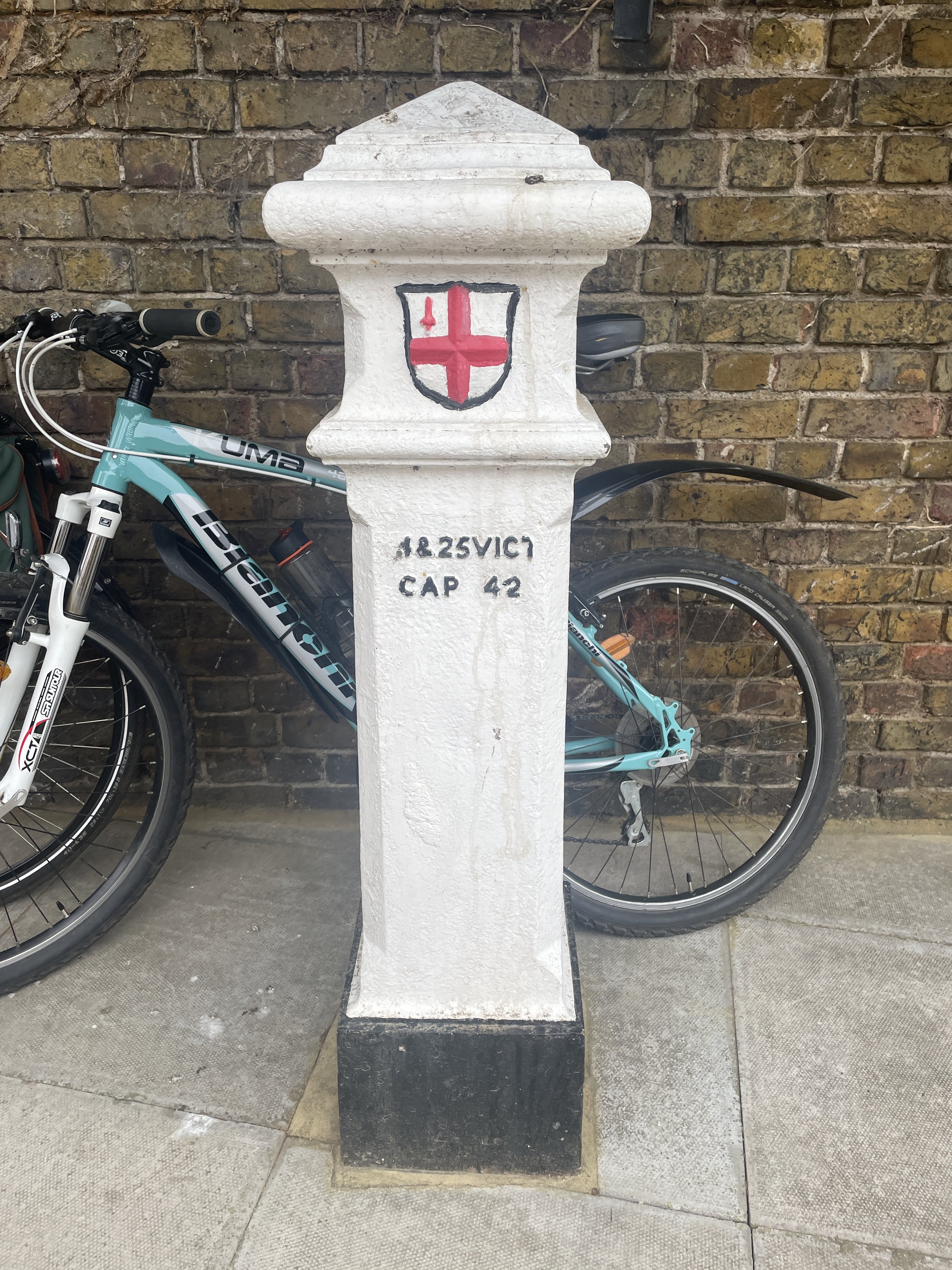
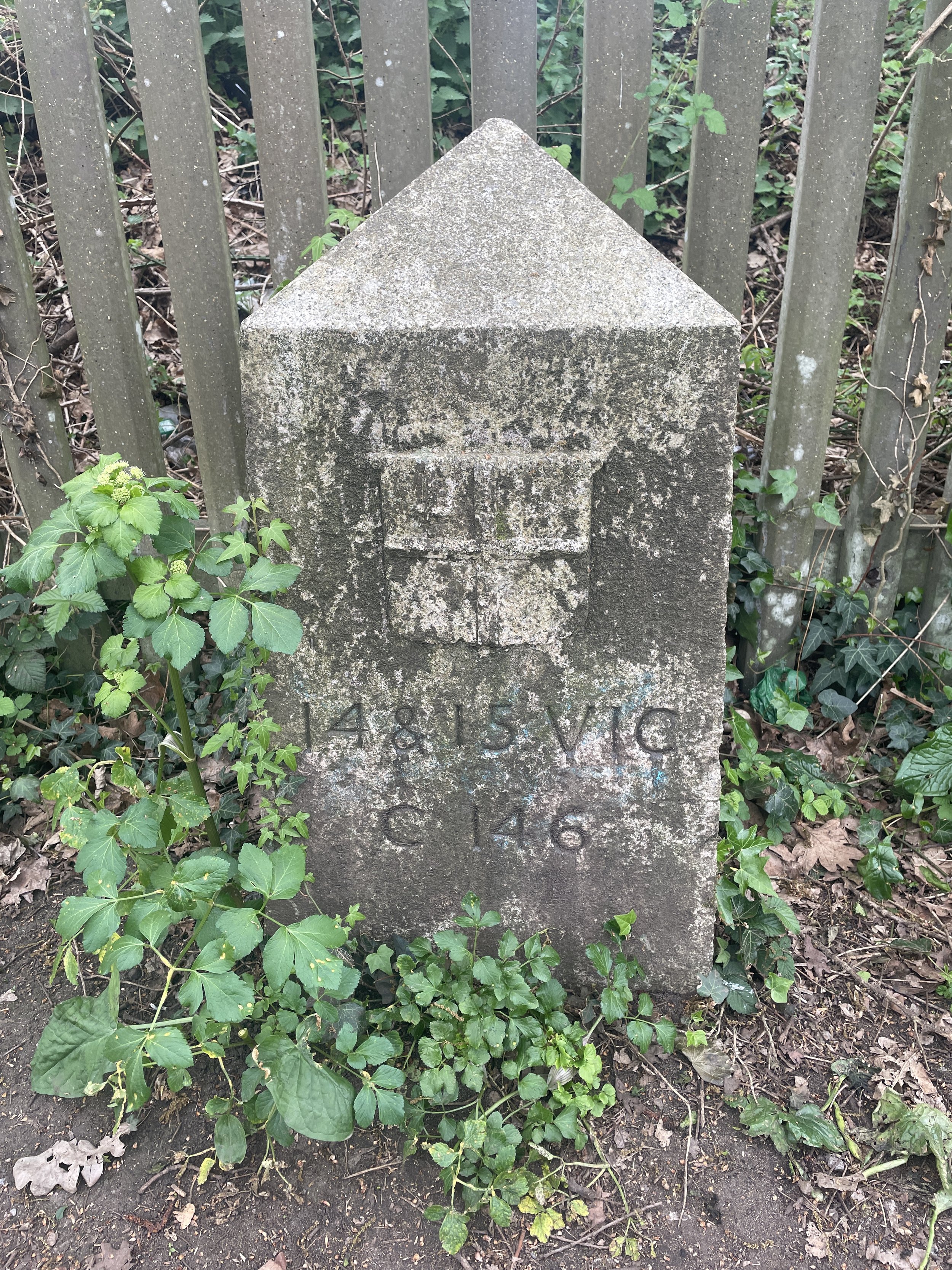
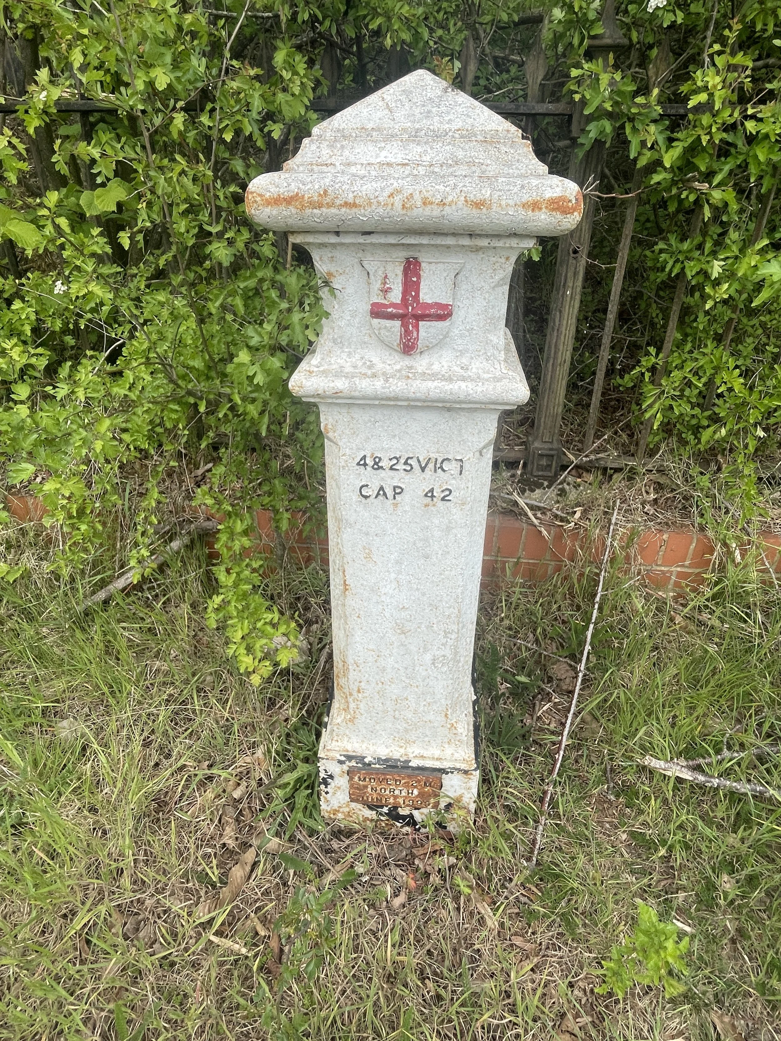
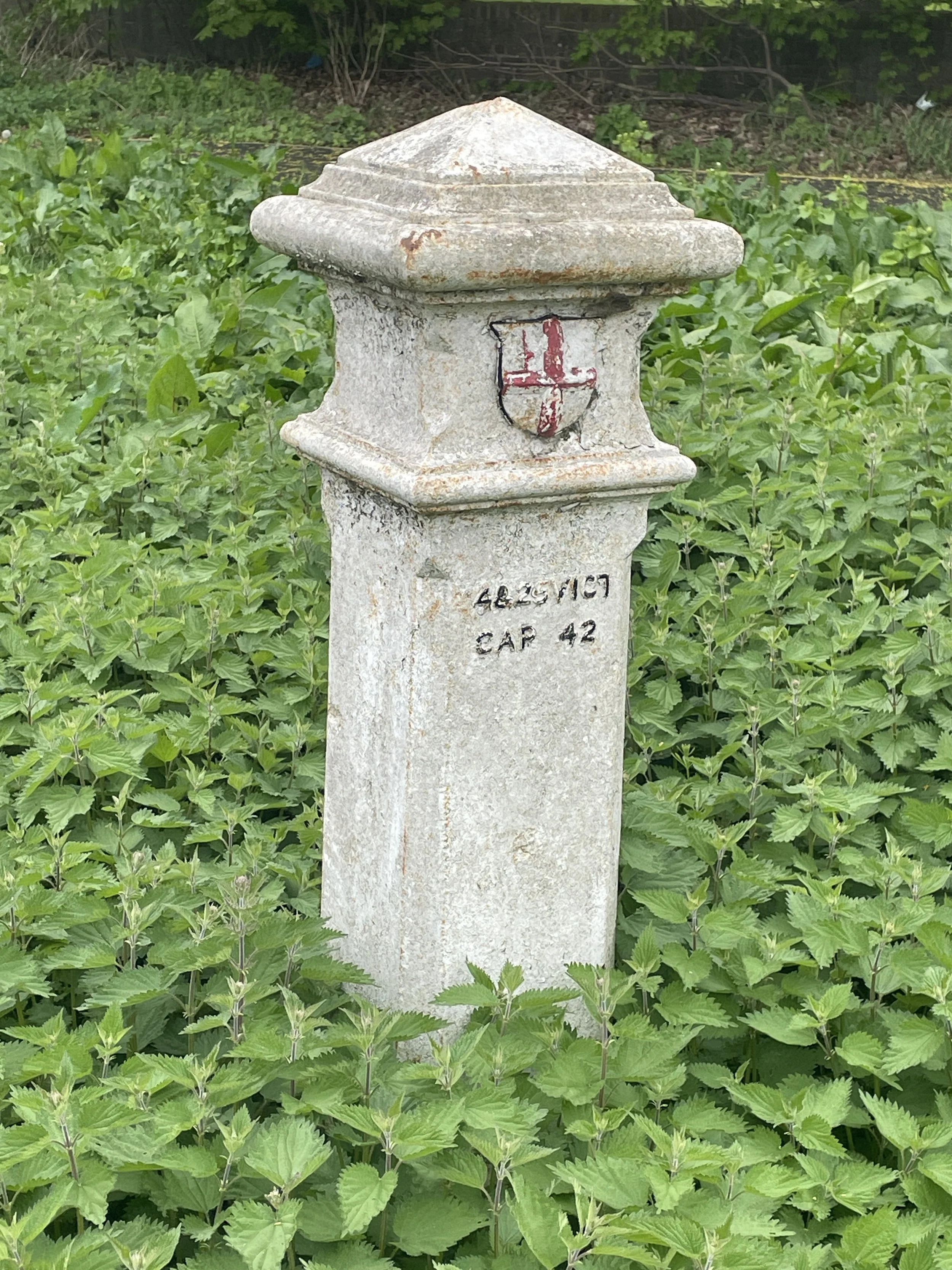
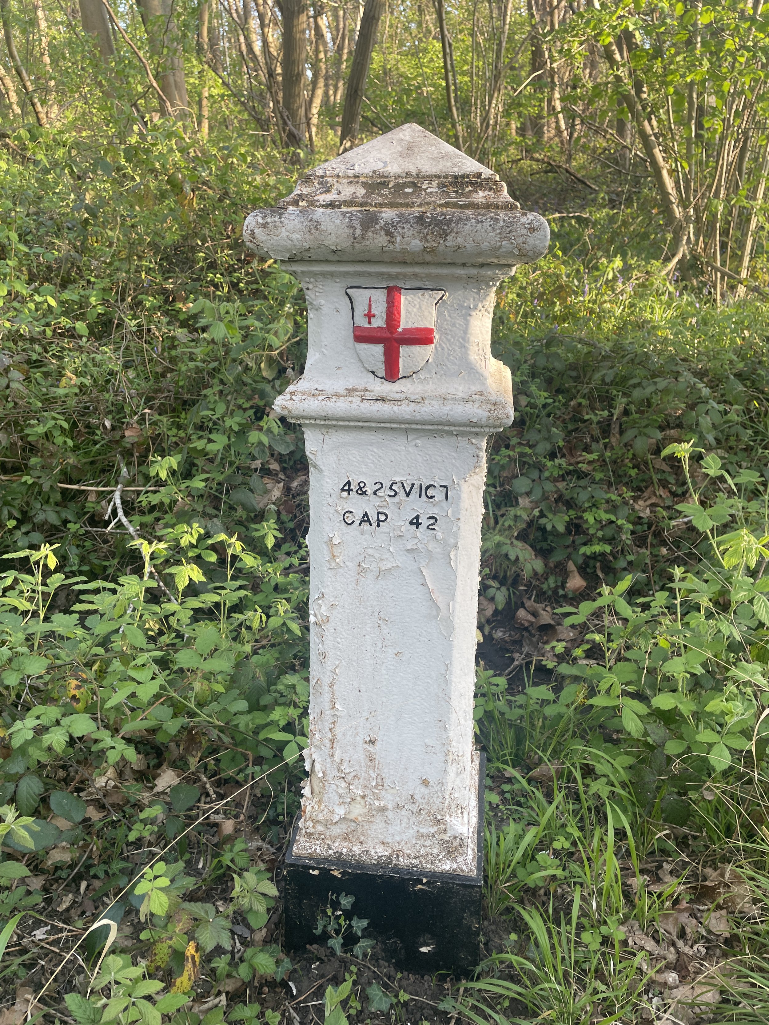
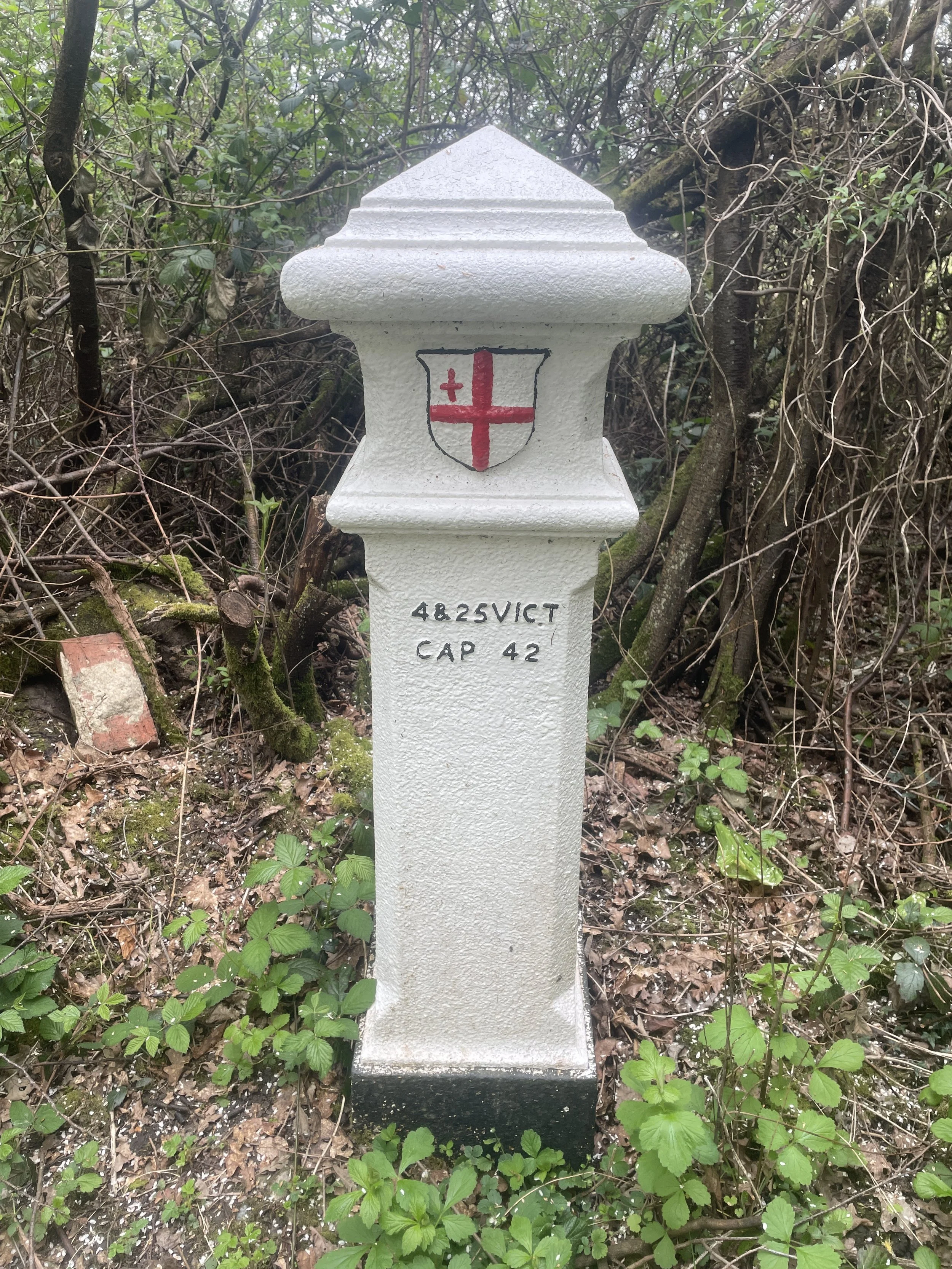
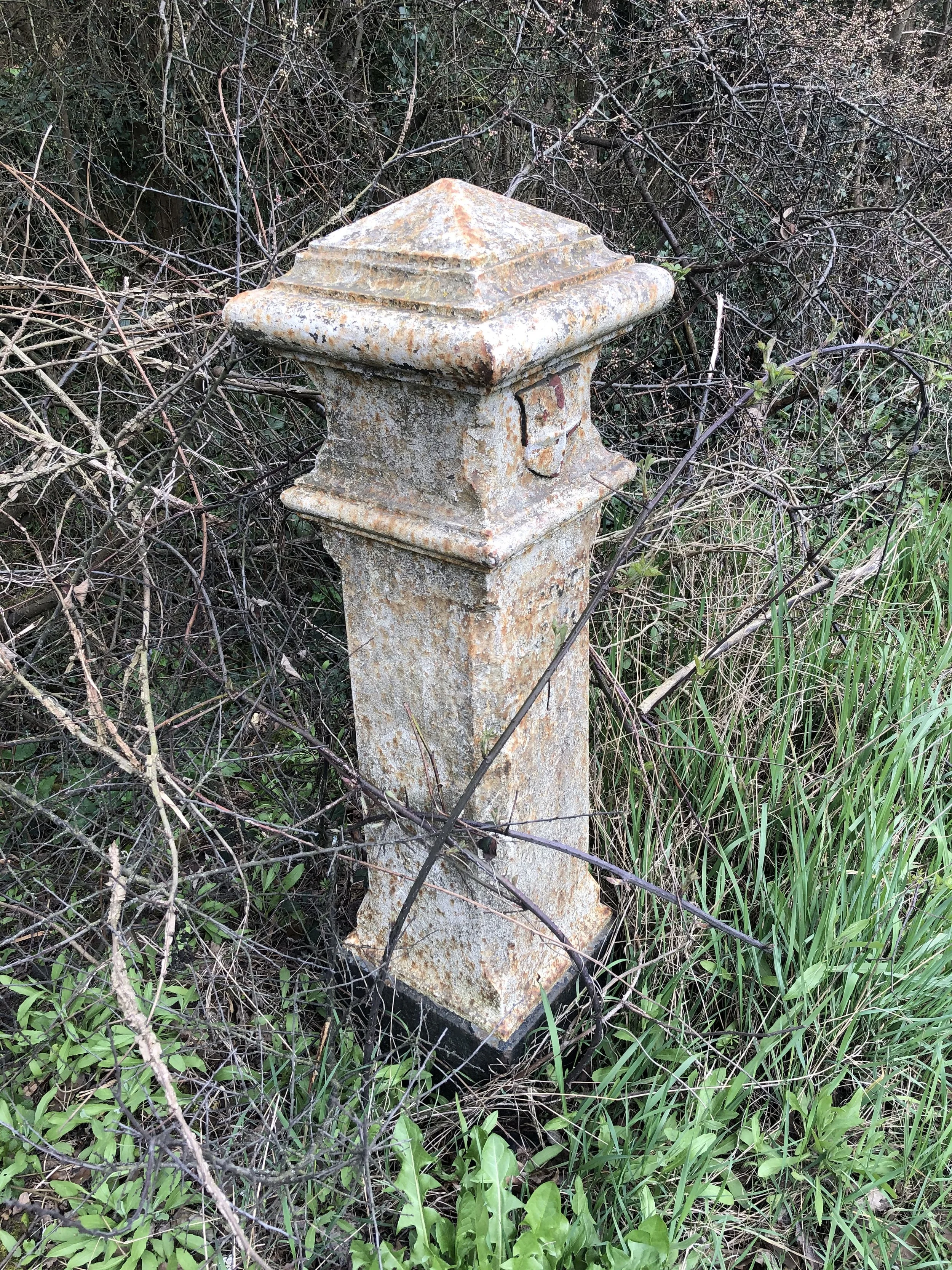
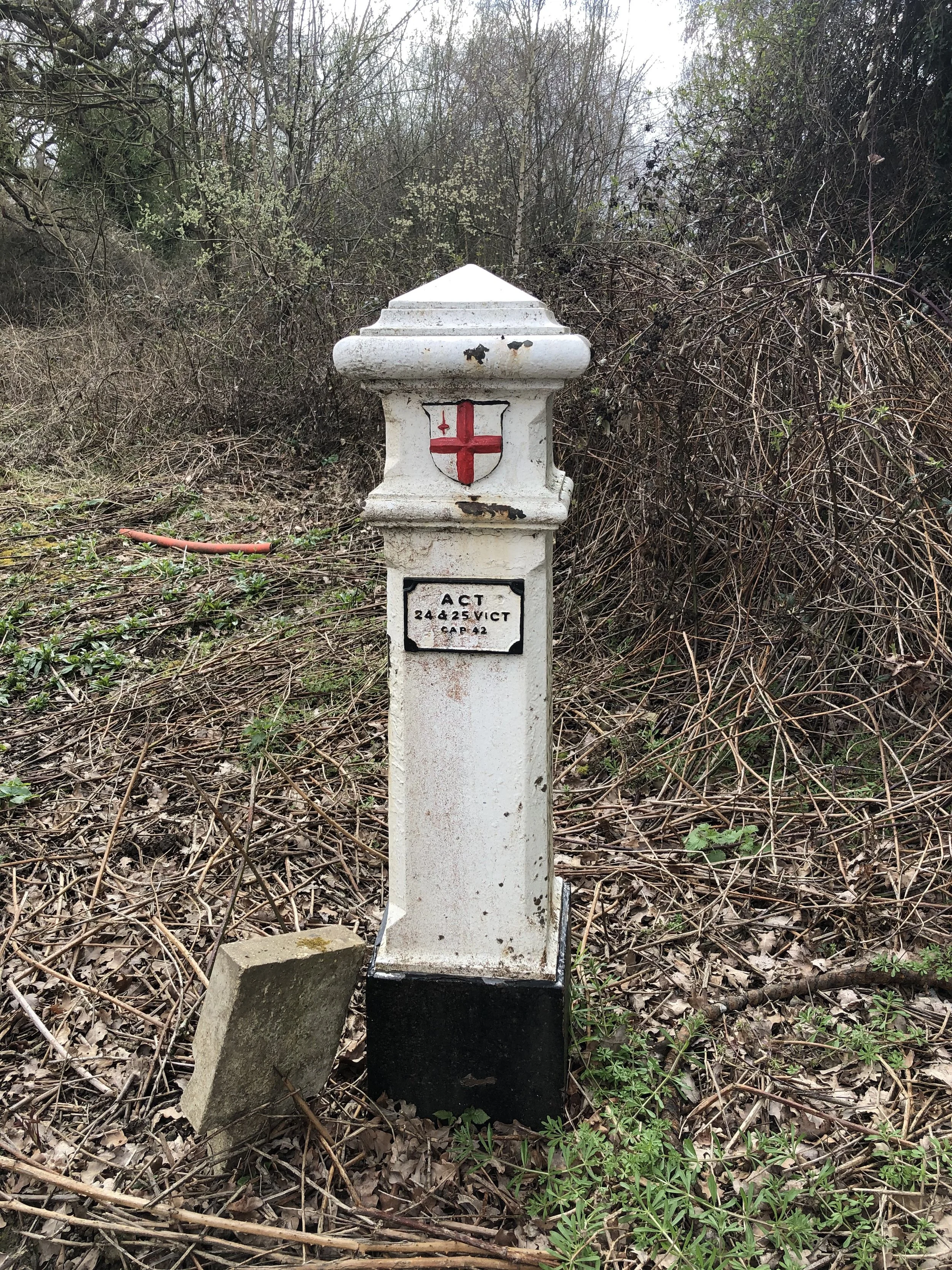
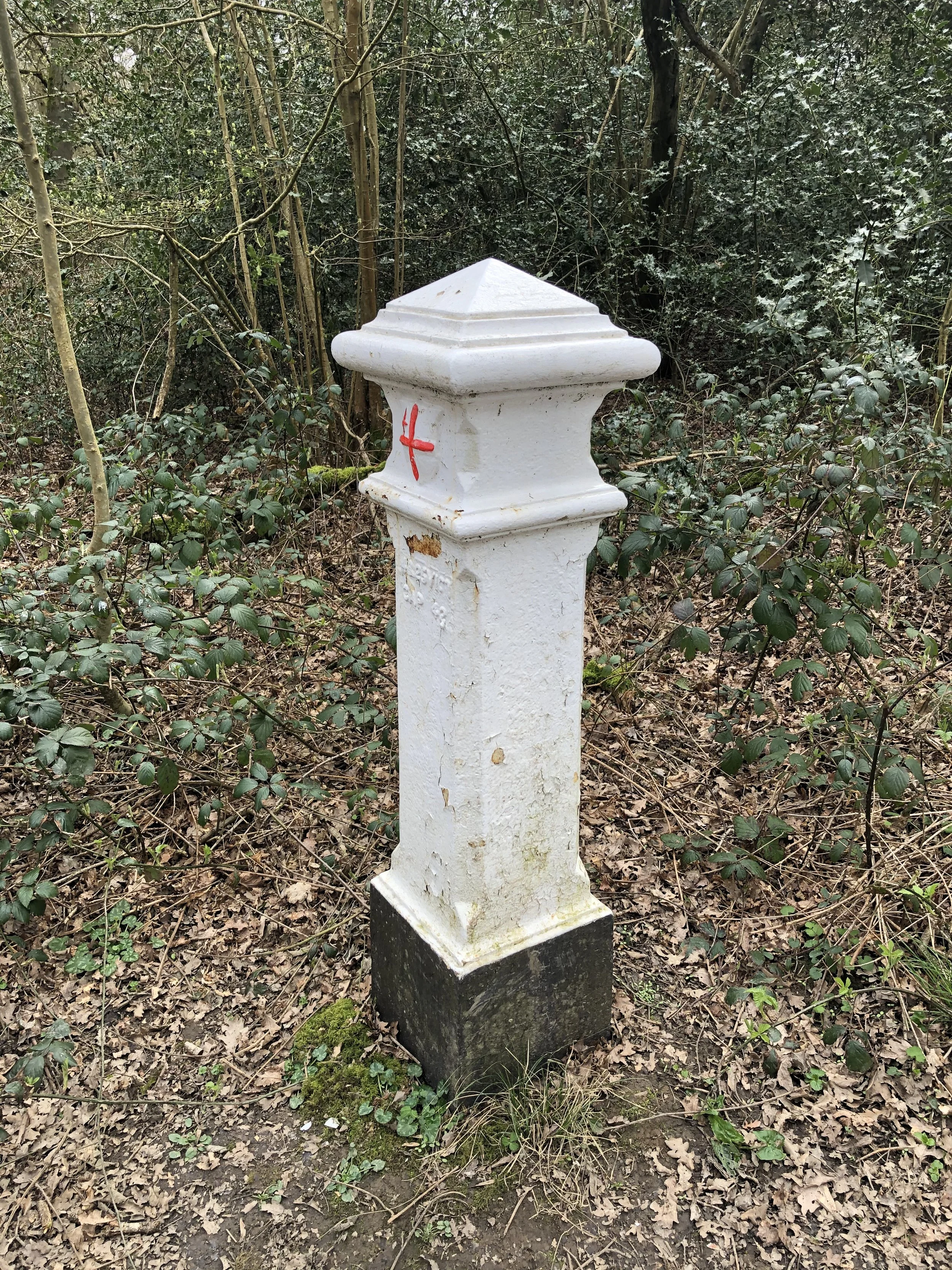
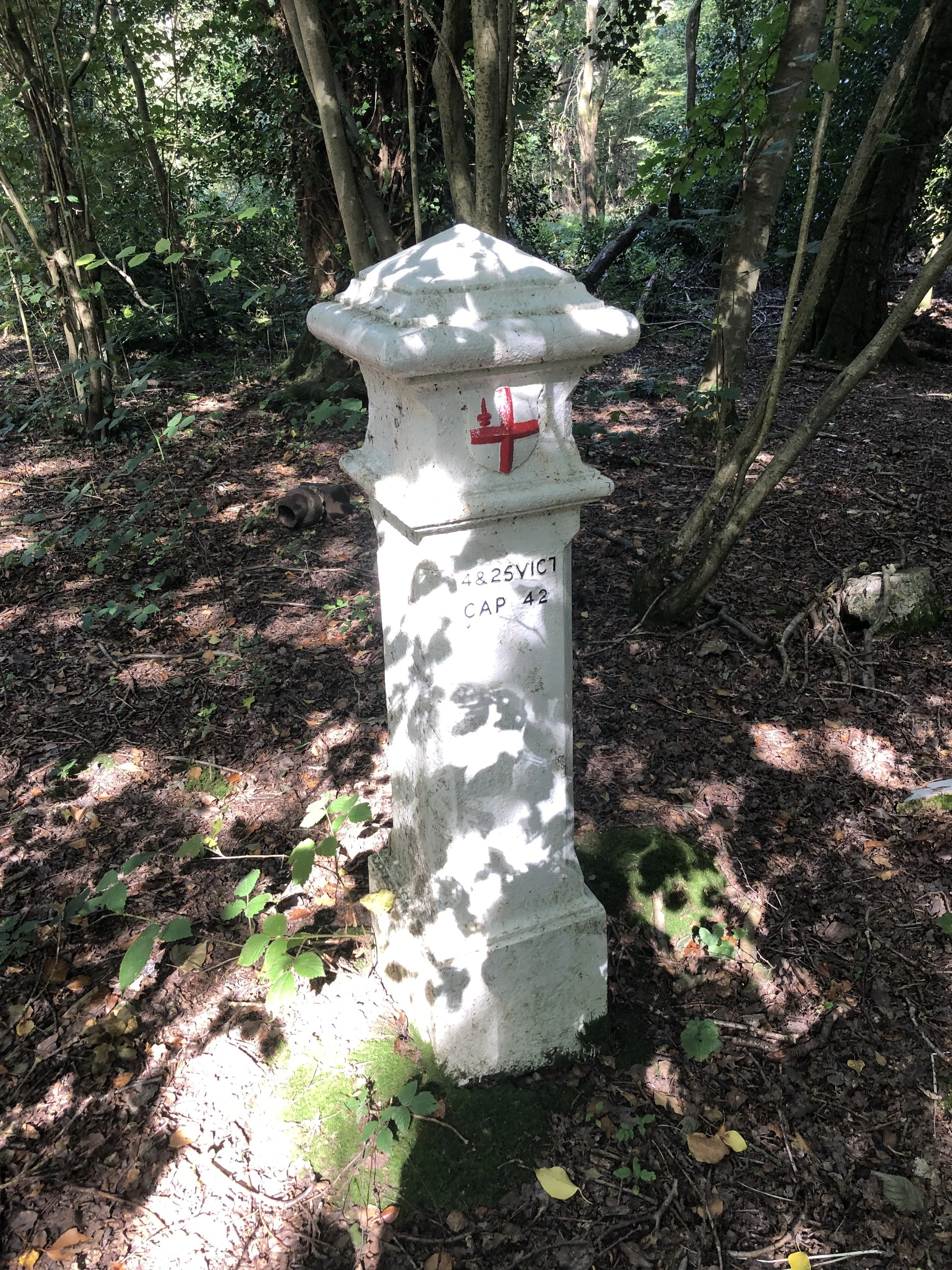
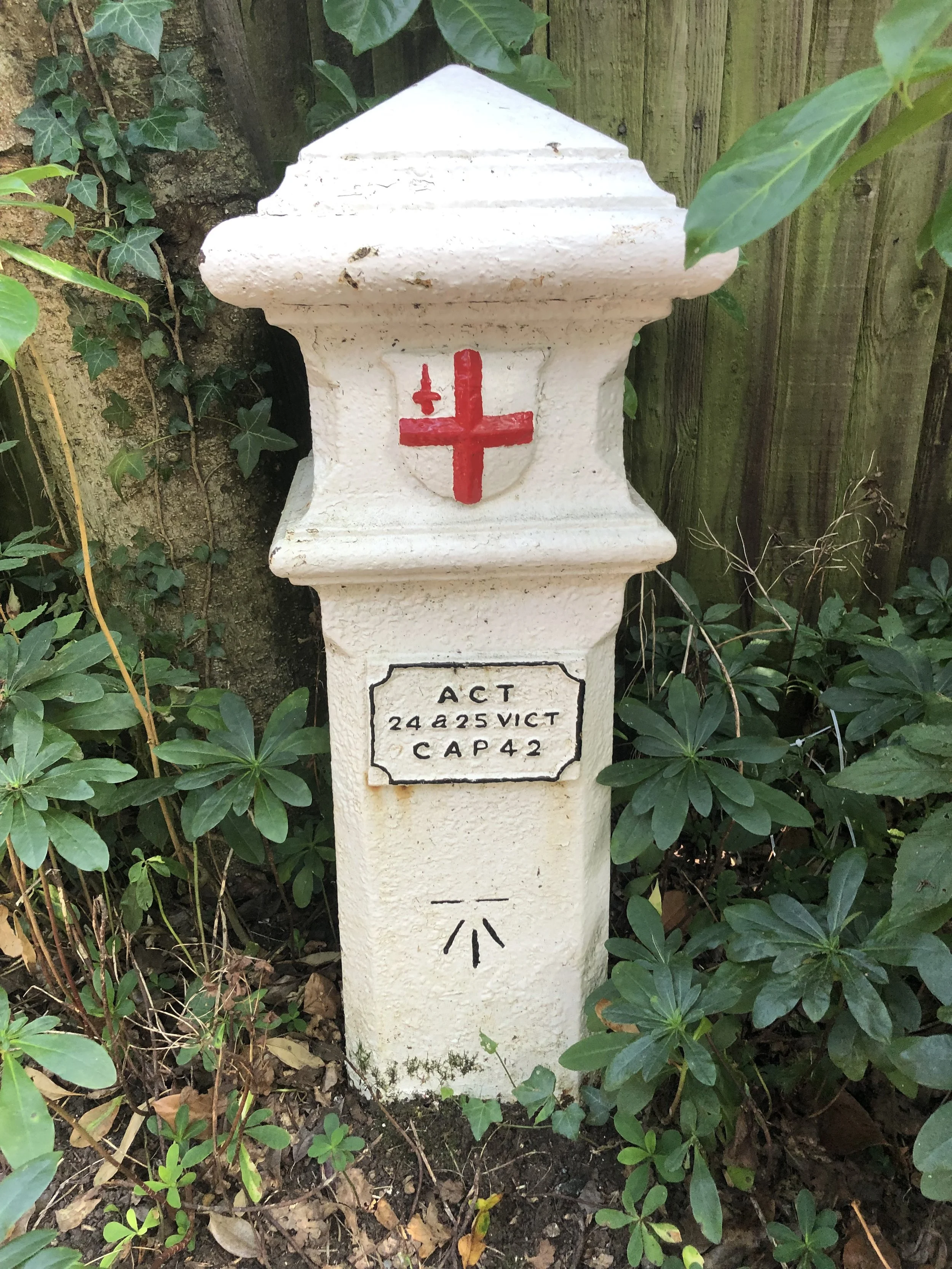
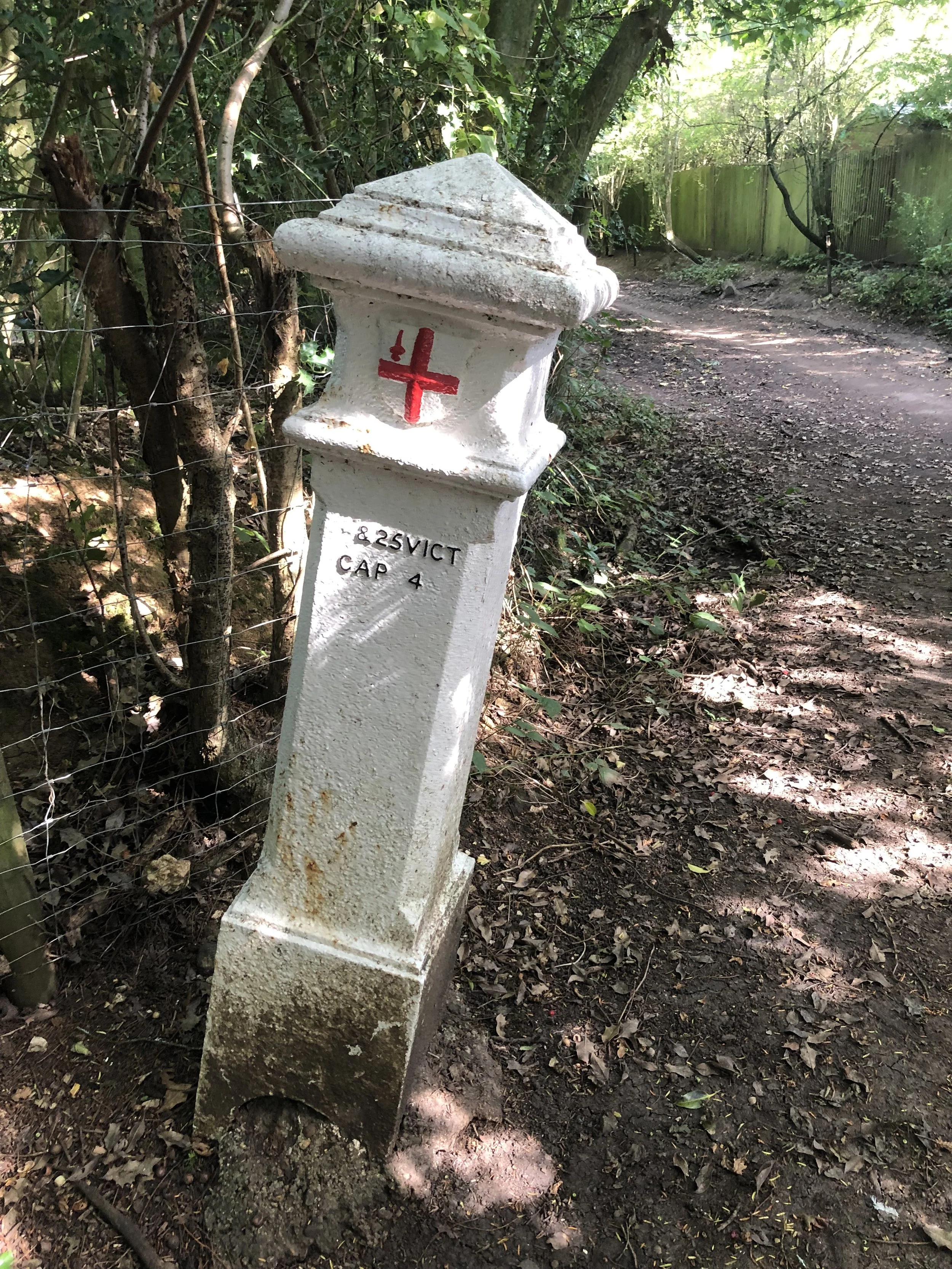
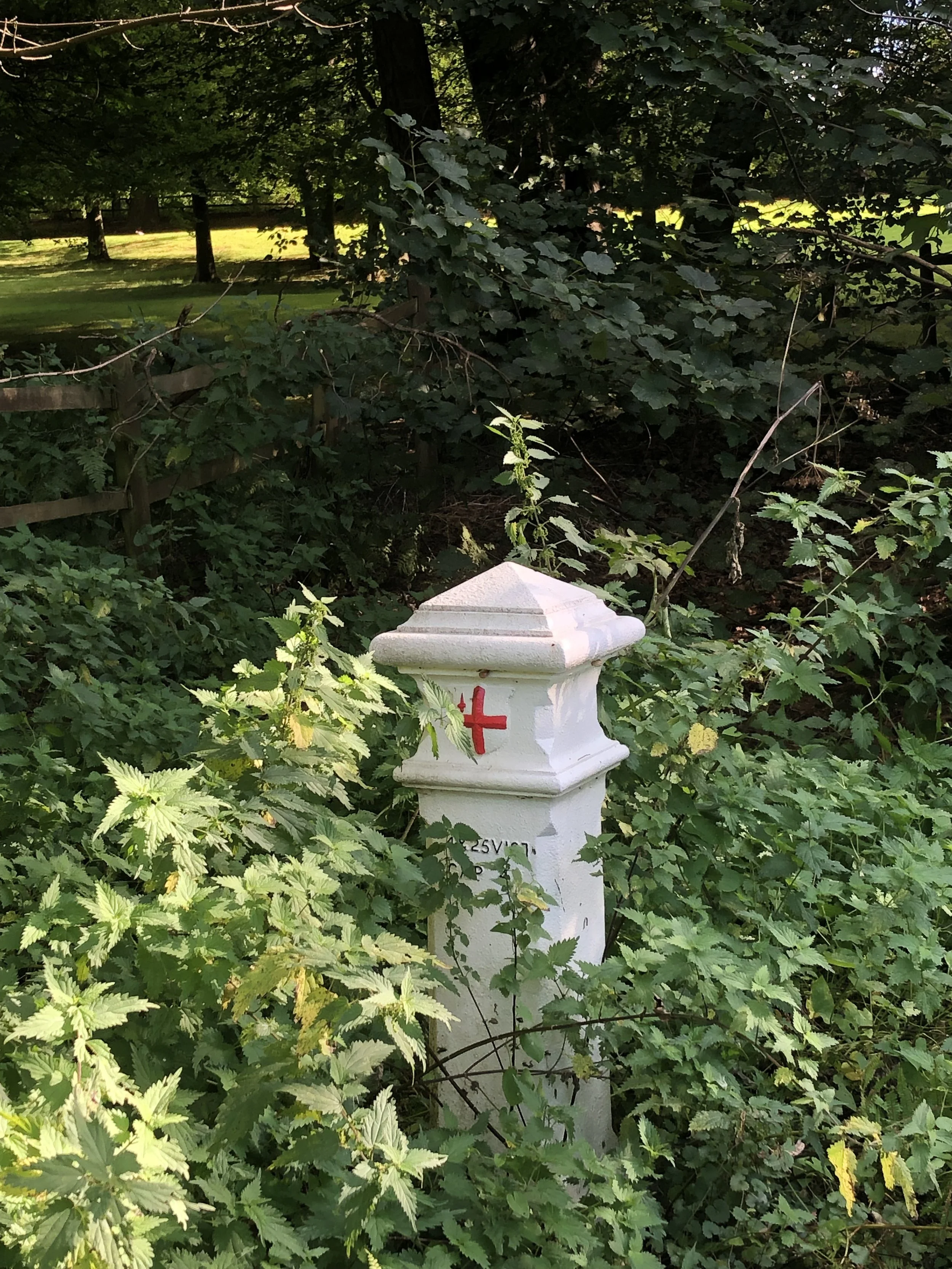
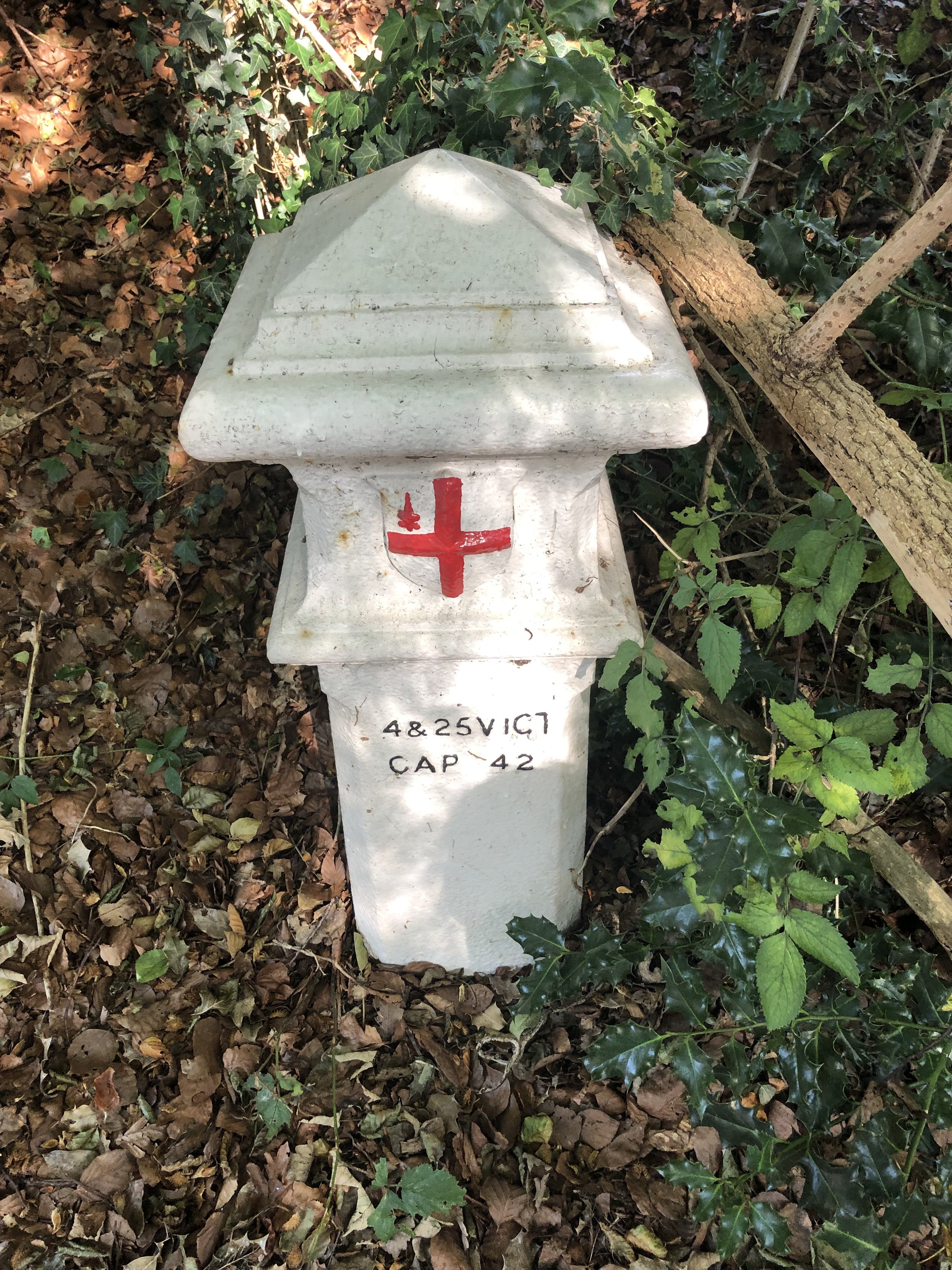
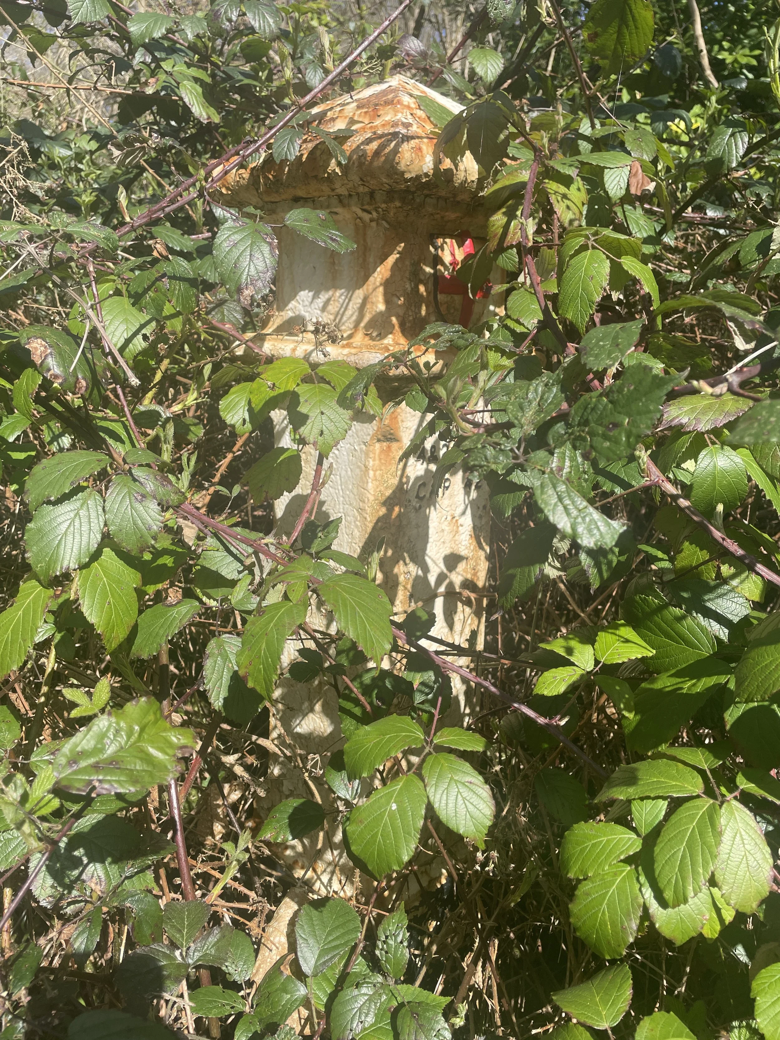
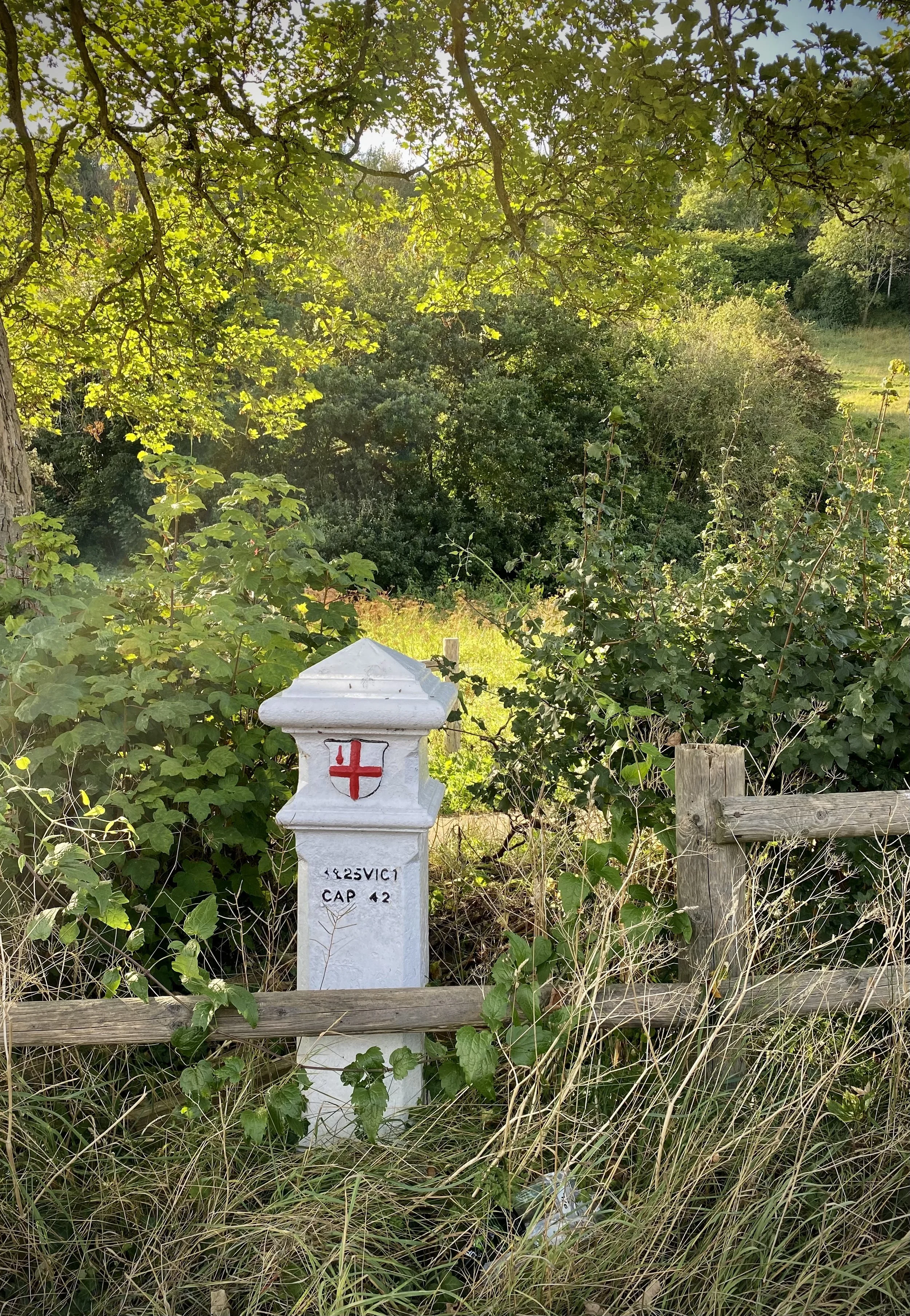
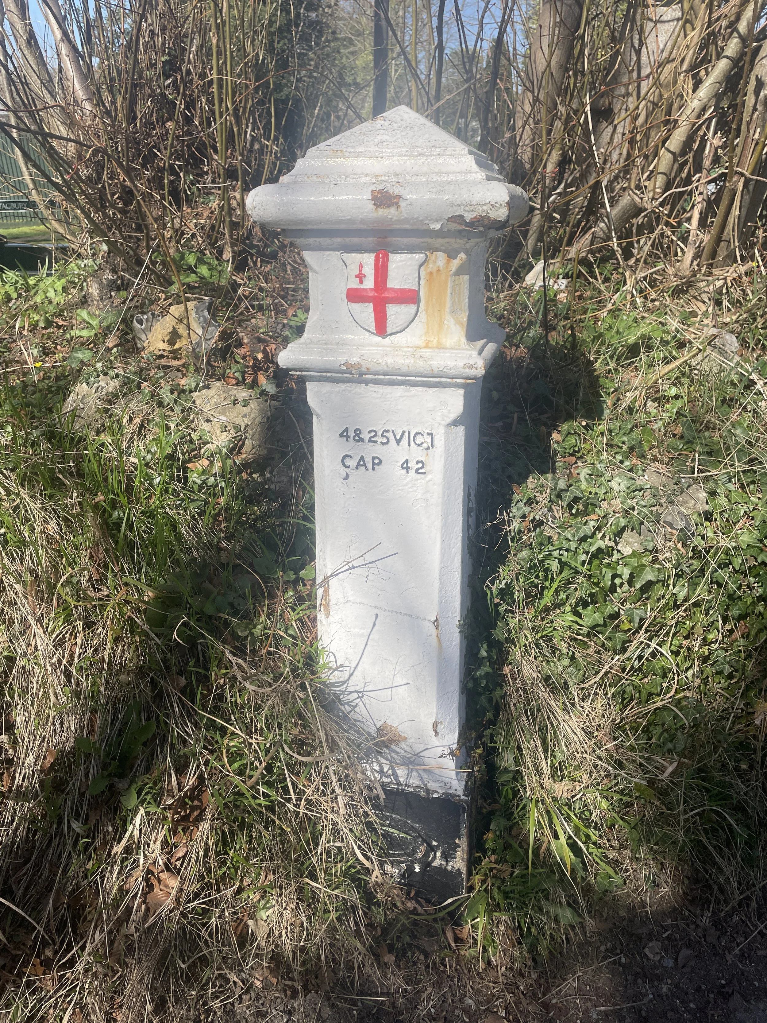
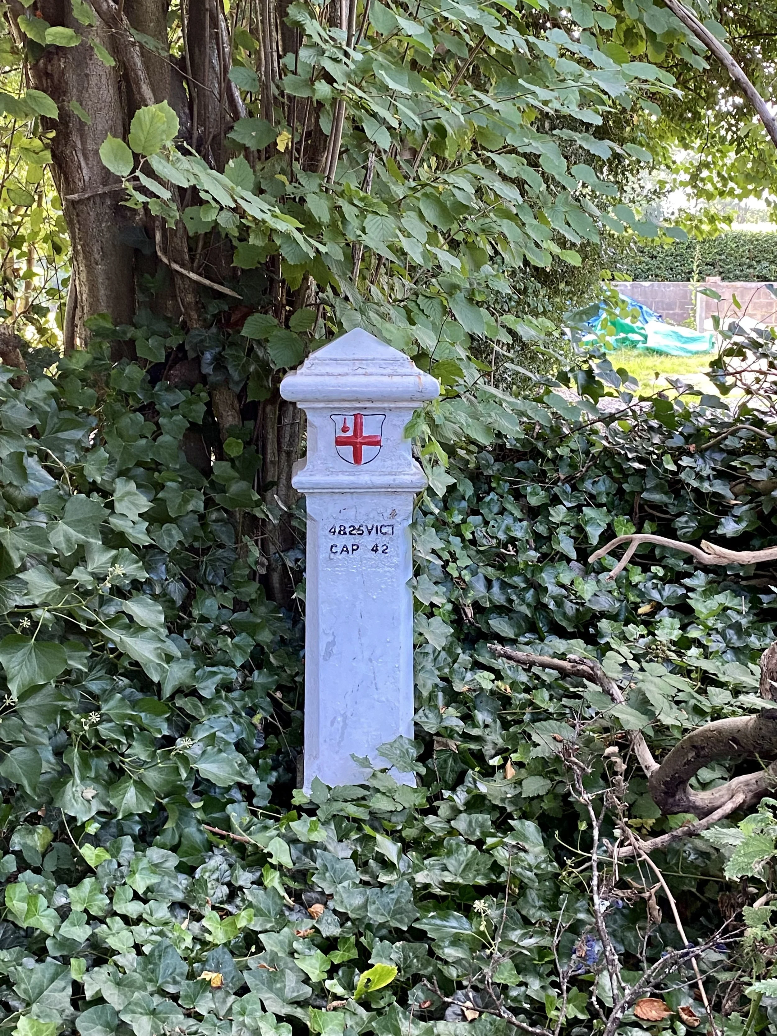
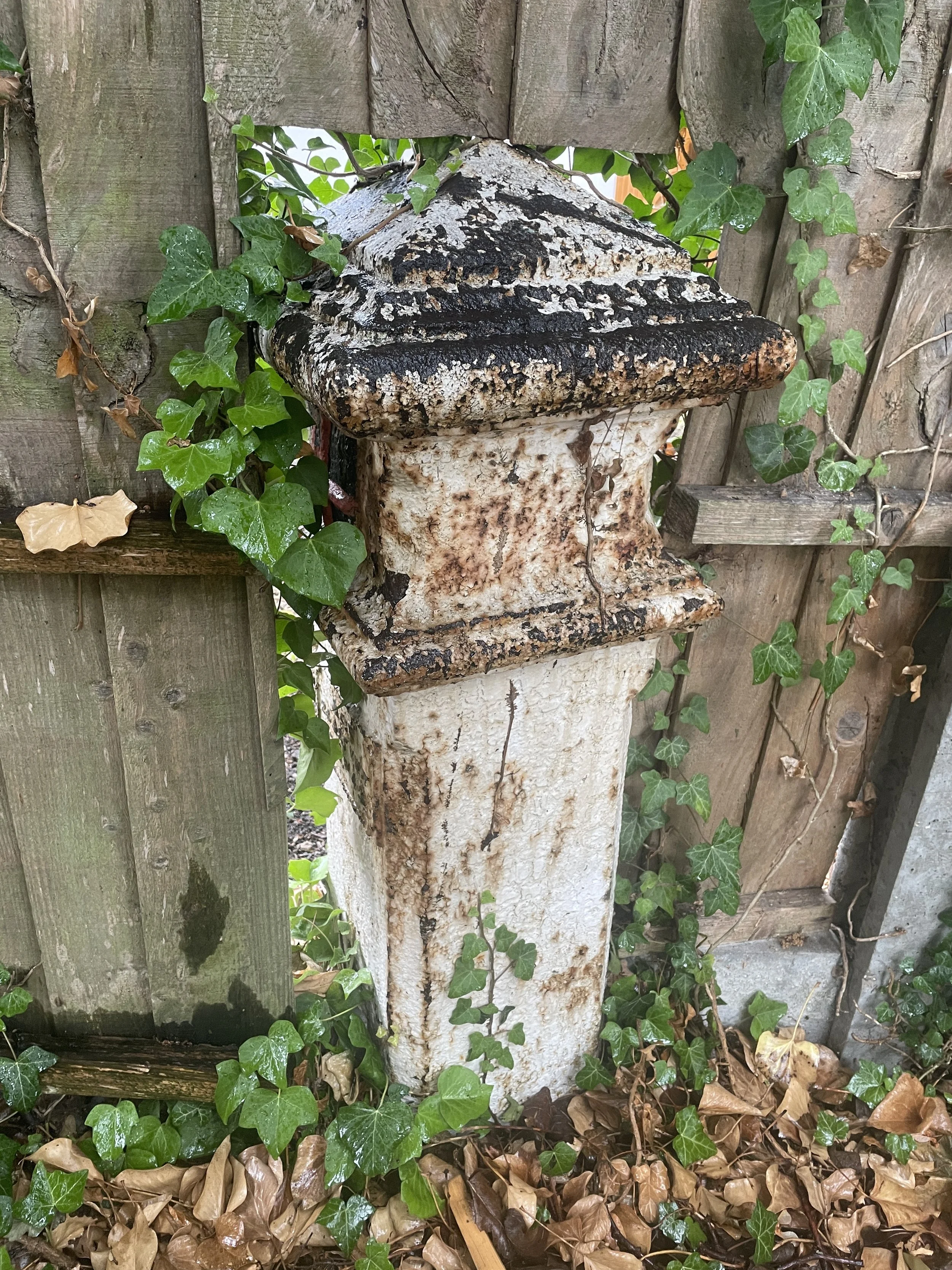
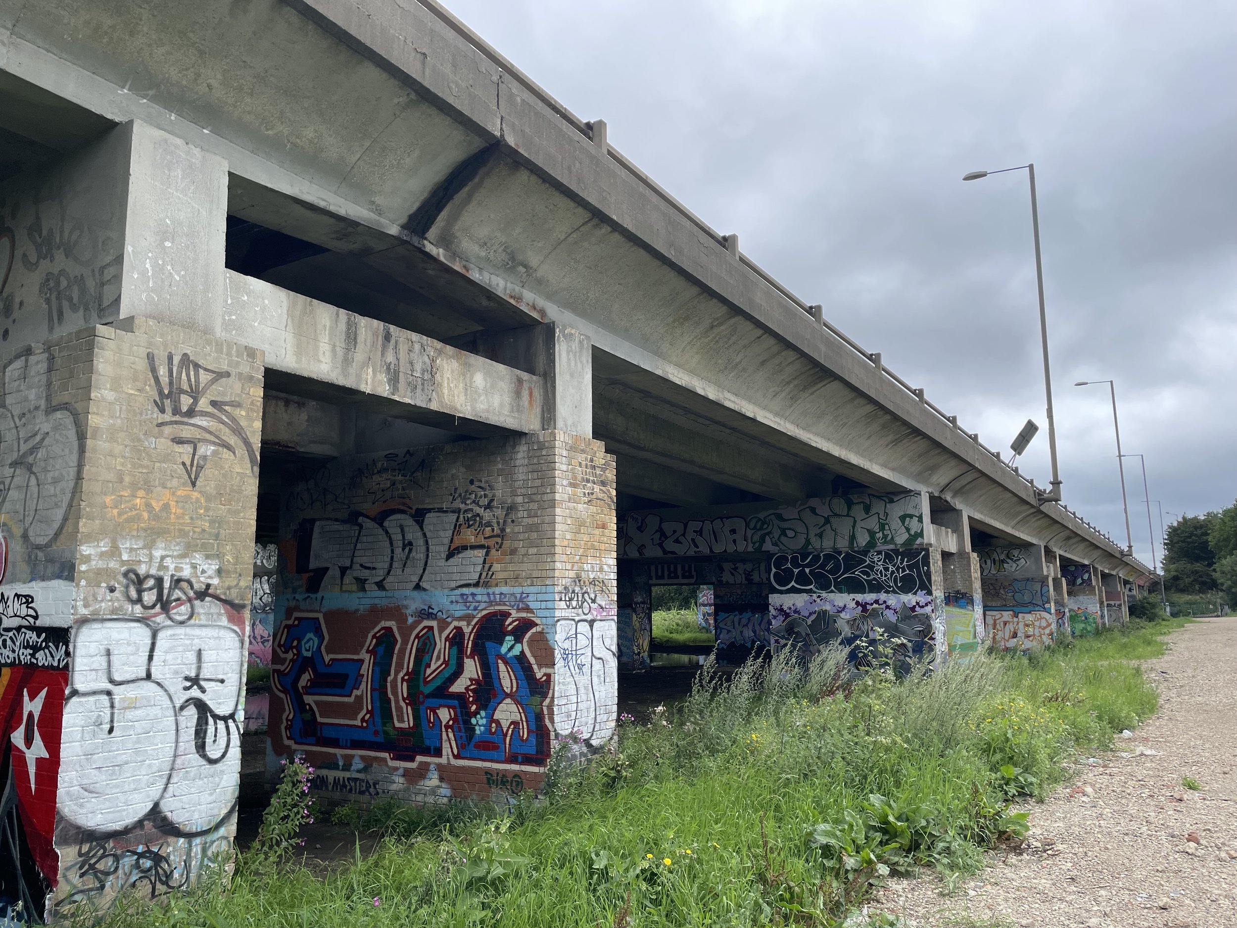
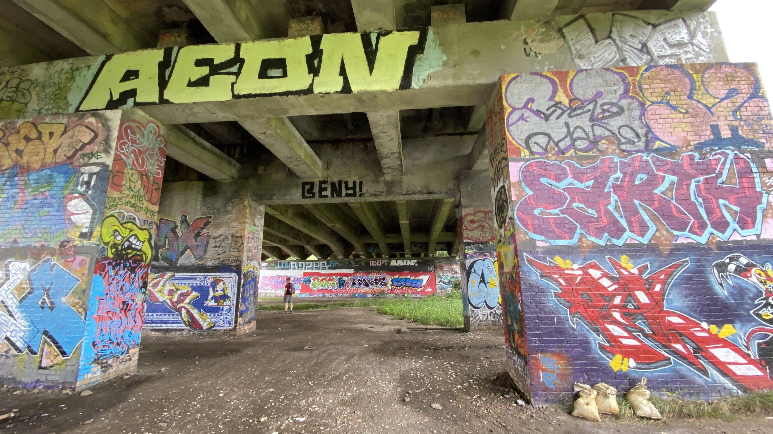
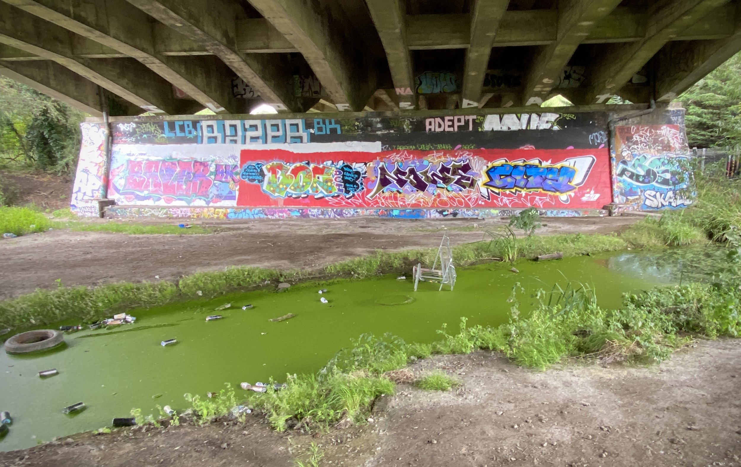
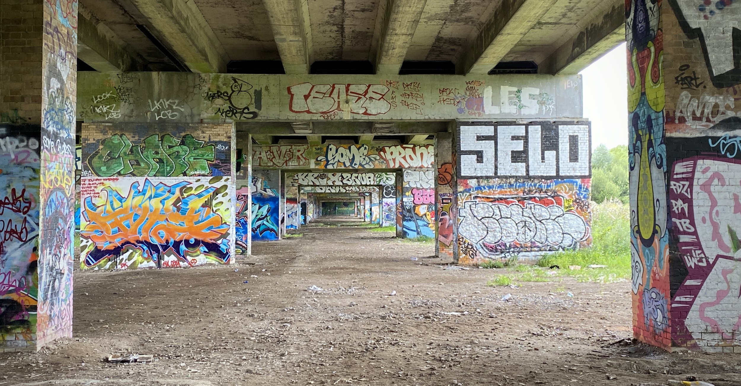
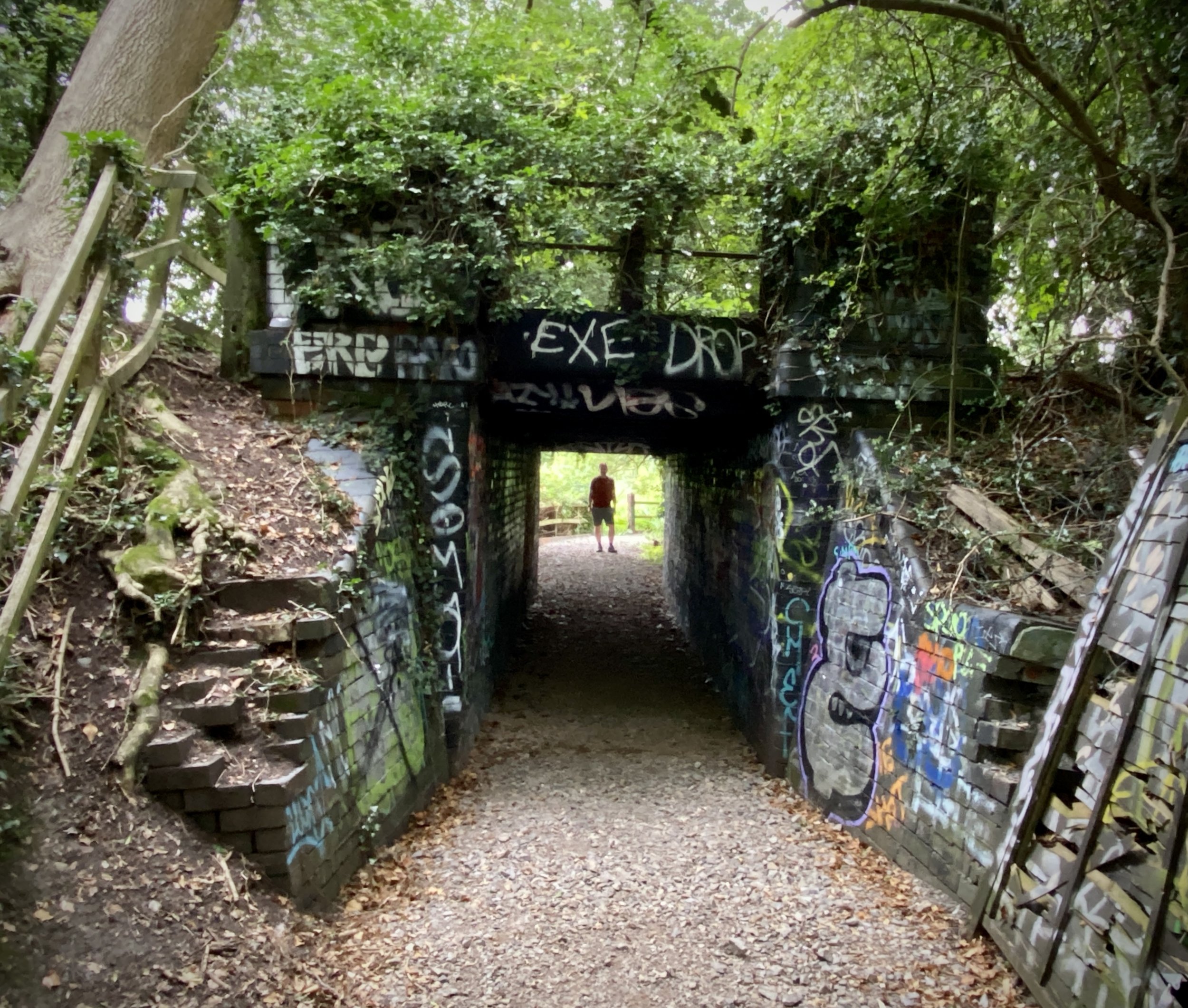
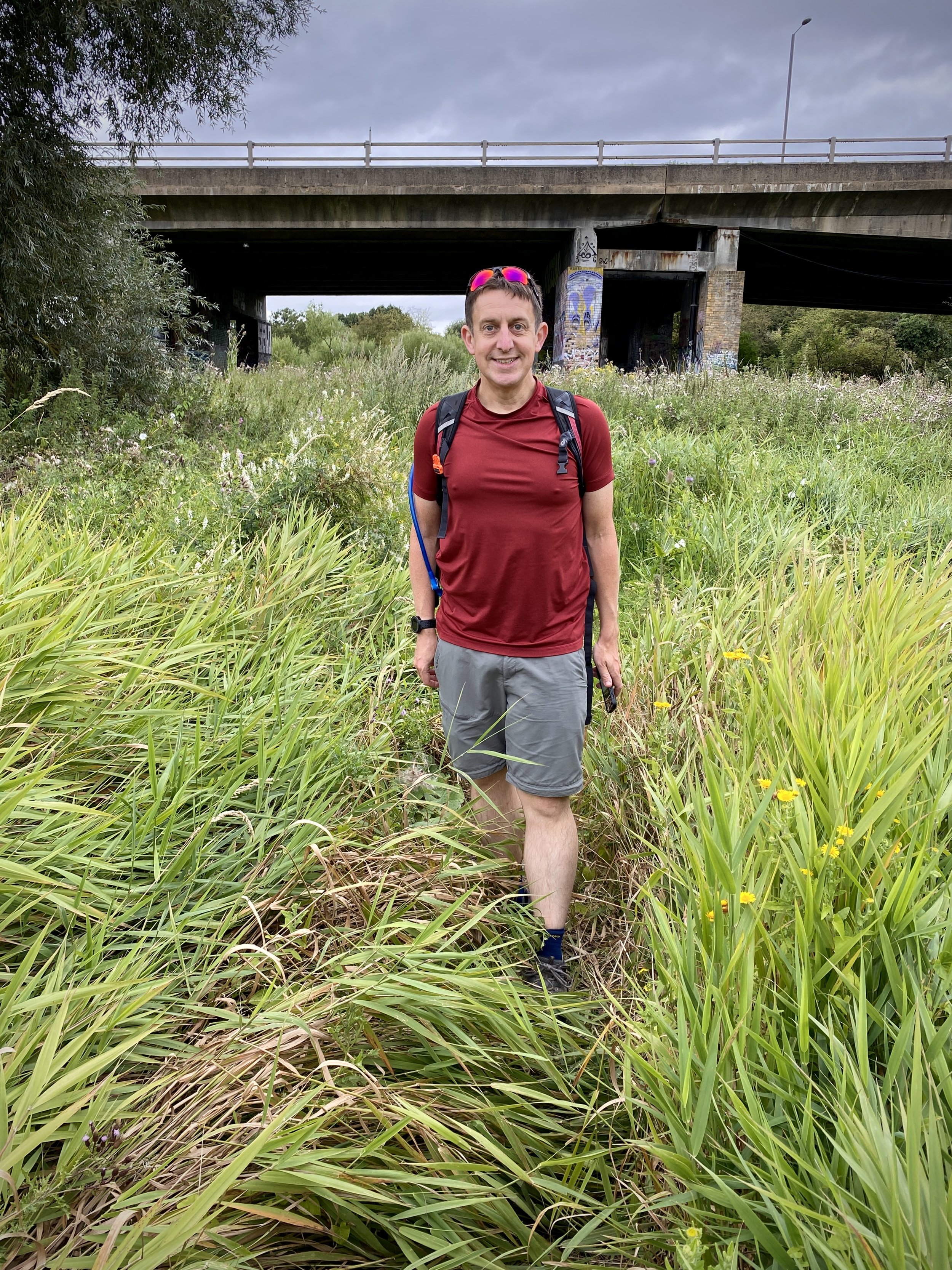
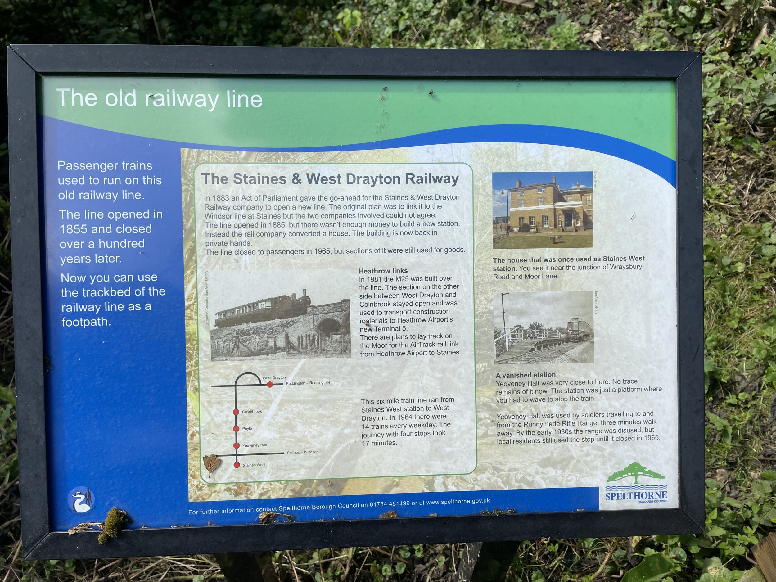
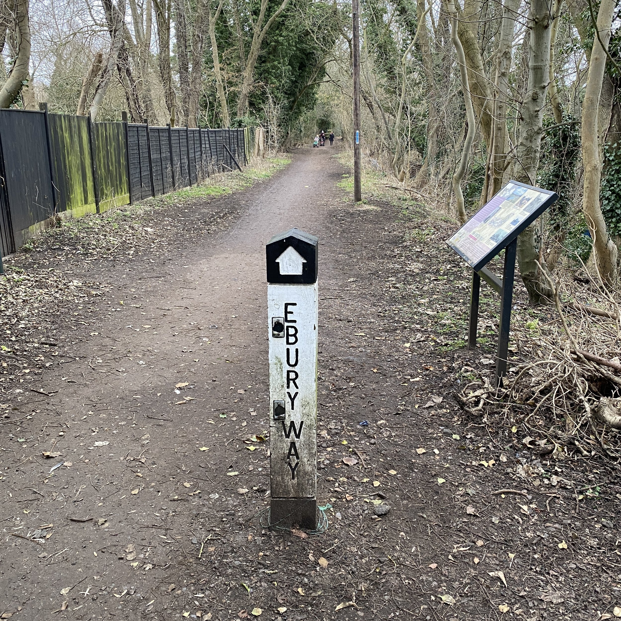
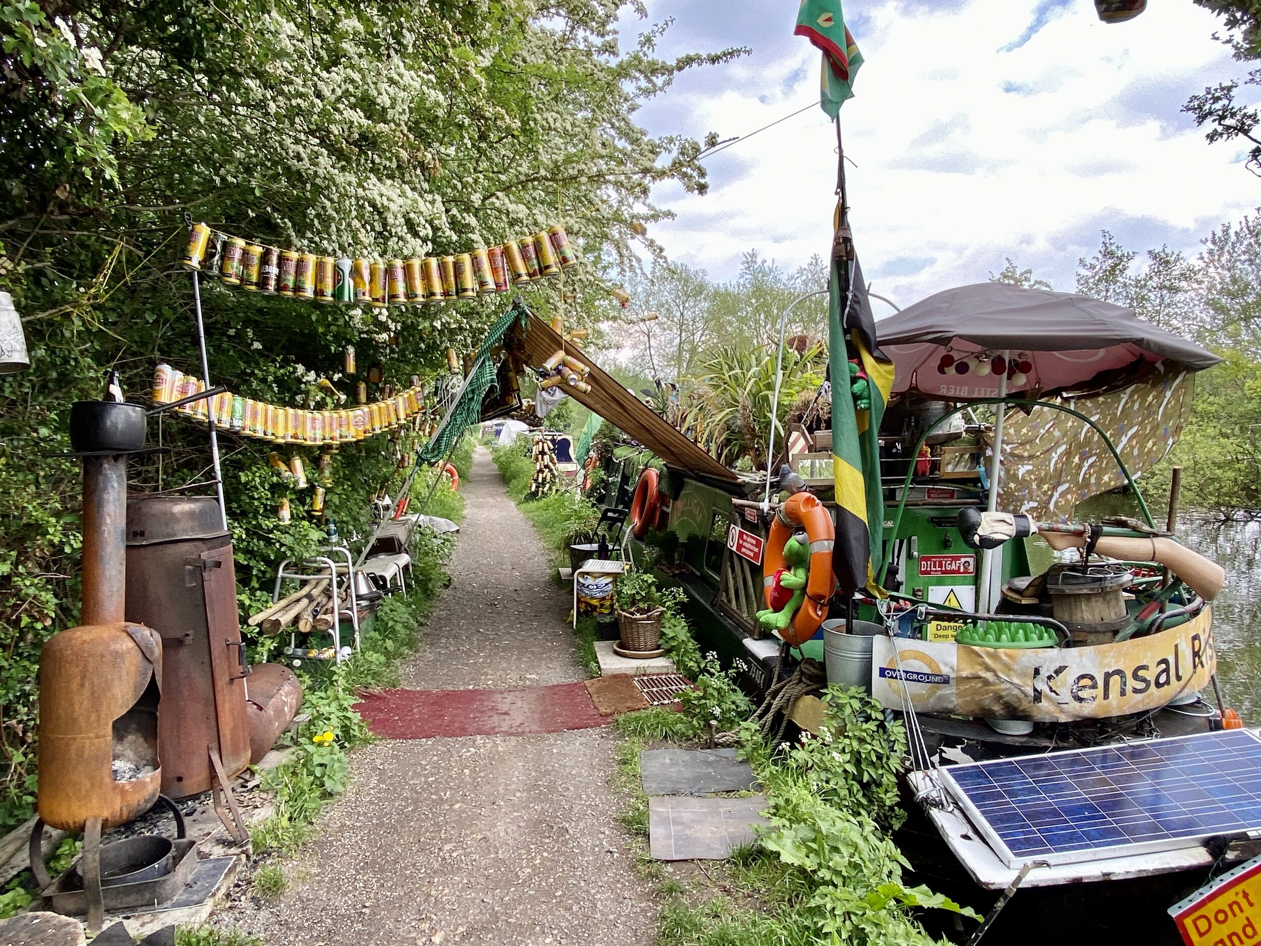
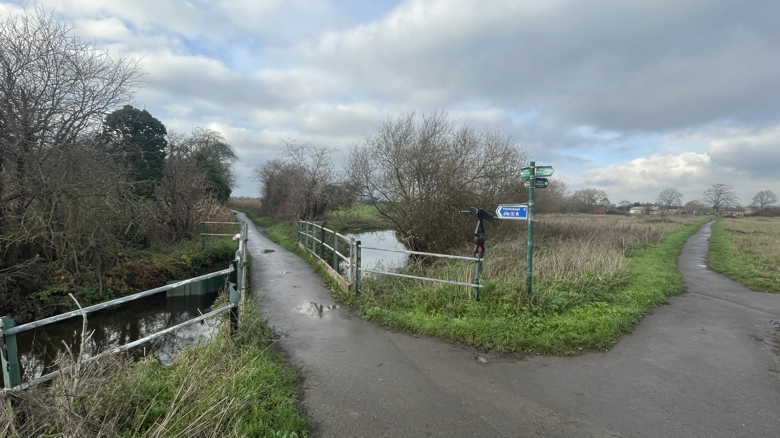
Follow Moores Lane in a northerly direction as it becomes a path then cross over the Jubilee River bridge. Take a right onto Wood Lane and continue following it north over the M40. Once you get to the northern side of the M40 bridge take a right to follow the path around the southern side of Asda, heading east to where you’ll meet the Chalvey Ditch. To the south the Chalvey Ditch crosses under the M40 to join the Salt Hill Stream before they both cross under the Jubilee River. We will now be following it north to its source.
Part 3: Cycling The Chalvey Ditch from the Jubilee River to the source
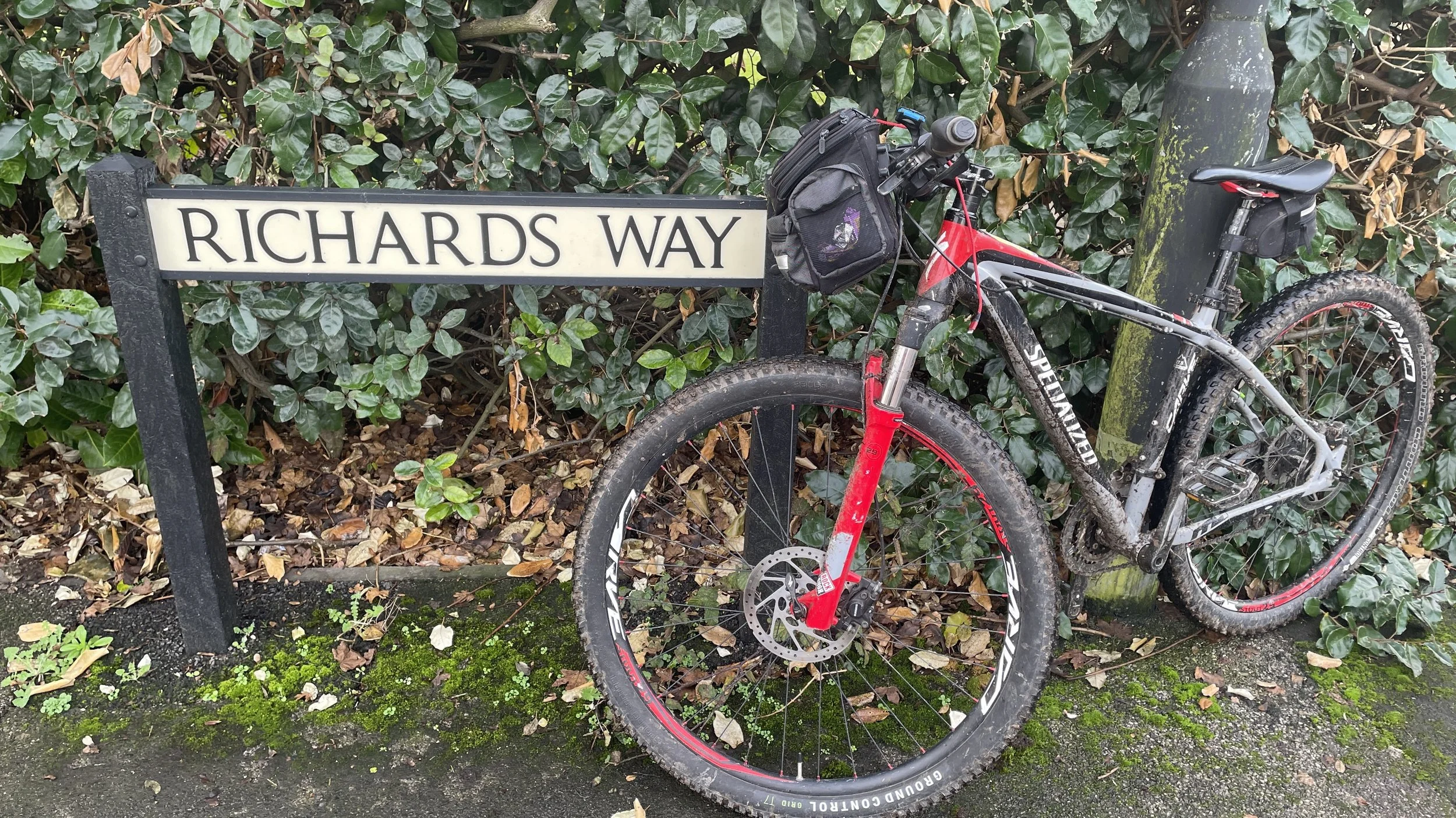
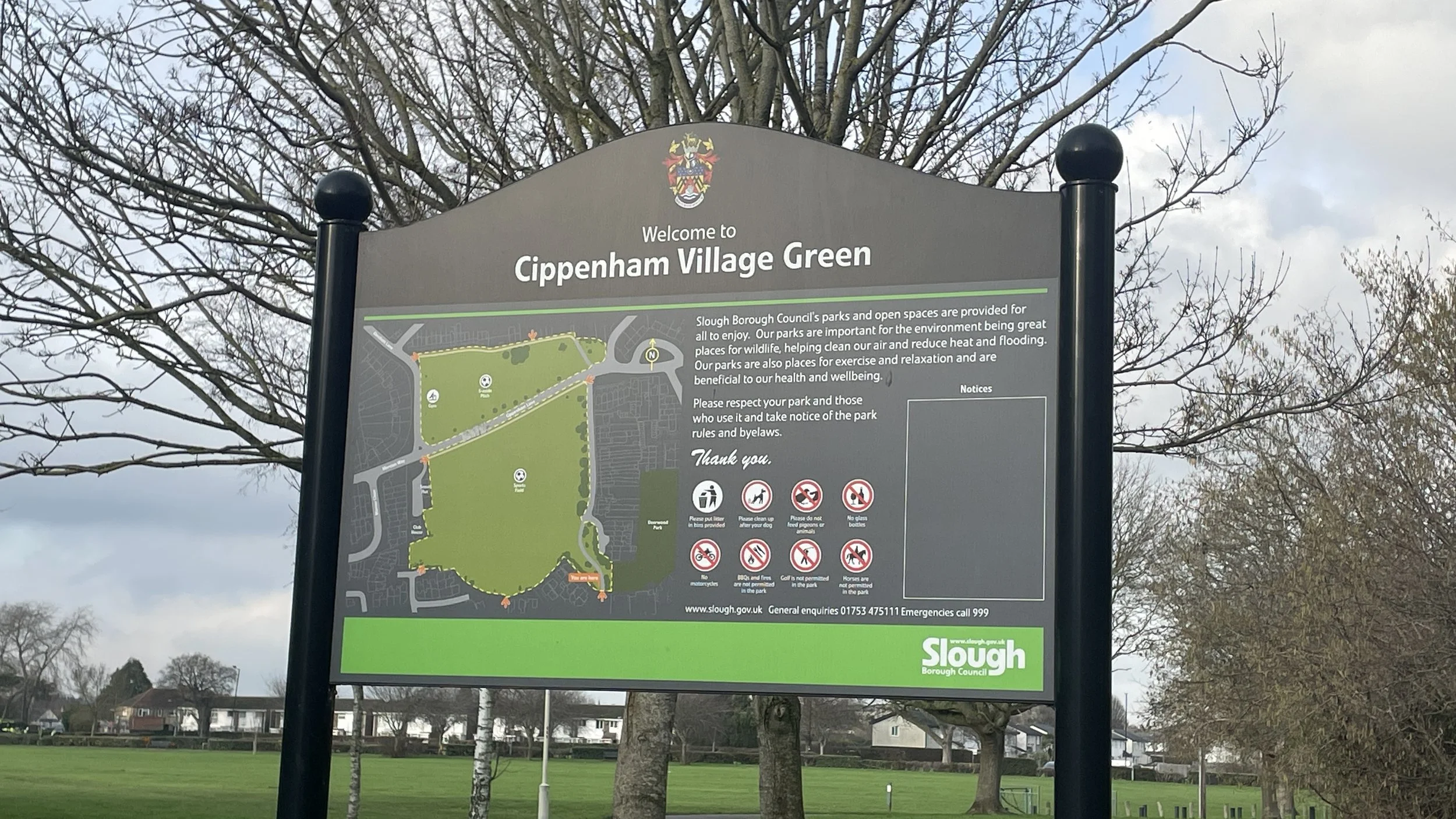
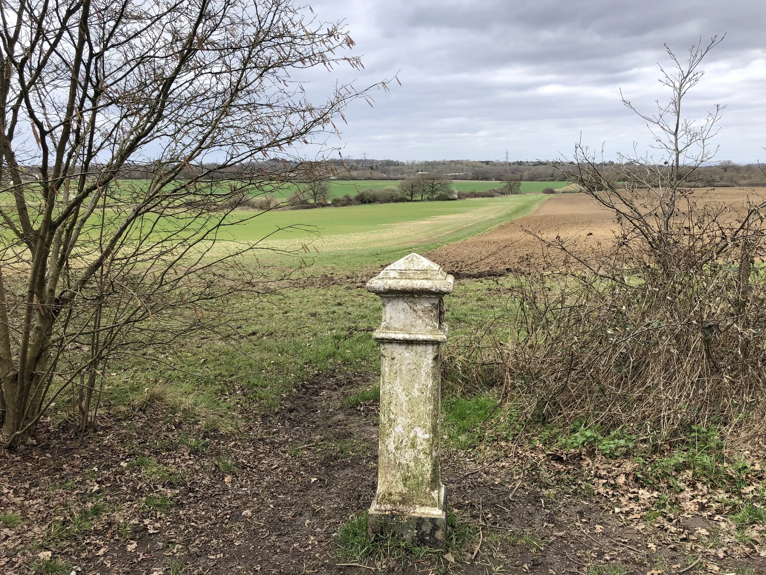
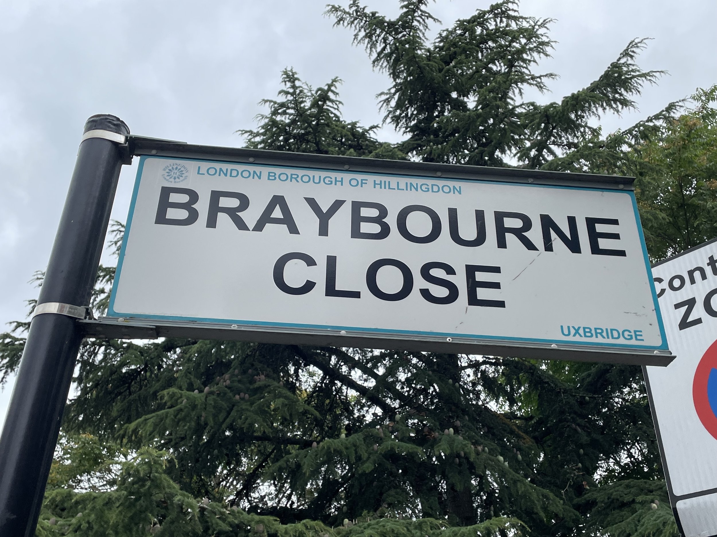
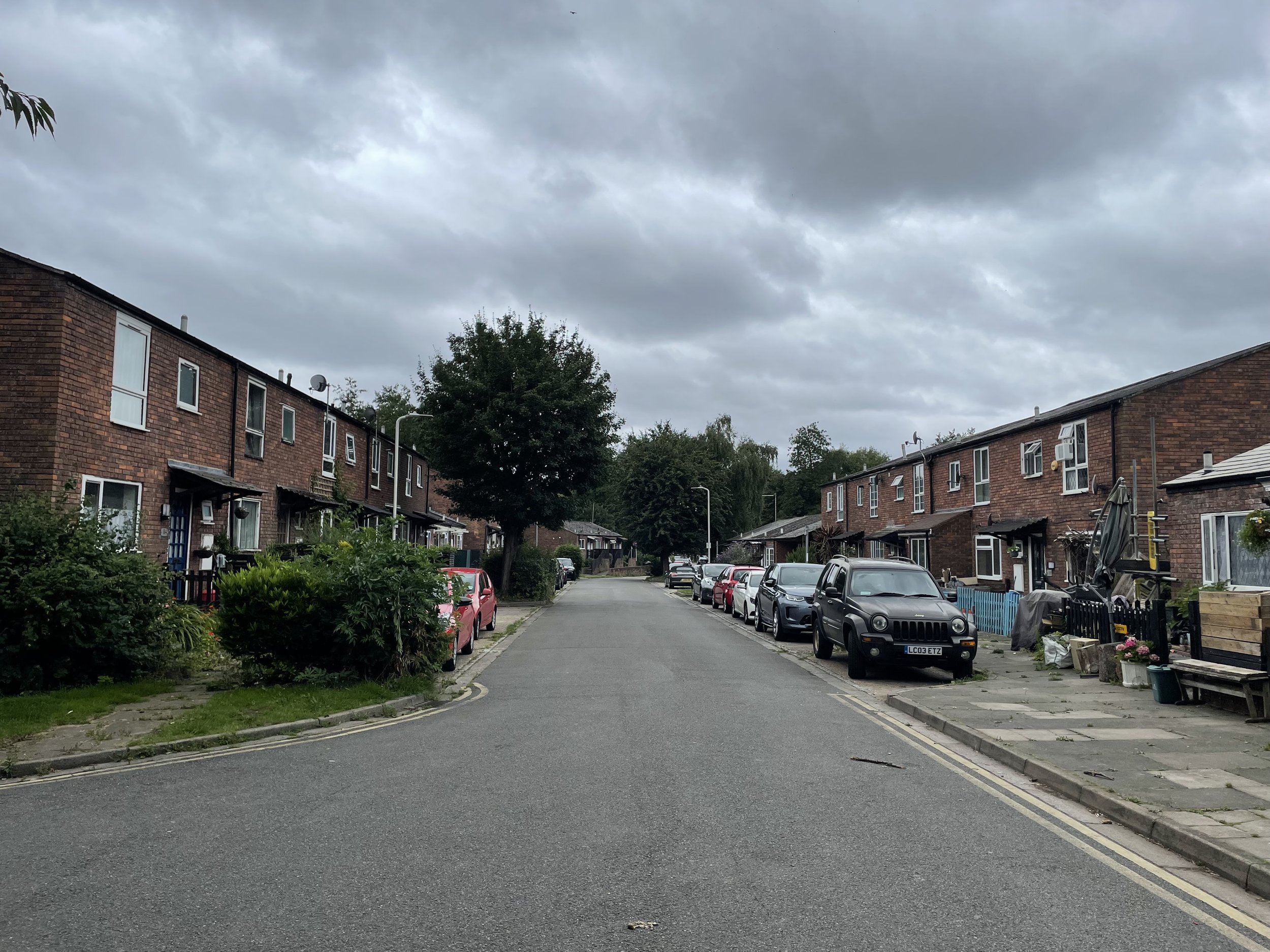
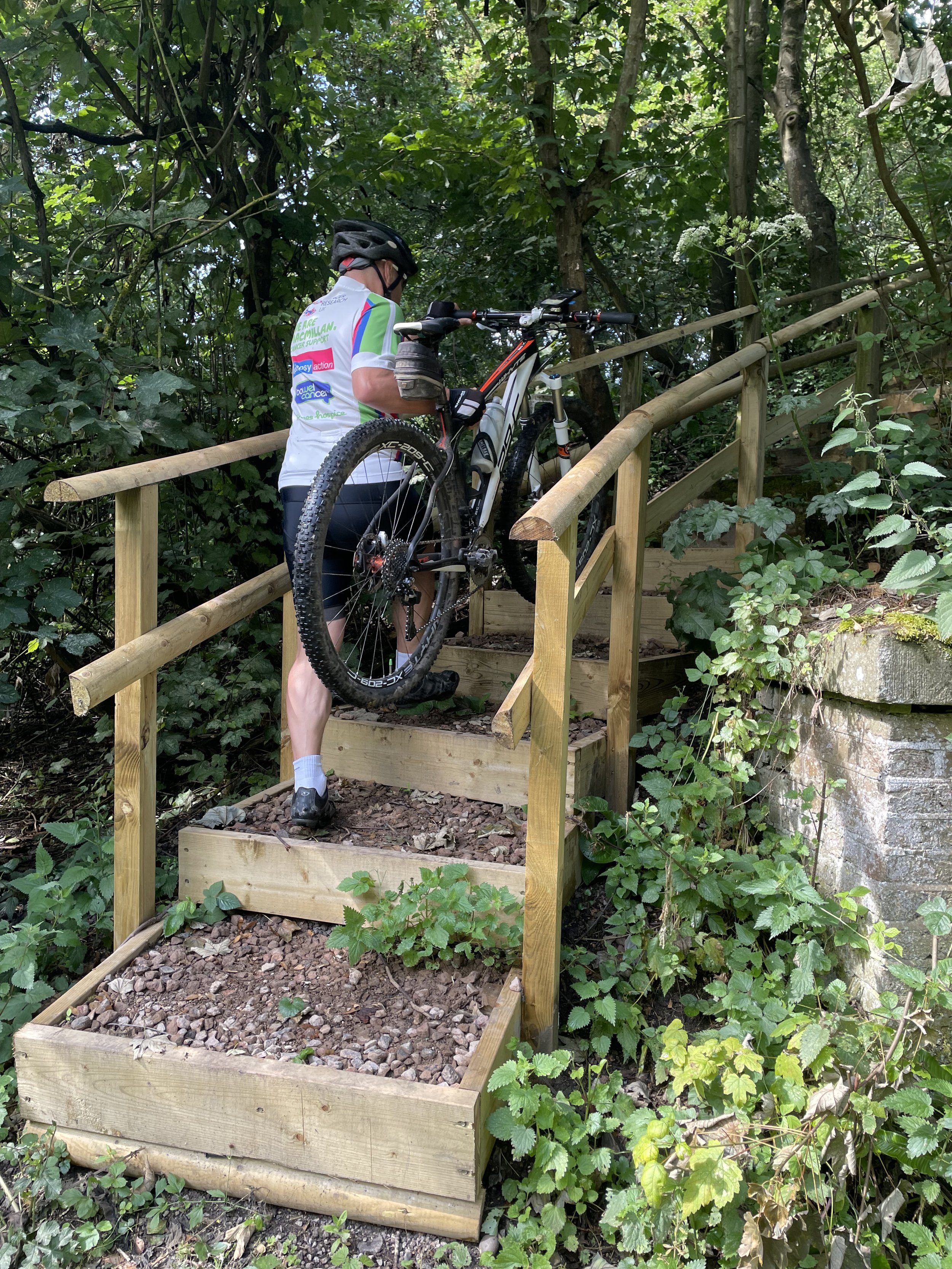
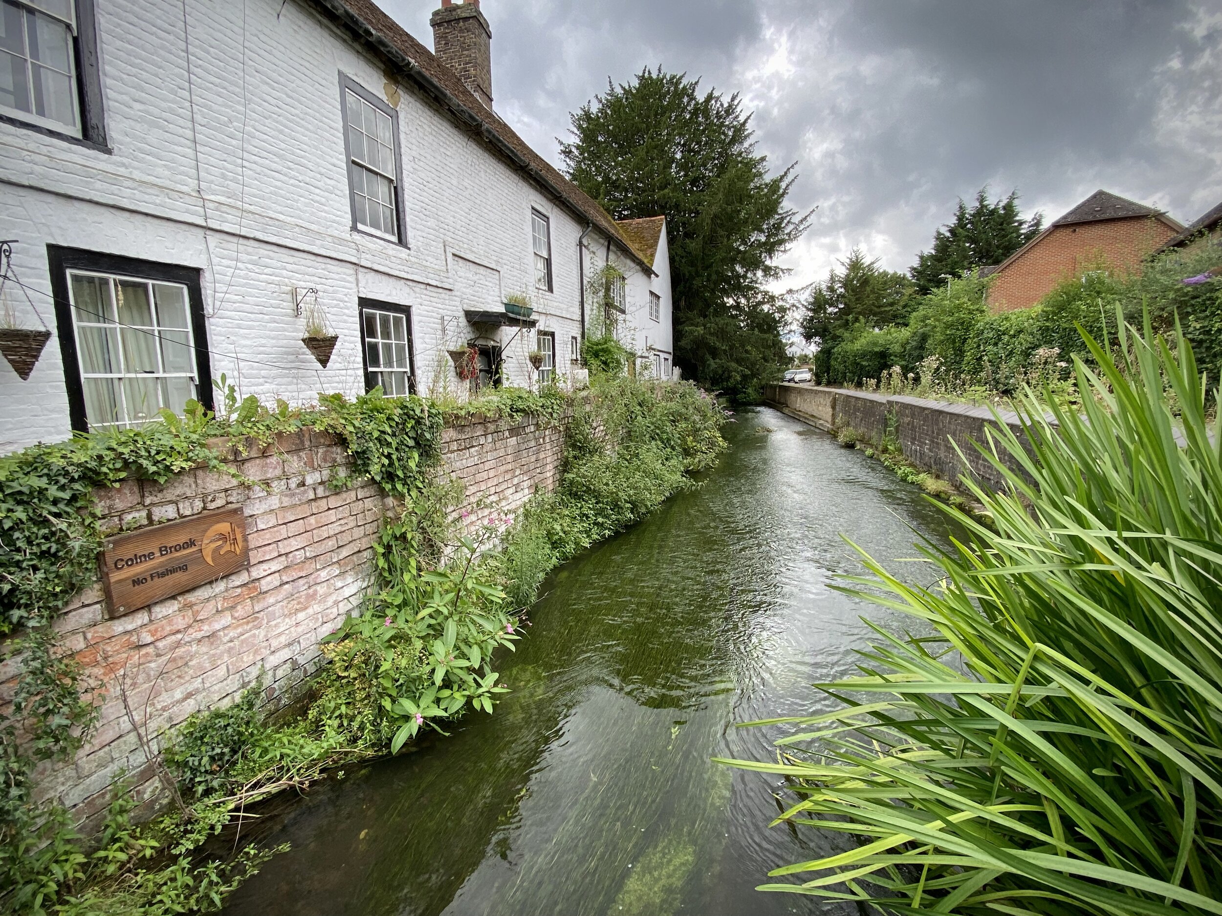
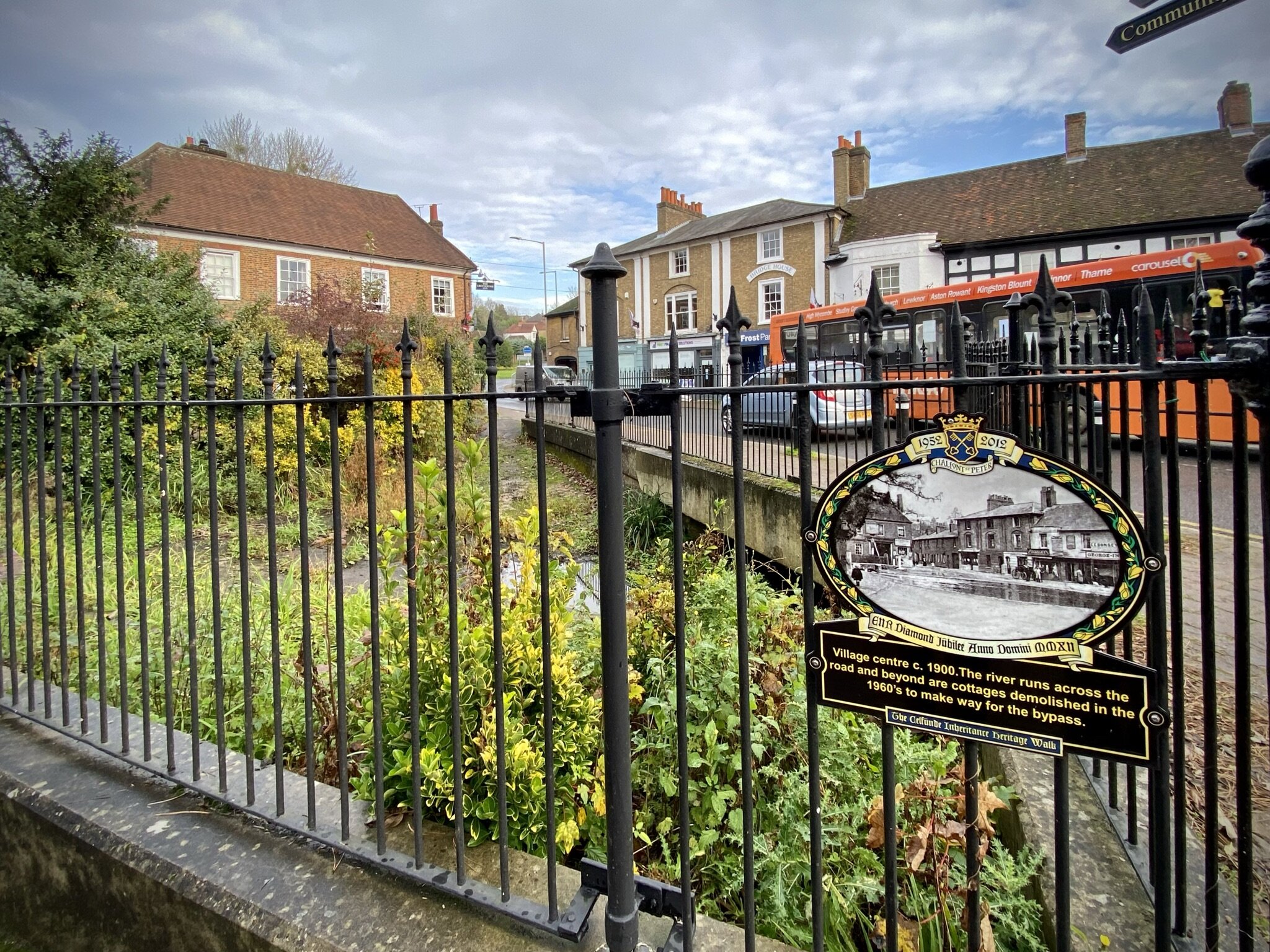
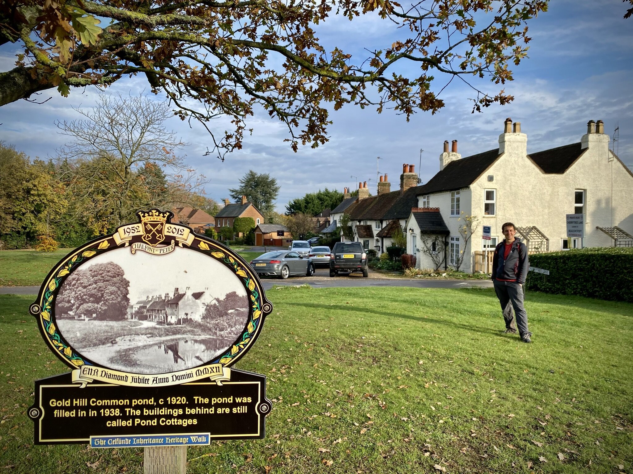
Starting from the bridge before the Chalvey Ditch crosses under the M40 follow a path heading north between houses, keeping the Ditch on your left hand side. Cross over Telford Drive and keep the Ditch on your left. When you reach Lodge Farm Park take a left to head west to cross over Telford Drive again. Follow the paths, now keeping the Ditch on your right. Cross over Richards Way continuing west and crossing the ditch twice over small bridges. Take a right onto Waterman Court, now heading north onto Millstream Lane on the eastern side of Cippenham Village Green.
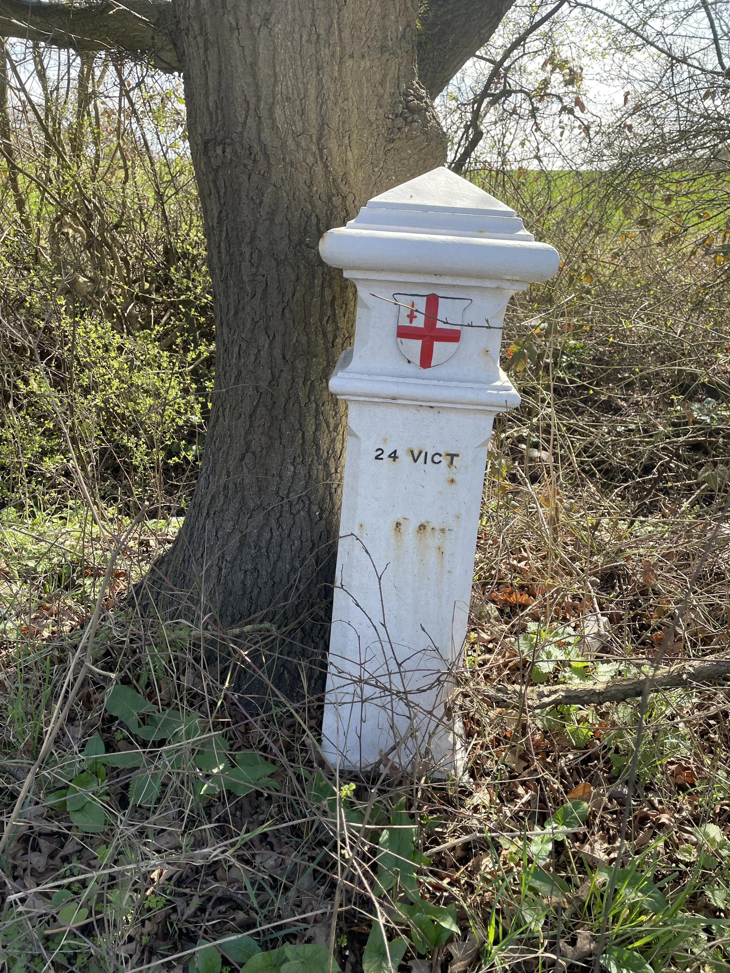
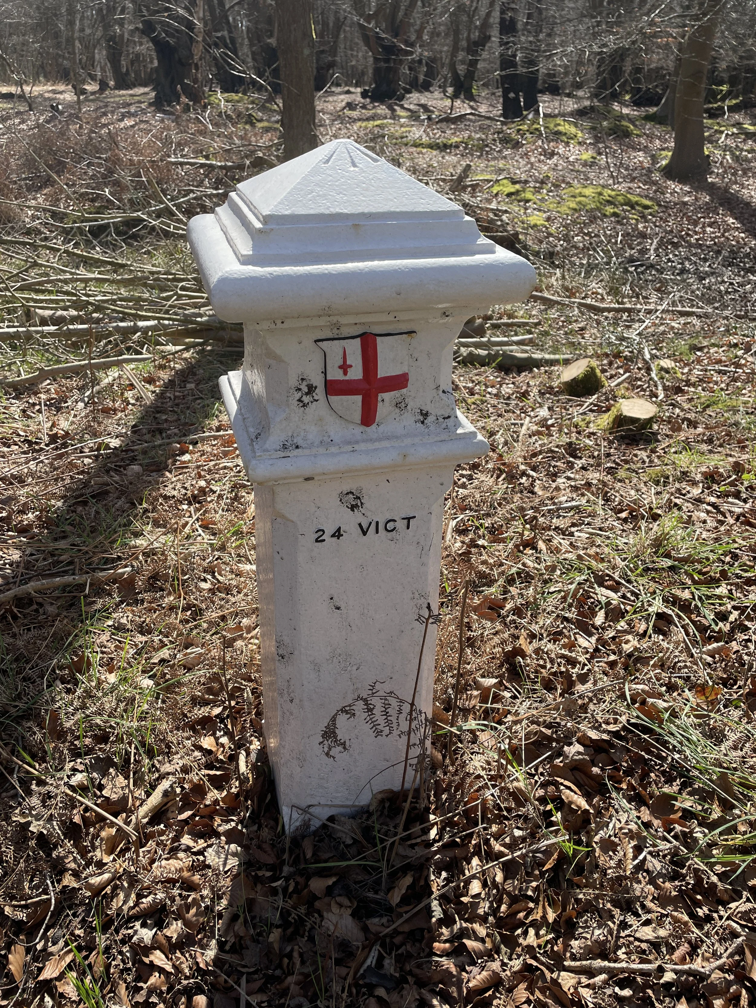
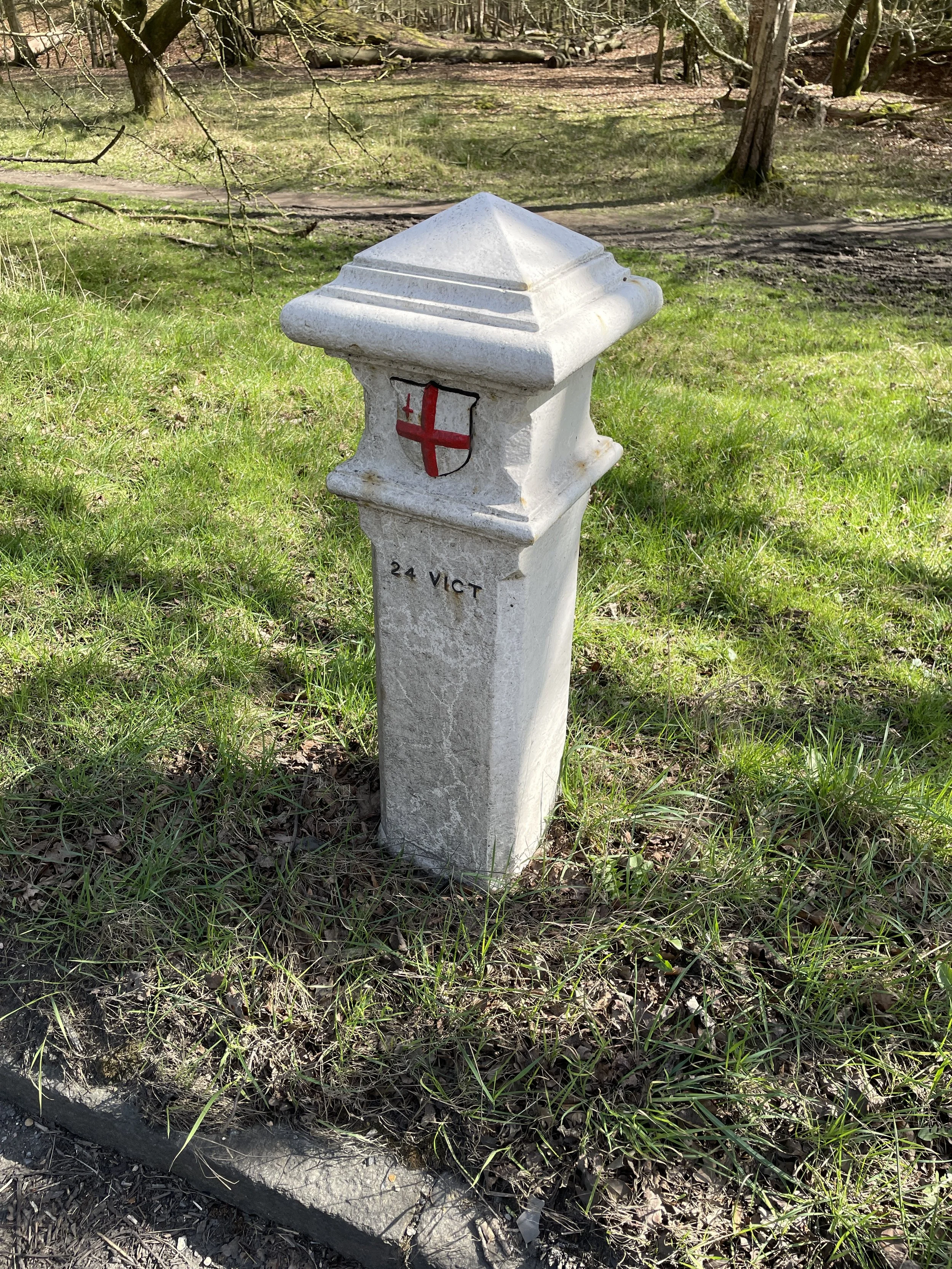
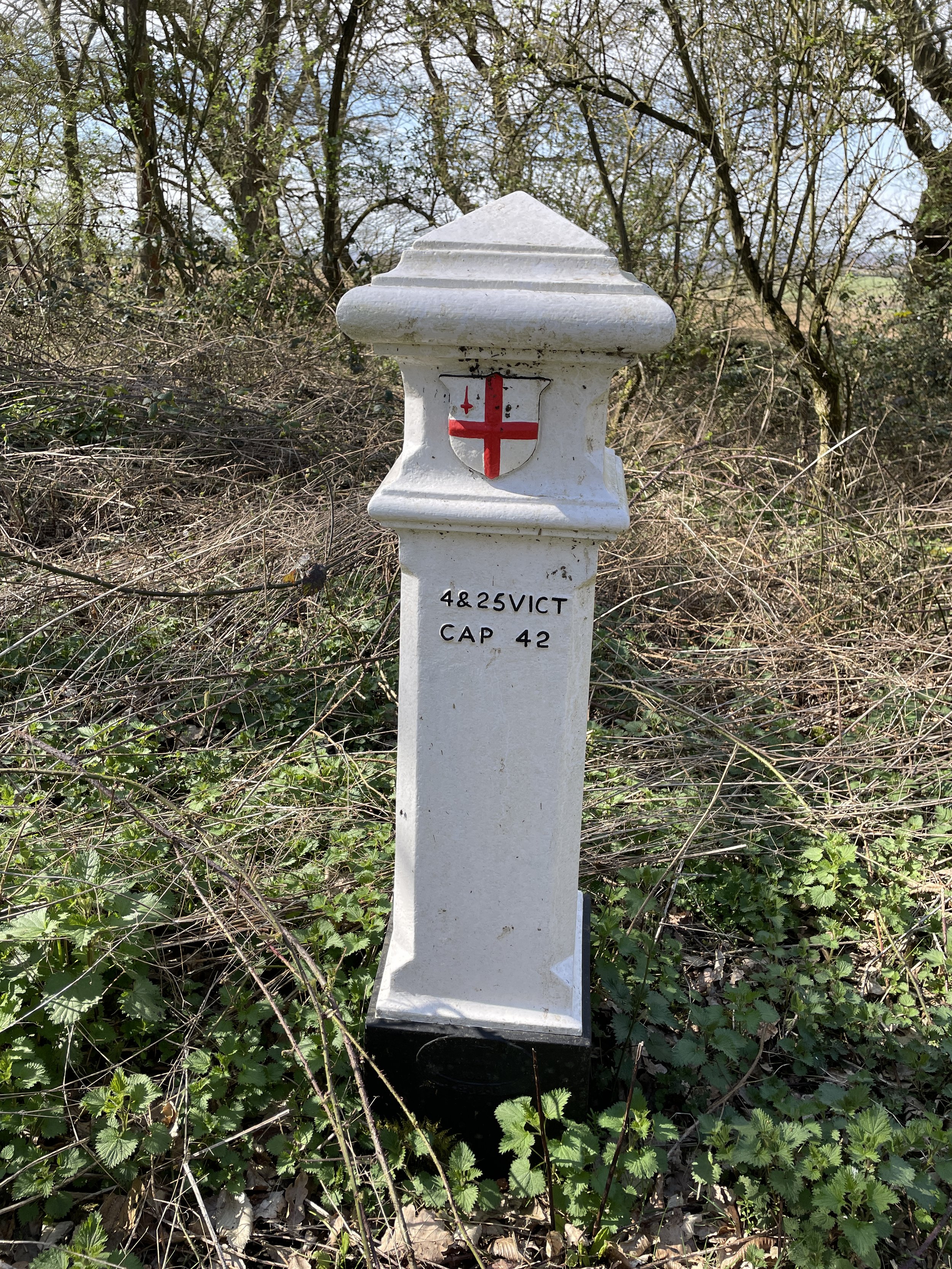
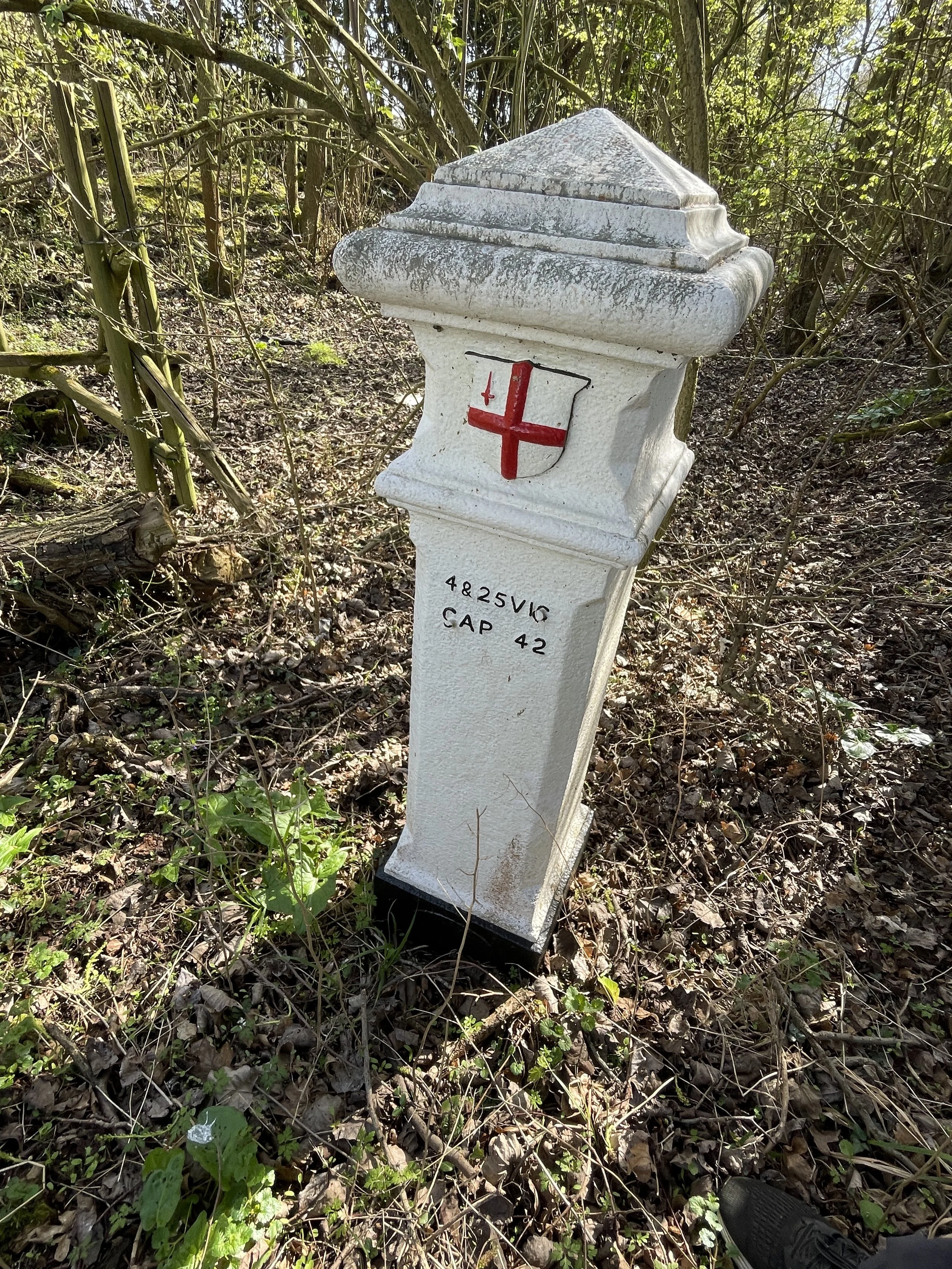
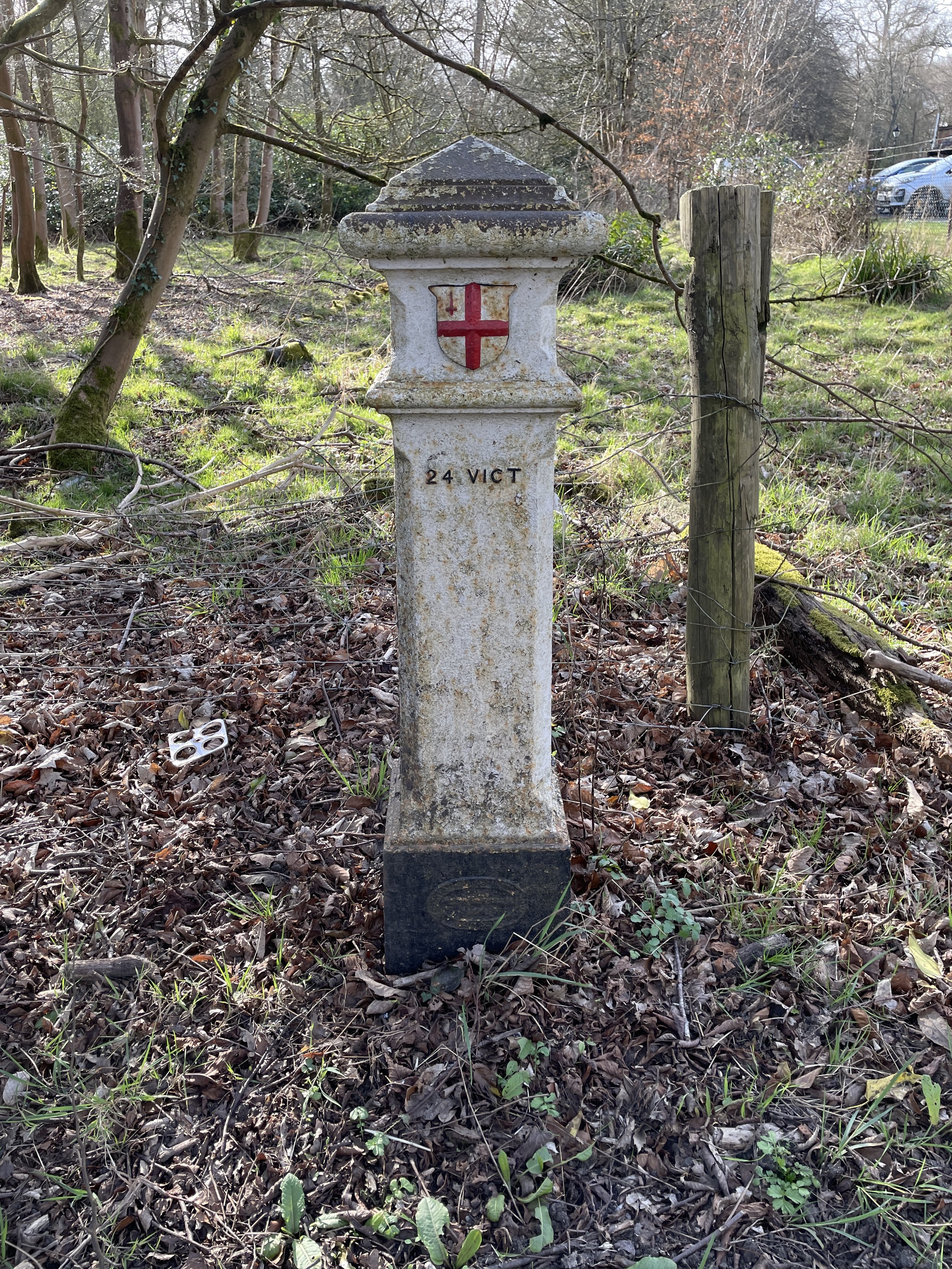
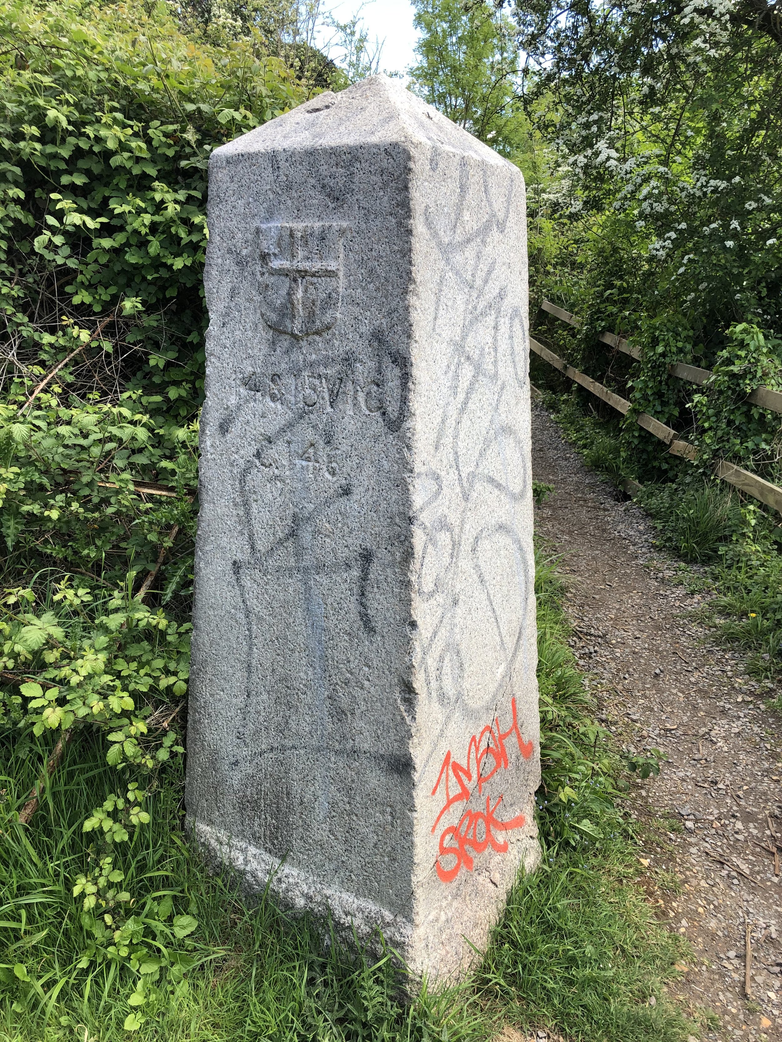
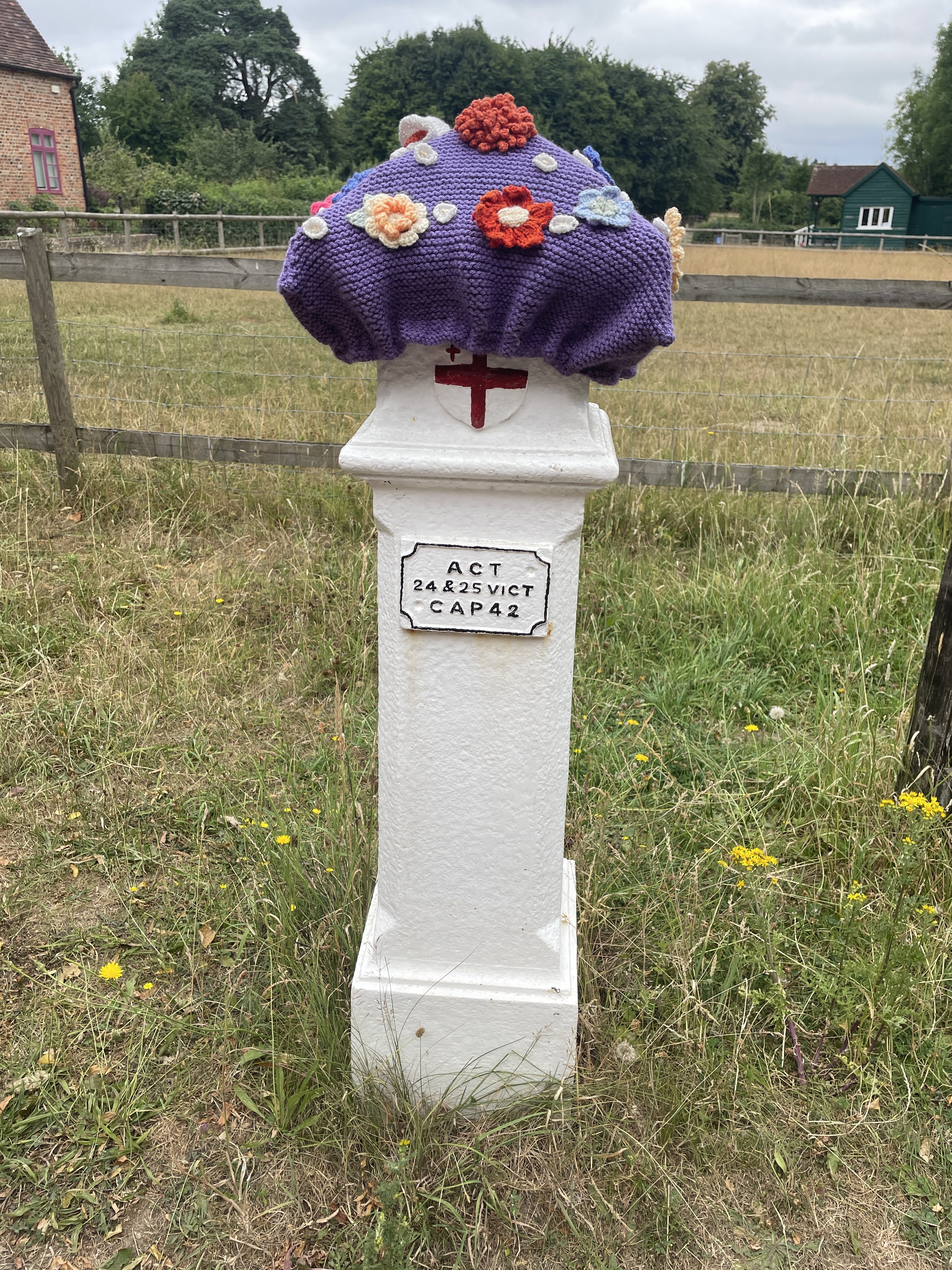
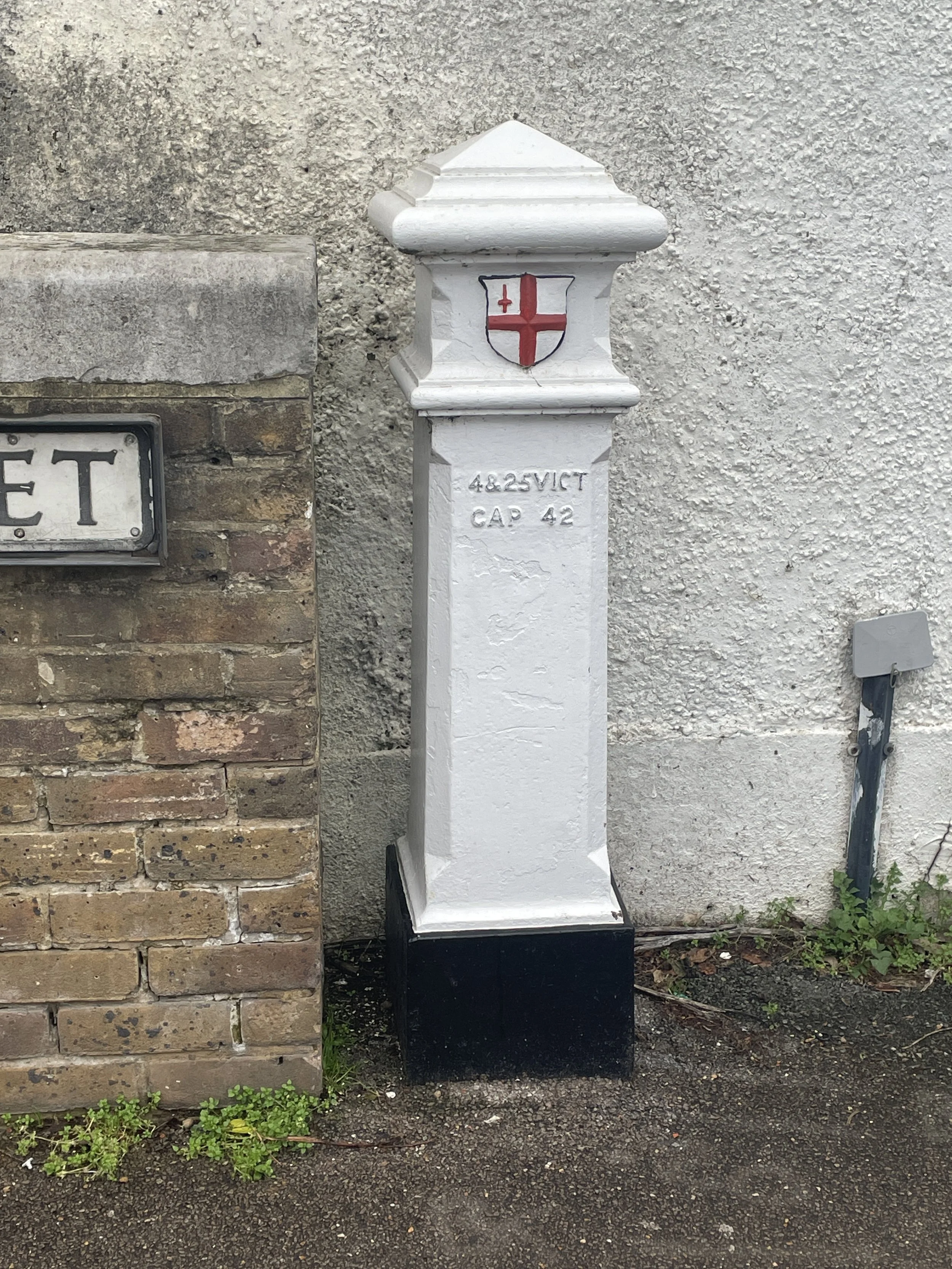
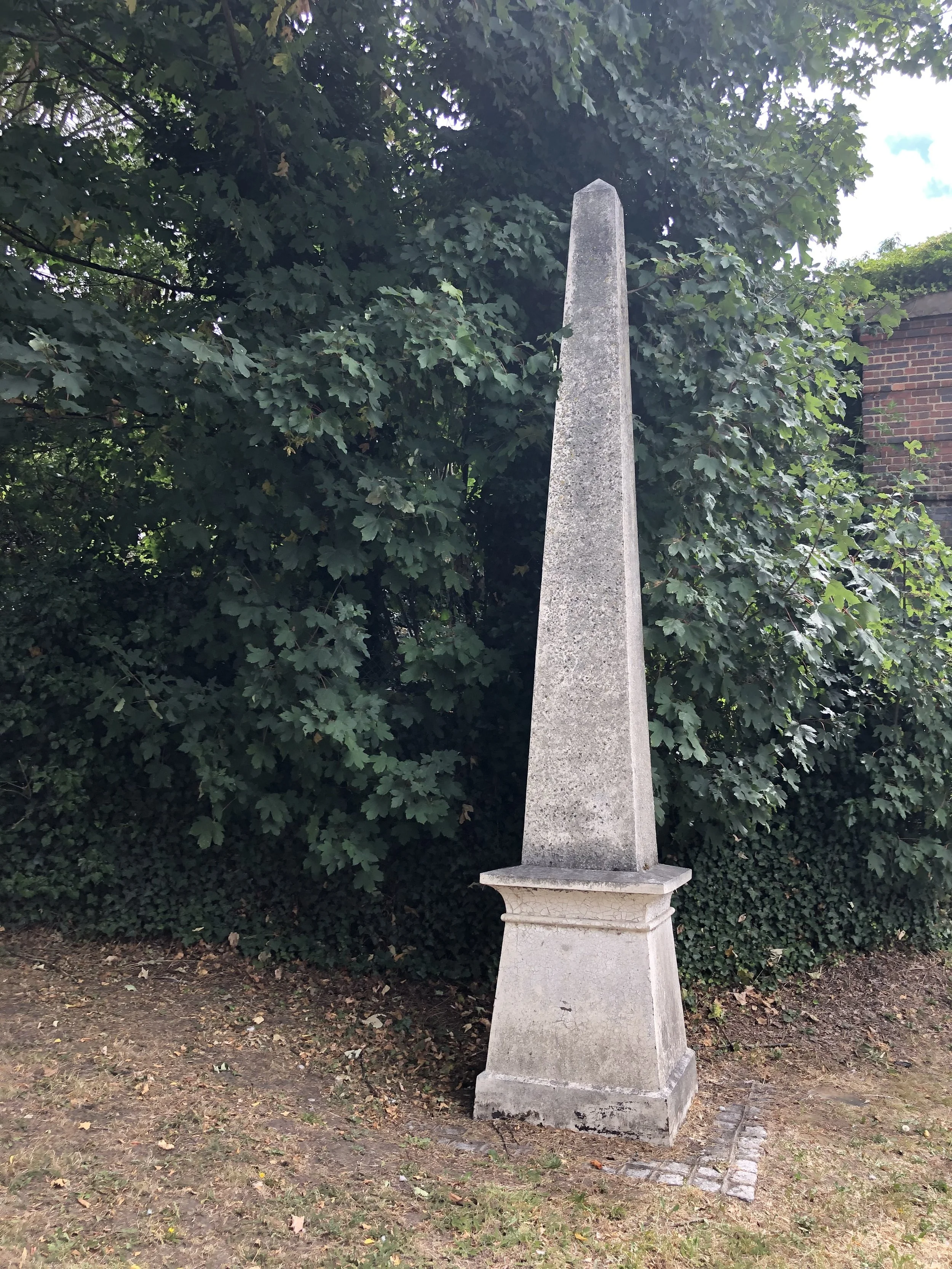
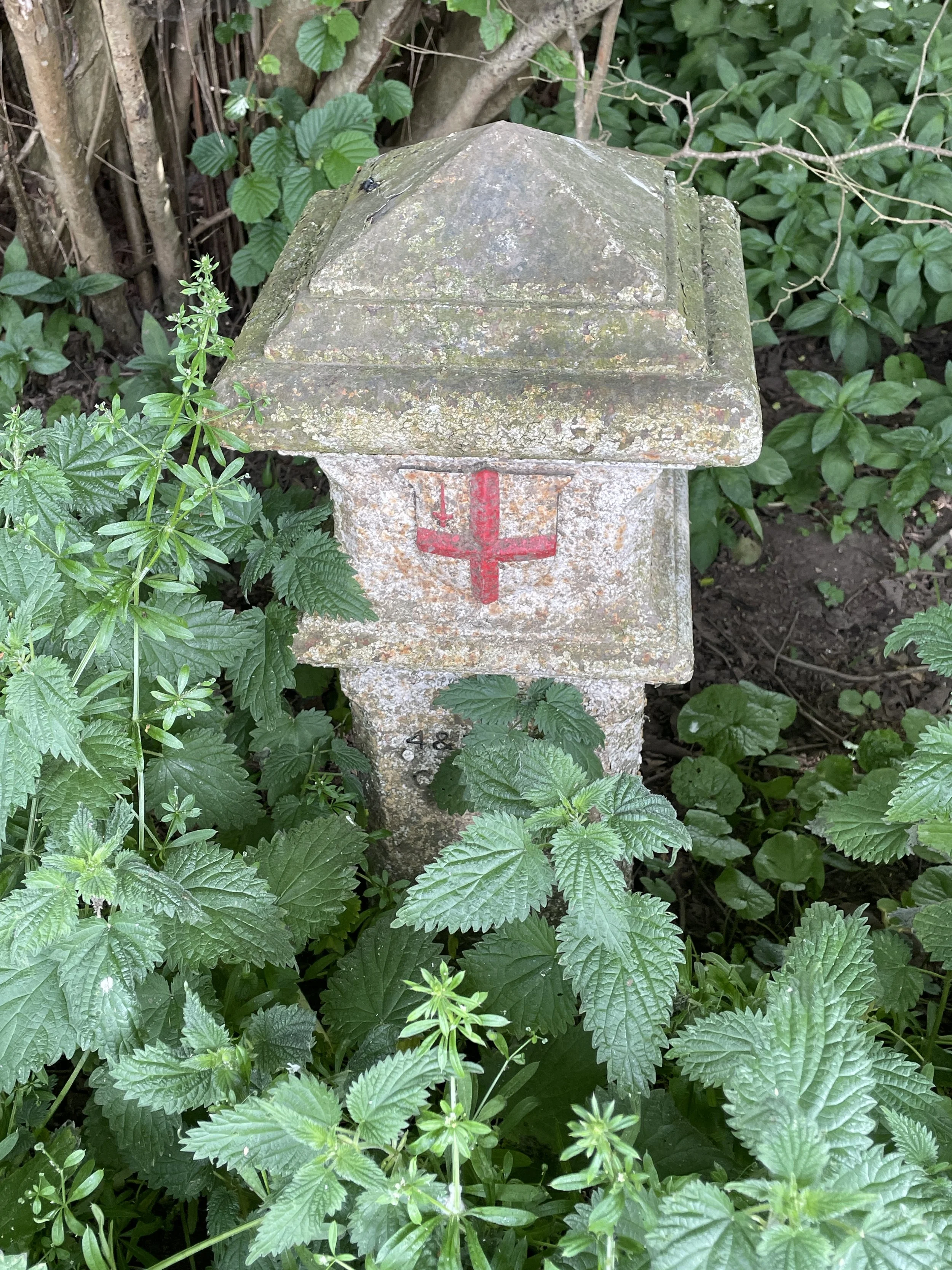
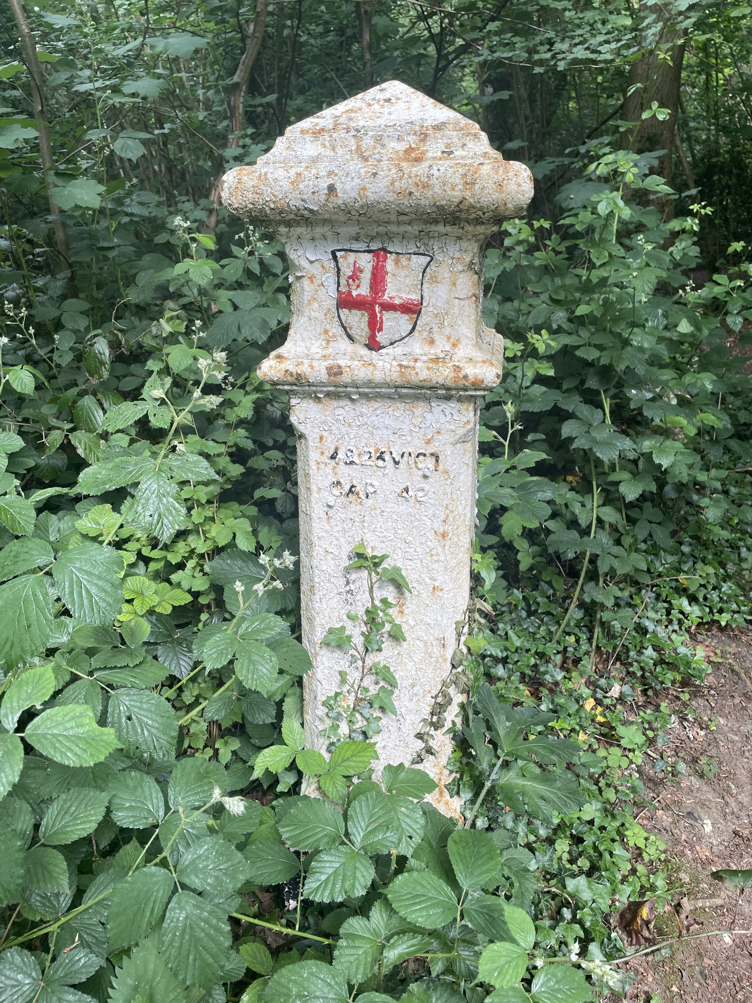
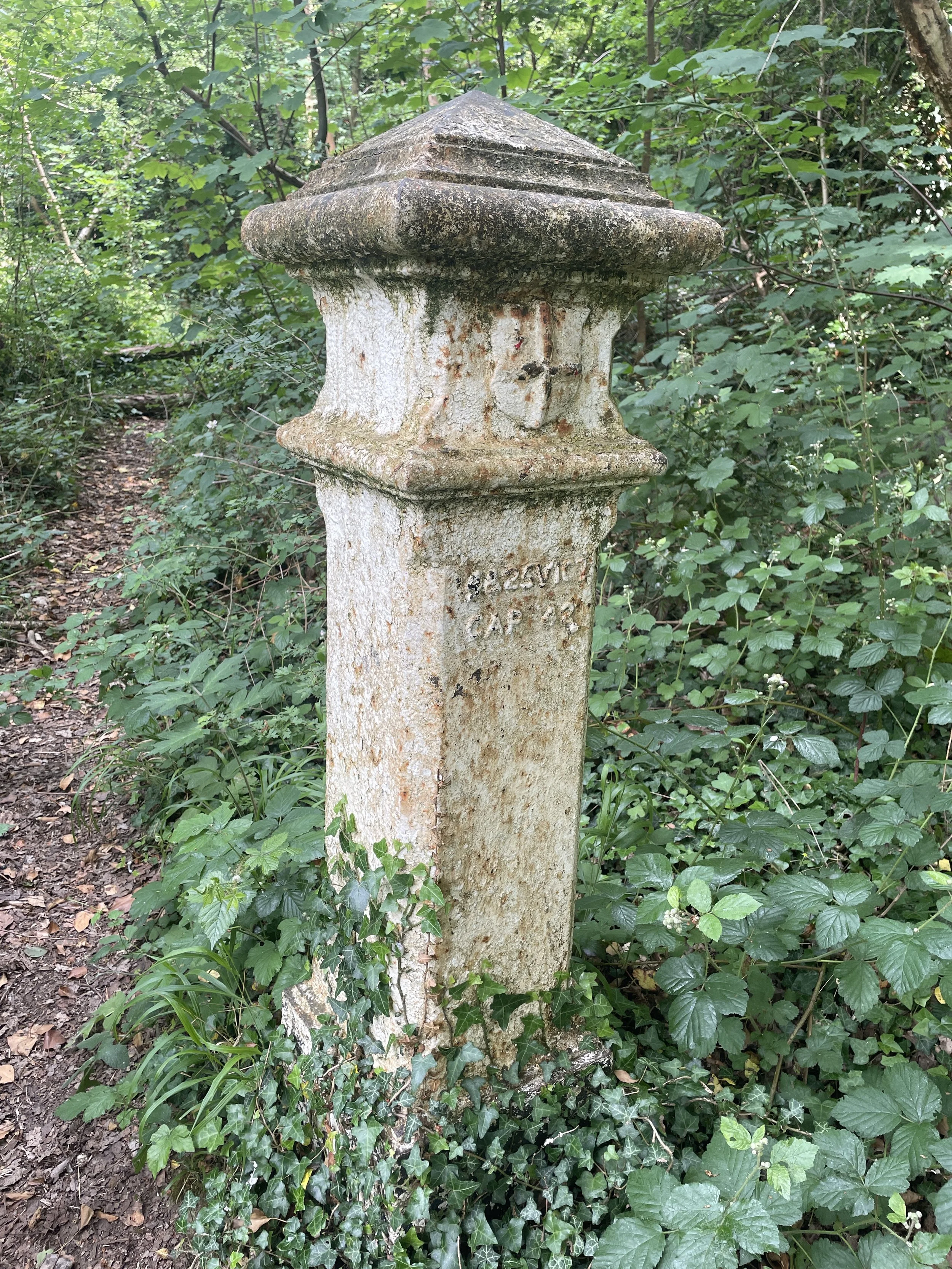
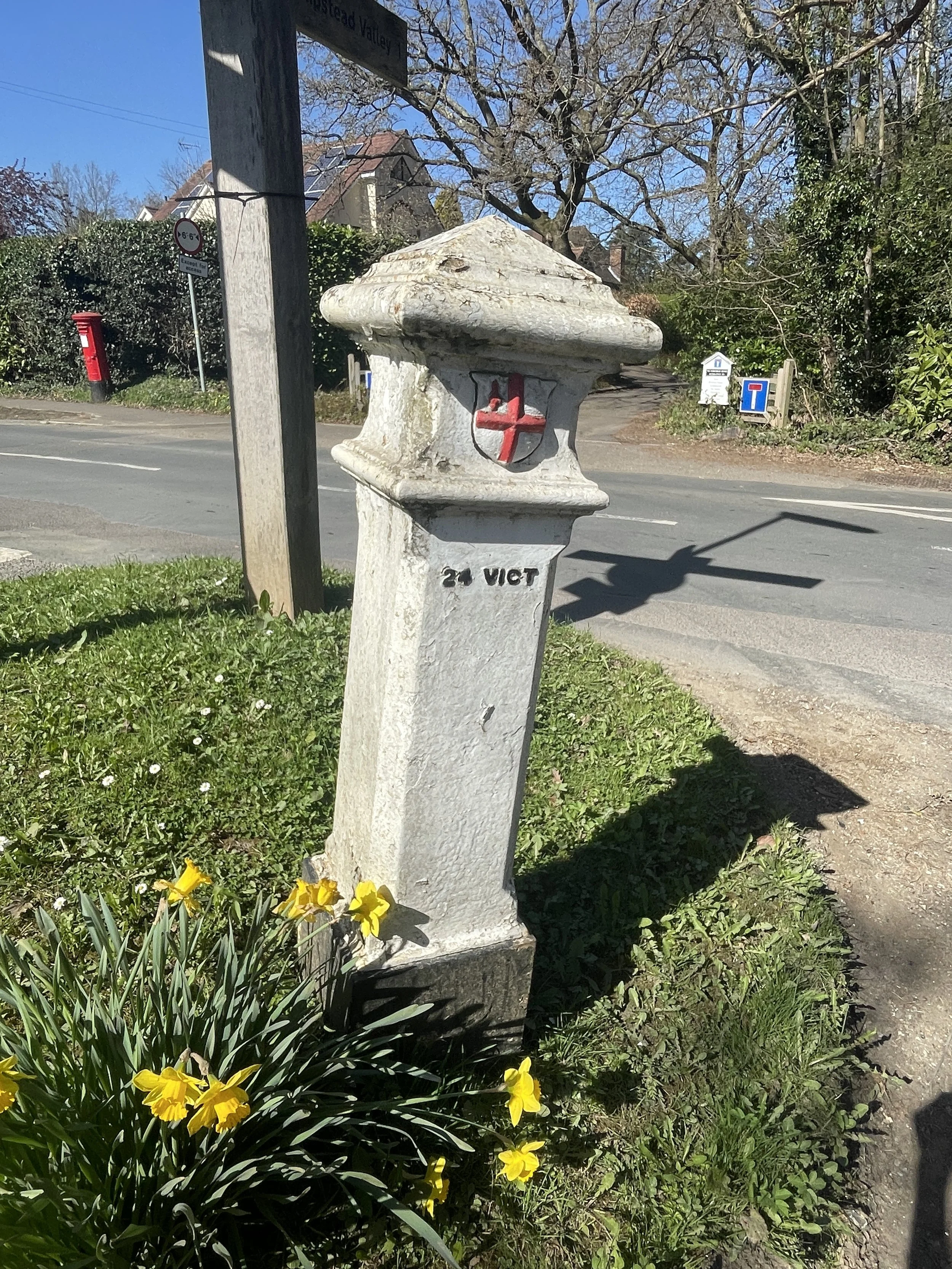
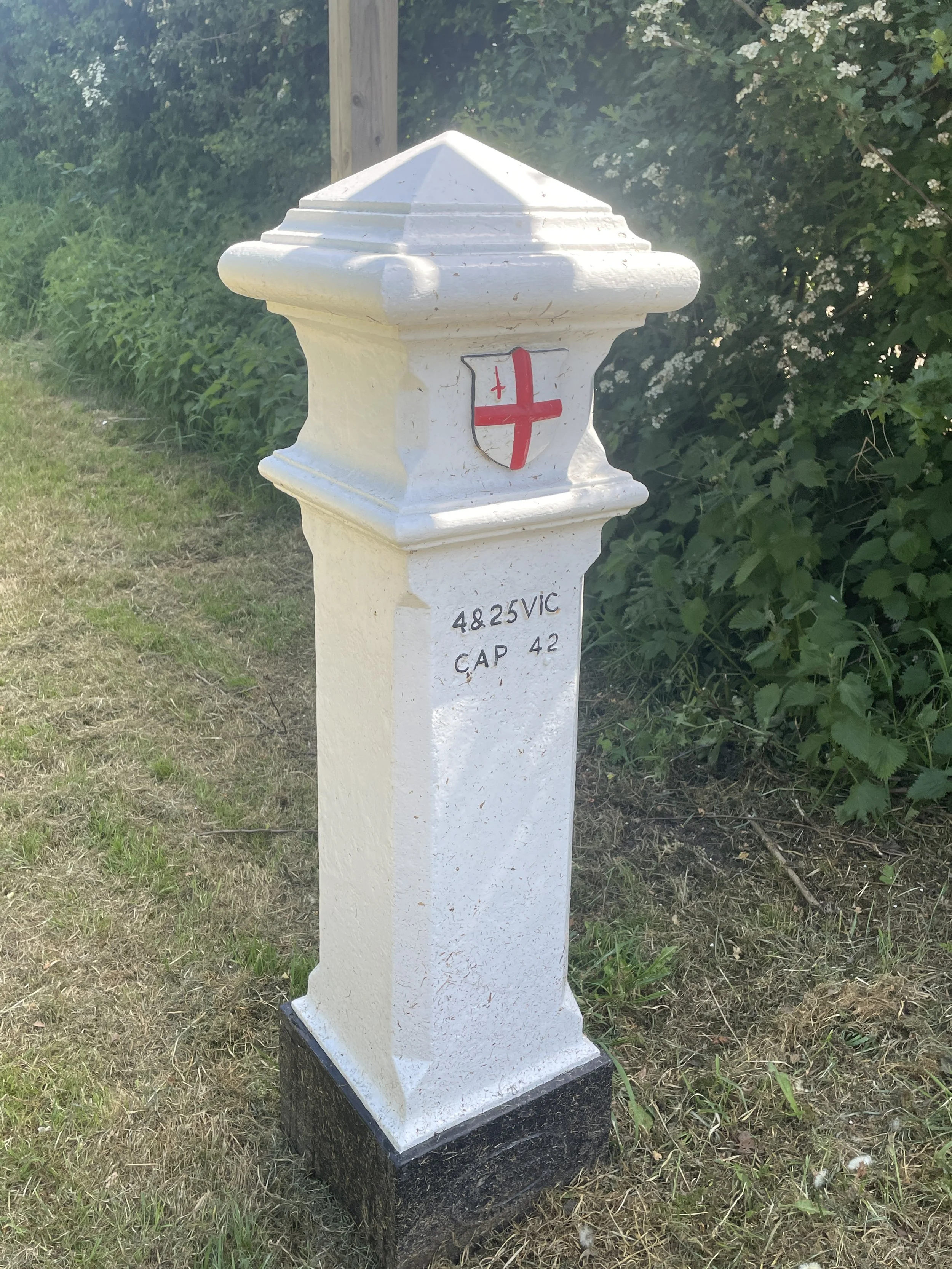
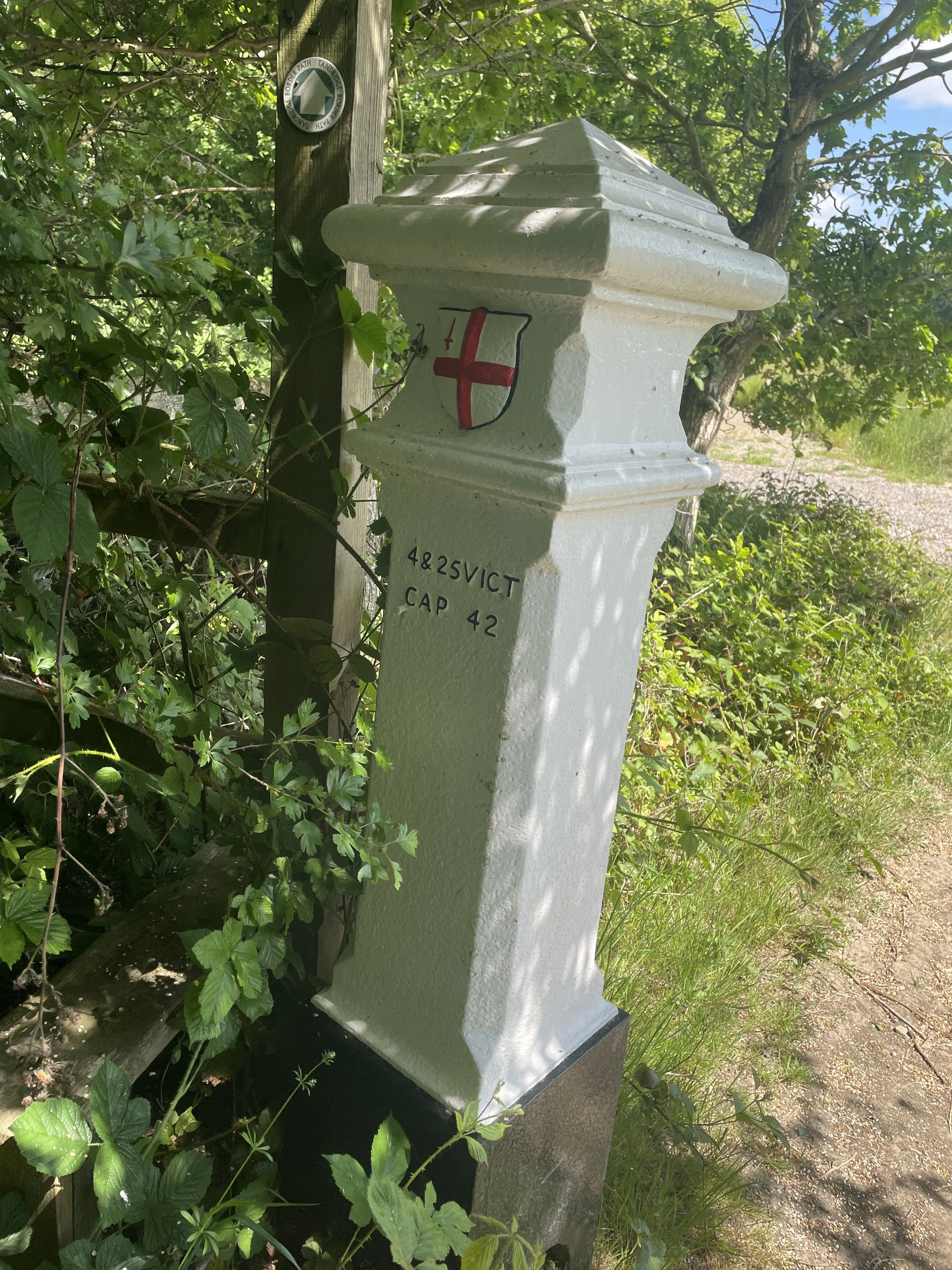
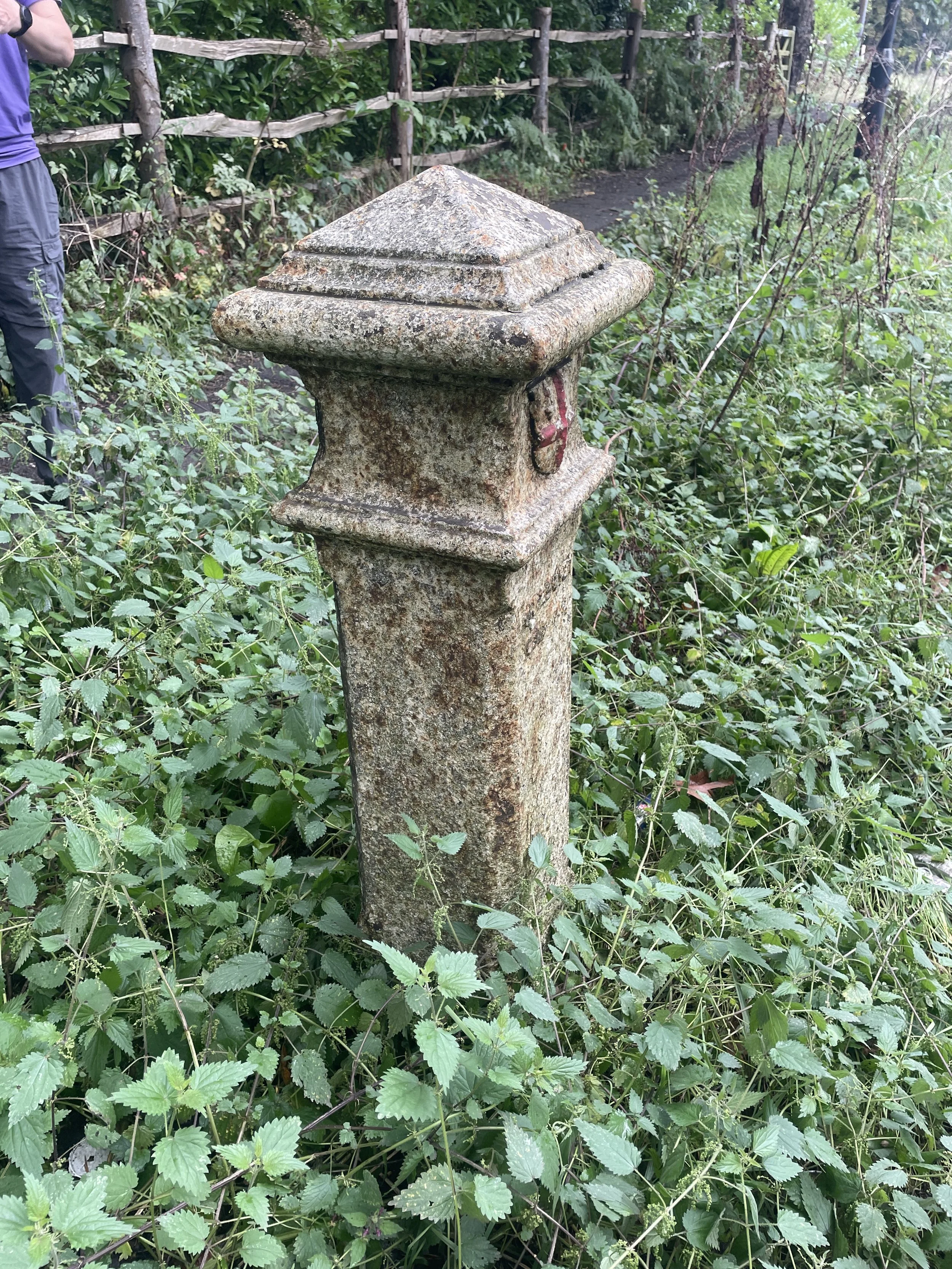
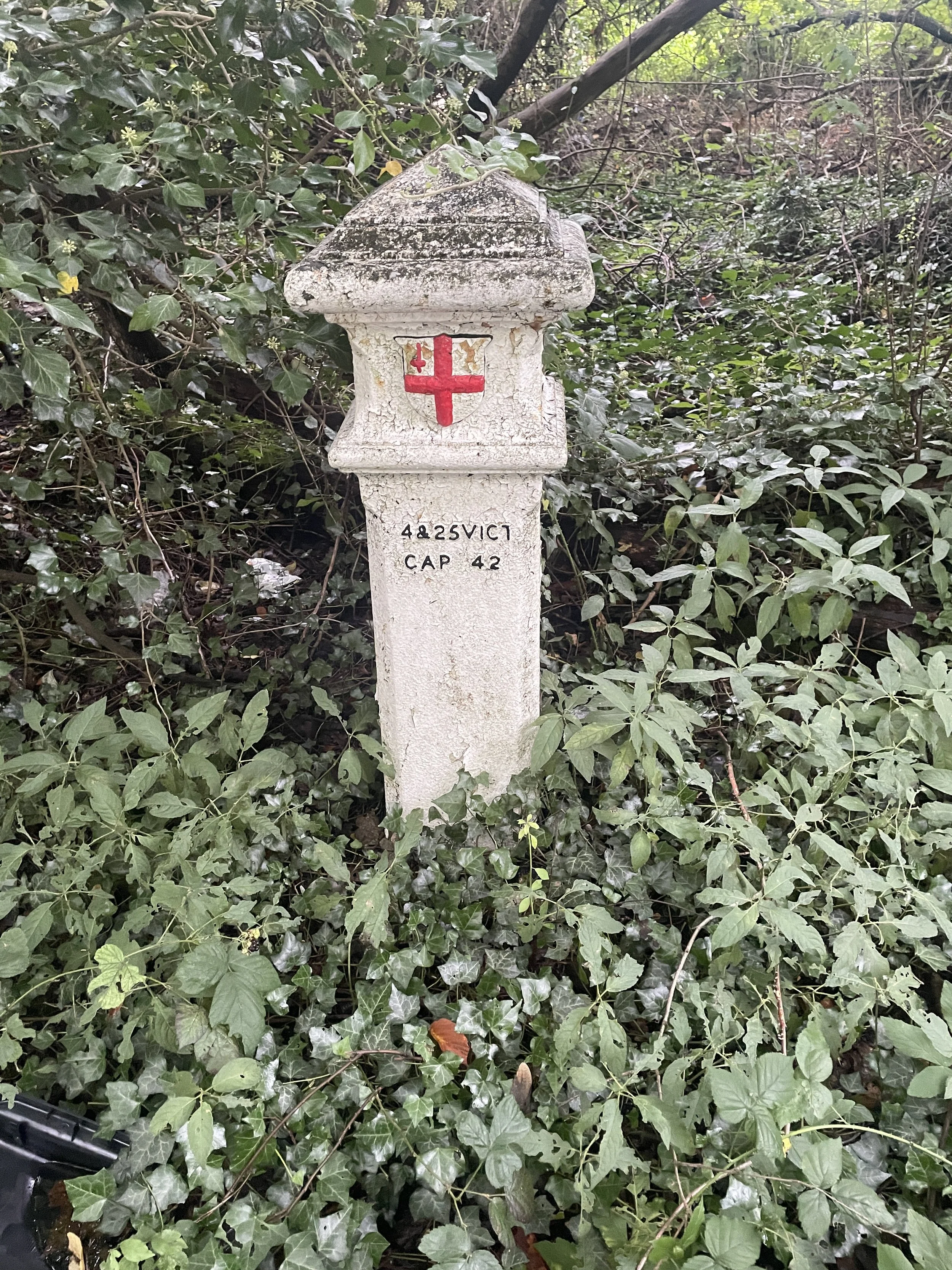
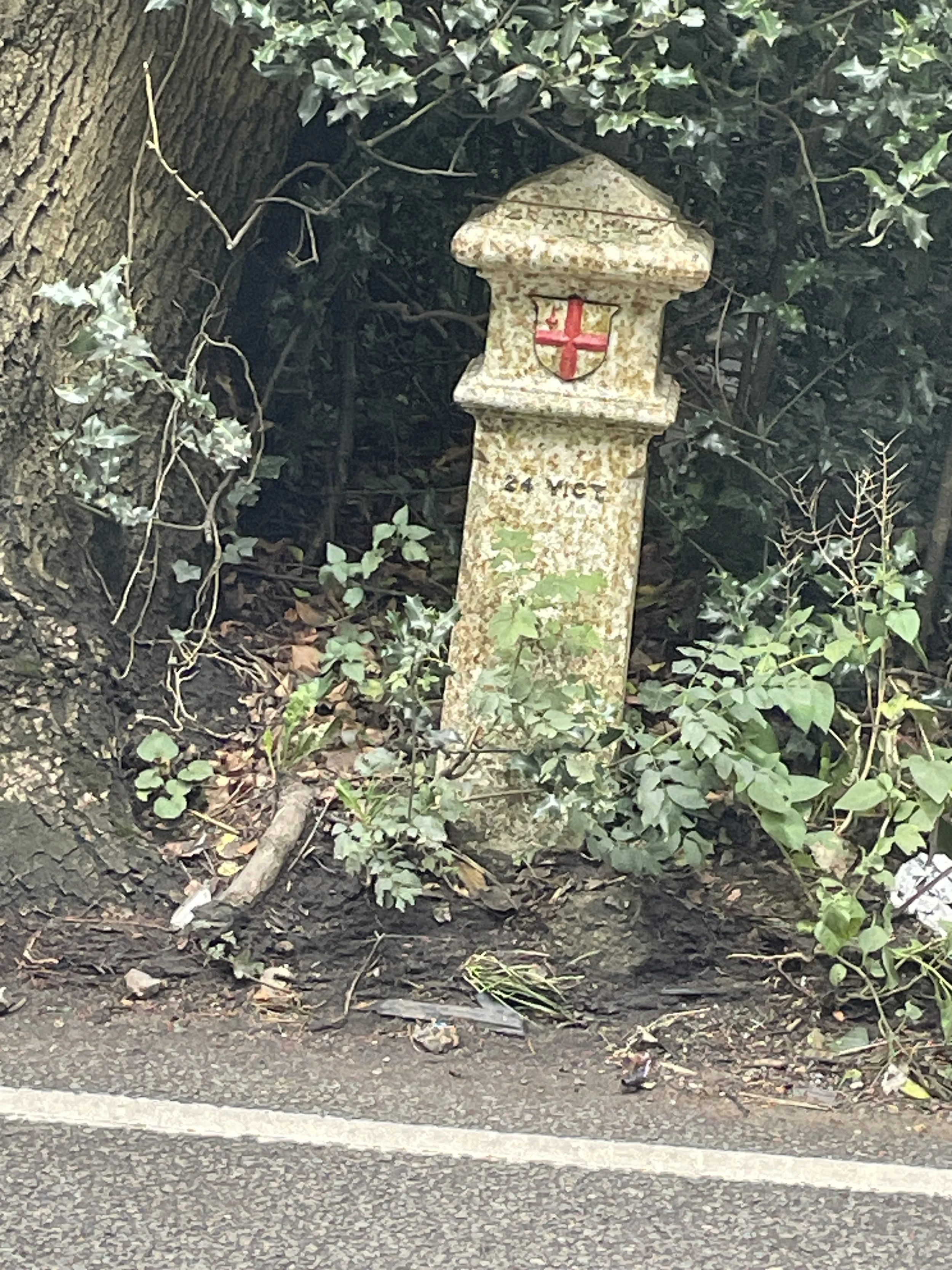
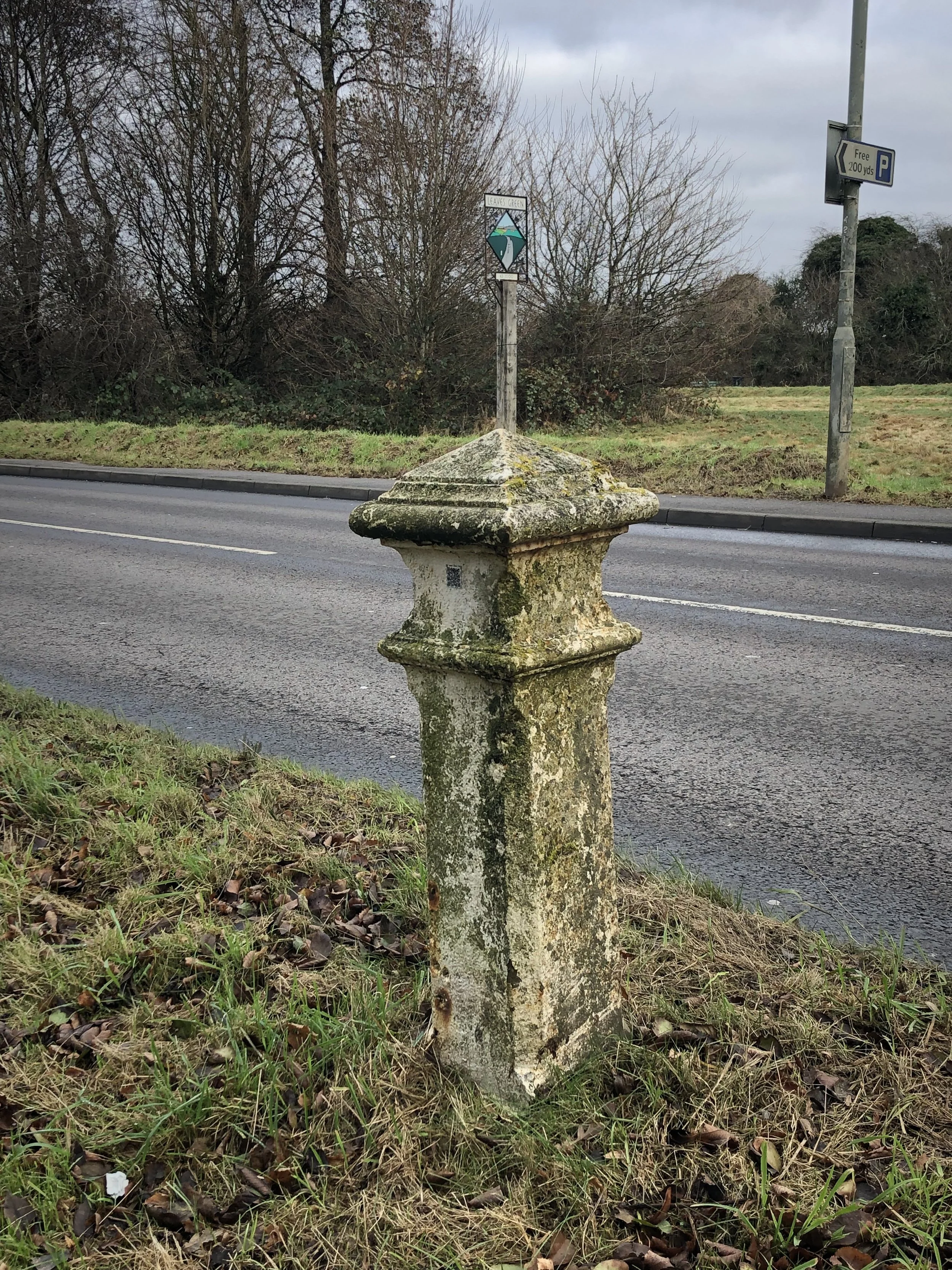
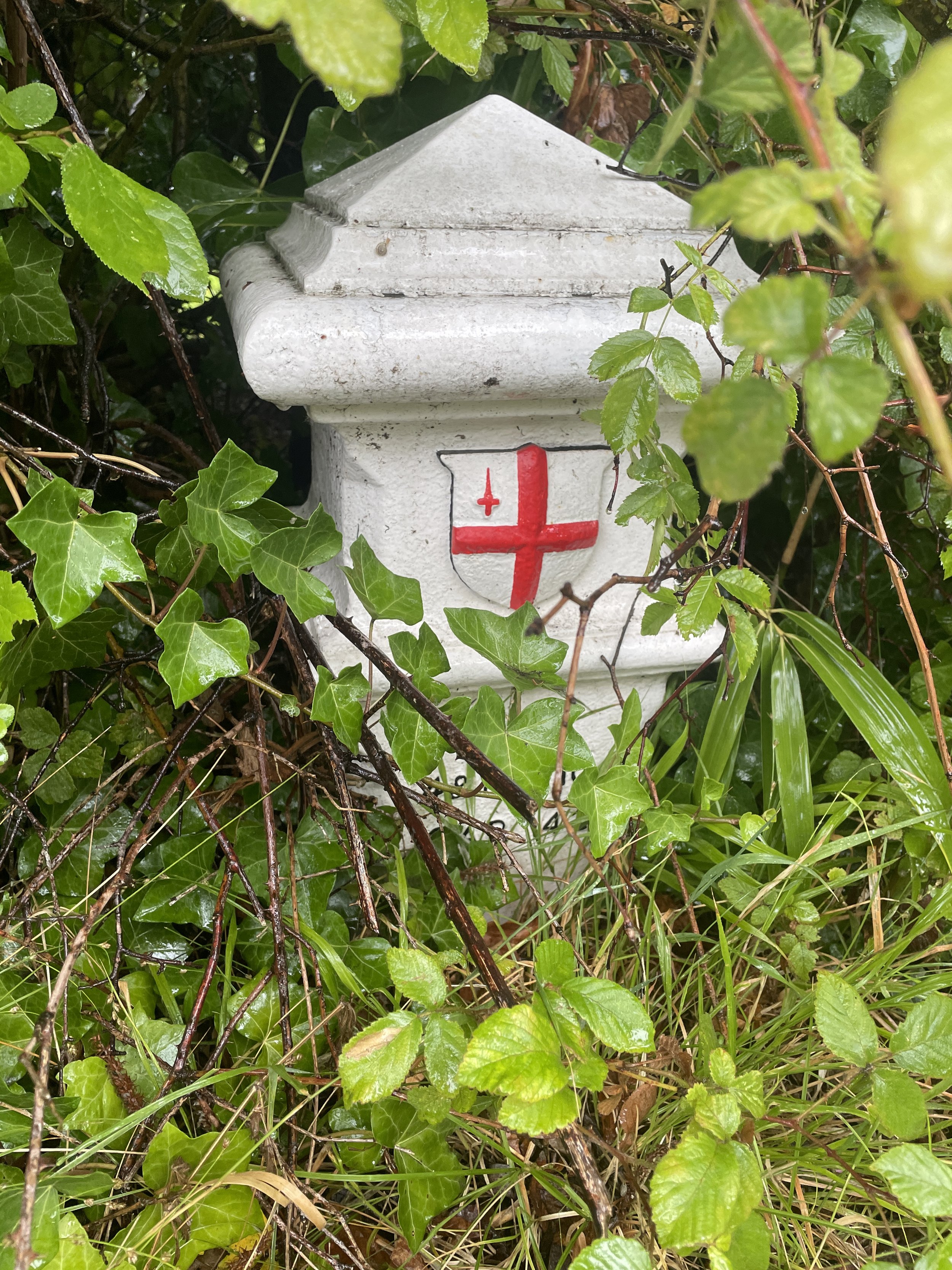
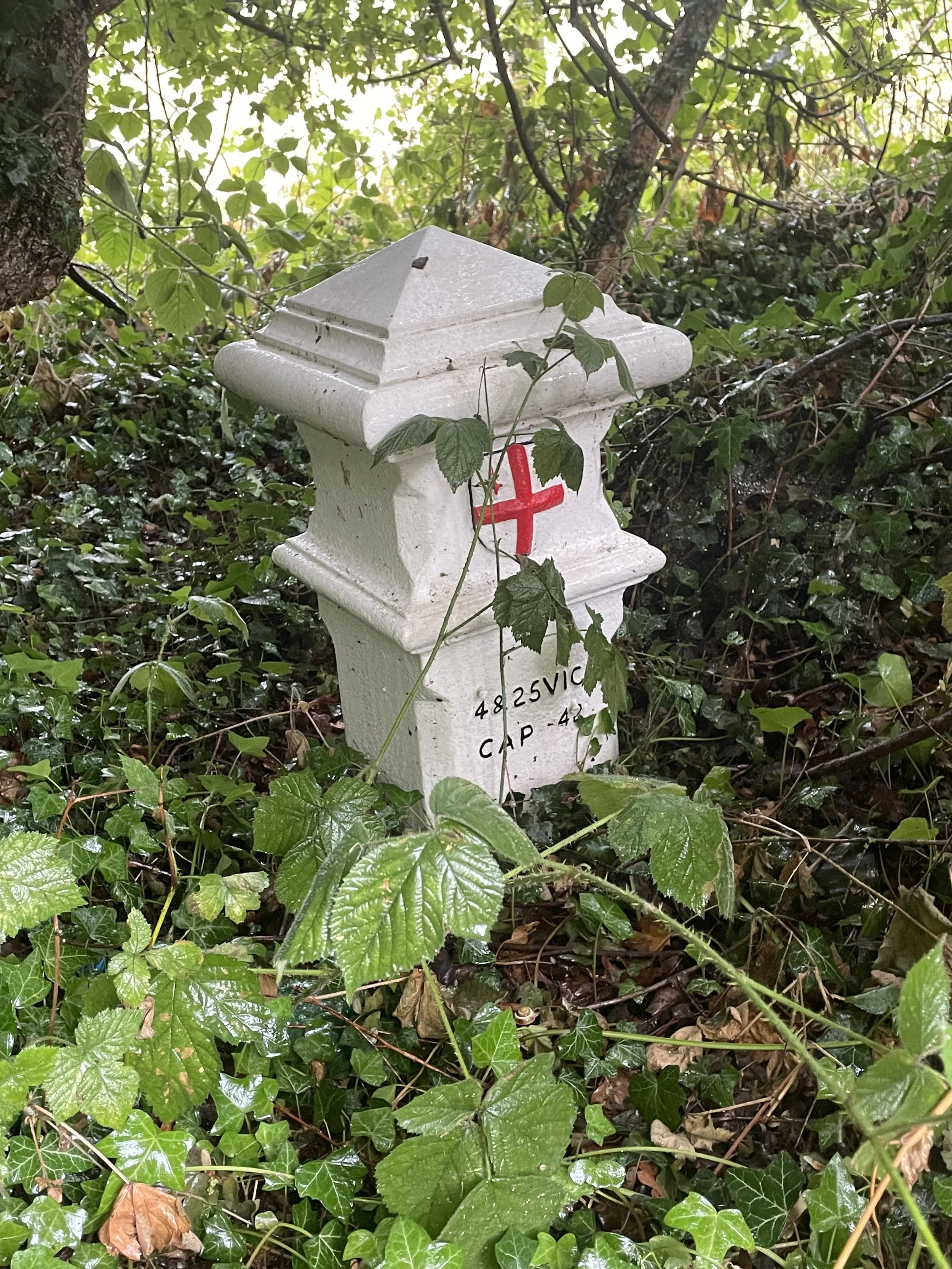
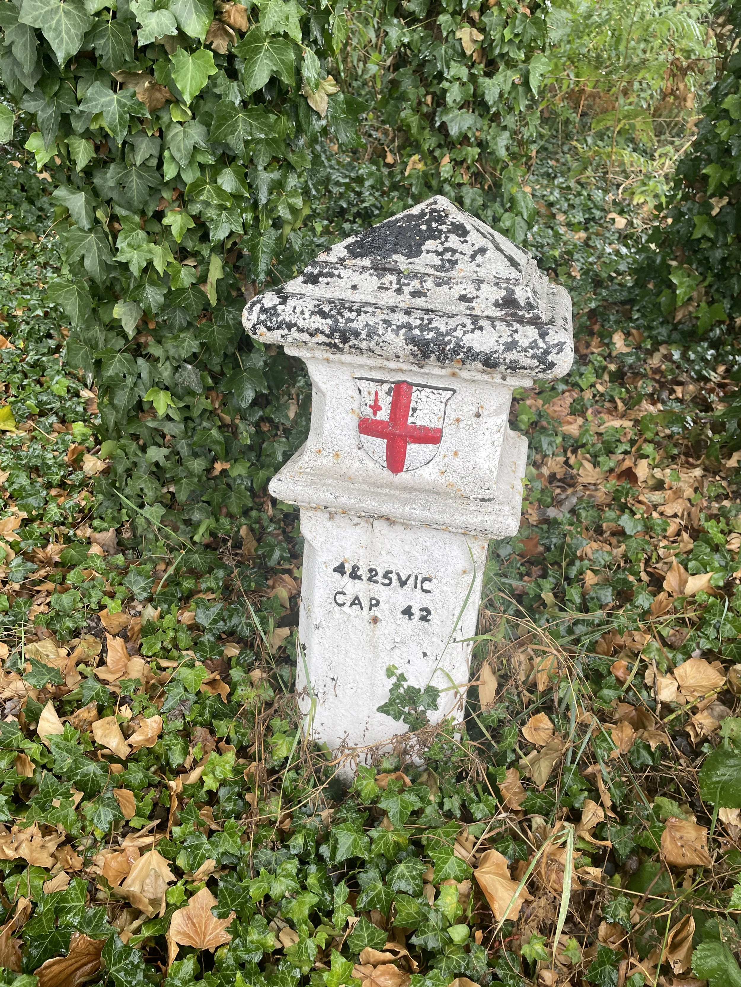
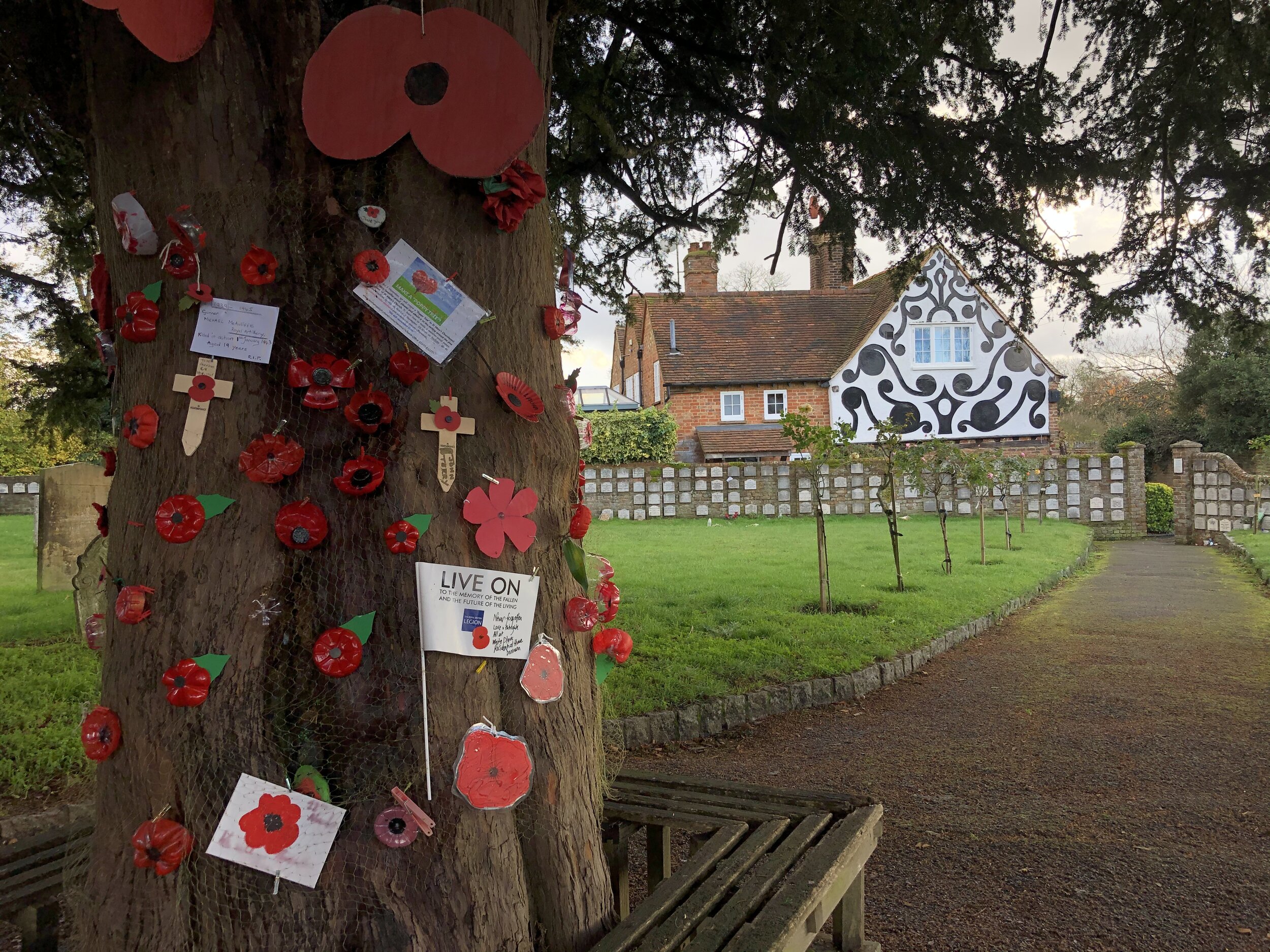
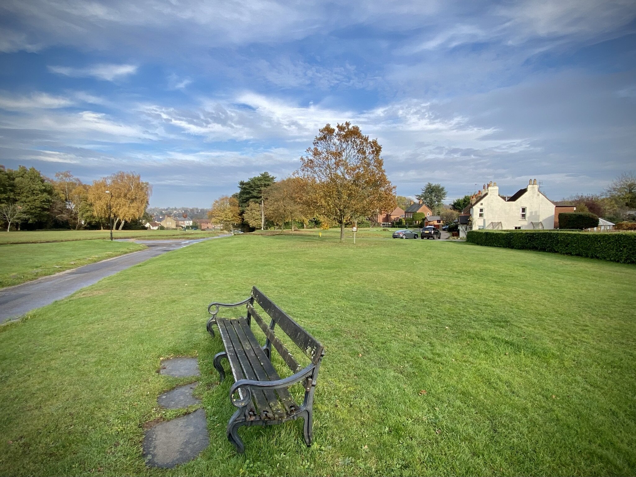
The Village Green is a remnant of the old village of Cippenham, which was once a royal manor. The green is the heart of the historic village, surrounded by older cottages that contrast with the modern development nearby. You’ll see the ditch run right in front of the houses.
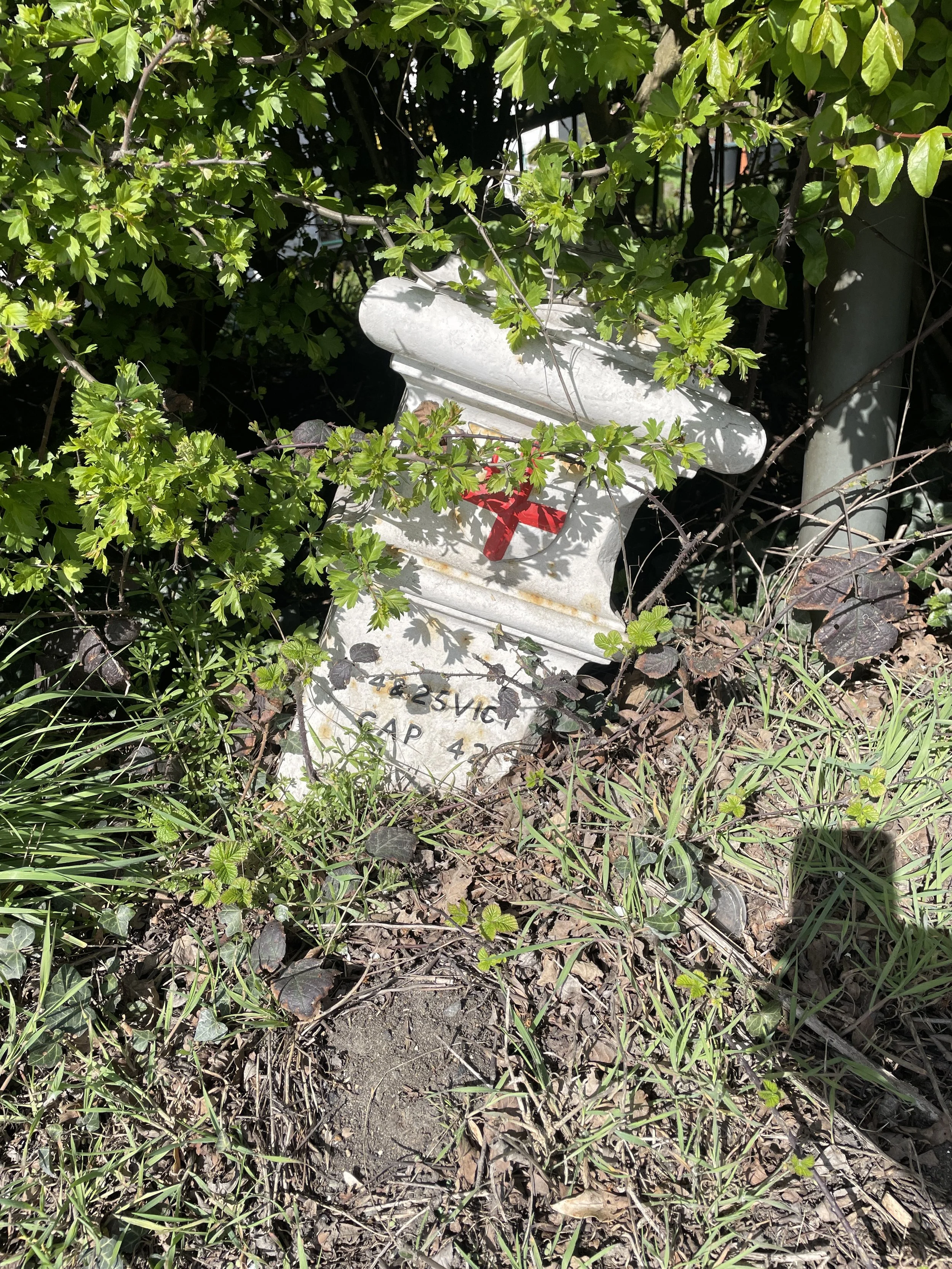
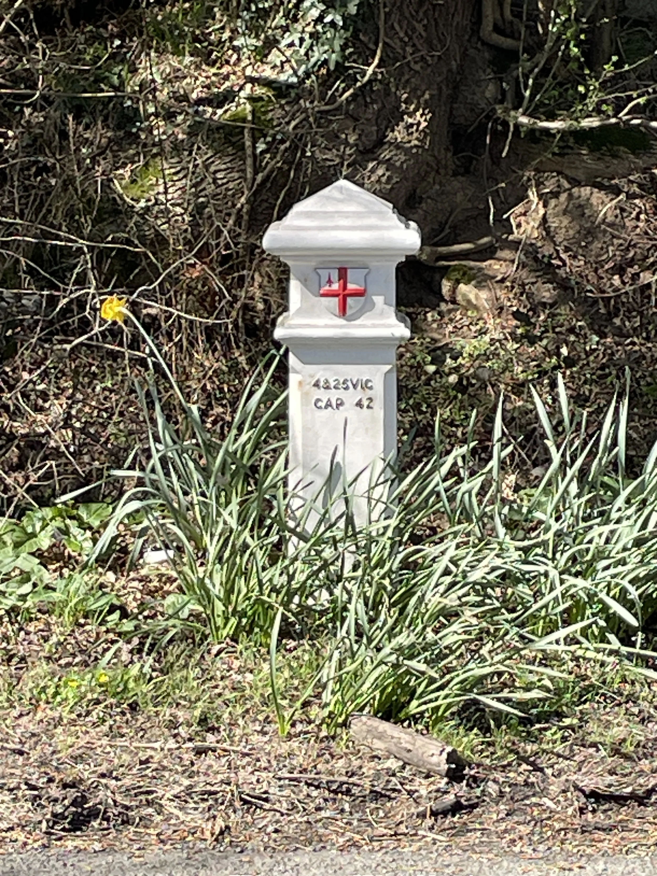
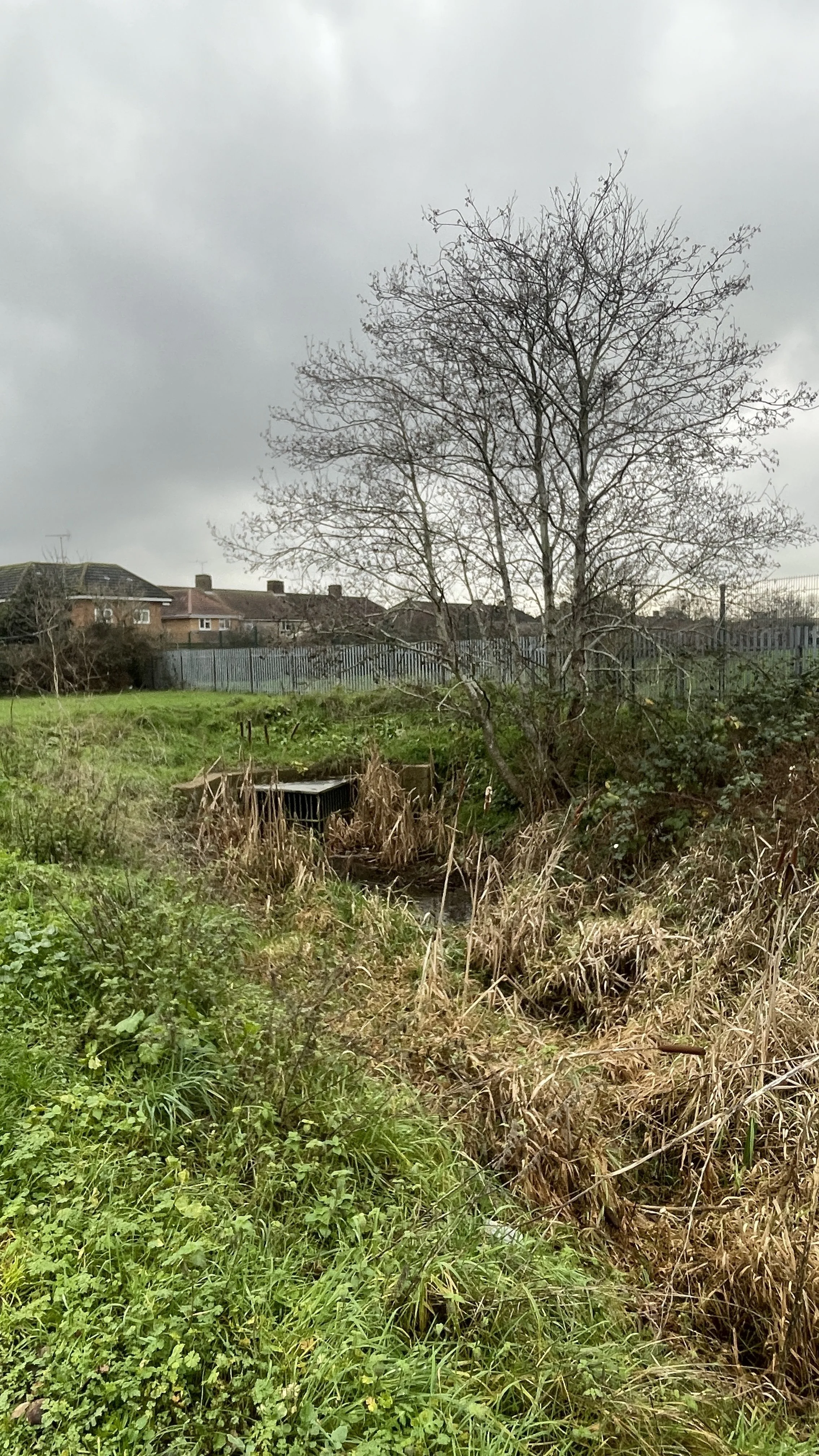
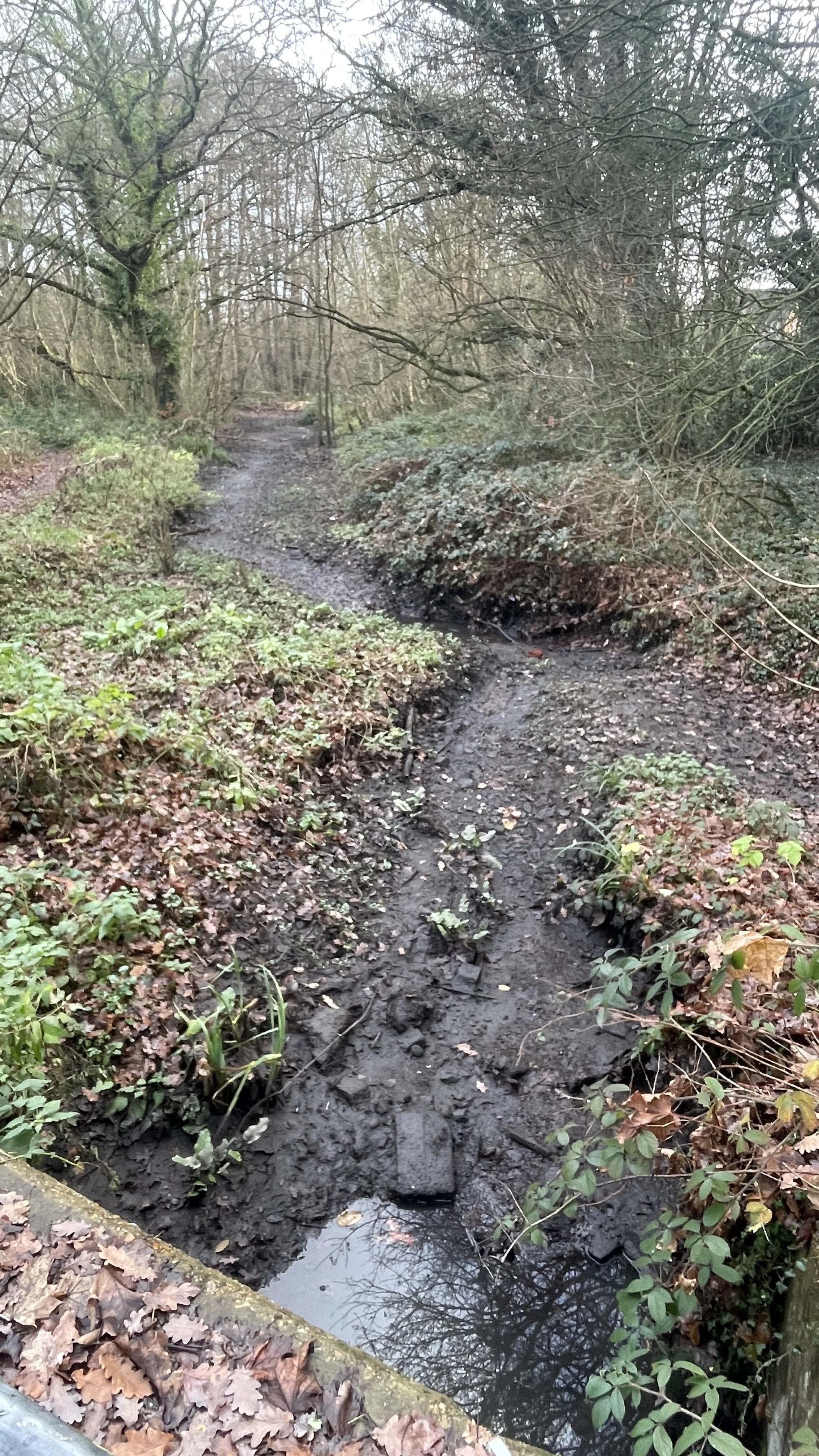
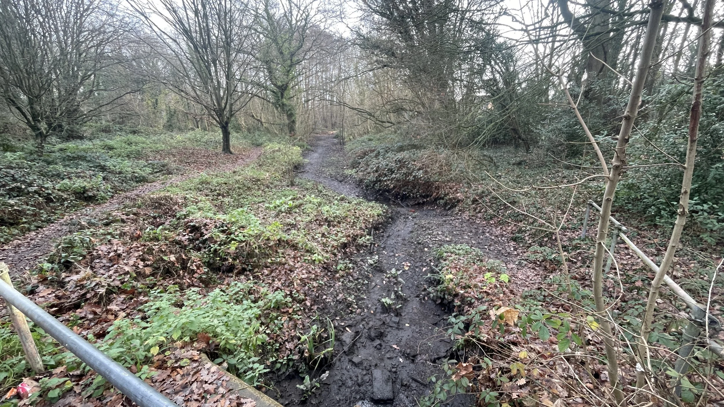
Once you reach Lower Cippenham Lane on the northern side of the village green, the Ditch disappears underground only to reappear a bit further north at Haymill Valley Community Nature Reserve. Cross over Lower Cippenham Lane heading north to Ward Gardens. Take a left onto Bowyer Drive then a right onto Elmshott Lane and follow it north to the A4.
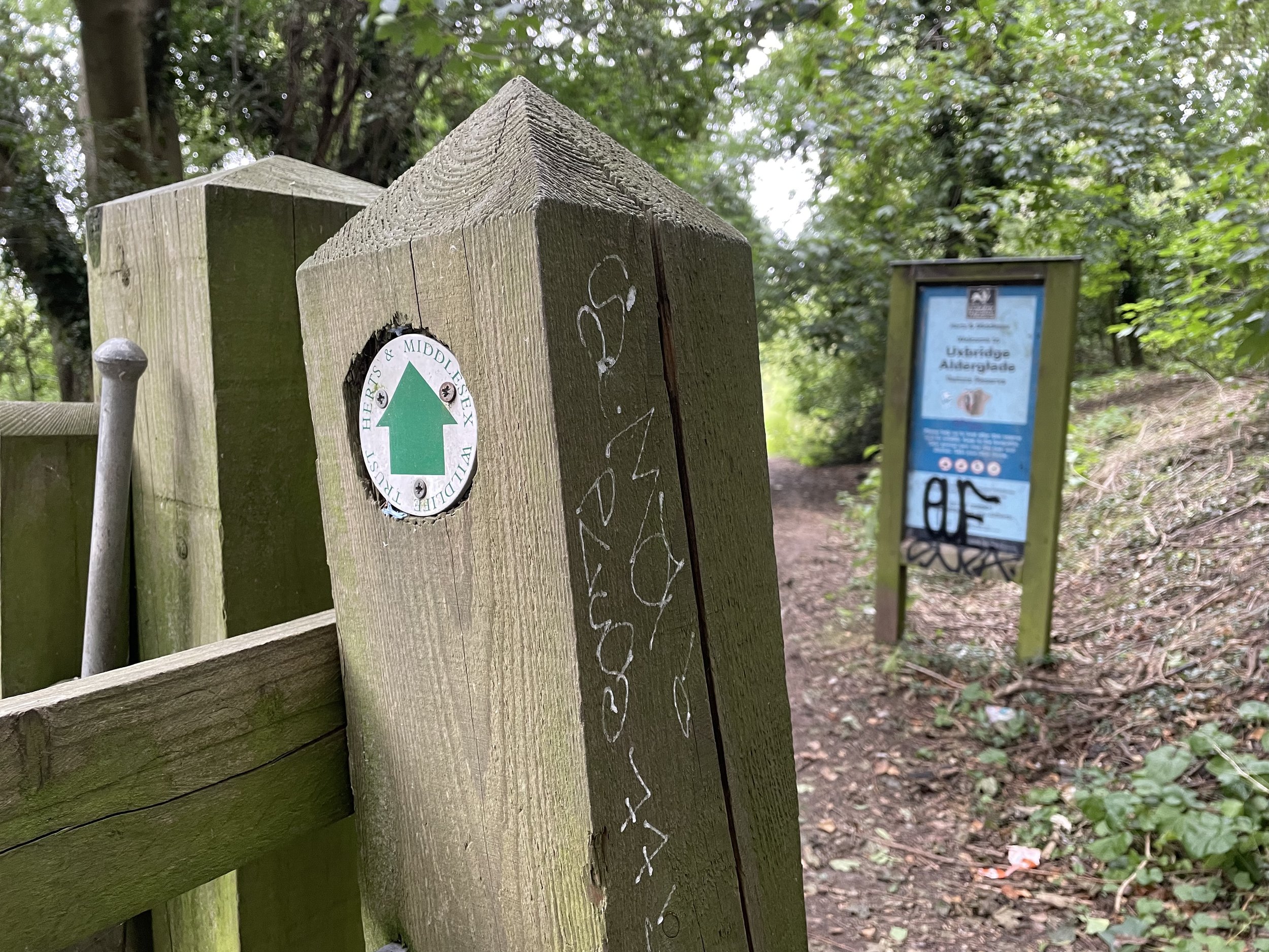
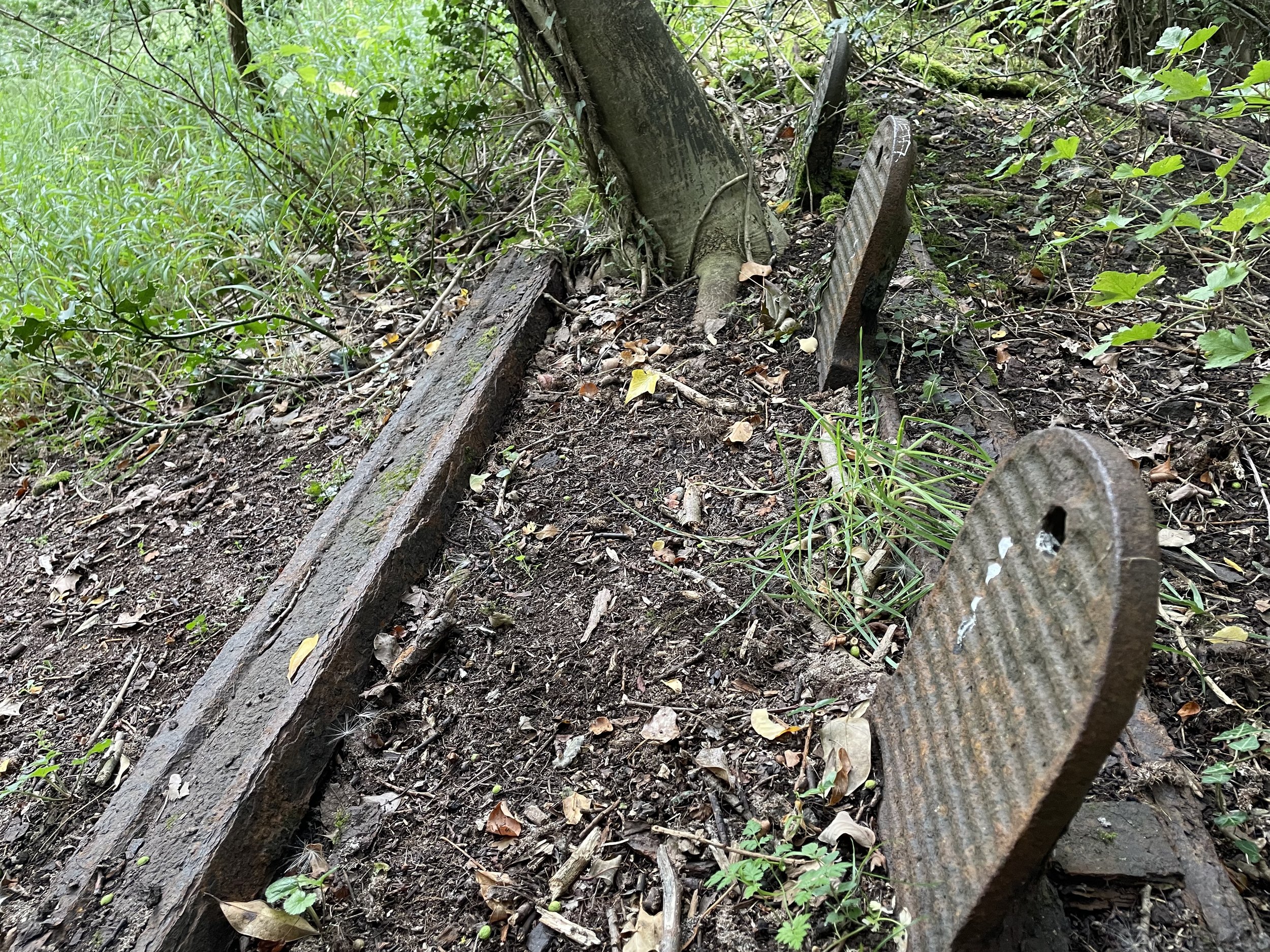
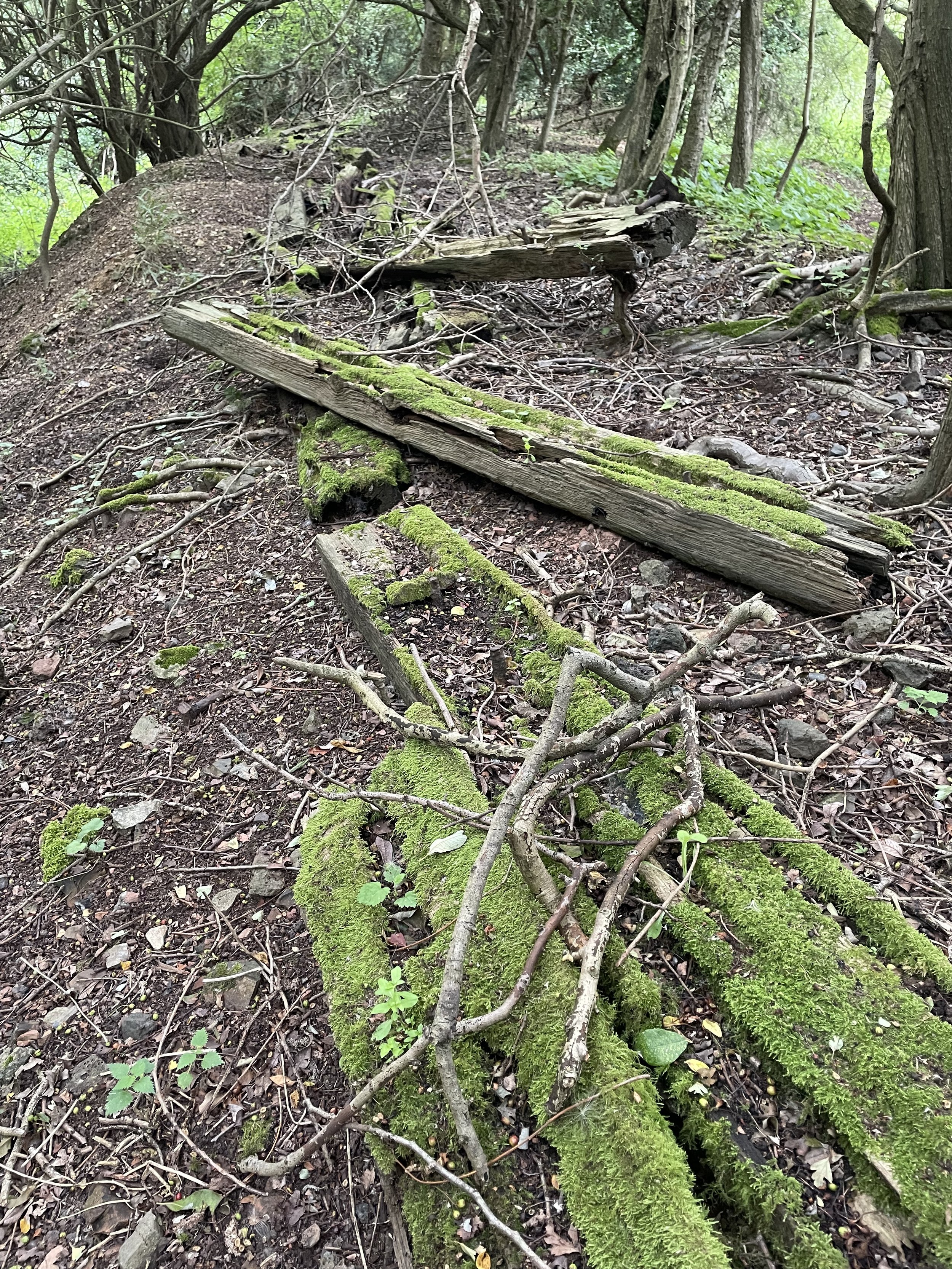
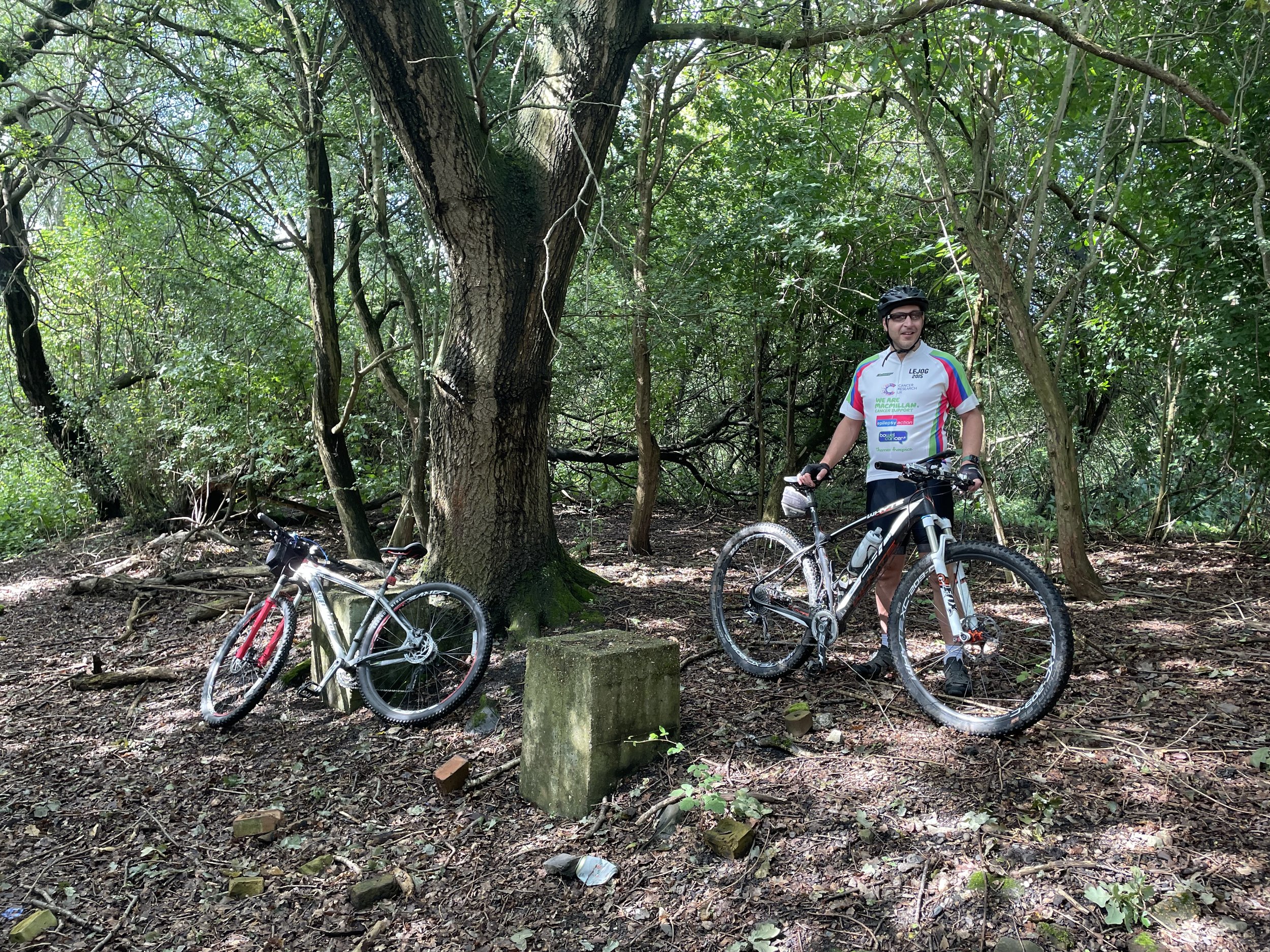
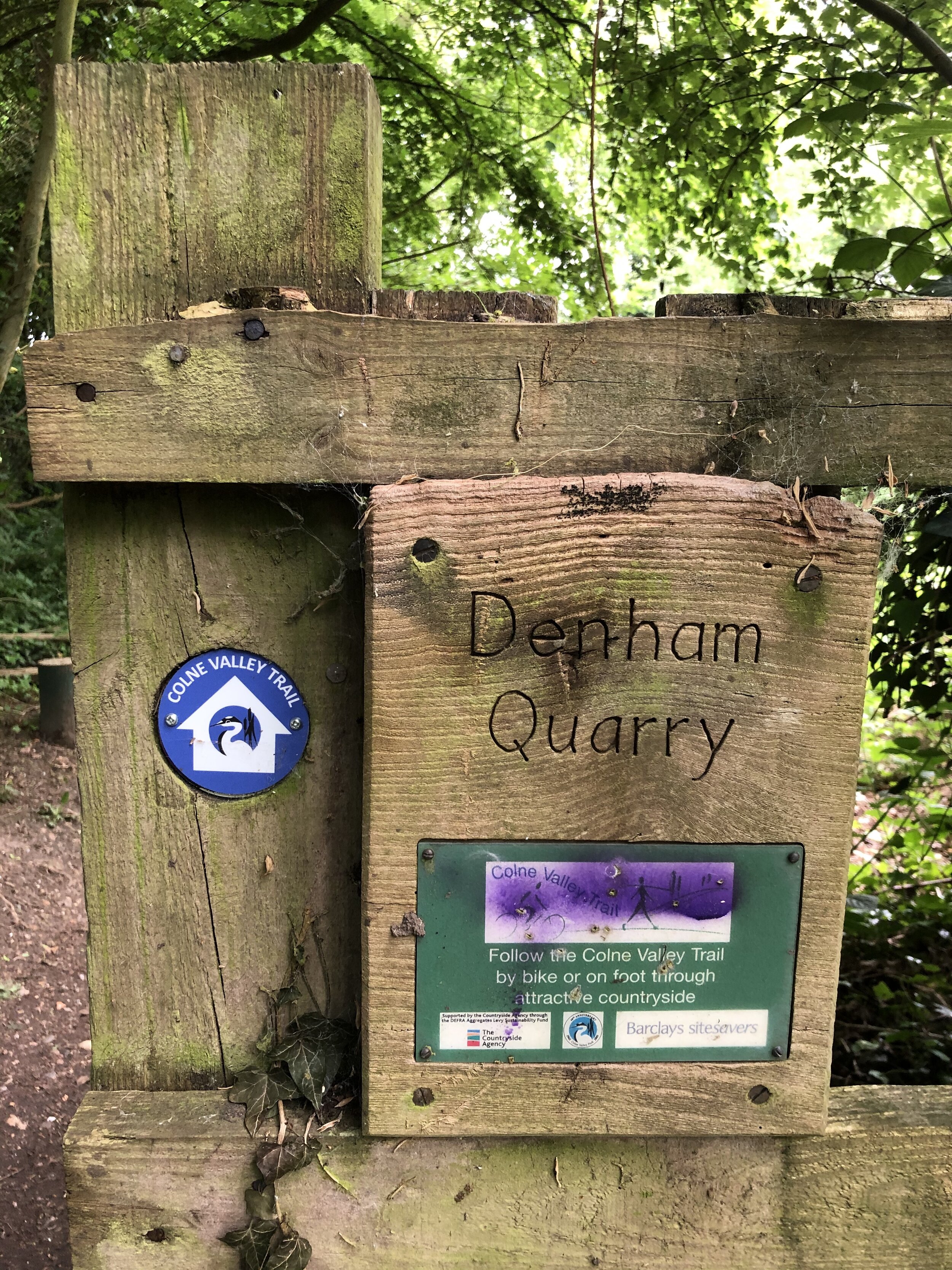
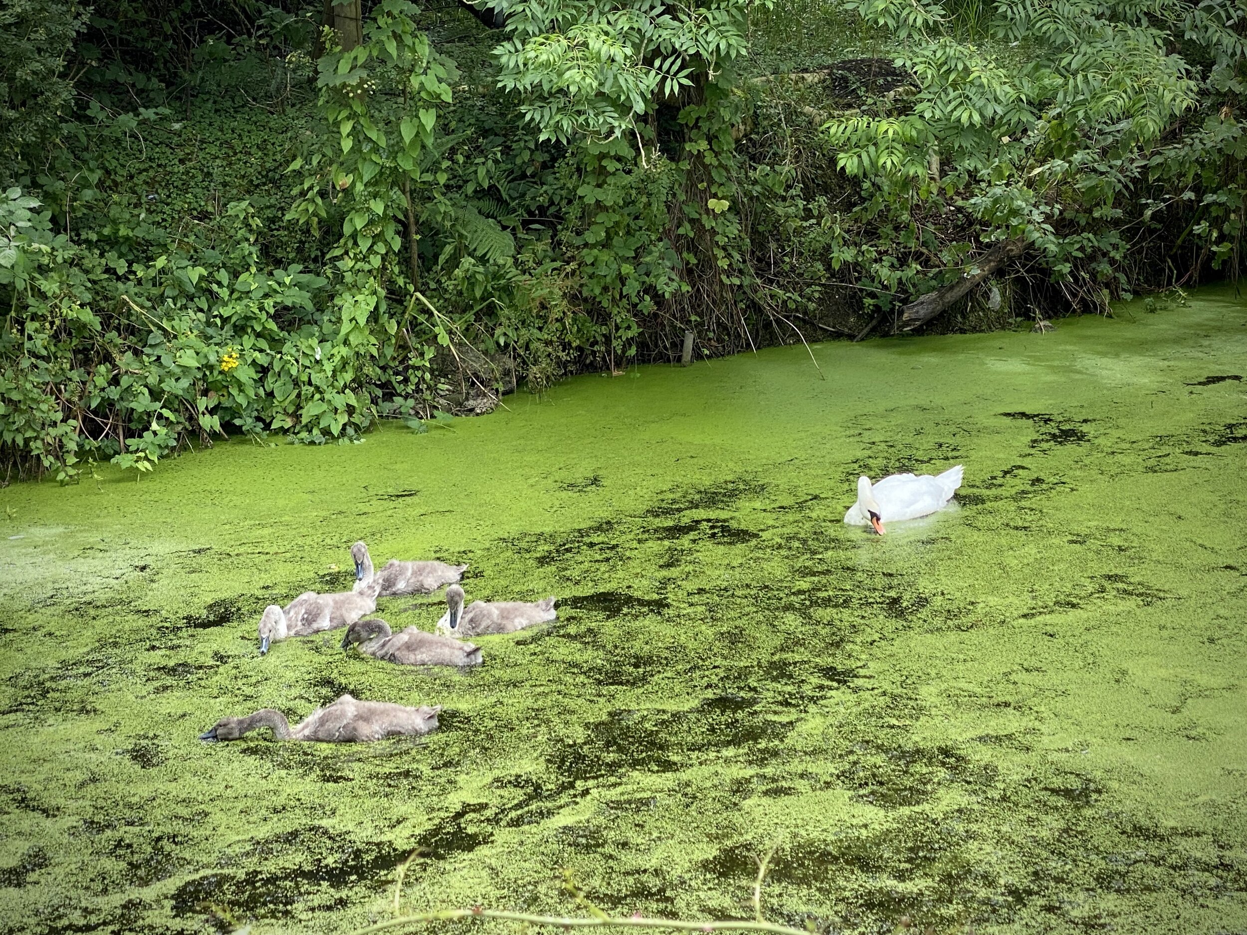
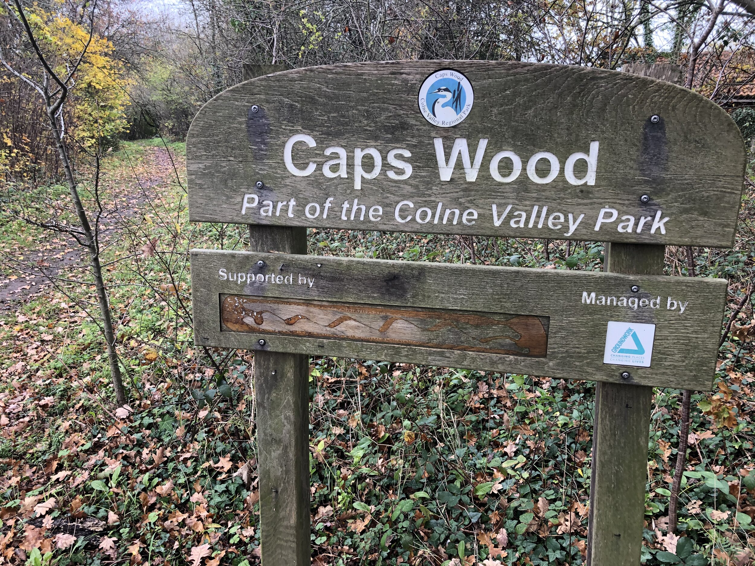
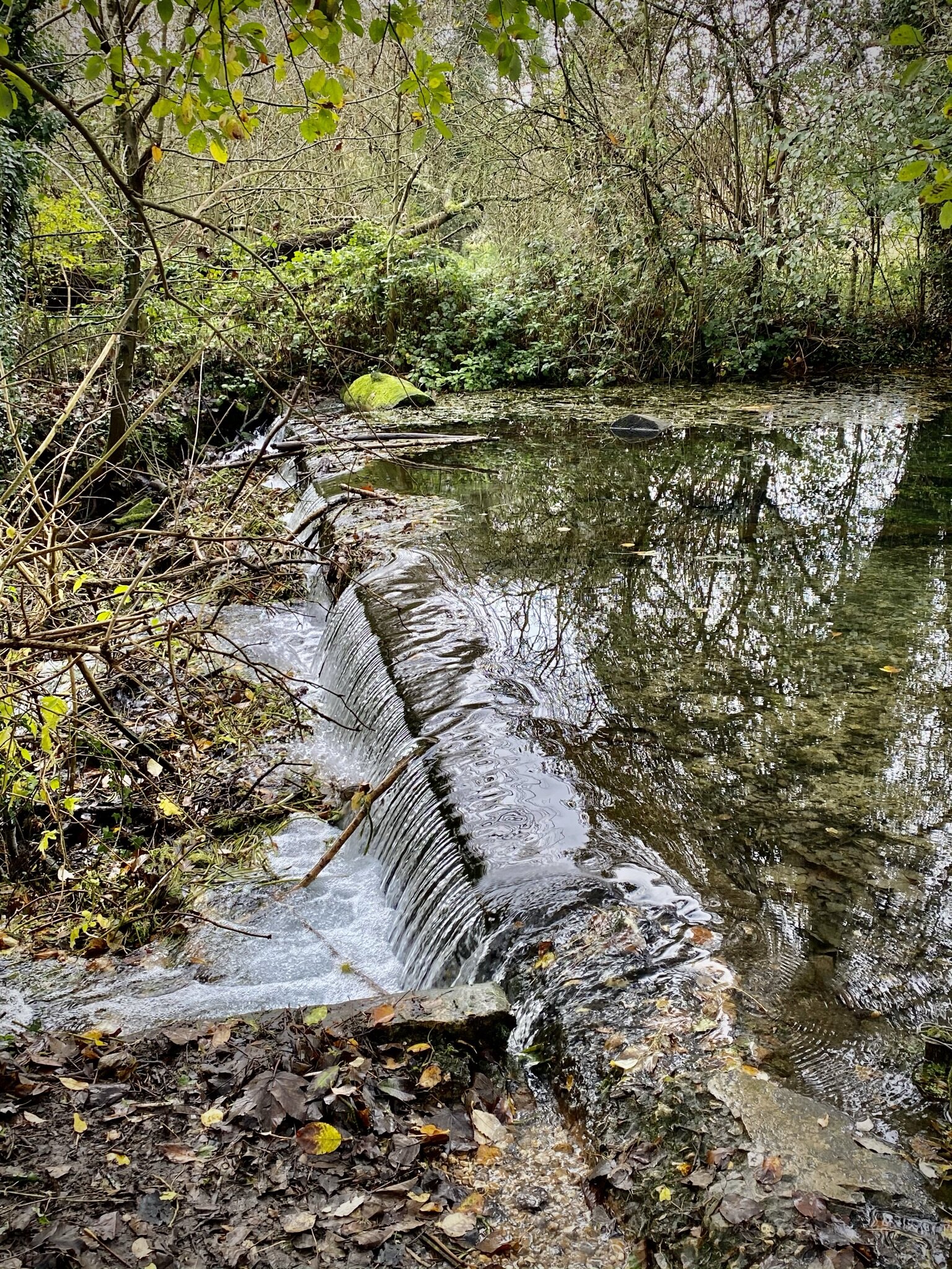
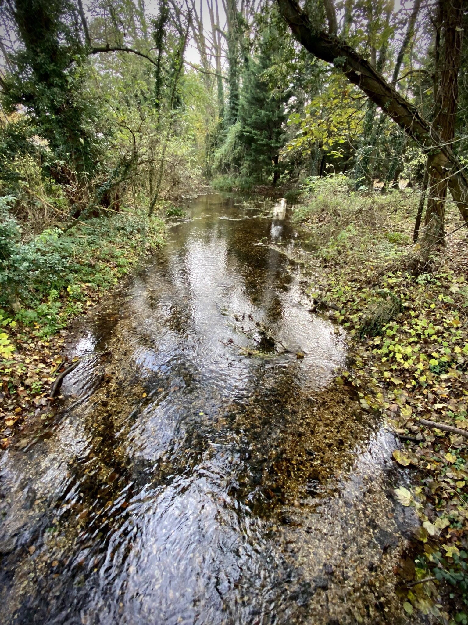
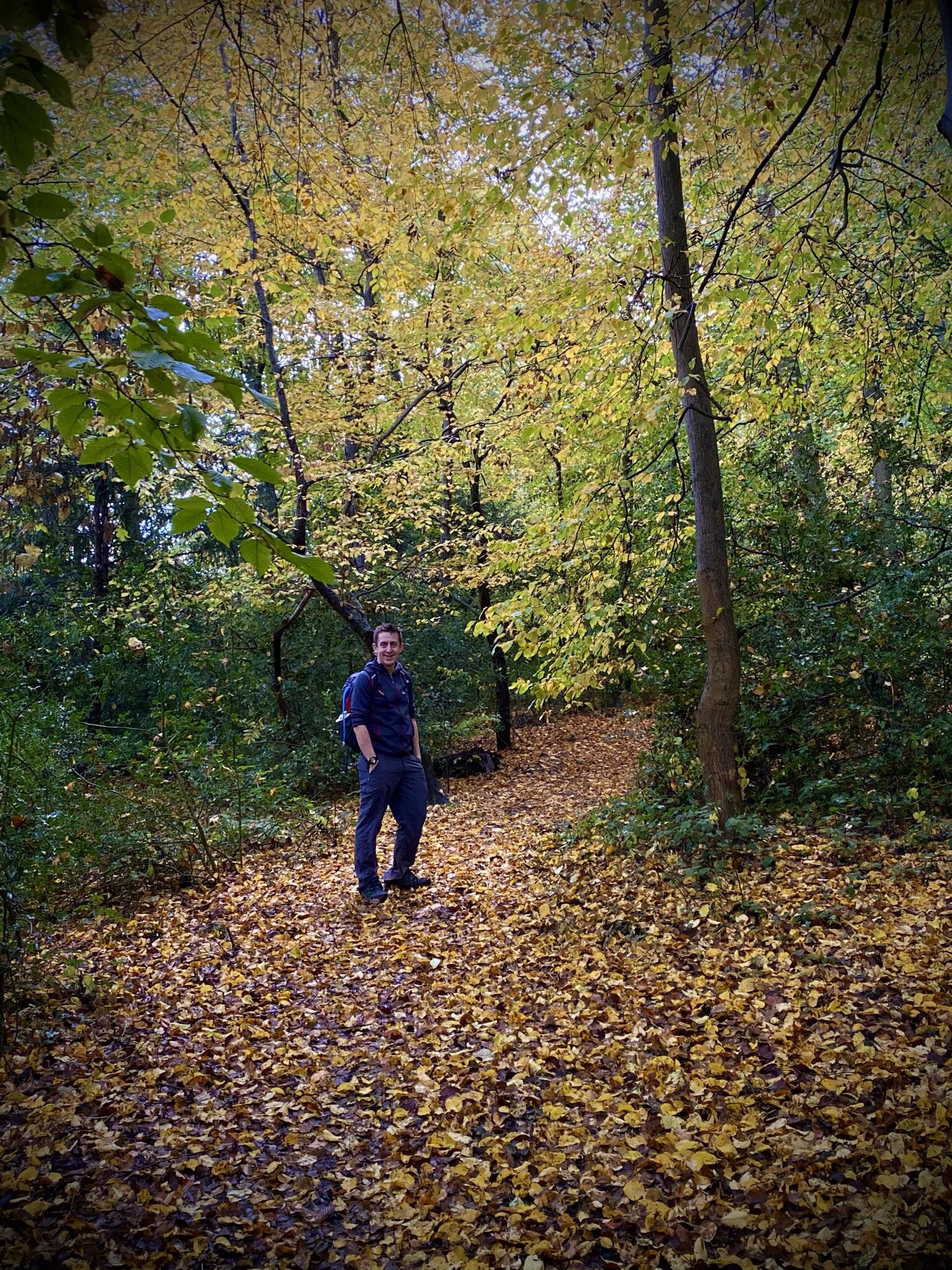
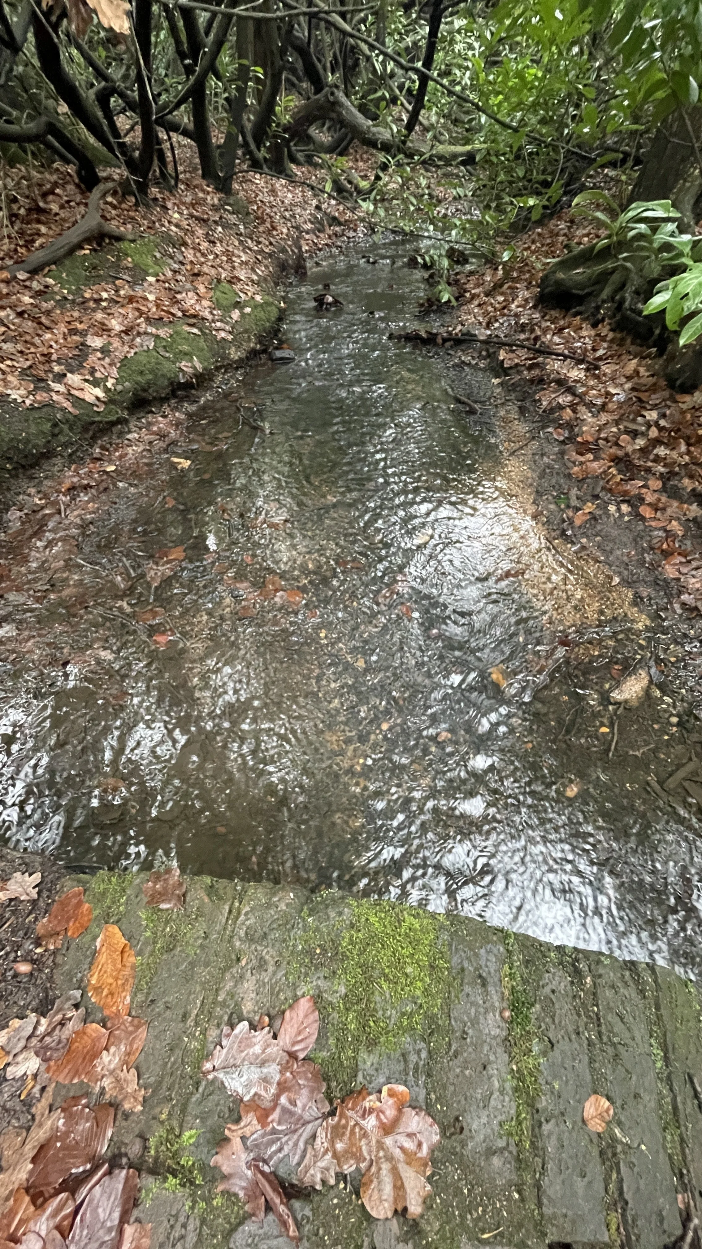
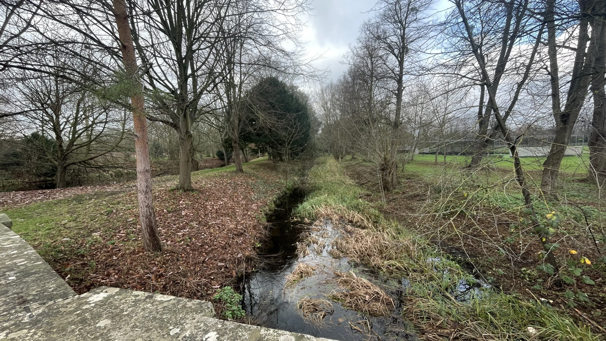
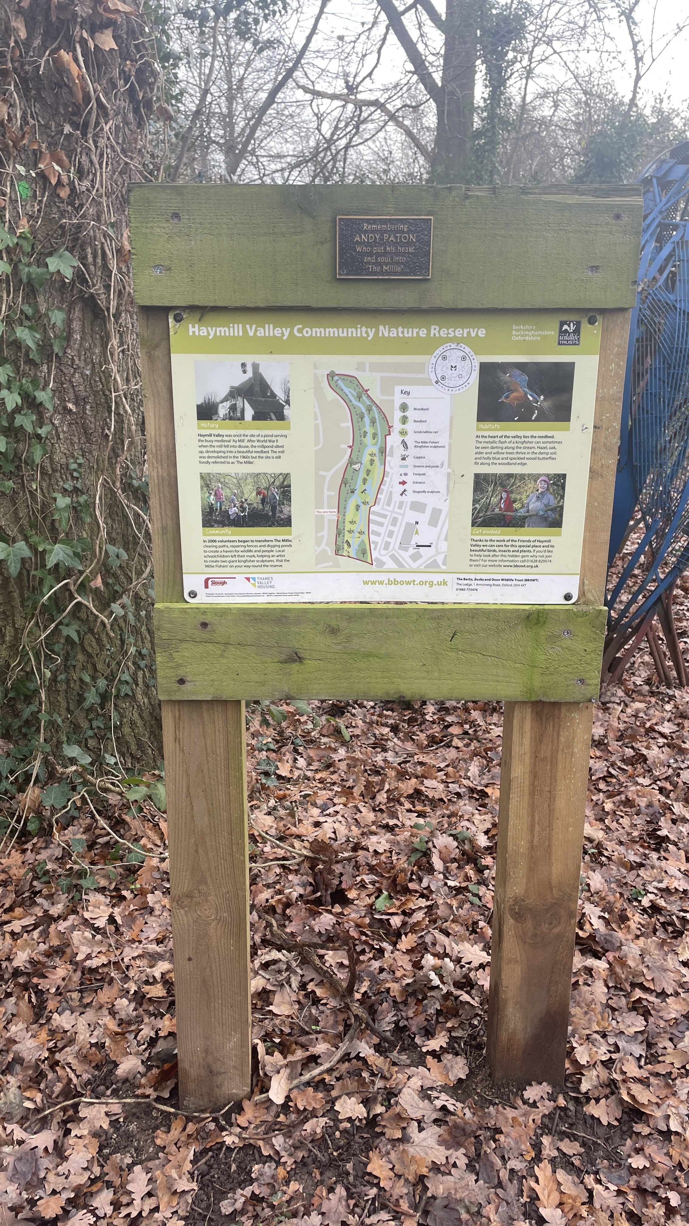
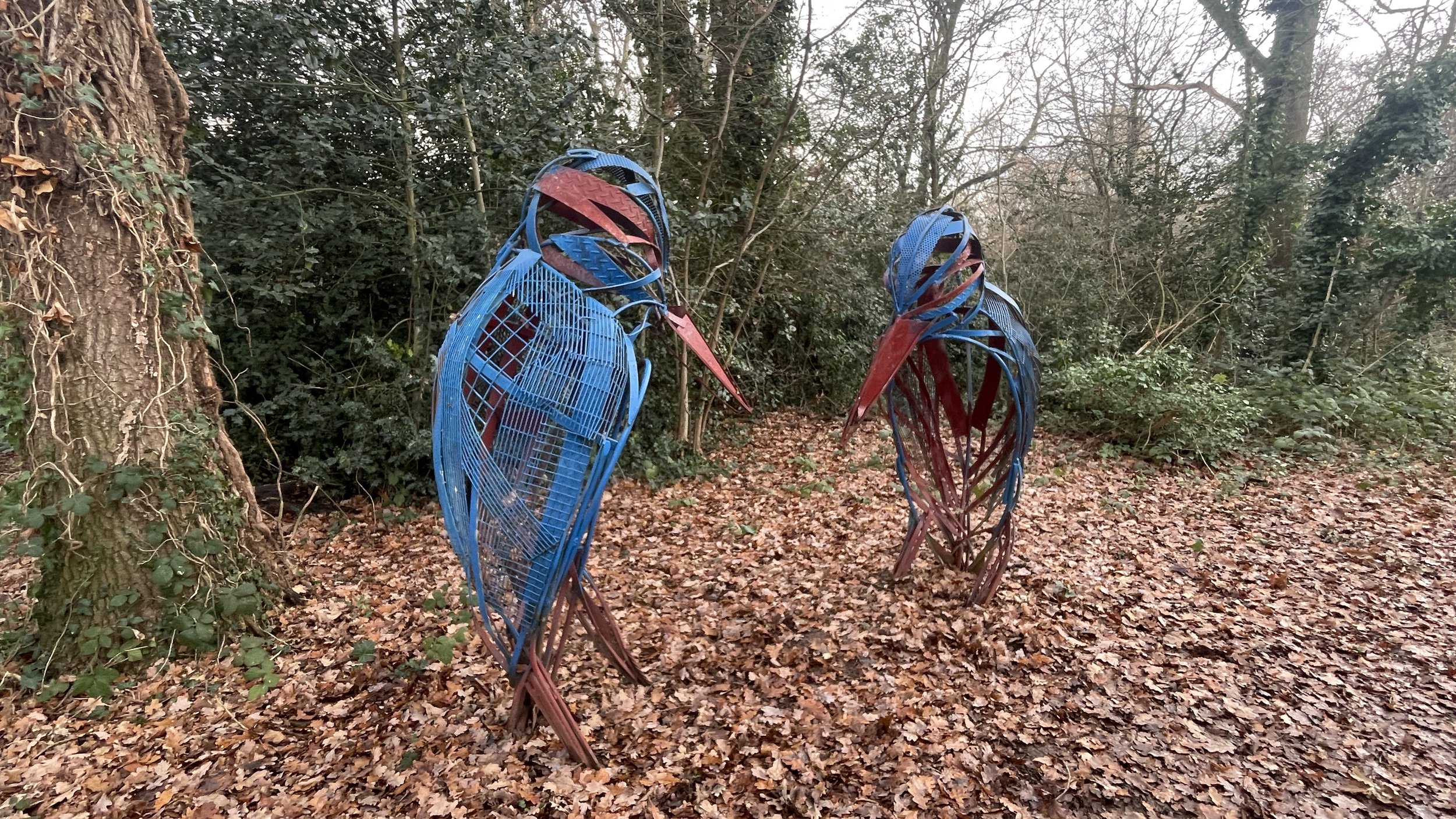
Cross over the A4 and follow Station Road to Burnham Lane. Cross Burnham Lane to find a small footpath leading to Littlebrook Avenue. Find the entrance to Haymill Valley Community Nature Reserve. This reserve occupies the site of the former mill pond for the medieval 'Ay Mill'. When the mill fell into disuse after WWII, the pond silted up and became a reed bed. It is now a haven for reed warblers and kingfishers. Follow the path in a northerly direction to the top of the reserve near Whittaker Road. This is the final place you’ll see the uncovered Chalvey Ditch.
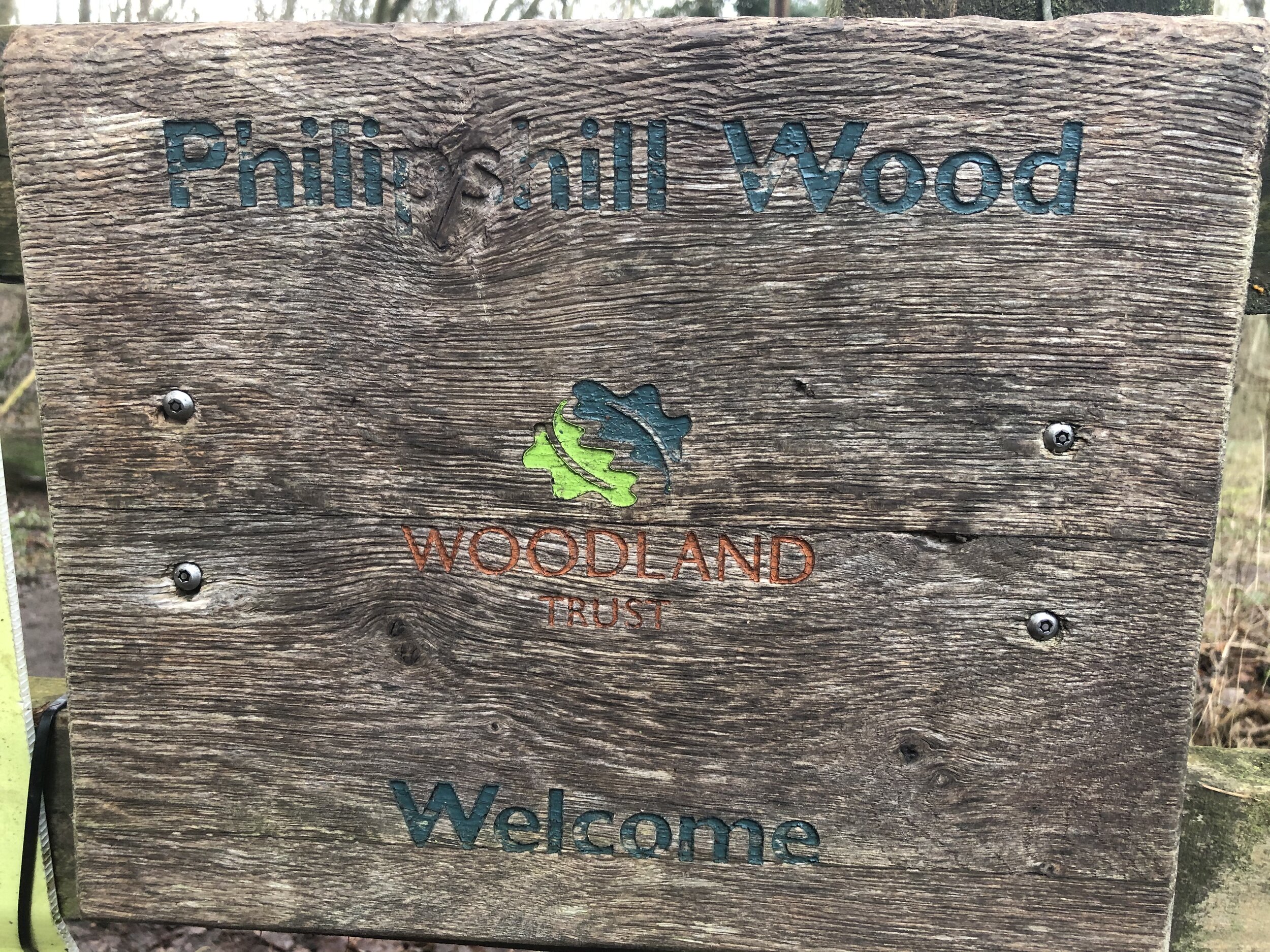
To complete the journey cross Whittaker Road and cross Lammas Meadow to Long Furlong Drive. Take Lynch Hill Lane in a northerly direction then take the path through Cocksherd Woods to join Farnham Lane. Follow Farnham Lane in an easterly direction then take a left onto Crown Lane. Follow Crown Lane north, then take a right onto Hawthorn Lane and a left onto Bedford Drive.
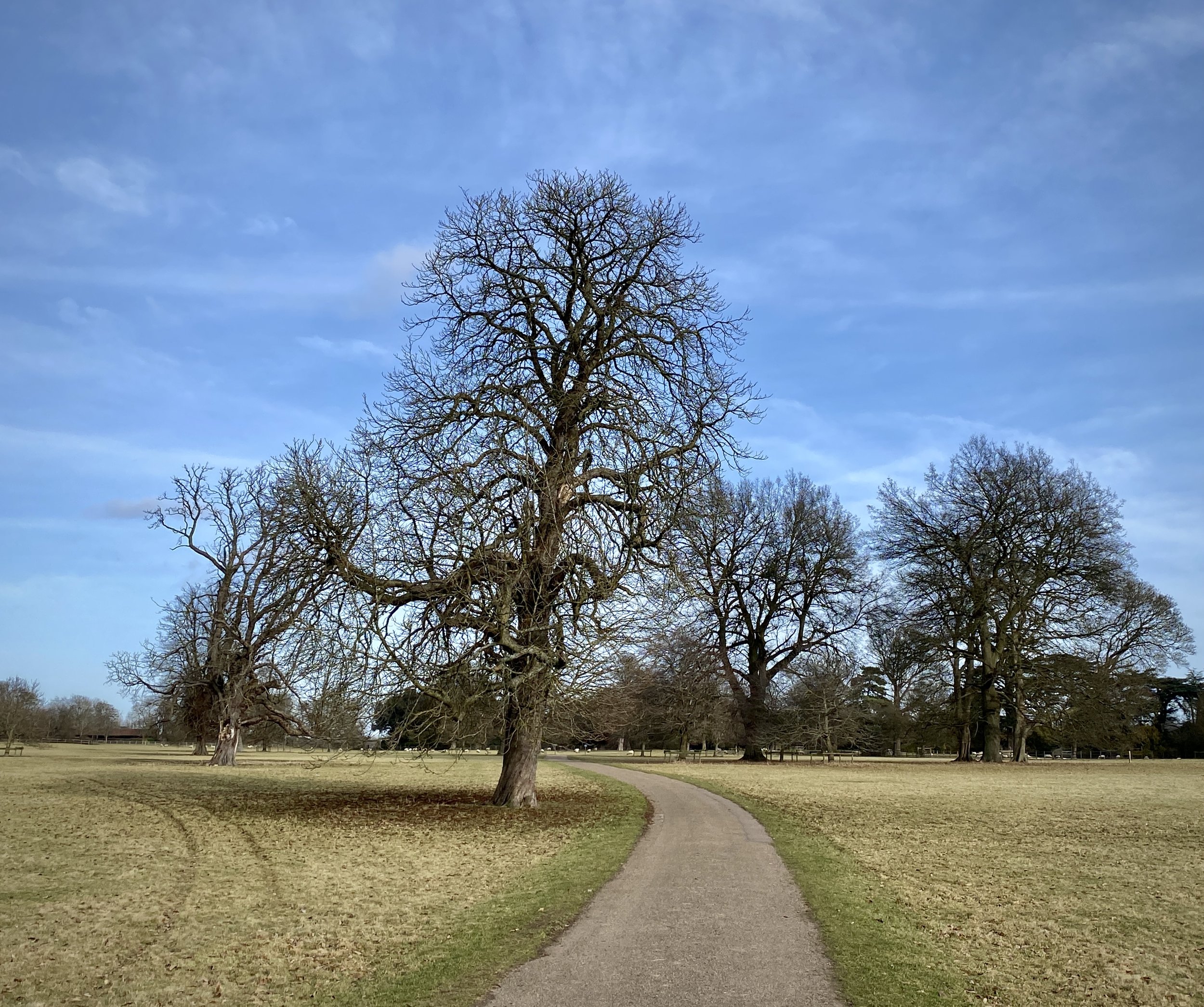
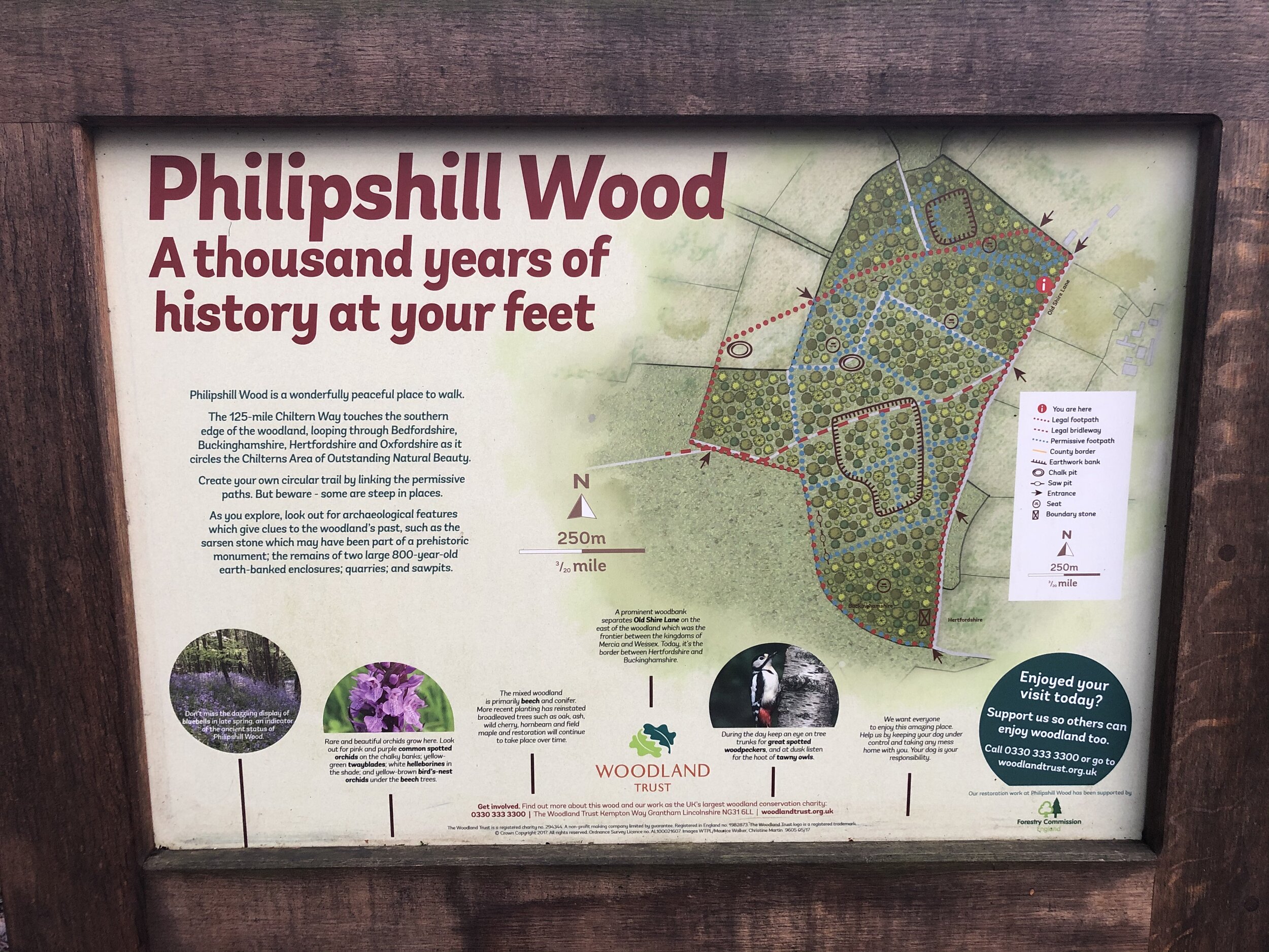
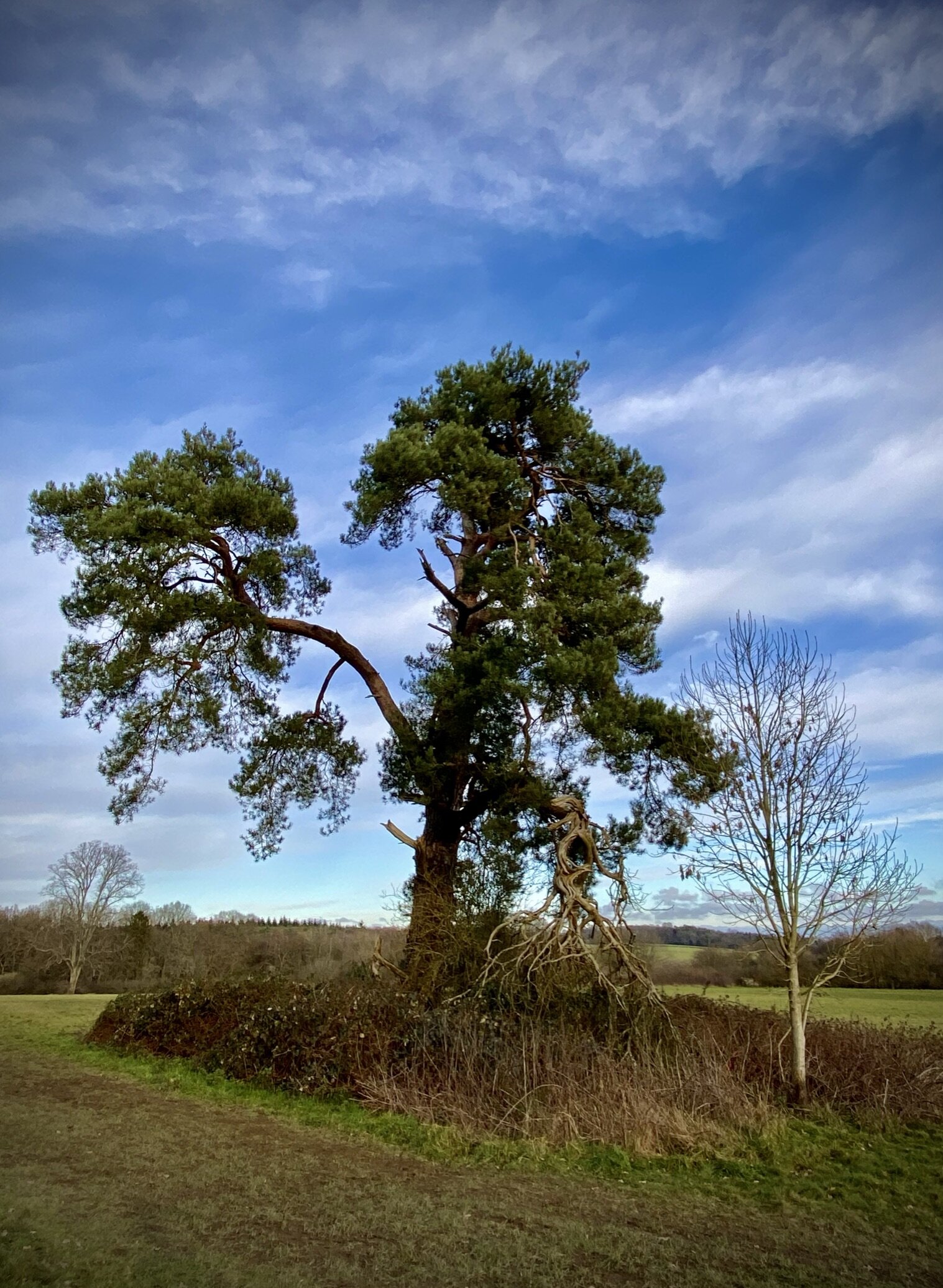
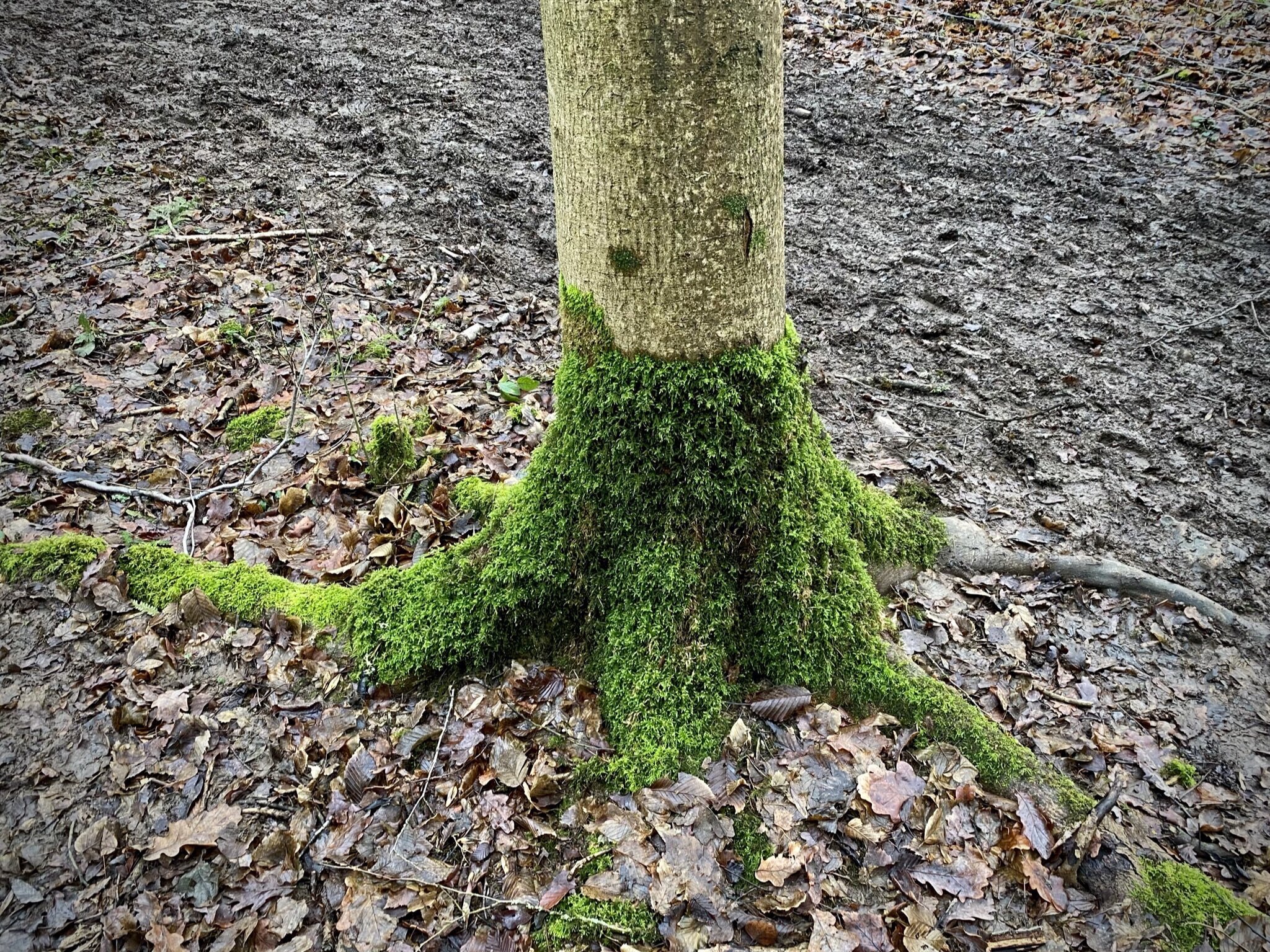
The route concludes near Burnham Beeches Nature Reserve. It is famous for its ancient pollarded beech trees, some of which are nearly 500 years old. The area has been a filming location for numerous movies, including Harry Potter and Robin Hood: Prince of Thieves. At the entrance to Burnham Beeches take a right onto Beeches Road to return back to the start at Farnham Common on the A355 Beaconsfield Road.