Chiltern Walks: Rickmansworth and Chorleywood

Cows grazing on Chorleywood Common
Start & Finish: Rickmansworth Station, WD3 1QY
Alternative start with car parking at: Chorleywood Common, WD3 5EG
Distance: 9.4 km (5.8 miles)
Elevation change: +/- 100m
GPX File: get via Buy Me a Coffee
Other routes touched (walk): Chess Valley Walk
Other routes touched (cycle): none
Pubs / Cafes on route: The Black Horse Pub, Chorleywood Common
Map: OS Explorer Map (172) Chiltern Hills East
Links: Rickmansworth, Rickmansworth Station, River Chess, Chorleywood
This trip was both part of our River Chess Circulars and our walks based around the rail and underground stations of the Chilterns. The River Chess runs from its source at Pednor, near Chesham, to Rickmansworth where it joins the Colne. The Chess Valley Walk is a point-to-point trail along the course of the river from Chesham to Rickmansworth stations. The guidance below will help you navigate but don’t use it as a fully accurate turn-by-turn guide. Always take a map and/or a GPX route and prepare well for the weather and terrain.
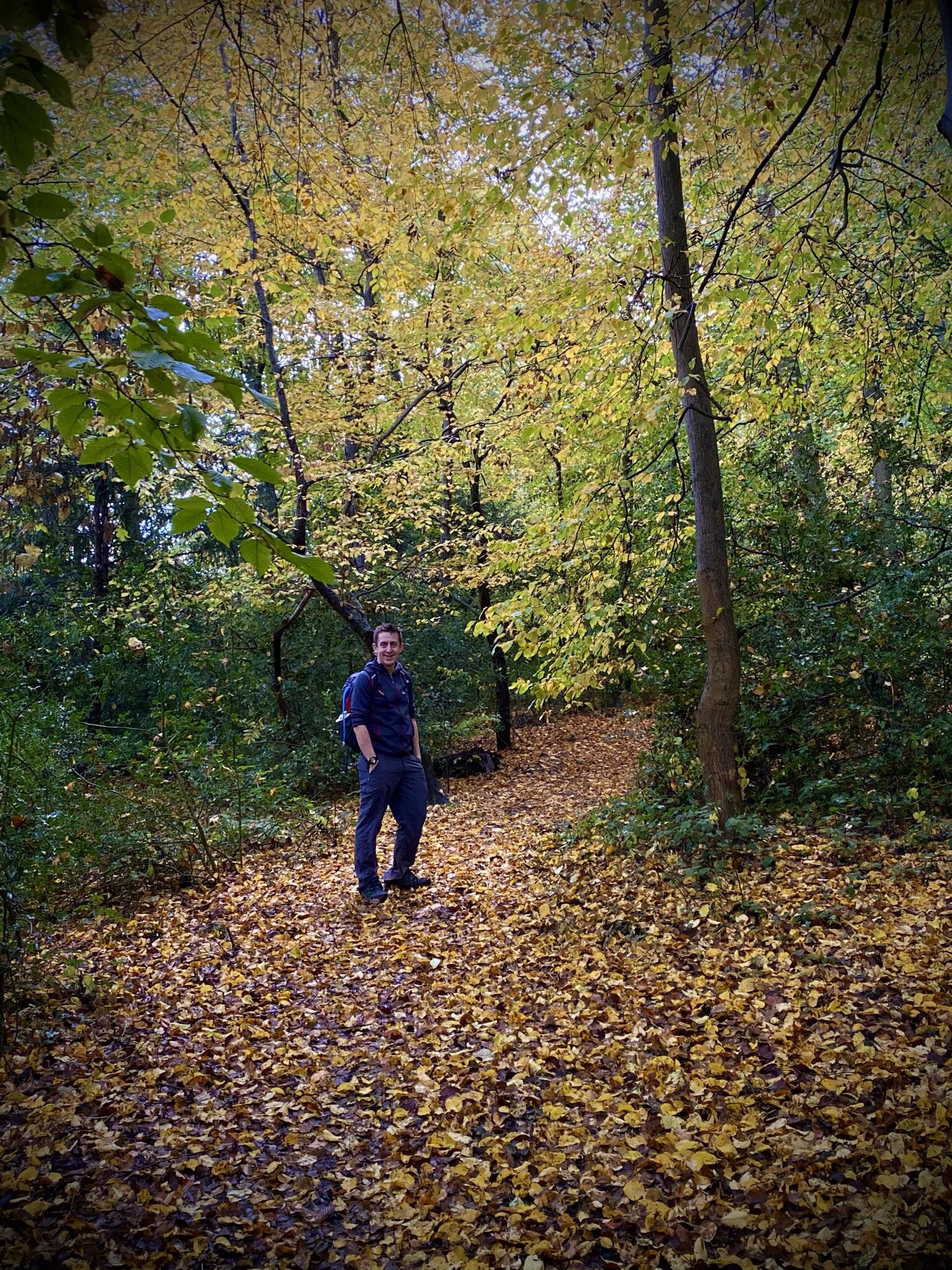
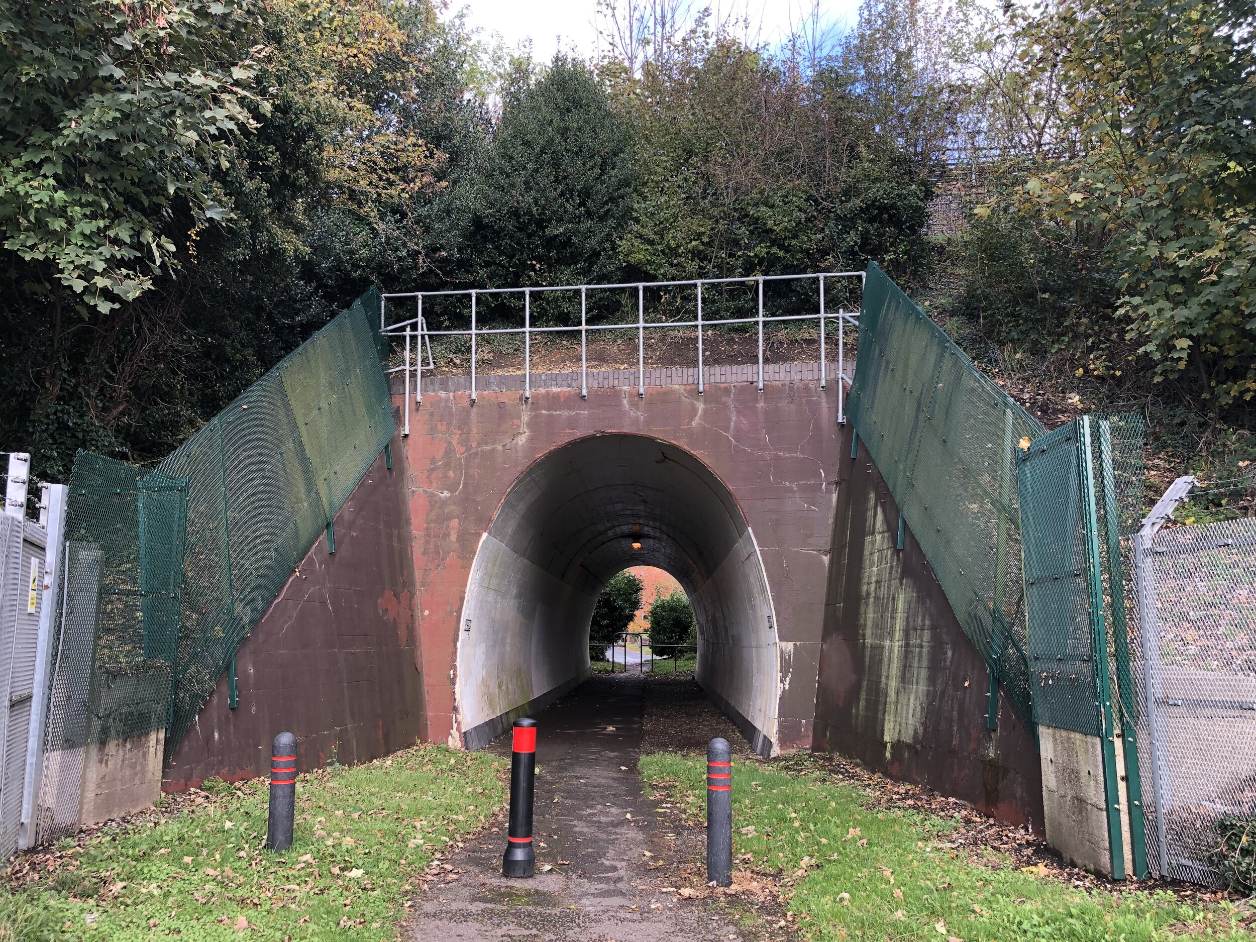
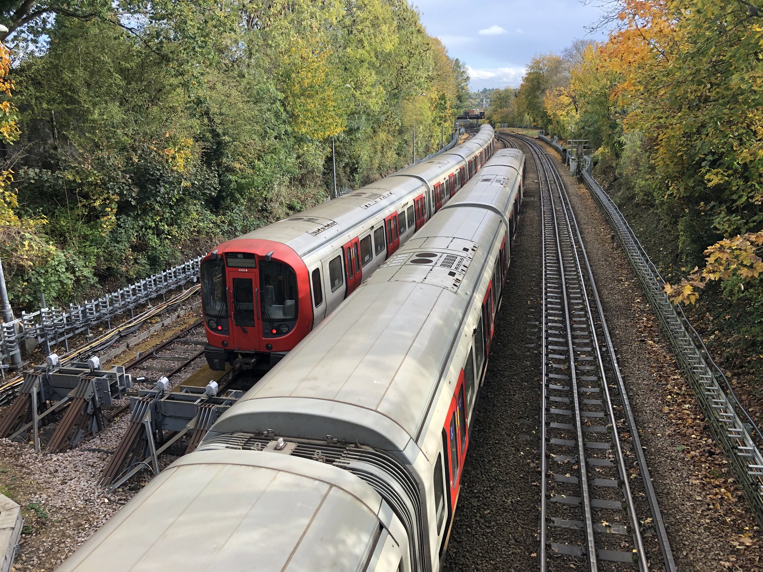
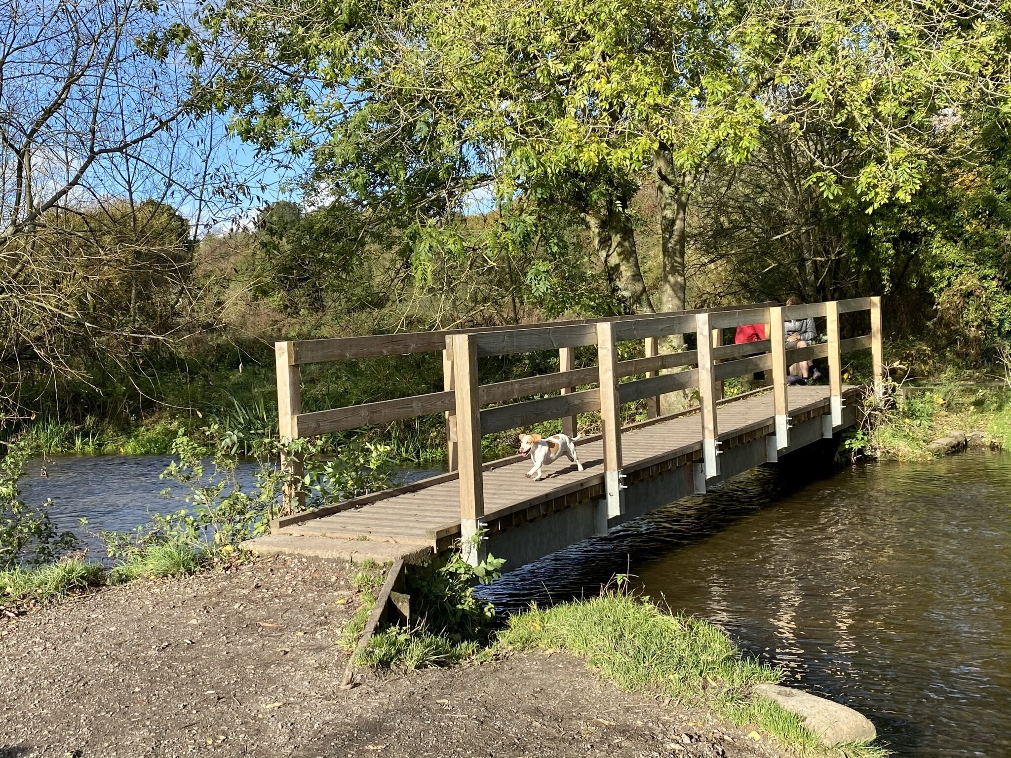
From Rickmansworth station the route follows the first (or last!) 4 kilometres of the Chess Valley Trail. The confluence with the River Colne is to the south of the station and you can pass over it on the Rickmansworth Three Rivers Circular walk. After the M25 crossing you’ll leave the Chess Valley Walk and continue up Solesbridge Lane to Chorleywood Common. Solesbridge Lane is quite narrow with no pavement so a diversion around Chess Way and Wyatt’s Road is recommended. Once over the A404 keep to the paths alongside Dog Kennel Lane until you reach the rail line. Footpaths through the woods to the south side of the rail line will take you back to Rickmansworth.