Chiltern Walks: Wendover and Coombe Hill

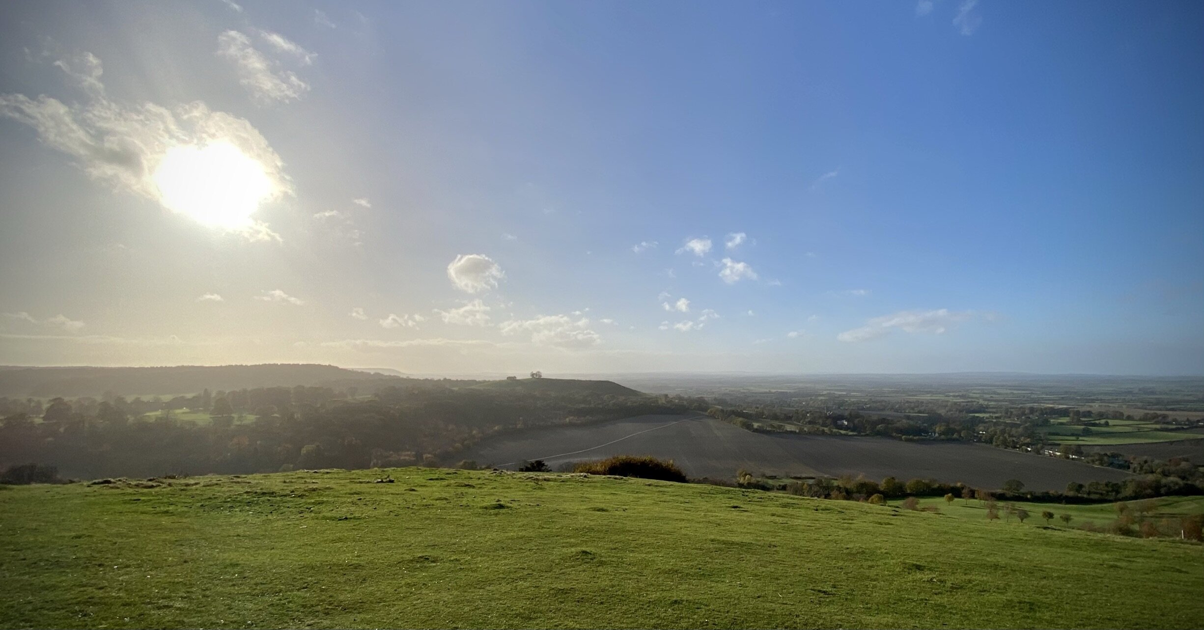
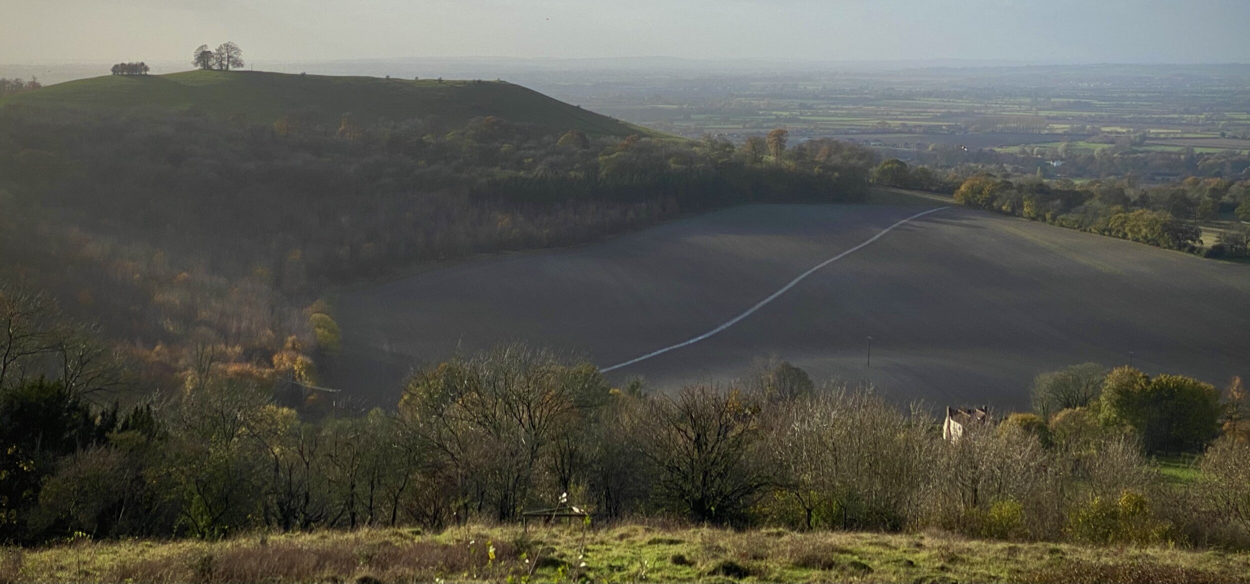
Panorama from Coombe Hill
Start & Finish: Wendover Station, Station Approach, Wendover, P22 6BT
Distance: 7.3 km (4.5 miles)
Elevation change: +/- 139m
GPX File: get via Buy Me a Coffee
Other routes touched (walk): The Ridgeway, Outer Aylesbury Ring, South Bucks Way, Coombe Hill Orange Trail, Low Scrubs Orange Trail
Other routes touched (cycle): Chilterns Cycleway
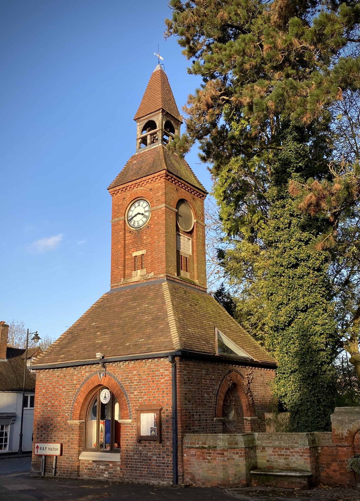
Pubs / Cafes on route: Several in Wendover High Street
Map: OS Explorer Map (181) Chiltern Hills North
Links: Wendover, Wendover Station, Coombe Hill, Bacombe Hill, Coombe Hill National Trust
This trip was both part of our walks based around the rail and underground stations of the Chilterns. The guidance below will help you navigate but don’t use it as a fully accurate turn-by-turn guide. Always take a map and/or a GPX route and prepare well for the weather and terrain.
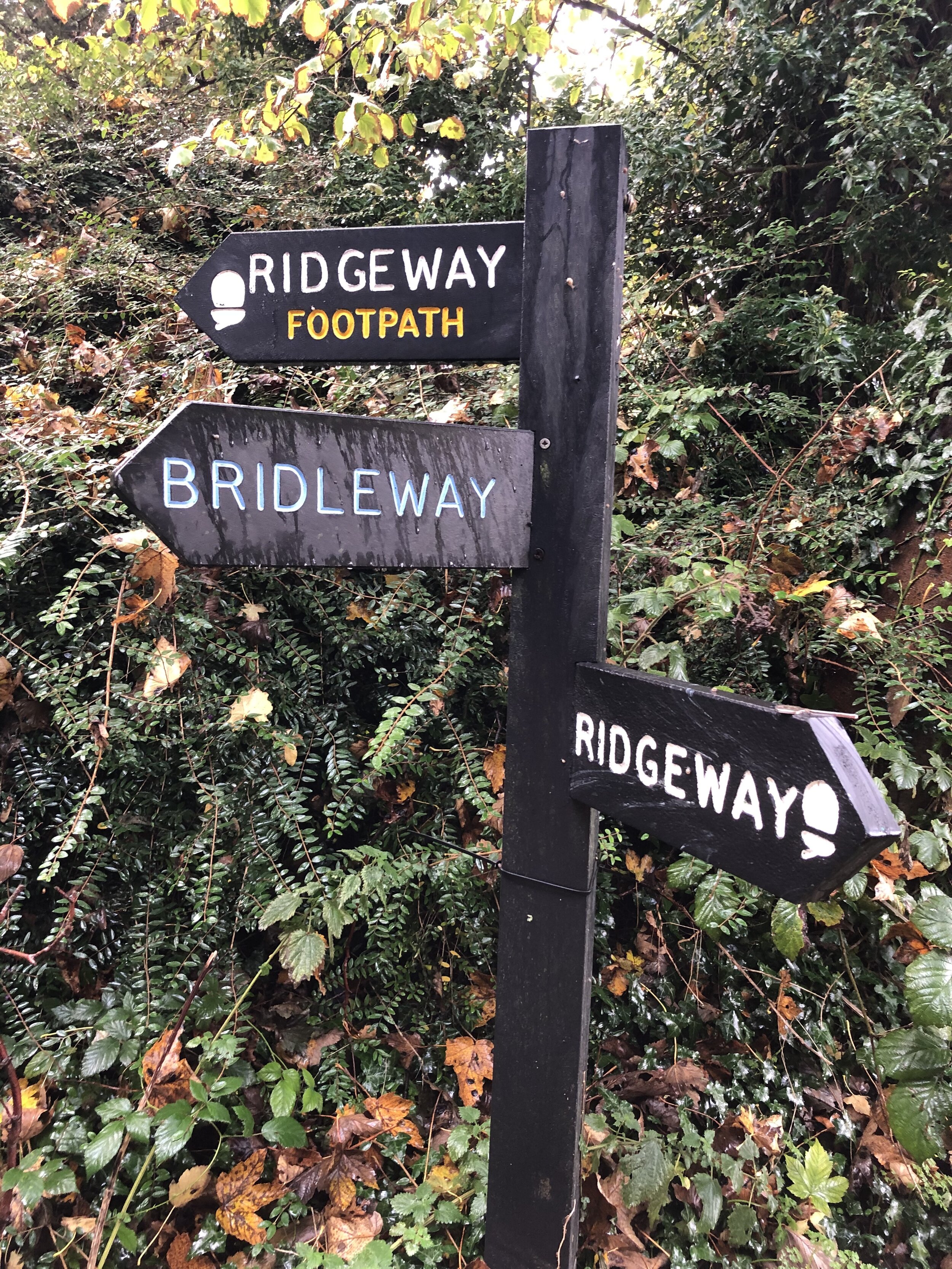
At Wendover station there’s 2 options to exit, either across the footbridge across the station and the A413 into the Cricket Ground or take a right from the main entrance and right again onto Pound Street / Ellesborough Road. Both options meet on Ellesborough Road where you can take the Ridgeway as it climbs up Bacombe Hill.
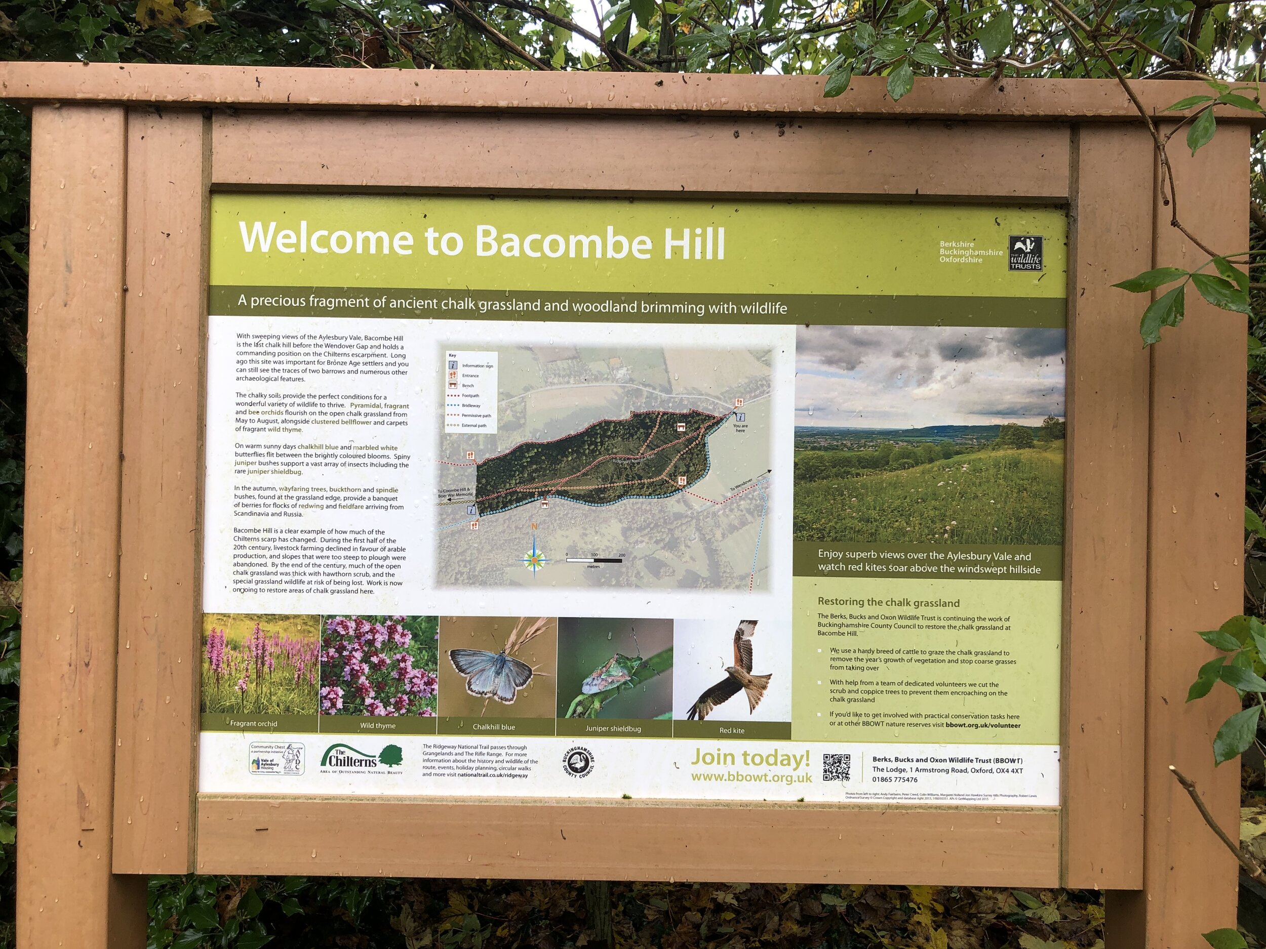
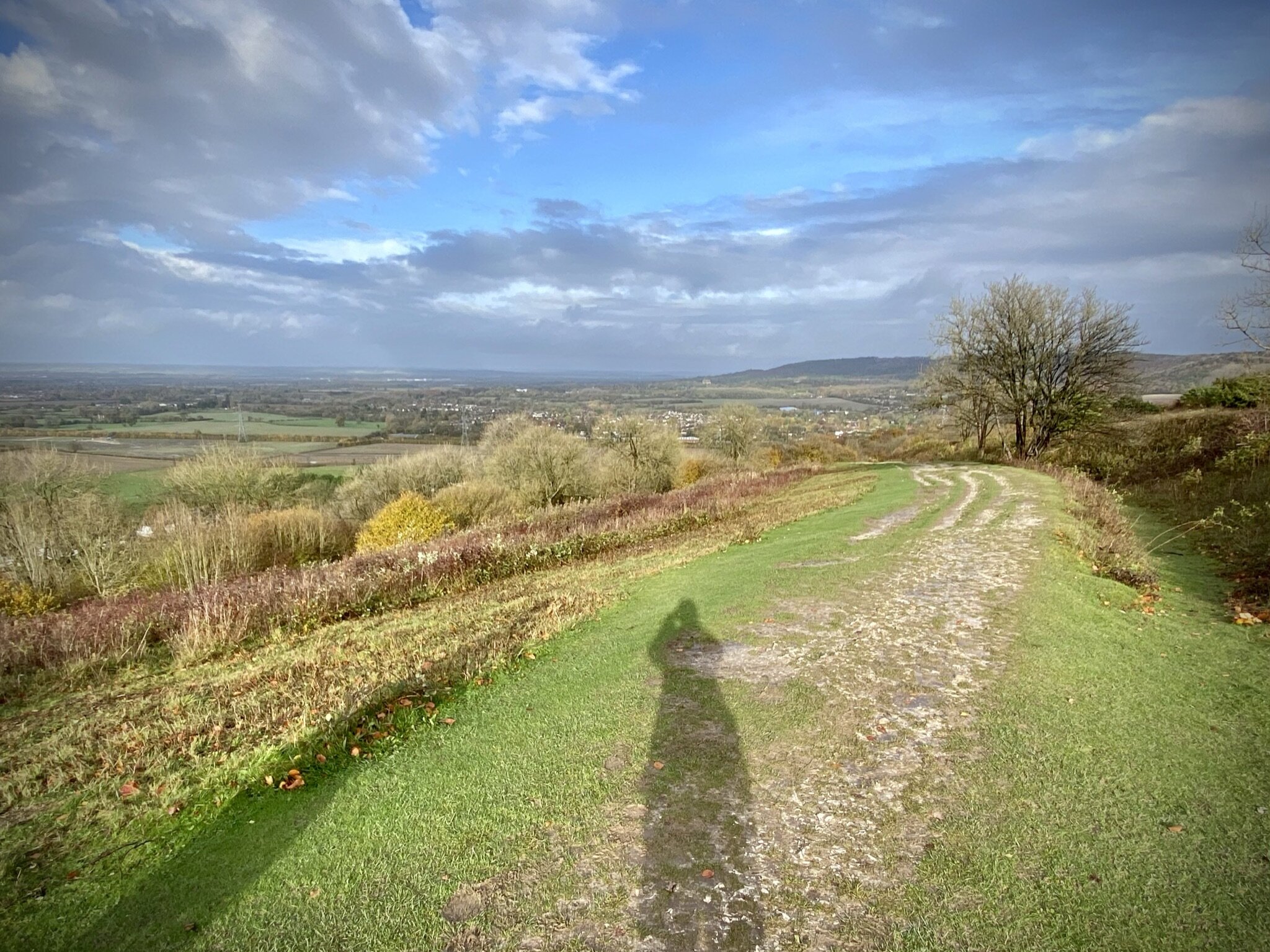
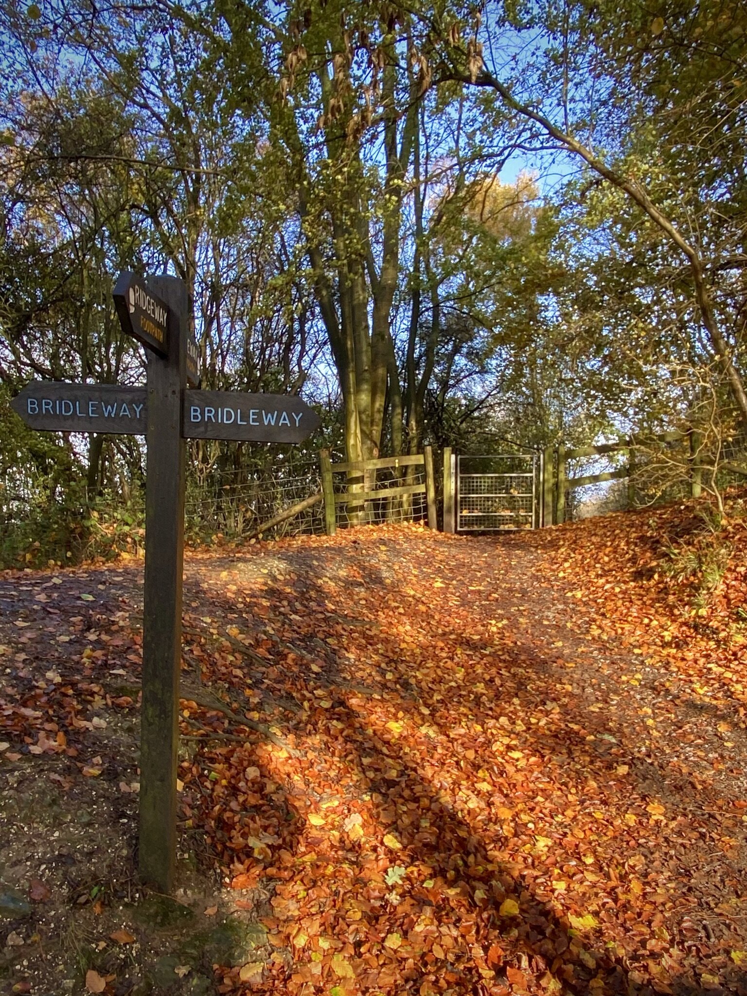
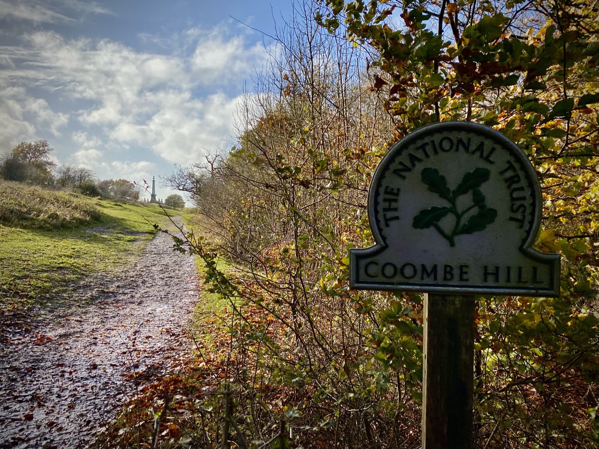
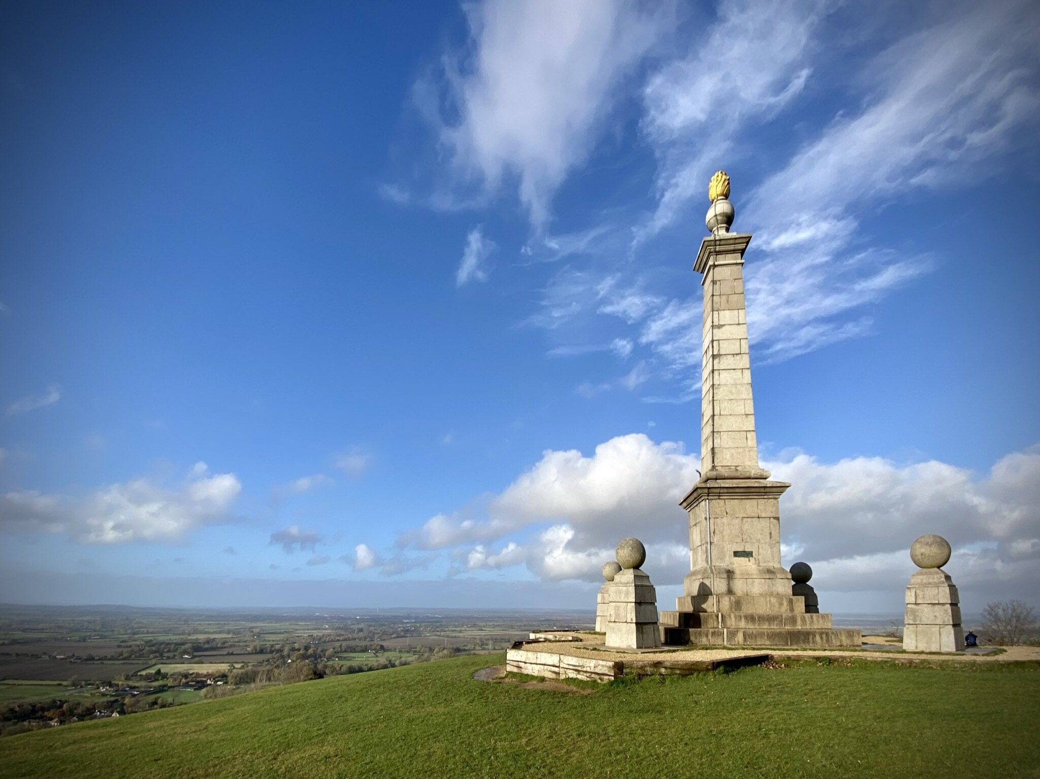
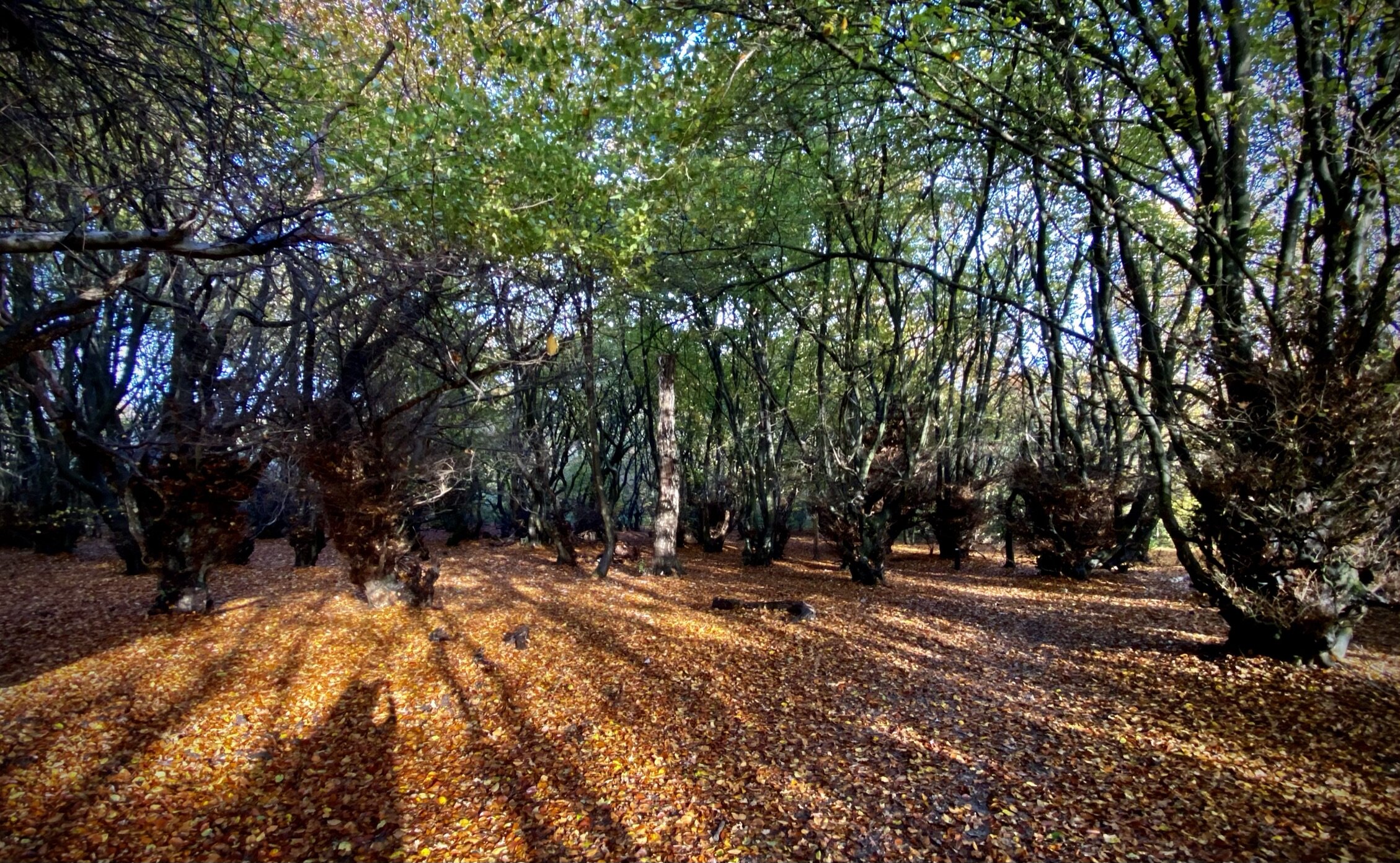
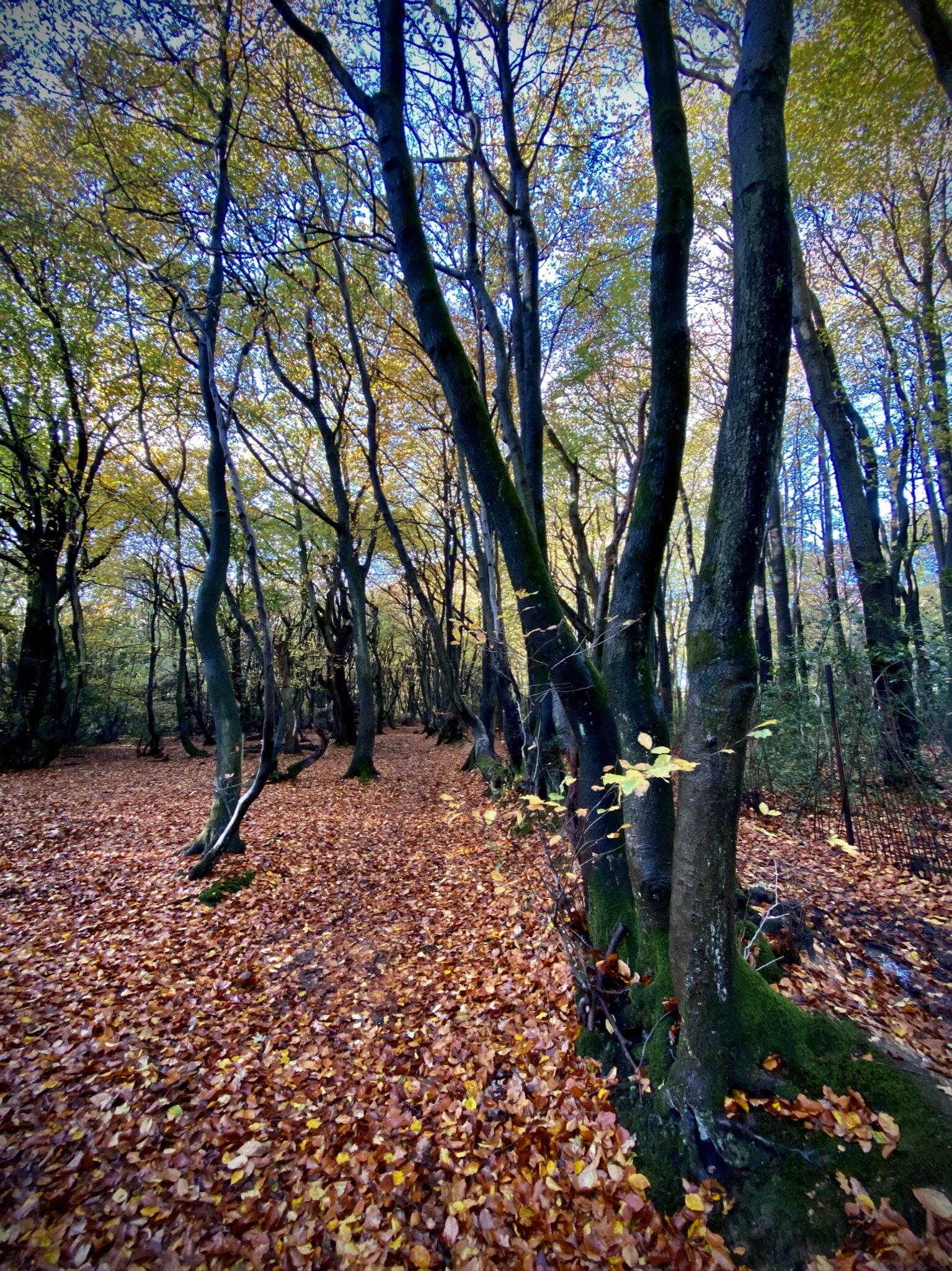
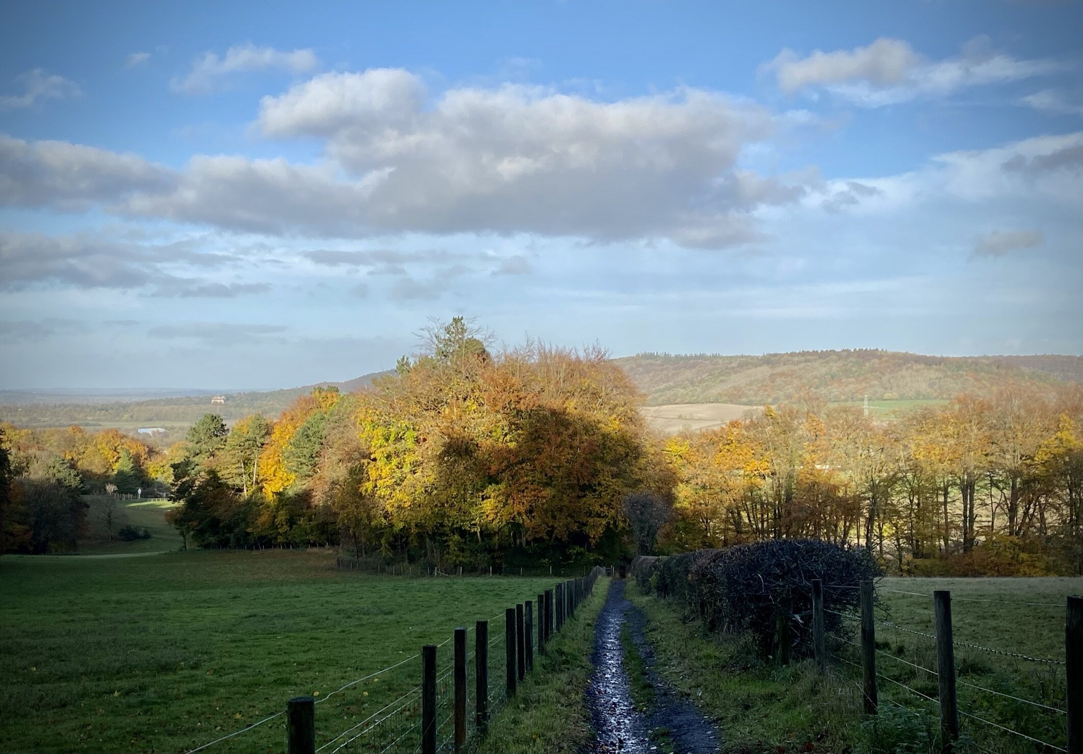
At ~2 km from the station you’ll reach the Coombe Hill Monument. This is a 260m pillar, built in 1904, in memory of 148 men from Buckinghamshire who died in the Second Boer War. On a clear day you can see for miles across the Vale of Aylesbury to the north. From the monument follow the Coombe Hill Orange Route south to the National Trust car park. Continue along the southern perimeter of Bacombe Hill Woods, decending onto Bacombe Lane. At South Street you can either take a left for the fastest route back to the station or cross over onto Chapel Lane for a small loop of Heron Stream and the High Street.