Chiltern Walks: Latimer and Codmore Wood

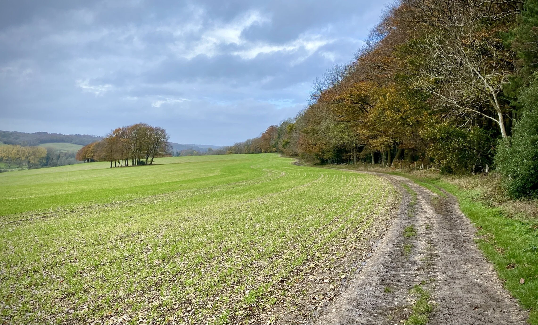
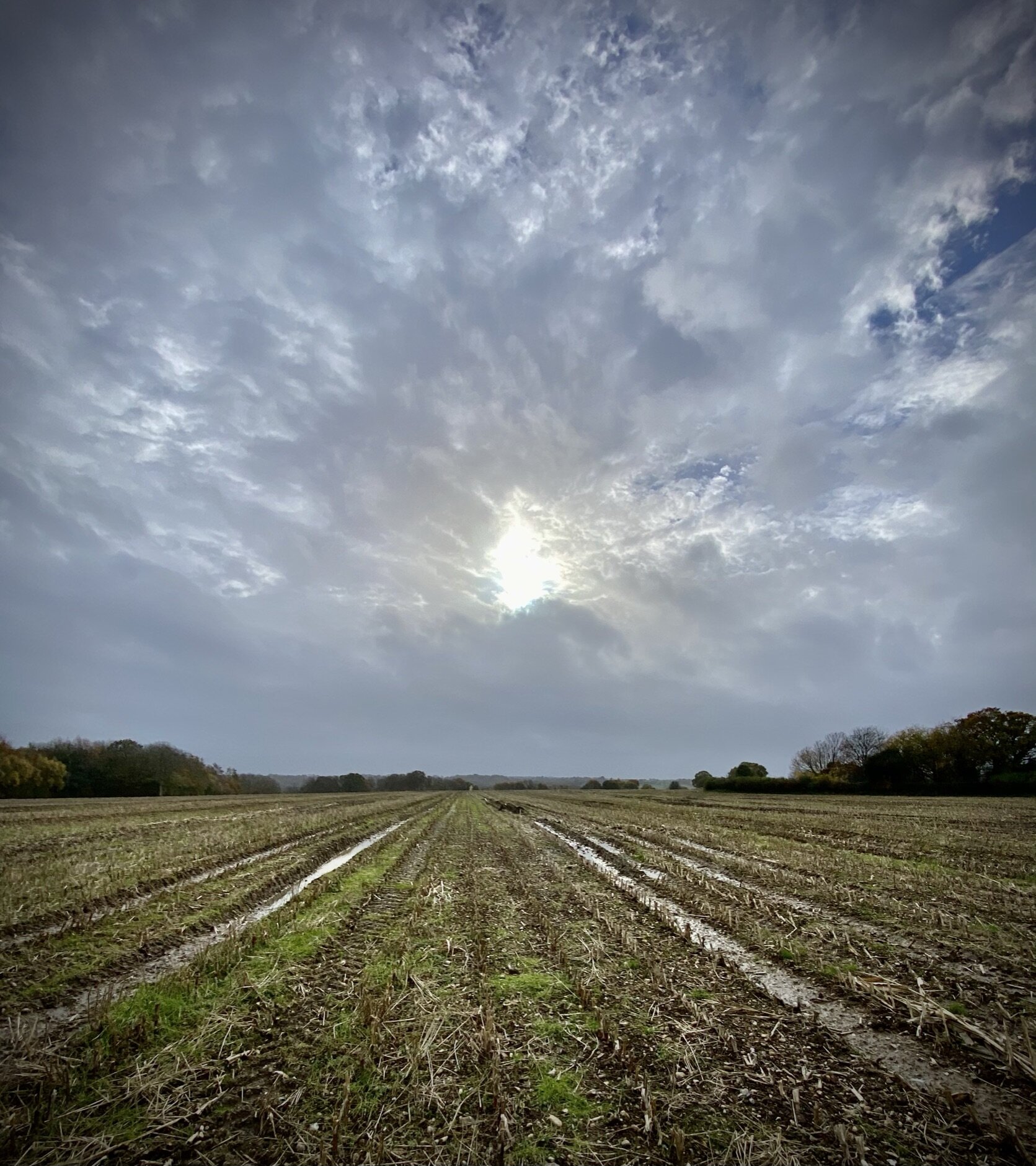
View to the Chess from the Latimer Estate
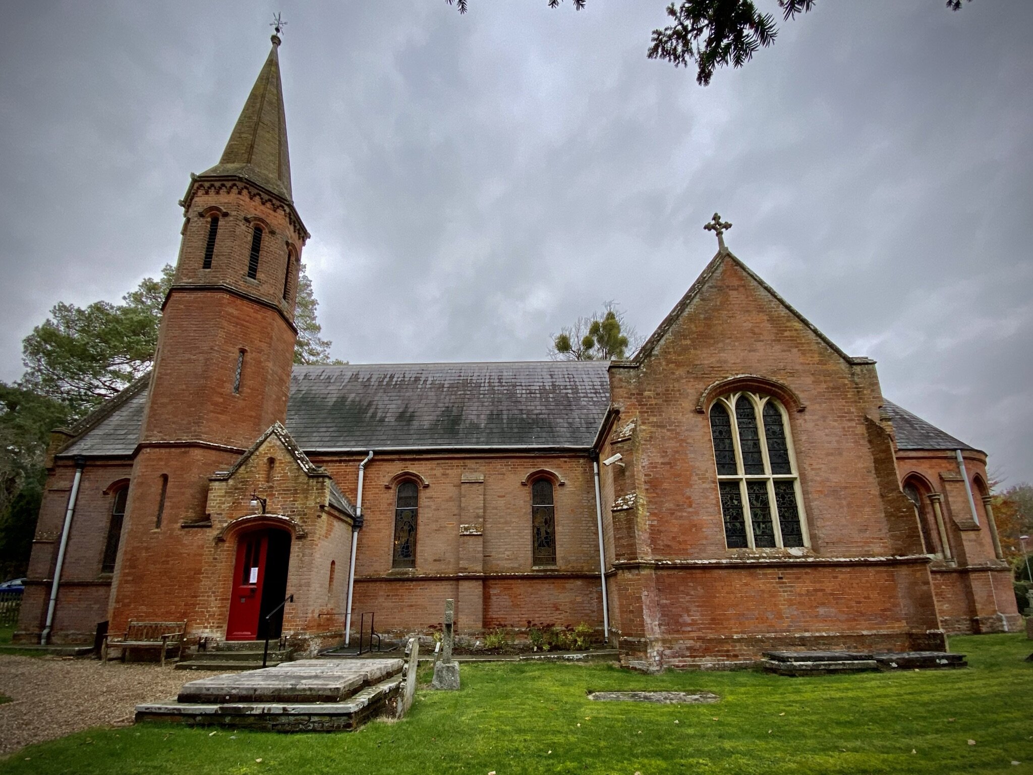
Start & Finish: Latimer Village Centre, Church Lane, HP5 1TY
Distance: 7.7 km (4.8 miles)
Elevation change: +/- 120m
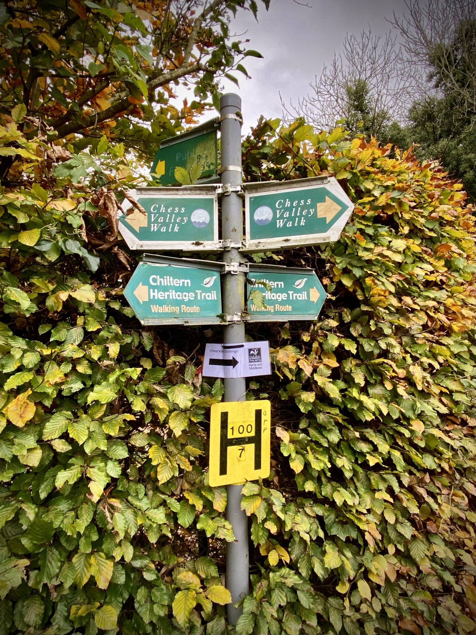
Chilterns Heritage Trail Section Covered: Blackwell Hall Lane to Stoney Lane: 3.2 km
GPX File: get via Buy Me a Coffee
Other routes touched (walk): Chess Valley Walk, Chiltern Heritage Trail
Other routes touched (cycle): Chilterns Cycleway
Pubs / Cafes on route: none
Map: OS Explorer Map (172) Chiltern Hills East
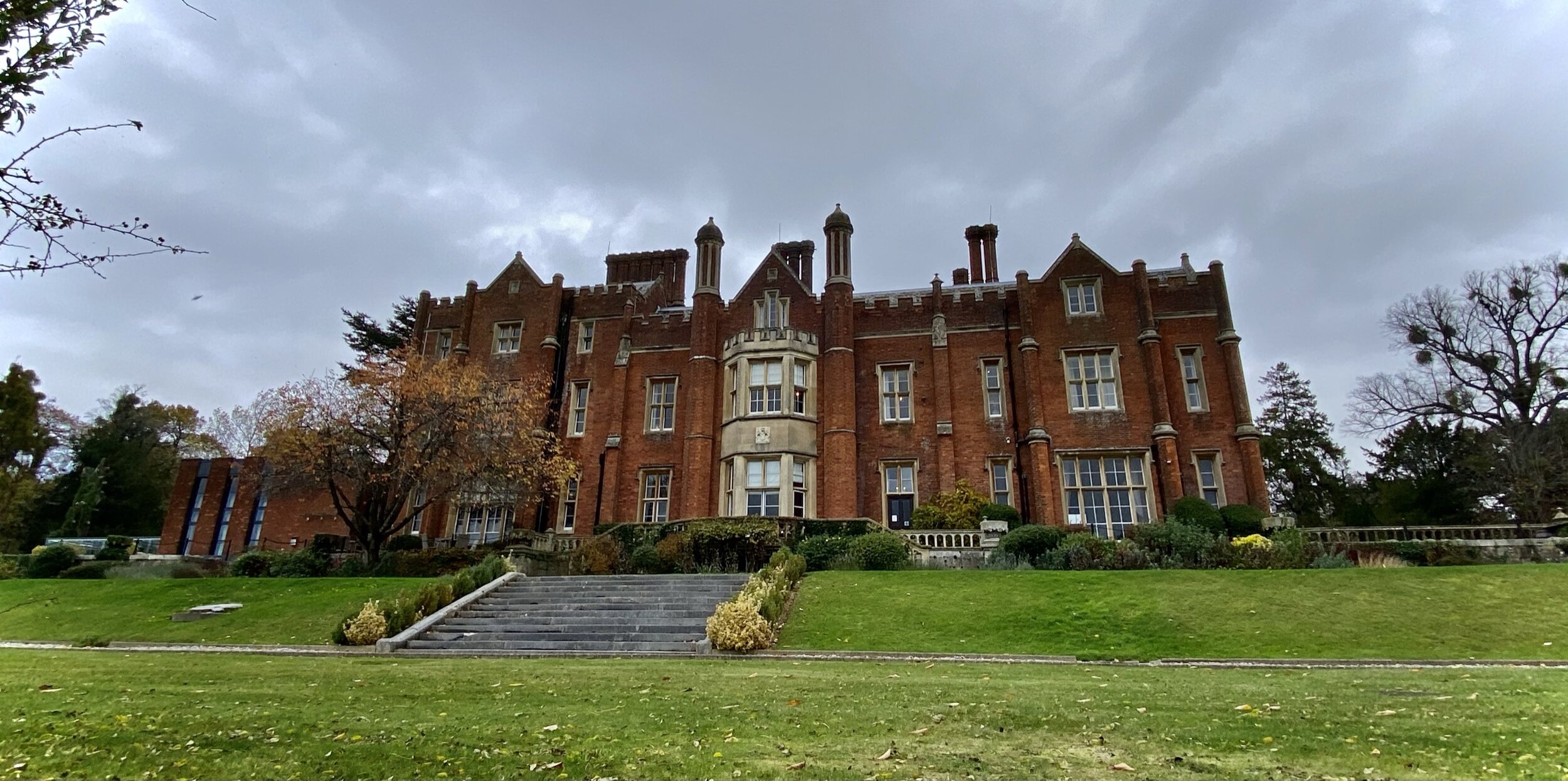
Links: Latimer, River Chess
This trip was part of our River Chess Circulars of less than 10 km. The River Chess runs from its source at Pednor, near Chesham, to Rickmansworth where it joins the Colne. The Chess Valley Walk is a point-to-point trail along the course of the river from Chesham to Rickmansworth stations. It’s also part of a series of 17 walks that, between them, cover the 83 km of the Chiltern Heritage Trail. Created as a Millennium project, this trail links the towns and parishes within the district, offering stunning scenery, charming villages, and points of historical interest.
The guidance below will help you navigate but don’t use it as a fully accurate turn-by-turn guide. Always take a map and/or a GPX route and prepare well for the weather and terrain.
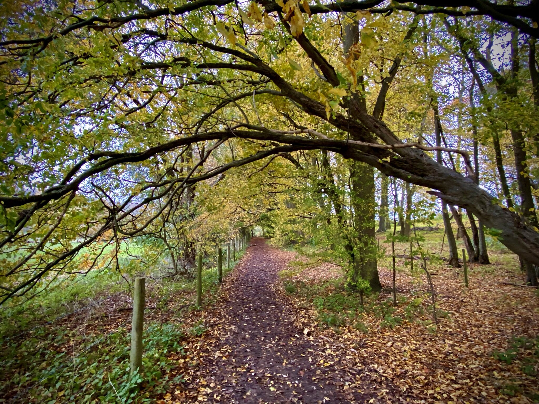
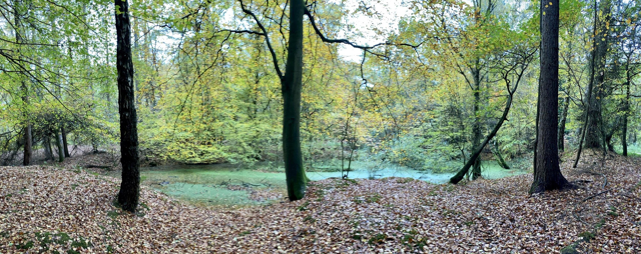
This walk starts at Latimer Village, although we found that the best parking was on the left hand side of the Church Lane between the village and Latimer Place. From the village take the Chess Valley Walk on a westerly direction. The path keeps to higher ground giving you a good view across the valley and down to the river. After ~3 km, the path meets Latimer Road. Here you’ll leave the Chess Valley Walk to take Bunns Lane on a steep ascent towards Pinner Green. The path will join White End Lane at the end of which take a left and continue north-east up Blackwell Hall Lane for ~300m, taking a footpath on the right. This path descends though Codmore Wood and fields for just over 1 km before you rejoin Church Lane for the final stretch back to Latimer.


Chiltern Heritage Trail next section clockwise: Little Chalfont and Latimer
Chiltern Heritage Trail next section anti-clockwise: Chesham & Bois and Wychfield Spring