Cycling The Downs Link

Old carriage at West Grinstead Station
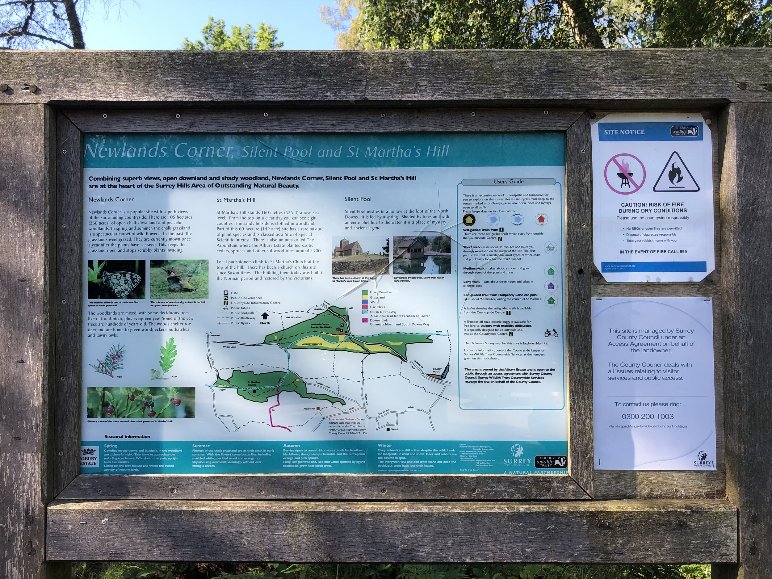
Start: St. Martha’s Hill Guildford Lane Car Park, Guildford Lane, Albury, Guildford, GU5 9BQ
Finish: Shoreham-by-Sea Station, Station Approach, Shoreham-by-Sea, BN43 5WX
Distance: 61 km (38 miles)
Elevation change: +344m / -457m (Net -113m)
GPX File: get via Buy Me a Coffee
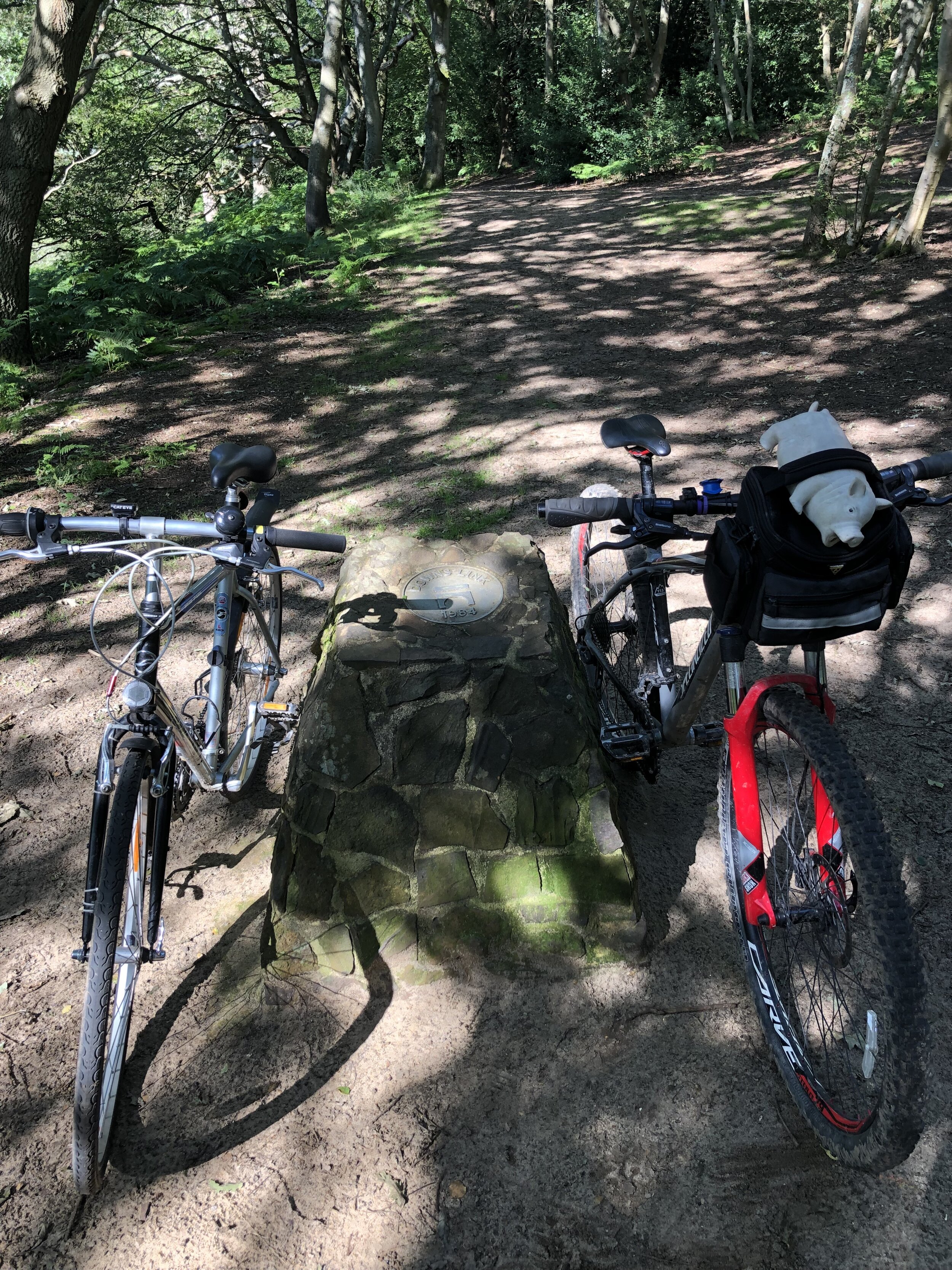
Other routes touched (walk): North Downs Way, Tillingbourne At Work (SCC), Wey South Path, The Fox Way, Greensand Way, Sussex Border Path, West Sussex Literary Trail, South Downs Way
Other routes touched (cycle): NCN 22, 223
Other routes touched (run): Downs Link Ultra, Horsham parkrun Winter Course
Pubs / Cafes on route: Wild & Green Kitchen (Cranleigh), The Little Teahouse (Southwater), The Old Railway (Henfield) …and others
Maps:
- OS Explorer Map (145) Guildford and Farnham
- OS Explorer OL34 Crawley & Horsham
- OS Explorer OL11 Brighton and Hove
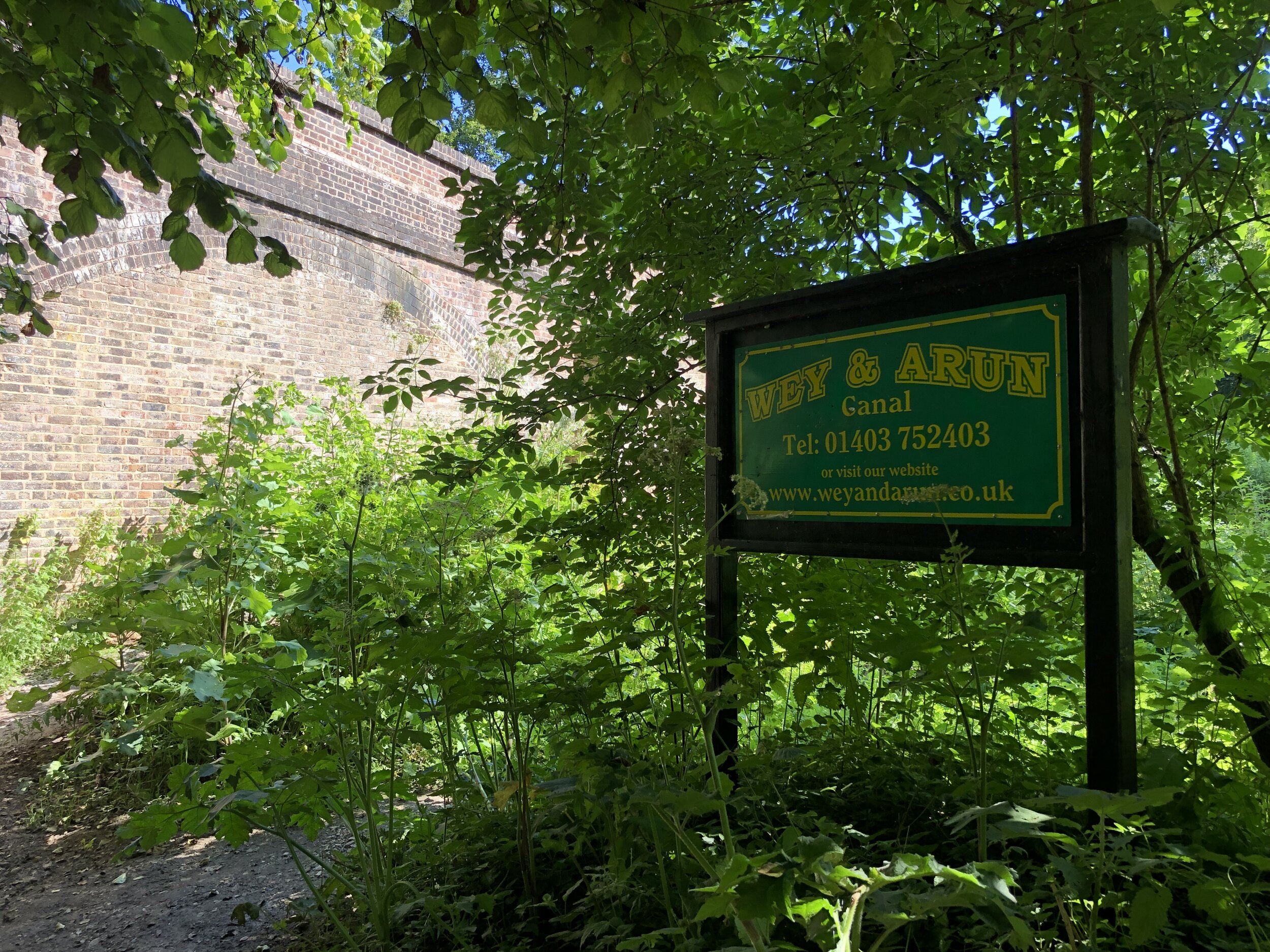
Links: Downs Link (Wikipedia), The Cranleigh Line, The Steyning Line, St Martha’s Hill, Surrey Hills AONB, Wey and Arun Canal, South Downs National Park
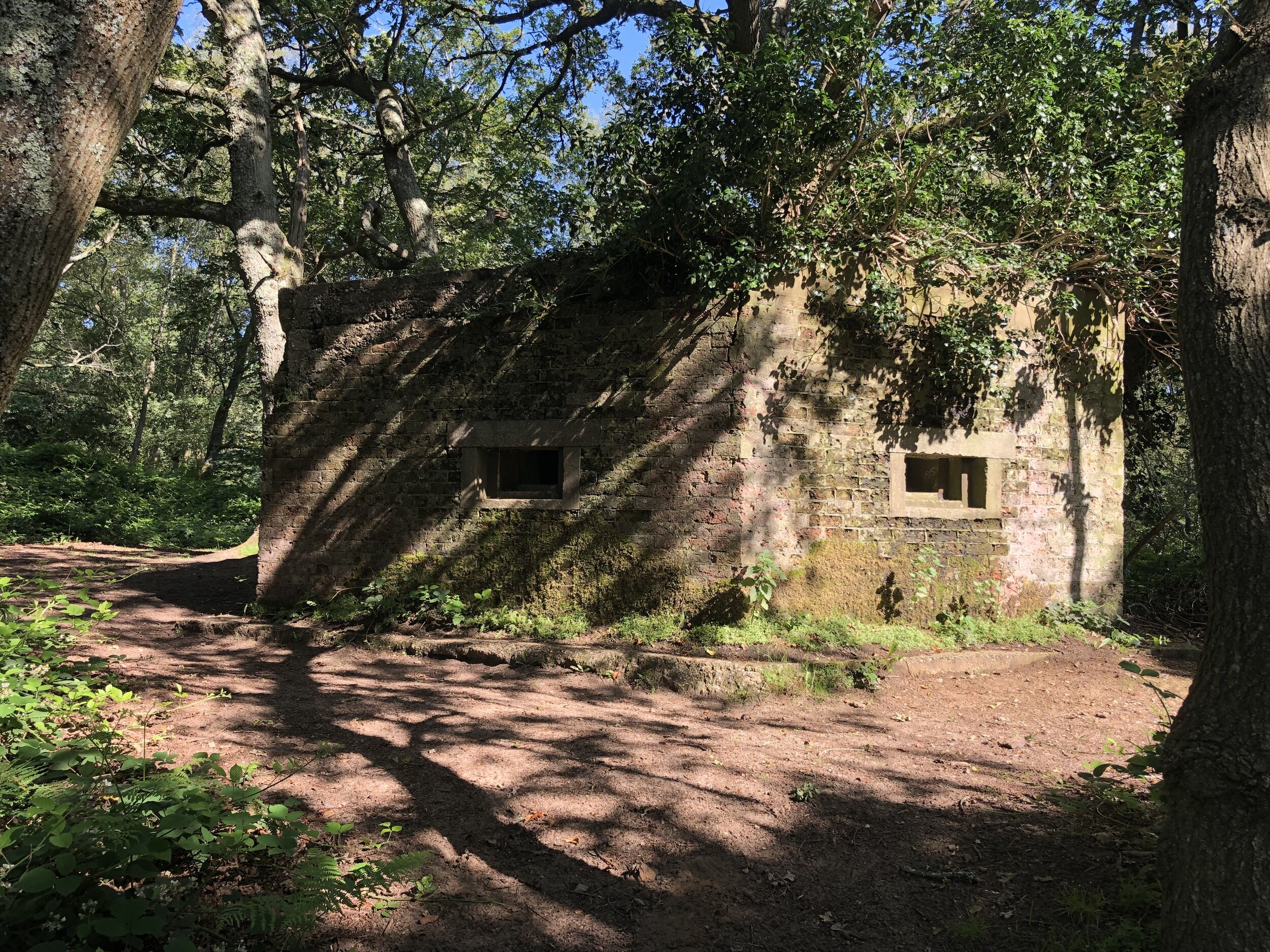
The Downs Link is a ~59k trail linking the North Downs Way at St. Martha’s Hill and the South Downs Way near Shoreham-by-Sea. Having recently completed the similarly sounding Thames Down Link, this was an obvious next trip. The first 6k is a hilly route through countryside around Blackheath and Chilworth. Once it connects to the Wey and Arun Canal it follows the route of the disused Cranleigh and Steyning Lines.
There’s no practical public transport connection between the start and the end (maybe they should build a train line to connect them?) … so we did a 2-car shuffle. Our total route was a bit longer than the actual Downs Link as we started from the Guildford Lane Car Park and finished at Shoreham-by-Sea station.
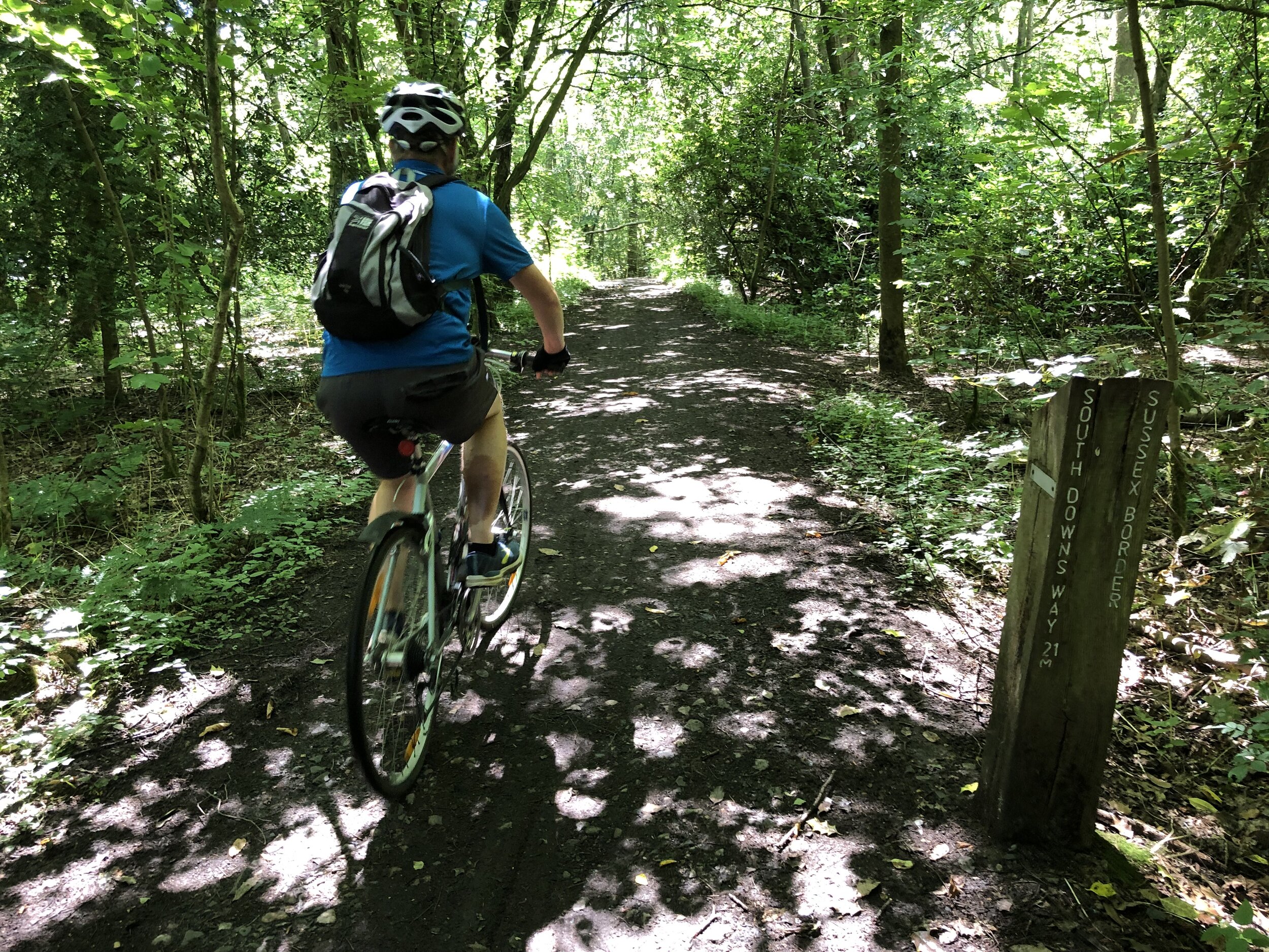
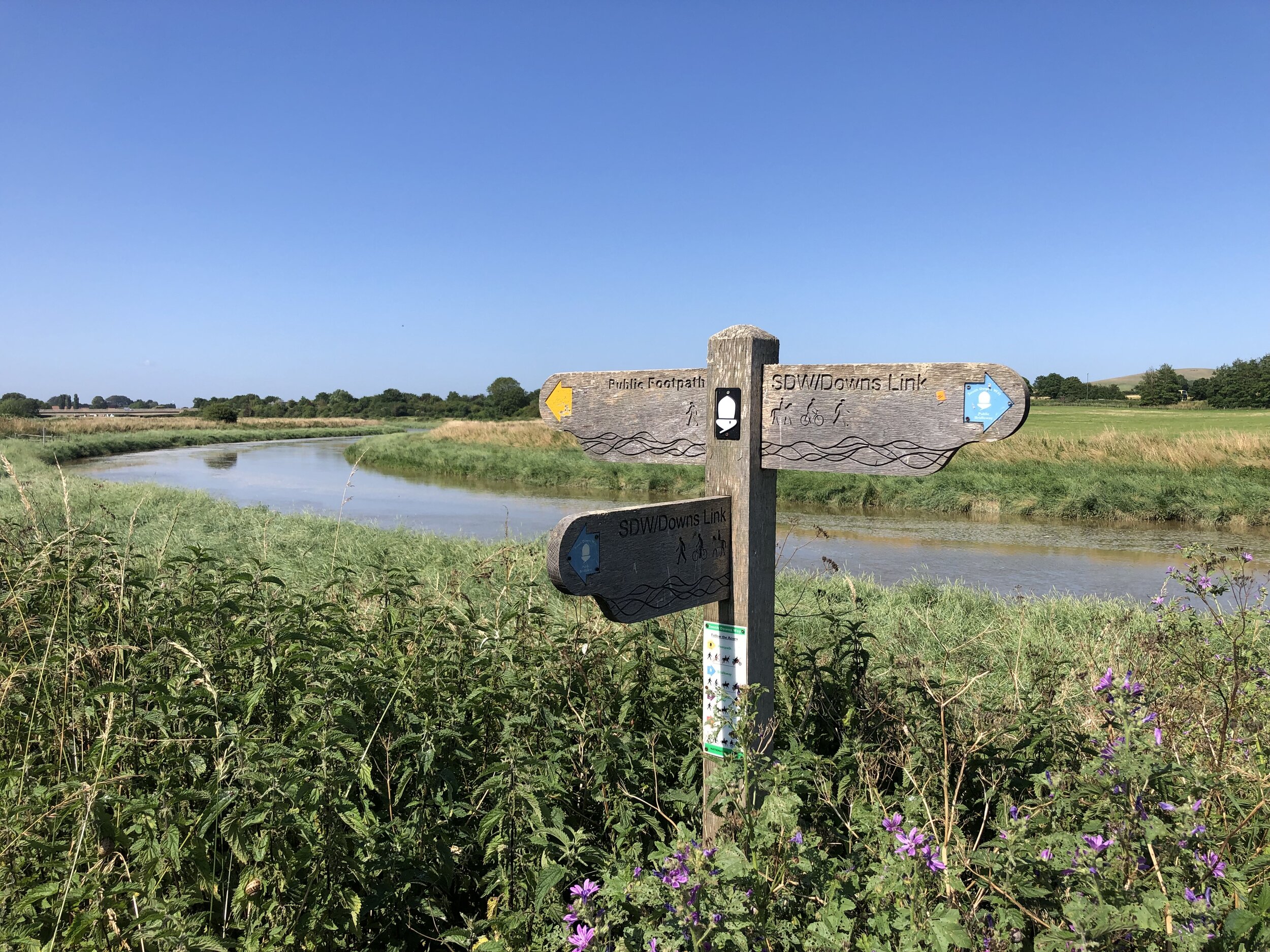
Navigation is very easy, especially once you’re on the old rail line. There were a couple of path junctions on the first 6k that we may have missed if we’d not had a GPX route to guide us.
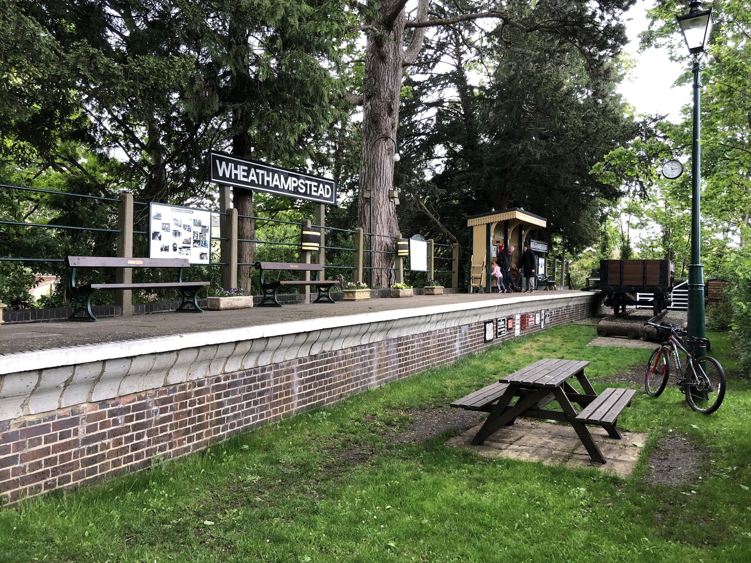
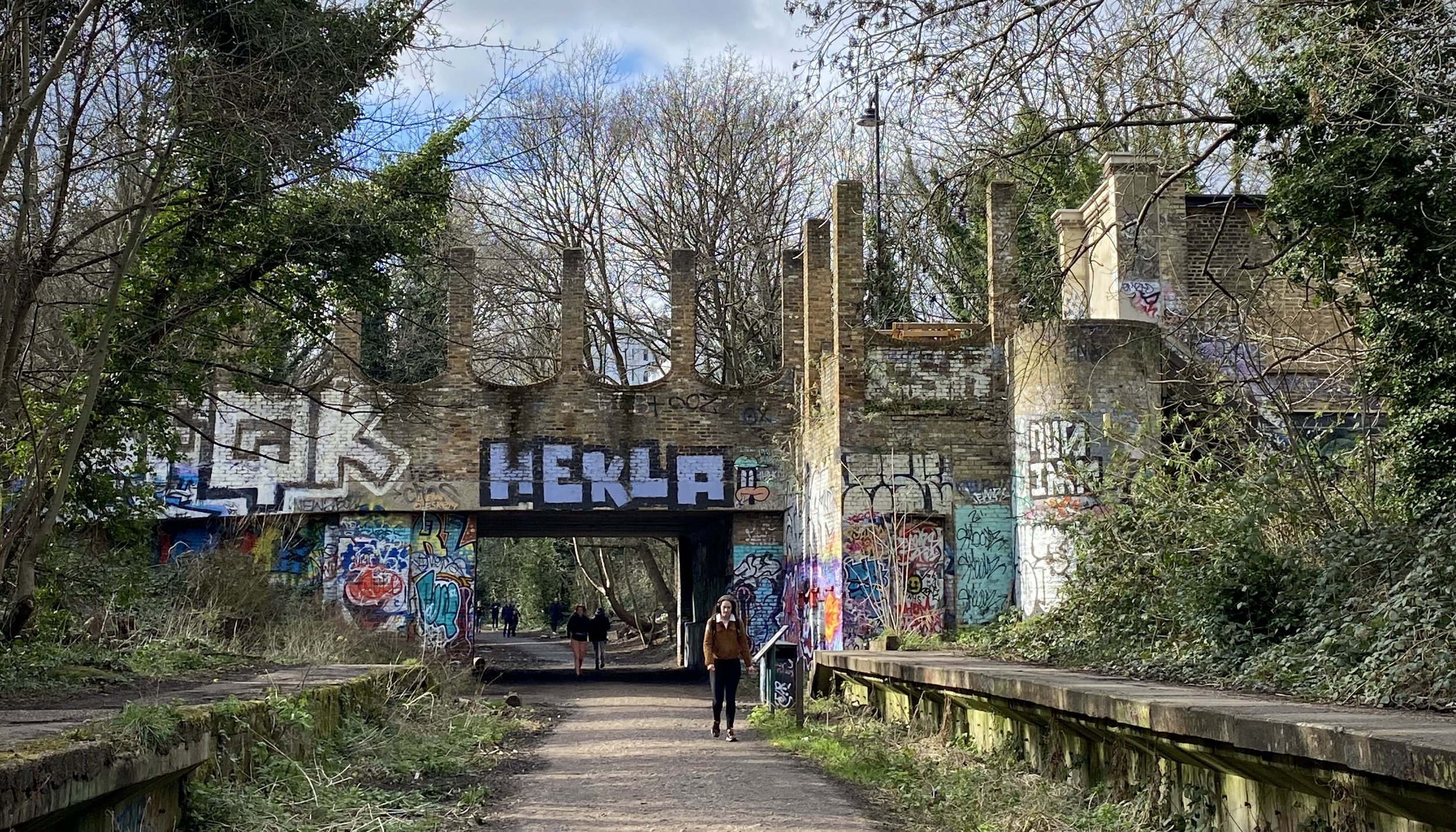
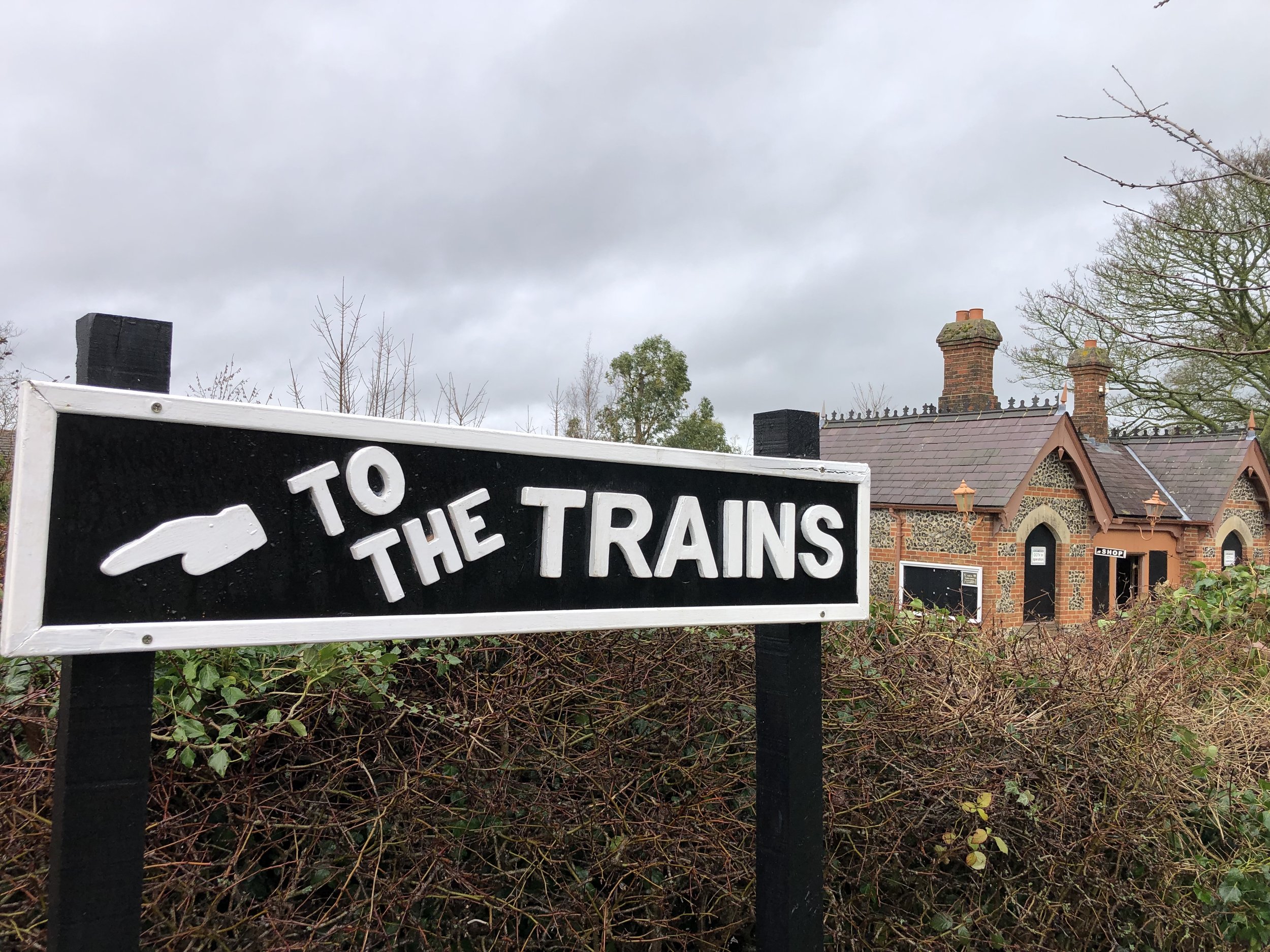
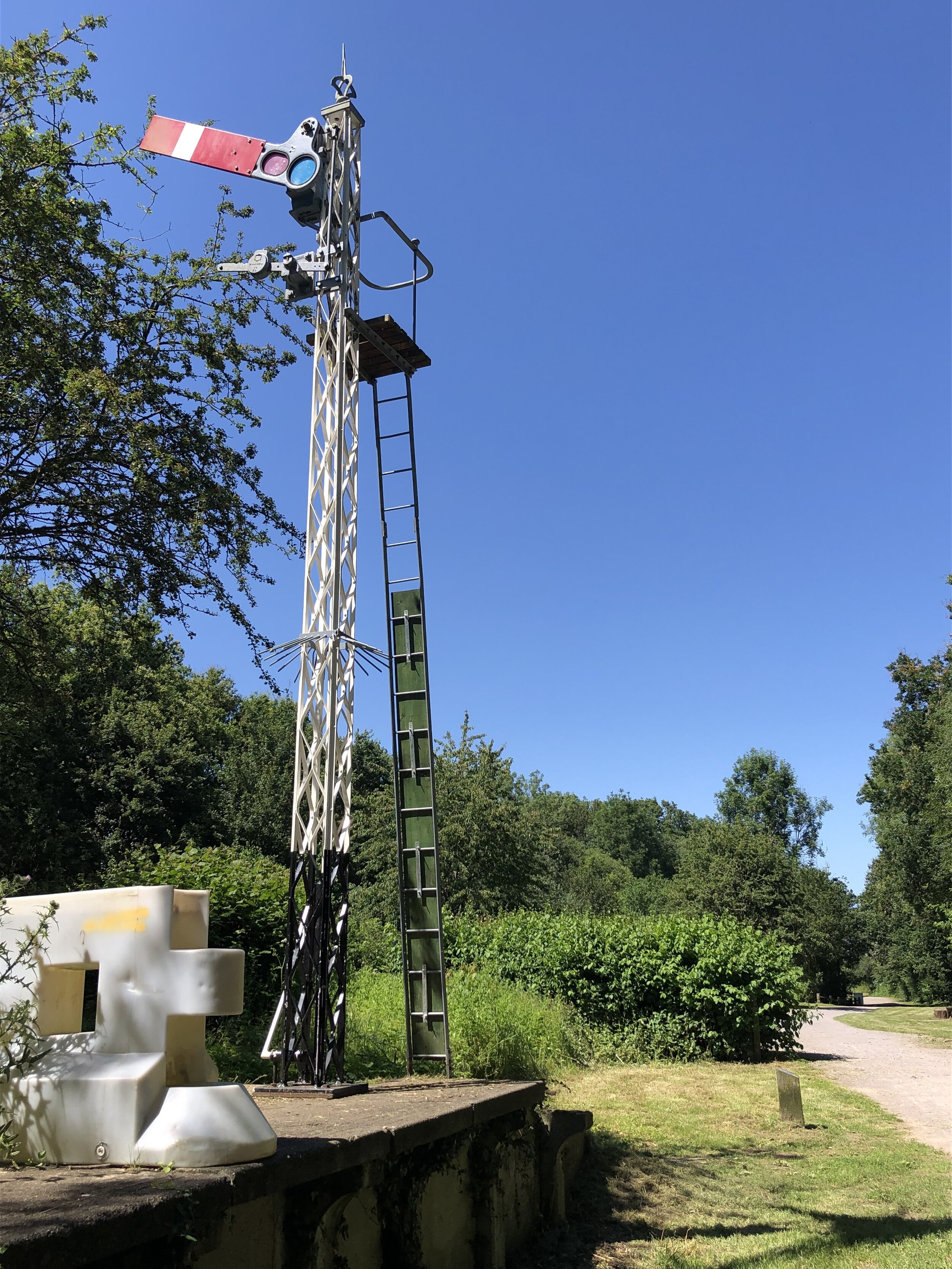
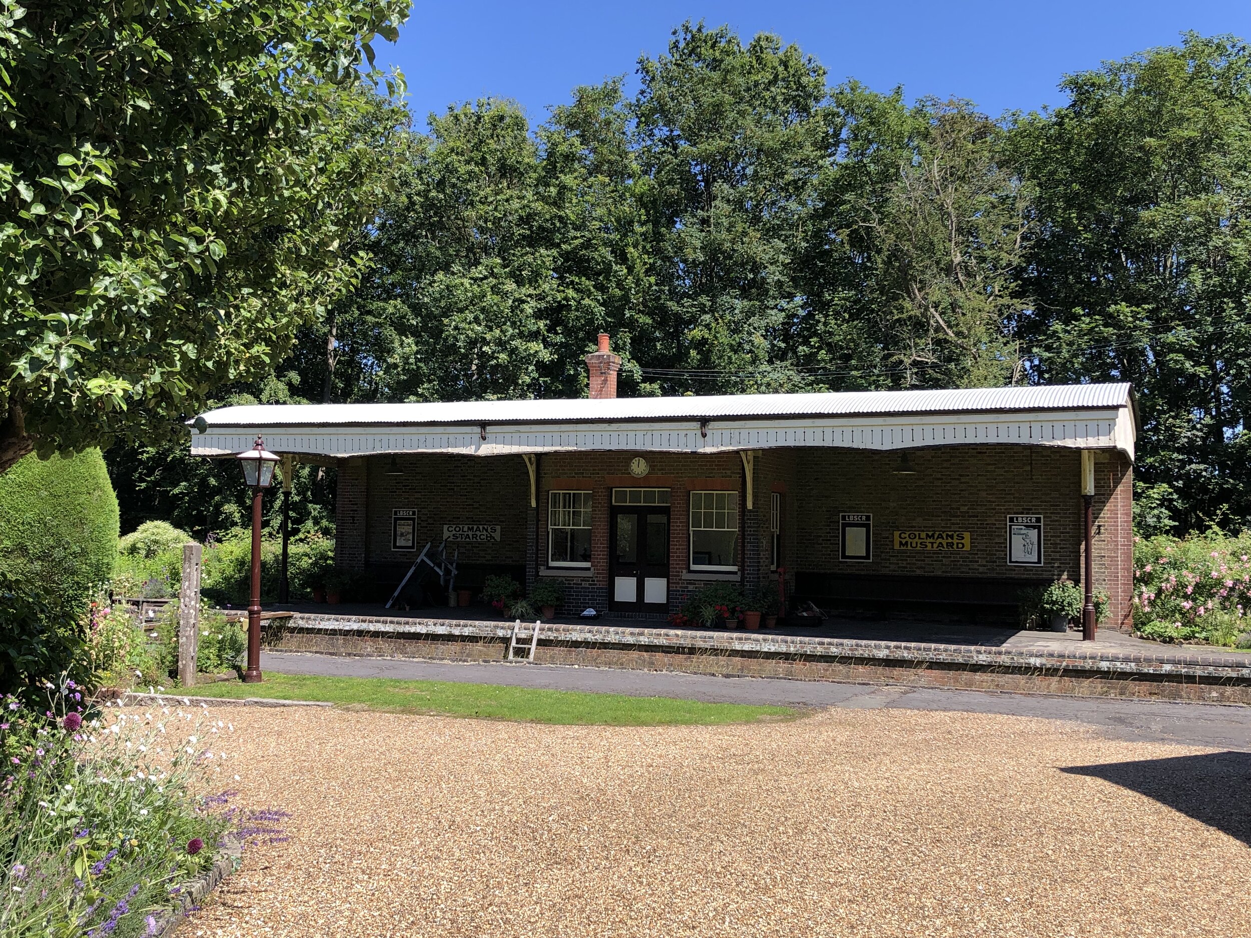
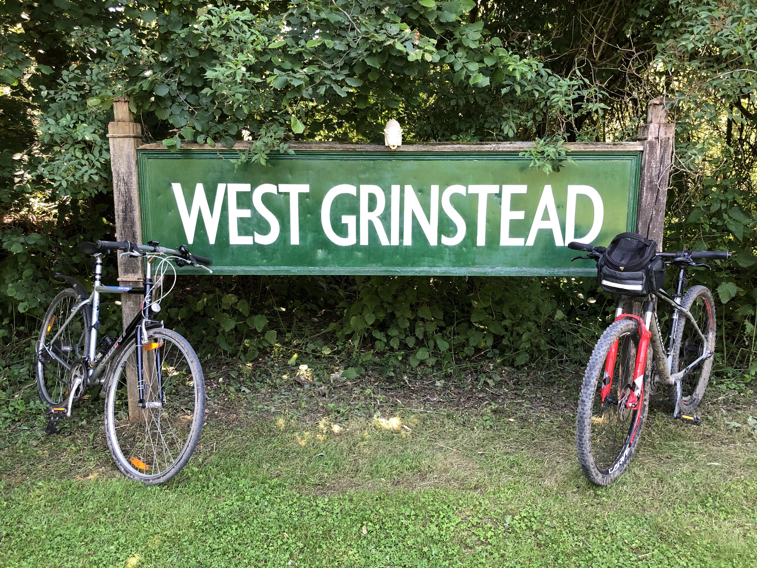
There’s remains of the former stations along the route, some better preserved than others. West Grinstead is a particular highlight as there’s a British Rail Mark 1 coach on site, now used as an information centre. Others, like Partridge Green and Bramber have been completely demolished with no remaining evidence.
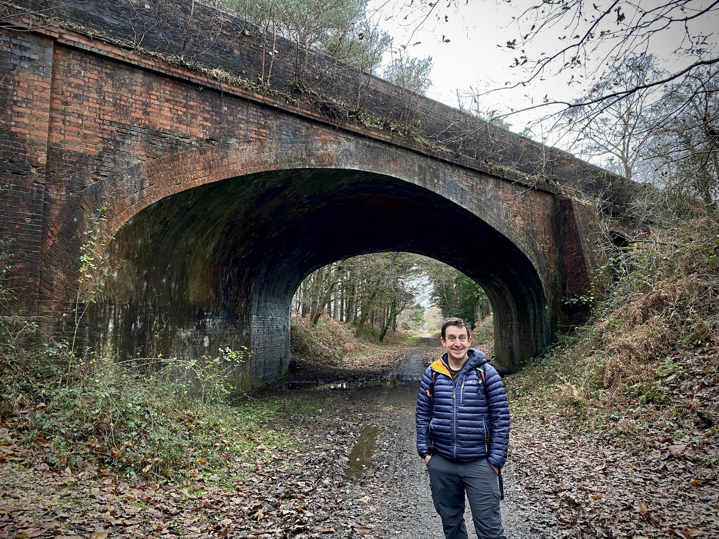
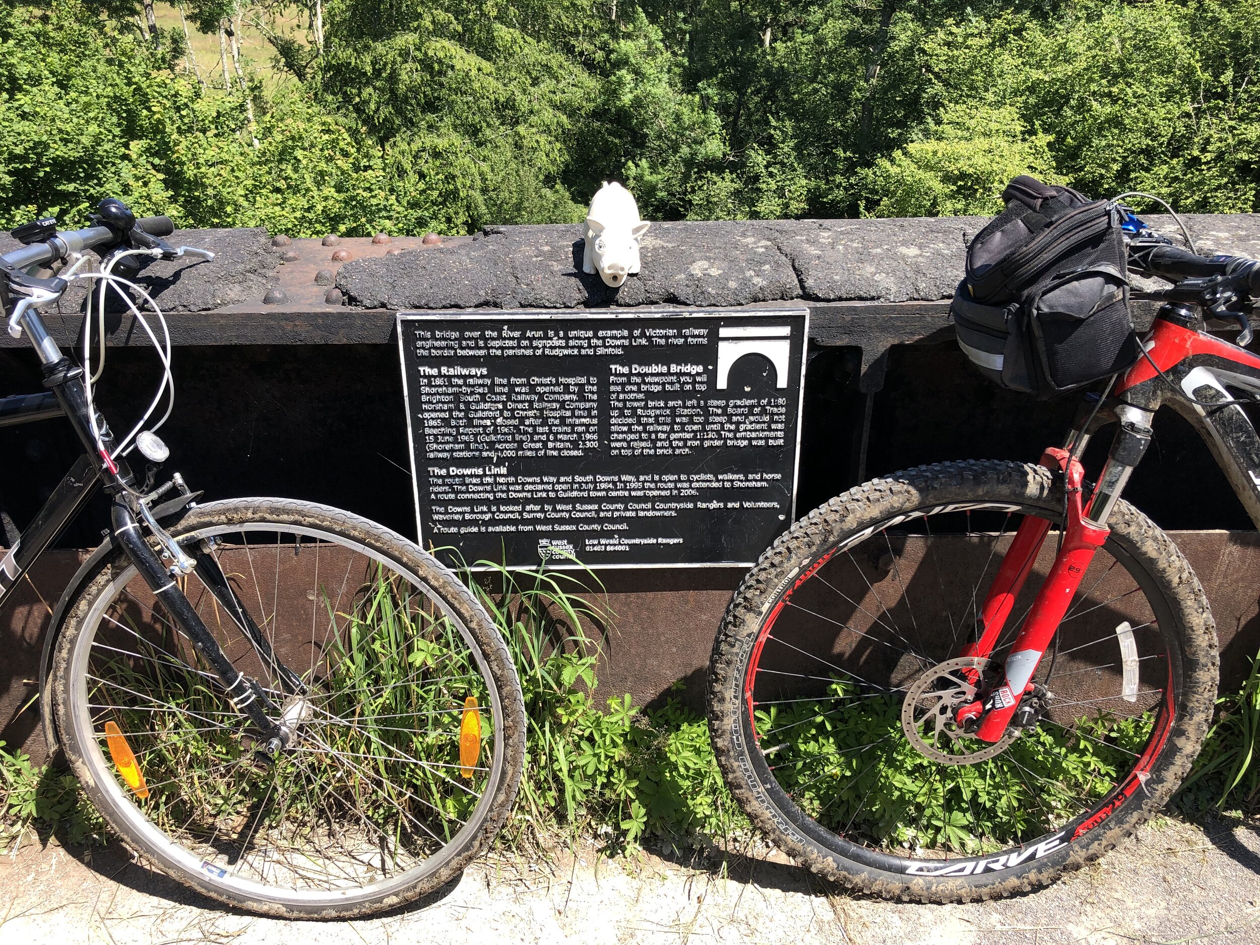
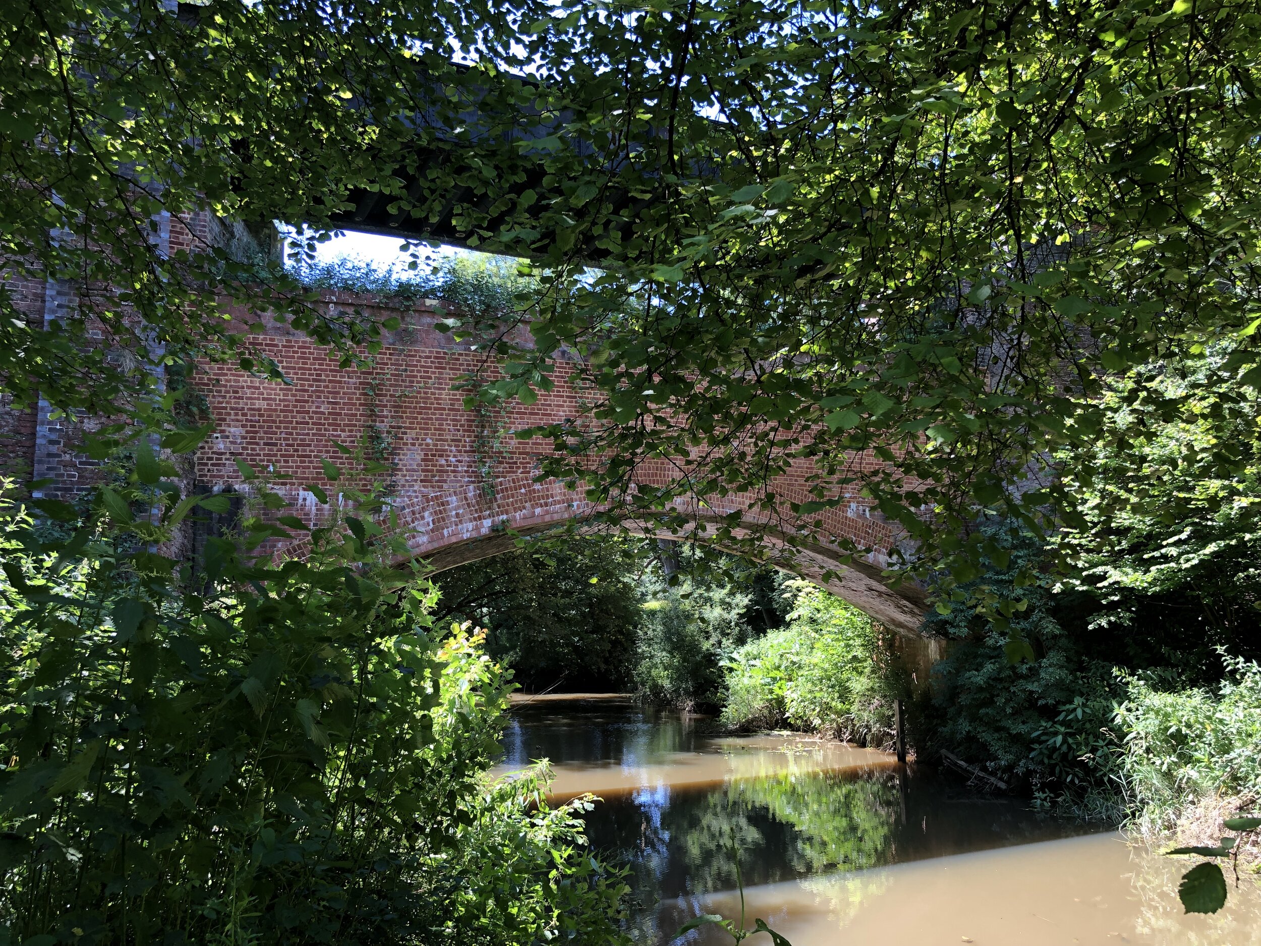
Don’t miss stopping at Rudgwick Bridge over the River Arun. The previous gradient up to Rudgwick Station was too steep for trains so the embankments were raised and an iron bridge was built on top of the brick arch. There’s a viewpoint just off the path where you can see the two layers. The logo on the Down Link signs along the route are based on this bridge.
If you’re an OS Trig Pillar bagger, you can find TP1686 - Broomhall Copse 5 minutes off the path at the intersection with the Sussex Border path.


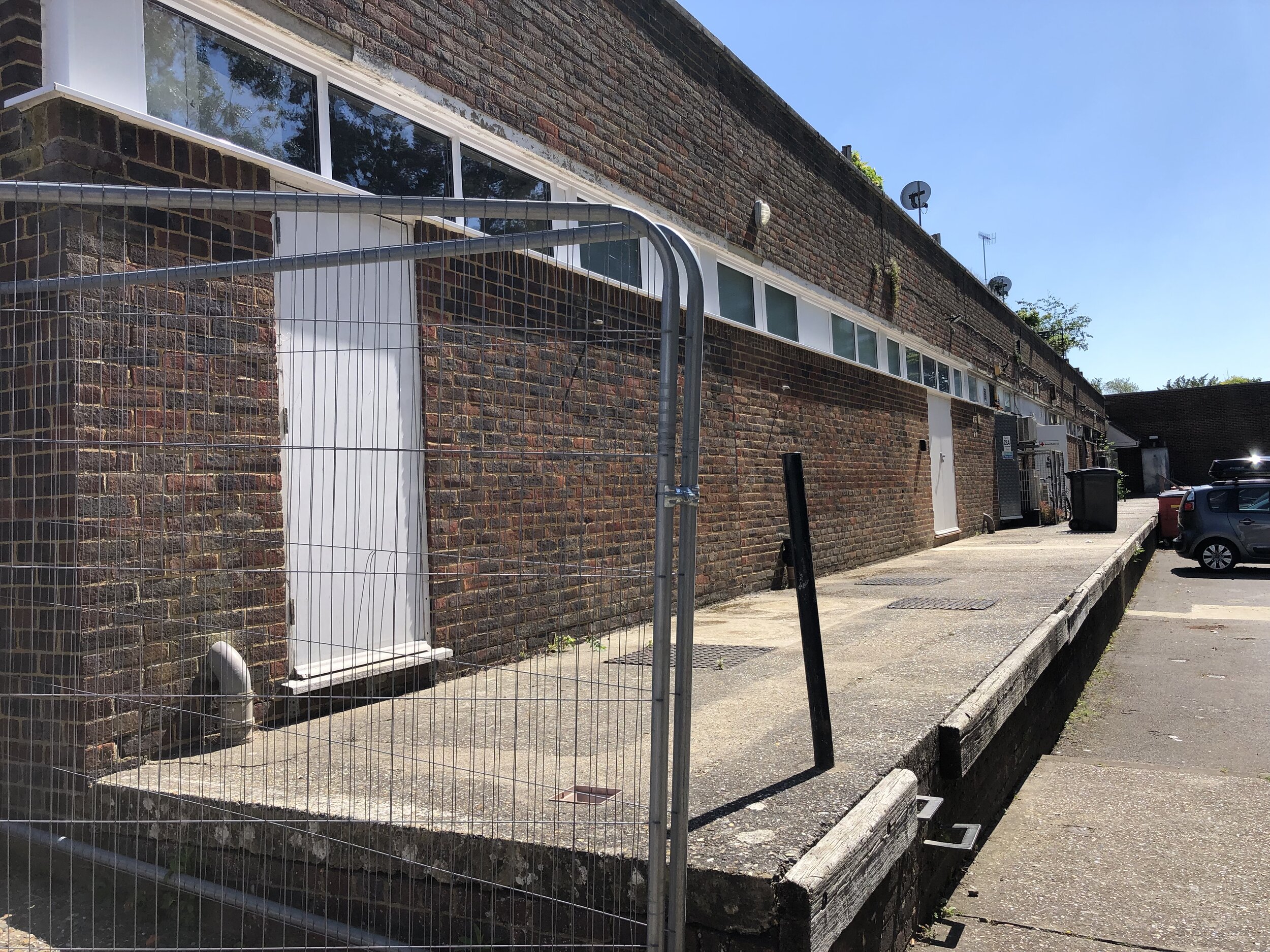
Downs Link Disused Stations
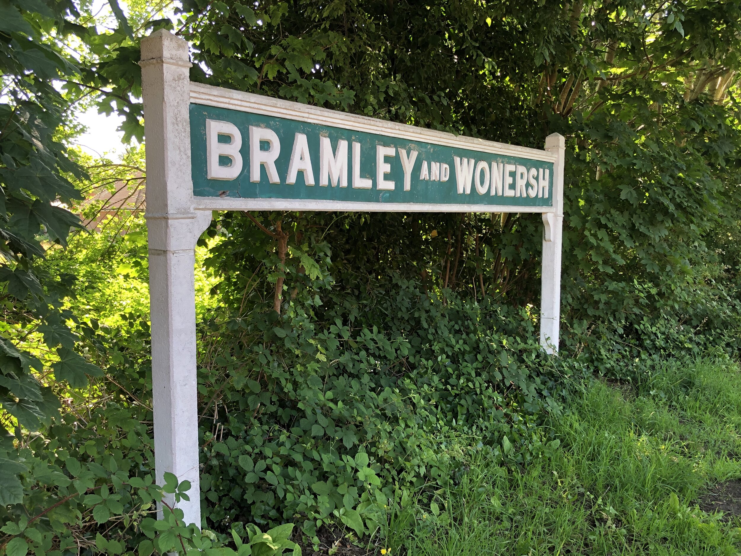
Pictures above: top row, left to right:
Bramley and Womersh: Disused Stations / Wikipedia. Platform and shelter still there.
Cranleigh: Disused Stations / Wikipedia. Station’s old platform levels still exist behind shops. Everything else has gone.
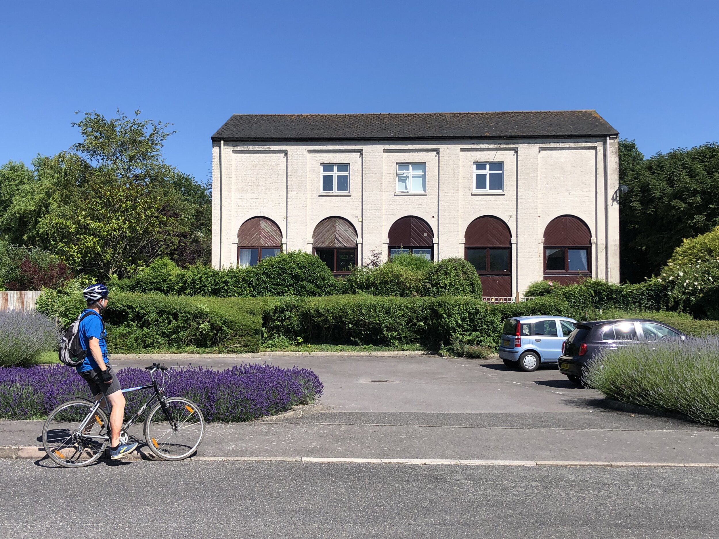
Baynards: Disused Stations / Wikipedia. Station has been restored but now in private hands.
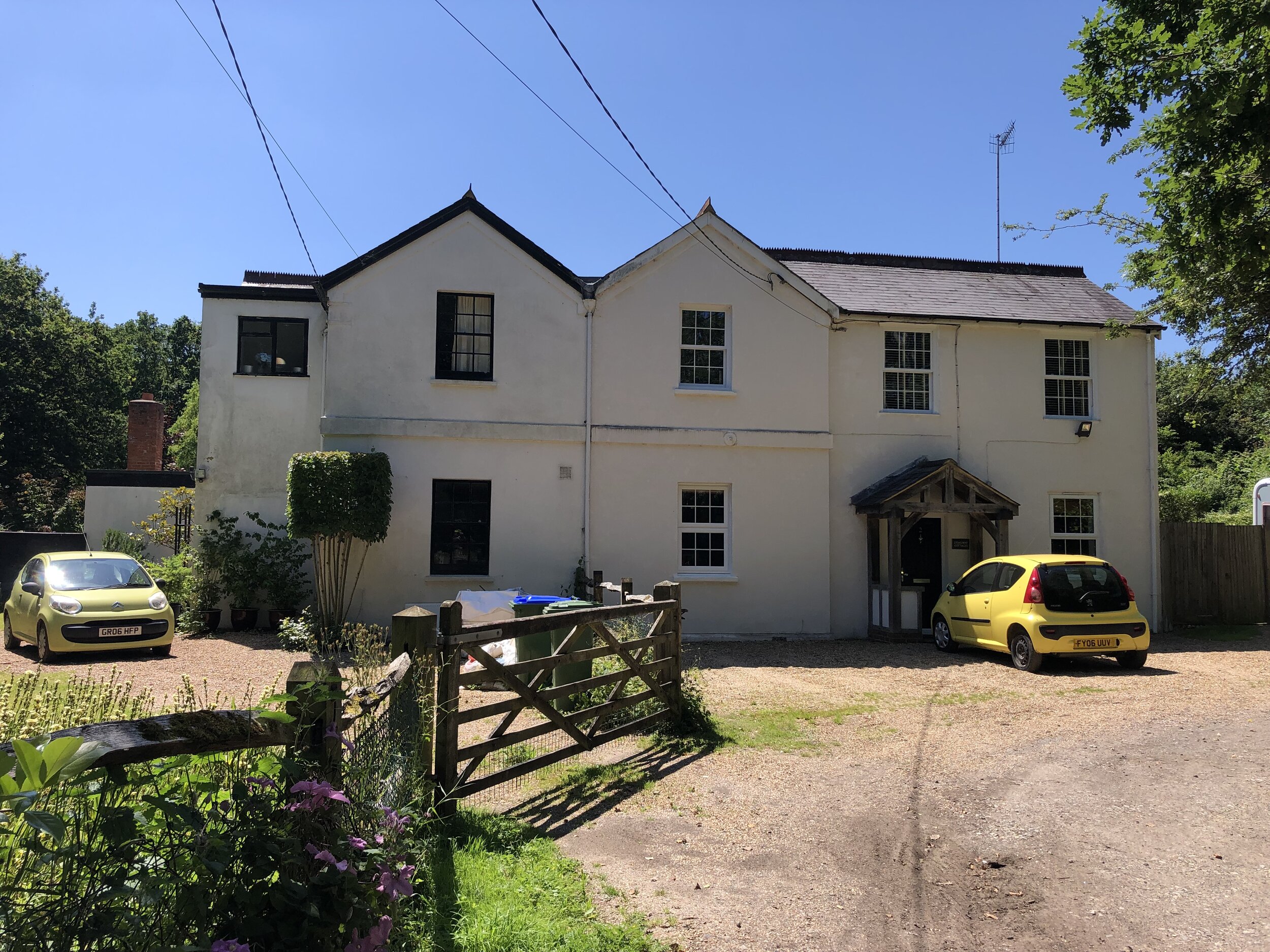
Rudgwick: Disused Stations / Wikipedia. Rudgwick Medical Centre has been built on the site of the station's main building.
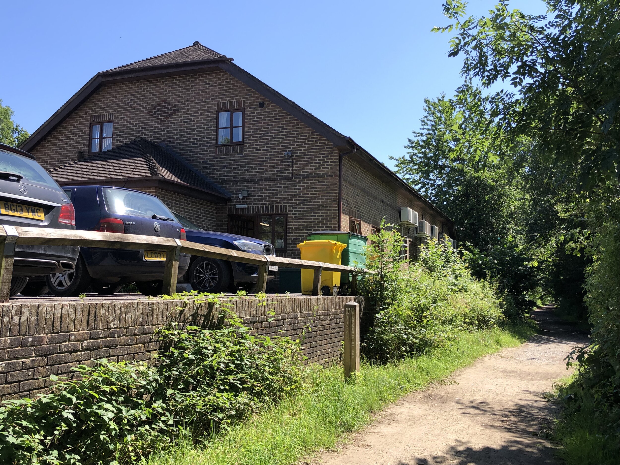
Slinfold: Disused Stations / Wikipedia. Station demolished & replaced by caravan park. Photo shows Railway Cottages opposite.
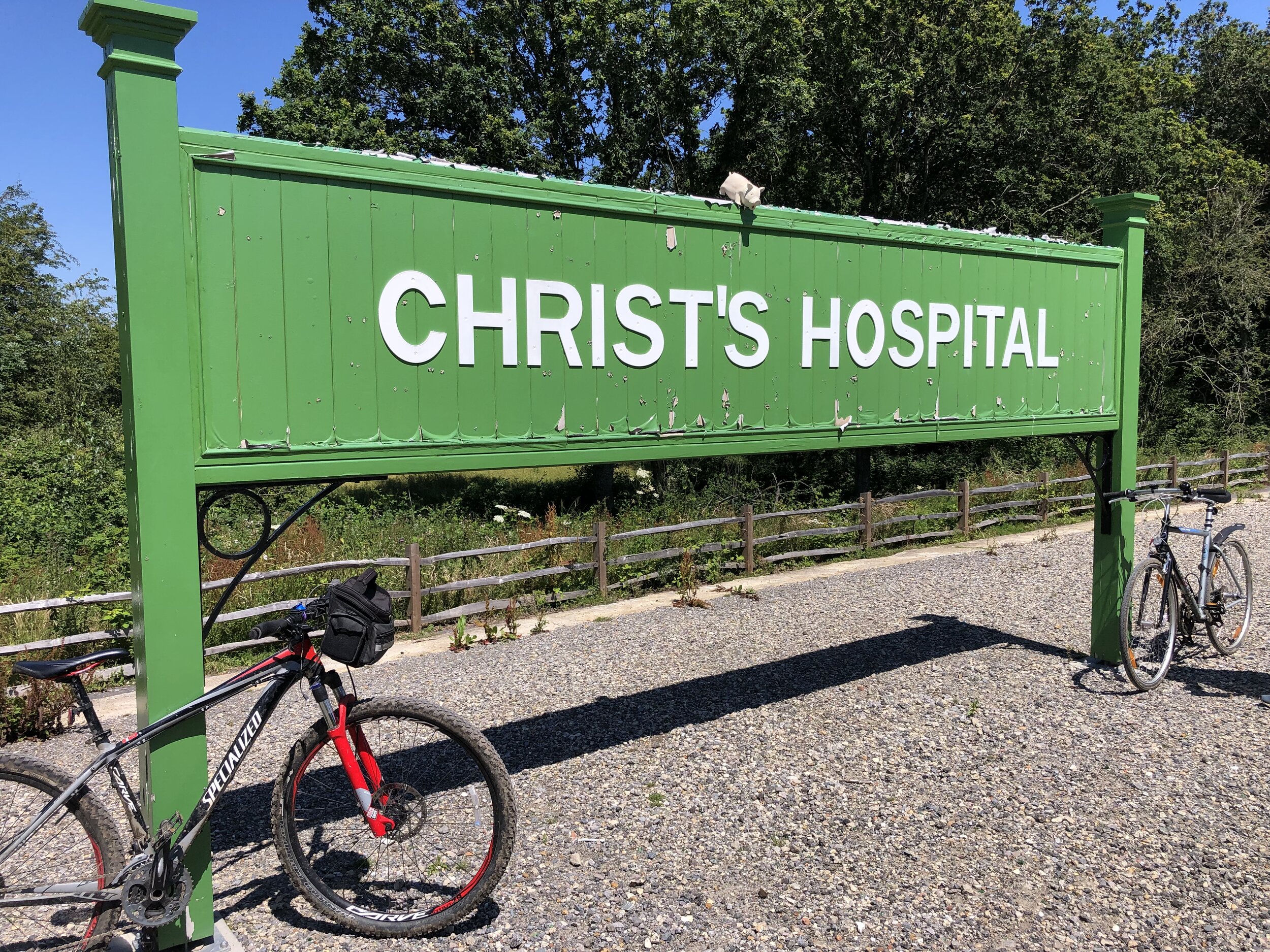
Christ’s Hospital: Disused Stations / Wikipedia. Old station demolished but platform remains. New station to the south.
Pictures above: bottom row, left to right:
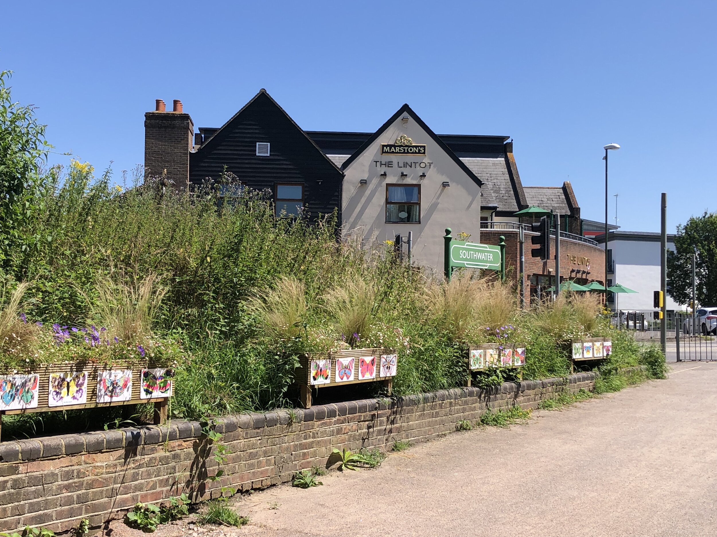
Southwater: Wikipedia. Replica sign only, road now covers site of original station.
West Grinstead: Wikipedia. Station building and cottages now in private hands. Platform remains with a British Rail Mark 1 coach on display.
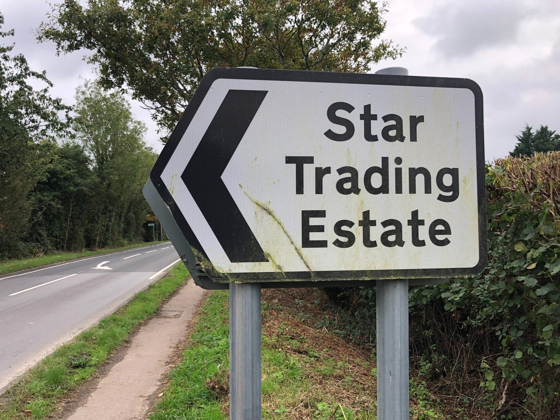
Partridge Green: Wikipedia. Station buildings have been removed and replaced by housing and the Star Road Industrial Estate
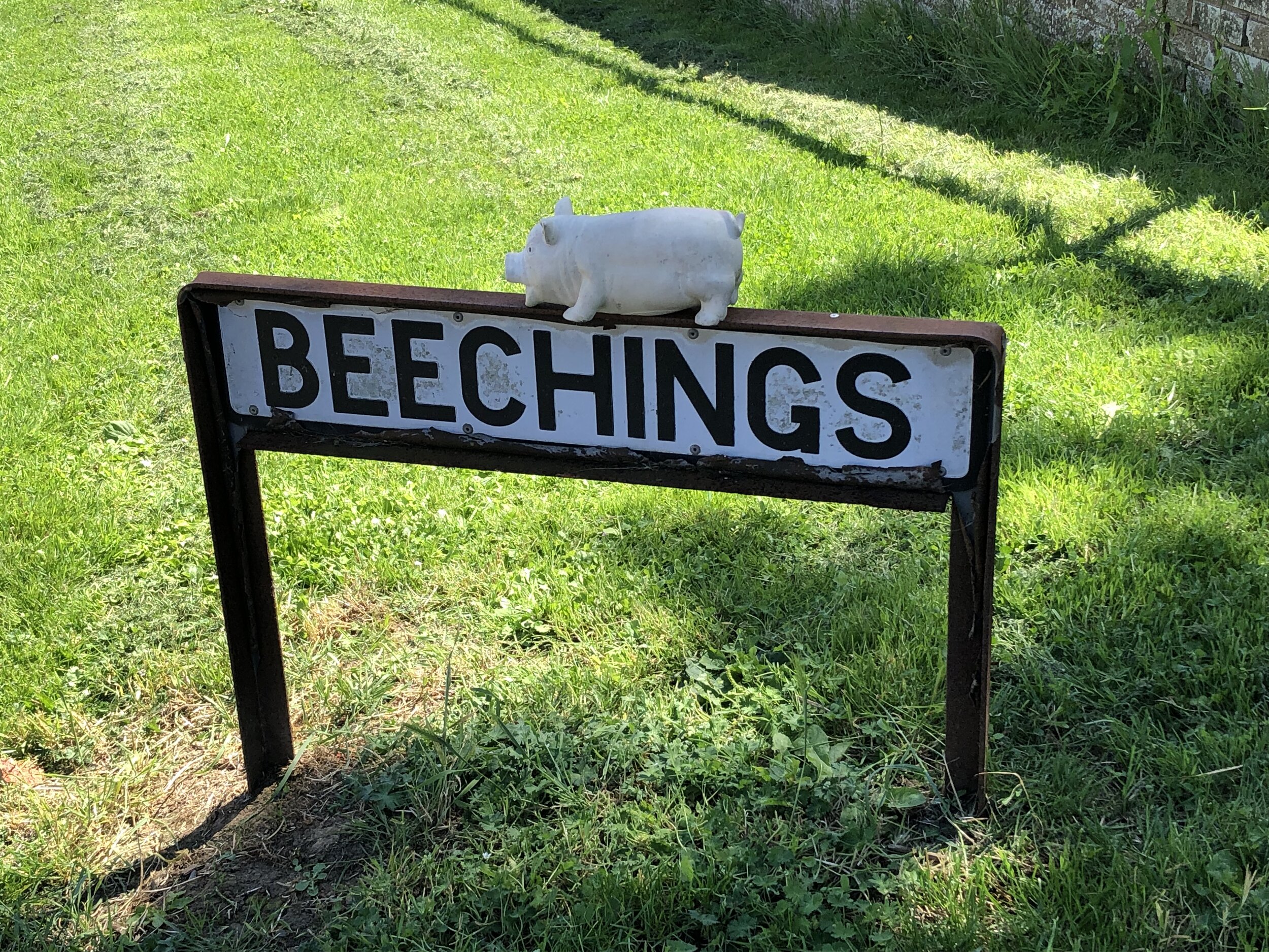
Henfield: Wikipedia. Station demolished. Only evidence is Beechings and Station Road sign where station used to be.
Steyning: Wikipedia. Station demolished but old warehouse building remains, now converted into townhouses.
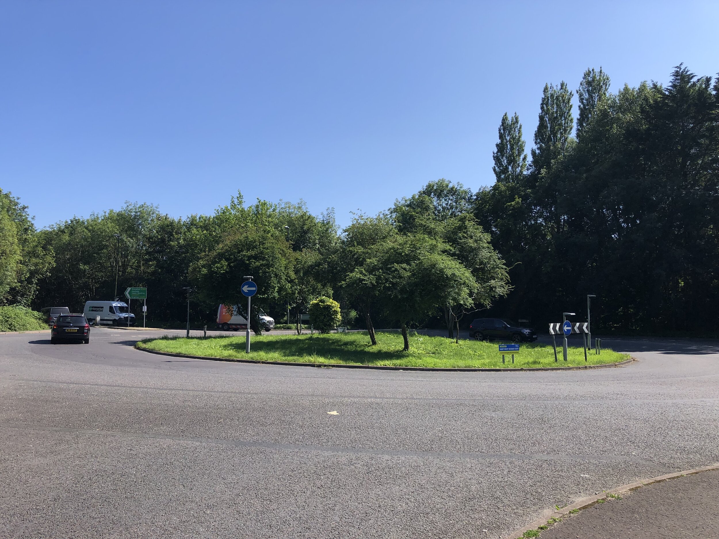
Bramber: Wikipedia. Station demolished and replaced by a roundabout (photo). No other evidence.

More Disused Railway Posts