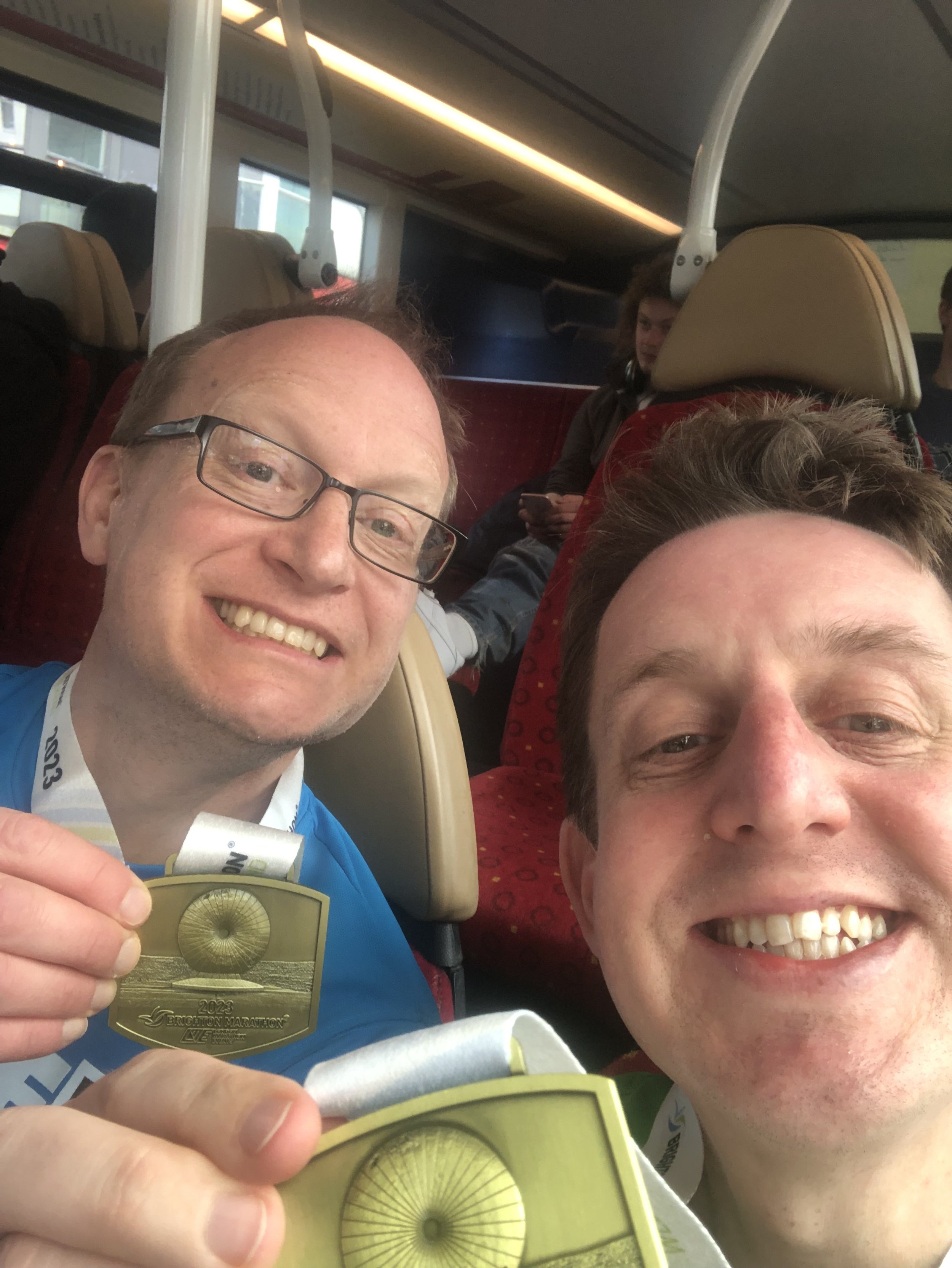
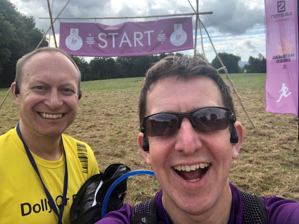
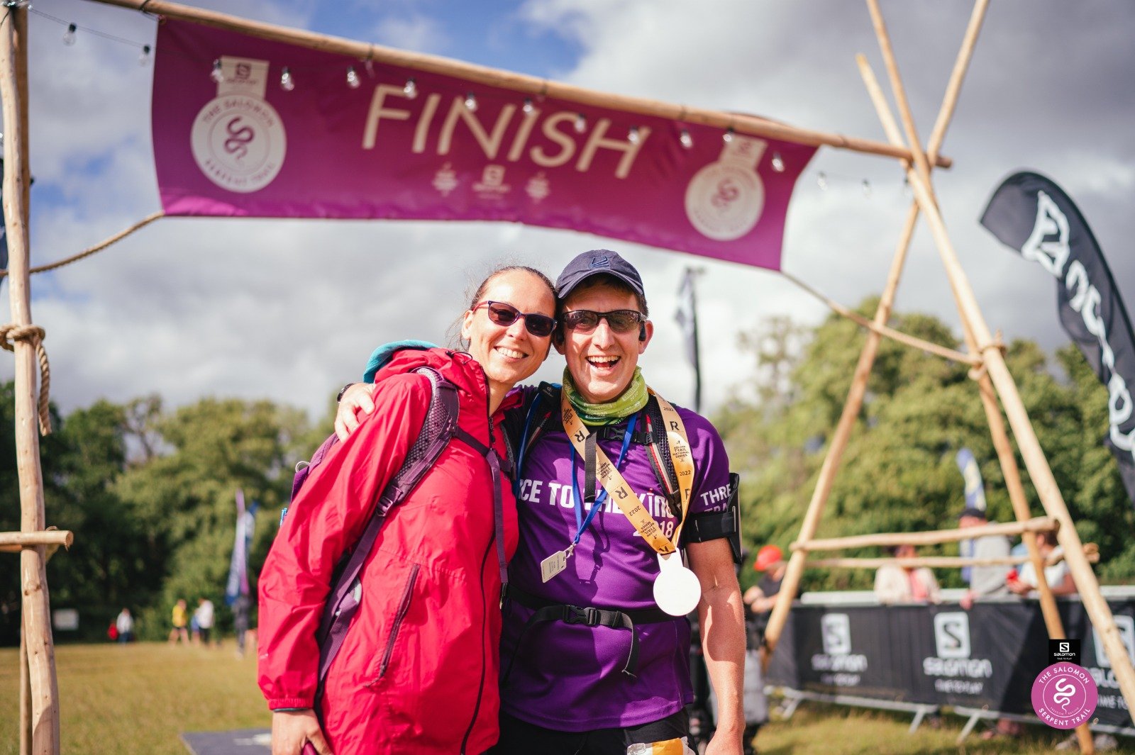
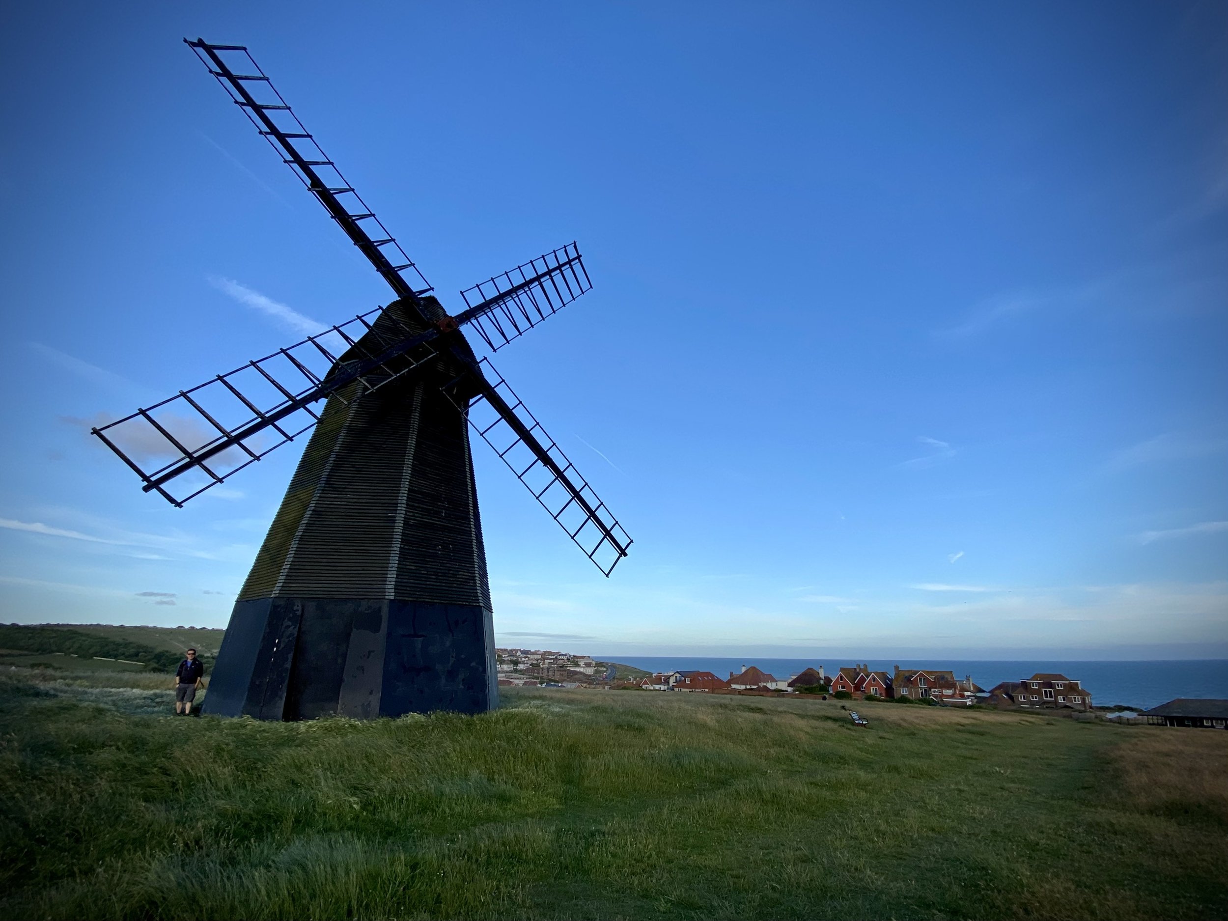
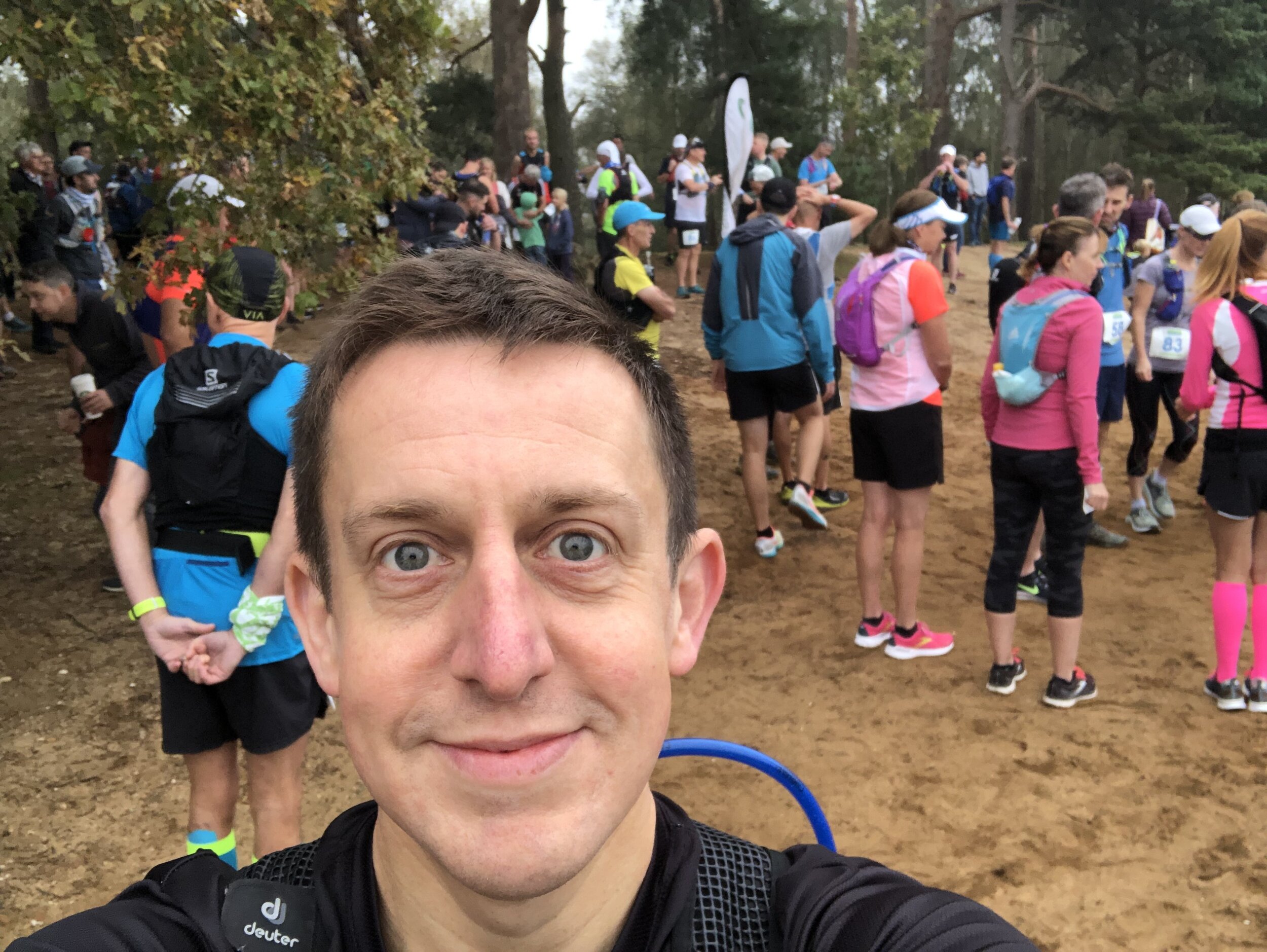
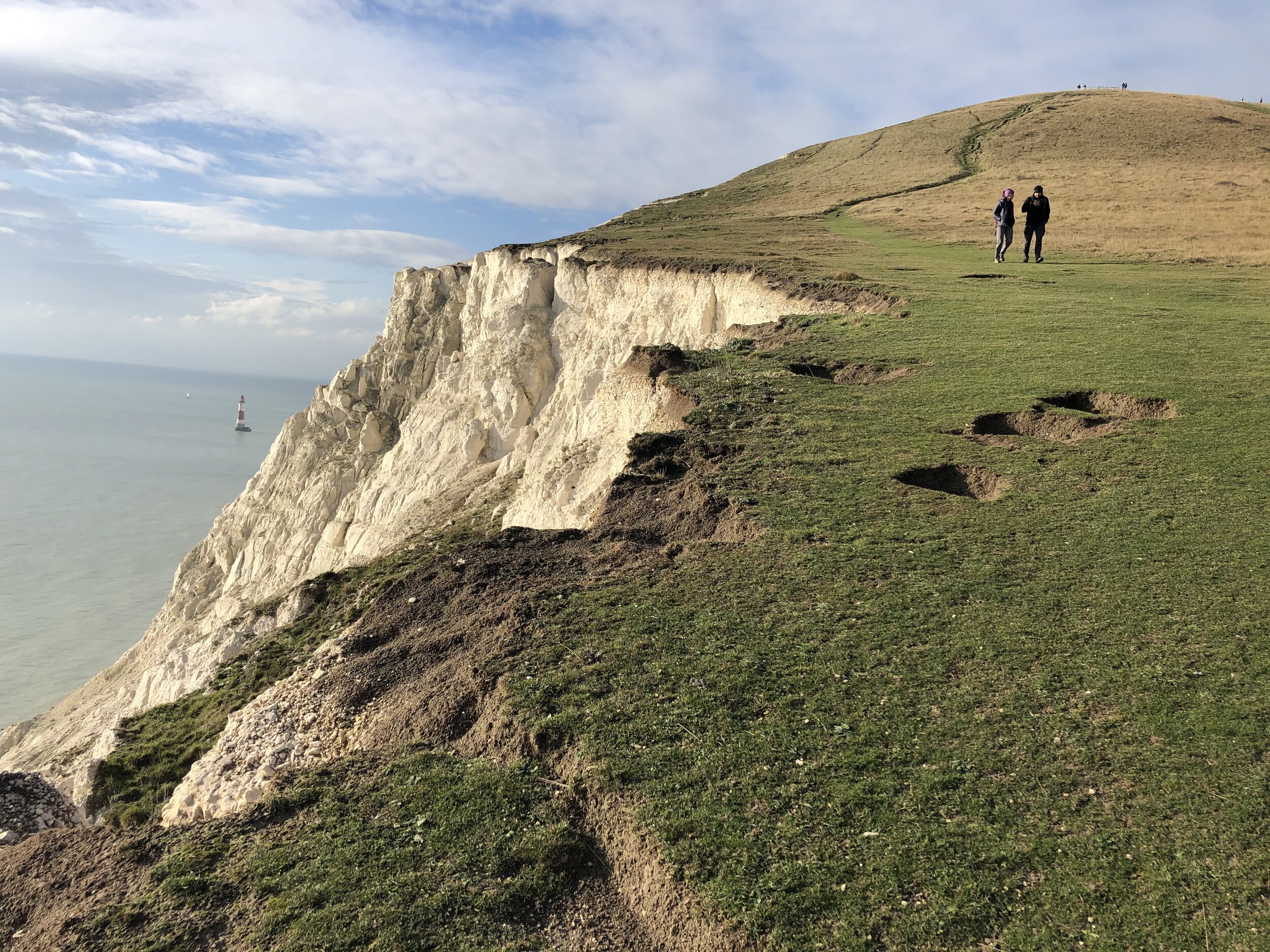
I've been cutting down on alcohol this year, so those couple of glasses of wine on Friday night had an unfortunate consequence: I snored loudly all night. Brian barely got a wink of sleep.
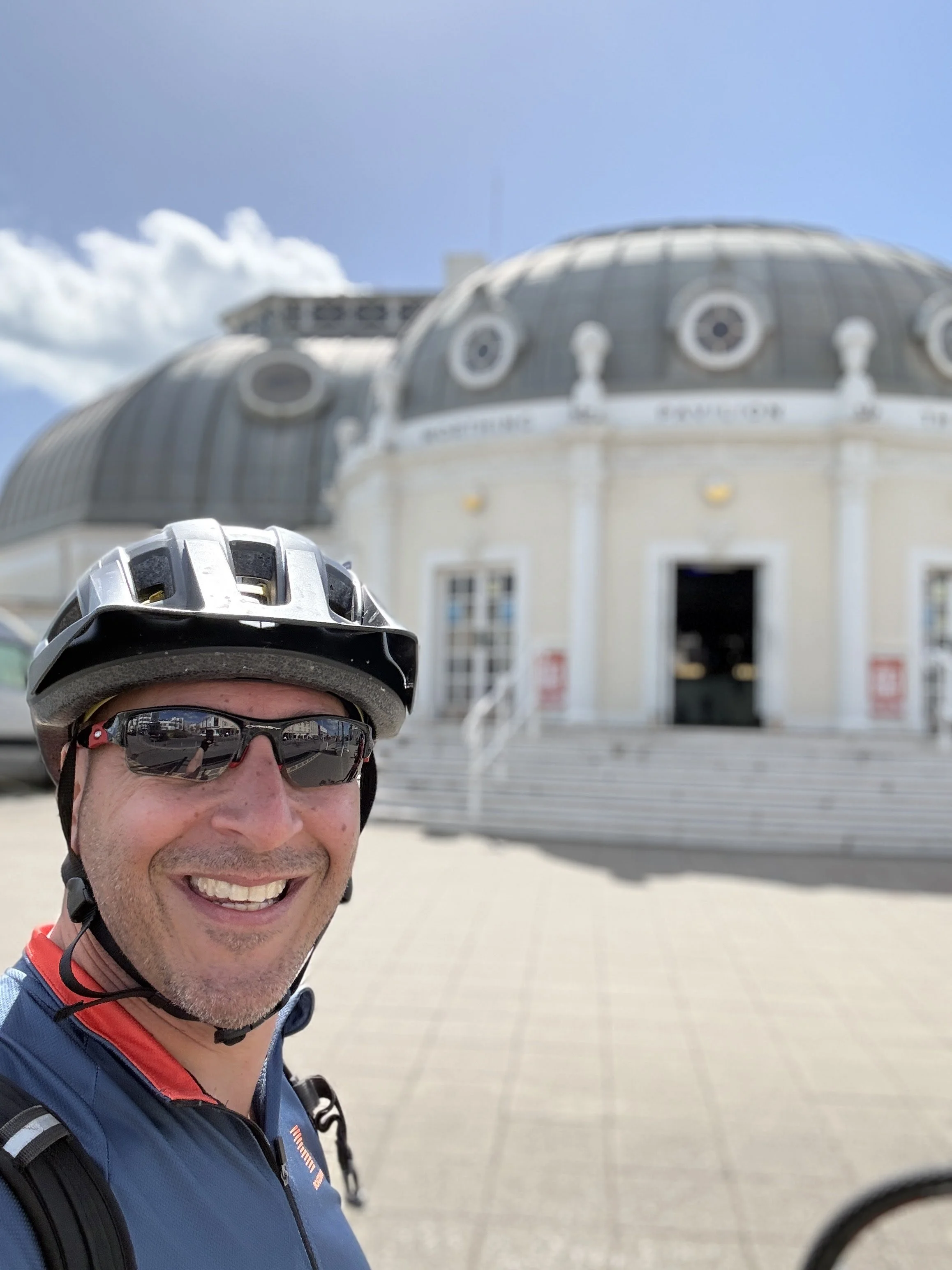
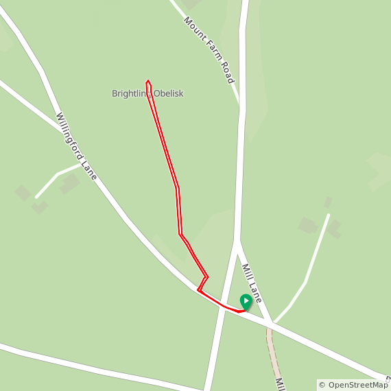
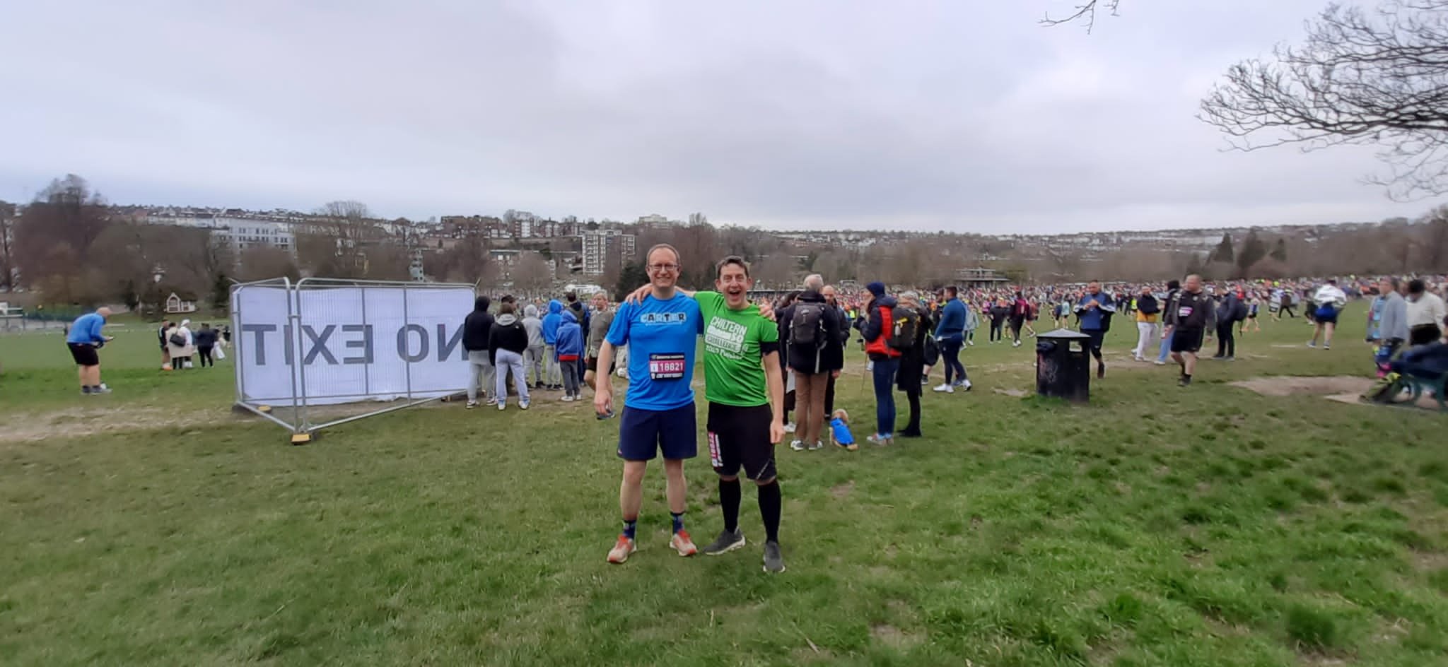
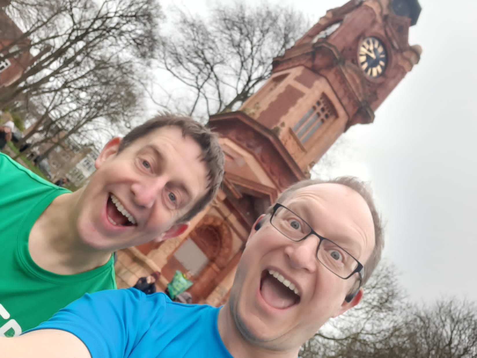
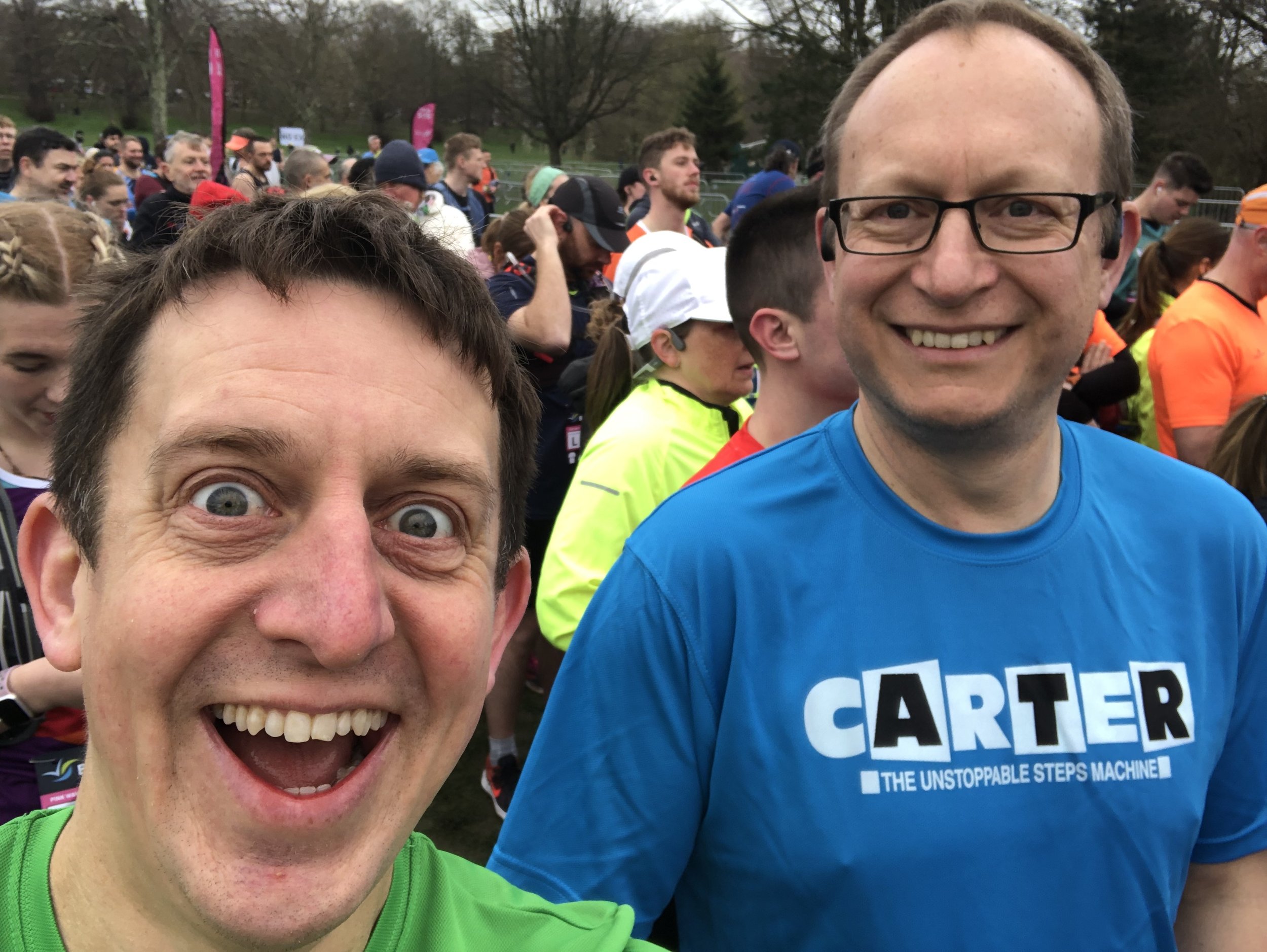
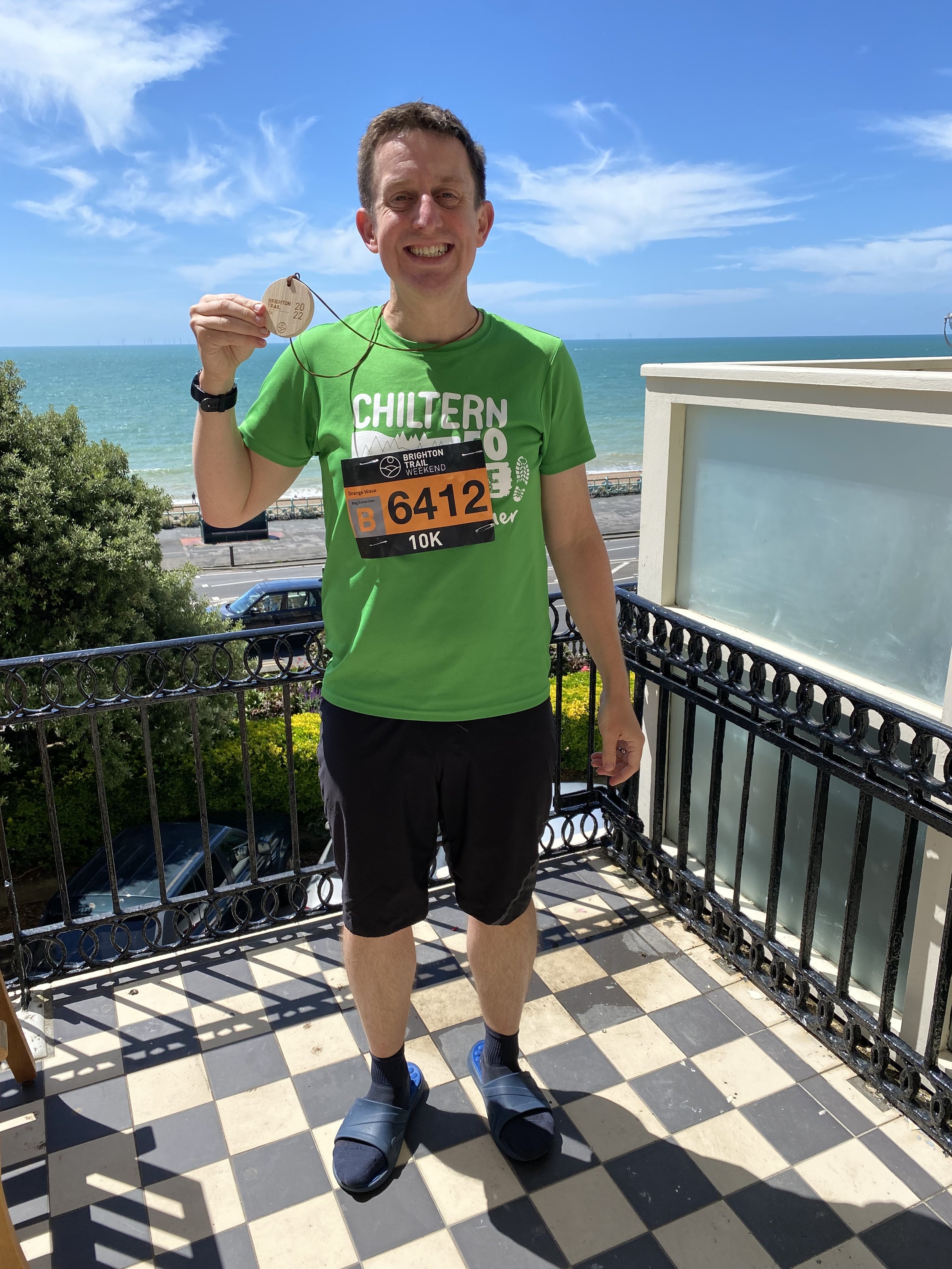
Because of that, our Saturday morning started separately. I headed out early for the Hove Promenade parkrun. Usually, Brian would tag along and chill in a cafe, but he desperately needed to catch up on sleep. We met up at 09:30 after my run. I was in serious need of coffee and food by then, so we stopped at a lovely little independent bakery and cafe in Hove called MAKA for a sausage roll and a coffee while looking out to the sea.
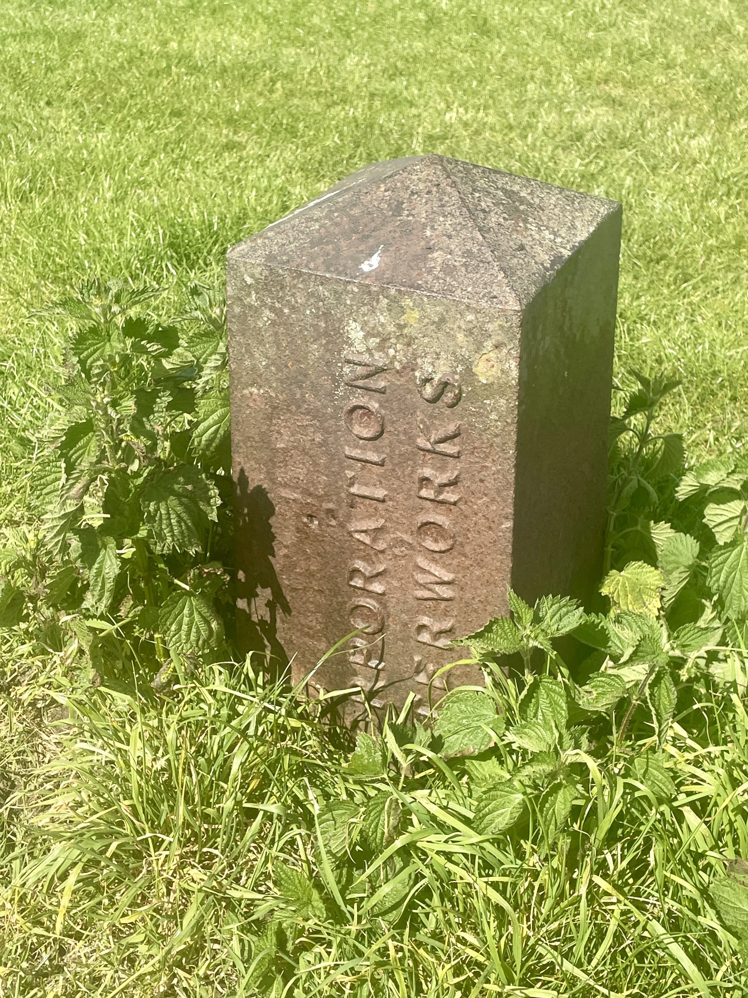
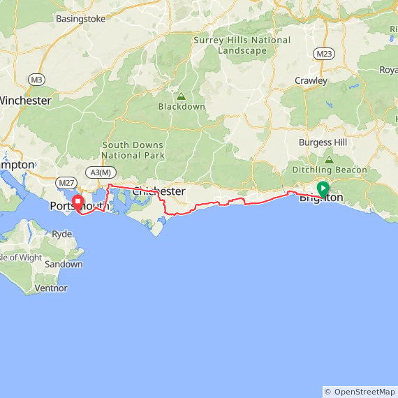
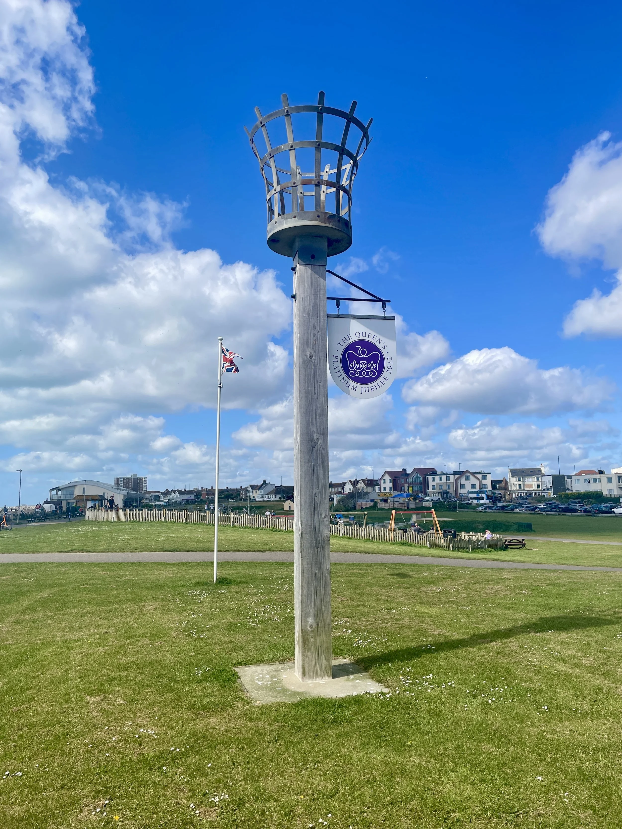
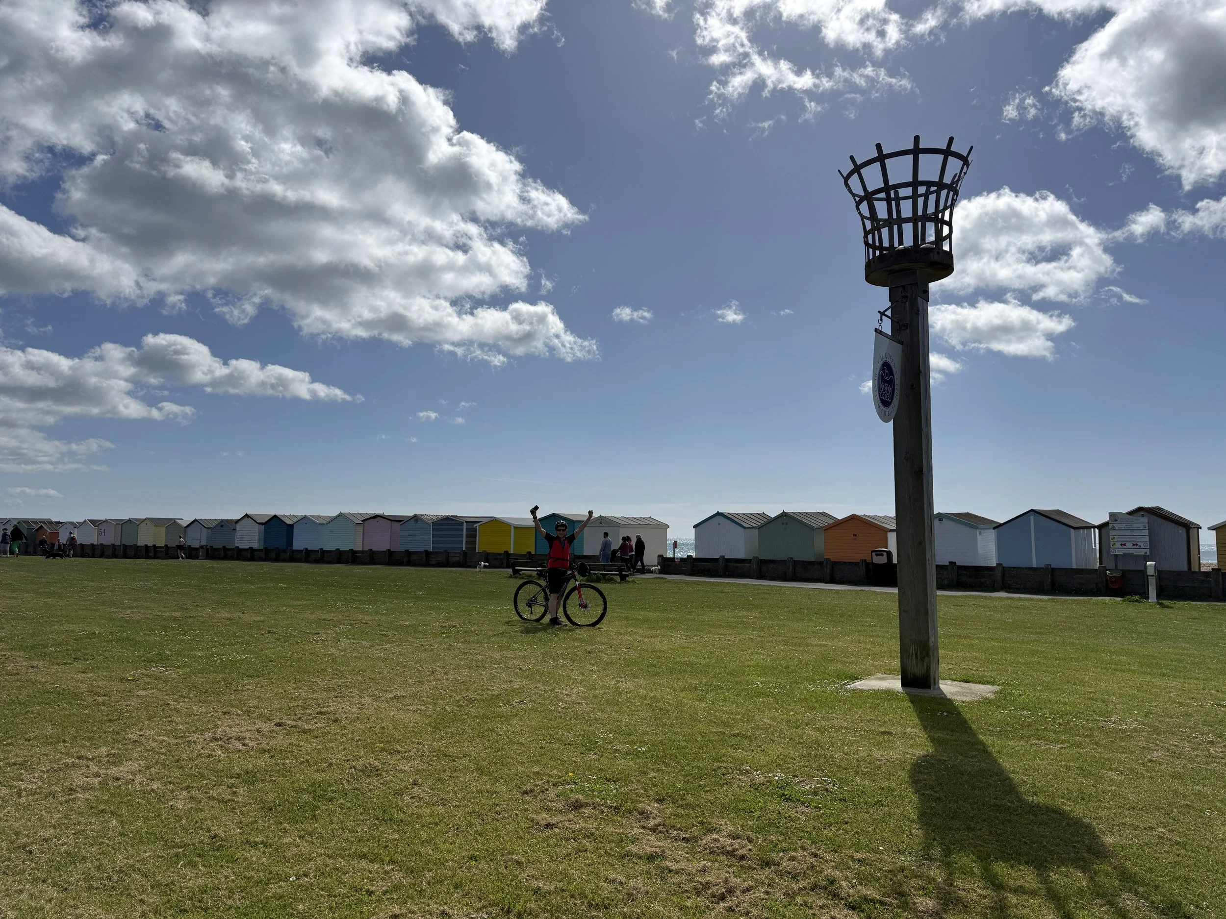
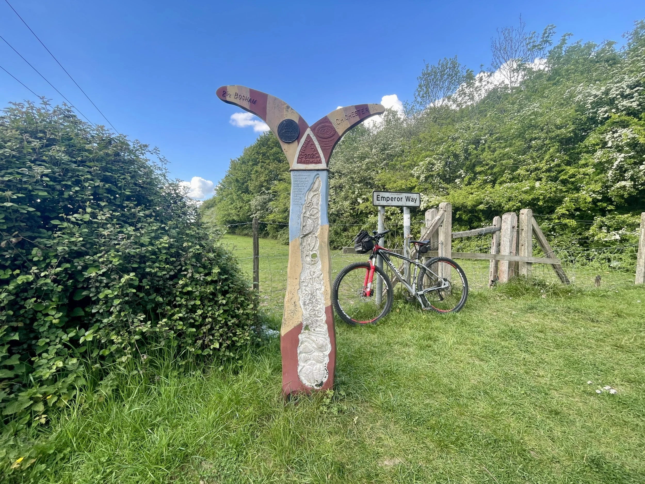
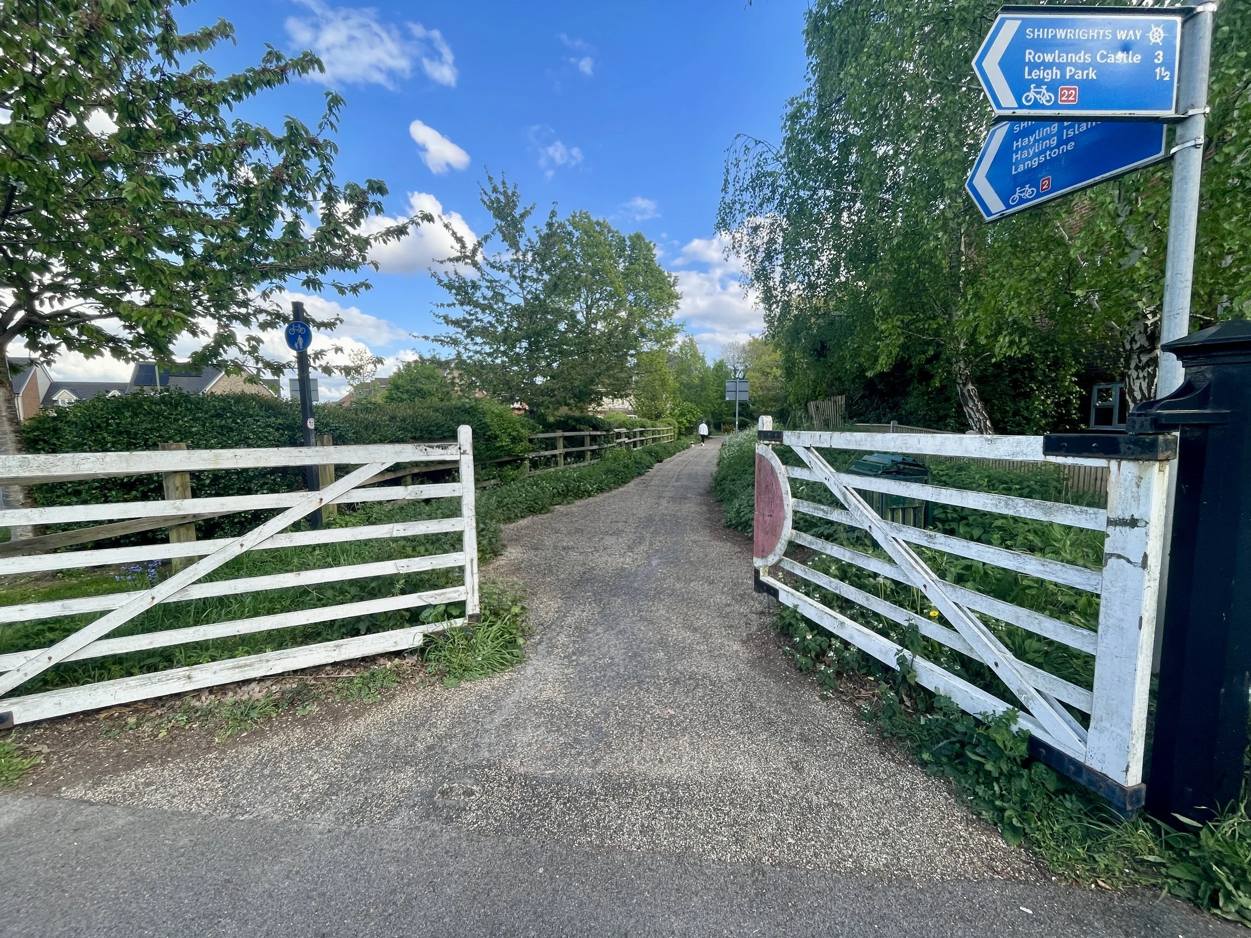
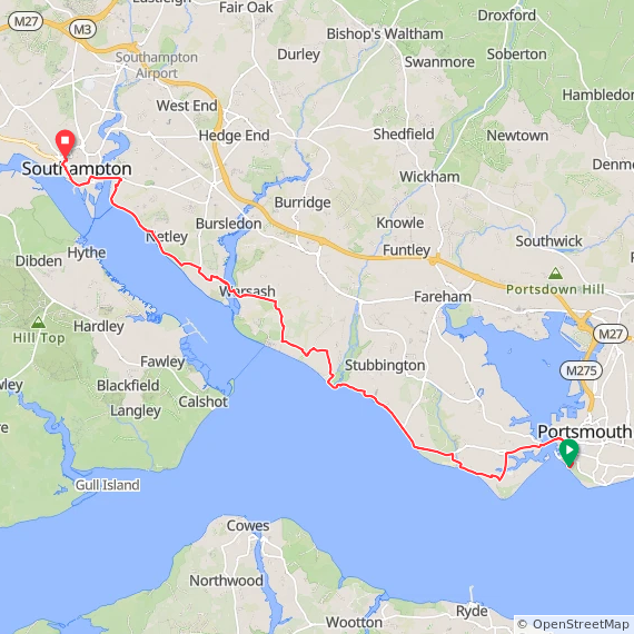
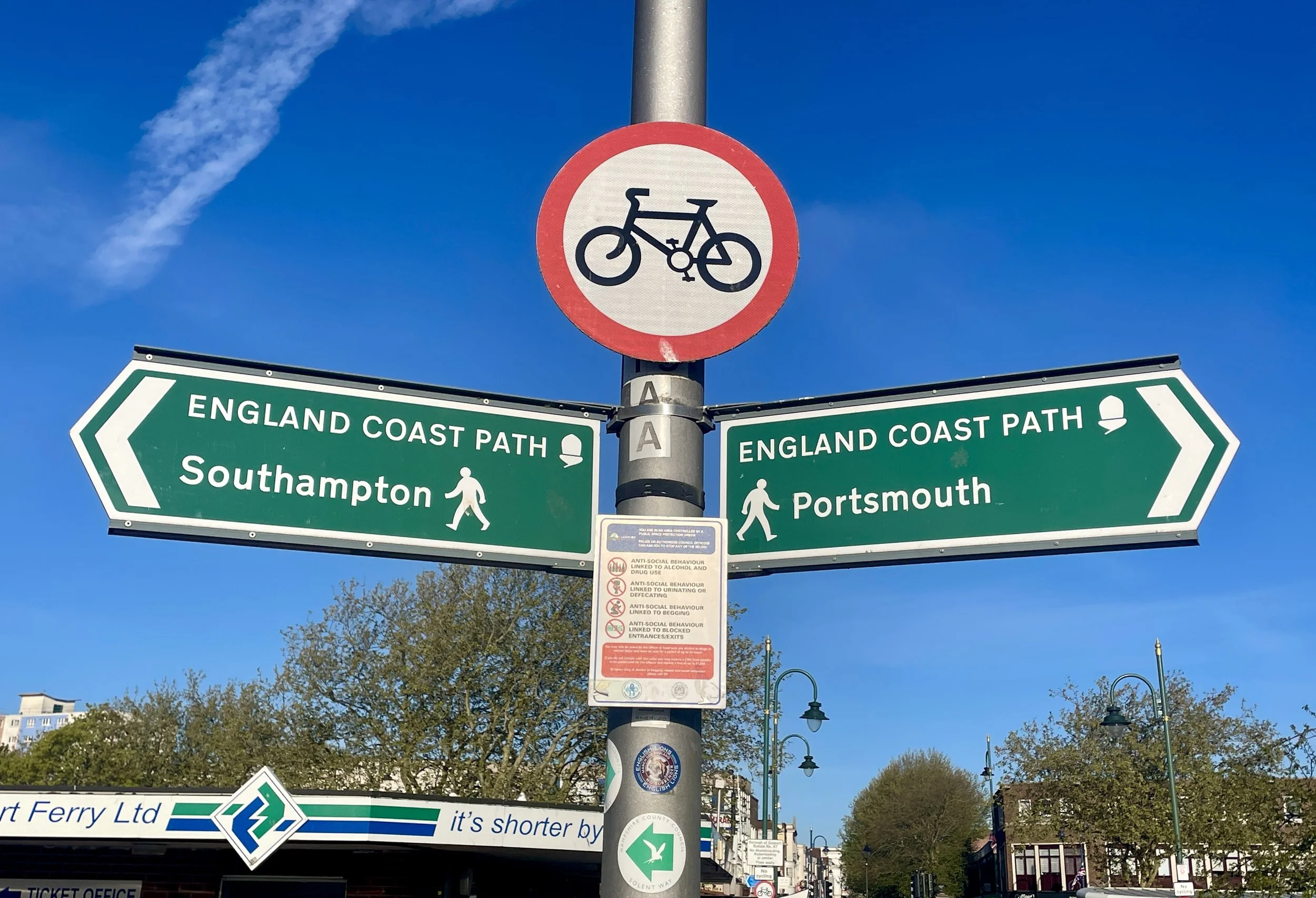
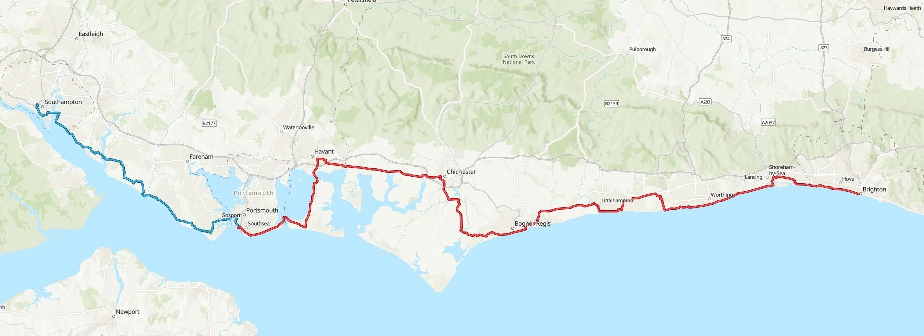
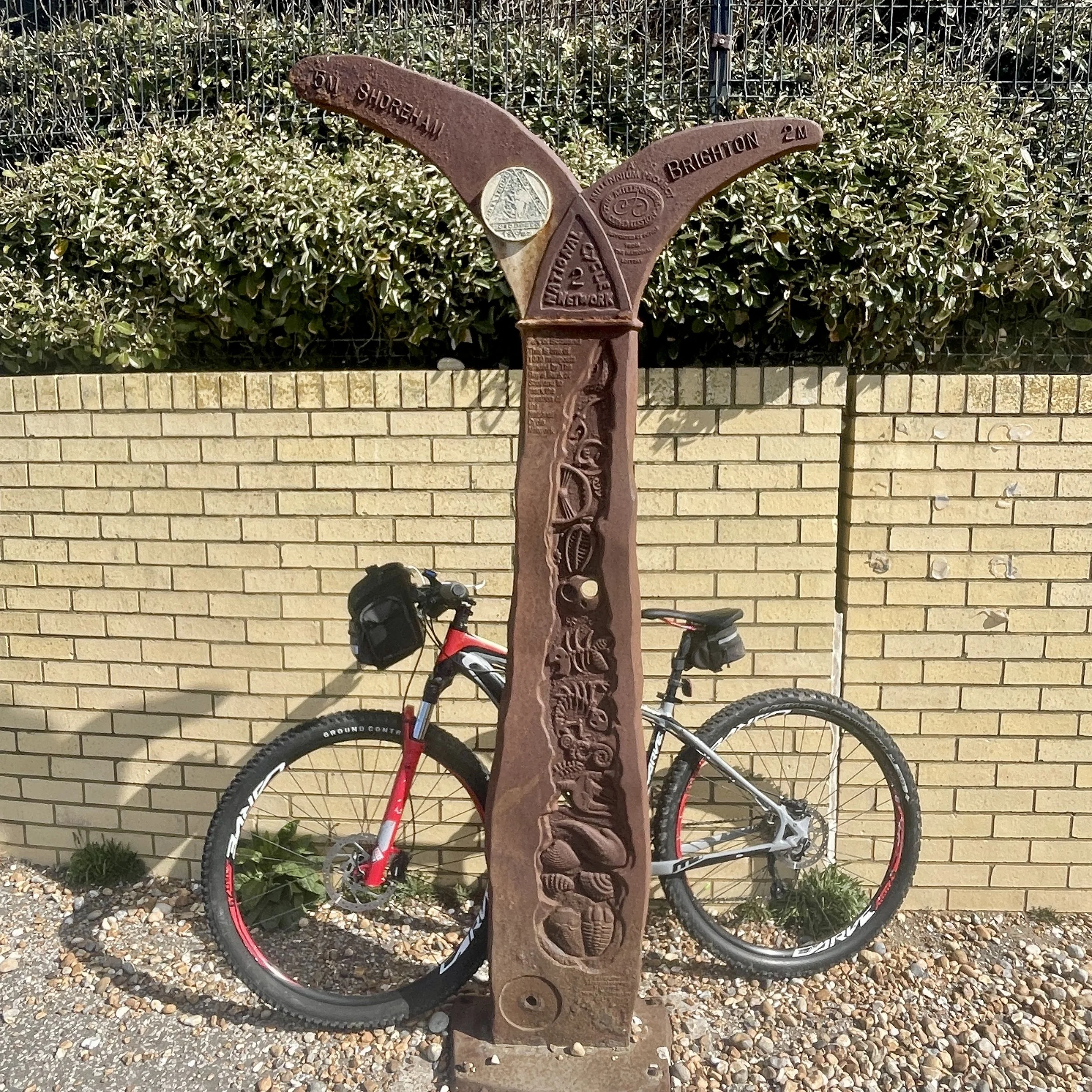
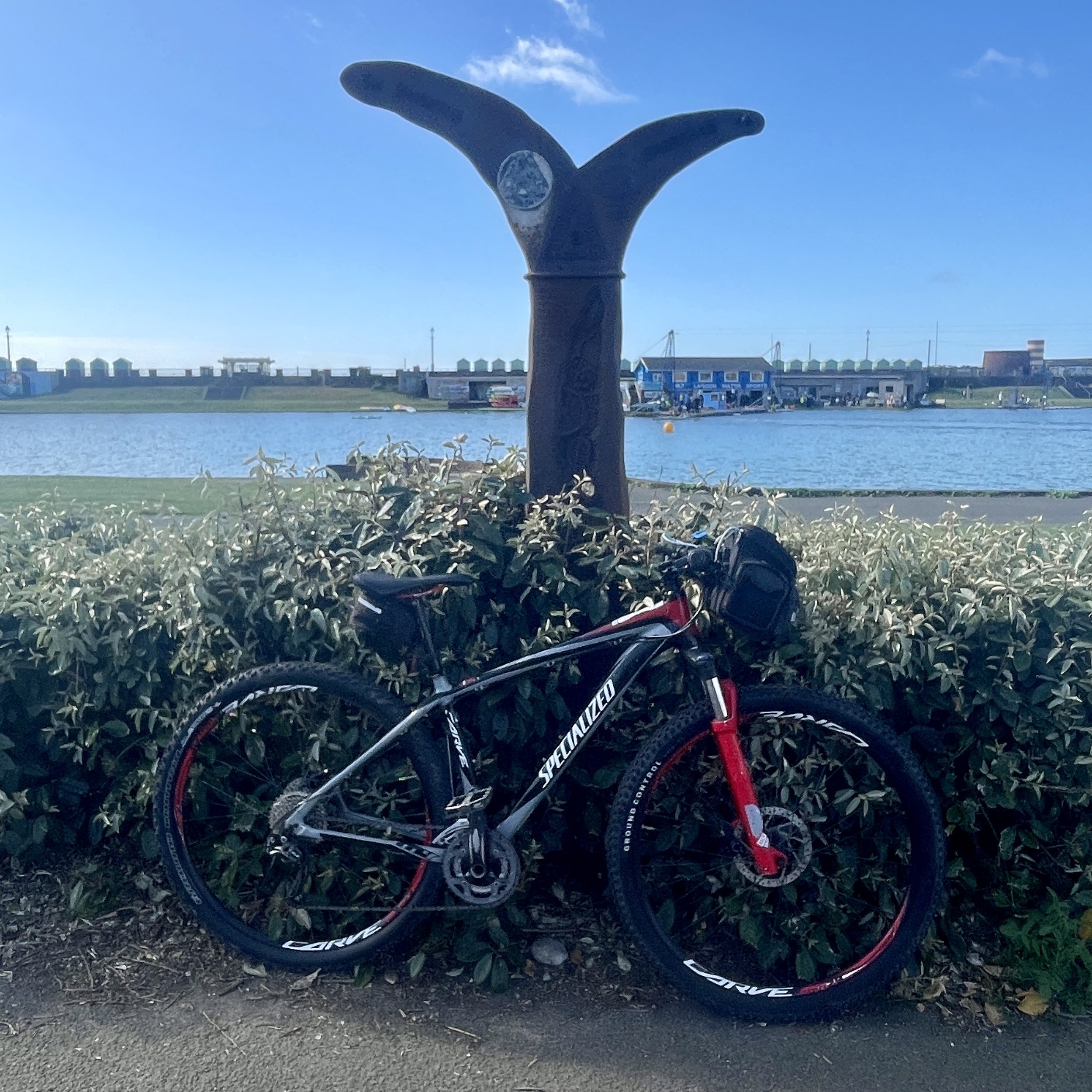
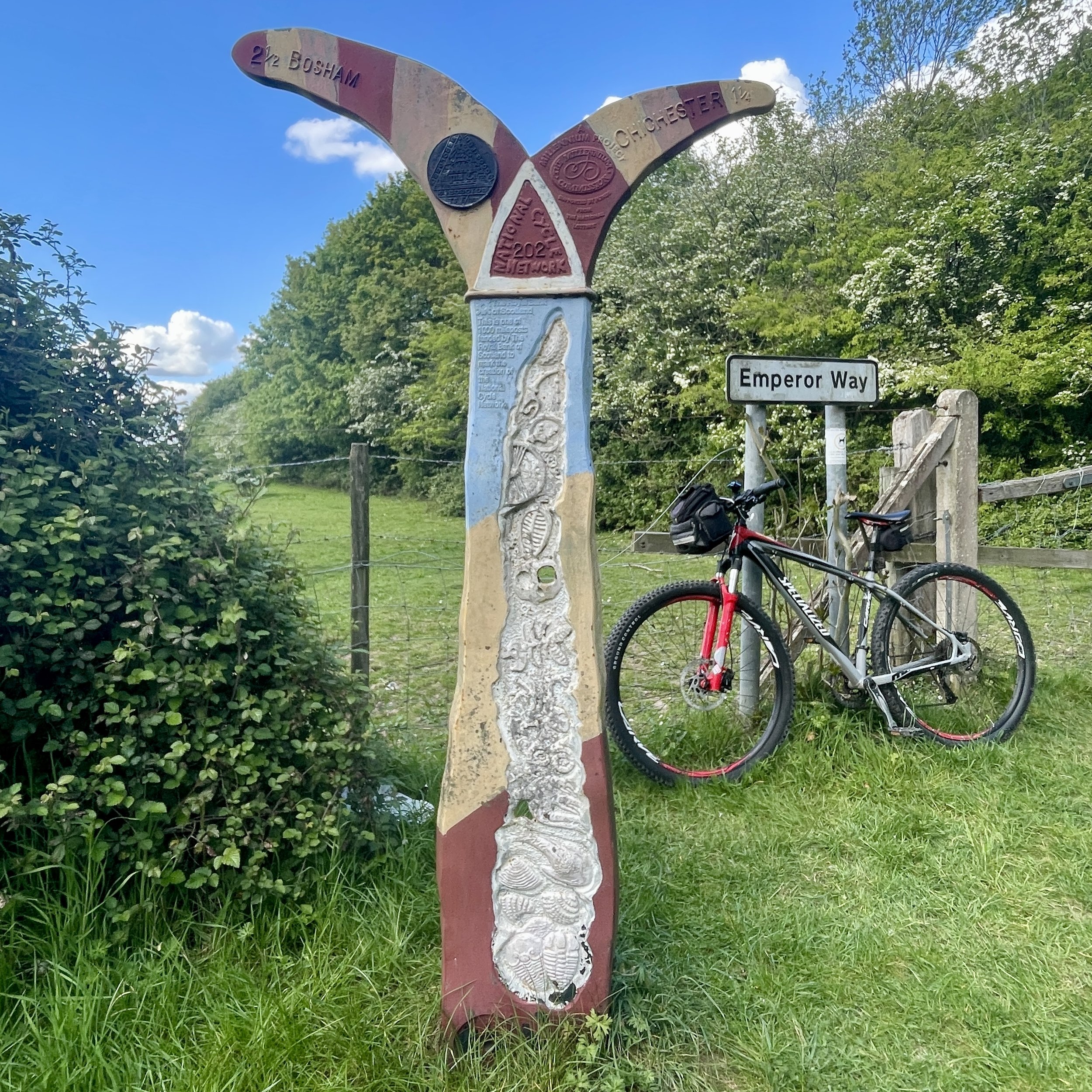
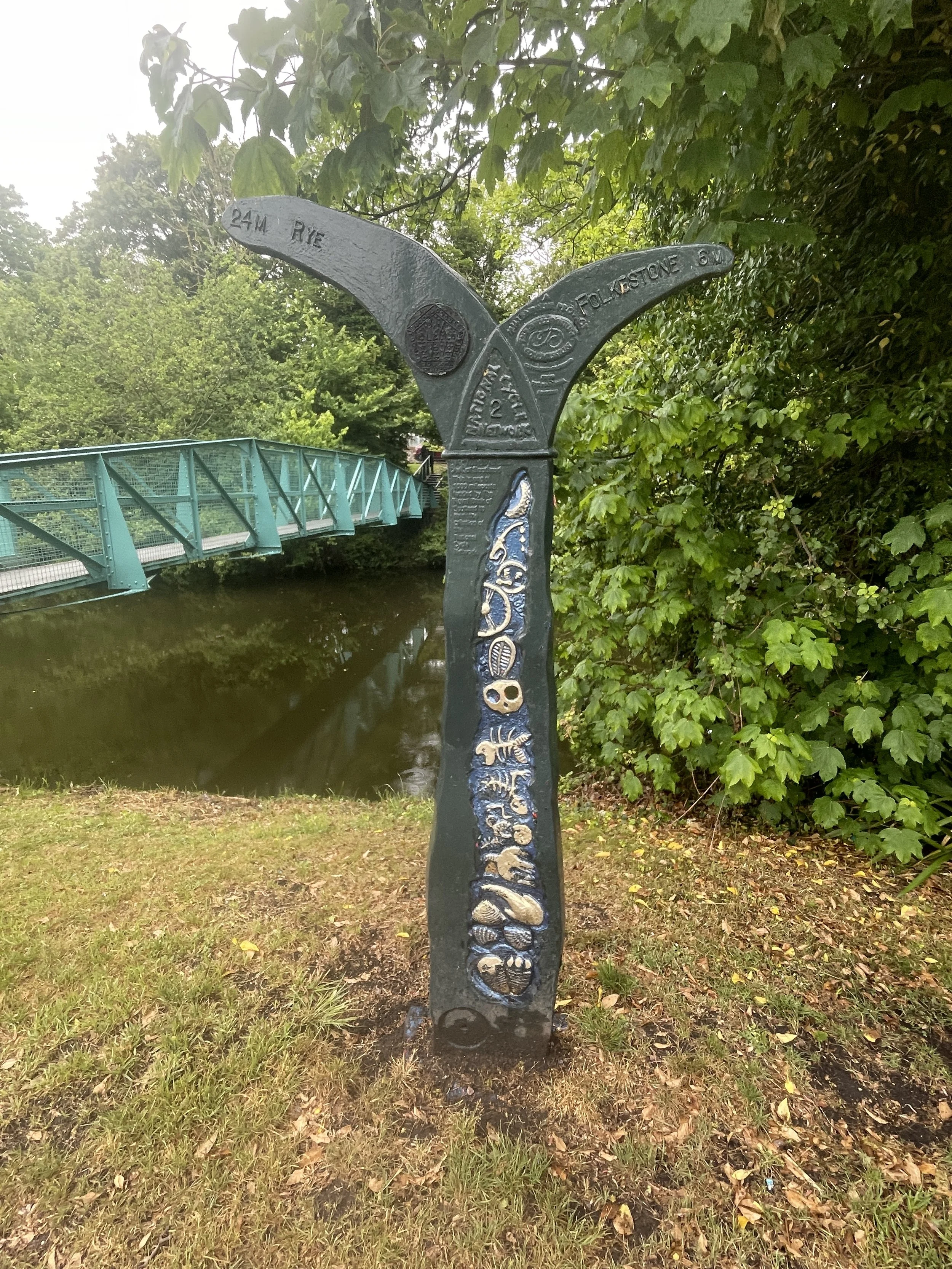
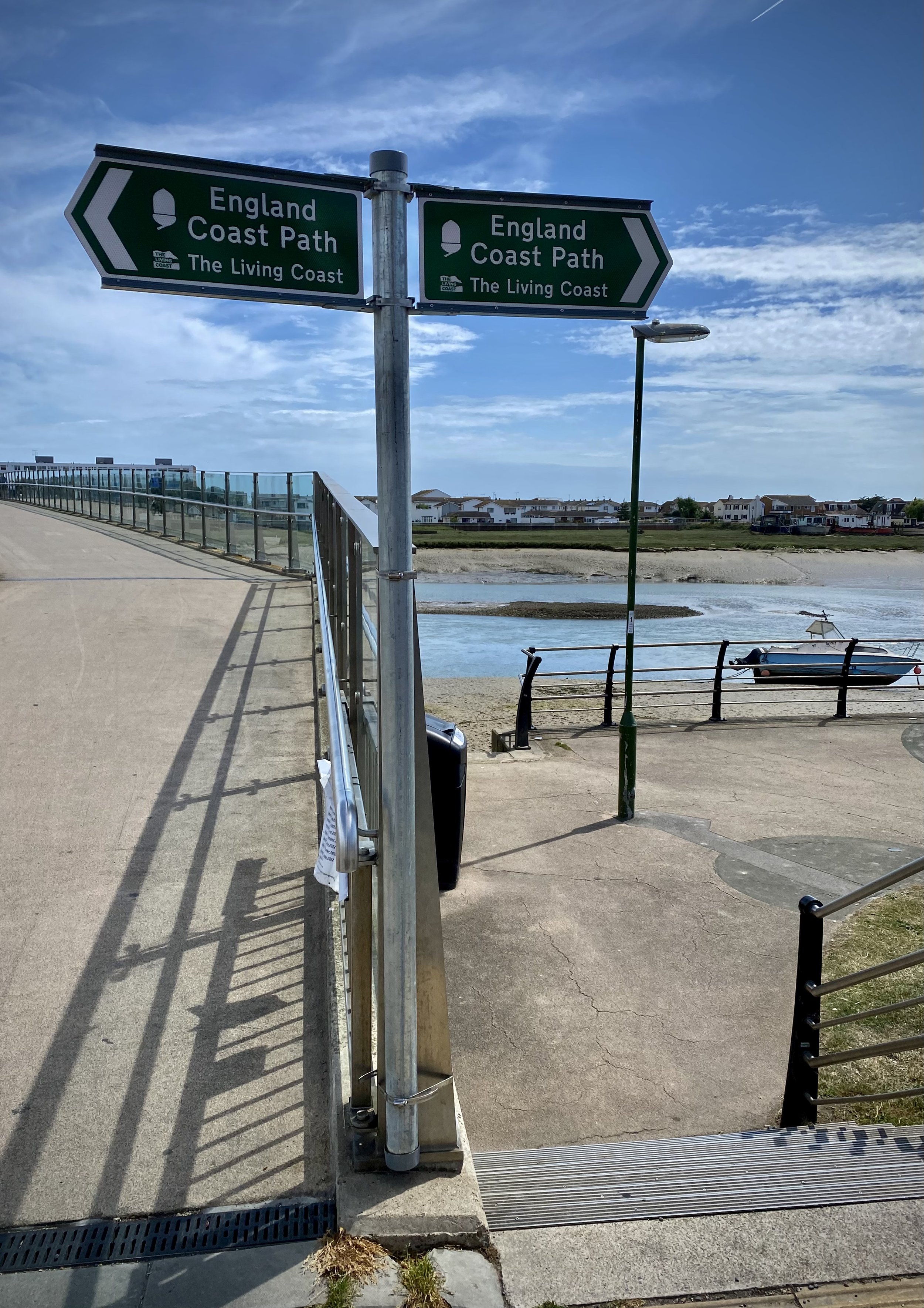
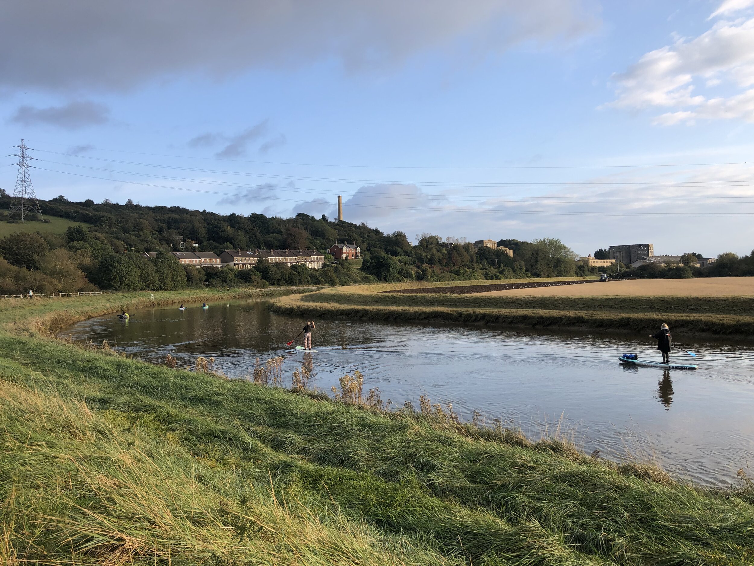
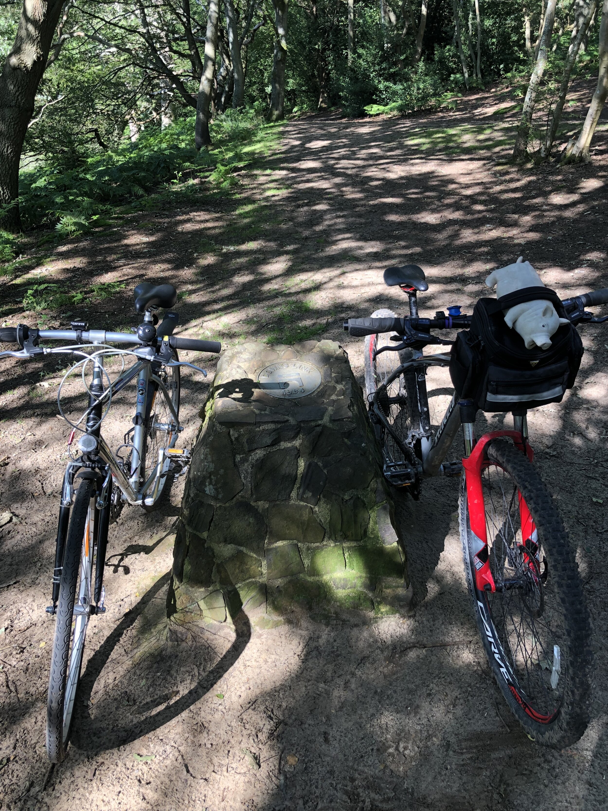
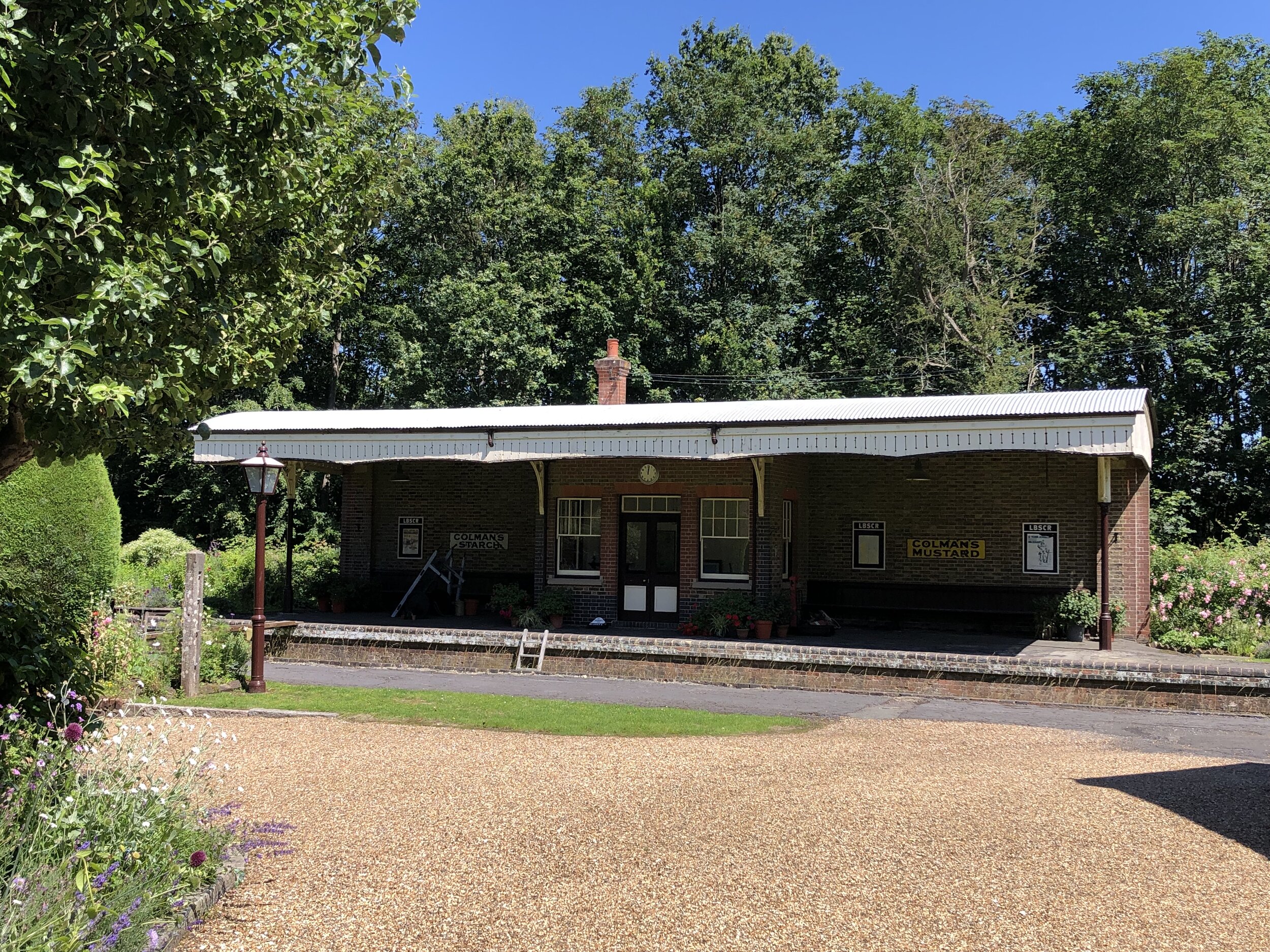
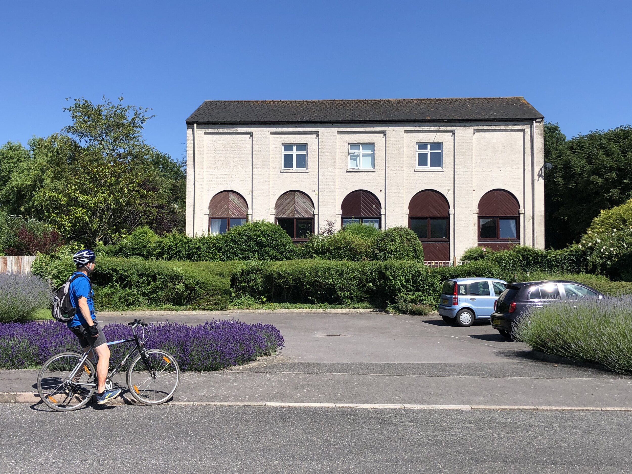
We finally hit the road around 10:00, heading west on NCN2. We quickly spotted our first Millennium Milepost just past a bench in Hove. We were looking out for them as they were a major feature of our previous south coast trips, but they were pretty sparse this time: we saw two close together in Hove, and only one more just outside Chichester.
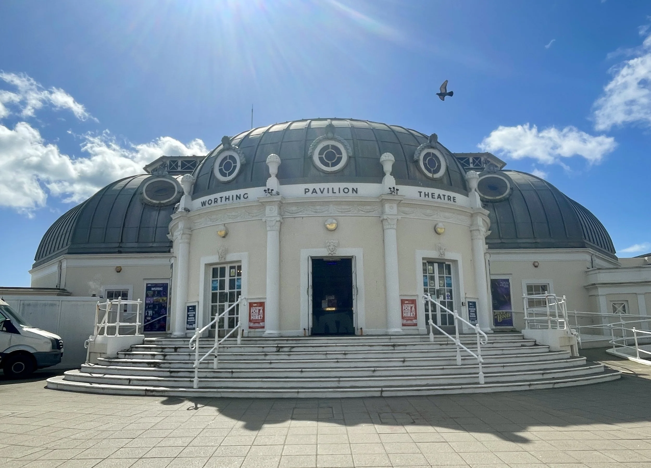
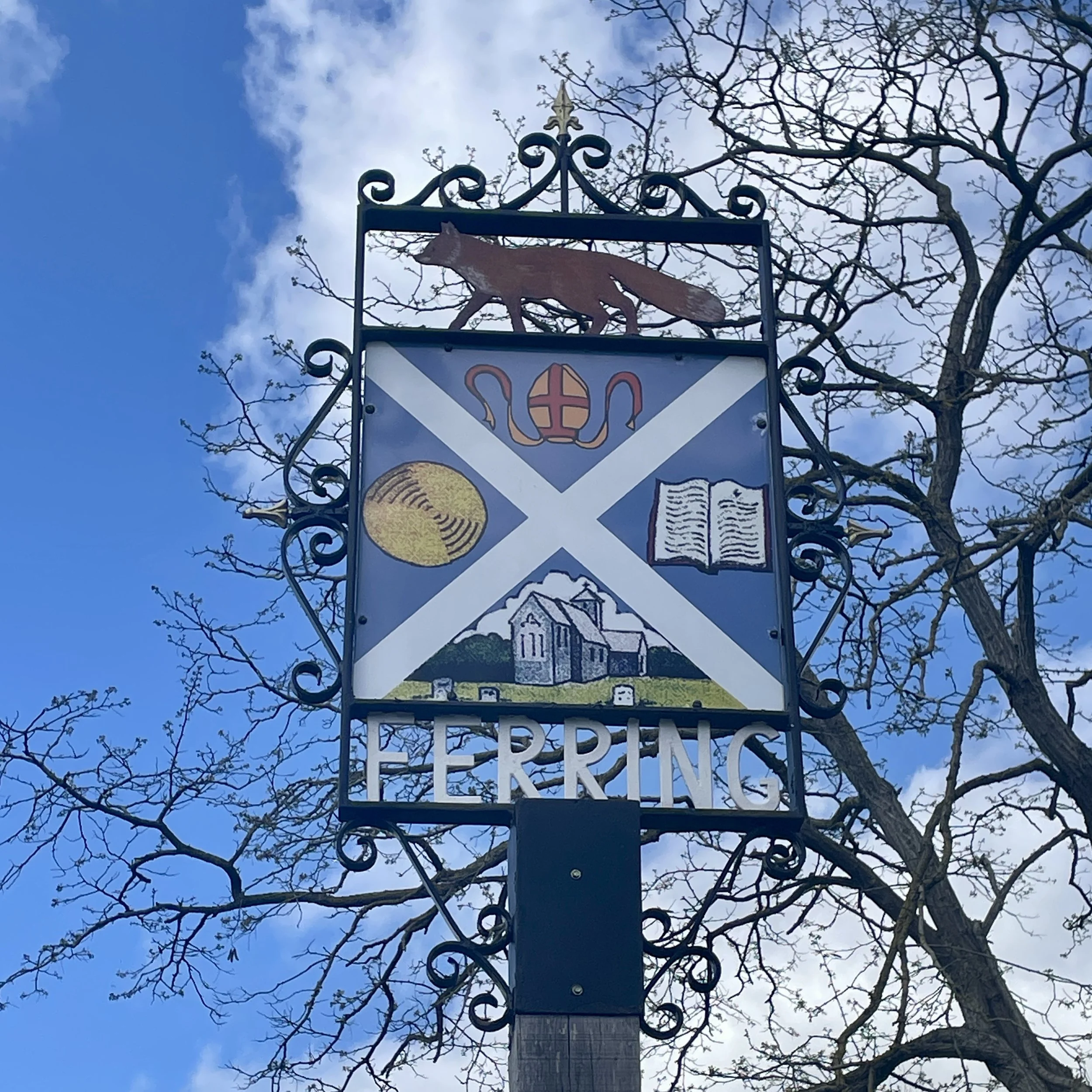
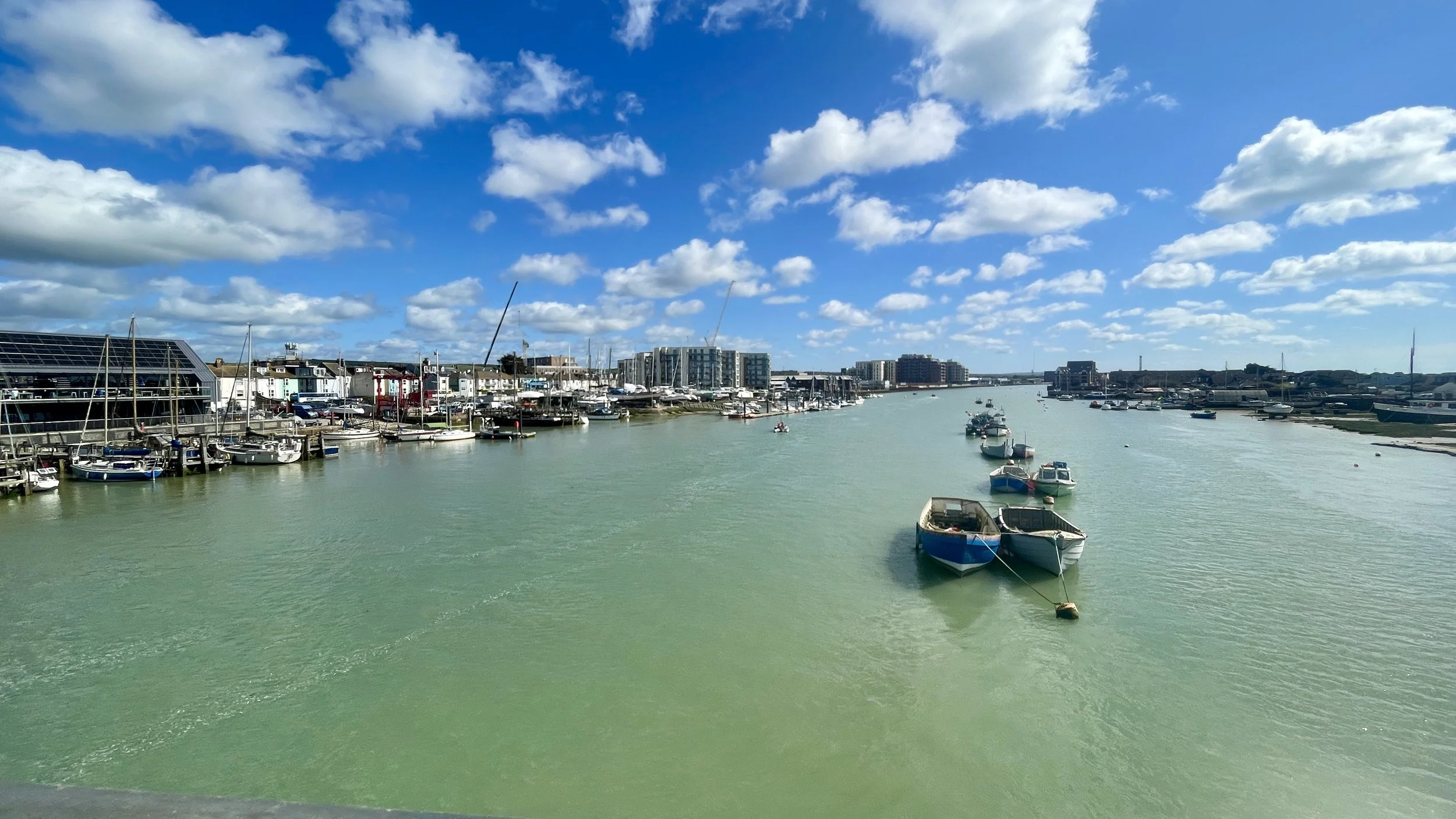
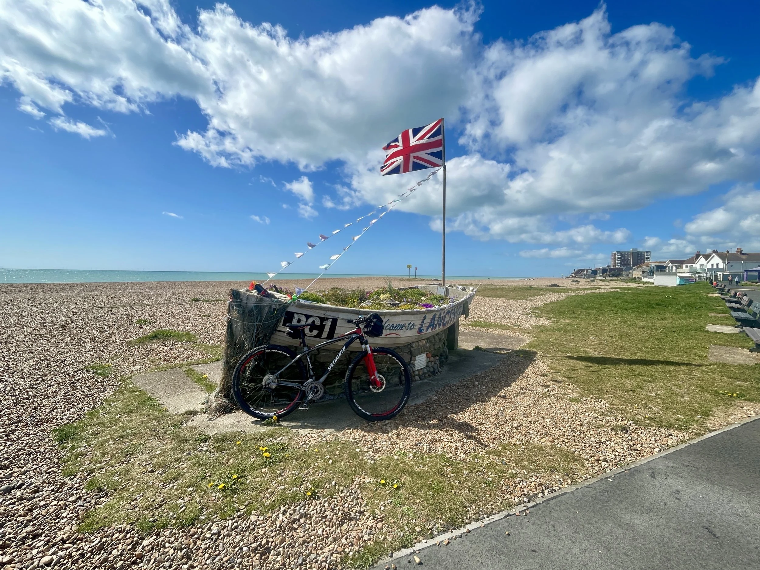
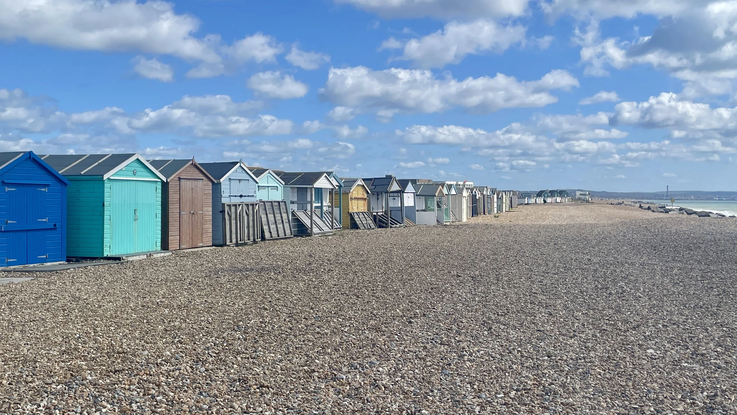
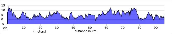
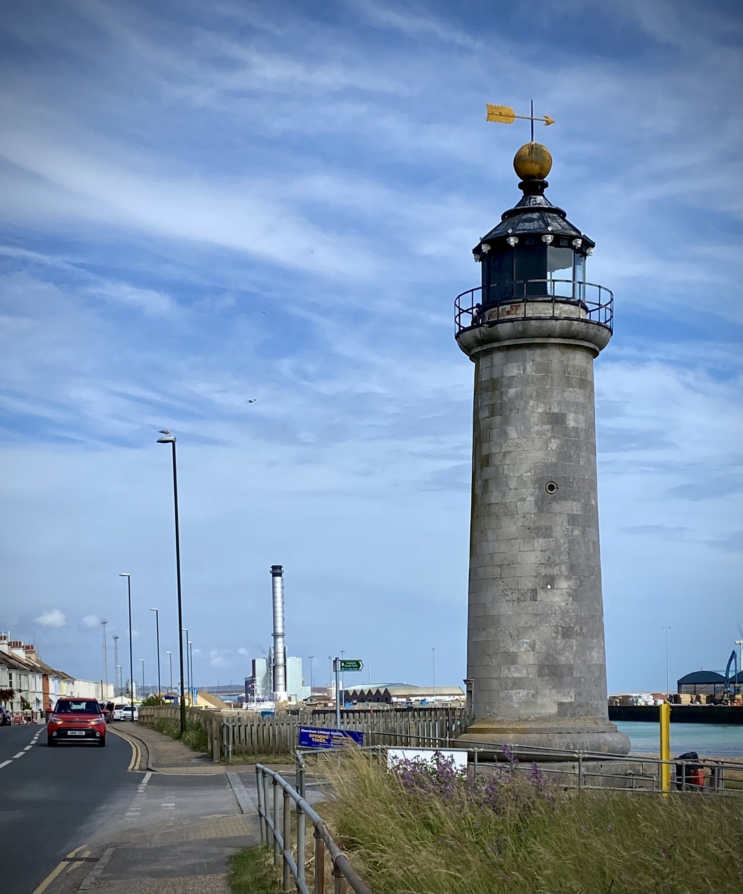
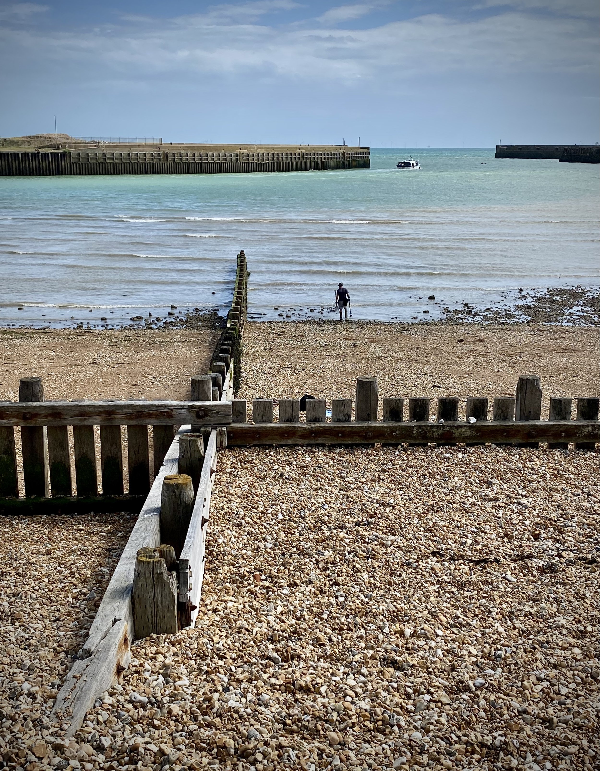
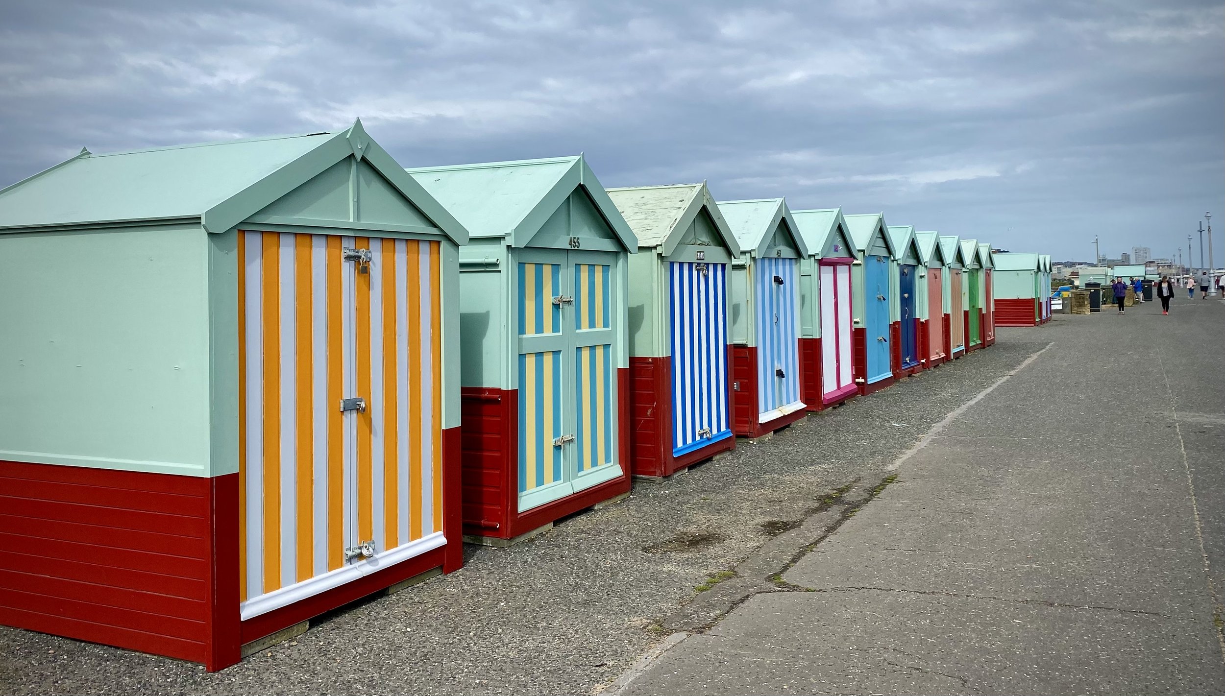
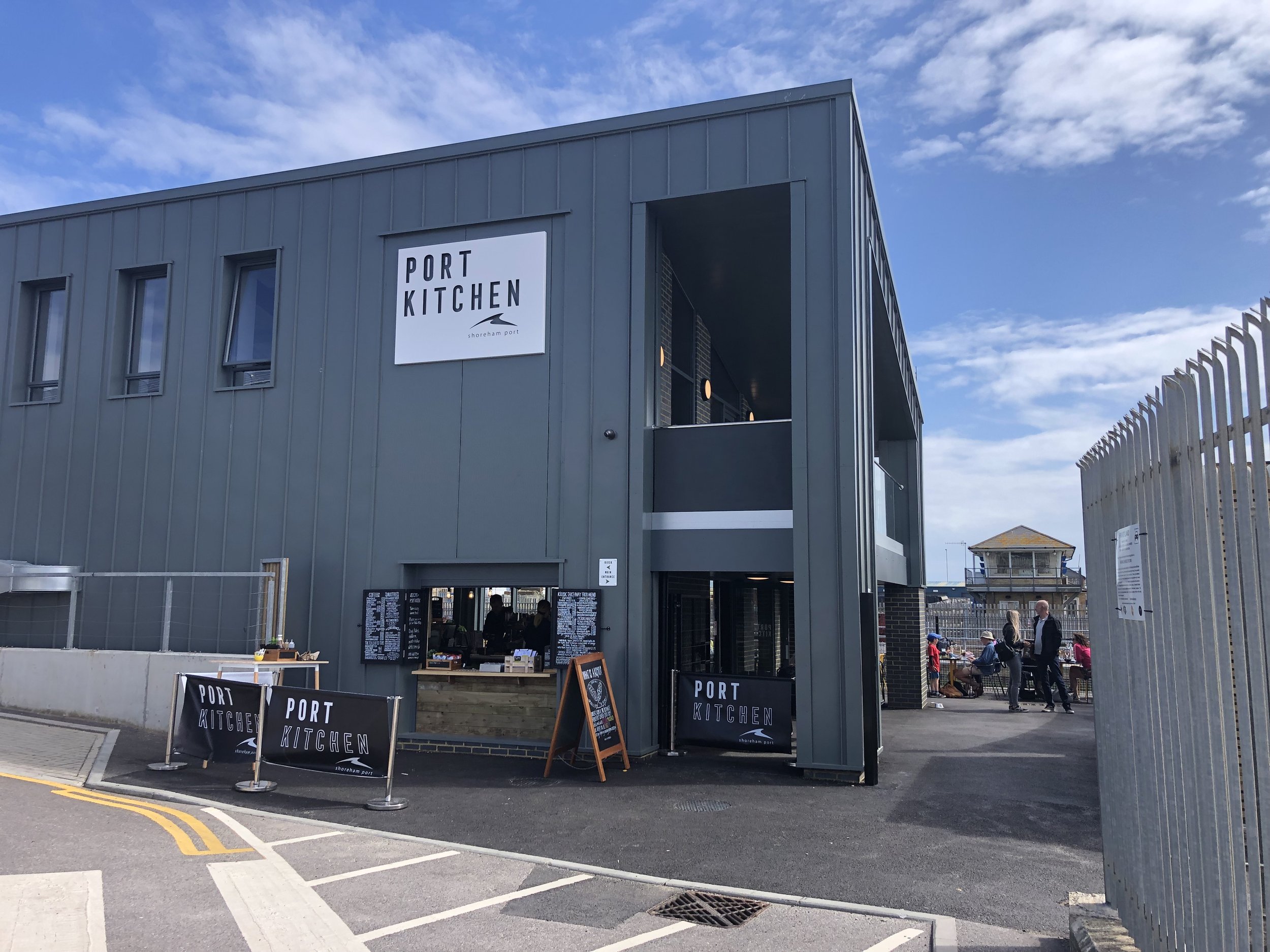
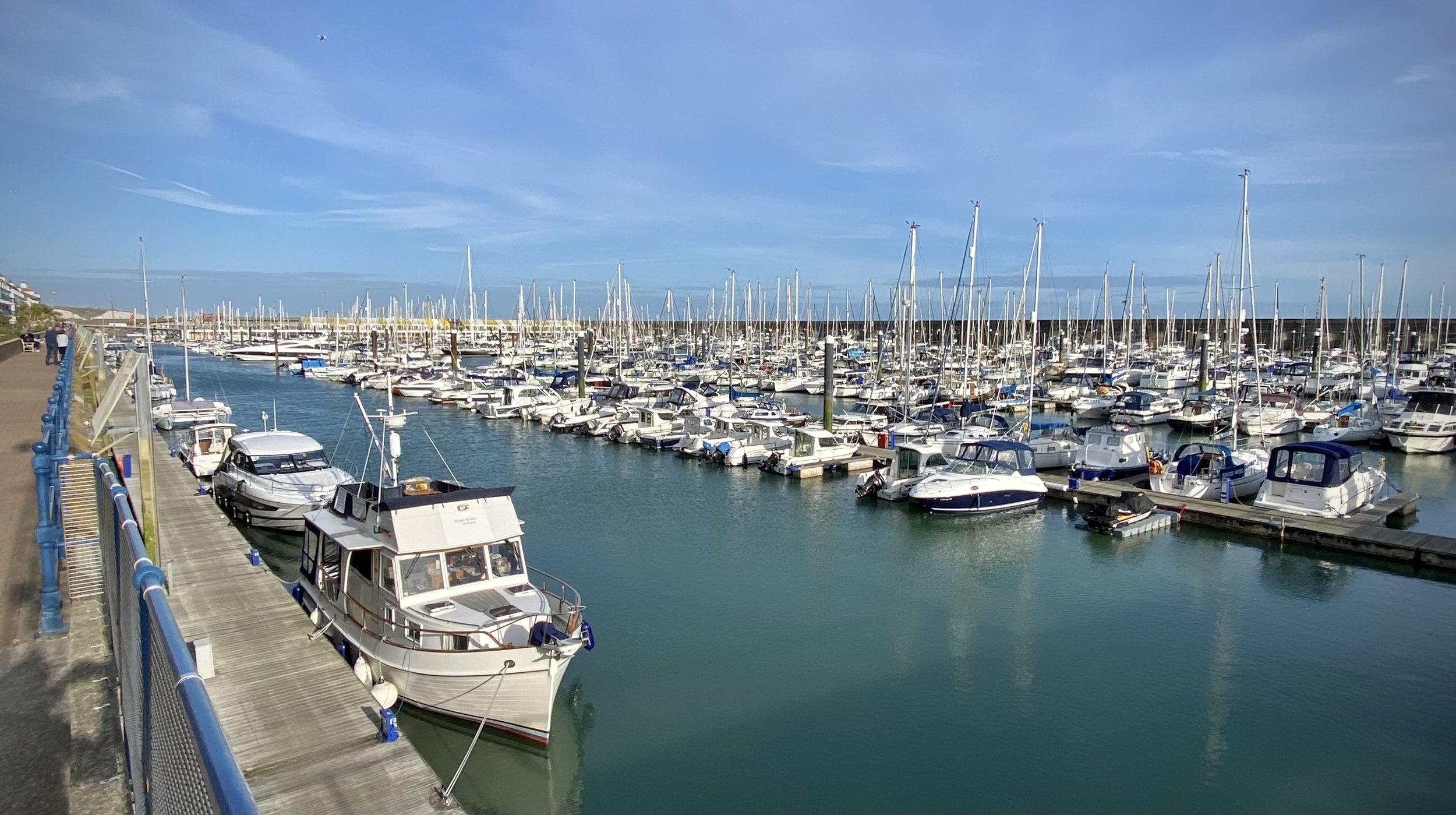
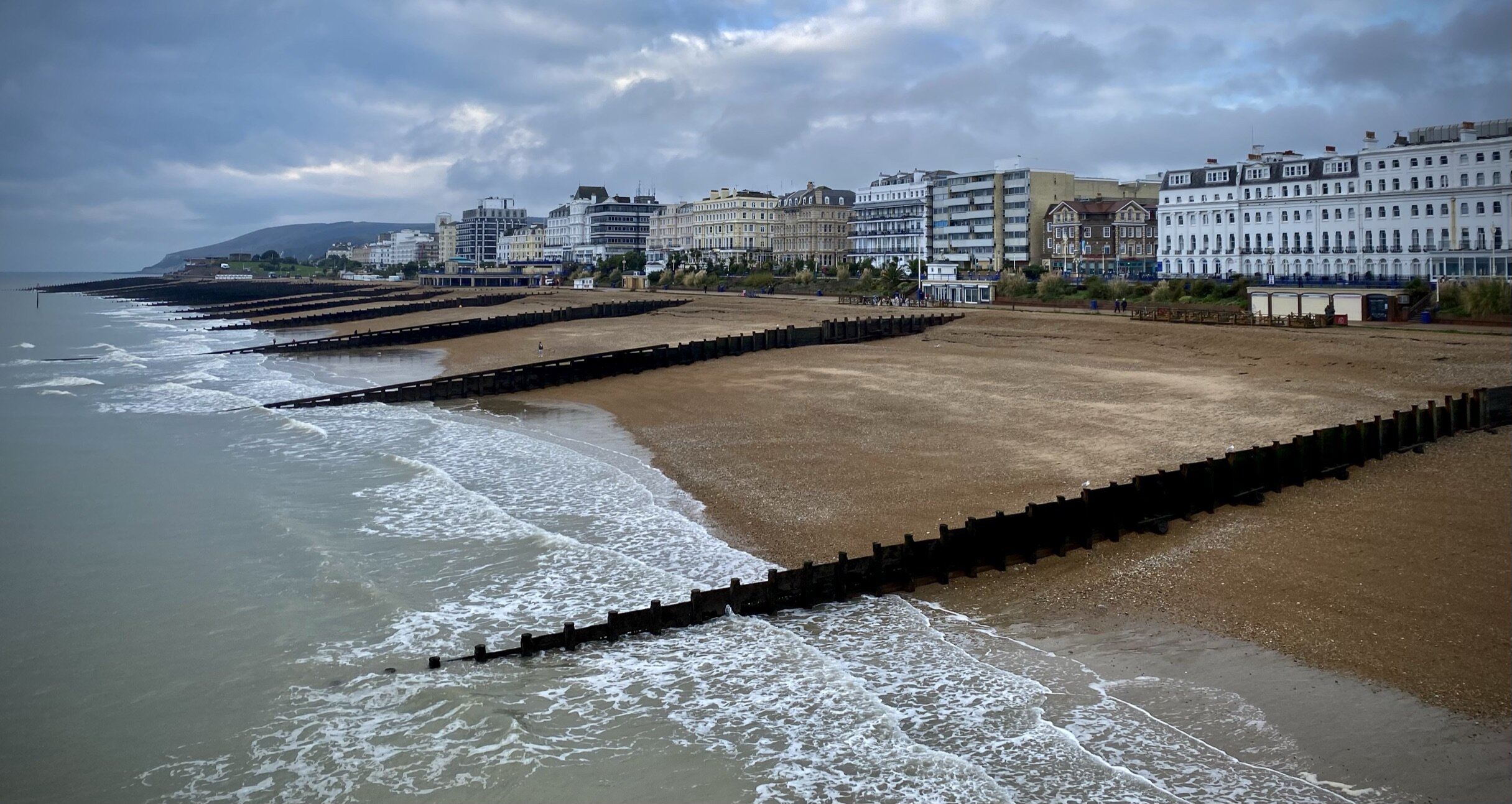
The morning ride stuck closely to the seafront. We actually cycled along the routes of several south coast parkruns, passing through Shoreham-on-Sea, Lancing, Worthing, and Goring-on-Sea. The route dips inland at Ferring to bypass a coastal path you can't cycle on, goes through Angmering, briefly touches the coast at Littlehampton, and then heads inland again before reaching Bognor Regis. We had planned an ice cream stop there, but despite the warm sunshine, the wind coming off the sea was incredibly strong, so we just pressed on.
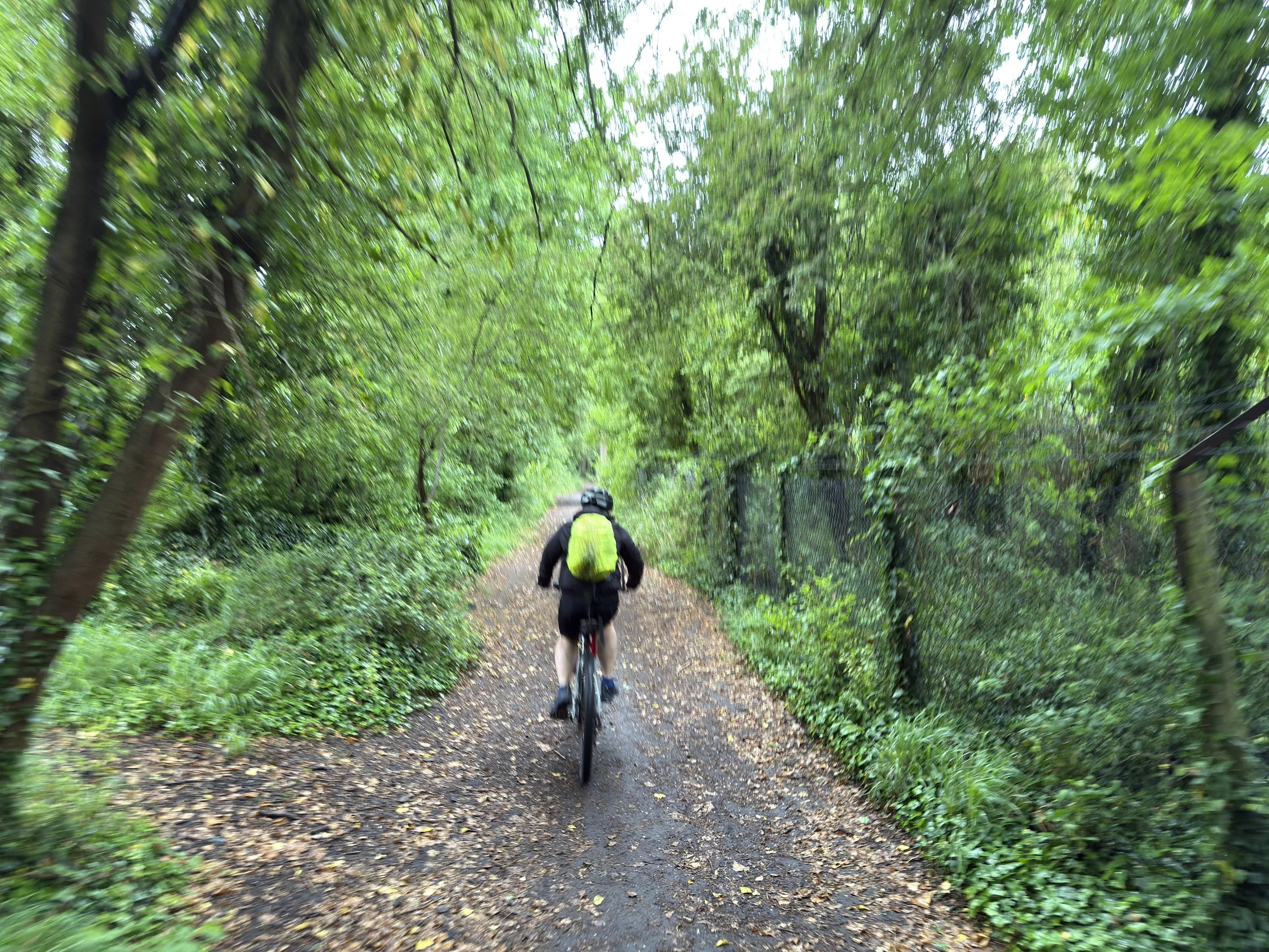
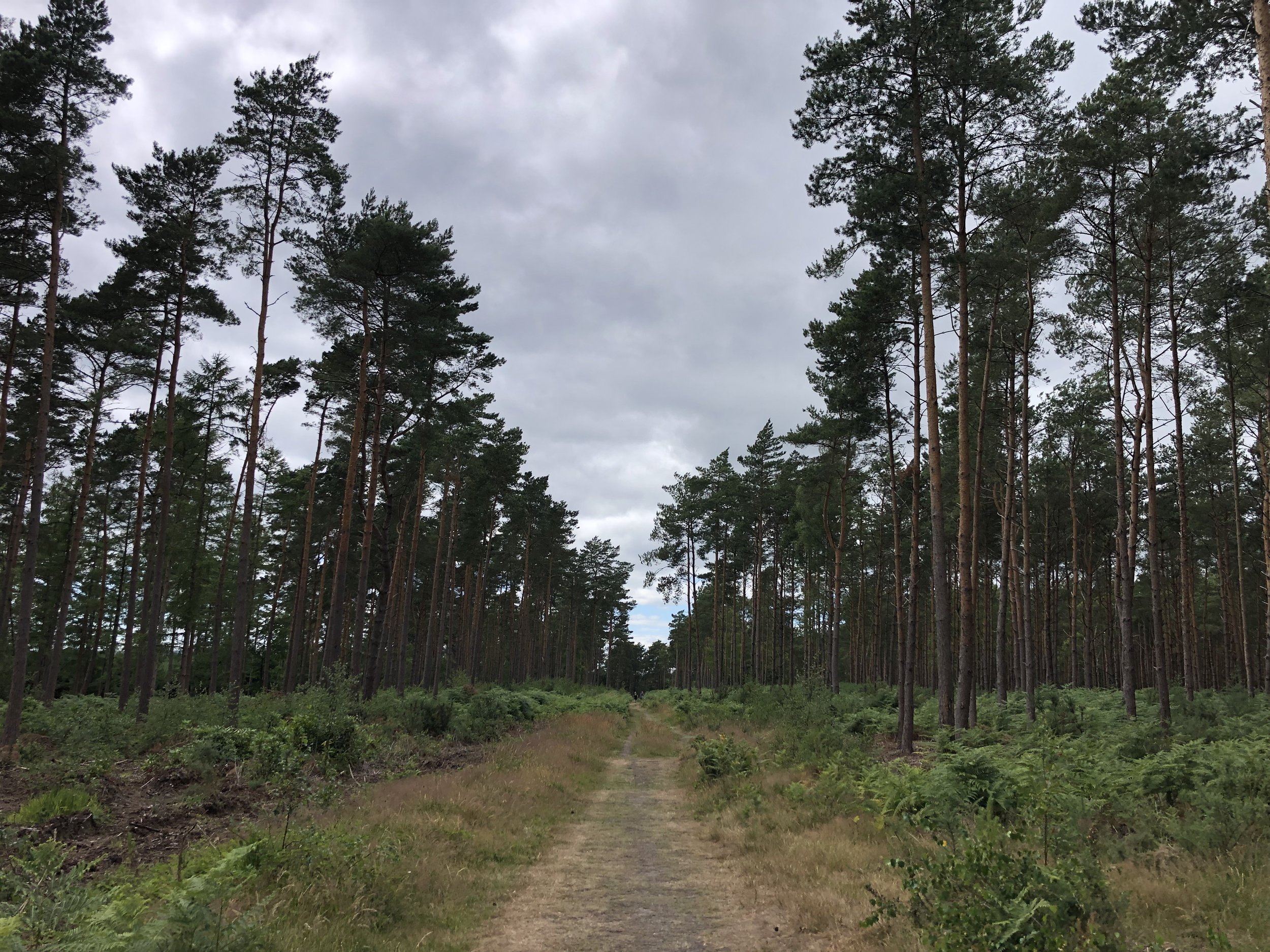
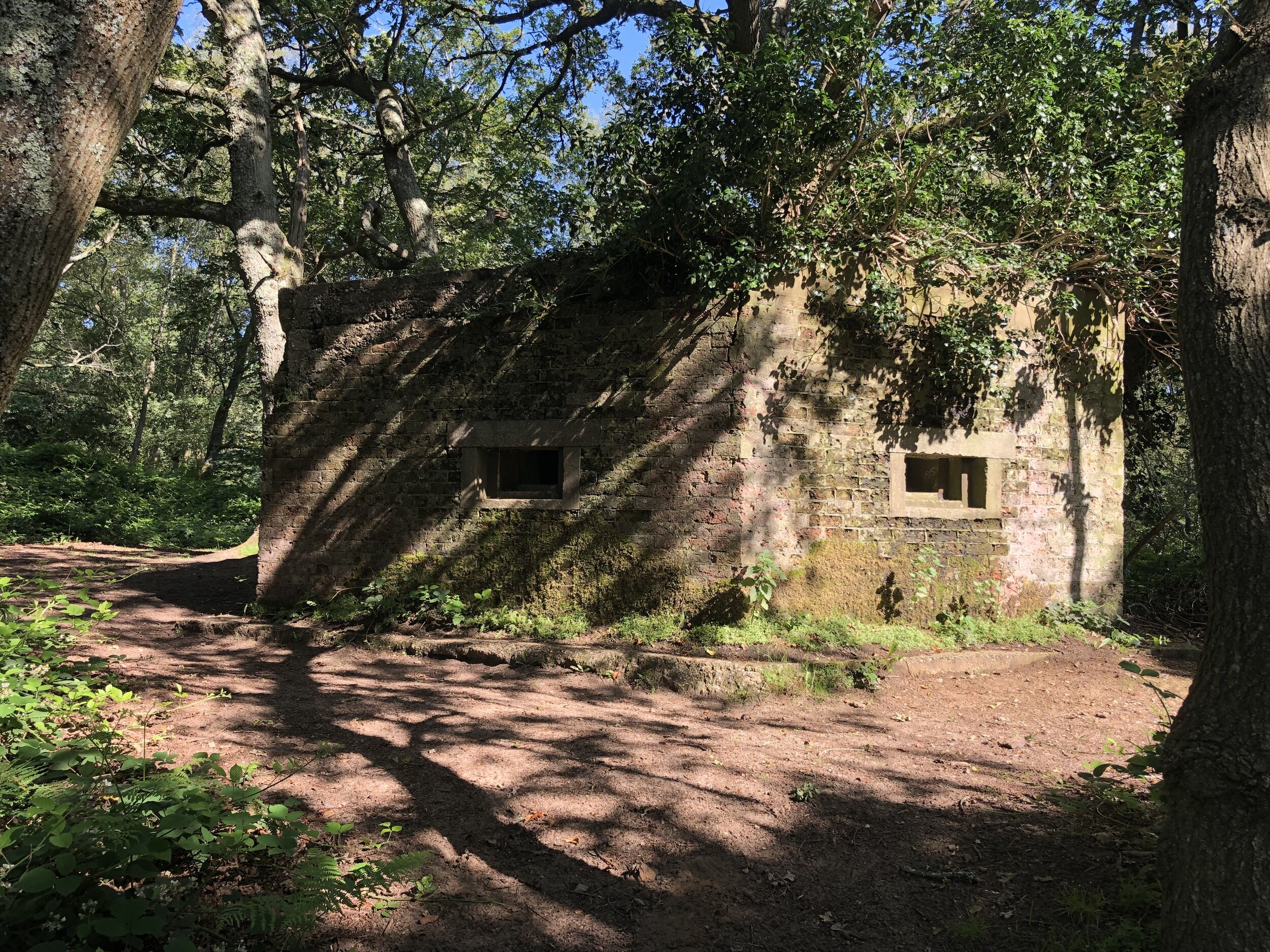
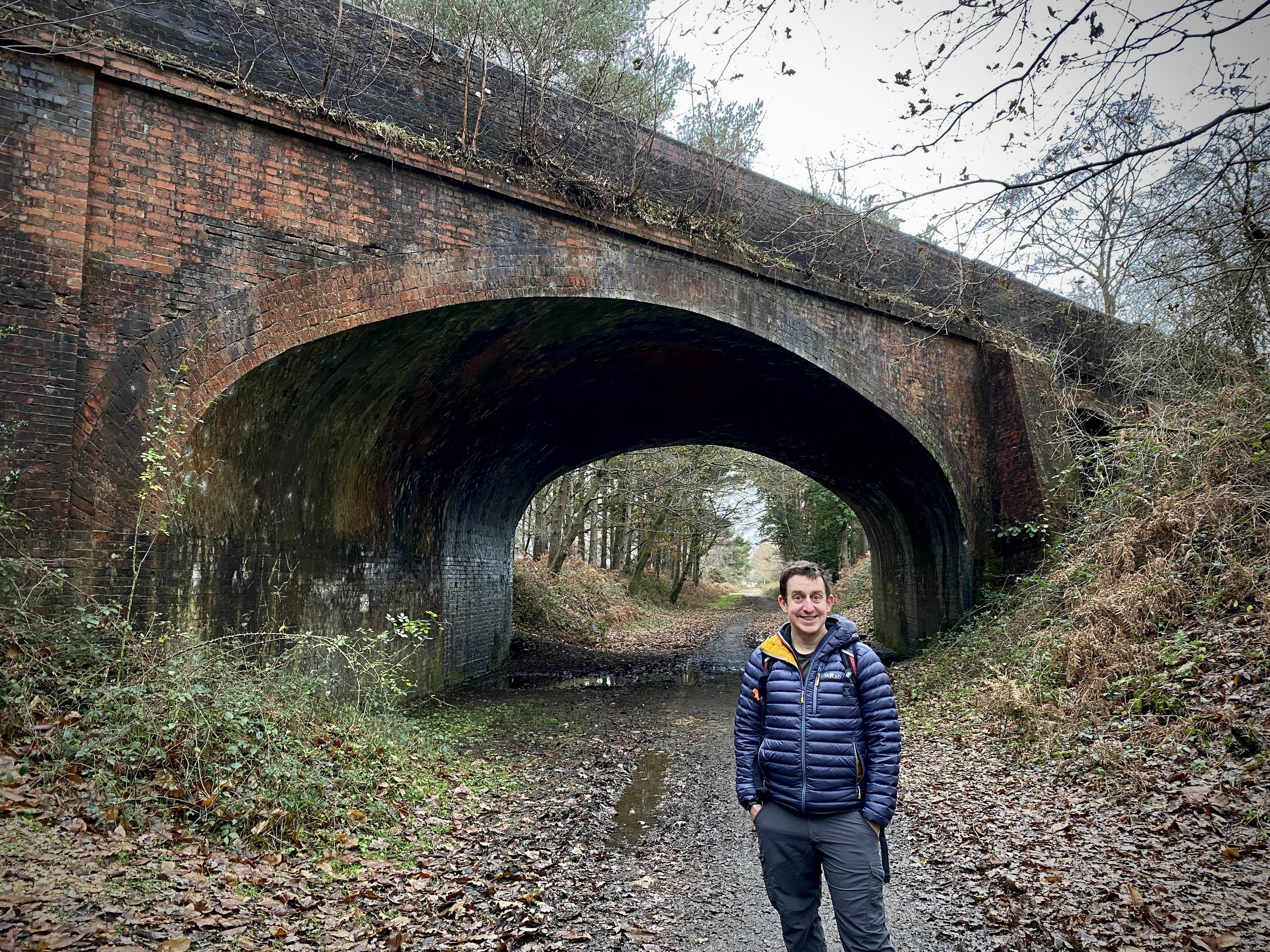
Just after Bognor Regis, between Aldwick and Nyetimber, the official NCN2 signs simply vanished. We ended up following a path that seemed to be either a future or decommissioned section of the route. Despite this, the section actually turned out to be a real highlight of the day. It took us off the hard pavements and guided us cross-country through some beautiful fields, farmland, and dirt tracks.
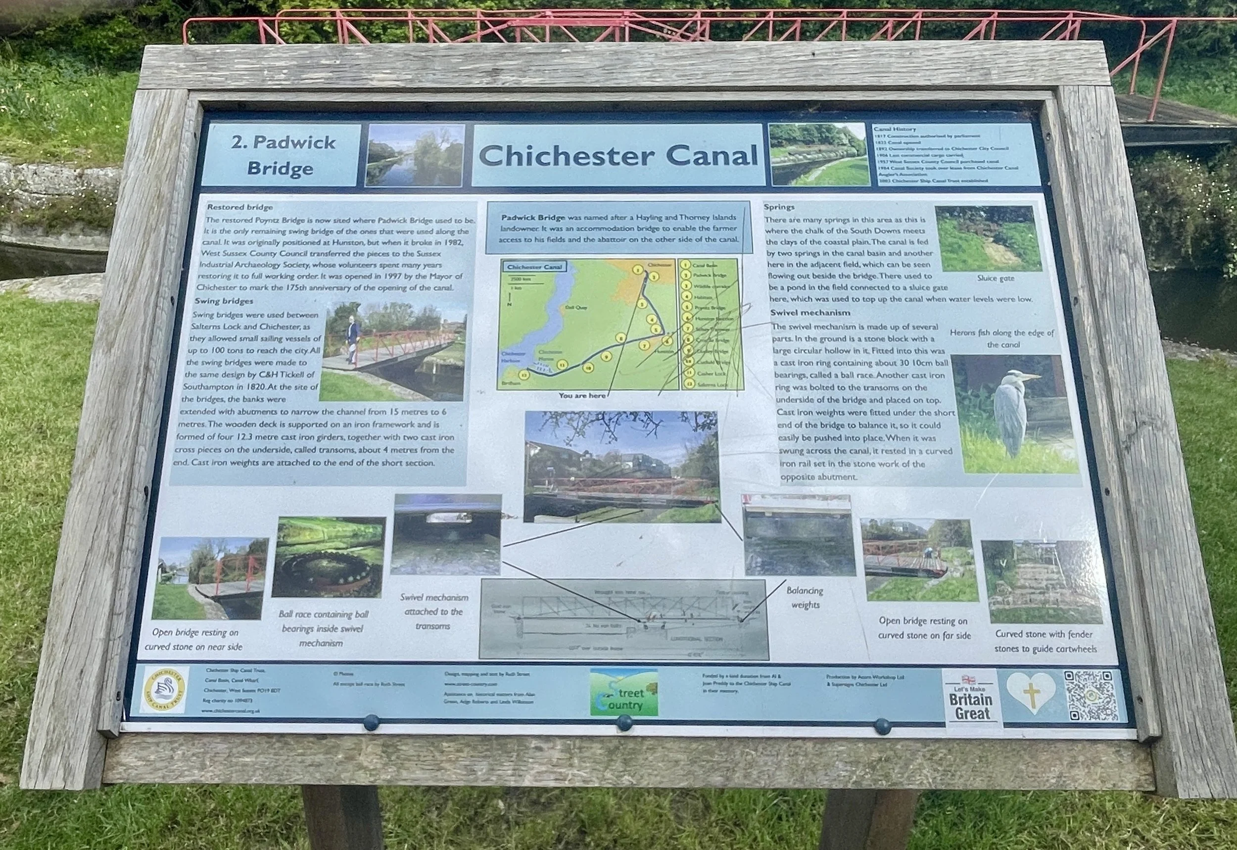
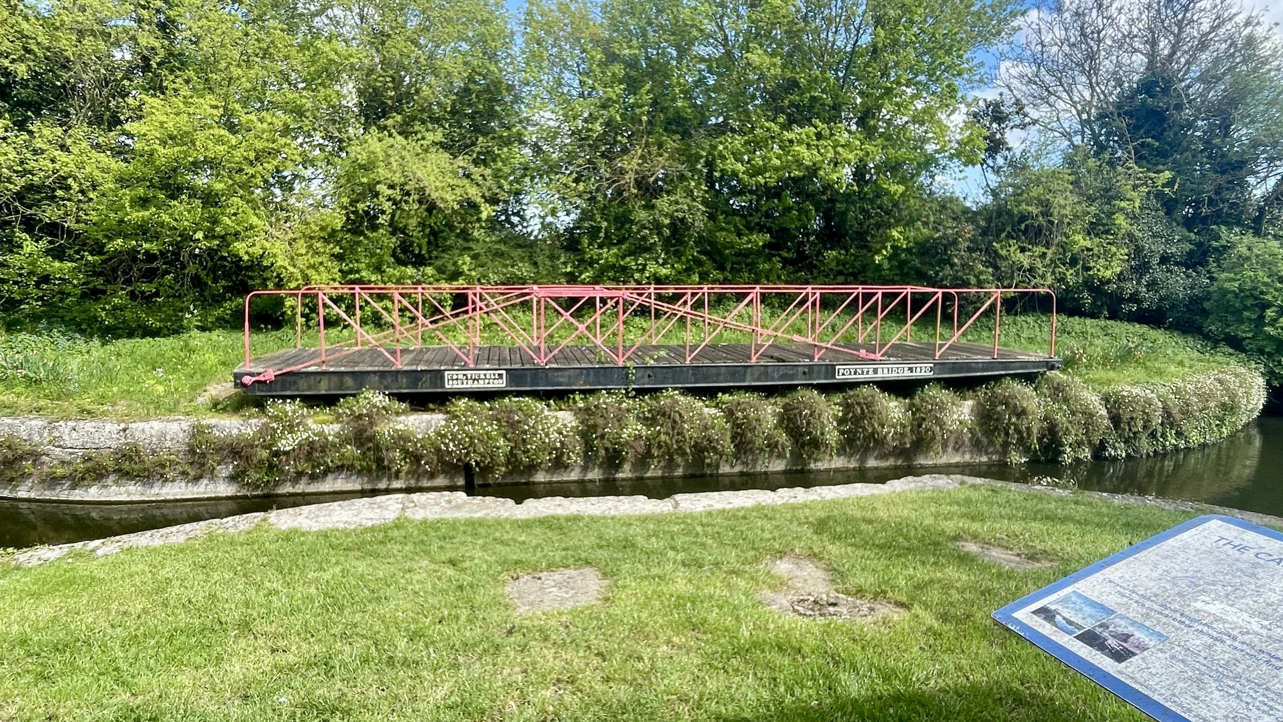
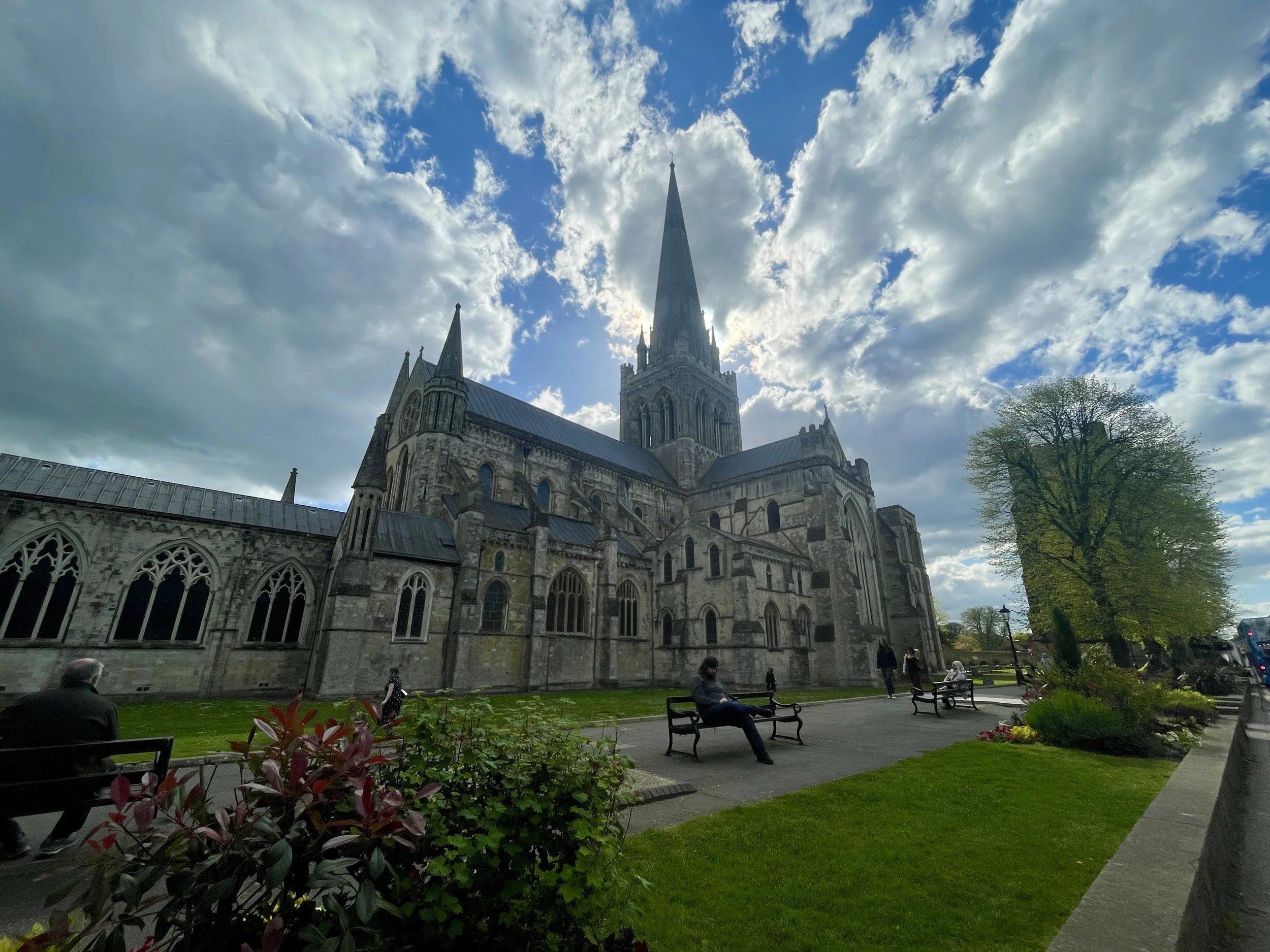
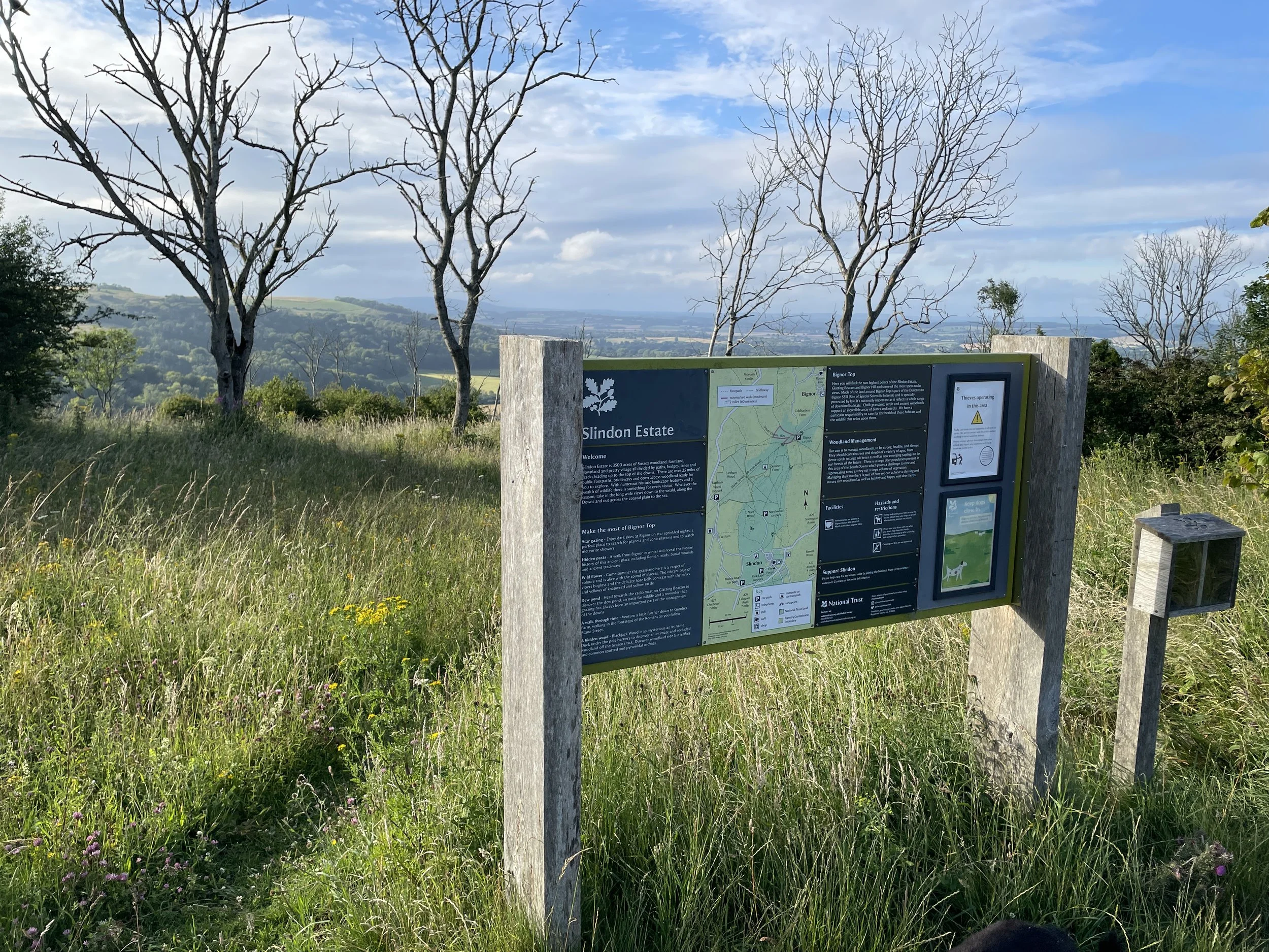
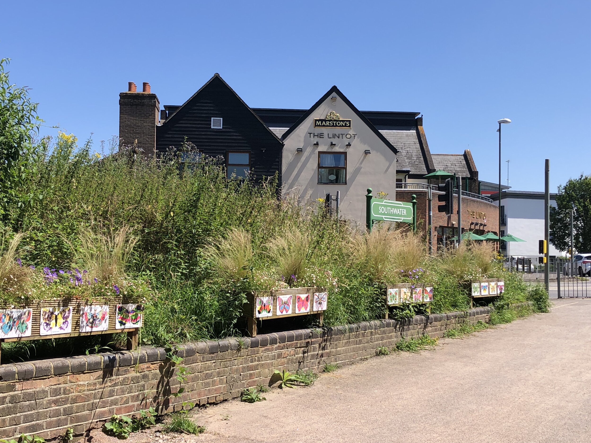
The NCN2 signs finally picked up again at South Mundham. From there, we headed north into Chichester and stopped for a well-deserved coffee and cake to make up for the missed ice cream. Our original plan was to stay overnight in Chichester, but when I was booking, the hotels were completely full due to an event in town that weekend.
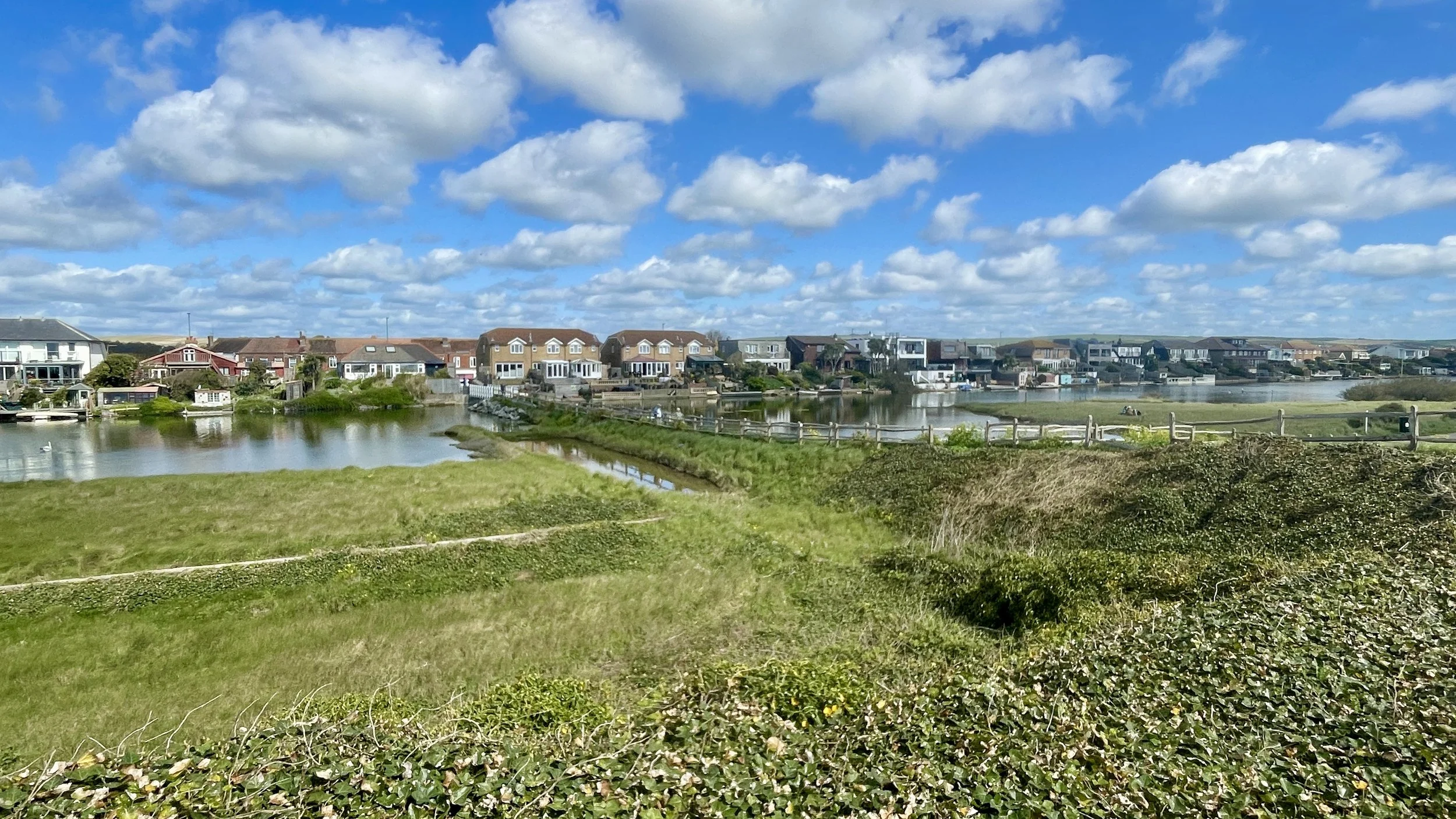
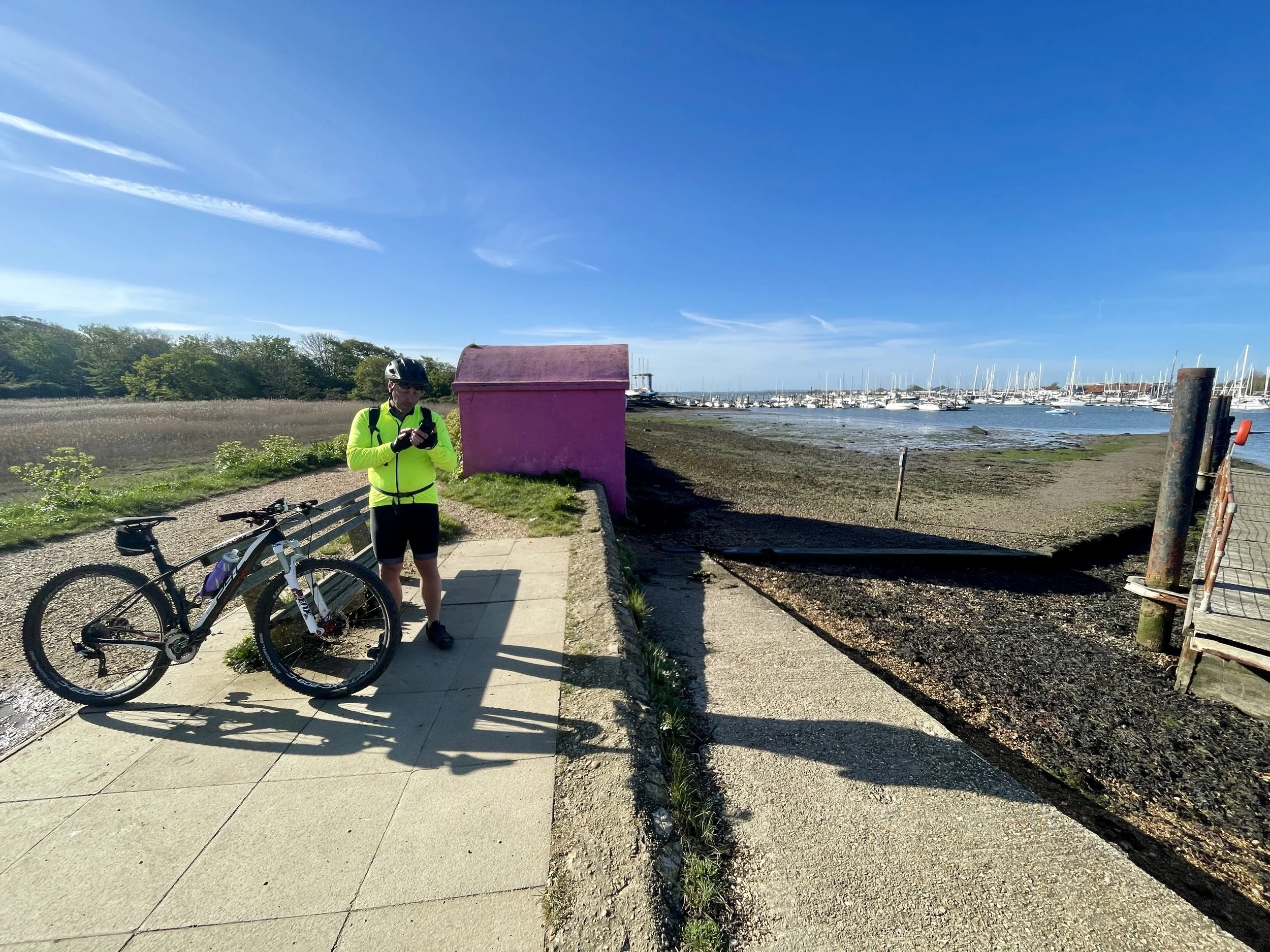
Suitably refreshed, we pushed west along the road bordering the top of Chichester Harbour, a National Landscape that I previously visited a couple of years back while hunting for its very low High Point.
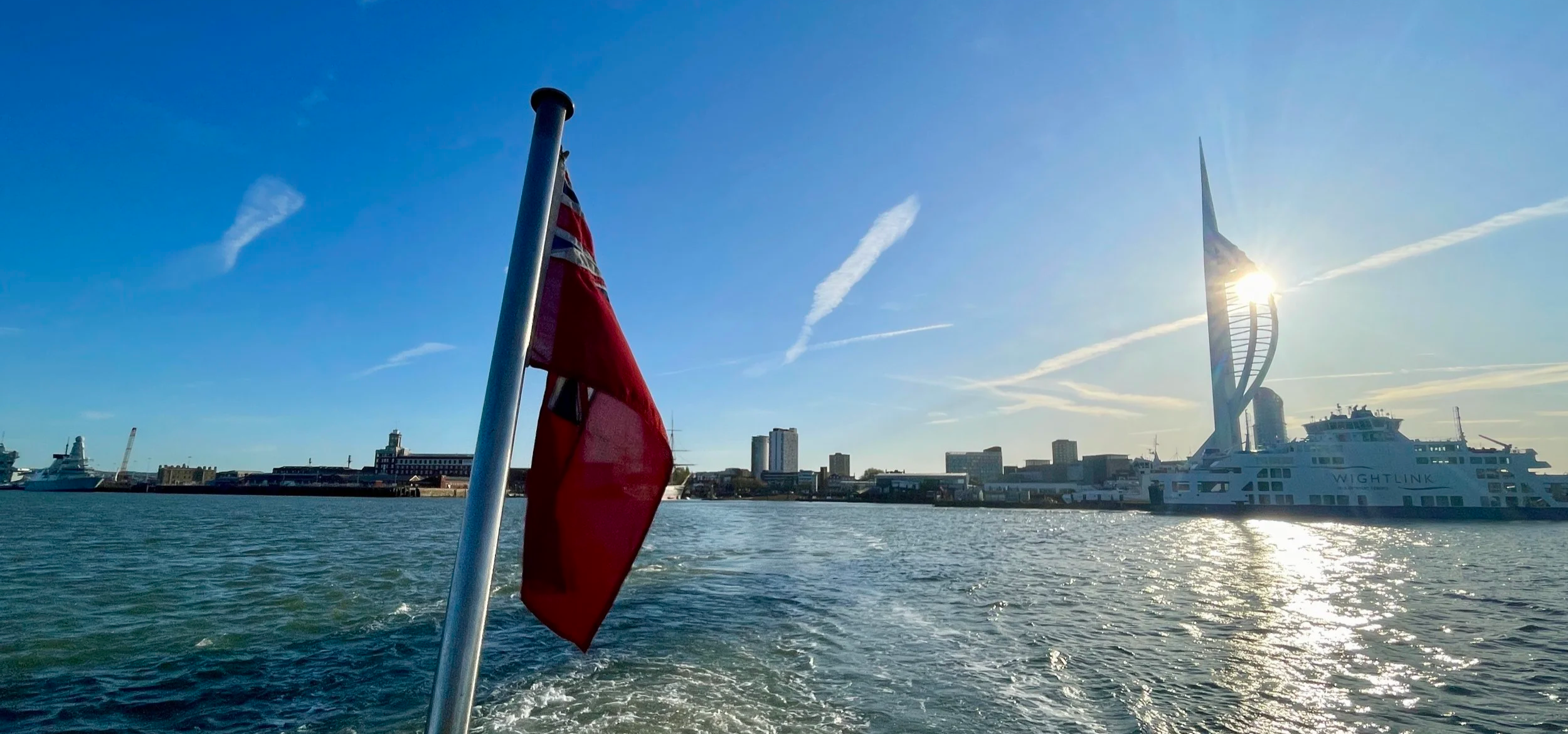
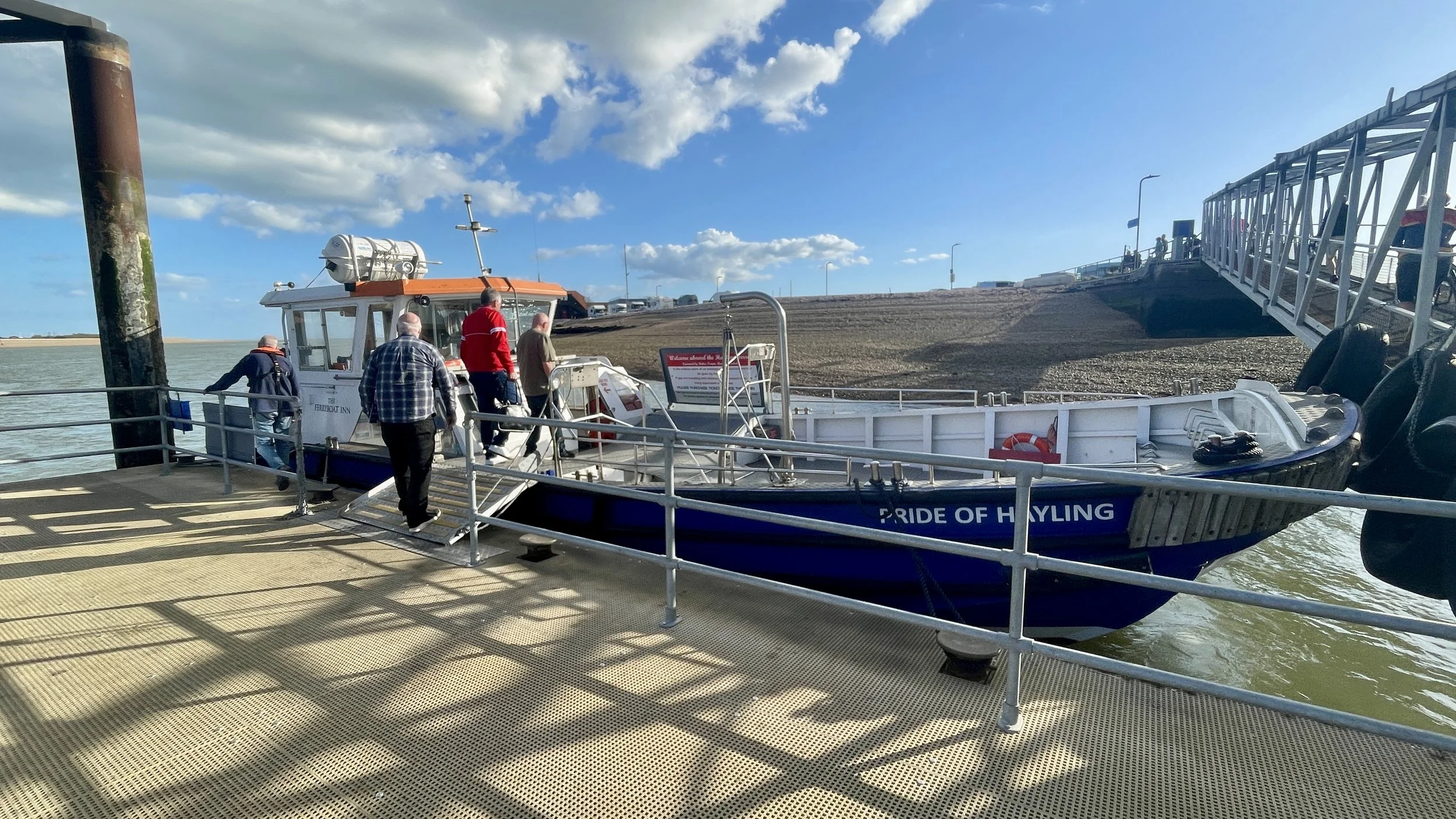
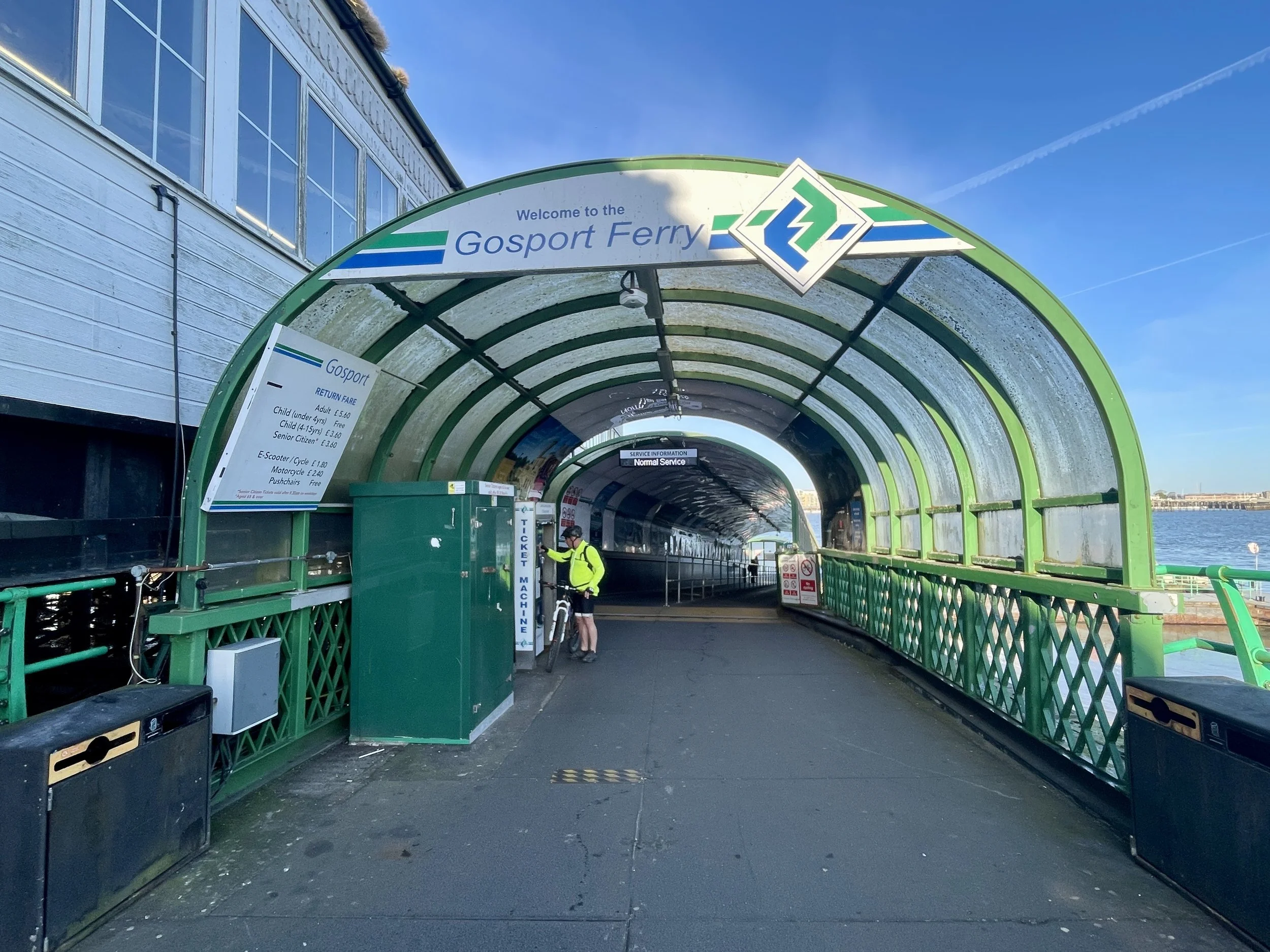
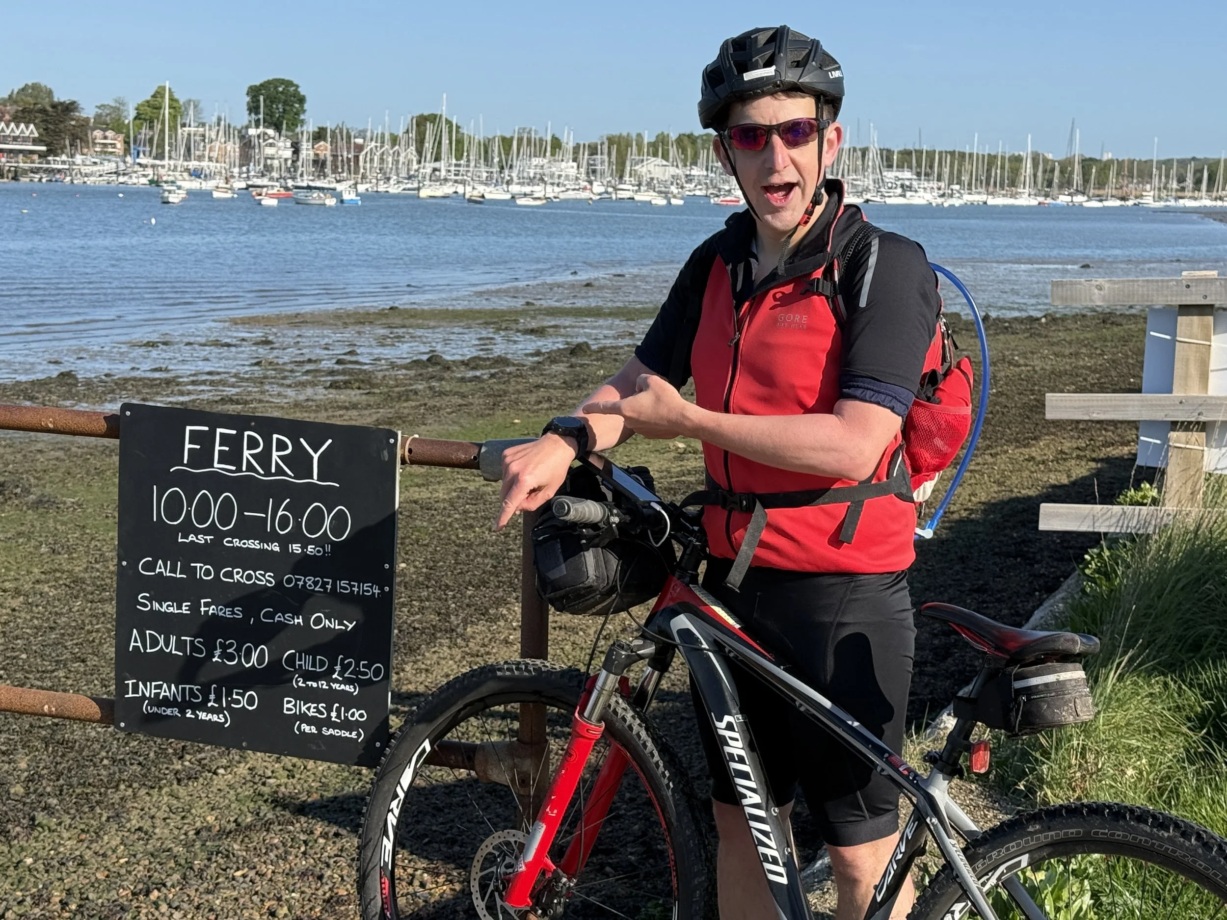
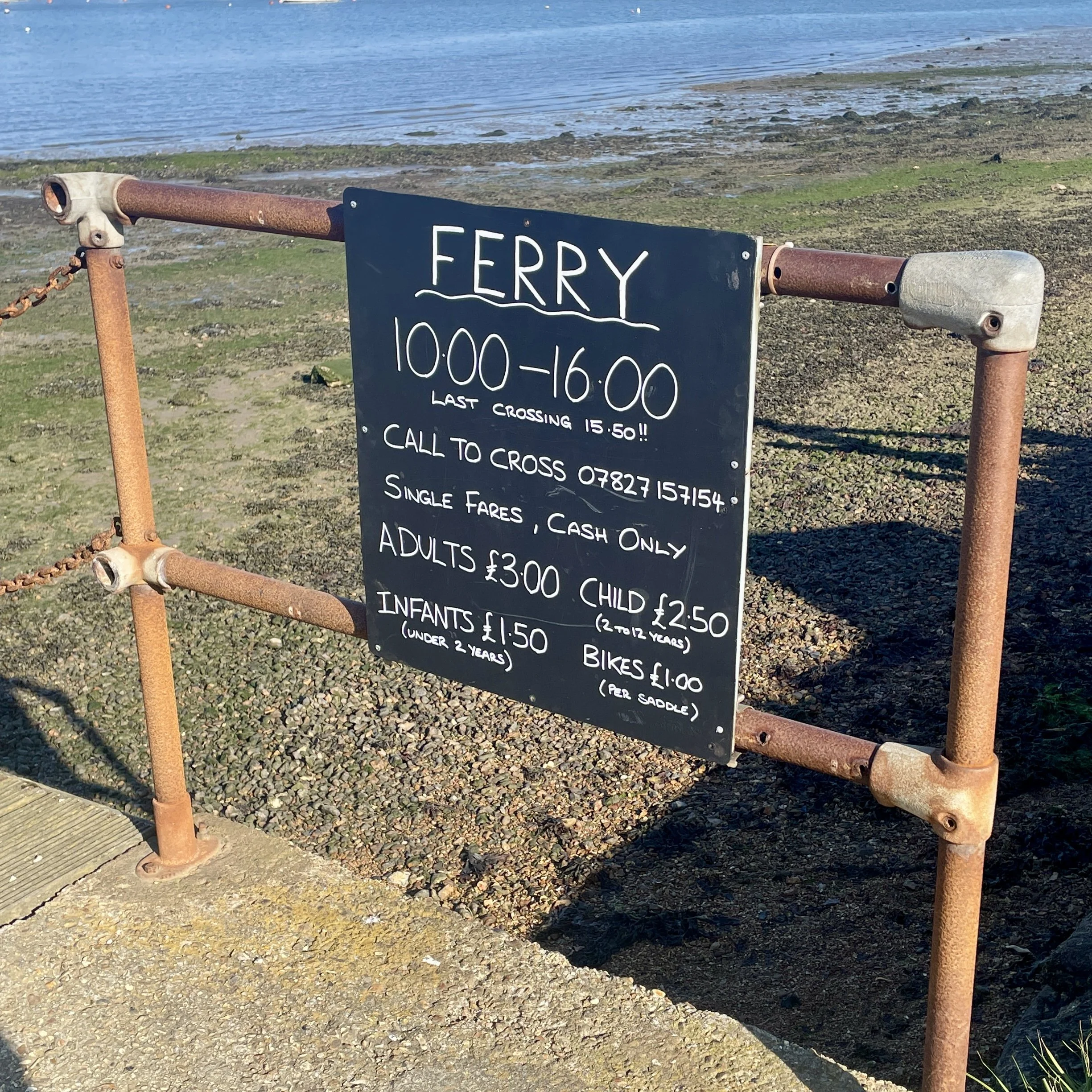
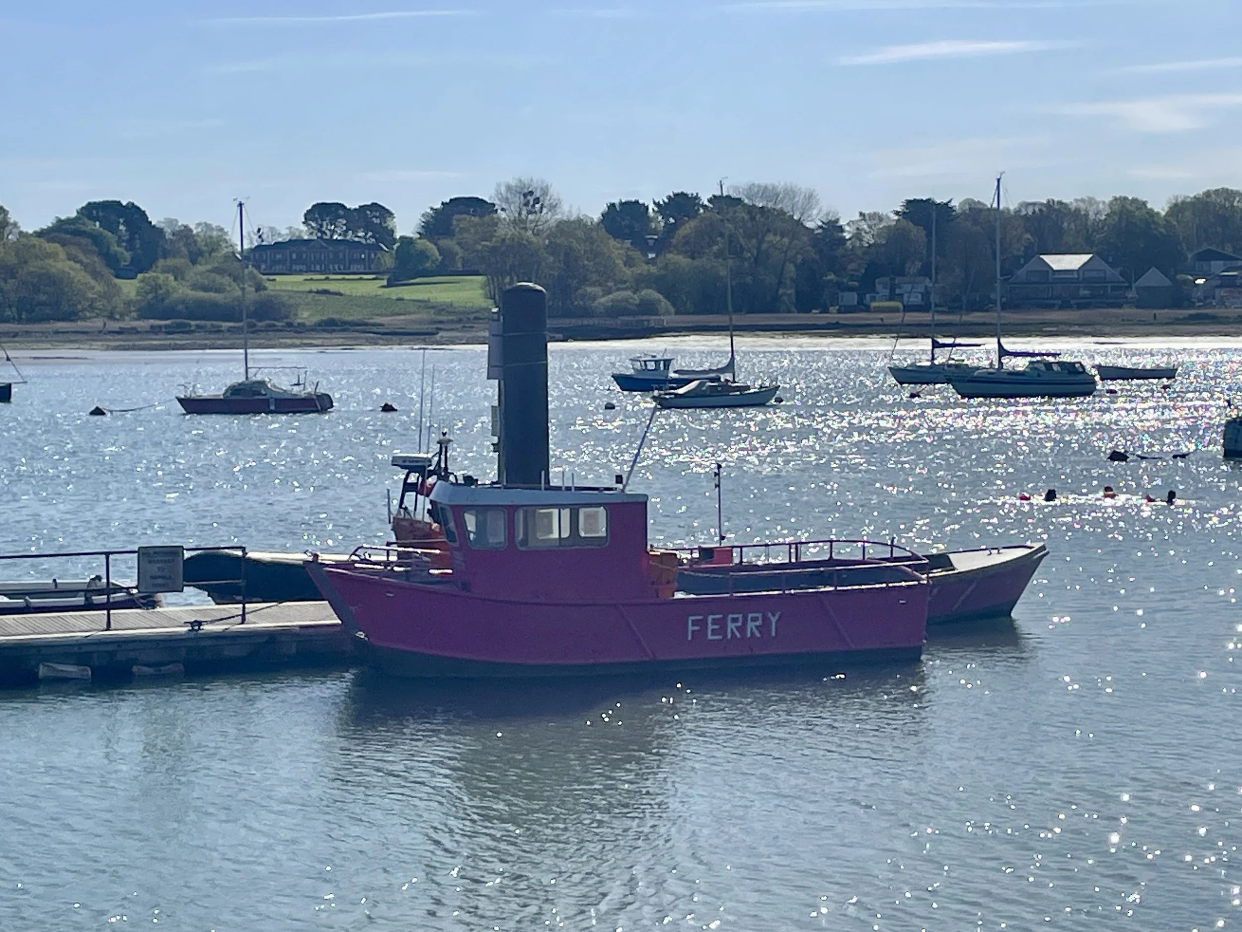
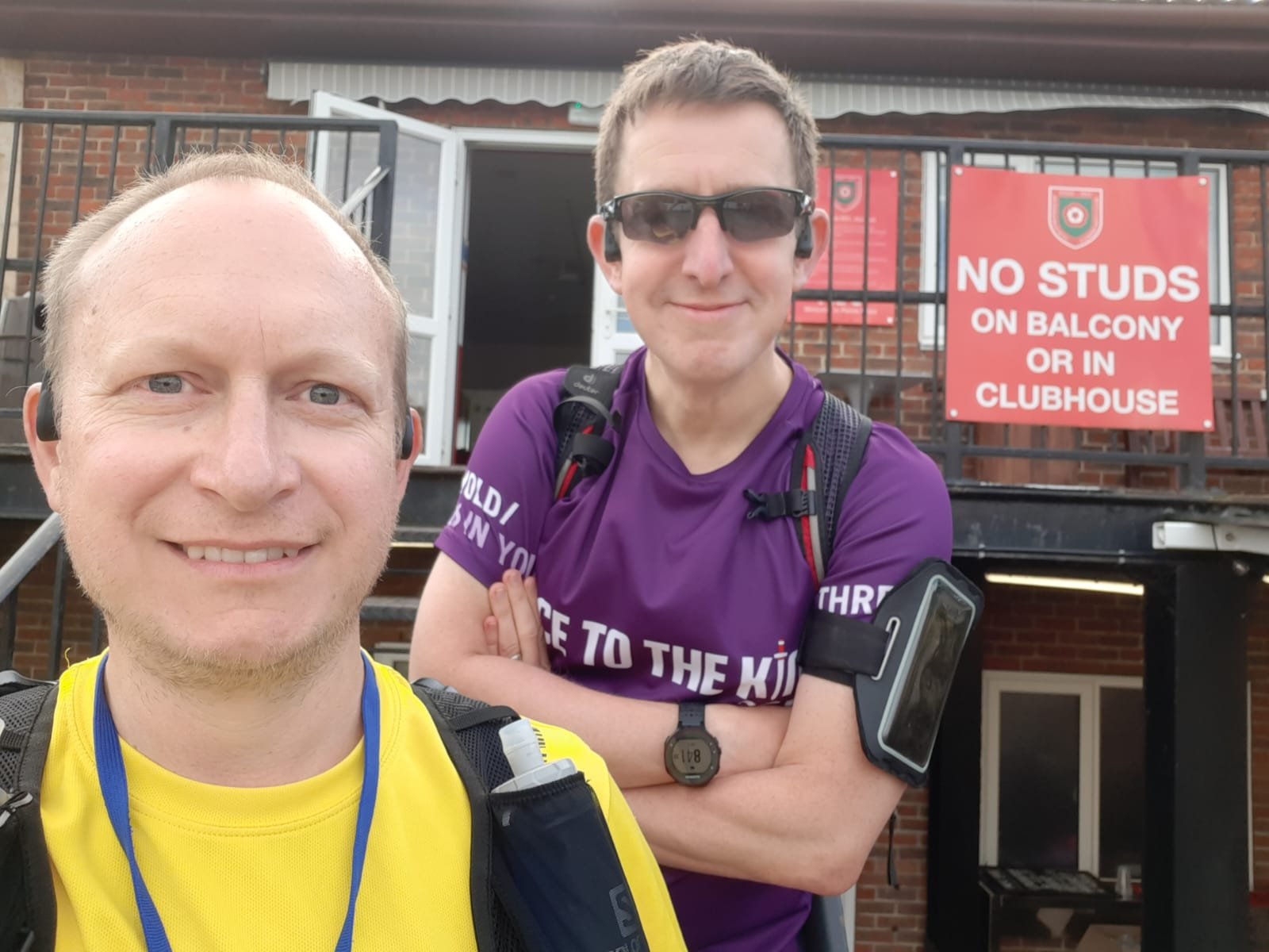
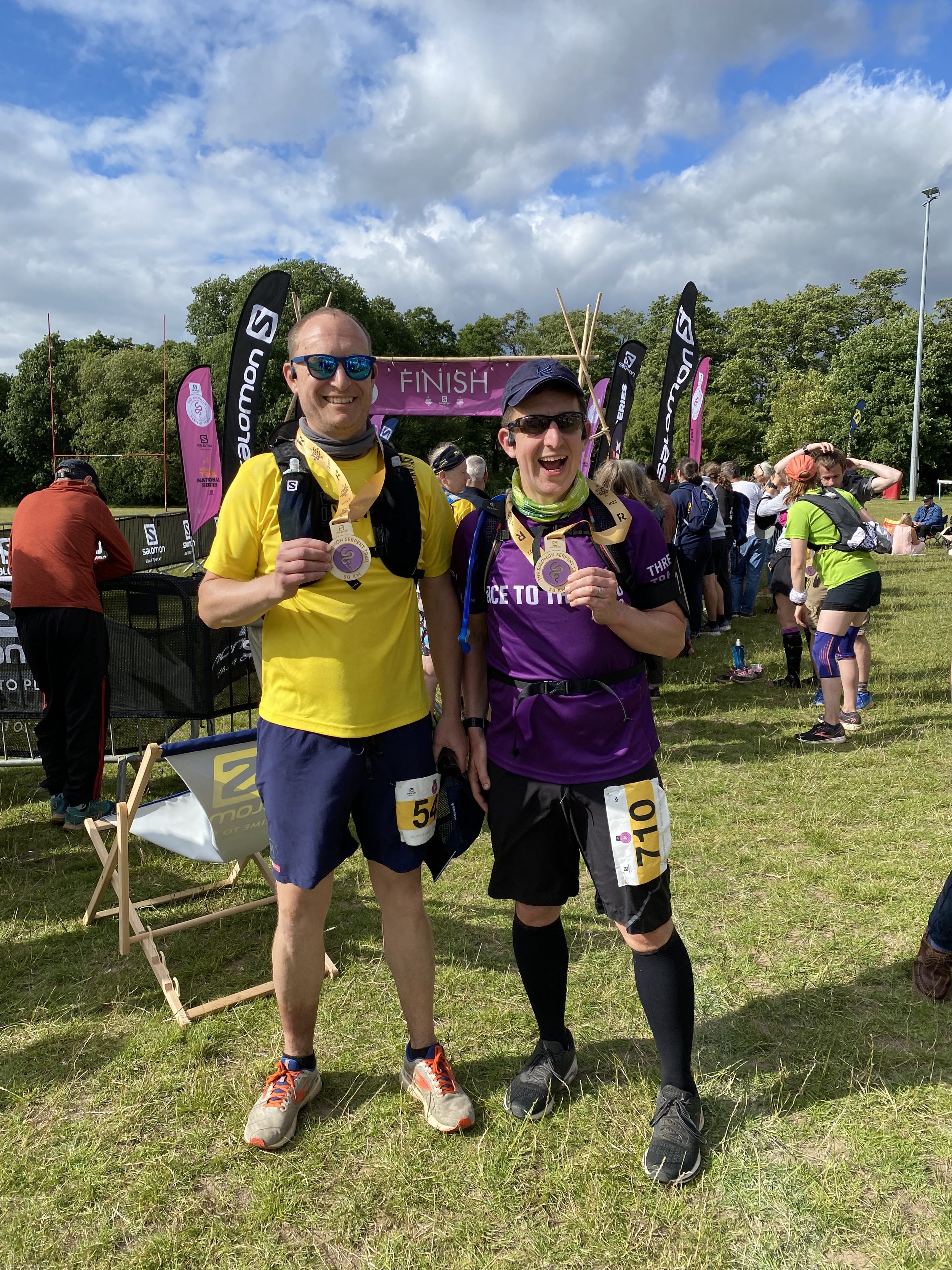
Approaching Havant, we picked up the pace. We were pretty tired, but I knew we had to catch the 17:40 Hayling Ferry to Eastney Point, or we'd be stuck waiting an hour for the next one. I managed to roll up to the jetty with about 30 seconds to spare.
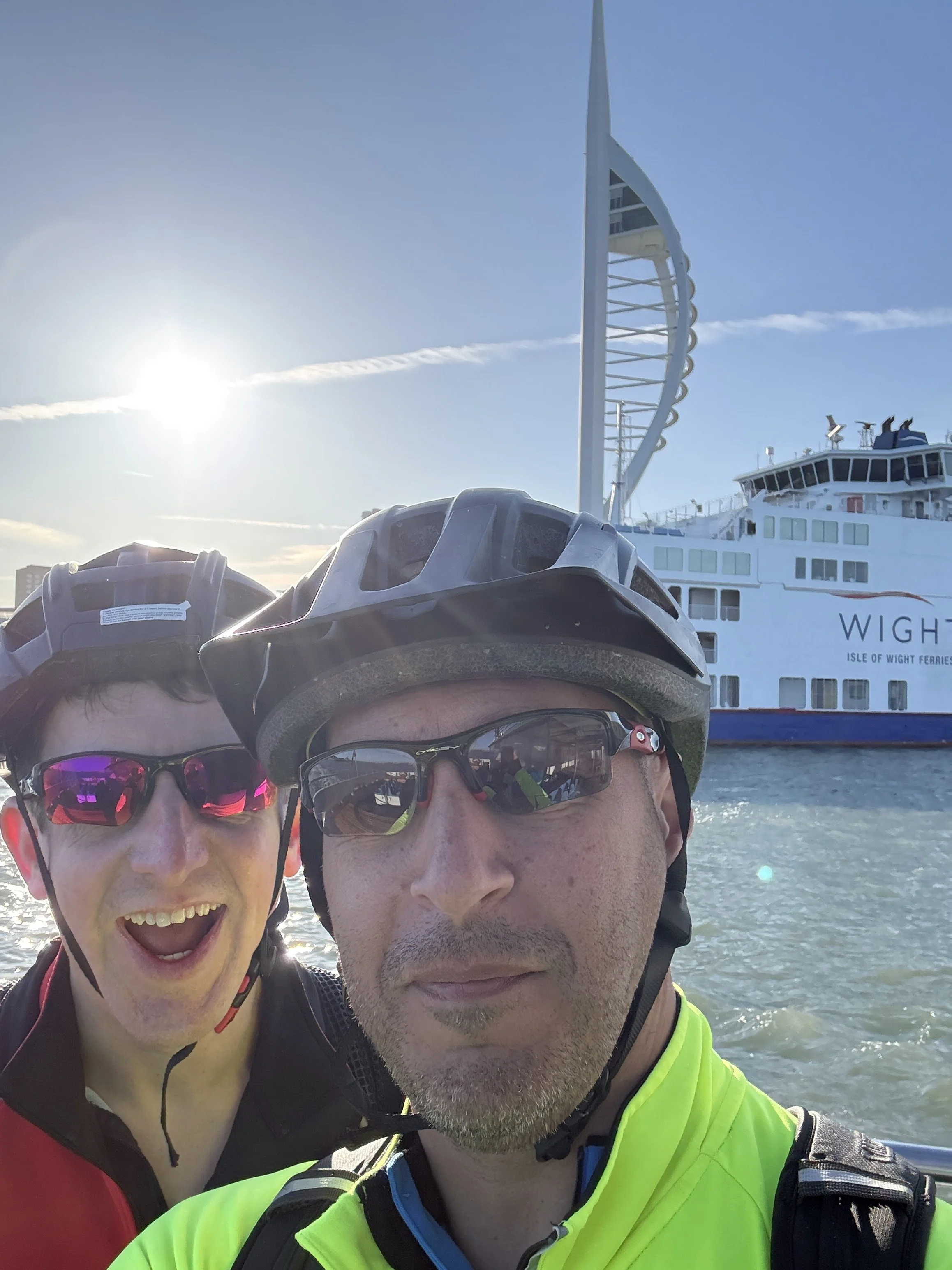
I got on board and anxiously told the ferry staff my friend was right behind me. Turns out he wasn't. The boat was full, the crew were eager to leave, and I was torn between getting off to wait at the pub for an hour or holding the boat up. Just as I reached the point where I couldn't make them wait any longer and was about to step off, Brian came pedalling down the jetty. He was five minutes late but just in time. The crossing only took five minutes, but catching it gave us an extra hour for dinner and an early night.
From Eastney Point, it was a short 20-minute ride to our hotel, the Southsea Premier Inn. After checking in and showering, we were absolutely starving. We decided to walk northwest along the seafront into Old Portsmouth and found a nearby pub called The Dolphin. We enjoyed fish and chips and a much more modest amount of wine before finally getting some proper sleep.