Posts tagged Yorkshire
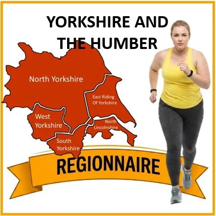
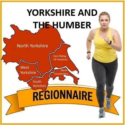
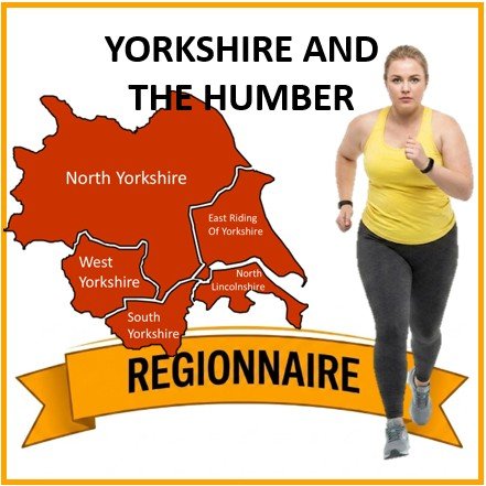
Yorkshire and The Humber parkruns
 

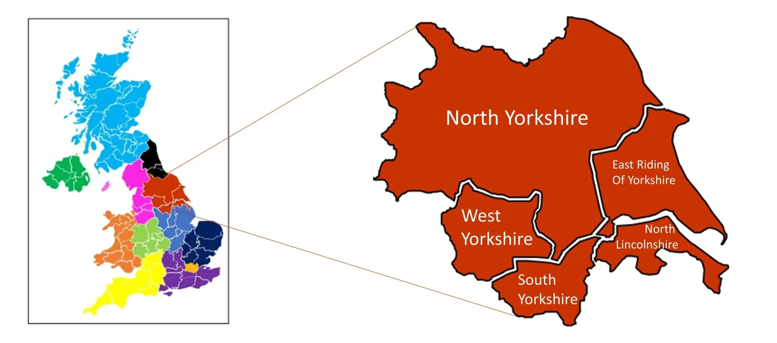
Yorkshire and the Humber is a vast and dramatically contrasting region of the UK, situated across northern and eastern England, acting as a major historical, cultural, and industrial hub. The region is composed of the ceremonial counties of West Yorkshire, South Yorkshire, the East Riding of Yorkshire, and parts of two others: the majority of North Yorkshire (excluding areas north of the River Tees) and the northern portion of Lincolnshire. Geographically, Yorkshire and the Humber is characterised by its sweeping, often wild topography, most notably across the Yorkshire Dales and the North York Moors: two distinct, rugged National Parks spanning the north and west of the region. It contains the towering, wind-swept ridges of the Pennine Chain and the uniquely flat, vast agricultural expanse of the Humber Estuary. Landscapes across the region are varied, ranging from the steep, dramatic limestone valleys of the dales to the heavily industrialised, densely populated urban centres of West and South Yorkshire, and the sheer, chalky cliffs of Flamborough Head on the east coast.

The administrative map of Yorkshire and the Humber underwent significant transformations following the Local Government Act 1972, which came into effect in 1974. Prior to this, the region was largely defined by the ancient, historic county of Yorkshire (subdivided into the North, West, and East Ridings) alongside the historic county of Lincolnshire to the south. The 1974 reforms sought to modernise local government and address the sprawling industrial conurbations, leading to the creation of the metropolitan counties of West Yorkshire and South Yorkshire, absorbing the heavily populated areas of the former West Riding. The reforms also created the controversial, and later abolished, county of Humberside, which merged the East Riding with the northernmost parts of Lincolnshire across the Humber estuary. Following further reorganisations in 1996, Humberside was dissolved, restoring the East Riding of Yorkshire and establishing the modern administrative landscape, though the distinct historic and cultural identities of the region's ancient boundaries continue to be fiercely celebrated.


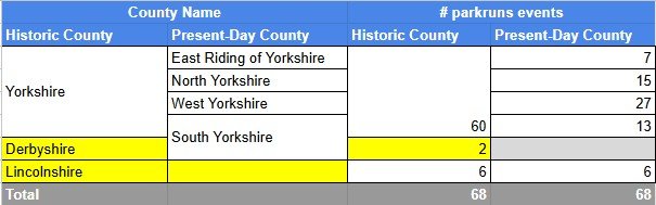
parkrun event numbers per county

There are currently 68 parkrun events in the counties of the Yorkshire and The Humber region.
Notes and exceptions.

  • All South Yorkshire parkrun events were part of the historic county of Yorkshire except for Graves and Rother Valley which were in historic Derbyshire. The Rother Valley course crosses the border between the 2 historic counties.

  • Five North Yorkshire events in the Tees Valley: Albert, Flatts Lane, Marshall Drive, Redcar and Stewart are in North East England region. All other North Yorkshire events are in the Yorkshire and The Humber region.

  • Most of Lincolnshire is in the East Midlands Region, however the most northerly 6 parkrun events are in the Yorkshire and the Humber region: Ancholme Valley Way, Baysgarth Park, Cleethorpes, Normanby Hall, Scunthorpe, Vermuyden Way


The Yorkshire and The Humber Counties parkrun pages

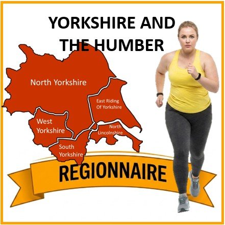
Click on each of the images below to go to the page with details of the parkrun events for the county.
More parkrun posts

parkruns are free, weekly, community 5k events all around the world. I started in December 2012 and have been obsessive about it ever since. See my parkrun Collection page for details.

Featured and popular parkrun posts:


Completing all West Yorkshire parkruns

There are currently 27 parkrun events in the present-day county of West Yorkshire, of which I have not yet completed any. The first was Woodhouse Moor which started on 6th October 2007 and the newest is East Holmes Field which started on 2nd August 2025. The name for having completed all parkrun events in Yorkshire is “Yorkshire Pud-done”.

Storthes Hall was a parkrun event in West Yorkshire but has now been permanently cancelled.

Numbers exclude 2k Junior parkruns and any events that are not open to the general public such as prisons or armed forces facilities.


All of the West Yorkshire parkrun events …

Below are each of the West Yorkshire 5k parkrun events in alphabetical order. A few things to note:

  • The interactive maps below take you to the approximate location for the course, typically the centre of the park. See the course instructions in the parkrun page for each event for specific directions to the start.

  • Course maps and elevation profiles show the route at the time that I ran it and may have changed since then. See the Course page in the event’s page on parkrun.org.uk for the current course outline. Note that course outlines are from Garmin data during a specific run and may vary from the officially measured distance.

  • Please contact me if you spot an event that doesn’t have a course map and elevation profile and you would like to donate one from your own run. I’m also interested in maps and elevation profiles for courses that have changed or where there’s a regular alternative route (e.g. Horsham). I’ll need a GPX file from your run plus the date. I’ll include a credit for you and will donate £1 to parkrun.


Armley

  • I have not yet completed this event

  • Historic County: Yorkshire

  • Ceremonial County: West Yorkshire

  • Inaugural: 16th June 2018

  • Links: Event Home Page, Course Page


Bowling Park

  • I have not yet completed this event

  • Historic County: Yorkshire

  • Ceremonial County: West Yorkshire

  • Inaugural: 22nd February 2020

  • Links: Event Home Page, Course Page


Bramley

  • I have not yet completed this event

  • Historic County: Yorkshire

  • Ceremonial County: West Yorkshire

  • Inaugural: 13th June 2015

  • Links: Event Home Page, Course Page


Centre Vale

  • I have not yet completed this event

  • Historic County: Yorkshire

  • Ceremonial County: West Yorkshire

  • Inaugural: 9th March 2019

  • Links: Event Home Page, Course Page


Chevin Forest

  • I have not yet completed this event

  • Historic County: Yorkshire

  • Ceremonial County: West Yorkshire

  • Inaugural: 28th August 2021

  • Links: Event Home Page, Course Page


Cliffe Castle

  • I have not yet completed this event

  • Historic County: Yorkshire

  • Ceremonial County: West Yorkshire

  • Inaugural: 15th September 2018

  • Links: Event Home Page, Course Page


Cross Flatts

  • I have not yet completed this event

  • Historic County: Yorkshire

  • Ceremonial County: West Yorkshire

  • Inaugural: 30th March 2013

  • Links: Event Home Page, Course Page


Dewsbury

  • I have not yet completed this event

  • Historic County: Yorkshire

  • Ceremonial County: West Yorkshire

  • Inaugural: 23rd June 2012

  • Links: Event Home Page, Course Page


East Holmes Field


Frickley Country

  • I have not yet completed this event

  • Historic County: Yorkshire

  • Ceremonial County: West Yorkshire

  • Inaugural: 6th January 2018

  • Links: Event Home Page, Course Page


Halifax

  • I have not yet completed this event

  • Historic County: Yorkshire

  • Ceremonial County: West Yorkshire

  • Inaugural: 7th March 2015

  • Links: Event Home Page, Course Page


Horton Park

  • I have not yet completed this event

  • Historic County: Yorkshire

  • Ceremonial County: West Yorkshire

  • Inaugural: 30th May 2015

  • Links: Event Home Page, Course Page


Huddersfield

  • I have not yet completed this event

  • Historic County: Yorkshire

  • Ceremonial County: West Yorkshire

  • Inaugural: 2nd April 2011

  • Links: Event Home Page, Course Page


Lister Park, Bradford

  • I have not yet completed this event

  • Original name: Bradford. Changed to align with parkrun HQ's naming rules by referencing the specific park rather than the wider city, especially since multiple parkrun events exist within the Bradford district.

  • Historic County: Yorkshire

  • Ceremonial County: West Yorkshire

  • Inaugural: 17th April 2010

  • Links: Event Home Page, Course Page


Middleton Woods

  • I have not yet completed this event

  • Historic County: Yorkshire

  • Ceremonial County: West Yorkshire

  • Inaugural: 13th April 2019

  • Links: Event Home Page, Course Page


Myrtle

  • I have not yet completed this event

  • Historic County: Yorkshire

  • Ceremonial County: West Yorkshire

  • Inaugural: 3rd November 2018

  • Links: Event Home Page, Course Page


Nostell

  • I have not yet completed this event

  • Original name: Nostell Priory. The name was shortened to align with parkrun's naming conventions, referencing the wider Nostell village and estate rather than specifically the Priory building.

  • Historic County: Yorkshire

  • Ceremonial County: West Yorkshire

  • Inaugural: 19th July 2014

  • Links: Event Home Page, Course Page


Oakwell Hall

  • I have not yet completed this event

  • Historic County: Yorkshire

  • Ceremonial County: West Yorkshire

  • Inaugural: 19th July 2014

  • Links: Event Home Page, Course Page


Pontefract

  • I have not yet completed this event

  • Historic County: Yorkshire

  • Ceremonial County: West Yorkshire

  • Inaugural: 7th May 2011

  • Links: Event Home Page, Course Page


Potternewton

  • I have not yet completed this event

  • Historic County: Yorkshire

  • Ceremonial County: West Yorkshire

  • Inaugural: 17th November 2018

  • Links: Event Home Page, Course Page


Roberts Park

  • I have not yet completed this event

  • Historic County: Yorkshire

  • Ceremonial County: West Yorkshire

  • Inaugural: 2nd October 2021

  • Links: Event Home Page, Course Page


Rothwell

  • I have not yet completed this event

  • Historic County: Yorkshire

  • Ceremonial County: West Yorkshire

  • Inaugural: 29th July 2017

  • Links: Event Home Page, Course Page


Roundhay

  • I have not yet completed this event

  • Historic County: Yorkshire

  • Ceremonial County: West Yorkshire

  • Inaugural: 23rd April 2011

  • Links: Event Home Page, Course Page


Storthes Hall

  • This parkrun event has been permanently cancelled. I did not complete this event before it was closed.

  • Historic County: Yorkshire

  • Ceremonial County: West Yorkshire

  • Inaugural: January 19th 2019. Final event: #50 on March 14th 2020

  • Reason for cancellation: The Storthes Hall Student Village, its host venue, closed down due to business challenges.

  • Links: Event Home Page


Temple Newsam

  • I have not yet completed this event

  • Historic County: Yorkshire

  • Ceremonial County: West Yorkshire

  • Inaugural: 2nd February 2013

  • Links: Event Home Page, Course Page


Wakefield Thornes

  • I have not yet completed this event

  • Historic County: Yorkshire

  • Ceremonial County: West Yorkshire

  • Inaugural: 20th September 2014

  • Links: Event Home Page, Course Page


Wetherby

  • I have not yet completed this event

  • Historic County: Yorkshire

  • Ceremonial County: West Yorkshire

  • Inaugural: 21st March 2015

  • Links: Event Home Page, Course Page


Woodhouse Moor

  • I have not yet completed this event

  • Original name: Hyde Park Time Trial. The original set of Time Trials were rebranded as "parkrun" in 2008 to appeal to a wider, non-traditional running community. The event became known as Leeds parkrun before changing again to Woodhouse Moor parkrun.

  • Historic County: Yorkshire

  • Ceremonial County: West Yorkshire

  • Inaugural: 6th October 2007

  • Links: Event Home Page, Course Page


More parkrun posts

parkruns are free, weekly, community 5k events all around the world. I started in December 2012 and have been obsessive about it ever since. See my parkrun Collection page for details.

Featured and popular parkrun posts:


Completing all North Yorkshire parkruns

There are currently 20 parkrun events in the present-day county of North Yorkshire, of which I have not yet completed any. The first was Albert which started on 31 May 2008 and the newest is York Community Woodland which started on 14 December 2024. The name for having completed all parkrun events in Yorkshire is “Yorkshire Pud-done”.

Five North Yorkshire events in the Tees Valley: Albert, Flatts Lane, Marshall Drive, Redcar and Stewart are in North East England region. All other North Yorkshire events are in the Yorkshire and The Humber region.

Castle Howard, Catterick and New Earswick were parkrun events in North Yorkshire but have now been permanently cancelled.

Numbers exclude 2k Junior parkruns and any events that are not open to the general public such as prisons or armed forces facilities.


All of the North Yorkshire parkrun events …

Below are each of the North Yorkshire 5k parkrun events in alphabetical order. A few things to note:

  • The interactive maps below take you to the approximate location for the course, typically the centre of the park. See the course instructions in the parkrun page for each event for specific directions to the start.

  • Course maps and elevation profiles show the route at the time that I ran it and may have changed since then. See the Course page in the event’s page on parkrun.org.uk for the current course outline. Note that course outlines are from Garmin data during a specific run and may vary from the officially measured distance.

  • Please contact me if you spot an event that doesn’t have a course map and elevation profile and you would like to donate one from your own run. I’m also interested in maps and elevation profiles for courses that have changed or where there’s a regular alternative route (e.g. Horsham). I’ll need a GPX file from your run plus the date. I’ll include a credit for you and will donate £1 to parkrun.


Albert

  • I have not yet completed this event

  • Original name: Albert Park Time Trial. The original set of Time Trials were rebranded as "parkrun" in 2008 to appeal to a wider, non-traditional running community.

  • Region: North East England

  • Historic County: Yorkshire

  • Ceremonial County: North Yorkshire

  • Inaugural: 31st May 2008

  • Links: Event Home Page, Course Page


Castle Howard

  • This parkrun event has been permanently cancelled. I did not complete this event before it was closed.

  • Region: Yorkshire and The Humber

  • Historic County: Yorkshire

  • Ceremonial County: North Yorkshire

  • Inaugural: September 14th 2019. Final event: #23 on March 7th 2020

  • Reason for cancellation: The owners (the Howard Family) felt the parkrun got in the way of their daily operation & opening hours. Also - dissolution of the core volunteer team.

  • Links: Event Home Page


Catterick

  • This parkrun event has been permanently cancelled. I did not complete this event before it was closed.

  • Region: Yorkshire and The Humber

  • Historic County: Yorkshire

  • Ceremonial County: North Yorkshire

  • Inaugural: June 17th 2017. Final event: #135 on March 14th 2020

  • Reason for cancellation: Catterick racecourse management decided they could no longer host it, citing reasons like public liability risks, potential disturbance to the on-site fishing club, and plans for their own redevelopment.

  • Replaced by: Thorp Perrow

  • Links: Event Home Page


Conyngham Hall


Dalby Forest


Flatts Lane


Fountains Abbey


Harrogate


Heslington


Marshall Drive


Millfield


New Earswick

  • This parkrun event has been permanently cancelled. I did not complete this event before it was closed.

  • Region: Yorkshire and The Humber

  • Historic County: Yorkshire

  • Ceremonial County: North Yorkshire

  • Inaugural: April 21st 2018. Final event: #241 on August 30th 2025

  • Reason for cancellation: Due to unresolved capacity issues and conflicts with other activities at the New Earswick Sports & Social Club, the venue's home, leading to unsafe overlaps, parking complaints, and inability to find a workable solution

  • Links: Event Home Page


North Yorkshire Water Park


Northallerton


Redcar


Selby


Skipton


Stewart


The Cinder Track


Thorp Perrow


Woodlands, Scarborough


York


York Community Woodland


More parkrun posts

parkruns are free, weekly, community 5k events all around the world. I started in December 2012 and have been obsessive about it ever since. See my parkrun Collection page for details.

Featured and popular parkrun posts:

Completing all South Yorkshire parkruns

There are currently 13 parkrun events in the present-day county of South Yorkshire, of which I have not yet completed any. The first was Endcliffe which started on 10th July 2010 and the newest is Waverley Lakes which started on 11th January 2025. The name for having completed all parkrun events in Yorkshire is “Yorkshire Pud-done”.

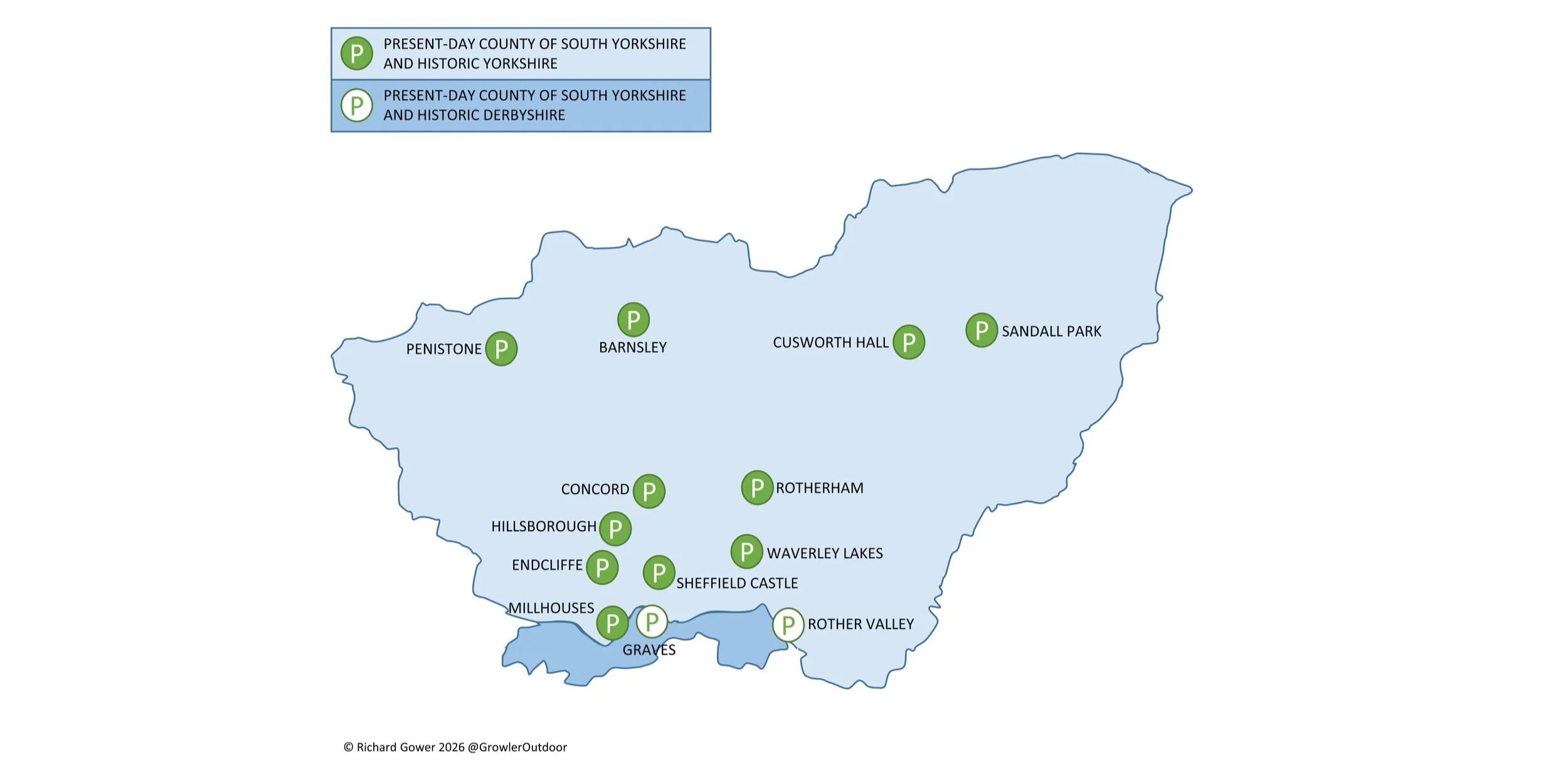
All South Yorkshire parkrun events were part of the historic county of Yorkshire except for Graves and Rother Valley which were in historic Derbyshire. The Rother Valley course crosses the border between the 2 historic counties.

Numbers exclude 2k Junior parkruns and any events that are not open to the general public such as prisons or armed forces facilities.


All of the South Yorkshire parkrun events …

Below are each of the South Yorkshire 5k parkrun events in alphabetical order. A few things to note:

  • The interactive maps below take you to the approximate location for the course, typically the centre of the park. See the course instructions in the parkrun page for each event for specific directions to the start.

  • Course maps and elevation profiles show the route at the time that I ran it and may have changed since then. See the Course page in the event’s page on parkrun.org.uk for the current course outline. Note that course outlines are from Garmin data during a specific run and may vary from the officially measured distance.

  • Please contact me if you spot an event that doesn’t have a course map and elevation profile and you would like to donate one from your own run. I’m also interested in maps and elevation profiles for courses that have changed or where there’s a regular alternative route (e.g. Horsham). I’ll need a GPX file from your run plus the date. I’ll include a credit for you and will donate £1 to parkrun.


Barnsley

  • I have not yet completed this event

  • Historic County: Yorkshire

  • Ceremonial County: South Yorkshire

  • Inaugural: 22nd January 2011

  • Links: Event Home Page, Course Page


Concord

  • I have not yet completed this event

  • Historic County: Yorkshire

  • Ceremonial County: South Yorkshire

  • Inaugural: 8th January 2011

  • Links: Event Home Page, Course Page


Cusworth Hall

  • I have not yet completed this event

  • Historic County: Yorkshire

  • Ceremonial County: South Yorkshire

  • Inaugural: 5th October 2019

  • Links: Event Home Page, Course Page


Endcliffe

  • I have not yet completed this event

  • Original name: Sheffield Hallam. Name changed following a route alteration to exclude a pavement section on Rustlings Road for safety reasons. This evolution into a fully park-based route prompted a rebrand.

  • Historic County: Yorkshire

  • Ceremonial County: South Yorkshire

  • Inaugural: 10th July 2010

  • Links: Event Home Page, Course Page


Graves


Hillsborough

  • I have not yet completed this event

  • Historic County: Yorkshire

  • Ceremonial County: South Yorkshire

  • Inaugural: 2nd February 2013

  • Links: Event Home Page, Course Page


Millhouses

  • I have not yet completed this event

  • Historic County: Yorkshire

  • Ceremonial County: South Yorkshire

  • Inaugural: 19th October 2019

  • Links: Event Home Page, Course Page


Penistone

  • I have not yet completed this event

  • Historic County: Yorkshire

  • Ceremonial County: South Yorkshire

  • Inaugural: 12th October 2024

  • Links: Event Home Page, Course Page


Rother Valley


Rotherham

  • I have not yet completed this event

  • Historic County: Yorkshire

  • Ceremonial County: South Yorkshire

  • Inaugural: 29th June 2013

  • Links: Event Home Page, Course Page


Sandall Park

  • I have not yet completed this event

  • Original name: Doncaster. Changed to align with parkrun HQ's naming policy, which stipulates events should be named after the smallest identifiable geographical area (the park) rather than the town.

  • Historic County: Yorkshire

  • Ceremonial County: South Yorkshire

  • Inaugural: 30th March 2013

  • Links: Event Home Page, Course Page


Sheffield Castle

  • I have not yet completed this event

  • Historic County: Yorkshire

  • Ceremonial County: South Yorkshire

  • Inaugural: 19th October 2013

  • Links: Event Home Page, Course Page


Waverley Lakes

  • I have not yet completed this event

  • Historic County: Yorkshire

  • Ceremonial County: South Yorkshire

  • Inaugural: 11th January 2025

  • Links: Event Home Page, Course Page


More parkrun posts

parkruns are free, weekly, community 5k events all around the world. I started in December 2012 and have been obsessive about it ever since. See my parkrun Collection page for details.

Featured and popular parkrun posts:

Completing all East Riding of Yorkshire parkruns

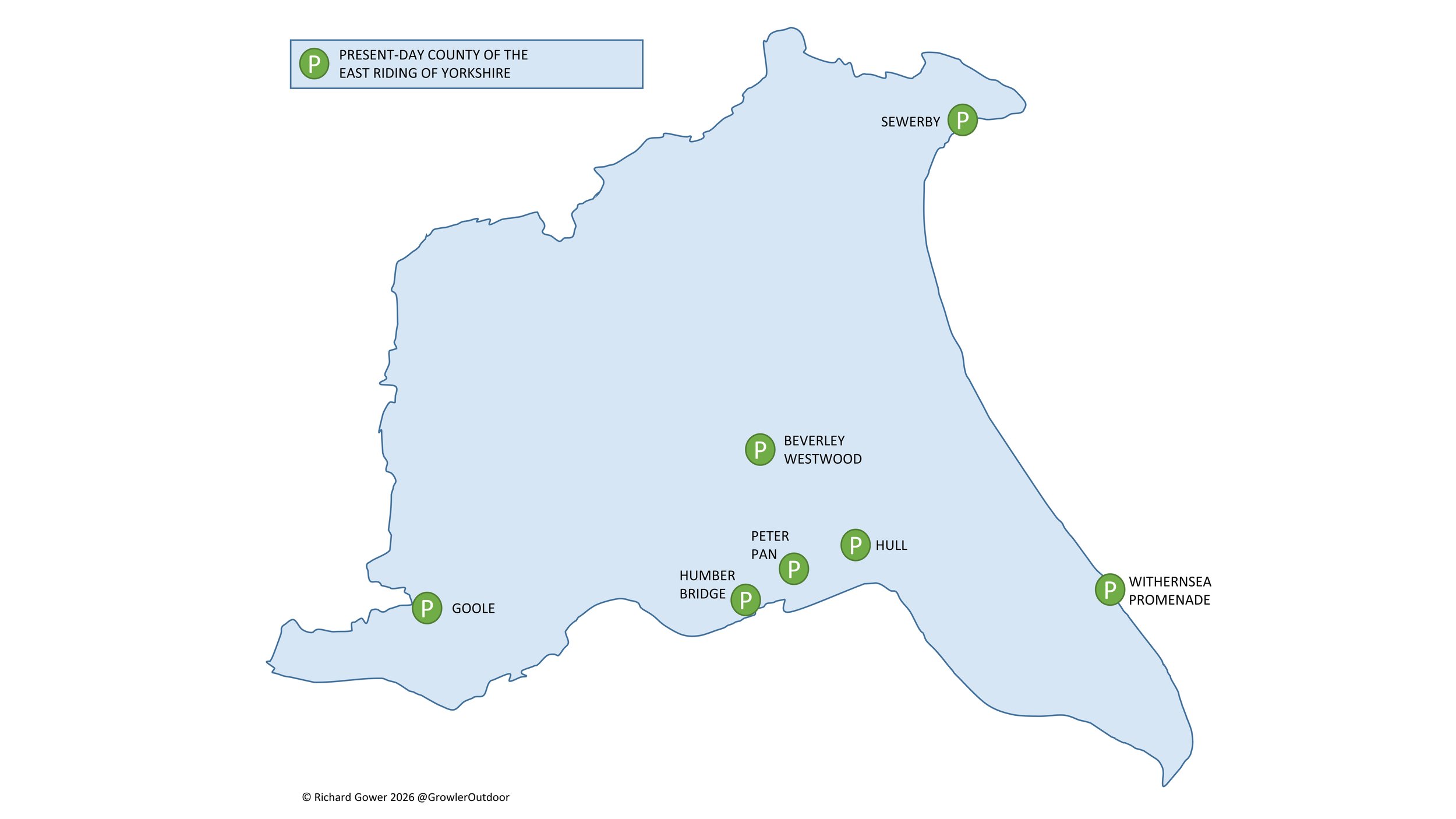
There are currently 7 parkrun events in the present-day county of East Riding of Yorkshire, of which I have not yet completed any. The first was Hull parkrun which started on 3rd April 2010 and the newest is Withernsea Promenade parkrun which started on 27th July 2024. The name for having completed all parkrun events in Yorkshire is “Yorkshire Pud-done”.

Numbers exclude 2k Junior parkruns and any events that are not open to the general public such as prisons or armed forces facilities.


A map of all parkrun events in the county of East Riding of Yorkshire

All of the East Riding of Yorkshire parkrun events …

Below are each of the East Riding of Yorkshire 5k parkrun events in alphabetical order. A few things to note:

  • The interactive maps below take you to the approximate location for the course, typically the centre of the park. See the course instructions in the parkrun page for each event for specific directions to the start.

  • Course maps and elevation profiles show the route at the time that I ran it and may have changed since then. See the Course page in the event’s page on parkrun.org.uk for the current course outline. Note that course outlines are from Garmin data during a specific run and may vary from the officially measured distance.

  • Please contact me if you spot an event that doesn’t have a course map and elevation profile and you would like to donate one from your own run. I’m also interested in maps and elevation profiles for courses that have changed or where there’s a regular alternative route (e.g. Horsham). I’ll need a GPX file from your run plus the date. I’ll include a credit for you and will donate £1 to parkrun.


Beverley Westwood


Goole

  • I have not yet completed this event

  • Historic County: Yorkshire

  • Ceremonial County: East Riding of Yorkshire

  • Inaugural: 30th May 2015

  • Links: Event Home Page, Course Page


Hull

  • I have not yet completed this event

  • Historic County: Yorkshire

  • Ceremonial County: East Riding of Yorkshire

  • Inaugural: 3rd April 2010

  • Links: Event Home Page, Course Page


Humber Bridge

  • I have not yet completed this event

  • Historic County: Yorkshire

  • Ceremonial County: East Riding of Yorkshire

  • Inaugural: 7th June 2014

  • Links: Event Home Page, Course Page


Peter Pan

  • I have not yet completed this event

  • Historic County: Yorkshire

  • Ceremonial County: East Riding of Yorkshire

  • Inaugural: 13th April 2013

  • Links: Event Home Page, Course Page


Sewerby

  • I have not yet completed this event

  • Historic County: Yorkshire

  • Ceremonial County: East Riding of Yorkshire

  • Inaugural: 5th November 2011

  • Links: Event Home Page, Course Page


Withernsea Promenade

  • I have not yet completed this event

  • Historic County: Yorkshire

  • Ceremonial County: East Riding of Yorkshire

  • Inaugural: 27th July 2024

  • Links: Event Home Page, Course Page


More parkrun posts

parkruns are free, weekly, community 5k events all around the world. I started in December 2012 and have been obsessive about it ever since. See my parkrun Collection page for details.

Featured and popular parkrun posts:


Cycling The Prime Meridian
View to the north from the Greenwich Observatory: National Maritime Museum and Isle of Dogs in the background

View to the north from the Greenwich Observatory: National Maritime Museum and Isle of Dogs in the background


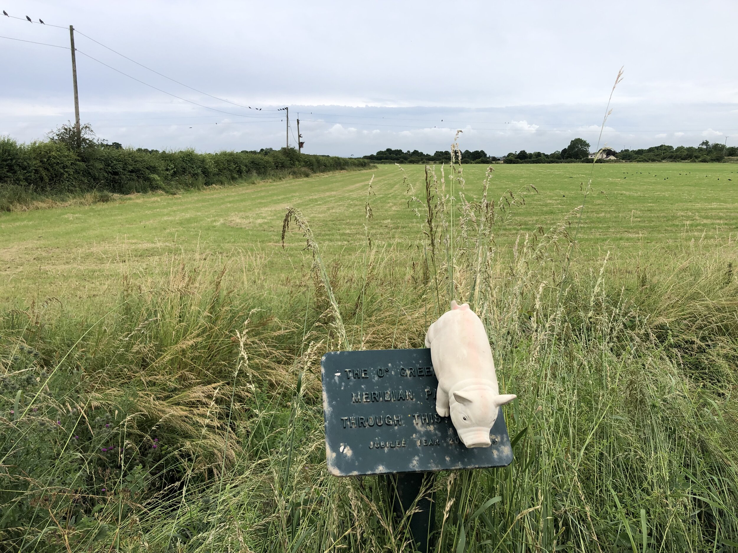
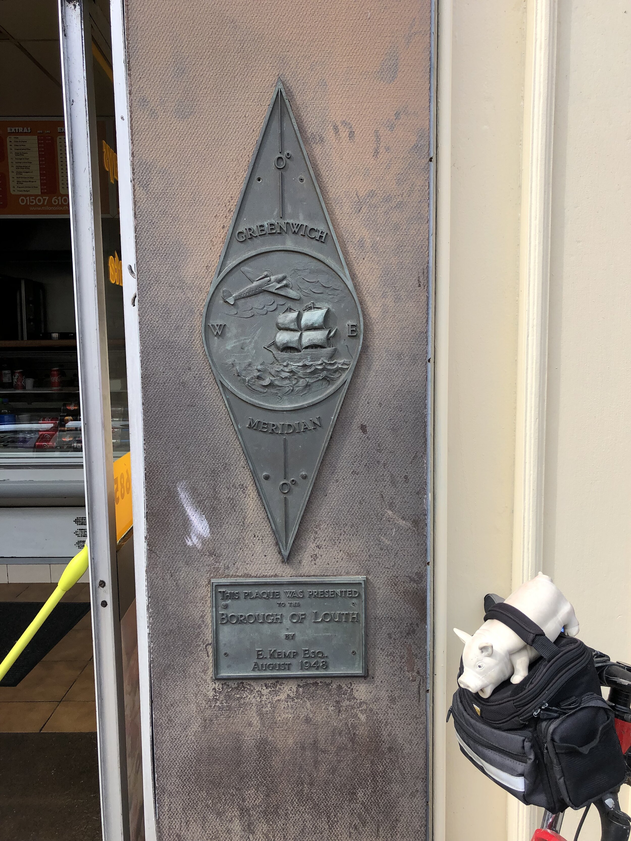
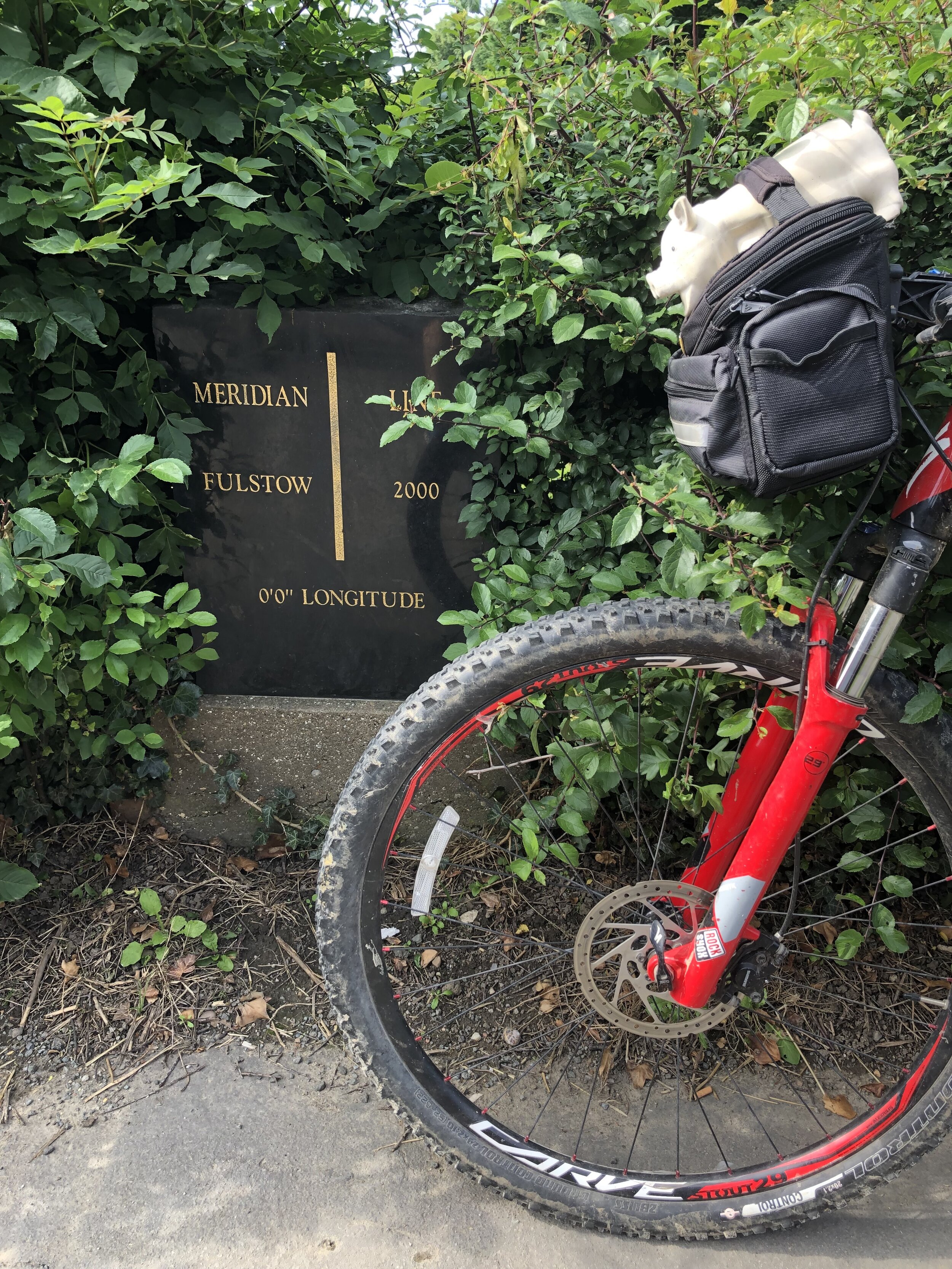
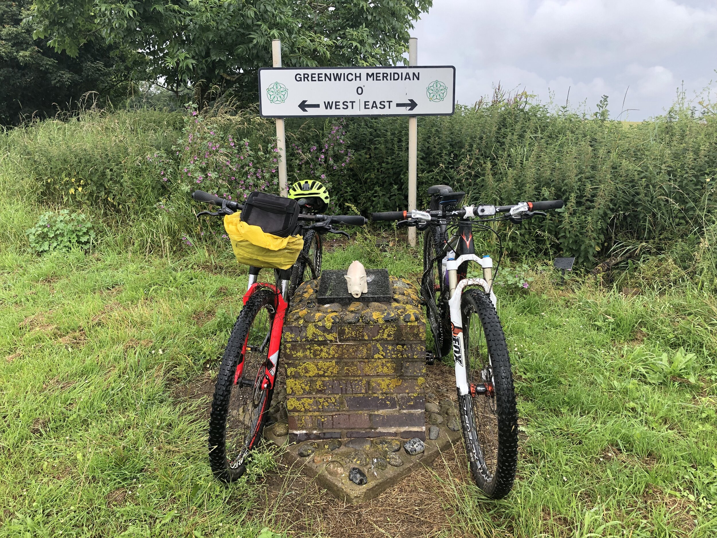
The Prime Meridian, also known as the Greenwich Meridian, is the line of longitude defined as 0°. It’s the line that divides East and West. It’s also a line that I asked myself one Christmas: “can that be cycled"?”. The answer is “no” as it’s a dead-straight line with buildings inconveniently built along it's path. You can cycle quite close to it though, so that’s what we did.
If you want to walk it, there’s a well-signed path called the Greenwich Meridian Trail. The Trail is also very well described in a series of 4 books by Graham and Hilda Heap. The cycle route that I designed stays as close to the Prime Meridian as possible but avoiding footpaths and opting for quieter country roads over busy main roads. Even if you’re cycling I highly recommend the Greenwich Meridian Trail books as they’re a great guide to the interesting things to see along the way.

Our cycle trip was 8 days in total, averaging 77k (48 miles) per day. That’s a gentler pace than our previous long distance trips such as LEJOG or Titanic Ireland. Although we could have gone further each day we opted for more coffee and cake stops. We also split it into 3 separate trips rather than a single end-to-end. This ended up taking us exactly a year to complete as Covid Lockdowns interrupted our plans and we had to fit the trips in where we could.

We based the start and end of each section based on access to train lines. Fortunately there’s good train connections along the route without significant diversions. The start at Peacehaven is close to Newhaven Station, although Brighton Station, 6.5 miles away, gives better connections to the North. For the end of Day 2 we wanted to get through London and Waltham Abbey is a natural stopping point. There’s a station nearby at Waltham Cross, or more north/south connections 12 miles west at Potters Bar.

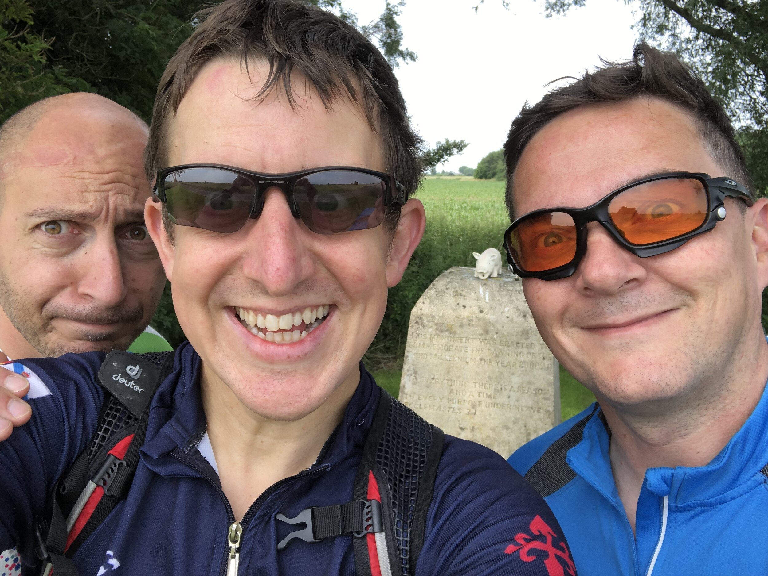
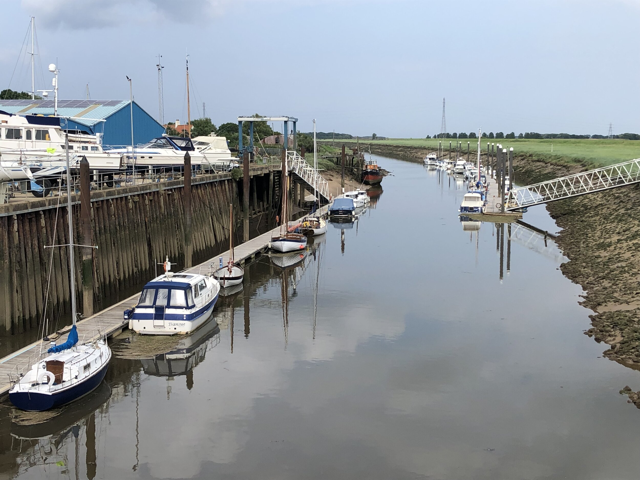
For section 2, covering Days 3 and 4 we covered Waltham Abbey to Peterborough. This takes you quite a way off the Meridian but has a lot of north/south rail connections including to Potters Bar and Hull. Picking up from Peterborough on Day 5 for section 3, we cut diagonally north-east to rejoin the Meridian at Fleet. There’s not much to miss in the section between March and Fleet and the route takes in the main Meridian markers.

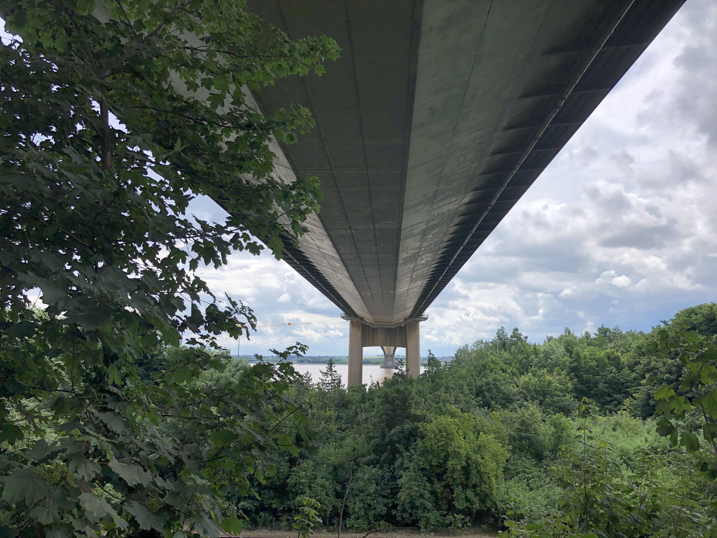
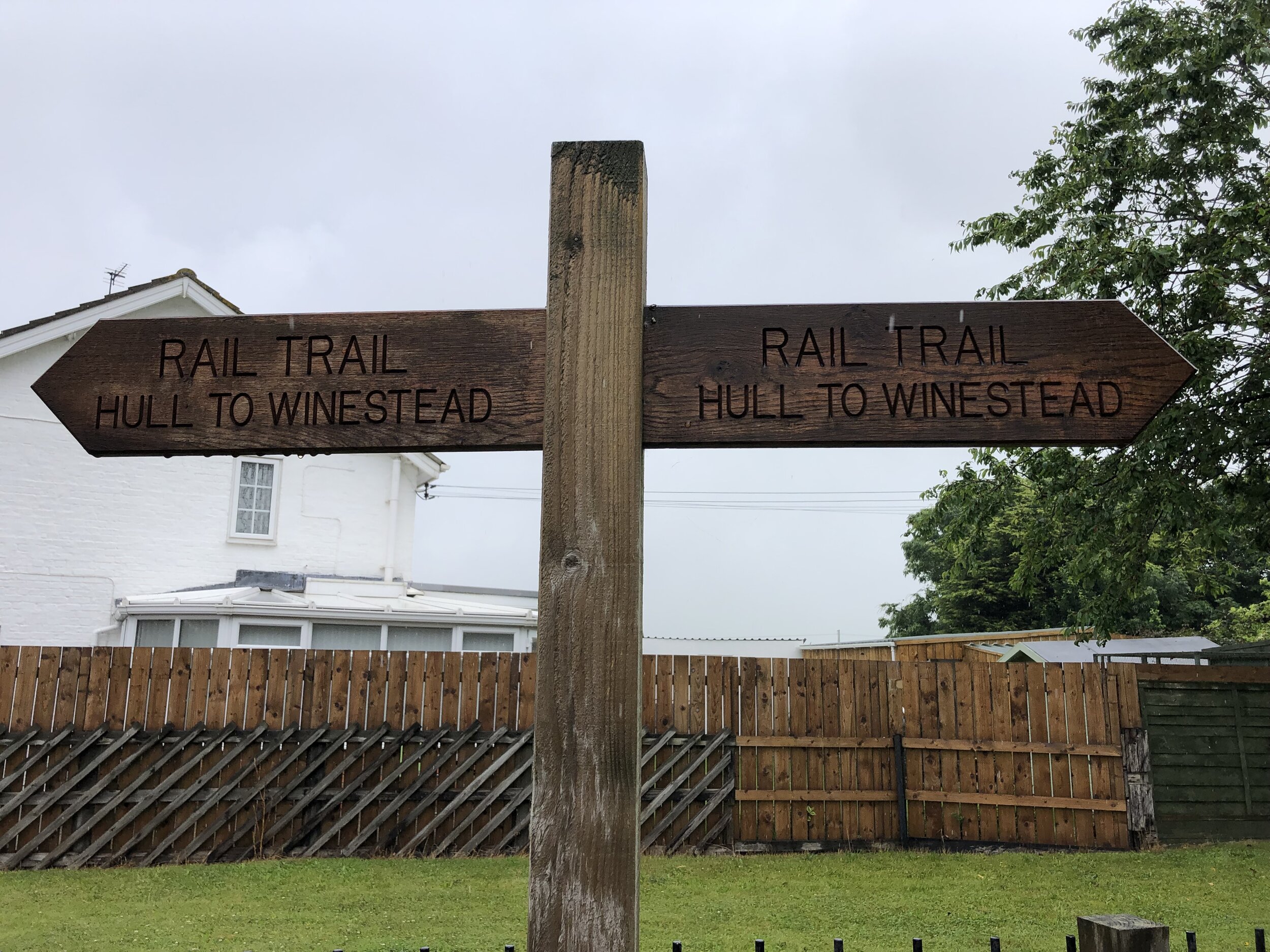
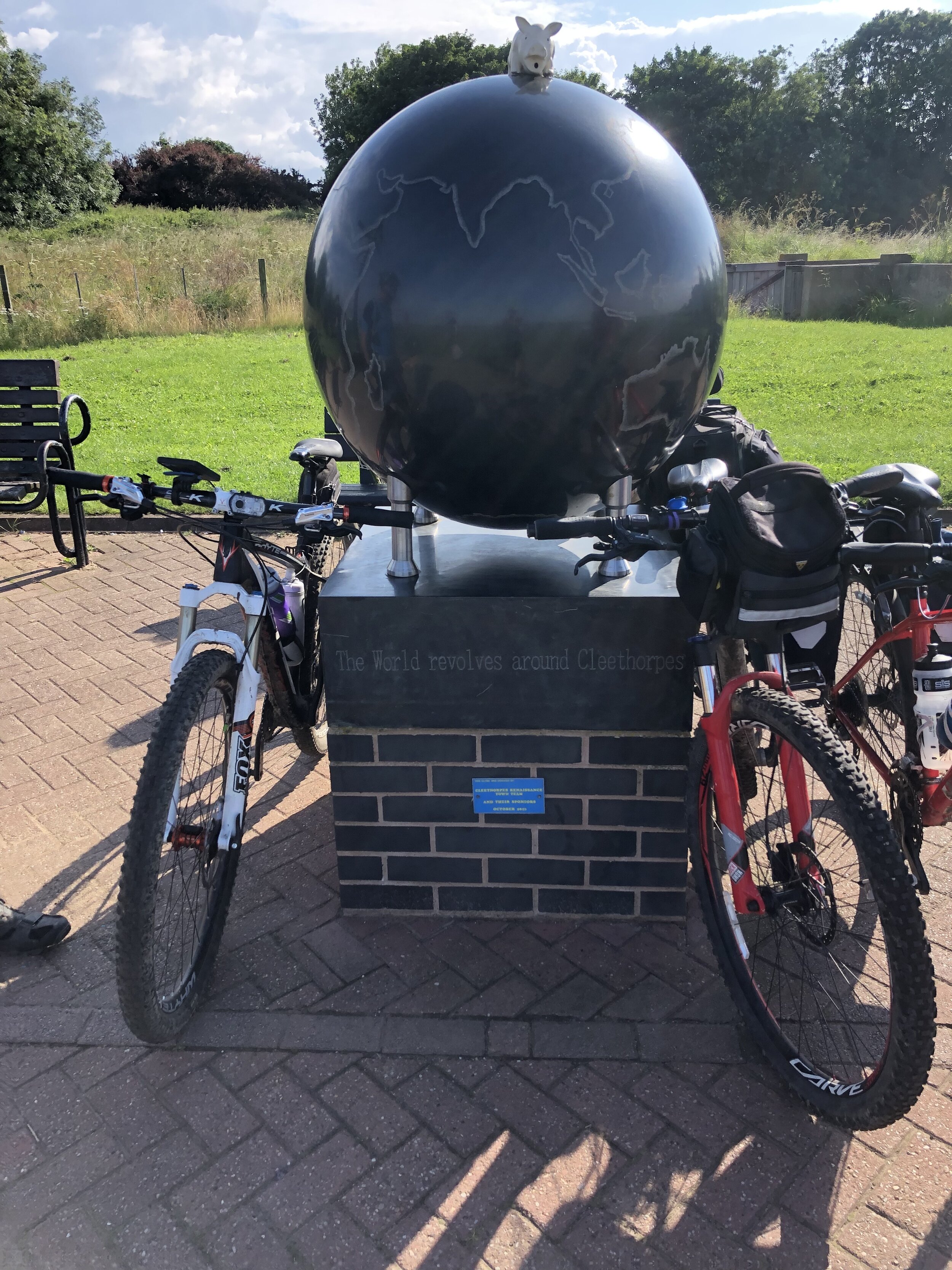
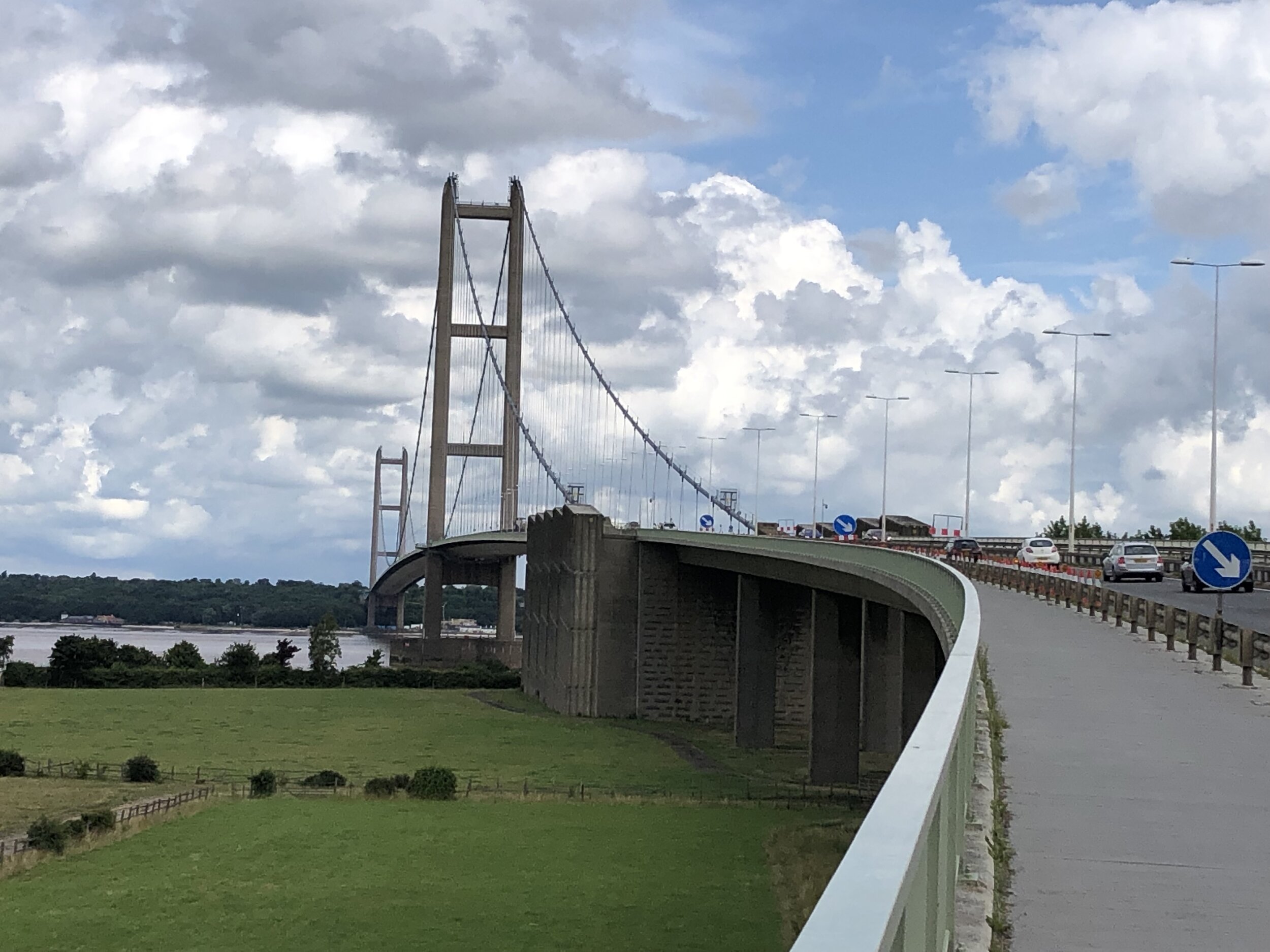
By the end of Day 6 the Meridian reaches the coast at Cleethorpes. From here the challenge is crossing the Humber Estuary to pick up the Meridian where it rejoins land at Sunk Island. The Greenwich Meridian Trail ends at Cleethorpes and a bus is the most practical means of picking up the route at Patringham on the northern side. For our cycle route we took a long diversion west to cross the Humber Bridge and return on the northern side via Hull. This gives you an unbroken cycle trip, but means that all of day 7 and half of day 8 are off the Meridian. It’s worth it for the crossing of the Humber Bridge and the Hull to Winestead Rail Trail.

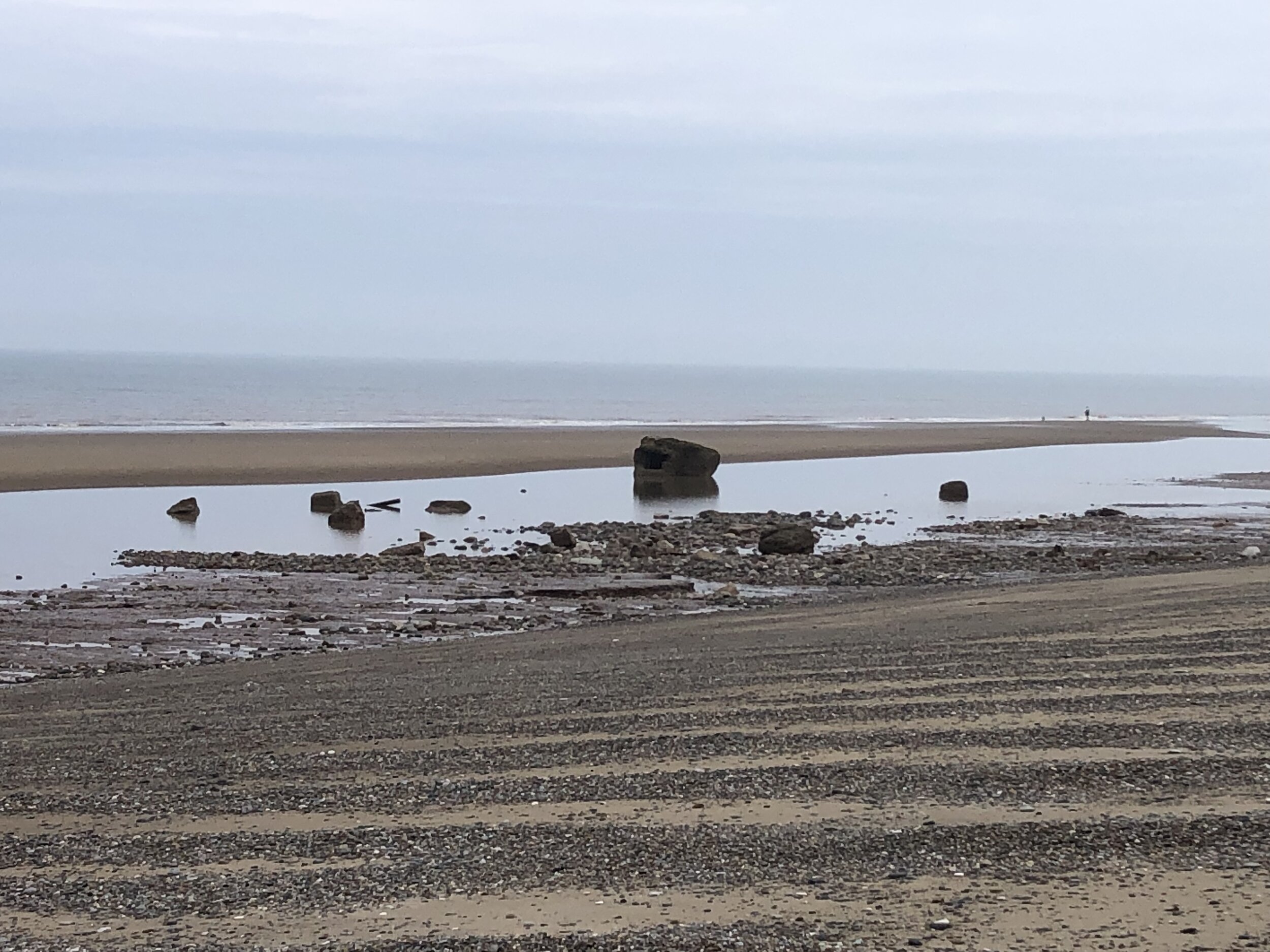
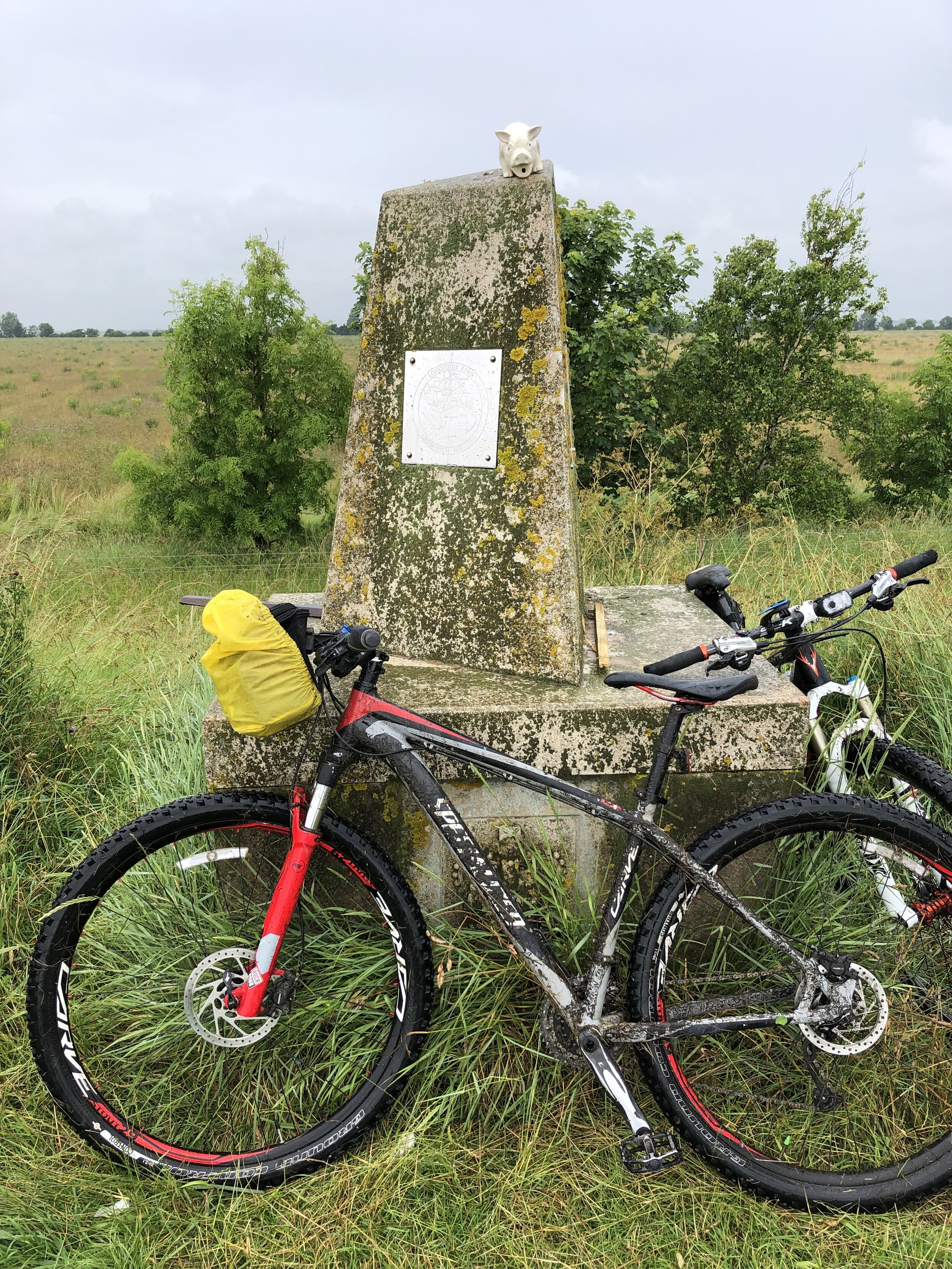
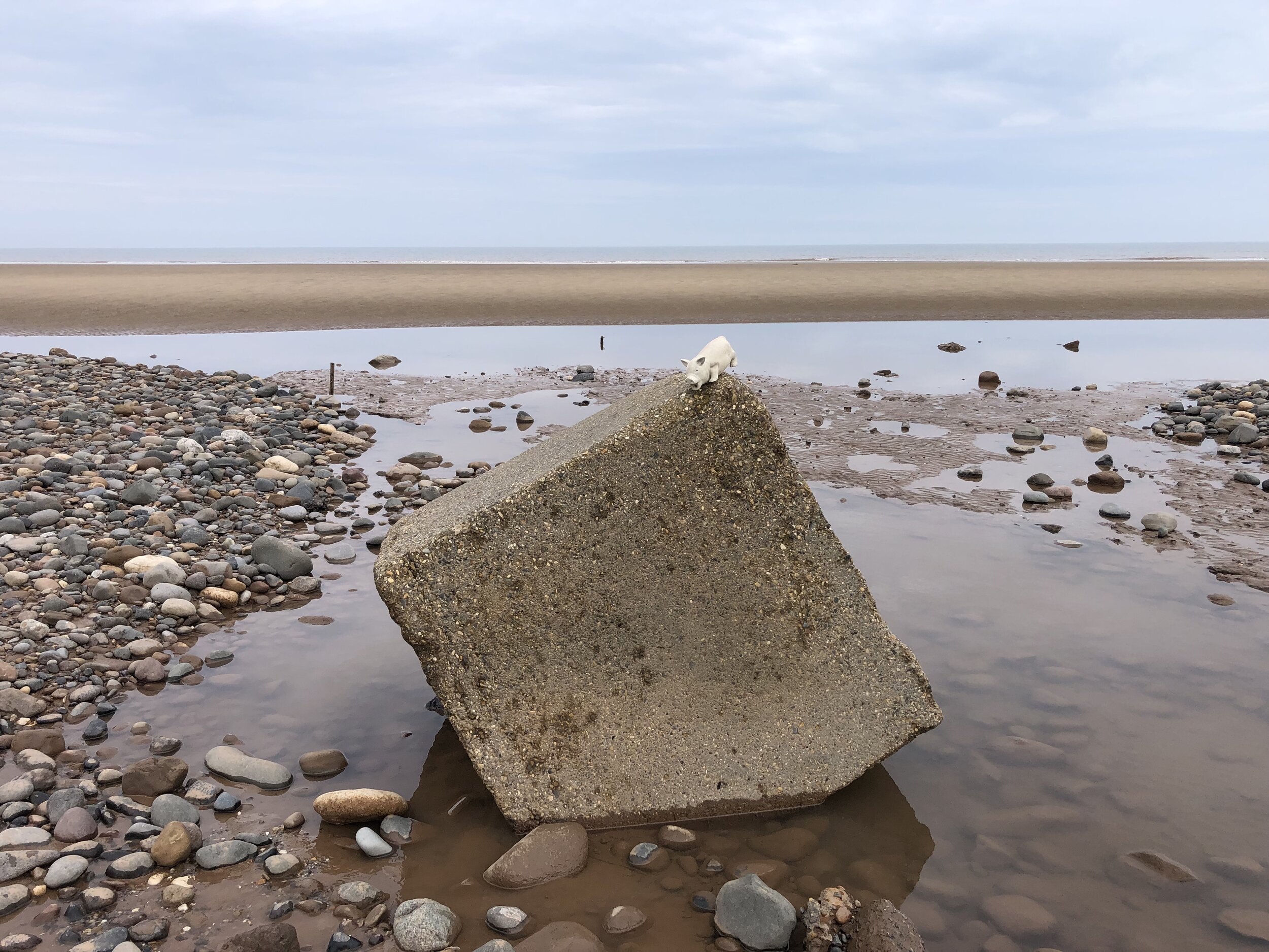
The final point of the Prime Meridian at Sand Le Mere is quite different to the start at Peacehaven. There’s no monument to mark the end of your trip … at least not any more. This is one of the most eroded parts of the English coast and the previous marker is long gone. Instead we found a large lump of concrete that was more or less in the right position and decided it was the end point. From here it’s 28k ride back to Hull where you can get the train back home.

See the individual blog posts for each section for photos, maps and stats covering each day.

Links to each section:

The Complete Route

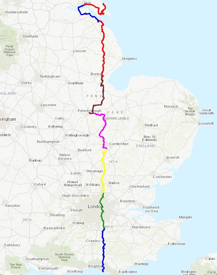
Two maps of the Prime Meridian. Above: Cycle route, each colour representing a different day of the trip. Right: tube-style map showing the cycle route, 0 degrees longitude and the Greenwich Meridian Trail

Two maps of the Prime Meridian. Above: Cycle route, each colour representing a different day of the trip. Right: tube-style map showing the cycle route, 0 degrees longitude and the Greenwich Meridian Trail


Cycling The Prime Meridian Part 3 - Peterborough to Sand Le Mere
Sand Le Mere: the most northerly point of the Prime Meridian on mainland UK

Sand Le Mere: the most northerly point of the Prime Meridian on mainland UK


The Prime Meridian, also known as the Greenwich Meridian, is the line of longitude defined as 0°. It’s the line that divides East and West. It’s also a line that I asked myself: “can that be cycled"?”. The answer is “no” as it’s a dead-straight line with buildings inconveniently built along it's path. You can cycle quite close to it though, so that’s what we did.

If you want to walk it, there’s a well-signed path called the Greenwich Meridian Trail. The Trail is also very well described in a series of 4 books by Graham and Hilda Heap. The cycle route that I designed stays as close to the Prime Meridian as possible but avoiding footpaths and opting for quieter country roads over busy main roads. Even if you’re cycling I highly recommend the Greenwich Meridian Trail books as they’re a great guide to the interesting things to see along the way.

It had been a year since Brian and I cycled the first part and three months since part 2 with Ray. As the rest of the route was now a lot further away from where we live in the south, this would be one final trip to complete the full route.

For most of the full 8-day trip most of the cycle route keeps close to both the actual Prime Meridian and the Greenwich Meridian (walking) Trail. The challenge at the end of the trip is getting around or across the Humber Estuary which cuts through the route between Cleethorpes and Sunk Island. The Greenwich Meridian Trail ends at Cleethorpes and a bus is the most practical means of picking up the route at Patringham on the North. For our cycle route we took a long diversion west to cross the Humber Bridge and return on the northern side via Hull. This gives you an unbroken cycle trip, but means that all of day 7 and half of day 8 are off the Meridian. It’s worth it though for the crossing of the Humber Bridge and the Hull to Winestead Rail Trail.

Day numbers below are for the total Prime Meridian trip starting in Peacehaven.


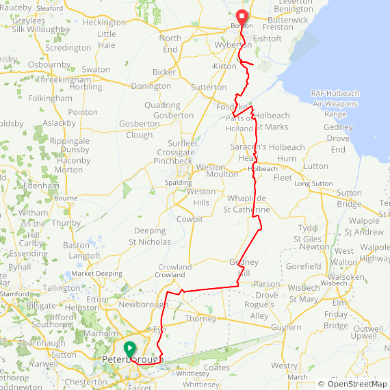
Day 5: Peterborough to Boston

Start: Peterborough Railway Station, Peterborough, PE1 1QL, United Kingdom
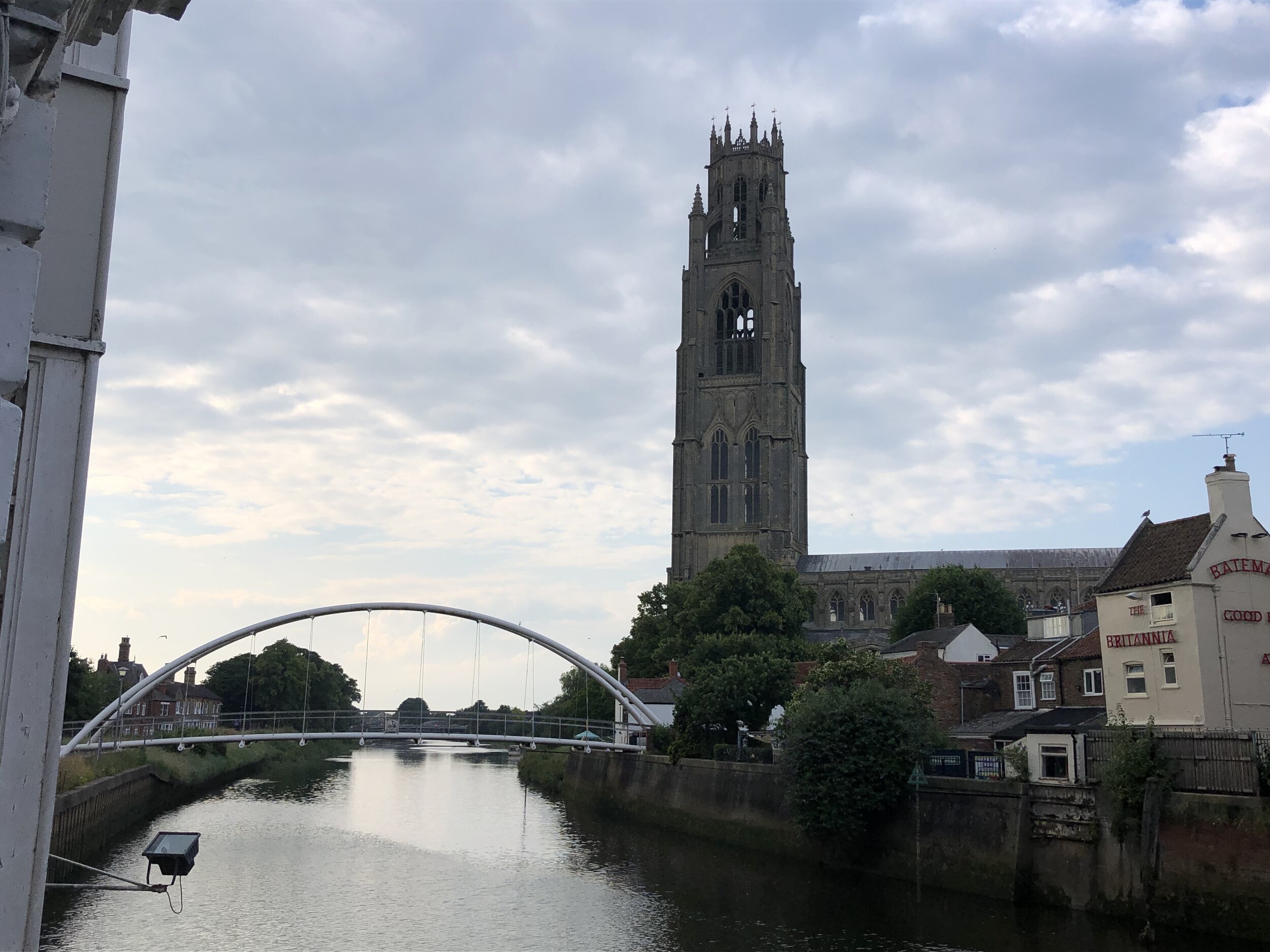
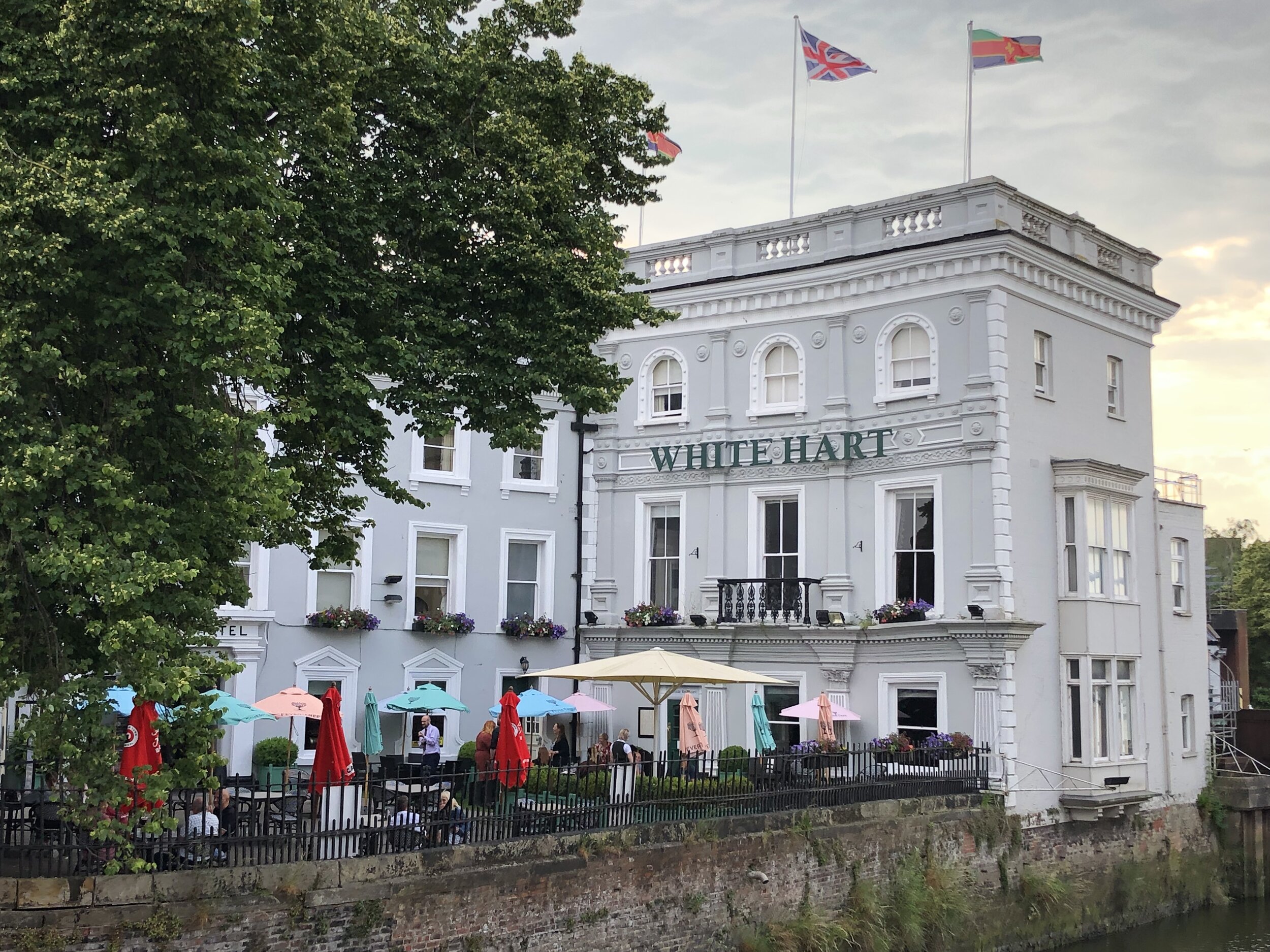
Finish: The White Hart Hotel, 1-5 High Street, Boston, PE21 8SH
Distance: 77 km (47.8 miles)
Elevation change: + 140m / -142m (Net -2m)
GPX File: get via Buy Me a Coffee
Other routes touched (walk): Greenwich Meridian Trail, Nene Way, Macmillan Way,
Other routes touched (cycle): NCN 1, 12, 63, Peterborough Green Wheel
Pubs / Cafes on route:
Several in Holbeach High Street (approx 45k in)
Maps:
-
OS Explorer Map (235) Wisbech and Peterborough North
- OS Explorer Map (249) Spalding and Holbeach
- OS Explorer Map (261) Boston
Guidebook: Greenwich Meridian Trail Book 3: Hardwick to Boston
Links: Wikipedia: Prime Meridian, The Greenwich Meridian, Greenwich Meridian Trail, Peterborough, Holbeach, Boston

route-35746370-map-full.png
elevation_profile.jpg

Day 6: Boston to Grimsby

Start: The White Hart Hotel, 1-5 High Street, Boston, PE21 8SH
Finish: St James Hotel, Freshney Place, St James Square, Grimsby, DN31 1EP
Distance: 91.6 km (57 miles)
Elevation change: + 595m / -597m (Net -2m)
GPX File: get via Buy Me a Coffee
Other routes touched (walk): Greenwich Meridian Trail, Macmillan Way, Lincolnshire Wolds Way, Silver Lincs Way
Other routes touched (cycle): NCN 1, 110
Pubs / Cafes on route:
Cafe at the Lincolnshire Aviation Heritage Centre (PE23 4DE) - free entry to the cafe. Several pubs and cafes in Louth.
Maps:
- OS Explorer Map (261) Boston
- OS Explorer Map 273 Lincolnshire Wolds South
- OS Explorer Map (282) Lincolnshire Wolds North
- OS Explorer Map (284) Grimsby, Cleethorpes and Immingham, Caistor and North Thoresby
Guidebook: Greenwich Meridian Trail Book 4: Boston to Sand Le Mere
Links: Wikipedia: Prime Meridian, The Greenwich Meridian, Greenwich Meridian Trail, Boston, Lincolnshire Aviation Heritage Centre, Old Bollingbroke, Louth, Cleethorpes, Grimsby

route-35746363-map-full.png
elevation_profile (1).jpg

Day 7: Grimsby to Hull

Start: St James Hotel, Freshney Place, St James Square, Grimsby, DN31 1EP
Finish: The Gilson Hotel, 11 Anlaby Road, Hull, HU1 2PJ
Distance: 51 km (32 miles)
Elevation change: + 193m / -194m (Net -1m)
GPX File: get via Buy Me a Coffee
Other routes touched (walk): Trans Pennine Trail, Yorkshire Wolds Way
Other routes touched (cycle): NCN 1, 65
Pubs / Cafes on route:
Cafe at Deepdale Garden Centre (DN18 6ED)
Maps:
- OS Explorer Map (284) Grimsby, Cleethorpes and Immingham, Caistor and North Thoresby
- OS Explorer Map (281) Ancholme Valley
- OS Explorer Map (293) Kingston-upon-Hull and Beverley
Guidebook: N/A: not covered by the Greenwich Meridian Trail books.
Links: Wikipedia: Prime Meridian, The Greenwich Meridian, Greenwich Meridian Trail, Grimsby, Immingham Docks, Thornton Abbey, Barton-upon-Humber, Humber Bridge, Kingston-upon-Hull

route-35746359-map-full.png
elevation_profile.jpg

Day 8: Hull to Sand Le Mere

Start: The Gilson Hotel, 11 Anlaby Road, Hull, HU1 2PJ
Finish: Sand Le Mere Beach, Roos, Hull, HU12 0JF
Distance: 65 km (40.4 miles)
Elevation change: + 143m / -148m (Net -5m)
GPX File: get via Buy Me a Coffee
Other routes touched (walk): Hull Fish Trail, Wilberforce Way, Hull to Winestead Rail Trail, Greenwich Meridian Trail
Other routes touched (cycle): NCN 1, 66, National Byway
Pubs / Cafes on route:
several in Patringham Village Centre
Maps:
- OS Explorer Map (293) Kingston-upon-Hull and Beverley
- OS Explorer Map (292) Withernsea and Spurn Head
Guidebook: Greenwich Meridian Trail Book 4: Boston to Sand Le Mere
Links: Wikipedia: Prime Meridian, The Greenwich Meridian, Greenwich Meridian Trail, Kingston-upon-Hull, Sunk Island, Patringham, Withernsea

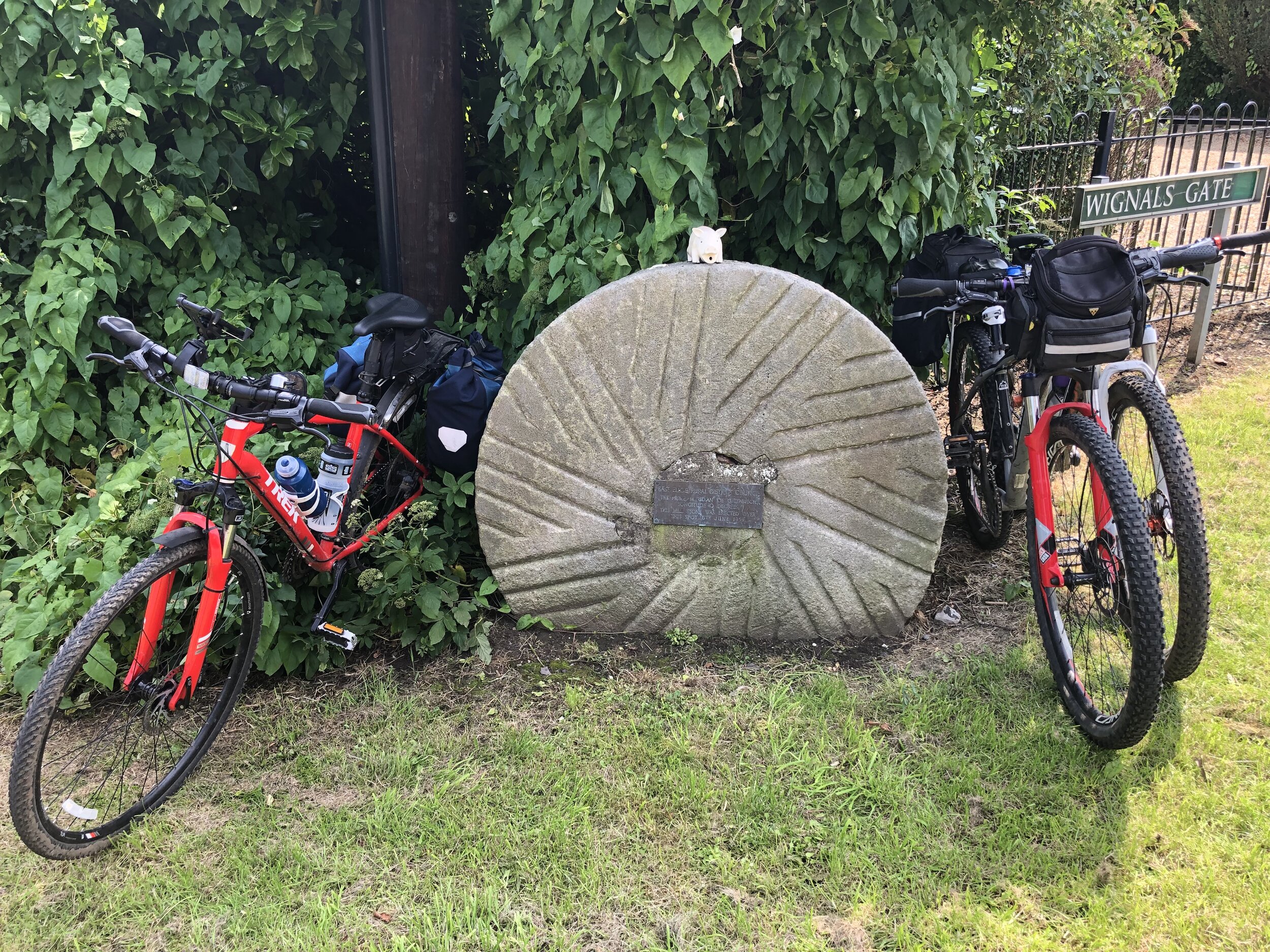
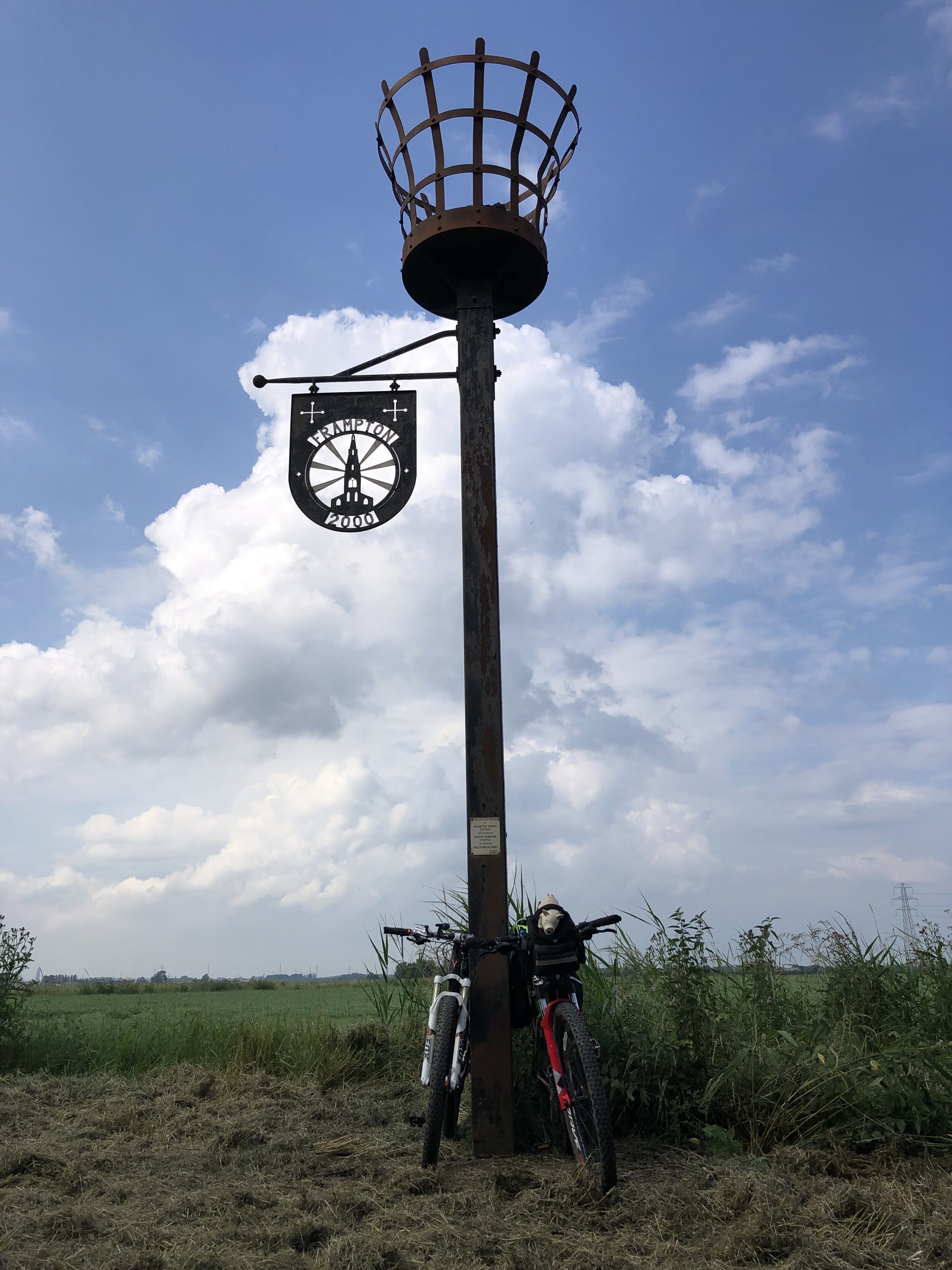
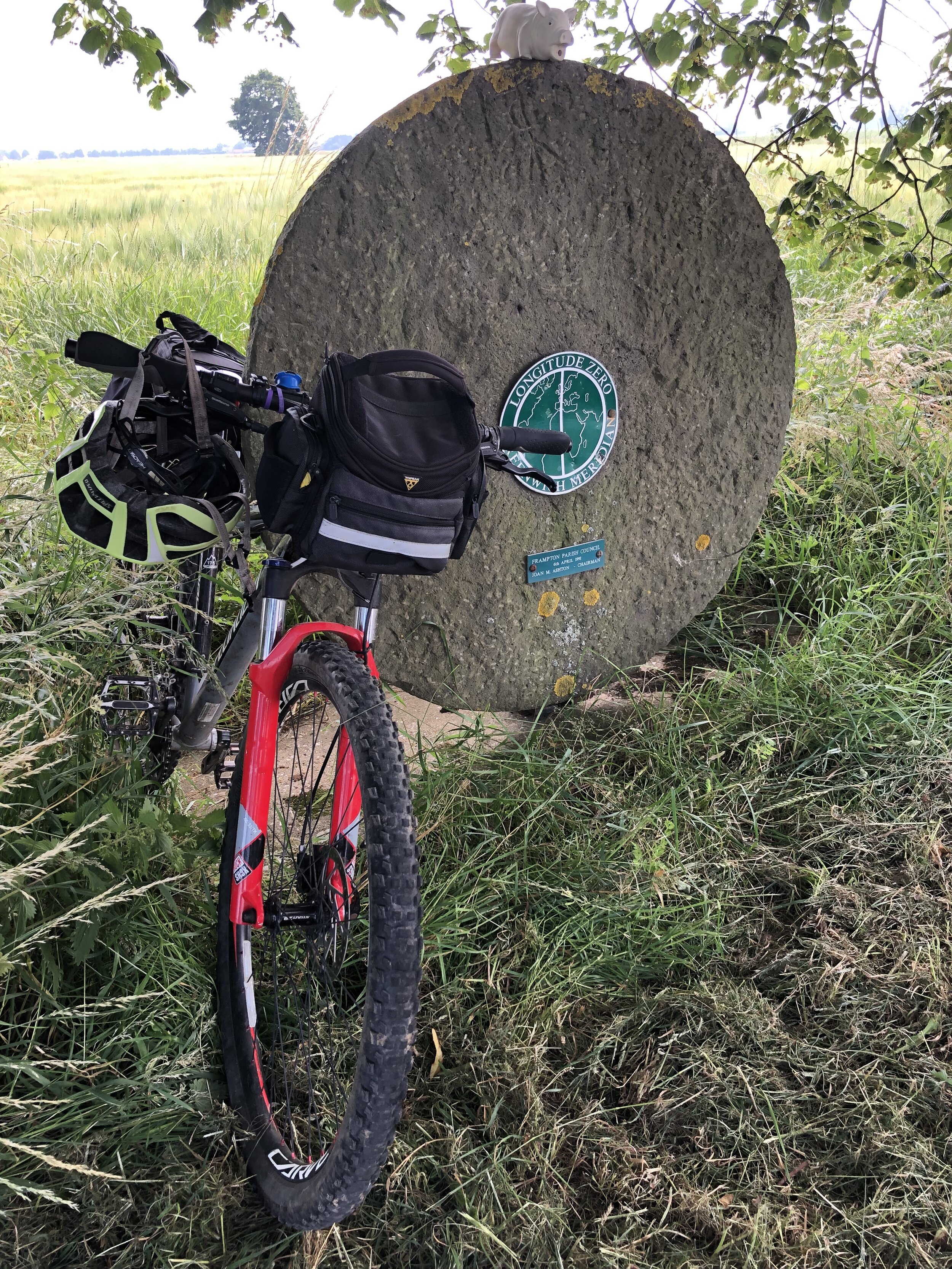
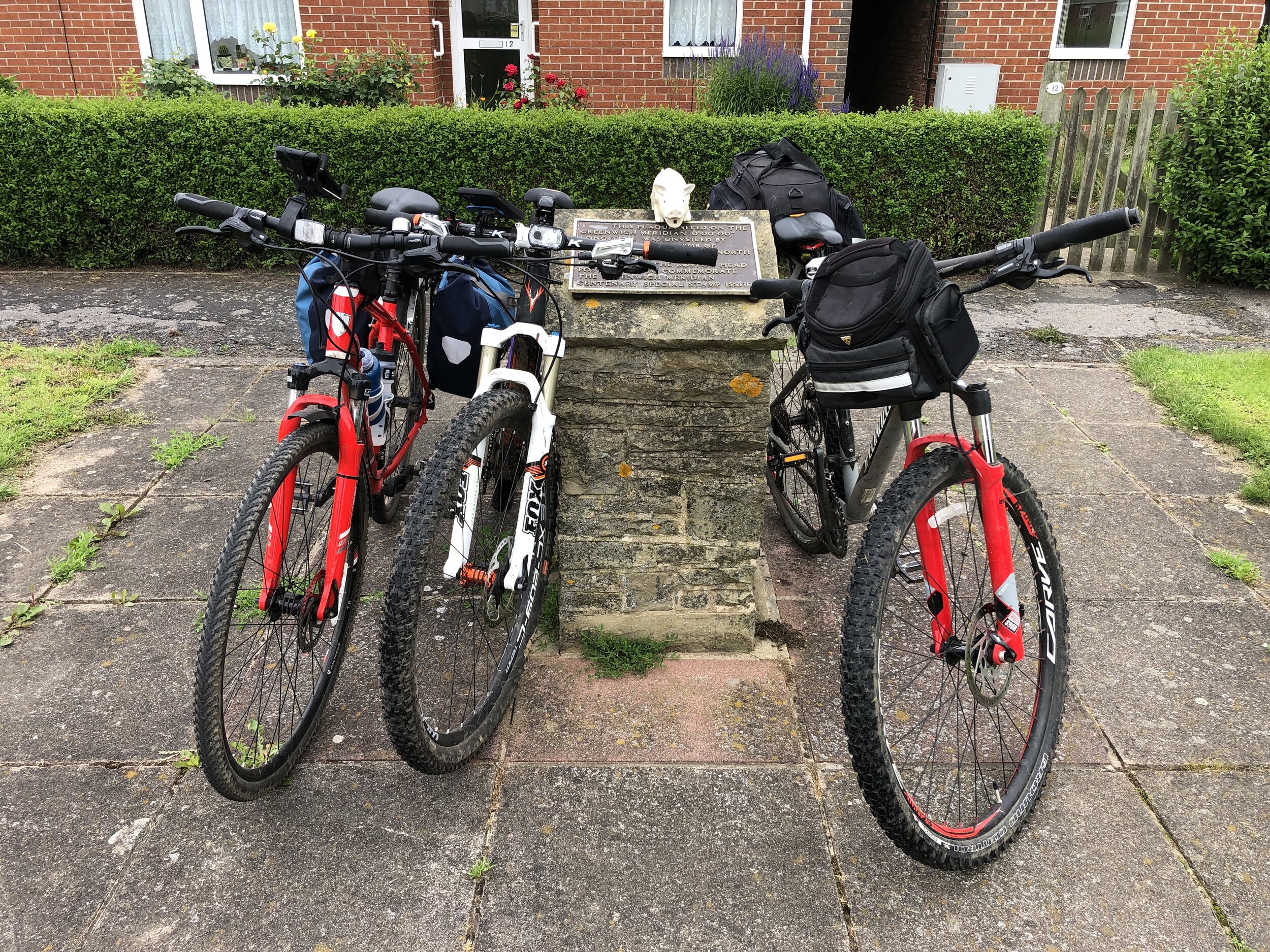
route-36773009-map-full.png
elevation_profile (1).jpg

route-36773011-map-full - return.png

Return to Hull from Sand Le Mere

Start: Sand Le Mere Beach, Roos, Hull, HU12 0JF
Finish: Hull Station, Paragon Station, Ferensway, Hull HU1 3QX
Distance: 27.8 km (17.3 miles)
Elevation change: + 80m / -77m (Net +3m)
GPX File: get via Buy Me a Coffee
Other routes touched (walk): Hull Fish Trail, Wilberforce Way, Hull to Winestead Rail Trail
Other routes touched (cycle): NCN 1, 66, National Byway
Pubs / Cafes on route:
Nags Head, Preston (HU12 8TT)
Maps:
- OS Explorer Map (292) Withernsea and Spurn Head
- OS Explorer Map (293) Kingston-upon-Hull and Beverley
Links: Kingston-upon-Hull


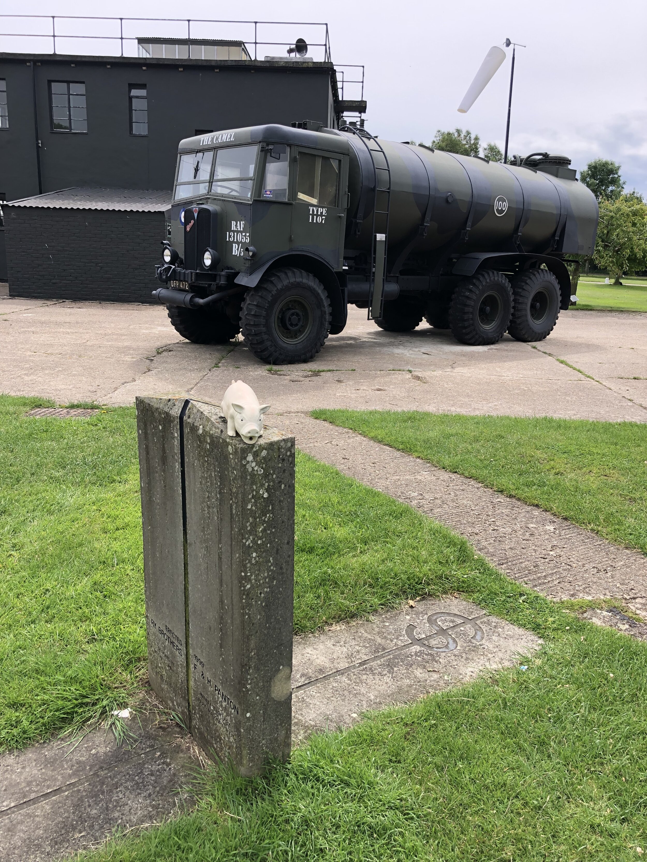
Prime Meridian Markers on the route

Row 4 (LEFT TO RIGHT):


Previous section: Waltham Abbey to Peterborough


North-East England County Tops
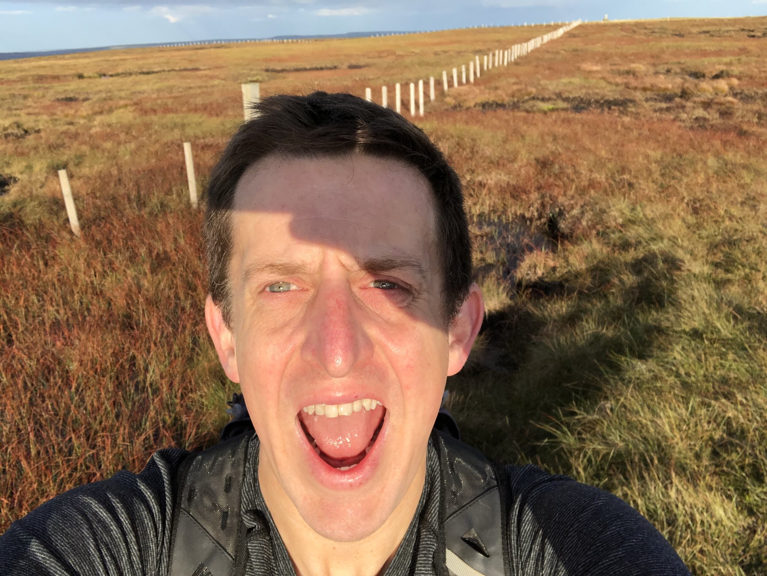
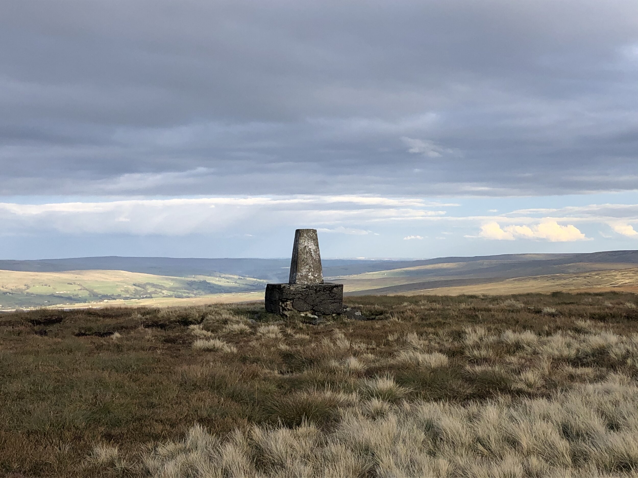
View from Burnhope Seat summit to the Trig Pillar

View from Burnhope Seat summit to the Trig Pillar


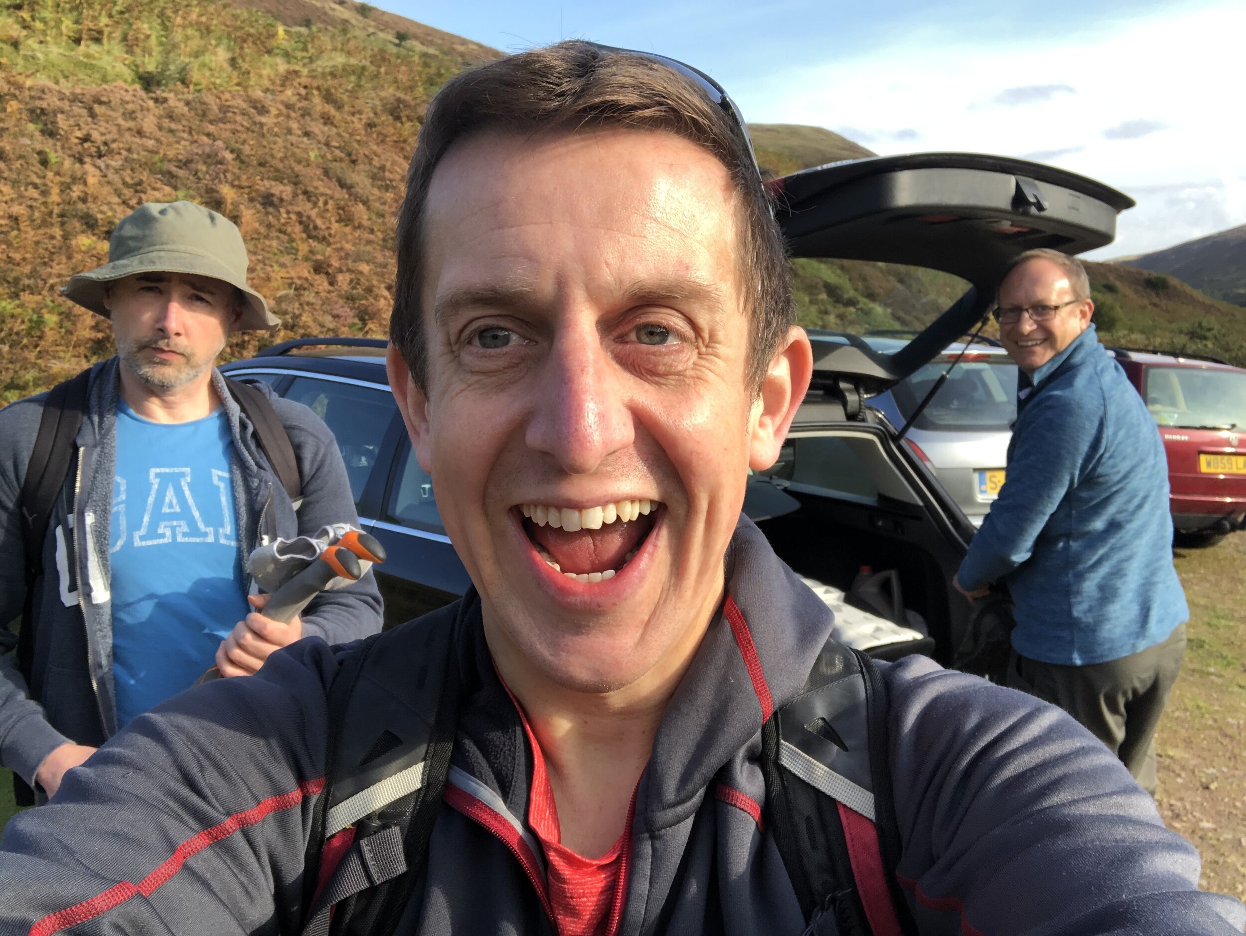
We had the dates for this in the diary for most of the year, even before Covid-19 became the thing that defined 2020. When the Lockdown came in March we we glad we had booked it in for later in the year and had assumed that the virus would have blown over by then. By mid-Summer things were relaxing and it was looking like there wouldn’t be a problem for the trip at all. September came, cases started rising again and the North-East was right in the centre of a local Lockdown. The rules were especially ambiguous and it was only the day before the trip that we decided that we would still be able to go. So, without breaking any rules and keeping as safe as possible, 3 of us headed North to complete the North-East County Tops.

As it turned out Covid had a very minimal impact on the plan. Our YHA for the first 2 nights was in Northumberland and had strict procedures. Rather than sharing one big room as per our usual trips, we had to have a room each under separate bookings. Breakfast was strictly one person per table, but given my lack of interest in talking to anyone 1st thing in the morning, it wasn’t a major inconvenience. Other than that we were out in the hills all day and the rare instances of coming in contact with others were few and far between and at quite a distance.

Being able to complete these 3, and by extension my completion of all of England’s County Tops, was a major win for me for 2020. Most other plans had been cancelled or postponed until 2021, so keeping this felt like a big achievement.


Burnhope Seat

Significance: Highest peak in County Durham (Historic CT)
Member of: Hewitt, Marilyn, Nuttall
Parent Peak: Cross Fell. NHN = Meldon Fell
Elevation: 747m
Date climbed: October 1st 2020
Coordinates: 54.7331° N, 2.3369° W
Route Start / End: 2-car layby on B6277 north of kink in road over stream bridge, south of Yad Moss ski area
Route Distance: 3.1 km (1.9 miles)
Route Elevation Change: +/- 160m
Subsidiary tops on route: none
GPX File: get via Buy Me a Coffee
Other routes touched: none
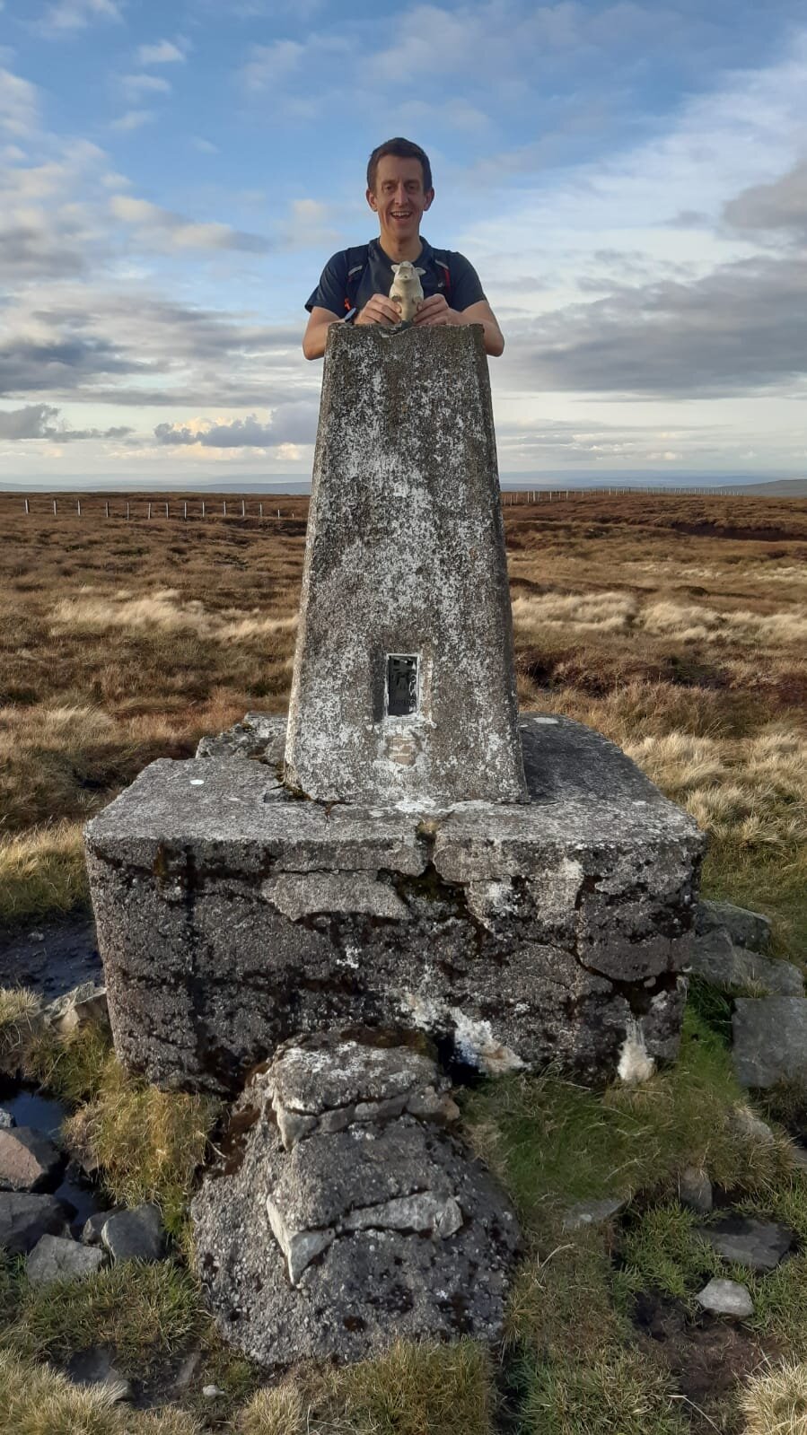
OS Trig Pillar: TP1783 - Burnhope Seat
Map: OS Explorer Map (307) Consett and Derwent Reservoir
Guidebook: The UK's County Tops (Jonny Muir), Walking the County High Points of England (David Bathurst)
Links: Wikipedia (County Durham), Wikipedia (Burnhope Seat), Peakbagger, Hillbagging

Burnhope Seat and Mickle Fell are a short car journey apart and can be easily done in a single day with fair weather. We had a long drive from the south which took up much of our first day so we used this short walk as a break in the journey.

Jonny Muir’s County Top guide suggests a parking space on the B6277 at NY 7754 3640 but we found a more convenient one a bit further north on the same road. The layby in the book is quite small and at a steep angle from the road so we gave it a miss. From the larger layby near the stream bridge you can cross over a wooden gate on the opposite side. From here follow the left hand side of the stream, passing the ruins of an old building and use the GPS to keep you on-track for the high point. From the un-marked summit you can see the Trig Pillar to the east along the fence.


The Cheviot

Significance: Highest peak in Northumberland (Historic CT) and Northumberland National Park High Point
Member of: Marilyn, Hewitt, Nuttall
Parent Peak: Broad Law. NHN = Dollar Law
Elevation: 815m
Date climbed: October 2nd 2020
Coordinates: 55°28′42″N 2°08′44″W 
OS Trig Pillar: TP2152 - Cheviot
Links Wikipedia (Northumberland), Wikipedia (The Cheviot), Wikipedia (Northumberland National Park), Peakbagger, Hillbagging

Hangingstone Hill

Also Known As: Cairn Hill West Top
Significance: 
Highest peak in Roxburghshire, Scotland (Historic CT)
Member of: n/a
Parent Peak: Cairn Hill. NHN = The Cheviot
Elevation:
 743m
Date climbed: October 2nd 2020
Coordinates: 55° 28' 3'' N, 2° 9' 59'' W
Links: Wikipedia (Roxburghshire), Peakbagger, Hillbagging

Route Start / End: parking area off small road to Langleeford, accessed from A697 via Middleton Hall
Route Distance: 15.3 km (9.5 miles)
Route Elevation Change: +/- 620m
Subsidiary tops on route: Scald Hill (548m), Cairn Hill (777m)
GPX File: get via Buy Me a Coffee
Other routes touched (walk): The Pennine Way
Other routes touched (cycle): none
Map: OS Explorer OL16 The Cheviot Hills, Jedburgh & Wooler
Guidebook: The UK's County Tops (Jonny Muir), Walking the County High Points of England (David Bathurst)

This walk was the longest and most rewarding of the 3 especially as it's a circuit rather than an out-and-back like the others. If you’re using Jonny Muir’s guide this is a combination of the separate routes for The Cheviot and for Hangingstone Hill. It’s pretty obvious to do them both in the same walk so I’ve got no idea why they’re separated in the book. Both use the same start and end point and each trip is a return for the other.

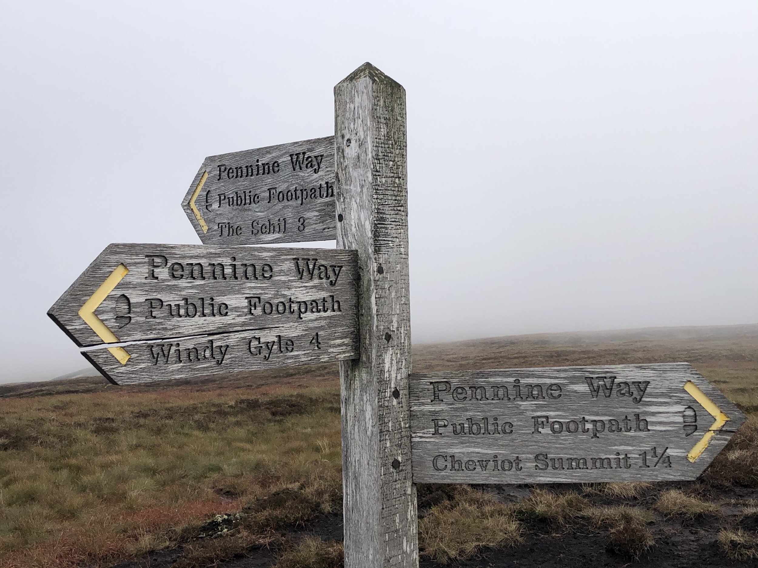
We took an anti-clockwise approach taking in The Cheviot first via Scald Hill. Continuing south-west along the Pennine Way from The Cheviot you’ll soon get to the summit of Cairn Hill. From here there’s a short out-and-back section to the Scottish border to reach Hangingstone Hill (aka Cairn HIll West Top). There’s little to see here and bagging the top just involves a quick crossing of the gate to a slightly higher piece of moss.

From Hangingstone Hill retrace your steps back up to Cairn Hill summit and follow the path sign-posted to Windy Gale. After a short steep section keeping a fence to your right you’ll reach a footpath junction. Take the east (left) path signed to Langleeford Hope (2¼) and Langleeford (3½). This path will take you all the way back to the start following Harthope Burn (stream).


Mickle Fell

Significance: Highest peak in Yorkshire (Historic CT) and the historic North Riding of Yorkshire
Member of: Marilyn, Hewitt, Nuttall
Parent Peak: Cross Fell. NHN = Knock Fell
Elevation: 788m
Date climbed: October 3rd 2020
Coordinates: 54°36′48″N 2°18′18″W
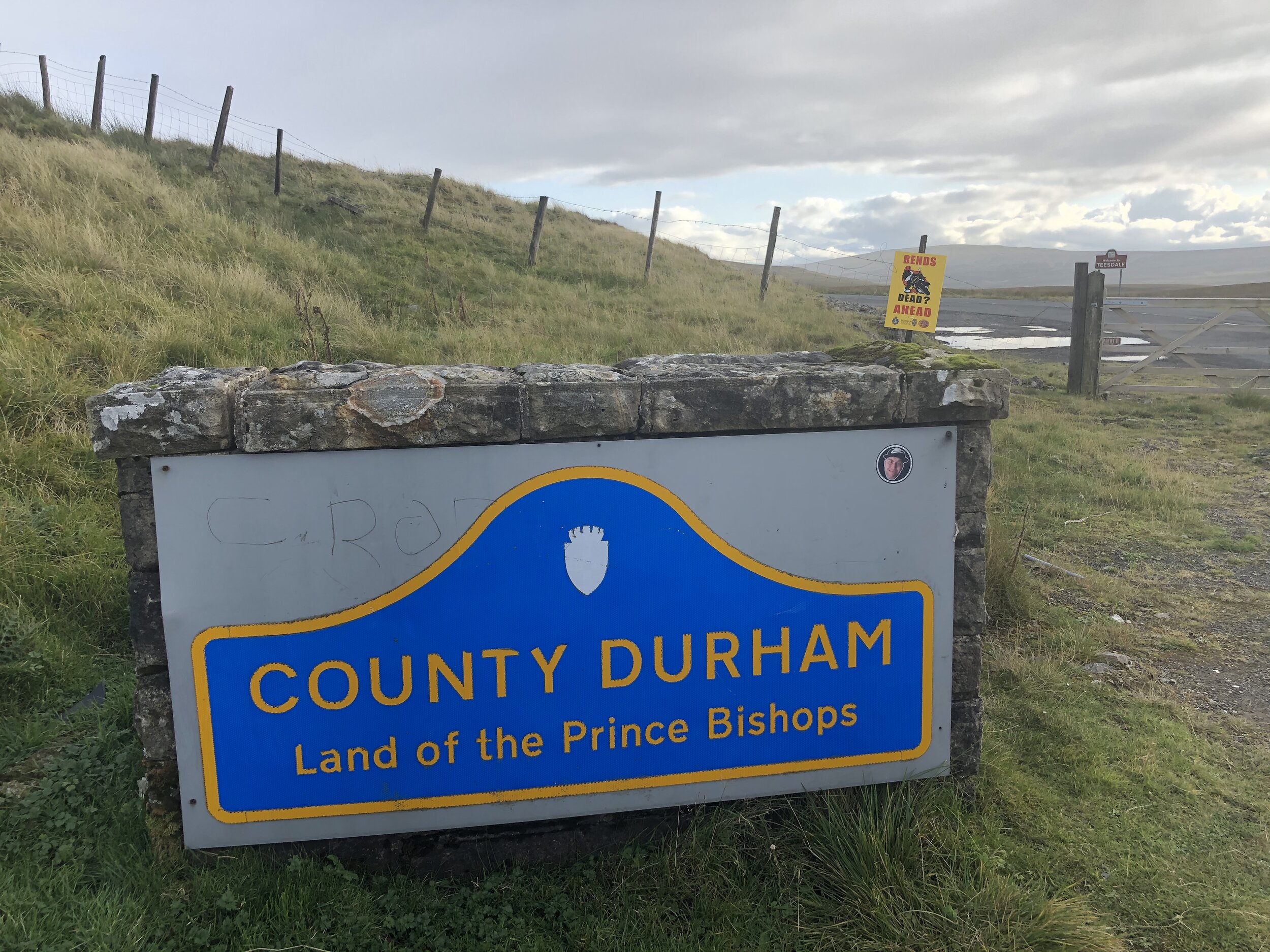
Route Start / End: Parking spot on B6276 to west of cattle grid between the Cumbria and County Durham county signs.
Route Distance: 17.2 km (10.7 miles)
Route Elevation Change: +/- 505m
Subsidiary tops on route: none
GPX File: get via Buy Me a Coffee
Other routes touched: none
OS Trig Pillar: TP4789 - Mickle Fell
Map: OS Explorer OL19 Howgill Fells Upper Eden Valley Map
Guidebook: The UK's County Tops (Jonny Muir), Walking the County High Points of England (David Bathurst)
Links: Wikipedia (Yorkshire), Wikipedia (North Riding of Yorkshire), Wikipedia (Mickle Fell) / Peakbagger, Hillbagging

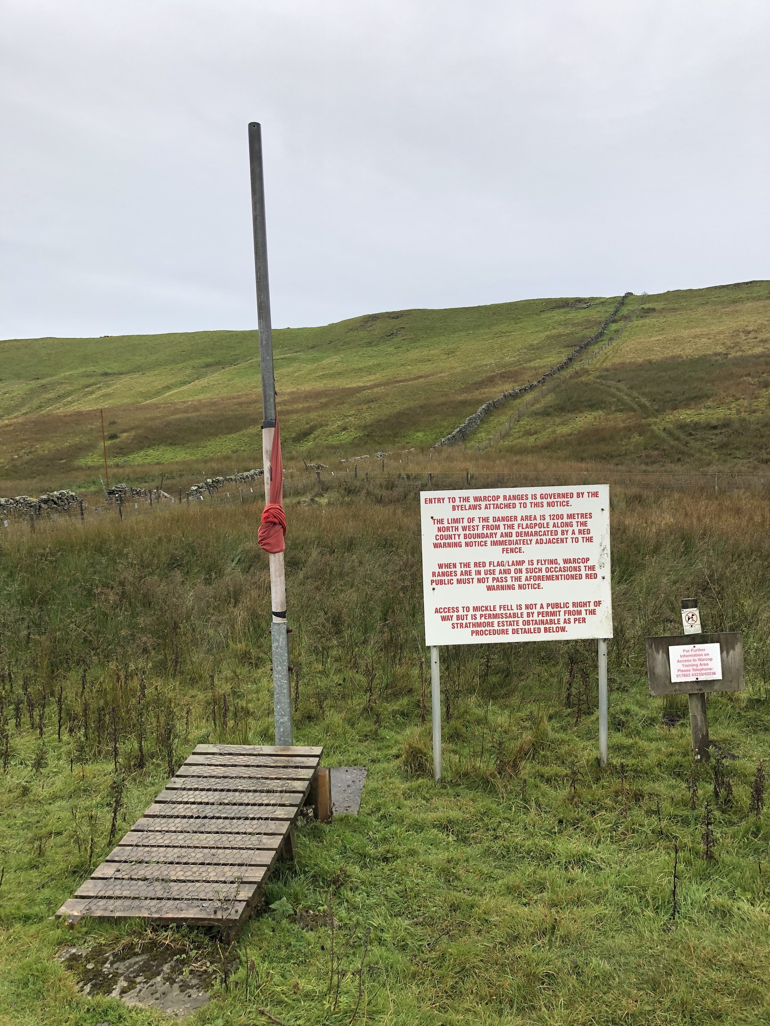
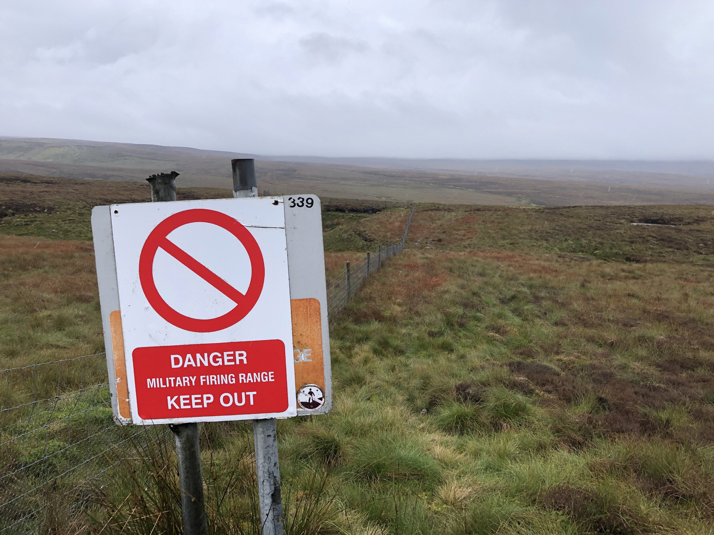
Mickle Fell is on a military firing range which is only open to the public on a few select days per year. You can apply for a permit to access the land from MOD Warcop. Based on our experience I recommend starting the application process early. It took over 3 months for me to get the permit from sending the application letter. There’s nothing complicated about the process, it’s just slow. With the permit secured the other thing that you need to do is call the control room number on the permit as you start the walk and again when you finish. We didn’t have phone signal at all on the walk so we were glad to have made the call in the car 10 minutes before arriving at the parking space.

The parking space is easy to find as it’s right next to the Welcome to Cumbria sign. From here cross the road and over a wire fence to access the hill. Strangely there’s no gate or stile even though this is the recommended approach. You can see where others have climbed through or over the fence though.

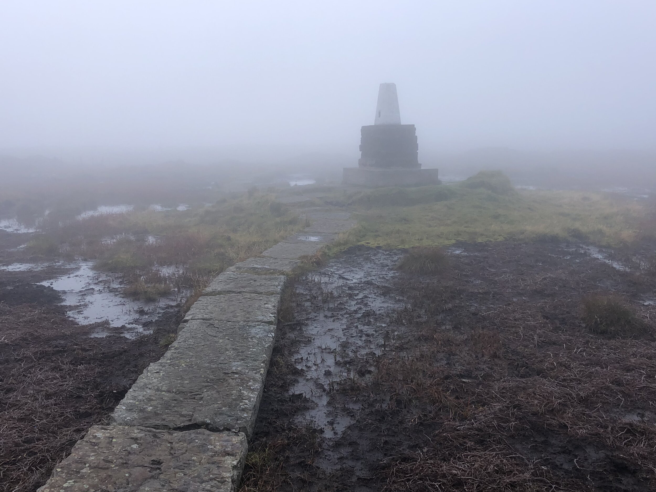
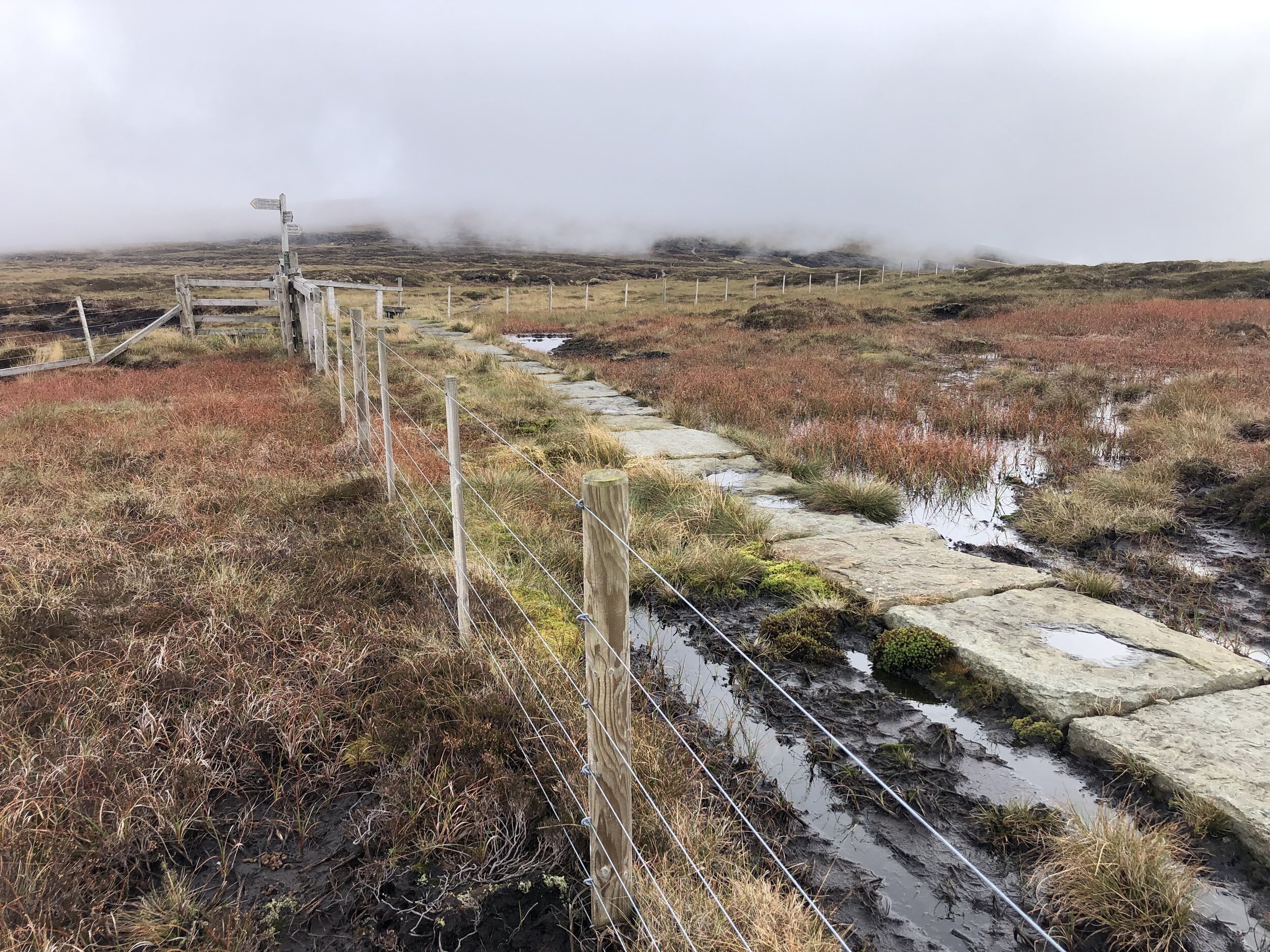
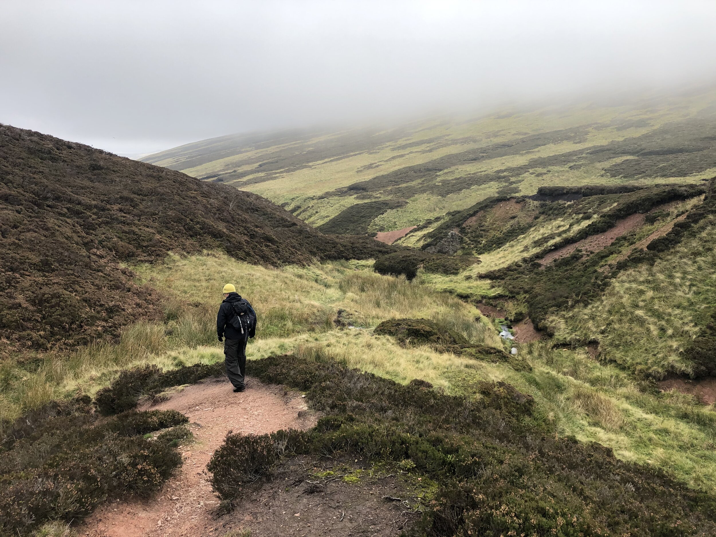
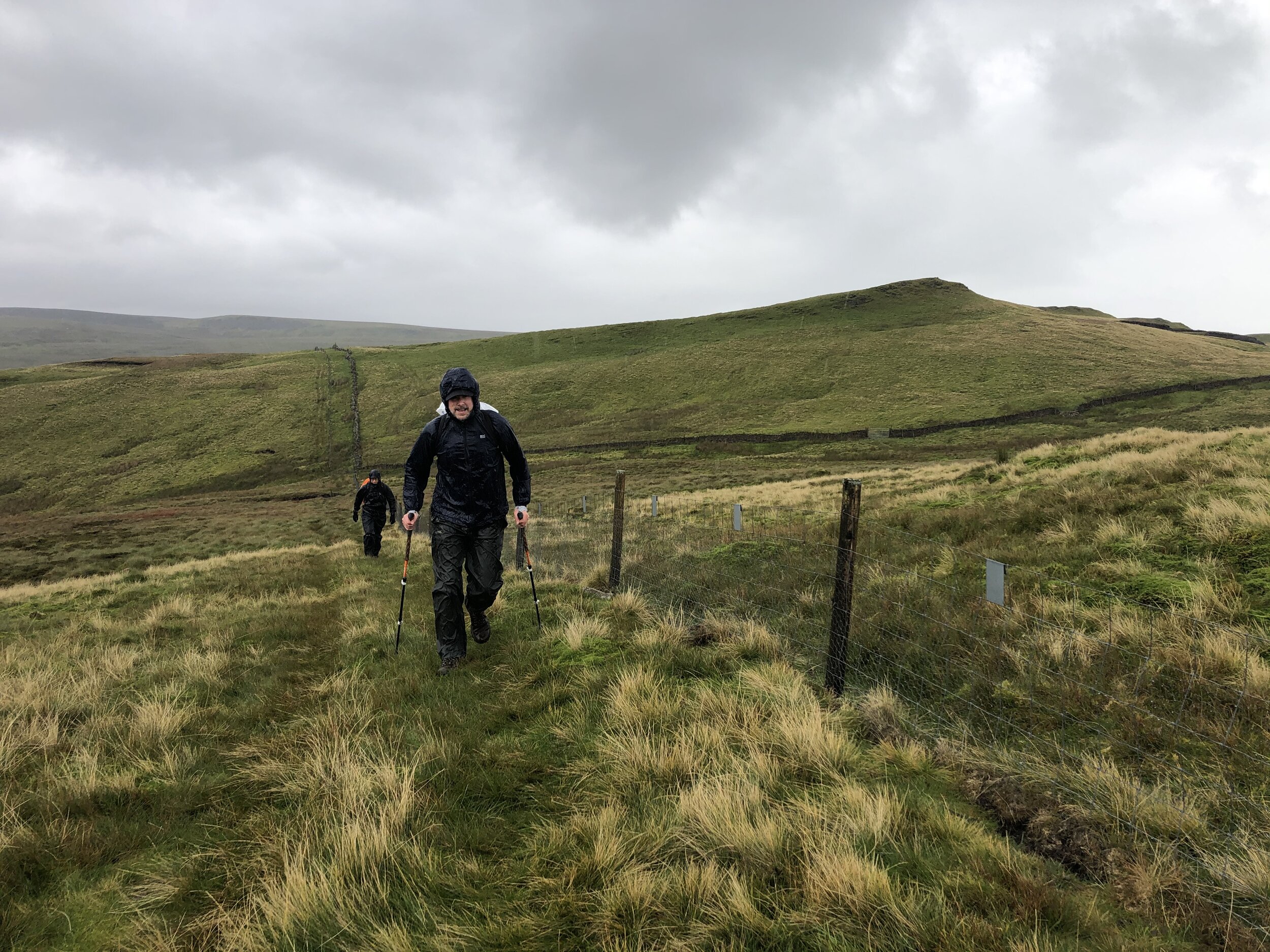
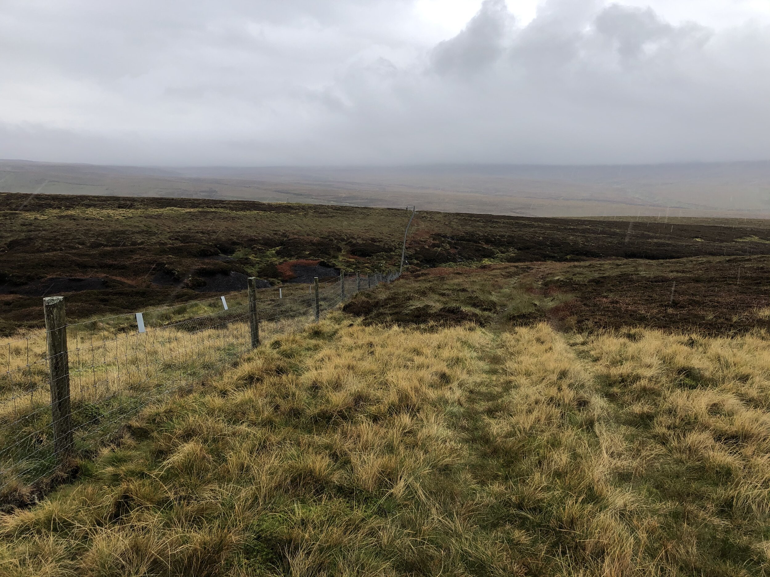
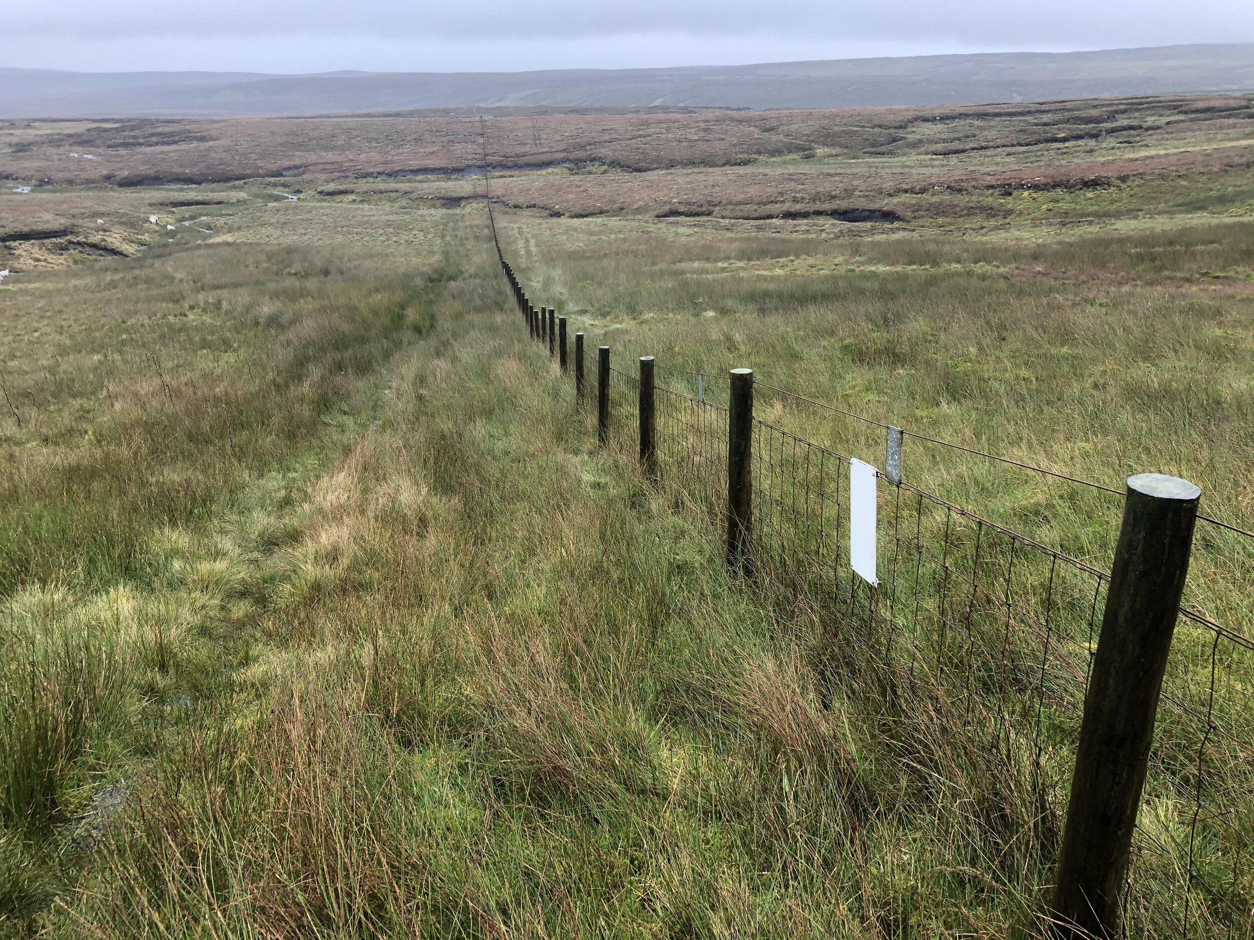
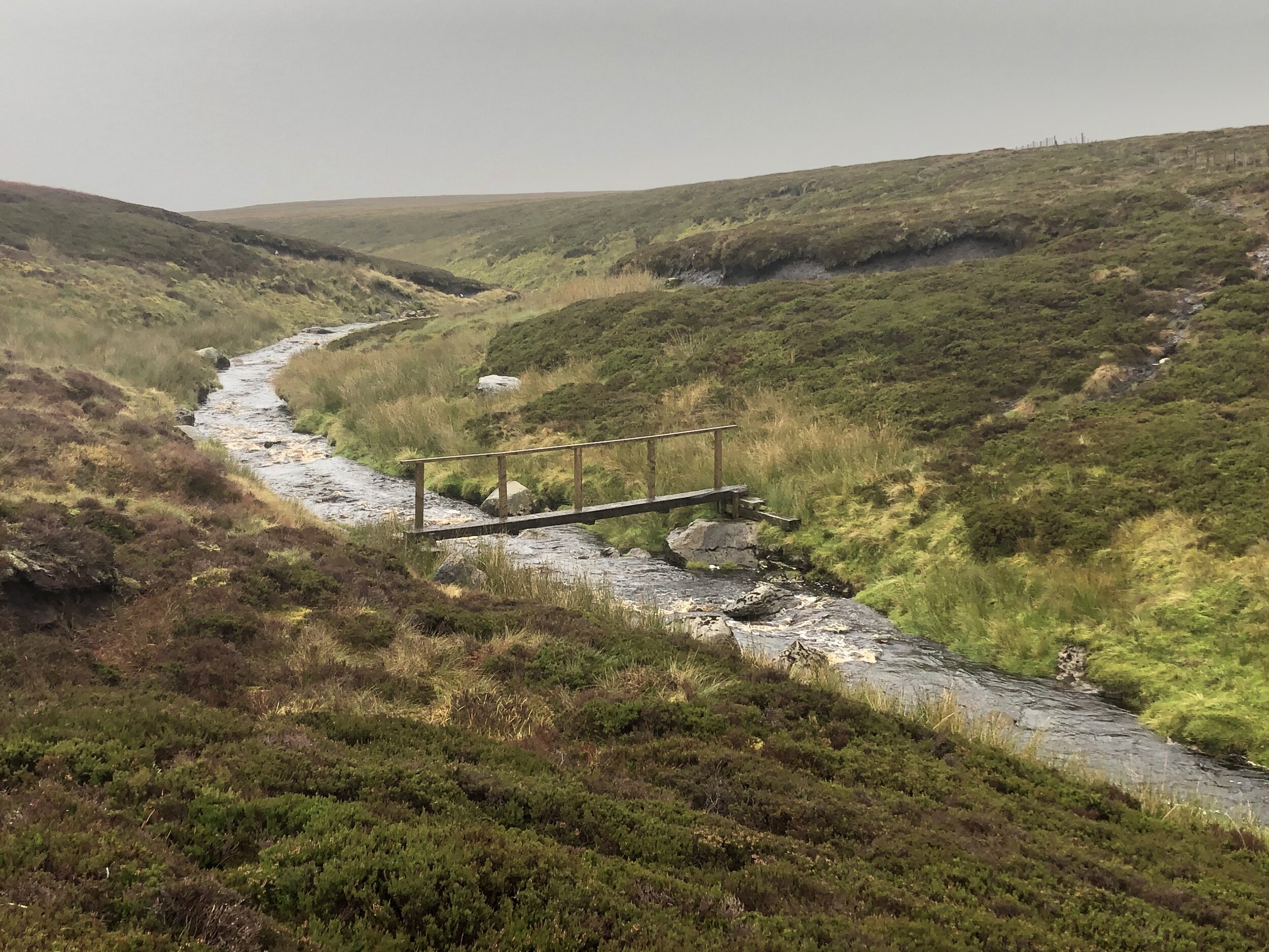
Much of the walk is very easy to navigate, even on a low-visibility day like we had. Follow the boundary fence, keeping it to your left all the way up to the summit plateau. A lot of the route is boggy underfoot and you’ll need to navigate around streams, loose peat and marsh-land. We were there on an especially wet day and it was all we could do to keep our feet dry.

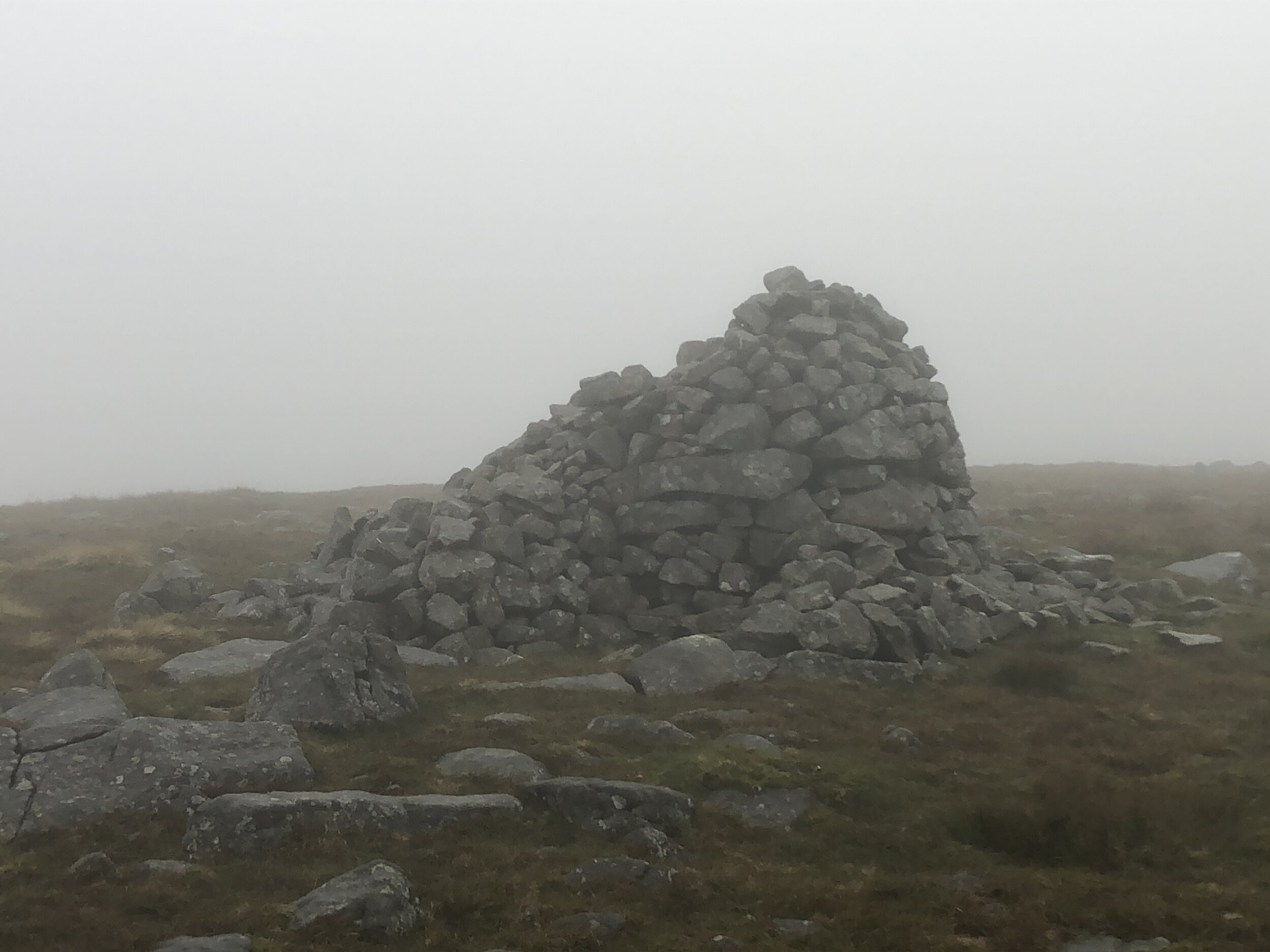
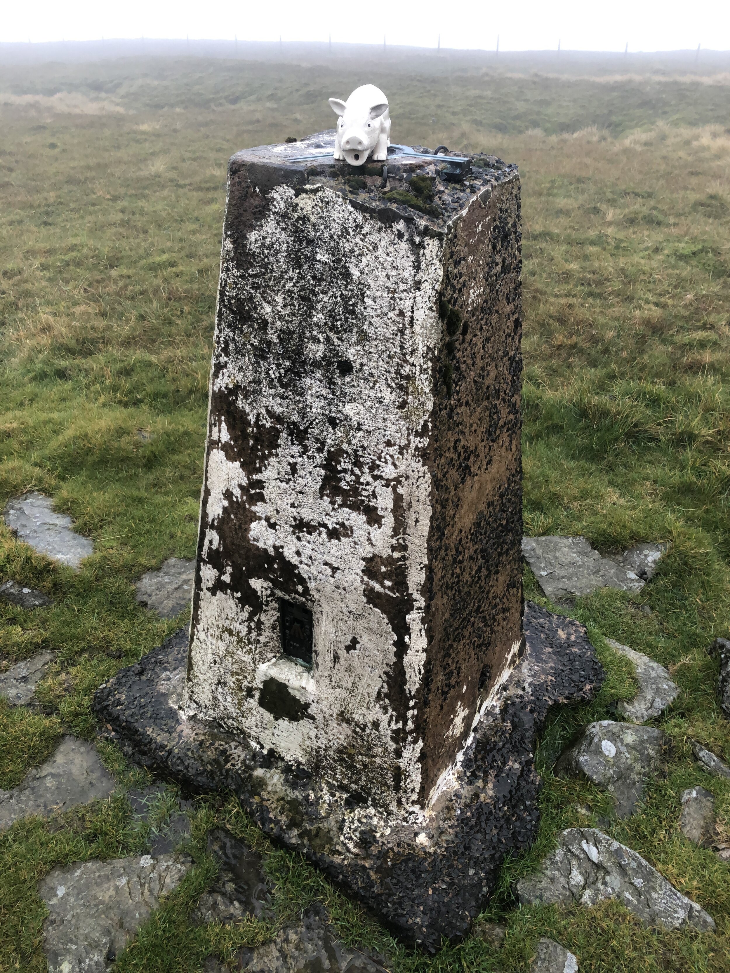
There’s a steep climb up to the summit plateau where you’ll cross a fence via a stile and can pick up some Land Rover tracks. Keep to these heading on an easterly curve and they’ll lead you to the summit cairn and the Trig Pillar.

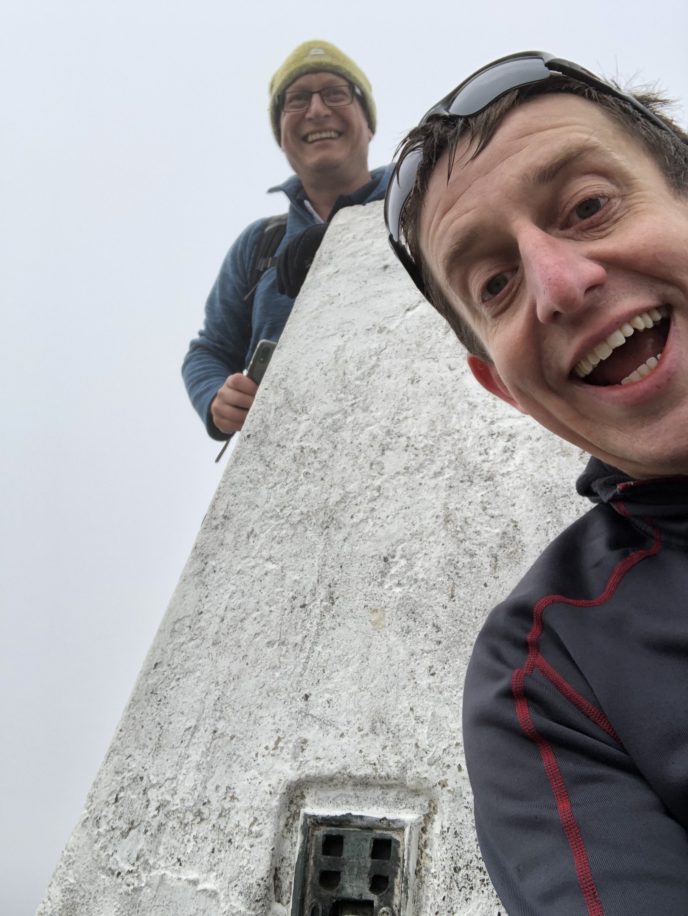
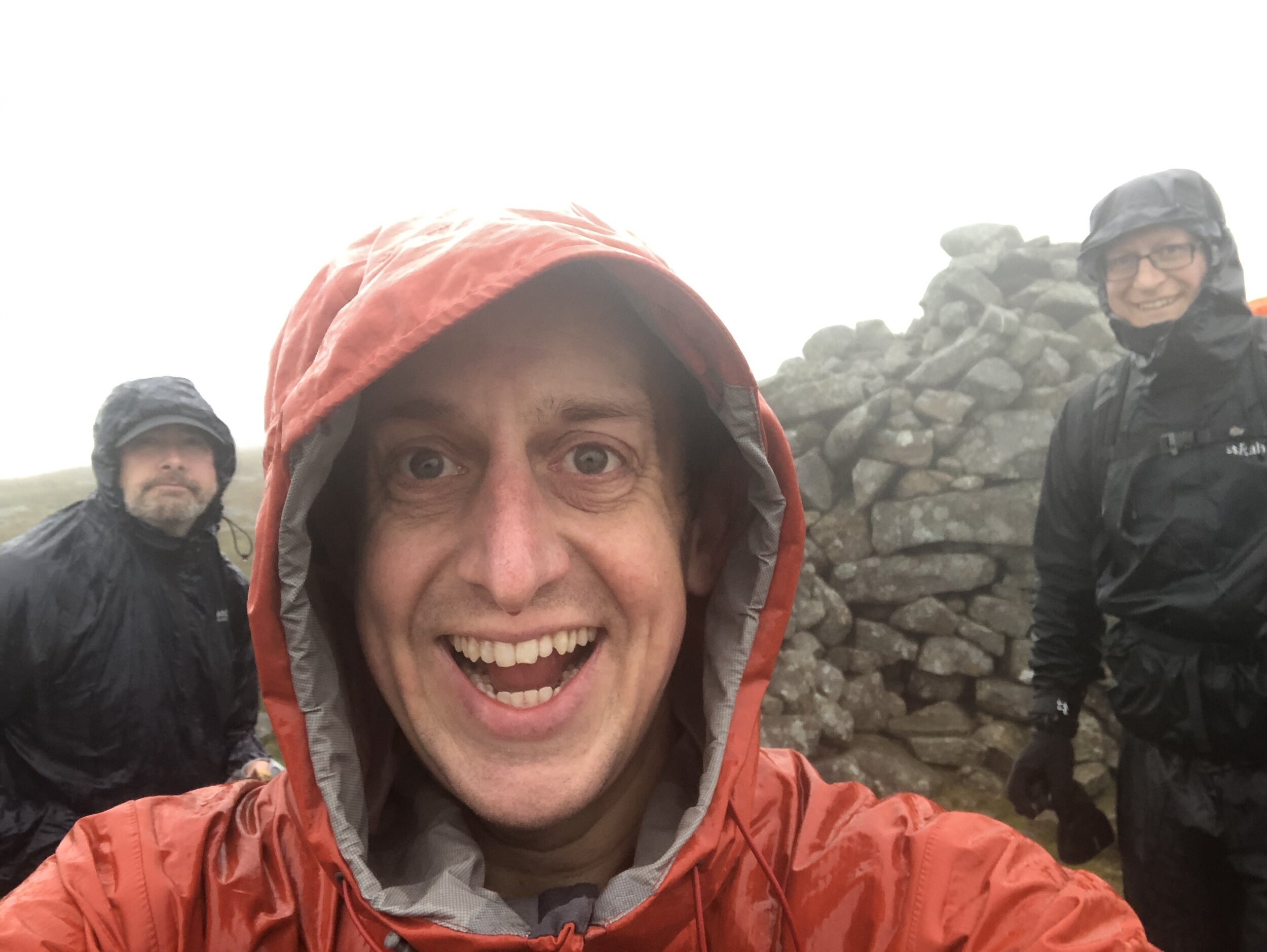
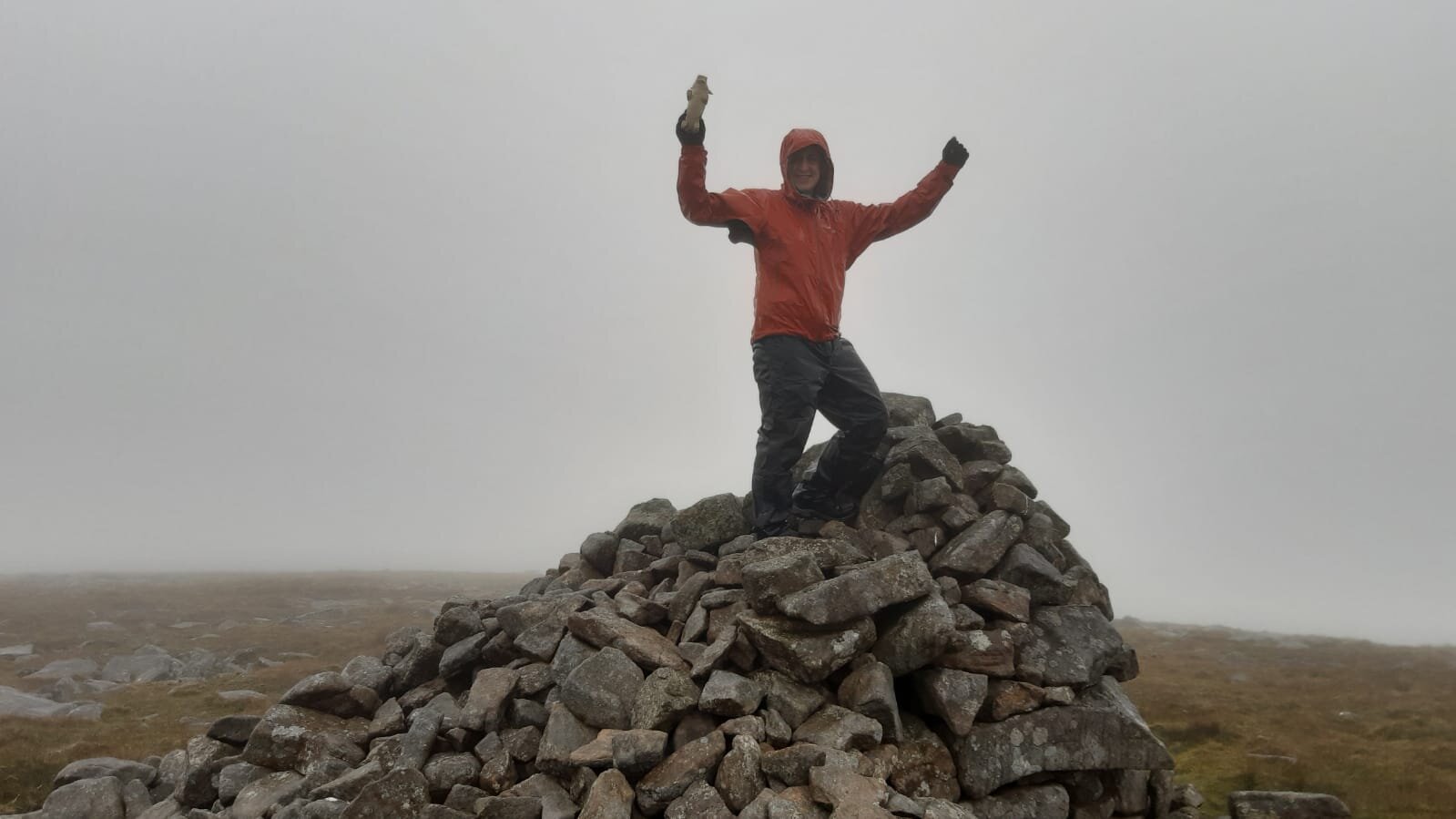
We were there on one of the wettest days possible. If the route was closer to home and we didn’t need a permit we might have delayed it for another day, but we had little option but to press on. The only other person we met on the approach had reached the summit but hadn’t bothered with the extra ~2km to the Trig Pillar. I could see how tempting it would have been on a day like that to have missed it. Given our Trig-obsession we weren’t going to miss it though and took the extra hour to bag the pillar.

The descent was much quicker as we had abandoned any attempt to avoid the wet marsh and mostly walked straight through it. At 5.5 hours of driving rain we arrived at the car as wet as if we had swum to the summit. It was challenging but it also meant that I had now completed all County Tops in England, Wales and Northern Ireland.

Now for the rest of Scotland…


OTHER HIGH POINTS IN County Durham

OTHER HIGH POINTS IN Northumberland

  • Westerhope (131m) North Tyneside Unitary Authority High Point: Peakbagger / Hillbagging

  • Camperdown (86m) North Tyneside Unitary Authority High Point: Peakbagger / Hillbagging

OTHER HIGH POINT IN Yorkshire