Cycling The Prime Meridian Part 2 - Waltham Abbey to Peterborough

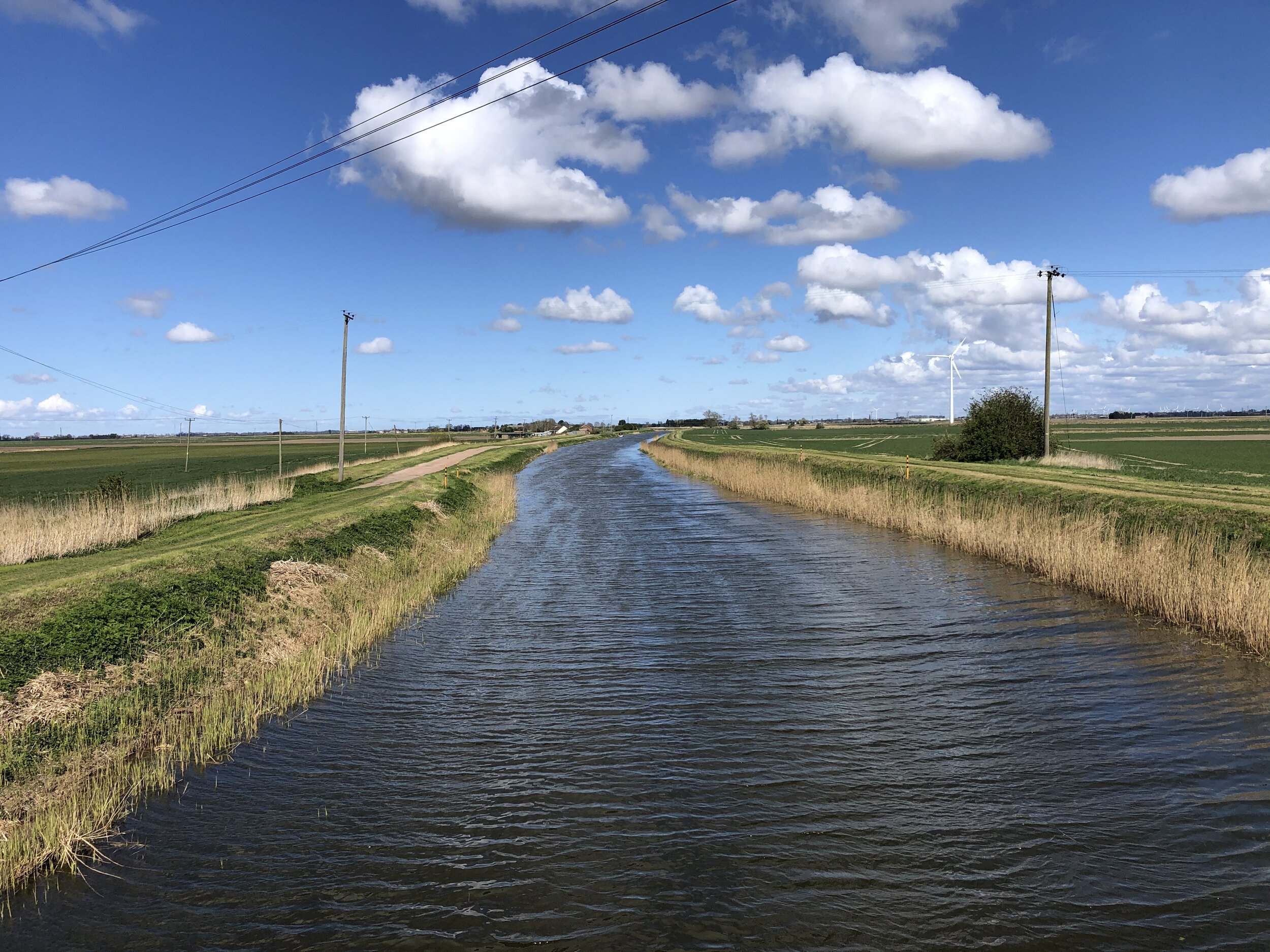
Crossing the River Nene in Fenland
The Prime Meridian, also known as the Greenwich Meridian, is the line of longitude defined as 0°. It’s the line that divides East and West. It’s also a line that I asked myself: “can that be cycled"?”. The answer is “no” as it’s a dead-straight line with buildings inconveniently built along it's path. You can cycle quite close to it though, so that’s what we did.
If you want to walk it, there’s a well-signed path called the Greenwich Meridian Trail. The Trail is also very well described in a series of 4 books by Graham and Hilda Heap. The cycle route that I designed stays as close to the Prime Meridian as possible but avoiding footpaths and opting for quieter country roads over busy main roads. Even if you’re cycling I highly recommend the Greenwich Meridian Trail books as they’re a great guide to the interesting things to see along the way.
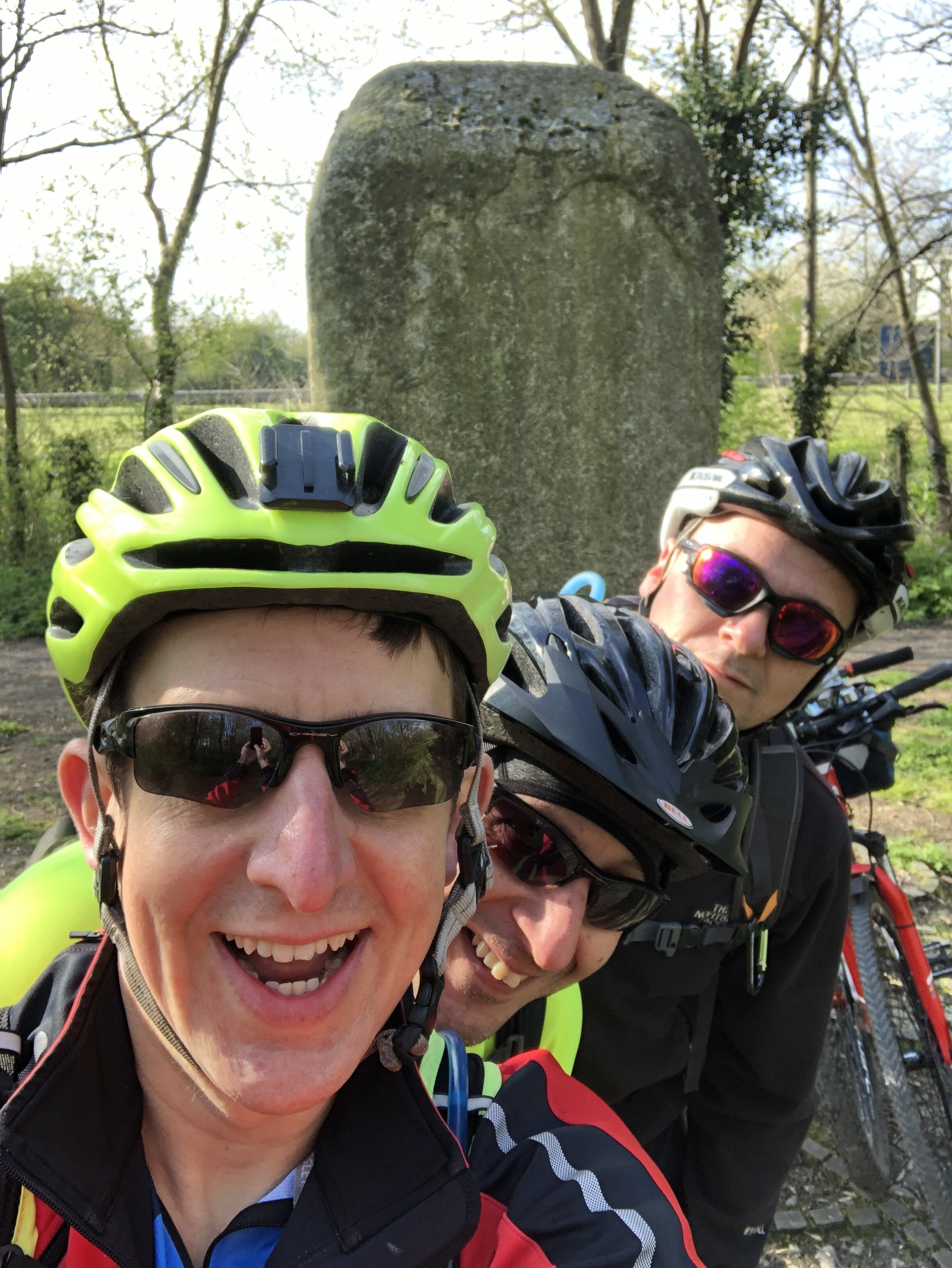
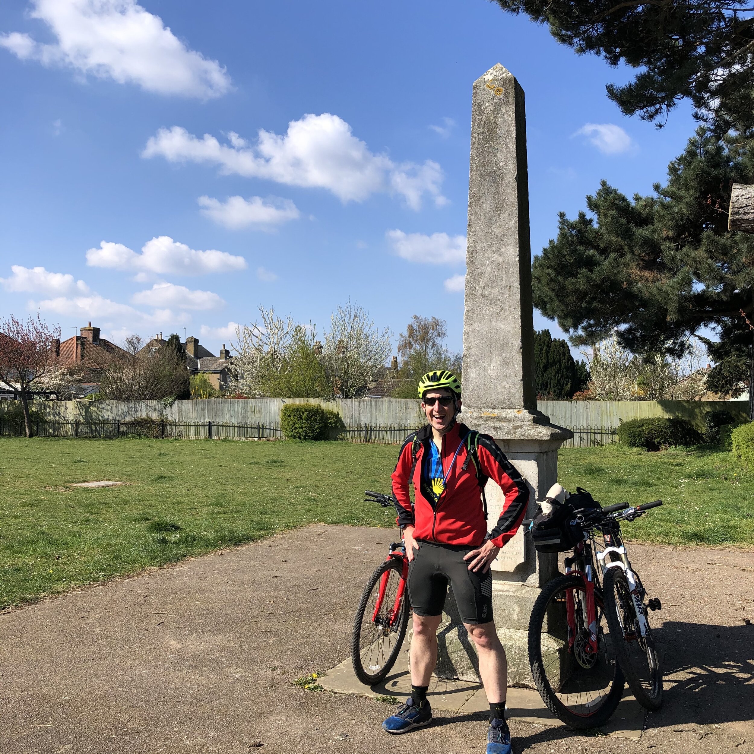
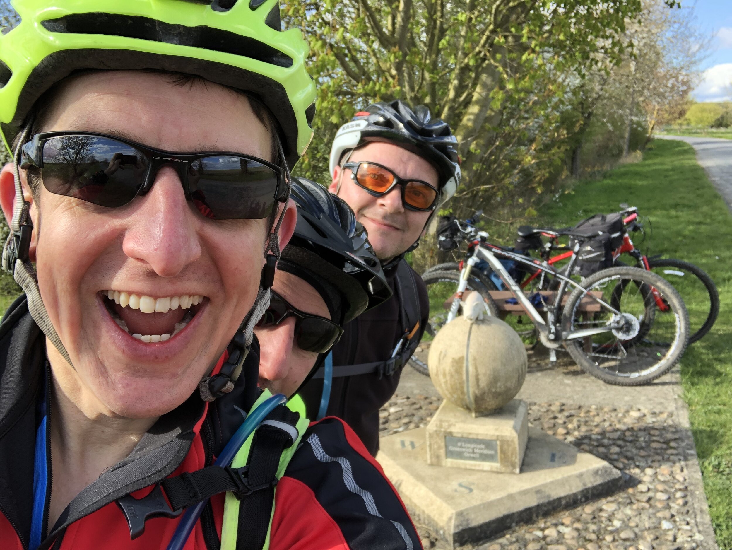
It had been 9 months since Brian and I cycled the first part from Peacehaven to Waltham Abbey. There had been 2 Covid-19 Lockdowns since then and we were eager to get out on the road. So, as soon as we were able to travel again we picked up an additional cycle buddy and headed to Waltham Abbey.
Day numbers below are for the total Prime Meridian trip starting in Peacehaven.
Day 3: Waltham Abbey to Barton
Start: Waltham Abbey Church, 4 Church St, Waltham Abbey EN9 1DJ
Finish: The White Horse Inn, 118 High St, Barton, Cambridge, CB23 7BG
Distance: 76 km (47 miles)
Elevation change: + 517m / -517m (Net 0m)
GPX File: get via Buy Me a Coffee
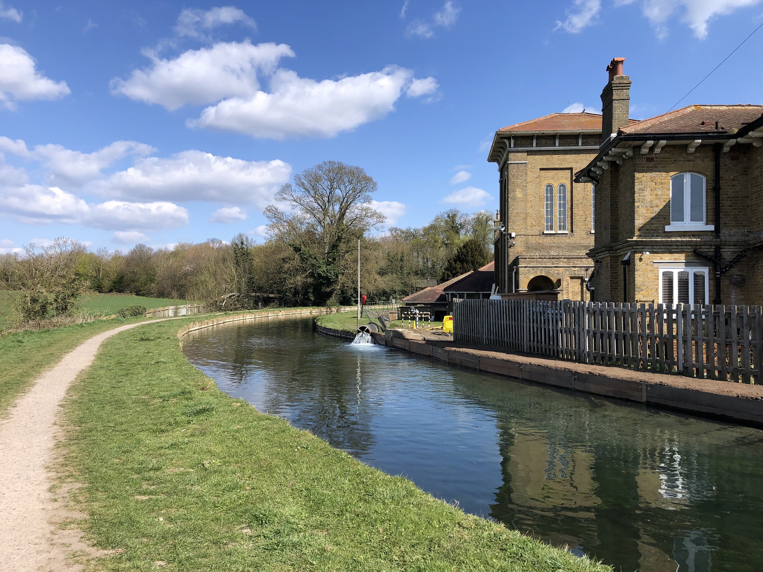
Other routes touched (walk): Greenwich Meridian Trail, Lea Valley Walk, New River Path, Hertfordshire Way, Icknield Way, Harcamlow Way,
Other routes touched (cycle): NCN 1, 61, Icknield Way Trail, National Byway
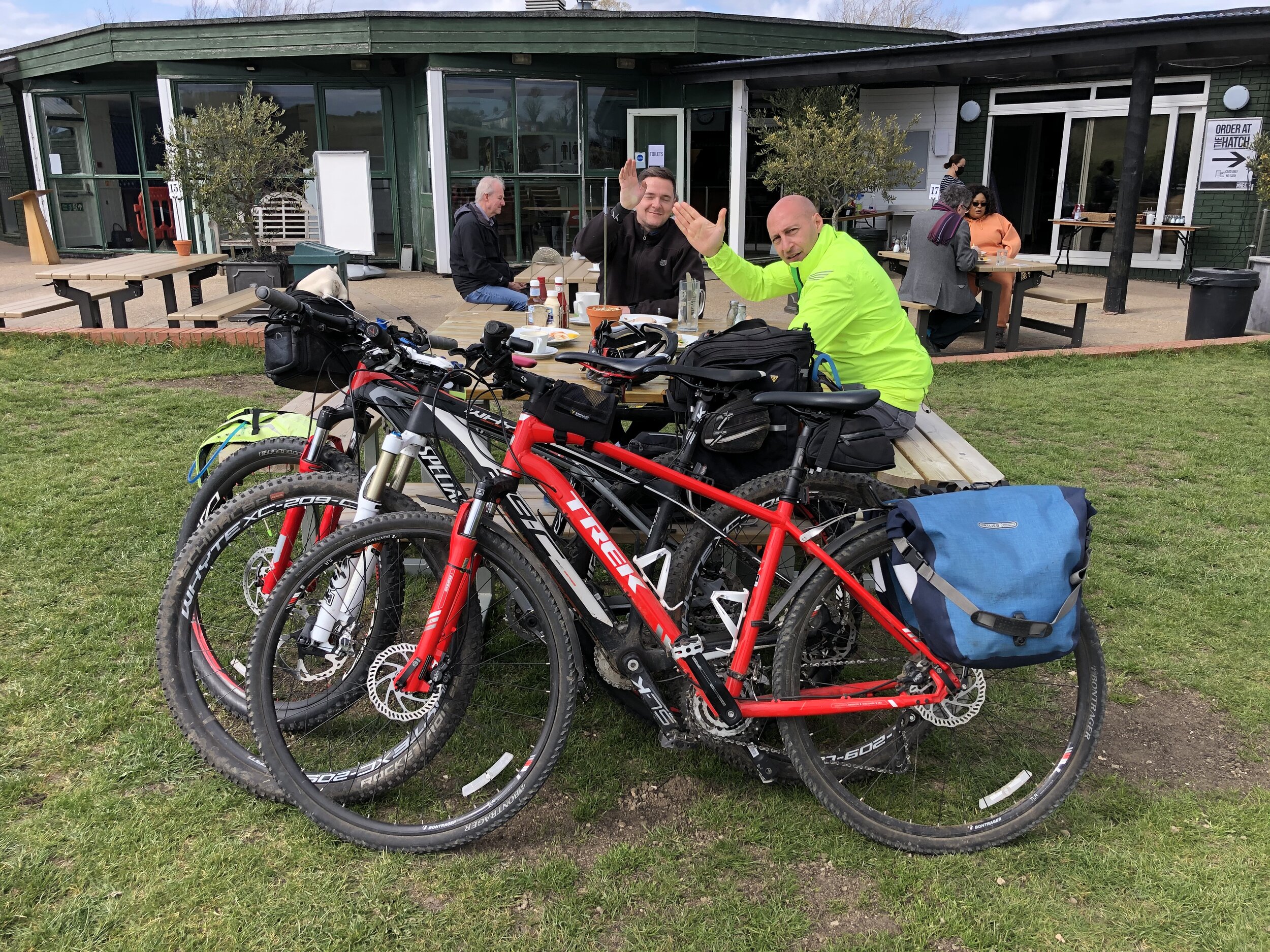
Pubs / Cafes on route: Lots, but I recommend The Heath Cafe Bar at Royston
Maps:
- OS Explorer Map (174) Epping Forest & Lee Valley Map
- OS Explorer Map (194) Hertford and Bishop's Stortford
- OS Explorer Map (209) Cambridge, Royston, Duxford & Linton
Guidebook: Greenwich Meridian Trail Book 2: Greenwich to Hardwick
Links: Wikipedia: Prime Meridian, The Greenwich Meridian, Greenwich Meridian Trail, Waltham Abbey, Lea Valley Park, Ware, Royston, Barton


Day 4: Barton to Peterborough
Start: The White Horse Inn, 118 High St, Barton, Cambridge, CB23 7BG
Finish: Peterborough Railway Station, Peterborough, PE1 1QL, United Kingdom
Distance: 88.9 km (55.2 miles)
Elevation change: +246m / - 253m (Net -9m)
GPX File: get via Buy Me a Coffee
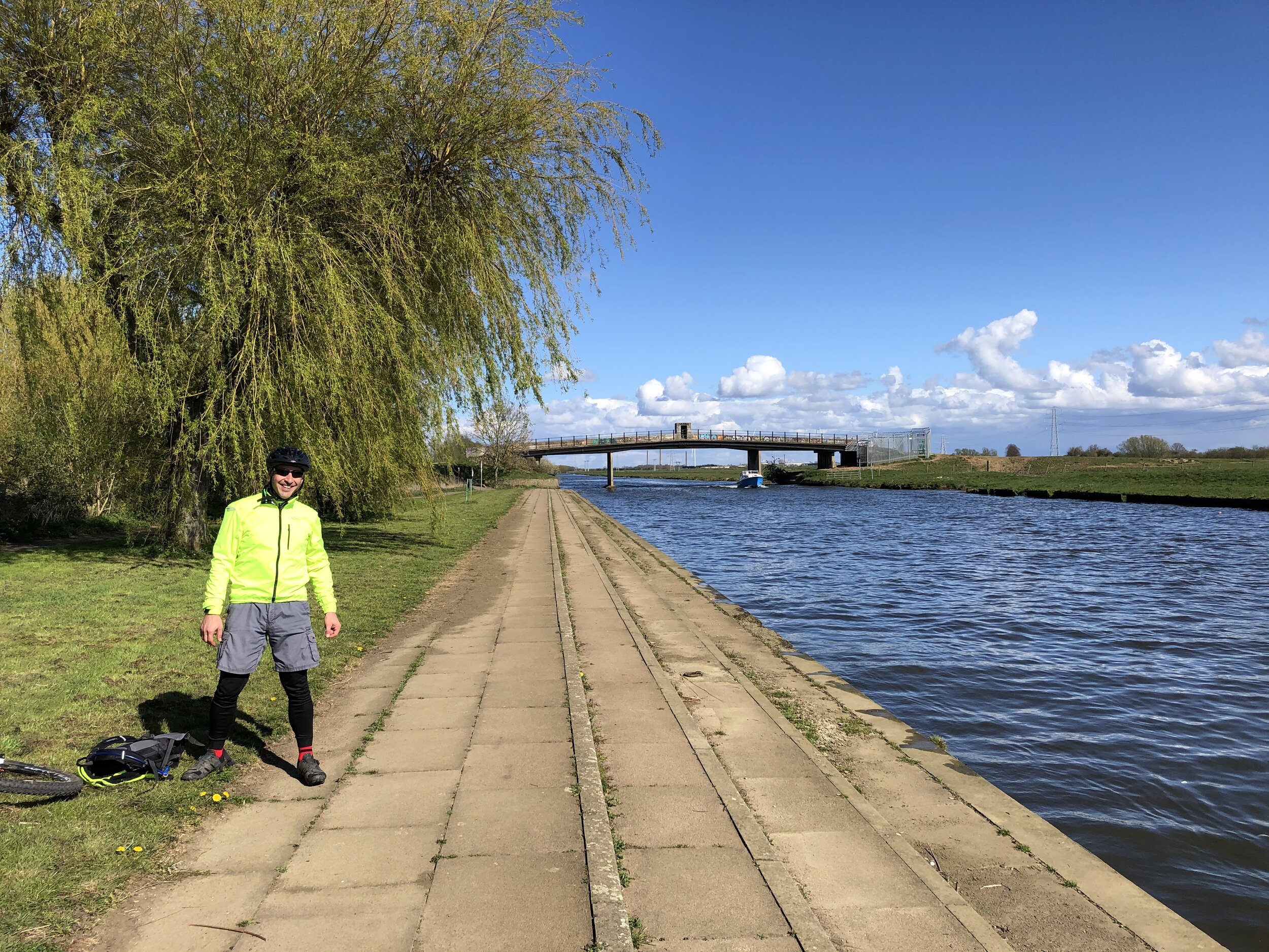
Other routes touched (walk): Greenwich Meridian Trail, Harcamlow Way, Wimpole Way, Pathfinder Way, Ouse Valley Way, Rothschild Way, Nene Way
Other routes touched (cycle): NCN 12, 51, 63, National Byway
Pubs / Cafes on route: Lots, but I recommend The Nook at Swavesey, The Rose and Crown Somersham and Nanas Team Room Chatteris
Maps:
- OS Explorer Map (209) Cambridge, Royston, Duxford & Linton
- OS Explorer Map (225) Huntingdon and St.Ives, Grafham Water
- OS Explorer Map (227) Peterborough
Guidebook: Greenwich Meridian Trail Book 2: Greenwich to Hardwick and Greenwich Meridian Trail Book 3: Hardwick to Boston
Links: Wikipedia: Prime Meridian, The Greenwich Meridian, Greenwich Meridian Trail, Barton, Hardwick, Swavesey, St. Ives, Somersham, Chatteris, Peterborough
As you can see from the map below, both Barton and (especially) Peterborough are a bit off course for the Prime Meridian. The choice of Barton was really down to post-Lockdown availability of hotels. In normal times there would likely be more options. Given the choice we would have stayed in Hardwick where the 2nd Greenwich Meridian Trail book ends.
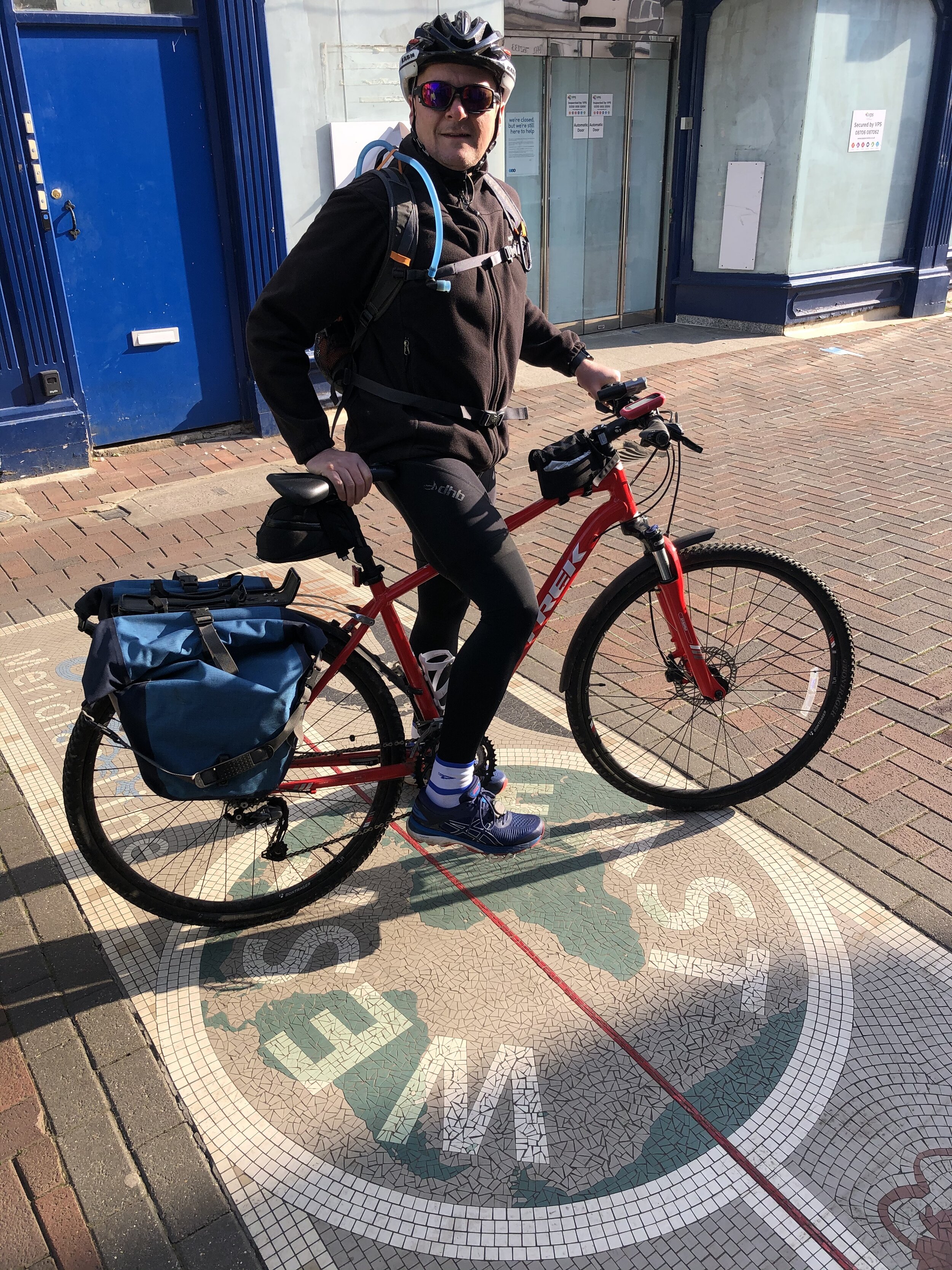
Peterborough is actually a long way off course at 22 km away from the final Meridian marker of the trip. This was our end point as we were taking the train from there back to the start. We took a Thameslink train to Potters Bar via a change at Hitchen. From Potters Bar, Waltham Abbey is a 50 minute cycle ride or, as we did a 20 minute drive as we left a car at Potters Bar and another at Waltham Abbey.


The Missing Link: March to Fleet

If you’re not taking the Peterborough diversion to end the section there, here’s how to continue up the Meridian. This section starts at the last Meridian marker on Day 4 and picks up the Day 5 route at the first Meridian marker. You’ll save ~20k by taking this route rather than going via Peterborough. There’s not much to see though and few options for food and accommodation.

Start: Turves Millennium Marker. Grid Ref TL 35692 97021
Finish: Fleet Obelisk. Grid Ref TF 35123 15538
Distance: 28.7 km (17.8 miles)
Elevation change: +91m / - 89m (Net -2m)
GPX File: get via Buy Me a Coffee
Other routes touched (walk): Greenwich Meridian Trail, Nene Way
Other routes touched (cycle): NCN 63
Maps:
- OS Explorer Map (227) Peterborough
- OS Explorer Map (235) Wisbech and Peterborough North
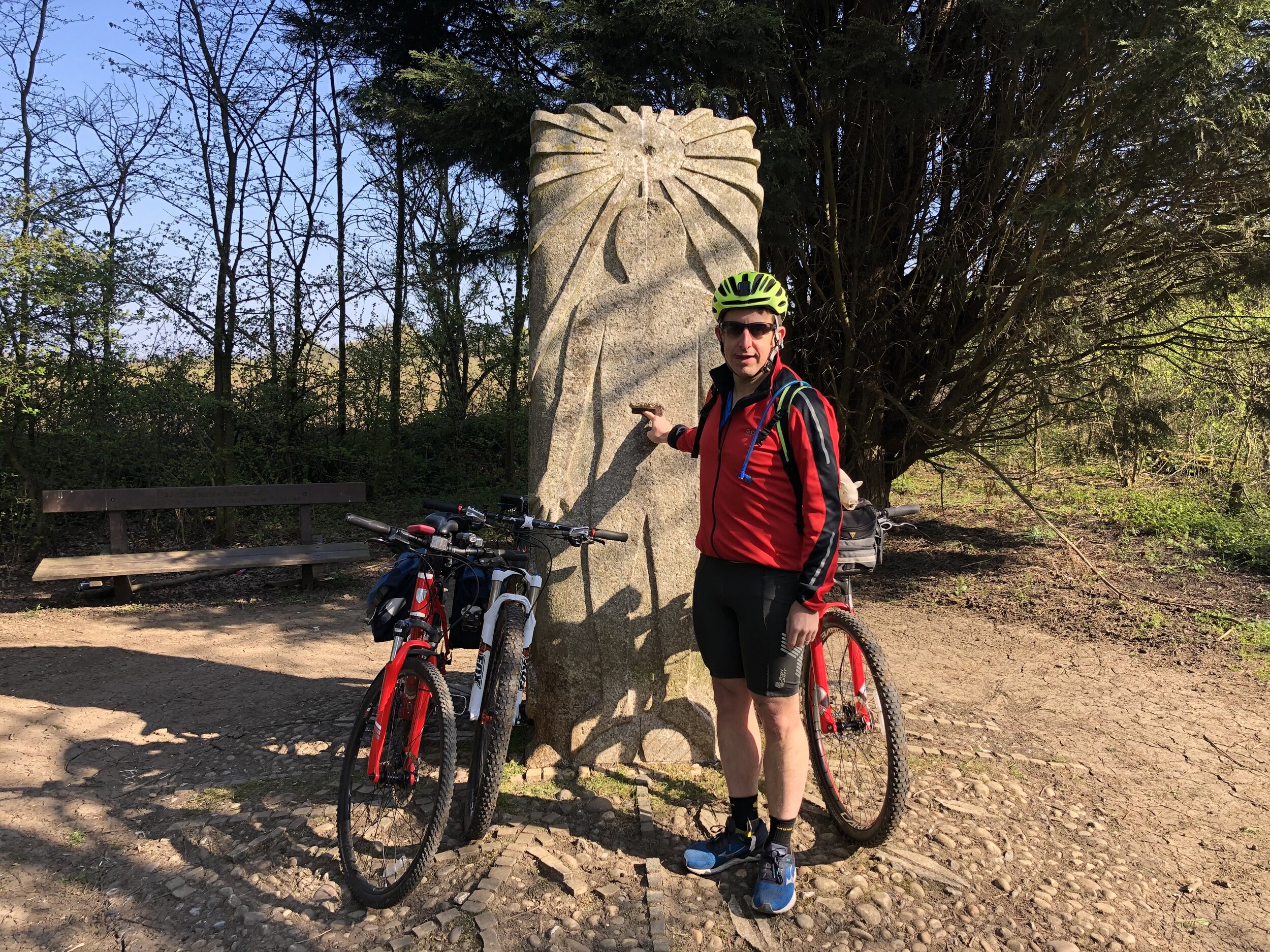
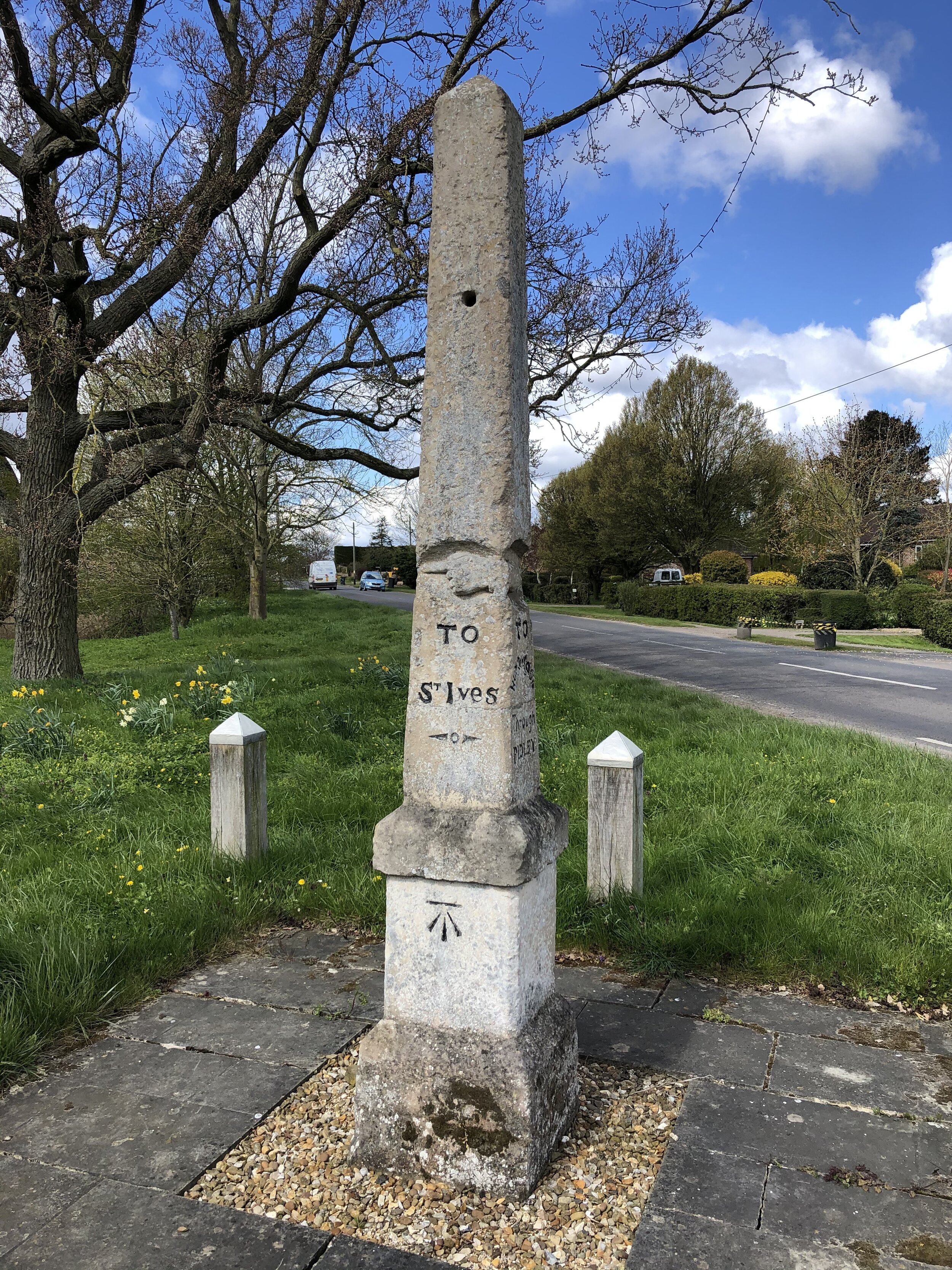
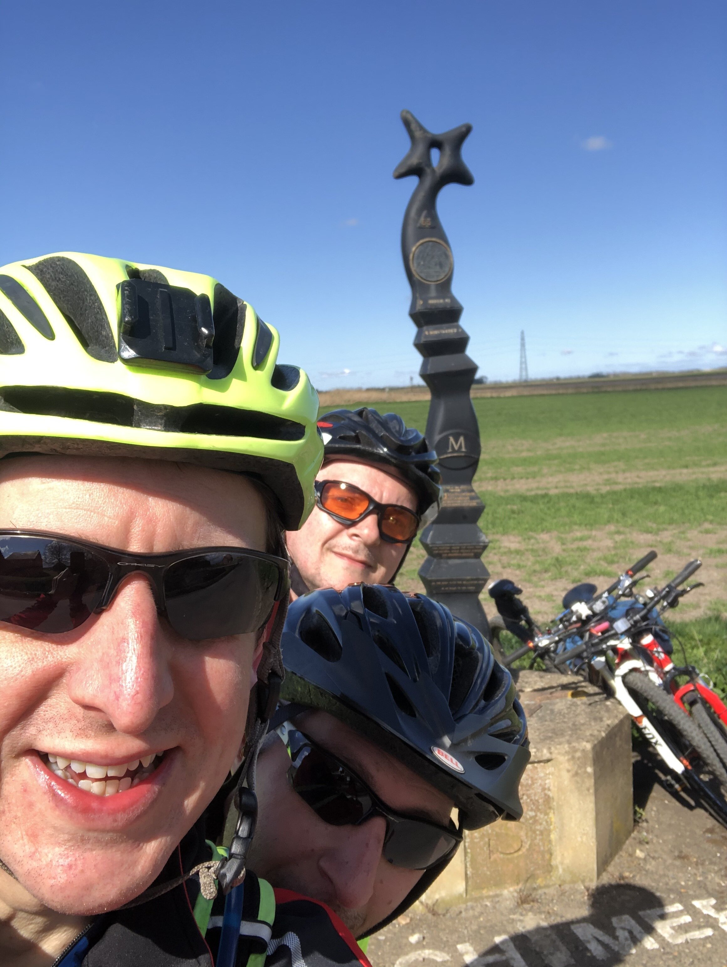
Prime Meridian markers on the route
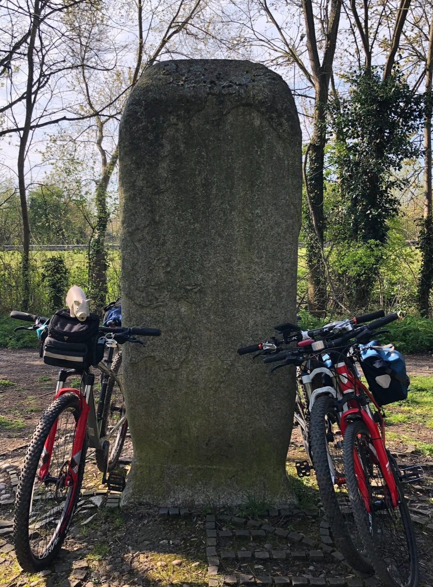
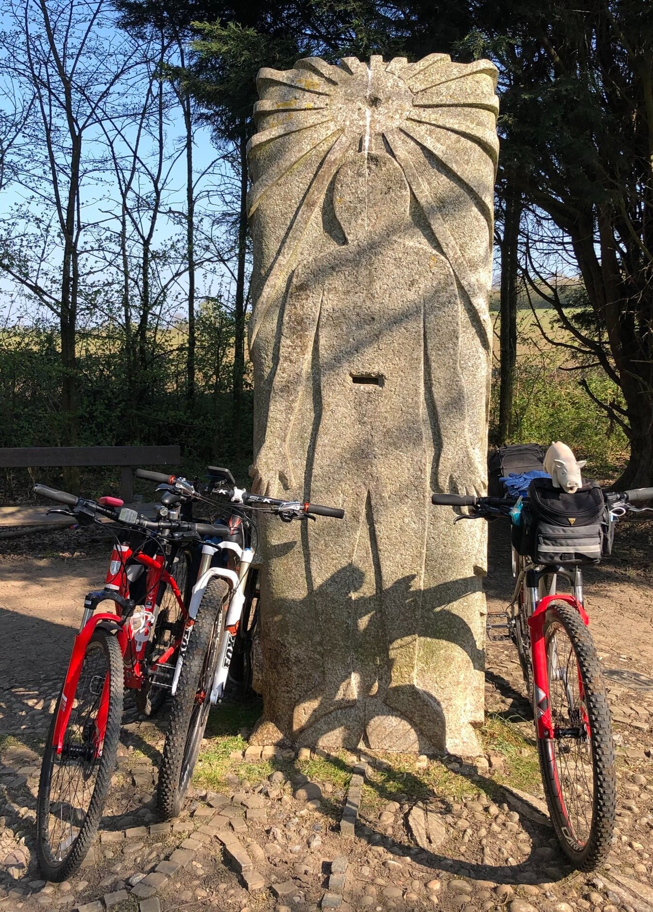
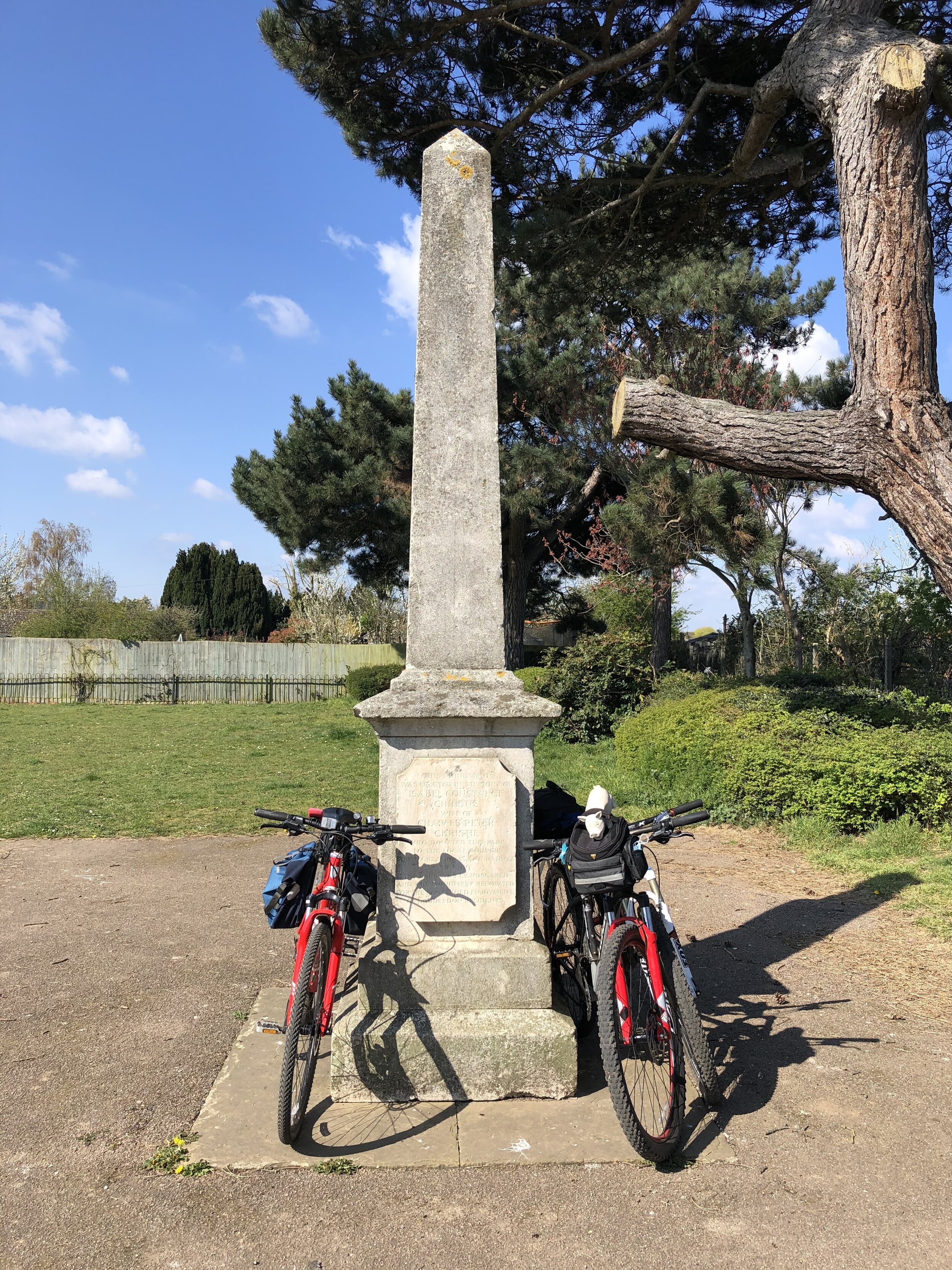
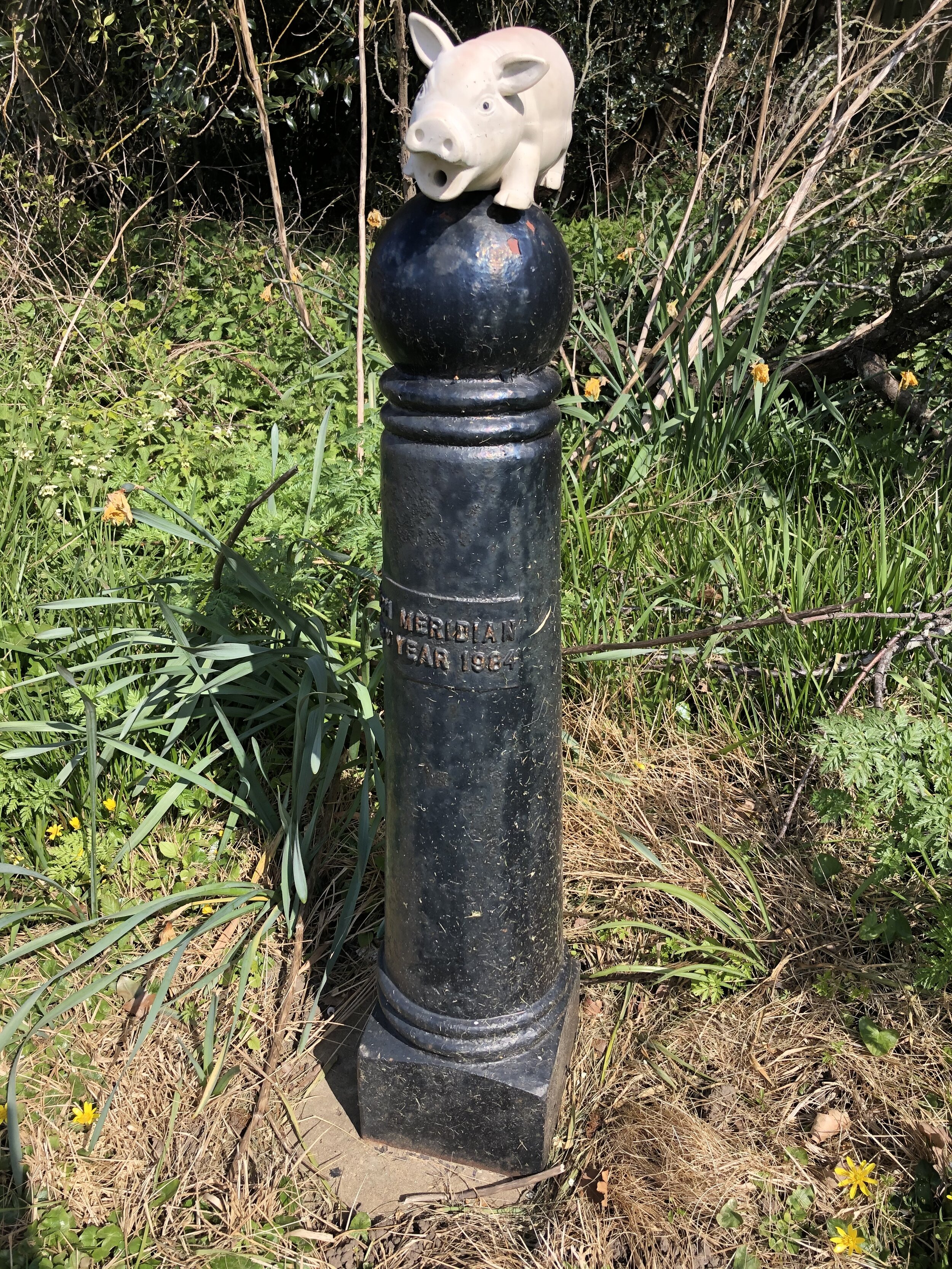
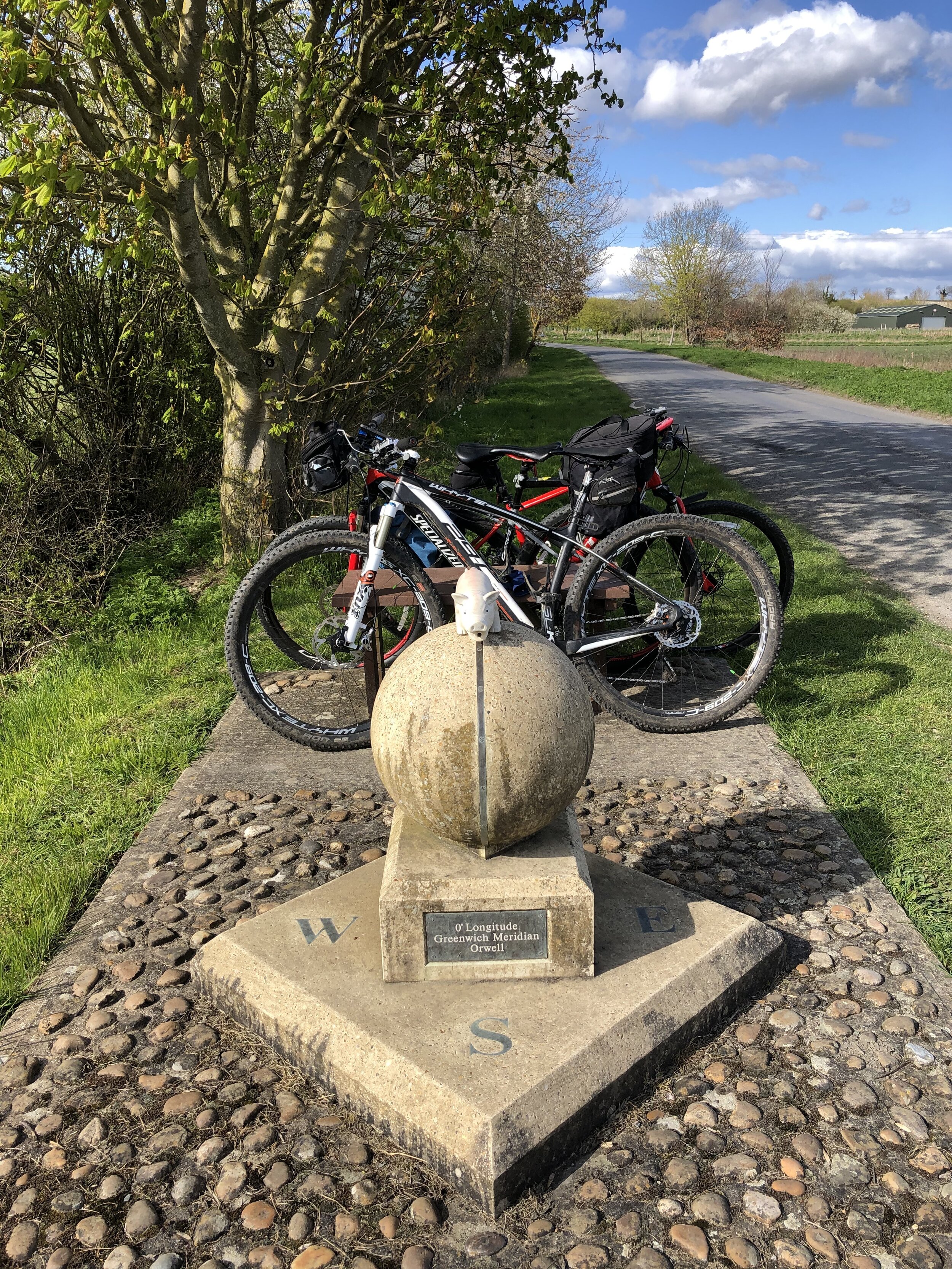
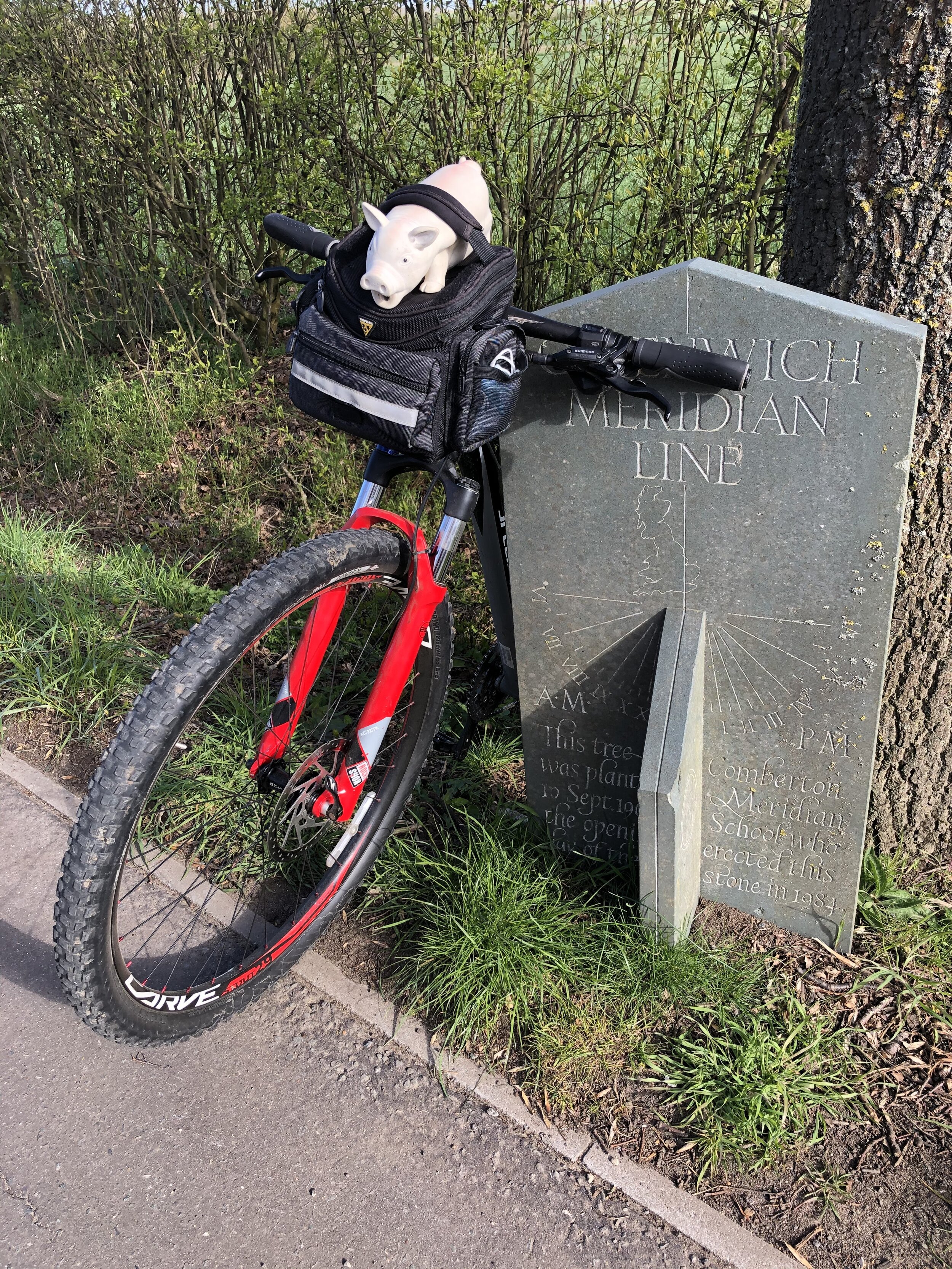
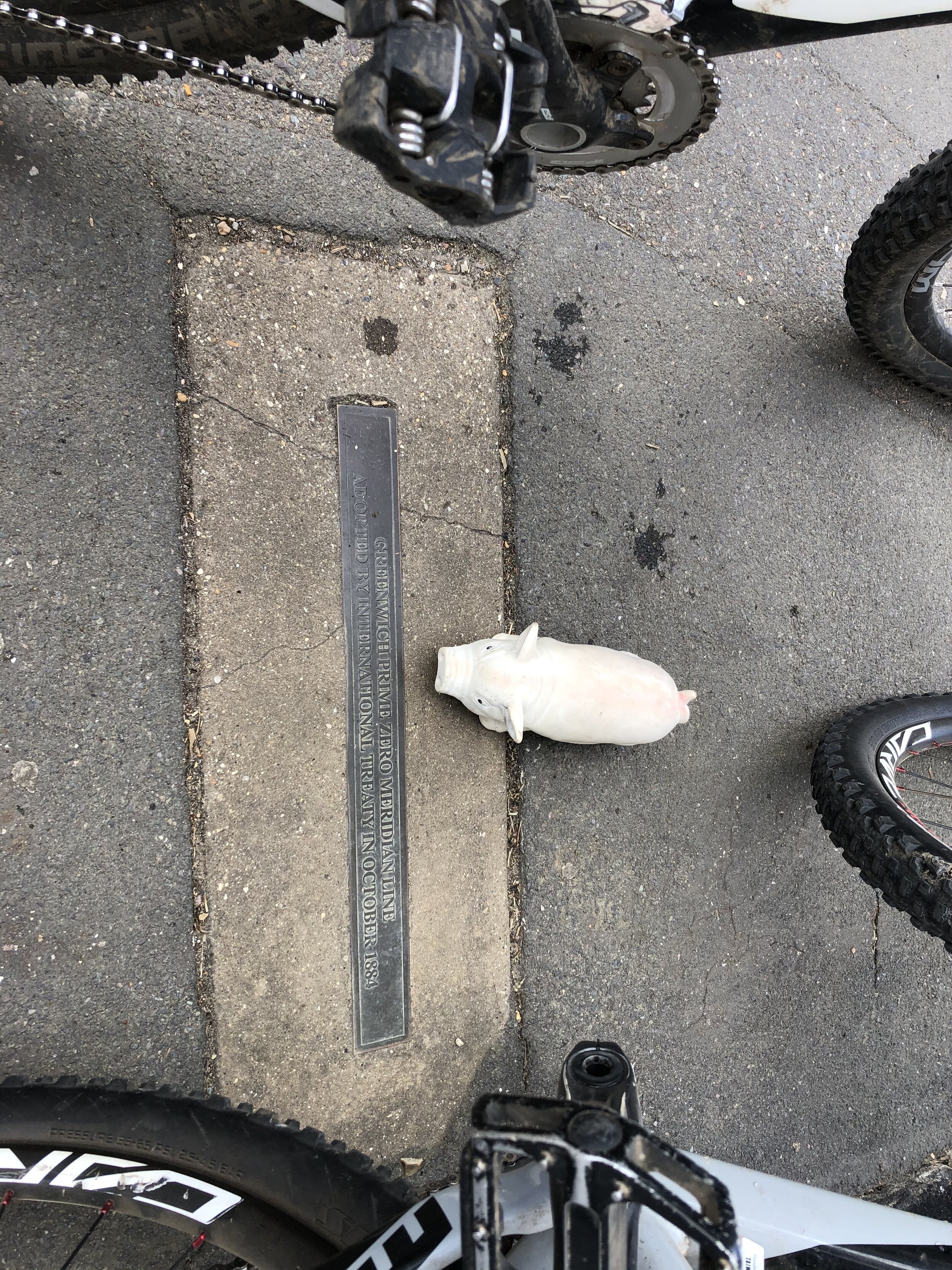
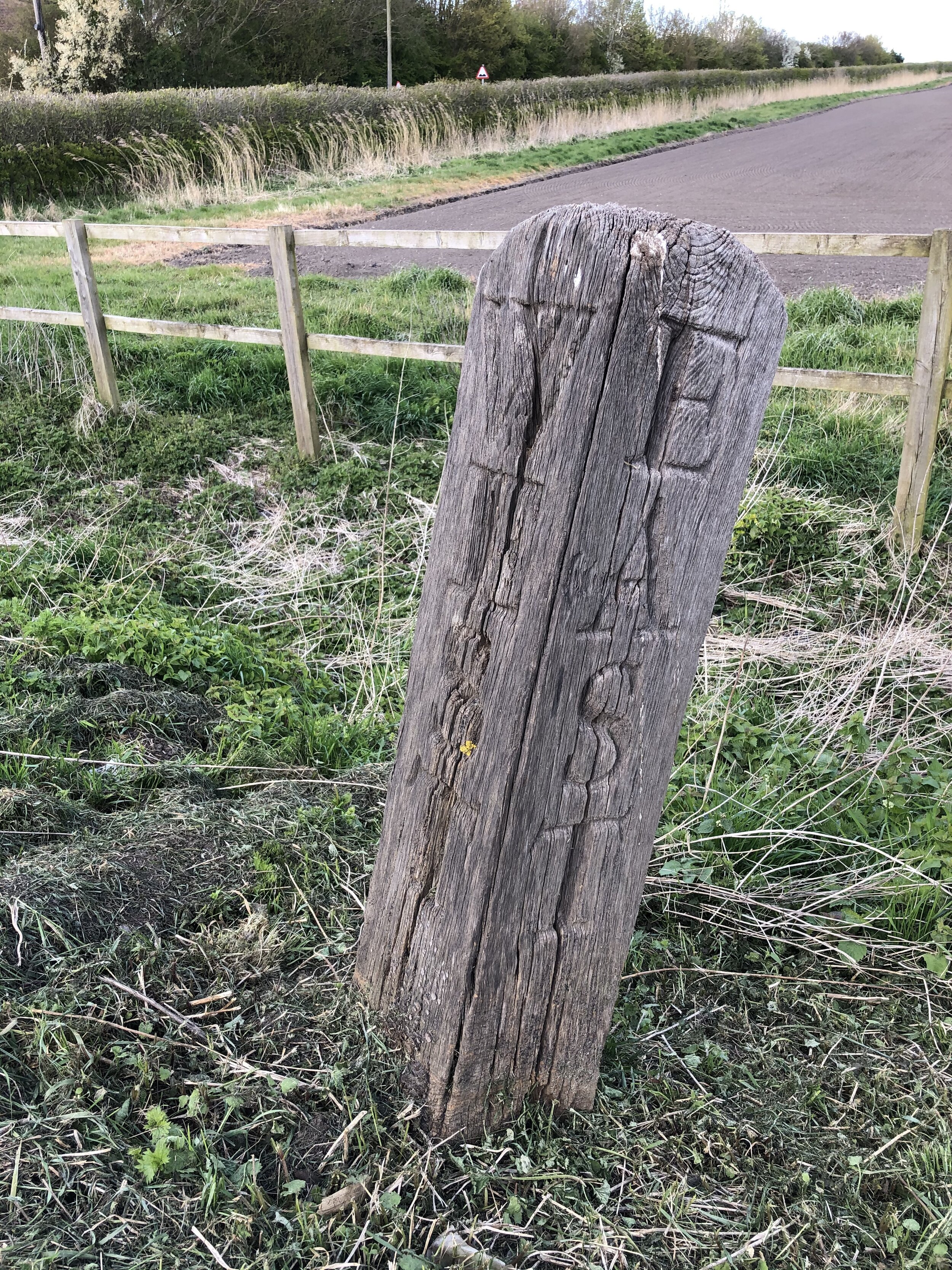
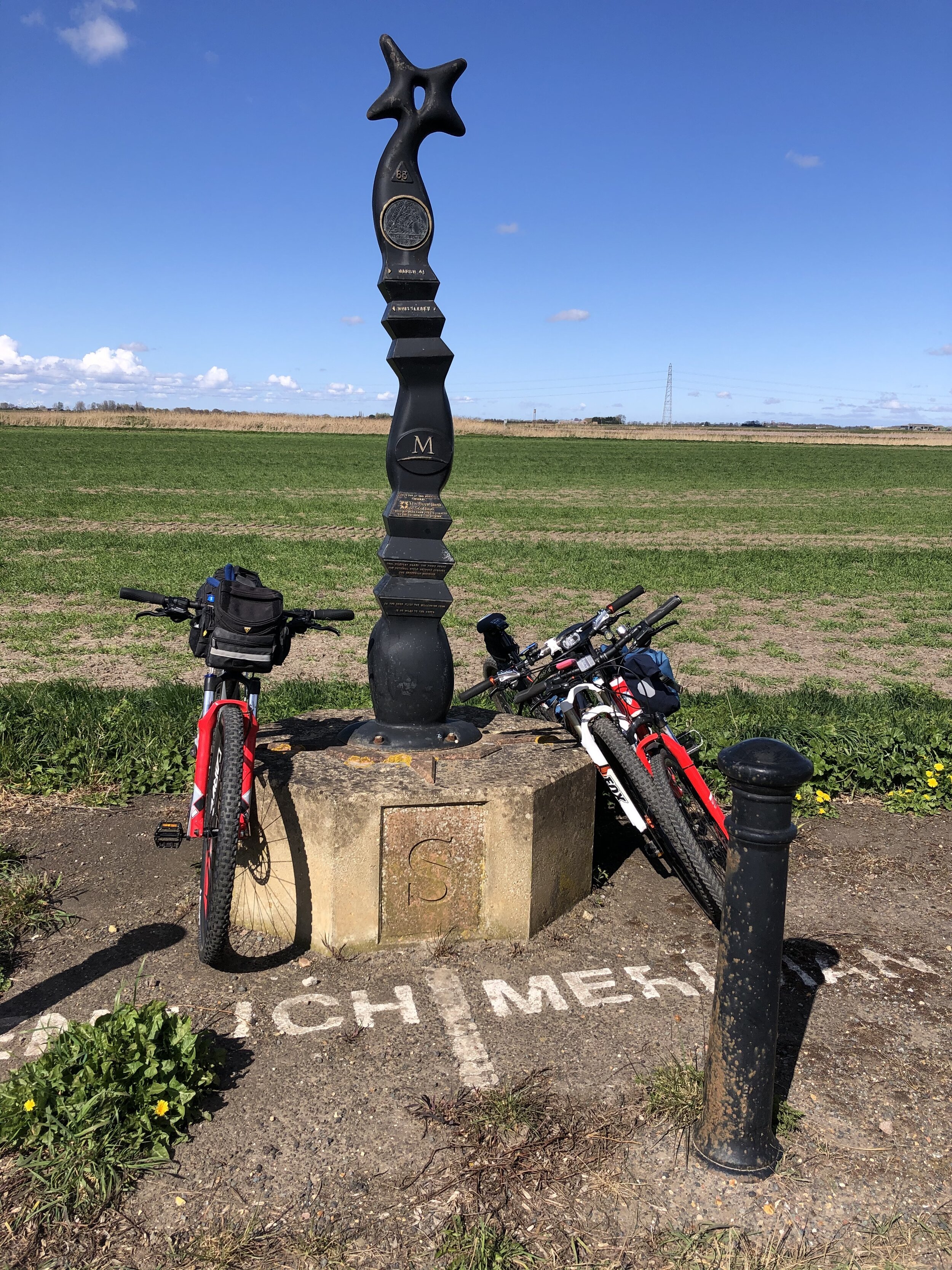
Bottom Row (left to right)
Previous section: Peacehaven to Waltham Abbey
Next section: Peterborough to Sand Le Mere