Cycling The River Lea

Near River Lee Country Park
Part of the Chiltern Rivers Series
River Lea start: Leagrave, Bedfordshire
River Lea end: Leamouth, Greater London
River Lea length: ~42 miles / 68 km
Cycle route start / end: Wardown Park, Luton, Bedfordshire
Cycle route length: ~58 miles / 94 km
Cycle route ascent: +420m / -507m
GPX File: get via Buy Me a Coffee
Other routes touched (walk): Lea Valley Walk, Chiltern Way, Hertfordshire Way, New River Path, Greenwich Meridian Trail, London Loop, Capital Ring, The Greenway, Jubilee Greenway, Regent’s Canal Towpath
Other routes touched (cycle): NCN Routes 1, 12, 57, 6, 61, Chilterns Cycleway, Ayot Greenway
Map: OS Explorer Map (193) Luton and Stevenage, OS Explorer Map (182) St. Albans and Hatfield, OS Explorer Map (174) Epping Forest & Lee Valley, OS Explorer Map (173) London North, The City, West End, Enfield, Ealing, Harrow & Watford
Links: River Lea, Leagrave, Luton, Lee Navigation, Limehouse Basin, Regent’s Canal
It was Easter Saturday and time to start proper training for July's Titanic Ireland cycle adventure. My cycling friends had all opted out due to being "broken", "in Germany", "painting", or, rather strangely, "not fit enough to start training", so I was on my own for this one!
The route is a fantastic combination of National Cycle Network (NCN) paths, starting near the source of the River Lea in Luton and ending at Limehouse Basin on the River Thames in London. Getting back is easy enough, as the Regent's Canal towpath takes you straight from the basin up to St Pancras Station, where there are frequent trains back to Luton.
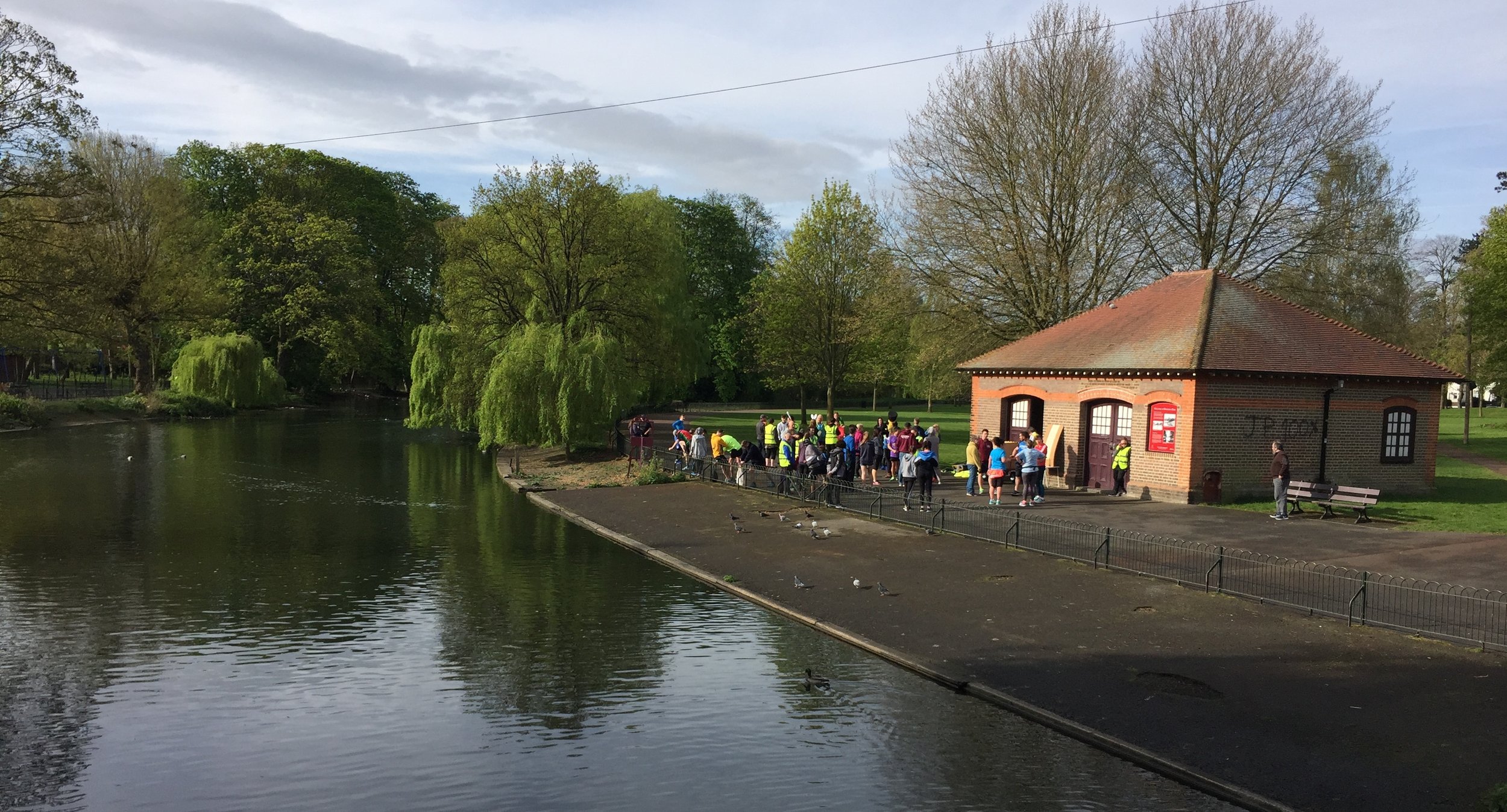
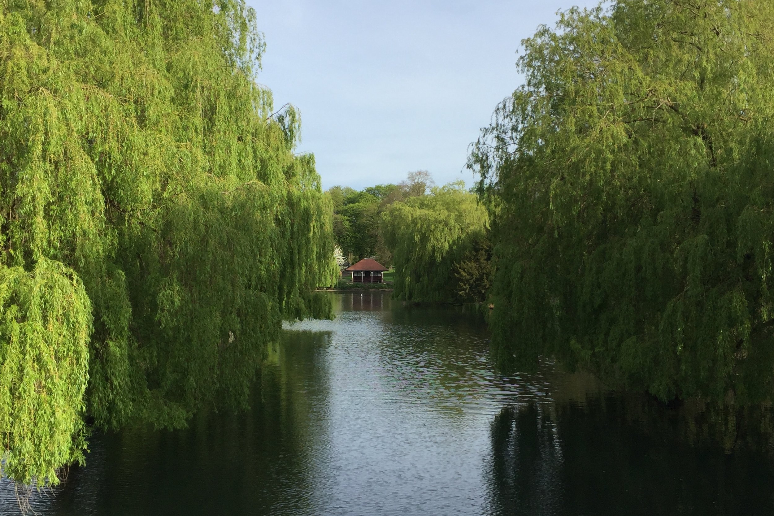
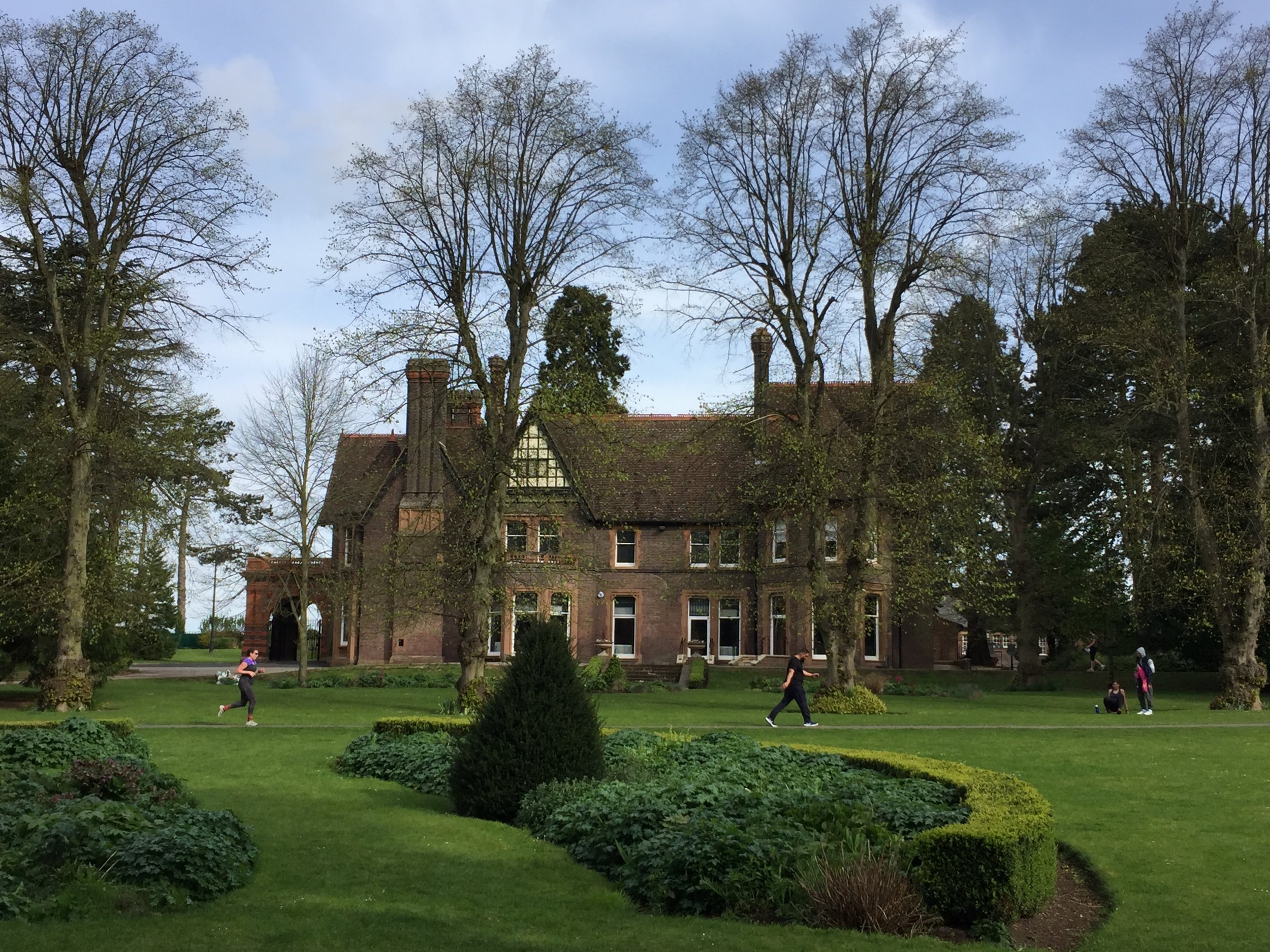
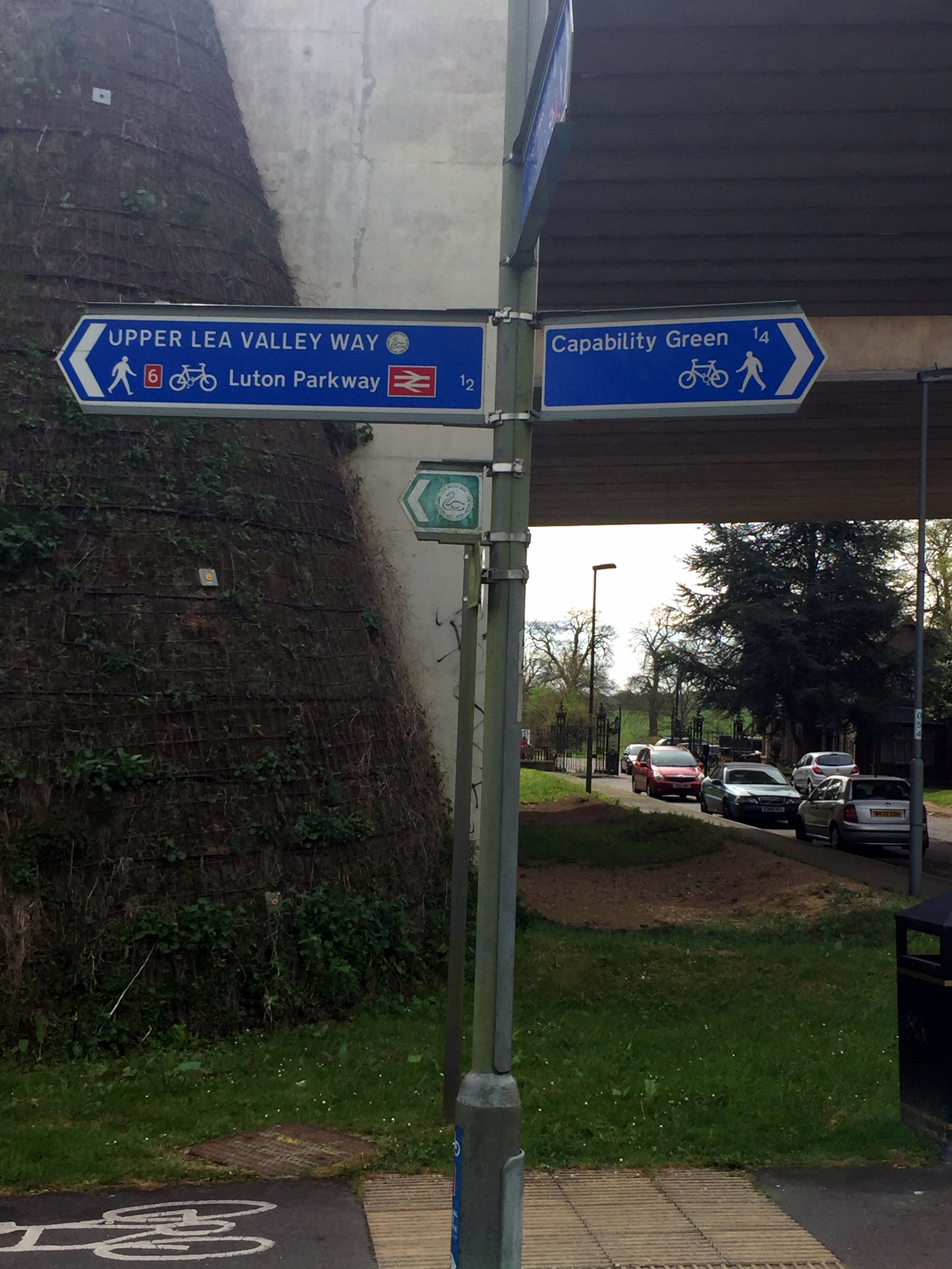
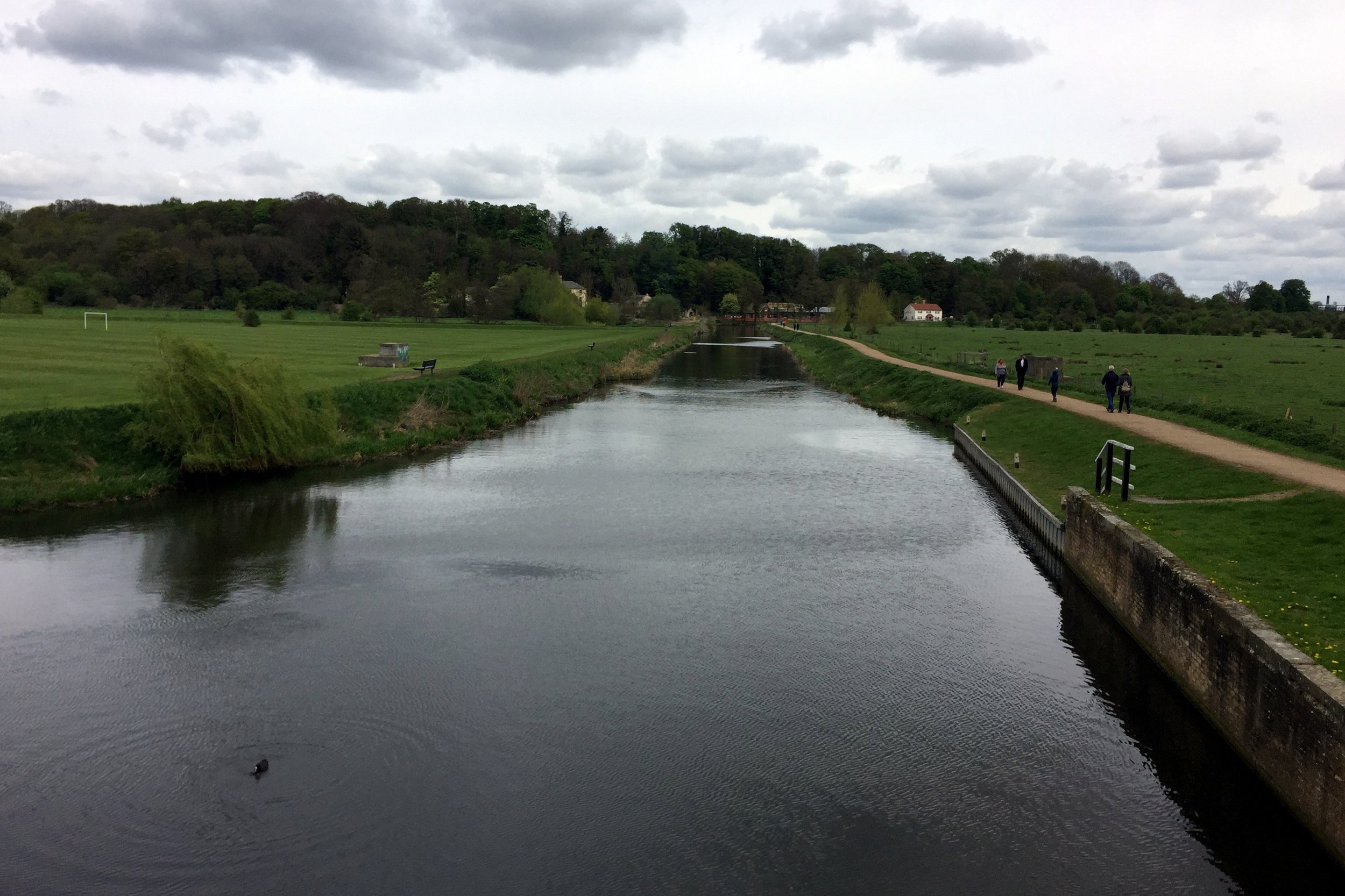
The River Lea actually starts in Leagrave, just north of Luton. Although NCN Route 6 passes right through it, I opted to start the trip 2.3 miles downstream at Wardown Park, where the river fills a lovely boating lake. It is also the venue for Luton Wardown parkrun, which, as it was Saturday morning, absolutely had to be done too! Wardown Park is a great place to visit, featuring a beautiful Victorian mansion that now houses a museum. If I were to do the trip again, I would probably start at the true source, as it is very close to Leagrave Station (which is on the exact same train line to St Pancras). This additional northern section follows the Lea Valley Walk, which is mostly a footpath, but there are good options for cycling on the nearby roads.
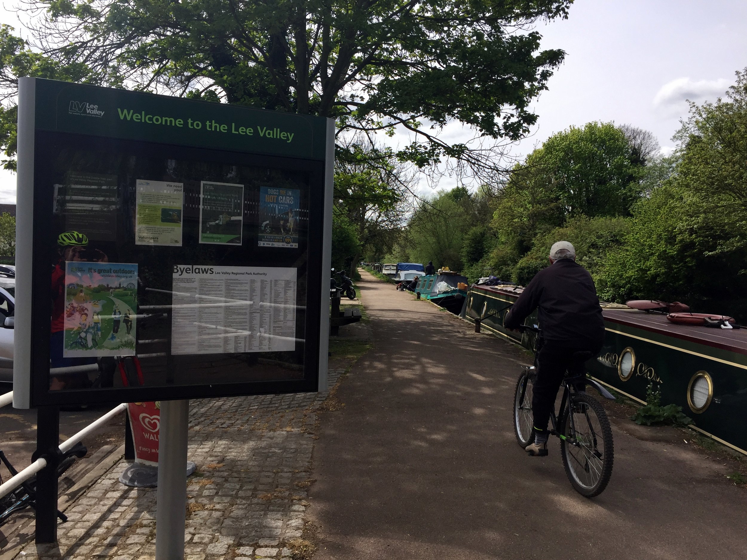
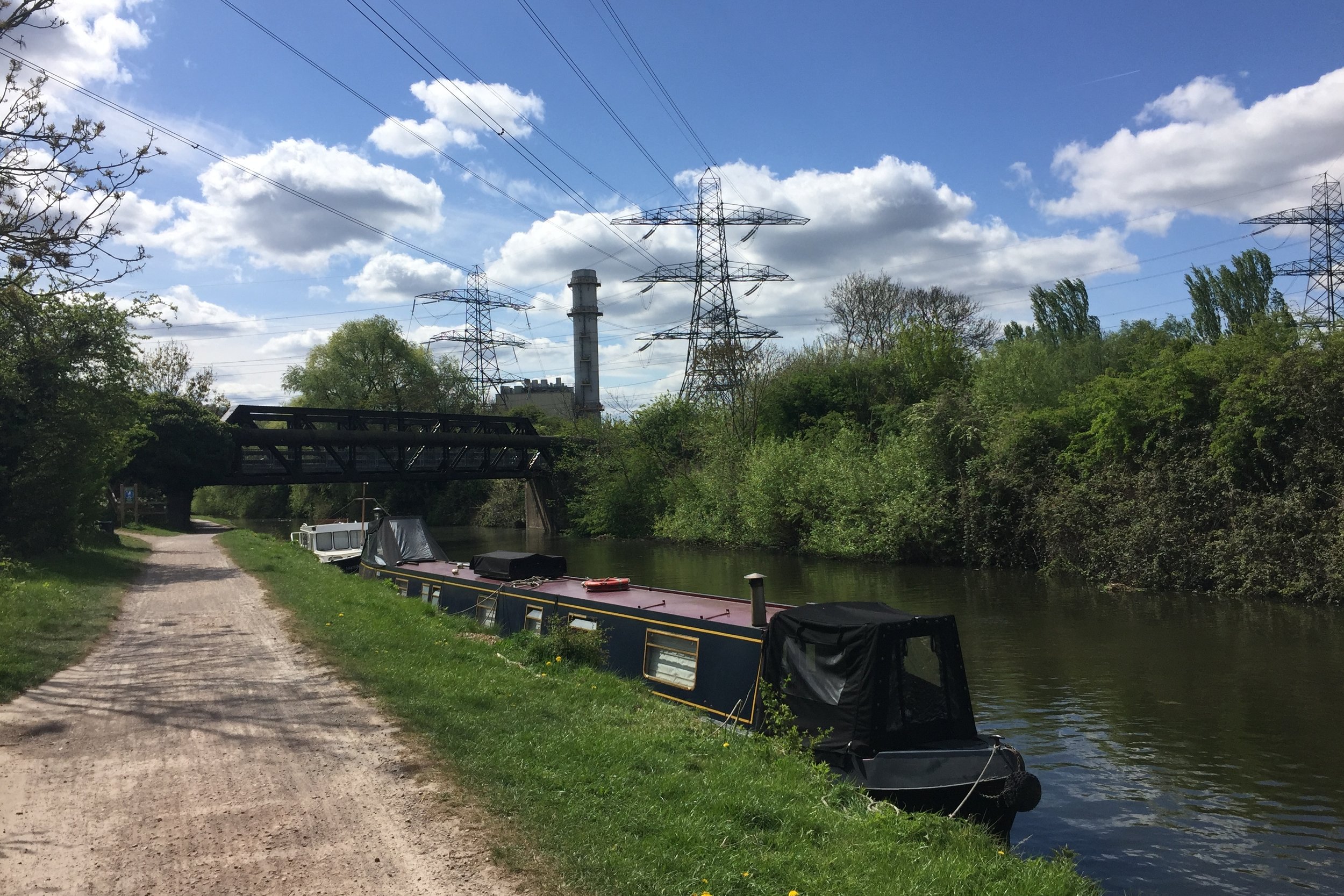
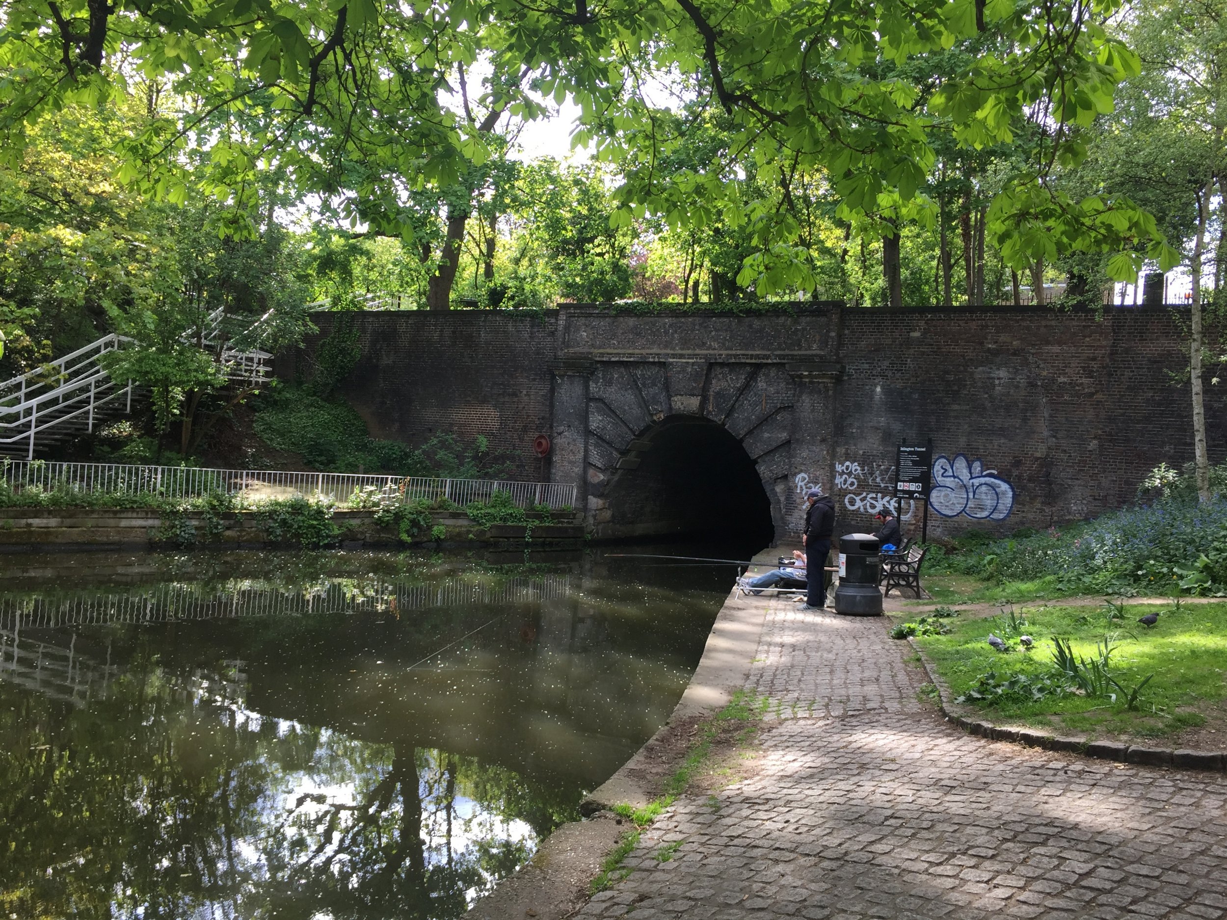
The trip is a brilliant combination of NCN routes 6, 57, 12, 61, and 1. It is easily navigable with only a small amount of planning and keeping your eyes peeled for the blue cycle signs along the way. The first 22 miles to Hertford are mostly on disused railway lines, including the Ayot Greenway and the Cole Green Way. Interestingly, the Cole Green Way was actually one of the country's earliest rail-to-trail conversions, having closed to passengers in 1951, long before the infamous Beeching cuts! The remainder of the ride follows the flat, scenic towpaths of the Lee Navigation. (A quirky geographical rule to remember: it is generally spelled "Lea" for the natural river and "Lee" for the man-made canal sections).
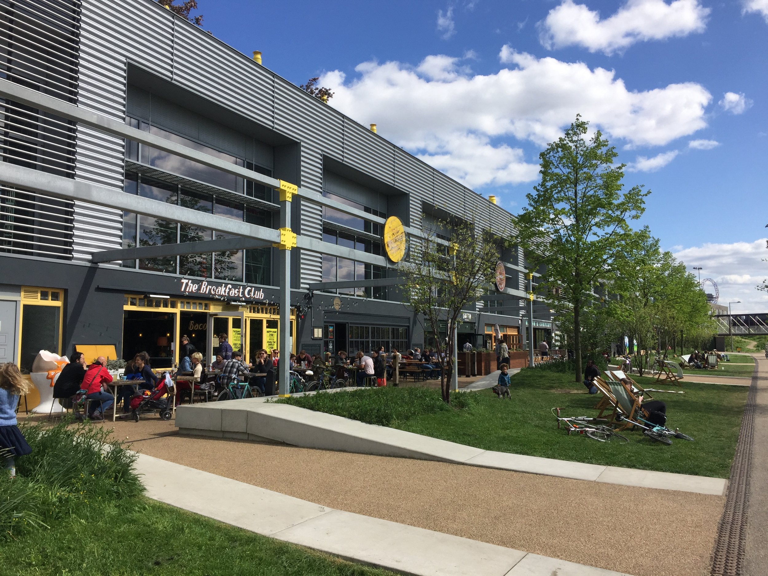
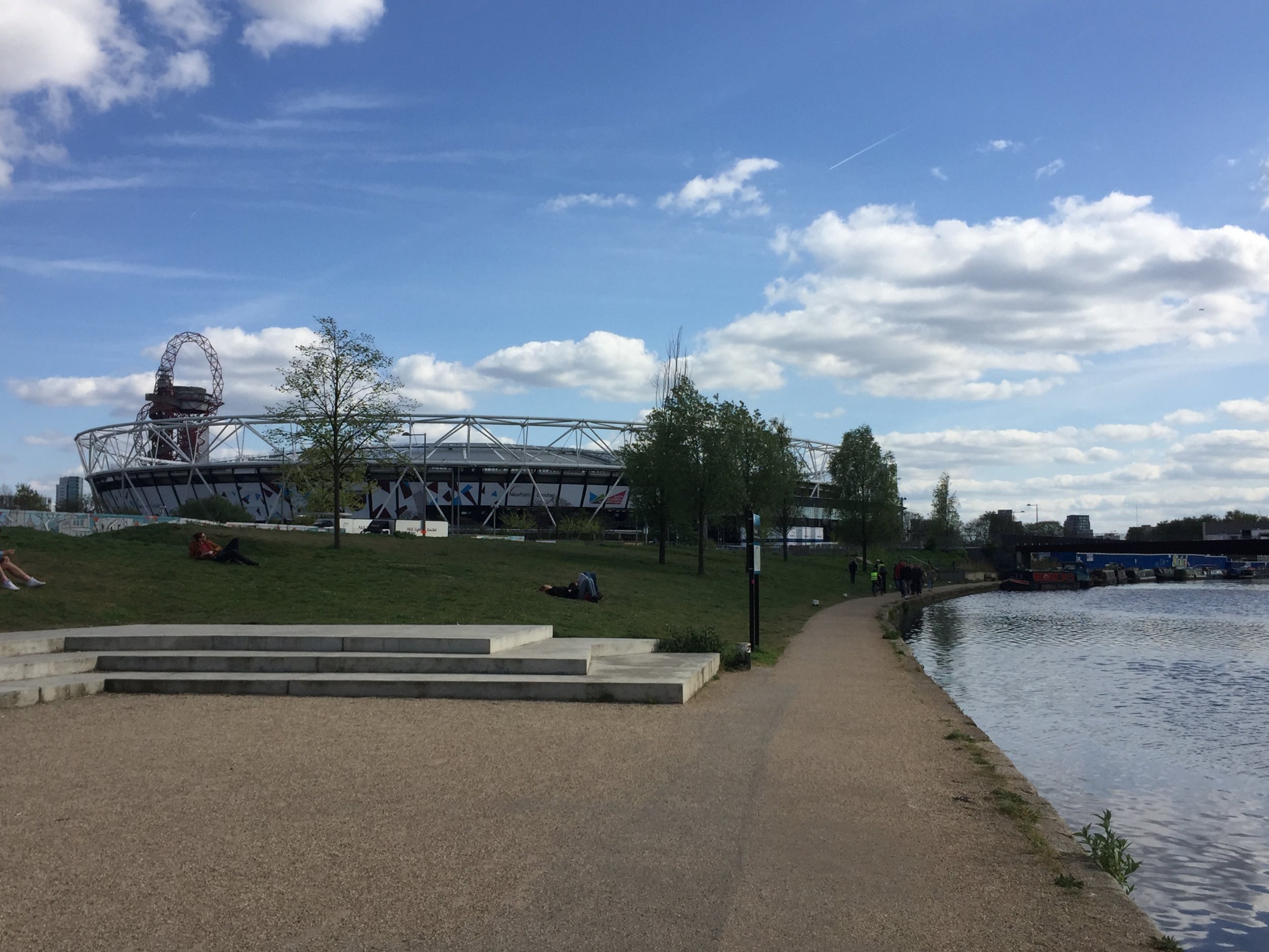
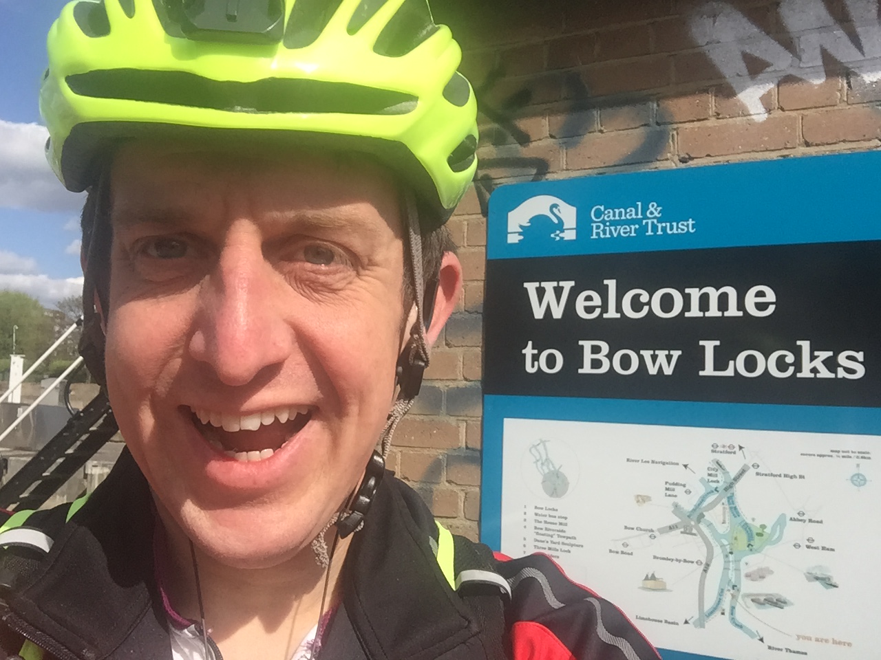
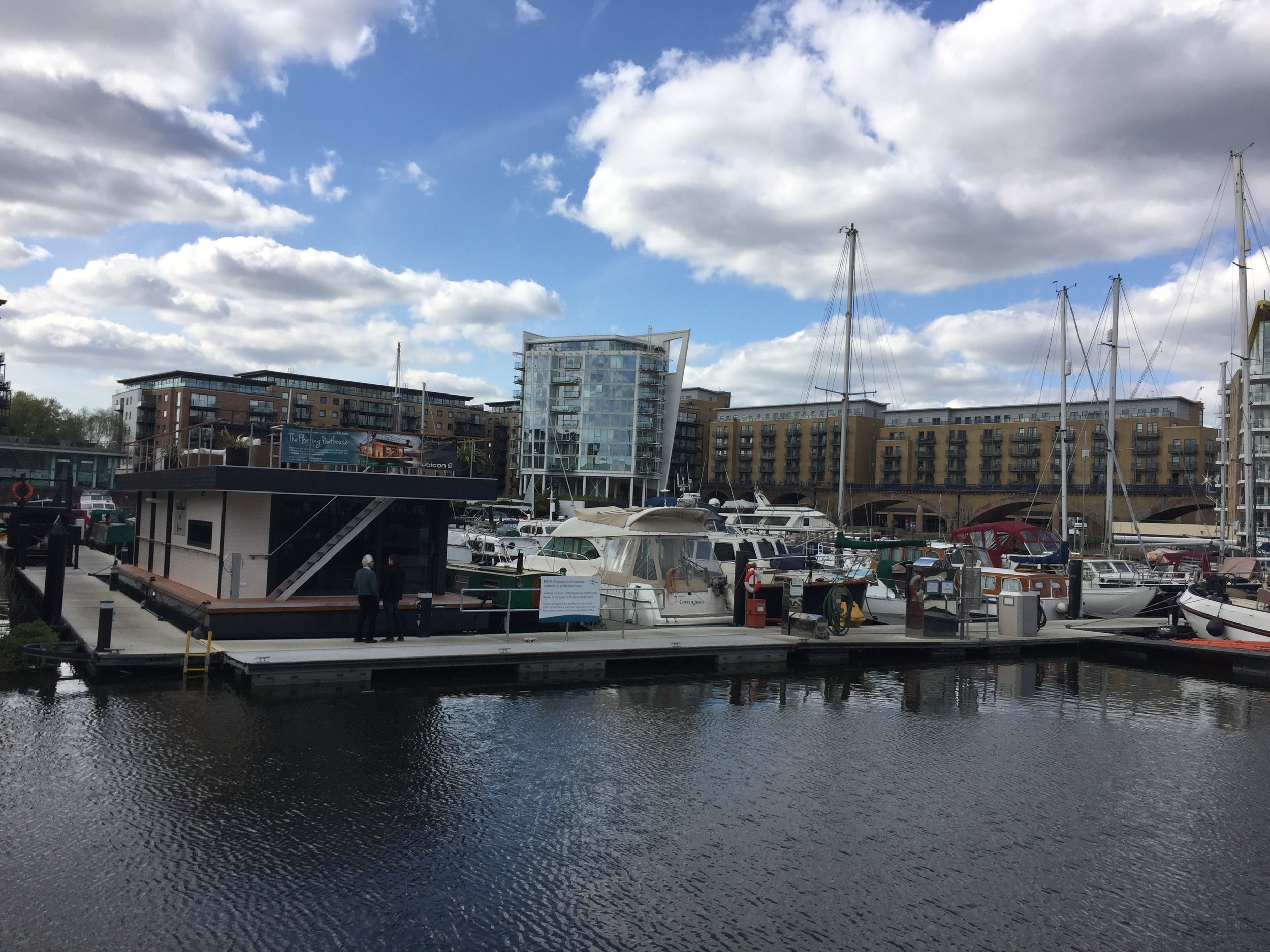
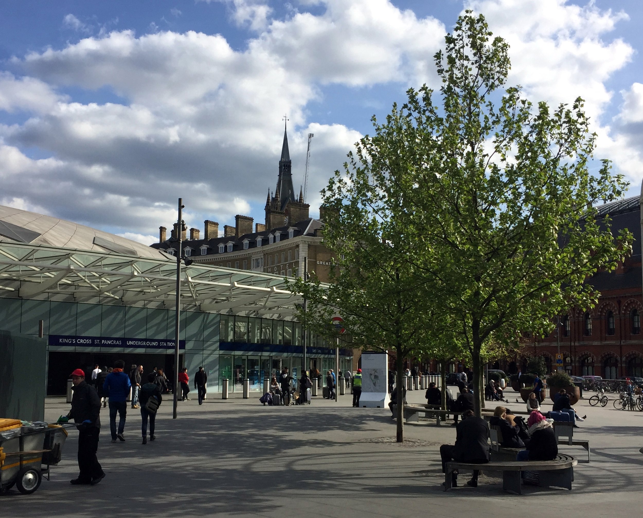
The River Lea eventually joins the Thames at Leamouth, right opposite the Greenwich Peninsula. Cycling the towpath right to the confluence is a bit tricky, so I opted to follow the historic Limehouse Cut from Bow Creek directly into Limehouse Basin. From there, I followed the Regent's Canal back into central London to grab a train from King's Cross St Pancras back to Luton, where I had originally parked the car.
Red = course of the River Lea, Blue = Cycle Route including Regent’s Canal to King’s Cross.


Elevation for cycle route