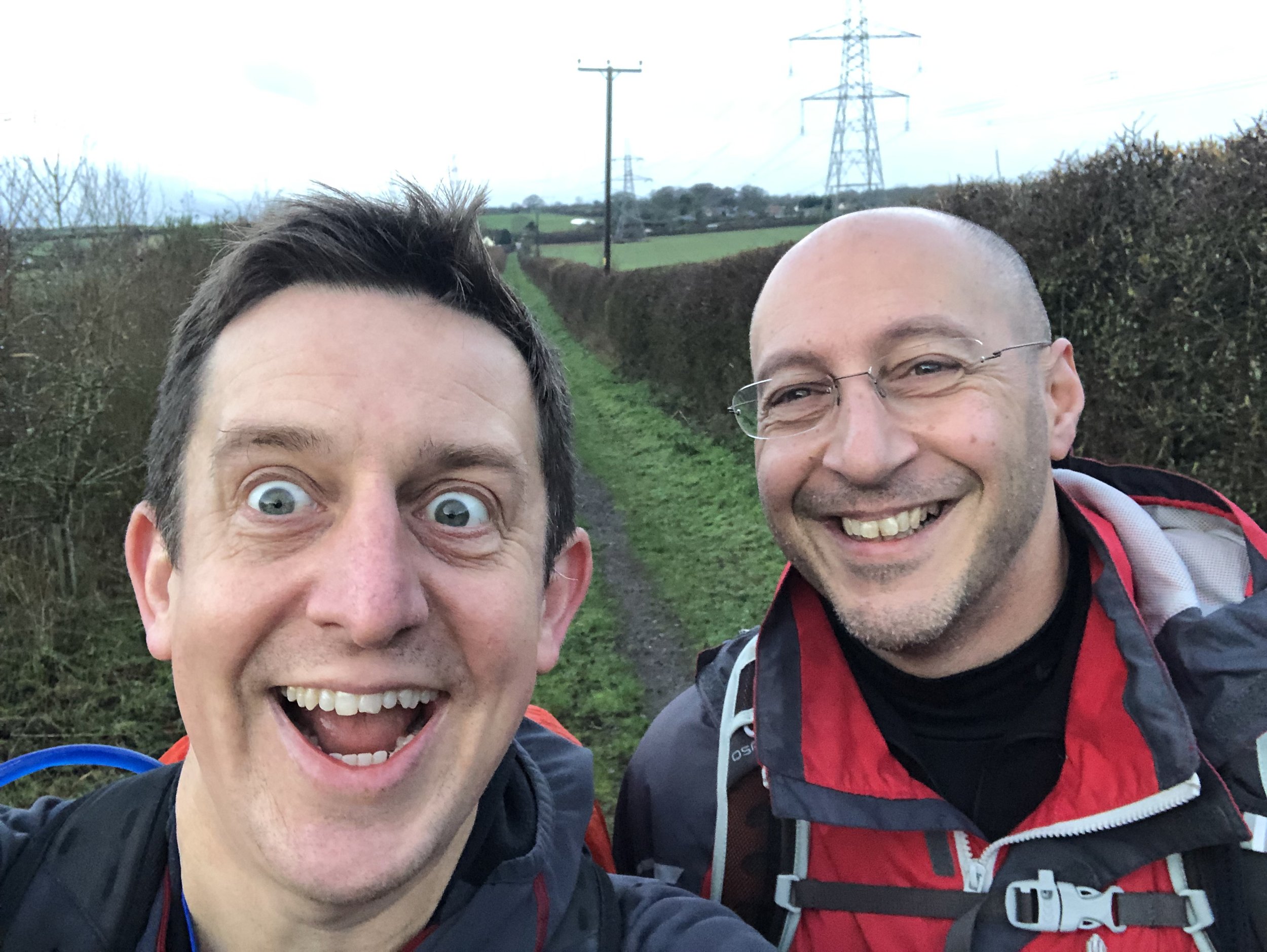
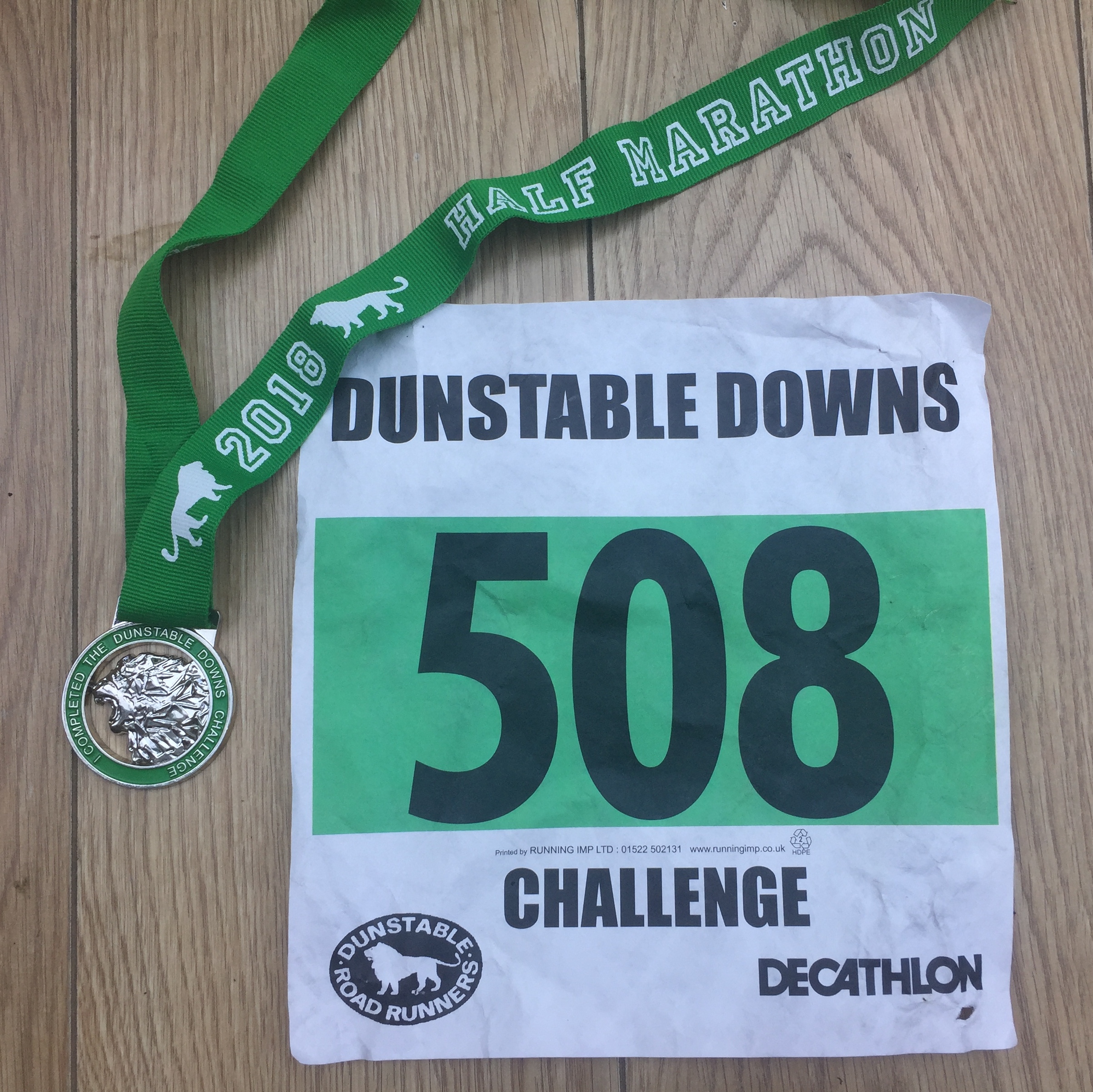
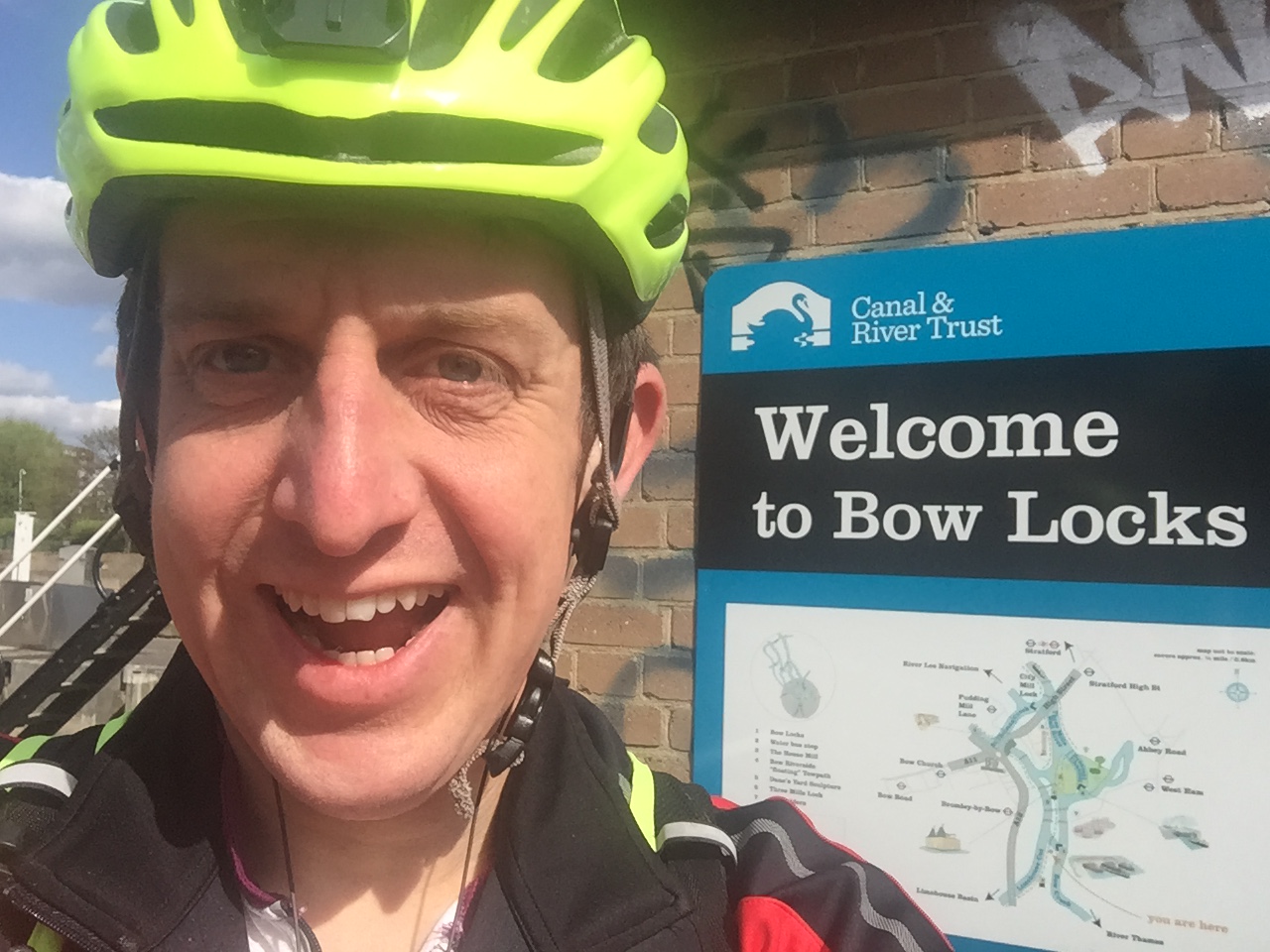
The parkrun Regionnaire status used to be a major part of parkrun tourism. Changes in the parkrun website in 2019 removed the regions making it harder to track completion status. All is not lost though as here’s the complete parkrun guide to what’s in and what’s out of the counties of East of England.
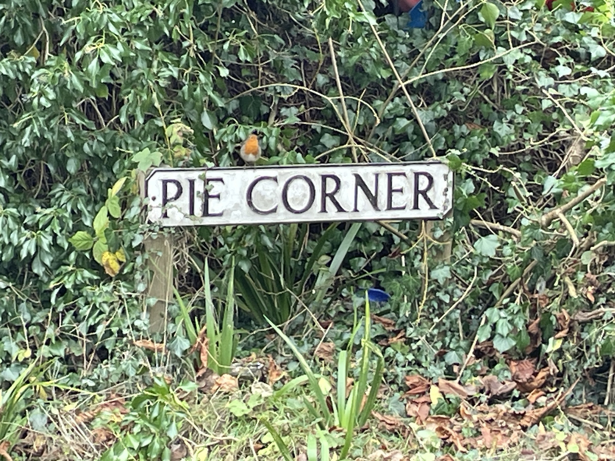
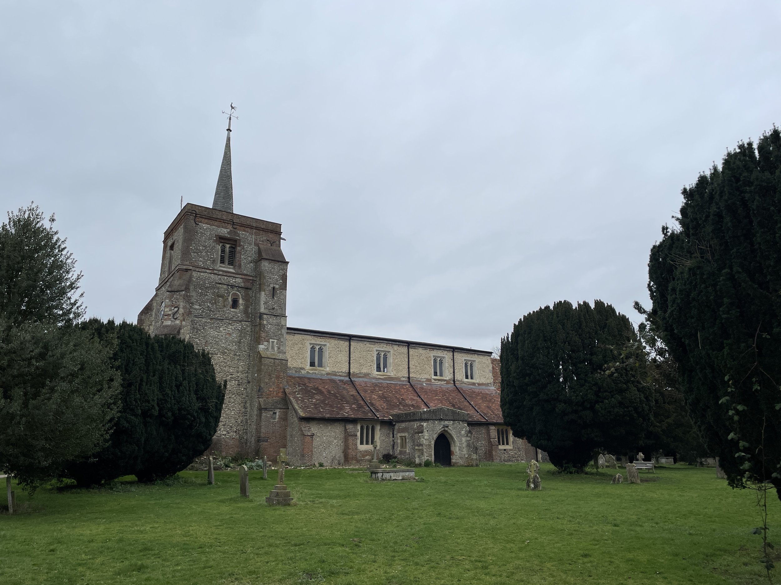
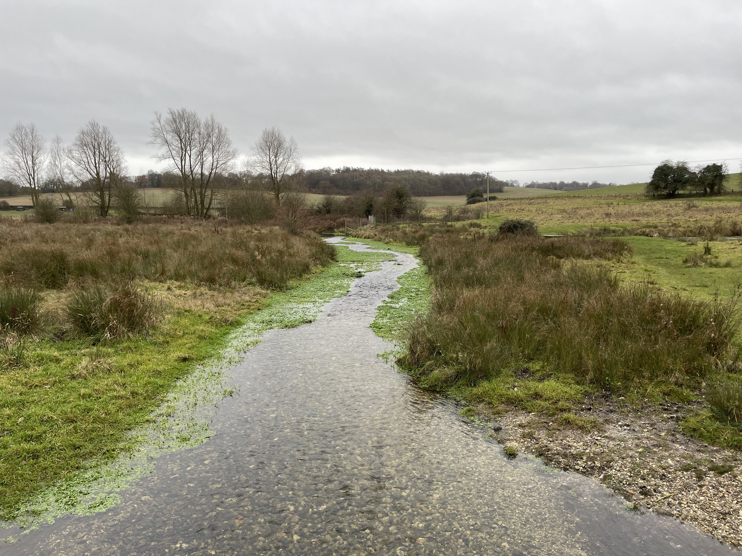
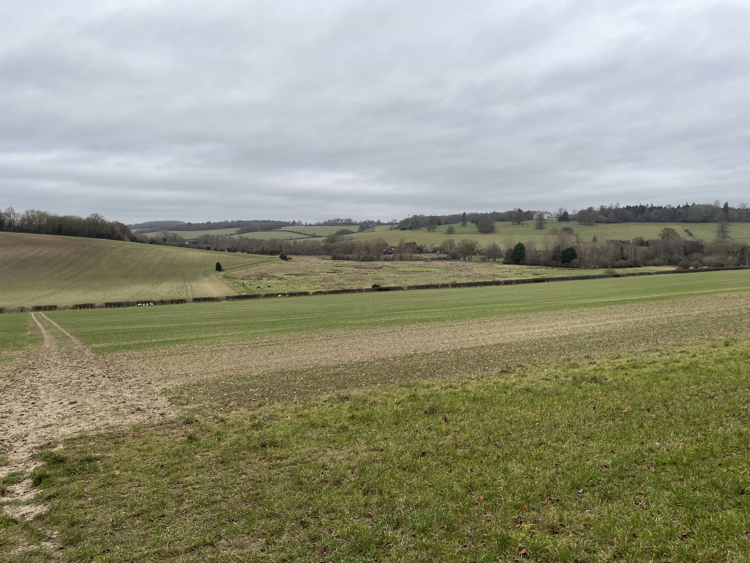
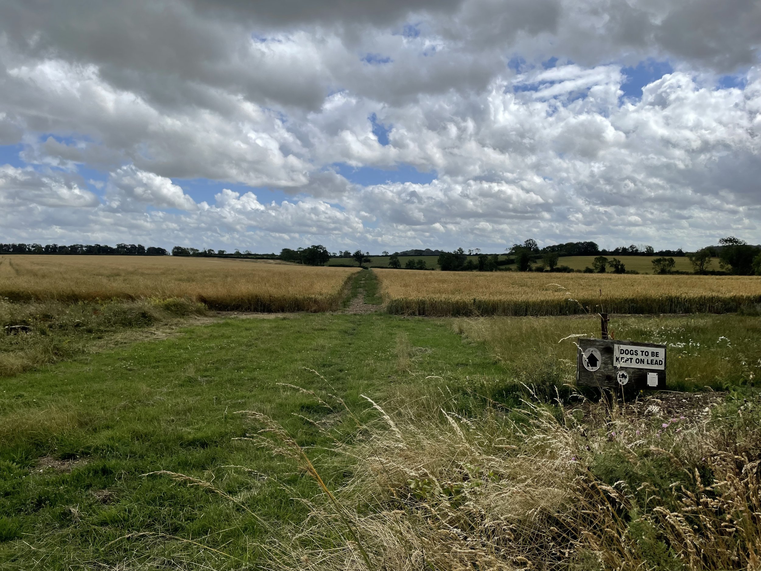
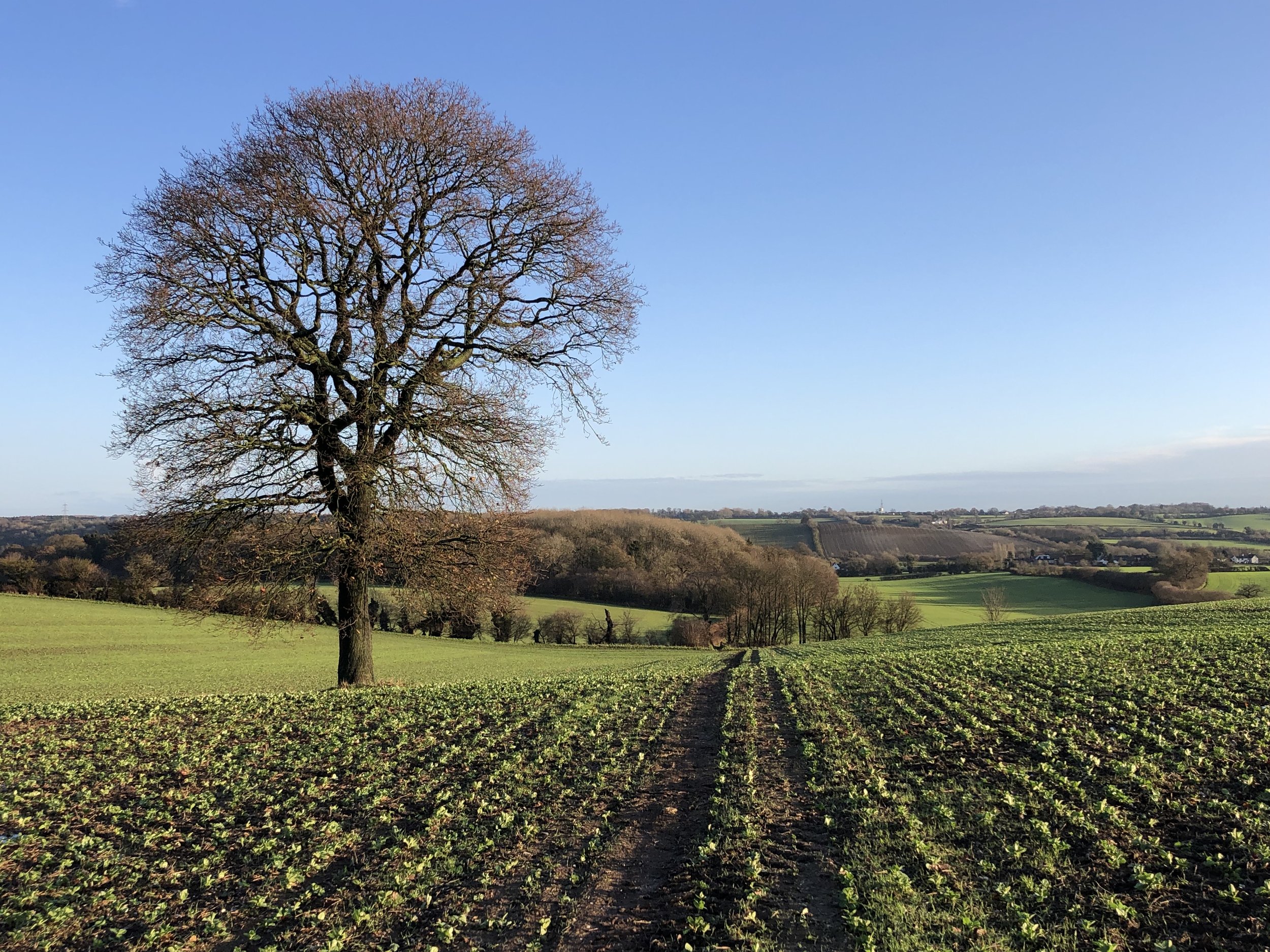
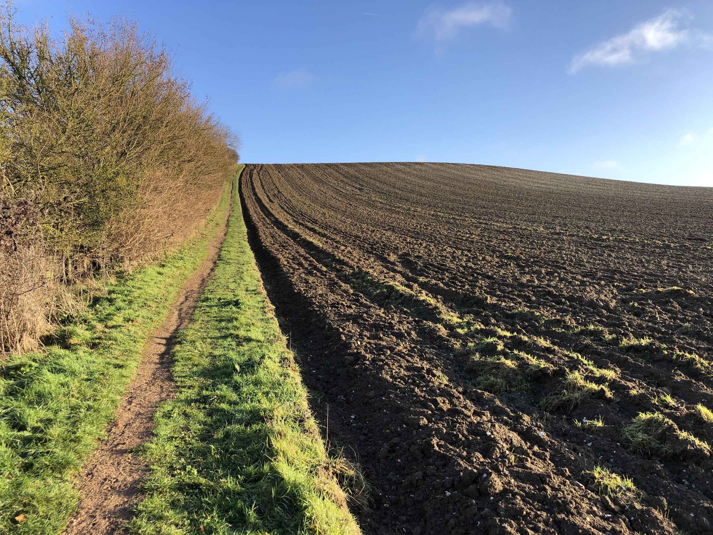
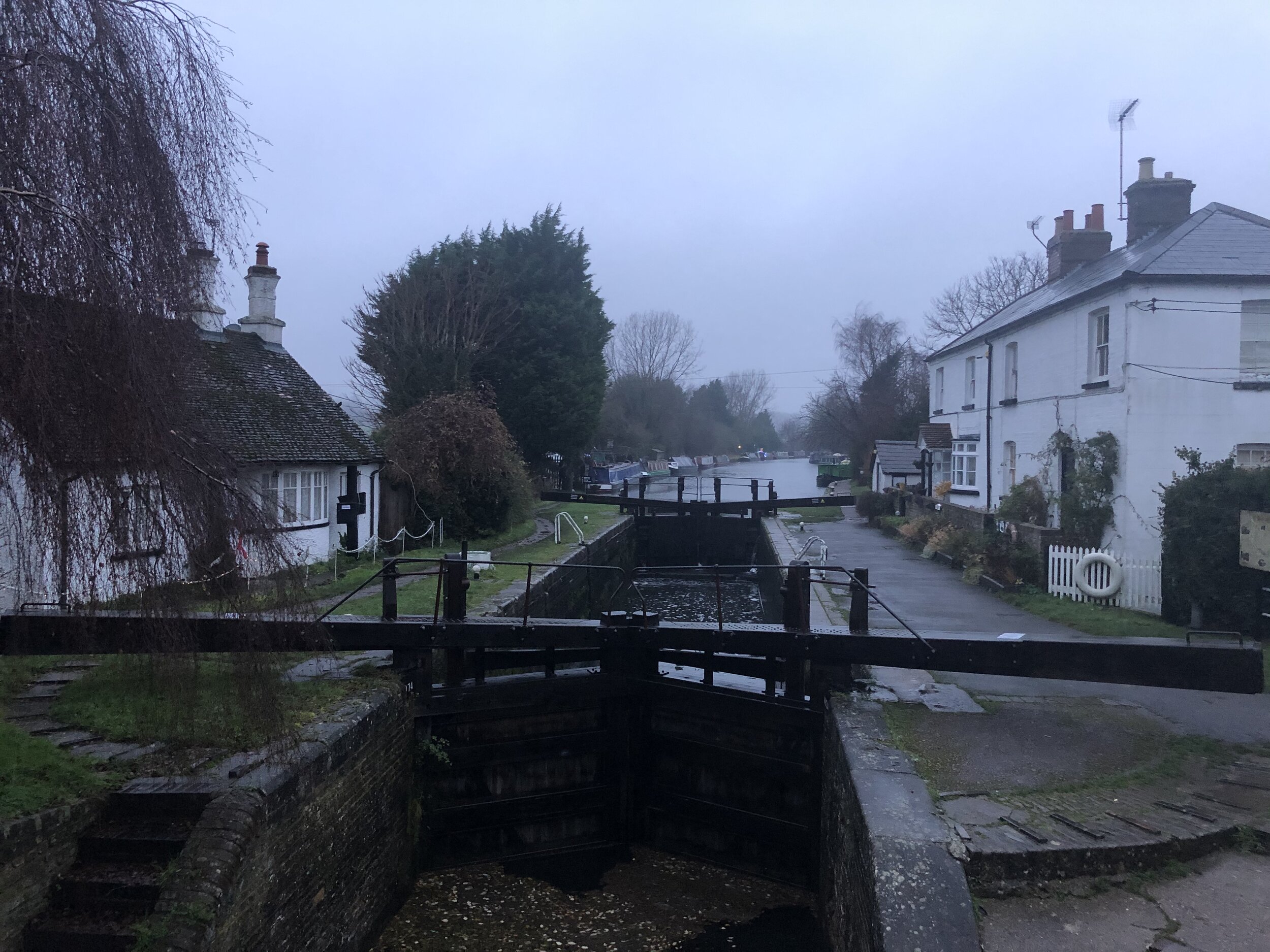
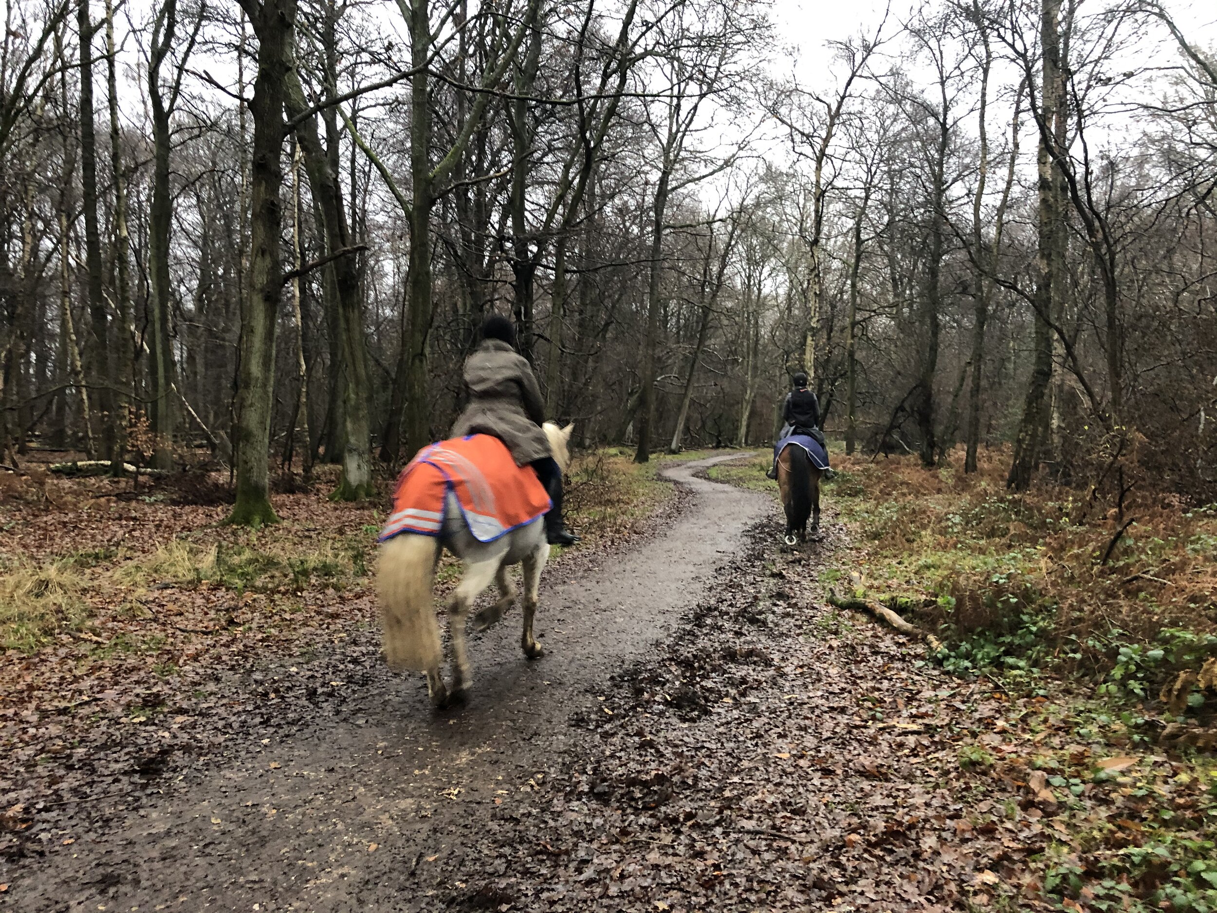
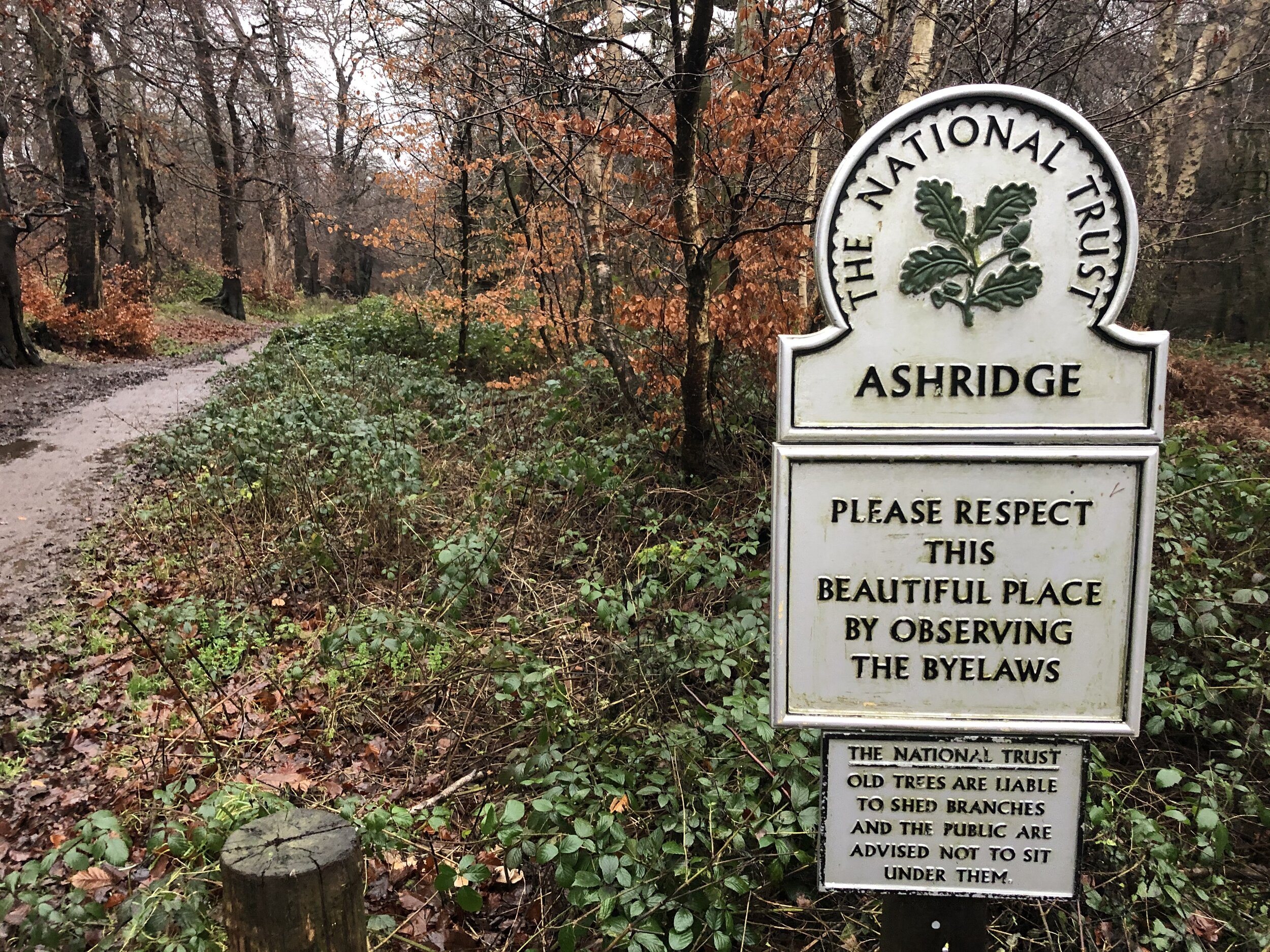
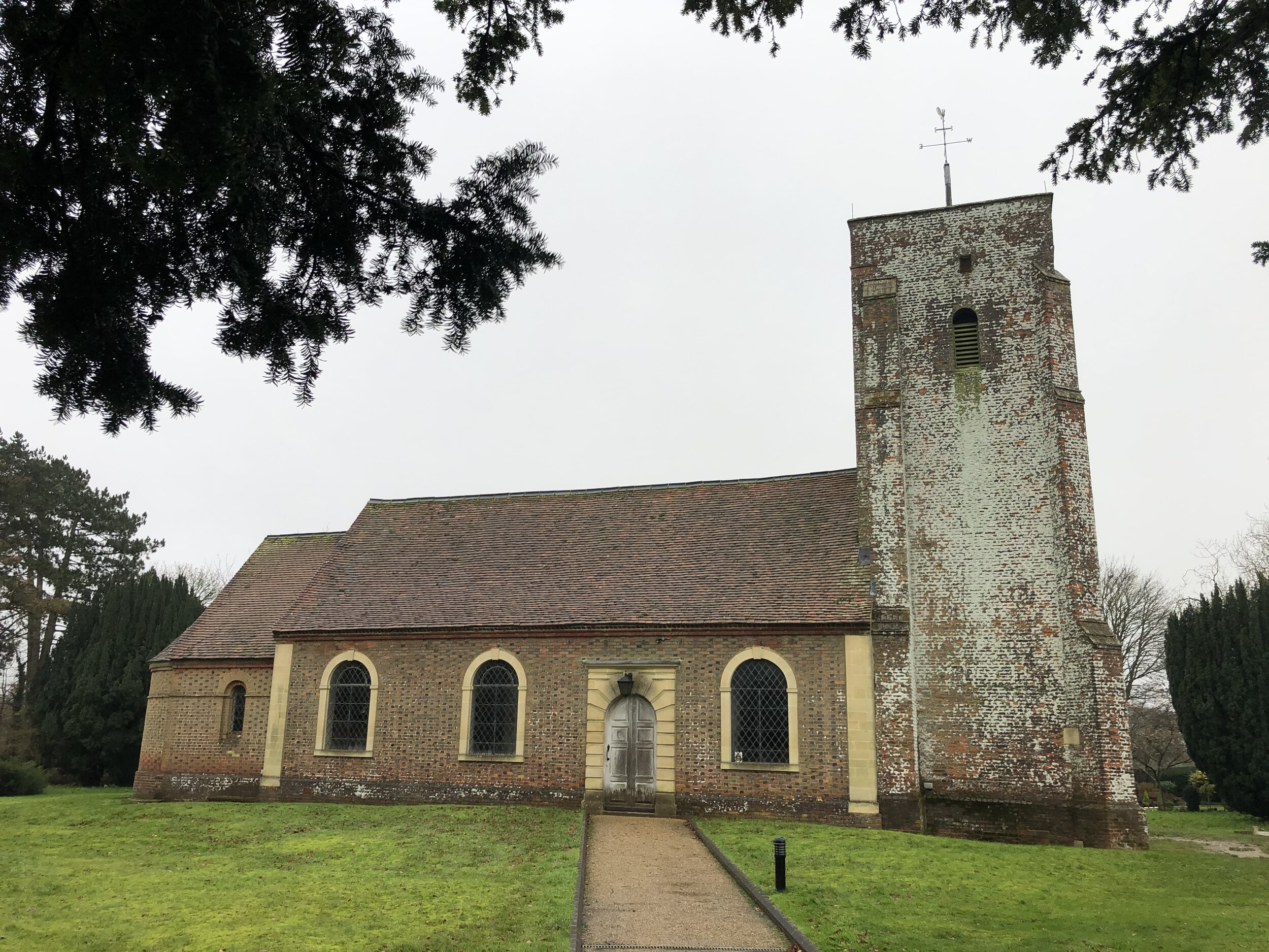
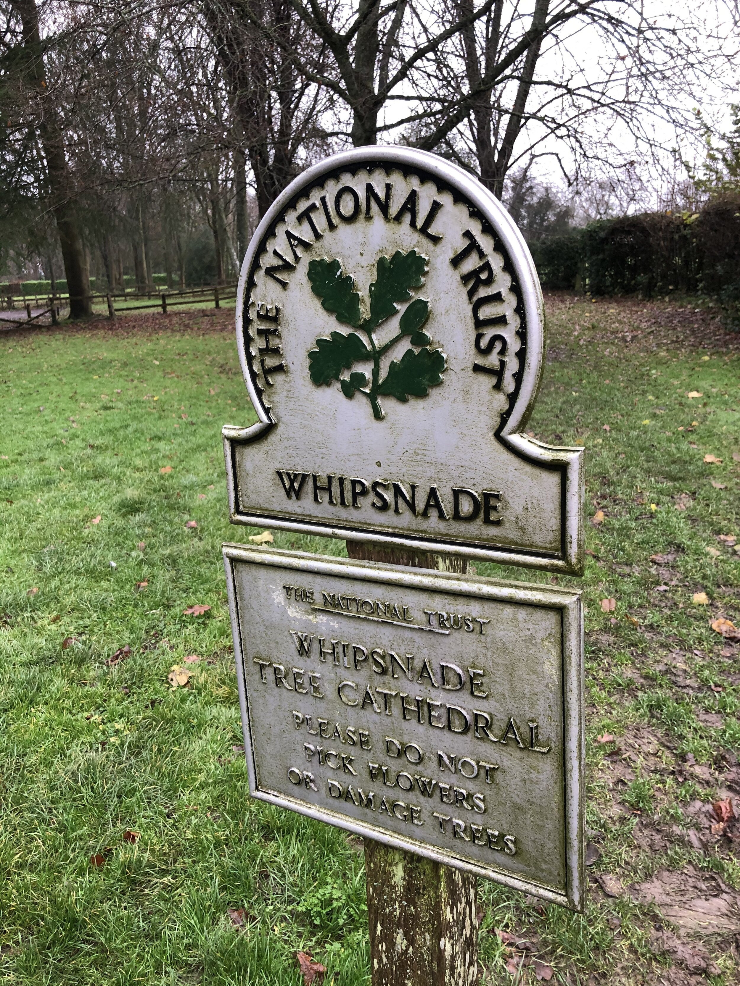
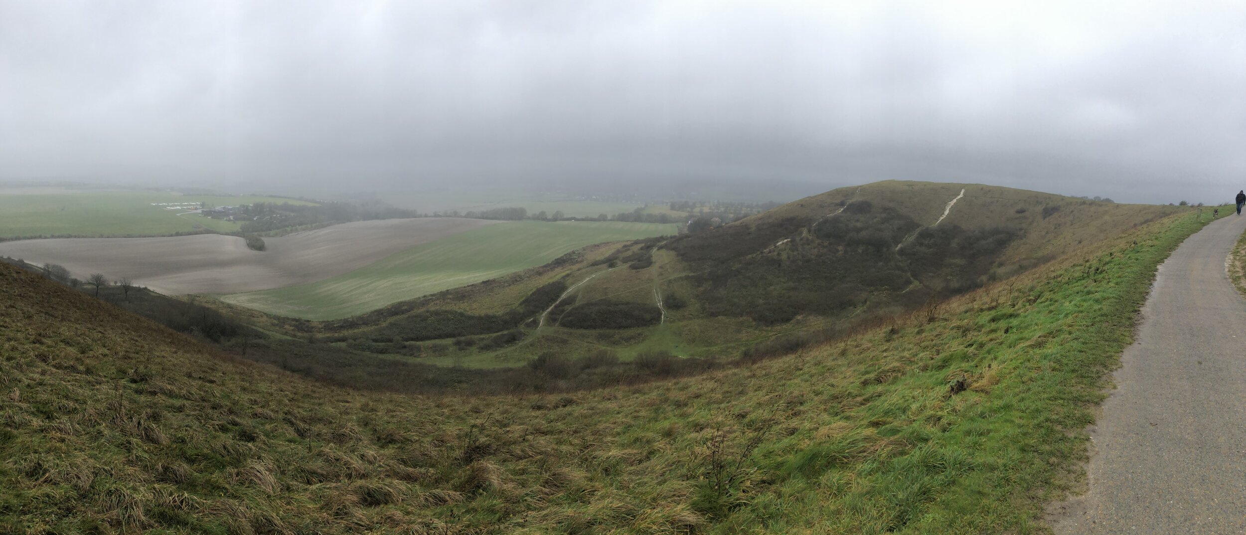
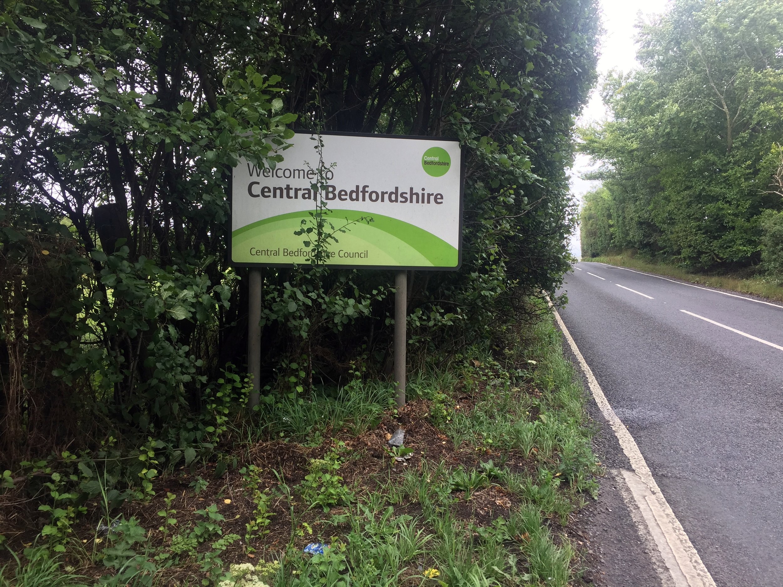
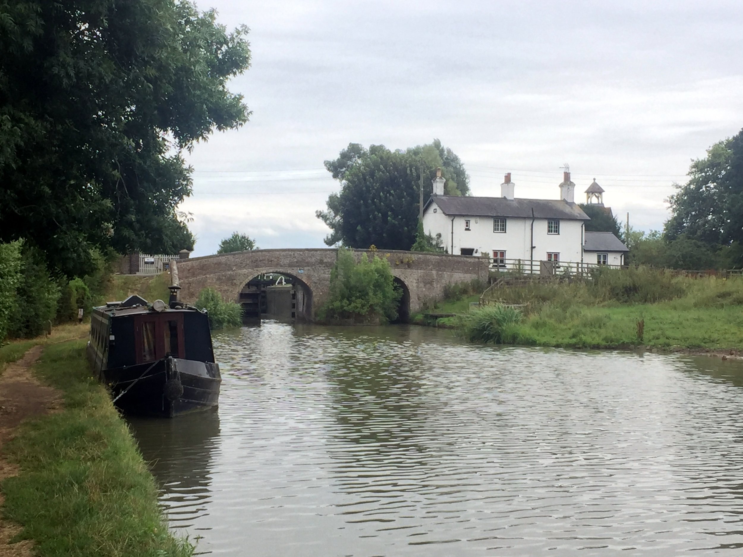
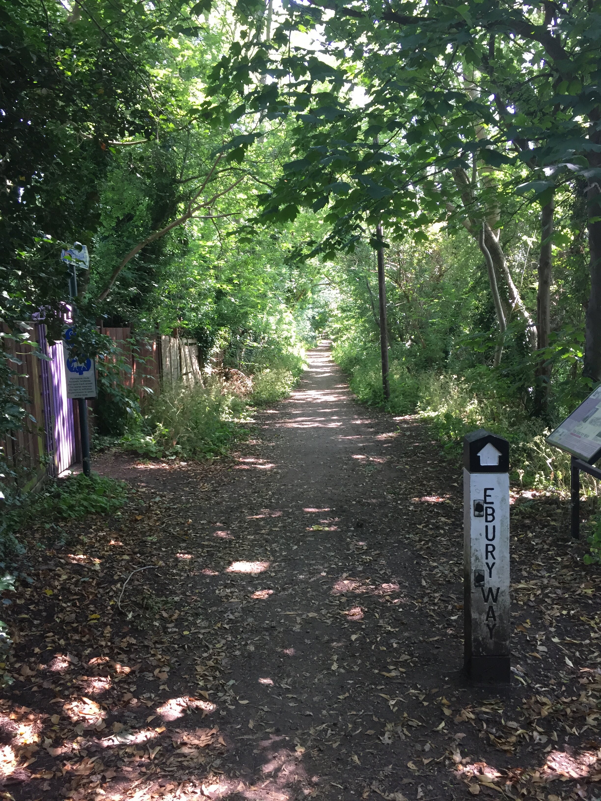
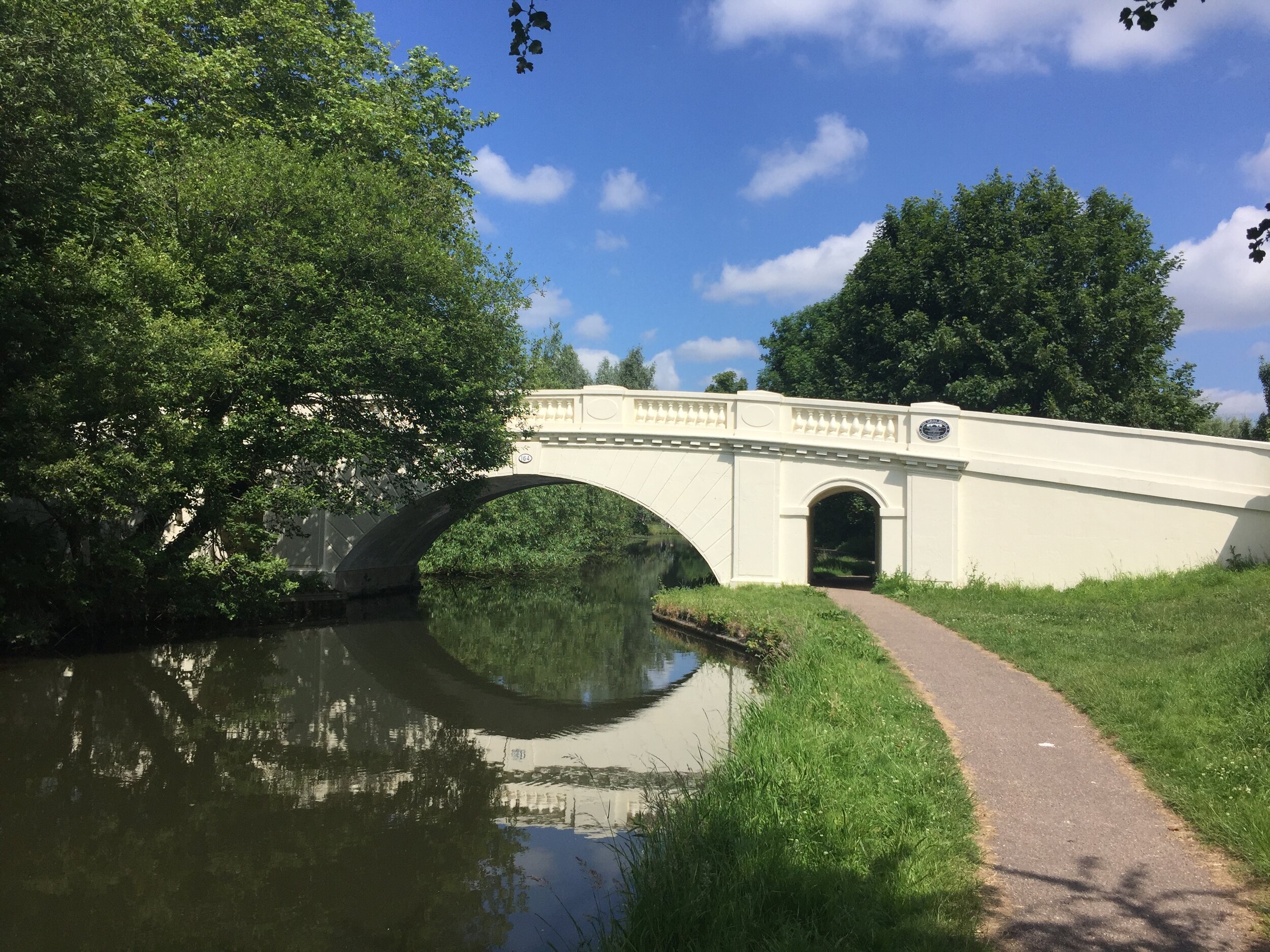
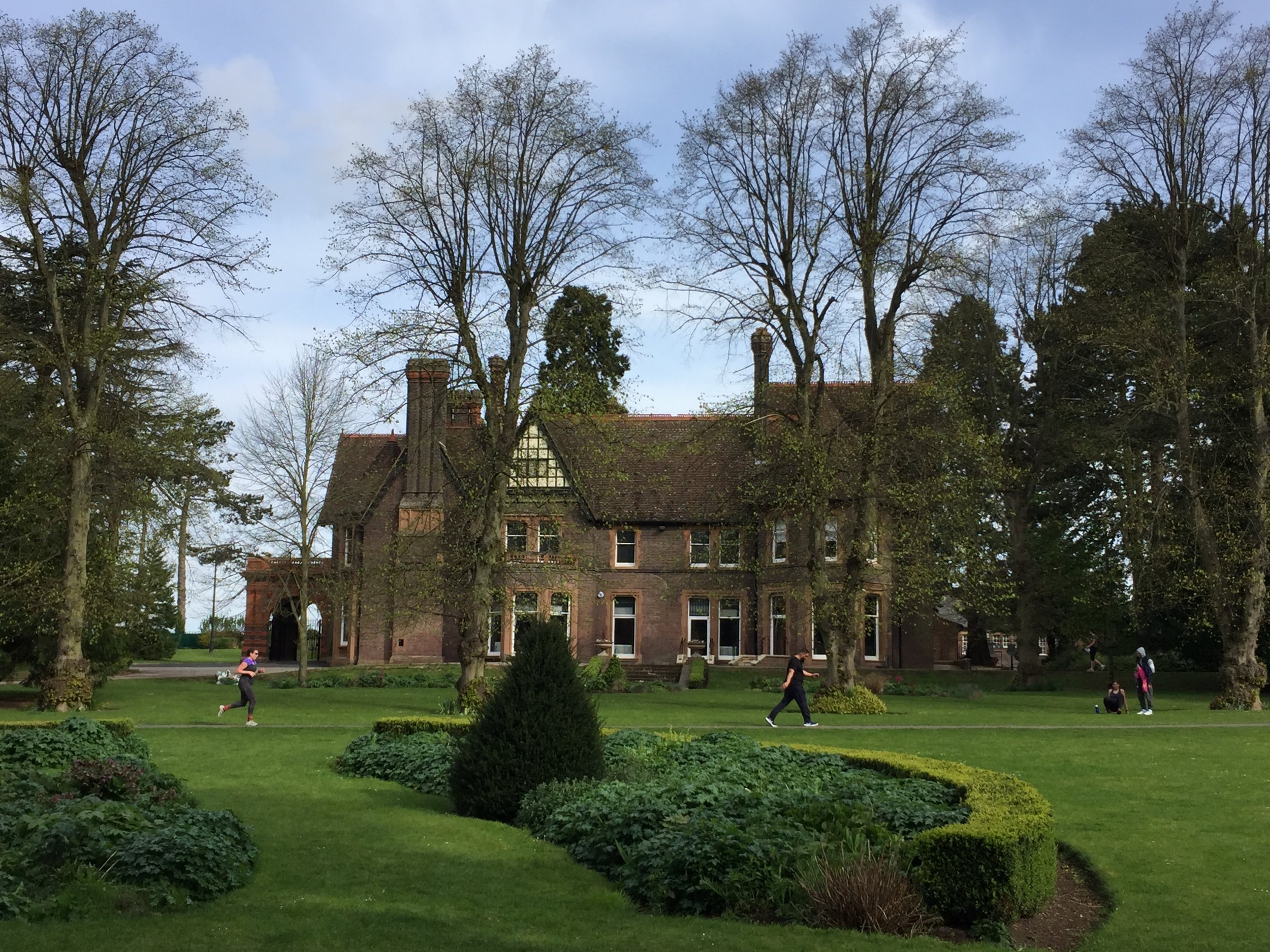
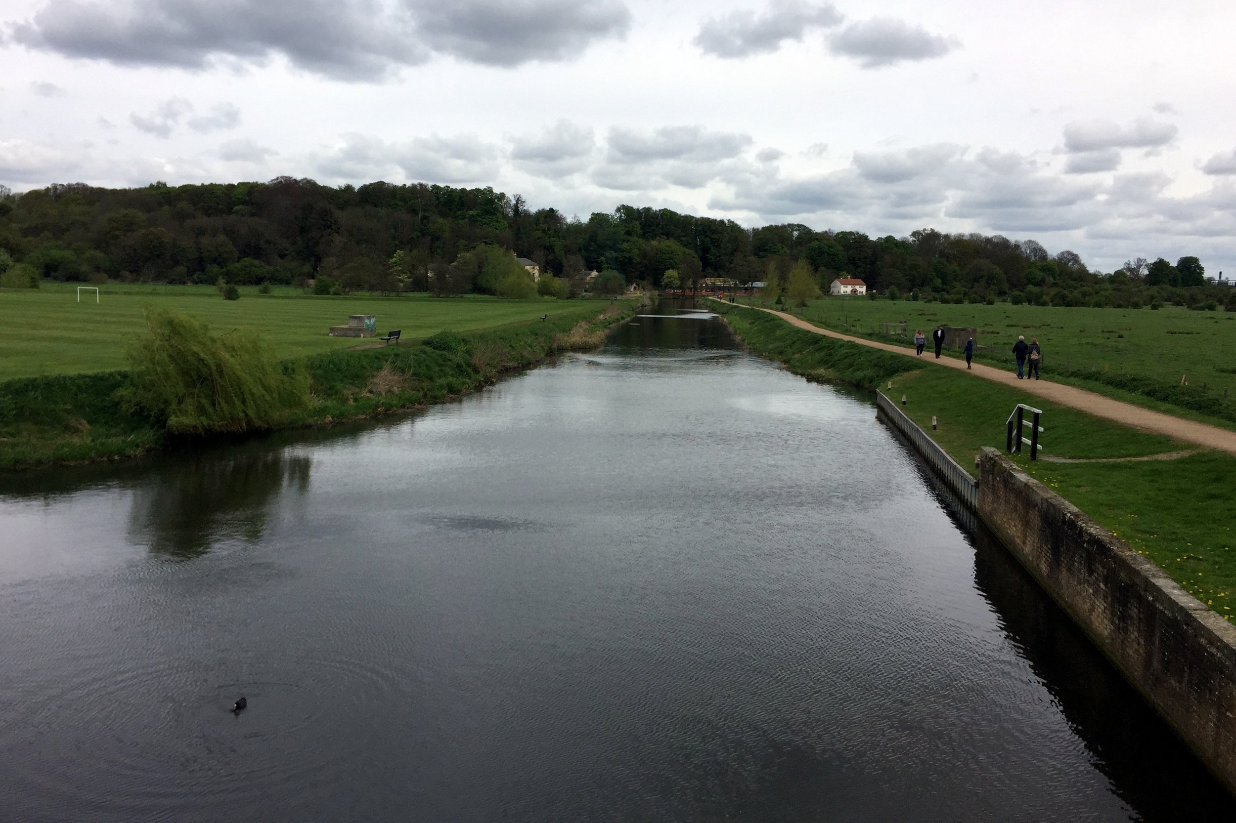
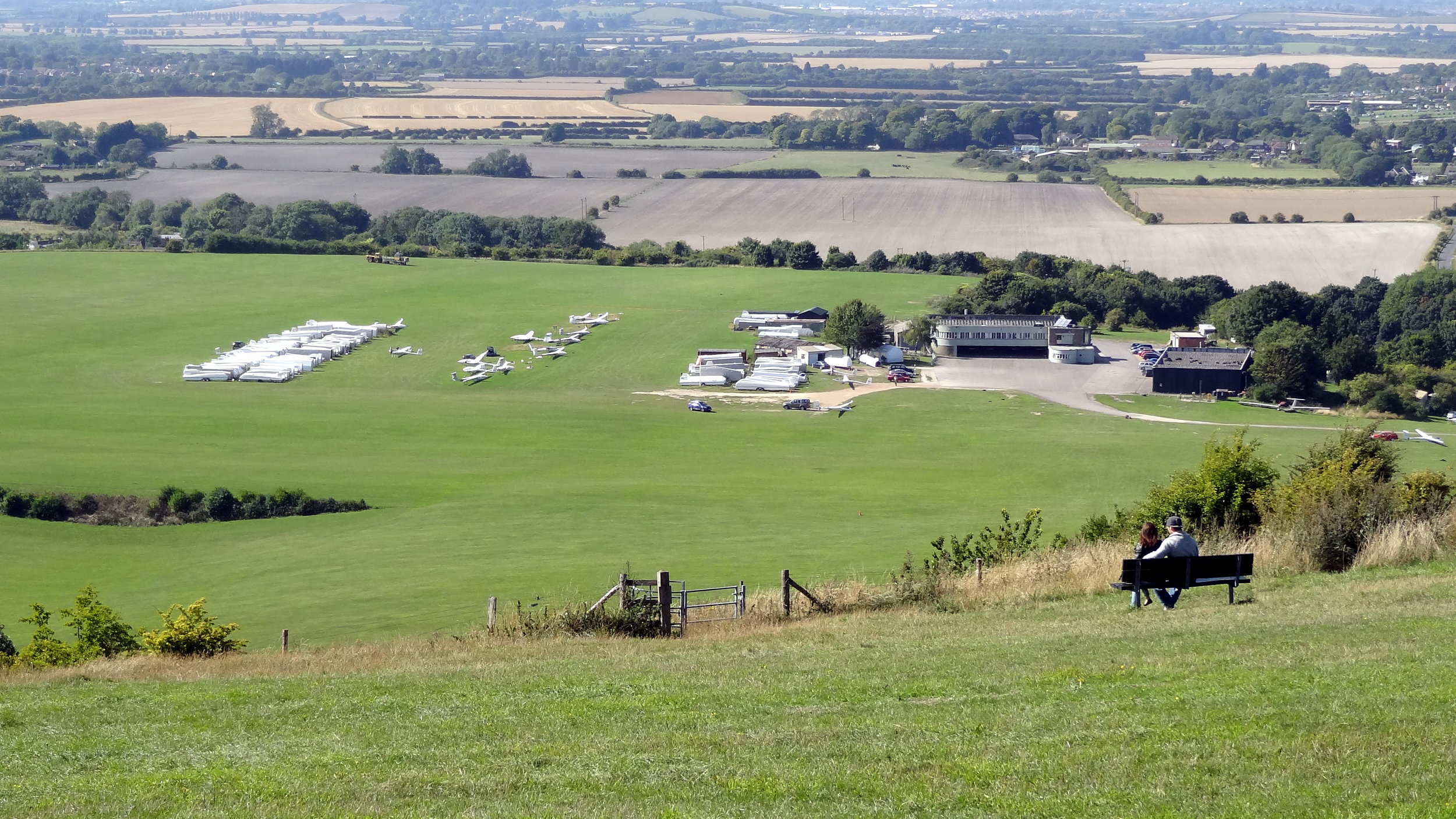
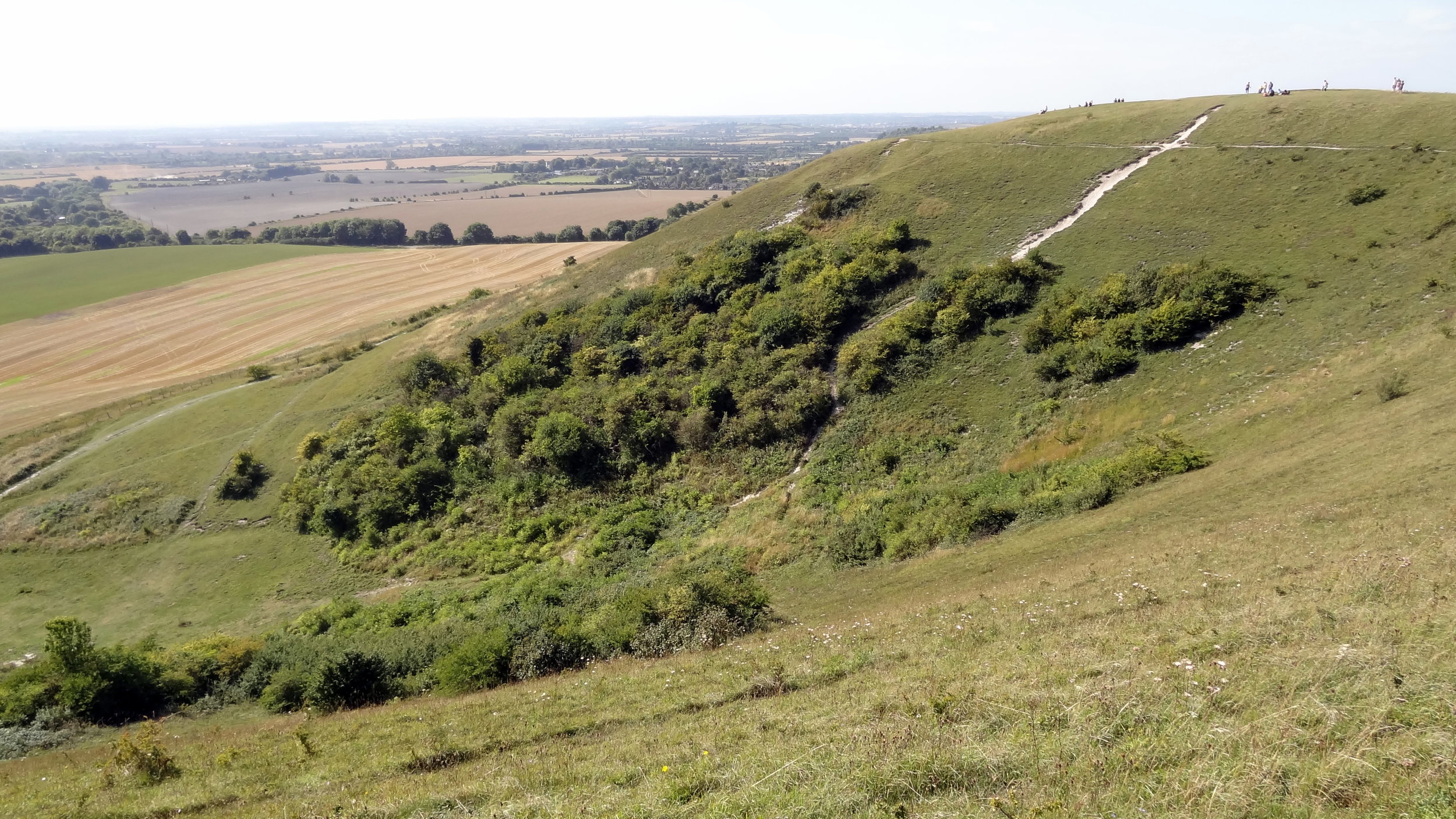
The East of England is a diverse and low-lying region of the UK, situated to the north and east of London, with which it shares a significant economic and commuter relationship. The region is composed of six ceremonial counties: Bedfordshire, Cambridgeshire, Essex, Hertfordshire, Norfolk, and Suffolk. Geographically, the East of England is characterised by its remarkably flat topography and vast open skies, most notably across the Fens: a reclaimed marshland spanning parts of Cambridgeshire and Norfolk. It contains the unique inland waterways of the Broads National Park (predominantly in Norfolk and Suffolk) and the ancient, sandy heathlands of Breckland. Coastal features are varied, ranging from the expansive salt marshes and bird reserves of the North Norfolk Coast to the iconic pier at Southend-on-Sea and the crumbling soft-rock cliffs of the Suffolk shoreline.

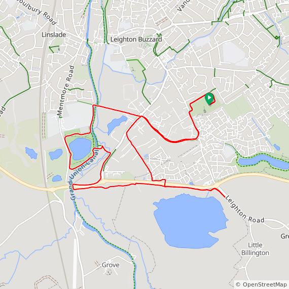
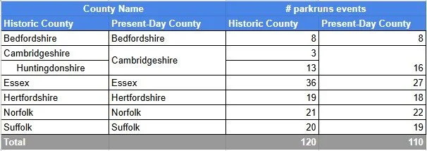
parkrun event numbers per county
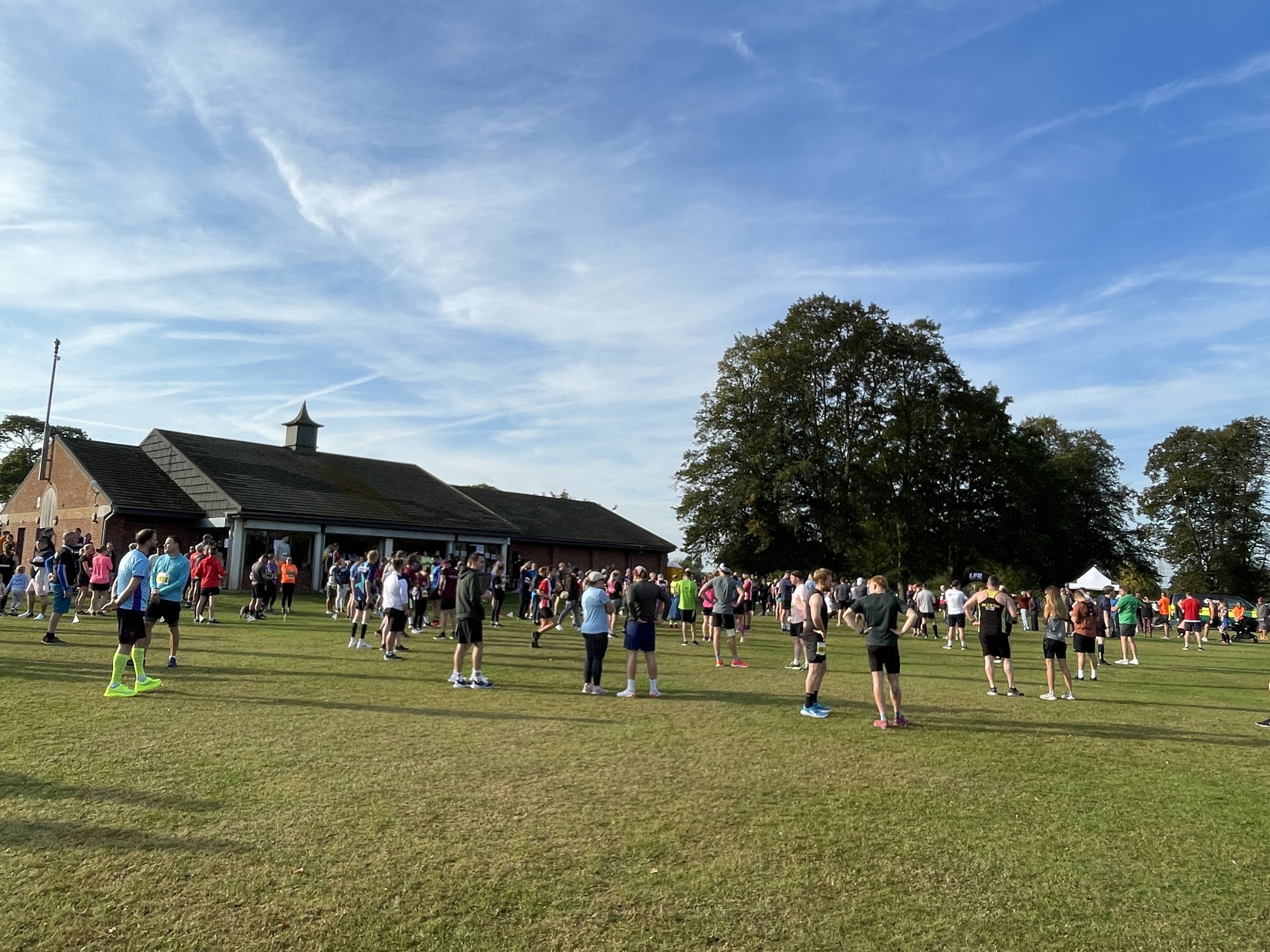
There are currently 110 parkrun events in the present-day counties of the East of England region. The historic counties, prior to the various boundary changes had a further 10 events which are now part of Greater London.
Notes and exceptions.
Numbers of event above exclude prison parkruns and permanently cancelled events.
3 Cambridgeshire events were in Historic Huntingdonshire: Ferry Meadows, Huntingdon, Pocket.
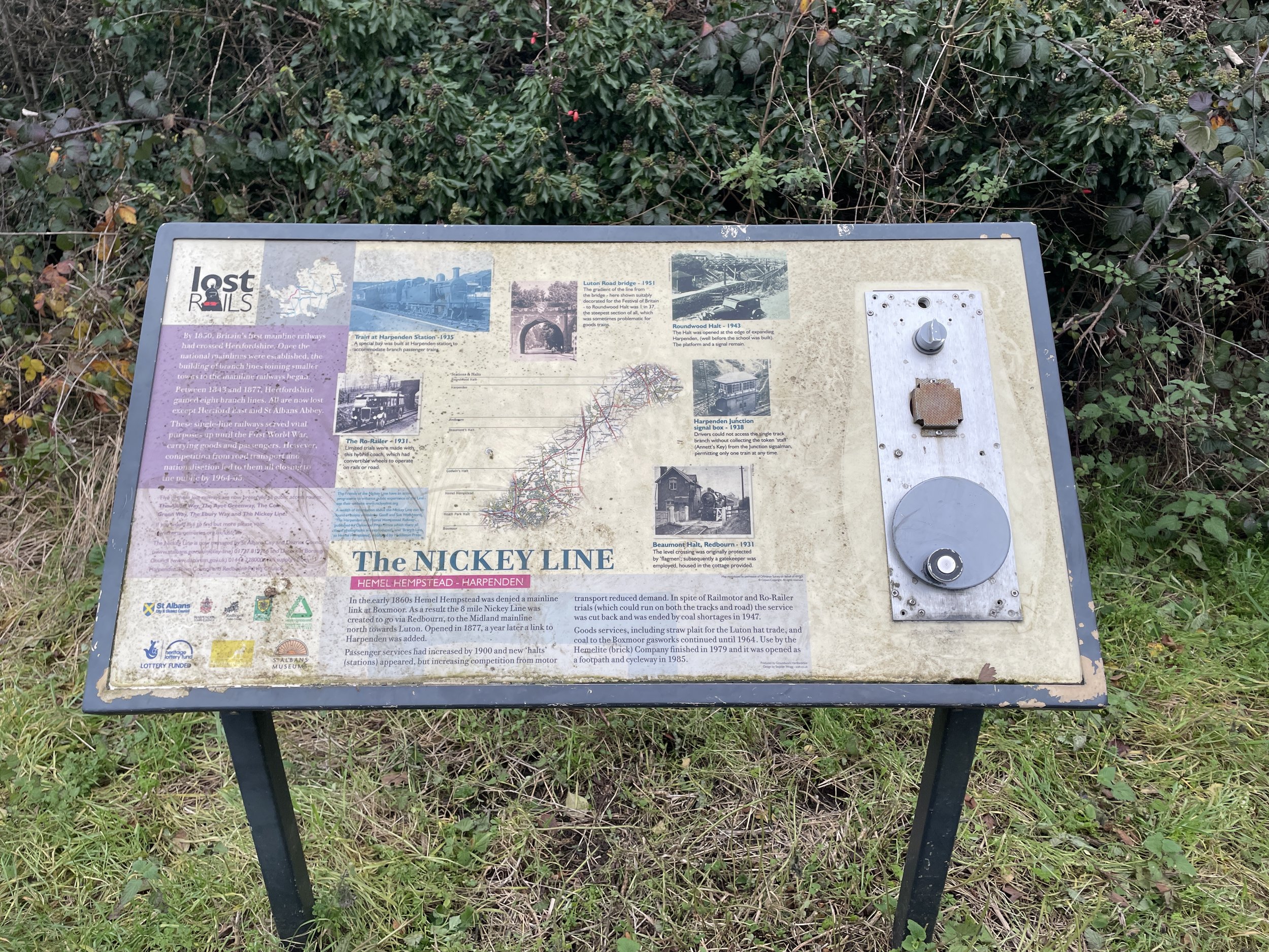
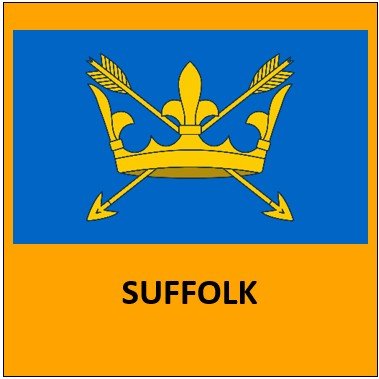
Gorleston Cliffs was part of Historic Suffolk and is now part of present-day Norfolk.
Parts of Historic Essex and Hertfordshire are now part of Greater London. See the individual pages for those counties for the list of which events are now part of Greater London.
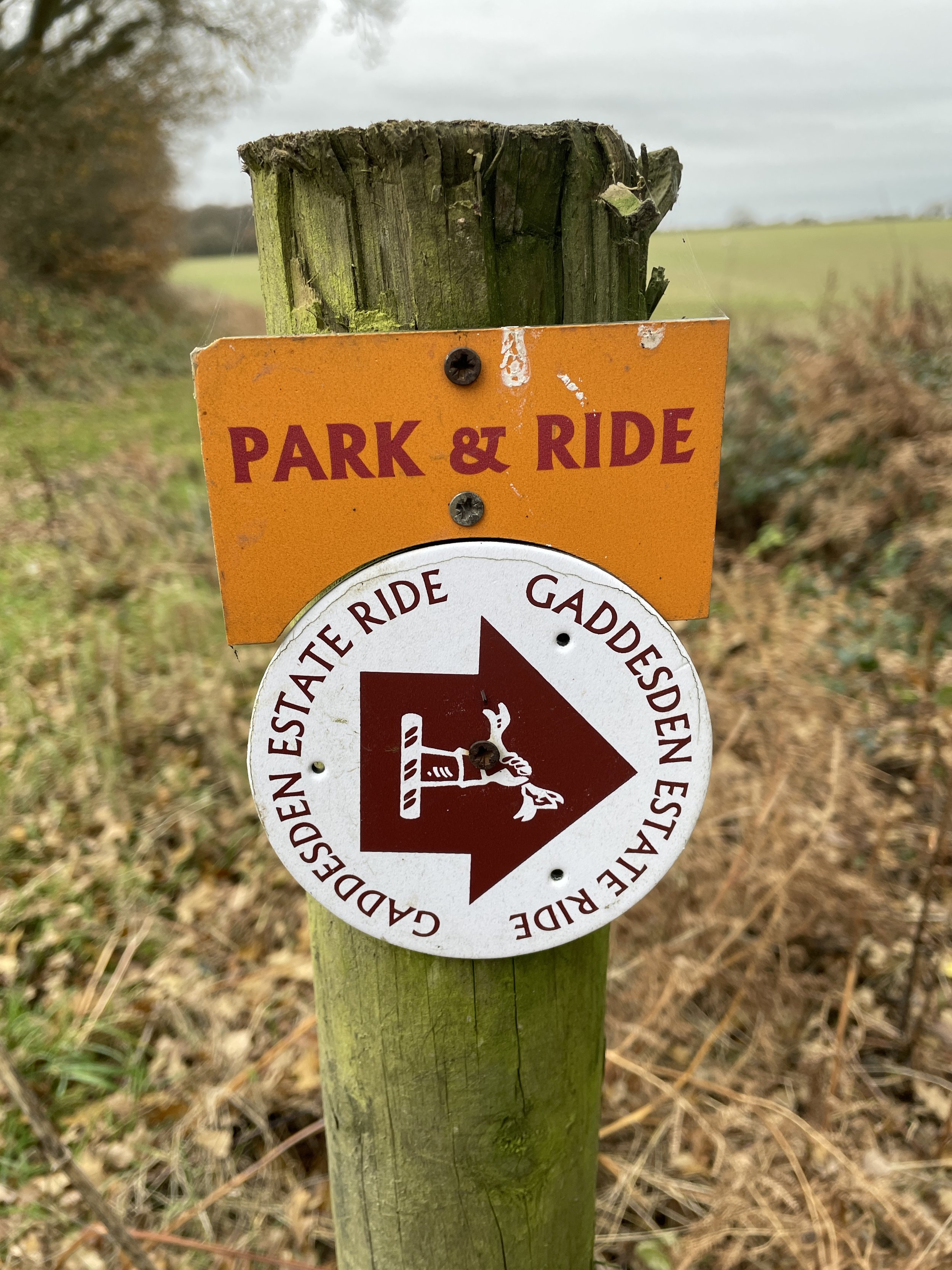
The East of England Counties parkrun pages
Click on each of the images below to go to the page with details of the parkrun events for the county.


More parkrun posts

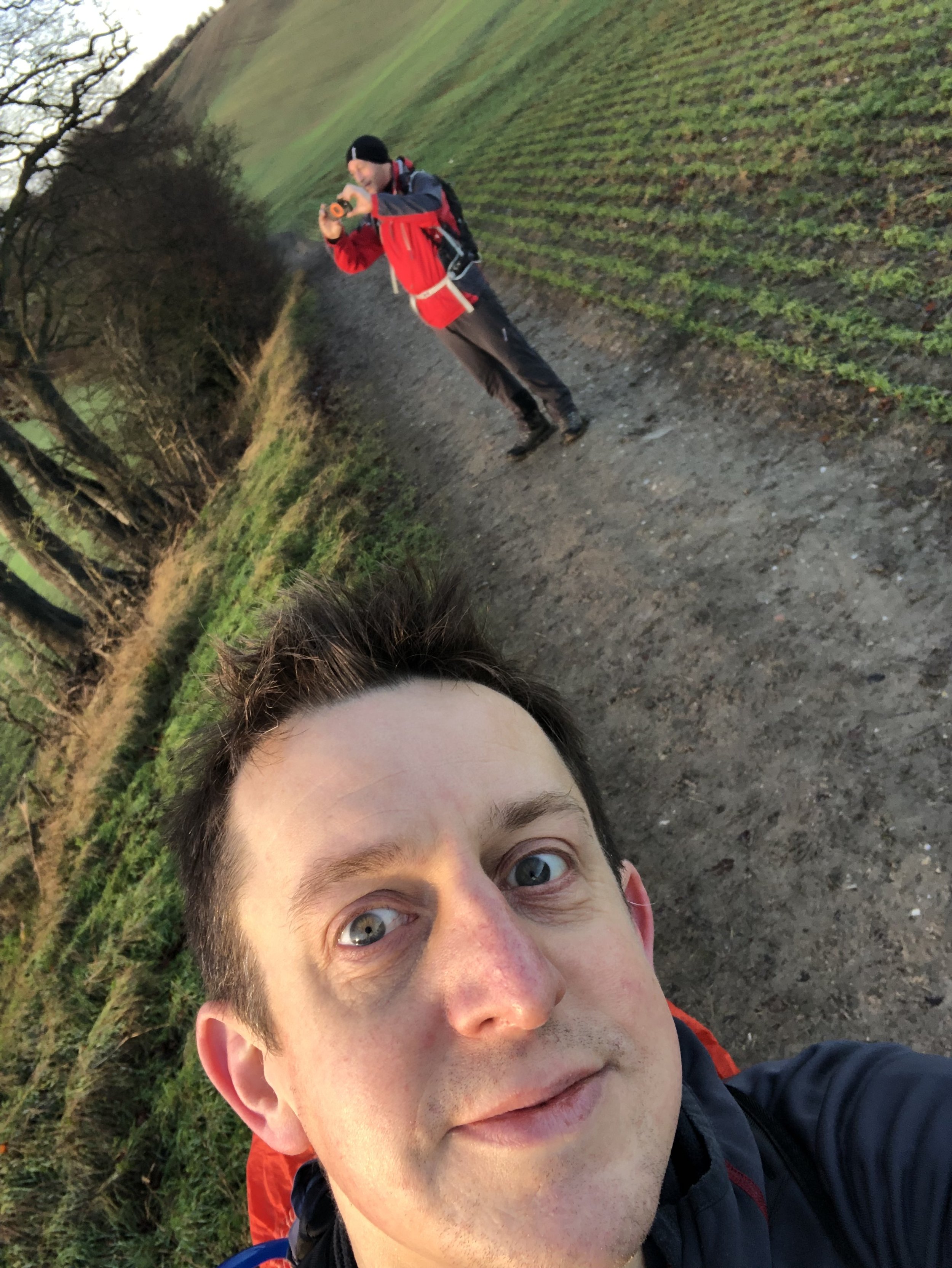
parkruns are free, weekly, community 5k events all around the world. I started in December 2012 and have been obsessive about it ever since. See my parkrun Collection page for details.
Featured and popular parkrun posts: