Cycling The River Wye, Buckinghamshire
Near the source at West Wycombe Estate
Part of the Chiltern Rivers Series
River start: Bradenham, Buckinghamshire
River end: Confluence with Thames at Bourne End, Buckinghamshire
River length: 14 km (9 miles)
Cycle route start / end: Parking in Bourne End Village Centre
Cycle route length: 33.6 km (21 miles)
Cycle route ascent: +/- 223m
GPX File: get via Buy Me a Coffee
Other routes touched (walk): Chiltern Way, Wycombe To Bourne End Disused Railway Trail
Other routes touched (cycle): Chilterns Cycleway
Map: OS Explorer Map (172) Chiltern Hills East
Links: River Wye, Bradenham, West Wycombe, High Wycombe, Wooburn Green, Bourne End
For my 3rd Chiltern River after the Chess and the Pinn, I chose the Wye for today's mini cycle adventure. The Wye, unlike its larger Welsh namesake, goes easily unnoticed. Despite having lived within 10 miles of it for most of my life, I'd barely heard of it until recently.
The Wye rises at Bradenham, near West Wycombe, travelling south-east for 9 miles before joining the Thames at Bourne End. The junction with the Thames is on private land so I started my trip on Bourne End High-Street, cycling toward the source.
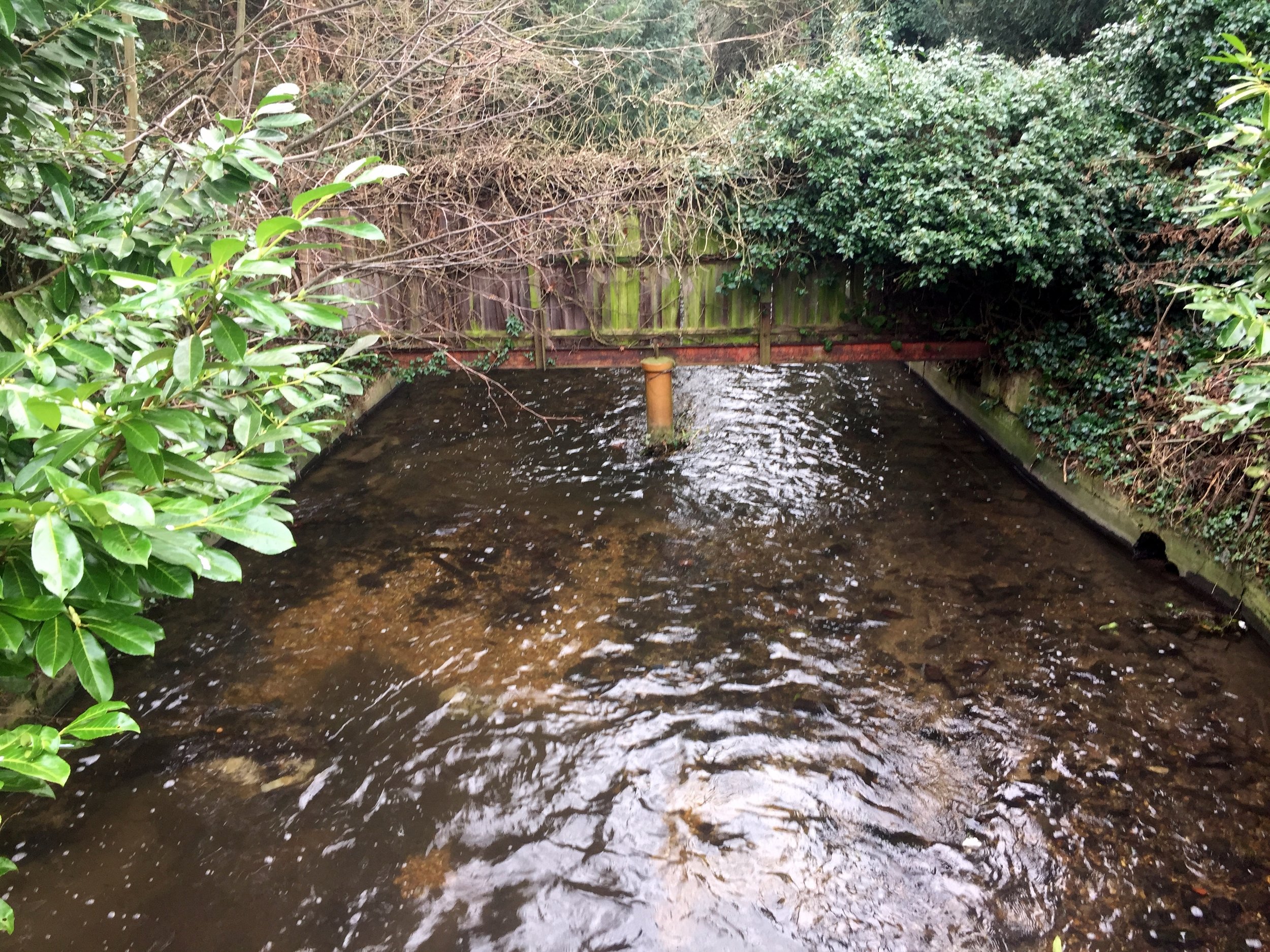
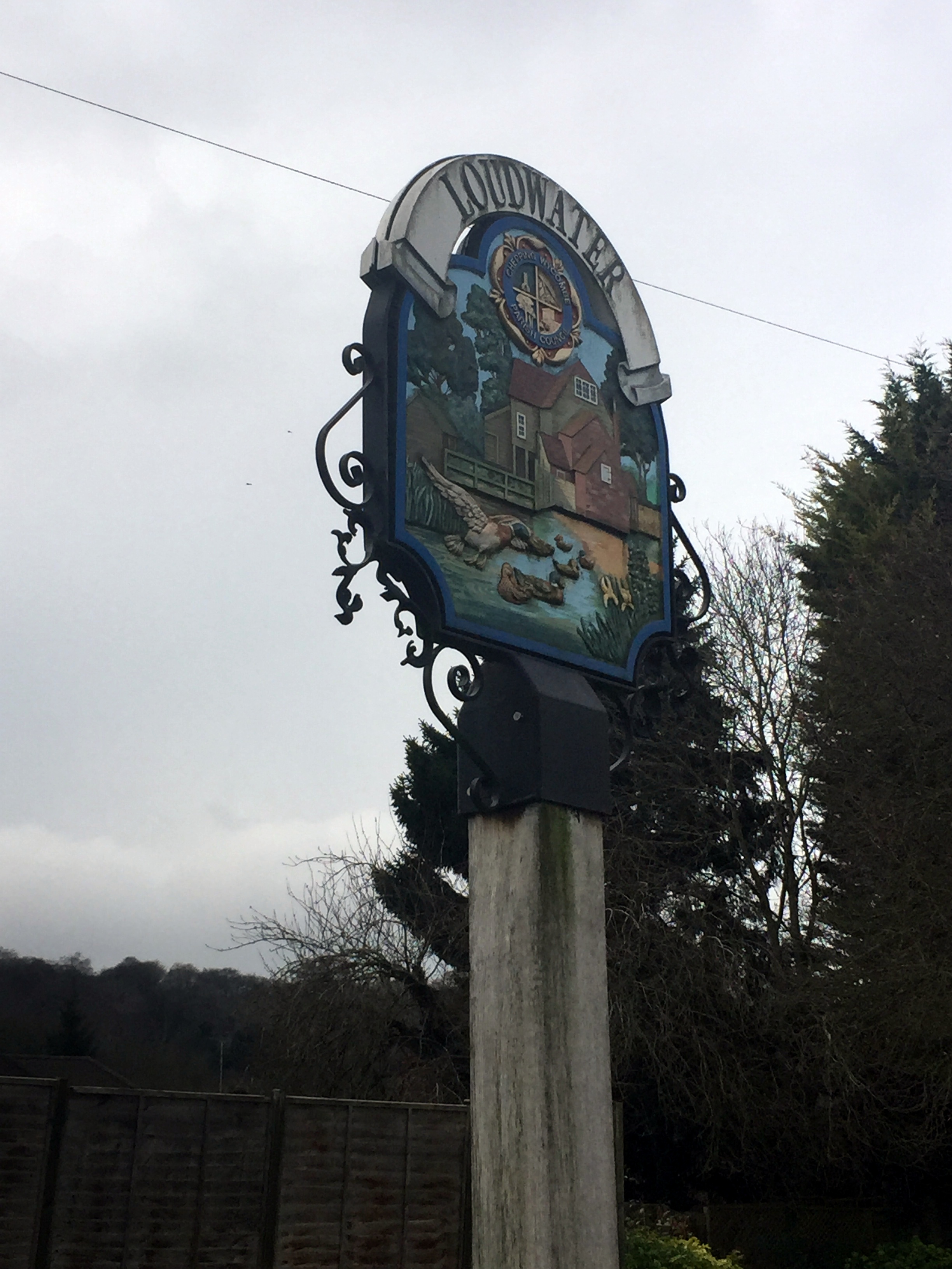
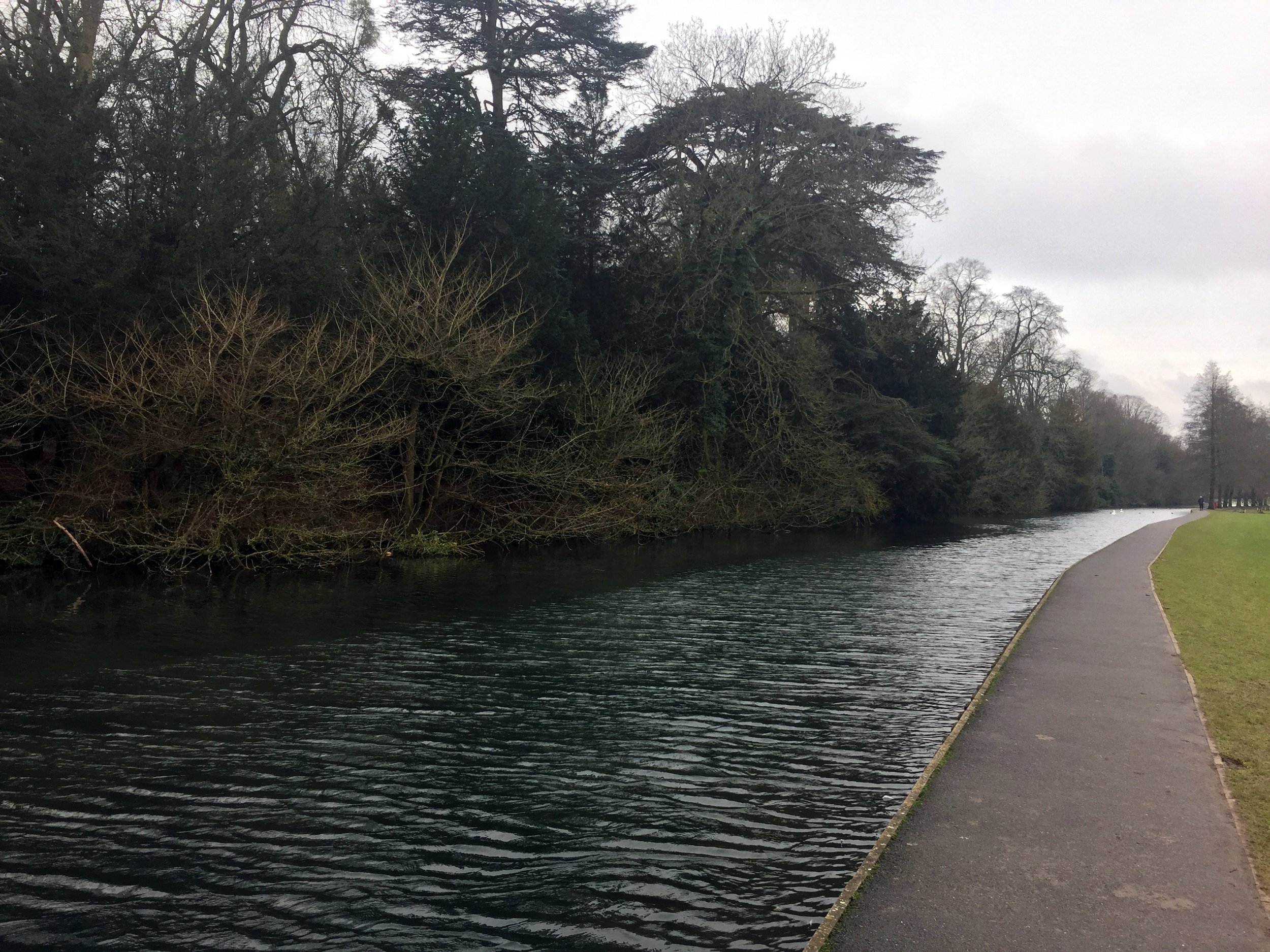
The first couple of miles is fairly pleasant. After Bourne End, the river follows the A40 to Wooburn Common. From there navigation gets tricky as the river gets lost amidst housing and an unpleasant retail park hiding under the M40 flyover. The route through Loudwater continues along similarly unremarkable territory before a more pleasant cut through the Wycombe Rye park. One particular point of interest is where the Wye crosses under the route of the disused Wycombe to Bourne End Railway. You can see this by taking the small footpath from the A40 up onto the old railway embankment opposite Pinions Road shortly before Wycombe Town Centre.
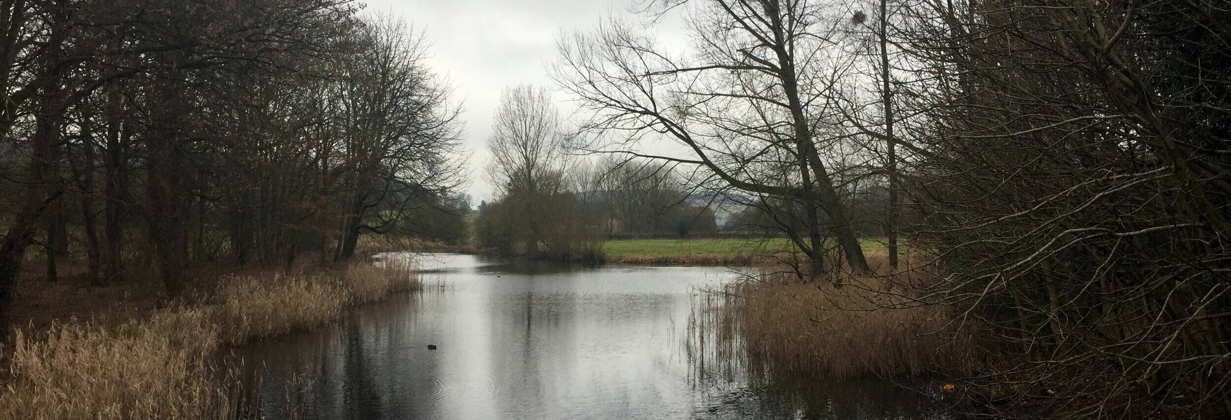
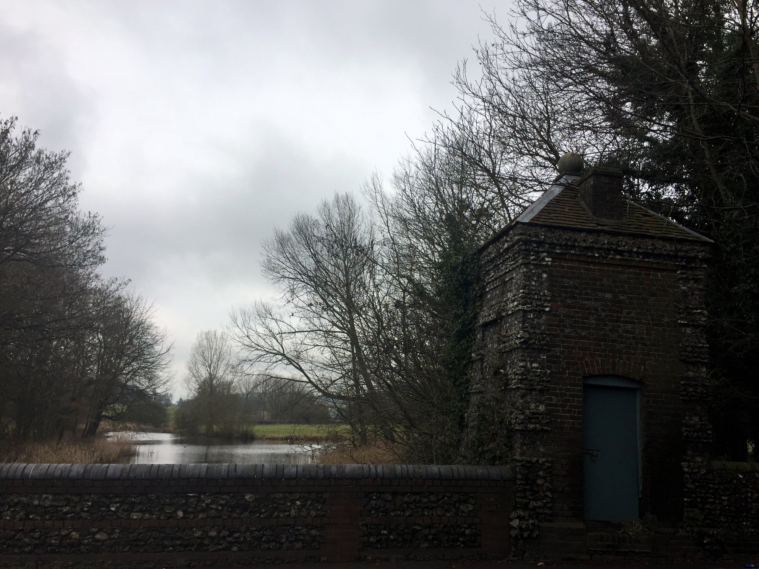
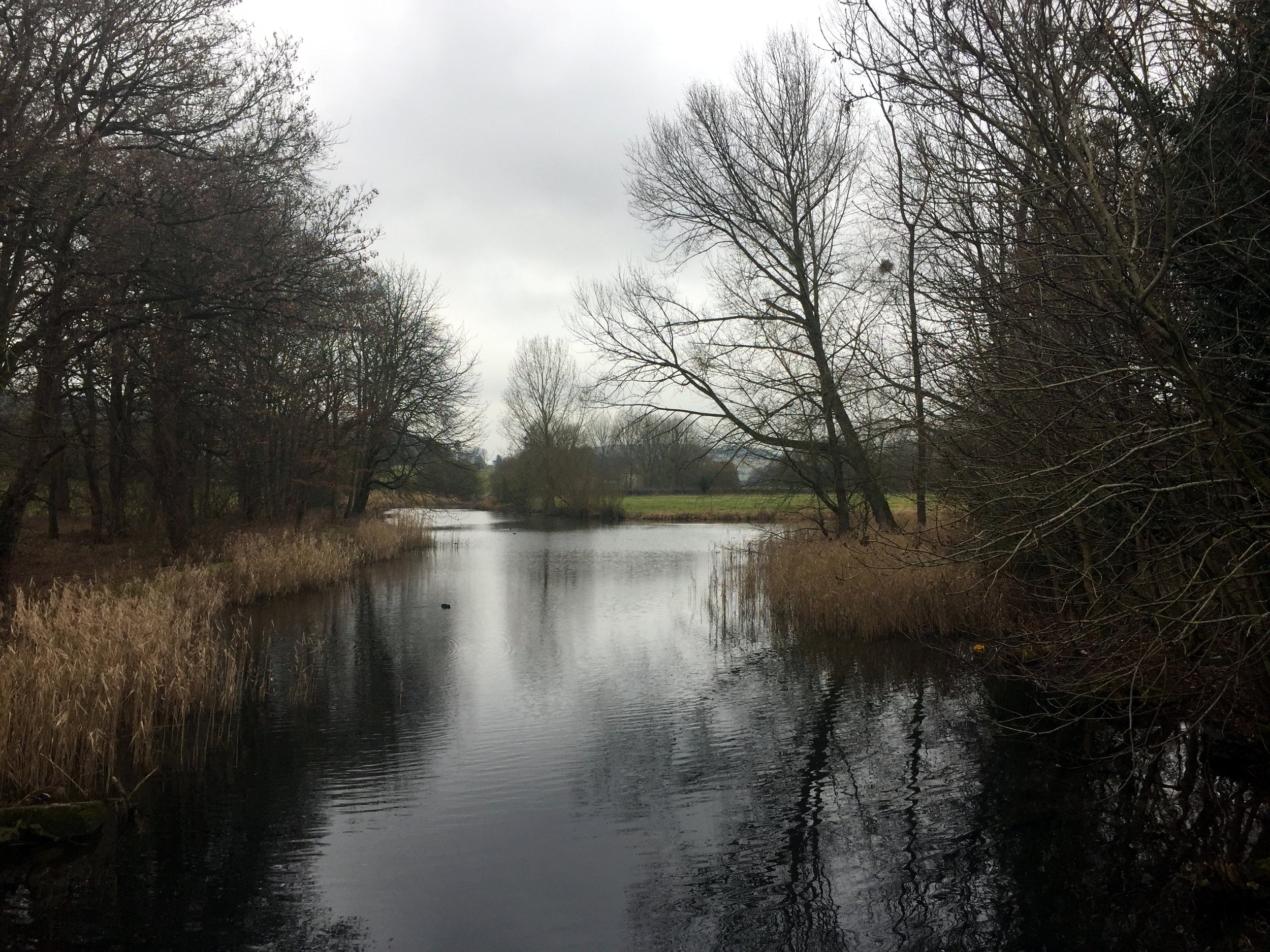
The following mile or so, cutting past High Wycombe Town Centre and the Desborough Estate, is best completed as quickly as possible. It's only at the edge of town, approaching The border with West Wycombe, where there's anything worth slowing down for. The final place to see the Wye is on a bridge looking into the National Trust Estate at West Wycombe where you can see the lake that feeds the river.
West Wycombe High Street is a good place for a coffee stop before starting the second, much more pleasant, half of the trip. After West Wycombe, the route follows the A40 for a mile or so, joining the Chiltern Cycleway. Bullocks Farm Lane, now heading back South needs the lowest gear for 10 minutes of slog to the routes highest point.
From here, the Chiltern Countryside comes into its own as pleasant country lanes take you through Wheeler End, Lane End, Freith and down to Marlow. From here the A4155 forms an easy final 3.5 miles back to Bourne End.
Red = course of the river, blue = cycle route
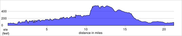
Elevation for cycle route