Chiltern Walks: Sharpenhoe Clappers

View to Sharpenhoe Clappers Hill Fort
Start & Finish: Sharpenhoe Clappers Car Park, 349 Sharpenhoe Road, Sharpenhoe, Bedford, MK45 4SH
Distance: 10.4 km (6.5 miles)
Elevation change: +/- 153m
GPX File: get via Buy Me a Coffee
Other routes touched (walk): Chiltern Way, Icknield Way, John Bunyan Trail
Other routes touched (cycle): Icknield Trail, Chilterns Cycleway
Pubs / Cafes on route: The Chequers, Streatley (4.2 km in)
Map: Luton & Stevenage Map | Hitchin & Ampthill | Ordnance Survey | OS Explorer Map 193
Links: National Trust Sharpenhoe and Sundon Hills, Sharpenhoe Clappers Fort, Streatley, John Bunyan
This is part of a series of short circular walks in the Chilterns. The guidance below will help you navigate but don’t use it as a fully accurate turn-by-turn guide. Always take a map and/or a GPX route and prepare well for the weather and terrain.
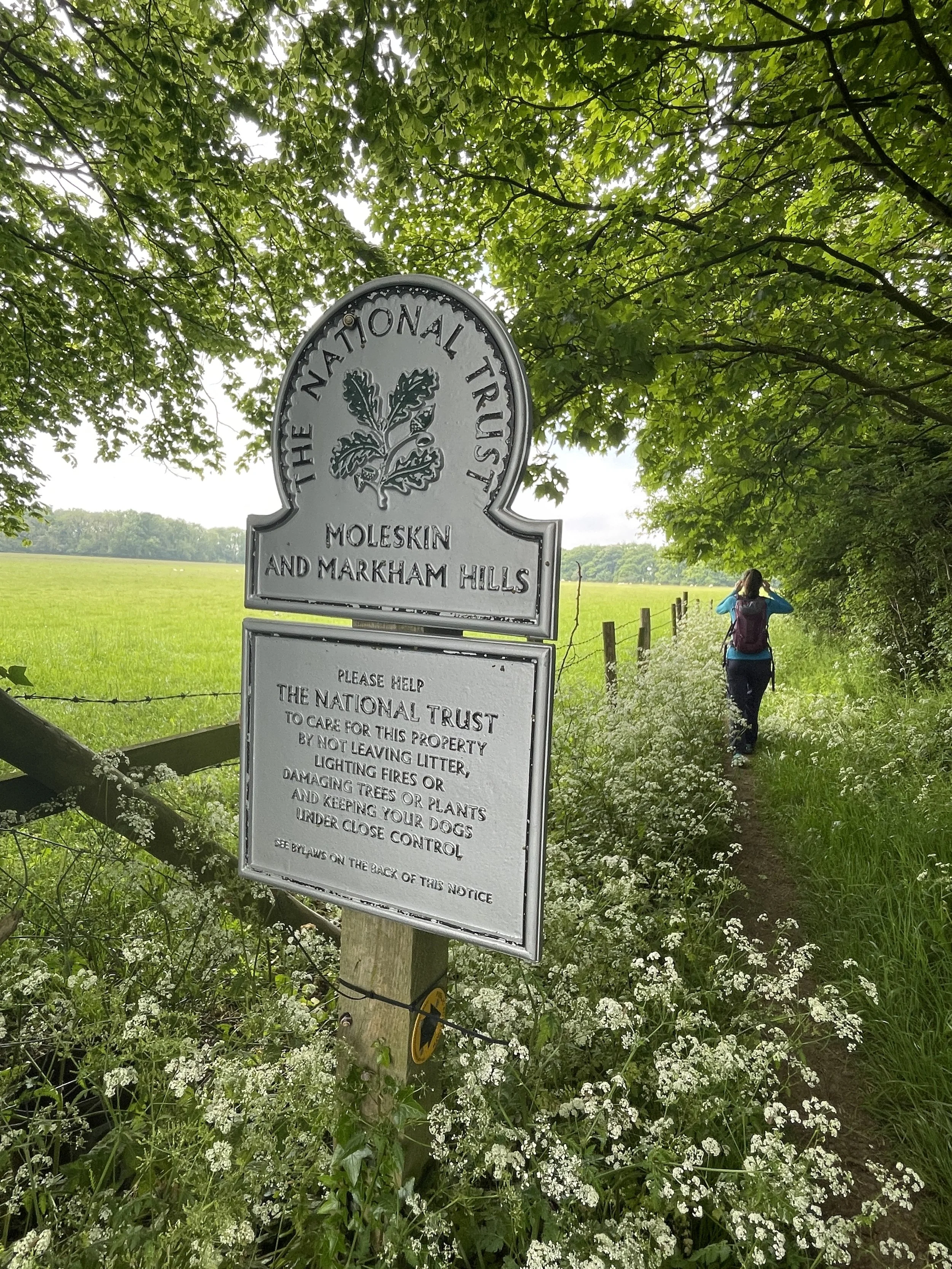
Sharpenhoe Clappers is a classic Chilterns walk in the northern exclave of the Chiltern Hills AONB. This is where there’s a gap in the chalk ridge created by the River Lea as is meanders south from Leagrave, through Luton and eventually to London. It’s a lot quieter than the main section of the AONB and has some outstanding views from the top of the ridgeline. The free National Trust Car Park on Sharpenhoe Road is a good place to start. The Chiltern Way, Icknield Way and John Bunyan Trail and route through Sharpenhoe Clappers. This walk is just over 10km but you can create longer or shorter options with different choices on the intersections of these 3 trails.
From here follow the Chiltern Way/John Bunyan Trail heading in a north-easterly direction from the car park. After 100m there’s a fork in the path where you’ll take the left hand path to keep on the Chiltern Way/John Bunyan Trail now heading in a northerly direction. This first 1km takes you along the edge of a peninsular of chalk ridge leading up to the site of the old iron age hill fort. At the tip of the peninsular the John Bunyan Trail continues to the north. Instead, keep on the Chiltern Way as it curves around towards the south, joining the Icknield Way Path after the paragliding take-off spot. Keep following the Chiltern Way as it curves around the ridge to Streatley.
After a rest at the Chequers Inn, continue along Sharpenhoe Road until you reach a footpath on the left leading to the large transmitter towers. Follow this path then take a left onto the Icknield Way/John Bunyan Trail. Follow the path in a westerly direction for 1.5km until the Icknield Way and John Bunyan Trail split. Take a right to keep on the Icknield Way descending to the remains of an old quarry and another Icknield Way/John Bunyan Trail intersection. Take a right to follow the path at the bottom of the ridge back to Sharpenhoe Road. Cross over Sharpenhoe Road and take a right on the path to ascend steeply up to the car park.