Walking The Hertfordshire Way through the Chilterns
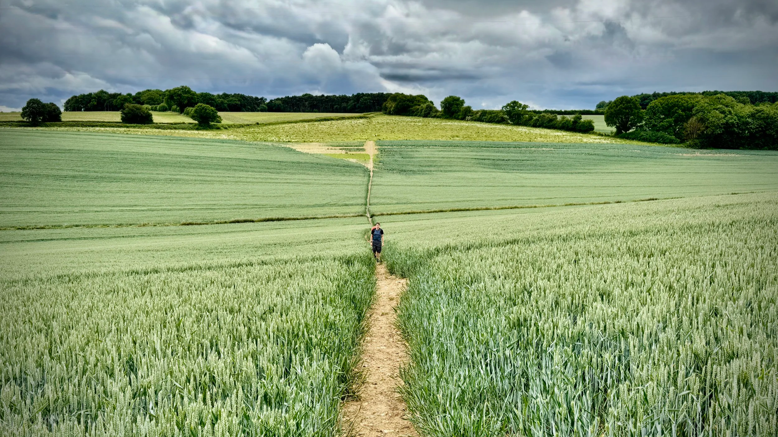
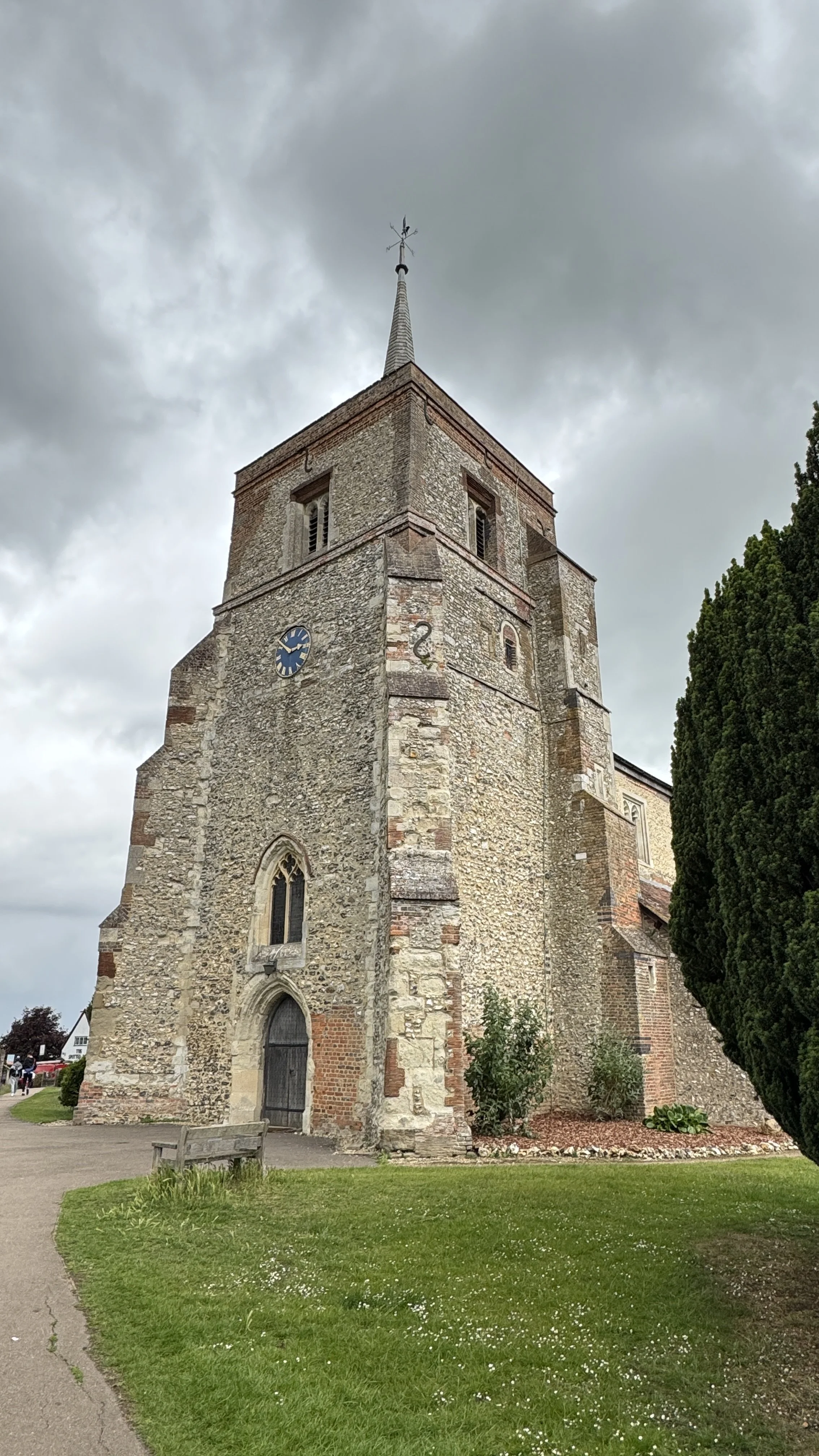
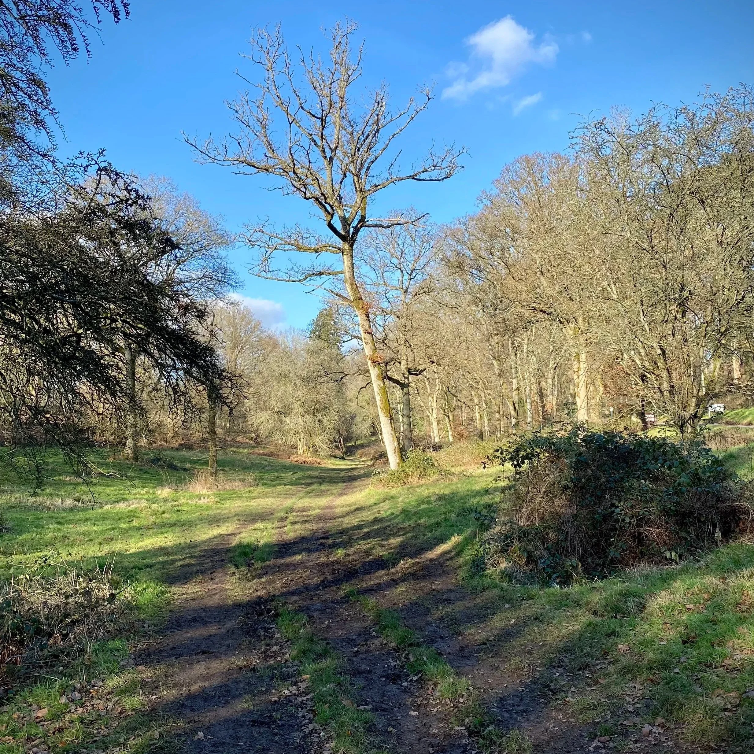
Near Flamstead
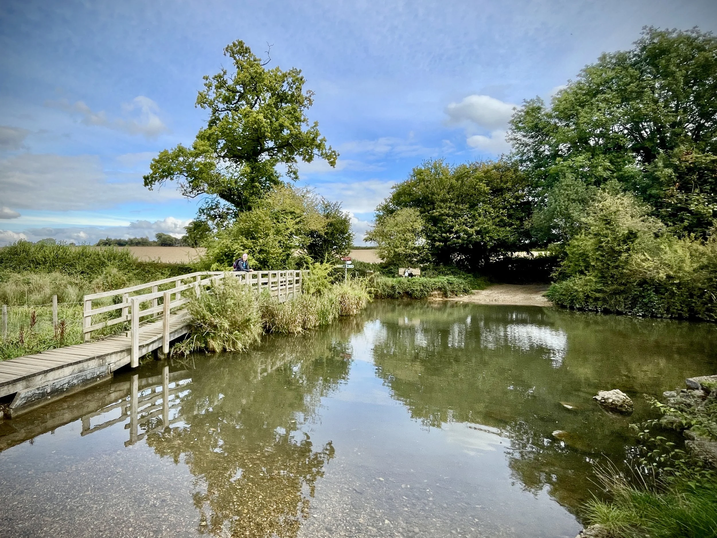
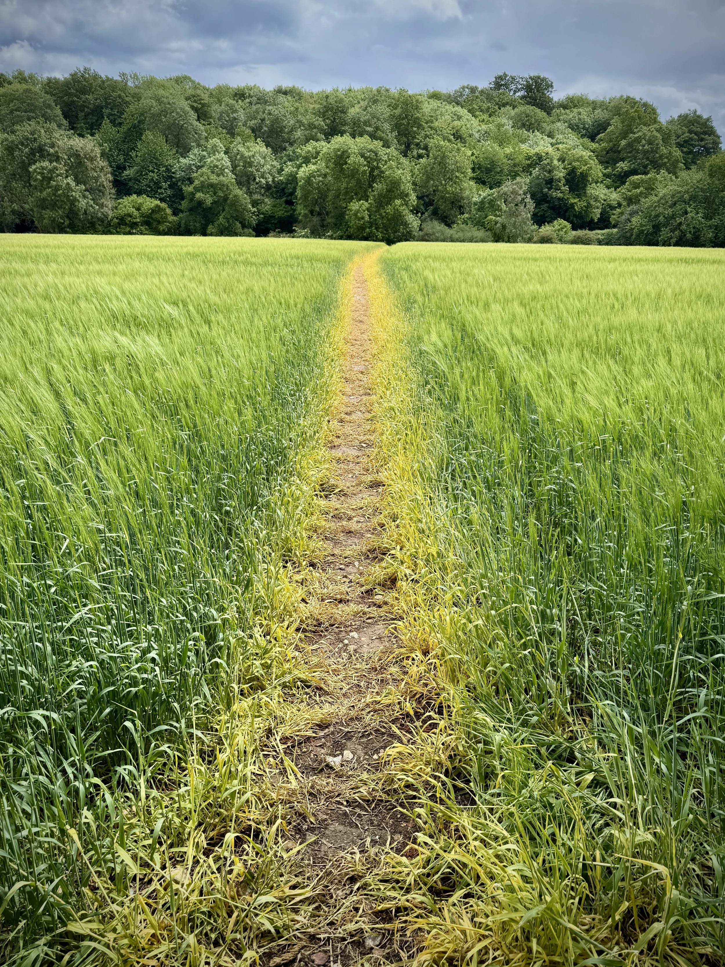
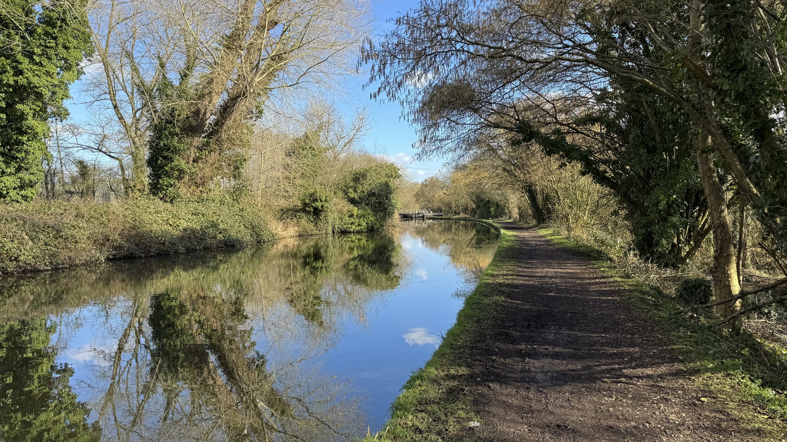
The Hertfordshire Way offers an incredible opportunity to circumnavigate one of England's home counties, revealing its hidden charms and surprising variety. This circular long-distance footpath, stretching around 273 km (170 miles), guides walkers through the county's most picturesque landscapes, proving that green spaces are never far, even in this area close to London.
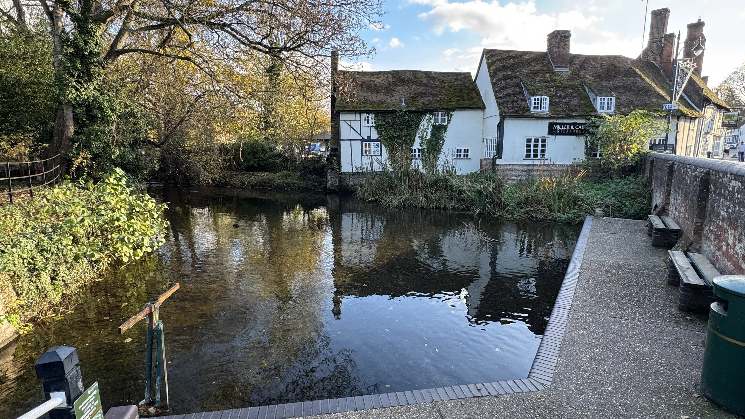
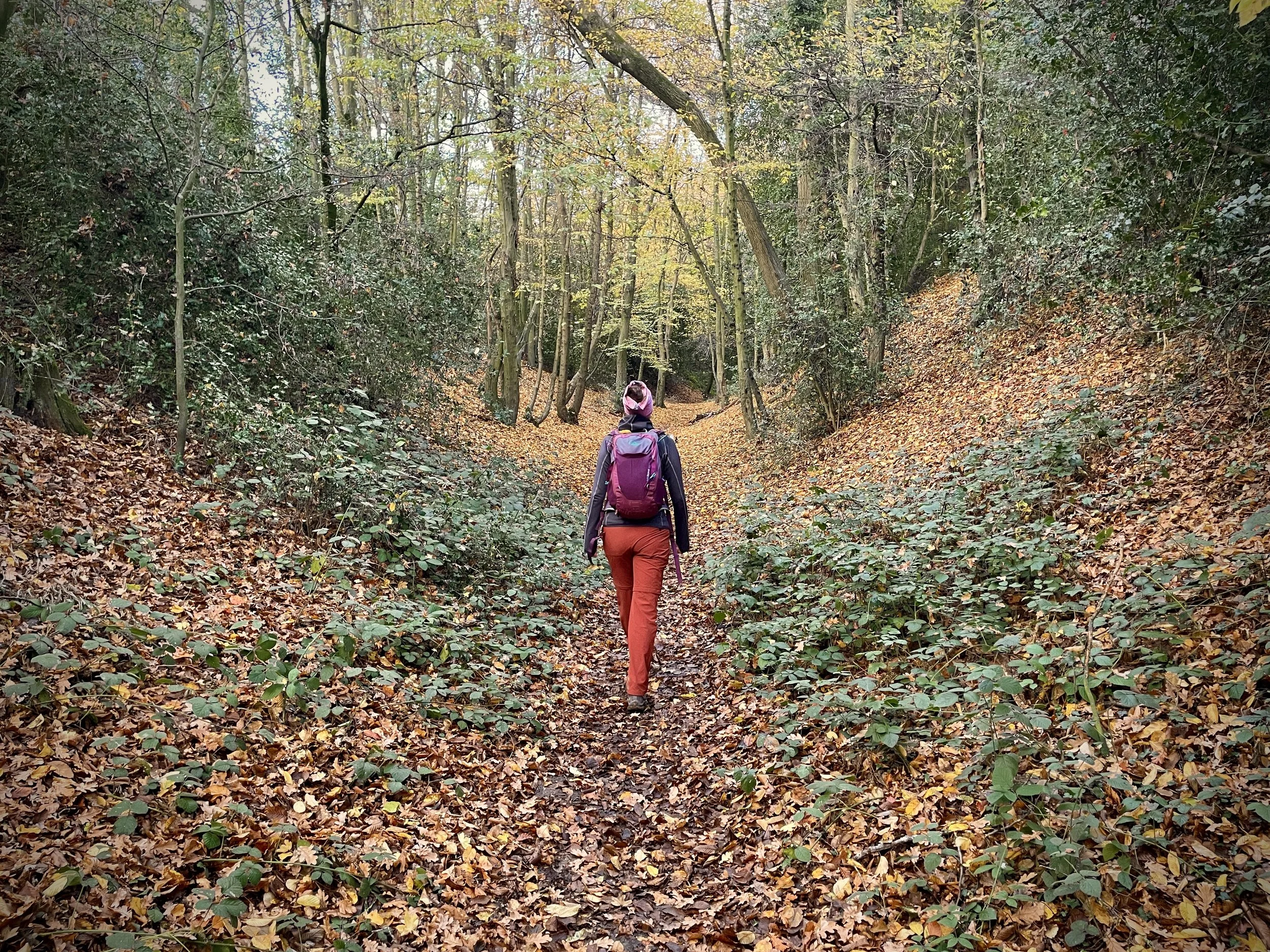
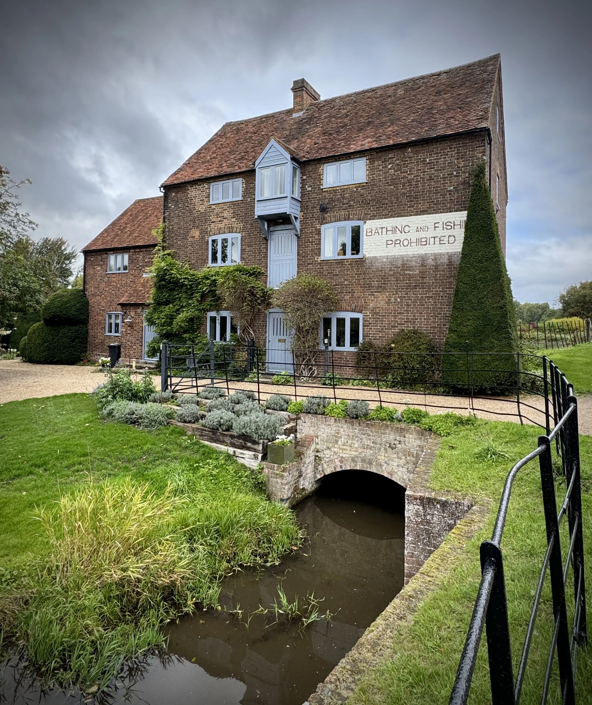
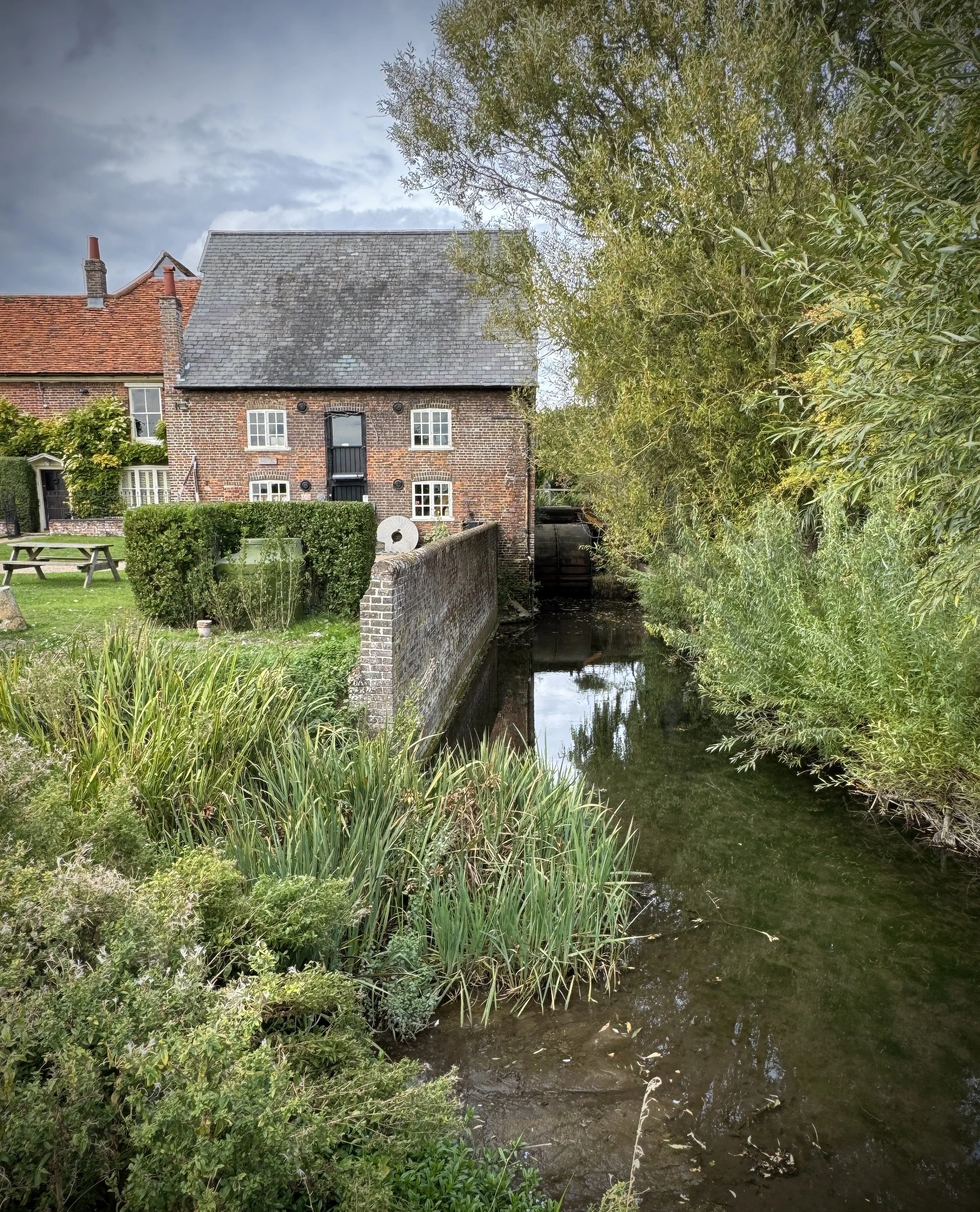
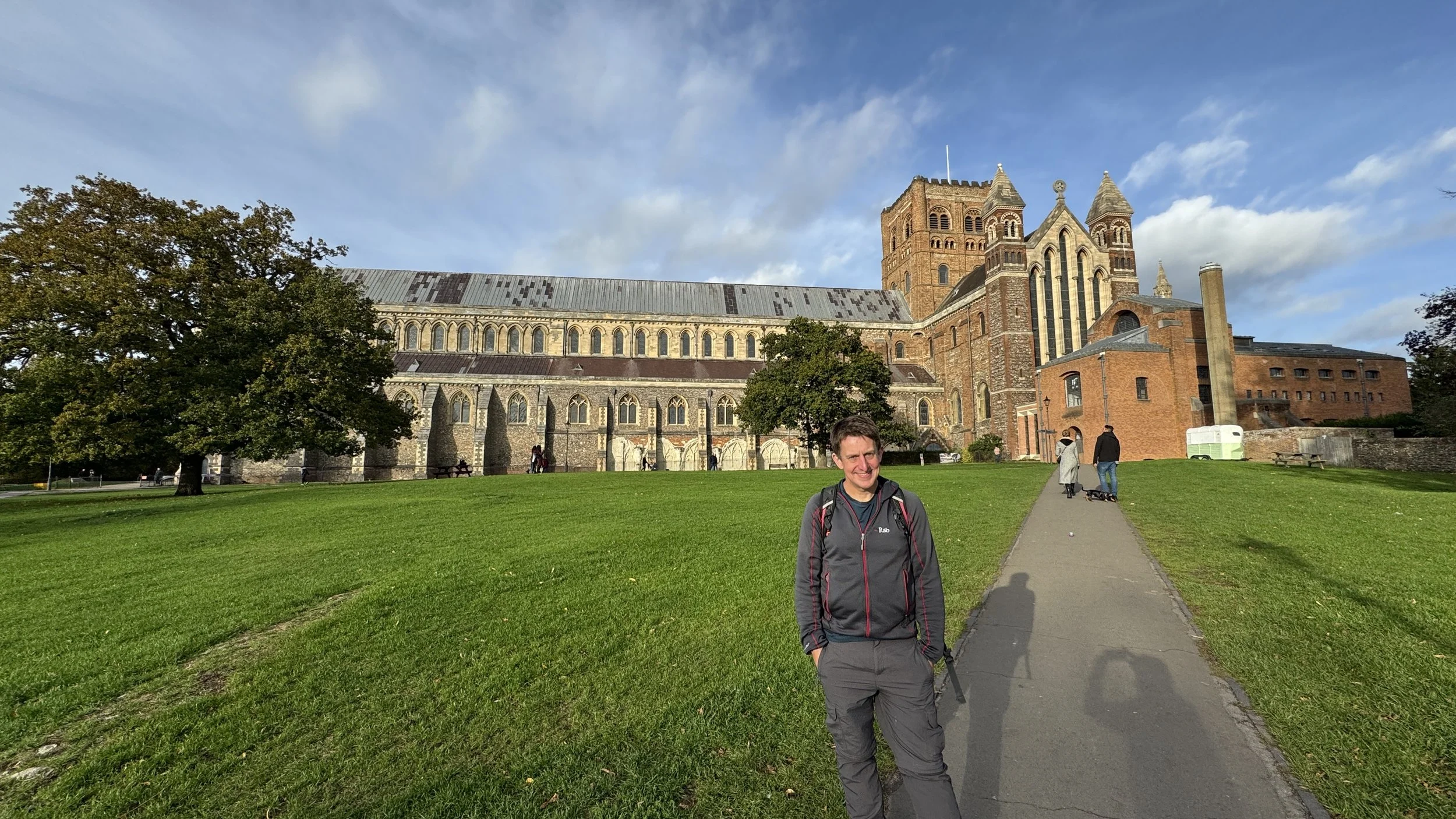
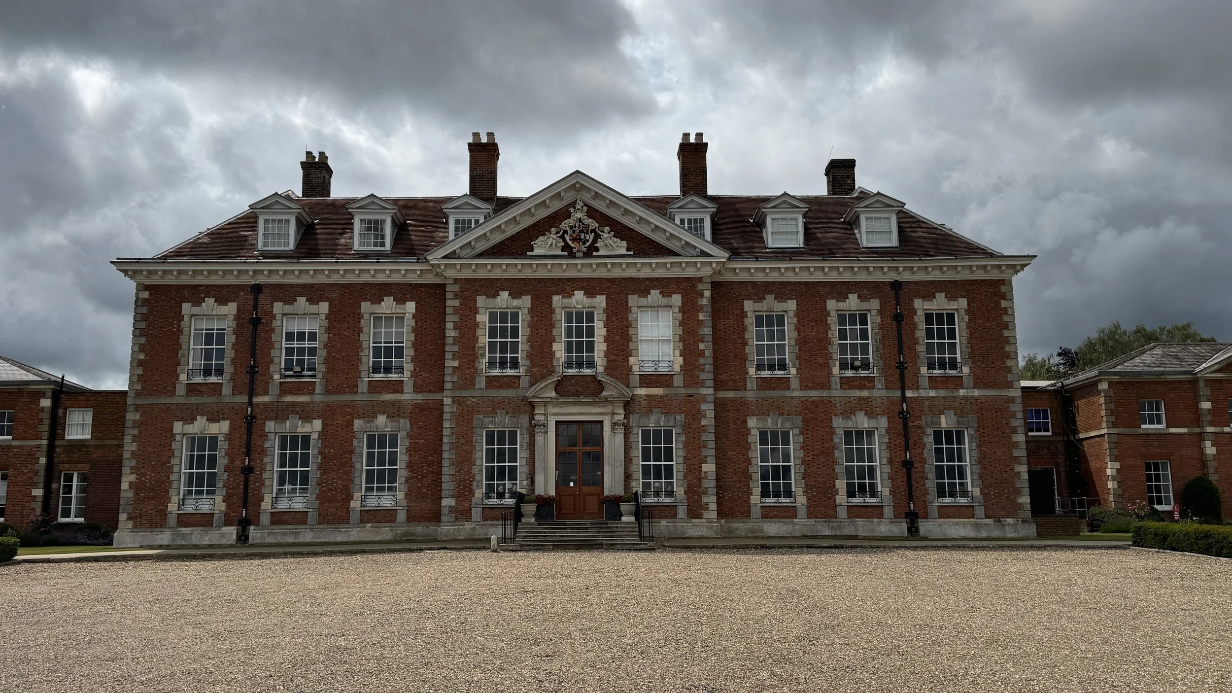
Beyond the stunning rural vistas, the Hertfordshire Way is a journey through history and charming local life. The route intentionally keeps mostly to the quiet countryside but thoughtfully incorporates visits to a handful of attractive, historic villages and two major centres: the county town of Hertford and the ancient city of St Albans, with its stunning cathedral and Roman heritage. Along the path, you'll encounter a mix of landscapes, from the fringes of the Chiltern Hills near Tring, to the wide views around Royston, and the peaceful valleys further east.
We walked the Chilterns part of the Hertfordshire Way in 15 sections over a couple of years. We used my “Greater Chilterns” definition that takes the trail from the River Lea near Wheathampstead to the River Colne near Garston. The part of the trail that runs through the Chiltern Hills National Landscape (formerly “AONB”) is much shorter and runs from Markyate to Berkhamsted.
Point to Point: Walking the Hertfordshire Way in the Chilterns
Start: River Lea crossing near Wheathampshead, AL4 8NJ
Finish: River Colne crossing near Garston, WD25 9AW
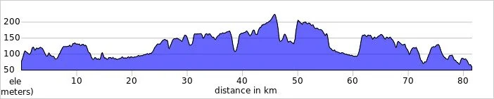
Distance: 81.5 km (51 miles)
Elevation change: + 874m / - 893m. Net -19m
GPX File: get via Buy Me a Coffee
Maps:
- St Albans & Hatfield Map | Hemel Hempstead & Welwyn Garden City | Ordnance Survey | OS Explorer Map 182
- Chiltern Hills North Map | Aylesbury, Berkhamsted & Chesham | Ordnance Survey | OS Explorer Map 181
See individual section posts linked below for other links.


Walking the Hertfordshire Way in the Chilterns in 15 walks
If you’re not up for a 82 km walk in one go, you can take in the Hertfordshire Way in the Surrey Hills in 15 walks of between 8 and 14 km each. We chose this option, completing all 15 sections over 4 years from 2021 to 2025. The advantage of this option is exploring more of the villages and side paths close to the route.
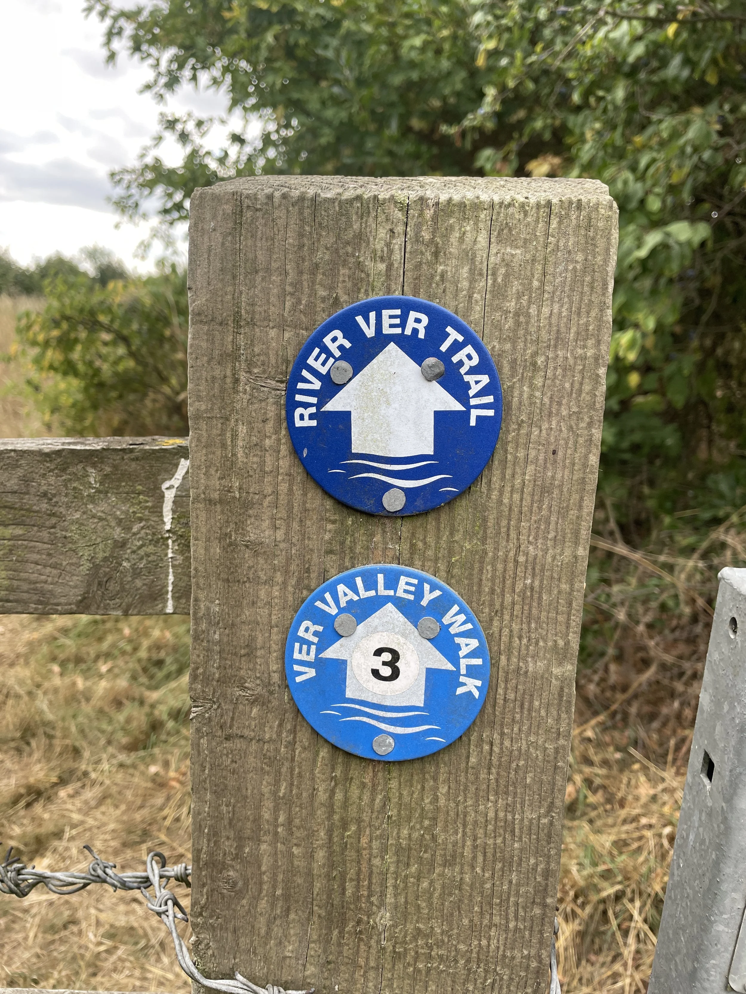
As the complete Hertfordshire Way is a circular route you can walk it in either direction. The roundels on the route show whether you’re heading clockwise or anti-clockwise on either side of the footpath posts. For our short walks linked below we did a mix of clockwise and anti-clockwise and I’ve indicated the direction in the list below. If want to complete them in a consistent direction you’ll need to reverse the route for some of them.

Each number refers to a circular walk below. Base map: Esri Topo via RideWithGPS

Section 1: Coleman Green and Wheathampstead
Start & Finish: East Lane Car Park, 13 East Lane, Wheathampstead, St Albans, AL4 8SB
Distance: 9.1 km (5.7 miles)
Elevation change: +/- 99m
Hertfordshire Way section covered: Hammonds House Farm to the River Lea: 4.15 km
Hertfordshire Way Direction: Clockwise

Section 2: Sandridge and Heartwood Forest
Start & Finish: Nomansland Parking, Ferrers Lane, St Albans, AL4 8EG
Distance: 12.3 km (7.7 miles)
Elevation change: +/- 106m
Hertfordshire Way section covered: Chilwickbury to Hammonds House Farm: 5.5 km
Hertfordshire Way Direction: Clockwise
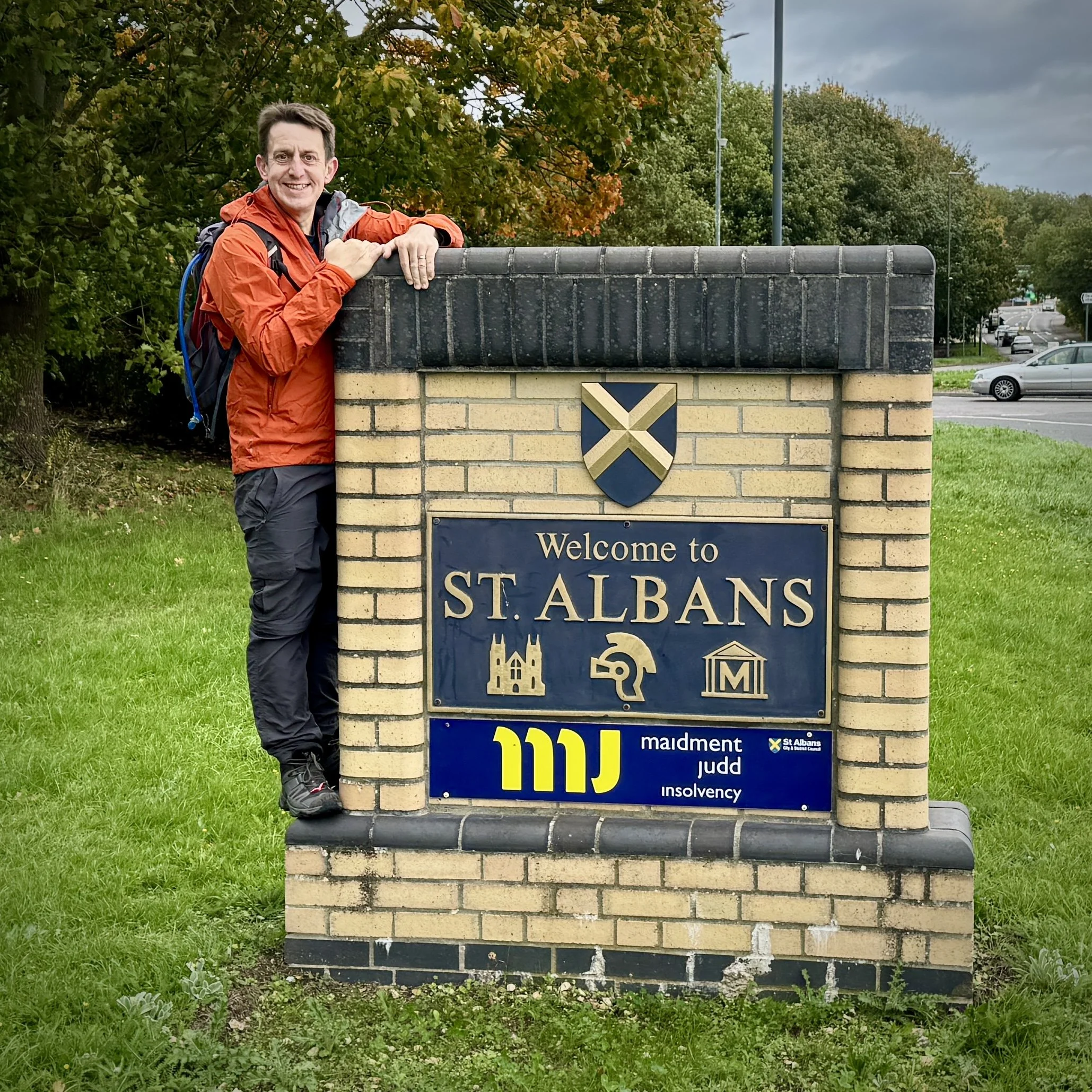
Section 3: St Albans and Childwickbury
Start & Finish: Verulamium Car Park, 39 St Michael's Street, St Albans, AL3 4SW. Alternative parking and public transport options in St Albans
Distance: 14.3 km (8.9 miles)
Elevation change: +/- 122m
Hertfordshire Way section covered: Redbournbury to Childwickbury: 10.6 km
Hertfordshire Way Direction: Clockwise

Section 4: Redbourn and Redbournbury
Start & Finish: Free car park on West Common, Redbourn, St Albans, AL3 7ND
Distance: 9 km (6 miles)
Elevation change: +/- 74m
Hertfordshire Way section covered: Redbourn to Redbournbury: 4 km
Hertfordshire Way Direction: Clockwise
Section 5: Flamstead and Redbourn
Start & Finish: Free car park on West Common, Redbourn, St Albans, AL3 7ND
Distance: 11.4 km (7 miles)
Elevation change: +/- 98m
Hertfordshire Way section covered: Flamstead to Redbourn: 4.2 km
Hertfordshire Way Direction: Clockwise
Section 6: Flamstead and Markyate
Start & Finish: Flamstead Recreation Ground, St Albans, AL3 8BS
Distance: 12 km (7.5 miles)
Elevation change: +/- 135m
Hertfordshire Way section covered: Babies Wood to Flamstead: 4.3 km
Hertfordshire Way Direction: Clockwise

Section 7: Great Gaddesden and Gaddesdon Row
Start & Finish: Hemel Hempstead Garden Centre, Piper's Hill, Great Gaddesden, Hemel Hempstead, HP1 3BY
Distance: 9.1 km (5.7 miles)
Elevation change: +/- 116m
Hertfordshire Way section covered: Great Gaddesden to Babies Wood: 4 km
Hertfordshire Way Direction: Clockwise

Section 8: Great Gaddesden and Ashridge
Start & Finish: Hemel Hempstead Garden Centre, Piper's Hill, Great Gaddesden, Hemel Hempstead, HP1 3BY
Distance: 9.3 km (5.8 miles)
Elevation change: +/- 153m
Hertfordshire Way section covered: Great Gaddesden to the Ashridge Estate: 4 km
Hertfordshire Way Direction: Clockwise
Section 9: (Ashridge Boundary Trail Route 2) Ashridge Golf Club and Moneybury Hill
Start & Finish: Ashridge National Trust Car Park, Aldbury, Berkhamsted, HP4 1LU
Distance: 8.2 km (5.1 miles)
Elevation change: +/- 94m
Hertfordshire Way section covered: Pitstone Common to east of Ashridge House: 4.9 km
Hertfordshire Way Direction: Clockwise
Section 10: Aldbury & Ashridge
Start & Finish: Tring Station, Tring, HP23 5QR
Distance: 7.8 km (4.8 miles)
Elevation change: +/- 138m
Hertfordshire Way section covered: Pitstone Common to Tom’s Hill: 6.15 km
Hertfordshire Way Direction: Both

Section 11: Cow Roast and Berkhamsted Common
Start & Finish: Free parking by the Cow Roast Recreation Ground, Tring, HP23 5RE
Distance: 11.9 km (7.3 miles)
Elevation change: +/- 140m
Hertfordshire Way section covered: Tom’s Hill to Berkhamsted Common: 3 km
Hertfordshire Way Direction: Anti-clockwise

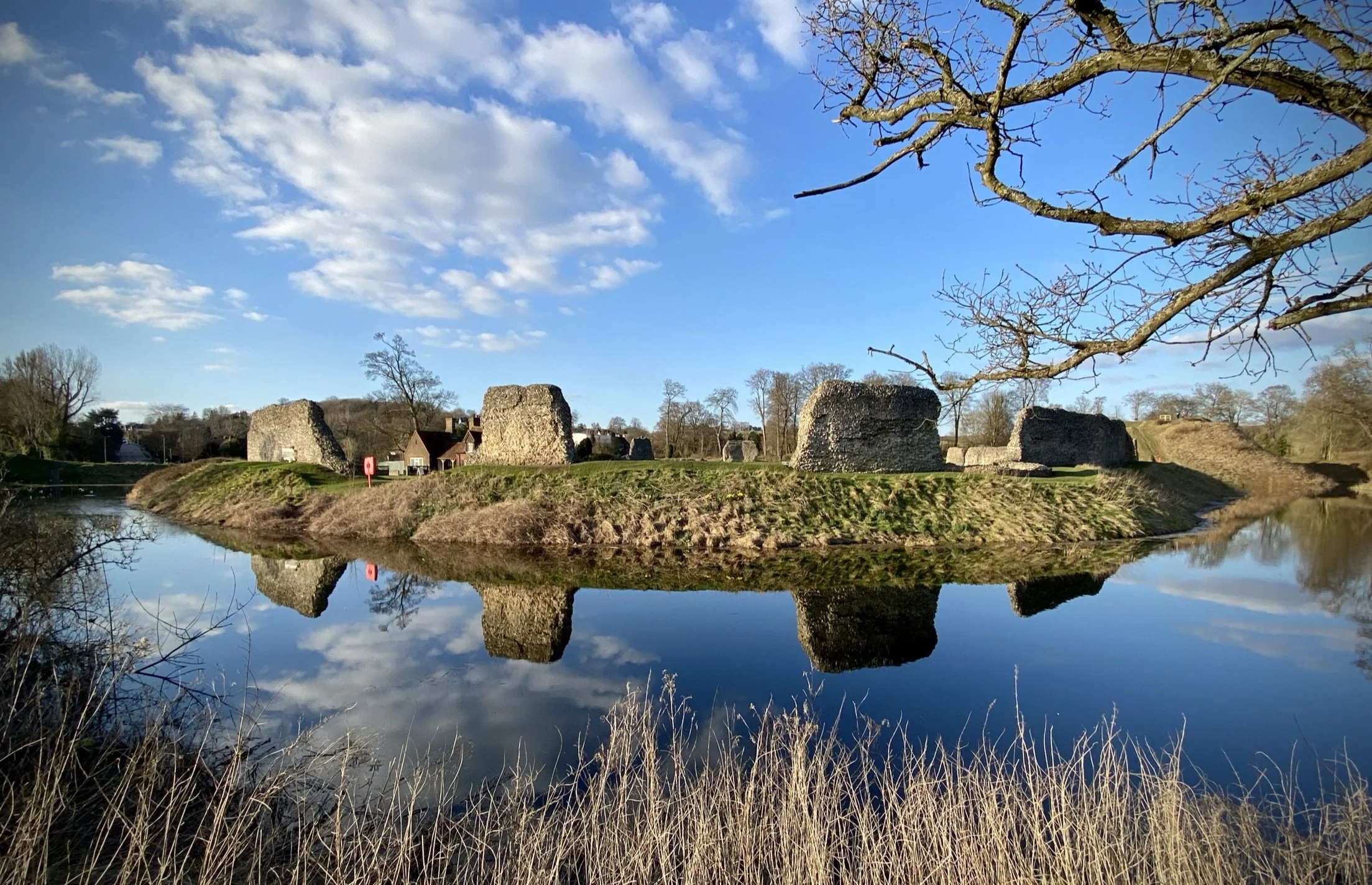
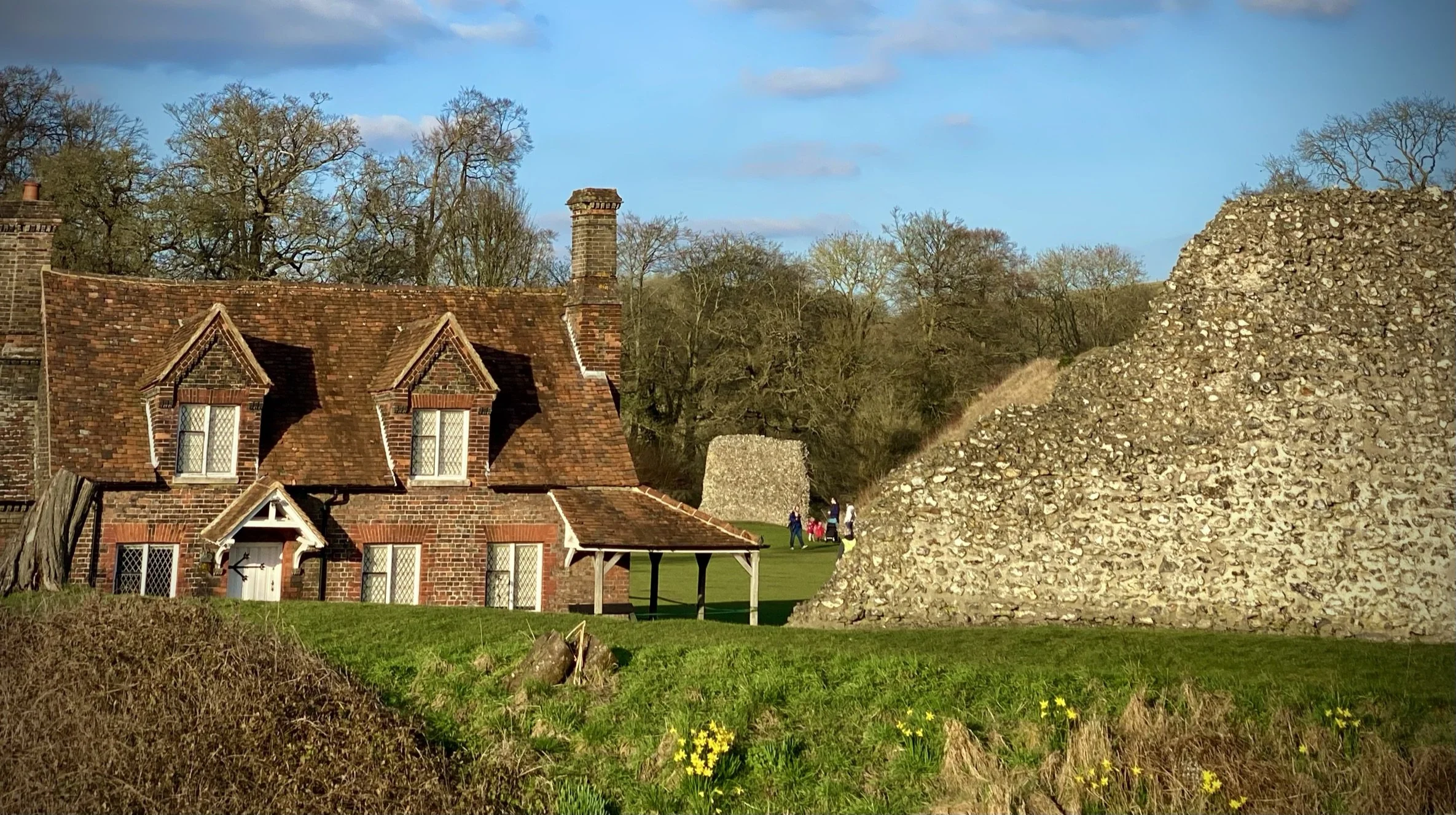
Section 12: Berkhamsted Castle and Common
Start & Finish: Berkhamsted Station, HP4 2AJ
Distance: 10.4 km (6.5 miles)
Elevation change: +/- 119m
Hertfordshire Way section covered: Berkhamsted Common to Berkhamsted Castle: 4 km
Hertfordshire Way Direction: Anti-clockwise
Section 13: Berkhamsted and Bourne End
Start & Finish: Berkhamsted Station, Station Approach, Berkhamsted, HP4 2AR
Distance: 11.9 km (7.3 miles)
Elevation change: +/- 144m
Hertfordshire Way section covered: Berkhamsted to Bushfield Road: 5.8 km
Hertfordshire Way Direction: Anti-clockwise

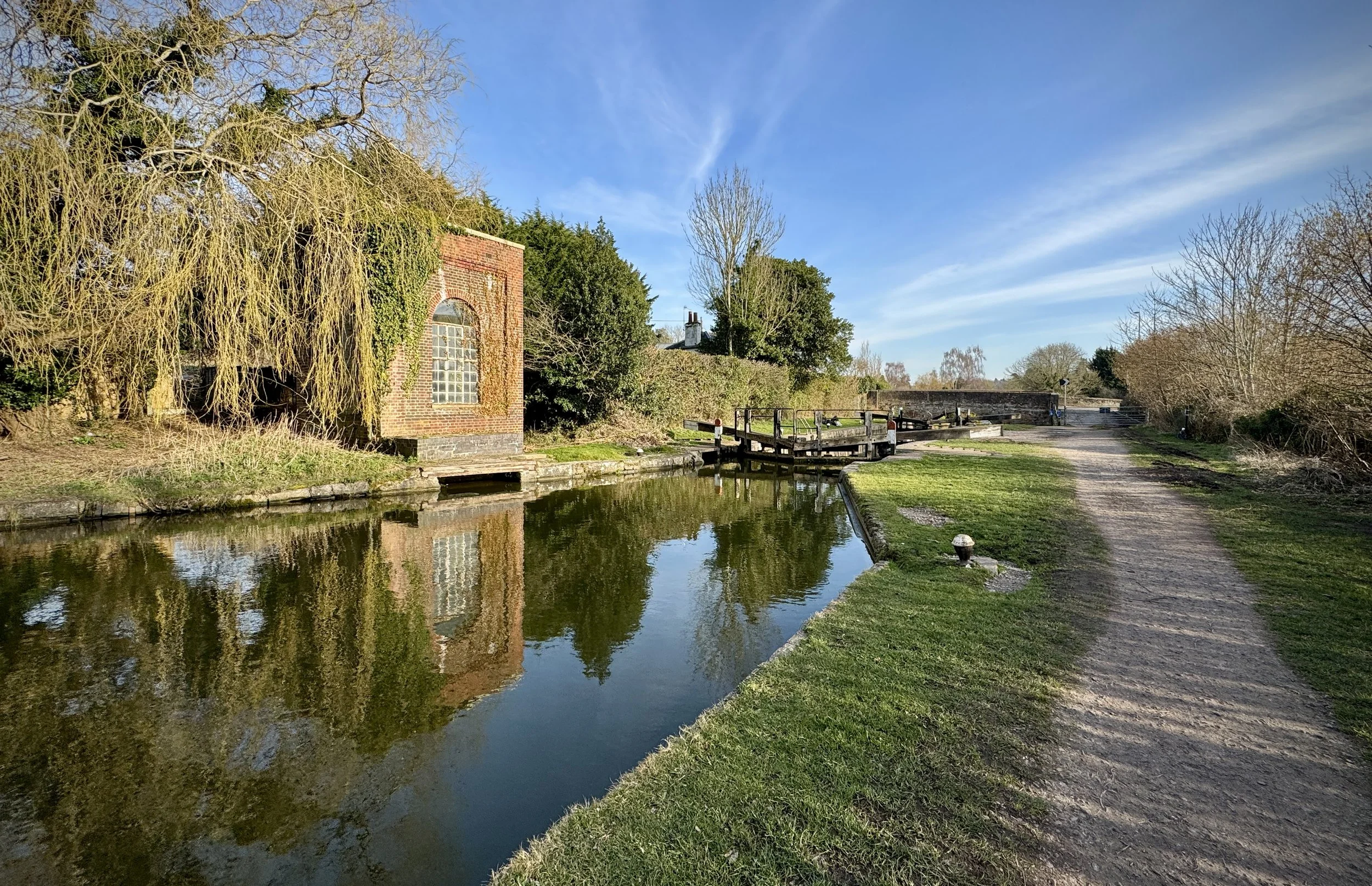
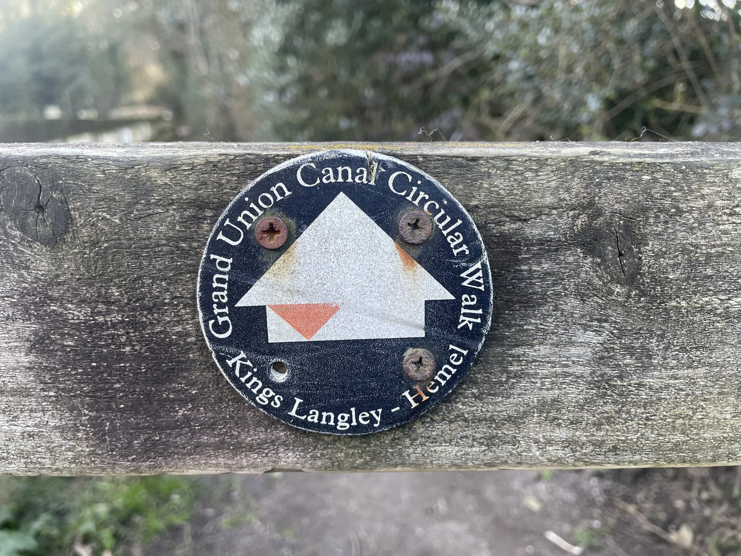
Section 14: Boxmoor to Kings Langley
Start: Hemel Hempstead Station, London Road, Hemel Hempstead, HP3 9BQ
Finish: Kings Langley Station, Station Road, Kings Langley WD4 8LF
Distance: 12.8 km (7.9 miles)
Elevation change: +154m / - 175m. Net -21m
Hertfordshire Way section covered: Bovingdon to Kings Langley: 10 km
Hertfordshire Way Direction: Anti-clockwise
Section 15: Kings Langley to Aldenham
Start: King’s Langley Station, Station Road, Kings Langley, WD4 8LF
Finish: St. John The Baptist Church, Church Lane, Radlett, Watford, WD25 8BE
Distance: 10.4 km (6.5 miles)
Elevation change: +126m / -119m. Net +7m
Hertfordshire Way section covered: King’s Langley to Aldenham: 10.4 km
Hertfordshire Way Direction: Anti-clockwise