Chiltern Walks: Kings Langley to Aldenham
Crossing The River Colne
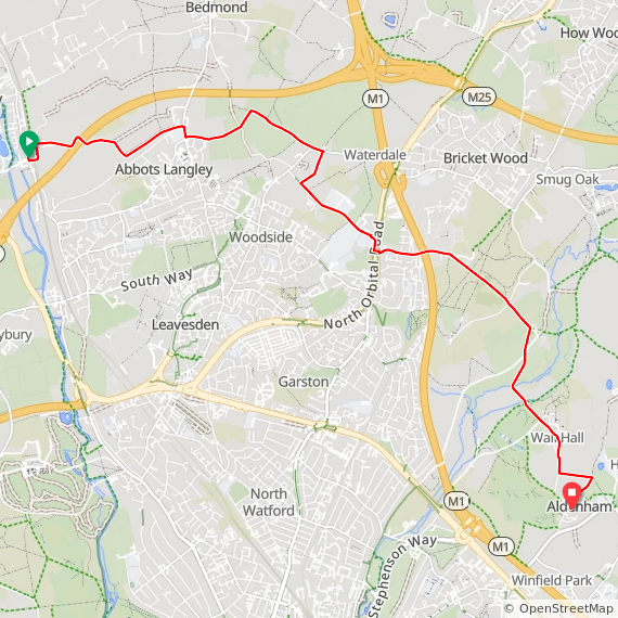
Start: Kings Langley Station, Station Road, Kings Langley, WD4 8LF
Finish: St John the Baptist Church, Church Lane, Aldenham, WD25 8BE
Distance: 10.4 km (6.5 miles)
Elevation change: +126m / -119m. Net +7m
Terrain: Field-edge paths, woodland trails through Bricket Wood, and estate tracks.
Hertfordshire Way section covered: Kings Langley to Aldenham: 10.4 km
GPX File: get via Buy Me a Coffee
Other routes touched (walk): Hertfordshire Way, Abbey Line Trail, St. Bernard’s Way, Manor Stroll
Other routes touched (cycle): NCN 6, 61
Pubs / Cafes on route: None
Map: St Albans & Hatfield Map | Hemel Hempstead & Welwyn Garden City | Ordnance Survey | OS Explorer Map 182
Links: Hertfordshire Way, Kings Langley, Bricket Wood, River Colne, Aldenham, St John The Baptist Church, Aldenham
The Hertfordshire Way offers an incredible opportunity to circumnavigate one of England's home counties, revealing its hidden charms and surprising variety. This circular long-distance footpath, stretching around 273 km (170 miles), guides walkers through the county's most picturesque landscapes, proving that green spaces are never far, even in this area close to London. We walked the Chilterns part of the Hertfordshire Way in 15 sections over a couple of years. We used my “Greater Chilterns” definition, which is larger than the Chiltern Hills National Landscape, that takes the trail from the River Lea near Wheathampstead to the River Colne near Garston. This route is one of those 15 circular walks.
Walking Directions
We parked at the end of the route at Aldenham and took an Uber to the start of the walk at Kings Langley station. You can also do it by a combination of a bus to Bushey and a train to Kings Langley but it was a mid-winter’s day and we were short on time. The guidance below will help you navigate but don’t use it as a fully accurate turn-by-turn guide. Always take a map and/or a GPX route and prepare well for the weather and terrain.
Station Departure: Exit from the eastern side of Kings Langley station and walk north past the car park to reach Egg Farm Lane.
M25 Crossing: Take a right to follow the lane up the hill and over the M25.
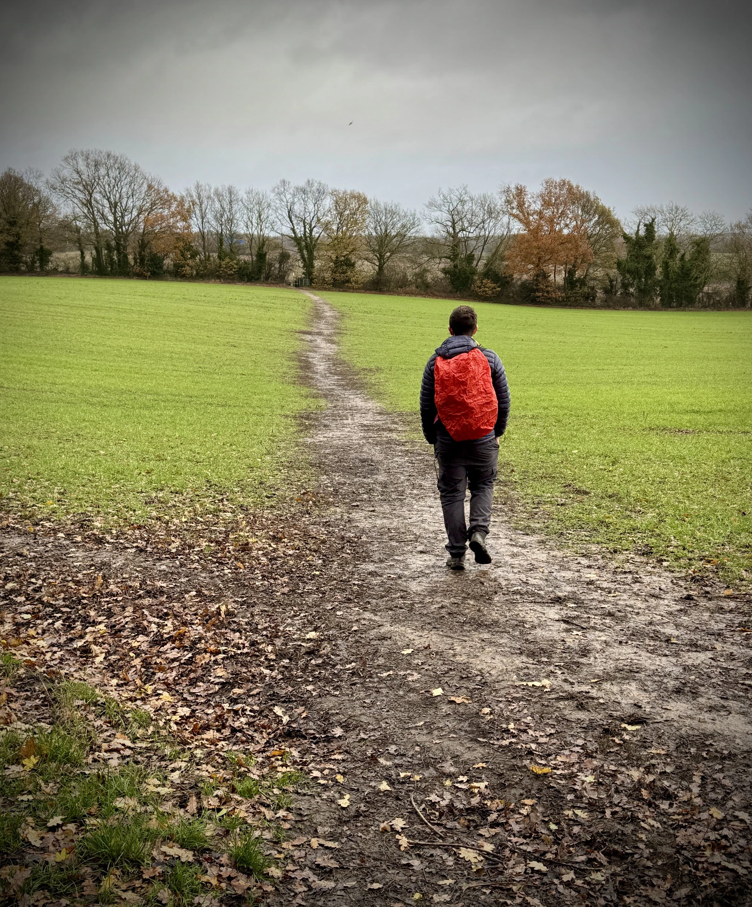
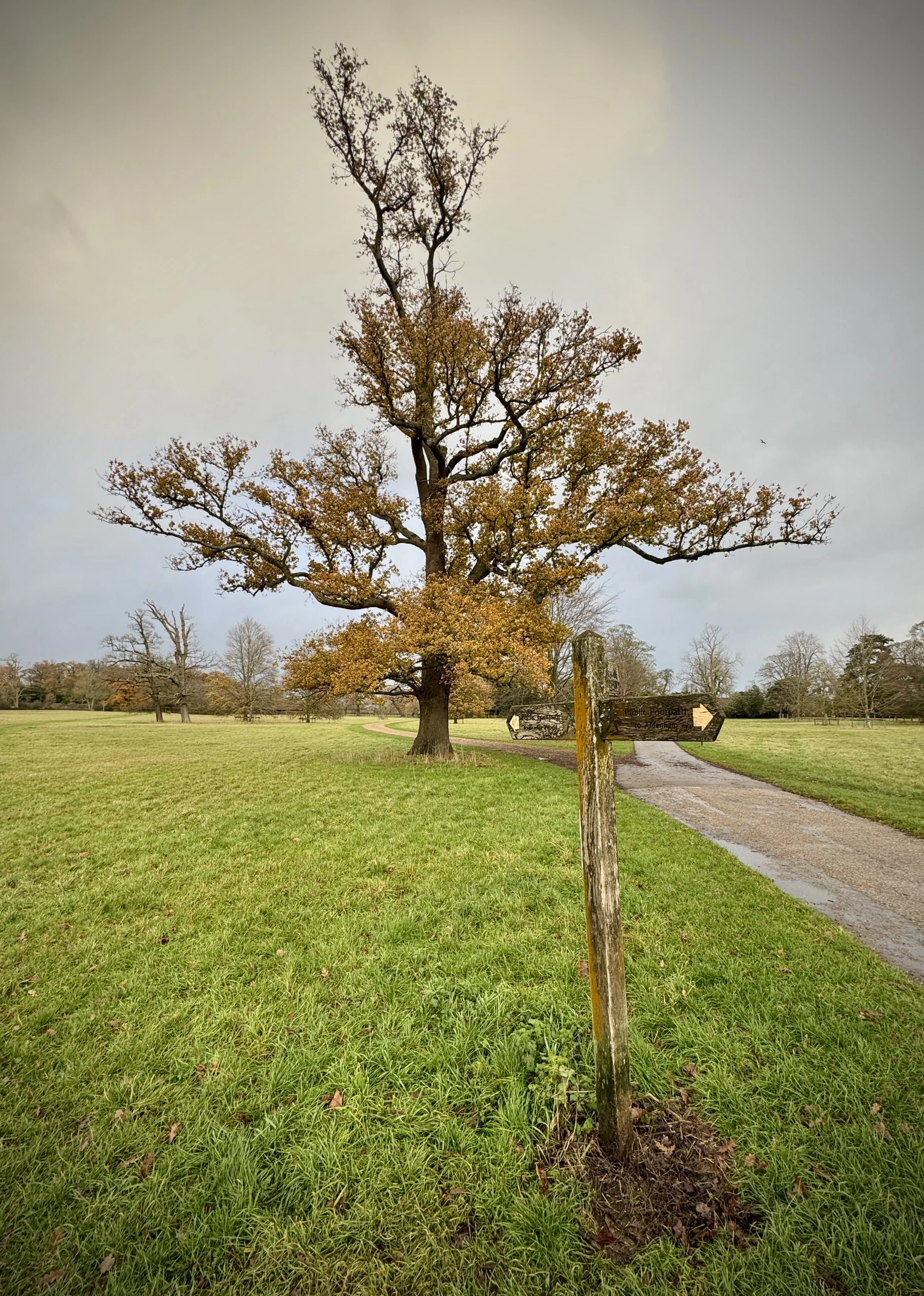
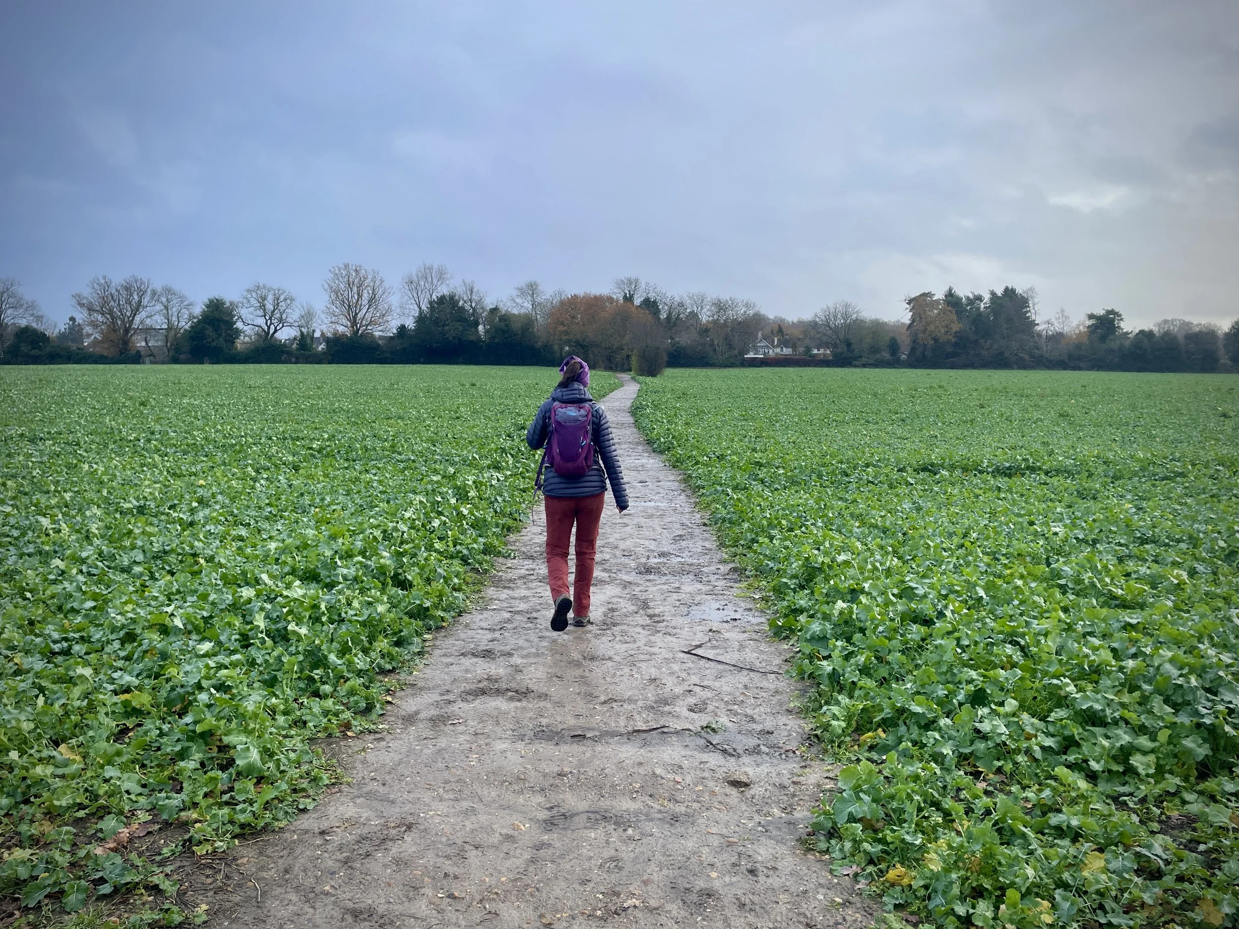
Field Paths: At 1.5 km into the walk, you will reach a path junction at the corner of a field. Take a left to follow the field-edge path in a north-easterly direction.
Love Lane: Take a right onto Bedmond Road, then a left onto Love Lane. Continue heading east as Love Lane transitions into a path crossing open fields.
Chequers Lane: Keep following the Hertfordshire Way until you reach Chequers Lane.
Under the A405: Briefly follow Chequers Lane in an easterly direction, then take the first path on the right heading south to High Elms Lane. Take a left to follow High Elms Lane to the A405 North Orbital Road, then take a right to find the underpass to cross safely.
M1 Crossing: Follow Bucknalls Lane in an easterly direction, crossing over the bridge above the M1.
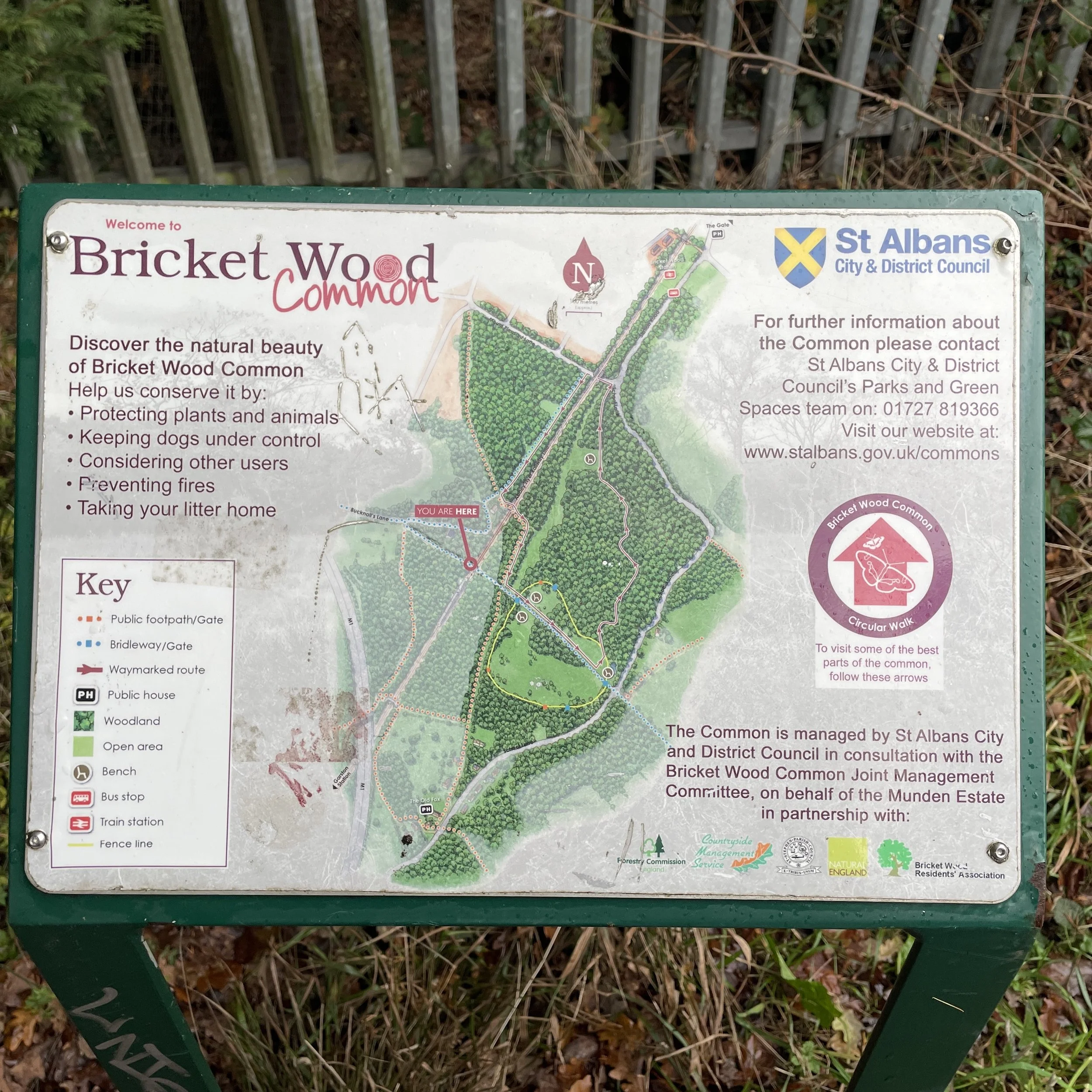
Bricket Wood: Near the end of Bucknalls Lane, before it becomes Oaks Path, take a right to stay on the Hertfordshire Way through Bricket Wood and into the Munden Estate.
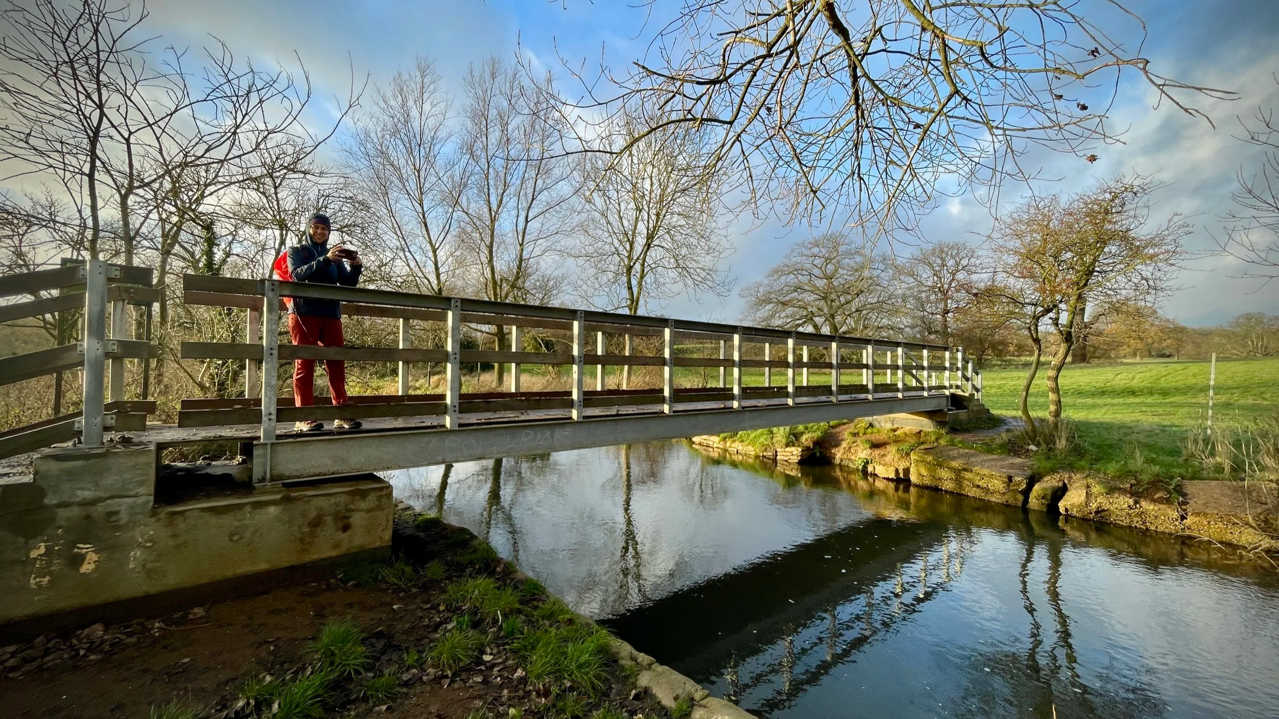
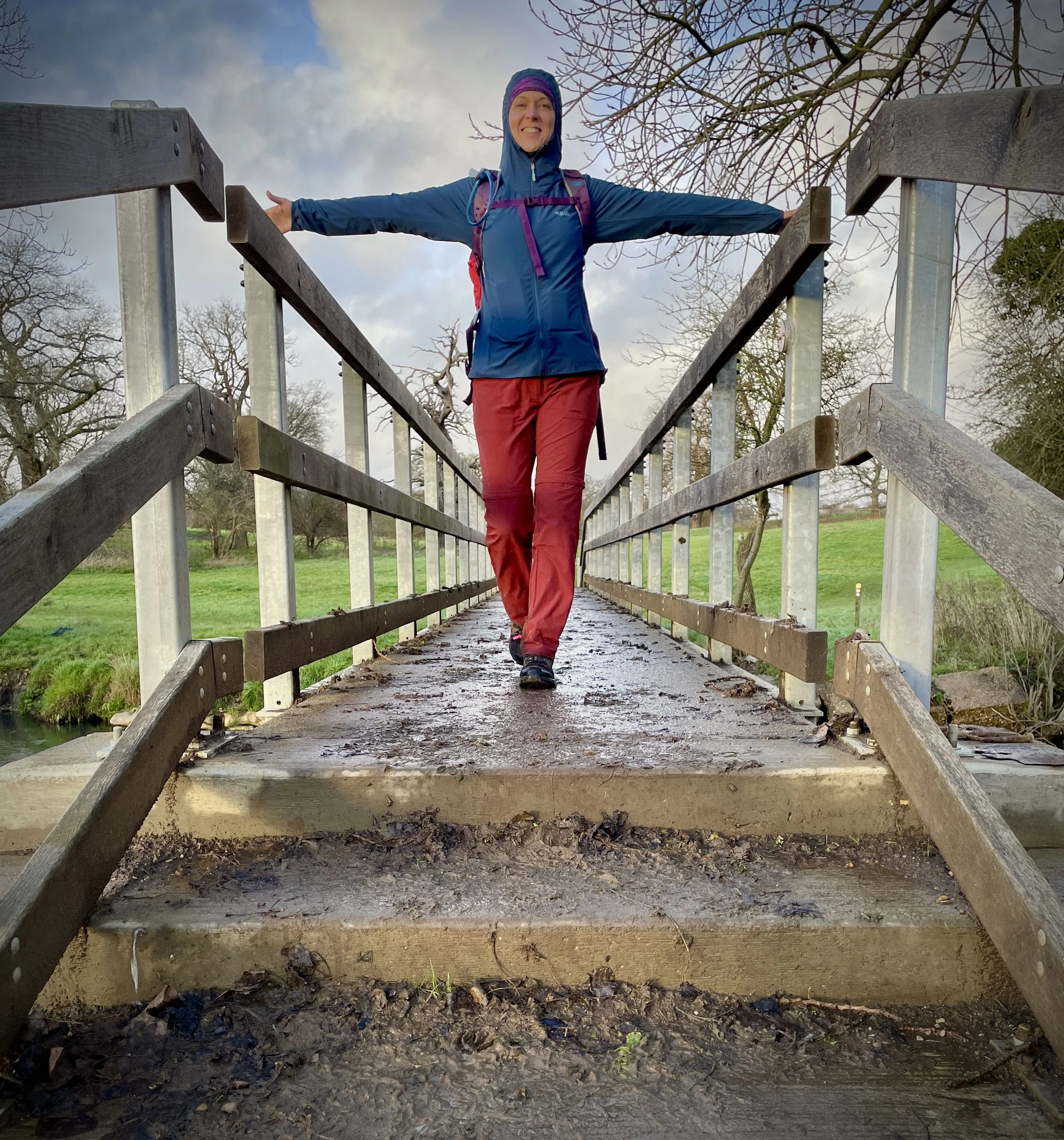
Munden Estate: Once in the estate, look for the path on the right cutting diagonally in a southerly direction. This leads you to a footbridge over the River Colne.
The Finish: After crossing the river, continue following the Hertfordshire Way for another 1.7 km until you reach St John the Baptist Church in Aldenham Village.
Points of Interest along or near to the Route
Kings Langley Palace & Priory: This village was the site of a significant 13th-century royal palace and a Dominican priory founded in 1308. It served as a seat of government for Edward III during the Black Death and is the burial place of Edmund of Langley, the 1st Duke of York. Although this is not directly on the route you can visit the location before you start the walk.
The Ovaltine Factory Façade: A famous local landmark, the listed Art Deco façade dates back to approximately 1923. While the factory has been converted into housing, the striking exterior remains a testament to the village's industrial heritage. Although this is not directly on the route you can visit the location before you start the walk.
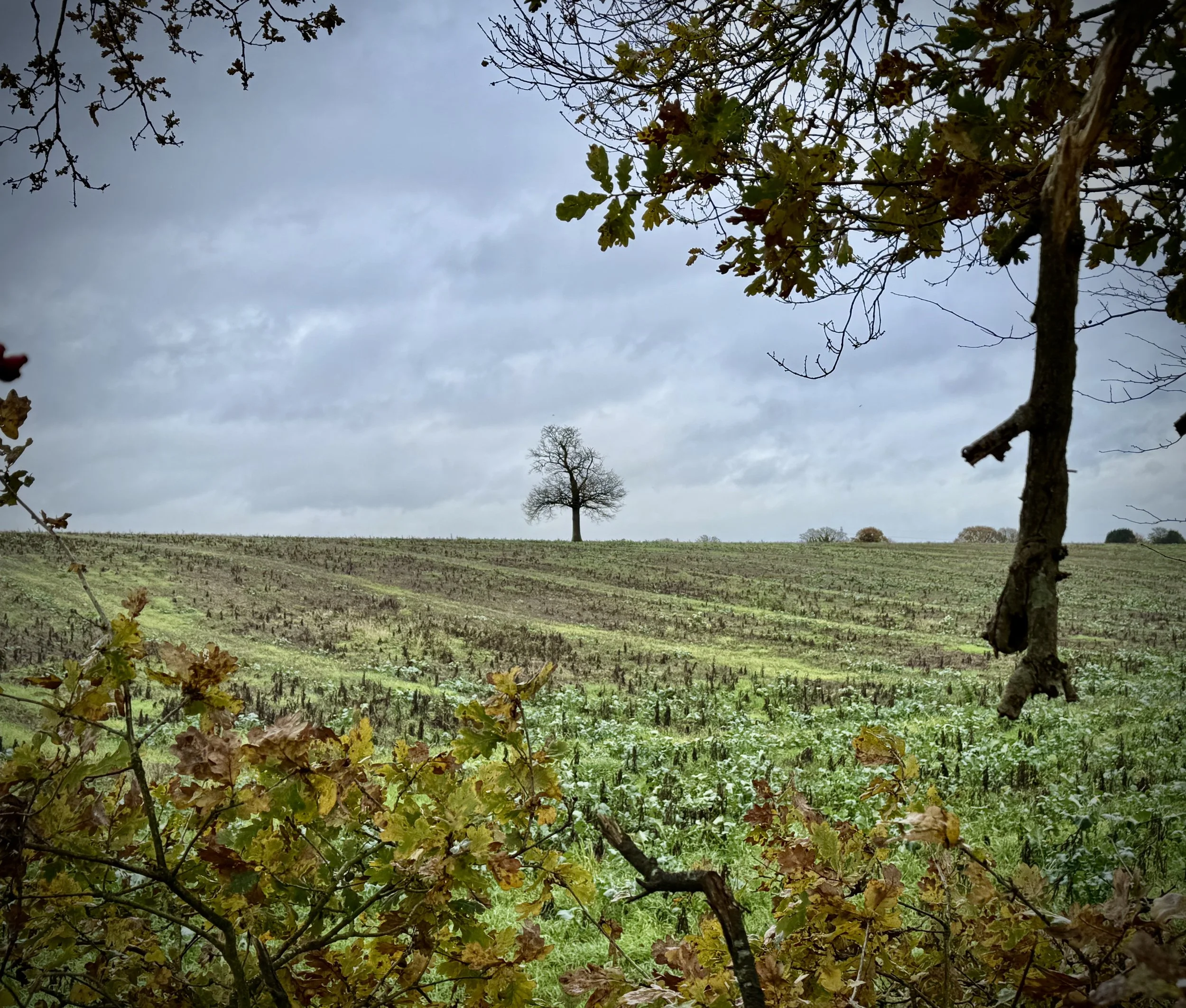
Bricket Wood Common: This 70-hectare Site of Special Scientific Interest (SSSI) is a diverse natural habitat located south of the village. It offers a mix of woodland and heathland that provides a distinct change in scenery as you navigate towards the Munden Estate.
The Munden Estate & River Colne: The route cuts diagonally through this historic estate, leading to a footbridge over the River Colne. This river serves as the eastern boundary for the "Greater Chilterns" and provides a picturesque crossing point before the final stretch.
St John the Baptist Church, Aldenham: Your finishing point is this 750-year-old church, which likely stands on the site of an even earlier Saxon building. The church and village are so quintessentially English that they have frequently featured in films and television programmes, including the Coldplay music video for "Life in Technicolor II"


Hertfordshire Way next section clockwise: Chiltern Walks: Boxmoor and Kings Langley