Walking The Abbey Line Trail

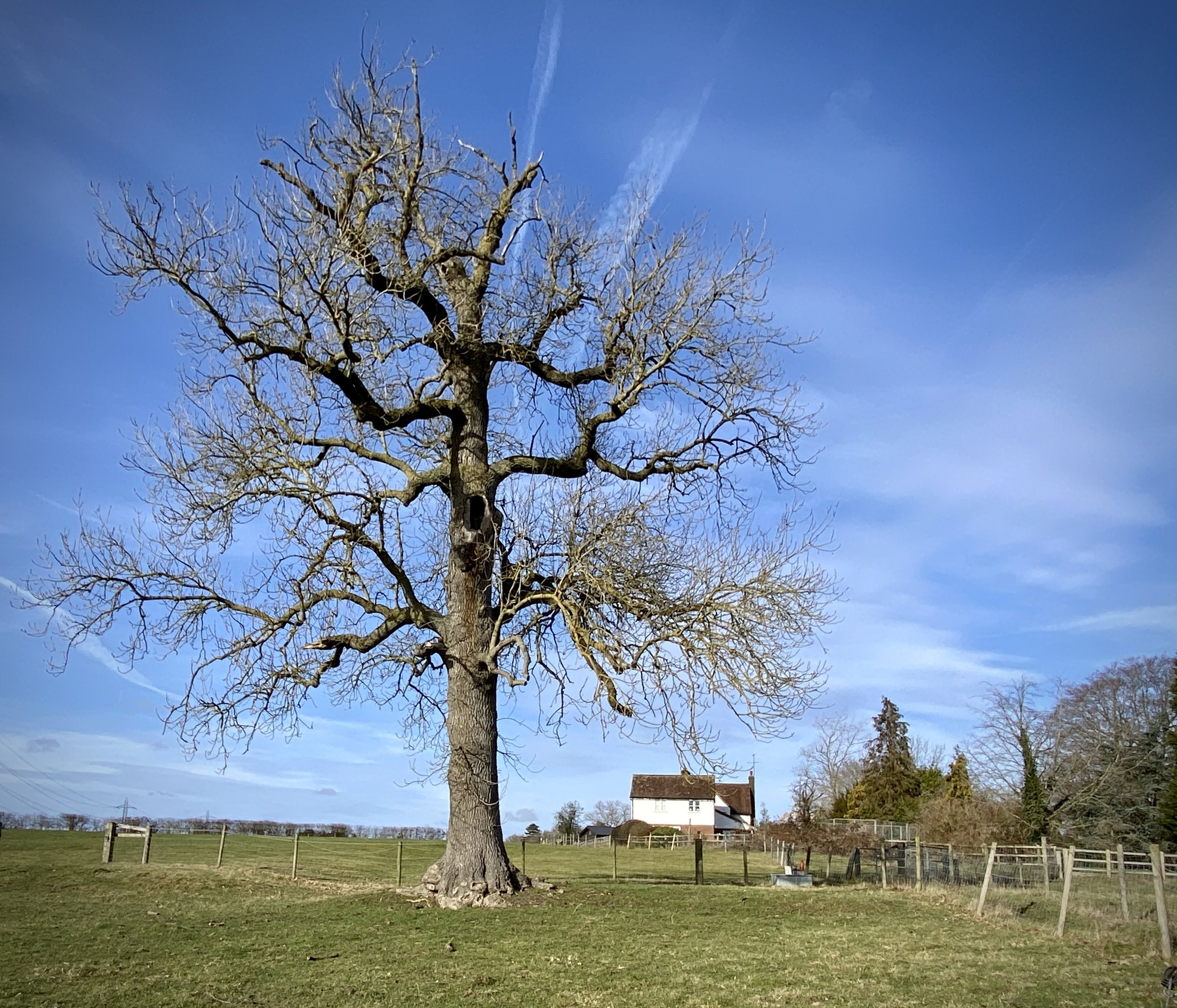
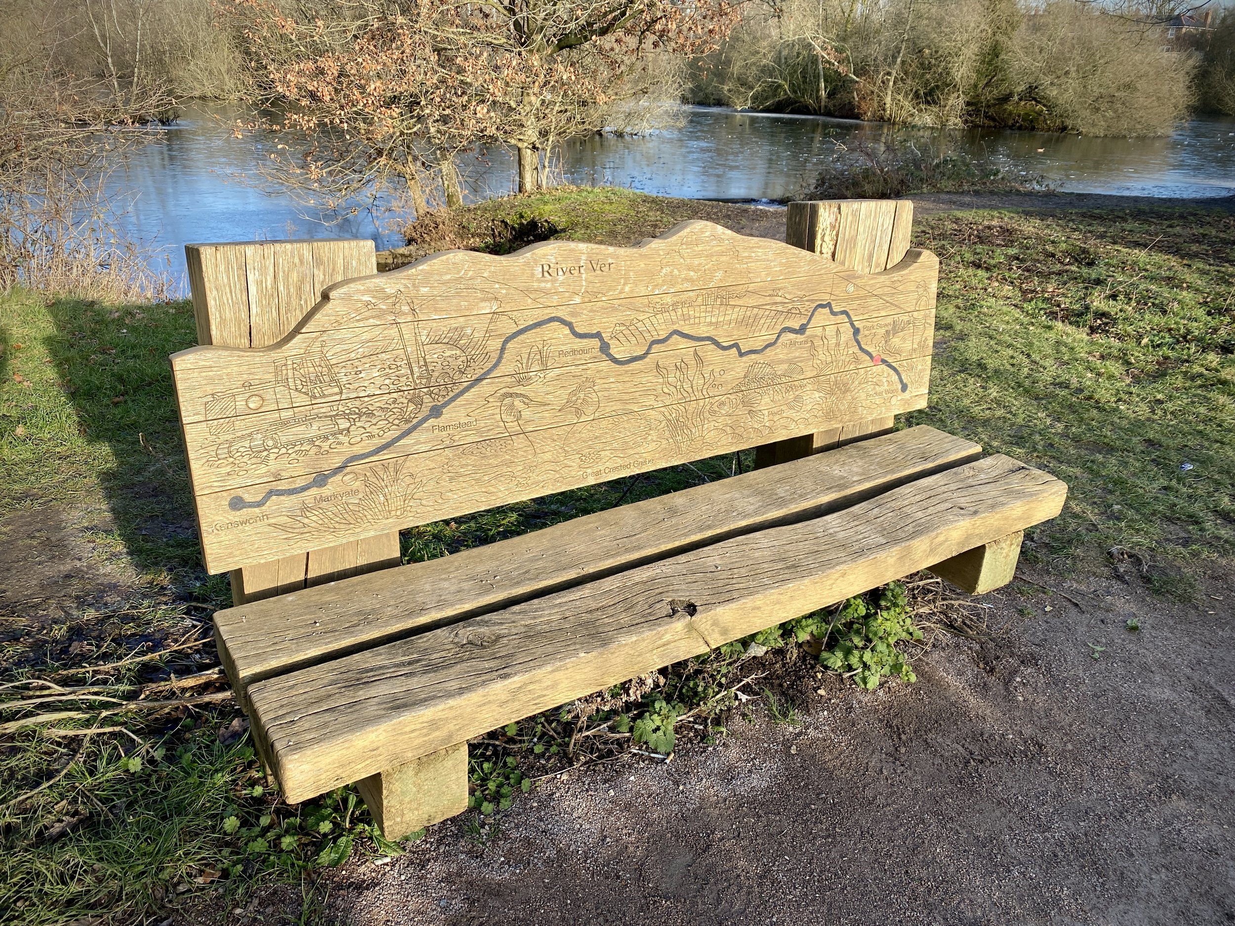
Ver Valley Meadows
The Abbey Line is a 10 km railway branch line connecting St Albans and Watford in Hertfordshire. The Abbey Line Trail follows the route through local countryside following quiet paths in an otherwise busy area. There’s 5 local stations between the start and end points giving several options to break up the walk into smaller sections.
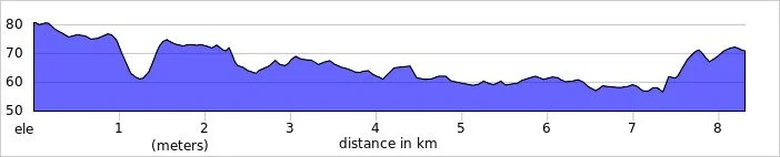
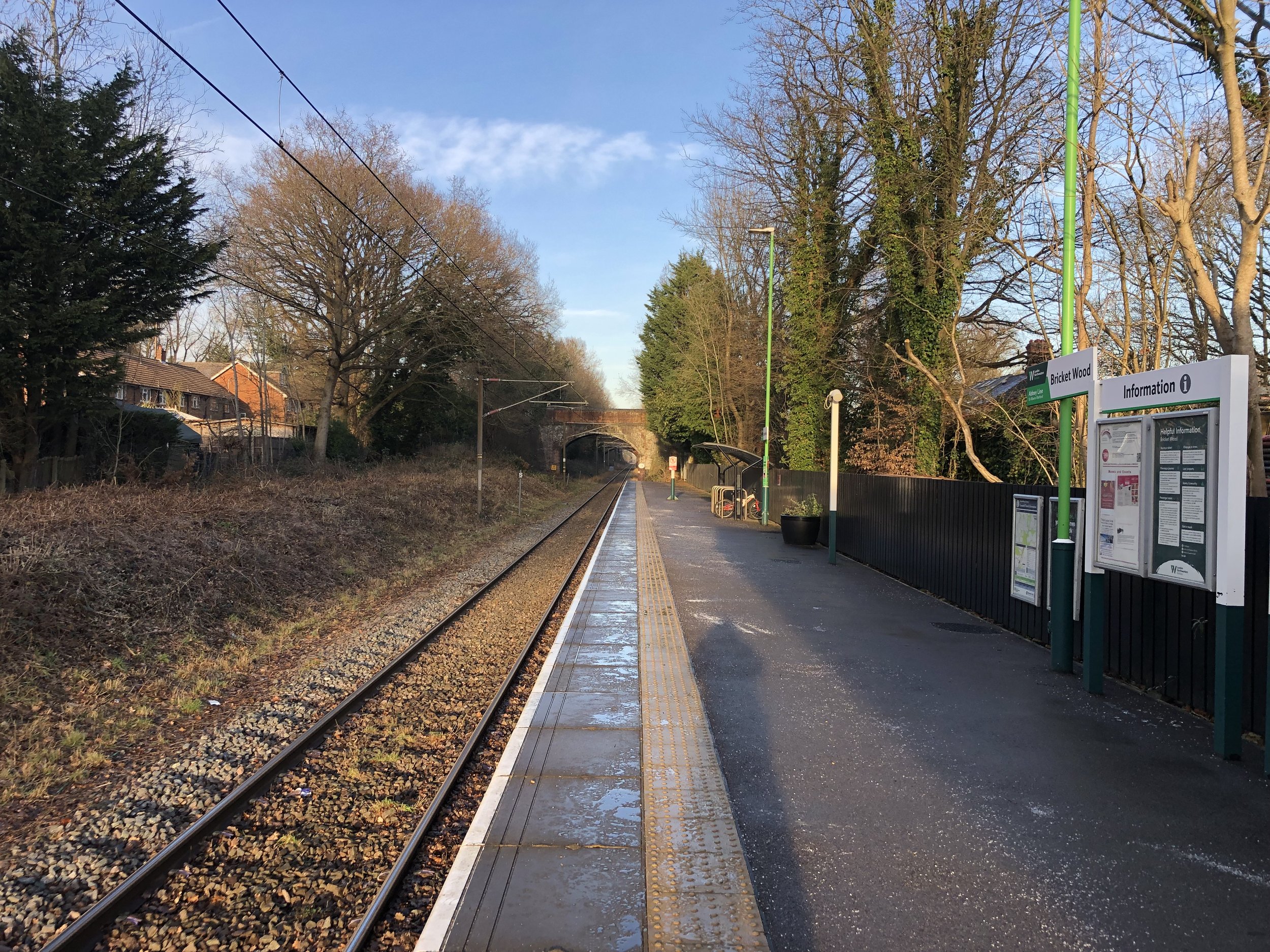
The whole Abbey Line walking route is 15 km and would be a good 1 day hike in good weather. We did it in the winter and broke it up into 2 sections of around 8.5 km using Bricket Wood Station to access the start & end points.
As well as being a good spot to cut the trail in half, Bricket Wood also marks the end of the River Ver Trail. If you have already completed the River Ver Trail you could skip the first section and complete the Abbey Line from Bricket Wood to Watford Junction.
If you are using the train to return to the start point of your walks, be careful to check the timetable. Trains were running once an hour when we walked it and we missed one by a minute.
Section 1: St Albans Abbey Station to Bricket Wood
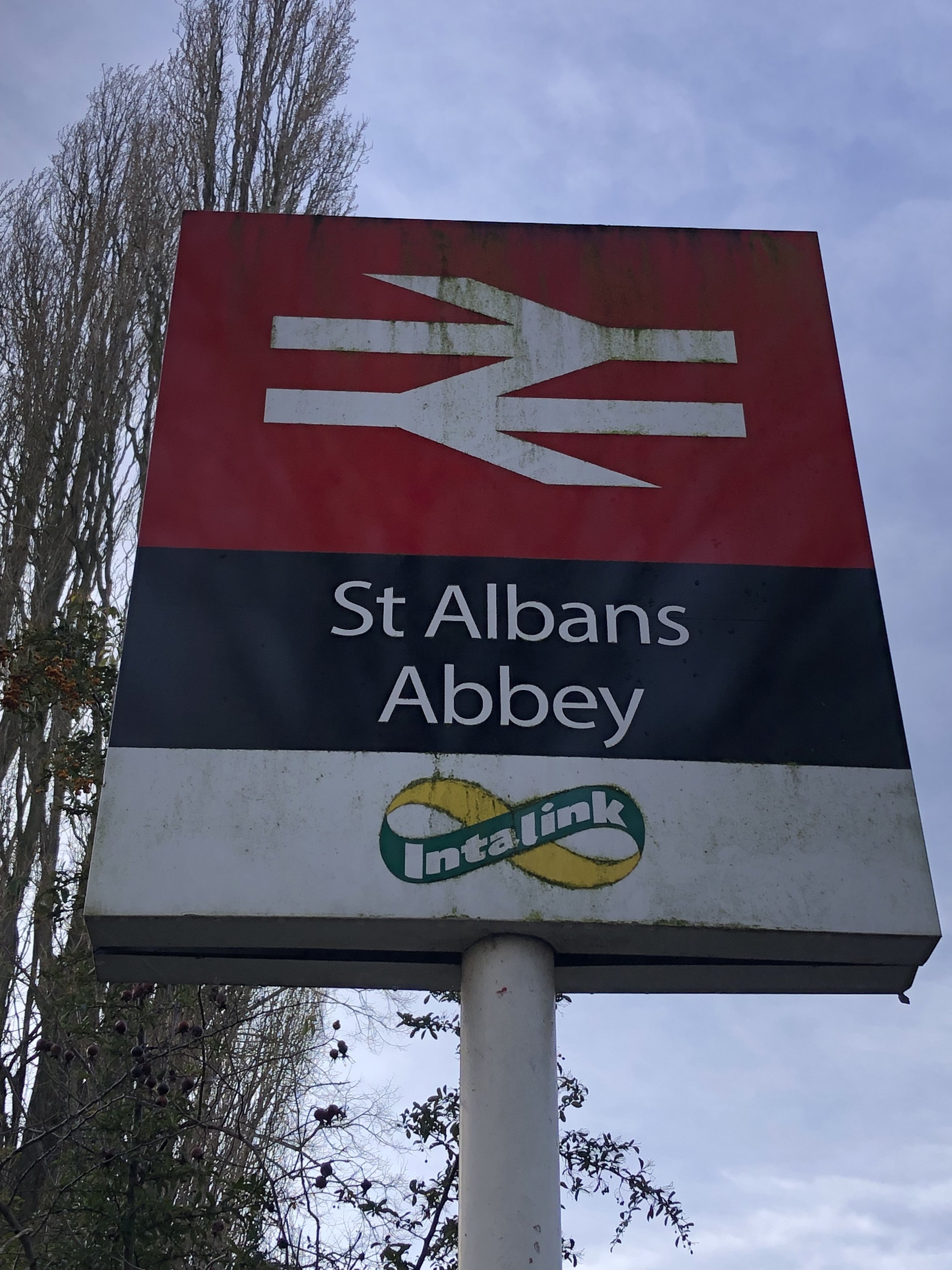
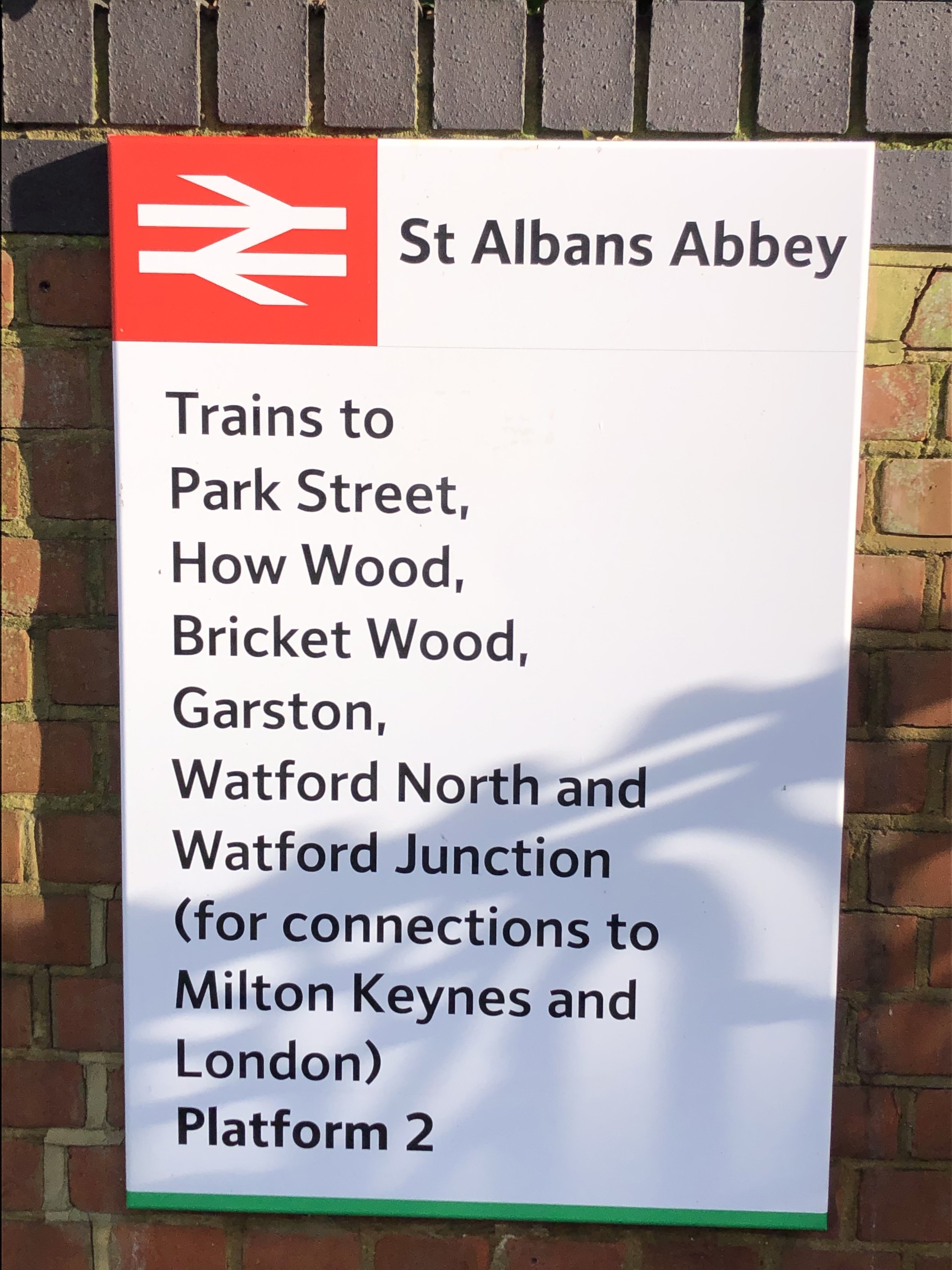
Start: St Albans Abbey Station, St Albans, Hertfordshire, AL1 2AY
Finish: Bricket Wood Station, St Albans, Hertfordshire, AL2 3PE
Distance: 8.6 km (5.3 miles)
Elevation change: +43m / -45m. Net -2m
GPX File: get via Buy Me a Coffee
Other routes touched (walk): River Ver Trail,
Other routes touched (cycle): The Alban Way, NCN 6, 61
Pubs / Cafes on route: Many in St. Albans, The Overdraft in Park Street (4 km in), Moor Mill Beefeater (6k in), The Gate pub is near the end of the route at Bricket Wood
Map: OS Explorer Map (182) St. Albans and Hatfield
Links: St Albans, St Albans Abbey Station, The Abbey Line, Abbey Line Community Partnership, Park Street, How Wood, Bricket Wood, Bricket Wood Station
The start of the Abbey Line at St Albans City Station will be familiar if you’ve done other walks in the area. This is also the end of the Alban Way, a disused rail line, now a walking and cycle path, that connected St Albans to Hatfield. Verulamium Park opposite also marks the start of the final section of the River Ver Trail connecting Kensworth with Bricket Wood.
When planning this trip my first thought was to skip the first section and start at Bricket Wood. The Abbey Line Trail follows the same route as the River Ver Trail for this first section and I initially wasn’t keen to do it again. However, my River Ver walk was an overnight Summer Solstice trip and much of it was in the dark so I decided to re-walk the section in better light. It’s a very pretty and interesting walk so I’m glad I did it again to take in the parts I missed the first time.
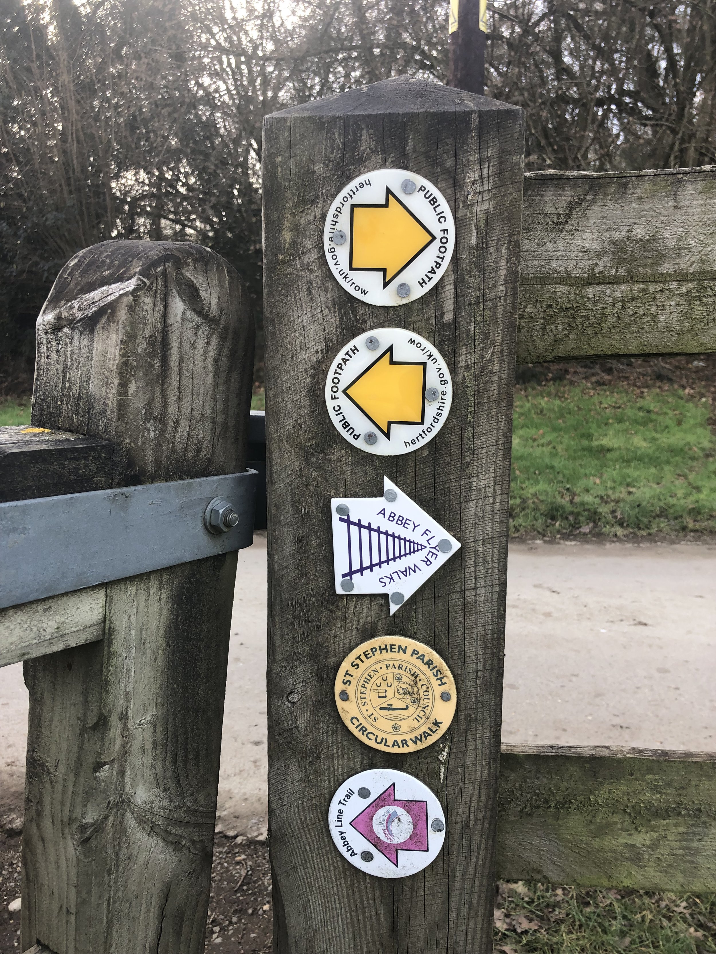
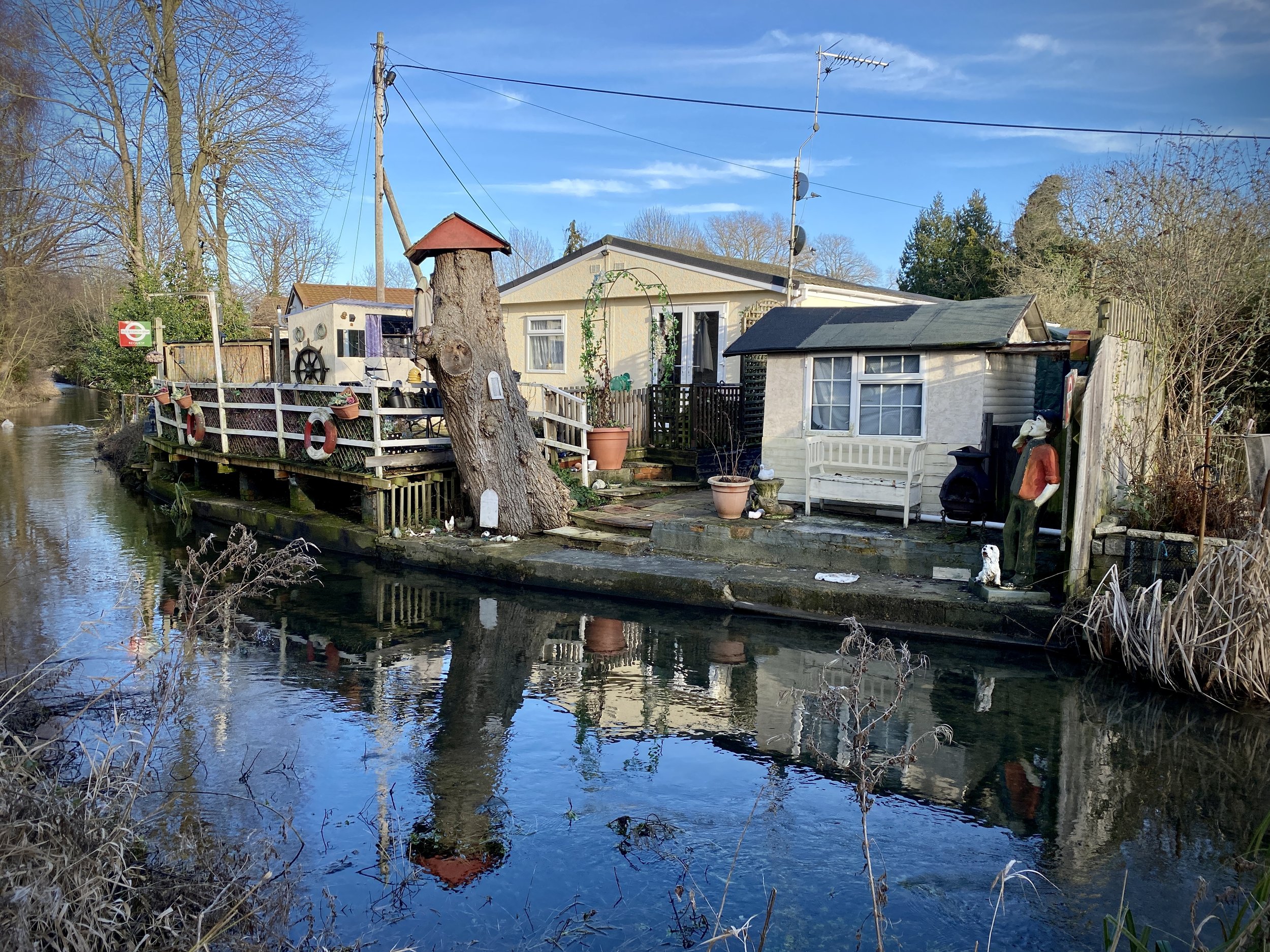
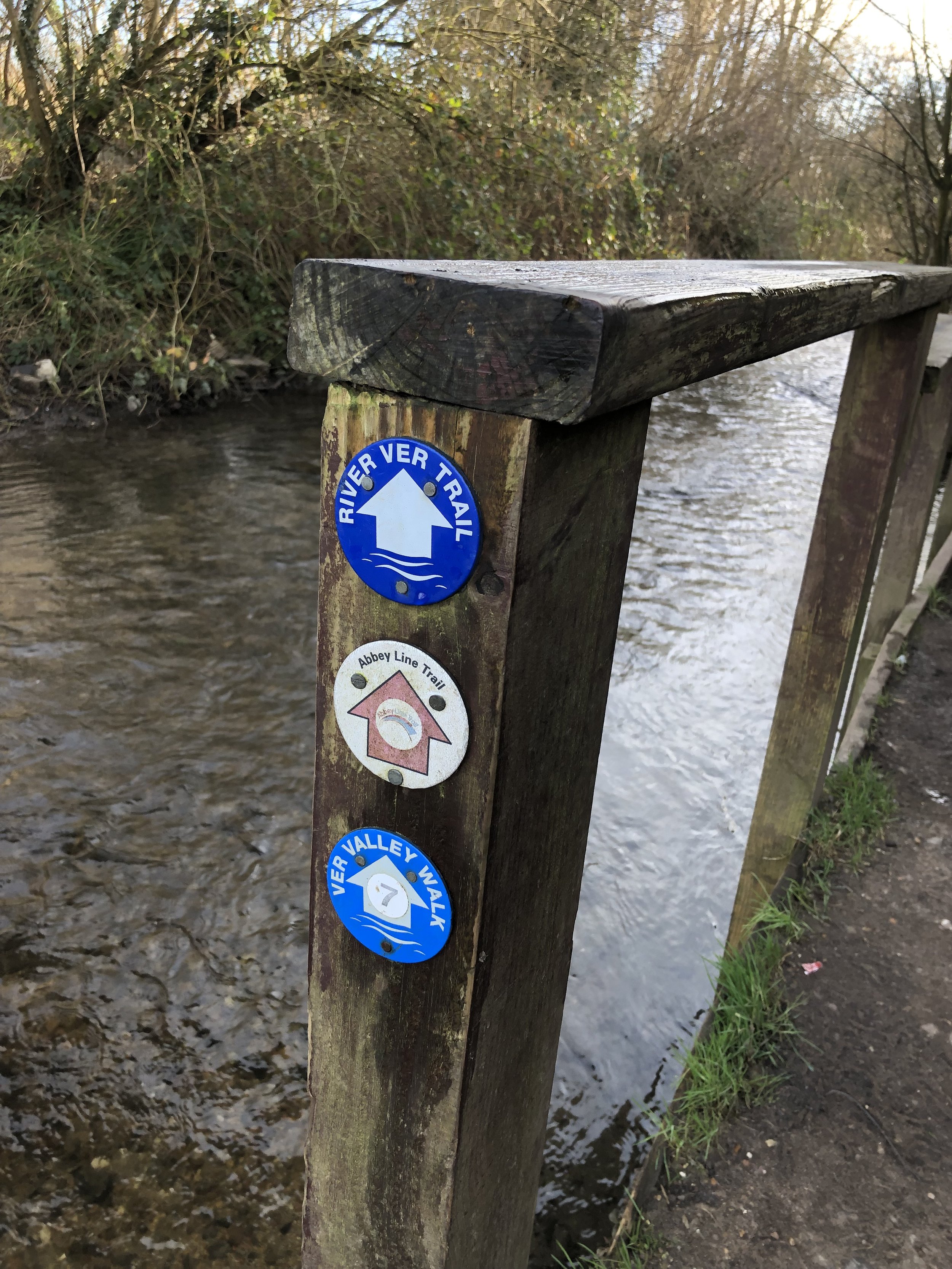
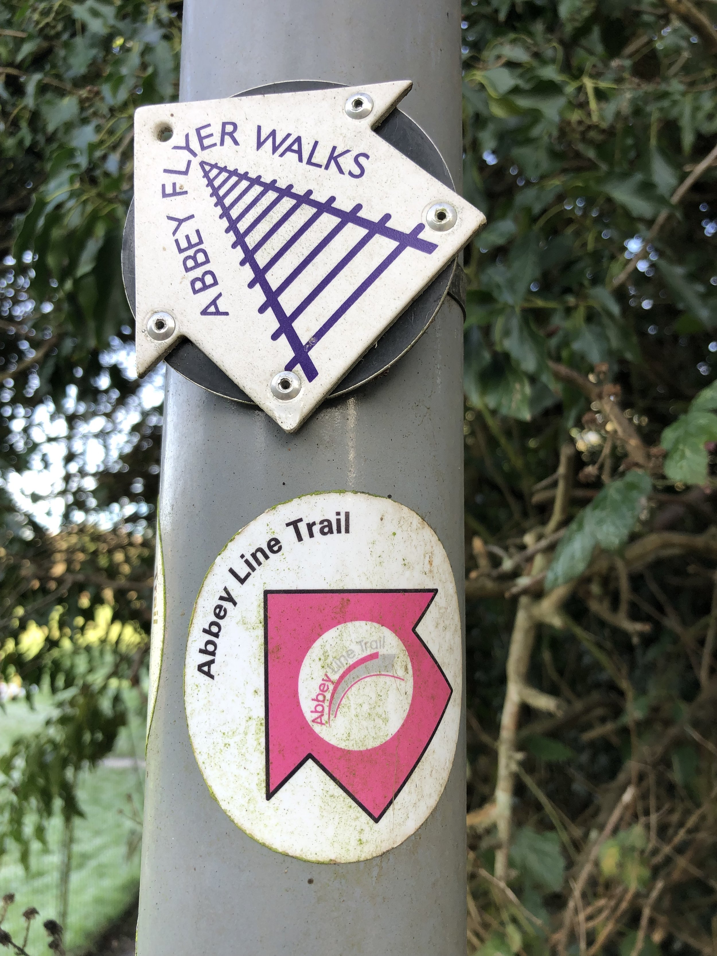
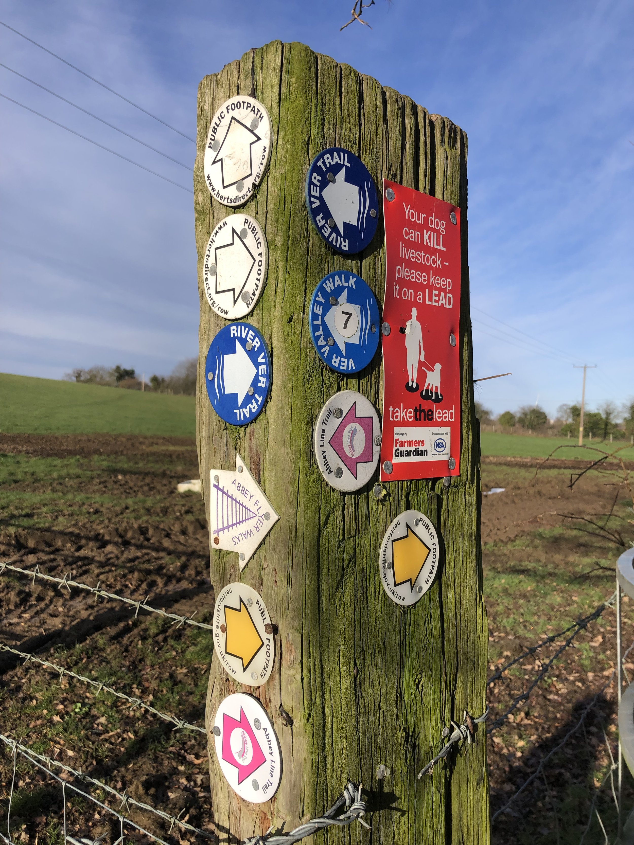
From St Albans Abbey Station the trail takes a right to follow the busy Holywell Hill road towards the city centre. After less than 100m you reach the bridge over the River Ver and can take a right onto the river-side footpath on the south side of the river. From here navigation is straightforward as the trail follows close to the river and is well-signed with either Abbey Line Trail or River Ver Trail stickers.
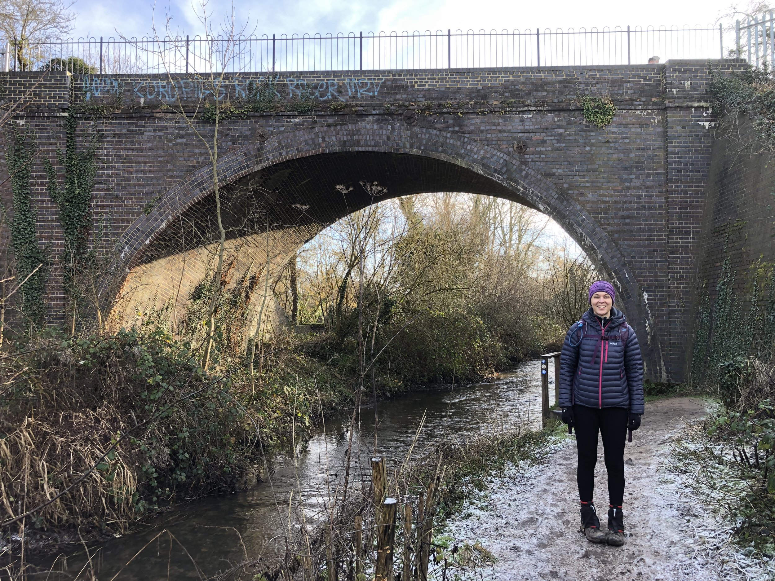
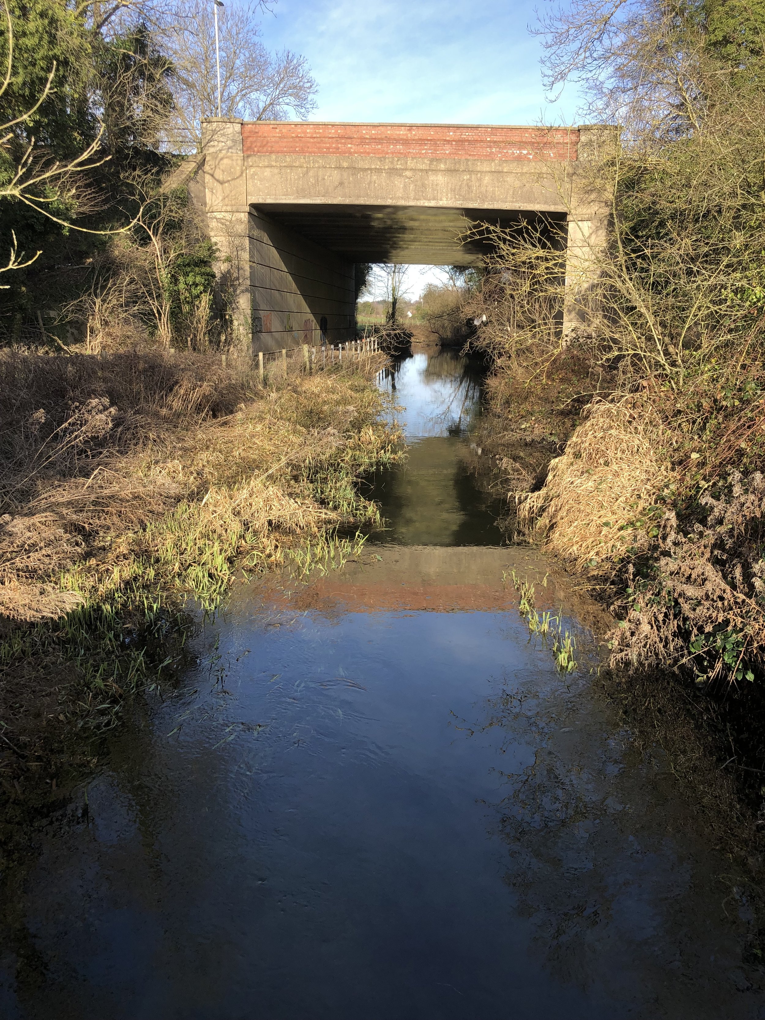
After 1km you’ll pass under the old railway bridge that carries the Alban Way over the River Ver before the old line takes a curve into St Albans City Station.
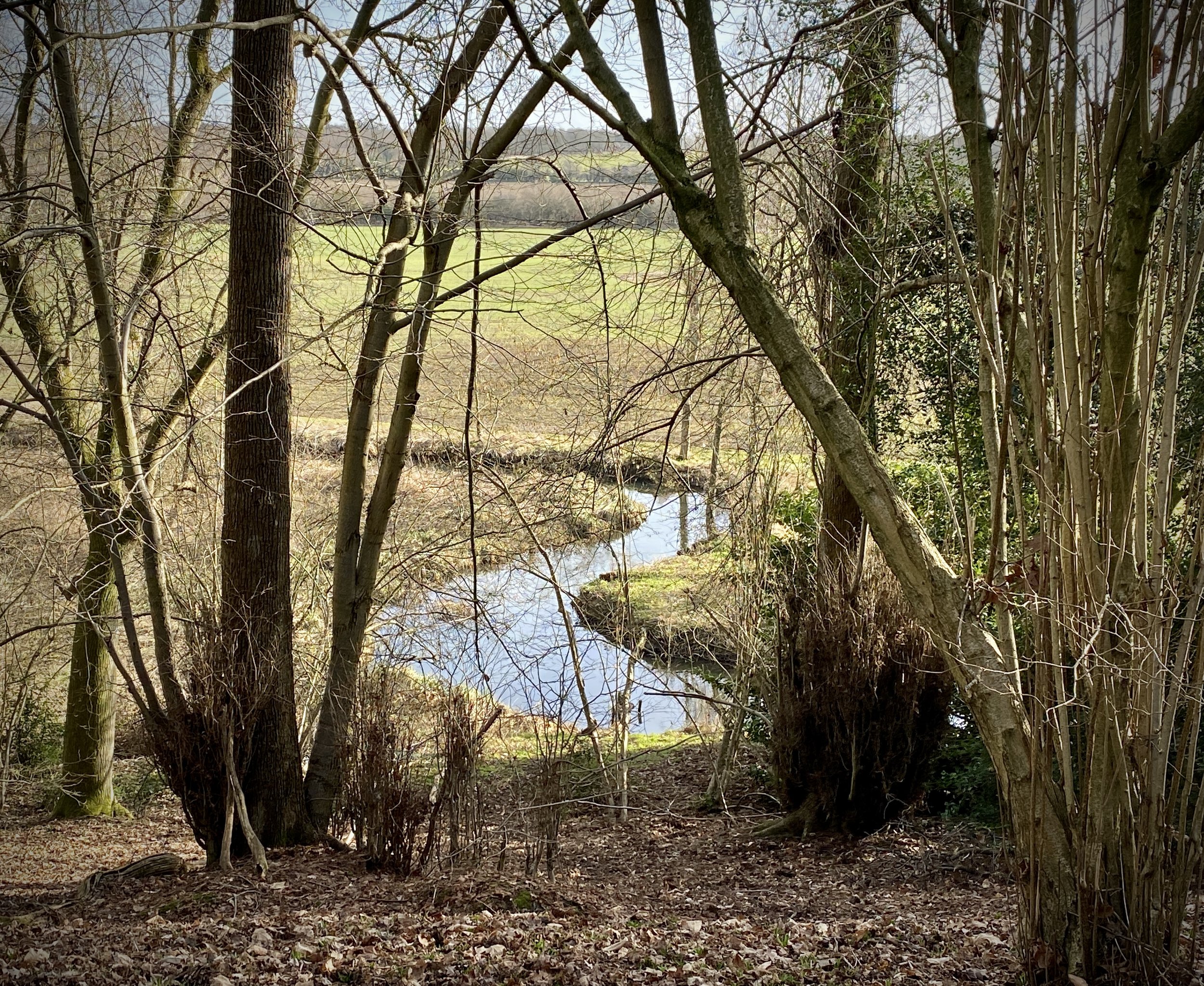
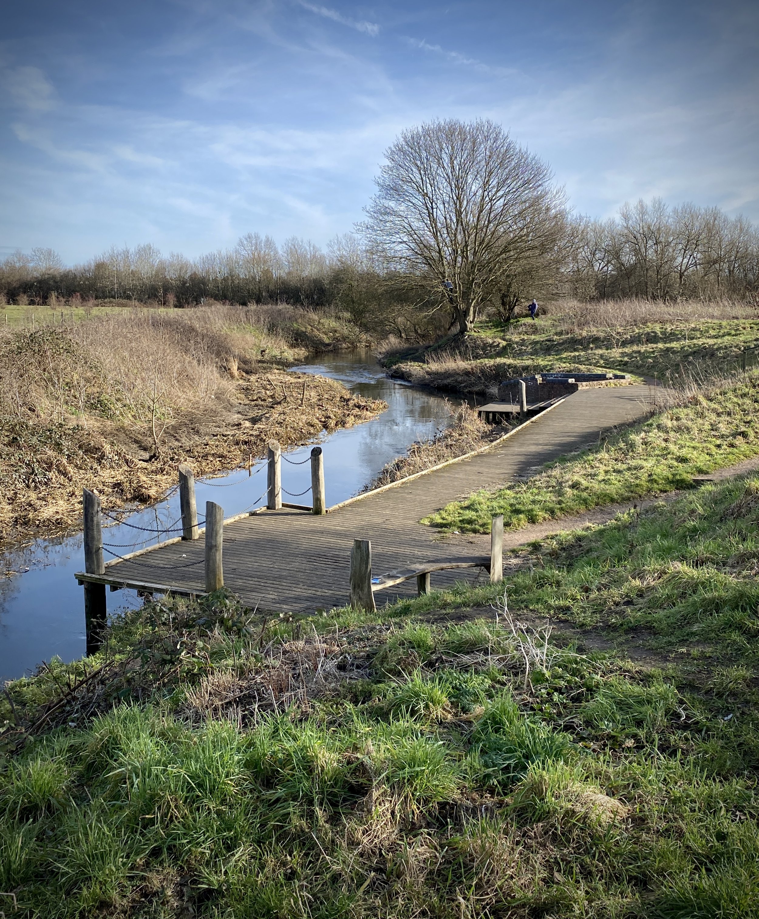
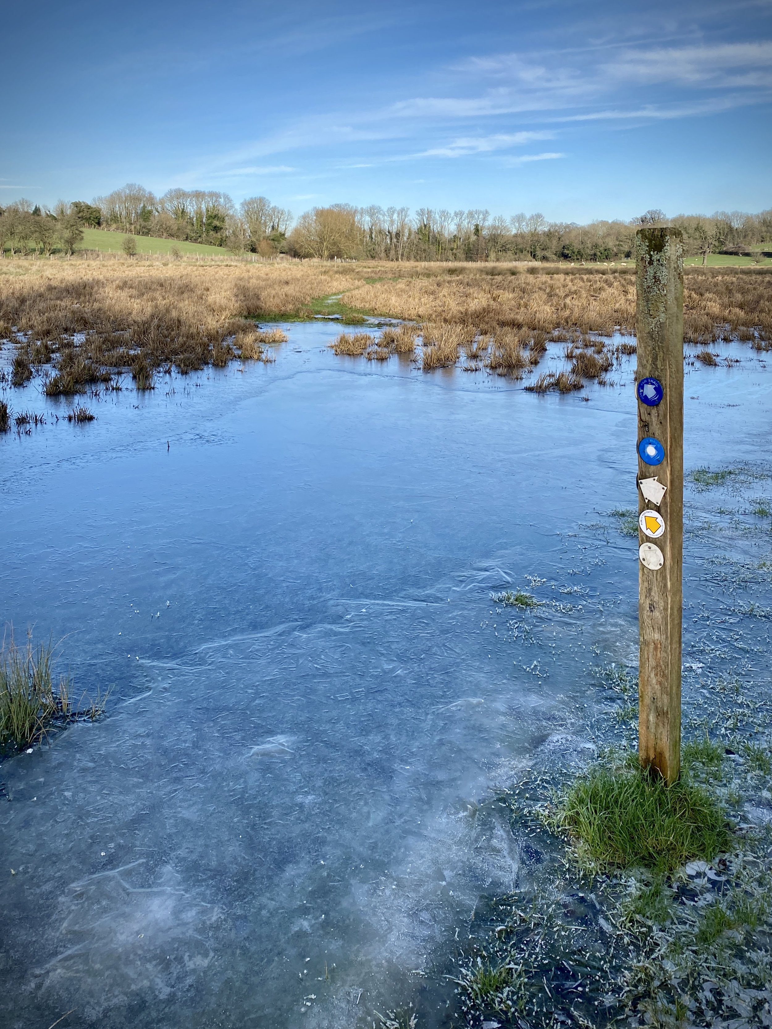
After 3km the trail passes under the A414 North Orbital Road and through the Ver Valley Meadows. Be careful here as the meadows can be very wet and you might, as we did, have to stay close to the eastern edge of the field to keep dry.
After the Ver Valley Meadows the trail joins the A5183 between Park Street and How Wood. This gives you your first chance to cut the trip into a shorter section and return by train. Unless the weather is really bad or you’re up for a very short trip, it’s worth continuing though. As you walk down the A5183 keep an eye out on the left hand side to see the remains of an embankment where a the Park Street Branch Line went over the road. This was a short section of track that connected the Abbey Line with the Borehamwood to Harpenden line connecting at Napsbury. Another clue to this old track is in the name of Branch Road which you’ll pass on the right before the next bridge over the Ver.
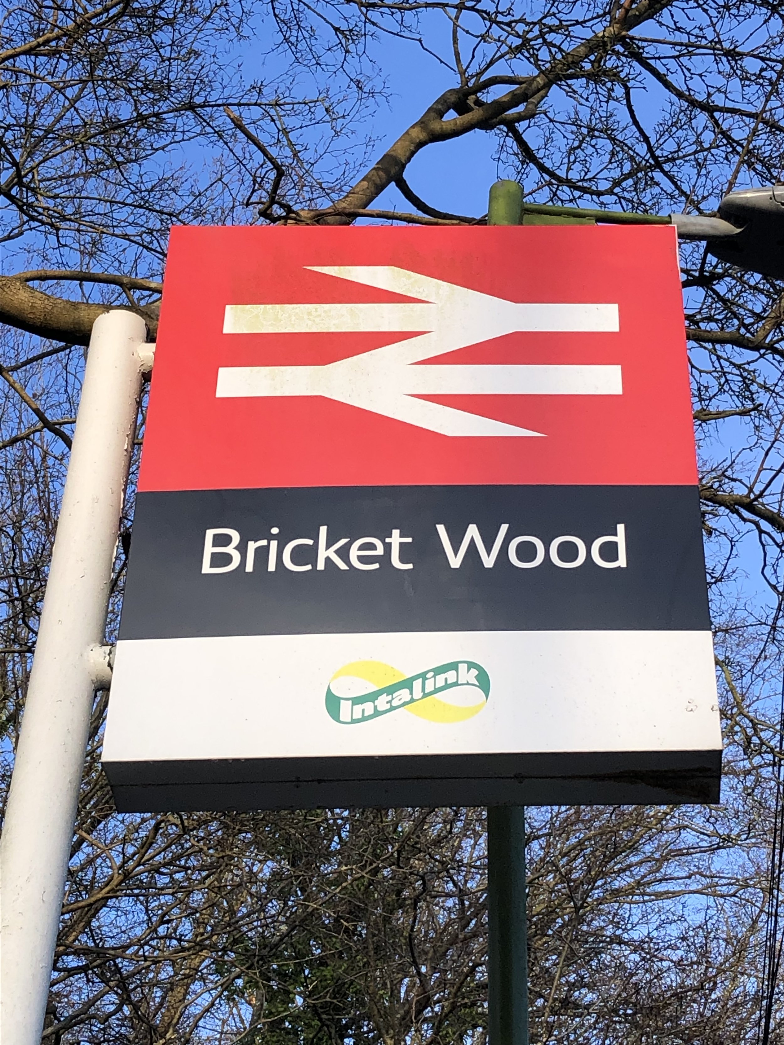
When you reach the bridge over the Ver leave the A5183 and take a right to follow the footpath on the south side of the river. Continue following the trail, passing under the M25 around 1 km later. About 1.5km from the M25 tunnel you’ll reach a bend in Drop Lane as it diverts north away from the River Ver. This marks the end of this first section of the Abbey Line Trail and the end of the River Ver Trail. Continue up Drop Lane for an extra 1km to reach Bricket Wood Station for the return trip back to St Albans Abbey.


Section 2: Bricket Wood to Watford Junction Station
Start: Bricket Wood Station, St Albans, Hertfordshire, AL2 3PE
Finish: Watford Junction Station, Station Rd, Watford WD17 1EU
Distance: 8.3 km (5.2 miles)
Elevation change: +46m / -56m. Net -10m
GPX File: get via Buy Me a Coffee
Other routes touched (walk): River Ver Trail, Hertfordshire Way,
Other routes touched (cycle): Colne Valley Cycle Route, NCN 6, 61
Pubs / Cafes on route: Many in Watford
Maps:
- St Albans & Hatfield Map | Hemel Hempstead & Welwyn Garden City | Ordnance Survey | OS Explorer Map 182
- London North Map | The City, West End, Enfield, Ealing, Harrow & Watford | Ordnance Survey | OS Explorer Map 173
Links: Bricket Wood, Bricket Wood Station, Munsden House, Munsden Estate, London Orphan Asylum, Watford, Watford Junction Station
From Bricket Wood Station cross over Station Road and follow Drop Lane back to the Abbey Line Trail at the River Ver. At the bend, take a right to follow the path on the right along the Ver in a south-westerly direction. You’ll reach the confluence with the River Colne and the end of the Ver. The rest of the Abbey Line Trail follows closely to the River Colne until Radlett Playing fields in Watford before taking a sharp turn up to Watford Junction Station.
Navigation is as straightforward as Section 1. The main thing that you need to look out for is where the tail takes a sharp right away from the Colne just after the confluence with the Ver. This takes you across the field and up a small hill where it takes a left to follow the direction of the Colne at a higher elevation.
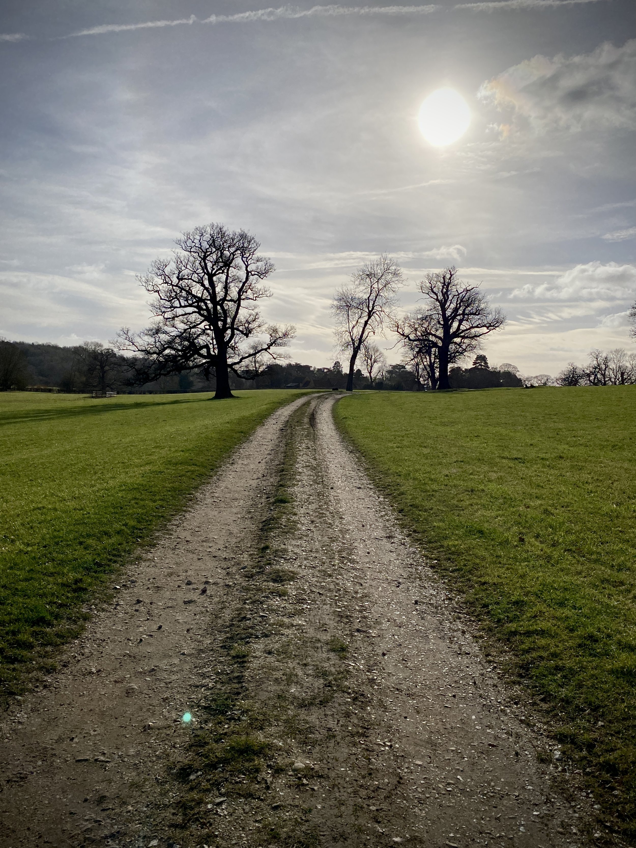
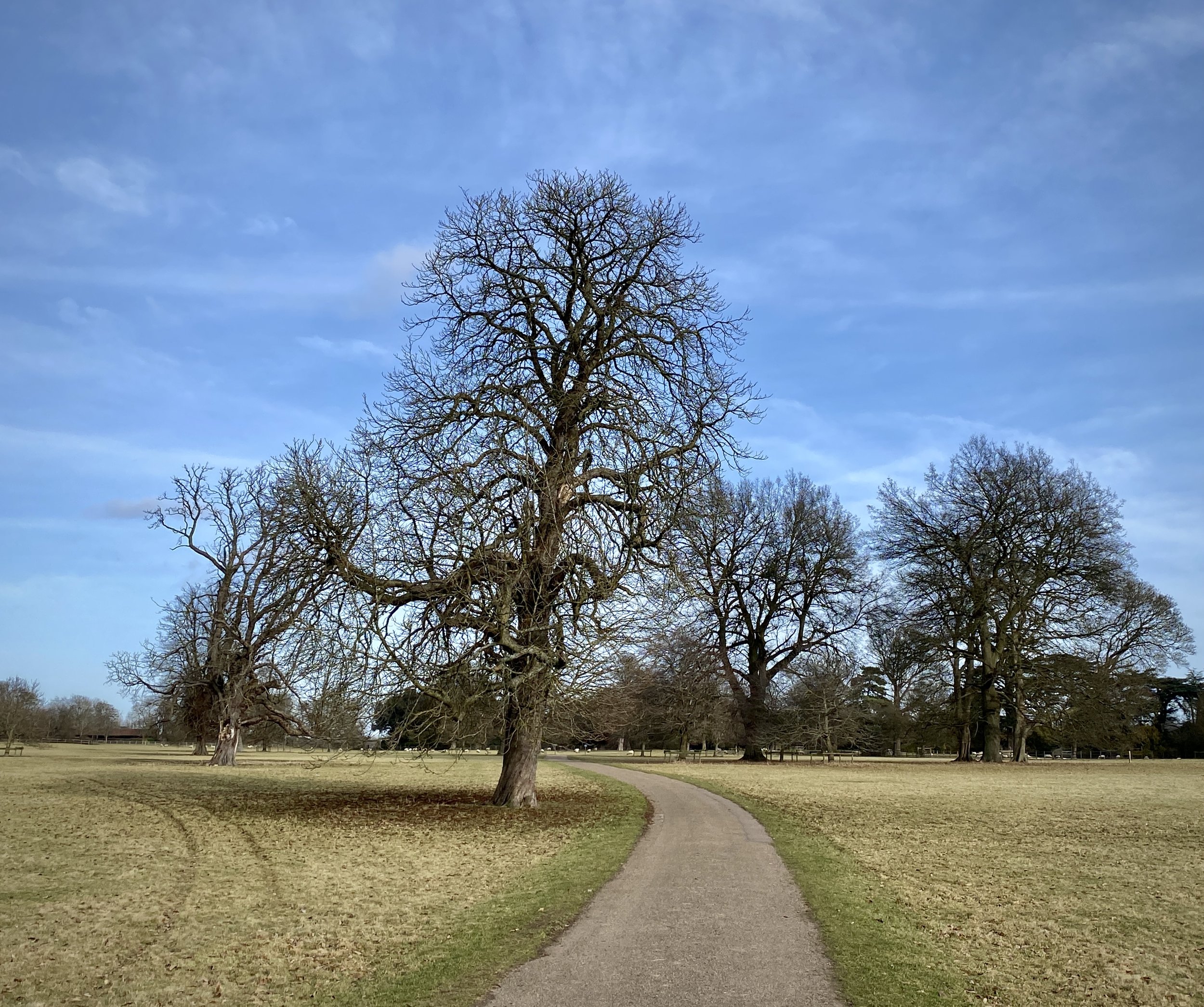
Much of the first half of this section is through the grounds of the Munsden Estate. It’s a well-maintained private estate with several trails crossing it. As you traverse it you’ll start to see the taller buildings of Watford in the distance. After the estate you’ll cross over the M1 on a bridge then over the busy A41 Colne Way. We were able to cross straight over the A41 in a gap in traffic. Be careful though as it’s a very busy road so it’s safer to cross at the lights just to the north-west.
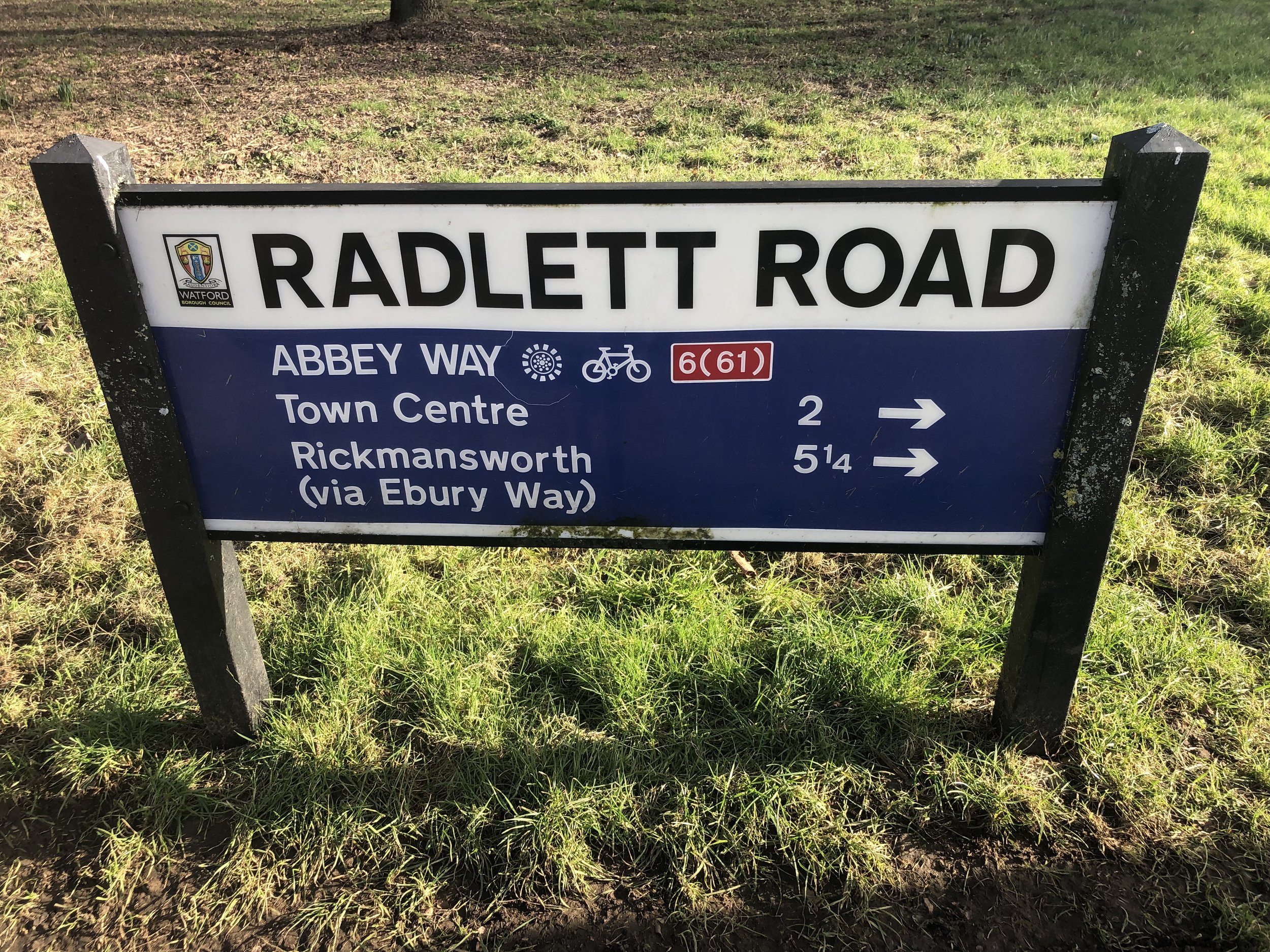
After the A41 the trail follows the Colne through the outskirts of Watford passing though Knutsford Playing fields. You can keep to the water’s edge here but it can be muddy after wet weather so an alternative is to walk through the middle of the playing fields or along Radlett Road.
Once you get to the bridge over the Colne at Link Road you’ll leave the Colne to head uphill to Watford Junction Station via Orphanage Road. Look out for buildings of the former London Orphan Asylum on the right of the road. These are now private homes.
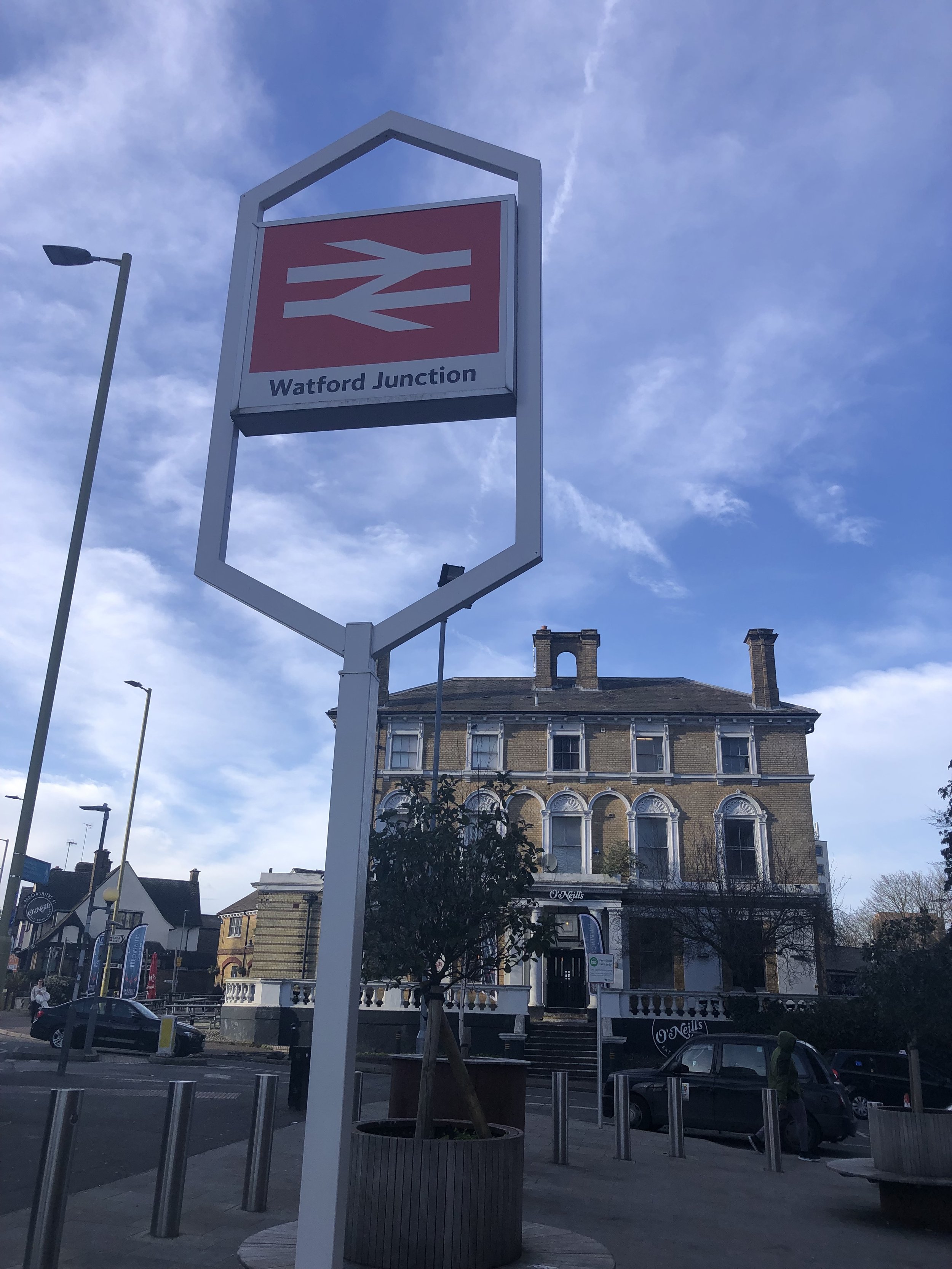
The trail ends at Watford Junction Station where you can catch the train back to St Albans. If you’re not ready to finish walking, you can pick up the Ebury Way, a disused rail line that connected Watford Junction to Rickmansworth.