Walking The River Ver Trail - Overnight Summer Solstice Trek

Sunrise at the confluence of the rivers Ver and Colne near Bricket Wood
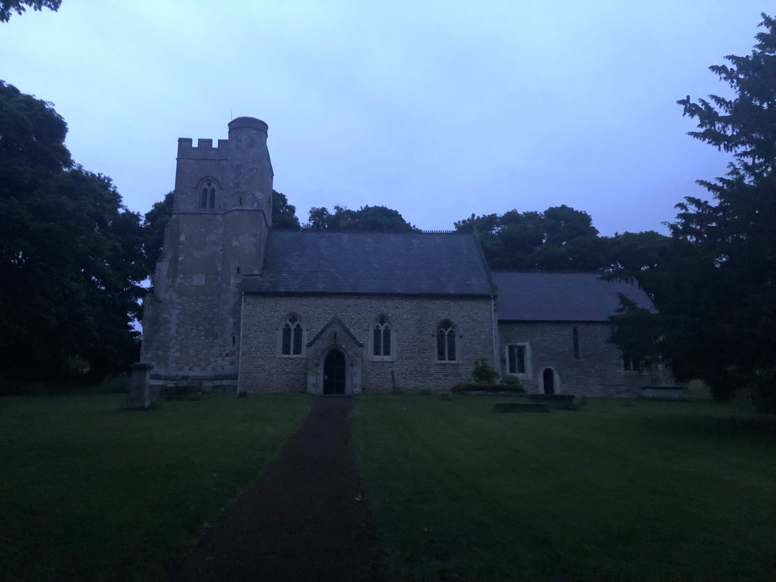
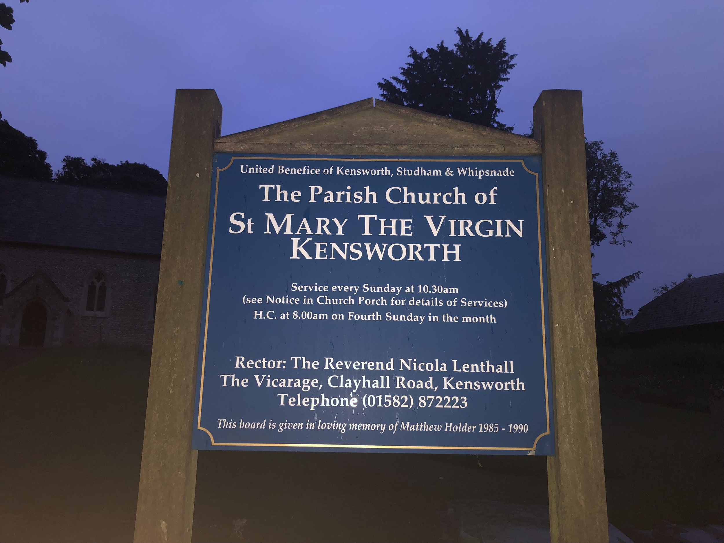
Start: St Mary the Virgin, Church End, Kensworth, Dunstable, LU6 3RA
Finish: Confluence with the River Colne, Bricket Wood, St Albans AL2 3FZ
Distance: 28.2 km (17.5 miles)
Elevation change: +103m /-226m. Net -123m
GPX File: get via Buy Me a Coffee
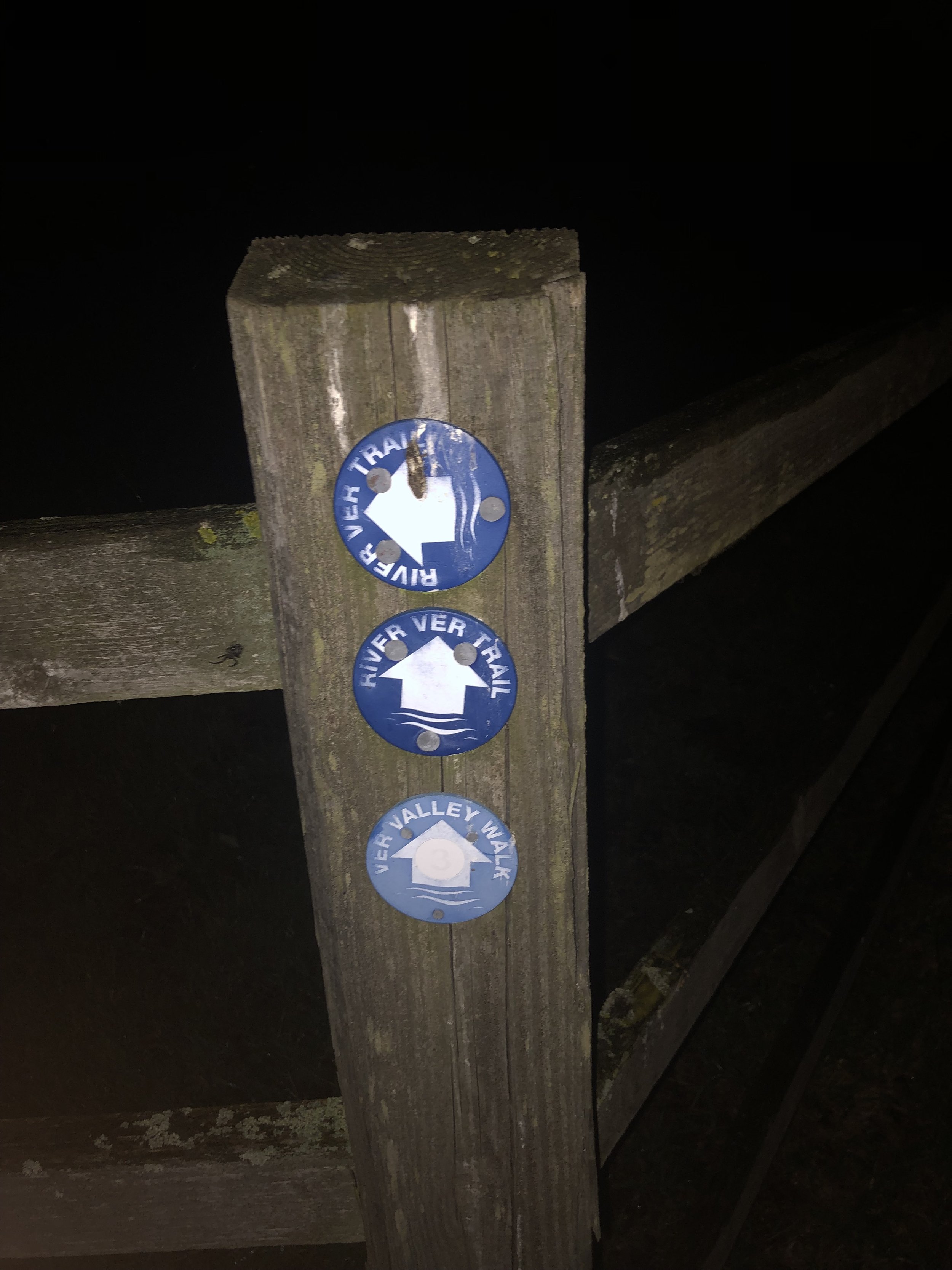
Other routes touched (walk): Ver Valley Walks, Hertfordshire Way, Chiltern Way, Abbey Line Trail
Other routes touched (cycle): Chilterns Cycleway, Nickey Line, Alban Way, NCN 57, 6, 61, Cycling the Rivers Gade and Ver
Pubs / Cafes on route: Several in Markyate (4km), Redbourn (12km), St Albans (21km), Park Street (25km)
Map: St Albans & Hatfield Map | Hemel Hempstead & Welwyn Garden City | Ordnance Survey | OS Explorer Map 182
Links: River Ver Trail PDF, Kensworth, Markyate, Redbourn, St Albans, Park Street, Bricket Wood
For Brian and I this was our second Summer Solstice overnight walk. The idea of these are to walk from sunset to sunrise on the shortest night of the year. We’ve done several Winter Solstice day-time walks before but have only done a summer overnighter once before. Last year we did it on the Thames Down Link: a great walk but we got to the end at 03:00, a full 1 hour and 44 minutes before sunrise. For this second attempt we wanted to get the timings right to arrive at sunrise.
Our 2 learnings from last year was that we needed a slightly longer route and to start the walk a bit later. We were already about 30 minutes in at sunset last time. Our route this time was 3km longer but we also started from a pub 1.2 km from the start and left the pub exactly at sunset.
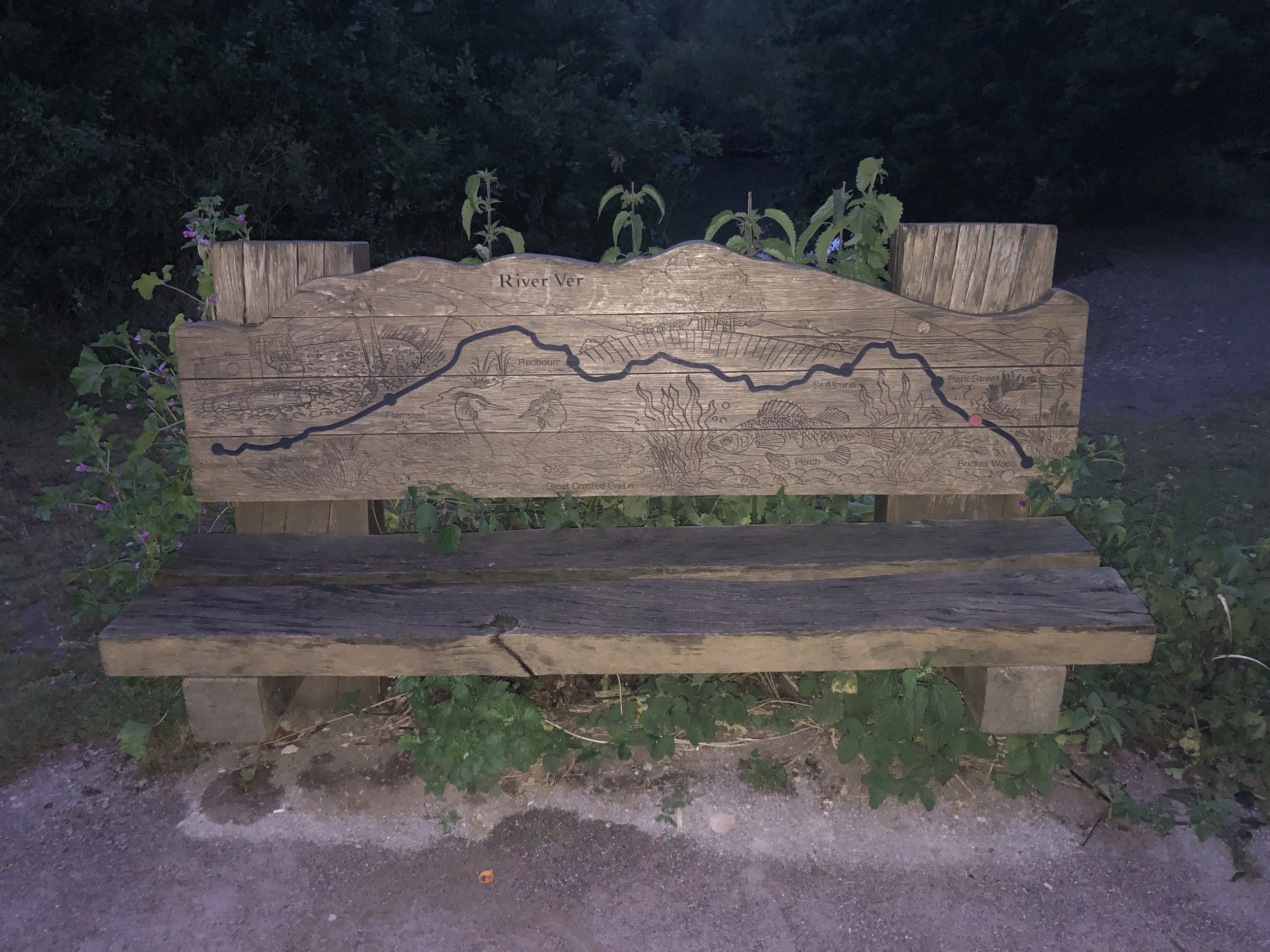
Our route was the River Ver Walk, a point-to-point in the eastern Chilterns following the river from source to its confluence with the River Colne. The route has also been on my list for a while, previously intending to do it in 3 sections. I’d put it on hold since Timea and I went down from 2 cars to 1 and point-to-points got a bit trickier to organize. Having Brian’s car for this trip and doing it in 1 go made it feasible again.
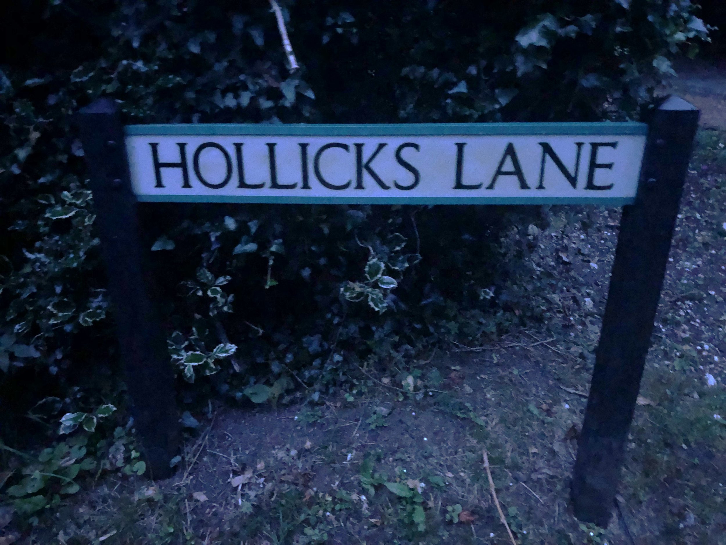
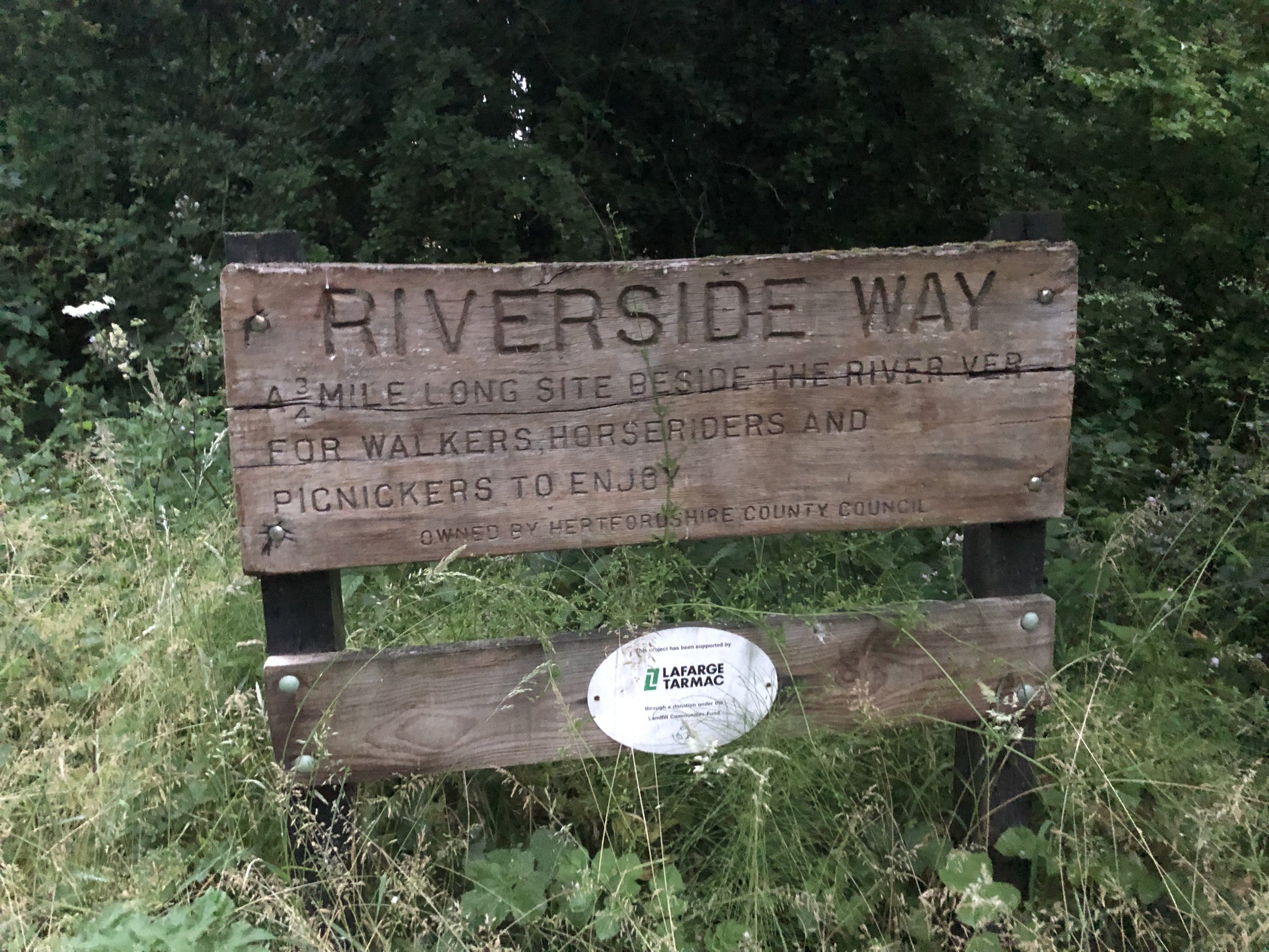
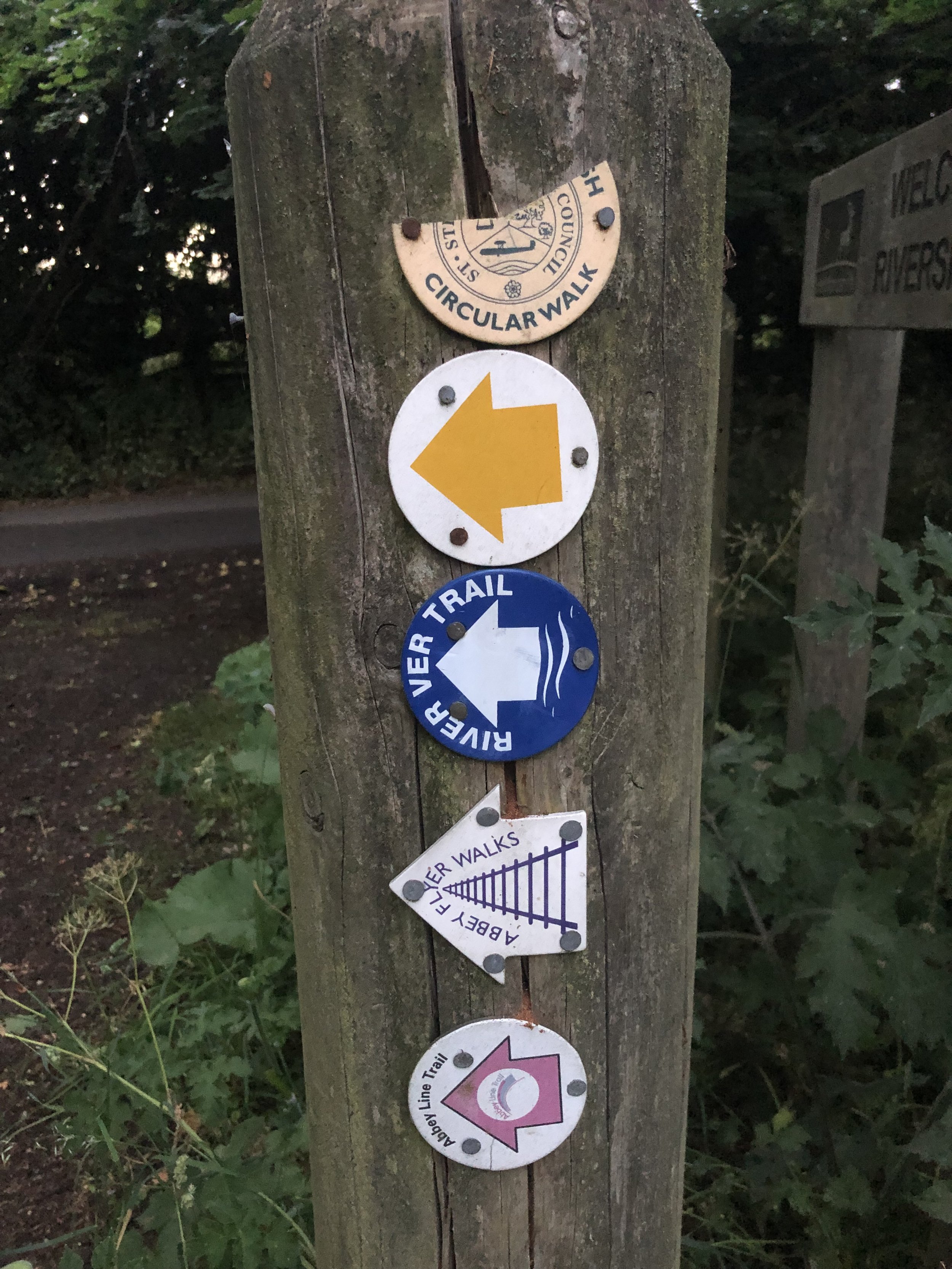
We set off at 21:24 from the Farmer’s Boy pub in Kensworth who kindly let us leave a car there overnight. From the pub it’s a short climb up the hill on Hollick's Lane to the church of St Mary. The River Ver Trail starts here and continues along footpaths and quiet roads to Bricket Wood. Although it’s well sign-posted, it would have been very hard to rely on these in the dark so we followed my pre-planned GPX track on my phone.
For the first 13km of the walk we weren’t aware of river with it either being too small, too far from the route or that that route went through towns or busy roads. It was only after leaving the Nickey Line after Redbourn that the trail goes through quieter countryside and the river is more apparent.
One thing to watch out for if you’re walking this one at night is the section through the Gorhambury Estate near St Albans. This section of the route is a Permissive Path leading to a big gate on the A4147. The gate is locked after 18:00 and there’s no simple or safe way to get around it. There’s a sign on the gate with numbers to call if you’re locked in after 18:00 but neither of these worked. I also don’t think they intended to answer calls from walkers at 02:00 in the morning. We found a cunning way to escape the estate but I don’t recommend it. If you’re attempting this route at night, there’s an alternative route around the estate described in their website.
The adventure of escaping the estate woke us up a bit as were starting to lose energy. The gradual increase in light also helped but, as with last year, the final couple of hours were tough. With 1 km to go we both noticed a significant increase in brightness and checked our watches to see that it was exactly sunrise at 04:44. This was also the point where we decided that we’d properly ticked the box of doing a full Summer Solstice overnighter and didn’t need to make it an annual event.
By around 05:00 we reached the end of the trail at the confluence with the River Colne. It was a quiet peaceful place mark the end of the route. It wasn’t the end of the walk though. Although we had wanted to leave one car at the end, there’s no good parking options. We leave a car near The Gate pub on Smug Oak Lane but it added another 2 km to the walk. Another slightly closer, option would have been The Riverside Car-park on Drop Lane which is on the trail at 1.4km from the end.
With the extra bits at the start and end of the trail to get from and to our cars, our whole walk was 32km in 7.5 hours. Having 2 cars made the logistics easier. Public transport is an option with some careful planning if you’re doing the trail in the daytime. Using St Albans as a hub there’s a bus that takes you up the A5183 past Markyate to Lynch Hill, although you would still need to walk up to St Mary’s Church before retracing your steps along the trail. For the end point, Bricket Hill train station, with direct services to St Albans is a 15 minute walk from the end of the trail.