Walking The North Downs Way Part 3 - Newlands Corner to Ranmore Common

Along the ridge between Sheer and Ranmore
Start: Newlands Corner Car Park, A25 Shere Road, Newland's Corner, Albury, GU4 8S
Finish: Ranmore Common East Car Park, Wotton, Dorking, RH5 6SR
Distance: 11.6 km (7.2 miles)
Elevation change: +128m / -107m. Net -21m
GPX File: get via Buy Me a Coffee
Other routes touched (walk): North Downs Way, The Fox Way, Prospects of Polesden, Ranmore SCC Circular
Other routes touched (cycle): Surrey Cycleway
Trig Pillar: TP2924 - Dunley Wood (just off the NDW route)
Pubs / Cafes on route: Newlands Corner Cafe at the end, plus Cafe CARB UP AND GO (mobile cafe) at Shere Woodlands Staple Lane Car Park (3 km in)
Map: Dorking, Box Hill & Reigate Map | Leatherhead & Caterham | Ordnance Survey | OS Explorer Map 146
Guidebook: The North Downs Way National Trail from Farnham to Dover (Cicerone)
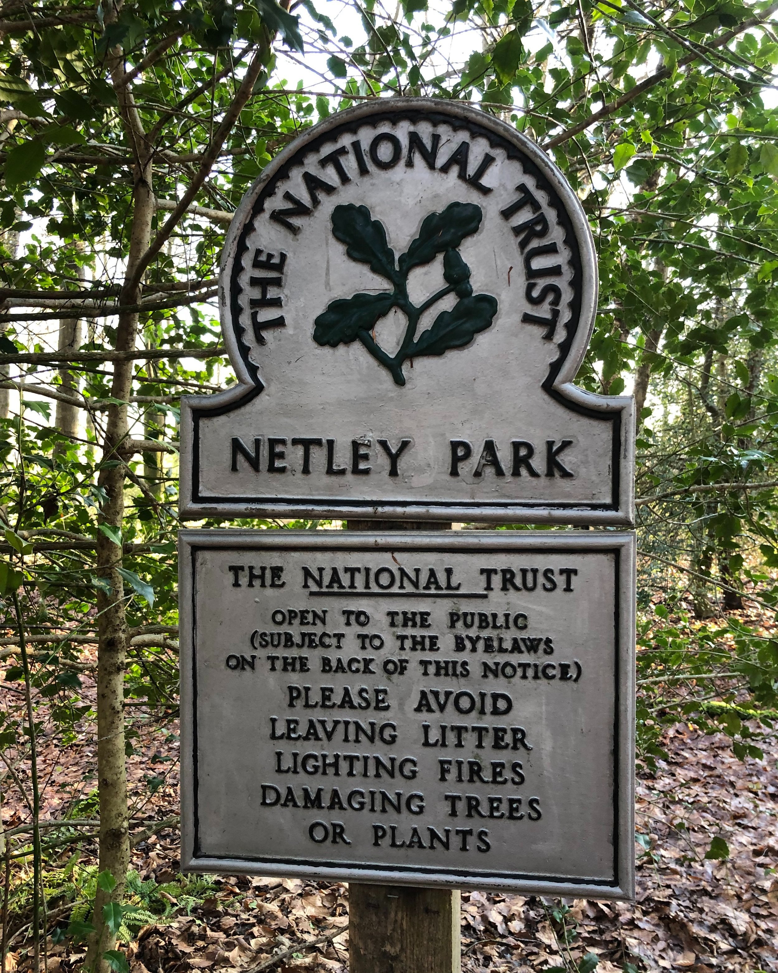
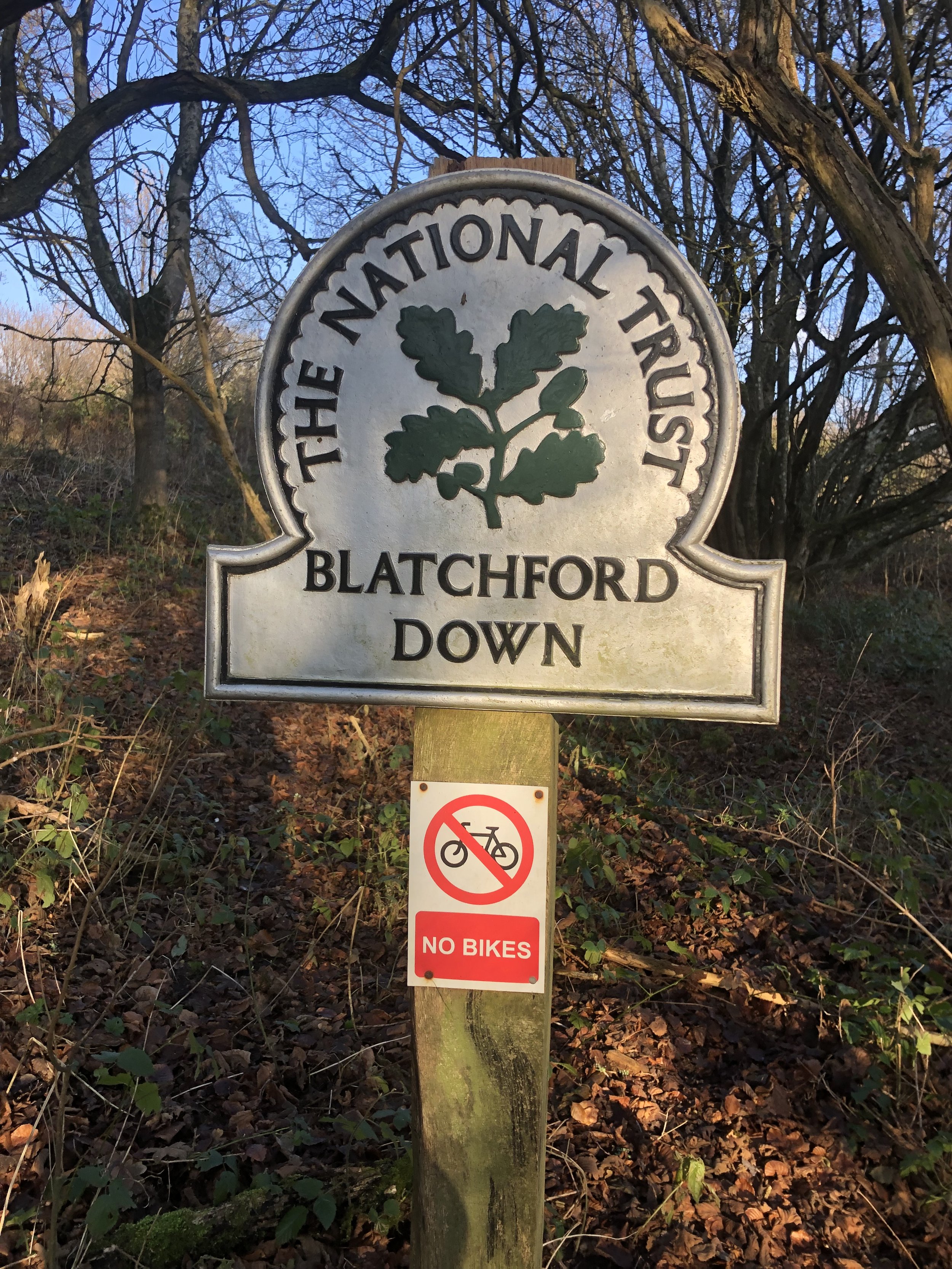
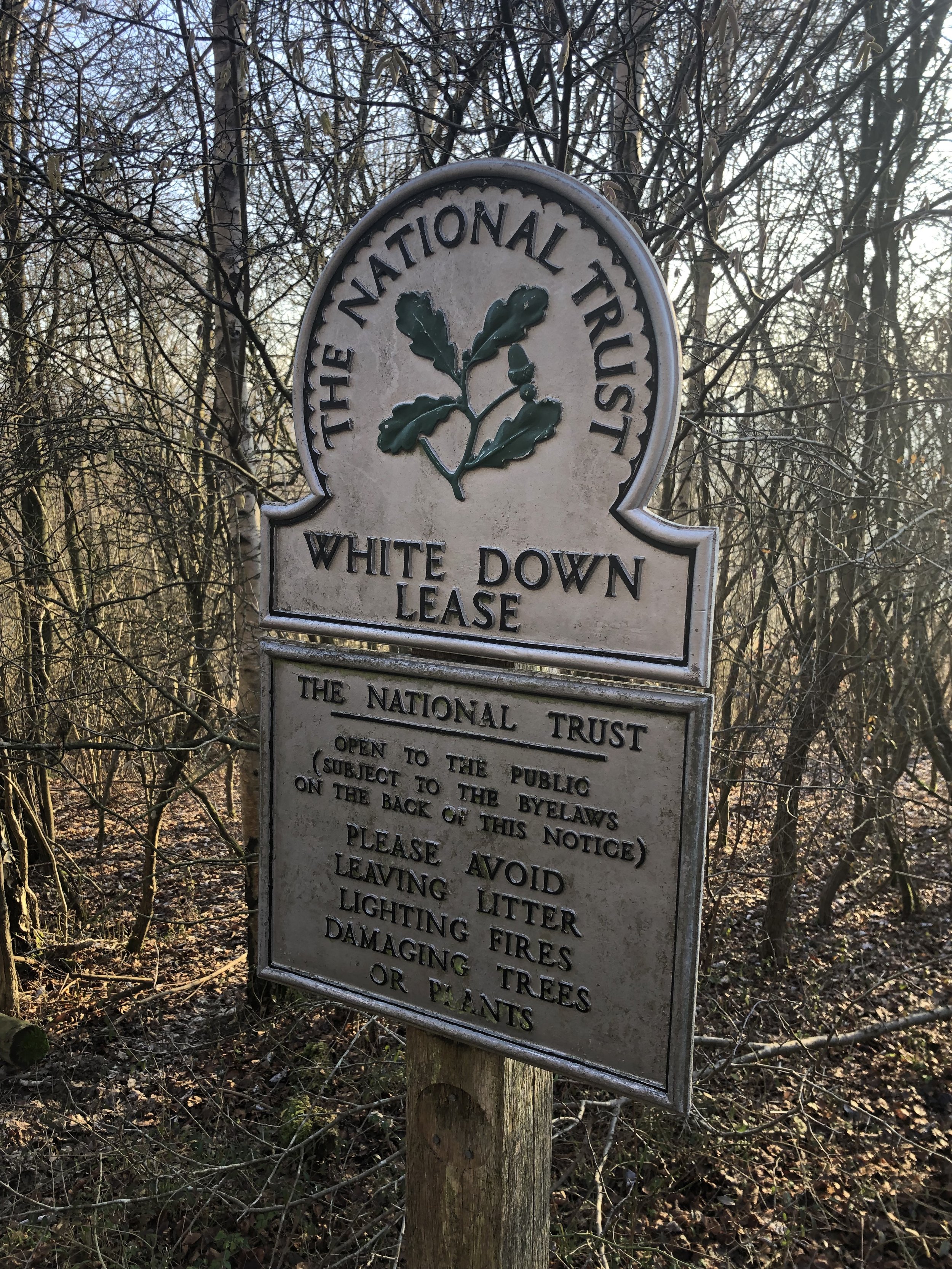
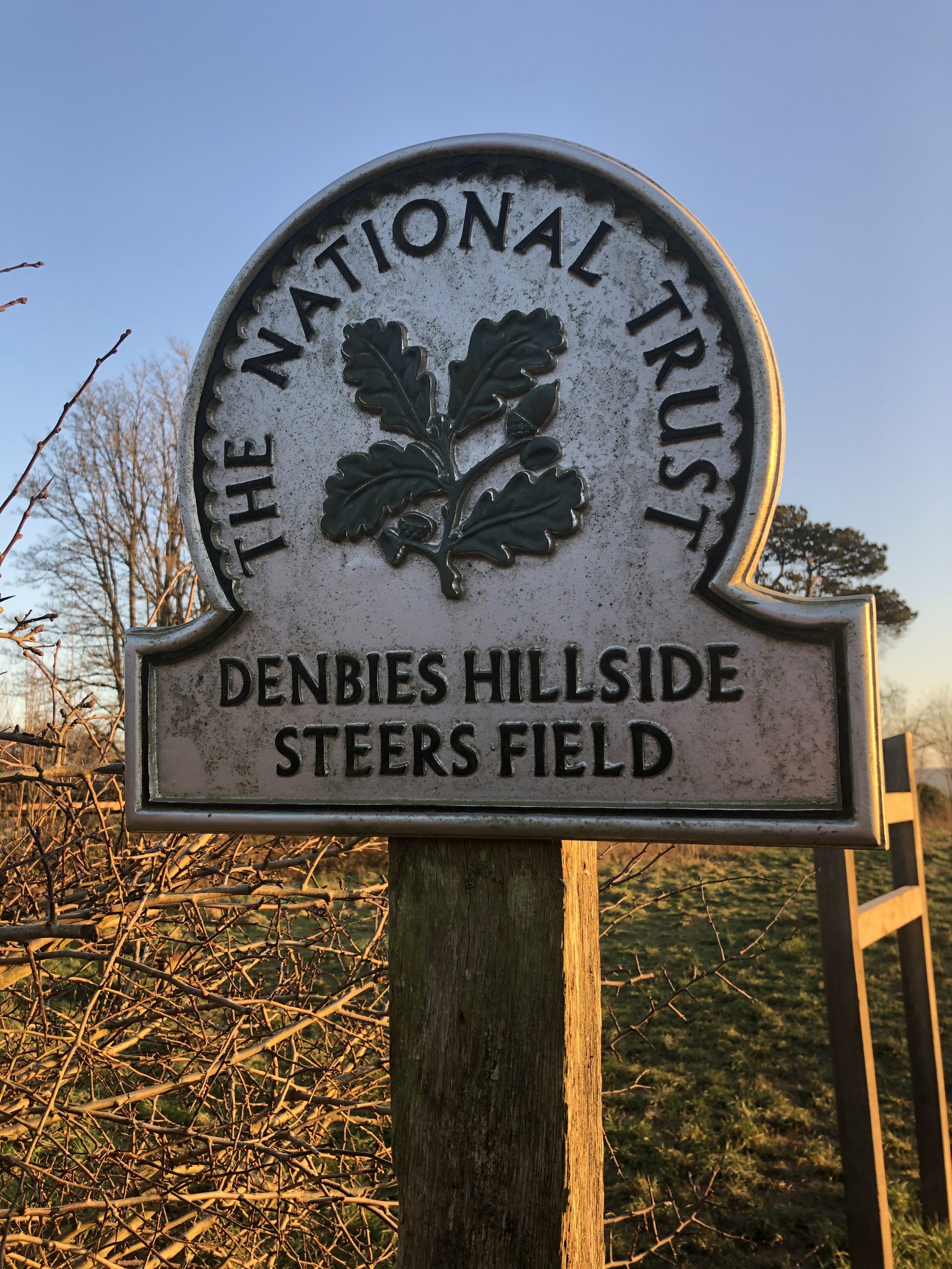
Links: Newlands Corner, The Optohedron, National Trust Abinger Roughs and Netley Park, Outer London Defence Ring, National Trust Denbies Hillside, Ranmore Common, LDWA: North Downs Way, National Trails: North Downs Way, northdownsway.org
This is the third of a series of short point-to-point walks along the North Downs Way. The full trail is a long distance path stretching from Farnham in Surrey to Dover in Kent. Our walks took in short sections of 10 km to 13 km which we did with a friend over the course of a couple of years when our schedules coincided. The North Downs Way is well sign-posted however I highly recommend taking a map or GPX route to keep you on track. The Cicerone book on the trail is a great guide to the points of interest along the way.
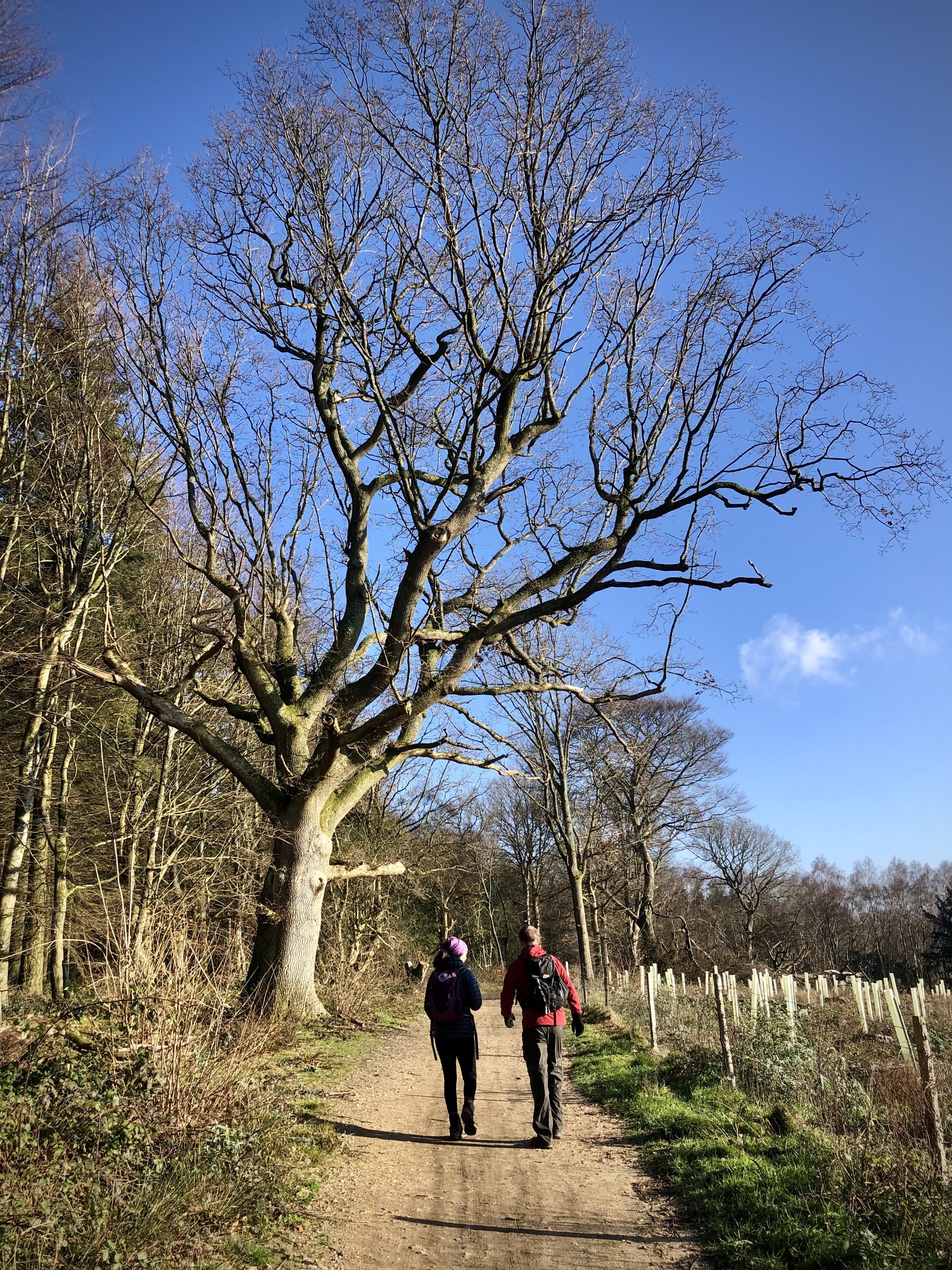
For this section we left one car at Newlands Corner and the other at the National Trust Car Park at Ranmore Common. Heading east from Newlands Corner, this section follows a relatively flat and straight route to Ranmore.
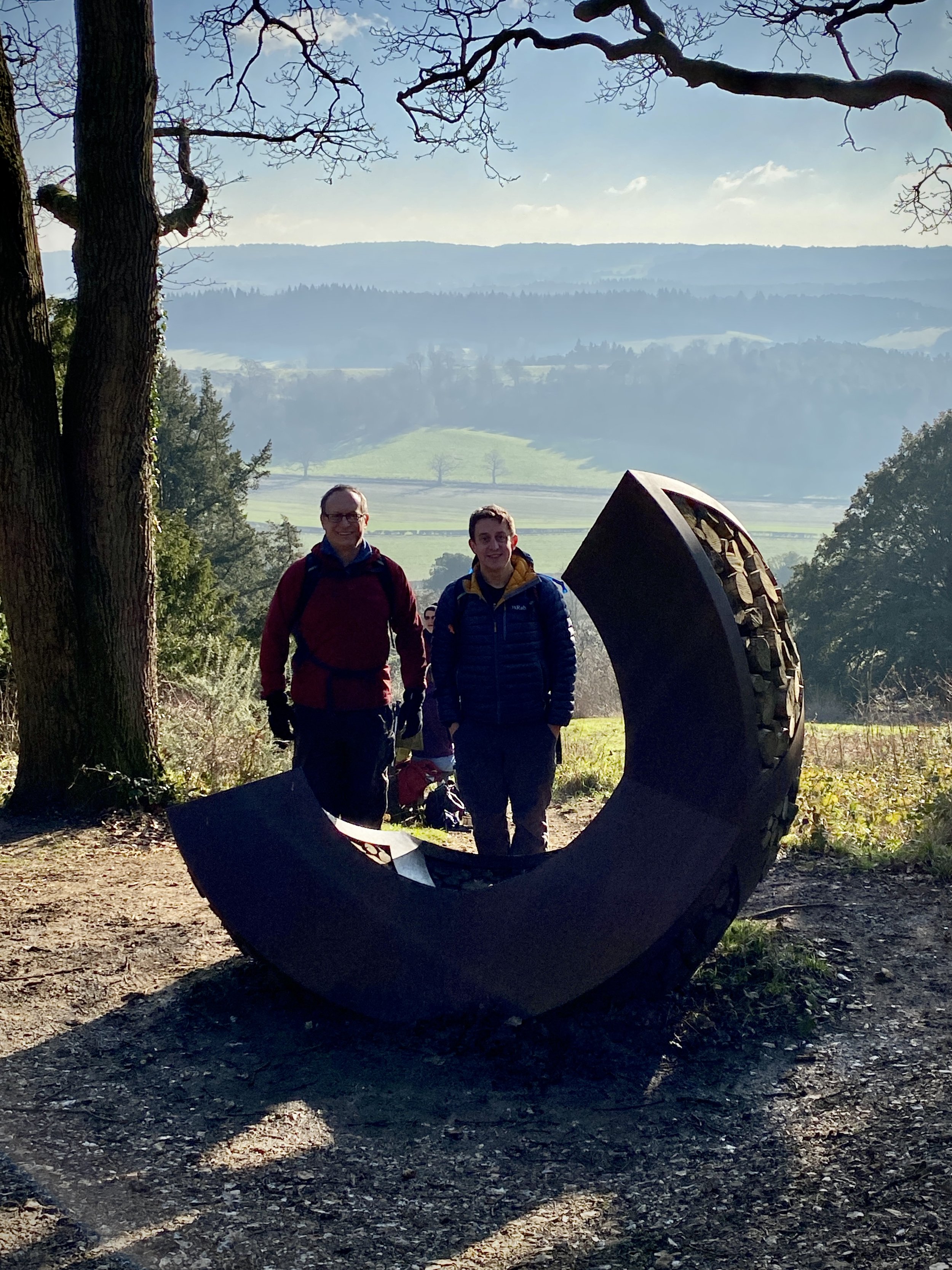
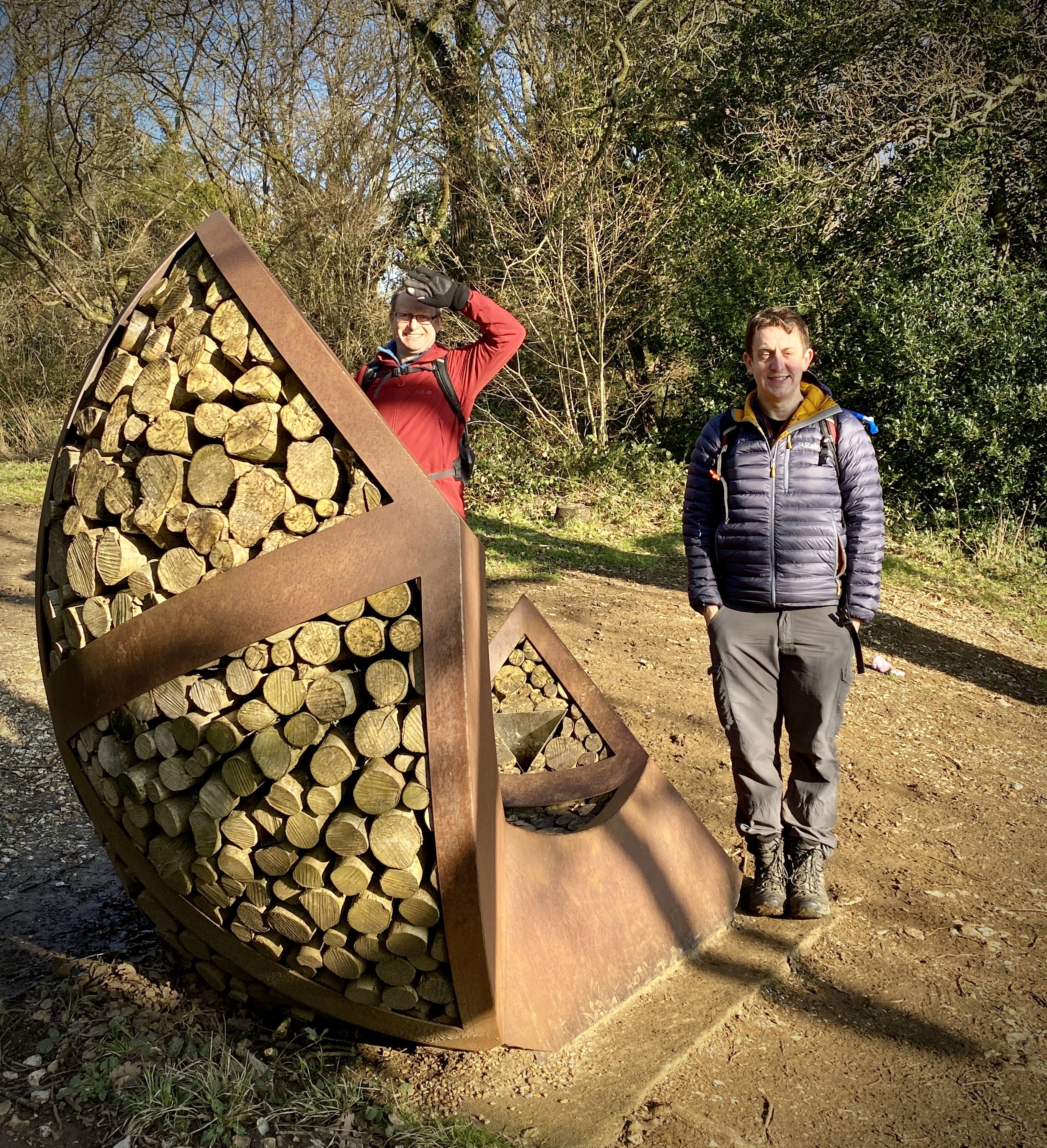
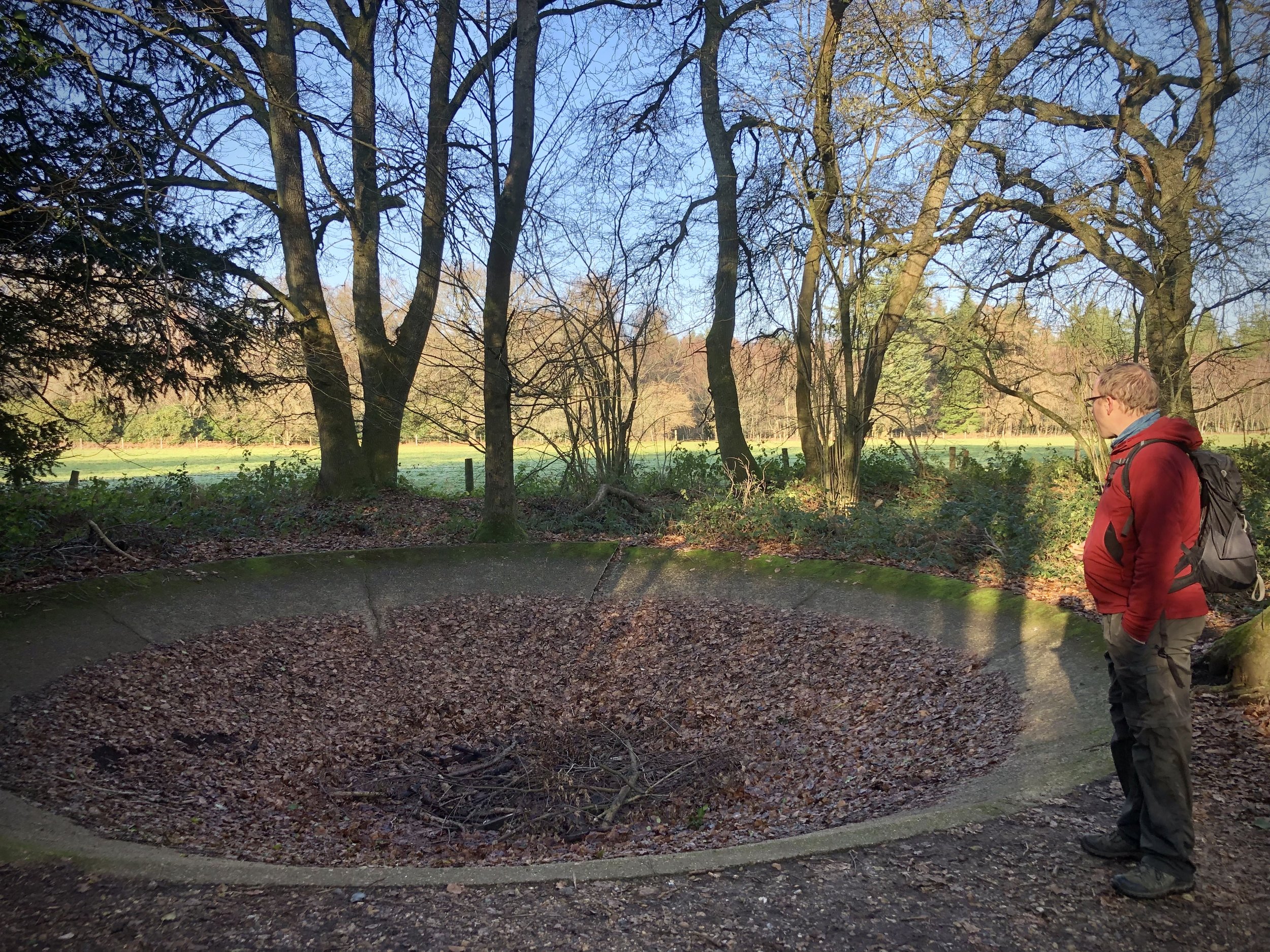
The first point of interest is a wood-and-metal sculpture called The Optohedron by Will Nash, part of a series of outdoor works of art in the Surrey Hills. Several more examples of these works can be found on our Greensand Way walks. Moving east there’s several large circular stone tanks that obviously had a use in the past but have now been abandoned. Comment below if you know what they are.
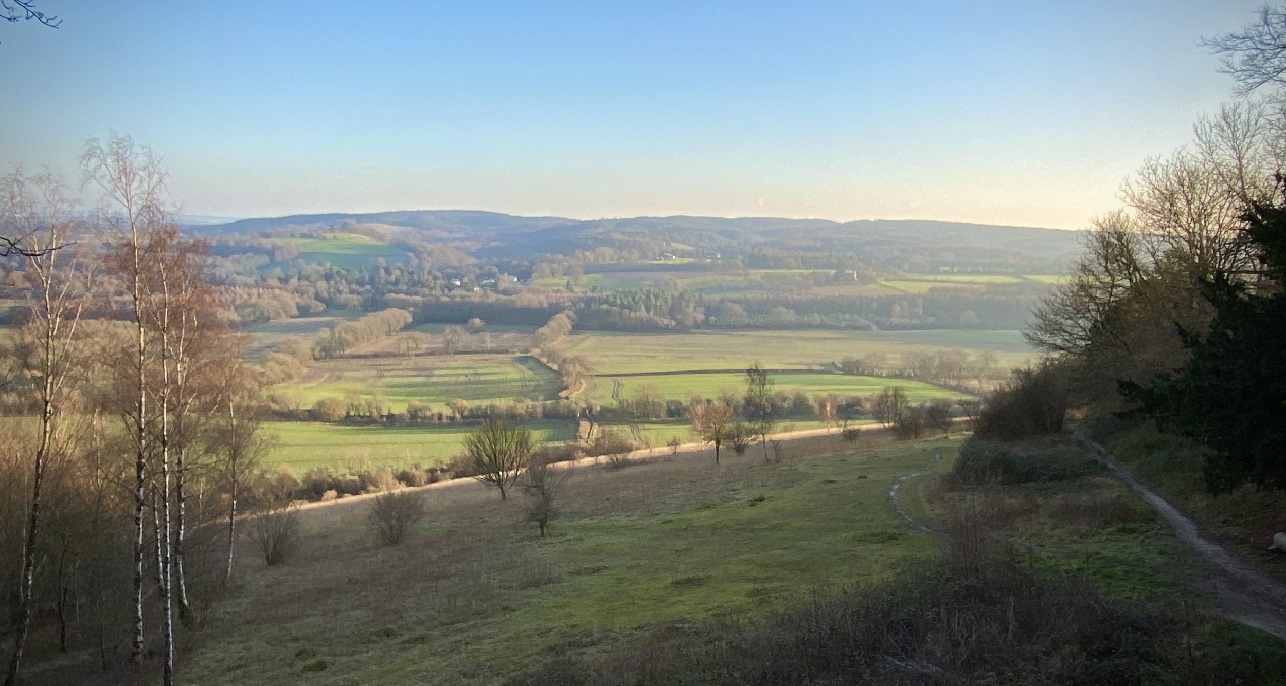
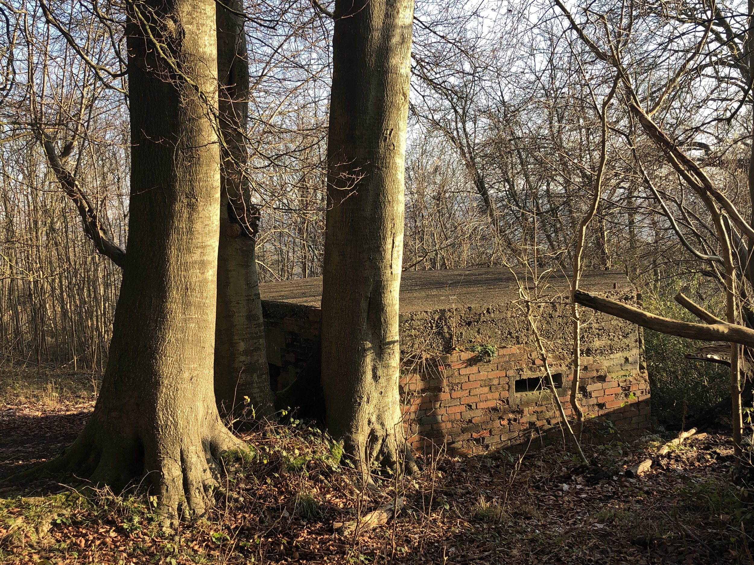
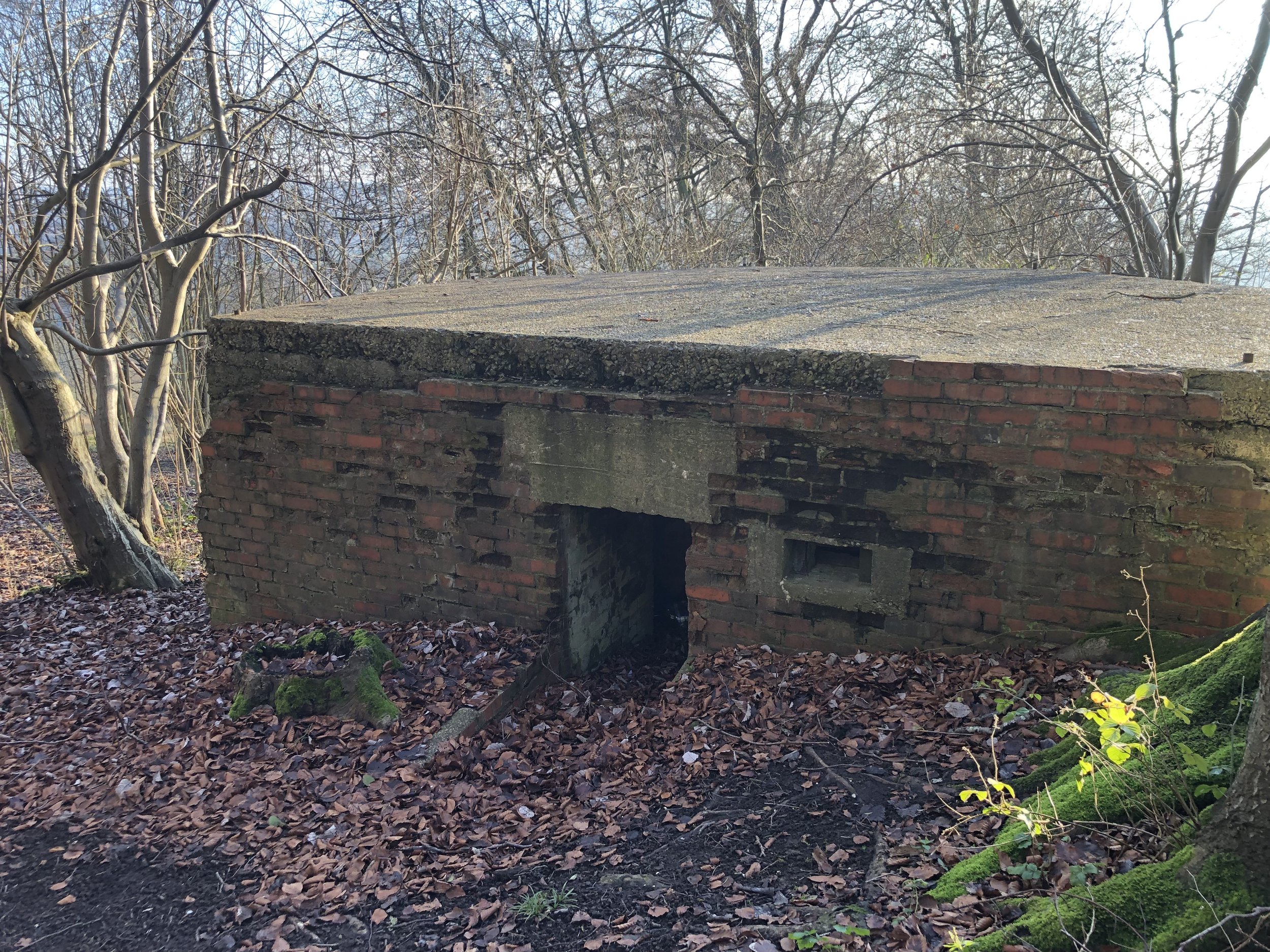
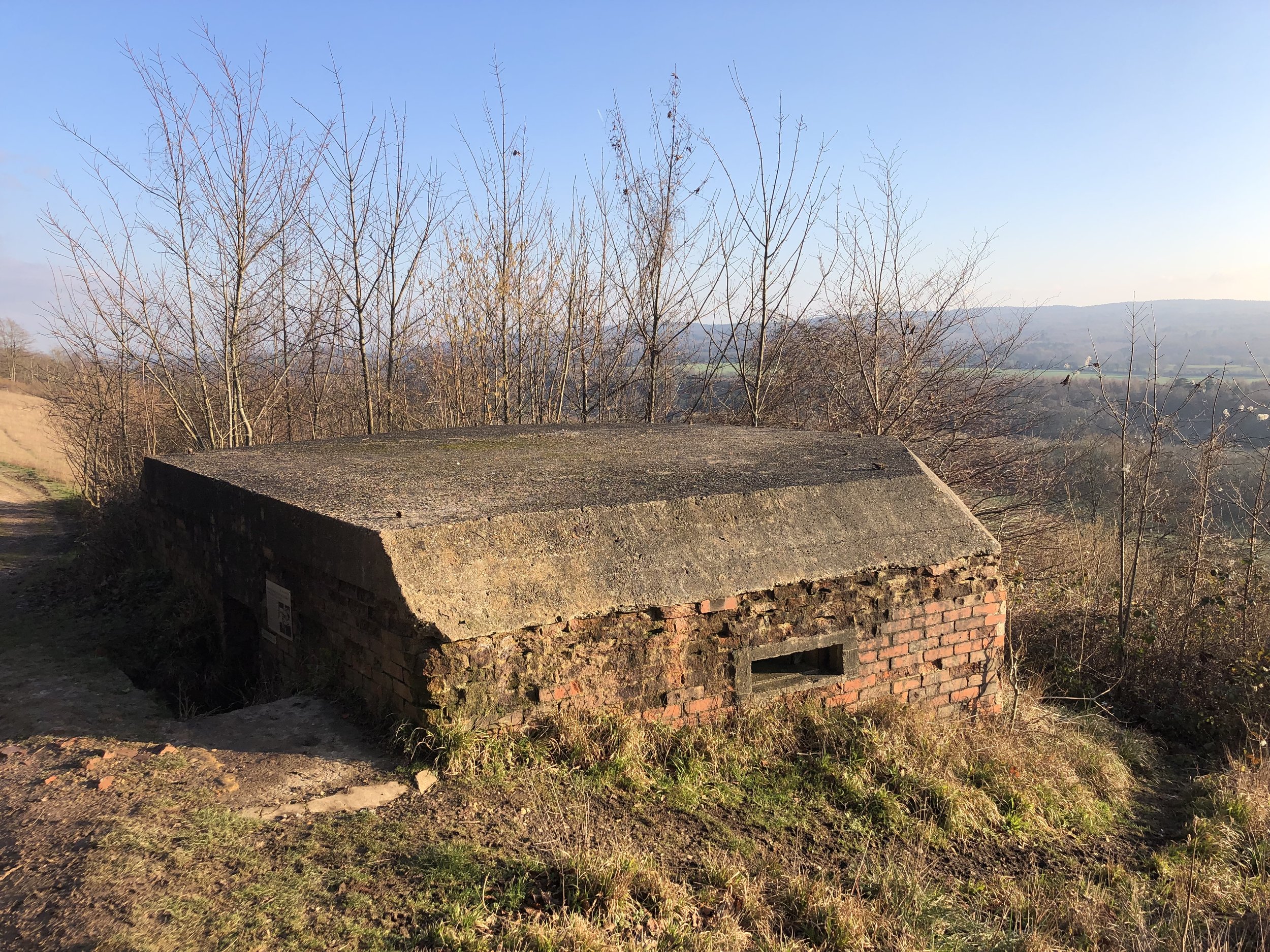
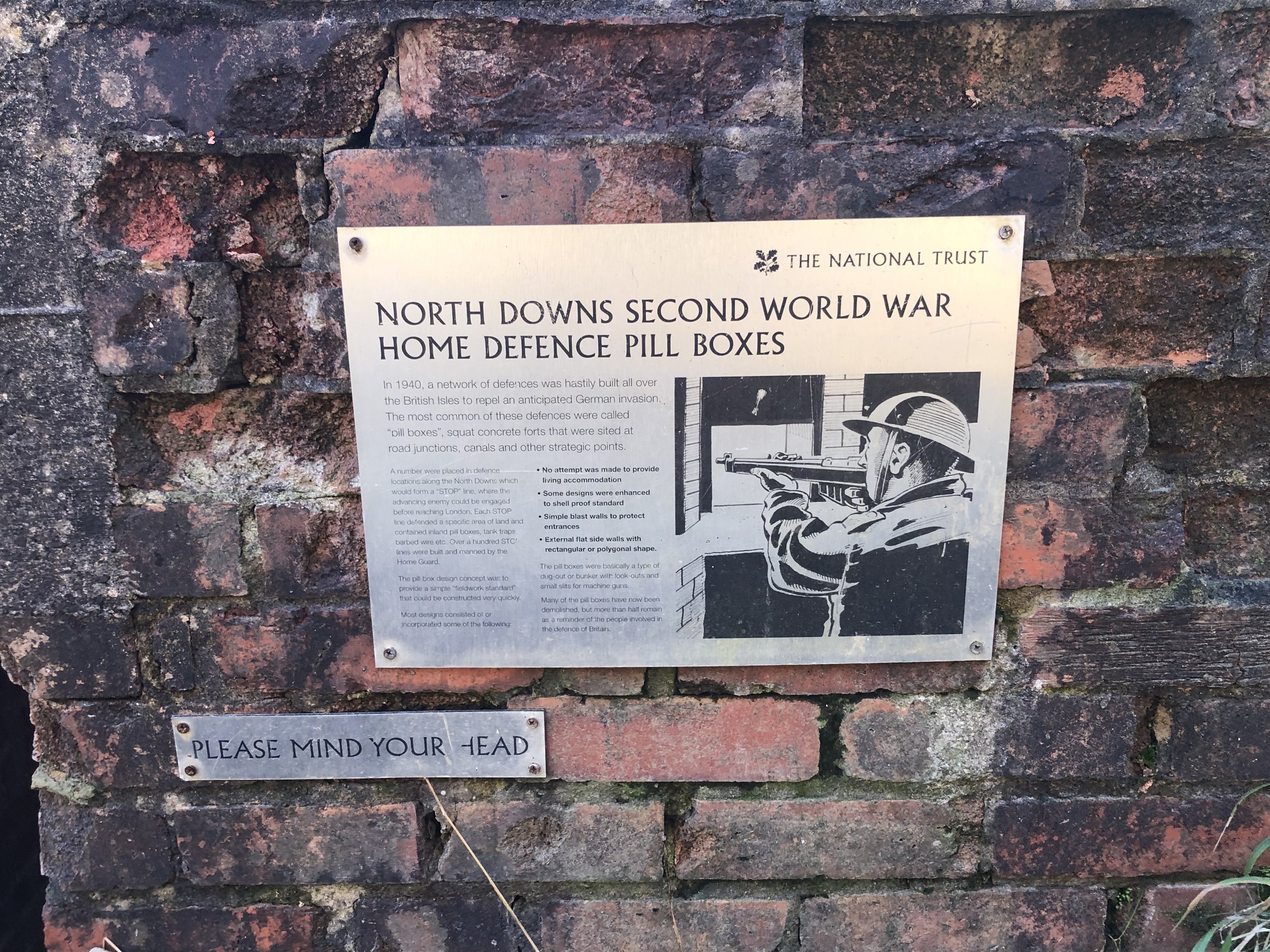
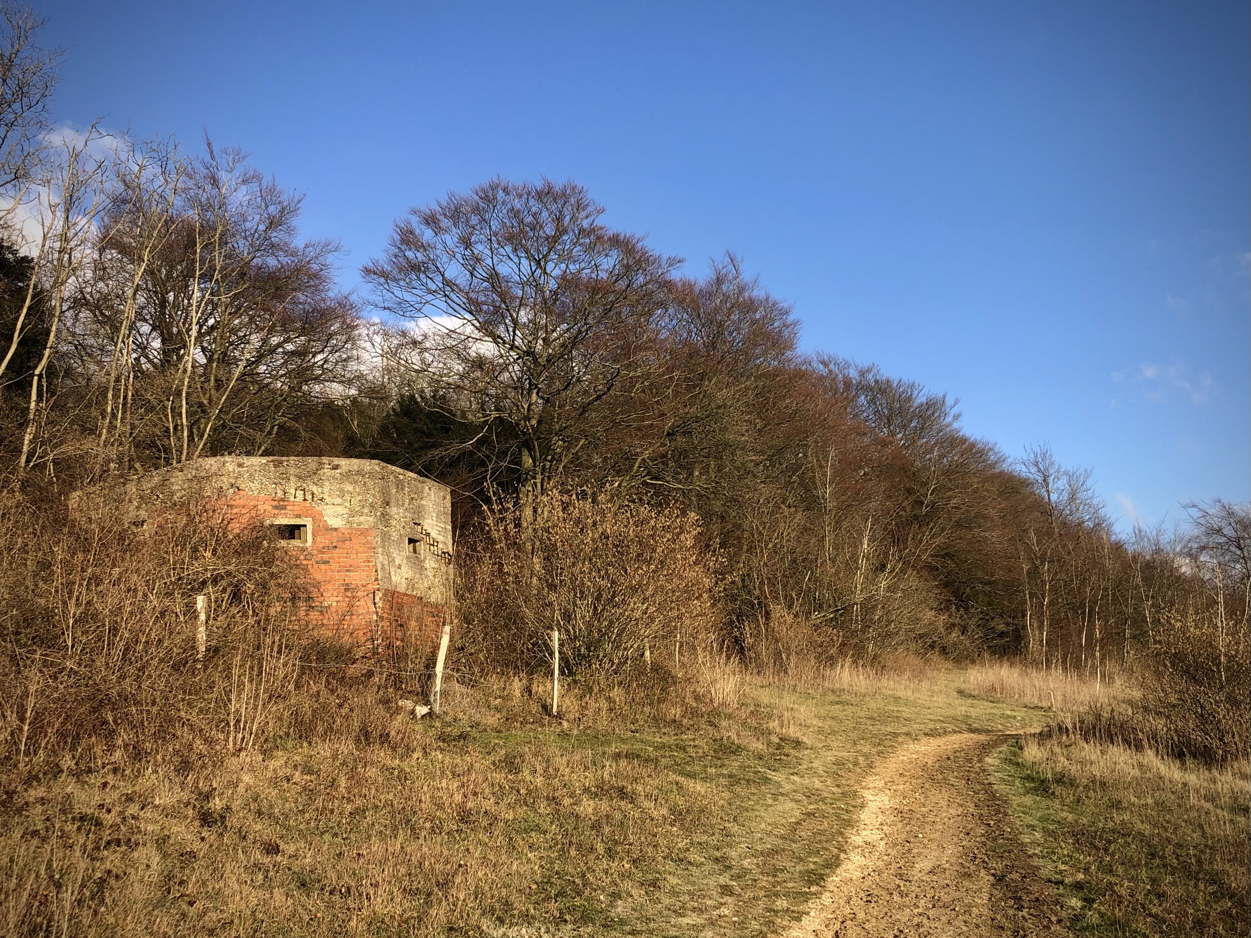
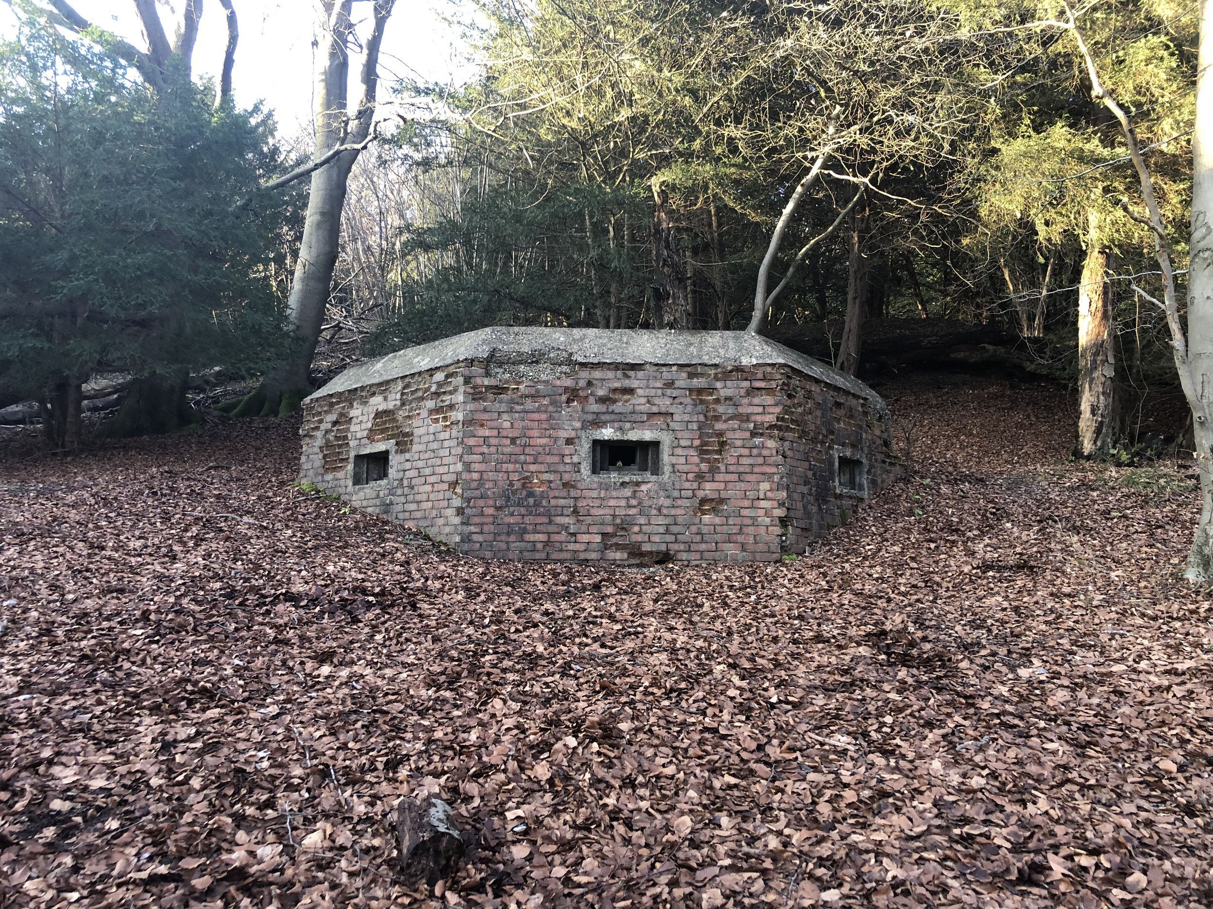
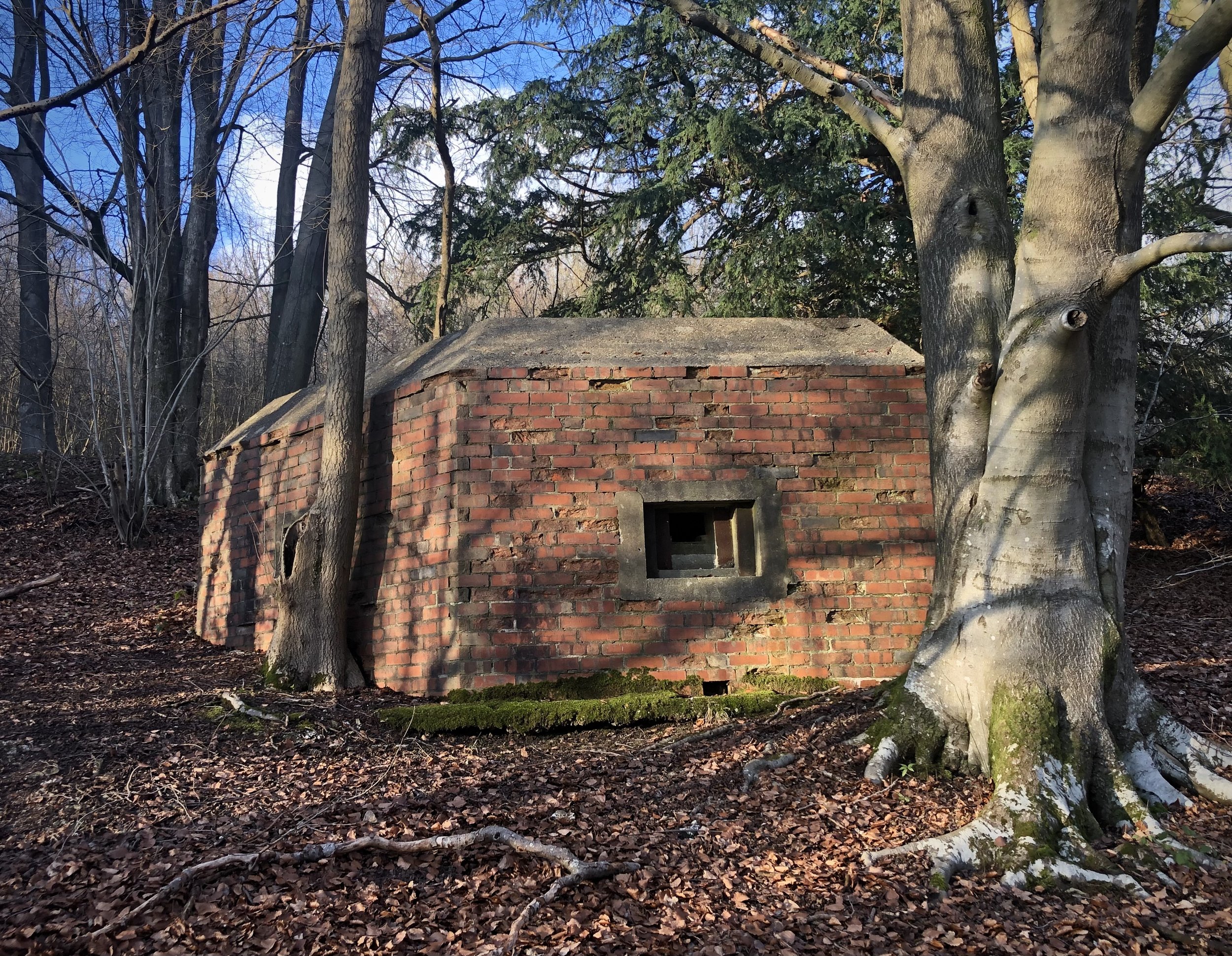
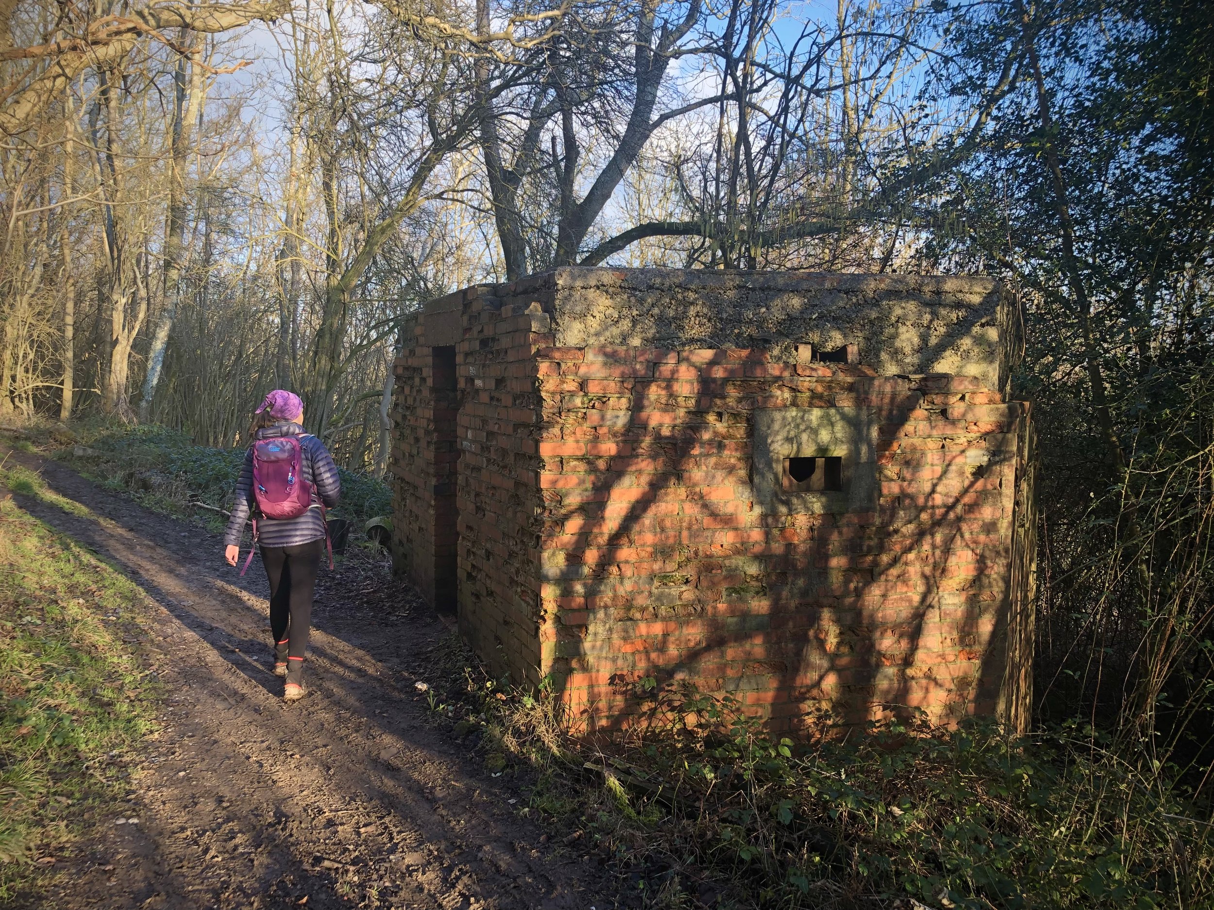
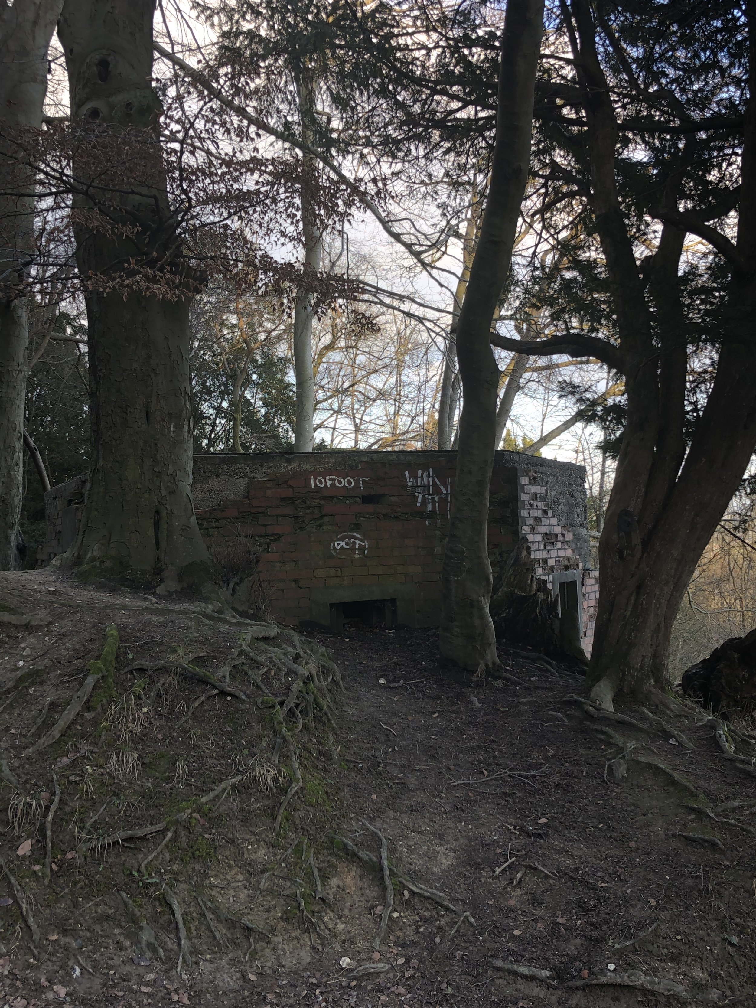
The main features of this part of the walk are the WW2 Pillboxes that formed part of the Outer London Defence Ring. This was one of the Stop Lines built to defend against German invasion and, thankfully, never used. Of the 8 that we counted along the walk, one is well maintained by the National Trust and you can easily get inside. The final one to the east of the walk is a great place to stand on the roof and get a view over the valley to Dorking.
For OS Trig Pillar collectors the Dunley Wood Trig is a short diversion from the route at 8 km in. Alternatively you can bag it on a 1 km circular walk from White Down Car Park which is on the short drive between the start and end points of this section.
If you fancy a longer walk for this section an alternative stopping place is Denbies Vinyard, 2km further along. For today we were happy with stopping at Ranmore and taking in the view before heading back.


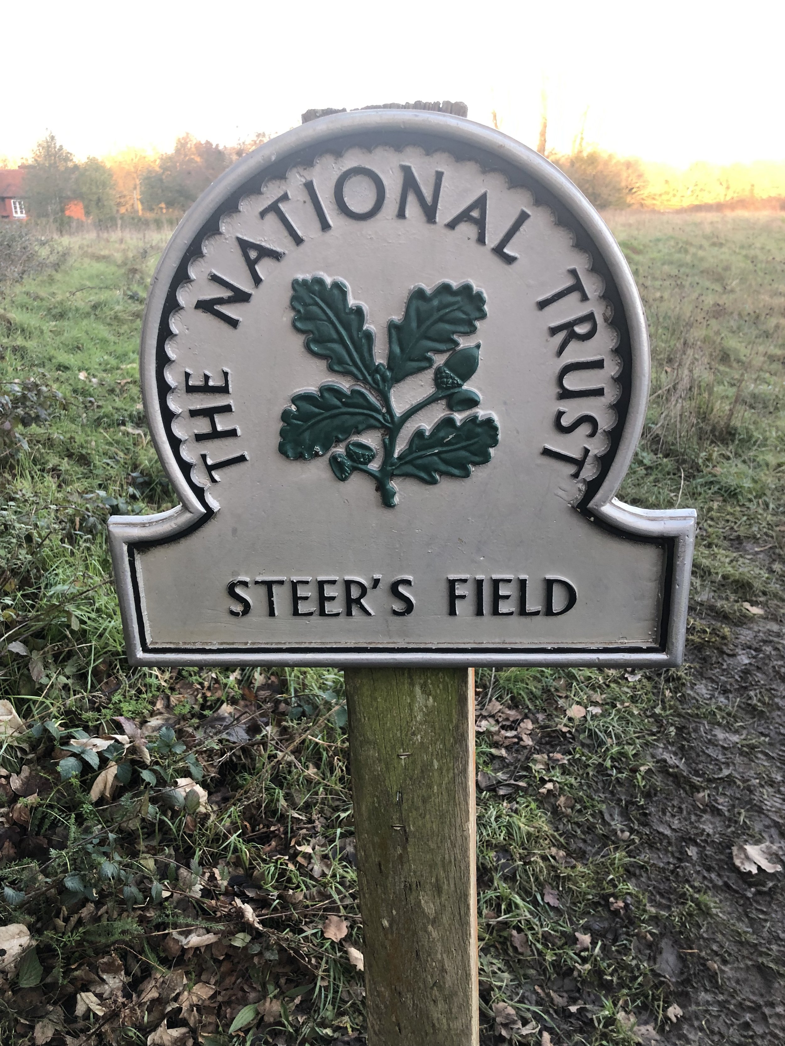
The National Trust Sections
The Pillboxes
Previous Section (west): Walking The North Downs Way Part 2: Puttenham to Newlands Corner
Next Section (east): Walking The North Downs Way Part 4: Ranmore Common to Betchworth