Chiltern Walks: St Albans and Childwickbury

St Albans Cathedral
Start & Finish: Verulamium Car Park, 39 St Michael's Street, St Albans, AL3 4SW. Alternative parking and public transport options in St Albans
Distance: 14.3 km (8.9 miles)
Elevation change: +/- 122m
Hertfordshire Way section covered: Redbournbury to Childwickbury: 10.6 km
GPX File: get via Buy Me a Coffee
Other routes touched (walk): Hertfordshire Way, Ver Valley Walk, River Ver Trail
Other routes touched (cycle): NCN 6
Pubs / Cafes on route: Many in St Albans Town Centre
Map: St Albans & Hatfield Map | Hemel Hempstead & Welwyn Garden City | Ordnance Survey | OS Explorer Map 182
Links: Redbournbury, St Albans, Childwickbury, River Ver
The Hertfordshire Way offers an incredible opportunity to circumnavigate one of England's home counties, revealing its hidden charms and surprising variety. This circular long-distance footpath, stretching around 273 km (170 miles), guides walkers through the county's most picturesque landscapes, proving that green spaces are never far, even in this area close to London. We walked the Chilterns part of the Hertfordshire Way in 15 sections over a couple of years. We used my “Greater Chilterns” definition that takes the trail from the River Lea near Wheathampstead to the River Colne near Garston. This route is one of those 15 circular walks.
The guidance below will help you navigate but don’t use it as a fully accurate turn-by-turn guide. Always take a map and/or a GPX route and prepare well for the weather and terrain. For this walk we parked at the Verulamium Car Park on the western edge of the town. The location is great for the walk but it’s also expensive. There’s other parking and public transport options in St Albans though.
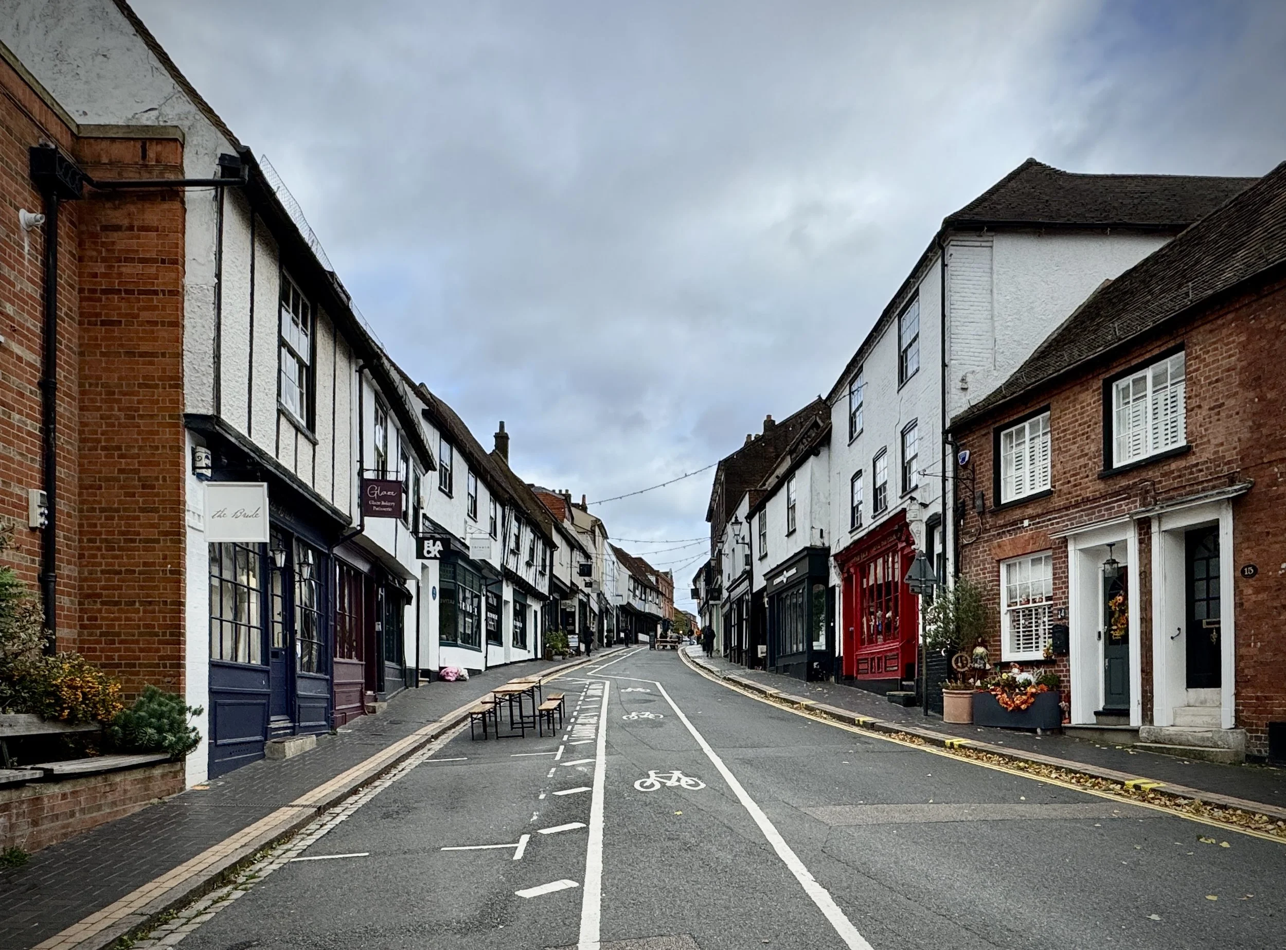
Most of this walk is in the countryside to the north of the city, however there’s a “bonus” loop of 2.5 km that takes in St. Alban’s Cathedral, Fishpool Street and Verulamium Park. It’s worth doing but if you want to skip it the main section of the walk is around 11.5 km. My advice is to do the main section first then have a rest in one of the city’s pubs and cafes then do the small loop before returning to the car park.
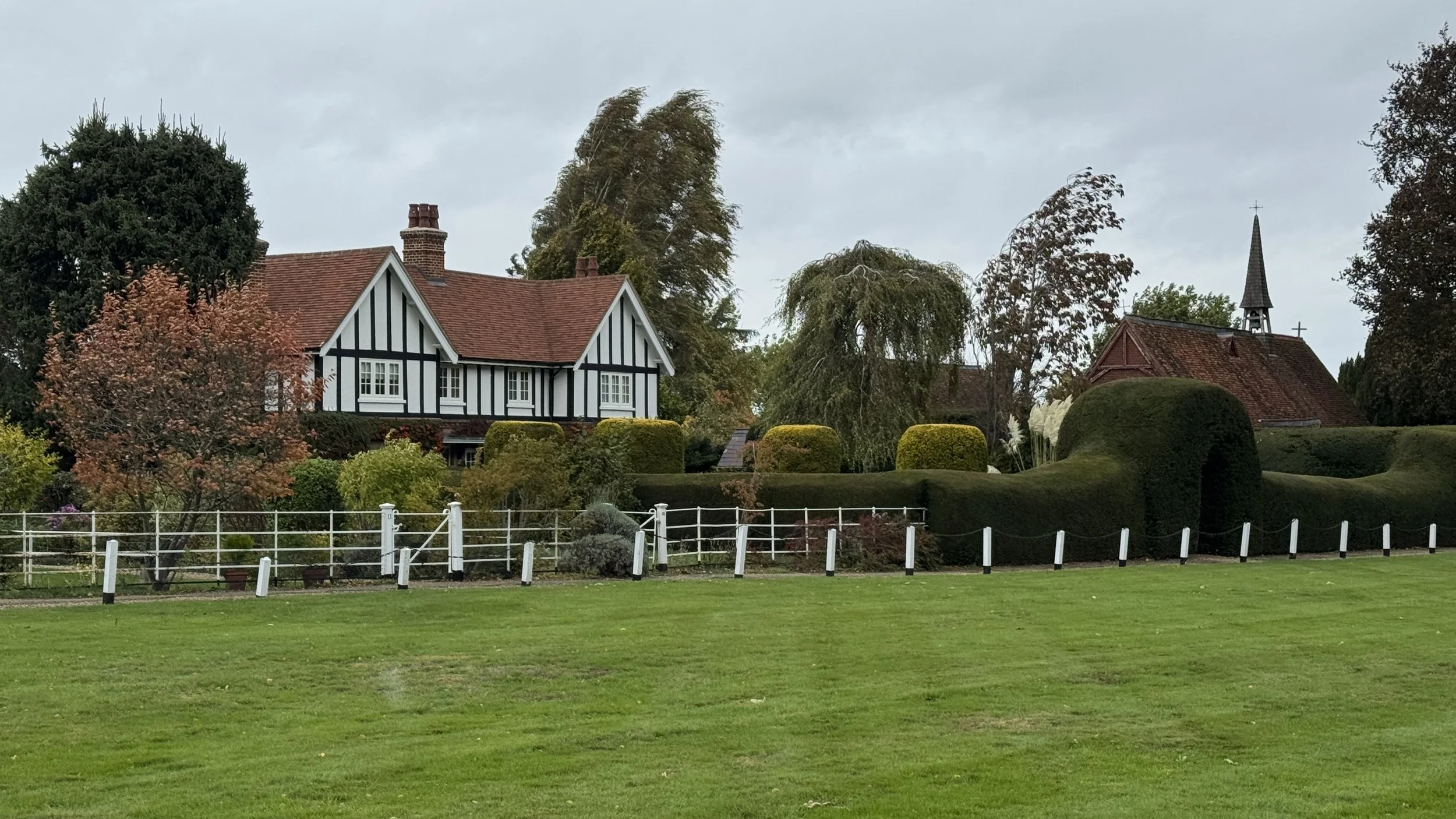
For the main section of the route, exit the car park on the western side onto St Michael’s Street then take a right onto the A4147 Hemel Hempstead Road. It’s a busy route into the city but the pavement is safe enough and it’s a short distance. After the roundabout carefully cross over and take the first lane on the left heading into farmland in a north-westerly direction. Follow this path through fields, woods and a golf course to the small village of Childwickbury.
Continue through Childwickbury until you reach the A1081 Harpenden Road. Take a left onto the A1081 and follow the pavement for 1.2 km then take a left onto Beesonend Lane. Follow the lane for 2 km in a south-westerly direction until you reach a T-junction with a path that runs parallel to the river Ver. Take a left to follow this path in a southerly direction to the A5183 Redbourn Road.
Cross over the road and enter a gate into the Gorhambury Estate. Follow the path through the estate until you reach the A4147 Hemel Hempstead Road. Cross over the road to return to St Michael’s Street and the car park. Note that Gorhambury is a private estate with permissive paths running through it. The gate from the A5183 was locked when we were there so we had to take a less interesting diversion along the A5183. Check the Gorhambury Estate website for details of any closures.


Hertfordshire Way next section clockwise: Sandridge and Heartwood Forest
Hertfordshire Way next section anti clockwise: Redbourn and Redbournbury