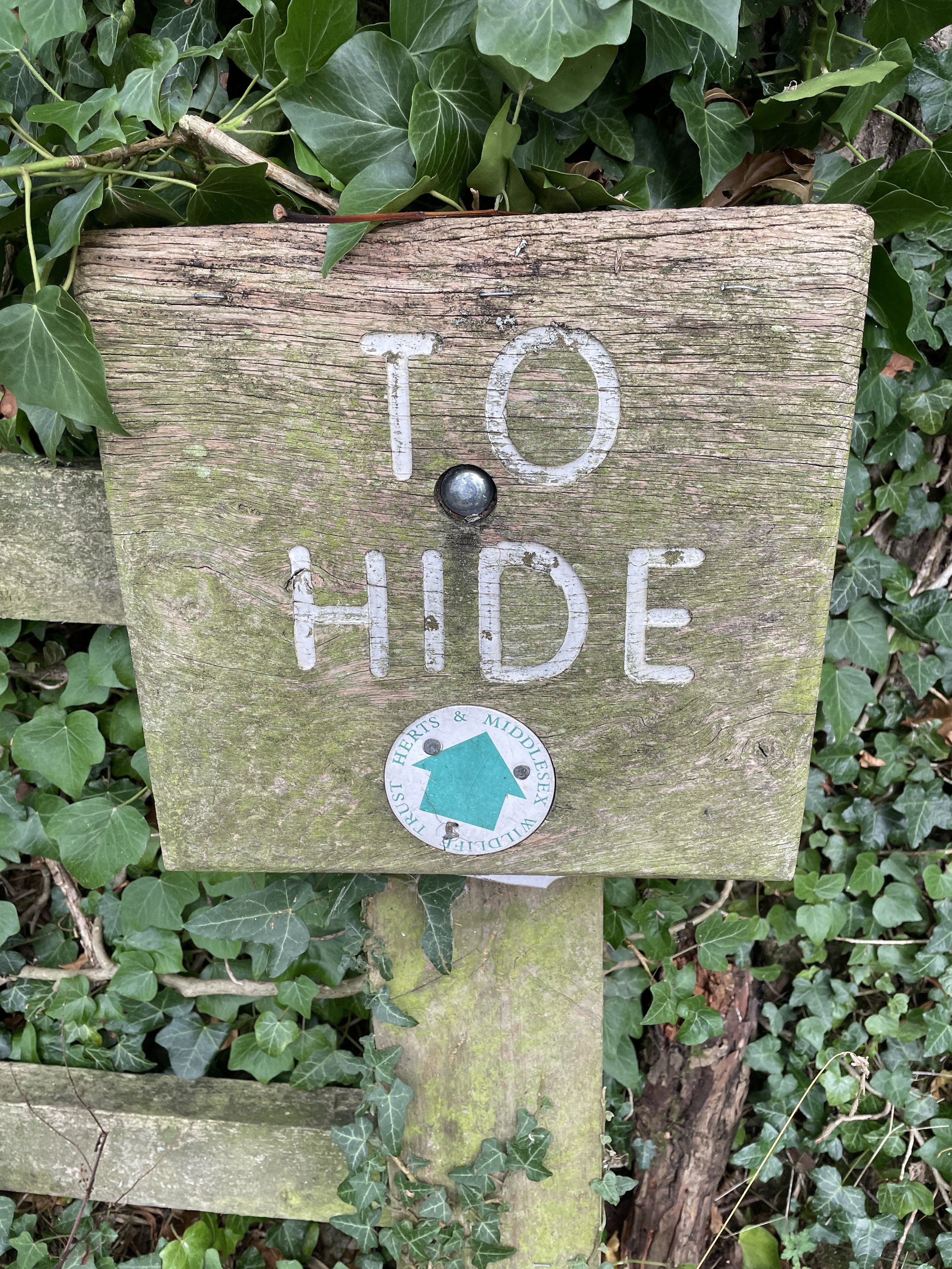
Walking The Aylesbury Arm Canal

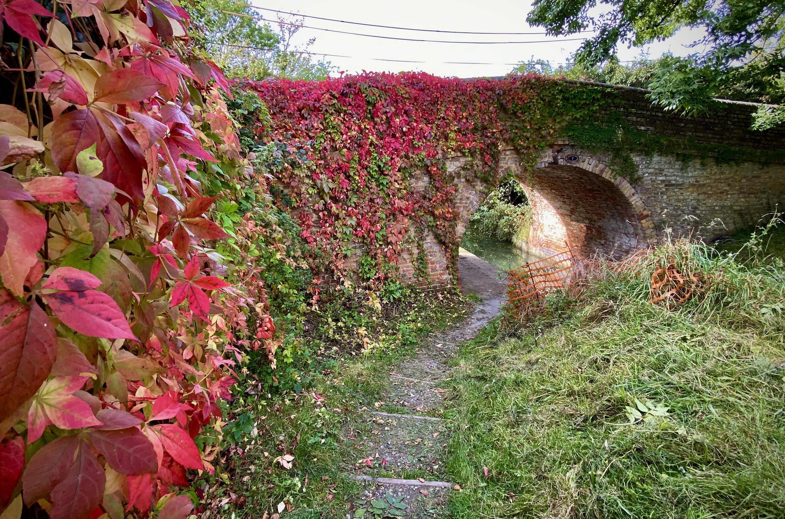
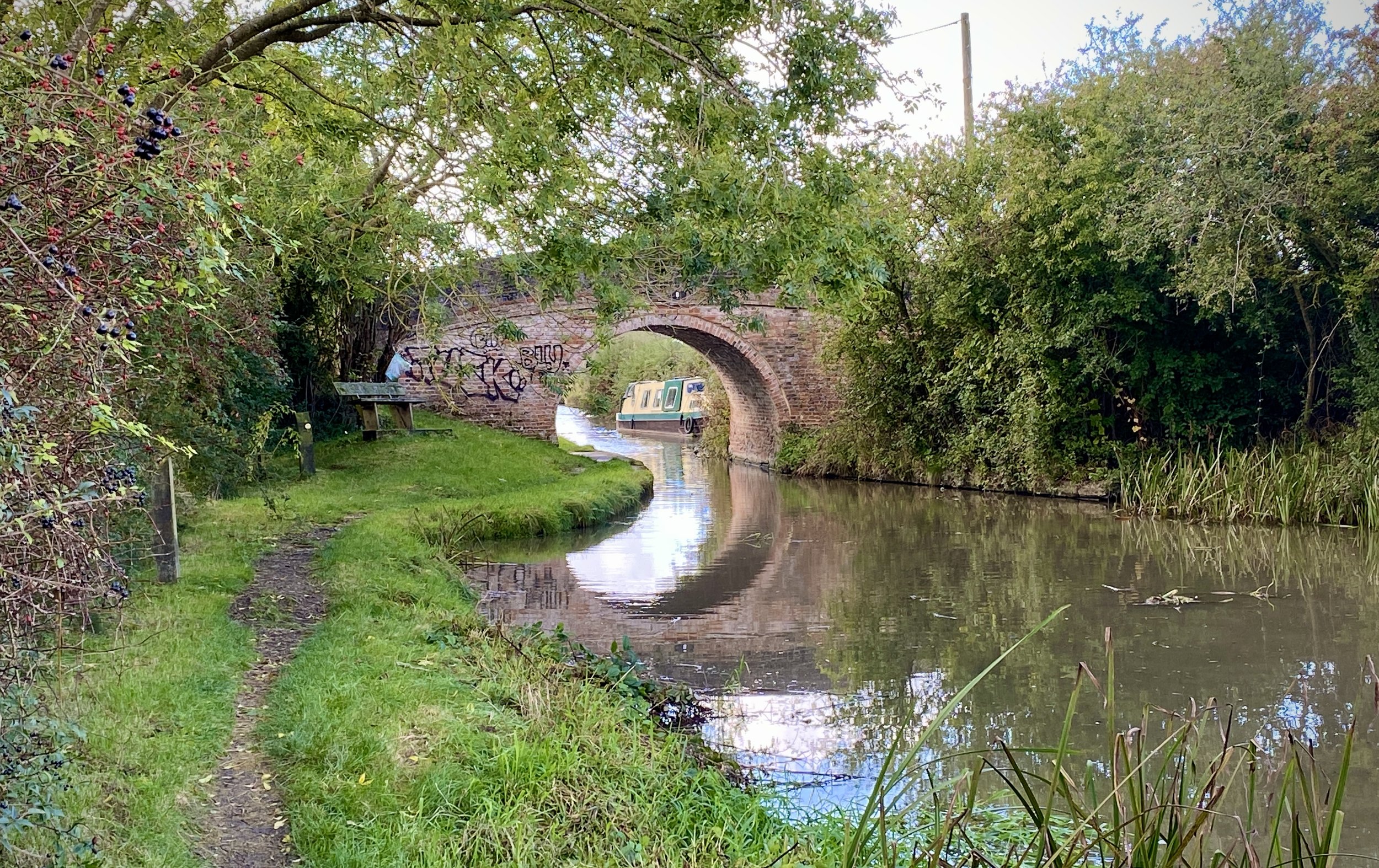
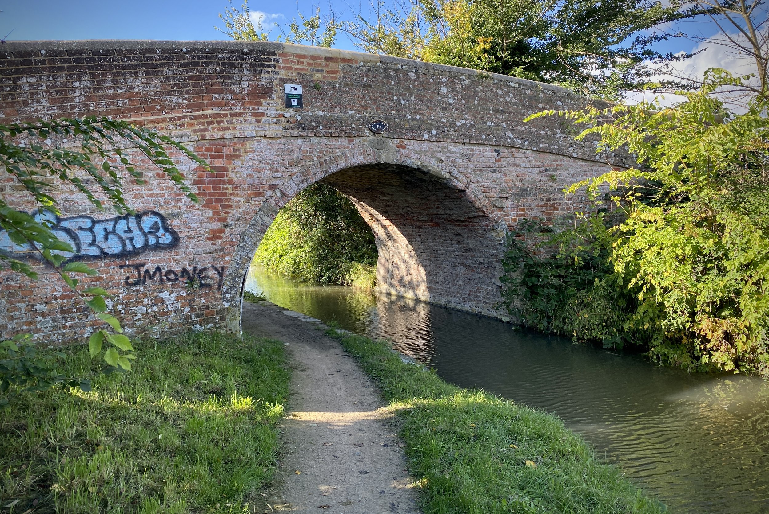
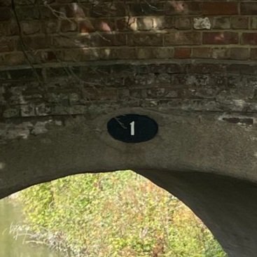
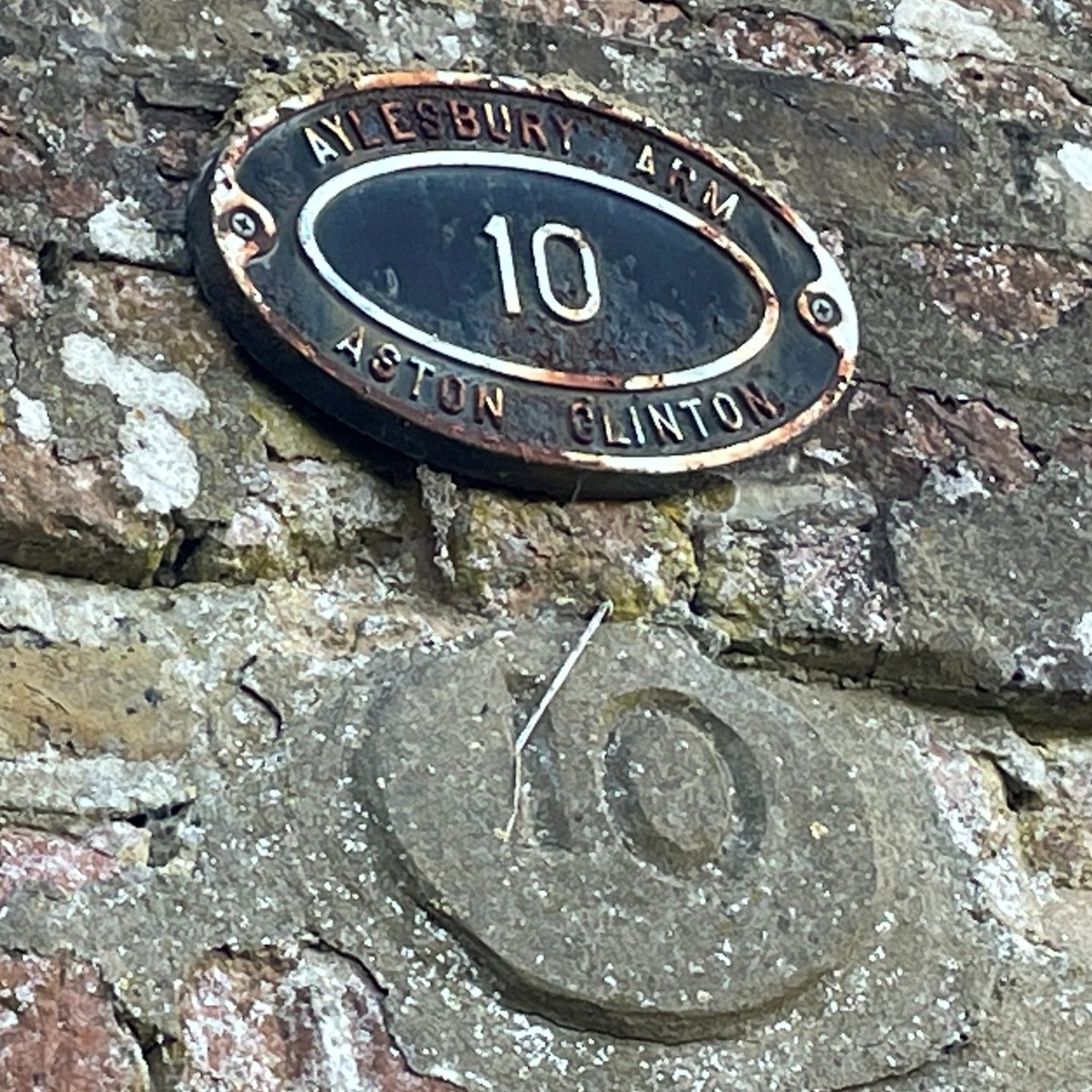
Bridge 10 between Puttenham and Broughton
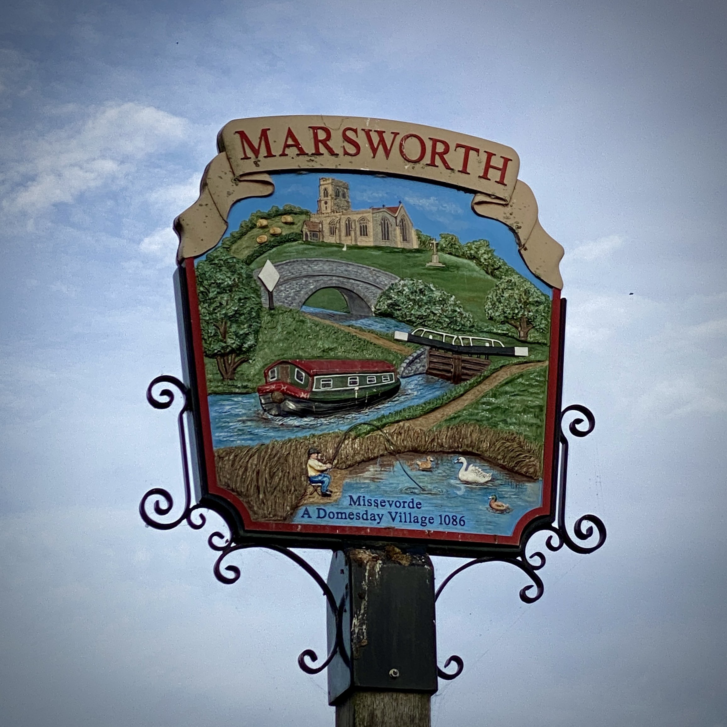
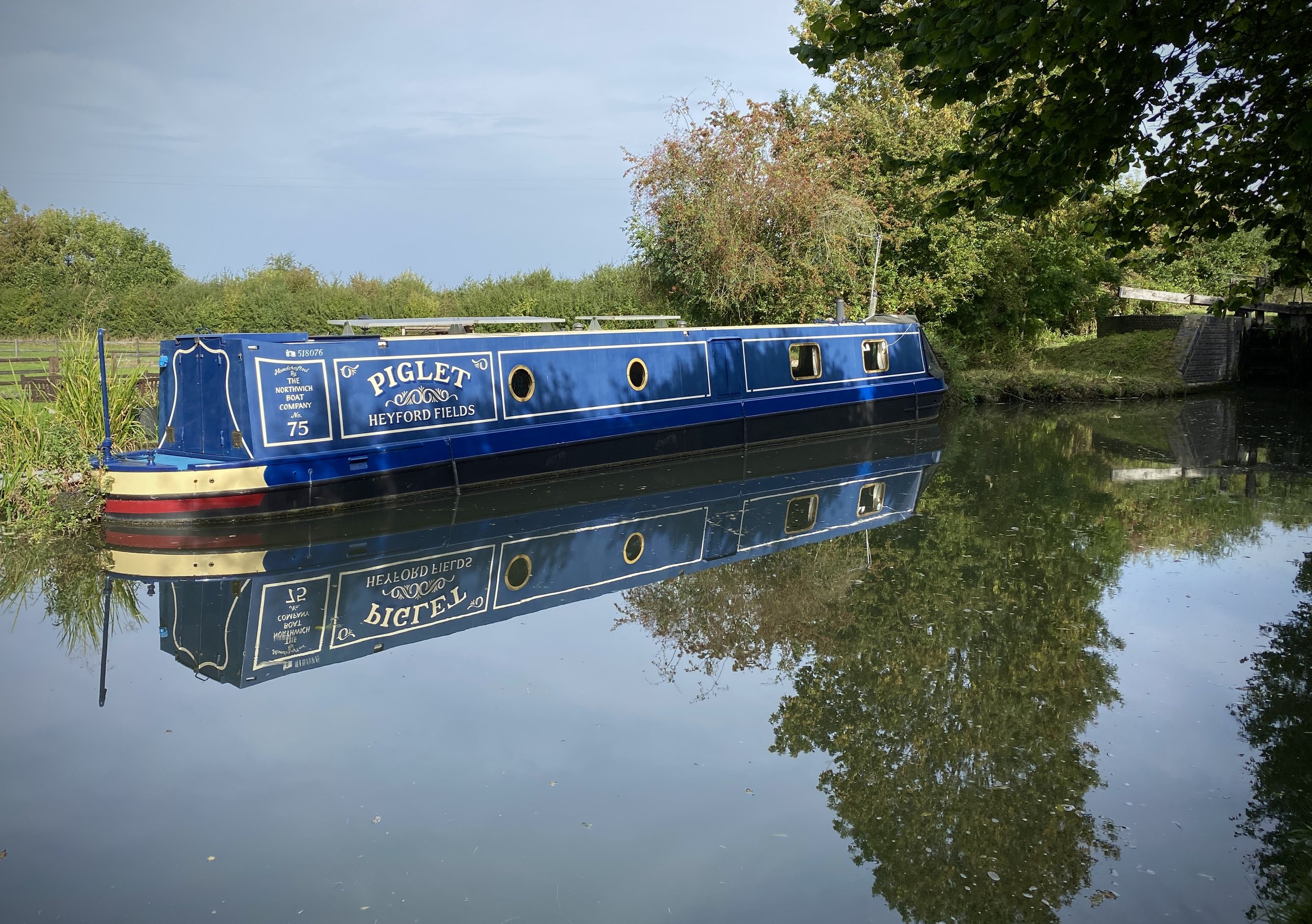
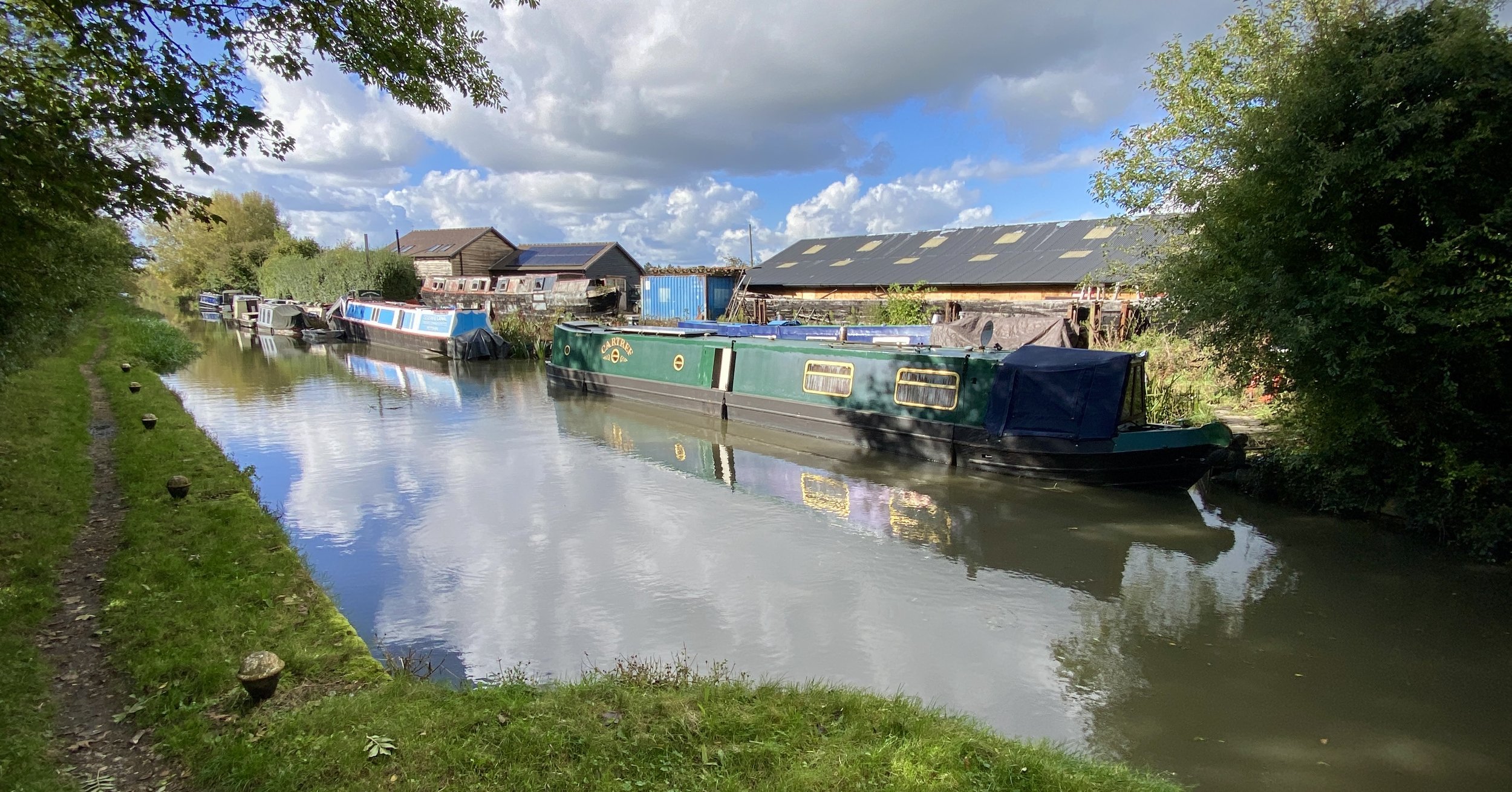
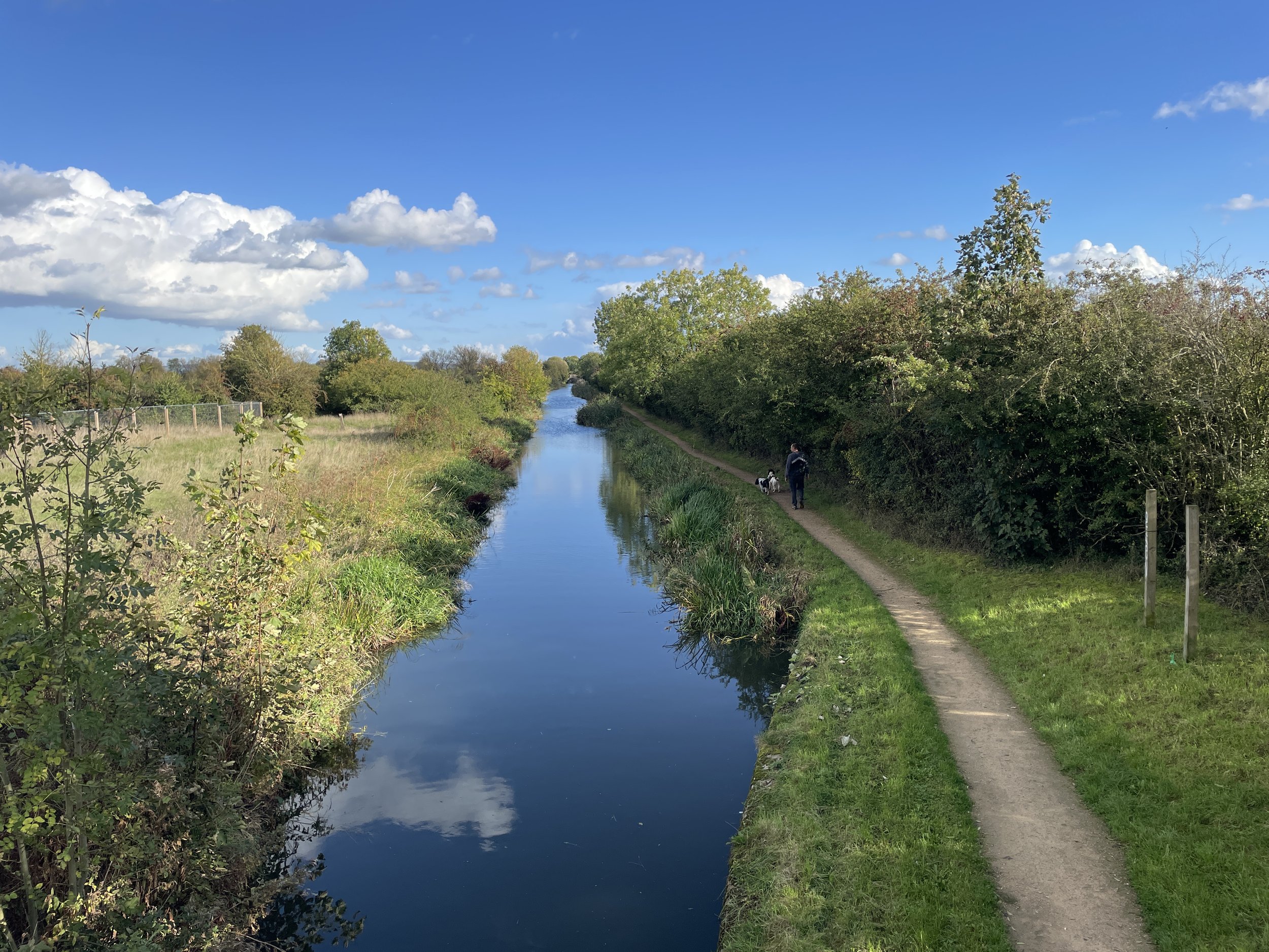
The Aylesbury Canal is an arm that branches off from the main Grand Union Canal at Marsworth near the Hertfordshire / Buckinghamshire border. The canal opened in 1814 and was used for the transport of agricultural produce and coal. Unlike the Wendover Canal the whole length is still navigable.
We walked the length of the canal in three sections over the autumn of 2023. Each section was part of a circular walk of around 10k. A single point-to-point walk of the canal is also 10k. Scroll down to the bottom of this page for details.
Section 1: Marsworth To Puttenham
Start & Finish: The Red Lion Pub, 90 Vicarage Rd, Marsworth, Tring HP23 4LU
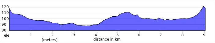
Distance: 9 km (5.6 miles)
Elevation change: +/- 52m.
GPX File: get via Buy Me a Coffee
Other routes touched (walk): Aylesbury Ring
Other routes touched (cycle): Grand Union Canal Towpath, Tring 5 Cycle Route
Pubs / Cafes on route: The Red Lion (at start and end), The Farmhouse Kitchen at PE Mead and Sons (7.2 km in)
Map: Chiltern Hills North Map | Aylesbury, Berkhamsted & Chesham | Ordnance Survey | OS Explorer Map 181
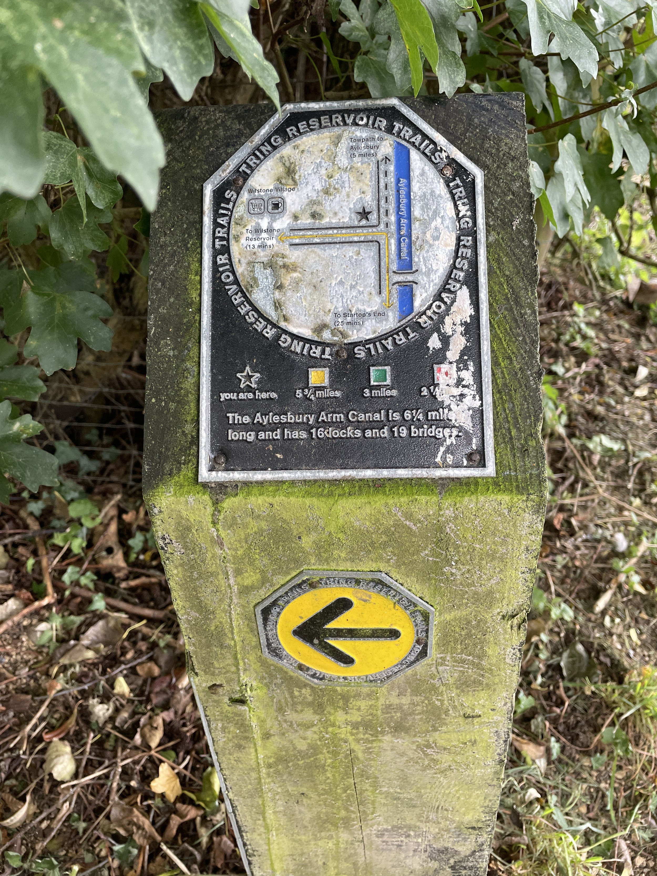
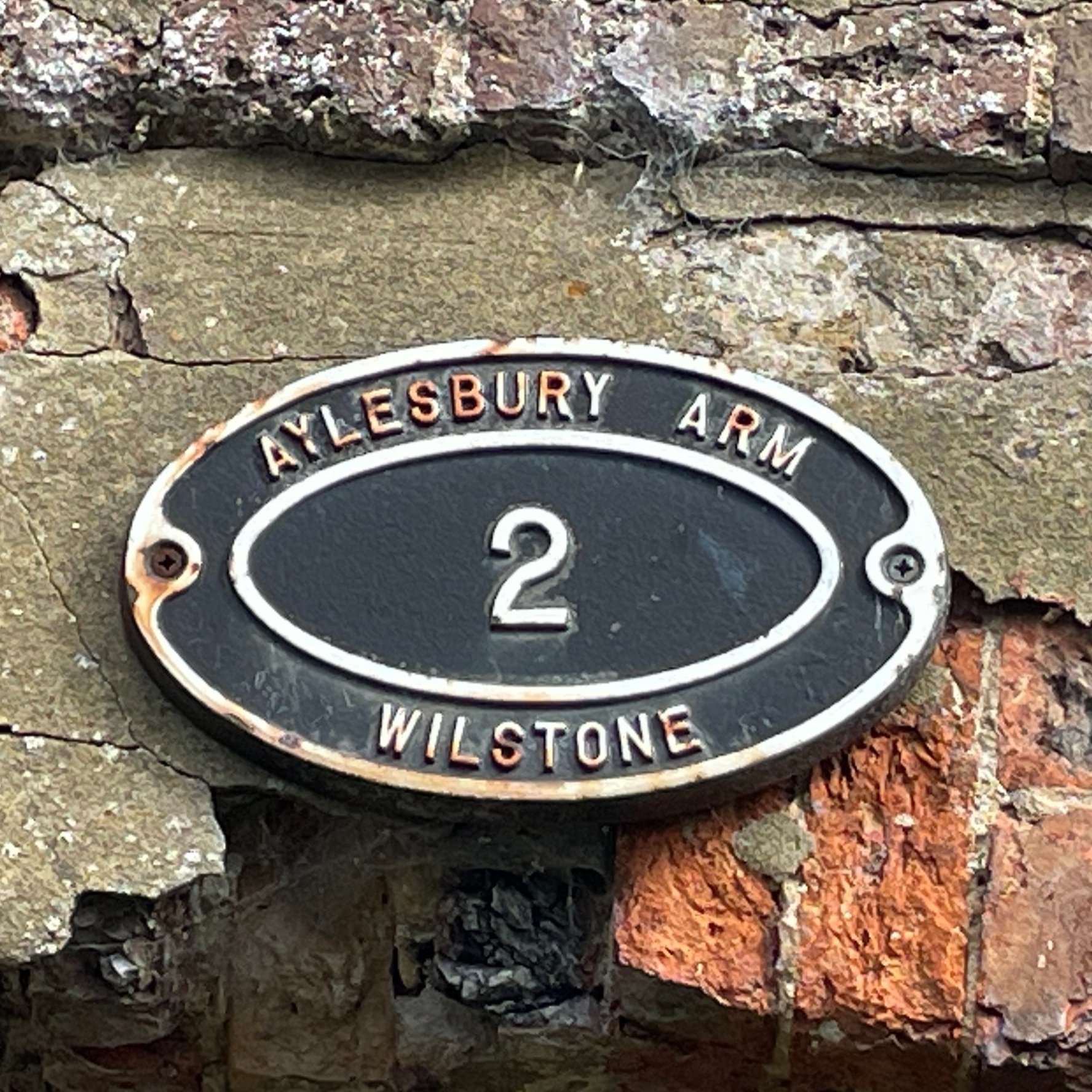
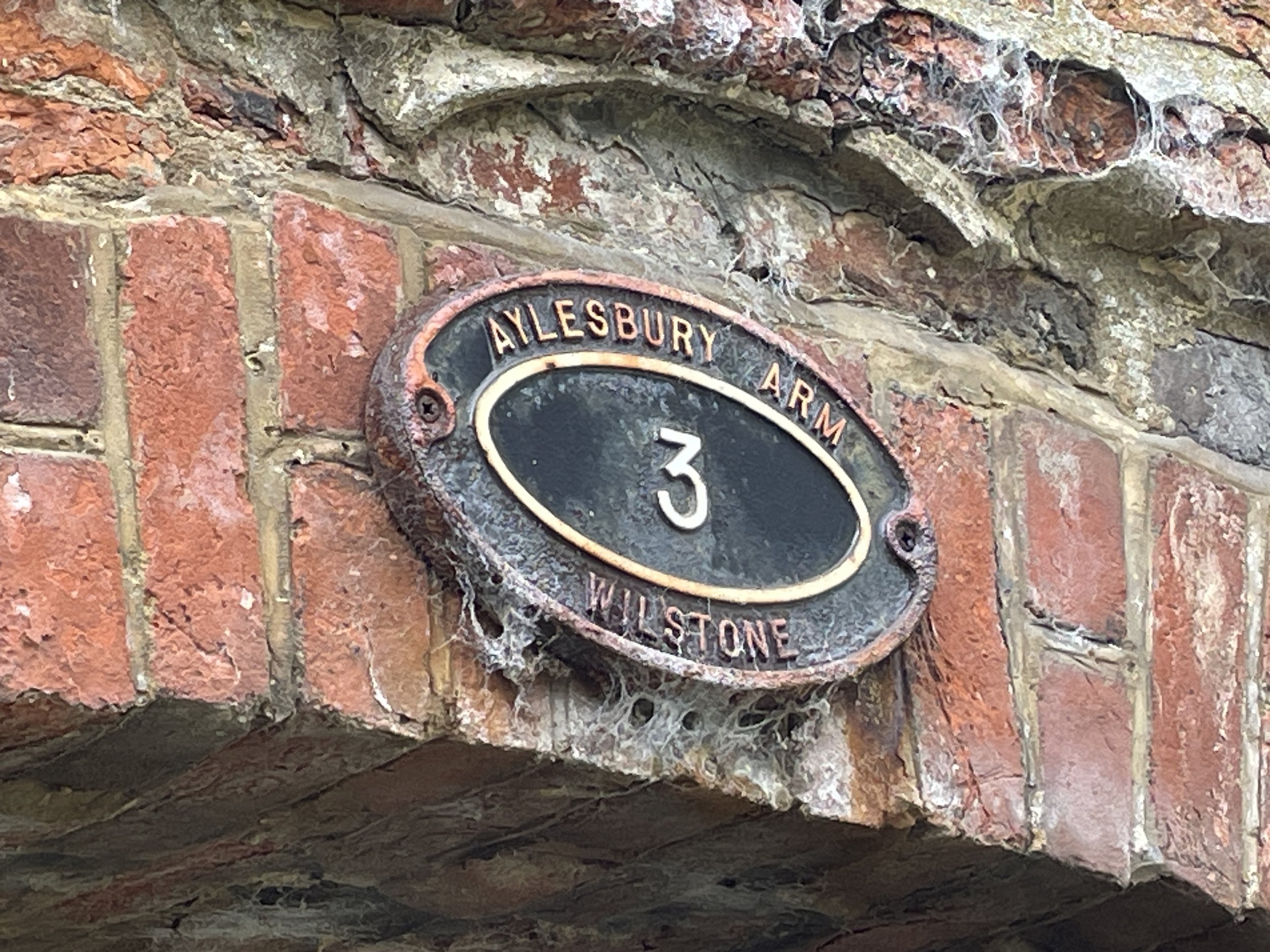
Links: Aylesbury Arm Canal (Wikipedia / Canal & River Trust / Aylesbury Canal Society), Marsworth, Grand Union Canal, Drayton Beauchamp, Wilstone
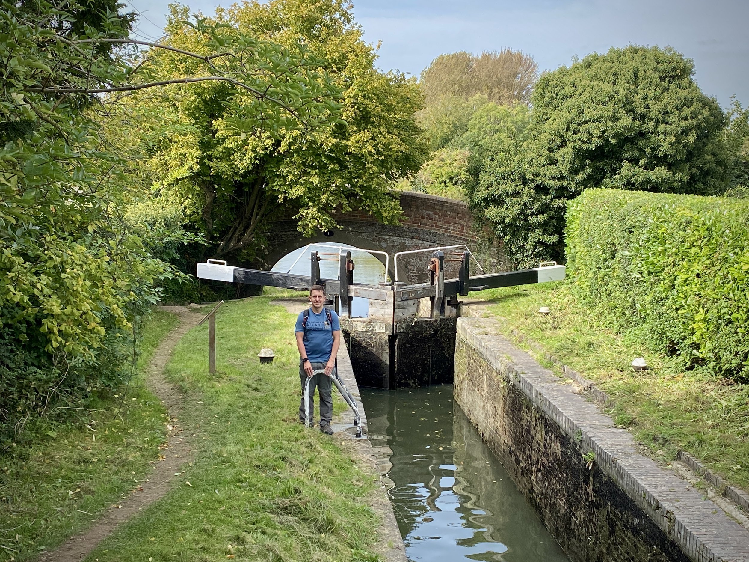
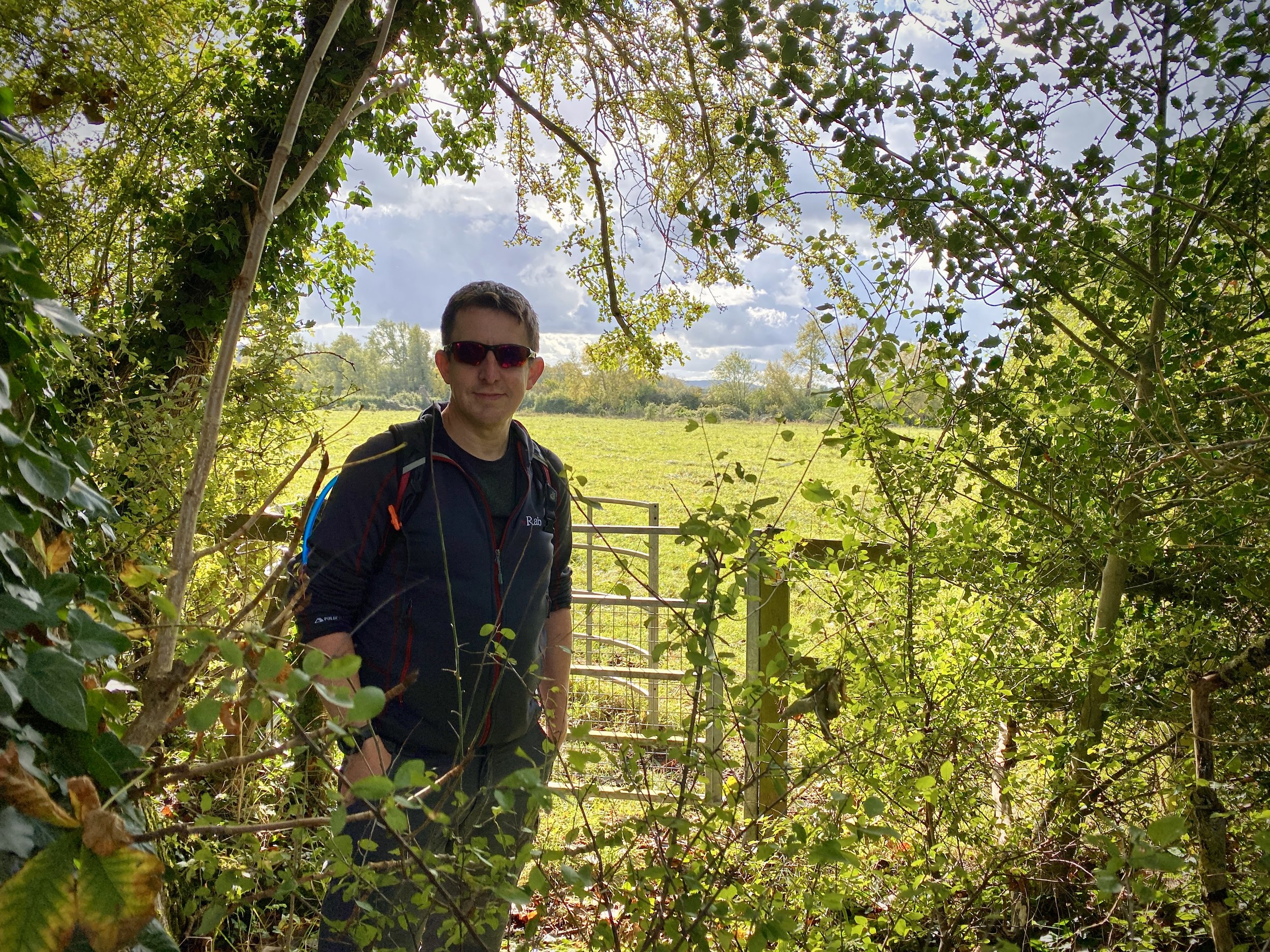
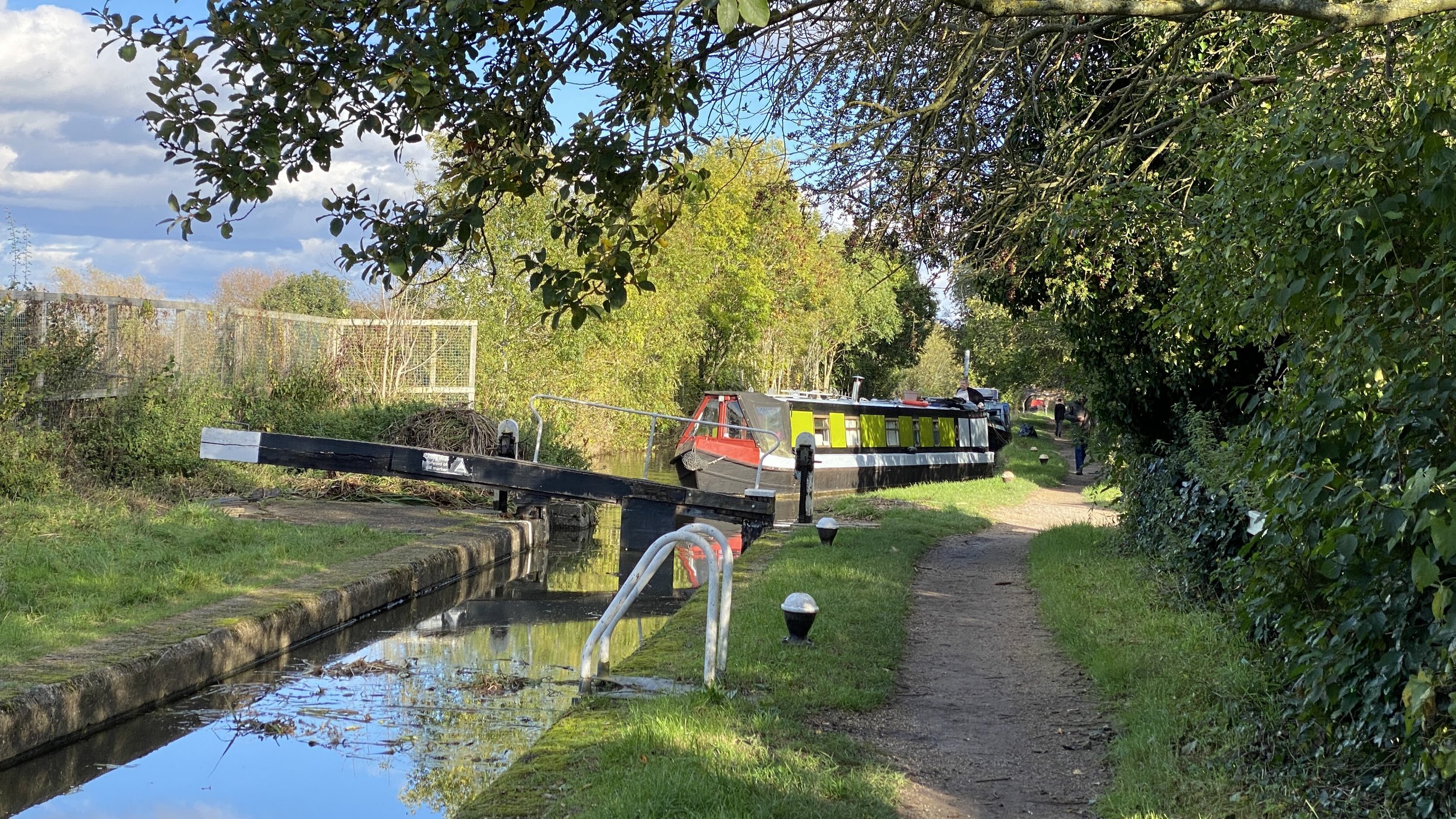
For section 1 of the Aylesbury Arm we picked up where we left off on the final section of the Wendover Canal walk. The Red Lion Pub on Vicarage Road is a good place to start as there’s free on-street parking. From the pub walk north to cross the Grand Union Canal and take a left to follow the Grand Union Towpath to Marsworth Wharf. Here you can either cross over the gates on the first lock of the Aylesbury Canal or cross over the Watery Lane bridge. Either way, take a right after crossing the Aylesbury Canal to follow the towpath heading west.
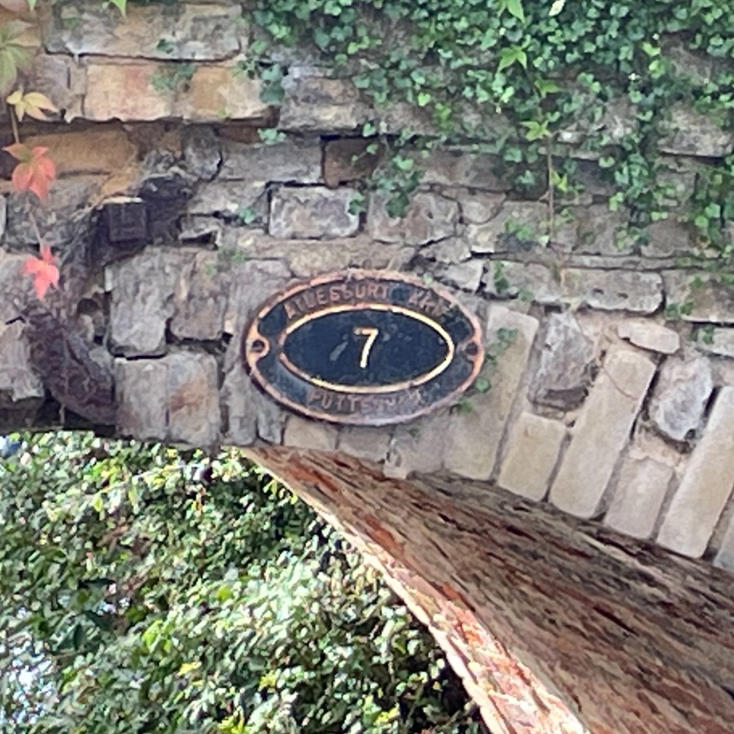
This first section of the Aylesbury Canal towpath is just under 3km leading to bridge #7 near Puttenham. Once leaving the towpath follow the lane in a south-easterly direction to Drayton Beauchamp, crossing over the B489 Lower Icknield Way. Once in Drayton Beauchamp find the footpath on the left that leads to Wilstone Reservoir then follow the northern edge of the reservoir to join the B489 at PE Mead & Sons Farm Shop. There’s a cafe there that’s a good place for a rest before the final section.
After the Farm Shop continue along the B489 in a north-easterly direction to the point where the road curves to the right. Take a footpath on the left of the curve that leads back to Watery Lane in Marsworth, crossing over Wingrave Road on the way. Follow Watery Lane back over the Aylesbury Canal then return to the Red Lion either via the same route as the start of the trip or along Church Lane.

Section 2: Puttenham to Broughton
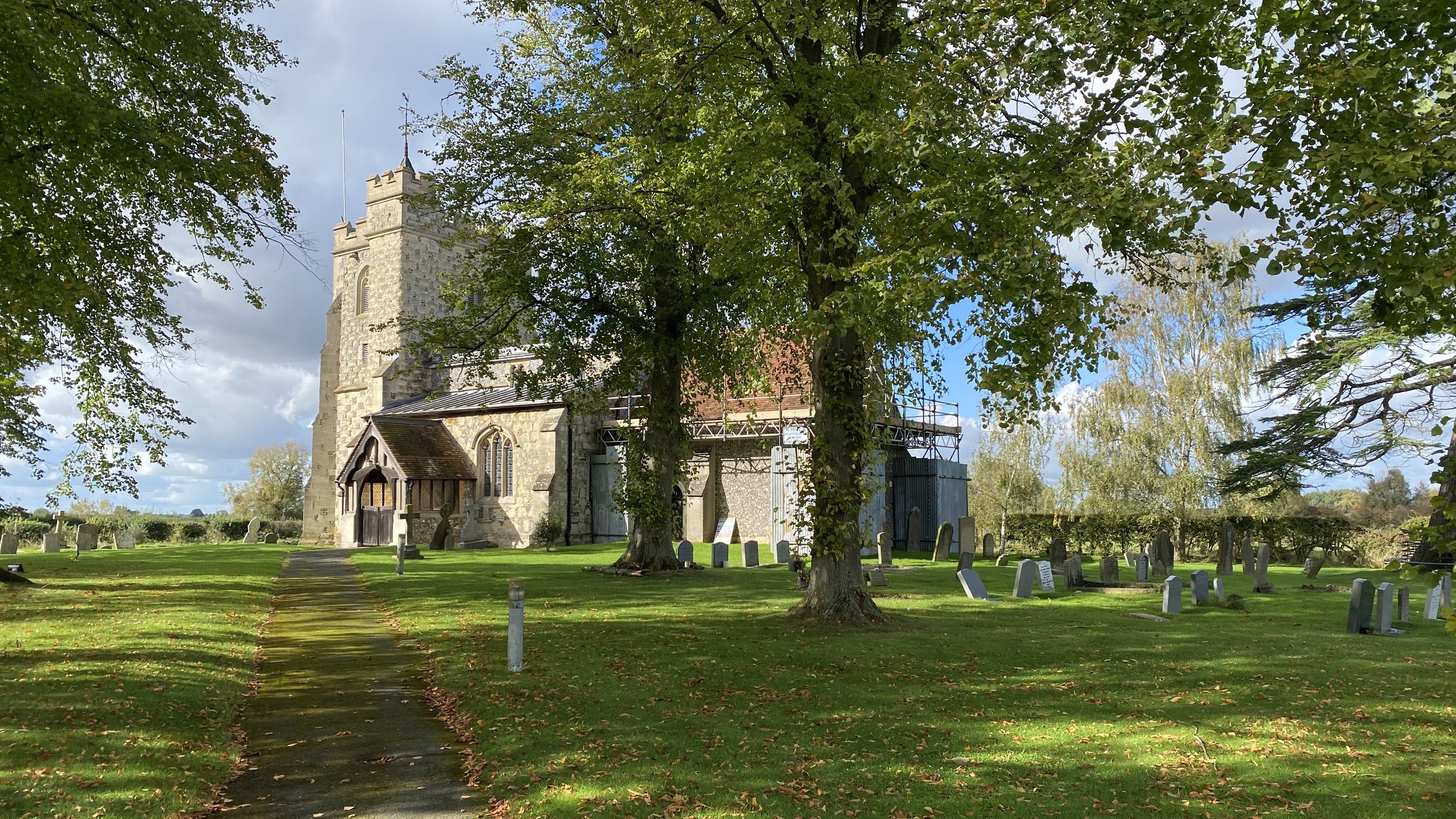
Start & Finish: St Mary’s Church, Church Lane, Puttenham, Tring, HP23 4PR
Distance: 9.8 km (6.1 miles)
Elevation change: +/- 28m
GPX File: get via Buy Me a Coffee
Other routes touched (walk): Aylesbury Ring
Other routes touched (cycle): None
Pubs / Cafes on route: None
Map: Chiltern Hills North Map | Aylesbury, Berkhamsted & Chesham | Ordnance Survey | OS Explorer Map 181
Links: Aylesbury Arm Canal (Wikipedia / Canal & River Trust / Aylesbury Canal Society), Puttenham, Broughton
This section starts at St Mary’s Church in Puttenham which is one of the few places to park near the route. From the church take a footpath heading in a north-easterly direction to connect with the outer Aylesbury Ring. Follow the Outer Aylesbury Ring as it curves to the south-east, connecting with the Aylesbury Canal 2km from the start of the walk.
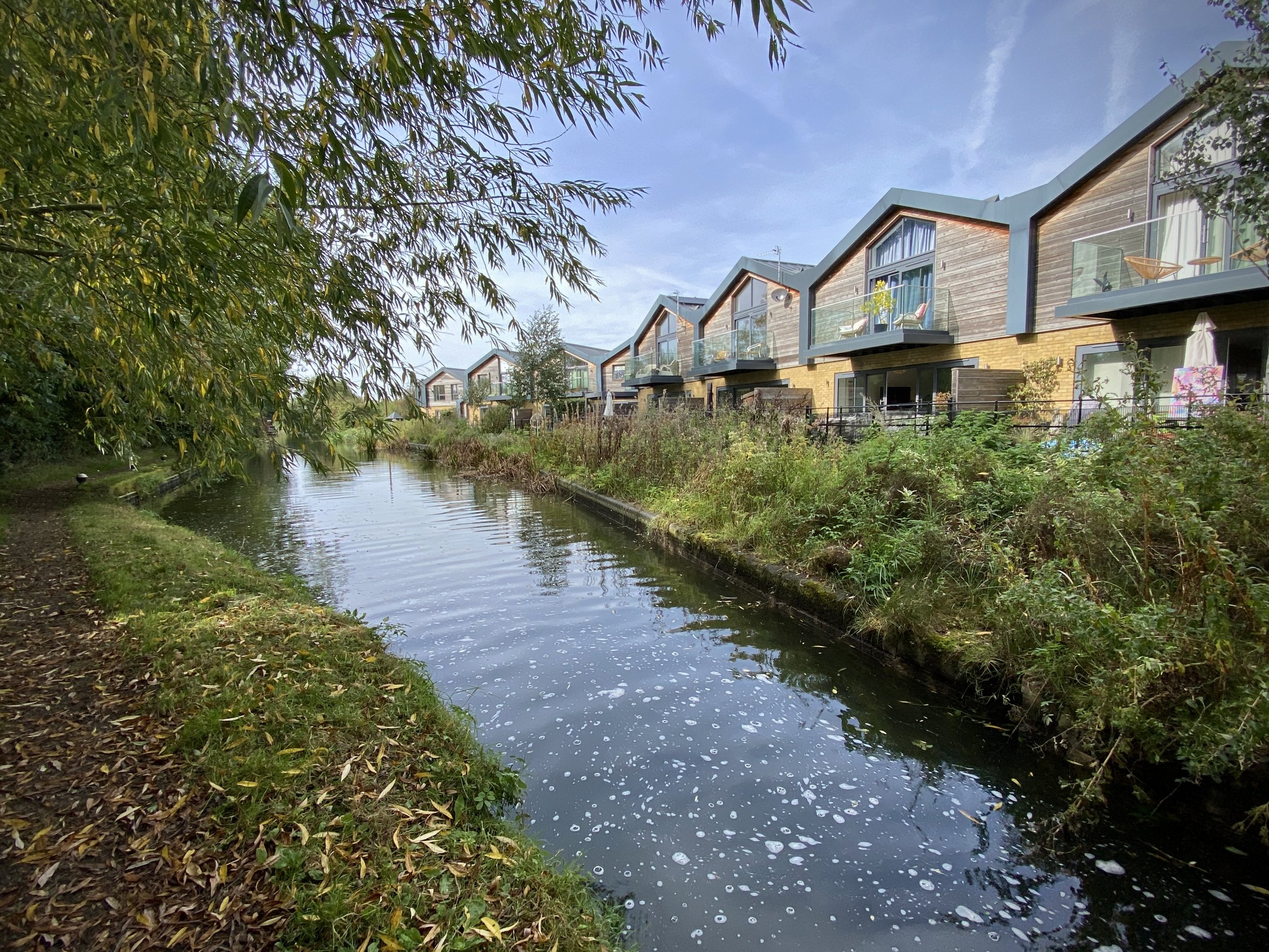
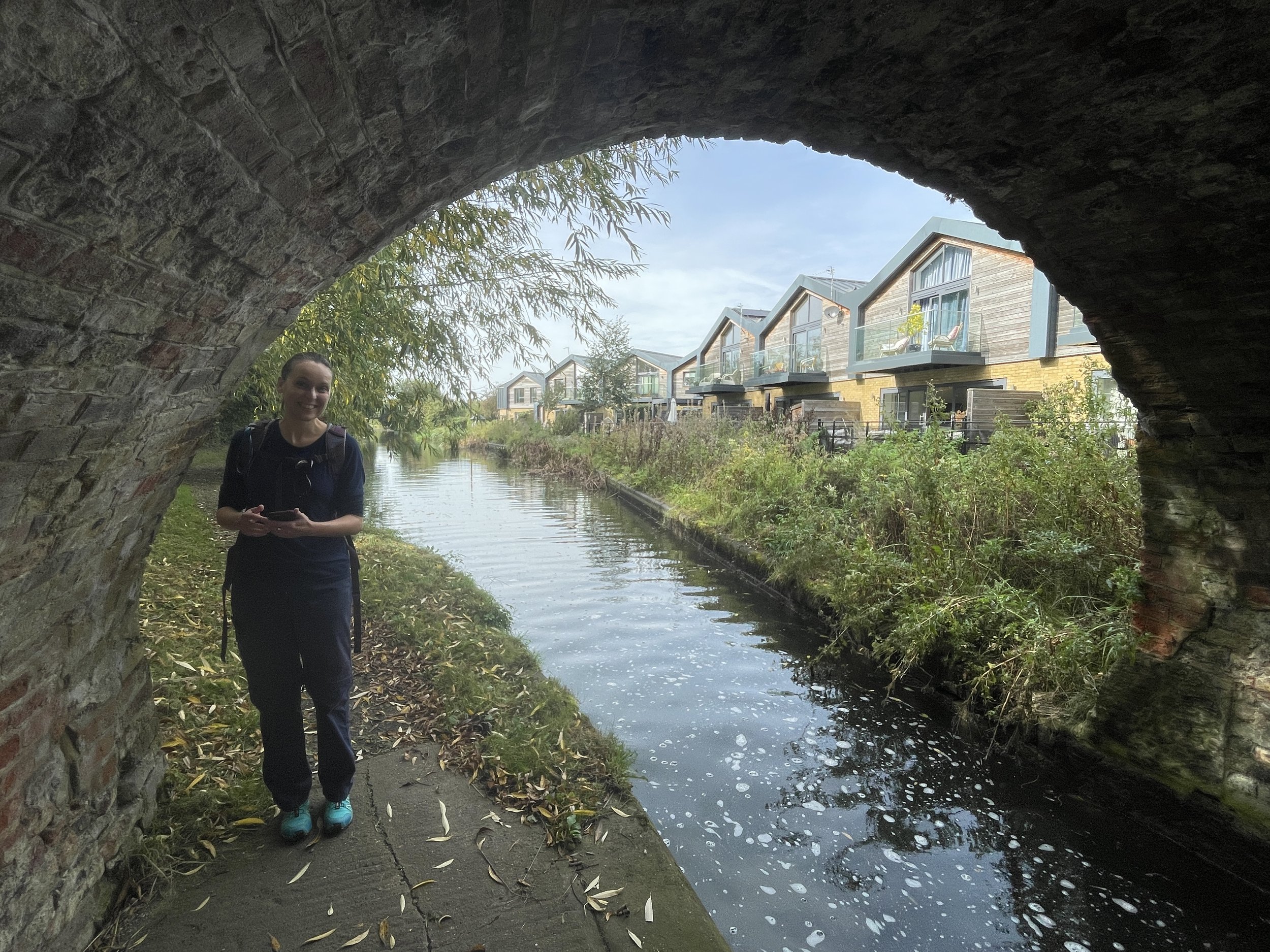
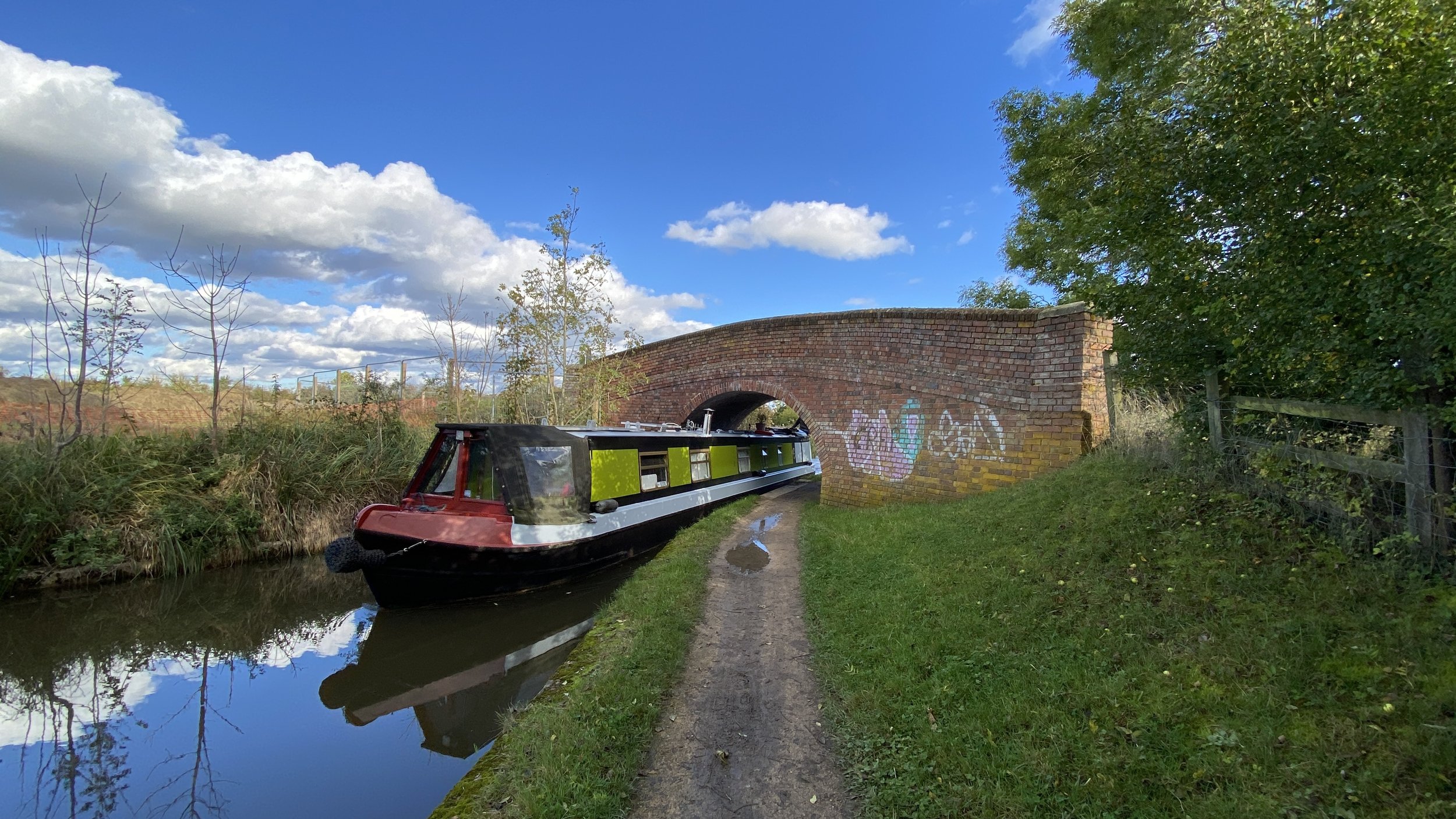
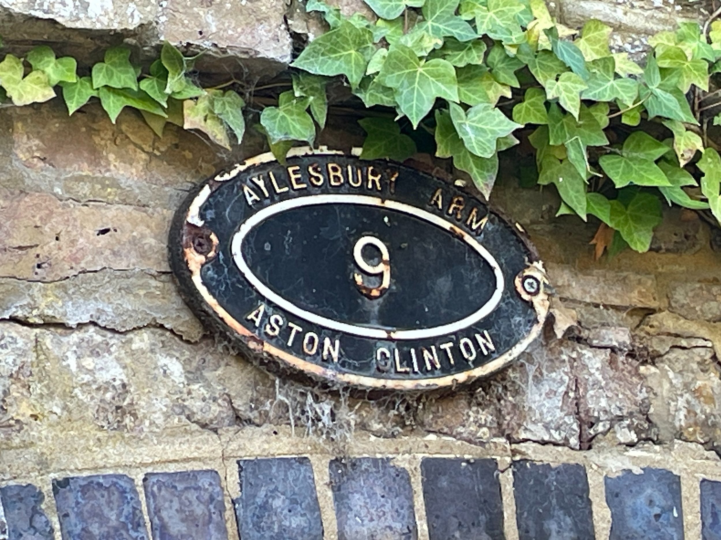
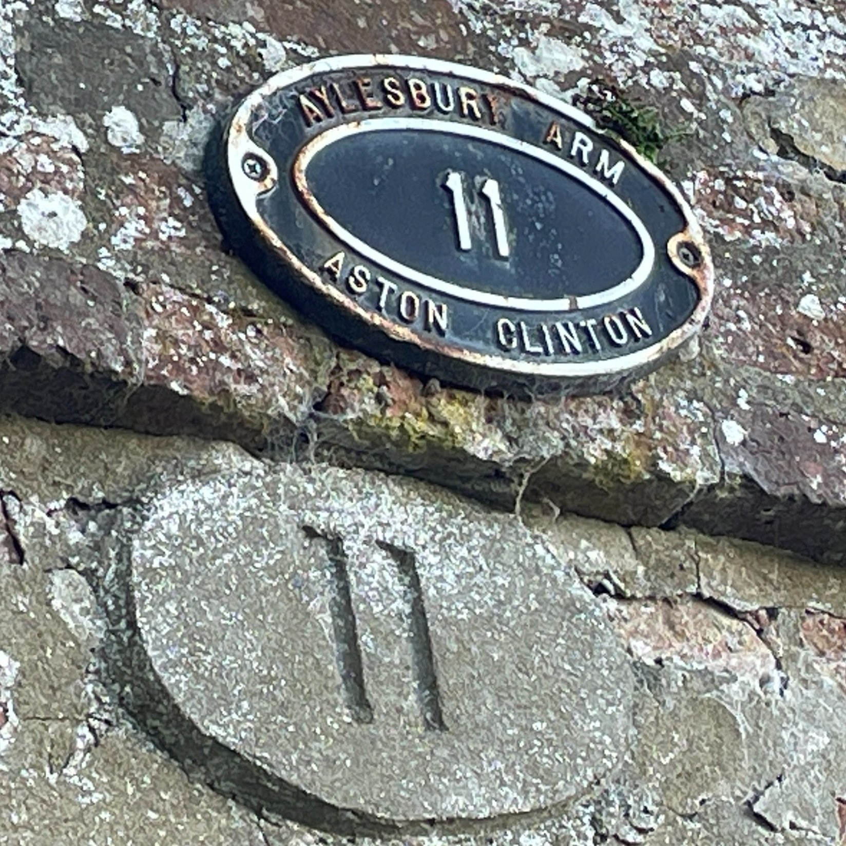
Follow the Aylesbury Canal towpath for just under 4km to bridge #11. You’re now at the end of this section of the towpath and on the outer edges of Broughton, a suburb of Aylesbury. Cross over the bridge to the southern bank and pick up the footpath that heads east all the way back to St Mary’s Church at Puttenham. Navigation is fairly simple as there’s few other paths connecting with it. It was very overgrown when we were there and having some hedge clippers would have made it easier.
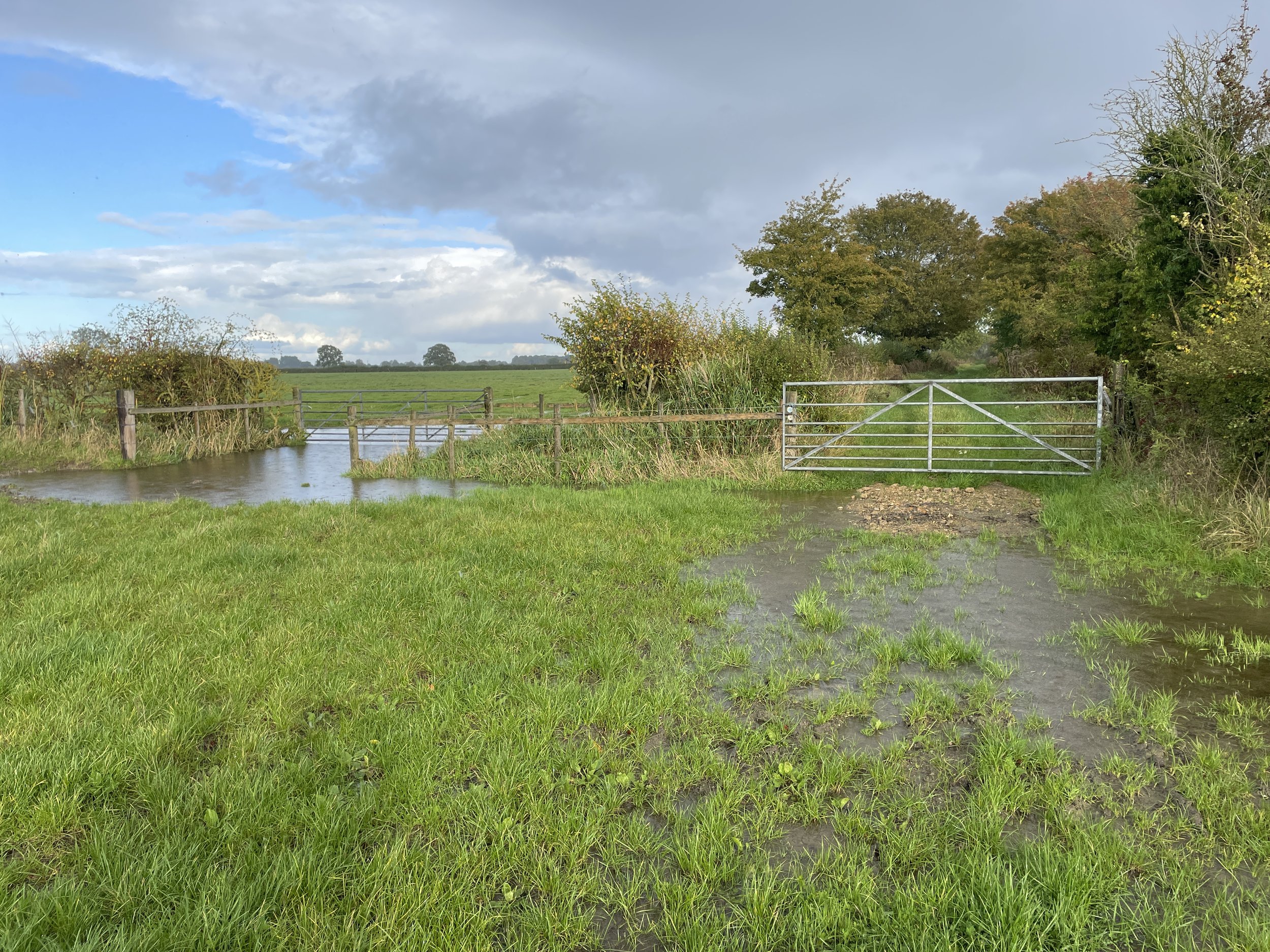
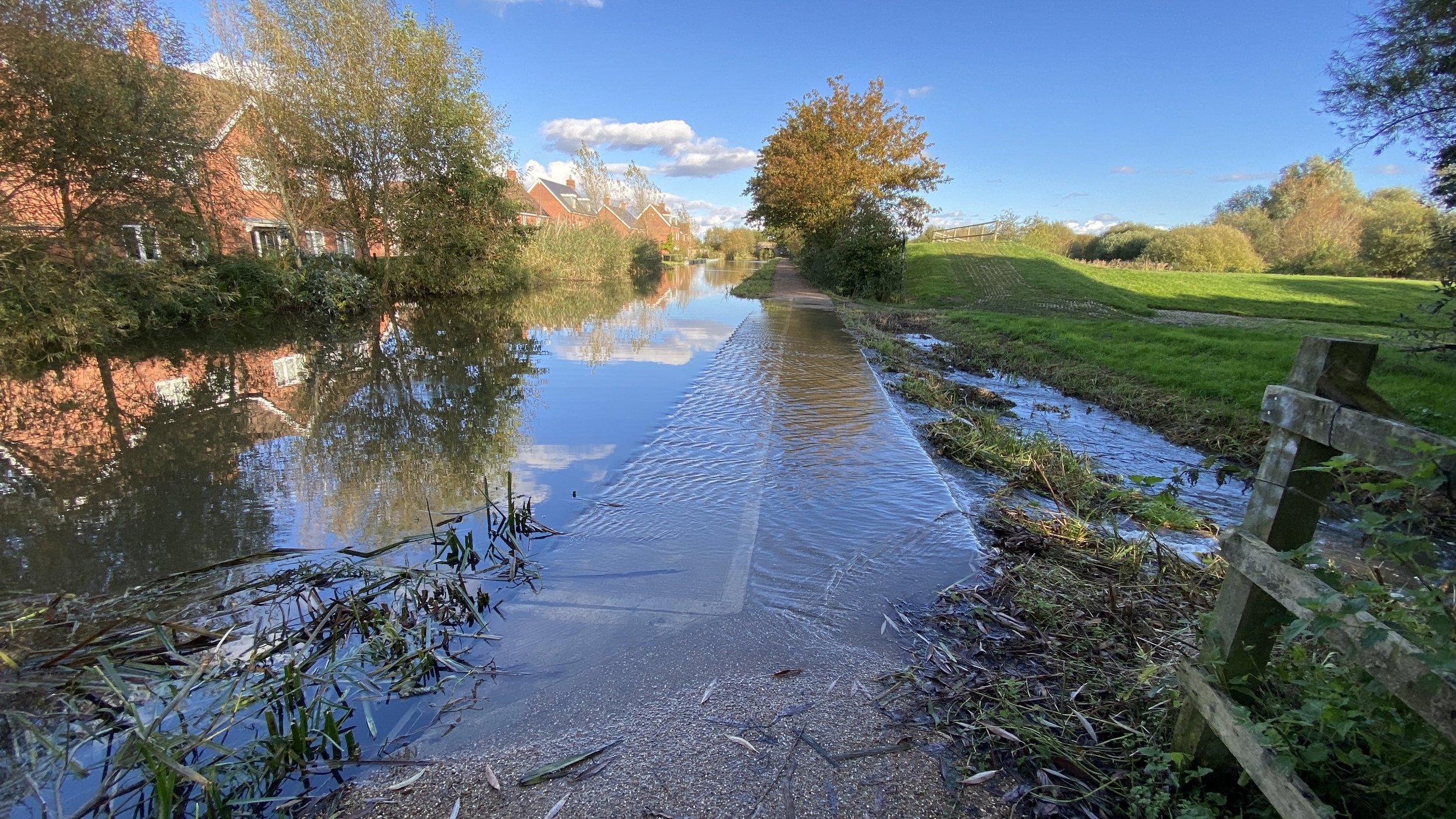
Be careful with this section in damp conditions. It was a very wet October day when we were there and the ground on the northern side of the canal was soaked.


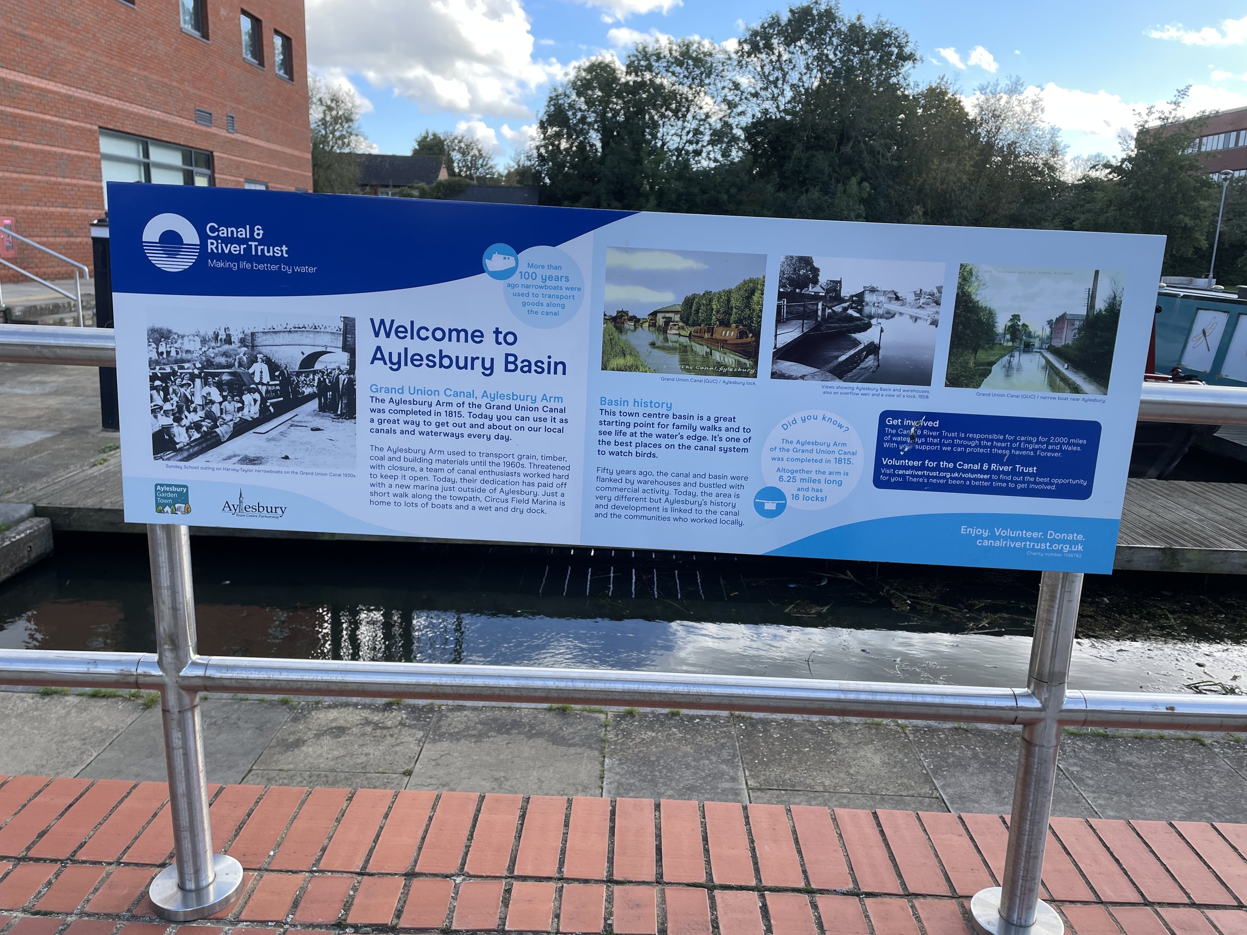
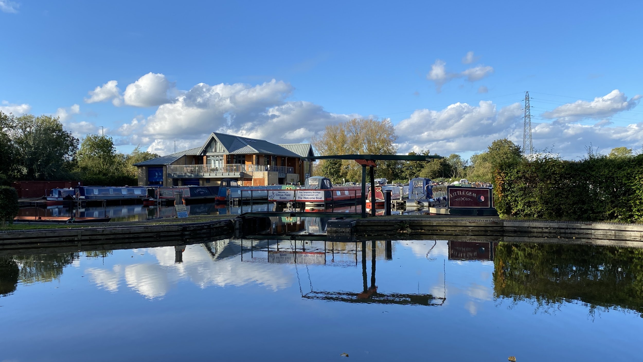
Section 3: Broughton to Aylesbury Basin
Start & Finish: Aylesbury Basin, Aylesbury, HP21 7SH
Distance: 7 km (4.3 miles)
Elevation change: +/- 20m
GPX File: get via Buy Me a Coffee
Other routes touched (walk): Round Aylesbury Walk
Other routes touched (cycle): None
Pubs / Cafes on route: Many in Aylesbury Town Centre
Map: Chiltern Hills North Map | Aylesbury, Berkhamsted & Chesham | Ordnance Survey | OS Explorer Map 181
Links: Aylesbury Arm Canal (Wikipedia / Canal & River Trust / Aylesbury Canal Society), Marsworth, Broughton, Aylesbury
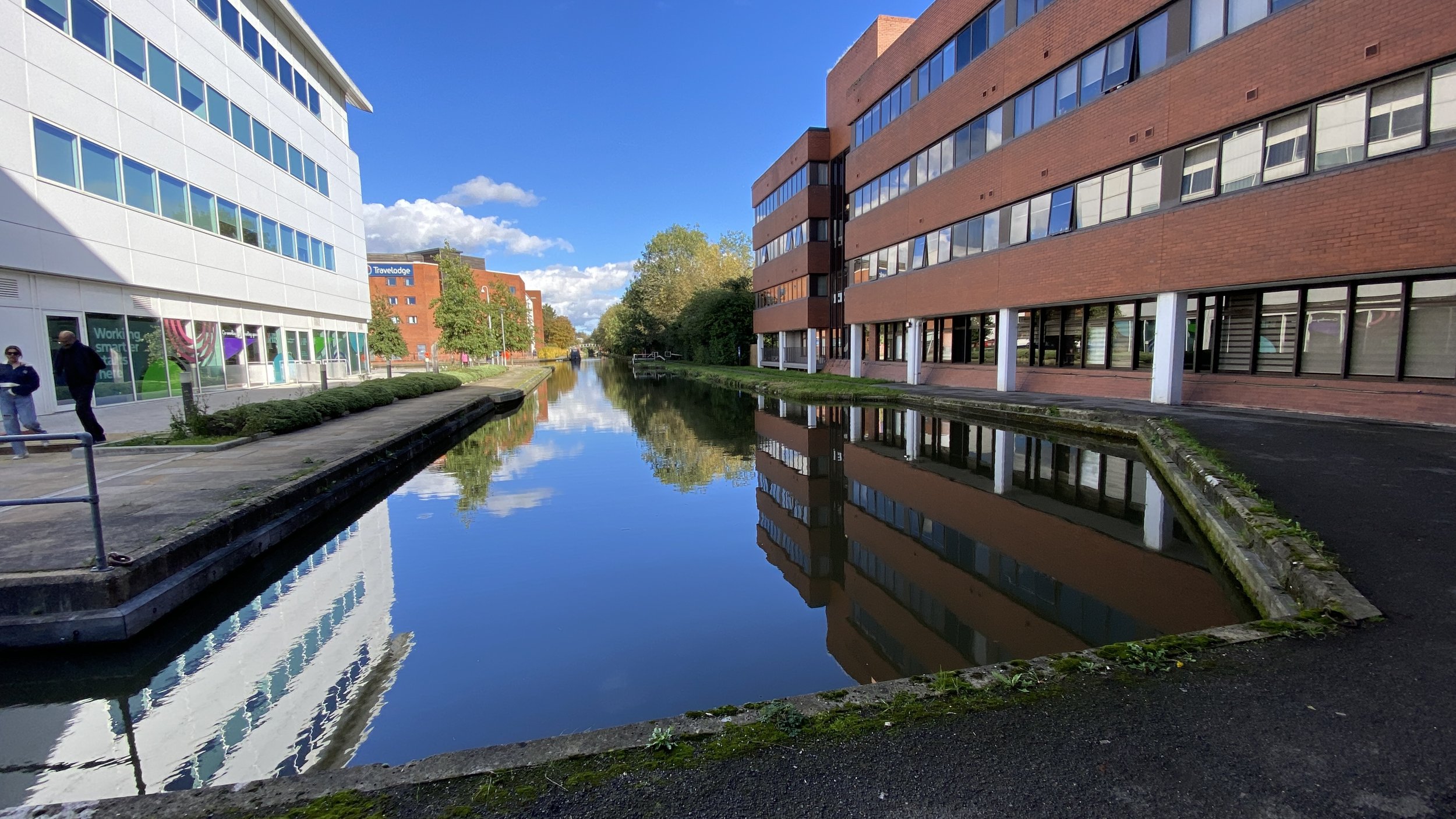
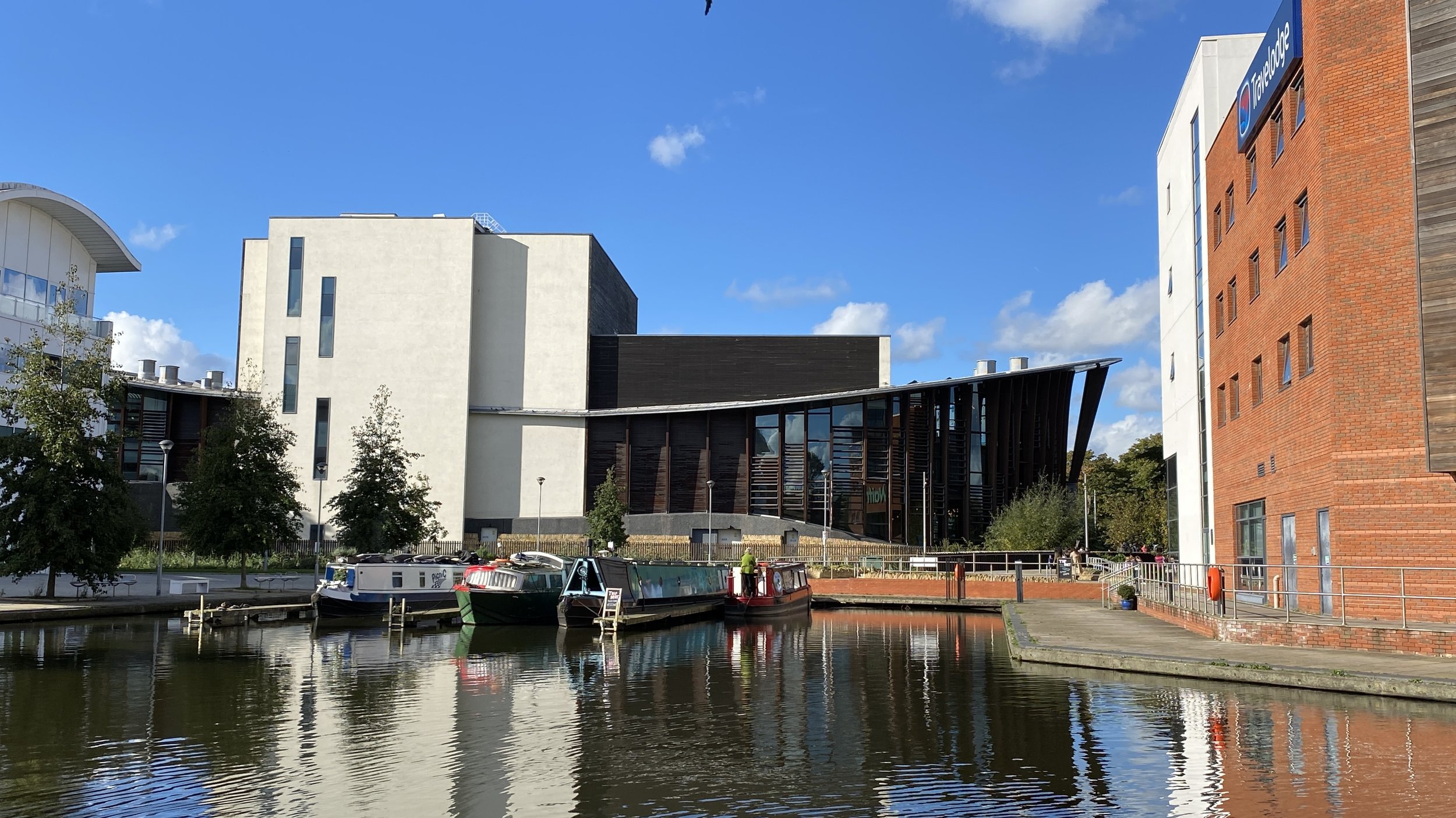
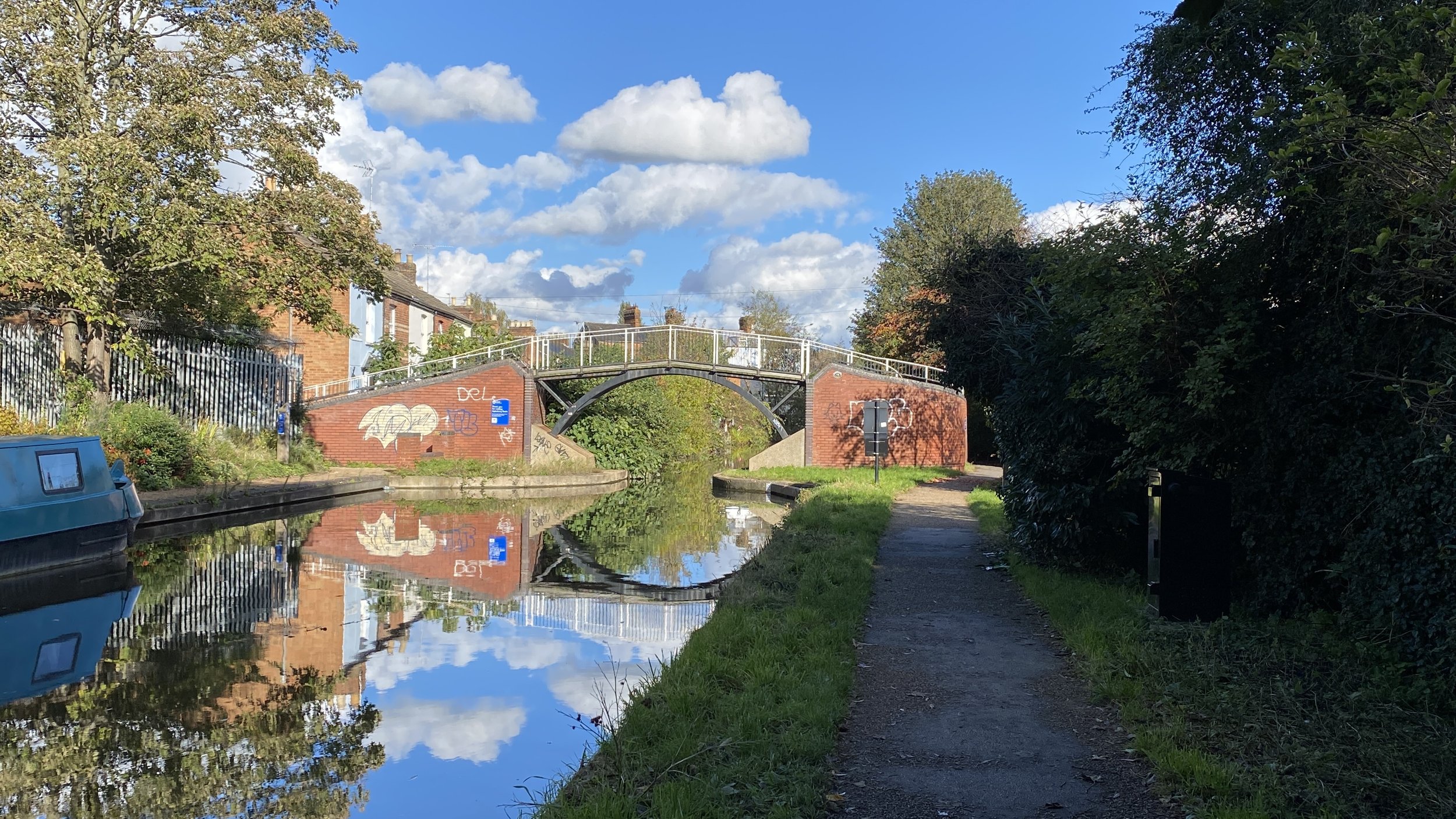
For this final section we started in Aylesbury Town Centre where there’s a lot of options for parking and access by public transport. I tried to plan a full circular walk like for the other sections but couldn’t find a good scenic option around the urban part at the basin end. Instead, the first and last 2km repeat the final part of the towpath.
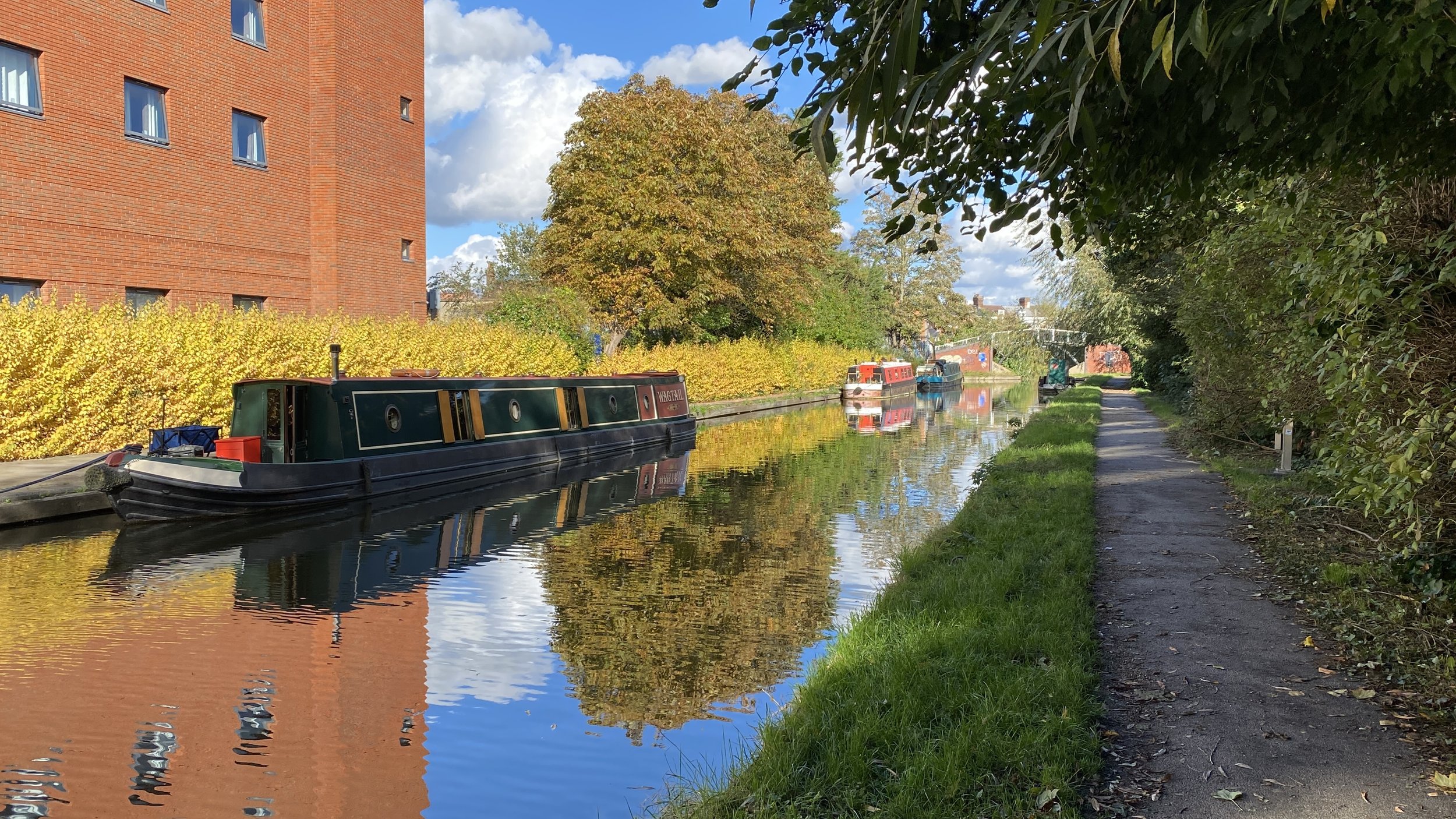
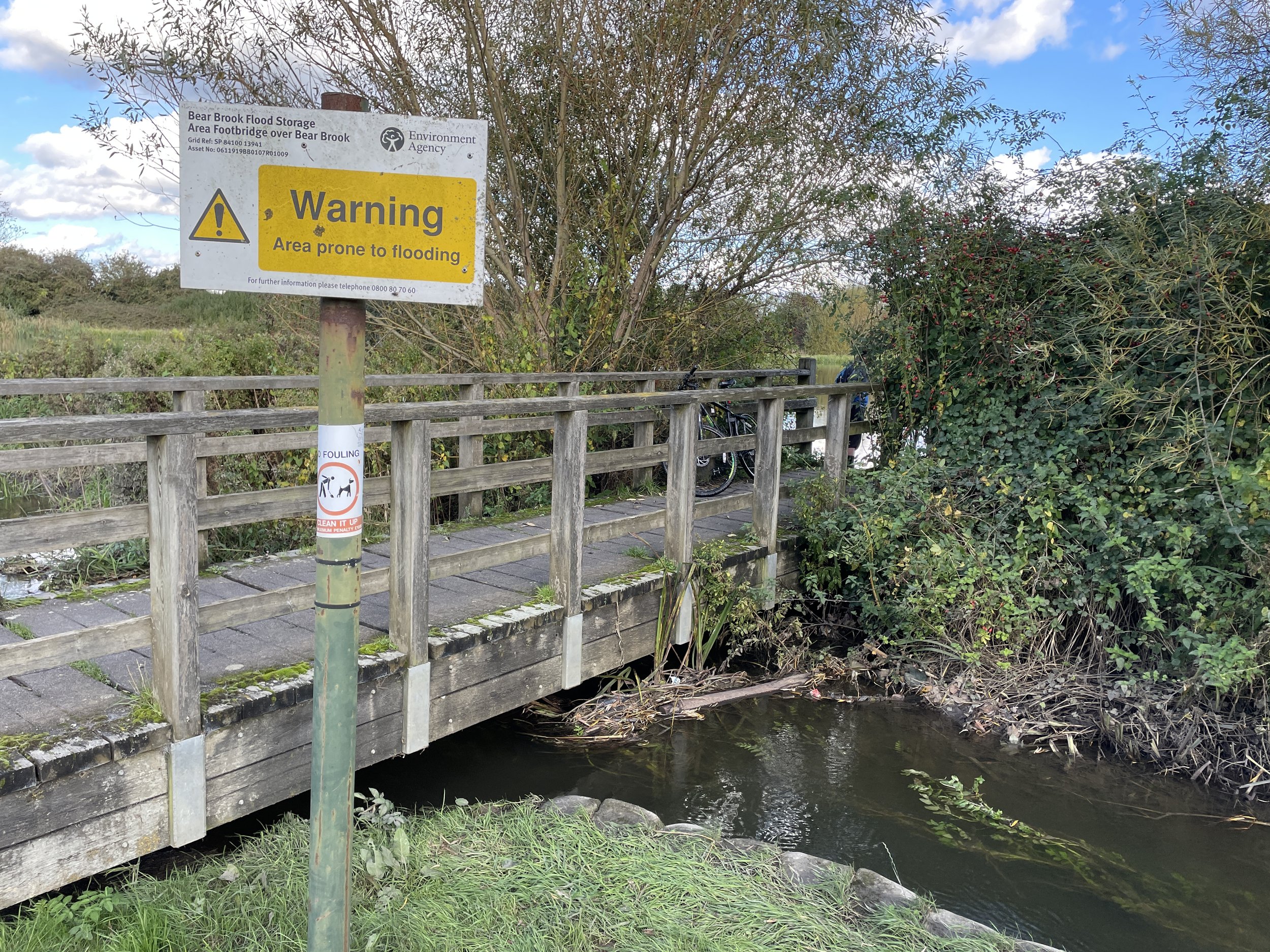
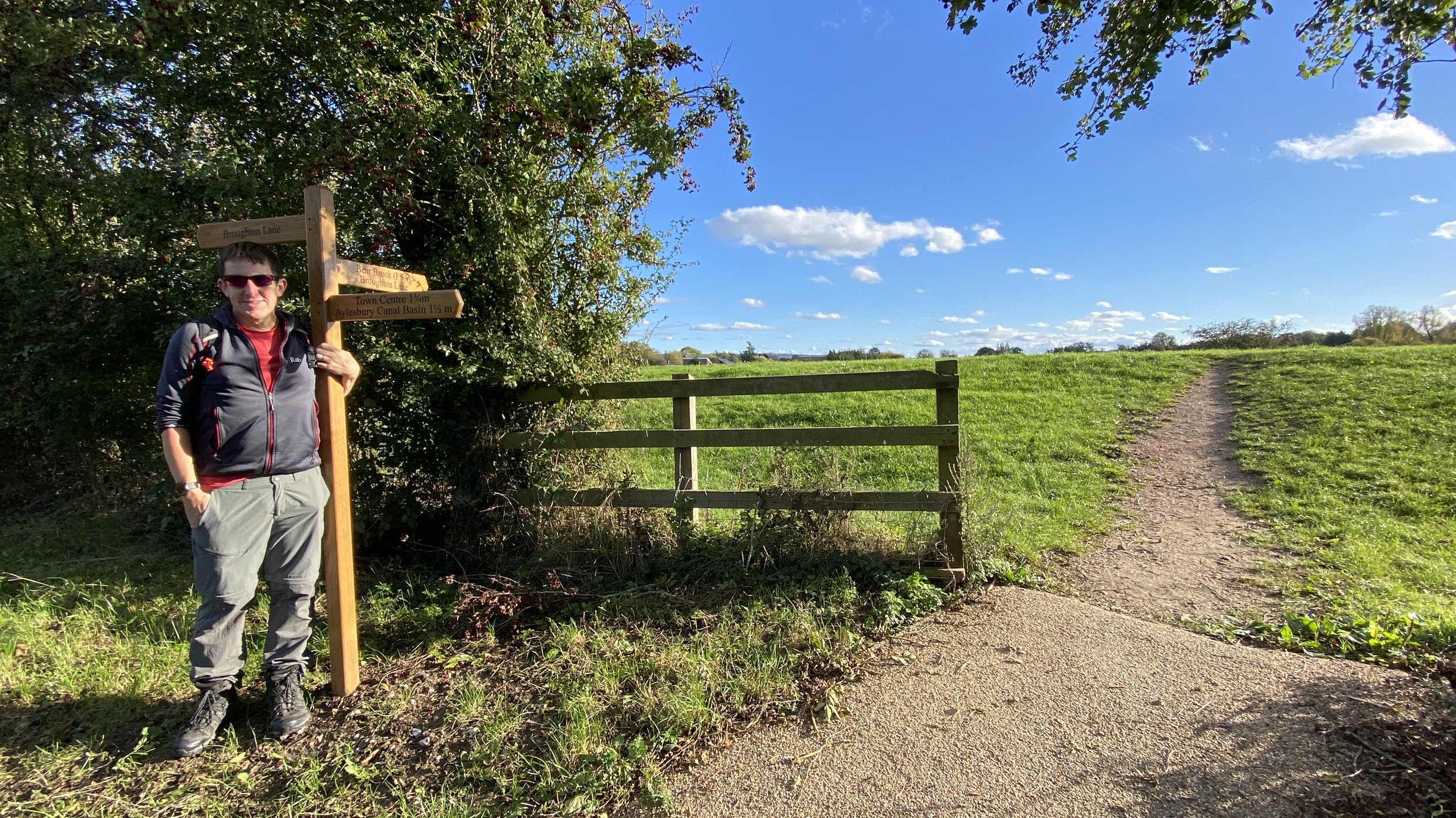
Start at Aylesbury Basin and follow the towpath on the southern side of the canal to Victoria Park. Leave the canal and cross over the Bear Brook Stream following it in an easterly direction parallel to the towpath. Cross under the A4157 Oakfield Road Bridge into Oakfield Park continuing the follow the Bear Brook as it curves down to the south-east. At around 2.1 km into the trip you can take a left hand path that crosses over the stream and through the Bear Brook Flood Relief Area. This area is (as you might imagine) prone to flooding, so if it’s impassable stick to the path to the right of the Bear Brook up to a crossing to Broughton Lane.
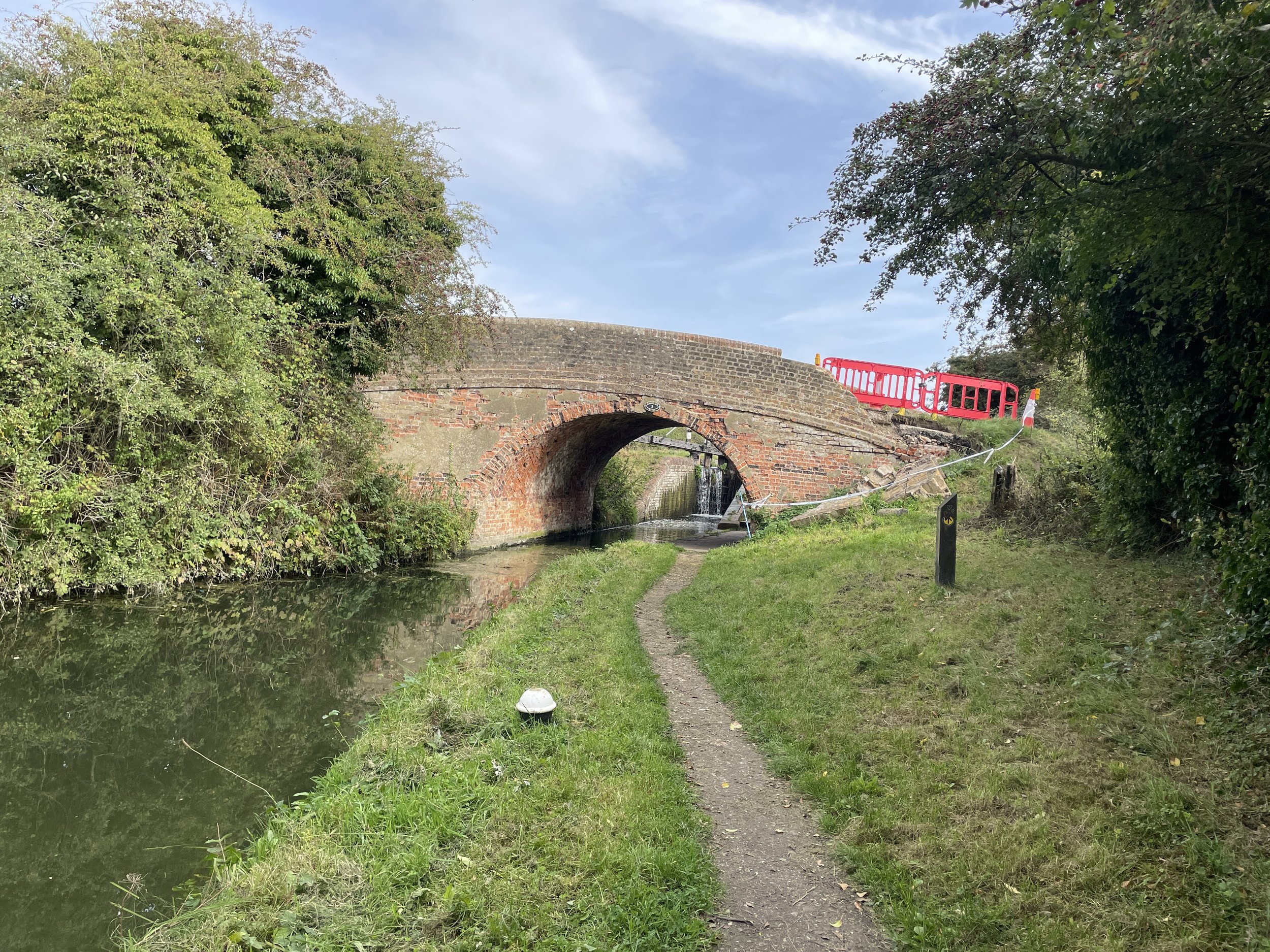
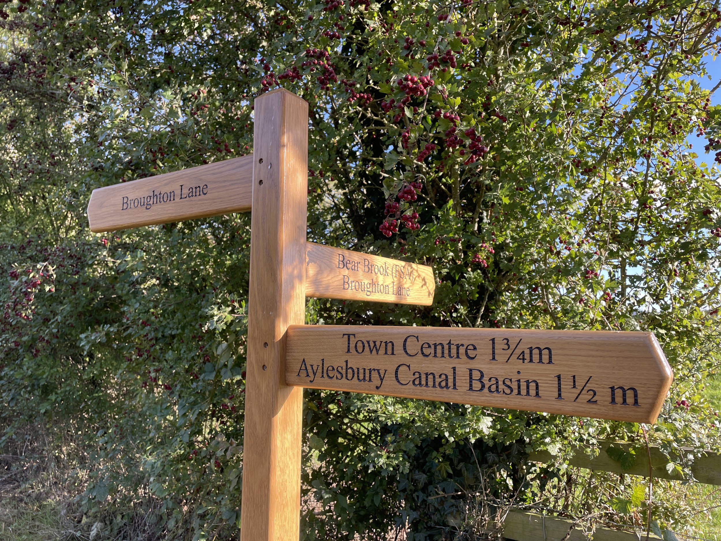
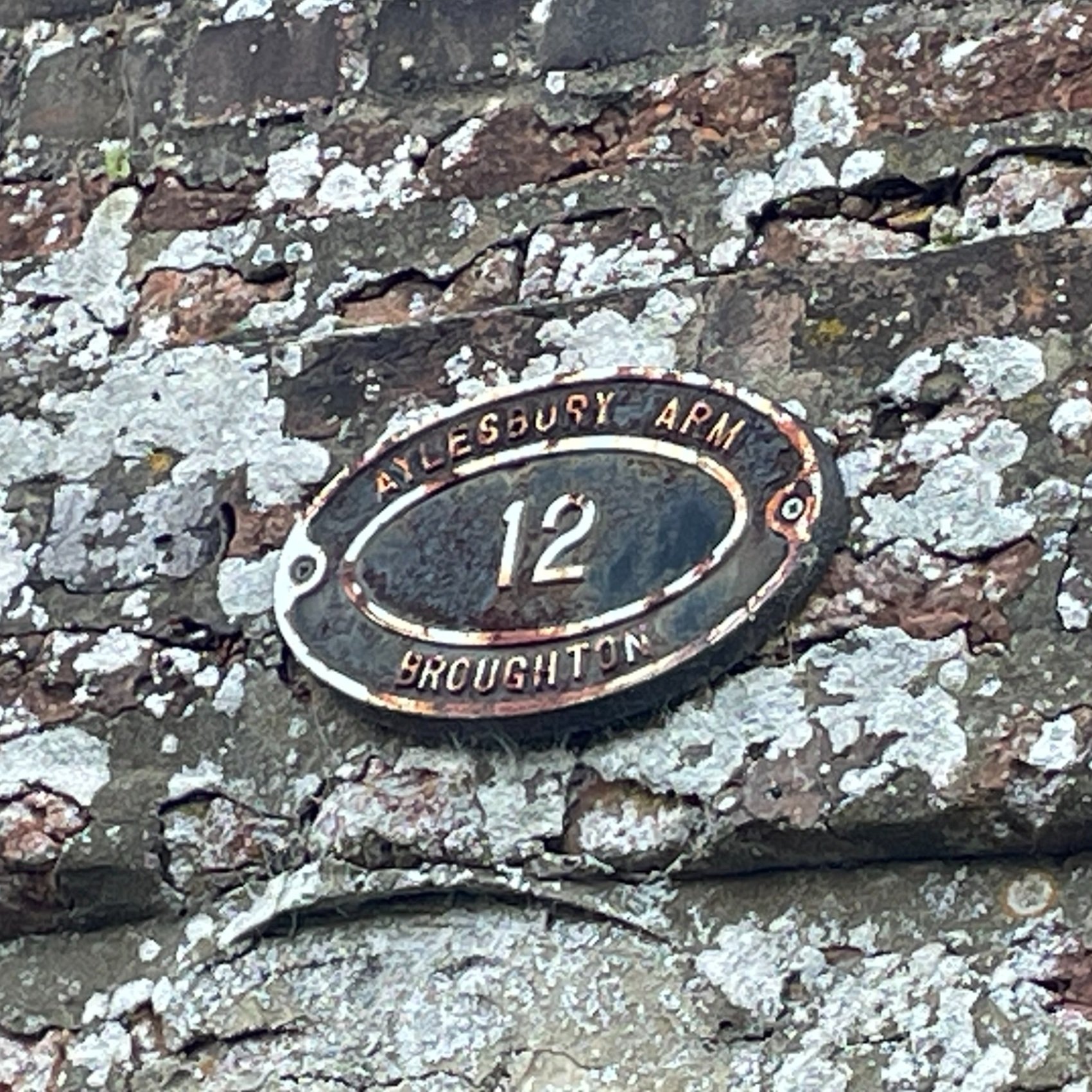
Whichever way you cross the Bear Brook, find the footpath that leads into fields on the eastern side of Broughton Lane north of Manor Farm. Follow the path through the field for approximately 1 km curving up to the north-east to return to the Aylesbury Canal at Bridge 13. This is where section 2 left the canal. Take a left at the bridge to follow the towpath in a westerly direction back to Aylesbury Basin.


The Full Aylesbury Arm Canal Route

The 3 circular route sections shown together. Red = Section 3, Green = Section 2, Blue = Section 3

The 10km point to point Walk from Marsworth to Aylesbury
Details for a Point-to-Point Walk:
Start: Marsworth Wharf, Tring, HP23 4BW
Finish: Aylesbury Basin, Aylesbury, HP21 7SH
Distance: 10 km (6.2 miles)
Elevation change: +18m /- 44m. Net -26m
GPX File: get via Buy Me a Coffee
Other routes touched (walk): Aylesbury Ring, Round Aylesbury Walk.
Other routes touched (cycle): Tring 5 Cycle Route
Map: Chiltern Hills North Map | Aylesbury, Berkhamsted & Chesham | Ordnance Survey | OS Explorer Map 181
Links: Aylesbury Arm Canal (Wikipedia / Canal & River Trust / Aylesbury Canal Society),
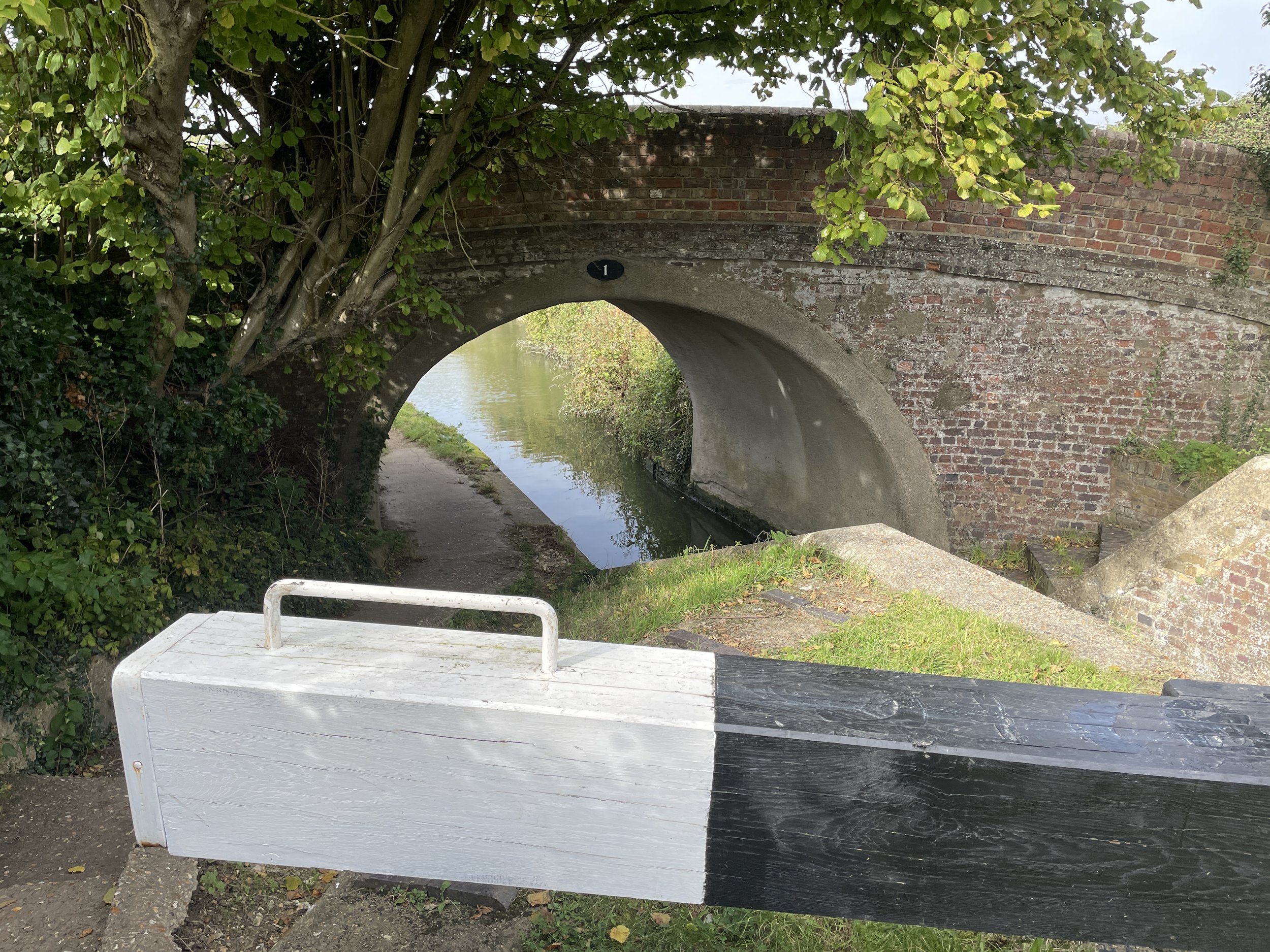
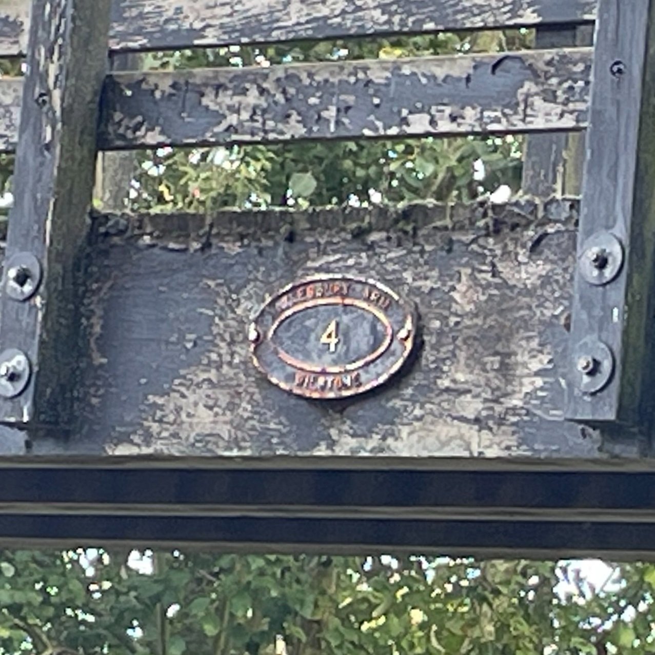
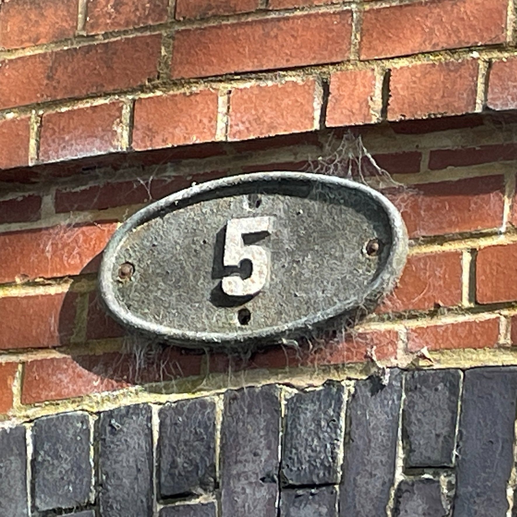
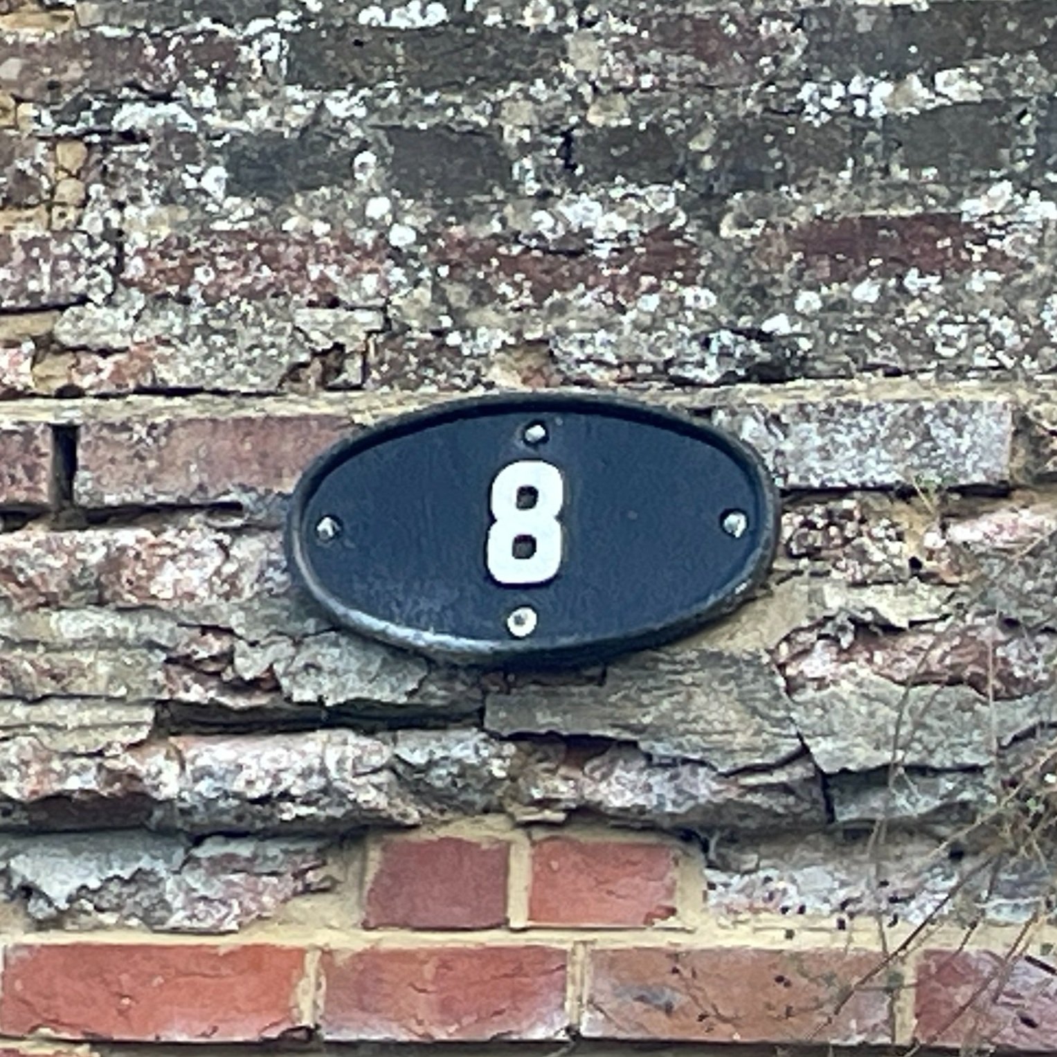
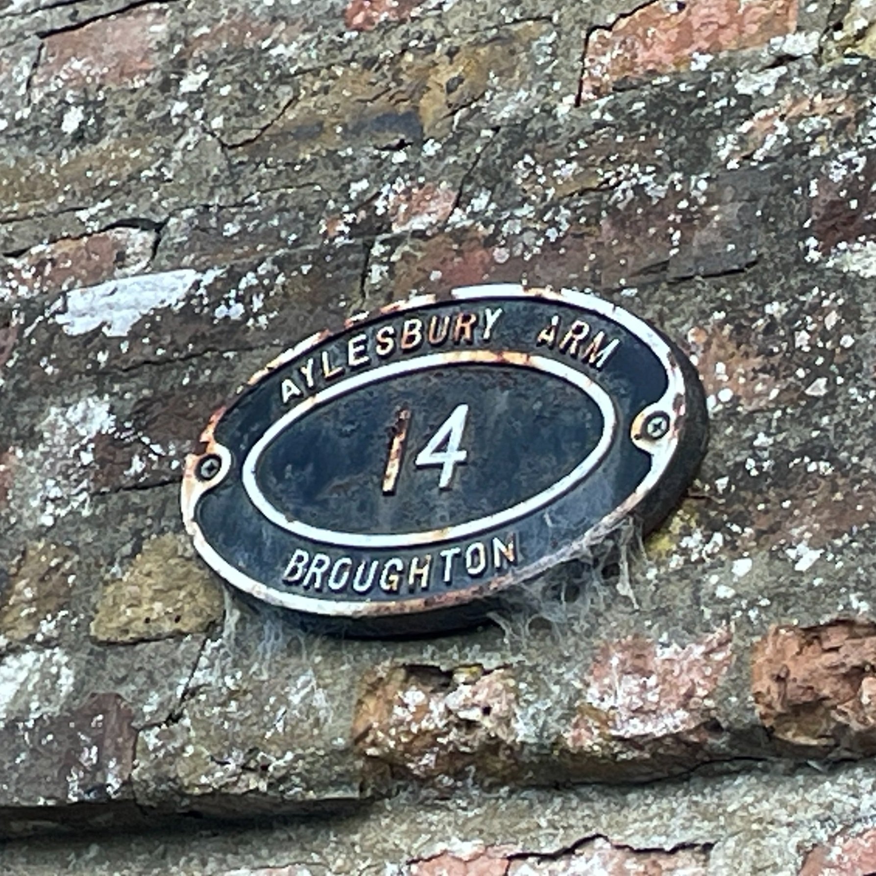
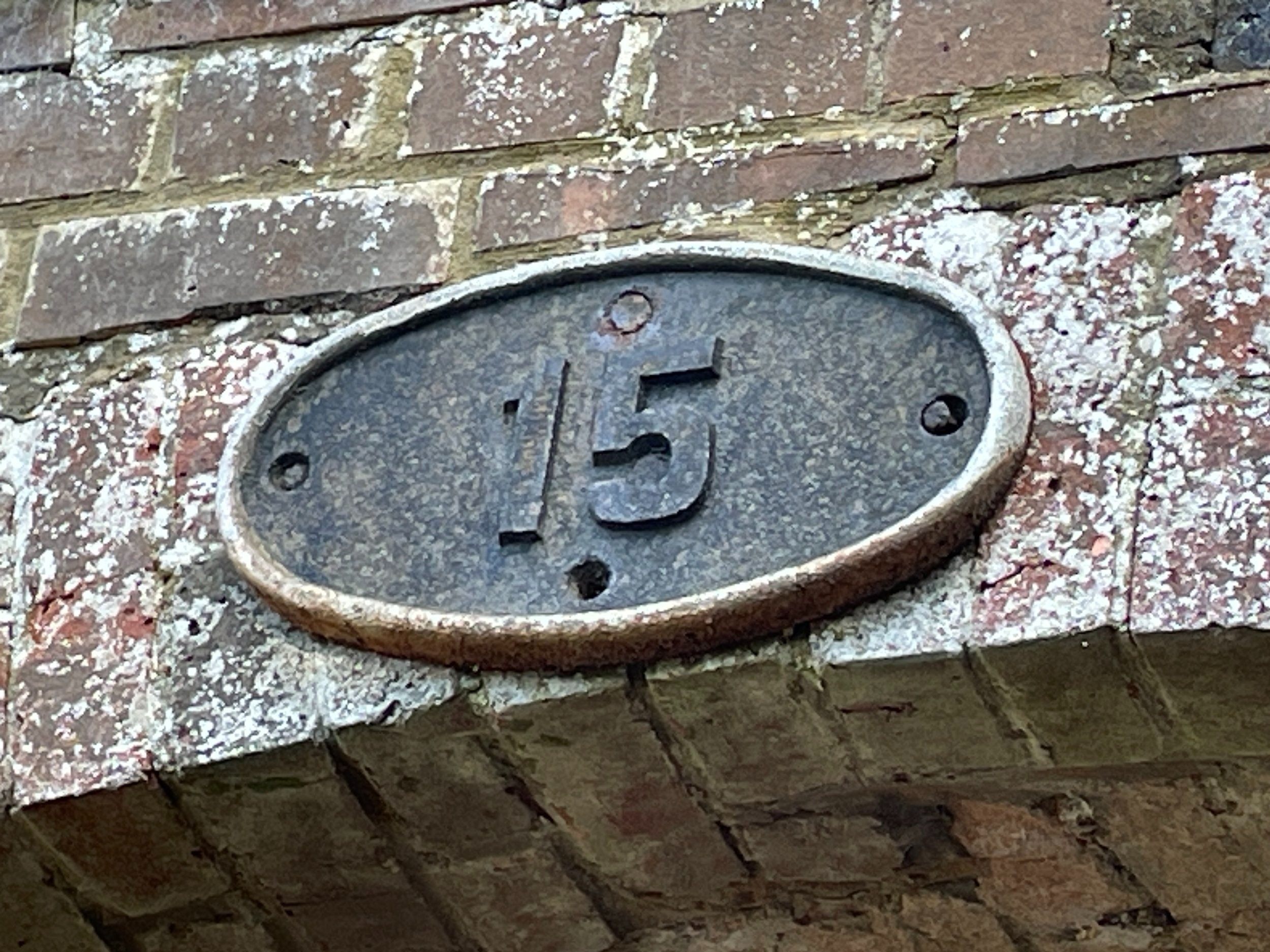
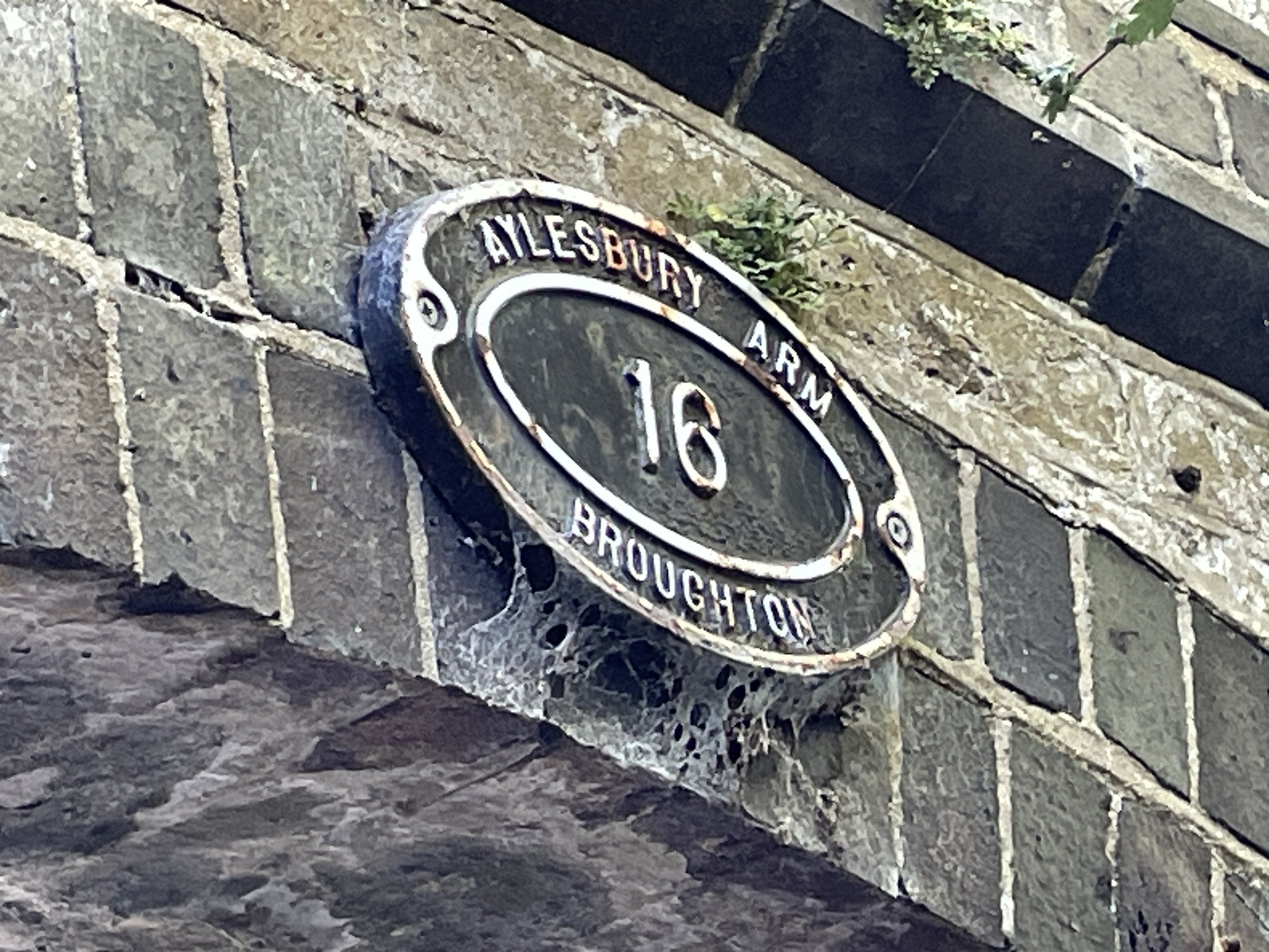
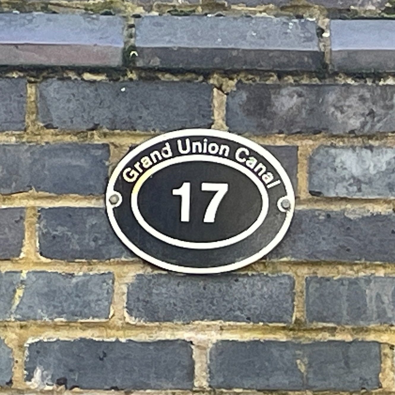
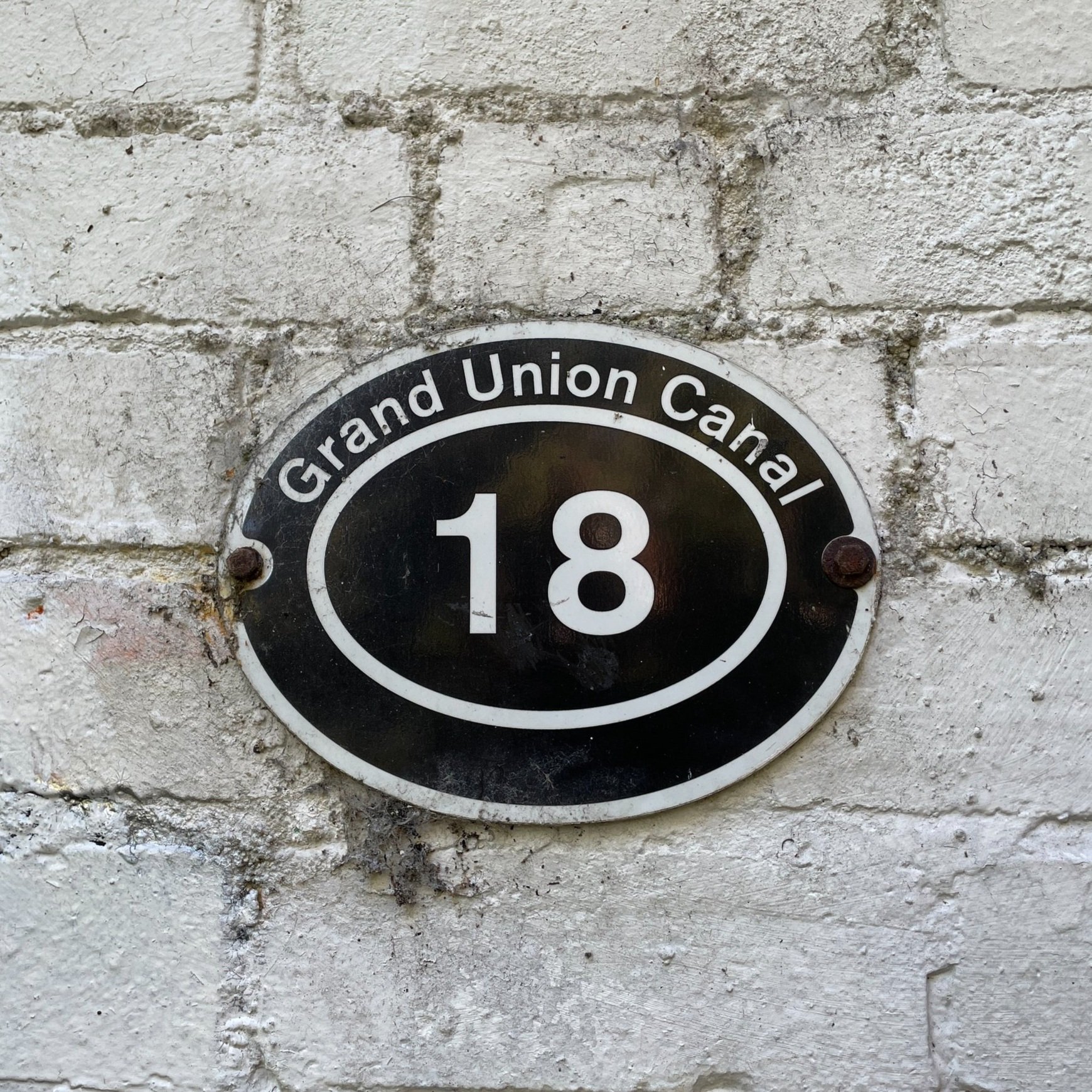
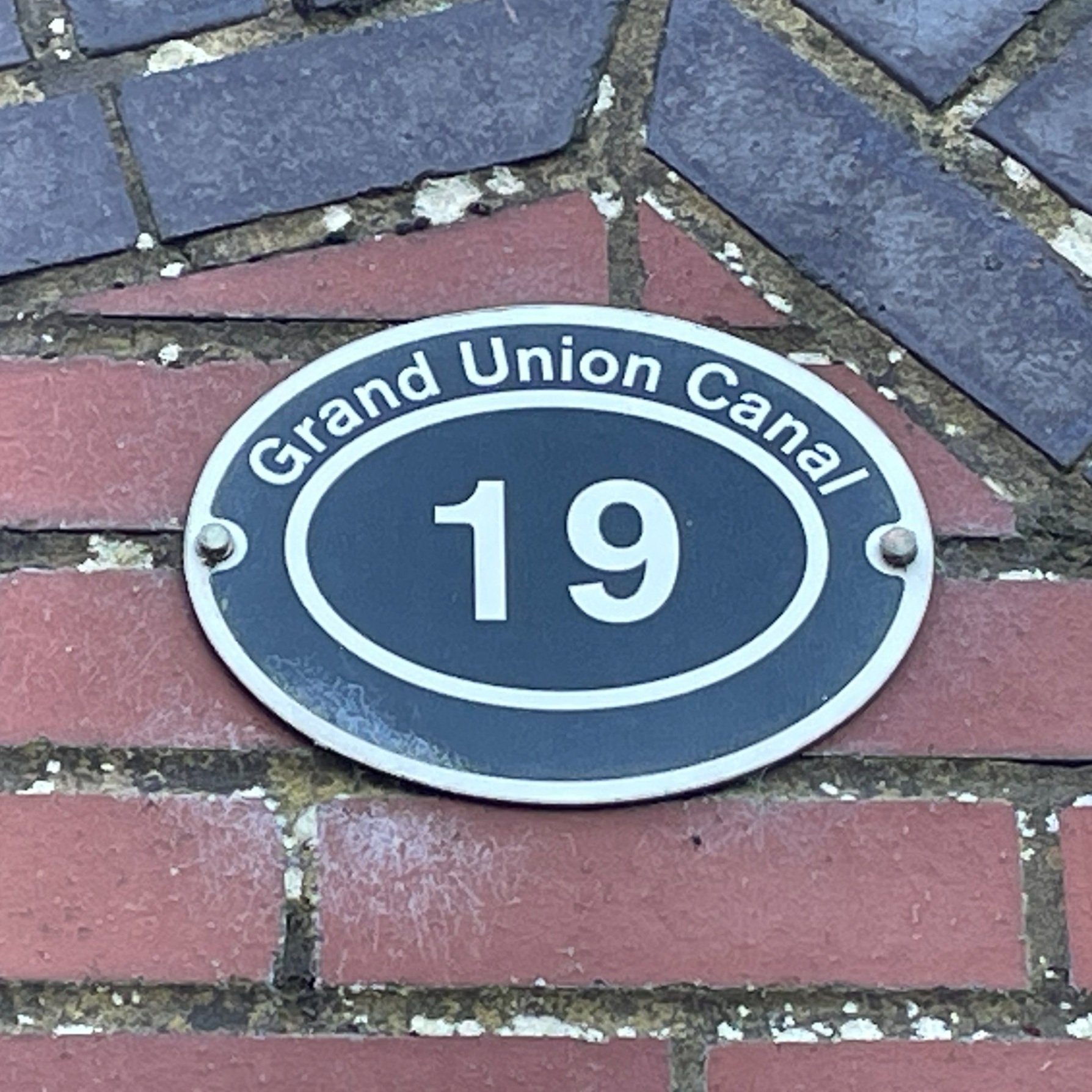
The Bridges
There’s no number sign on bridge 13.