Walking The Slough Arm Canal

Start: Slough Station, Railway Terrace, Slough, SL1 1XW
Finish: West Drayton Station, Station Approach, West Drayton UB7 9DY
Distance: 10 km (6.2 miles)
Elevation change: +/- 28m
GPX File: get via Buy Me a Coffee
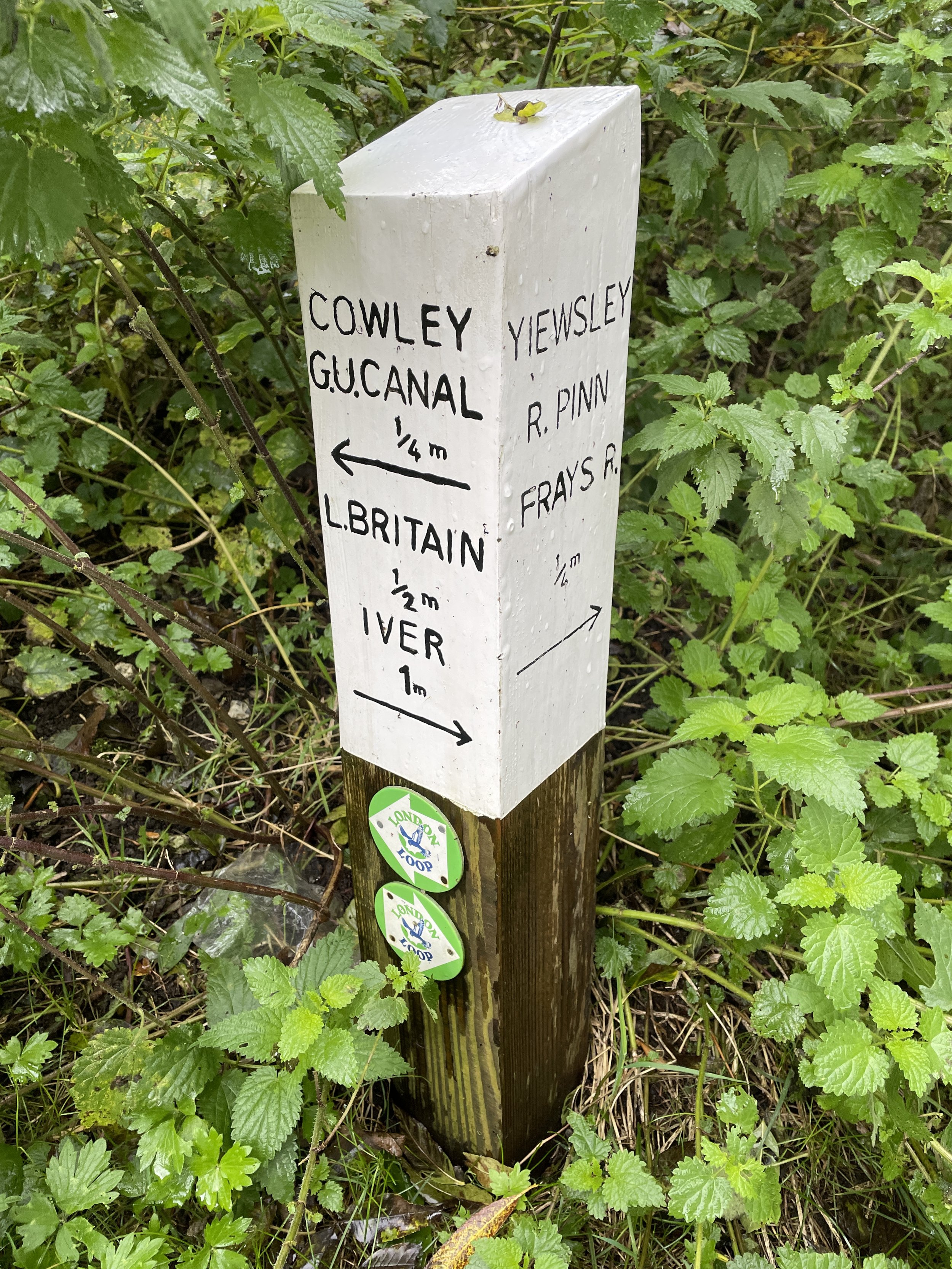
Other routes touched (walk): Colne Valley Trail, Beeches Way, Shakespeare’s Way, Celandine Route, London Loop
Other routes touched (cycle): Grand Union Canal Towpath, NCN 61
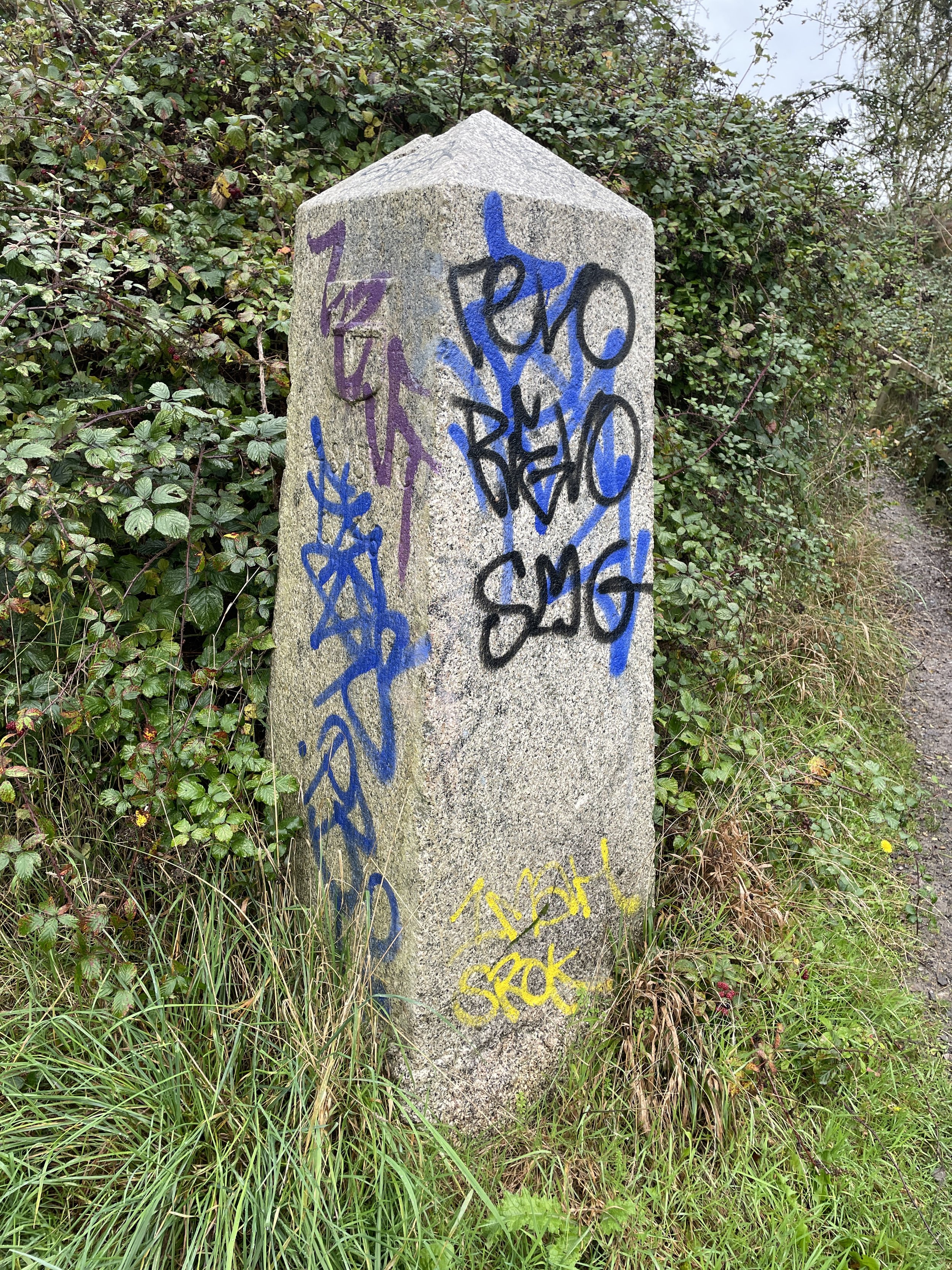
London Coal Duty Post: 69
Pubs / Cafes on route: Several in West Drayton High Street
Map: OS Explorer Map (172) Chiltern Hills East and OS Explorer Map (160) Windsor, Weybridge & Bracknell
Links: Slough Arm Canal (Wikipedia / Canal & River Trust) Slough, Langley, Iver, Yiewsley, West Drayton, Colne Valley Regional Park,
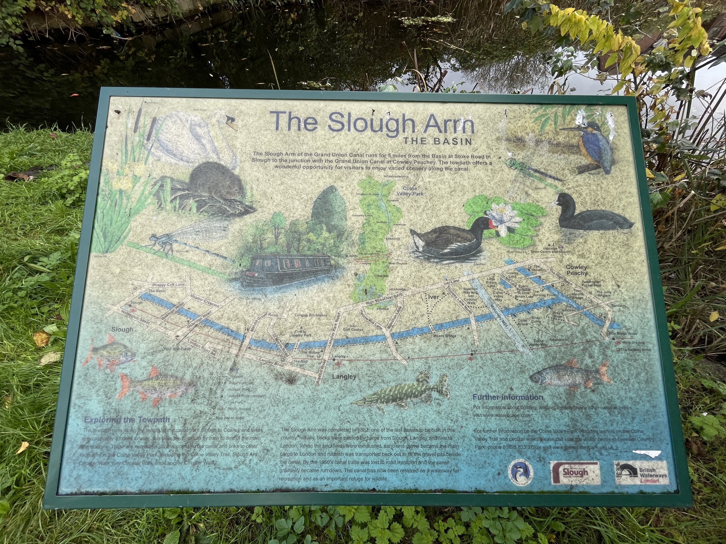
The Slough Canal is an arm that branches off from the main Grand Union Canal at Yiewsley in Hillingdon, Greater London. It was opened in 1882, primarily to serve the brick industry. The arm closed to commercial traffic in 1960 and re-opened in 1975. There have been plans to extend the canal to join the River Thames between Windsor and Maidenhead, but that feels unlikely to happen.
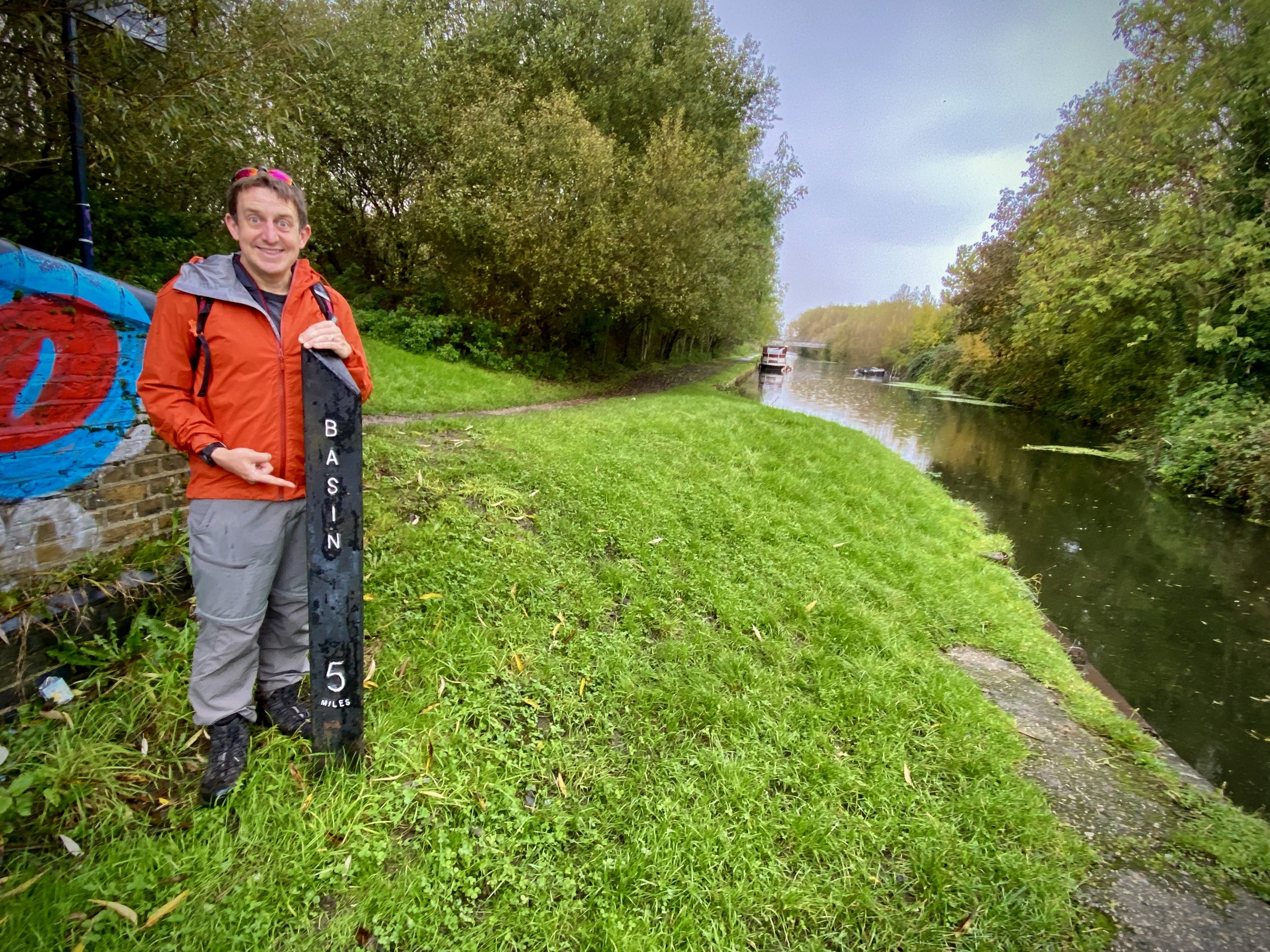
I’ve cycled the Slough Arm on many occasions and crossed over it on other walks but, until now, hadn’t walked the whole length. It runs parallel to the GWR mainline and Elizabeth Line which makes it easy to walk as a single point-to-point between stations. We started at Slough Station and finished at West Drayton, with a short ride on the Elizabeth Line back to the start.
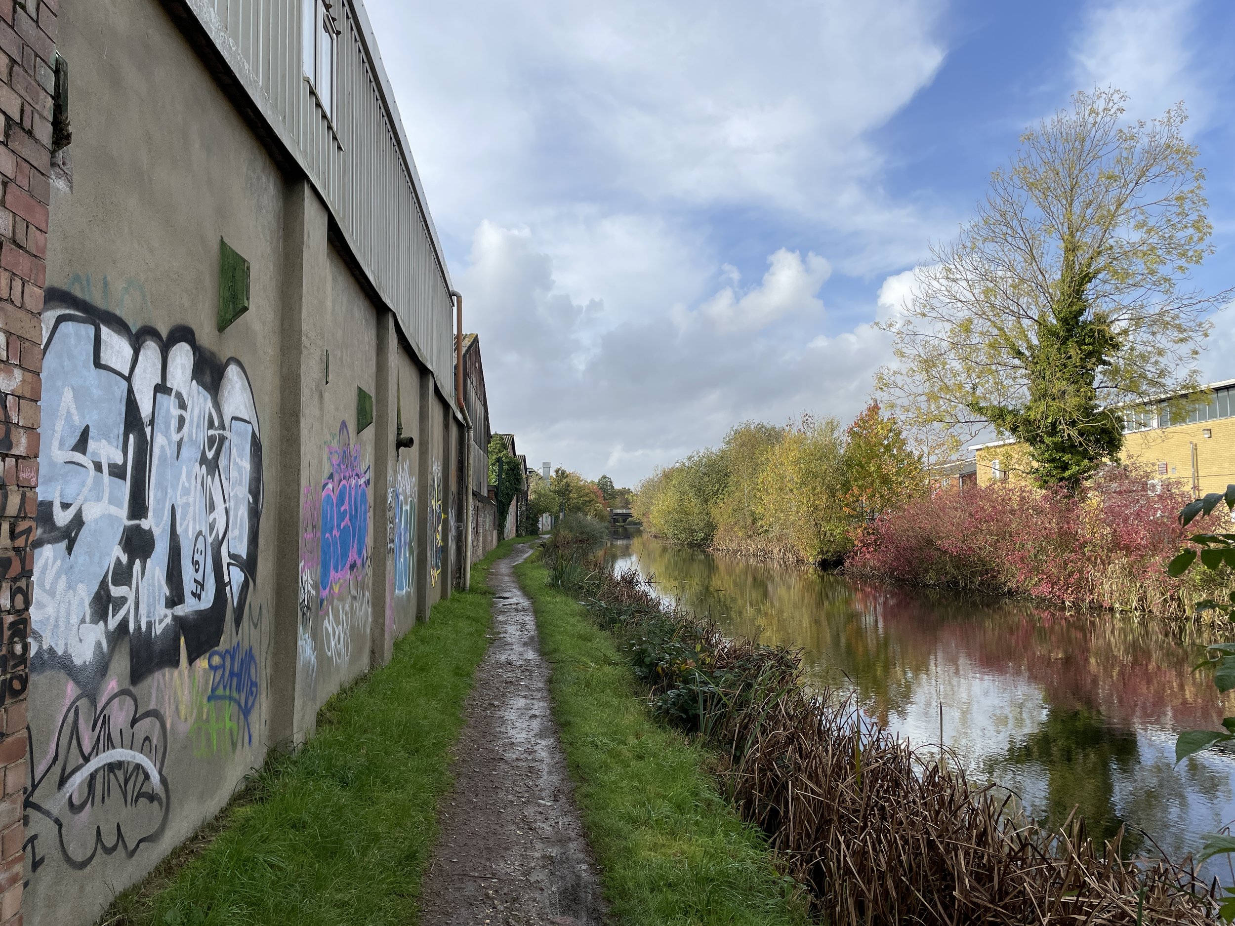
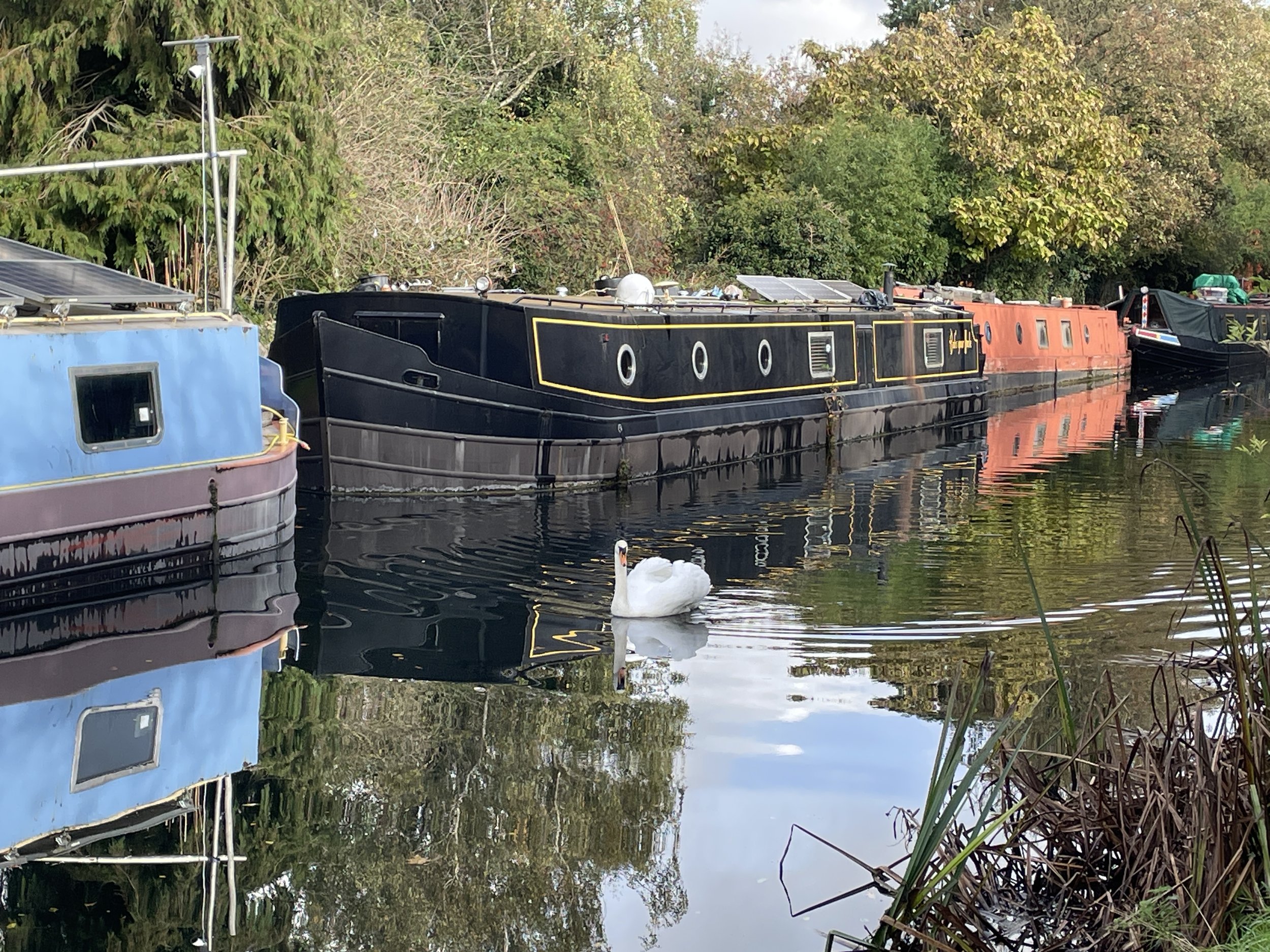
Leave Slough Station at the north entrance onto Railway Terrace and walk west to join the B416. Follow the B416 in a northerly direction to find the entrance to the canal basin on the right hand side of the road shortly after St. Paul’s church. The first 4km runs between a mix of residential and light industrial areas. There’s a lot of rubbish along the way despite the best efforts of the Friends of The Slough Arm local community group.
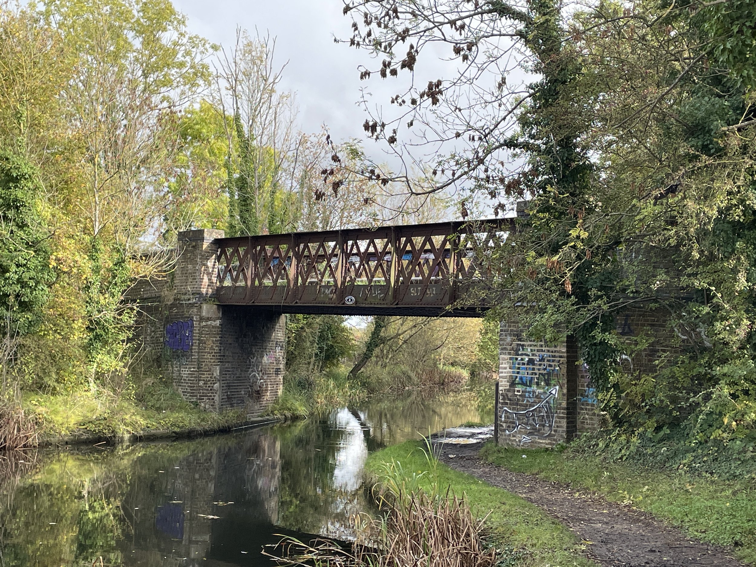
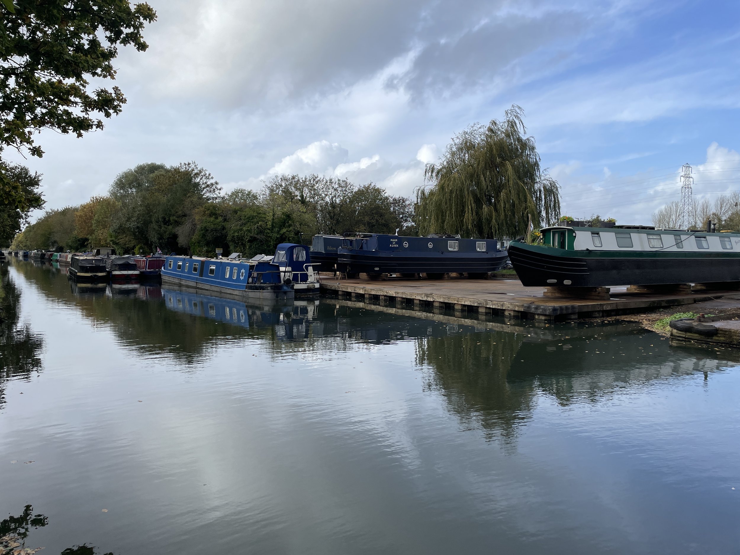
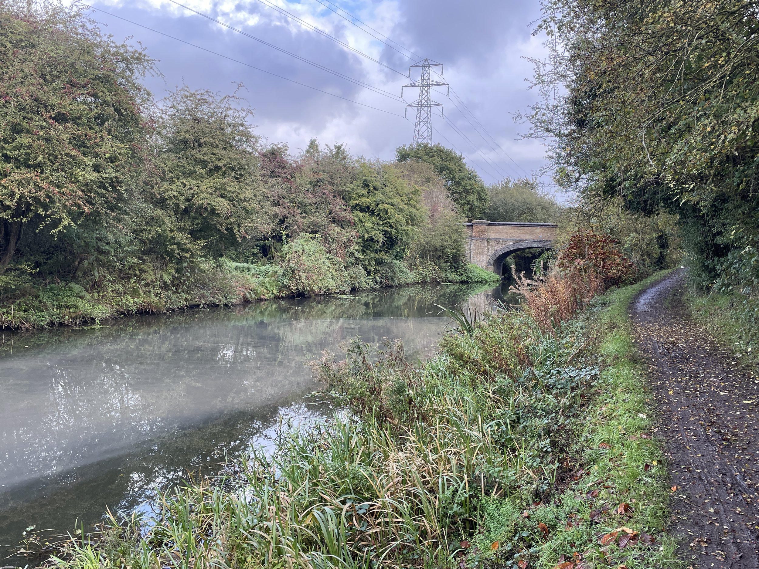
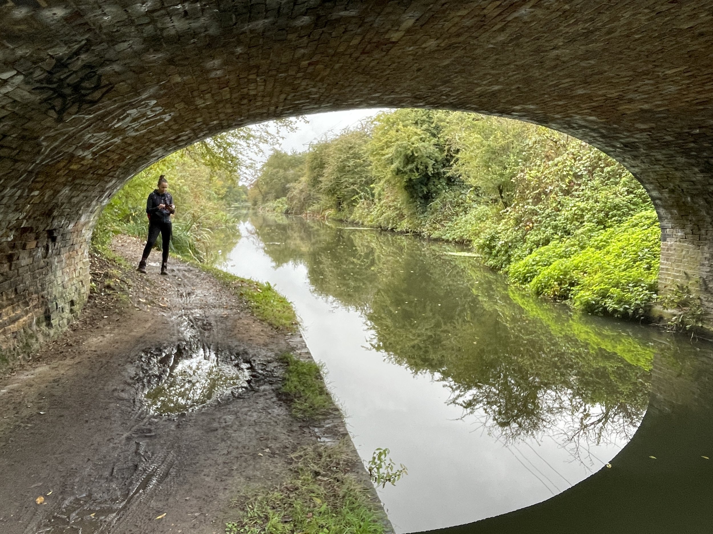
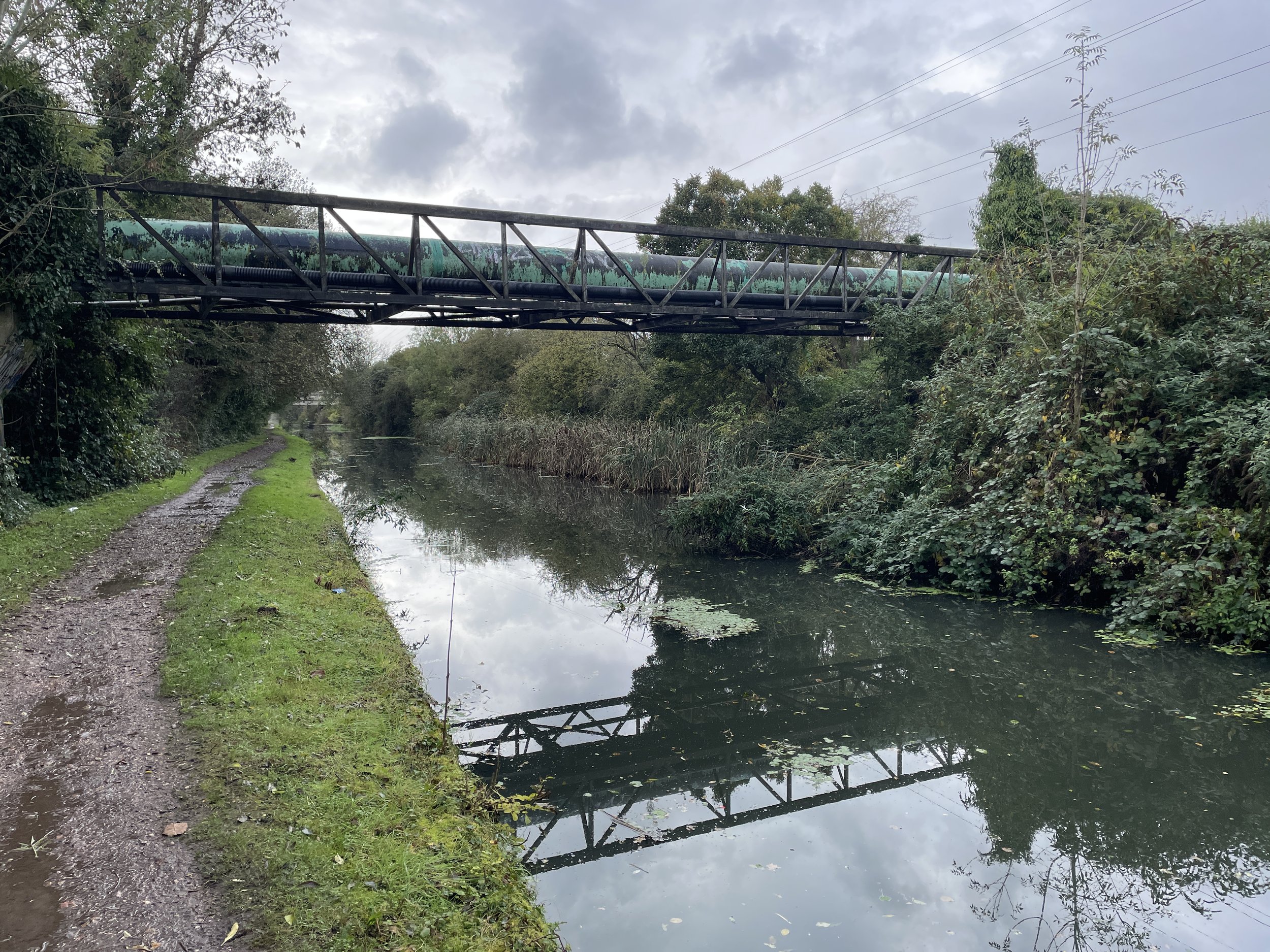
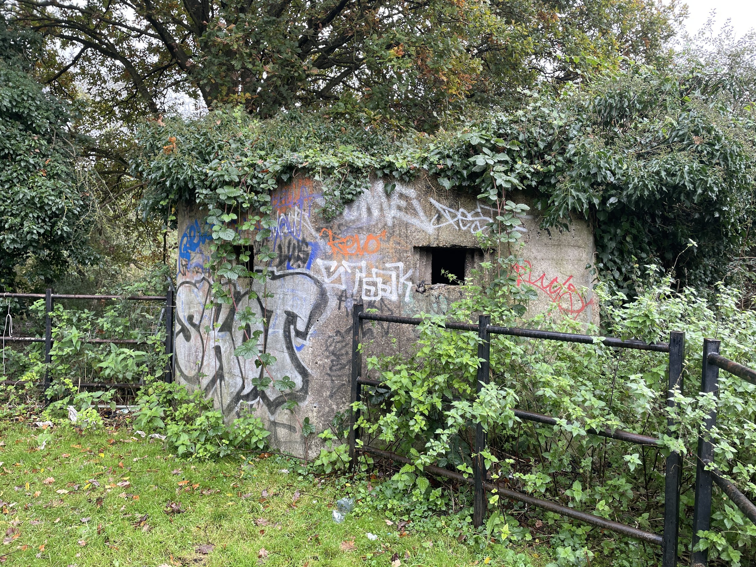
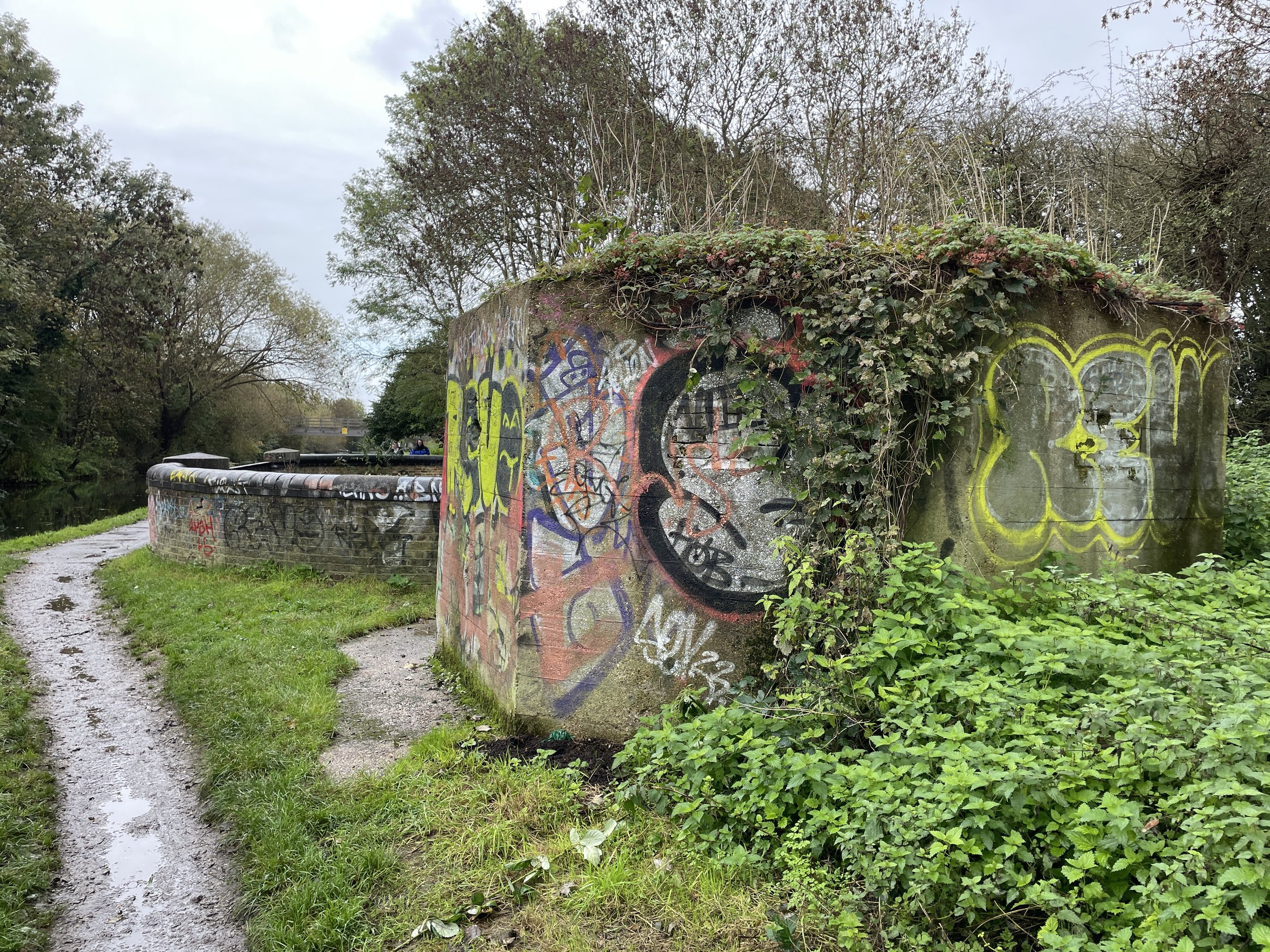
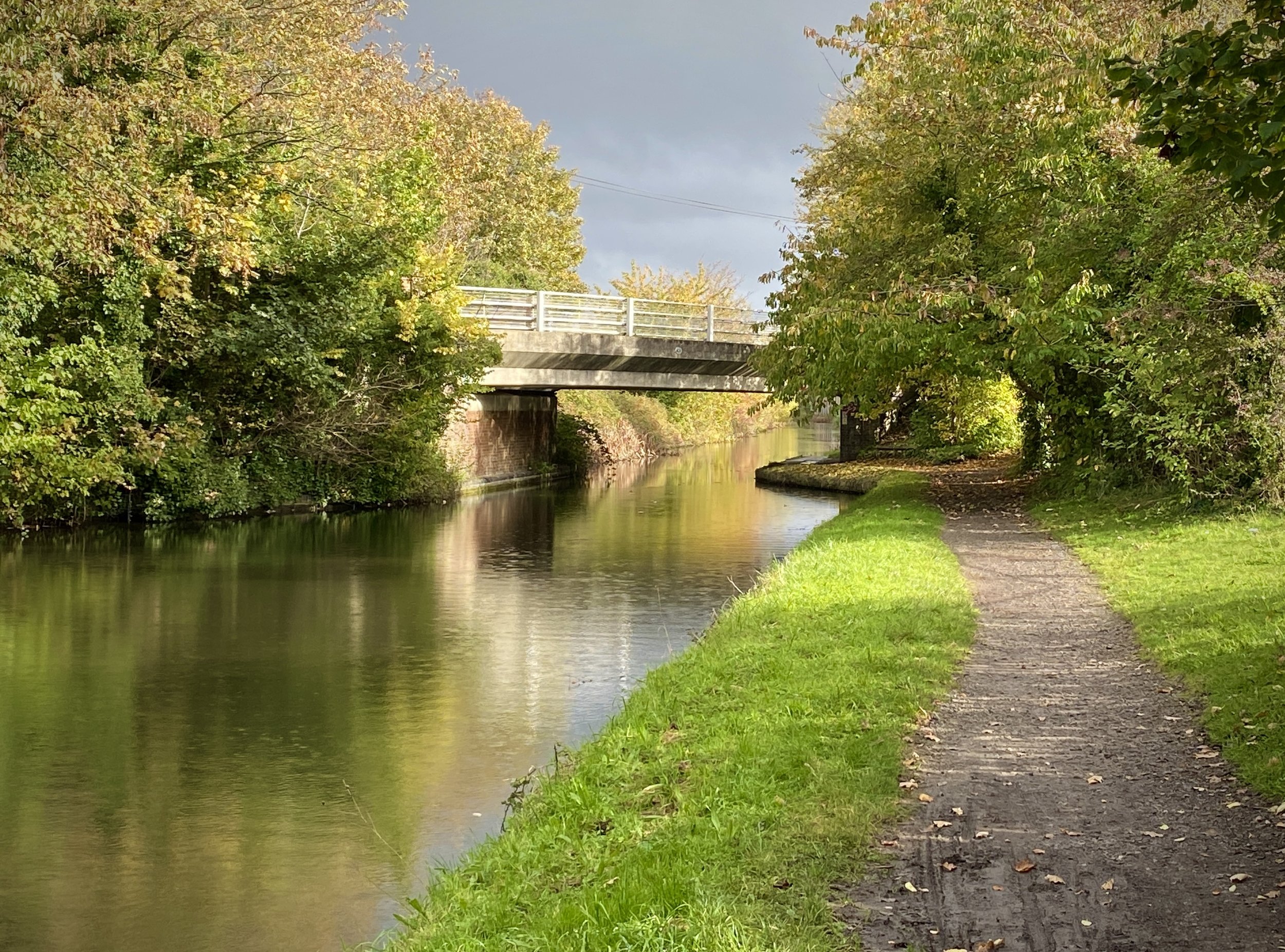
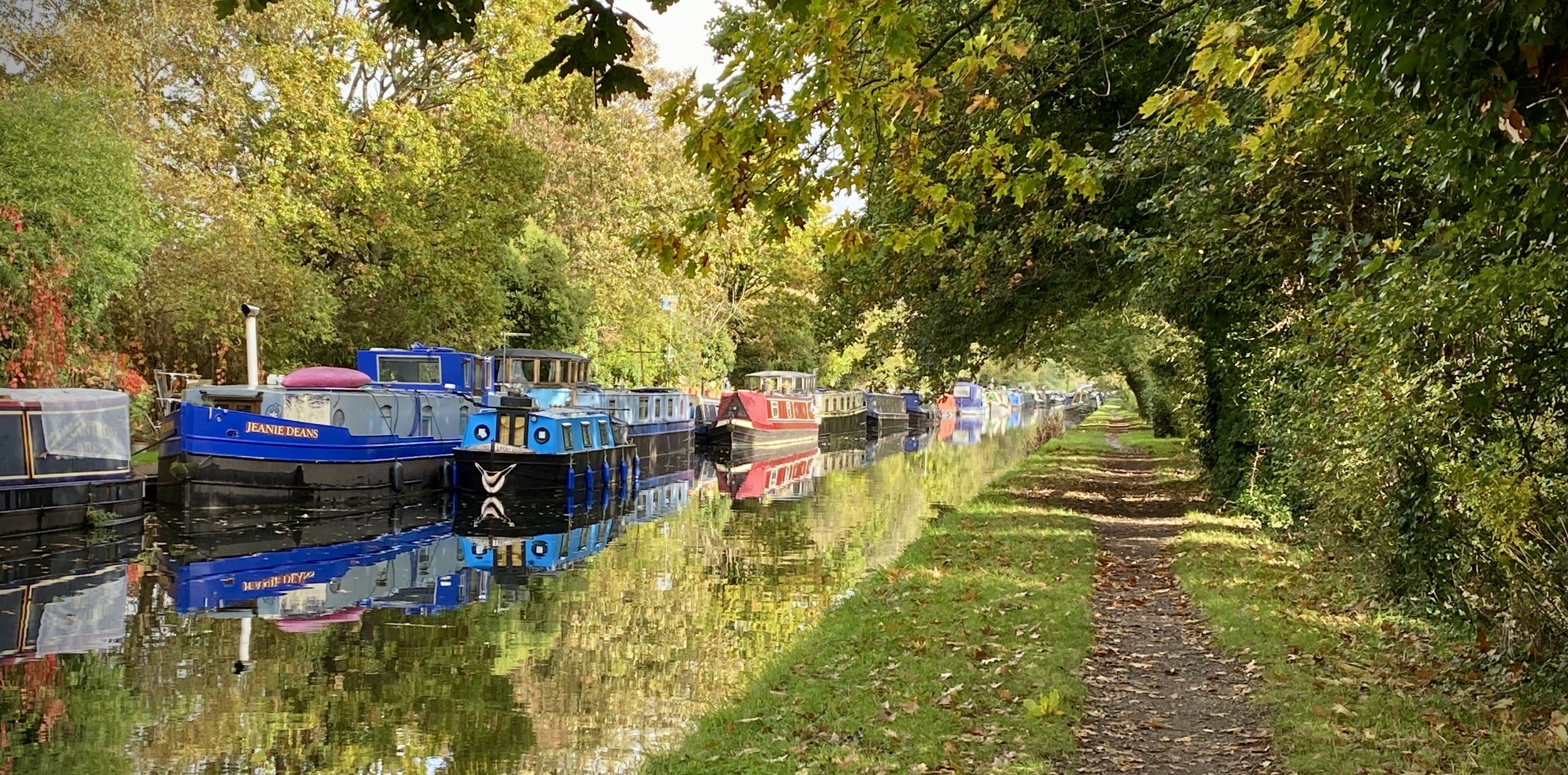
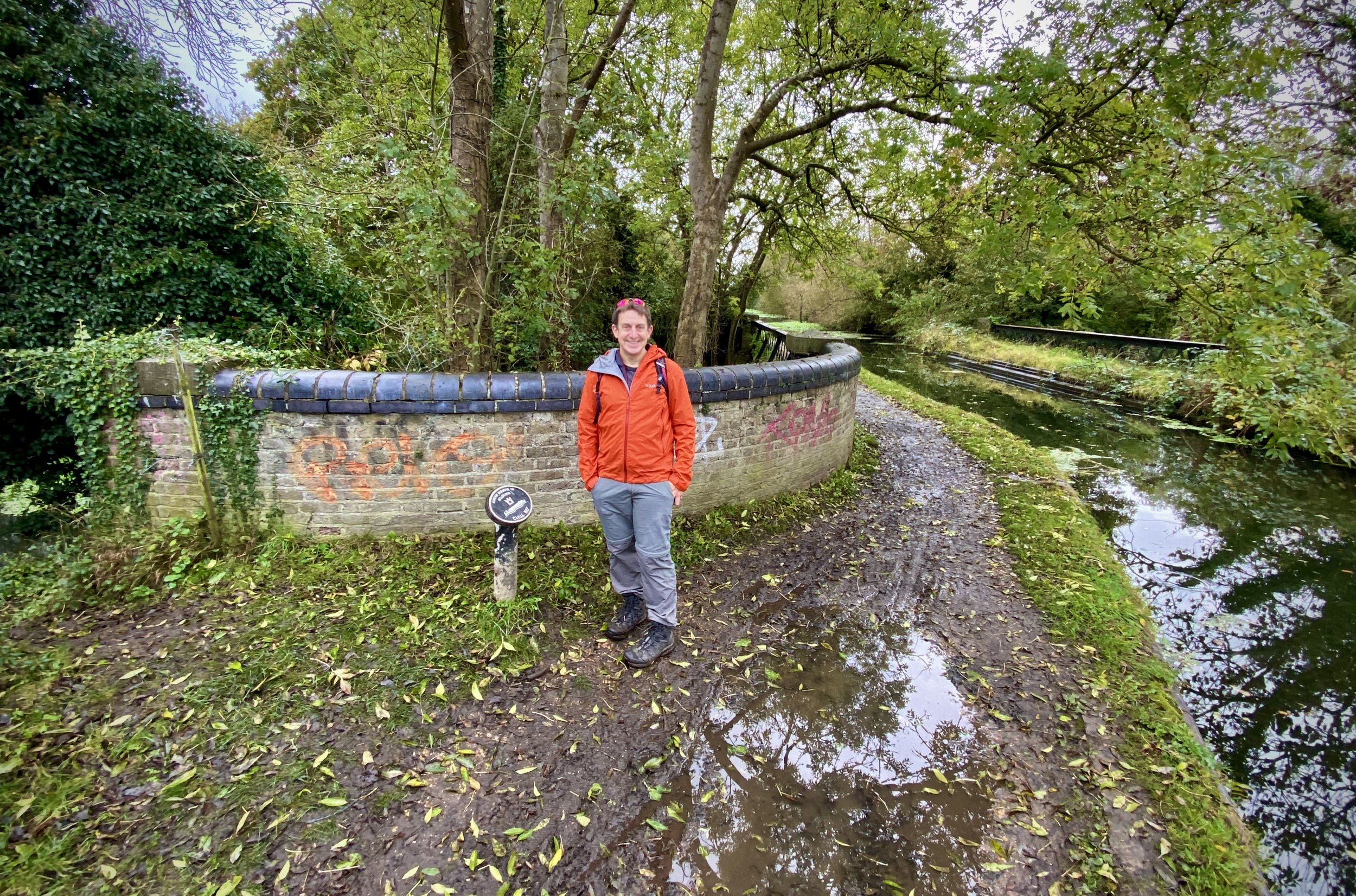
After the Langley park Road Bridge (#7), the canal becomes a parking area for boats lined up for the repair yard at bridge #6 at Hollow Hill Lane. From here the canal enters the Colne Valley Regional Park and soon joins the Beeches Way and Shakespeare’s Way. The towpath passes under the M25, then over the Colne Brook, River Colne and Frays River. Watch out for the two WW2 Pill Boxes that guard the rivers and the Coal Duty Post by the footbridge carrying the London Loop.
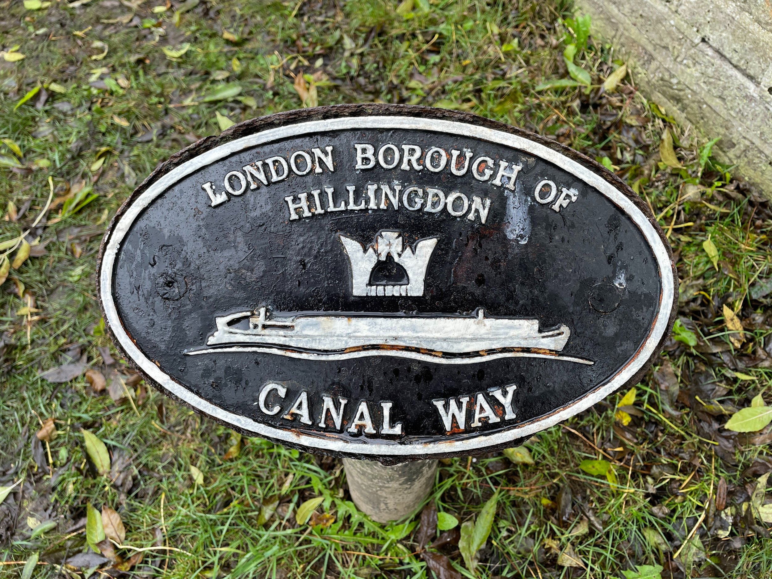
By the time you reach the junction with the Grand Union Canal you’ll have passed through Berkshire, Buckinghamshire, the Historic County of Middlesex and into the Greater London Borough of Hillingdon. When you reach the main line of the Grand Union, cross over the footbridge and take a right to follow the towpath for 800m to the West Drayton High Street Bridge. Leave the canal and cross the bridge to reach the end of the walk at West Drayton Station.

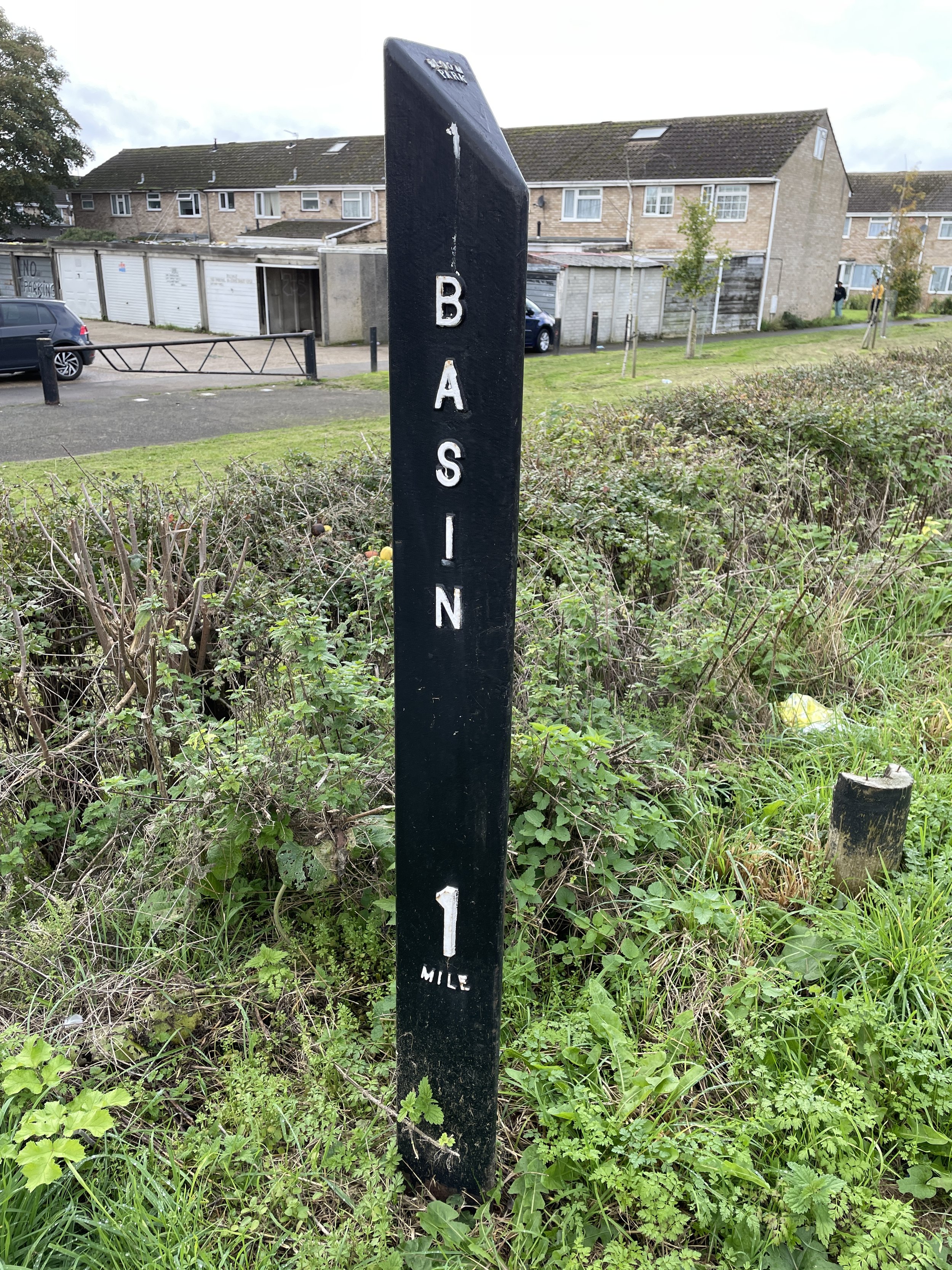
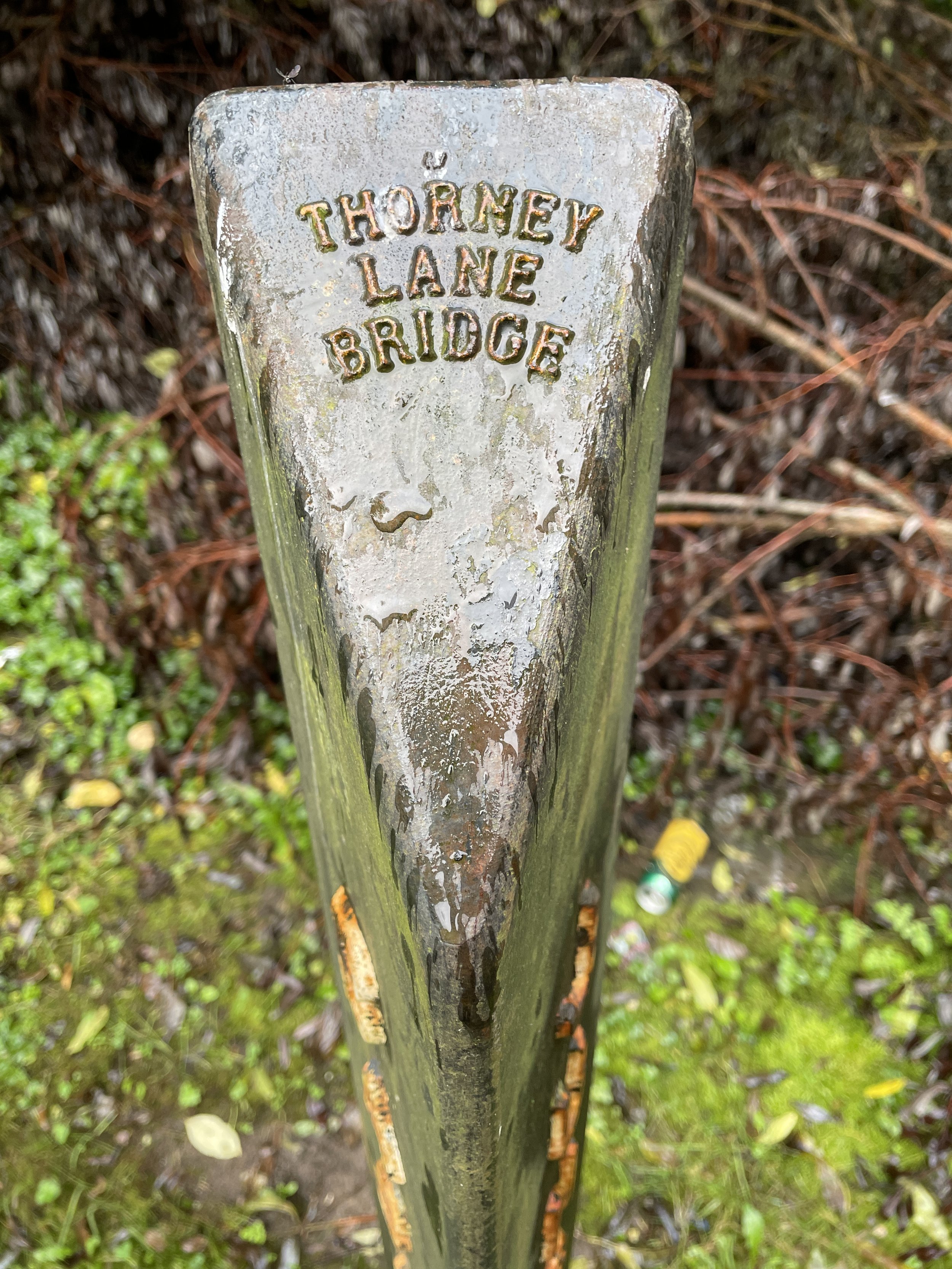
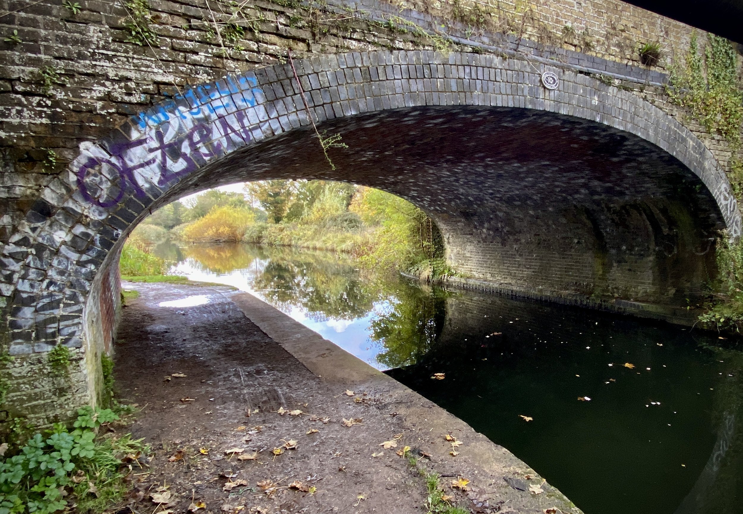

The Bridges
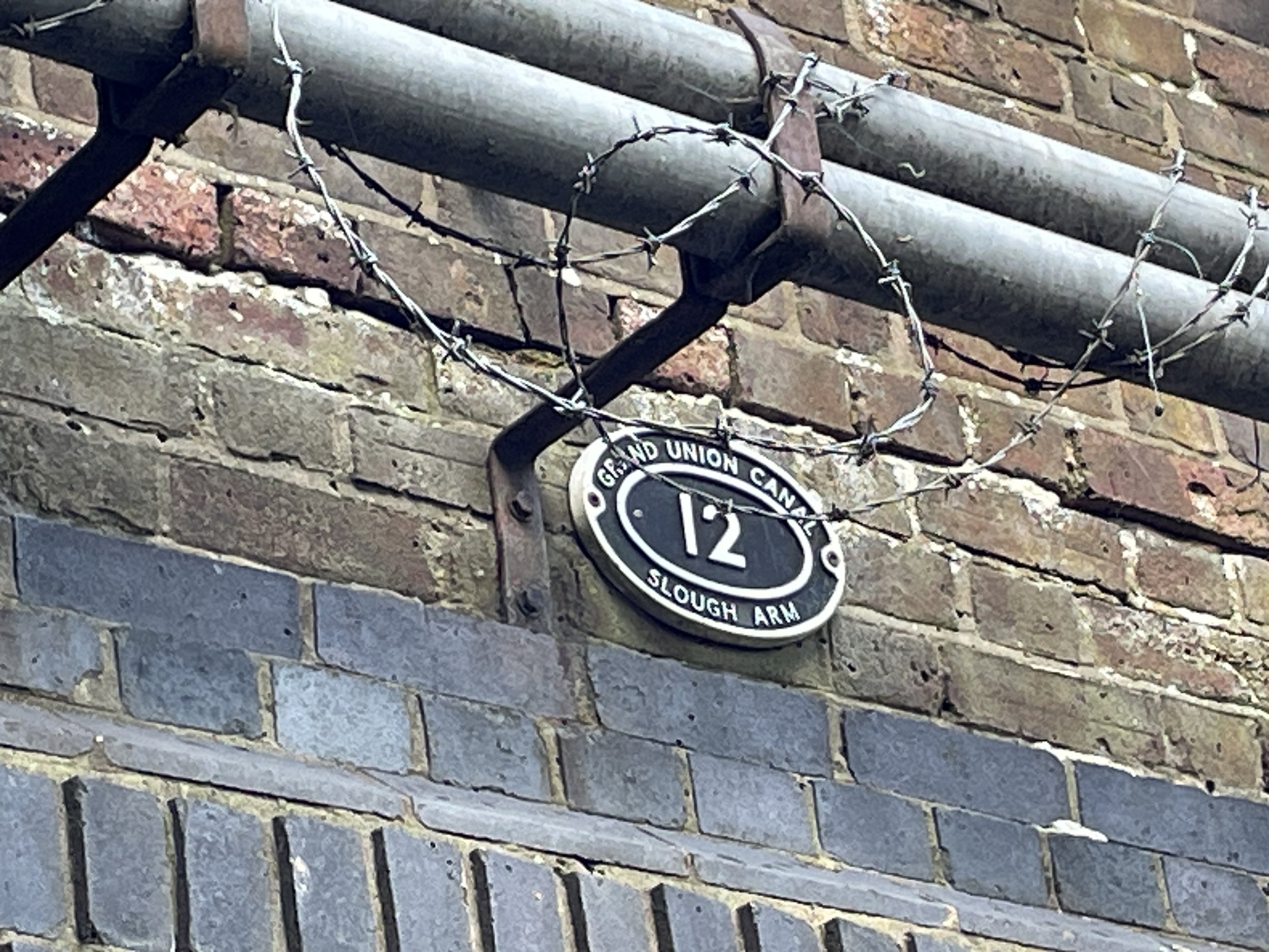
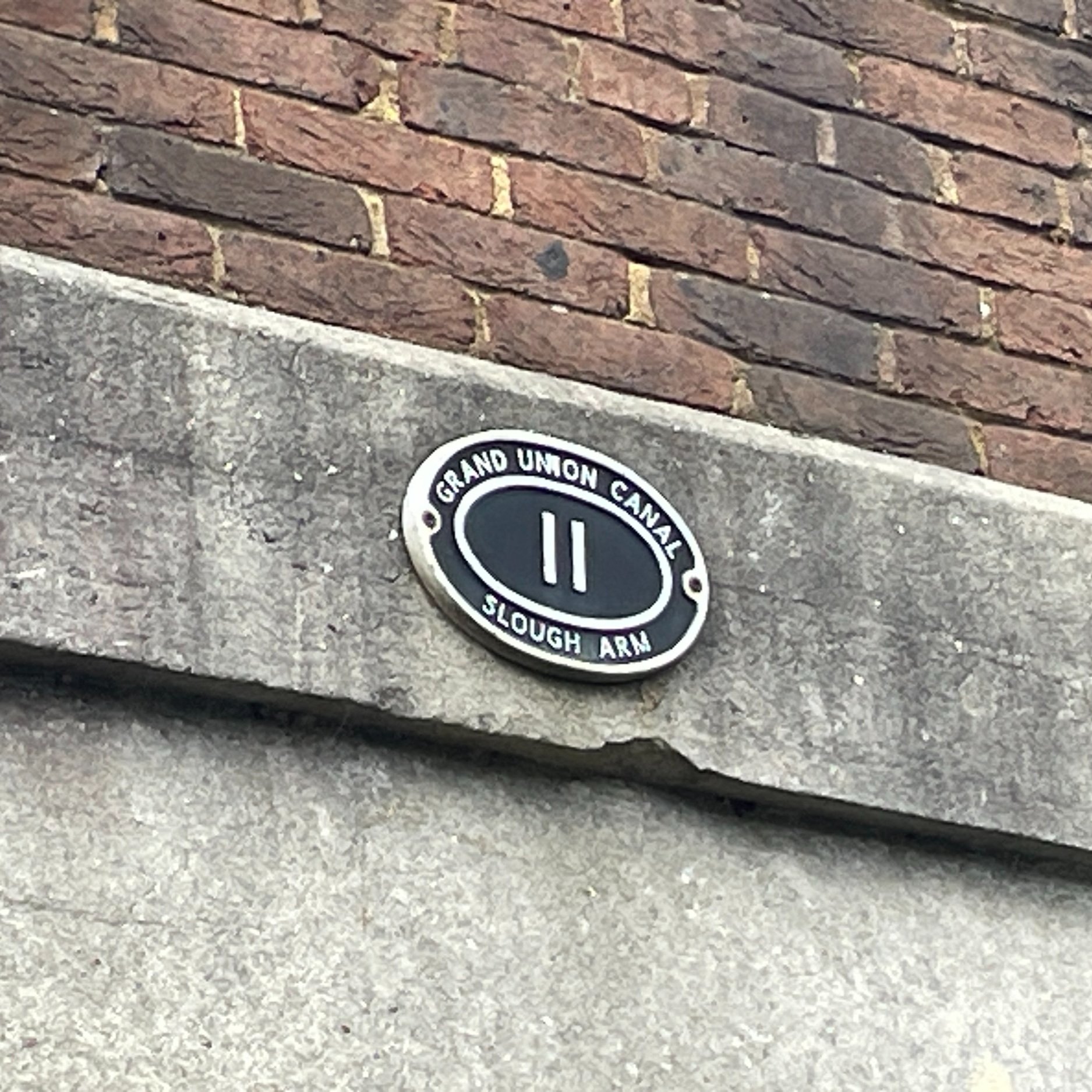
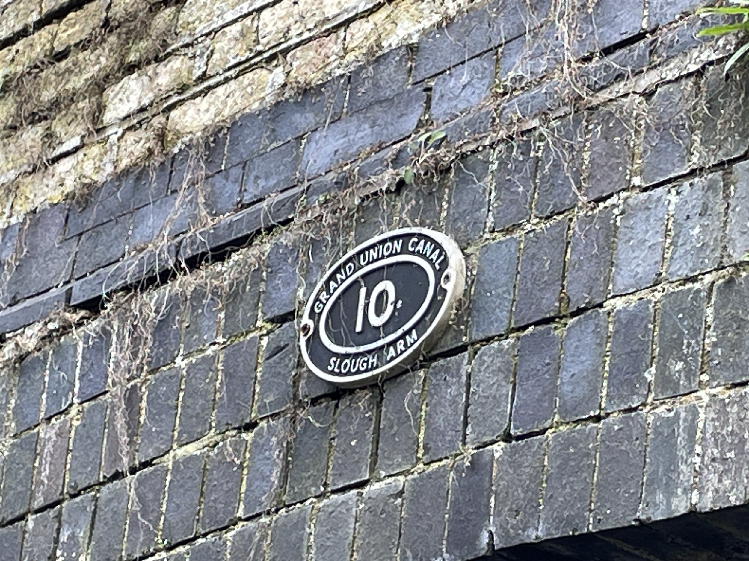
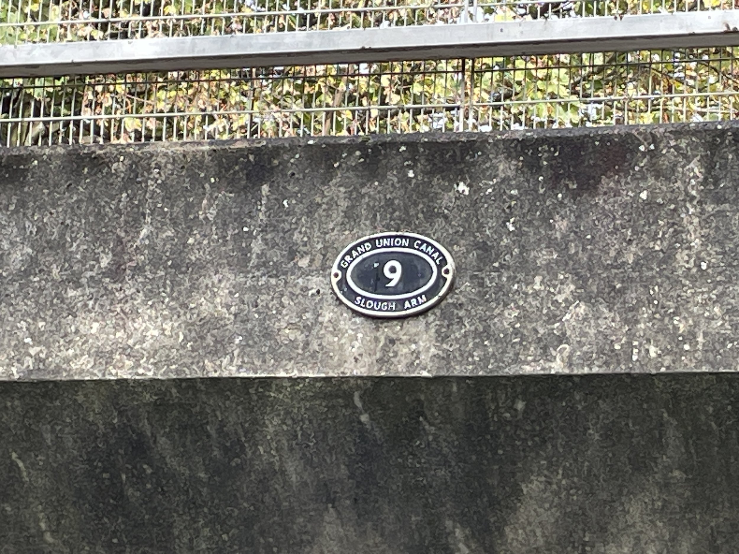
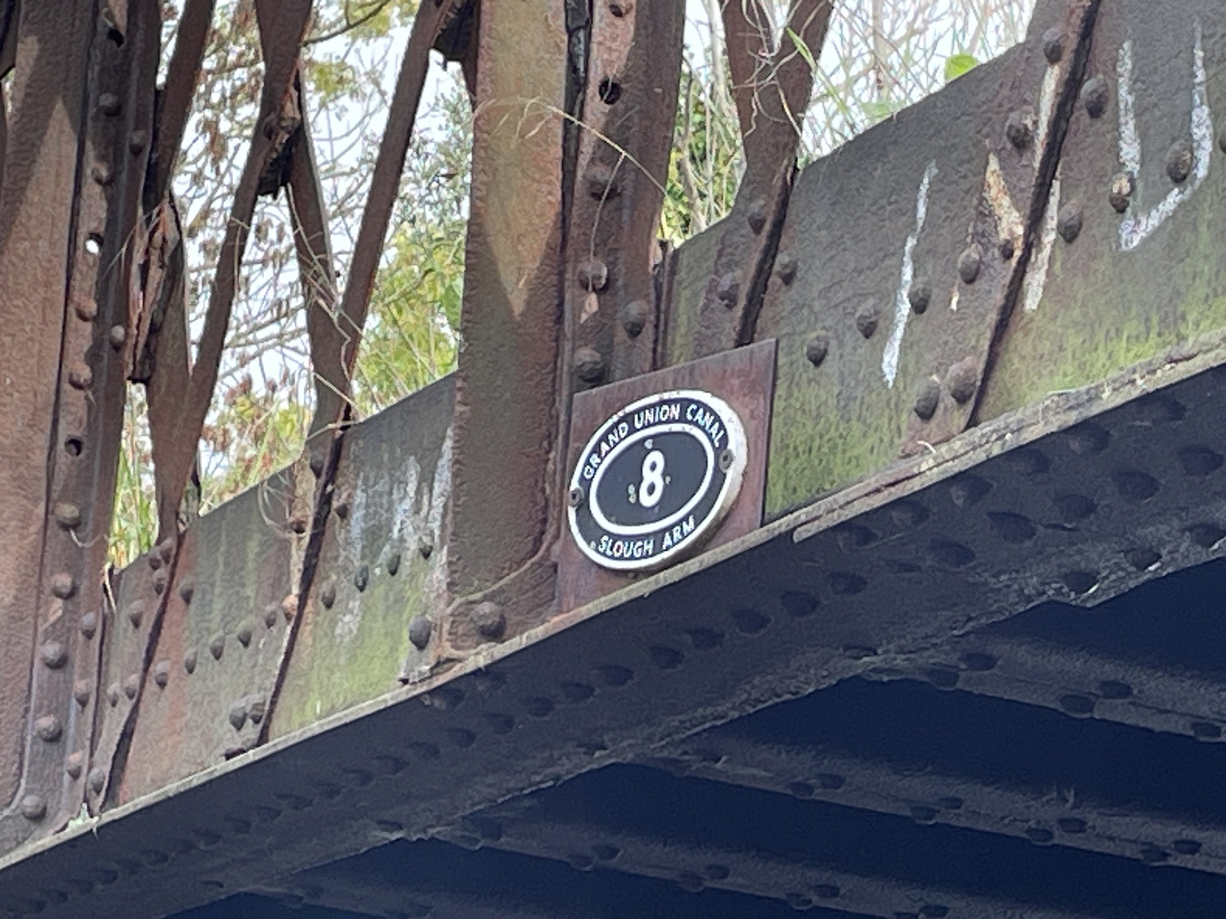
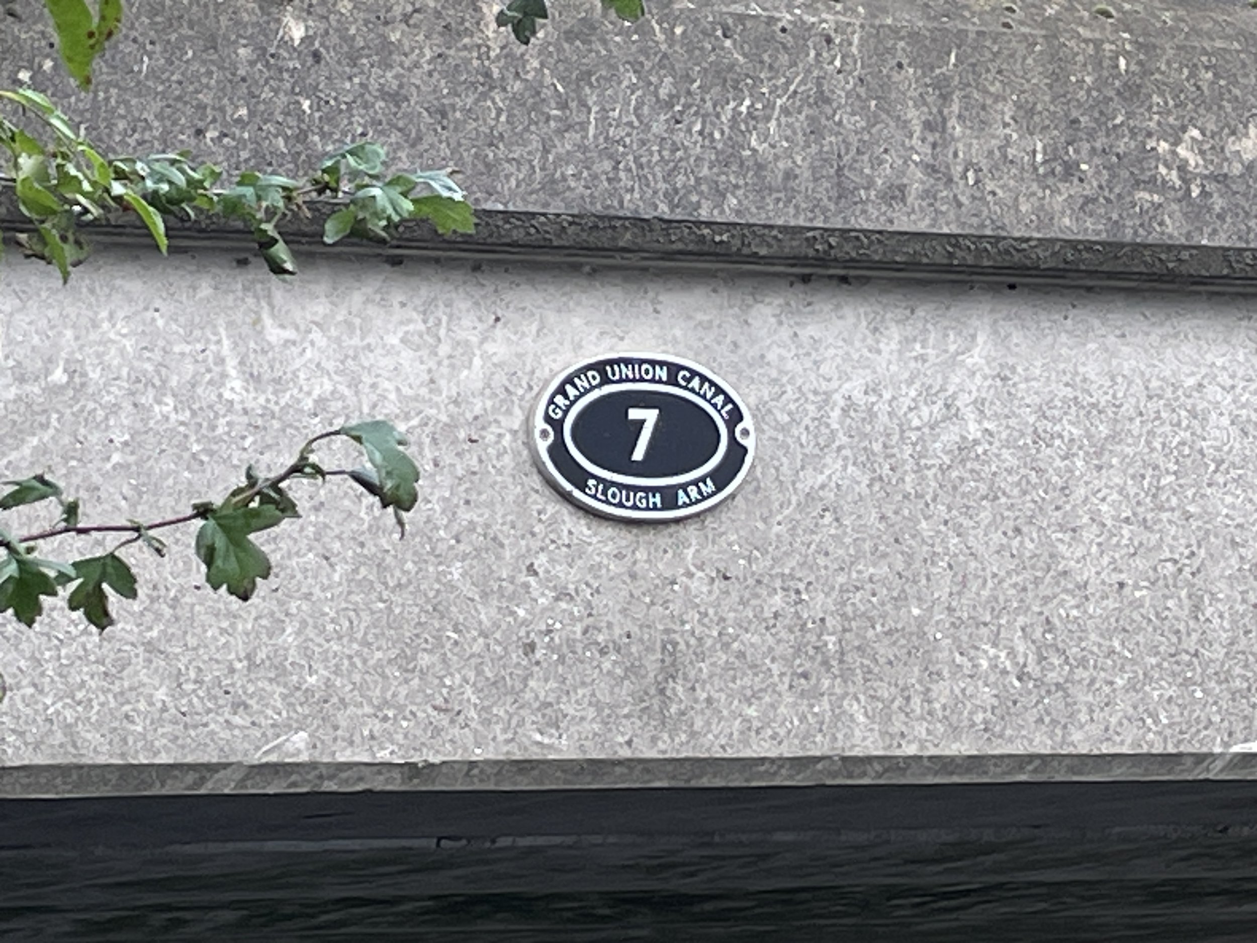
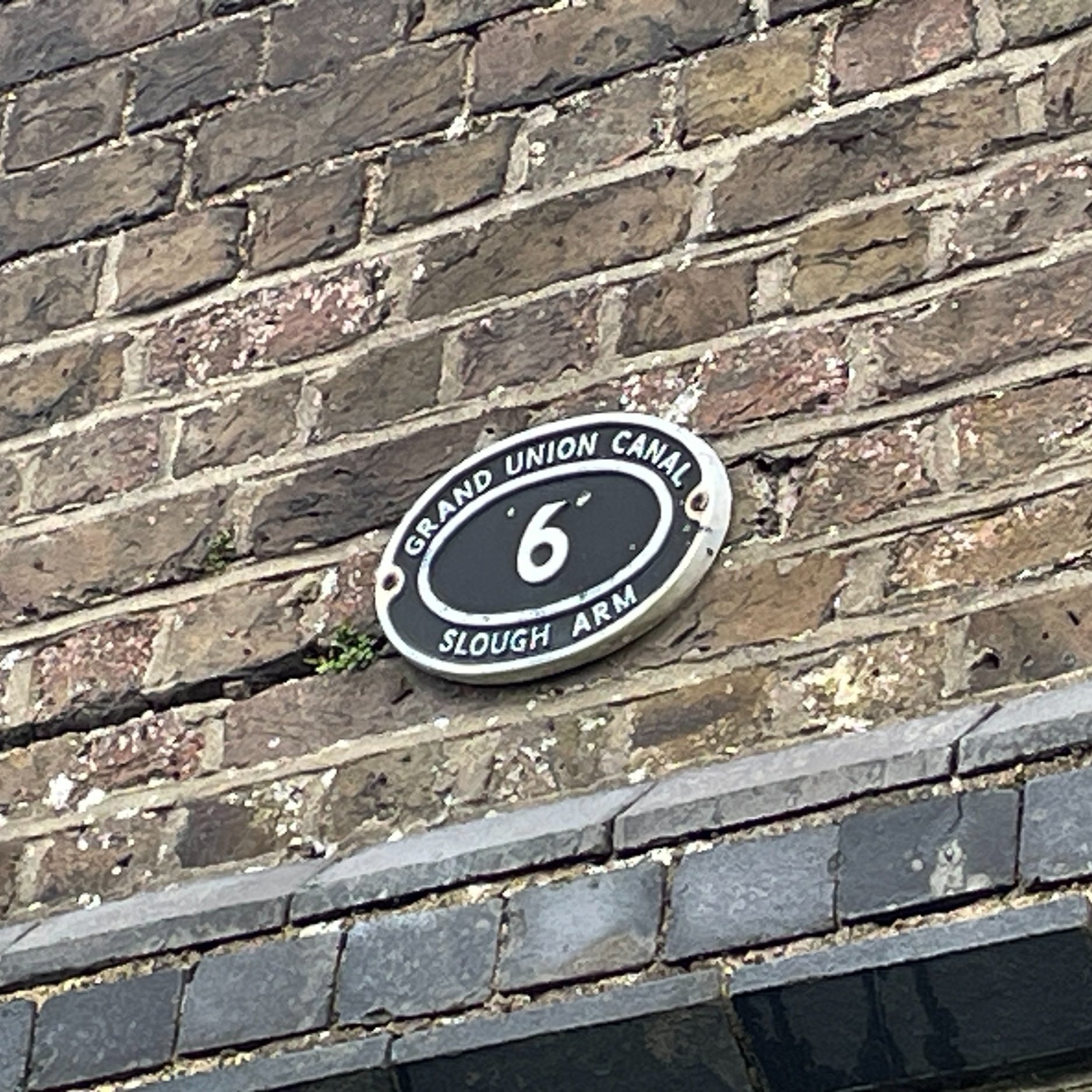
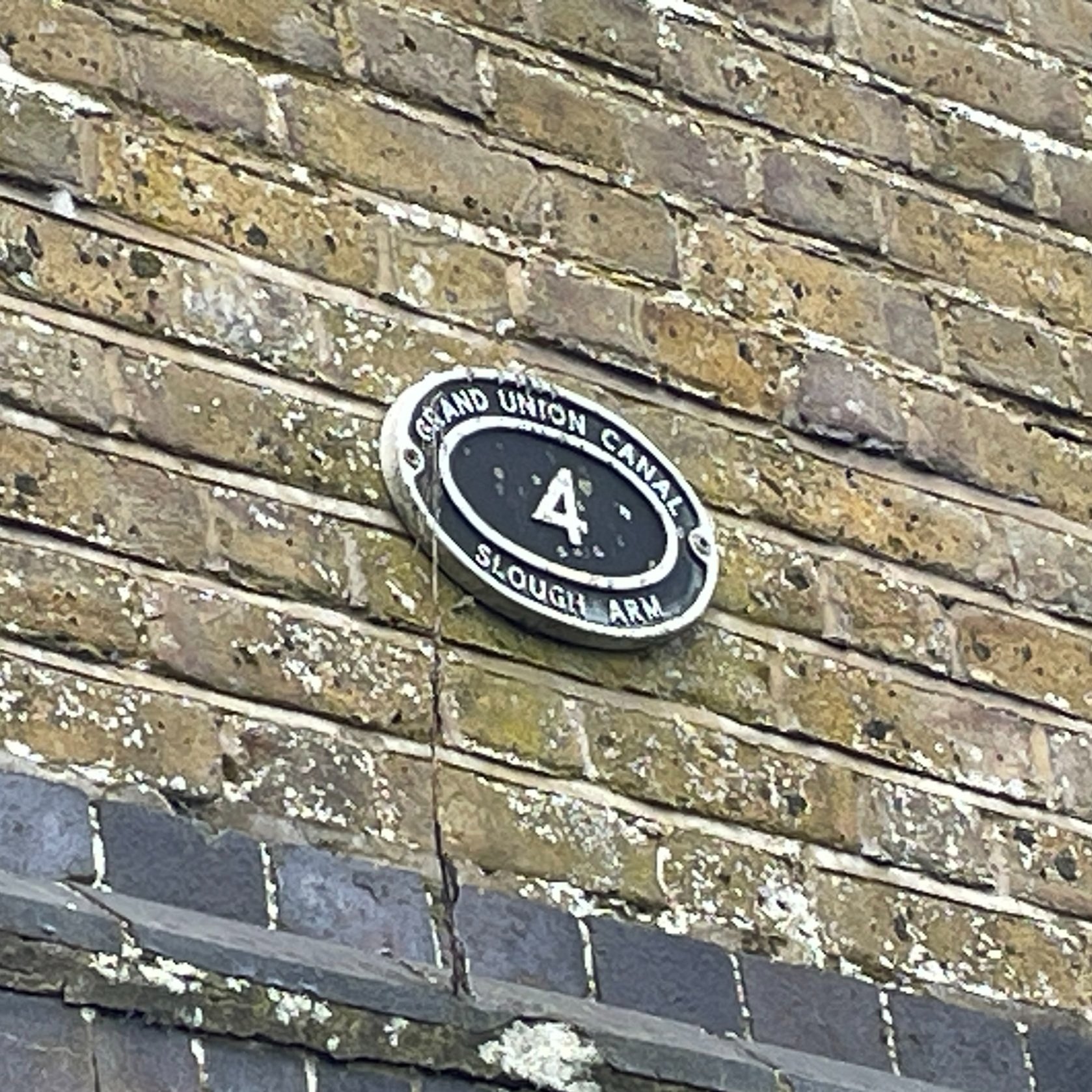
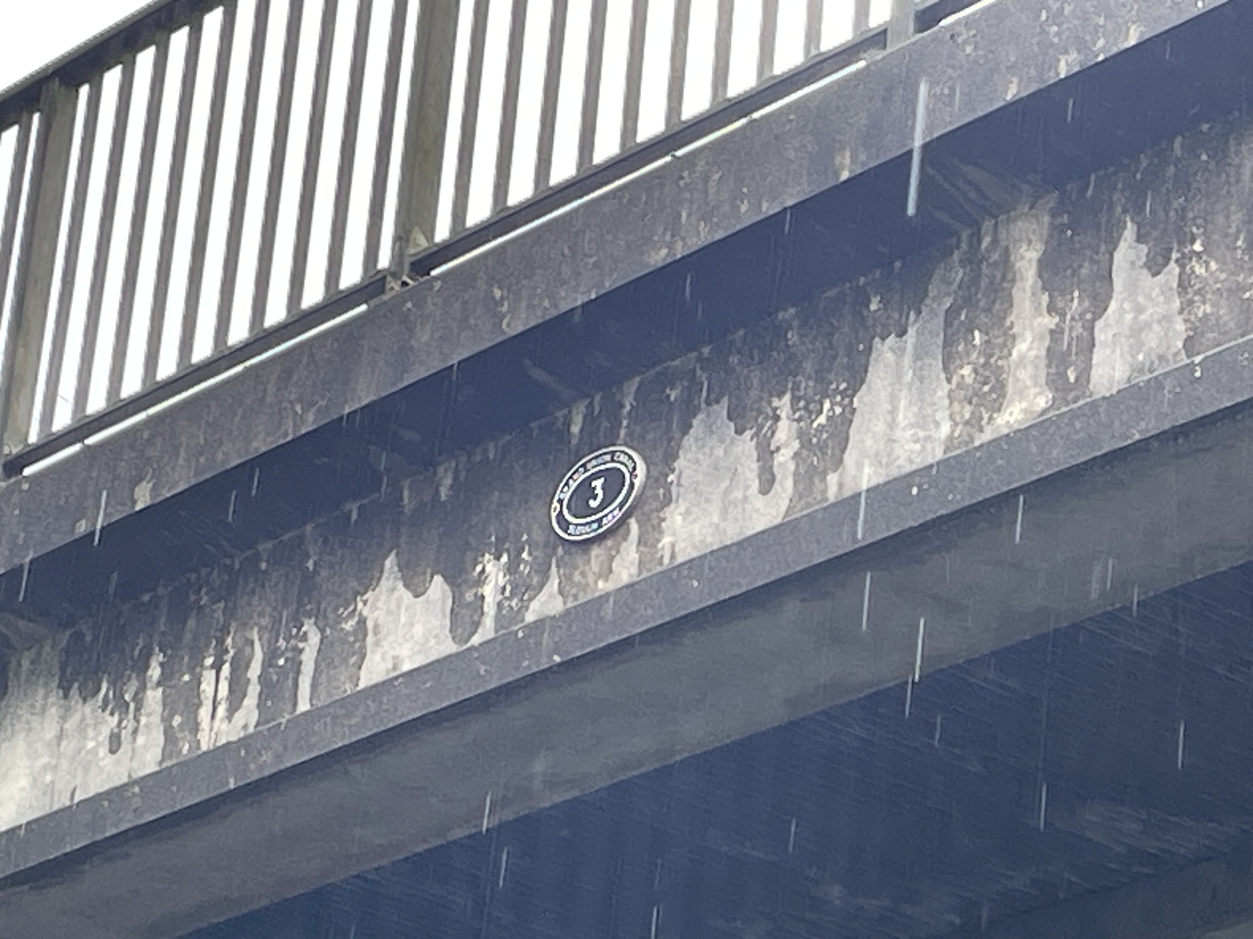
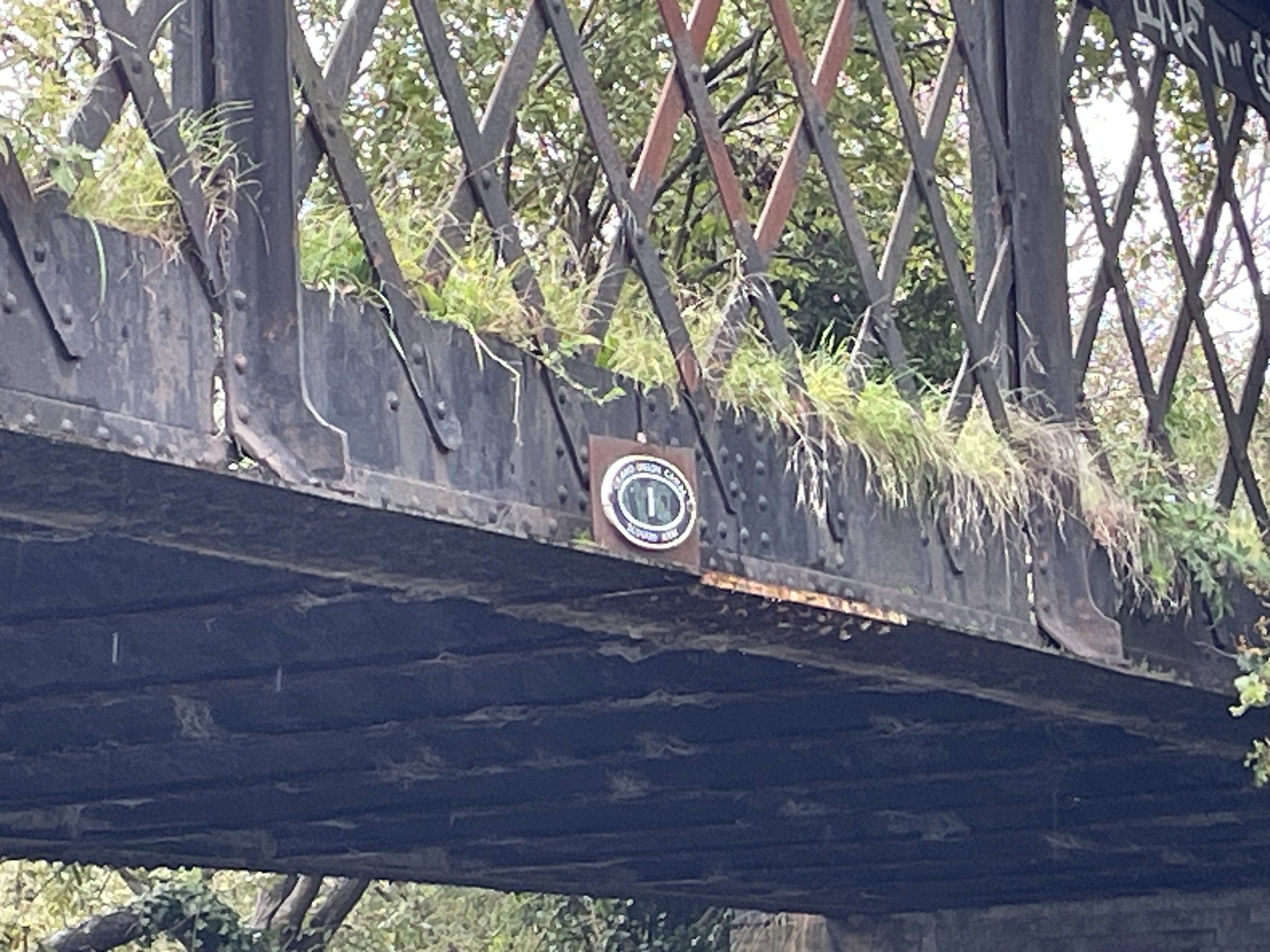
Bridge numbers counting down from the Basin to the Junction with the Grand Union. Bridges 5 and 2 have been destroyed.