Walking The Beeches Way

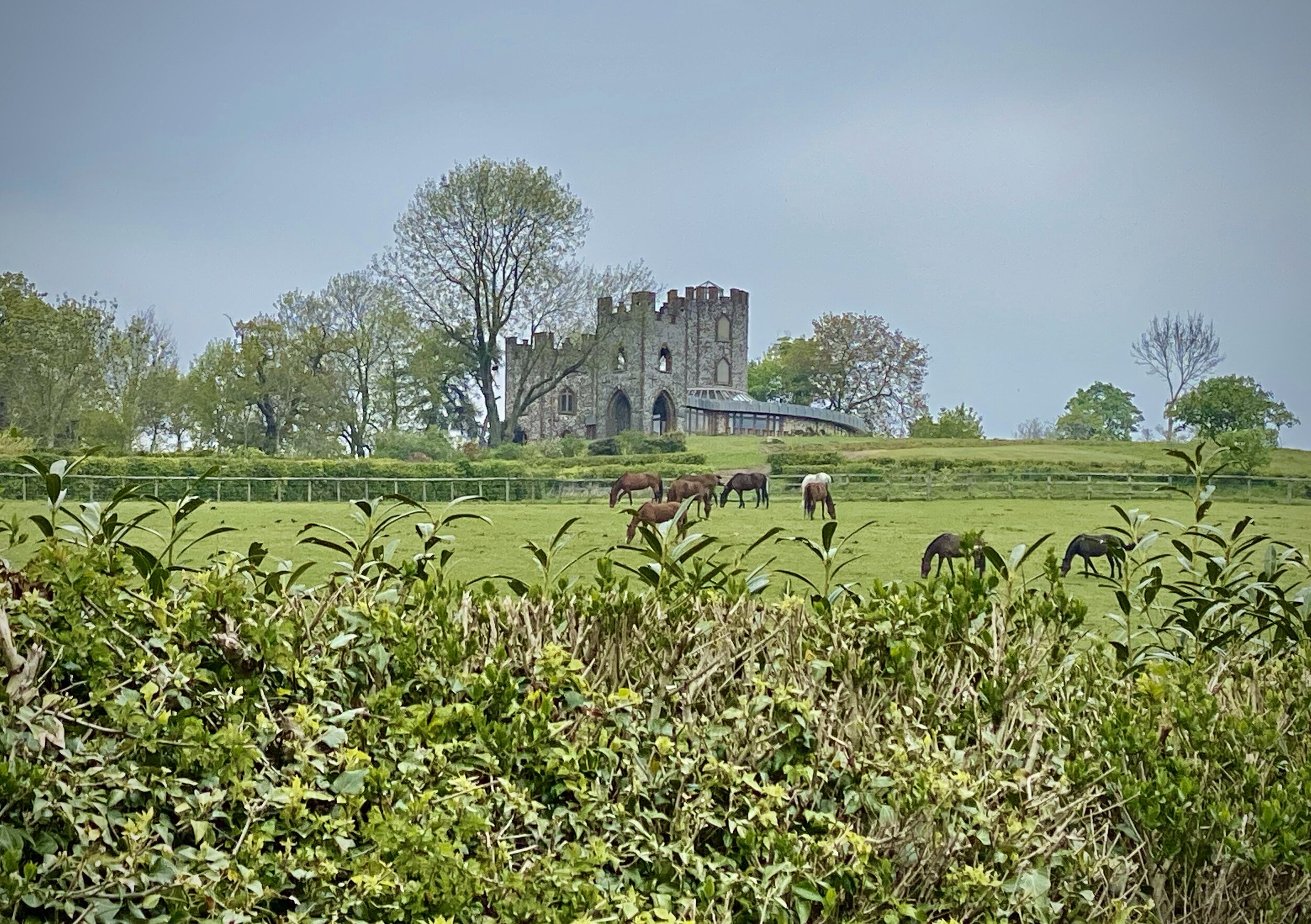
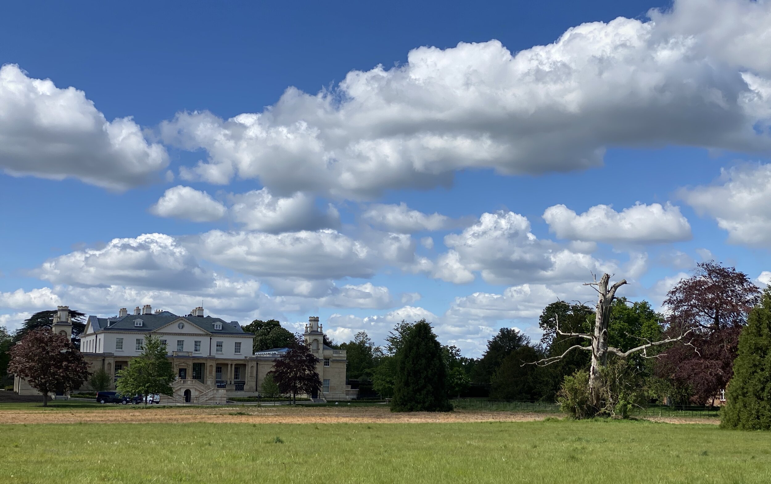
Lord Boston’s Folly, Hedsor
For a well signed route very close to my home, it’s odd that I’d not completed this one years ago. At 27km (18 miles) this would have made for a good training for an ultra marathon so I kept it on the back burner for when I needed it. When the Covid-19 Lockdown came and all races cancelled, it was time to bring it forward. So, as soon as it was acceptable to travel a small distance from home, we decided that it was time to tackle it.
The guidance below will help you navigate but don’t use it as a fully accurate turn-by-turn guide. Always take a map and/or a GPX route and prepare well for the weather and terrain.
SECTION 1 - COOKHAM TO STOKE COMMON
Start: The Ferry, Sutton Road, Cookham, Maidenhead, SL6 9SN
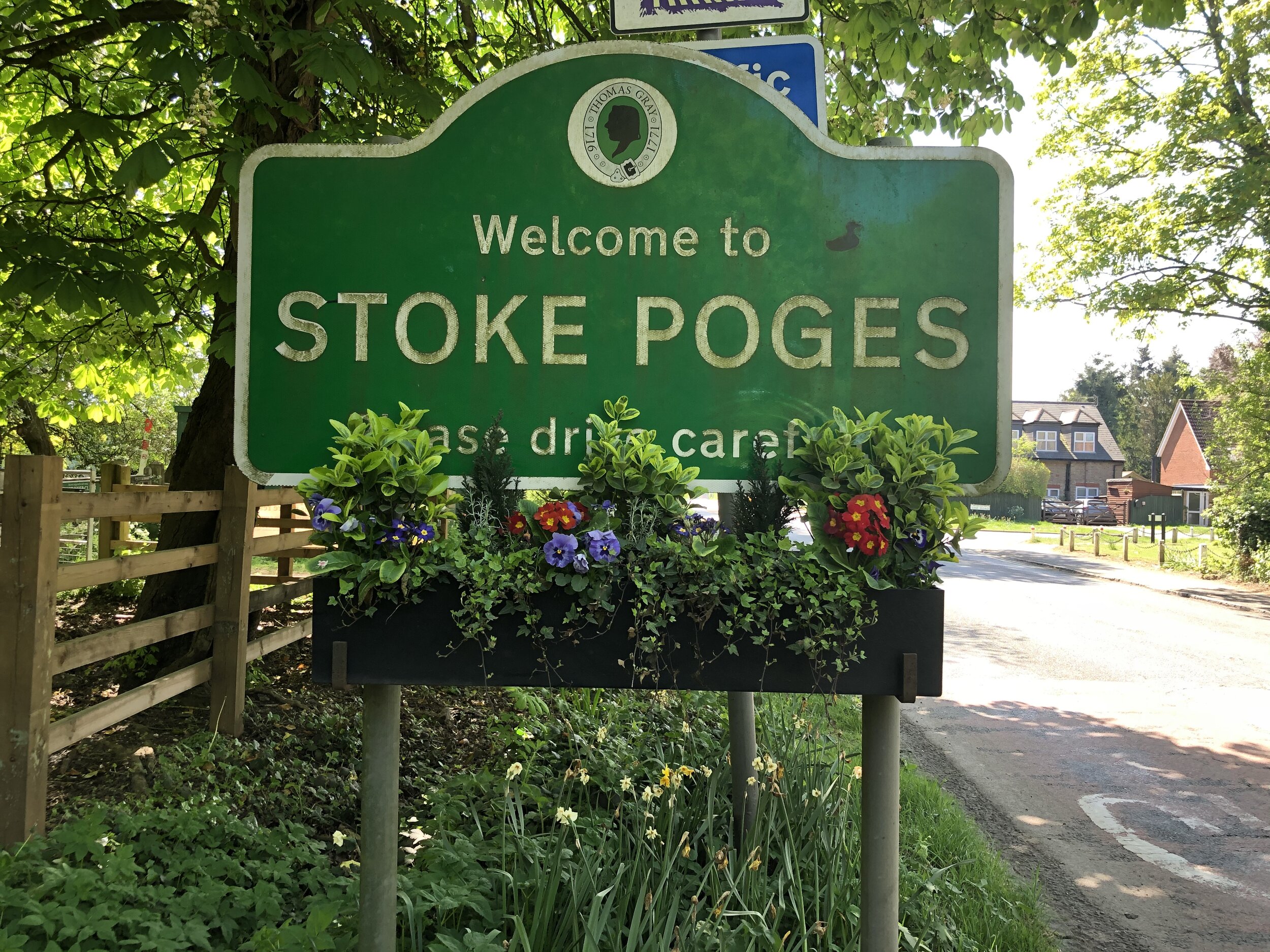
Finish: Bus Stop on the B416 at Stoke Common, Stoke Poges, SL2 4DP
Distance: 11.5 km (7.1 miles)
Elevation change: +118m / -69m. Net -49m
GPX File: get via Buy Me a Coffee
Other routes touched (walk): Thames Path, Chiltern Way Berkshire Loop, Shakespeare’s Way, Buckinghamshire Way
Other routes touched (cycle): Beeches Cycleway
Other Pubs / Cafes on route: The Blackwood Arms, The Beeches Eco Cafe, several in Farnham Common
Map: OS Explorer Map (172) Chiltern Hills East
Links: Cookham, Hedsor, Burnham Beeches, Farnham Common, Stoke Common
The best place to start is the Ferry, a lovely riverside pub and restaurant next to the road crossing on the Thames at Cookham. The car park is for customers only but there’s other parking options nearby if you’re driving to the start. For the rail-return option (see below for details), Cookham Station is a 1.3 km walk to the Ferry.
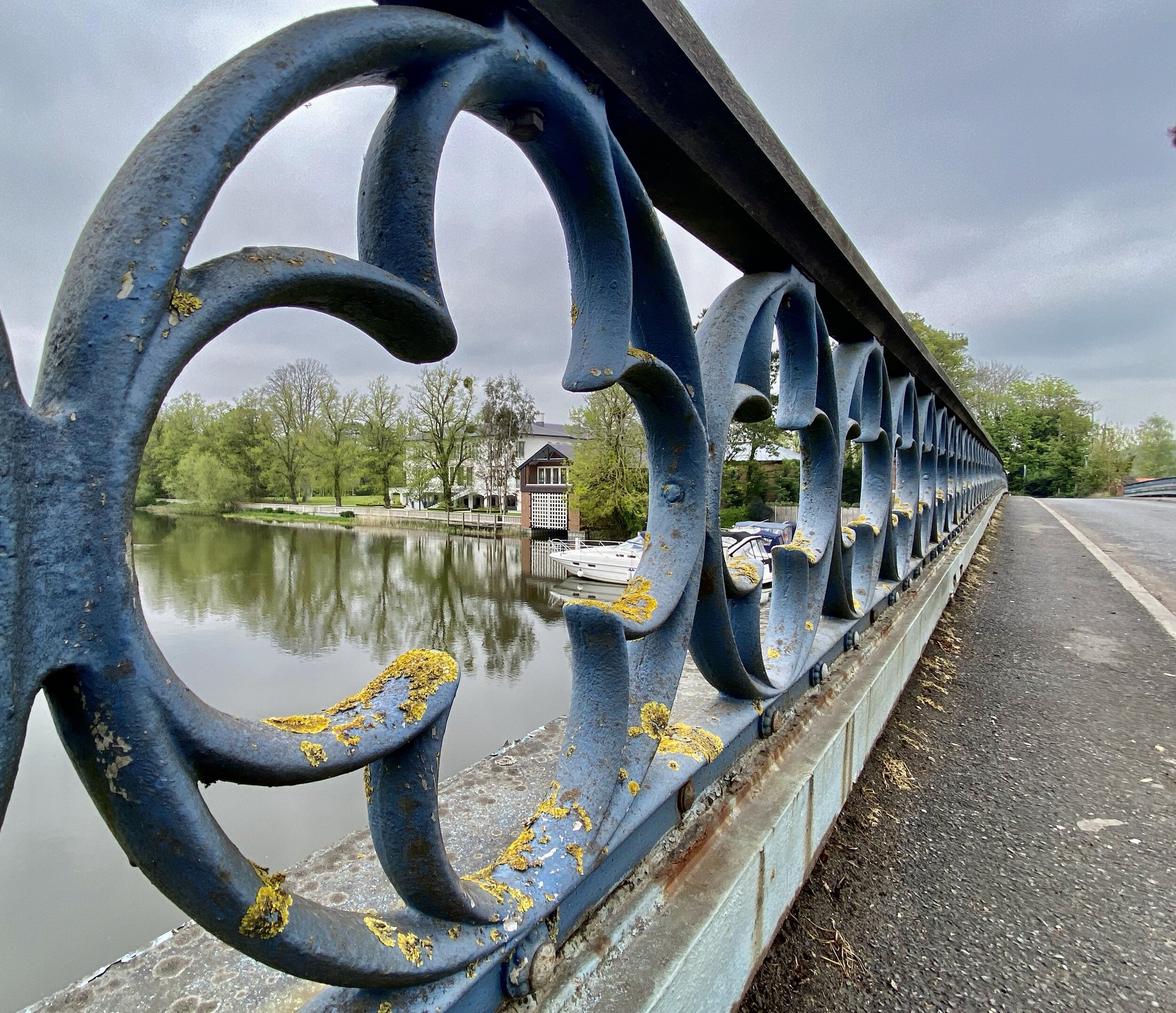
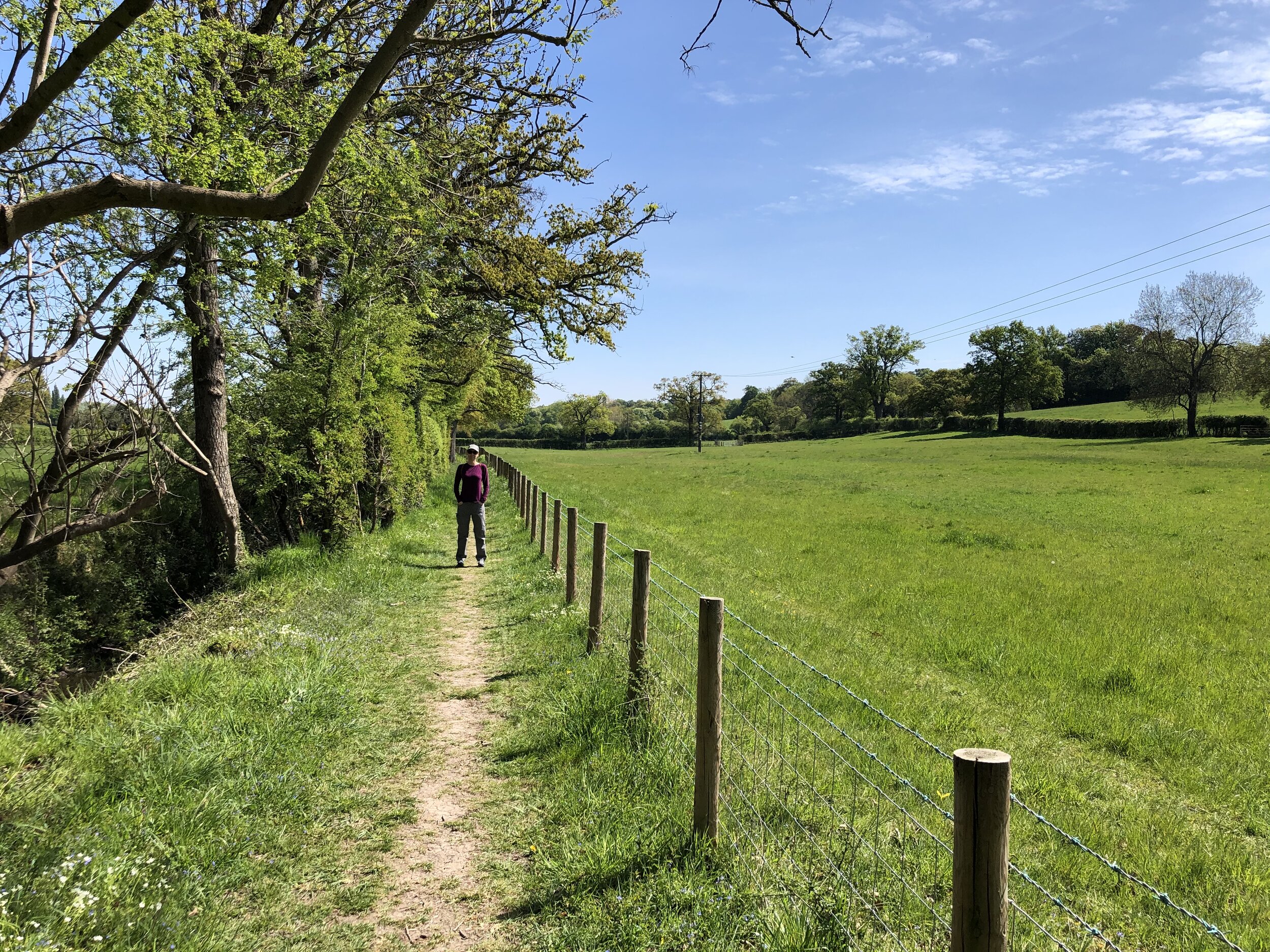
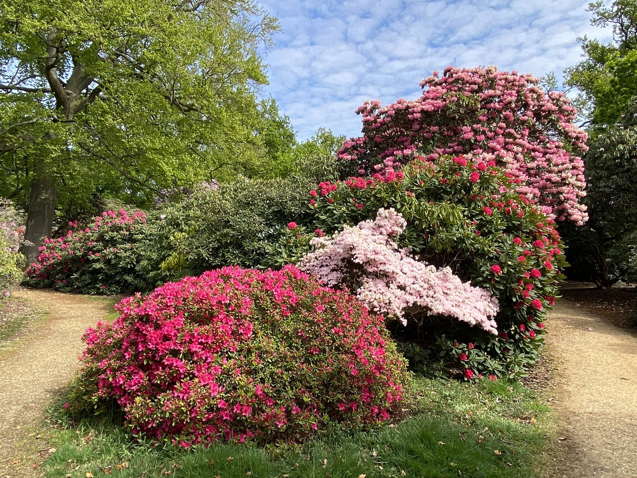
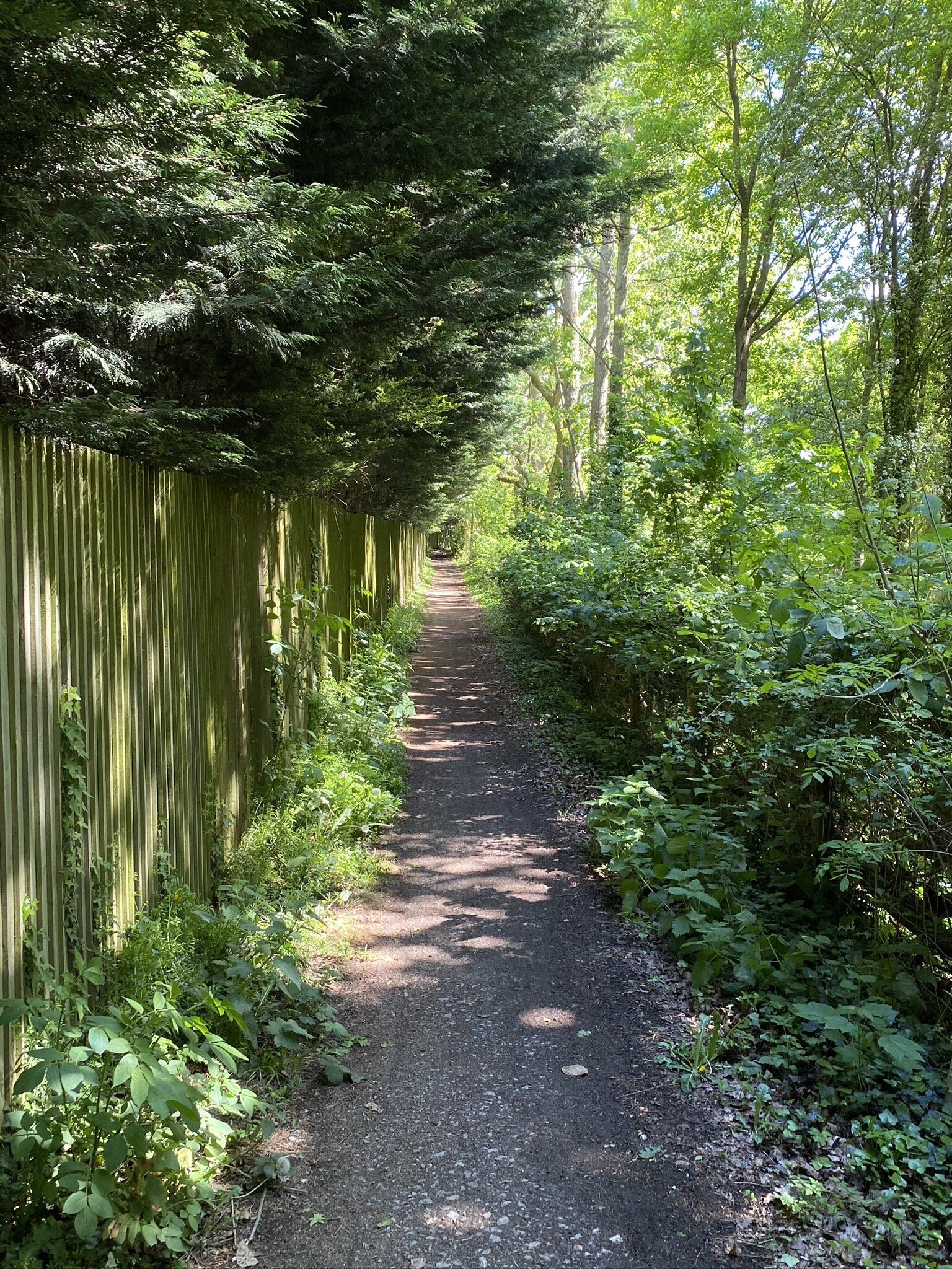
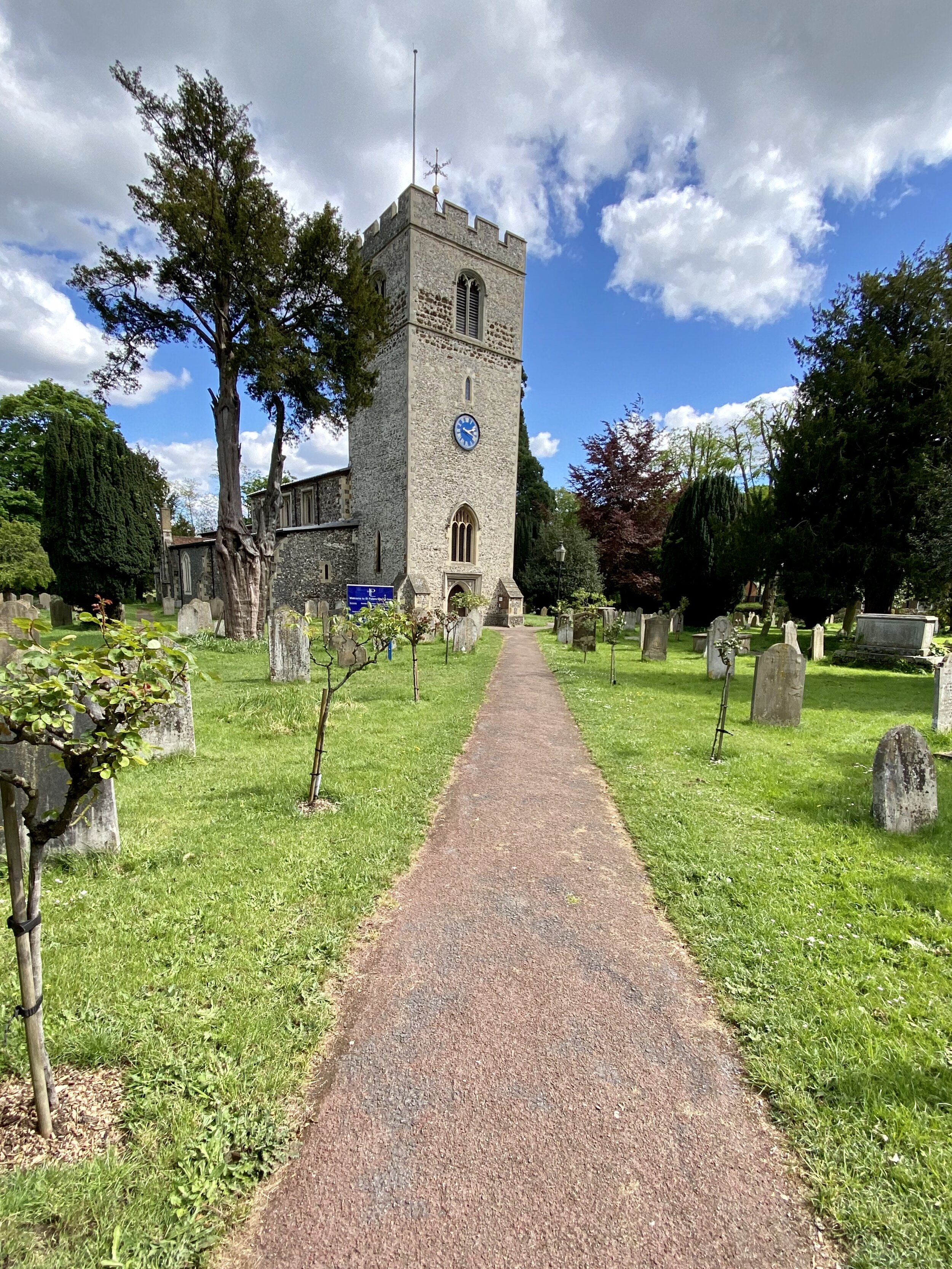
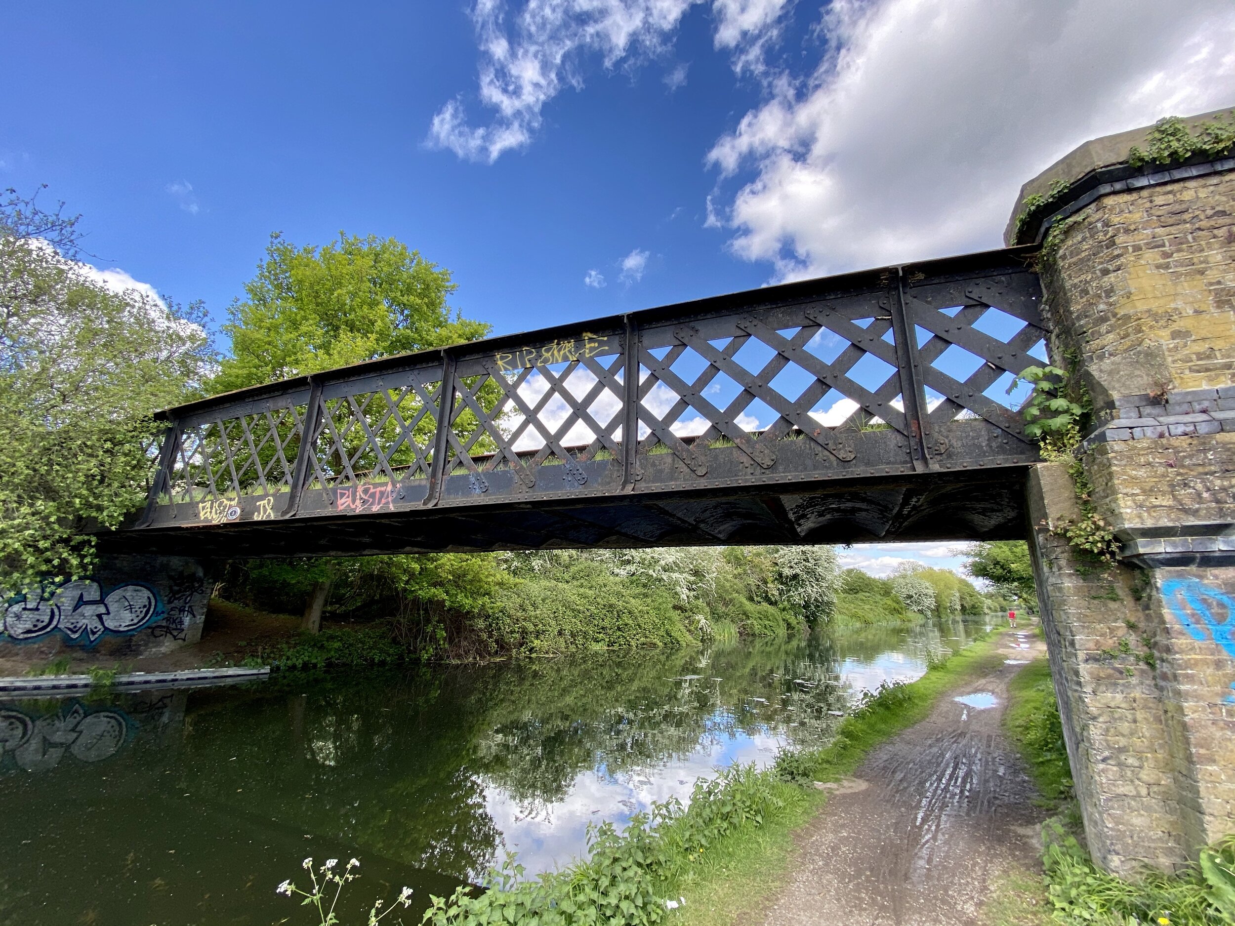
From the Ferry, cross the road bridge and look out for the footpath on the right hand side of the road past the county sign for Buckinghamshire. Here you’ll cross a field and rejoin the Thames for a short distance. After passing through a small gated estate you’ll cross Hedsor Hill Road and onto a track that passes St Nicholas Church on the right and Hedsor Folly on the left. The 1km from Hedsor Lane to Broad Lane is pretty steep but once you get to the top the rest of this section is fairly flat.
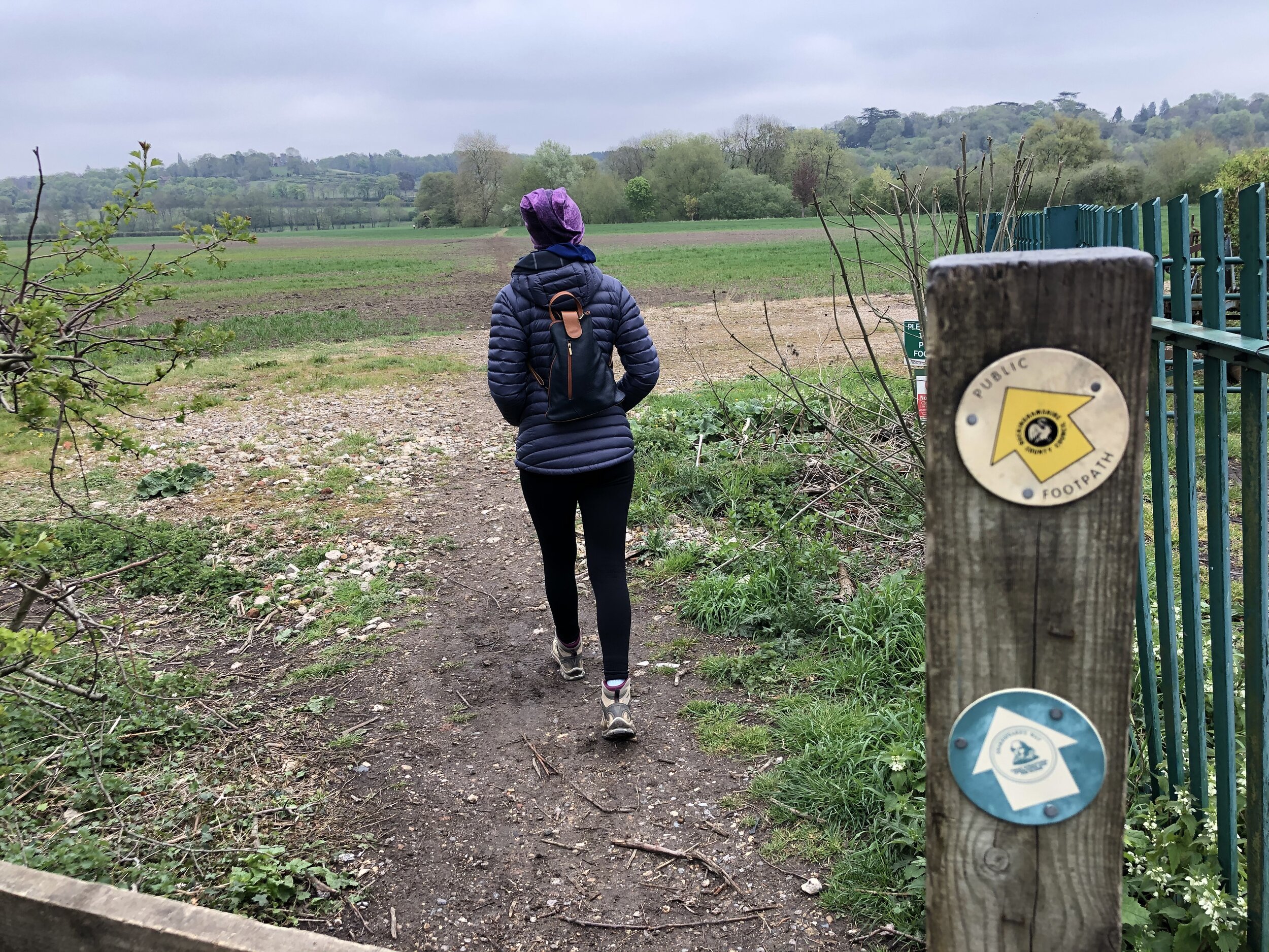
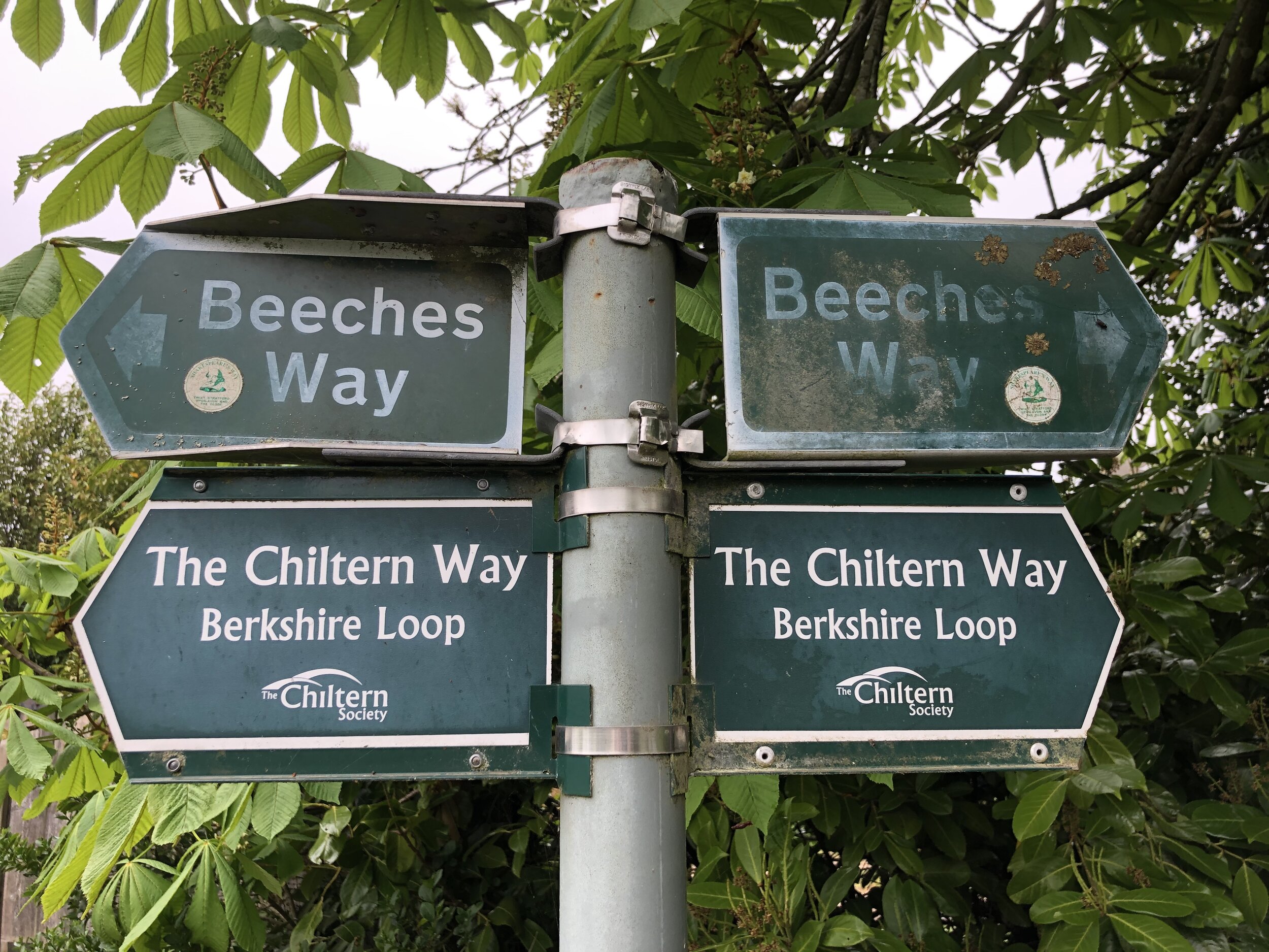
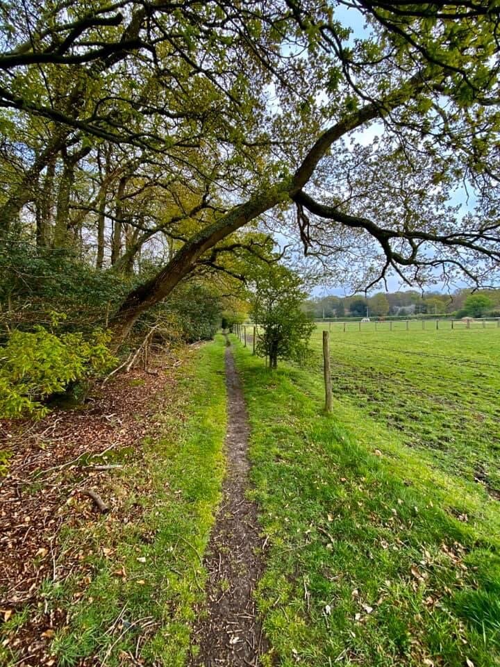
As you continue along the Beeches Way you’ll notice that there’s a lot of signage to assist you. Be careful though as the Beeches Way signs are poorly maintained and many have faded or have moved, pointing in ambiguous directions. As the route also follows Shakespeare’s Way, you can look out for that route’s stickers, but a map or GPS route would be very helpful.
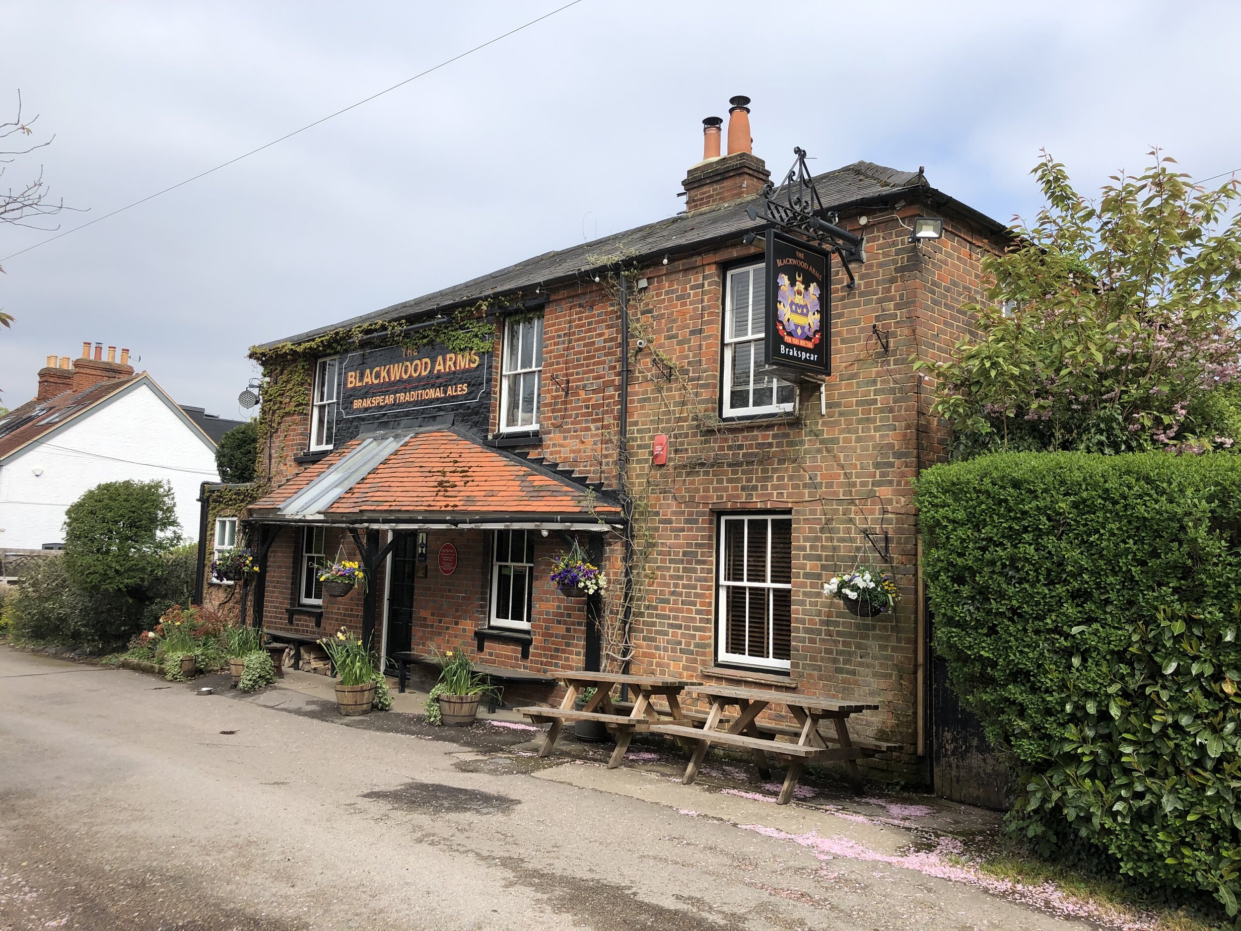
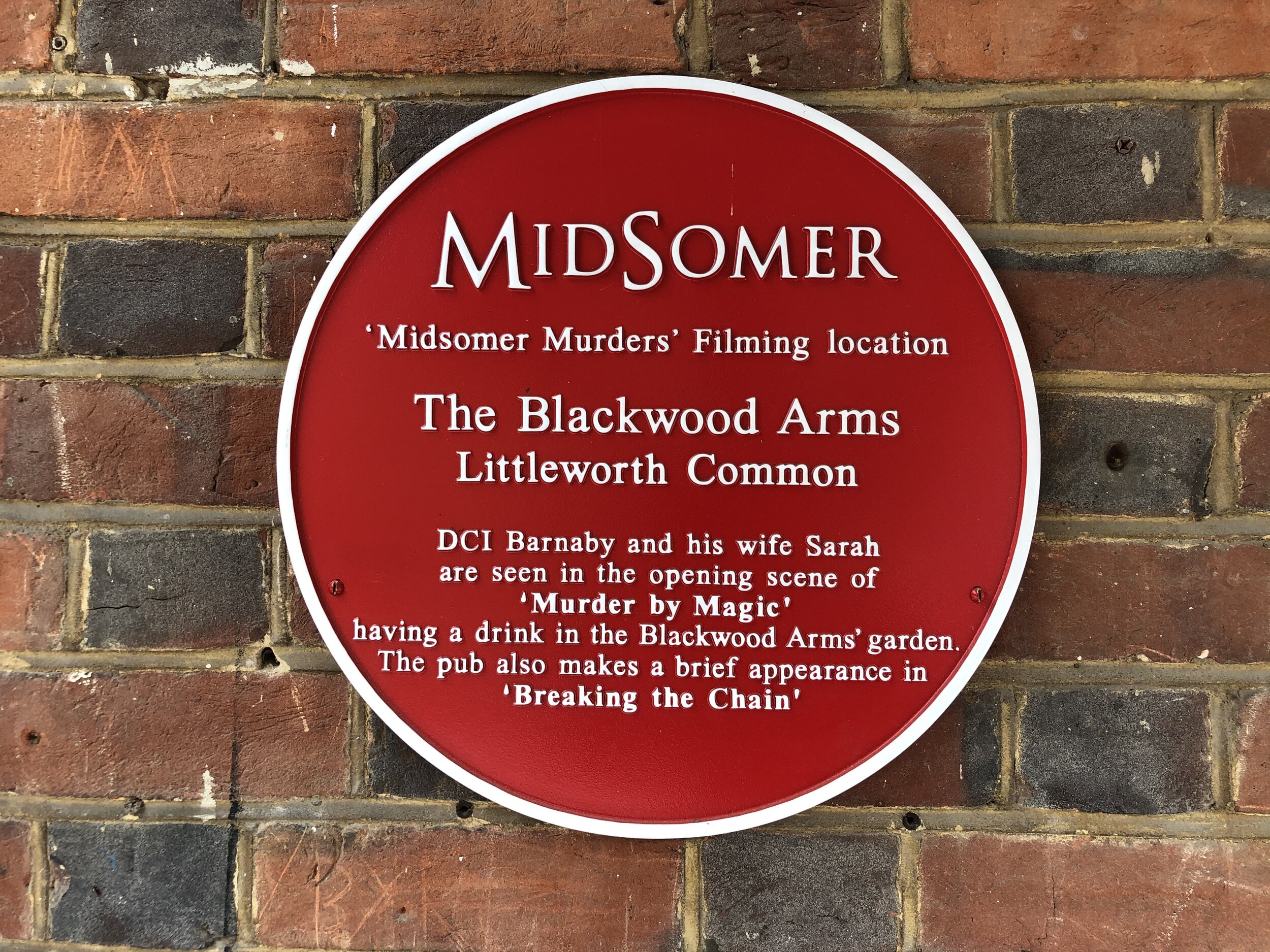
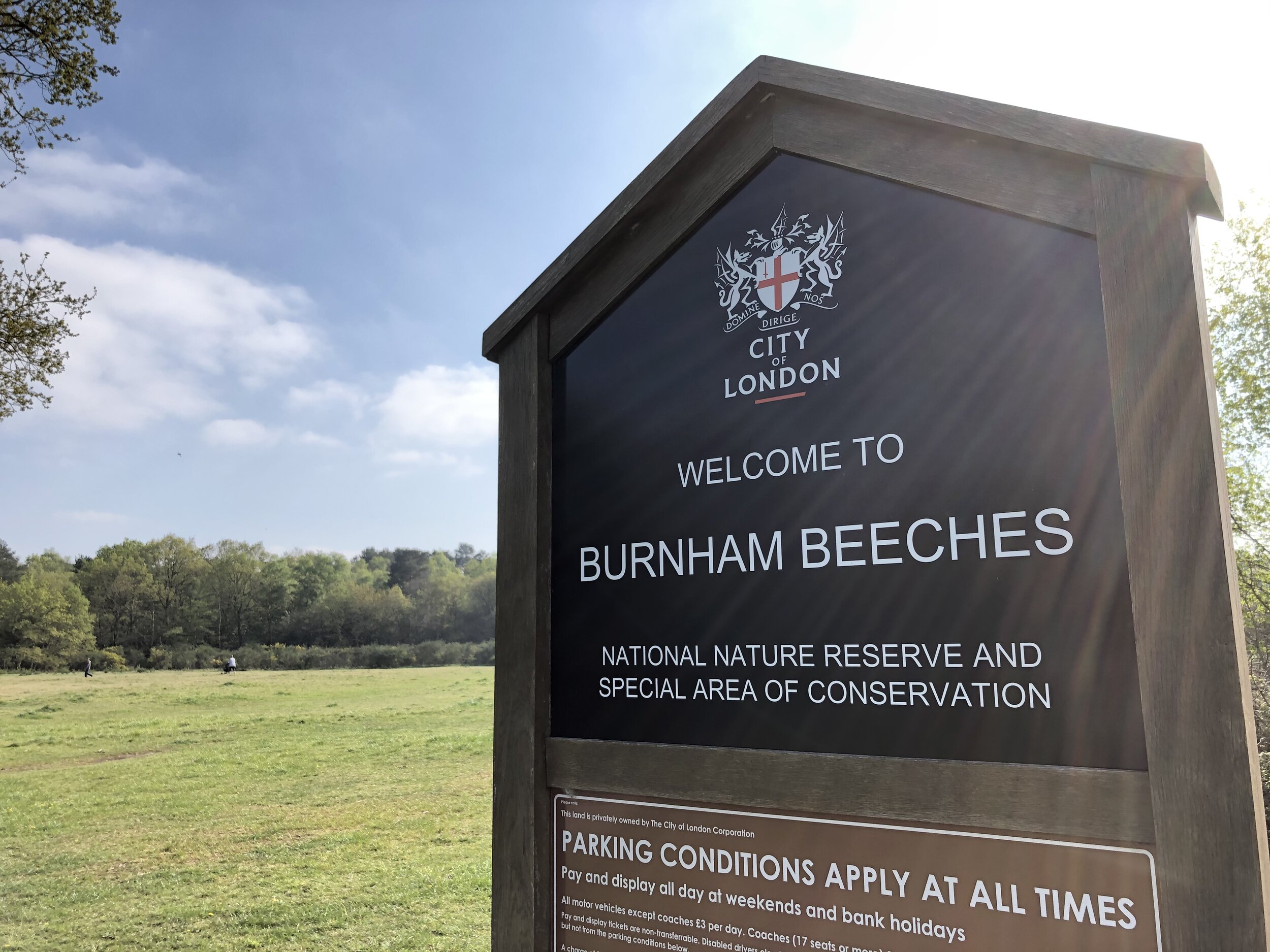
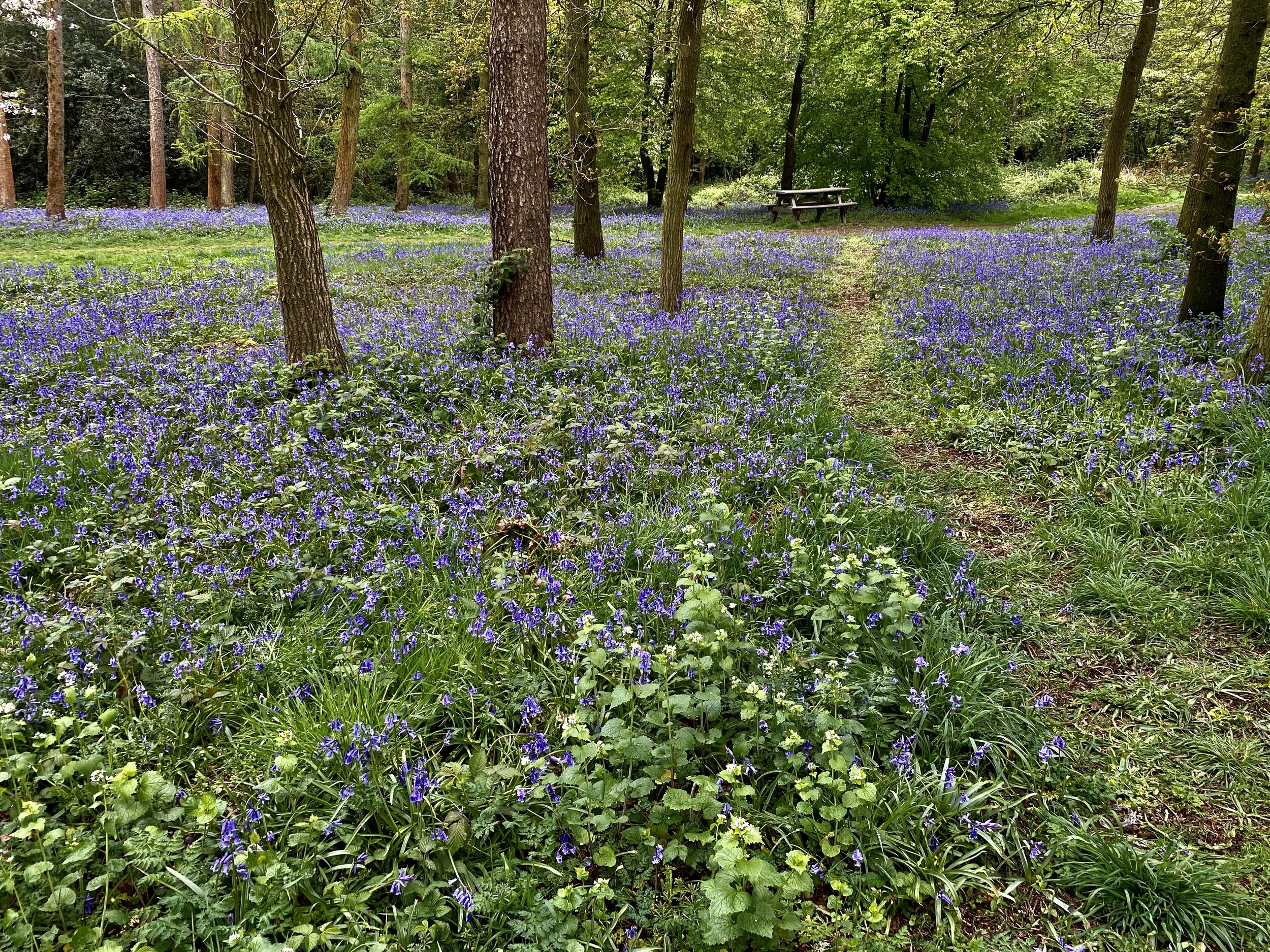
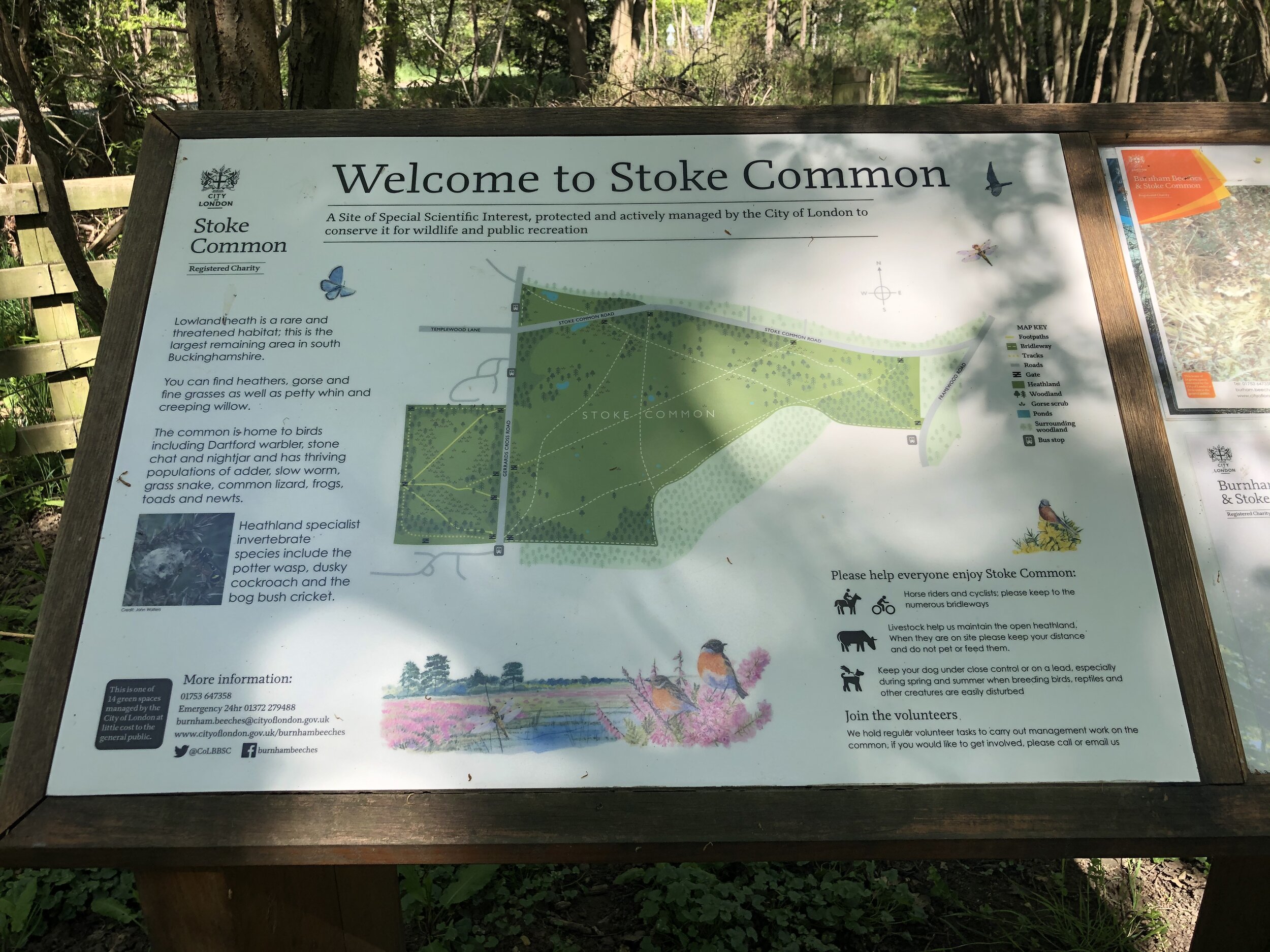
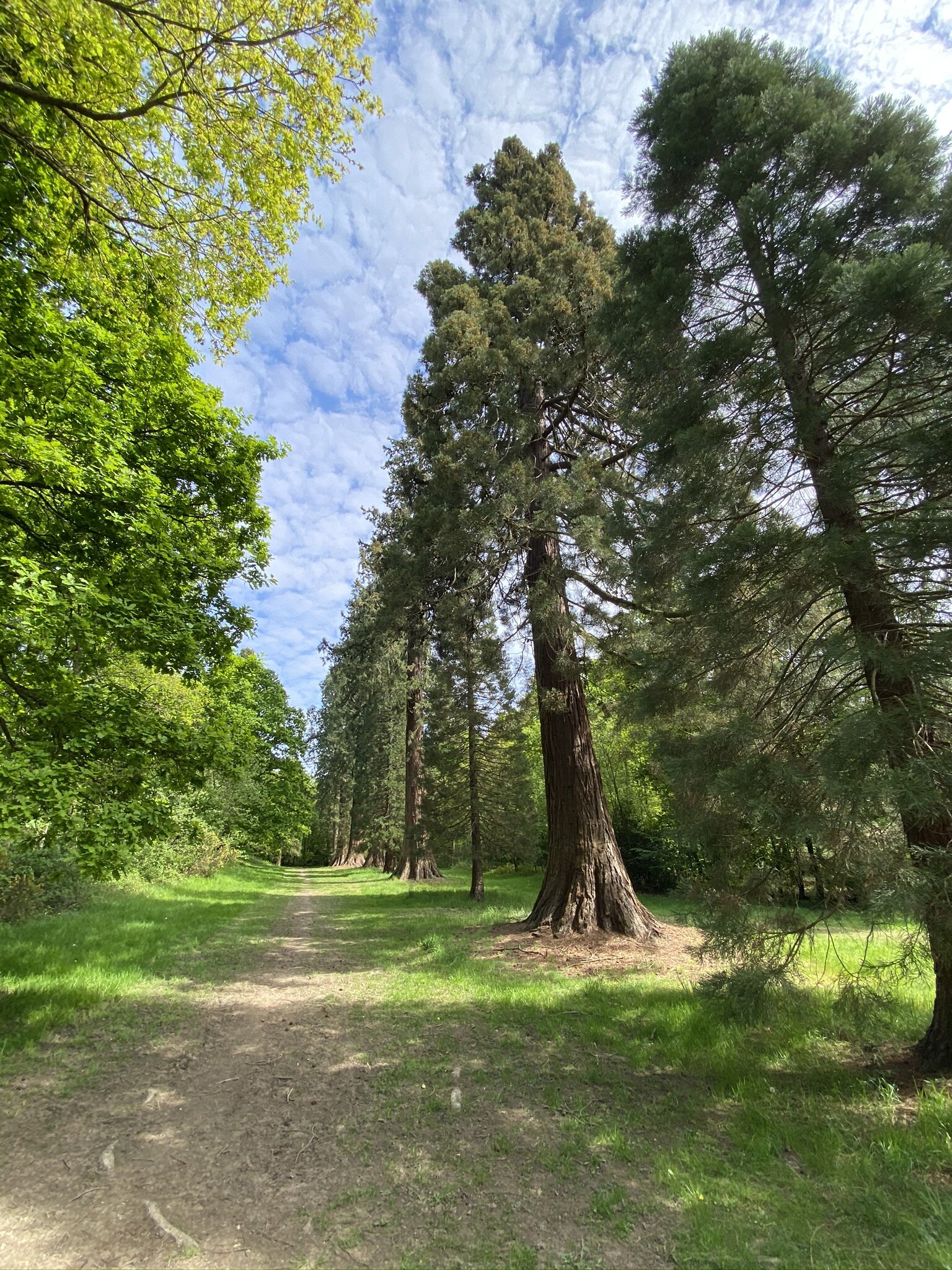
At approx 5.5 km in you’ll pass the Blackwood Arms, location of some Midsomer Murders episodes and a good place for a rest at approximately half way in. From here you’re only 1 km from the section than runs through Burnham Beeches, a well maintained country park and nature reserve. From Burnham Beeches you’ll pass through Farnham Common and woodland before reaching the end of this section at Stoke Common.
There’s a bus stop at the B416 Gerrards Cross Road with connections to Amerham, Wycombe, Gerrards Cross and Slough. If you’re driving the parking options are extremely limited here so an alternative end point would be Farnham Common. This would reduce section 1 by just over 2 km and add it to section 2.
SECTION 2 - STOKE COMMON to Langley Park
Start: Bus Stop on the B416 at Stoke Common, Stoke Poges, SL2 4DP
Finish: Langley Park Car Park, Billet Lane, Iver, SL0 0LT
Distance: 7.3 km (4.5 miles)
Elevation change: +48m / -65m. Net -17m
GPX File: get via Buy Me a Coffee
Other routes touched (walk): Shakespeare’s Way
Other routes touched (cycle): Beeches Cycleway
Pubs / Cafes on route: The Black Horse Fulmer, San Remo Kiosk Black Park, Langley Park Tearoom
Map: OS Explorer Map (172) Chiltern Hills East
Links: Stoke Common, Fulmer, Black Park, Langley Park
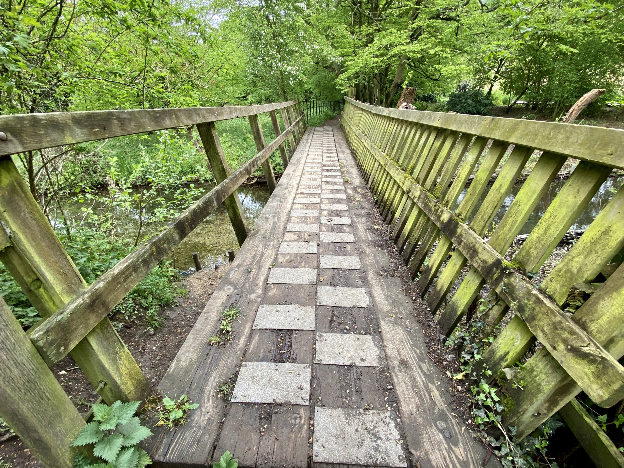
From the B416 Gerrards Cross Road enter Stoke Common and follow the main North-Easterly path to the footpath exit on Stoke Common Road. Take a left onto Windmill Road down to Fulmer village centre. The Black Horse pub is one of our favourites and a good, albeit pricey, stop for a meal. On the North side of St James’ Church, take the footpath to the right before the bridge over the Alderbourne Stream. The trail follows the stream for ~300m before heading uphill through fields and into the private Fulmer Rise Estate.
Continue through the Fulmer Rise estate to exit and take a left onto Fulmer Common Road. When we got to the big metal footpath gate we found that one of the residents had locked it off with a bike chain. Some other walkers had already turned around and gone back to Fulmer. We asked a nice lady in the nearest house to open the car gate for us and continued on our way. Hopefully that was a one-off incident of public right-of-way blocking but we reported it to the council anyway.
A short way down Fulmer Common Road, take the first right onto Black Park Road and then a path ~400m on the left into Black Park. This is one of my favourite Country Parks and location of my home parkrun event. There’s many trails through the park but you’re basically heading South East to the footpath exit onto the A420 Uxbridge Road. Keeping to the Western side of the park will take you around the lake and past 2 cafes while the Eastern side will give you a glimpse of the back of Pinewood Studios at the North End.
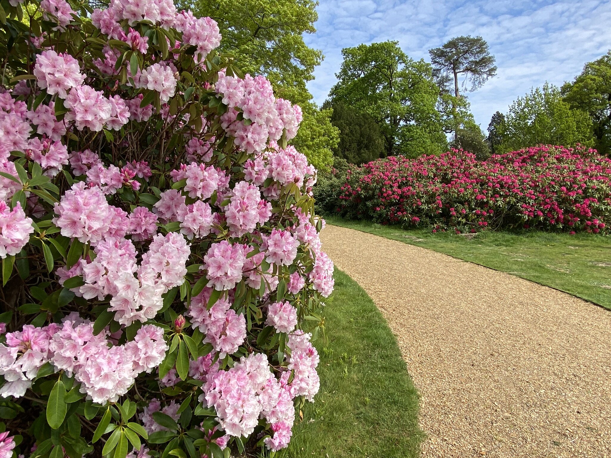
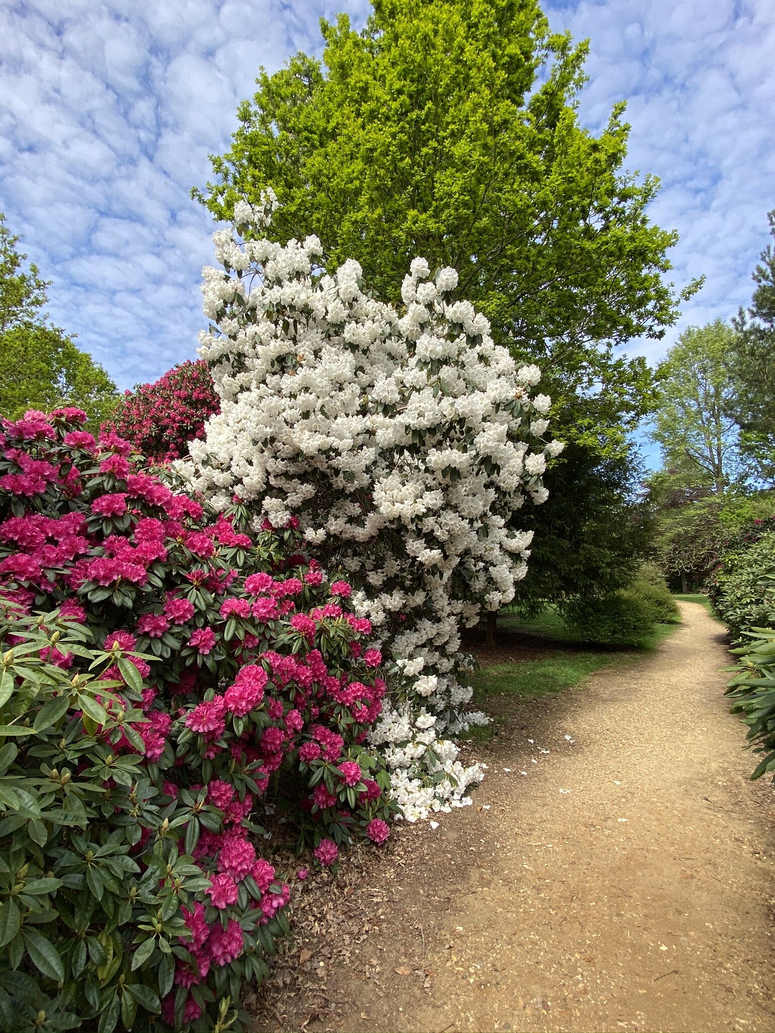
At the South-East corner of Black park you can cross over the A420 Uxbridge Road to enter the North Eastern corner of Langley Park. Be very careful crossing this road as it can be extremely busy with cars travelling very fast. With the noisy road behind you, you can now enjoy the peace of the Rhododendron walks through Temple Gardens. This stage of the walk ends at the Langley Park cafe and car park as you emerge from Temple Gardens.

SECTION 3 - Langley Park to West Drayton Railway Station
Start: Langley Park Car Park, Billet Lane, Iver, SL0 0LT
Finish: Station Approach, Yiewsley, West Drayton UB7 9DY, United Kingdom
Distance: 8 km (5 miles)
Elevation change: +29m / -61m
GPX File: get via Buy Me a Coffee
Other routes touched (walk): Shakespeare’s Way, London Loop, Grand Union Canal, Grand Union Canal Slough Arm, Colne Valley Trail
Other routes touched (cycle): NCN 61
London Coal Duty Posts: 69
Pubs / Cafes on route: Langley Park Tearoom, The Swan At Iver, The Rail Road Cafe West Drayton
Map: OS Explorer Map (172) Chiltern Hills East and OS Explorer Map (160) Windsor, Weybridge & Bracknell
Links: Langley Park, Iver, Yiewsley
From the Langley Park car park follow any of several footpaths through the park to the South Eastern corner. Here you’ll pick up a path heading directly East with sign-post for the Beeches Way, Shakespeare’s Way, Colne Valley Trail and NCN 61. Continue following the Beeches Way for 3 km on an Easterly direction. You’ll cross over Billet Lane, Wood Lane and Love Lane along the way, each of these running North/South. When you reach Bangor’s Road South you’ll turn right onto it, following South-East for ~300m before turning left onto Coppins Lane. Continue North along Coppins Lane and follow it as it turns from a road into a footpath and curves to the East. Watch out for a junction in the footpath and be careful to turn right rather than continuing on the Colne Valley Trail
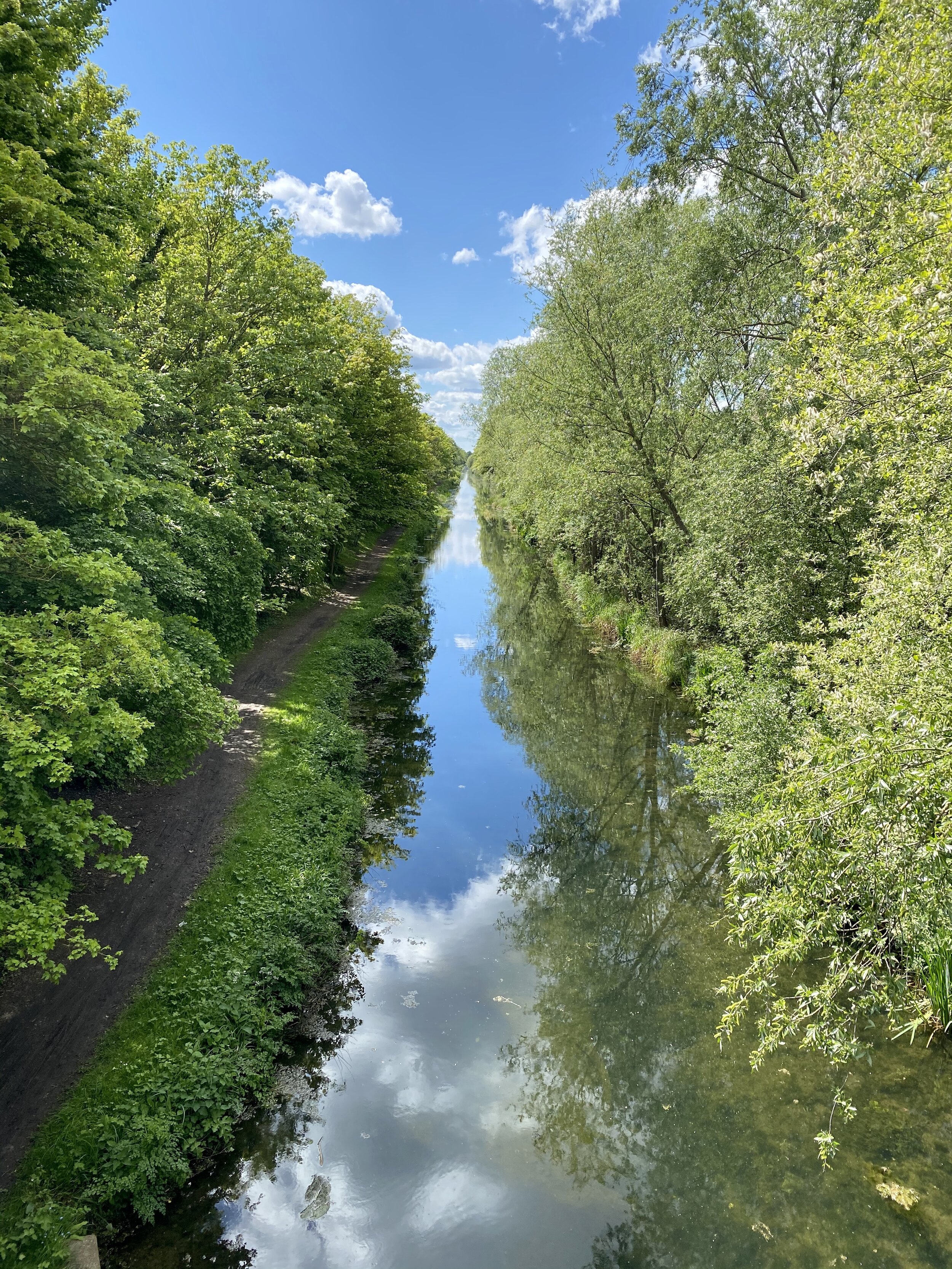
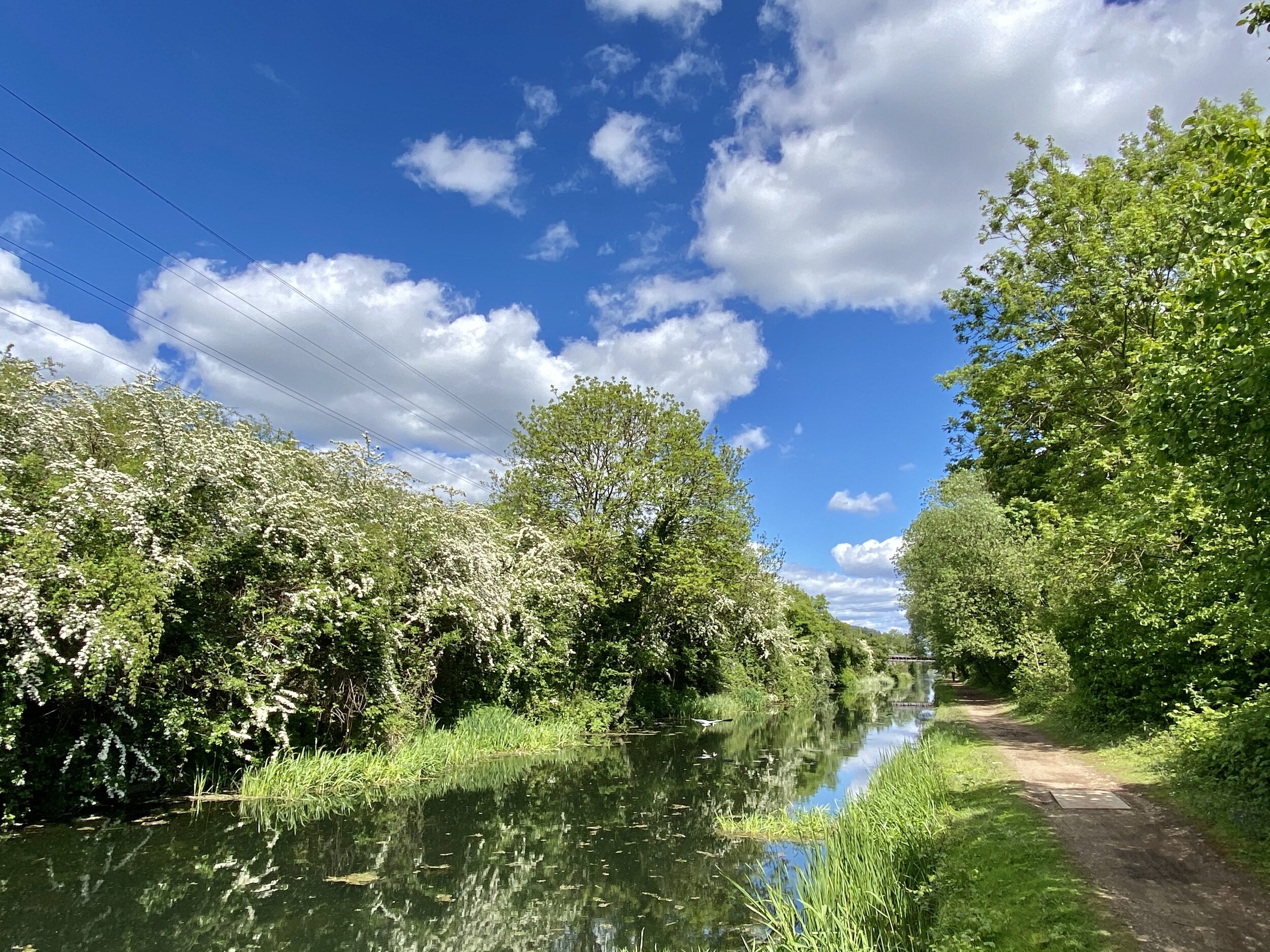
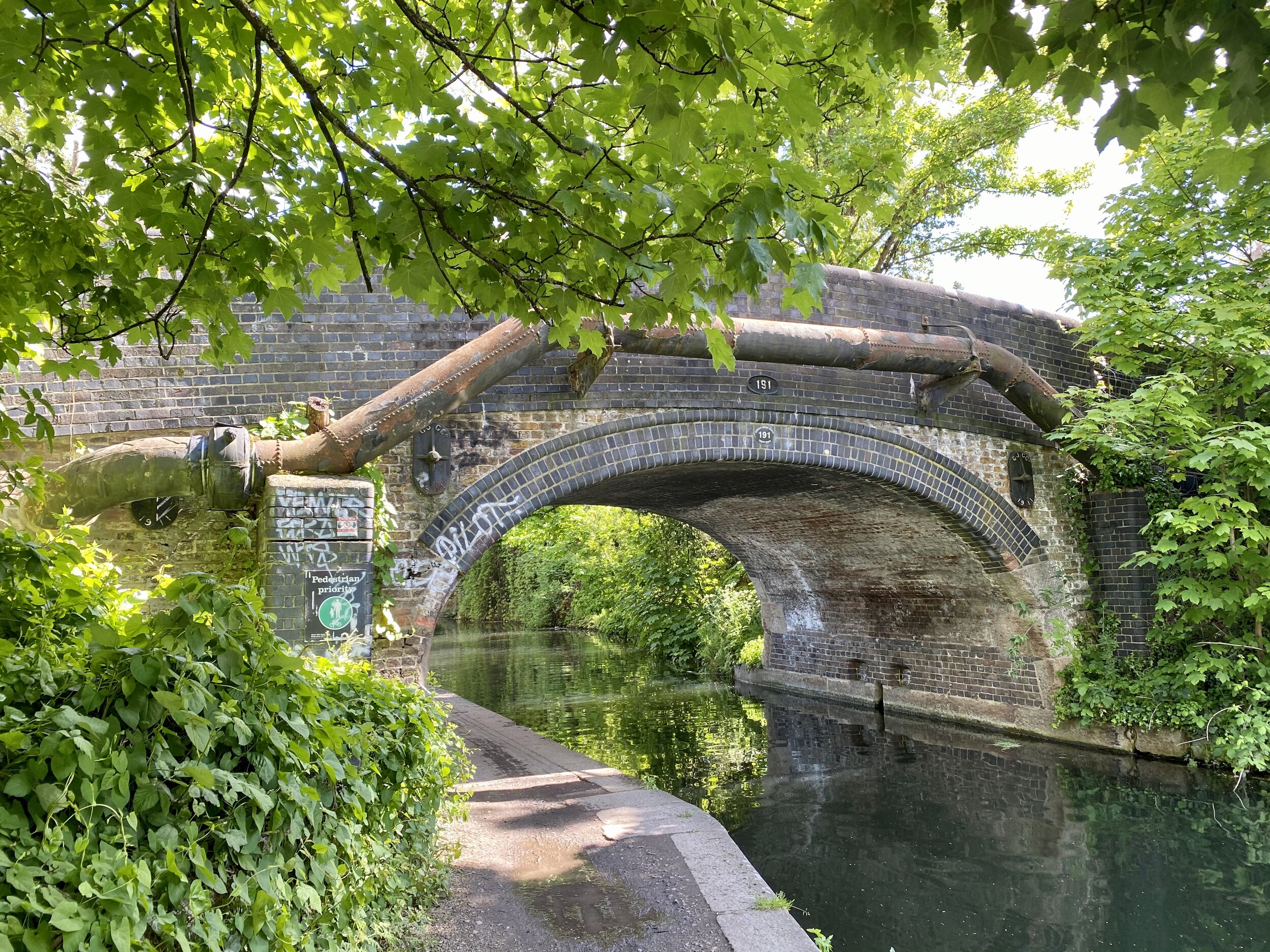
After leaving Coppins Lane you’ll continue due South for just over 1 km and will reach Iver High Street. Cross over the High Street and continue South along Thorney Lane North. When you see signs for the Beeches Way pointing left down Victoria Crescent DO NOT follow them. A bridge over the canal further down this section has been removed but the signs have not been updated. Instead, continue South down Thorney Lane North until you cross the Grand Union Canal. On the South West corner of the bridge you can walk down to the canal towpath. Walk East along the towpath and you’ll rejoin the Beeches Way.
Follow the canal for ~1 km, crossing over both the Colne Brook and River Colne. When you reach a big metal footbridge crossing over the canal watch out for sign-posts and a Coal Post. Take a right onto the path leading from the bridge and continue South East. After ~1 km you’ll cross the River Frays and across a residential island then over the main section of the Grand Union Canal. Follow the Grand Union South East for ~500m until you reach the end of the route at West Drayton.
Accessing the start and end by train
We tackled the Beeches way by leaving a car at either end of each of the point-to-point sections. If you want to complete the route in 1 day there’s also an option to take a train from one end to the other. Cookham Station is 1.3 km from the start of the route at the Thames river bridge and the end of the route is very close to West Drayton station. From West Drayton you can take a train heading west and change at Maidenhead. From Maidenhead take a train towards Marlow or Bourne End and get off at Cookham.