Ankerwycke and Wraysbury Circular Walk

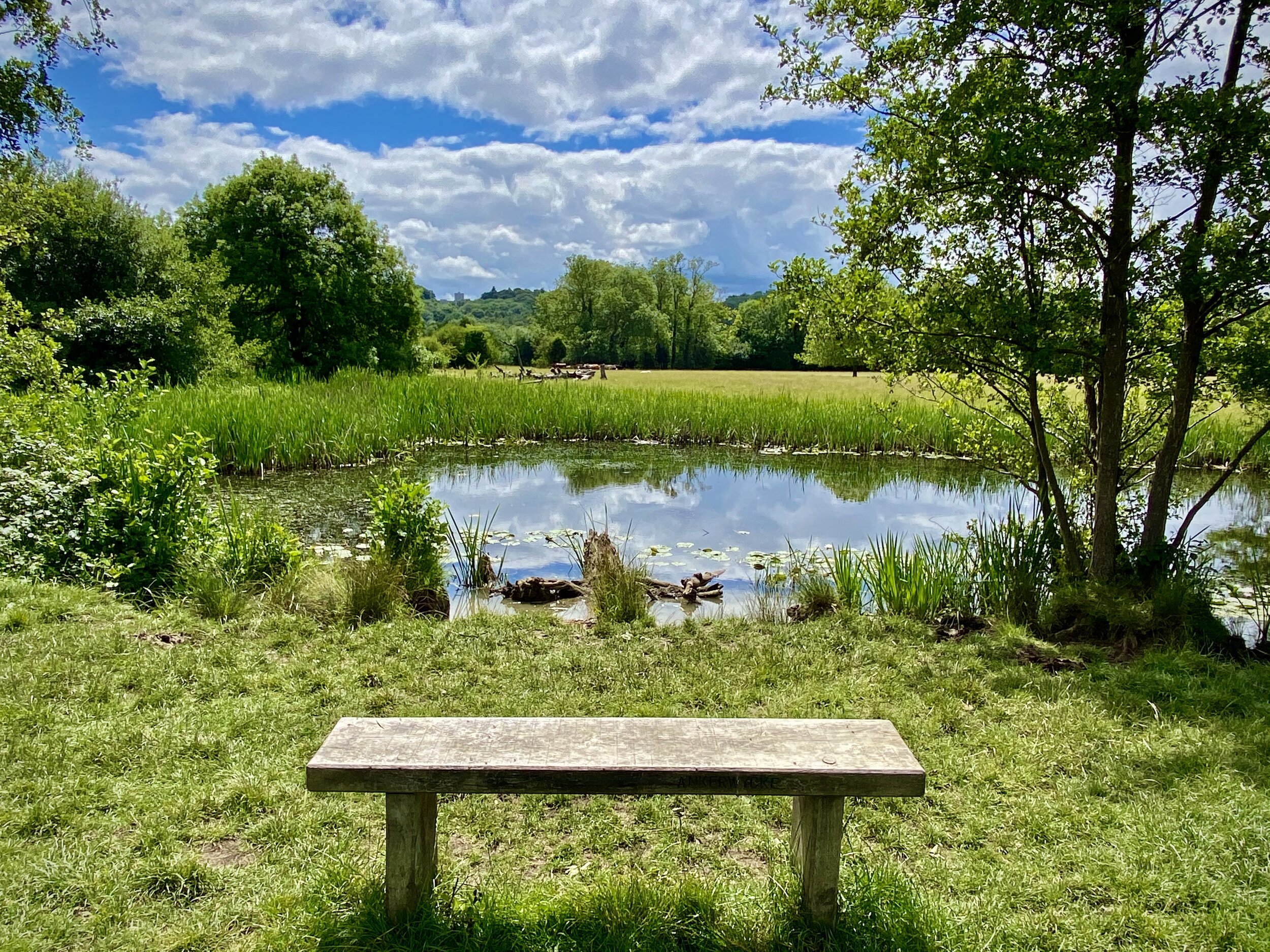
View of the Ankerwyke NT fields from the Western footpath near Magna Carta Lane
Start & Finish: The National Trust Car Park, Magna Carta Lane, Wraysbury, TW19 5AD
Distance: 8.8 km (5.5 miles)
Elevation change: + / - 33 m
GPX File: get via Buy Me a Coffee
Other routes touched (walk): Colne Brook Walk
Other routes touched (cycle): NCN 4
Pubs / Cafes on route: The George at Wraysbury
Map: OS Explorer Map (160) Windsor, Weybridge & Bracknell
Links: National Trust Runnymede and Ankerwycke, Ankerwyke Yew, St Mary’s Priory, Ankerwyke, Wraysbury
This walk was the second of a 2-part exploration of the Runnymede and Ankerwyke National Trust site. We had already completed the Runnymede Memorials Circular the week before. The Ankerwyke site is much less visited, mostly because it’s not directly connected to the Runnymede site on the other side of the Thames. I’d actually been to Runnymede many times before but never knew there was anything to see across the river. Having discovered it, it’s a very pleasant, quiet part of the area for a interesting circular walk. The guidance below will help you navigate but don’t use it as a fully accurate turn-by-turn guide. Always take a map and/or a GPX route and prepare well for the weather and terrain.
The best place to park is at the free National Trust Car Park on Magna Carta Lane. It’s very small though, holding about 10 cars and little-to-no options for parking elsewhere on that road. If it’s full the best alternative would to be park in Wraysbury Village Centre or at The George pub.
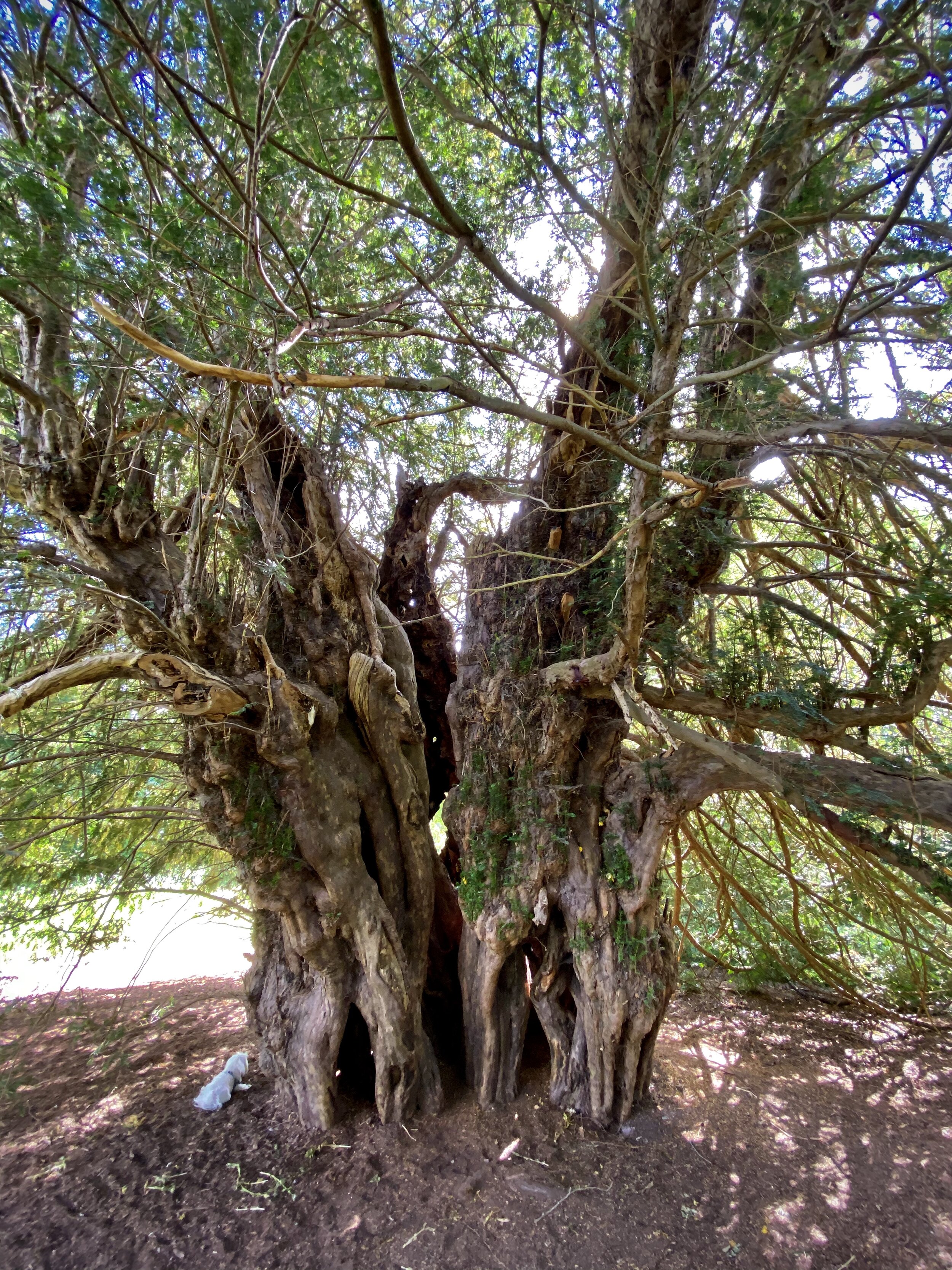
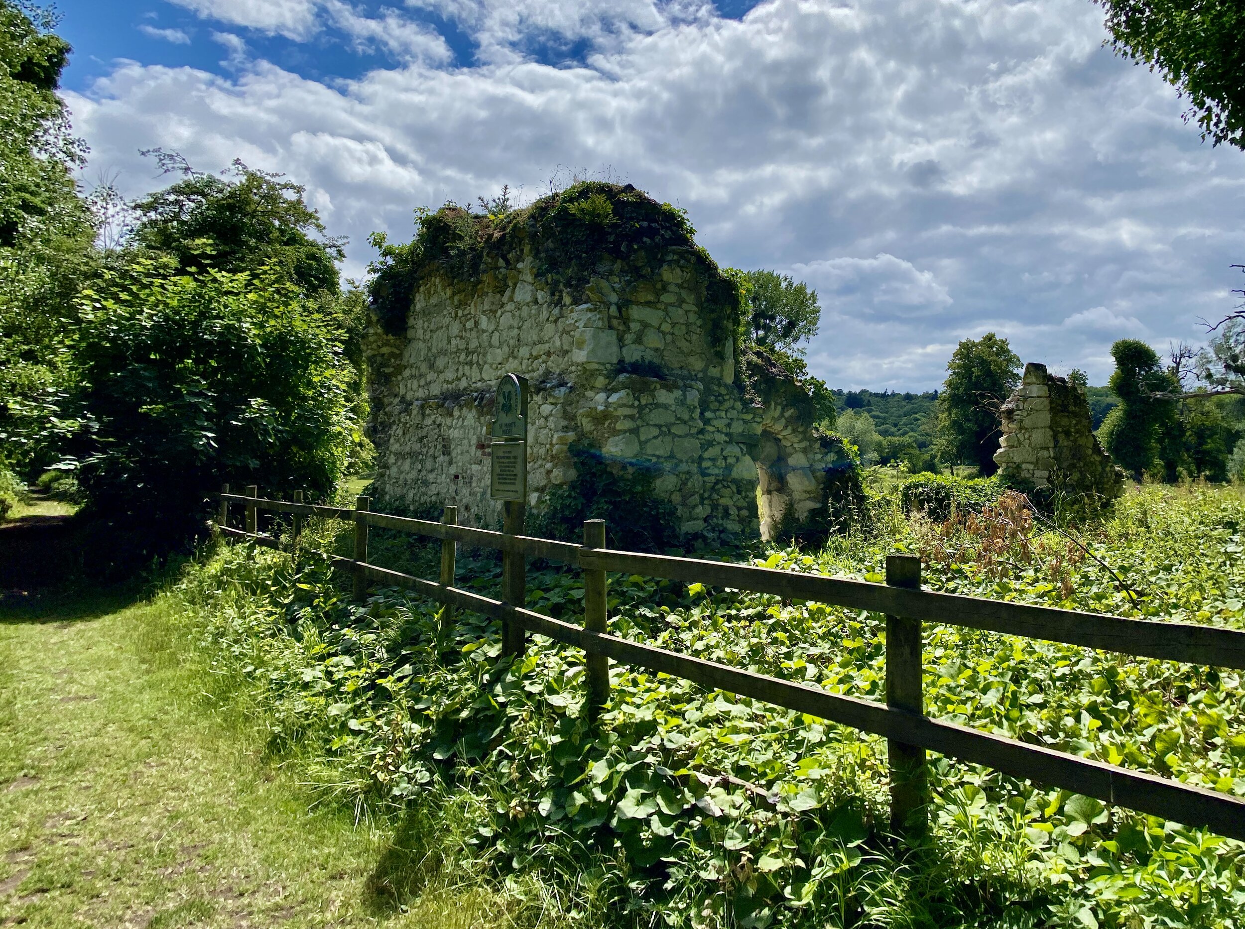
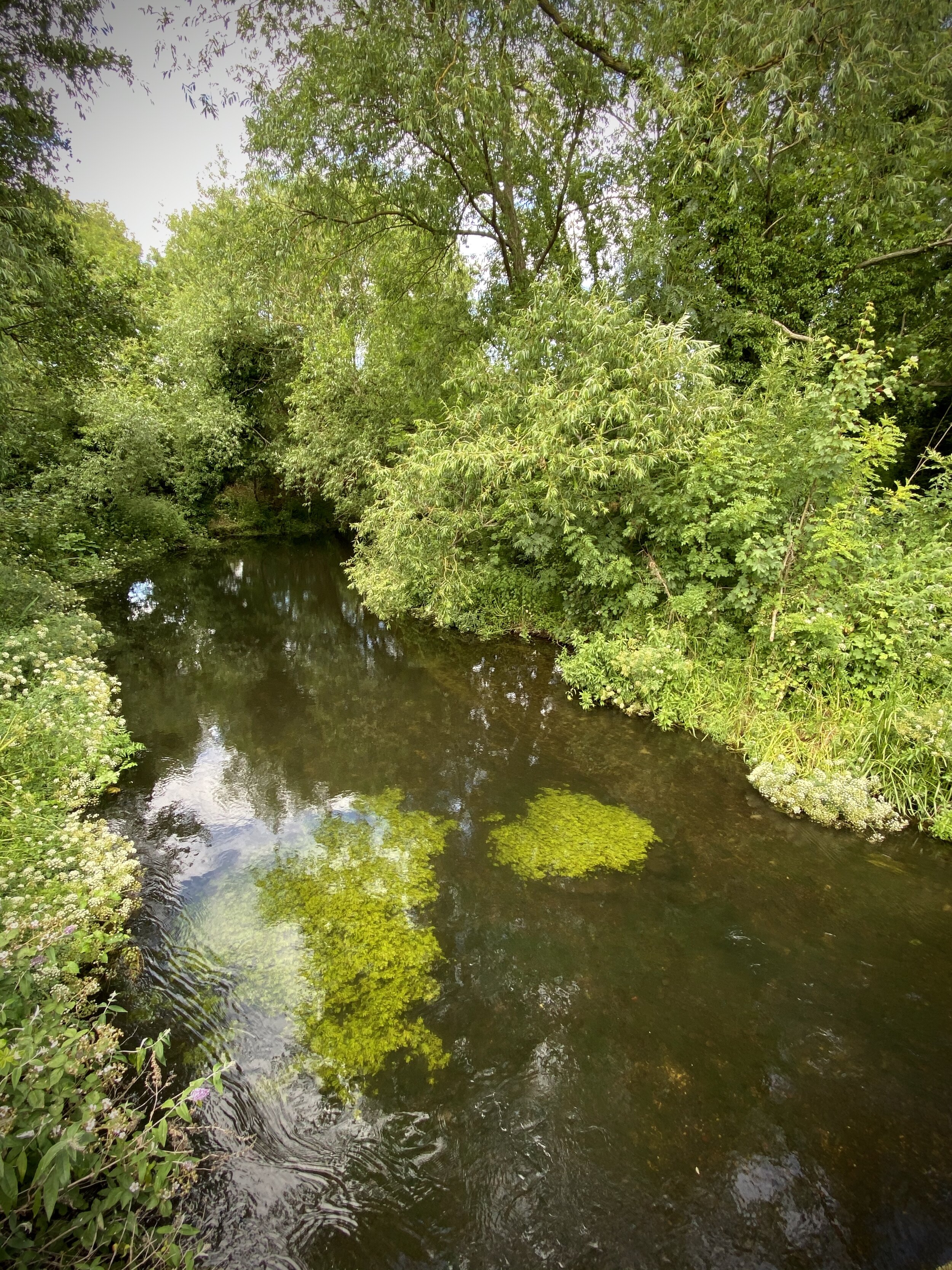
From the National Trust Car Park take the main footpath South through the cow fields to the Thames. Along the way you’ll pass the 2 main points of interest, The Ankerwyke Yew and the ruins of St Mary’s Priory. When you reach the Thames, turn left and follow the footpath East. After approx 500m the path will take a sharp left to head North away from the river. Look out for a small gate on the right hand side of the path that will take you onto Hythe End Road. A sign says that it’s a private road, but there didn’t seem to be any issues with walking down it.
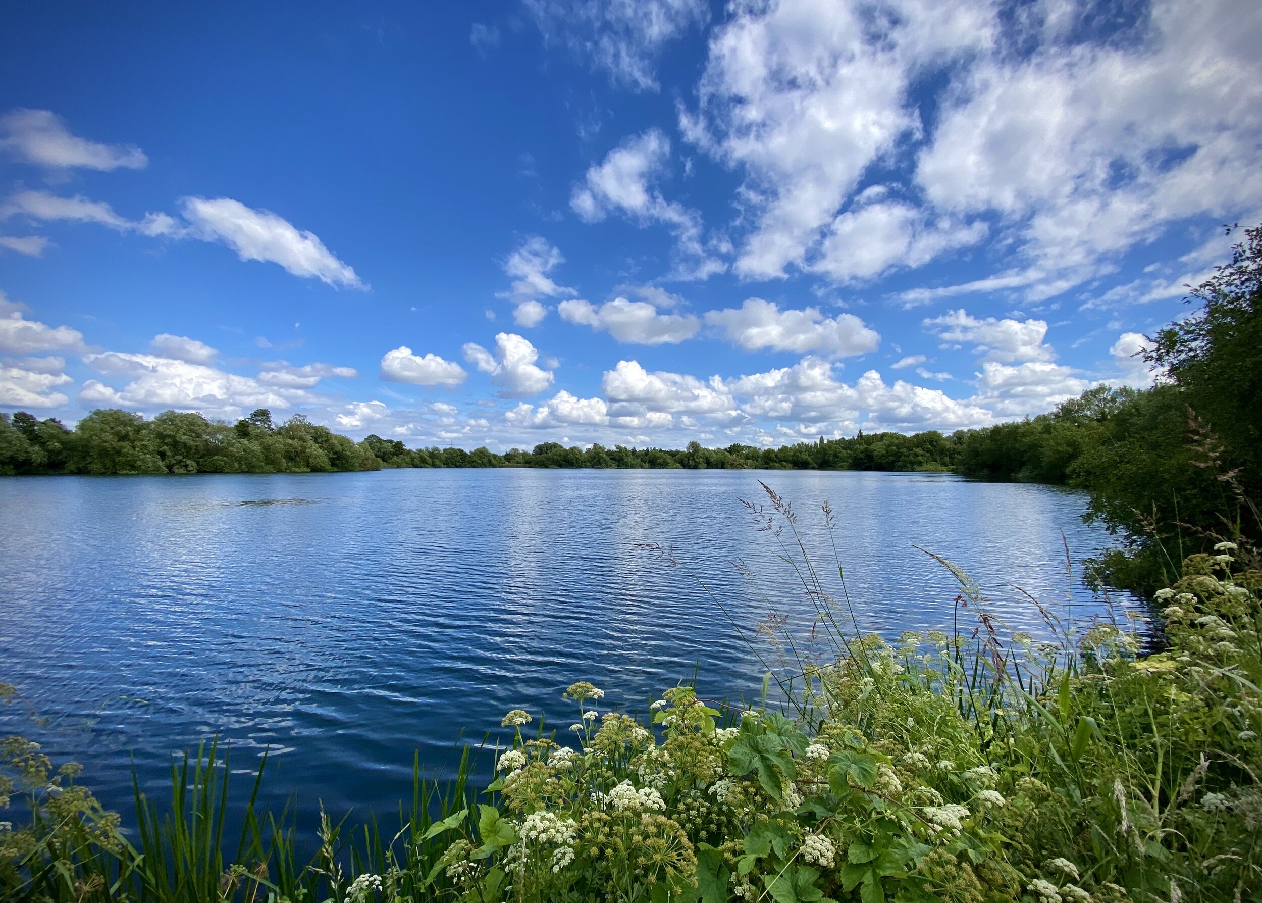
Hythe End Road ends at a Thames Water pumping station which marks the start of the Staines Rivers Aqueduct. Follow the road as it takes a sharp left up to the B376 Staines Road. Take a right here and continue for about 100 metres. You’ll pass over a bridge on the Colne Brook and will find a footpath on the left taking you into Wraybury Lakes. The 1 km footpath here is a lovely part of the circuit passing by the Colne Brook River on your left and a reservoir on your right.
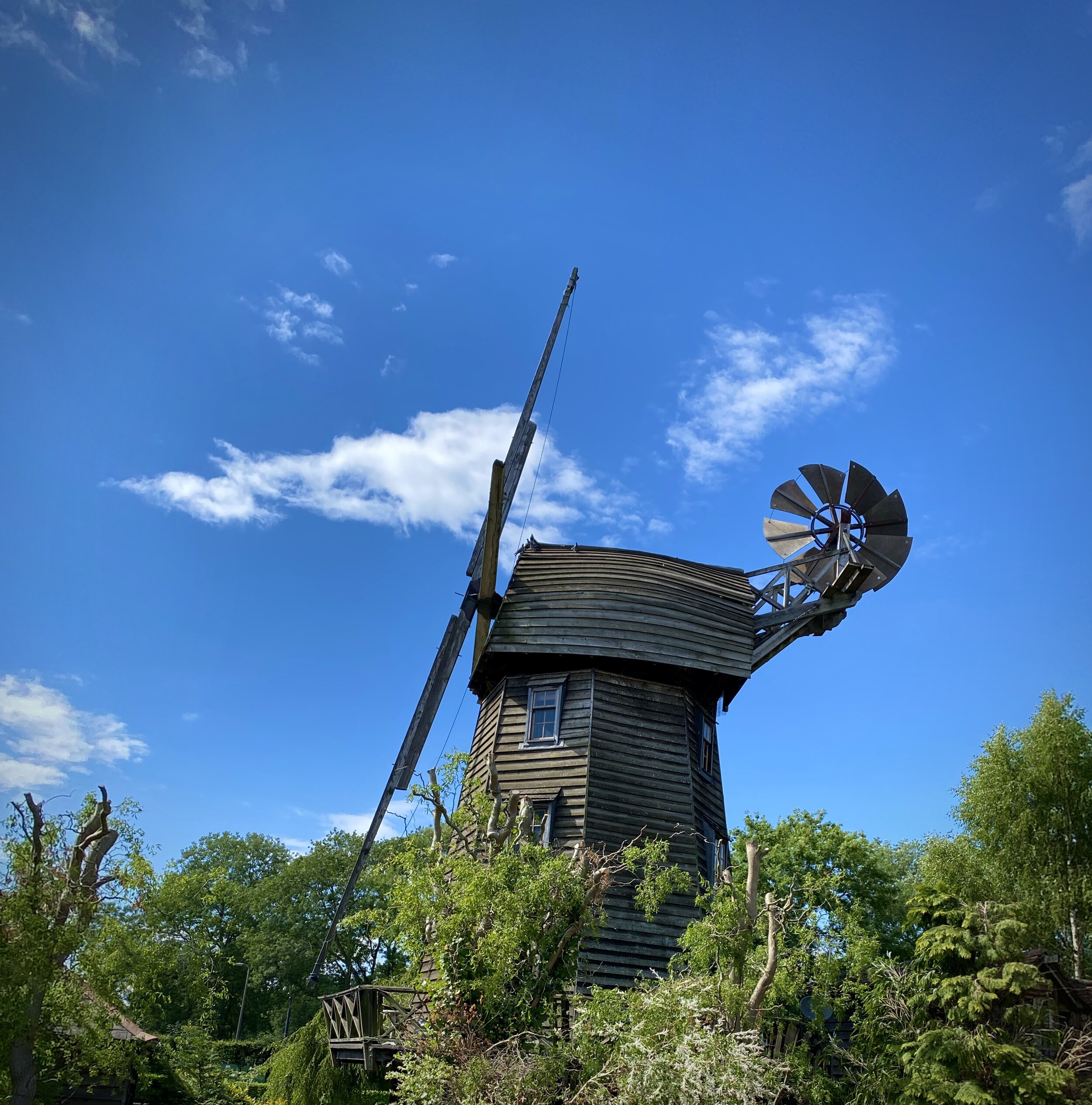
At the Northern end of the Wraysbury Lakes footpath you’ll pass over the Windsor-Staines railway line on a level-crossing. On the Northern side of this turn left and follow the footpath next to the tracks until you reach Coppermill Road. Take a left here, following the road over the railway bridge at Wraysbury station and look out for a footpath on the left taking you onto The Lane. This will pass through a farm and onto Wraysbury Footpath 7 that takes you to Wraysbury High Street. When you reach the village centre take a moment to see the windmills behind Wraybury Baptist Church.
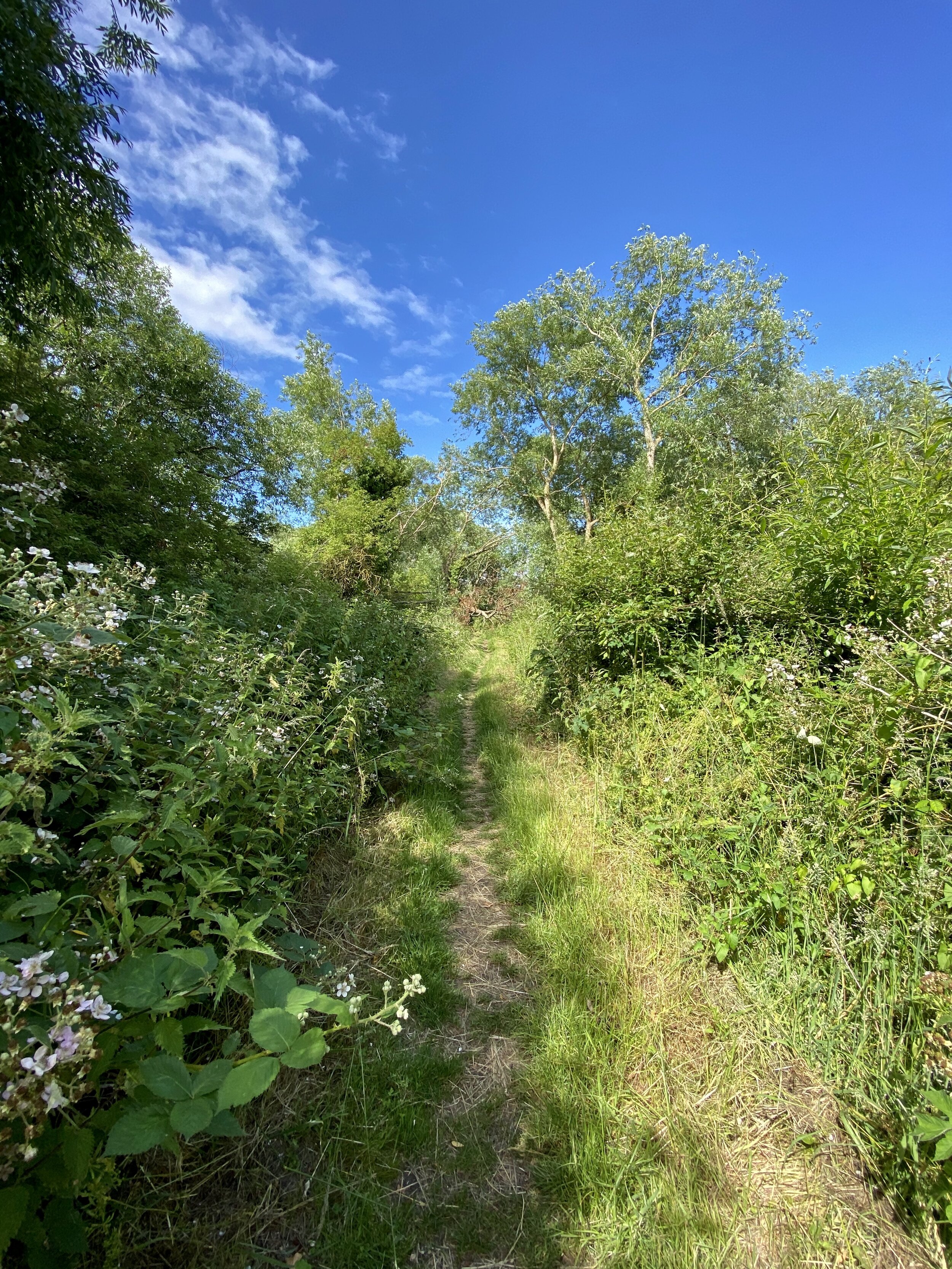
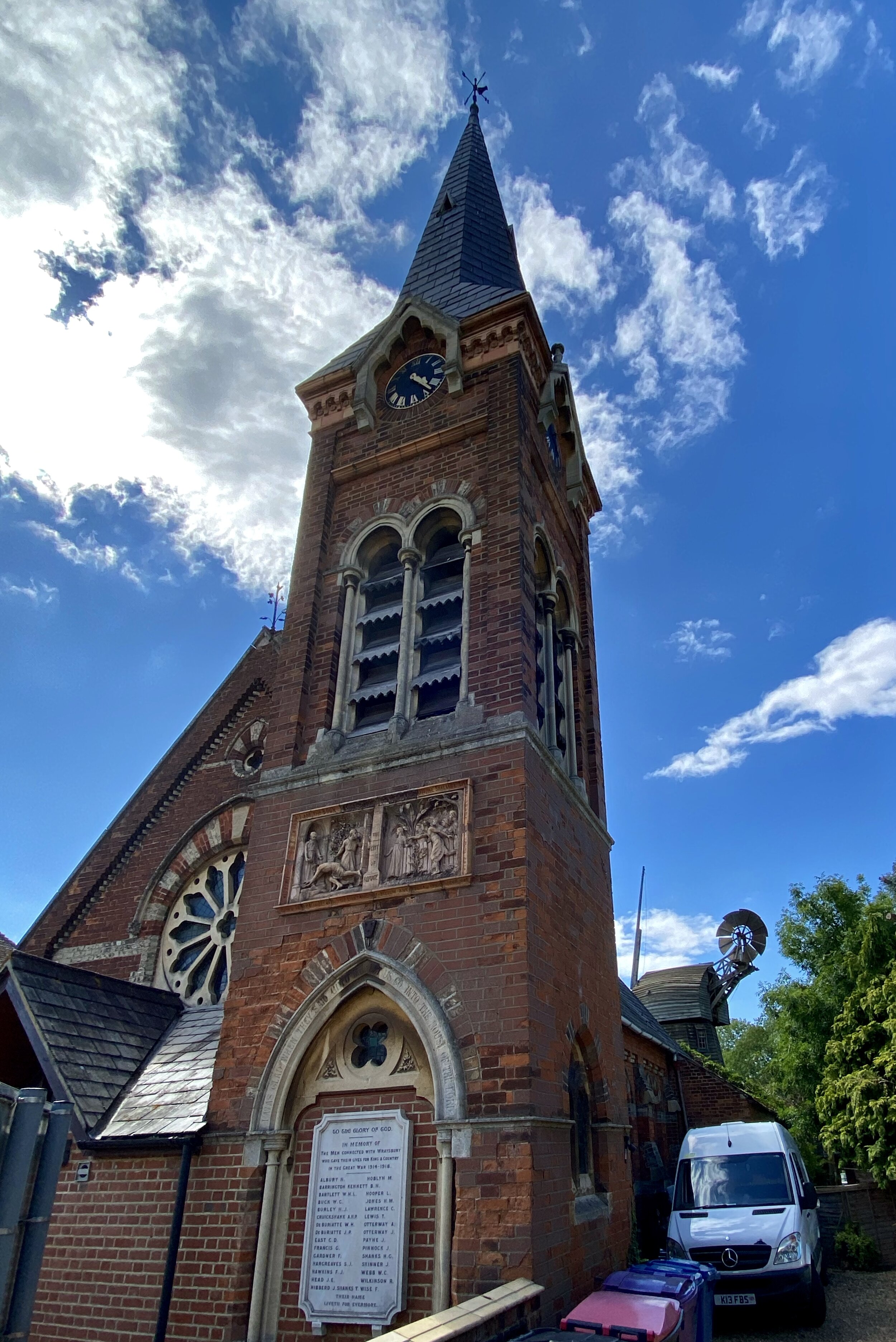
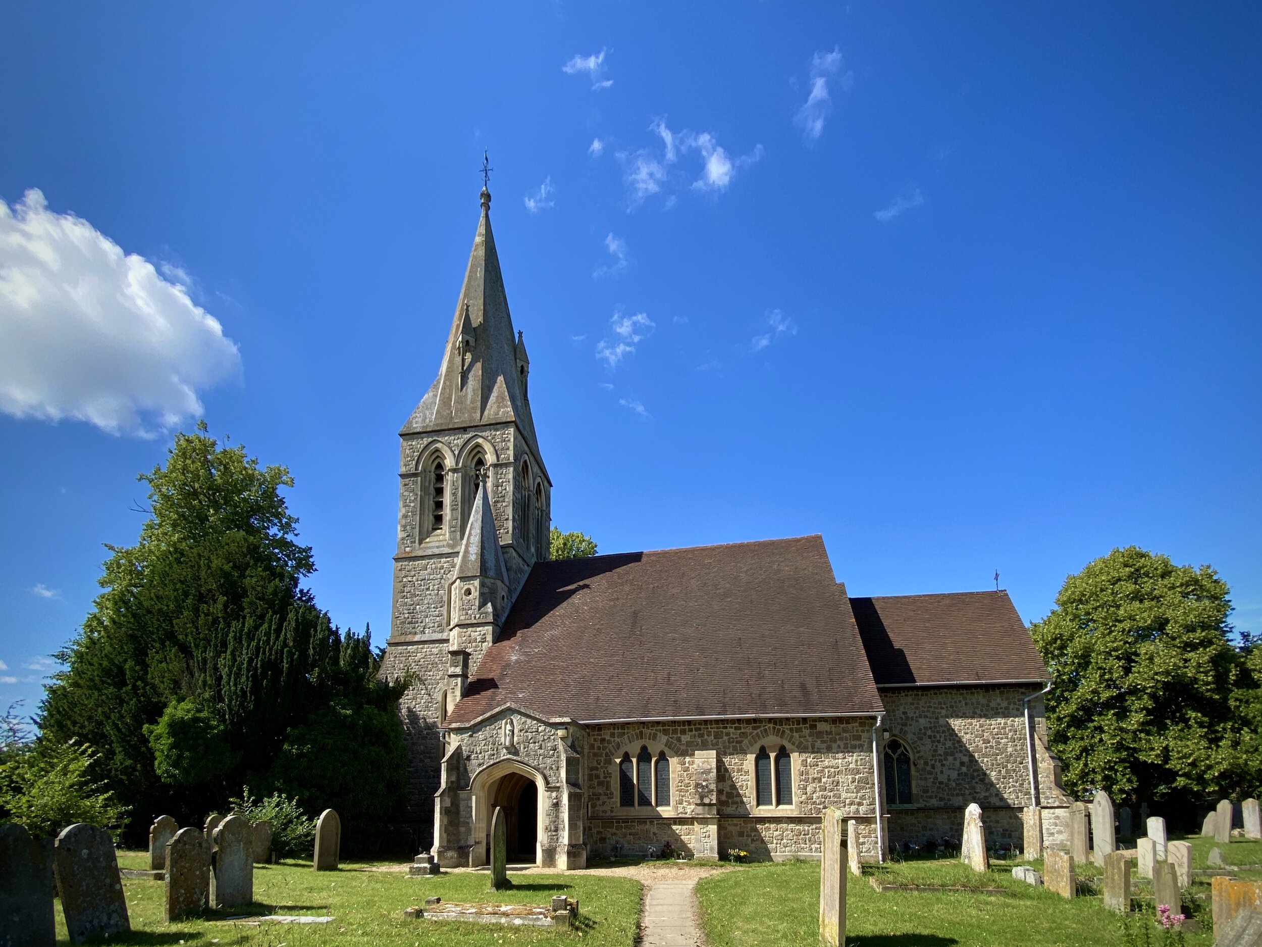
Continue South along Wraysbury High Street and take a right onto the B376 Windsor Road. Shortly you’ll pass The George Pub on the right. Take a left onto St Andrew’s Lane and enter into the Church grounds. At the back of the church you’ll find a footpath heading South. Continue on this all the way back into the National Trust property. When you reach Magna Carta Lane you can either take a left and follow the road directly back to the car park or pick one of the footpaths back to the Thames. We choose one that runs along the Western perimeter of the fields, joining back with the main path near St Mary’s Priory.