Walking The Box Hill Hike

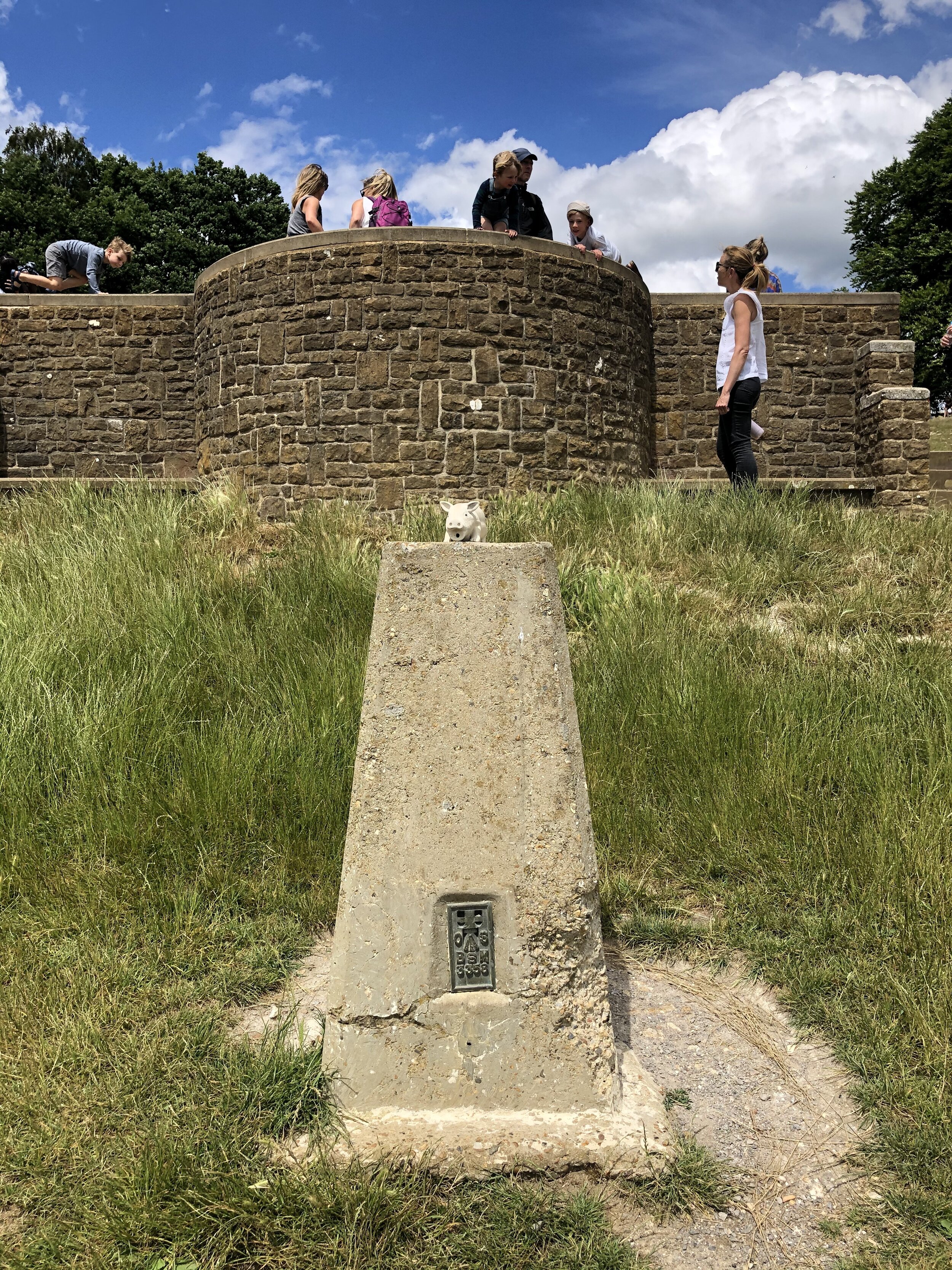
View from the OS Trig Pillar at Box Hill
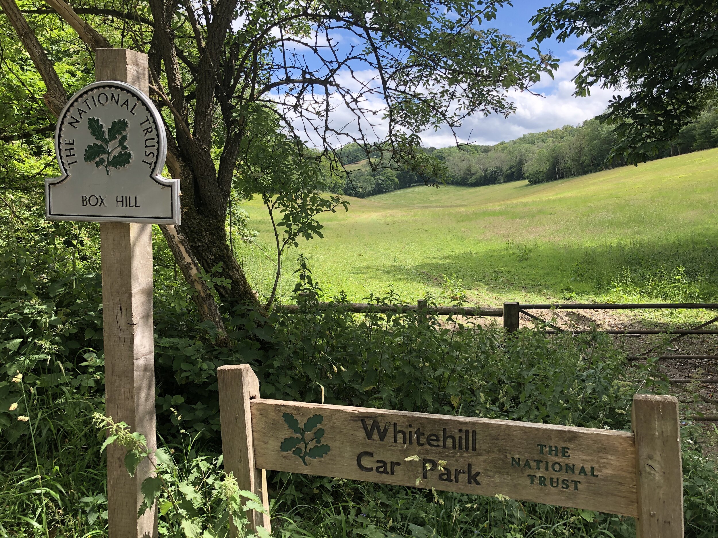
Start & Finish: The National Trust Car Park, Zig Zag Rd, Tadworth, KT20 7LB
Distance: 11.2 km (7 miles)
Elevation change: +/- 370 m
GPX File: get via Buy Me a Coffee
Other routes touched (walk): North Downs Way, Thames Down Link
Other routes touched (cycle): NCN 22
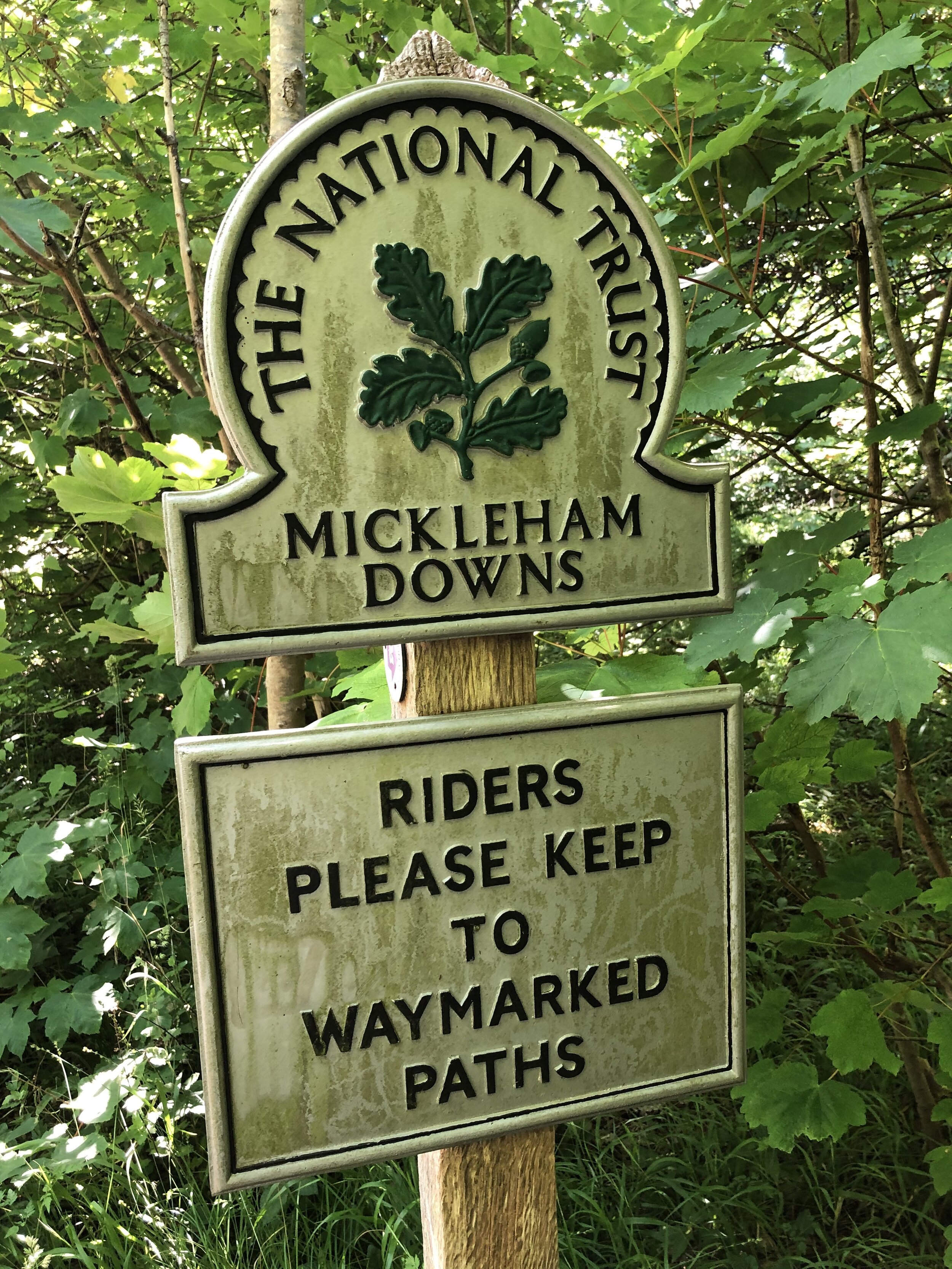
OS Trig Pillars: TP1553 - Box Hill, TP4791 - Mickleham Down,
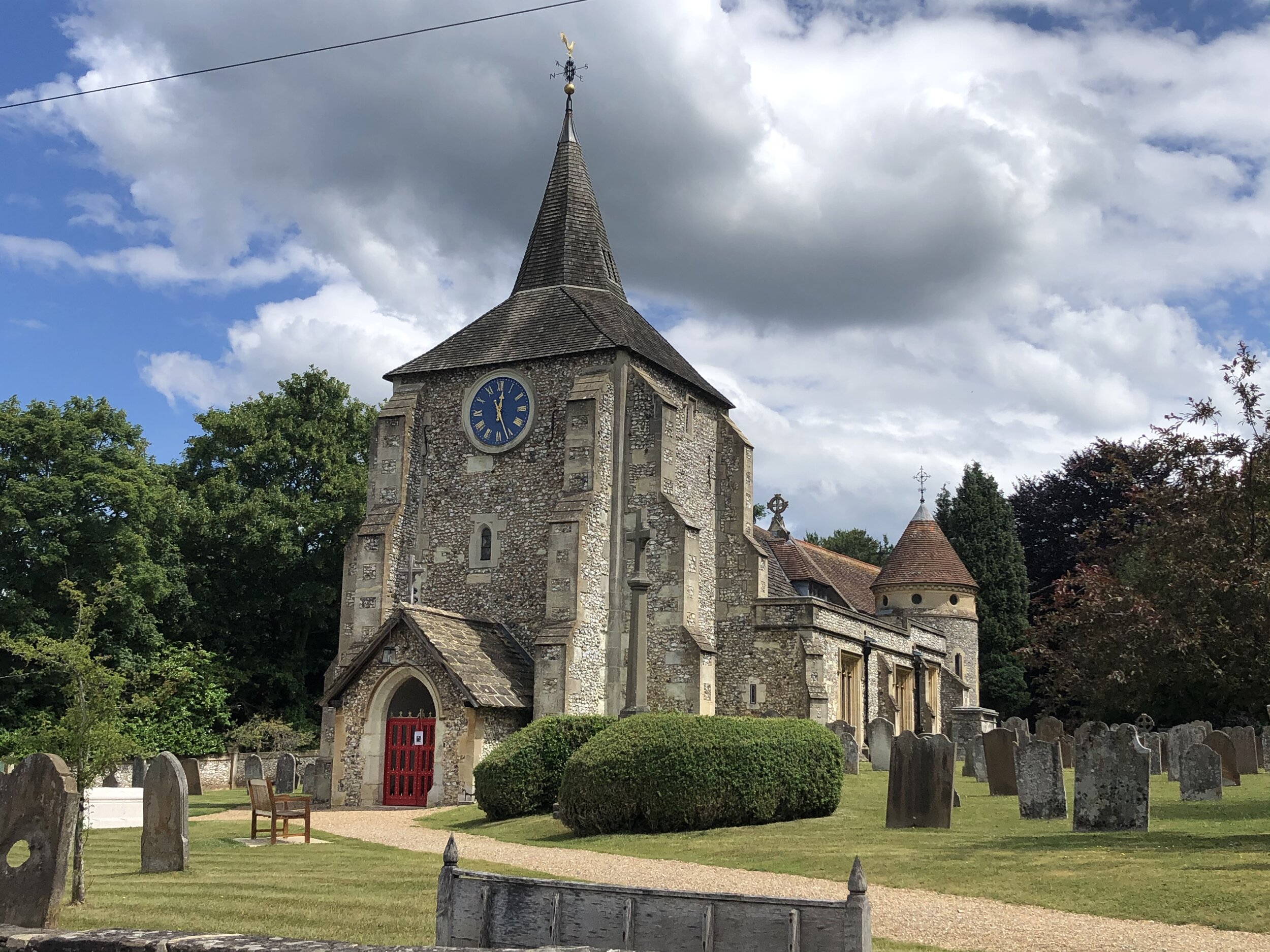
Other Pubs / Cafes on route: The Running Horses Mickleham
Map: OS Explorer Map (146) Dorking, Box Hill and Reigate
Links: National Trust Box Hill, Box Hill Hike Route Guide, Peakbagger: Box Hill
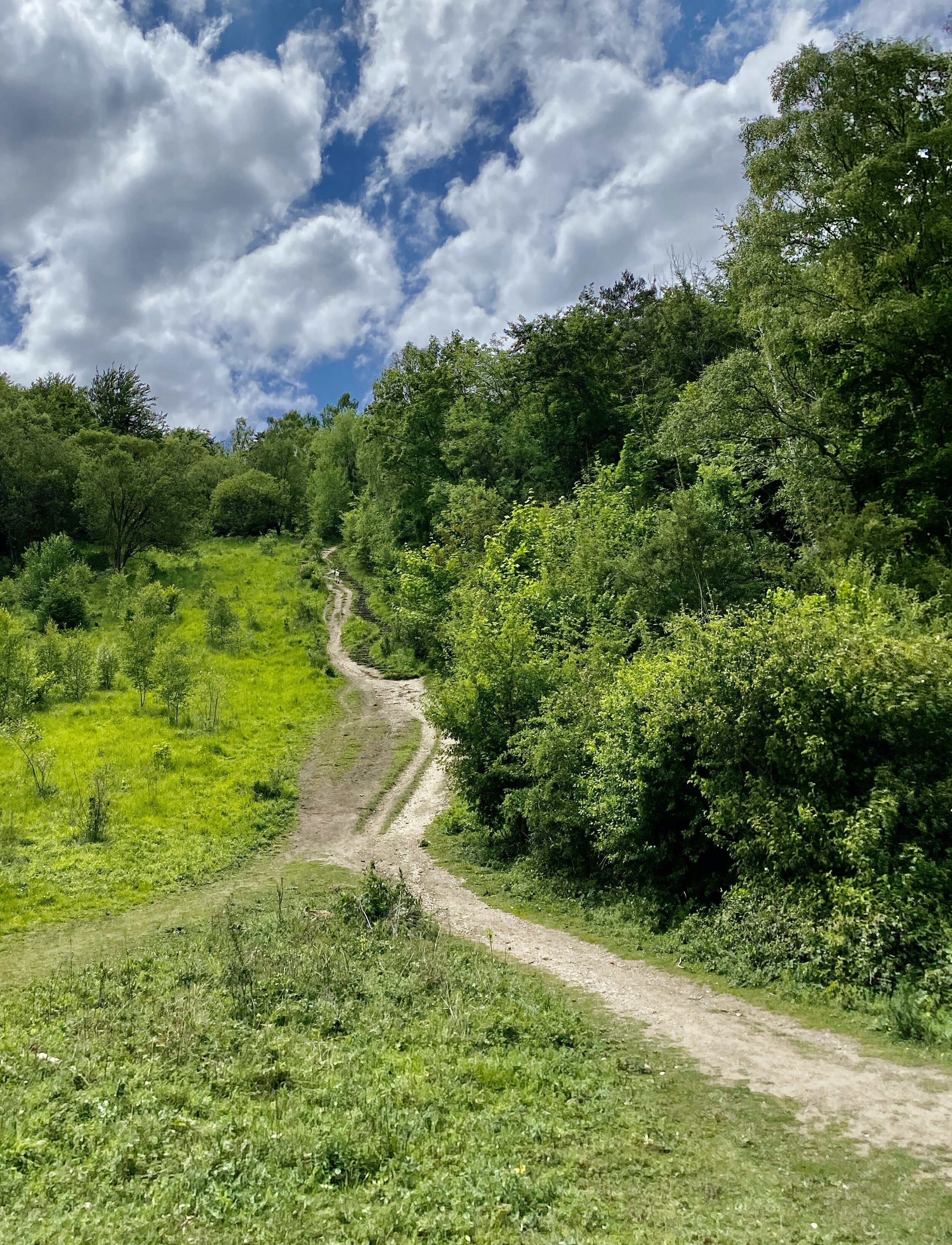
The Box Hill Hike is a classic of the Surrey Hills trails. It’s a bit longer, a bit steeper and a bit more enjoyable that others that we’ve been to in the area recently. The National Trust’s guide to the walk gives a clear description on the route so I won’t repeat it here. My additional notes on the route are:
The official start and finish points are at the National Trust Visitors’ Centre at the top of Zig Zag Road. They have a car park there but it can be extremely popular in Summer weekends or Bank Holidays. There’s alternative on-street parking further round the route in Box Hill Village or Mickleham.
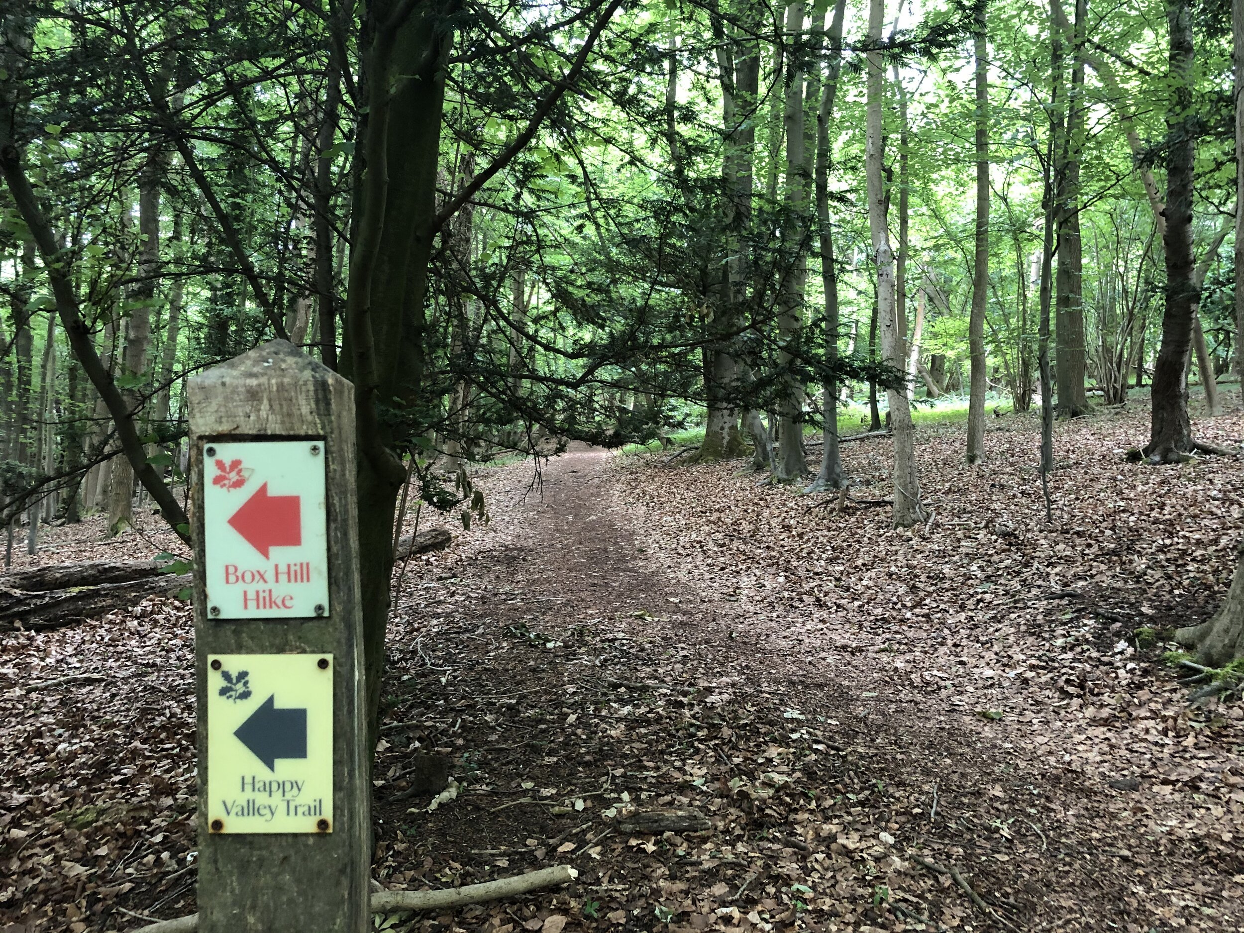
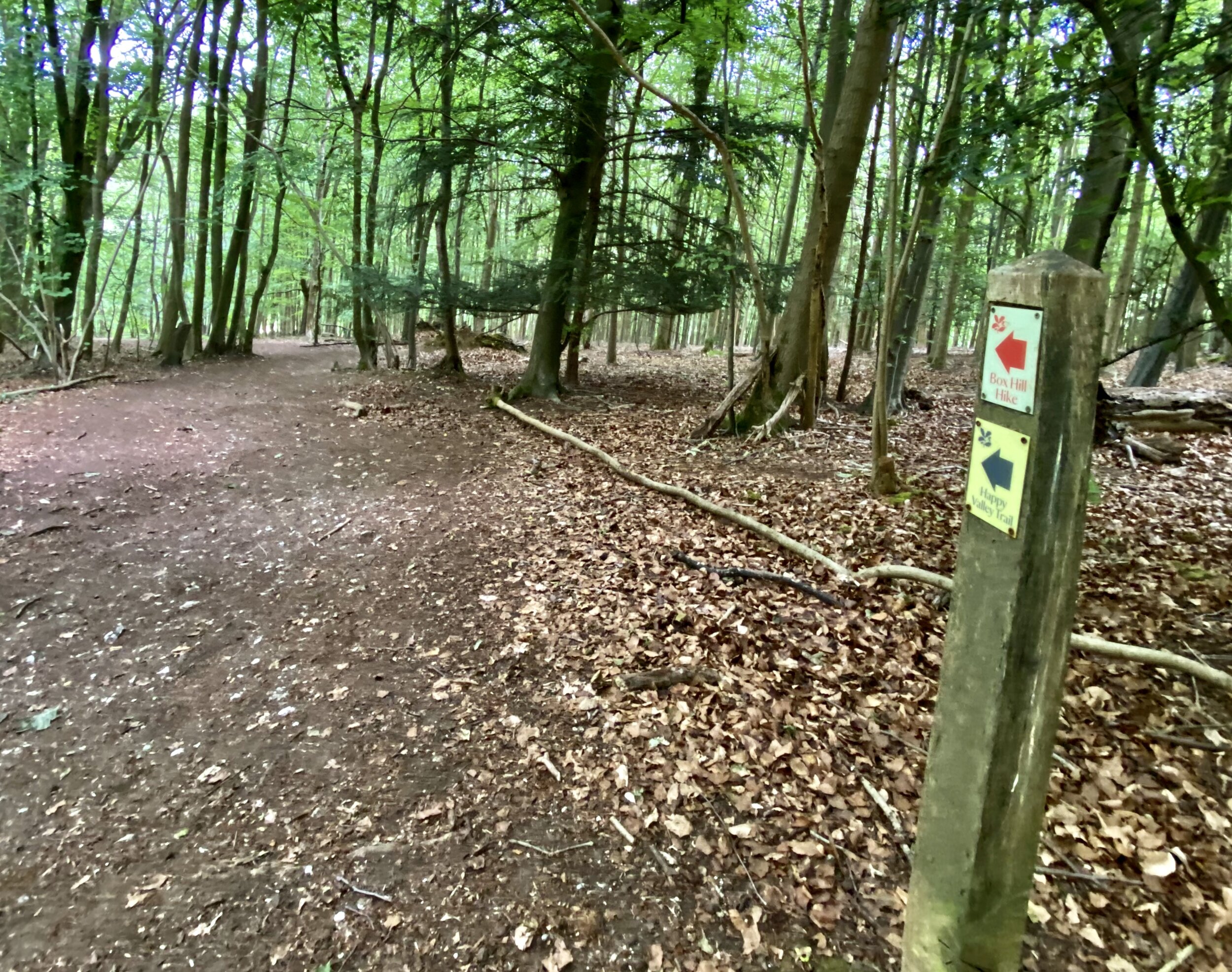
The route is well signposted but all signs point in an anti-clockwise direction. If you’re going clockwise, as we did, you’ll need to keep a closer watch out for the signs as some will be facing away from you as you pass them.
Baggers of OS Trig Points will find 2 pillars on route, one (Box Hill) very near the National Trust Car Park at the start and the other on Mickleham Down.