Walking The Wendover Arm Canal

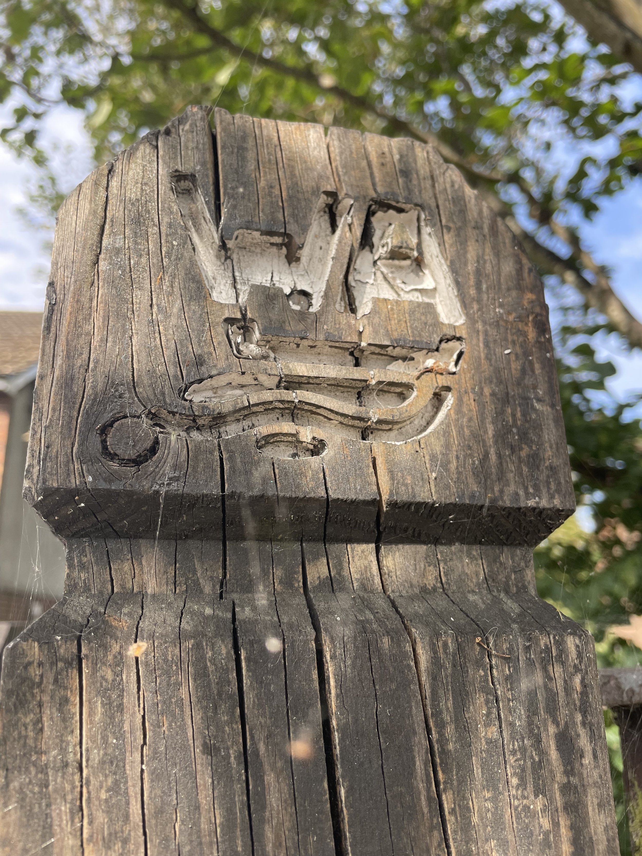
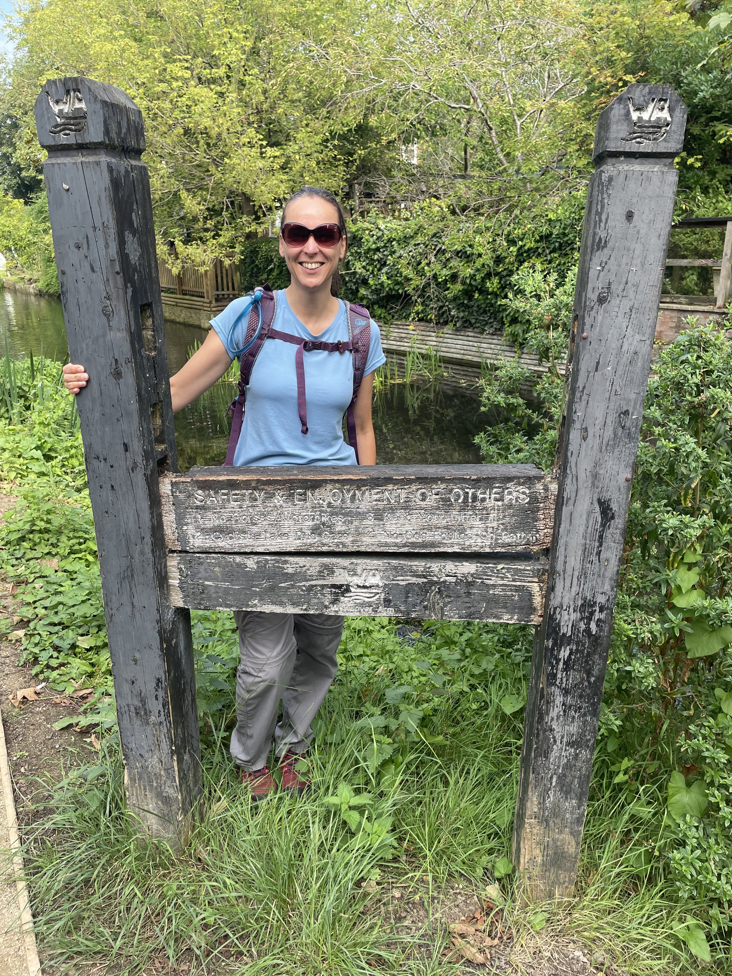
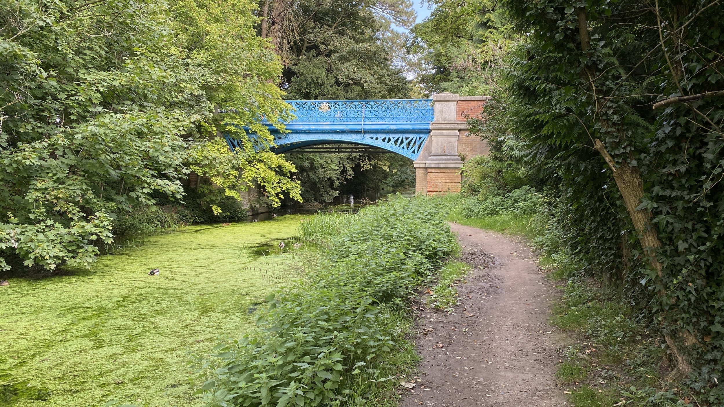
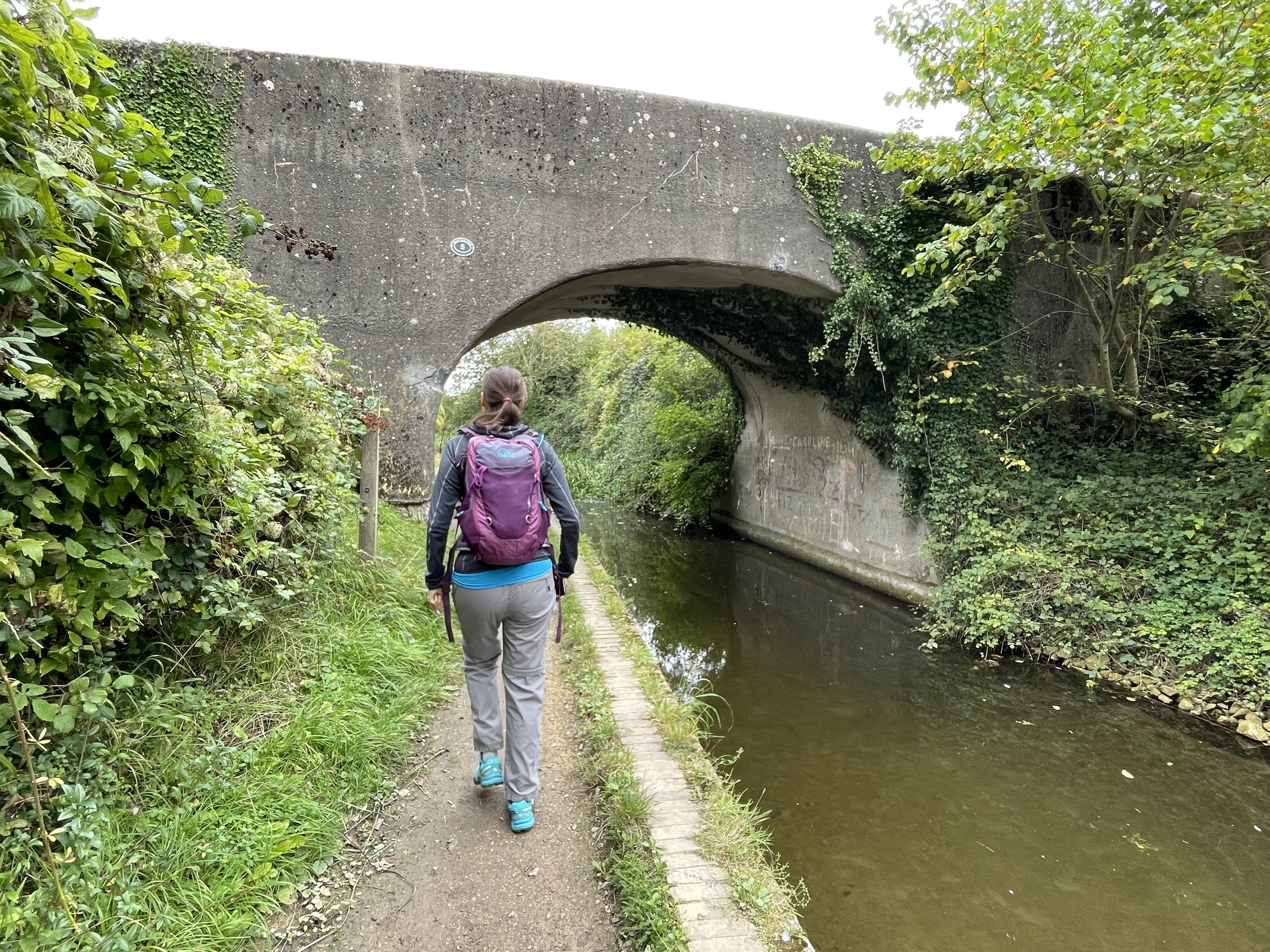
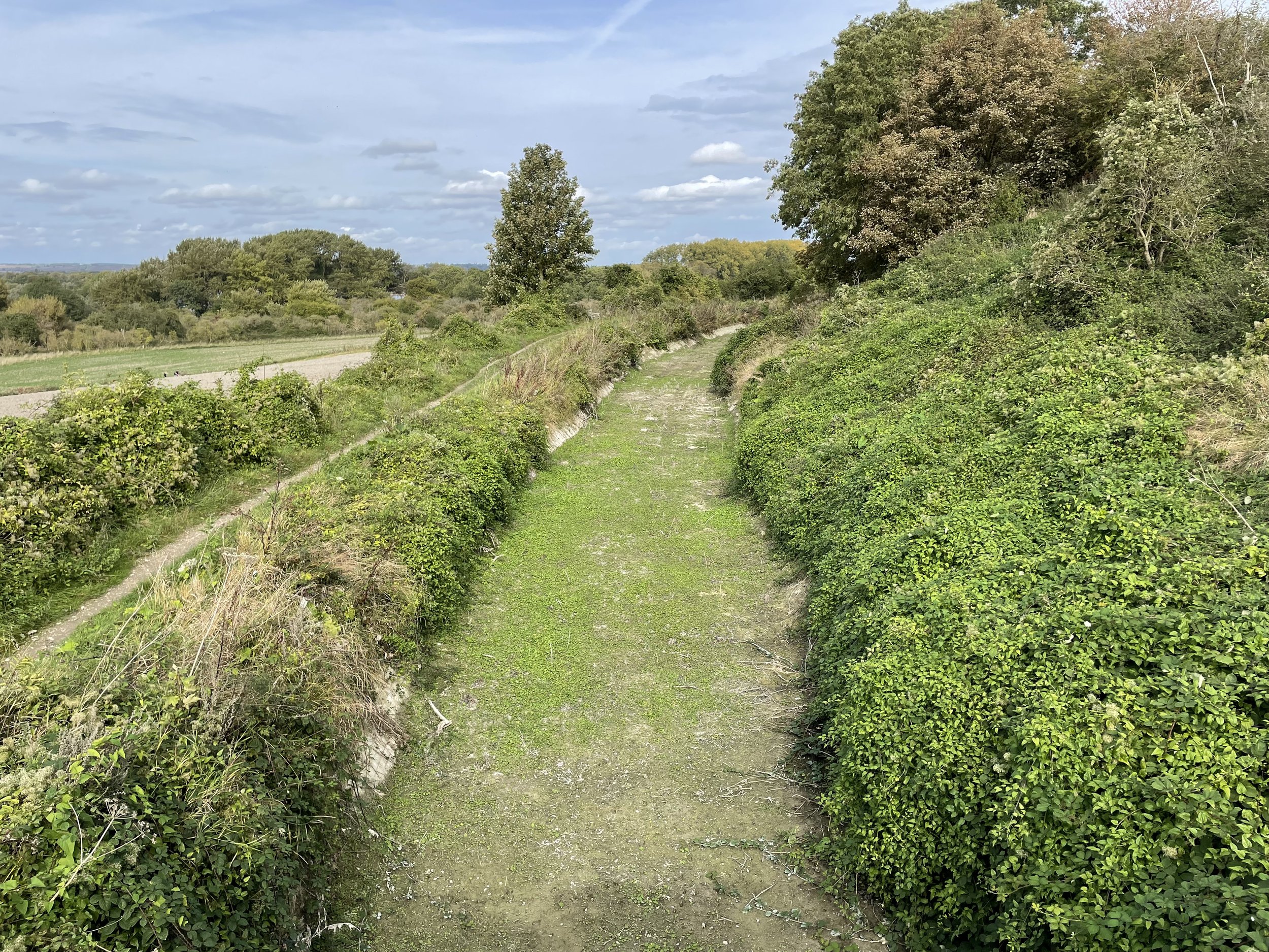
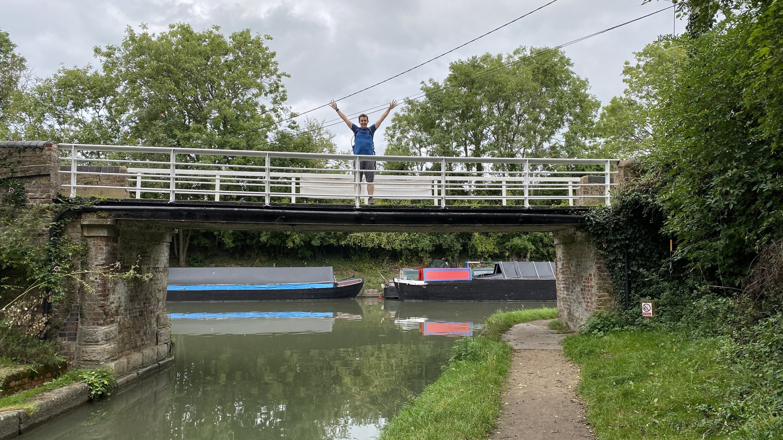
Two sides of the Miswell Bridge. Left: looking west, Right: looking east.
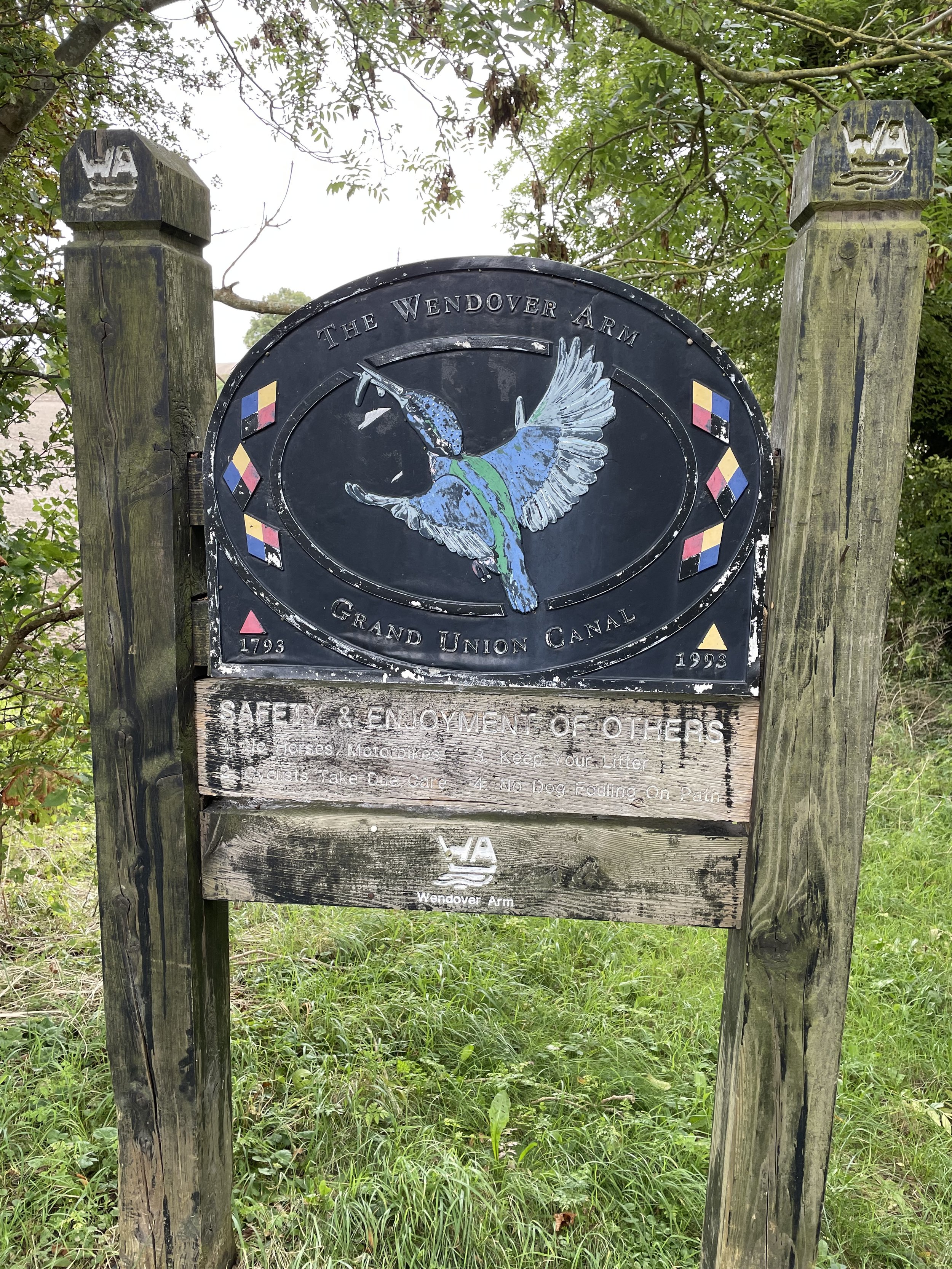
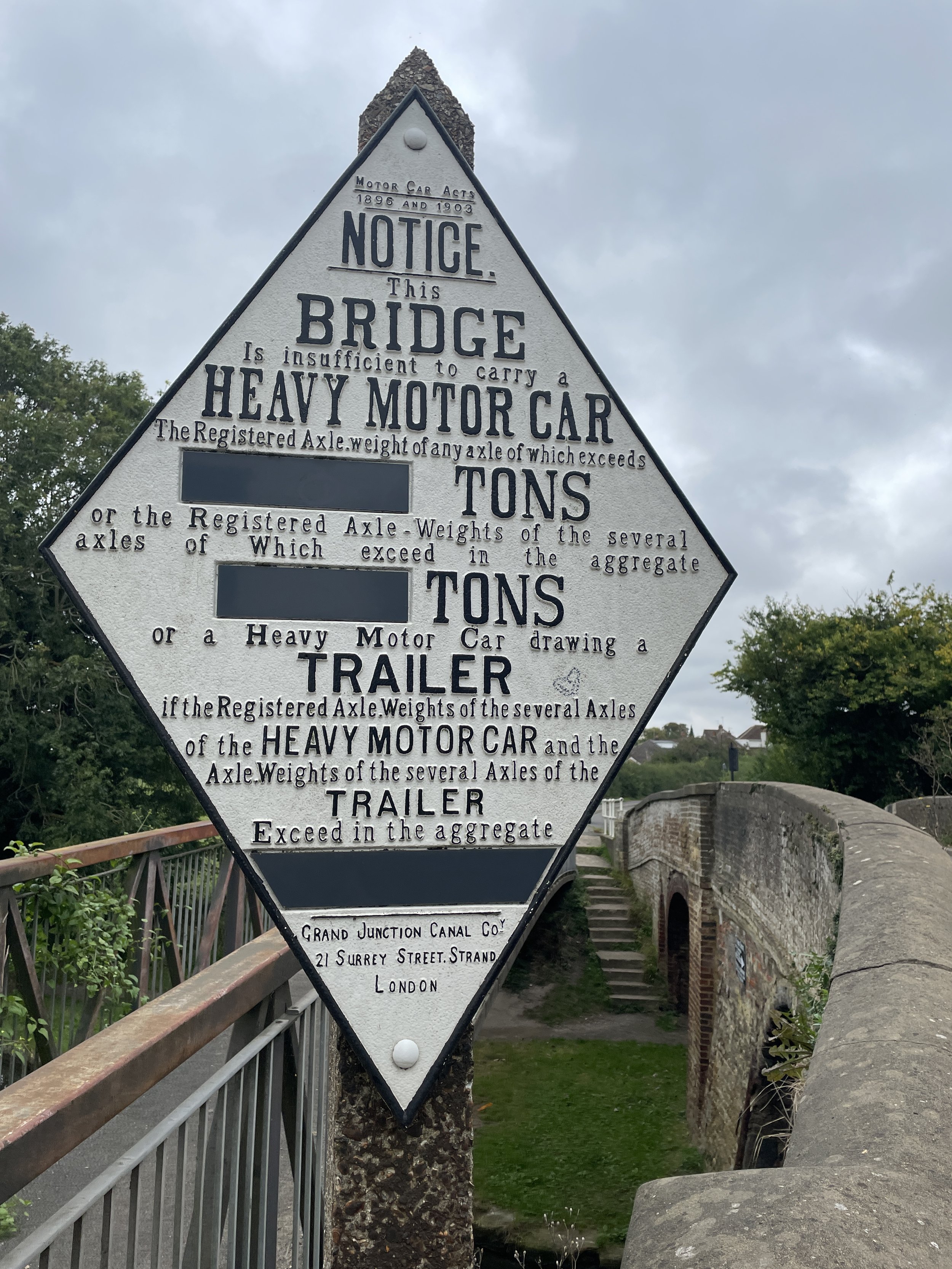
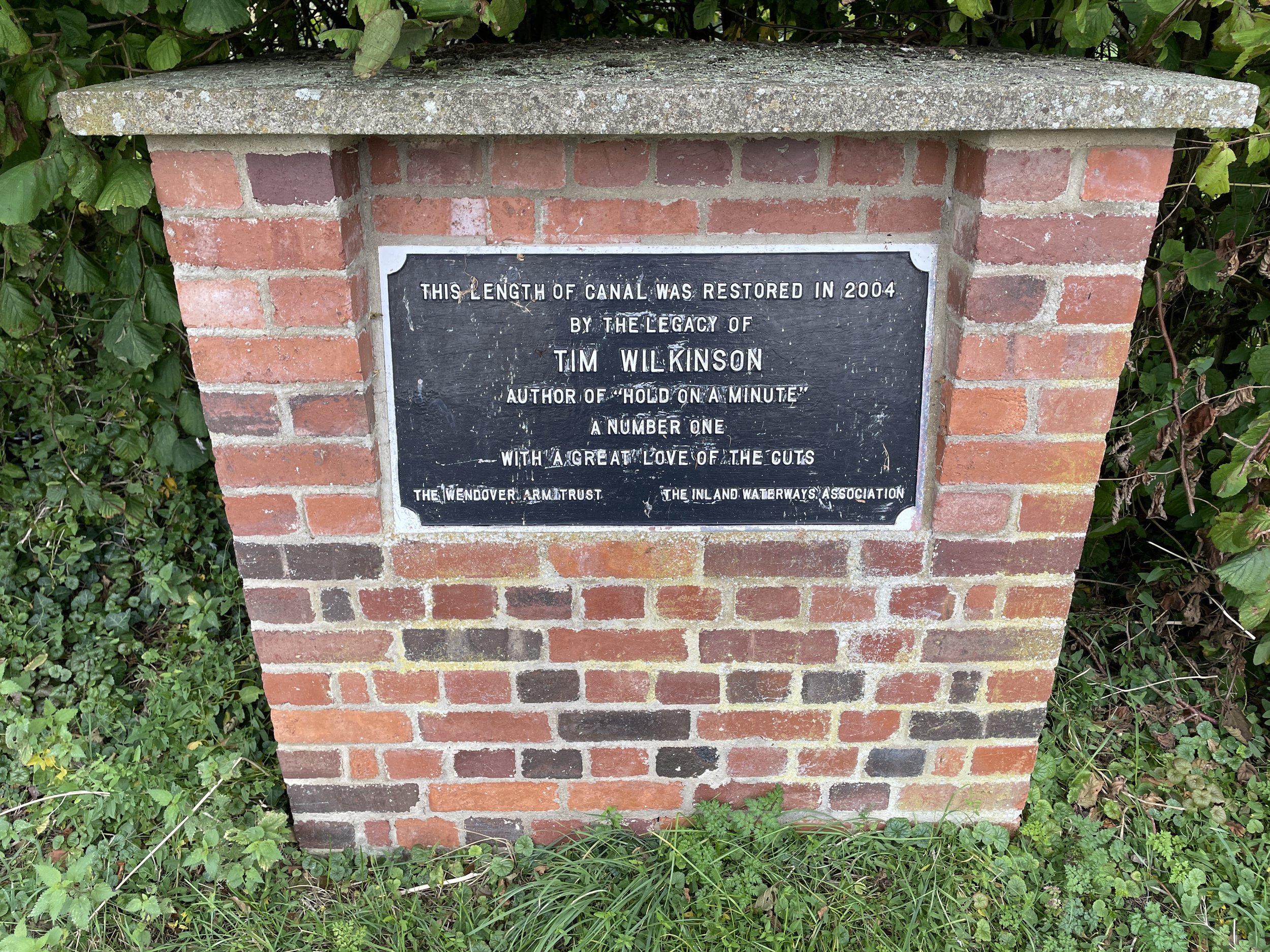
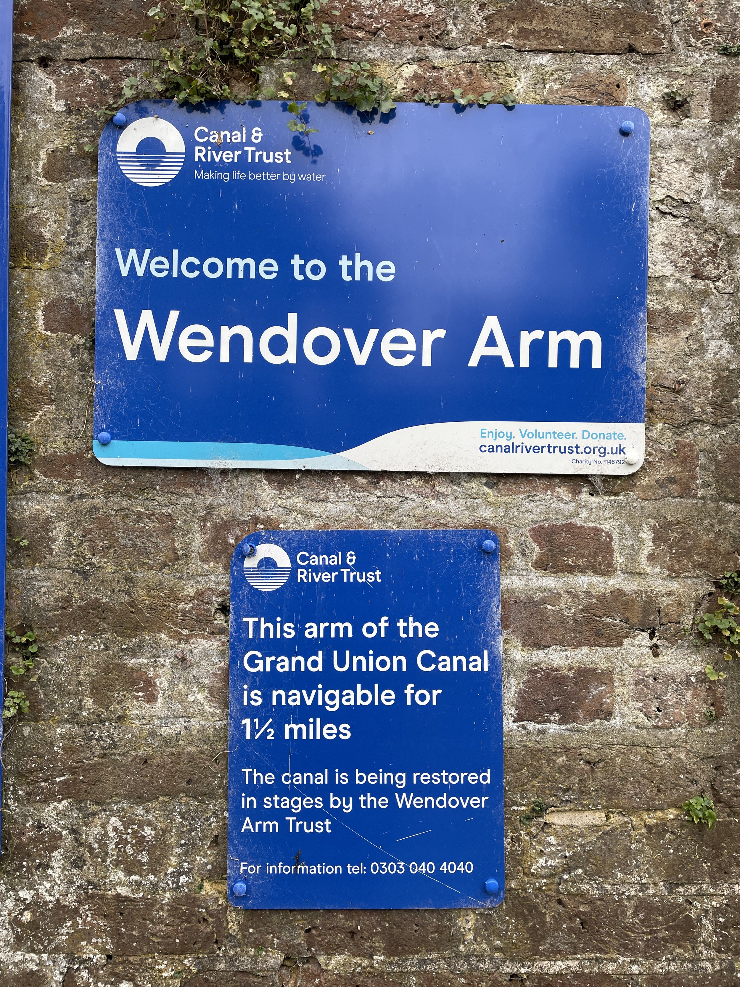
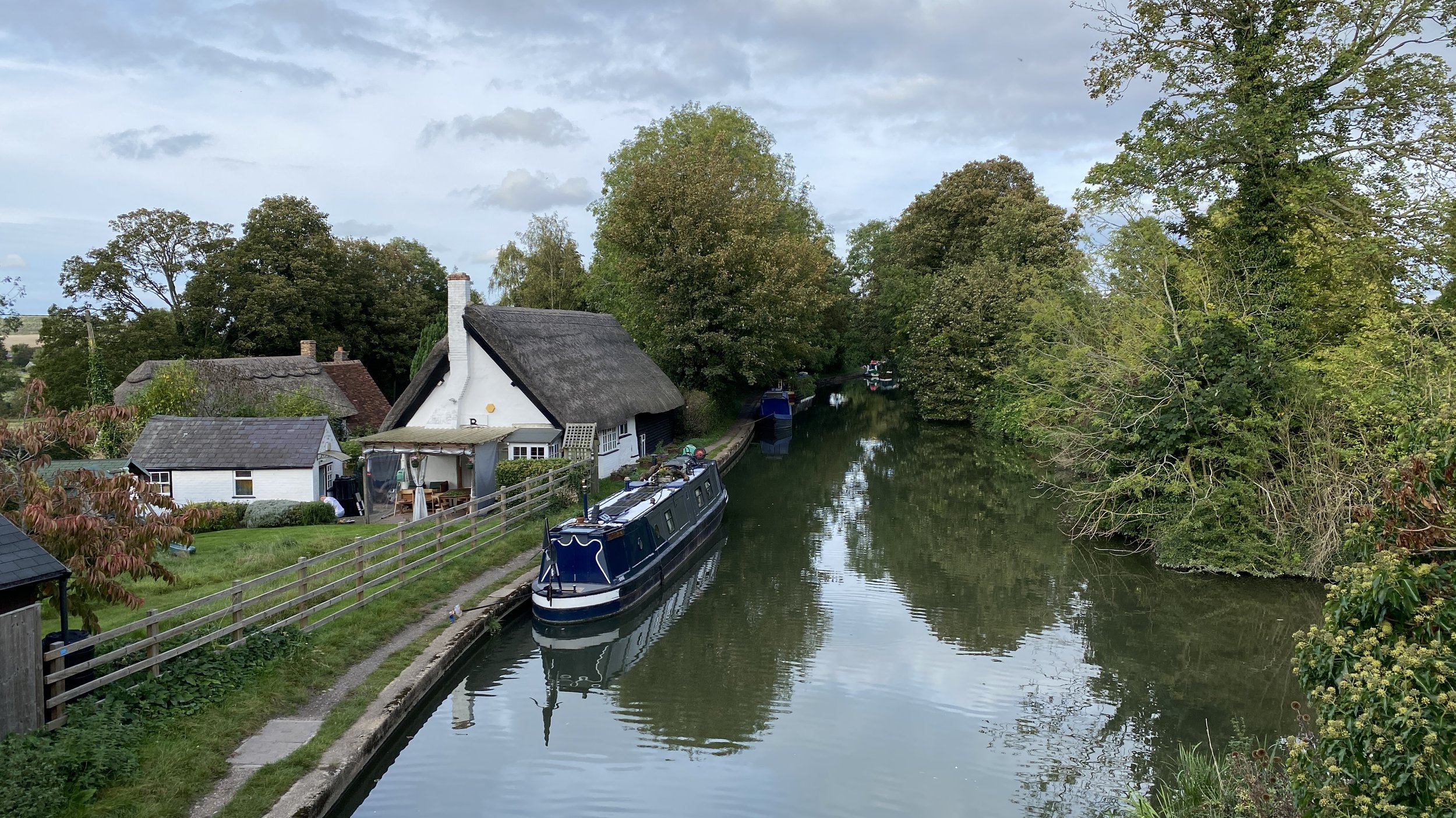
The Wendover Canal is an arm of the Grand Union Canal that branches off from the main Grand Union at Bulbourne near Marsworth on the Hertfordshire / Buckinghamshire border. It was originally planned as a feeder to carry water from springs near Wendover on the northern edge of the Chilterns the main line of the Grand Union. Paul Whitewick’s video tells the story of the birth and decline of the canal and is useful watching before visiting it.
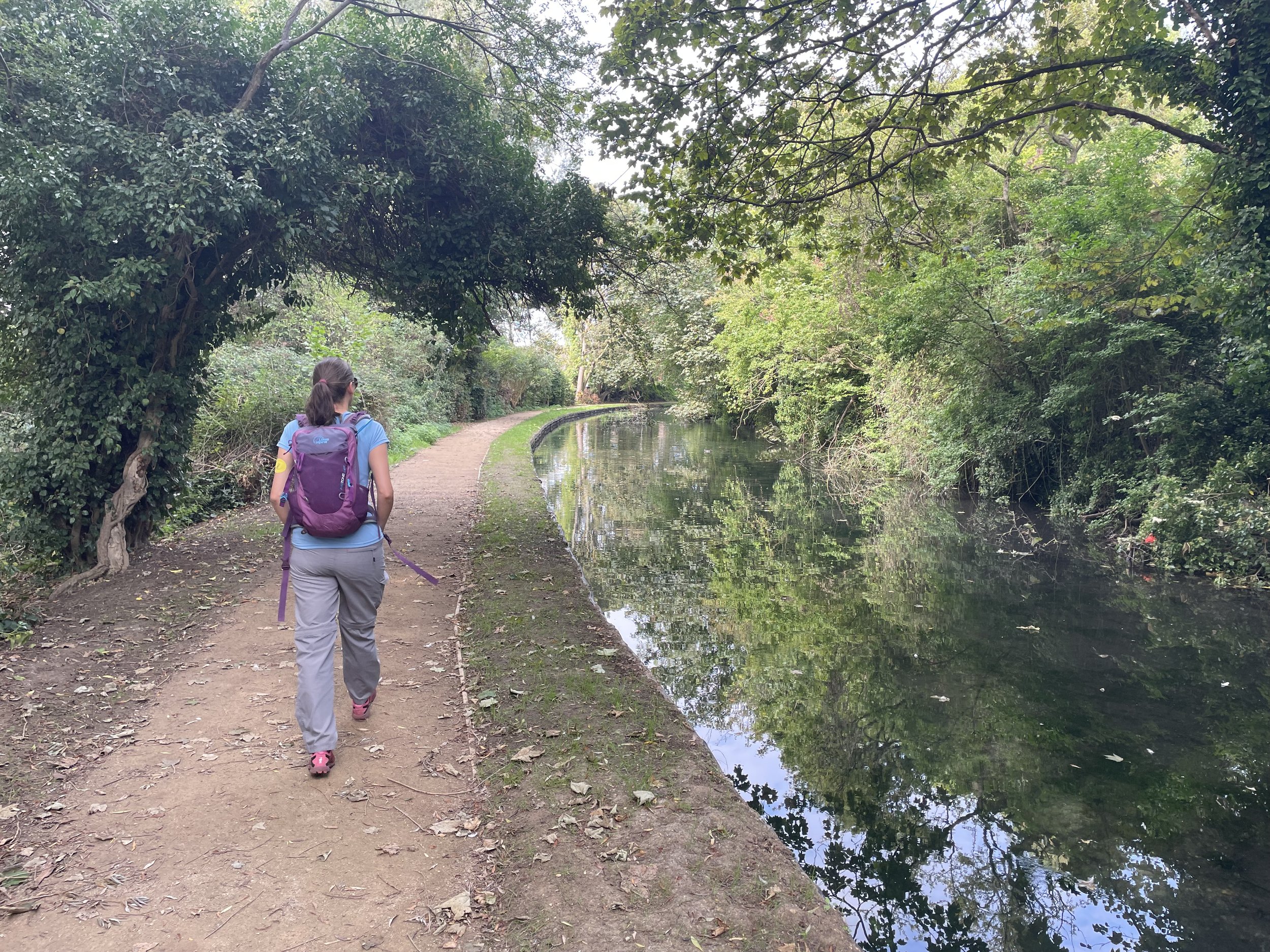
We walked the length of the canal in three sections over the autumn of 2023. Each section was part of a circular walk of around 10k. A single point-to-point walk of the canal is 11.4k. Scroll down to the bottom of this page for details.
Section 1: Wendover to Stablebridge Road
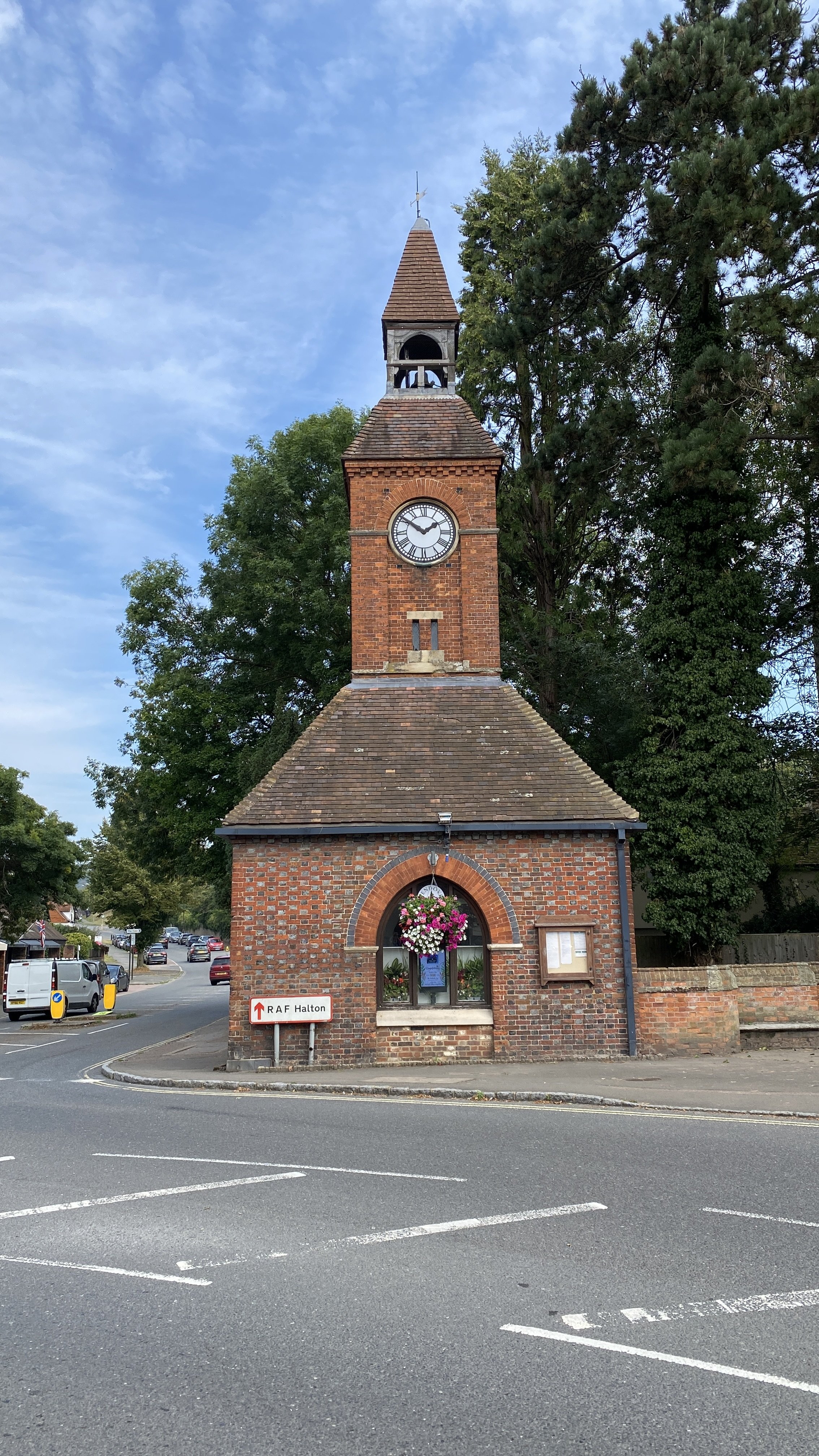
Start & Finish: Wendover Clock Tower, 3 Tring Rd, Wendover, Aylesbury HP22 6DU
Distance: 10.8 km (6.7 miles)
Elevation change: +/- 166m.
GPX File: get via Buy Me a Coffee
Other routes touched (walk): Aylesbury Ring, Outer Aylesbury Ring, Wendover Woods Hillfort Trail
Other routes touched (cycle): None
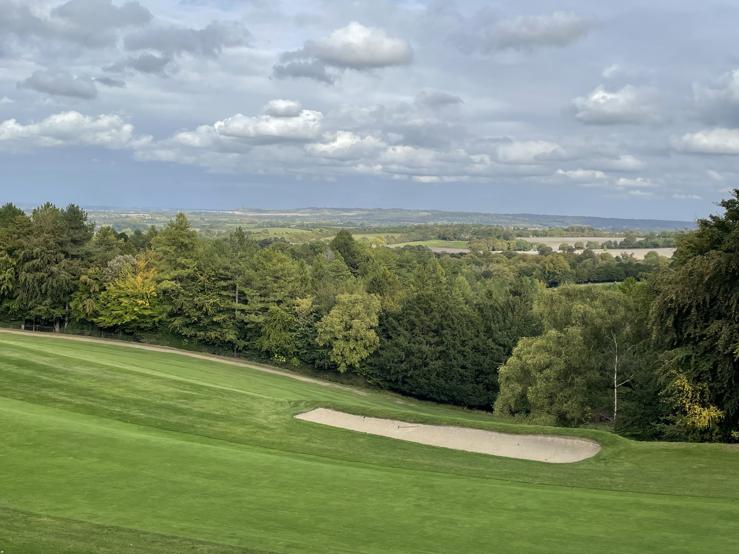
Pubs / Cafes on route: Many in Wendover Village Centre, Restaurant at the Chiltern Forest Golf Club (6.3k in), Wendover Woods Cafe (8.4 km in)
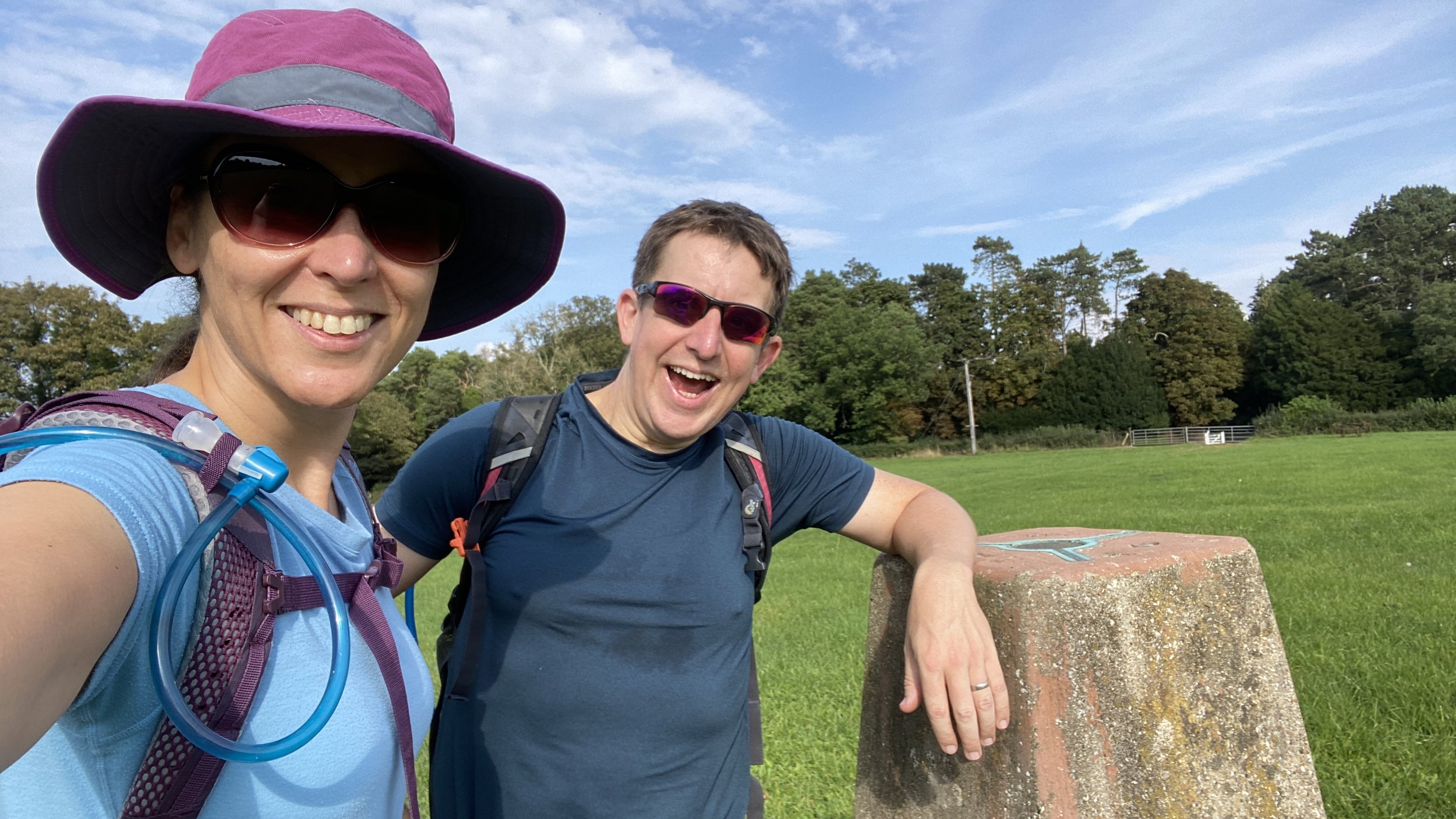
OS Trig Pillar: TP2394 - Coombe Hill
Map: Chiltern Hills North Map | Aylesbury, Berkhamsted & Chesham | Ordnance Survey | OS Explorer Map 181
Links: Wendover Arm Canal (Wikipedia / Canal & River Trust / Wendover Canal Trust) , Wendover, Halton, RAF Halton, Wendover Woods
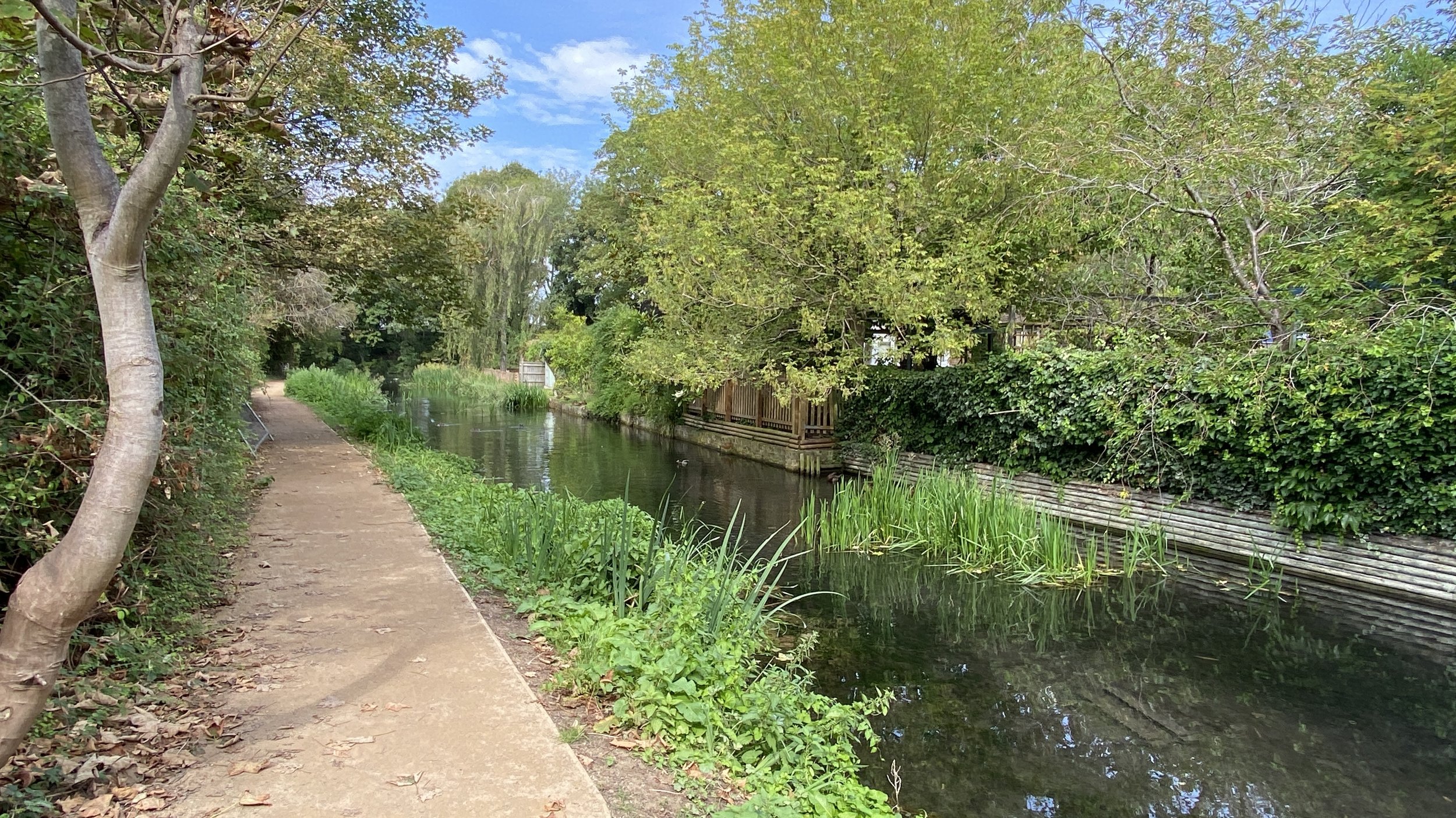
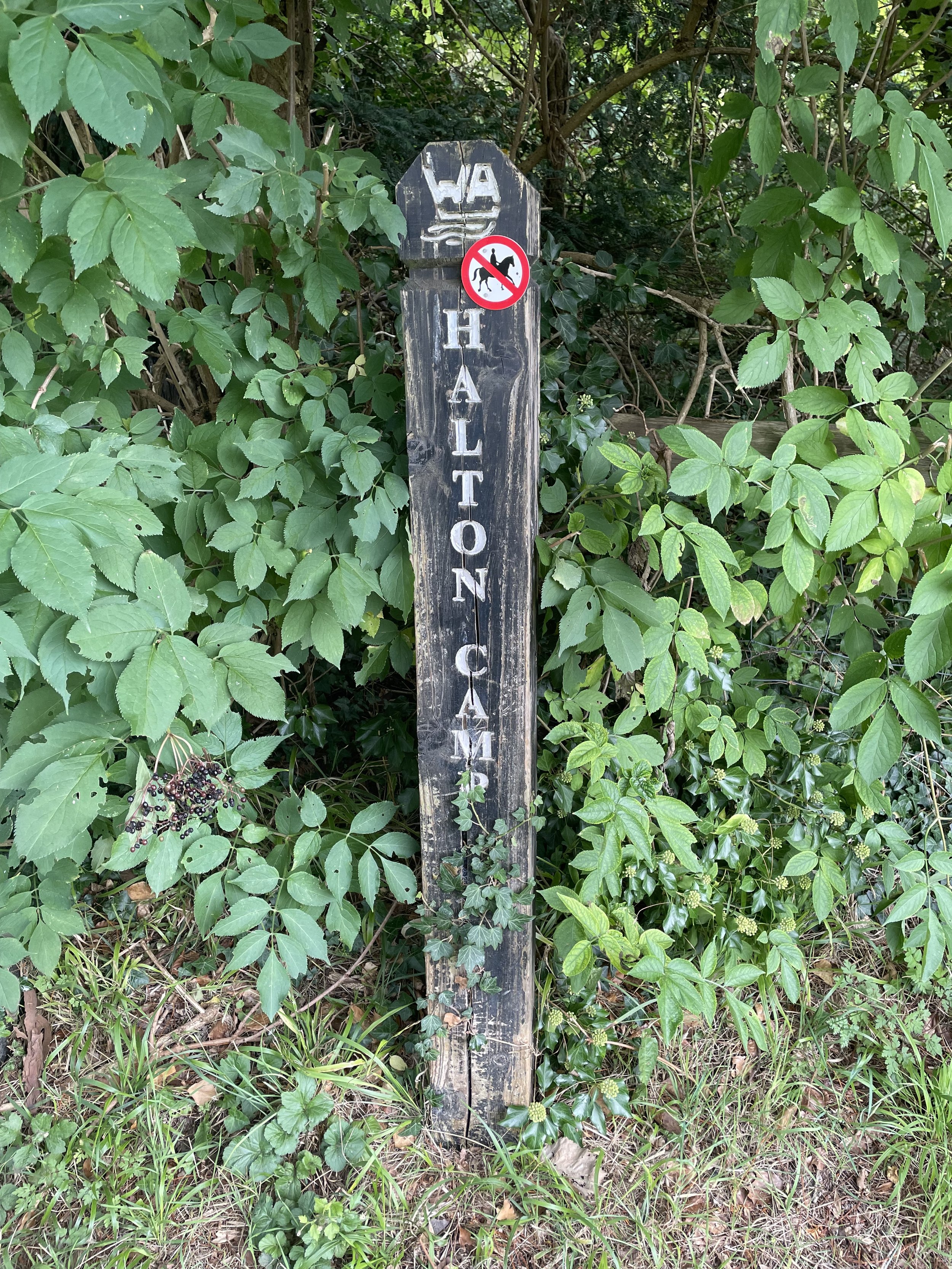
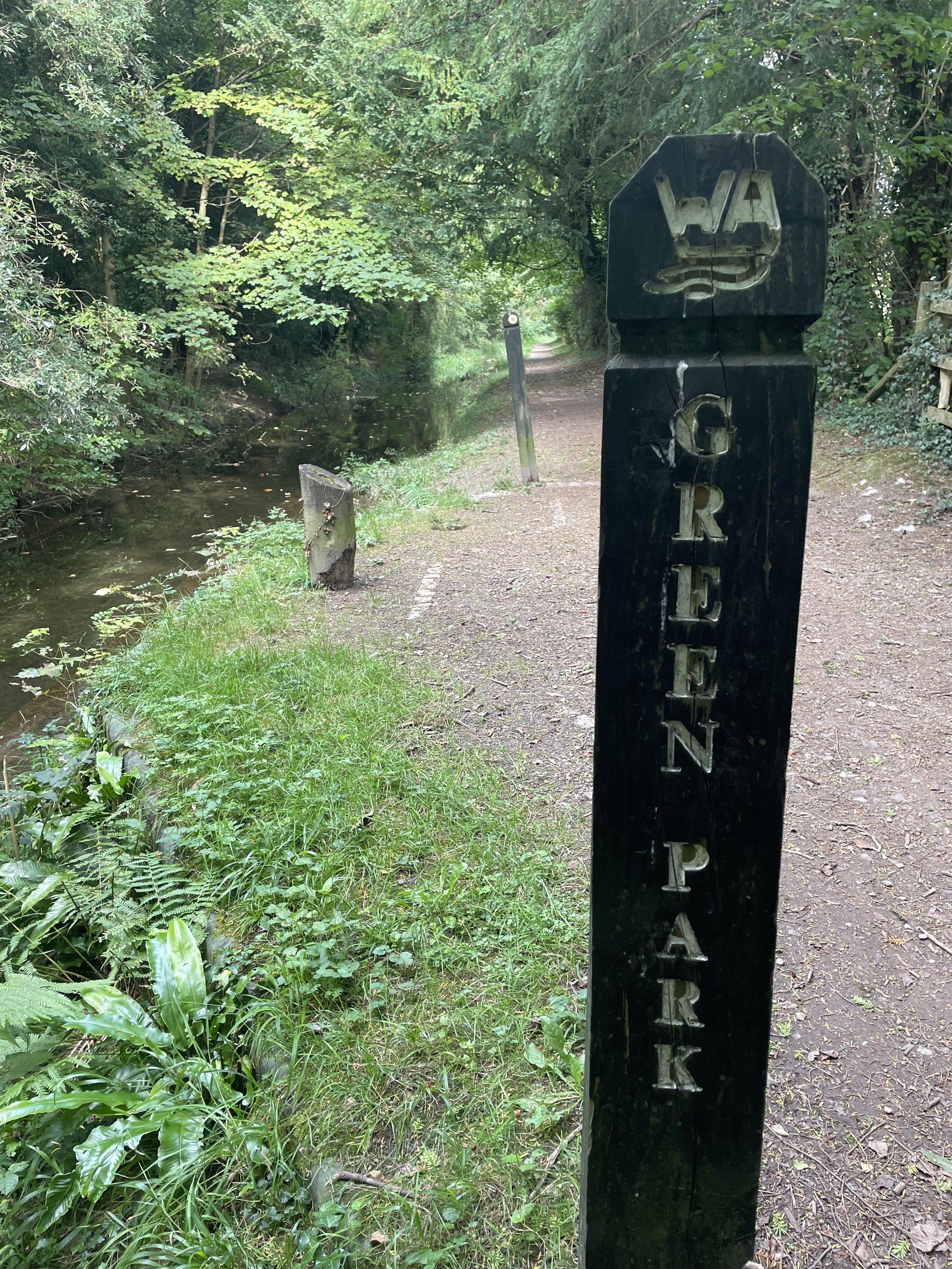
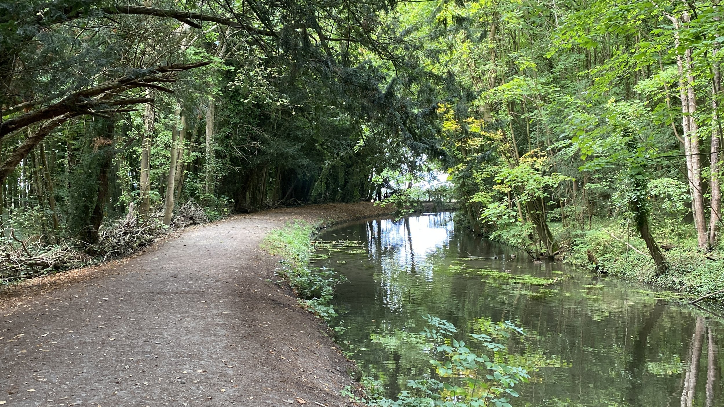
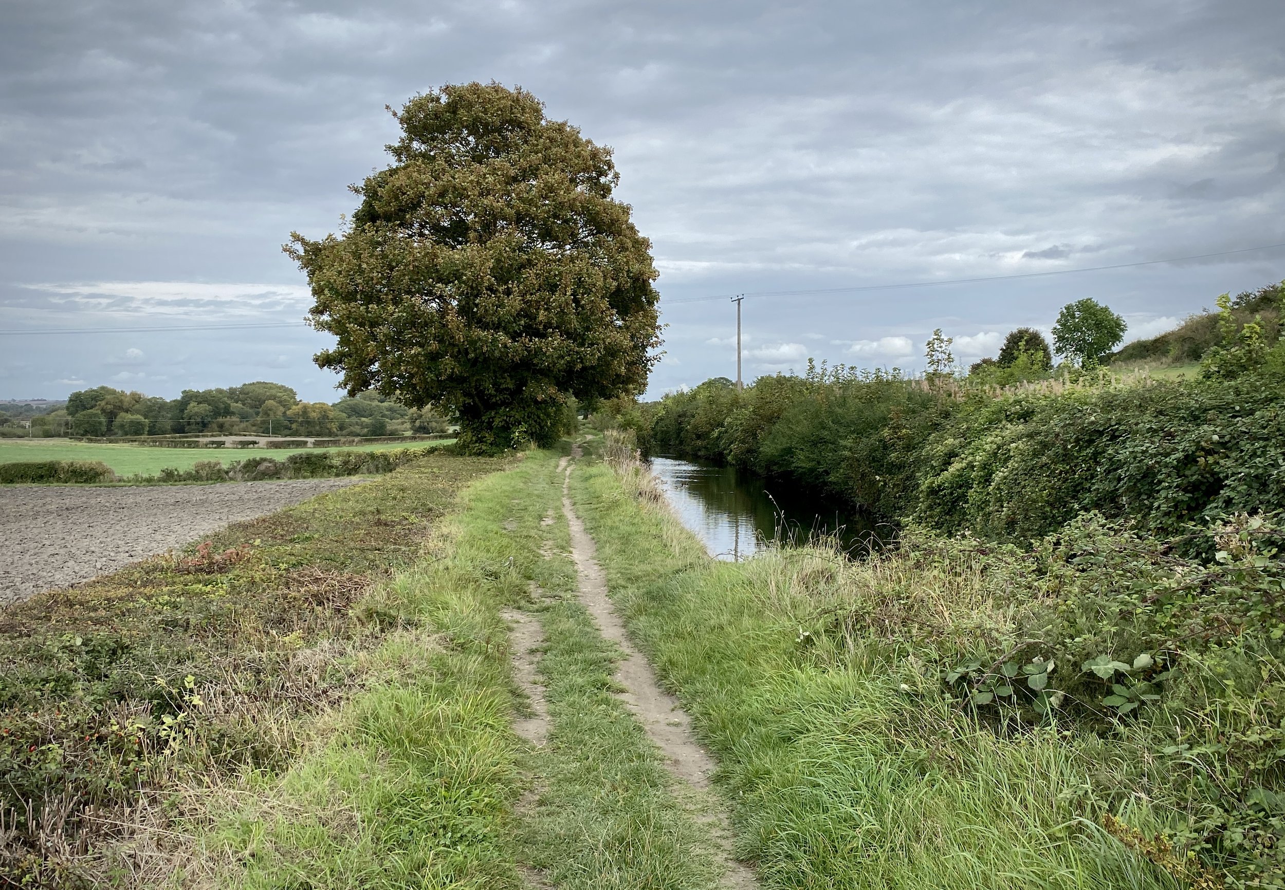
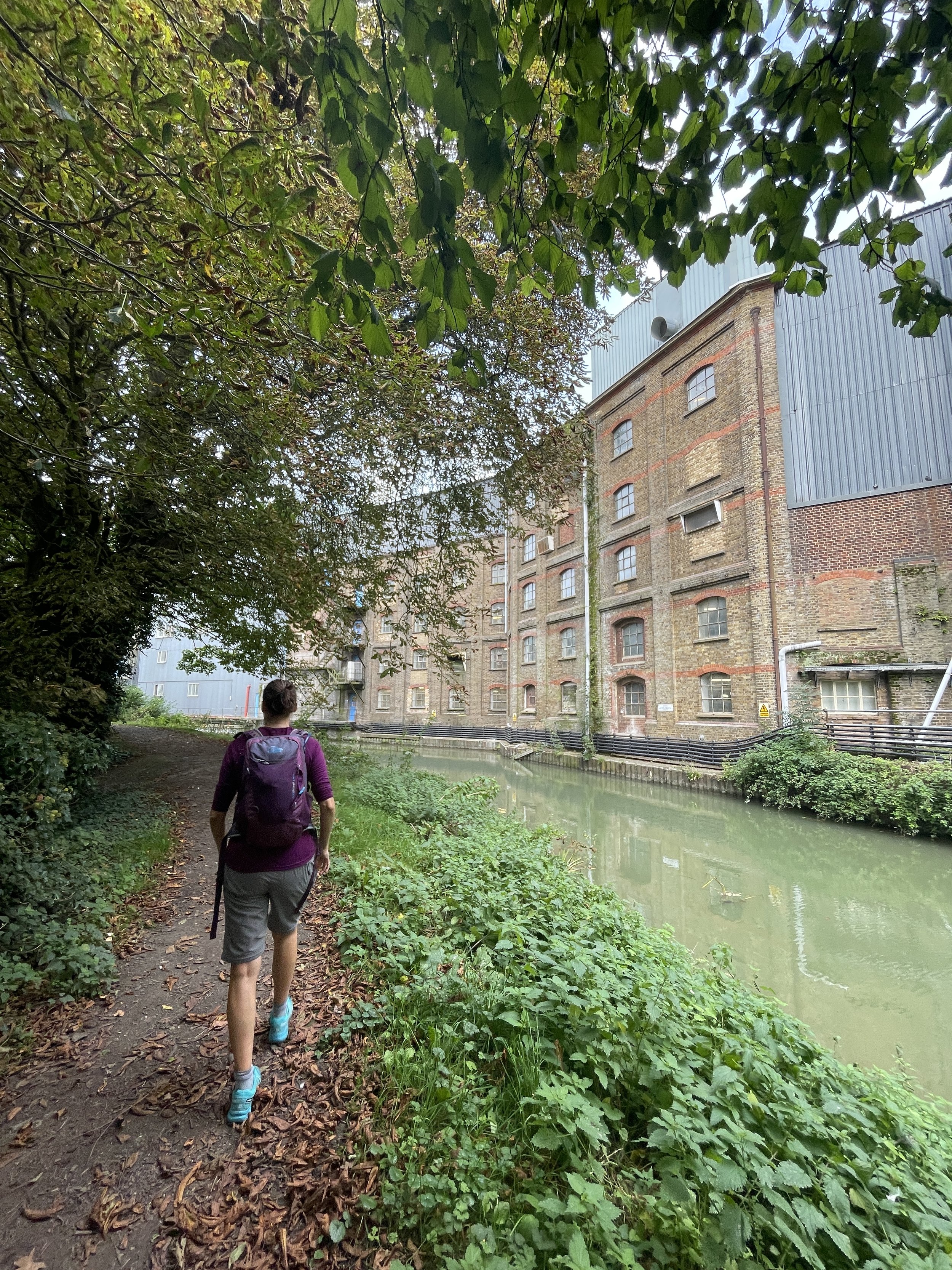
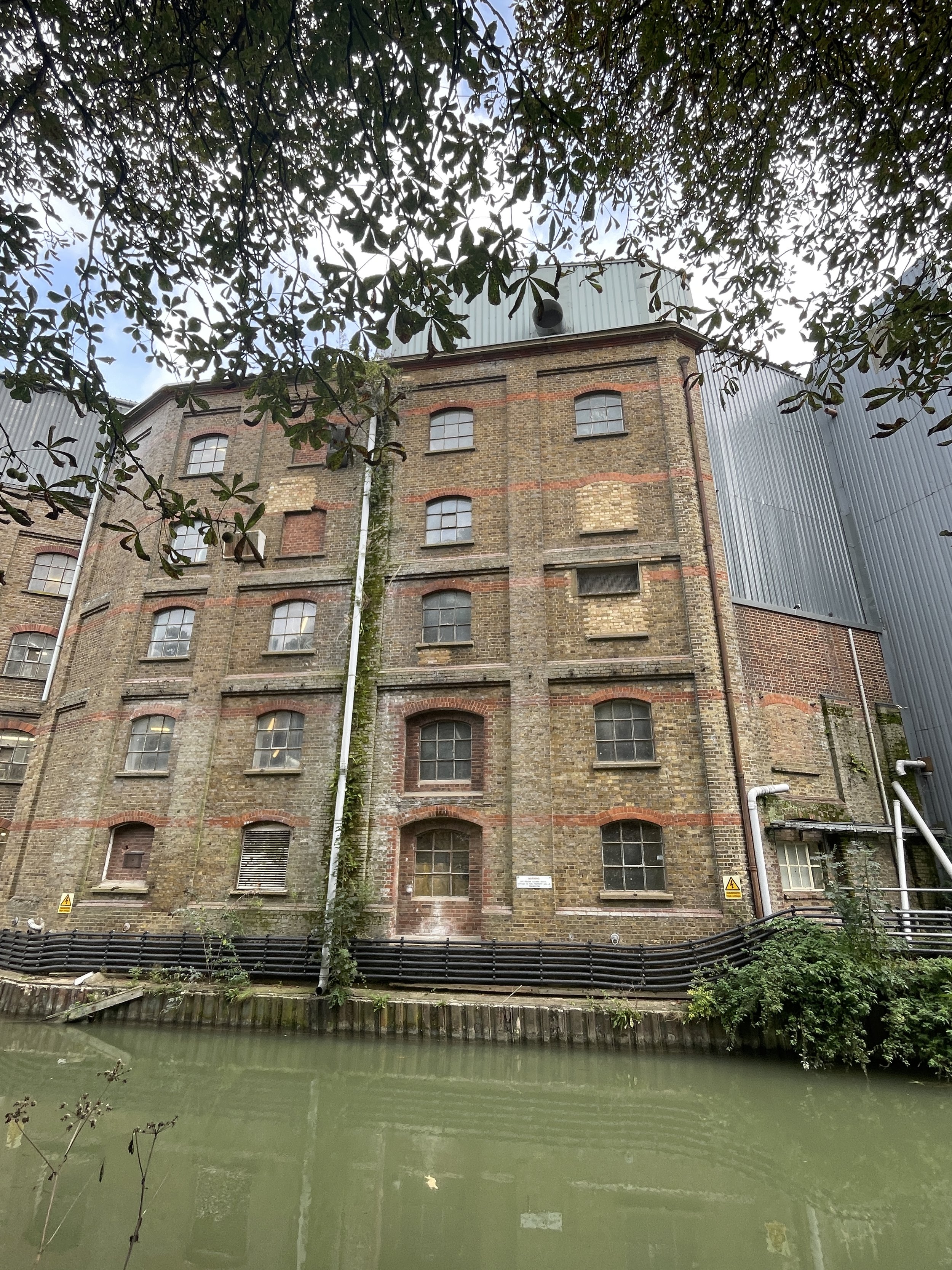
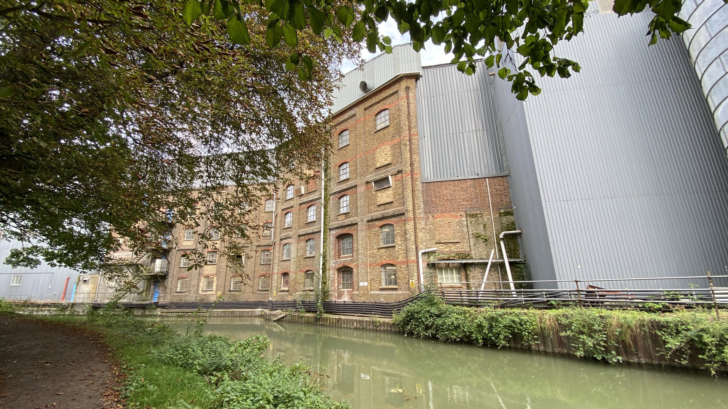
Section 1 starts at the Clock Tower in Wendover Town Centre. From here head north along Aylesbury Road then take a right onto Wharf Road. Here you’ll find the start of the Wendover Canal footpath at the point where Heron Brook passes under the road into the canal. This first section of the path covers 4.5 km, ending at Stablebridge Road. Along the way you’ll pass through Halton village and past the RAF Halton.
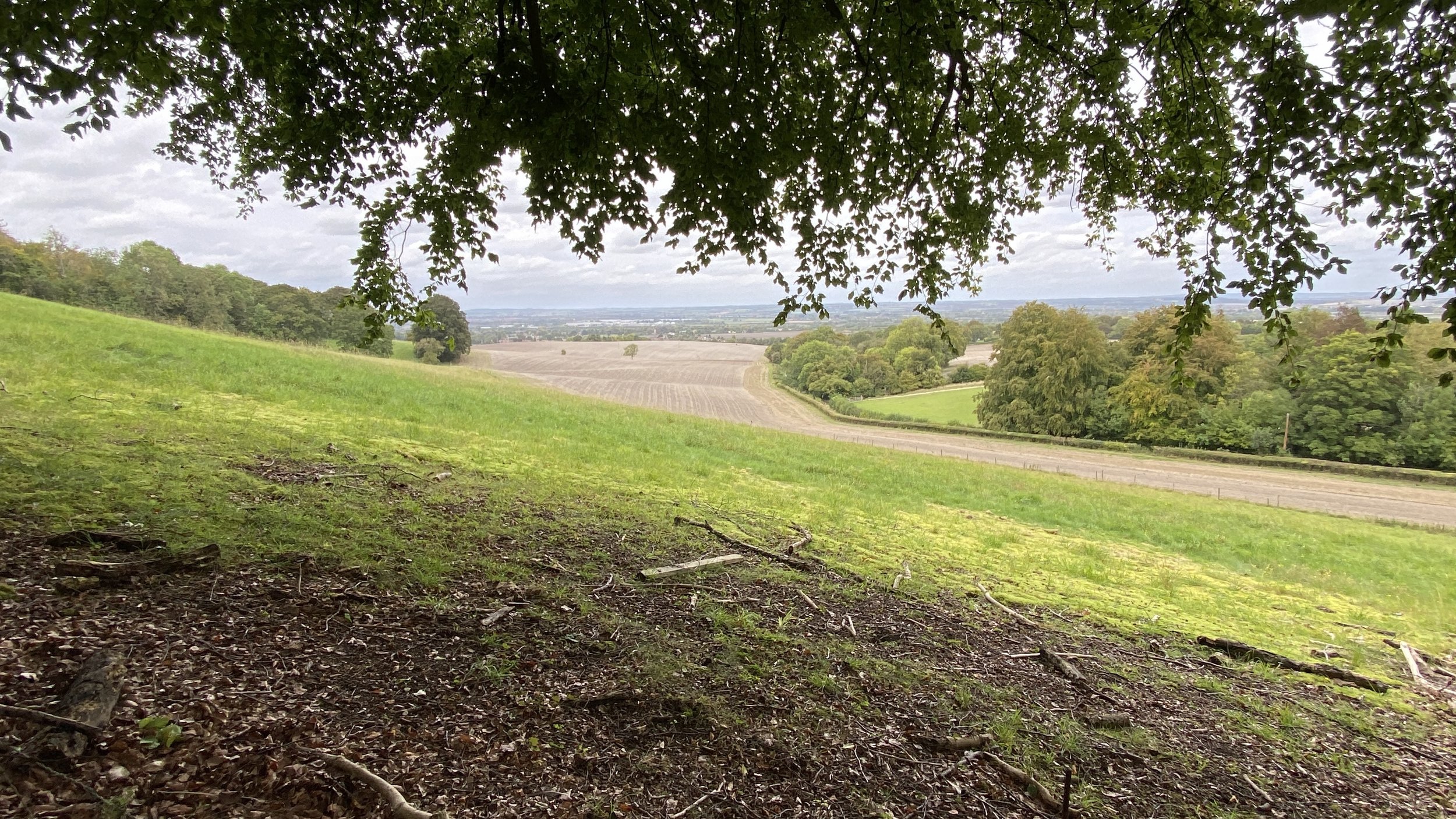
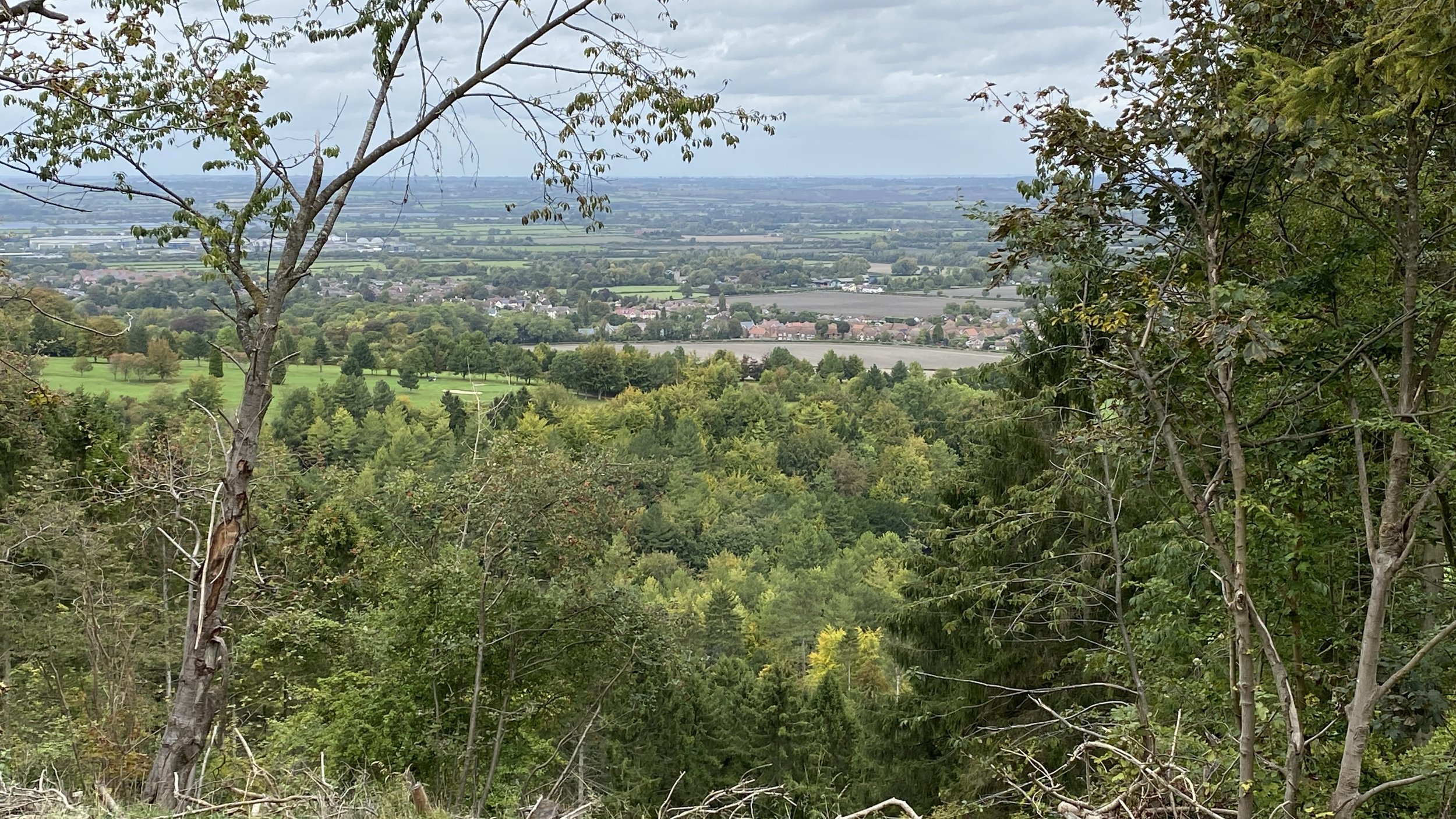
At Stablebridge Road leave the canal and walk south along the Outer Aylesbury Ring. Cross over the B4009 Upper Icknield Way and ascend up through the Chiltern Forest Golf Course. Continue along the Outer Aylesbury Ring to the Wendover Woods Visitors’ Centre. Along the way you can opt to take a short-cut across a field to visit the Coombe Hill Trig Pillar.
From the Wendover Woods Visitors’ Centre, pick up the Hillfort Trail to reach a footpath that leads down to Beechwood Lane. Continue in a south-westerly direction along Beechwood Lane, Barlow Road, Hampden Road and onto the B4009 Upper Icknield Way to return to the Wendover Clock Tower.


Section 2: Stablebridge Road to Miswell Farm
Start & Finish: Small car park on western side of Stablebridge Road, Aston Clinton, just south of the canal.
Distance: 8.9 km (5.5 miles)
Elevation change: +/- 157m
GPX File: get via Buy Me a Coffee
Other routes touched (walk): Outer Aylesbury Ring, Tring Parish Walk 1: Little Tring
Other routes touched (cycle): None
Pubs / Cafes on route: Restaurant at the Chiltern Forest Golf Club (6.7k in)
Map: Chiltern Hills North Map | Aylesbury, Berkhamsted & Chesham | Ordnance Survey | OS Explorer Map 181
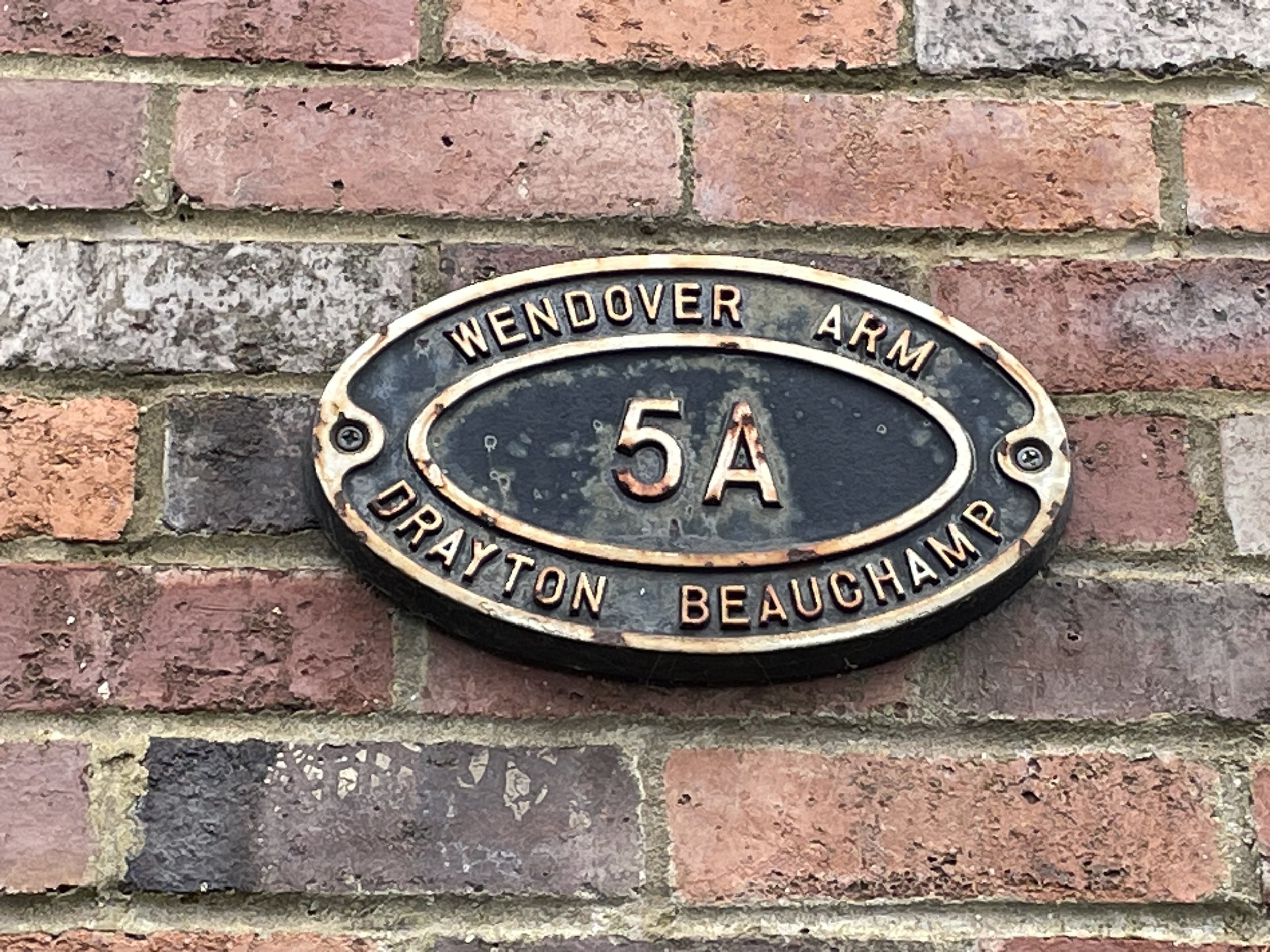
Links: Wendover Arm Canal (Wikipedia / Canal & River Trust / Wendover Canal Trust), Aston Clinton, Drayton Beauchamp
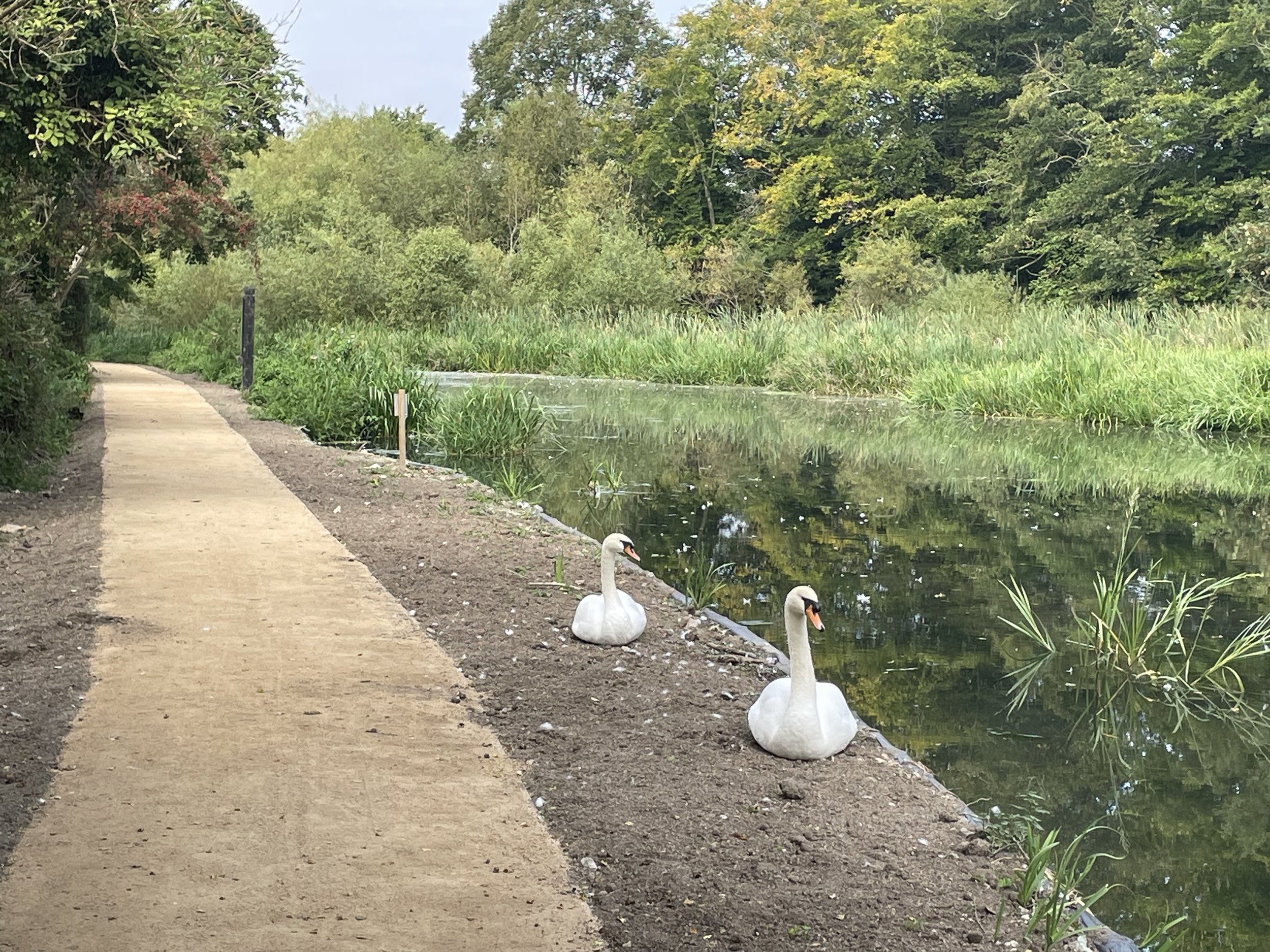
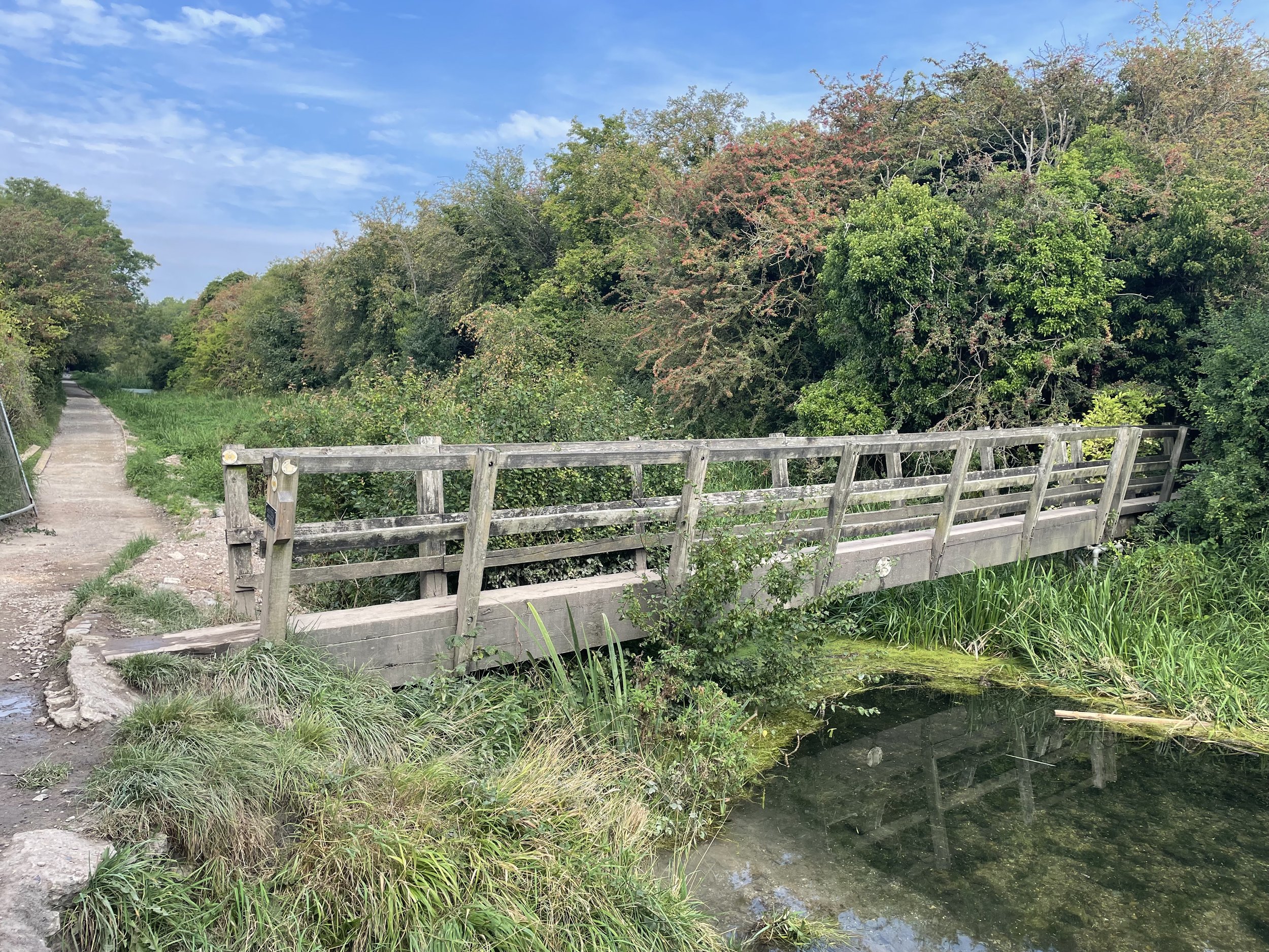
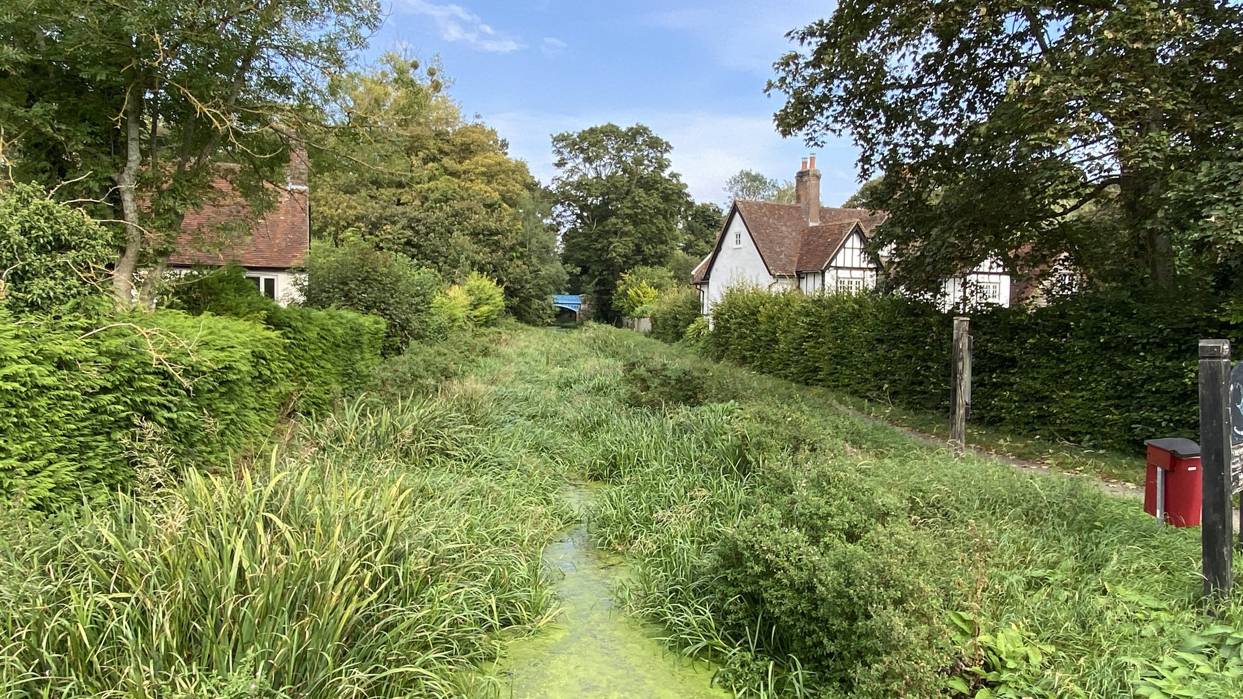
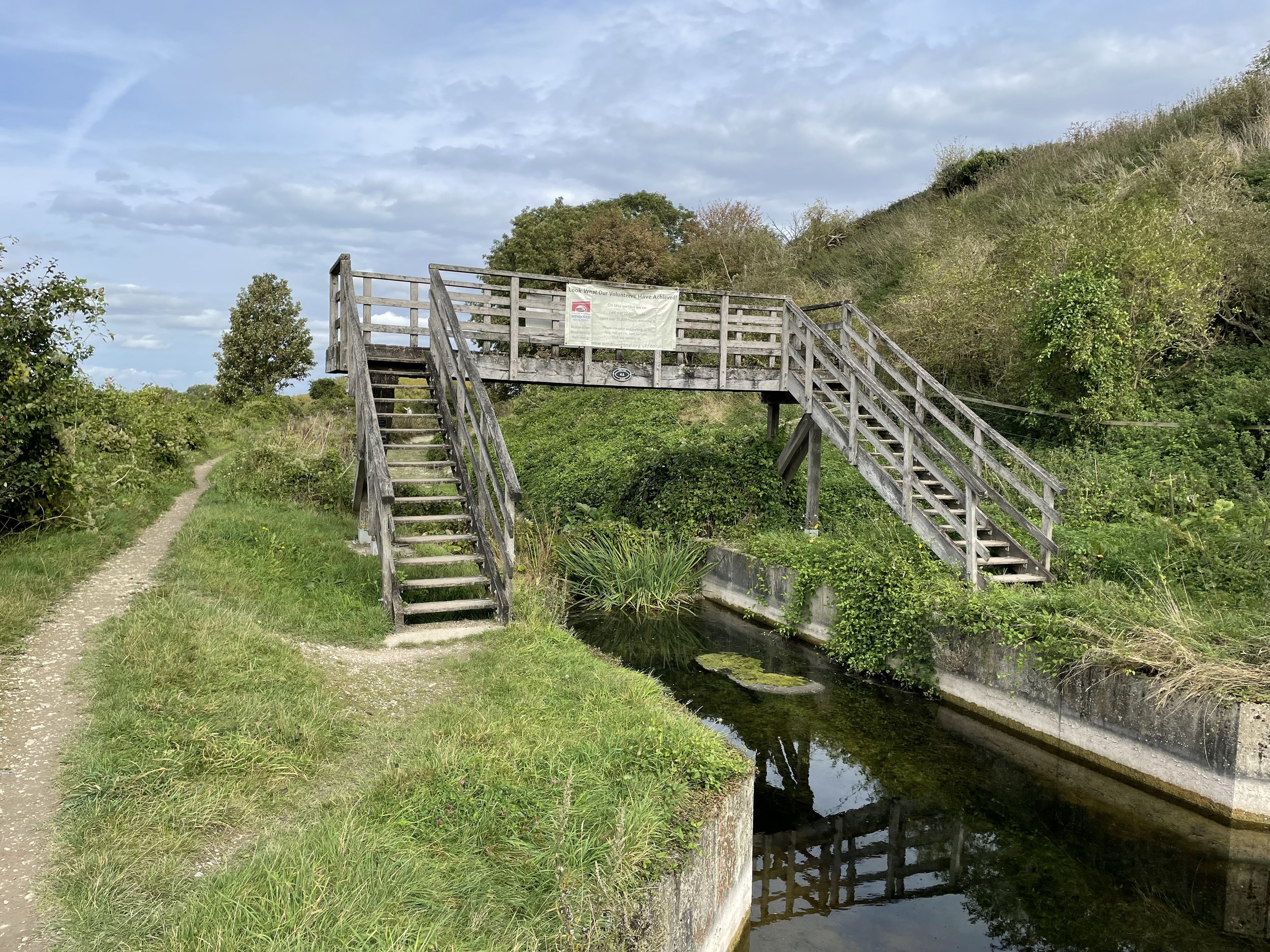
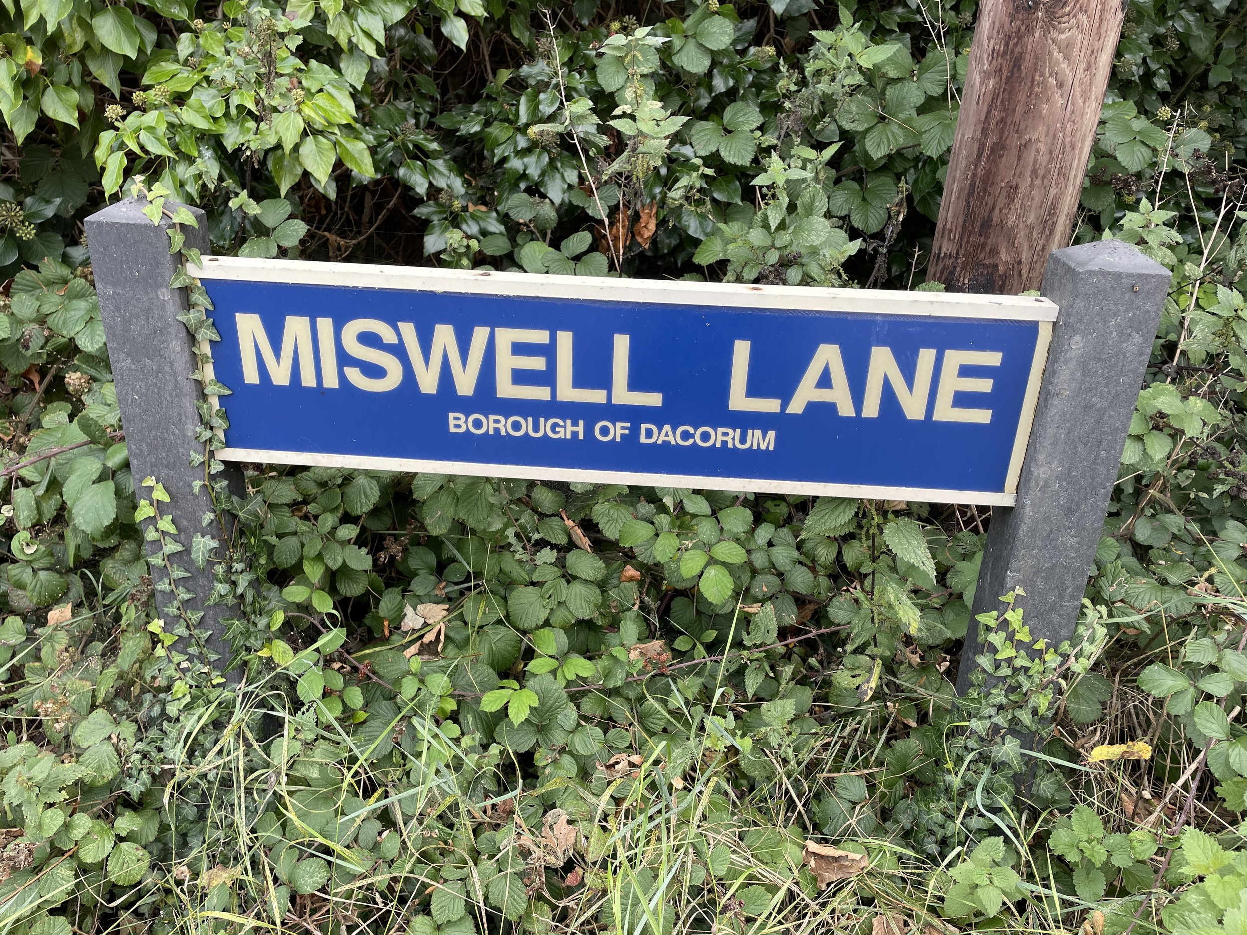
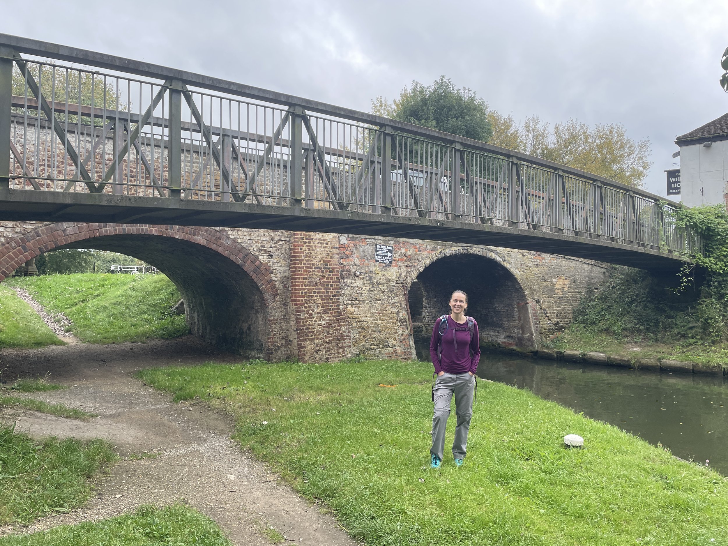
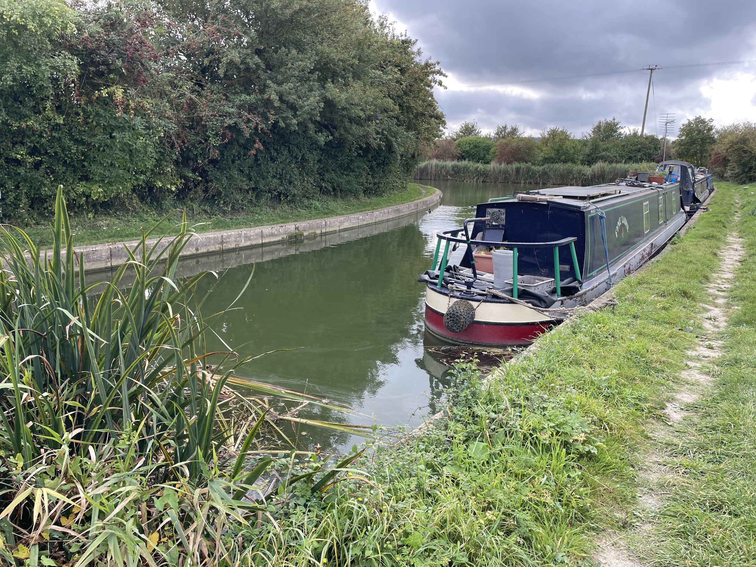
Section 2 picks up at Stablebridge Road and follows the Wendover Canal for 2.6 km to the wooden footbridge near Misbourne Farm. This takes you to the point where the restored part of the canal finishes. Cross over the footbridge and follow the path in a south-easterly direction. Cross over the B488 Icknield Way, following Miswell Lane and take a right onto Buckingham Lane. Continue in a westerly direction through the residential estate to meet a footpath by the playing fields. Take a left to follow this path.
Continue to follow the path as it curves round to the west, crossing over the A41, Dancers End Lane and then up the hill into the woods. Here you’ll reconnect with the Outer Aylesbury Ring near the Chiltern Forest Golf Course from section 1. Descend the hill in the opposite direction that you took in section 1 (heading north) to return to the canal at Stablebridge Road.


Section 3: Miswell Farm to Marsworth
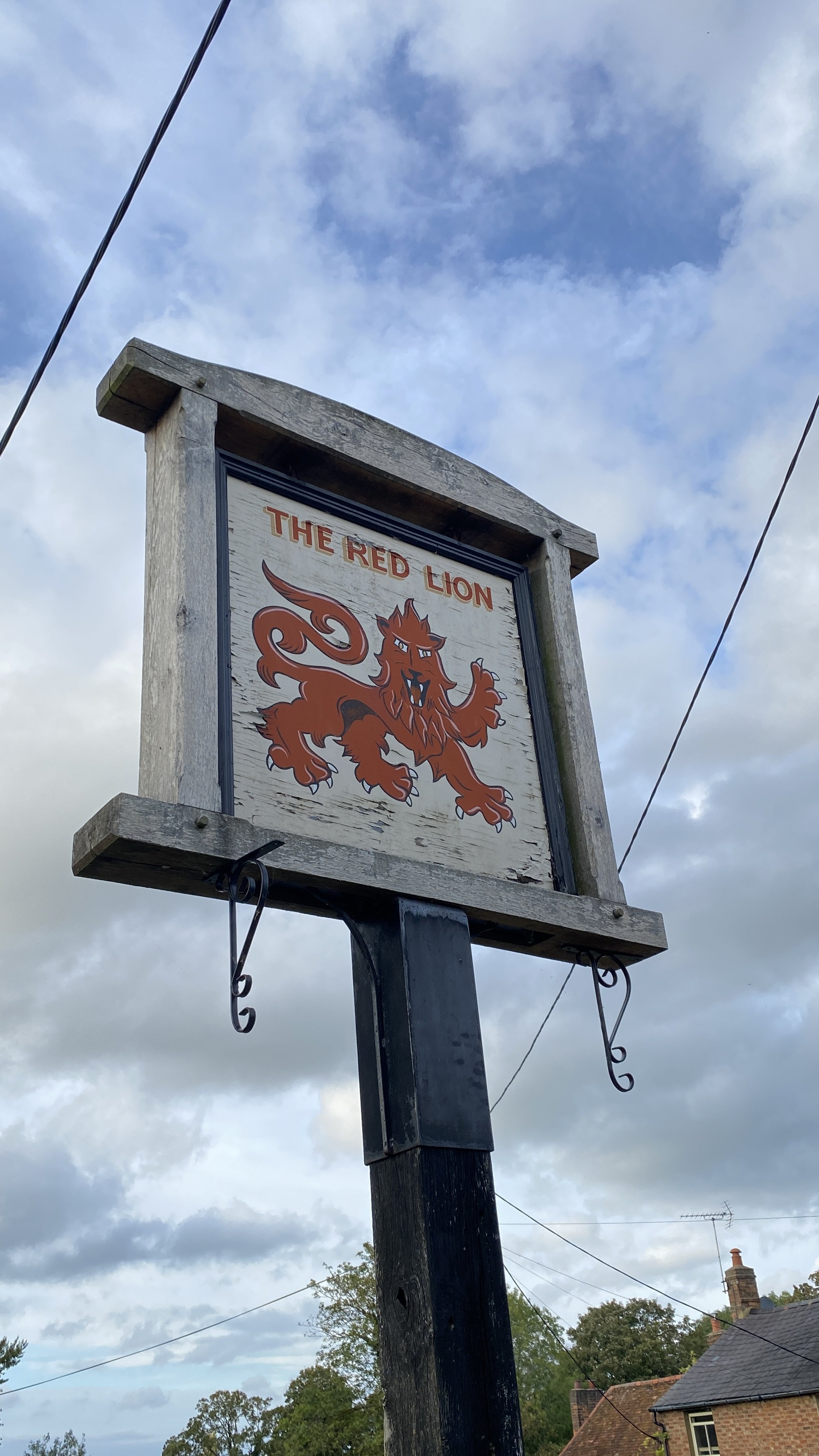
Start & Finish: The Red Lion Pub, 90 Vicarage Rd, Marsworth, Tring HP23 4LU
Distance: 9.7 km (6 miles)
Elevation change: +/-61m.
GPX File: get via Buy Me a Coffee
Other routes touched (walk): Tring Parish Walk 1: Little Tring
Other routes touched (cycle): Grand Union Canal Towpath, Tring 5 Cycle Route
Pubs / Cafes on route: The Red Lion (at start and end), Waters Edge (0.6km in)
Map: Chiltern Hills North Map | Aylesbury, Berkhamsted & Chesham | Ordnance Survey | OS Explorer Map 181
Links: Wendover Arm Canal (Wikipedia / Canal & River Trust / Wendover Canal Trust), Marsworth, Tring Reservoirs, Grand Union Canal
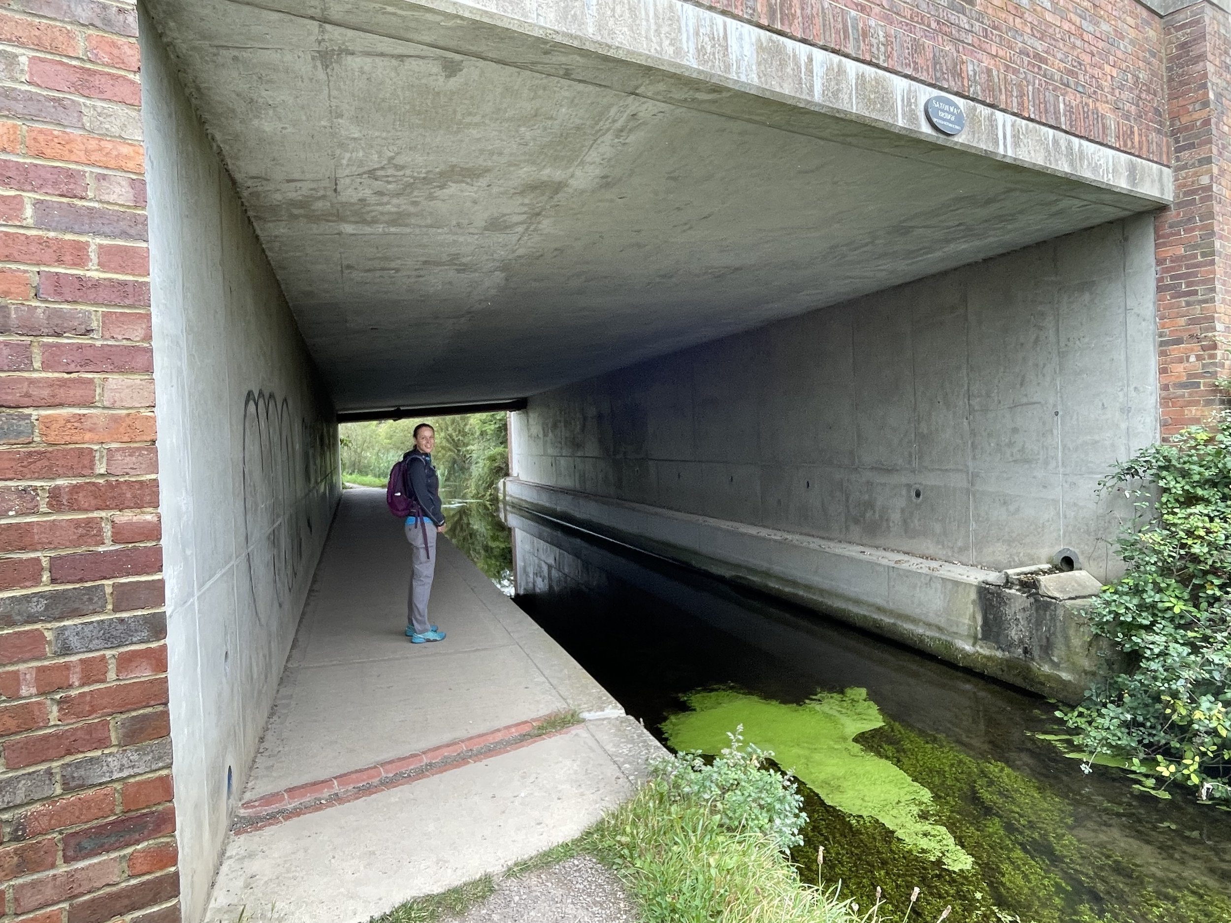
Section 3 completes the Wendover Arm and gives a tour of Marsworth, the start of the Aylesbury Canal and the Marsworth Reservoirs. The start and end is at the Red Lion Pub in Marsworth village centre where there’s free on-street parking. From the pub follow Vicarage Road heading in a south-easterly direction and take a right onto Church Lane. When Church Lane starts to curve to the right, take a footpath to the left that leads to a bridge that takes the B489 Lower Icknield Way over the Grand Union Canal.
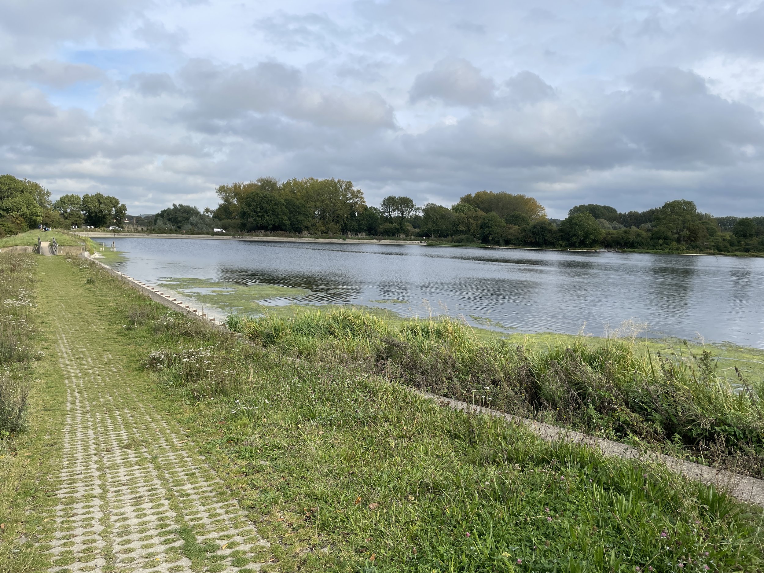
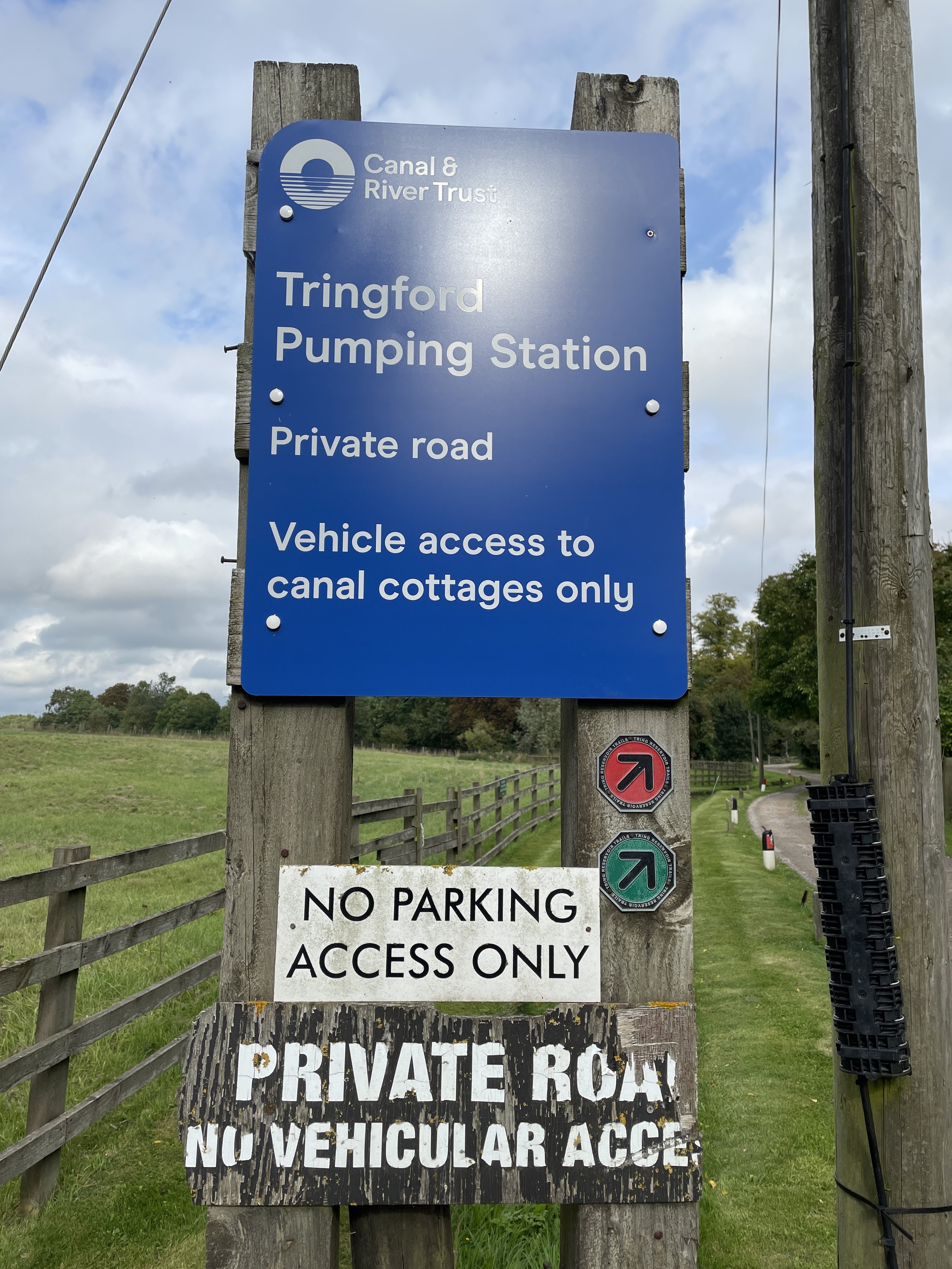
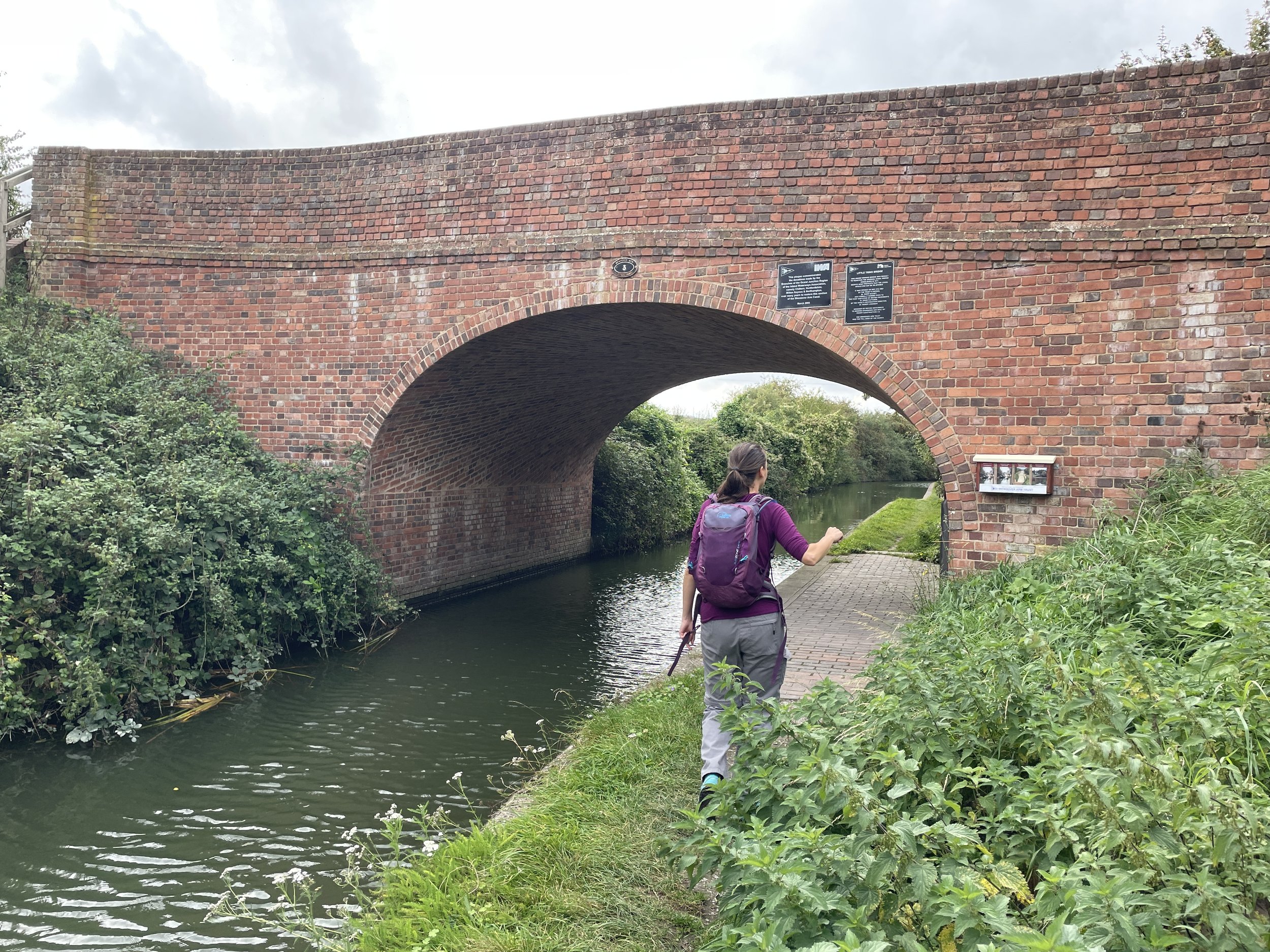
Cross over the Grand Union and take a left into the Startops End Car Park. This is a good alternative place to start the walk but can often be full at weekends. Take the footpath along the north-westerly edge of Startops End Reservoir then cross over Tringford Road to follow the north-westerly edge of Tringford Reservoir. Keep heading in a southerly direction to Little Tring Road to the bridge over the Wendover Canal.
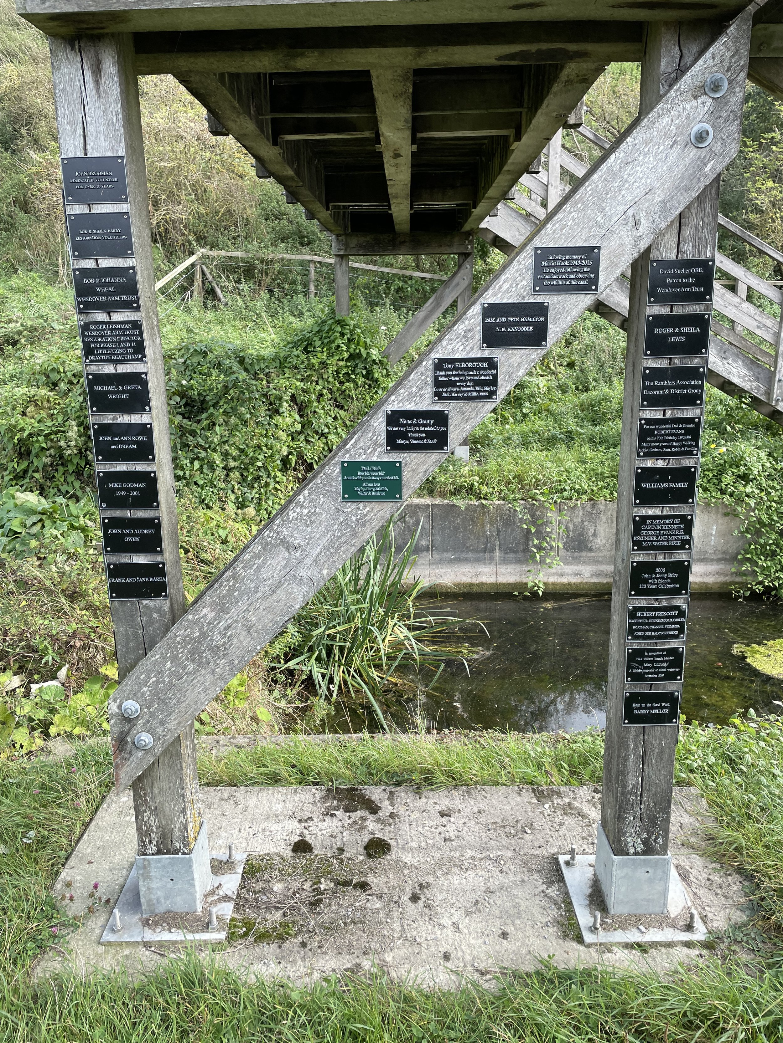
Before the bridge leave the road to pick up the footpath heading (right) in a westerly direction to a dead-end / turnaround spot for canal boats. Continue along the footpath, now in a south-westerly direction to a path junction. Take a right, heading north to return to the Wendover Canal at the wooden footbridge where section 2 left the canal.
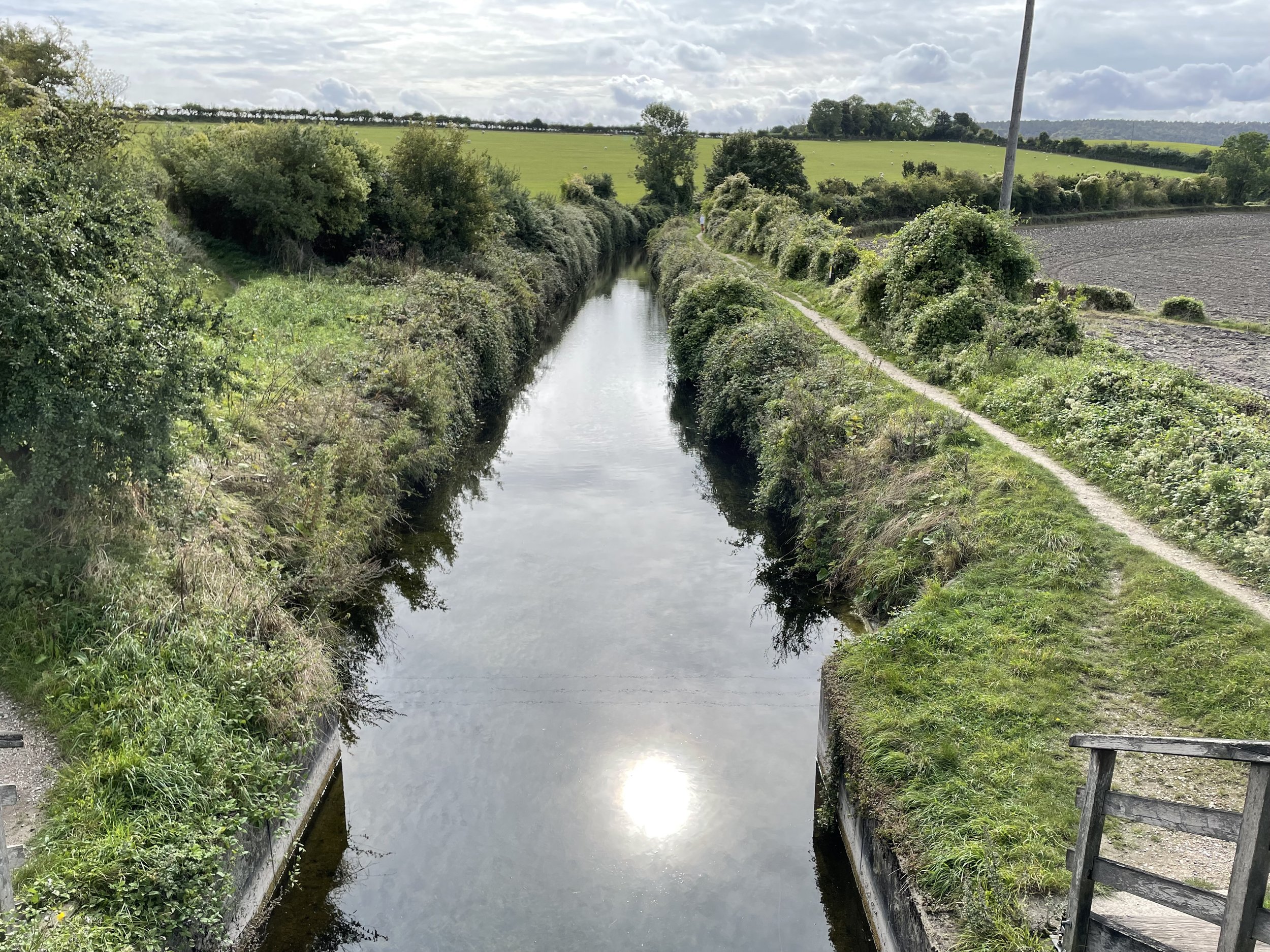
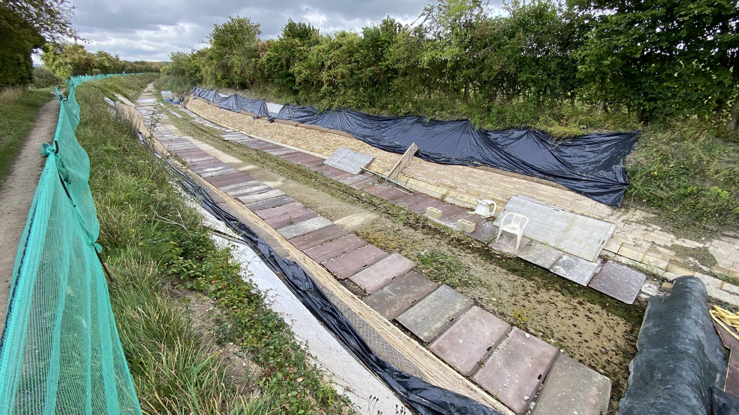
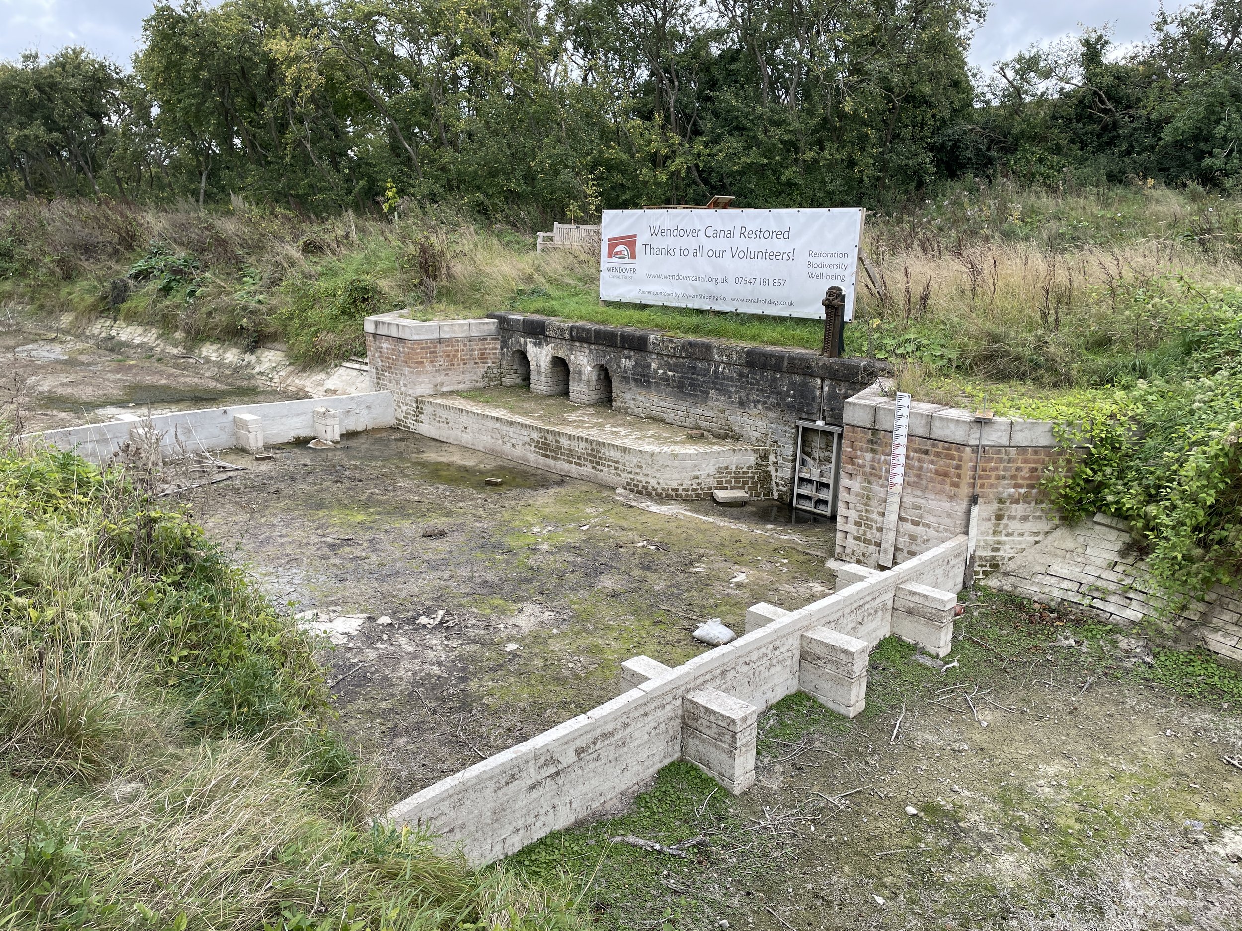
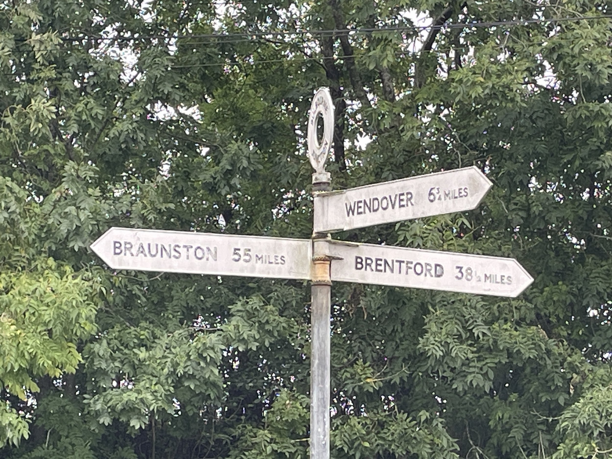
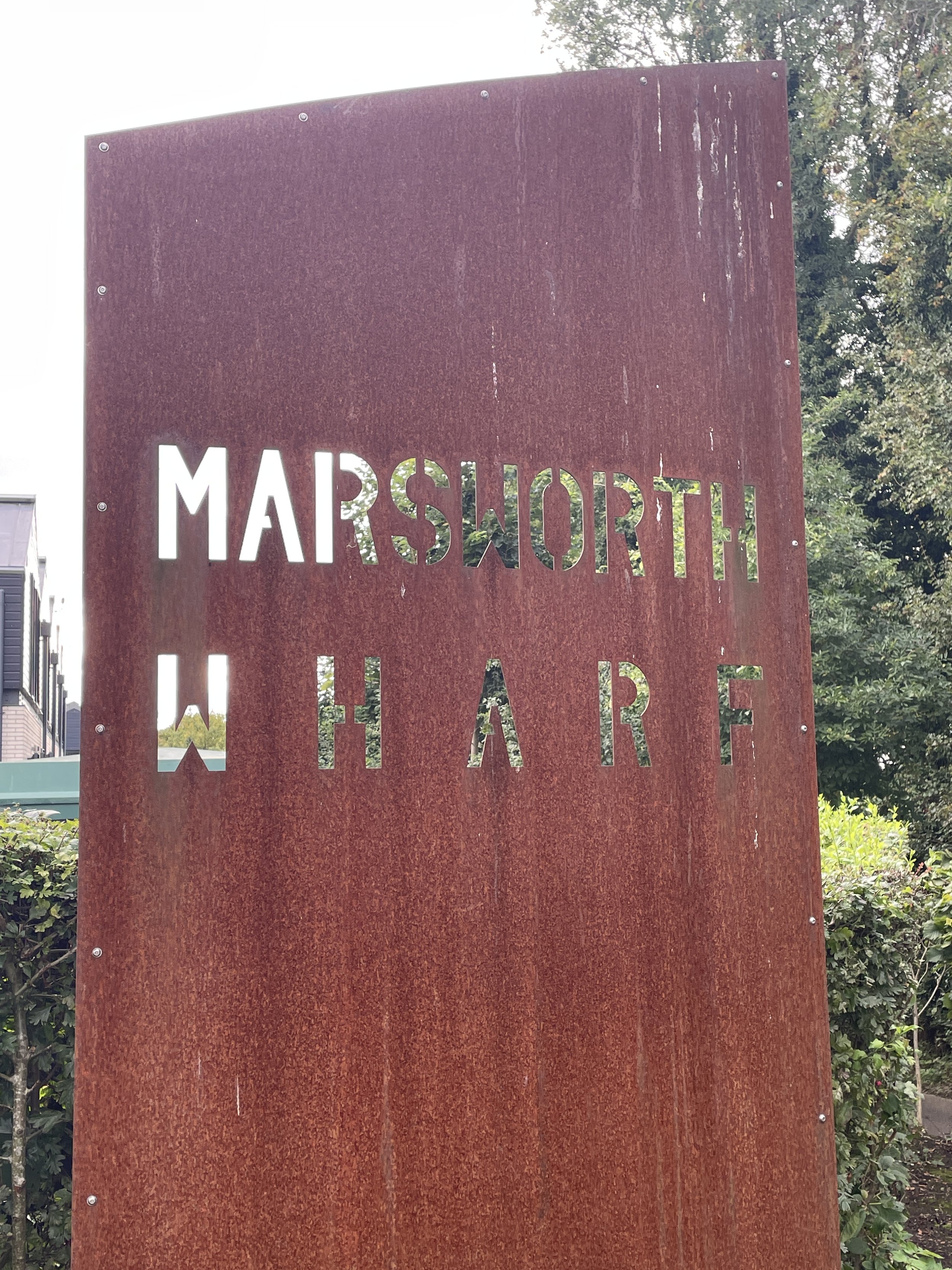
After crossing the footbridge, take a right to follow the route of the canal, currently dry and under restoration works. The path will lead you back to Little Tring Road where you’ll need to temporarily leave the route of the old towpath to reach the Little Tring Road bridge again. Rejoin the canal towpath, this time taking a left to head in an easterly direction. Follow the canal towpath for 2.1 km to reach the end of the Wendover Arm at Bulbourne.
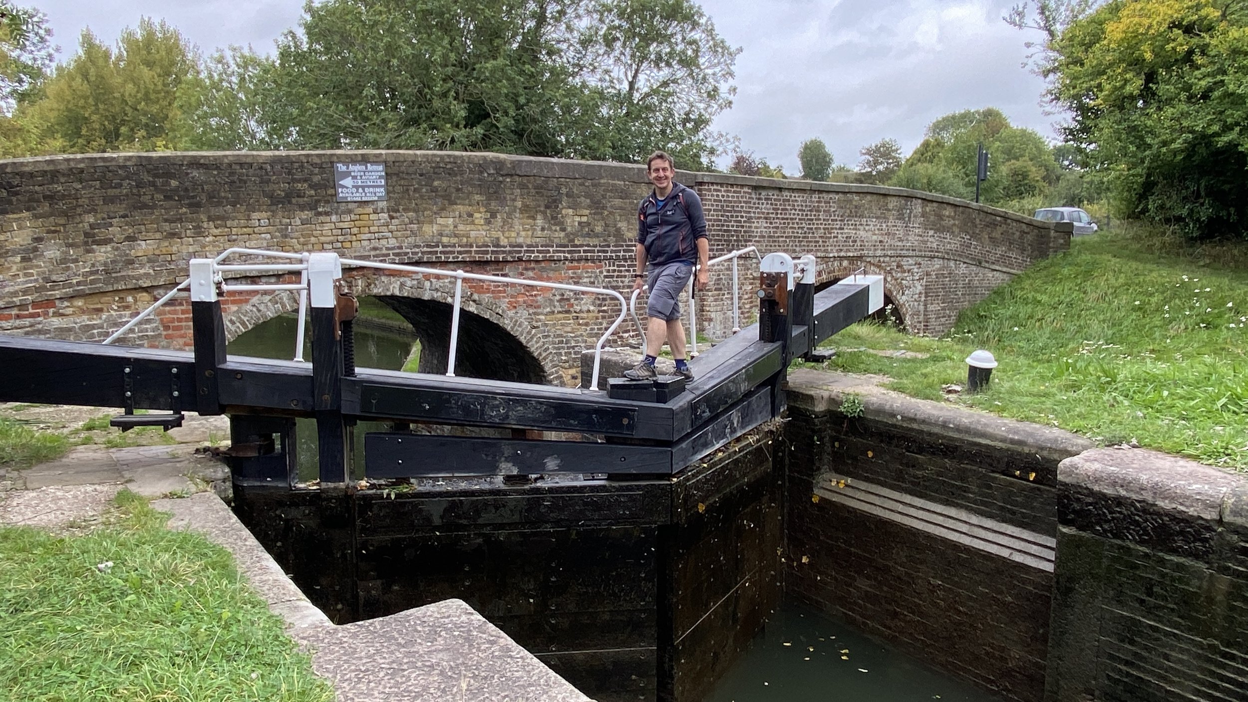
To complete the walk, take a left onto the main route of the Grand Union Canal, following it for 1.7 km to the start of the Aylesbury Canal. Cross over the first lock of the Aylesbury Canal and continue to the Long Marston Road Bridge. Cross over the bridge and you’ll be back on Vicarage Road near the Red Lion Pub


The Full Wendover Arm Canal Route

The 3 circular route sections shown together. Green = Section 1, Blue = Section 2, Red = Section 3

The Point to Point Walk from Wendover to Bulbourne
Details for a Point-to-Point Walk:
Start: Wharf Road, Wendover, Aylesbury, HP22 6HF
Finish: Junction with main route of Grand Union Canal at New Canal Cottages, Tring HP23 4NG
Distance: 11.4 km (7.1 miles)
Elevation change: +55m /- 57m
GPX File: get via Buy Me a Coffee
Other routes touched (walk): Aylesbury Ring, Outer Aylesbury Ring, Tring Parish Walk 1: Little Tring
Other routes touched (cycle): None
Pubs / Cafes on route: Many in Wendover Village Centre, none on route
Map: Chiltern Hills North Map | Aylesbury, Berkhamsted & Chesham | Ordnance Survey | OS Explorer Map 181
Links: Wendover Arm Canal (Wikipedia / Canal & River Trust / Wendover Canal Trust) , Wendover, Halton, Aston Clinton, Tring Reservoirs, Grand Union Canal