The Slipe: Bedford Borough High Point

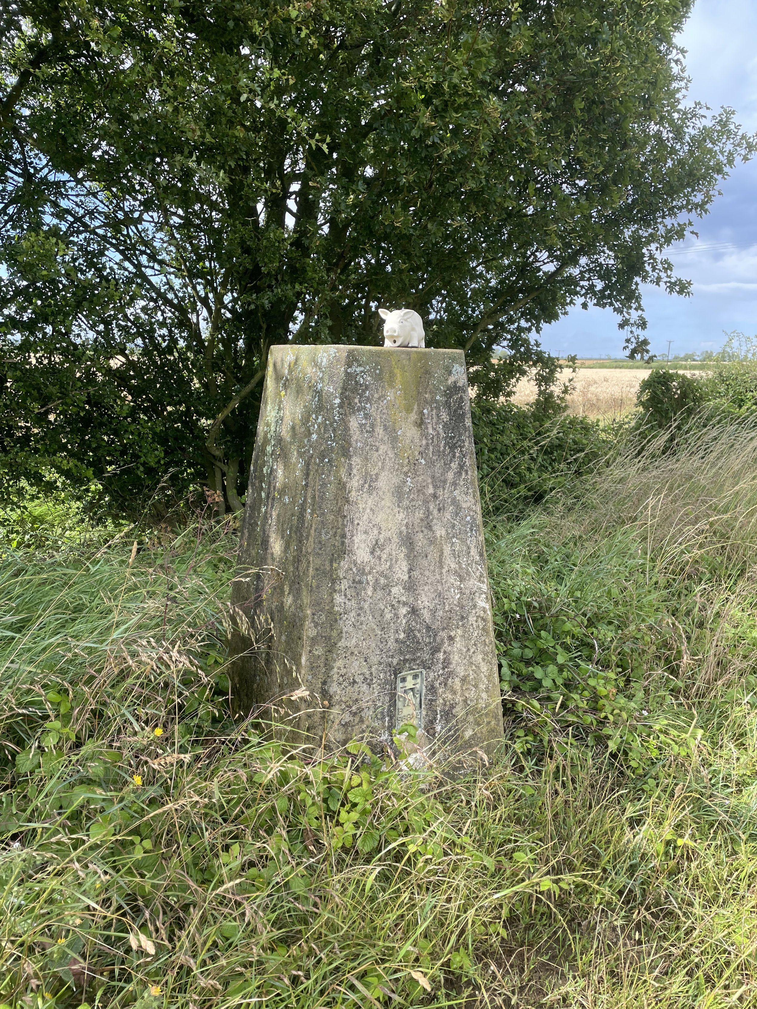
Harrold Park Farm Trig Pillar, north of the high point along the Three Shires Way
Significance: Unitary Authority High Point for Bedford Borough
Member of: N/A
Parent Peak: Cleeve Hill. NHN = Bow Brickhill
Historic County: Bedfordshire (of which Dunstable Downs is the County Top)
Elevation: 107m
Date climbed: July 15th 2013
Coordinates: 52° 12' 4'' N, 0° 39' 59'' W
Route Start / End: Free on-street parking in or near Church Lane, Bozeat, NN29 7NJ
Route Distance: 6.5 km (4.0 miles)
Route Elevation Change: +/- 39m
Subsidiary tops on route: None
GPX File: get via Buy Me a Coffee
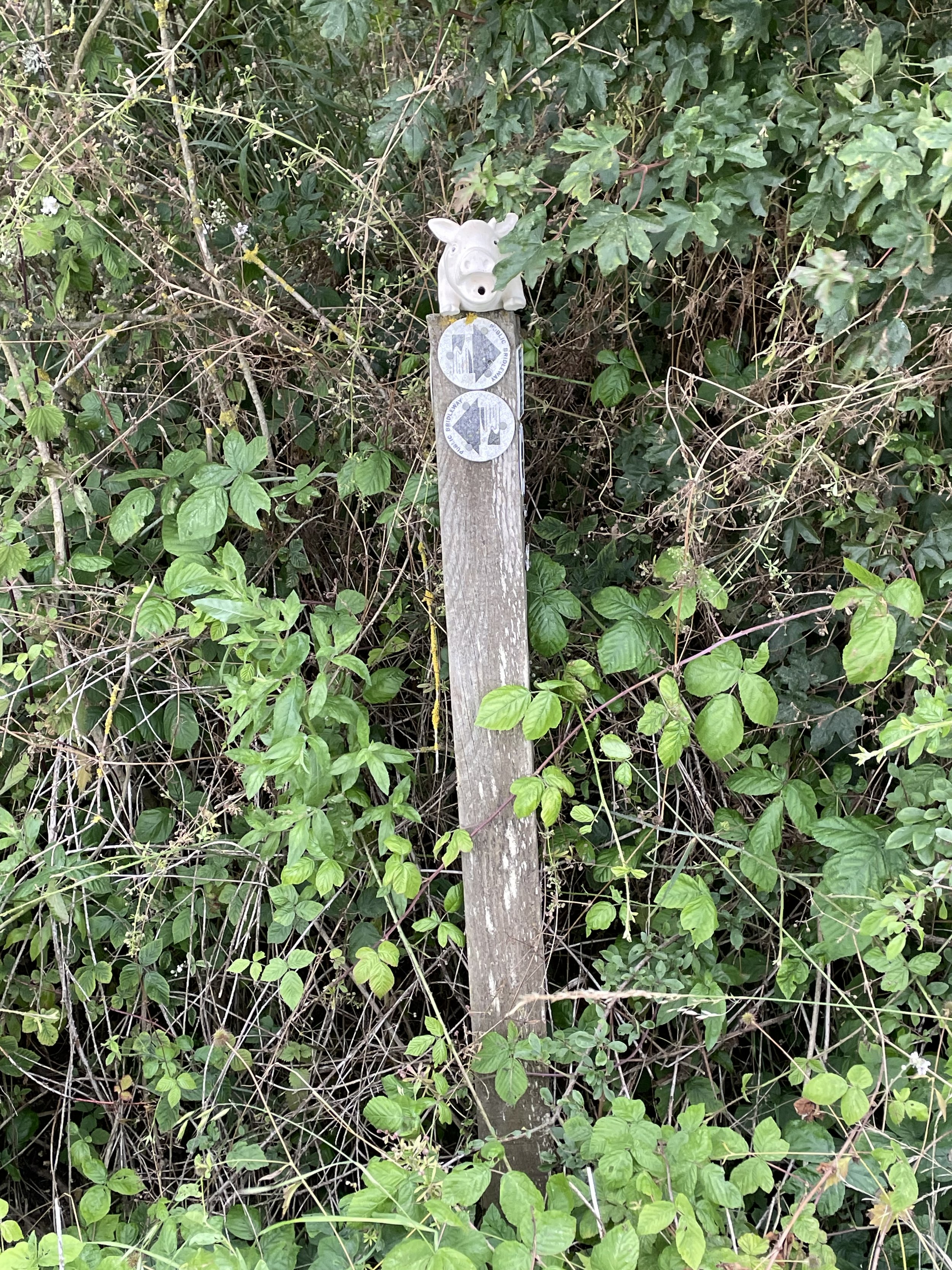
Other routes touched (walk): Three Shires Way
OS Trig Pillar: TP3642 - Harrold Park Farm
Map: Newport Pagnell & Northampton South Map | Towcester & Olney | Ordnance Survey | OS Explorer Map 207
Guidebook: N/A
Links: Wikipedia (Bedford Borough), Peakbagger
The Slipe is the high point of the Unitary Authority of Bedford Borough, within the Ceremonial and Historic Counties of Bedfordshire.
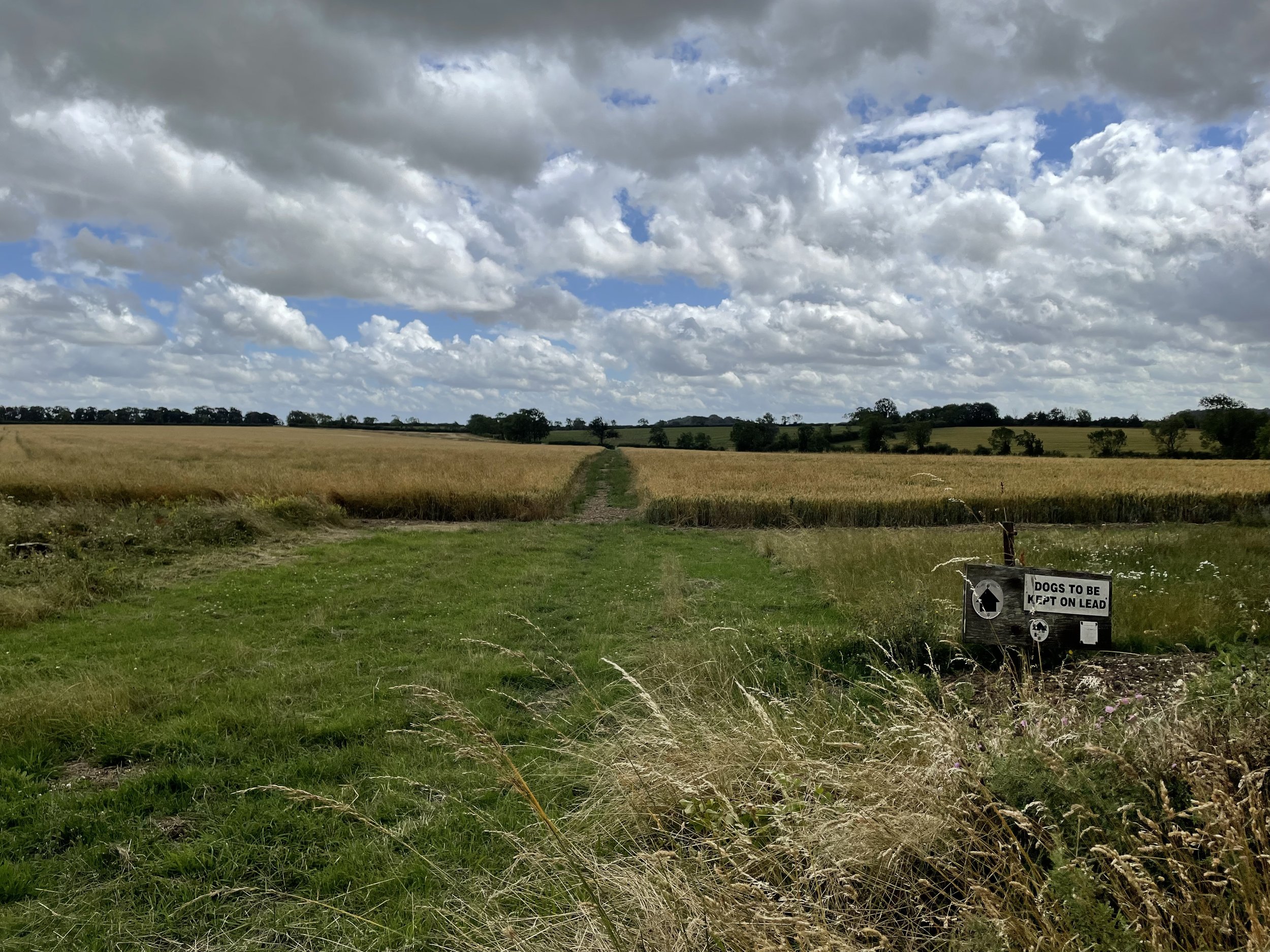
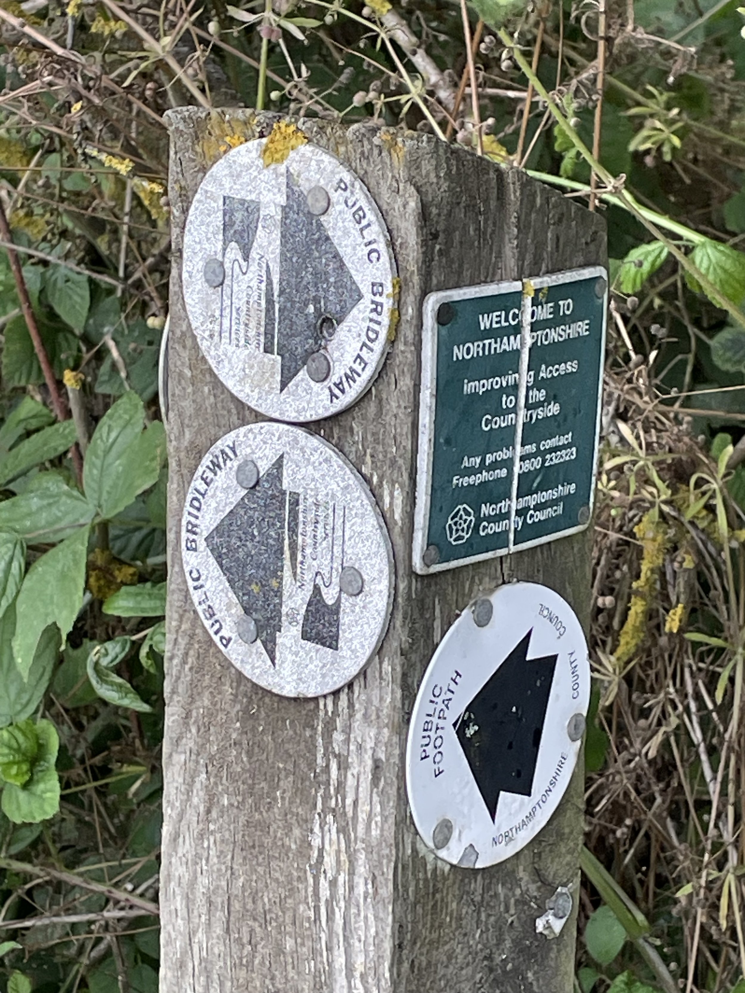
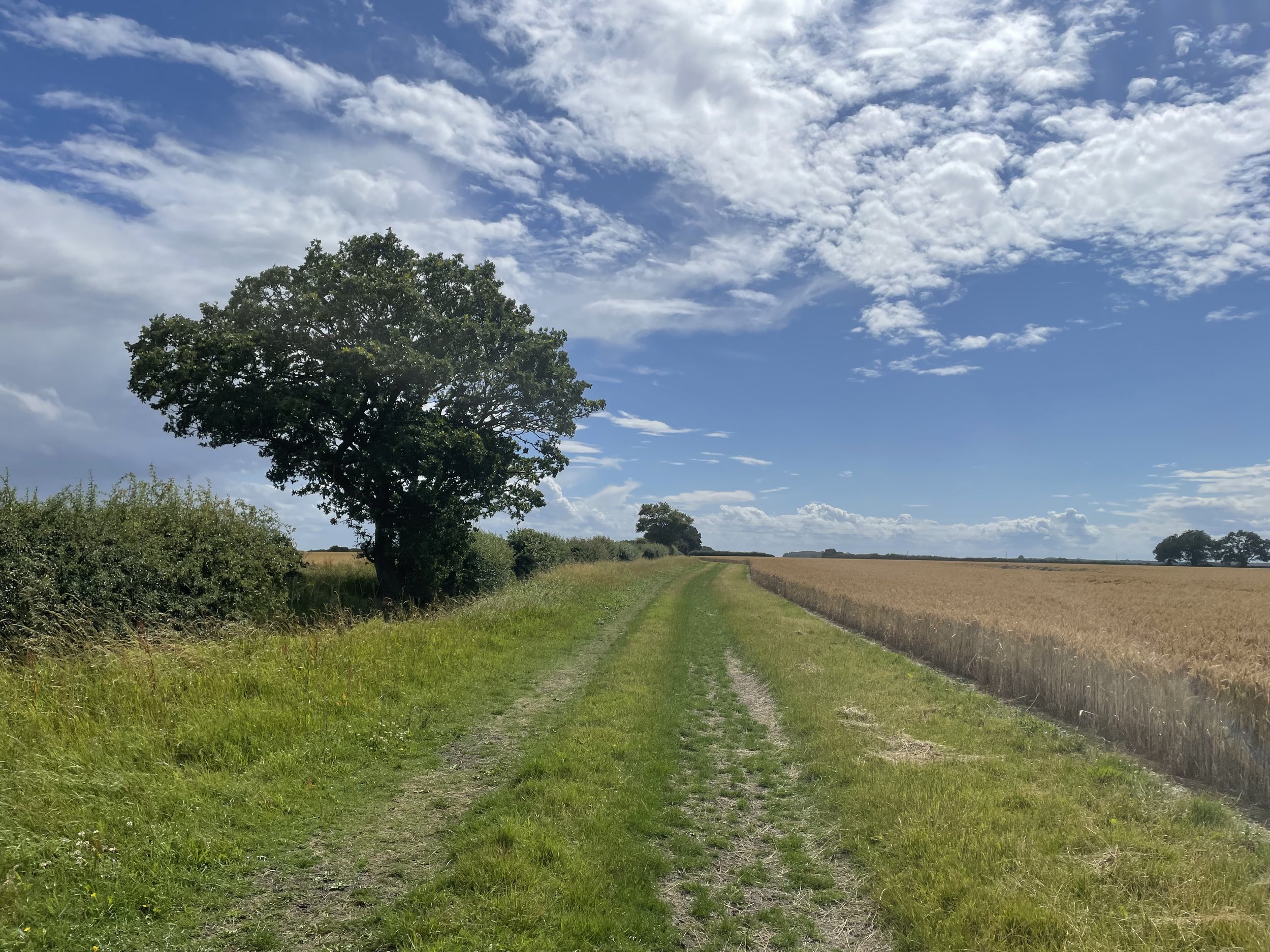
After a few quick drive-by high-points I was happy to get out of the car for a short walk to the Bedford Borough top. Bozeat is a quiet village with a lot of free on-street parking near the start and end of this route. From Fir Tree Grove follow the footpath for a little over 2km until you reach the junction with the Three Shires Way. The Three Shires Path also runs along the North Northamptonshire / Bedfordshire border at this point. The county tri-point with Milton Keynes is to the south in The Oaks Wood.
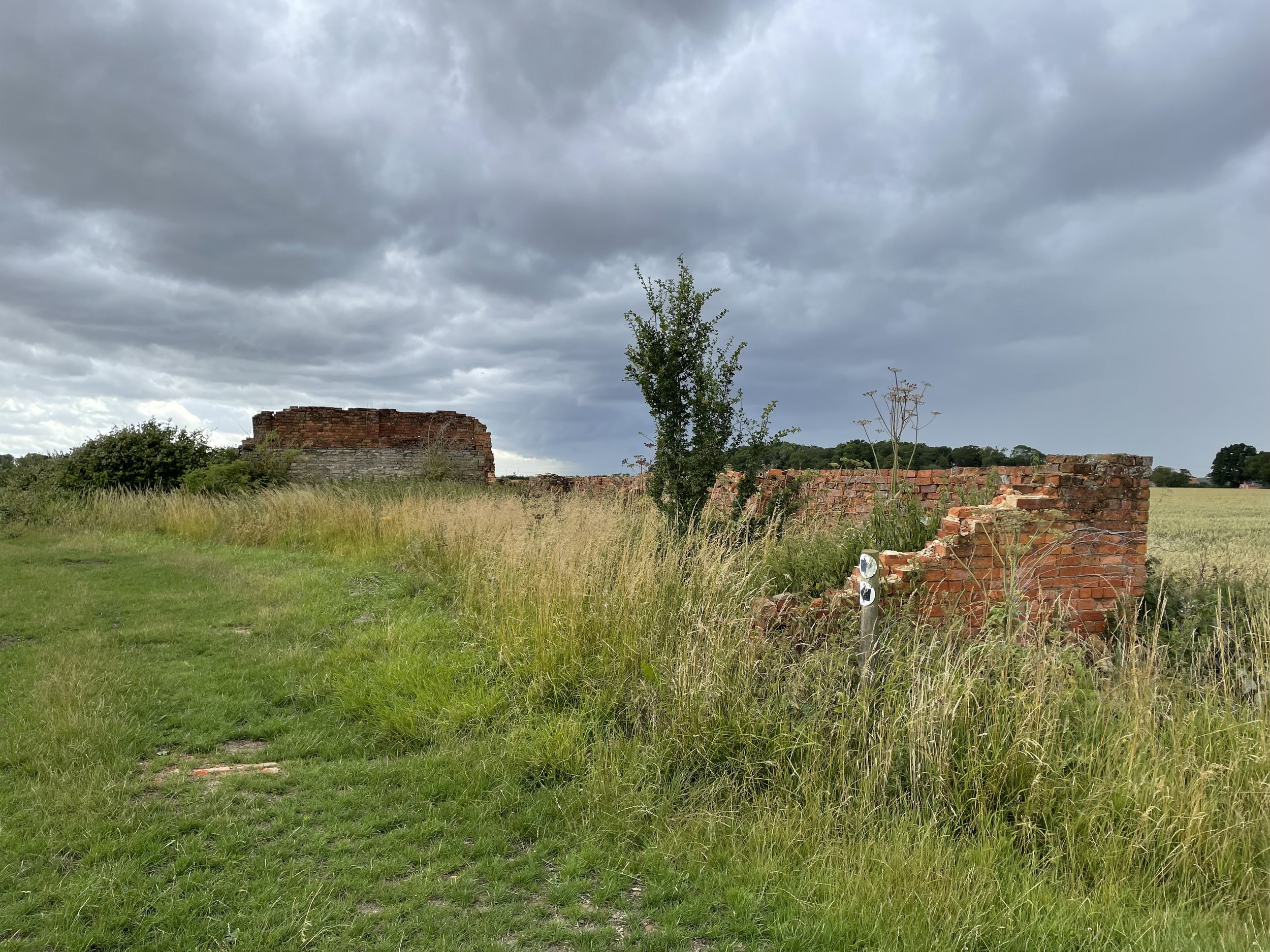
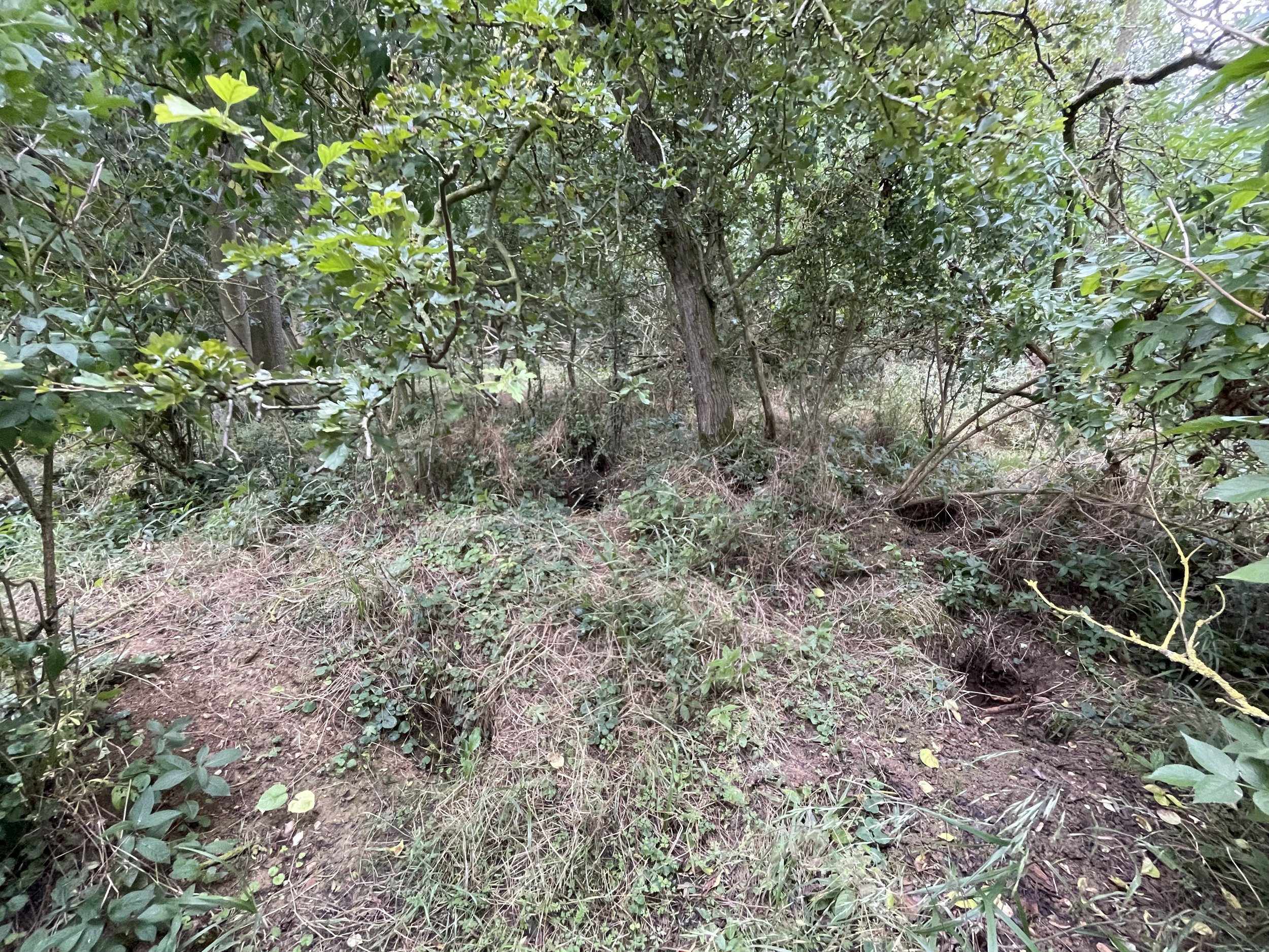
The patch of woodland to the east of the Three Shires Way is called the Slipe and the high point is just inside the woods at the northern end. You’ll need to cross over a ditch to get into the woods and there’s nothing to mark the high-point. From the high point you could return to Bozeat the way you came or, as I did, make it a more interesting circular walk to visit the Harrold Park Farm Trig Pillar a further 2.4km along the Three Shires Way. From the Trig Pillar return to Bozeat by taking the westerly heading footpath through the field.