Nether Hall: Leicester City High Point
Significance: Highest point of the Unitary Authority of Leicester City
Member of: N/A
Parent Peak: Cleve Hill, NHN = Beacon Hill Leicestershire
Historic County: Leicestershire (of which Bardon Hill is the County Top)
Elevation: 110m
Date “climbed”: July 15th 2023
Coordinates: 52° 39' 8'' N, 1° 2' 54'' W
Map: Leicester & Hinckley Map | The National Forest | Ordnance Survey | OS Explorer Map 233
Links: Wikipedia (Leicester City), Peakbagger, Hillbagging
Nether Hall is the high point of the Unitary Authority of Leicester City, within the Ceremonial and Historic Counties of Leicestershire. From the map, while planning the trip, I was expecting a fairly urban area but it turned out to be a pleasant suburb.
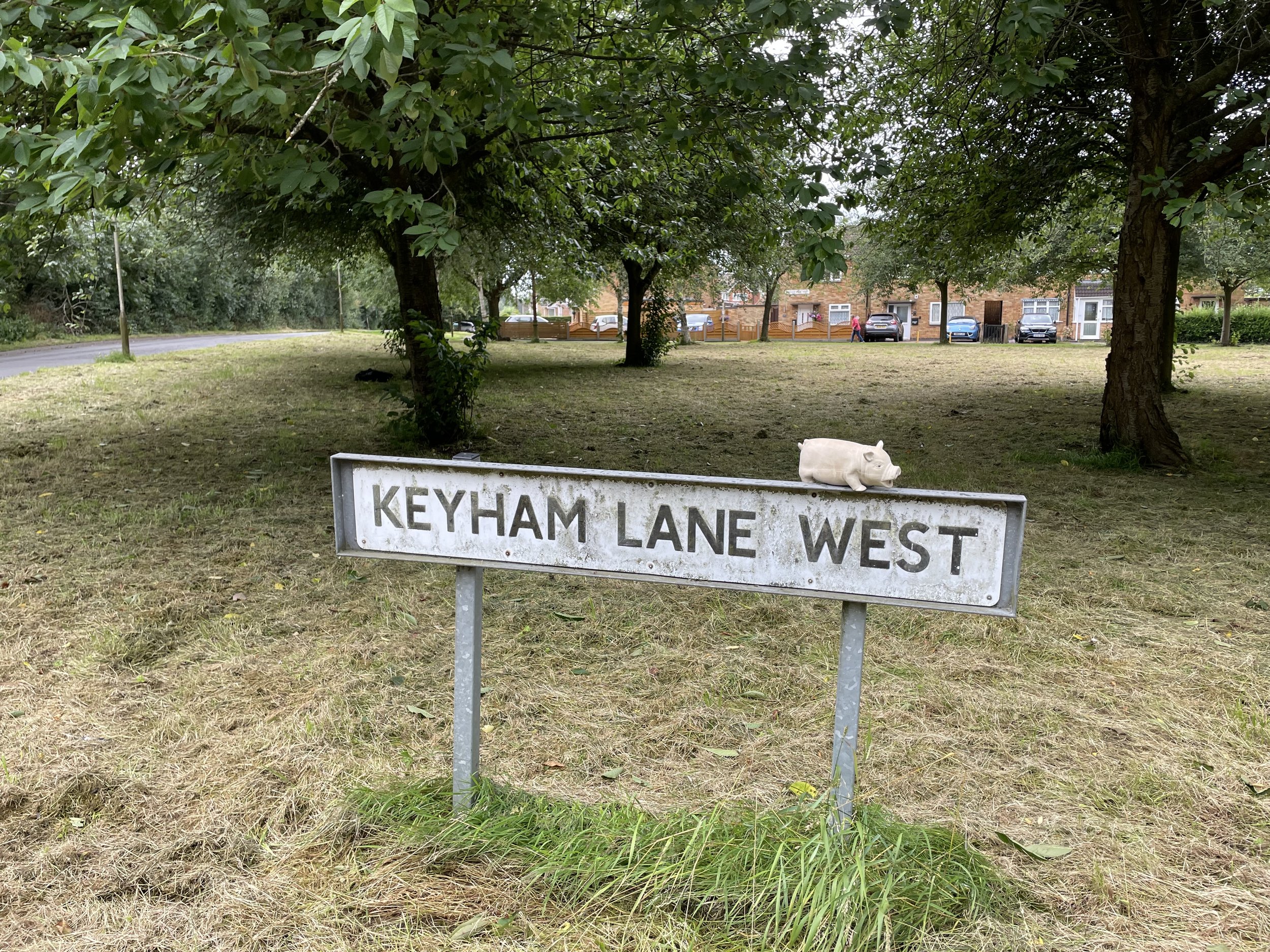
This is a quick drive-by with free on-street parking at the eastern end of Keyham Lane West near the junction with Hamilton Lane. The high point is on the eastern side of Hamilton Lane at the entrance to a footpath to the golf course.