Racecourse Road: Peterborough High Point
Significance: Highest point in the Soke of Peterborough Administrative County, the defunct county of Huntingdon and Peterborough and the present-day Unitary Authority of Peterborough
Member of: N/A
Parent Peak: Cleve Hill, NHN = Cold Overton Park
Historic County: Northamptonshire (of which Arbury Hill is the County Top)
Elevation: 81m
Date “climbed”: July 15th 2023
Coordinates: 52° 37' 31'' N, 0° 28' 19'' W
Map: Rutland Water Map | Stamford & Oakham | Ordnance Survey | OS Explorer Map 234
Links: Wikipedia (Soke of Peterborough, Huntingdon and Peterborough, Peterborough Unitary Authority), Peakbagger, Hillbagging
The Soke of Peterborough is an Administrative County that came into existence as a result of The Local Government Act 1888. It was formerly part of the Historic County of Northamptonshire and, for a brief period between 1965 and 1974, the high point of the county of Huntingdon and Peterborough. It is now a part of the Ceremonial County of Cambridgeshire, although only just inside the border with the Northamptonshire, and is the high point of Peterborough Unitary Authority.
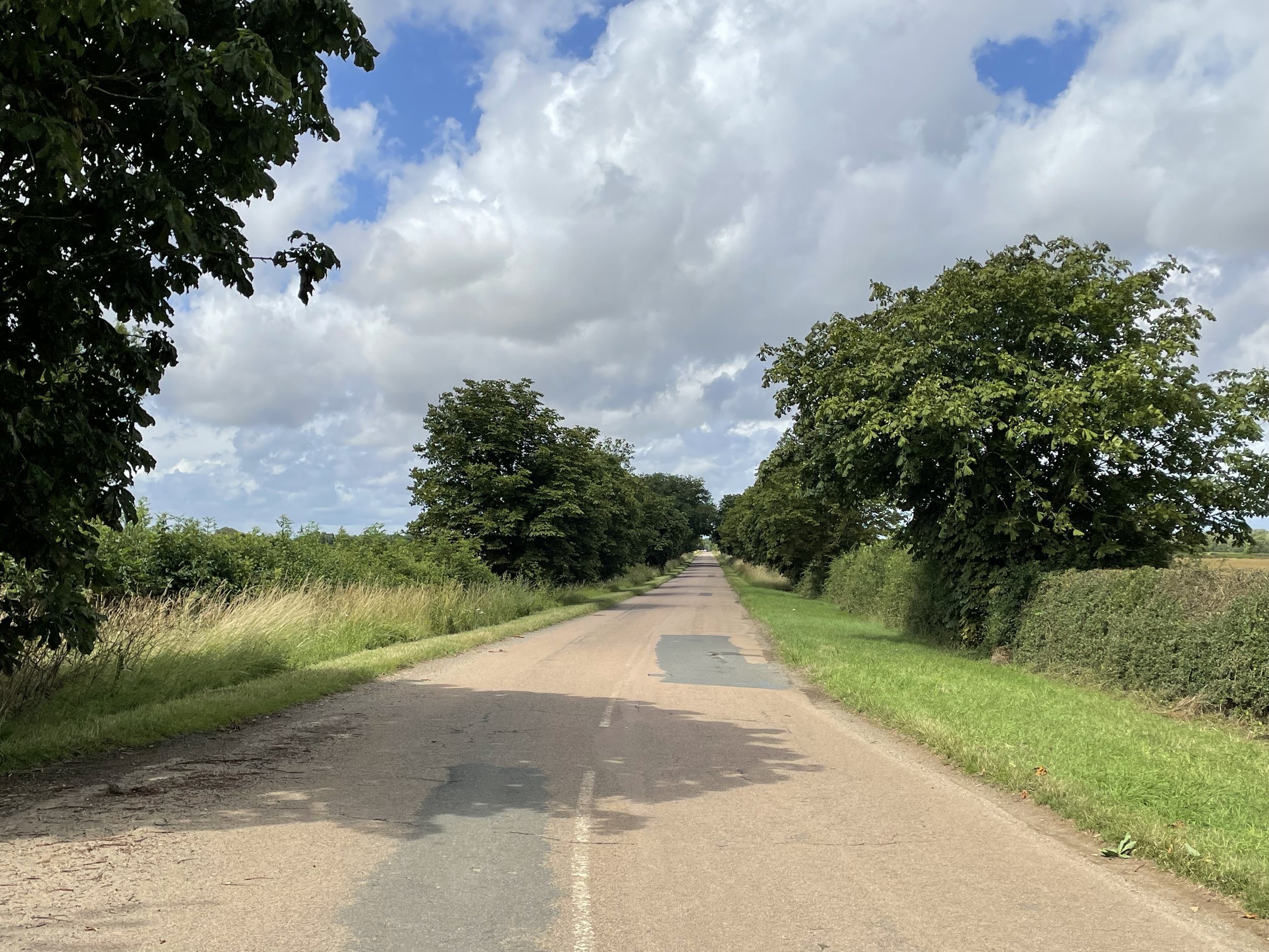
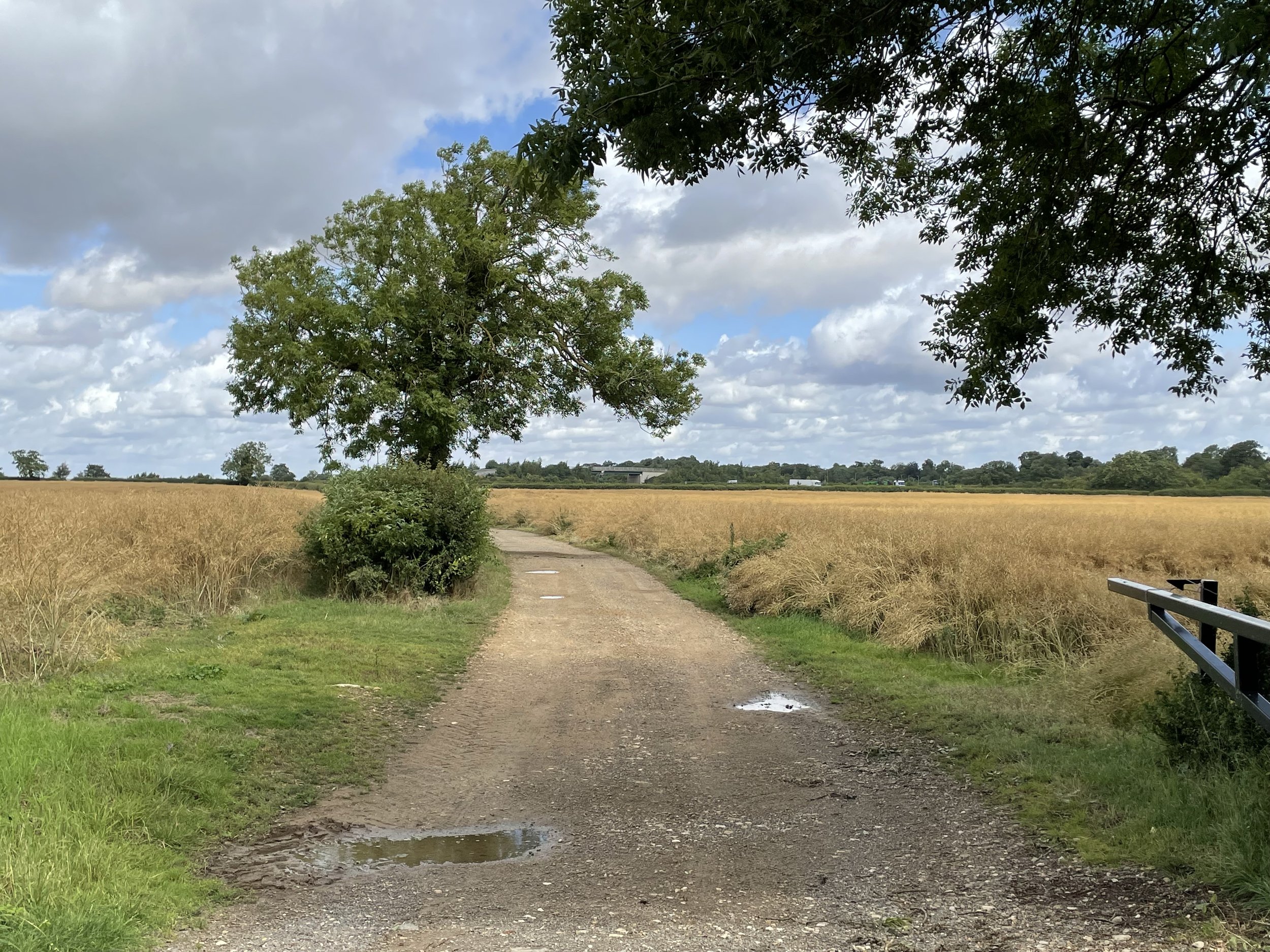
You won’t need crampons or extra oxygen to conquer this one. It’s a simple drive by, exiting the A1 near Burghley Park and finding a parking space on the curve of Racecourse Road.