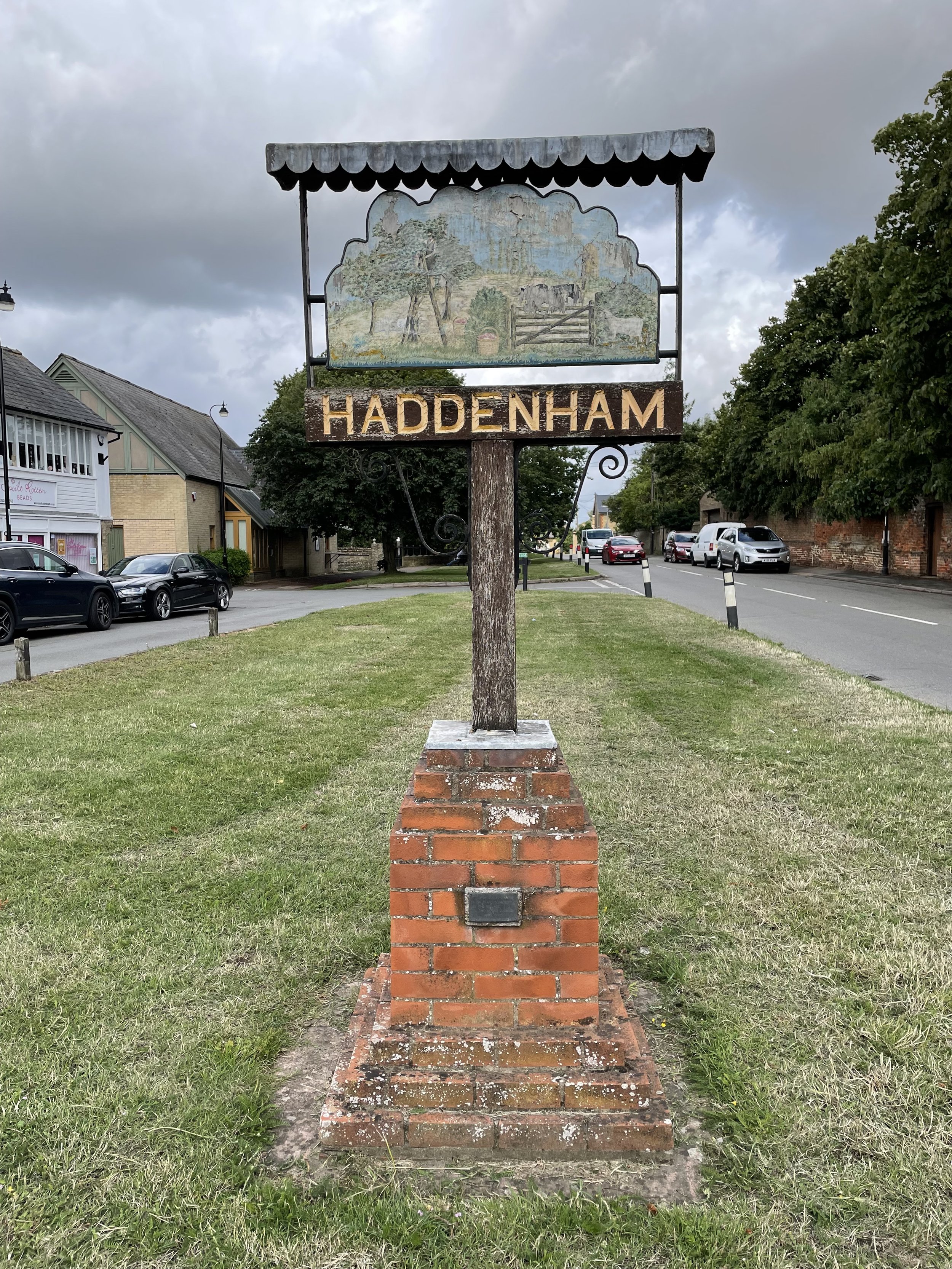
Haddenham Village: Isle of Ely High Point
Significance: Highest point of the Administrative County of the Isle of Ely
Member of: Tump
Parent Peak: Cleve Hill, NHN = Great Chishill
Historic County: Essex (of which Chrishall Common is the County Top)
Elevation: 39m
Date “climbed”: July 15th 2023
Coordinates: 52° 21' 20'' N, 0° 9' 11'' E
Map: Ely & Newmarket Map | Mildenhall & Soham | Ordnance Survey | OS Explorer Map 226
Links: Wikpedia (Isle of Ely), Haddenham, Peakbagger, Hillbagging
The Isle of Ely is an Administrative County that came into existence as a result of The Local Government Act 1888. It was formerly part of the Historic County of Cambridgeshire and is now a part of the Ceremonial County of Cambridgeshire.
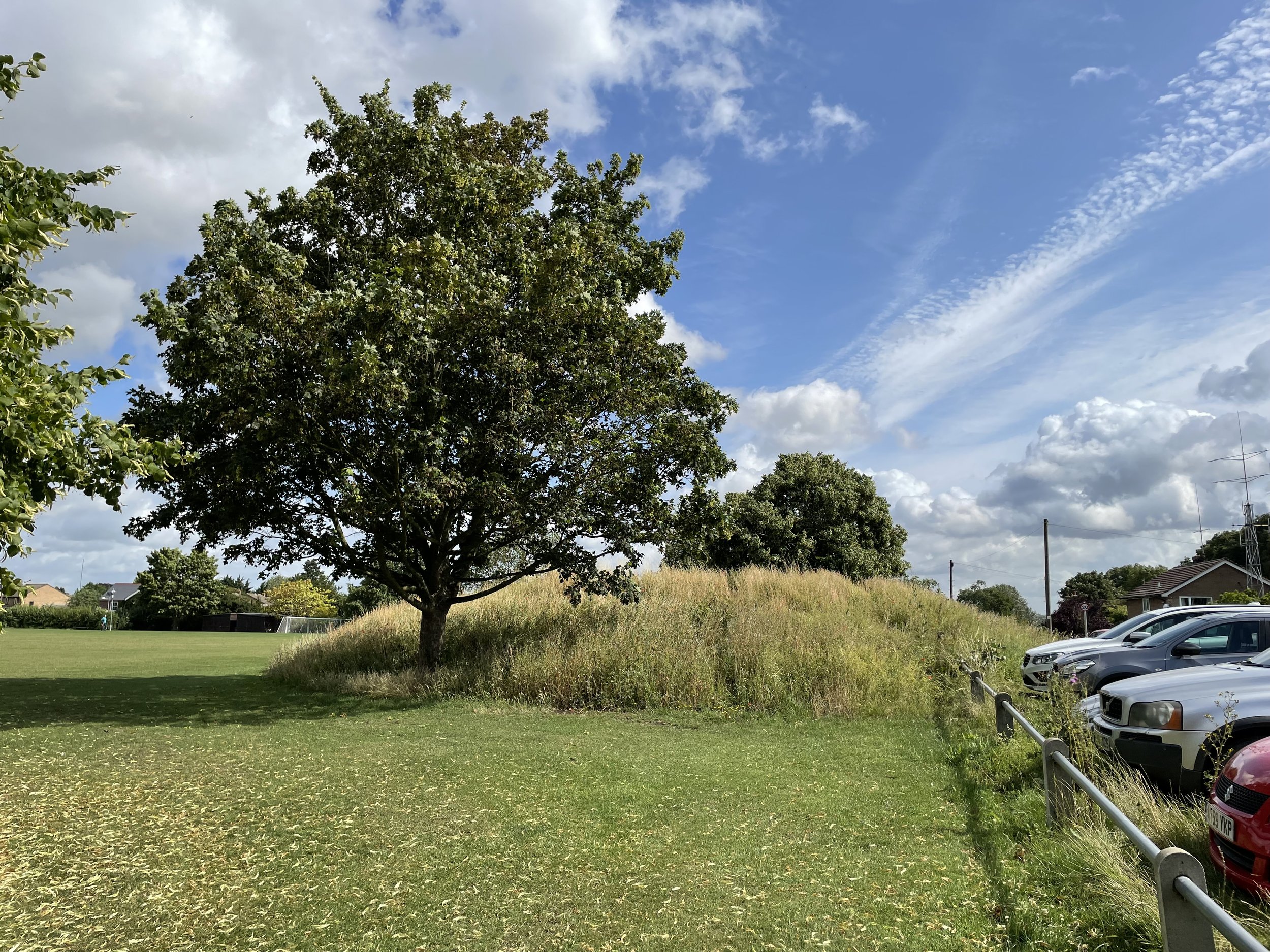
This is a quick drive-by where you can park on The Rampart (road) and find the high point on top of the mound at the edge of the recreation field. As noted in Hillbagger: “ground mid way between the mound and the water tower is higher than the base of the mound but inaccessible. North Hill at TL 44498 76183 is also higher than the mound base but lower than the inaccessible ground”