Great Chishill and Chrishall Common: Cambridgeshire and Essex County Tops

The inspiring summit of Cambridgeshire
Great Chishill
Significance: Highest peak in Cambridgeshire (Historic CT)
Member of: N/A
Parent Peak: Haddington Hill. NHN = Chrishall Common
Elevation: 146m
Coordinates: 52° 1' 39'' N, 0° 4' 45'' E
Links: Wikipedia (Cambridgeshire), Wikipedia (Great Chishill), Peakbagger, Hillbagging
Chrishall Common
Significance: Highest peak in Essex (Historic CT)
Member of: N/A
Parent Peak: Haddington Hill. NHN = Whitehill-Butterfield Green
Elevation: 147m
Coordinates: 52° 0' 19'' N, 0° 6' 5'' E
Links: Wikipedia (Essex), Wikipedia (Chrishall Common), Peakbagger, Hillbagging
For both peaks:
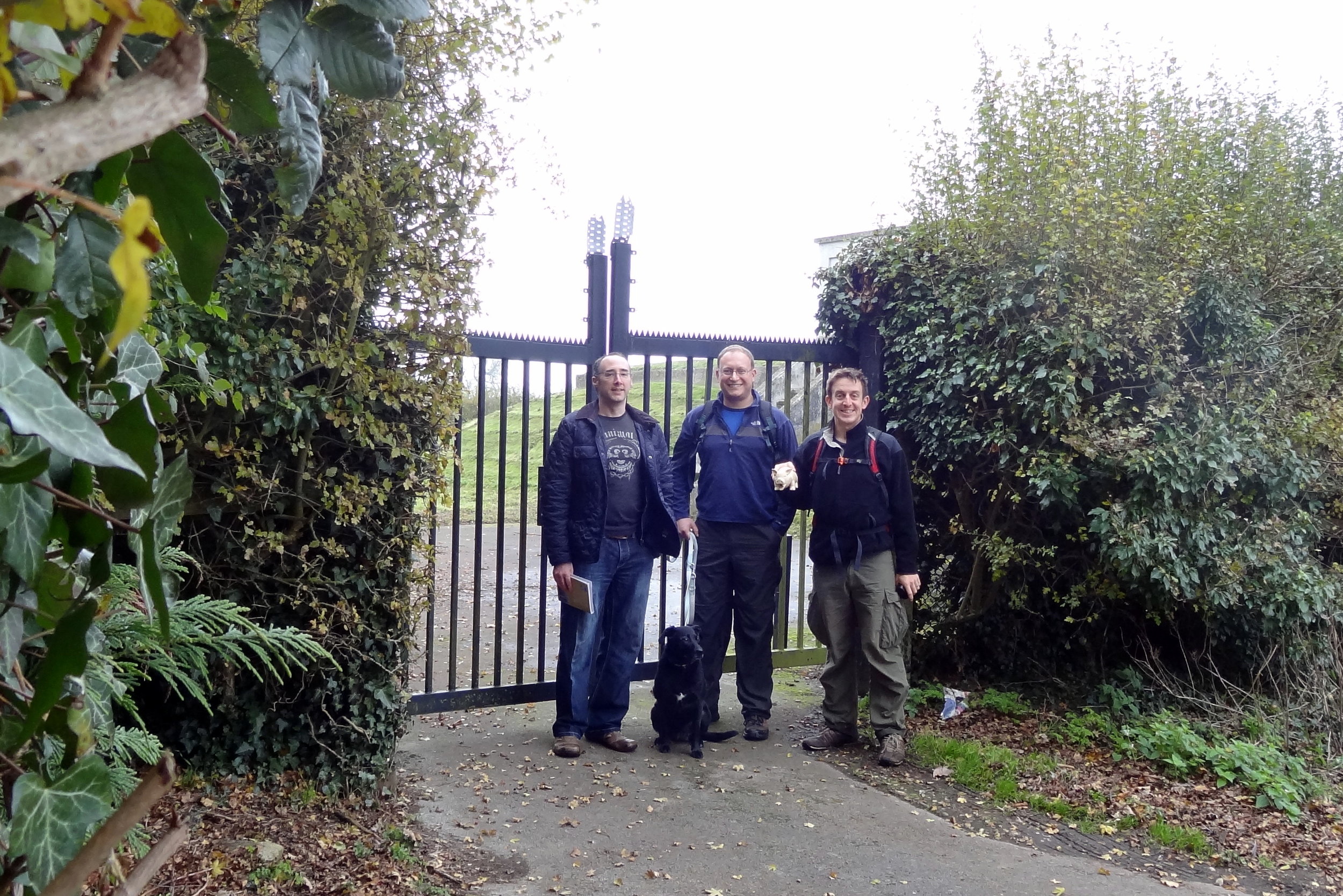
Date climbed: 17th November 2013
Route Start / End: Great Chishill Village Hall
Route Distance: 9.2 km (5.6 miles)
Route Elevation Change: +/- 78m
Subsidiary tops on route: None
GPX File: get via Buy Me a Coffee
Other routes touched: Harcamlow Way
Map: OS Explorer Map (209) Cambridge, Royston, Duxford & Linton
Guidebook: The UK's County Tops (Jonny Muir), Walking the County High Points of England (David Bathurst)

Other High Points In Cambridgeshire
Boring Field (81m) Huntingdonshire High Point (now part of Ceremonial County of Cambridgeshire)
Haddenham Village (39m) Former Administrative County of the Isle of Ely High Point
Other High Points In ESSEX
Langdon Hill-Southwest Slope (116m) Thurrock Authority High Point: Peakbagger / Hillbagging
Heath Mount (61m) Southend-on-Sea Unitary Authority High Point (alt): Peakbagger / Hillbagging
London Road (61m) Southend-on-Sea Unitary Authority High Point (alt): Peakbagger / Hillbagging
GREATER LONDON BOROUGH HIGH POINTS FORMERLY WITHIN Essex
Havering Atte Bower Farm (105m) Havering Borough High Point
Pole Hill (91m) Waltham Forest Borough High Point
Cabin Hill (90m) Redbridge Borough High Point
Marks Gate (43m) Barking and Dagenham Borough High Point
Wanstead Flats (15m) Newham Borough High Point