Walking The Greensand Way Part 20 - Oxted and Limpsfield

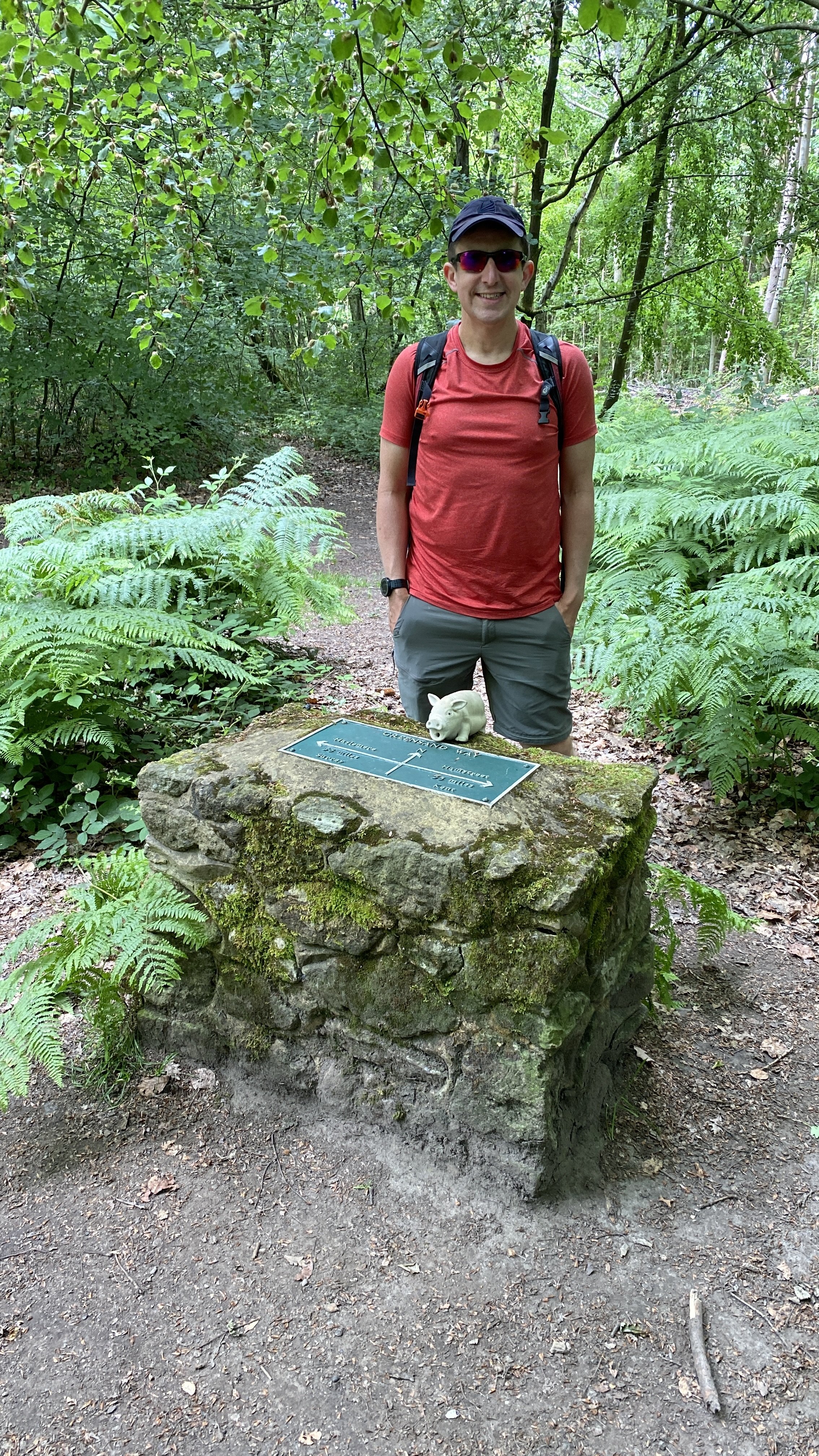
At the half-way point of the Greensand way on the Surrey/Kent border
Start & Finish: Oxted Station, Oxted, RH8 9EU
Distance: 11.2 km (7 miles)
Elevation change: +/- 142m
Greensand Way section covered: Rockfield Road to Kent Border: 4.5 km
GPX File: get via Buy Me a Coffee
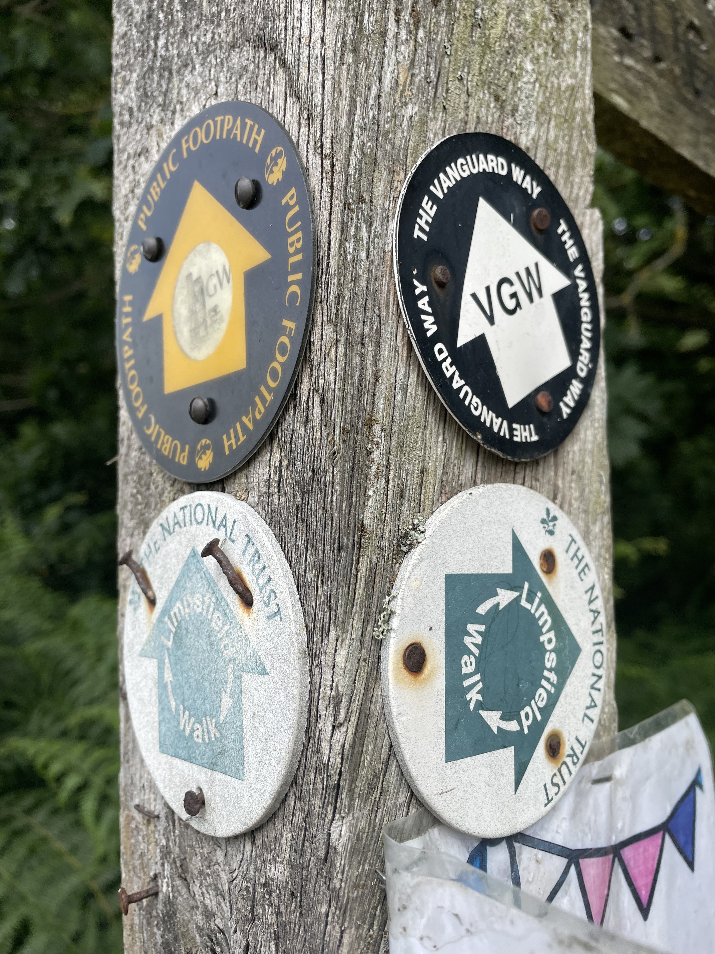
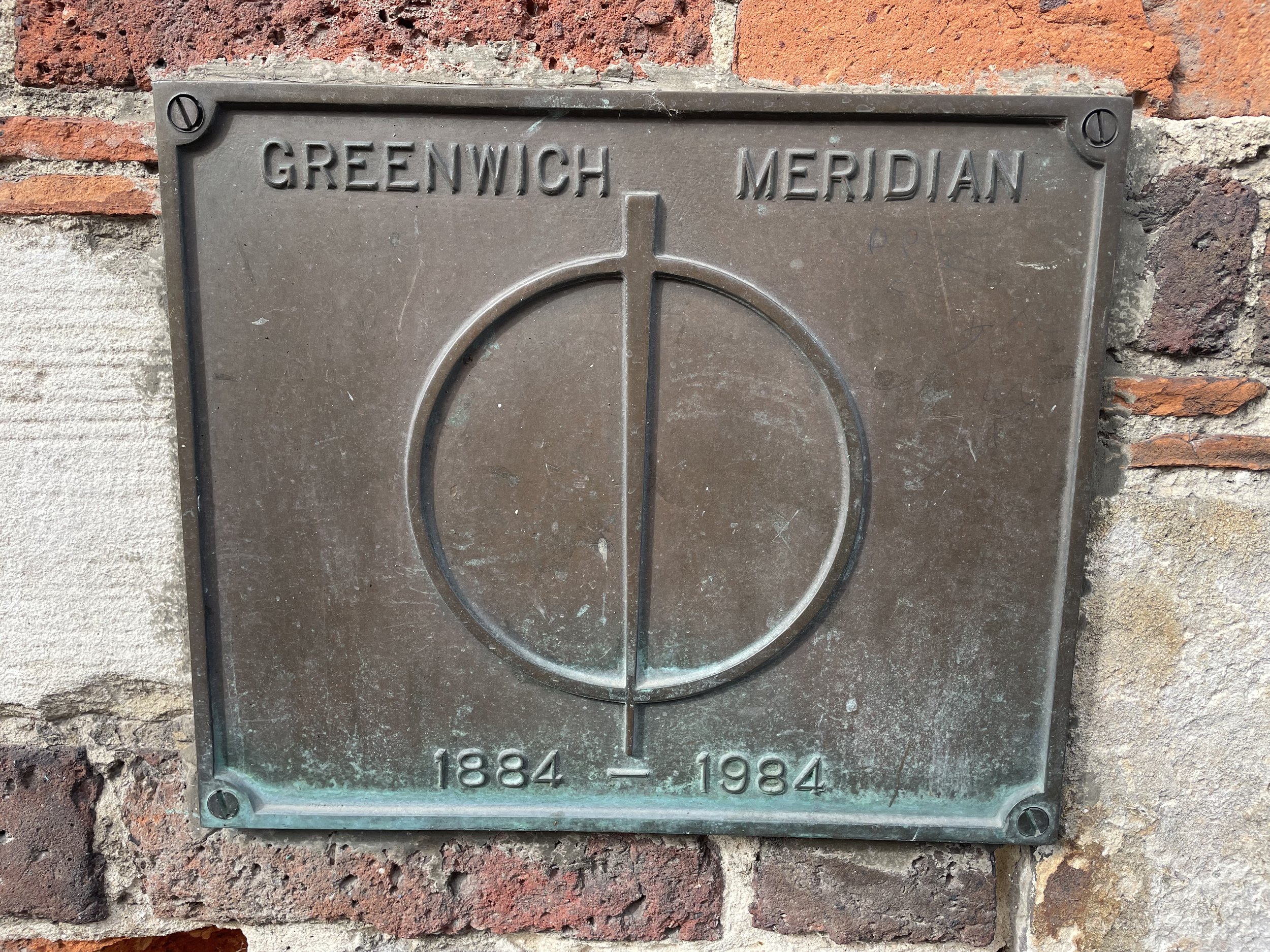
Other routes touched (walk): Greensand Way, Vanguard Way, Tandridge Border Path, Greenwich Meridian Trail, Greensand Way Oxted Spur
Other routes touched (cycle): Prime Meridian Cycle Route
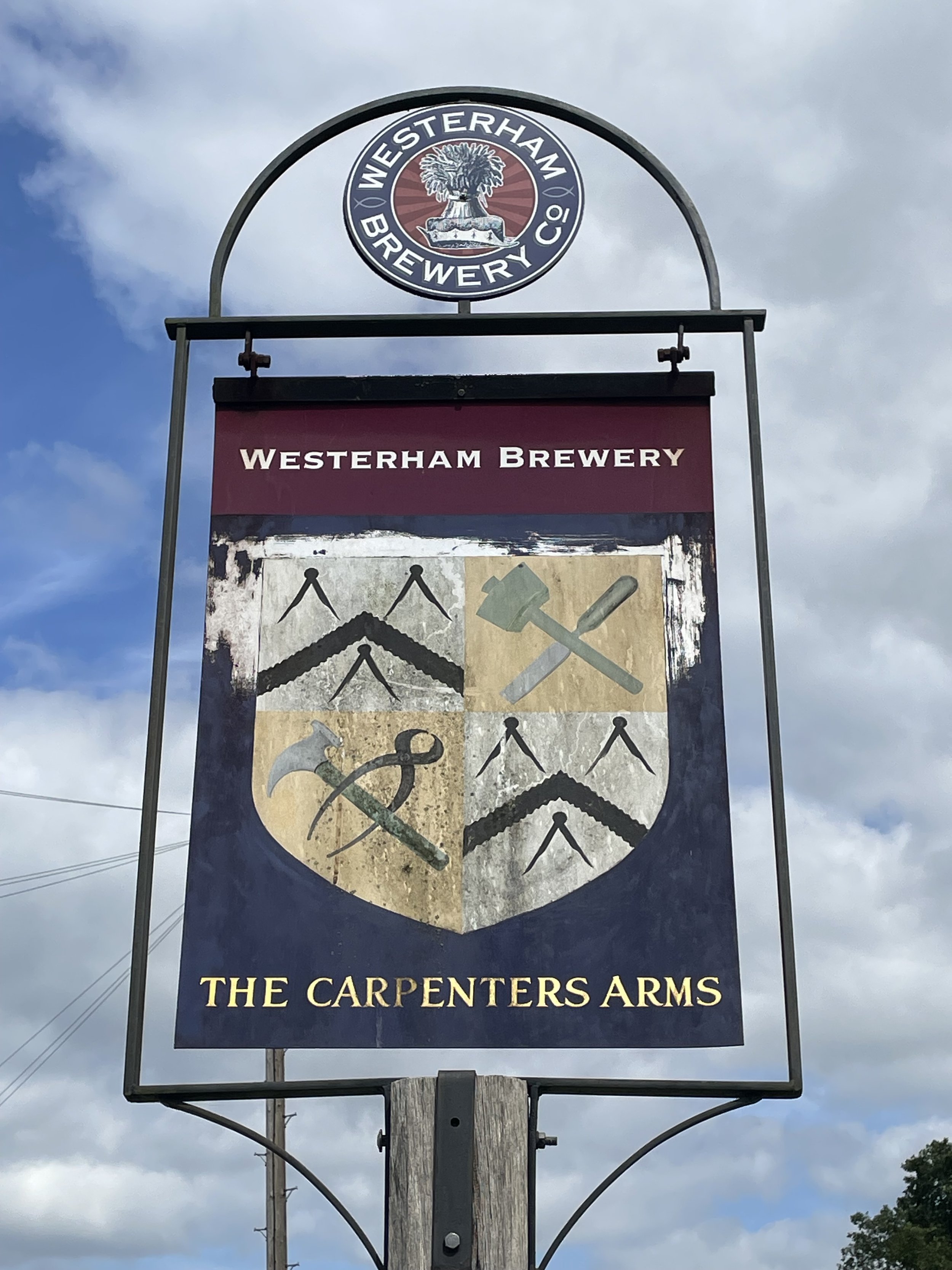
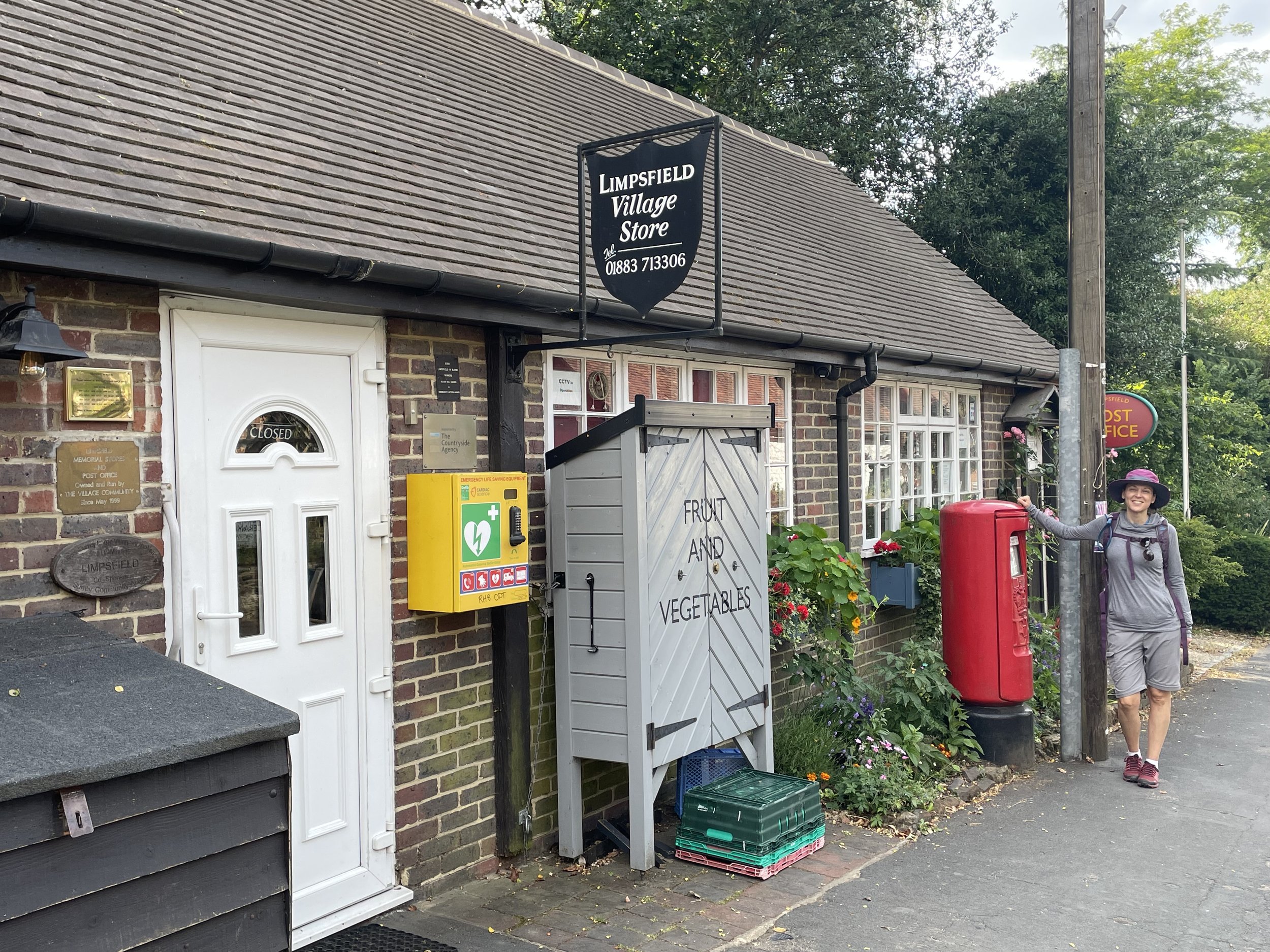
Pubs / Cafes on route: The Carpenters Arms, Limpsfield Chart (4.5 km in), several in Oxted Town Centre at end.
Map: Dorking, Box Hill & Reigate Map | Leatherhead & Caterham | Ordnance Survey | OS Explorer Map 146
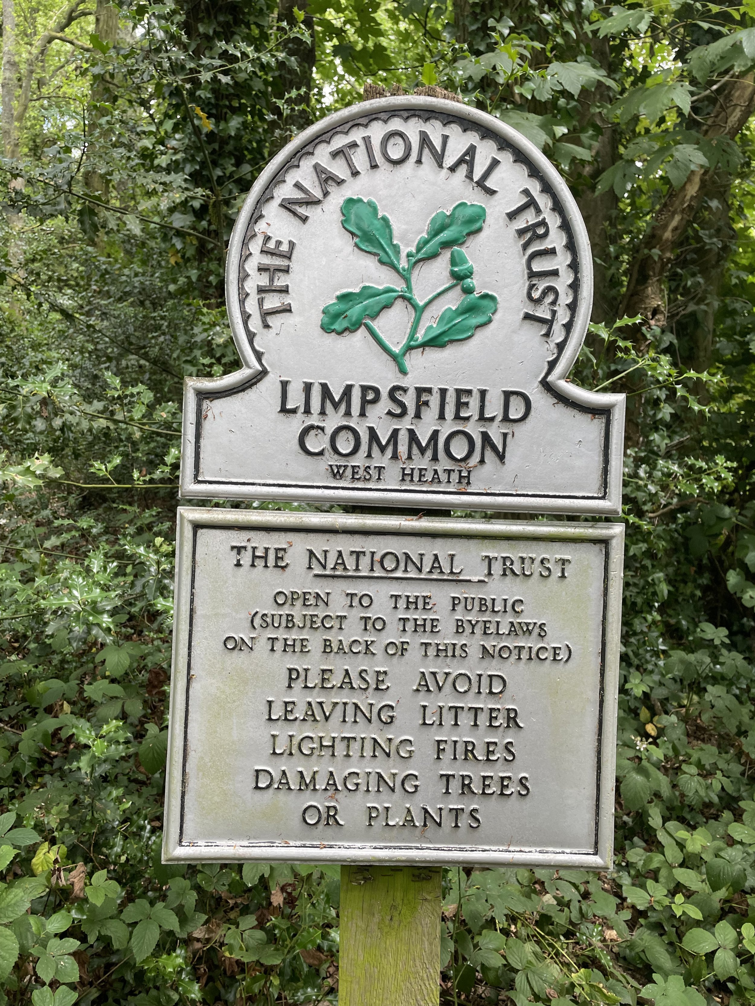
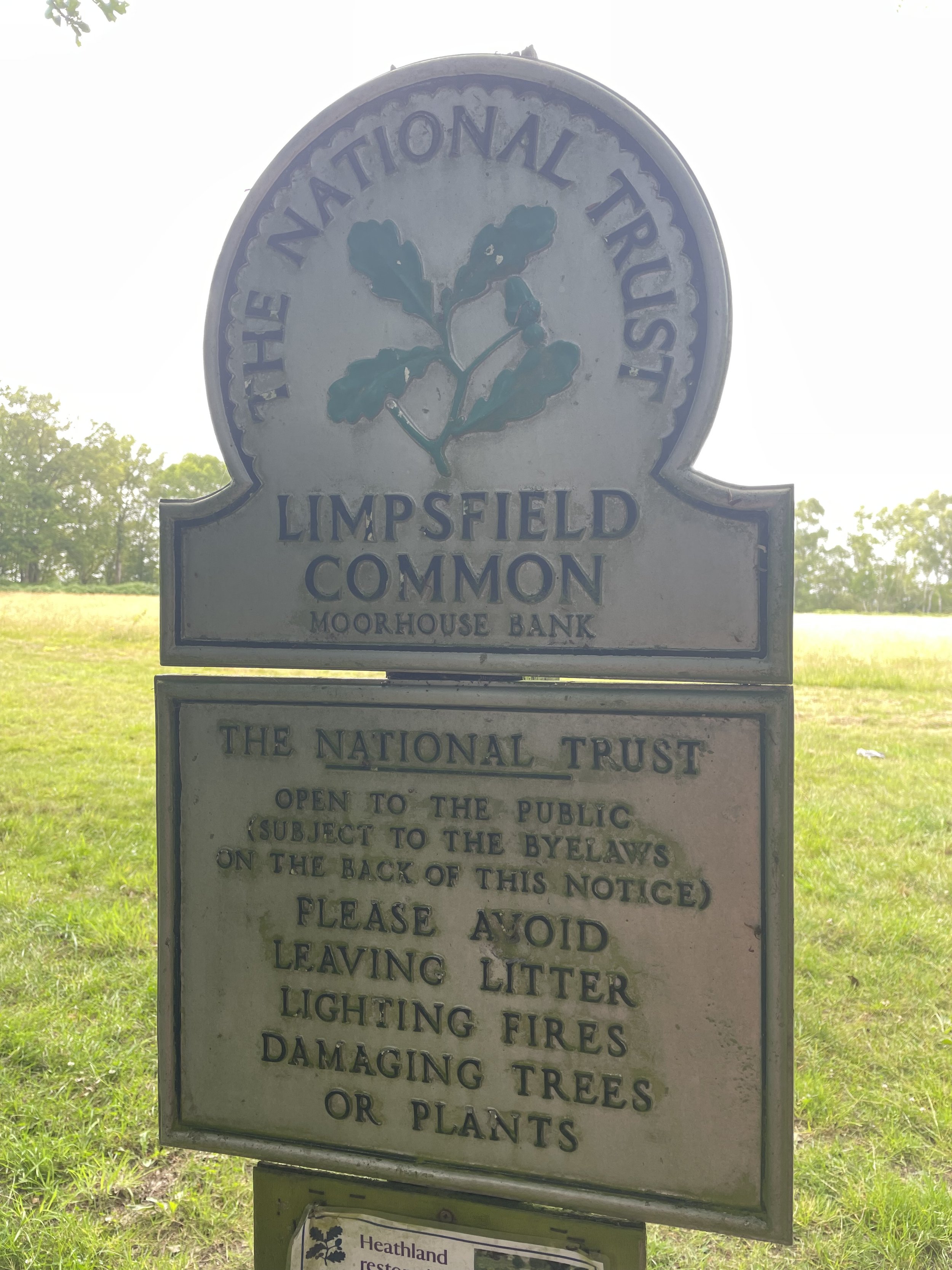
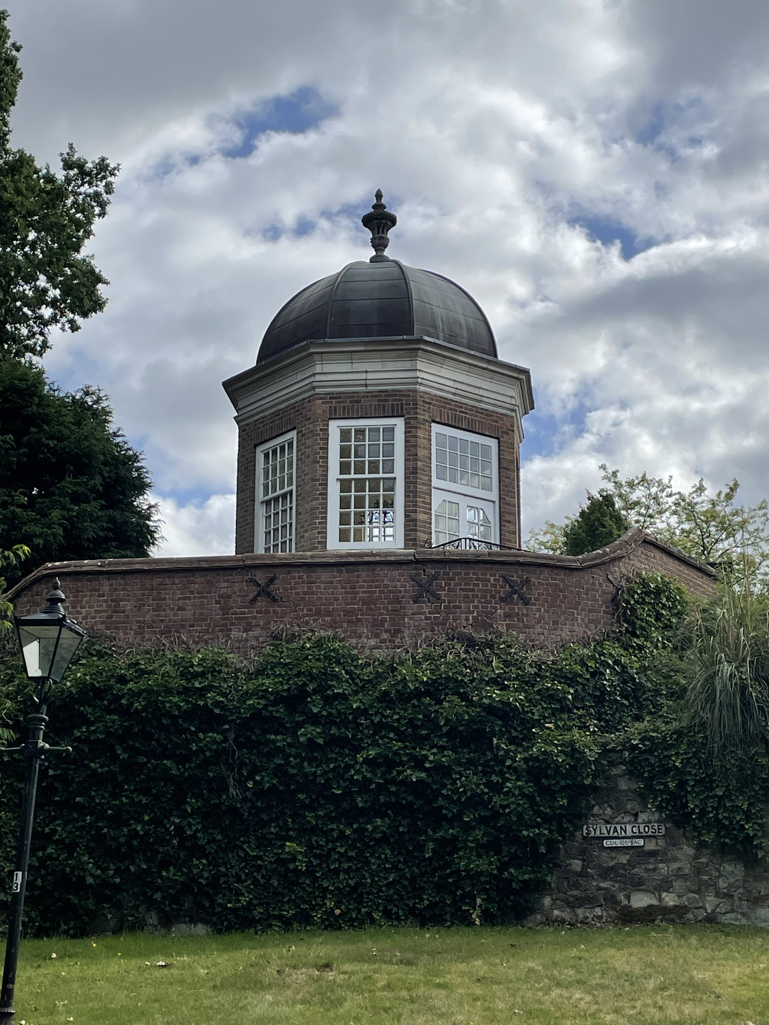
Links: Oxted, Limpsfield, Limpsfield Common National Trust
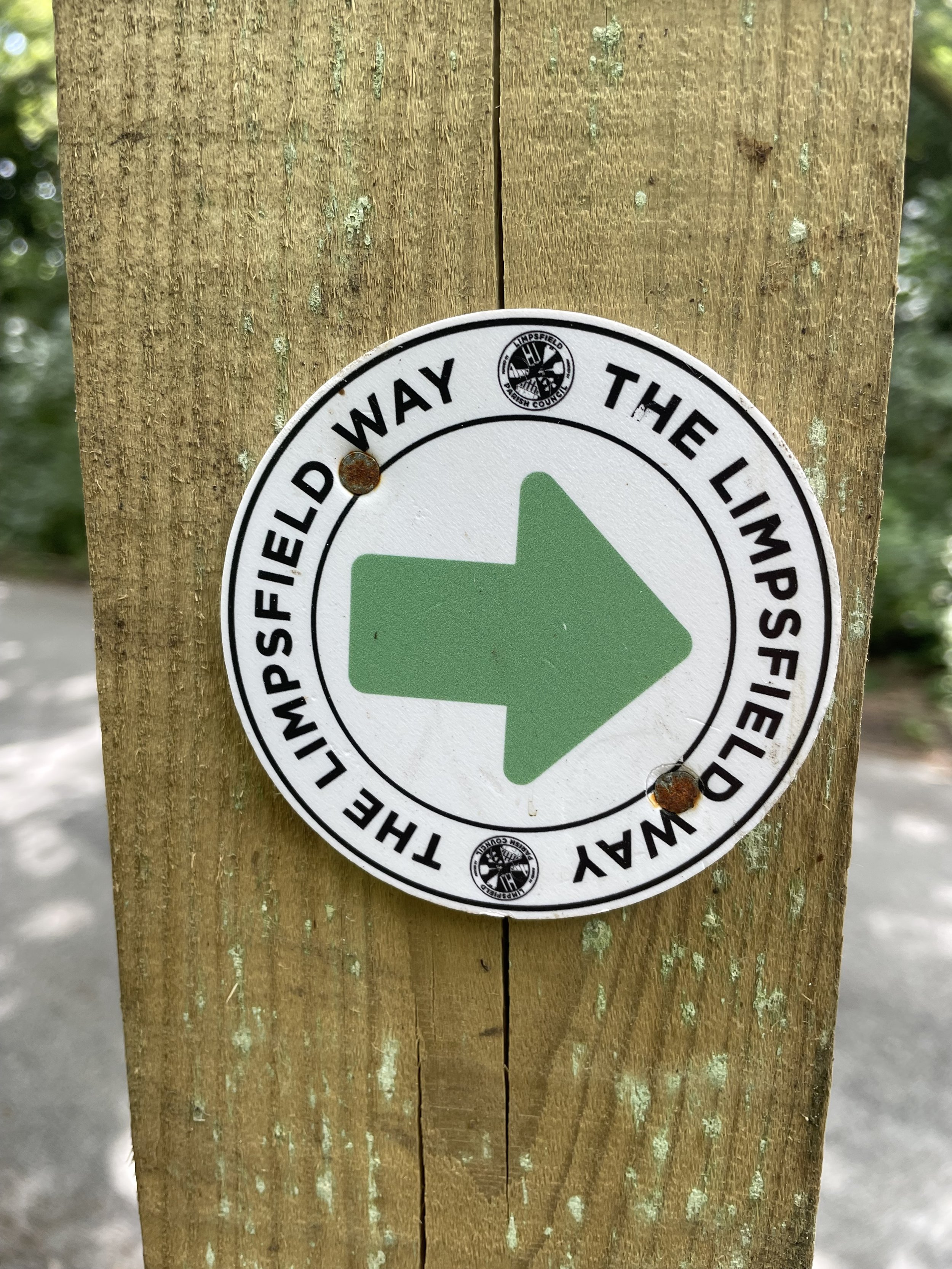
This is the twentieth of a series of short circular walks featuring the Greensand Way. The full trail is a long distance path stretching from Haslemere in Surrey to Ham Street in Kent. Our walks take in short sections of the Greensand Way and loop back to the start on other paths. The Greensand Way is well sign posted however you’ll need a map or GPX route to keep on track for the return sections of the loops. The guidance below will help but don’t use it as a fully accurate turn-by-turn guide.
For this section we parked in the multistory car-park that serves both Oxted Railway Station and Morrisons supermarket. From the carpark, walk down to East Hill, take a left to go under the railway bridge then a right onto Old Lane. Walk up Old Lane to Rockfield Road to rejoin the Greensand Way at the junction with Icehouse Wood (road). Take a left onto the Greensand Way and follow it for 4.5 km.
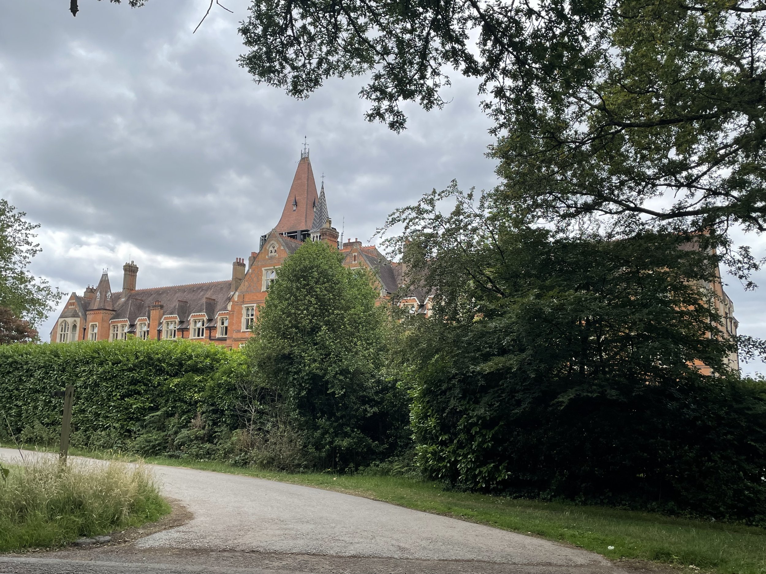
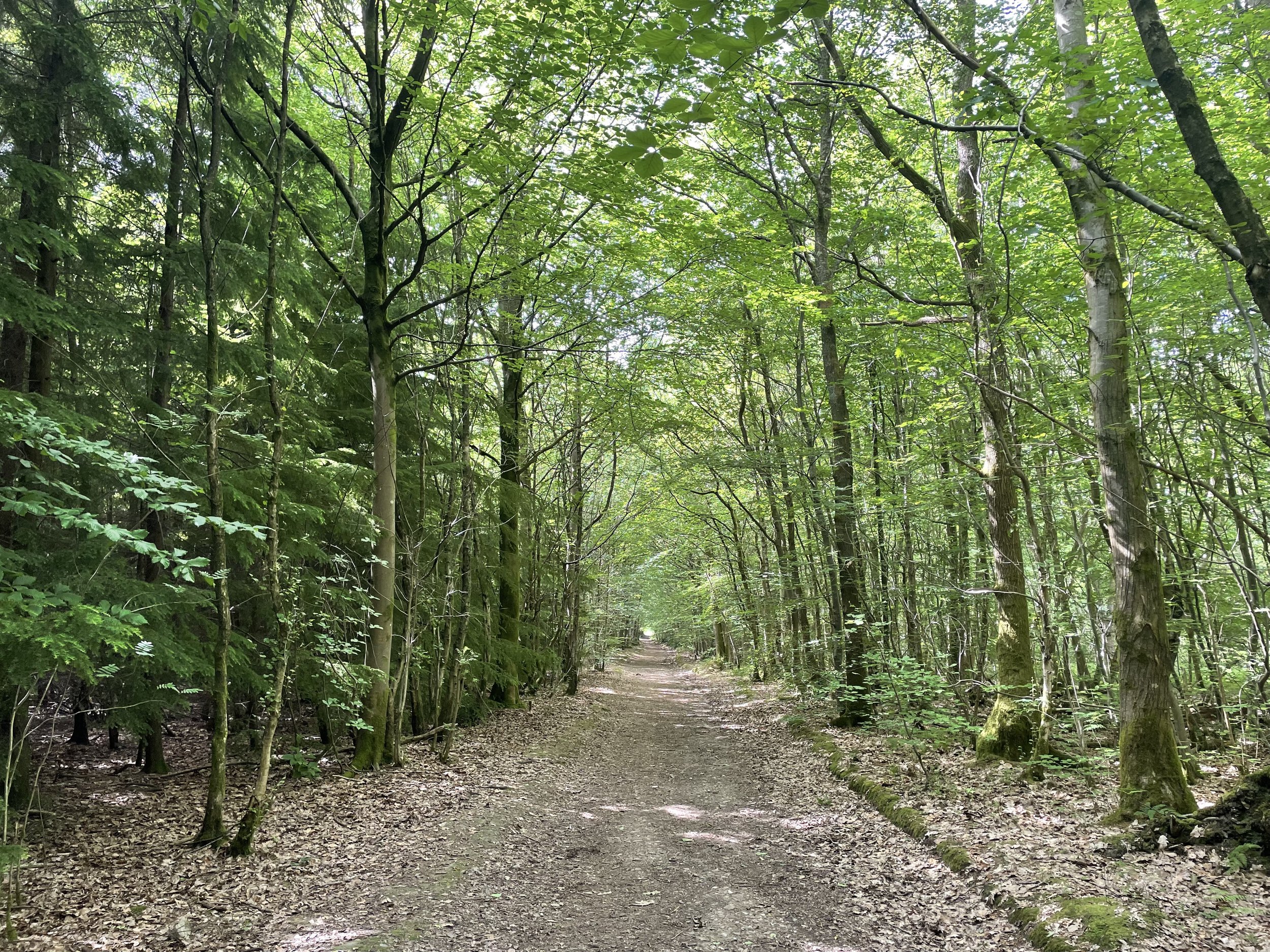
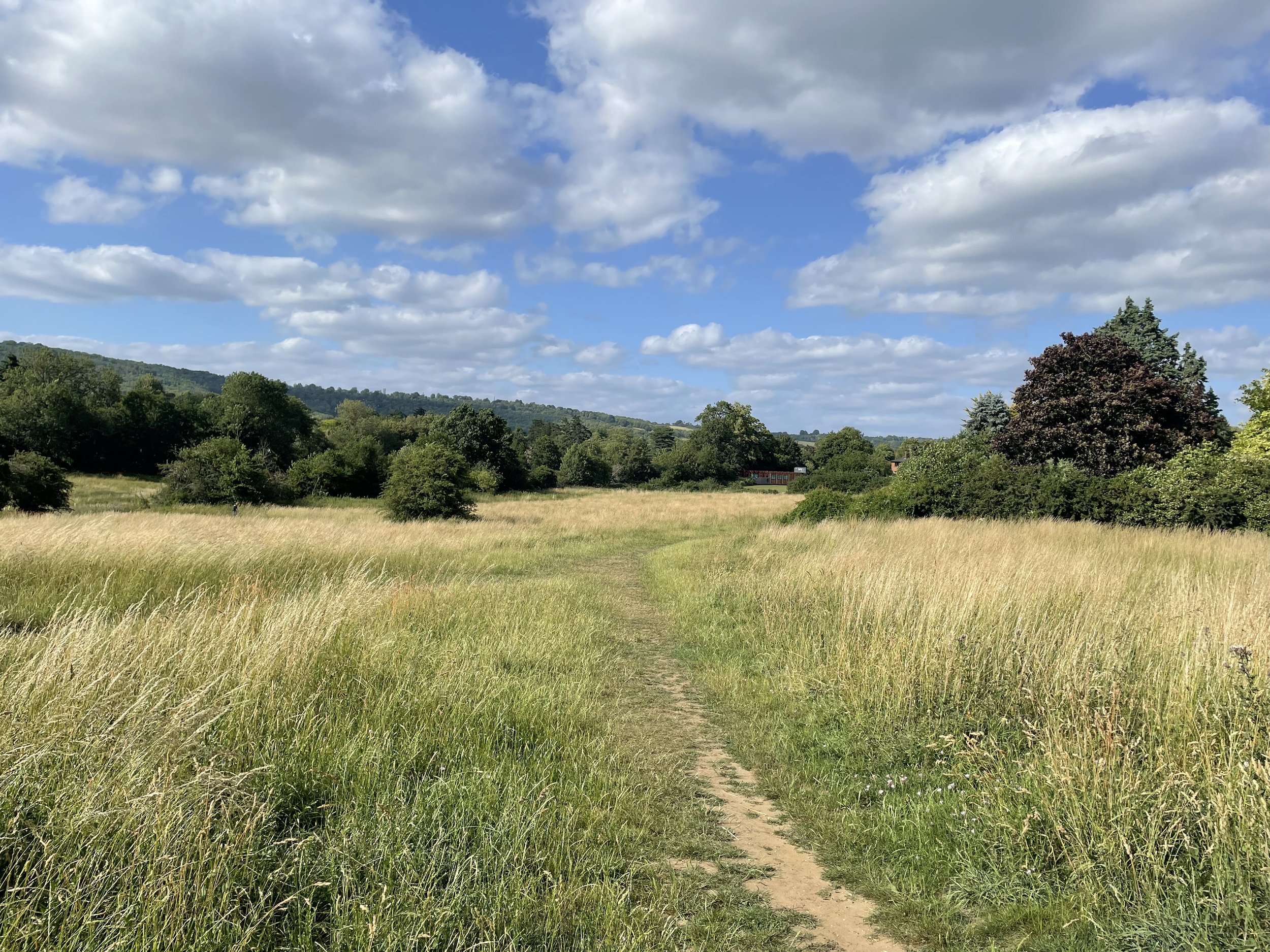
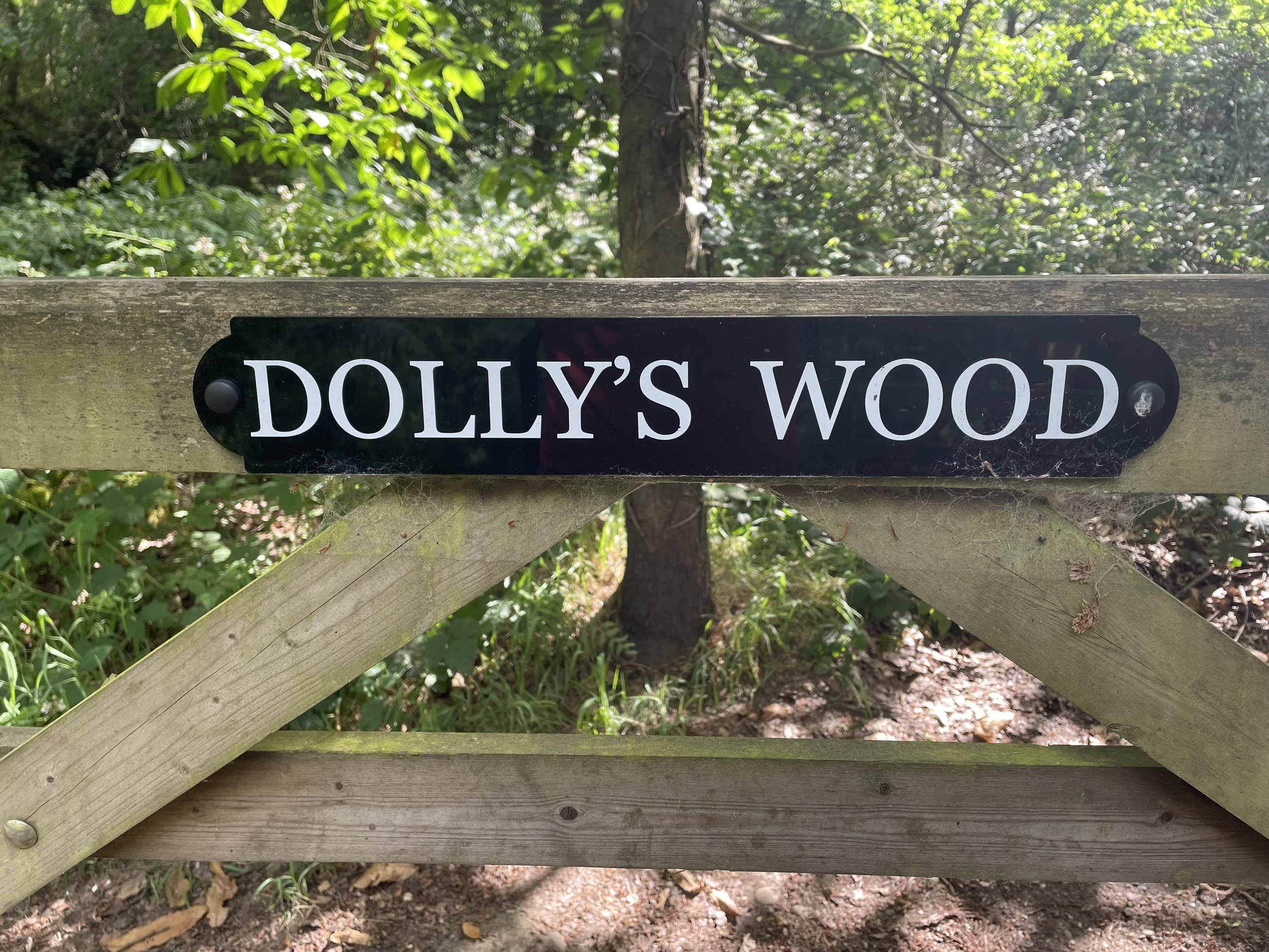
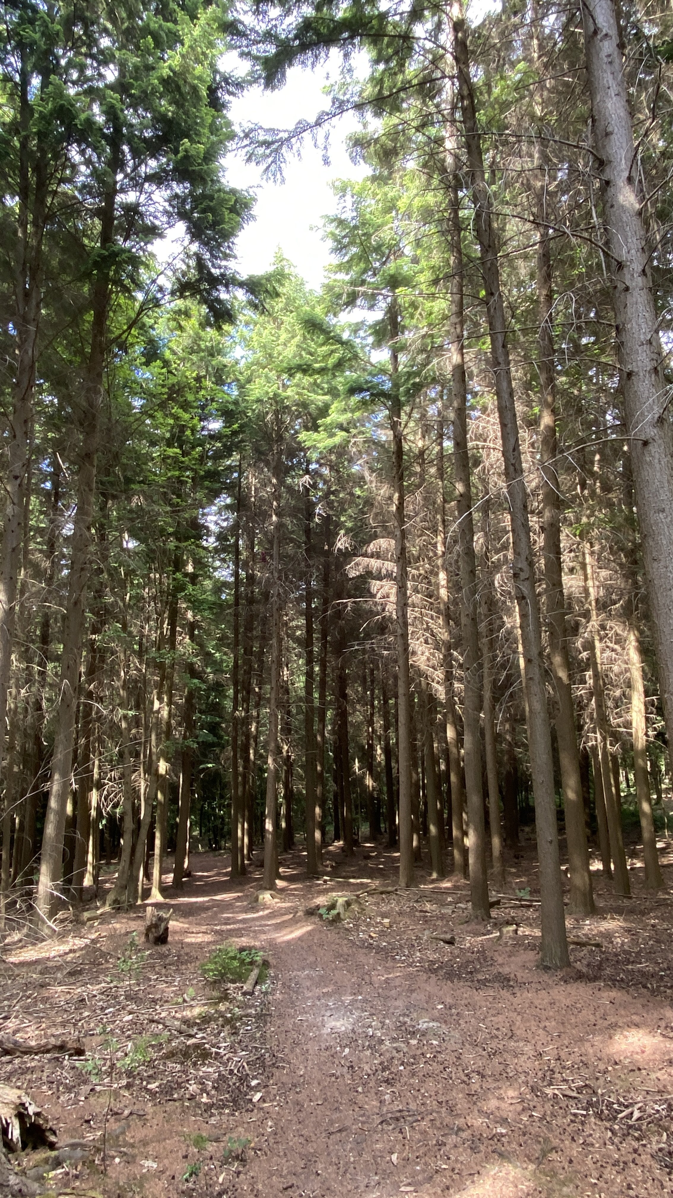
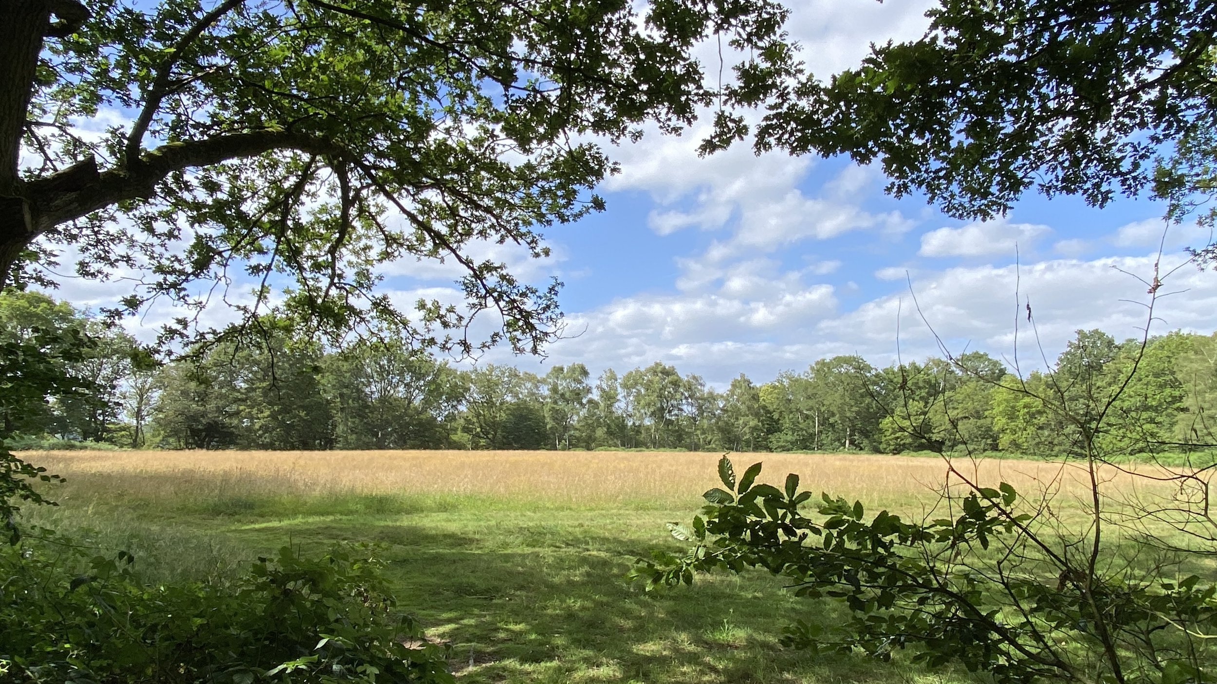
This is a pleasant section of the Greensand Way, albeit without the long views to the south of previous sections. It takes you through Limpsfield Common, Limpsfield Chart Golf Club, Limpsfield Chart Village and into the High Chart woods. The easternmost point of this walk meets the Surrey/Kent border and a stone to mark the half way point on the Greensand Way.
From the border, leave the Greensand Way and follow the Tandridge Border Path in a north-westerly direction. When you reach Moorhouse Road leave the Tandridge Border path and continue through the woods on the opposite side of the road to Westerham Road. Take a left onto Westerham Road, then carefully cross over to into the grounds of the Royal British Legion club. At the back of the club you’ll find a footpath in the woods that you can follow in a westerly direction to Limpsfield then paths and quiet roads back to Oxted.


Previous section: Walking The Greensand Way Part 19 - Tandridge and Oxted
Next section: Walking The Greensand Way Part 21 - Crockham Hill and Chartwell