Walking The Greensand Way through the Surrey Hills
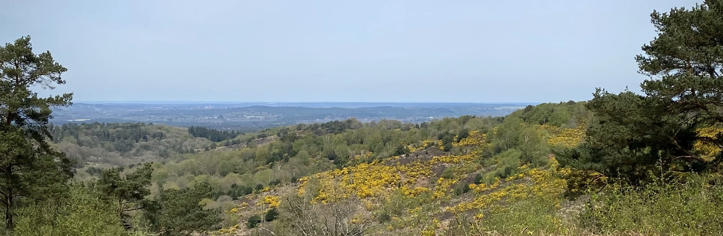
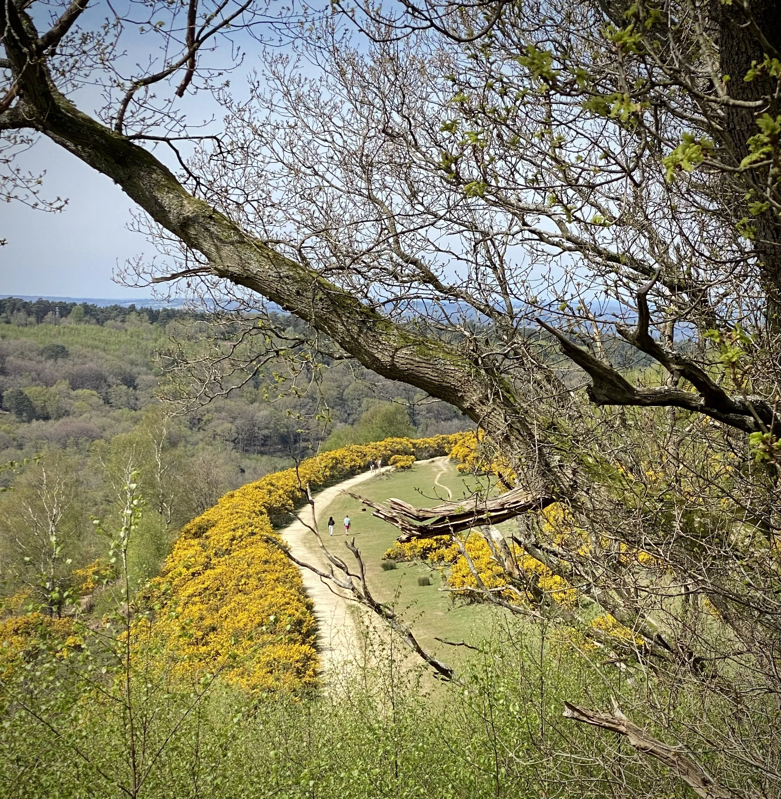
Devil’s Punchbowl
The Greensand Way is a magnificent long-distance footpath that stretches for 108 miles (173 km) across the beautiful landscapes of Surrey and Kent in southeast England. From its western starting point in Haslemere, Surrey, the trail meanders eastward, culminating near Hamstreet in Kent, close to the edge of the Romney Marsh.
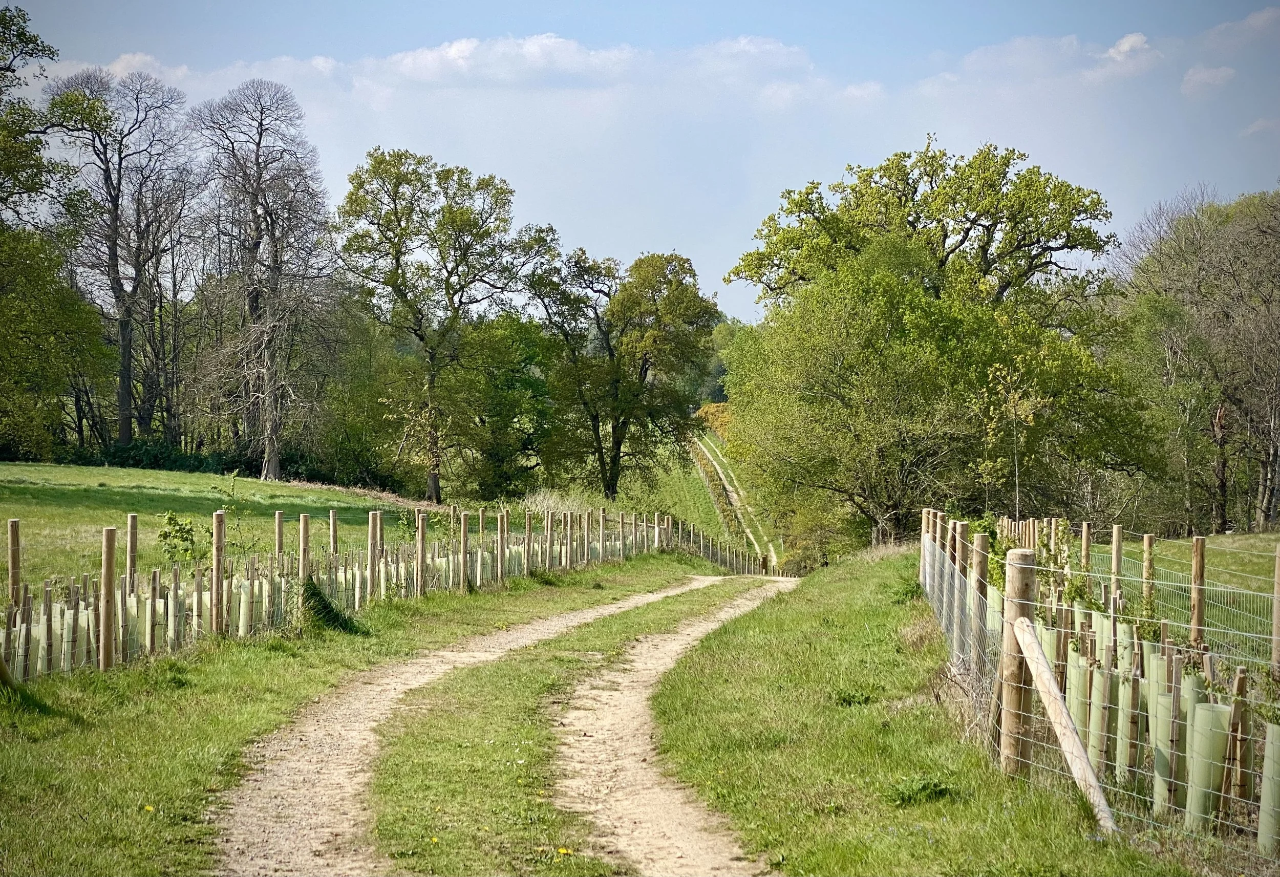
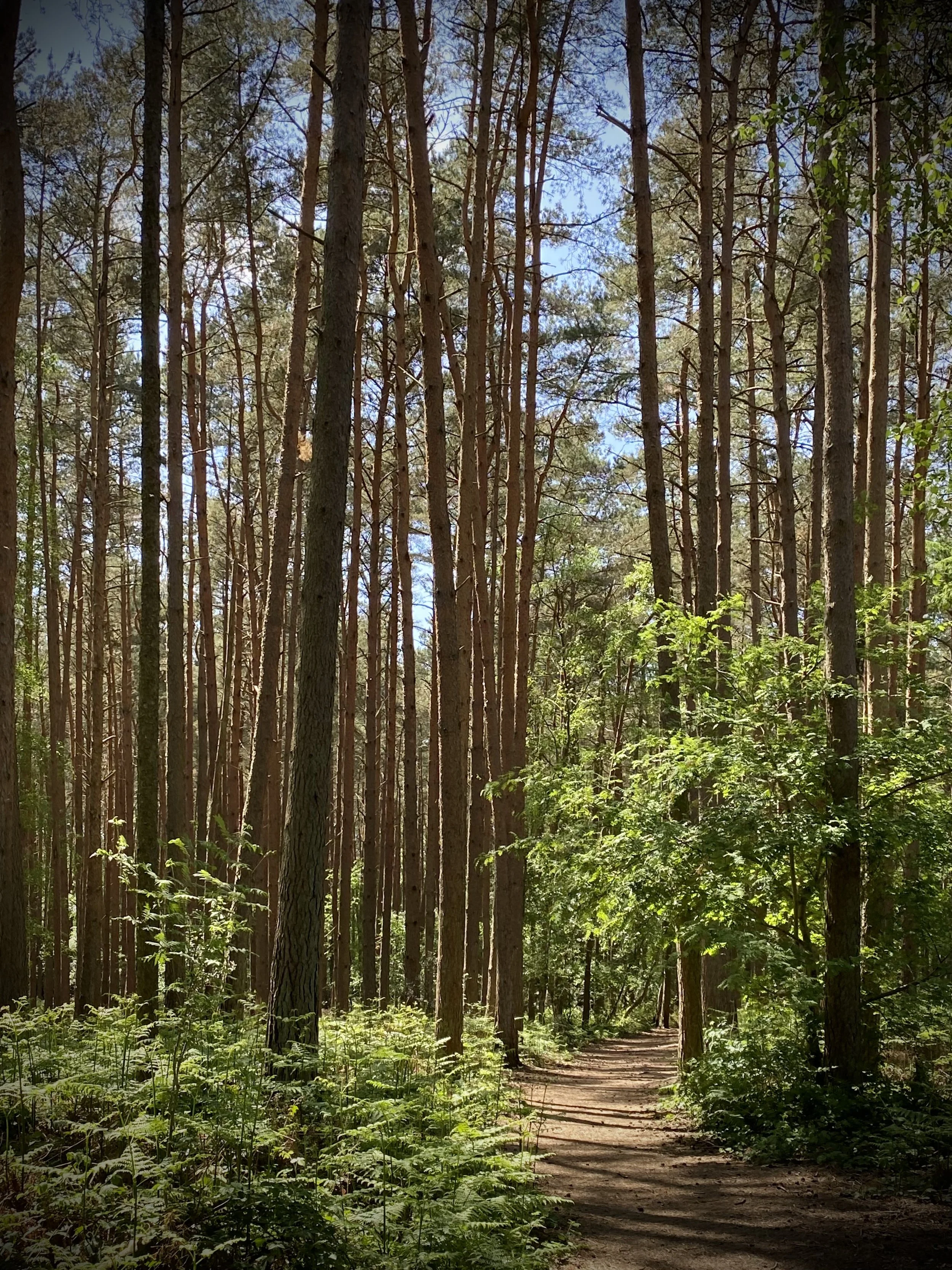
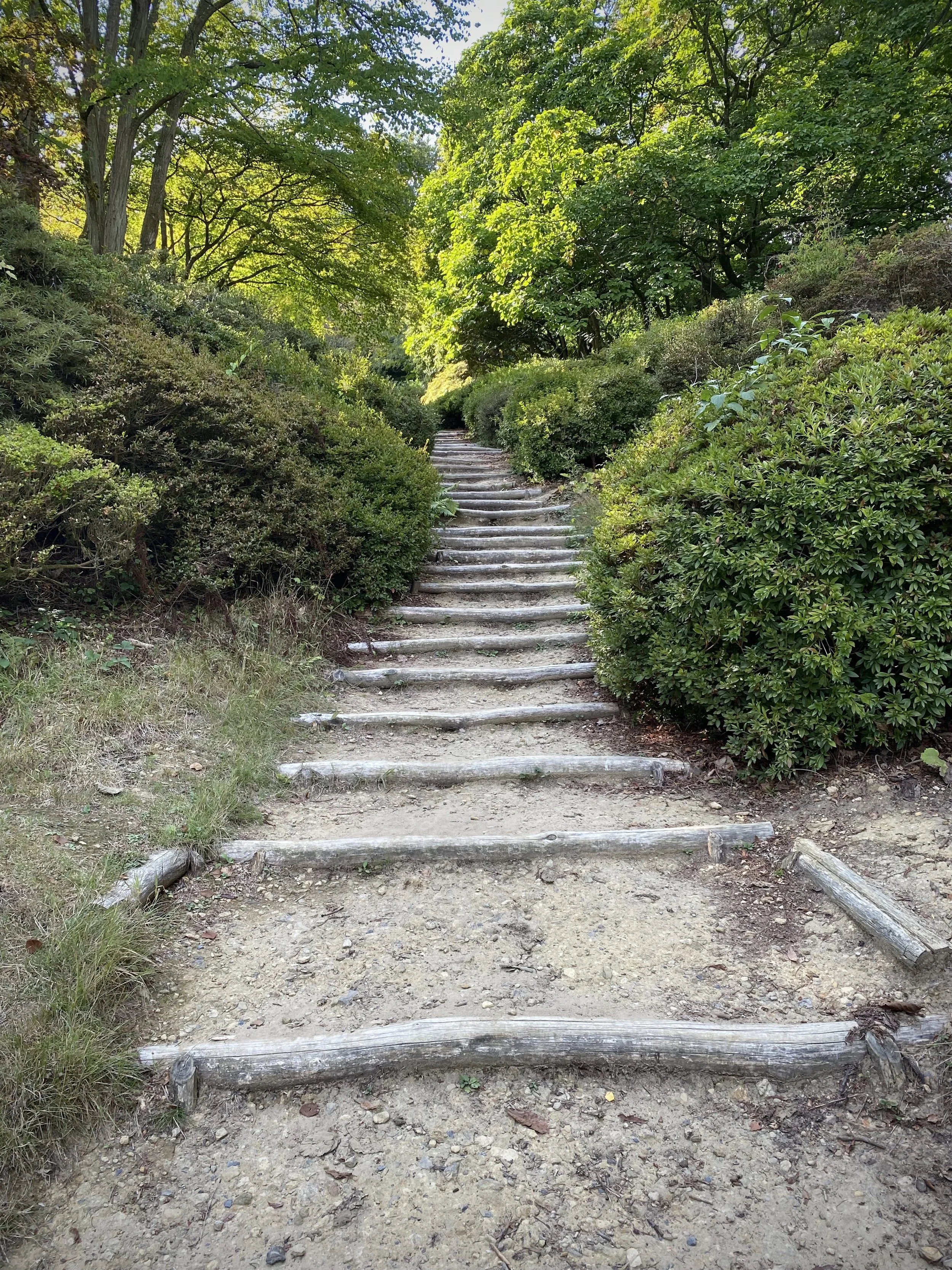
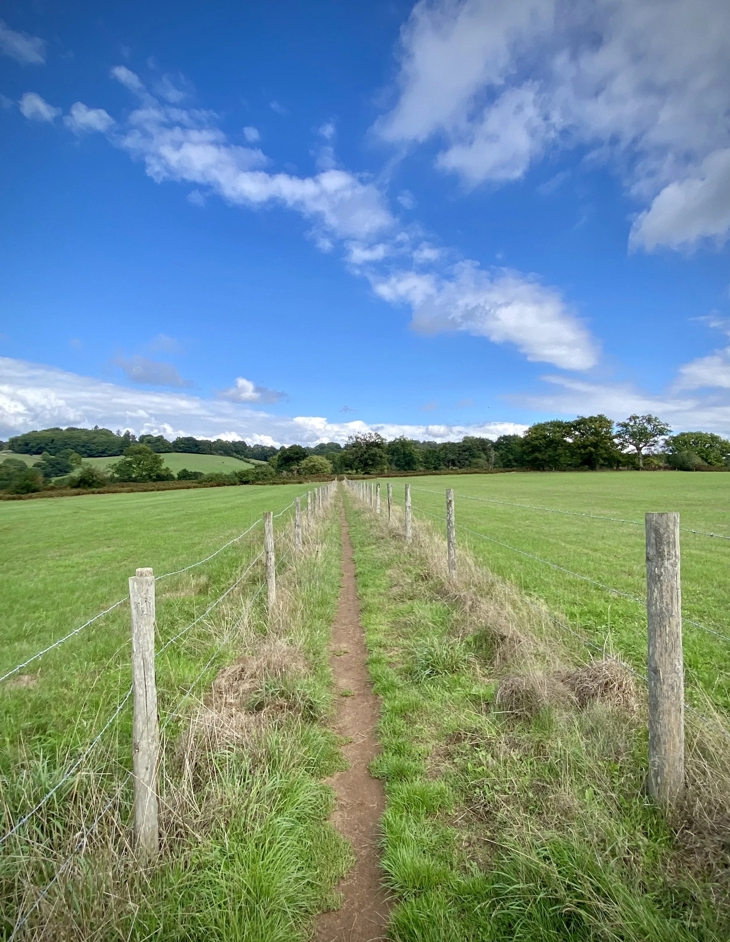
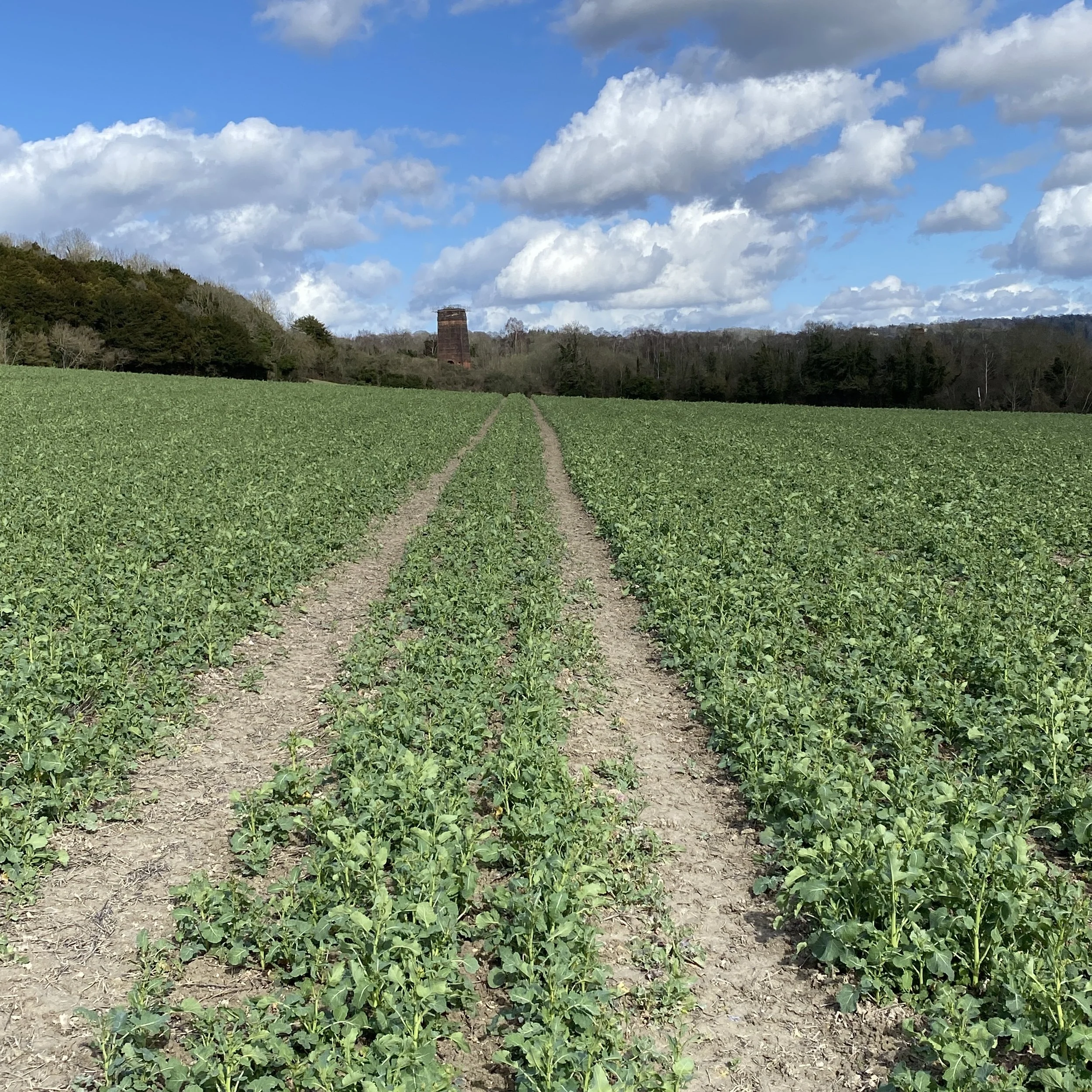
True to its name, the route predominantly follows the prominent Greensand Ridge, a geological feature that rises distinctly from the surrounding clay vales. This provides walkers with an incredibly varied and rewarding experience. You'll traverse ancient woodlands, including sections of the Surrey Hills Area of Outstanding Natural Beauty and the Kent Downs Area of Outstanding Natural Beauty, both celebrated for their natural beauty and ecological significance. The trail also passes through charming villages, open farmland, and areas of heathland, offering ever-changing vistas.
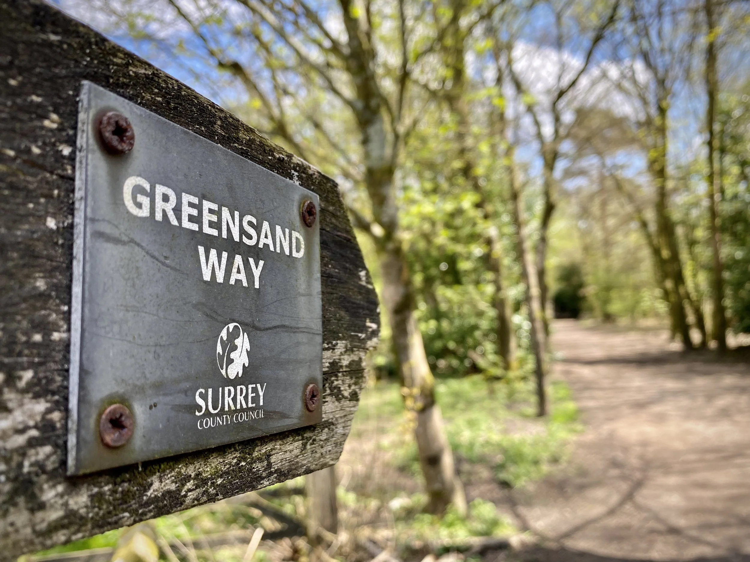
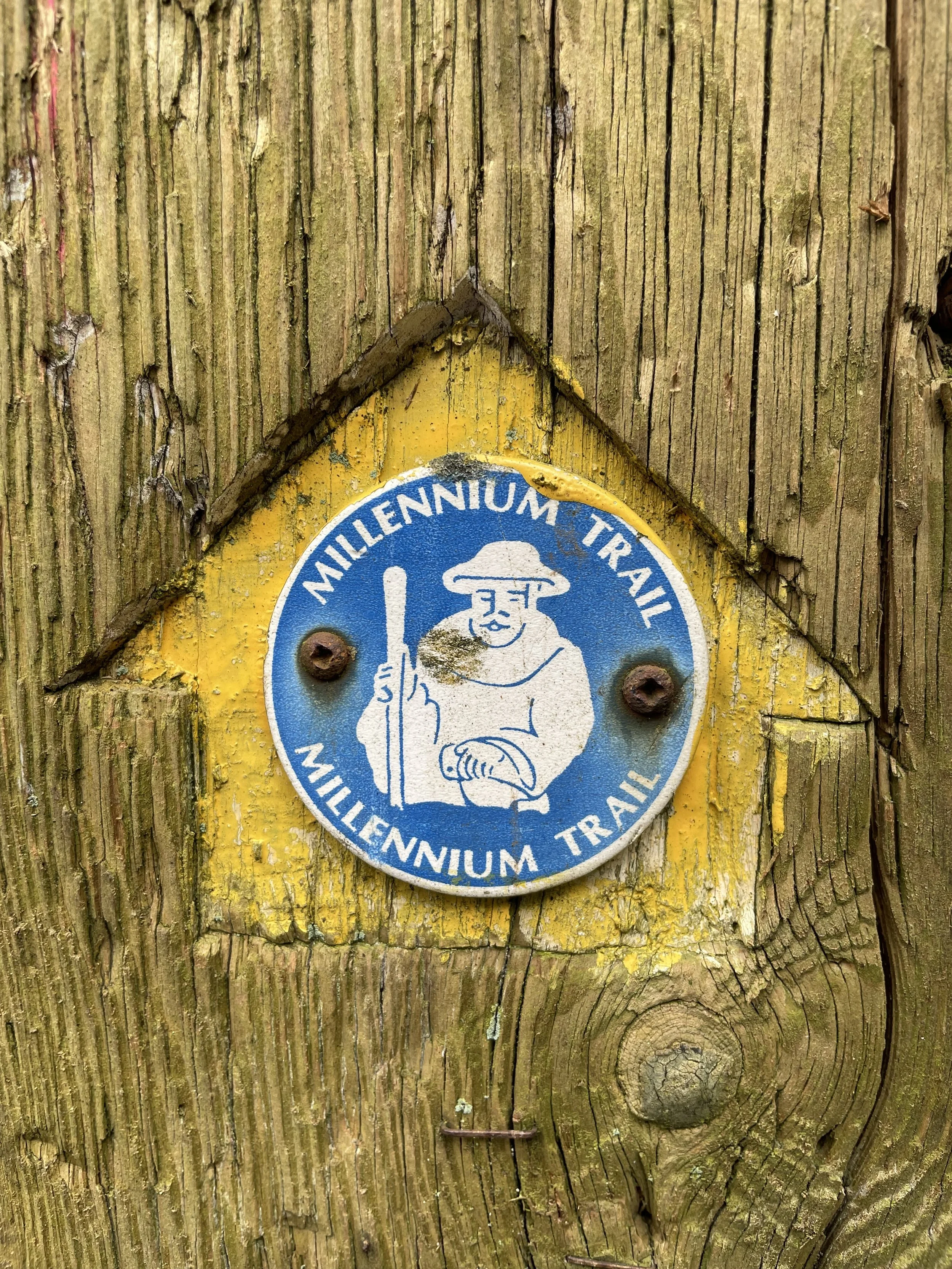
One of the defining characteristics of the Greensand Way is the breathtaking views it affords from its elevated position. From various points along the ridge, particularly in Surrey, you can often enjoy expansive panoramas across the Weald to the south, and northwards towards the more distant North Downs. The trail is well-marked with its distinctive Greensand Way logo, making it relatively easy to navigate, though its undulating nature with frequent ascents and descents can provide a good workout for walkers and runners alike.
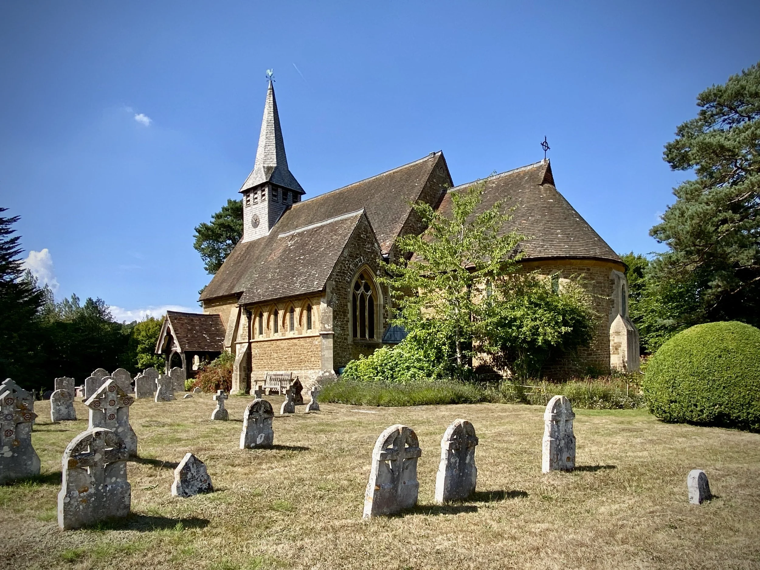
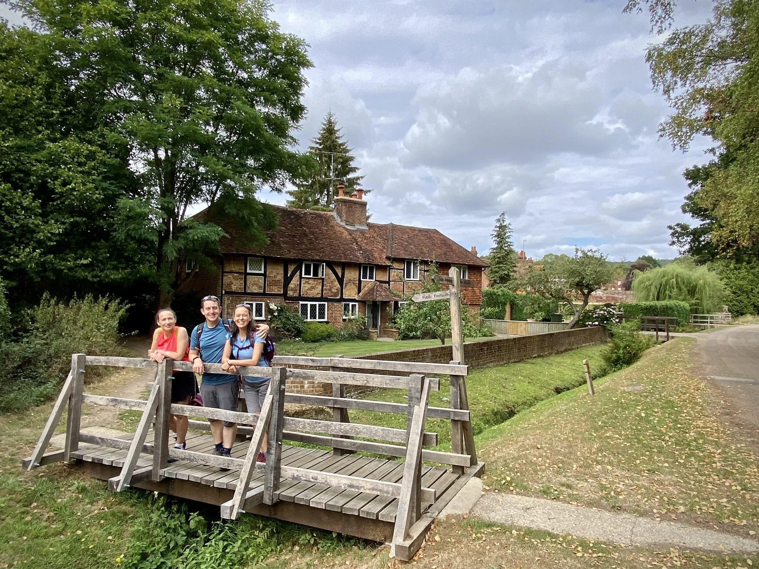
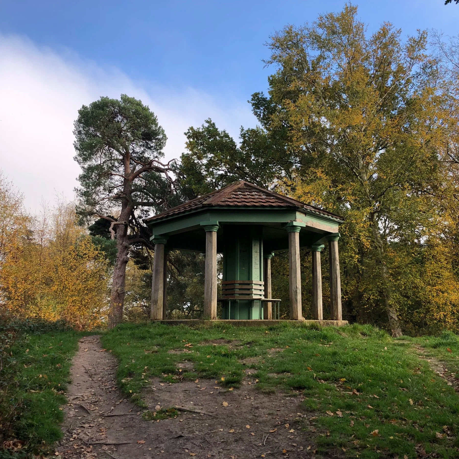
Beyond the natural beauty, the Greensand Way is rich in history and heritage. You'll encounter historic churches, ancient castles and picturesque villages with traditional pubs, perfect for a refreshment stop. The trail also links to other significant walking routes, offering opportunities for longer adventures. Whether tackling the entire route over several days or enjoying shorter sections, the Greensand Way provides a fantastic opportunity to explore some of southern England's most picturesque and historically significant landscapes.
Point to Point: Walking the Greensand Way in the Surrey Hills
Start: Start of the Greensand Way at alley to the left of 43 High Street, Haslemere, GU27 2LA
Finish: Oxted Station, Oxted, RH8 9EU
Distance: 88 km (55 miles)
Elevation change: + 1,479m / - 1,522m. Net -46m
GPX File: get via Buy Me a Coffee
Maps:
- Haslemere & Petersfield Map | Midhurst & Selborne | Ordnance Survey | OS Explorer Map OL33
- Guildford & Farnham Map | Godalming & Farnborough | Ordnance Survey | OS Explorer Map 145
- Dorking, Box Hill & Reigate Map | Leatherhead & Caterham | Ordnance Survey | OS Explorer Map 146
Links: LDWA: Greensand Way, Surrey County Council: Greensand Way, Wikipedia: Greensand Way
See individual section posts linked below for other links.


Walking the Greensand Way in the Surrey Hills in 20 walks
If you’re not up for a 88 km walk in one go, you can take in the Greensand Way in the Surrey Hills in 20 walks of between 7 and 11 km each. We chose this option, completing all 20 sections over 2 years from 2022 to 2023. The advantage of this option is exploring more of the villages and side paths close to the route.

Each number refers to a circular walk below. Base map: Esri Topo via RideWithGPS

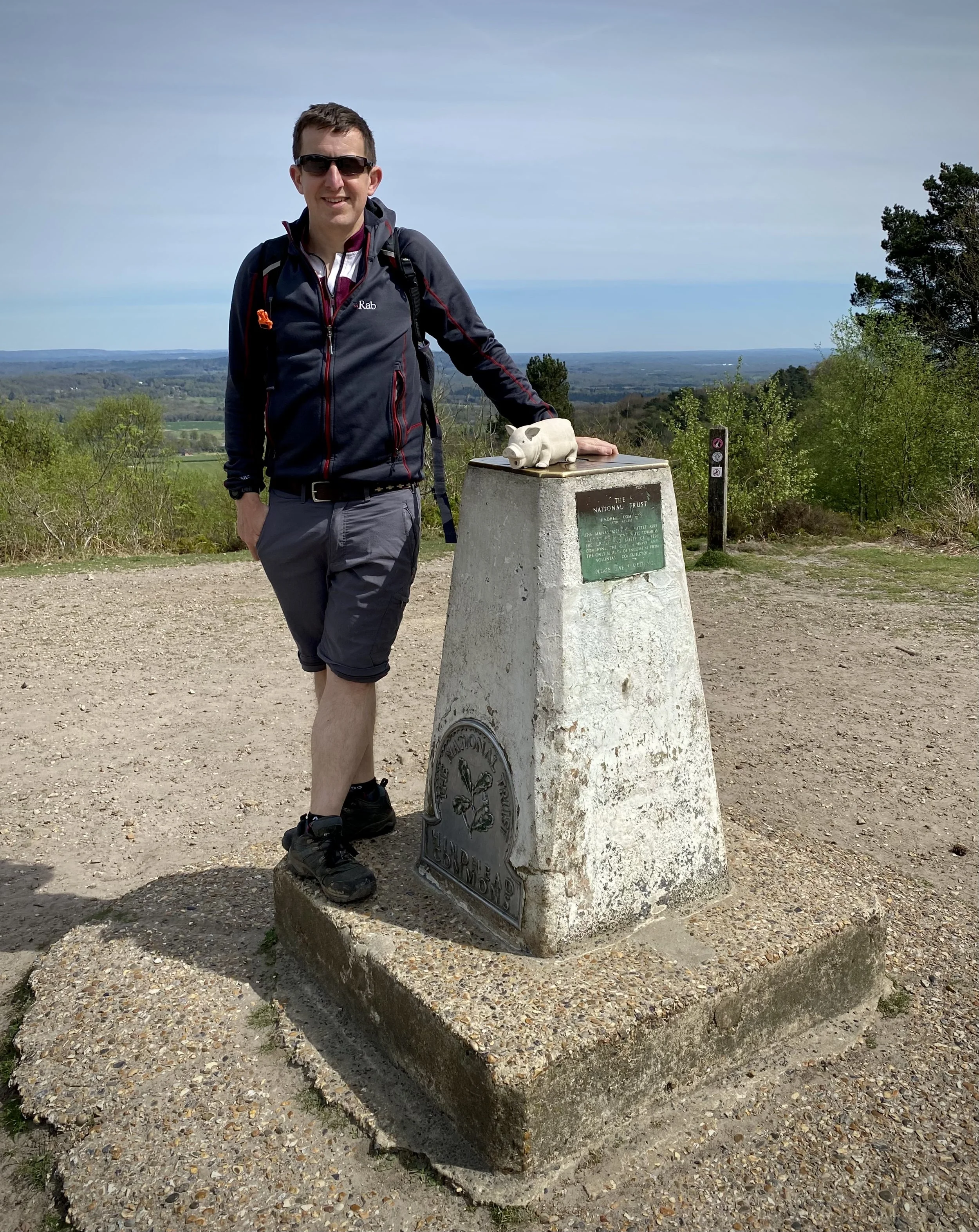
Section 1: Haslemere and Hindhead
Start & Finish: Start of the Greensand Way at alley to the left of 43 High Street, Haslemere, GU27 2LA
Alternative Start: National Trust Devil's Punchbowl Car Park, Thursley, Hindhead, GU26 6AG
Distance: 9.8 km (6.1 miles)
Elevation change: +/- 231m

Section 2: Devils Punchbowl and Thursley
Start & Finish: National Trust Devil's Punchbowl Car Park, Thursley, Hindhead, GU26 6AG
Distance: 11.1 km (6.9 miles)
Elevation change: +/- 199m

Section 3: Thursley and Witley Park
Start & Finish: St Michael and All Angels Church, Thursley, Godalming, GU8 6QQ
Distance: 10.9 km (6.8 miles)
Elevation change: +/- 163m

Section 4: Witley and Hambledon
Start & Finish: Hambledon Church, 1 Church Lane, Hambledon, Godalming, GU8 4DS
Distance: 9 km (5.6 miles)
Elevation change: +/- 124m

Section 5: Hydon’s Ball and Holloways Heath
Start & Finish: National Trust - Hydon's Ball and Heath car park, Salt Lane, Godalming, GU8 4BB
Distance: 9.3 km (5.8 miles)
Elevation change: +/- 172m

Section 6: Winkworth and Hascombe
Start & Finish: Free parking opposite the White Horse Pub, The Street, Hascombe, Godalming GU8 4JA
Distance: 10 km (6.2 miles)
Elevation change: +/- 179m

Section 7: Shamley Green and Grafham
Start & Finish: Shamley Green Christ Church, Church Hill, Shamley Green, Guildford, GU5 0UD
Distance: 10.3 km (6.4 miles)
Elevation change: +/- 107m

Section 8: Winterfold Wood and Reynards Hill
Start & Finish: Hurtwood Car Park 3, Pitch Hill, Cranleigh, GU6 7NL
Distance: 10 km (6.2 miles)
Elevation change: +/- 204m

Section 9: Pitch Hill and Holmbury Hill
Start & Finish: Hurtwood Car Park 3, Pitch Hill, Cranleigh, GU6 7NL
Distance: 10 km (6.2 miles),
Elevation change: +/- 239m

Section 10: Leith Hill and Broadmoor
Start & Finish: Starveall Car Park, Leith Hill Rd, Dorking, RH5 6LU
Distance: 10.3 km (6.4 miles)
Elevation Change: +/- 206m

Section 11: Westcott and Bury Hill
Start & Finish: Holy Trinity Westcott, Logmore Lane, Westcott, Dorking RH4 3NN
Distance: 9 km (5.6 miles)
Elevation change: +/- 163m
Section 12: The Nower and Dorking
Start & Finish: Reigate Road Car Park, 9 Reigate Rd, Dorking RH4 1SN
Distance: 10.8 km (6.7 miles)
Elevation change: +/- 222m

Section 13: Brockham and Betchworth
Start & Finish: St Michael's Church, The Street, Betchworth, RH3 7DN
Distance: 10.4 km (6.5 miles)
Elevation change: +/- 149m

Section 14: Betchworth and Reigate Heath
Start & Finish: St Michael's Church, The Street, Betchworth, RH3 7DN
Distance: 9.6 km (5.9 miles)
Elevation change: +/- 98m
Section 15: Reigate and Redhill Common
Start & Finish: Bell St Car Park, 83 Bell Street, Reigate, RH2 7AN
Distance: 9.1 km (5.6 miles)
Elevation change: +/- 136m

Section 16: Earlswood and Nutfield Priory
Start & Finish: St John the Evangelist Church, Redhill, Church Rd, Redhill, RH1 6QA
Distance: 8.8 km (5.5 miles)
Elevation change: +/- 165m
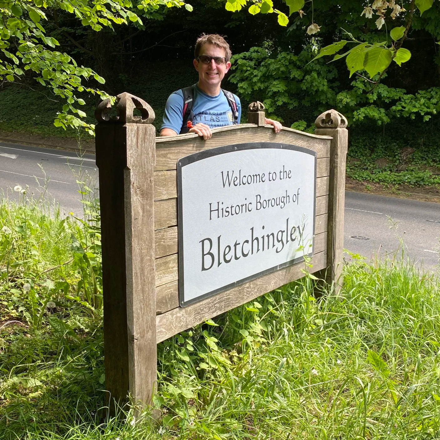
Section 17: Nutfield and Bletchingley
Start & Finish: High Street, Bletchingley, Redhill, RH1 4PA
Distance: 9.9 km (6.1 miles)
Elevation change: +/- 164m

Section 18: Bletchingley and Godstone
Start & Finish: High Street, Bletchingley, Redhill, RH1 4PA
Distance: 10.4 km (6.5 miles)
Elevation change: +/- 143m

Section 19: Tandridge and Oxted
Start & Finish: Oxted Station, Oxted, RH8 9EU
Distance: 10.6 km (6.6 miles)
Elevation change: +/- 165m

Section 20: Oxted and Limpsfield
Start & Finish: Oxted Station, Oxted, RH8 9EU
Distance: 11.2 km (7 miles)
Elevation change: +/- 142m