Walking The Greensand Way Part 2 - Devils Punchbowl and Thursley

Devil’s Punchbowl, Hindhead
Start & Finish: National Trust Devil's Punchbowl Car Park, Thursley, Hindhead, GU26 6AG
Distance: 11.1 km (6.9 miles)
Elevation change: +/- 199m
Greensand Way section covered: Hindhead Common to The Street: 5.6 km
GPX File: get via Buy Me a Coffee
Other routes touched (walk): Greensand Way, National Trust walks in Devil’s Punchbowl
Other routes touched (cycle): Surrey Cycleway
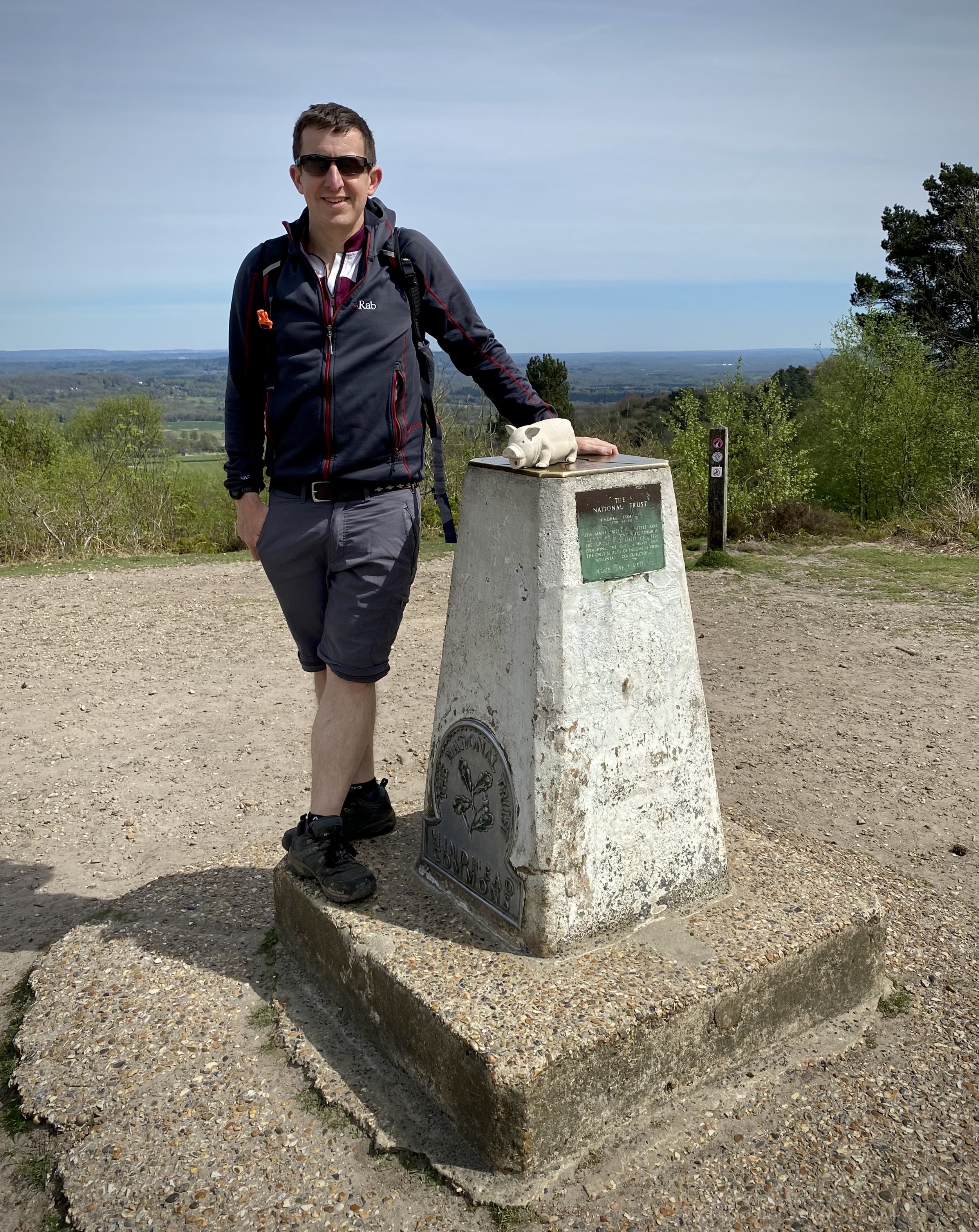
OS Trig Pillar: TP0323 - Hindhead
Pubs / Cafes on route: National Trust Cafe at Devil’s Punchbowl and The Three Horseshoes, Thursley
Map: Haslemere & Petersfield Map | Midhurst & Selborne | Ordnance Survey | OS Explorer Map OL33
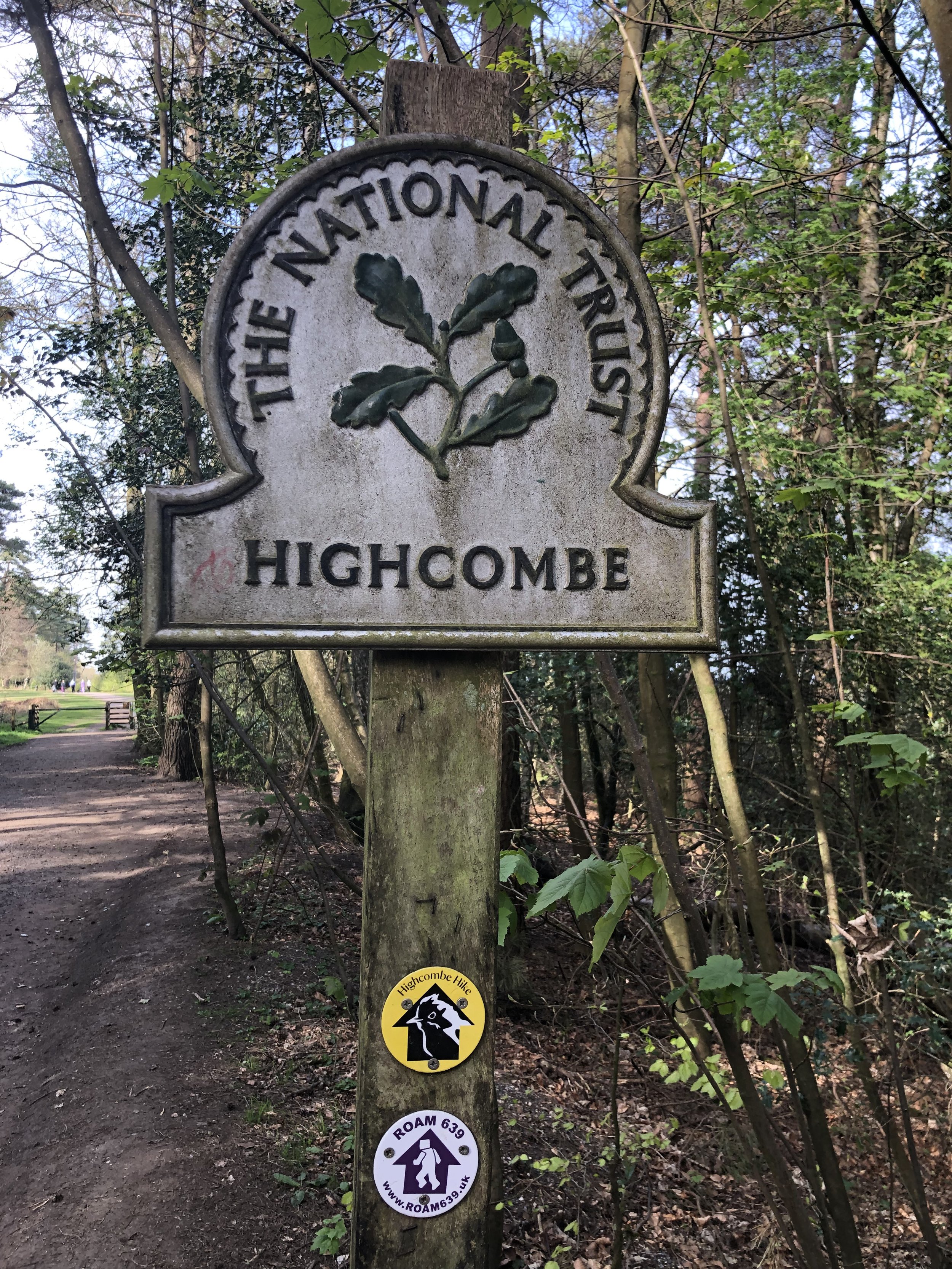
Links: The Devil’s Punchbowl, National Trust Hindhead Common and the Devil’s Punchbowl, Thursley
This is the second of a series of short circular walks featuring the Greensand Way. The full trail is a long distance path stretching from Haslemere in Surrey to Ham Street in Kent. Our walks take in short sections of the Greensand Way and loop back to the start on other paths. The Greensand Way is well sign posted however you’ll need a map or GPX route to keep on track for the return sections of the loops. The guidance below will help but don’t use it as a fully accurate turn-by-turn guide.
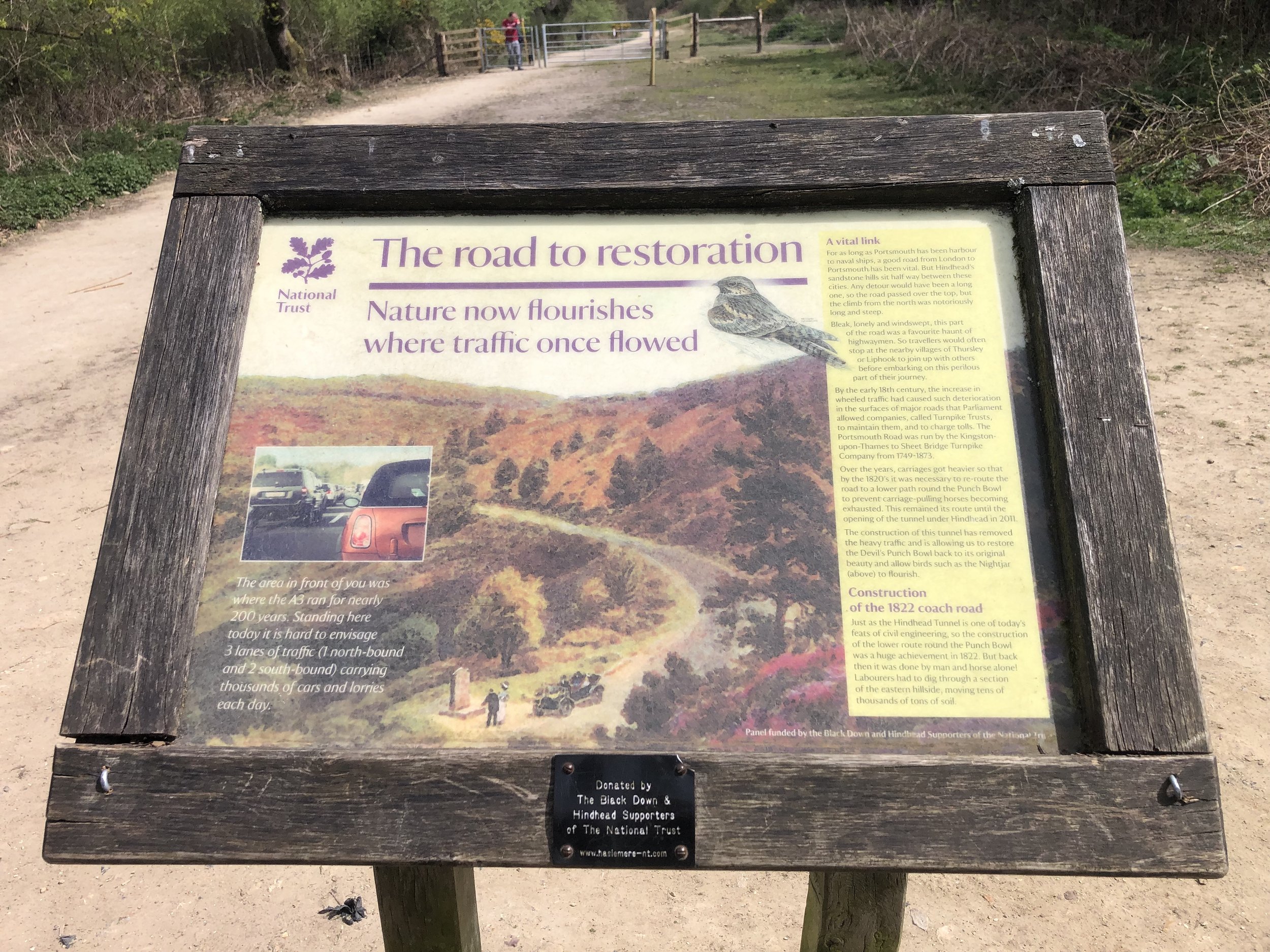
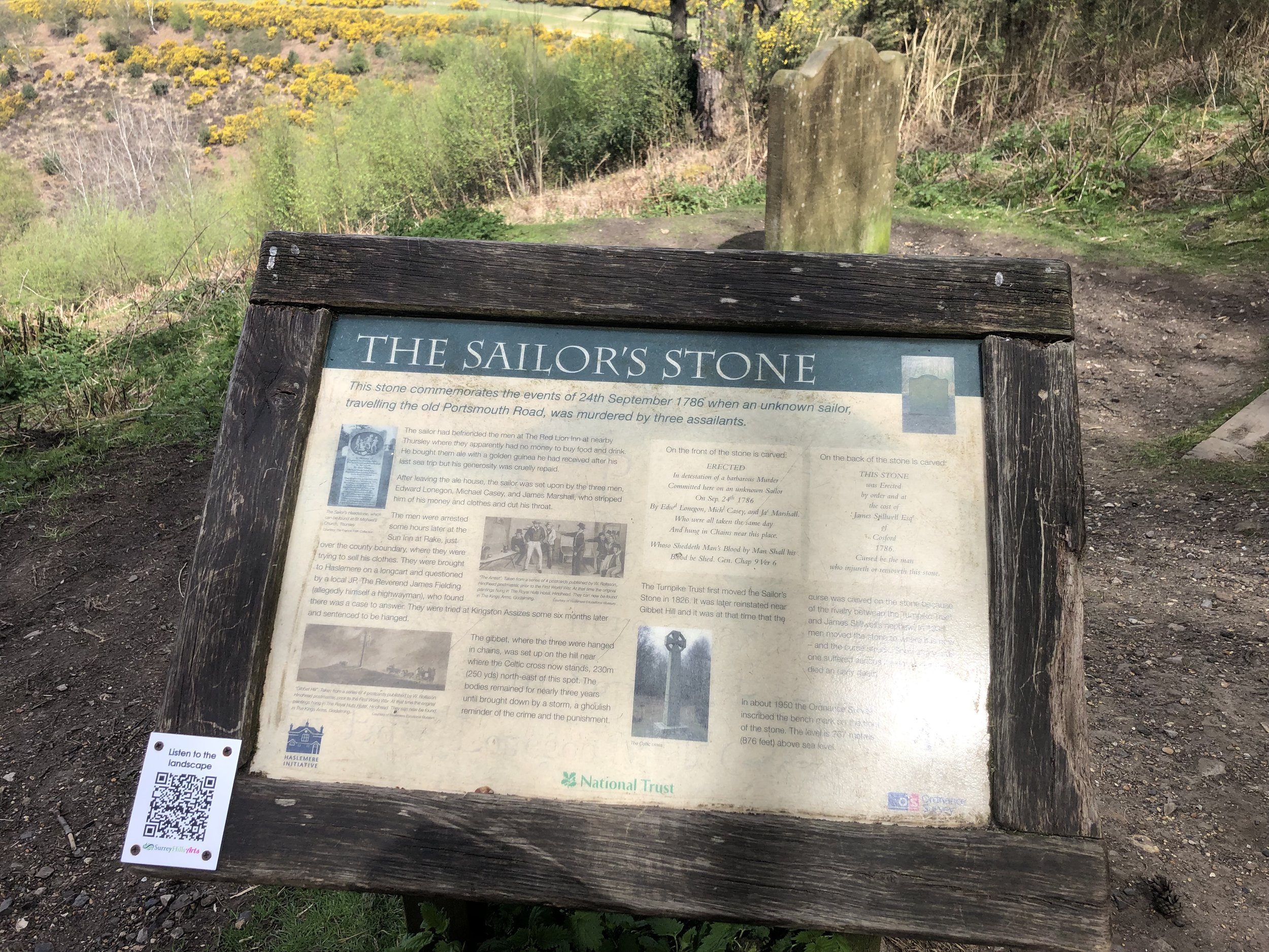
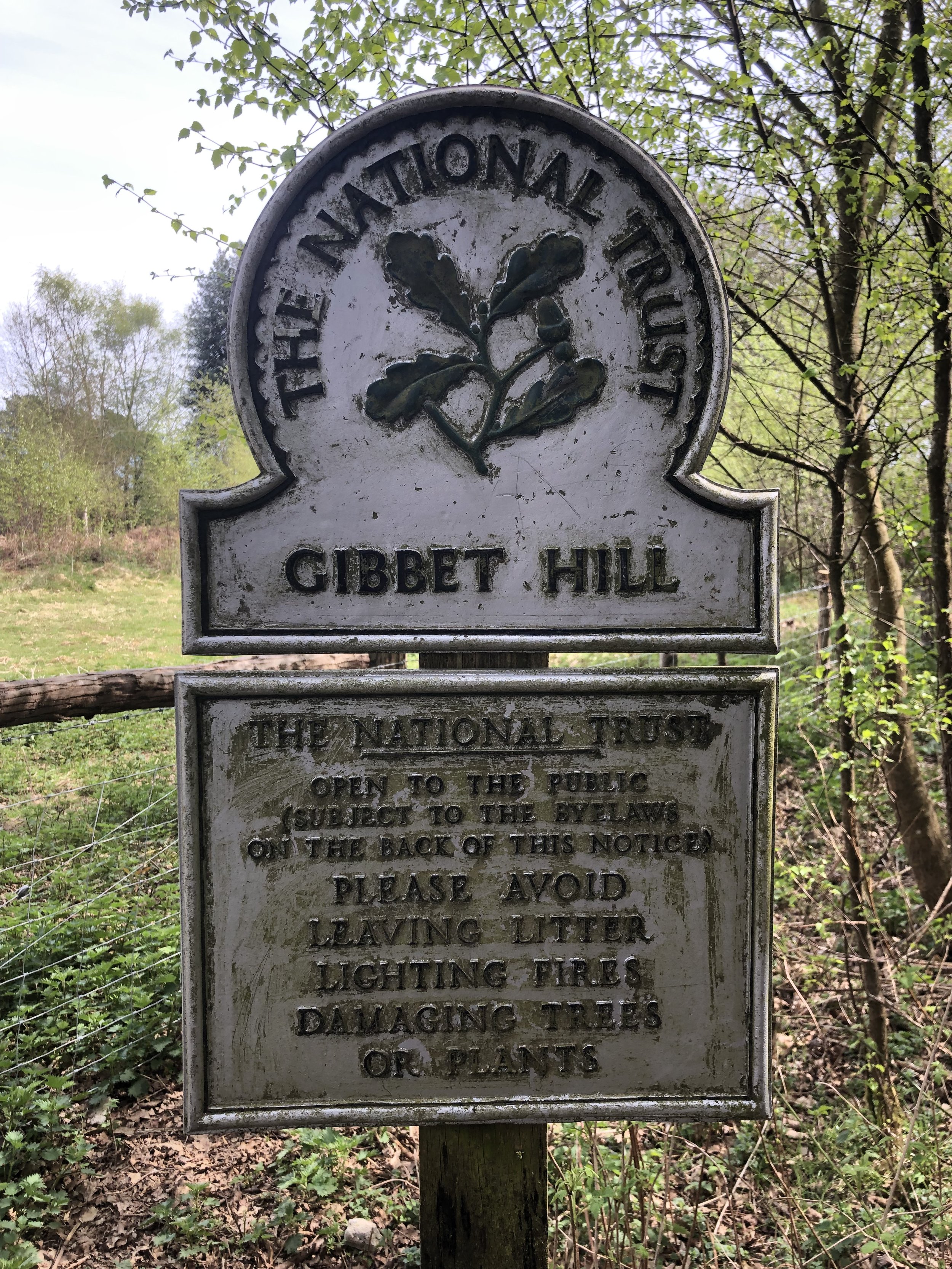
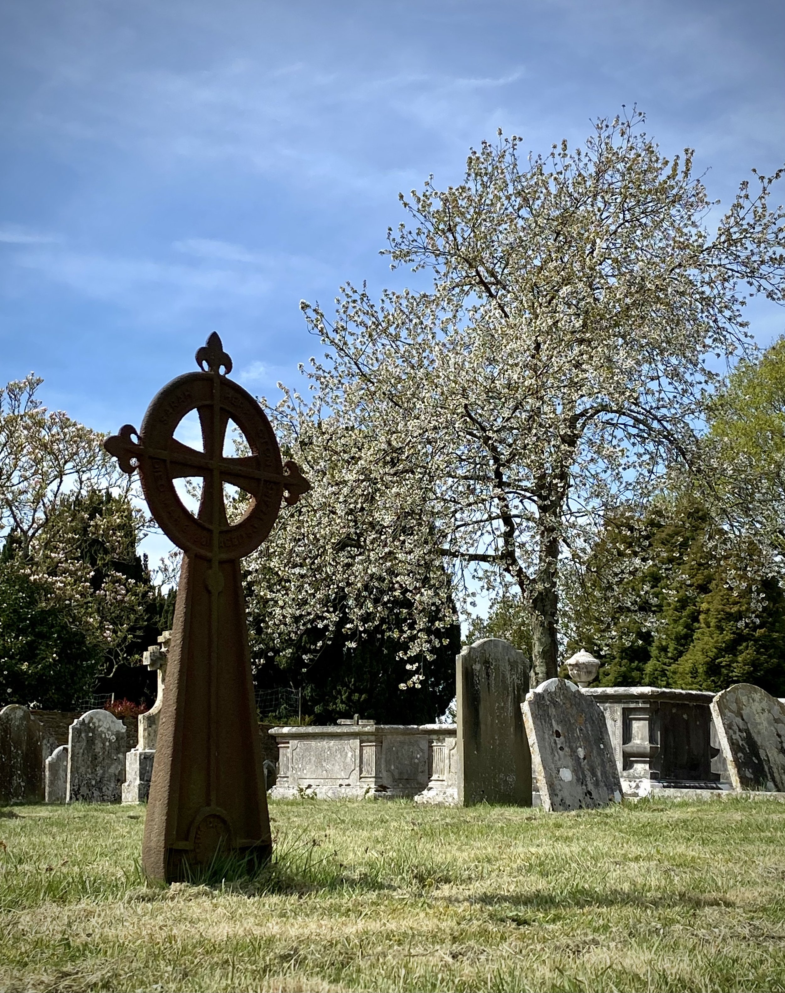
This walk starts at the National Trust Visitors Centre at The Devil’s Punchbowl. From here you can either pick up the Greensand Way from the car-park, repeating a small section of Part 1, or, as we did, follow the route of the old A3 to meet the Greensand Way neat Gibbet Hill. The old A3 route is more interesting as it takes you past the Sailor’s Stone, a memorial to an unknown sailor murdered on the road to Portsmouth. A little further along the trail you’ll get to Gibbet Hill, site of both an OS Trig Pillar and a Celtic Cross that marks the place where the sailor’s killers were hanged.
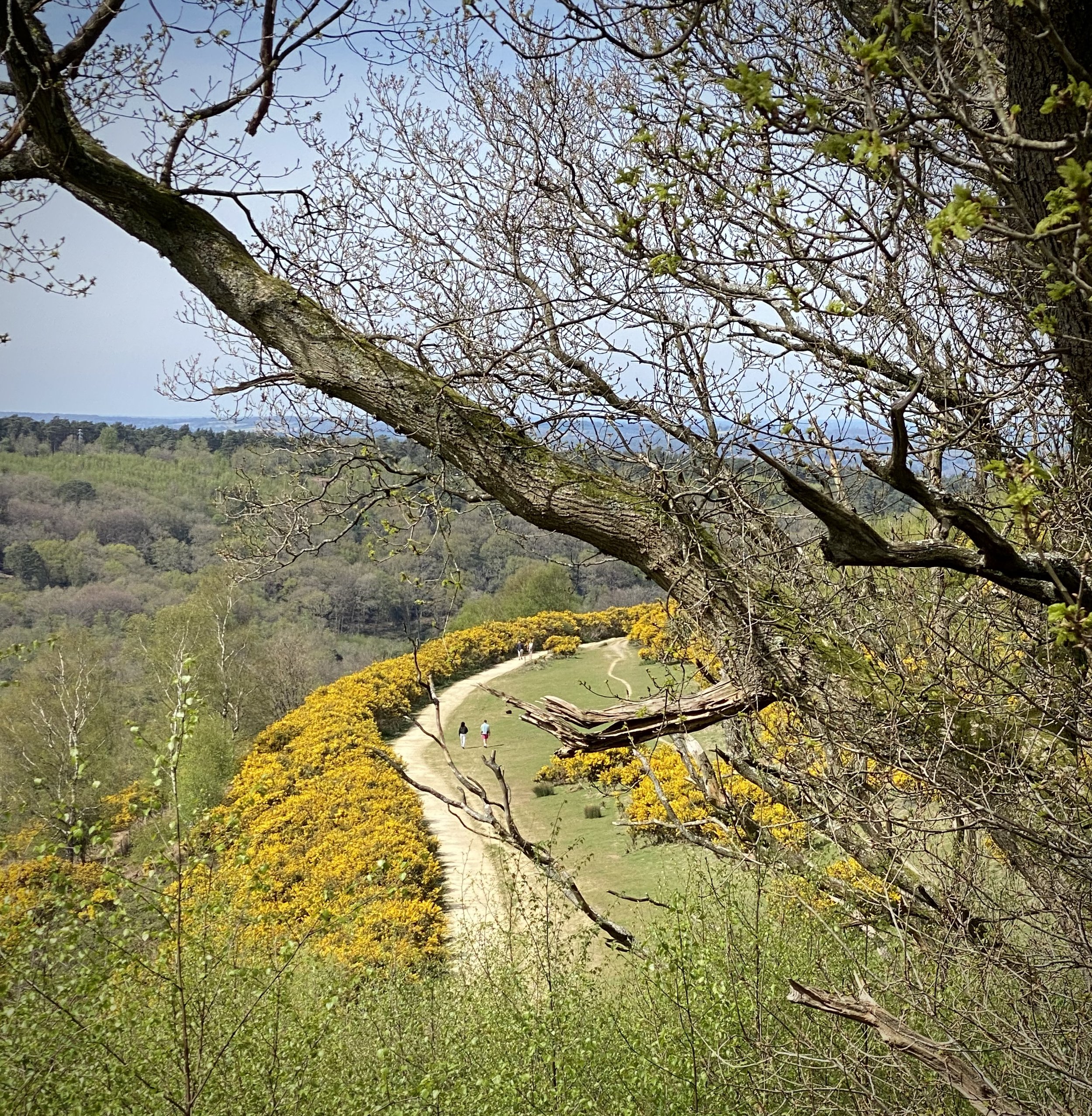
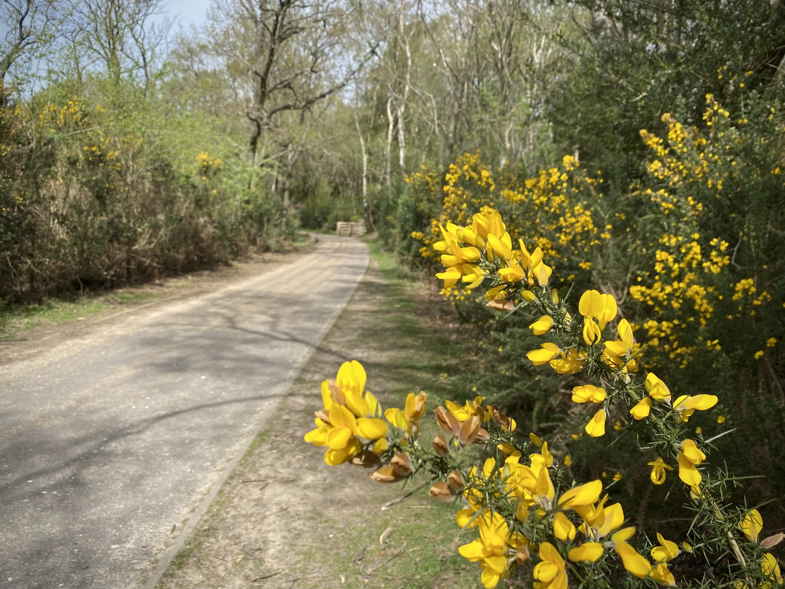
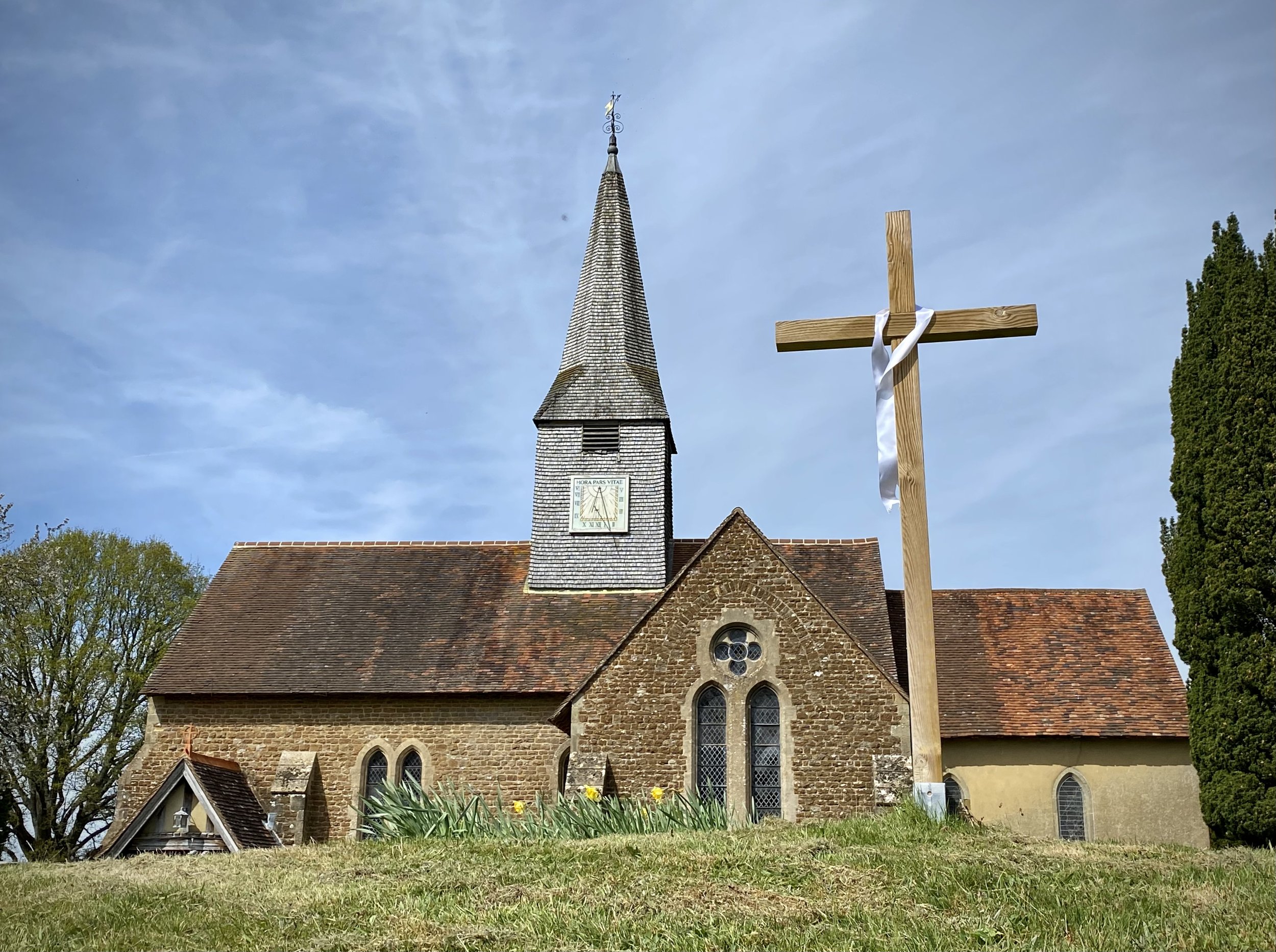
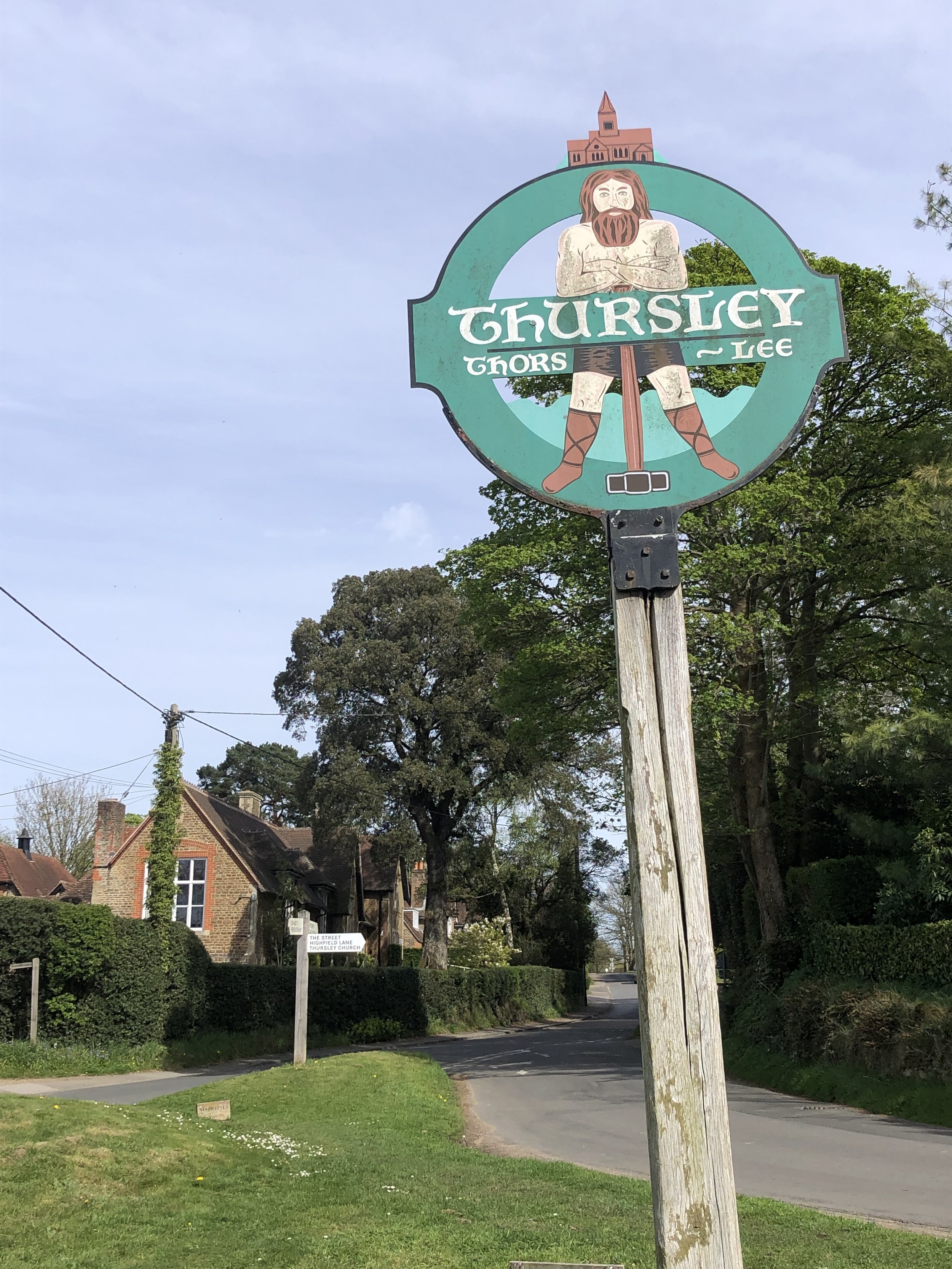
From Gibbet Hill, return to the Greensand Way and follow it in a northerly direction. The route follows the eastern edge of Devil’s Punchbowl to meet the Church of St Michael and All Angels on the south end of Thursley. The church contains the grave of the unknown sailor whose memorial stone you passed earlier on the route.
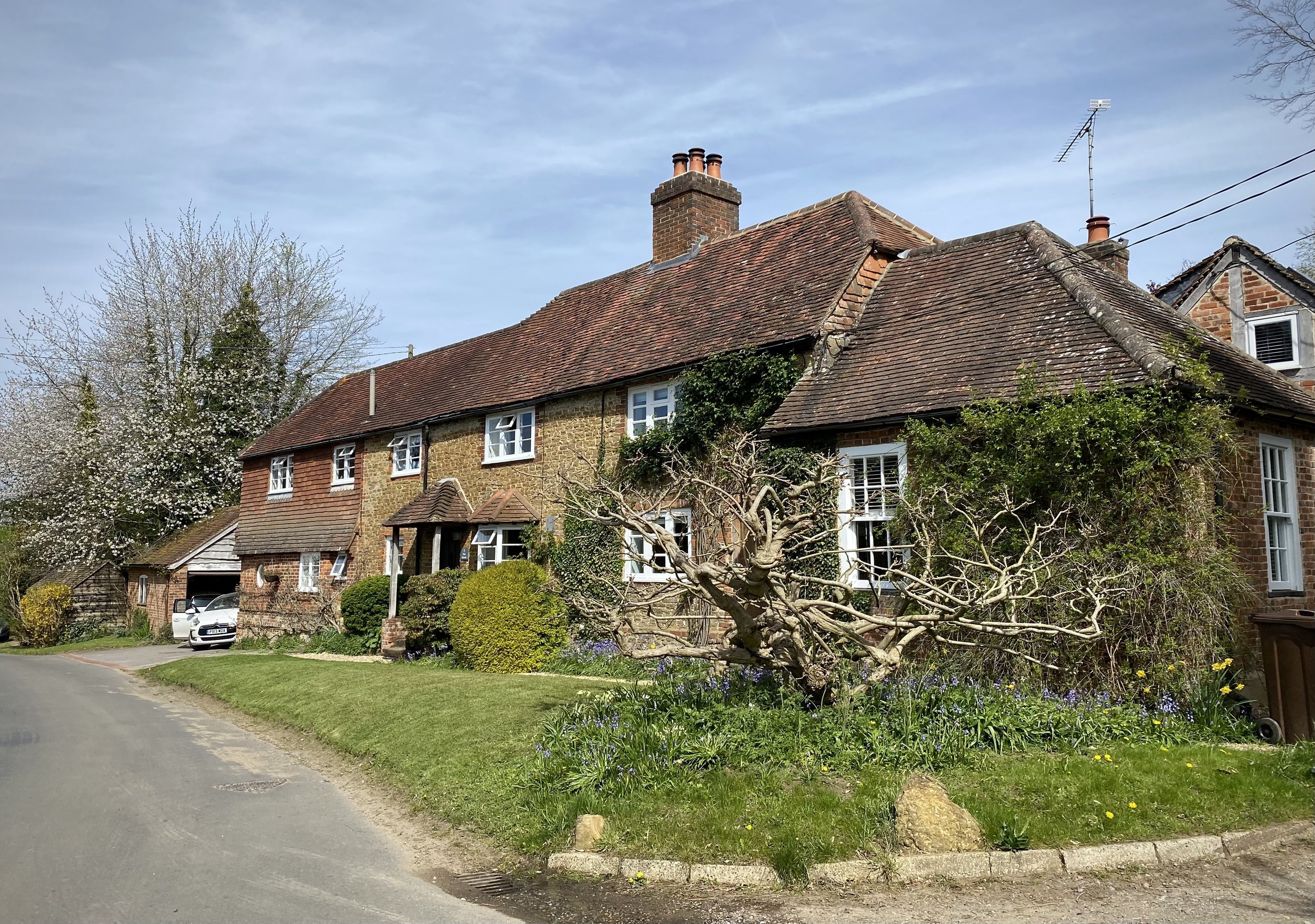
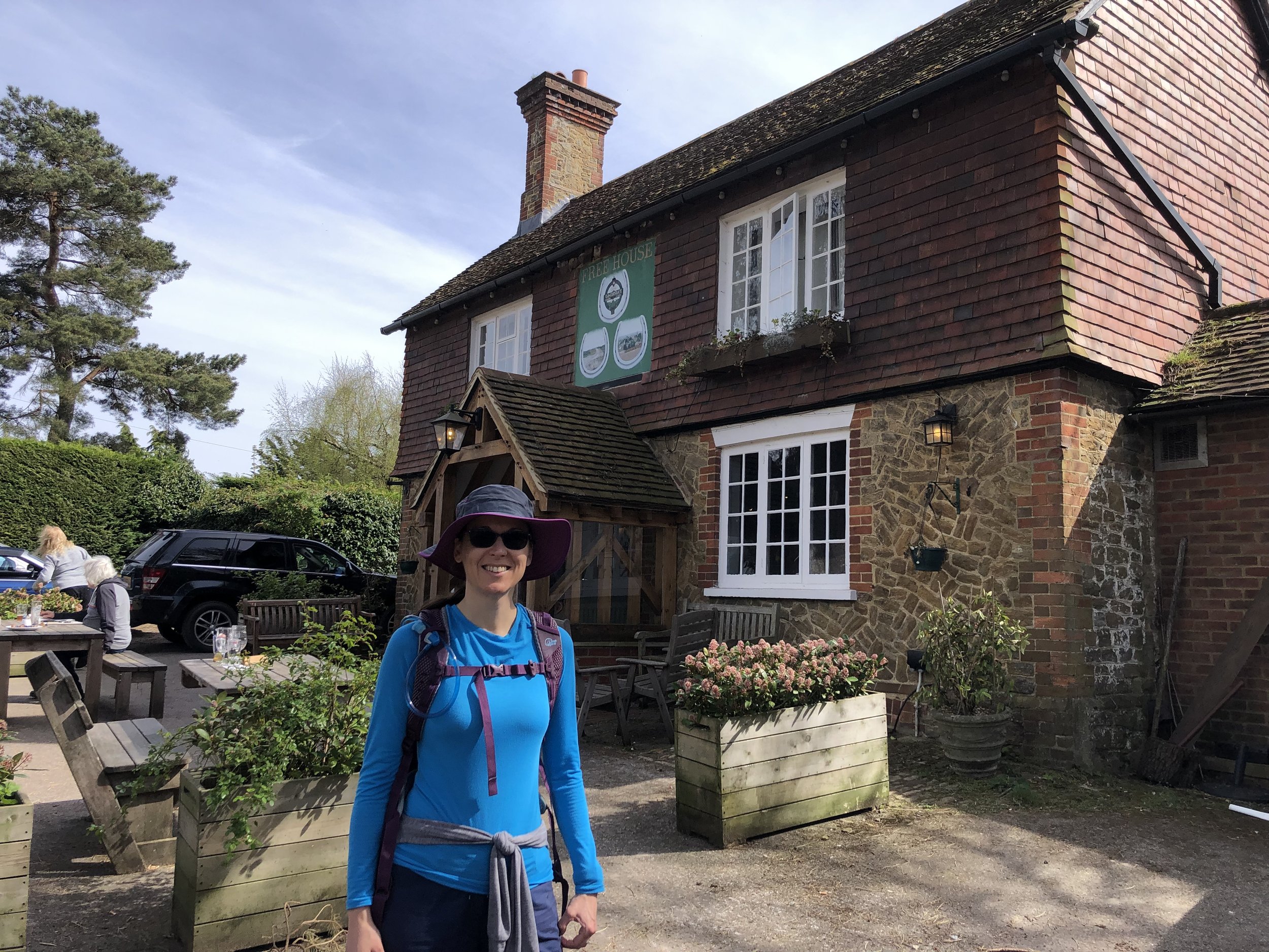
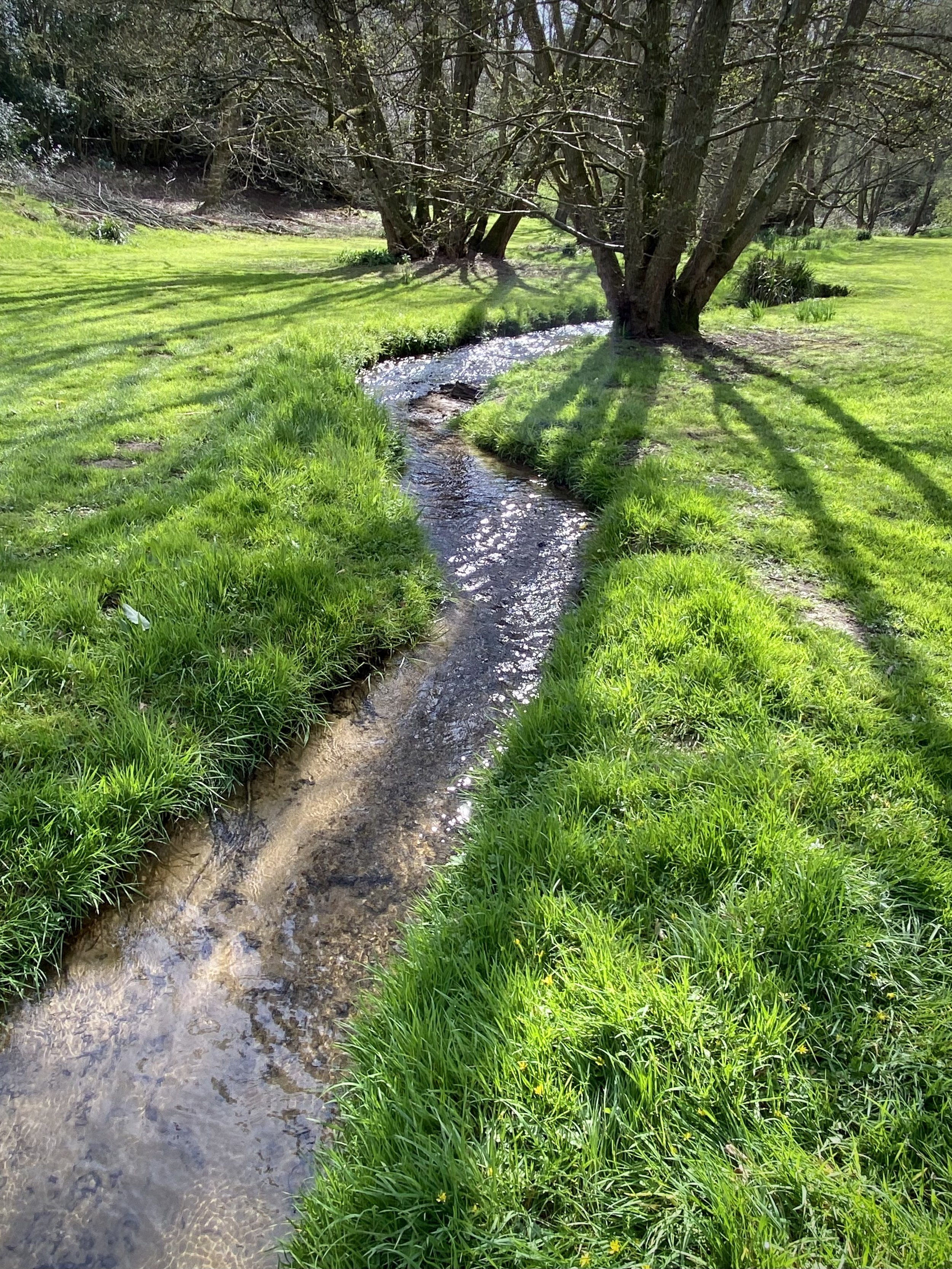
The Street, Thursley, just beyond the church is where you leave the Greensand Way for this section. Follow The Street north until you reach Thursley Village Centre. This is a good place to stop for a rest at The Three Horseshoes pub, just off the route on Dyehouse Road. From Thursley, take a left onto The Lane to cut off a small section of Dyehouse Road. You’ll now be starting the return section to the start, closely following the path of the Truxford Brook. This is a tributary of the River Wey that starts in the Devil’s Punchbowl, flowing north to the Wey.
From the end of The Lane, you’ll continue onto a footpath that rejoins Dyehouse Road. Take a left onto the road, then first left onto a footpath on a private lane. Take the first footpath on the right of the lane, crossing over a wooden bridge on the Truxford Brook. Follow this path to the Thursley Road, then take a left to follow the road. Be careful here as there’s no pavement on the road. It’s fairly quiet but cars can come fast so keep on the right and keep a look out. After ~400m take a left onto Sailors Lane and follow this for 3.6 km back to the start at the Devil’s Punchbowl NT Visitors Centre.
This walk follows a similar route to Walk #4 in the excellent guide West Surrey Walks into History by David McDowall. David’s book has detailed turn by turn directions and fascinating descriptions of local history and points of interest on the routes.


Previous section: Walking The Greensand Way Part 1 - Haslemere and Hindhead
Next section: Walking The Greensand Way Part 3 - Thursley and Witley Park