Walking The Greensand Way Part 10 - Leith Hill and Broadmoor

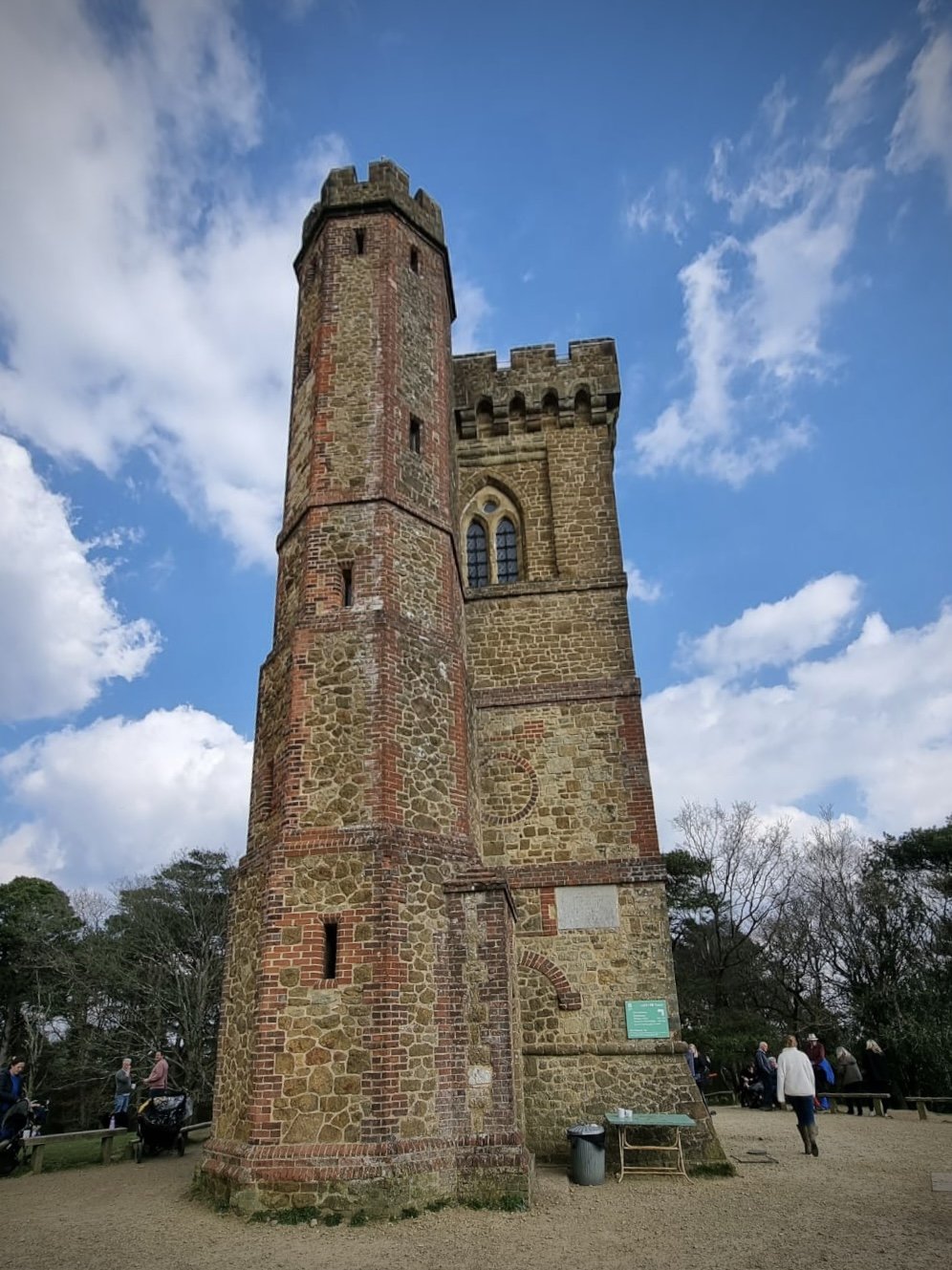
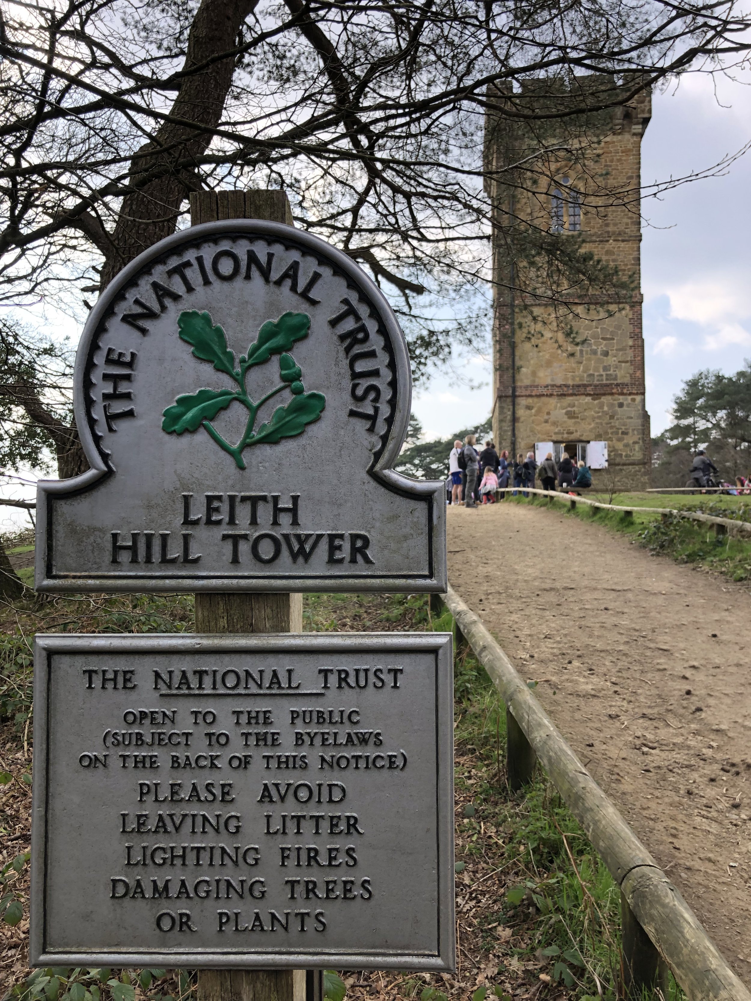
View from the base of Leith HIll Tower
Start & Finish: Starveall Car Park, Leith Hill Rd, Dorking, RH5 6LU
Distance: 10.3 km (6.4 miles)
Elevation Change: +/- 206m
Greensand Way section covered: Holmbury St Mary to Broadmoor Village: 6.4 km
GPX File: get via Buy Me a Coffee
Other routes touched (walk): Greensand Way, Leith Hill Greenway
Other routes touched (cycle): Surrey Cycleway, various mountain bike trails in Leith Hill woods.
Pubs / Cafes on route: National Trust Cafe at Leith Hill (1 km in)
Map: OS Explorer 146 Dorking, Box Hill & Reigate
Guidebook: The UK's County Tops (Jonny Muir), Walking the County High Points of England (David Bathurst)
Links: Wikipedia (Surrey), Wikipedia (Leith Hill), Peakbagger, National Trust
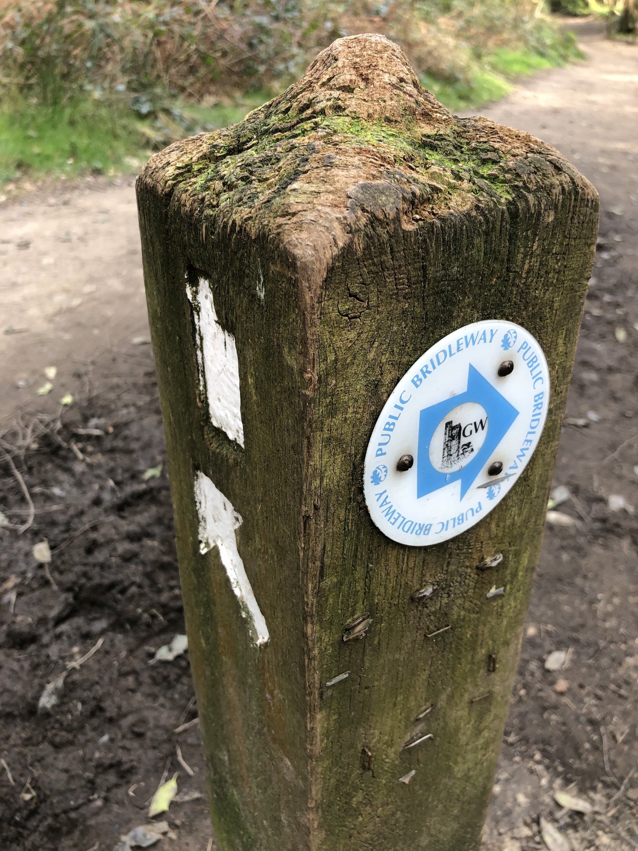
This is the tenth of a series of short circular walks featuring the Greensand Way. The full trail is a long distance path stretching from Haslemere in Surrey to Ham Street in Kent. Our walks take in short sections of the Greensand Way and loop back to the start on other paths. The Greensand Way is well sign posted however you’ll need a map or GPX route to keep on track for the return sections of the loops. The guidance below will help but don’t use it as a fully accurate turn-by-turn guide.
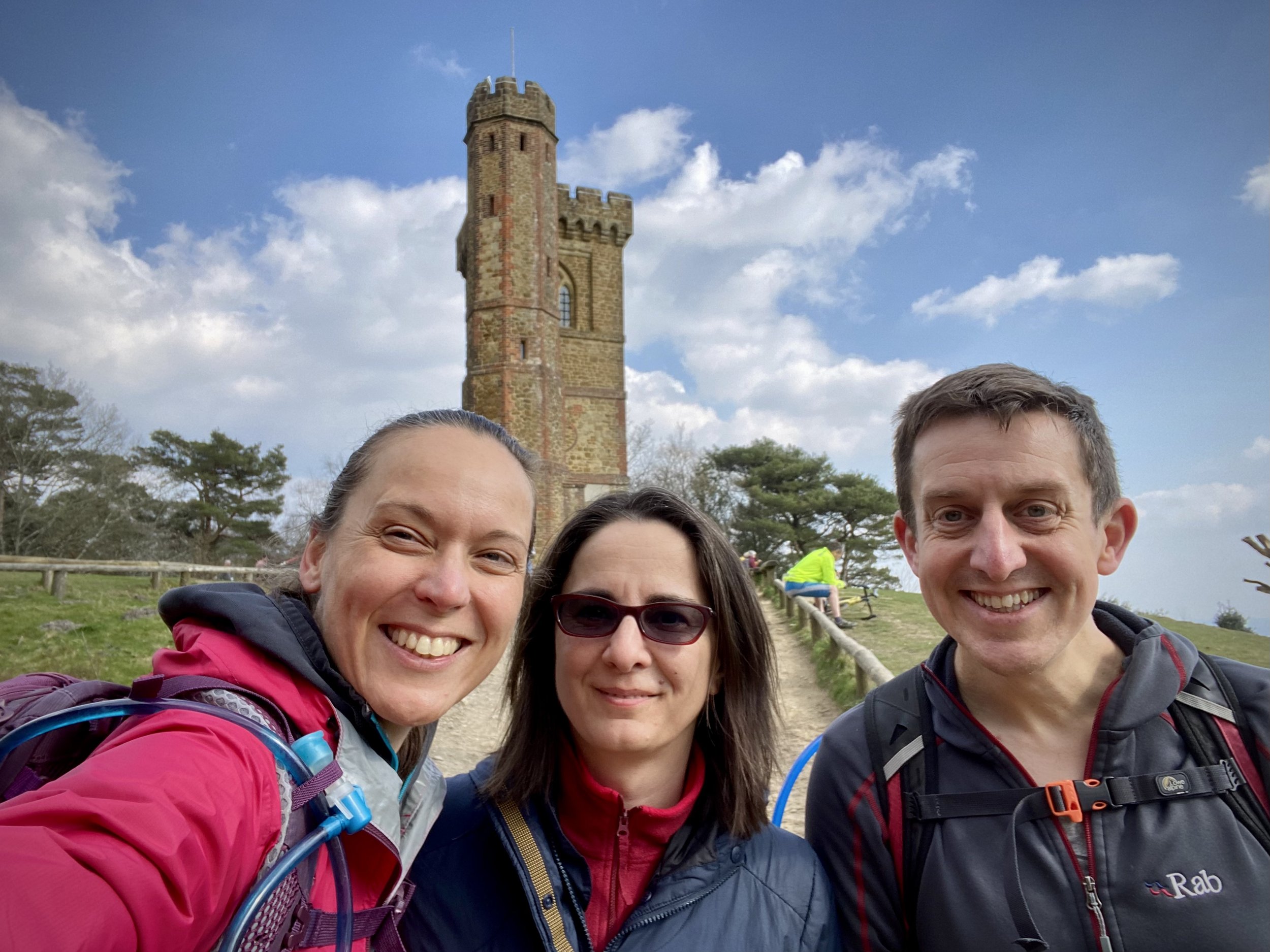
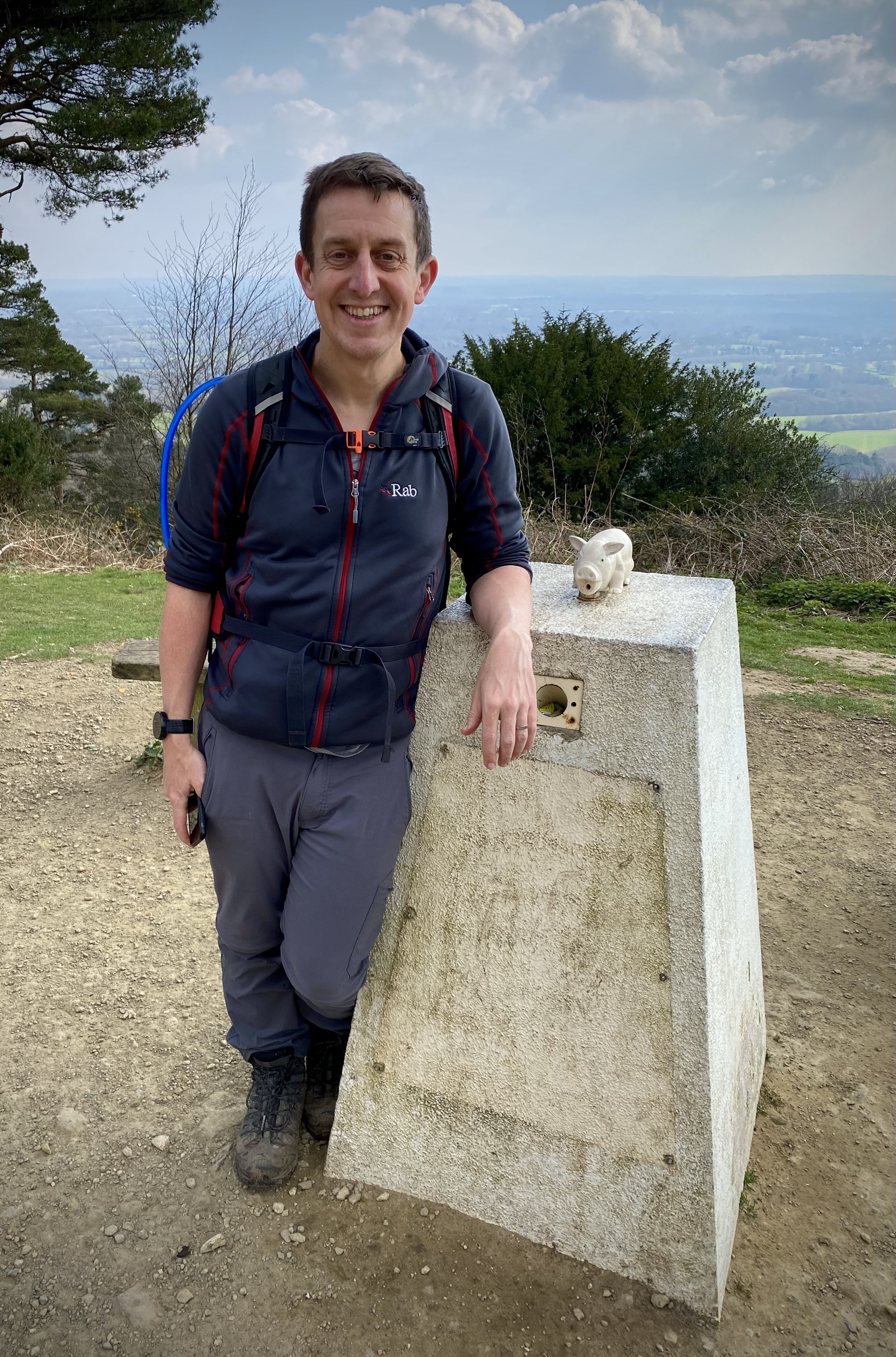
Our first visit to Leith Hill was in 2012 at the start of my UK County Top mission. That one was a quick drive-by on the way back from somewhere else, taking in only the 1km walk from the car park to the summit. I had wanted to return to do it as a part of a larger Surrey Hills Circular. So, nearly 10 years later, we made our second ascent.
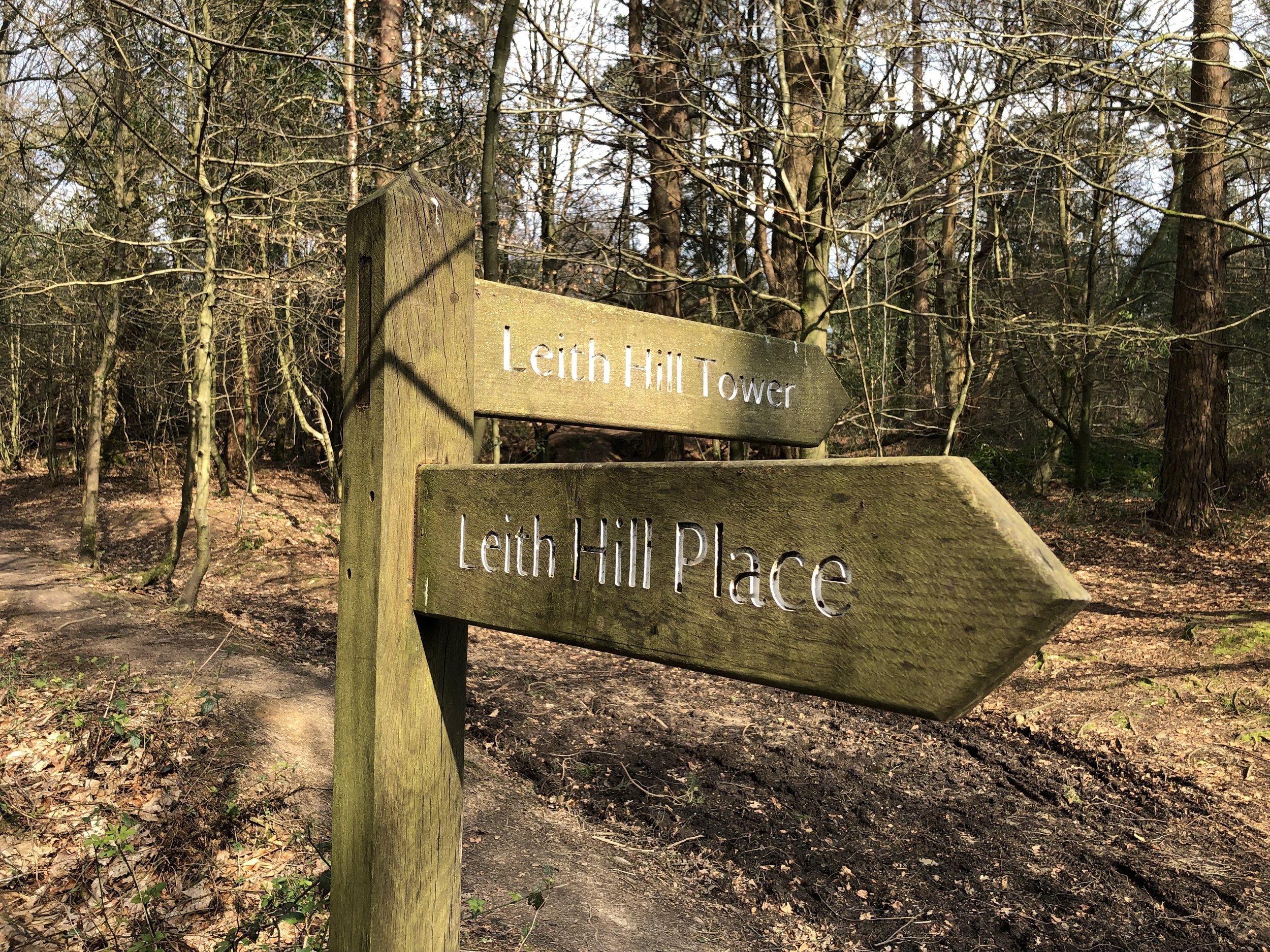
This 10km walk starts at Starveall Car Park and follows the Greensand Way for much of its length. From the car park, follow the well-signed path to the tower. On both occasions that I’ve been there the actual tower has been closed but the small kiosk in the base has been open. This is the only place to buy food or drink on the route to it’s a good place to stop and admire the view before continuing.
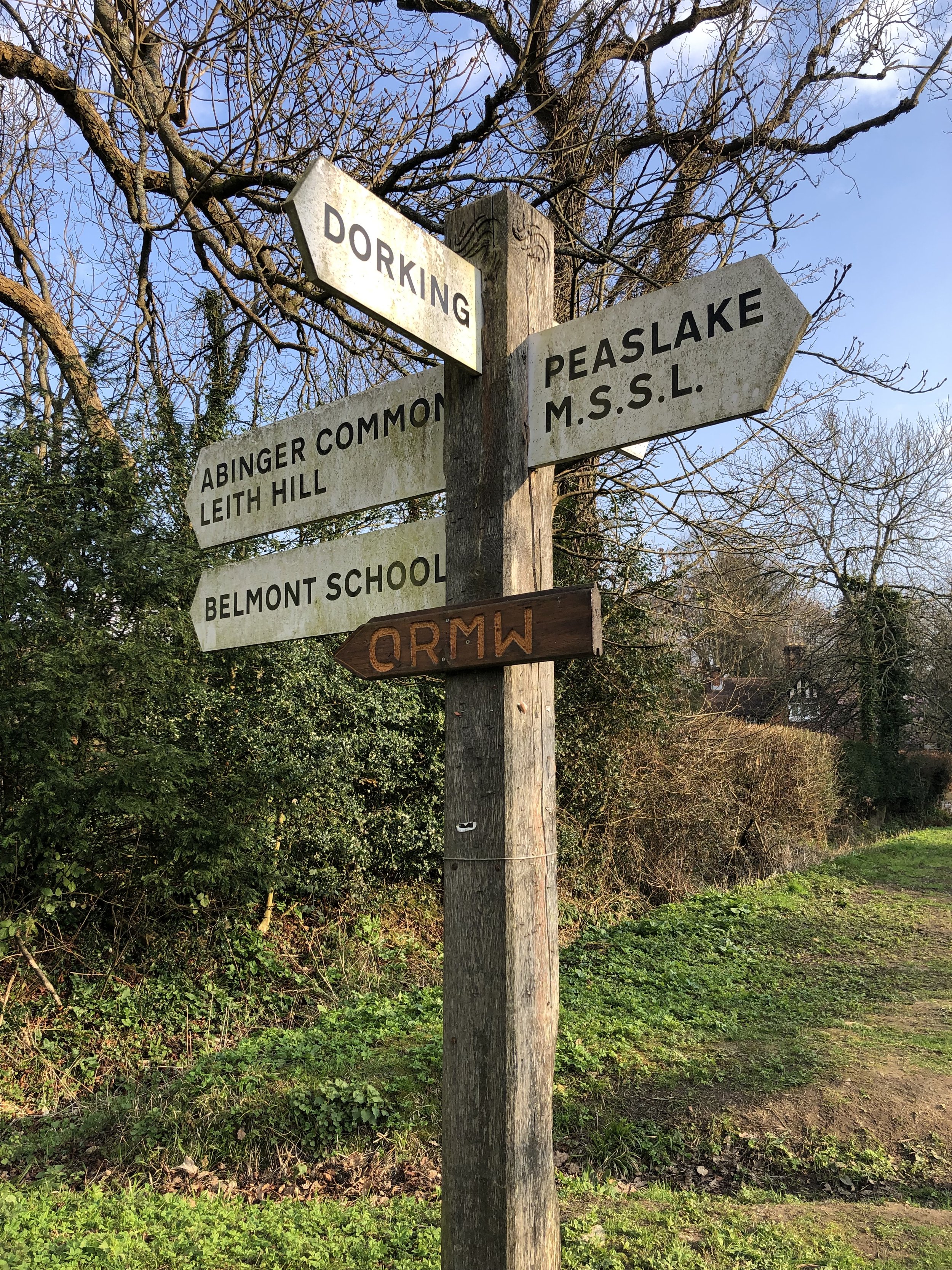
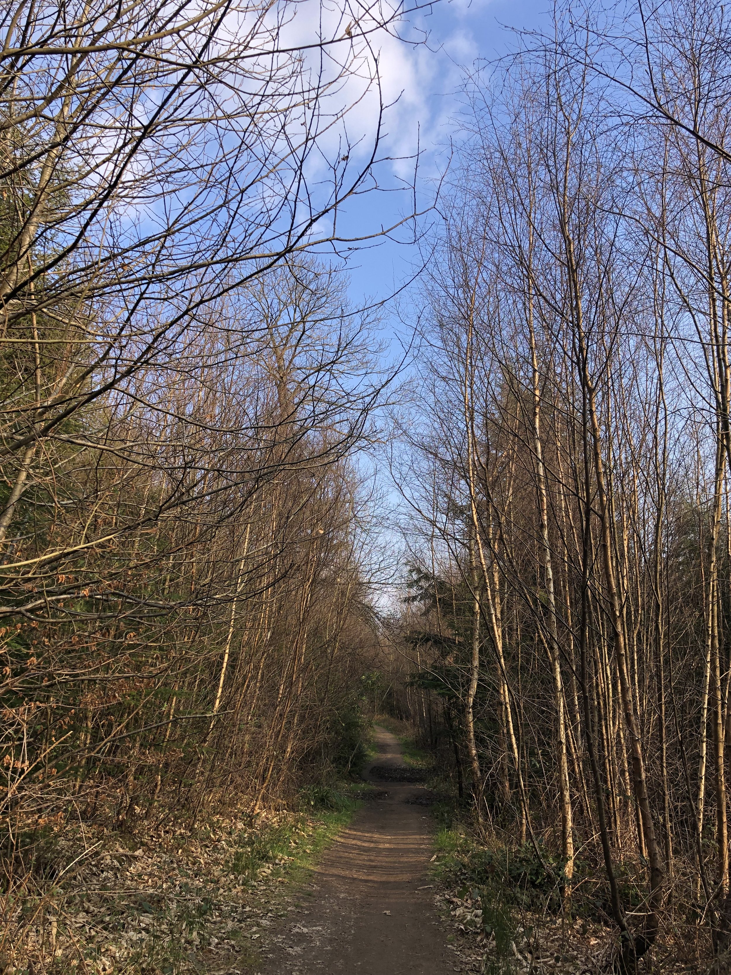
After the tower continue along the Greensand Way, descending steeply in a easterly direction. At the bottom of the hill take a left turn to remain on the Greensand Way, now heading to the north. Keep on the Greensand Way for nearly 3km until you reach Broadmoor Road. Take a left onto Broadmoor Road (leaving the Greensand Way) and follow it for 100m, taking the footpath on the right next to the village information sign. At the first path junction take a right and follow this path as it curves to the west to the Mill Pond at Friday Street. You’ll cross over Sheephouse Lane and Noon’s Corner Road on the way.
When you reach the Mill Pond you’ll be back on Noon’s Corner Road. Follow this in a westerly direction, ascending until a bend in the road where you can take the footpath on the left. Follow this path for 300m, then take a right to follow another path to meet Hollow Lane at Abinger Common. Cross over Hollow Lane, then over Abinger Lane following a path through Pasture Woods until you descend to a path next to a stream that runs parallel to the B2126. Take a left to follow the path with the stream on your right until you meet the B2126 at Holmbury St Mary.
Take a left onto B2126 at Holmbury St Mary following it for 300m then take a left onto Pasture Wood Road. Follow Pasture Wood Road for another 300m then take the footpath on the right as the road bends to the left. You’re now back on the Greensand Way which you can follow for 2km back to the Starveall Car Park
Previous section: Walking The Greensand Way Part 9 - Pitch Hill and Holmbury Hill