Walking The Greensand Way Part 15 - Reigate and Redhill Common

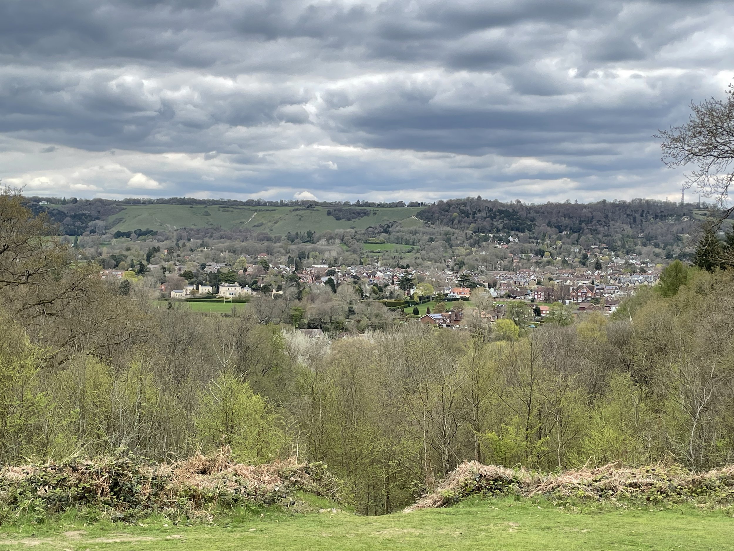
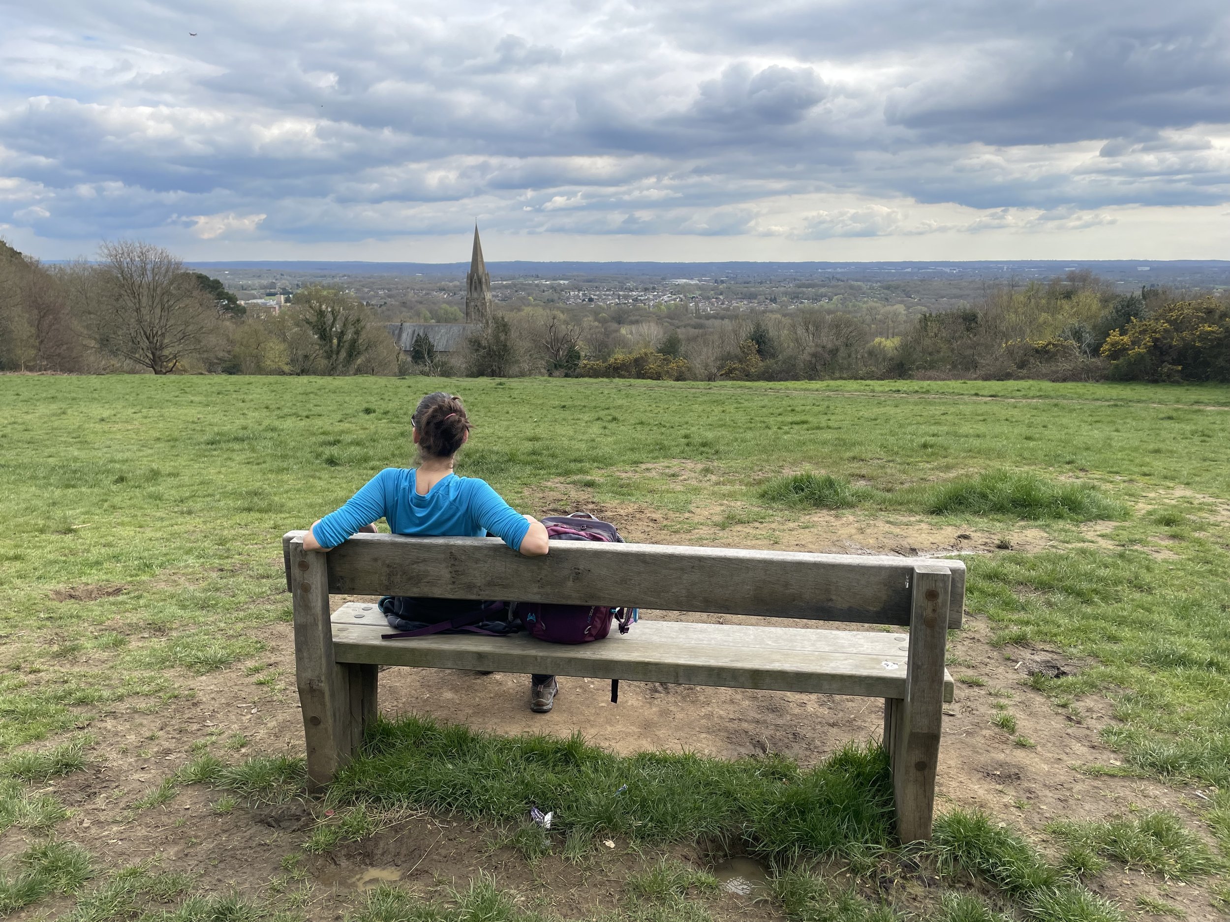
View from Redhill Common across to St. John the Evangelist Church and Earlswood
Start & Finish: Bell St Car Park, 83 Bell Street, Reigate, RH2 7AN
Distance: 9.1 km (5.6 miles)
Elevation change: +/- 136m
Greensand Way section covered: Littleton Lane to Mountview Drive: 3.8 km
GPX File: get via Buy Me a Coffee
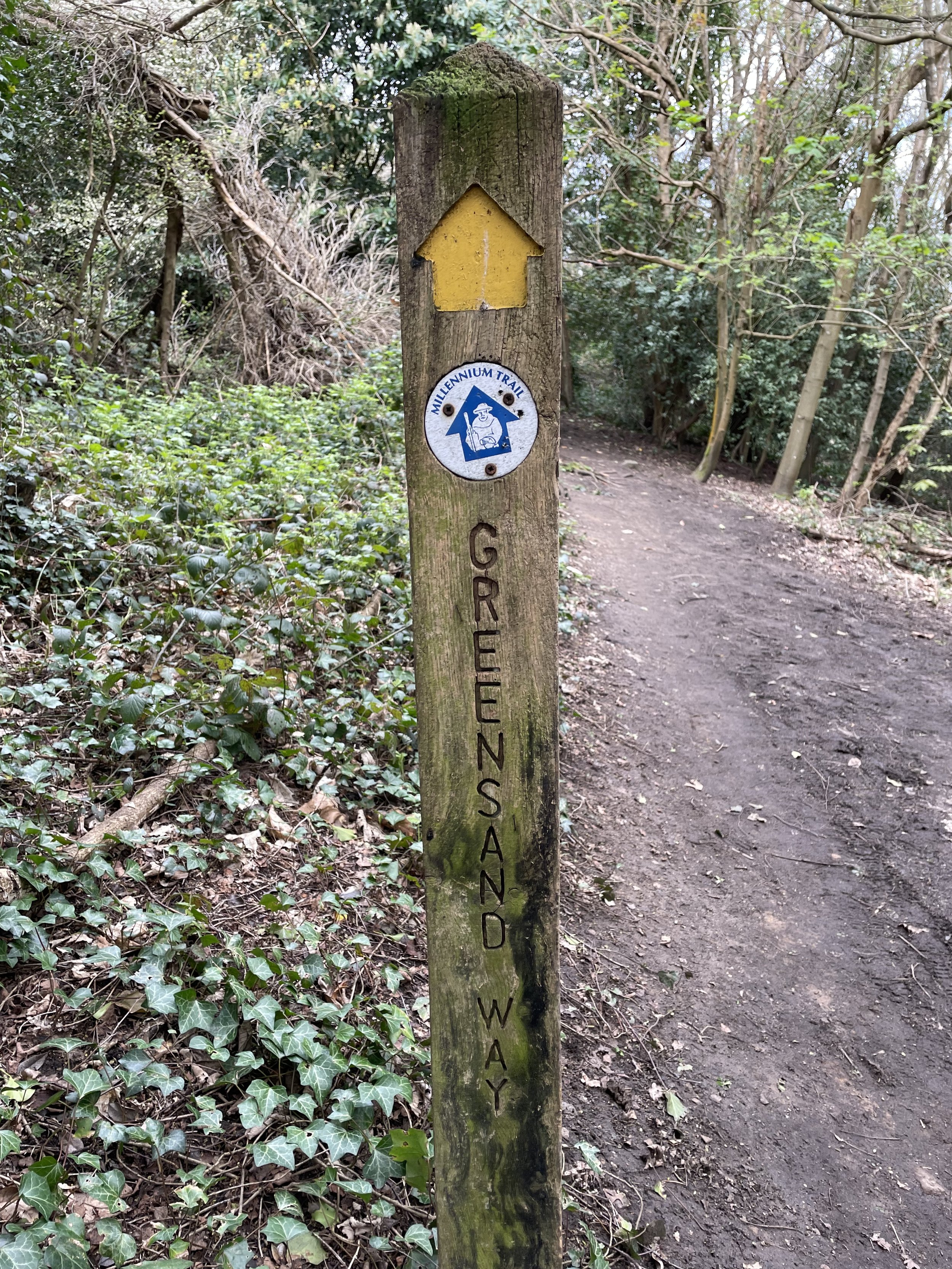
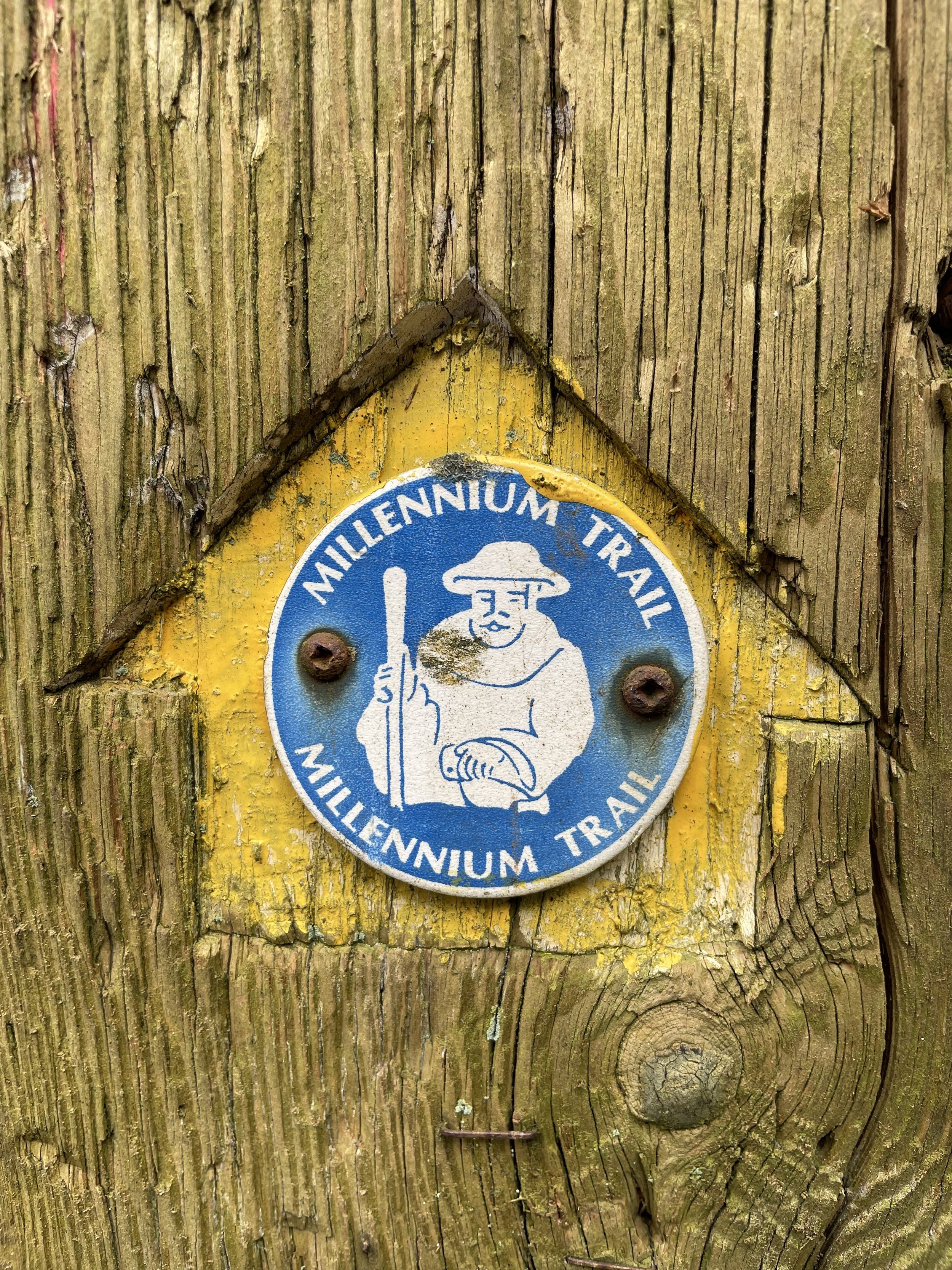
Other routes touched (walk): Greensand Way, Mills and Pillboxes Trail, Reigate and Banstead Millennium Trail
Other routes touched (cycle): N/A
OS Trig Pillar: TP5634 - Reigate Park
Pubs / Cafes on route: Several in Reigate Centre, Skimmington Castle (2.1 km in)
Map: Dorking, Box Hill & Reigate Map | Leatherhead & Caterham | Ordnance Survey | OS Explorer Map 146
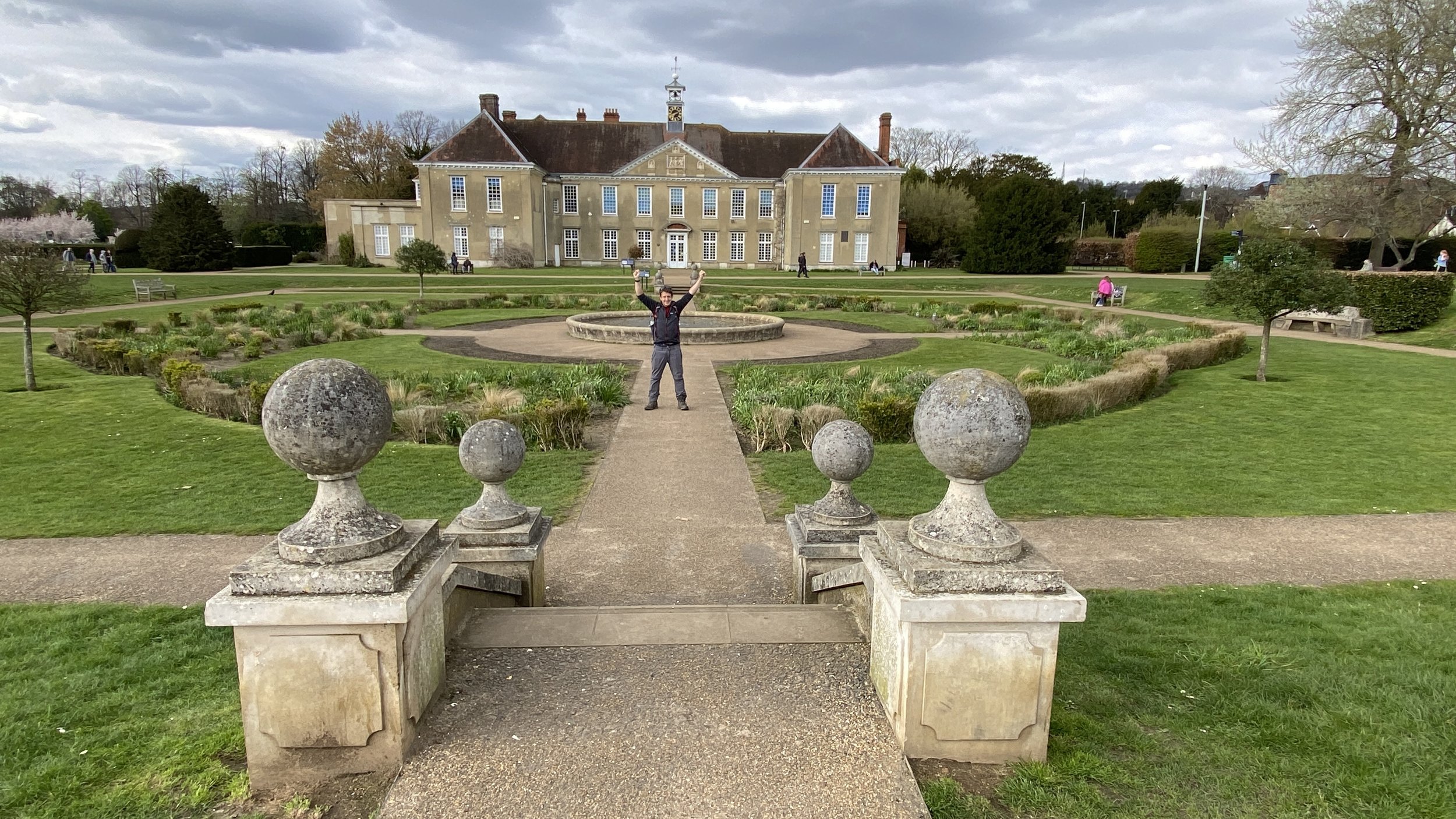
Links: Reigate, Reigate Priory Park
This is the fifteenth of a series of short circular walks featuring the Greensand Way. The full trail is a long distance path stretching from Haslemere in Surrey to Ham Street in Kent. Our walks take in short sections of the Greensand Way and loop back to the start on other paths. The Greensand Way is well sign posted however you’ll need a map or GPX route to keep on track for the return sections of the loops. The guidance below will help but don’t use it as a fully accurate turn-by-turn guide.
For this section we parked in Reigate town centre and followed High Street then West Street in a westerly direction until the Black Horse pub. Take a left here onto Flanchard Road and continue in a south-westerly direction. You’ll now be on a spur of the Greensand Way that connects to the main section on the Greensand Way at the Skimmington Castle pub. You’ll also follow the middle of section 14 of this series for 400m after Skimmington Castle.
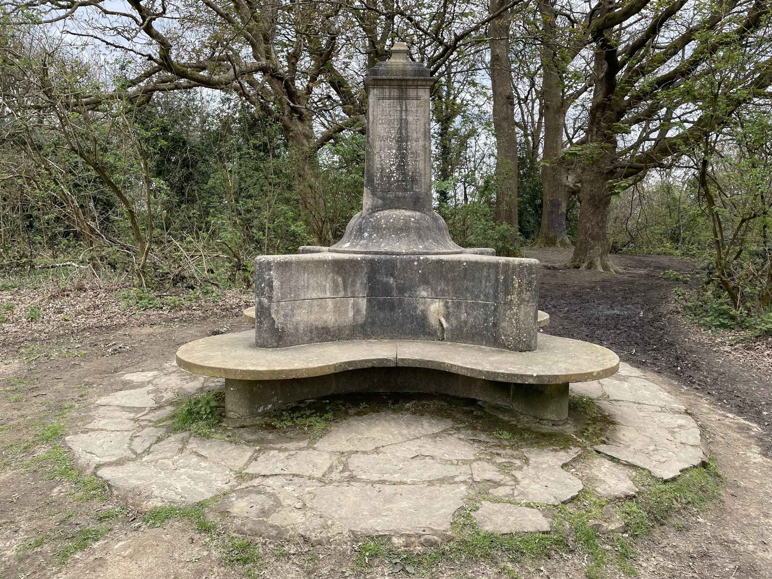
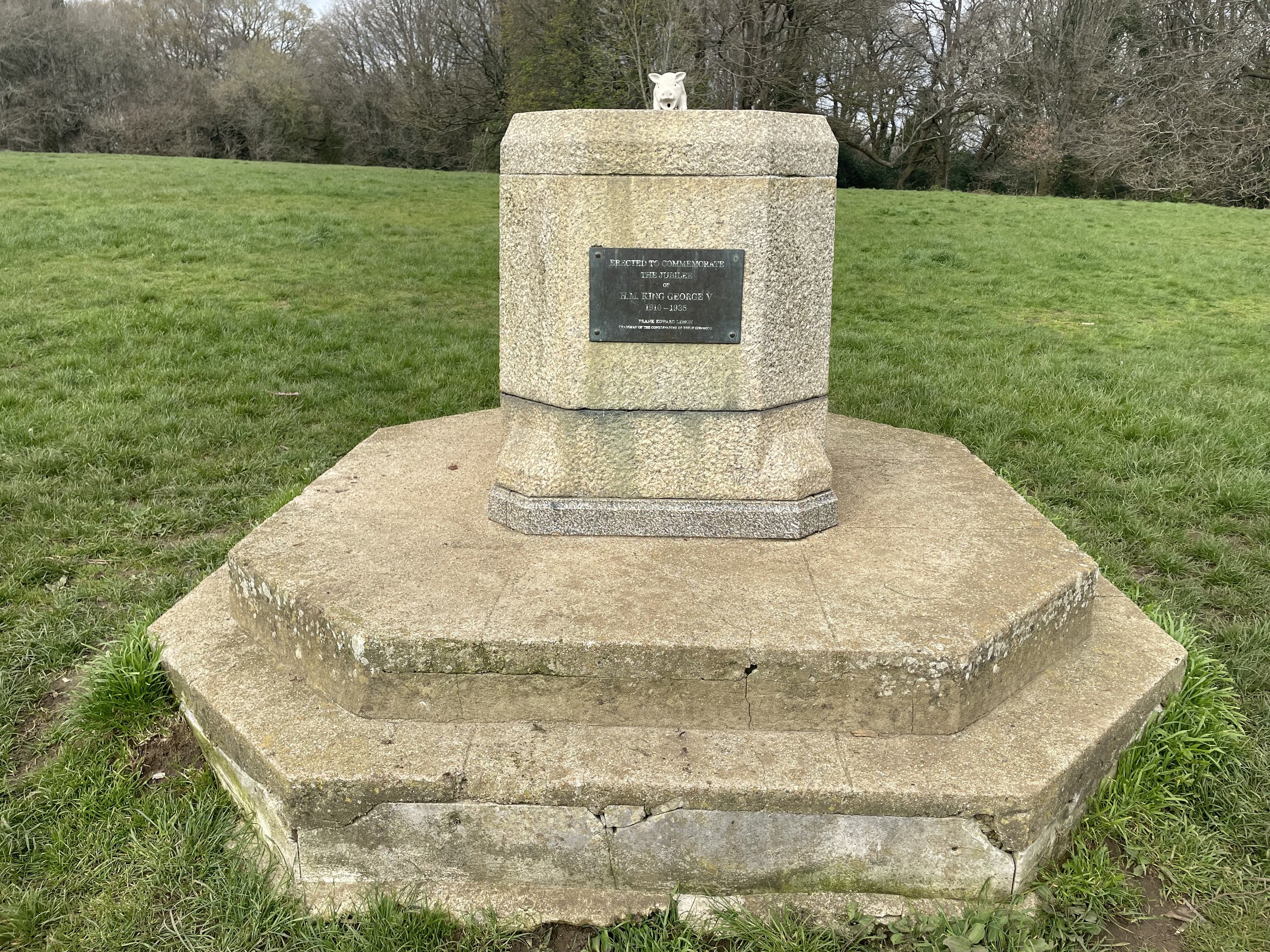
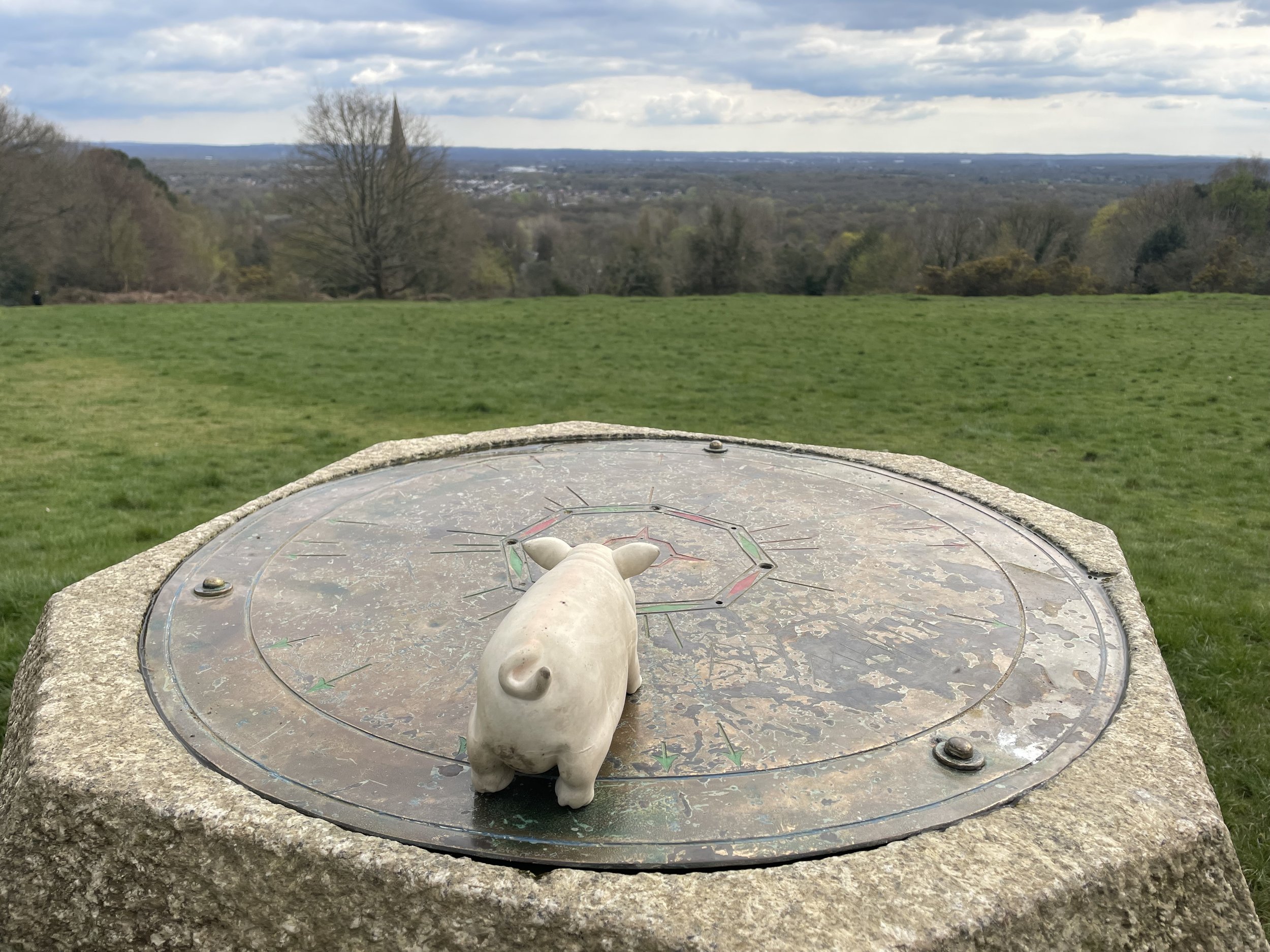
Follow the Greensand Way signs as the route curves to the east, following Littleton Lane to Park Lane. Cross over Park Lane and ascend the hill into the wooded area of Reigate Park. Continue heading east to the OS Trig Pillar and the Vogan Memorial obelisk. After this, the route decends out of the woods to Cockshot Hill and winds its way through some pleasant residential areas of eastern Reigate.
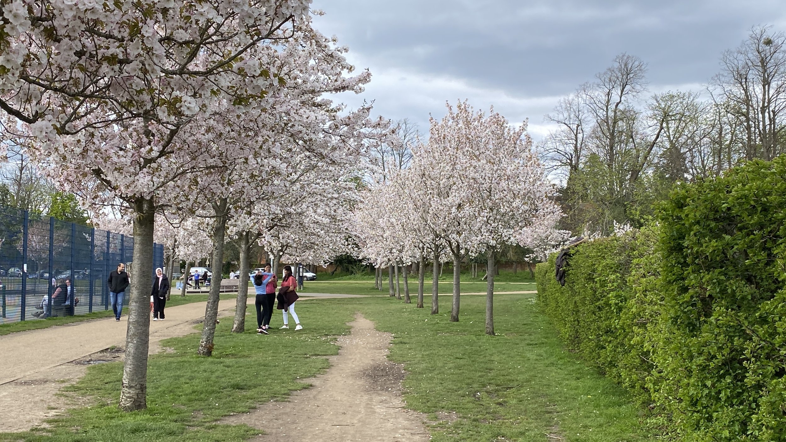
When you reach the junction of Ridgemount Way and Mountview Drive you’ll be at the end of this section of the Greensand Way. Rather than following the Greensand Way south, turn left here, following a footpath up a hill with houses on your left and woods on the right. At the top of the hill you’ll reach Redhill Common where you can find a bench with a great view over to Earlswood and the south (see banner photo at the top of this post).
Exit Redhill Common by heading west onto Hightrees Road, descending to Chart Lane. Take a right onto Chart Lane, following it in a north-westerly direction onto Churchfield Road then West Road, Lesbourne Road to the A217 Bell Street. Cross over the A217 into Priory Park, cutting across it back to Reigate Town Centre. The main feature of the park is Reigate Priory, an historic site that has been used for a variety of purposes over the centuries. The priory was originally founded in the early 13th century by the Augustinian order. It was dissolved by Henry VIII in the 16th century, and the buildings were subsequently used as a private residence, a school, and a museum.