Walking The Greensand Way Part 18 - Bletchingley and Godstone

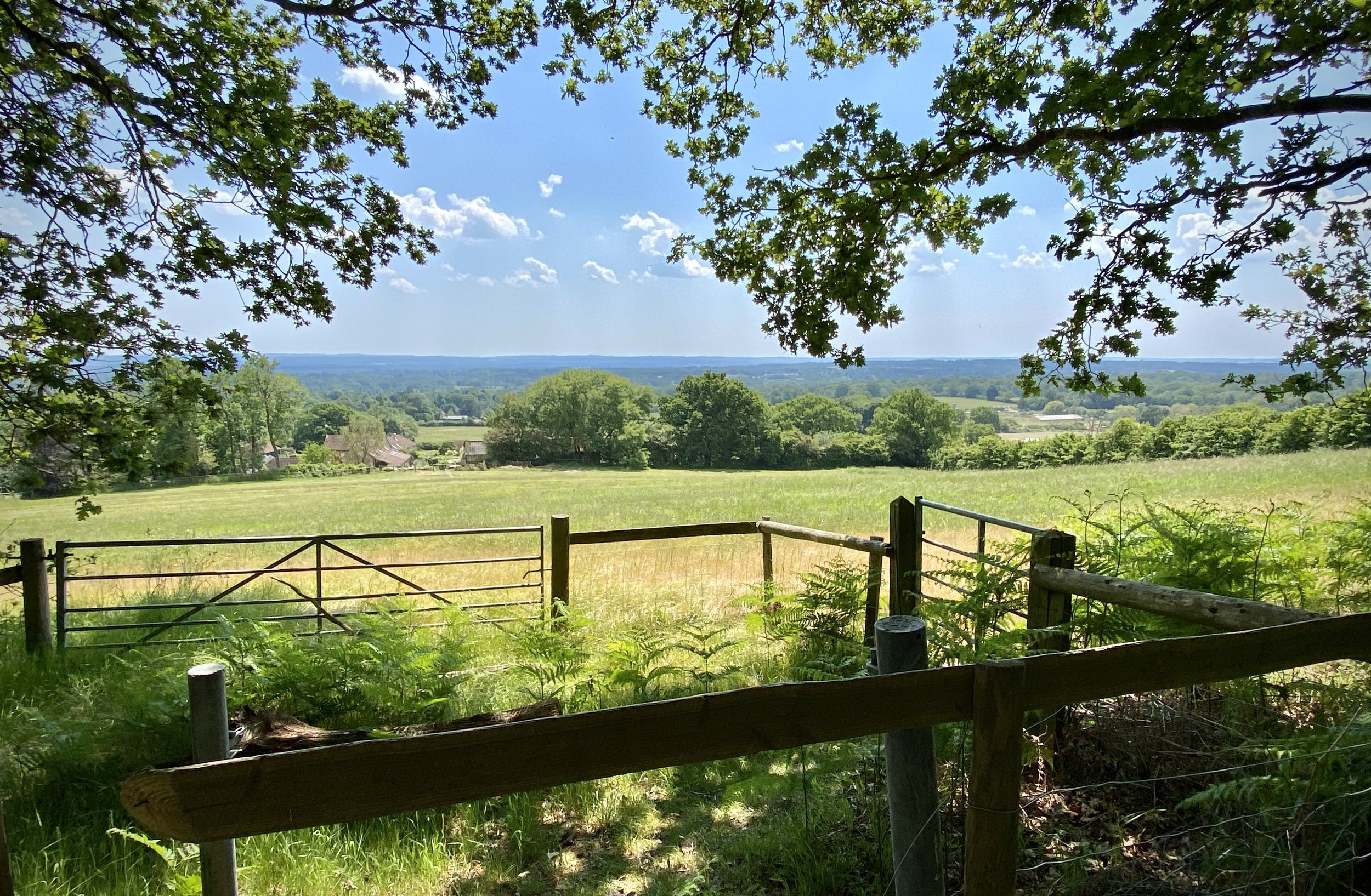
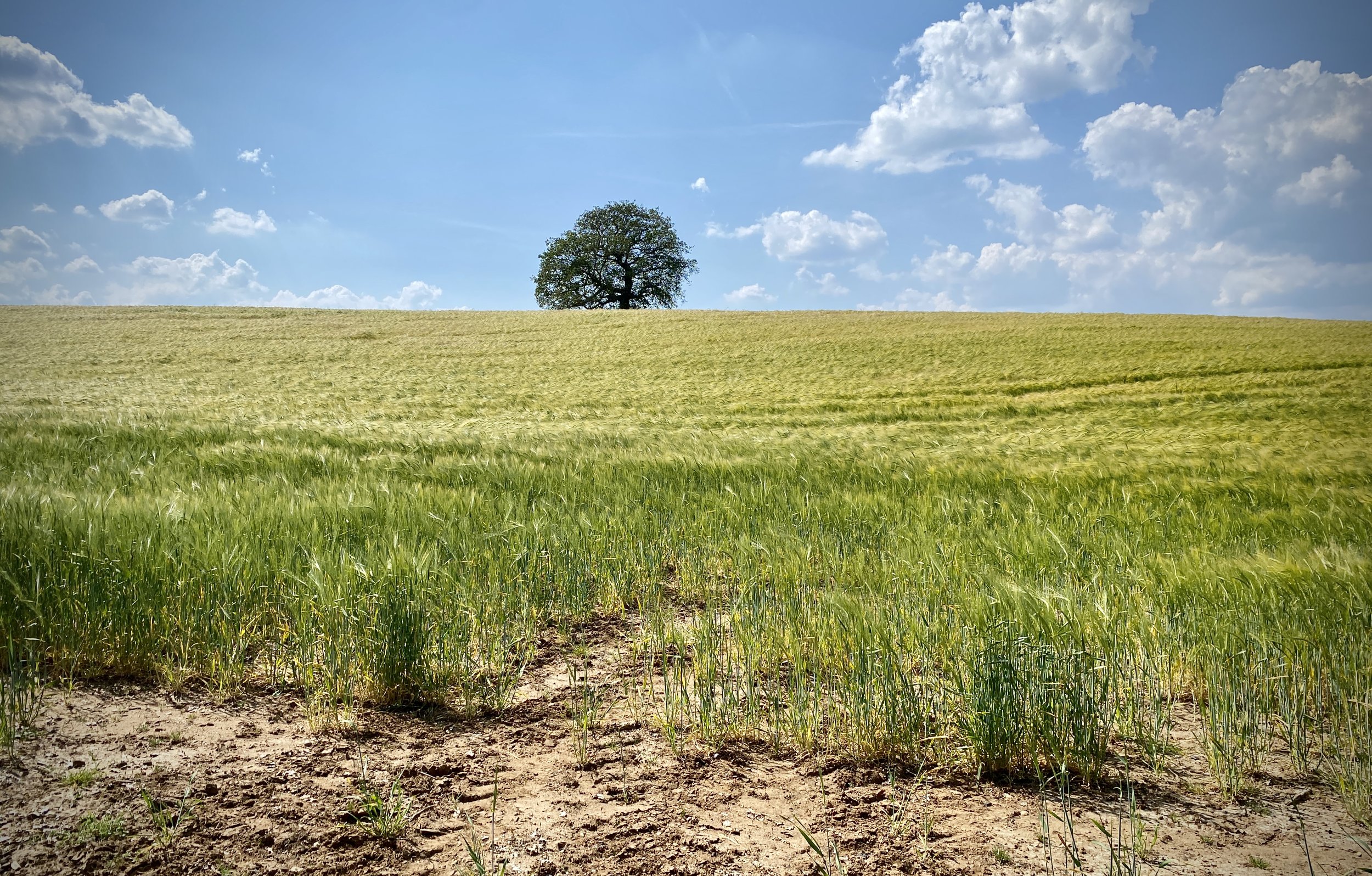
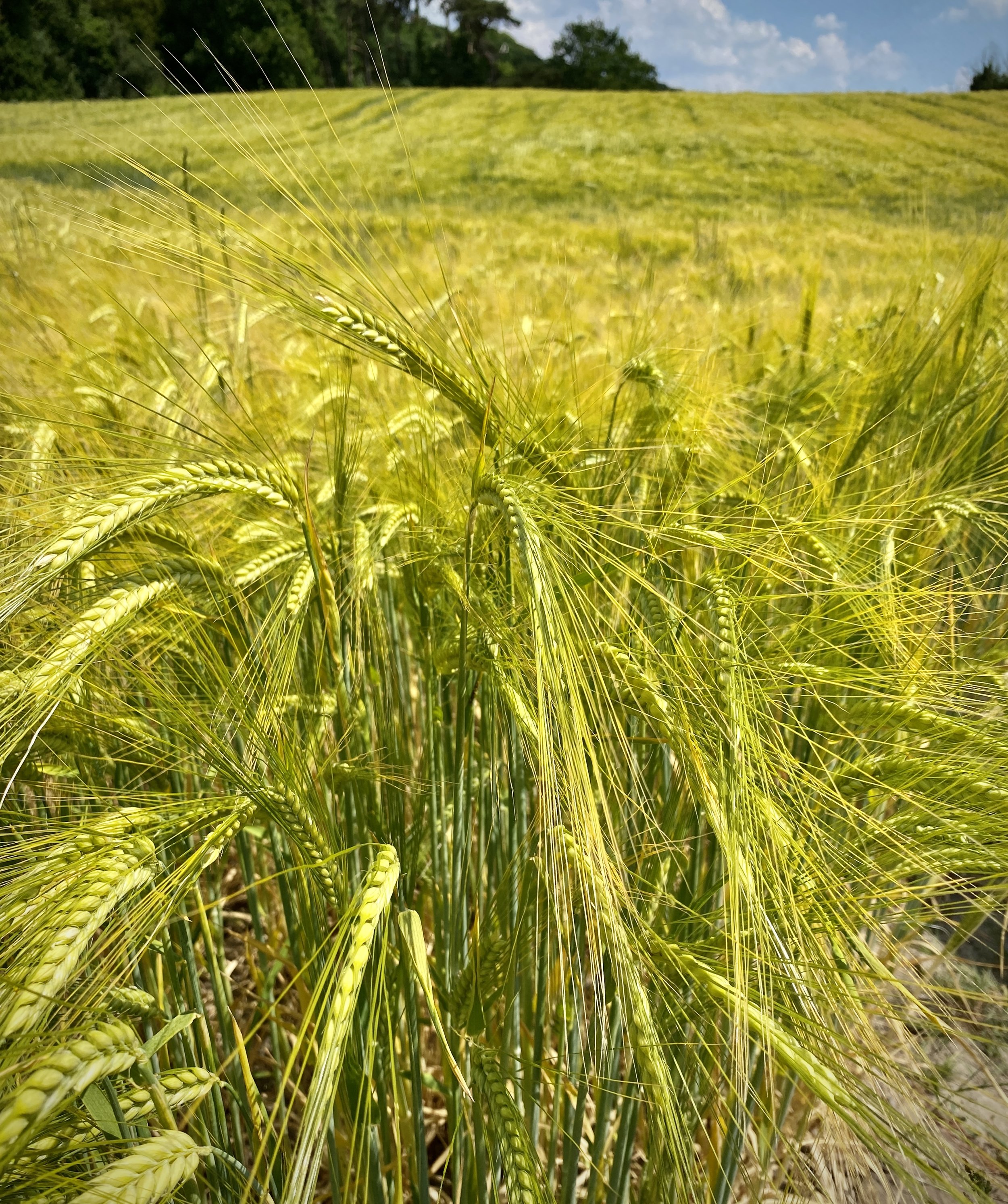
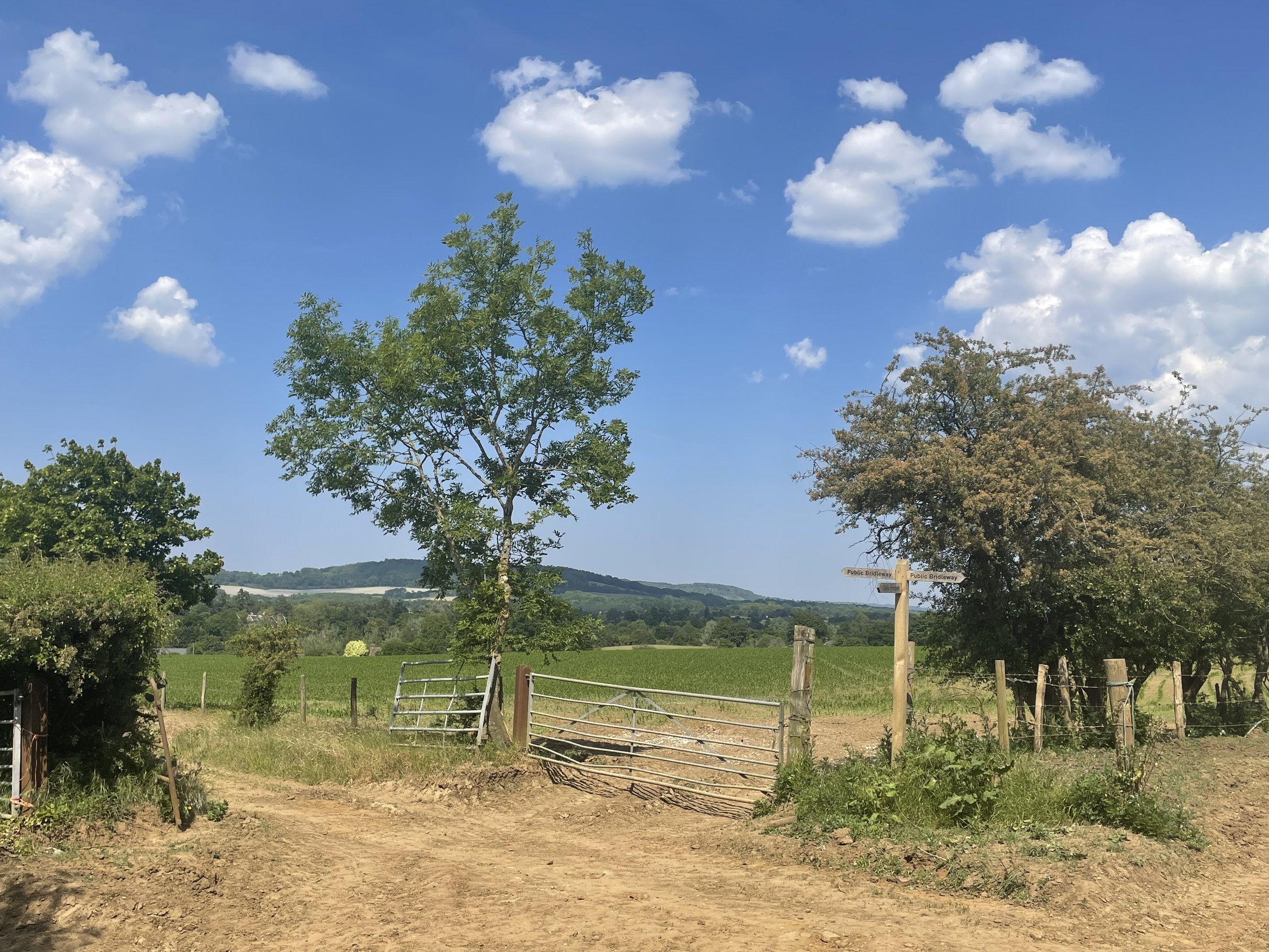
View to the North Downs ridge near Godstone
Start & Finish: High Street, Bletchingley, Redhill, RH1 4PA
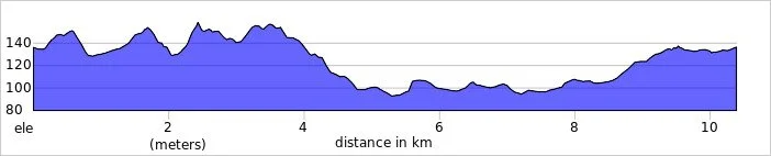
Distance: 10.4 km (6.5 miles)
Elevation change: +/- 143m
Greensand Way section covered: St Catherine’s Open Space to Leigh Mill Fly Fishing Lane: 5.5 km
GPX File: get via Buy Me a Coffee
Other routes touched (walk): Greensand Way
Other routes touched (cycle): Surrey Cycleway
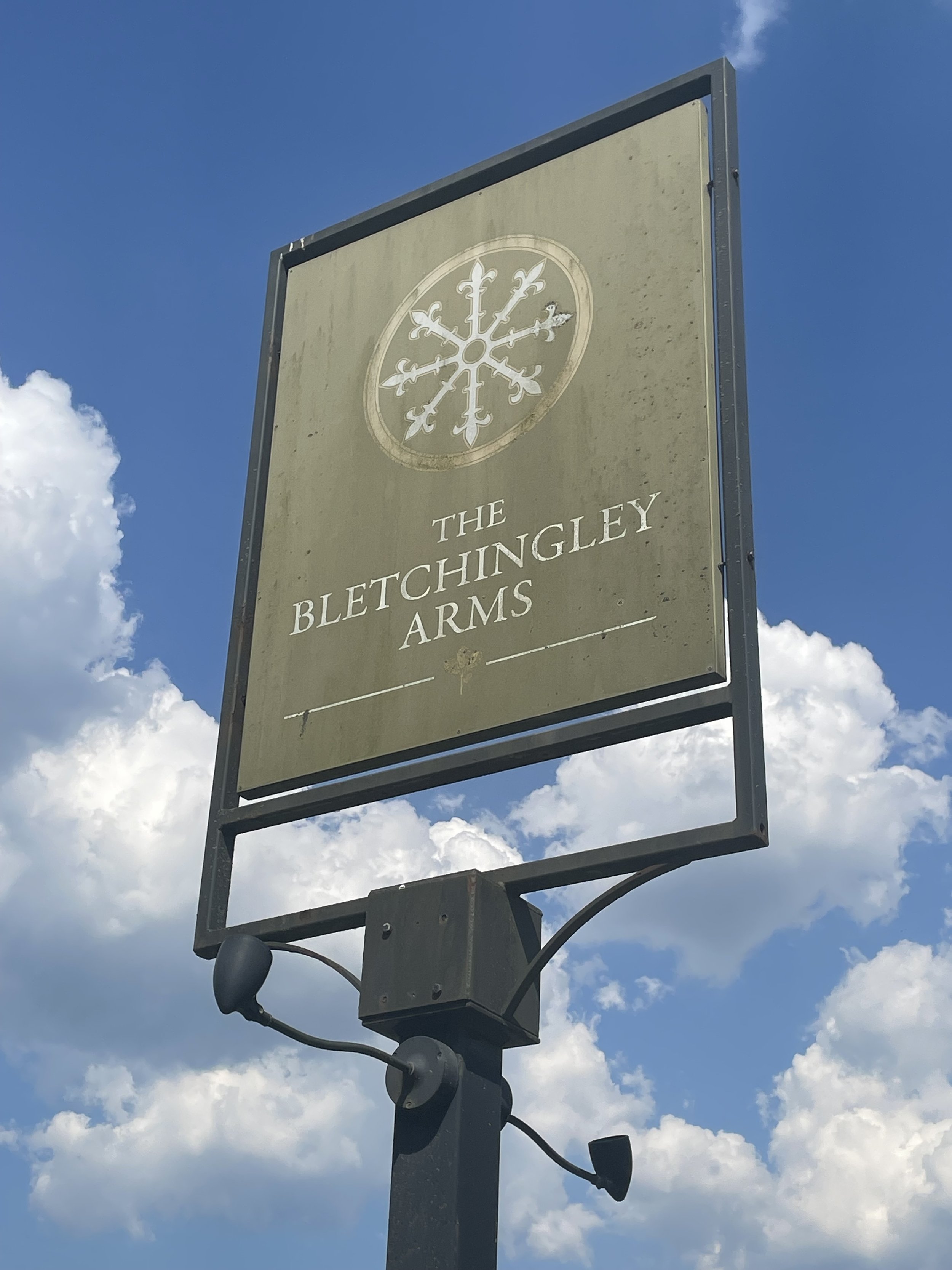
Pubs / Cafes on route: The Bletchingley Arms (at end)
Map: Dorking, Box Hill & Reigate Map | Leatherhead & Caterham | Ordnance Survey | OS Explorer Map 146
Links: Bletchlingley, Godstone
This is the eighteenth of a series of short circular walks featuring the Greensand Way. The full trail is a long distance path stretching from Haslemere in Surrey to Ham Street in Kent. Our walks take in short sections of the Greensand Way and loop back to the start on other paths. The Greensand Way is well sign posted however you’ll need a map or GPX route to keep on track for the return sections of the loops. The guidance below will help but don’t use it as a fully accurate turn-by-turn guide.
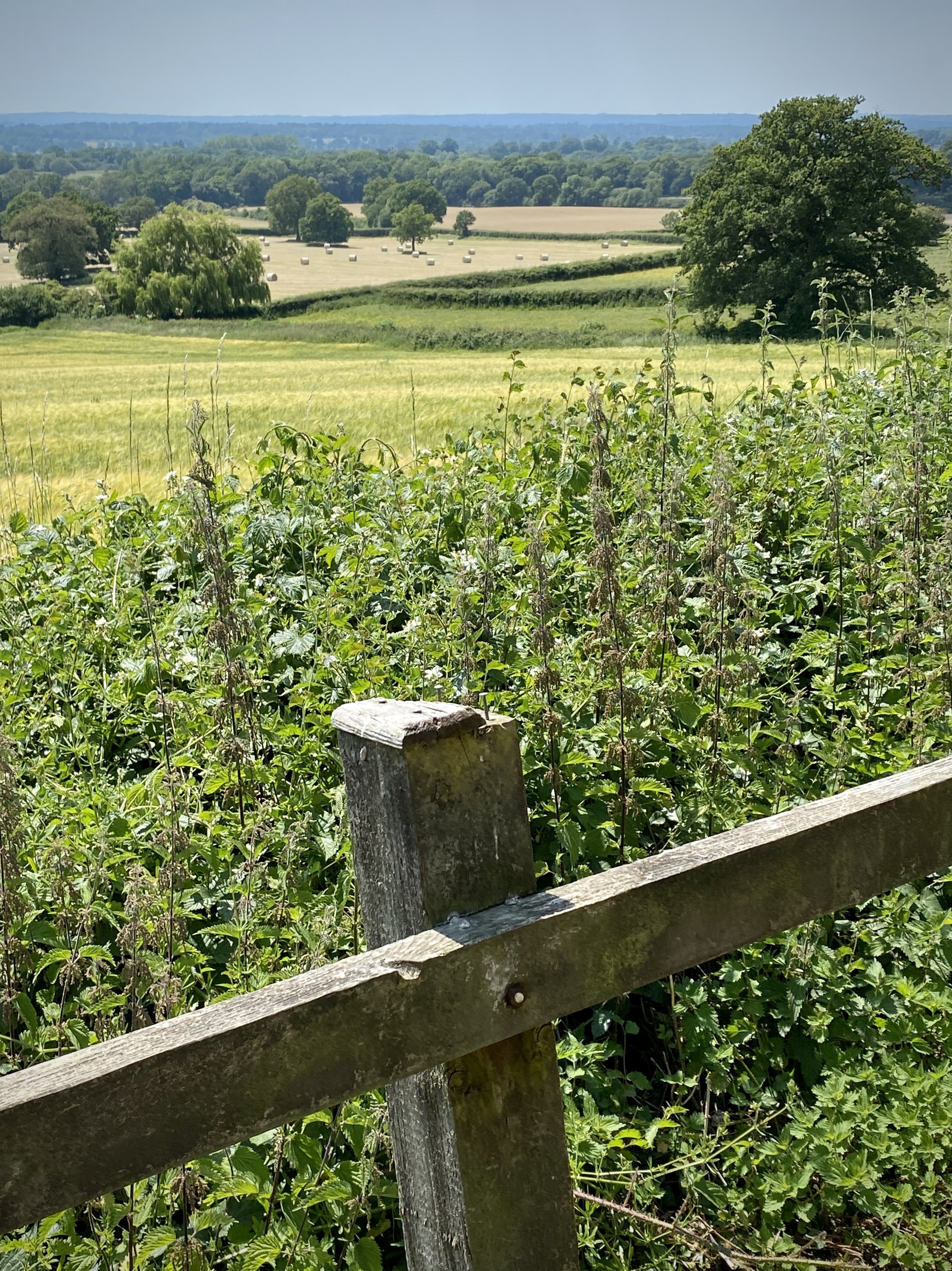
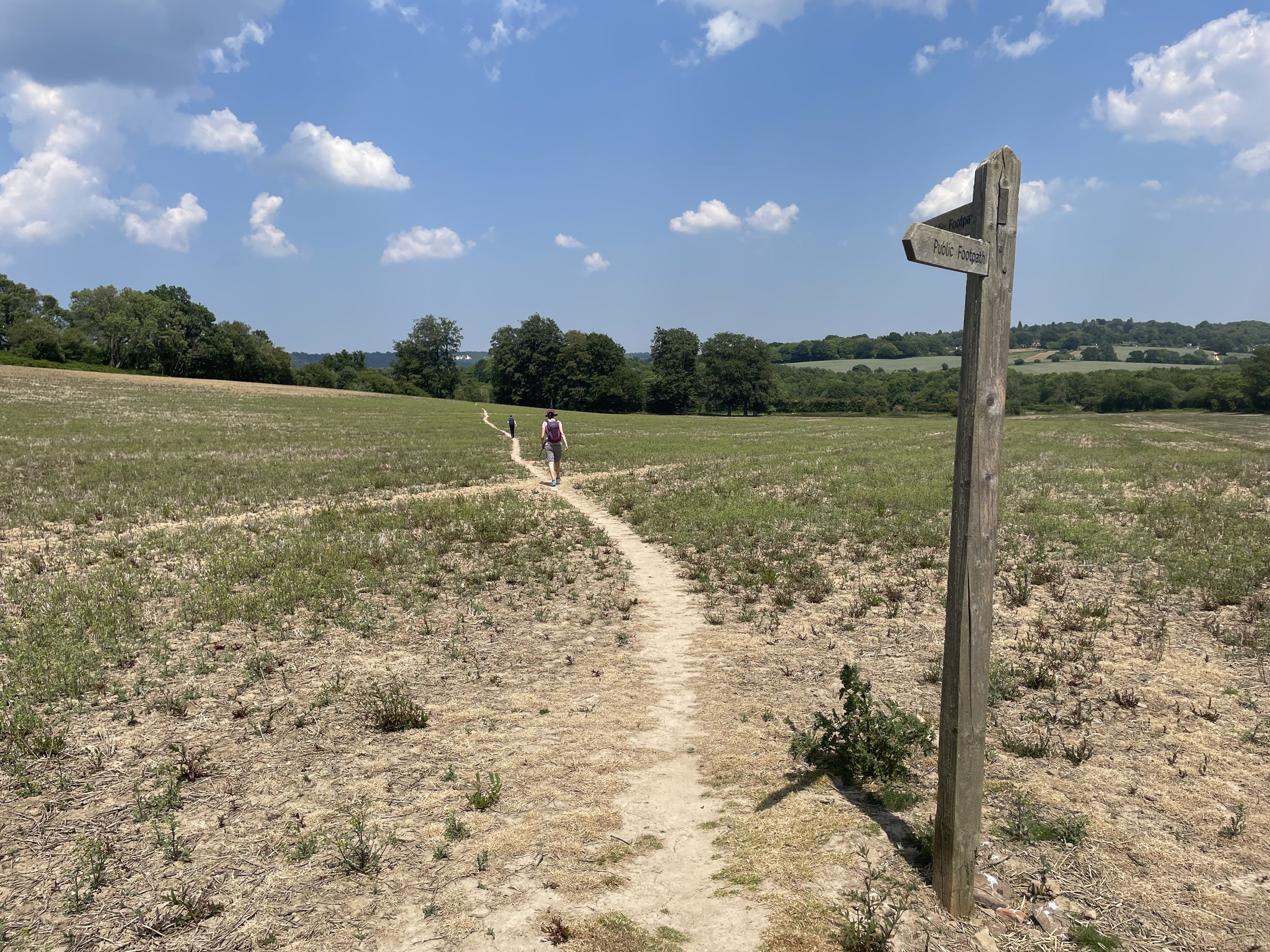
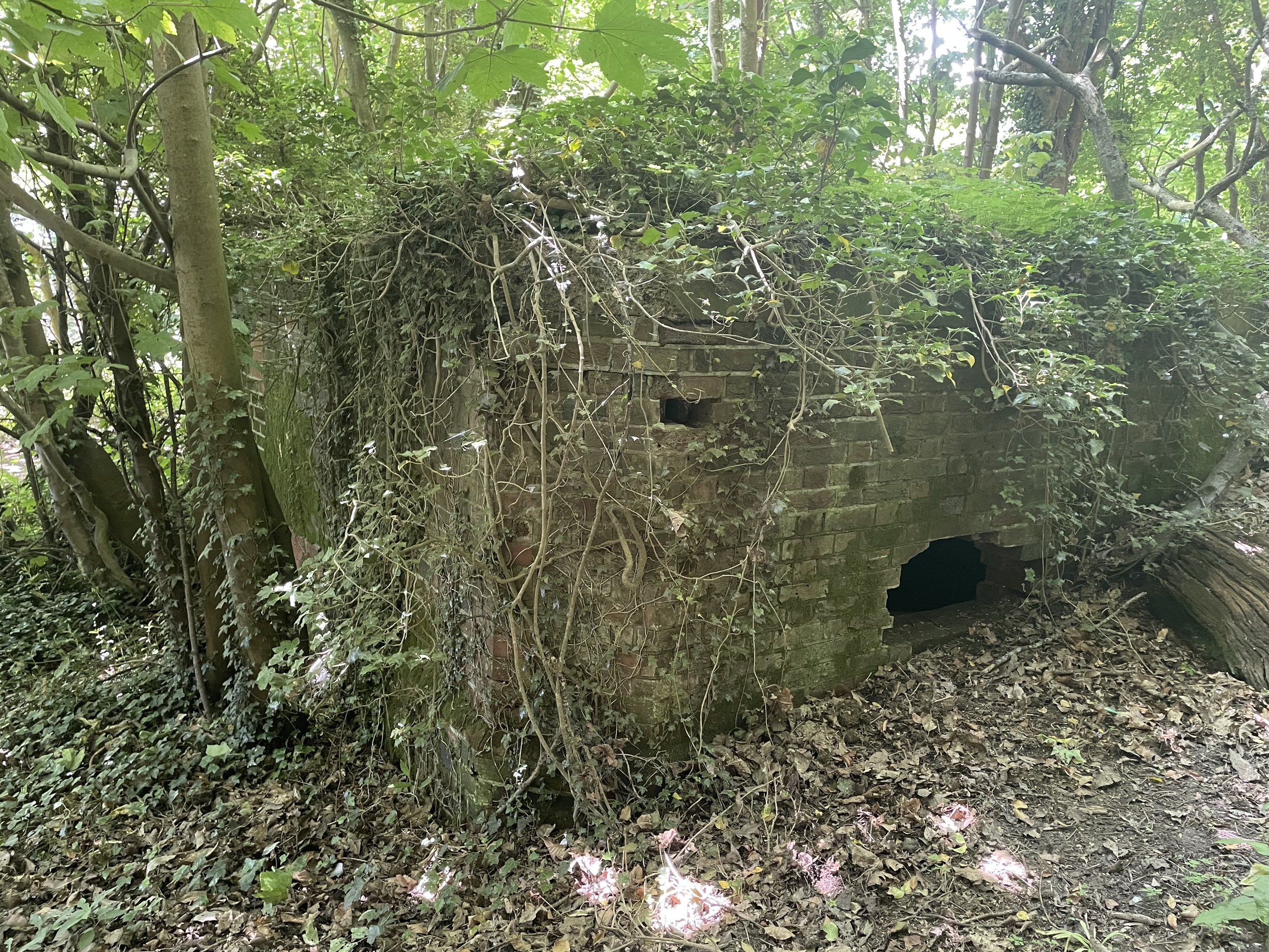
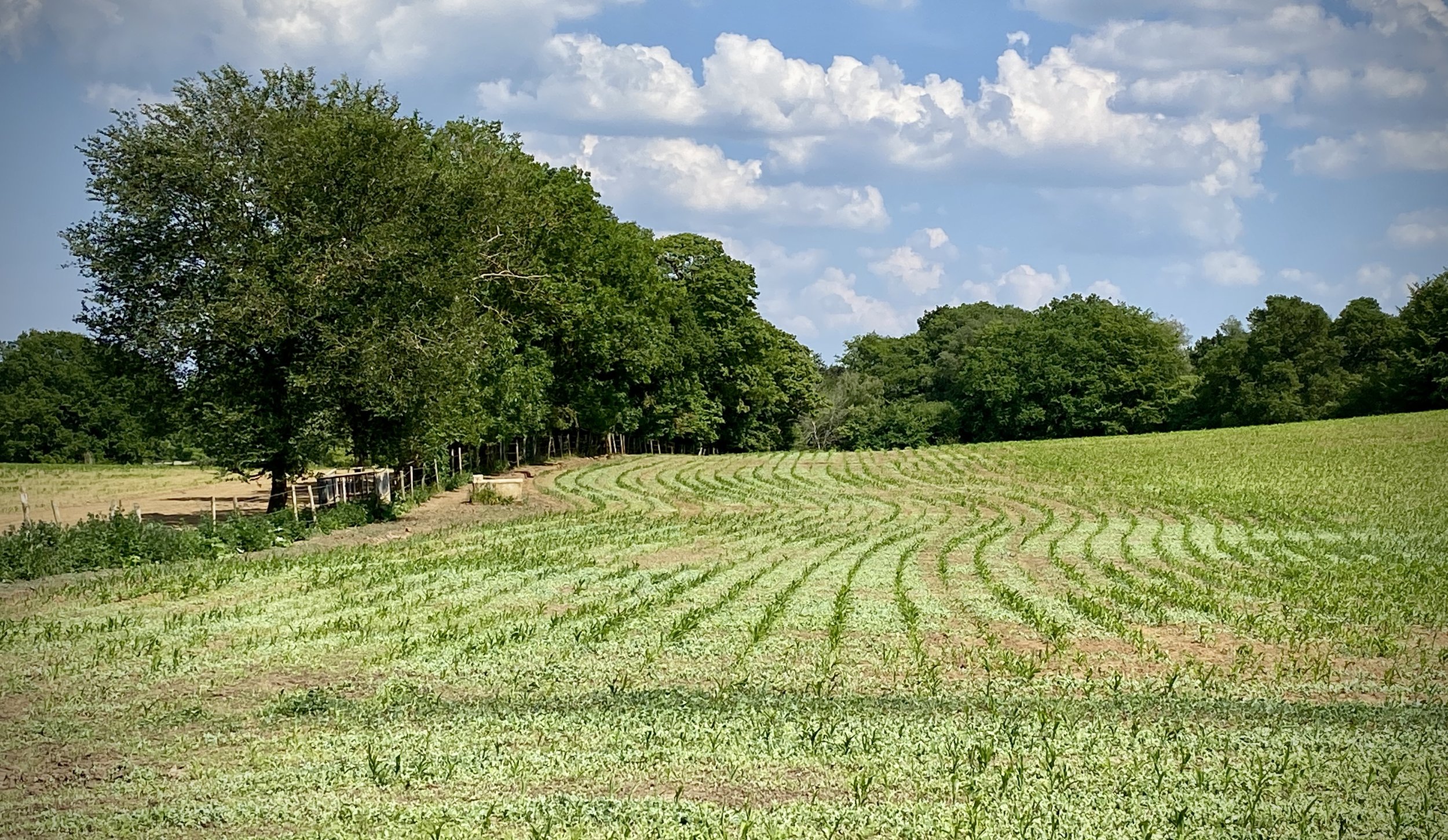
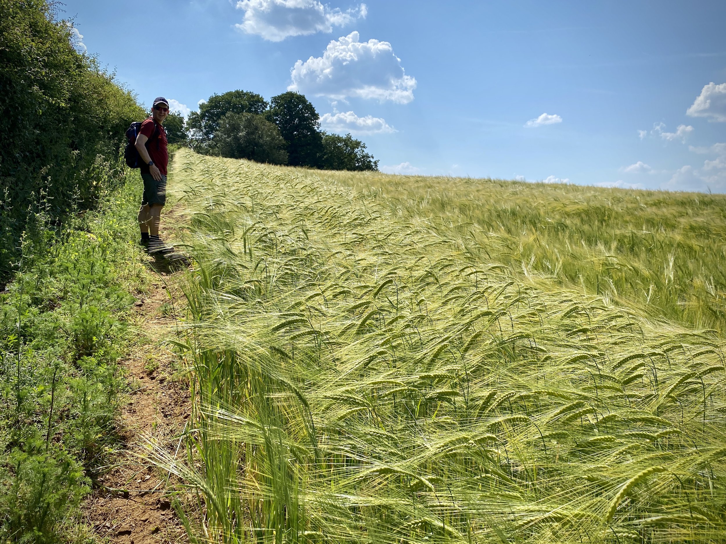
For this section we returned to Bletchingley High Street to park in the same place as in section 17. From here we retraced our steps back to St Catherine’s Open Space to rejoin the Greensand Way. This 5 km section of the trail stays high on the ridge on the edge of woodland then descends to lower ground, crossing a field to Eastbourne Road. You’ll leave the Greensand Way on the section by taking a left hand footpath just before the A22 Godstone bypass. Follow this path north until it reaches the A22 and cross over VERY CAREFULLY. The A22 is a very busy road so you’ll need to wait for a good gap between cars in both directions. If you don’t want to cross this road there an alternative path 200m to the east at Leigh Place that avoids this crossing.
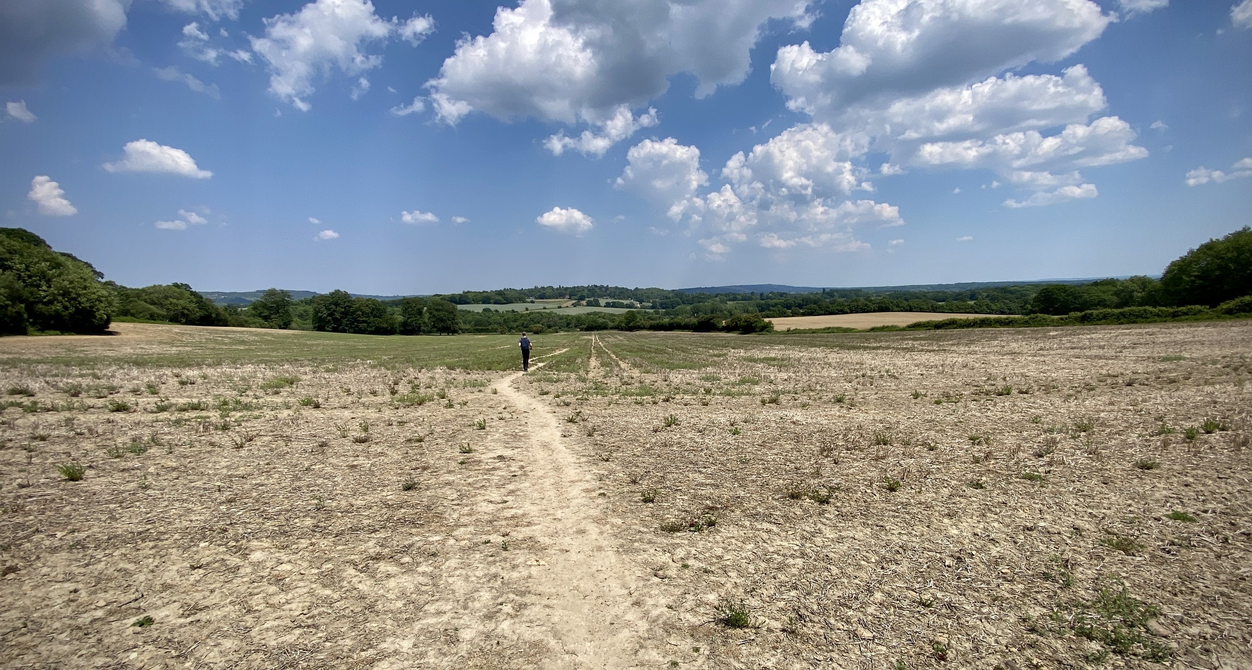
If you have crossed the A22 you’ll soon be crossing it again on the return section, however this is through a safe underpass to the north. Once back on the western side of the A22, follow Leigh Place Lane to Church Lane then continue west through paths and small roads to Pinewood Autos on the south side of Ivy Lane. Take the footpath to the left of Pinewood autos, following it south for 400m to a path junction. Take a right to follow paths along the edge of farmland to Rabies Heath Road. Follow Rabies Heath Road in a westerly direction to Godstone Road where you can take a left onto it back to Bletchley High Street.

Previous section: Walking The Greensand Way Part 17: Nutfield and Bletchingley
Next section: Walking The Greensand Way Part 19: Tandridge and Oxted