Walking The Greensand Way Part 21 - Crockham Hill and Chartwell

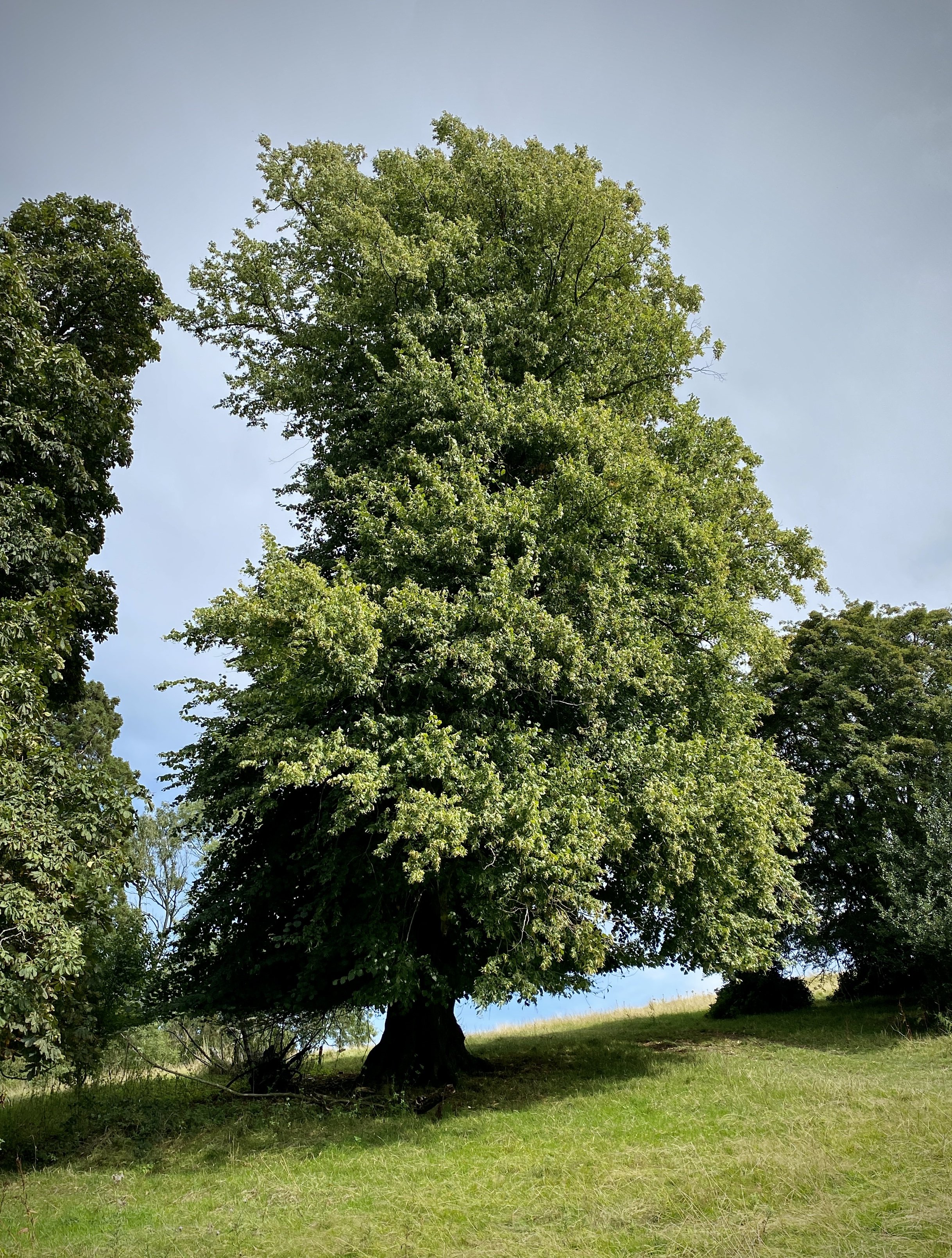
View across Westerham to the North Downs ride, Westerham Heights and Betsom’s Hill
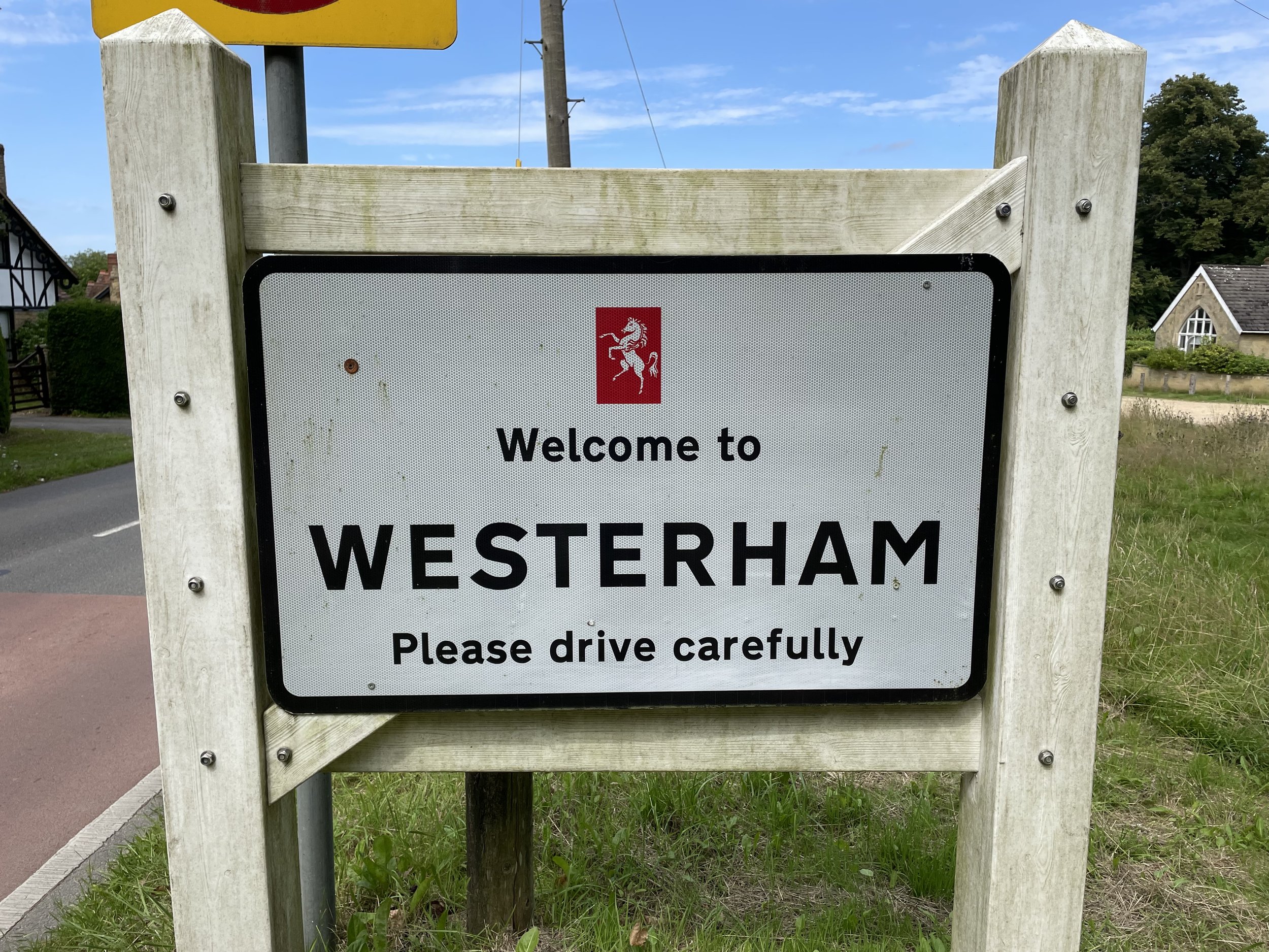
Start & Finish: Westerham Village Centre, TN16 1AY
Alternative start point at: National Trust Chartwell Car Park, Mapleton Road, Westerham, Kent, TN16 1PS
Distance: 8.8 km (5.5 miles)
Elevation change: +/- 157m
Greensand Way section covered: Surrey/Kent border to French Street: 3.73 km
GPX File: get via Buy Me a Coffee
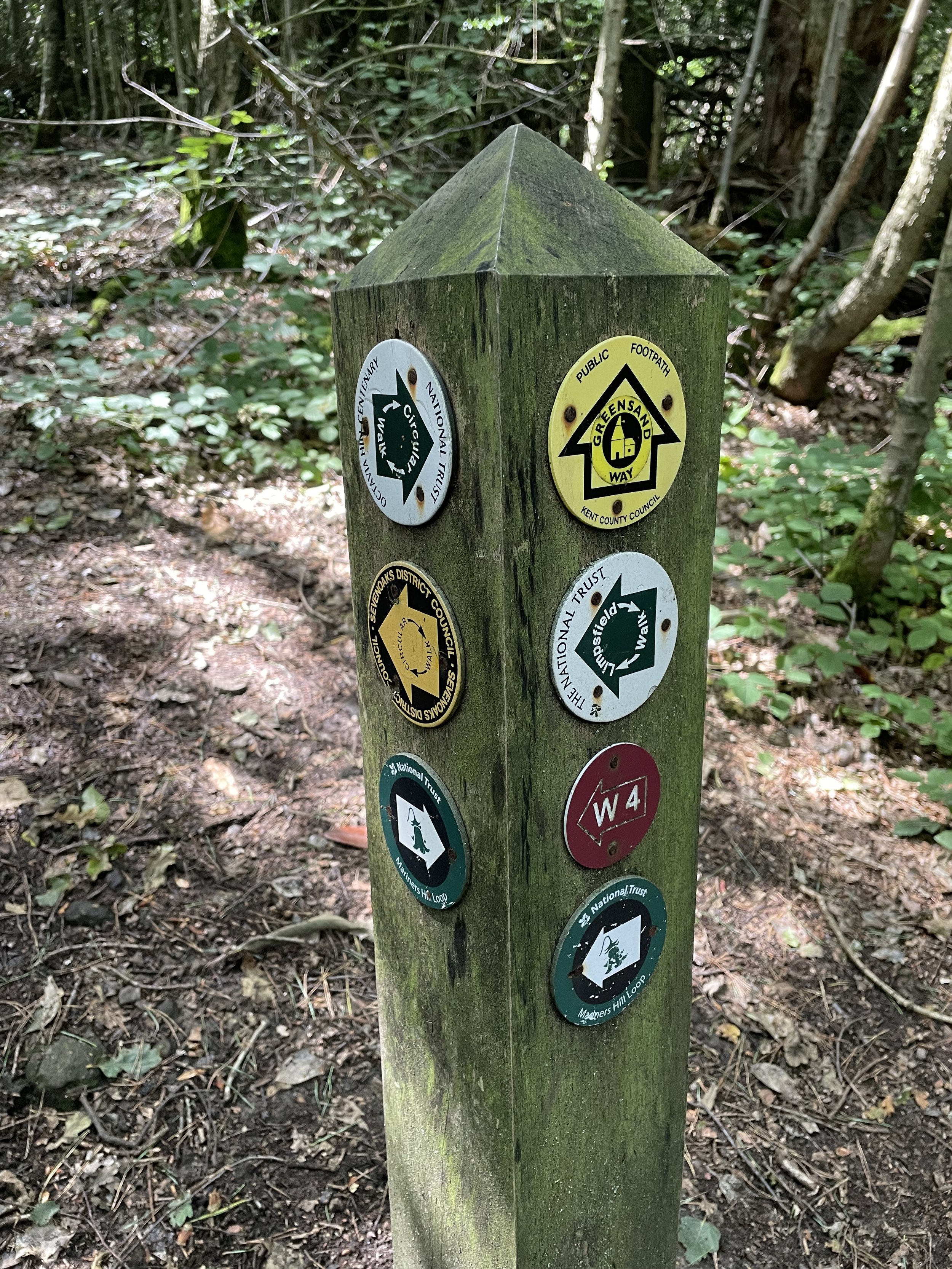
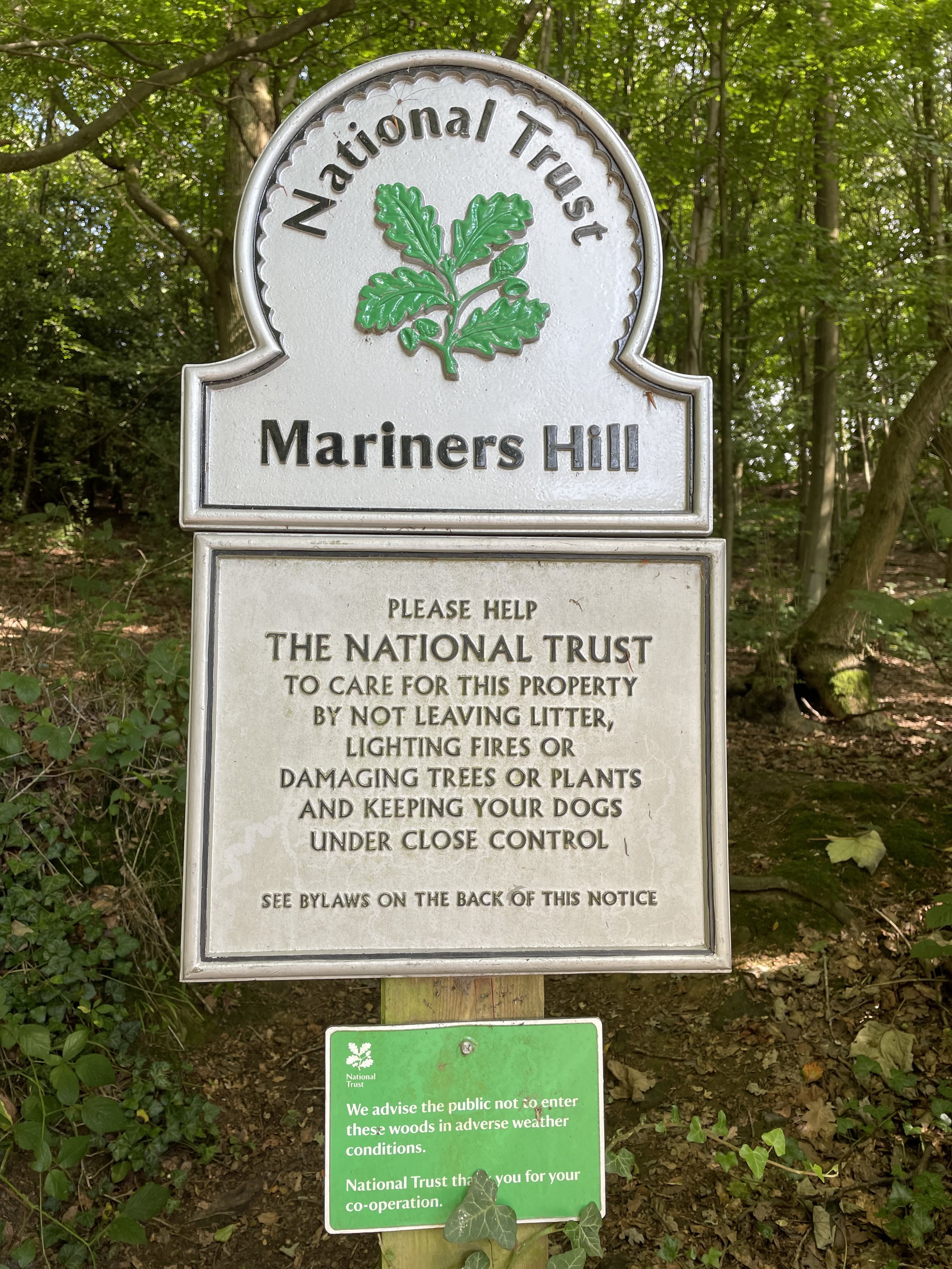
Other routes touched (walk): Greensand Way, NT Mariners Hill Loop, NT Chartwell Walk, Weardale Walk
Other routes touched (cycle): N/A
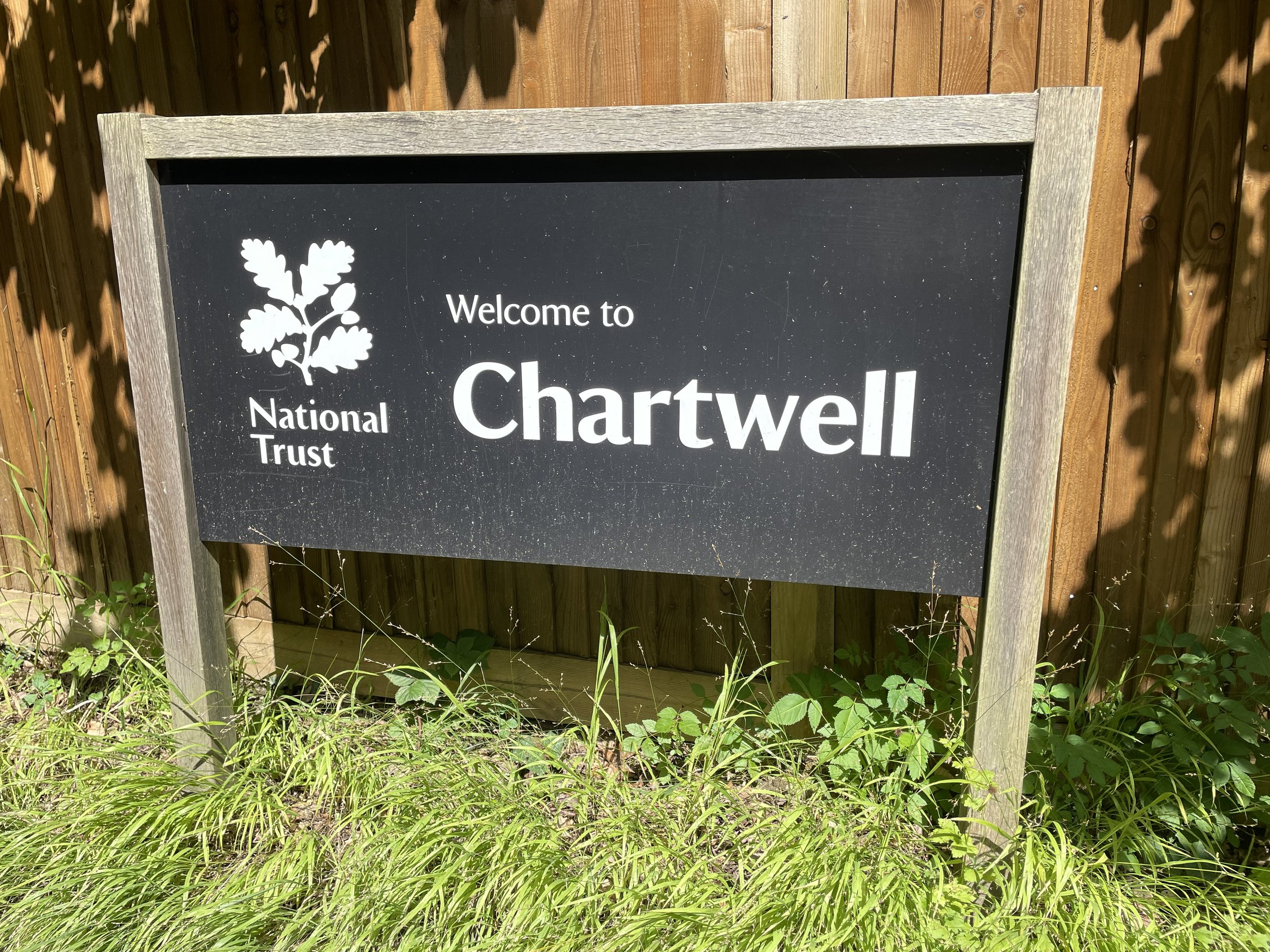
Pubs / Cafes on route: Several in Westerham village at start and end. Cafe at National Trust Chartwell (5.3 km in)
Map: Sevenoaks & Tonbridge Map | Royal Tunbridge Wells & Westerham | Ordnance Survey | OS Explorer Map 147
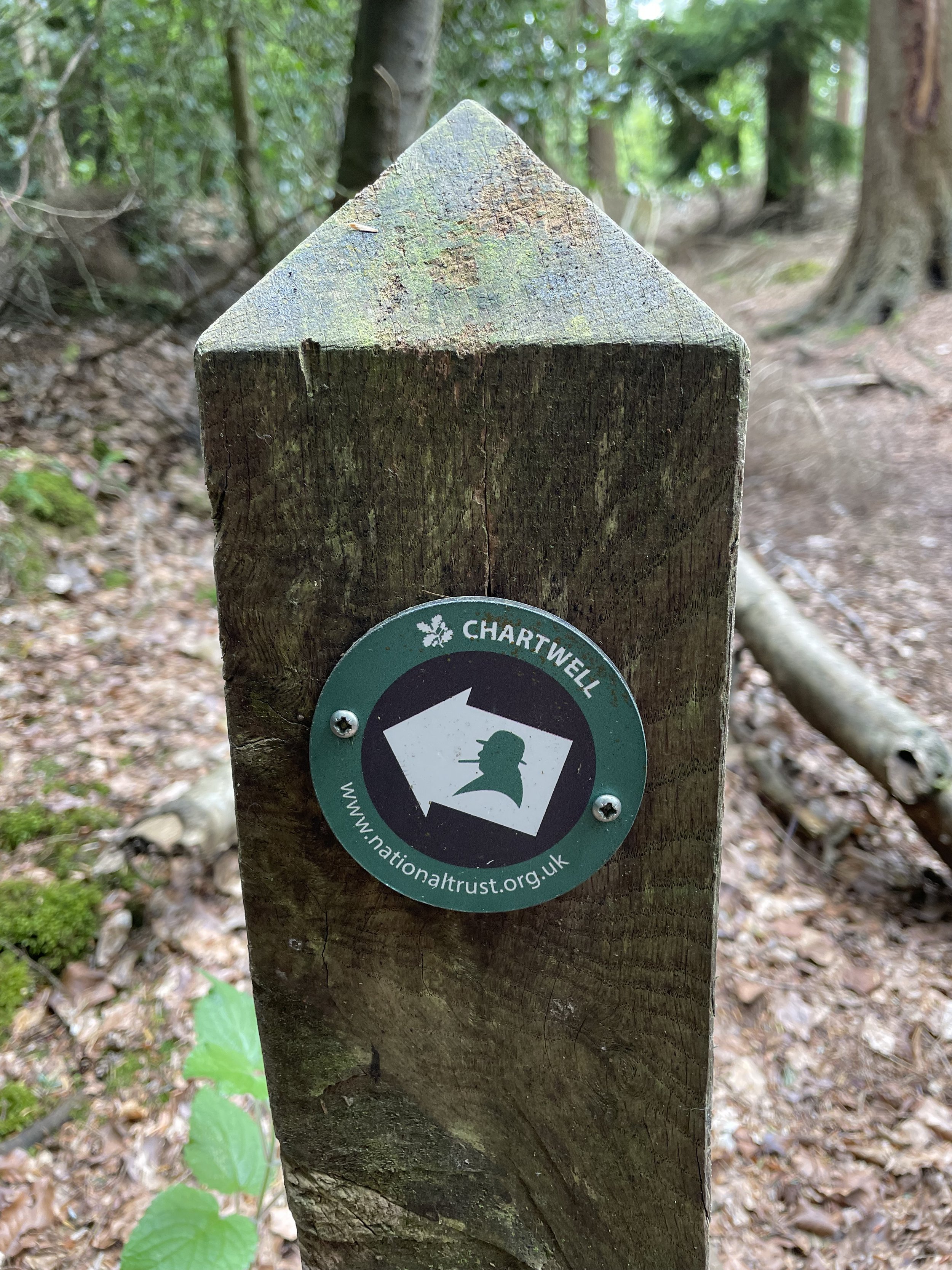
Links: Westerham, Crockham Hill Common, Chartwell, National Trust Chartwell
This is the twenty-first of a series of short circular walks featuring the Greensand Way. The full trail is a long distance path stretching from Haslemere in Surrey to Ham Street in Kent. Our walks take in short sections of the Greensand Way and loop back to the start on other paths. The Greensand Way is well sign posted however you’ll need a map or GPX route to keep on track for the return sections of the loops. The guidance below will help but don’t use it as a fully accurate turn-by-turn guide.
For this section we attempted to park in Westerham village centre but we were thwarted by a lack of available paring spaces and on-street parking limited to maximum 2 hours. It’s a good place to start the walk if you can but we decided to start at the National Trust Car Park in Chartwell instead. If you’re a National Trust member it’s a good option as it’s free and you’re more likely to get a space.
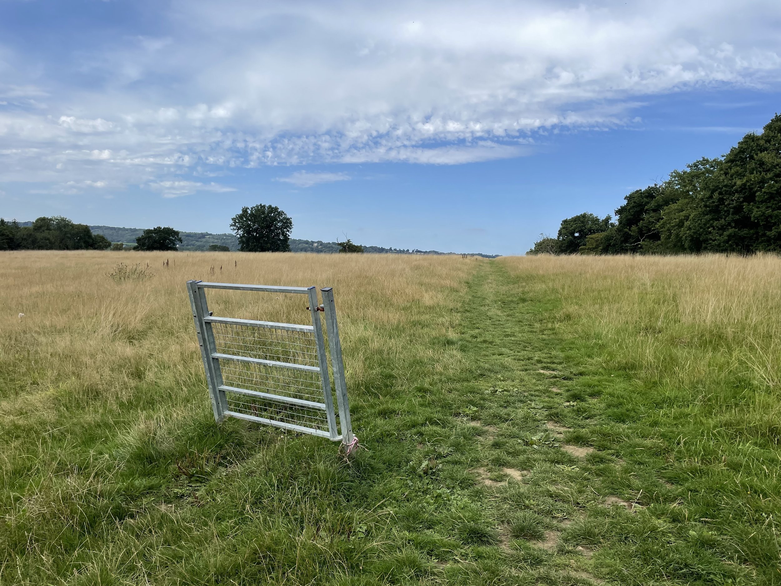
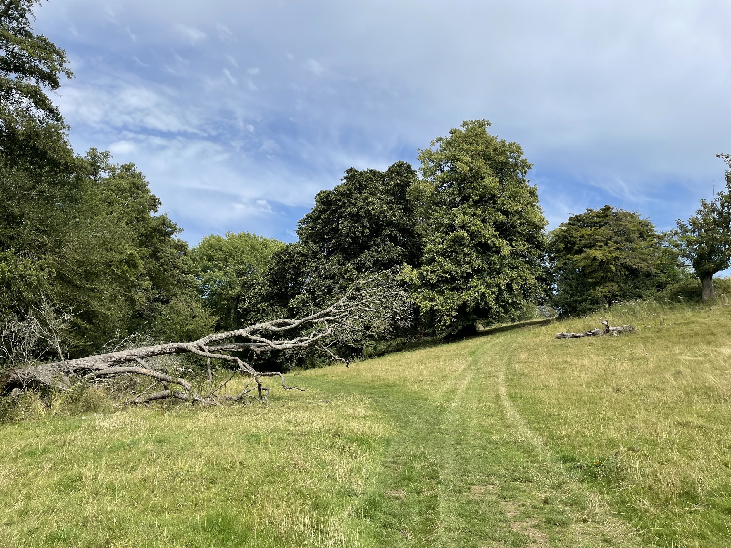
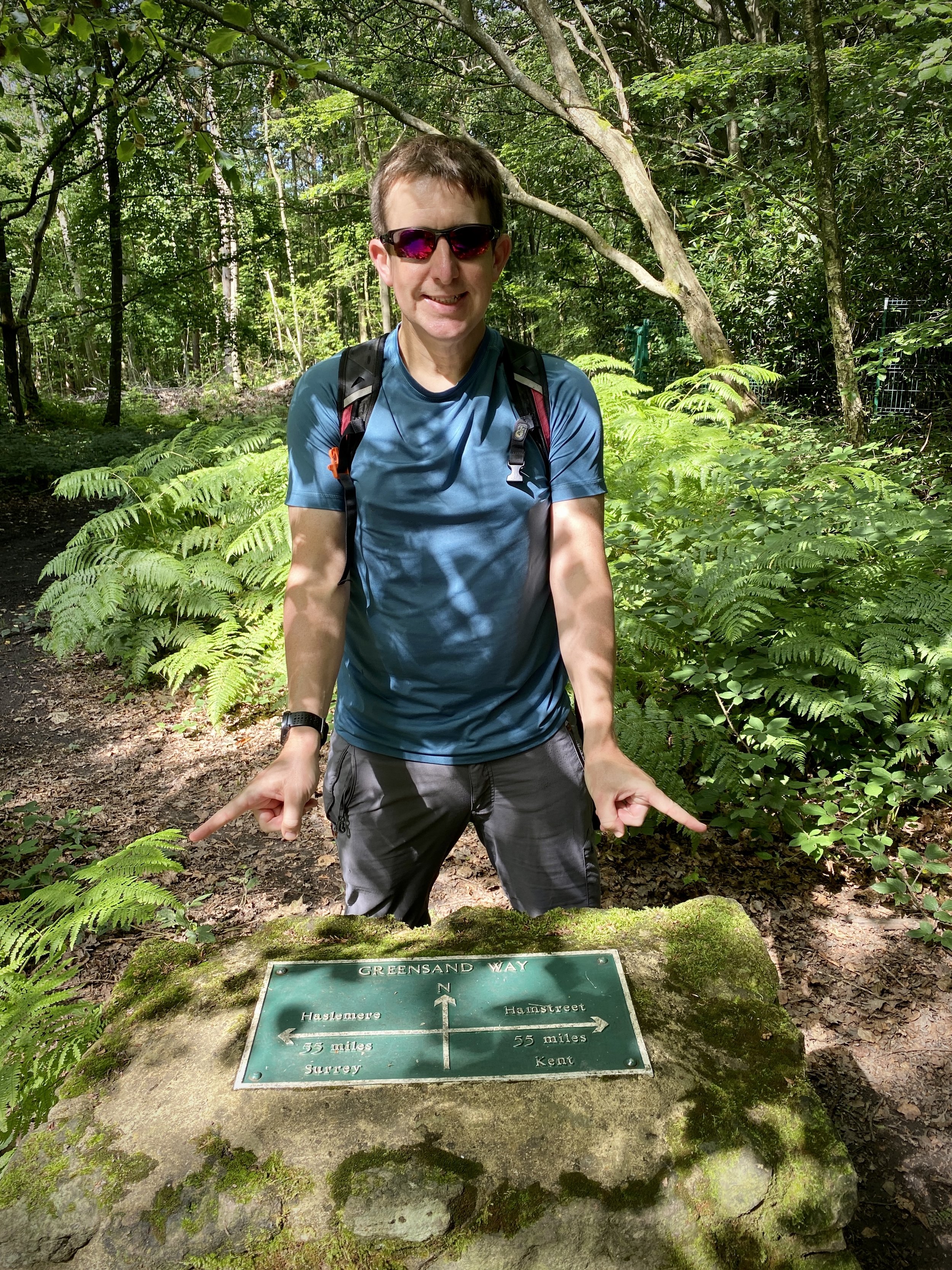
If you start at Westerham pick up the Greensand Way spur on the south side of Vicarage Hill road and head south, crossing the Darent River than taking a right at the path junction with the NT Chartwell Walk. After 3km take a right to cross over Goodley Stock Road to meet the stone, last seen in section 20, that marks the Surrey/Kent border and the half-way point of the Greensand Way. After touching the stone, retrace your steps back across Goodley Stock Road to return to the path through Crockham Hill Woods. Take a right to continue south along this path and follow the Greensand Way as it curves in an anti-clockwise direction to the entrance to the National Trust Car Park at Chartwell. This is the point where you would start the walk if parking there.
From National Trust Chartwell continue following the Greensand Way in an anti-clockwise direction to French Street. Here’s you’ll leave the Greensand Way and continue in the anti-clockwise loop heading north-west to rejoin the NT Chartwell Walk. This will take you back to the Greensand Way spur back up to Westerham Village. If you started the walk at Chartwell there’s no need to go up to Westerham (unless you choose to). Instead continue along the Greensand Way Spur to the Surrey/Kent border stone.


Previous section: Walking The Greensand Way Part 20: Oxted and Limpsfield
Next section: Walking The Greensand Way Part 22: Toys Hill and Ide Hill