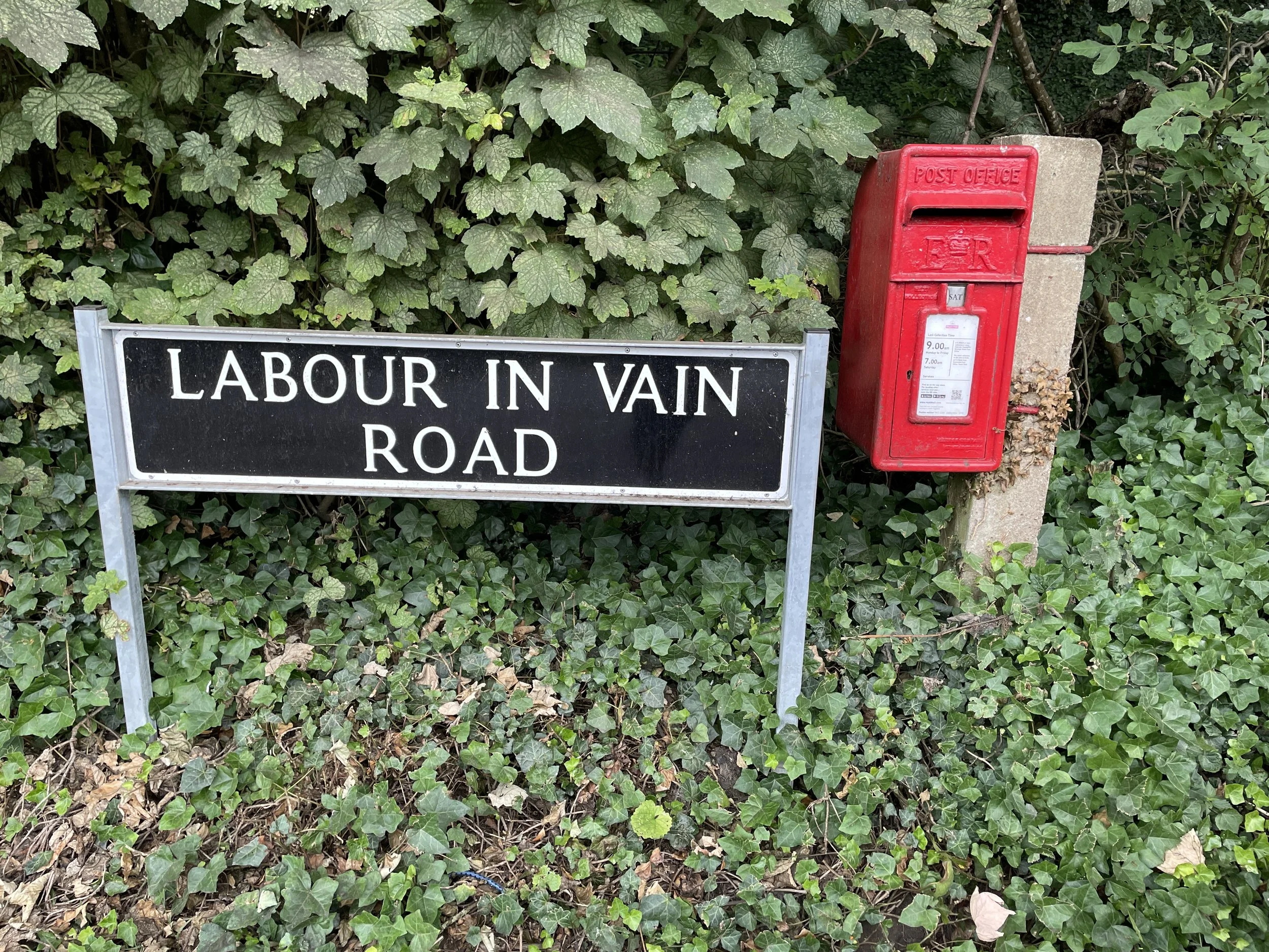
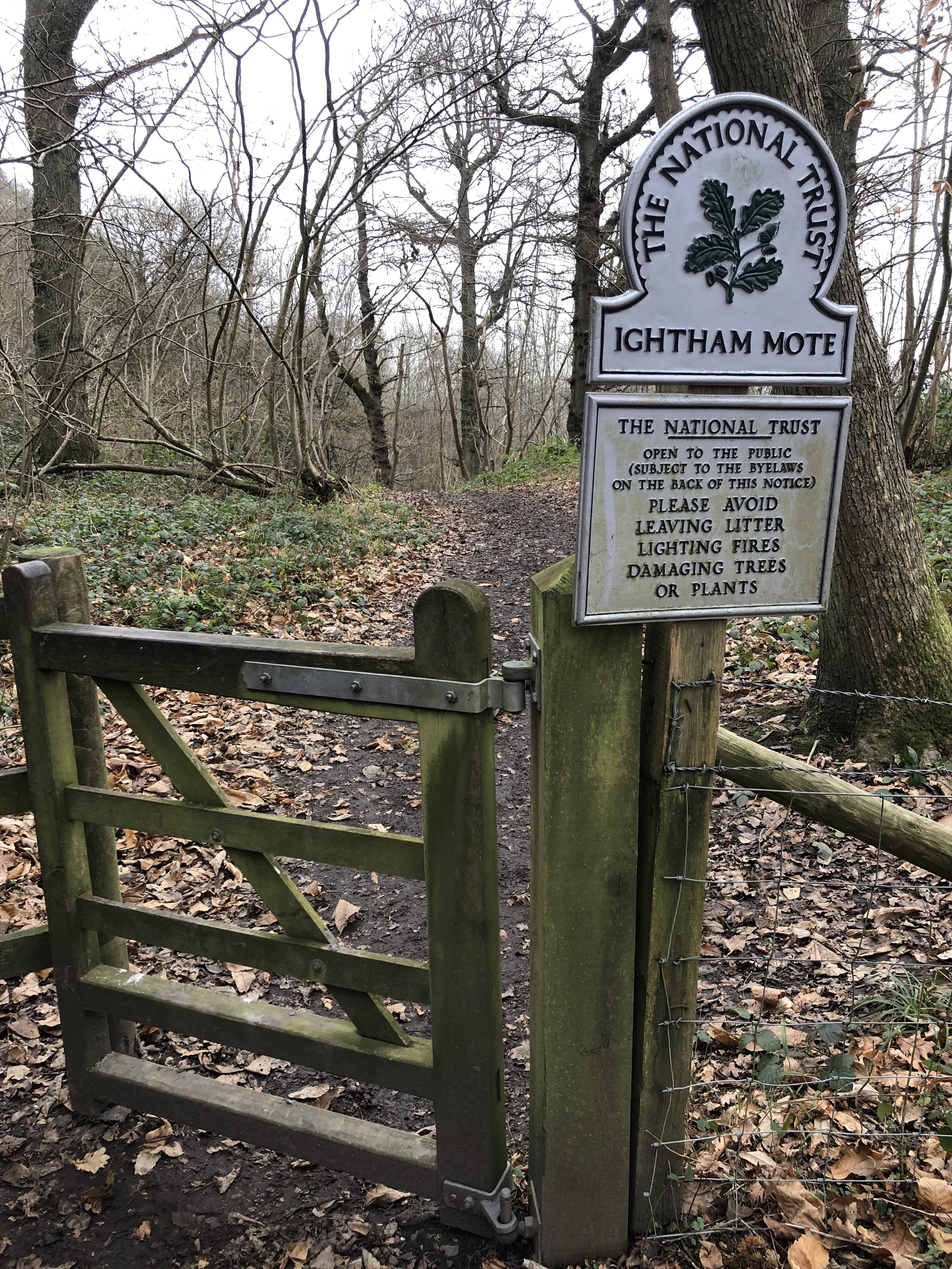
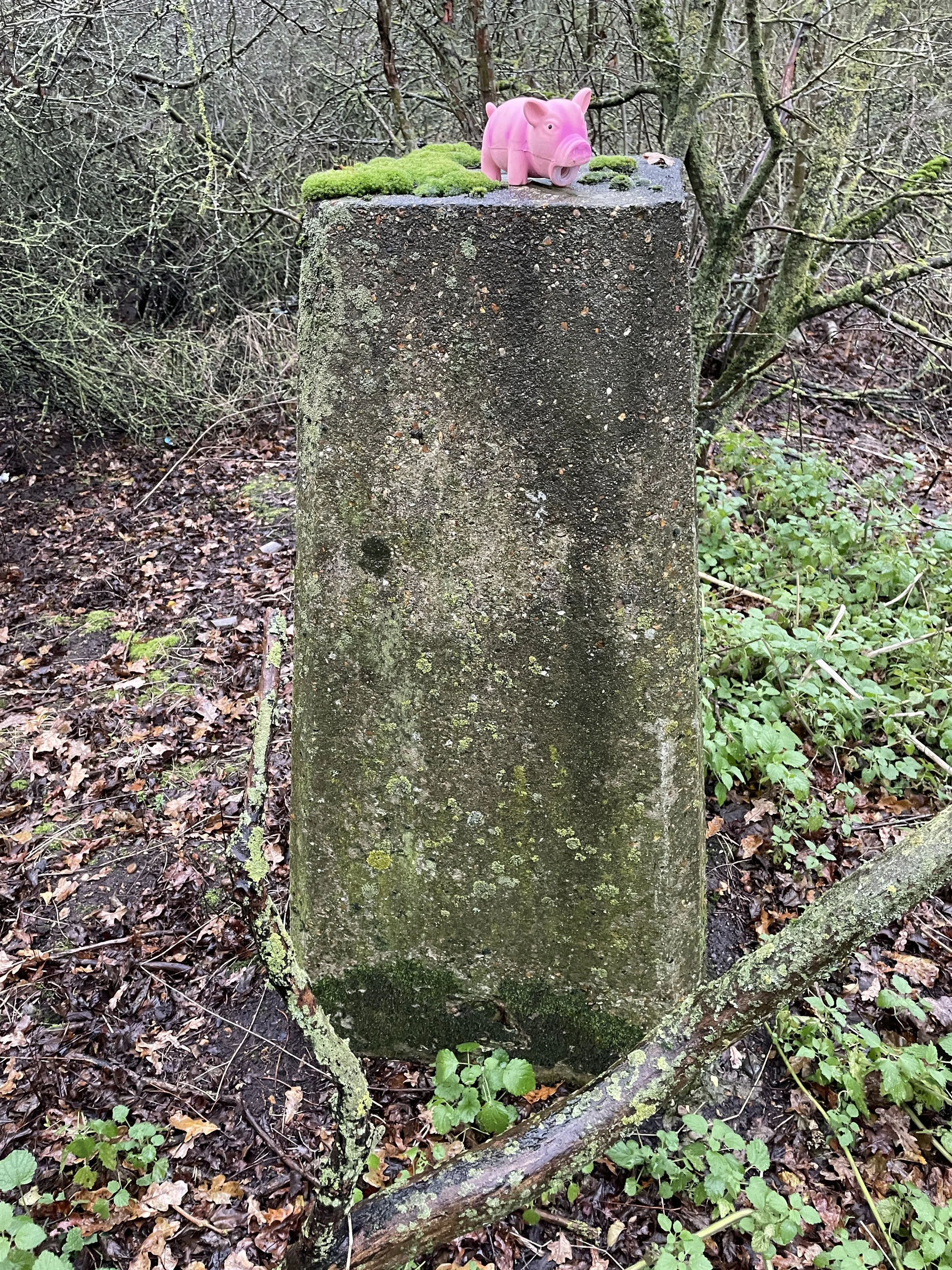
If you’ve searched for or stumbled across this page then you probably already know what an OS Trig Pillar is. If you don’t then this article from the Ordnance Survey is a good place to start.
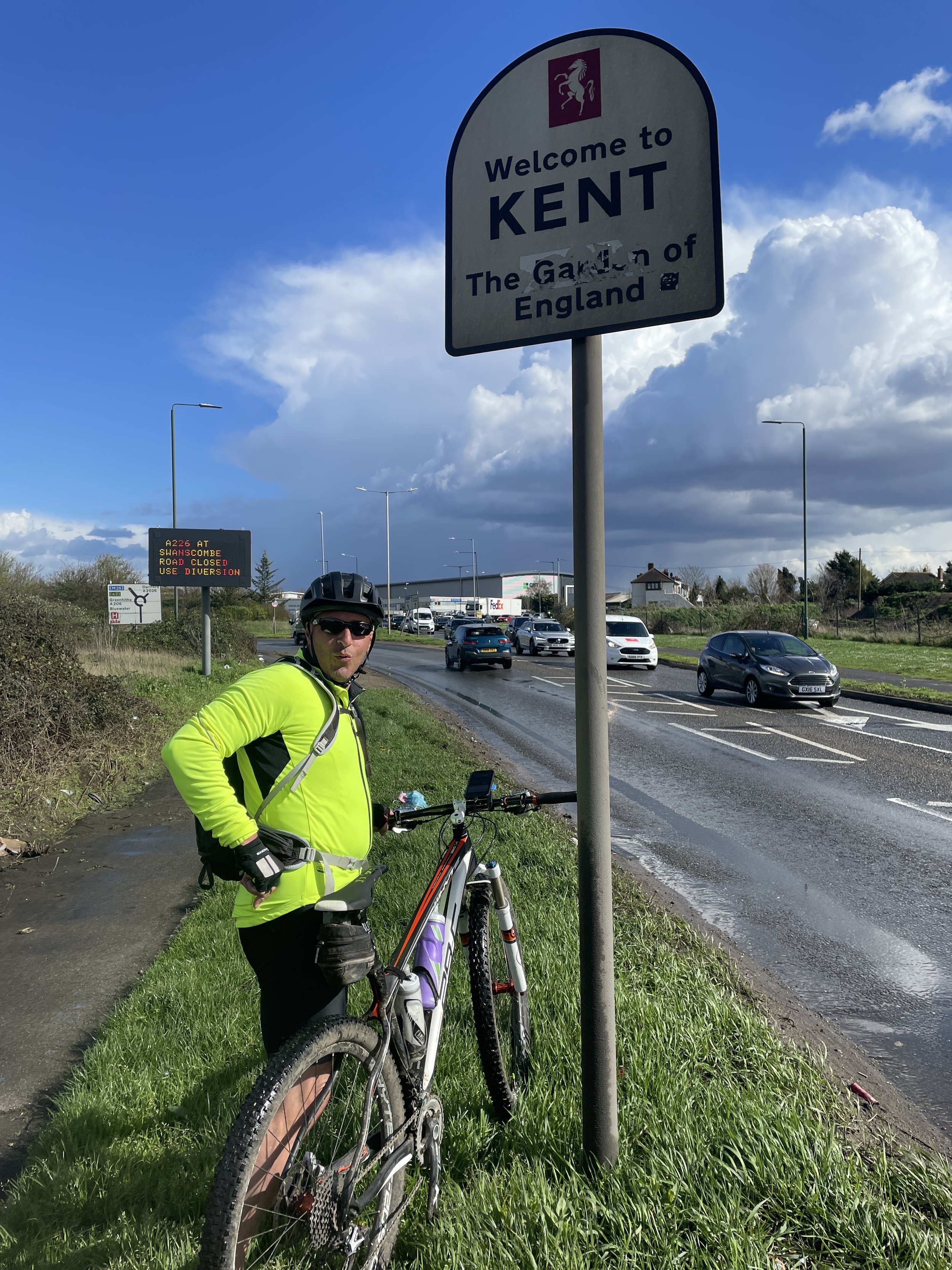
There were 30 OS Trig Pillars built in Greater London of which 24 are still in place. Of these, some are on private land and are visible from a distance but not reachable. There are a further 14 Trig Pillars that are outside of Greater London but inside of the M25. A special mention goes to TP9117 North Ockendon which is inside Greater London but outside of the M25.
I completed my mission to visit all accessible and visible Trig Pillars within Greater London and the M25. The definition of accessible is somewhat subjective though as some that I’ve listed as accessible are just off the public right of way. Looking at the logs, there are others who have successfully bagged ones I’ve listed as inaccessible but I’ve taken a more risk-averse approach and avoided trespassing, causing damage or scaring animals. Always check the logs on Trigpointing.uk to see how easy it is to access a pillar.
The Map
Click on each icon to see the Trig Pillar name and a link to the page on Trigpointing.uk
The Spreadsheet
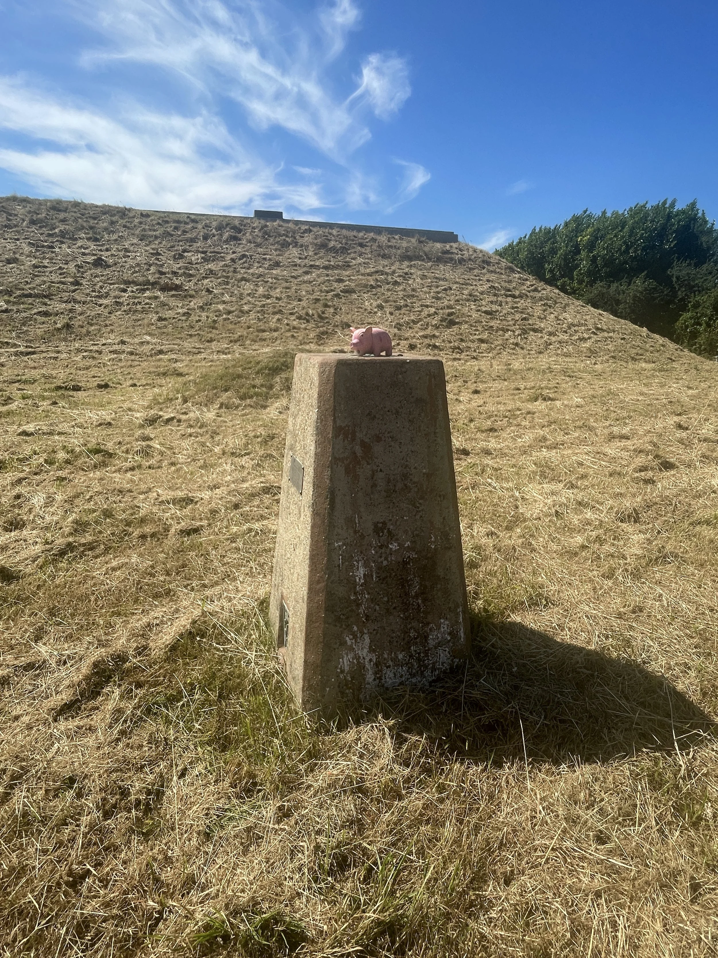
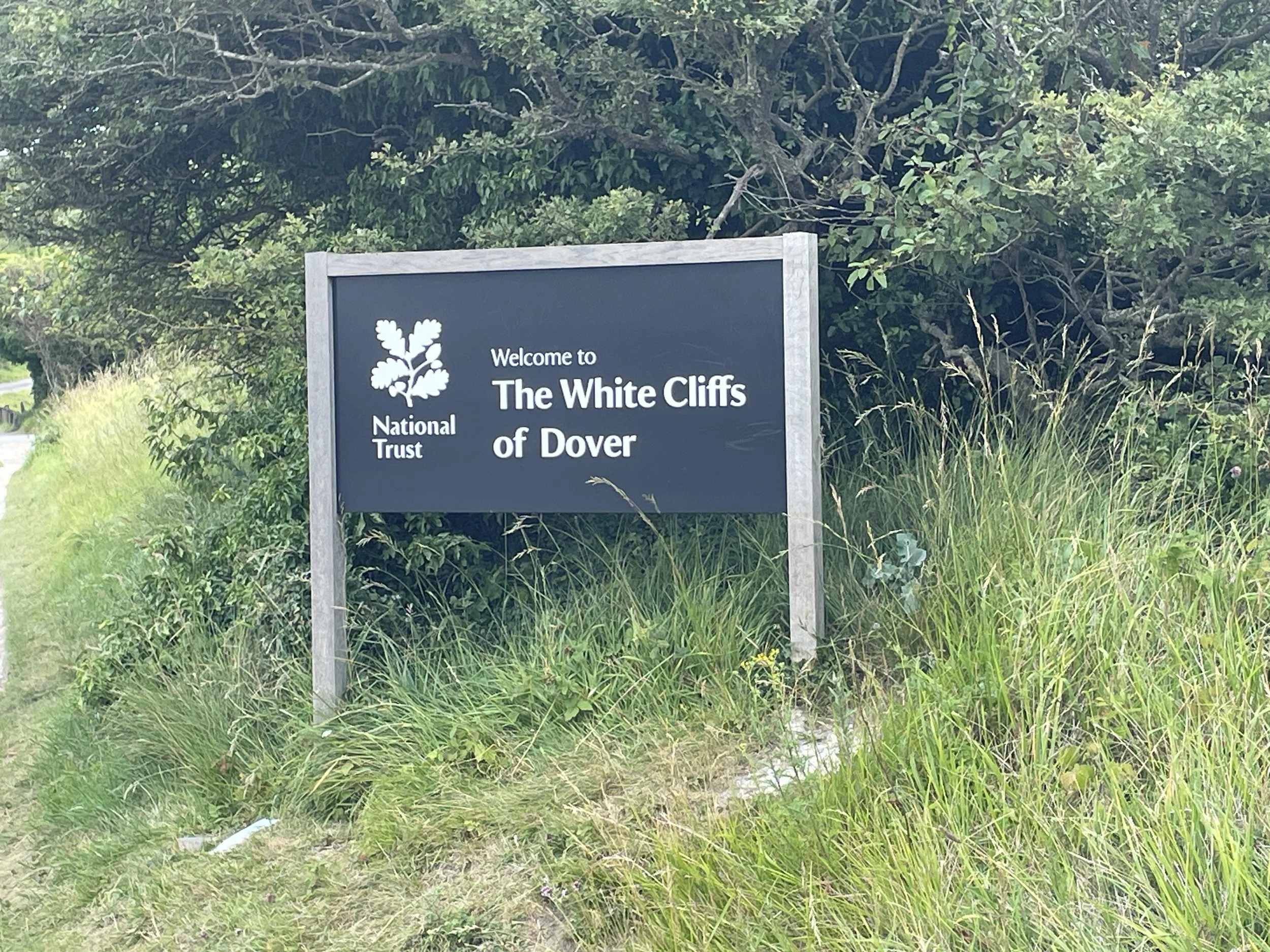
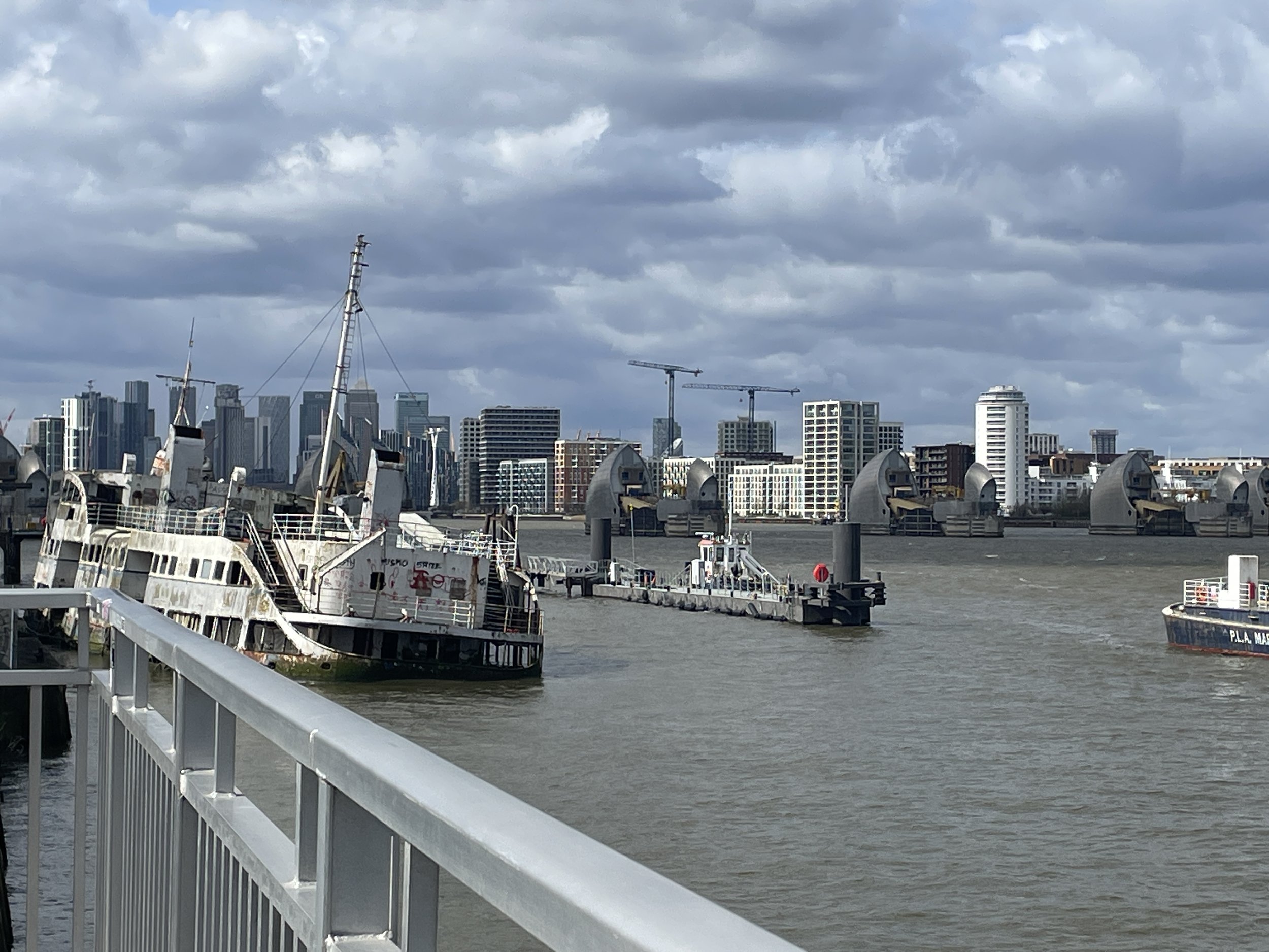
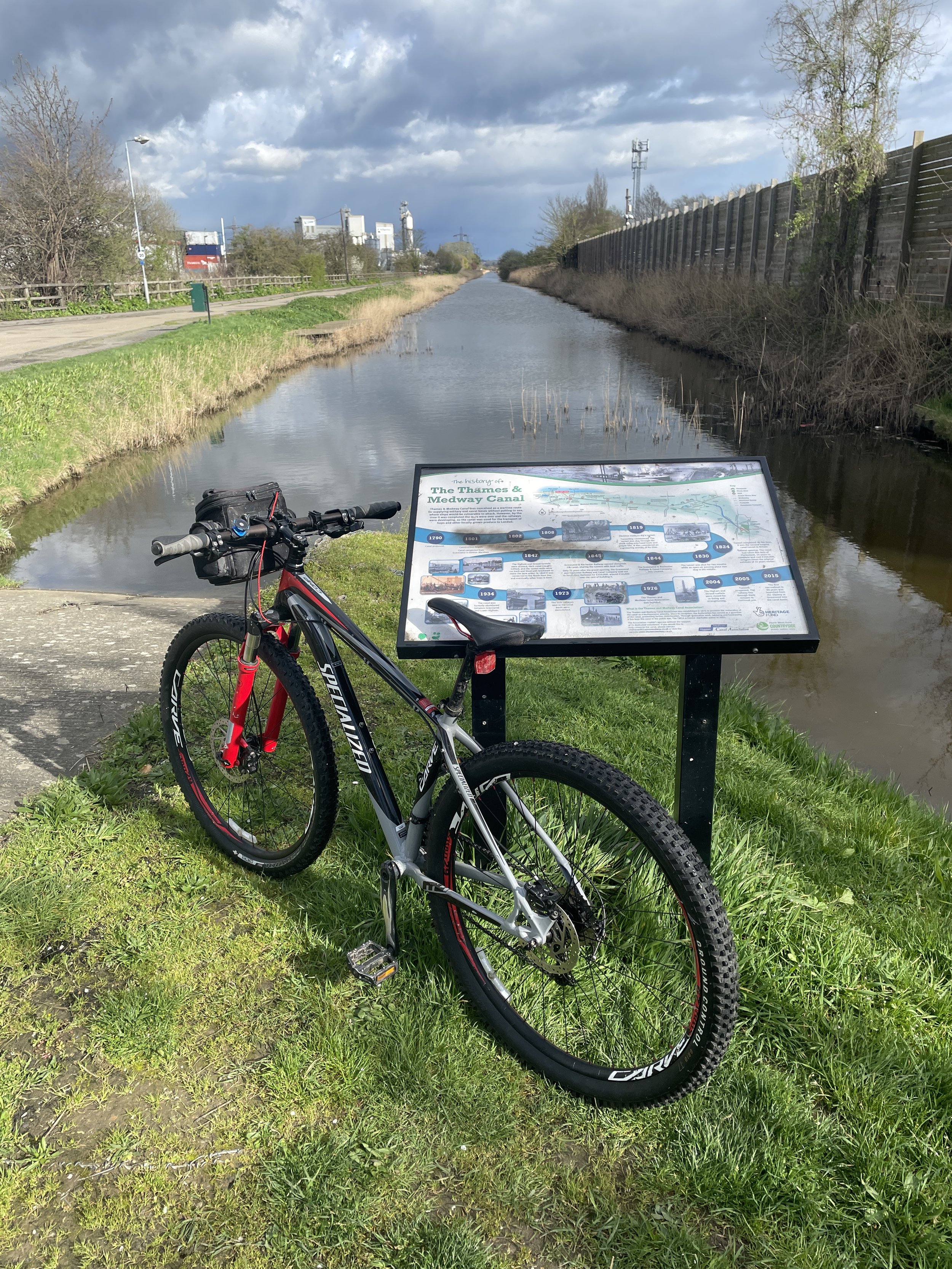
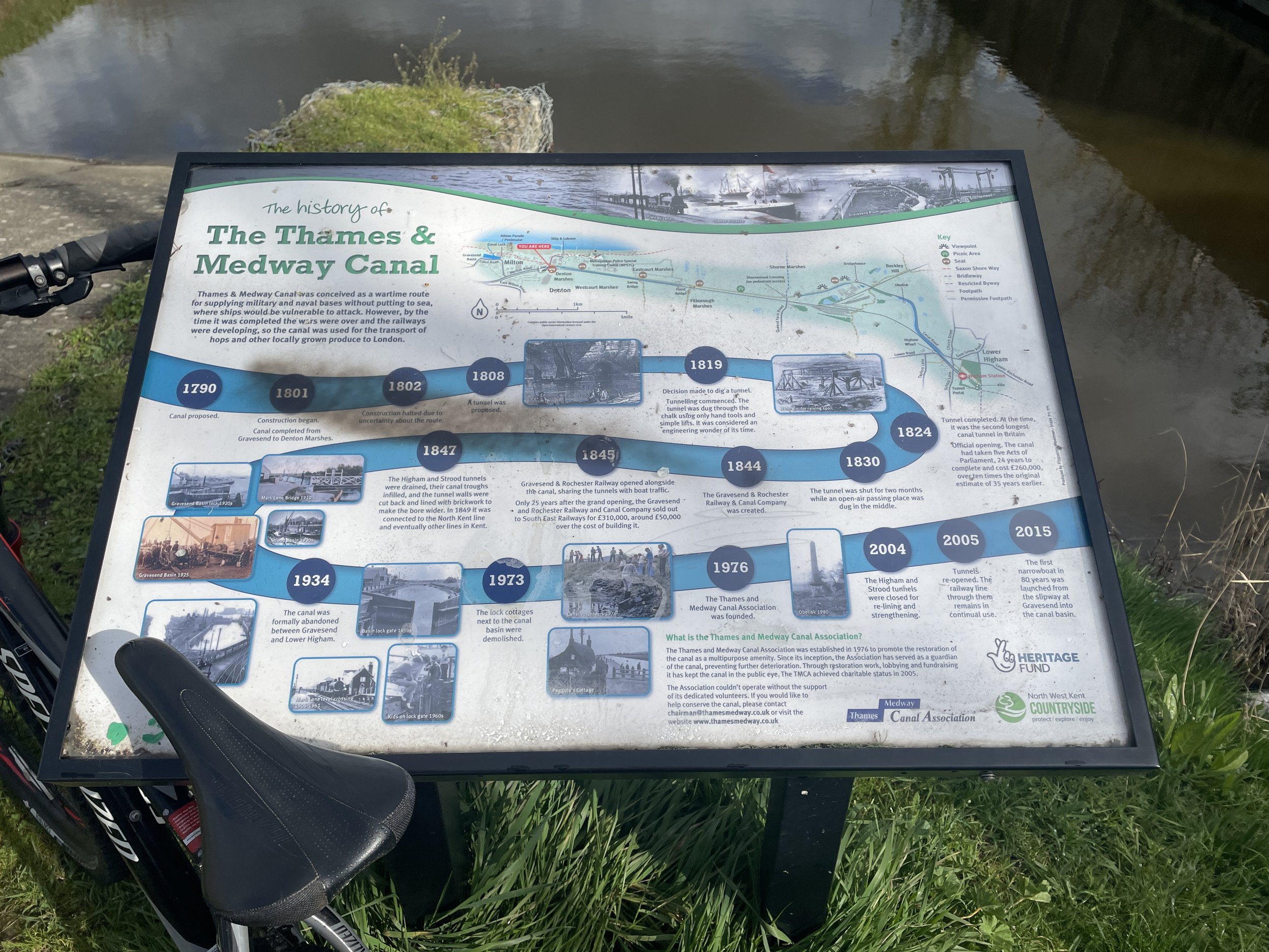
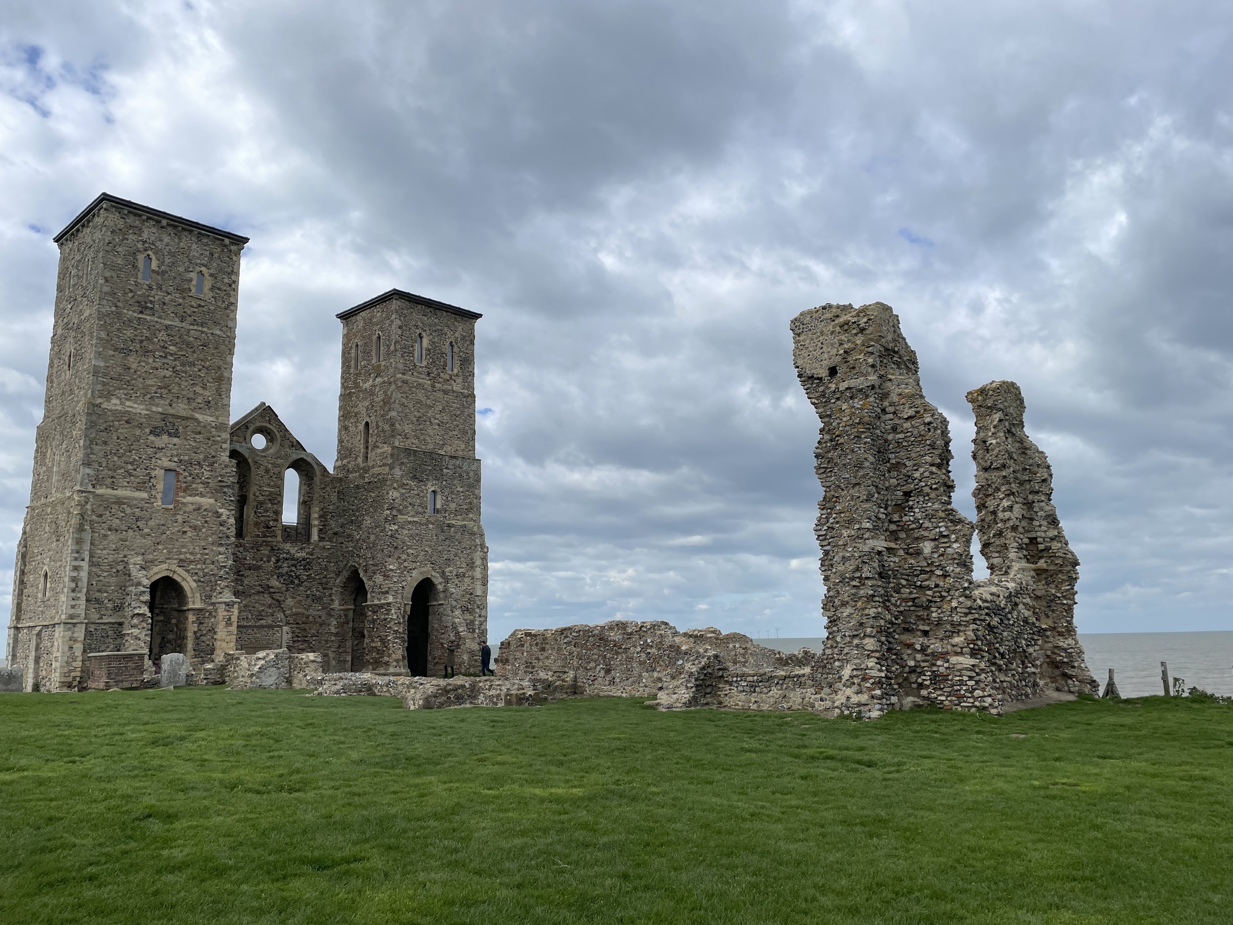
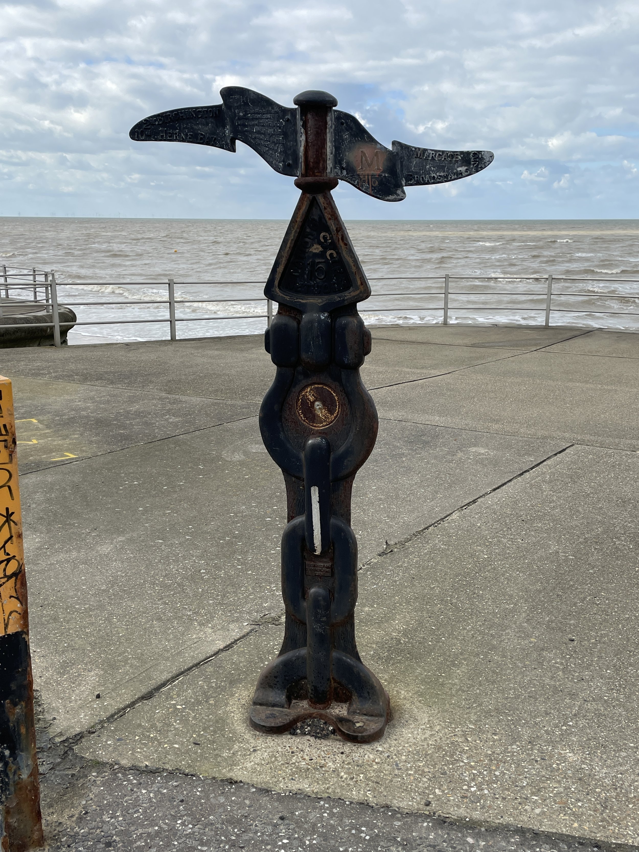
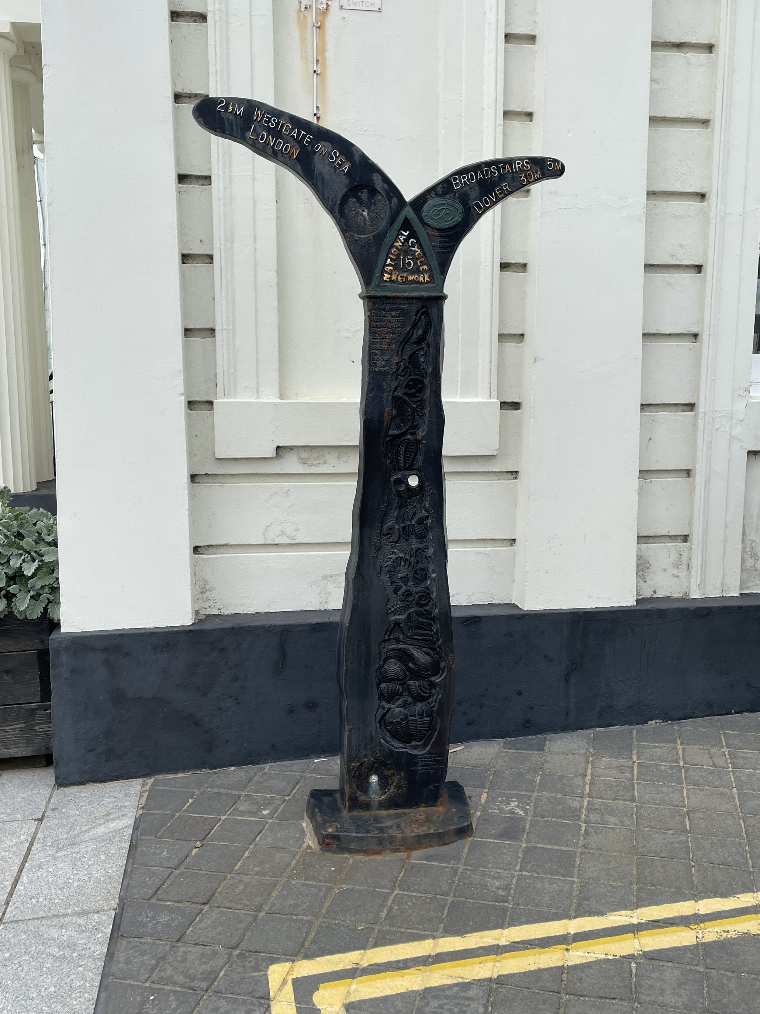
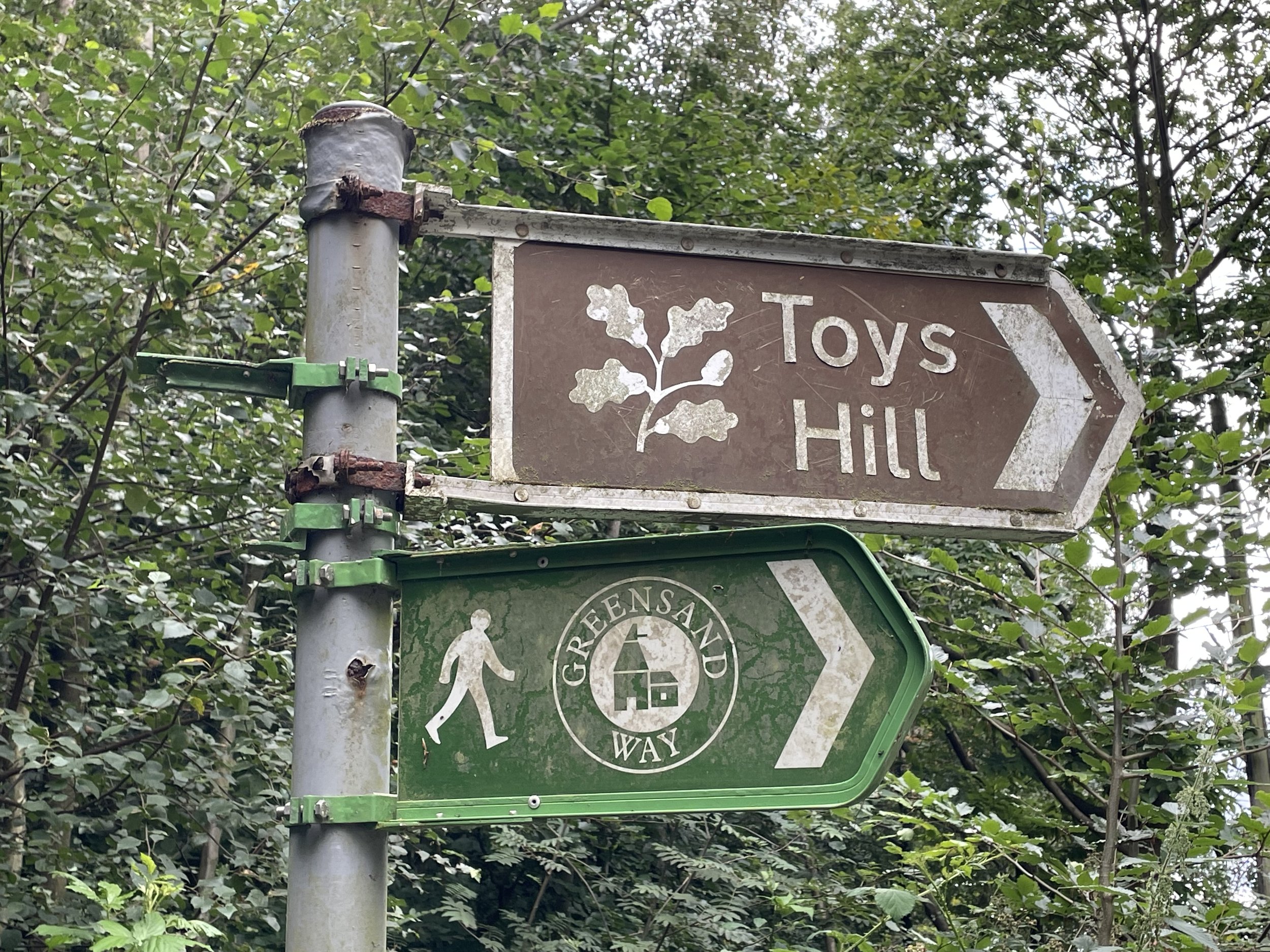
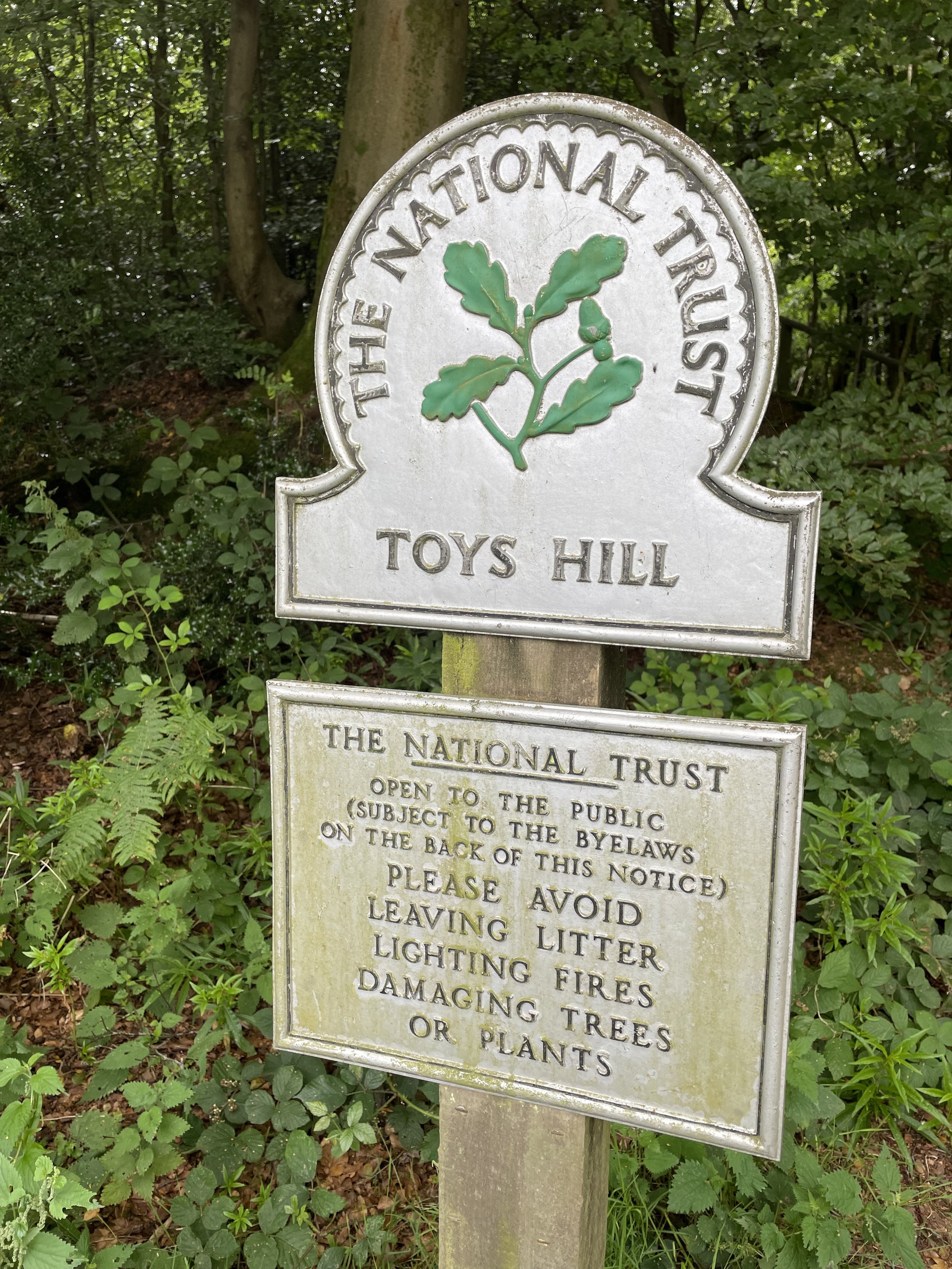
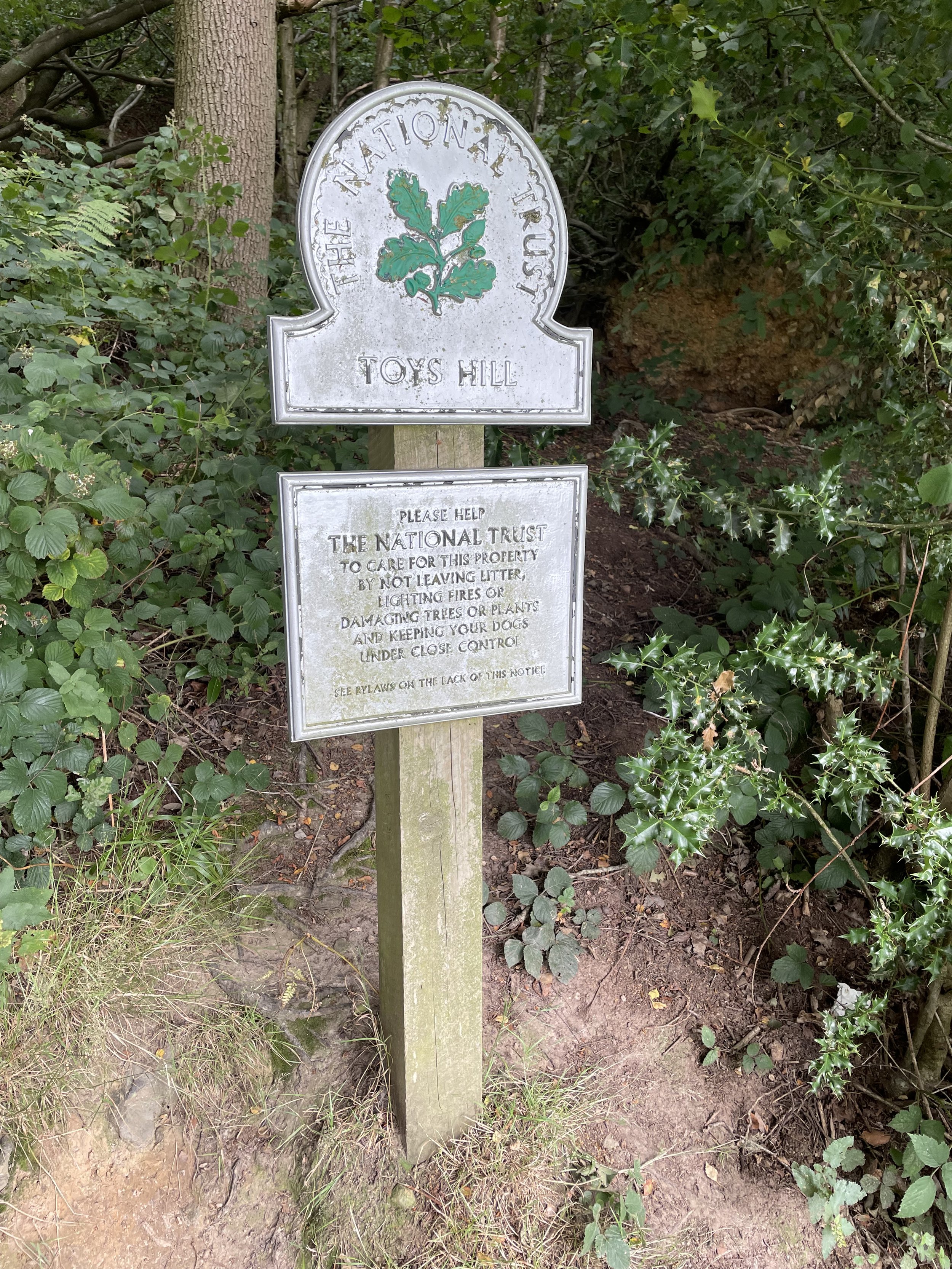
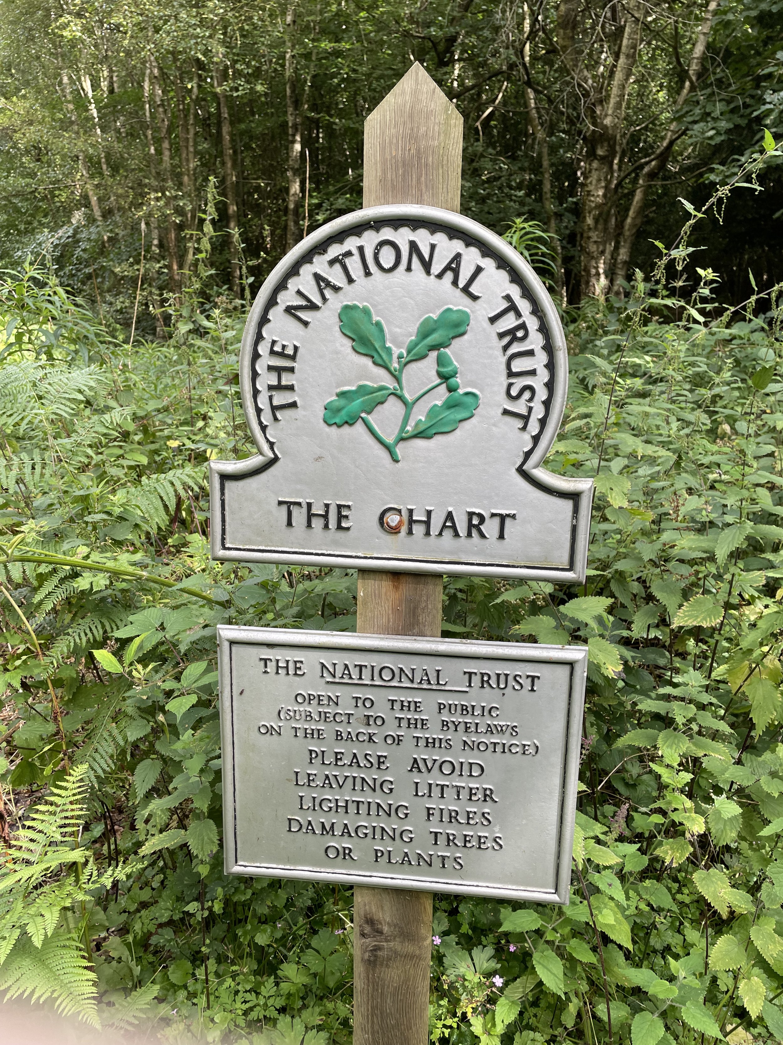
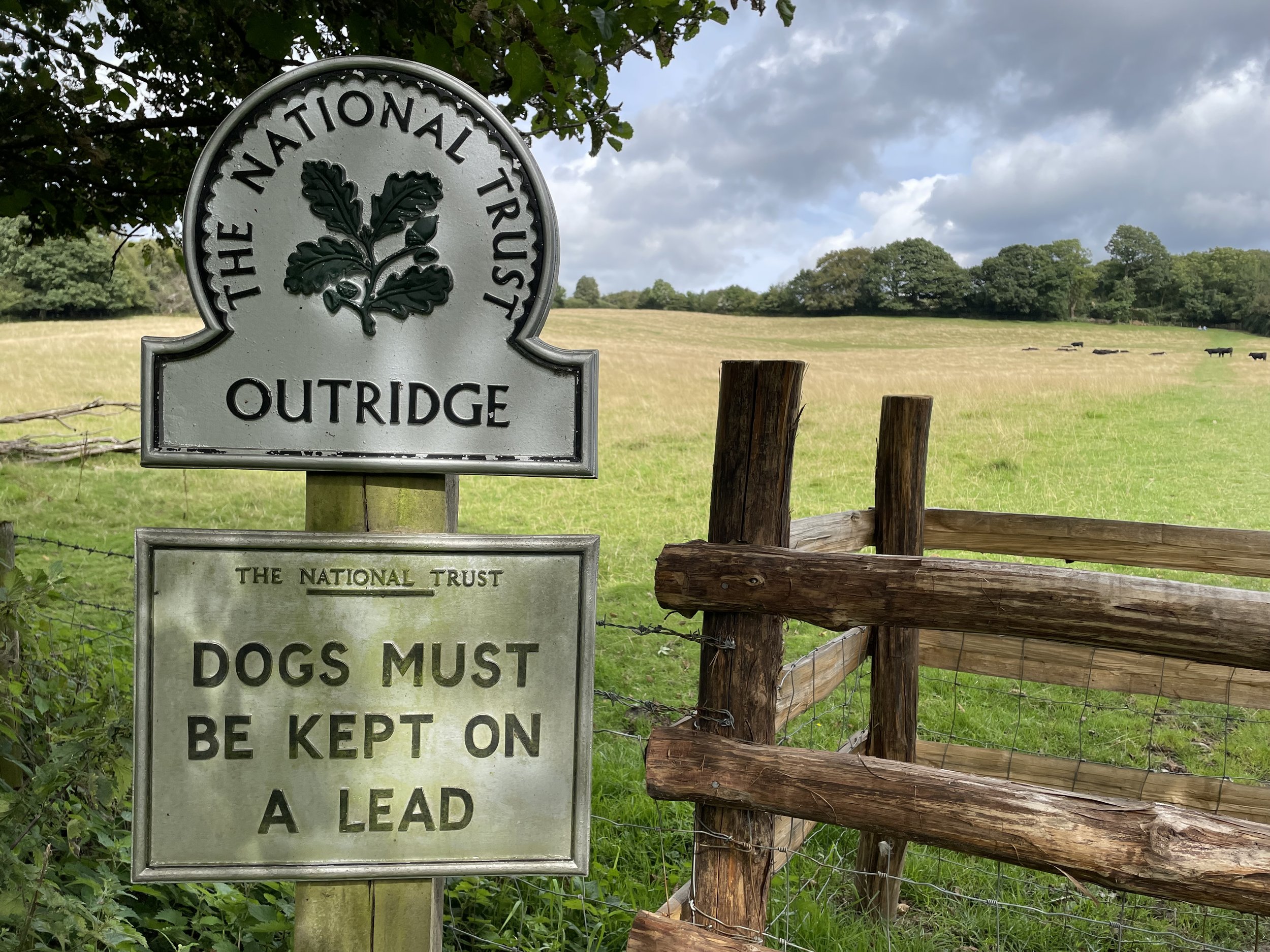
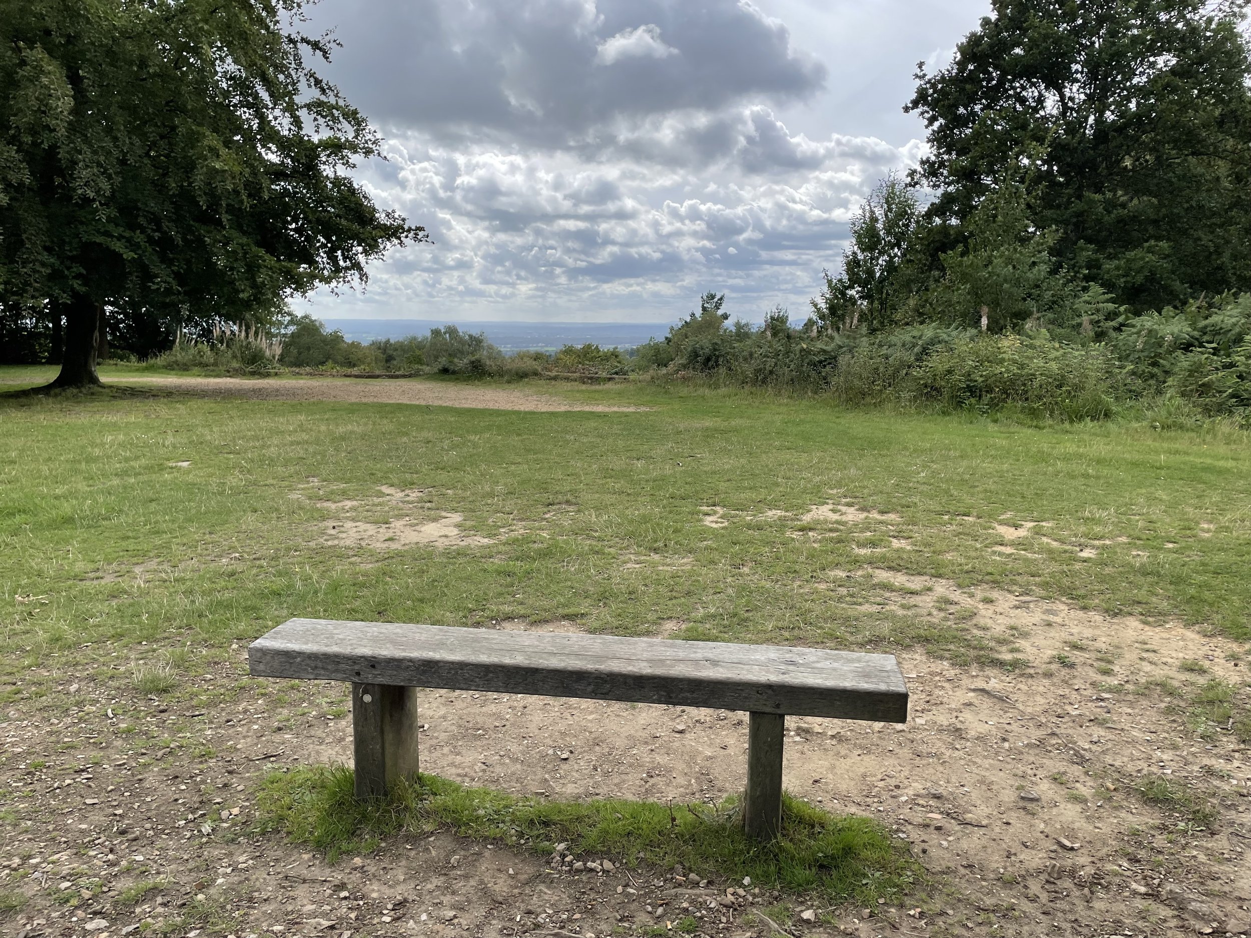
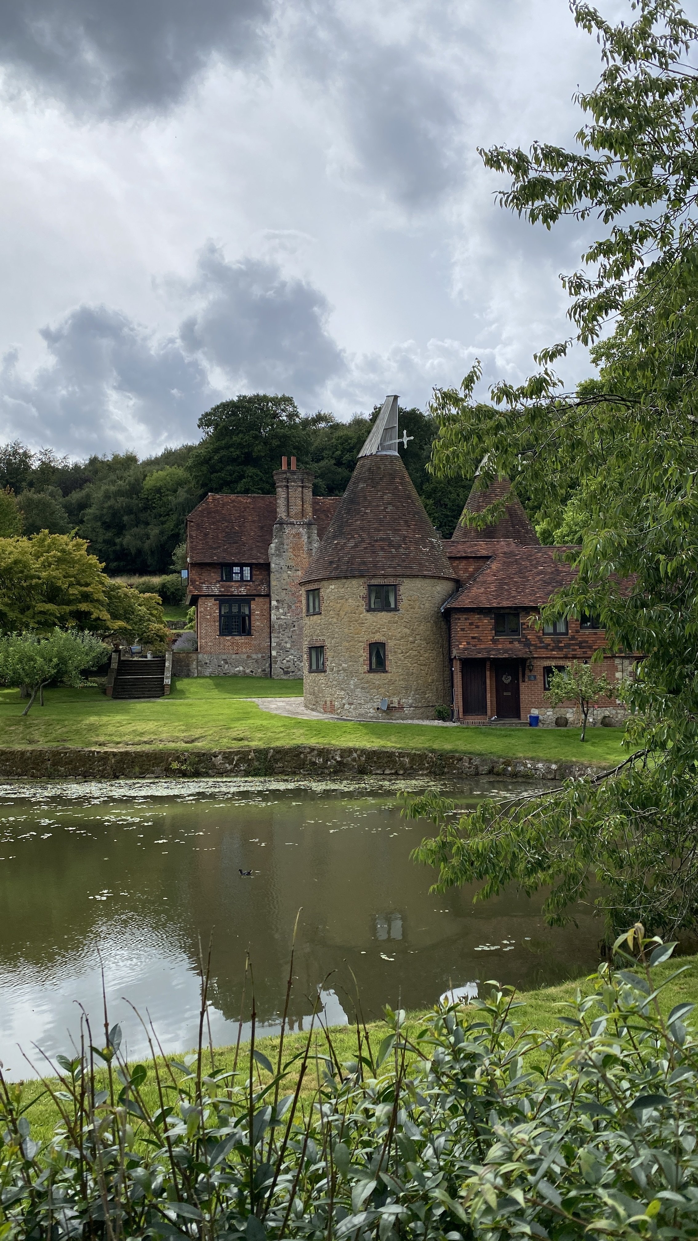
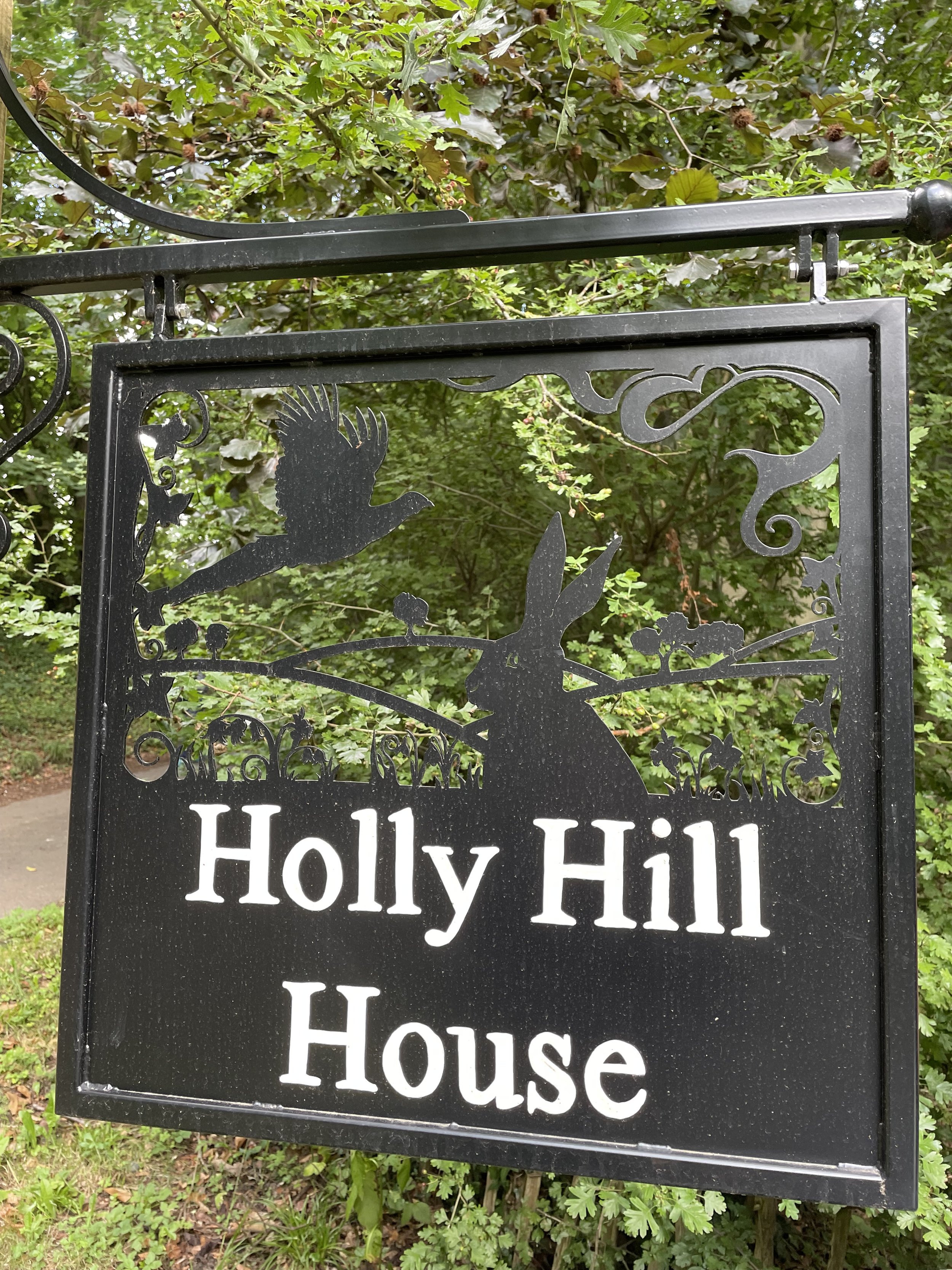
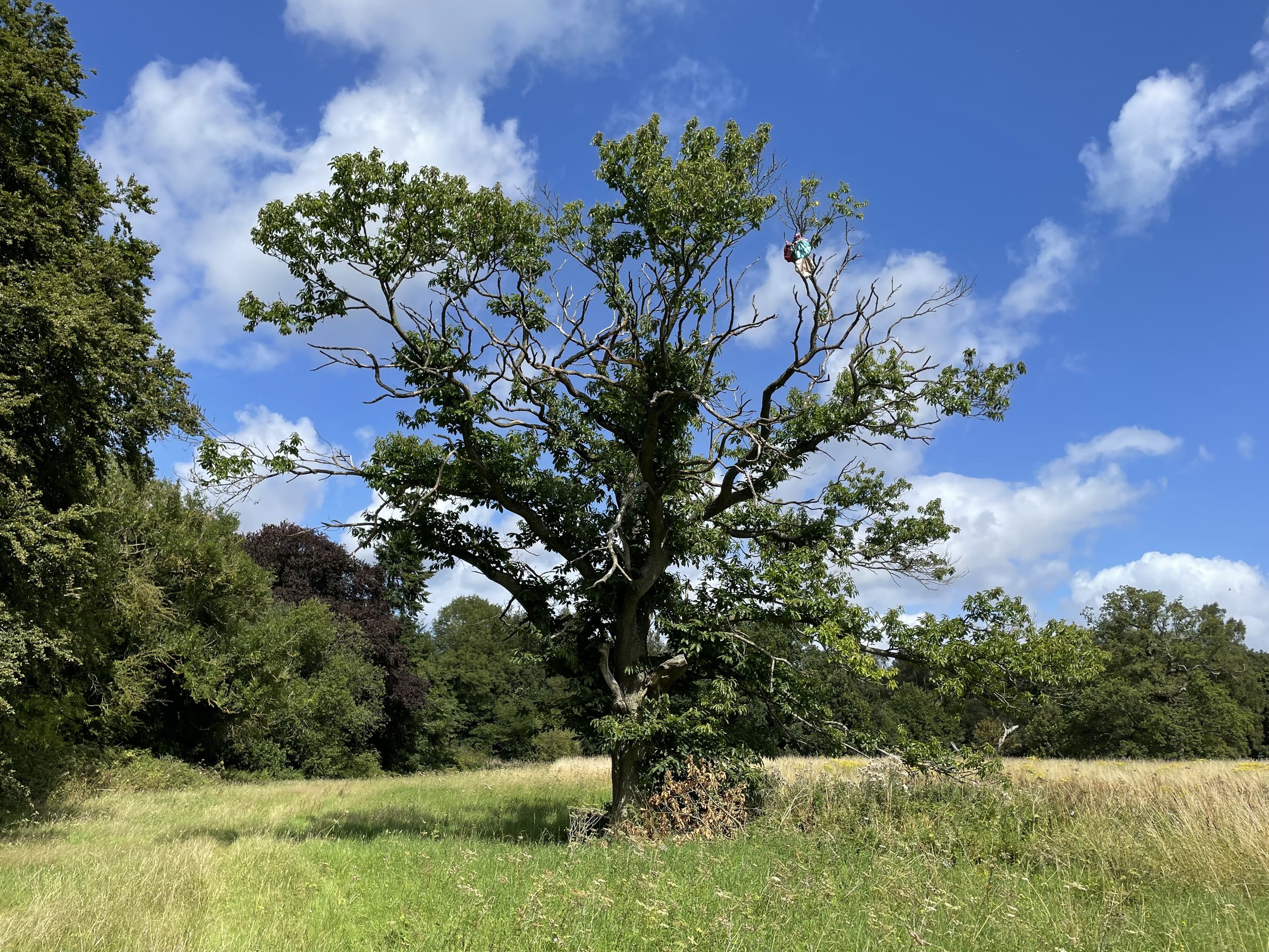
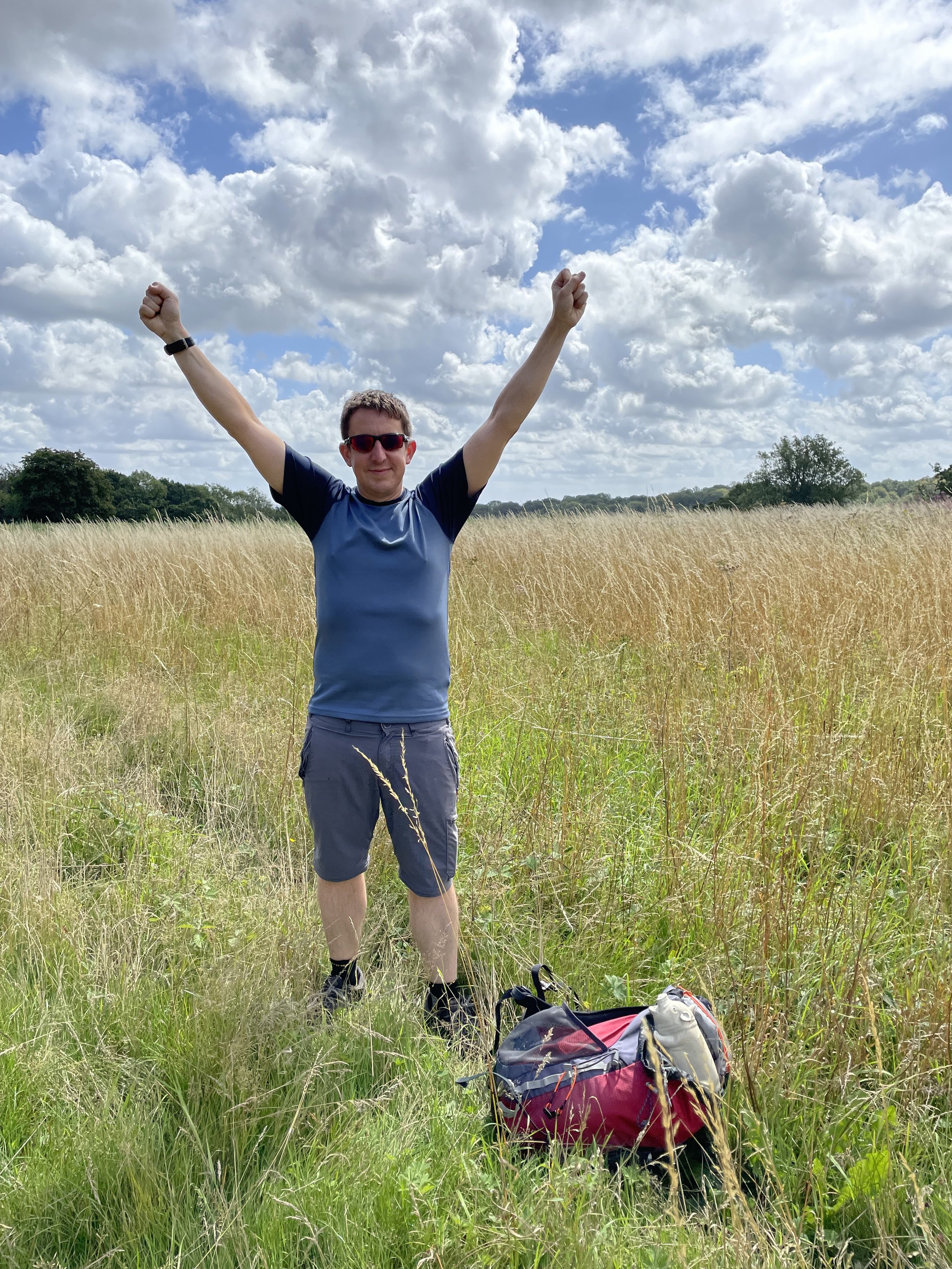
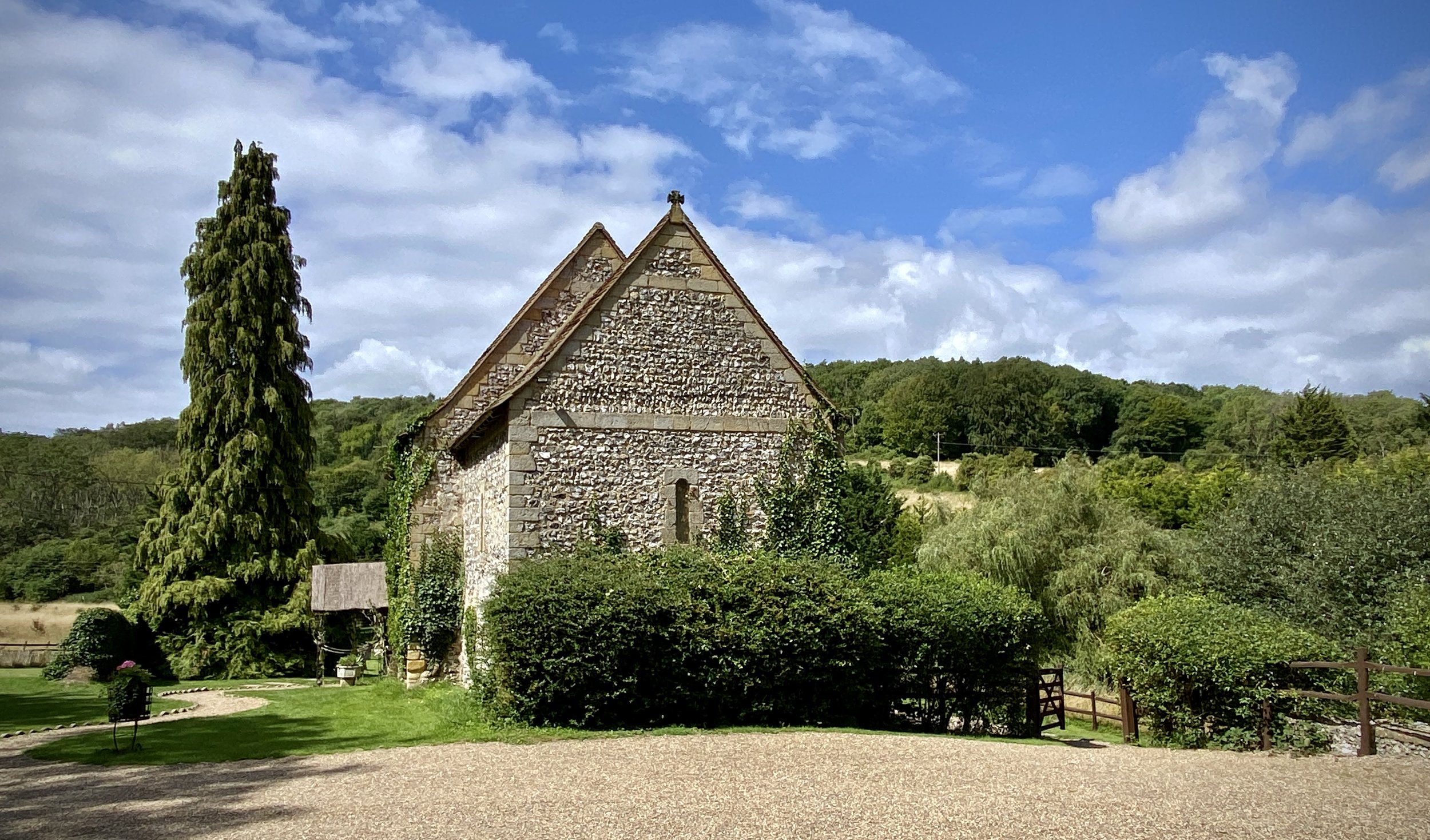
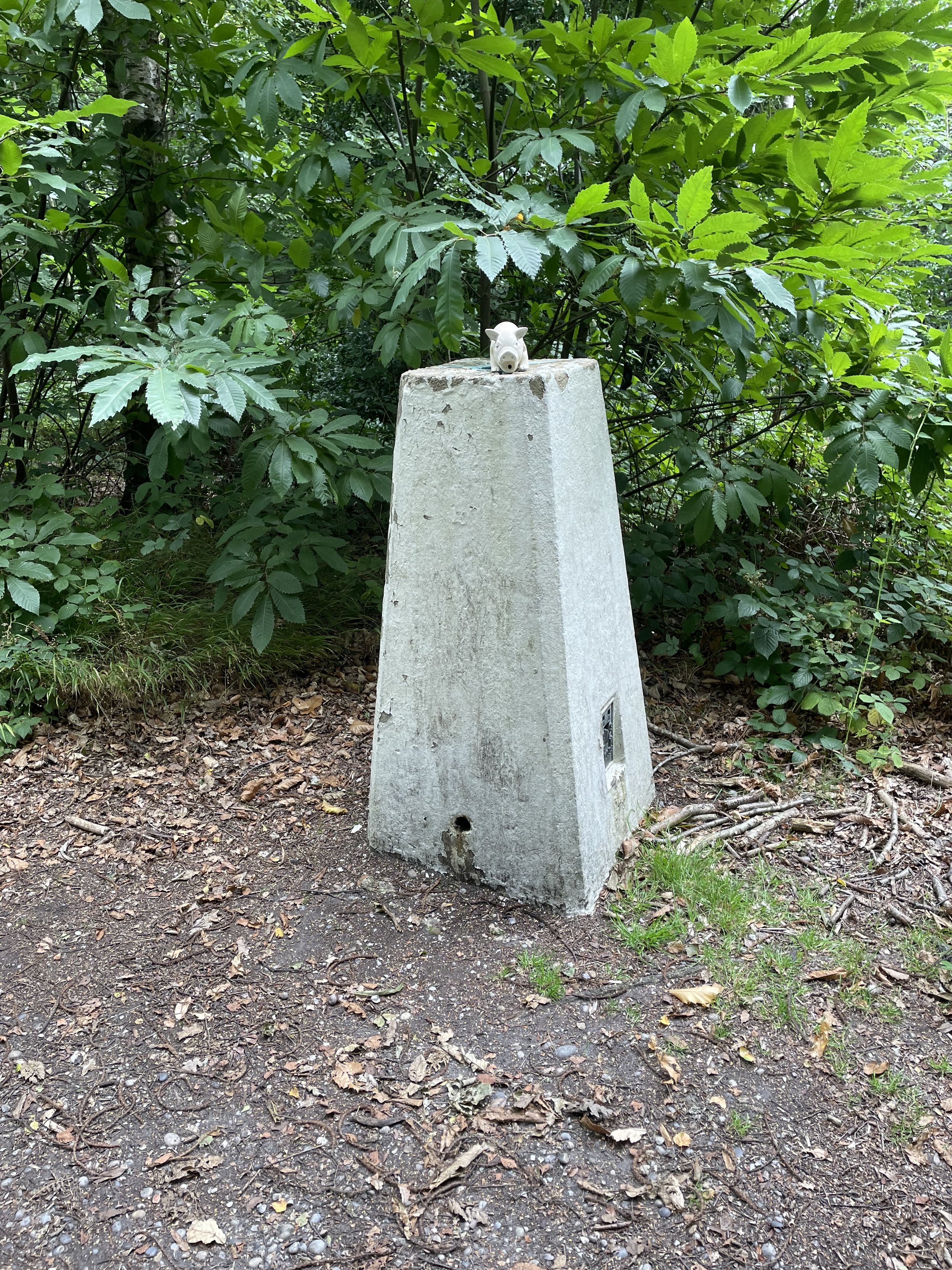
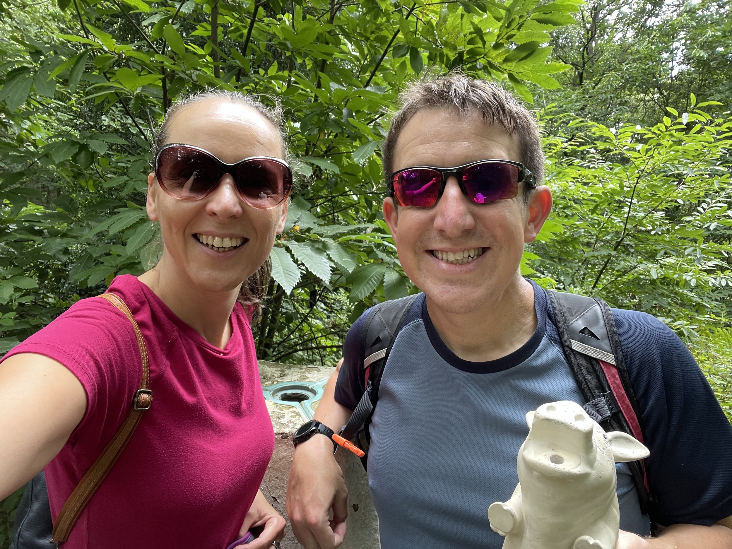
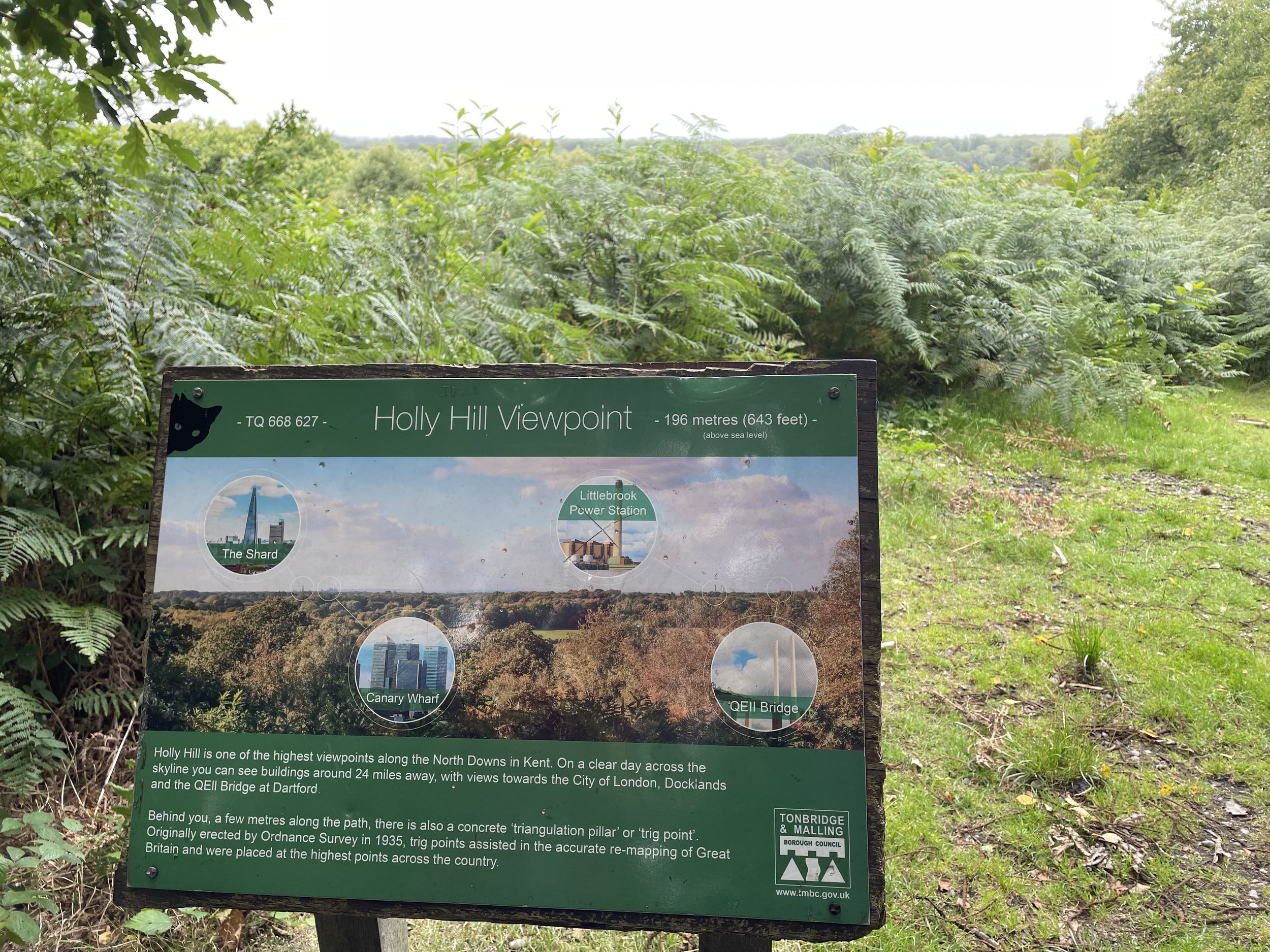
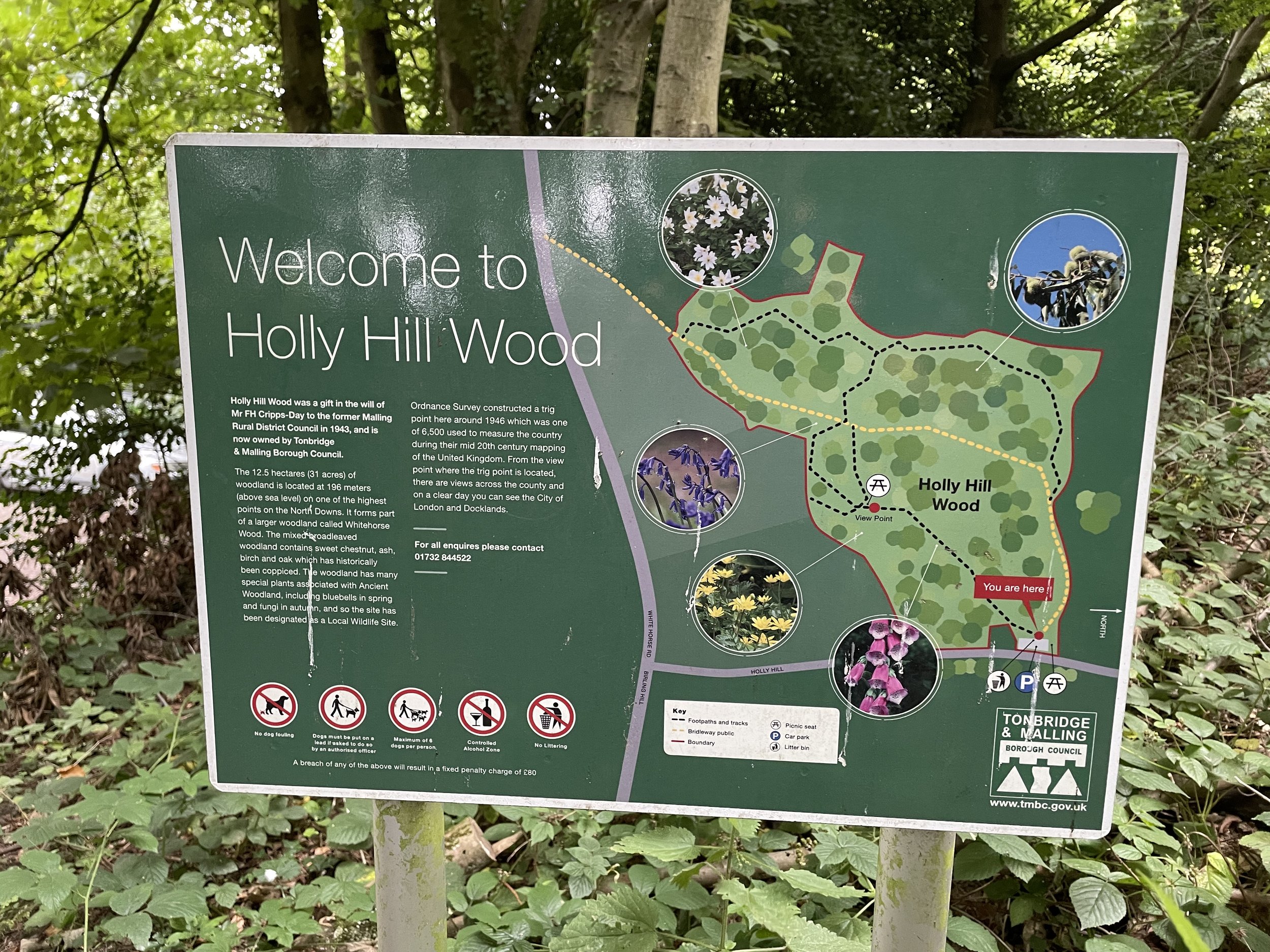
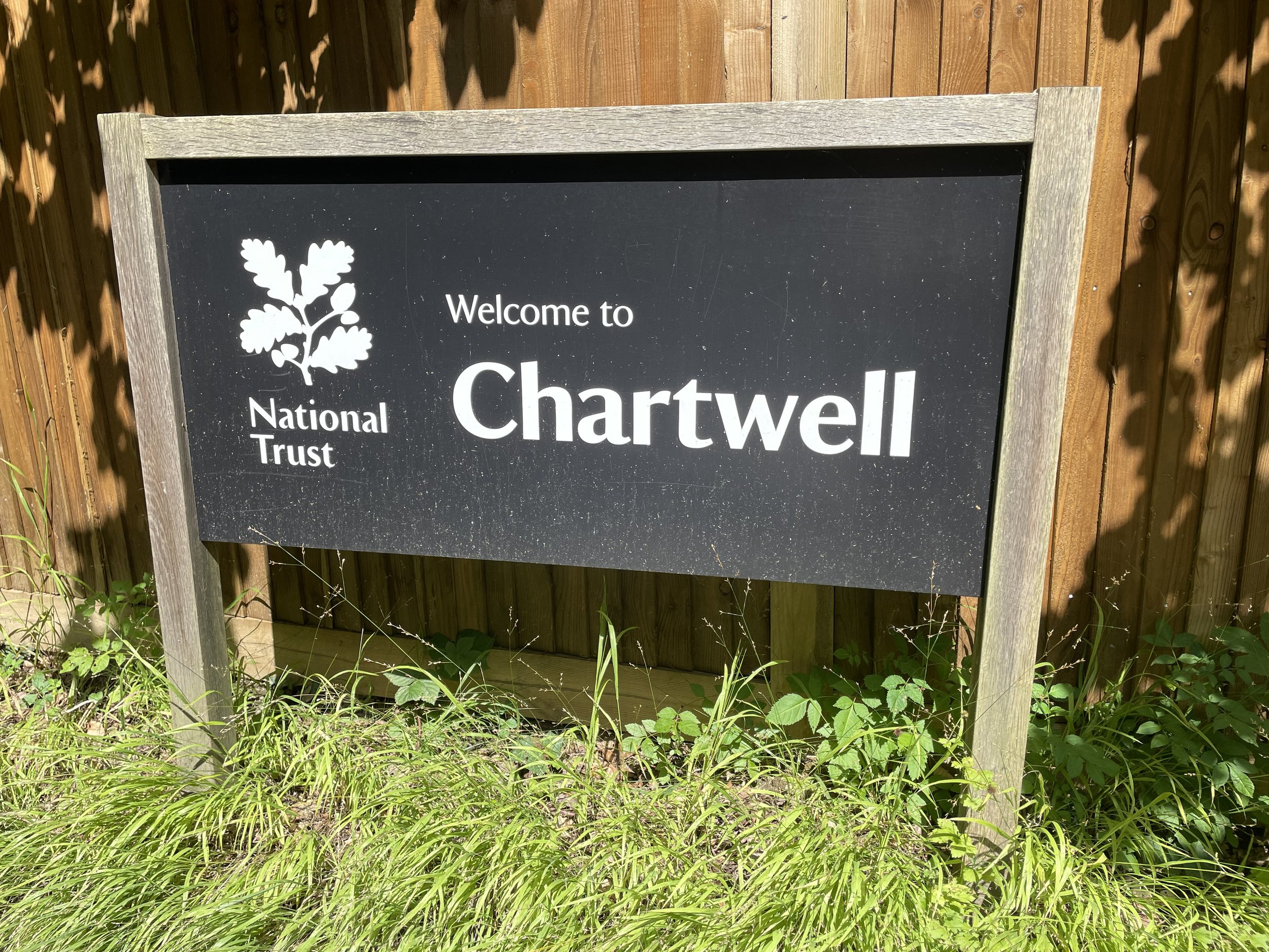
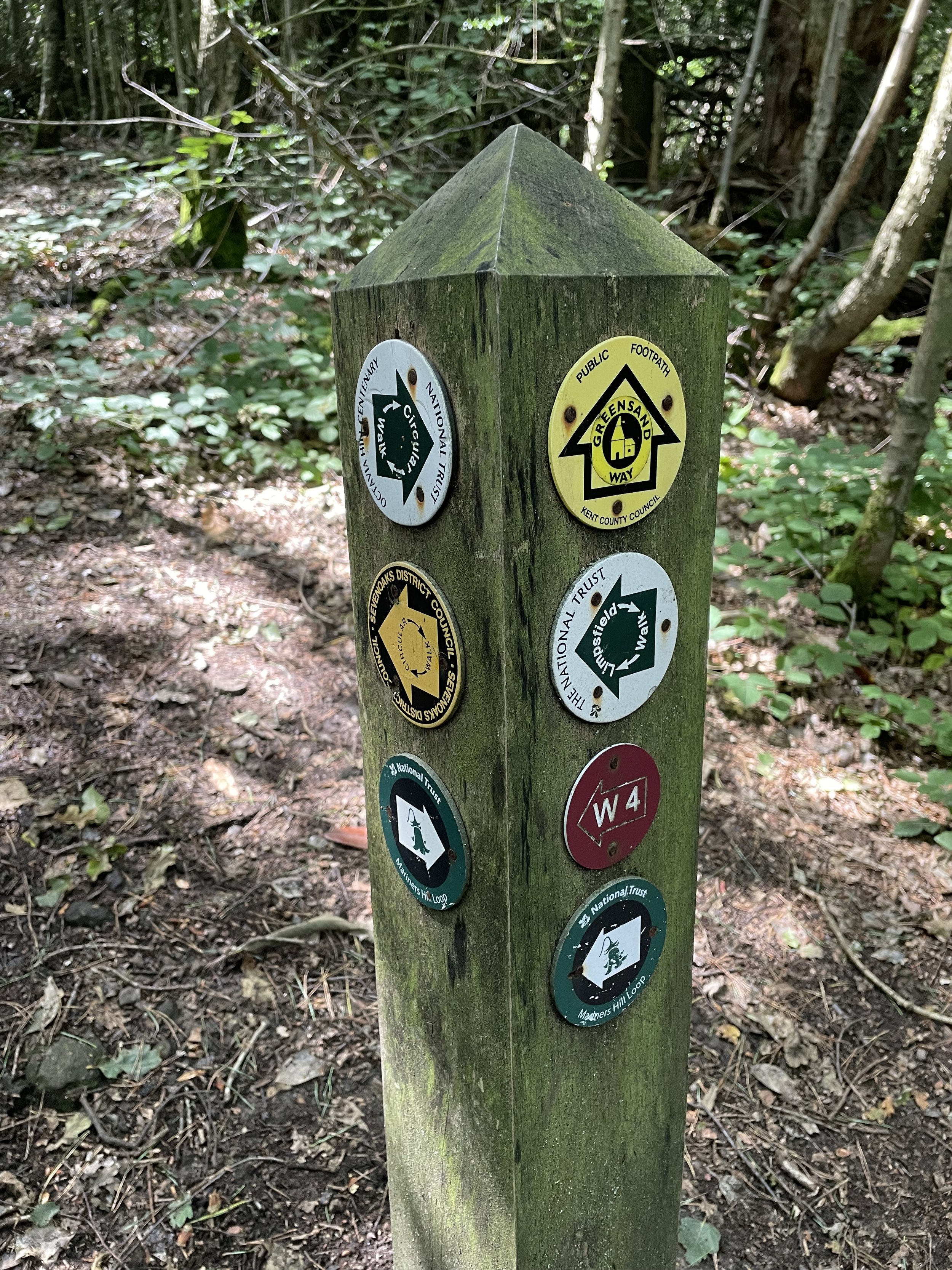
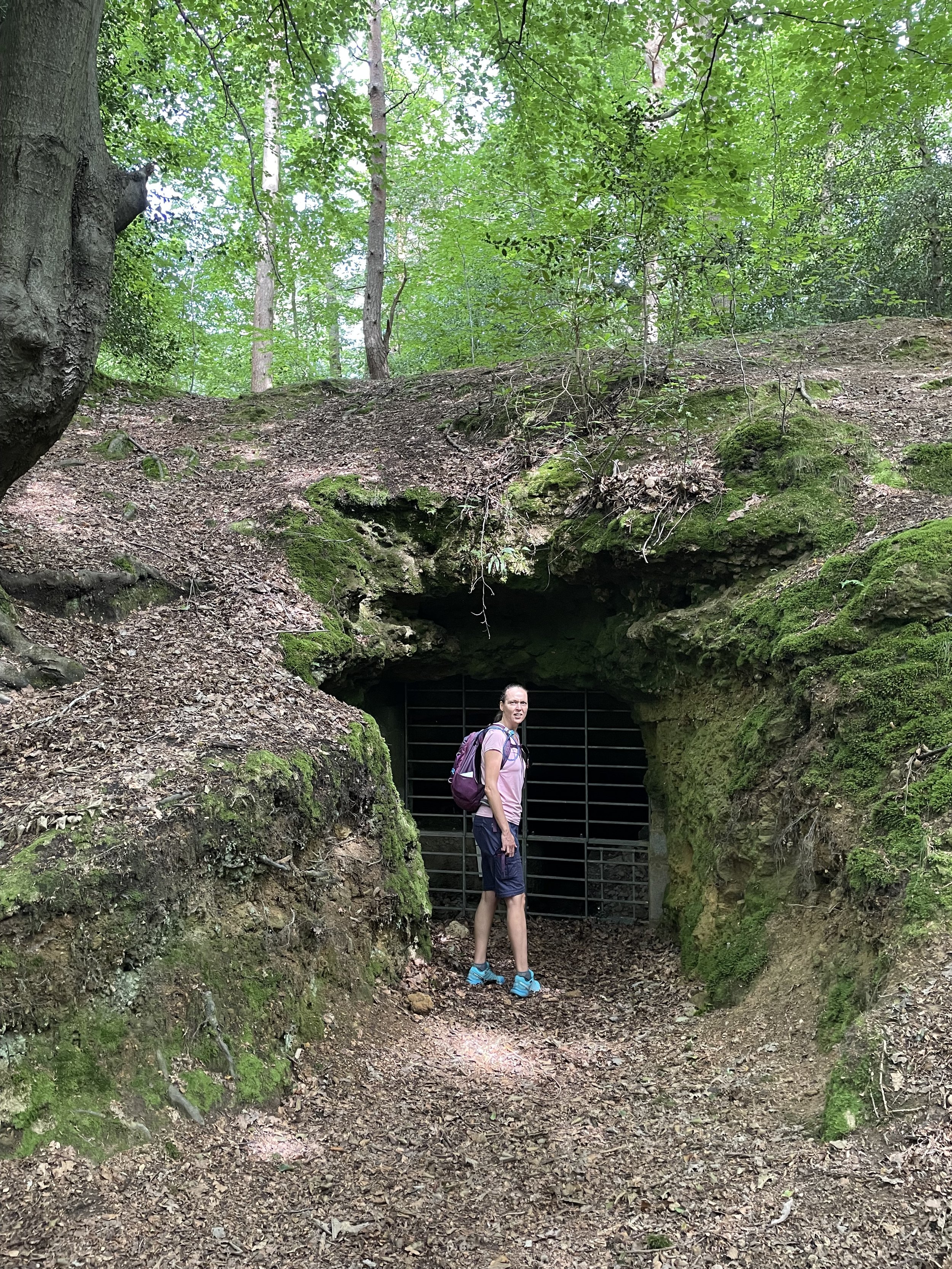
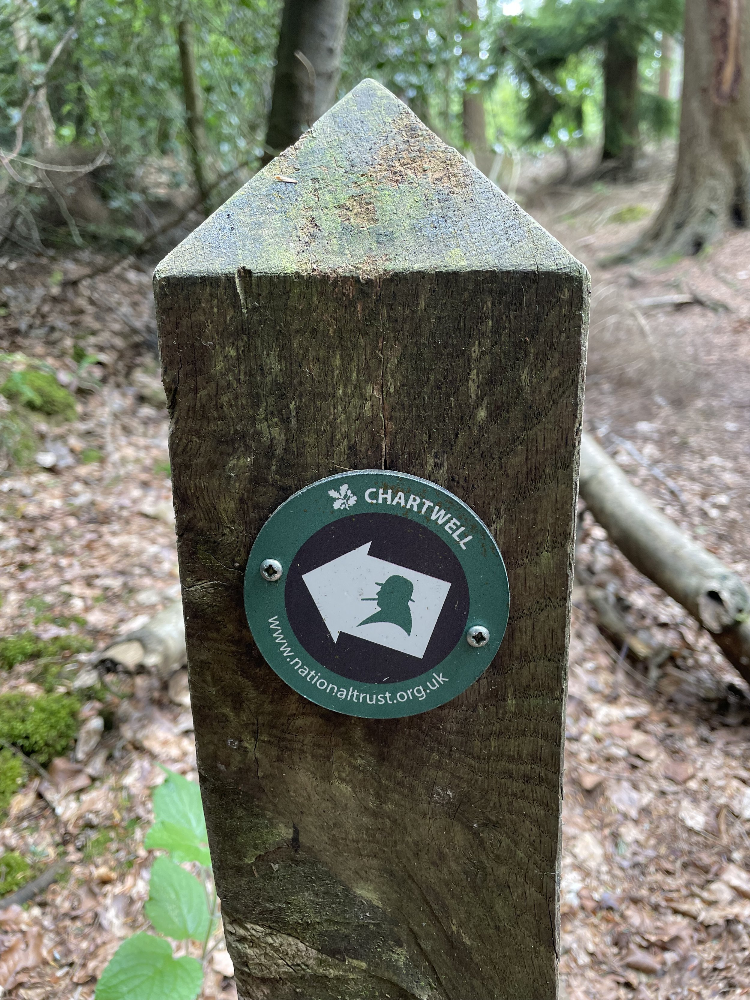
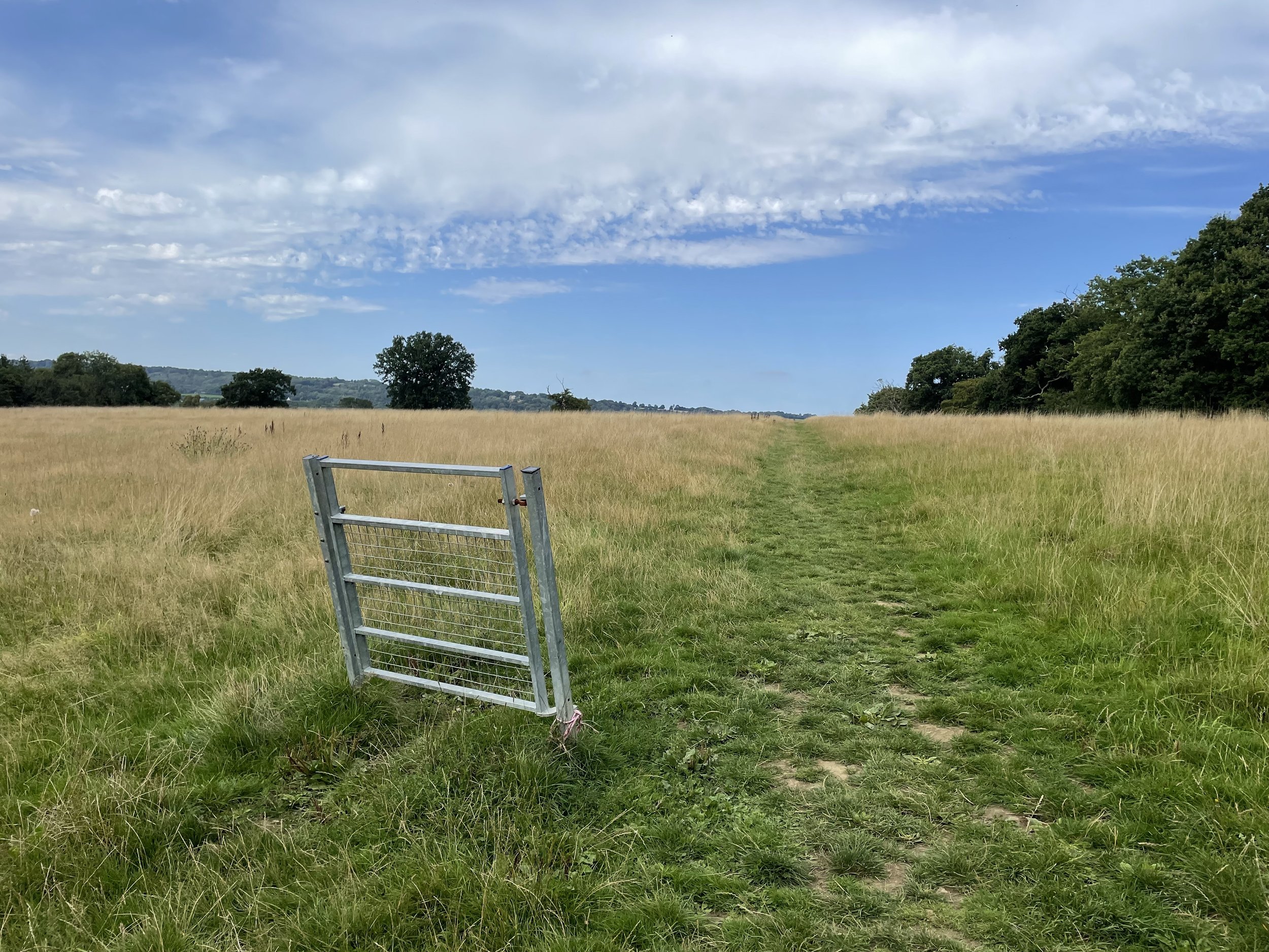
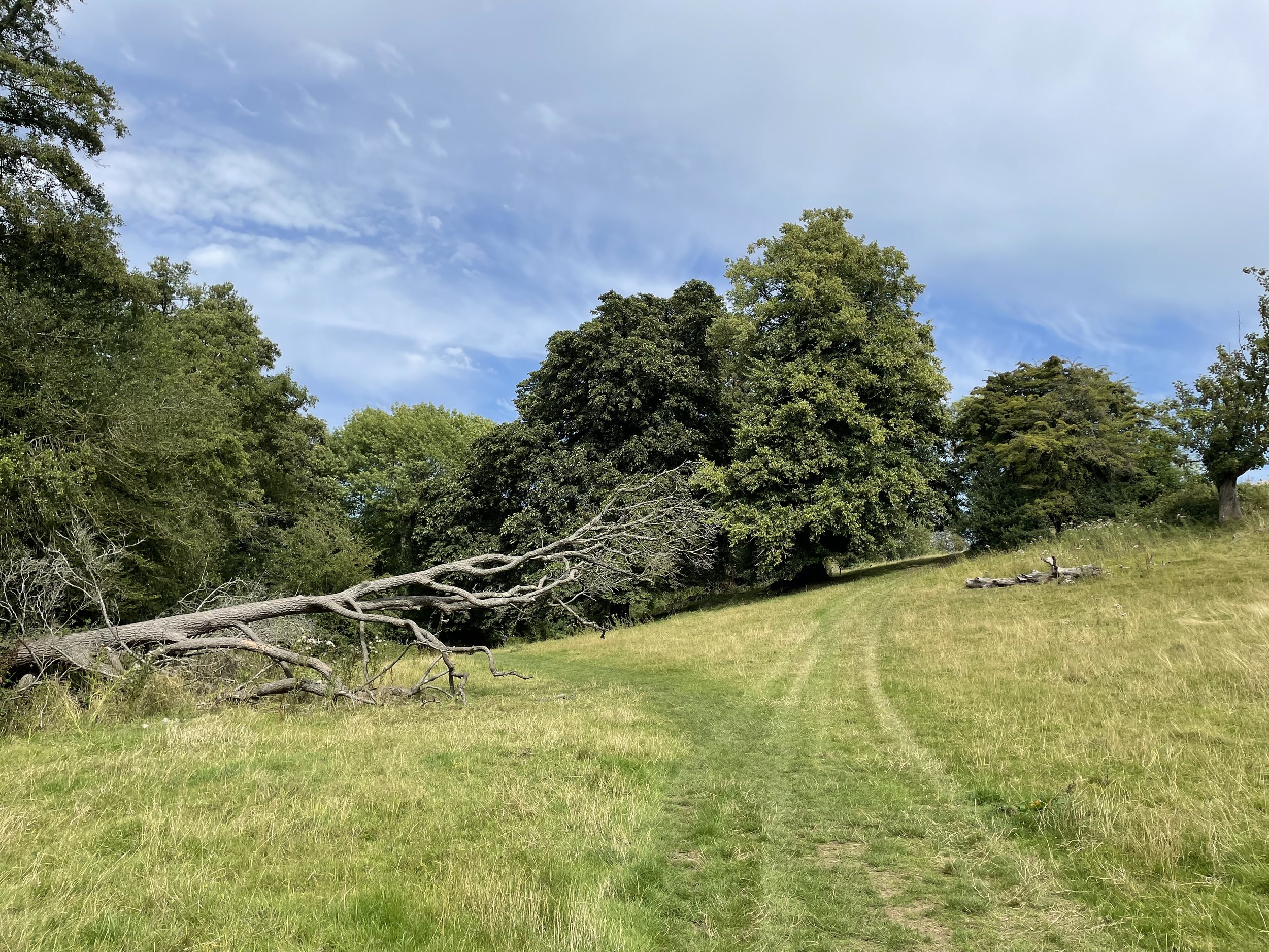
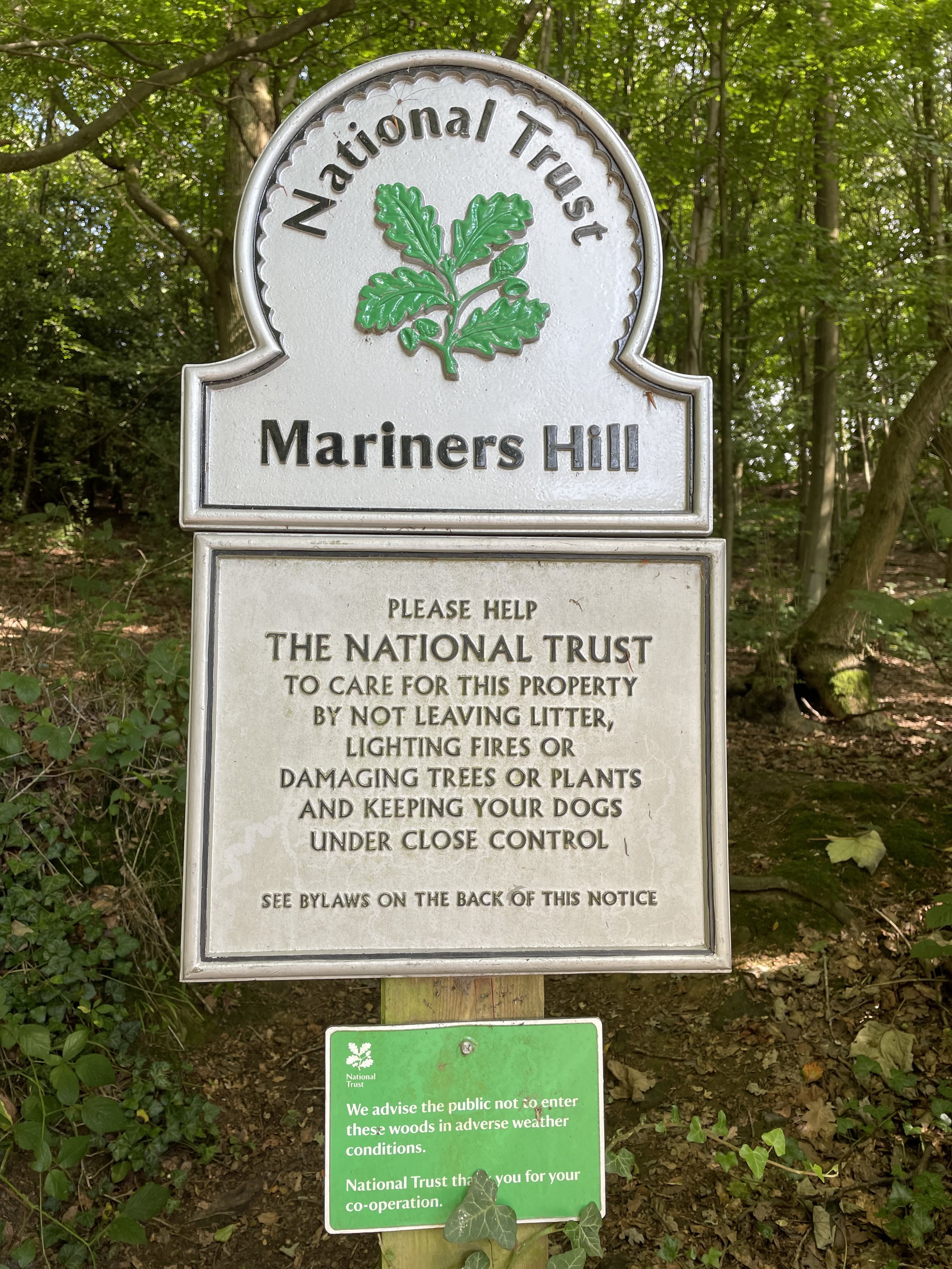
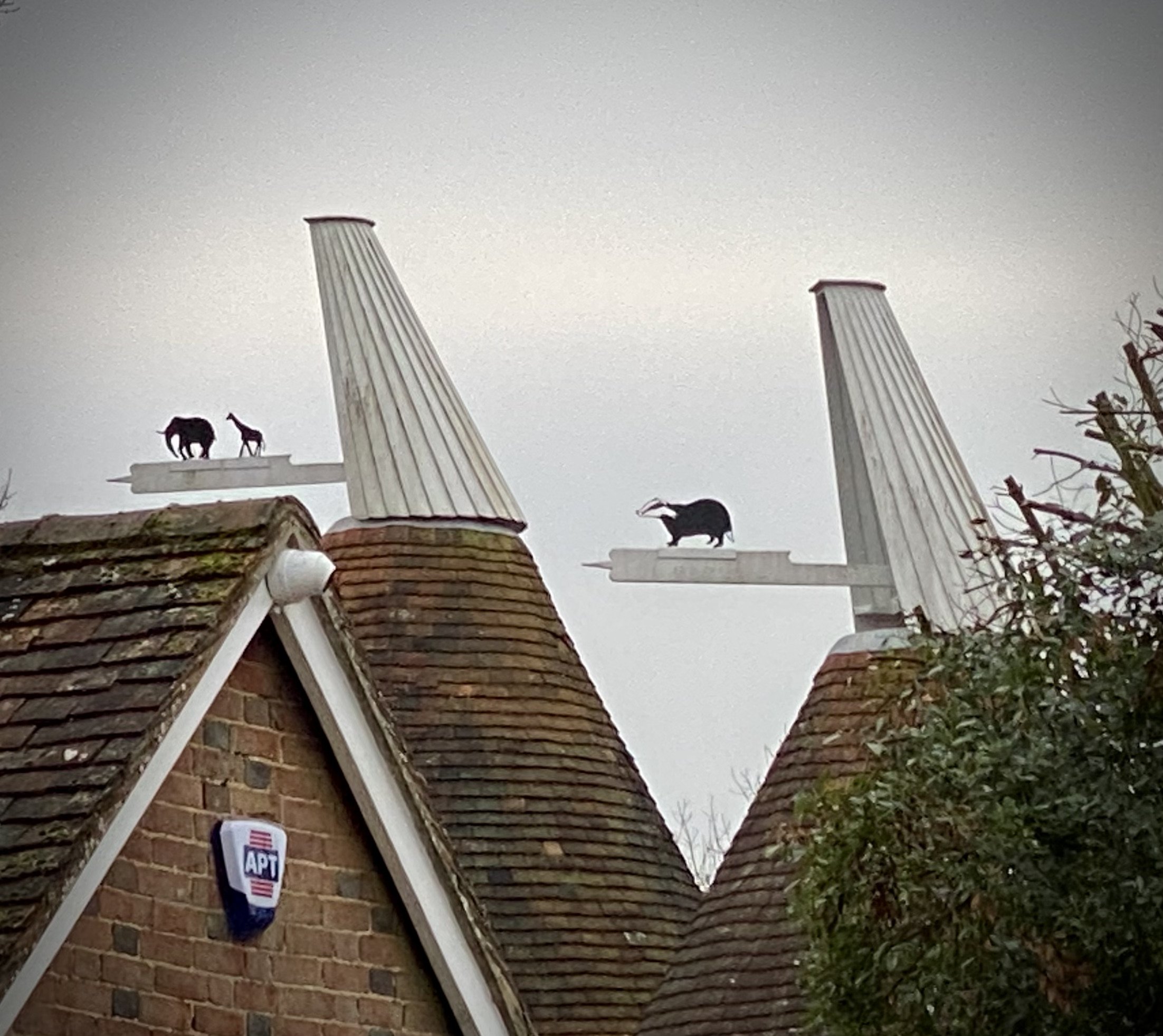
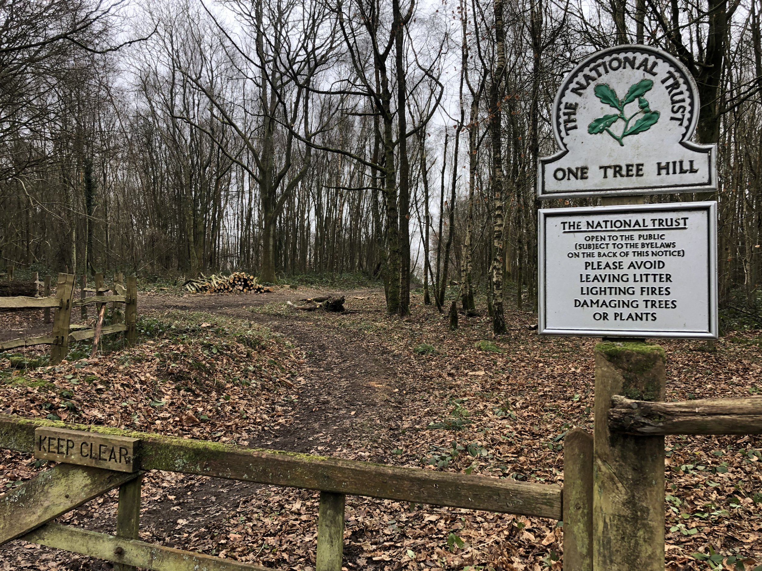
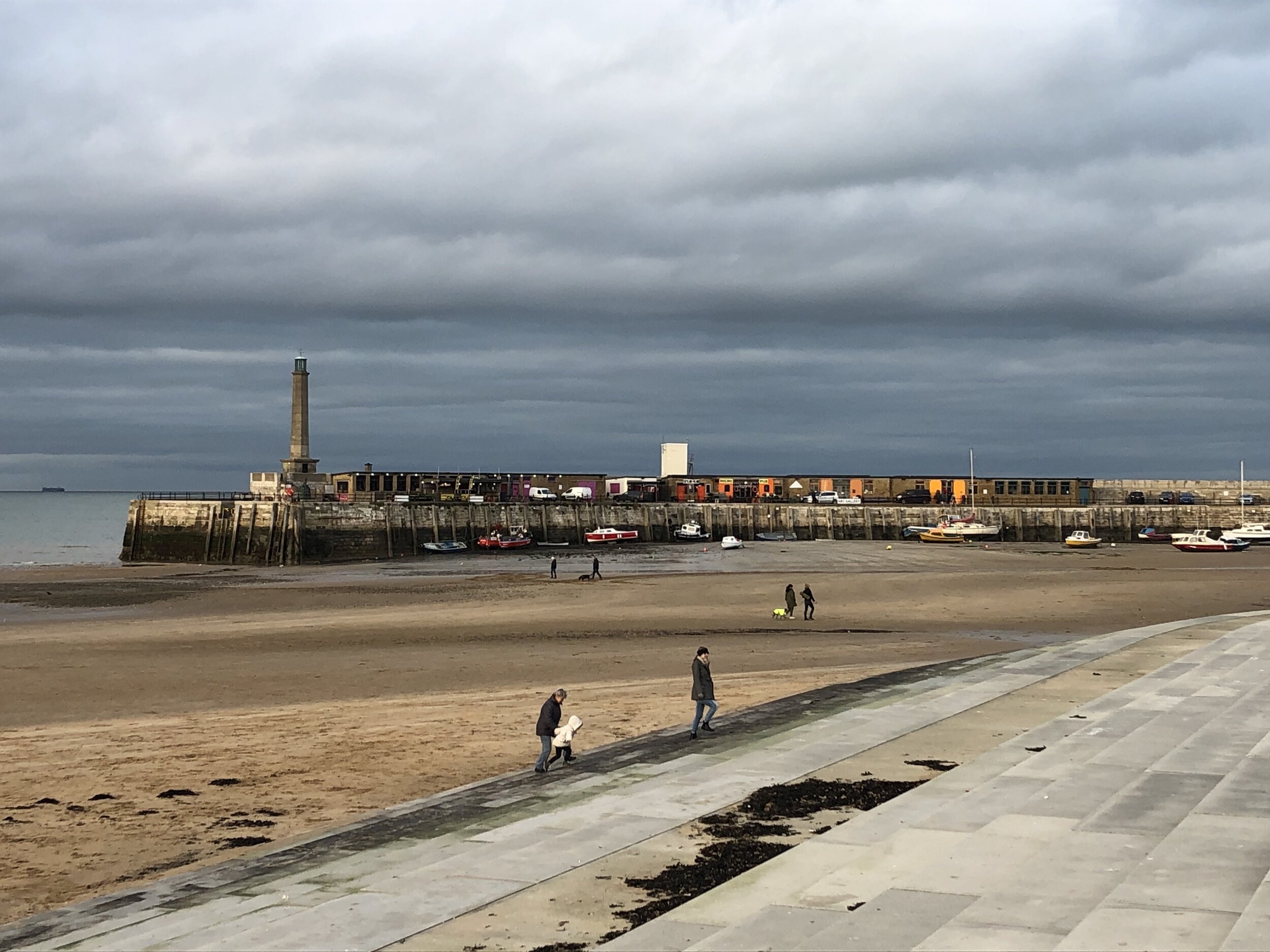
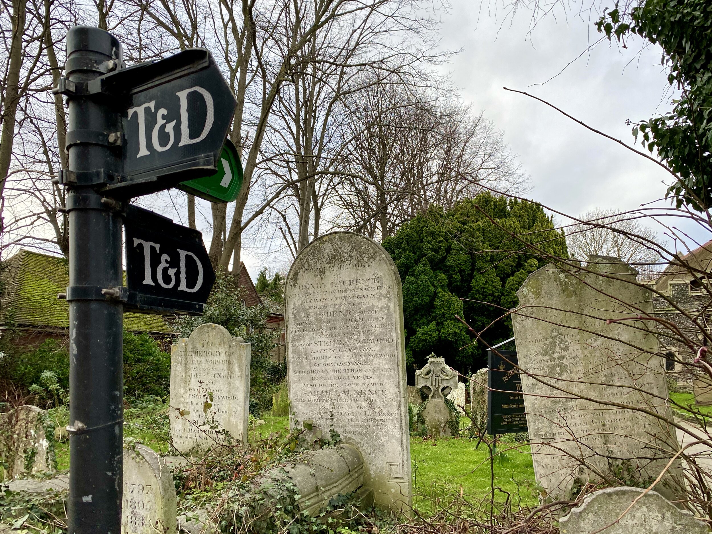
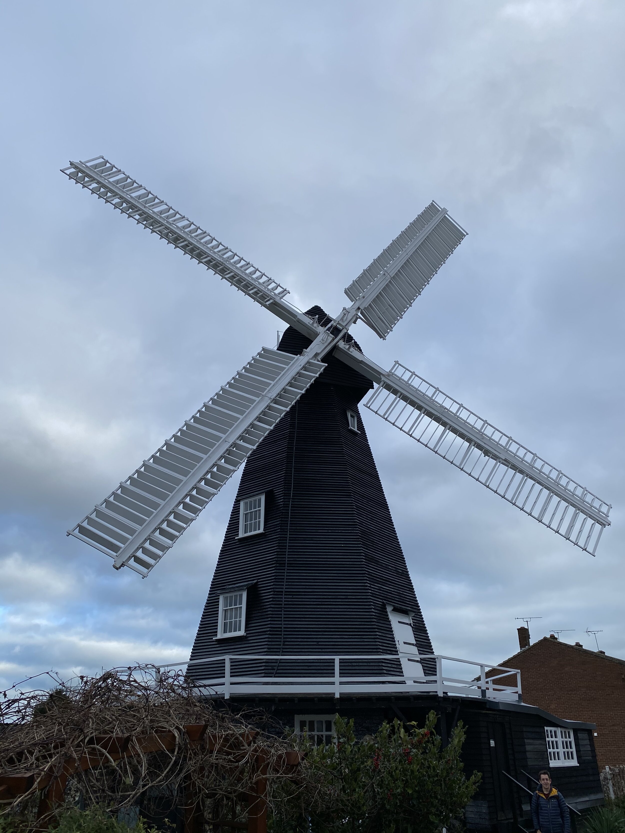
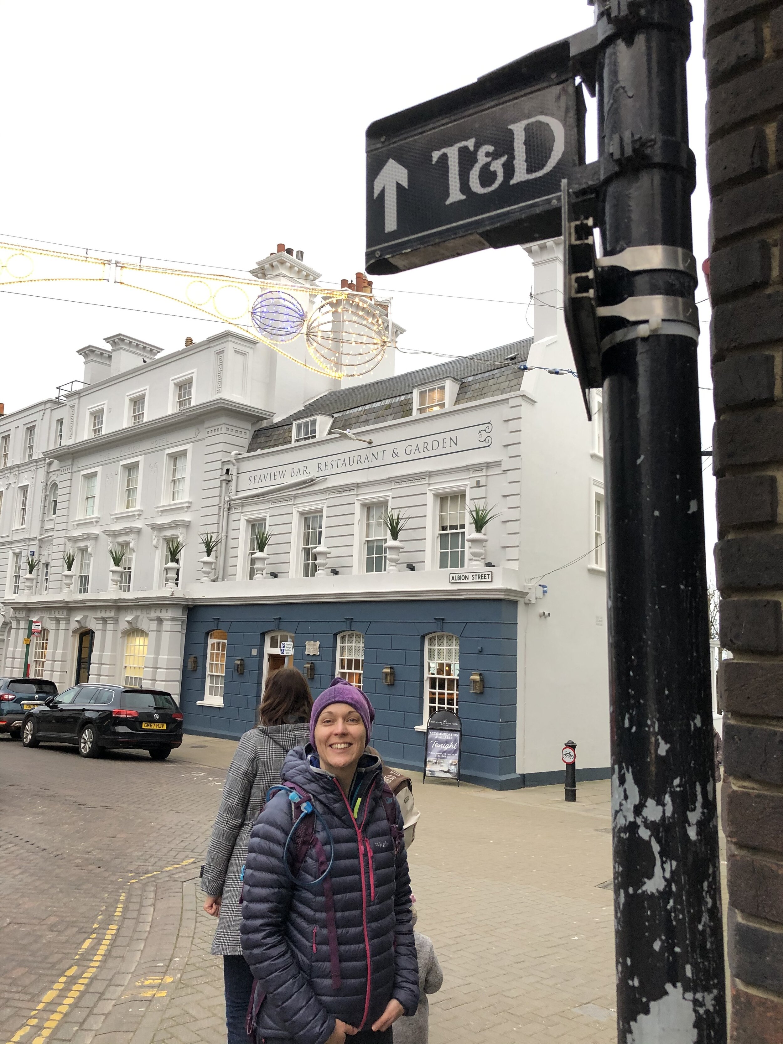
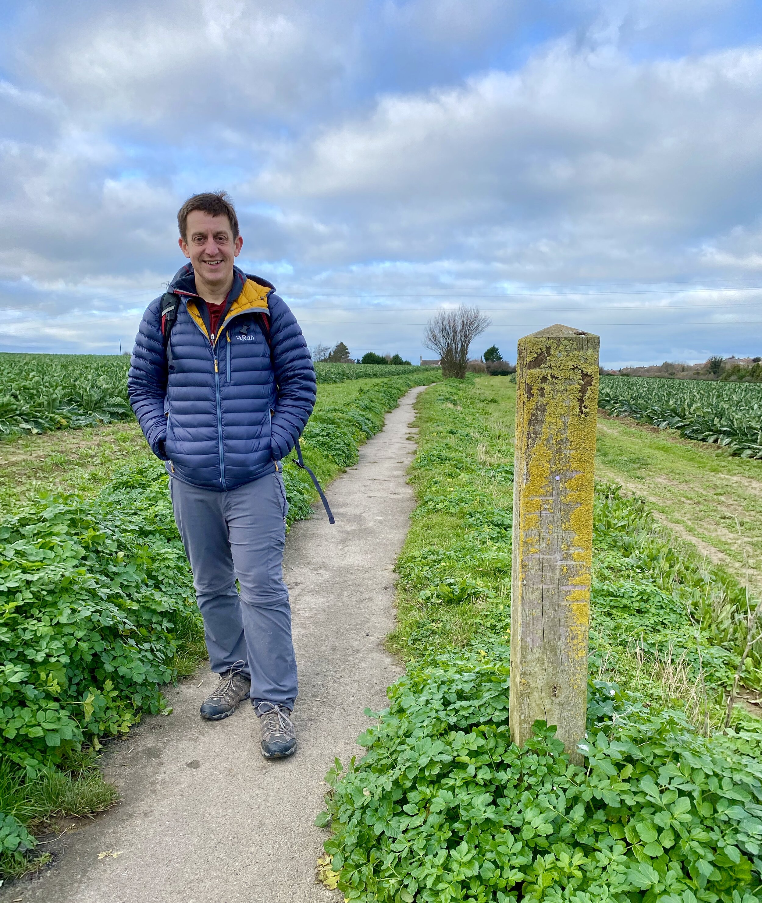
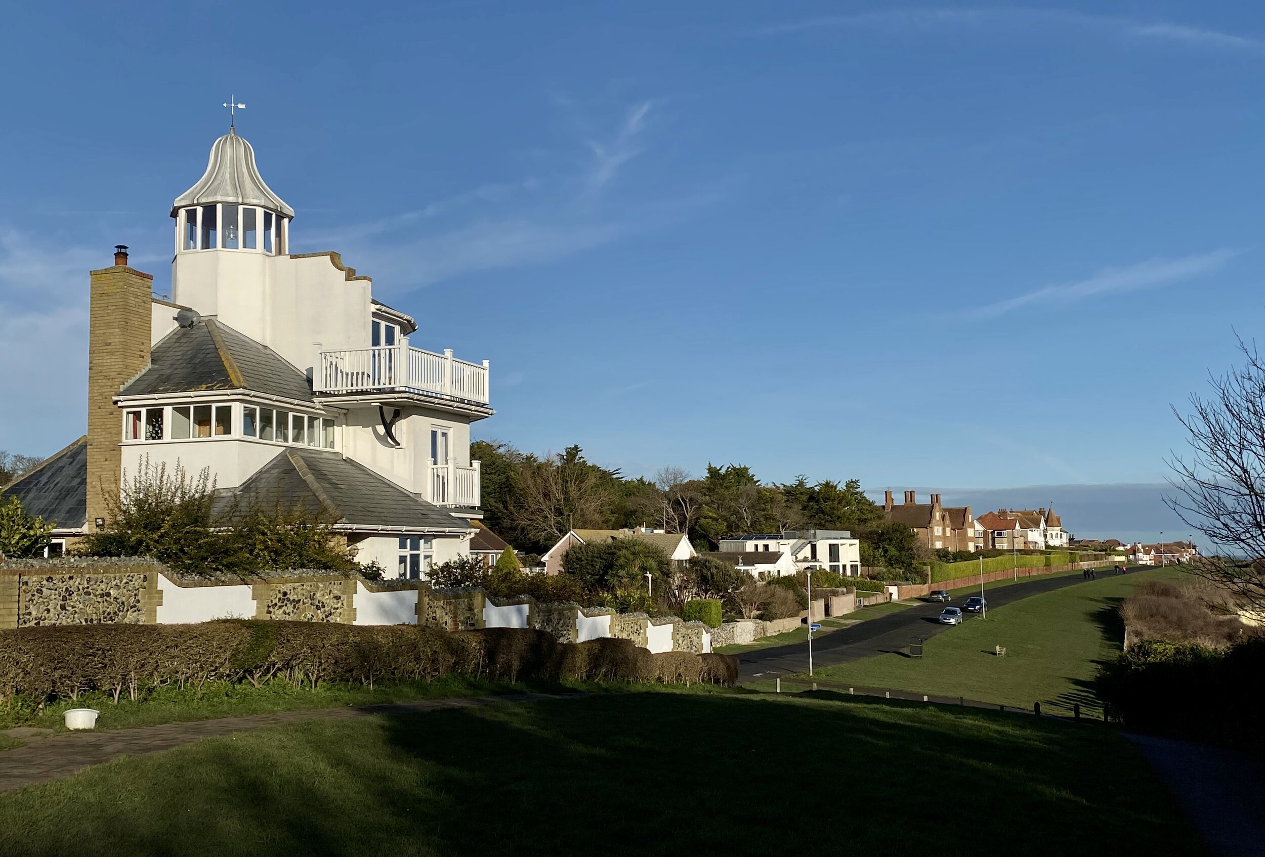
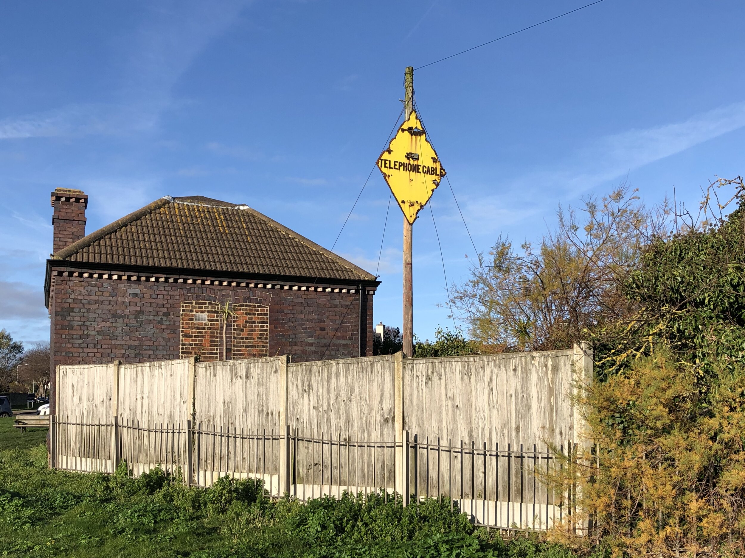
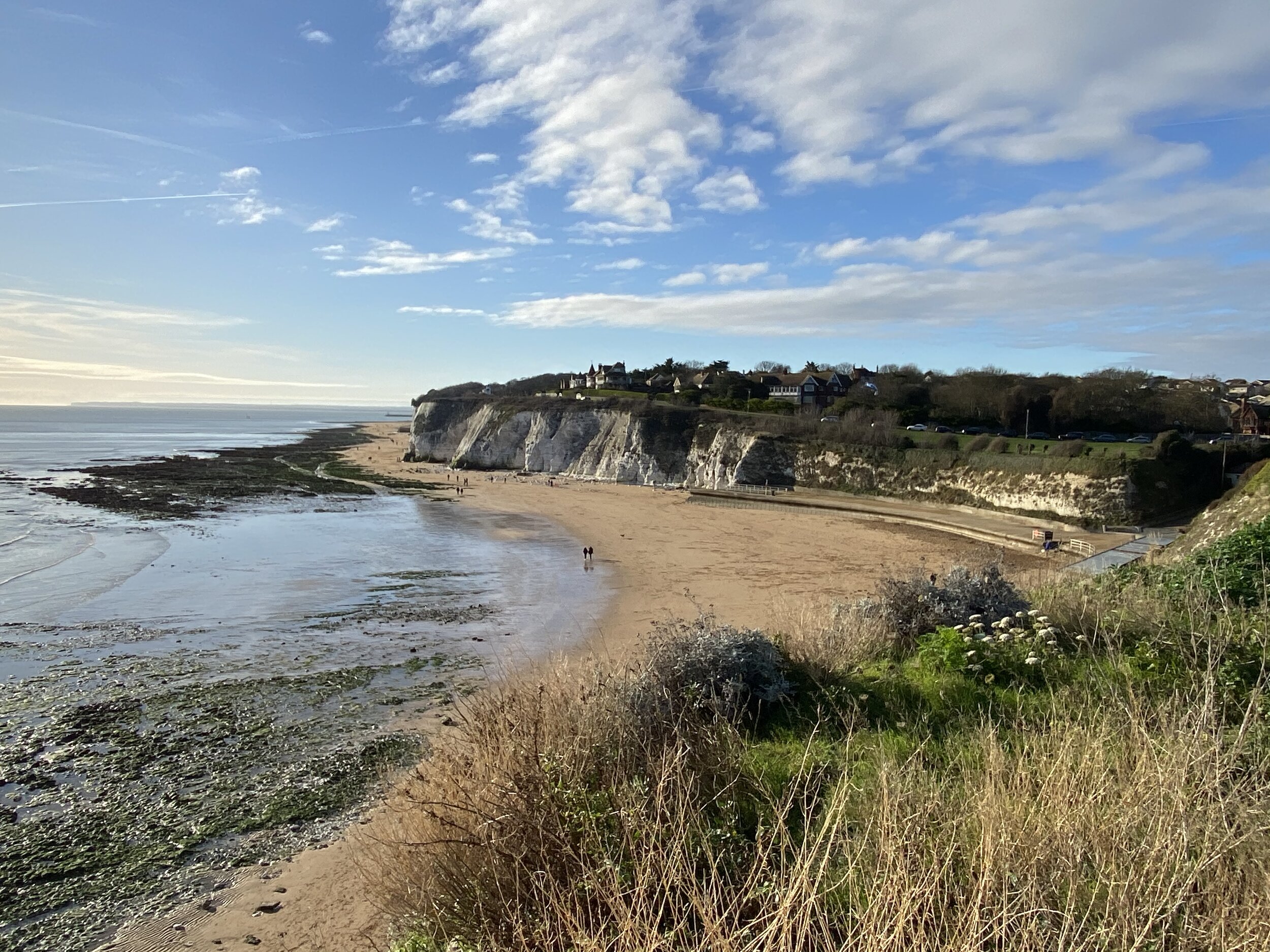
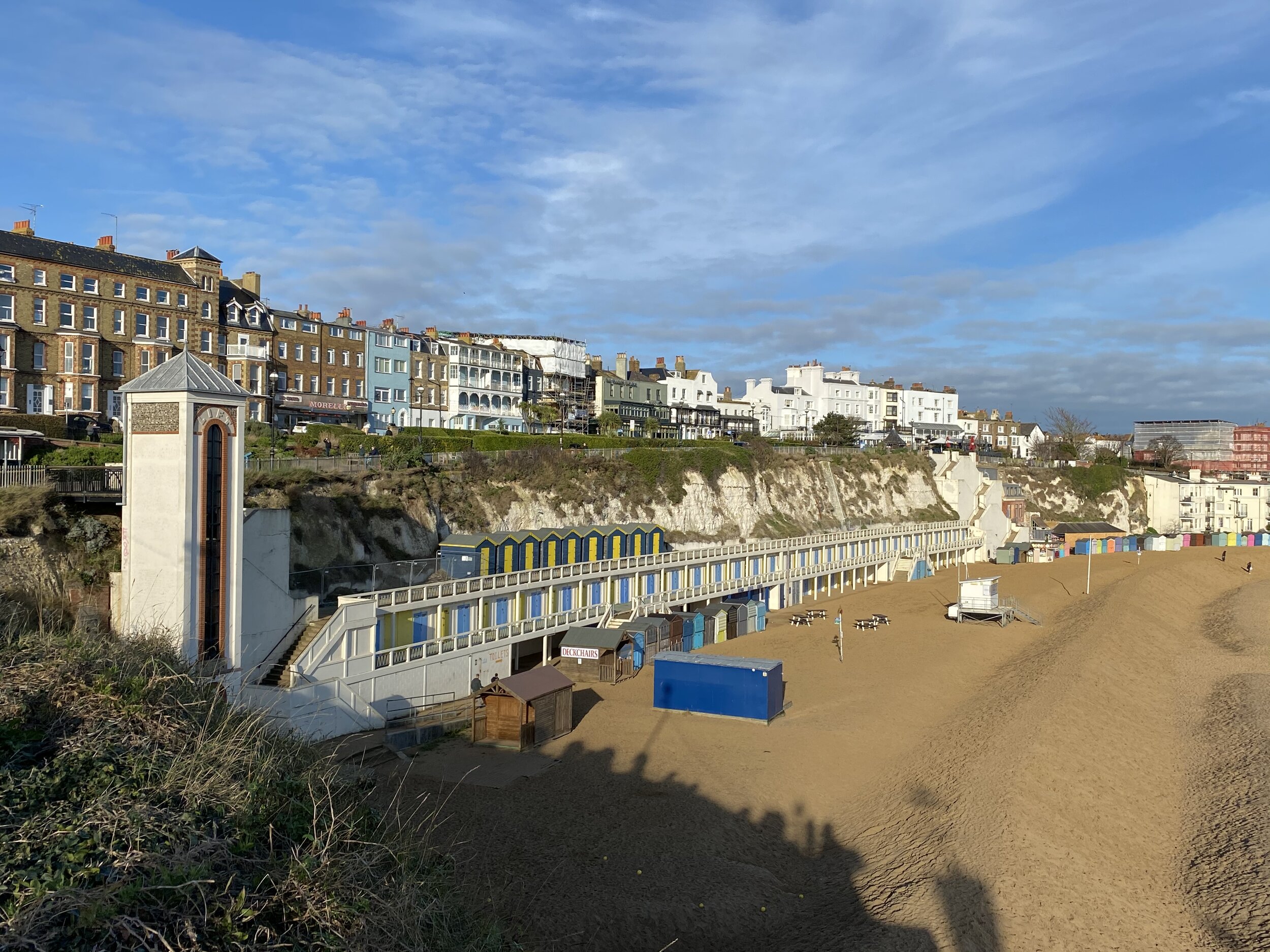
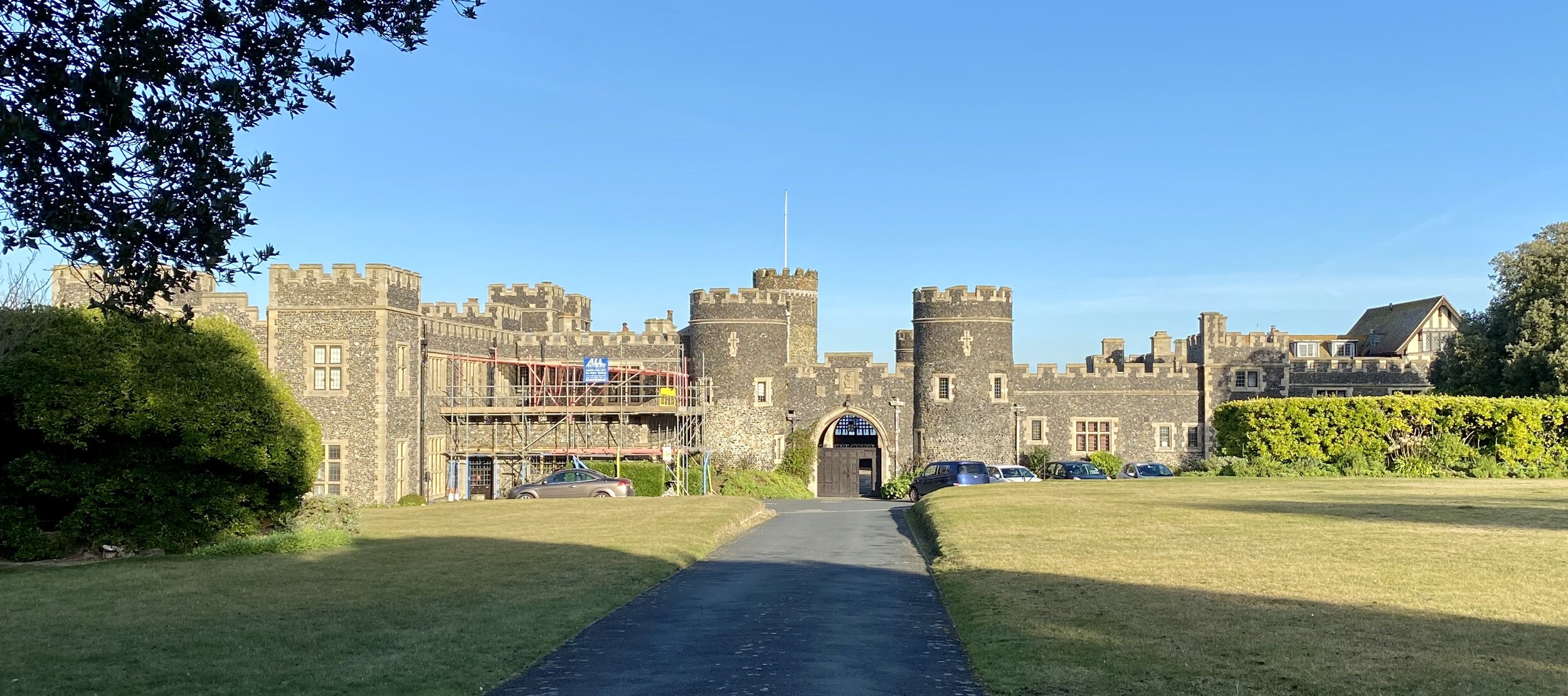
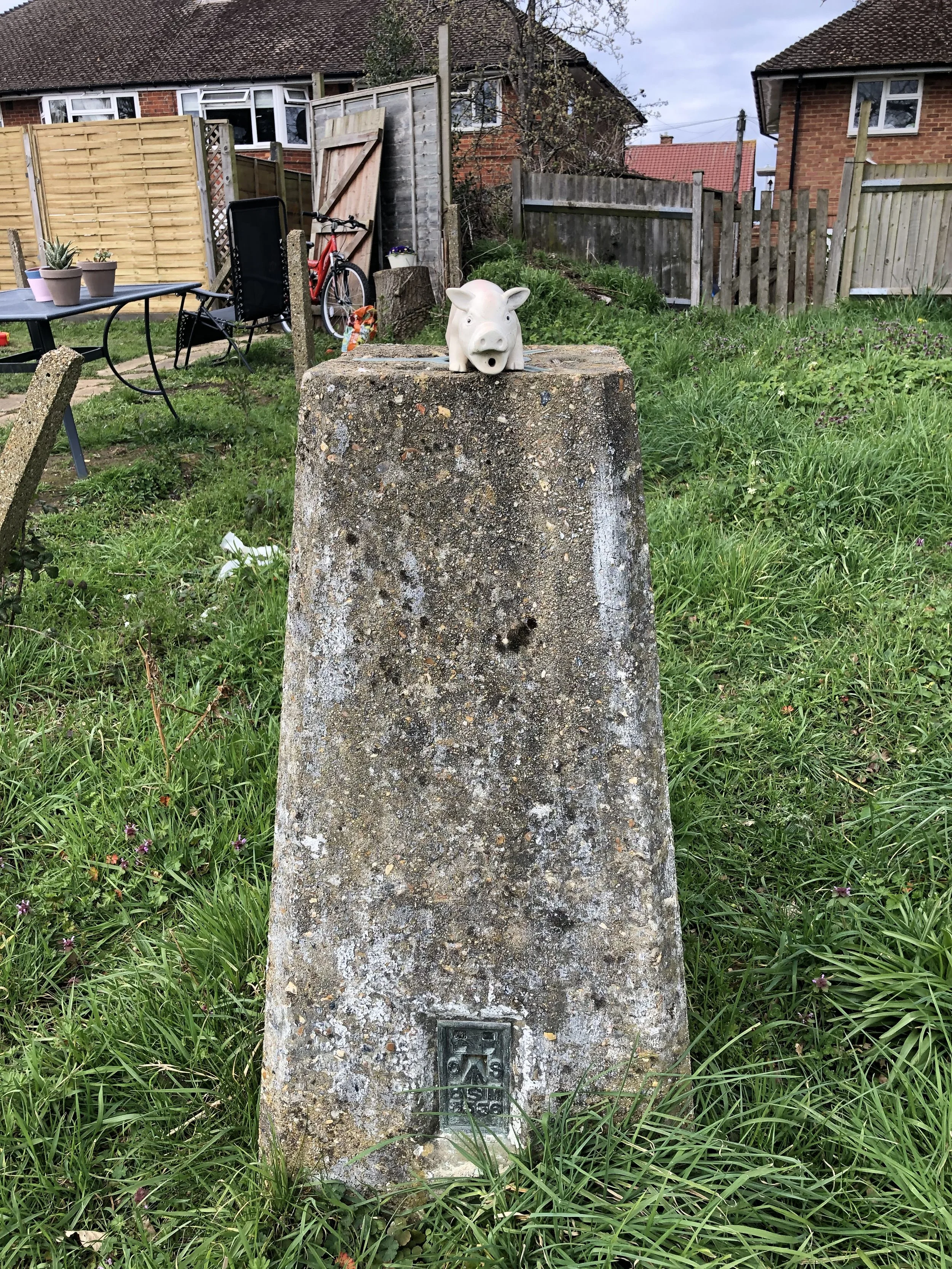
The Photos: Greater London Trig Pillars
No photo for TP5676 - Riddles Down


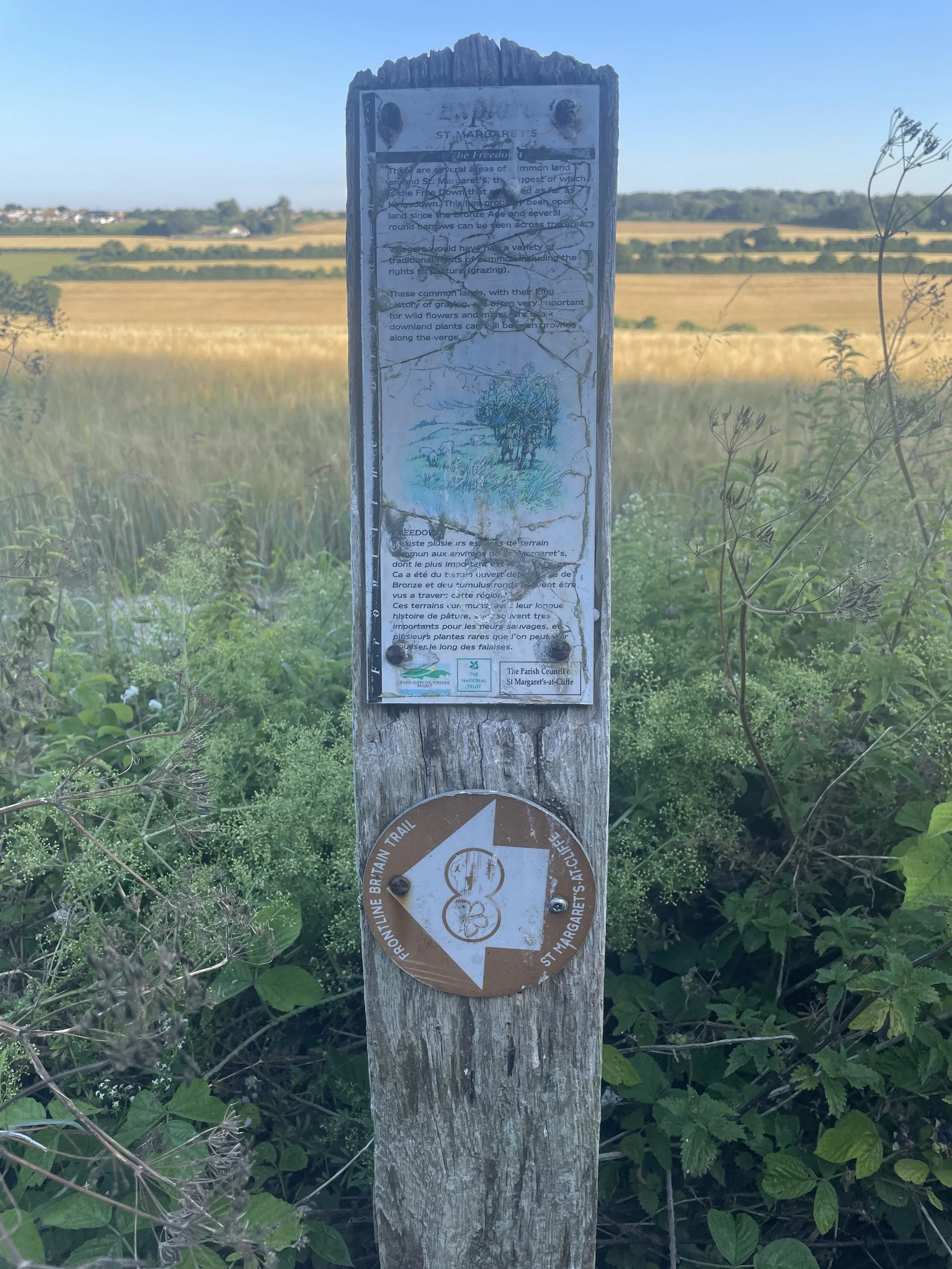
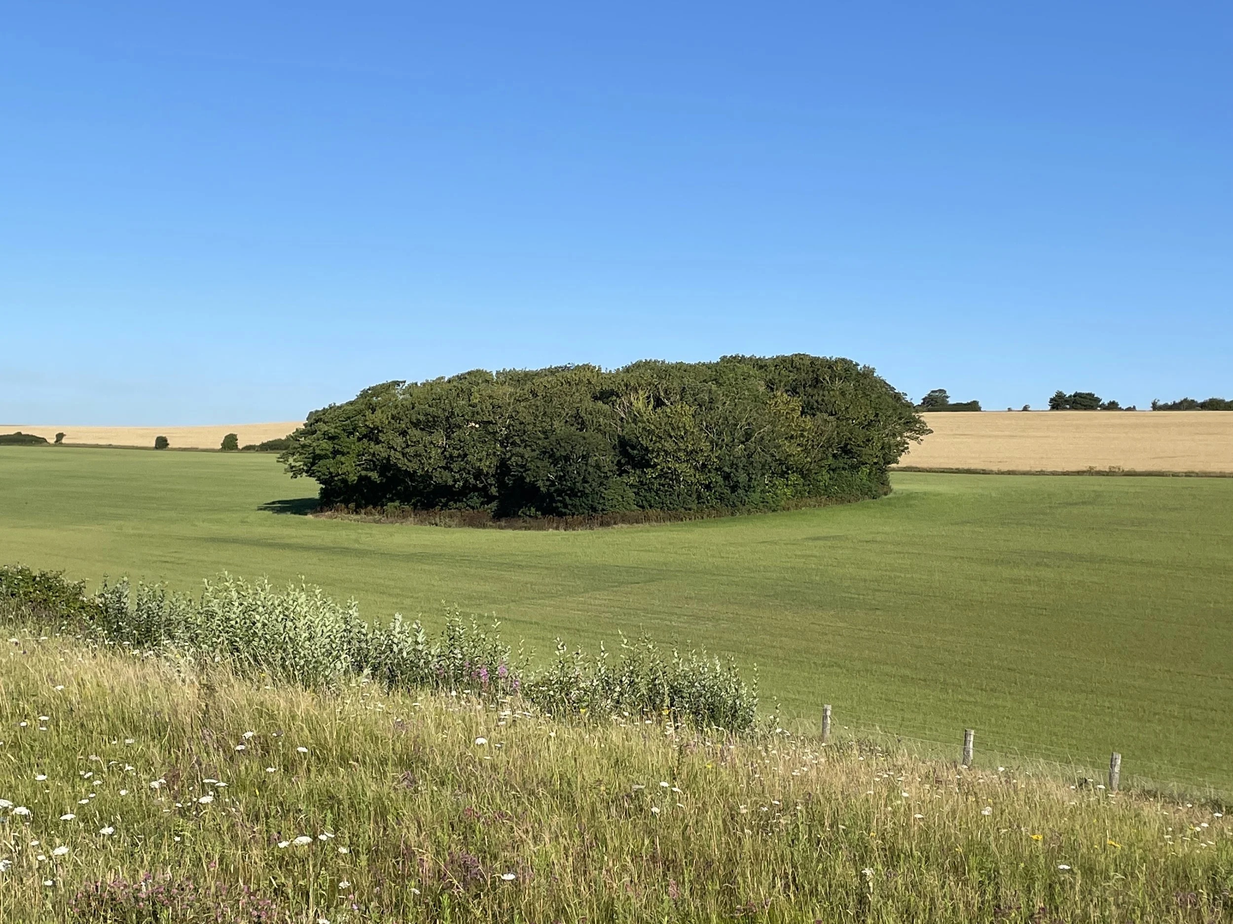
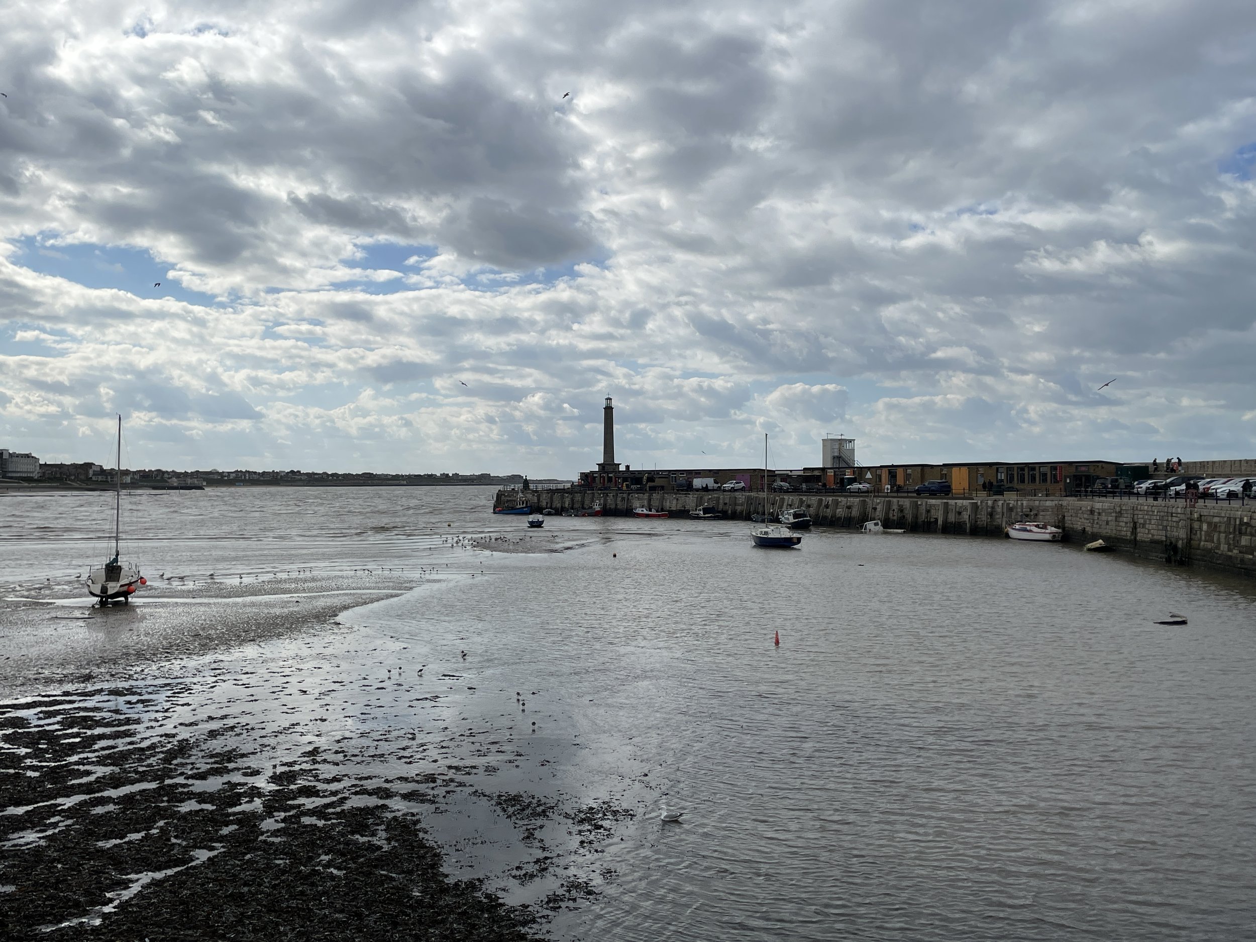
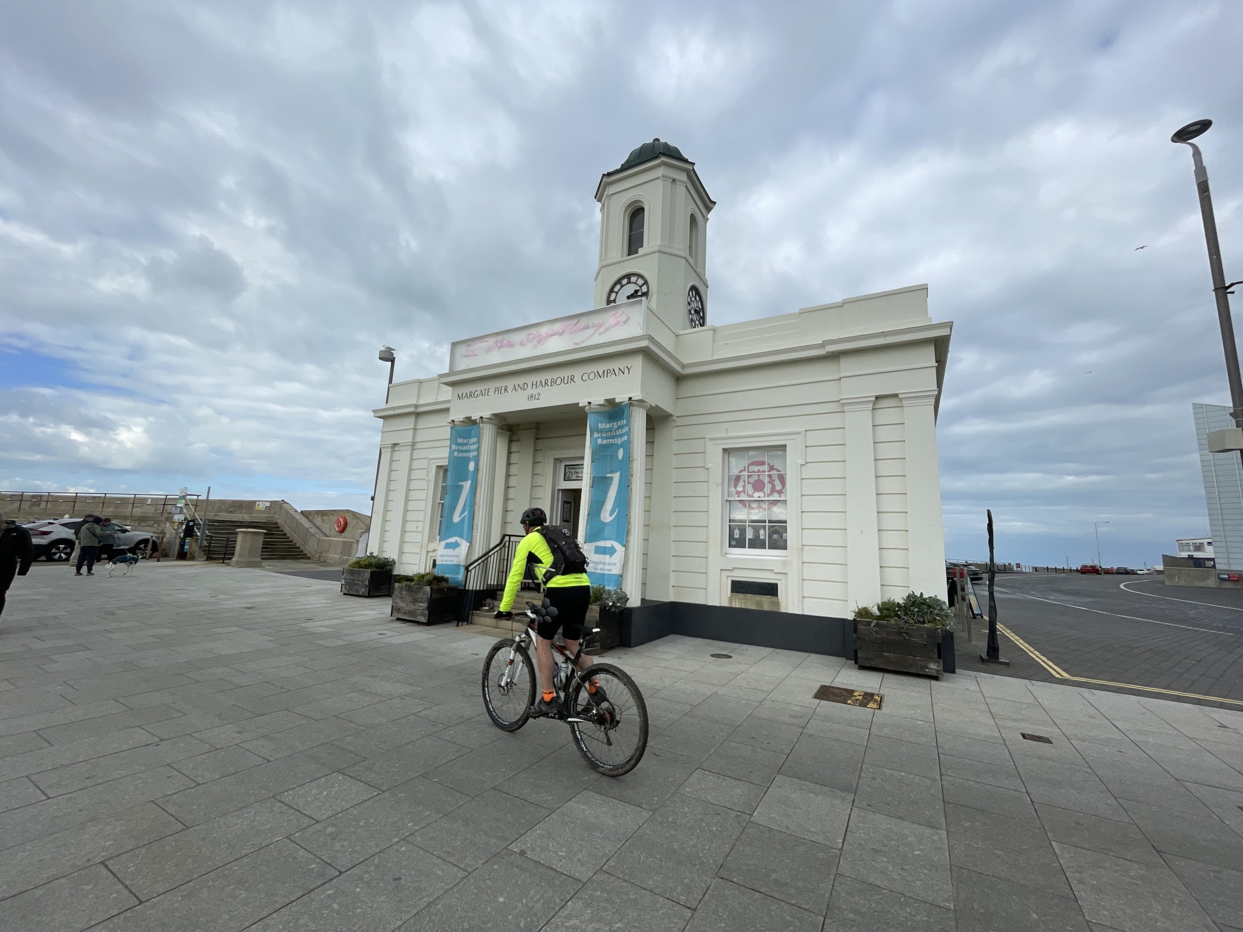
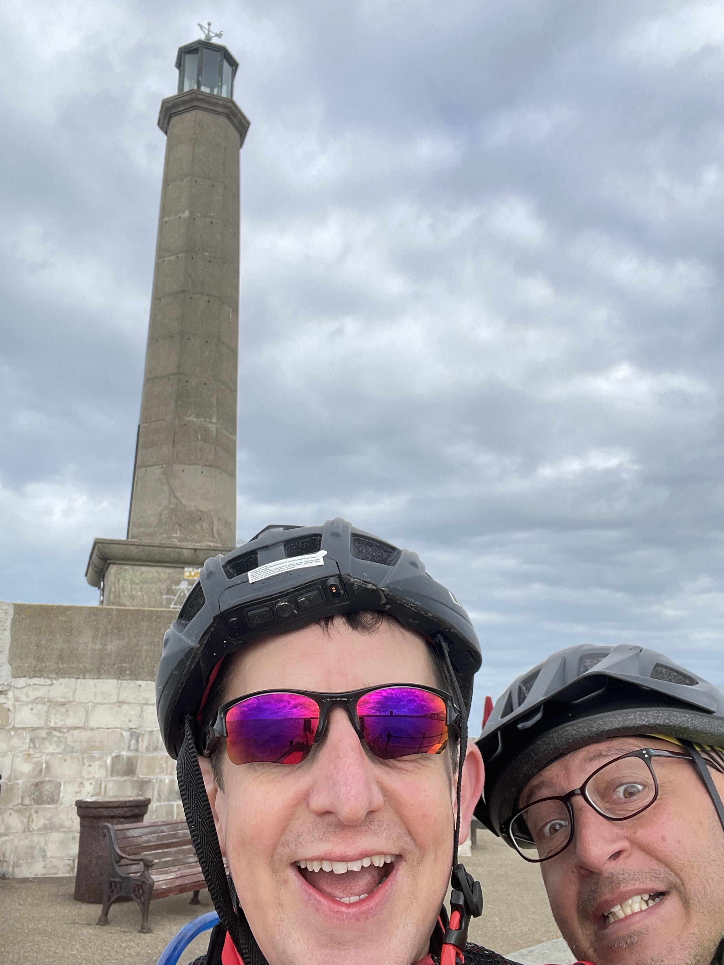
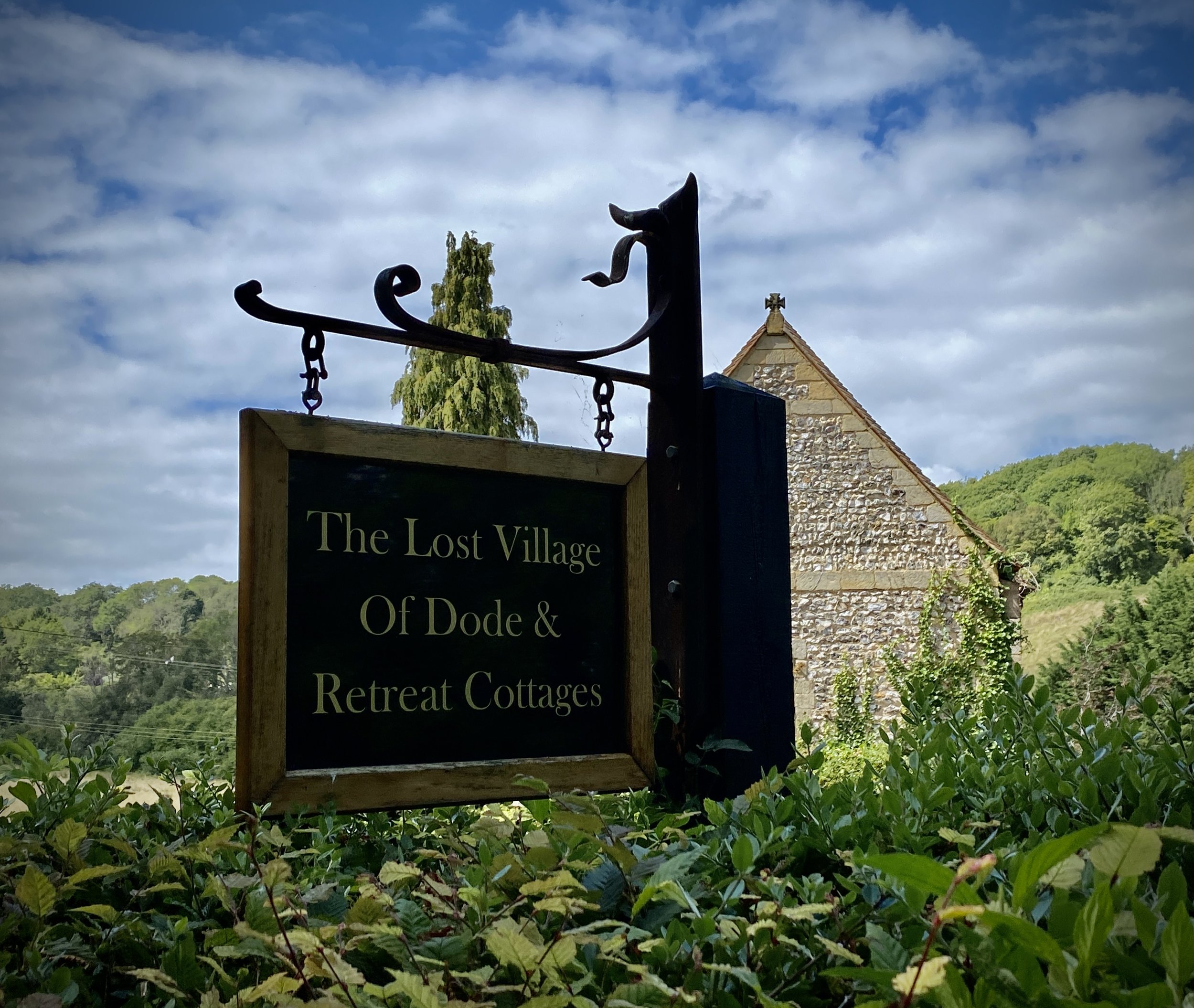
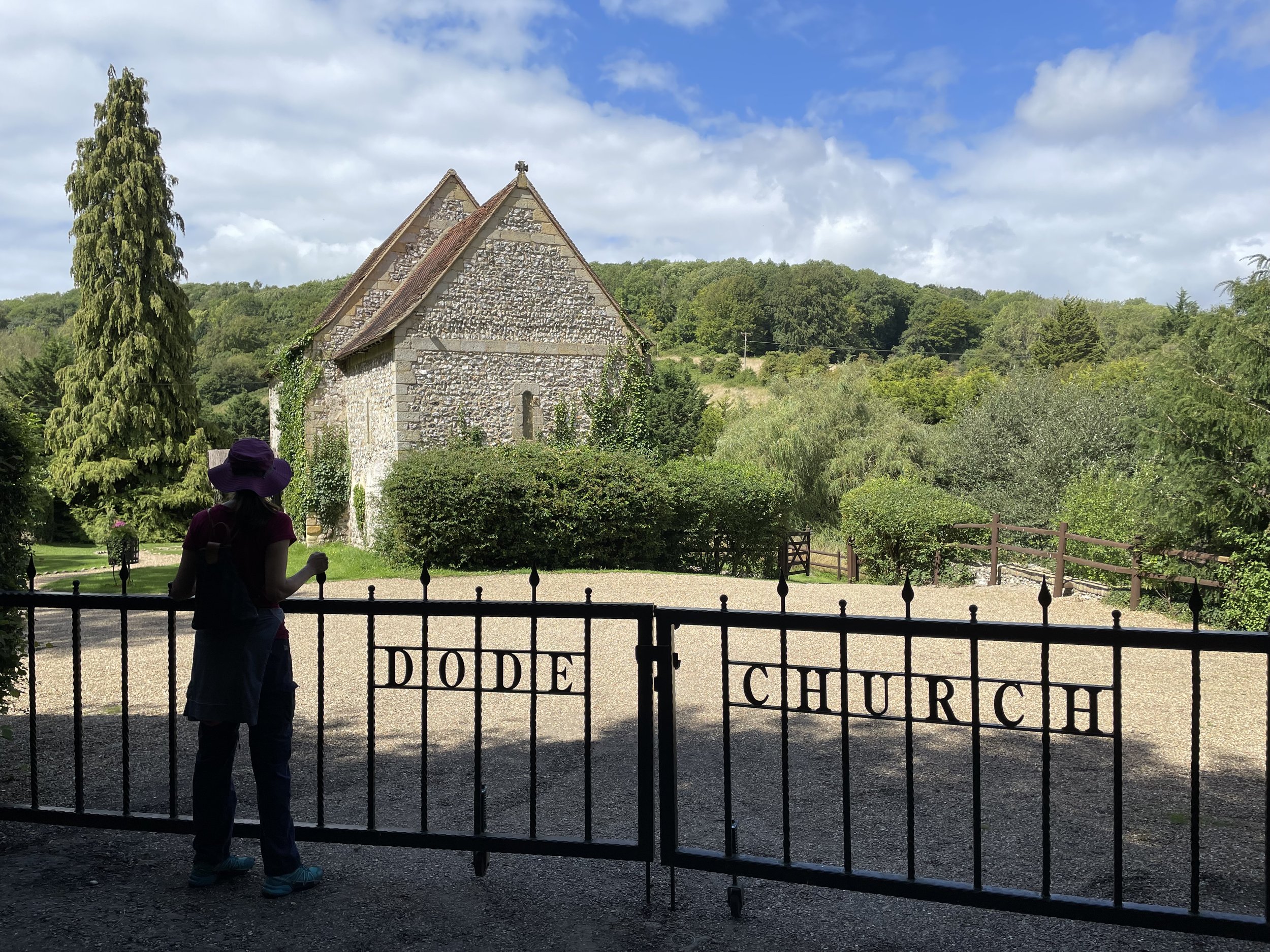
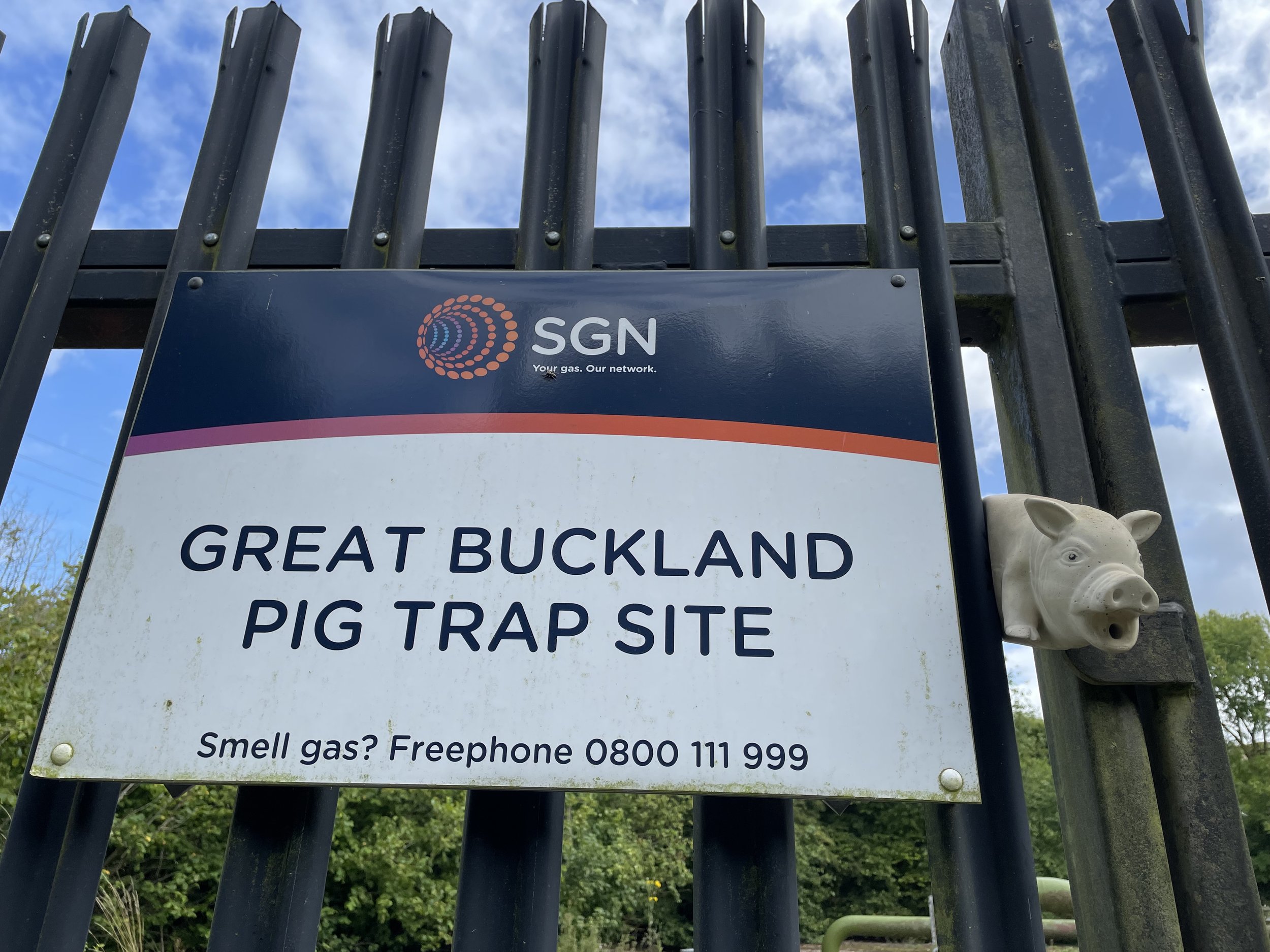
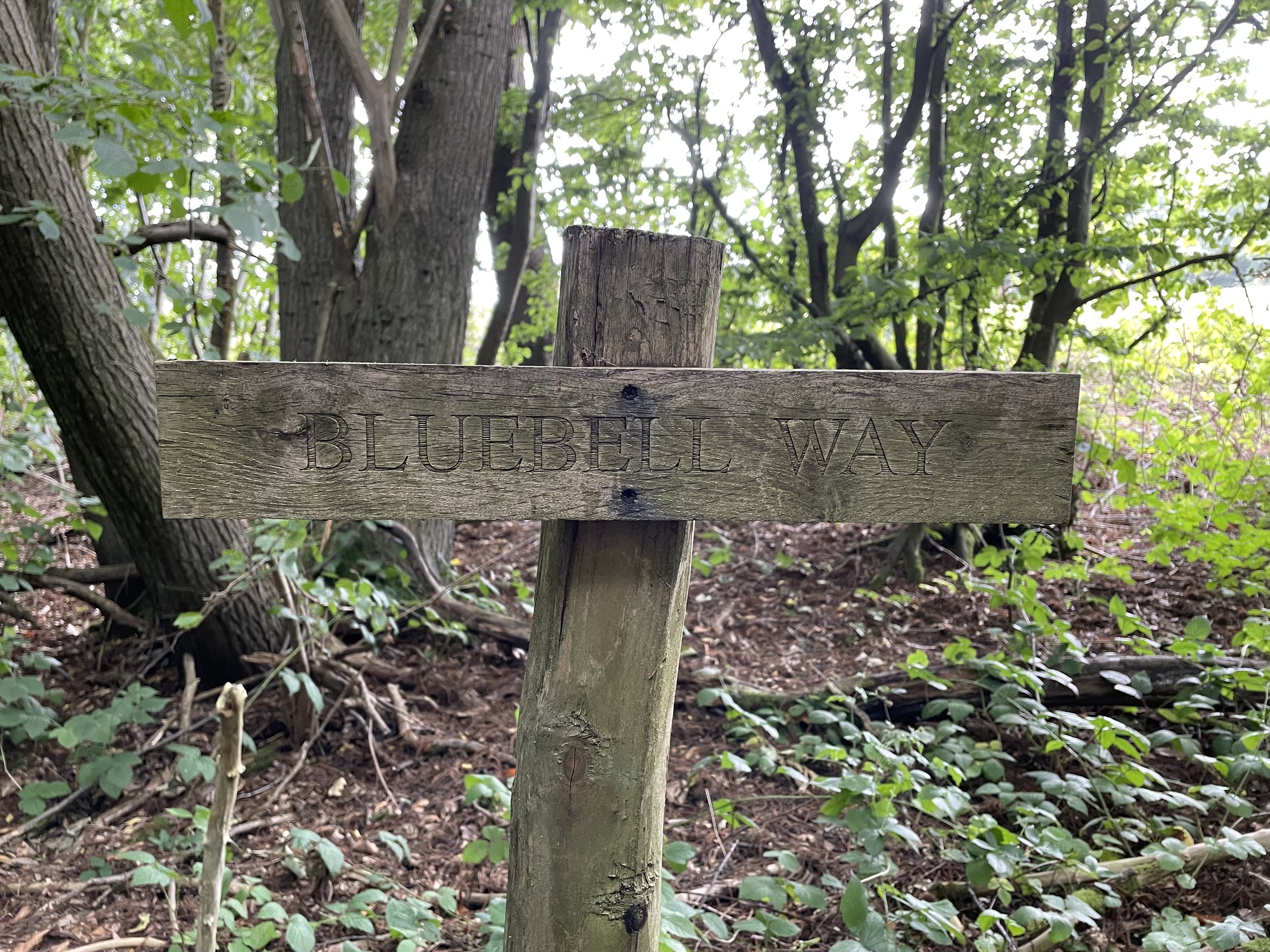
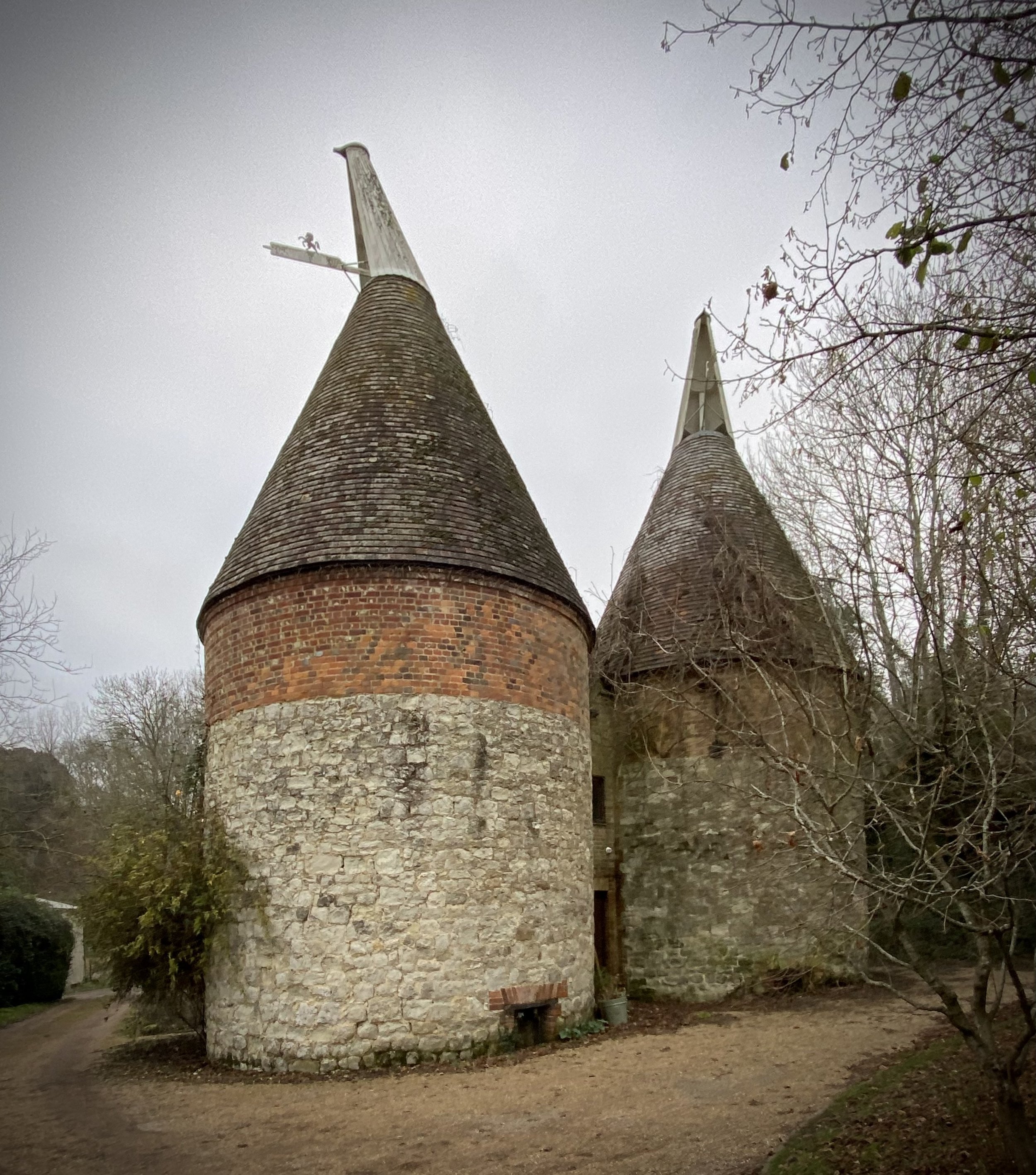
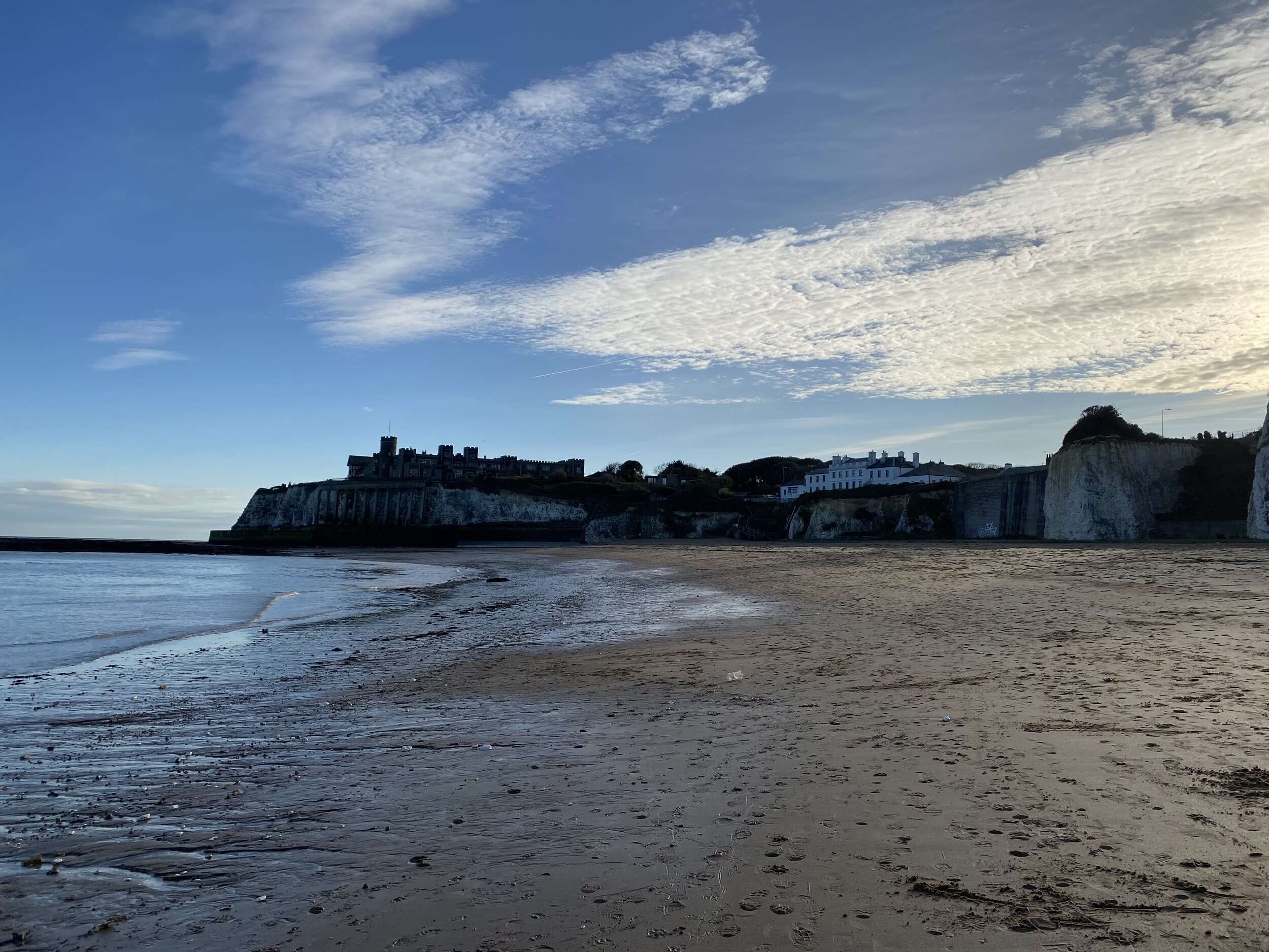
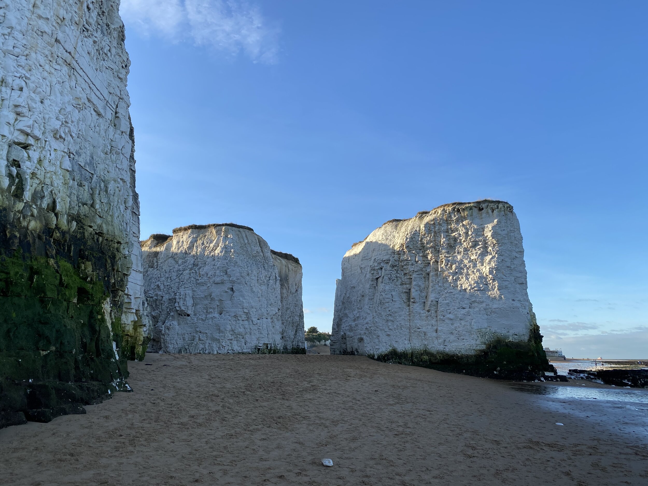
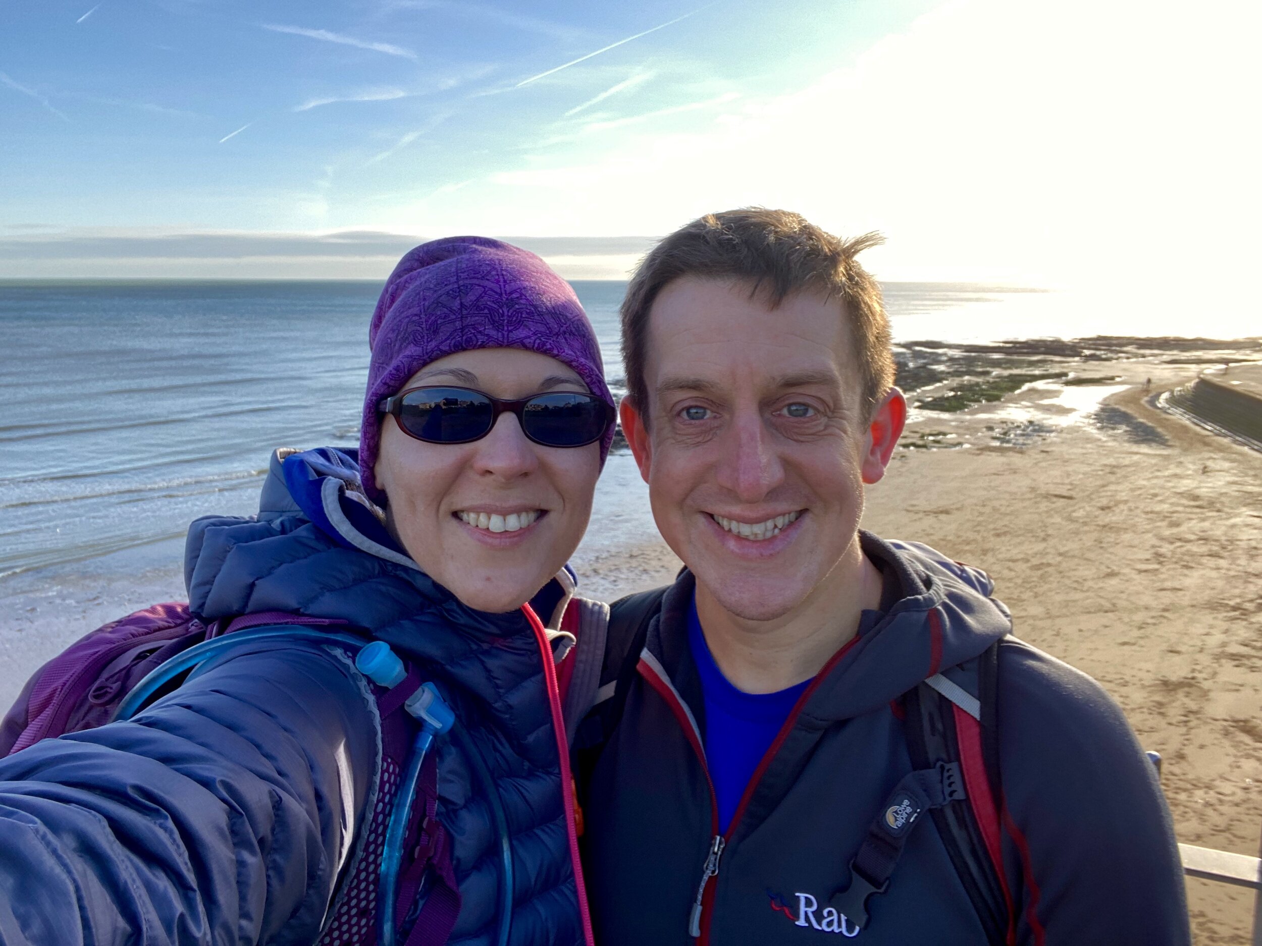
The Photos: Inside M25 but outside of Greater London Trig Pillars


The Log Sheet
If you would like a PDF version of my manual Greater London OS Trig Pillars Log Sheet, please Buy Me A Coffee and let me know on the Contact Page. It’s a table of all Greater London Trig Pillars, plus a separate page for those outside of London but inside the M25. You can track your date completed and there’s space for your own Notes. It’s simple and you could easily make one yourself, but let me know if you want a copy of mine. 20% of each virtual coffee goes to one of the Causes that I support and the rest goes towards the running of this website.
More London Posts
If you enjoyed reading this post, there is plenty more to explore across the capital. I have put together a dedicated London Outdoors page where I keep track of all my other adventures around the city. It is a handy index where I group my posts by the different types of places I have visited: including historic boundary lines, canal towpaths, and some surprising urban high points.
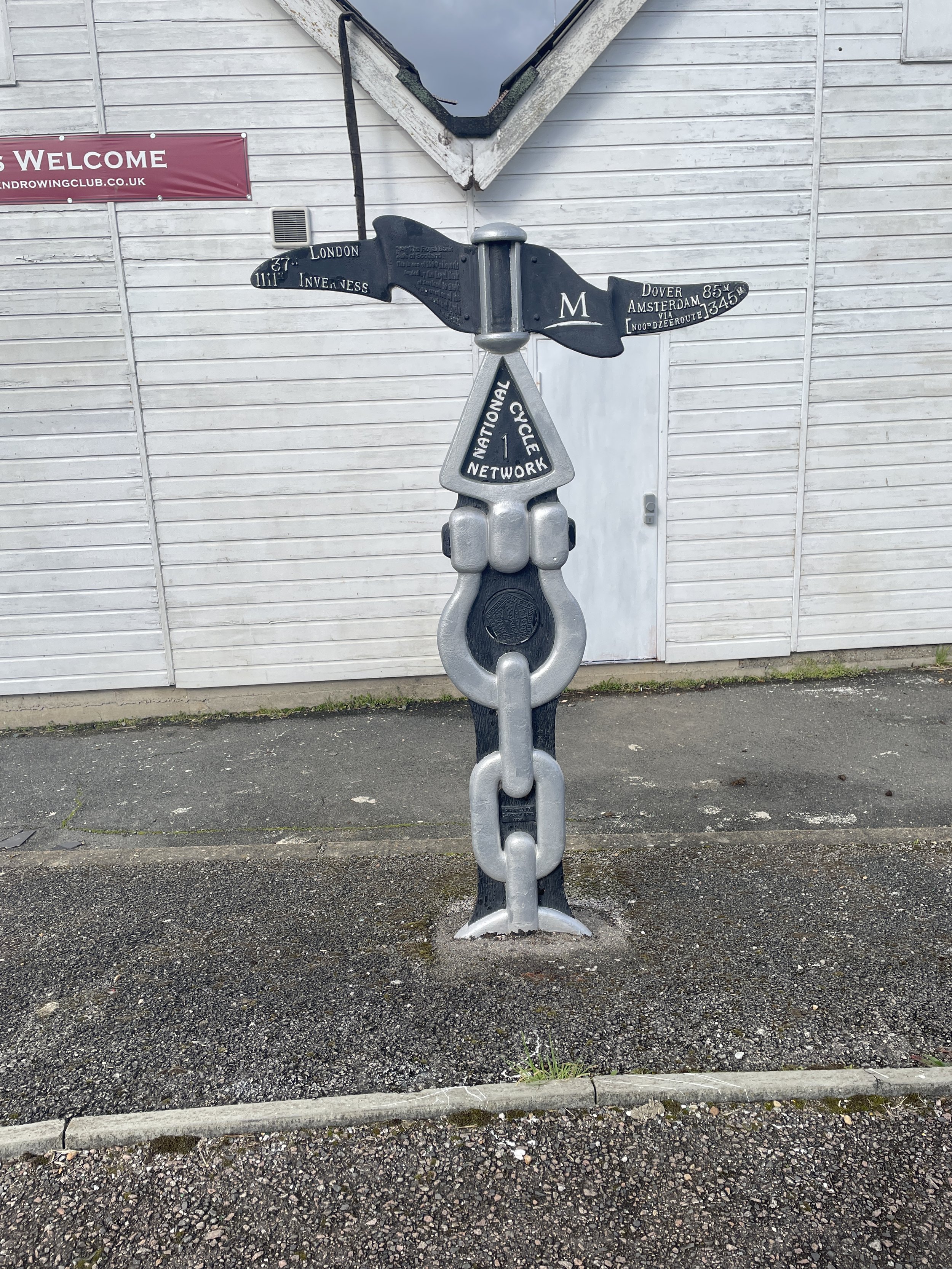
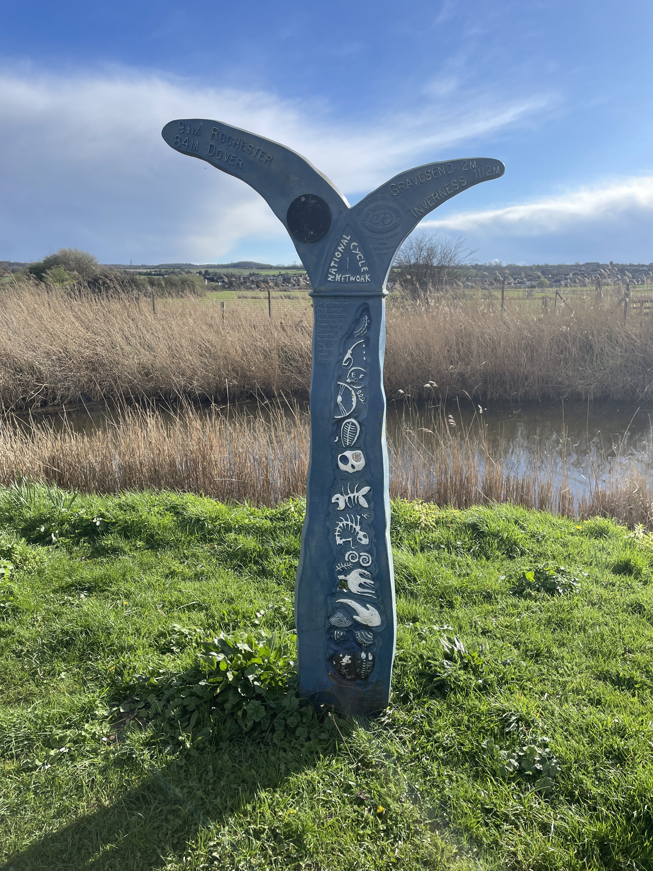
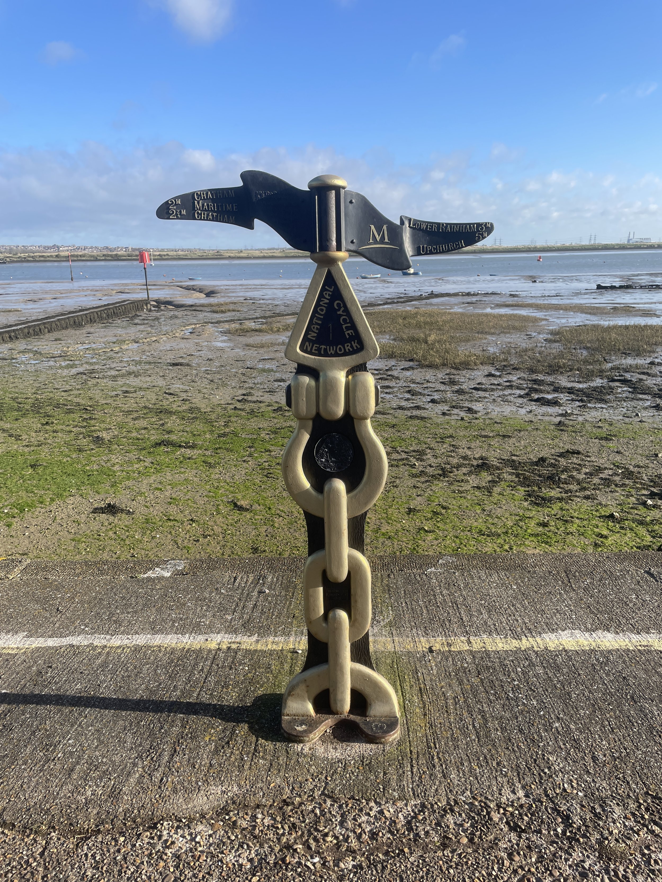
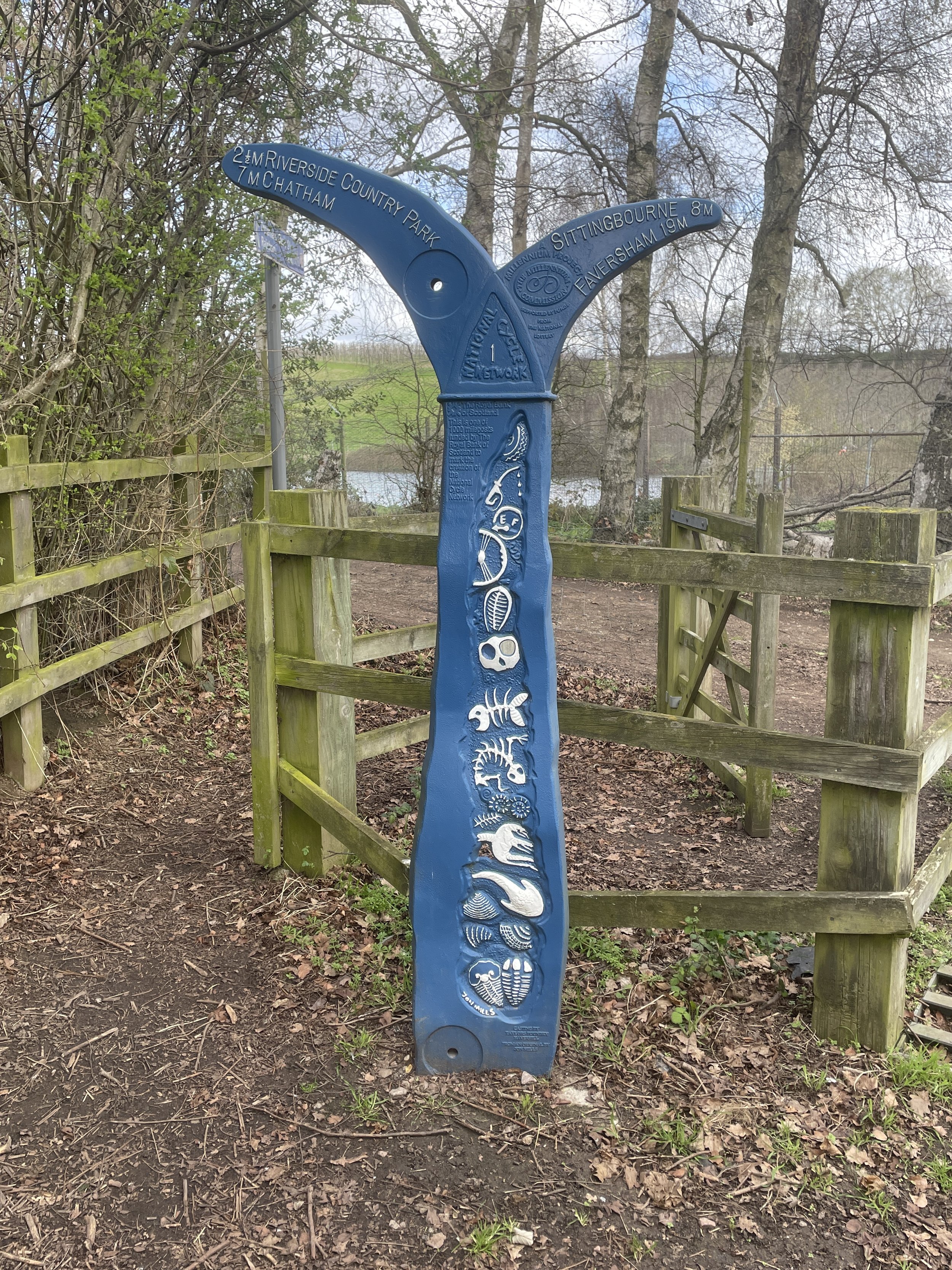
The collection covers a bit of everything: from long-distance cycling routes to tracing the underground network on foot, and ticking off another Saturday morning parkrun. If you are looking for some inspiration for your own weekend outings, head back over to the London Outdoors page to see what else I have been up to.