Paddlesworth: Lathe of Shepway High Point


Significance: Highest point in the Lathe of Shepway
Elevation: 187m
Date “climbed”: 12th July 2025
Coordinates: 51°06'46.0"N 1°08'30.3"E
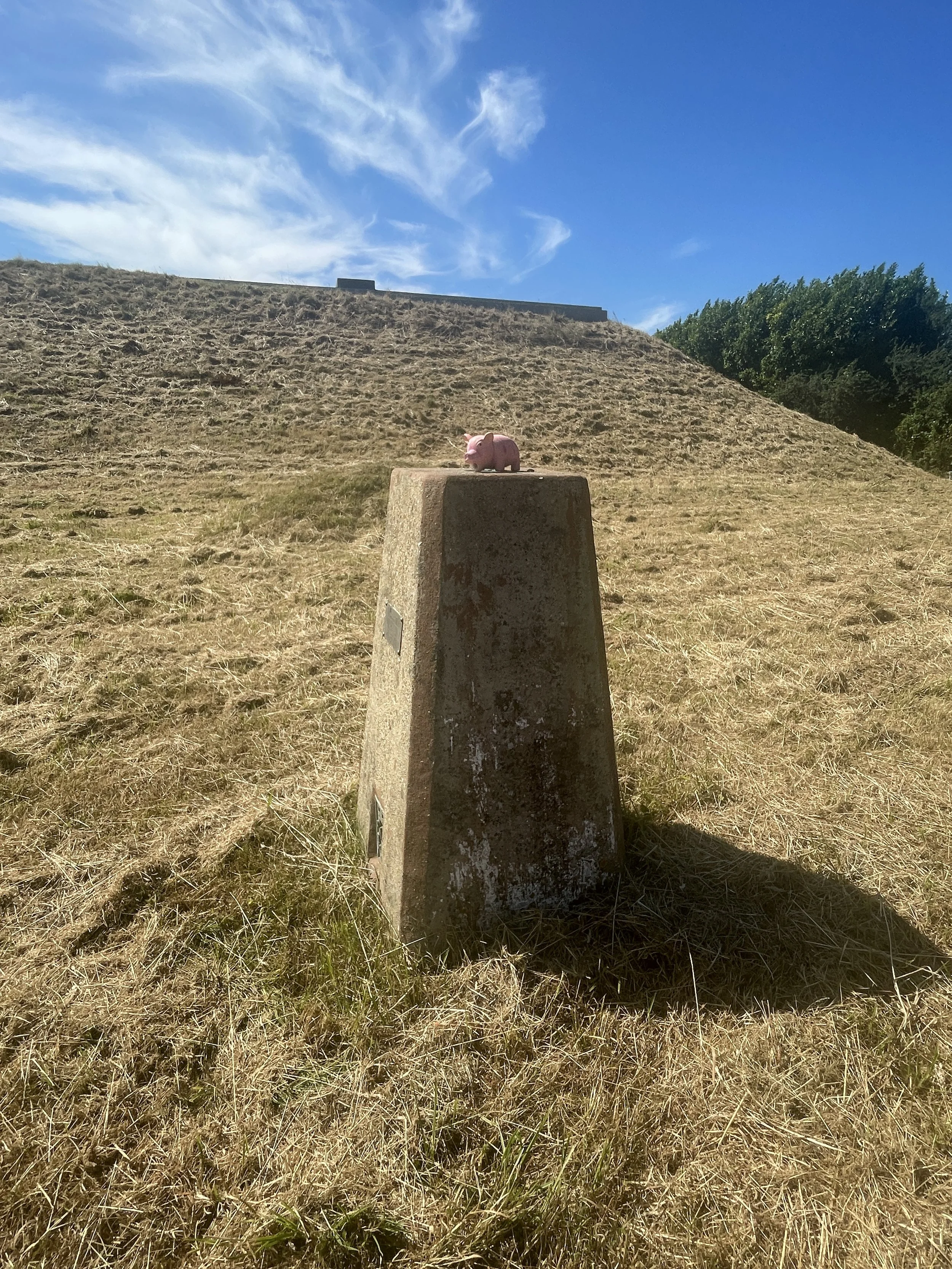
OS Trig Pillar: TP0449 - Paddlesworth
Map: Dover, Folkestone & Hythe Map | England Coast Path | Ordnance Survey | OS Explorer Map 138
Links: Wikipedia: (Lathe of Shepway, Paddlesworth), Wikishire: Lathe of Shepway
I visited the Paddlesworth Trig Pillar as a part of a mission to bag the High Points of the Kent Lathes, the historic sub-divisions of Kent. I couldn’t find an established list of the Lathe High Points so I worked them out based on Trigpointing.uk and Peakbagger logs. I’m pretty sure that Paddlesworth is the high point of the Lathe of Shepway but please let me know if you think that the high point is somewhere else.
This is a very quick drive-by bag. The pillar is in the grounds of a reservoir at the end of Fisher’s Lane in Paddlesworth. It’s private property but the pillar is very close to the gate. Easy to take a photo from a short distance or to hop over the gate to reach it.