Posts tagged Hampshire
Cycling The Isle of Wight
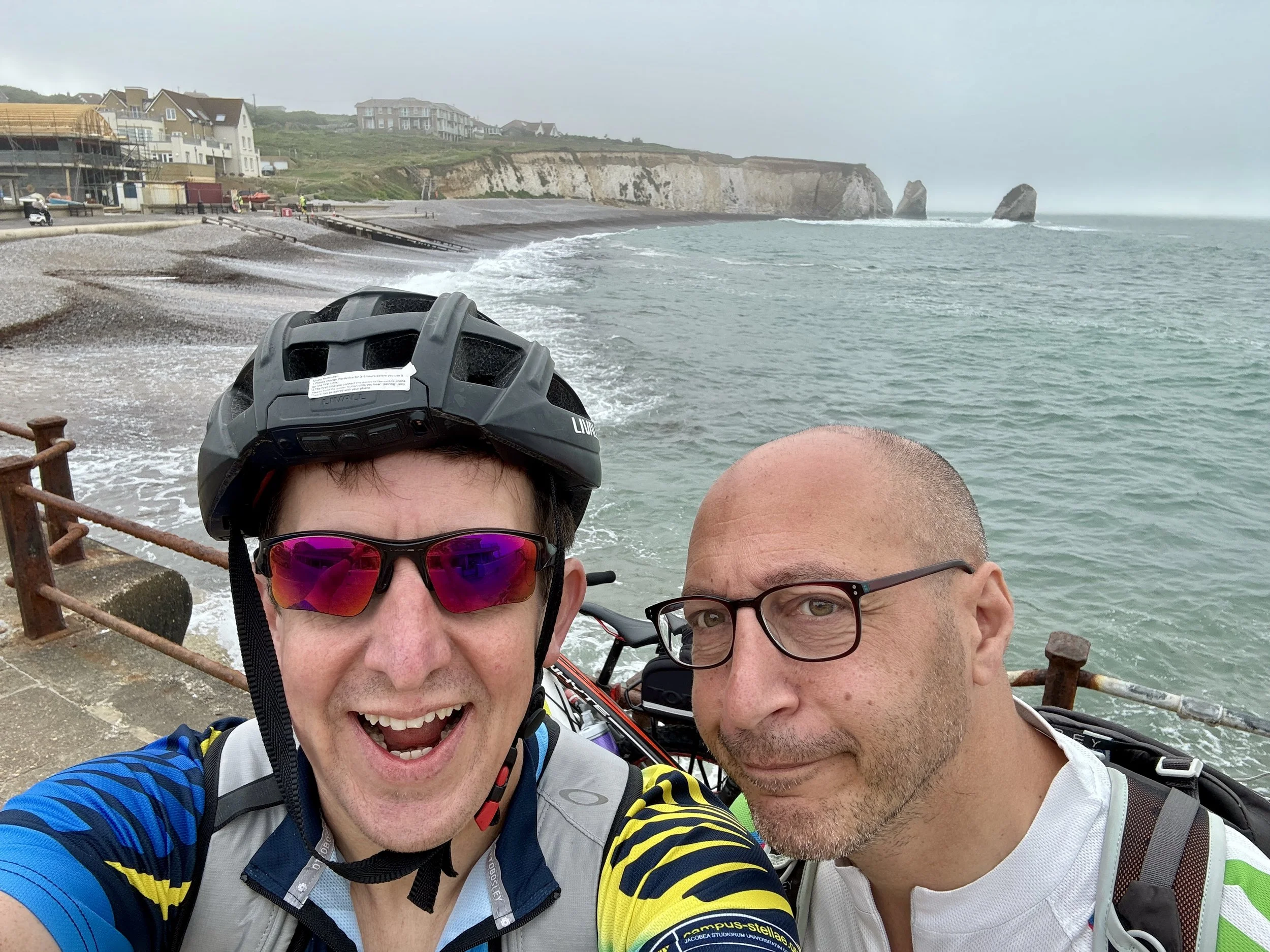
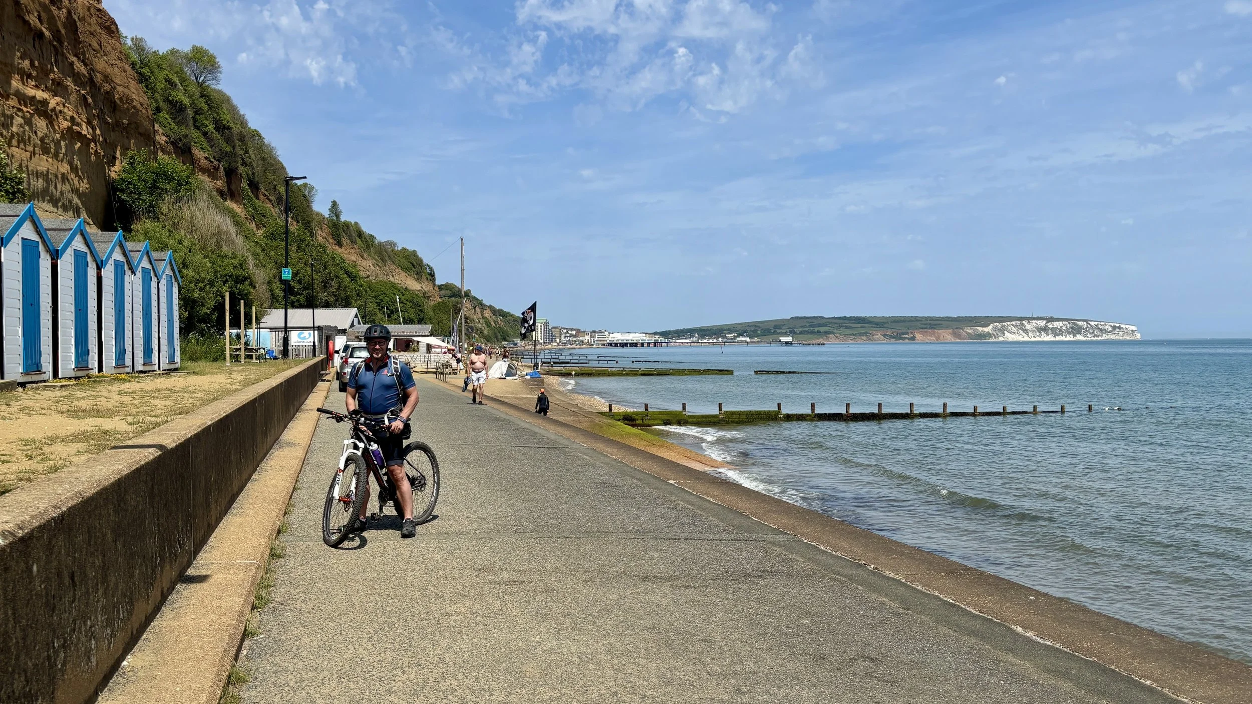
Promenade between Sandown and Shanklin

Brian on the promenade between Sandown and Shanklin


The idea for this trip actually sparked on a train ride between Oxford and Banbury. Brian and I were en route to tackle a stretch of National Cycle Route 5, chatting about our ongoing mission to cycle the length of the South Coast. Over the past couple of years, we’ve worked our way clockwise from the Thames Barrier, passing through Margate, Dover, Hastings, and Brighton, before finally reaching Southampton.

Naturally, we assumed the next leg would take us west toward Weymouth. That was until we struck up a conversation with a fellow cyclist in the bike carriage. He recounted a recent coastal route he’d completed around the Isle of Wight, and his enthusiasm was infectious. We quickly realised that before pressing further west along the mainland, we had to conquer the island.

While there is a signposted cycle route around the Isle of Wight, we decided to craft a bespoke itinerary: a mix of disused railways, established cycle routes, and quiet residential lanes hugging the coast as closely as possible.


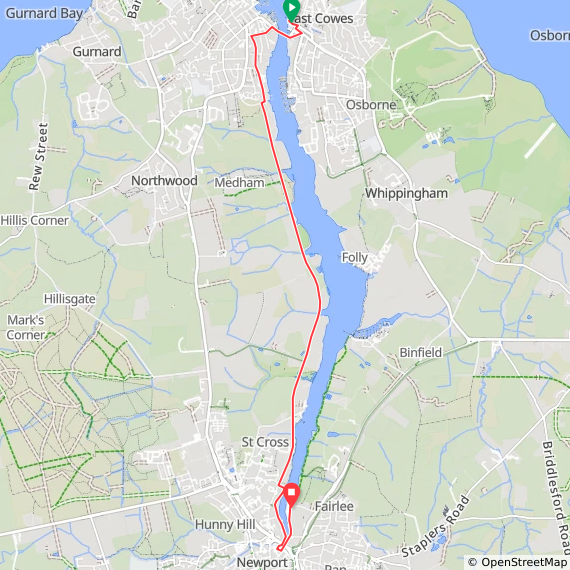
Day 1: Cowes to Newport

Start: East Cowes Ferry Terminal, East Cowes PO32 6RF
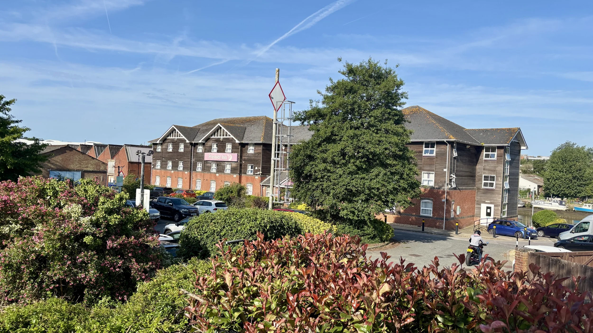
Finish: Premier Inn Isle Of Wight (Newport) hotel, Seaclose, Fairlee Road, Newport, PO30 2DN
Distance: 8.3 km (5.2 miles)
Elevation change: + 59m / -55m (Net +4m)
GPX File: get via Buy Me a Coffee
Other routes touched (walk): Isle of Wight Coastal Path
Other routes touched (cycle): Isle of Wight Round-The-Island Cycle Route (Route 67), Newport to Cowes Cycleway, NCN 22, 23
Map: Isle of Wight Map | Cowes, Newport, Ryde, Sandown, Shanklin, Yarmouth & Ventnor | Ordnance Survey | OS Explorer Map OL29
Links: East Cowes, Cowes Chain Bridge, River Medina, Newport


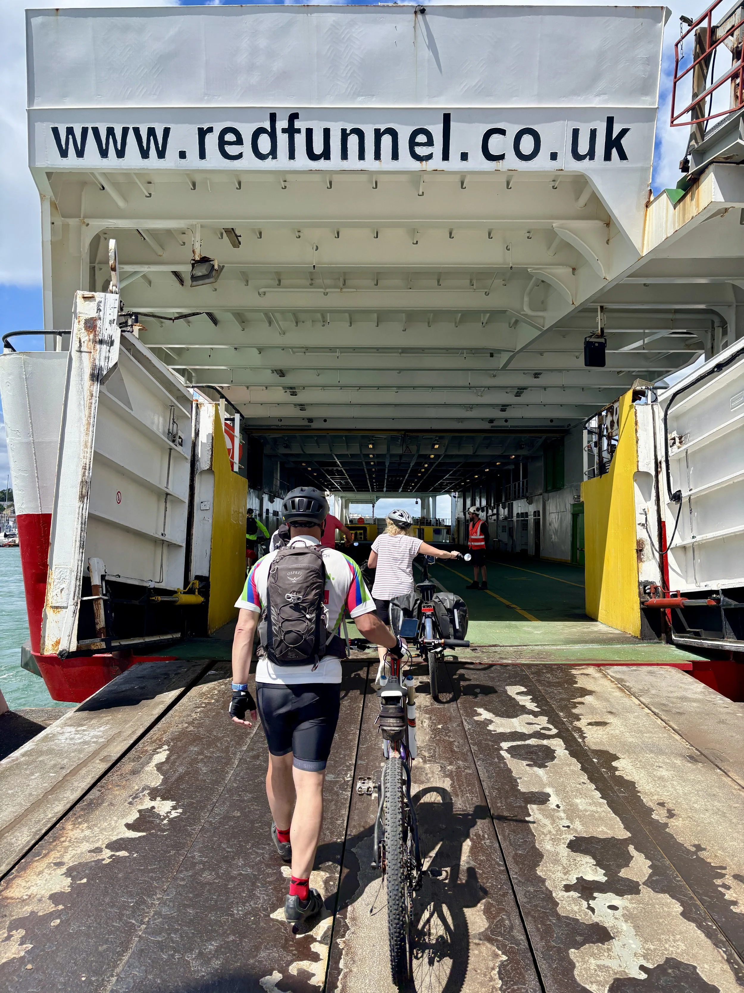
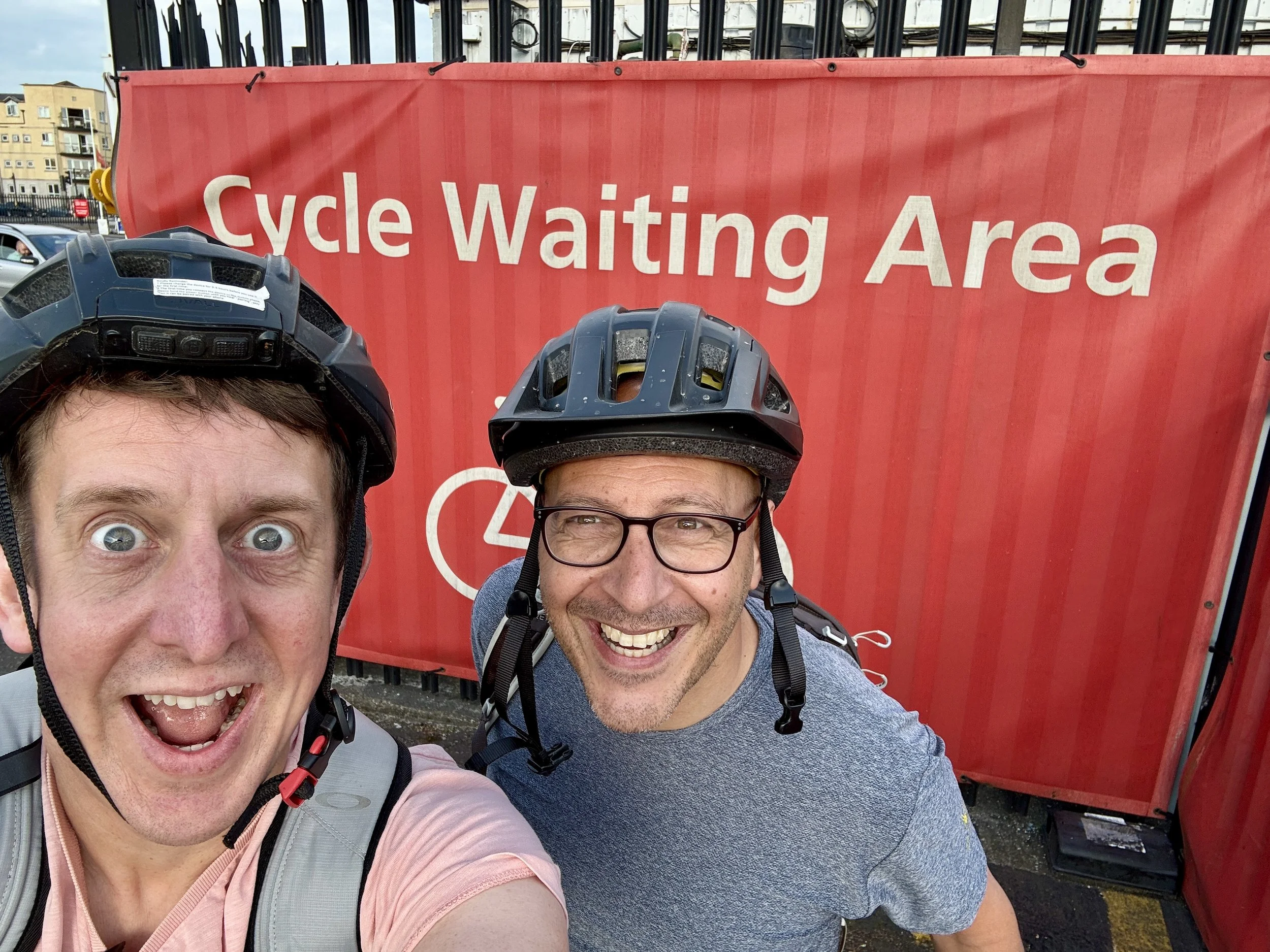
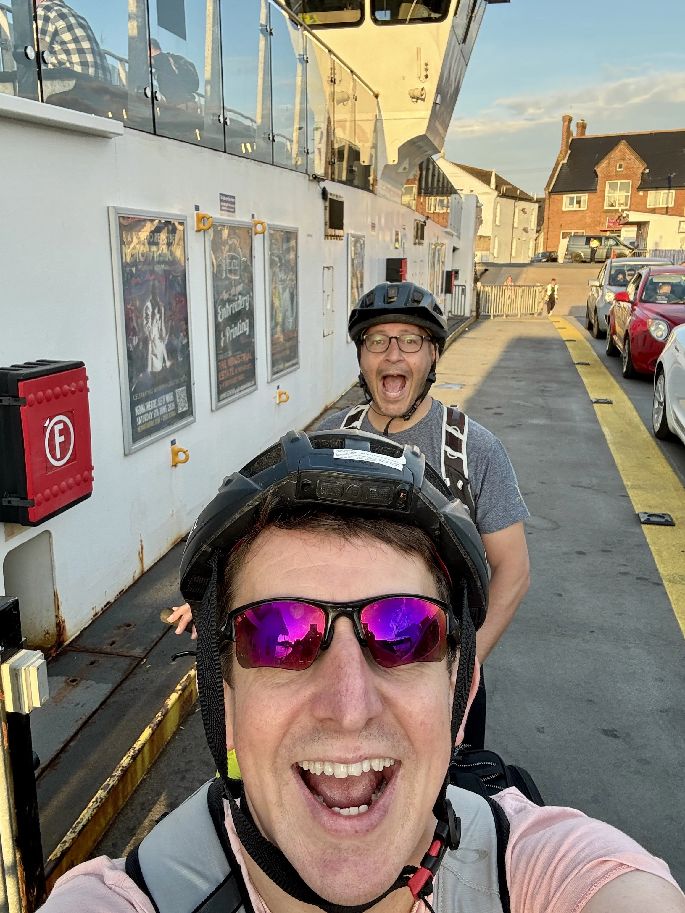
As soon as work finished on Friday, I picked Brian up and we drove south to Southampton. We parked the car right next to the ferry terminal: a great logistical move, as rolling our bikes onto the Red Funnel ferry as foot passengers was incredibly easy.

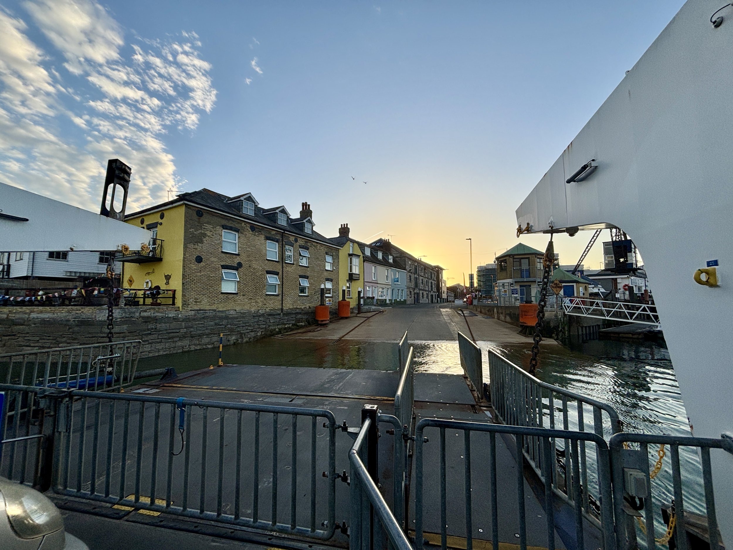
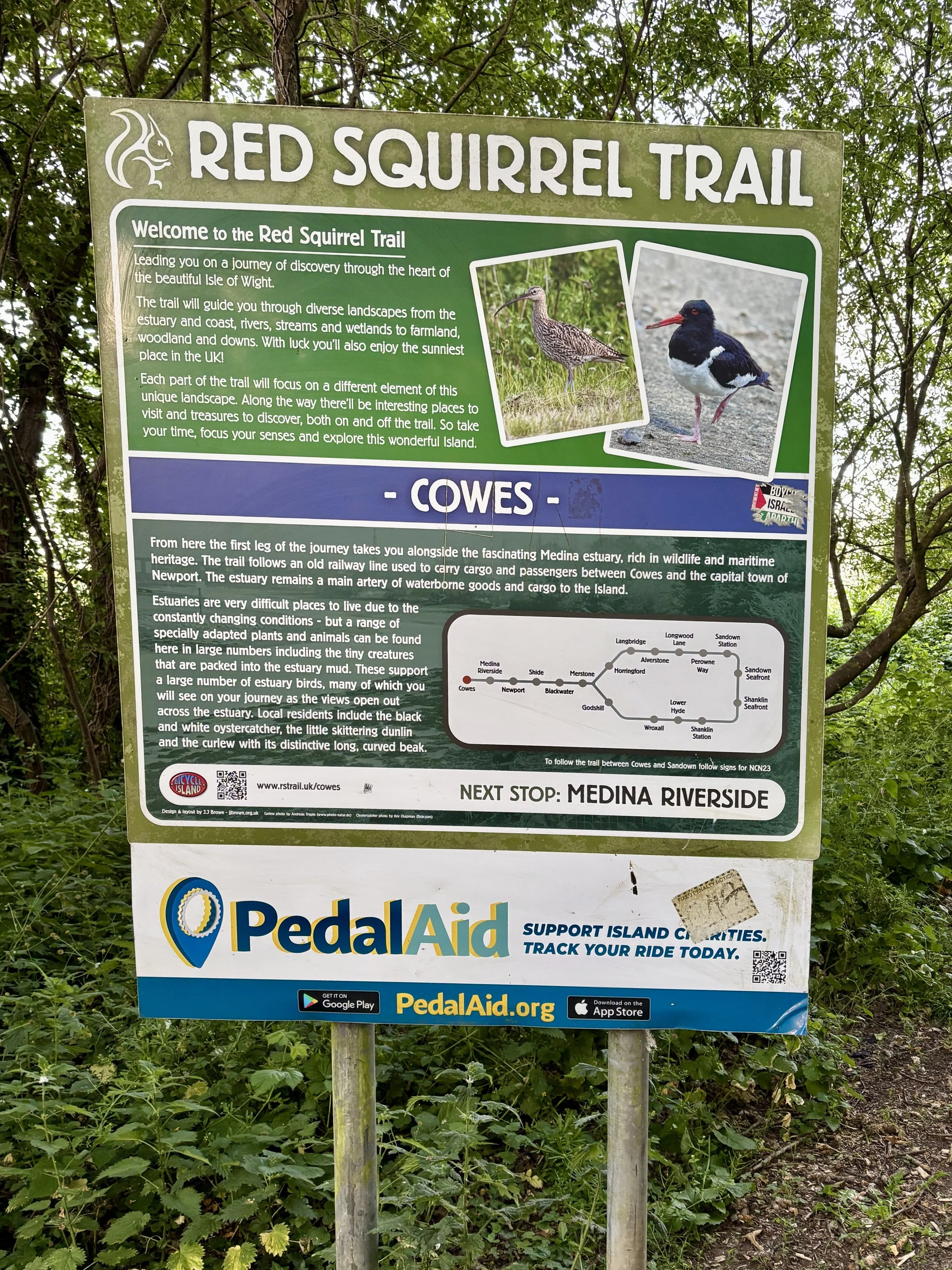
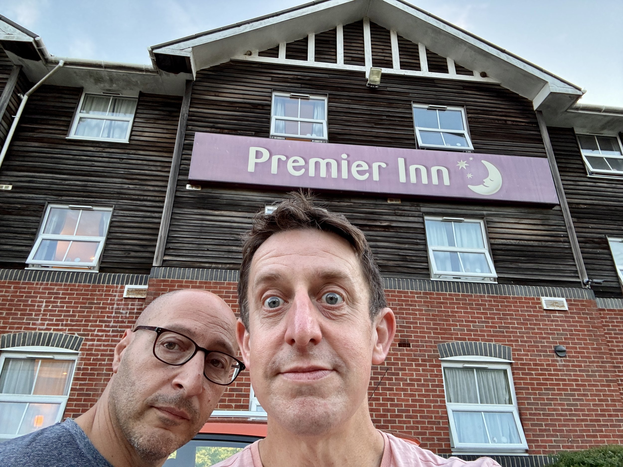
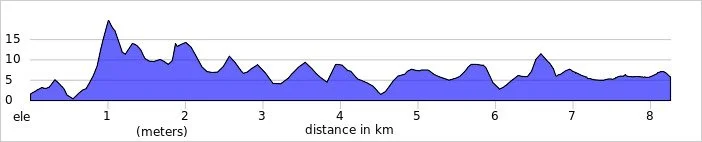
We arrived at East Cowes around 8:00 PM, hopped on the chain ferry across the River Medina, and picked up the Red Squirrel Trail. This mostly flat, slightly downhill route follows a disused railway line and made for a very pleasant 8 km evening cruise into Newport. We checked into the Premier Inn, which is brilliantly cycle-friendly, allowing us to store our bikes safely in the room.

Then came the unexpected challenge of the evening: finding dinner. Newport on a Friday night was surprisingly quiet. The receptionist’s glowing recommendation for a local Thai restaurant proved fruitless as it had already shut by 8:30 PM. An Indian restaurant down the road was also closed. In the end, we only managed to find one open restaurant to fuel up for the weekend.
Day 2: Newport to Chale (The Eastern Half)

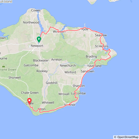
Start: Premier Inn Isle Of Wight (Newport) hotel, Seaclose, Fairlee Road, Newport, PO30 2DN
Finish: Wight Mouse Inn, Church Place, Chale, Ventnor, PO38 2HA
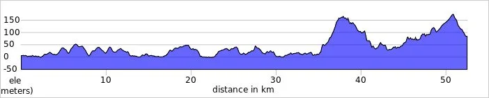
Distance: 52.5 km (33 miles)
Elevation change: + 762m / -683m (Net +79m)
GPX File: get via Buy Me a Coffee
Other routes touched (walk): Isle of Wight Coastal Path, The Bembridge Trail, The Culver Trail, Worsley Trail, Tip of the Wight, Yar River Trail,
Other routes touched (cycle): Isle of Wight Round-The-Island Cycle Route (Route 67), NCN 22, 23
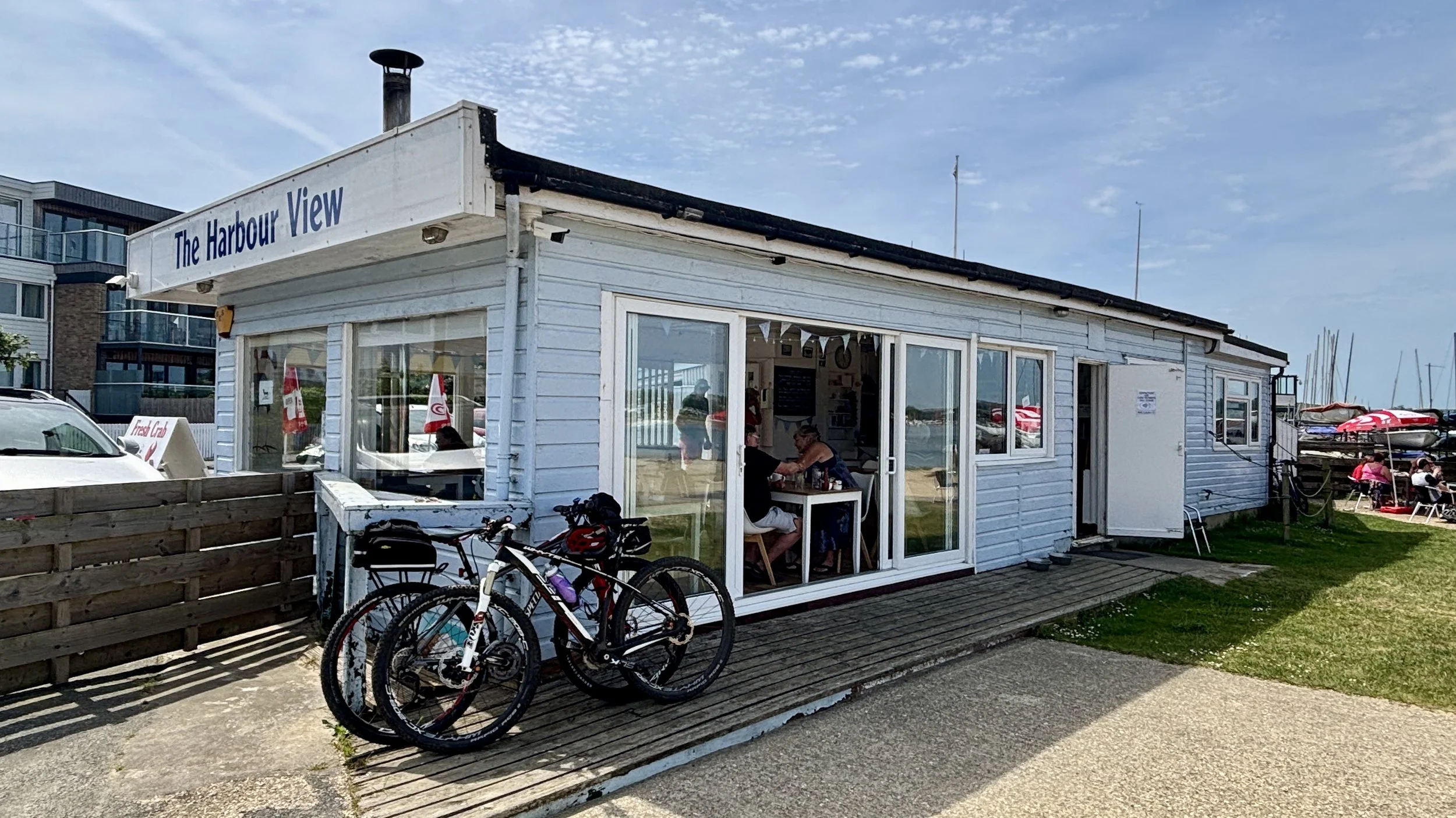
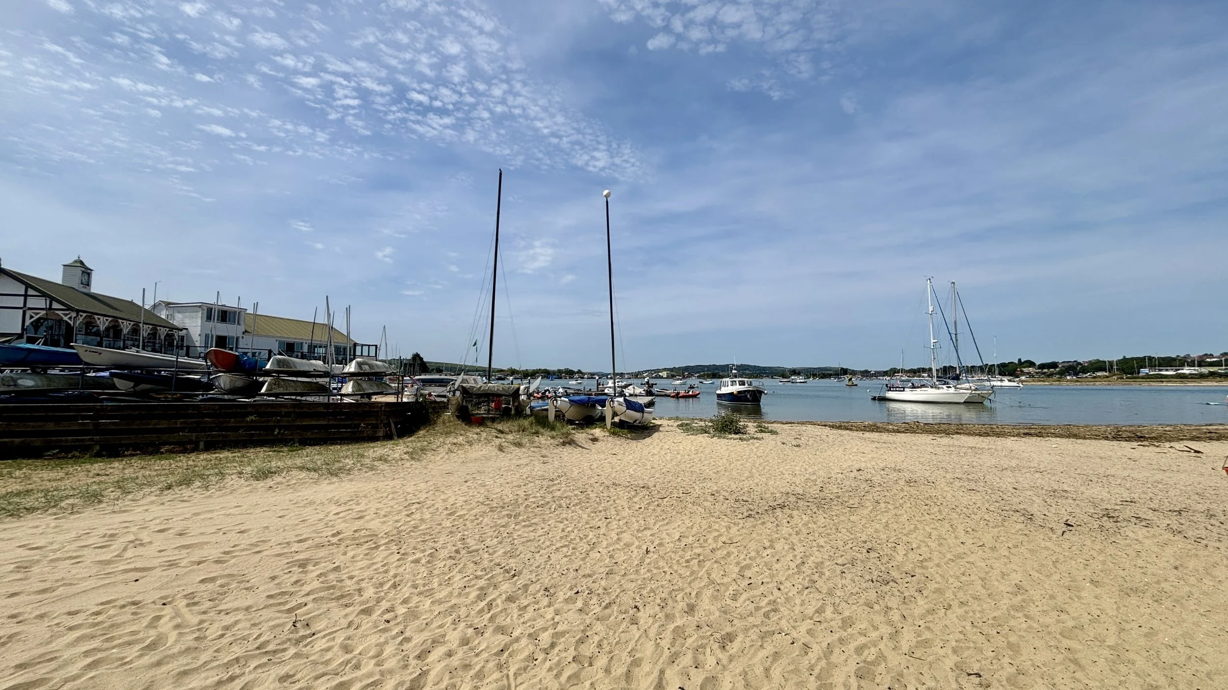
Pubs / Cafes on route: Loads but we stopped at Chocolate Apothecary Ryde (13km in), The Harbour View Cafe Bembridge (23km in), Tradewinds Beach Cafe Shanklin (33km in), Crave Ice-cream Ventnor (41km in), The Wight Mouse Inn Chale at the end.
Map: Isle of Wight Map | Cowes, Newport, Ryde, Sandown, Shanklin, Yarmouth & Ventnor | Ordnance Survey | OS Explorer Map OL29
Links: Newport, Ryde, Bembridge, Sandown, Shanklin, Ventnor, Chale


My Saturday started with a slight hiccup. The logistics for this trip had been carefully planned around my goal of ticking off the island's only parkrun. The Medina I.O.W parkrun is usually held just north of Newport, right next to our hotel. I arrived at the venue bright and early at 8:15 AM, only to find an oddly quiet field and a few other equally confused runners in their parkrun gear.

We eventually found a sign near the leisure centre explaining that the event had been relocated to Appley Park in Ryde for the rest of the summer due to the Isle of Wight Festival setup. The frustration was real: the new location in Ryde was directly on our planned cycle route! Had I known the night before, we could have set off at 7:30 AM, cycled to Ryde, and I could have still run it.

Top Tip for Medina, IoW parkrun: The official event page doesn't always reflect sudden venue changes. Always check their Facebook page before you travel to avoid missing out.

With the parkrun plan foiled, I headed back, met up with Brian, and we hit the road.

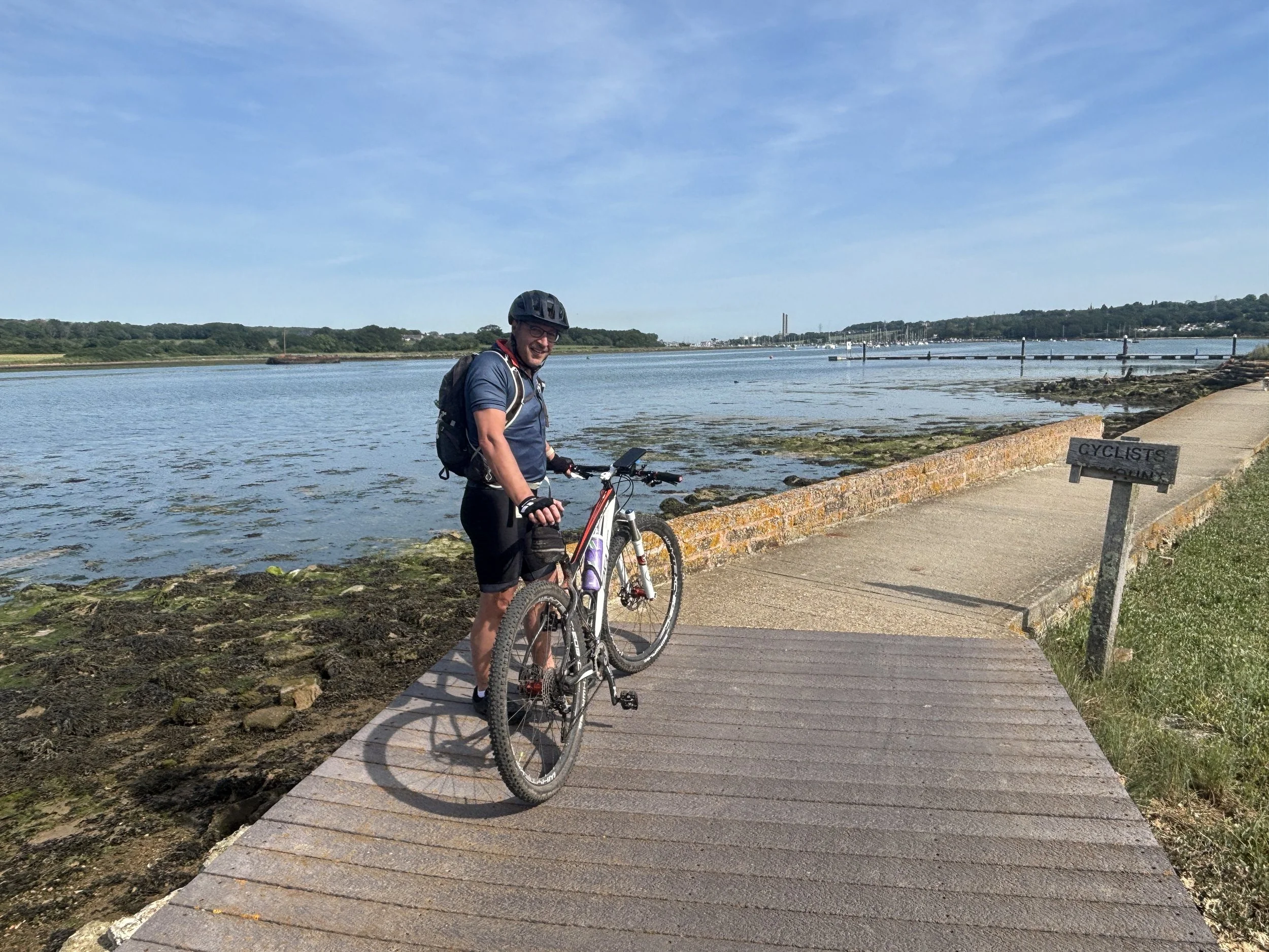
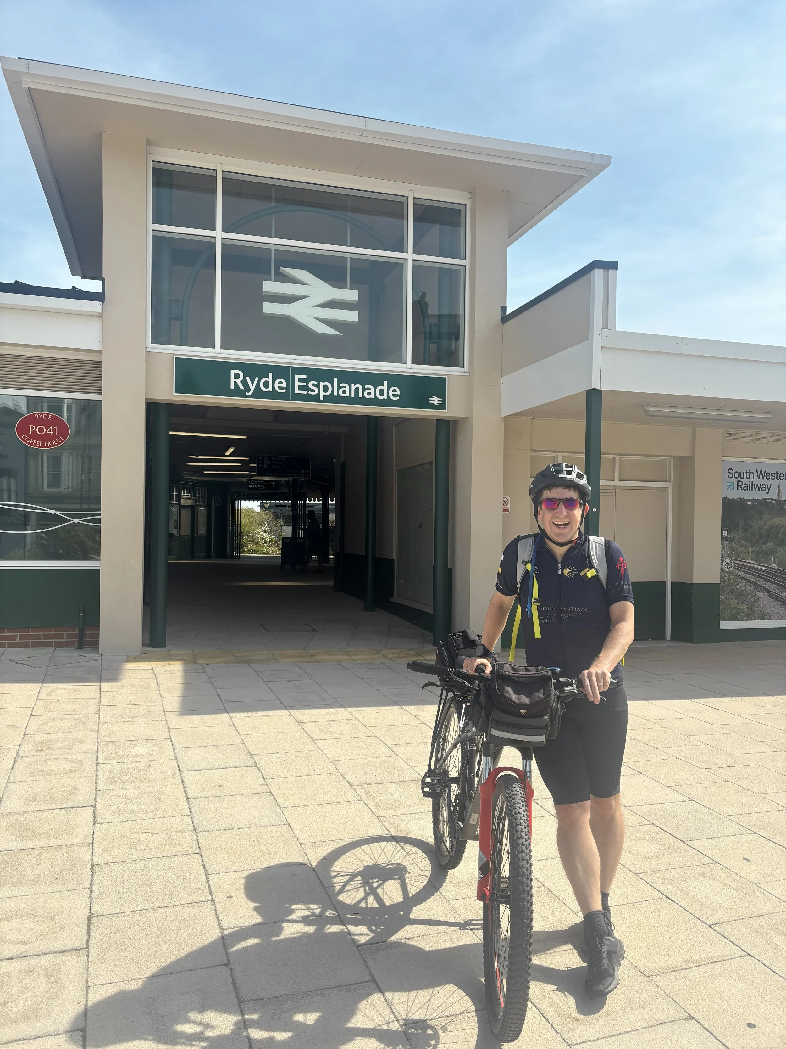
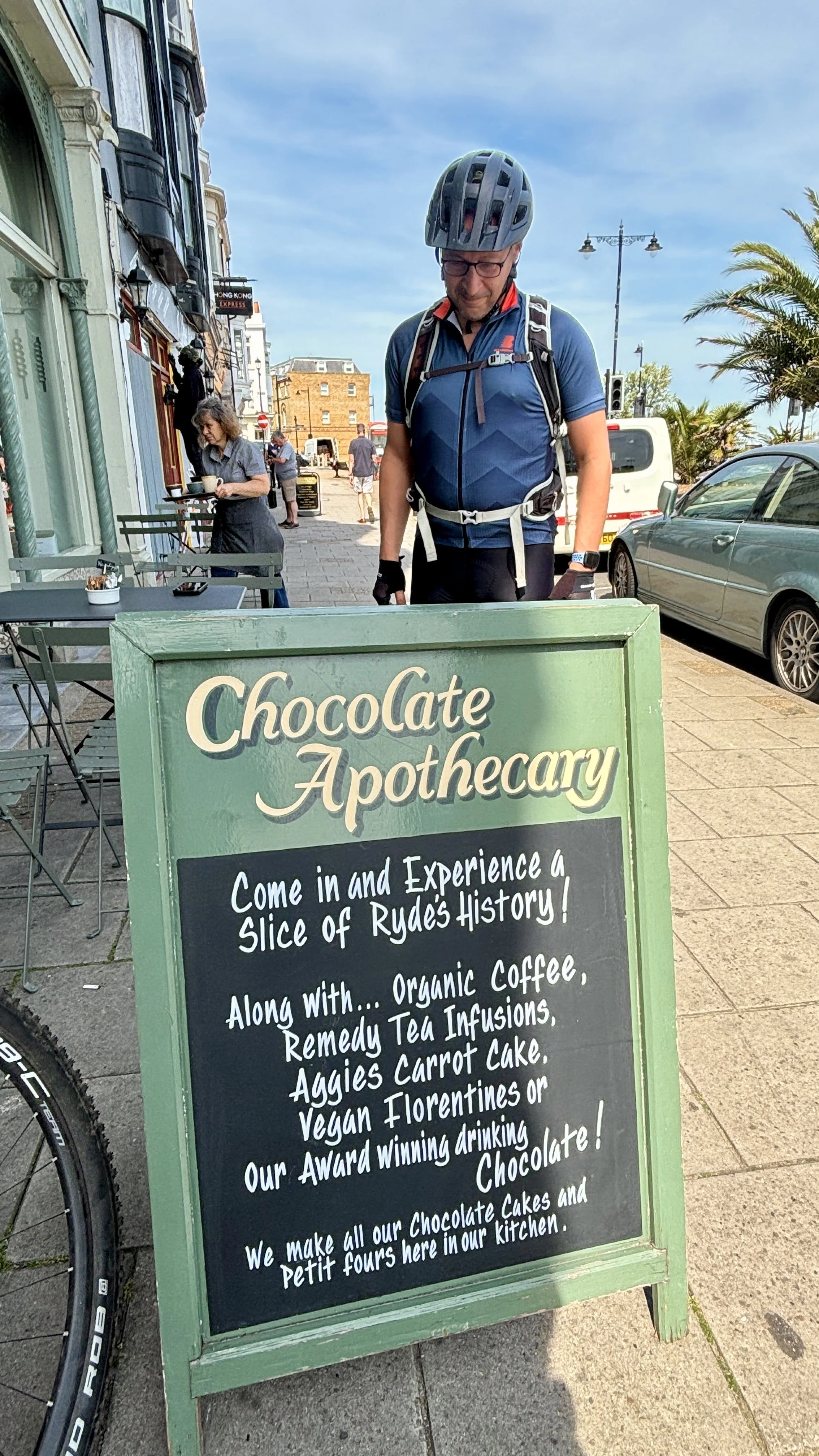
We picked up National Cycle Route 22, taking a few diversions until we reached Ryde. Our first proper stop was the Chocolate Apothecary, located just opposite the railway station at the bottom of Ryde Pier. They make a fantastic coffee, but the real star is their carrot cake: easily one of the best I’ve ever had.

Fuelled by cake, we carried on past Appley Park (cue another pang of parkrun regret) and cycled straight through the site of Puckpool Battery. This impressive site is a 19th-century Palmerston Fort, completed in 1865. It was built in response to the perceived threat of a French naval invasion and originally housed heavy 13-inch mortars designed to fire vertically onto the vulnerable, unarmoured decks of enemy warships. Today, it's a peaceful public park, but the massive concrete and earth gun emplacements are still incredibly striking to cycle past.

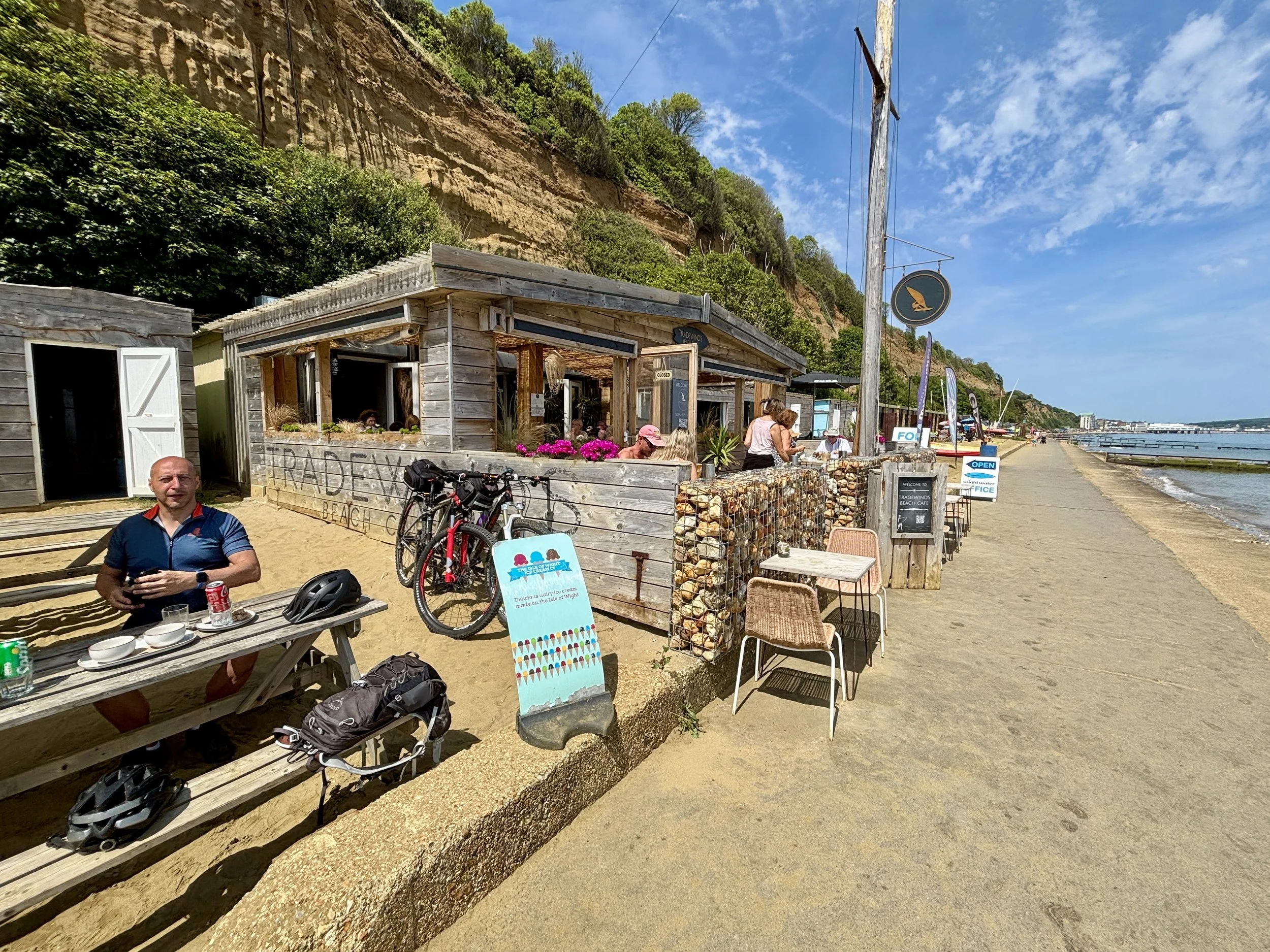
We navigated a sharp turn south at Nettlestone Point, stopping for another coffee at the Bembridge Cafe with lovely views over the harbour. Continuing south through Sandown, we pulled into Shanklin for lunch at Tradewinds Beach Cafe, a nice spot overlooking the promenade and the sea.

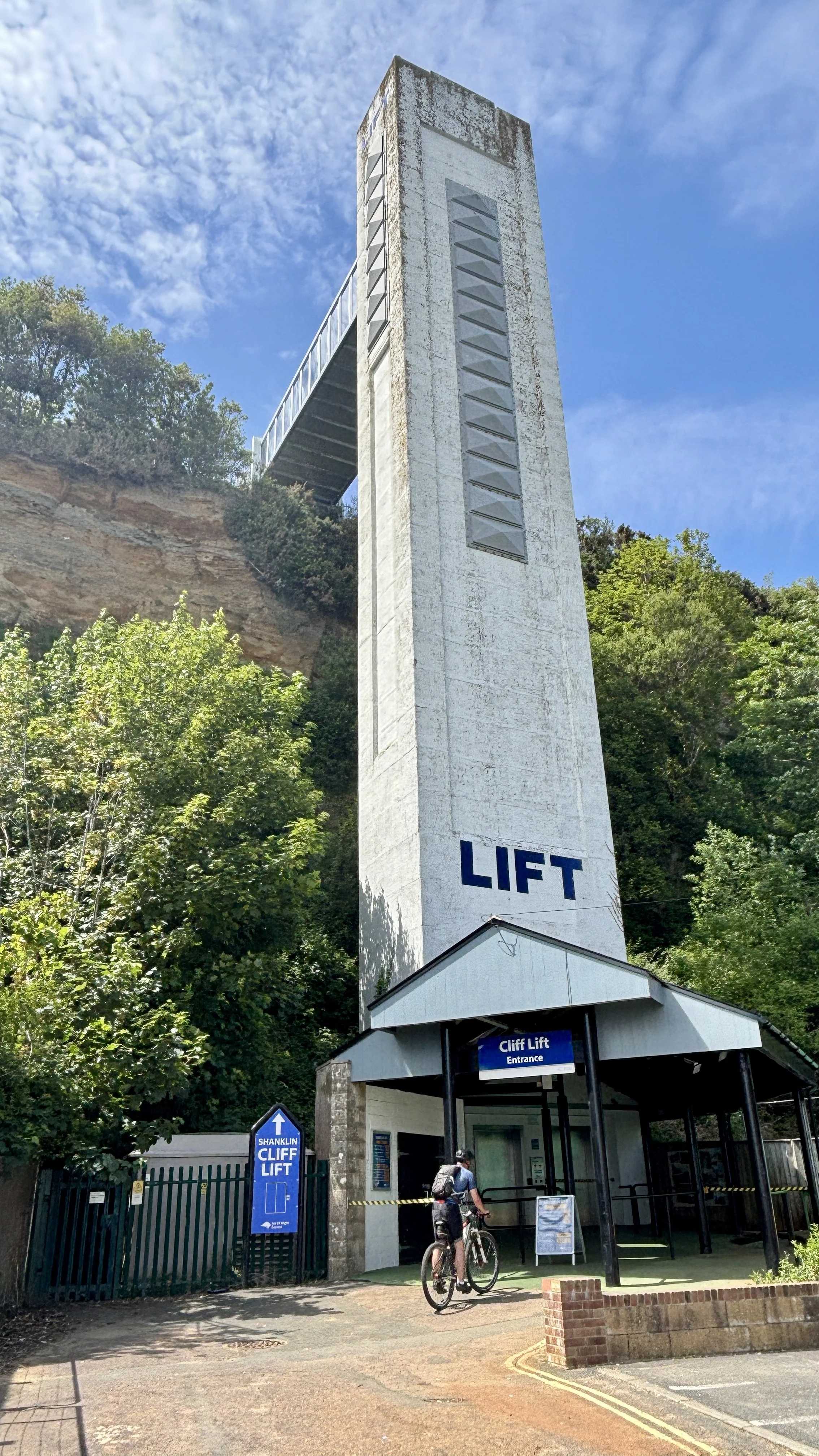
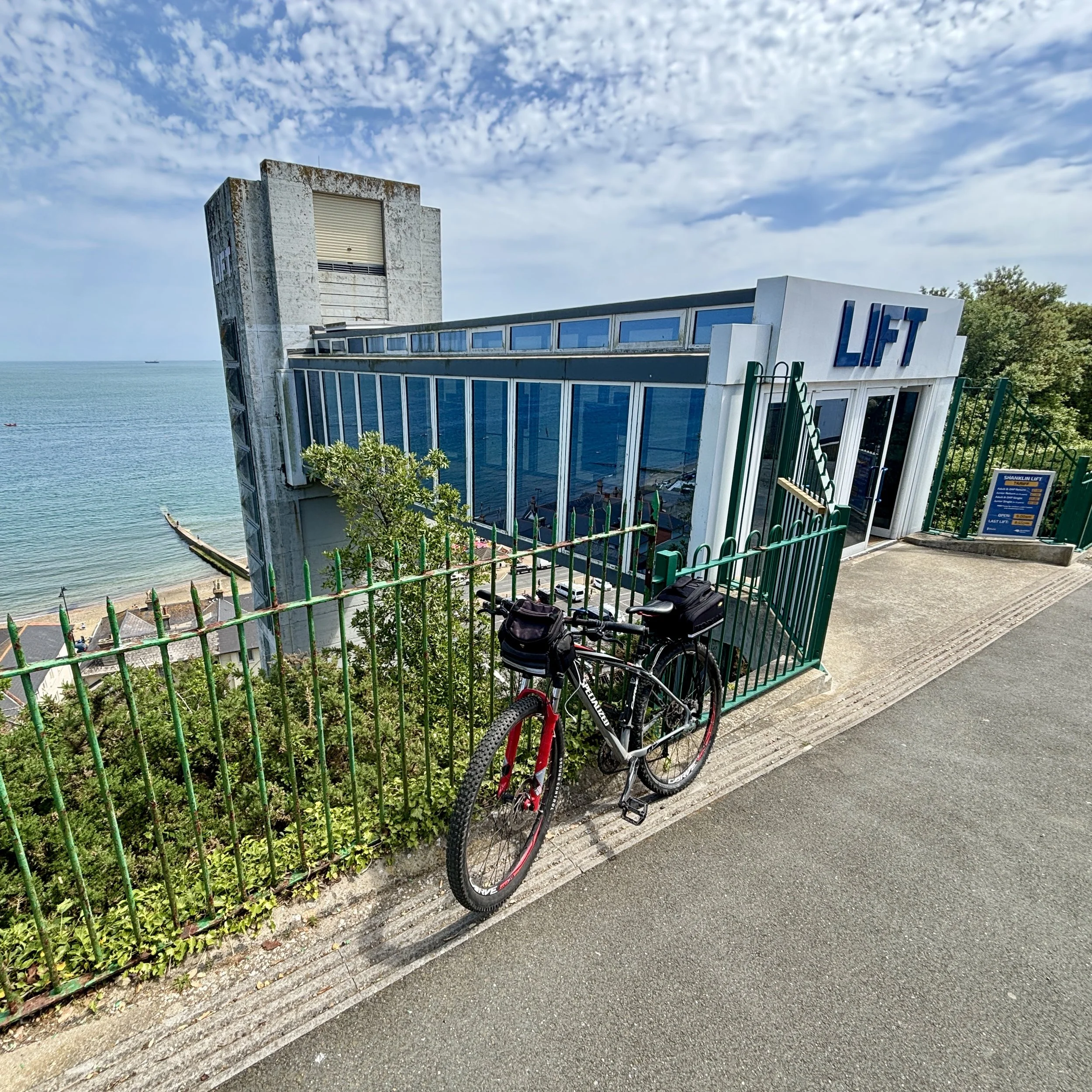
After lunch, instead of immediately tackling the ascent from the promenade, we decided to take the old Shanklin Cliff Lift to the top of the hill. The original lift was built in 1892 to help tourists bypass the steep climb between the beach and the town above, eventually becoming a famous and much-loved local landmark. We had a brief conversation about whether it was "cheating" to not cycle up the hill, but we quickly decided that it was perfectly fine. Given the history and quirkiness of the lift, taking it felt like a vital part of the Isle of Wight experience!

From the top, the real work began with the first of two major climbs. We ground our way up a steep hill behind Luccombe, rewarded with stunning views to the east, before tackling a sharp descent into Bonchurch. Rolling into Ventnor shortly after, we decided a sweet treat was in order. We stopped for ice creams at Crave and took a well-earned rest in the park just opposite. Suitably refreshed, we stayed off the main cycle routes, opting instead for small, quiet residential lanes right beside the sea. We soon hit Steep Hill: an aptly named, lung-busting ascent that eventually led us up to the highest point of our weekend near Blackgang.

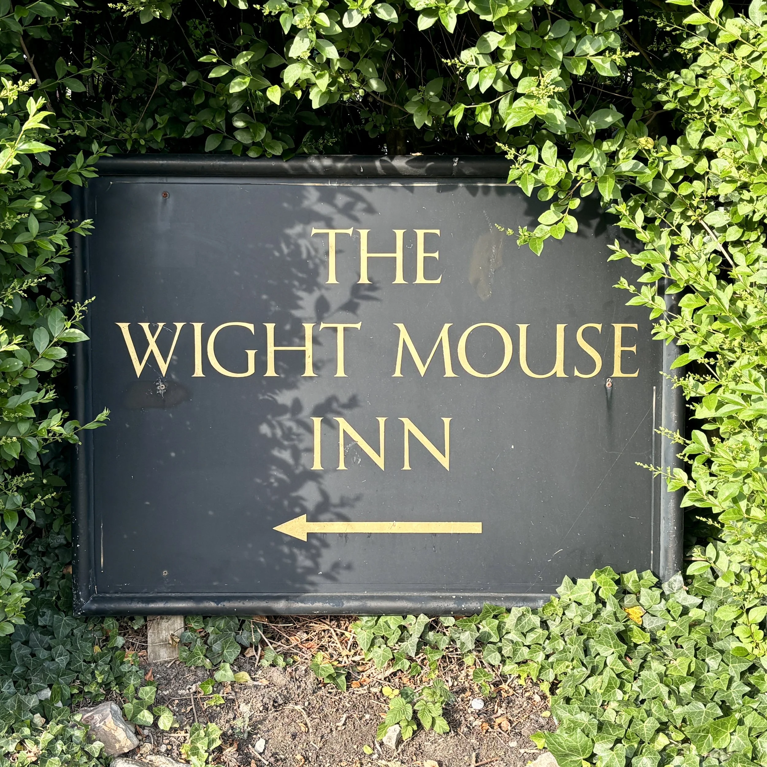
We coasted down into the small village of Chale and checked into The Wight Mouse Inn, a fantastic pub with great rooms that sits roughly halfway around the coastal route.

After dinner, I highly recommend the 4.5 km circular walk from The Wight Mouse up to St. Catherine's Oratory. Also known as the "Pepperpot," it is the only surviving medieval lighthouse in Britain, built as a penance for plundered shipwrecked wine! I’ve written a separate post detailing this walk and the history of the Oratory, which you can read here.
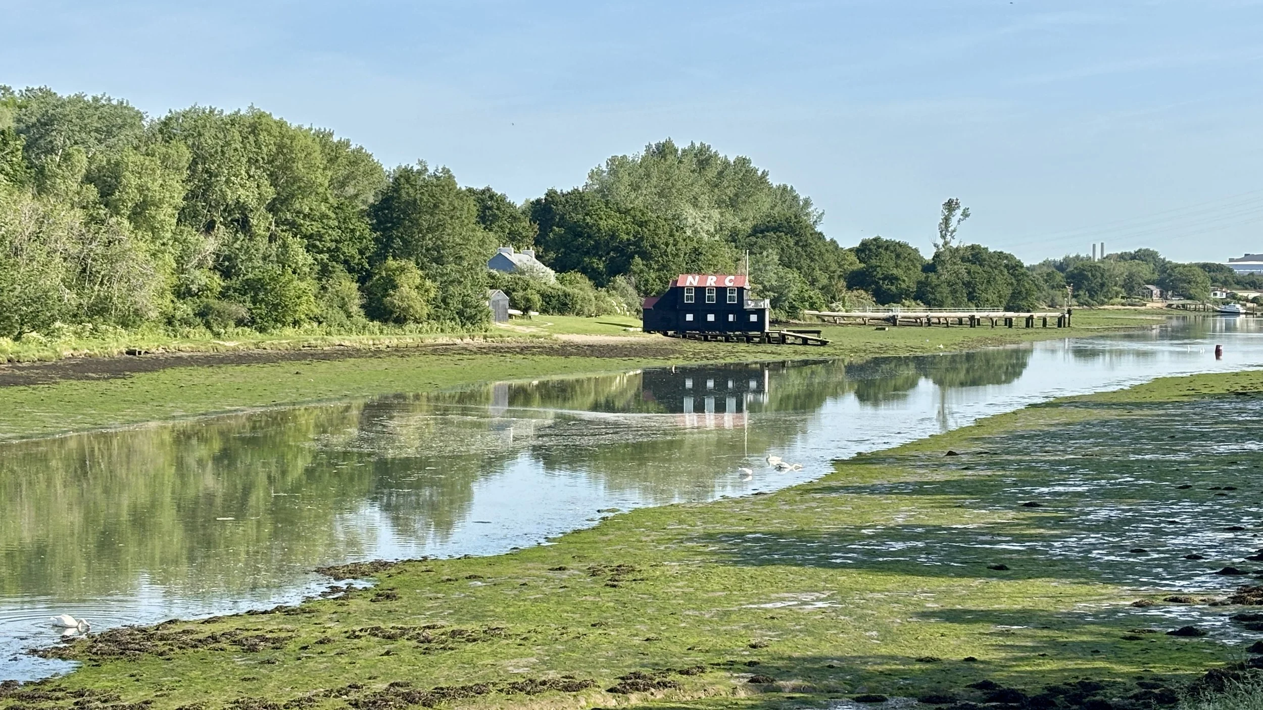
Day 3: Chale to Cowes (The Western Half)

Start: Wight Mouse Inn, Church Place, Chale, Ventnor, PO38 2HA
Finish: East Cowes Ferry Terminal, East Cowes, PO32 6RF
Distance: 53 km (33 miles)
Elevation change: +492m / -574m (Net -82m)
GPX File: get via Buy Me a Coffee
Other routes touched (walk): Isle of Wight Coastal Path, Shepherds Trail, Family Trail Mottistone, Hamstead Trail, Perimeter Route Mottistone, Compton Trail, Freshwater Way, Tennyson Trail, Tennyson Down Trail, Estuary Newtown Walk
Other routes touched (cycle): Isle of Wight Round-The-Island Cycle Route (Route 67), NCN 23
Pubs / Cafes on route: Loads but we stopped at The Rock Restaurant Freshwater Bay (17 km in), The Sportsman’s Rest Porchfield (42 km in)
Map: Isle of Wight Map | Cowes, Newport, Ryde, Sandown, Shanklin, Yarmouth & Ventnor | Ordnance Survey | OS Explorer Map OL29
Links: Chale, Military Road, Freshwater Bay, Totland, Yarmouth, Newbridge, Newtown, Porchfield, Cowes


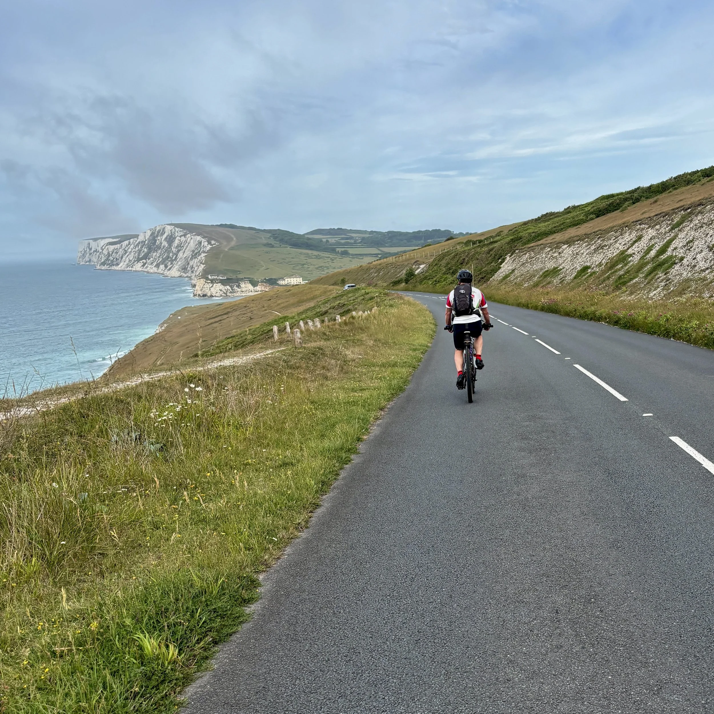
Eager to make the most of the day, we skipped the hotel breakfast and hit the road at 7:30 AM. Heading northwest along the old Nottage Road, we soon joined the famous Military Road (A3055). This iconic, sweeping coastal stretch was originally built in the 1860s as part of the island's Palmerston defences, allowing troops to deploy quickly along the coast to repel potential French invasions. It remained a private, gated military route until it was purchased and upgraded for public use in the 1930s.

Cycling along this historic road today, we enjoyed a gentle downhill stretch beside the dramatic, eroding cliffs before tackling a sharp climb right before Freshwater Bay. A short descent dropped us into the bay, where we pulled up to The Rock Restaurant inside the Albion Hotel. With 17 km already under our belts, their incredible breakfast overlooking the ocean was exactly what we needed.

Properly fuelled, we pushed on toward the south-westerly corner of the island, taking a sharp turn onto the B3322 near Alum Bay. We opted not to go all the way to the Needles on this trip as we had both seen them before, but it is an absolute must-do detour for anyone riding this route for the first time.

Our route then took us northeast through Totland, Norton Green, and Yarmouth. A major highlight of the afternoon was passing through Newtown. It is hard to believe today, but this quiet, picturesque hamlet was actually the bustling capital and primary commercial centre of the Isle of Wight in the 14th century, until a French raid in 1377 led to its decline. We paused to admire the Old Town Hall, a beautiful 17th-century brick building now managed by the National Trust, which stands as the only real evidence of the town's former political importance.

We made our final pitstop for the weekend at the Sportsman's Rest pub in Porchfield before tackling the final stretch through Rue Street and Gurnard. We rolled back into Cowes, crossed the chain ferry, and arrived at the Red Funnel terminal by 1:00 PM. Thanks to our early start, we easily hopped on an earlier ferry back to Southampton.

It was a brilliantly successful weekend of bespoke route finding, challenging climbs, and deep local history. The parkrun disappointment just gives me a solid excuse to return and explore even more of the island. For now, the Isle of Wight is officially ticked off the list.

Next up for the South Coast Cycle Adventure: Southampton to Weymouth.
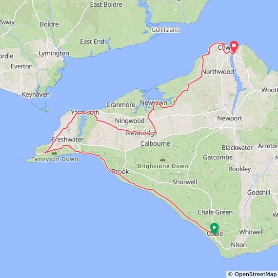

The Full Route
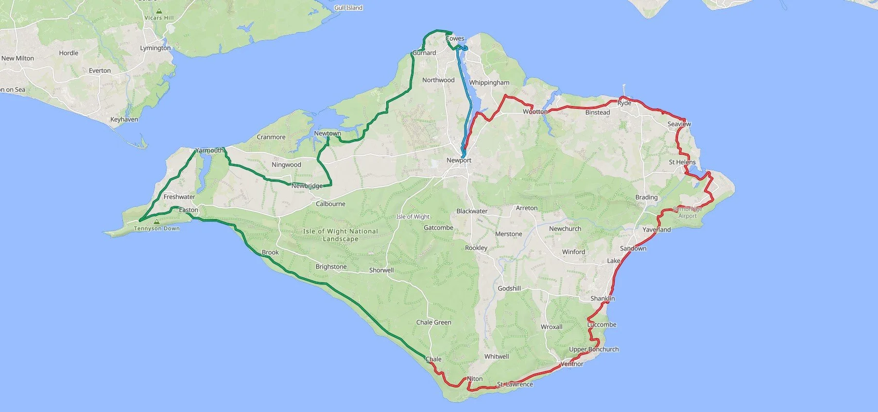
A map showing a 3 day coastal cycle circuit of the Isle of Wight

Day 1 in blue, day 2 in red, day 3 in green


  • Previous South Coast Cycle trip: Brighton to Southampton

  • Next South Coast Cycle trip: Southampton to Weymouth (coming soon)
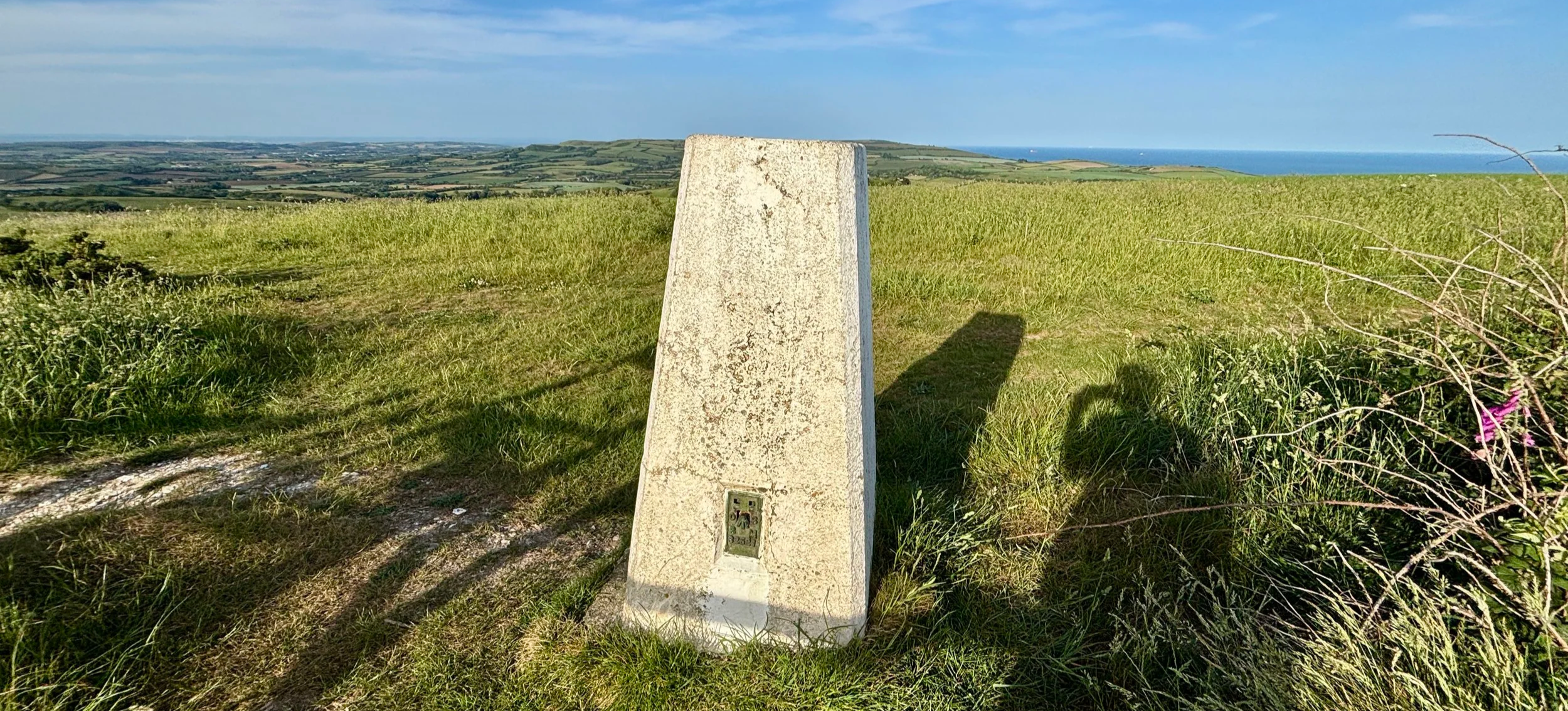
Trig Pillar Walks: St. Catherine's Hill, Isle of Wight
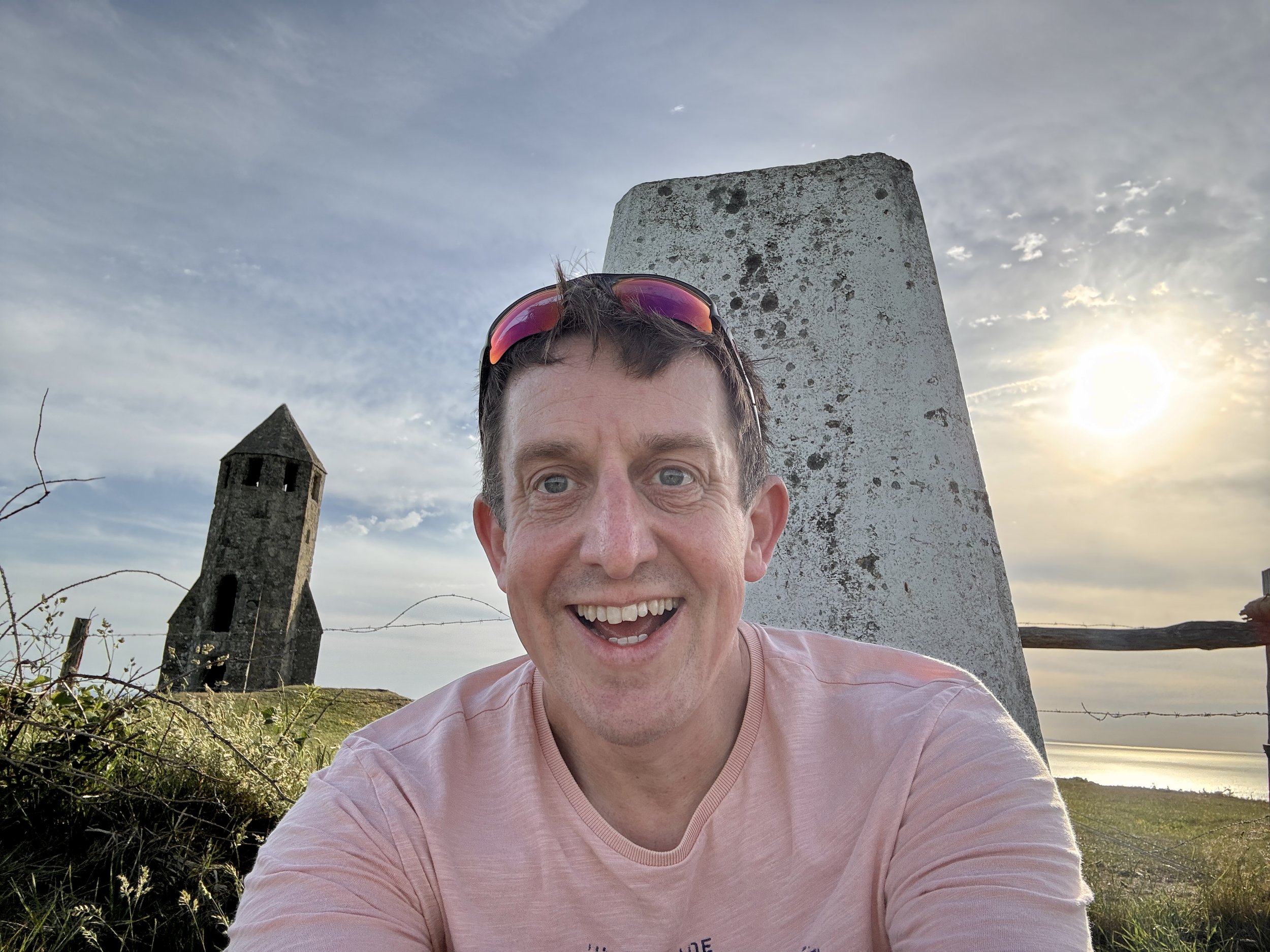
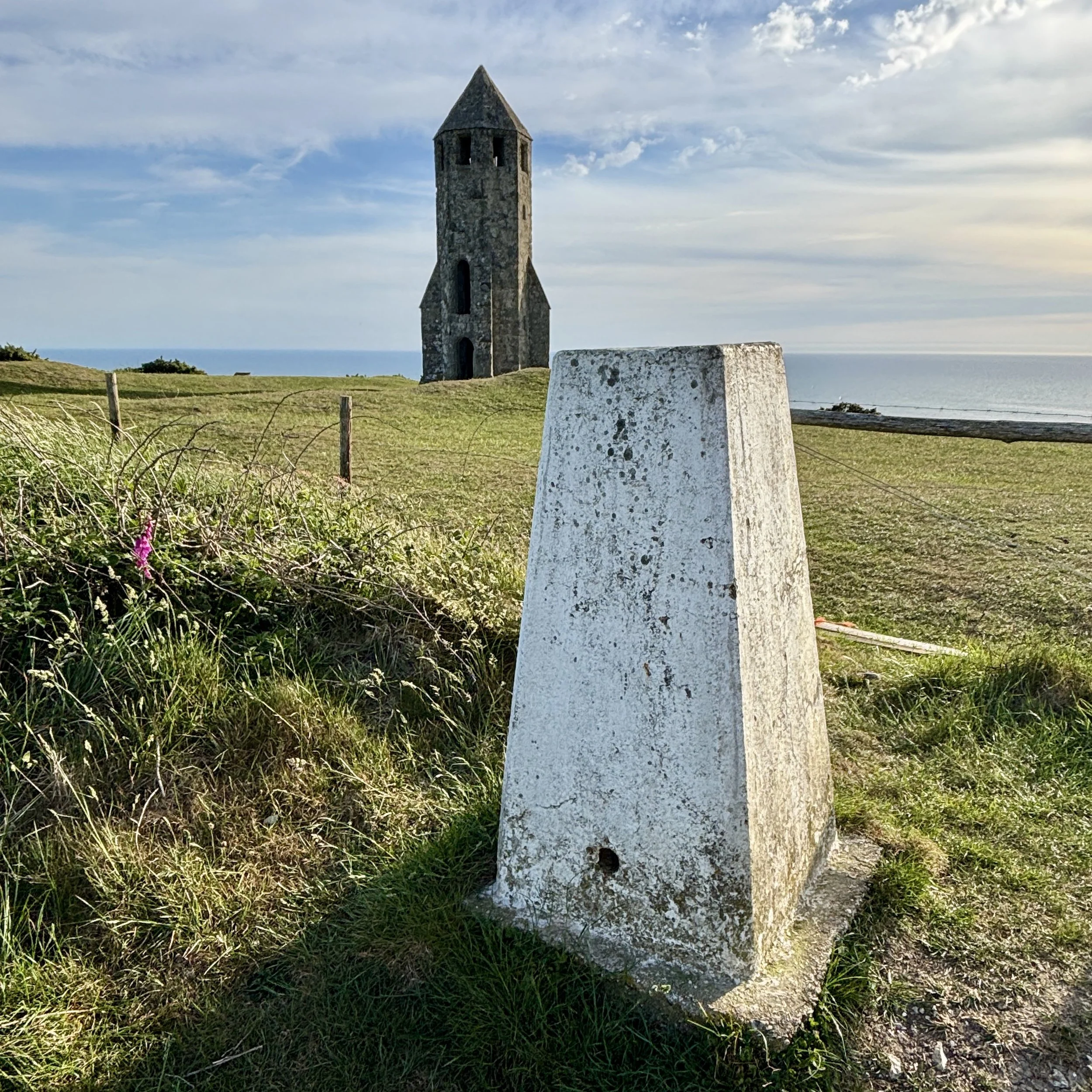
St Catherine’s Hill IoW Trig Pillar

St Catherine’s Hill IoW Trig Pillar


Start & Finish: Wight Mouse Inn, Church Place, Chale, Ventnor, PO38 2HA
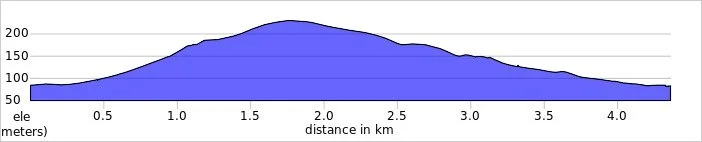
Distance: 4.4 km (2.7 miles)
Elevation change: +/- 144m
GPX File: get via Buy Me a Coffee
Other routes touched (walk): Isle of Wight Coastal Path
Other routes touched (cycle): Isle of Wight Round-The-Island Cycle Route (Route 67)
Pubs / Cafes on route: Wight Mouse Inn at the start and end
OS Trig Pillar: TP6127 - St Catherines Hill Isle Of Wight
Map: Isle of Wight Map | Cowes, Newport, Ryde, Sandown, Shanklin, Yarmouth & Ventnor | Ordnance Survey | OS Explorer Map OL29
Links: Chale, St. Catherine's Down, St Catherine's Oratory, Blackgang


Our Isle of Wight coastal cycle weekend late in May brought a brilliant unexpected bonus walk. Brian and I were on a two-day trip, and our first day involved cycling from Newport down to Chale on the south coast. We stayed overnight at a lovely pub called the Wight Mouse.

We arrived and checked in around 5:00 in the afternoon. We were both pretty tired, and Brian was particularly exhausted. We decided to grab an early dinner, after which I planned to head out for a short walk up nearby St. Catherine's Hill to bag the trig pillar. Brian had absolutely no interest in joining me: partly because of the fatigue, but mostly because he only had his clip-in cycle shoes with him, which are completely useless for walking. I do not use clip-ins, so I had my trusty trainers for the weekend, which were perfectly fine for a hike. Plus, we could actually see the top of the hill from our bedroom window at the pub: it was just too tempting to pass up!

Walking Directions

The guidance below will help you navigate but don’t use it as a fully accurate turn-by-turn guide. Always take a map and/or a GPX route and prepare well for the weather and terrain.

Just after dinner, I set out. I took a left out of the pub onto Church Place, and then the first right onto Upper House Lane. Taking a right onto a footpath, I headed out into the fields. From there, you can navigate through the fields and up a steep bank to the ridge line, which leads straight to St. Catherine's Hill.

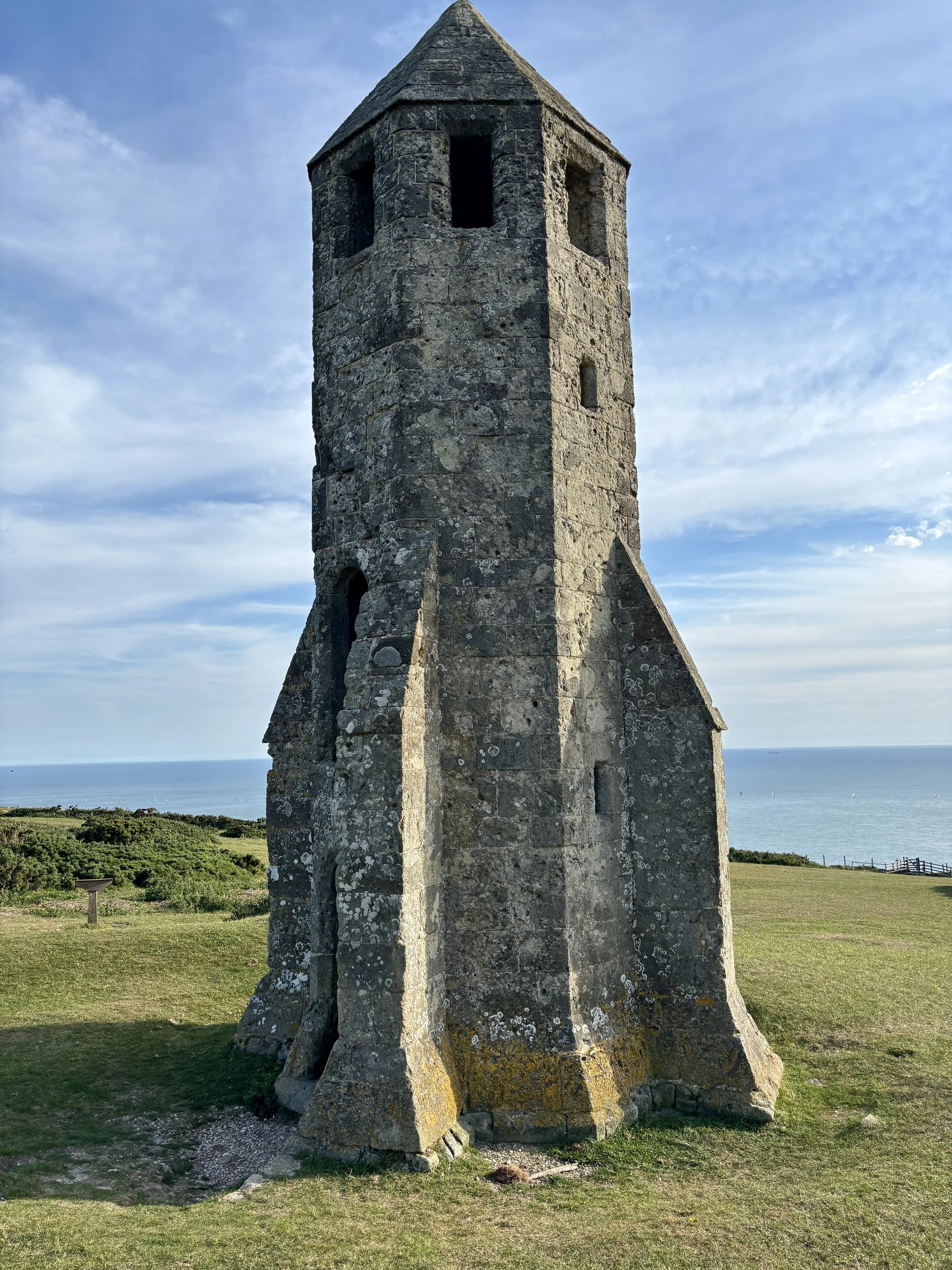
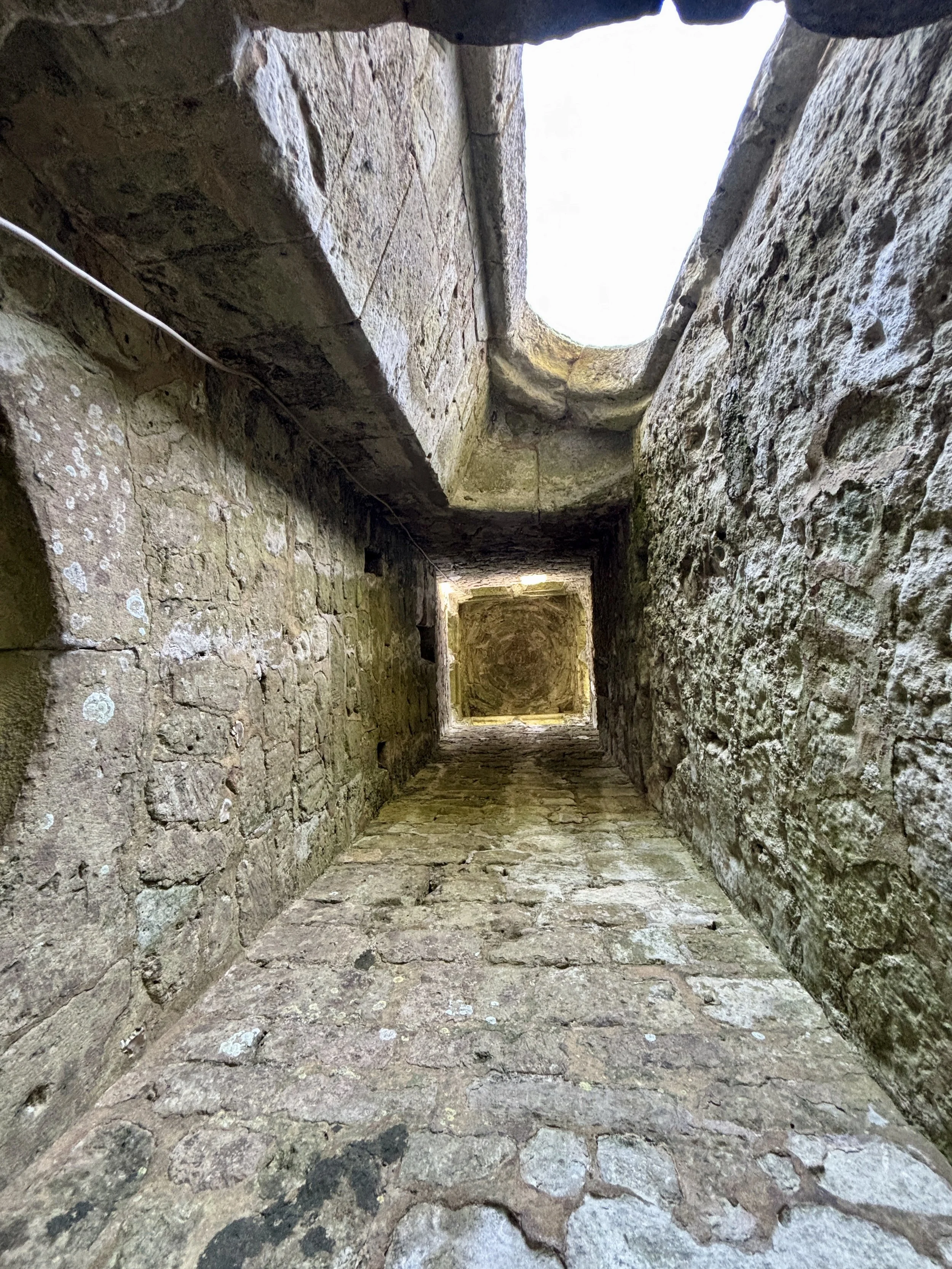
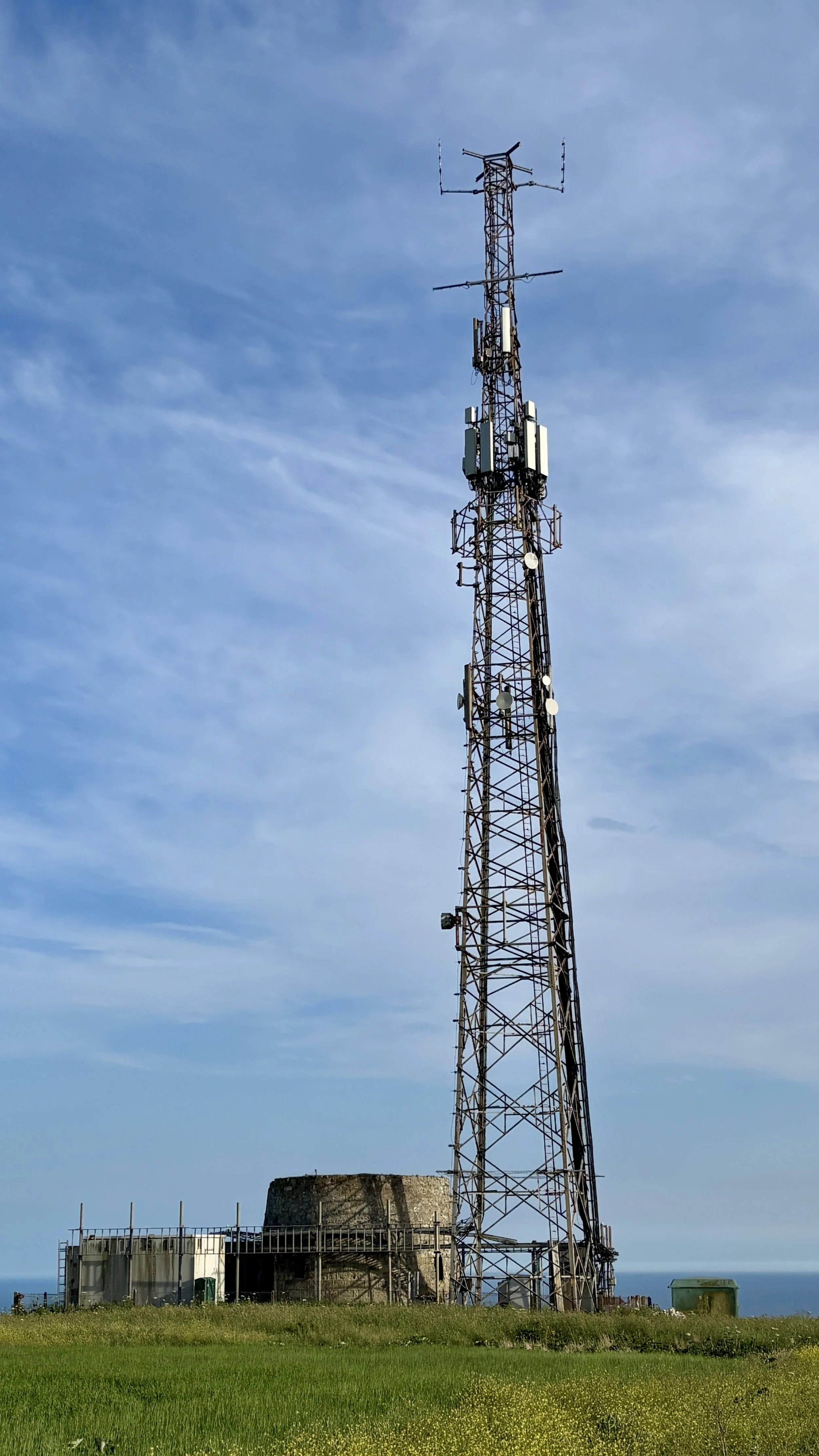
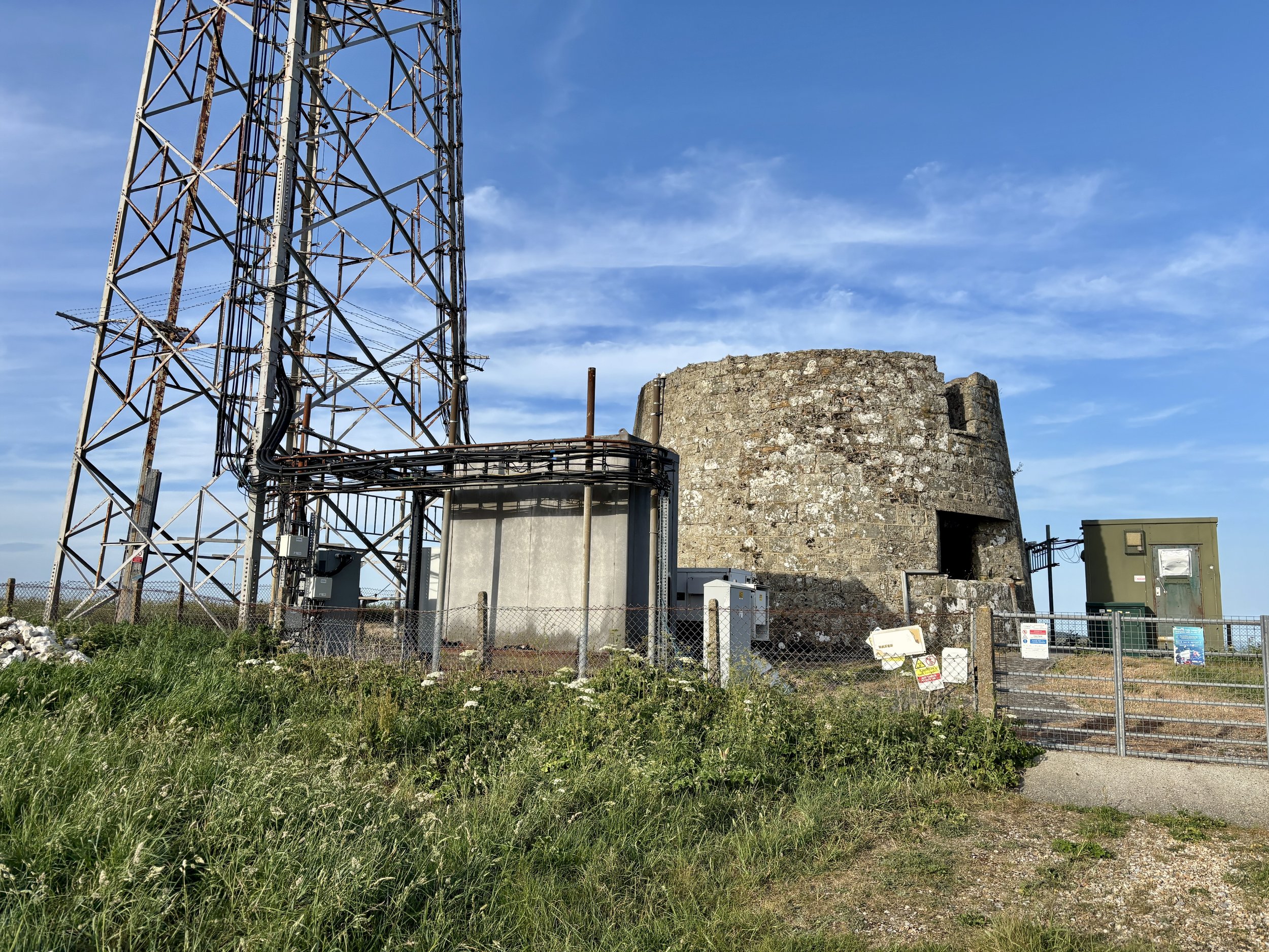
There are some genuinely fascinating things to see at the top. Naturally, my first stop was the trig pillar itself, which I successfully bagged. Moving on, the landscape reveals St. Catherine's Oratory, affectionately known locally as the "Pepperpot". This 35-foot structure is the only surviving medieval lighthouse in England. It was completed in 1328 by Walter de Godeton, the Lord of Chale. He was ordered by the Church to build the lighthouse and an adjoining oratory as an act of penance after he illegally plundered casks of white wine from a shipwrecked vessel called the St Marie of Bayonne in Chale Bay. Interestingly, historical sources conflict slightly on the exact date of the wreck: English Heritage and some historical texts note it as occurring in 1314, whilst other local historical records state it happened on 20 April 1313. A bit further south from the trig pillar, there is another striking piece of history: a modern telecommunications tower built right next to an old World War II pillbox.

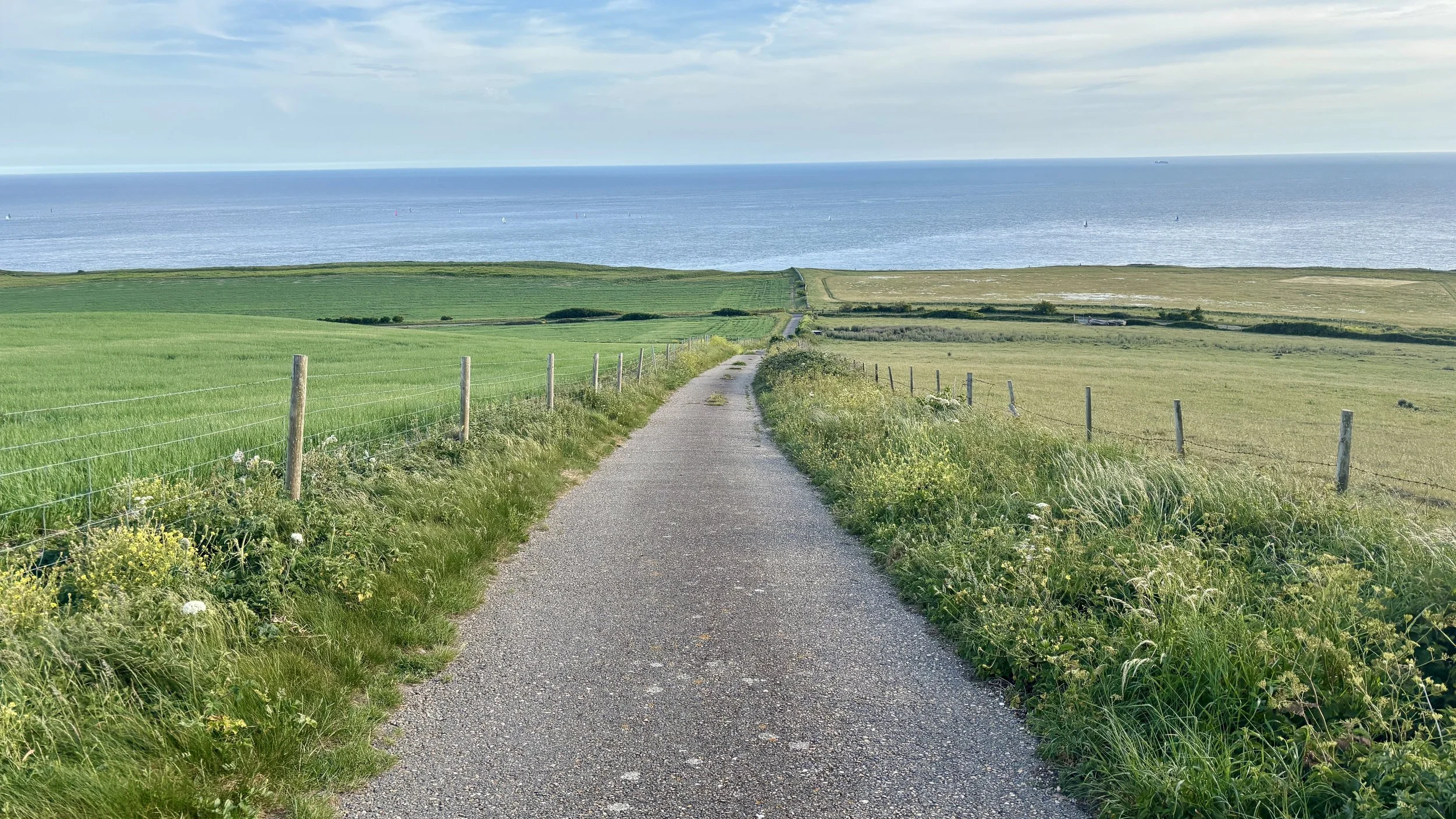
After spending a good amount of time at the top investigating the sights, I continued south along the footpath until I reached Blackgang Road: the exact road we had cycled down just a couple of hours prior.

I crossed over the road at a safe point into the Blackgang Viewpoint car park. From there, I picked up the Isle of Wight Coastal Path. This walking route takes a much safer path running parallel to Blackgang Road. I followed it all the way back to Chale, returning to Church Place and finally arriving back at the Wight Mouse. I found Brian relaxing in the pub garden, and we enjoyed a final drink together before getting a big sleep ahead of our second day of cycling.

Points of Interest along or near to the Route

  • St Catherine's Hill (Trig Pillar & Tumuli) At 239 metres above sea level, St Catherine's Hill is one of the highest points on the Isle of Wight. The summit area, including St. Catherine's Down, not only houses the trig pillar but also features ancient burial mounds (tumuli) dating back to the Bronze Age. The elevation provides commanding, uninterrupted views across the English Channel and the rolling downland of the island.

  • St Catherine's Oratory (The Pepperpot) Standing 35 feet tall, this striking octagonal stone tower is Britain's only surviving medieval lighthouse. It was built in 1328 by Walter de Godeton as penance for plundering a shipwrecked vessel laden with wine destined for a monastery. Originally, a priest would have tended the light to warn sailors of the treacherous Chale Bay below while offering prayers for the souls of those lost at sea.

  • Wight Mouse Inn (Chale) Located in the village of Chale, this historic 17th-century pub serves as a welcome starting and finishing point for the route. The building has deep roots in the local community, serving weary travellers for generations. Chale is positioned near the rugged southwestern coast, an area historically notorious for shipwrecks, giving the pub a rich maritime and smuggling heritage.

  • Blackgang Viewpoint Overlooking the dramatic southern coastline, this viewpoint offers spectacular vistas along the Undercliff and out over the sea. The area around Blackgang is constantly shaped by coastal erosion and landslides, which gives the cliffs their rugged, sheer appearance. In the past, this stretch of coastline was heavily patrolled by coastguards due to frequent shipwrecks and active smuggling operations.


Cycling The NCN 2 from Brighton to Southampton
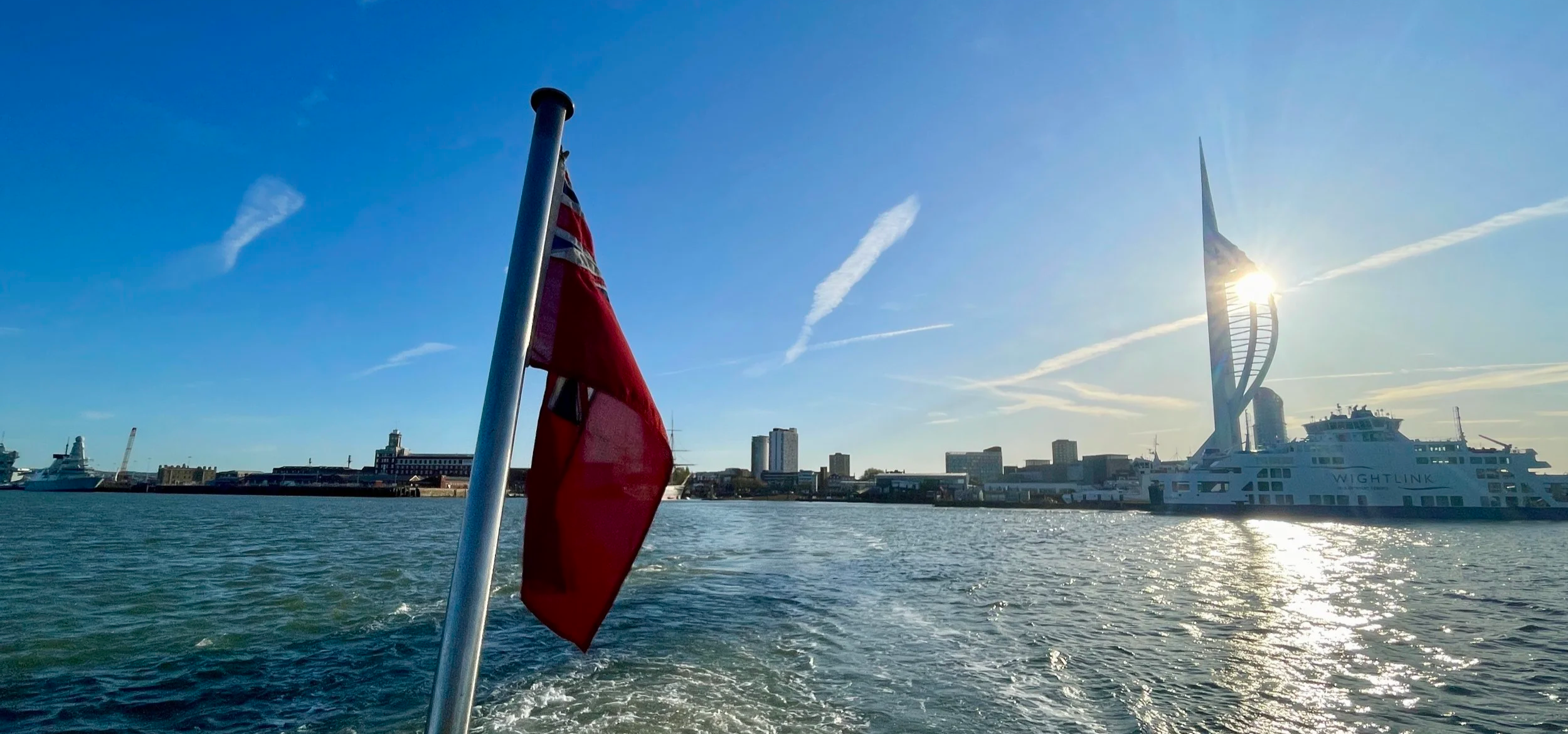
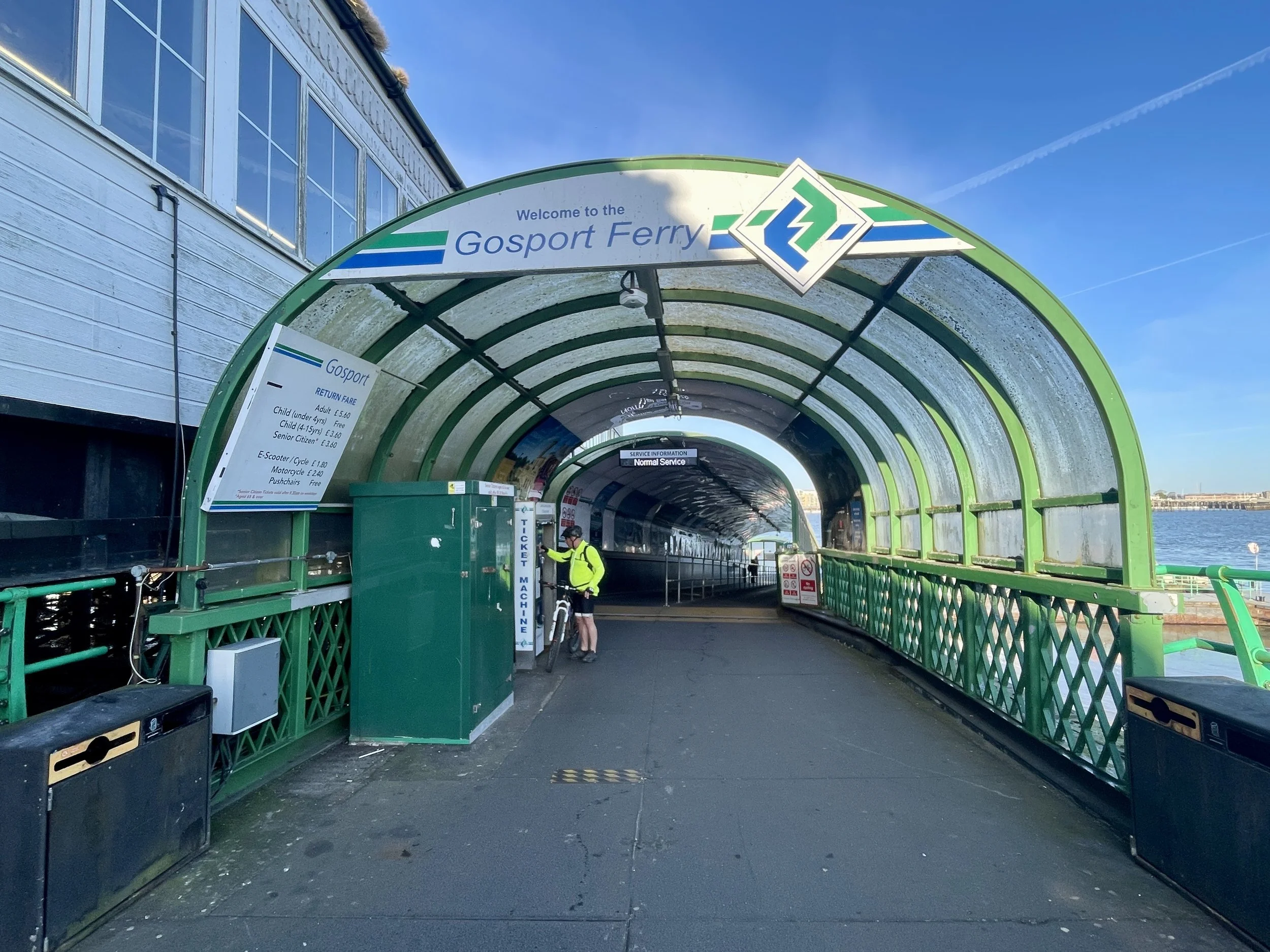
Early morning crossing on the Portsmouth to Gosport Ferry

Early morning crossing on the Portsmouth to Gosport Ferry


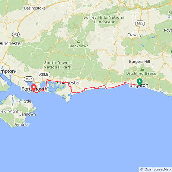
It had been a few months since our last cycling trip back in early January, so Brian and I were definitely overdue a catch-up and another stretch of the south coast. The plan this time was to tackle a segment of National Cycle Route 2 (NCN2). We originally aimed to ride from Brighton to Bournemouth, but we ended up tweaking our plans to finish in Southampton instead. Here is how the weekend unfolded.

We set off on Friday afternoon. After finishing work, we met up at Slough station to catch the Elizabeth line into London. We were aiming for the Thameslink from Farringdon down to Brighton, but we hit a familiar snag: you can't take non-folding bikes on the train during the Friday evening rush hour.

Rather than stressing about it, we used the time to grab dinner in Farringdon. We eventually boarded the 19:00 train and arrived in Brighton around 20:00. By the time we pushed the bikes to the Premier Inn, it was already dark. We parked them securely in our room and wandered into the centre of Brighton for a couple of drinks to properly catch up.


Day 1: Brighton to Southsea

Start: Brighton Palace Pier, Madeira Drive, Brighton, BN2 1TW
Finish: Clarence Pier, Southsea, Portsmouth, PO5 3AA
Distance: 95 km (59 miles)
Elevation change: + 316m / -321m (Net -5m)
GPX File: get via Buy Me a Coffee
Other routes touched (walk): King Charles III England Coast Path, Monarch’s Way, New Lipchis Way, The Selsey Tramway, Centurion Way, Sussex Border Path, The Shipwrights Way, Wayfarers Walk, Solent Way, Langstone Habrobour Waterside Route,
Other routes touched (cycle): NCN 2, 222, 288
Pubs / Cafes on route: Loads but we stopped for lunch at Soul Kitchen & Bar, Littlehampton (35 km in)
Maps:
-
Brighton & Hove Map | Lewes & Burgess Hill | Ordnance Survey | OS Explorer Map OL11
- Arundel & Pulborough Map | Worthing & Bognor Regis | Ordnance Survey | OS Explorer Map OL10
- Chichester Map | South Harting & Selsey | Ordnance Survey | OS Explorer Map OL08
- Meon Valley Map | Portsmouth, Gosport & Fareham | Ordnance Survey | OS Explorer Map OL3
Links: Brighton, Hove, Shoreham-by-Sea, Worthing, Ferring, Angmering, Littlehampton, Felpham, Bognor Regis, Aldwick, North Mundham, Chichester, Warblington, Havant, Hayling Island, Eastney, Southsea


I've been cutting down on alcohol this year, so those couple of glasses of wine on Friday night had an unfortunate consequence: I snored loudly all night. Brian barely got a wink of sleep.

Because of that, our Saturday morning started separately. I headed out early for the Hove Promenade parkrun. Usually, Brian would tag along and chill in a cafe, but he desperately needed to catch up on sleep. We met up at 09:30 after my run. I was in serious need of coffee and food by then, so we stopped at a lovely little independent bakery and cafe in Hove called MAKA for a sausage roll and a coffee while looking out to the sea.

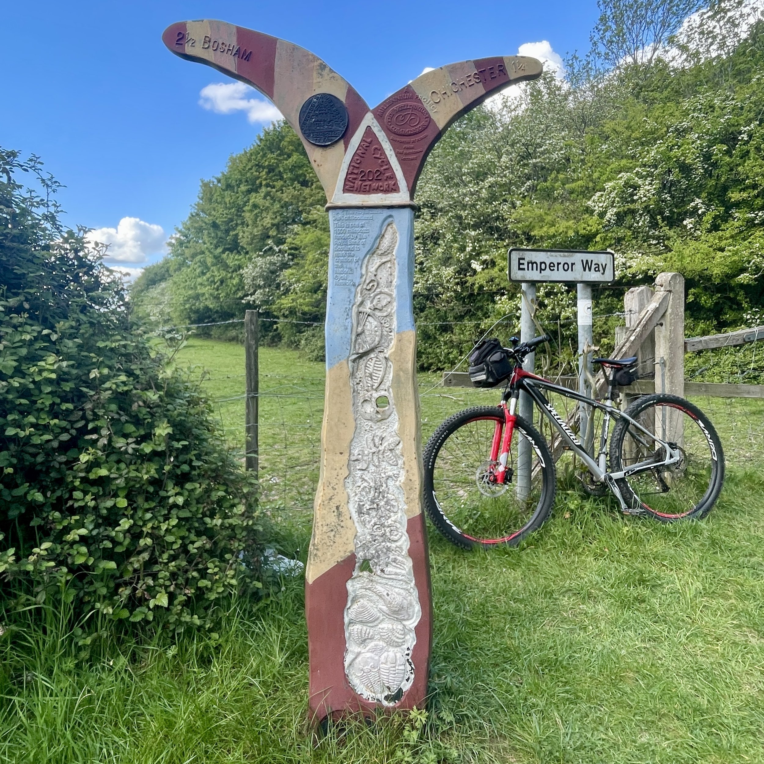
We finally hit the road around 10:00, heading west on NCN2. We quickly spotted our first Millennium Milepost just past a bench in Hove. We were looking out for them as they were a major feature of our previous south coast trips, but they were pretty sparse this time: we saw two close together in Hove, and only one more just outside Chichester.

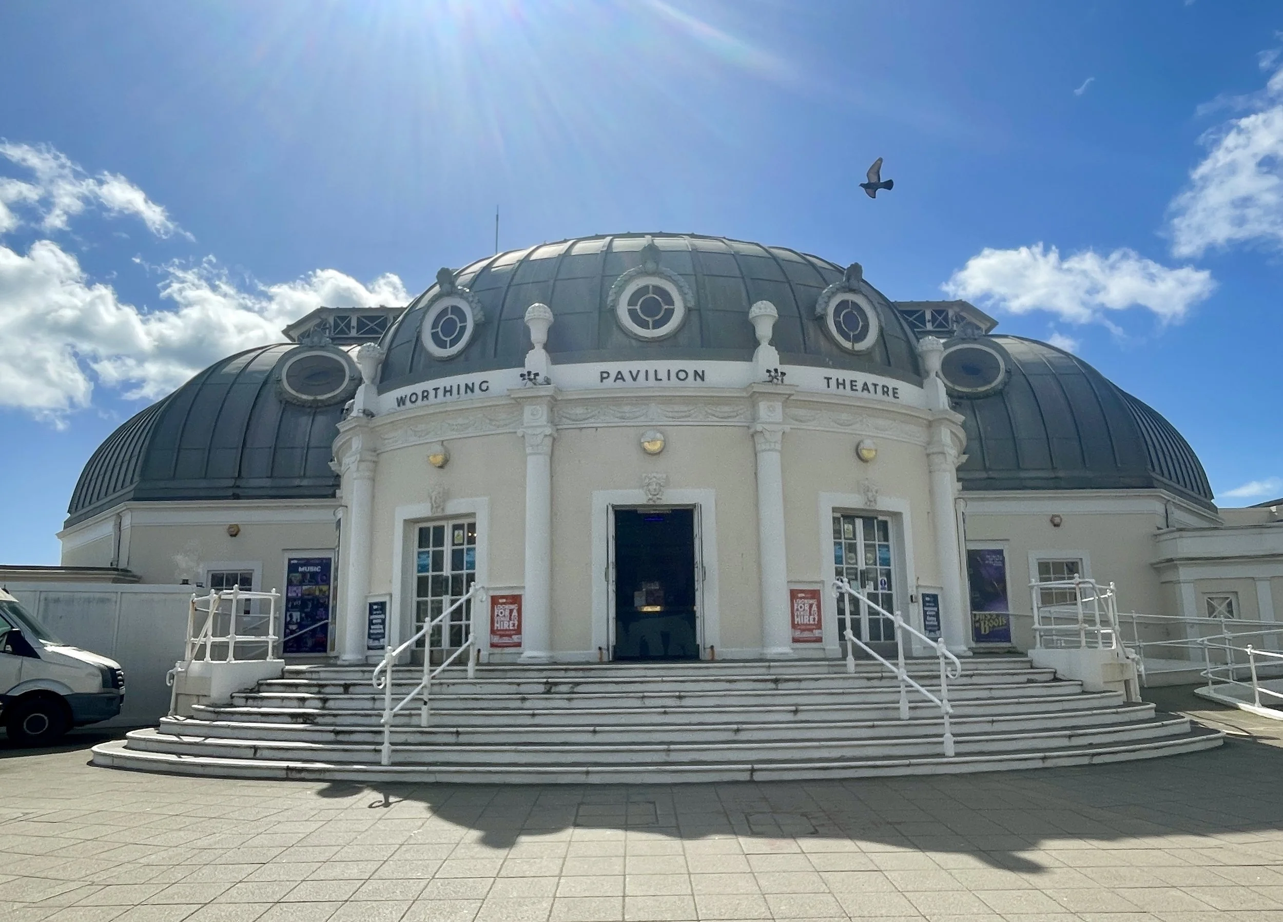
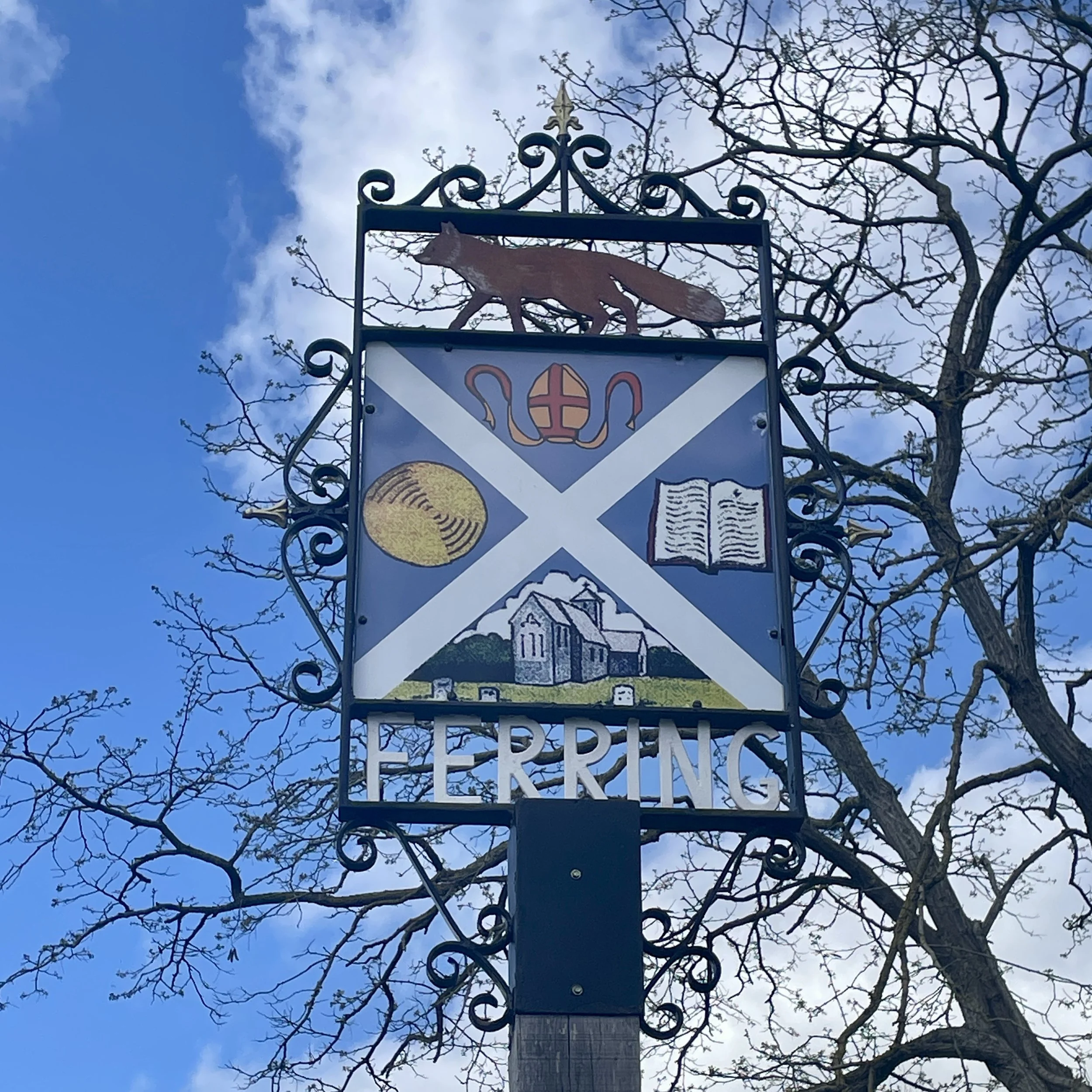
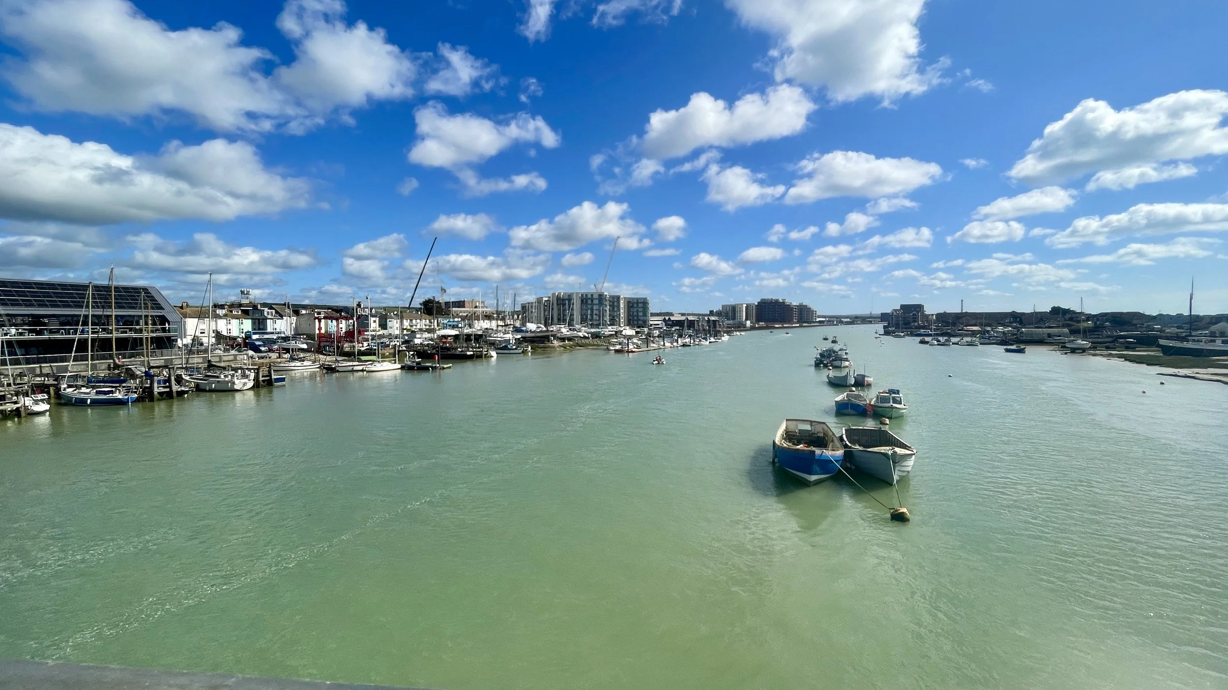
The morning ride stuck closely to the seafront. We actually cycled along the routes of several south coast parkruns, passing through Shoreham-on-Sea, Lancing, Worthing, and Goring-on-Sea. The route dips inland at Ferring to bypass a coastal path you can't cycle on, goes through Angmering, briefly touches the coast at Littlehampton, and then heads inland again before reaching Bognor Regis. We had planned an ice cream stop there, but despite the warm sunshine, the wind coming off the sea was incredibly strong, so we just pressed on.

Just after Bognor Regis, between Aldwick and Nyetimber, the official NCN2 signs simply vanished. We ended up following a path that seemed to be either a future or decommissioned section of the route. Despite this, the section actually turned out to be a real highlight of the day. It took us off the hard pavements and guided us cross-country through some beautiful fields, farmland, and dirt tracks.

The NCN2 signs finally picked up again at South Mundham. From there, we headed north into Chichester and stopped for a well-deserved coffee and cake to make up for the missed ice cream. Our original plan was to stay overnight in Chichester, but when I was booking, the hotels were completely full due to an event in town that weekend.

Suitably refreshed, we pushed west along the road bordering the top of Chichester Harbour, a National Landscape that I previously visited a couple of years back while hunting for its very low High Point.

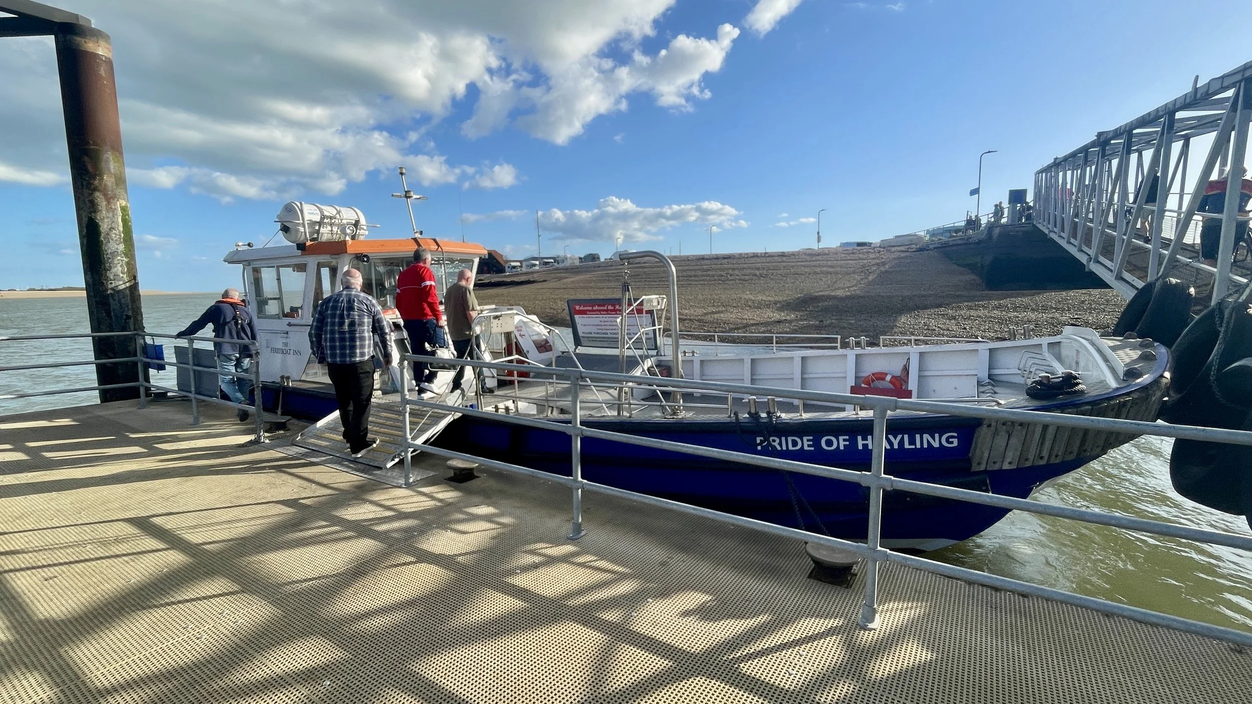
Approaching Havant, we picked up the pace. We were pretty tired, but I knew we had to catch the 17:40 Hayling Ferry to Eastney Point, or we'd be stuck waiting an hour for the next one. I managed to roll up to the jetty with about 30 seconds to spare.

I got on board and anxiously told the ferry staff my friend was right behind me. Turns out he wasn't. The boat was full, the crew were eager to leave, and I was torn between getting off to wait at the pub for an hour or holding the boat up. Just as I reached the point where I couldn't make them wait any longer and was about to step off, Brian came pedalling down the jetty. He was five minutes late but just in time. The crossing only took five minutes, but catching it gave us an extra hour for dinner and an early night.

From Eastney Point, it was a short 20-minute ride to our hotel, the Southsea Premier Inn. After checking in and showering, we were absolutely starving. We decided to walk northwest along the seafront into Old Portsmouth and found a nearby pub called The Dolphin. We enjoyed fish and chips and a much more modest amount of wine before finally getting some proper sleep.


Day 2: Southsea to Southampton

Start: Clarence Pier, Southsea, Portsmouth, PO5 3AA
Finish: Central Station Bridge, Blechynden Terrace, Southampton SO15 1AL, United Kingdom
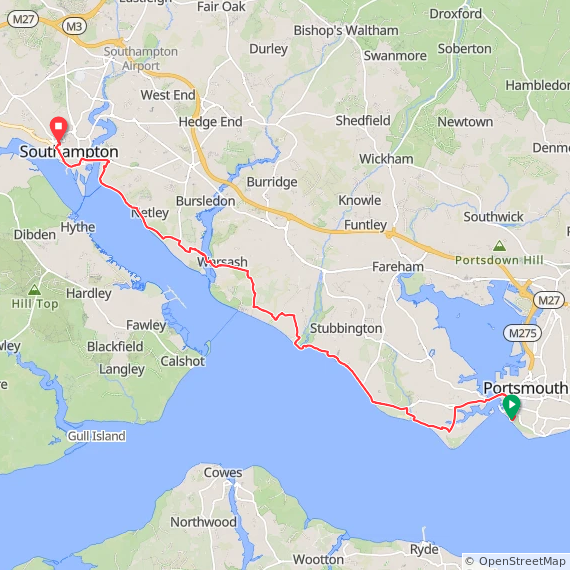
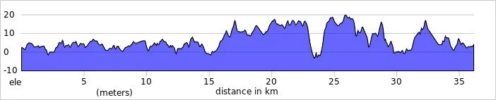
Distance: 36 km (22 miles) … plus an additional 12km for the Warsash Ferry diversion (see text below).
Elevation change: + 190m / -188m (Net -2m)
GPX File: get via Buy Me a Coffee
Other routes touched (walk): King Charles III England Coast Path, The Shipwrights Way, Solent Way, Strawberry Trail, Hamble Rail Trail Route
Other routes touched (cycle): NCN 2, 22, 23, 236
Pubs / Cafes on route: Several options but we had breakfast in Jenny’s Cafe, Hamble-le-Rice (24 km in)
Maps:
- Meon Valley Map | Portsmouth, Gosport & Fareham | Ordnance Survey | OS Explorer Map OL3
- New Forest Map | Southampton, Ringwood, Ferndown, Lymington, Christchurch & Bournemouth | Ordnance Survey | OS Explorer Map OL22
Links: Southsea, Portsmouth, Gosport, Lee-on-the-Solent, Warsash, Hamble-le-Rice, Netley, Southampton


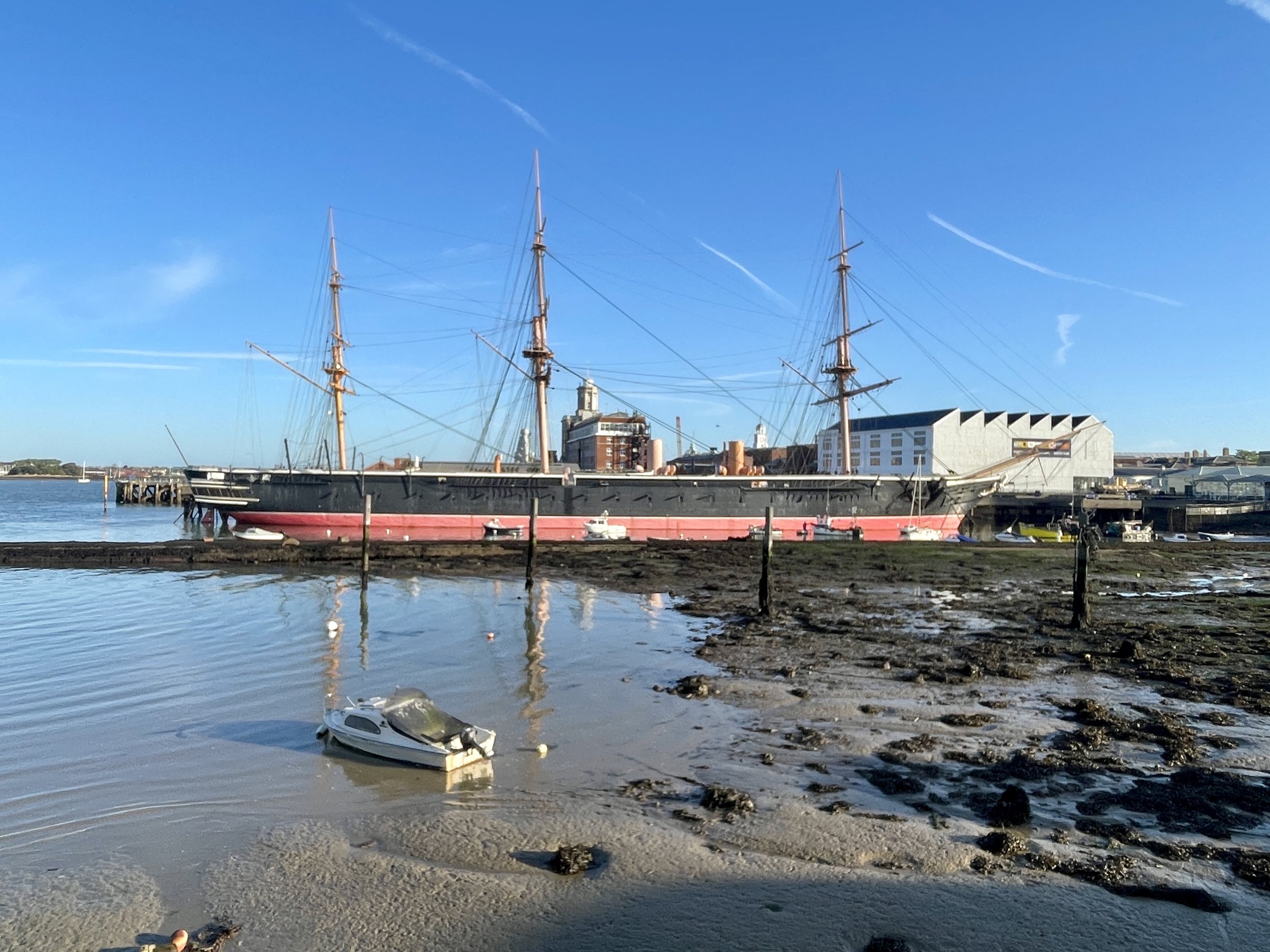
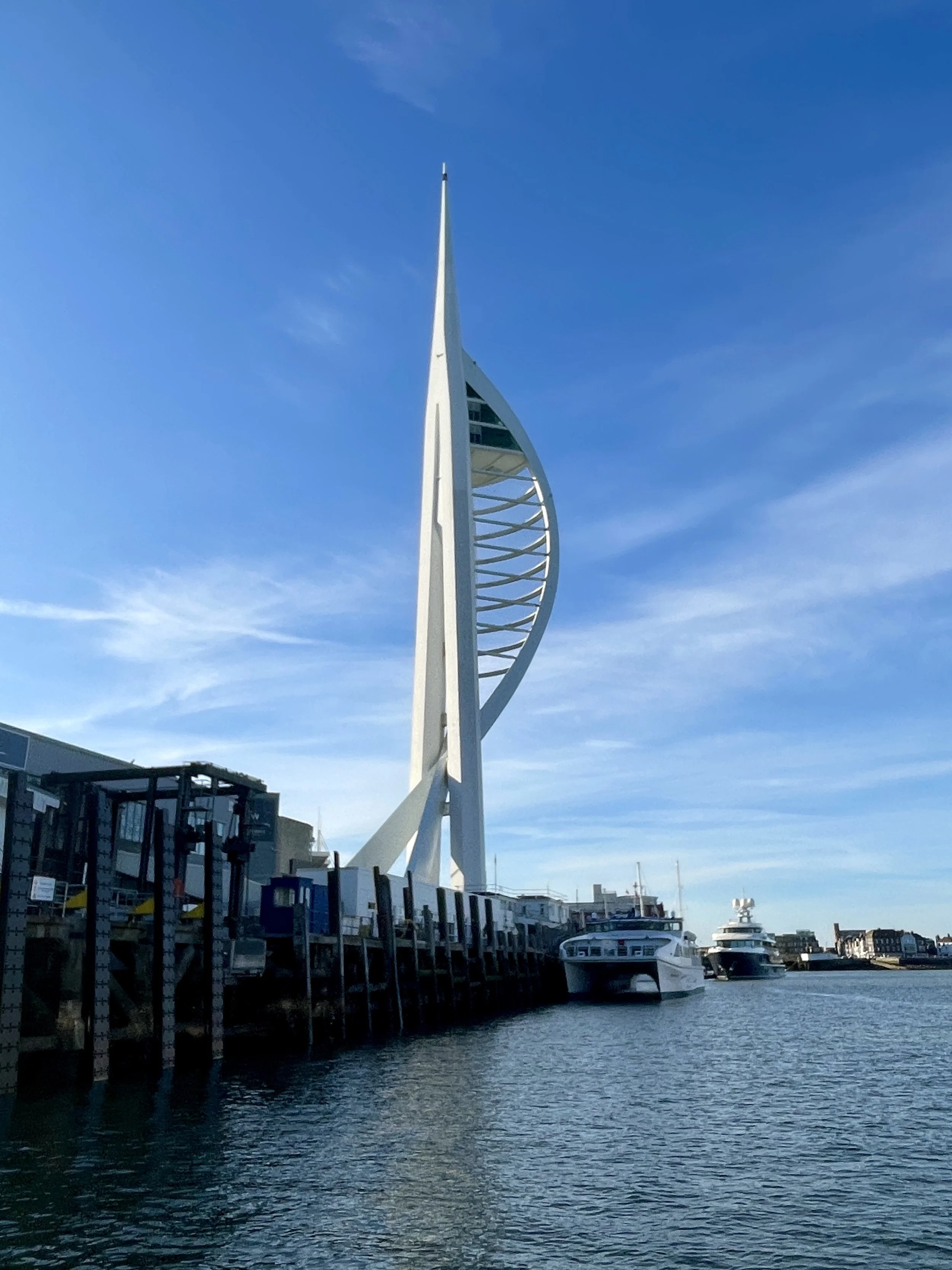
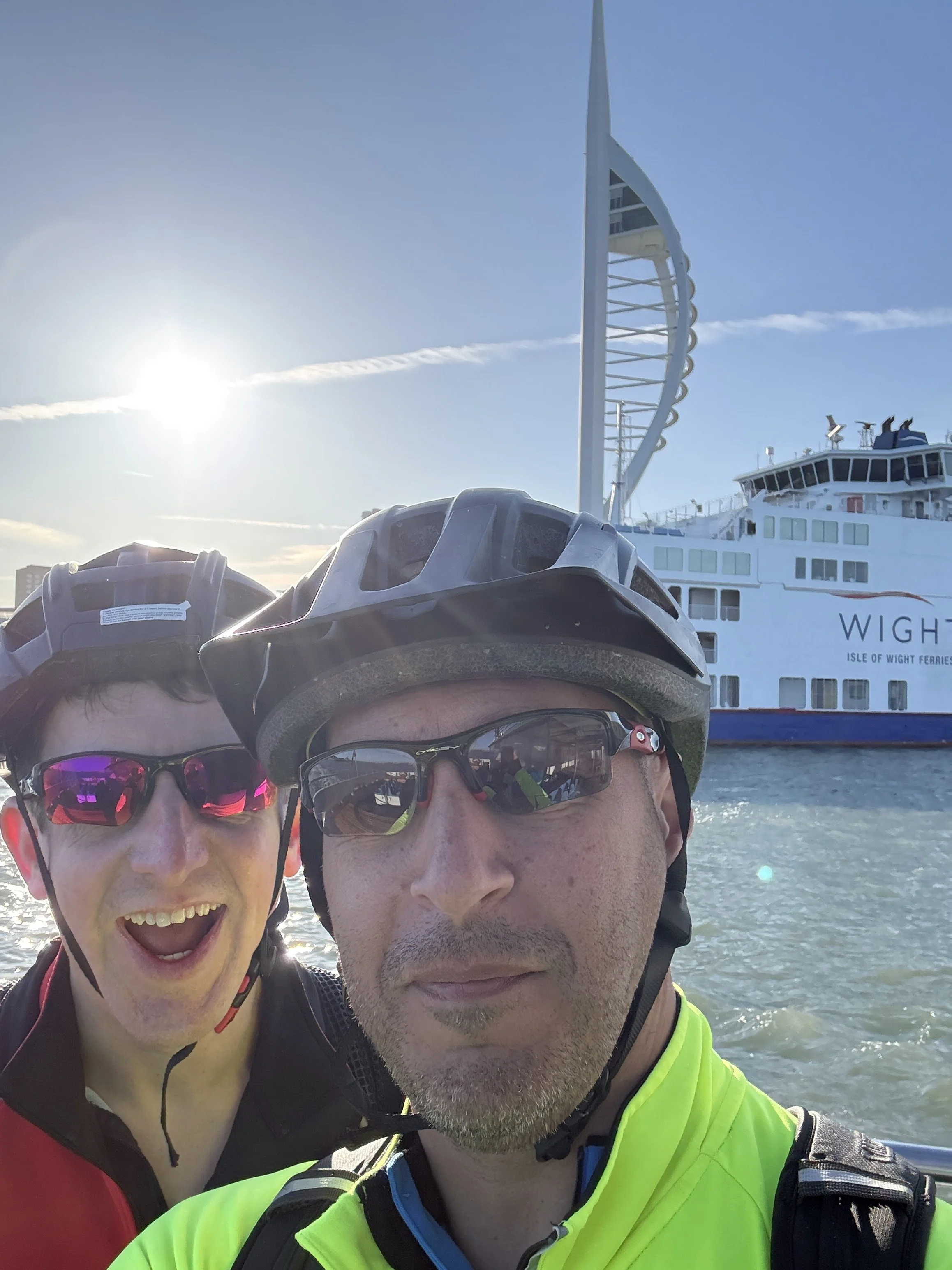
Thankfully, I didn't snore quite as much, and we both woke up well-rested around 06:00. We left the hotel at 07:15 for a 15-minute cycle over to Portsmouth Harbour. The Gosport Ferry runs every 15 minutes, so we barely had to wait at all. The crossing was really nice, with the morning sun coming up and illuminating the Spinnaker Tower and the Historic Dockyard.

The cycle through Gosport was a lovely stretch, passing through quiet little villages with great views of the Isle of Wight to our left. Feeling pretty good, we debated pushing on to our original goal of Bournemouth (which is about 55 km past Southampton). However, our second ferry drama of the weekend ended up making the decision for us.

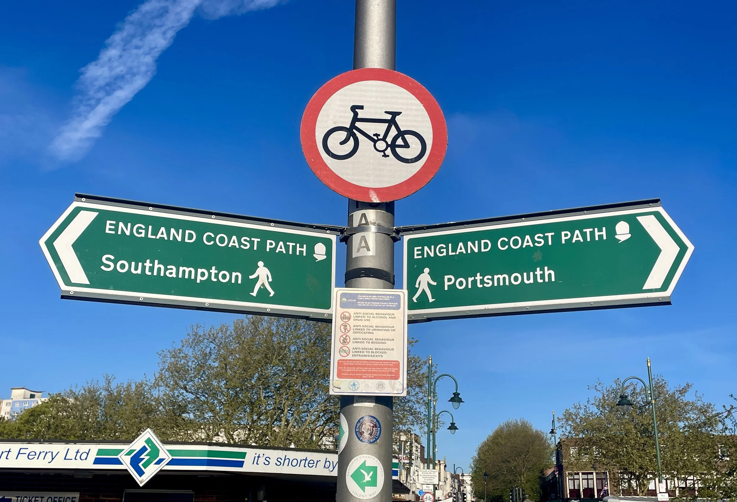
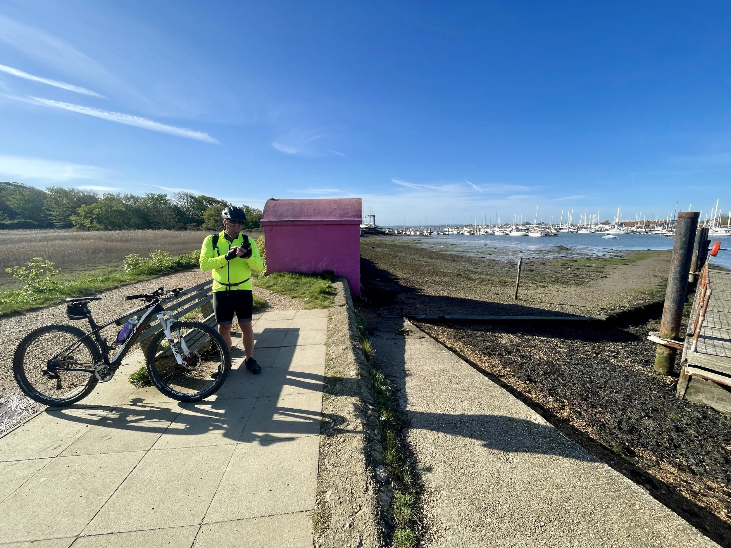
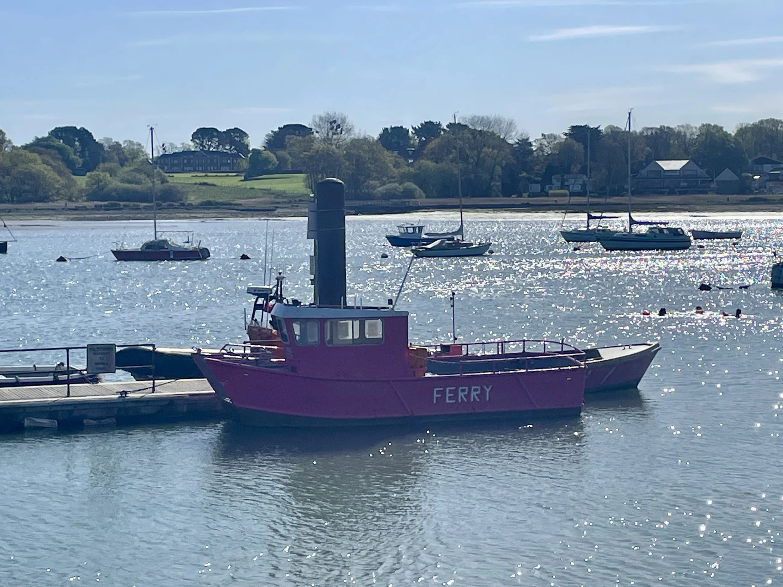
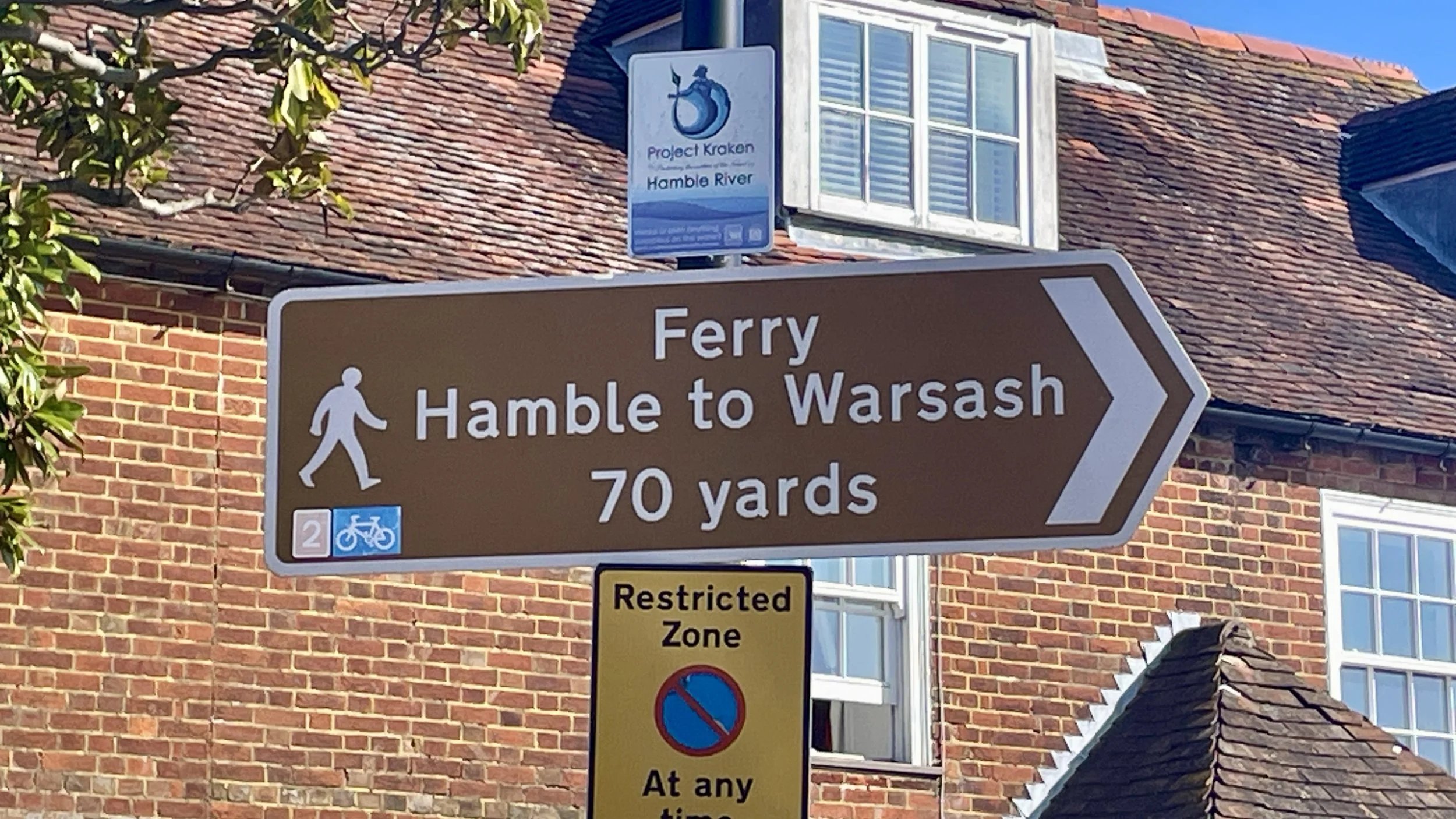
We arrived at the jetty for the Pink Ferry at Warsash (which crosses the River Hamble to Hamble-le-Rice) at 09:00. I had completely forgotten to check the times, and unfortunately, a sign informed us the Sunday service didn't start until 10:00. We were an hour too early. We had flashbacks of our West Coast Ireland trip a few years back when we made an early start to catch a ferry that turned out to start much later on a Sunday.

Waiting a whole hour would have seriously thrown off our timings for getting home for a rest in the hot tub. The alternative was to avoid the ferry with a 20-minute detour north to Lower Swanwick, crossing the bridge to Bursledon, and cycling down the other side. Brian decided his legs just couldn't take the extra cycling, so we made the call: Southampton would be our final destination.

Rather than taking the direct road to Southampton station, we decided to cycle back down south to Hamble-le-Rice on the opposite side of the ferry crossing. Since we were stopping in Southampton, we weren't pressed for time, and it meant we could still continue our journey along NCN2 as originally planned.

This actually turned out to be a fantastic decision. Hamble-le-Rice is a gorgeous, quaint little village. We were starving by this point, having cycled for nearly three hours, so we stopped at a really nice cafe called Jenny's. We stayed for an hour, taking it easy and chatting over a massive, much-needed breakfast.

The final leg into Southampton was packed with interesting history. Just outside Hamble-le-Rice, the cycle route joins the Hamble Rail Trail. This is a disused railway track originally built during the First World War to serve an aircraft factory, and later used to transport oil from the BP terminal.

We followed the route through some lovely parkland, passing right through the grounds of Netley Abbey and the Royal Victoria Country Park: the site of the historic Royal Victoria Military Hospital, which also had its own dedicated railway line.

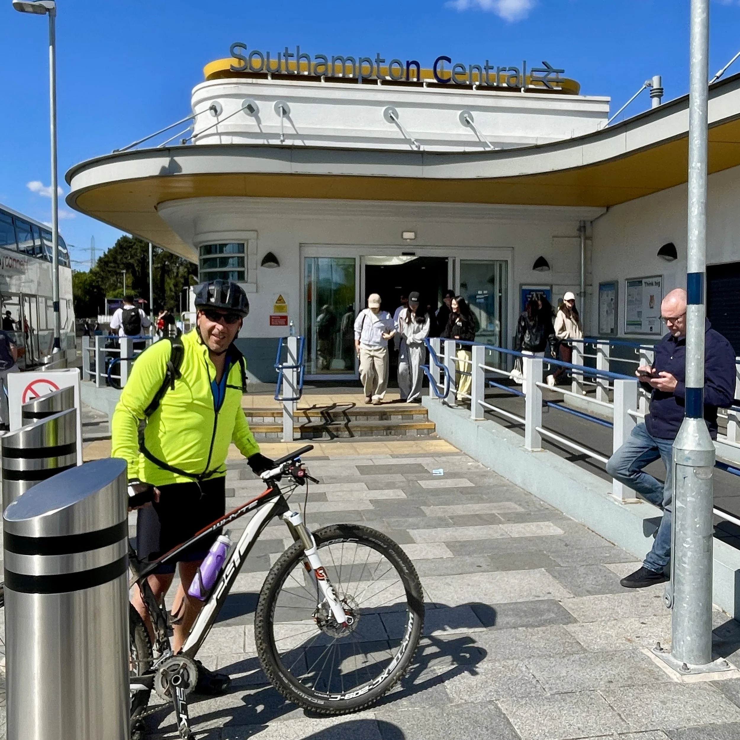
We followed the waterfront up to Woolston, crossed over the big Itchen Bridge, and navigated the city streets until we reached Southampton Central station at midday. From there, we bought our tickets and caught the train home via Reading, ready for a well-earned soak in the hot tub before the week ahead.


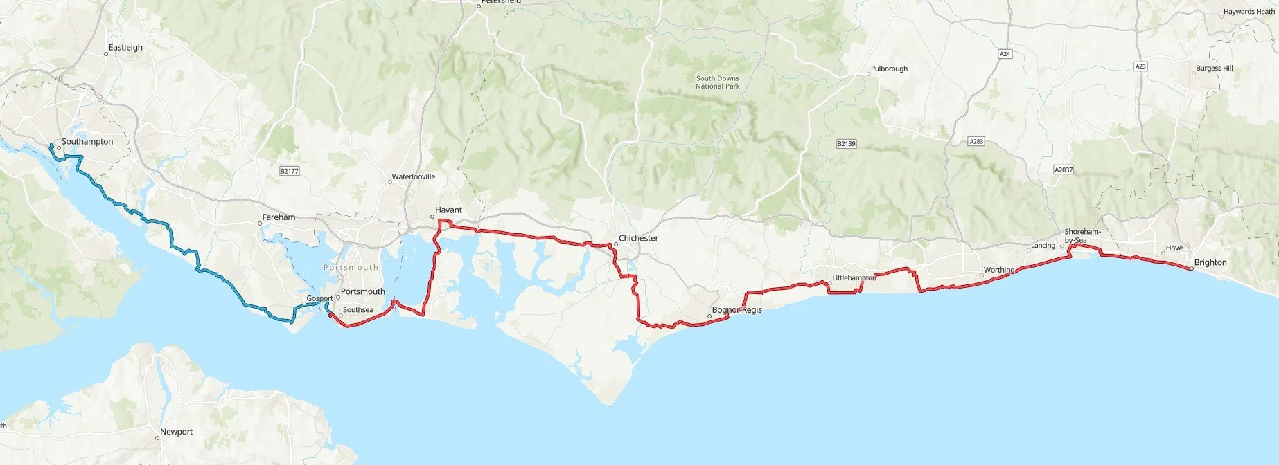
The Full 2-Day Route

A 2-day cycle trip along the NCN2 from Brighton to Southampton

Day 1 in red, day 2 in blue


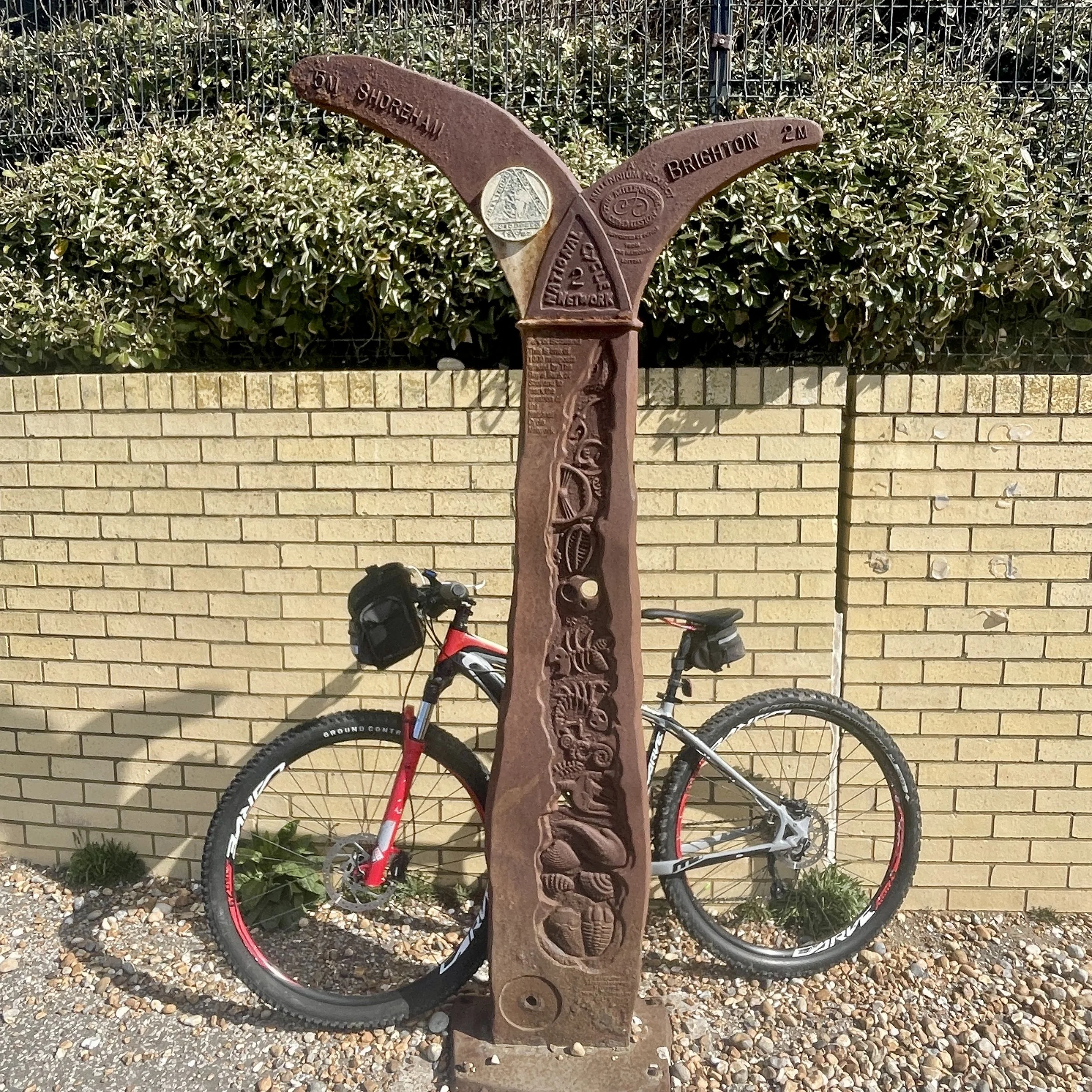
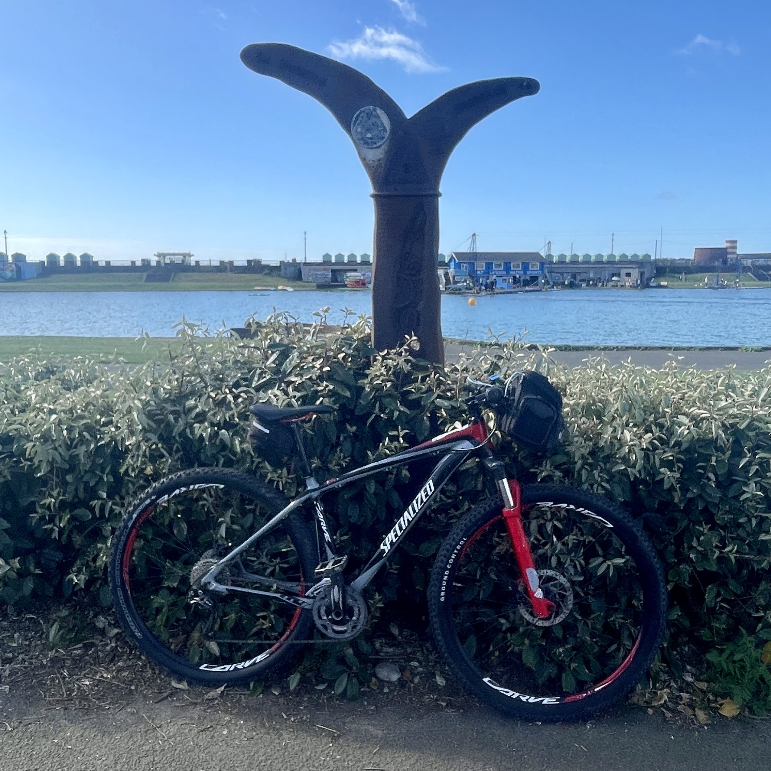
The Millennium Mileposts

Dotting the UK's National Cycle Network are over 1,000 unique markers known as the Millennium Mileposts. Unveiled in 2000, these cast-iron sculptures are more than just waymarkers. Designed by four artists, one from each nation of the UK, they celebrate the diversity of the cycling routes. These artistic mileposts come in various shapes and can be found in both bustling towns and scenic landscapes, adding a touch of artistic charm to a cycling adventure.

Here’s the 3 Mileposts that I spotted on day 1 of the trip. There were none on day 2.


  • Previous South Coast Cycle trip: Dover to Hastings

  • Next South Coast Cycle trip: Southampton to Weymouth (coming soon)
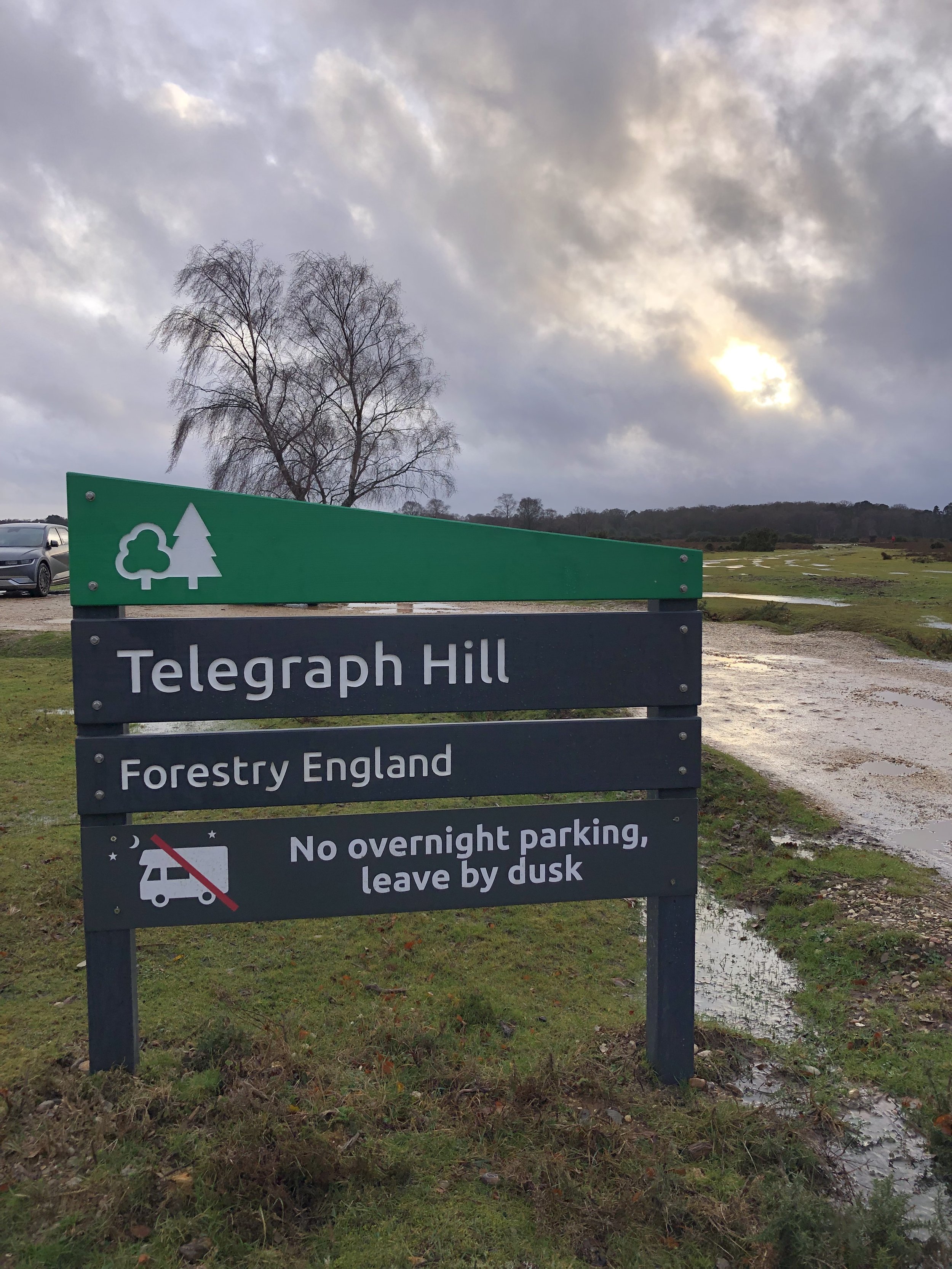
Telegraph Hill and Piper’s Wait: New Forest National Park High Points

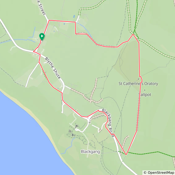
Telegraph Hill is generally understood to be the highest point in the New Forest National Park. However, other sources list the high point as Piper’s Wait which is 0.5m higher. I had only discovered Piper’s Wait after having bagged Telegraph Hill, so I had to return a couple of years later to complete them both.


Telegraph Hill

Significance: New Forest National Park high Point
Member of: N/A
Nearest Higher Neighbour = Farley Mount
Elevation: 127m
Date “climbed”: December 28th 2022
Coordinates: 50° 56' 57'' N, 1° 40' 37'' W
On route of: N/A
Map: New Forest Map | Southampton, Ringwood, Ferndown, Lymington, Christchurch & Bournemouth | Ordnance Survey | OS Explorer Map OL22
Links: Wikipedia (New Forest), Peakbagger

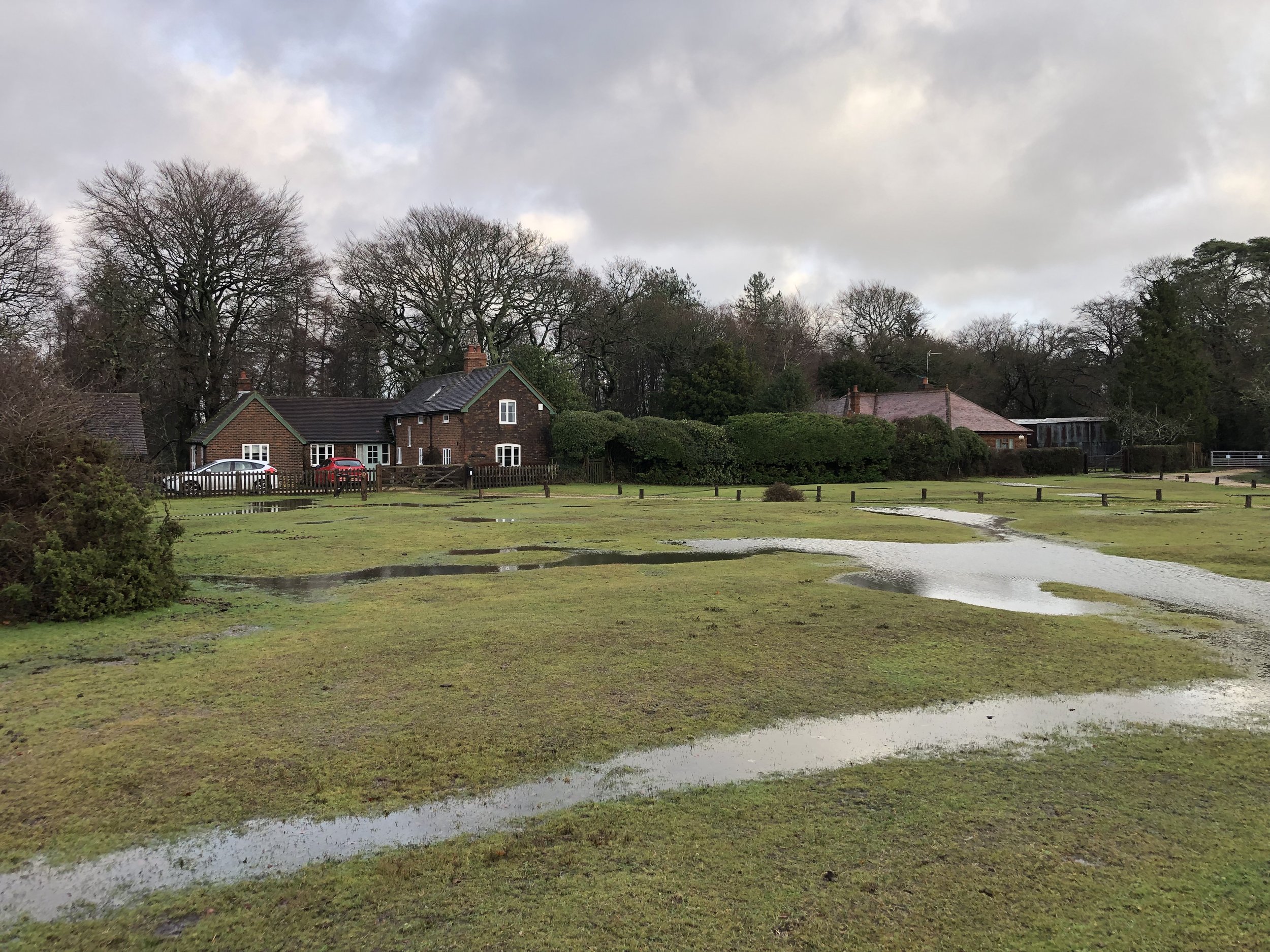
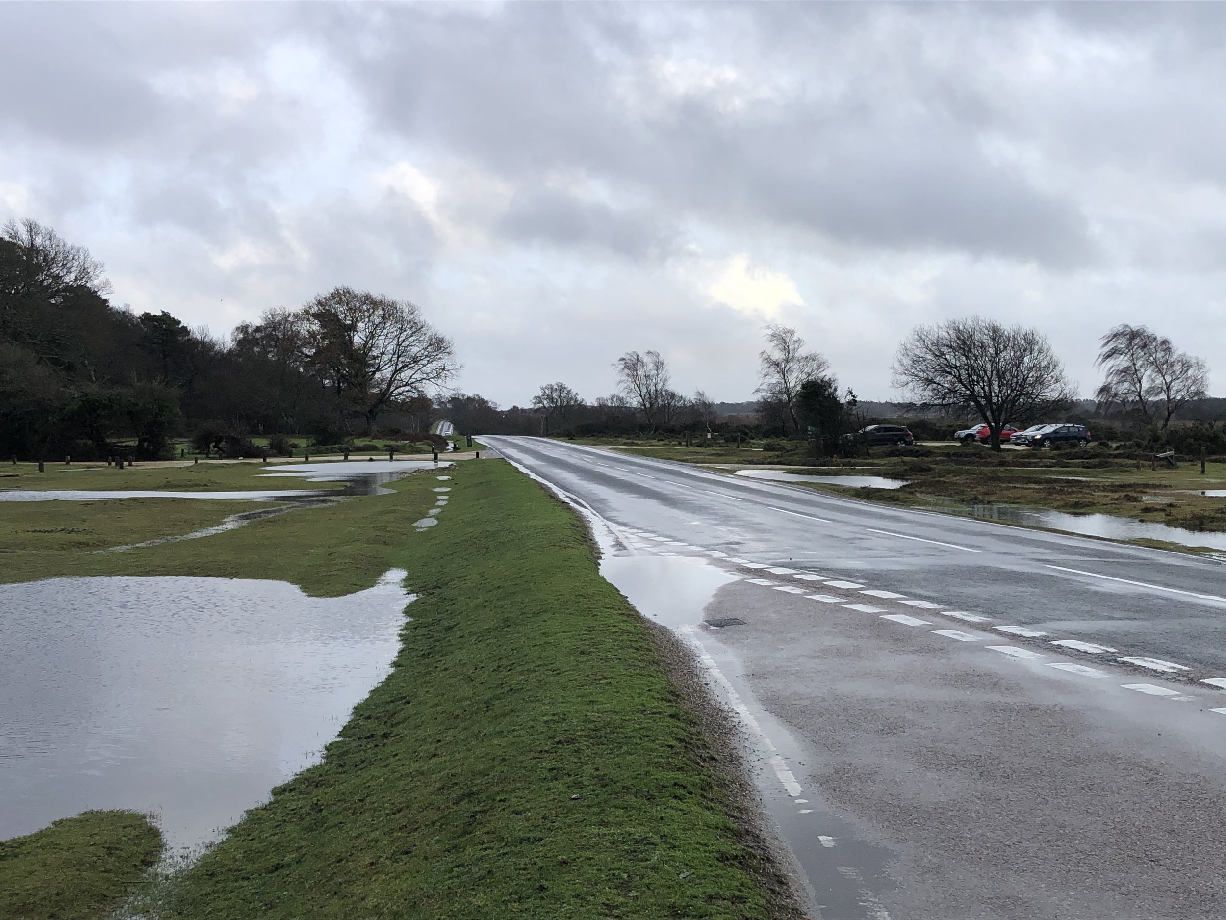
Bagging Telegraph Hill is pretty simple as the high ground is at and around the car park. The car park can be a good base for walk around the area. We were there on a rainy day just after Christmas so opted for a quick drive-by instead. Two nearby OS Trig Pillars, Pound Bottom and Bramshaw can be bagged in either a walk based from the Telegraph Hill car park or as quick drive-bys.

The name Telegraph Hill is due to a semaphore telegraph station built here in 1795. The station was one of the points where the admiralty communications were transmitted to London. This station was on the uncompleted London to Plymouth line.


Piper’s Wait

Significance: New Forest National Park high Point (alternative)
Member of: N/A
Nearest Higher Neighbour = Farley Mount
Elevation: 128m
Date “climbed”: July 26th 2025
Coordinates: 50° 56' 52'' N, 1° 38' 53'' W
On route of: N/A
Map: New Forest Map | Southampton, Ringwood, Ferndown, Lymington, Christchurch & Bournemouth | Ordnance Survey | OS Explorer Map OL22
Links: Wikipedia (New Forest), Peakbagger

Piper’s Wait is an equally simple bag and worth doing in the same trip as it’s a very short drive from Telegraph Hill. There no need to wait 2.5 years between them like I did. Park at the Piper’s Wait Car Park, cross Forest Road and walk towards the reservoir. The natural high point is roughly half-way between the road and the reservoir. It’s very flat ground though, so use a GPS if you want to get to the exact point. It’s worth climbing up to the top of the reservoir for a better view.


Cycling The Basingstoke Canal

Where the Basingstoke Canal meets the Wey Navigation at New Haw


Start: Greywell Tunnel, 134 Hook Road, Greywell, Hook, RG29 1BY
Finish
: Thames Towpath parking, 91 Thames St, Weybridge, KT13 8LR
Distance: 55.6 km (34.5 miles)
Elevation change: +246m / -318m. Net -72m
GPX File: get via Buy Me a Coffee
Other routes touched (walk): Three Castles Path, Blackwater Valley Path, River Wey Navigation Path, Locks and Levels,
Other routes touched (cycle): NCN 221, 223, 4,
Pubs / Cafes on route: The Fox and Goose at the start. Several just off-route but we stopped in Fleet (16 km in) and Woking (43.5 km in) and The Old Crown near the end.
Maps:
-
Basingstoke, Alton & Whitchurch Map | Odiham, Overton & Hook | Ordnance Survey | OS Explorer Map 144
- Guildford & Farnham Map | Godalming & Farnborough | Ordnance Survey | OS Explorer Map 145
- Windsor, Weybridge & Bracknell Map | Thames Path | Ordnance Survey | OS Explorer Map 160
Links: Basingstoke Canal, Greywell, Greywell Tunnel, Odiham Castle, Fleet, Woking, Aldershot, Mytchett, River Wey Navigation, River Wey


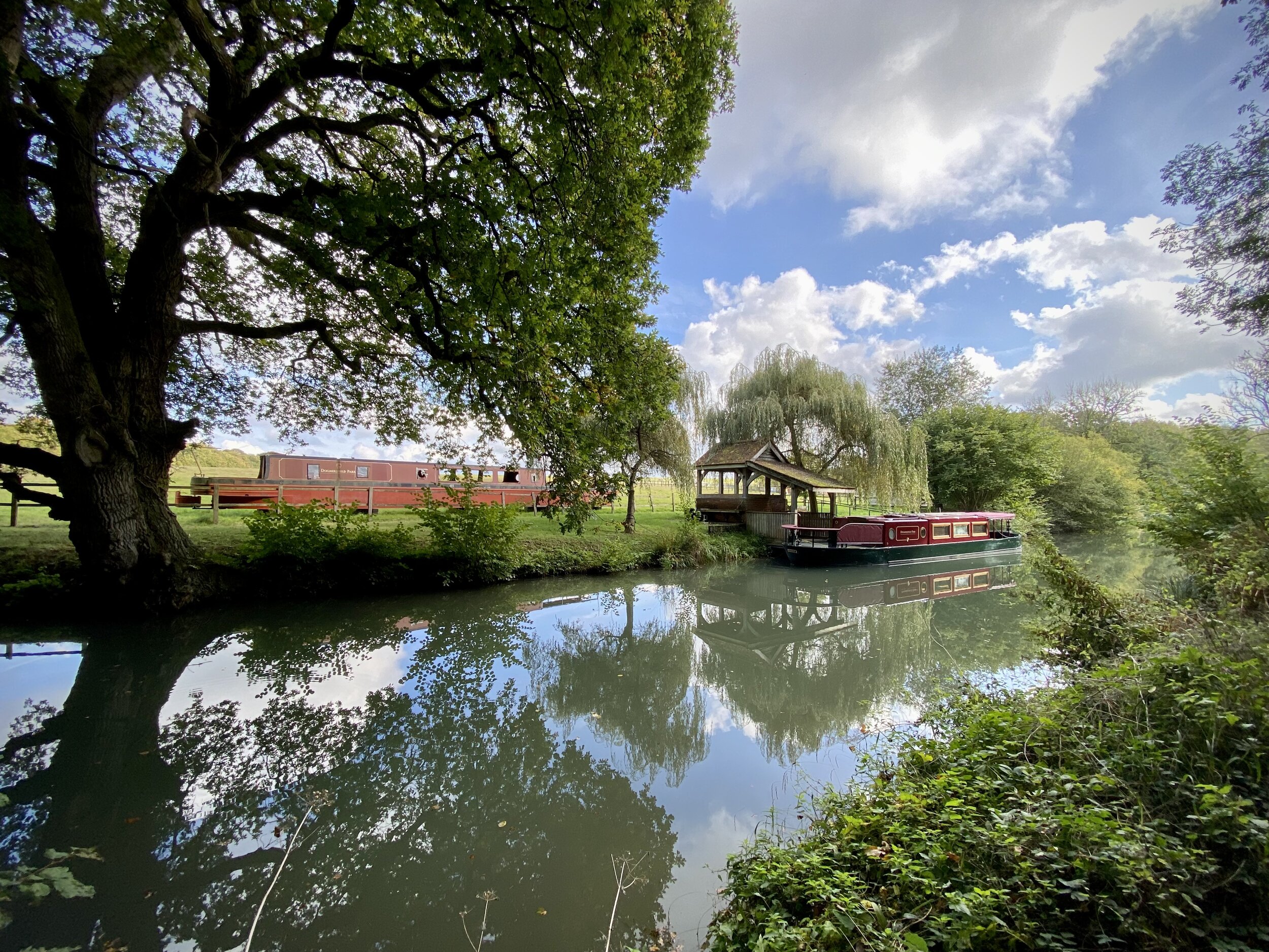
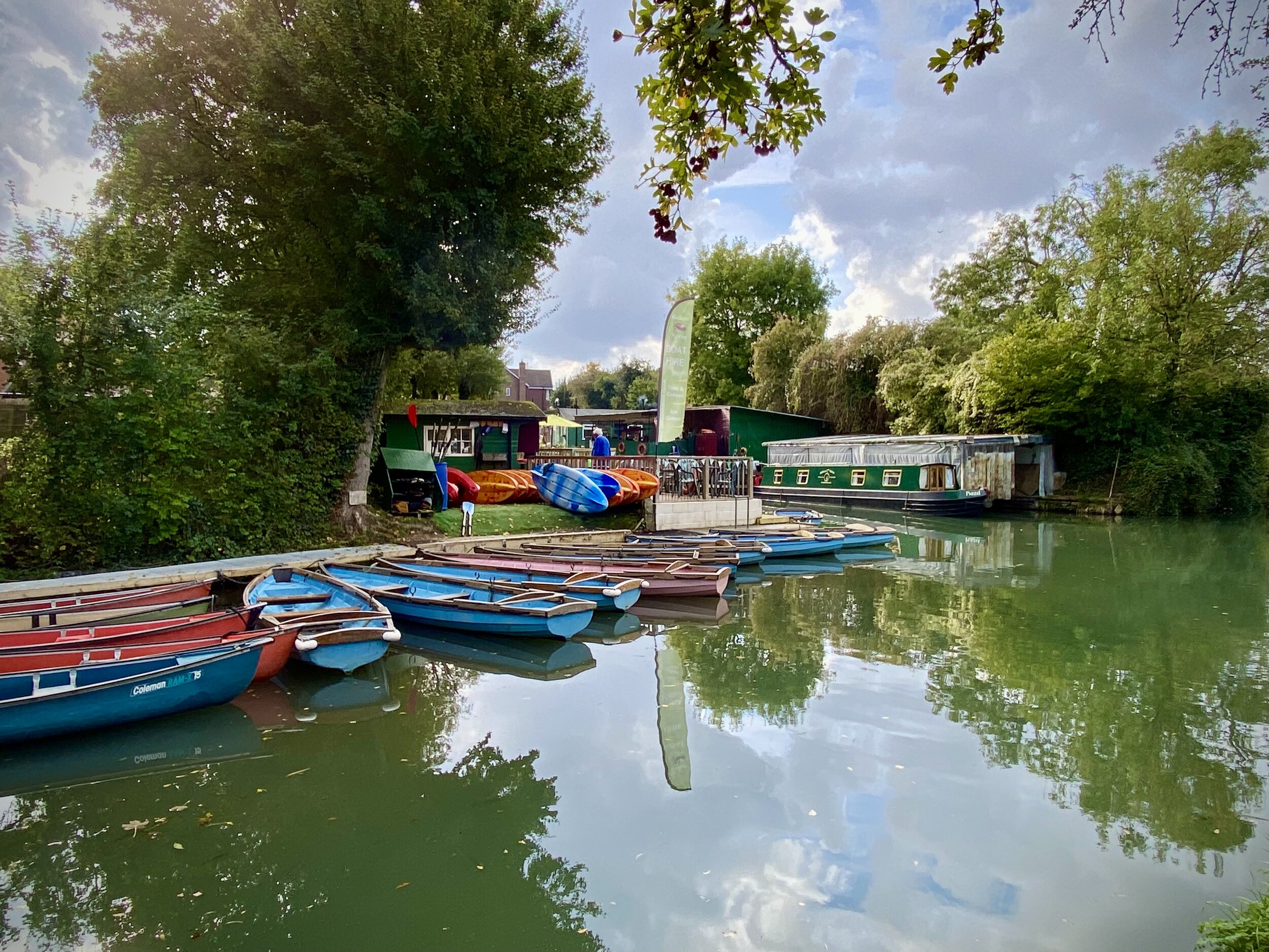
The Basingstoke Canal is a navigable waterway that runs through Hampshire and Surrey. Originally built in the late 18th century to transport goods between Basingstoke and the Thames, the canal fell into disuse in the mid-20th century. The first 10 km from Basingstoke to the Greywell Tunnel is either completely lost or unnavigable. Most of the eastern side of the canal after is navigable albeit the first couple of km only suitable for canoes and paddleboards.

We completed the full length of the canal in 2 sections. The first section was a walk of the “lost” part from Basingstoke to Greywell and the section section a tow-path cycle ride from Greywell to the Thames. See my previous post for the first section and read on for part 2.

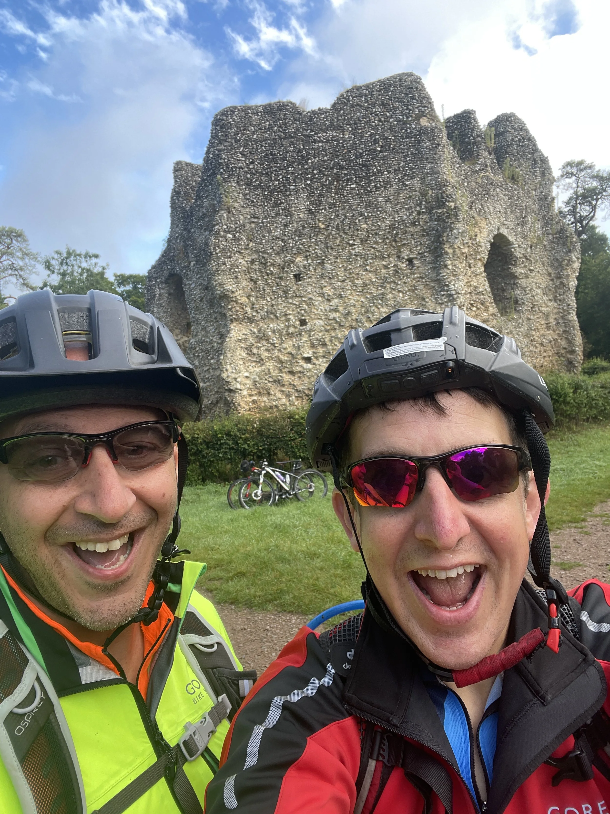
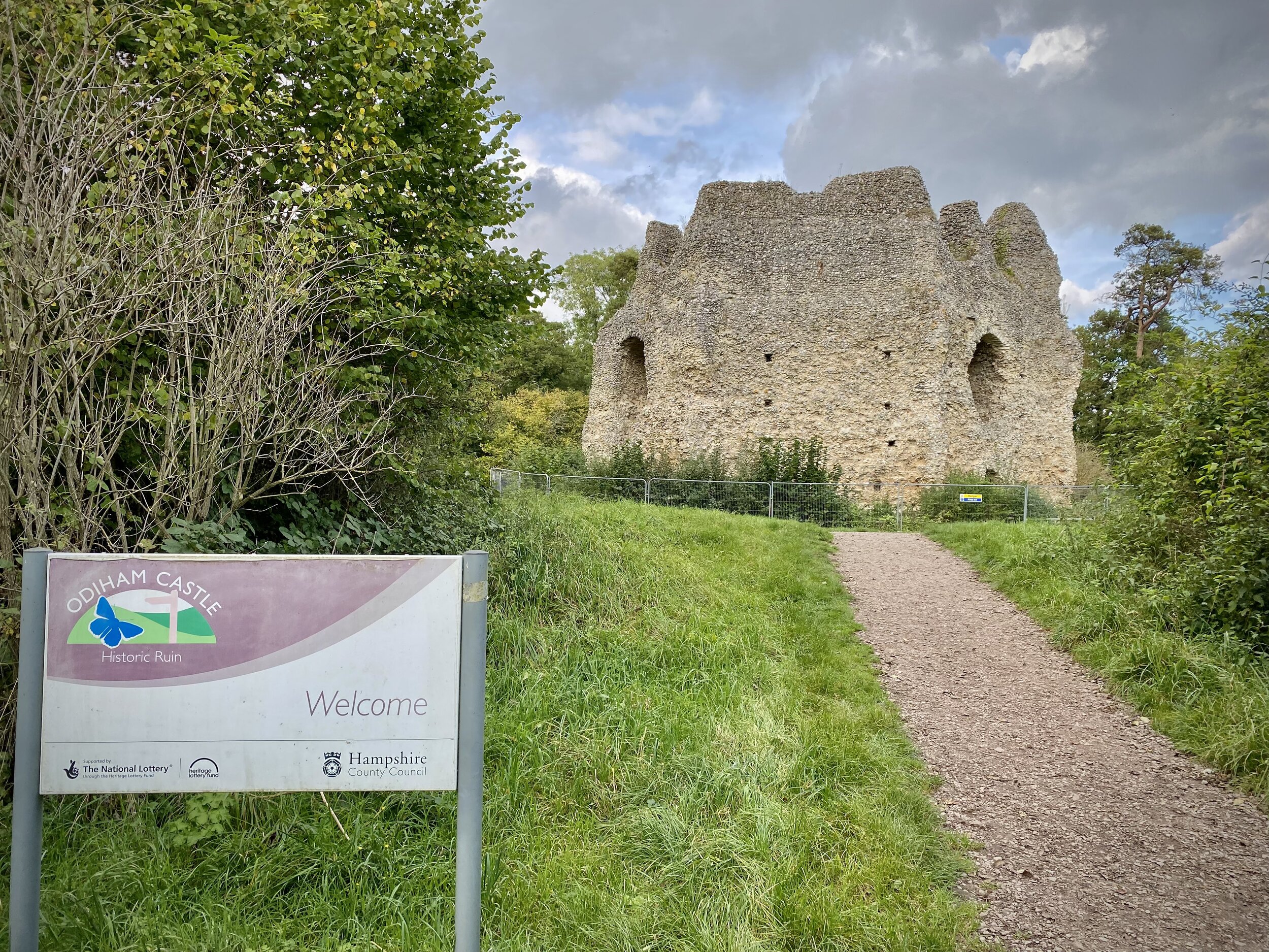
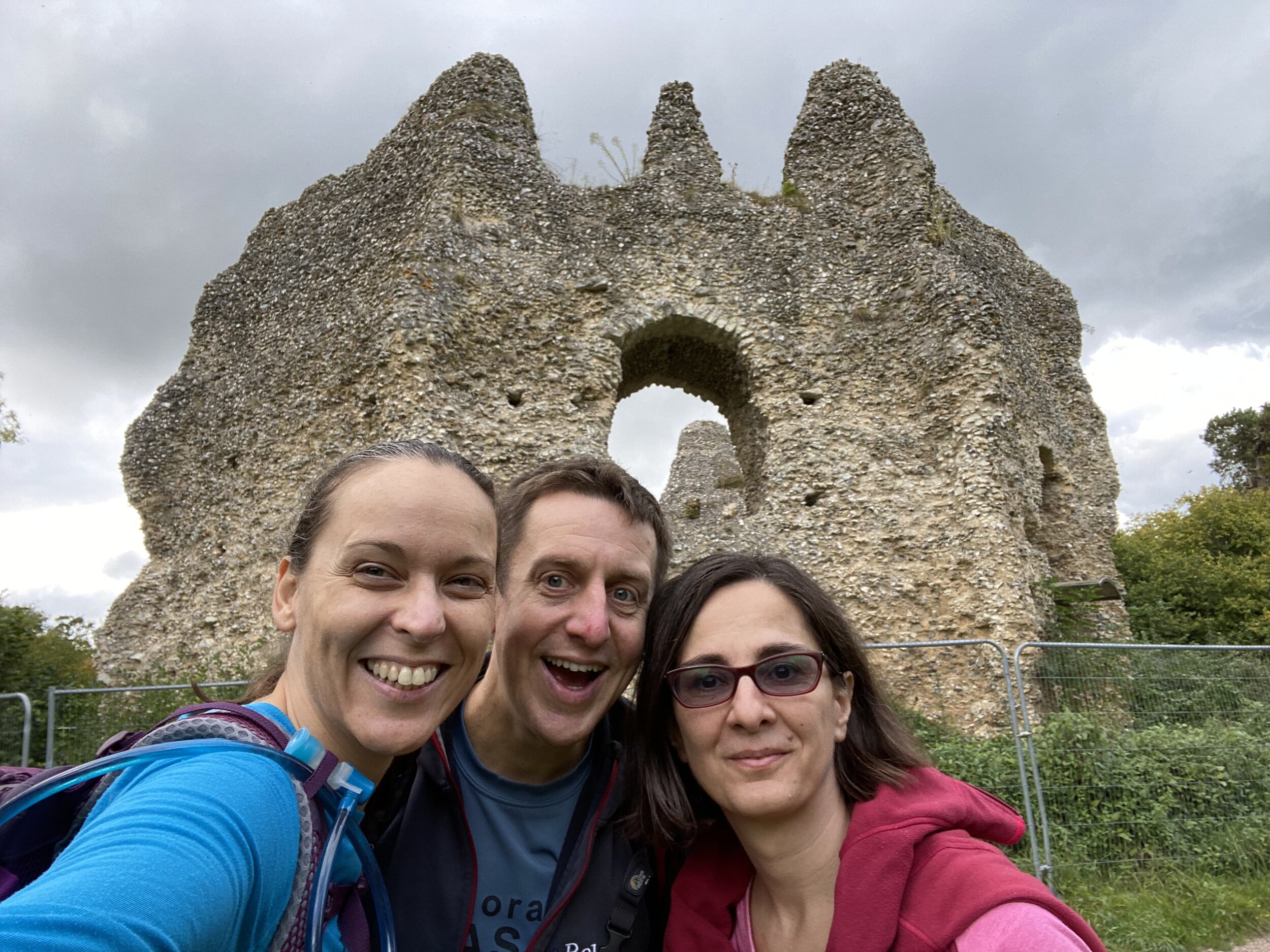
The first point of interest is only 1 km into the ride. On the left hand side of the path you’ll find the ruins of Odiham Castle, build in the early 1200s for King John. I had already visited it on a Three Castles Path walk a few years ago but it had a bit of restoration work since then.

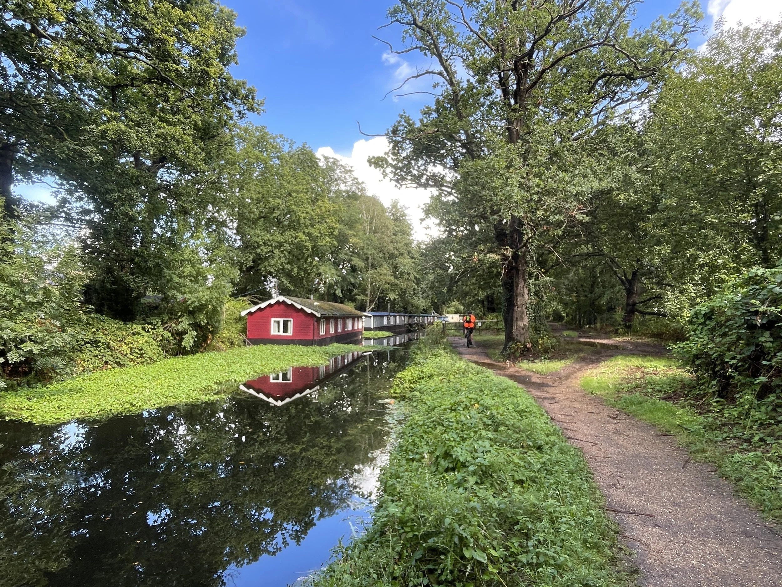
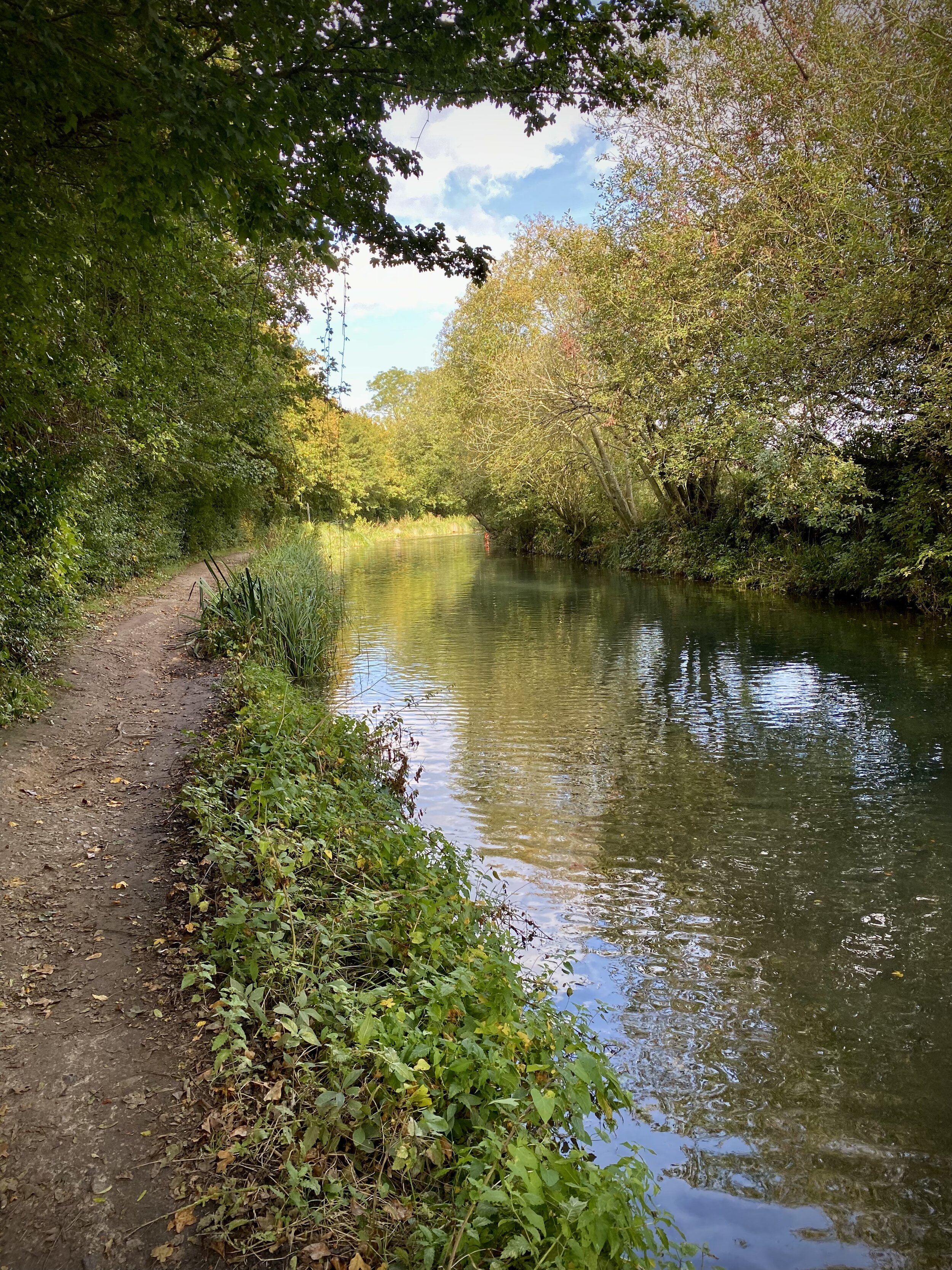
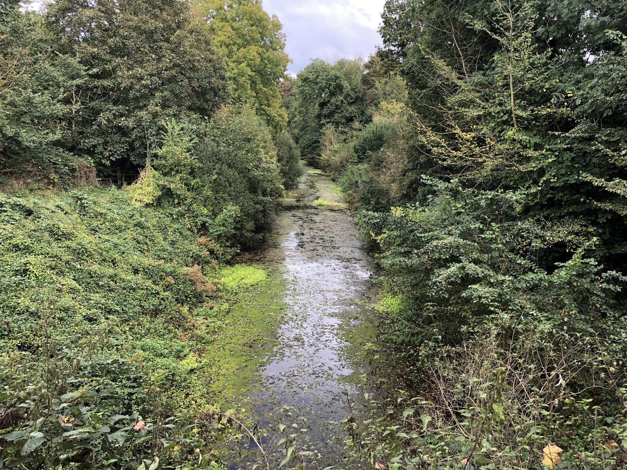
Our trip was on a misty late-summer Sunday morning which made for a very pleasant quiet ride along the misty canal. Cycling in this direction shows the gradual increase of its use from overgrown and empty at Greywell to an active use at Woking. The canal takes it’s time to get to the Thames, meandering around the contours on a consistent level at the start before a much straighter and steeper descent at the end.

Navigation is super-simple (just stick to the tow-path) and there’s lots of options just off the path for food stops. We stopped at Fleet and Woking, both big towns, although there’s other choices if you keep an eye on the map.

The Basingstoke Canal ends at Woodham Junction near Byfleet and New Haw railway station. Here the canal joins the Wey Navigation and its where the Waterloo to Basingstoke railway line crosses under the M25. This is an obvious place to stop if you just want to complete the Basingstoke Canal and you also have the option here to return to Basingstoke by train.

We weren’t done yet though as we wanted to reach the Thames. We crossed the small bridge over the Wey Navigation and took a left to follow the towpath on the eastern side toward Weybridge. The Wey Navigation meets the River Wey 4km north of Woodham Junction. Keep to the towpath on the western edge of the Wey Navigation to the end point at the confluence of the Wey and the Thames.


Walking The Disused Basingstoke Canal

Brick Kiln Bridge - Blackstocks Lane


Start: Festival Place, Church Street, Basingstoke, RG21 7LJ
Finish
: Greywell Tunnel, 134 Hook Road, Greywell, Hook, RG29 1BY
Distance: 9.8 km (6.1 miles)
Elevation change: + 94m / -91m. Net +3m
GPX File: get via Buy Me a Coffee
Other routes touched (walk): Three Castles Path
Other routes touched (cycle): NCN 23
Pubs / Cafes on route: Lots at the start at Festival Place, plus The Hatch (4.1 km in) and The Fox and Goose at the end.
Map: Basingstoke, Alton & Whitchurch Map | Odiham, Overton & Hook | Ordnance Survey | OS Explorer Map 144
Links: Basingstoke Canal, Basingstoke, Old Basing, Up Nately, Greywell, Greywell Tunnel


The Basingstoke Canal is a navigable waterway that runs through Hampshire and Surrey. Originally built in the late 18th century to transport goods between Basingstoke and the Thames, the canal fell into disuse in the mid-20th century. The first 10 km from Basingstoke to the Greywell Tunnel is either completely lost or unnavigable. Most of the eastern side of the canal after is navigable albeit the first couple of km only suitable for canoes and paddleboards.

We completed the full length of the canal in 2 sections. The first section was a walk of the “lost” part from Basingstoke to Greywell and the section section a tow-path cycle ride from Greywell to the Thames.

The start is very easy to get to as the original Basingstoke Basin was under what is now the bus station at the Festival Place Shopping Centre. There’s also a large car park and the train station is also closeby. Start at the Festival Place food court on the eastern side of the shopping centre and take the path under Festival Way into Eastrop Park. You’ll soon be walking next to one of the branches of the River Loddon which the canal used to track for some of its length. Continue through the park, passing under the A339 bridge and into open fields until you meet Redbridge Lane. This is named after the, now buried, Red Bridge which is the first visible sign of the old canal. Take a left onto Redbridge Lane then a right into a small car park where you can continue east on a path parallel to Redbridge Lane, then through Basingstoke Common to Crown Lane.

Take a right onto Crown Lane, then onto Hatch Lane and follow it to the junction with the A30 at the Hatch Pub. This is a good place to stop for a rest and a drink before the final section. After the Hatch cross over the Lyde River and through a small industrial estate to cross over the M3 on a pedestrian bridge. The next 3 km meander through small country lanes and paths to reach Greywell Road near Up Nately. After Greywell Road you’ll be walking next to the canal with water in it for the first time. After ~800m you can take short diversion up the Nately Brickworks Arm. Per Wikipedia: “Bricks from Up Nately were also supplied to local builders in towns along the Canal and accounted for half of the traffic in bricks using the canal. To fire the kiln, about fifty tons of coal per week were supplied by barge from Basingstoke”. The brickworks are long gone and replace by large canal-side houses.

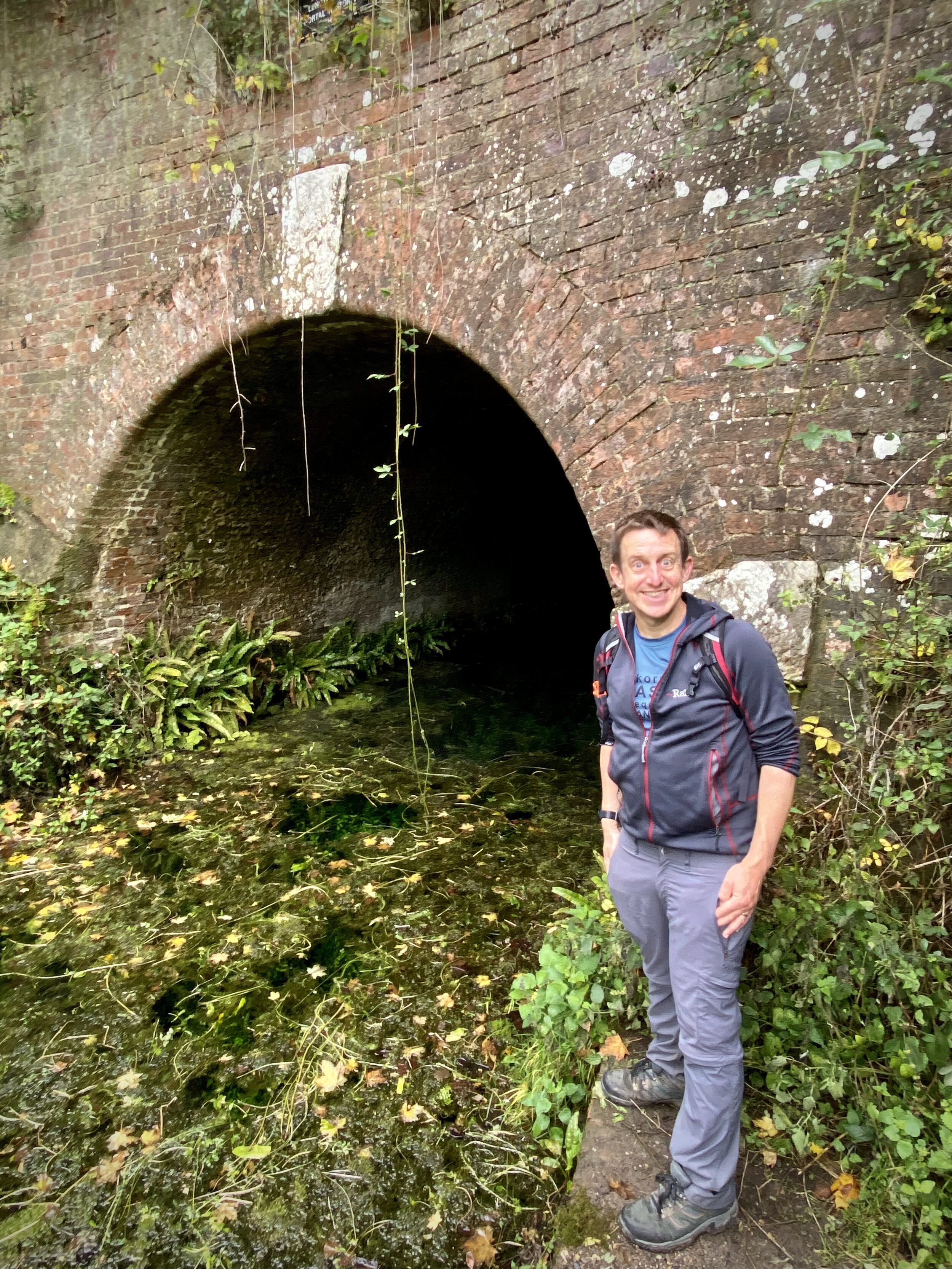
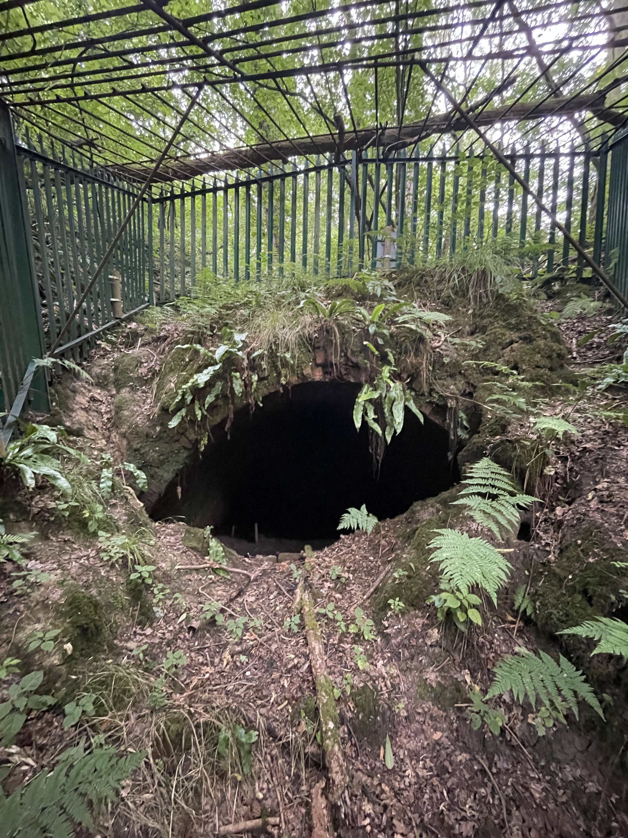
Return to the main course of the canal and continue east for just under 1 km to the entrance of Greywell Tunnel. It’s now gated off to protect the bats who now call it home. Cross over the top of the tunnel entrance to the southern side to pick up a footpath that runs parallel to the route of the tunnel. The path ends at Hook Road in-between the eastern portal of the tunnel and the Fox and Goose pub.


Hangers Way 50k Ultra Marathon

When: June 23rd 2024
Start:
Alice Holt Forest, Farnham, GU10 4LS
Finish
: Queen Elizabeth Country Park, Gravel Hill, Horndean, PO8 0QE
Distance: 50.4 km (31 miles)
Elevation change: +965m / -951m. Net -14m
GPX File: get via Buy Me a Coffee
Other routes touched (walk): Hangers Way, The Shipwrights Way, South Downs Way
Other routes touched (cycle): NCN 22, 224, East Hampshire Circular Cycle Route
Maps:
- Basingstoke, Alton and Whitchurch: Sheet 144 (OS Explorer Map)
- Haslemere & Petersfield Map | Midhurst & Selborne | Ordnance Survey | OS Explorer Map OL33
- Chichester Map | South Harting & Selsey | Ordnance Survey | OS Explorer Map OL08
Finish time
: 7 hours 57 minutes
Links: Hangers Way (LDWA), Alice Holt Country Park, Selborne, Selbourne Common National Trust, Butser Hill, Queen Elizabeth Country Park


This was my 13th Ultra, my 4th with my friend Mark and my 1st with my sister Lisa. After doing last year’s Race The Sun on my own it was nice to be with a group on the same event, even if we all did it at our own pace.

The Hangers Way gets its name from the series of steep, wooded hills known as the Hampshire Hangers. The route itself winds its way from Alton railway station to Queen Elizabeth Country Park, through a diverse landscape of ancient woodlands, rolling hills, and charming villages. The Hangers Way walking route is ~33km so the 50km Ultra route adds in and extra 16km from the start at Alice Holt Country Park plus a bit of extra meandering along the way.

Although I’d been to the country parks at the start and finish before I’d not experienced any of the route in between. It was a beautiful, warm mid-summer day and the countryside was stunning. A pleasant mix of woodland, open farmland and old English villages.

The warm day also meant that it was a bit too hot for my liking. I’ve completed a 50K in just over 7 hours before and I’d love to get in just under 7 one day. Based on the temperature and a glance at the elevation profile I estimated an 8 hour finish time for this one.

Mark and I kept together until the 2nd Aid Station at Selborne before he gradually edged ahead. Lisa was looking after a friend who was on her first Ultra so was taking a slower pace. On her own Lisa would likely have been a similar pace to, or faster than, Mark.

The route became hillier after Selbourne and my slow running became a power-walk. Keeping an eye on my pace via my Garmin, I was doing roughly 5km per hour which would bring me in more or less on 8 hours. I could probably have done a few bursts of running on the downhills but realistically it wouldn’t have got me there much faster so I kept the pace and saved my energy for the hills.

The final 15k was brutal with steep climbs at 35k, 45k and then Butser Hill right at the end. By the summit of Butser I was 15 minutes off the 8-hour mark and could see the finish line in the distance. I found a final spike of energy to get me down Butser to cross the line at 7:57. Very happy with that. Mark had finished 30 minutes earlier and Lisa and her friend came in shortly after.

As with most Ultras the pain soon fades once you have the medal on and talk turns to the next one. Next one for me is The Lap around Lake Windermere next year. It’s 75km on a mountain route so I’ll probably need to do more training than my usual parkrun and a 10k a week before.


Walking The Silchester Trail

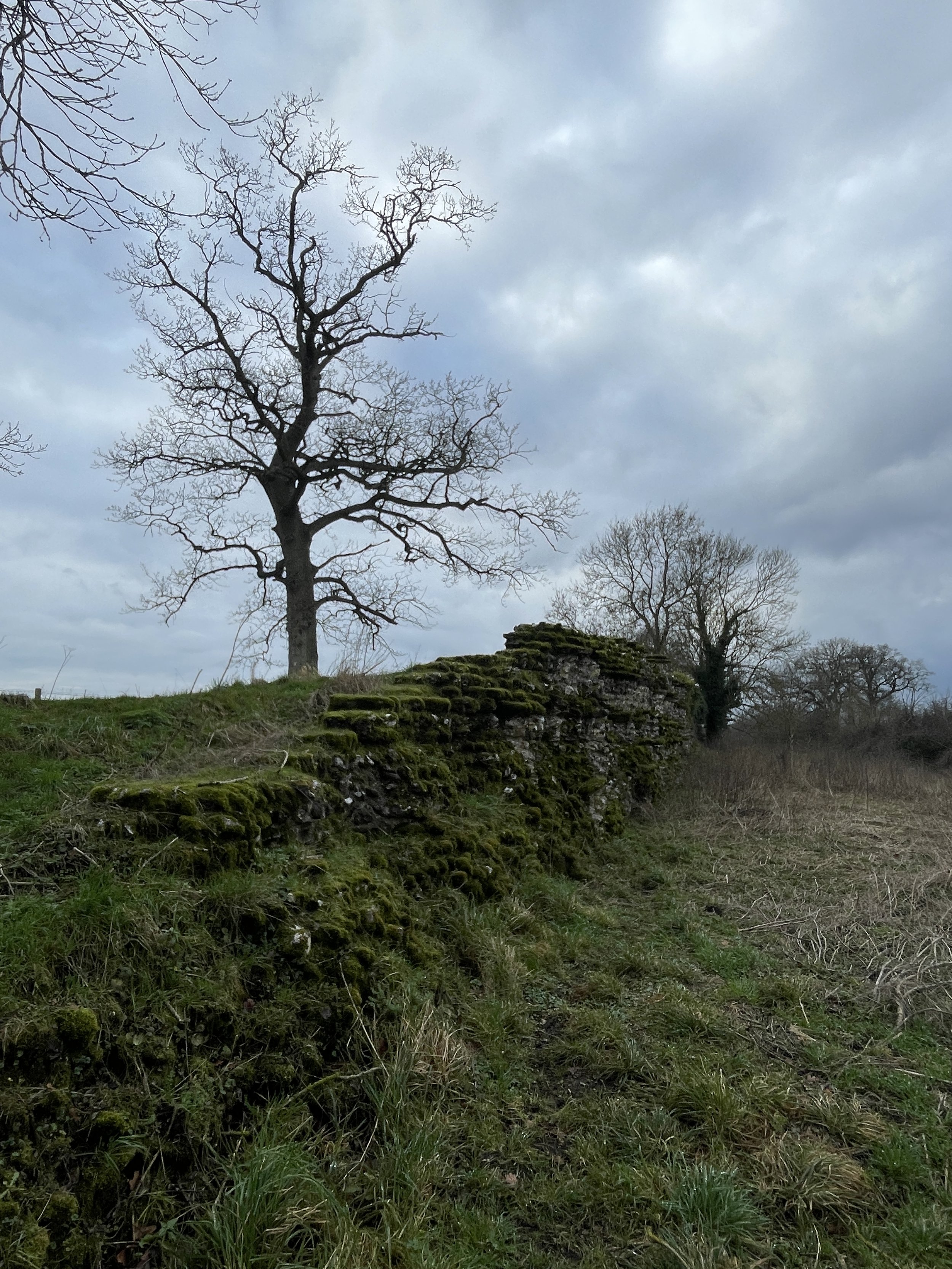
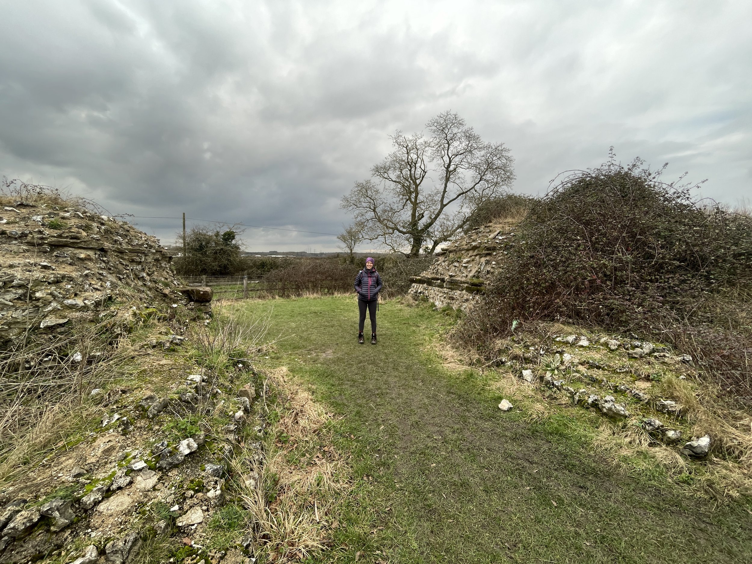
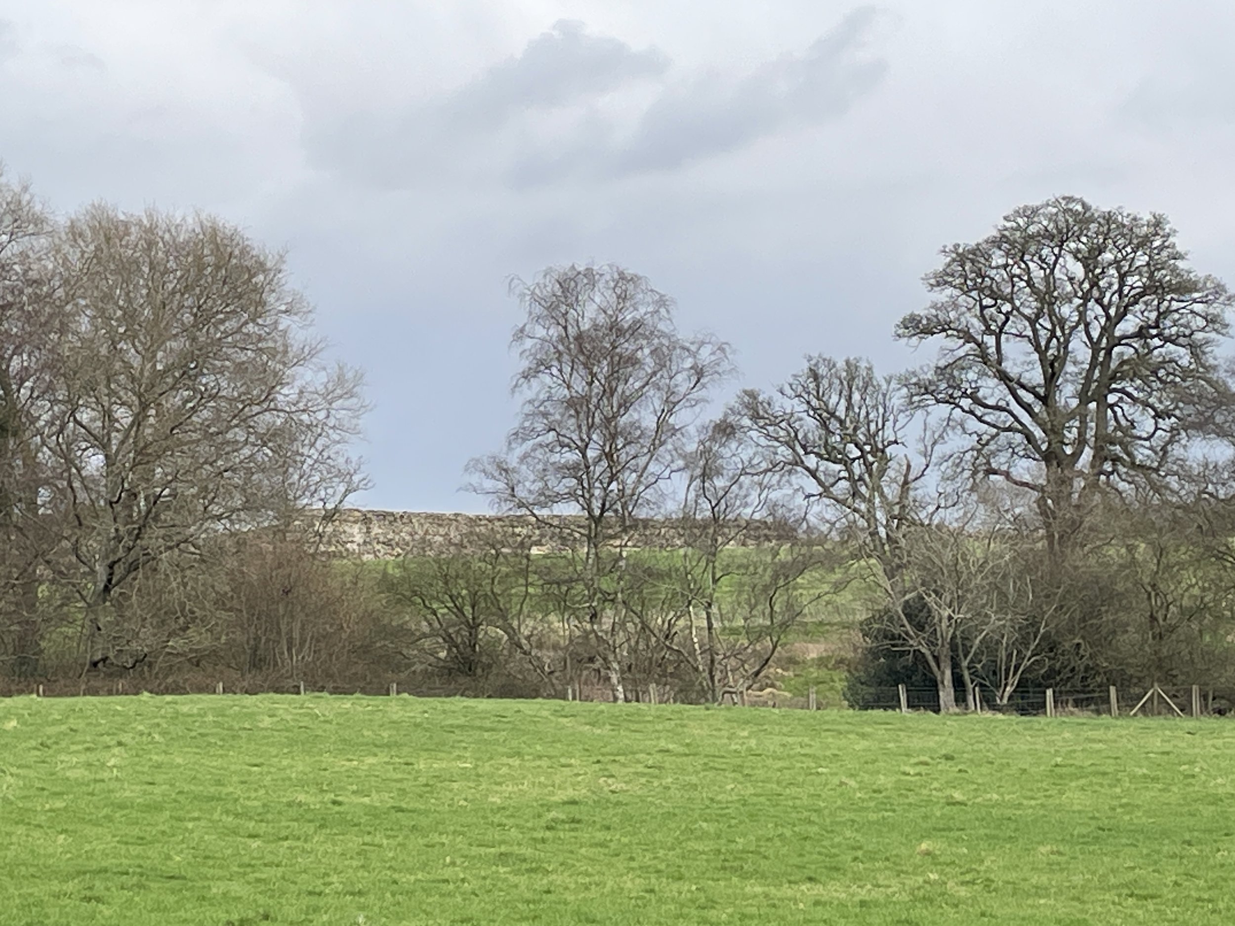
Walking the old Roman walls


Start & Finish: Bramley Inn, The Street, Bramley, Tadley, RG26 5BT
Distance: 10.7 km (6.6 miles)
Elevation change: +/- 71m
GPX File: get via Buy Me a Coffee
Other routes touched (walk): St. James Way, Brenda Parker Way
Other routes touched (cycle): NCN 23, Calleva Trail
Pubs / Cafes on route: Bramley Inn at the start and finish
Maps:
- Reading, Wokingham & Pangbourne Map | Thames Path | Ordnance Survey | OS Explorer Map 159
- Basingstoke, Alton & Whitchurch Map | Odiham, Overton & Hook | Ordnance Survey | OS Explorer Map 144
Links: Bramley, Silchester, Silchester, Roman City Walls and Amphitheatre


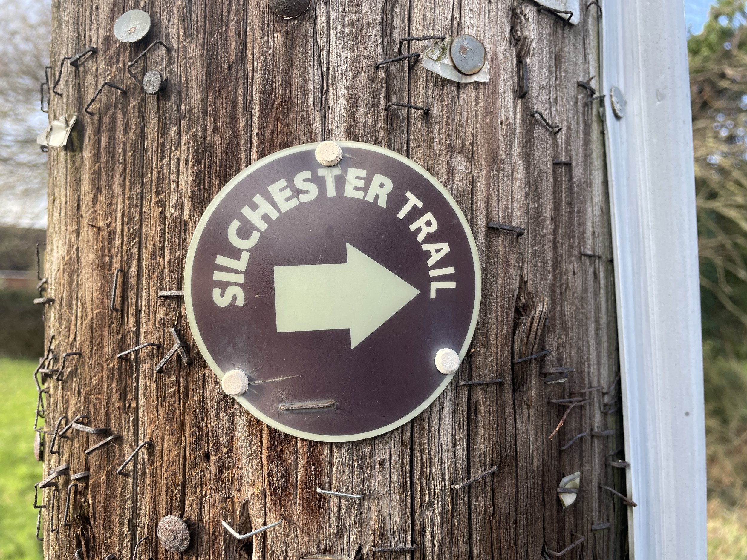
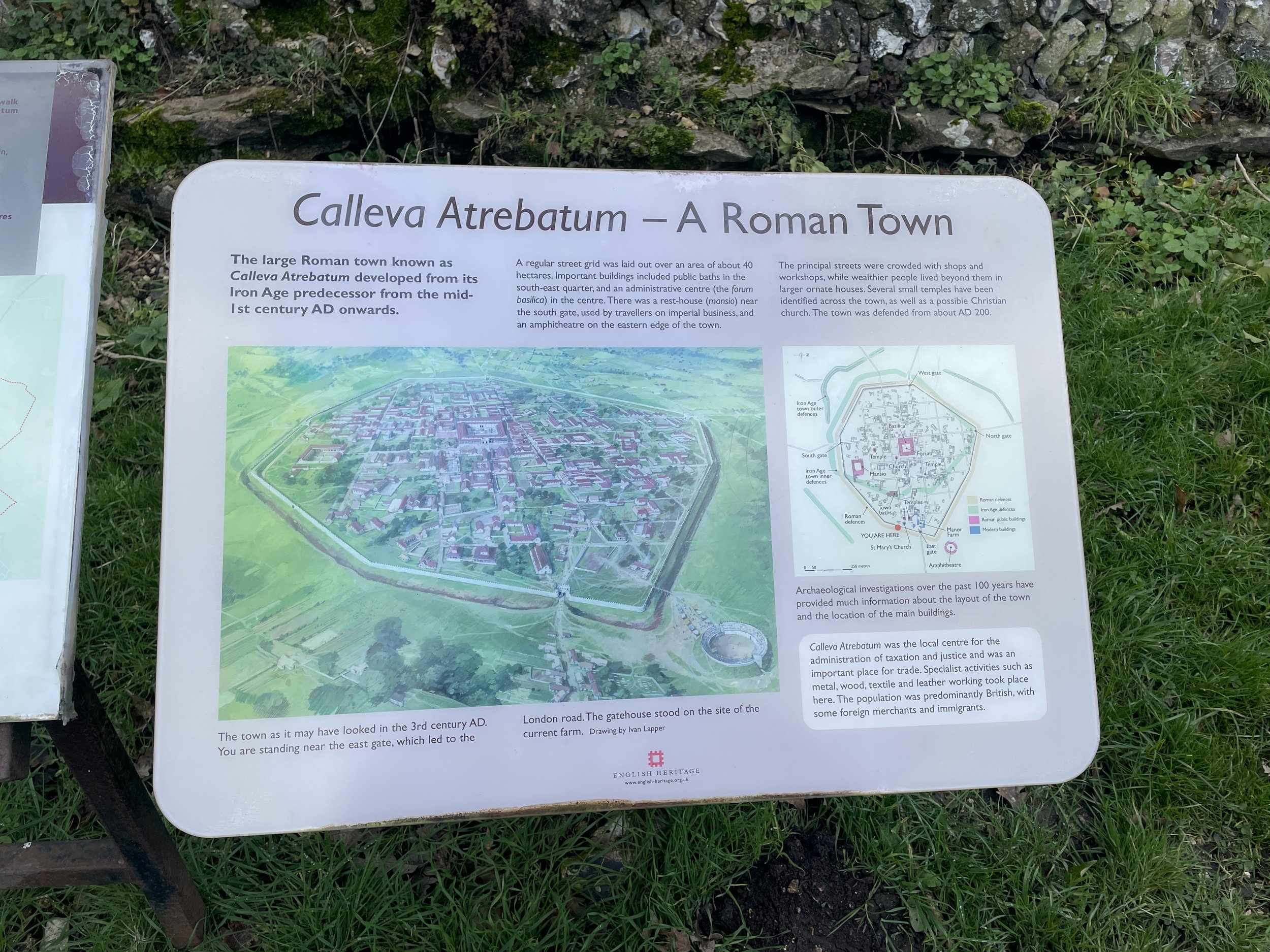
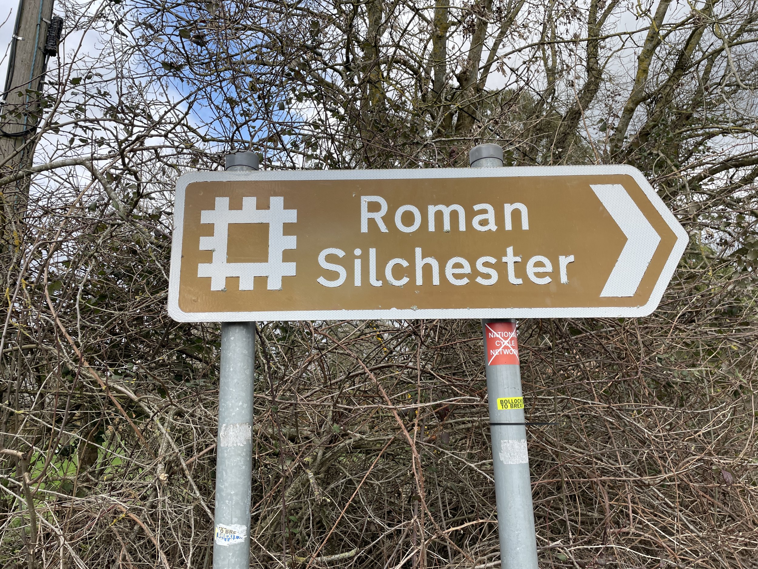
The Sichester Trail is a ~11 km walk taking in the remains of the old Roman town of Calleva. The Hampshire County Council’s guide to the walk describes it very well so I won’t repeat those details here. I also recommend Paul Whitewick’s 20 minute video about the Roman town to learn about the history of the site before you visit.

There’s a few different options for starting the walk and we chose to start at Bramley where there’s free on-street parking near the Bramley Inn. Starting here means that the Roman Town is in the middle of the walk and you have a pub at the end.

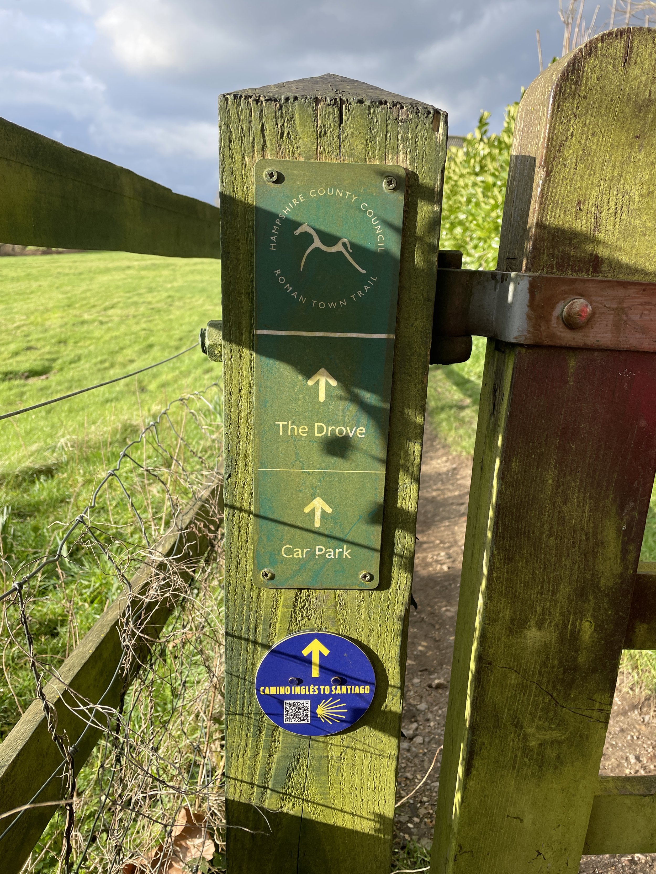
Having completed a couple of the Camino de Santiago routes we were pleased to discover that the English section of the Camino Ingles runs through the Roman town on its path from Reading to Southampton. We’ll likely be back one day to walk that whole Camino Trail.


Fort Southwick: Portsmouth High Point

Significance: Unitary Authority High Point for Portsmouth
Member of:
N/A
Parent Peak:
Butser Hill, NHN: Butser Hill
Historic County: Hampshire (of which Pilot Hill is the County Top)
Elevation:
122m
Date “climbed”:
July 22nd 2023
Coordinates:
50° 51' 29'' N, 1° 6' 43'' W
Map:
Meon Valley, Porstmouth, Gosport and Fareham (OS Explorer Map): Sheet 119
Links:
Wikipedia (Portsmouth), Peakbagger, Hillbagging, Fort Southwick

Fort Southwick is the high point of the Unitary Authority of Portsmouth, within the Historic and Ceremonial Counties of Hampshire. The high point is on private land on a track up to a small reservoir but it’s easily accessible over a gate from Portsdown Hill Road just to the west of the old fort.

Fort Southwick was built in the 1860s to defend the landward approaches to the naval base at Portsmouth. The fort is a large, triangular structure with a dry ditch and a number of caponiers (small, projecting defensive works). It also houses a water storage tank and a spiral staircase that leads to the underground tunnels.

Fort Southwick was disarmed in 1906 but was retained as a barracks. It was also used by the army to train soldiers how to capture and hold a fort. In the Second World War, the fort was used as a headquarters for the Admiralty and as a communications center.

Today, Fort Southwick is mainly used as an NHS park and ride for Portsmouth and a used car dealership. There’s an OS Trig Pillar inside (TP3238 - Fort Southwick) but inaccessible except with special permission. Trigpointing logs indicate that permission is very hard to get.


Bassett Avenue: Southampton High Point

Significance: Unitary Authority High Point for Southampton
Member of:
N/A
Parent Peak:
Butser Hill, NHN: Telegraph Hill
Historic County: Hampshire (of which Pilot Hill is the County Top)
Elevation:
82m
Date “climbed”:
July 22nd 2023
Coordinates:
50° 57' 0'' N, 1° 24' 16'' W
Map:
New Forest Map | Southampton, Ringwood, Ferndown, Lymington, Christchurch & Bournemouth | Ordnance Survey | OS Explorer Map OL22
Links:
Wikipedia (Southampton), Peakbagger, Hillbagging

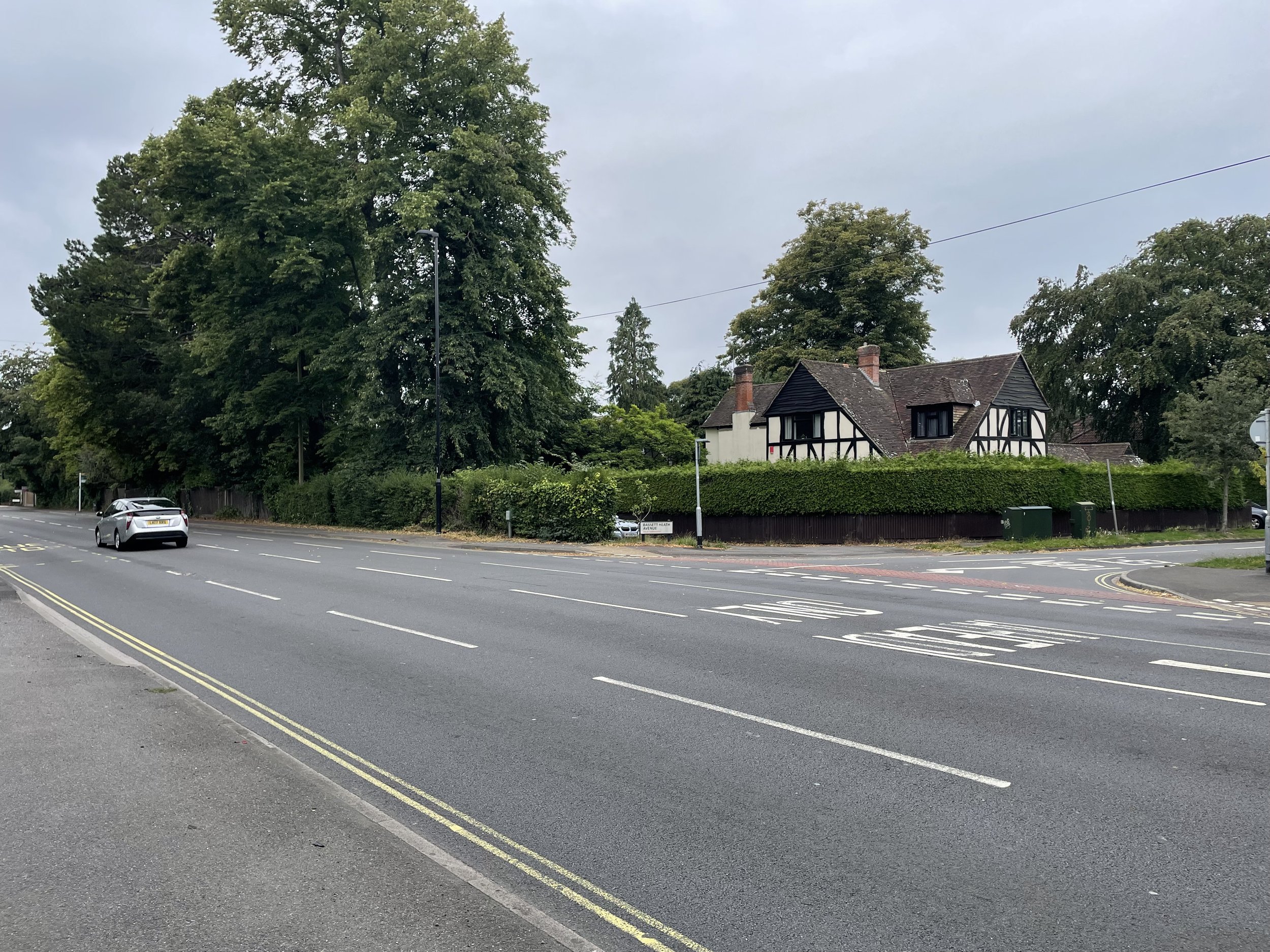
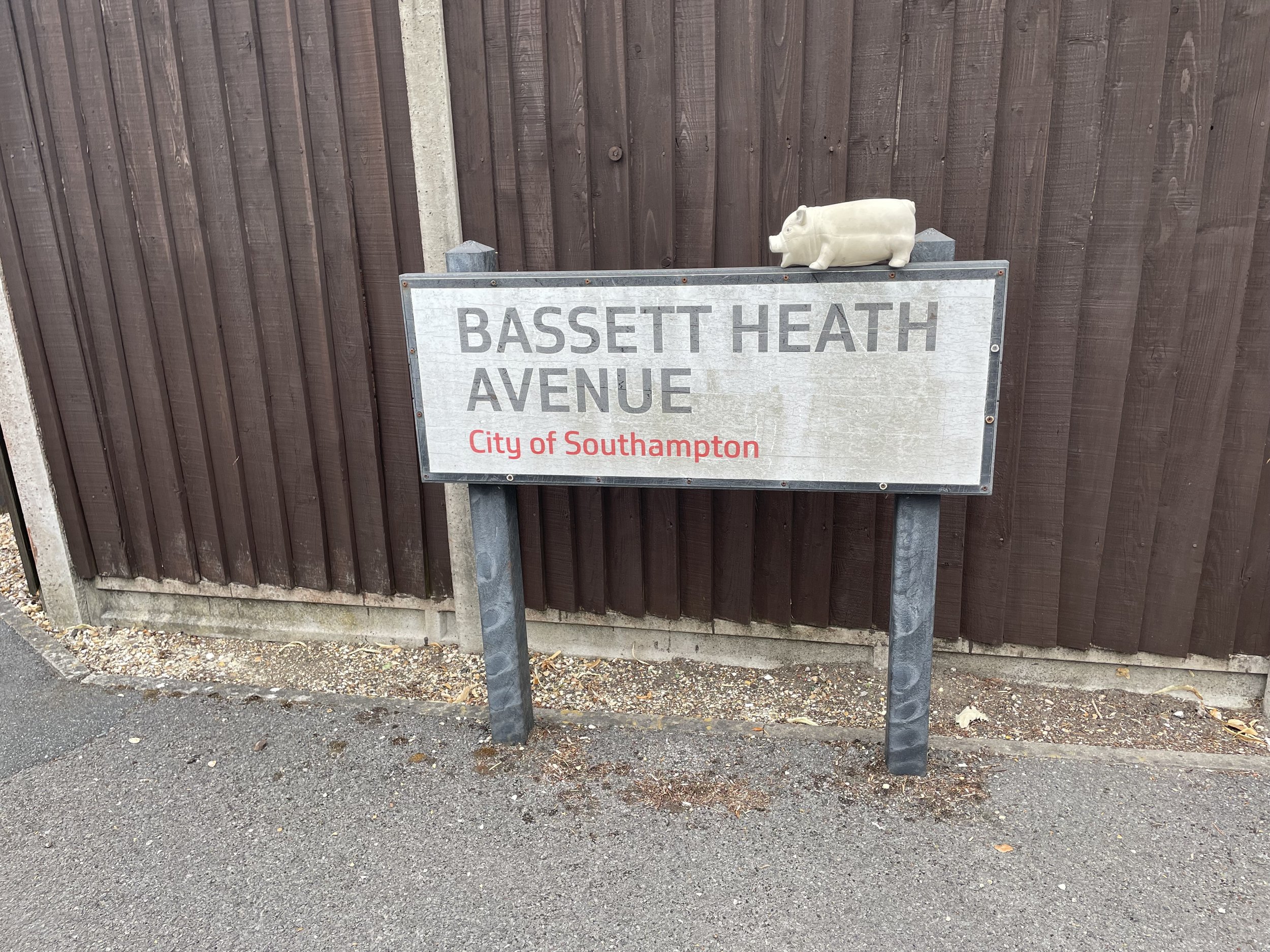
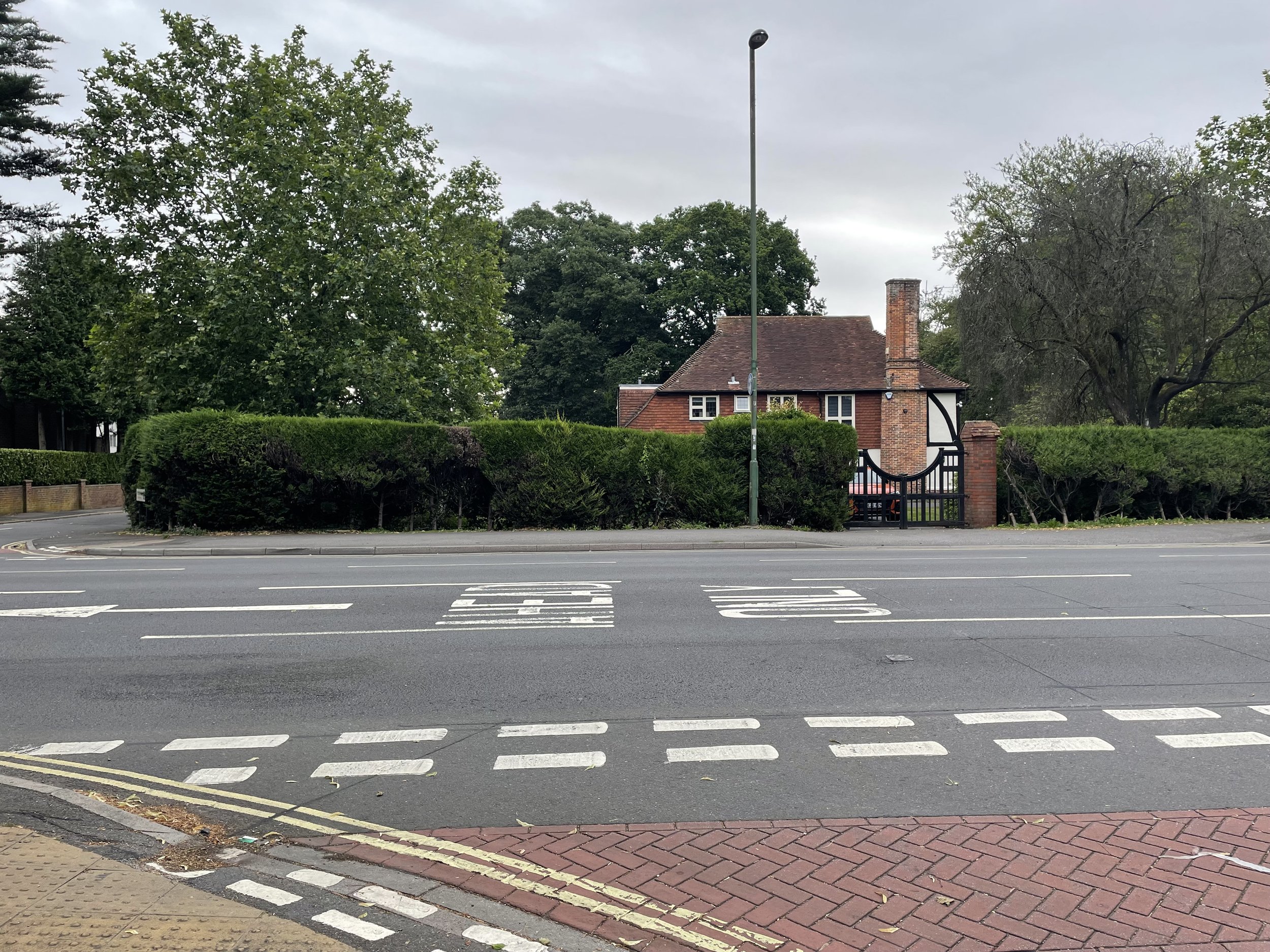
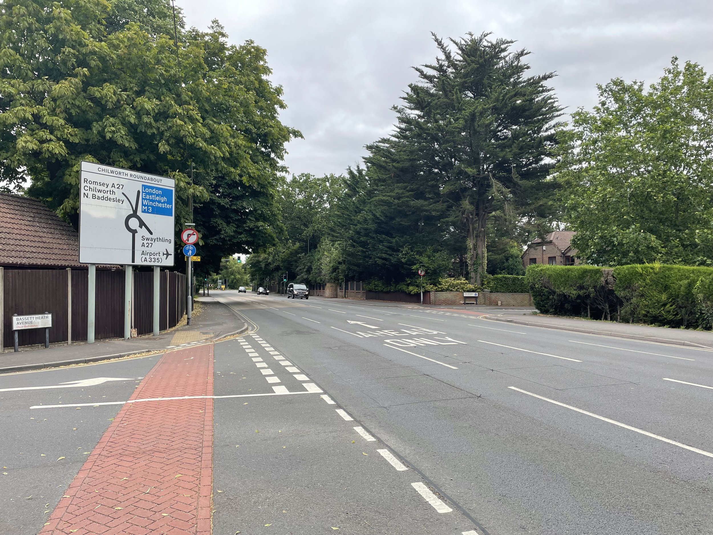
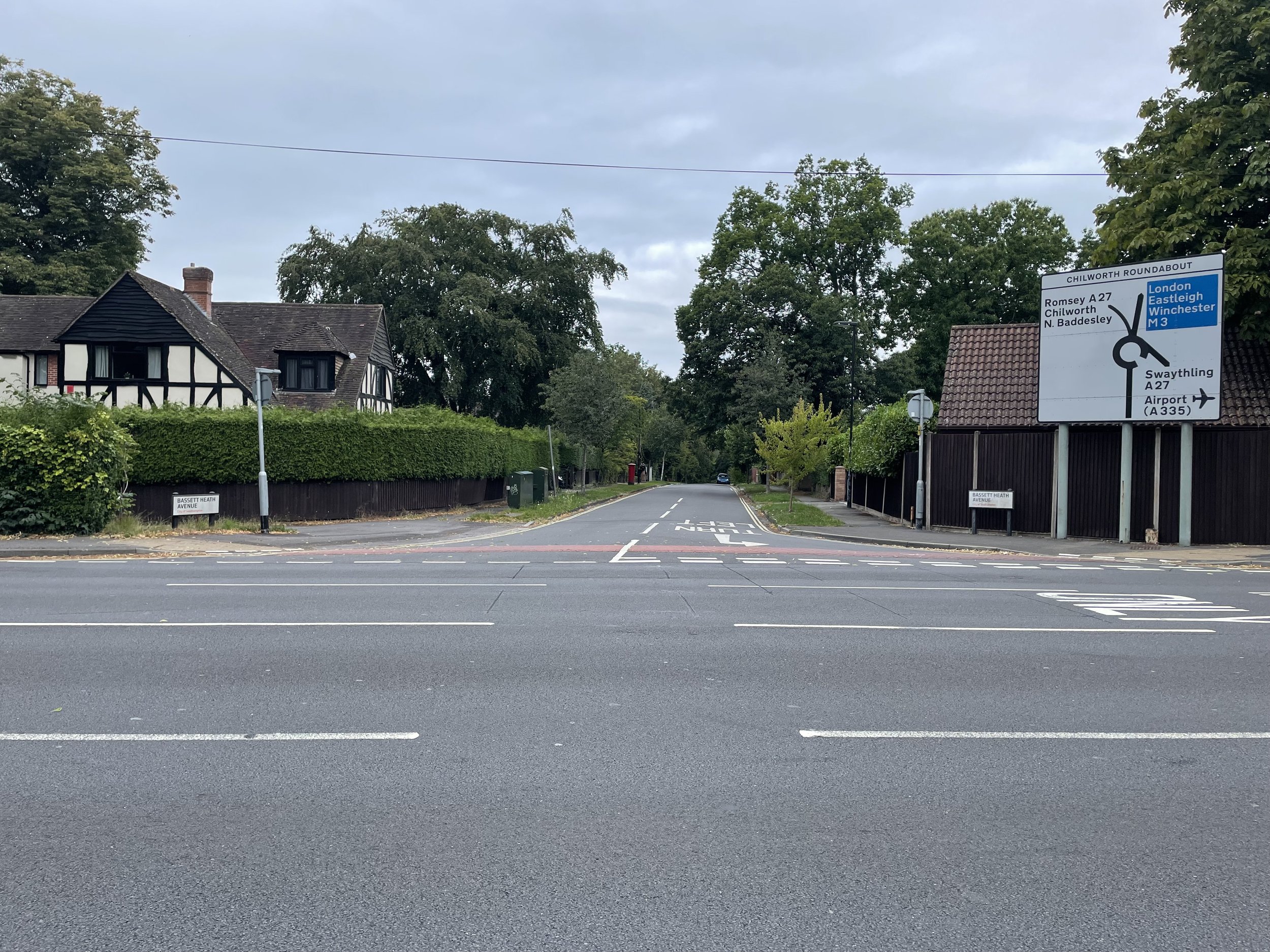
Bassett Avenue is the high point of the Unitary Authority of Southampton, within the Historic and Ceremonial Counties of Hampshire. Most people will have passed right through the high point when approaching the city along the A33 Bassett Avenue having come off the M3. The high point is at the junction of Bassett Avenue and Bassett Health Avenue. Not much to see here so best done on the way to something more interesting


Cycling The Semaphore Line: Portsmouth to London

HMS Warrior at the Portmouth Historic Dockyard


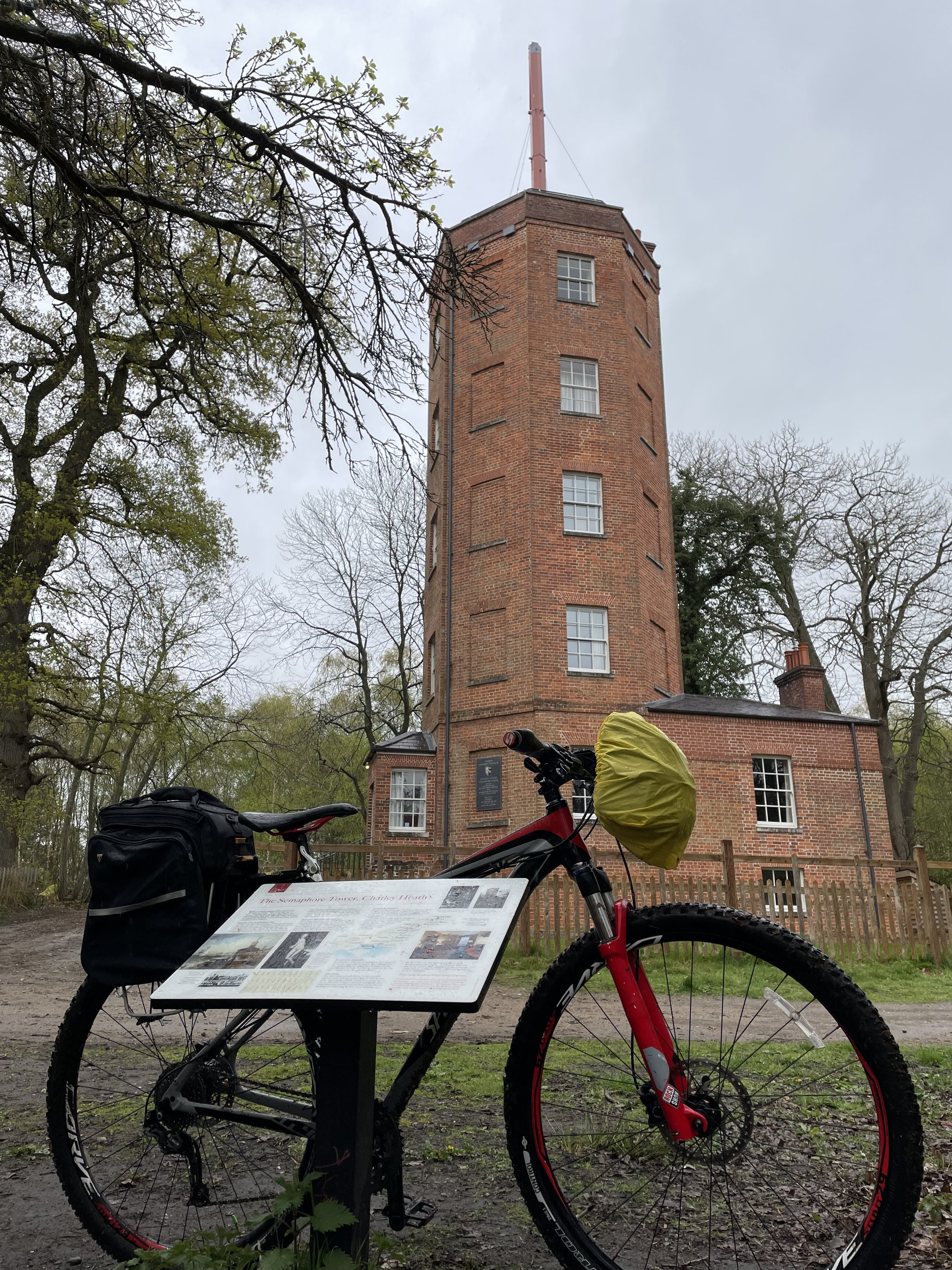
The idea for this trip came from a short walk that I did a few years ago in Surrey called Discover Downside. Halfway through the walk, we came across the magnificent Chatley Heath Semaphore Tower, the best preserved of a series of communication towers that formed a line between London and Portsmouth in the early 1800s. As I stood reading the information board, a brand-new adventure started forming in the back of my mind.

To understand the scale of this, it helps to know a bit of the history. In the 1790s, the French successfully developed a mechanical semaphore system to send messages quickly across the country. The British initially stuck with their existing shutter or ball signalling systems, even though they were less effective. Following the end of the Napoleonic Wars in 1815, the government finally decided to reinstate a fast, secure signal line stretching all the way from the Admiralty in London down to the Portsmouth Dockyard. They chose to use the new semaphore system invented by Sir Home Riggs Popham, a tall mast with two swinging arms, as it was the most advanced of the day.

The Chatley Heath Tower was the fifth station in this 75-mile-long line, which began right on the roof of the Admiralty in Whitehall. Messages could be passed from London to Portsmouth in just a matter of minutes! However, the invention of the electric telegraph in 1839 meant the rapid end for mechanical semaphore. New telegraph wires were laid alongside the expanding railway network, allowing messages to travel instantly. By 1847, the semaphore line was officially decommissioned and the masts were dismantled.

Over the next year, that back-of-the-mind idea blossomed into a fully-planned weekend cycle trip. It turned out to be a brilliant adventure, starting with a Friday evening drive down to Portsmouth, a long Saturday ride to Godalming, and a shorter section on the Sunday before heading back home. The original plan was to take the bikes down to Portsmouth by train, but some organisational faffing meant that we left it too late to book, and there were no bike spaces available. Instead, we did a one-way van rental, which was slightly more expensive than the trains would have been, but it got us there much more quickly and with far less hassle.

The choice of riding the route from Portsmouth to London, rather than the other way around, was mostly based on getting to tick off a new (for me) parkrun at Southsea on the Saturday morning. Arriving in London on Sunday afternoon also gave us a much shorter journey home.

I must credit the excellent account of walking the Semaphore Line found on the Jont.org.uk blog. This site was absolutely invaluable in the planning process and provides far more intricate detail on the stations and the exact routes between them than I have covered here. In the list below, I have outlined the key details of the places where the semaphore stations once stood; it is not intended to be a strict turn-by-turn route guide.


Day 1: Portsmouth to Godalming

Start: Semaphore Building, HMNB Portsmouth, Victory Gate, HM Naval Base, Portsmouth, PO1 3LJ
Finish: A3100 Meadrow (road), Godalming, GU7 3HS
Distance: 88 km (55 miles)
Elevation change: + 1,301m / -1265m (Net +36m)
GPX File: get via Buy Me a Coffee
Other routes touched (walk): Solent Way, The Shipwright’s Way, Langstone Harbour Waterfront Route, Wayfarers Way, Sussex Border Path, Monarch’s Way, Octagon Way, South Downs Way, The Serpent Trail, New Lipchis Way, Grayswood Walk, Greensand Way, The Fox Way
Other routes touched (cycle): NCN 2, 22, 222, Surrey Cycleway


Semaphore Station 1: Portsmouth Historic Dockyard

Condition: The Semaphore Building was destroyed by fire in 1913, but it was rebuilt in 1930.
Distance into route
: 0 km
Address: Semaphore Building, HMNB Portsmouth, Victory Gate, HM Naval Base, Portsmouth, PO1 3LJ
Coordinates: 50°47'60"N 1°6'36"W
Grid Reference: SU 62826 00415
Elevation: 1m
Map: Meon Valley Map | Portsmouth, Gosport & Fareham | Ordnance Survey | OS Explorer Map OL3
Links: Jont Blog Post, Portsmouth, Portsmouth Historic Dockyard

To get close to the Semaphore Building you need to pay to enter the Historic Dockyard. It’s well worth visiting but I had been before a few years ago and didn’t need to go back. The tower is tall though and can be easily seen from outside of the Historic Dockyard.


Semaphore Station 2: The Square Tower

Condition: Well maintained and now used for hosting functions such as weddings, christenings and funerals.
Distance into route
: 1.7 km
Address: Broad St, Old Portsmouth, Portsmouth PO1 2ND
Coordinates: 50°47'22.0"N 1°06'23.0"W
Grid Reference: SZ 63076 99244
Elevation: 2m
Map:
Meon Valley Map | Portsmouth, Gosport & Fareham | Ordnance Survey | OS Explorer Map OL3
Links: Jont Blog Post, The Square Tower, Old Portsmouth

There seems to be some ambiguity about whether this was the first/last semaphore tower in the chain vs the one at Portsmouth Historic Dockyard. For the purposes of this trip there was no need to decide as it’s easy to visit both.


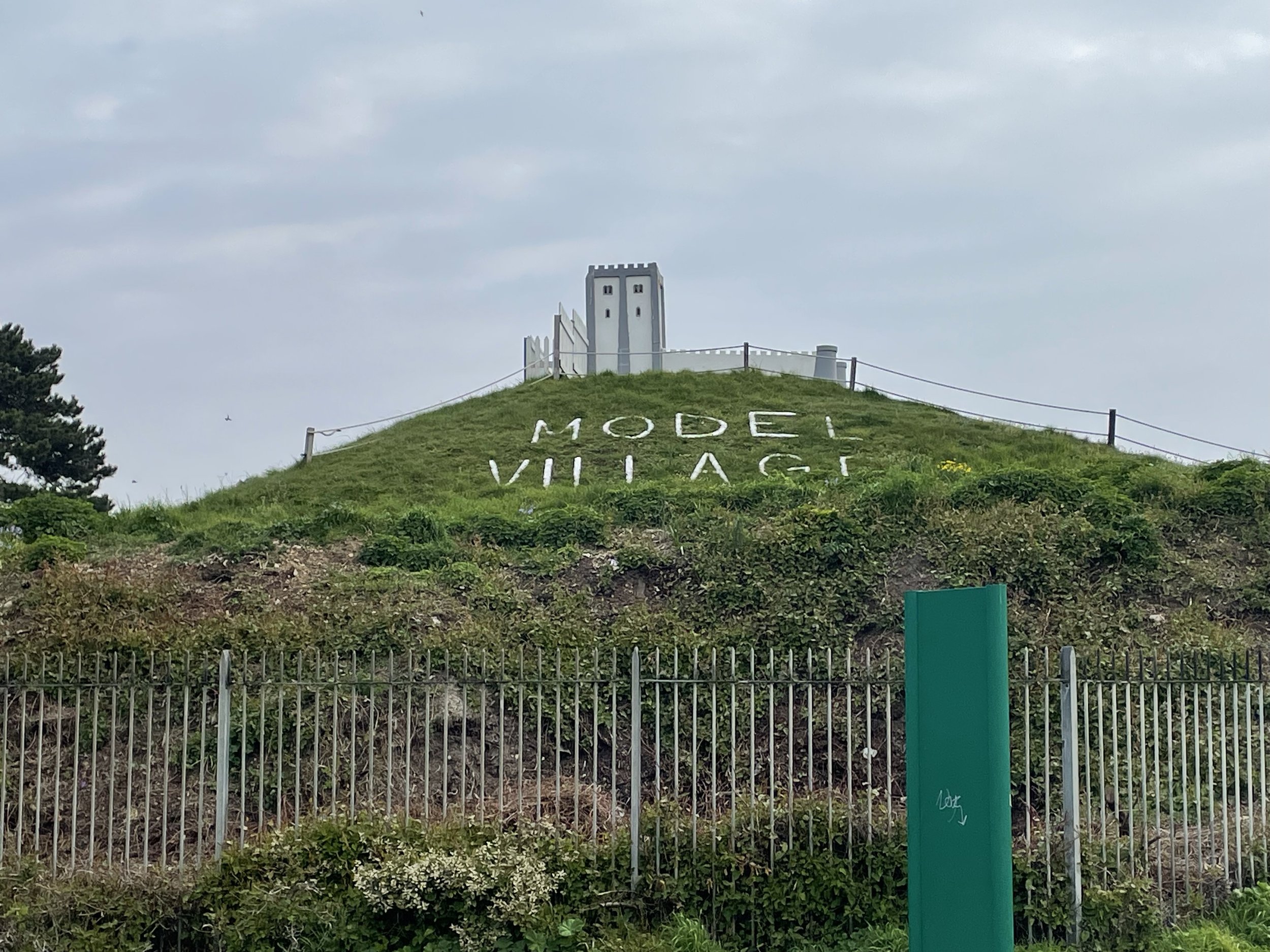
Semaphore Station 3: Lumps Fort

Condition: Demolished after World War 1, now a Japanese Rose Garden and a Model Village
Distance into route
: 5.0 km
Address: Japanse Garden, Southsea, Portsmouth, Southsea PO4 9RU
Coordinates: 50°46'52.0"N 1°04'04.6"W
Grid Reference: SZ 65807 98359
Elevation: 5m
Map: Meon Valley Map | Portsmouth, Gosport & Fareham | Ordnance Survey | OS Explorer Map OL3
Links: Jont Blog Post, Lumps Fort, Southsea


Semaphore Station 4: Camp Down

Condition: Demolished, now a waste transfer facility.
Distance into route
: 18.1 km
Address: L&S Waste Management Limited, Portsdown Hill Road, Farlington, Redoubt PO6 1BW
Coordinates: 50°51'13.0"N 1°01'34.0"W
Grid Reference: SU 68648 06449
Elevation: 60m
Map: Meon Valley Map | Portsmouth, Gosport & Fareham | Ordnance Survey | OS Explorer Map OL3
Links: Jont Blog Post, Camp Down, Portsdown Hill


Semaphore Station 5: Compton Down

Condition: Building now a private house without a tower.
Distance into route
: 33.9 km
Address: Telegraph House, Telegraph Hill, Compton, Chichester, PO18 9QL
Coordinates: 50°55'40.0"N 0°53'12.0"W
Grid Reference: SU 78332 14861
Elevation: 161m
Map: Chichester Map | South Harting & Selsey | Ordnance Survey | OS Explorer Map OL08
Links: Jont Blog Post, Compton Down, Compton


Semaphore Station 6: Beacon Hill

Condition: The original semaphore house no longer exists, apart from some original footings. Beacon Hill House was built in connection with the area.
Distance into route
: 43.4 km
Address: Telegraph House, North Marden, Chichester, PO18 9JX
Coordinates: 50°57'03.0"N 0°50'55.0"W
Grid Reference: SU 80980 17445
Elevation: 190m
Map: Chichester Map | South Harting & Selsey | Ordnance Survey | OS Explorer Map OL08
Links: Jont Blog Post, Beacon Hill, West Sussex


Semaphore Station 7: Older Hill (Holder Hill)

Condition: Building possibly still remains but within private property.
Distance into route
: 57.5 km
Address: Pine Hill House, Telegraph Hill, Midhurst, GU29 0BN
Coordinates: 51°01'50.0"N 0°45'34.0"W
Grid Reference: SU 87081 26429
Elevation: 203m
Map: Haslemere & Petersfield Map | Midhurst & Selborne | Ordnance Survey | OS Explorer Map OL33
Links: Jont Blog Post, Woolbedding


Semaphore Station 8: Haste Hill

Condition: Demolished. Property became the Royal Naval Signals School then Whitwell Hatch Hotel and now private apartments.
Distance into route
: 69.1 km
Address: Whitwell Hatch, Scotland Lane, Haslemere, GU27 3AW
Coordinates: 51°04'51.0"N 0°42'17.0"W
Grid Reference: SU 90828 32065
Elevation: 206m
Map: Haslemere & Petersfield Map | Midhurst & Selborne | Ordnance Survey | OS Explorer Map OL33
Links: Jont Blog Post, Haste Hill


Semaphore Station 9: Bannicle Hill

Condition: Demolished, likely replaced by Hill House.
Distance into route
: 77 km
Address: The Hill House, Church Lane, Witley, Godalming
Coordinates: 51°08'12.0"N 0°39'36.0"W
Grid Reference: SU 93847 38347
Elevation: 147m
Map: Haslemere & Petersfield Map | Midhurst & Selborne | Ordnance Survey | OS Explorer Map OL33
Links: Jont Blog Post, Witley


Day 2: Godalming to The Admiralty, London

Start: A3100 Meadrow (road), Godalming, GU7 3HS
Finish: Admiralty House, Whitehall, London, SW1A 2AY
Distance: 62.3 km (38.7 miles)
Elevation change: + 435m / -458m (Net -23m)
GPX File: get via Buy Me a Coffee
Other routes touched (walk): Wey-South Path, The Scholar’s Trail, North Downs Way, The Fox Way, Hogsmill Valley Walk, Thames Down Link, Beverley Brook Walk, Thames Path, Jubilee Walkway
Other routes touched (cycle): NCN 2, 223, 4, Surrey Cycleway, C30, C3


Semaphore Station 10: Pewley Hill

Condition: Restored and now a listed building and a private house.
Distance into route (Day 2)
: 7 km / Full Route: 95 km
Address: Semaphore House, Pewley Hill, Guildford, GU1 3SN
Coordinates: 51°13'59.0"N 0°33'57.0"W
Grid Reference: TQ 00231 49197
Elevation: 112m
Map: Guildford & Farnham Map | Godalming & Farnborough | Ordnance Survey | OS Explorer Map 145
Links: Jont Blog Post, Pewley Hill, Semaphore House (Historic England), Semaphore House (British Listed Buildings)


Semaphore Station 11: Chatley Heath

Condition: Restored and now managed by the Landmark Trust.
Distance into route (Day 2)
: 22.6 km / Full Route: 110.6 km
Address: Pointers Road, Cobham, KT11 1PQ
Coordinates: 51°18'55.0"N 0°26'18.0"W
Grid Reference: TQ 08941 58501
Elevation: 55m
Map: Guildford & Farnham Map | Godalming & Farnborough | Ordnance Survey | OS Explorer Map 145
Links: Jont Blog Post, Chatley Heath, The Semaphore Tower (Landmark Trust),


Semaphore Station 12: Coopers Hill

Condition: Restored, now a private house.
Distance into route (Day 2)
: 35.5 km / Full Route: 124.3 km
Address: Semaphore House, Esher, KT10 0DX
Coordinates: 51°22'11.0"N 0°20'17.0"W
Grid Reference: TQ 15793 64726
Elevation: 49m
Map: London South Map | Westminster, Greenwich, Croydon, Esher & Twickenham | Ordnance Survey | OS Explorer Map 161
Links: Jont Blog Post, Claygate, Esher


Semaphore Station 13: Coombe Warren

Condition: Demolished, replaced by a large private house called Telegraph Cottage.
Distance into route (Day 2)
: 45 km / Full Route: 133.8 km
Address: Telegraph Cottage, Warren Road, Kingston upon Thames, KT2 7LF
Coordinates: 51°25'15.0"N 0°16'05.0"W
Grid Reference: TQ 20523 70523
Elevation: 53m
Map: London South Map | Westminster, Greenwich, Croydon, Esher & Twickenham | Ordnance Survey | OS Explorer Map 161
Links: Jont Blog Post, Coombe, Kingston upon Thames


Semaphore Station 14: Putney Heath

Condition: Demolished, presumably replaced by the Telegraph Pub
Distance into route (Day 2)
: 50 km / Full Route: 138.8 km
Address: The Telegraph, Putney Heath, London SW15 3TU
Coordinates: 51°26'55.0"N 0°13'34.0"W
Grid Reference: TQ 23359 73661
Elevation: 53m
Map: London South Map | Westminster, Greenwich, Croydon, Esher & Twickenham | Ordnance Survey | OS Explorer Map 161
Links: Jont Blog Post, The Telegrpaph Pub,


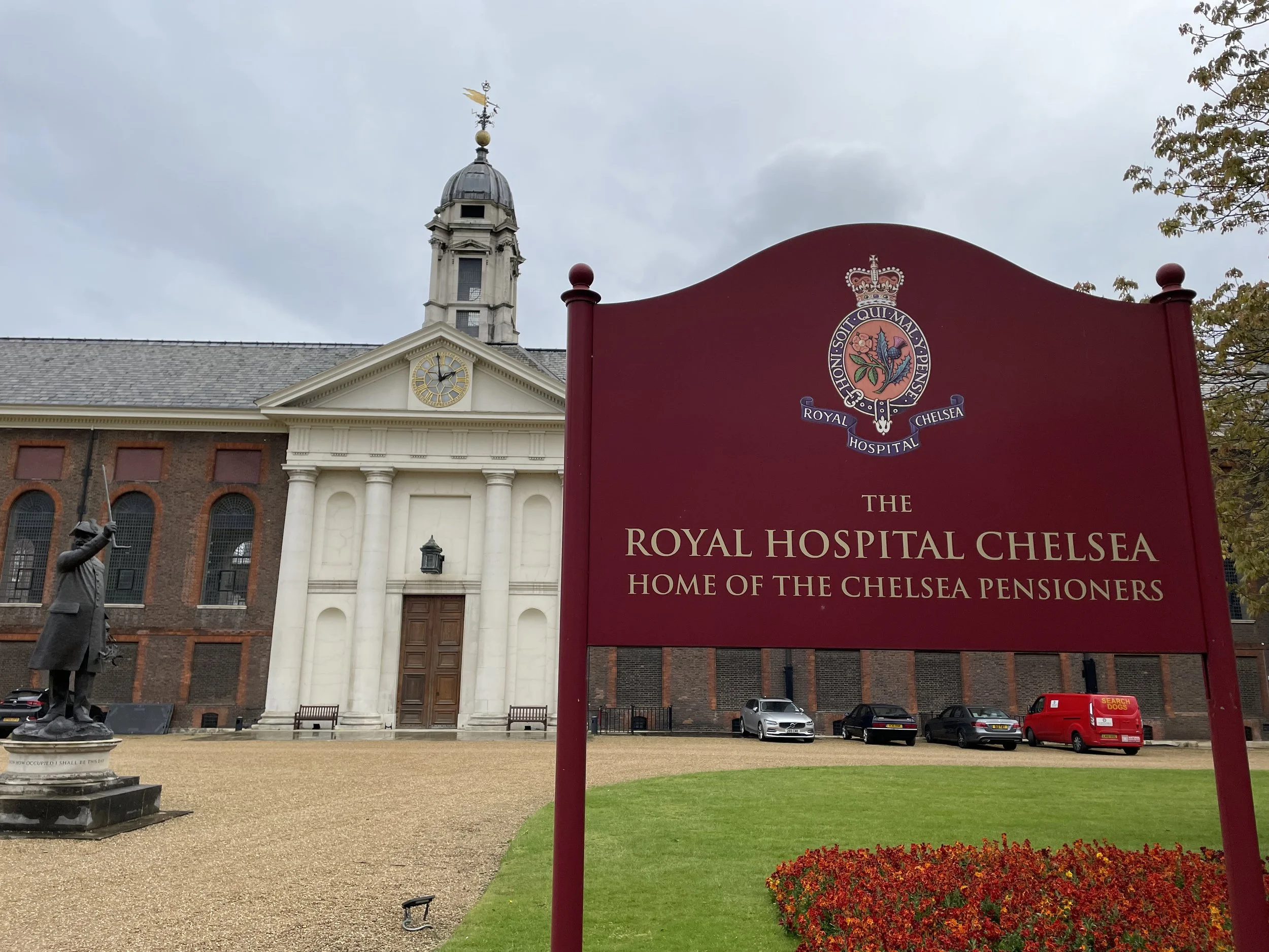
Semaphore Station 15: Chelsea

Condition: Tower no longer there / presumed site of this tower.
Distance into route (Day 2)
: 57.8 km / Full Route: 146.6 km
Address: Royal Hospital Chelsea, Royal Hospital Road, London SW3 4SR
Coordinates: 51°29'16.0"N 0°09'31.0"W
Grid Reference: TQ 27938 78142
Elevation: 6m
Map: London South Map | Westminster, Greenwich, Croydon, Esher & Twickenham | Ordnance Survey | OS Explorer Map 161
Links: Jont Blog Post, Royal Hospital Chelsea,

An alternative location of this telegraph station is the Duke of York's Headquarters, now the Saatchi Gallery. We dodged traffic on a very busy Sunday to visit both.


Semaphore Station 16: The Admiralty

Condition: Admiralty buildings still intact and in use by various government departments.
Distance into route (Day 2)
: 62.3 km / Full Route: 151.1 km
Address: Old Admiralty Building, London, SW1A 2AY
Coordinates: 51°30'22.0"N 0°07'43.0"W
Grid Reference: TQ 29979 80241
Elevation: 5m
Map: London South Map | Westminster, Greenwich, Croydon, Esher & Twickenham | Ordnance Survey | OS Explorer Map 161
Links: Jont Blog Post, Admiralty buildings, Horseguards Parade, Whitehall

A very good lesson for us, if you are planning to end your ride at The Admiralty, is to make sure you do not do it just as the London Marathon is finishing! It was only a few days before our trip that I realised the dates clashed. The London Marathon uses Horse Guards Parade as a massive post-race meeting spot for family and friends, so the entire area is incredibly busy. We still managed to get to our finish spot right at the Old Admiralty Building, but it took a fair bit of careful navigation around blocked-off streets.


The Full 2-Day Route


Elevations of each Semaphore Station in metres

Day 2 cycling route elevation map

Day 2 cycling route elevation map


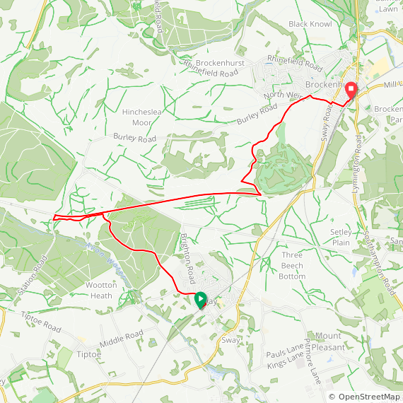
New Forest Walks: Brockenhurst, Sway and the Disused Railway

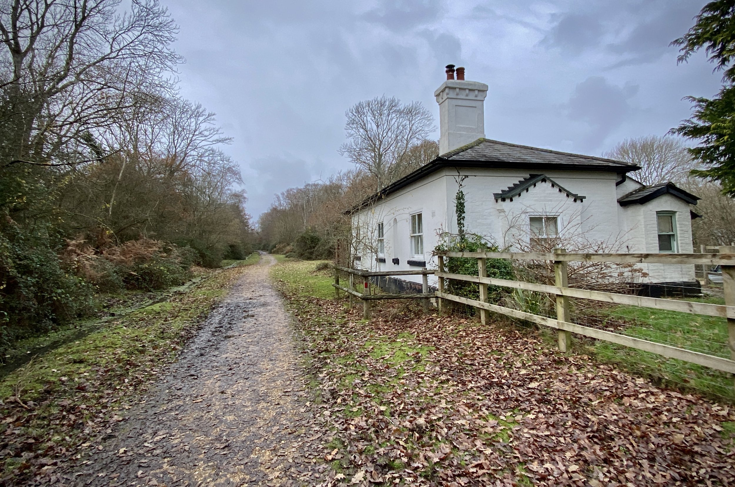
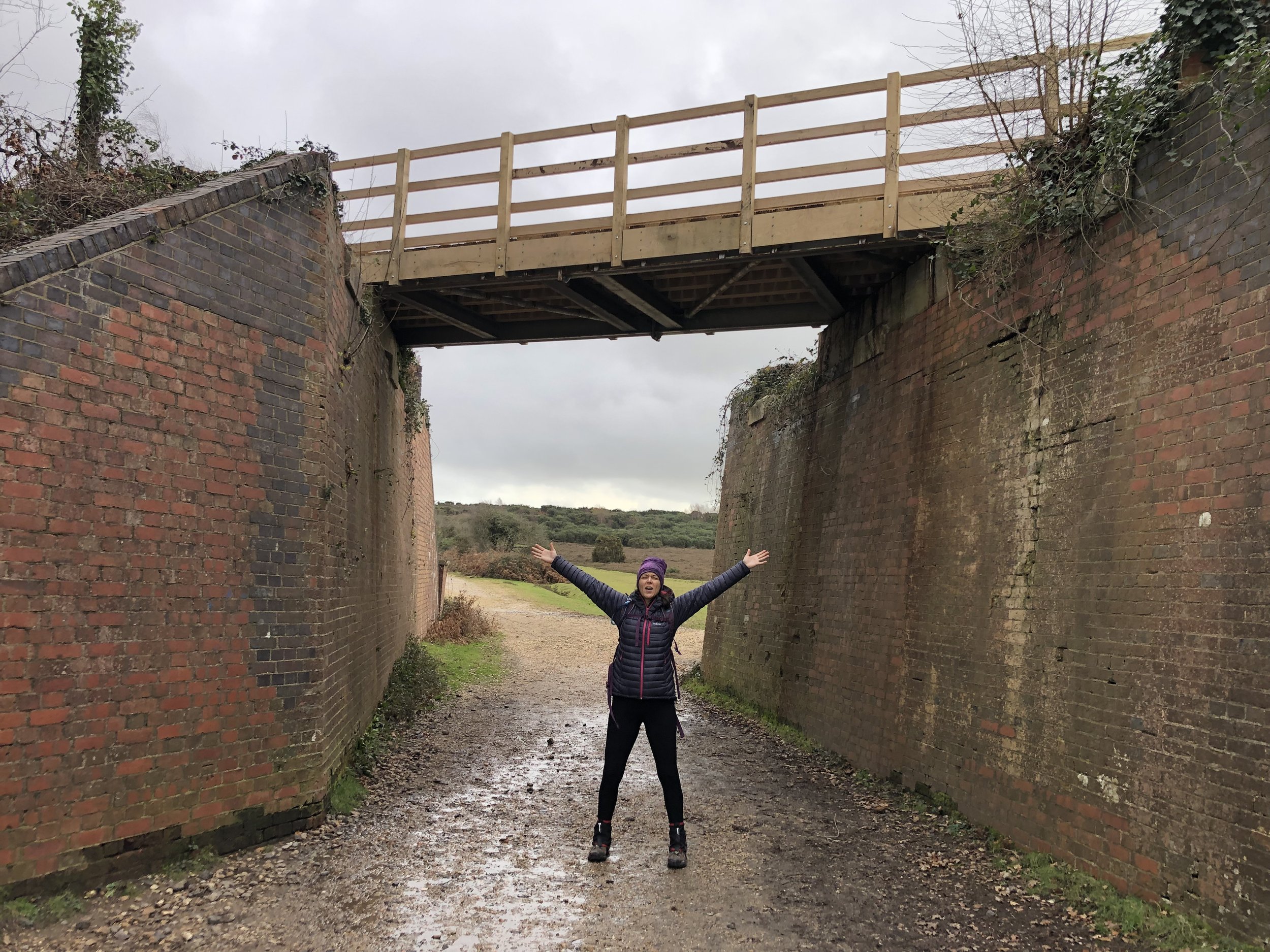
Bridge over the disused railway.


Start: Brockenhurst Railway Station: Brockenhurst, SO42 7TW
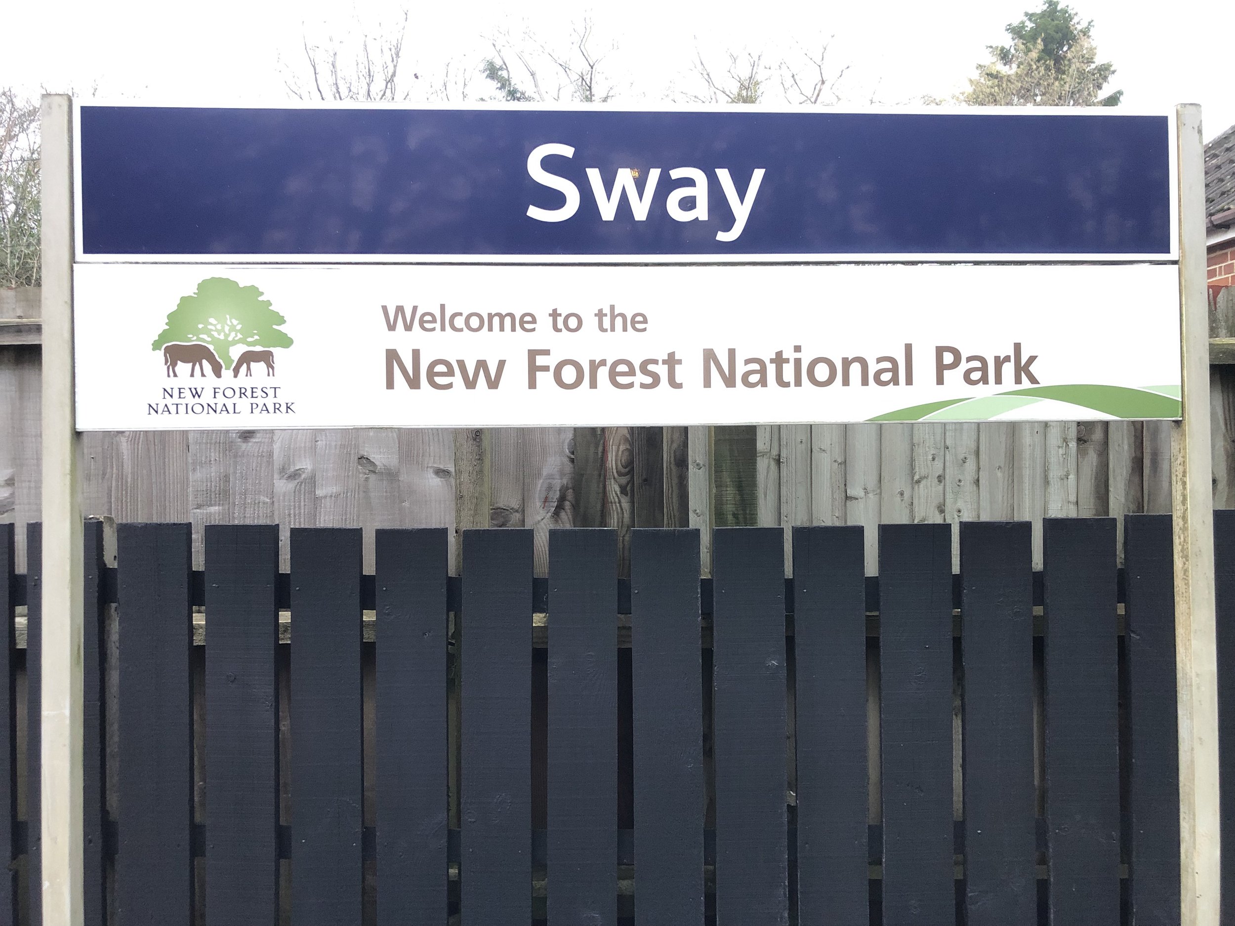
Finish: Sway Railway Station: Sway, Lymington SO41 6BA
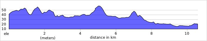
Distance: 10.6 km (6.6 Miles)
Elevation change: +79m / -101m. Net -22m
GPX File: get via Buy Me a Coffee
Other Routes Touched (walk): Southampton and Dorchester Railway Path
Other Routes Touched (cycle): NCN 2
Pubs / Cafes on route: Several in Brockenhurst and Sway. None on the route
Map: New Forest Map | Southampton, Ringwood, Ferndown, Lymington, Christchurch & Bournemouth | Ordnance Survey | OS Explorer Map OL22
Links: Brockenhurst, Southampton and Dorchester Railway, Sway


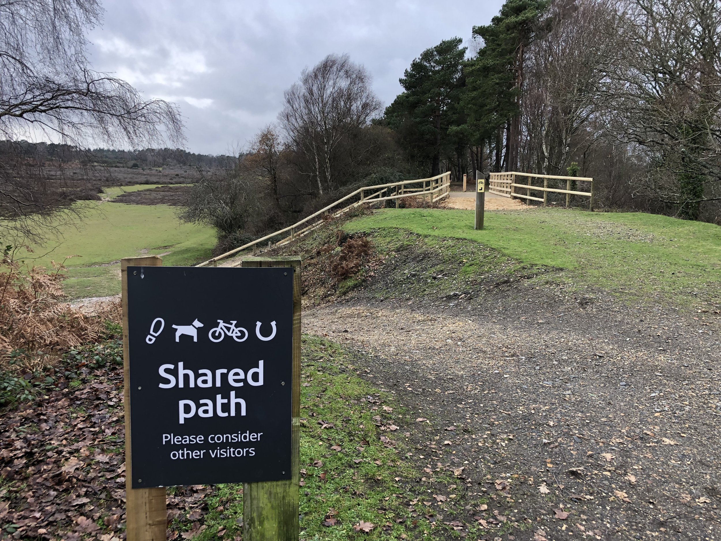
This is a flat(ish) point to point walk between Brockenhurst and Sway railway stations, taking in a stretch of the disused Southampton and Dorchester railway path. The guidance below will help you navigate but don’t use it as a fully accurate turn-by-turn guide. Always take a map and/or a GPX route and prepare well for the weather and terrain.

From Brockenhurst Station cross over the car park onto Avenue Road and follow it in a north-westerly direction to Sway Road. Take a left onto Sway Road then a right into a small car park to the left of the school. Continue through the car park onto a path that crosses Culverley Green to Burley Road. Take at left at Burley Road and follow it for 300 metres before taking a path on the left. Continue along this path with the stream on your left and farm buildings on your right. Continue following this path in a roughly south-westerly through Hinchslea Bog. We were there in winter after a lot of rain and the Bog was very ….boggy. Make sure you wear waterproof boots and are prepared to jump over a few streams and puddles.

At 3km from the start of the walk you’ll arrive at a crossing in the path. Take the left hand path which will take you to the start of the Southampton and Dorchester Railway path at the south-western corner of the golf course. Take a left and follow the railway path for ~3.5 km until the path ends and the old rail route becomes a road. From here you can either retrace your route along the railway path or take another path just to the south back to the edge of the woods near Oaken Caravan site. From here leave the railway path and follow a footpath in a south-easterly direction through the woods to Adlams Lane.

Follow Adlams Lane to the junction with Mead End Road, then take a left onto Mead End Road and follow it onto Station Road to reach Sway Station. From here you can catch a train back to Brockenhurst (1 stop).

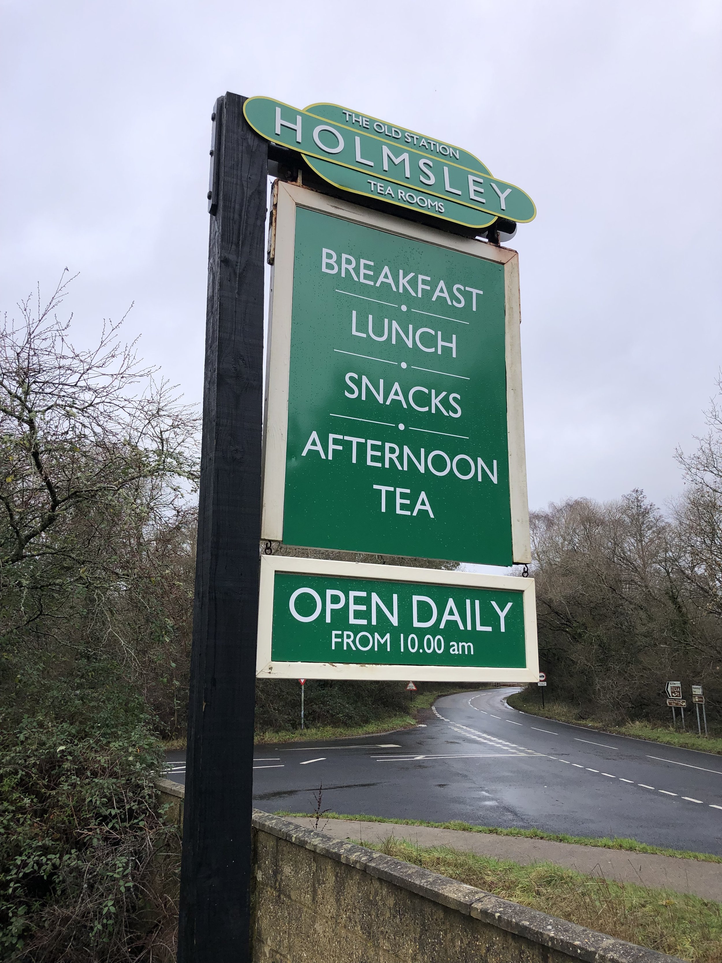
Scroll down for information on the Old Station Tea Room on the site of the old Holmsley Station, further along the disused rail line.


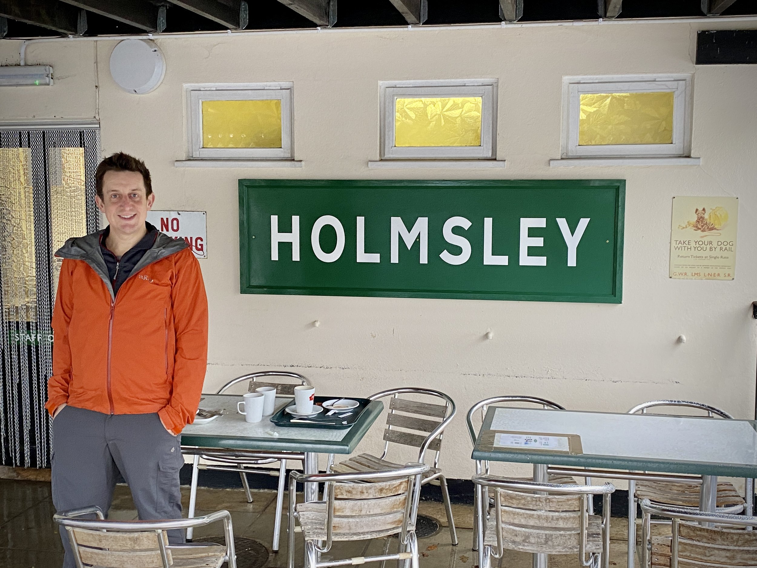
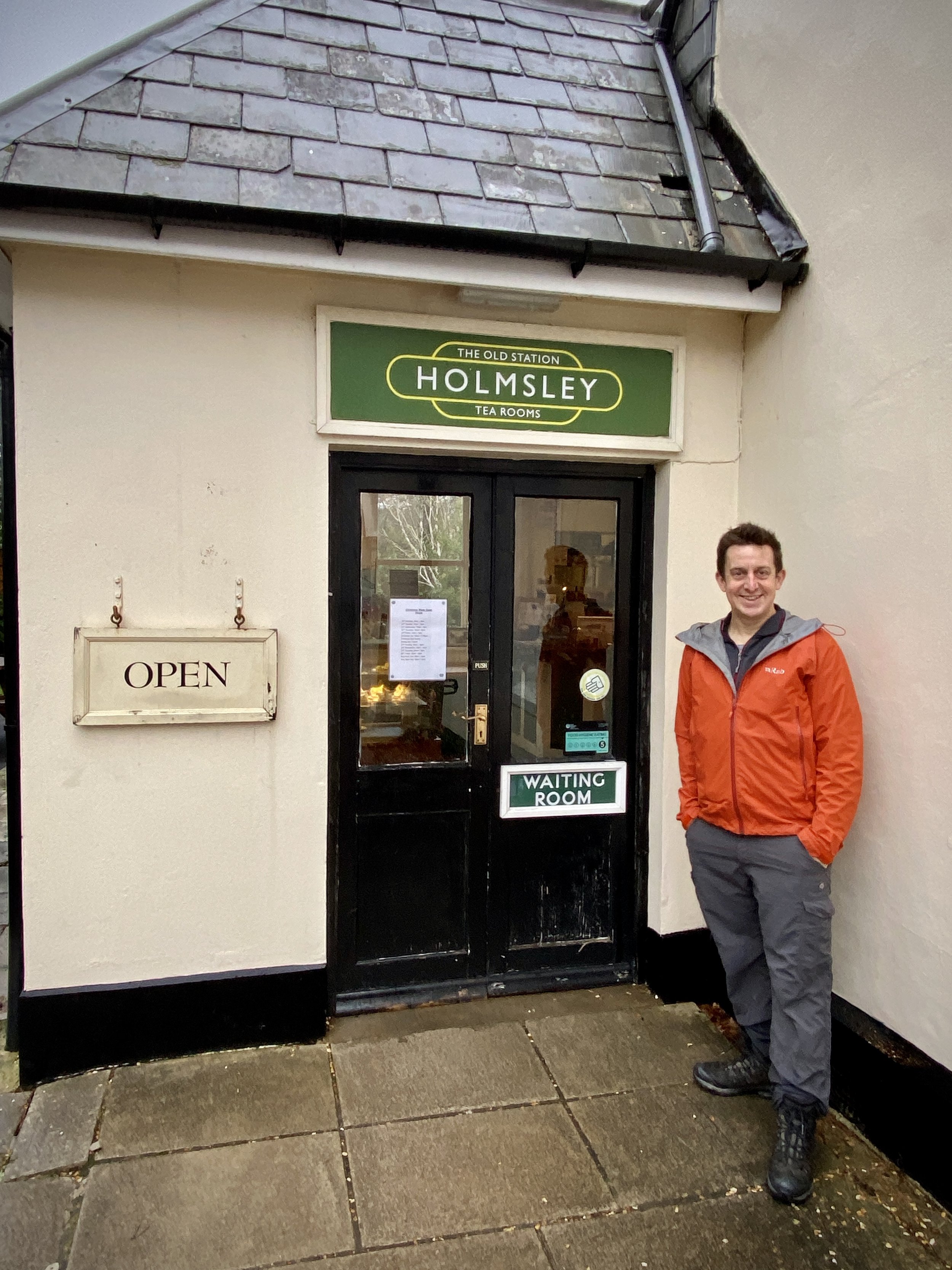
Holmsley Railway Station - The Old Station Tea Room

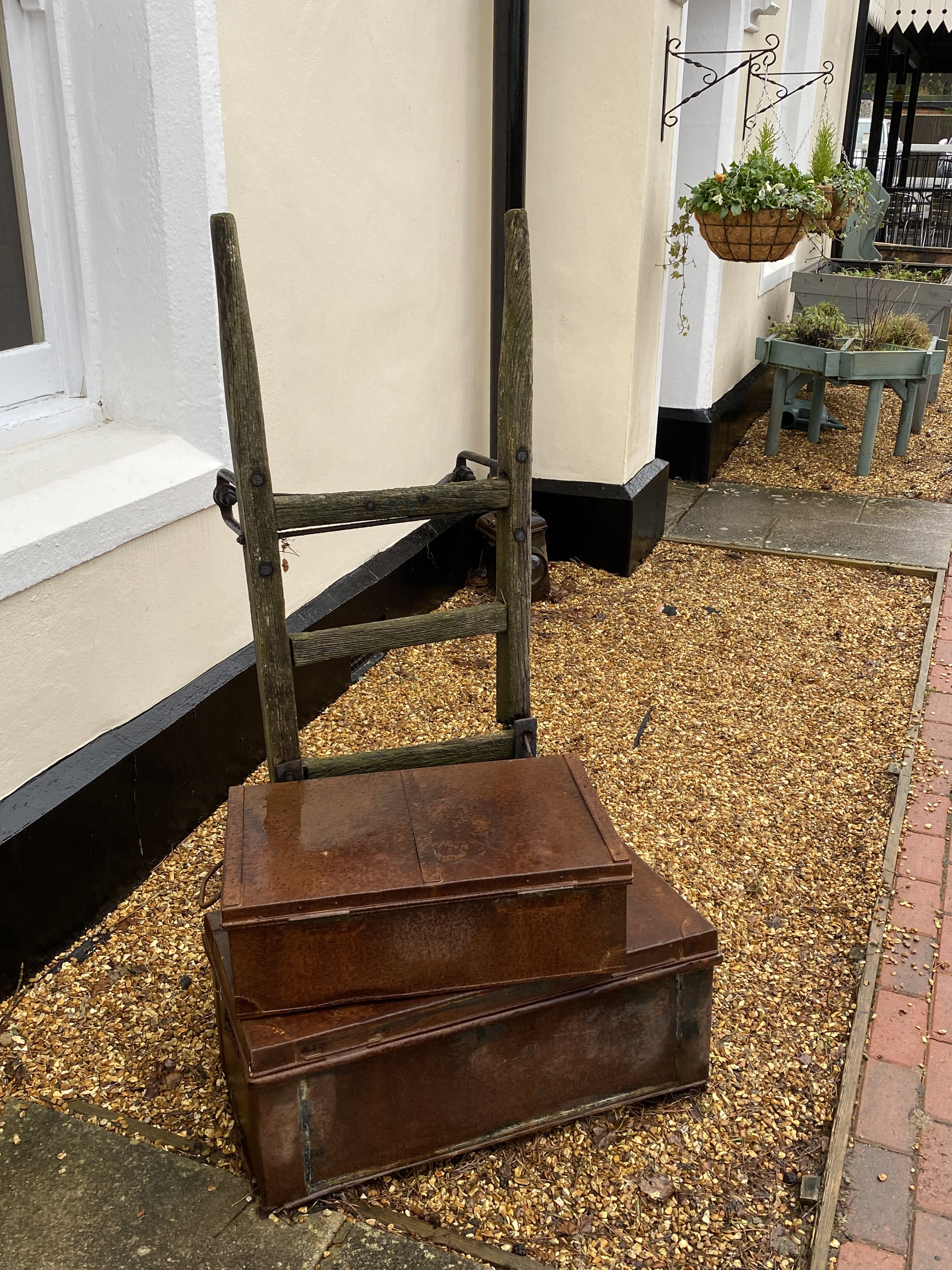
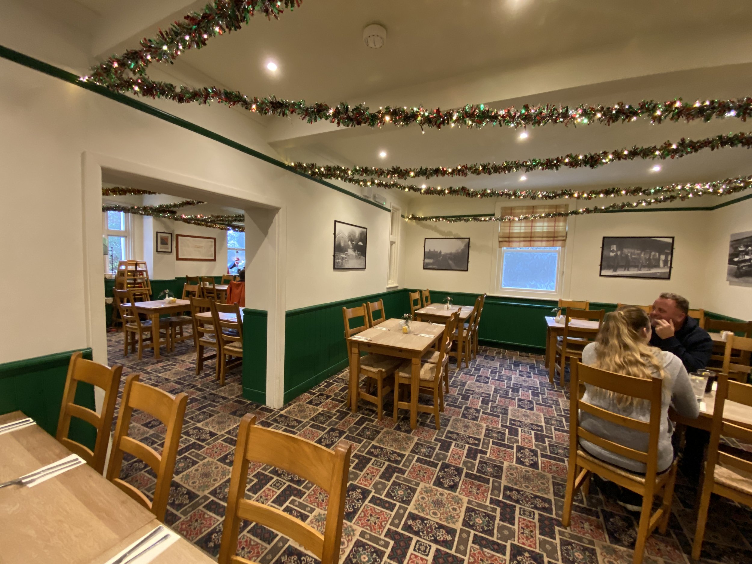
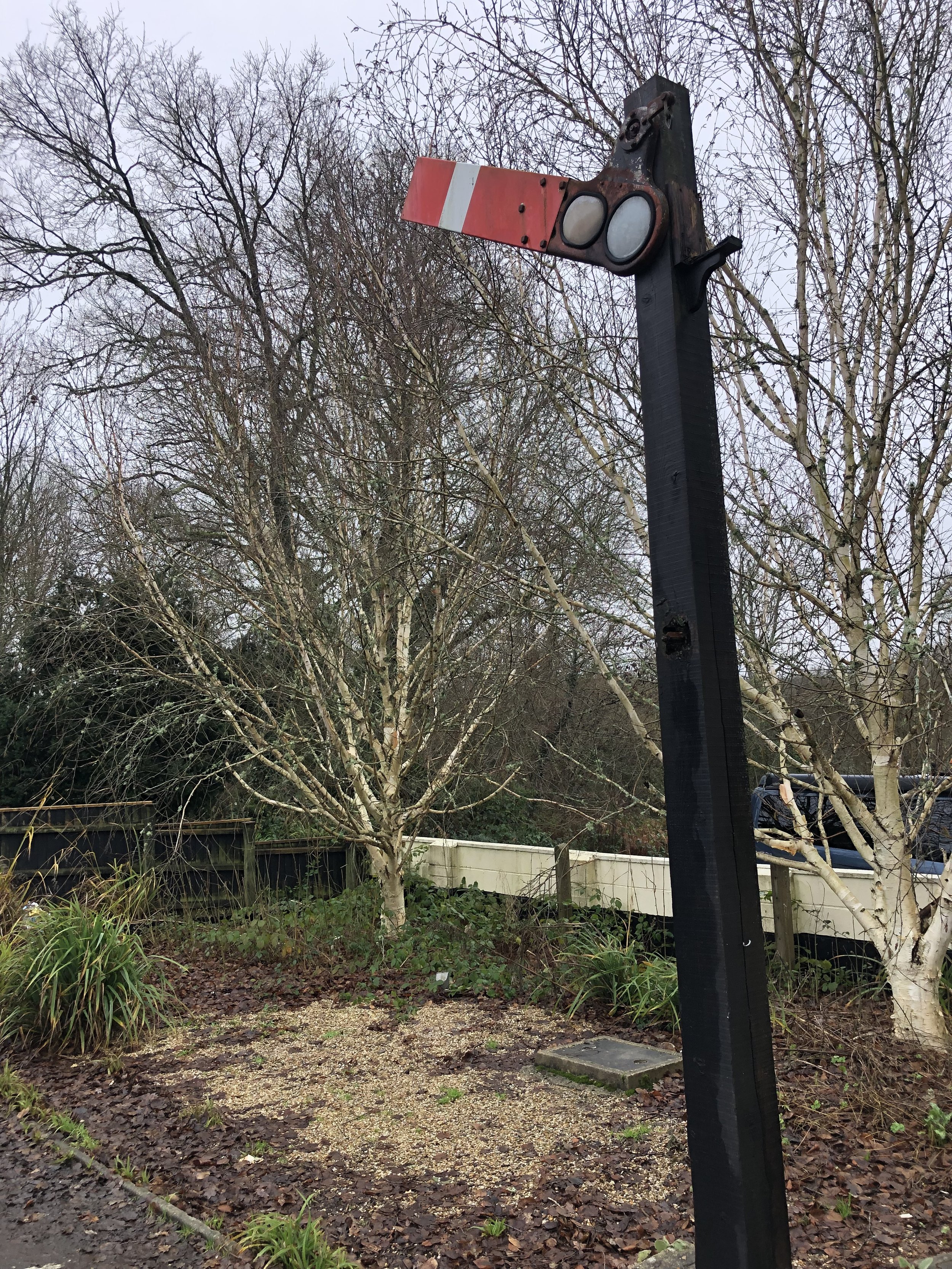
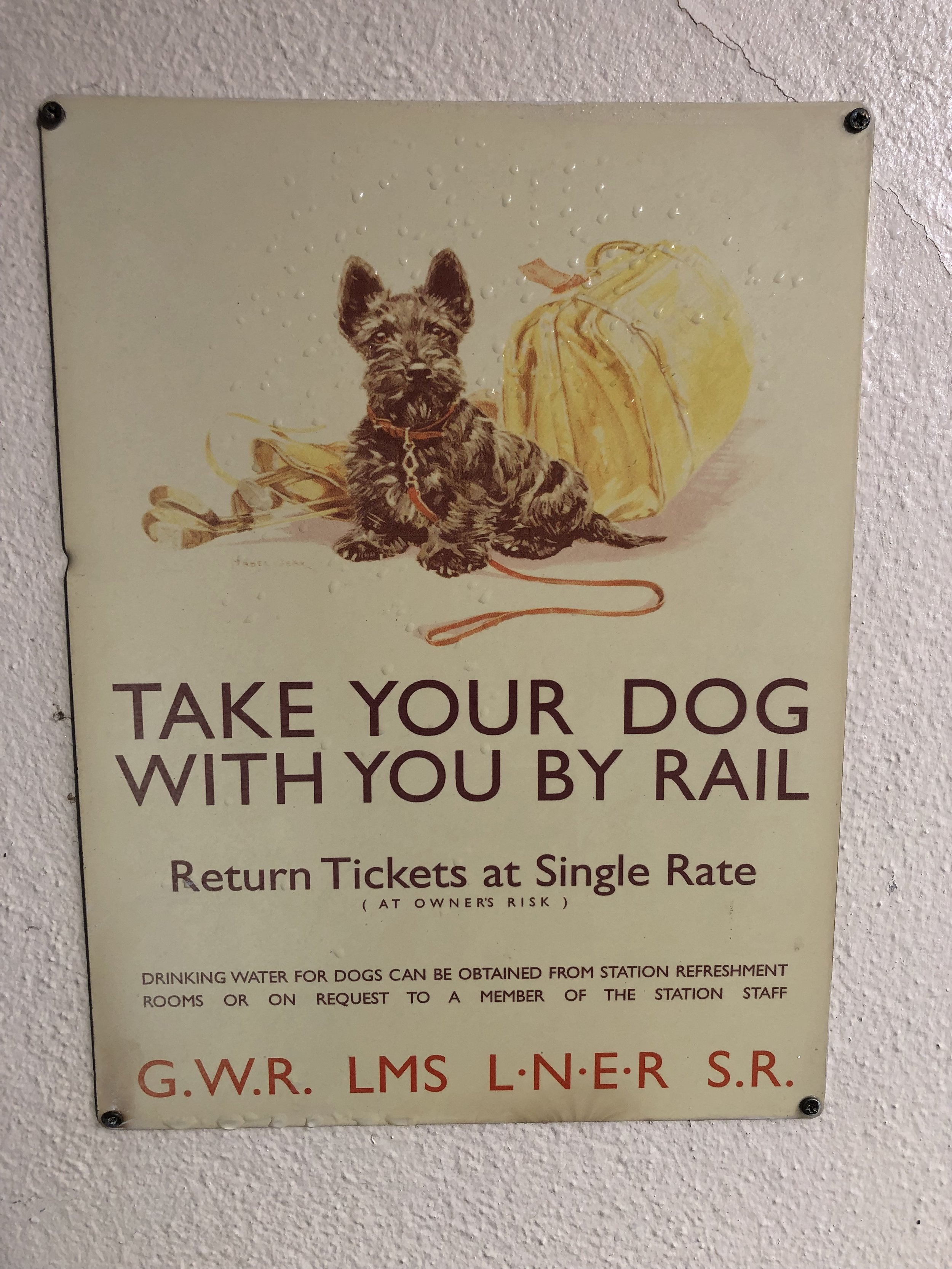
The route described above covers the section of the old Southampton to Dorchester line that has been converted to a shared path for walking, cycling and riding. Further up the line to the west, on the section that’s now a road, you can find the old Holmsley Station, now converted into a Team Room. It’s a great place to stop whether you’re a train enthusiast or not. It’s been lovingly restored and is now a busy cafe.

Links:


More Disused Railway Posts


The South Downs Rivers

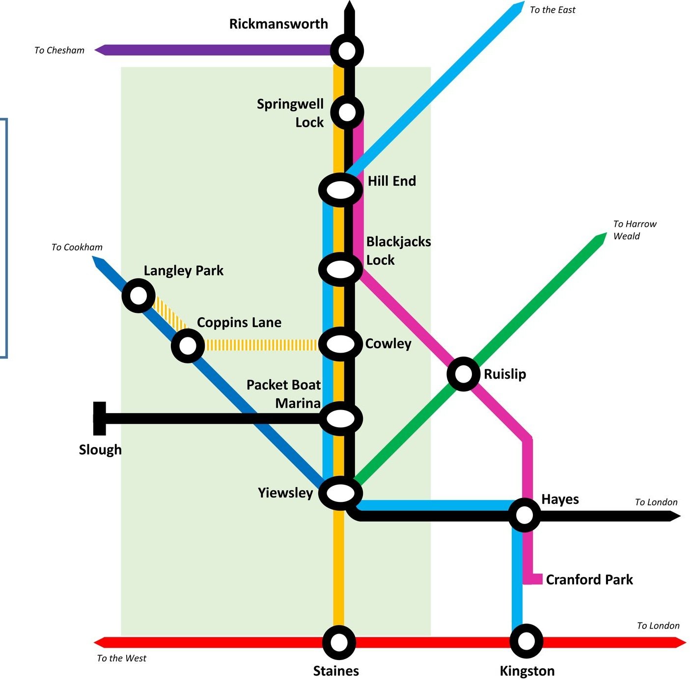
Here’s a Tube-style map of the rivers of the South Downs National Park. Let me know if you spot any mistakes and I’ll donate £1 per correction to one of my causes. If you would like a printable PDF version, please Buy Me a Coffee and send me your e-mail via the Contact page. All copies for personal, not commercial use.


Note: the map shows rivers that start, end or pass through the South Downs National Park. There are some rivers that are not included as their source is south of the Park even though they flow into the English Channel or join another river on this map.


Other Posts for the South Downs


Tube-Style Maps


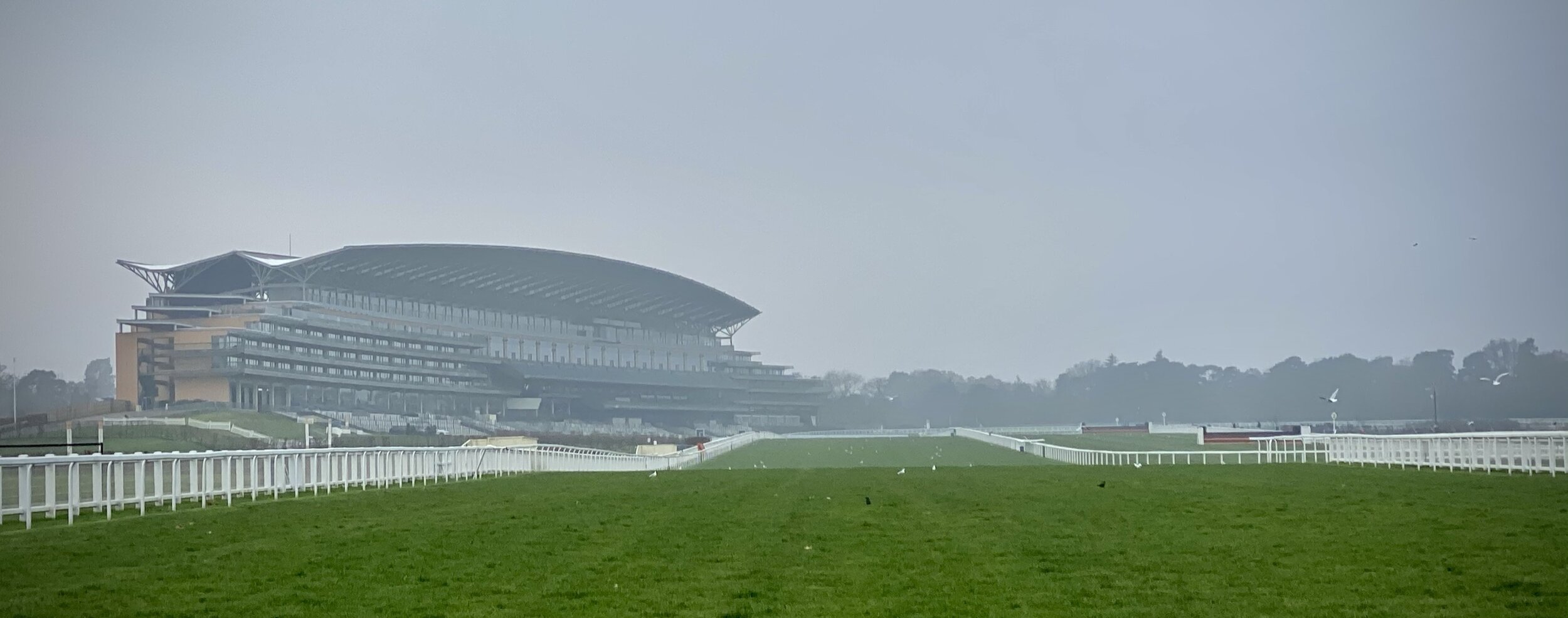
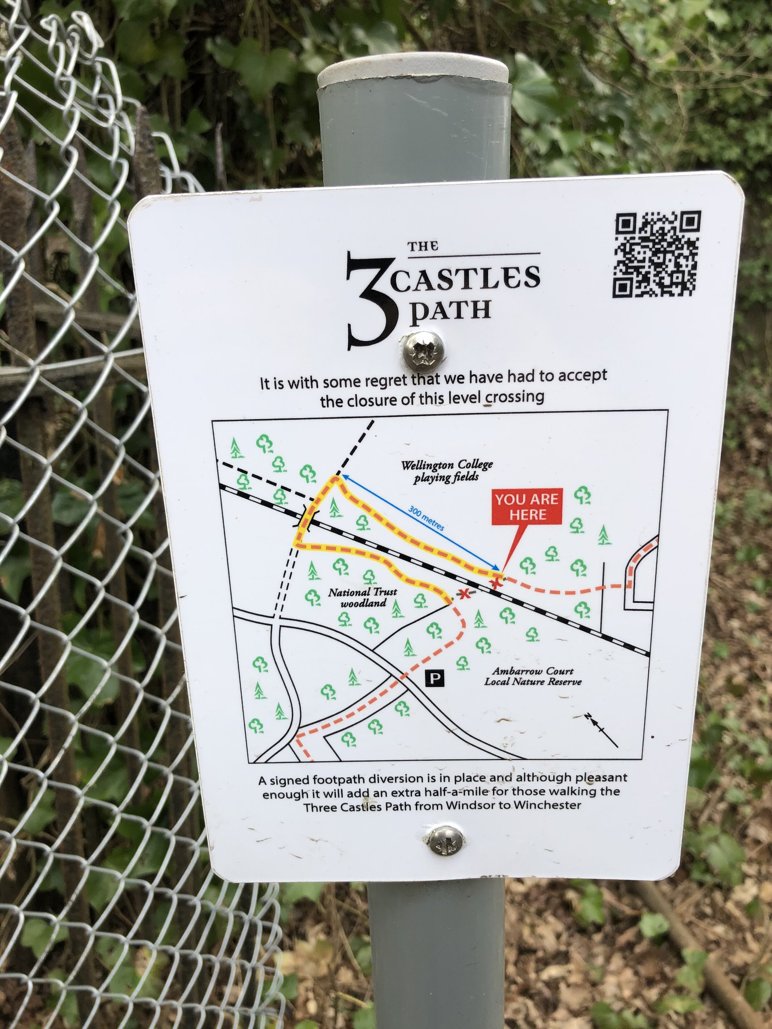
Walking The Three Castles Path Part 1: Windsor to Greywell
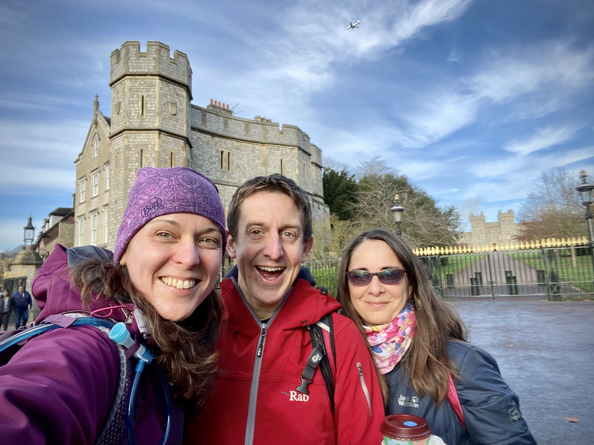
Windsor Castle and the start of the Three Castles Path

Windsor Castle and the start of the Three Castles Path


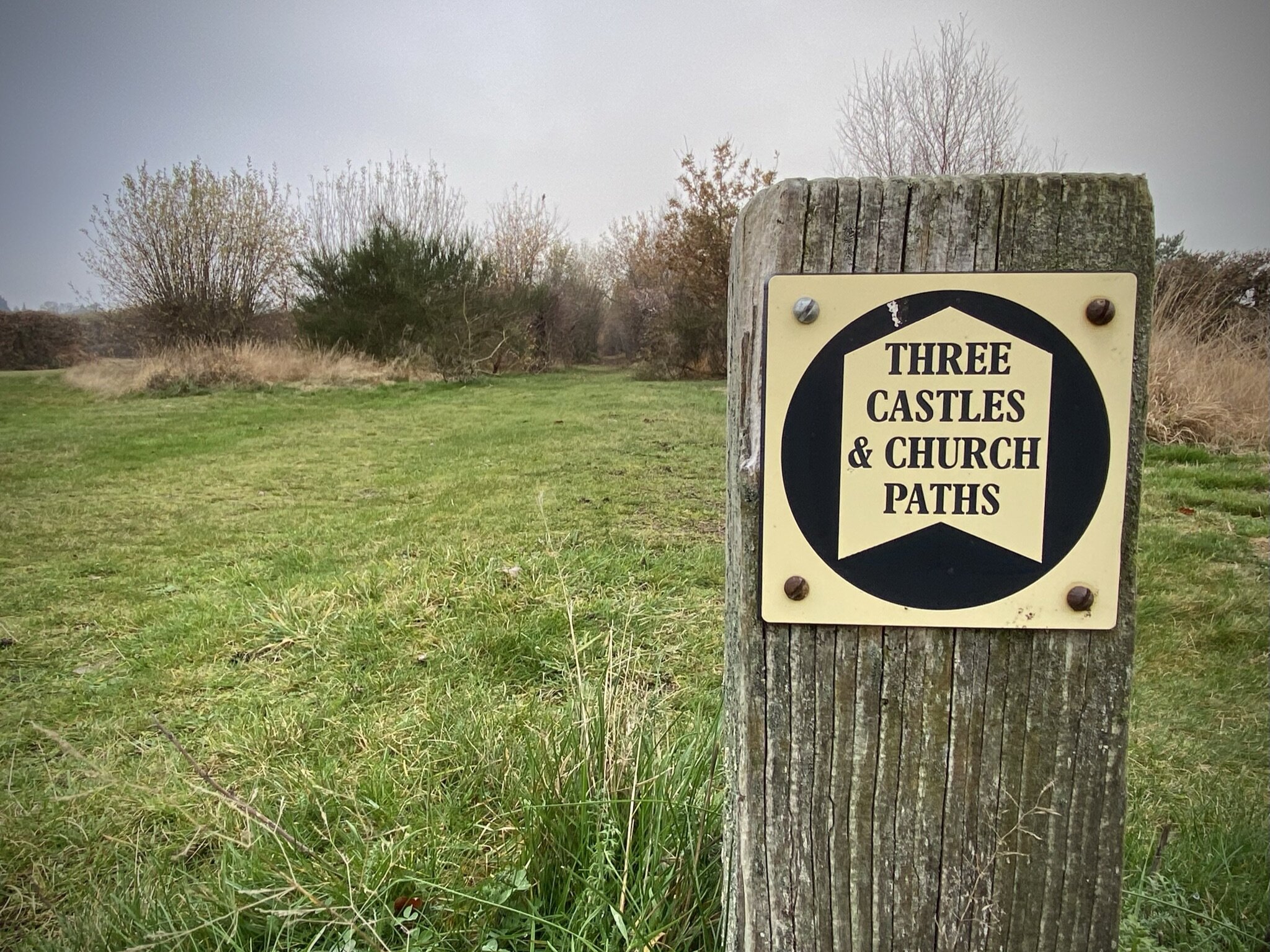
The Three Castles Path is a 60 mile trail from Windsor to Winchester, inspired by the travels of King John. The three castles that it refers to are Windsor Castle, Winchester Castle, and King John’s own Odiham castle at the half way point. The trail is very well described in the short guidebook The 3 Castles Path by Heron Maps.

Our journey along the path was a reunion of our small group that did the Caminos Ingles and Finisterre in 2019. The Covid lockdowns had thwarted many of our plans for long trips so we covered this first section of the path in sections around the Lockdowns. Our trip was based on roughly 10k sections with good parking options at either end. These are different sections to those described in the guidebook which also details public transport options.

We’ll get to the second half of the path another time. It’s further from home with fewer parking options on some sections so will need some more planning.


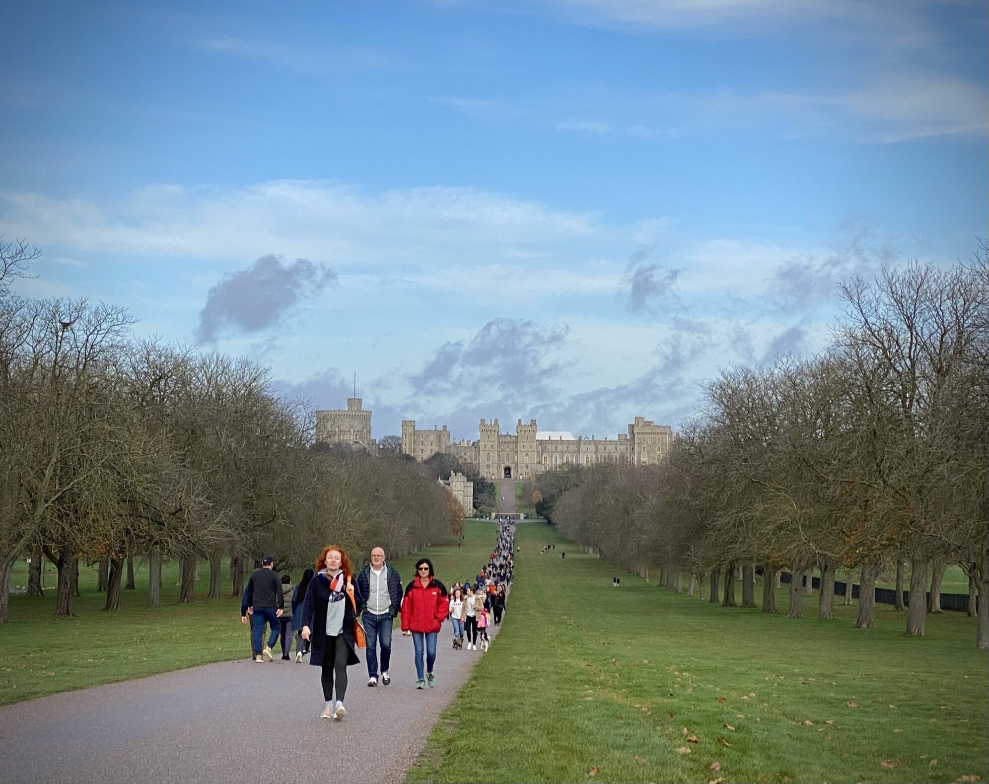
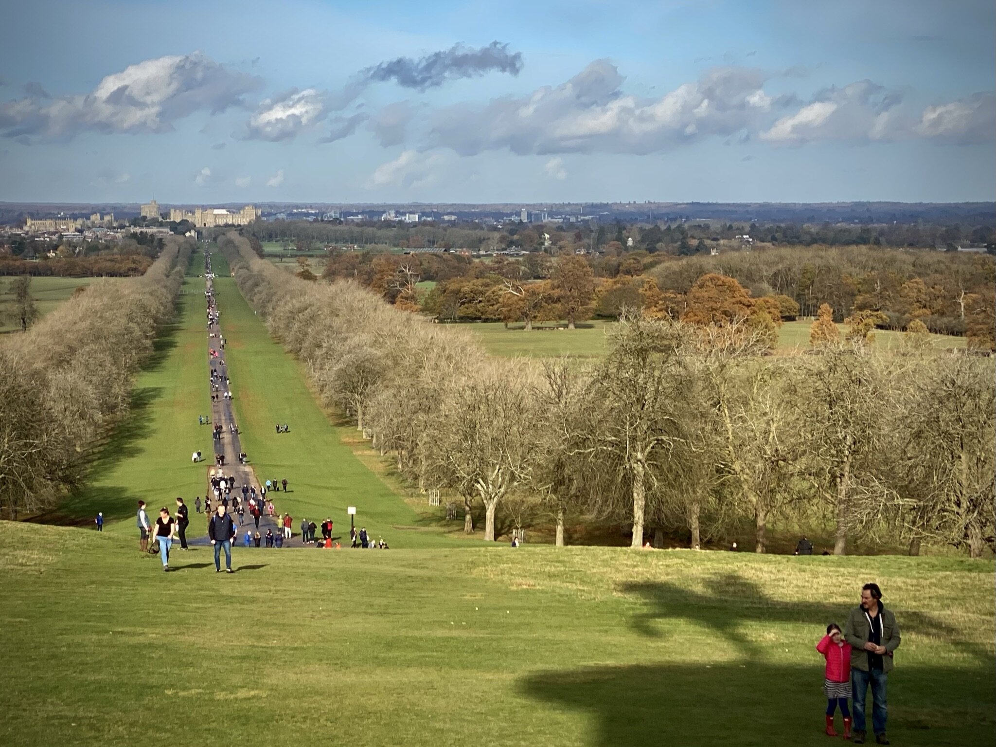
Section 1. Windsor Castle to Ascot

Start: Windsor Castle, Castle Hill, Windsor
Finish
: Free car parking, High Street, Ascot, SL5 7HS
Distance: 11.6 km (7.2 miles)
Elevation change: +128m / -90m. Net +38m
GPX File: get via Buy Me a Coffee
Other routes touched (walk): None
Other routes touched (cycle): NCN 4, Ascot To Windsor Cycle Route, Round Berkshire Cycle Route 52
Pubs / Cafes on route: None on route but several in Windsor and Ascot High Streets
Map: OS Explorer Map (160) Windsor, Weybridge & Bracknell
Links: Windsor, Windsor Castle, Windsor Great Park, Ascot, Ascot Racecourse

route-34711377-map-full.png
elevation_profile.jpg

Section 2. Ascot to Swinley Forest

Start: Free car parking, High Street, Ascot, SL5 7HS
Finish
: The Look Out Discovery Centre, Nine Mile Ride, Bracknell, RG12 7QW
Distance: 8.3 km (5.2 miles)
Elevation change: +68m / -41m. Net +27m
GPX File: get via Buy Me a Coffee
Other routes touched (walk): Ramblers’ Route
Other routes touched (cycle): NCN 422, Ascot To Windsor Cycle Route
Pubs / Cafes on route: None on route but The Look-out has a cafe and Horseshoe Lake has a kiosk.
Map: OS Explorer Map (160) Windsor, Weybridge & Bracknell
Links: Ascot, Ascot Racecourse, North Ascot, Swinley Forest, The Lookout Discovery Centre

route-34711580-map-full.png
elevation_profile.jpg

Section 3. Swinley Forest to Horeshoe Lake

Start: The Look Out Discovery Centre, Nine Mile Ride, Bracknell, RG12 7QW
Finish
: Horseshoe Lake Car Park, Sandhurst, GU47 8JW
Distance: 10 km (6.1 miles)
Elevation change: +74m / -127m. Net -53m
GPX File: get via Buy Me a Coffee
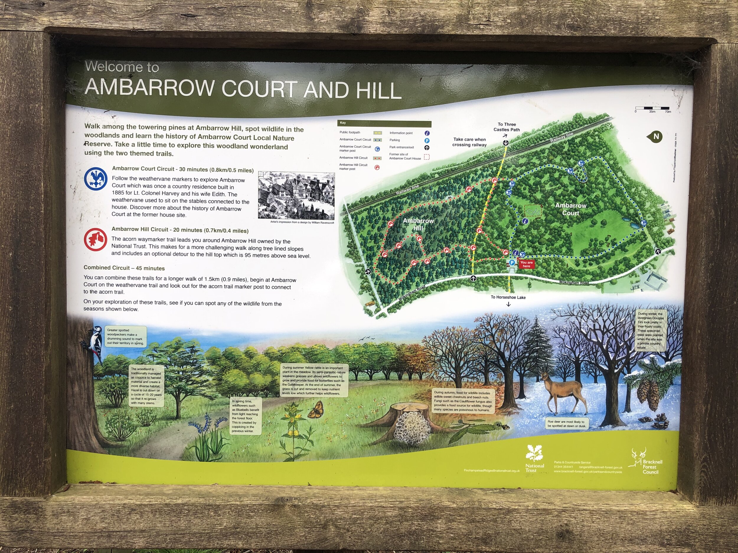
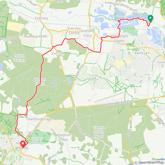
Other routes touched (walk): Ramblers’ Route, The Wokingham Way, Ambarrow Hill Circuit, Ambarrow Court Circuit
Other routes touched (cycle): Swinley Forest Mountain Bike Routes
Pubs / Cafes on route: None on route but The Look-out has a cafe and Horseshoe Lake has a kiosk.
Map: OS Explorer Map (160) Windsor, Weybridge & Bracknell and OS Explorer Map (159) Reading, Wokingham and Pangbourne
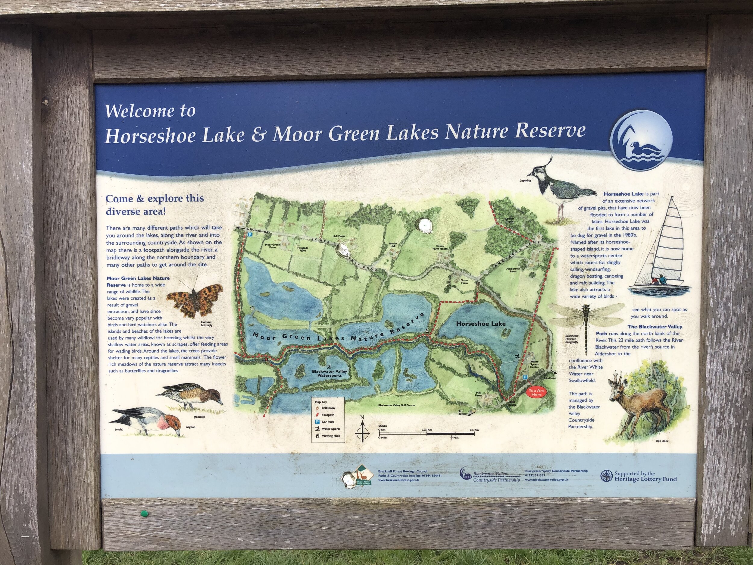
Links: Swinley Forest, The Lookout Discovery Centre, Broadmoor Hospital, Sandhurst, Horseshoe Lake

route-34755124-map-full.png
elevation_profile.jpg

Section 4. Horseshoe Lake to Hartley Wintney

Start: Horseshoe Lake Car Park, Sandhurst, GU47 8JW
Finish
: Cricket Green, Hartley Wintney, Hook RG27 8QB. Parking at Hartley Wintney Long Stay, 484 Monachus Lane, Hartley Wintney, RG27 8NN
Distance: 12 km (7.5 miles)
Elevation change: +103m / -91m. Net -12m
GPX File: get via Buy Me a Coffee
Other routes touched (walk): The Wokingham Way, Blackwater Valley Park
Other routes touched (cycle): None
Pubs / Cafes on route: None on route but several in Hartley Wintney and Horseshoe Lake has a kiosk.
Map: OS Explorer Map (159) Reading, Wokingham and Pangbourne and OS Explorer Map (144) Basingstoke, Alton and Whitchurch
Links: Horseshoe Lake, Blackwater Valley, River Blackwater, River Hart, Hartley Wintney

route-34755130-map-full.png
elevation_profile.jpg

Section 5. Hartley Wintney to Greywell

Start: Cricket Green, Hartley Wintney, Hook RG27 8QB. Parking at Hartley Wintney Long Stay, 484 Monachus Lane, Hartley Wintney, RG27 8NN
Finish
: Fox & Goose Pub, The Street, Hook, RG29 1BY
Distance: 11.9 km (7.5 miles)
Elevation change: +79m / -61m. Net -18m
GPX File: get via Buy Me a Coffee
Other routes touched (walk): Basingstoke Canal Towpath
Other routes touched (cycle): Odiham Circular
Pubs / Cafes on route: Several on Hartley Wintney High Street at start, the Waterwitch in Odiham and The Fox and Goose at the end.
Map: OS Explorer Map (144) Basingstoke, Alton and Whitchurch
Links: Hartley Wintney, Basingstoke Canal, Odiham, Odiham Castle, Greywell, Greywell Tunnel


South East England parkruns

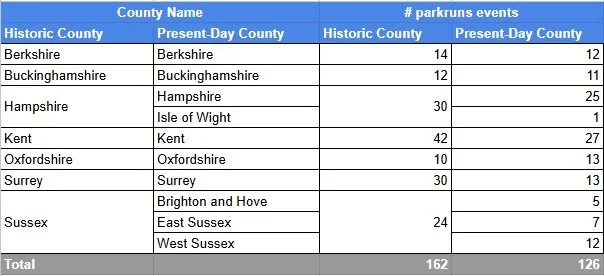
The parkrun Regionnaire status used to be a major part of parkrun tourism, with South East England being the largest region. Changes in the parkrun website in 2019 removed the regions making it harder to track completion status. All is not lost though as here’s the complete parkrun guide to what’s in and what’s out of the counties of South East England.

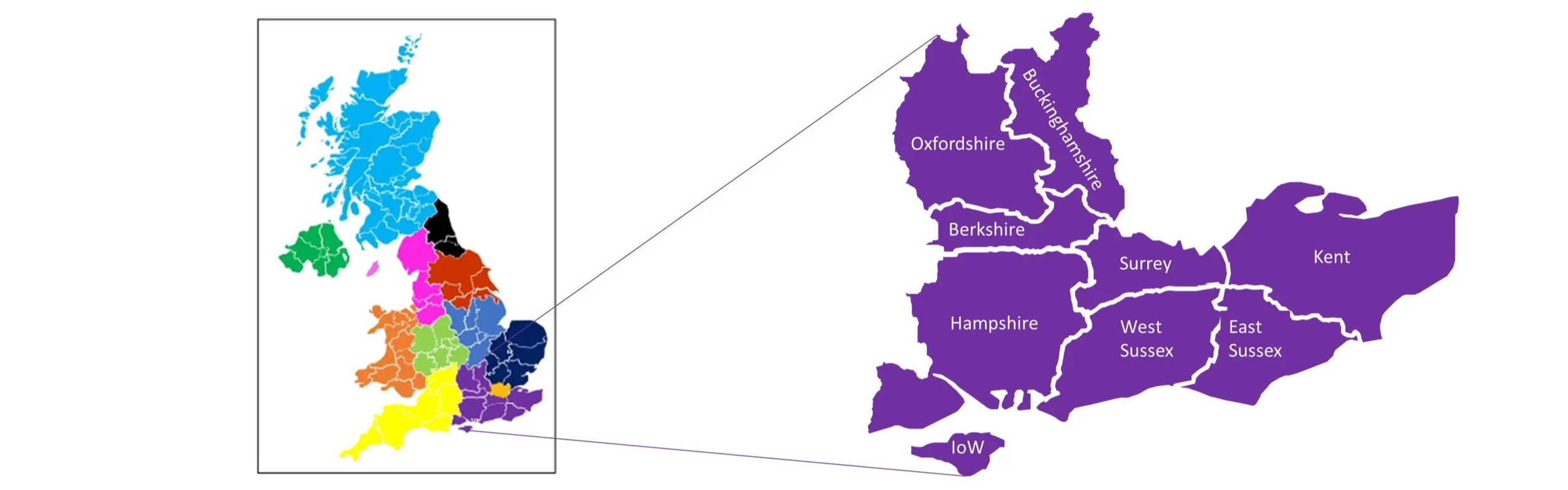
South East England is the most populous and economically significant region of the UK, excluding London, which it entirely surrounds on its southern and western borders. The region is composed of nine ceremonial counties: Berkshire, Buckinghamshire, East Sussex, Hampshire, the Isle of Wight, Kent, Oxfordshire, Surrey, and West Sussex. Geographically, the South East is characterised by its distinctive chalk ridgelines and ancient woodlands. It contains the majority of the North Downs (running through Surrey and Kent) and the entirety of the South Downs National Park (in Hampshire, West Sussex, and East Sussex). Coastal features are dramatic, notably the world-famous White Cliffs of Dover in Kent and the coastal resorts like Brighton.


The counties of the South East of England

parkrun event numbers per county

There are currently 126 parkrun events in the present-day counties of the South East region. The Historic Counties, prior to the various boundary changes had a further 36 events, most of these are now part of Greater London. Numbers exclude any events that are not open to the general public such as prisons or armed forces facilities.


Notes and exceptions.

  • Numbers of event above exclude prison parkruns and permanently cancelled events.

  • Bournemouth, Highcliffe Beach and Moors Valley parkruns were part of historic Hampshire and would have been in historic South East England, but are now part of present-day Dorset, so would be in the South West England region.

  • Tidworth: South Tidworth where the parkrun takes place was moved from Hampshire into Wiltshire in 1992 but houses there still have Hampshire on their address for post.

  • Hazelwood was part of historic Middlesex and is now part of present-day Surrey.

  • Parts of historic Surrey and Kent are now part of Greater London. See the individual pages for those counties for the list of which events are now part of Greater London.


The South East Counties parkrun pages

Click on each of the images below to go to the page with details of the parkrun events for the county. Isle of Wight is included in the Hampshire page.


More parkrun posts

parkruns are free, weekly, community 5k events all around the world. I started in December 2012 and have been obsessive about it ever since. See my parkrun Collection page for details.

Featured and popular parkrun posts:


Completing all Hampshire parkruns
Hampshire parkrun banner.JPG

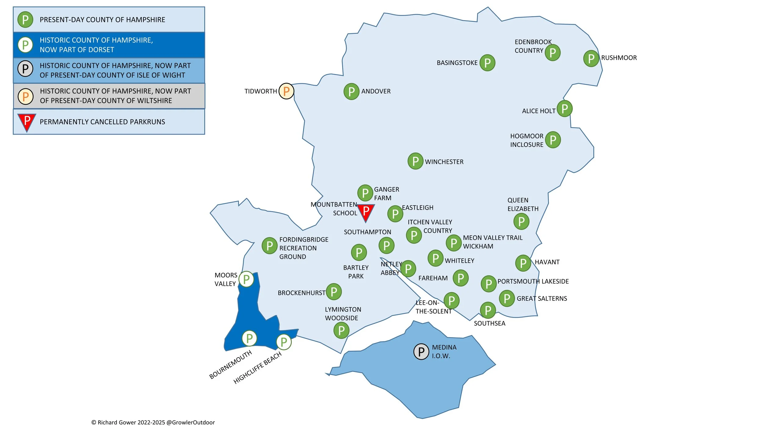
There are currently 25 parkrun events in present-day Hampshire of which I have done 17. The first was Basingstoke which started on July 5th 2008 and the newest is Fordingbridge Recreation Ground which started on July 19th 2025. The name for having completed all parkrun events in the county is “Champshire”.

The Historic County of Hampshire has a further 5 events, totaling 30.

  • Bournemouth, Highcliffe Beach, Moors Valley were in historic Hampshire but are now part of present-day Dorset and are in the South West region.

  • Tidworth: South Tidworth where the parkrun takes place was moved from Hampshire into Wiltshire in 1992 but houses there still have Hampshire on their address for post.

  • Medina IOW was in Historic Hampshire but is now in the present-day county of the Isle of Wight.

A special mention goes to Sandhurst Memorial. The course starts and ends in Berkshire but crosses over into Hampshire which is on the south side of the River Blackwater.

Mountbatten School parkrun was active until the Covid-19 parkrun pause and is now permanently cancelled.

You can spell out the word ‘Hampshire’ by running various parkrun events in the county of Hampshire. For example: Havant, Andover, Meon Valley Trail, Portsmouth Lakeside, Southampton, Hogmoor Inclosure, Itchen Valley Country, Rushmoor, Eastleigh. (thanks to Helen Rees for this info)

Numbers exclude any events that are not open to the general public such as prisons or armed forces facilities.


A map of the parkrun events in the county of Hampshire.

All of the Hampshire parkrun events …

Below are each of the Hampshire 5k parkrun events in alphabetical order. A few things to note:

  • The interactive maps below take you to the approximate location for the course, typically the centre of the park. See the course instructions in the parkrun page for each event for specific directions to the start.

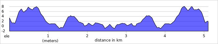
  • Course maps and elevation profiles show the route at the time that I ran it and may have changed since then. See the Course page in the event’s page on parkrun.org.uk for the current course outline. Note that course outlines are from Garmin data during a specific run and may vary from the officially measured distance.

  • Please contact me if you spot an event that doesn’t have a course map and elevation profile and you would like to donate one from your own run. I’m also interested in maps and elevation profiles for courses that have changed or where there’s a regular alternative route (e.g. Horsham). I’ll need a GPX file from your run plus the date. I’ll include a credit for you and will donate £1 to parkrun.


Alice Holt

  • I completed this event on: New Year’s Day 2020 with a finish time of: 28:09

  • Historic County: Hampshire

  • Ceremonial County: Hampshire

  • Other routes touched (walk): The Shipwrights Way

  • Other routes touched (cycle): NCN 22, 224

  • Inaugural: November 17th 2012

  • Links: Event Home Page, Course Page, blog7t write-up


Andover

  • I completed this event on: December 7th 2019 with a finish time of: 26:54

  • Historic County: Hampshire

  • Ceremonial County: Hampshire

  • Other routes touched (walk): The Brenda Parker Way

  • Other routes touched (cycle): Charlton Lakes Cycle Path

  • Inaugural: July 16th 2011

  • Links: Event Home Page, Course Page

 
elevation_profile - Andover.jpg

Bartley Park

  • I completed this event on: July 26th 2025 with a finish time of: 26:59

  • Historic County: Hampshire

  • Ceremonial County: Hampshire

  • Other routes touched: None

  • Inaugural: December 18th 2021

  • Links: Event Home Page, Course Page


Basingstoke

  • I completed this event on: July 1st 2017 with a finish time of: 23:57

  • Historic County: Hampshire

  • Ceremonial County: Hampshire

  • Other routes touched (cycle): NCN 23

  • Inaugural: July 5th 2008

  • Links: Event Home Page, Course Page

 
elevation_profile - Basingstoke.jpg

Brockenhurst

  • I have not yet completed this event

  • Historic County: Hampshire

  • Ceremonial County: Hampshire

  • Inaugural: May 25th 2013

  • Links: Event Home Page, Course Page


Eastleigh

  • I completed this event on: July 2nd 2016 with a finish time of: 25:39

  • Historic County: Hampshire

  • Ceremonial County: Hampshire

  • Other routes touched: N/A

  • This event is also part of parkrun Compass Club

  • Inaugural: May 8th 2010

  • Links: Event Home Page, Course Page

 
elevation_profile - Eastleigh.jpg

Edenbrook Country

  • I first completed this event on: August 27th 2022 with a finish time of: 25:08

  • Historic County: Hampshire

  • Ceremonial County: Hampshire

  • Other routes touched: None

  • Inaugural: April 23rd 2022

  • Links: Event Home Page, Course Page, blog7t write-up


Fareham

  • I have not yet completed this event

  • Historic County: Hampshire

  • Ceremonial County: Hampshire

  • Other routes touched (walk): None

  • Other routes touched (cycle): None, although NCN 236 runs past the start and finish

  • Inaugural: April 9th 2016

  • Course Map and Elevation Profile by: Mark Brace on April 6th 2019

  • Links: Event Home Page, Course Page


Fordingbridge Recreation Ground

  • I have not yet completed this event

  • Historic County: Hampshire

  • Ceremonial County: Hampshire

  • Inaugural: July 19th 2025

  • Links: Event Home Page, Course Page


Ganger Farm

  • I completed this event on: December 2nd 2023 with a finish time of: 27:37

  • Historic County: Hampshire

  • Ceremonial County: Hampshire

  • Other routes touched: None

  • Inaugural: November 19th 2022

  • Links: Event Home Page, Course Page


Great Salterns

  • I completed this event on: Christmas Day 2022 with a finish time of: 27:28

  • Historic County: Hampshire

  • Ceremonial County: Hampshire

  • Other routes touched: none

  • Inaugural: January 22nd 2022

  • Links: Event Home Page, Course Page


Havant

  • I have not yet completed this event

  • Historic County: Hampshire

  • Ceremonial County: Hampshire

  • Other routes touched (walk): Staunton Way

  • Other routes touched (cycle): None

  • Inaugural: June 16th 2012

  • Course Map and Elevation Profile by: Mark Brace on May 3rd 2025

  • Links: Event Home Page, Course Page


Hogmoor Inclosure

  • I completed this event on: New Year’s Day 2020 with a finish time of: 25:20

  • Historic County: Hampshire

  • Ceremonial County: Hampshire

  • Other routes touched: N/A

  • Inaugural: March 10th 2018

  • Links: Event Home Page, Course Page, blog7t write-up


Itchen Valley Country

  • I completed this event on: November 12th 2021 with a finish time of: 27:05

  • Historic County: Hampshire

  • Ceremonial County: Hampshire

  • Other routes touched (walk): Forest Trail, Woods and Meadows Walk, Purple Trail

  • Inaugural: February 29th 2020

  • Links: Event Home Page, Course Page


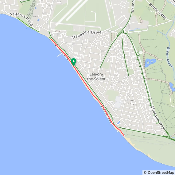
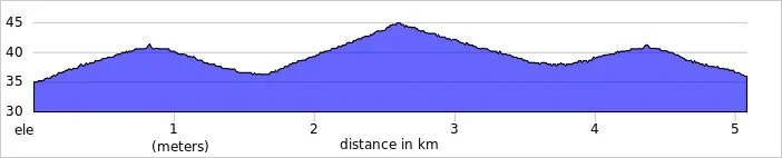
Lee-on-the-Solent

  • I completed this event on: June 13th 2026 with a finish time of: 29:02

  • Historic County: Hampshire

  • Ceremonial County: Hampshire

  • Other routes touched (walk): Solent Way

  • Other routes touched (cycle): NCN 2

  • Inaugural: July 4th 2015

  • Course Map and Elevation Profile by: Mark Brace on February 29th 2020

  • Links: Event Home Page, Course Page


Lymington Woodside

  • I have not yet completed this event

  • Historic County: Hampshire

  • Ceremonial County: Hampshire

  • Inaugural: July 9th 2016

  • Links: Event Home Page, Course Page


Medina I.o.W.

  • I have not yet completed this event

  • Historic County: Hampshire

  • Ceremonial County: Isle of Wight

  • Inaugural: May 7th 2011

  • Links: Event Home Page, Course Page


Meon Valley Trail, Wickham

  • I completed this event on: May 16th 2026 with a finish time of: 27:52

  • Historic County: Hampshire

  • Ceremonial County: Hampshire

  • Other routes touched (walk): Meon Valley Trail, Pilgrims’ Trail, Soberton and Newtown Millennium Walk

  • Other routes touched (cycle): NCN 224

  • Inaugural: April 12th 2025

  • Links: Event Home Page, Course Page


Mountbatten School

***Mountbatten School parkrun is now permanently cancelled ***

  • I did not complete this event before it was closed

  • Historic County: Hampshire

  • Ceremonial County: Hampshire

  • Inaugural: March 2nd 2019

  • Final event: #46 on March 14th 2020

  • Links: Event Home Page, Course Page


Netley Abbey

  • I completed this event on: July 22nd 2023 with a finish time of: 26:58 on their alternative course as there was an event on the main course.

  • Historic County: Hampshire

  • Ceremonial County: Hampshire

  • Other routes touched (walk): N/A, although the Solent Way runs very close by.

  • Course Map and Elevation Profile by: Mark Brace on March 7th 2020

  • Inaugural: March 17th 2012

  • Links: Event Home Page, Course Page

Netley Abbey course (3 laps) on March 7th 2020

Netley Abbey alternative course (5.5 laps) - July 22nd 2023


Portsmouth Lakeside

  • I completed this event on: June 1st 2024 with a finish time of: 27:53

  • Historic County: Hampshire

  • Ceremonial County: Hampshire

  • Other routes touched (walk): Pilgrims’ Trail

  • Other routes touched (cycle): NCN 22, 236

  • Inaugural: April 30th 2016

  • Links: Event Home Page, Course Page


Queen Elizabeth

  • I completed this event on: March 30th 2019 with a finish time of: 26:58

  • Historic County: Hampshire

  • Ceremonial County: Hampshire

  • Other routes touched (walk): South Downs Way, Staunton Way, Hangers Way, The Shipwrights Way

  • Other routes touched (cycle): NCN 89

  • Inaugural: May 18th 2013

  • Links: Event Home Page, Course Page


Rushmoor

  • I completed this event on: November 4th 2017 with a finish time of: 26:51

  • Historic County: Hampshire

  • Ceremonial County: Hampshire

  • Other routes touched (walk): Basingstoke Canal Towpath

  • Inaugural: May 3rd 2014

  • Links: Event Home Page, Course Page, blog7t write-up

 
elevation_profile - Rushmoor.jpg

Southampton

  • I completed this event on: January 8th 2022 with a finish time of: 26:12

  • Historic County: Hampshire

  • Ceremonial County: Hampshire

  • Other routes touched: None

  • This event is also part of parkrun Compass Club

  • Inaugural: July 7th 2012

  • Links: Event Home Page, Course Page


Southsea

  • I completed this event on: April 22nd 2023 with a finish time of: 26:01

  • Historic County: Hampshire

  • Ceremonial County: Hampshire

  • Other routes touched (walk): Solent Way, The Shipwrights Way

  • Other routes touched (cycle): NCN 2

  • This event is also part of parkrun Compass Club

  • Inaugural: October 5th 2013

  • Links: Event Home Page, Course Page


Whiteley

  • I have not yet completed this event

  • Historic County: Hampshire

  • Ceremonial County: Hampshire

  • Other routes touched: None

  • Inaugural: April 1st 2017

  • Course Map and Elevation Profile by: Mark Brace on October 26th 2019

  • Links: Event Home Page, Course Page


Winchester

  • I completed this event on: January 11th 2020 with a finish time of: 26:37

  • Historic County: Hampshire

  • Ceremonial County: Hampshire

  • Other routes touched: N/A

  • Inaugural: April 27th 2013

  • Links: Event Home Page, Course Page


More parkrun posts

parkruns are free, weekly, community 5k events all around the world. I started in December 2012 and have been obsessive about it ever since. See my parkrun Collection page for details.

Featured and popular parkrun posts:


Portsmouth Coastal Half Marathon

When: February 3rd 2019
Where: Portsmouth, Hampshire, UK
Course: Out and back along the coast from Pyramids Leisure Centre / Southsea Castle to North-East corner of Portsea Island. Similar return route with some diversions. Nice muddy/icy beach section.
Other routes touched (walk): Solent Way, The Shipwrights Way,
Other routes touched (cycle): NCN 2, 222
Finish time: 1 hour 57 minutes

 
Race To The King Ultra Marathon

When: June 24th 2018
From: Slindon Estate, Arundel, West Sussex
To:
Winchester Cathedral, Winchester SO23 9LS
Distance: 86.1km (53.5 miles)
Elevation: +1,344m / - 1,380m. Net -36m
GPX File: get via Buy Me a Coffee
Other routes touched (walk): Monarch’s Way, South Downs Way, West Sussex Literary Trail, New Lipchis Way, Staunton Way, The Shipwrights Way, Long Woodland Trail, Wayfarers Walk, Allan King Way, Pilgrims’ Trail, Itchen Way, Clarendon Way
Other routes touched (cycle): NCN 22, 222, 224, 23
Maps:
- Ordnance Survey Explorer OL10 Arundel & Pulborough Map
- Ordnance Survey Explorer OL8 Chichester, South Harting & Selsey Map
- Ordnance Survey Explorer OL3 Meon Valley, Portsmouth, Gosport and Fareham Map
- Ordnance Survey Explorer OL32 Winchester, New Alresford & East Meon Map
Trig Pillars: TP1105 - Beacon Hill, TP5226 - Old Winchester Hill, TP3089 - Exton
Finish time: 14 hours 49 minutes
Links: South Downs Way, Harting Down National Trust, Queen Elizabeth Country Park, Beacon Hill Nature Reserve, Winchester


This was my 4th ultra and the 2nd in the Threshold Trail series. My first couple were a test, then reconfirmation, that I could do an Ultra. After the Gower I was happy to call myself an Ultra Marathon runner. From here on I’ll do them for the pure awesomeness of the events.

As a true introvert I’m not chatty on the events, defaulting to an inner game of getting through the run. Despite this I love the social aspect of the events. It’s the buzz of so many people taking on a major challenge, the support that everyone gives each other and the spectators cheering and helping anyone on the route.

Race To The King was a classic example of why I love these events. The South Downs Way is an iconic trail, the weather was amazing (albeit a little warm) and the organisation couldn’t be faulted.

The conditions couldn’t have been more different to October’s Gower Ultra. That was was damp and crippled my feet while this was bone dry. Despite being 3 miles long I’d completed this one nearly a hour quicker at 14 hours 49 mins. By the time I’d reached Winchester Cathedral I was in good shape and on a bit of a high.

Next Ultra: Race To The Tower 2019.


Start: Slindon Estate, Arundel


End: Winchester Cathedral


Walking The Clarendon Way
IMG_5743.JPG

Start: Salisbury Cathedral, The Close, Salisbury, SP1 2EJ
Finish: Winchester Cathedral, 9 The Close, Winchester, SO23 9LS
Distance: 44 km (27.3 miles)
Elevation change: +599m / -605m m. Net -6m
GPX File: get via Buy Me a Coffee
Other routes touched (walk): Old Sarum Way, Monarch’s Way, Test Way,
Other routes touched (cycle): NCN 23, 24, 246,
Map:
-
OS Explorer Map (130) Salisbury and Stonehenge
- OS Explorer Map (131) Romsey, Andover and Test Valley
- OS Explorer OL32 Winchester, New Alresford & East Meon
Links: Clarendon Way, Salisbury, River Test, Winchester


I struggle with December. I don't know whether its real Seasonal Affective Disorder, but I'm definitely affected by the short, dark days. By the time I finished work on the 20th I was barely clinging on for the break. What I needed was a 1 day microadventure: a whole day outside and to get physically rather than mentally tired. The Clarendon Way solved this.

The route is a 20 mile sign posted trail between Salisbury and Winchester. It has the feel of a Pilgrimage route with a cathedral at either end and long, straight ancient paths. It connects 2 old Royal Palaces, including Clarendon Palace after which it is named.

There's a lot of pleasant countryside and some interesting sections at either end. Much of the middle is unremarkable though. Maybe I've been spoilt by other trails like the Ridgeway that have more to see. That wasn't really the point of today's trip though.

The day started with a head full of unfinished work thoughts, re-mortgaging details and annoyances about dodgy builders. Thoughts came and went over the course of the 8 hour trip. Ideas rumbled around, solutions presented themselves and some things lost their importance. I've read about people finding enlightenment on a Pilgrimage. I wasn't going to get that on a 1-day walk, but I understand where it comes from. For some its a religious experience, for me its the head-clearing power of exercising outdoors.

Getting there:

The Clarendon Way is a good 1-day walk or, in summer, a trail marathon run. Although it can be broken into sections, the completed journey in a day is enormously satisfying. I parked at Basingstoke station and took a 45 minute train to Salisbury, returning from Winchester to Basingstoke. This is the best solution if you're coming from the north and there's a similar option using Southampton station as the connector. The train station in each city is about half a mile from the cathedral.


For an alternative 2-day option on walking the Clarendon way, check out Hiker Hero’s blog about the trail. It’s a great article with some awesome photos and more description on the route.