Fort Southwick: Portsmouth High Point
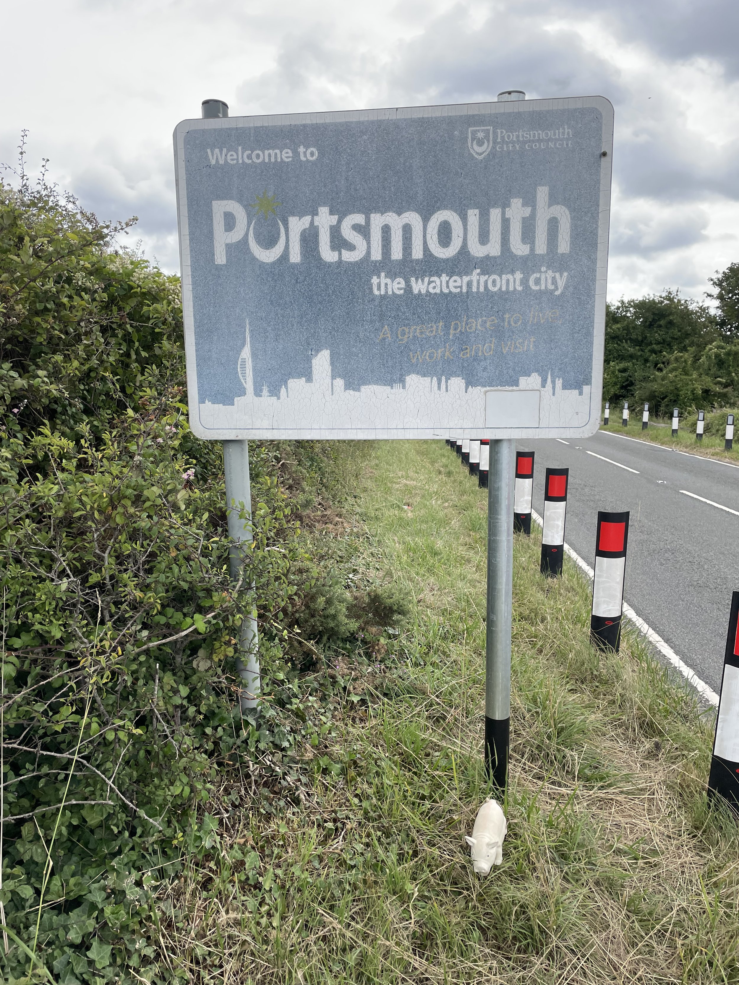
Significance: Unitary Authority High Point for Portsmouth
Member of: N/A
Parent Peak: Butser Hill, NHN: Butser Hill
Historic County: Hampshire (of which Pilot Hill is the County Top)
Elevation: 122m
Date “climbed”: July 22nd 2023
Coordinates: 50° 51' 29'' N, 1° 6' 43'' W
Map: Meon Valley, Porstmouth, Gosport and Fareham (OS Explorer Map): Sheet 119
Links: Wikipedia (Portsmouth), Peakbagger, Hillbagging, Fort Southwick
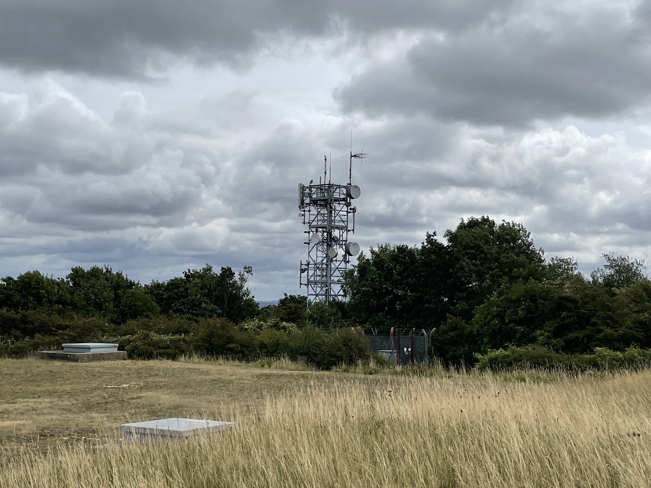
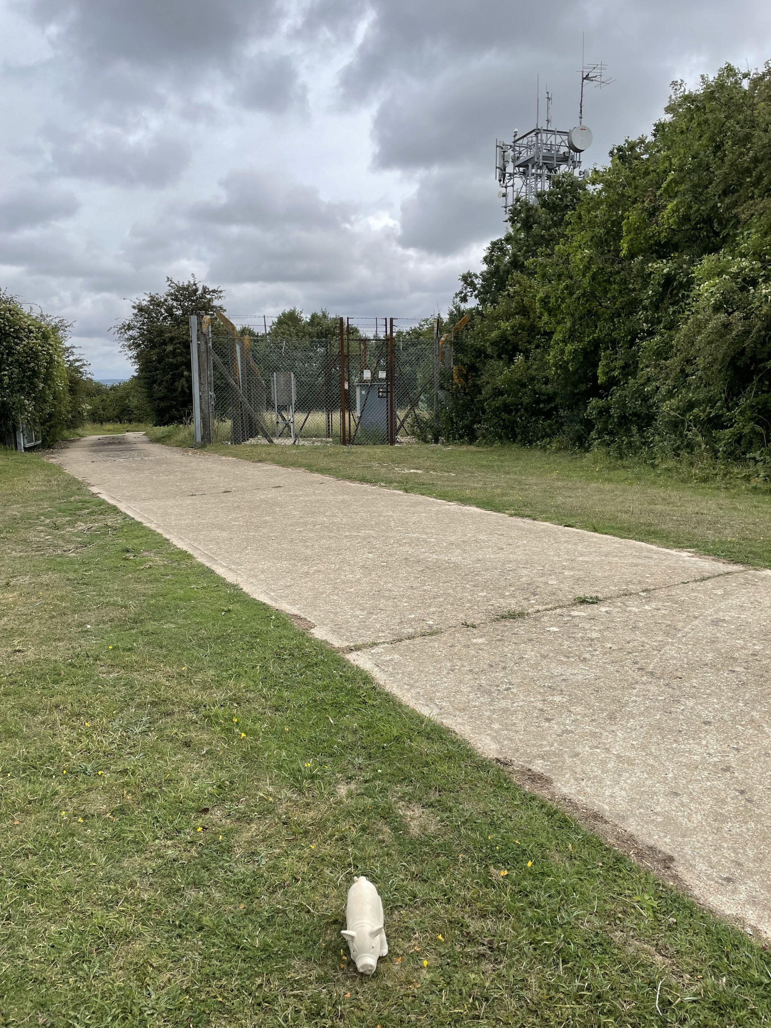
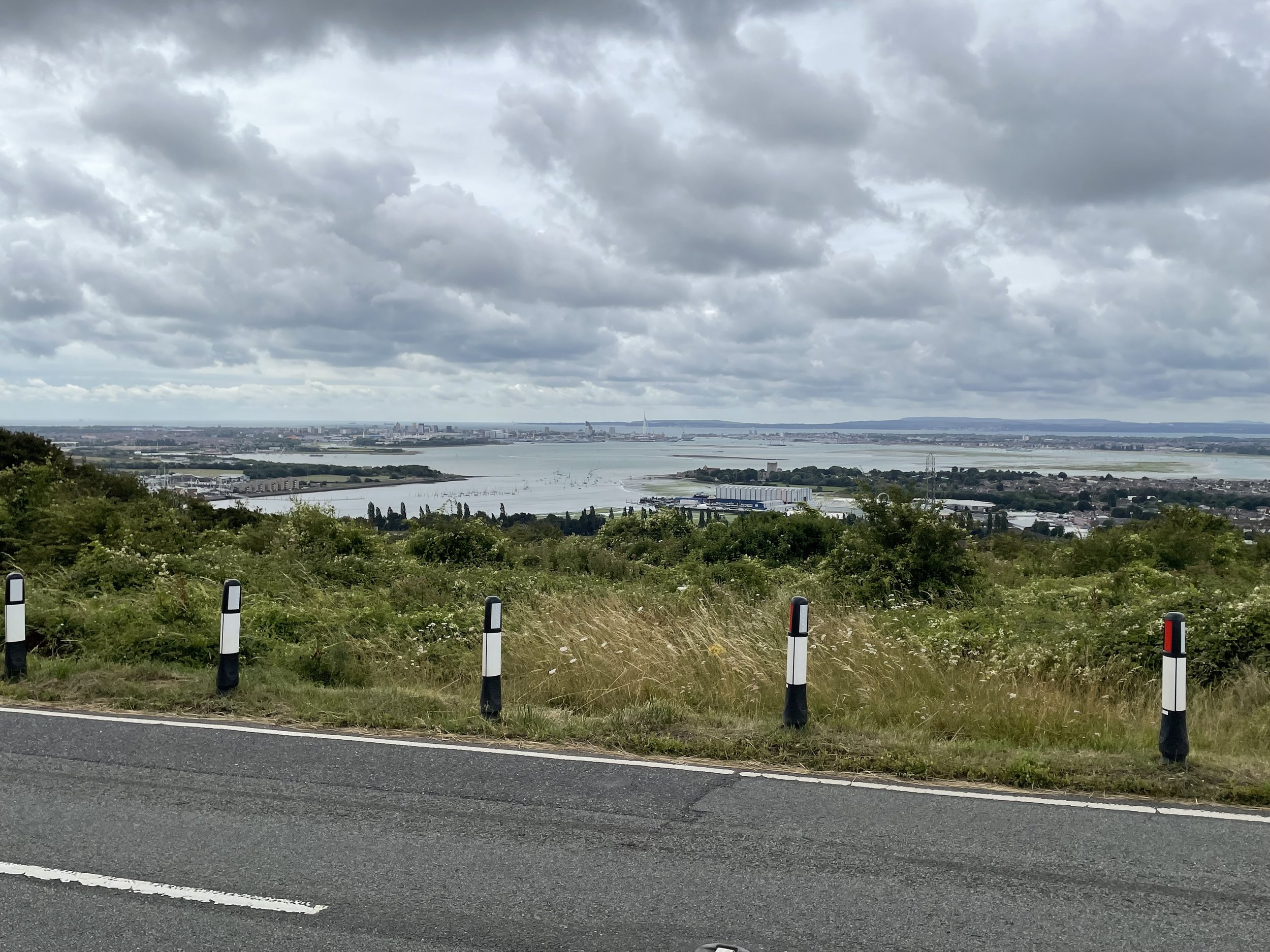
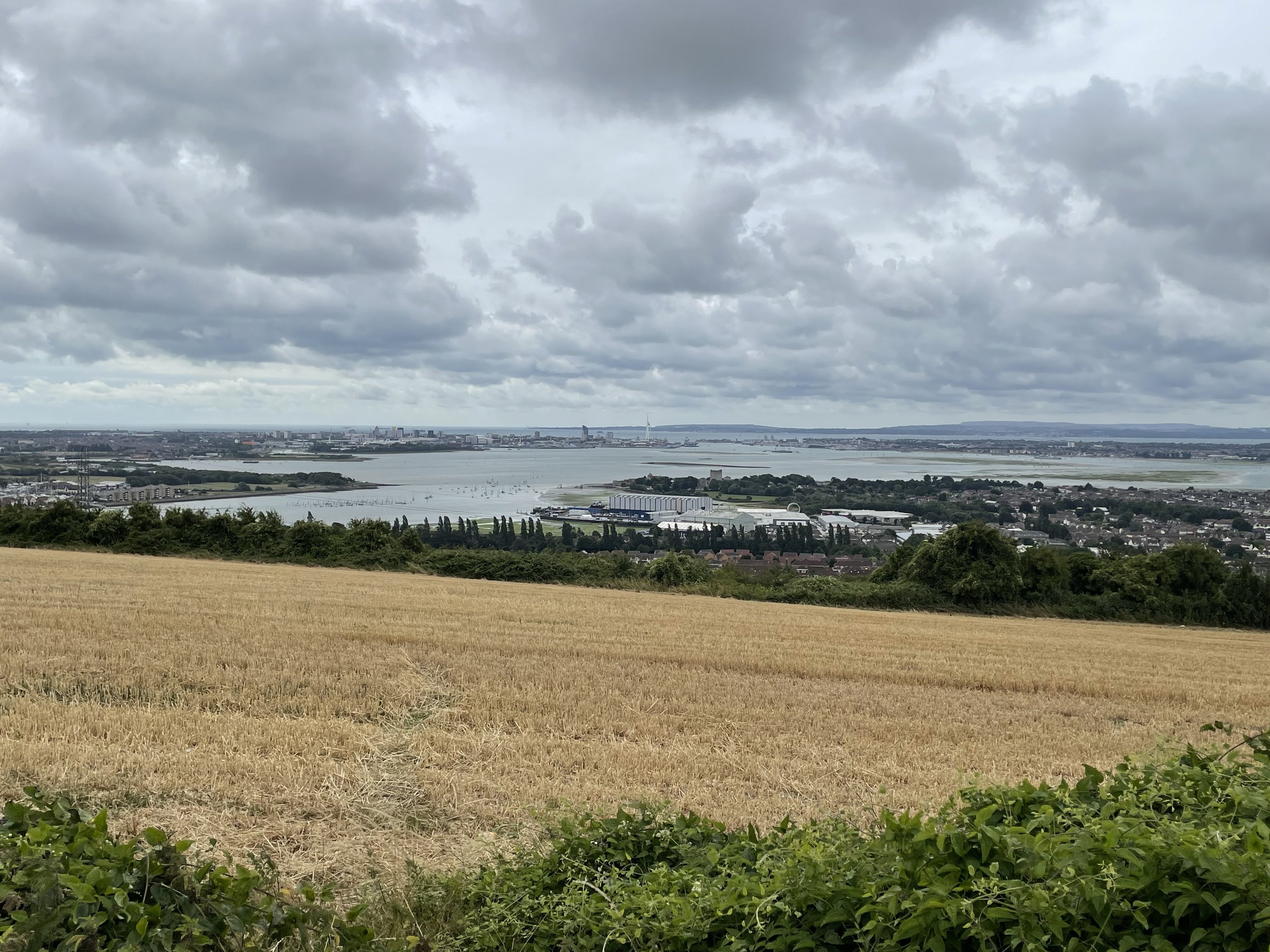
Fort Southwick is the high point of the Unitary Authority of Portsmouth, within the Historic and Ceremonial Counties of Hampshire. The high point is on private land on a track up to a small reservoir but it’s easily accessible over a gate from Portsdown Hill Road just to the west of the old fort.
Fort Southwick was built in the 1860s to defend the landward approaches to the naval base at Portsmouth. The fort is a large, triangular structure with a dry ditch and a number of caponiers (small, projecting defensive works). It also houses a water storage tank and a spiral staircase that leads to the underground tunnels.
Fort Southwick was disarmed in 1906 but was retained as a barracks. It was also used by the army to train soldiers how to capture and hold a fort. In the Second World War, the fort was used as a headquarters for the Admiralty and as a communications center.
Today, Fort Southwick is mainly used as an NHS park and ride for Portsmouth and a used car dealership. There’s an OS Trig Pillar inside (TP3238 - Fort Southwick) but inaccessible except with special permission. Trigpointing logs indicate that permission is very hard to get.