Butser Hill
Significance: Parent Peak of (among others): Bowsey Hill
Member of: Marilyn
Parent Peak: Black Down.
Nearest Higher Neighbour = Black Down
Elevation: 270m
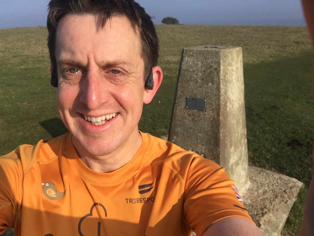
Date “climbed”: 30th March 2019
Coordinates: 50° 58' 40'' N, 0° 58' 49'' W
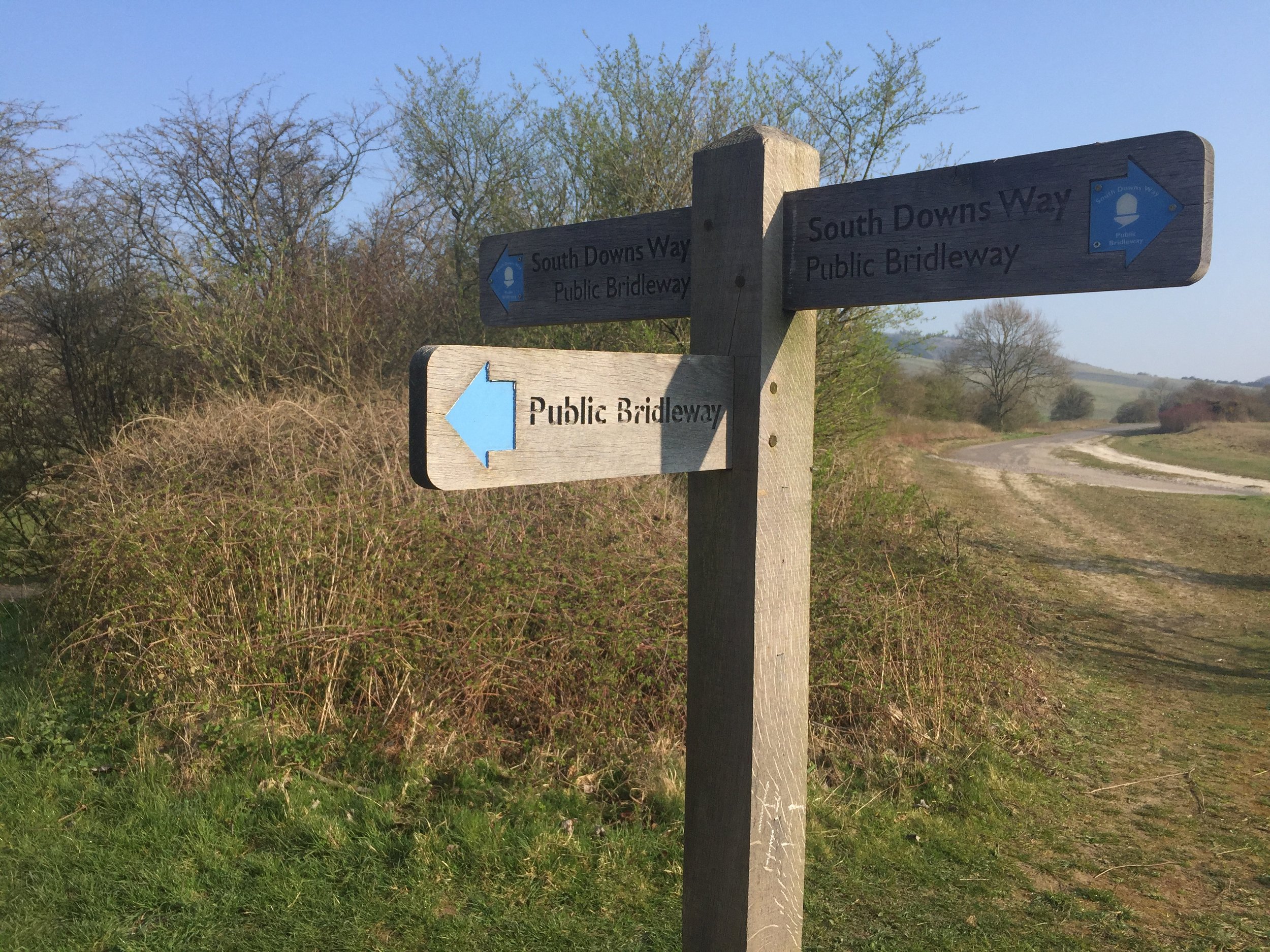
On route of: South Downs Way (just off)
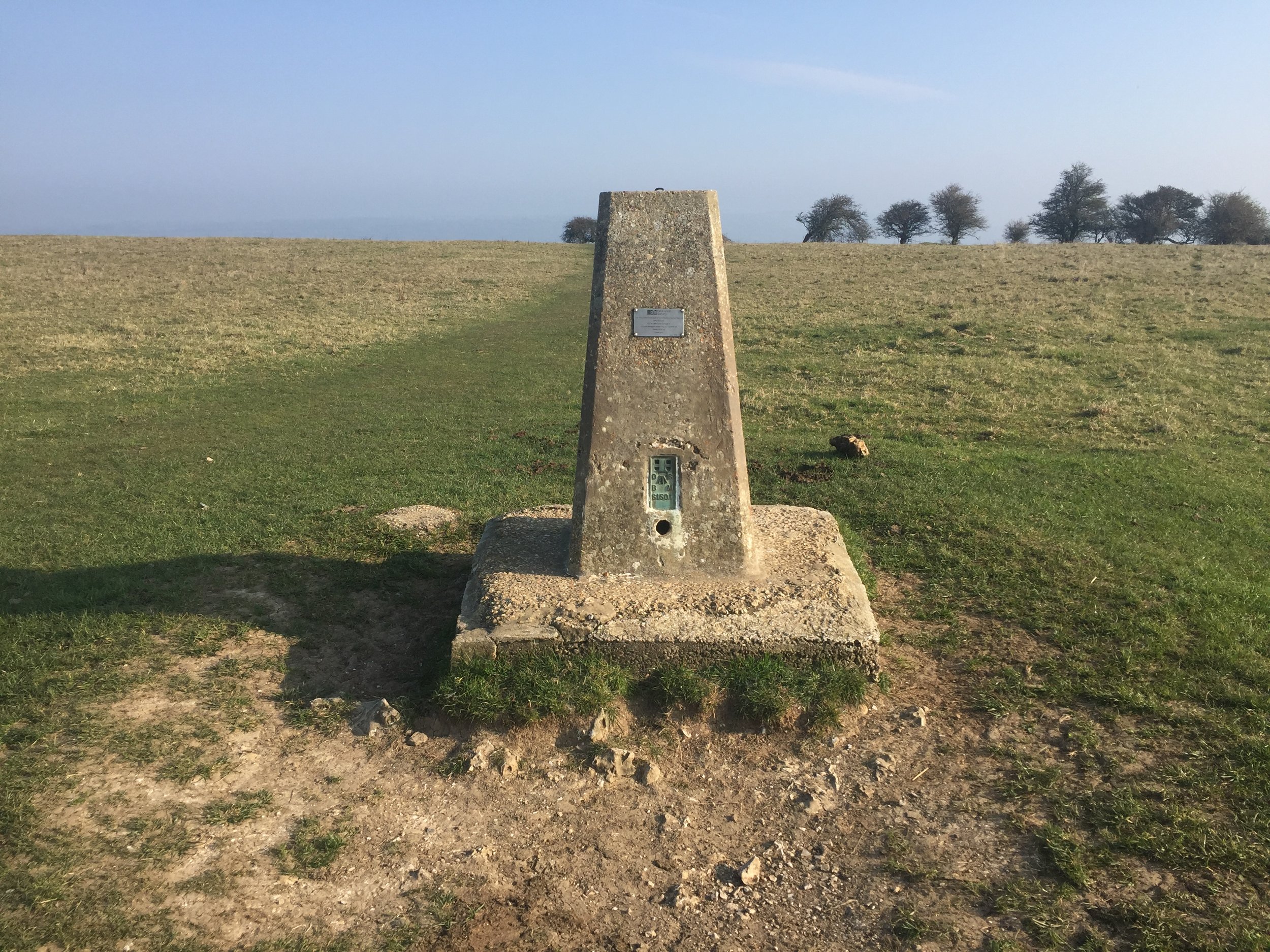
OS Trig Pillar: TP0316 - Butser
Map: Chichester Map | South Harting & Selsey | Ordnance Survey | OS Explorer Map OL08
Links: Wikipedia (Butser Hill), Peakbagger, Queen Elizabeth Country Park
Butser Hill is a geographical and ecological giant. Reaching an elevation of 270 metres it proudly holds the distinction of being the highest point on the chalk ridge of the entire South Downs and one of the highest points in Hampshire. From its flat summit, visitors are rewarded with expansive 360-degree panoramic views that can stretch to the Solent and the Isle of Wight on a clear day.
The hill is an essential site for both history and conservation. The surrounding area is rich with archaeological remains, including Bronze Age burial mounds and ancient Celtic field systems. A short distance away is the famous Butser Ancient Farm, an experimental archaeology site that reconstructs prehistoric, Roman-British, and Saxon dwellings, demonstrating ancient farming and building techniques.
I’d passed close by to the tops of Butser Hill on the Race To The King ultra marathon. It wasn’t close enough though to add some more distance to the 53 miles I had to run that day so I gave it a miss. Luckily it’s in warm-up distance of Queen Elizabeth parkrun at the Country Park of the same name so I returned a few months later.
Although Butser Hill is not the highest point in the South Downs National Park (it’s Blackdown at 280m), it is the highest point on the South Downs escarpment (source).